chrissables
-
Posts
2982 -
Joined
-
Last visited
Content Type
Profiles
Forums
Downloads
Everything posted by chrissables
-
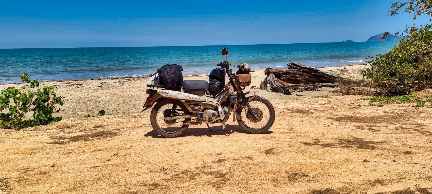
I am not long back from a 40 day motorbike tour in Thailand, only one hotel would not accept a drivers licence.
-
He did not break the law, the hotels have the duty to report customers.
-
It would depend on waht immigration office. Arriving back in Pattaya and a bike tour i have never reported i am back and never had an issue.
-
Renew late and get 6 years license
-
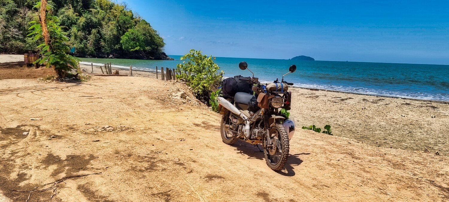
CT125 and Vespa Sprint 150, Southern Thailand Tour.
chrissables replied to chrissables's topic in Motorcycles in Thailand
Thanks Randell, it was a great trip 🙂 -
CT125 and Vespa Sprint 150, Southern Thailand Tour.
chrissables replied to chrissables's topic in Motorcycles in Thailand
The Vespa was running ok, when we we left, it became apparent it was not though. Top marks to Mike for cracking on and sorting and joining me with Al. -
CT125 and Vespa Sprint 150, Southern Thailand Tour.
chrissables replied to chrissables's topic in Motorcycles in Thailand
But you did not know until i told you 🙂 -
CT125 and Vespa Sprint 150, Southern Thailand Tour.
chrissables replied to chrissables's topic in Motorcycles in Thailand
Thanks 🙂 -
CT125 and Vespa Sprint 150, Southern Thailand Tour.
chrissables replied to chrissables's topic in Motorcycles in Thailand
Thanks 🙂 -
CT125 and Vespa Sprint 150, Southern Thailand Tour.
chrissables replied to chrissables's topic in Motorcycles in Thailand
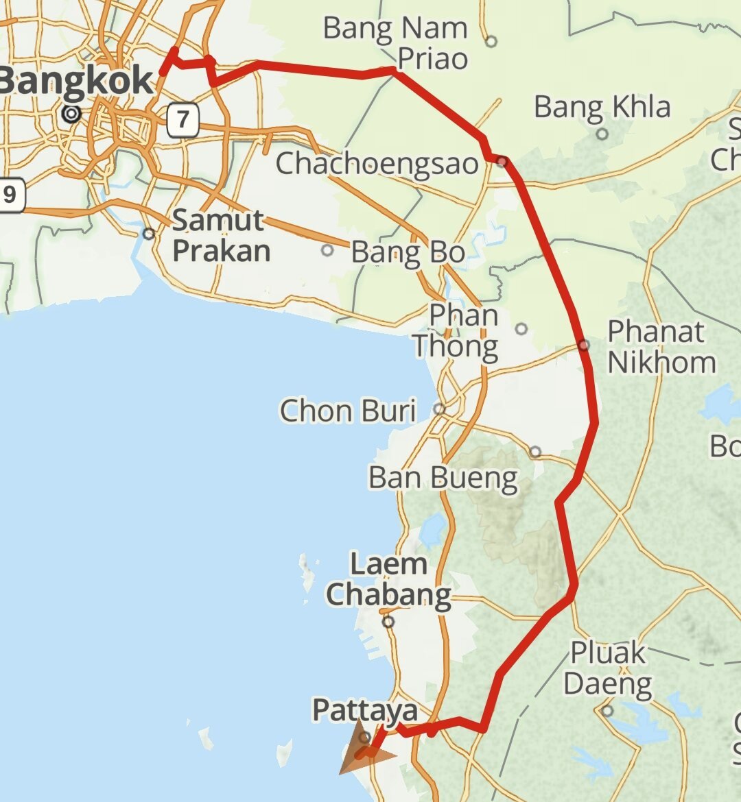
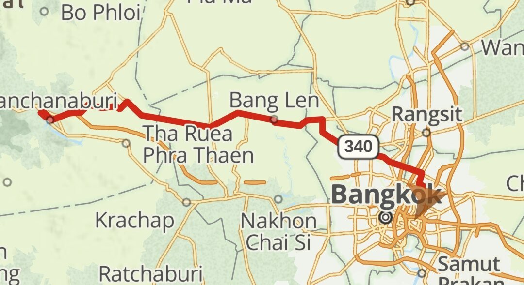
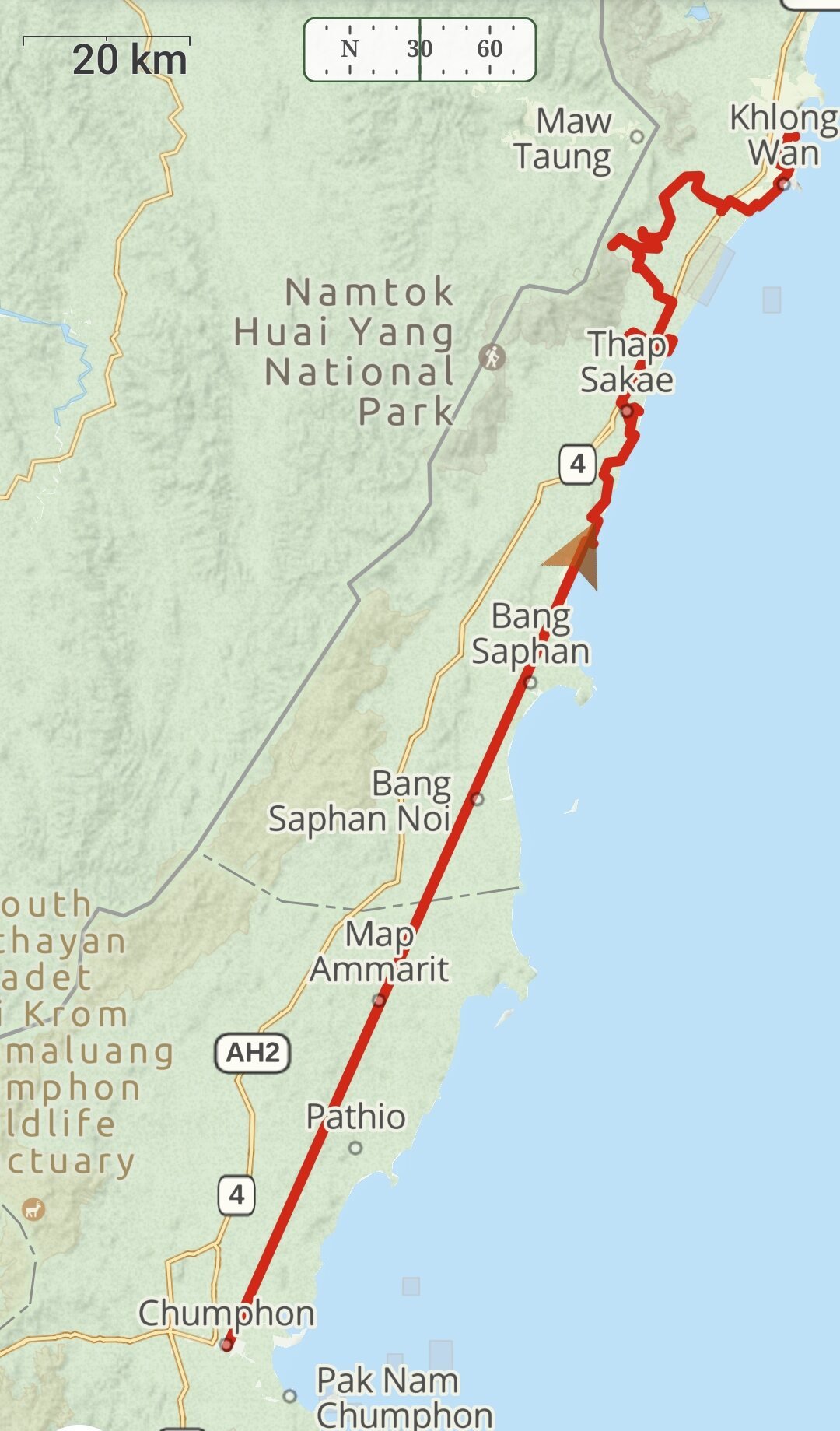
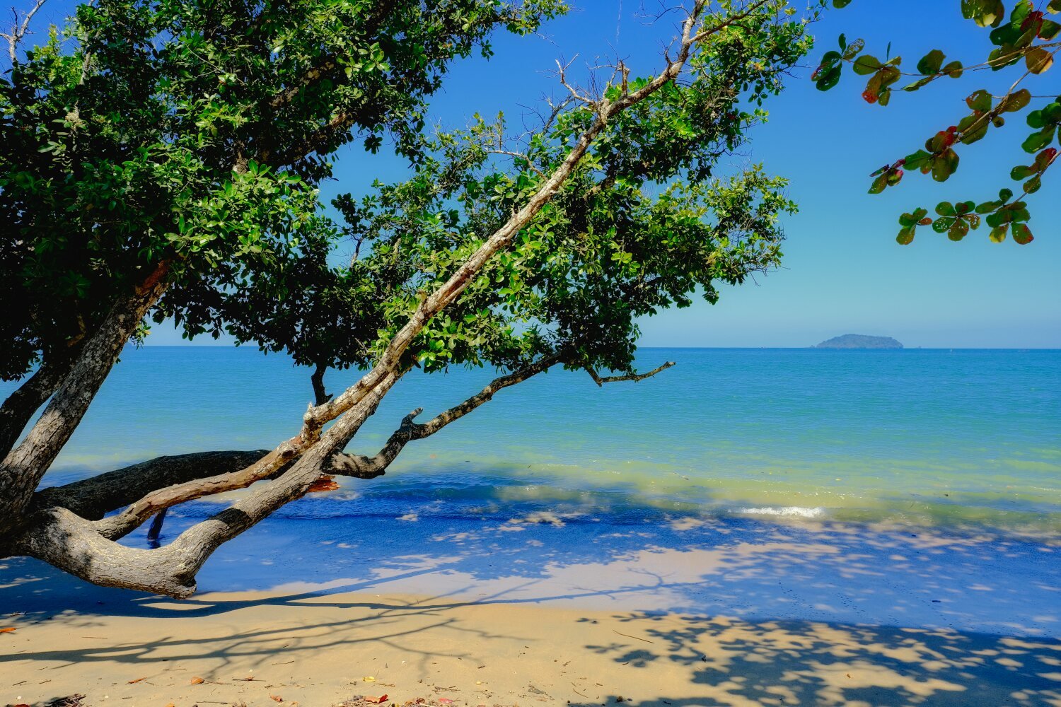
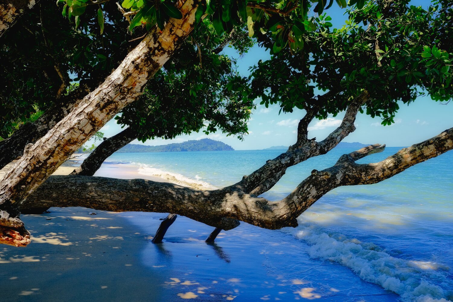
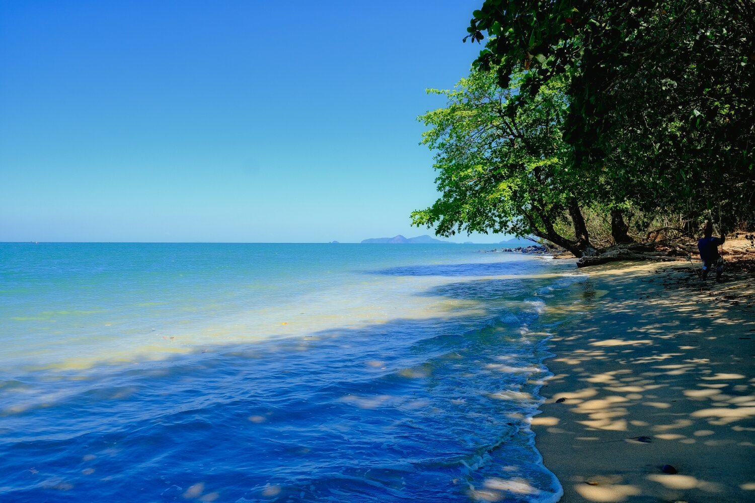
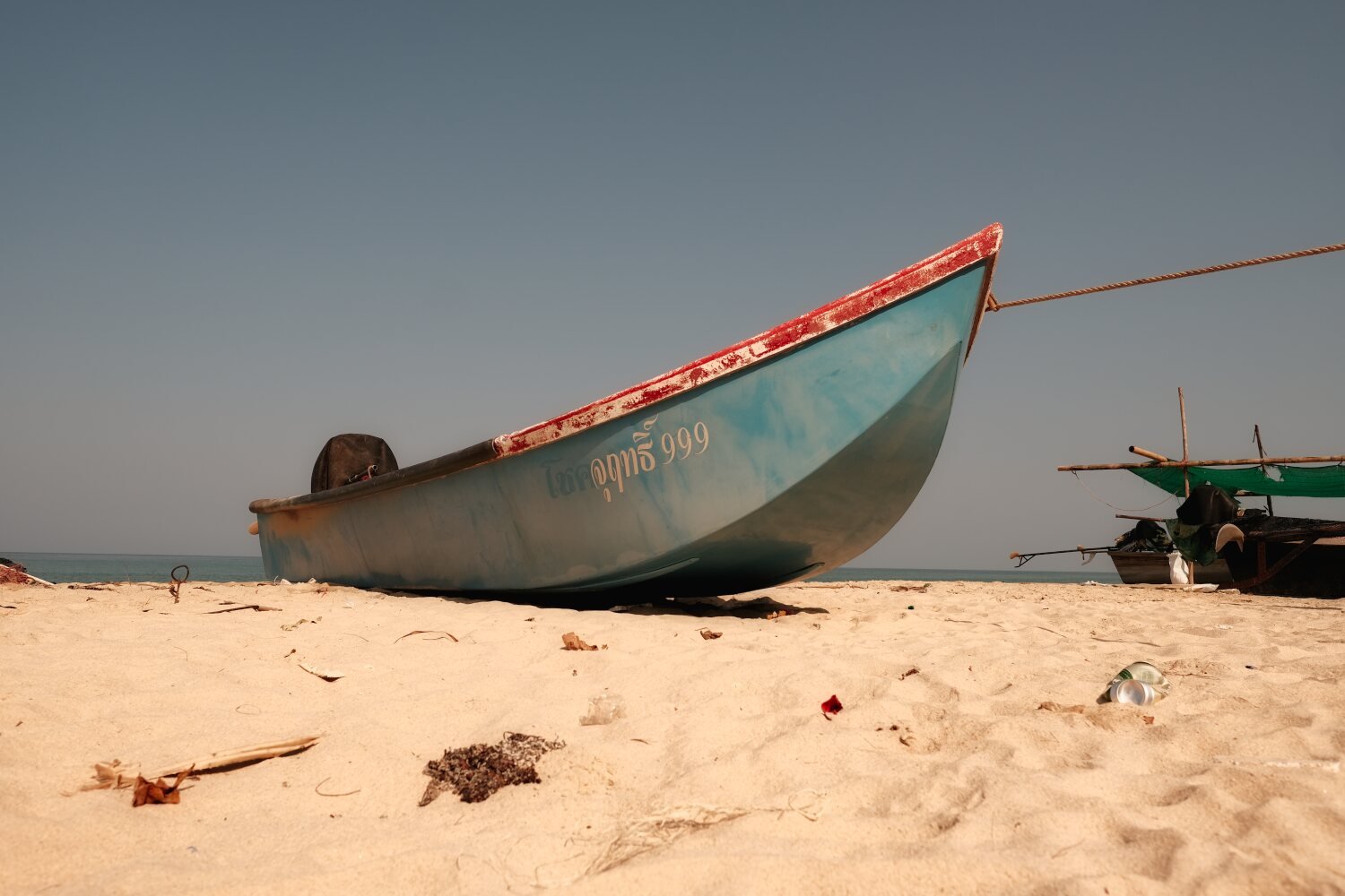
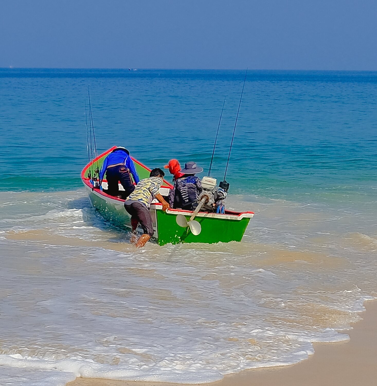
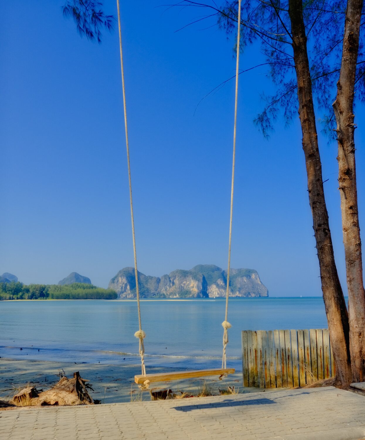
Day 40. Bkk to Pattaya. My last day of this trip was a very hot ride from Bangkok to Pattaya, a 184km ride. The route I rode took three and a half hours and was far better the usual route, with traffic flowing which kept me relatively cool. My total millage 7,035 km Al made it home safely as did Mike on his Vespa. Really enjoyed riding in the south of Thailand and will return for sure.
-
CT125 and Vespa Sprint 150, Southern Thailand Tour.
chrissables replied to chrissables's topic in Motorcycles in Thailand
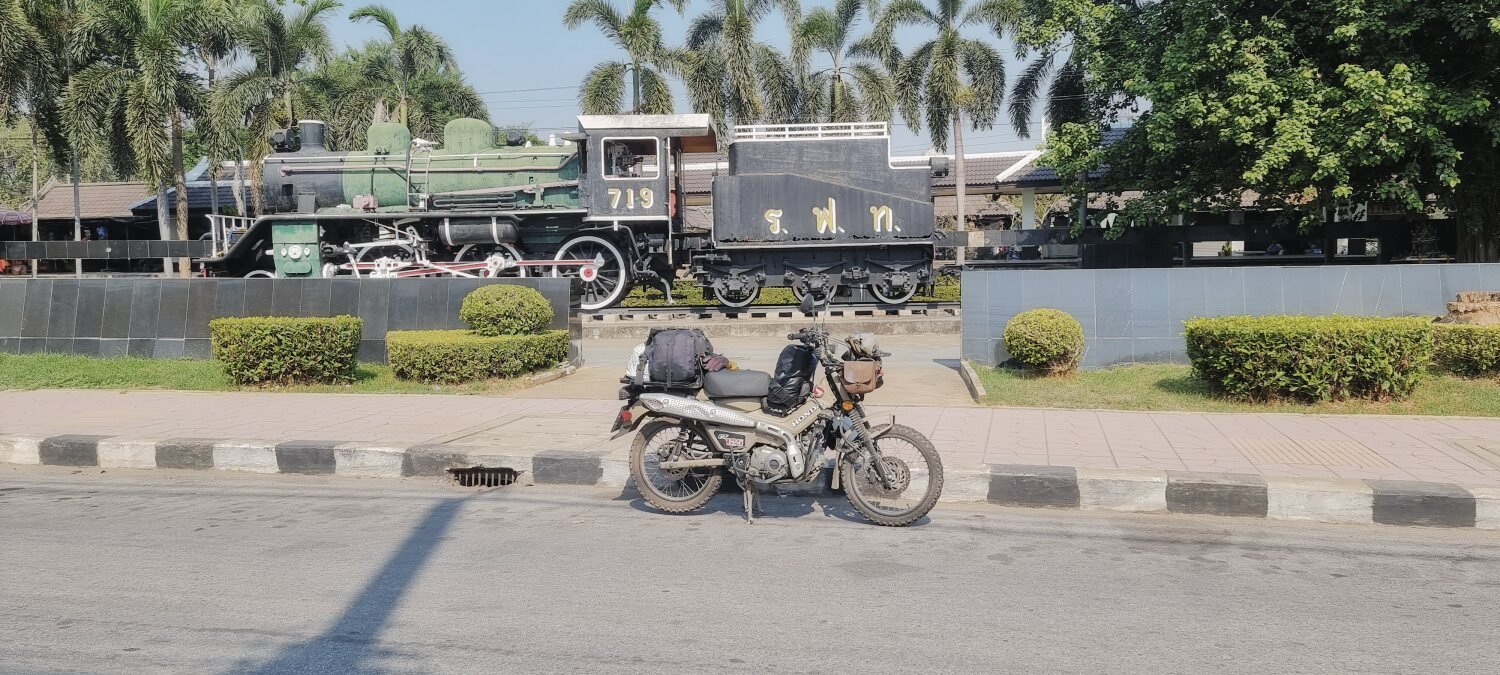
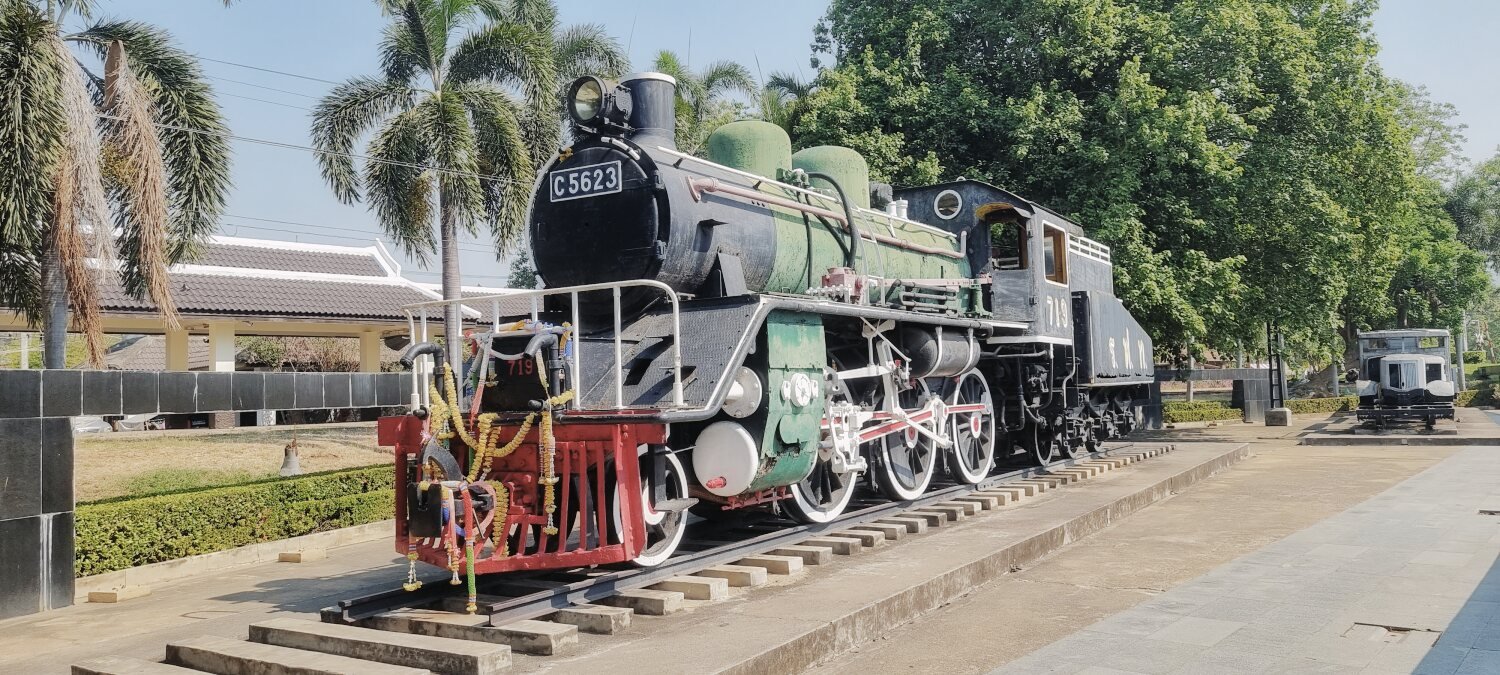
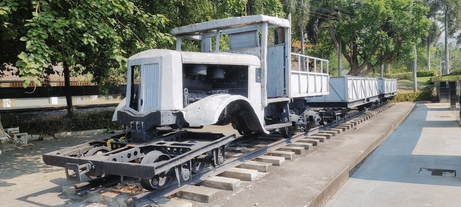
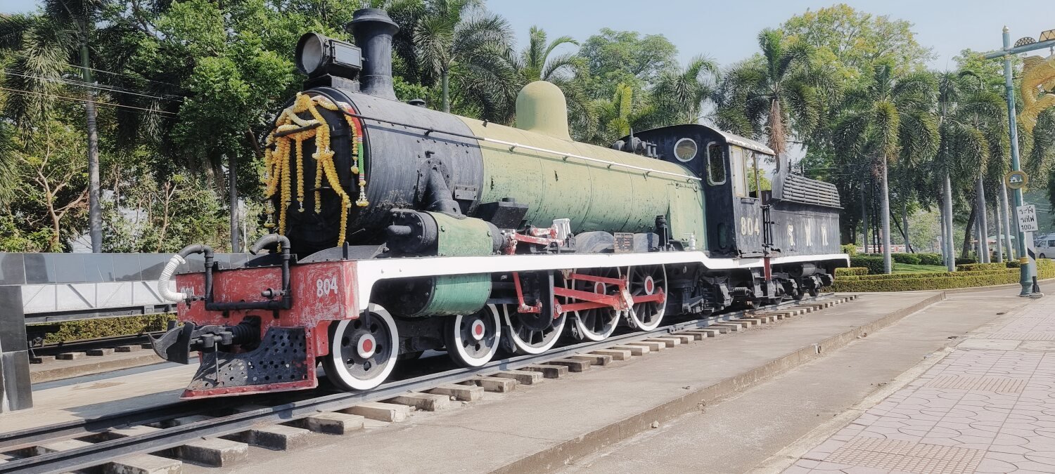
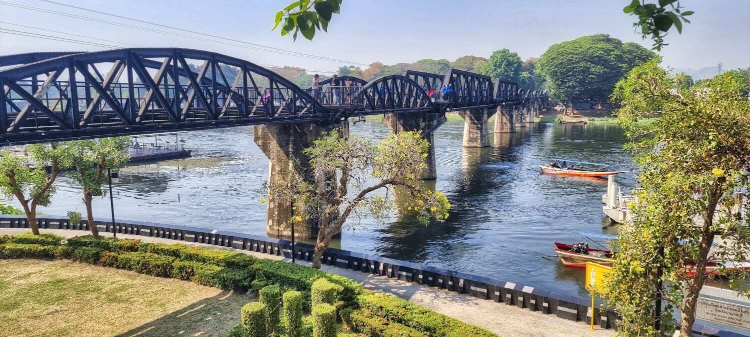
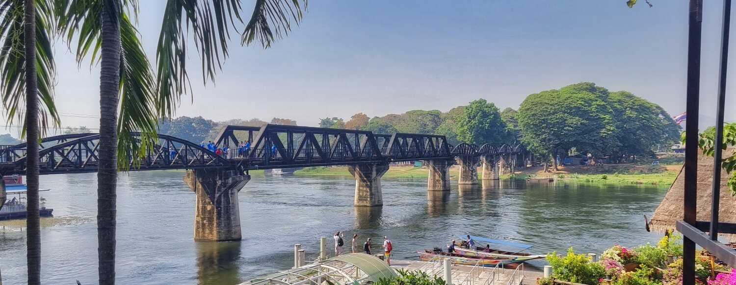
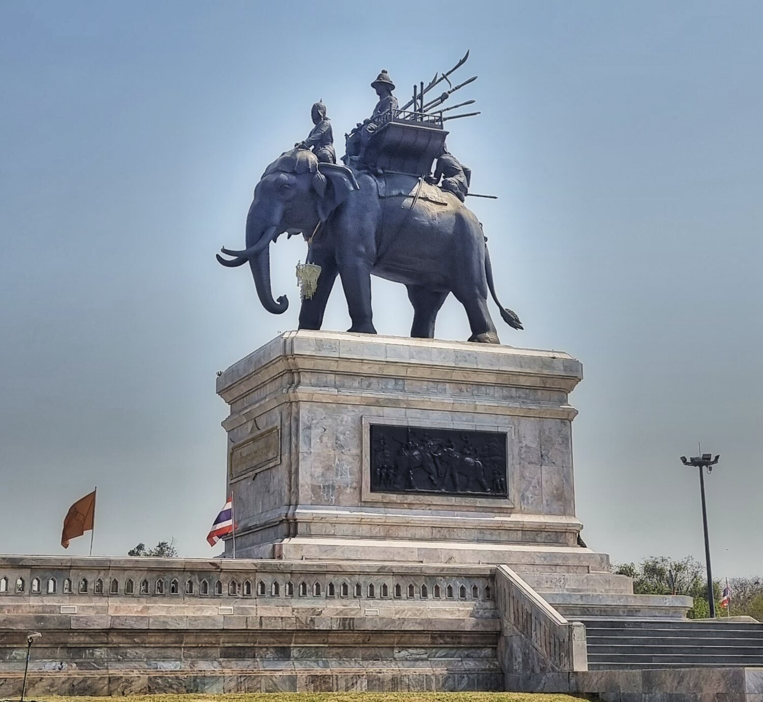
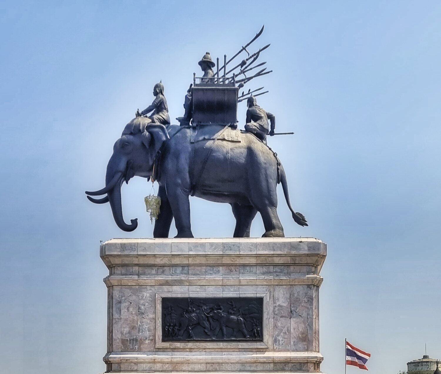
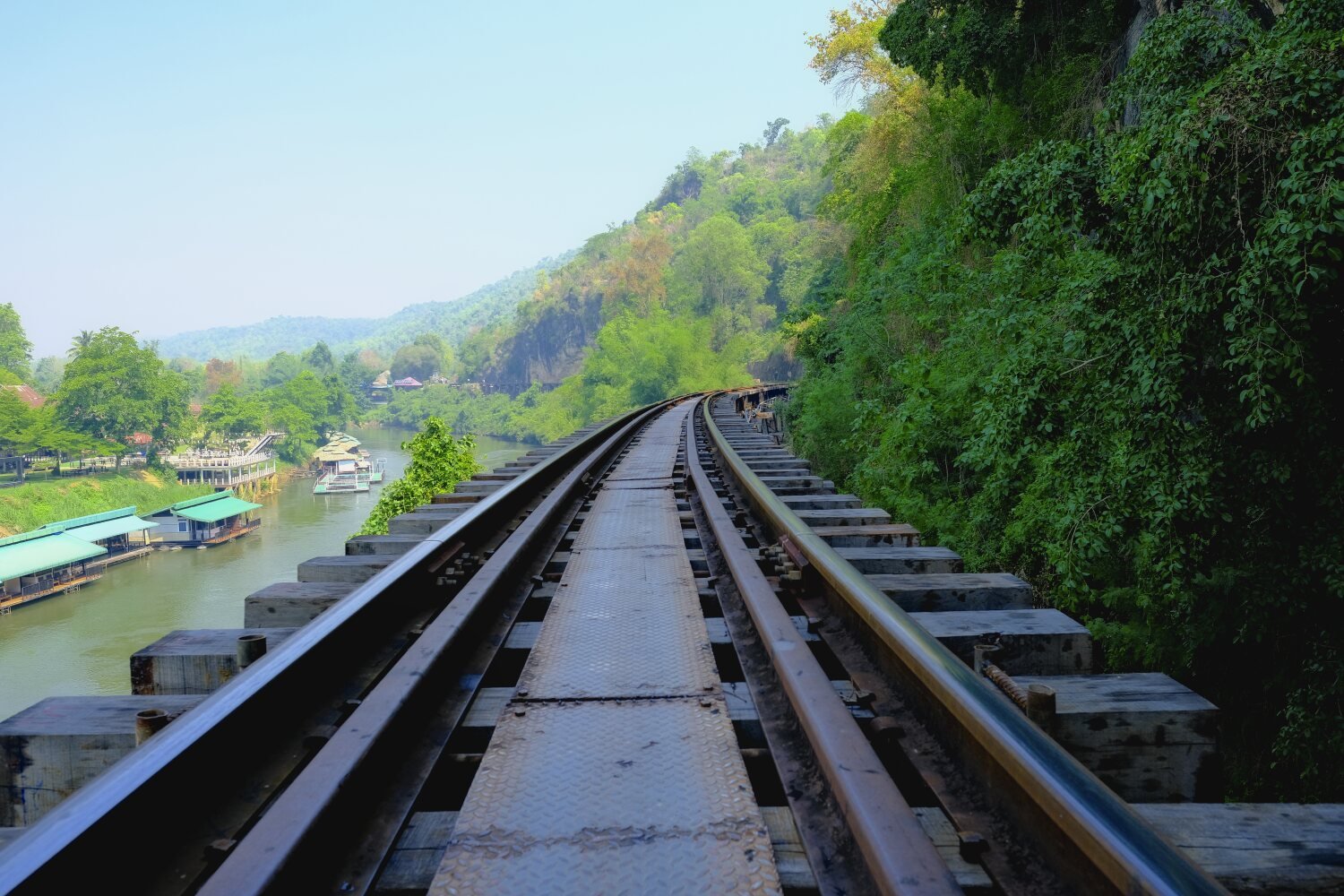
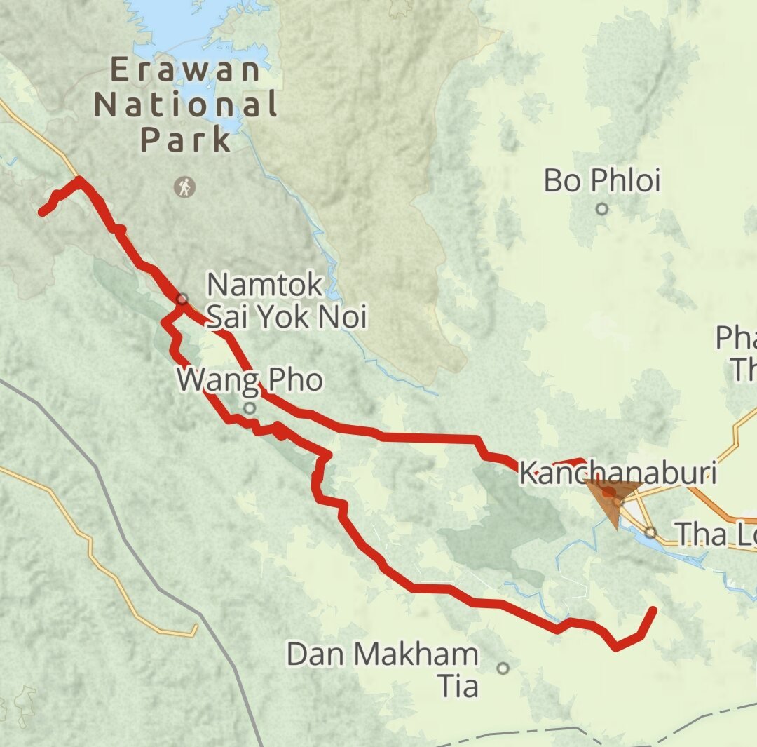
Day 39. Kanchanaburi to Bangkok. Al and I parted ways this morning as I was stopping in Bangkok for a night before returning to Pattaya. Leaving Kanchanaburi I stopped to photograph the Steam Trains, here. https://maps.app.goo.gl/VhaH1RD6WrKLEUUs6 And then the River Khwae Bridge, here. https://maps.app.goo.gl/fVauCSQFbk136hr99 My final stop before the hot ride into Bangkok was Yutthahatthi Don Chedi Memorial (Phanom Thuan), Kanchanaburi. The Elephant War Memorial, here. https://maps.app.goo.gl/yjNZKzewTSM8SQpC6 https://www.relive.cc/view/vevW3ez91yv
-
CT125 and Vespa Sprint 150, Southern Thailand Tour.
chrissables replied to chrissables's topic in Motorcycles in Thailand
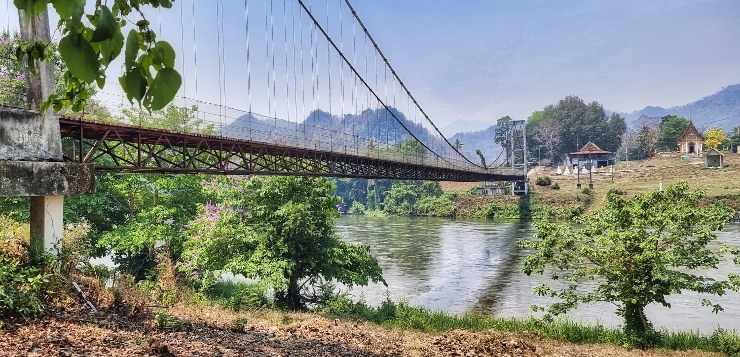
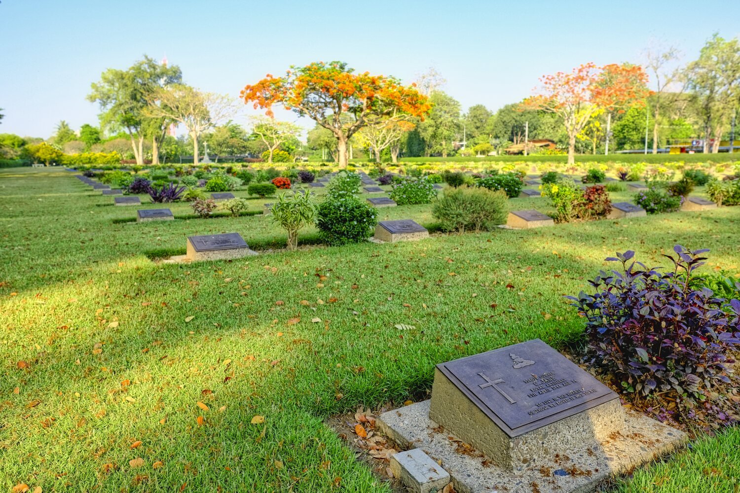
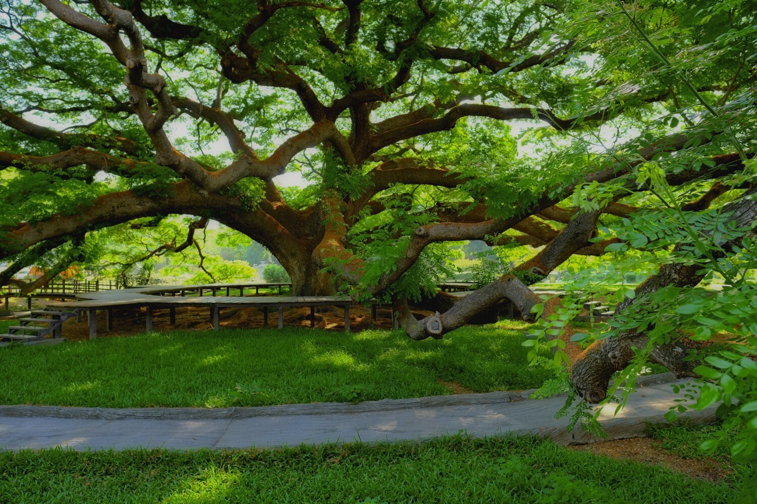
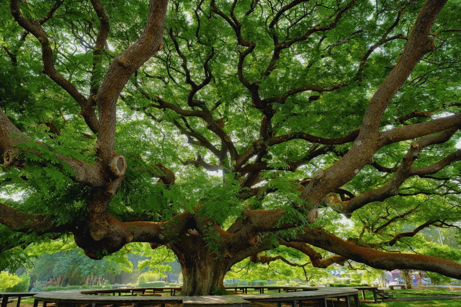
Day 38. Kanchanaburi Exploring. Today Al and I went exploring around Kanchanaburi, I had already been to these places but it was still nice to ride again. First stop was Chong Kai War Cemetery, here. https://maps.app.goo.gl/Fxb3wbL1GtmY7XjN9 Then to a non tourist site of a Rain Tree, here. https://maps.app.goo.gl/gVrr92DLPjddXkc4A Not far away was the tourist Giant Rain Tree, here. https://maps.app.goo.gl/uabiMGbma4eVD68t6 From here we rode to Railway Bridge, Tham Krasae, here. https://maps.app.goo.gl/qsM5rHKWQHUpQ5gD9 We rode to Ban Hat Ngio suspension bridge, here. https://maps.app.goo.gl/BJkVecrL9Hq7QgGr6 Which is behind the famous Hellfire Pass, Thai-Burma Death Railway, here. Then it was an hour ride back into town. https://maps.app.goo.gl/jzTmXy1XR8oH5j1w9 https://www.relive.cc/view/vdORje3KKrO
-
CT125 and Vespa Sprint 150, Southern Thailand Tour.
chrissables replied to chrissables's topic in Motorcycles in Thailand
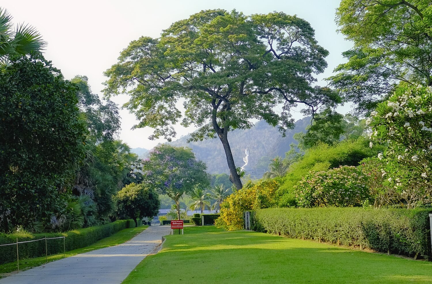
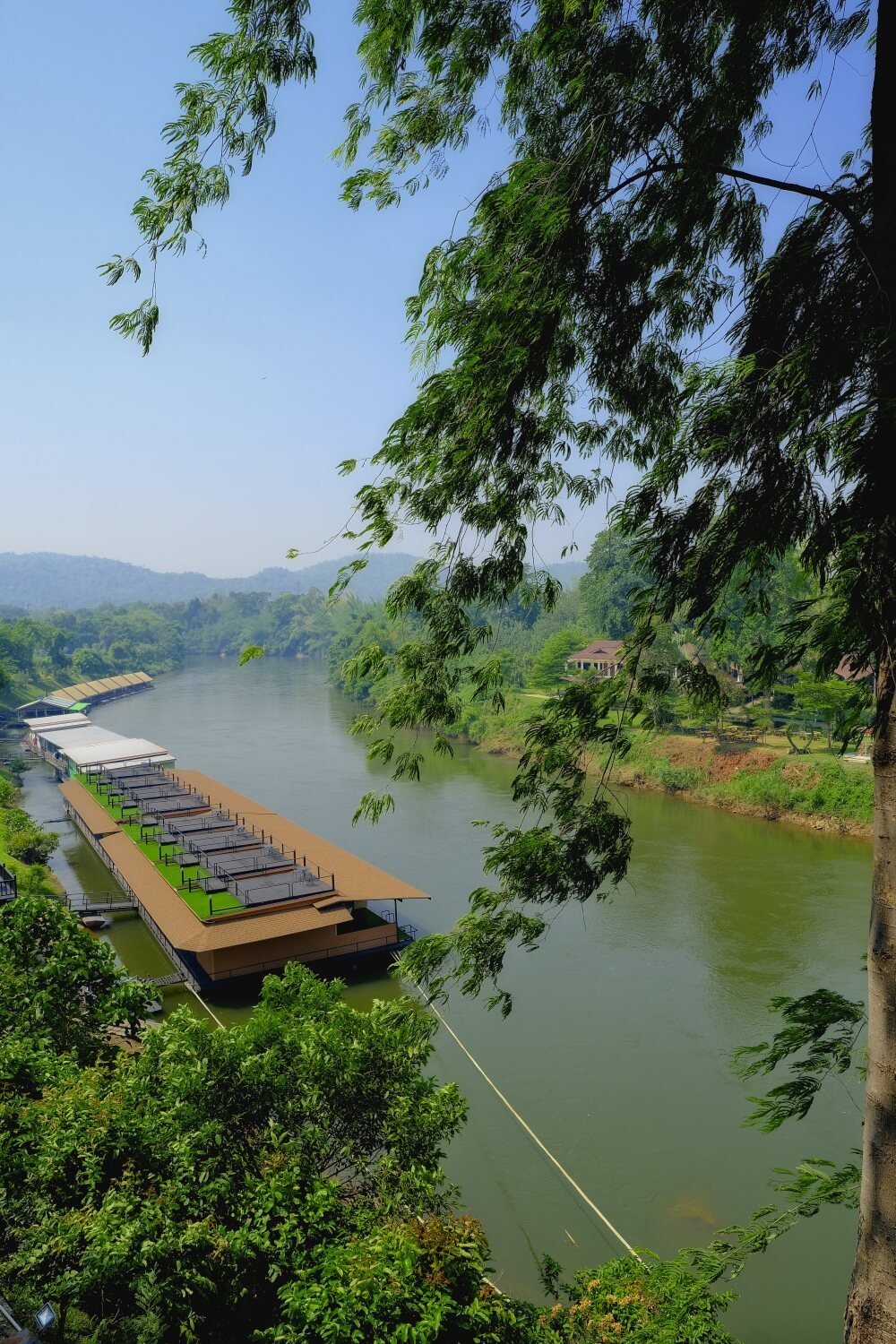
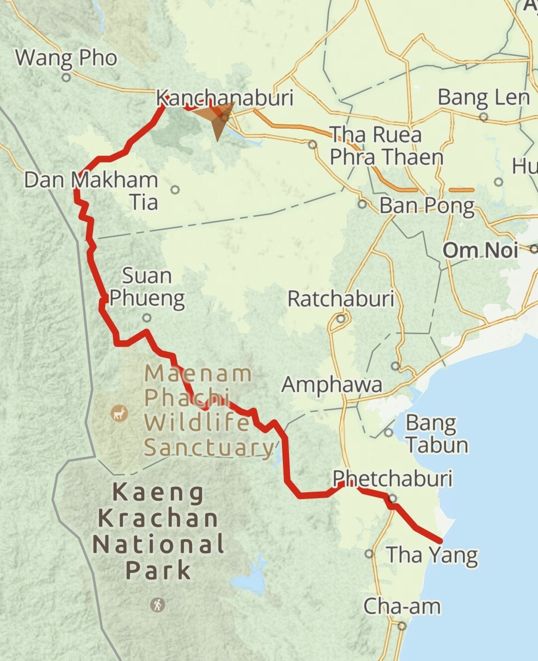
Day 37. Phetchaburi to Kanchanaburi. Today Al and I rode to Kanchanaburi. When we got into the countryside here. https://maps.app.goo.gl/JwDPtnmYCatUndwu8 The riding was great even on the CT125, with lots of curves and small hills to ride. We only had a quick stop for photos, here. https://maps.app.goo.gl/V7v3Ee1v3P1Hj5kv9 We then checked in at The Smiley Frog on the River Kwai, here. https://maps.app.goo.gl/SUZEtbidPPo5Pqaa8 https://www.relive.cc/view/vQvyZNAGm4O
-
CT125 and Vespa Sprint 150, Southern Thailand Tour.
chrissables replied to chrissables's topic in Motorcycles in Thailand
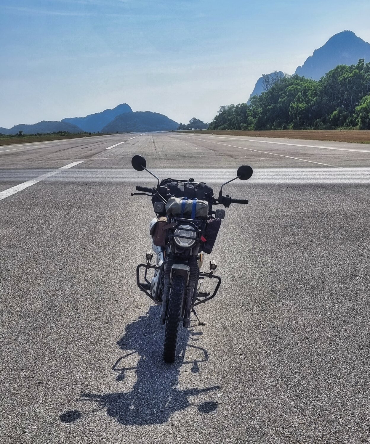
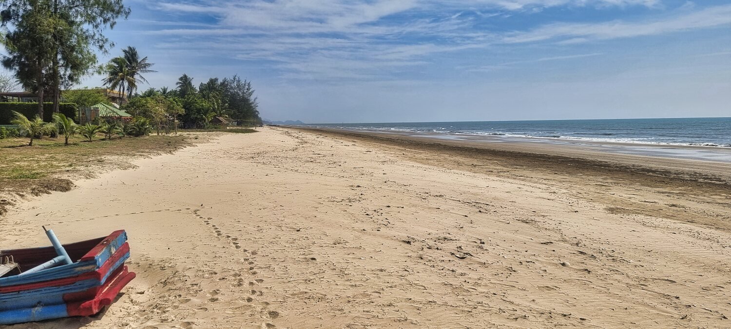
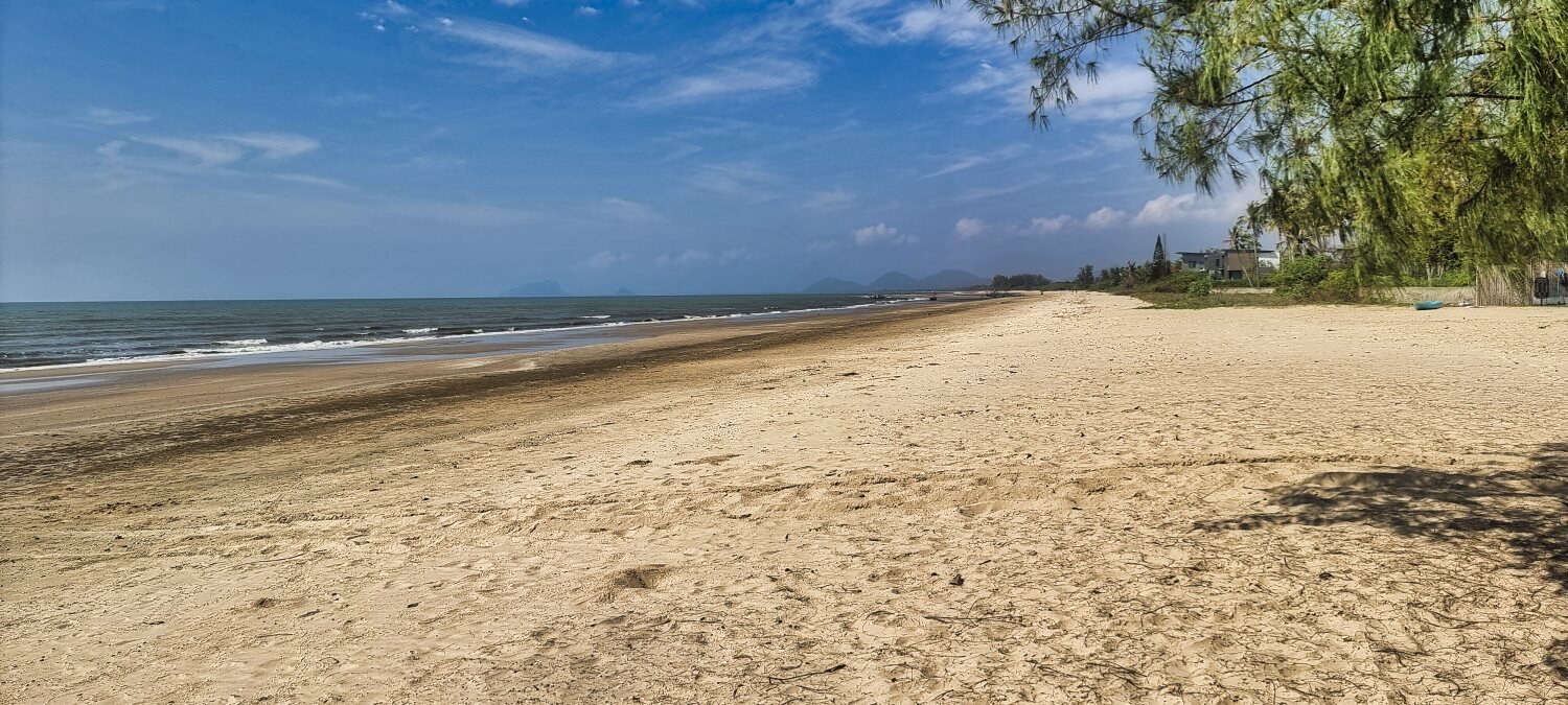
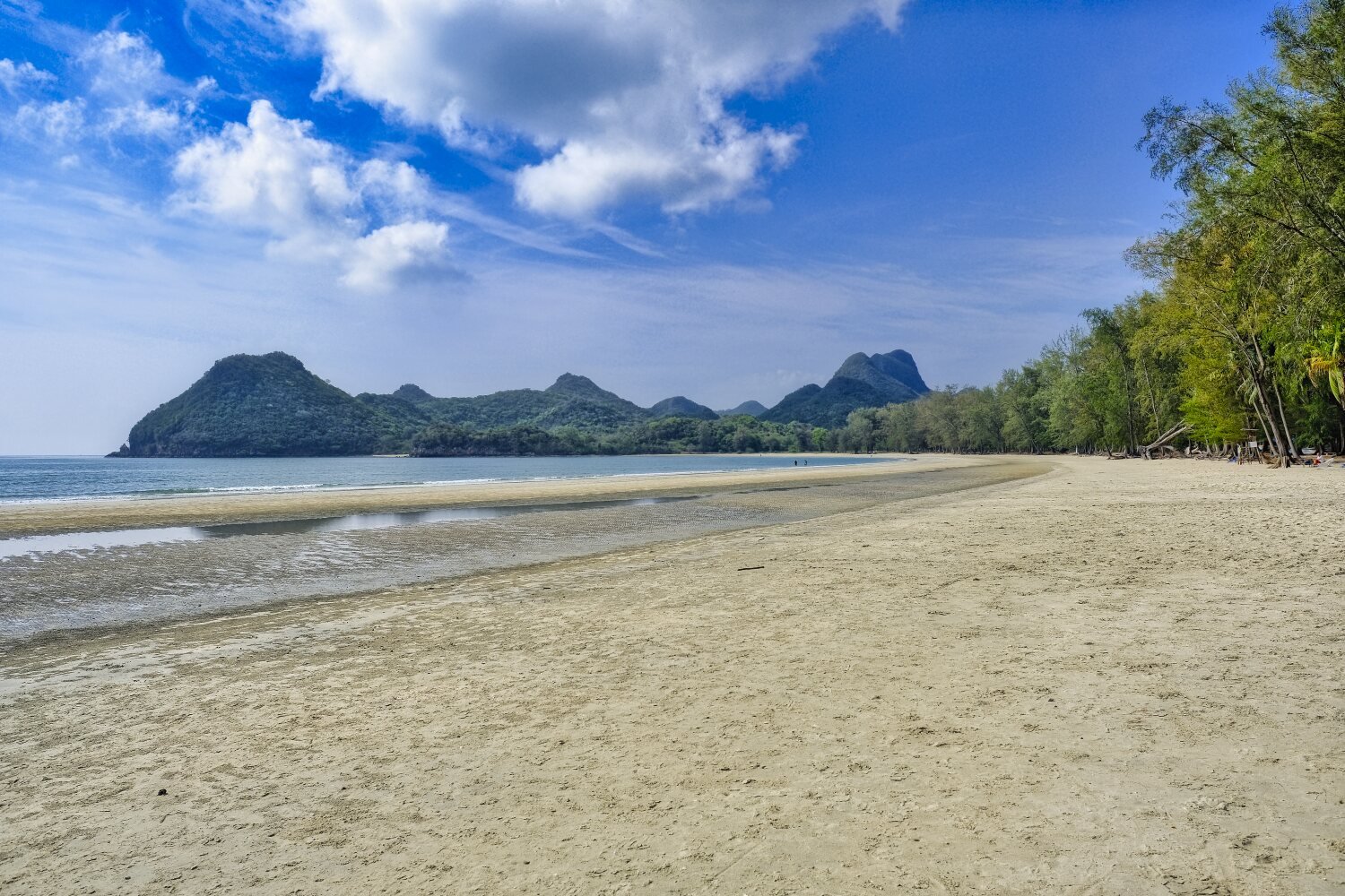
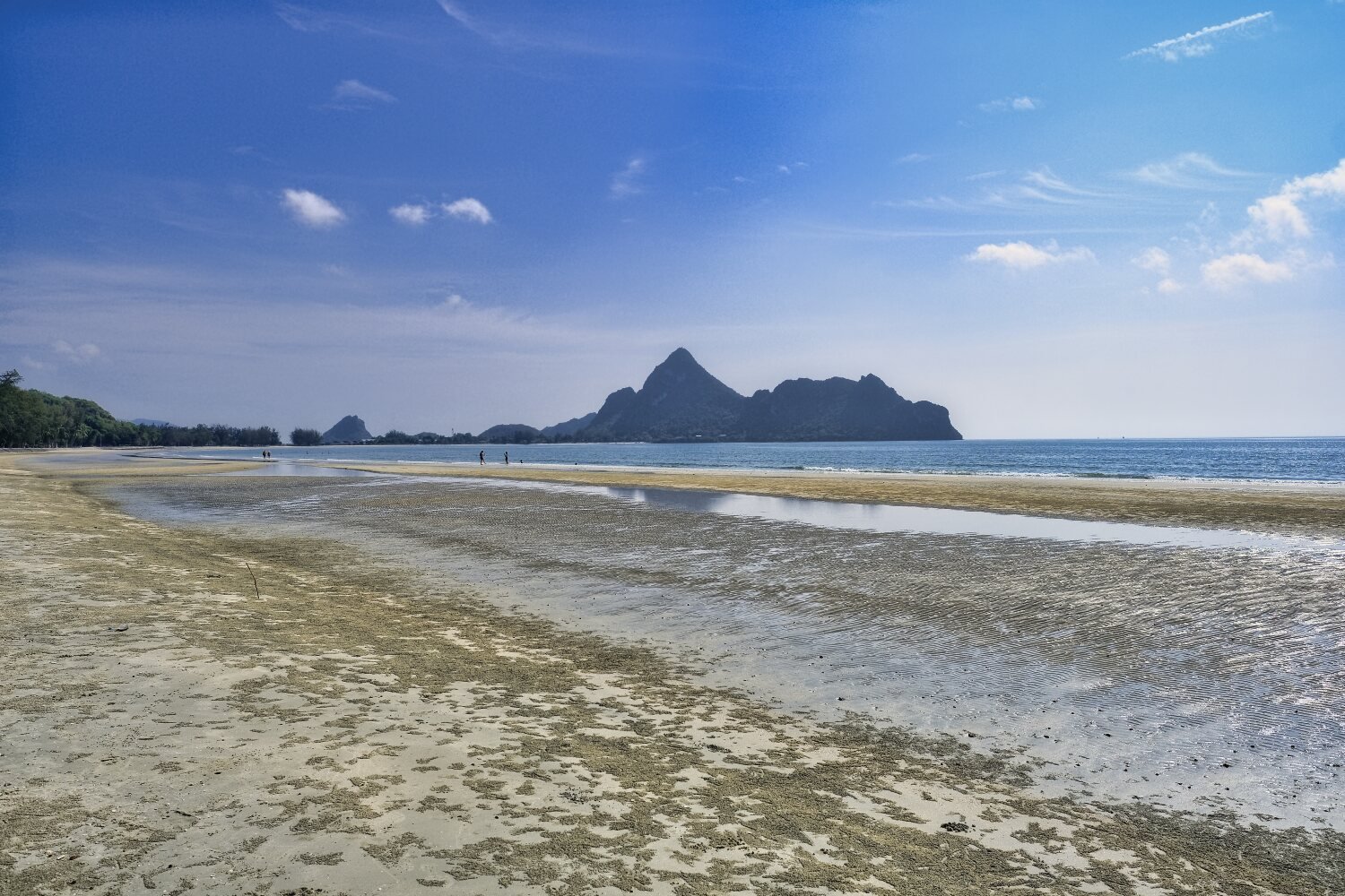
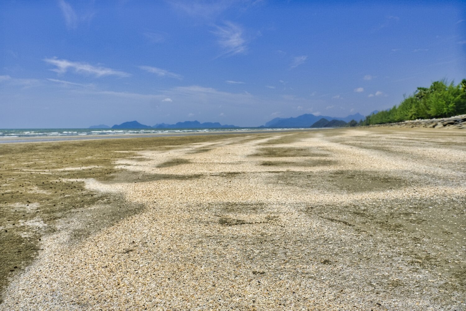
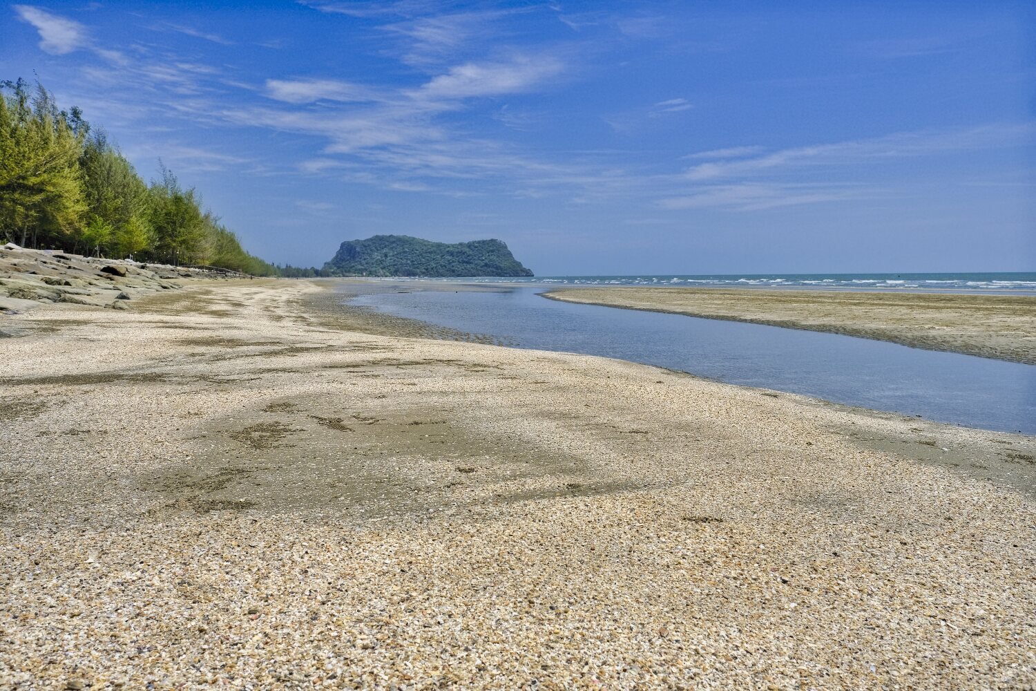
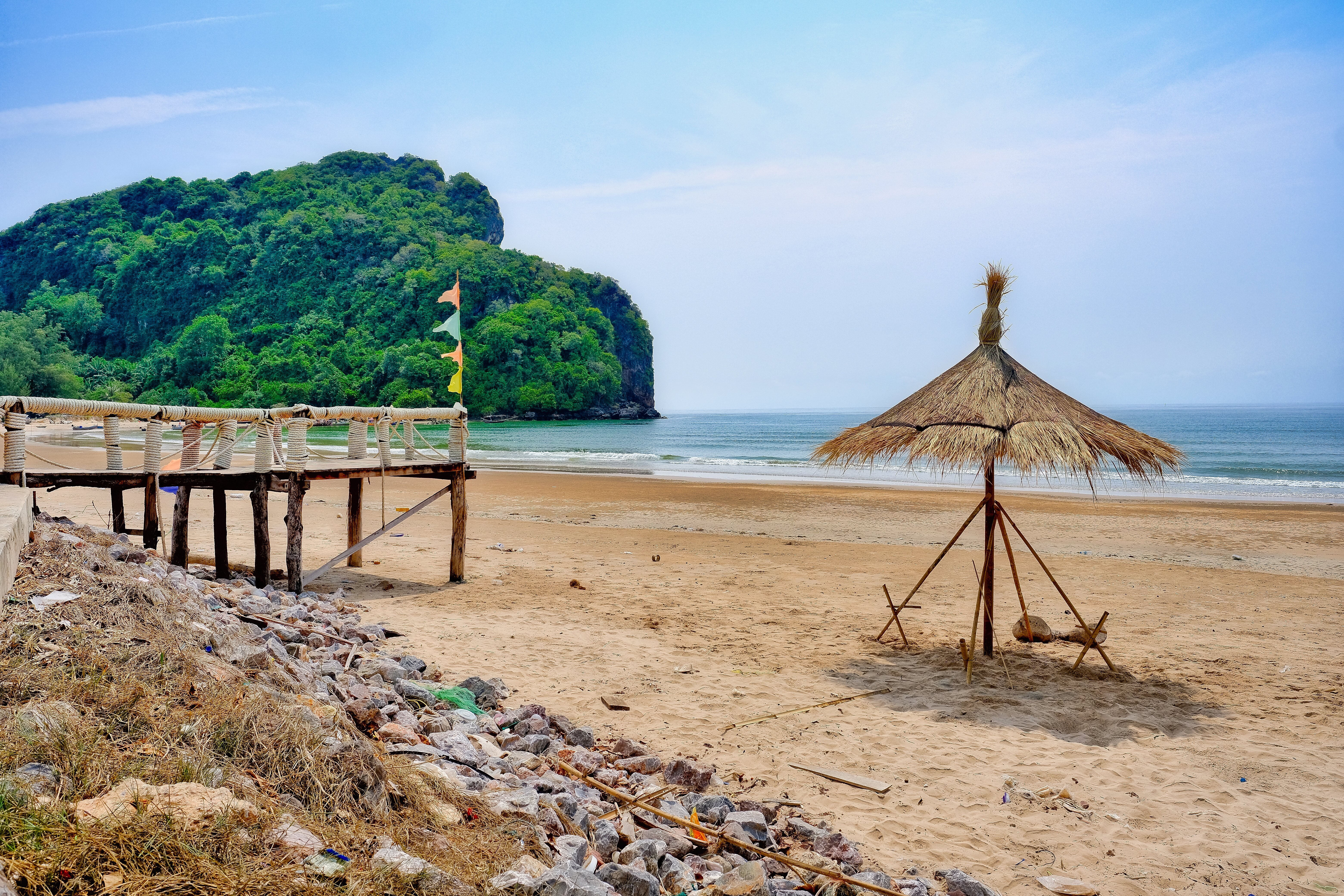
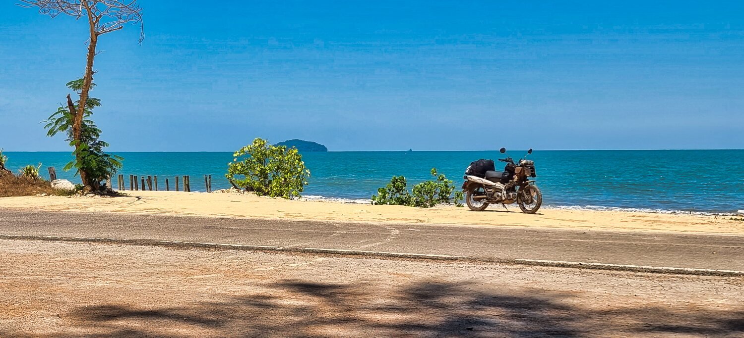
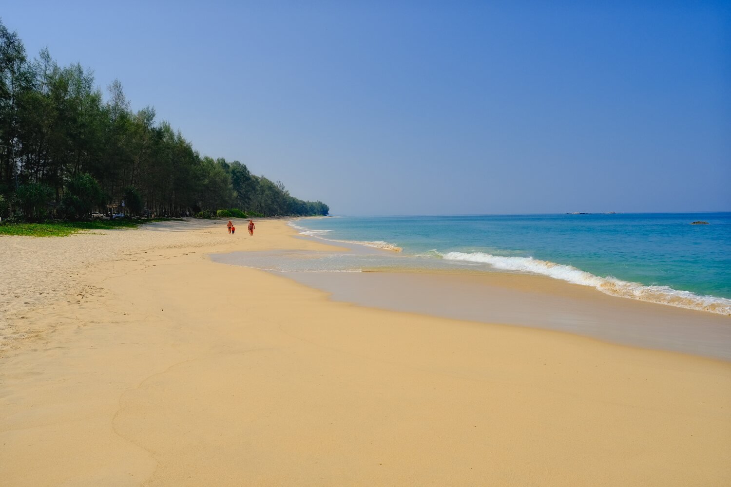
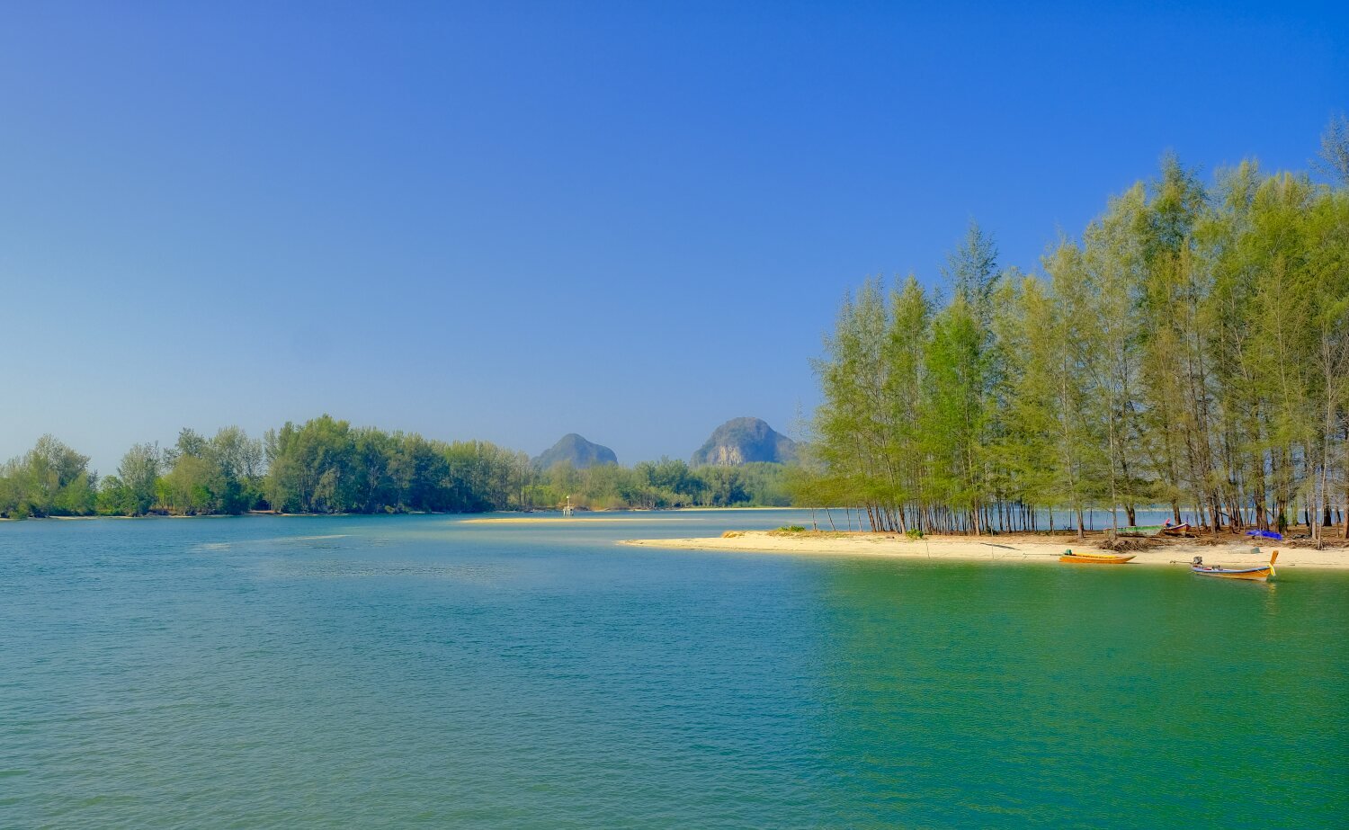
Day 36. 29.03.24. Ban Krut to Phetchaburi. Riding north from Ban Krut this morning our first stop was at Ao Manao, here. https://maps.app.goo.gl/PZ5ctvQcUS7n4Fpx7 Next I stopped for a very quick snap of the bike on runway at at Prachuap Kiri Khan Military Airport runway. I was told to delete the photo by the military police that caught me, but I forgot! https://maps.app.goo.gl/yPyrPscKv7y2AZY96 Next was an un-named beach in Kuburi, here. https://maps.app.goo.gl/mmoKgejSna72DZPe7 Further north we stopped at Pranburi Beach, here, https://maps.app.goo.gl/uzx2kWxzZz6xqPZN9 We then carried onto our Hotel at Petchaburi, Monglay Home, here. https://maps.app.goo.gl/qGdvJ64ppwL5TZKg8 https://www.relive.cc/view/veqz15NyVB6
-
CT125 and Vespa Sprint 150, Southern Thailand Tour.
chrissables replied to chrissables's topic in Motorcycles in Thailand
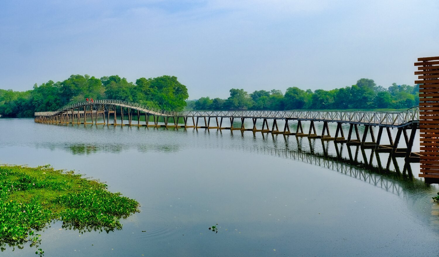
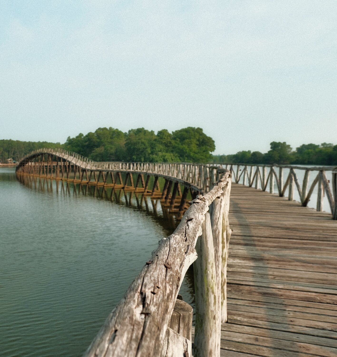
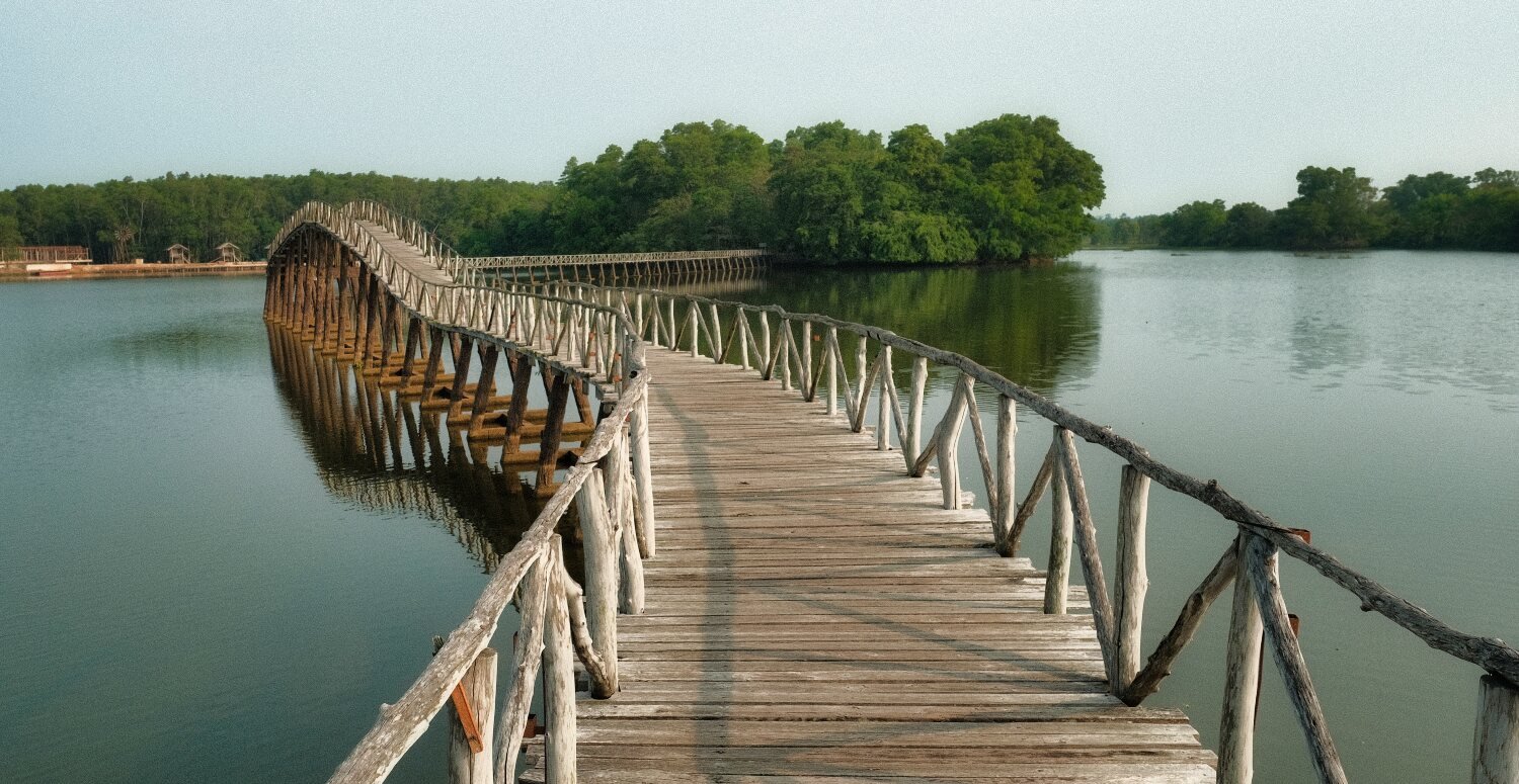
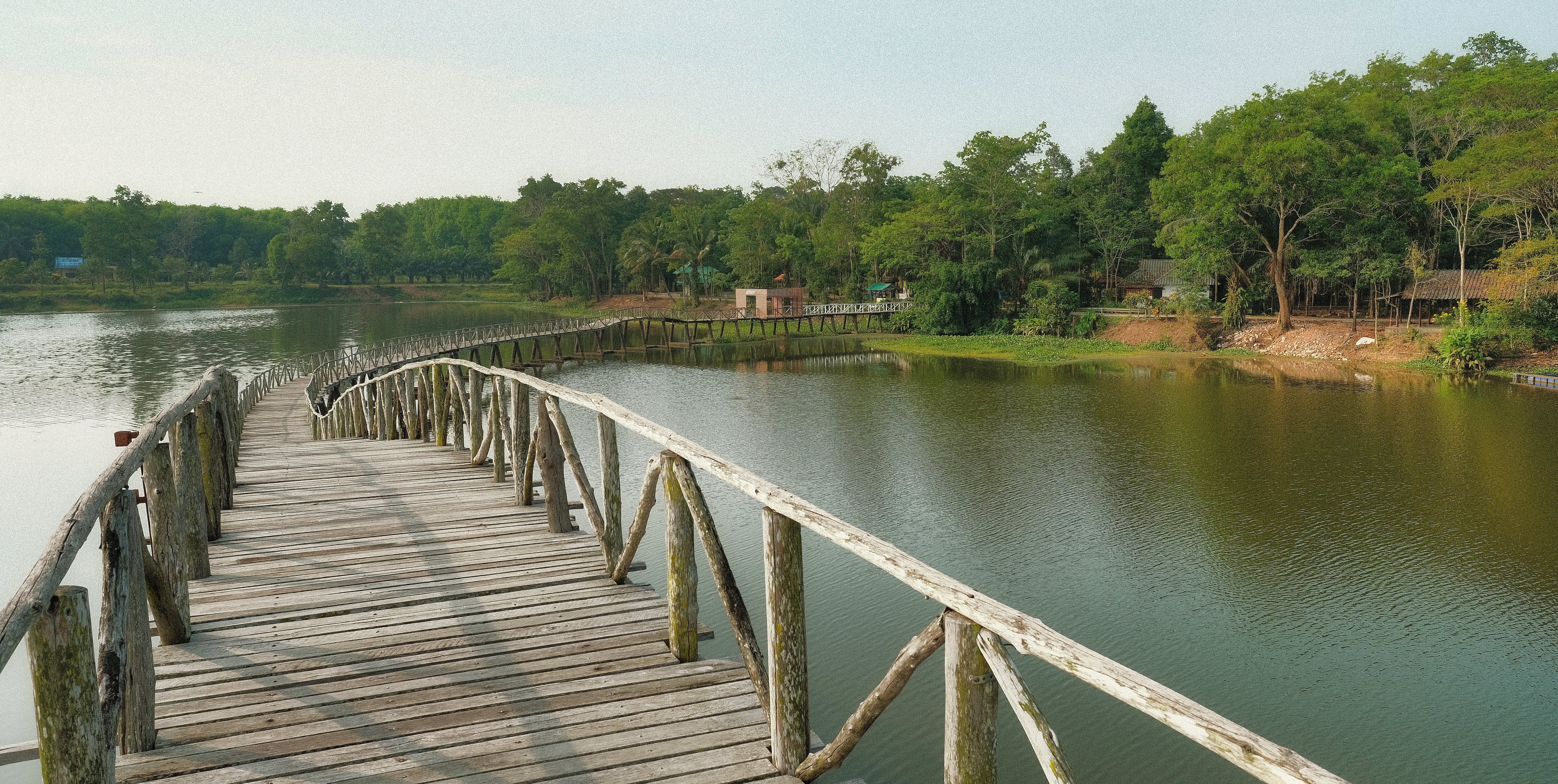
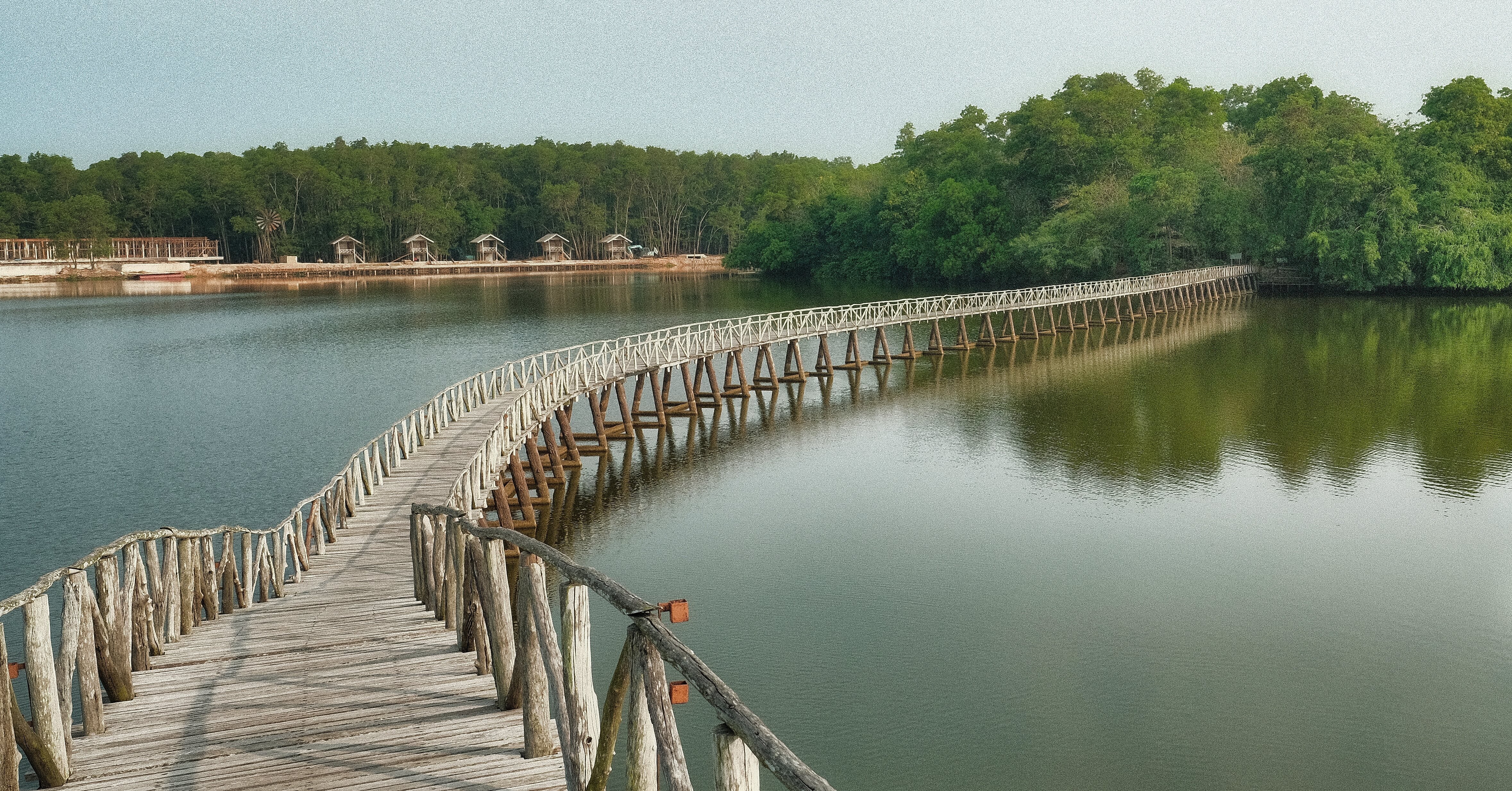
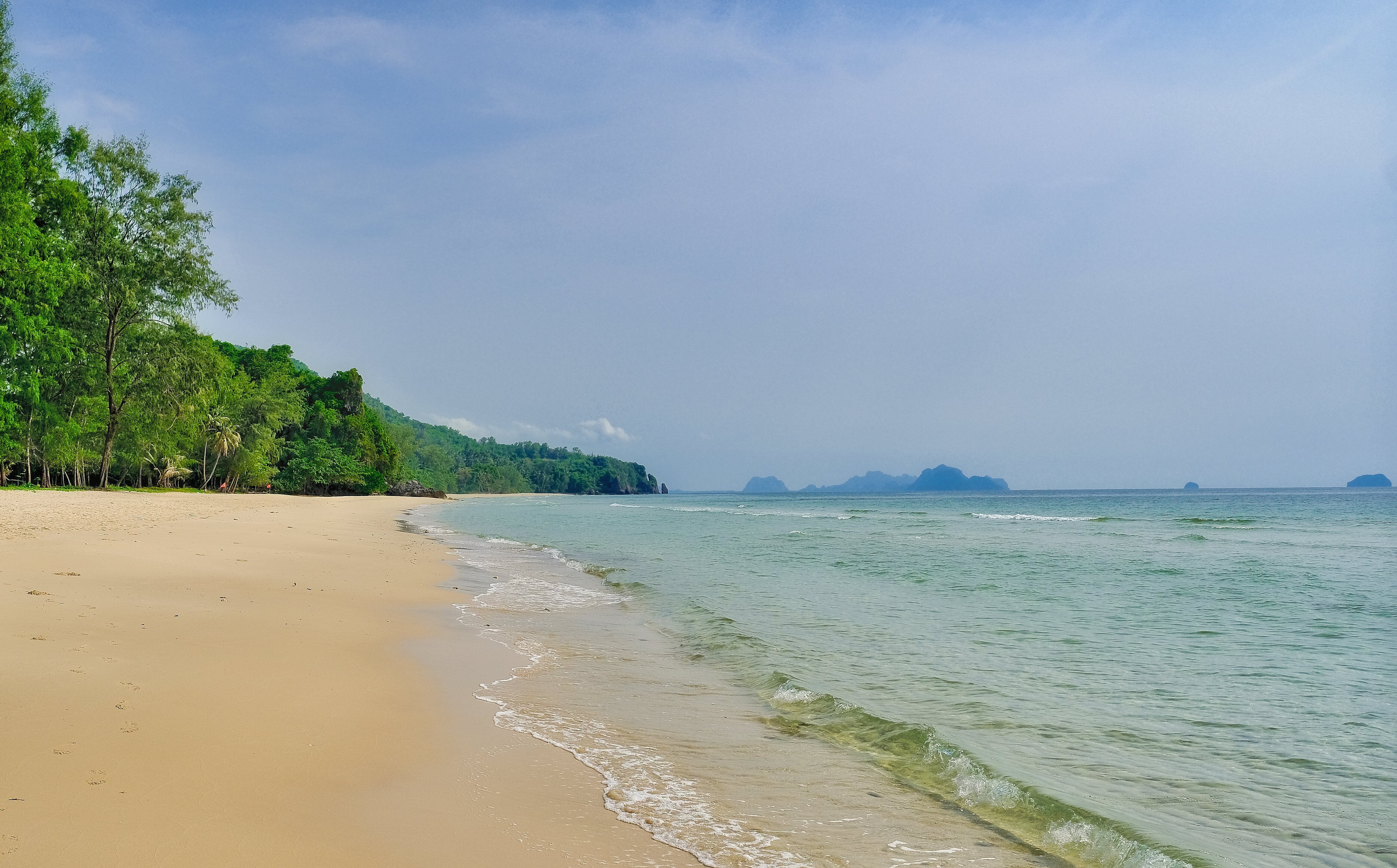
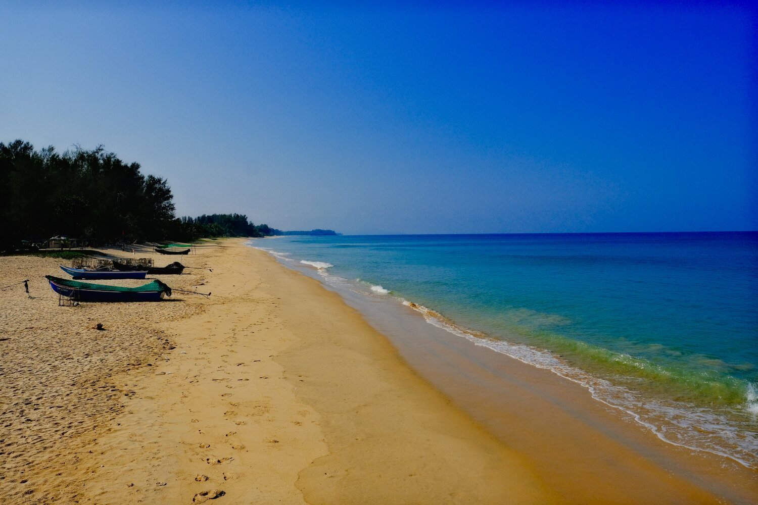
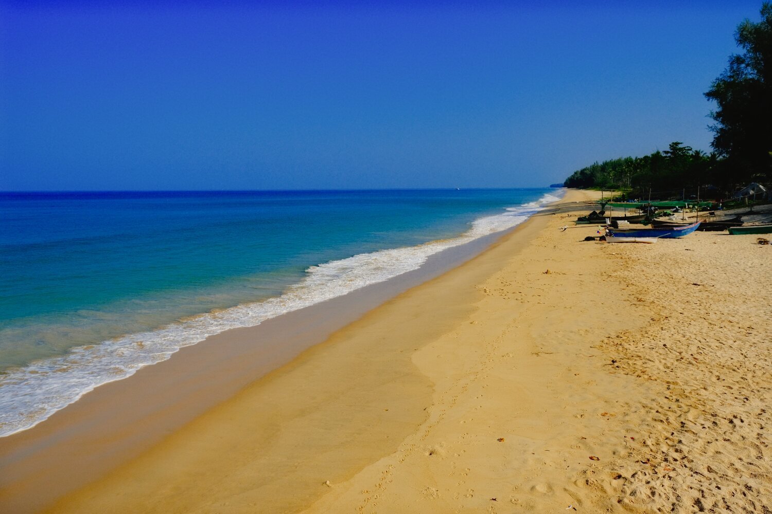
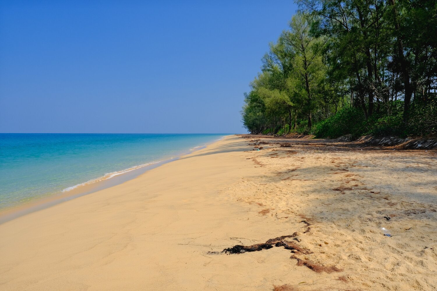
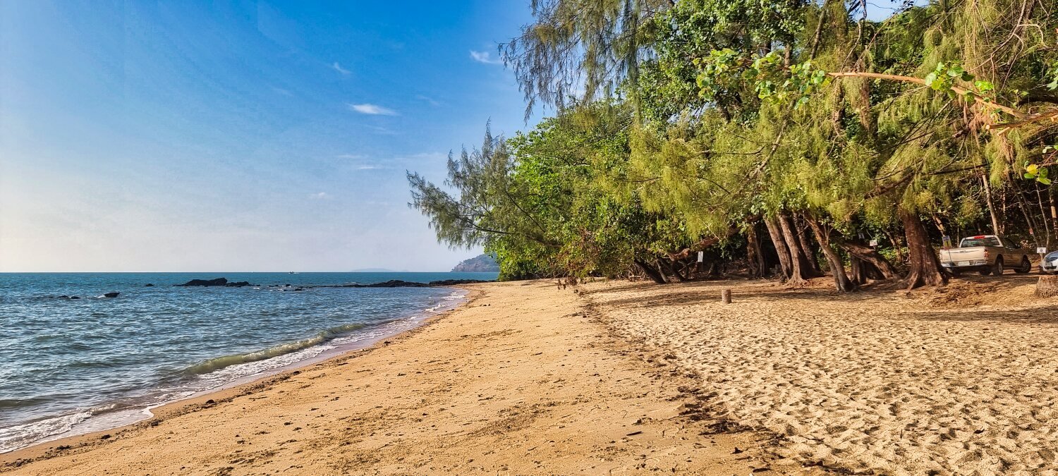
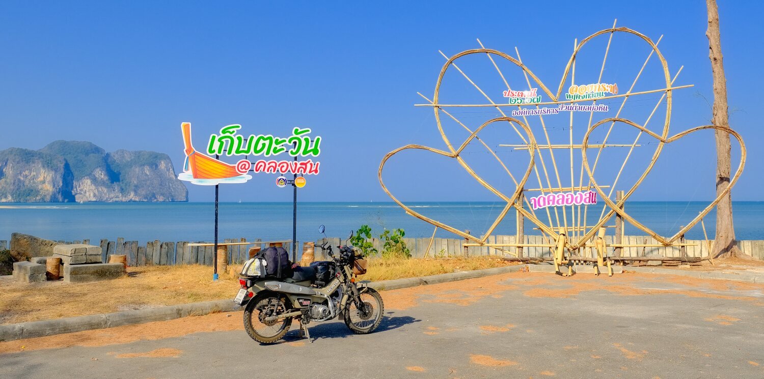
Day 35. Chumphon to Ban Krutใ Leaving Chumphon this morning our first stop was Mai Khiam Bridge, Nong Yai, a wooden bridge, here. https://maps.app.goo.gl/oC8tQzyYZyQiDkED6 Unfortunately Gaia maps was not working properly and shows just a straight line for most of the ride. Our second stop was Khao Dinsor Viewpoint, here. https://maps.app.goo.gl/yAPbwJGUrmWhzGHH6 We then rode to Thung San Beach, here. https://maps.app.goo.gl/1VDRhNYQFJNrXVPp9 Our next stop I can’t find due to the gps failing. We rode to a small reservoir which was a waste of time before riding onto Ban Krut. https://www.relive.cc/web/view/vrqo5XRDRyO
-
CT125 and Vespa Sprint 150, Southern Thailand Tour.
chrissables replied to chrissables's topic in Motorcycles in Thailand
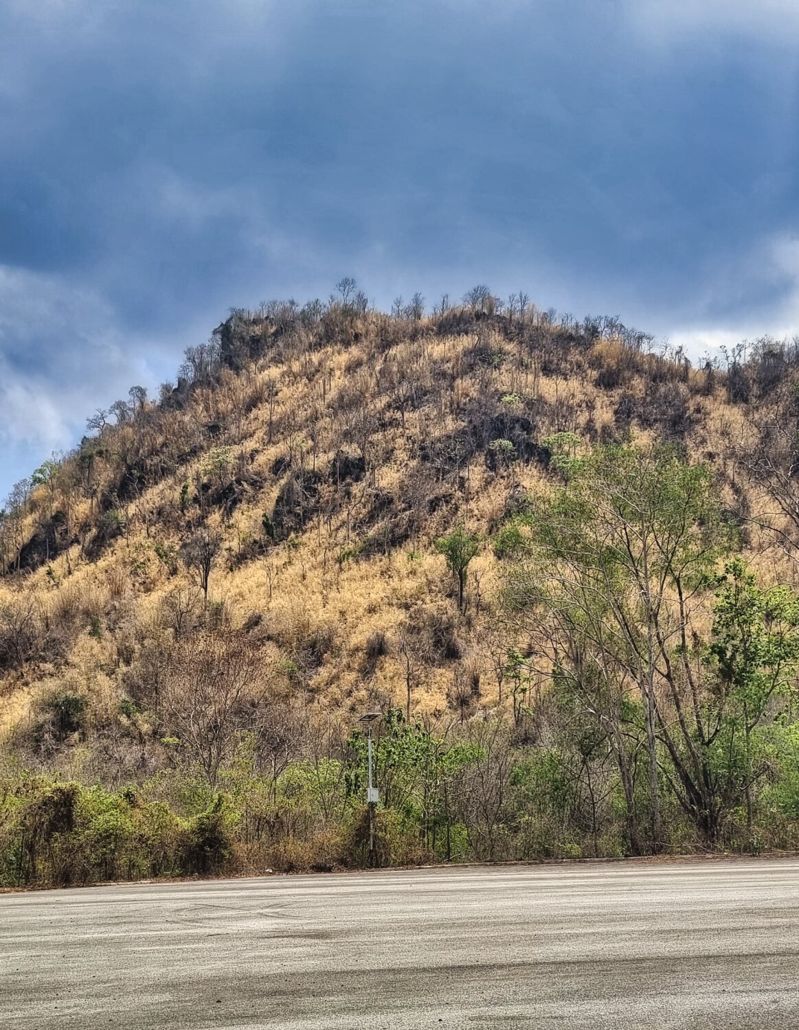
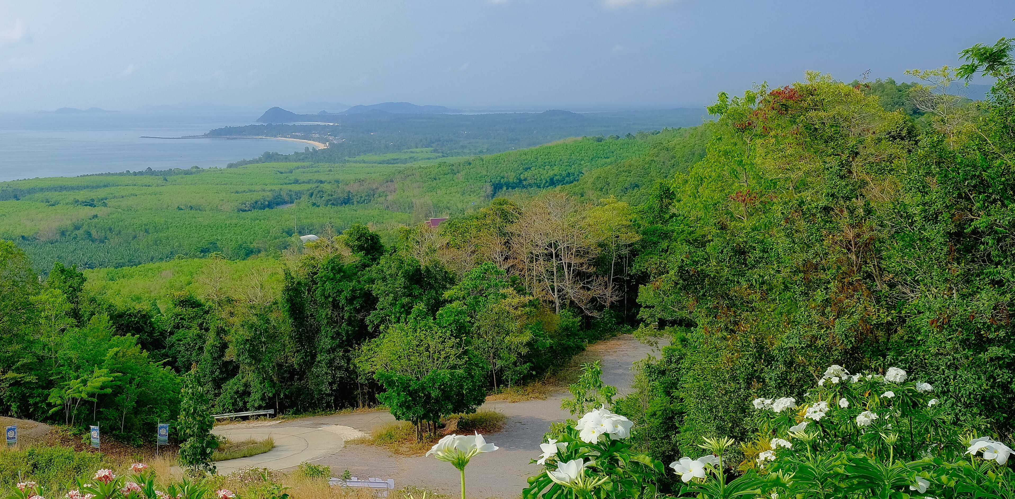
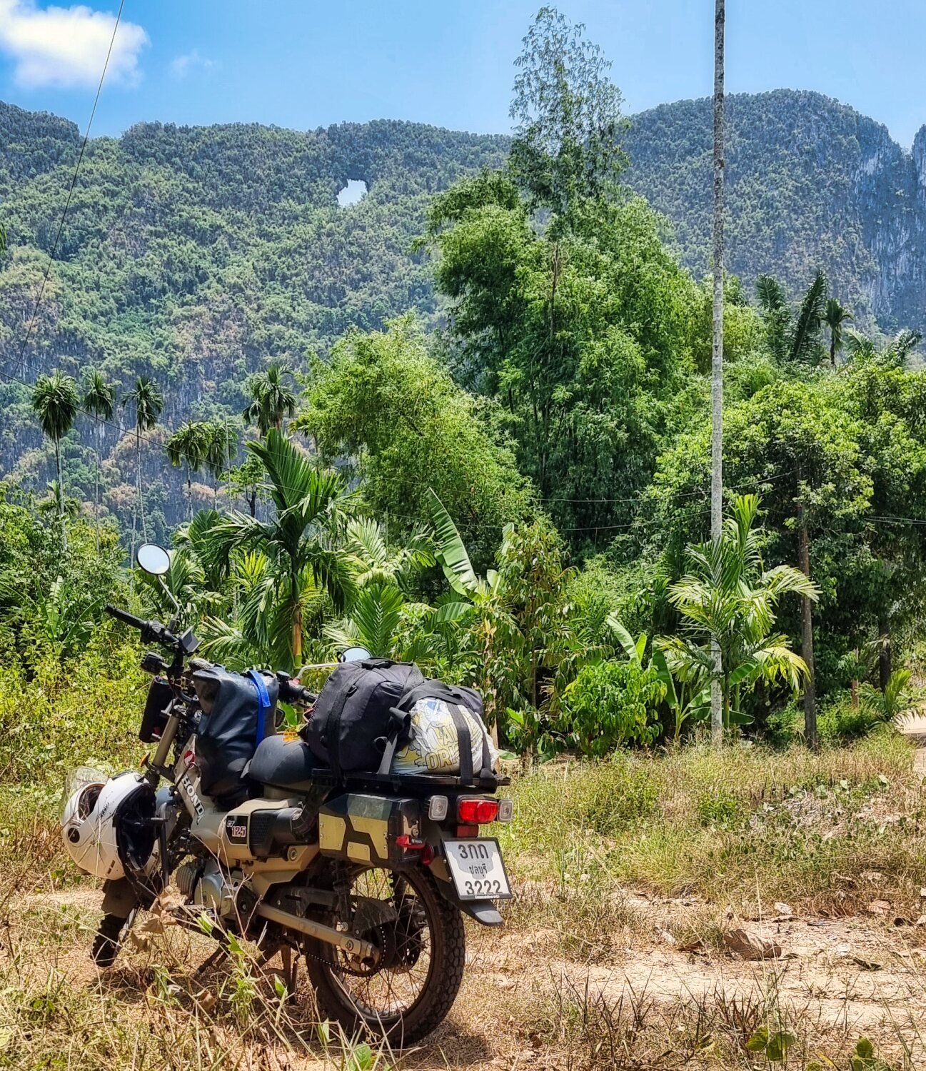
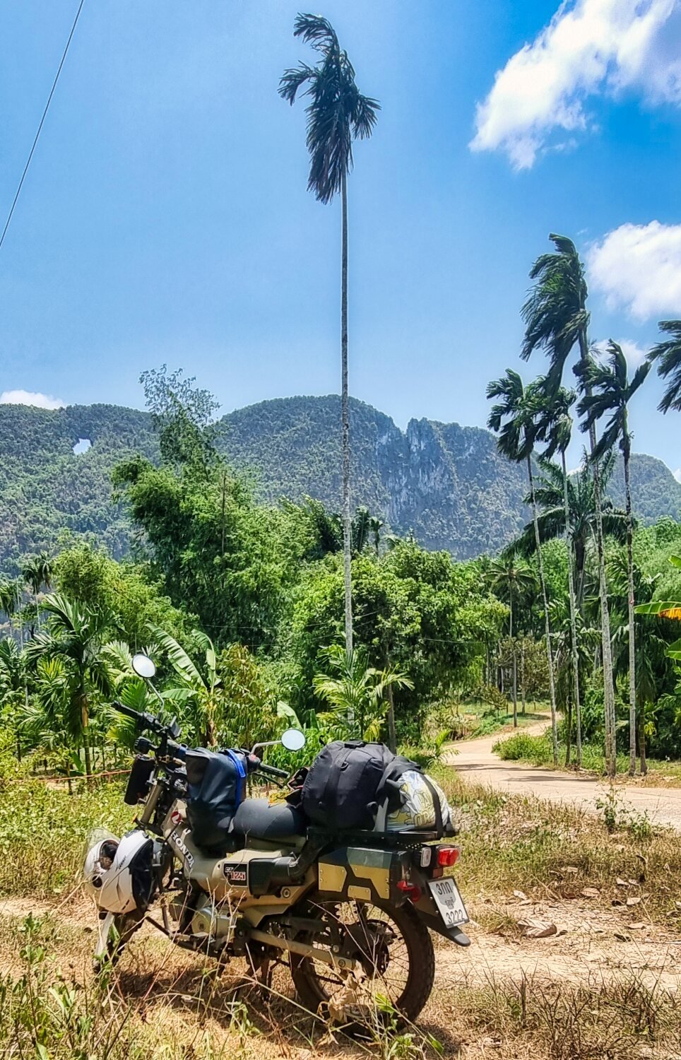
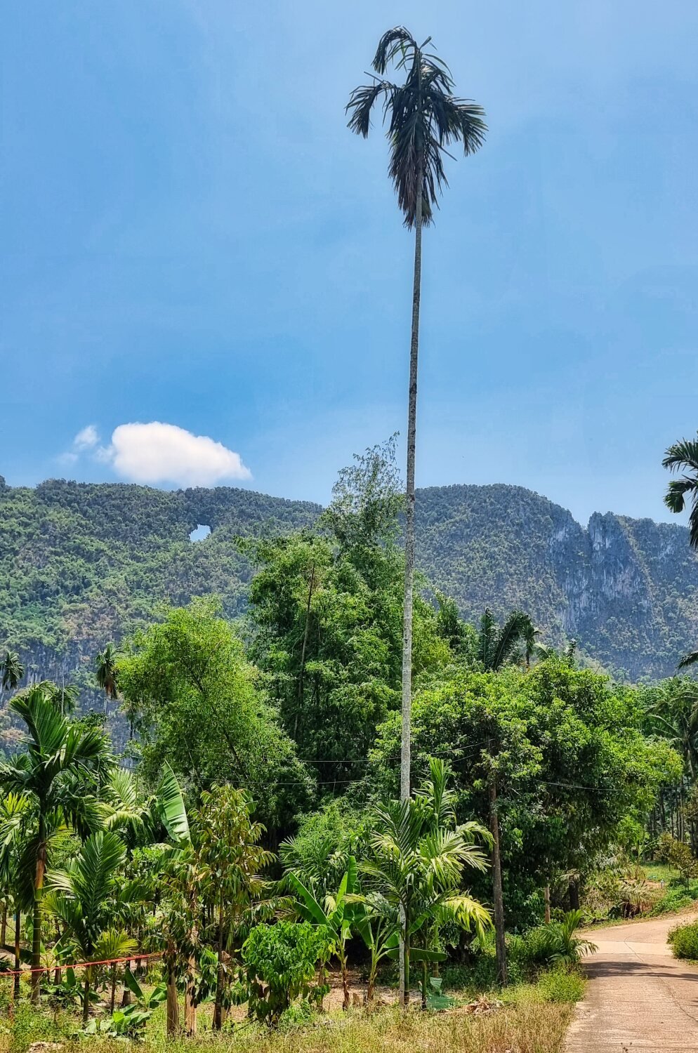
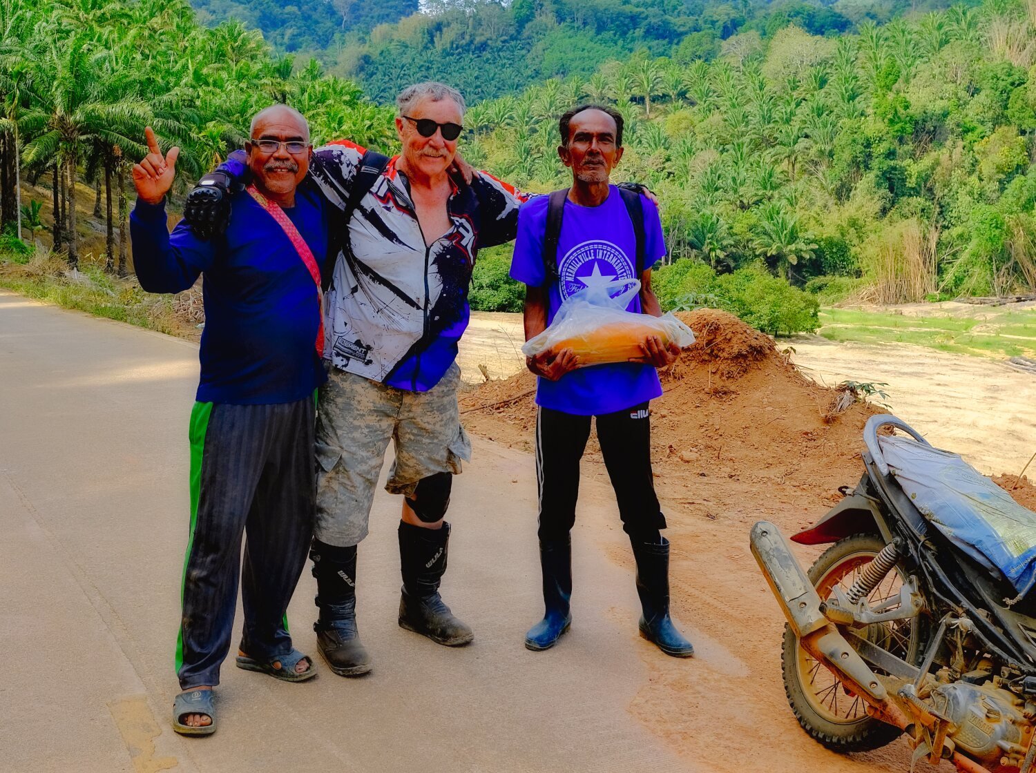
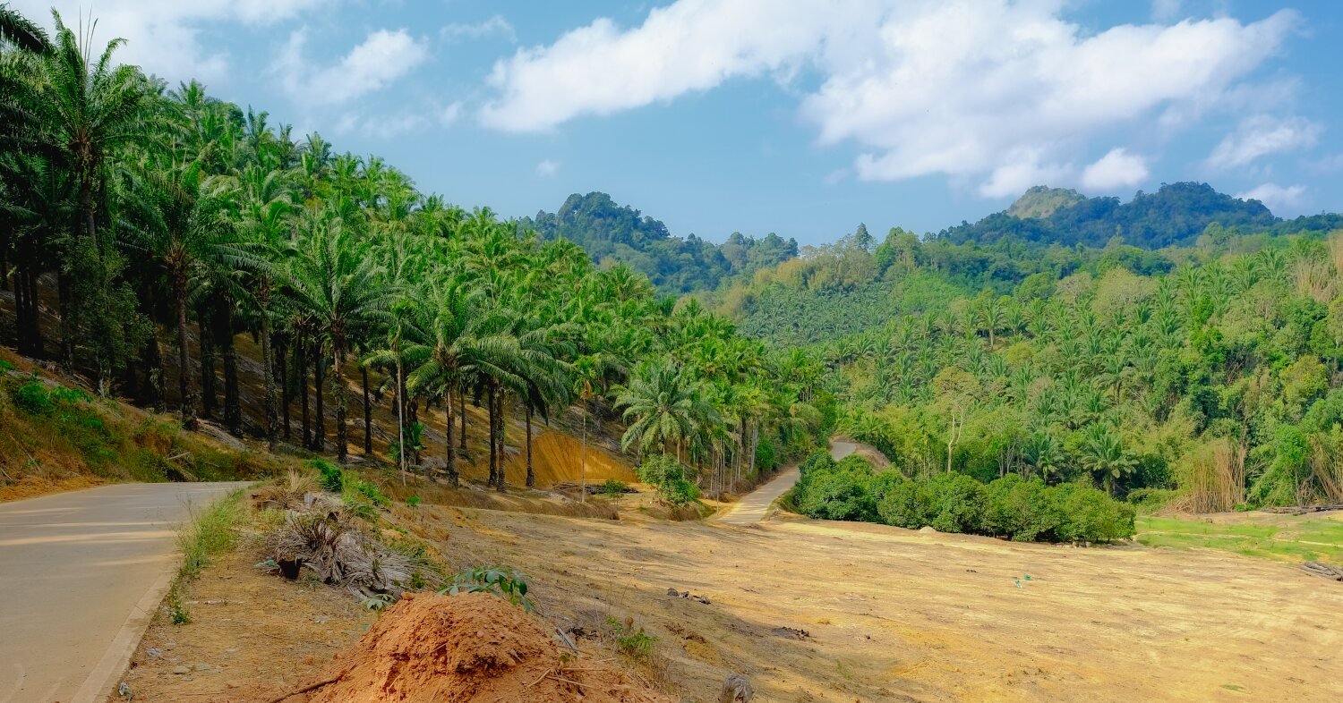
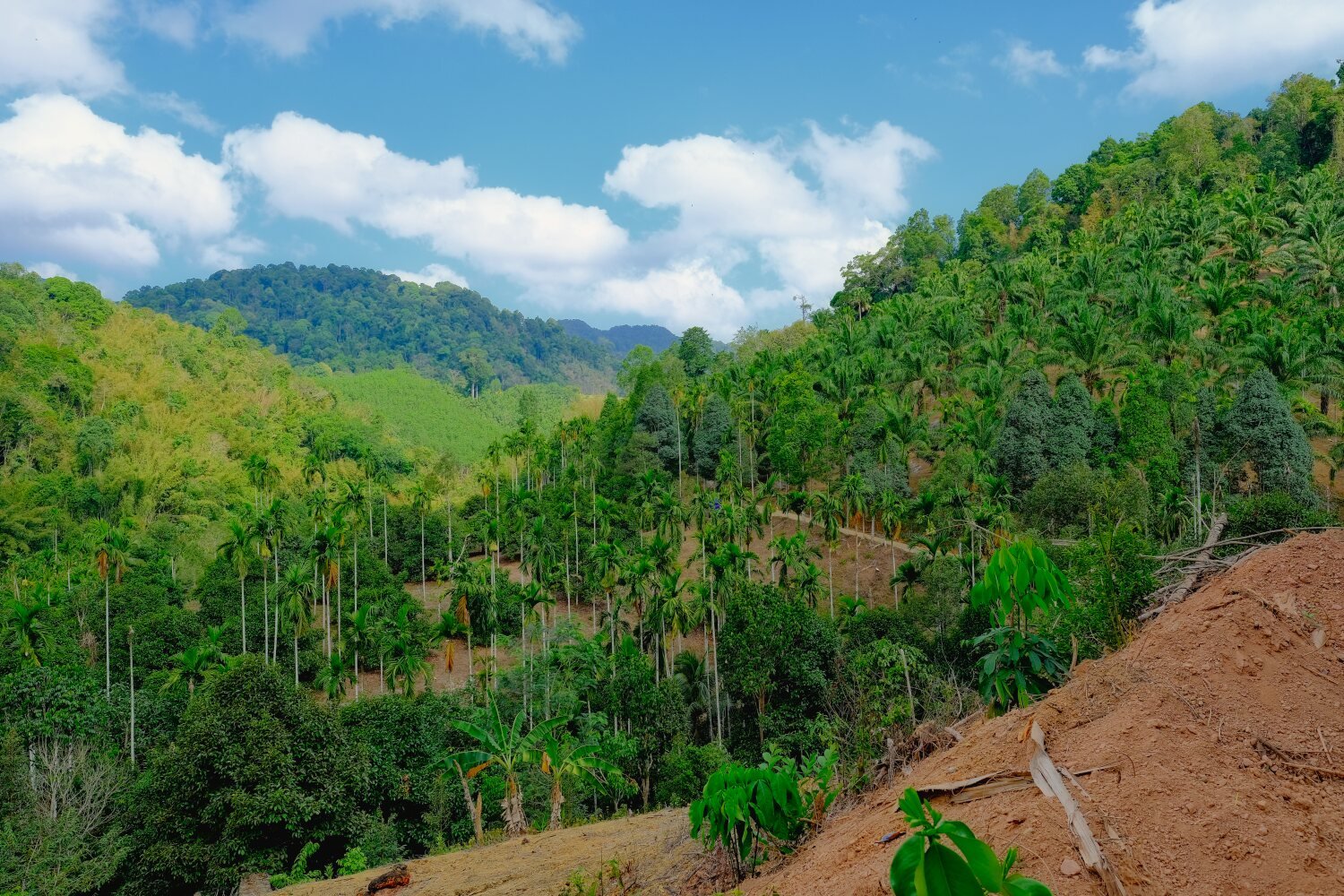
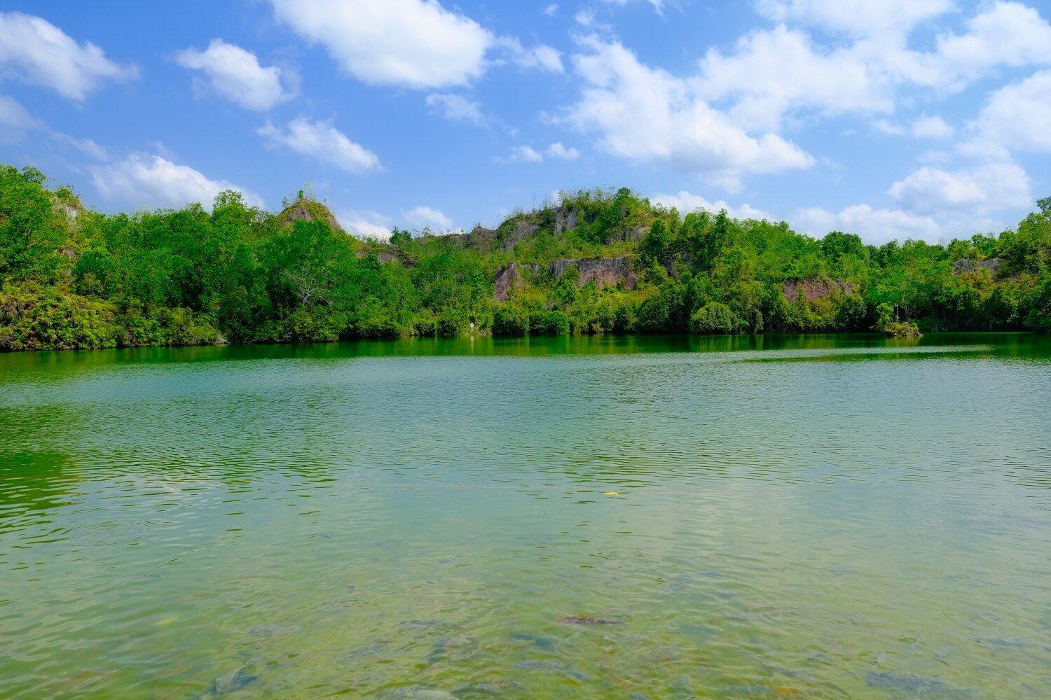
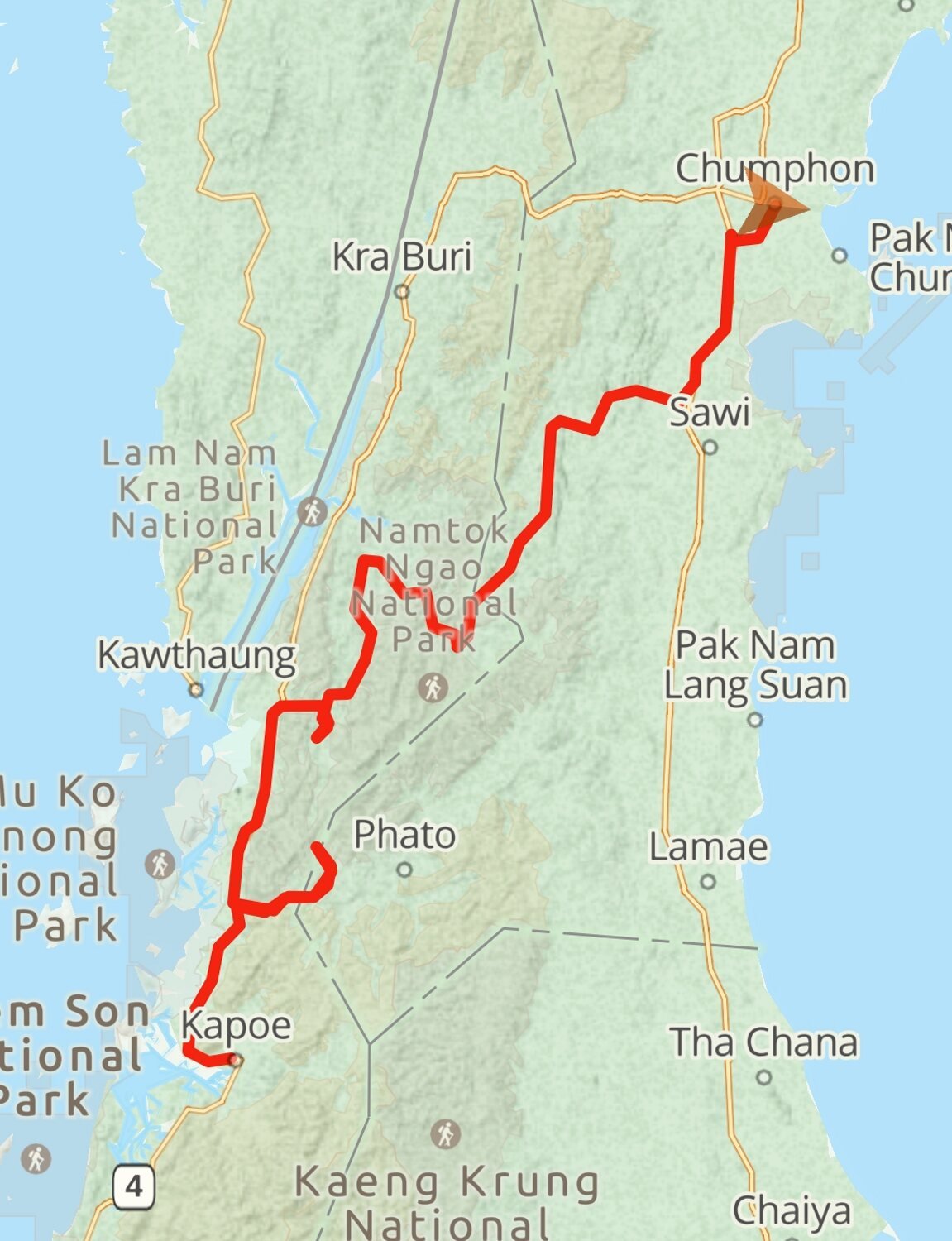
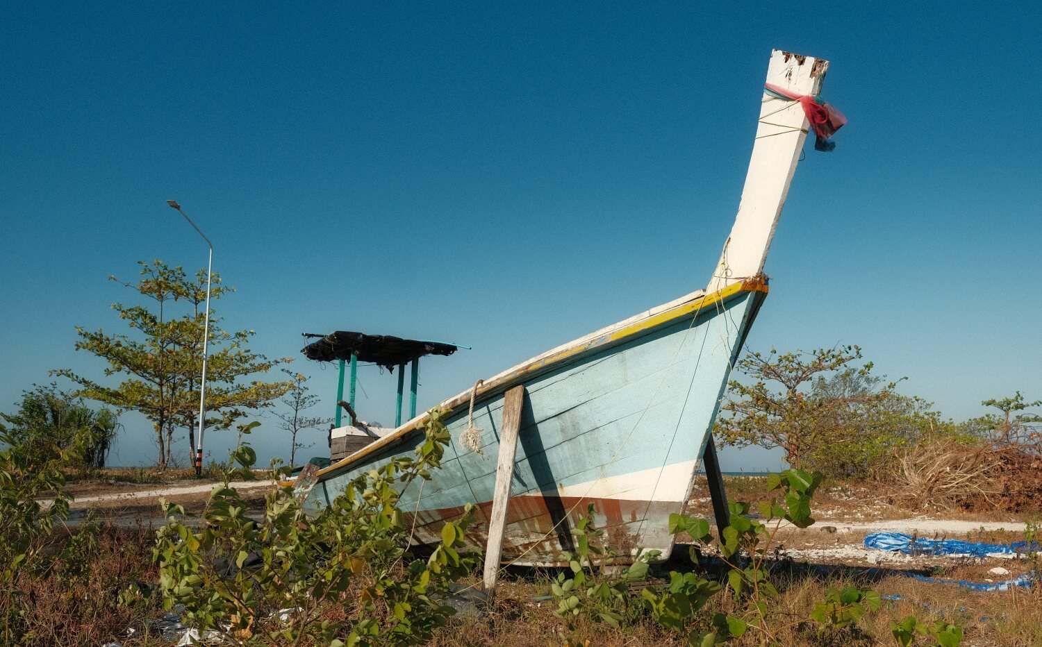
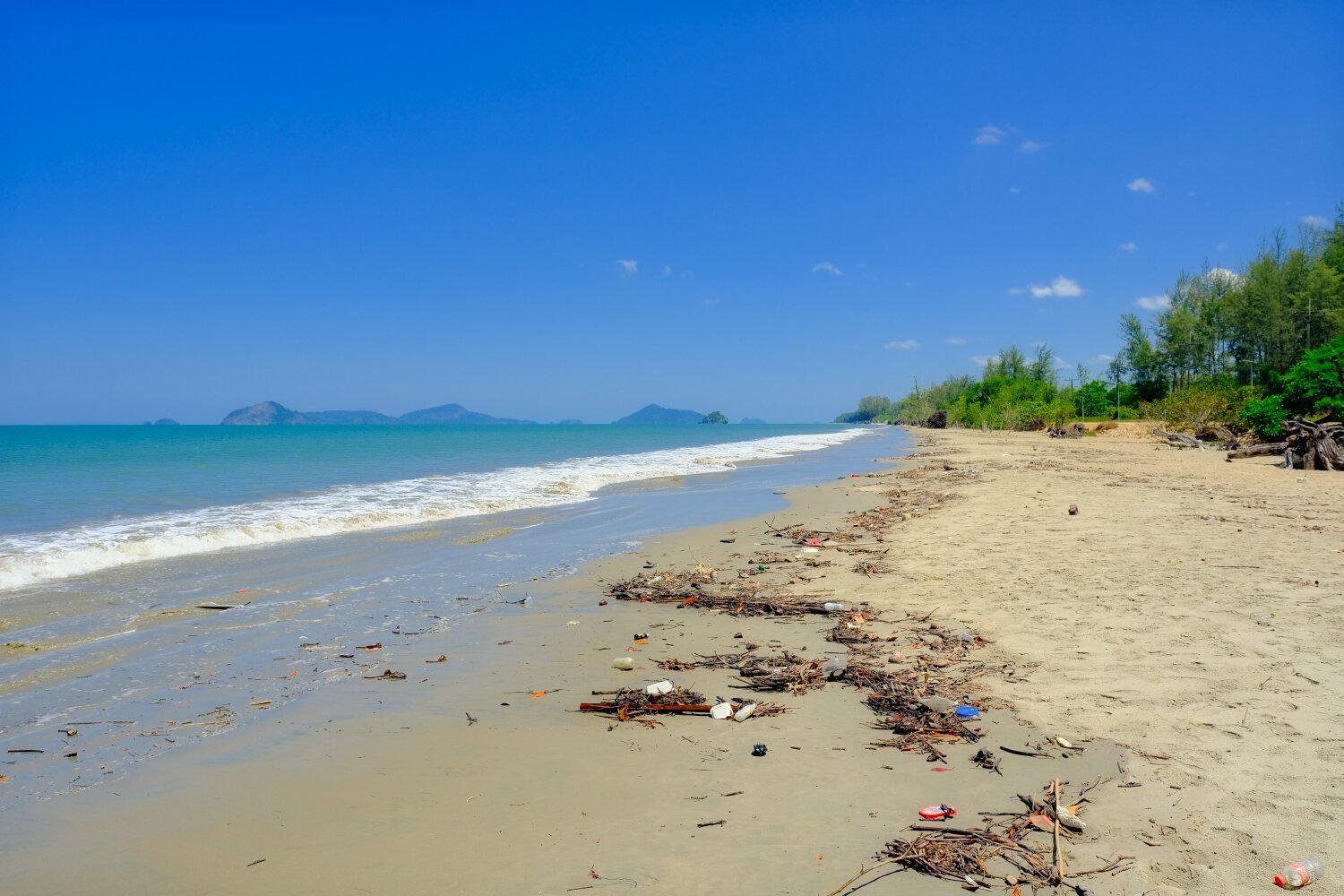
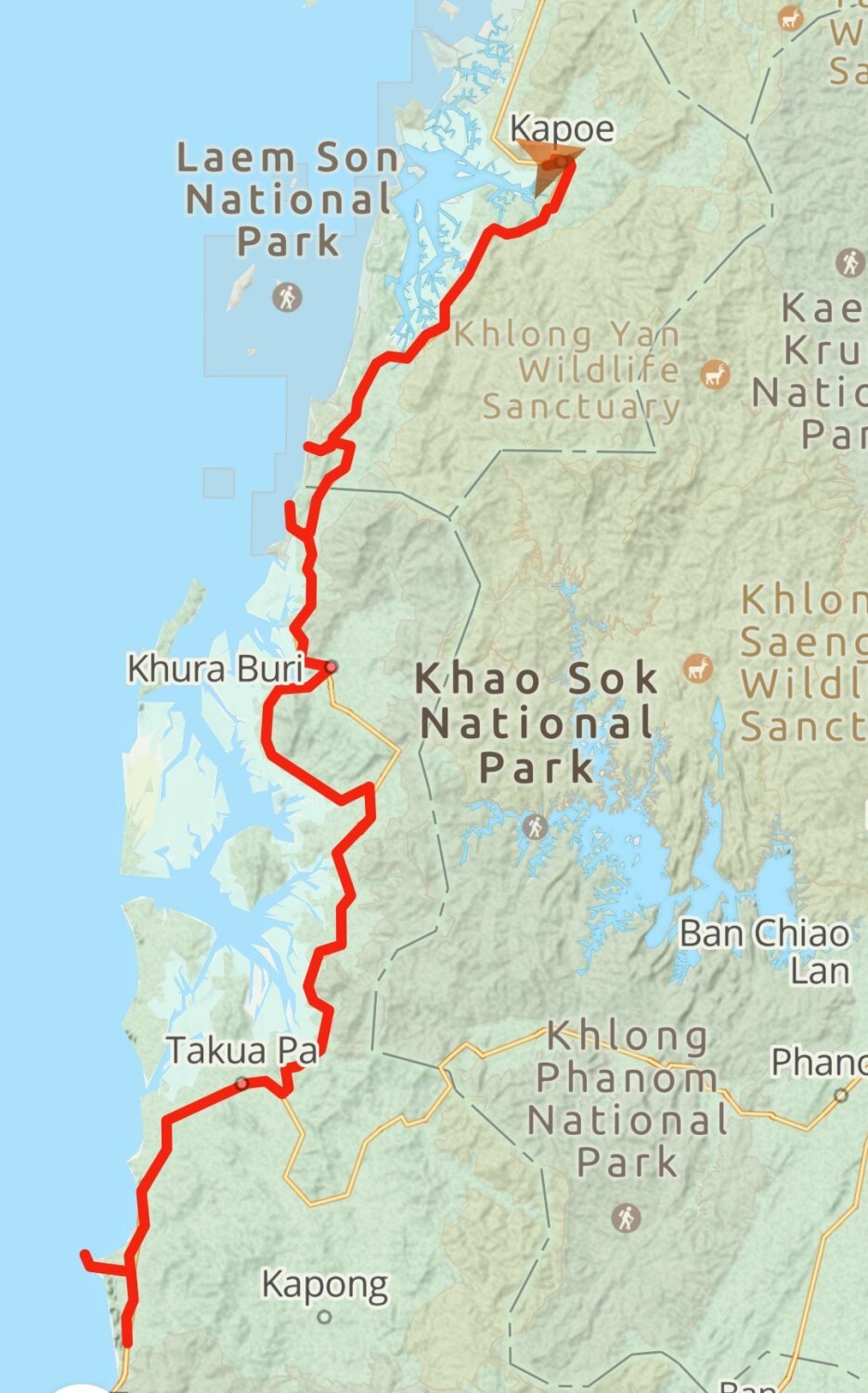
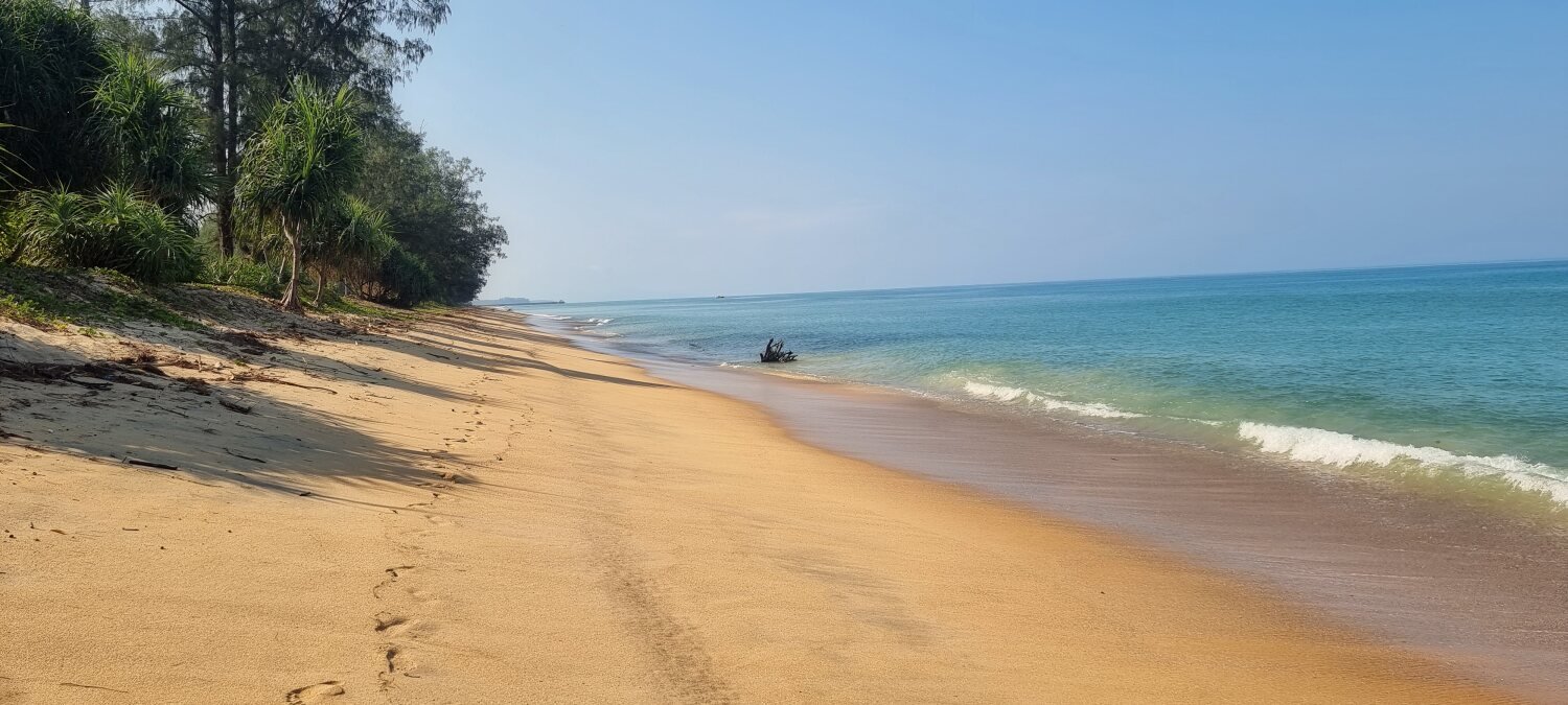
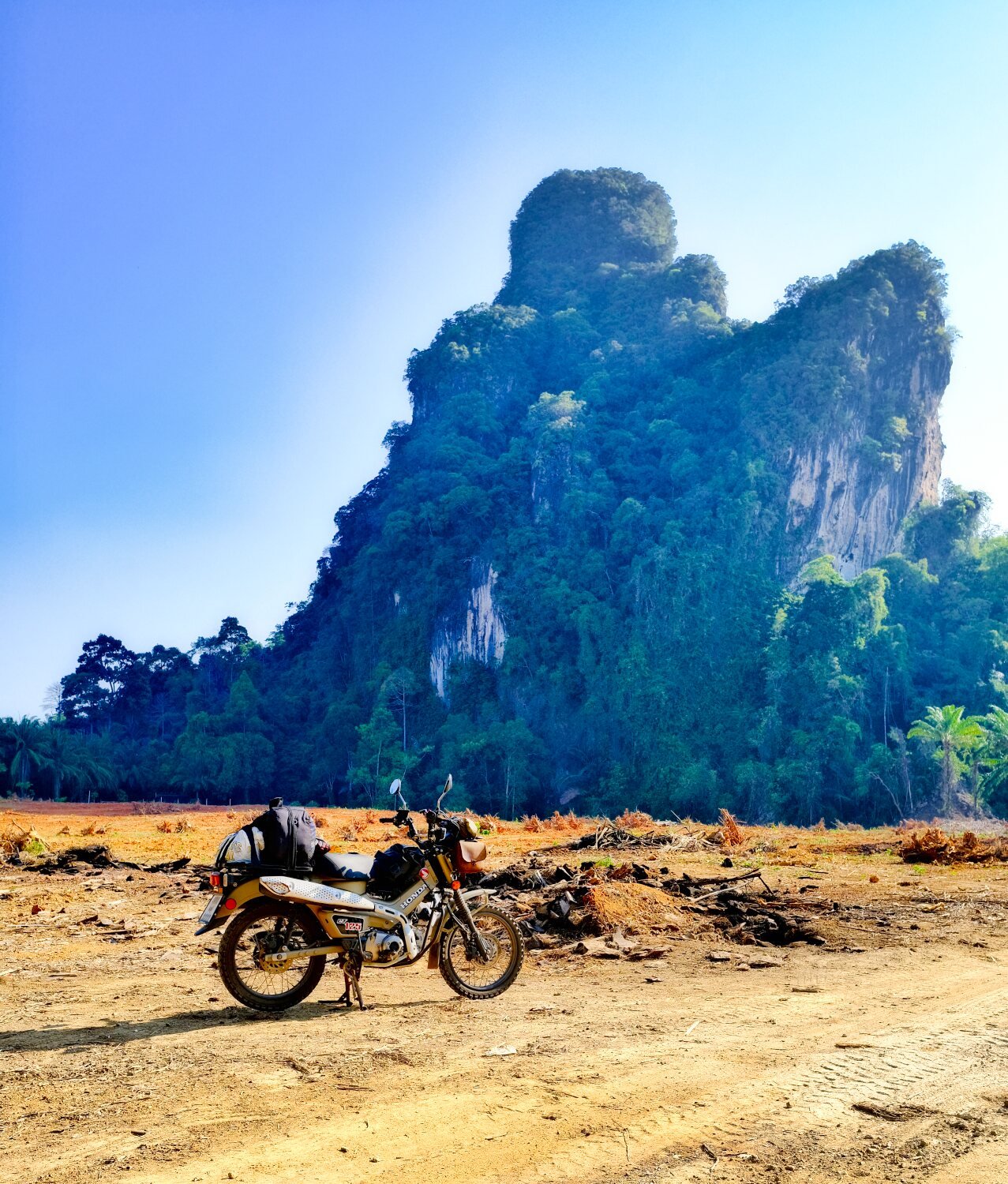
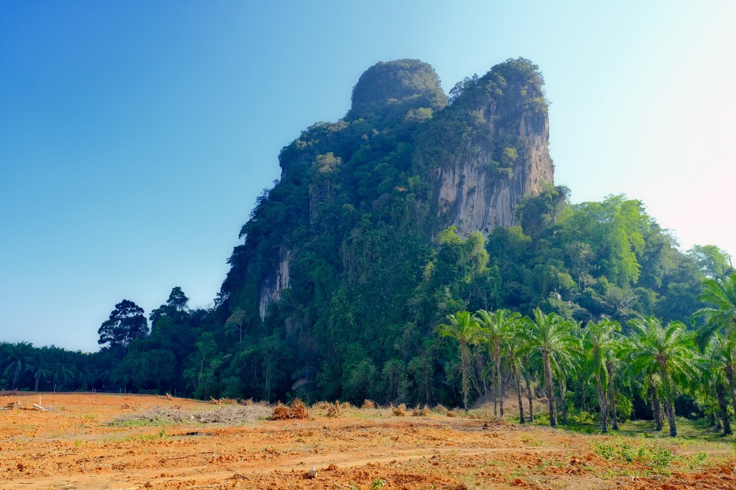
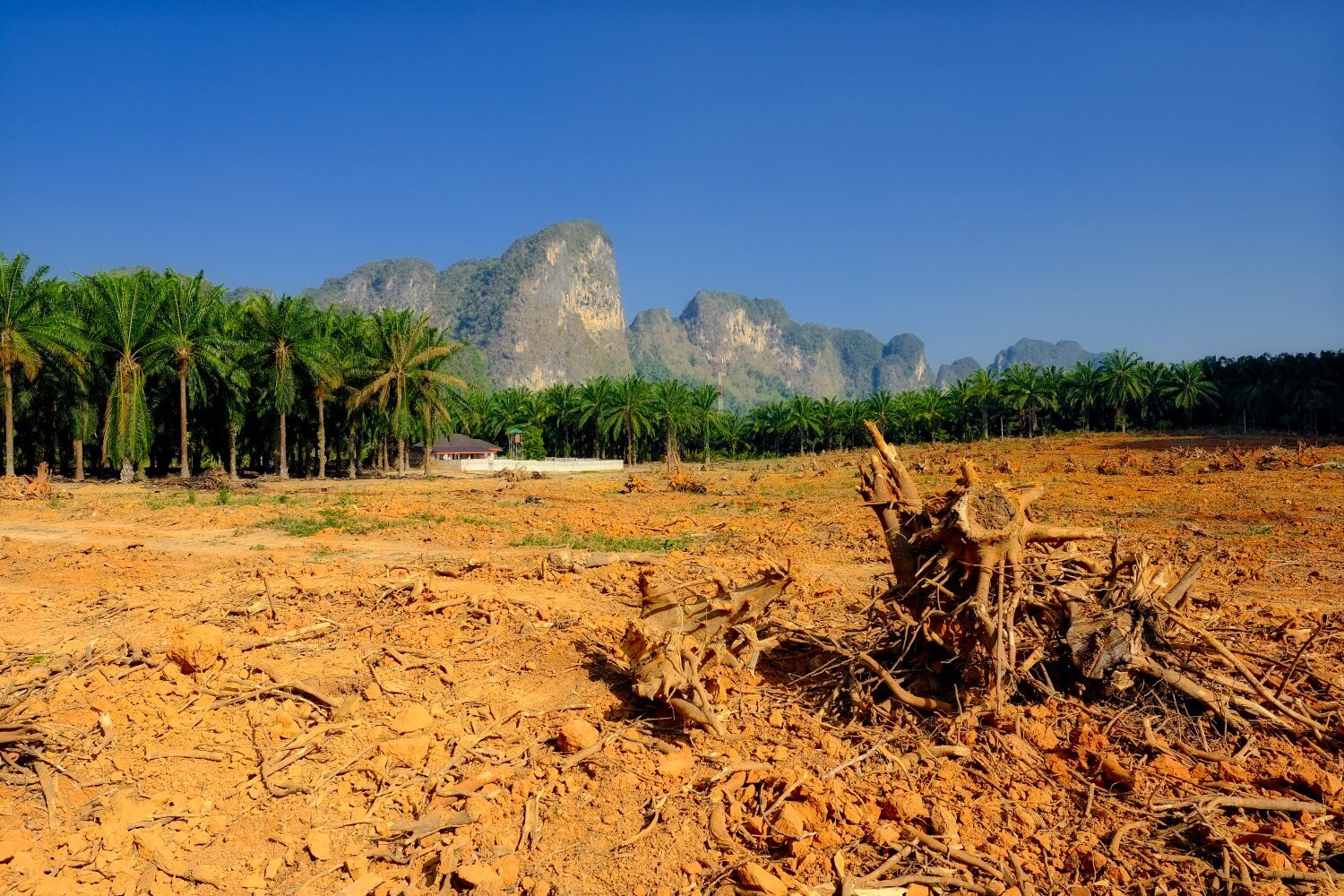
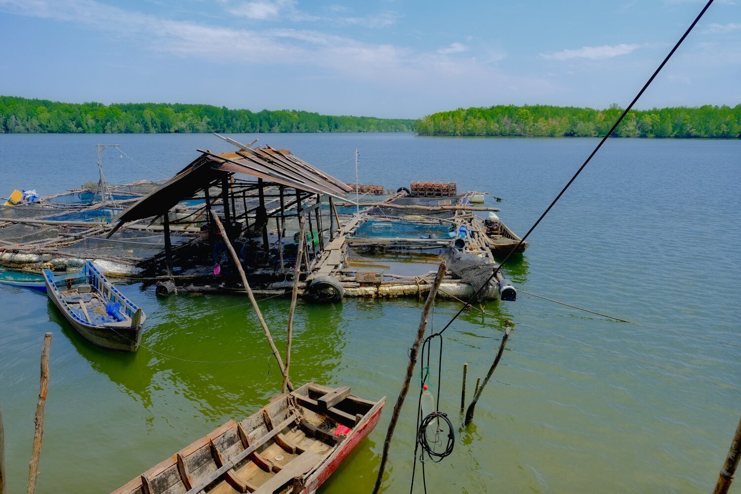
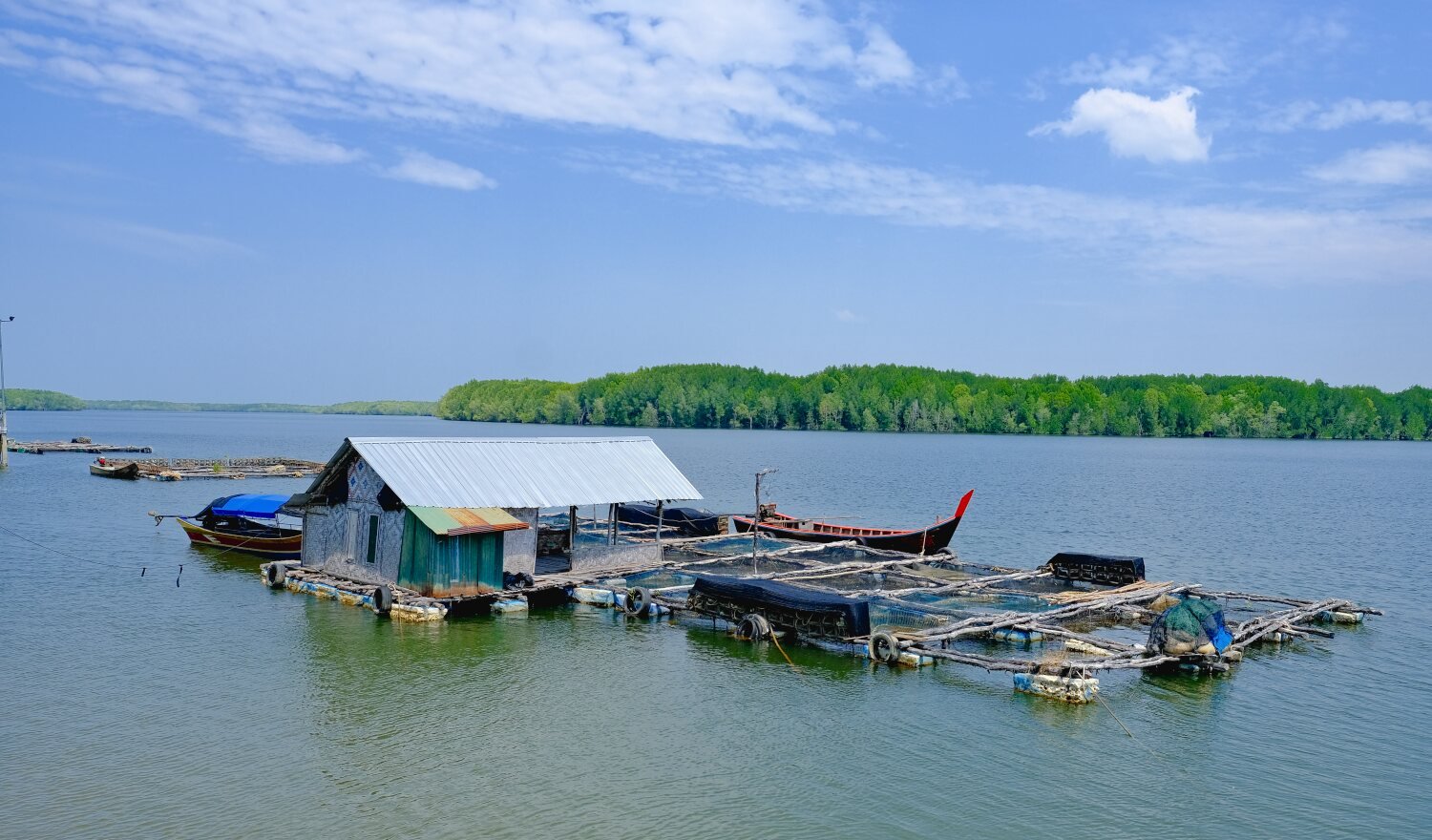
Day 34. Kapoe to Chumphon. Today we intended to ride Ranong Canyon on our way to Chumphon. I mentioned to Al I don’t know this track at all and as Al was riding a road bike we would check how we felt with the track conditions as we rode. The track as far as went was not difficult but it was not enjoyable riding. Al and I decided we were riding too slowly and we did not know how long it should take. At 9am the weather was already very hot and we decided to call it a day. Riding back we met some locals who said it was only an hour to the end of the track, that seems very unlikely. Measuring it on Gaia later we missed 17.5km. So it seems the locals were right. We ended up looping around until we arrived at Ranong Canyon, here. https://maps.app.goo.gl/VdiUSeZxzeaE1Am99 Taking the scenic route to Chumphon and keeping to the west side of the mountains I spotted a mountain with a hole in it, so I rode down a side road to take a photo, here. https://maps.app.goo.gl/AM3ySu68WbaxCAd38 We then rode into Chumphon City, 237 km ride. https://www.relive.cc/view/vevW3JK9Ayv
-
CT125 and Vespa Sprint 150, Southern Thailand Tour.
chrissables replied to chrissables's topic in Motorcycles in Thailand
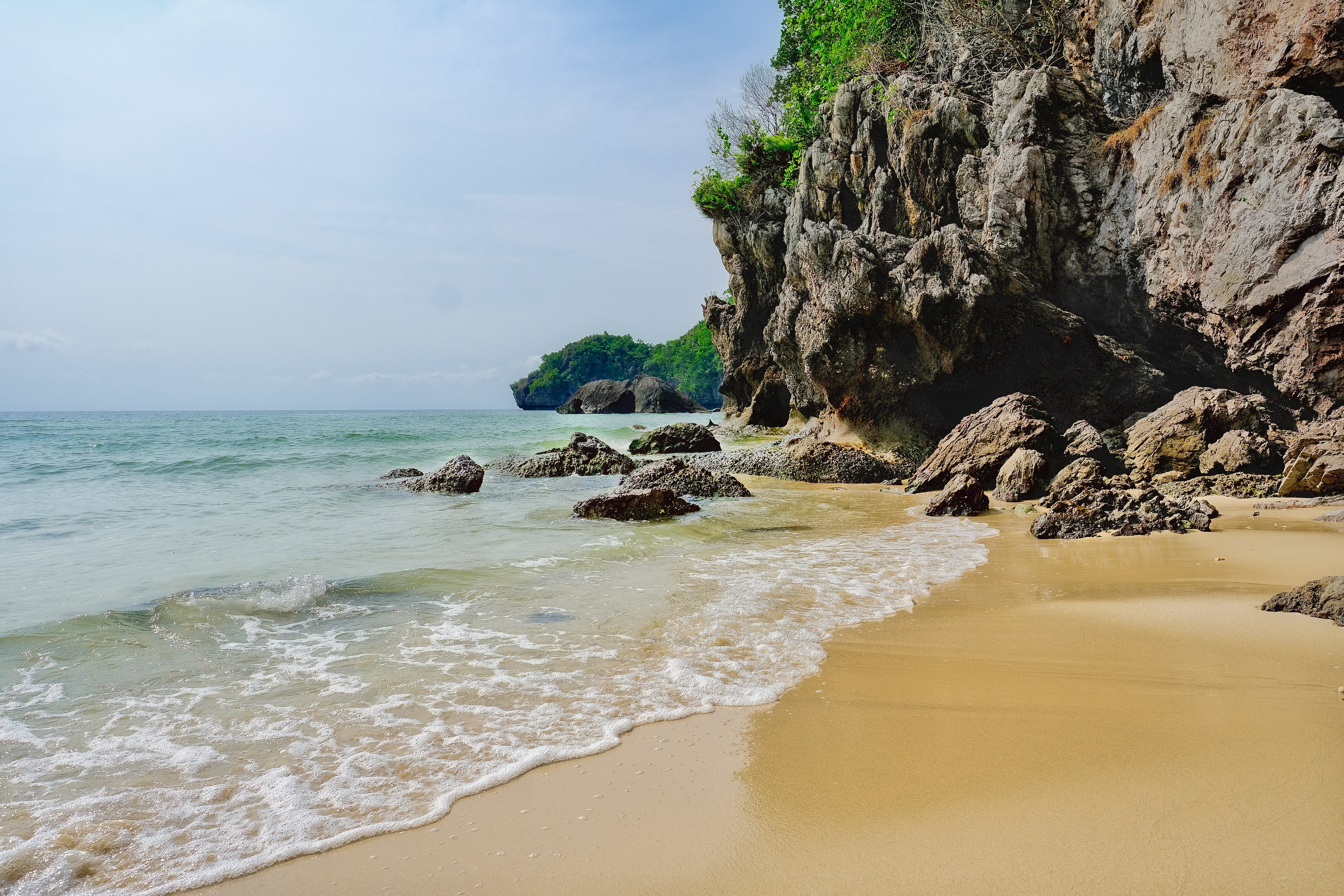
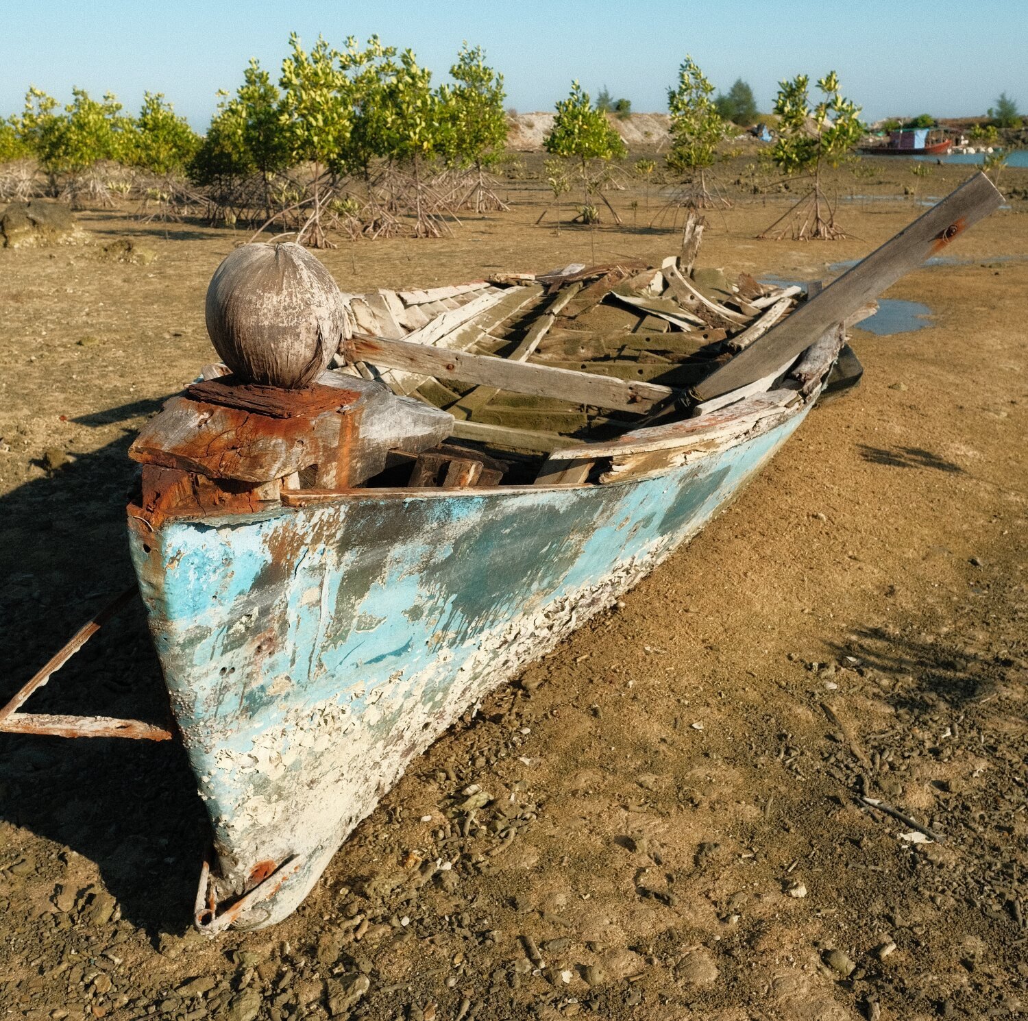
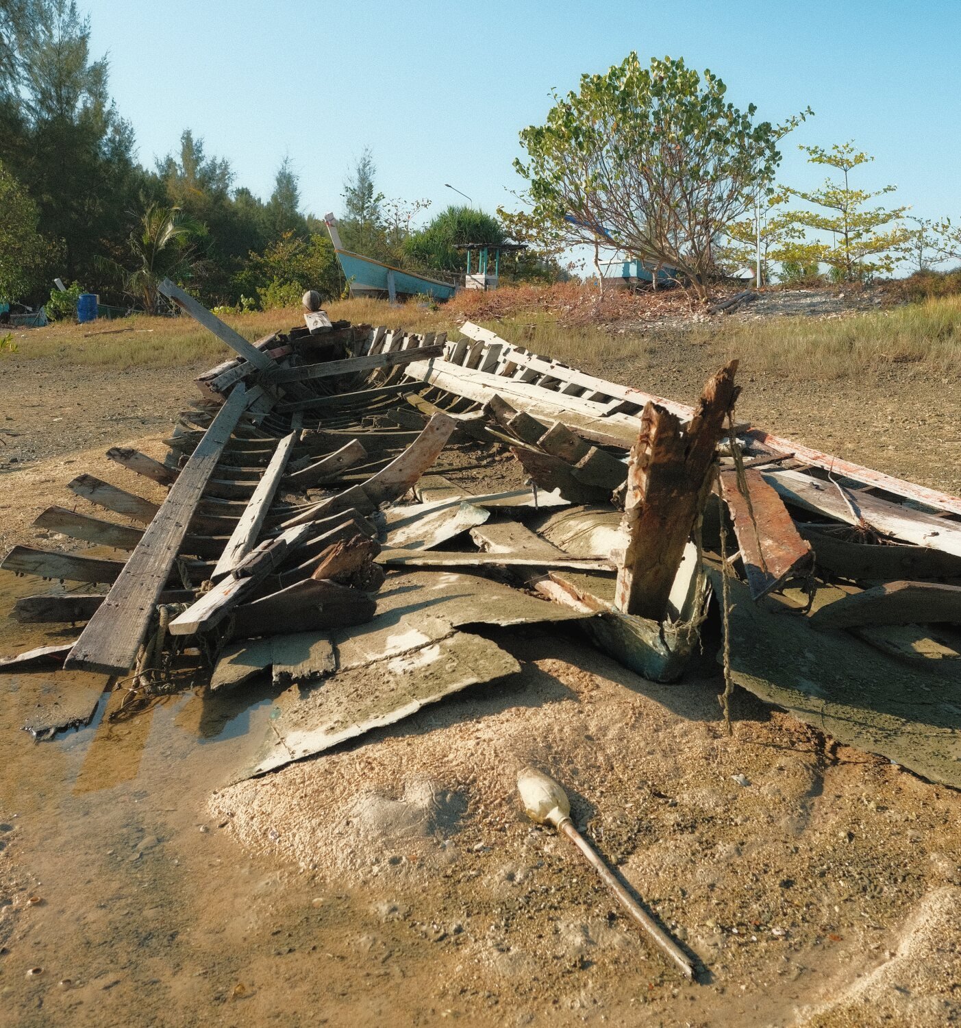
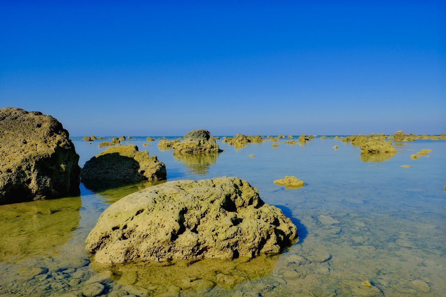
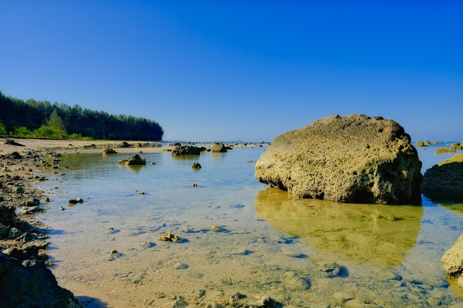
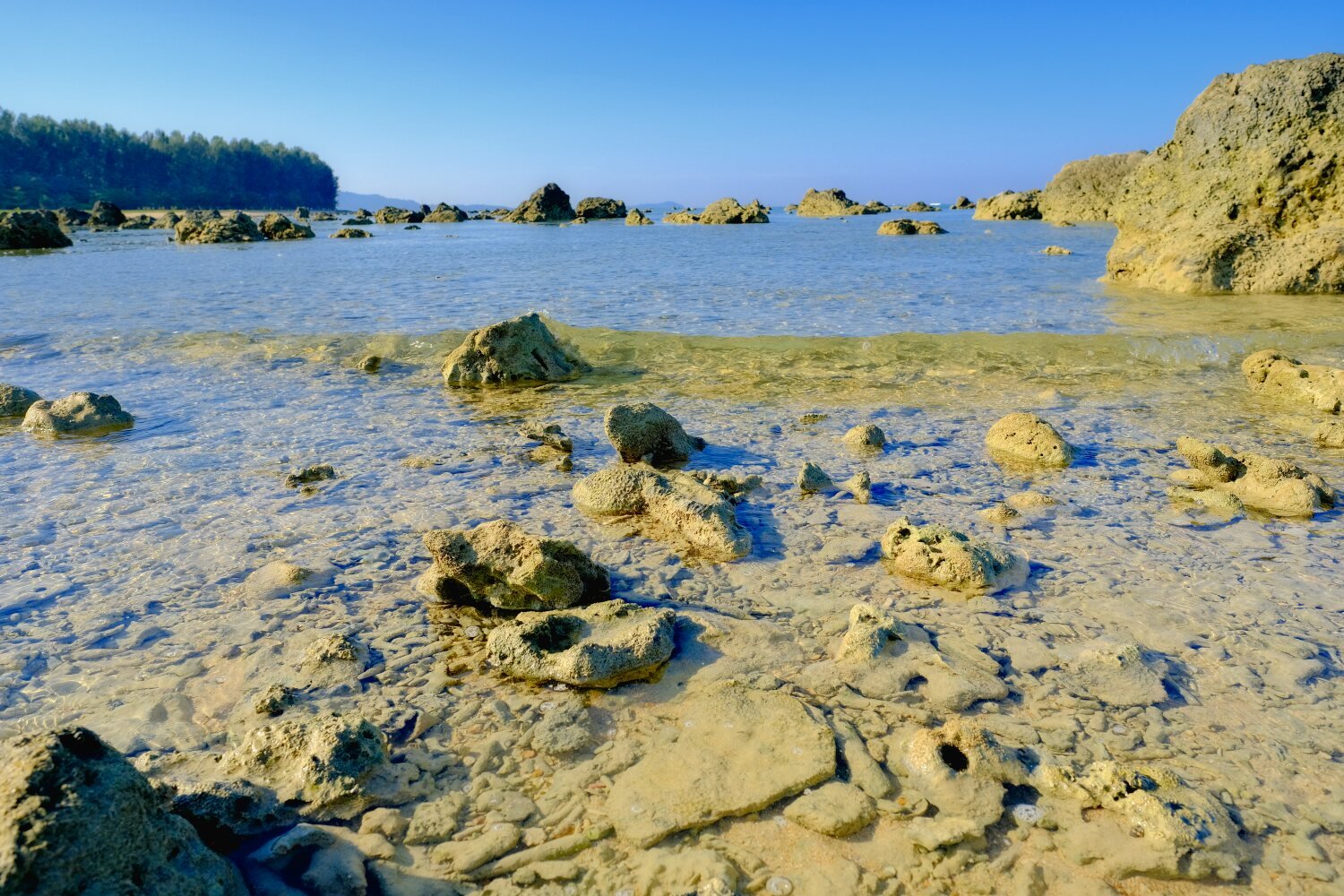
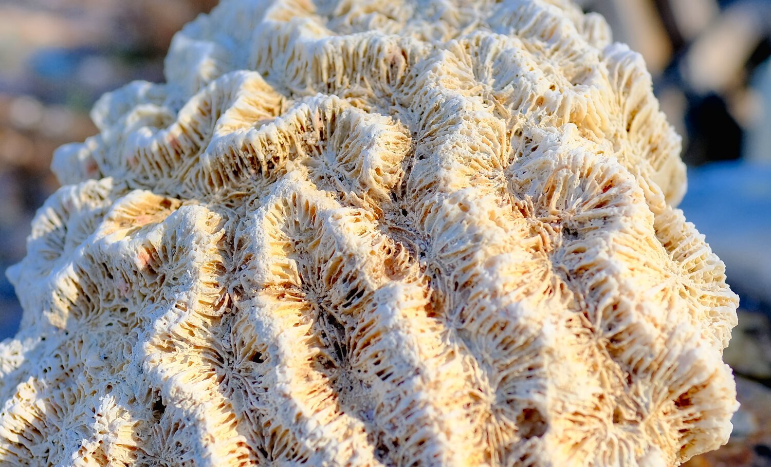
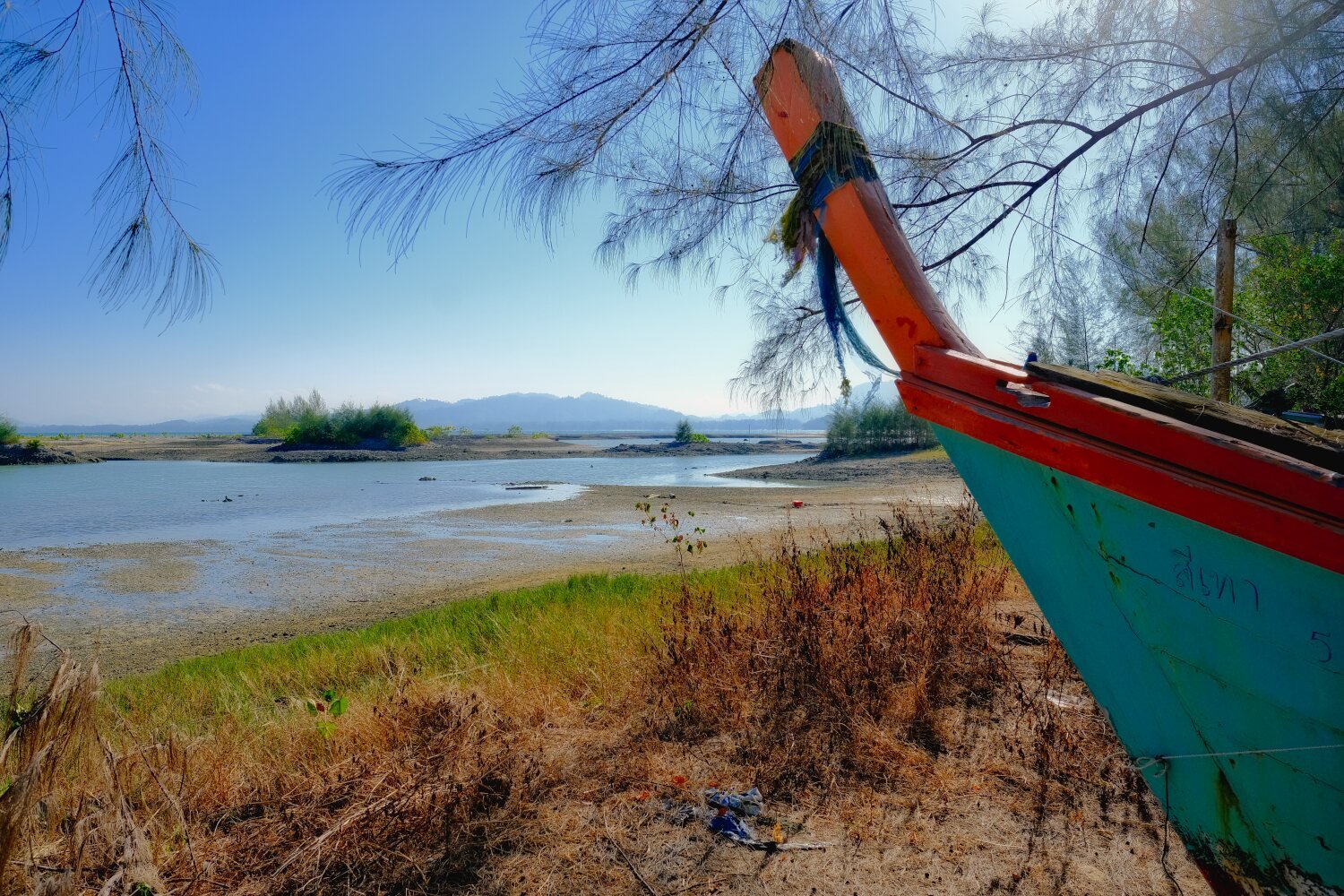
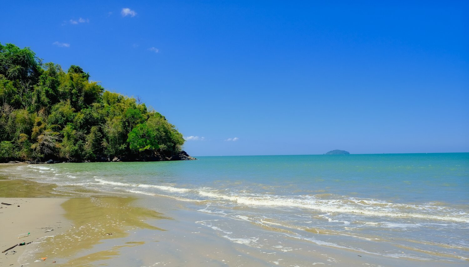
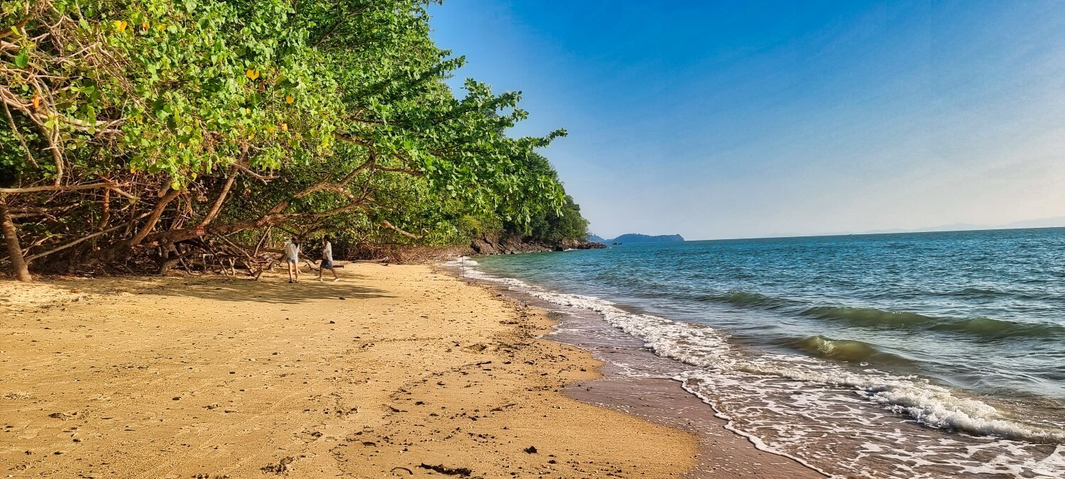
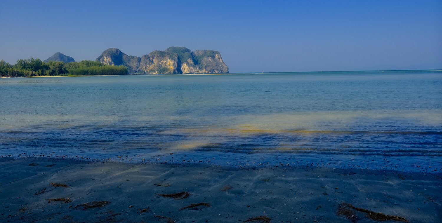
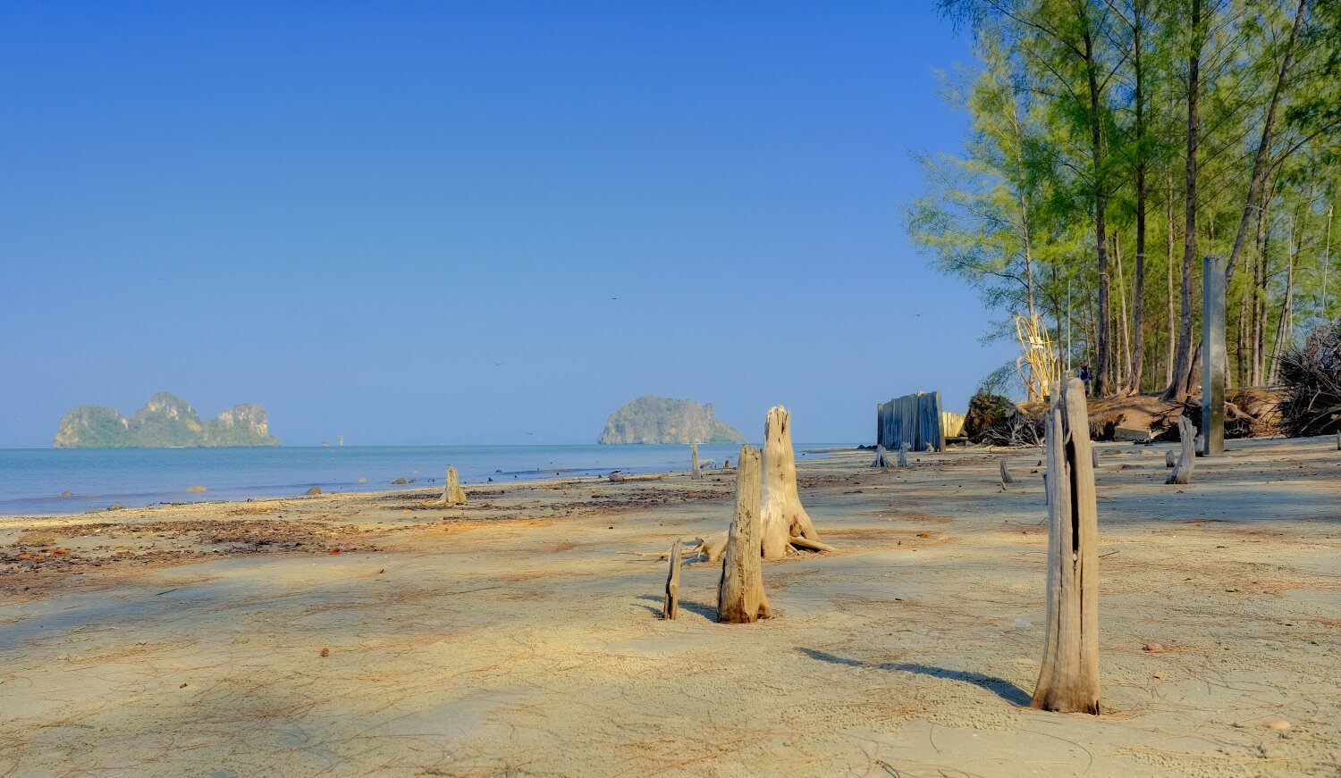
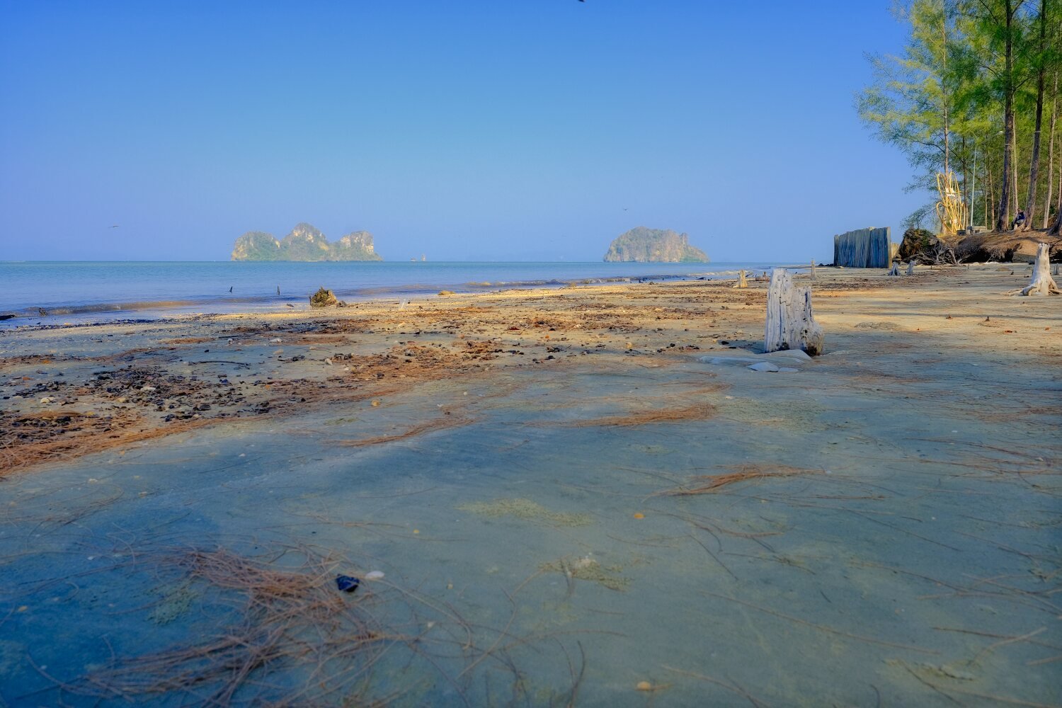
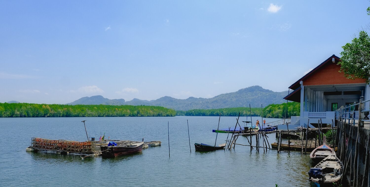
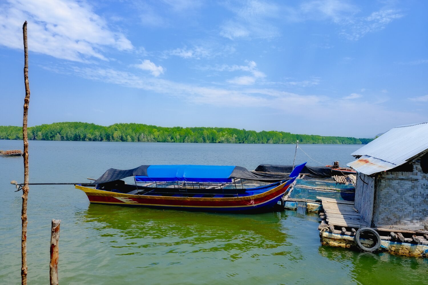
Day 33. Khao Lak to Kapoe. Leaving Khao Lak this morning our first stop was Laem Pakarang, here. https://maps.app.goo.gl/Gu5DmExfFBdECm2w7 It seemed to be a boat and coral graveyard, but was picturesque. Our next stop was Ao Khei Viewpoint, here. https://maps.app.goo.gl/aoMag4HDNwWxDwub9 Praphat Beach was next, here. https://maps.app.goo.gl/AcaUtoT78TYkTH1x9 From here we rode to SS Kapoe Resort, here. Good value for 600 baht. https://maps.app.goo.gl/vRCsejwDDwJ9LVxy6 https://www.relive.cc/view/vdvmJpJ1VNO
-
CT125 and Vespa Sprint 150, Southern Thailand Tour.
chrissables replied to chrissables's topic in Motorcycles in Thailand
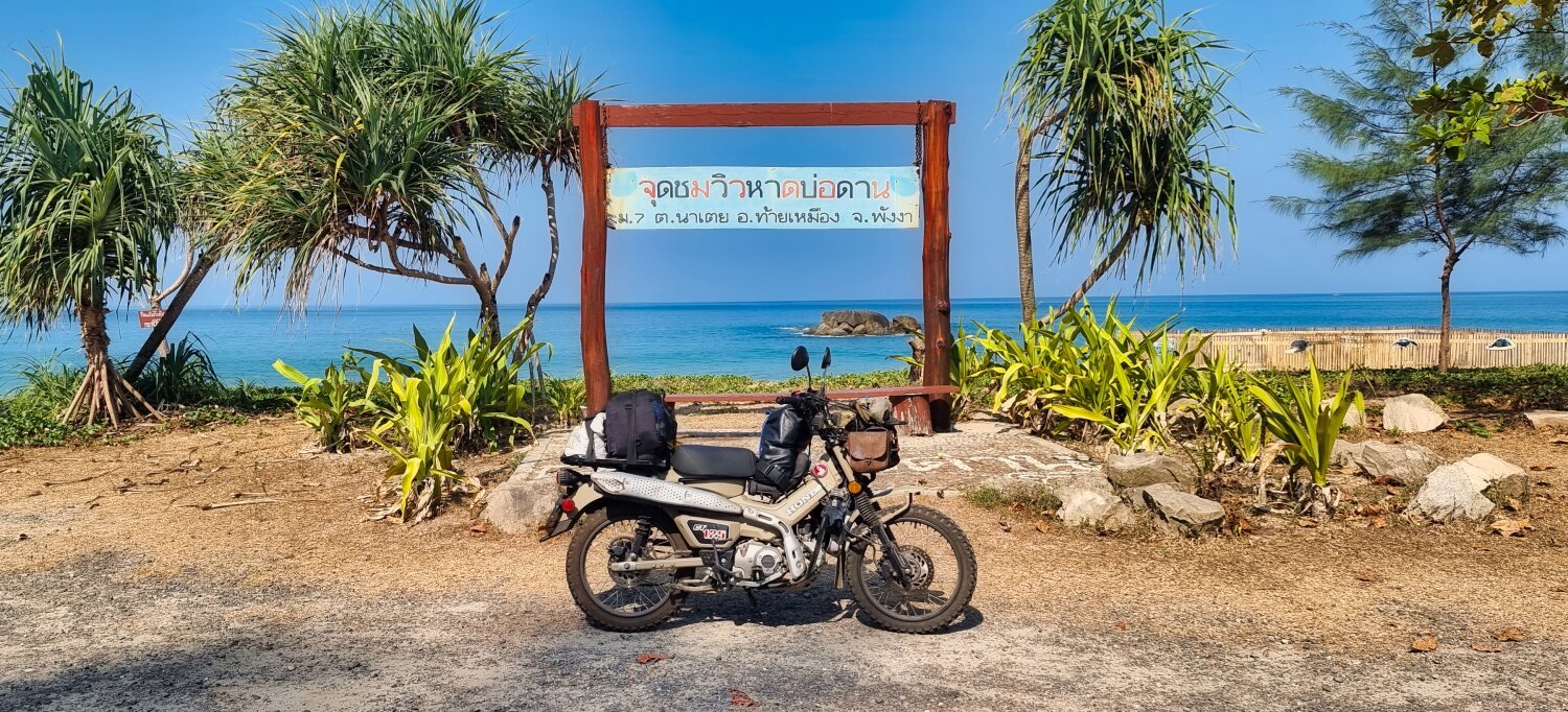
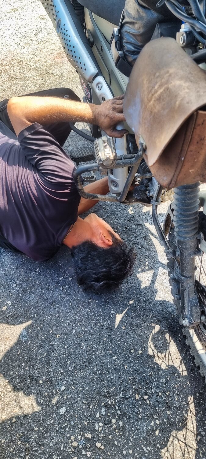
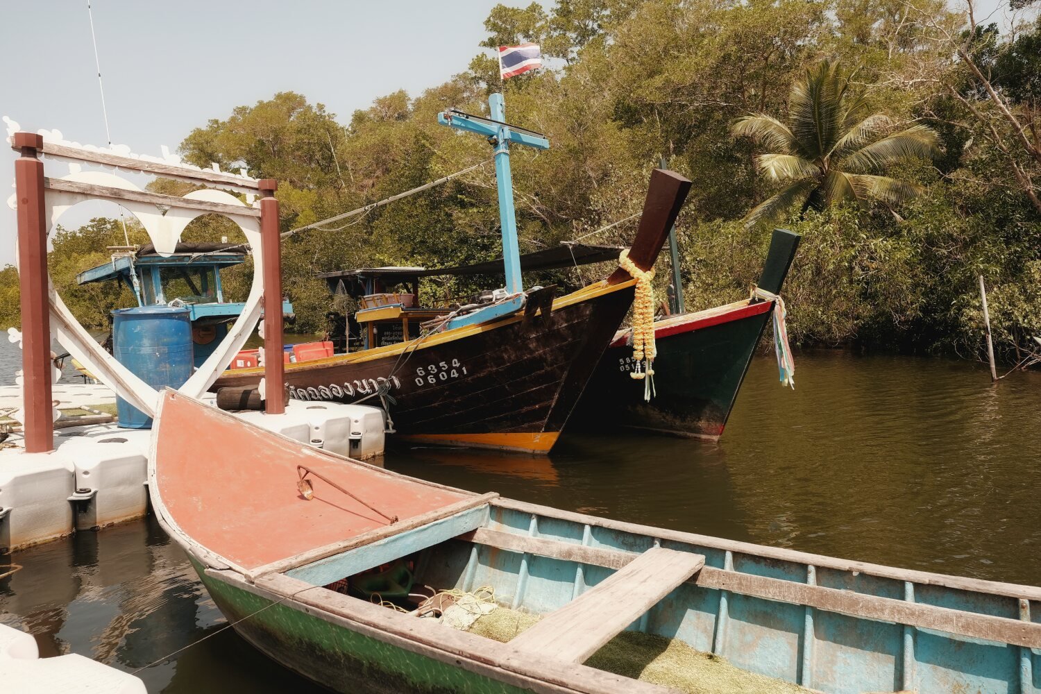
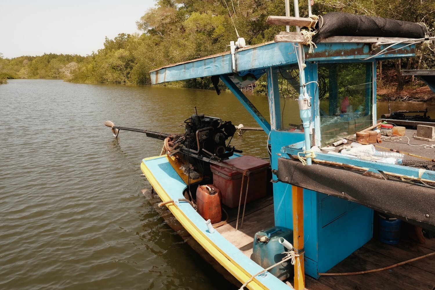
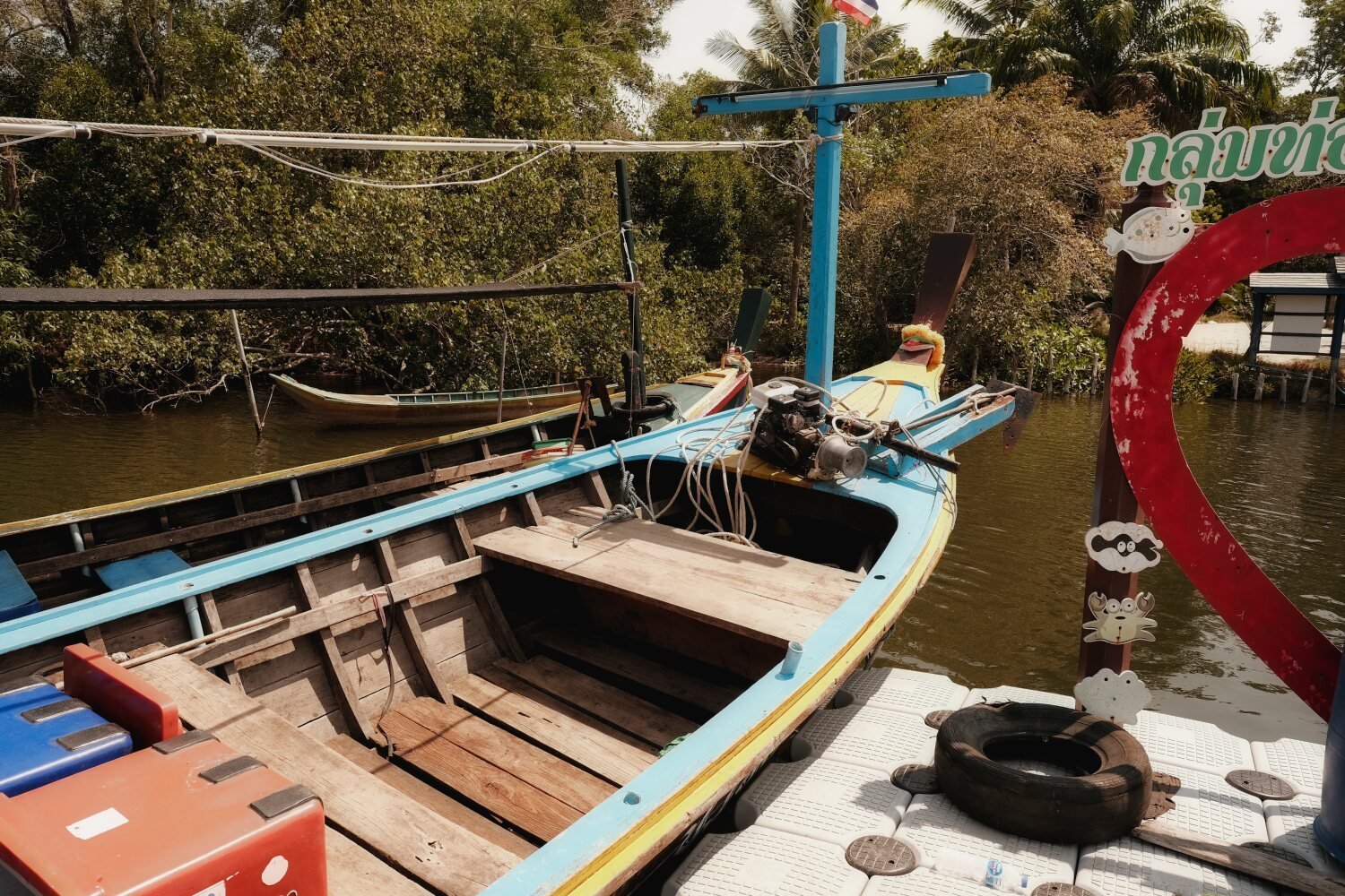
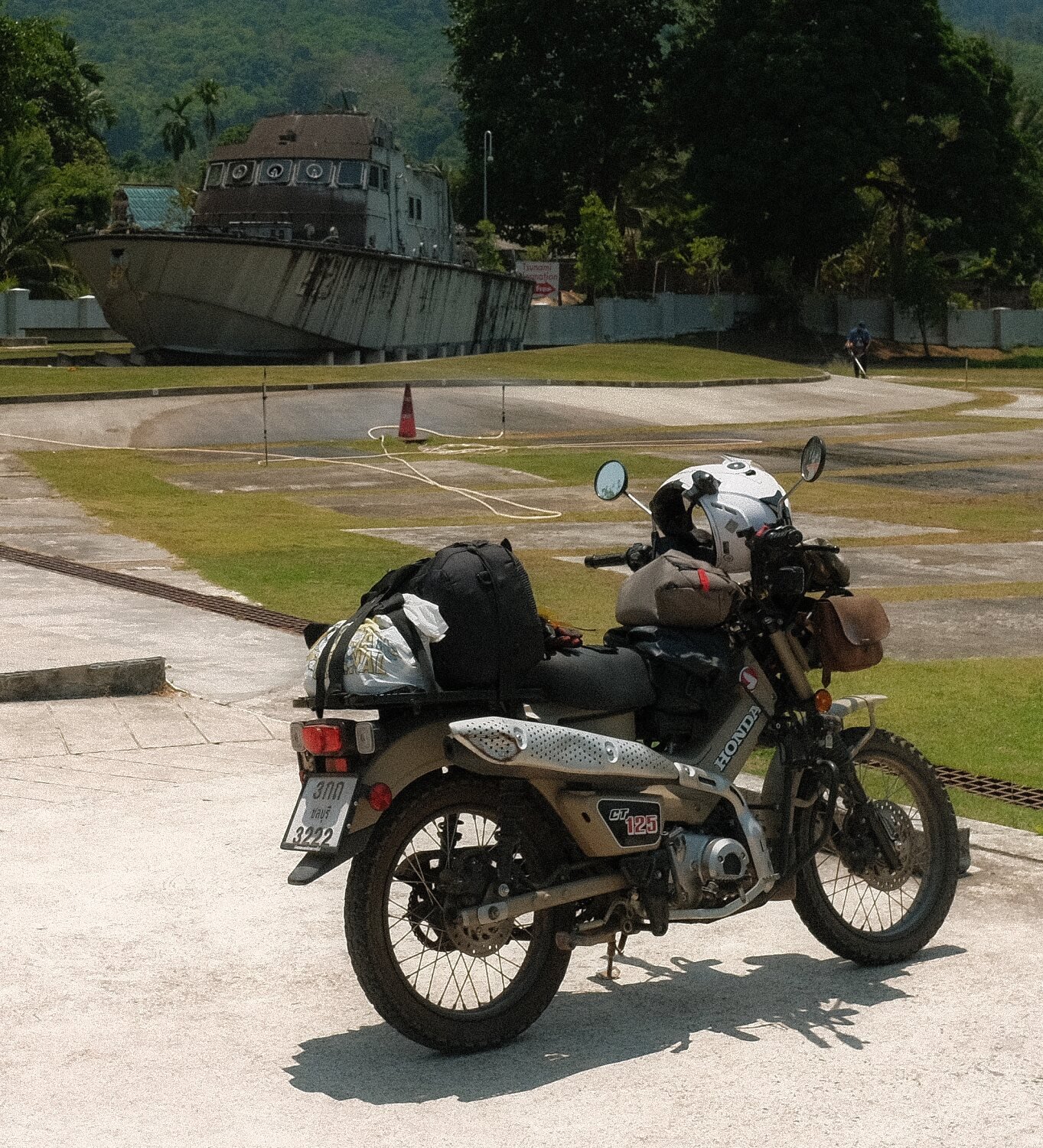
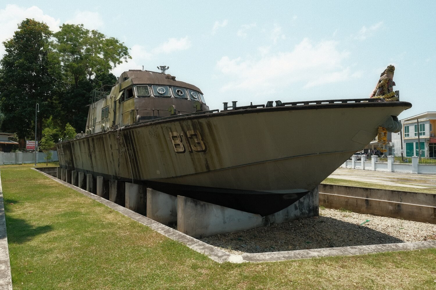
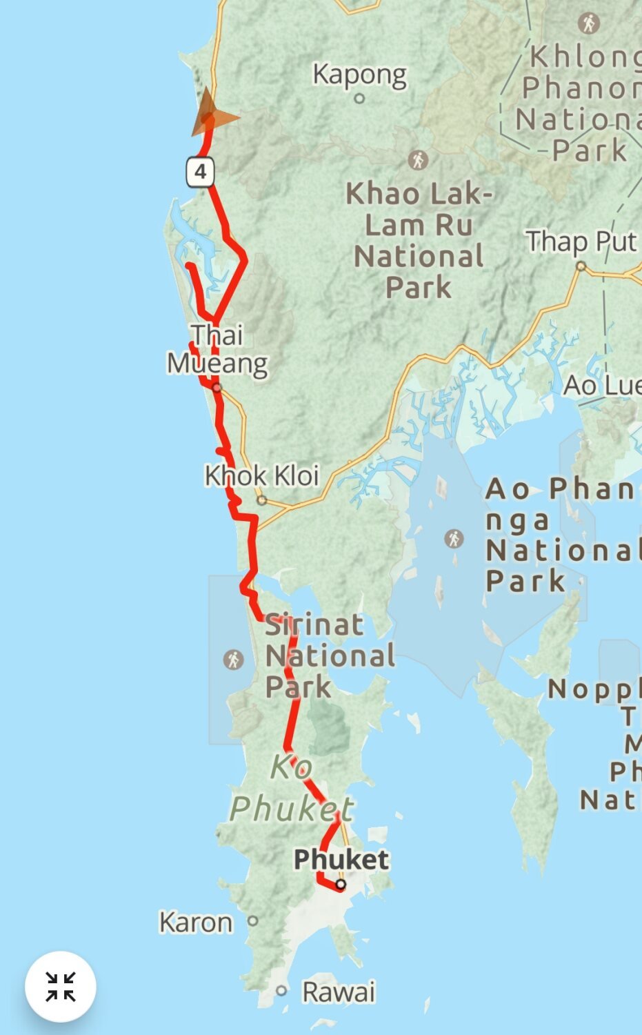
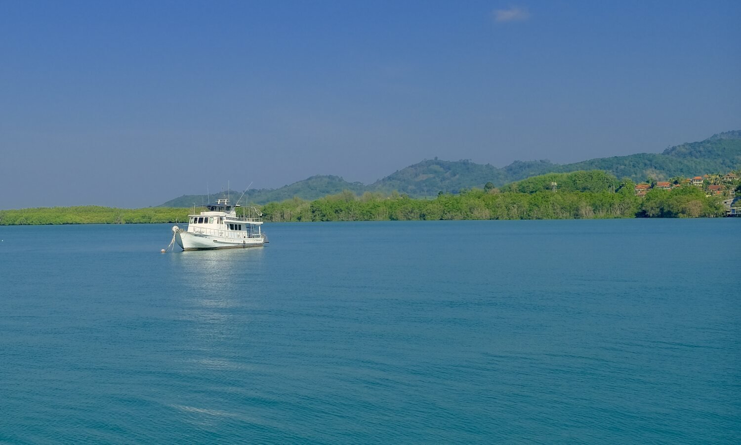
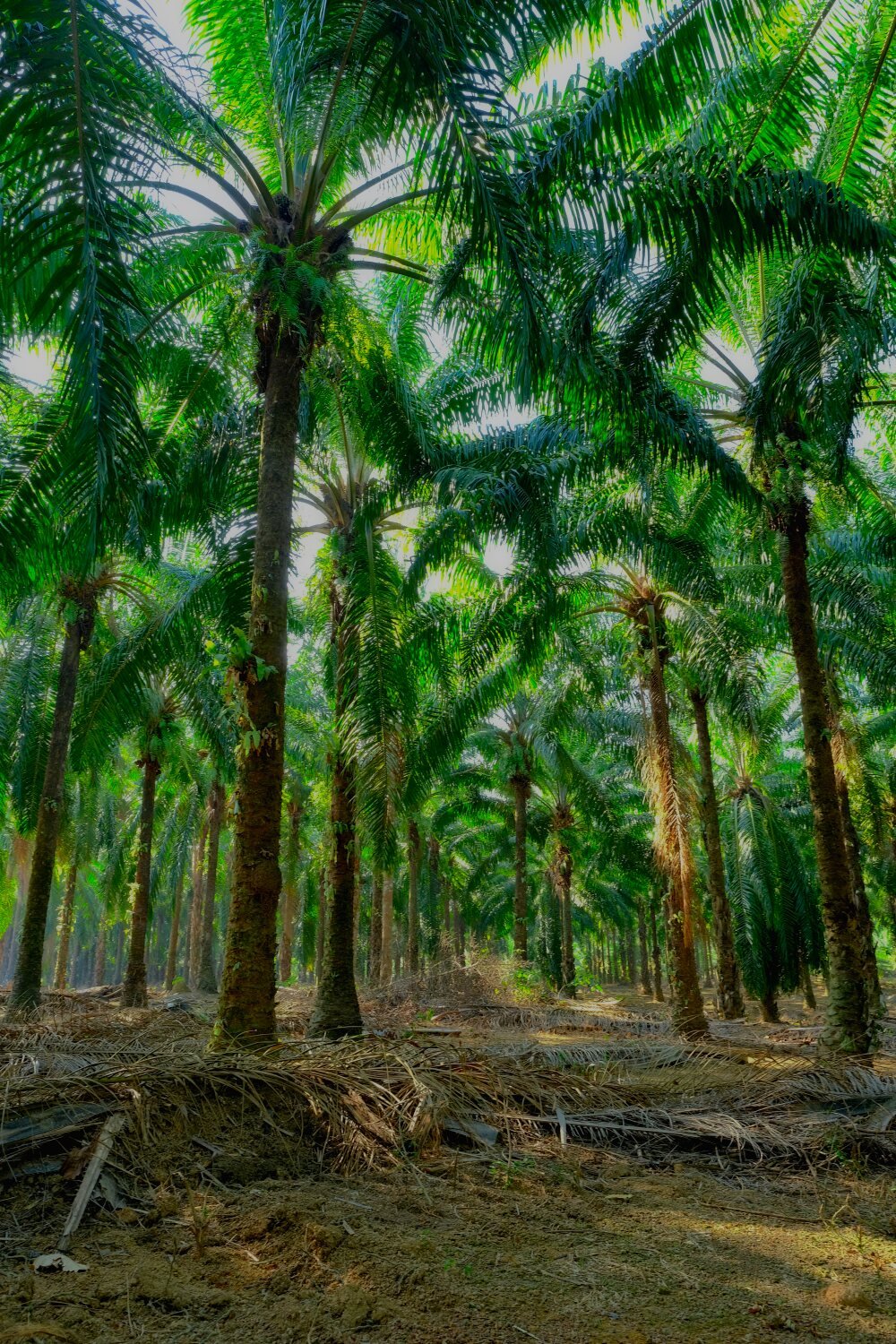
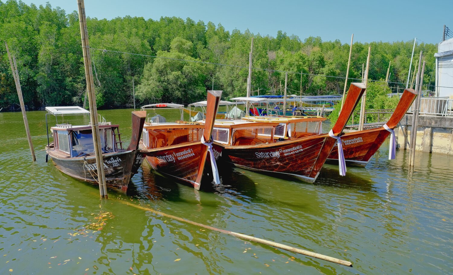
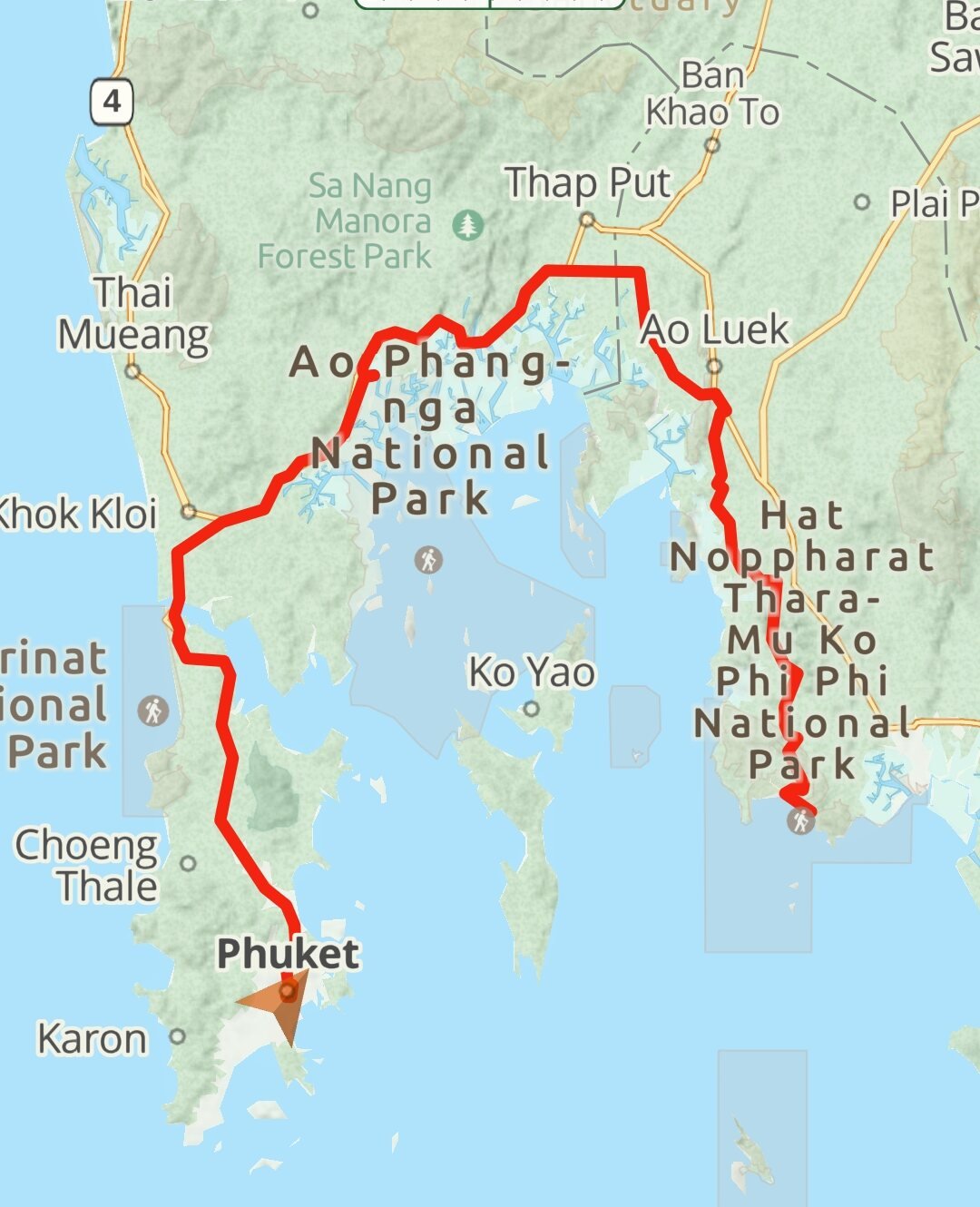
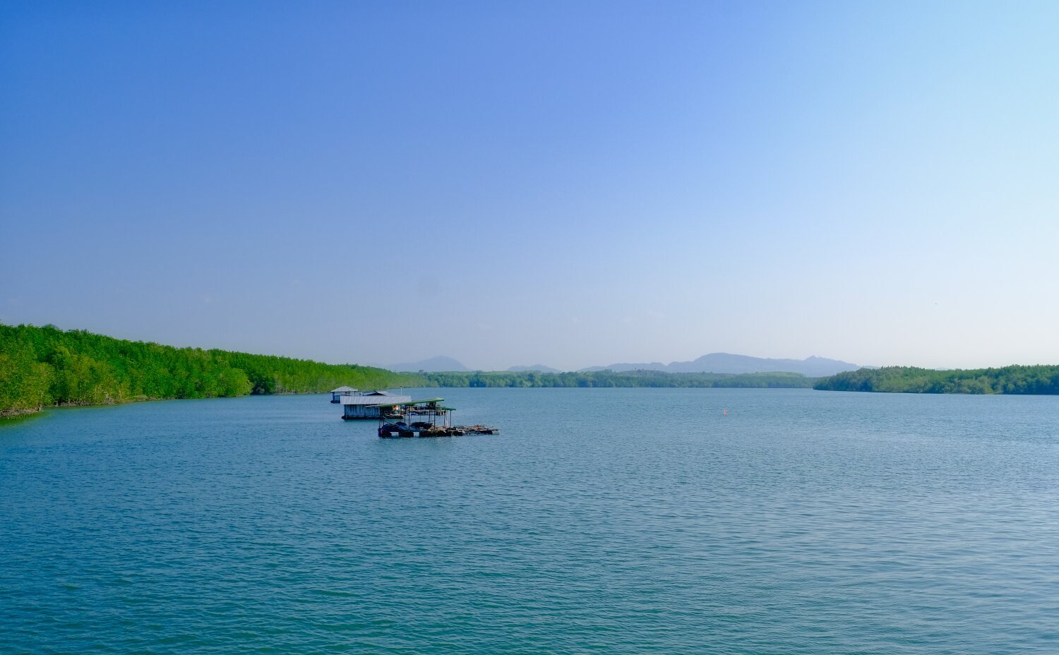
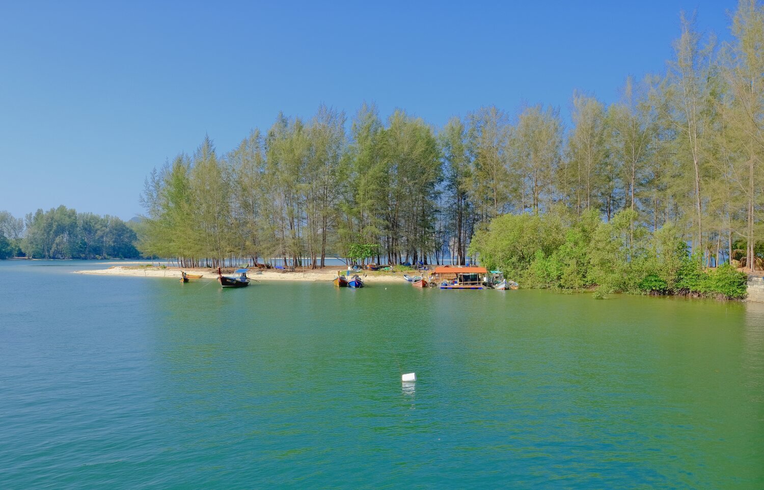
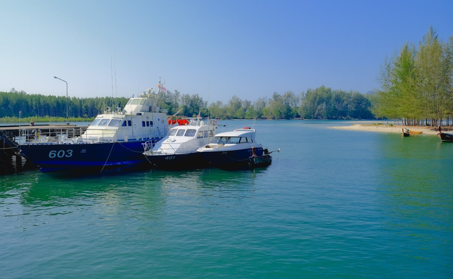
Day 32. Phuket to Khao Lak Today was an easy ride north to Khao Lak. Our first stop was Natai Beach and Pier, here. https://maps.app.goo.gl/6g1YZ5ZVyVJ8W8DeA Next was Bor Dan Beach, here. On the way here my foot pegs and crash bars came loose and needed new bolts holding the engine guard and crash bars fitted, great for 100 baht. https://maps.app.goo.gl/WuTGD1WfHidDdf9VA Further up the coast we stopped at Ban Tha Din Daeng, which is a mangrove protected area, here. https://maps.app.goo.gl/jVhm89amCDPujbuq6 Our last stop was Tsunami Memorial Patrol boat 813, here. https://maps.app.goo.gl/iPLrWUcNPfWbWSv29 We then spent nearly an hour trying to find a hotel and ended up at, At Home Boutique Hotel Khao Lak, here. https://maps.app.goo.gl/y9X6TSpkgwvhsZVJ6 https://www.relive.cc/view/vdvmJpQdexO
-
CT125 and Vespa Sprint 150, Southern Thailand Tour.
chrissables replied to chrissables's topic in Motorcycles in Thailand
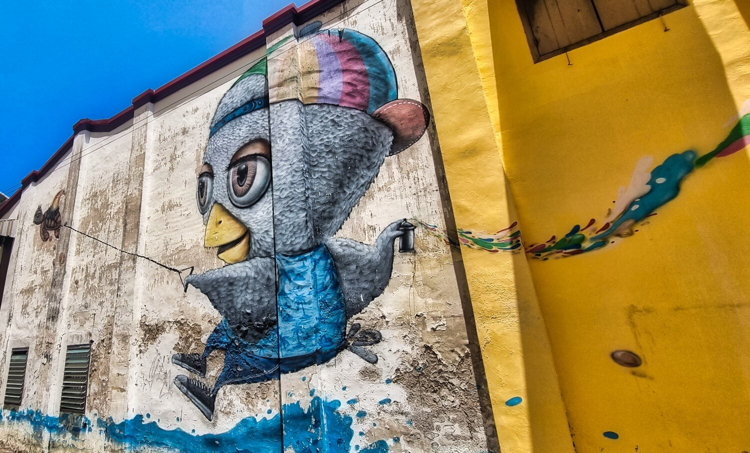
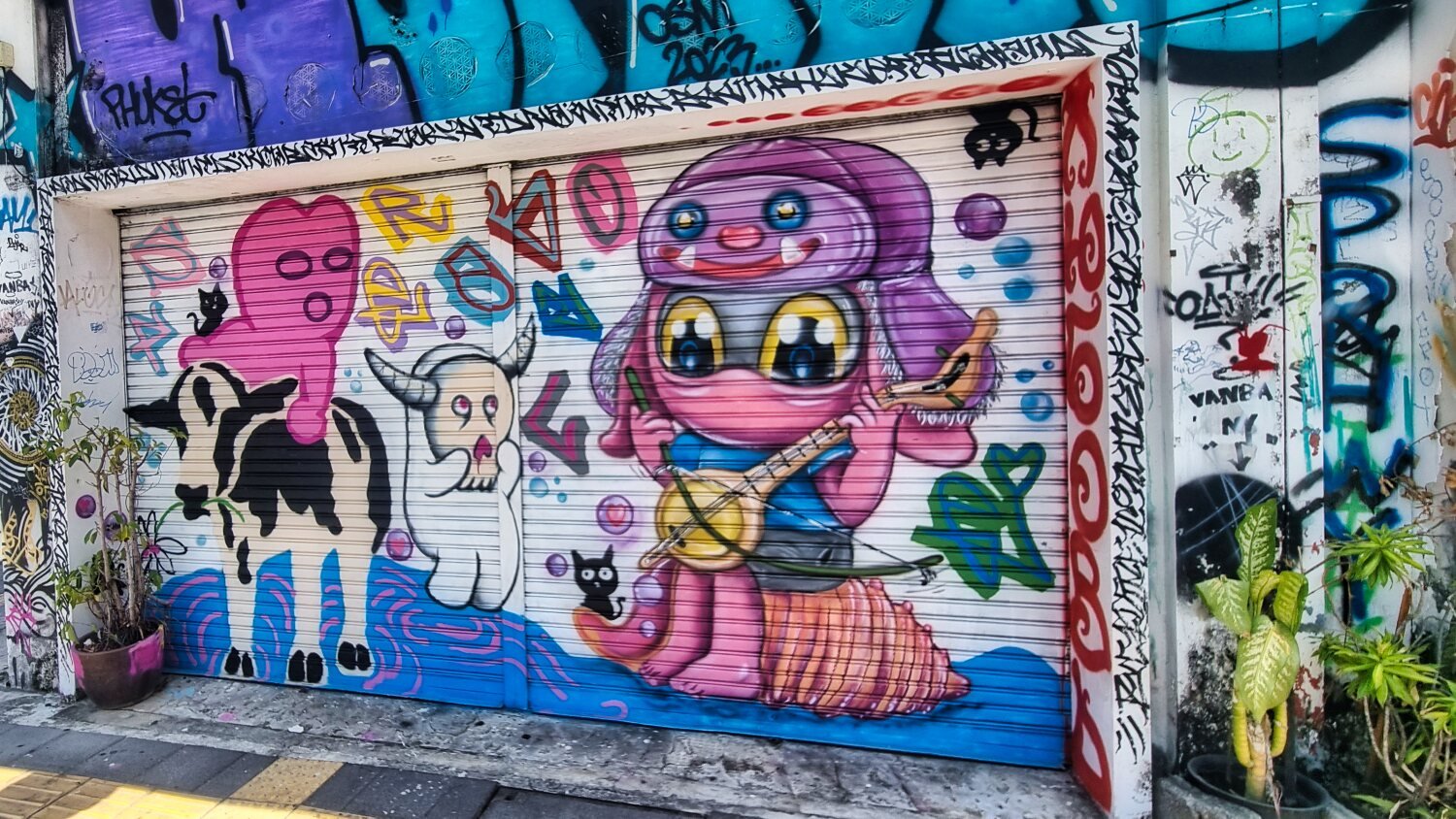
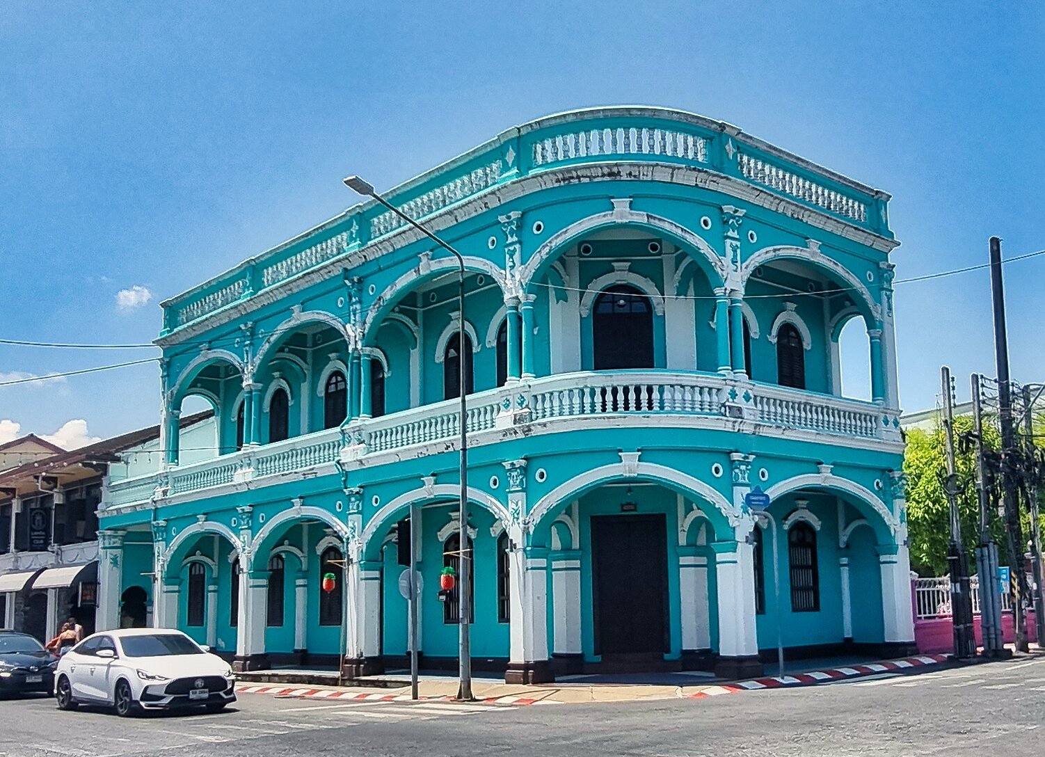
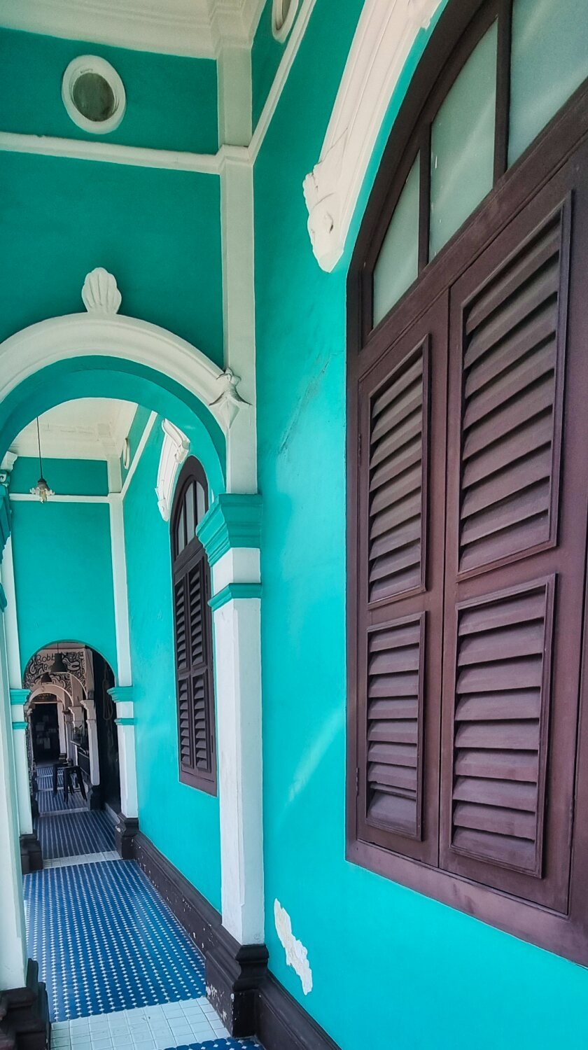
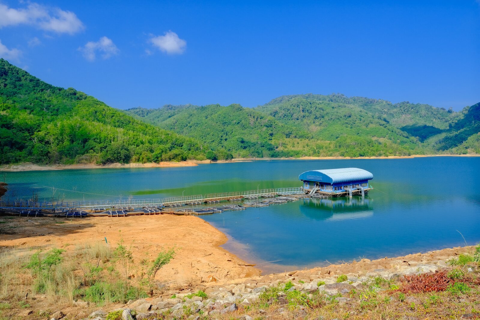
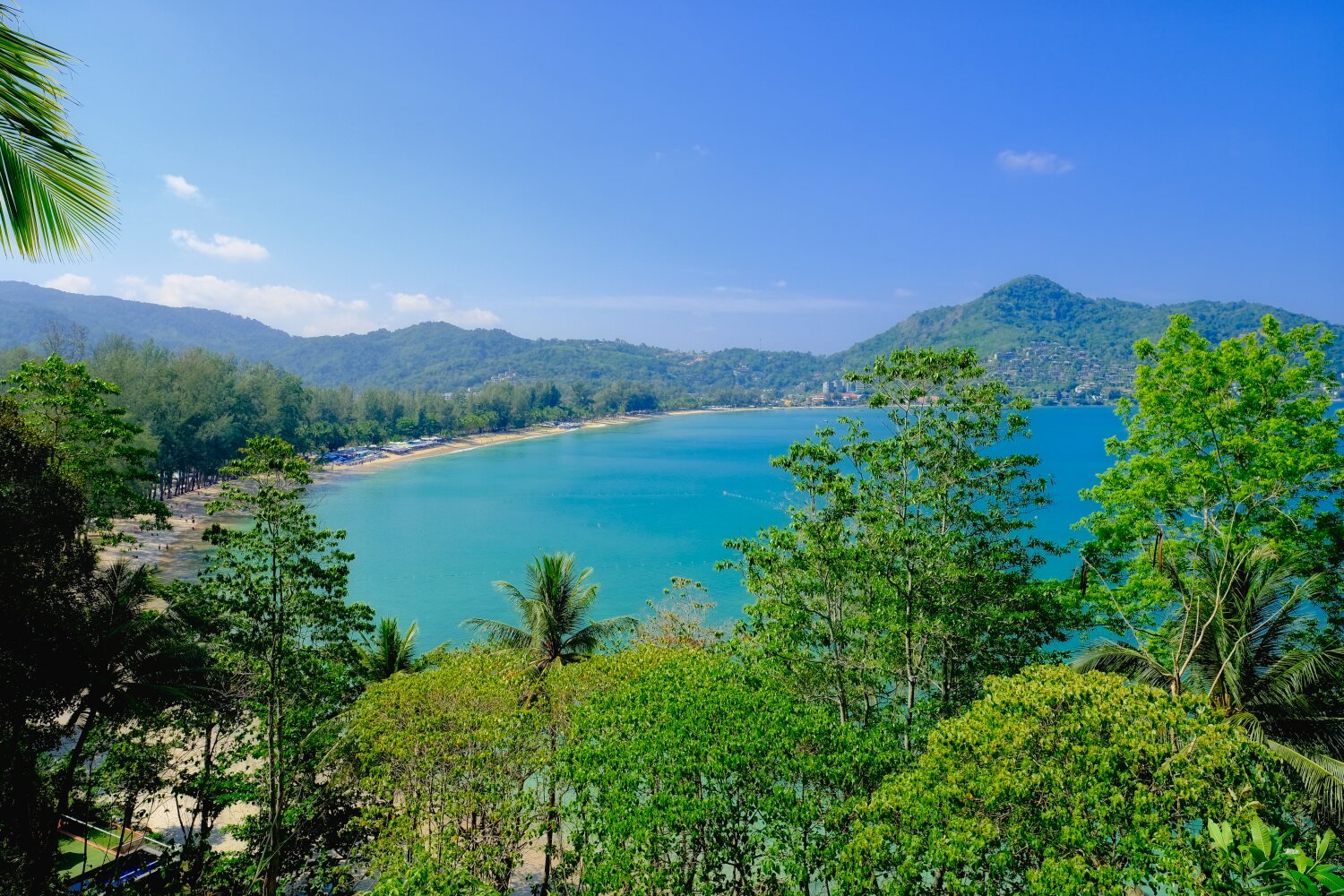
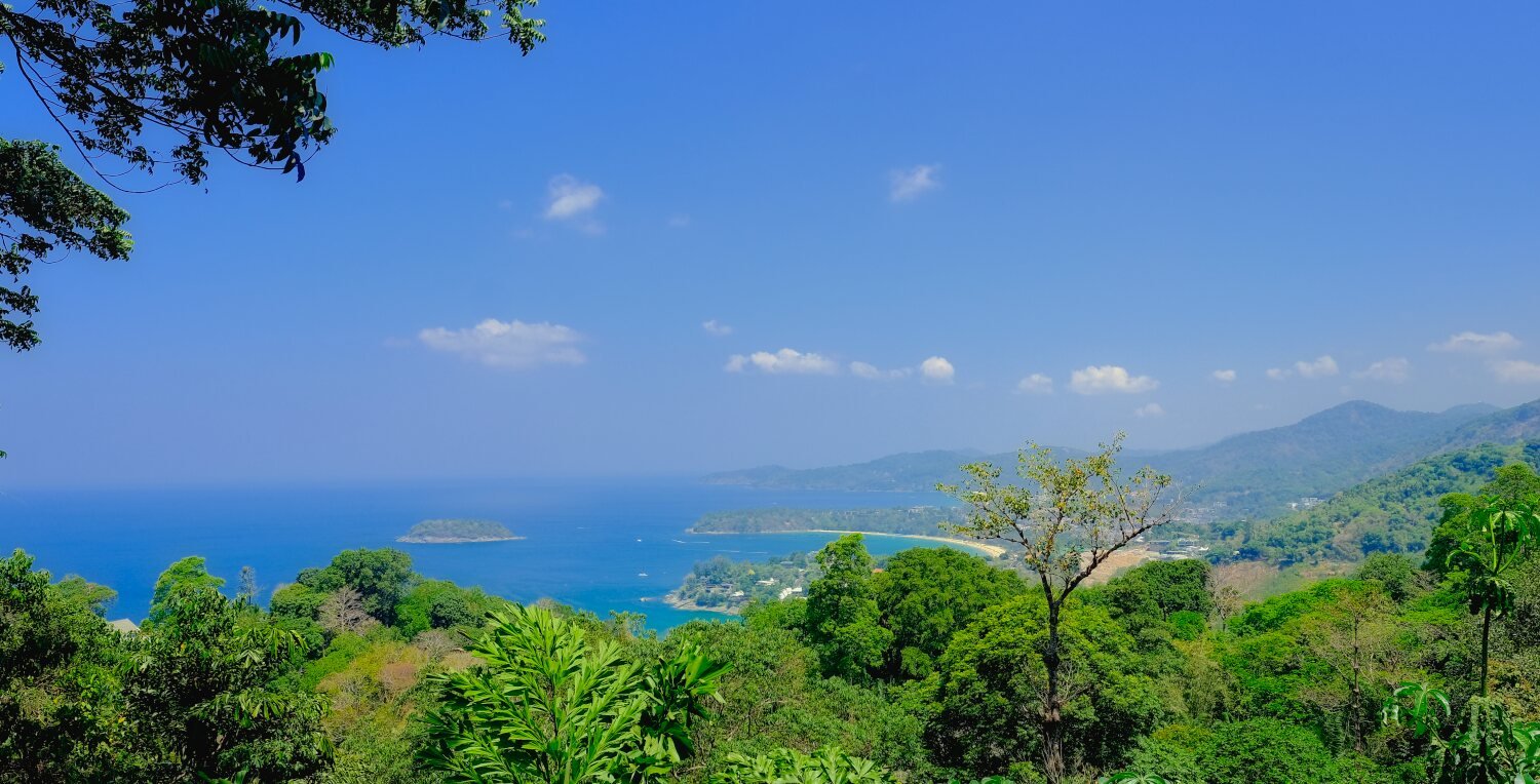
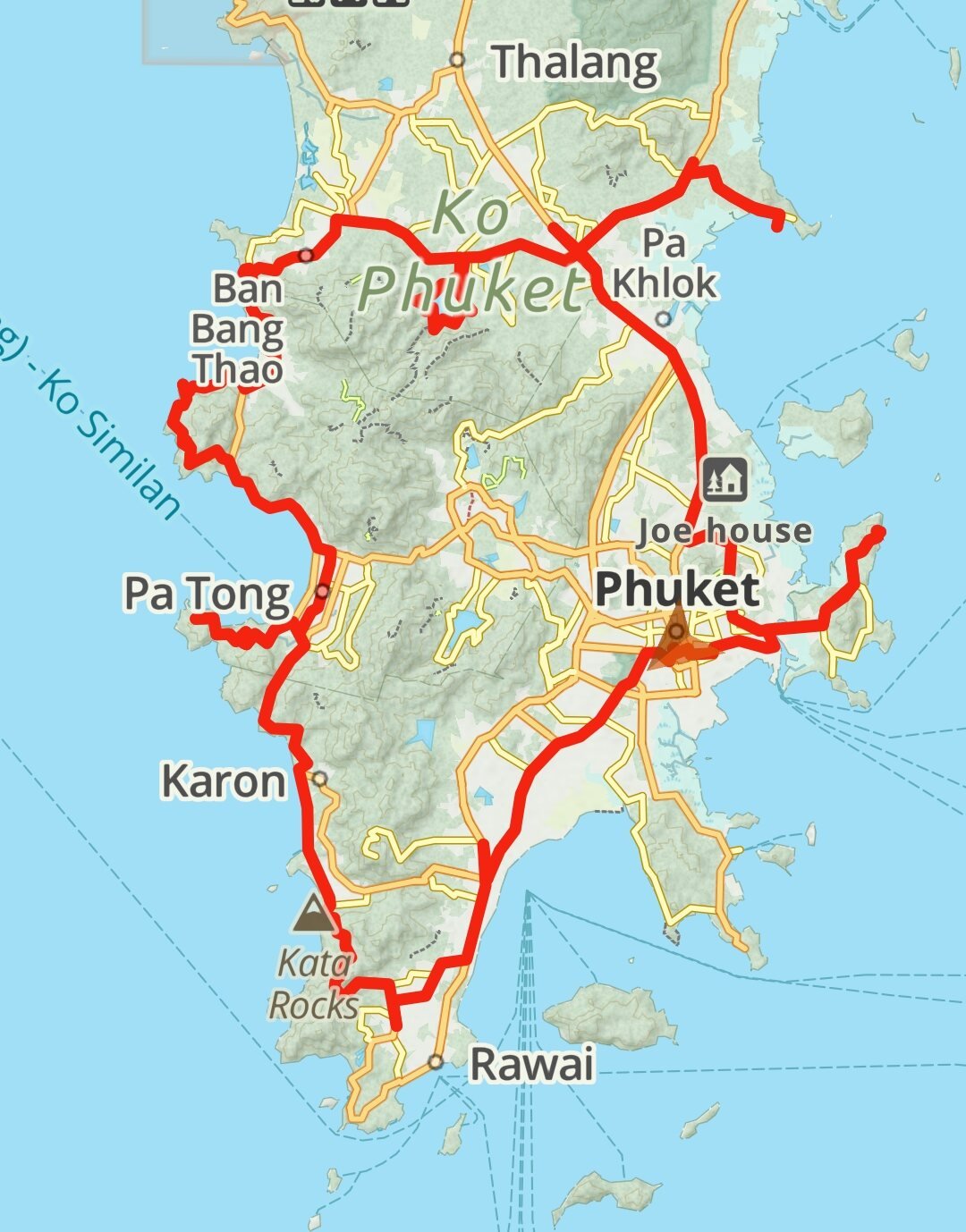
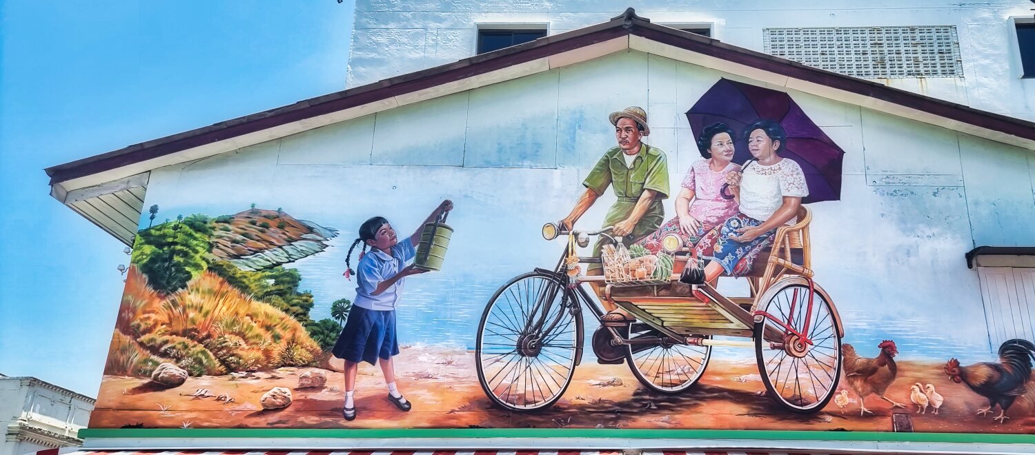
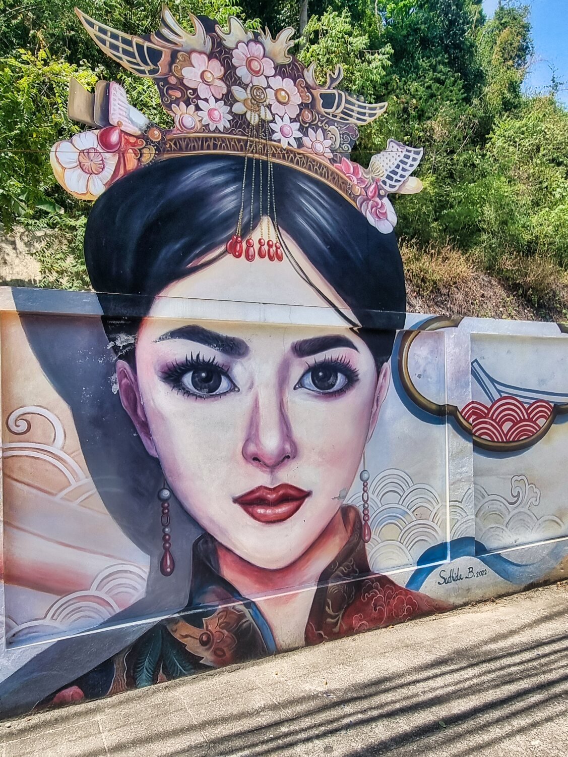
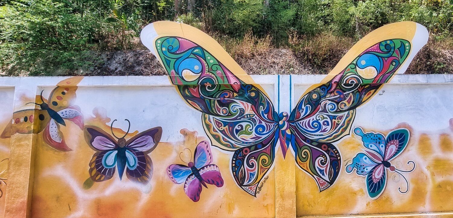
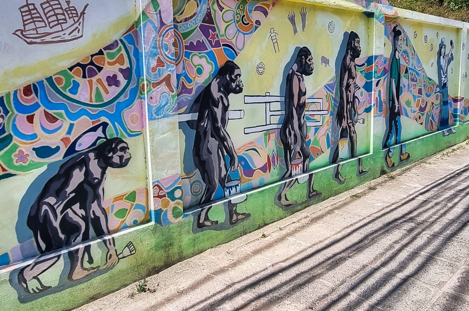
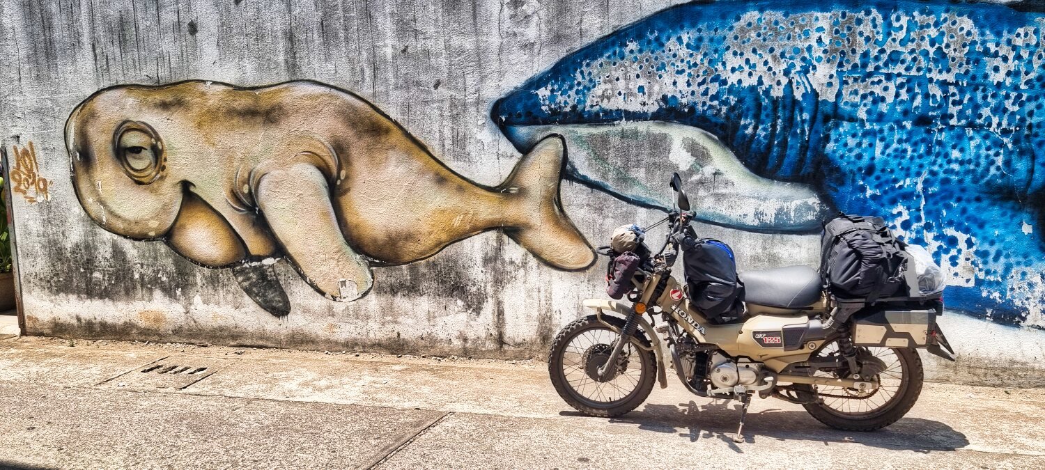
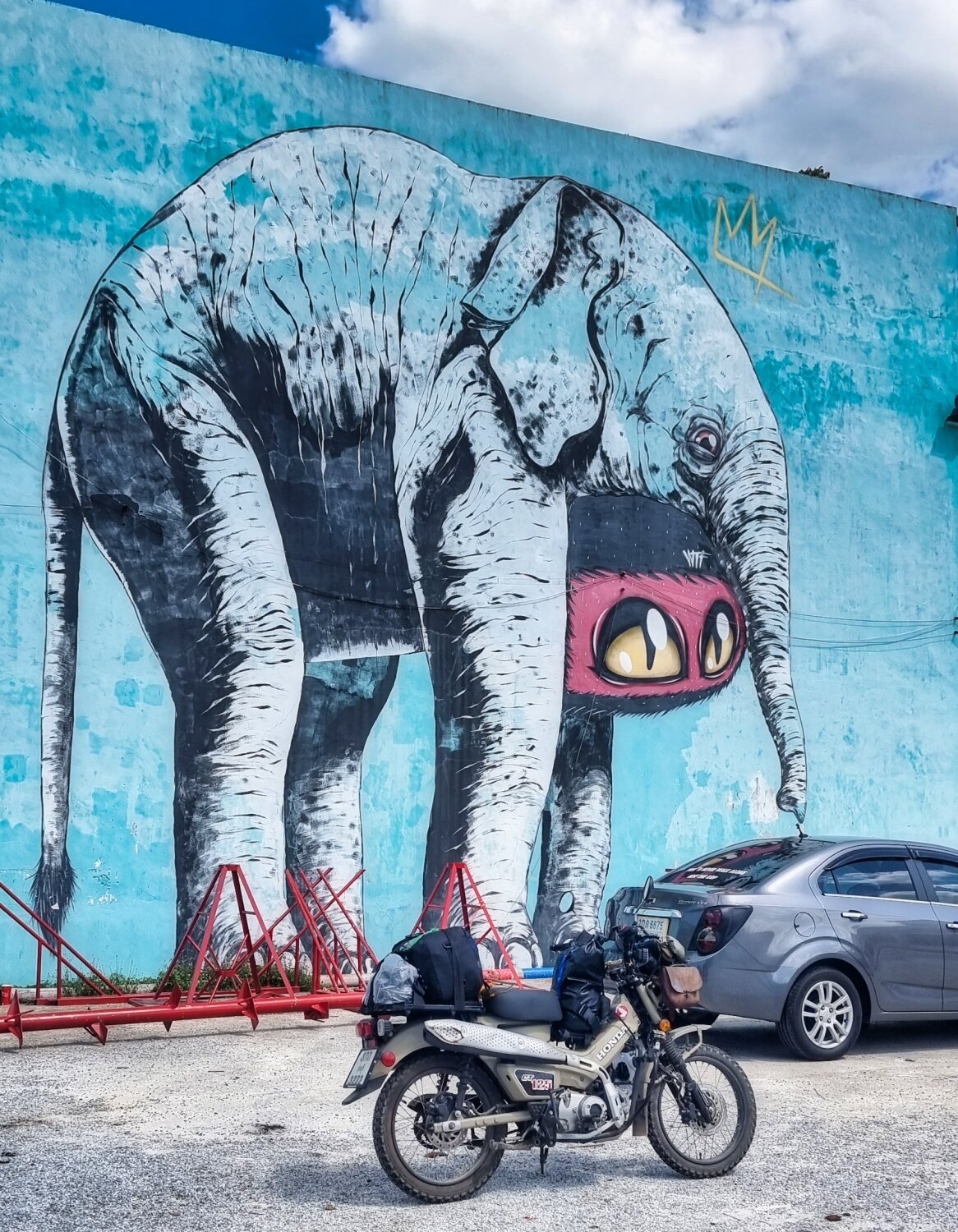
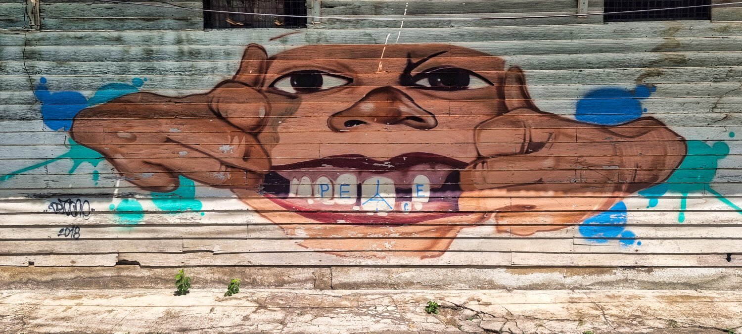
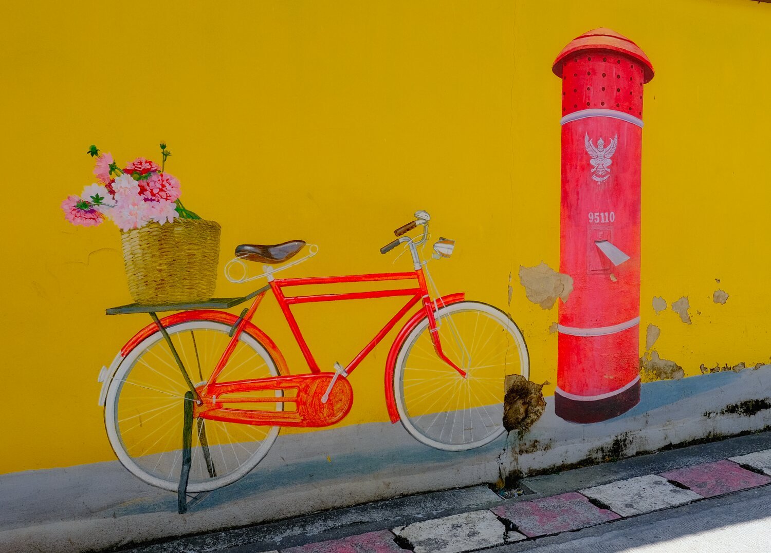
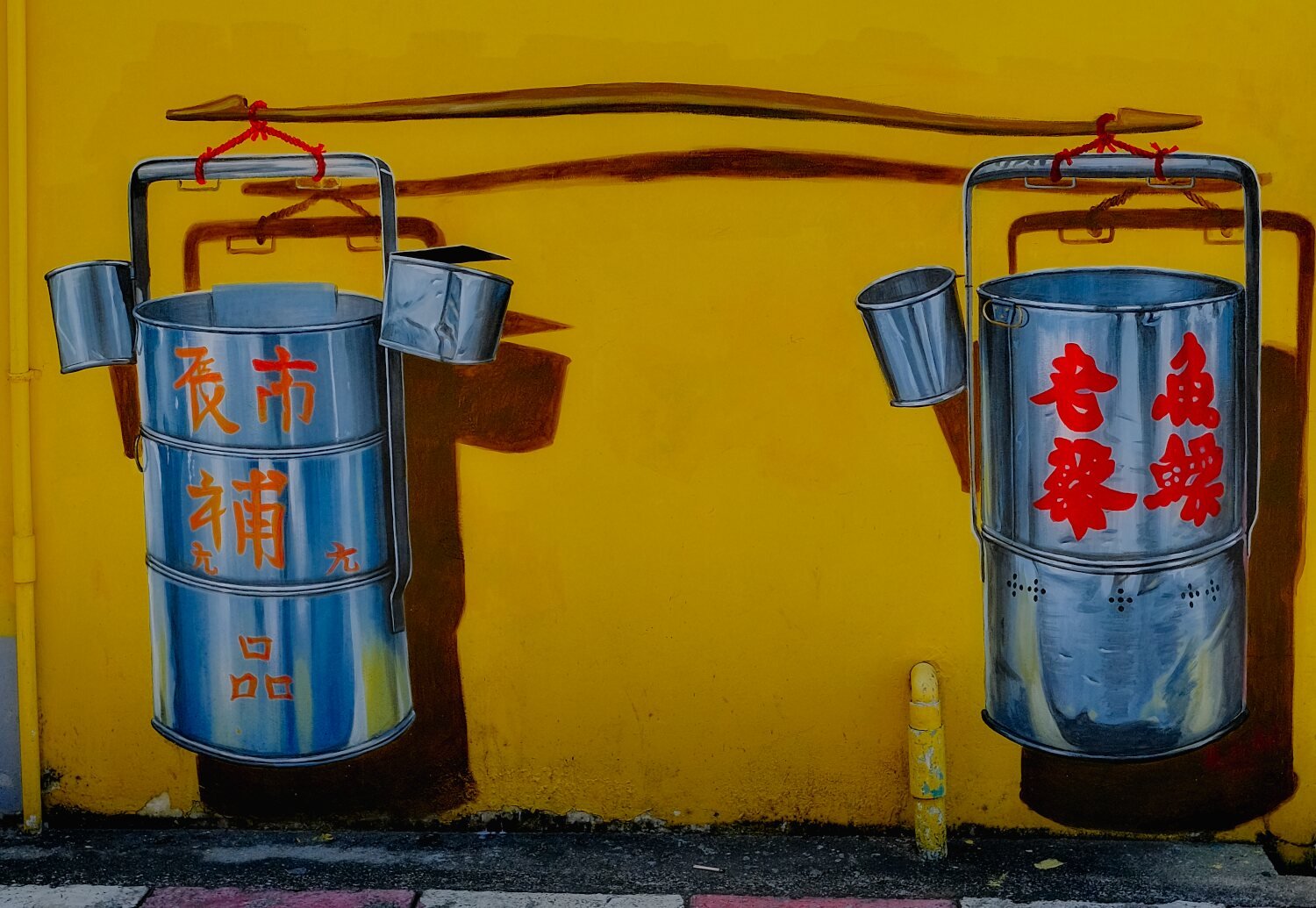
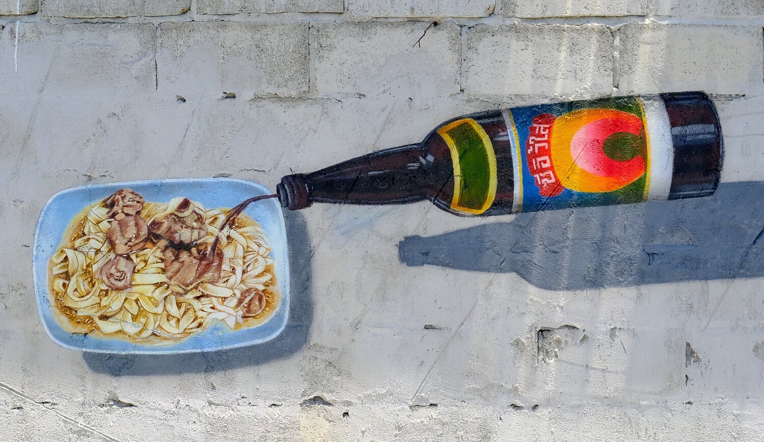
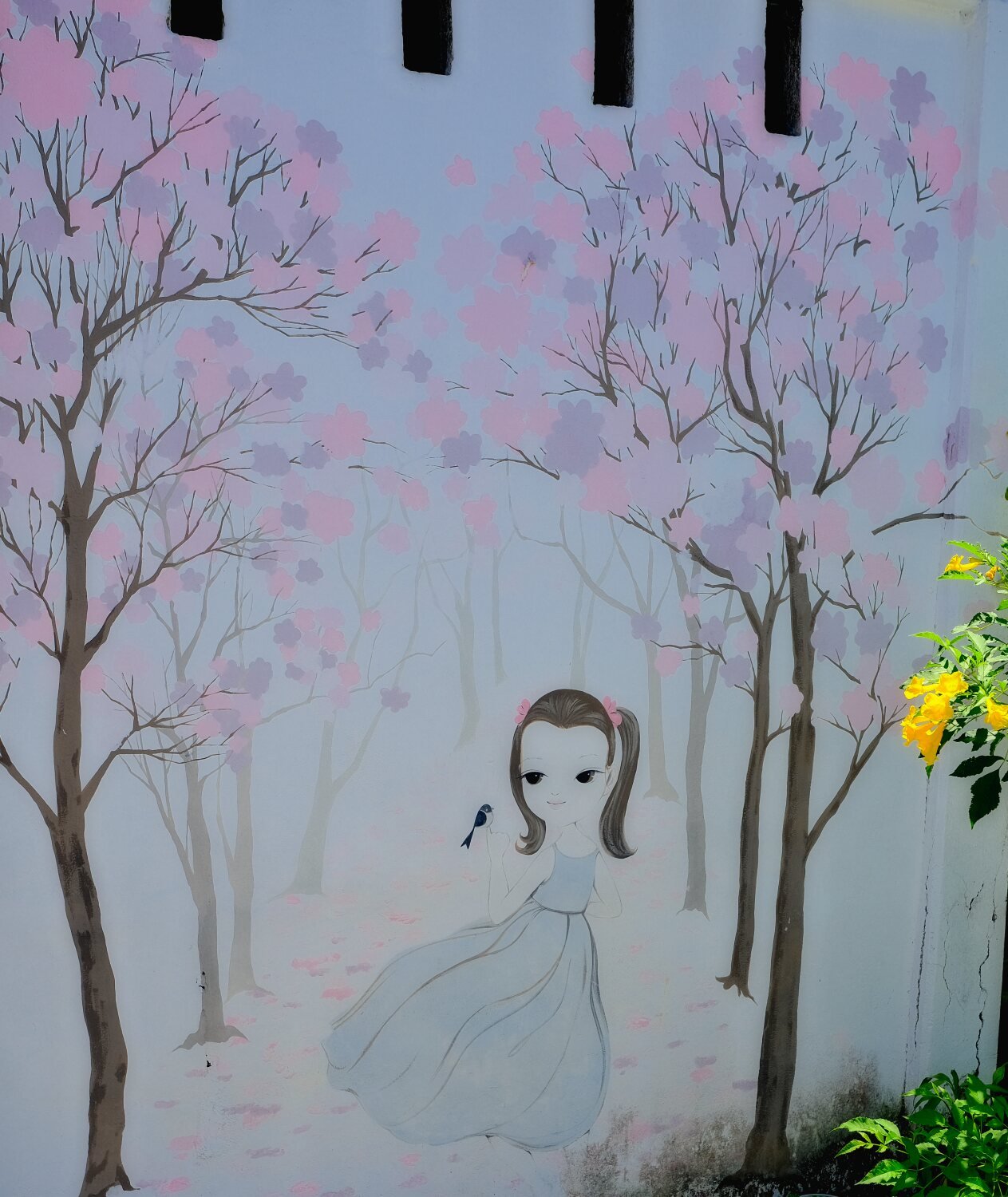
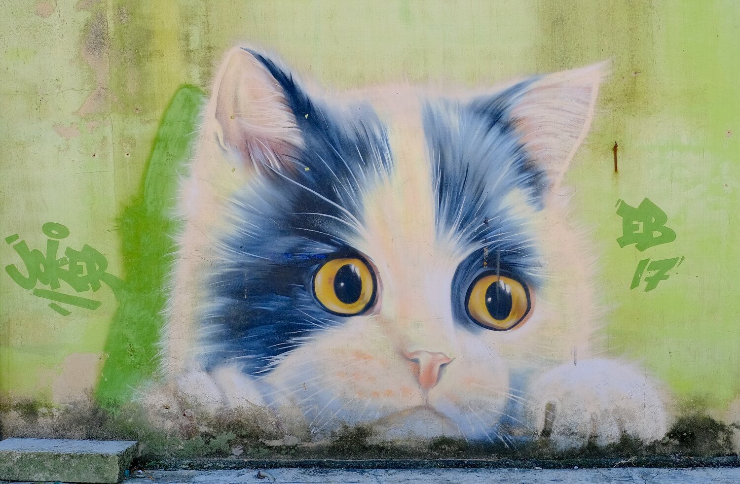
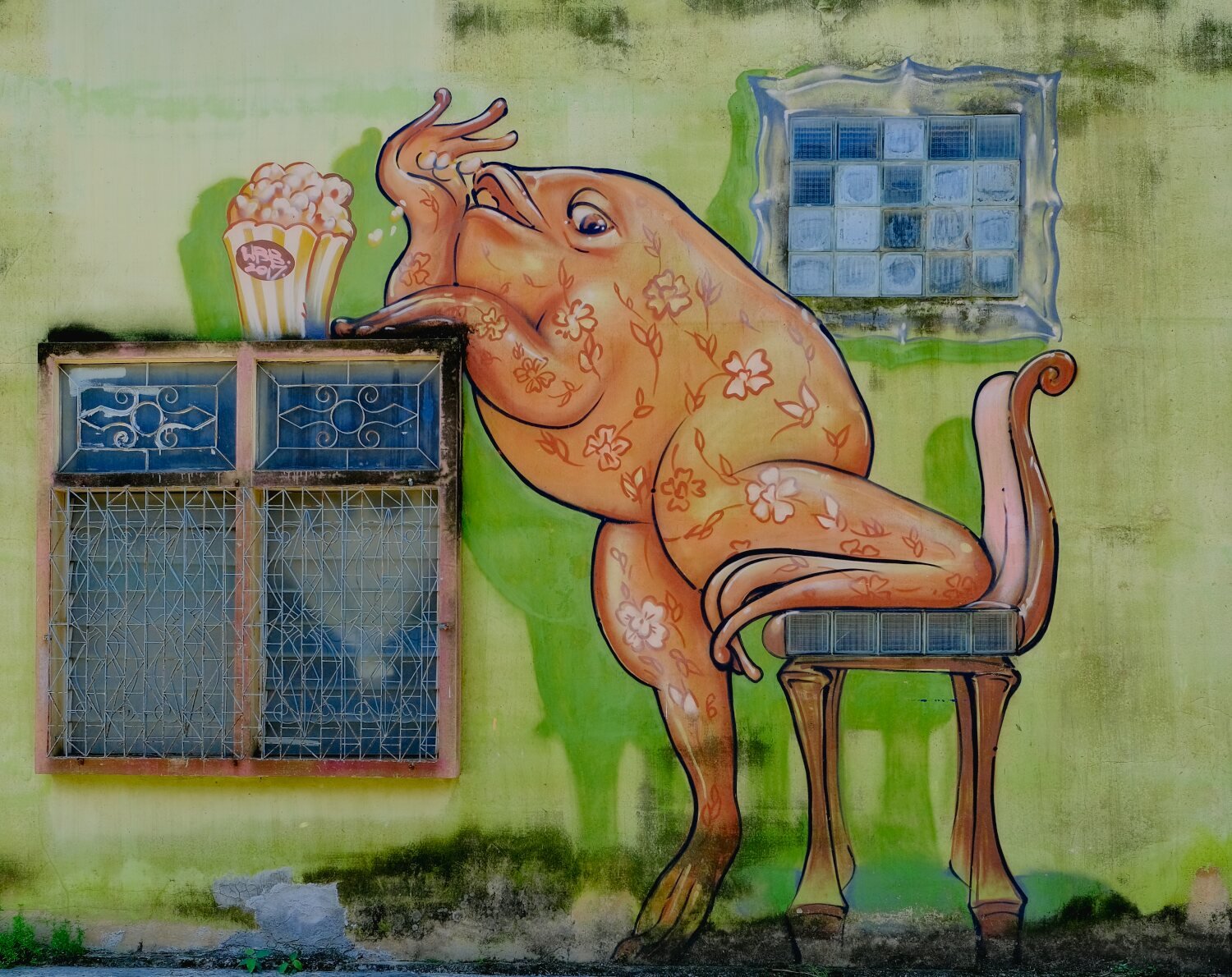
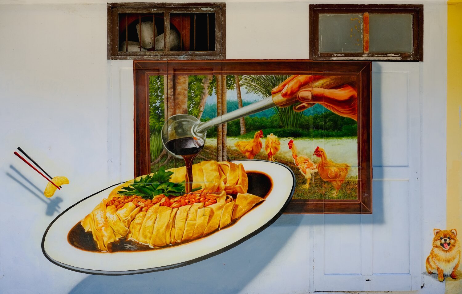
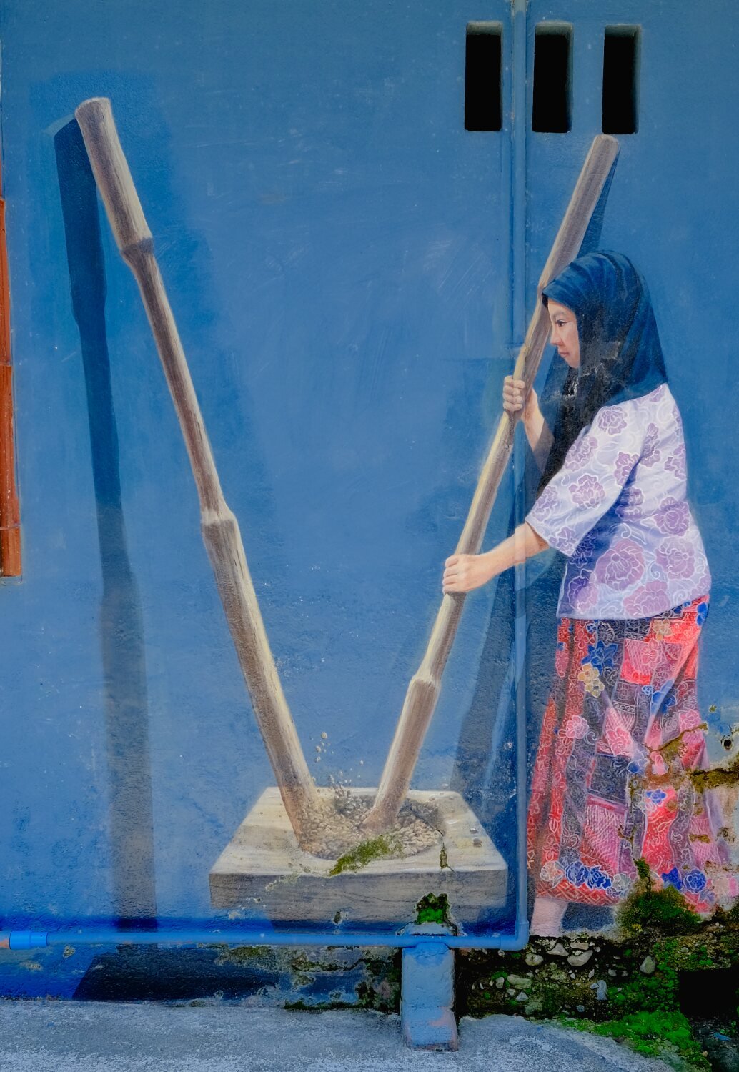
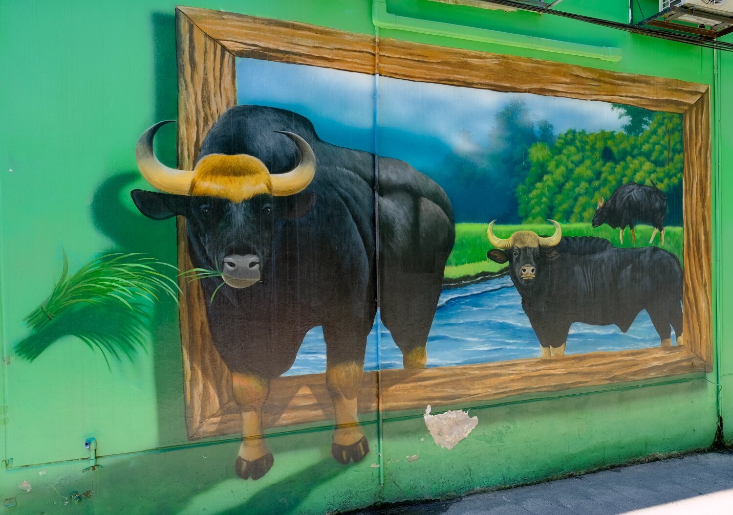
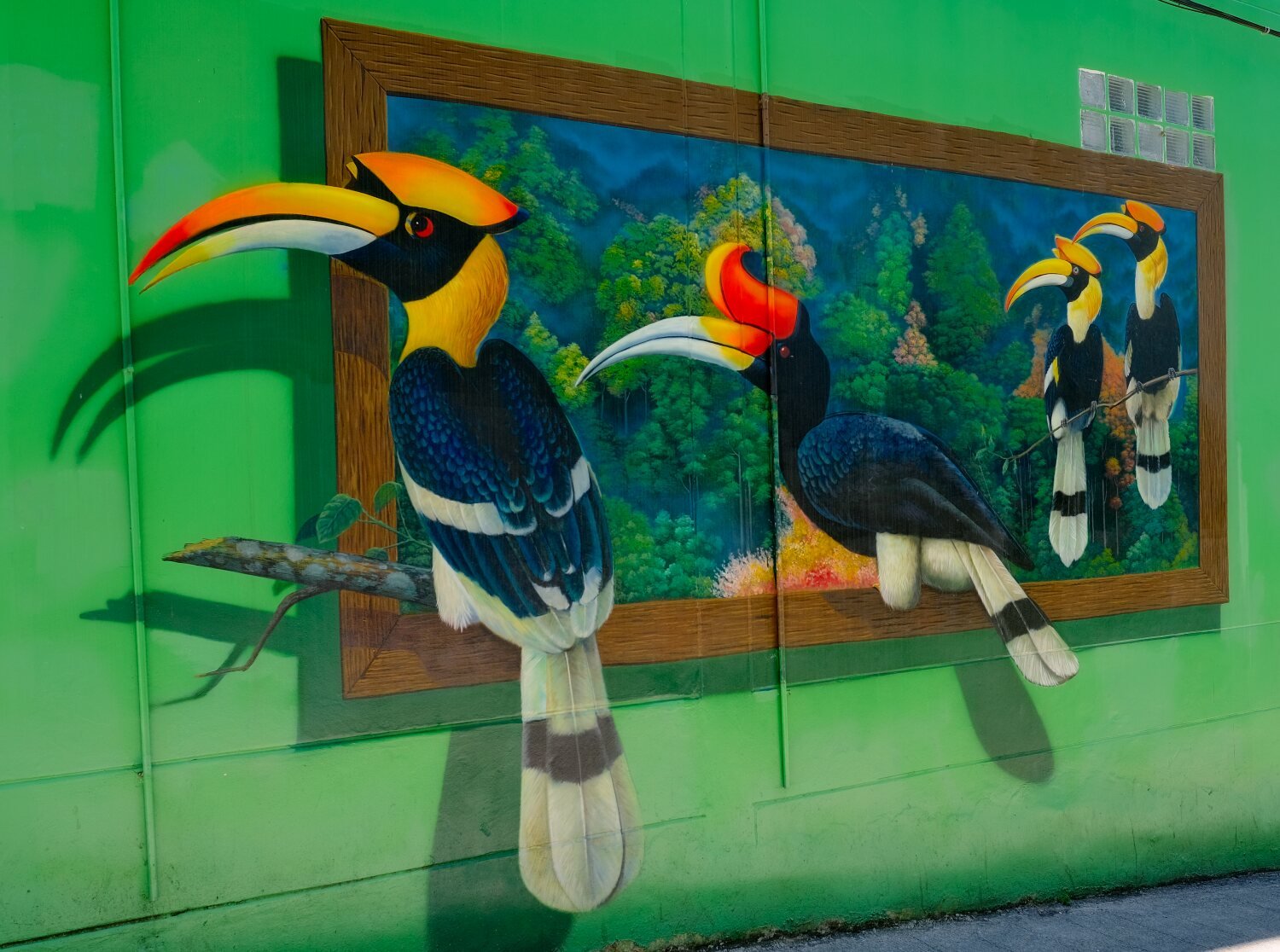
Day 31. Phuket Exploring Today was day 31 of touring and I have ridden past 5,000km now. Al and I went exploring the Island today and our first stop was Laem Nga, here. https://maps.app.goo.gl/vPnFYuHT3K2S2ocV6 Which appeared to be a private beach and mainly used by locals for fishing. Next was Yamu Pier, this is a speed boat pier for tourists and was pretty crowded, here. https://maps.app.goo.gl/YGUZKMZYhqbqCtD6A We then stopped at the dam at Bang Niao Reservoir, here. https://maps.app.goo.gl/VNaZrdshTiAdxMA76 From here we looped around the dam and rode to Surin Beach, which years ago was a quiet place, now busy even by 10am, here. https://maps.app.goo.gl/u38n98wvDV2oTrr16 Not far away we stopped for a quick photo at Kamala Beach view point, here. https://maps.app.goo.gl/m3rEyUQodfdM43Wp7 We then rode on to Karon Viewpoint, here. https://maps.app.goo.gl/wzTshqqg9YF8pXWr5 Then back to the old town where I went alone to take some photos. Street Art Ally, here. https://maps.app.goo.gl/TwzxwNAXgFCCUBiW6 Sino-Portuguese Building, here. Next to Street Art Mural, here. https://maps.app.goo.gl/SuEN1ZwbziCiX8rp6 There were many more places I want to see, but the one way streets and closed streets for market day made too difficult on the bike, but one day I would like to return. https://www.relive.cc/view/vrqDp28Z9wq
-
CT125 and Vespa Sprint 150, Southern Thailand Tour.
chrissables replied to chrissables's topic in Motorcycles in Thailand
Day Ao Nang to Phuket Old Town. Today we moved on from Ao Nang, way too many tourists for my liking. Phuket Old Town was our goal today. First stop was near Klang Cave and Monastery, here. https://maps.app.goo.gl/kxpZcAjUstEsgVhg8 This was a mountain which was quite striking and the trees had been cleared so it was easy to photograph. We then rode on to Surakul Pier, here. https://maps.app.goo.gl/2ZQwSqjVeJuSzqyg8 From here into Phuket Old Town where we needed to shop around to find a hotel with free rooms, eventually checking into Vapa Hotel, here. https://maps.app.goo.gl/vgCM1bJQhANijsNH9 A bit above my usual budget but a nice hotel with a pool for 1,250 baht a night. https://www.relive.cc/view/vXOnn4rQ7BO
-
CT125 and Vespa Sprint 150, Southern Thailand Tour.
chrissables replied to chrissables's topic in Motorcycles in Thailand
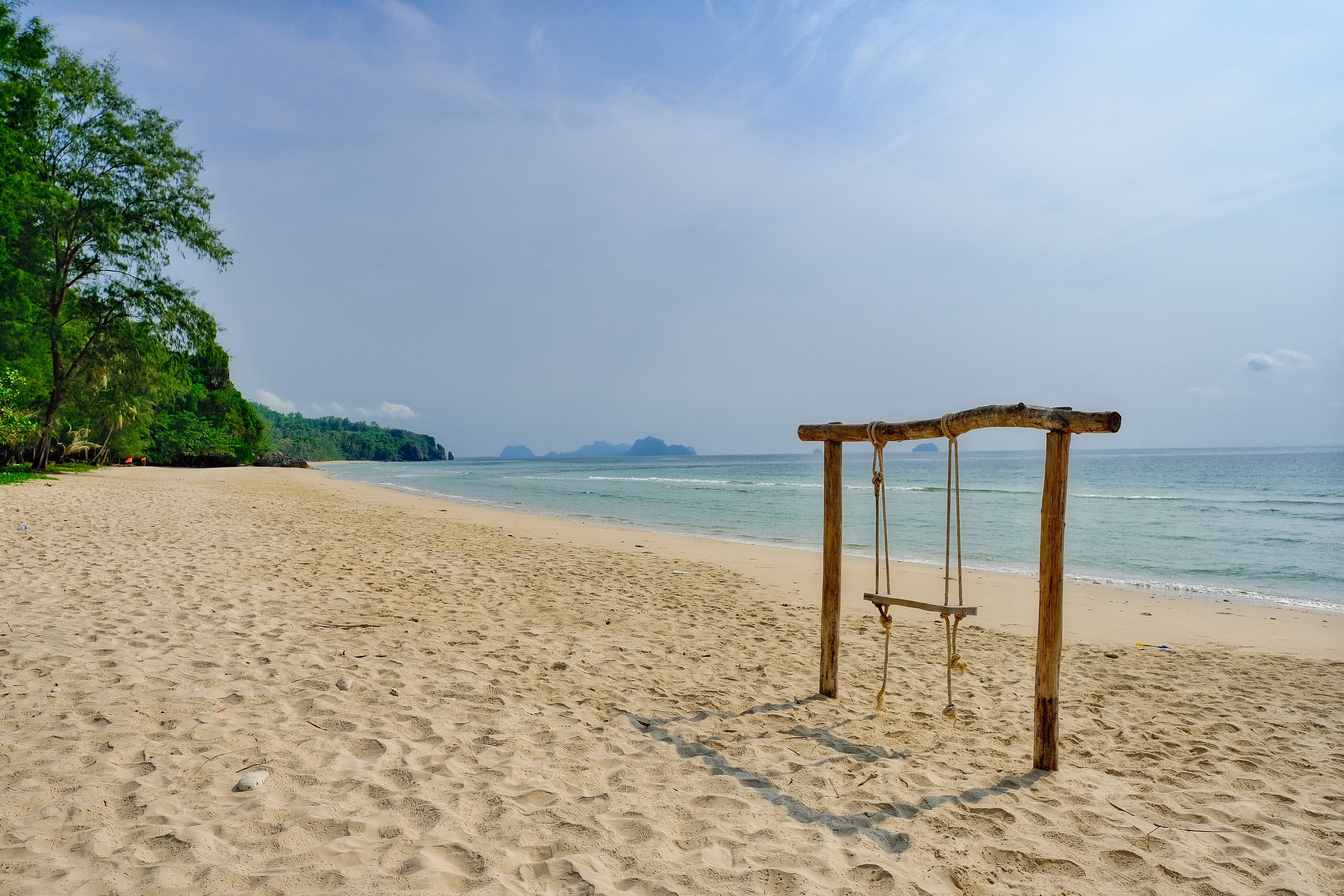
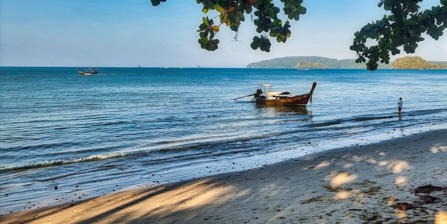
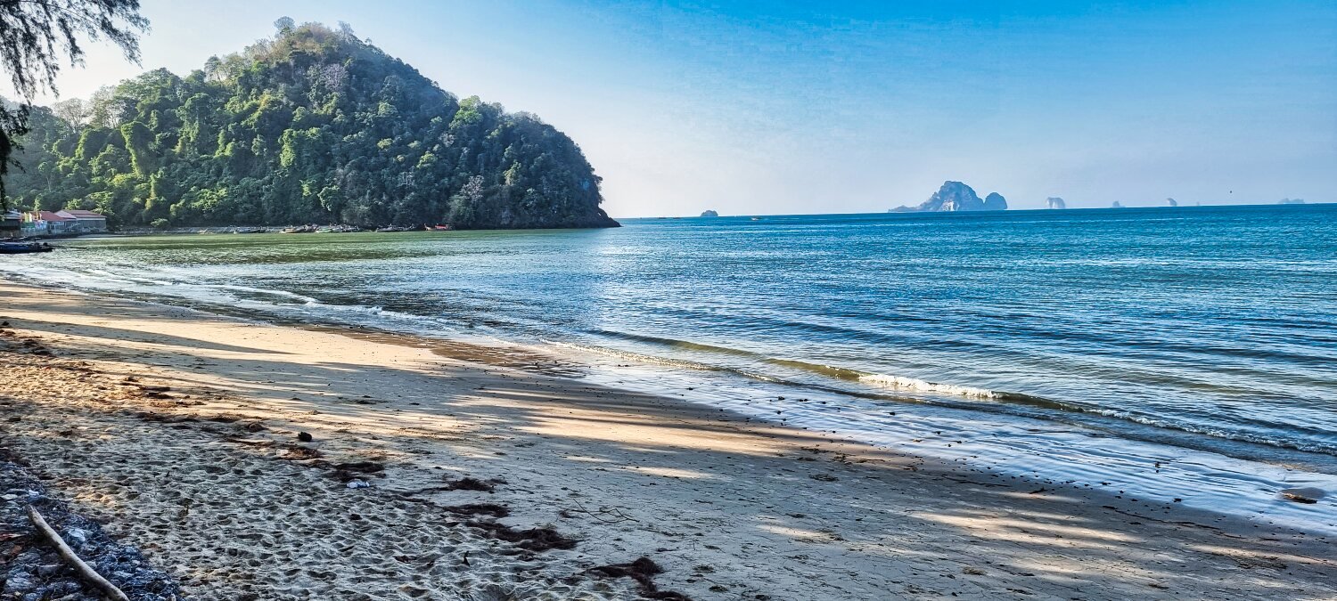
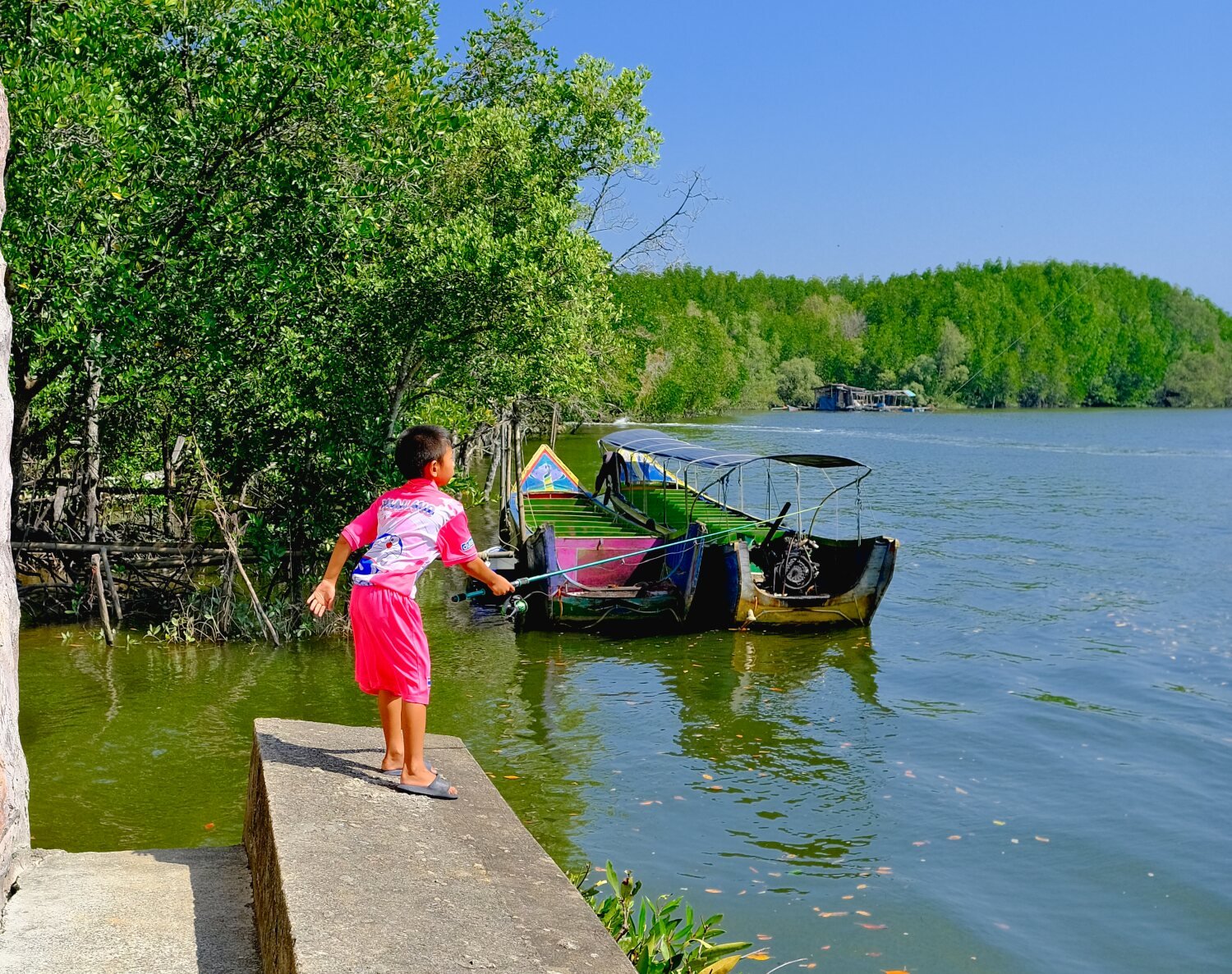
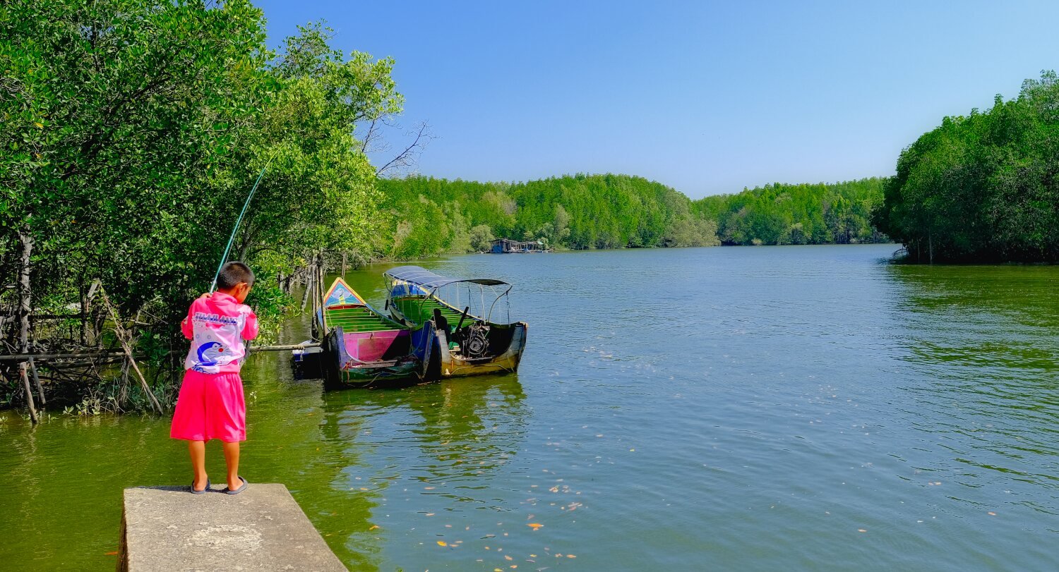
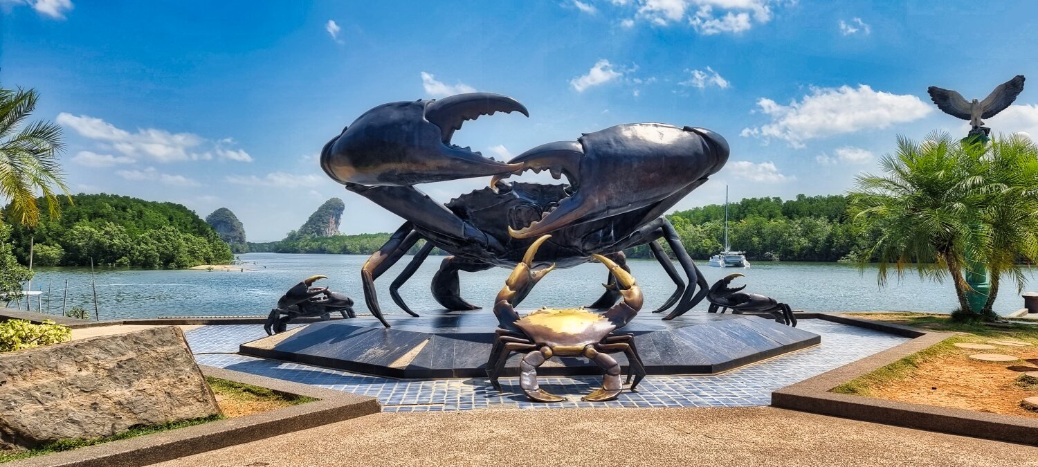
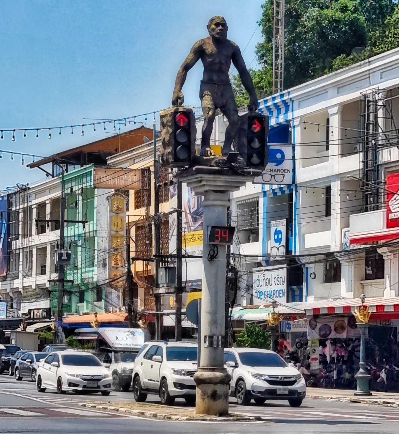
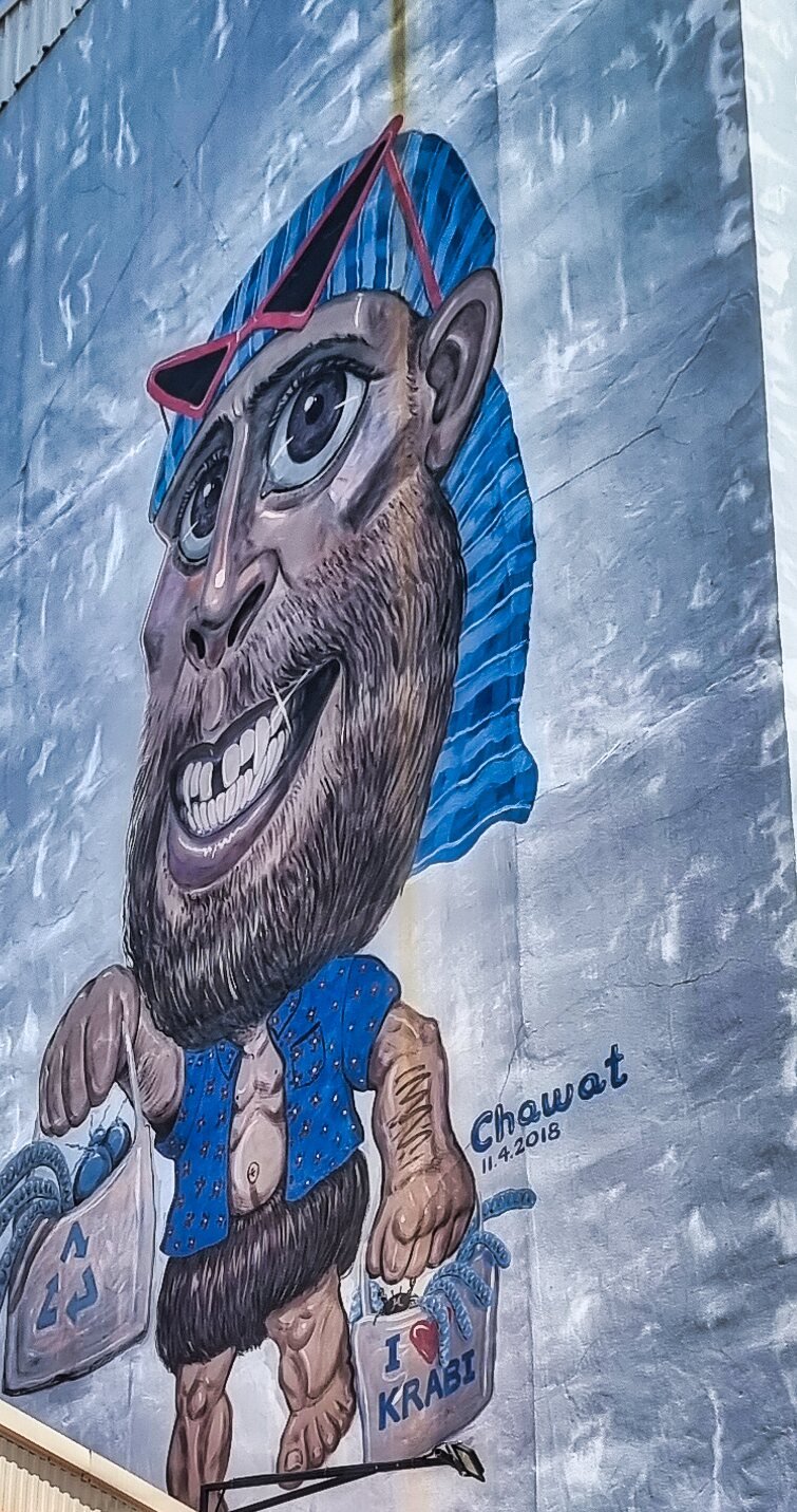
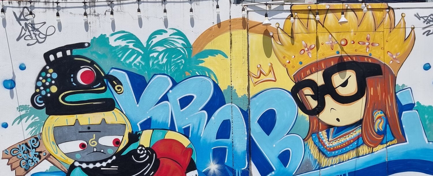
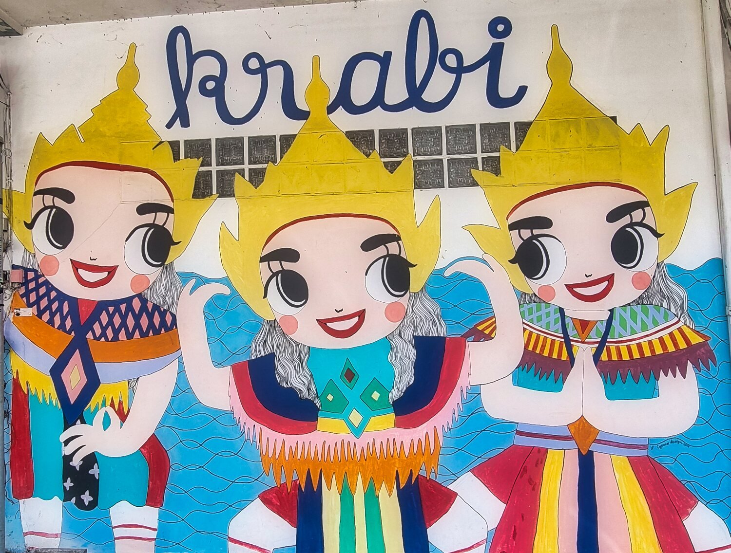
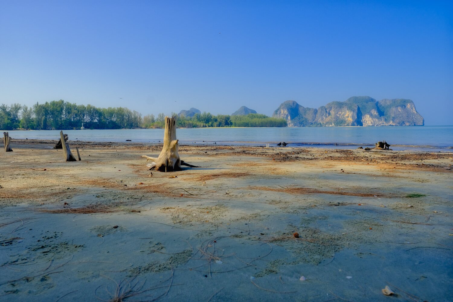
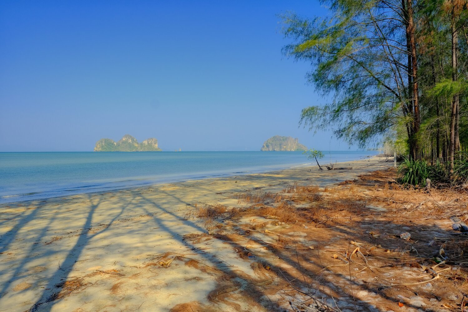
Day 29. Trang to Ao Nang. Today’s ride was Ao Nang, our first stop on the way was at Keptawan Beach, here. https://maps.app.goo.gl/DXysUiTTNdAkVDWx6 From here we rode directly to Krabi Town, stopping at The Mud Crabs Sculpture, here. https://maps.app.goo.gl/iYFgNcKPDkY7mcPA7 Then some street art places, The Wall of Kaew Korawaram Temple, here. https://maps.app.goo.gl/g5PT75KWyoRkHqpXA Then Thee Little Manorah, here. https://maps.app.goo.gl/cX2WYwZPDghBLVXA8 Then The Shopping Caveman, here. https://maps.app.goo.gl/Q1tbmtLkhYFJDjKv9 We then continued to Ao Nang and checked into a cheap and cheerful place, Jinda Guest House, here. https://maps.app.goo.gl/RZUBtR2jUozsh2NA8
-
CT125 and Vespa Sprint 150, Southern Thailand Tour.
chrissables replied to chrissables's topic in Motorcycles in Thailand
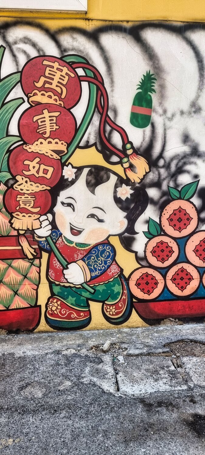
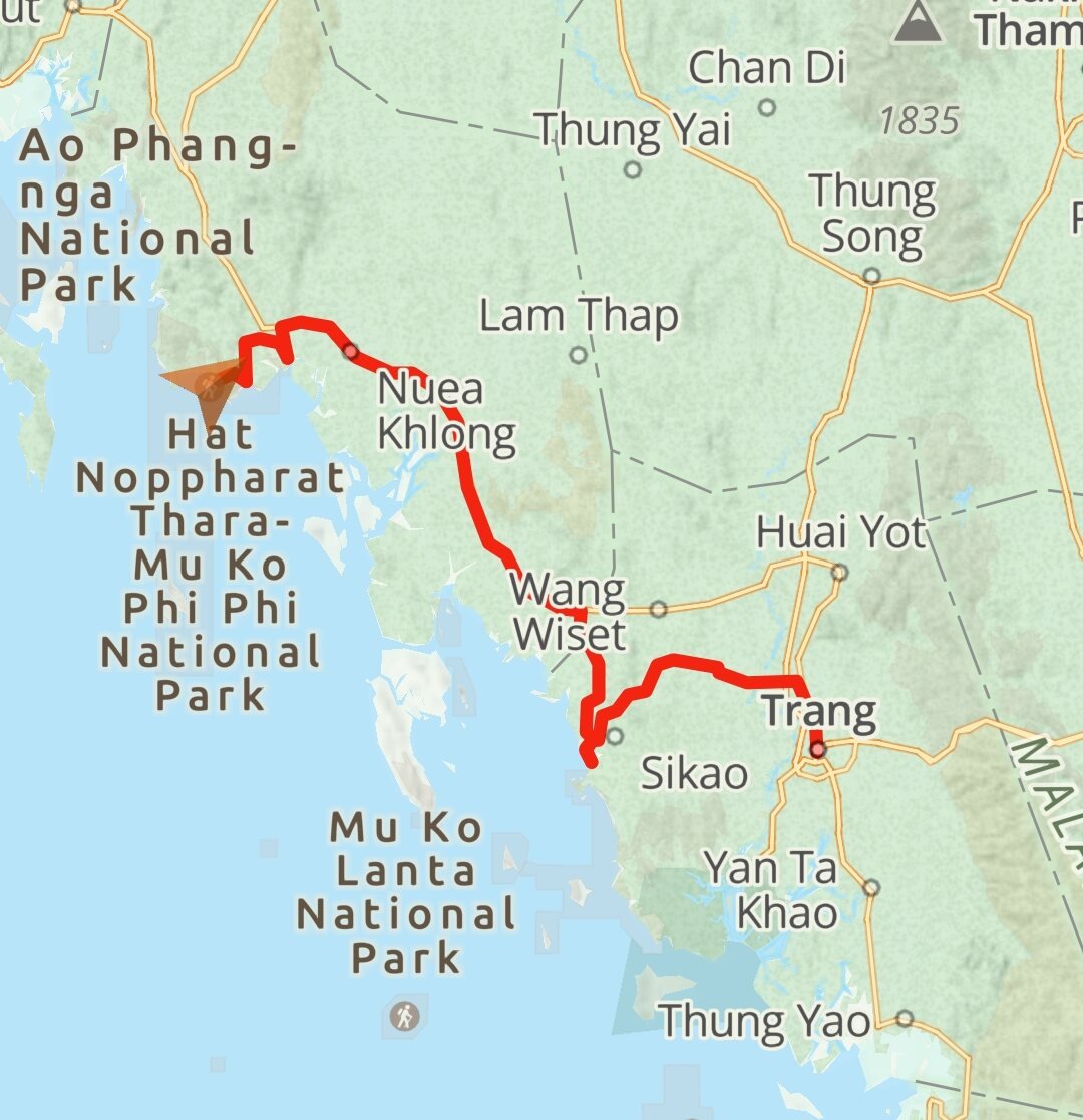
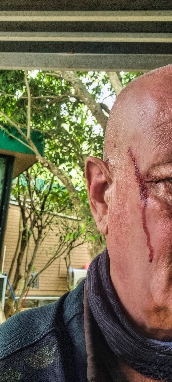
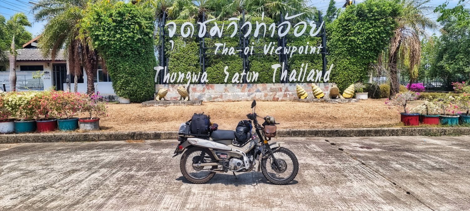
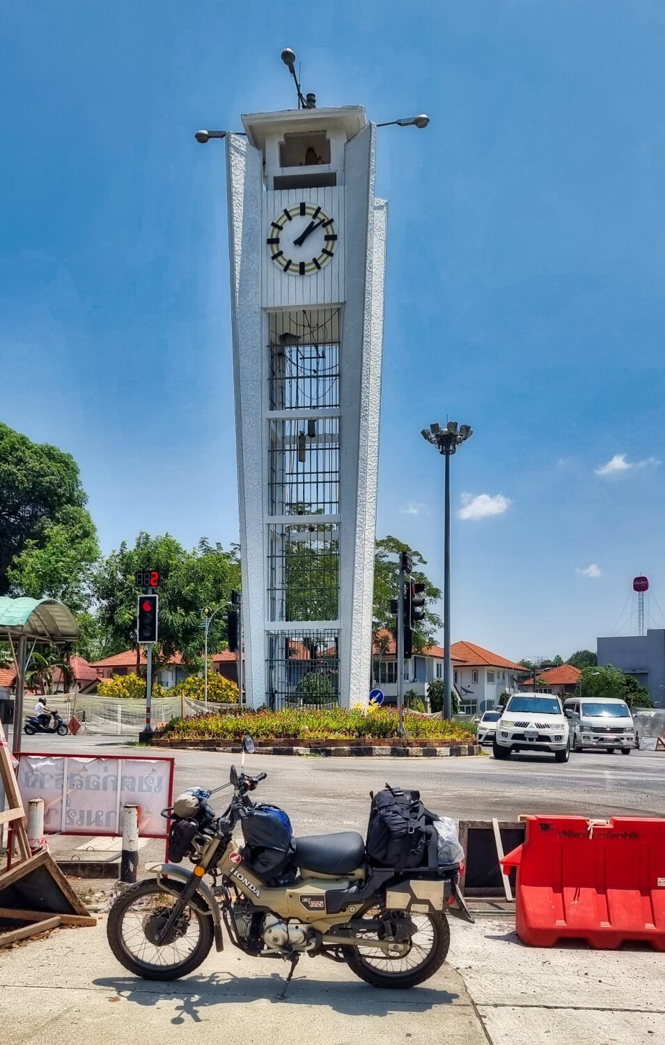
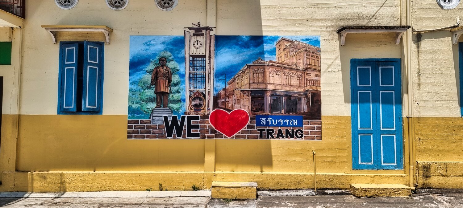
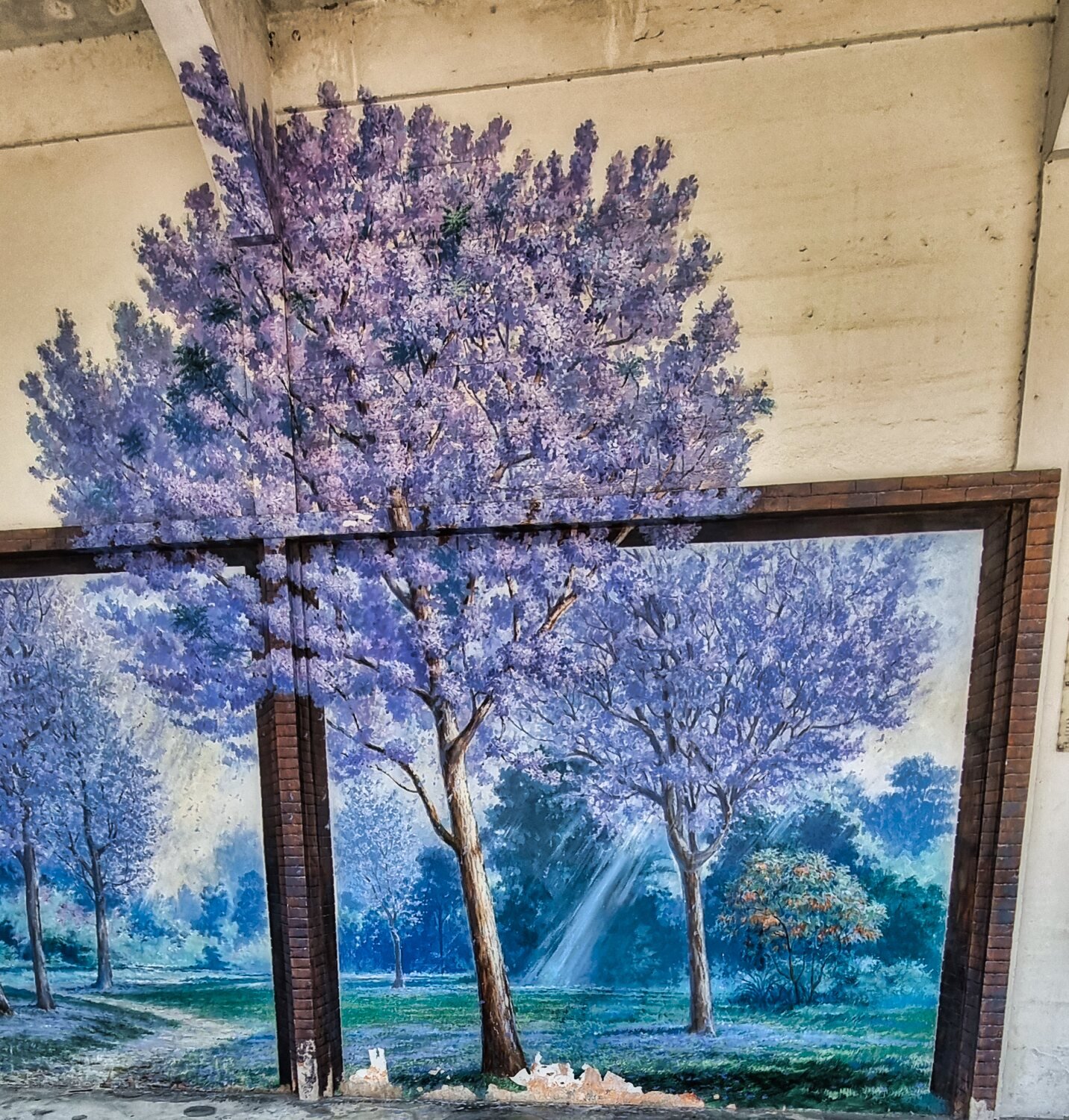
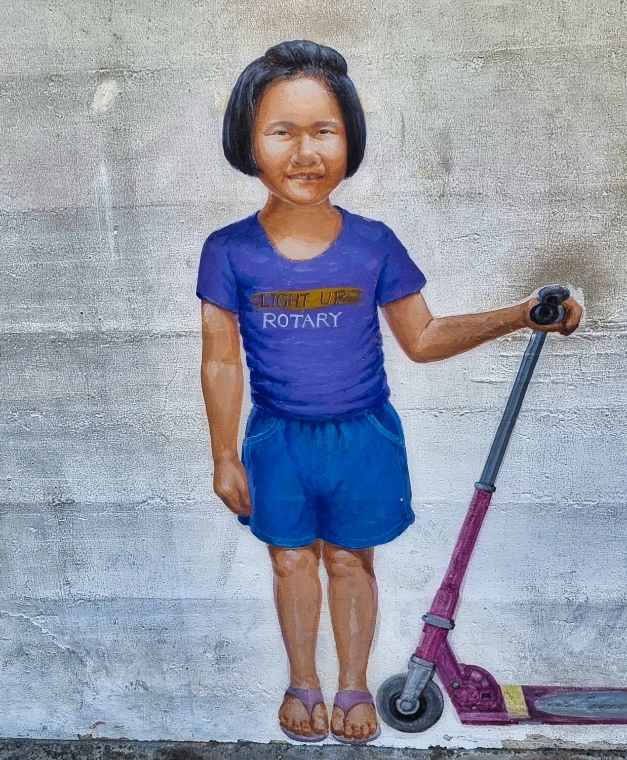
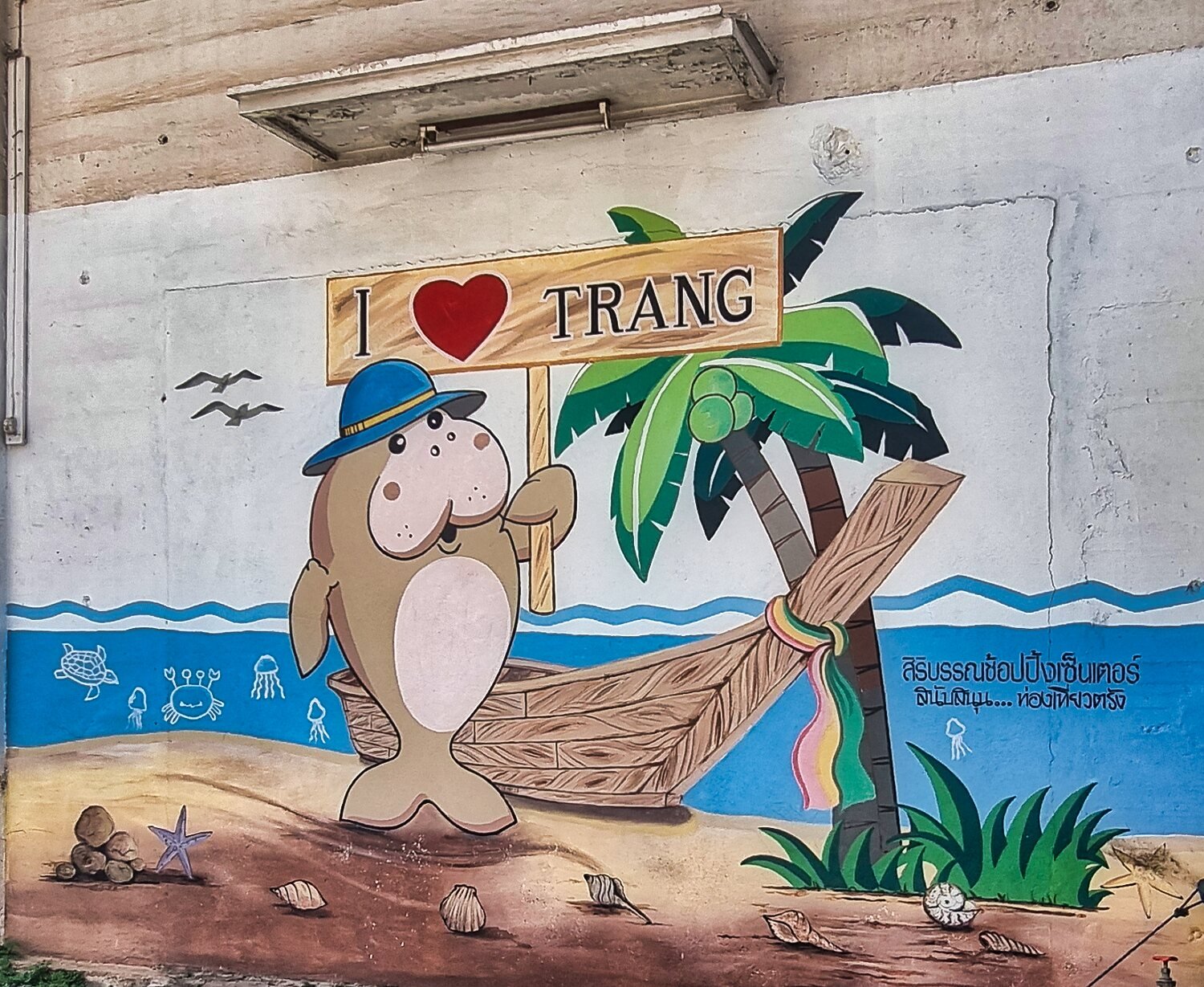
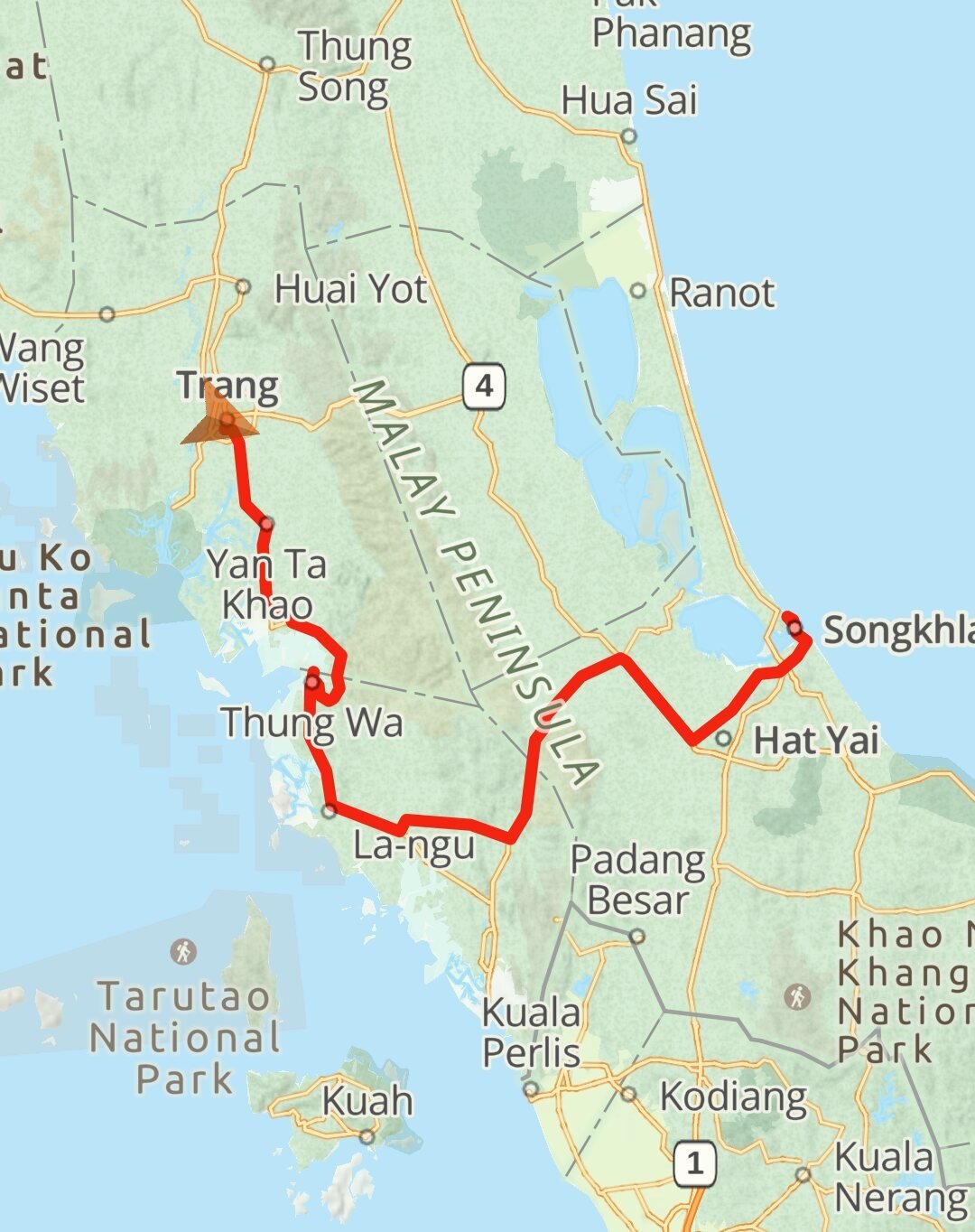
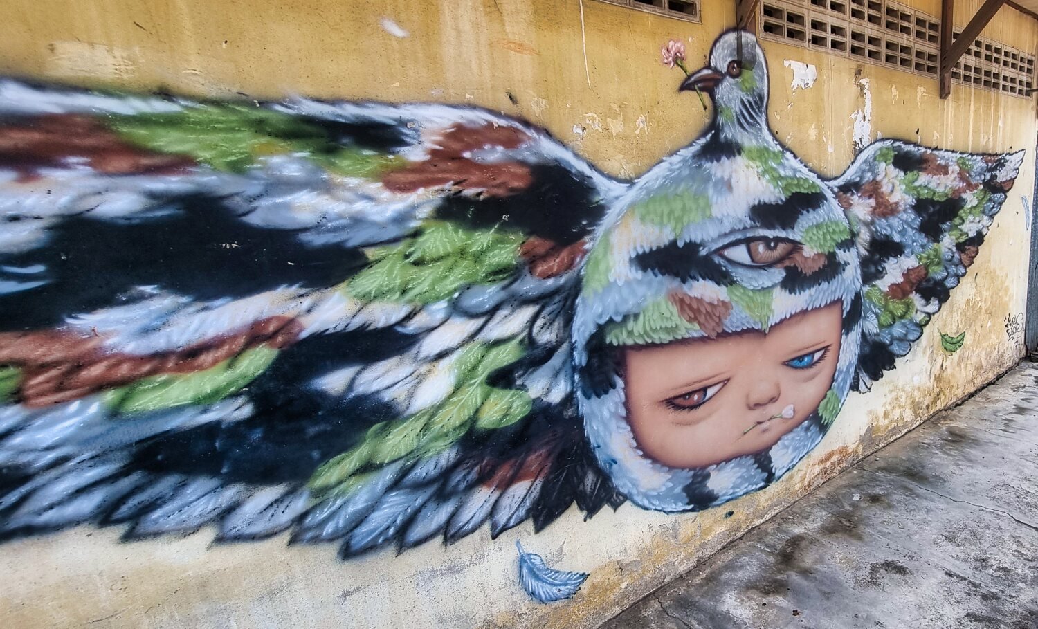
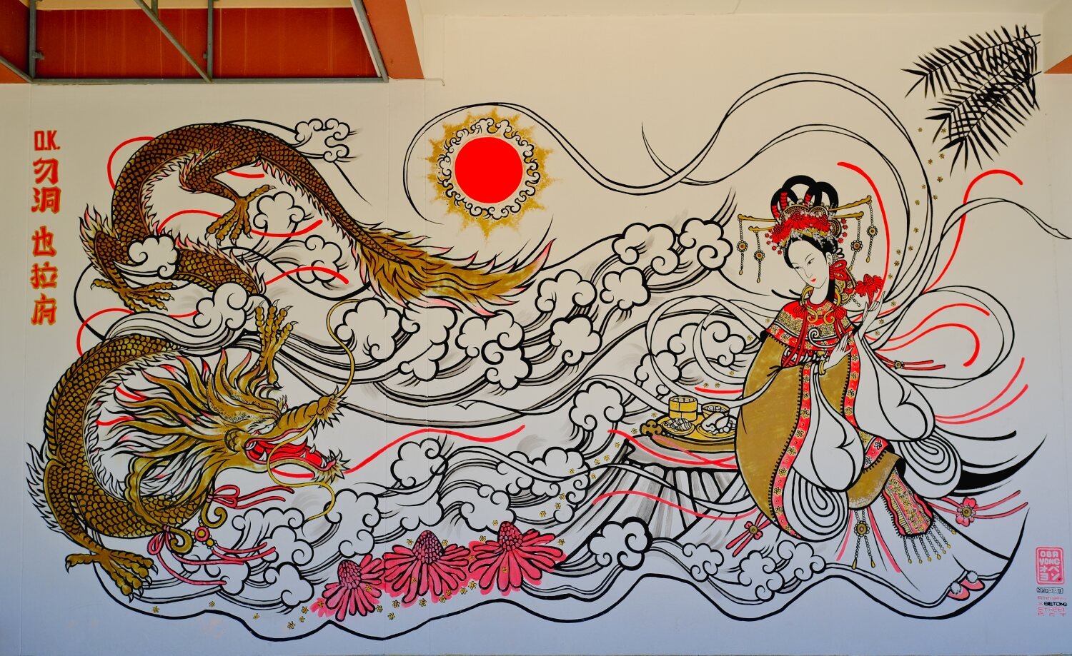
Day 28. Songkhla to Trang This morning Al and I headed for Trang, on route when filling up with petrol I was getting funny looks and was asked what happened? Looking in my mirror I saw a trickle of blood running down my face, but didn’t feel the injury, presumably a small stone or insect. Our only stop was at Ban Tha Oi Viewpoint, here. https://maps.app.goo.gl/EBeTjnBue5uGdVAa8 At Trang we checked into My Friends Hotel, here. https://maps.app.goo.gl/XNtoyMLVFuvdkP957 I then went to see a few local sites, the first being Trang Clock tower, here. https://maps.app.goo.gl/KKSJMusiQoJ5wJeBA Then Marium and Rriends Street Art, here. https://maps.app.goo.gl/3fJw3orqj43jm77y9 My last stop was Sri Trang tree painting plus some extra painting in the street, here. https://maps.app.goo.gl/FZRmCBQNXCpf11SV6 https://www.relive.cc/view/vdvmJY7JGNO
-
CT125 and Vespa Sprint 150, Southern Thailand Tour.
chrissables replied to chrissables's topic in Motorcycles in Thailand
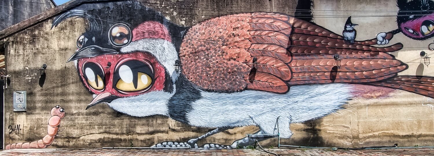
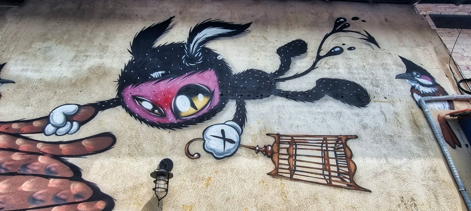
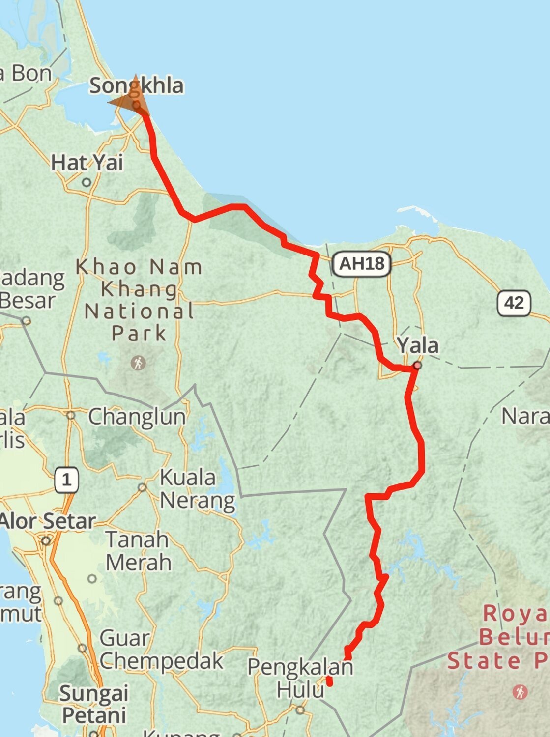
Day 27. Betong to Songkhla Today we rode back to Songkhla, our first stop was at Yala Clock Tower, here. https://maps.app.goo.gl/QdVvhBSdcvexjVky5 Nearby I found some more street art, here. https://maps.app.goo.gl/6ZDqCkRpfhwSn3K38 From here we rode directly to Songkhla. https://www.relive.cc/view/vrqDp2AeeLq
-
CT125 and Vespa Sprint 150, Southern Thailand Tour.
chrissables replied to chrissables's topic in Motorcycles in Thailand
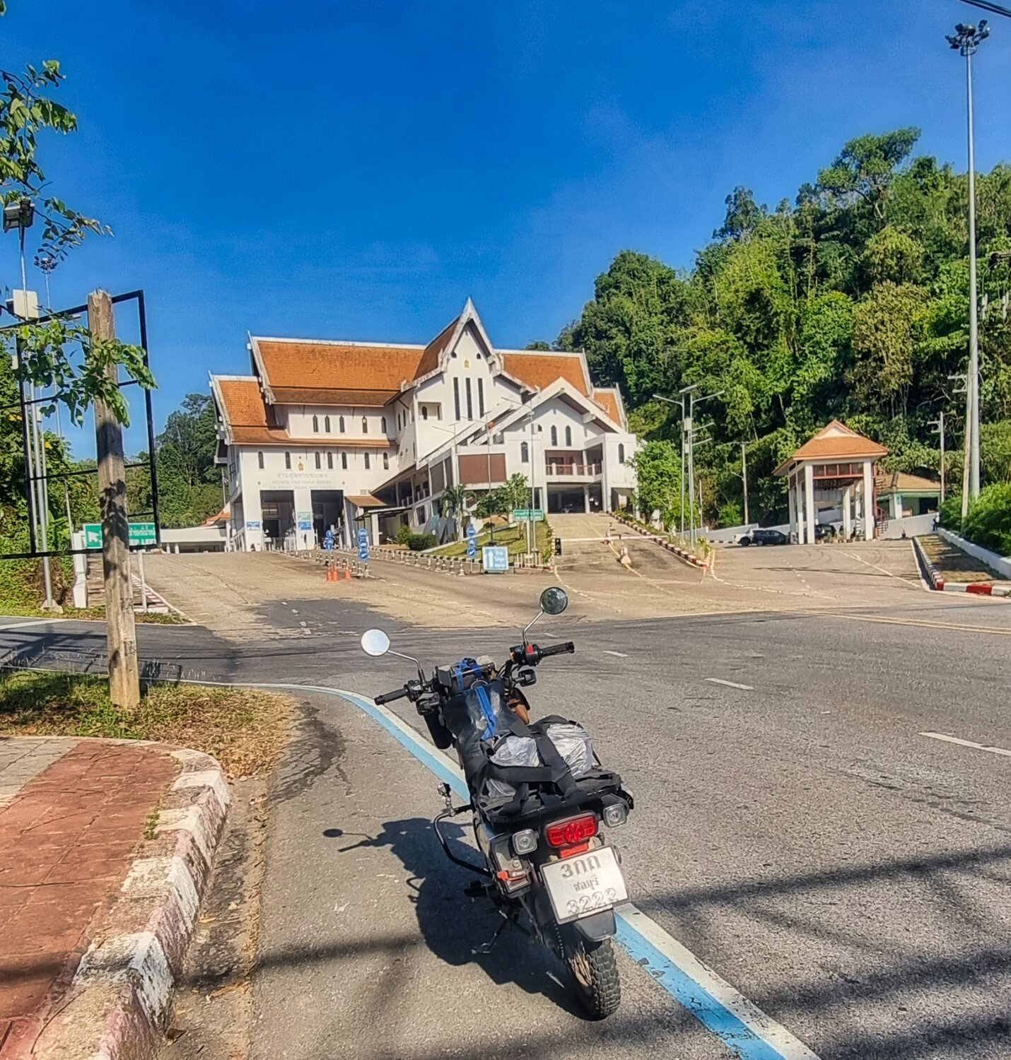
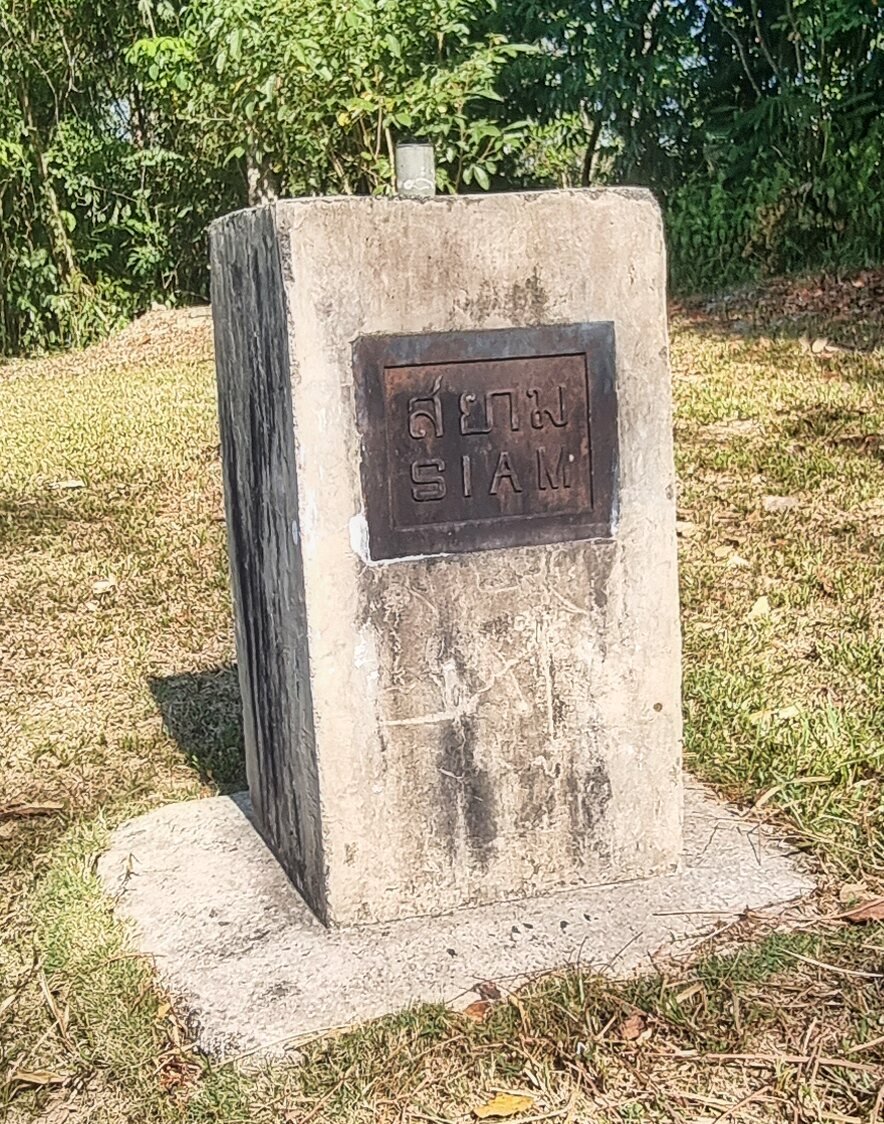
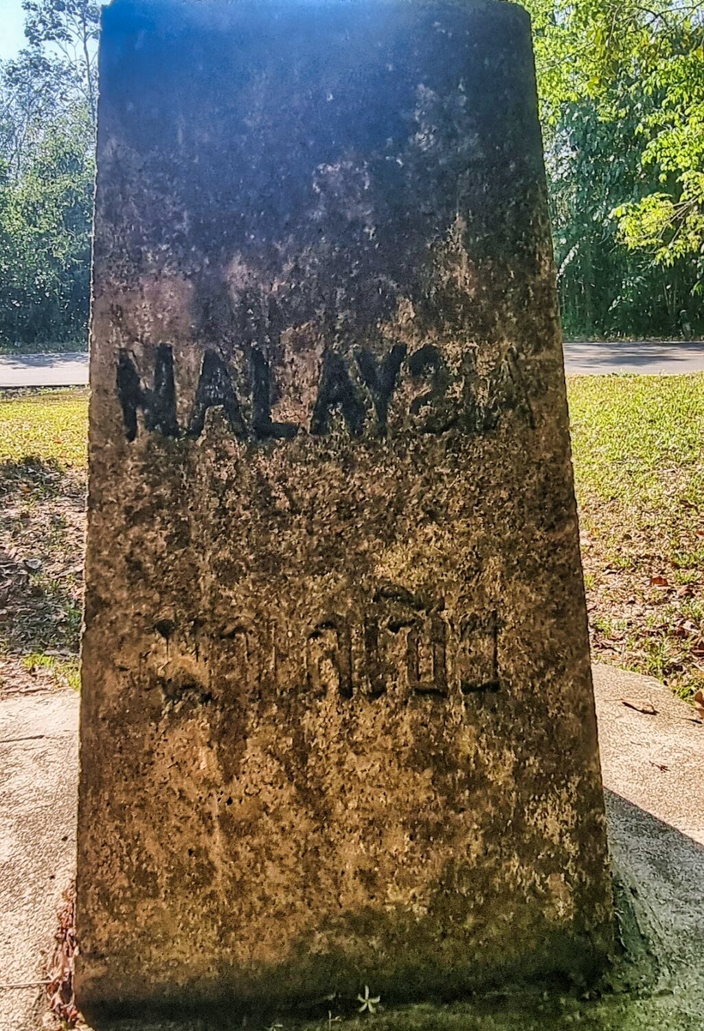
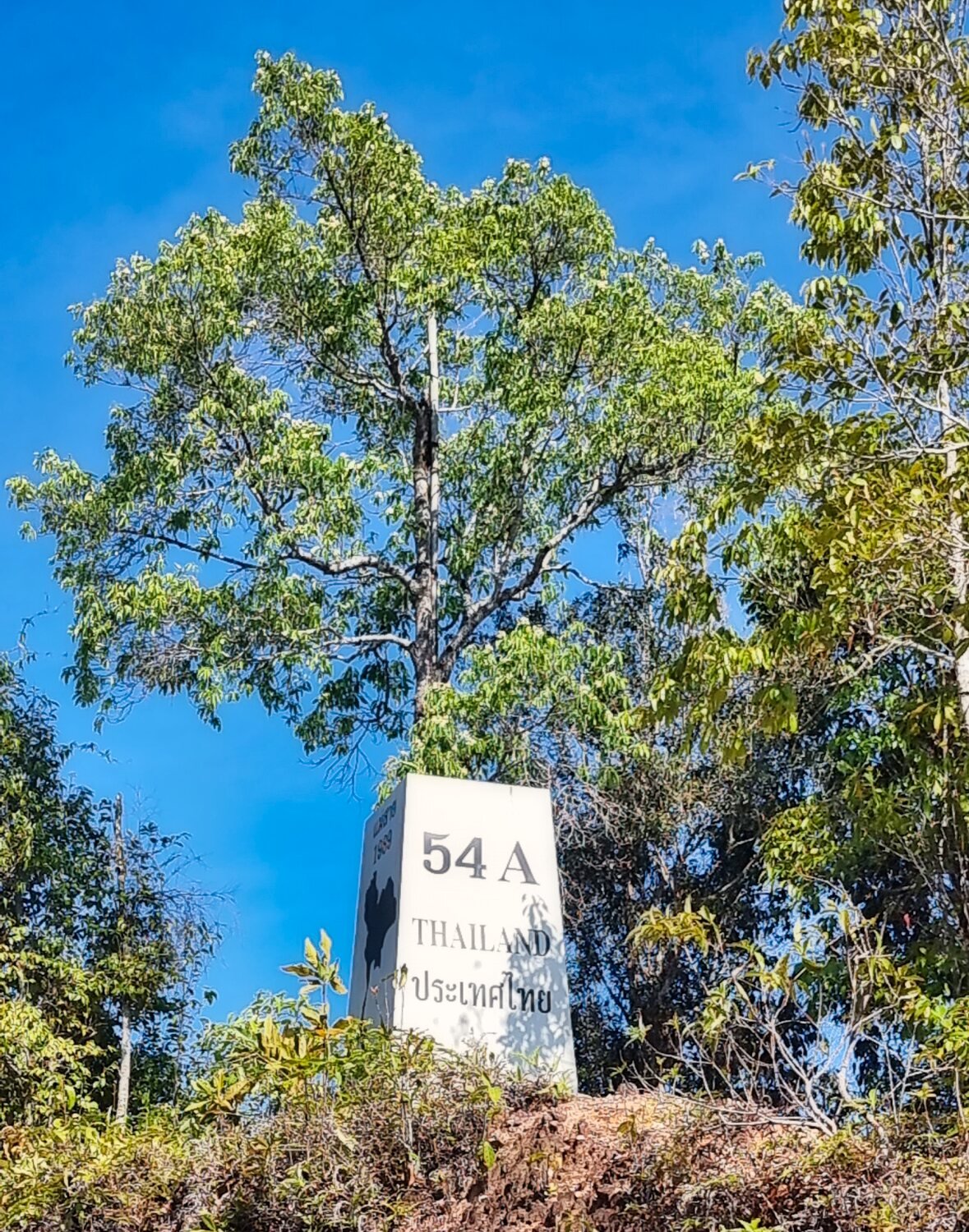
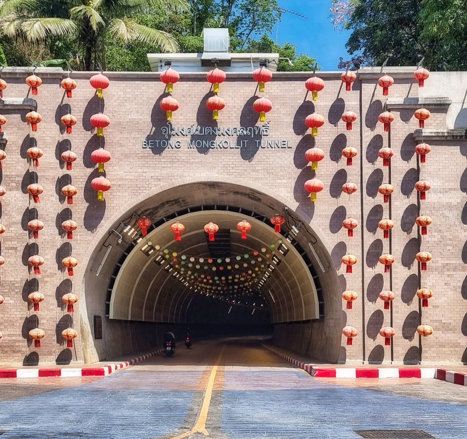
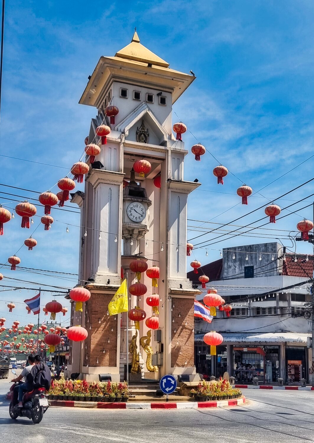
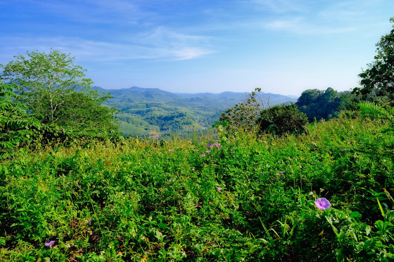
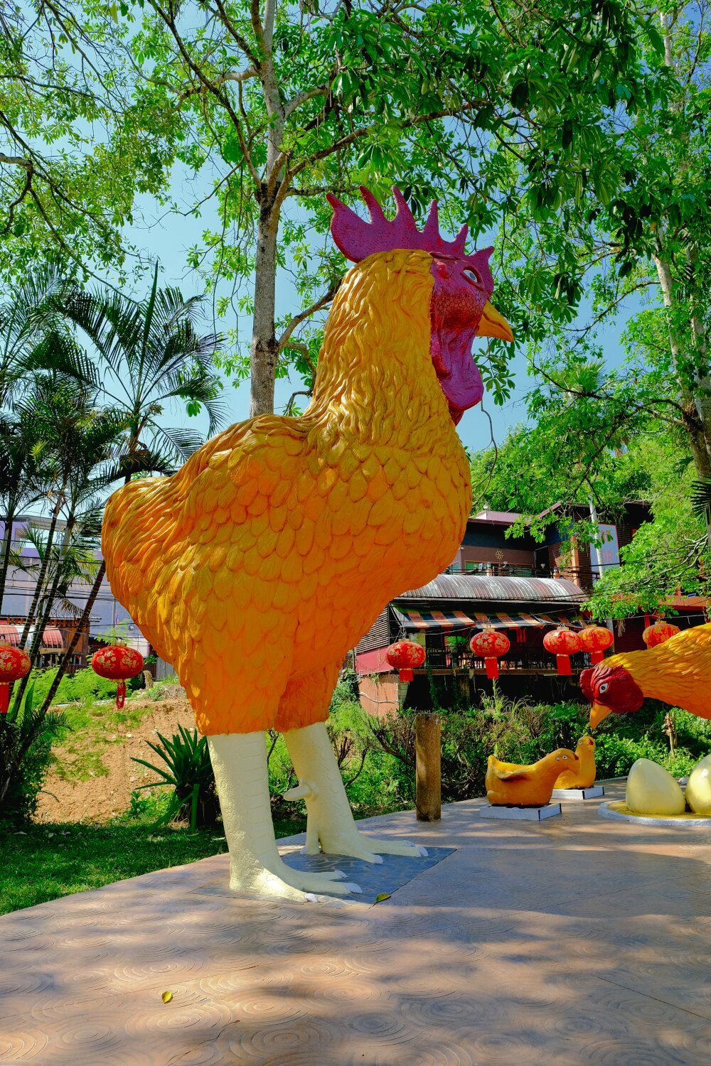
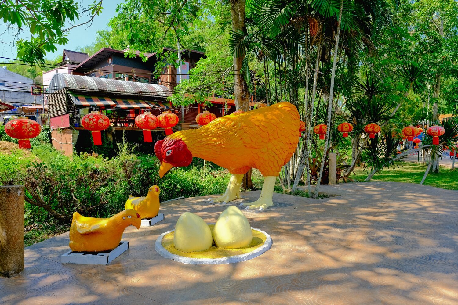
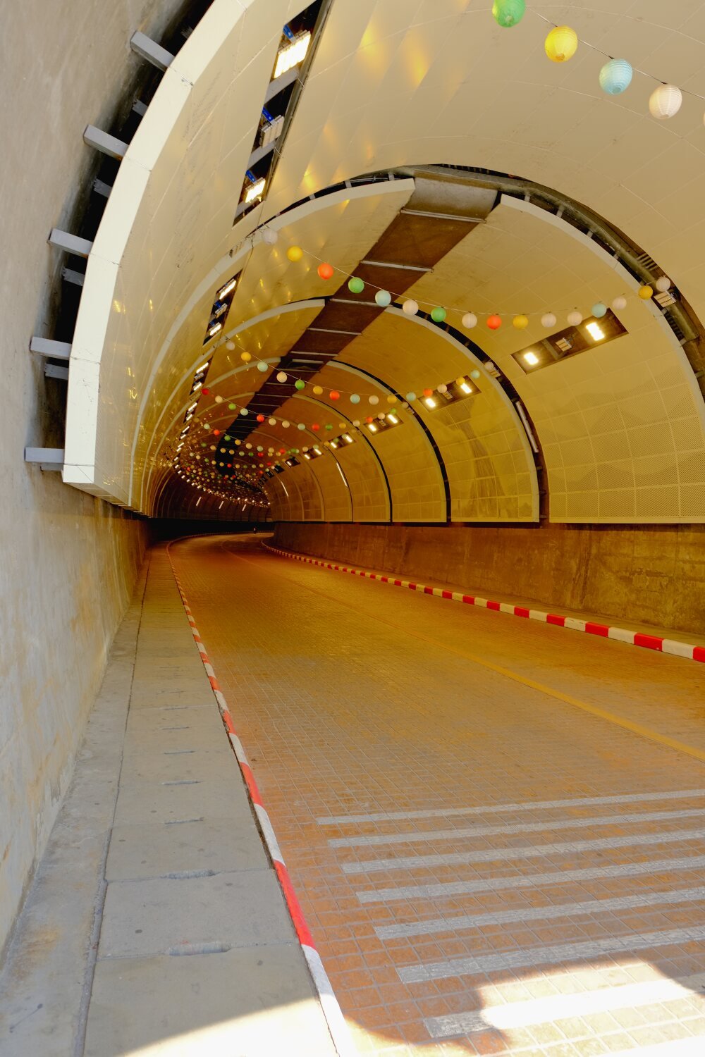
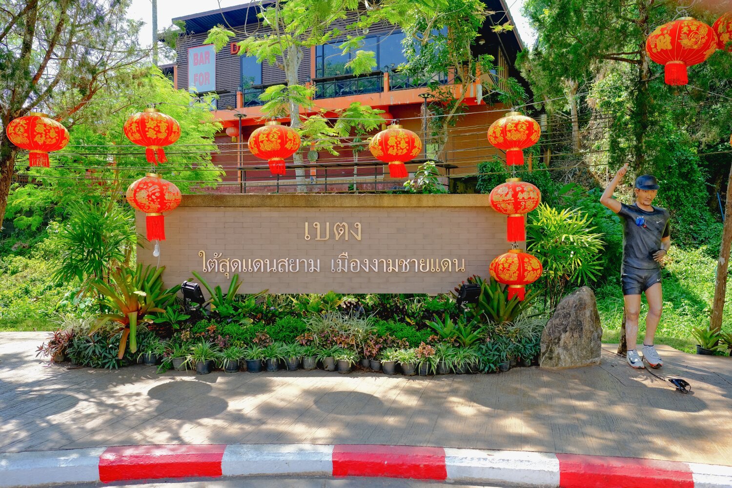
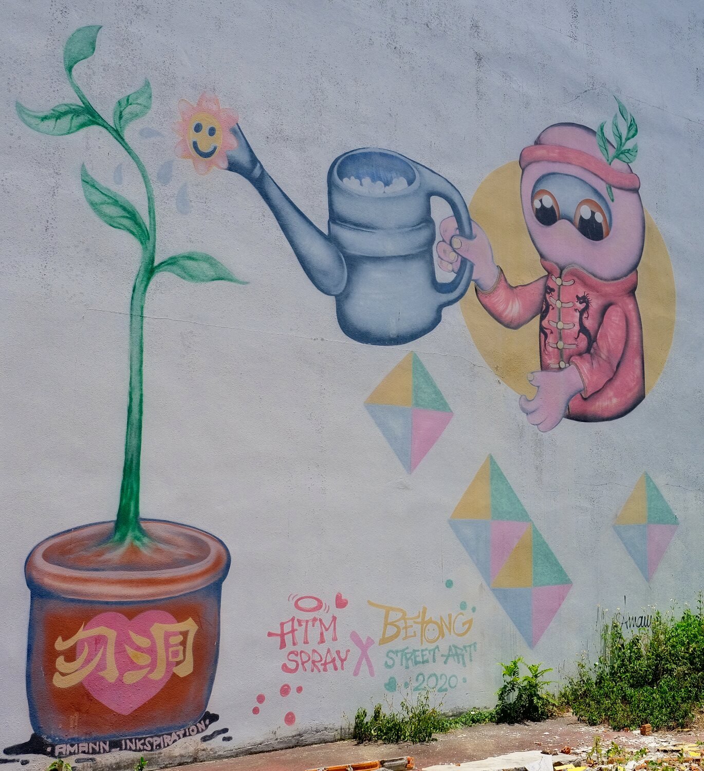
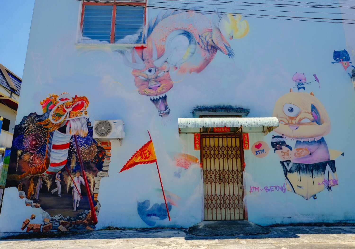
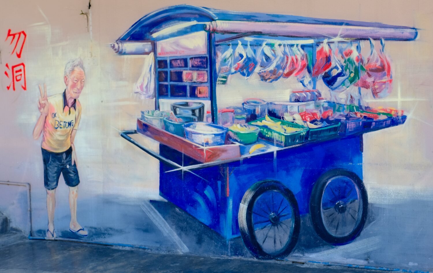
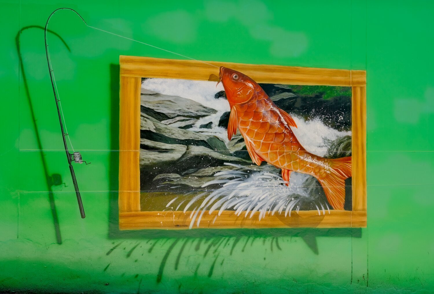
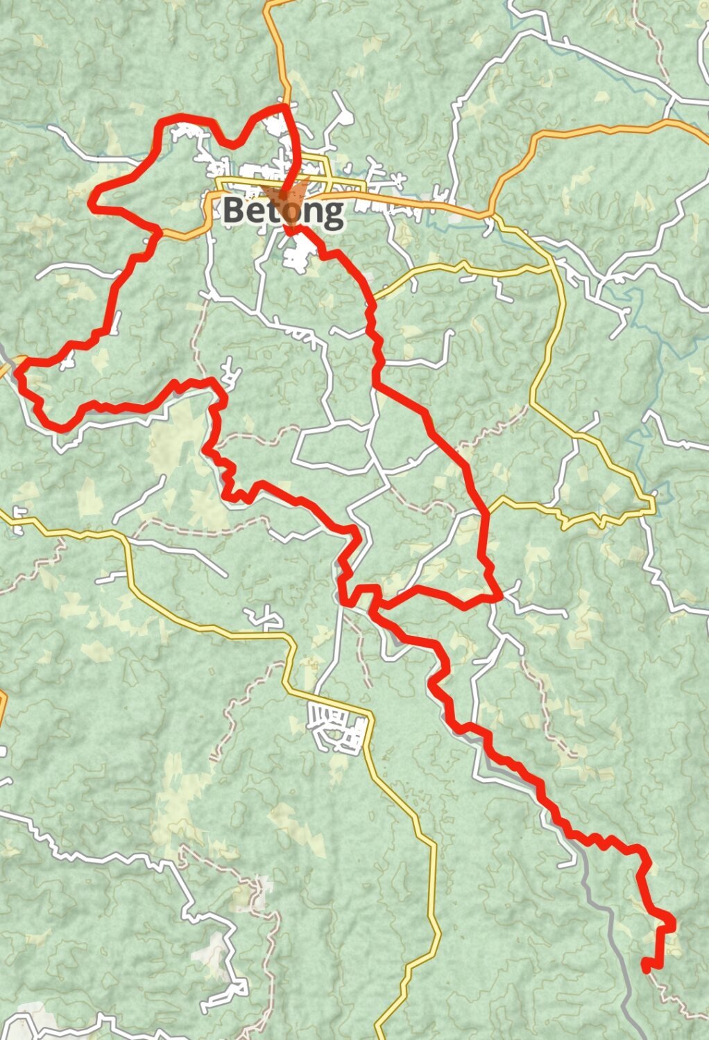
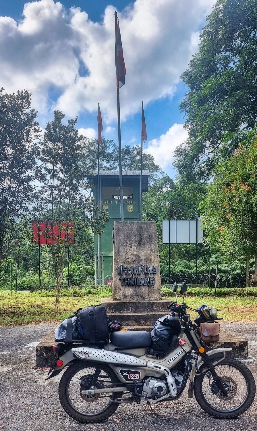
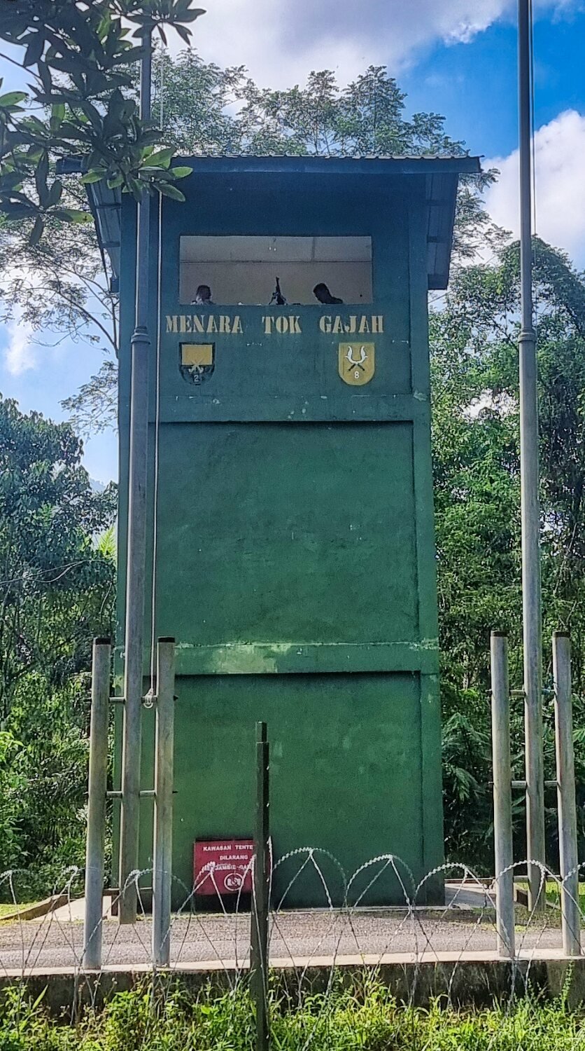
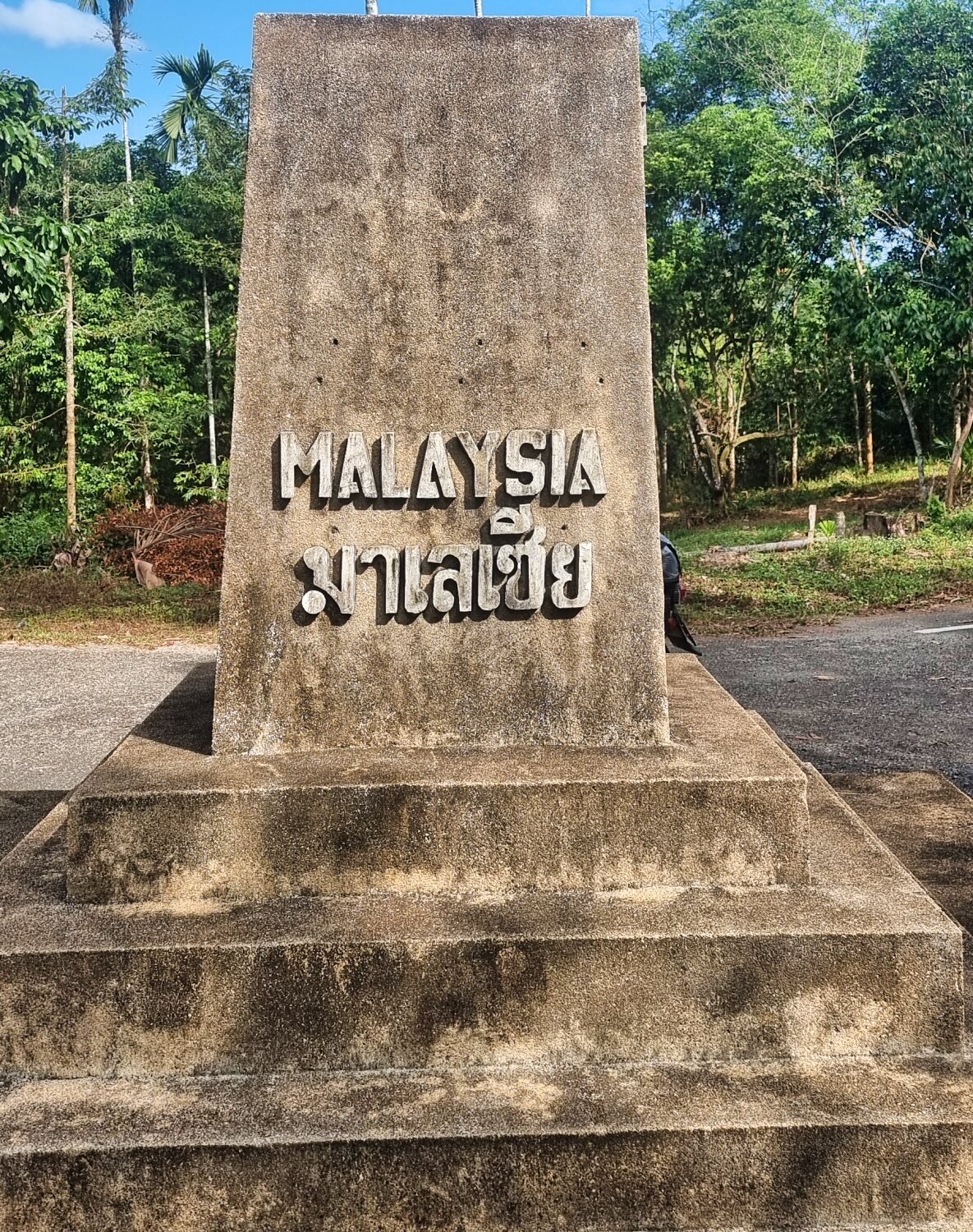
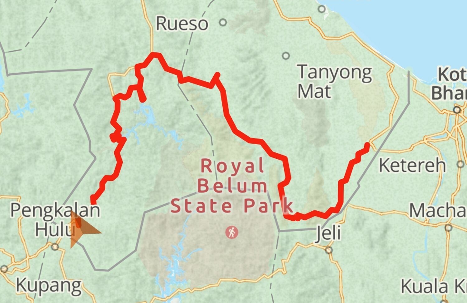
Day 26. Betong to Malaysian Border Exploring. Today we rode to the Malaysian border crossing point at Betong, the most southern crossing, here. https://maps.app.goo.gl/v6X2KF1TUowmSoHa8 From here staying in Thailand we rode south stopping at Viewpoint of the Two Lands, Thailand-Malaysia, here. https://maps.app.goo.gl/tFMKiytLaSaWXZR67 There were great views into the valley from here. We then continued south until the road was very rutted and unsuitable for Al on his road bike and did a U-turn, here. https://maps.app.goo.gl/euxKDS94hwbgzurt9 Google maps actually stop here, but the track continues on Gaia maps. Looping back to Betong I stopped to take photos of Betong Chicken Statue, here. https://maps.app.goo.gl/VyBj5tj9qXYKuePh6 The Betong Mongkolrit Tunnel, was just across the road, here. https://maps.app.goo.gl/aPEvaHrE8ormauH57 Next I stopped at Betong Clock Tower, here. https://maps.app.goo.gl/1kT3p7Zw8BqnCqjk7 I then returned to the hotel and went for a walk around town taking photos of street art. https://www.relive.cc/view/vMv8GAWXDNq
-
CT125 and Vespa Sprint 150, Southern Thailand Tour.
chrissables replied to chrissables's topic in Motorcycles in Thailand
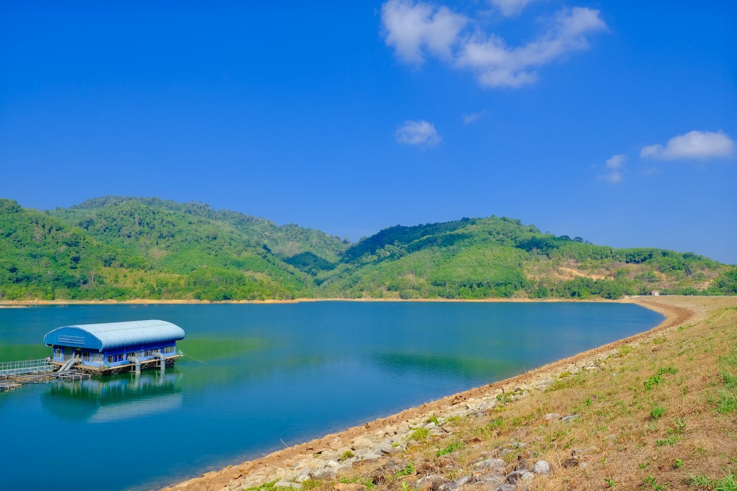
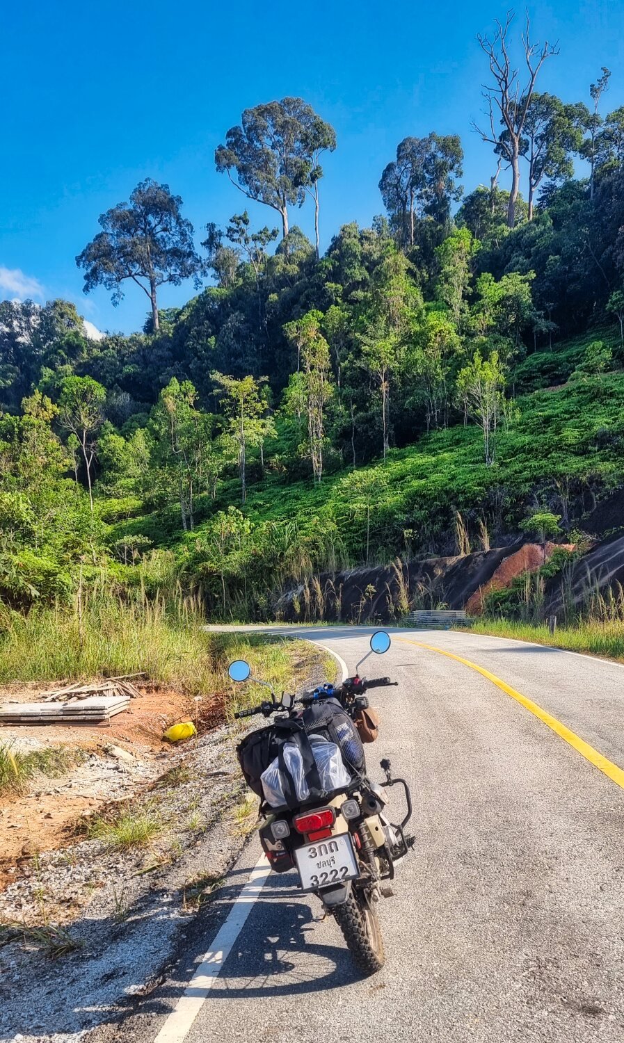
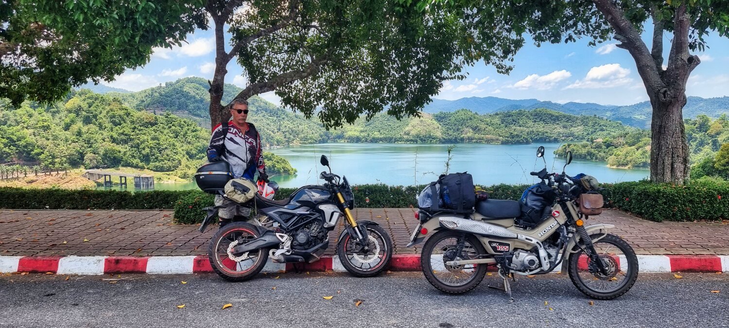
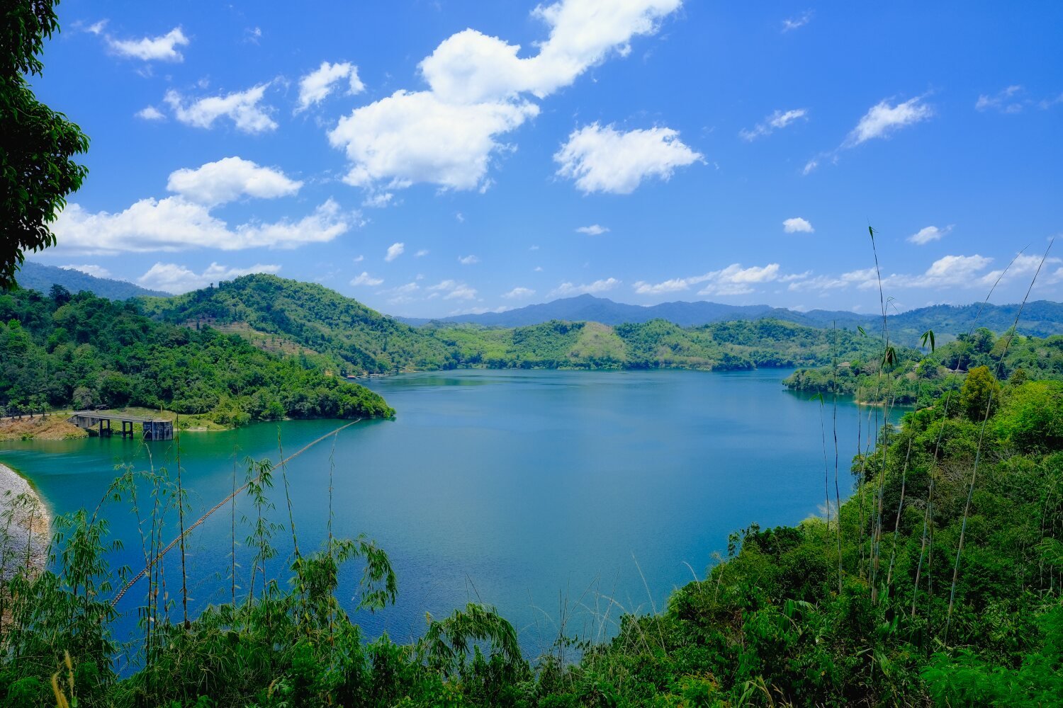
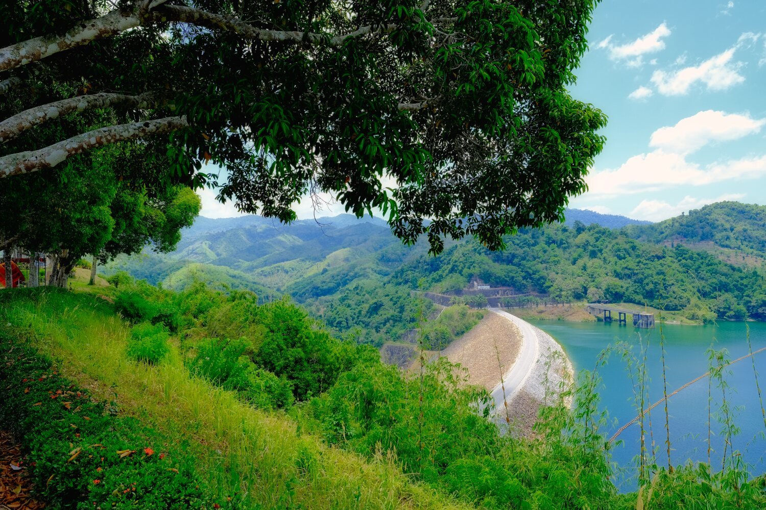
Day 25. Sungai Golok to Betong. Today Al and I rode from Sungai Golok to Betong. Our first stop after a fabulous ride through the mountains was Landmarks of Thailand@Sukirin, a viewpoint on the Malaysian border, here. https://maps.app.goo.gl/ve7fABZpVFPetmAL8 Next stop was Bang Lang Dam, here. https://maps.app.goo.gl/Y9BGWwAuYdjkA9k76 We then continued to Betong, a 273 km good ride. https://www.relive.cc/view/vevY3ZmQAy6