



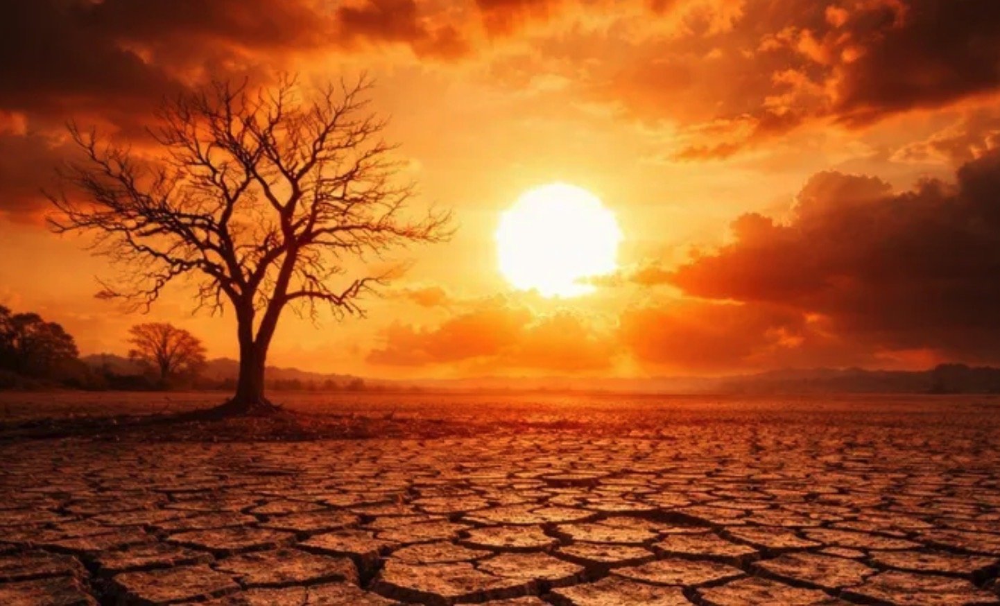

New climate forecasts indicate growing confidence that a developing El Niño in the tropical Pacific Ocean could become one of the strongest on record, raising concerns about record global temperatures and significant humanitarian consequences.
Get today's headlines by email 
Sea surface temperatures across parts of the Pacific have been rising quickly, with recent data showing waters around 0.5C above the long-term average — a threshold often used to signal the onset of El Niño, a natural climate pattern marked by warming ocean waters in the equatorial Pacific.
Scientists expect the event to intensify over the coming months and possibly peak in autumn as a very strong, or “super,” El Niño.
Meteorologists warn that such an event could disrupt weather systems worldwide and increase the likelihood that 2027 becomes the hottest year ever recorded.
Forecasts point to rapid development
In its latest outlook, the US National Oceanic and Atmospheric Administration (NOAA) said El Niño is likely to begin within weeks. The agency estimates a roughly two-in-three probability that the event will become strong or very strong by winter.
The recent pace of warming in the tropical Pacific has been unusually rapid.
Nathaniel Johnson, a meteorologist at NOAA, described the development as potentially rare if the trend continues, noting the shift from last winter’s La Niña — the cooler phase of the Pacific climate cycle — to a powerful El Niño within a year.
Australia’s Bureau of Meteorology (BoM) also tracks the phenomenon but uses slightly stricter criteria. Its forecasts require sea surface temperatures in the tropical Pacific to exceed 0.8C above average and signs that trade winds in the western Pacific have reversed, indicating the warming ocean is beginning to influence the atmosphere.
Seasonal forecasts made during spring have historically been less reliable, but scientists say predictive models are unusually consistent this year.
What defines a strong El Niño?
Forecasters monitor a key region of the Pacific known as Niño3.4, calculating a three-month average of sea surface temperatures compared with historical norms.
A strong El Niño occurs when this temperature anomaly exceeds 1.5C.
Forecasts from the European Centre for Medium-Range Weather Forecasts (ECMWF), NOAA and BoM broadly agree on the potential scale of the event.
The latest ECMWF projections show that more than half of its models expect temperatures in the region to rise by over 2.5C by autumn. Johnson said values above this threshold would represent a historically powerful event.
Some forecasts even indicate the temperature anomaly could exceed 3C. That would surpass the current known peak of 2.7C recorded in 1877, although scientists note that measurements from that period were limited and uncertain.
The 1877 event lasted about 18 months and was associated with severe droughts and widespread famine across Asia, Brazil and Africa, while causing intense flooding in areas including Peru.
More recently, a very strong El Niño occurred in 2015–2016 when the three-month Niño3.4 temperature anomaly reached 2.4C.
Possible global consequences
El Niño events typically raise the global average temperature by about 0.2C as warmer waters release additional heat into the atmosphere.
Liz Stephens, professor of climate risk and resilience at the University of Reading, said a strong event could push global temperatures to new records.
“We’re probably looking at record global temperatures next year, especially if this is a very strong El Niño event,” she told the BBC.
El Niño can significantly alter weather patterns around the world. Flooding is common in northern Peru and southern Ecuador, and heavy rainfall can also affect East Africa, Central Asia and parts of southern North America.
At the same time, the phenomenon tends to suppress Atlantic tropical storms. Early forecasts already suggest this year’s Atlantic hurricane season may be quieter than usual.
However, fewer storms can bring reduced rainfall to Central America, raising the risk of drought.
Other regions, including Australia, Indonesia and northern South America, often experience increased drought and wildfire risk during strong El Niño periods, potentially damaging agriculture and global food supplies.
Stephens warned that these effects could carry major humanitarian consequences, especially as global food markets face pressure.
“If you get a reduction in crop yields because of drought or flooding, that drives prices even higher,” she said.
Wider climate pressures
Supply disruptions in fertiliser markets — linked to tensions affecting shipping through the Strait of Hormuz — are already pushing up costs. Combined with potential crop losses linked to El Niño, this could reduce food availability and increase prices in the months ahead.
Scientists say the overall humanitarian impact will depend on the strength of the event and other global developments.
For the UK, the direct effects are less predictable. However, climate researchers at the Met Office say El Niño conditions are among several factors that can increase the likelihood of colder winters.
Join the discussion? 
Already a member? 
 Adapted by ASEAN Now. Source 15 May 2026
Recommended Comments
Create an account or sign in to comment