chrissables
Advanced Member
-
Joined
-
Last visited
-
Thanks :)
-
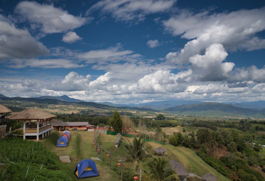
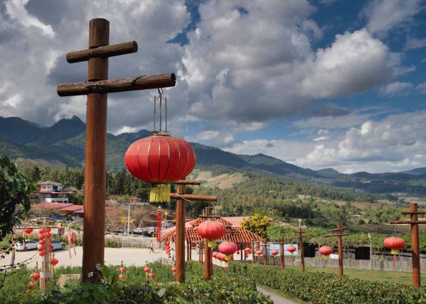
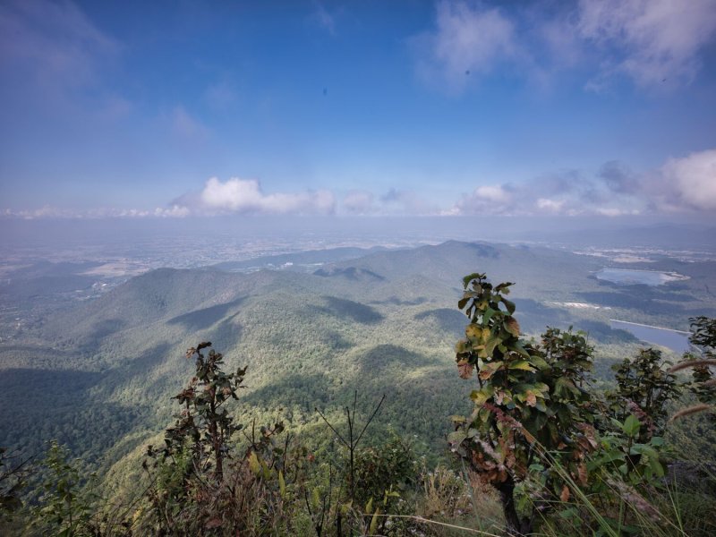
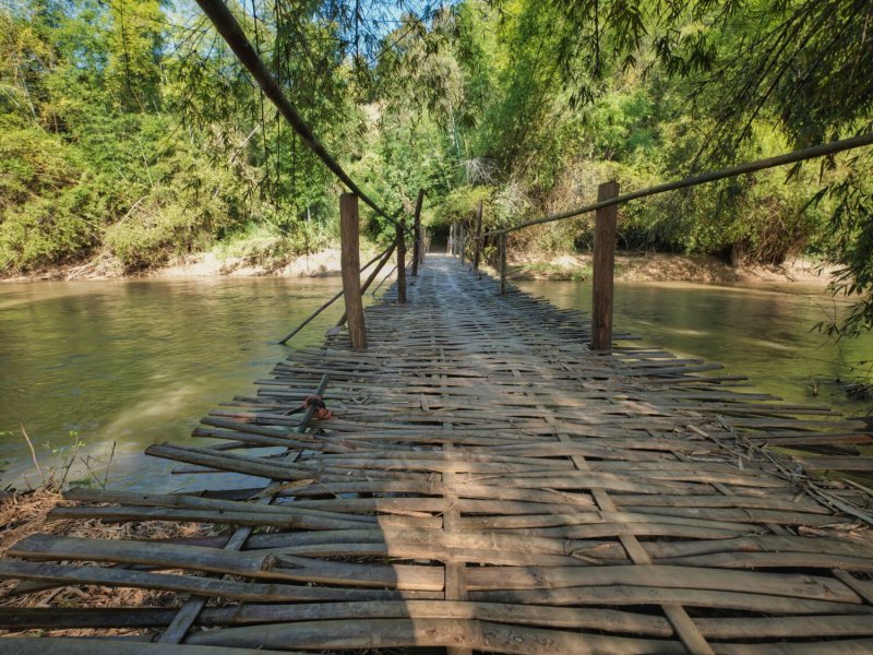
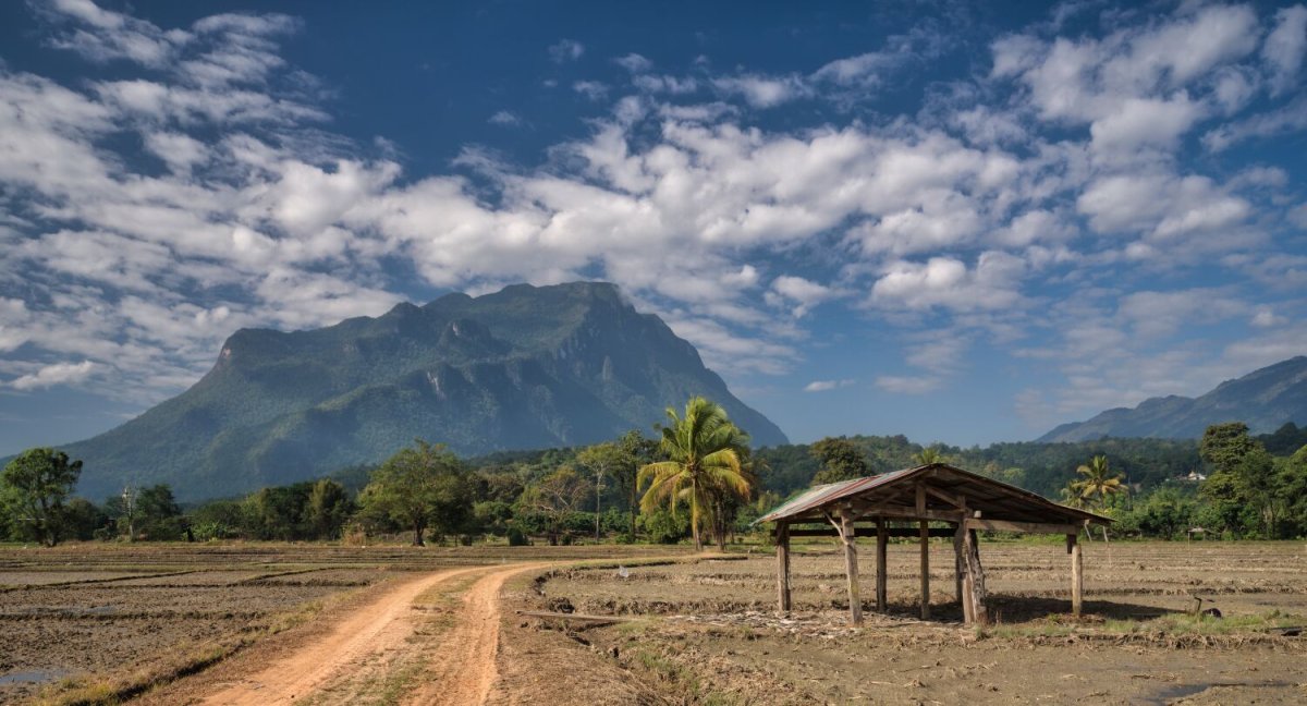
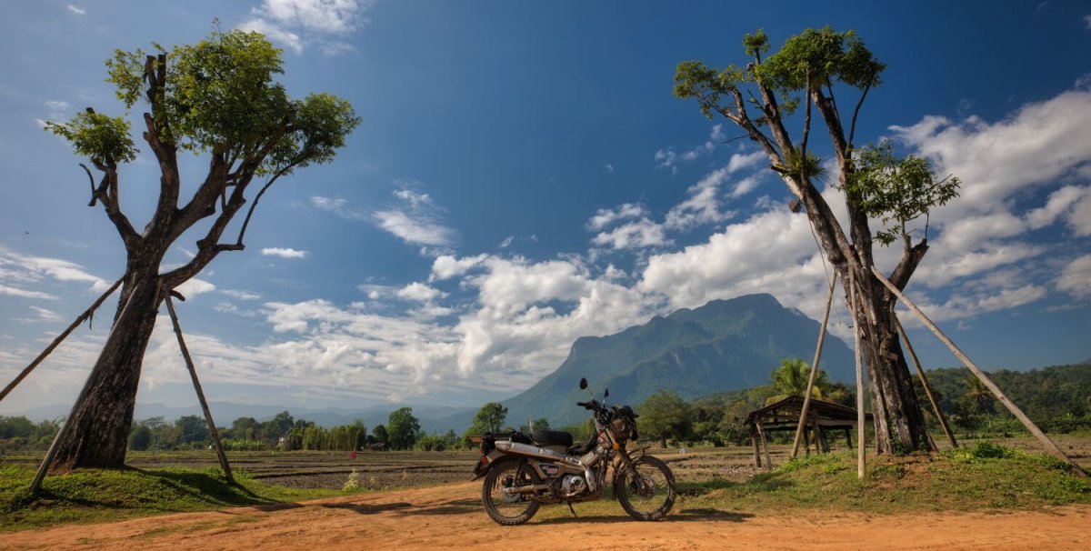
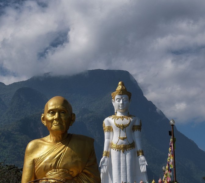
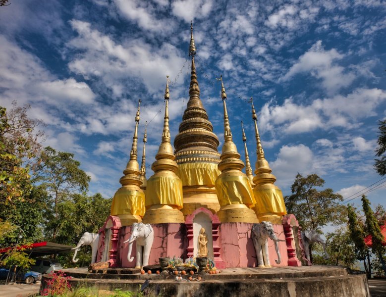
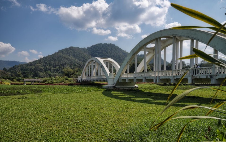
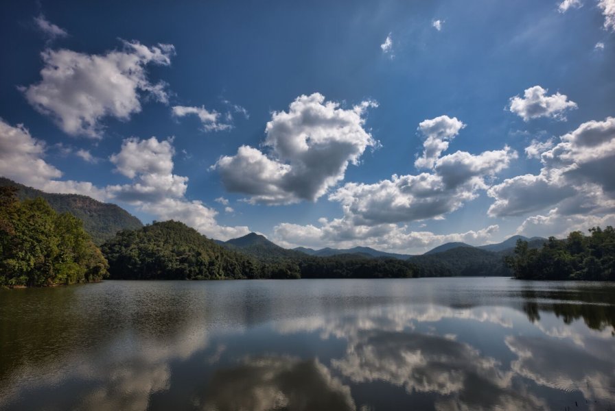
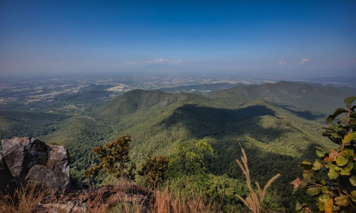
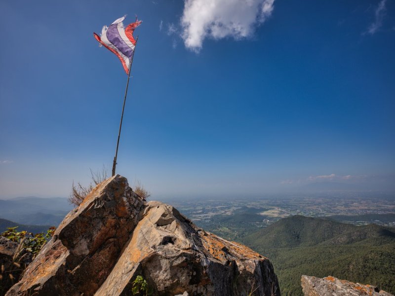
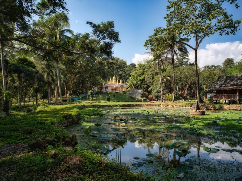
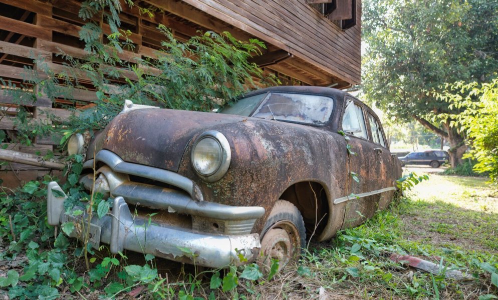
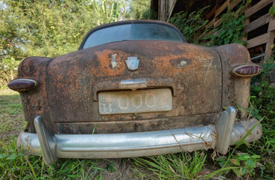
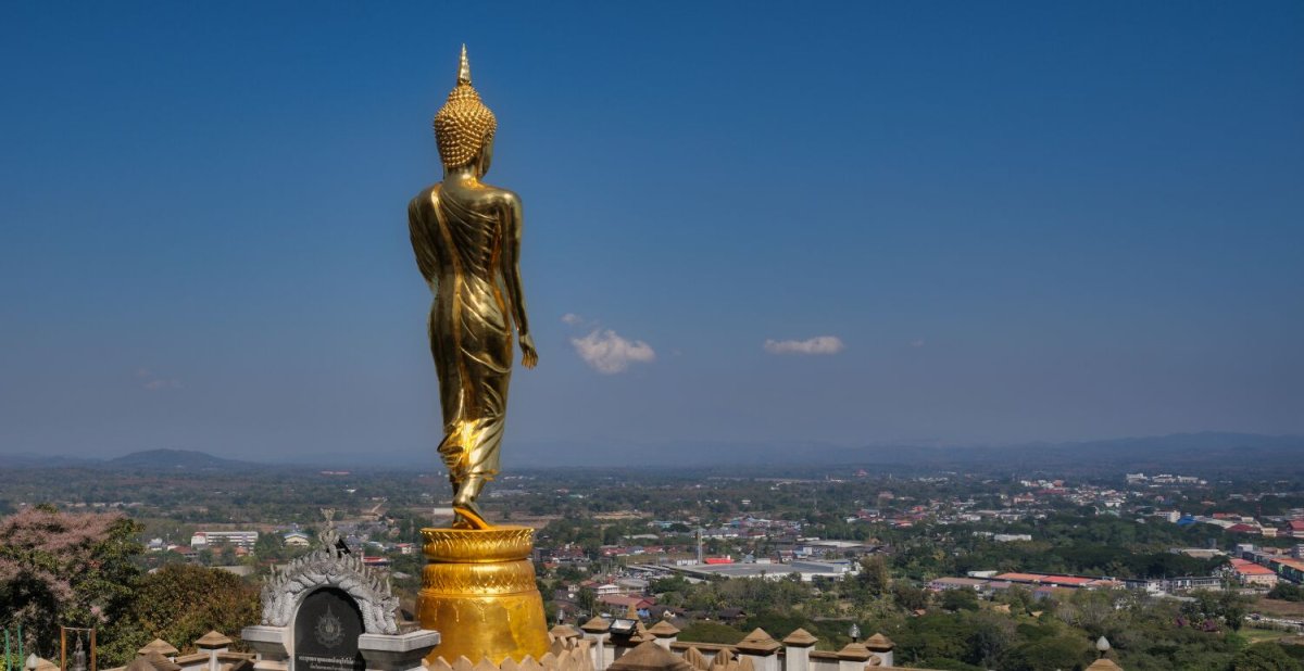
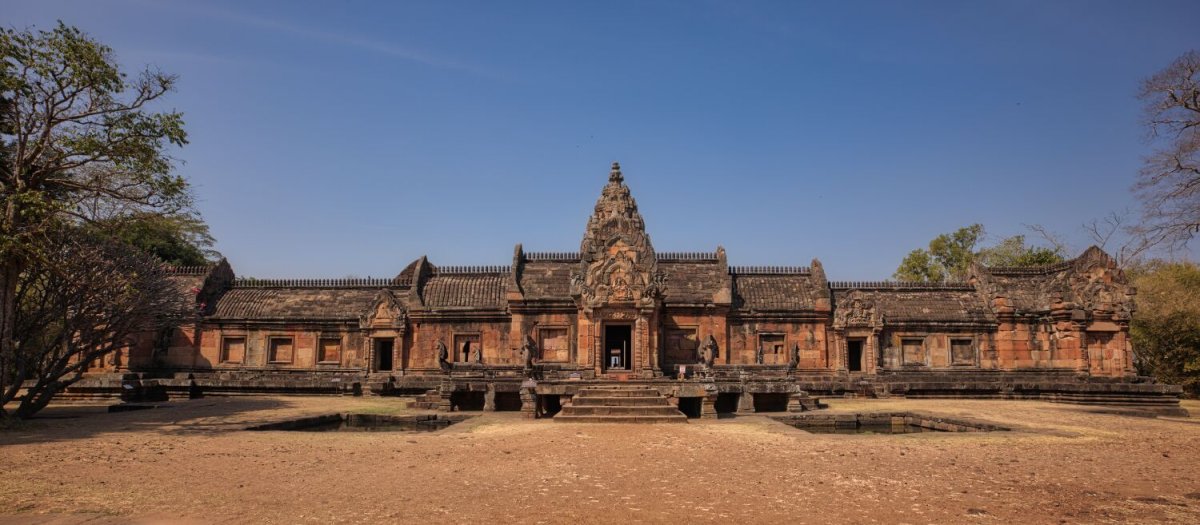
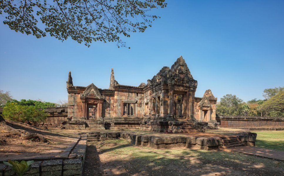
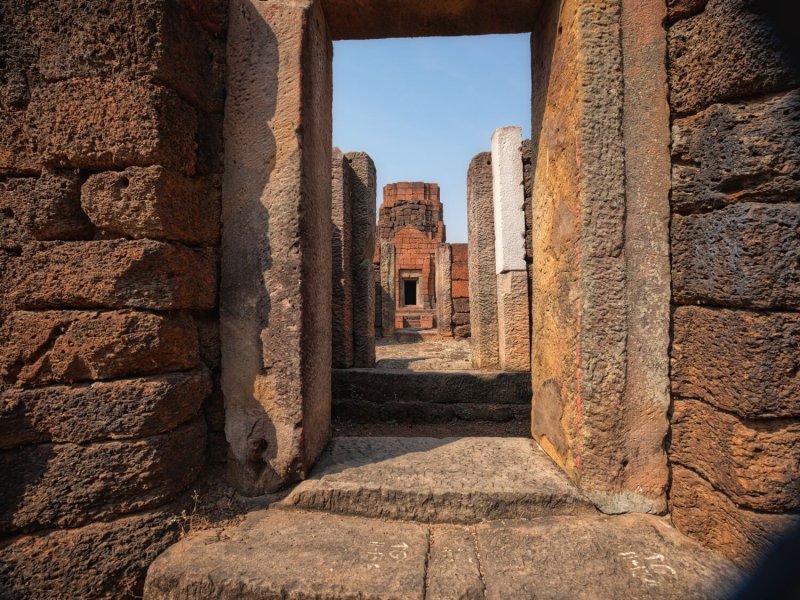
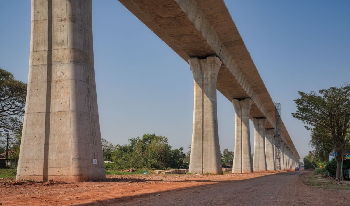
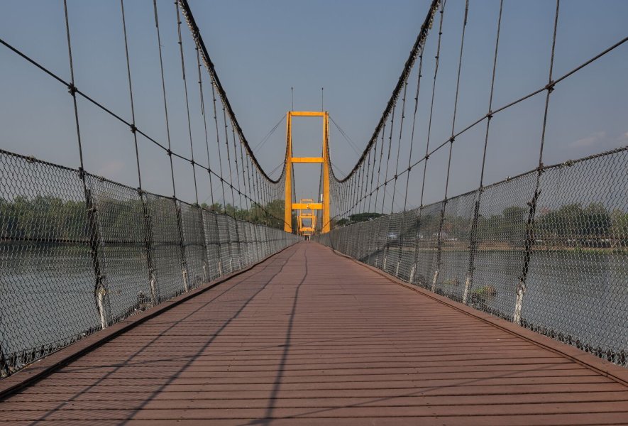
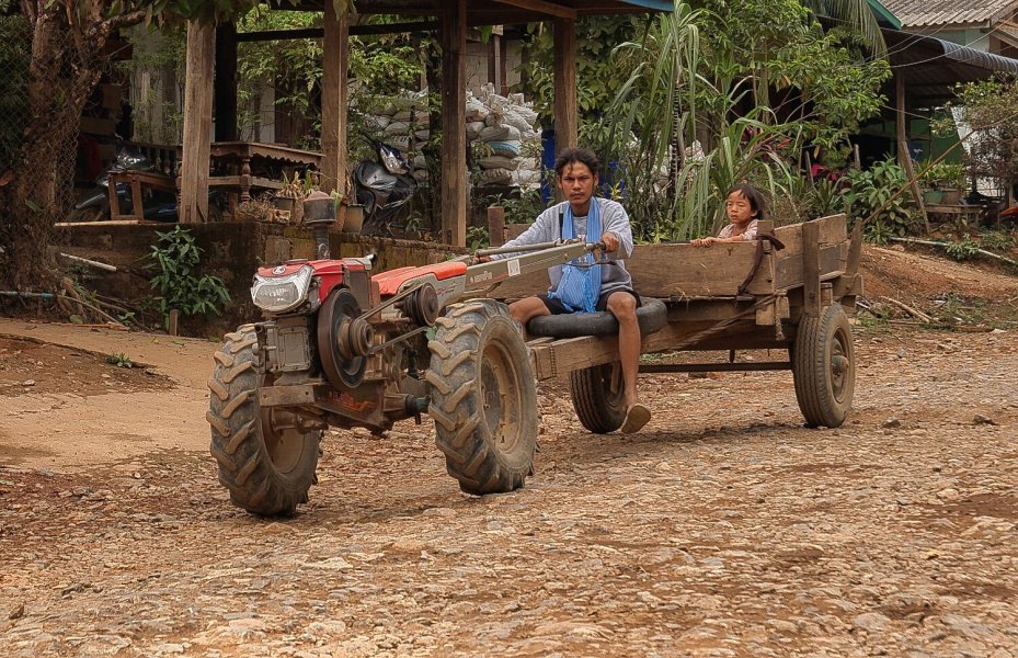
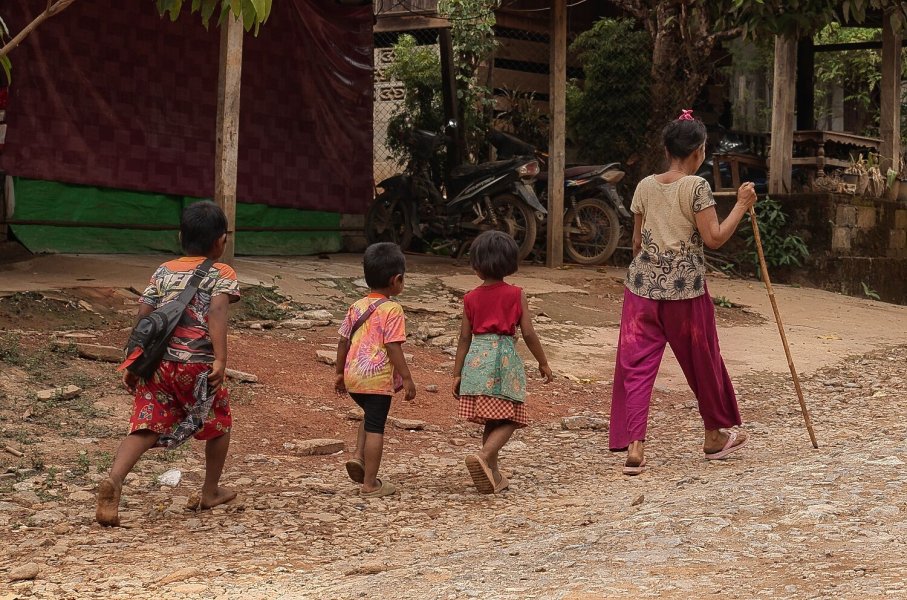
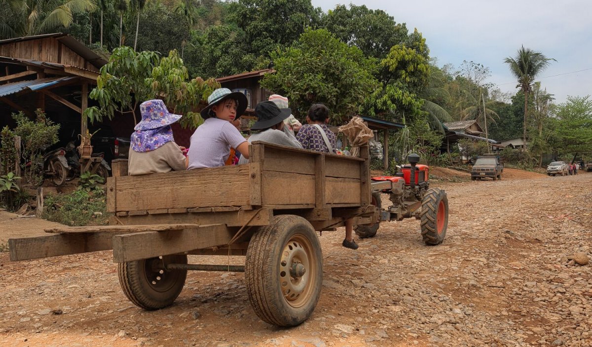
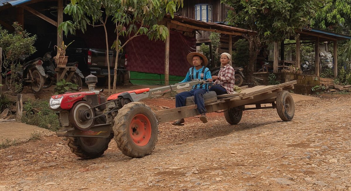
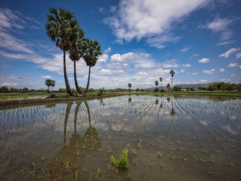
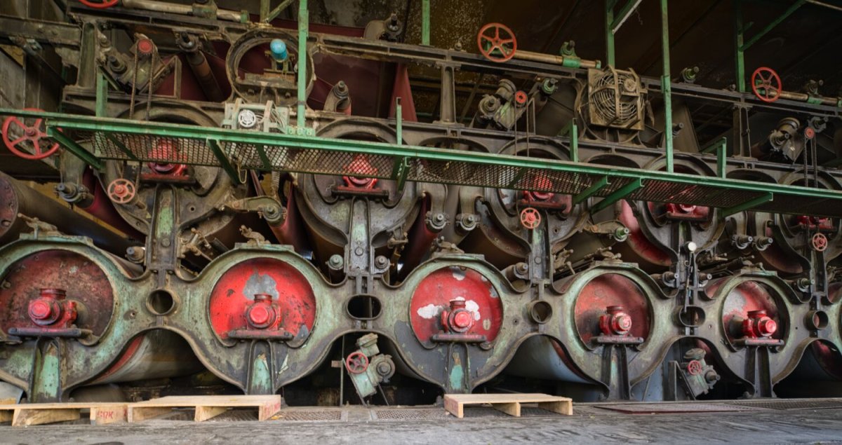
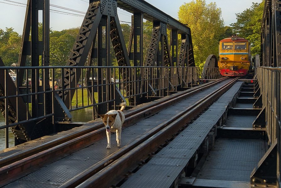
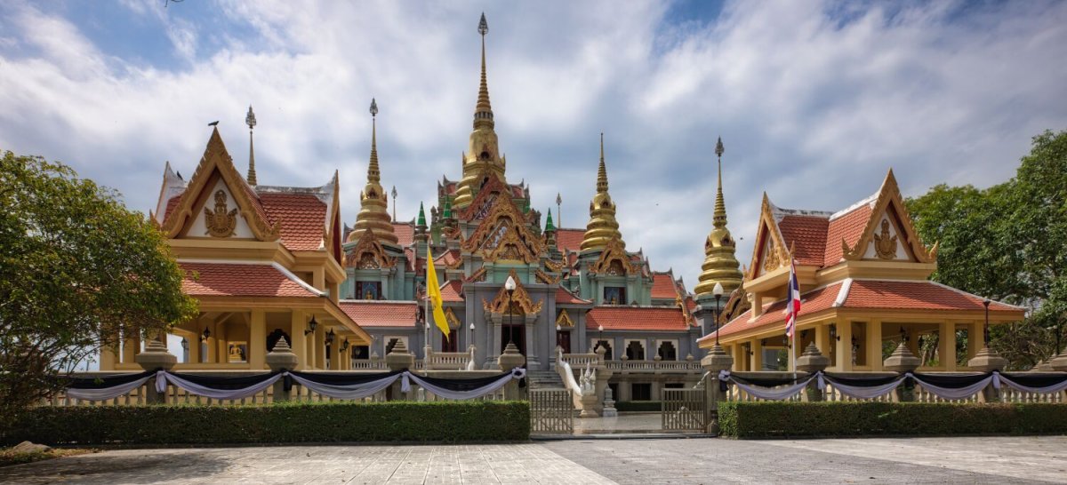
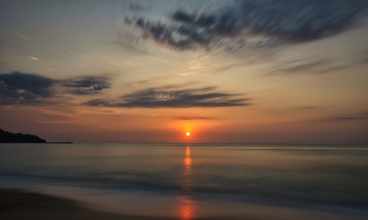
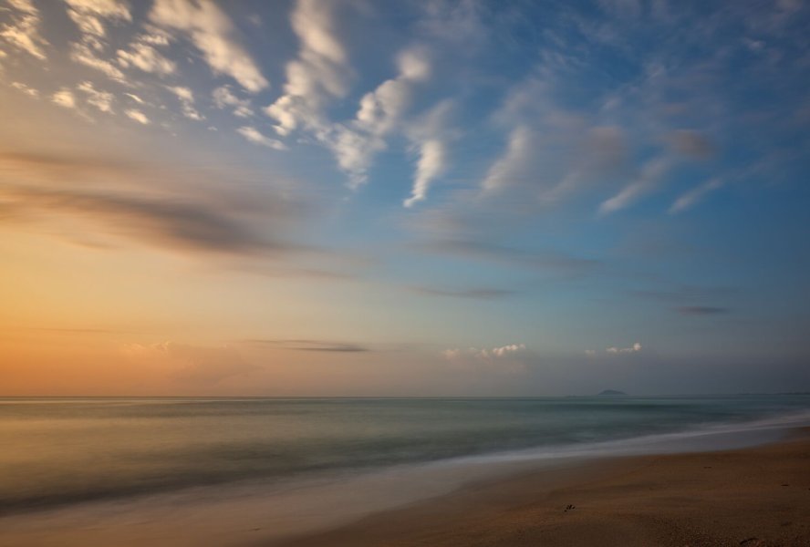
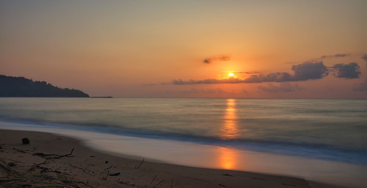
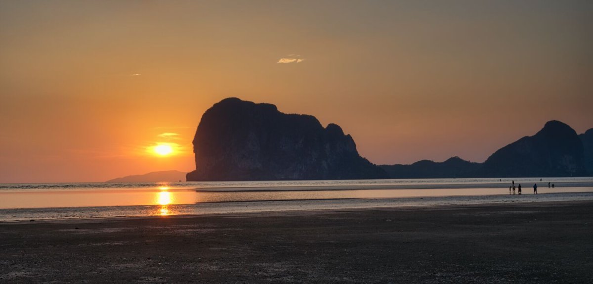
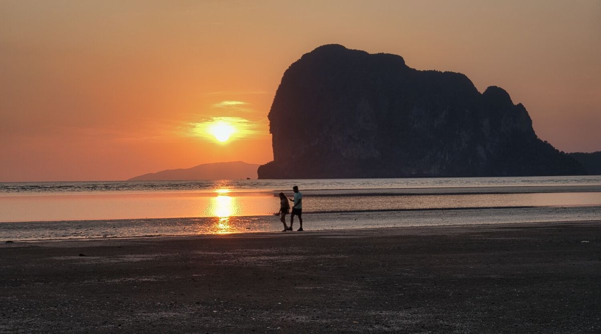
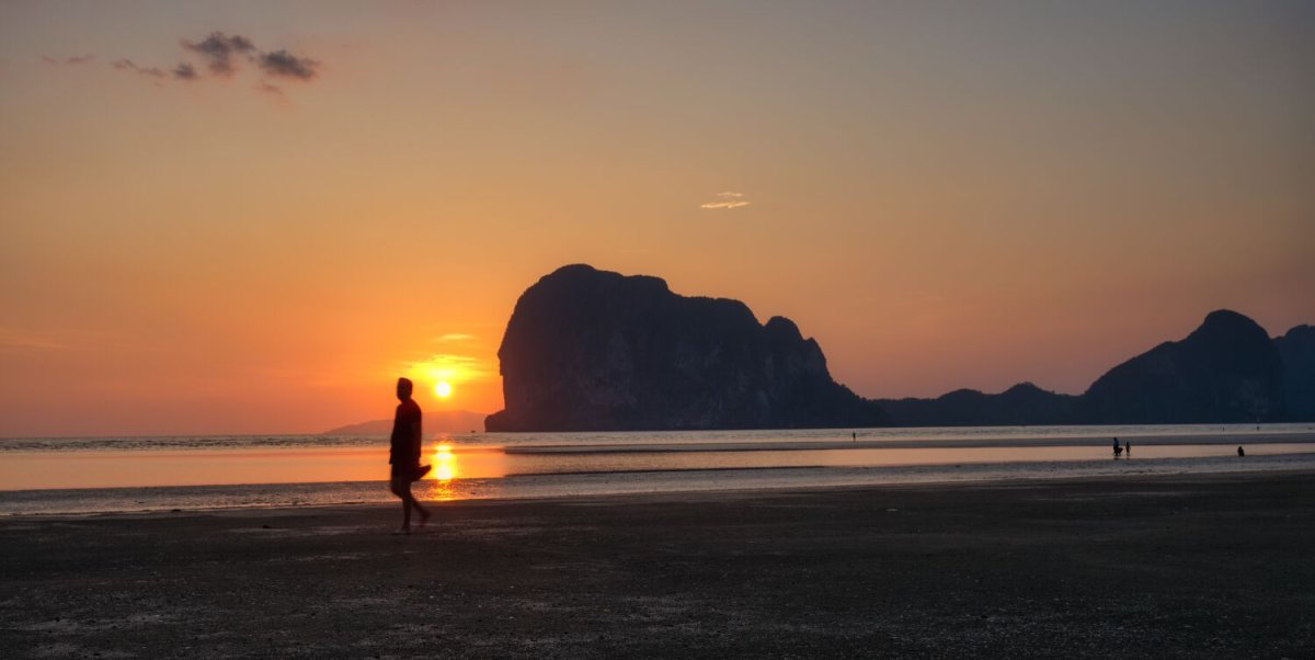
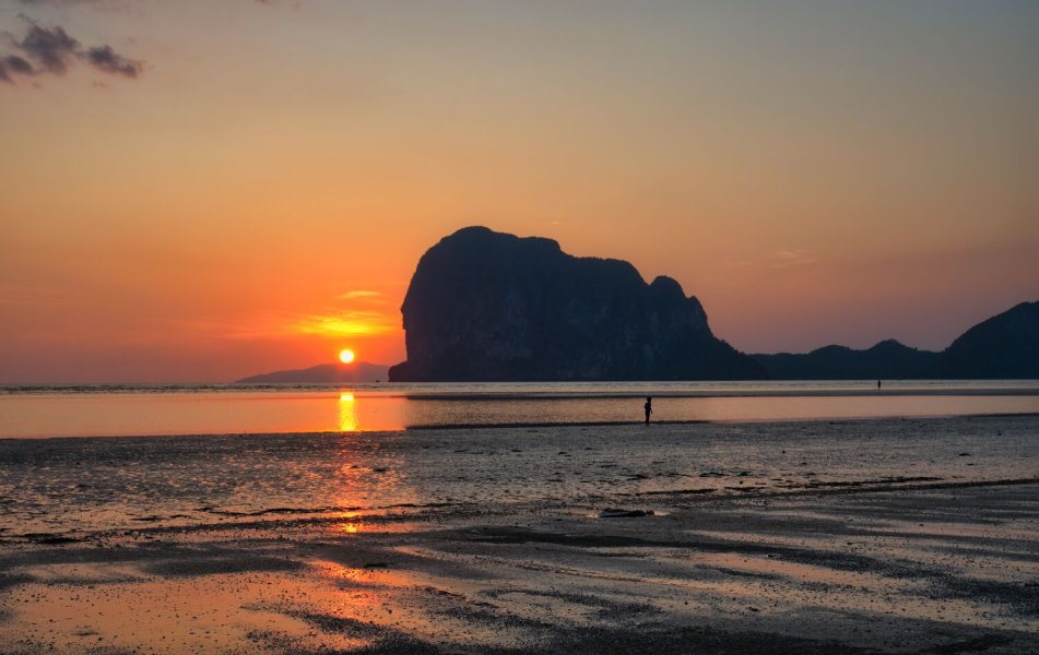
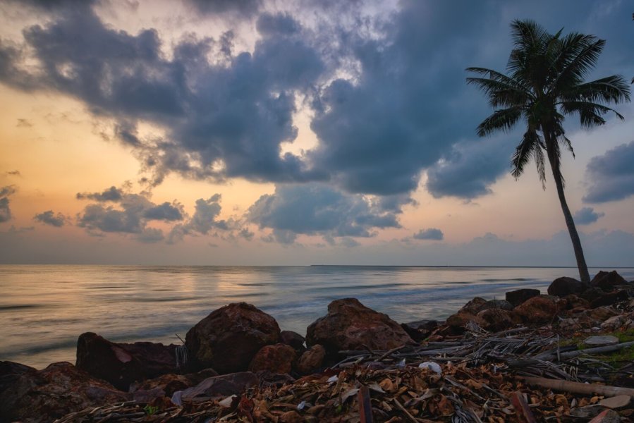
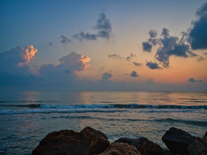
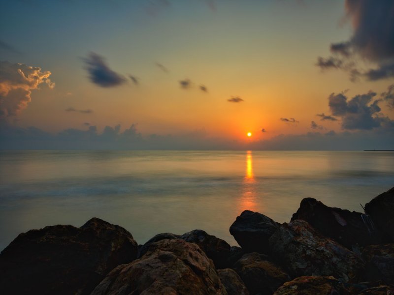
Some of my favorite shots

.jpg.aef6e50430857c9468ed2797ca3bb37b.jpg)
.jpg.ffddce2aeb79050bd38a27976f1d1571.jpg)
.jpg.4ab74f9ef2d558850303e2cefdaa450e.jpg)
.jpg.f4554a5cdeb1047602e5e95cffe13488.jpg)
.jpg.eb817cd91b6bfe6260d6d8455dc2b3d9.jpg)
.jpg.b39b900e24af03b9562d5ccb75479450.jpg)
.jpg.fc1c57fc862e2eeb11ed59fb47a878bb.jpg)
.jpg.35a31c9bfc36d77985920cbb9a947a3a.jpg)
.jpg.6934c399fae805a108a8e2aa2acb6d9c.jpg)
.jpg.f71b4677eb2111dc44d14f6843b05708.jpg)
.jpg.1f8aae2c25b4622155fe1d89304d9532.jpg)
.jpg.67612c48472de38be09065329beb4475.jpg)


-
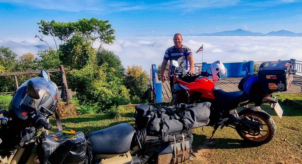
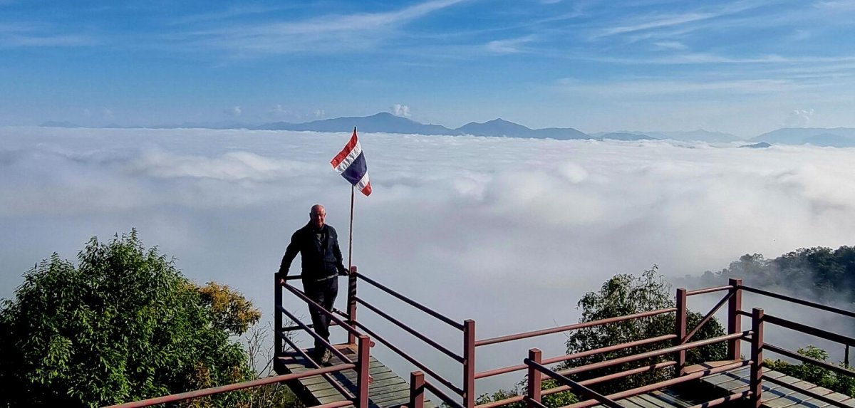
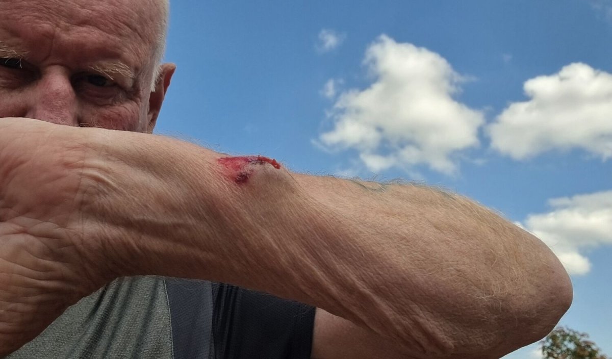
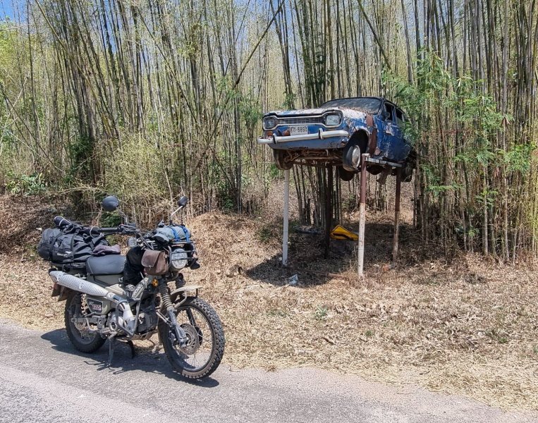
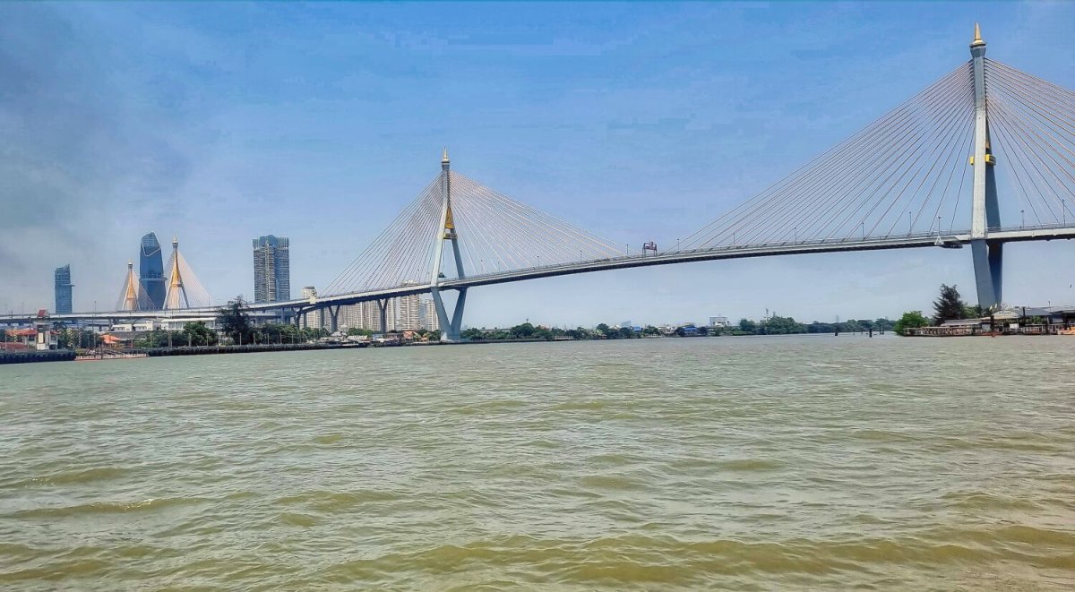
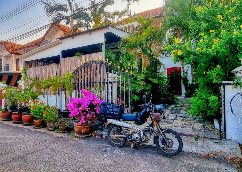
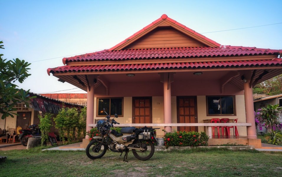
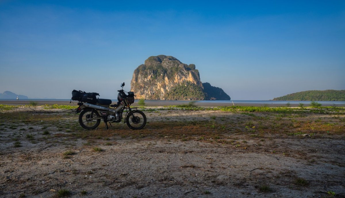
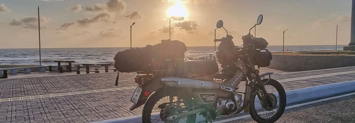
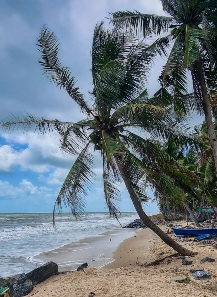
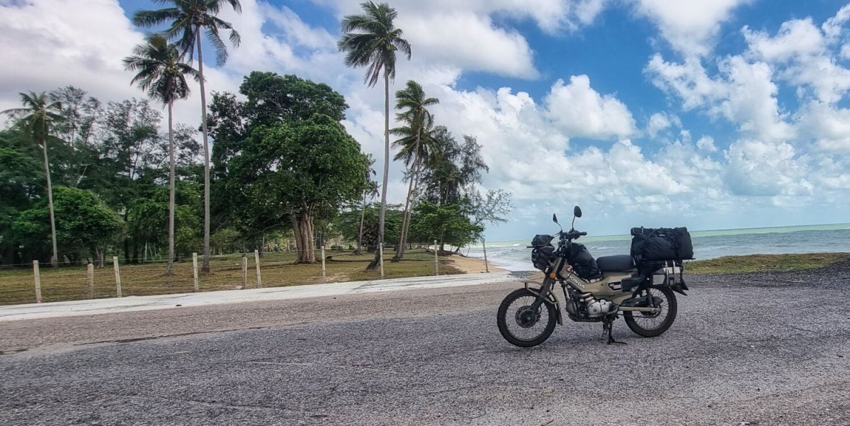
Friday was my last day of my tour. It was also the longest day on the road and a hot and sweaty day. I left Prachuap Khiri Khan to ride home to Pattaya. The coastal ride up to Bangkok was great, after Bangkok terrible! I was stuck on the road that runs alongside road 7, surrounded by big trucks and riding at walking speed. I arrived home 11 hours after starting. A ride of 460km. The total distance was 14,493km Two accidents, both on tracks that were easy, luckily I was riding very slowly. One puncture, and now just under 85k on the CT. https://www.relive.com/view/vevYzAeZMJO
.jpg.42b504df25b882bbb871a88fa2f411de.jpg)
.jpg.87c08a78bcda220233da856e62d74e4d.jpg)
-
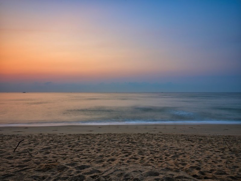
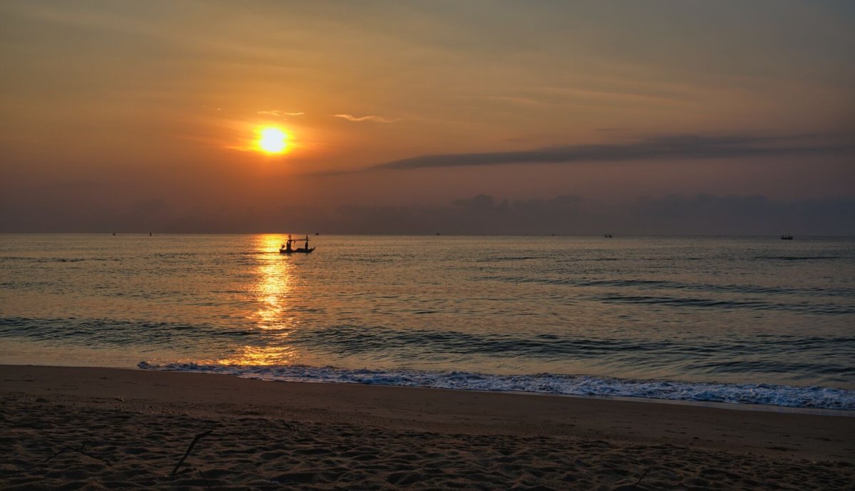
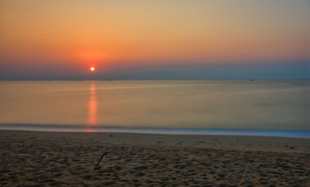
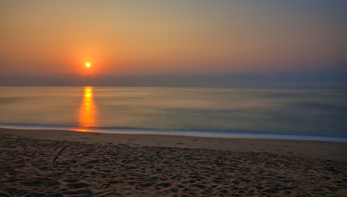
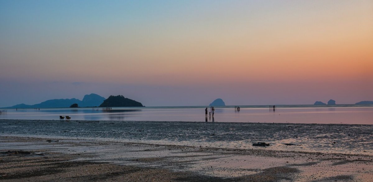
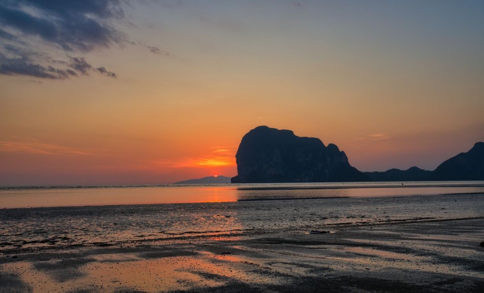
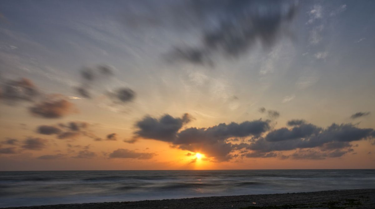
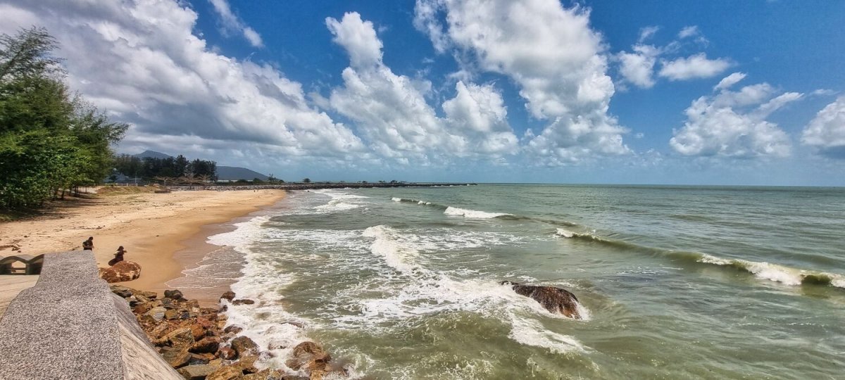
Today was a short ride of 73km from Ban Krut to Prachuap Khiri Khan. I took my last sunrise photos early before leaving. On the main road the garages seemed to have a mix of shut, long queues and ok. In Prachuap the garage in town was open so I filled up, a whole 70 baht for my ride here. https://www.relive.com/view/vPOpkAP3dEv

.jpg.96a1821552462090304e02cbd23ac16e.jpg)
-
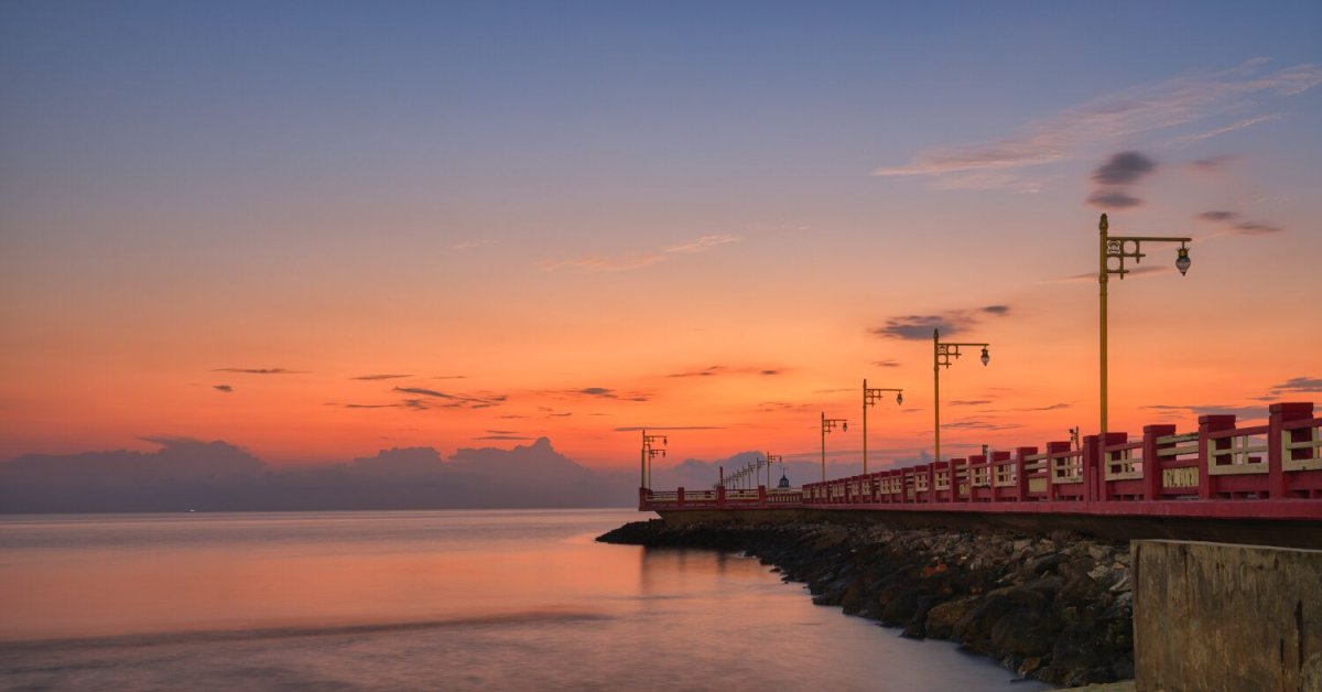
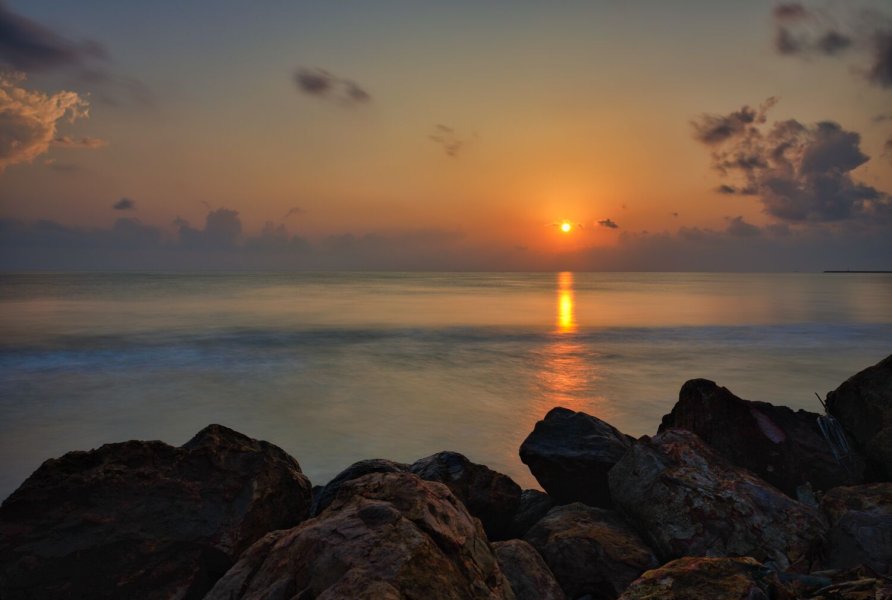
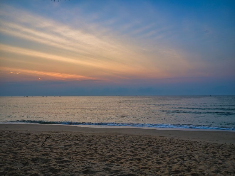
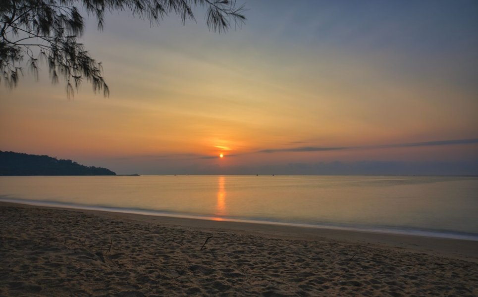
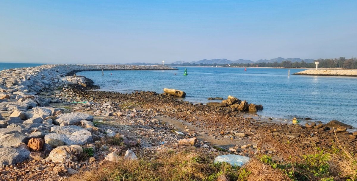
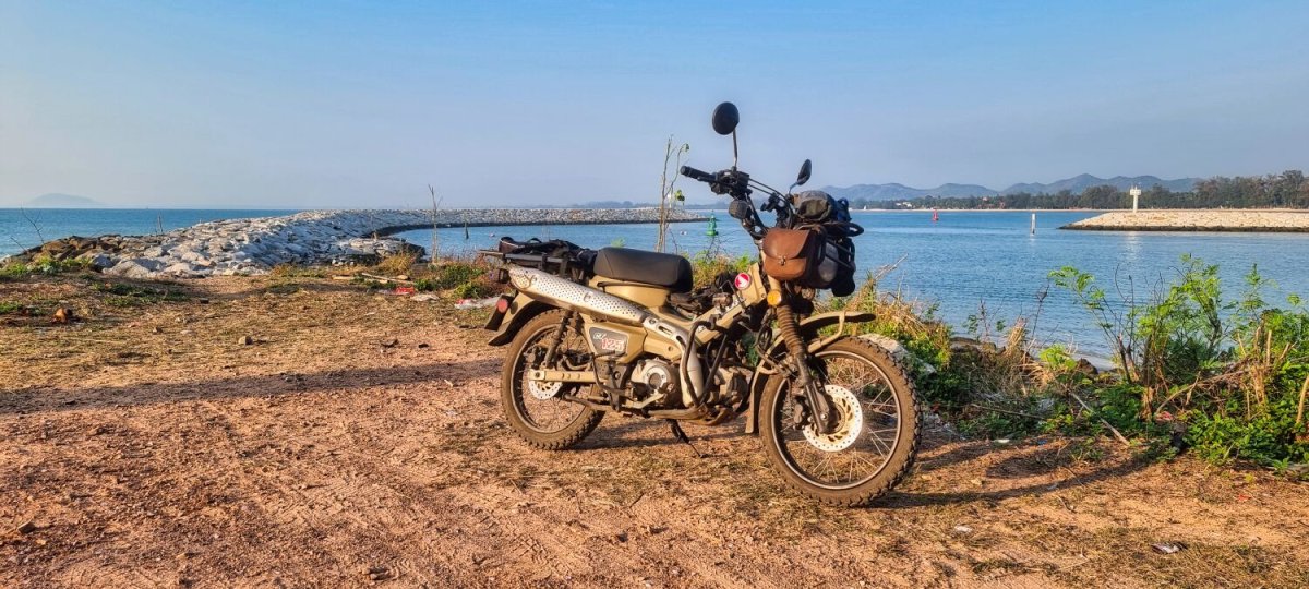
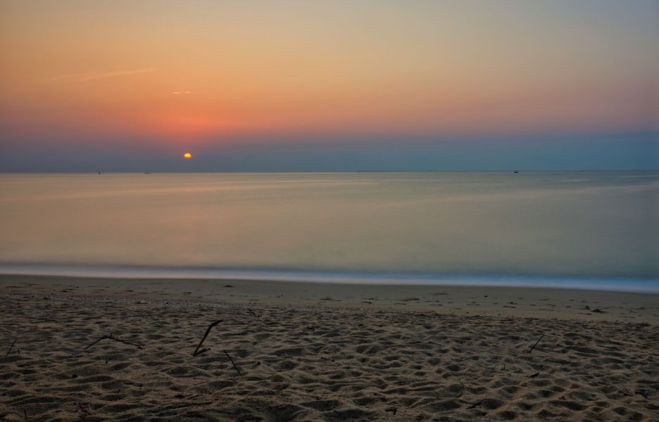
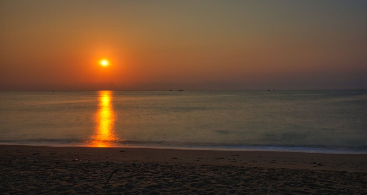
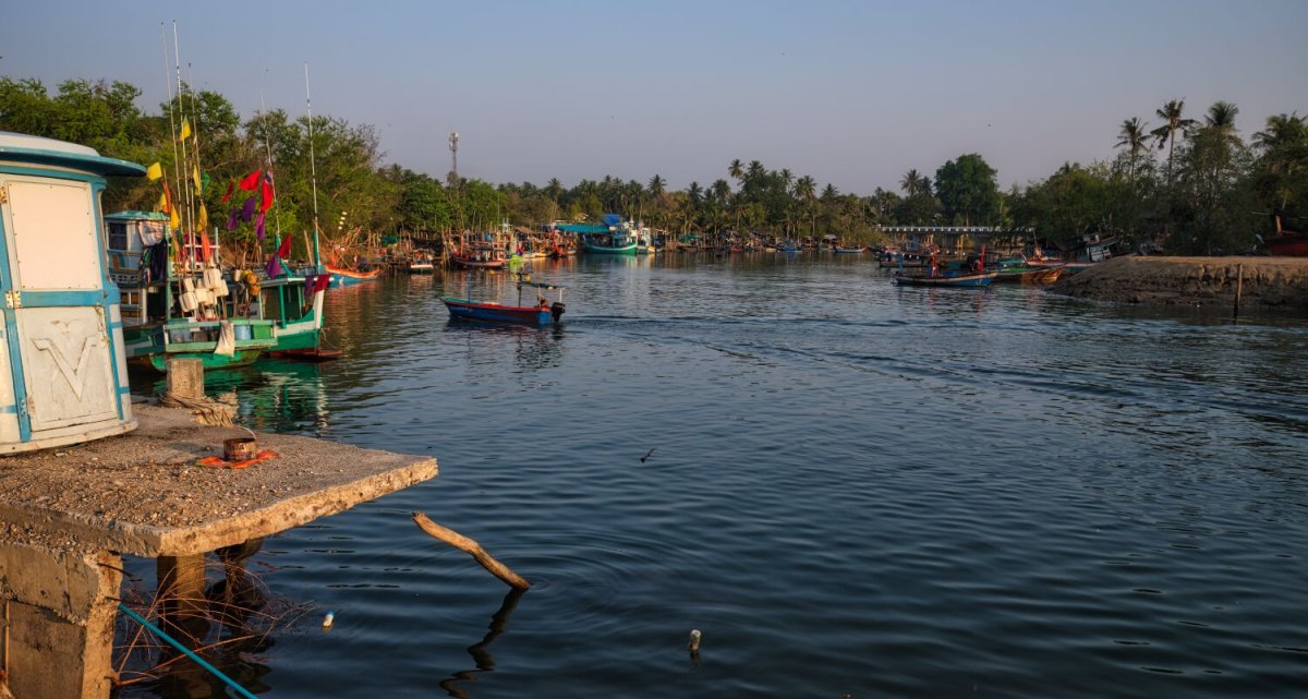
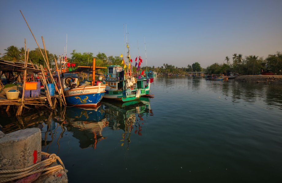
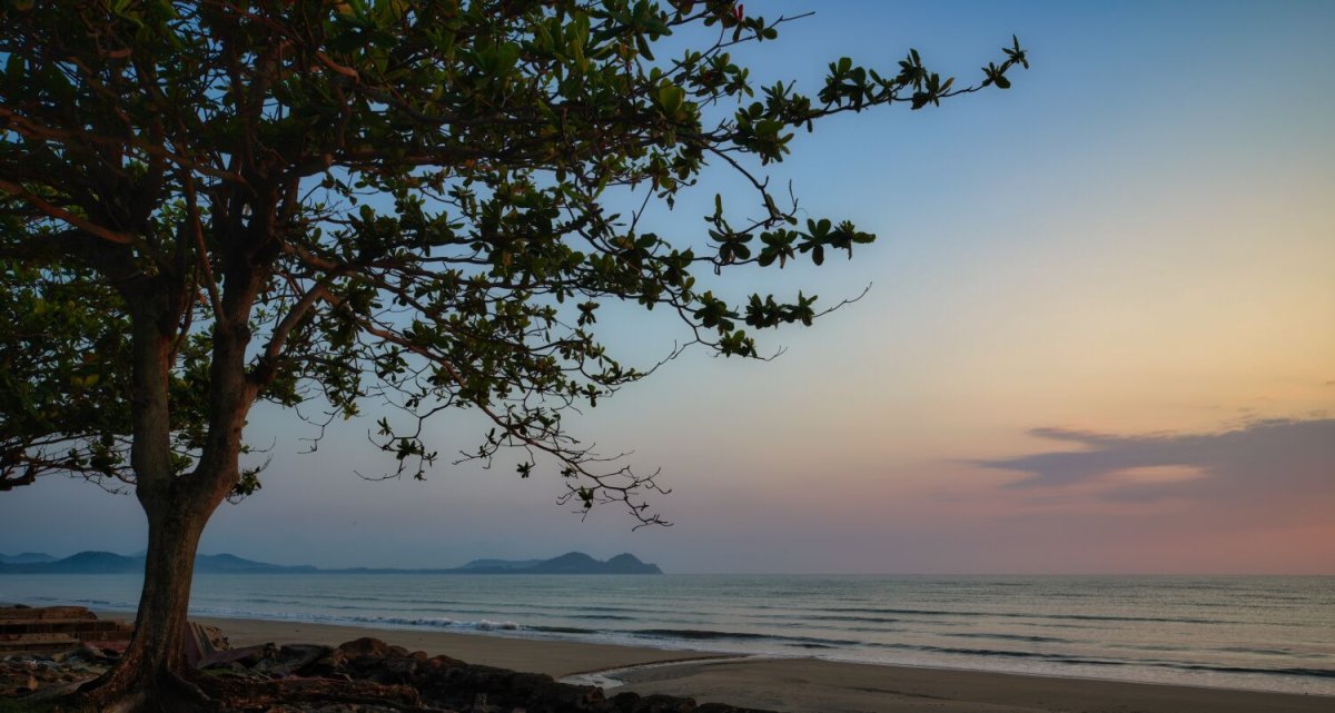
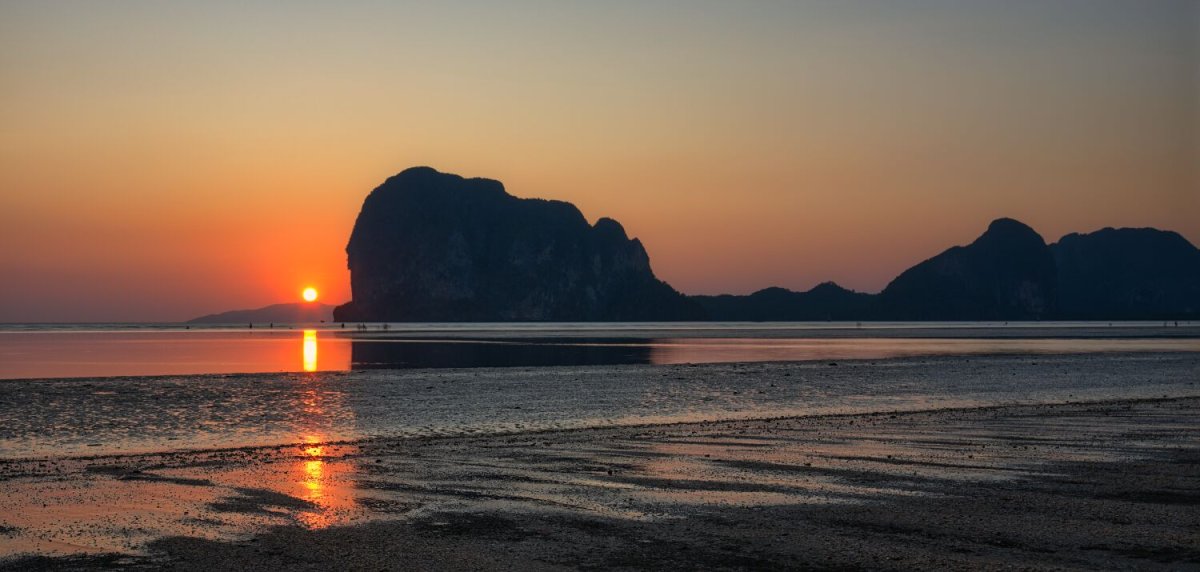
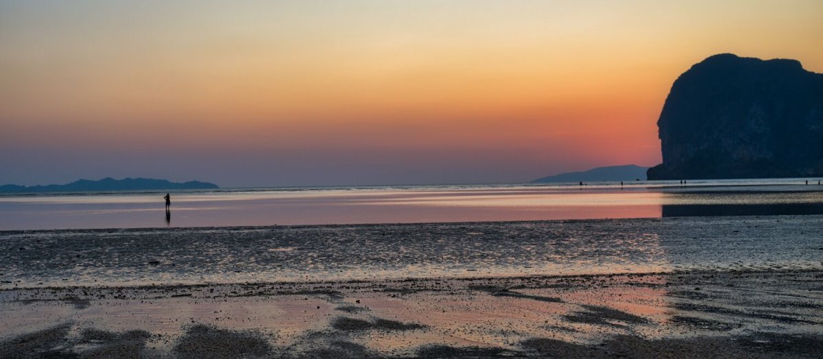
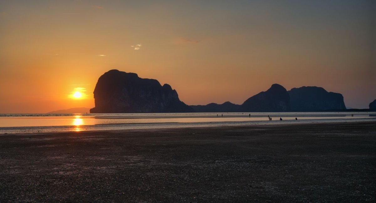
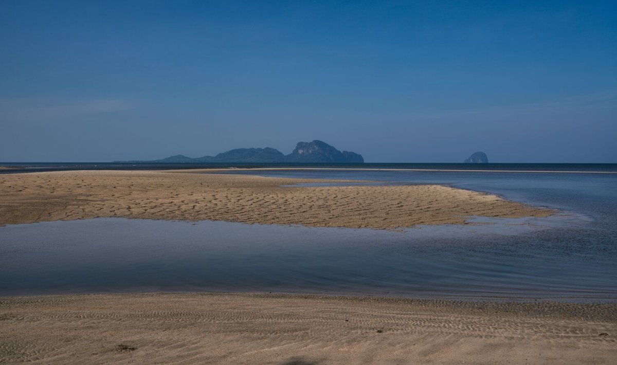
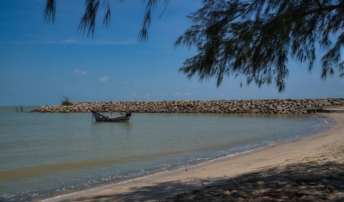
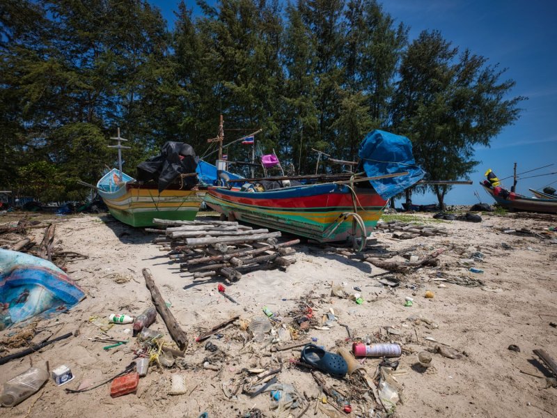
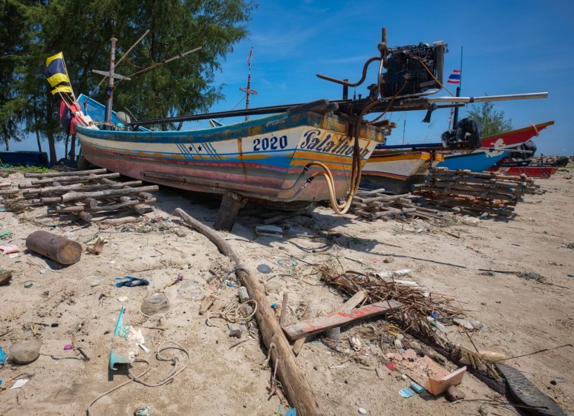
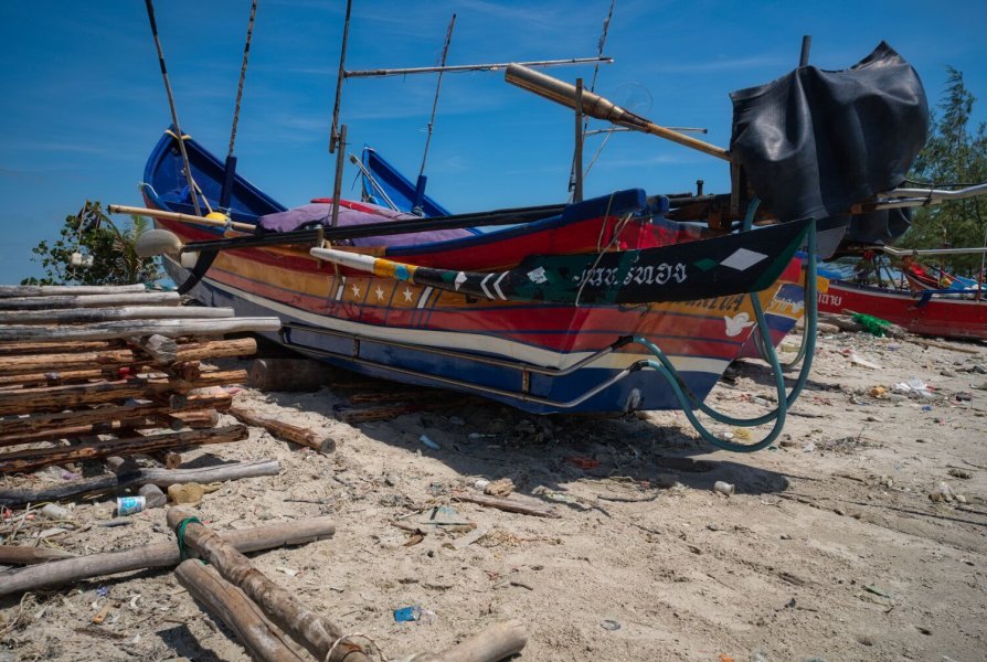
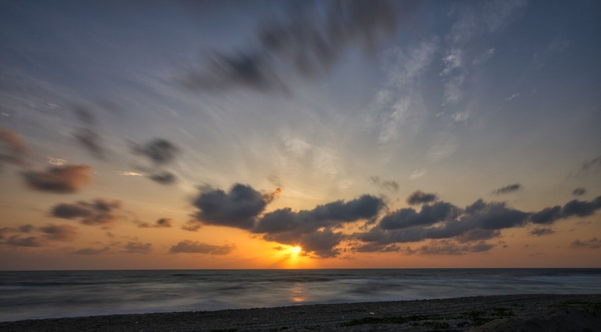
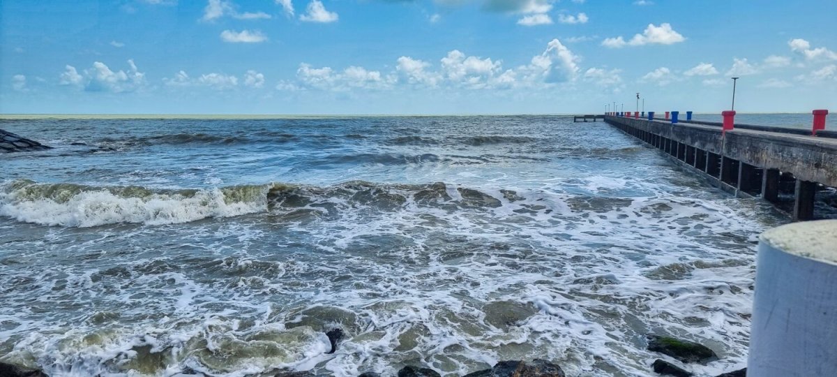
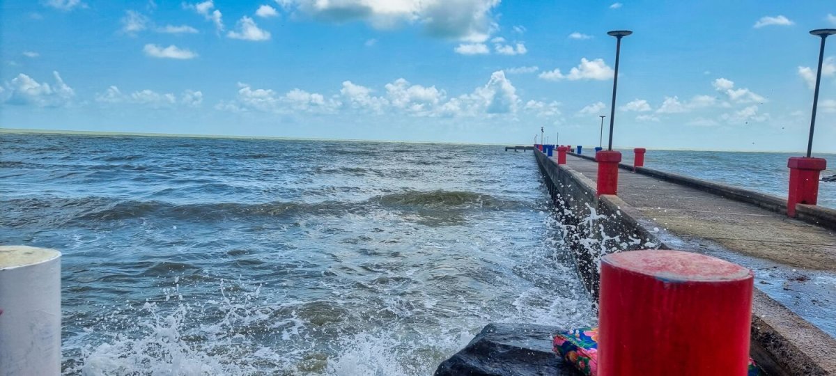
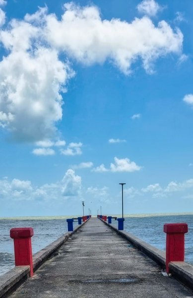
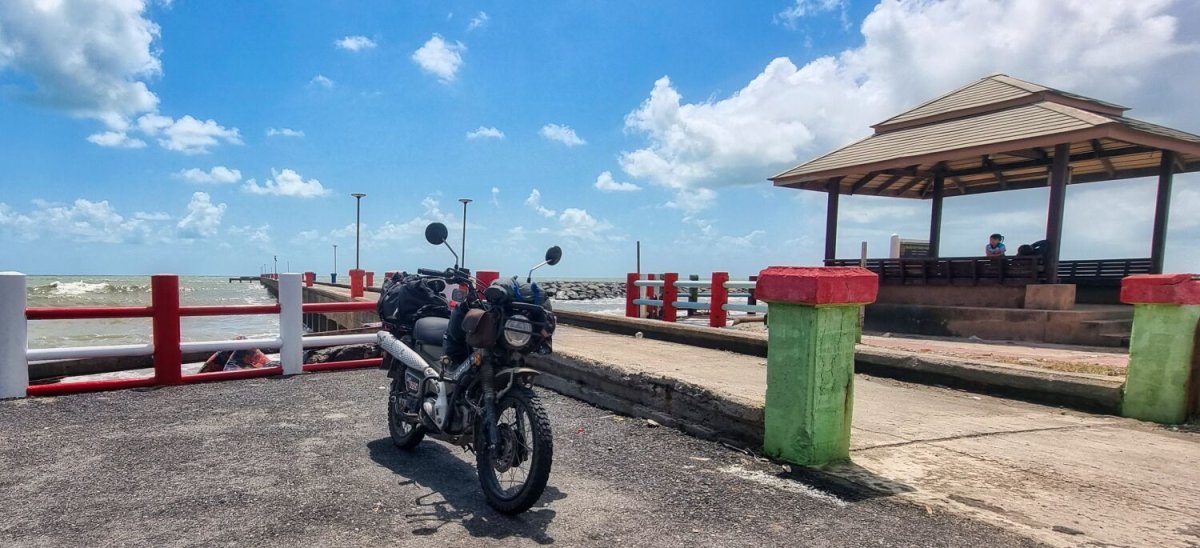
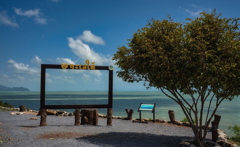
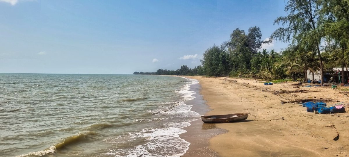
This morning was another sunrise photo take at Ban Krut, there were no clouds to really highlight the photos. But still nice to see the sunrise. I then returned to the resort to get the bike and rode to Pak Khlong Ban Krud Local Fishing place, here. https://maps.app.goo.gl/2U8jbUXNU6Ac6R5B9 From here I rode to the breakwater, here. https://maps.app.goo.gl/7KCnVz4Dzp2jRJCAA
.jpg.a93f945e8d33284e015f0b665e825c81.jpg)
-
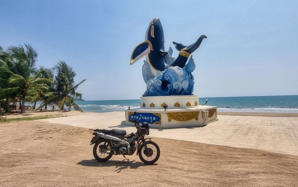
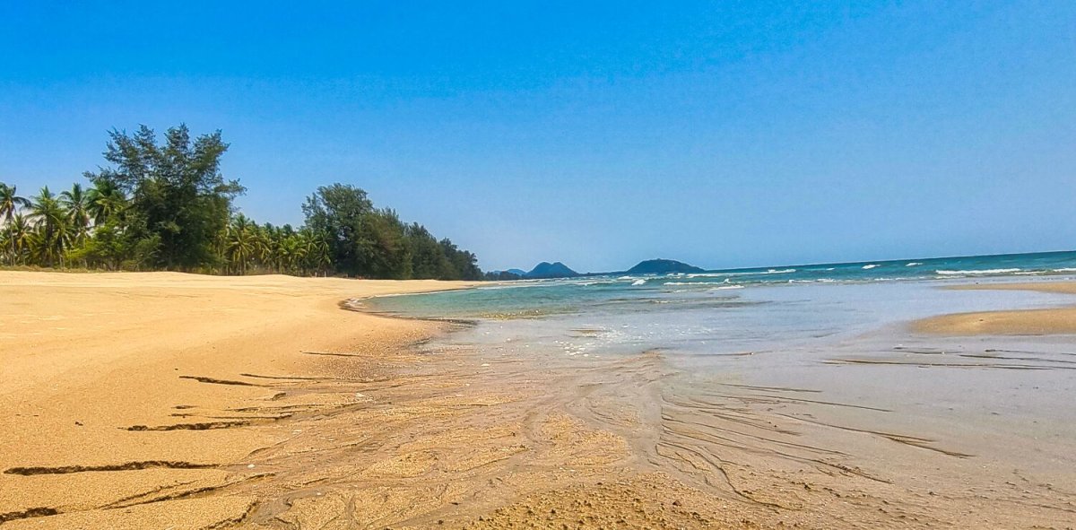
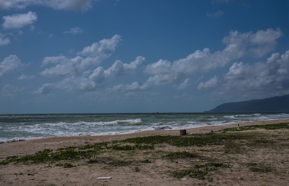
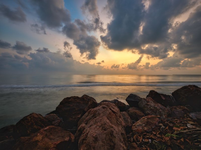
Today I woke early as usual and took a few shots of the sunrise. Later I found a shop that still had fuel in a bottle, I topped up and rode down the coast a little, stopped at Bryde's whale statue, here. https://maps.app.goo.gl/8DFpd5vhKZrmrZV3A I then carried on riding south, found a nice looking beach and went for a paddle, the first time I many years. I must do more!

-
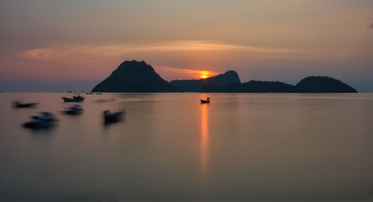
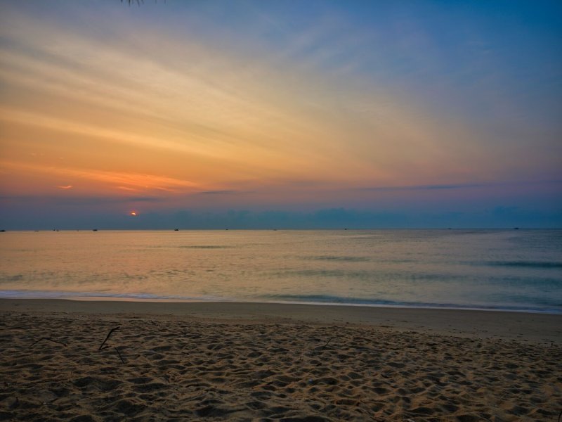
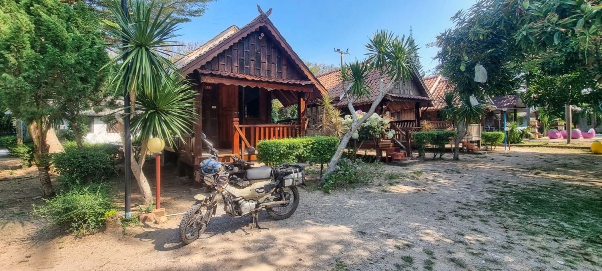
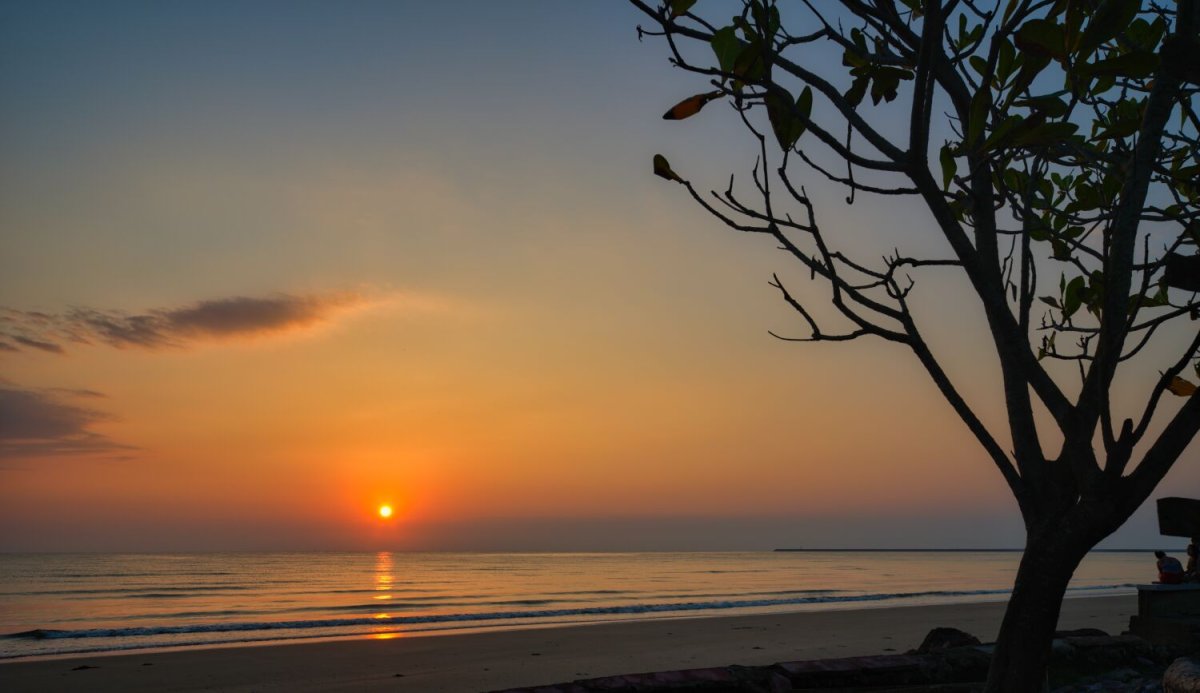
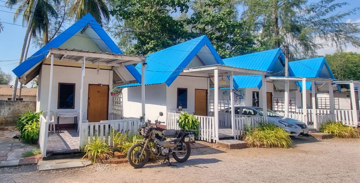
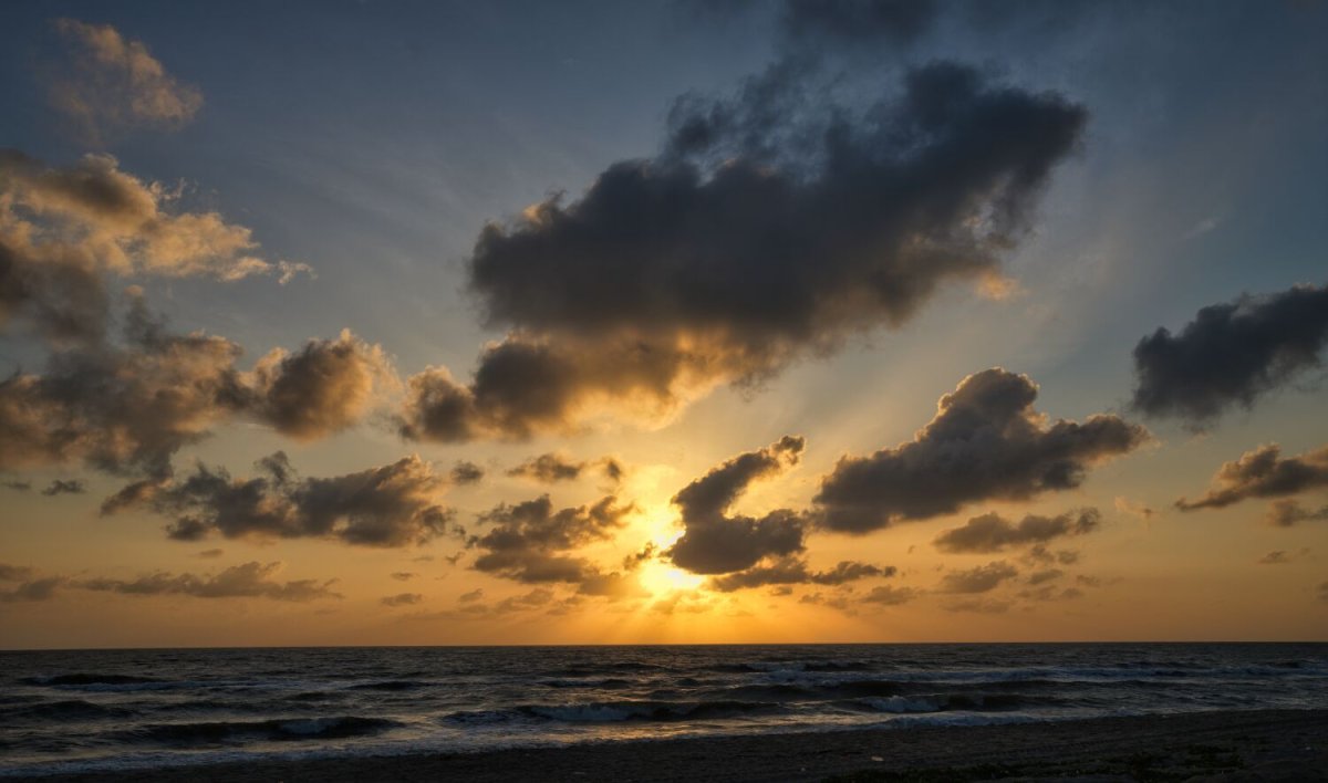
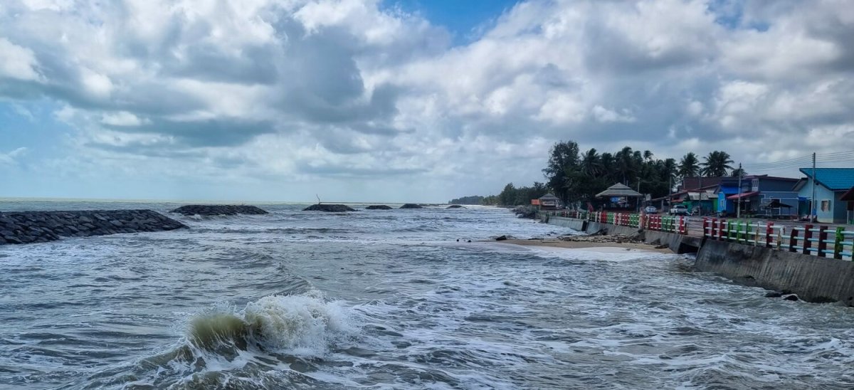
Today I rode from Lang Suan to Ban Krut. North of Chumphon on the coast road I could not find petrol. Garages were either shut or selling what I did not want. Eventually I found a shop that topped me up with 4 litres of 95. The photos were sunset at the 99 Bay Resort, here. https://maps.app.goo.gl/nTFvxNqUJTthktvMA Baan Rim Haad Resort, at Ban Krut. https://maps.app.goo.gl/RoBbHVTky8MKpG1T6 https://www.relive.com/view/vdvmkrjBJx6
.jpg.d8ae0200240fb9cd18c7cee4ec3bacda.jpg)
-
I rode from Pak Beng to Lang Suan today, a ride of 341km Mostly off main roads, a enjoyable ride. Photo are of sunset last night. https://www.relive.com/view/vevYzWmkoyO
.jpg.7415ddfad7971465ad5c82babf826d03.jpg)
-
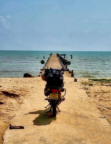
This morning I rode along the beach at Pak Beng taking photos to add to the photos of sunset last night. I rode north first to Pak Beng Dock and the end of the road. https://maps.app.goo.gl/jFsrQSWUiayPbUnbA Then south to Pak Beng Bridge Viewpoint, here. https://maps.app.goo.gl/BLiNL8seb3TAq8rE9
.jpg.700c351ef2f5e7d062811fdfeccc225f.jpg)
-
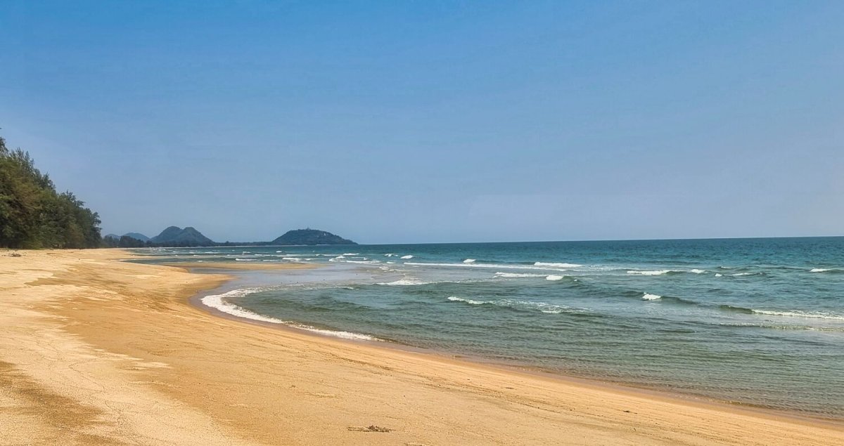
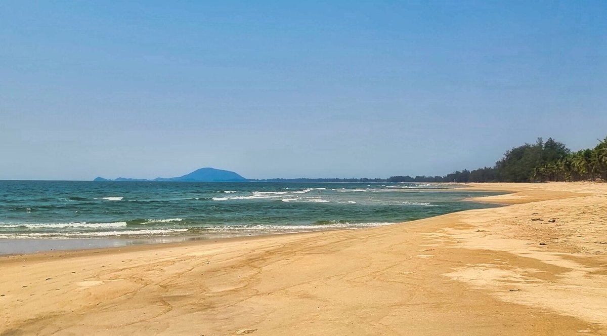
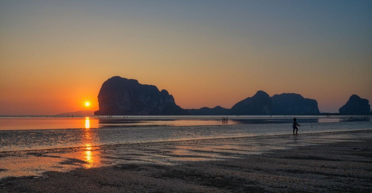
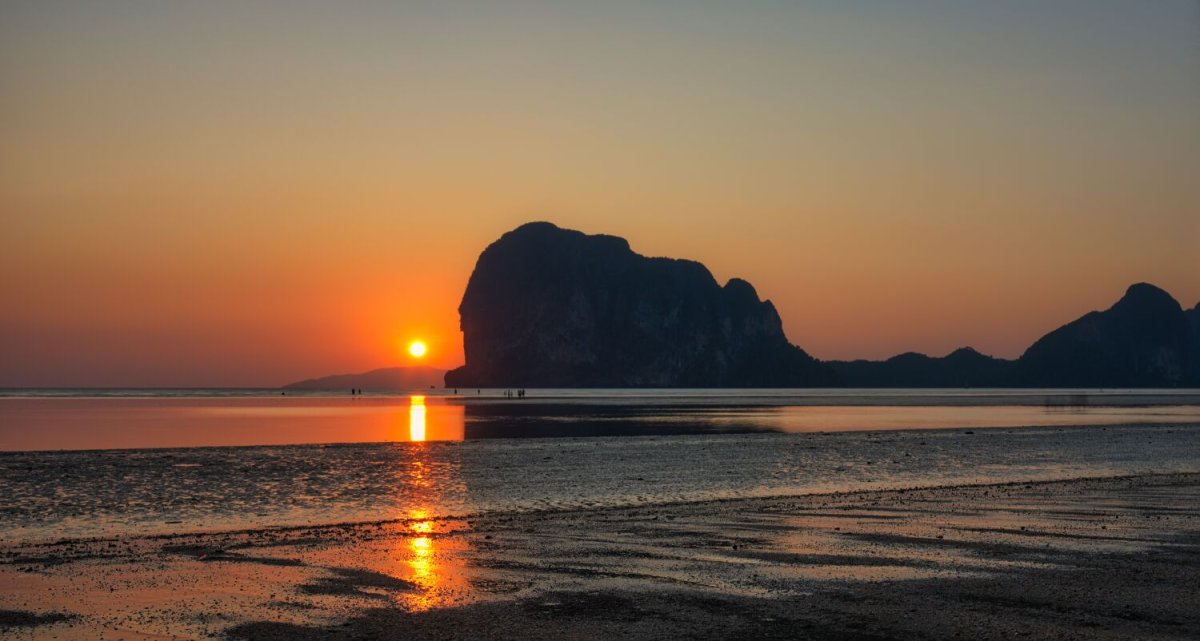
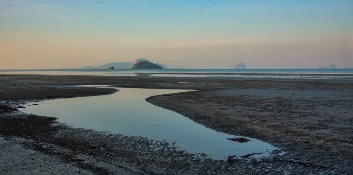
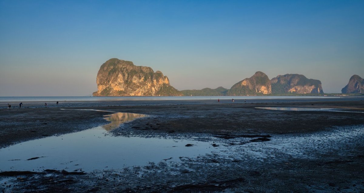
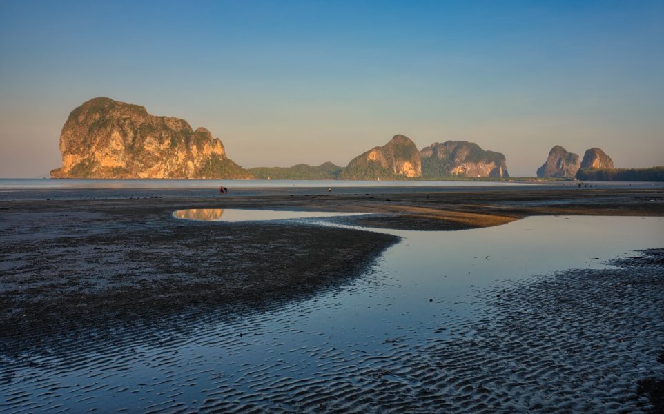
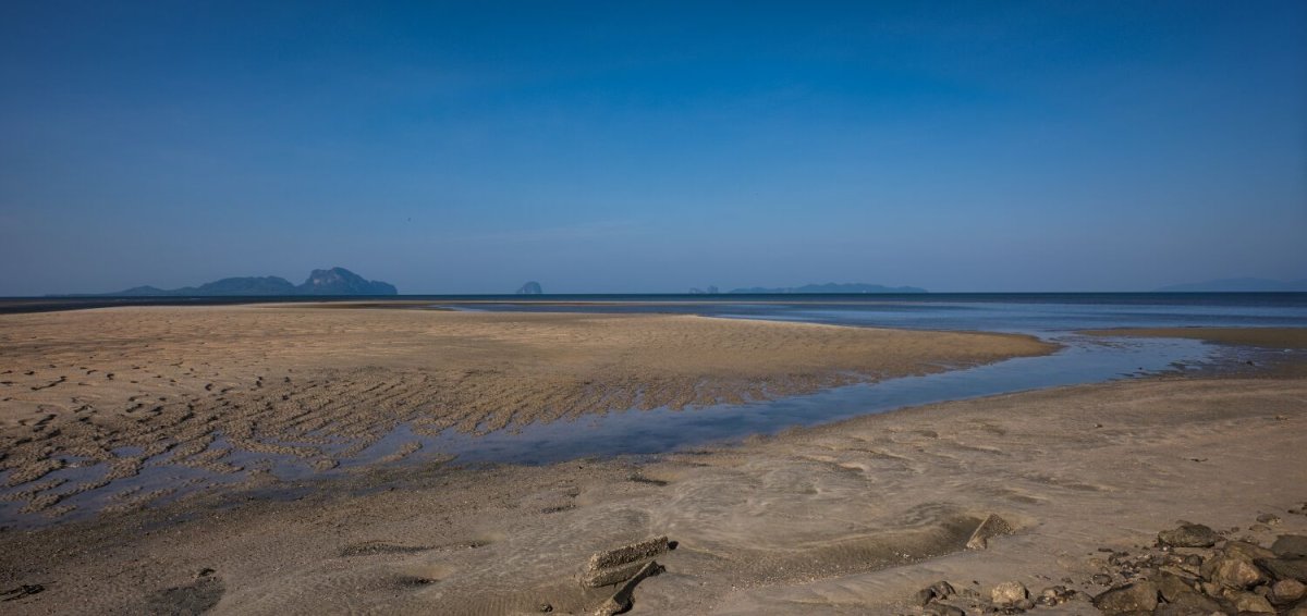
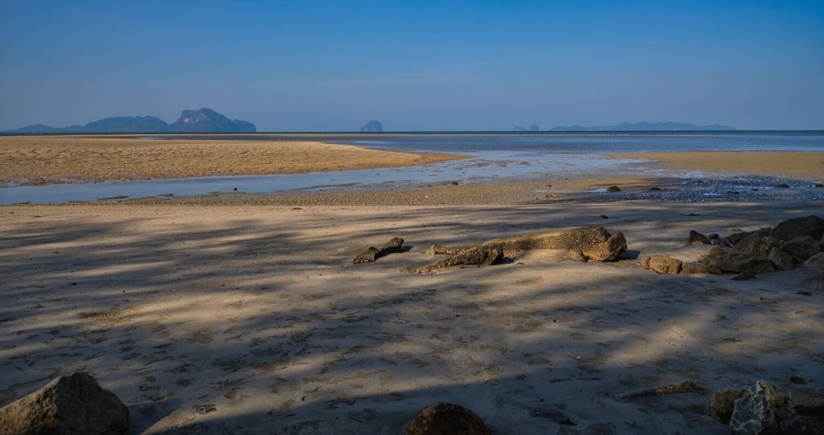
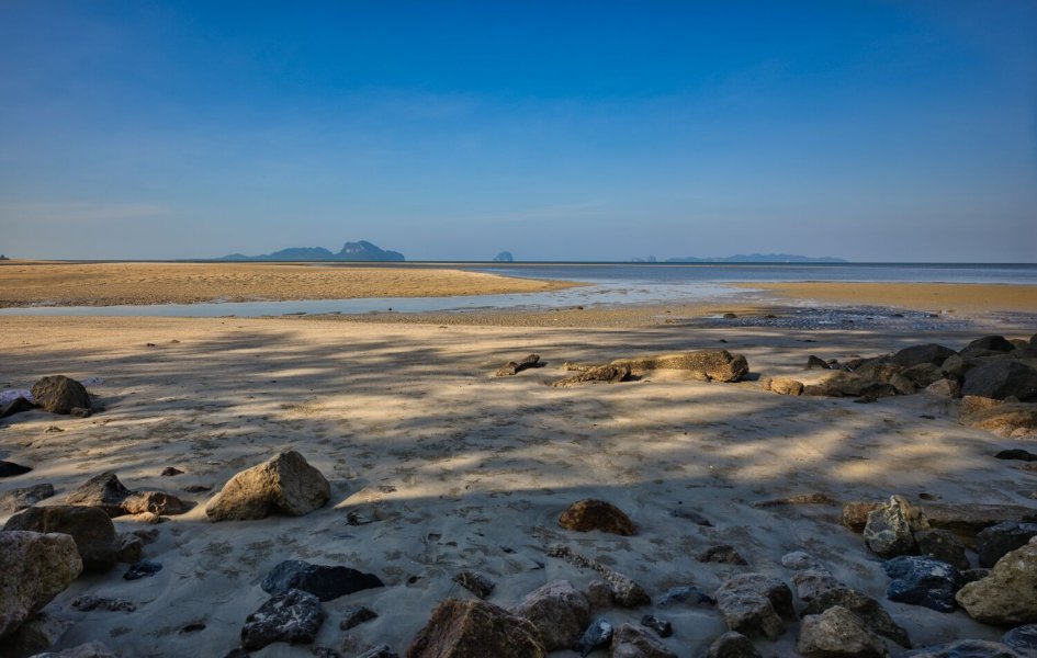
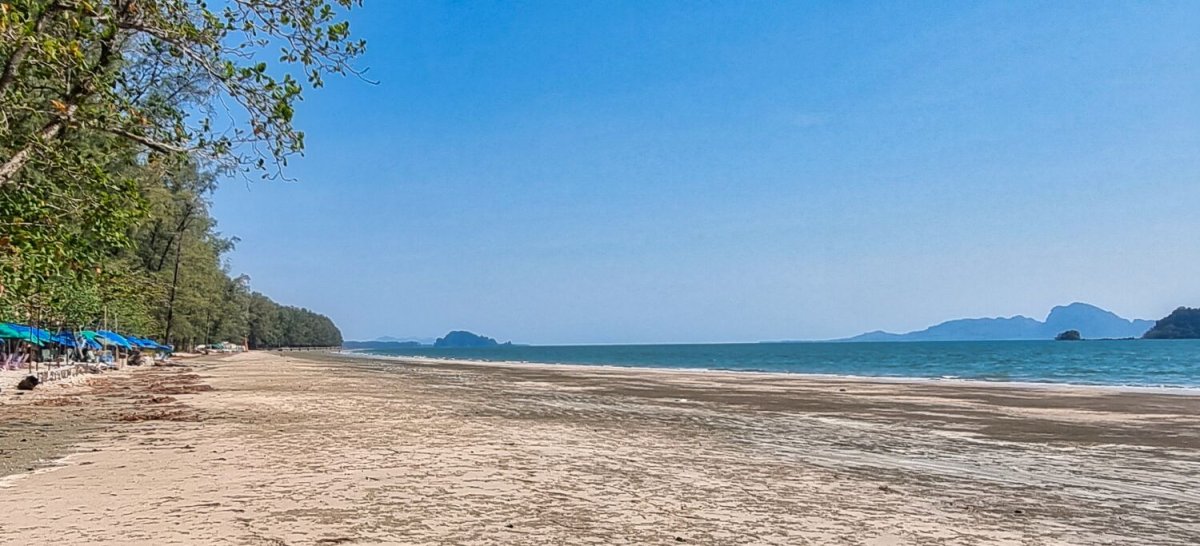
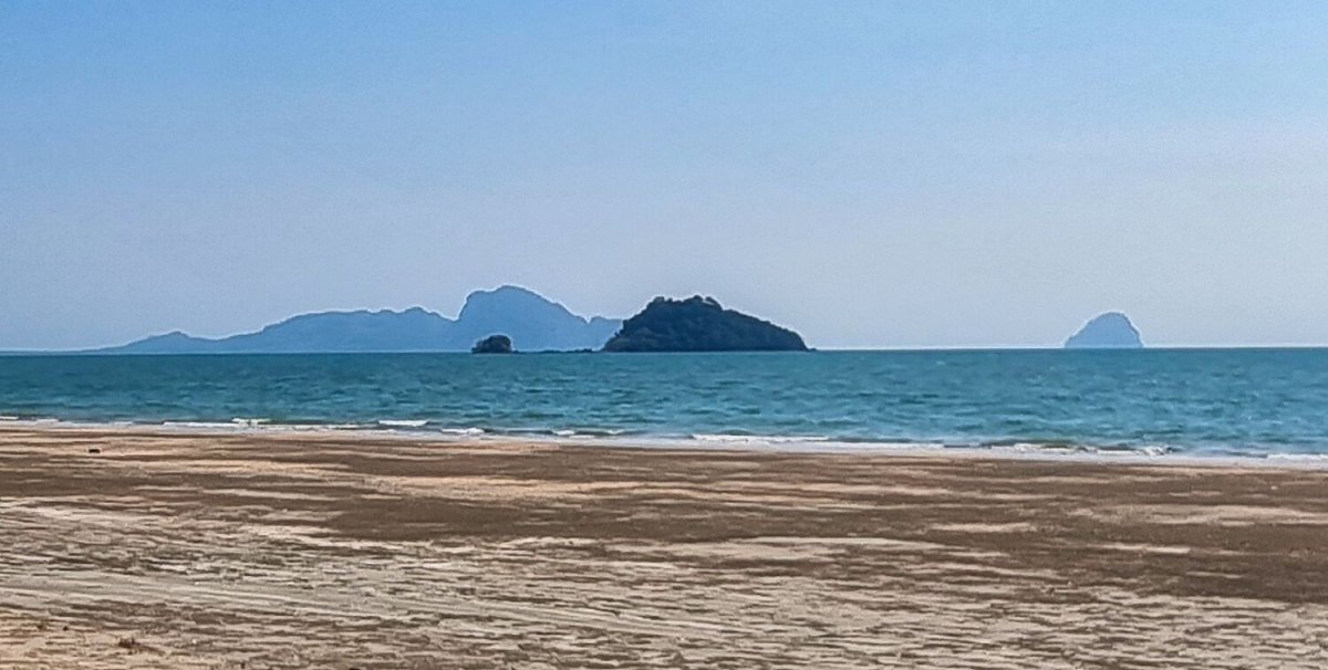
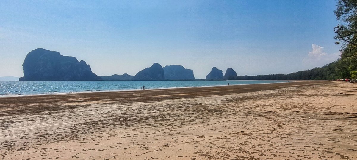
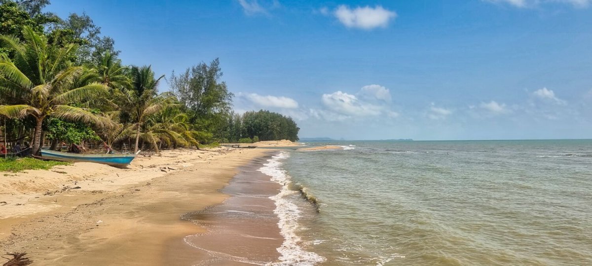
This morning I decided not to ride south to the border with Malaysia, I had ridden it before and its nothing special. I decided to ride west to the coast past Trang City to Pak Meng, a 230km ride. The one stop on route I rode to was a viewpoint without a view! So, my only photos are at Pak Meng. https://maps.app.goo.gl/EDPuD7Vh5gVYfDLZ6 https://www.relive.com/view/vZqNKyBWY3v
.jpg.3effeb35d22a9e176dc13ee9171ca242.jpg)
-
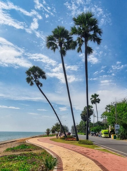
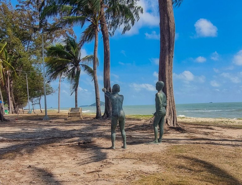
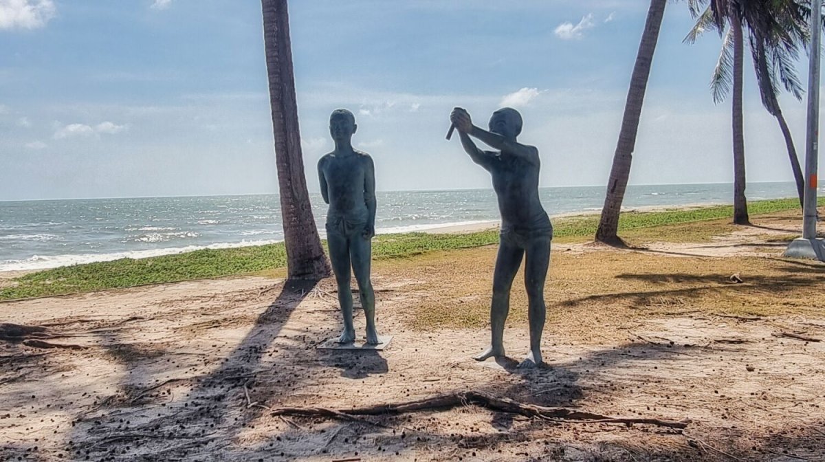
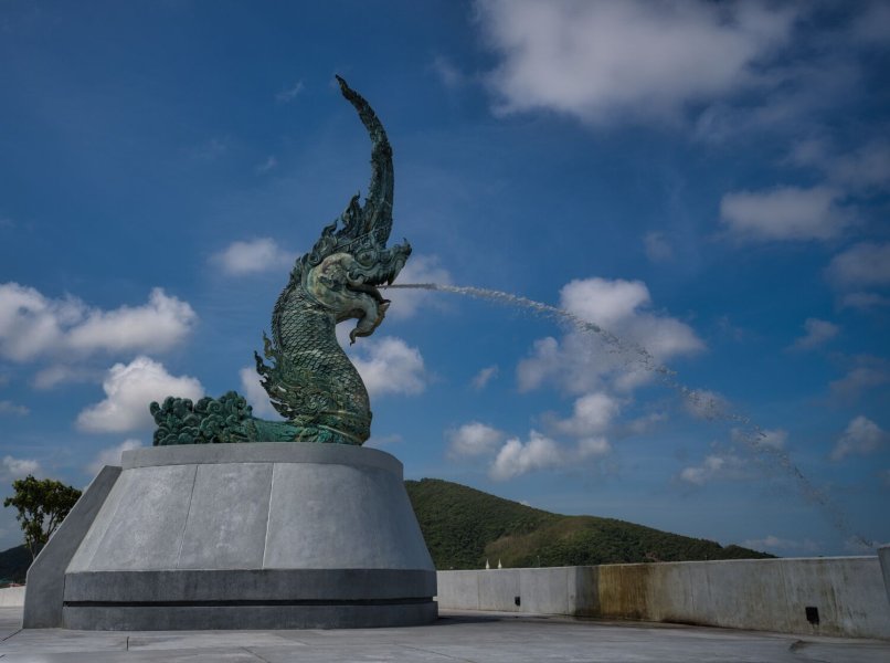
Today I cancelled my plan to ride inland exploring and checked out some coastal sites in Songkla. My first site was Naga head sculpture, here. https://maps.app.goo.gl/TKPKG4zLQUiSCeRE6 From I rode to two men statues on the beach here. https://maps.app.goo.gl/dpHC42sgE19ZHJ4EA Last stop was Bor It Beach, here. https://maps.app.goo.gl/hiKqWvJEF6SrzYZu9 https://www.relive.com/view/vNOPzK5LL2q
.jpg.1f8eff132a2d2195b6c3053f514b2c6d.jpg)
.jpg.64ed297831f6ec9ad2f12041debf0c8e.jpg)
.jpg.d9cc91e37487eea0a85aa7d3f232d9a1.jpg)
-
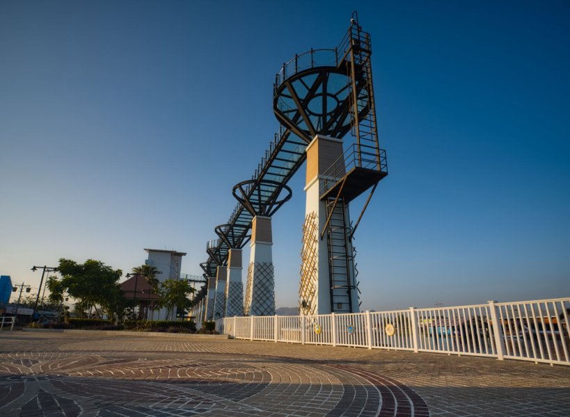
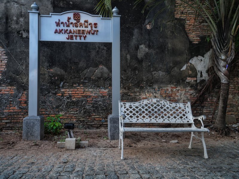
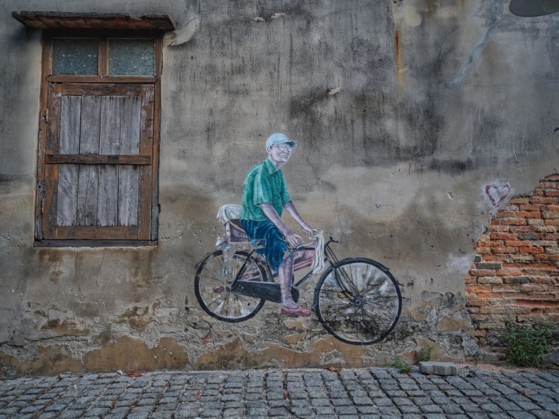
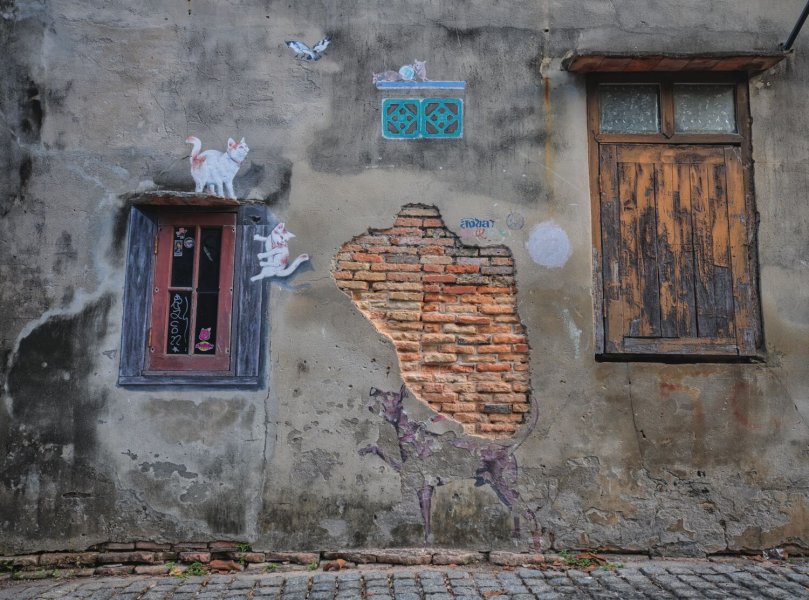
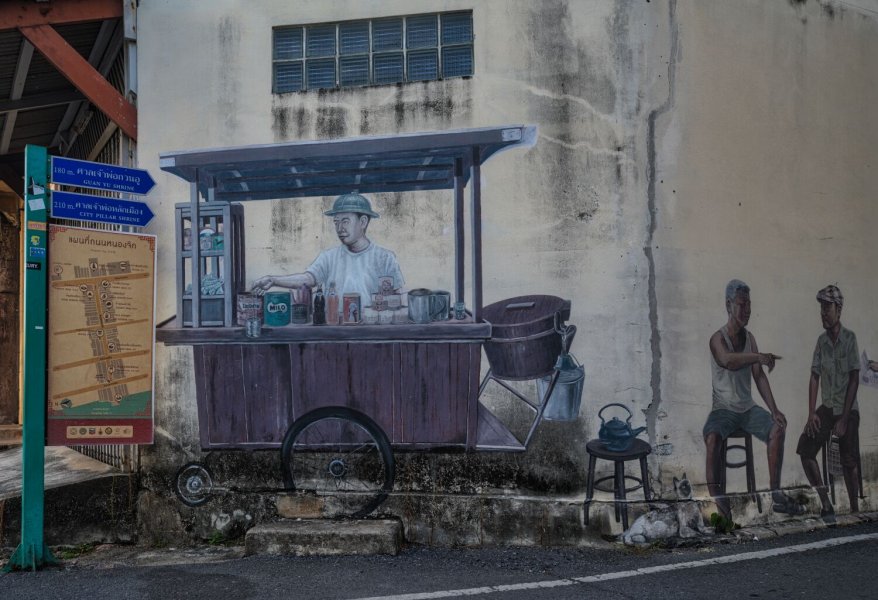
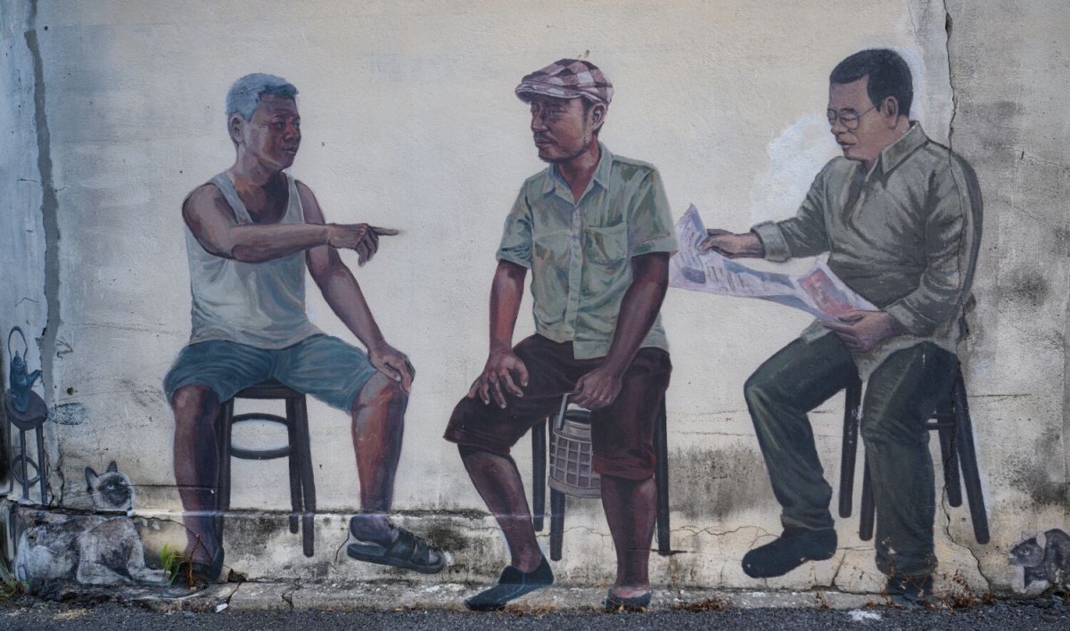
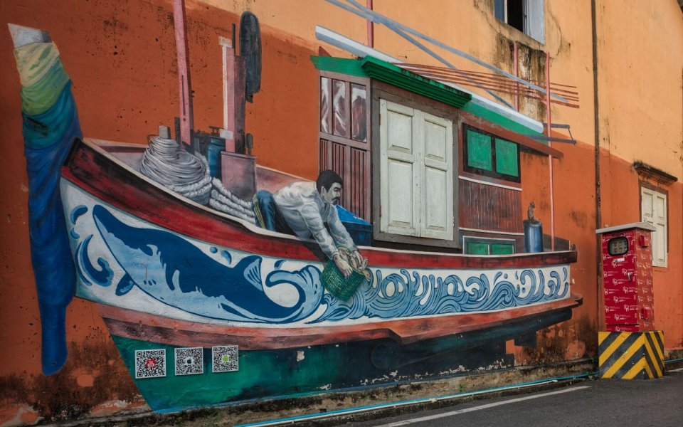
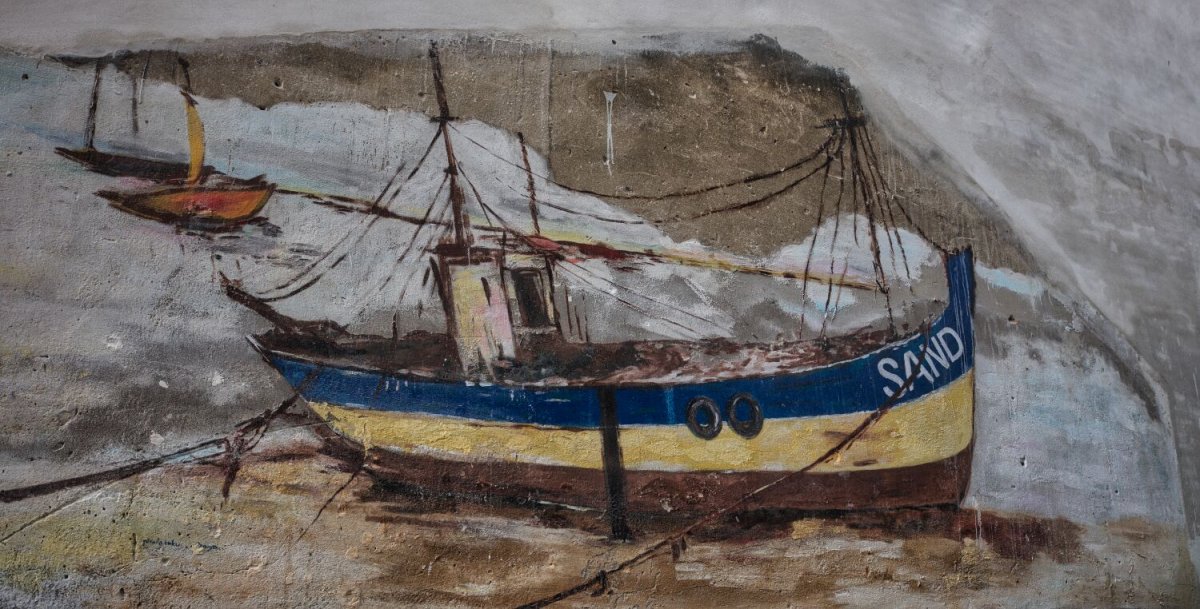
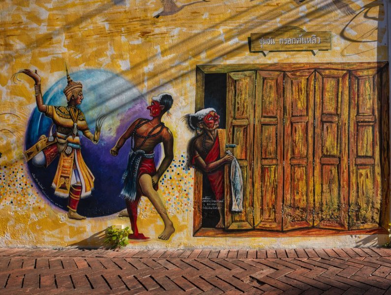
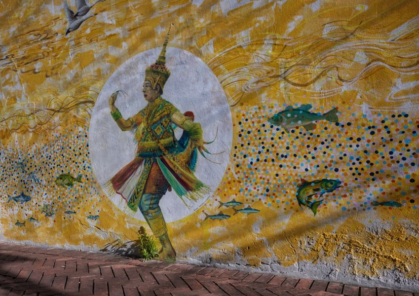
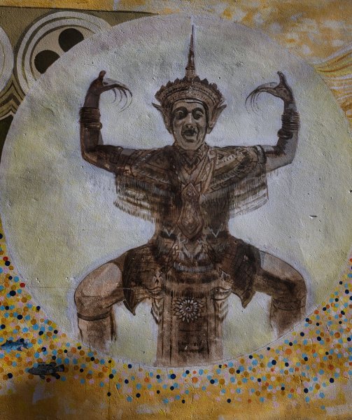
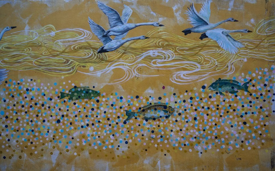
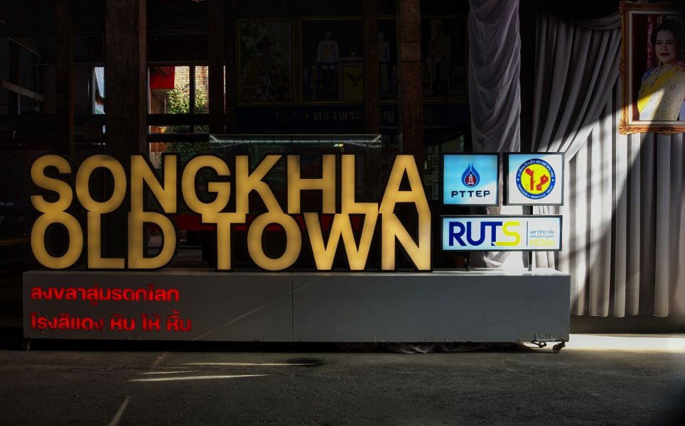
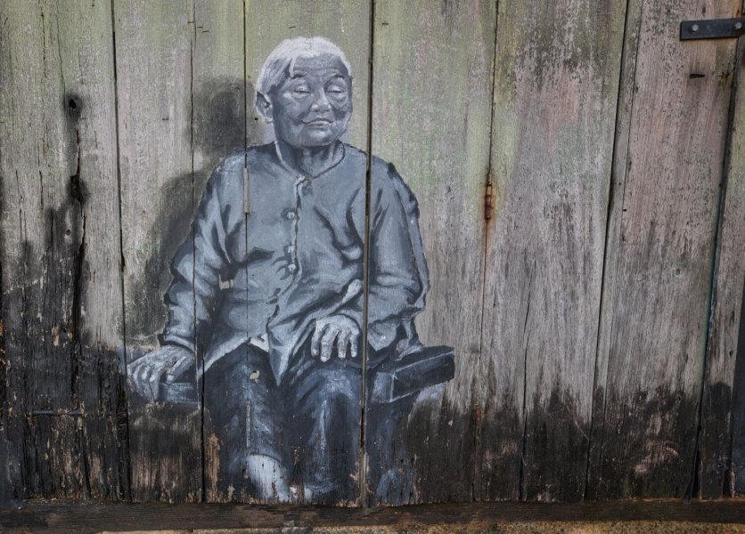
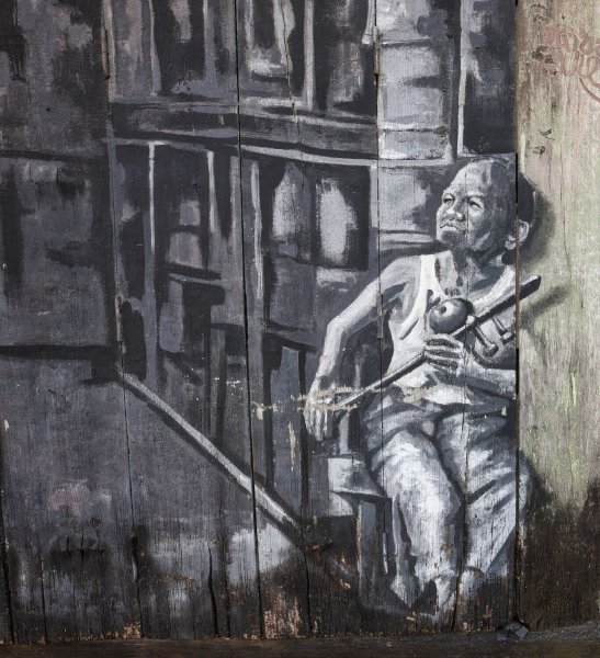
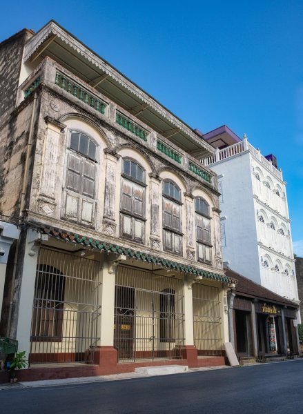
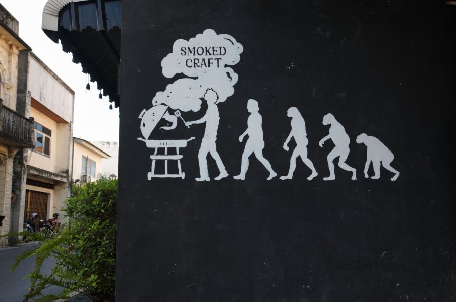
This morning I rode to see the sunrise at the Black Patio Chairs, here. https://maps.app.goo.gl/q8TG55aLeLqQ6MAC9 Then queued at a line of about 15 motorbikes for fuel before riding to The Old Town to photograph mostly street art in the area
.jpg.b9f97efc87e023868ff5937c3e47fcd8.jpg)
.jpg.b2349e1dec54532b2af838748dd813be.jpg)
.jpg.938f947ee286f129a2b796f959127b41.jpg)
.jpg.6d3d63fc7992c4eff39b05006d78db23.jpg)
.jpg.8729d03497230777398eede924b32ad5.jpg)
-
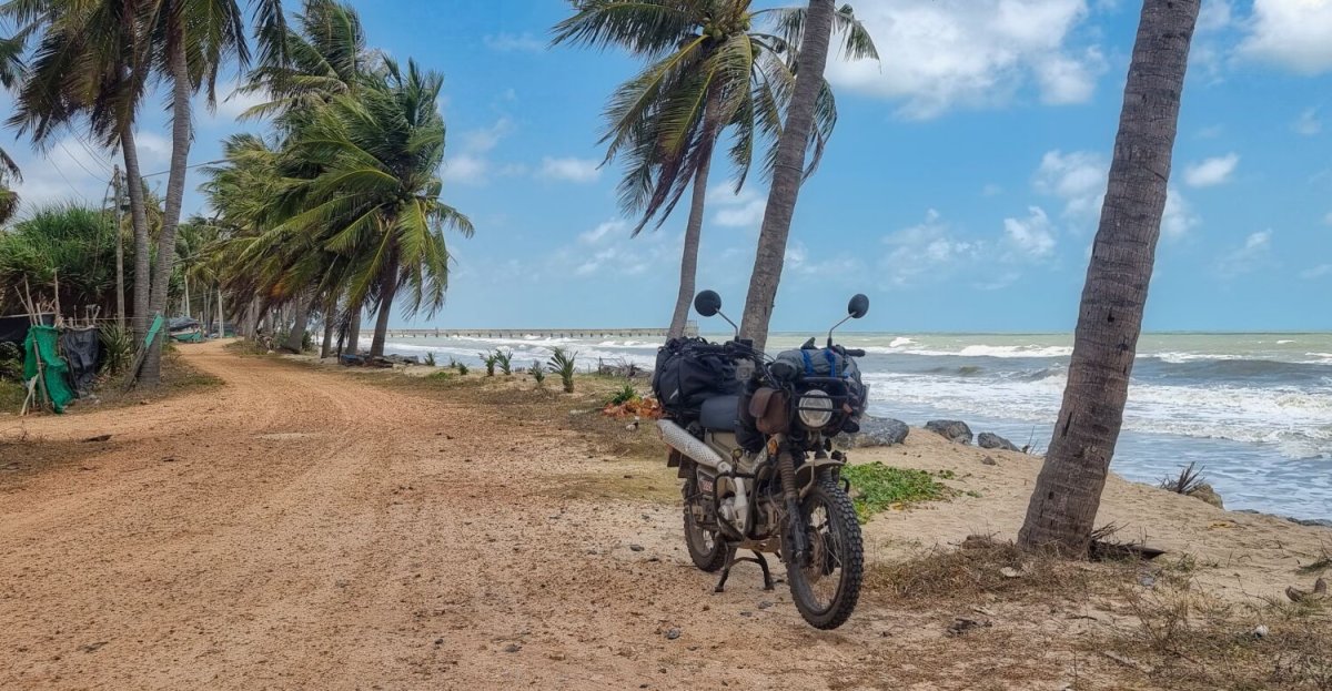
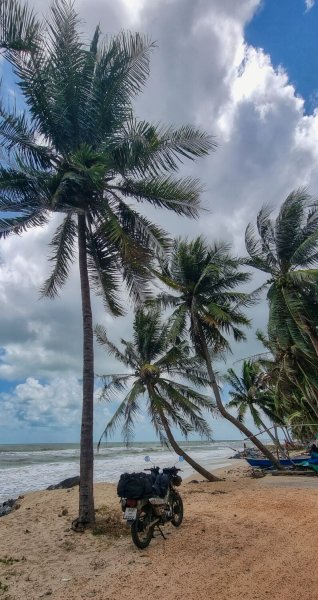
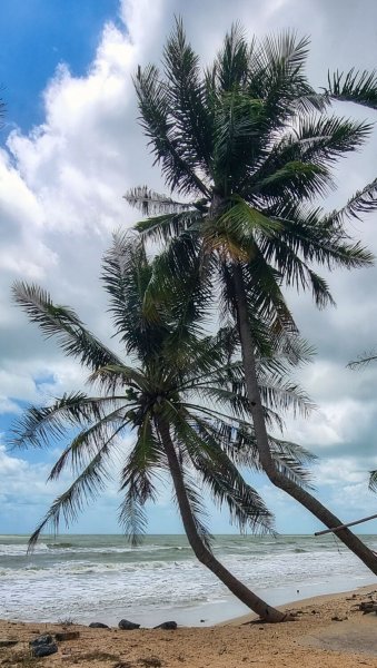
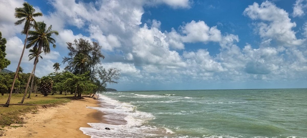
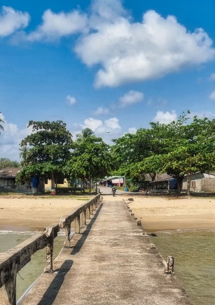
Today I continued my ride south and rode to Songkla where I will stay a few days. My first stop was at Beach near the courthouse (T-shaped bridge) https://maps.app.goo.gl/fCLcuGT9u5DWjG6n6 Which is at the front of Ban Na San Pier. https://maps.app.goo.gl/vg53V5XZP2tqB2pRA The sea was a bit choppy for sure. The palm trees are here. https://maps.app.goo.gl/T5U8FknEefBCRkoA7 I then rode onto Songkla https://www.relive.com/view/vdORzV4rPrO

.jpg.cb778a4bb944580728e4fb2ba64ddc0c.jpg)
-
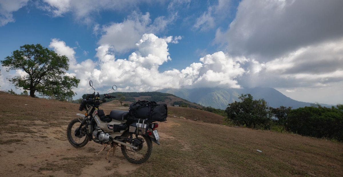
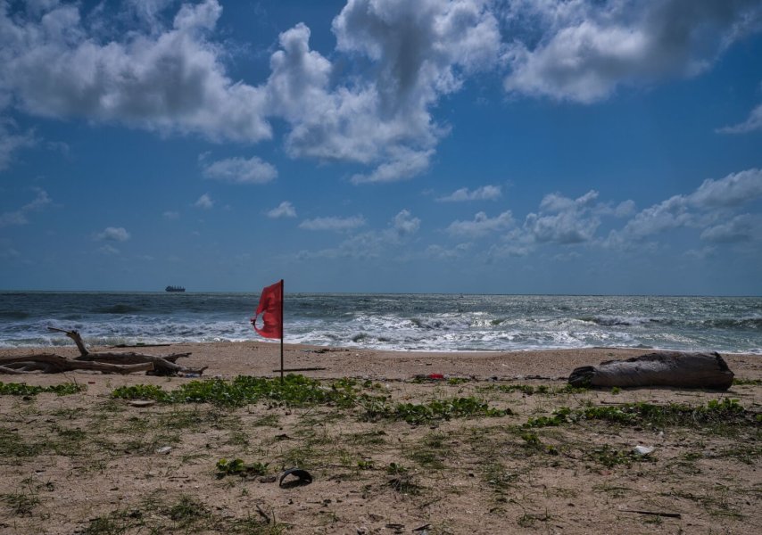
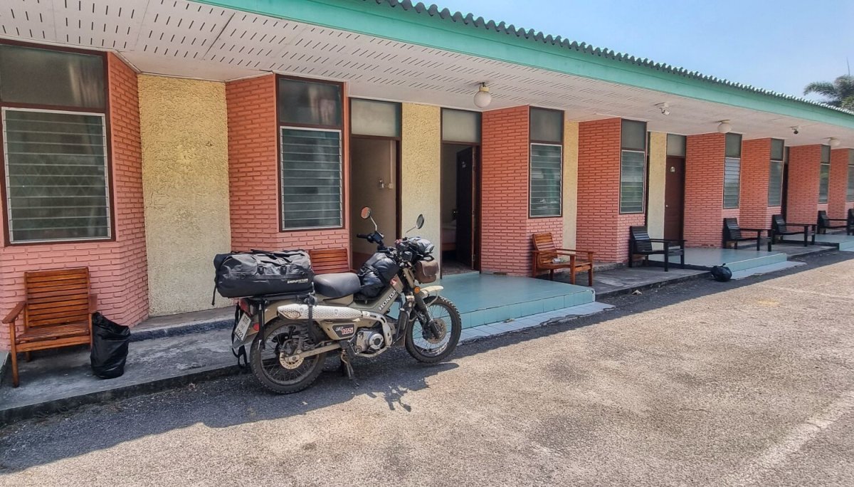
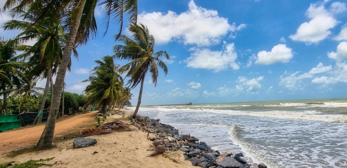
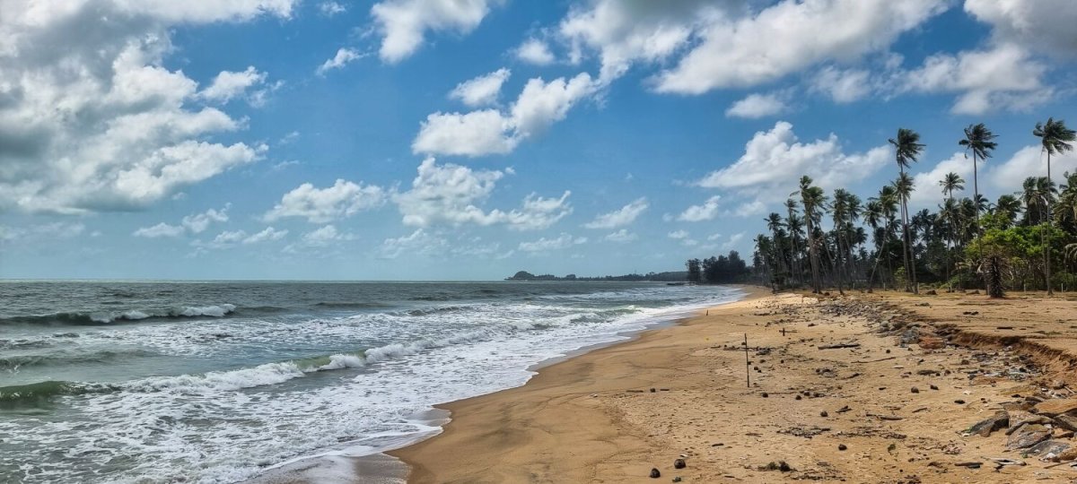
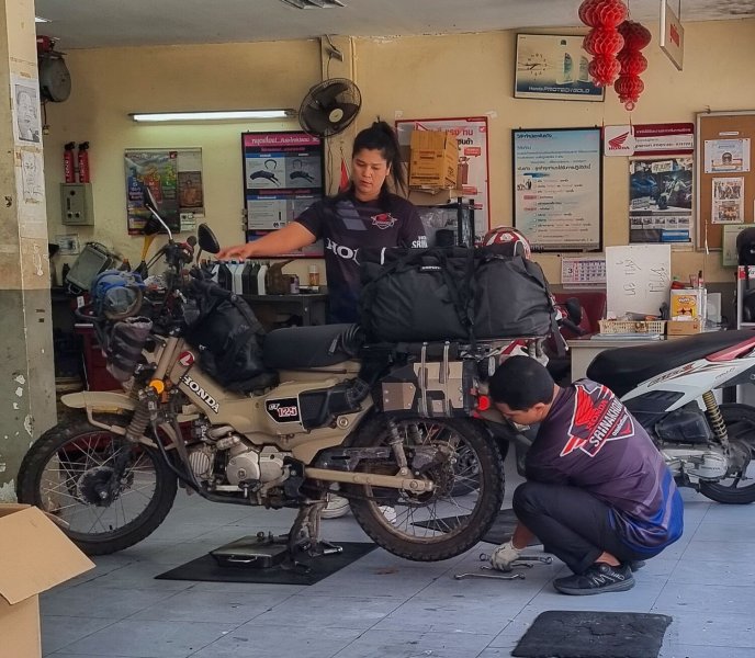
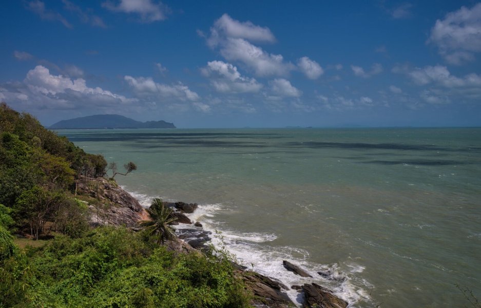
This morning I rode south from Don Sak mostly following the coast road to Nakhon Si Thammarat. My first stop was at Kho Khao Beach, here. https://maps.app.goo.gl/WpdZufkzqsLK6WvG6 The sea was a bit stormy and very windy. Next stop was a hilltop viewpoint, Angel Hill Viewpoint, here. https://maps.app.goo.gl/PKMffZfmM4ELhc4z8 Next was Khao Phlai Dam - Hat Nai Phla Viewpoint, here. https://maps.app.goo.gl/kGepiy2agCykzYXNA Next was Thung Sai Beach, here. https://maps.app.goo.gl/7B7EZEMRyhtedRh6A I then rode to Nakhon So Thammarat for an oil change and check in to my room. https://www.relive.com/view/vPv41rM9M3O

.jpg.631dc6a28d6f6145451ff9f894142752.jpg)
-
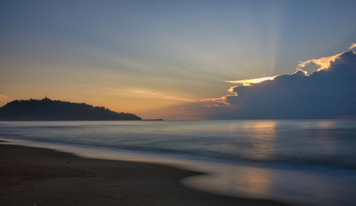
Today I followed the coast south and then east to Don Sak. The sunrise photos were taken at 99 Bay Resort, where I stayed last night, here. https://maps.app.goo.gl/T4r7aLqAtKg7uxYP7 Just one photo stop at Nong Bua Bridge (pier) https://maps.app.goo.gl/rh9WtDkNxsq1Z3fh7 I’m staying at The Rest Don Sak Resort, here. https://maps.app.goo.gl/ZUgFPtDQDraw2LLw7 https://www.relive.com/view/vXvLELGmw7O


.jpg.89c107ba43834c5b2e46be5f23c0e45e.jpg)