chrissables
-
Posts
3,175 -
Joined
-
Last visited
-
Days Won
8
Content Type
Events
Forums
Downloads
Quizzes
Gallery
Blogs
Everything posted by chrissables
-
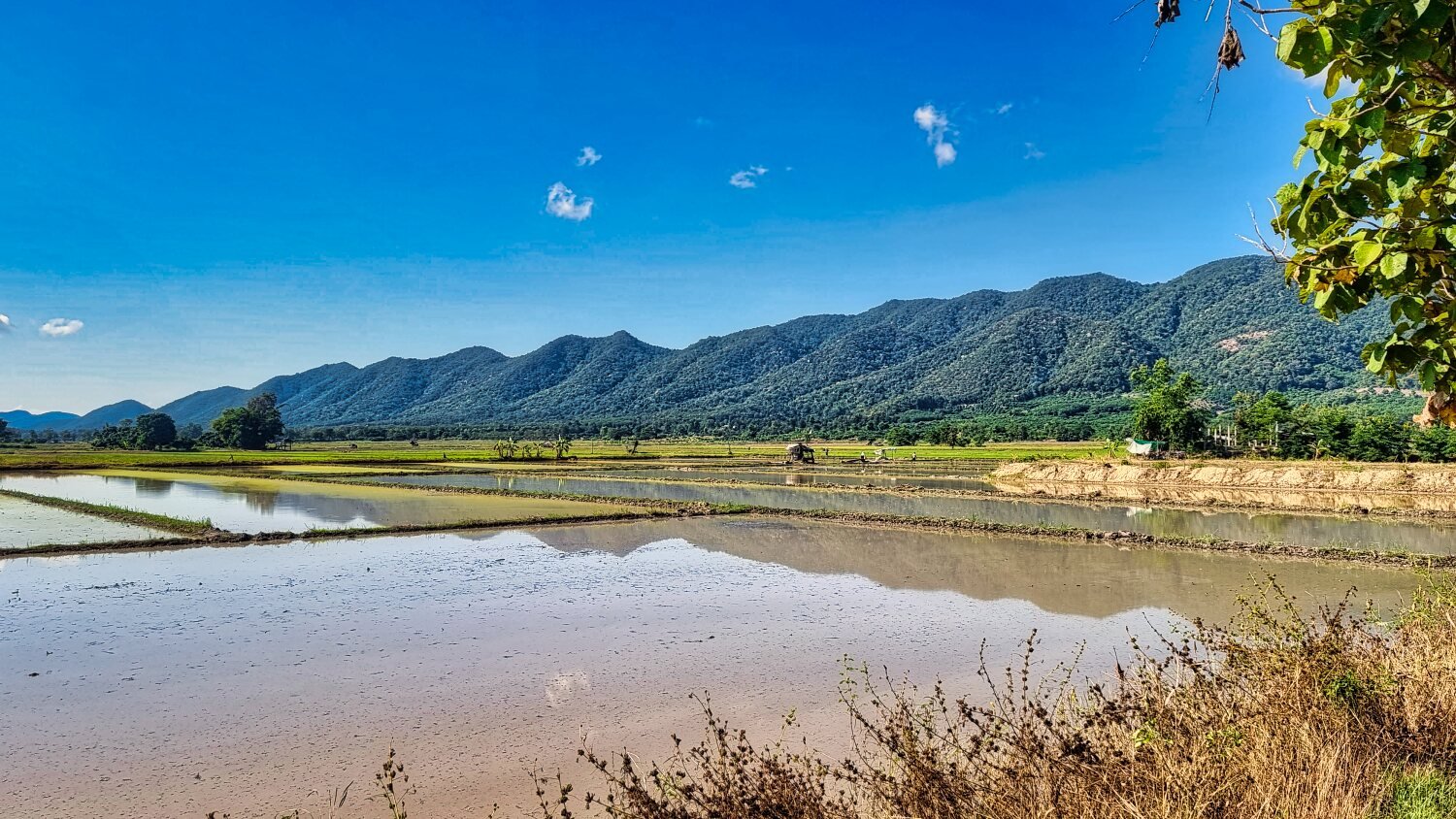
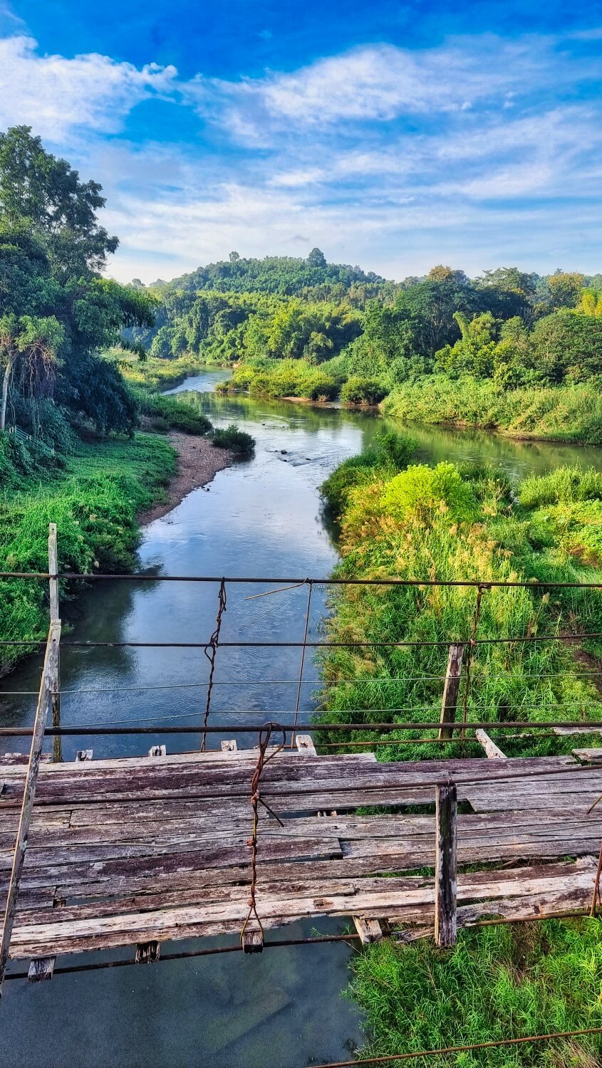
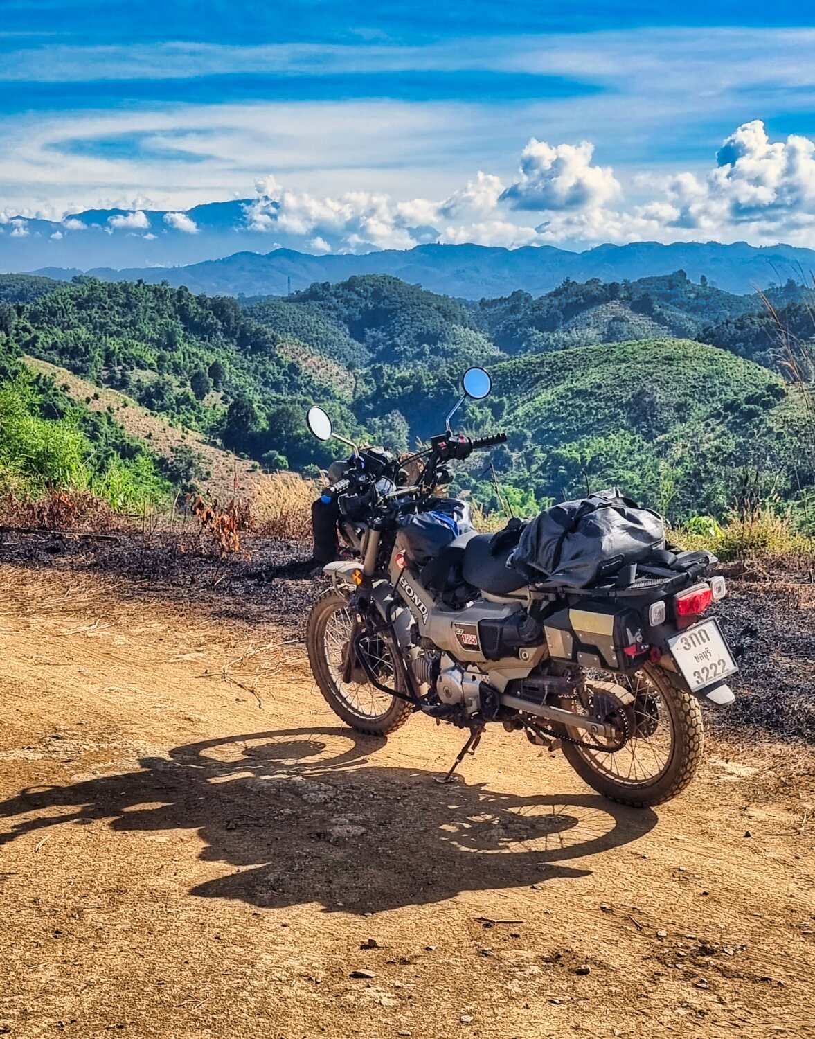
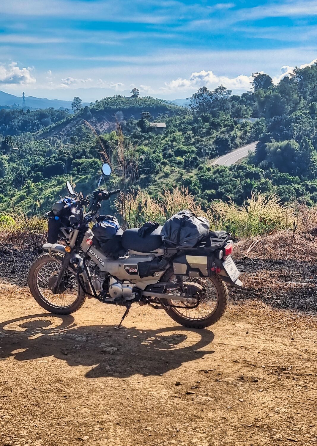
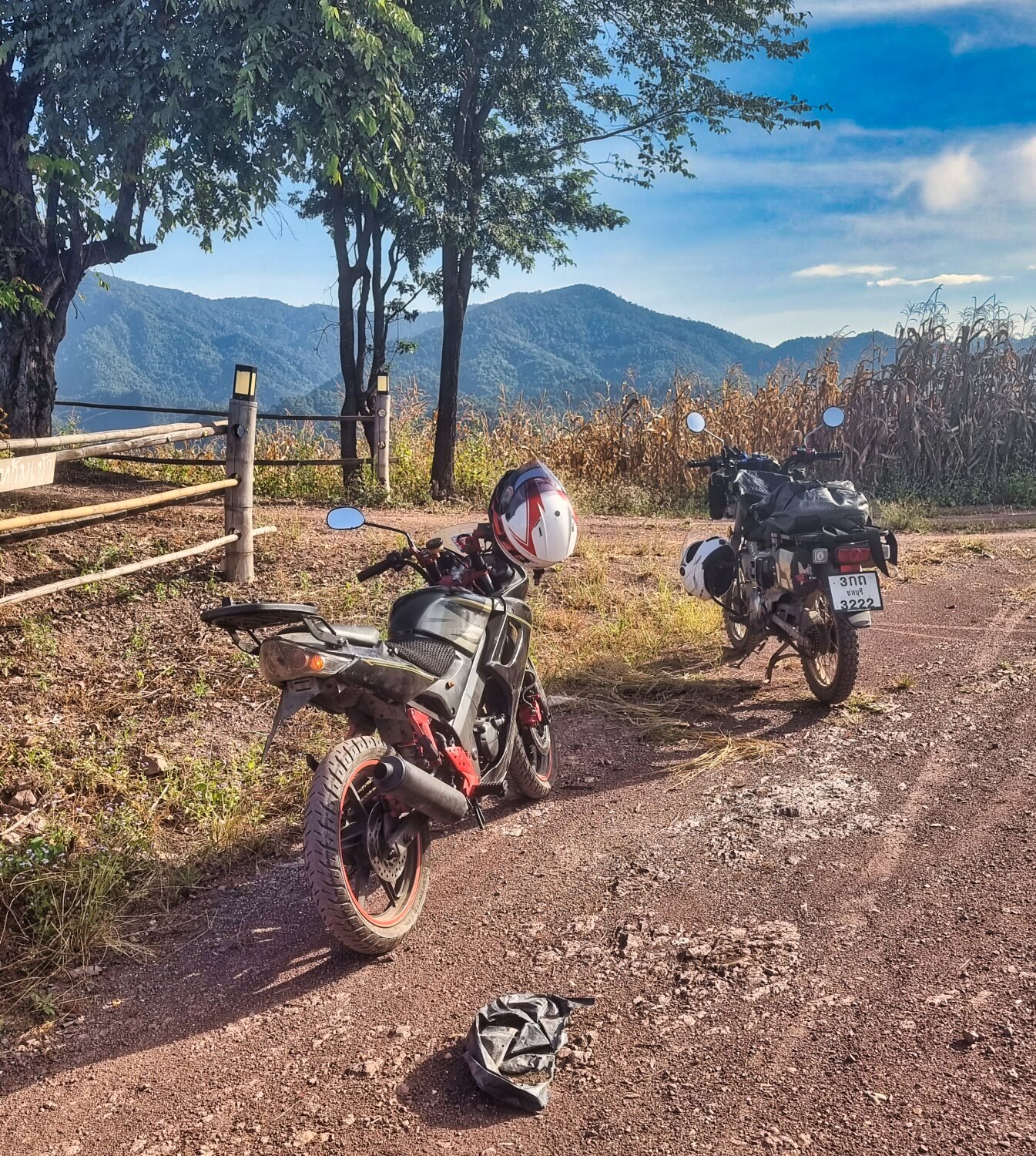
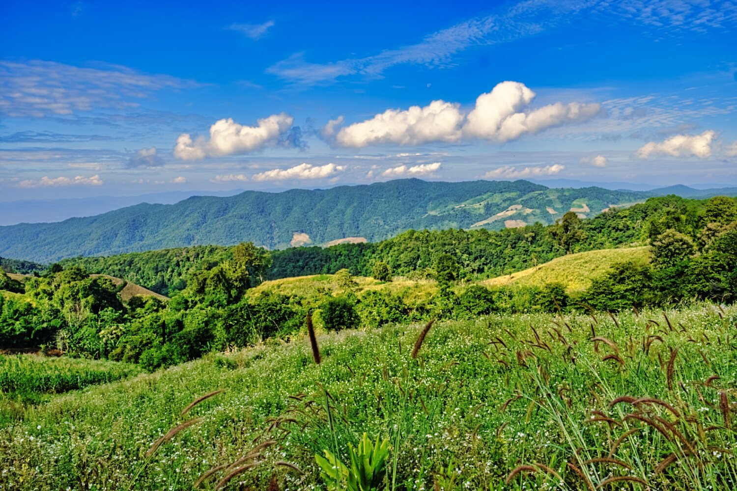
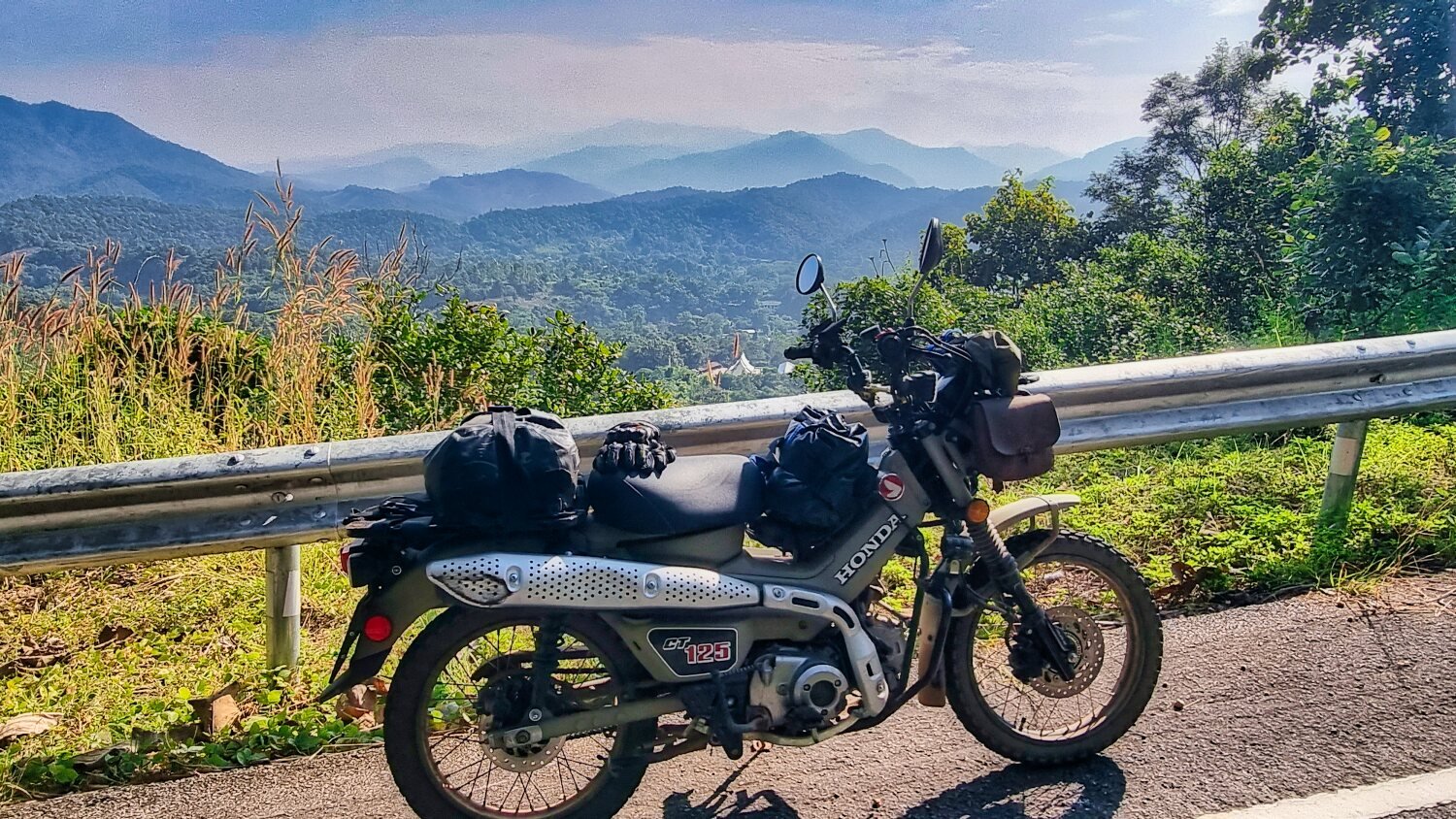
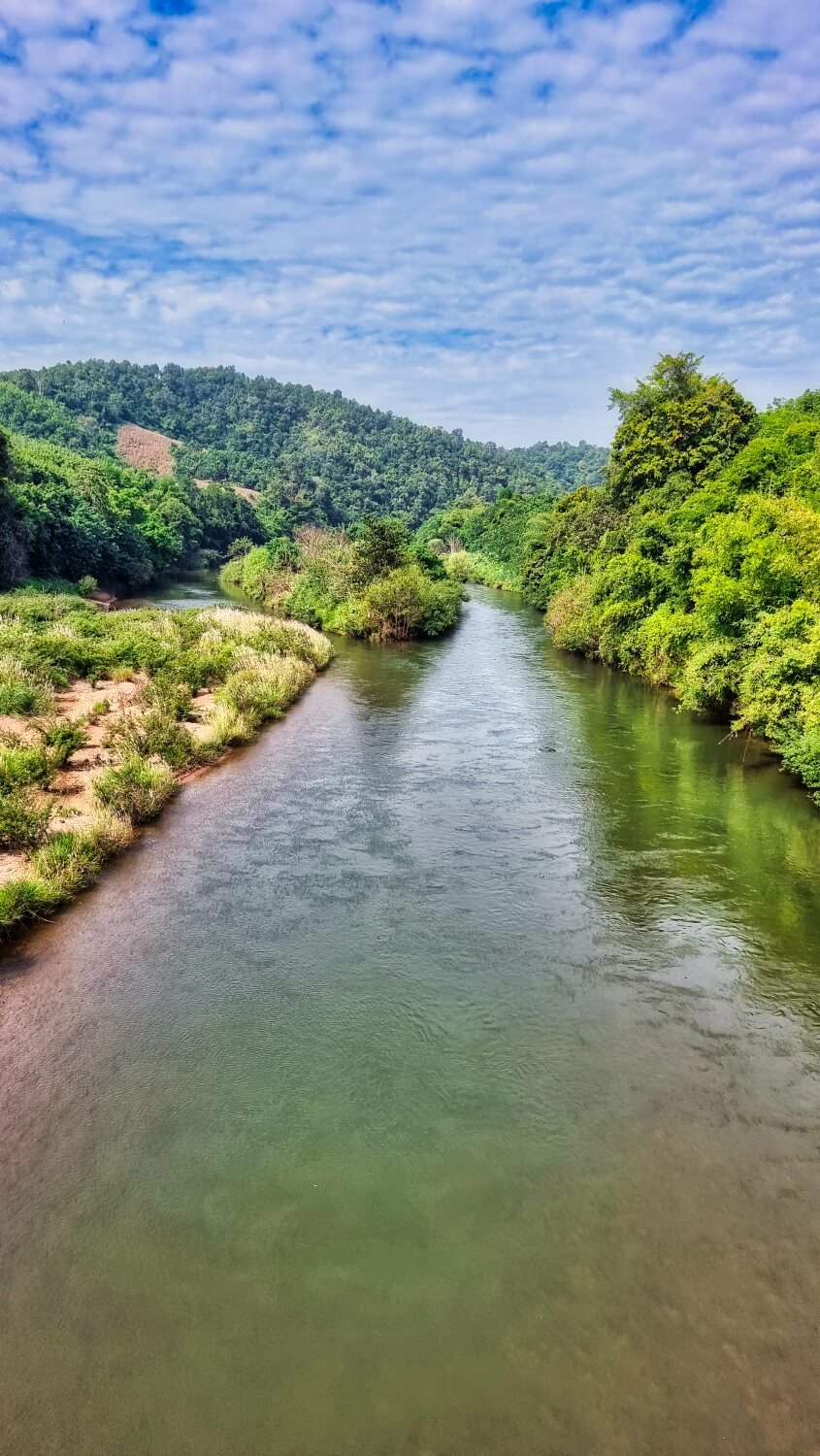
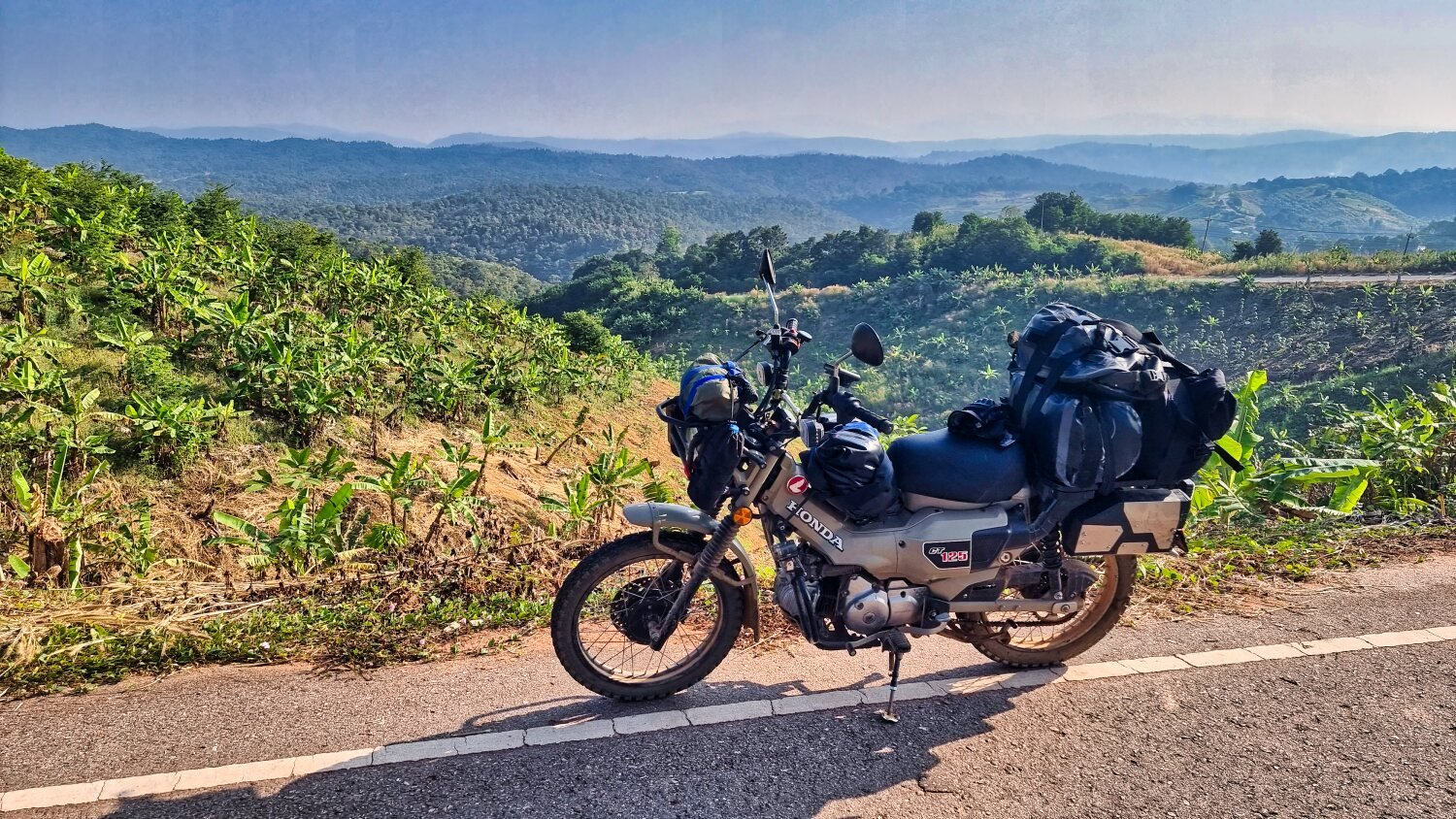
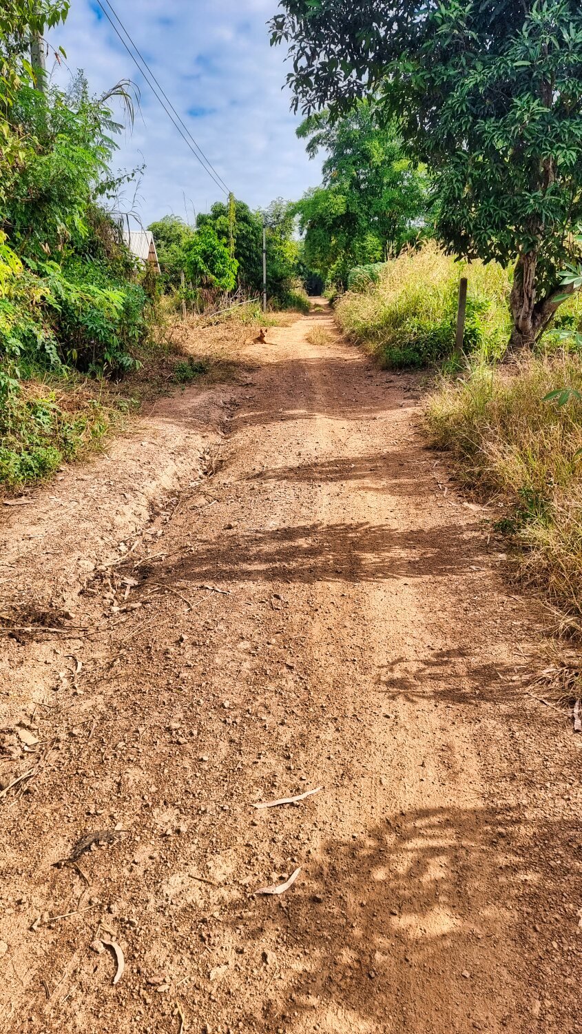
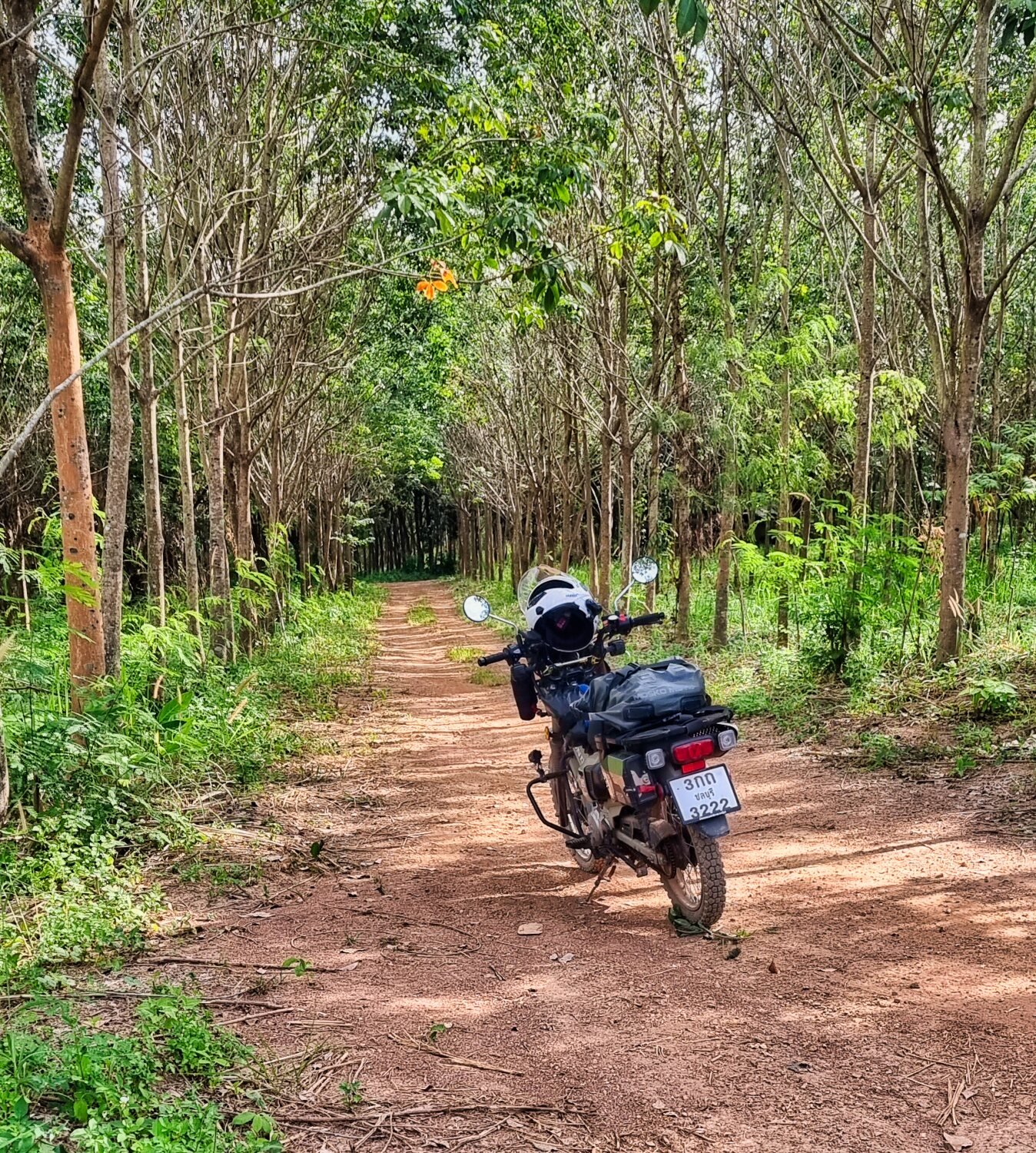
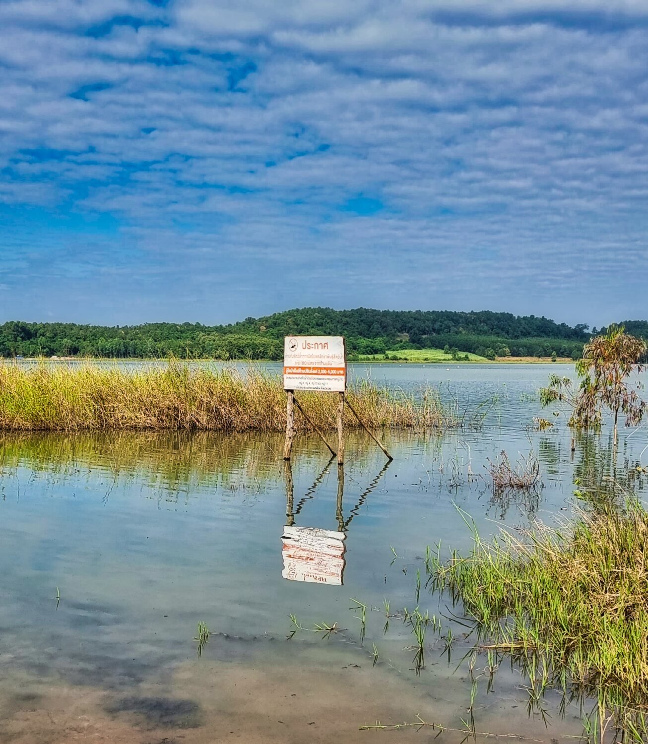
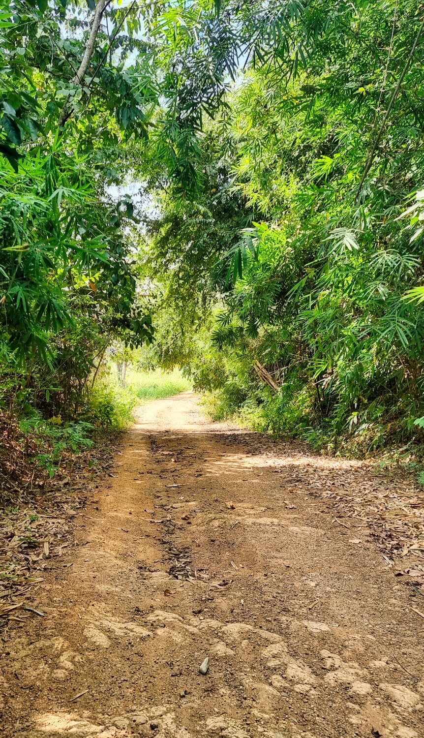
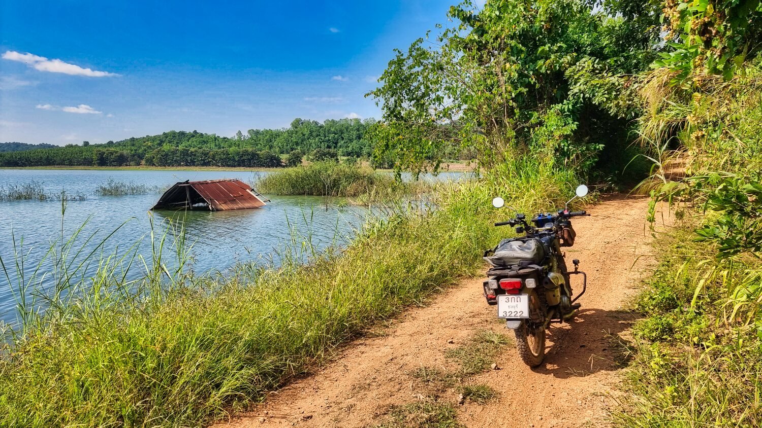
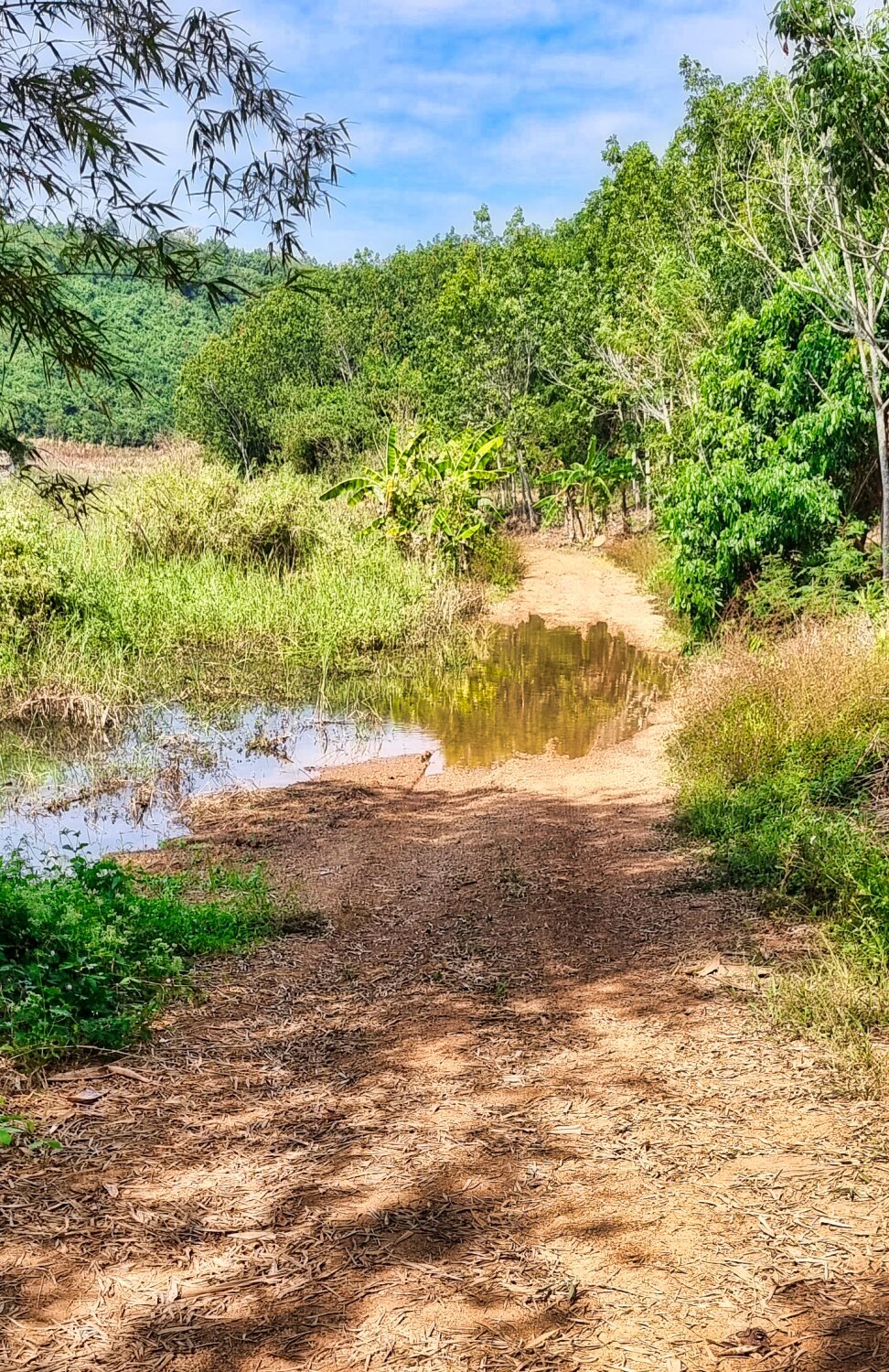
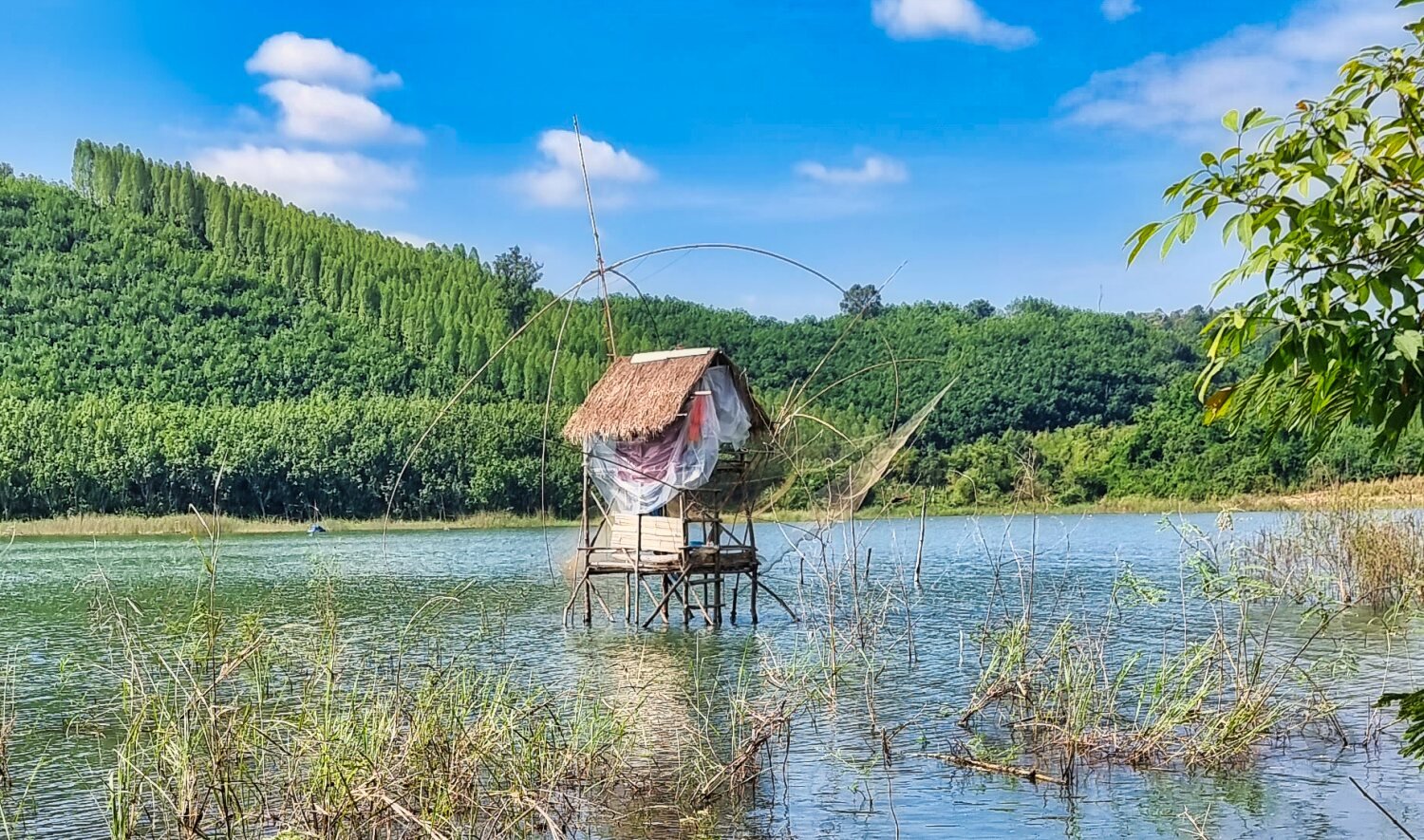
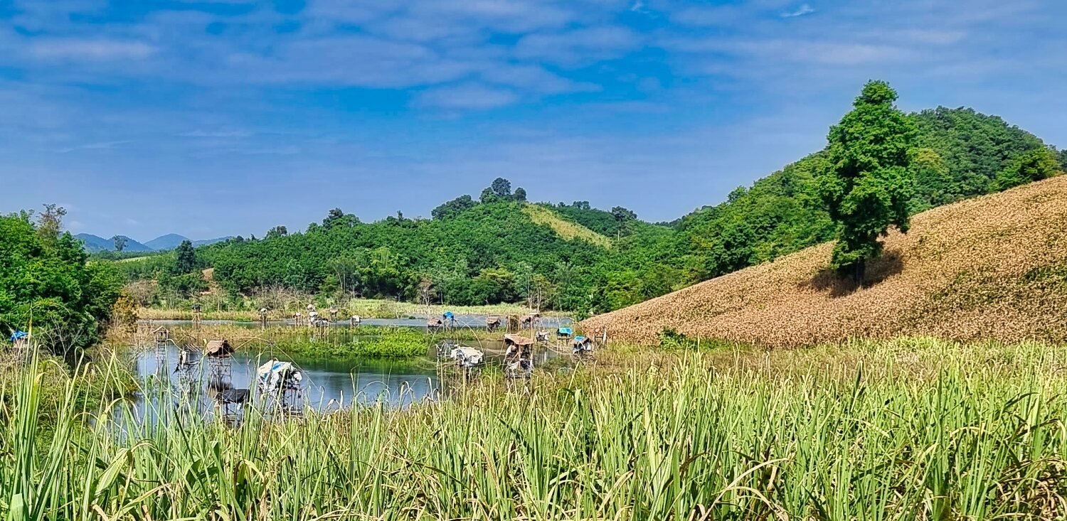
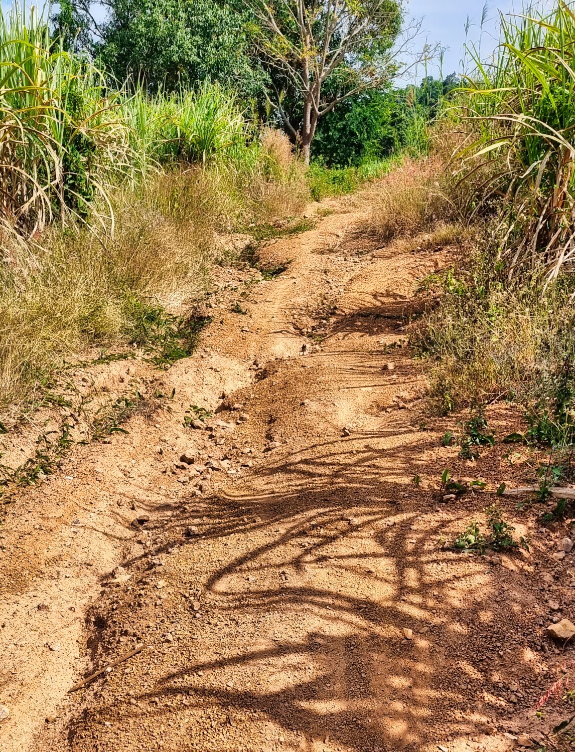
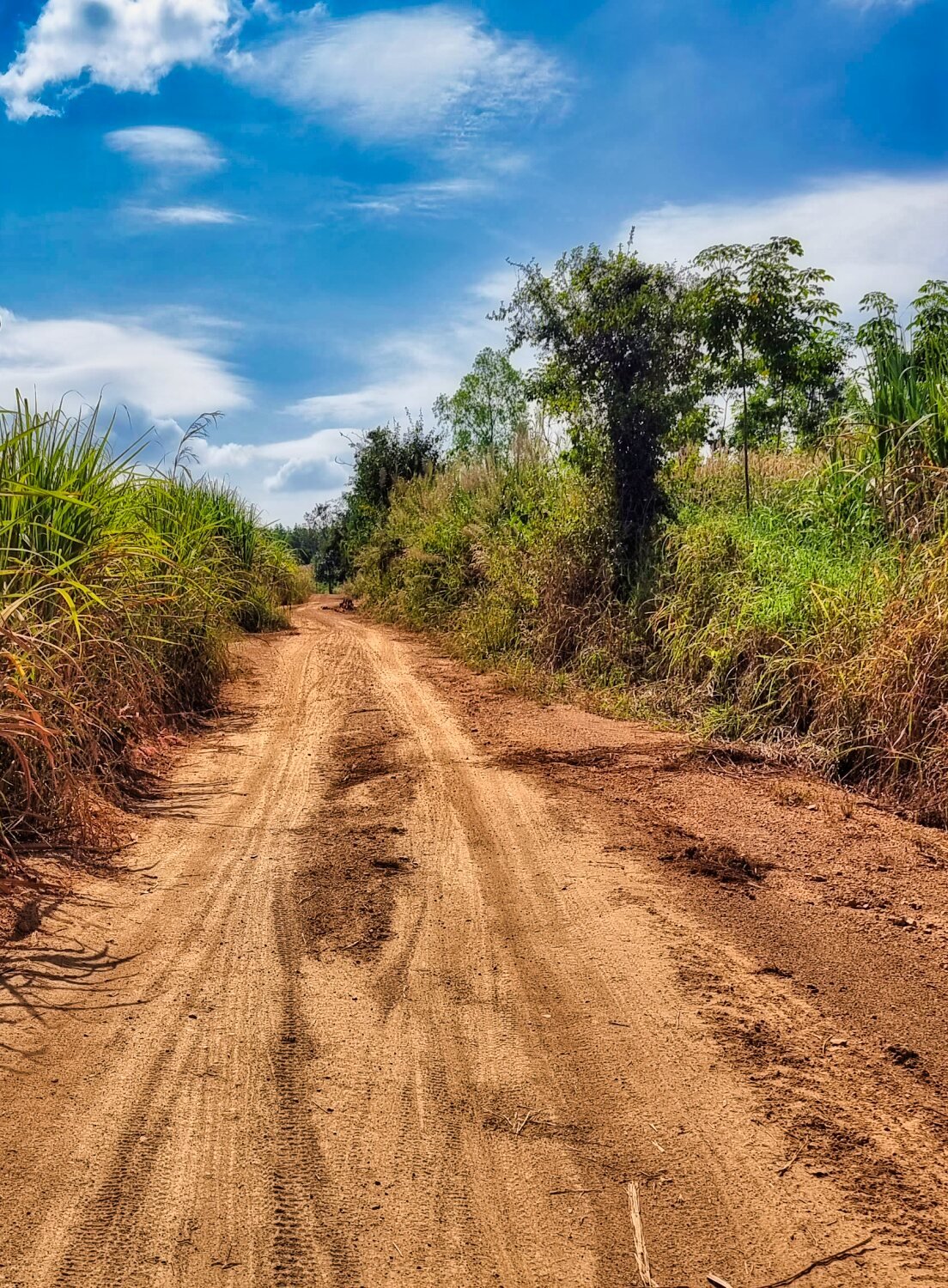
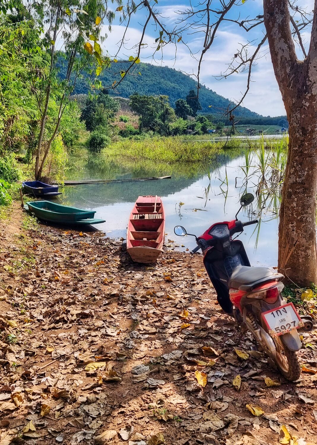
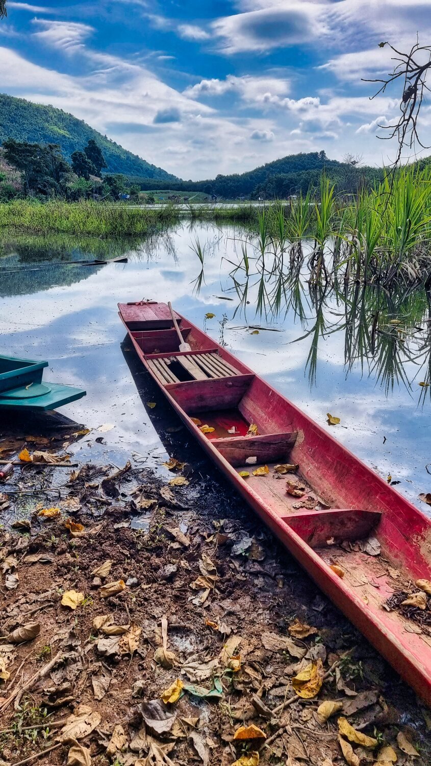
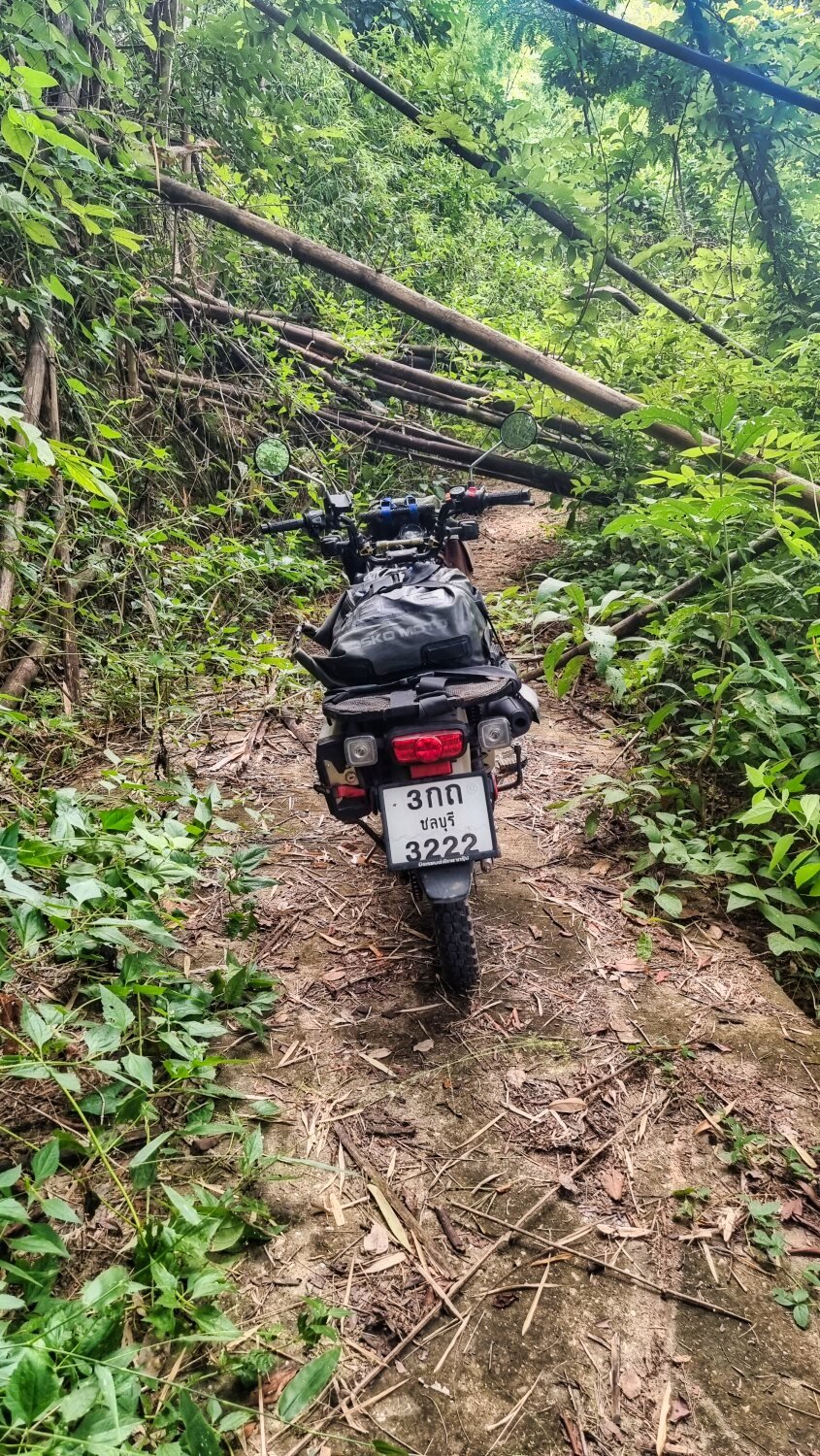
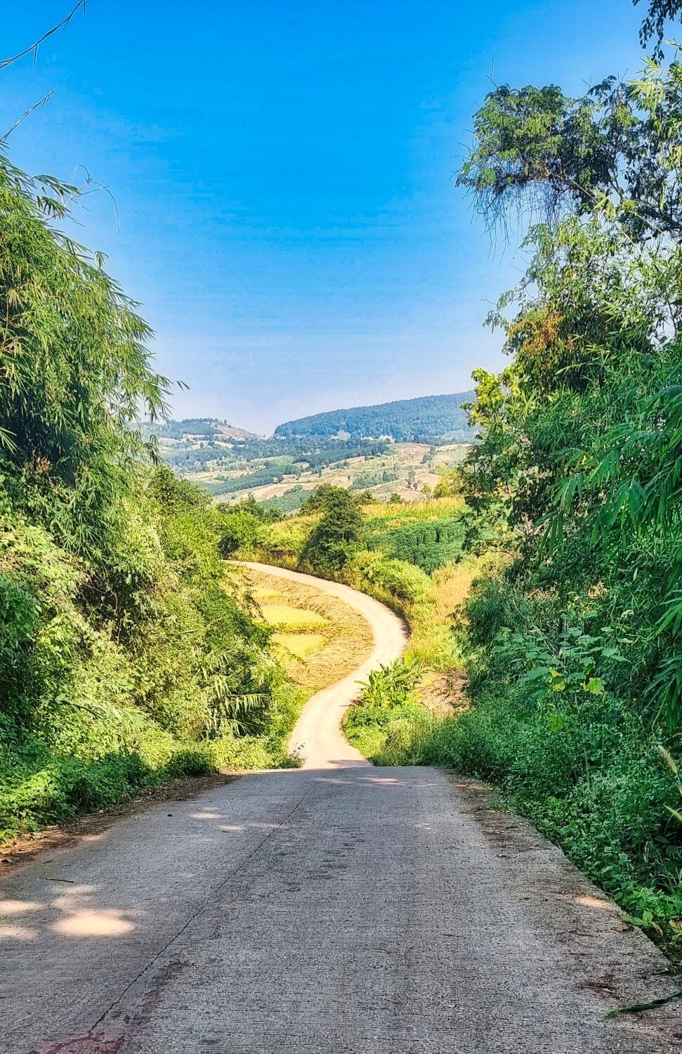
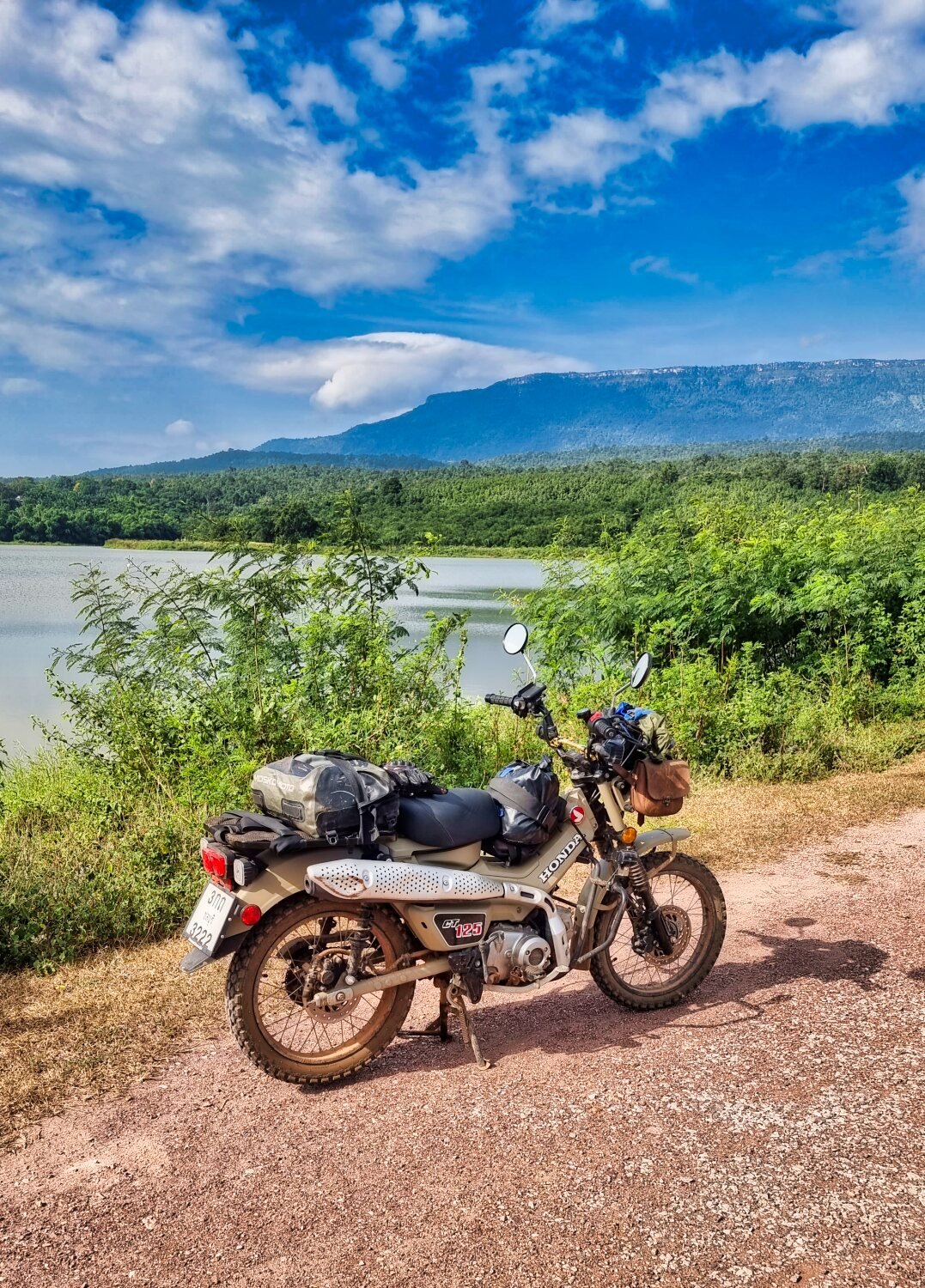
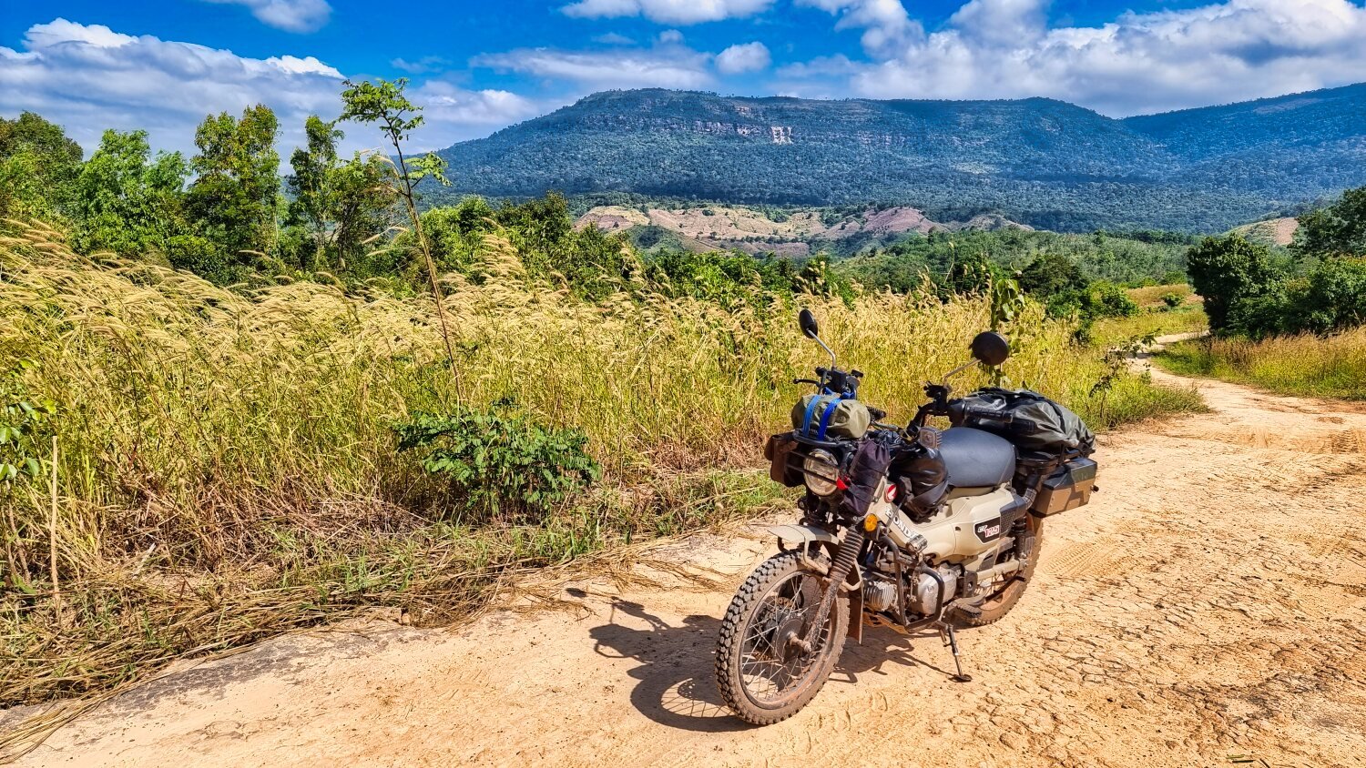
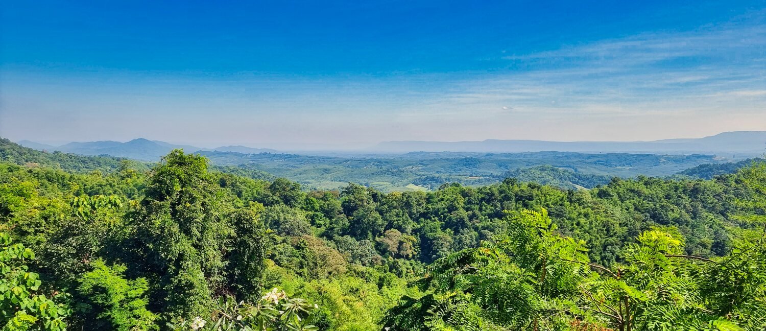
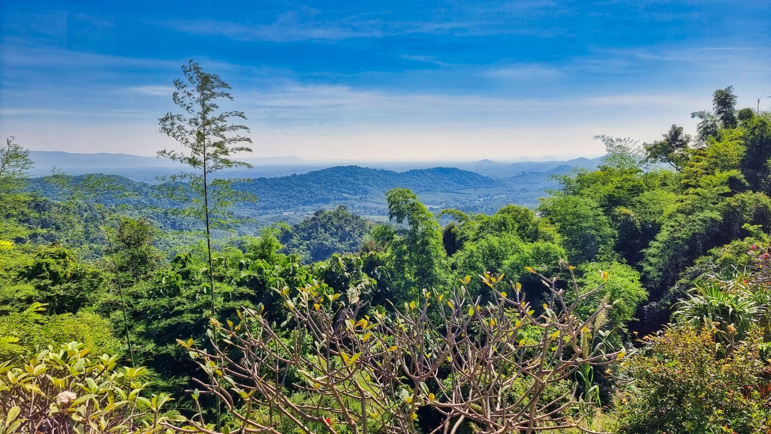
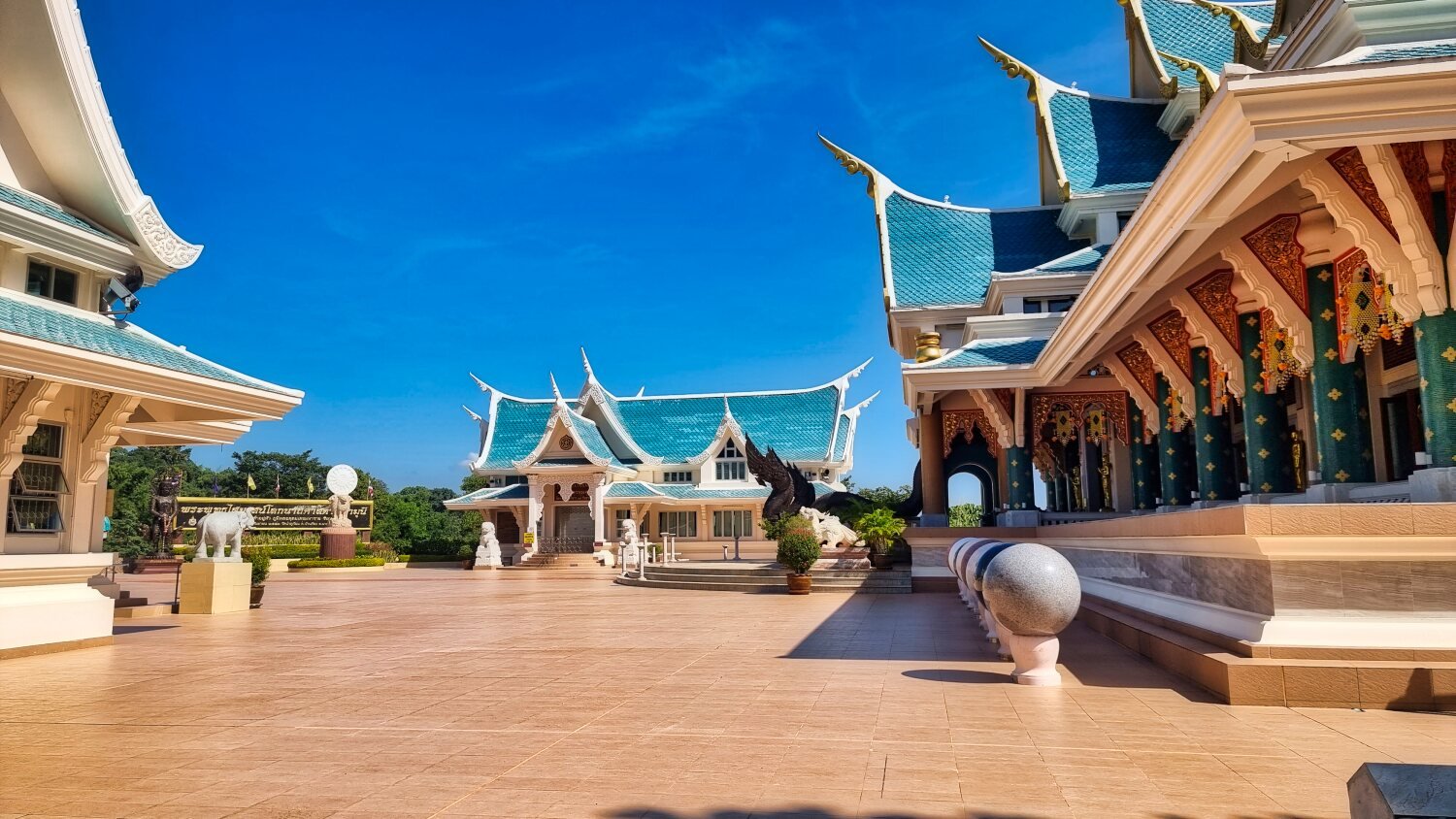
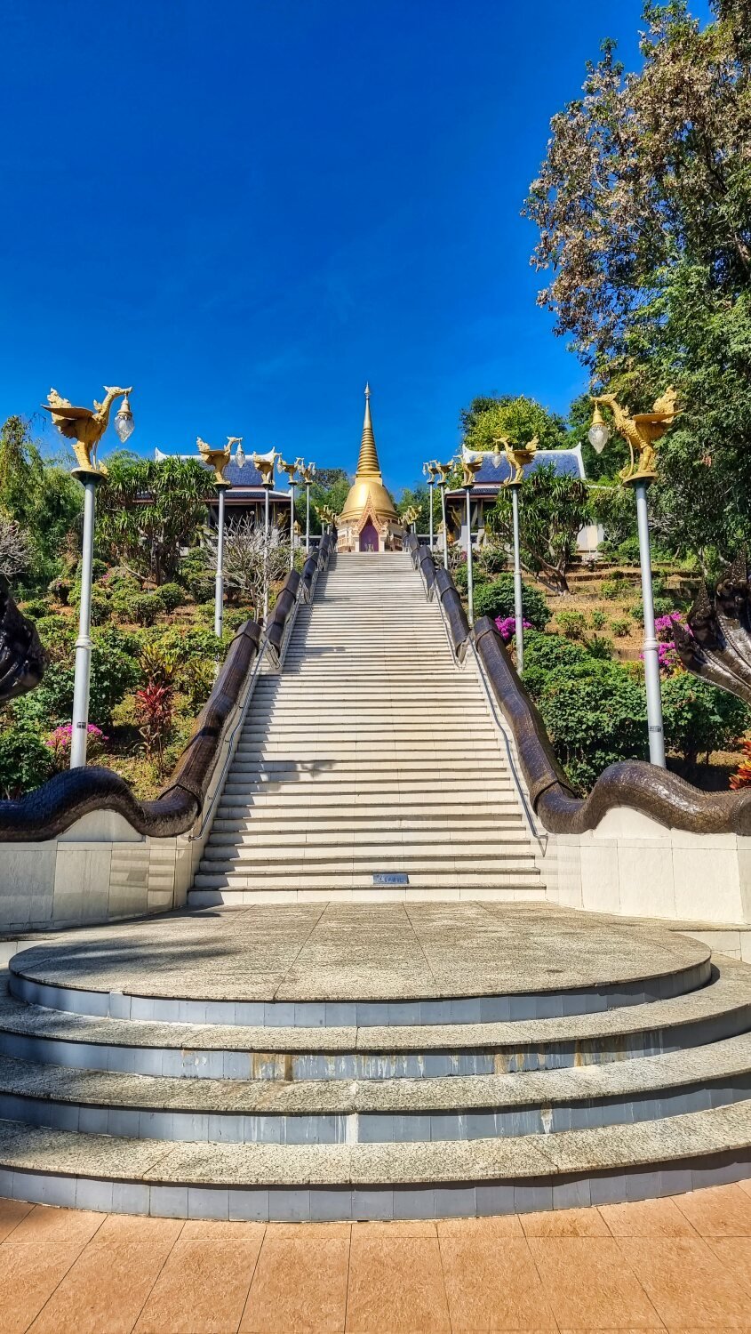
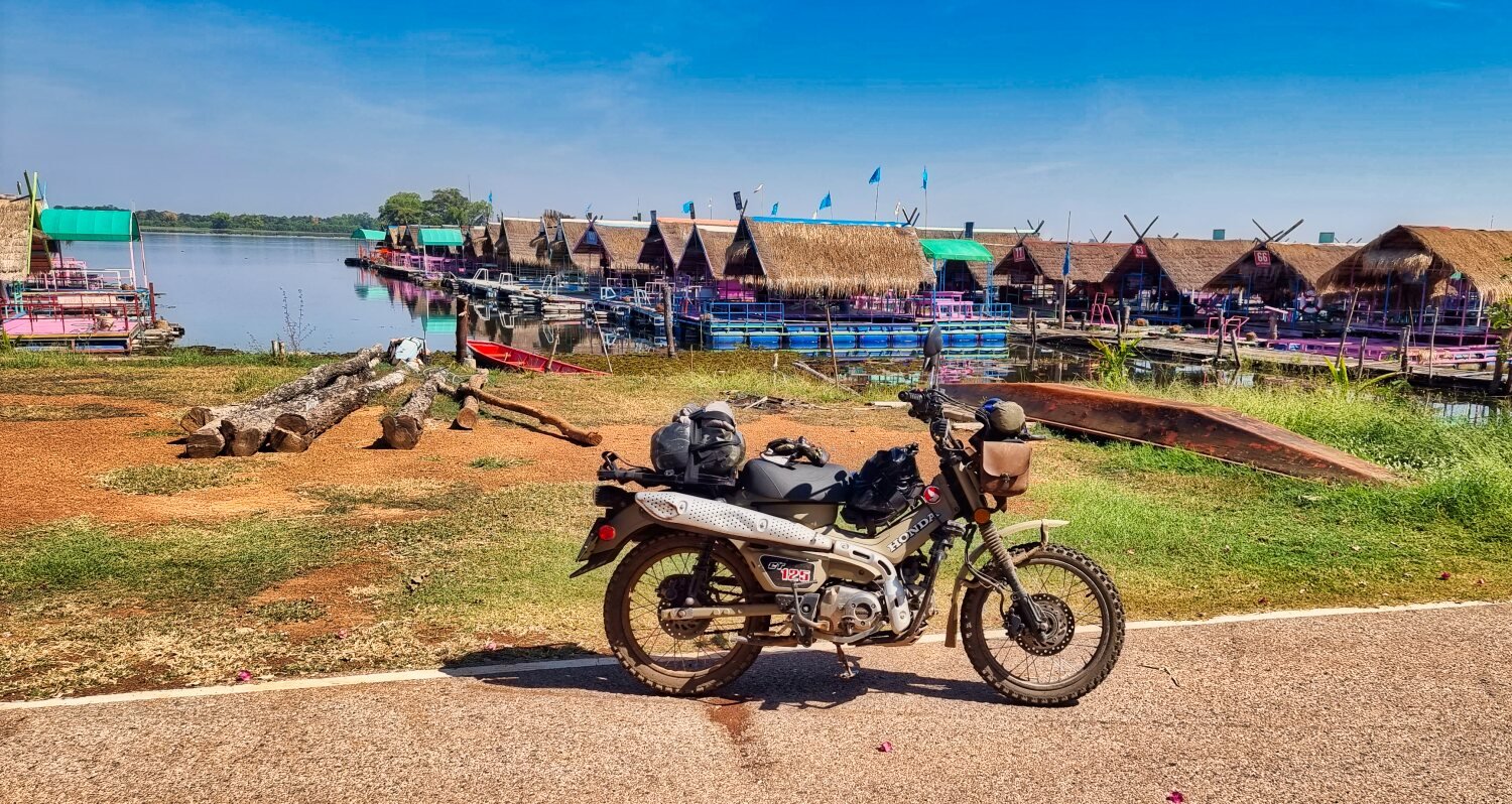
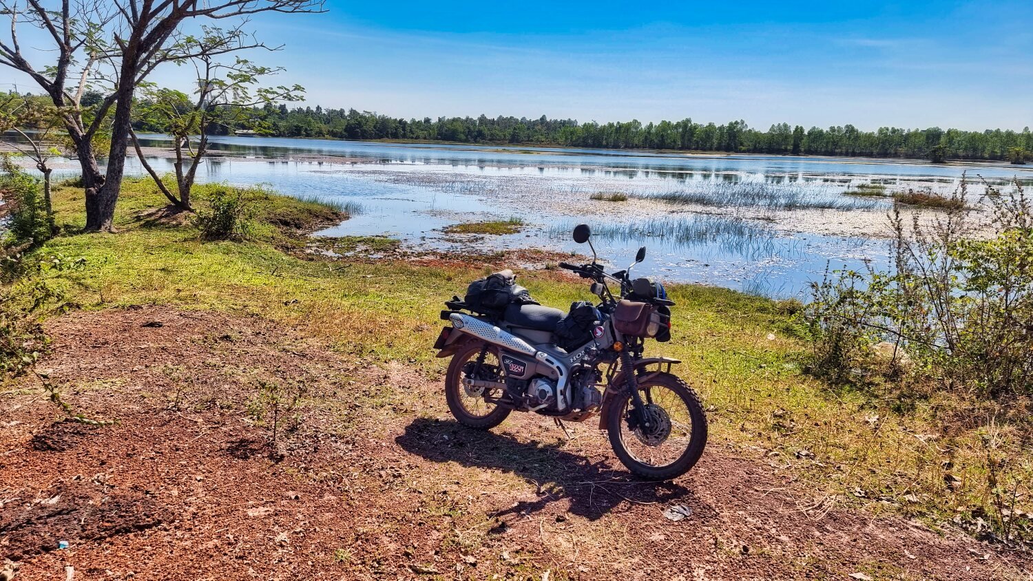
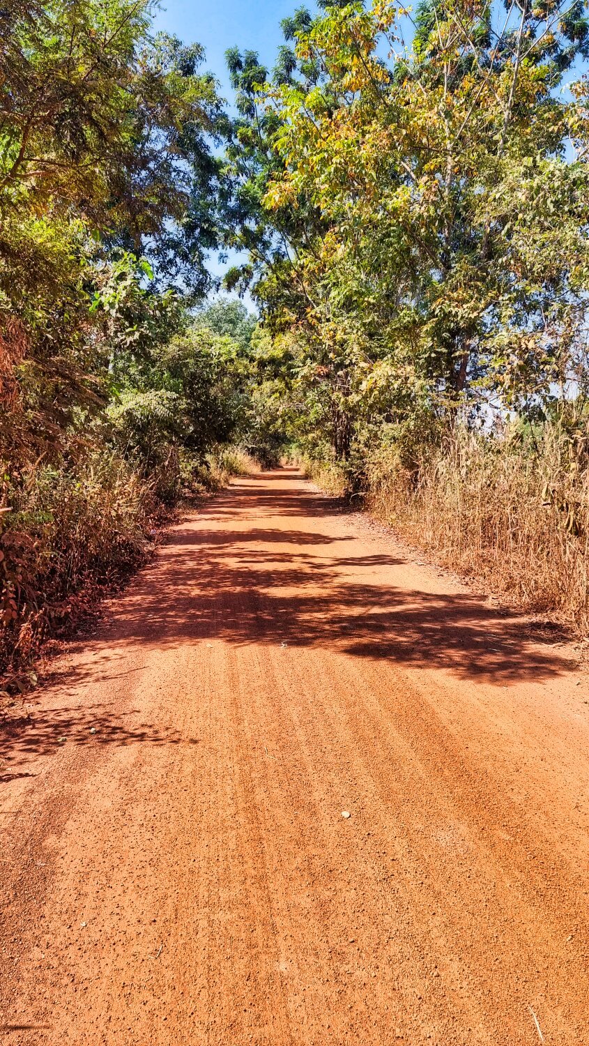
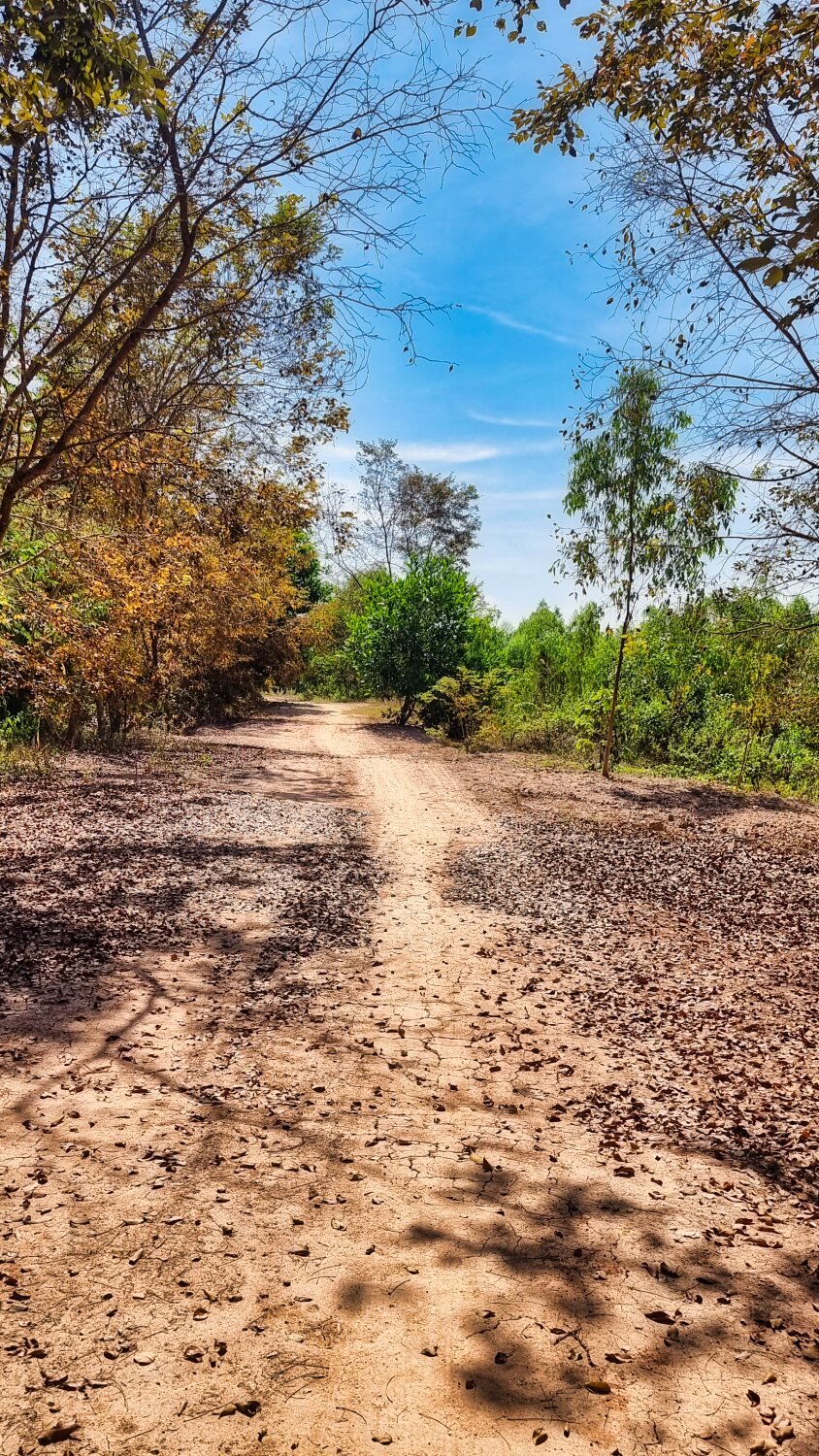
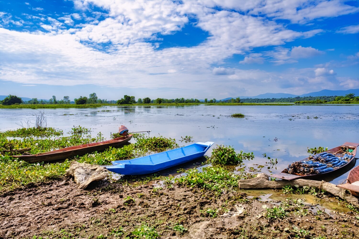
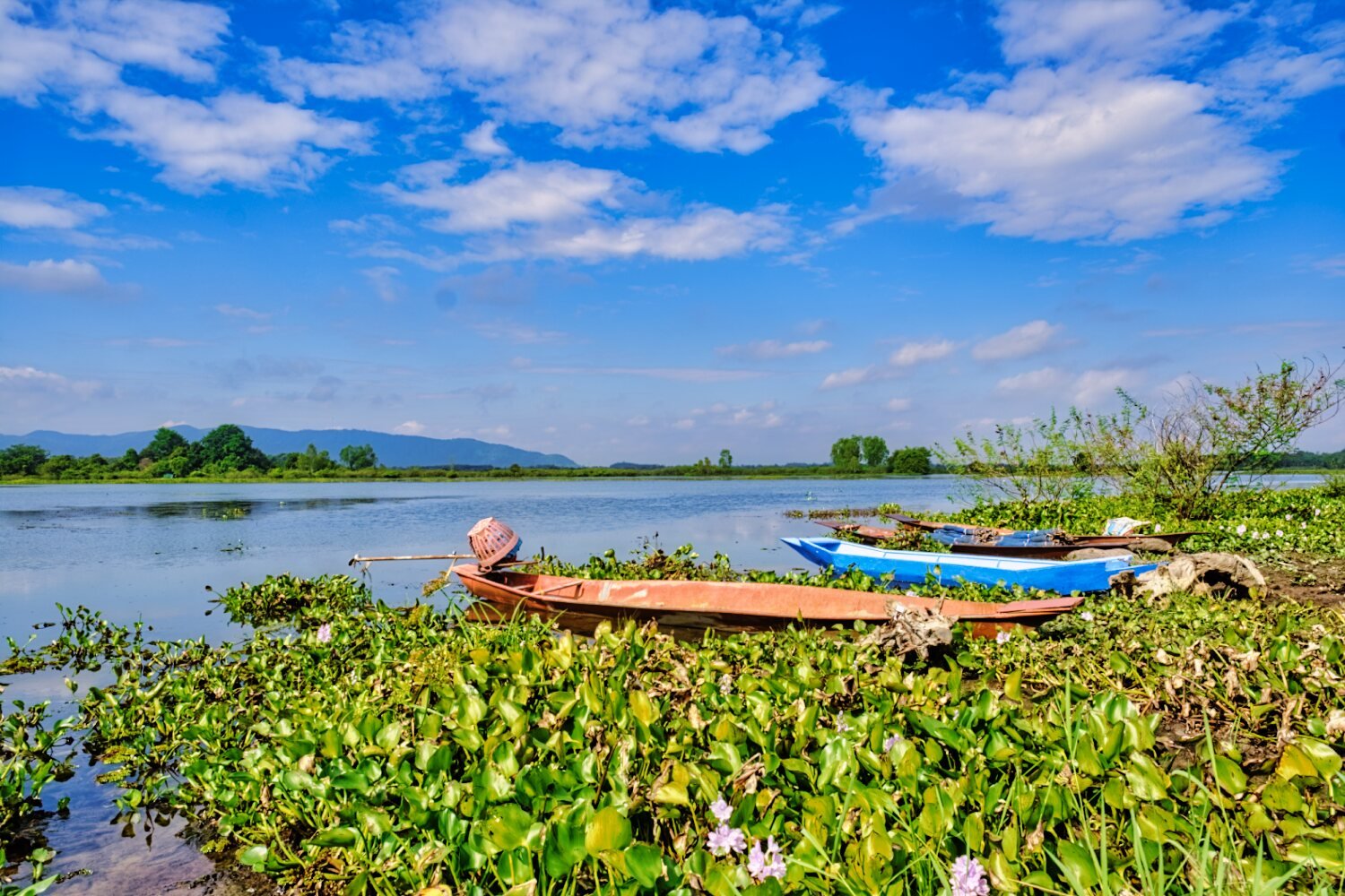
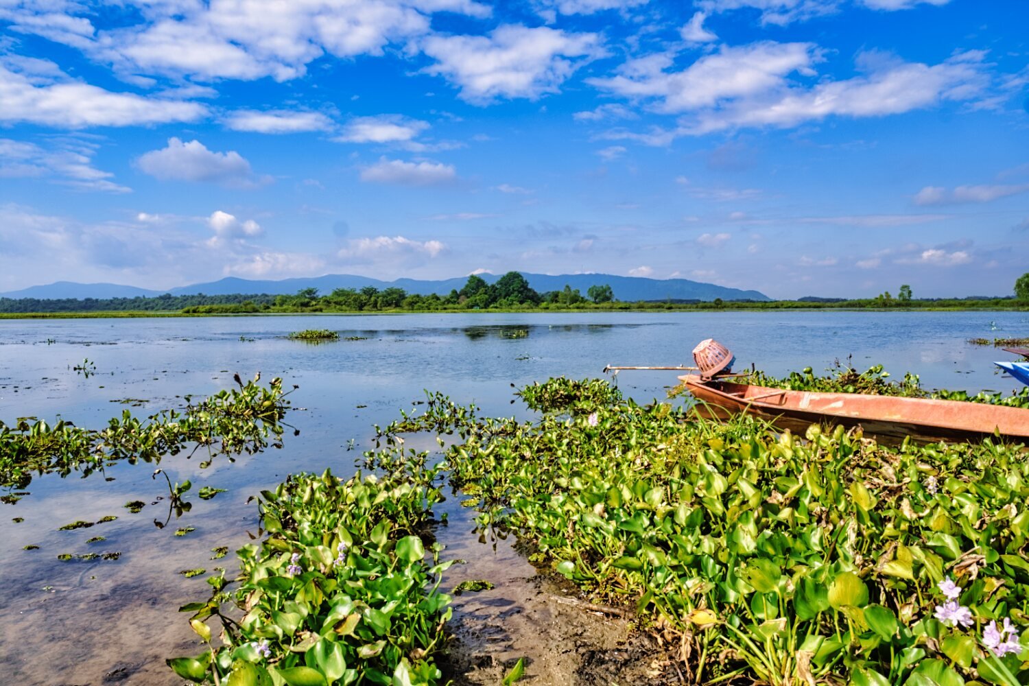
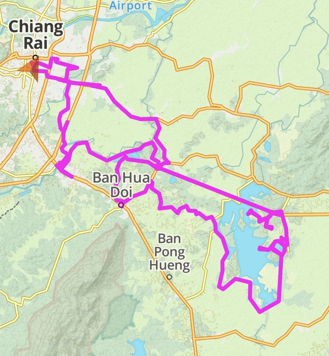
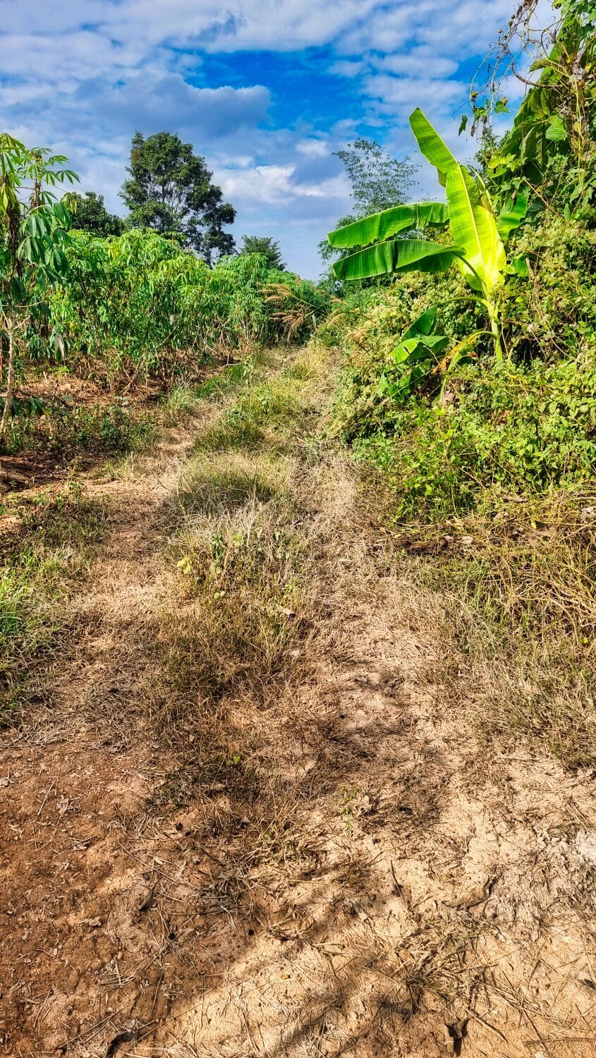
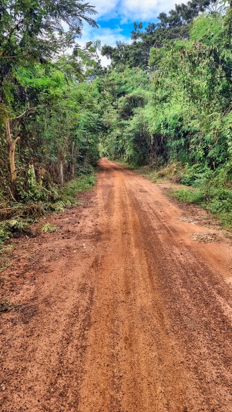
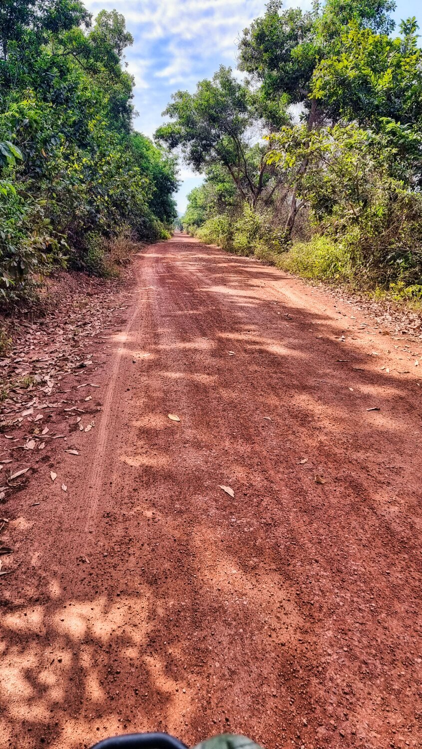
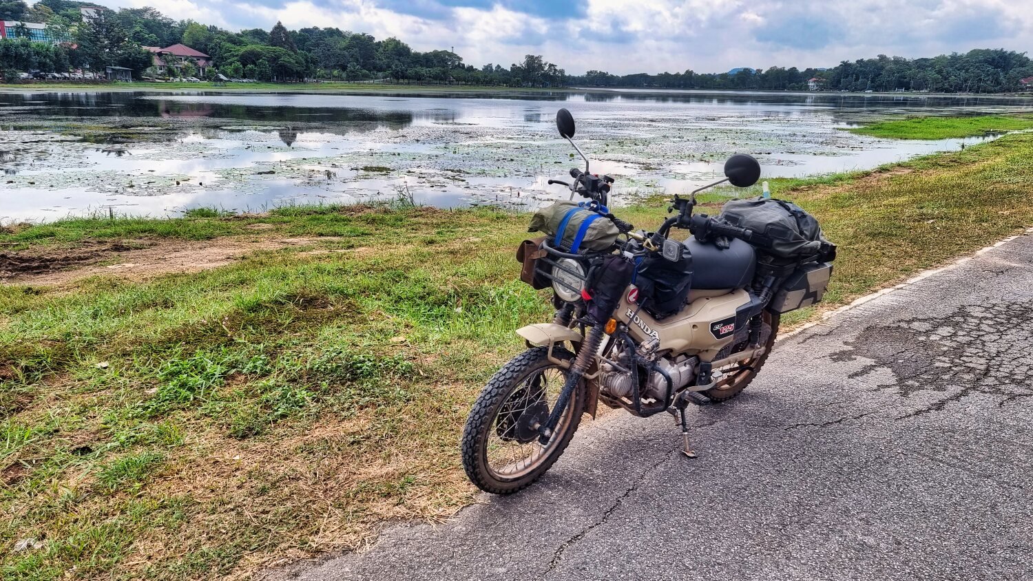
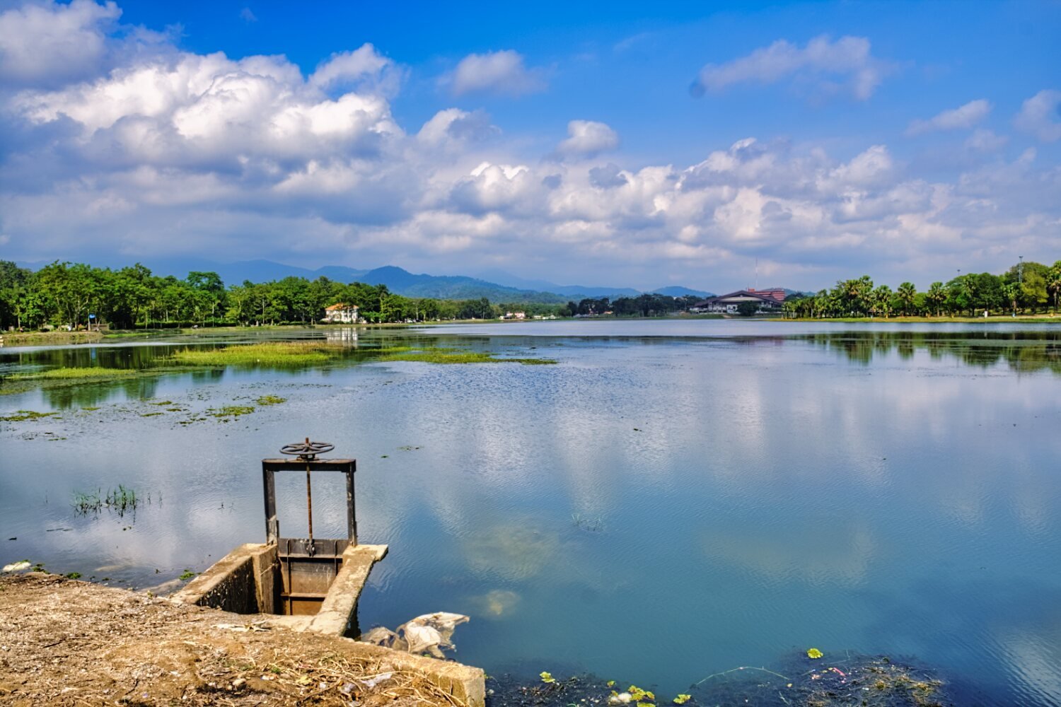
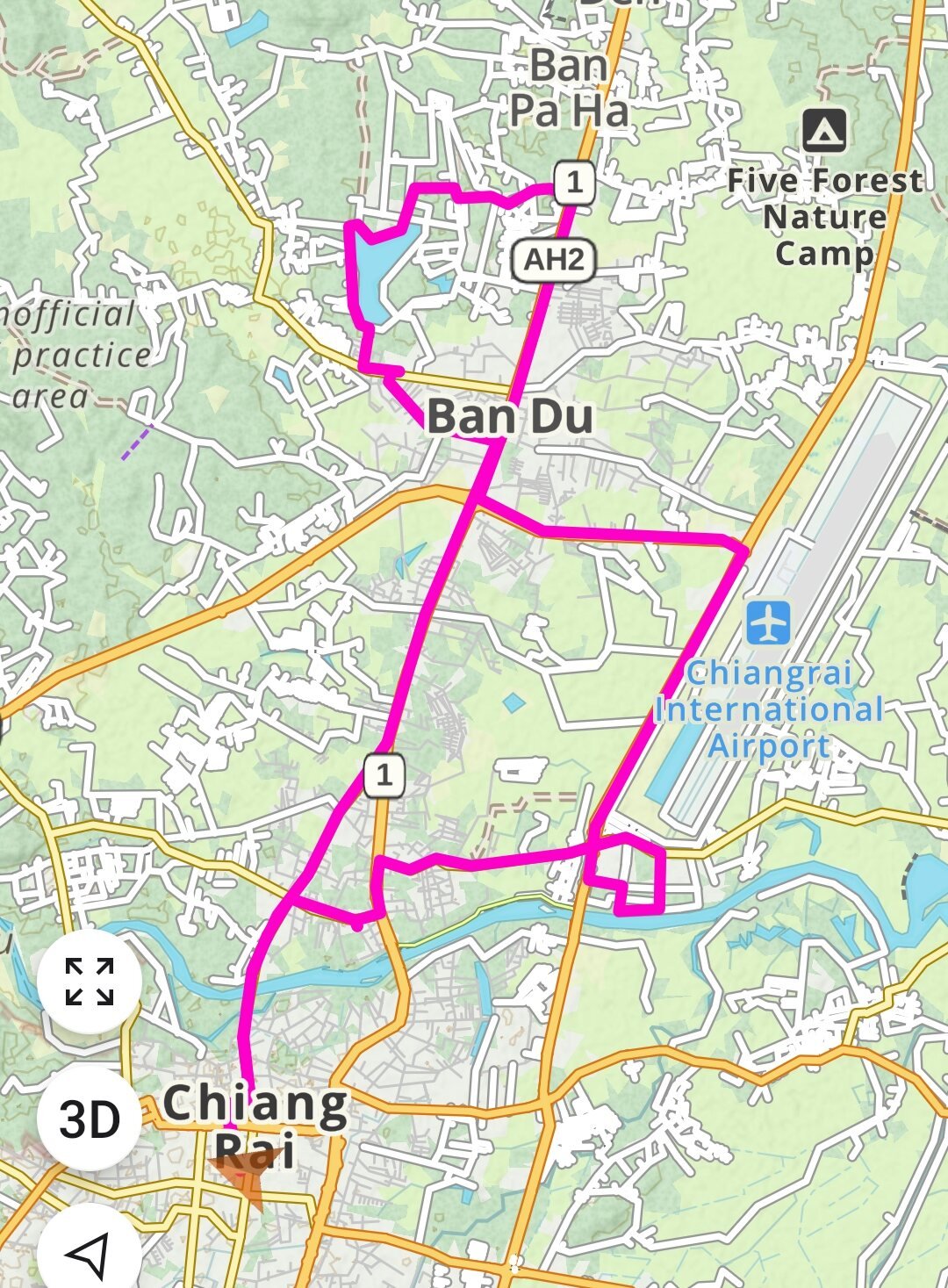
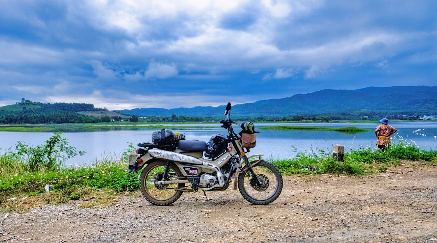
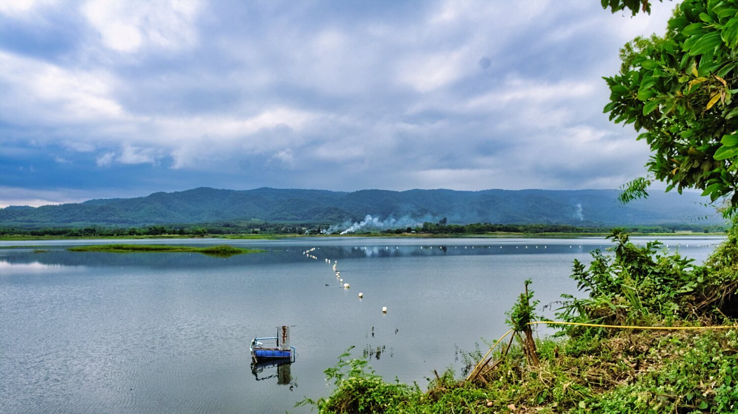
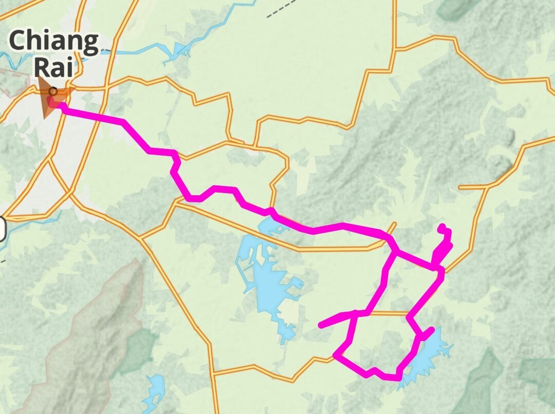
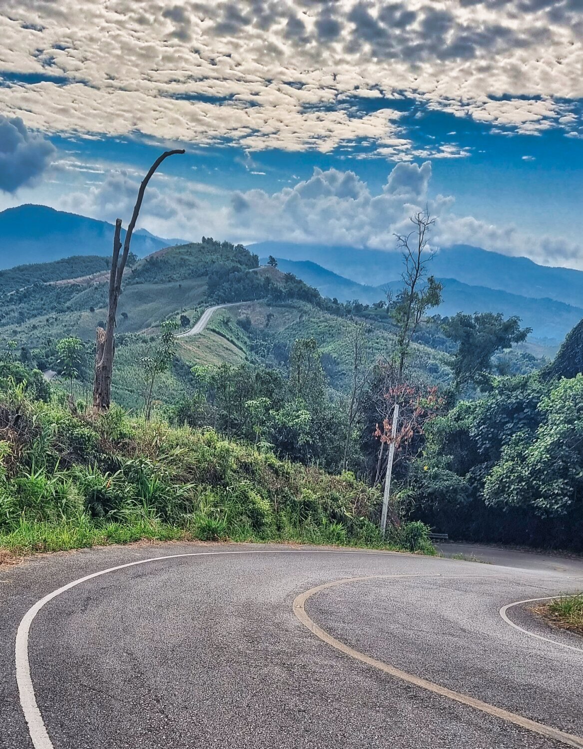
Today I rode back to Nong Luang lake to complete my ride that got rained off a few days ago. First stop was Wat Pa Khantivudhum. https://maps.app.goo.gl/PHp3nWKt8EKvq3iw7 From here I rode south trying to find the trails alongside the lake, but although on Google maps I did not have much luck, so I looped back and around a lot finding tracks to here. https://maps.app.goo.gl/fz7rux63vyc894oE7 I then followed the lakeside taking tracks as much as I could before finding small roads winding back into Chiang Rai. A good ride. https://www.relive.cc/view/vPOpDJoPeRO

-
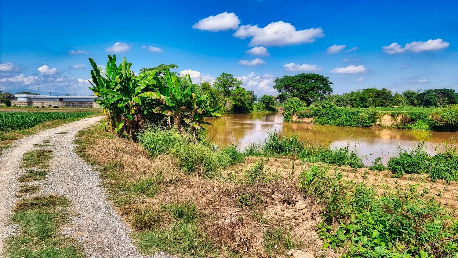
Today I woke up to rain here in Chiang Rai, so I had a lazy morning before riding around Nong Bua Lake which is the area where Chiang Rai Rajabhat University is based. https://maps.app.goo.gl/xkGAnayWLNkEt7Fr7 https://www.relive.cc/view/v36AG7DQBGv
-
Papa, where?
-
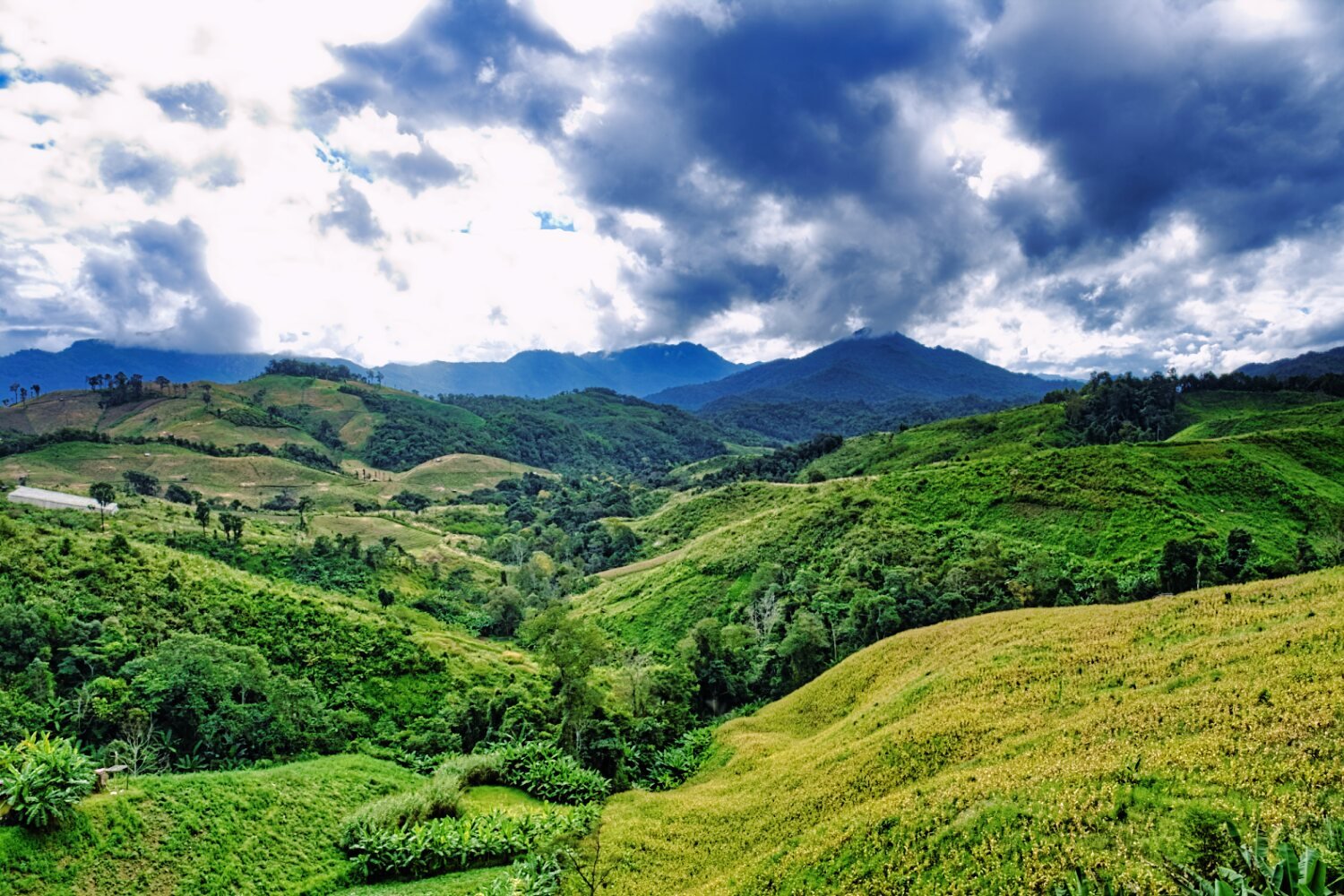
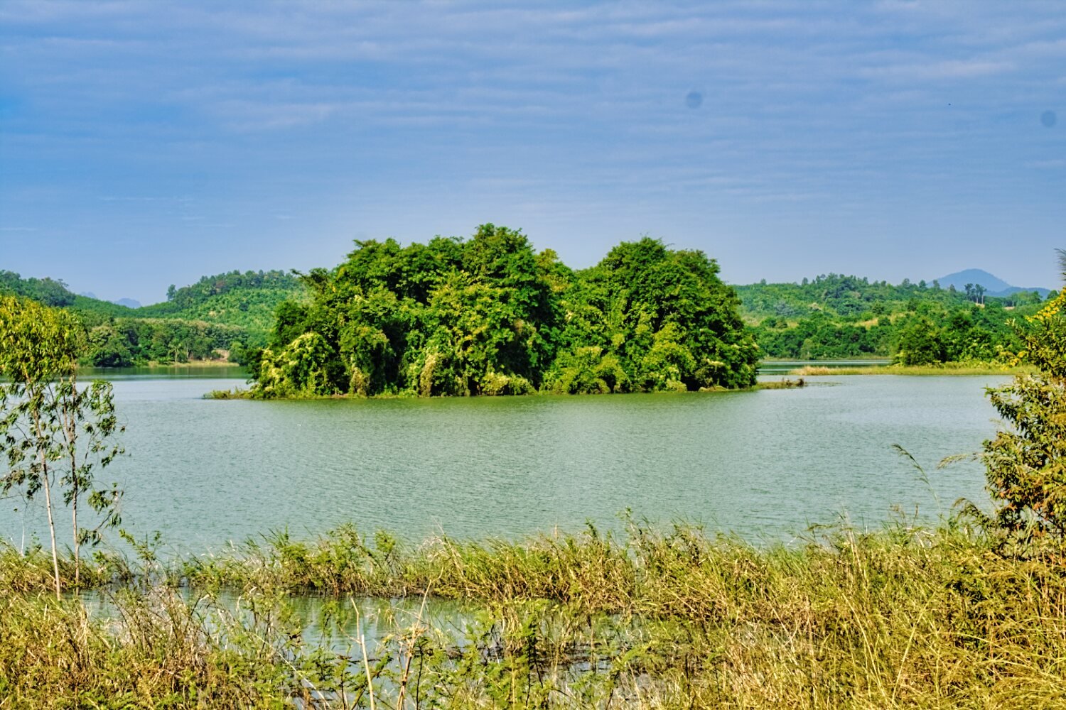
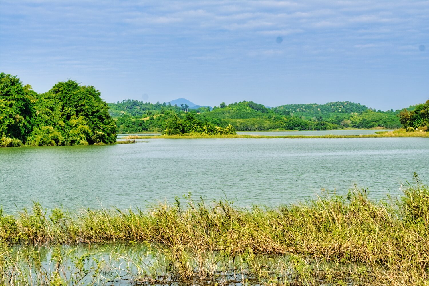
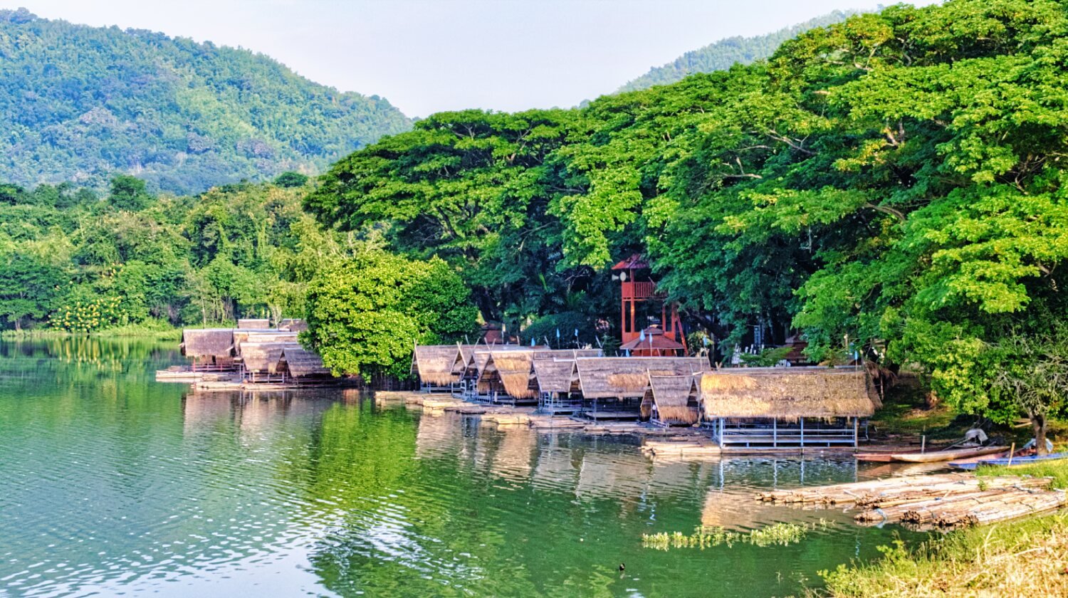
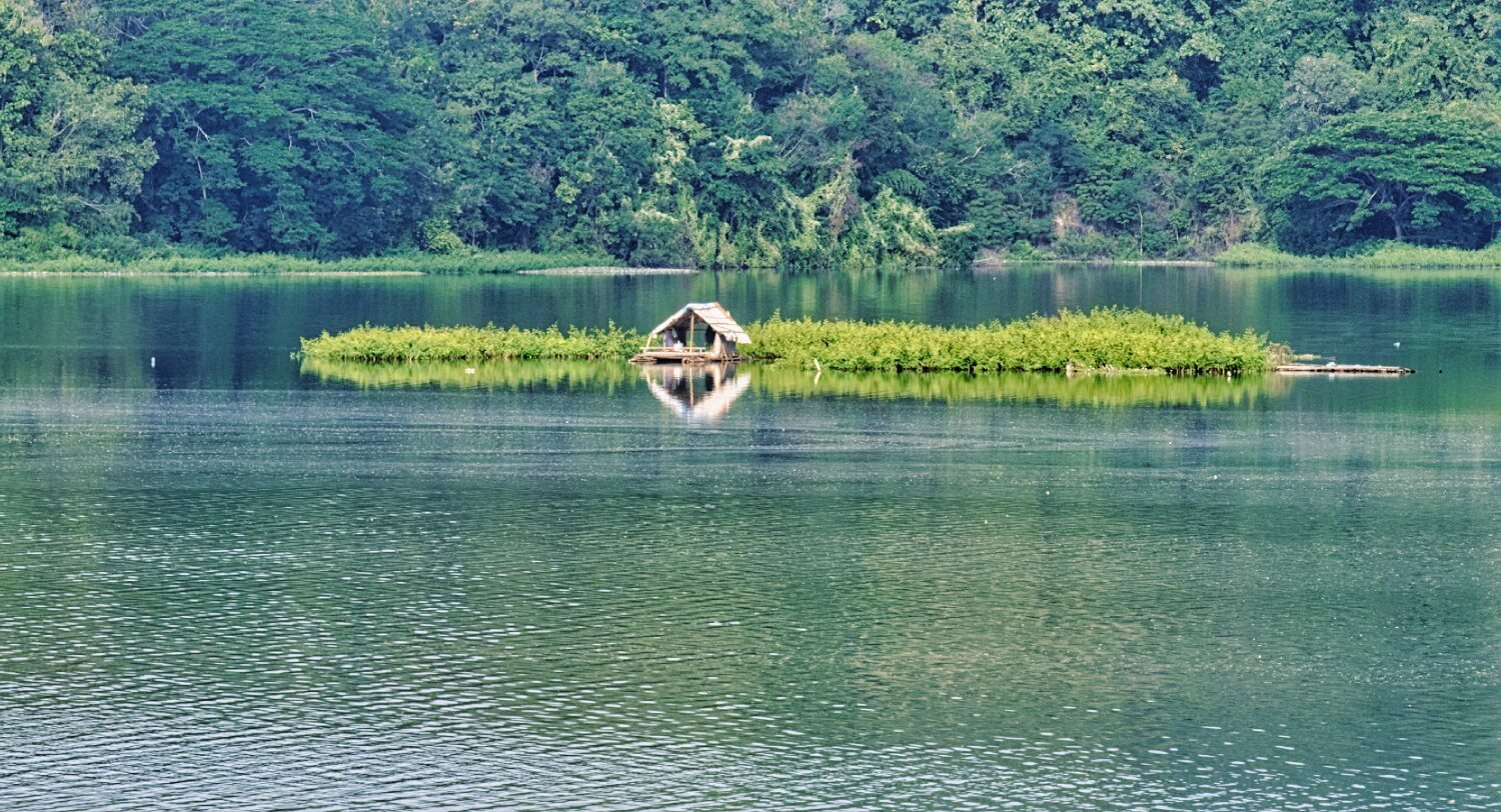
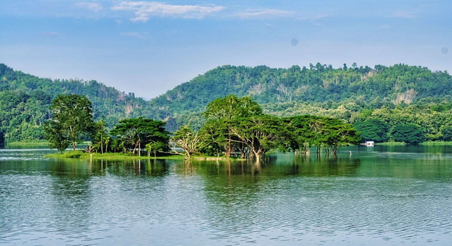
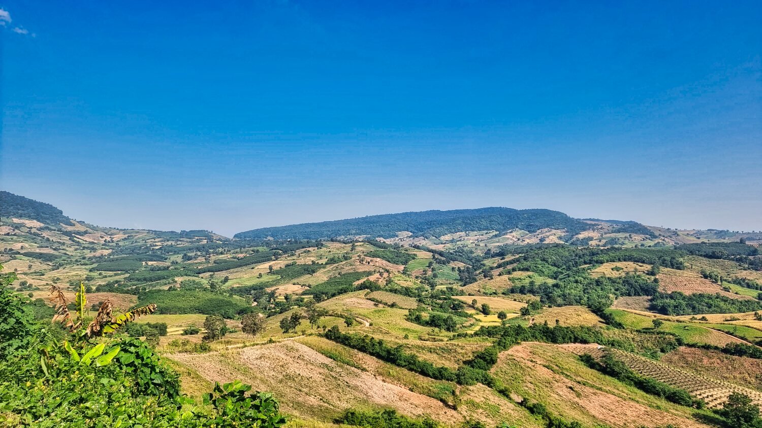
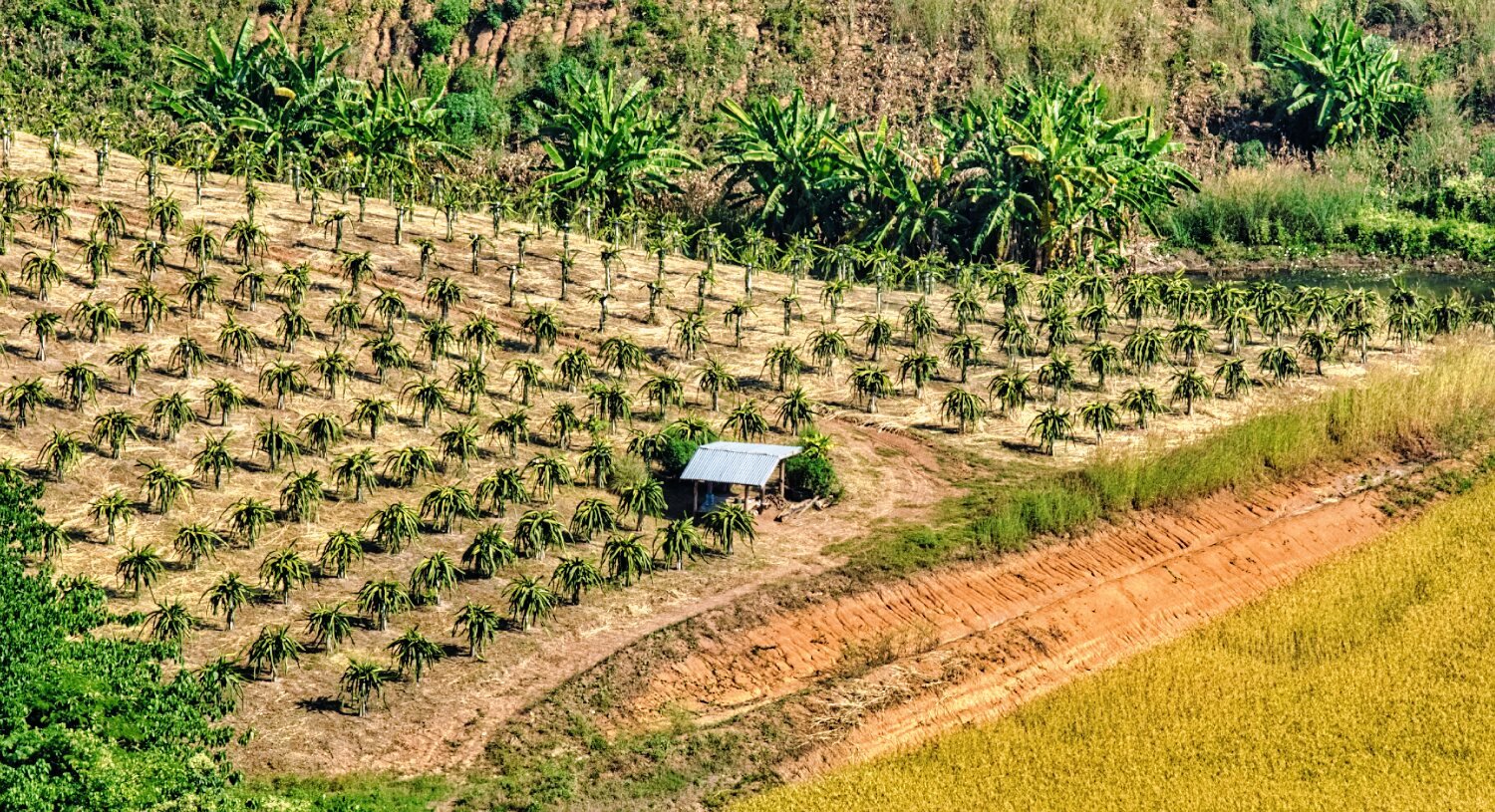
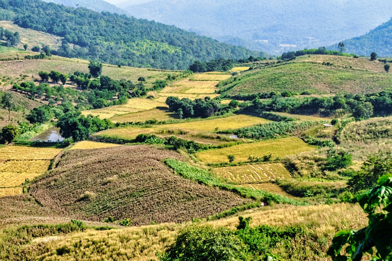
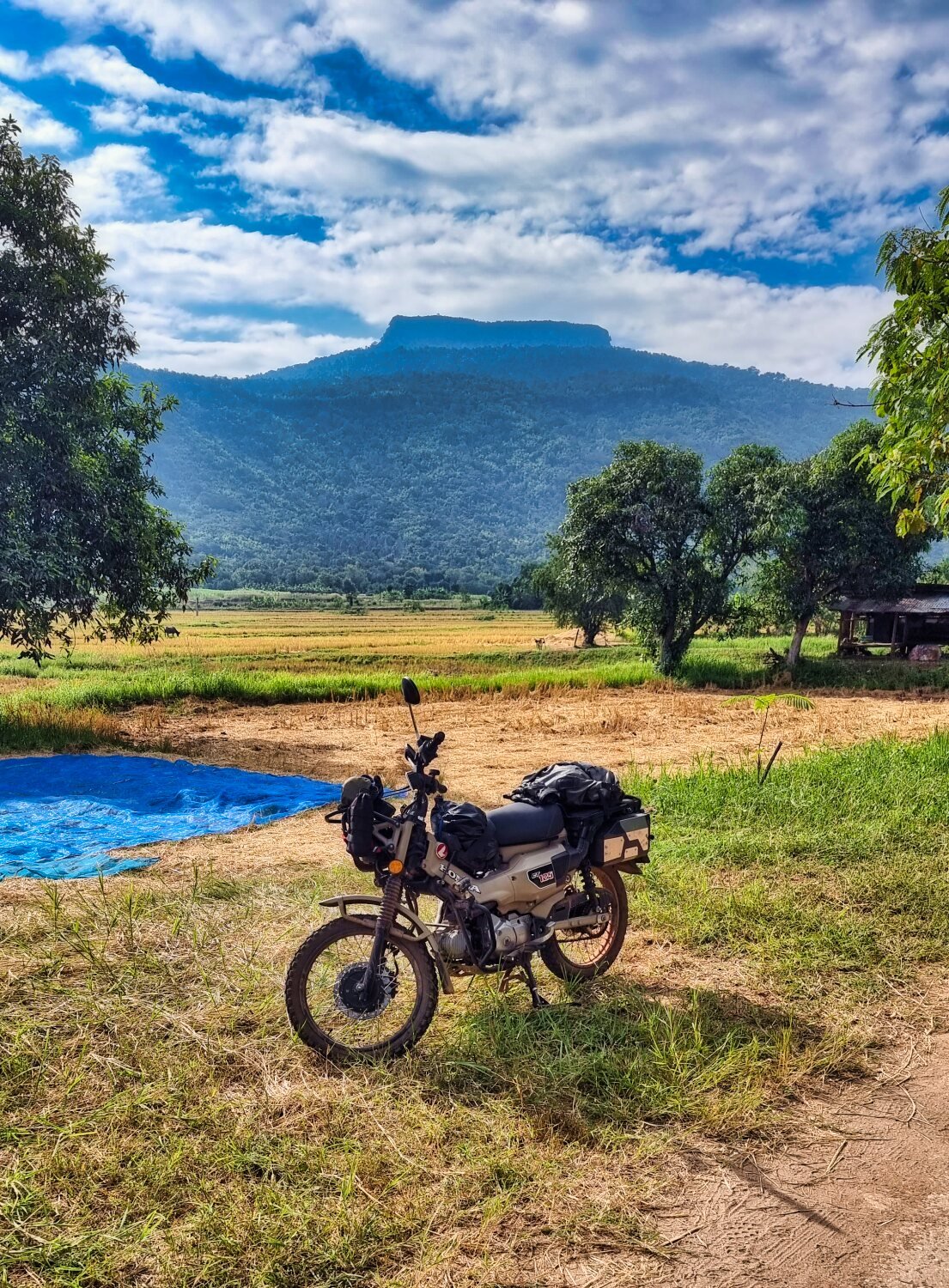
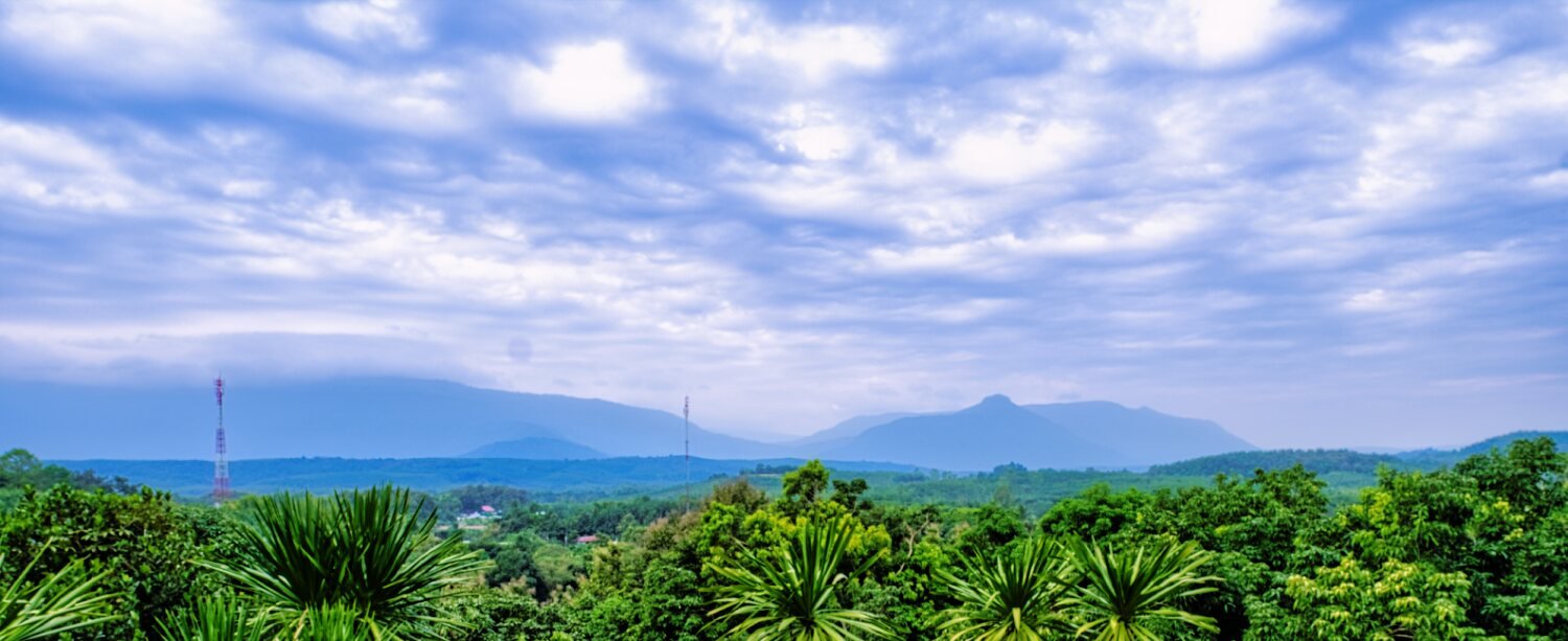
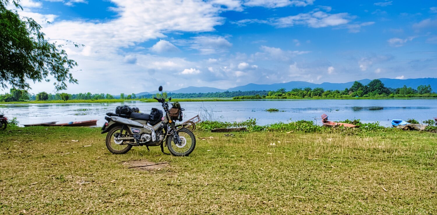
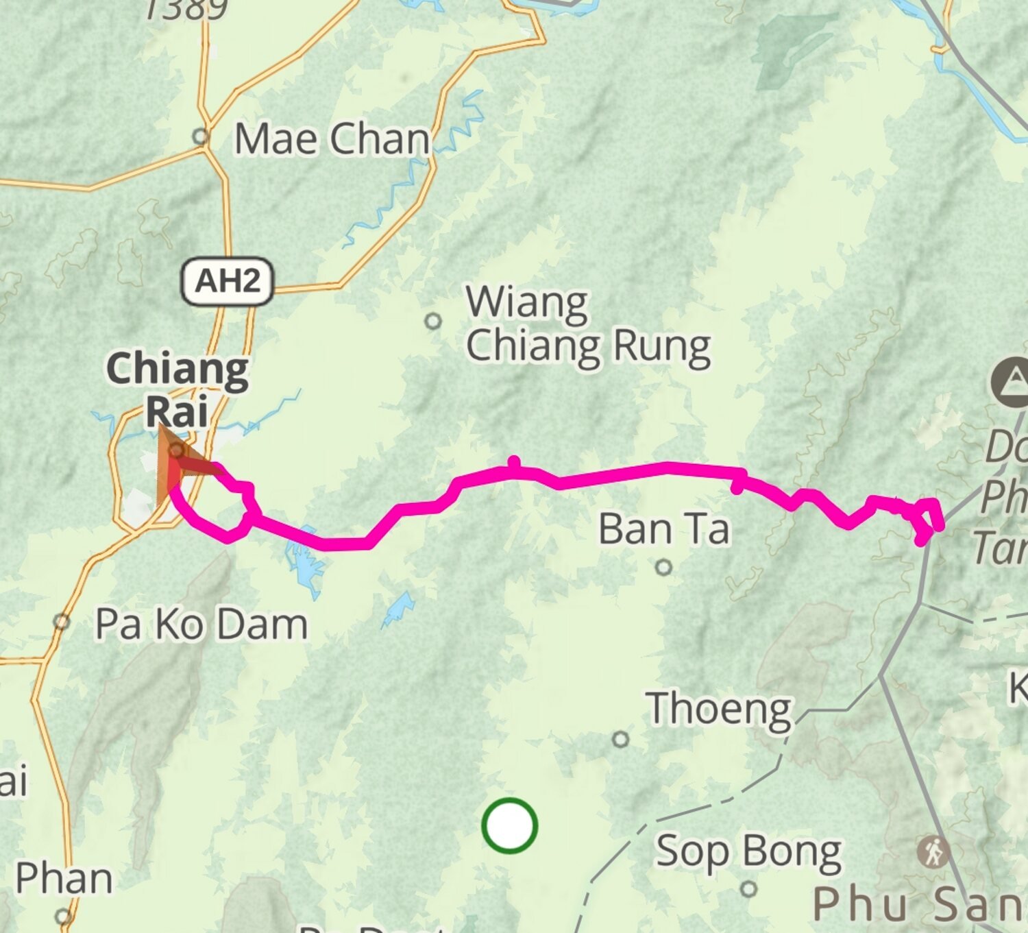
Today my planned ride around the countryside east of Chiang Rai was cut short by rain that appeared from behind the mountains and eventually caught up with me. My first stop was at Doi Pha Chang, which is a mountain in the middle of rice fields with a small road around it. https://maps.app.goo.gl/8gJfM4wsrMaKf4BR8 Next I rode on to Mae Tak Reservoir https://maps.app.goo.gl/EqqK7Ep2ncw56YFx5 It was here I could see the incoming rain but I carried on hoping to miss it. It caught up with me near Nong Luang Reservoir and I returned to Chiang Rai. https://www.relive.cc/view/v36AG7xJBZv
-
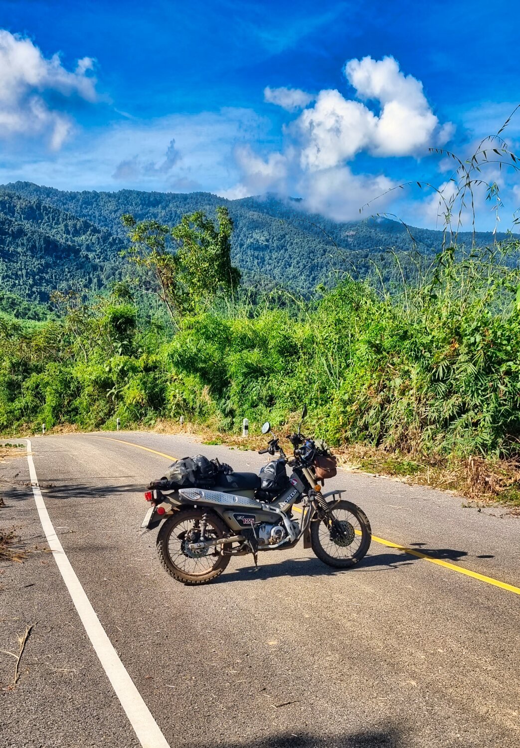
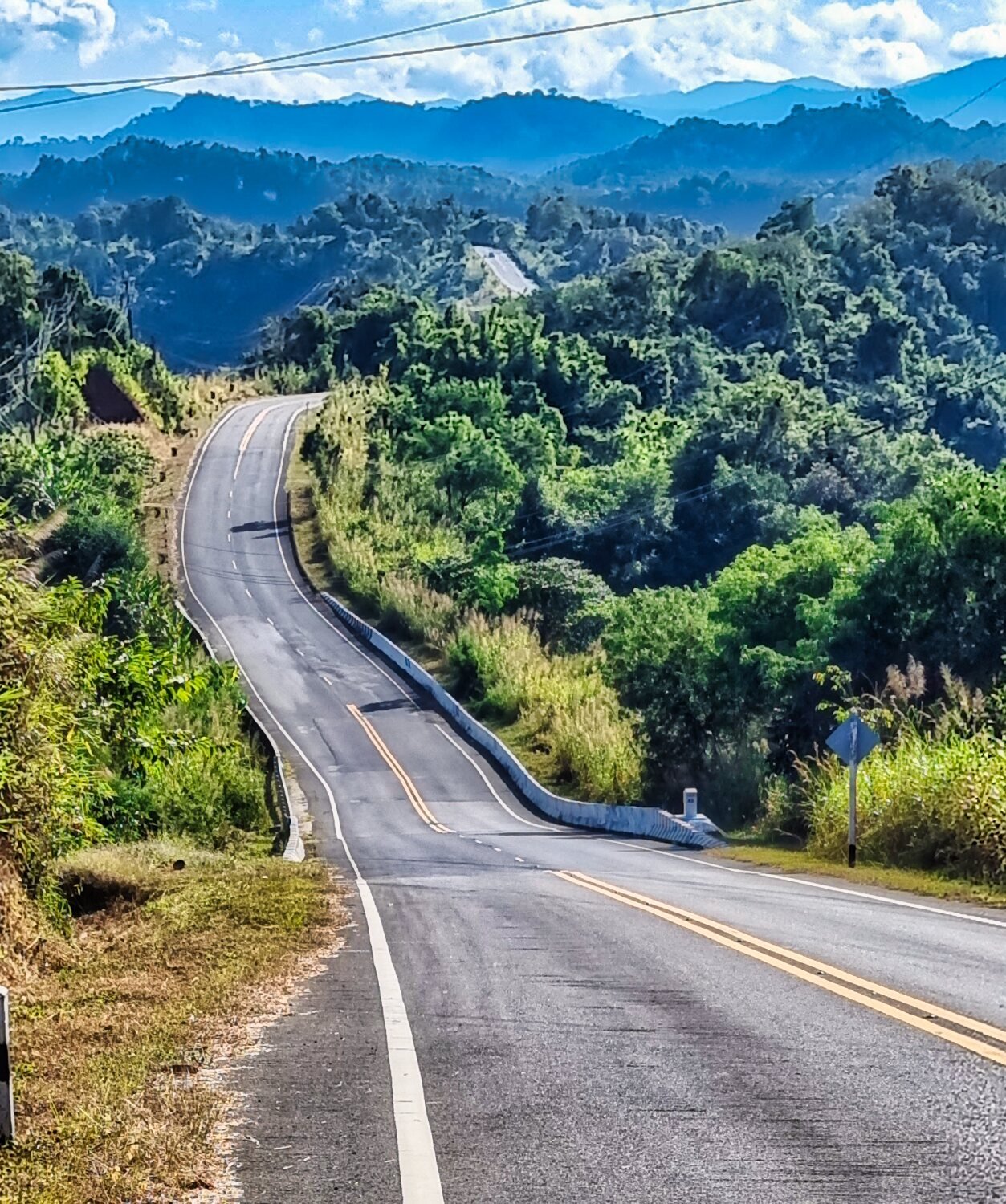
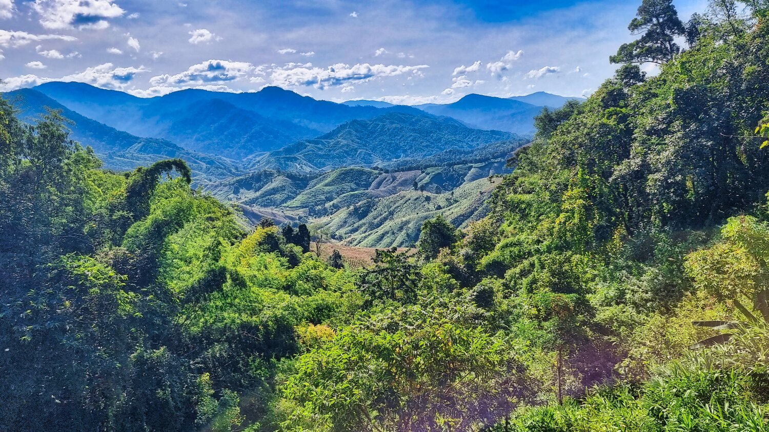
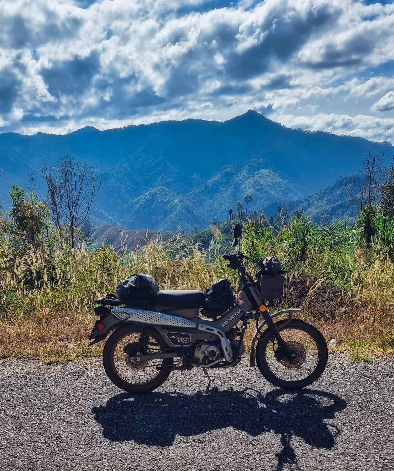
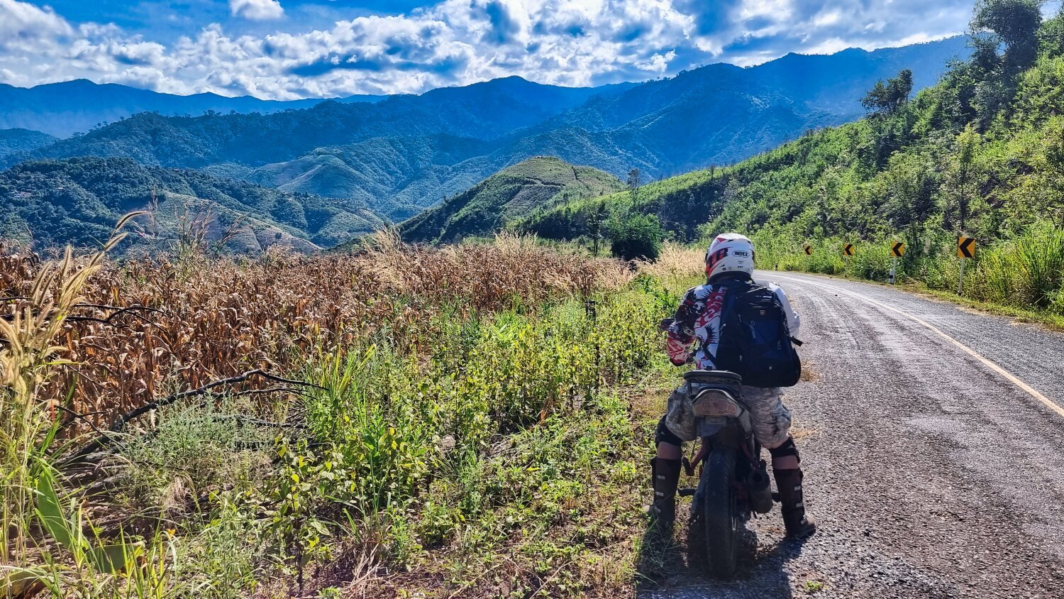
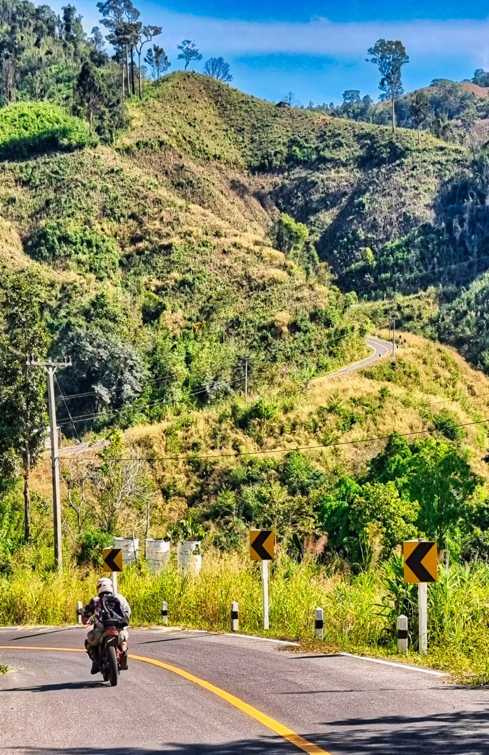
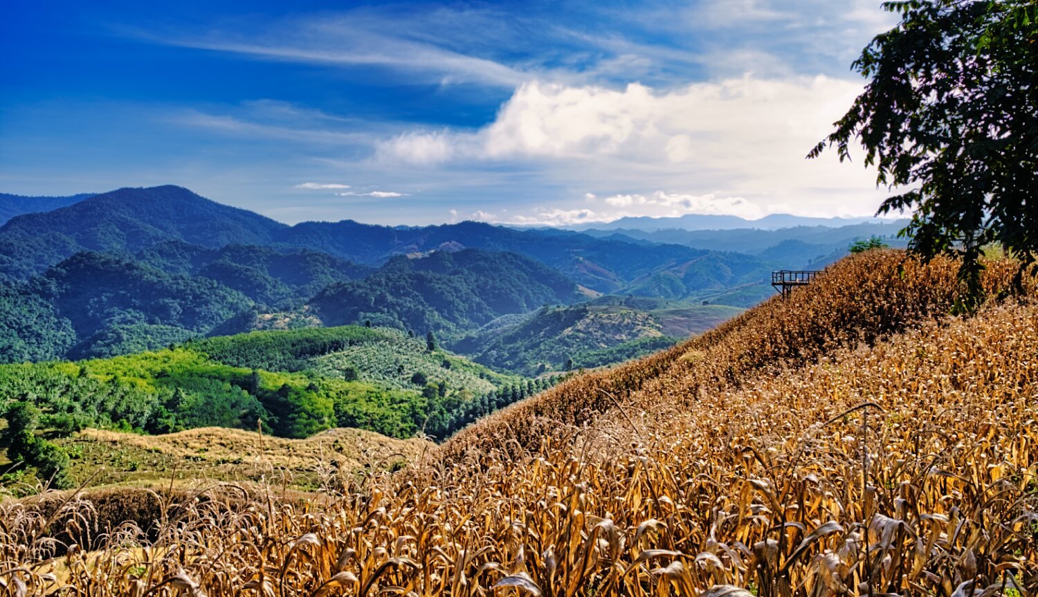
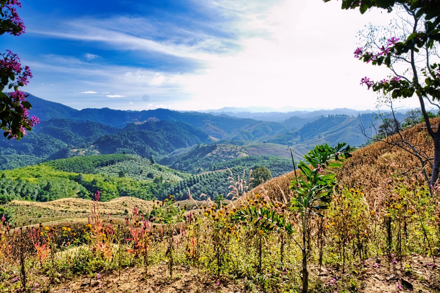
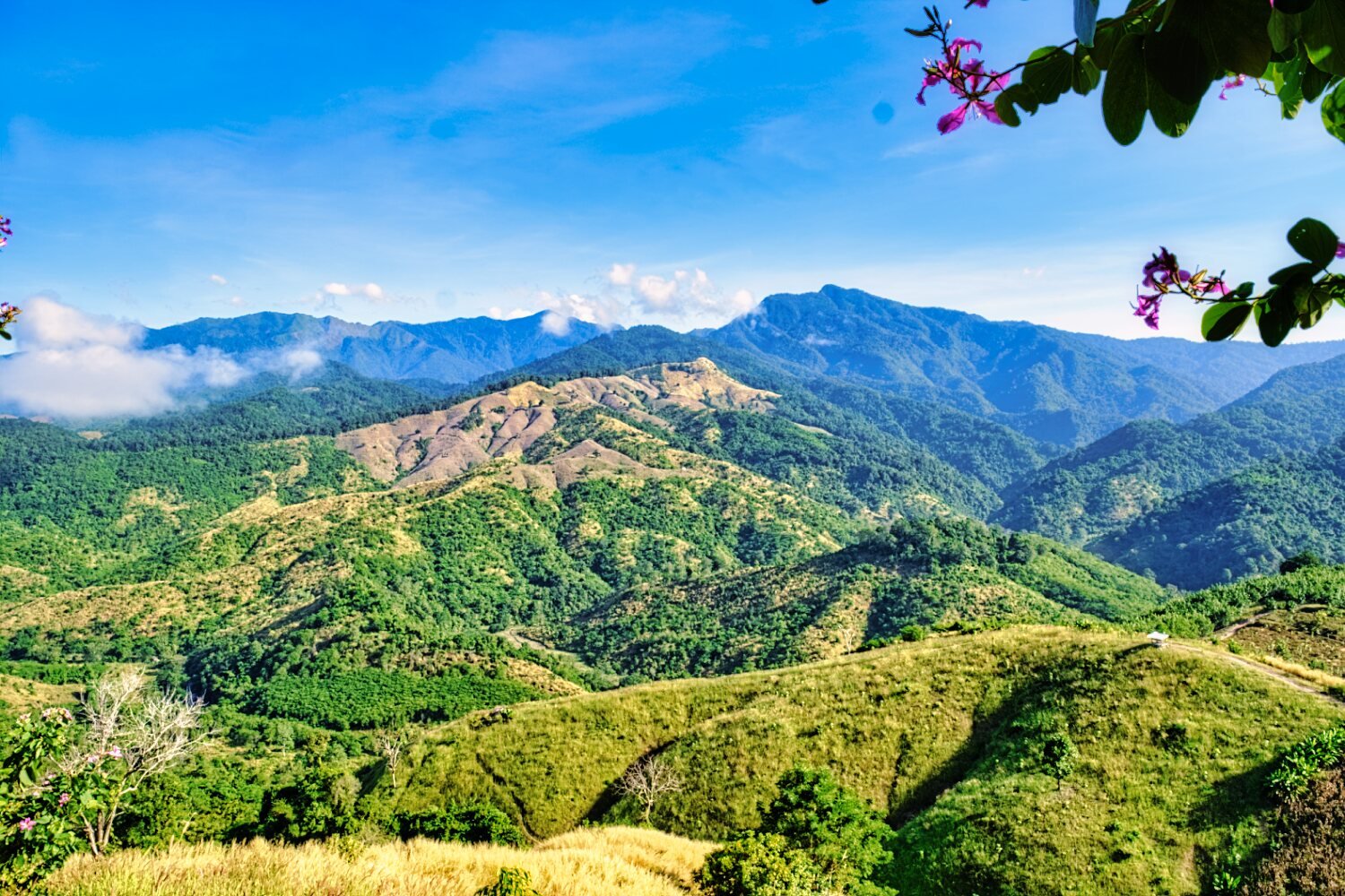
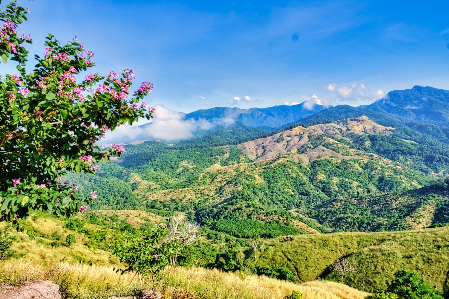
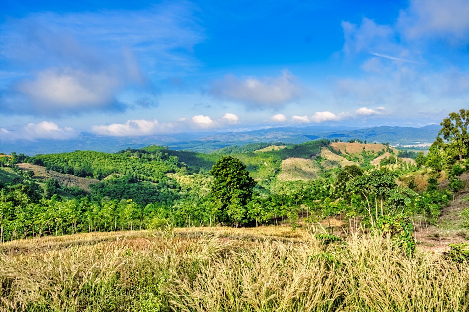
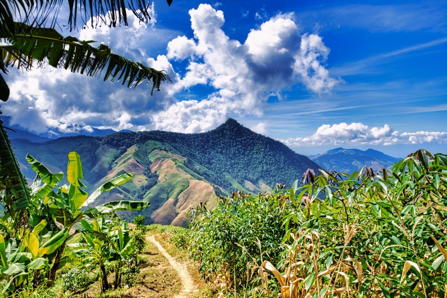
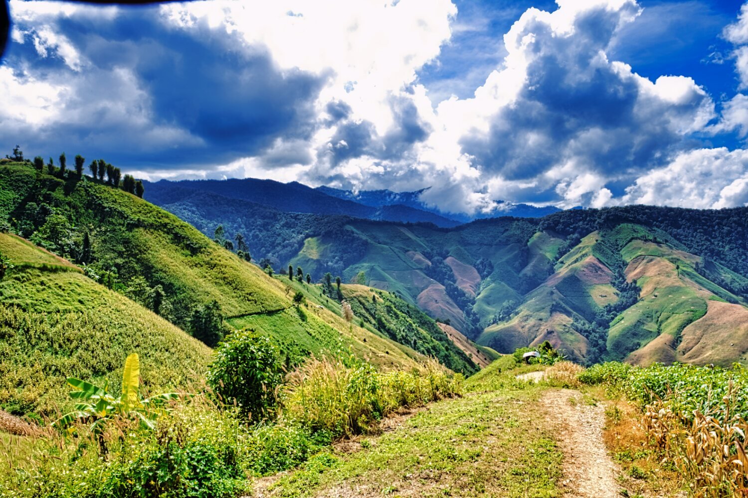
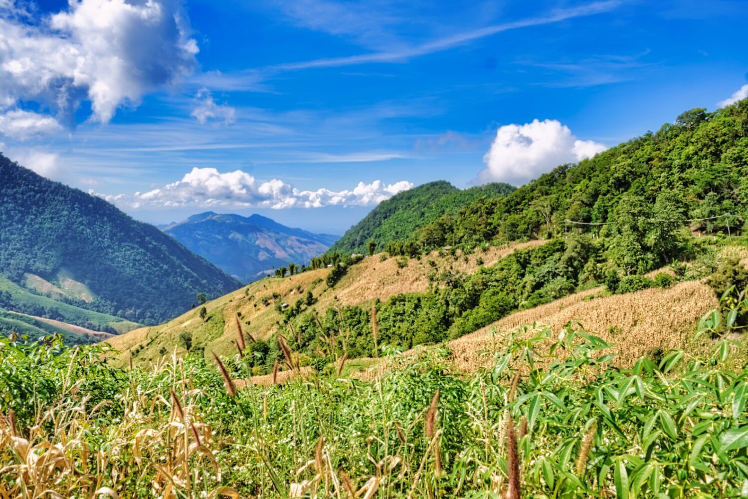
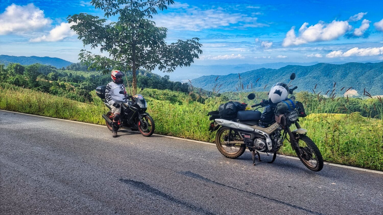
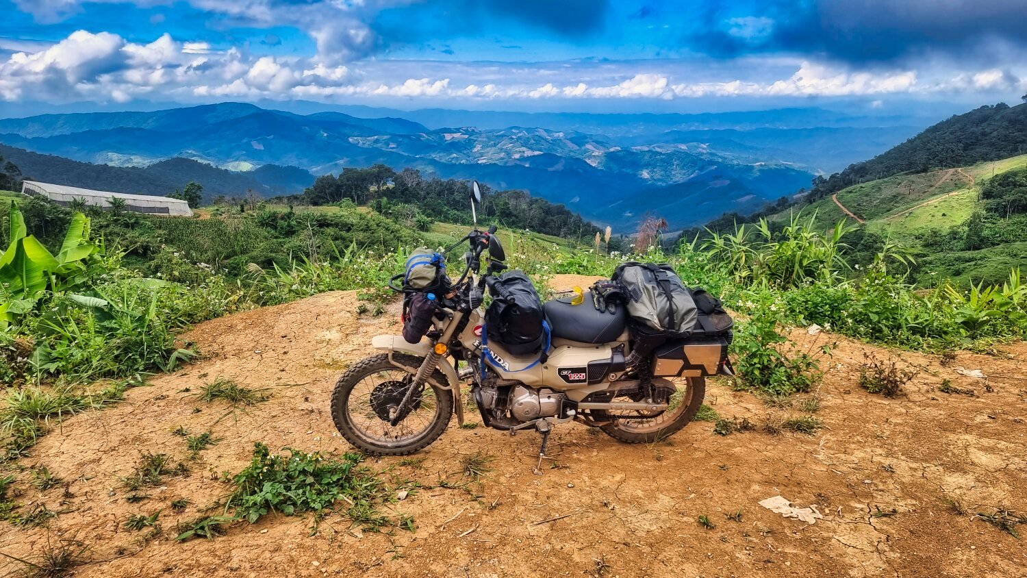
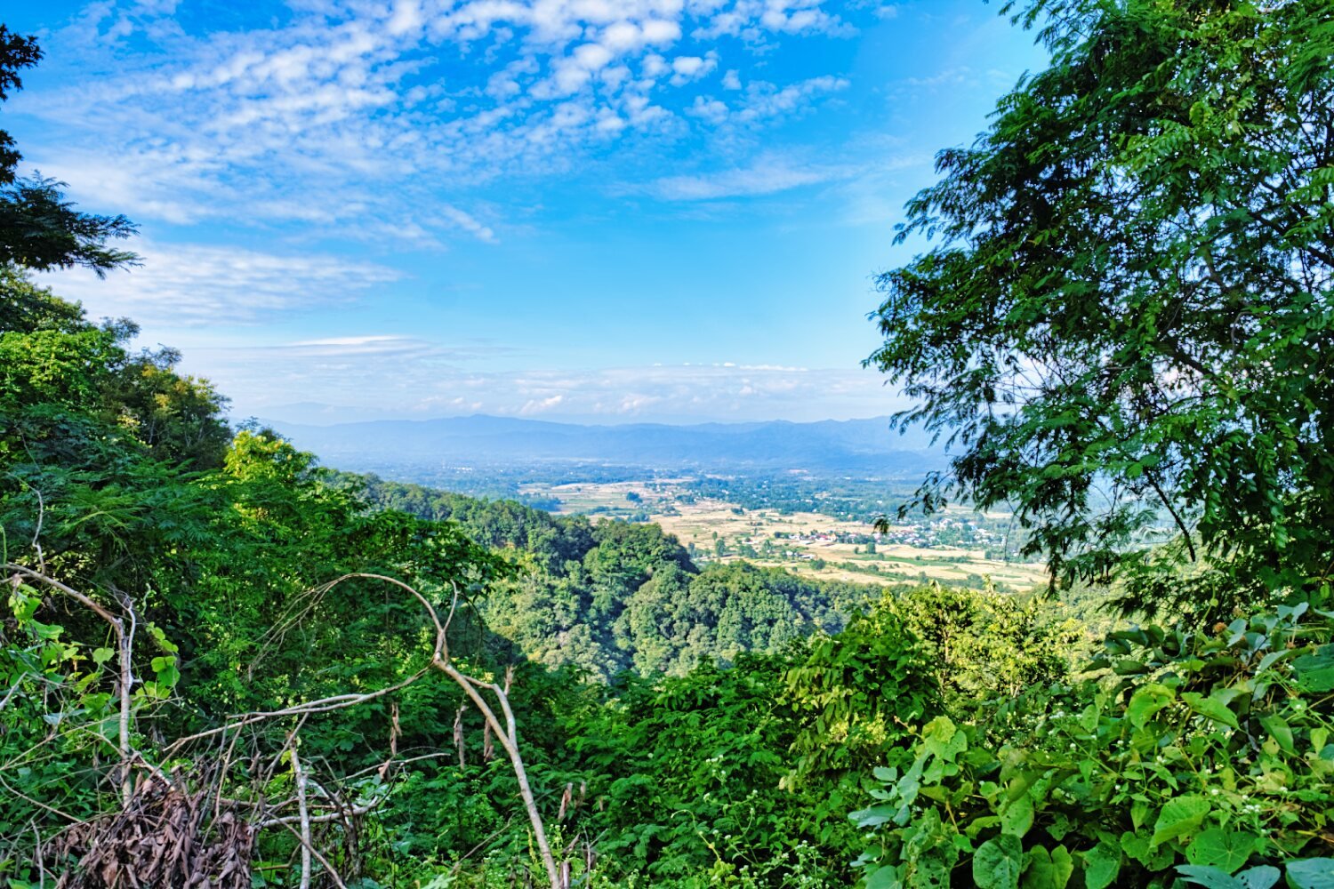
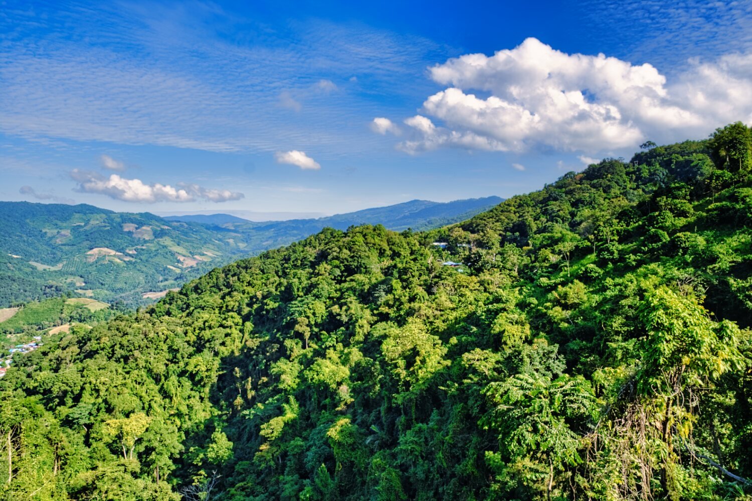
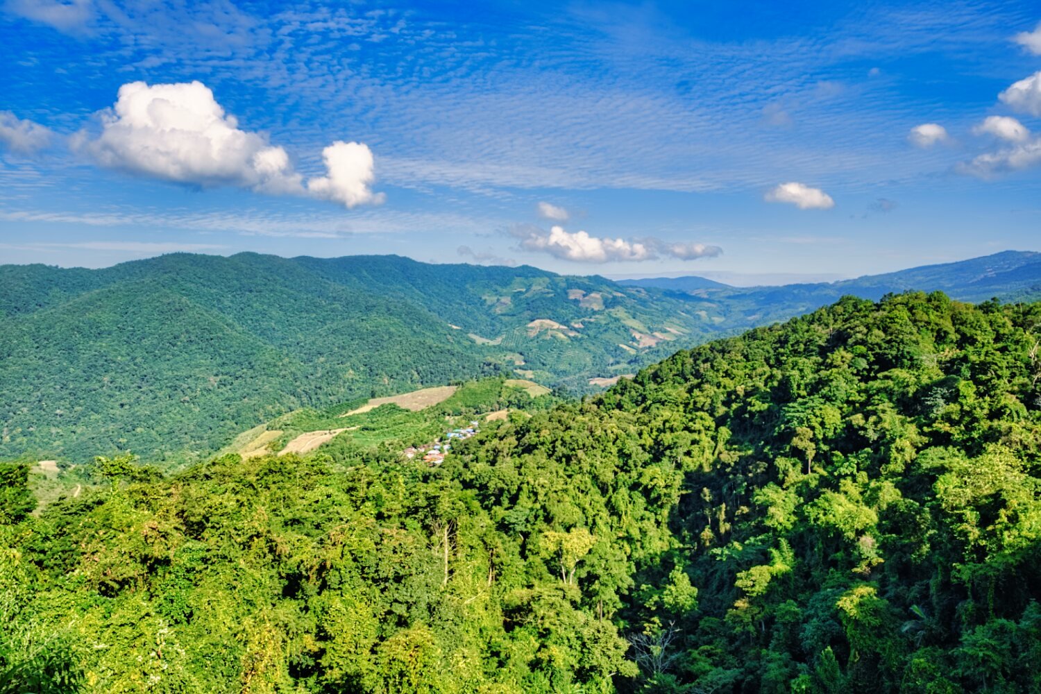
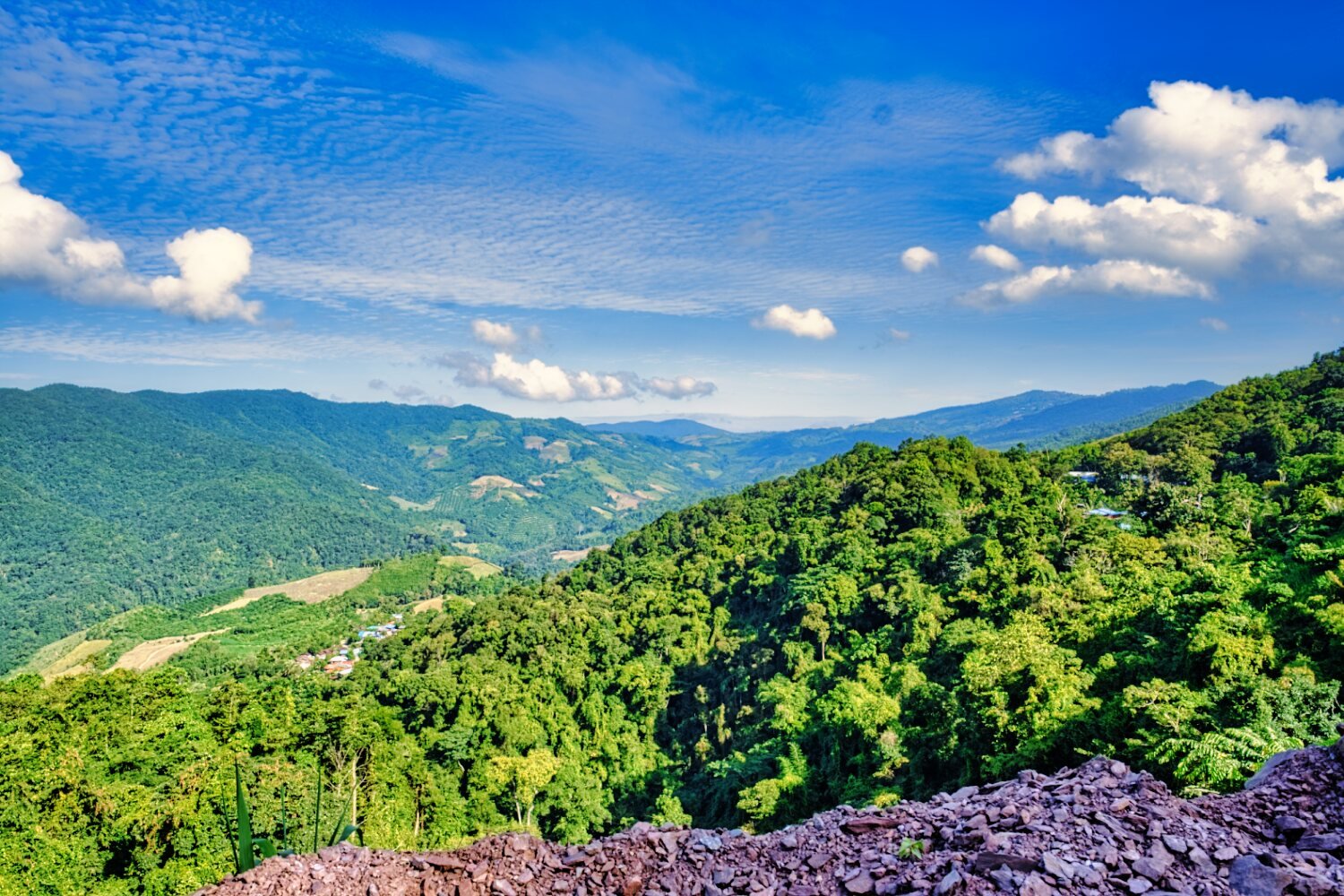
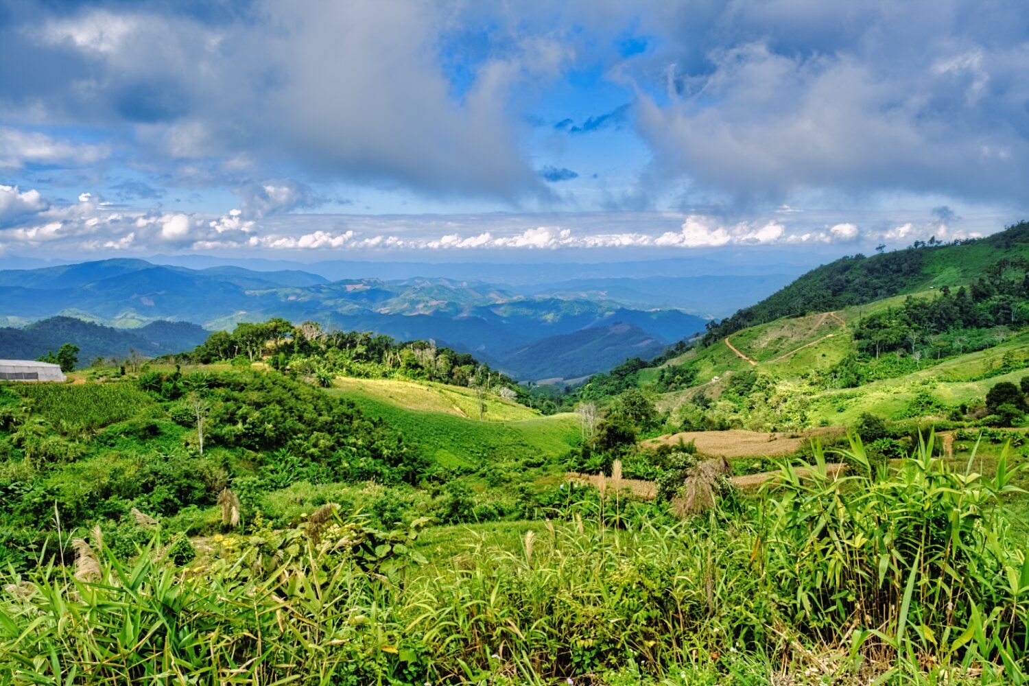
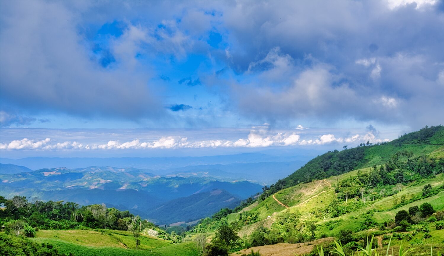
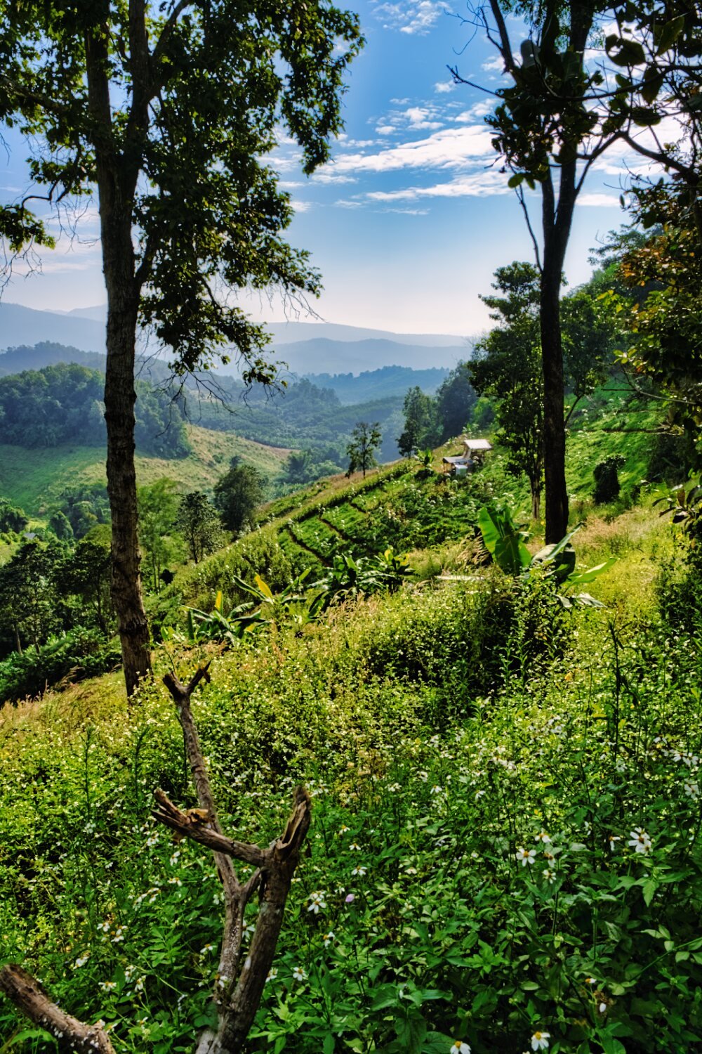
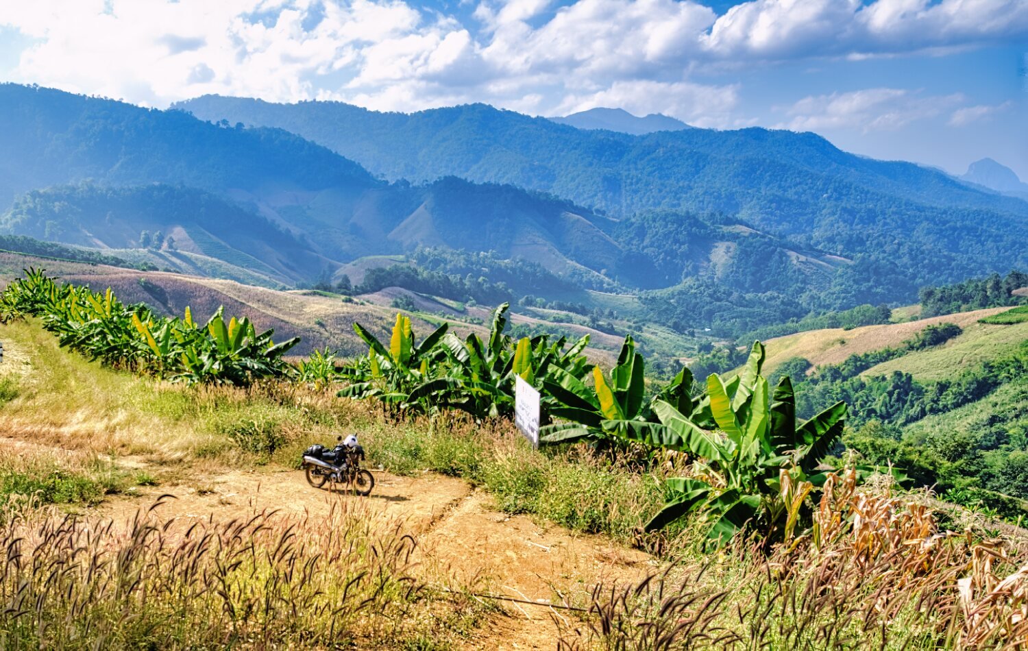
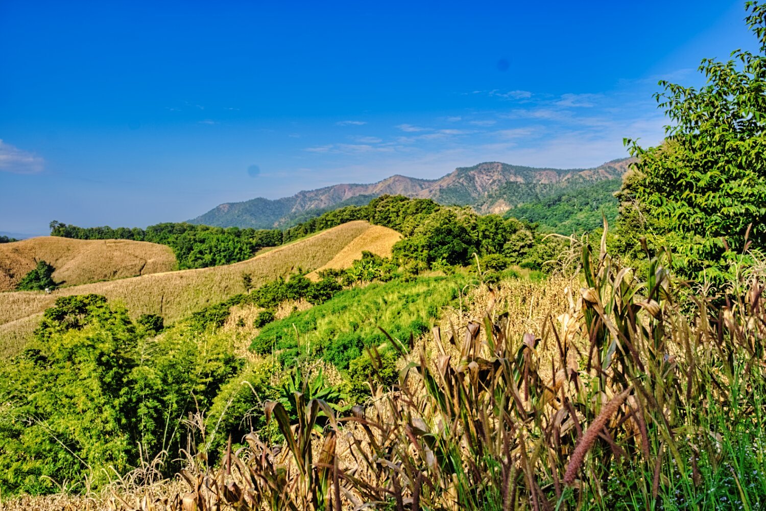
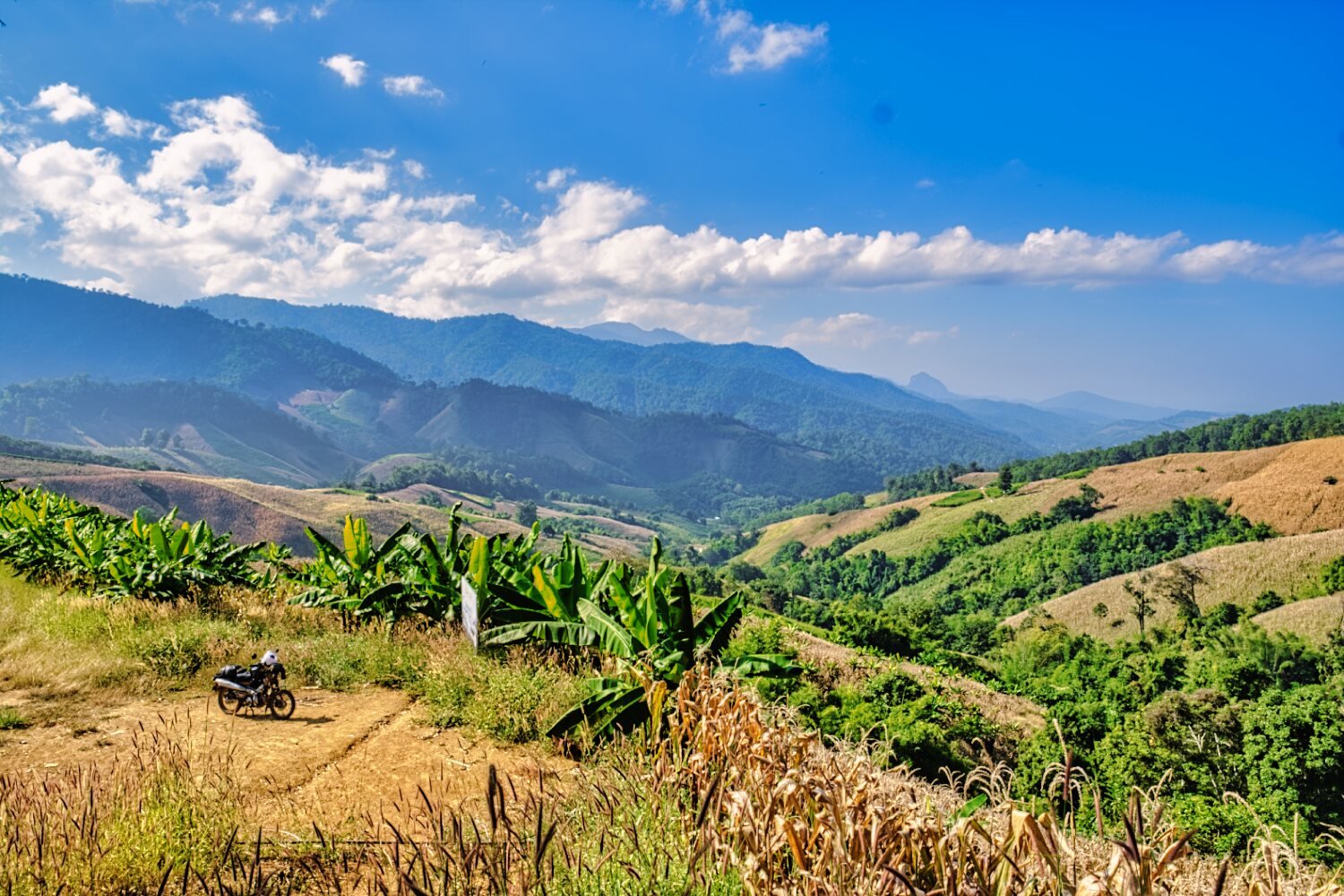
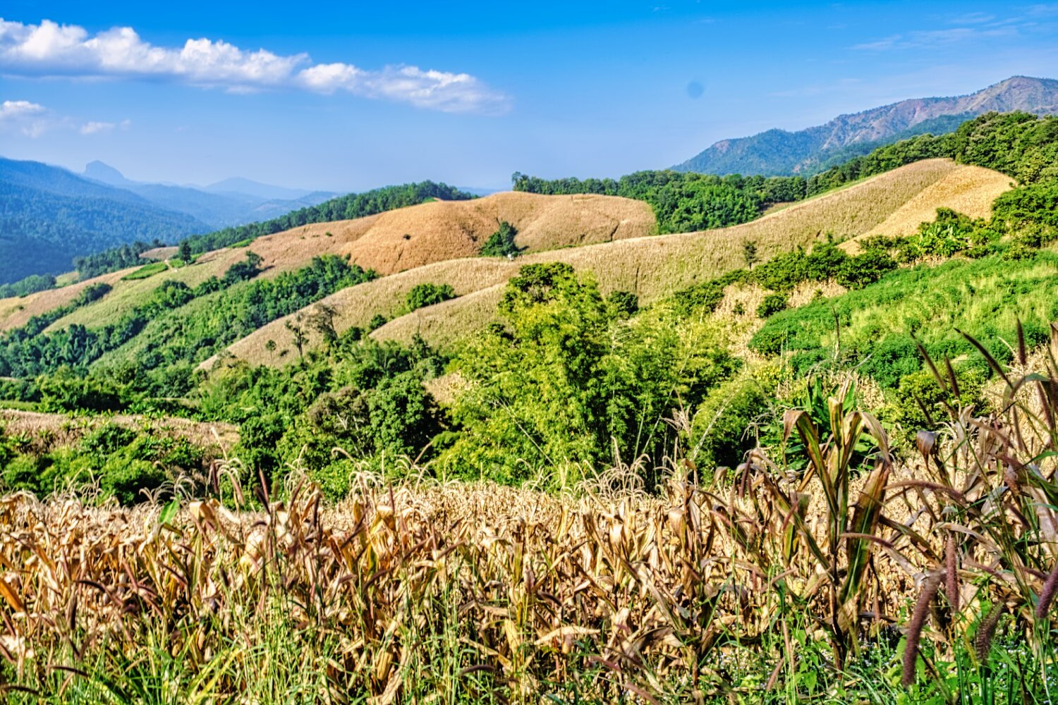
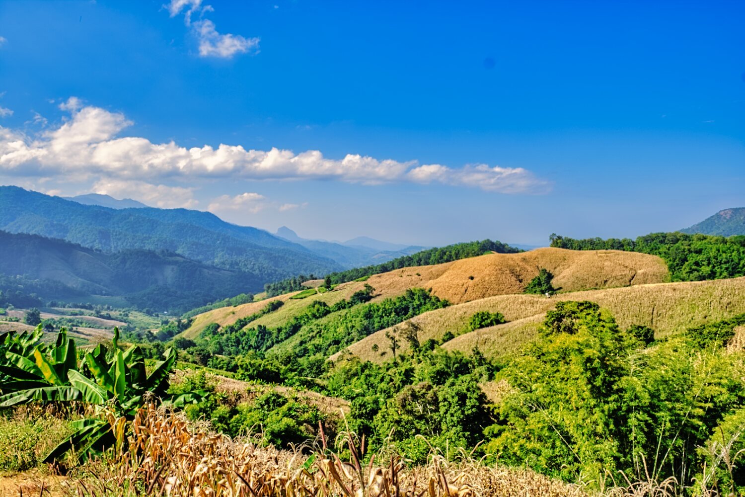
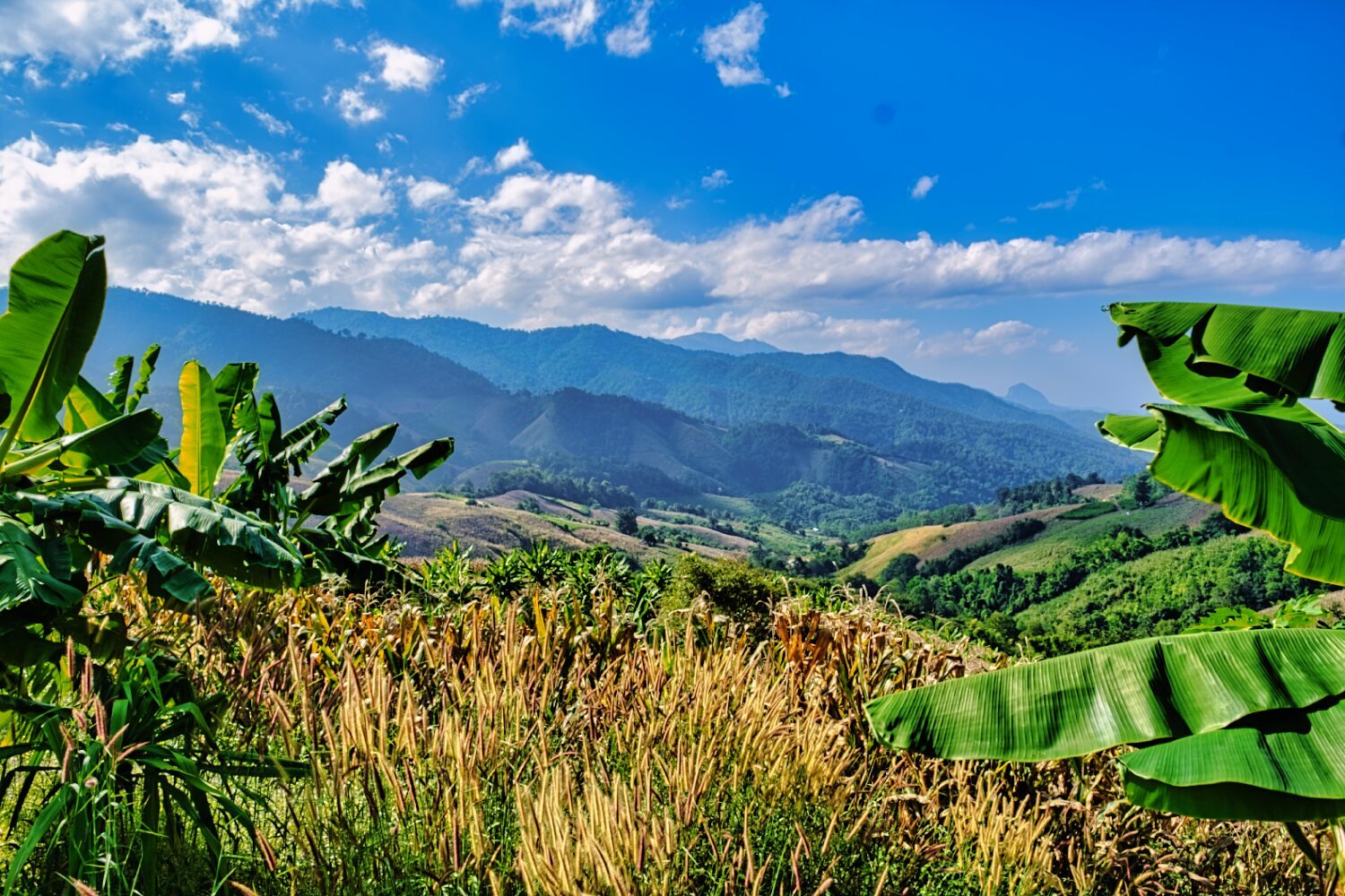
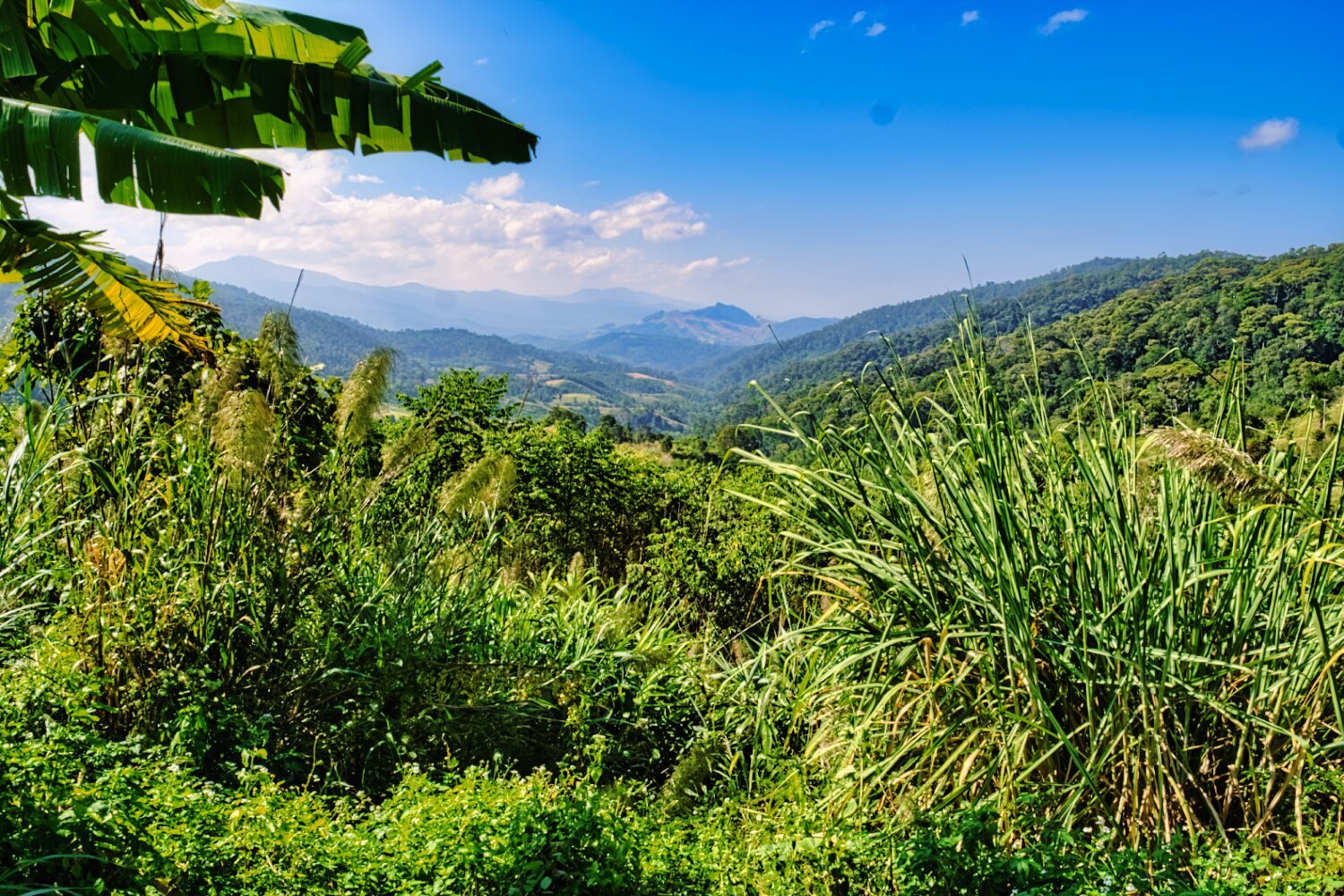
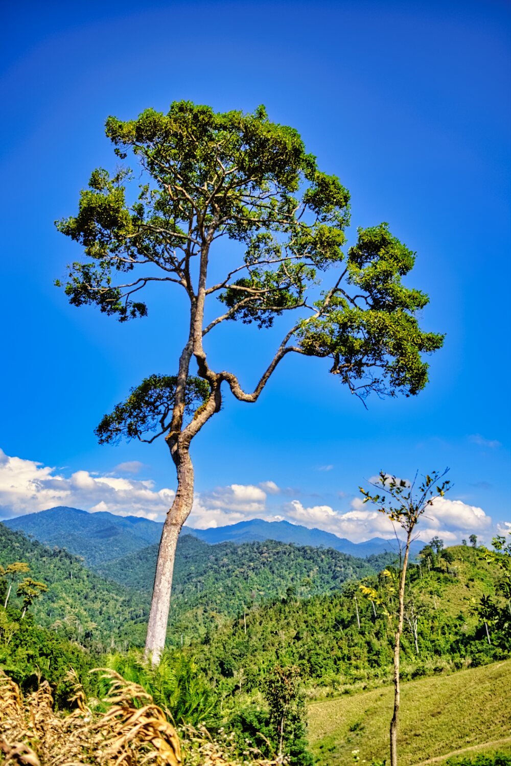
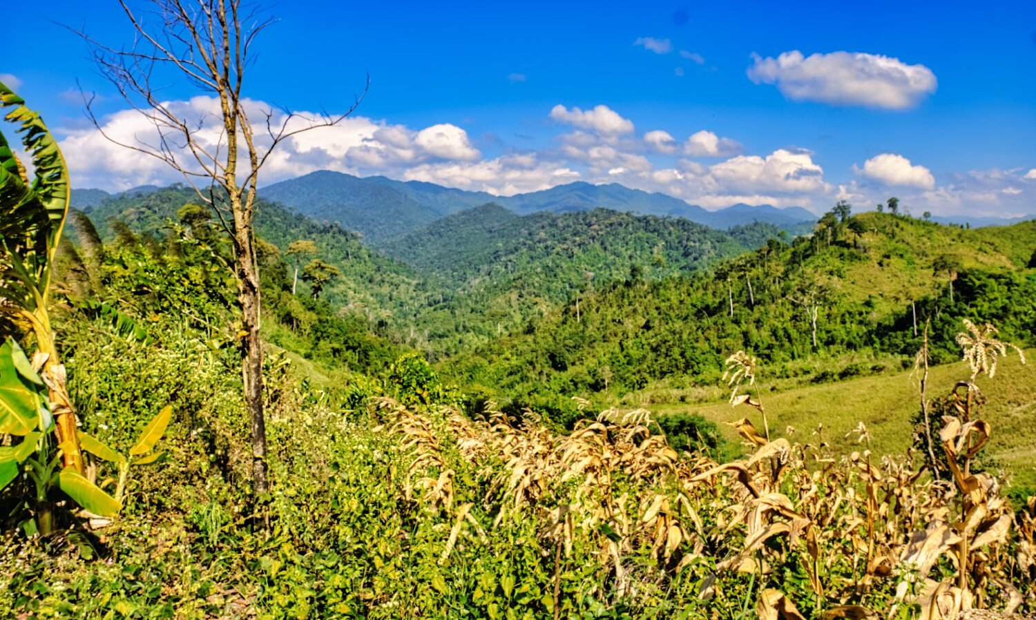
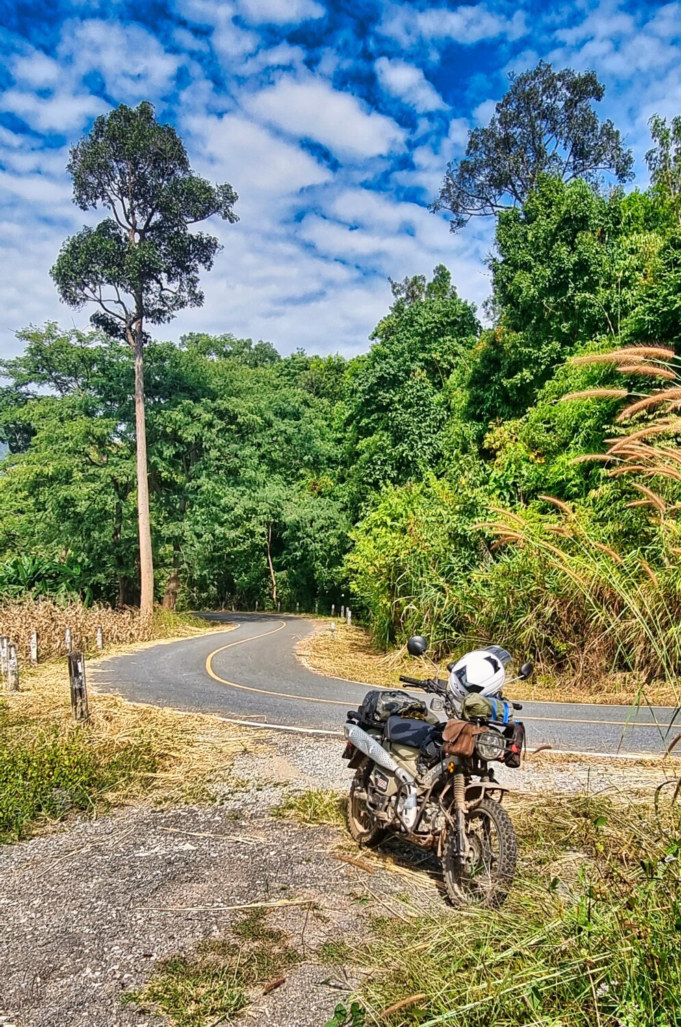
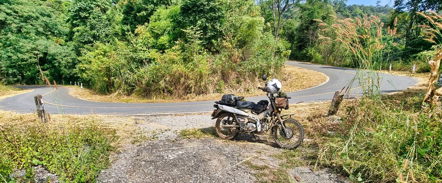
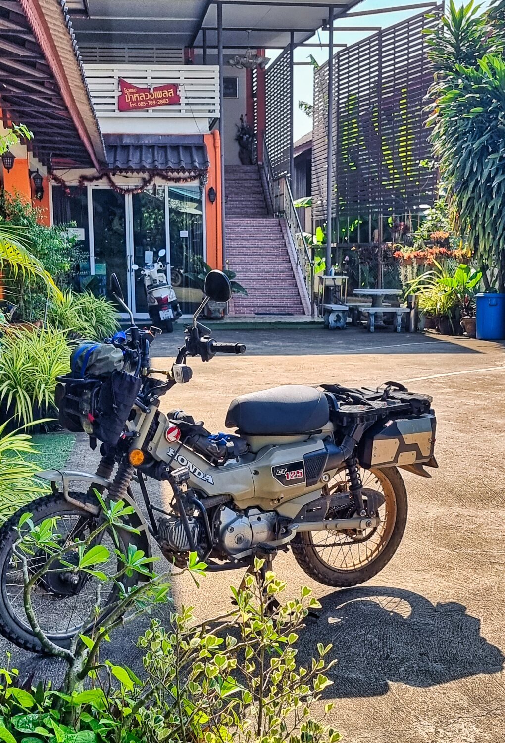
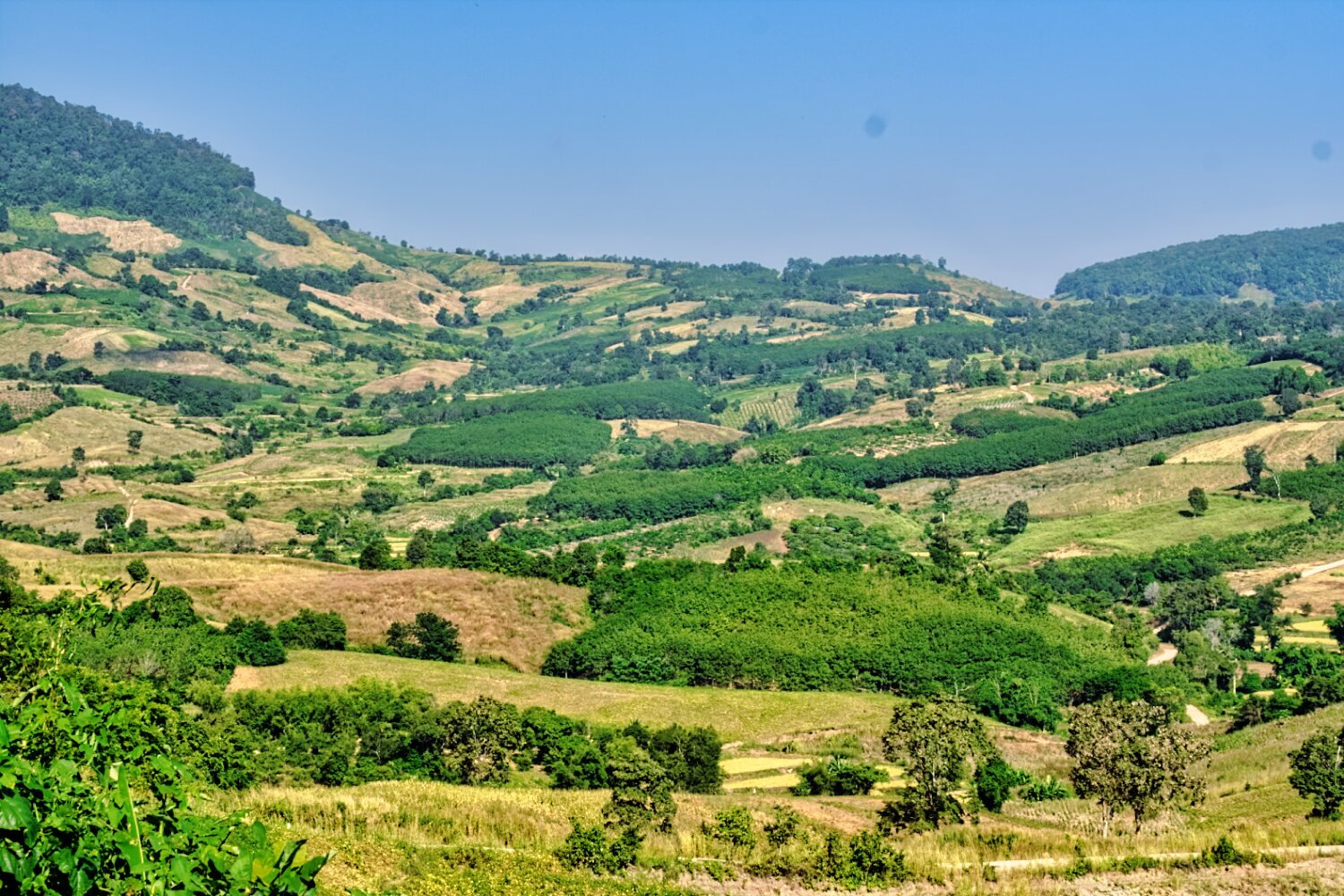
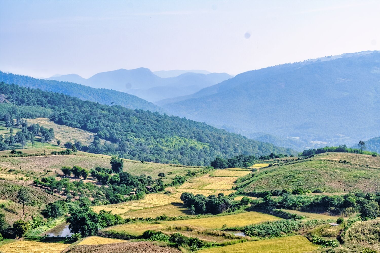
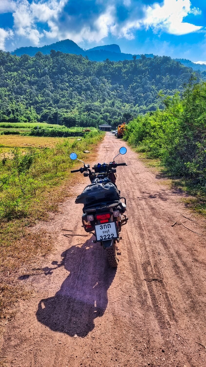
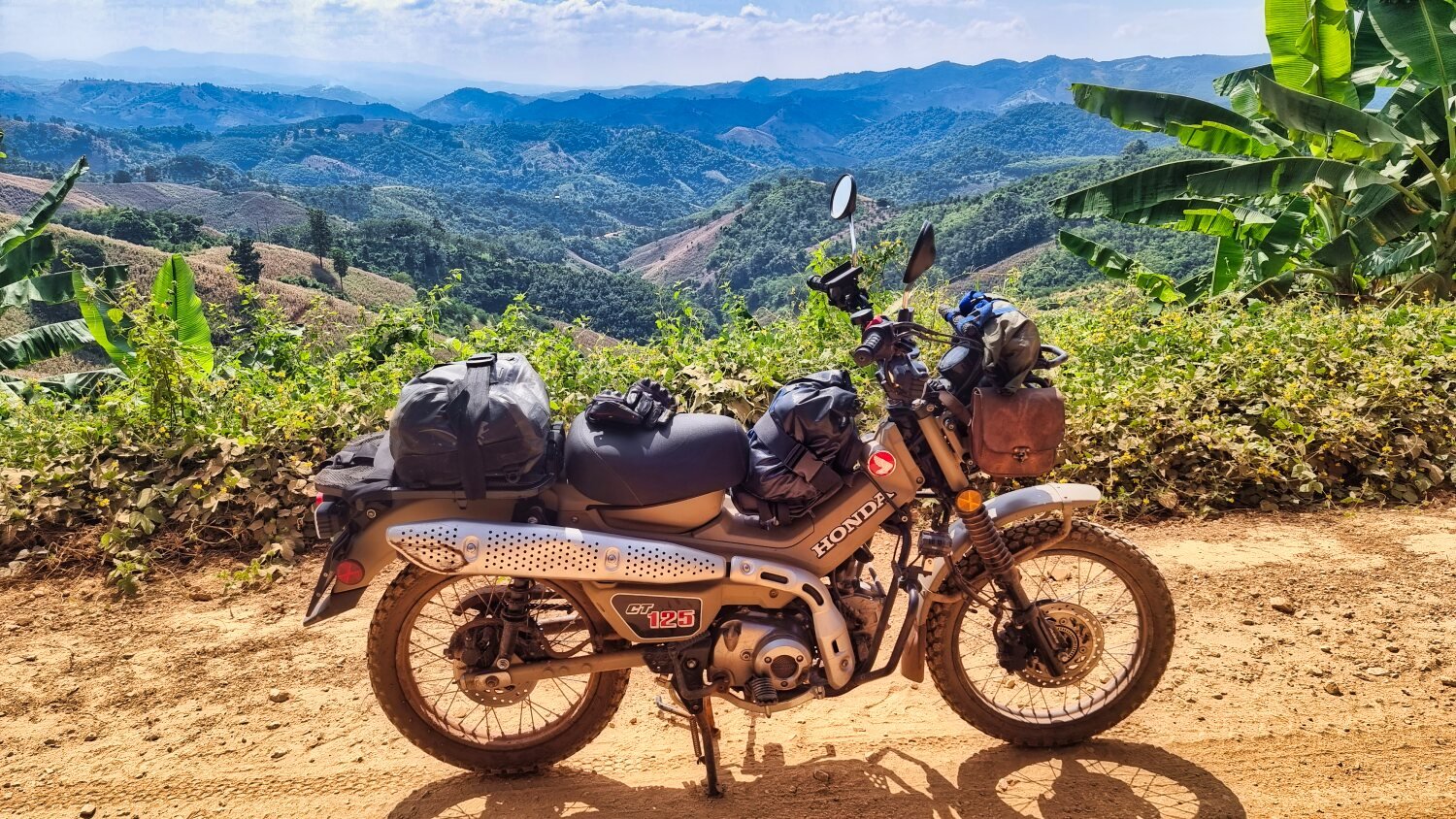
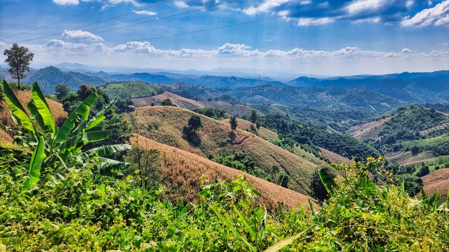
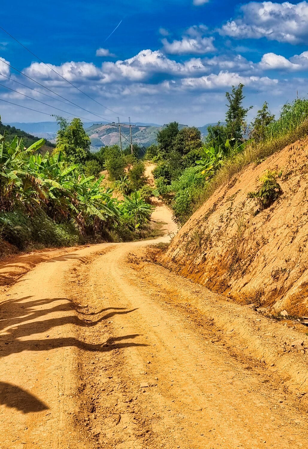
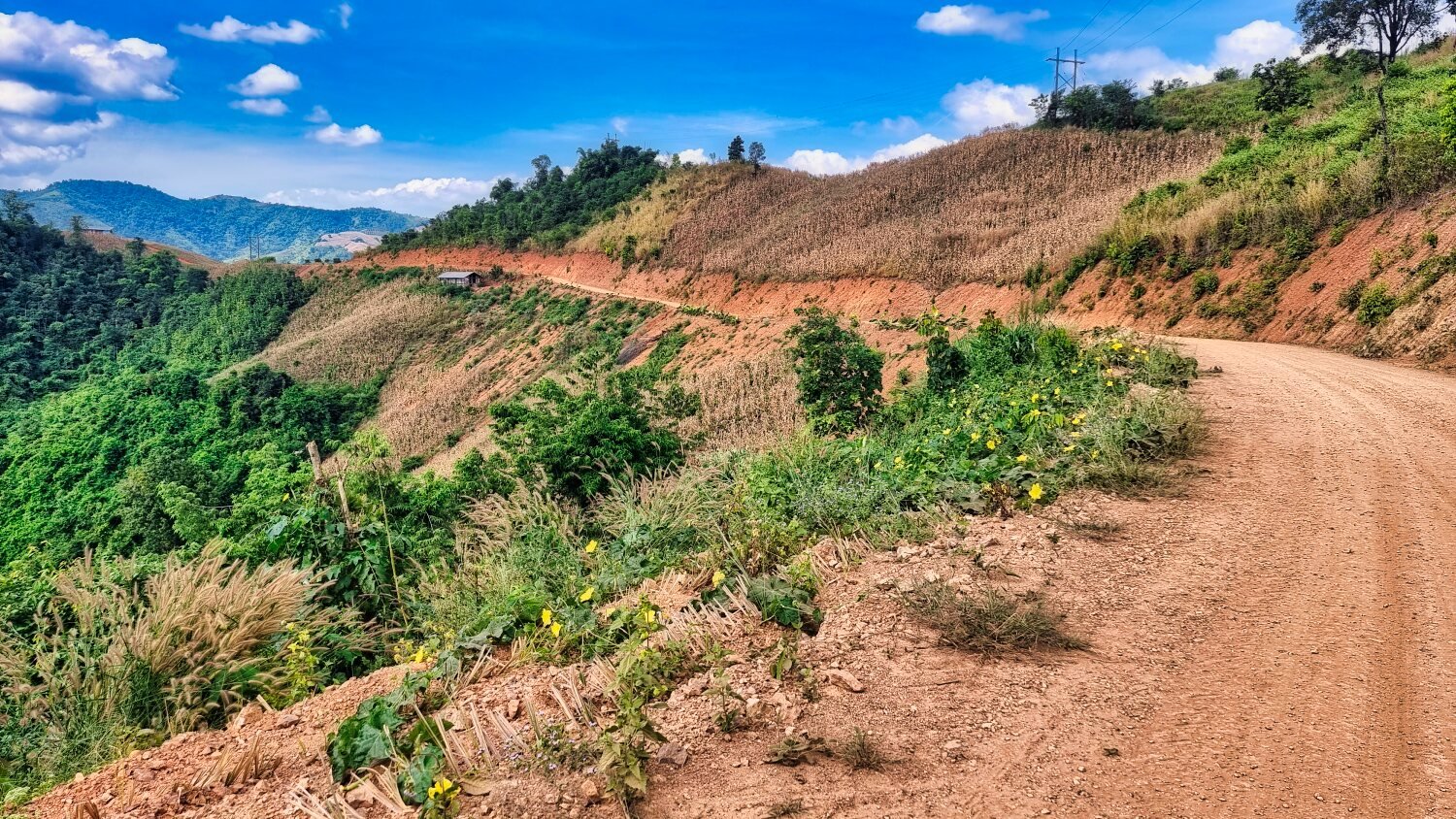
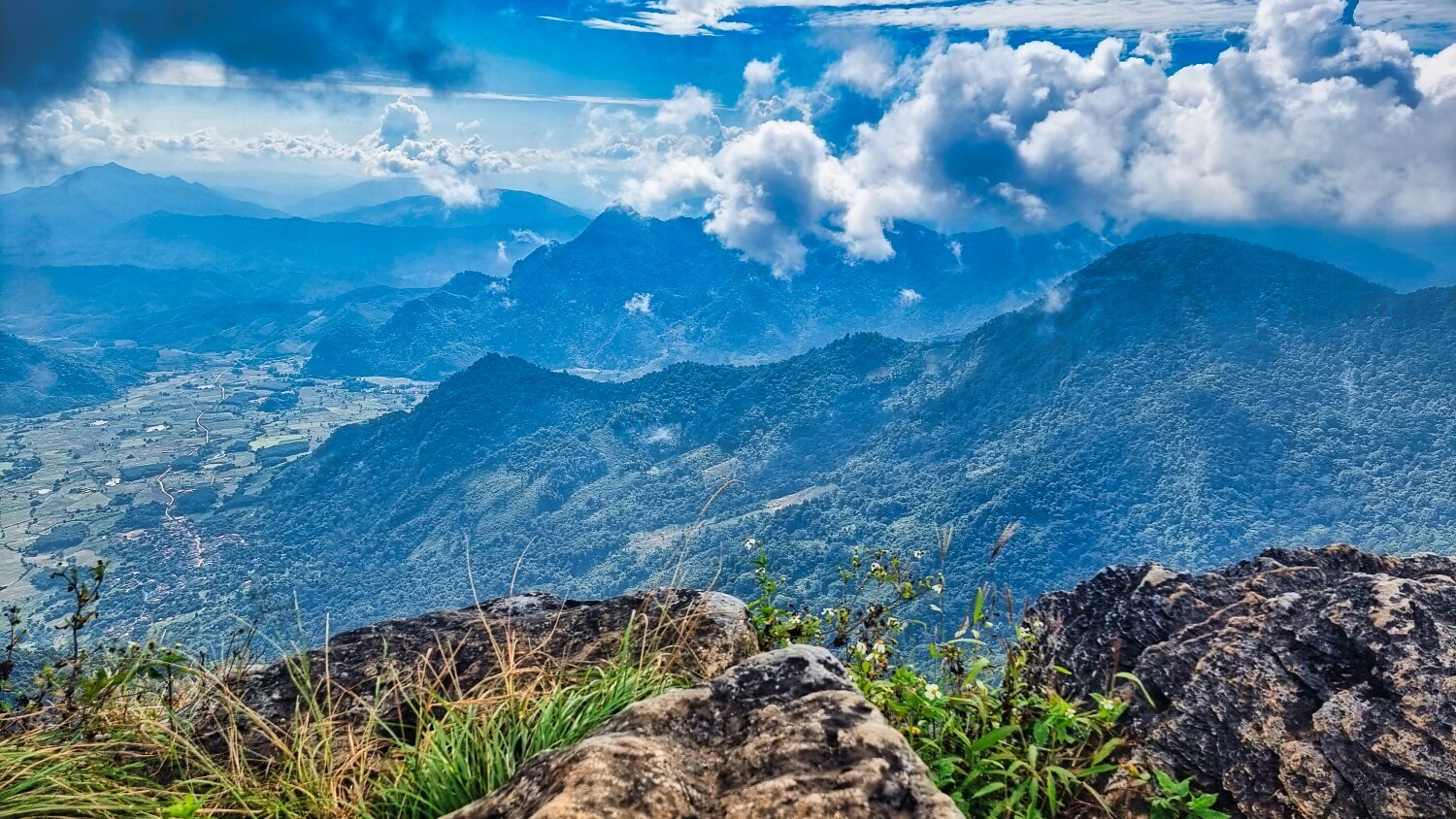
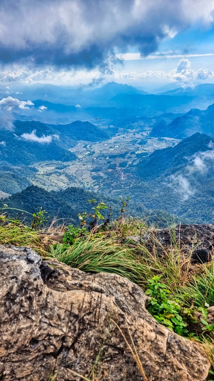
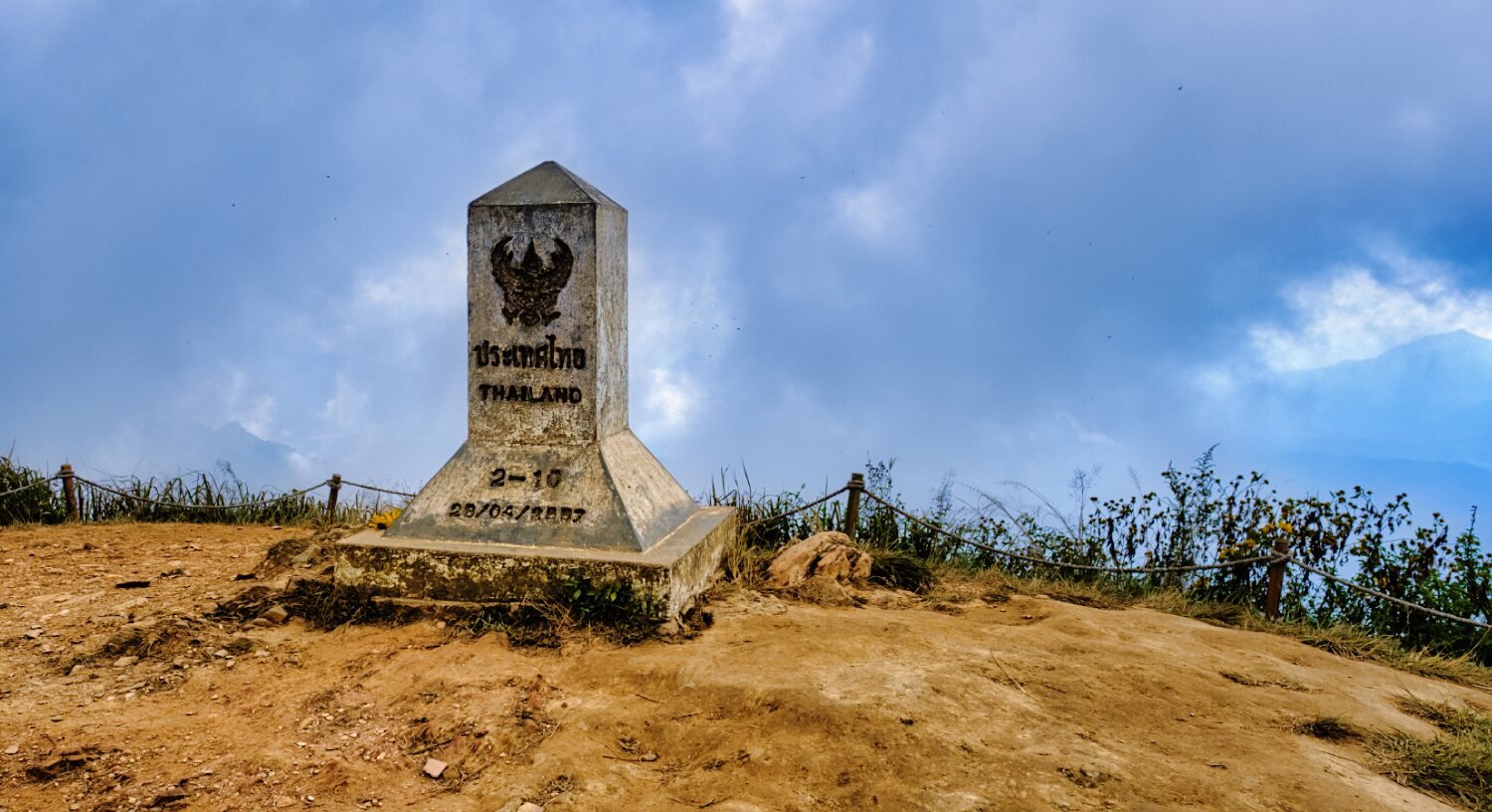
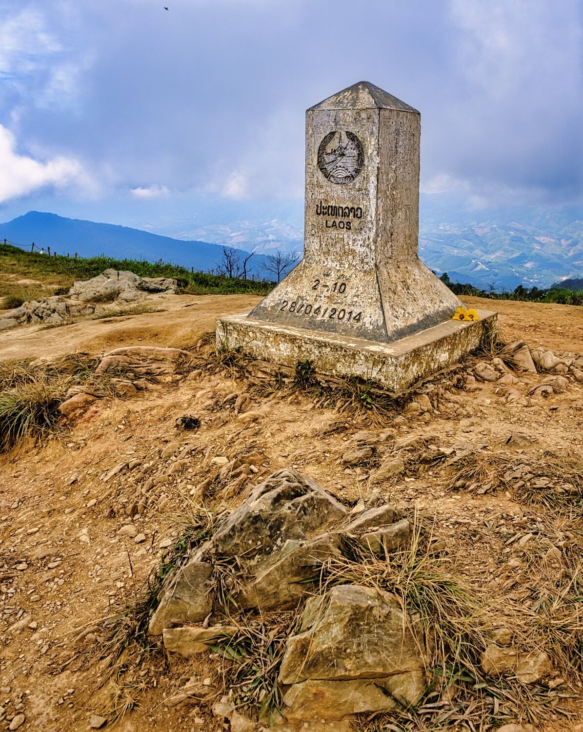
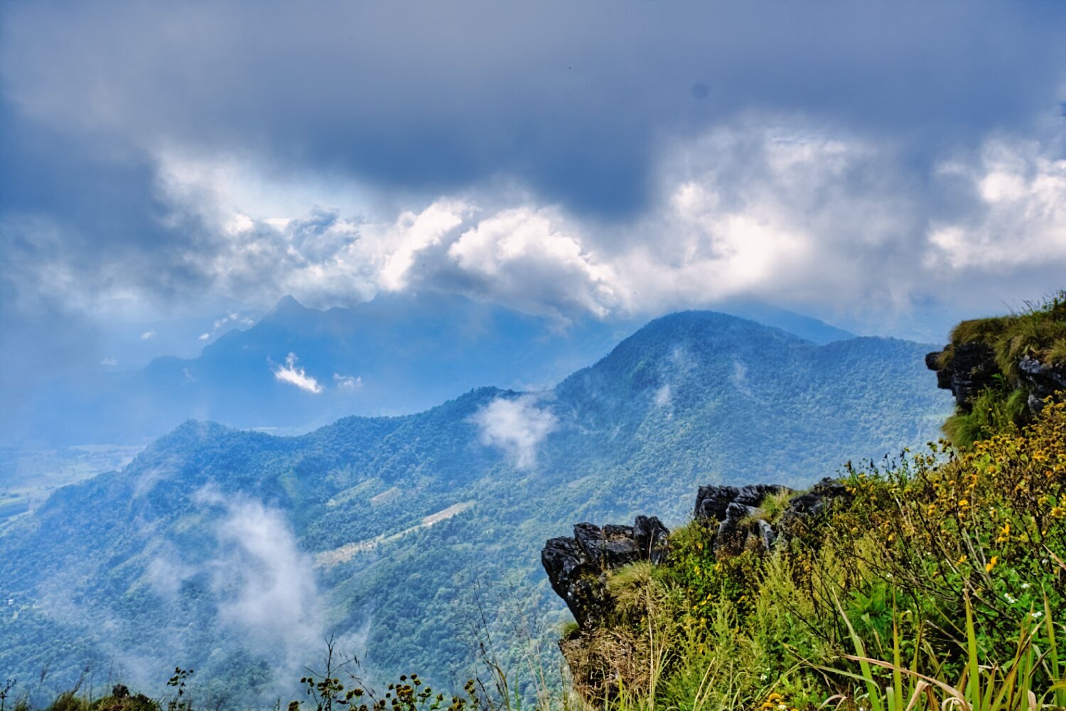
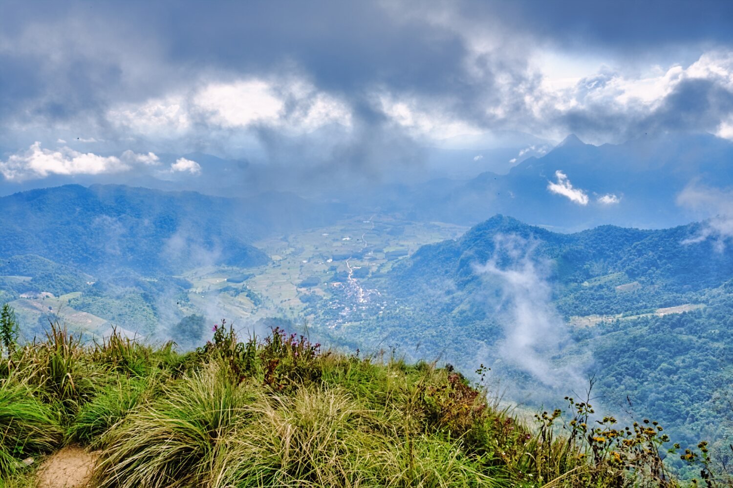
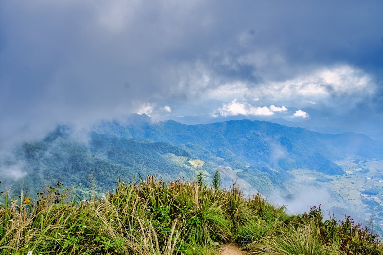
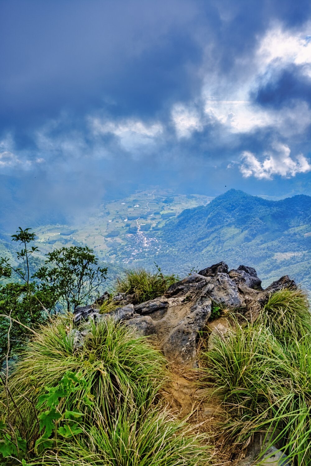
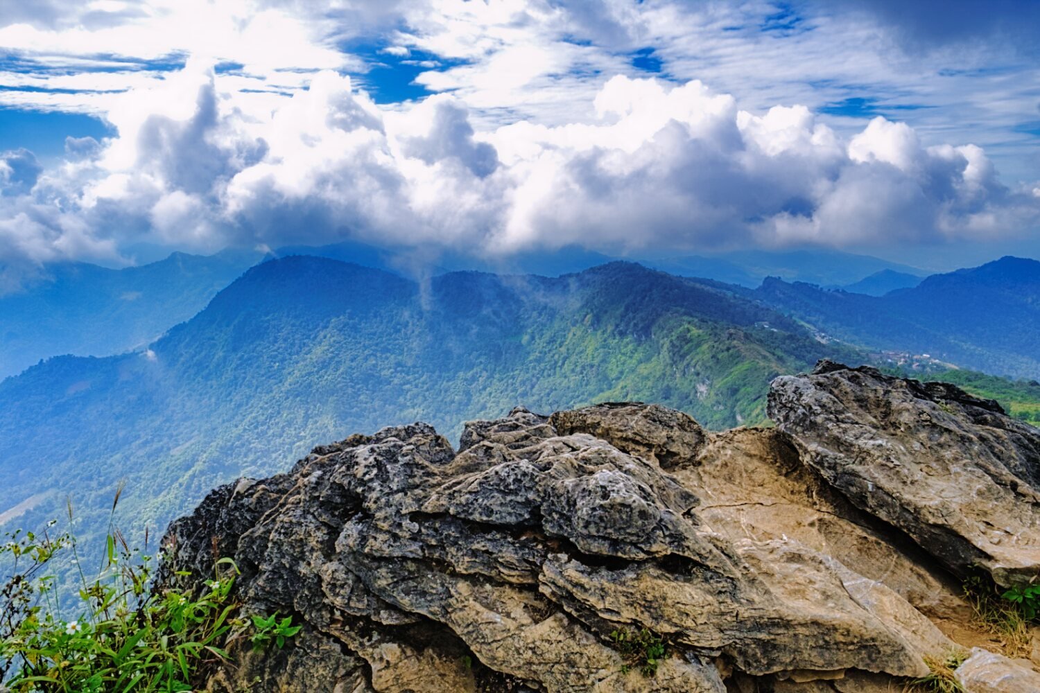
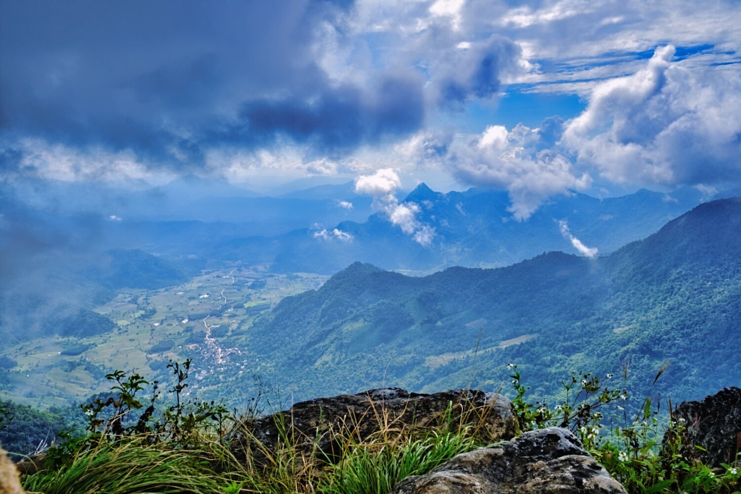
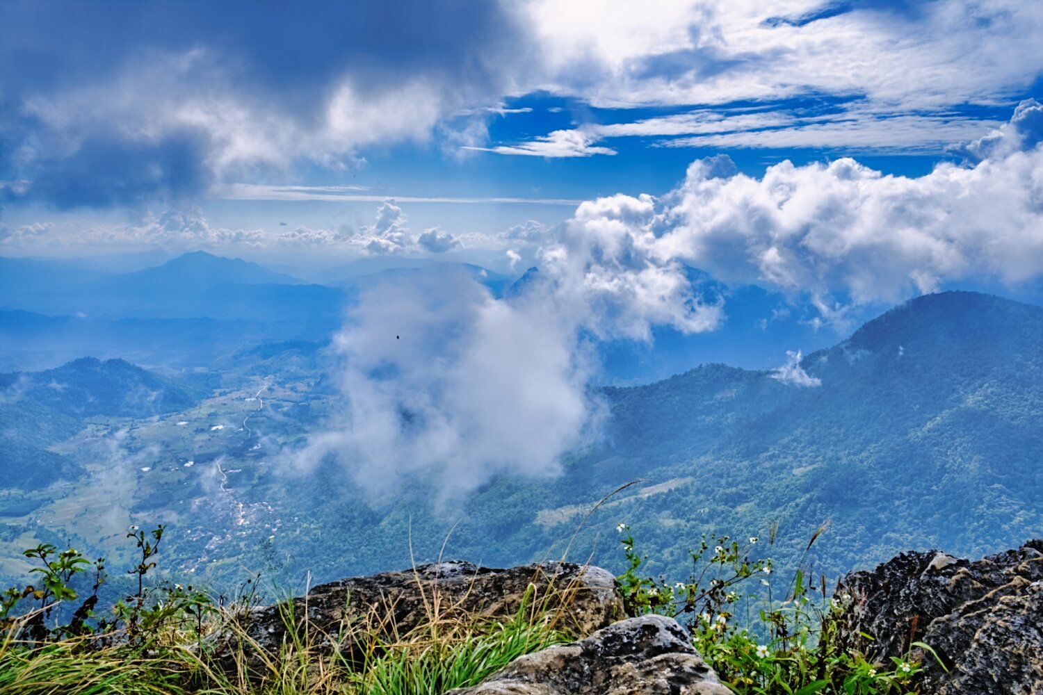
Today I rode from Chiang Rai to Phu Chee Fa, https://maps.app.goo.gl/VJSDmC4f9eUQEReo9 This is a mountain on the Thai and Lao border. The walk up is only 400m, the ride up and down the mountains to to get there was first gear riding on the CT125, But worth it for the views. https://www.relive.cc/view/vdvmJjQW7NO
-
Small engine
-
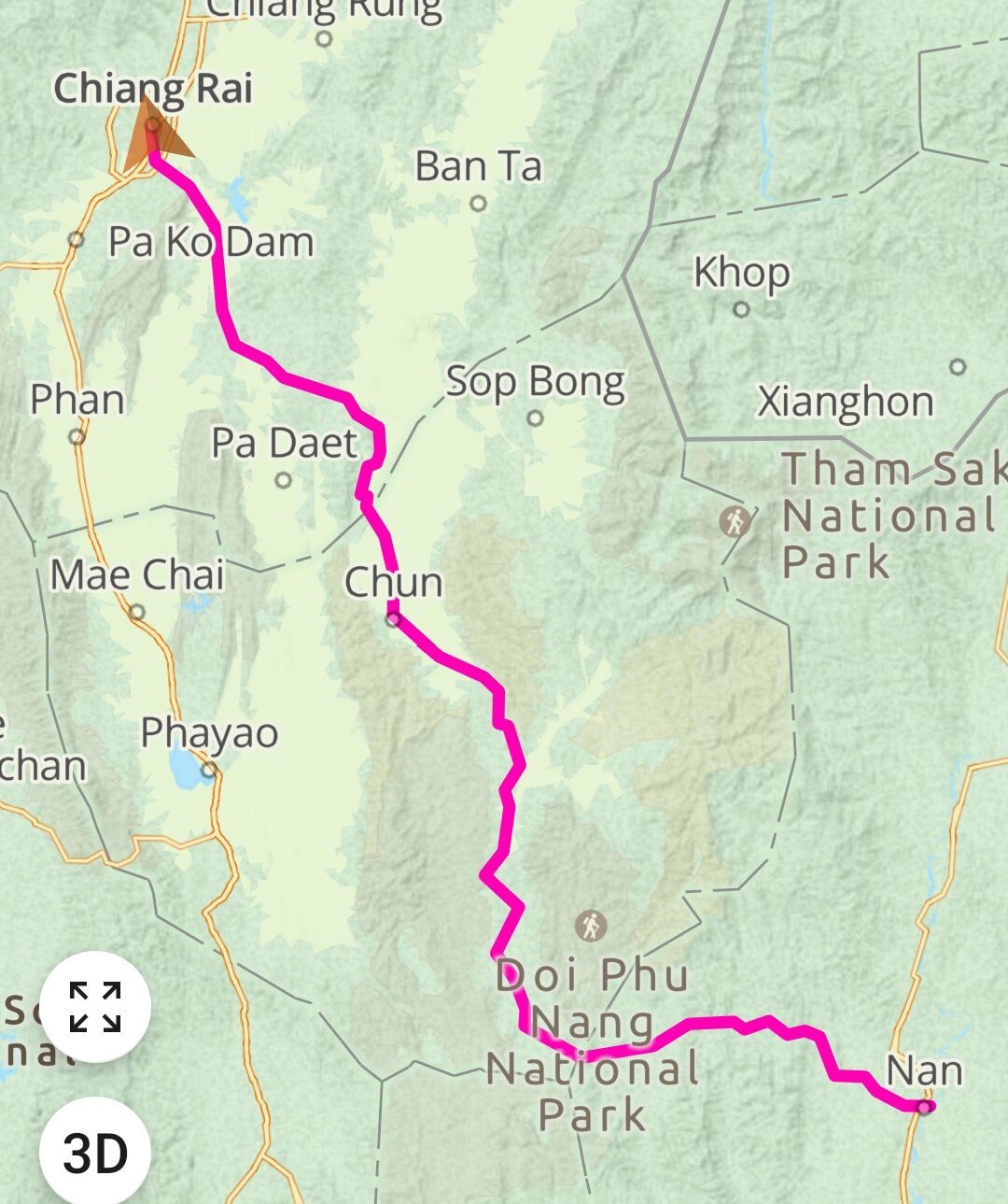
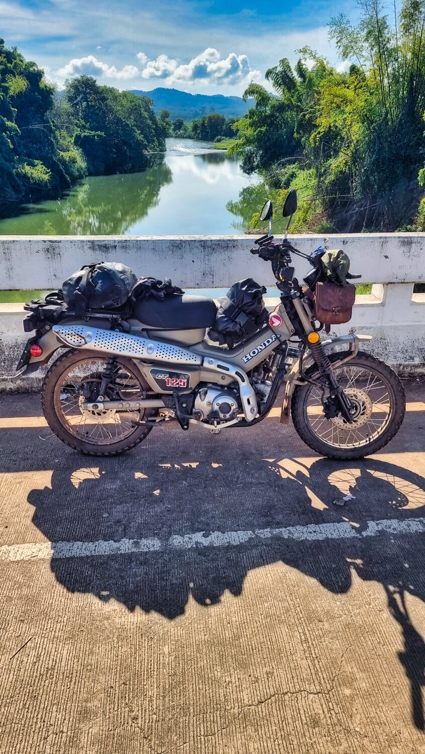
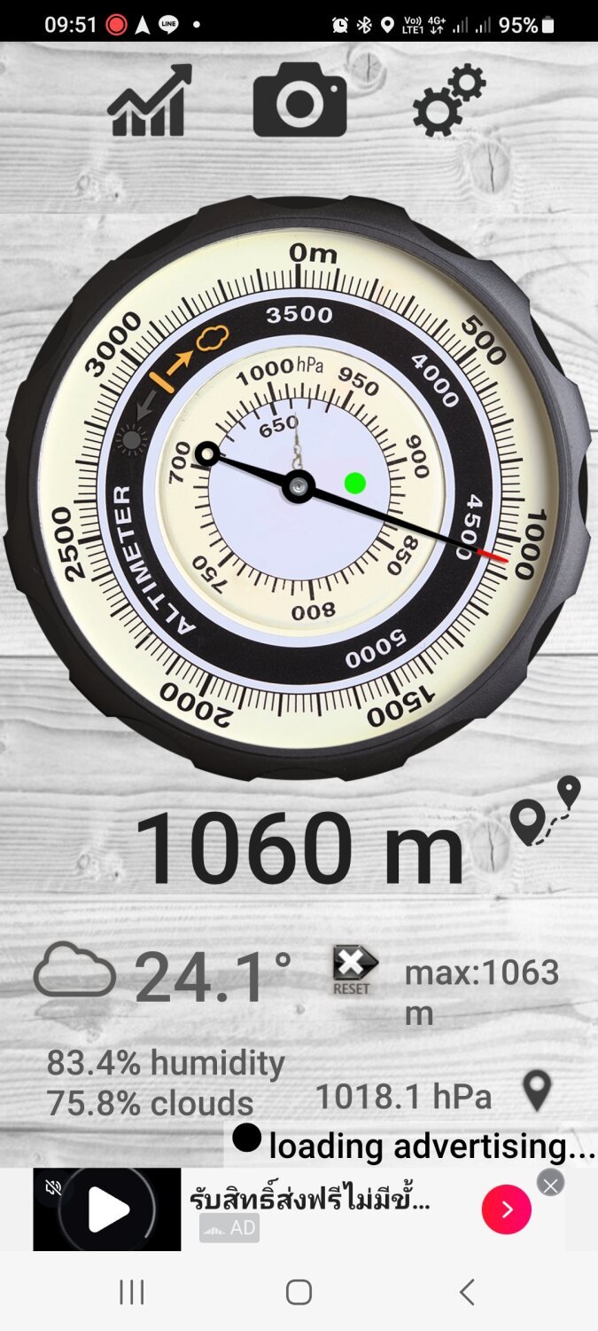
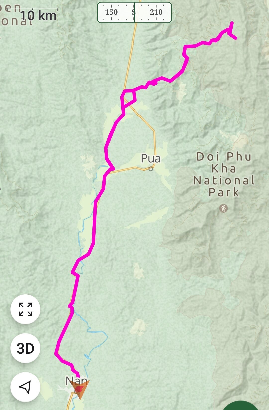
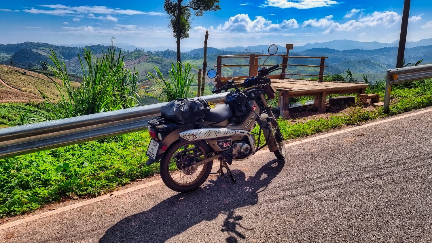
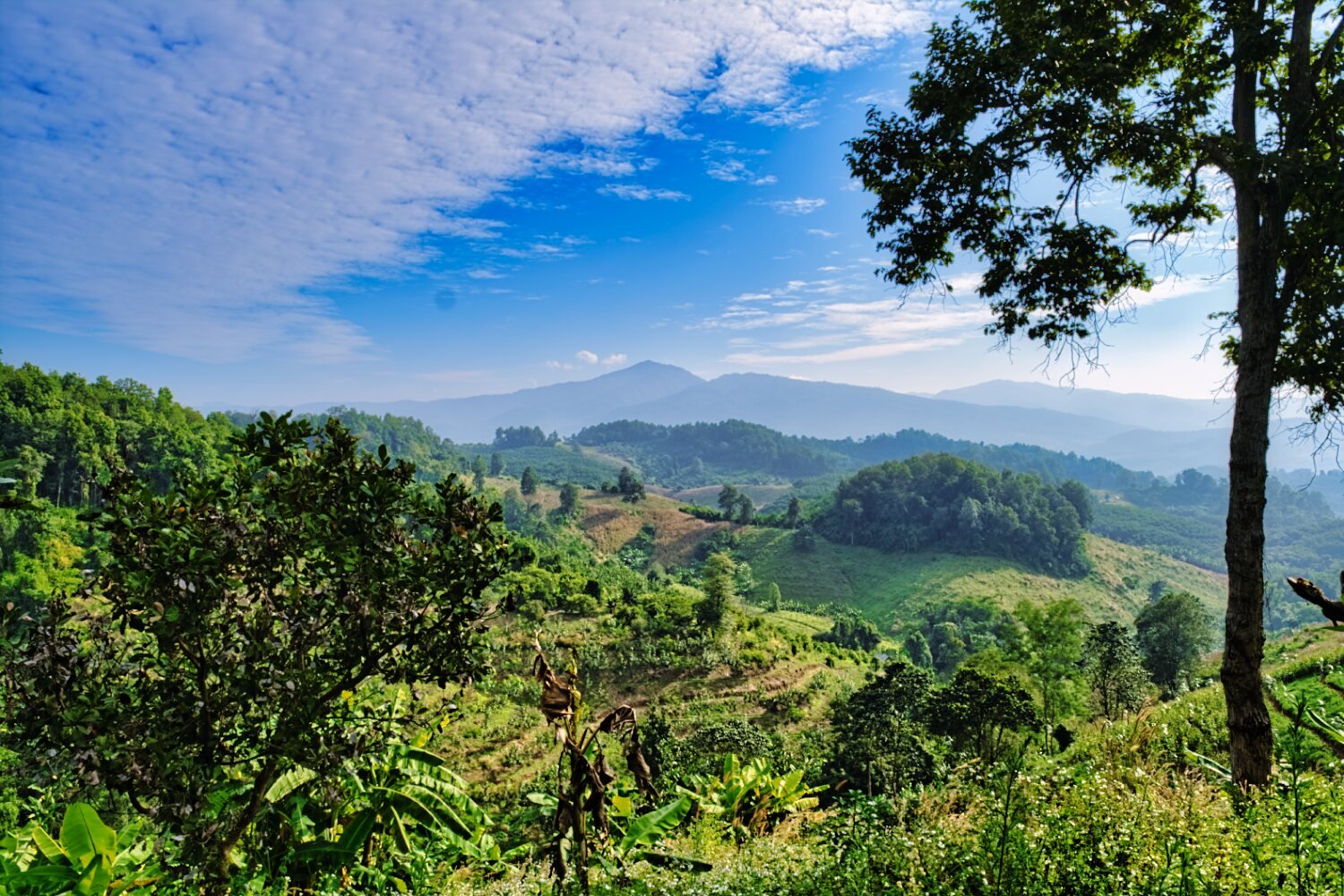
I left Nan this morning to ride to Chiang Rai, a 220km ride with some nice views on route. https://maps.app.goo.gl/bvt7ppMYuTnZuHhs6
-
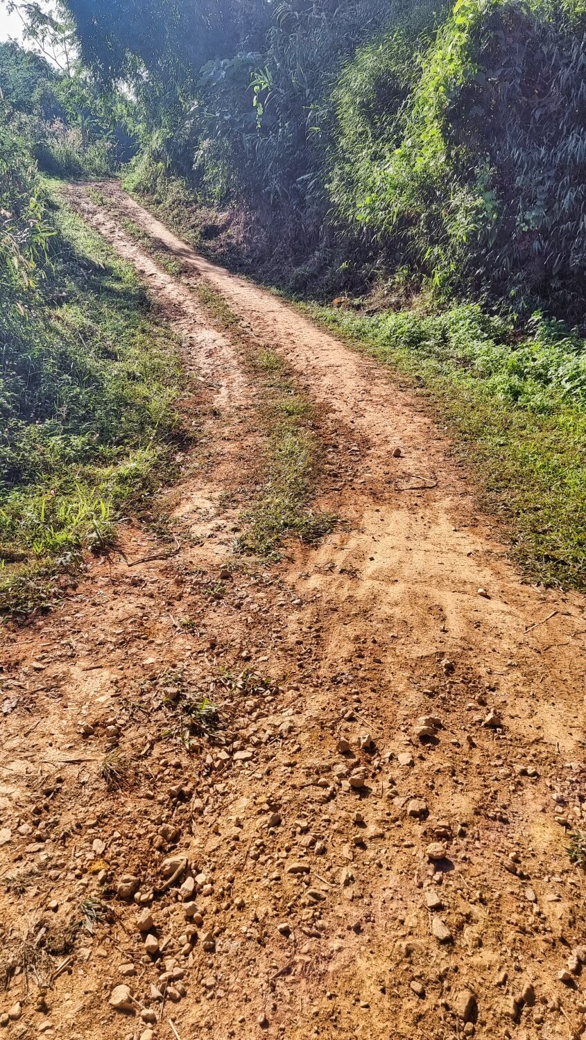
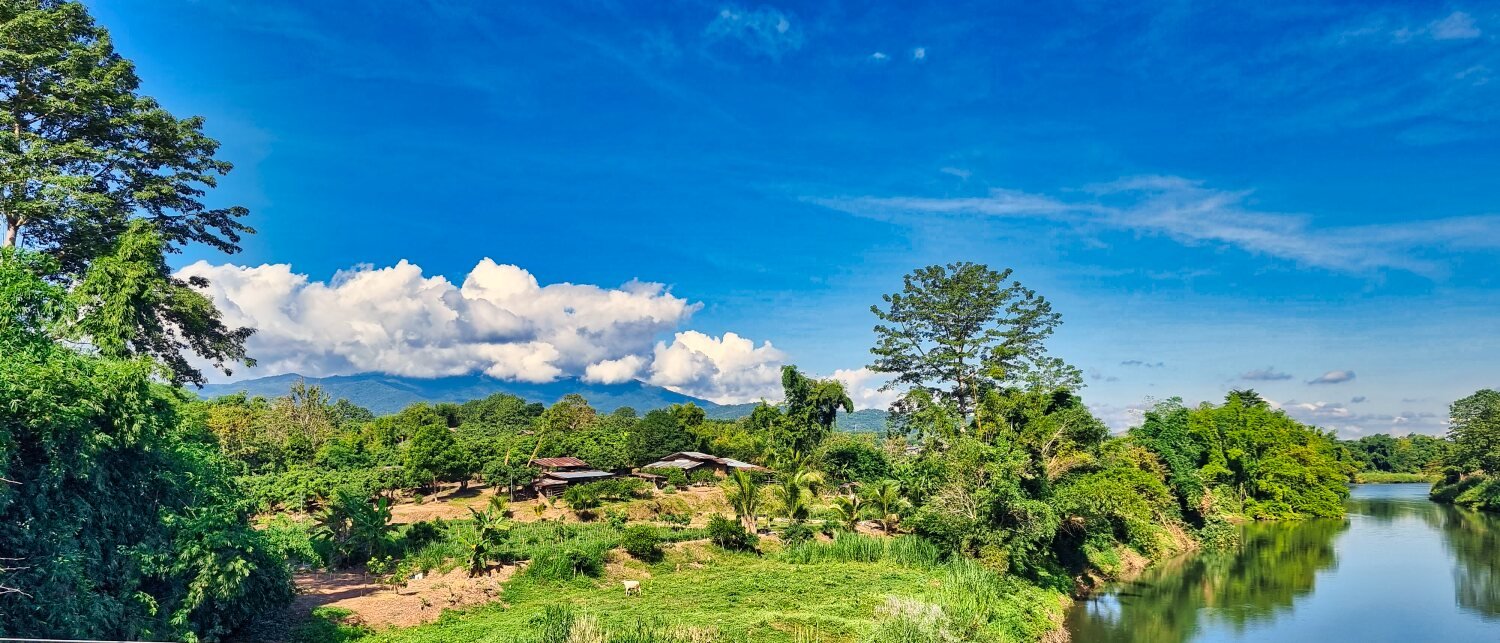
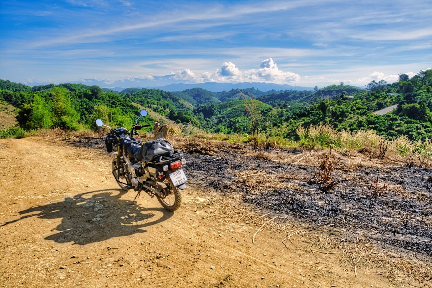
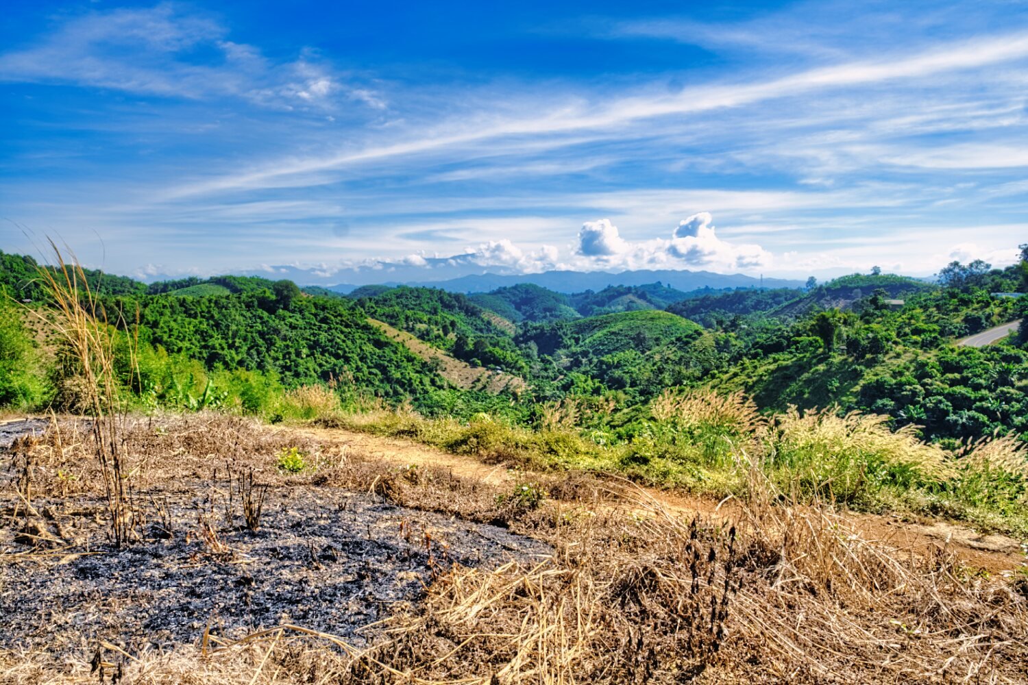
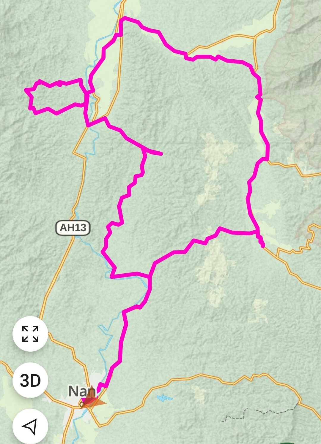
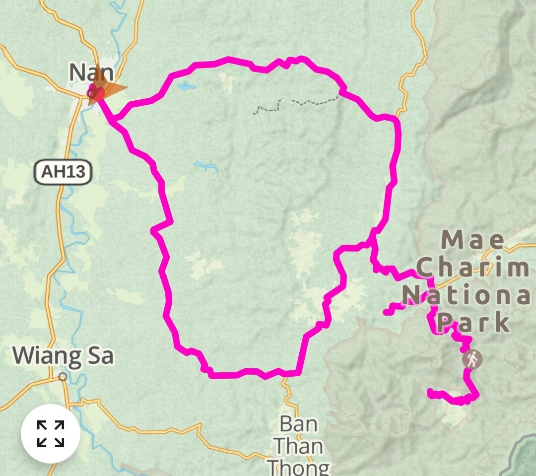
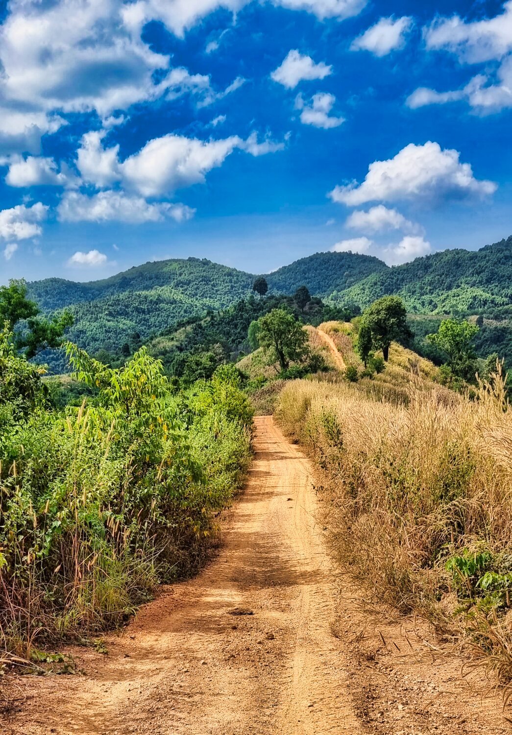
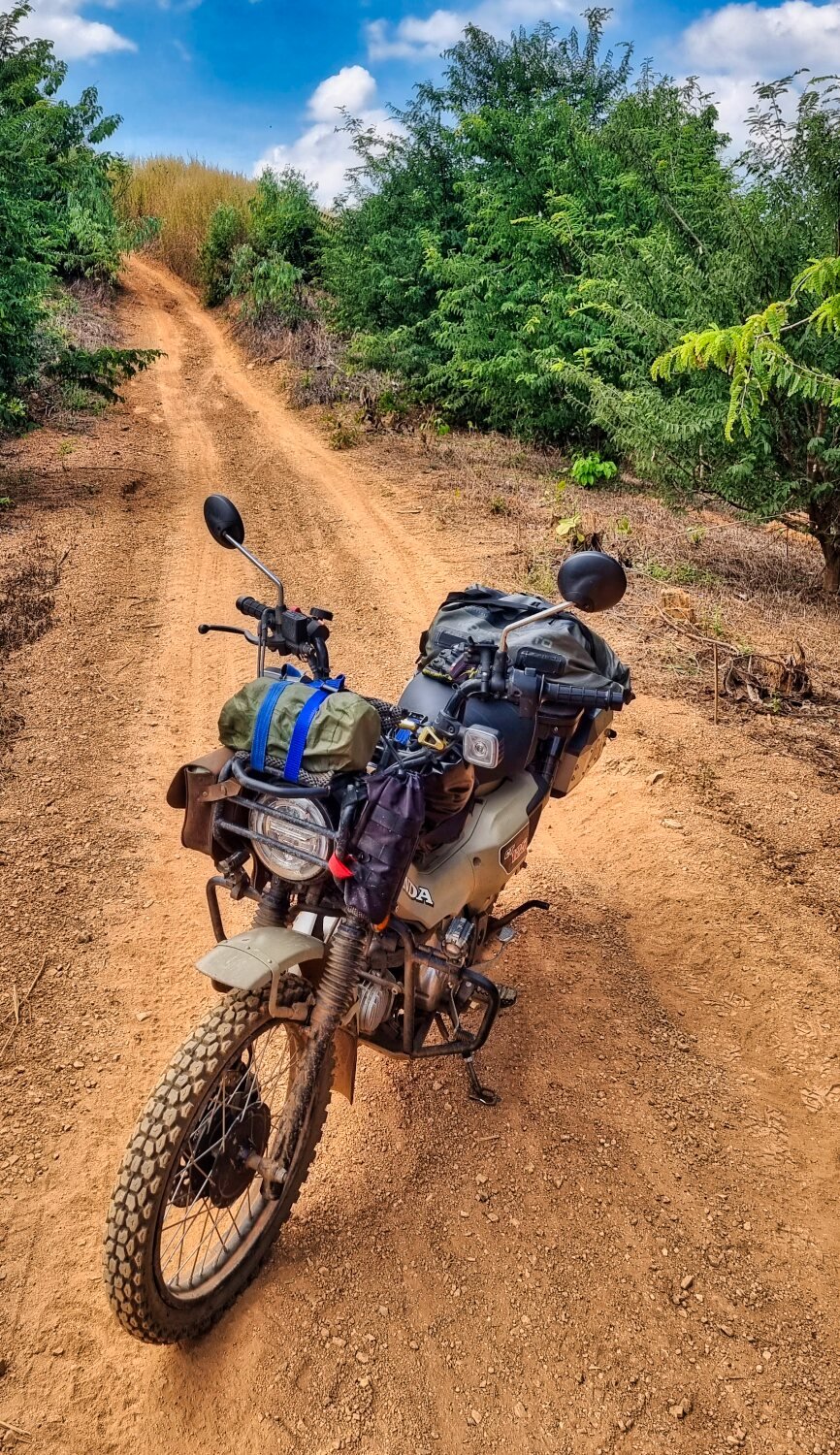
Today I rode a loop north of Nan City taking small roads and also some green laning, no real planning, just setting an area and then taking side tracks when I found them. https://www.relive.cc/view/vPv4VjKpr36
-
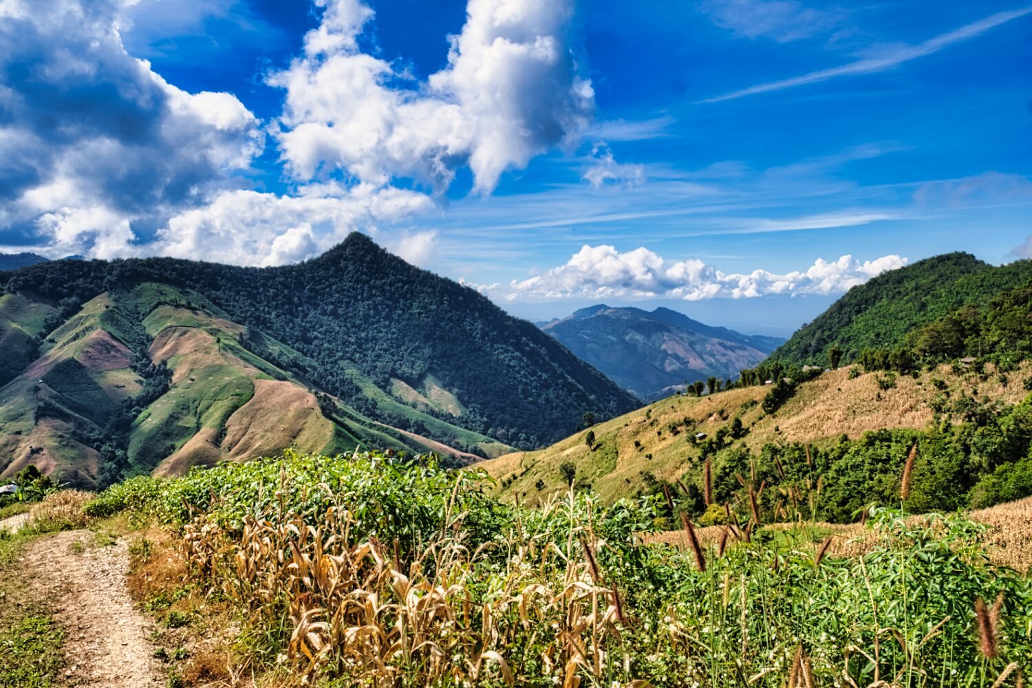
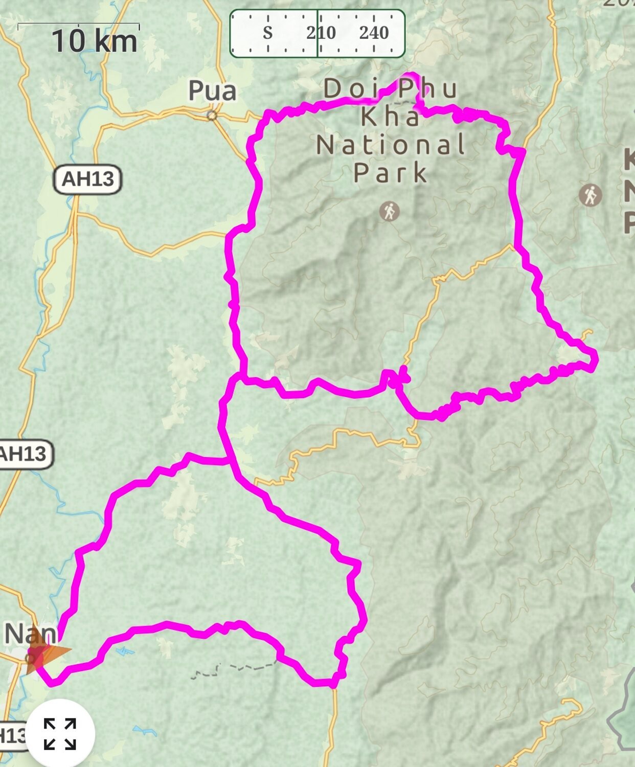
Today Al and I rode a 253km loop from Nan to Bo (Baw) Gleuua the salt pit before riding over Doi Phu Kha mountain and back to Nan, Another great days riding https://www.relive.cc/view/vYvE2BWpnGO
-
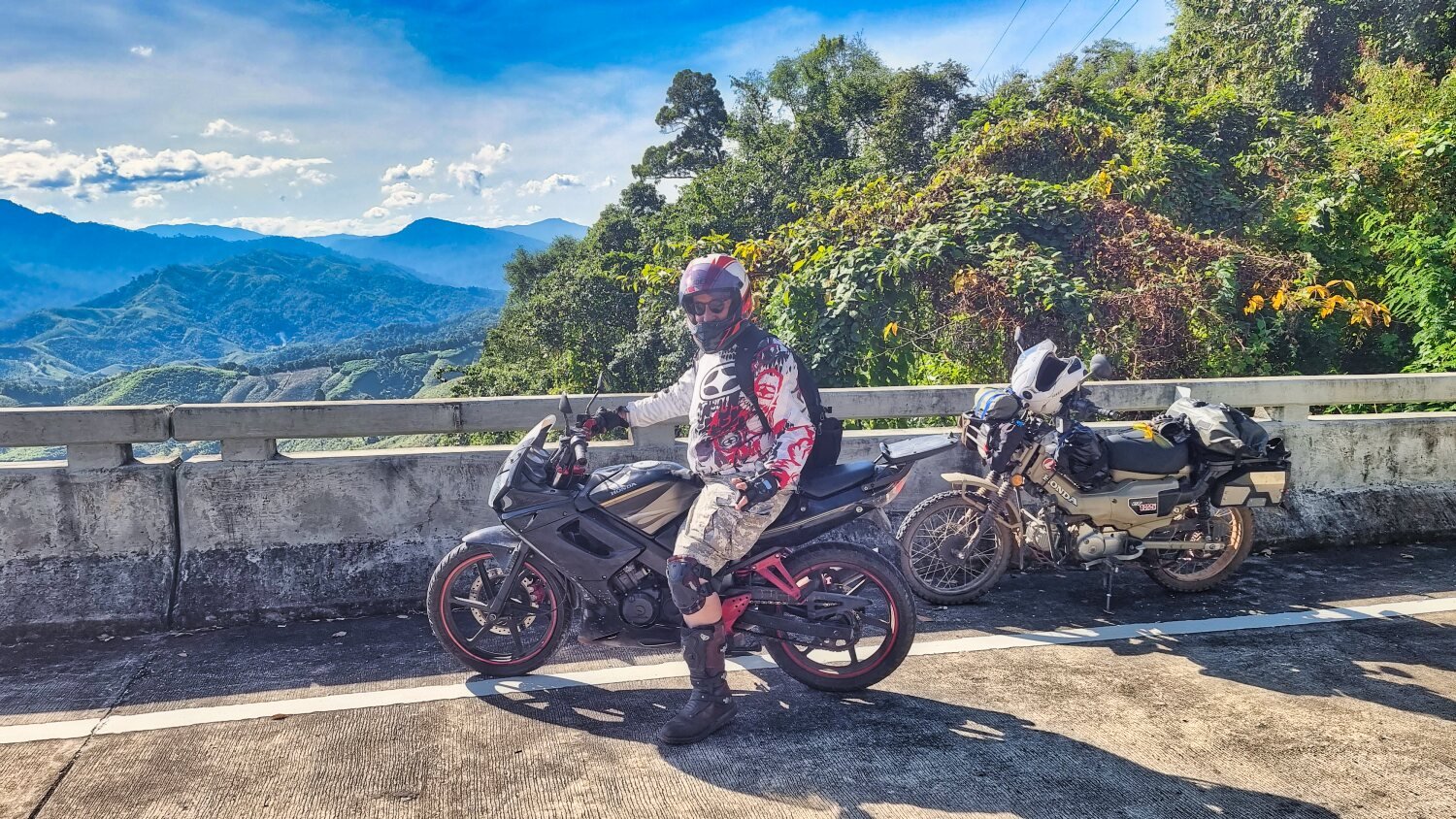
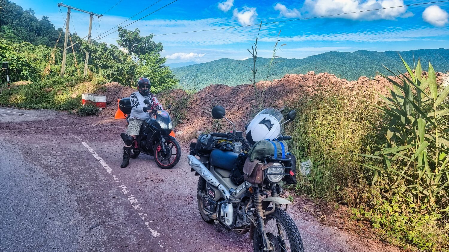
Today I was joined on my ride by Al who had ridden up from Pattaya. A boring ride north up R101 before turning east to ride to Ban Mani Phruek. https://maps.app.goo.gl/pyNsnvb3zoHntEPc8 Stunning views along the mountain roads to the small village before riding back https://www.relive.cc/view/veqz1ZLwXB6
-
Thanks, i'm having a great trip.
-
Today I rode to a Ban Sawang Viewpoint, strangely the views were better from the roadside. But ir was a good ride with great views. https://www.relive.cc/view/vevW31jn9Gv
-
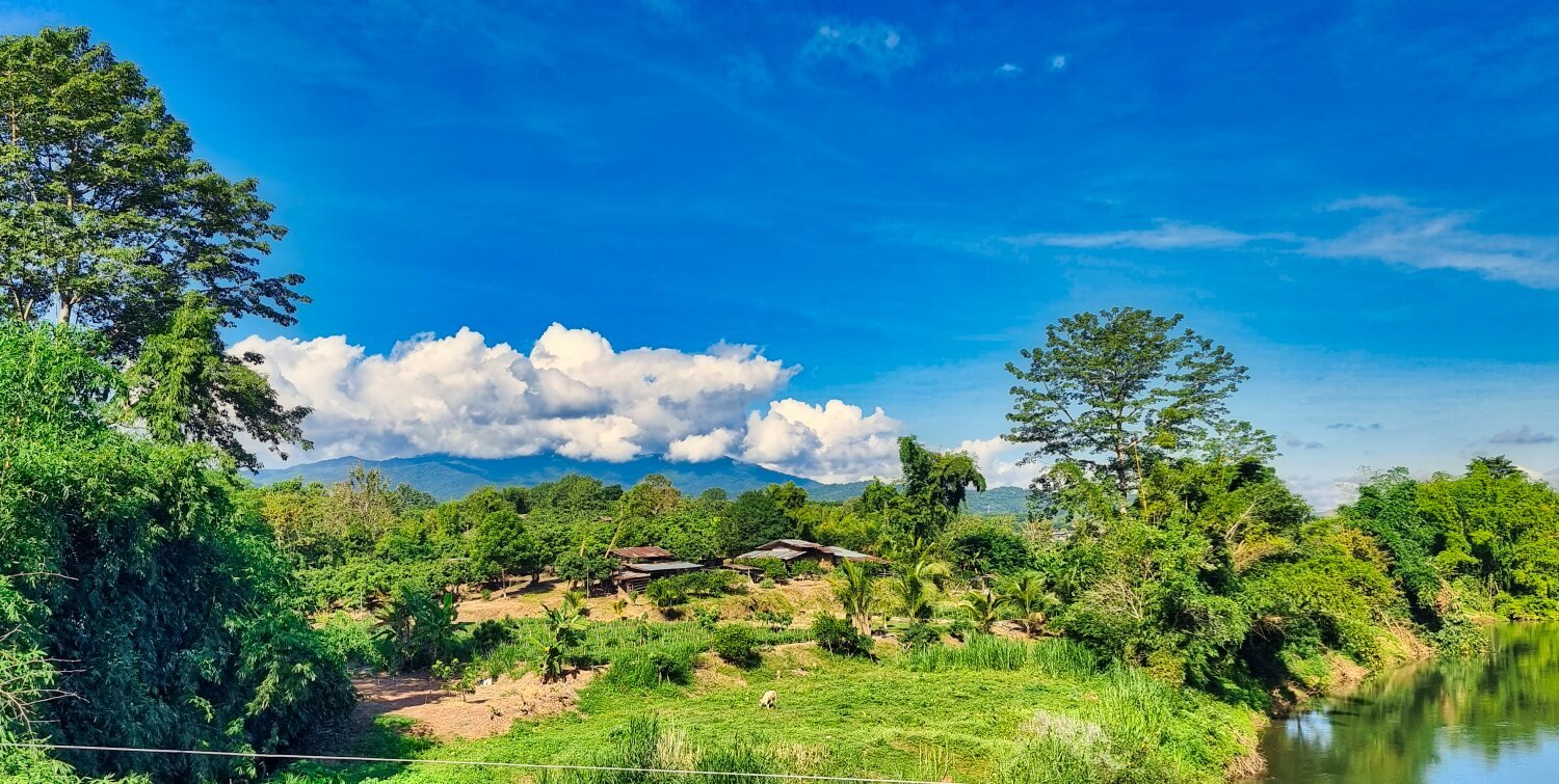
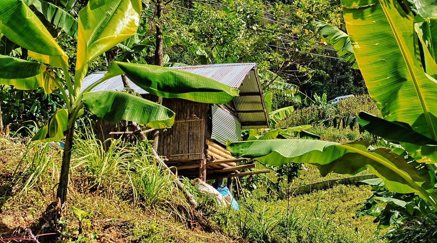
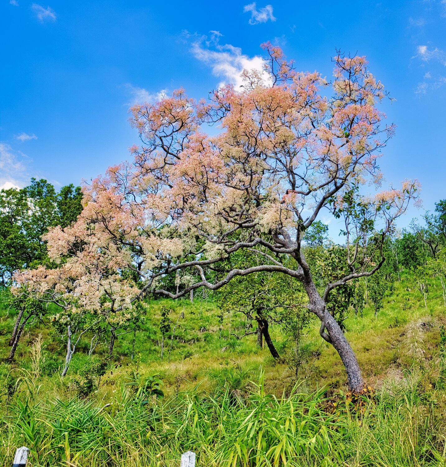
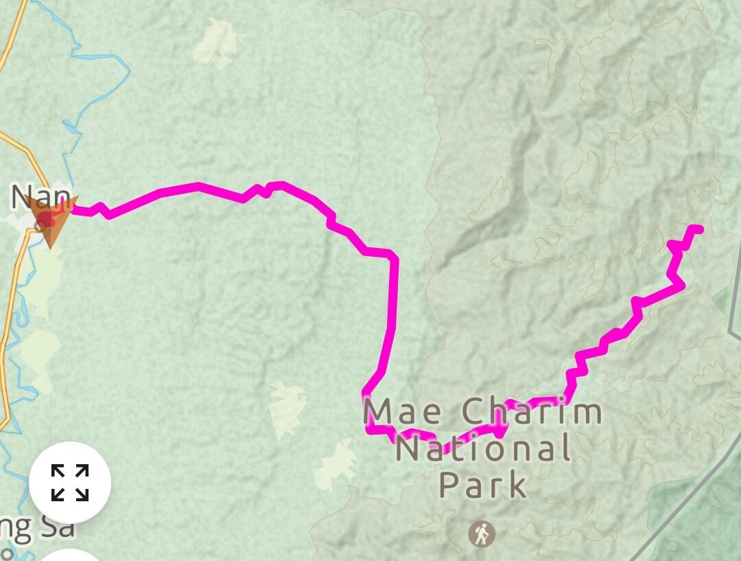
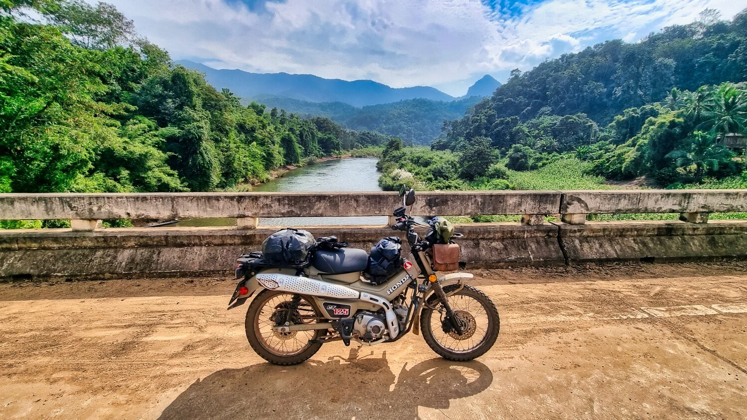
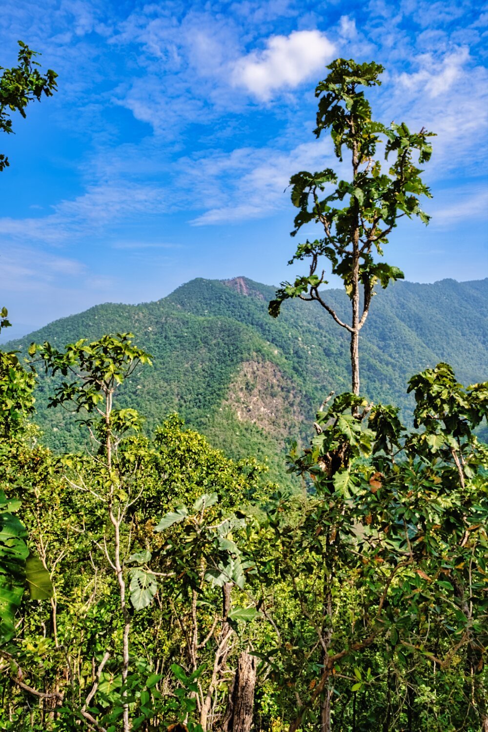
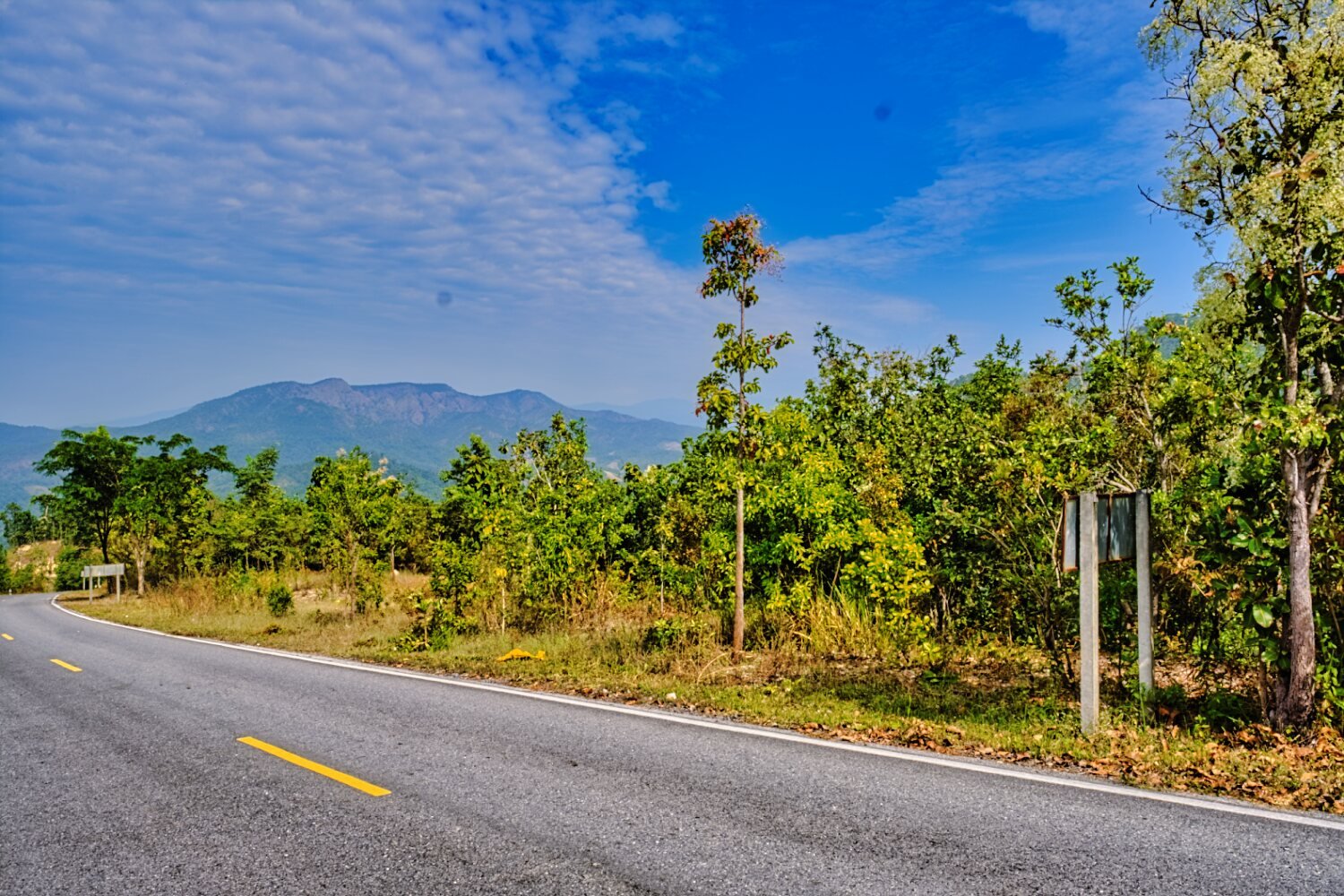
Today I decided to ride to a small village in Mae Charim National Park. The village is at the end of a dead end road, Ban Rim Klaow. https://maps.app.goo.gl/CV4iuezCHnm3e6hY7 The road is tarmac and in good condition over the mountain to get there. https://www.relive.cc/view/vdORjDjpErO
-
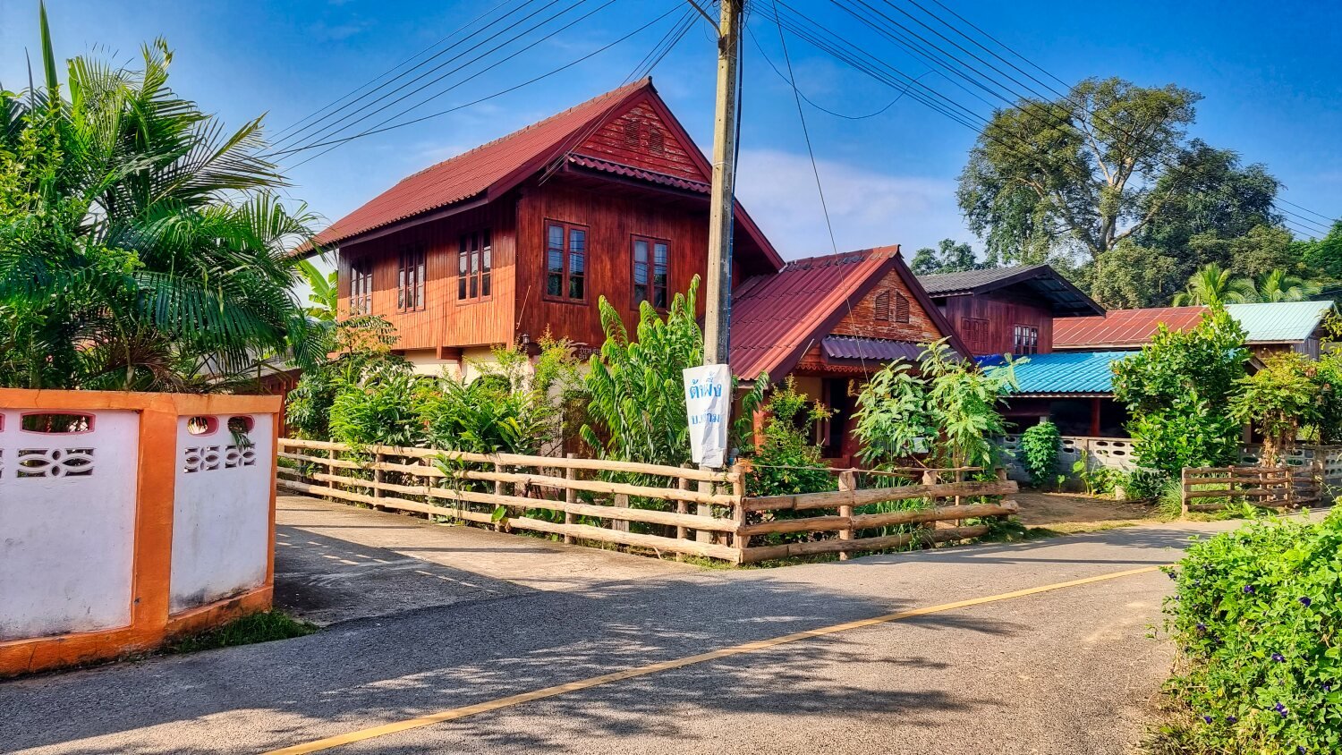
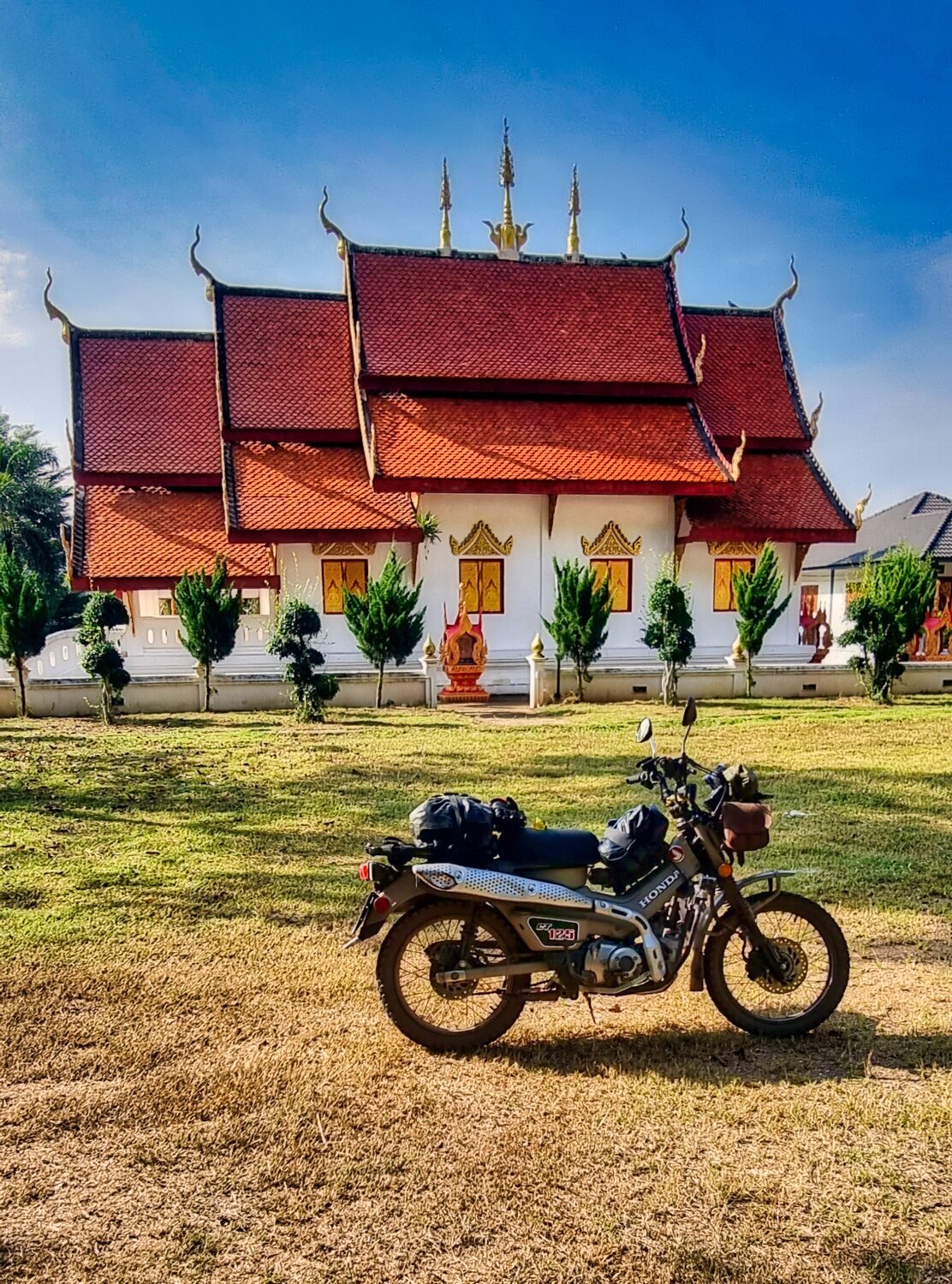
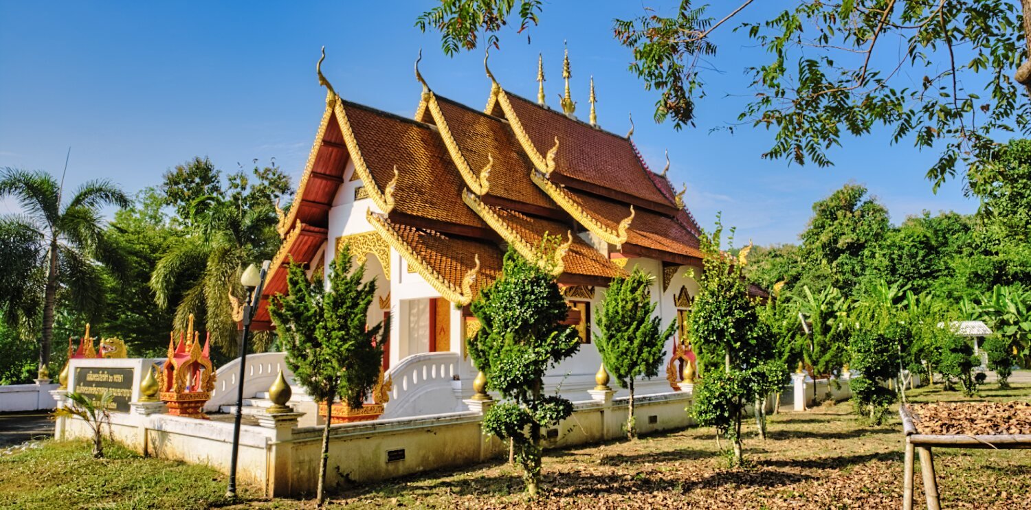
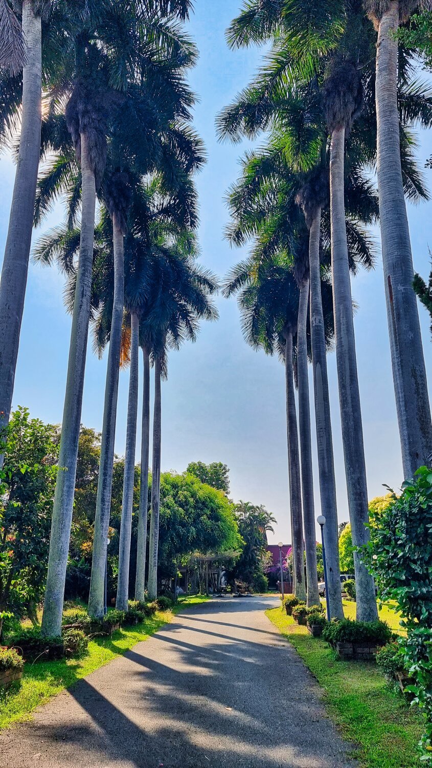
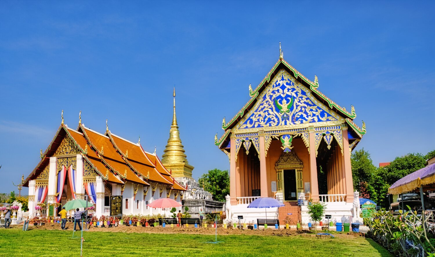
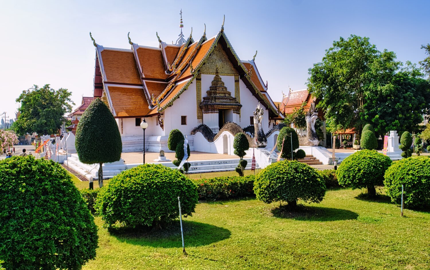
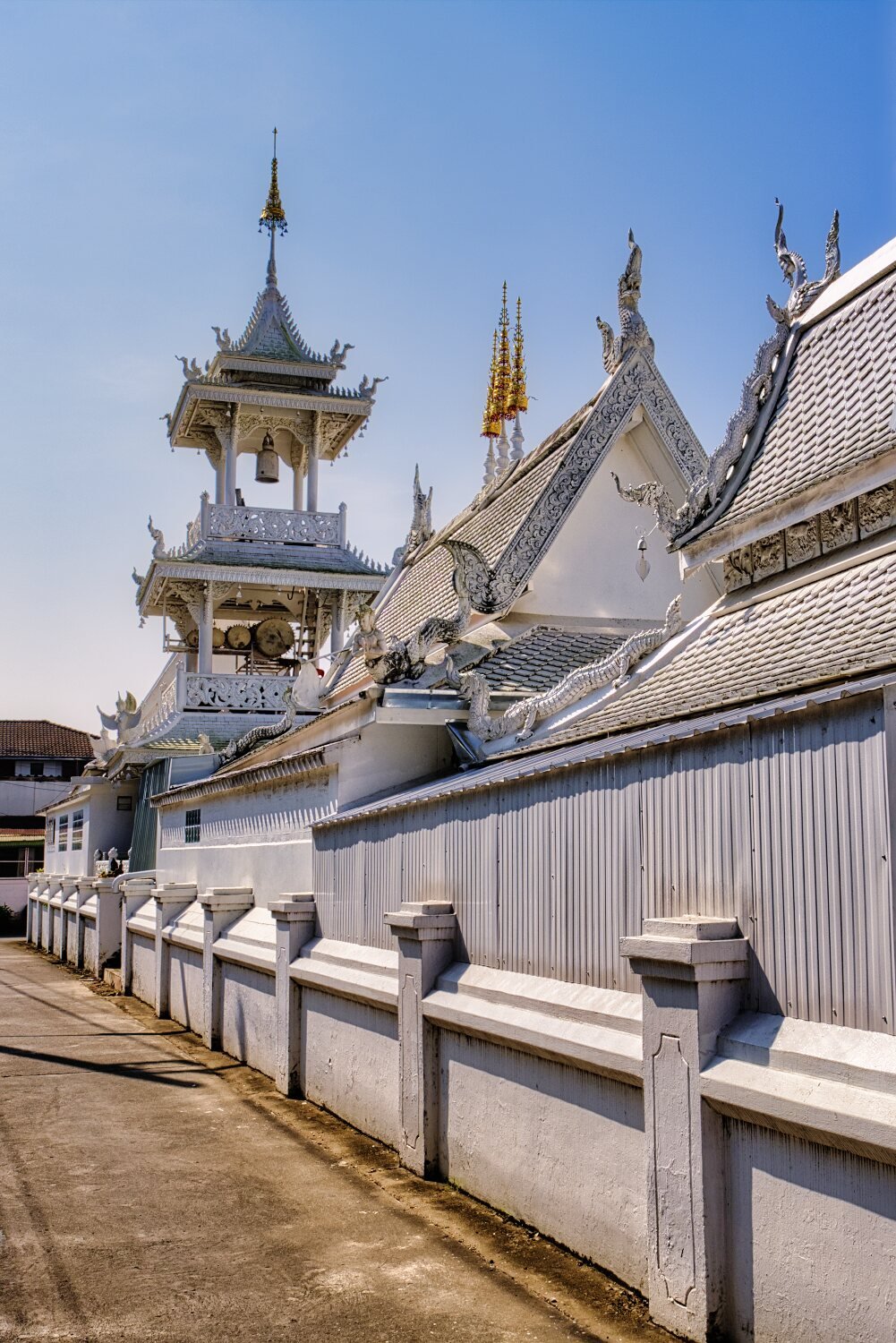
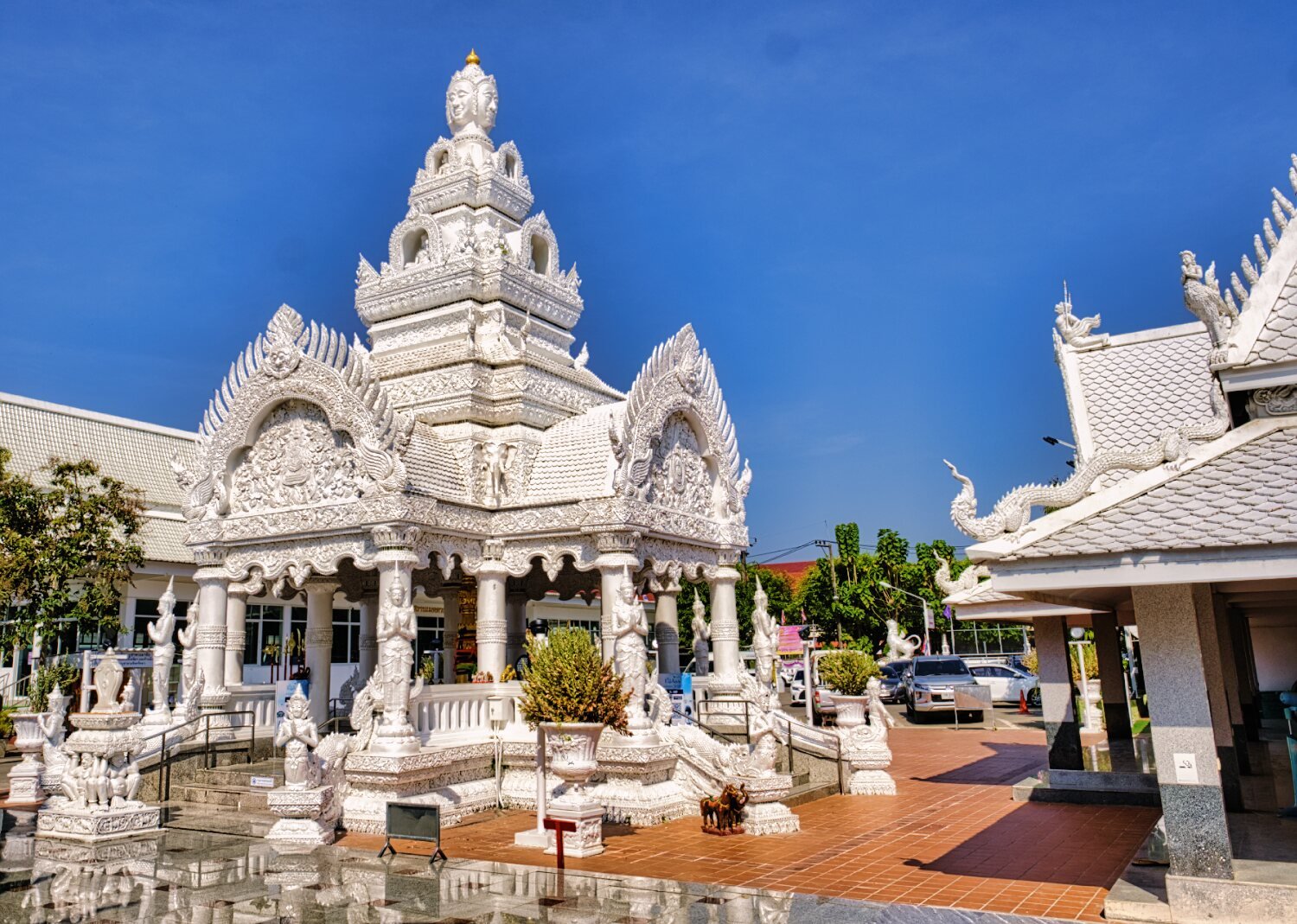
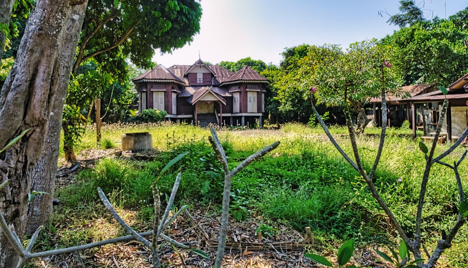
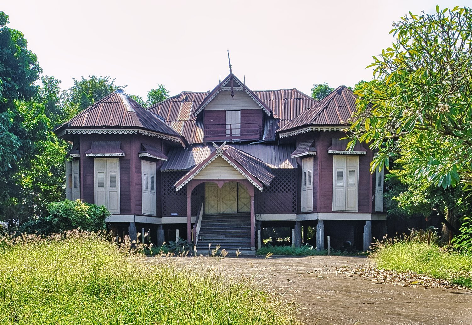
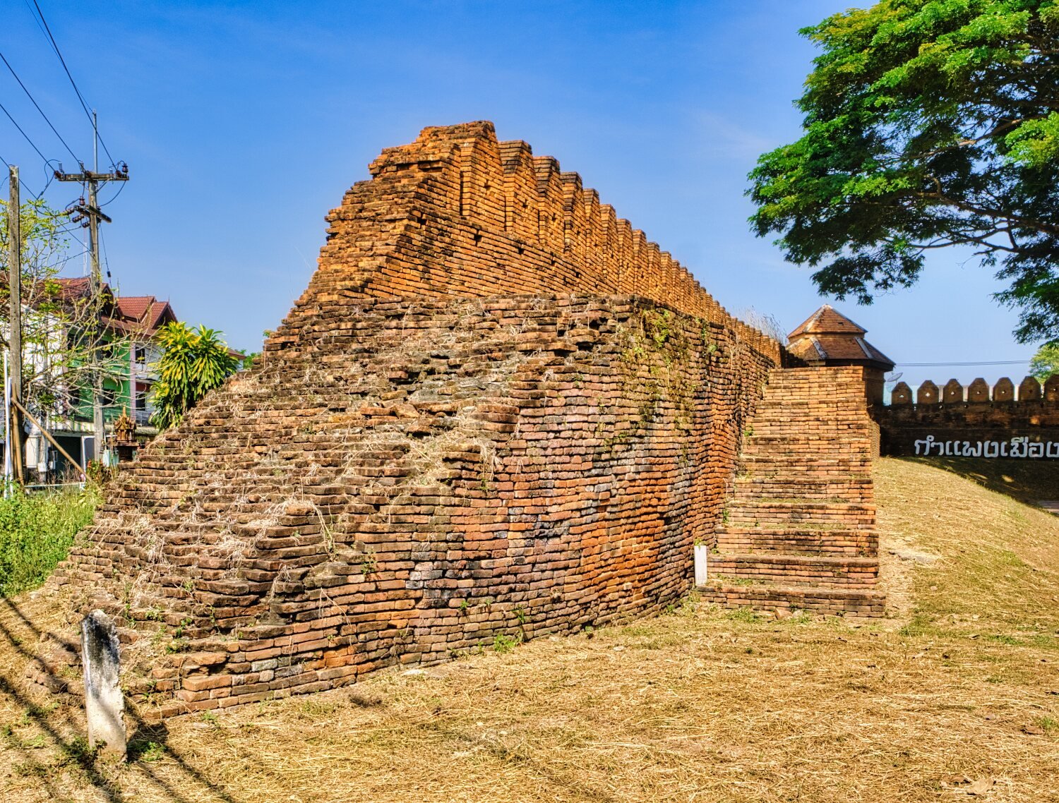
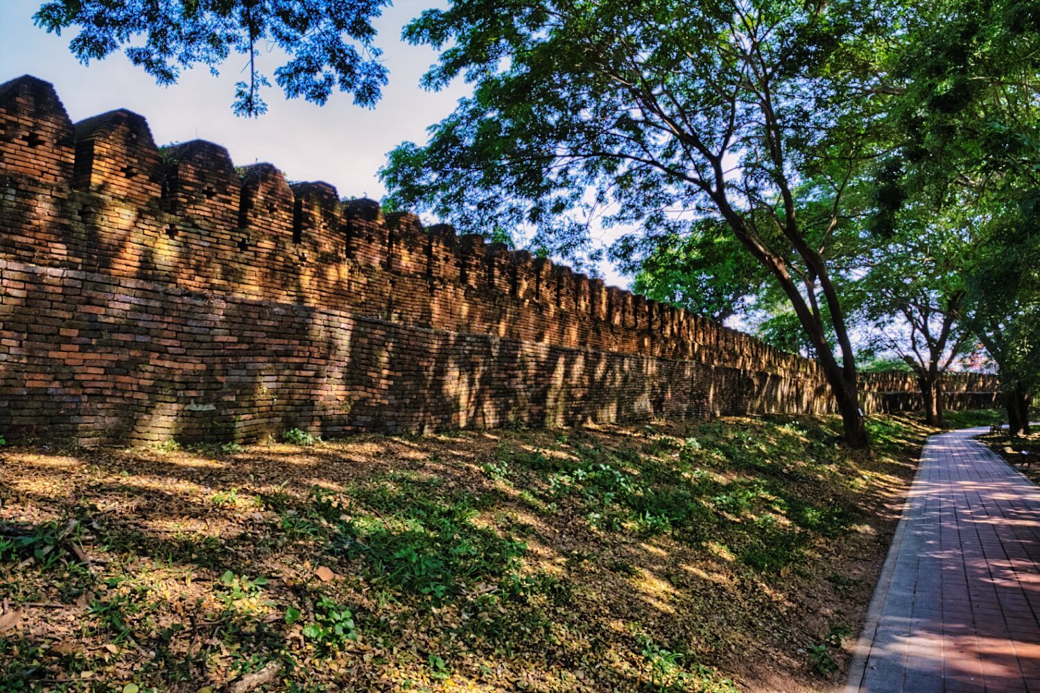
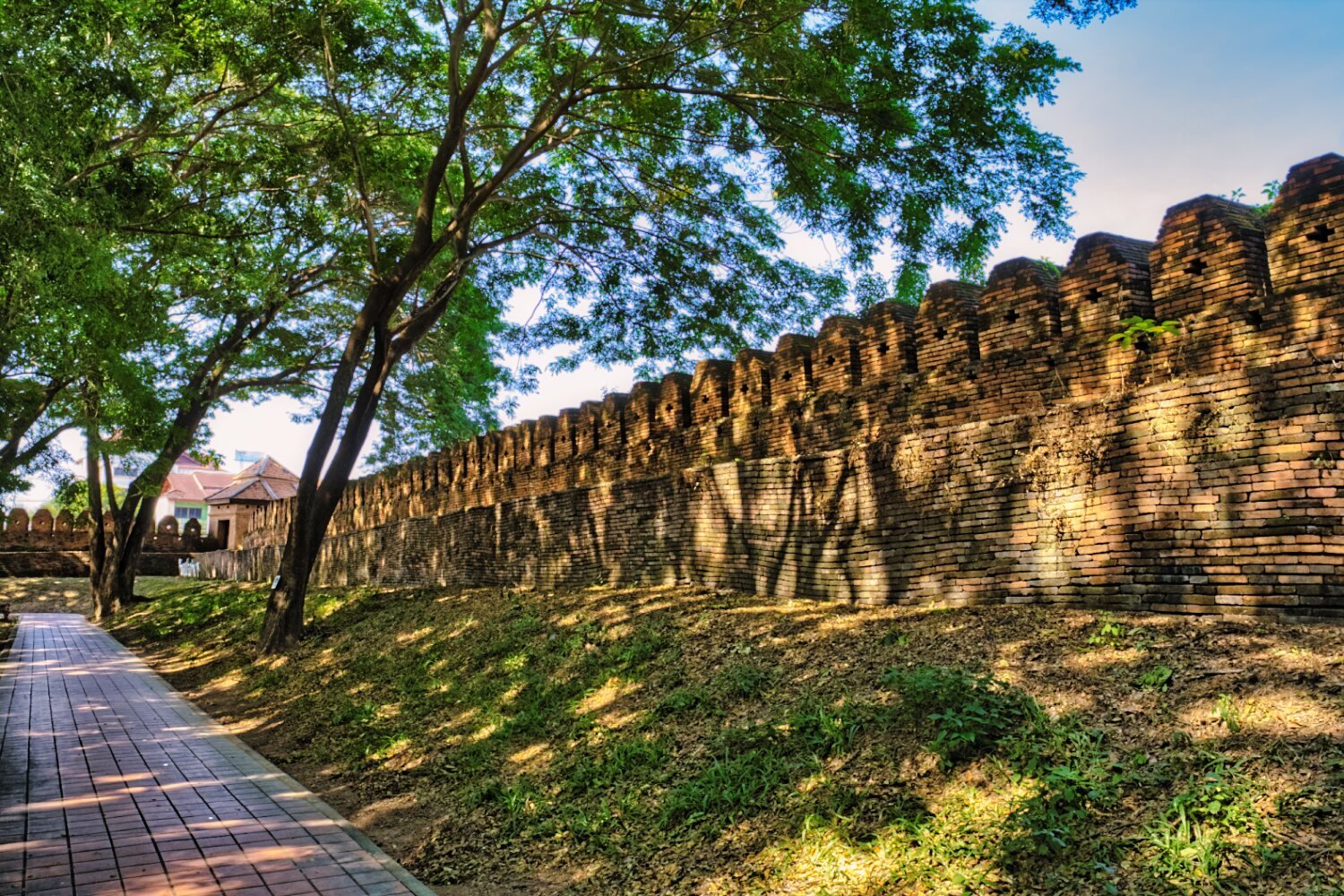
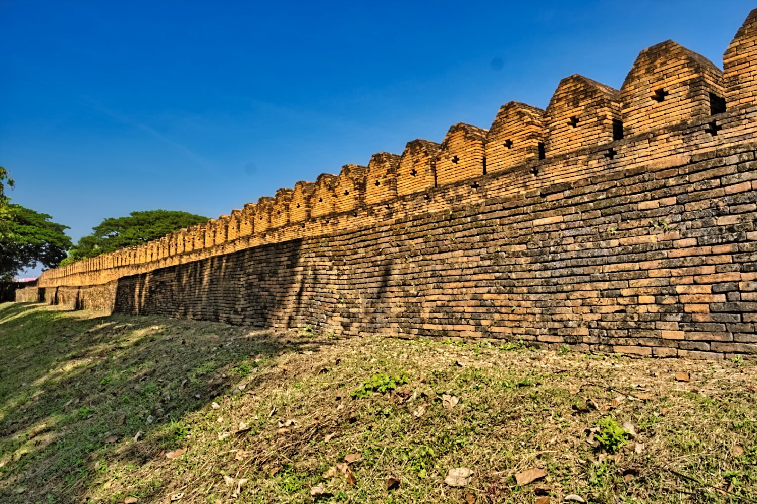
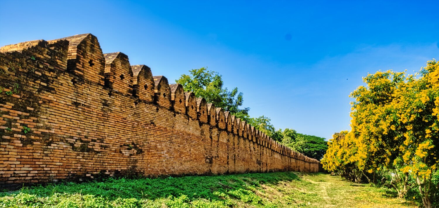
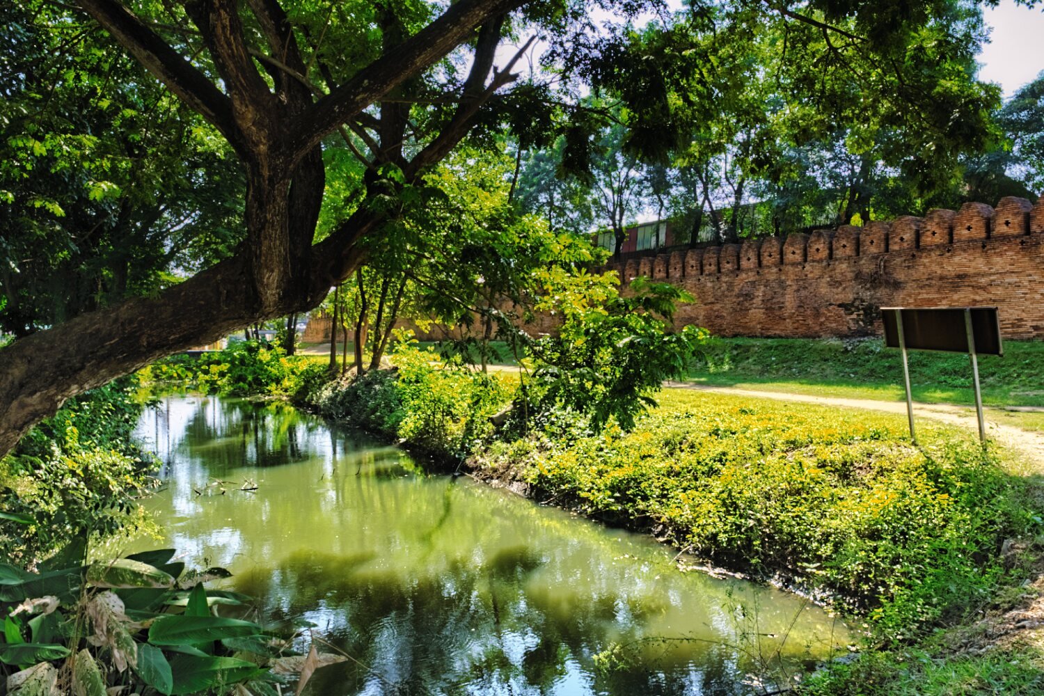
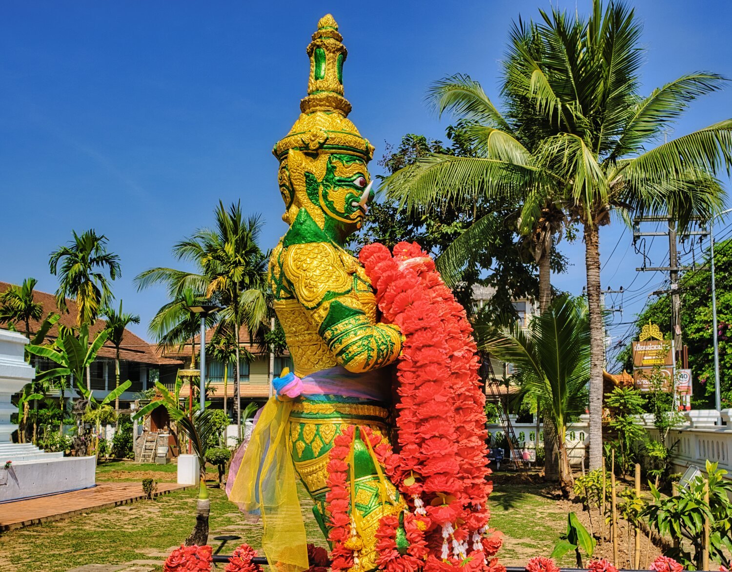
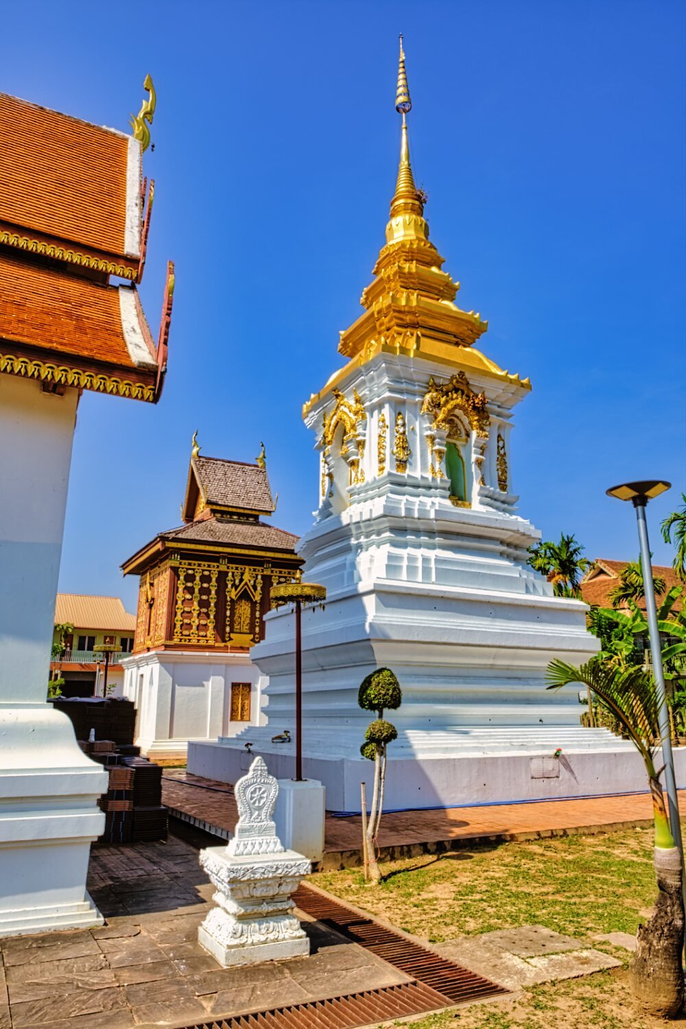
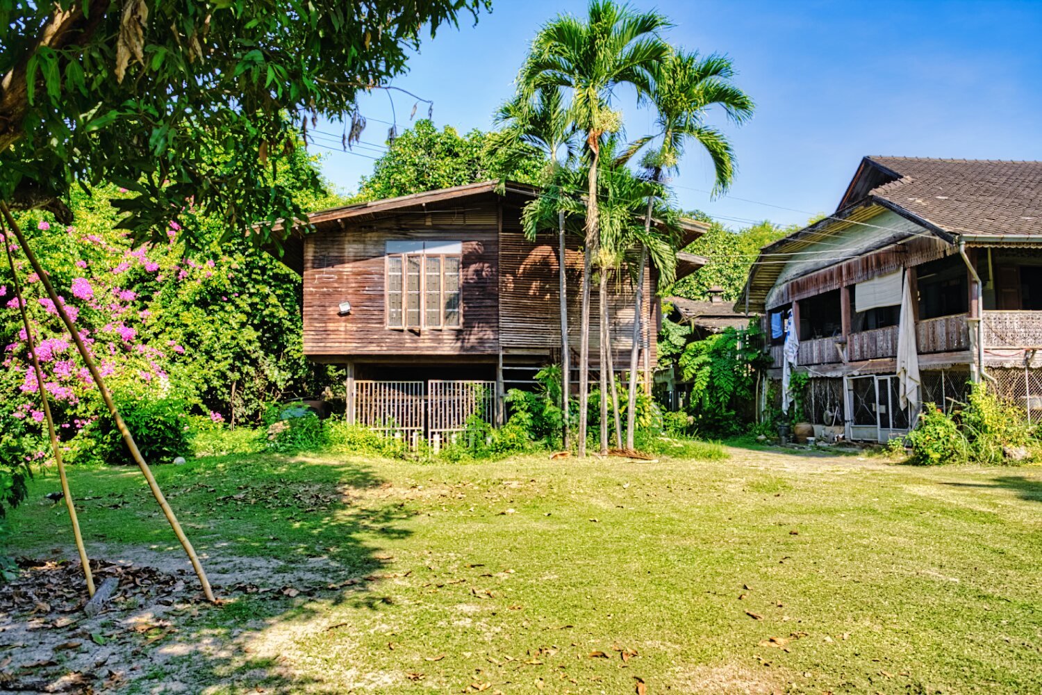
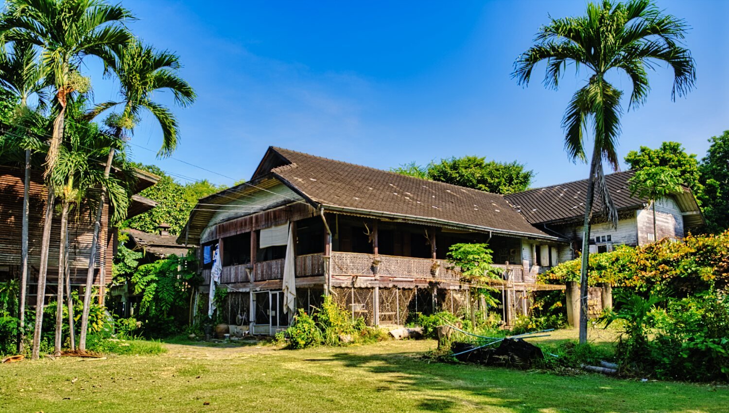
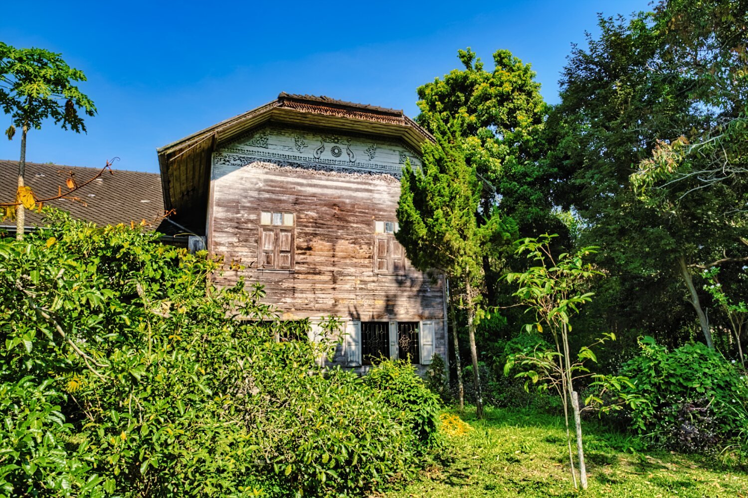
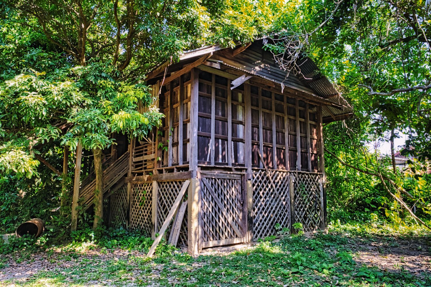
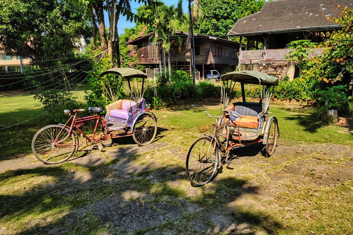
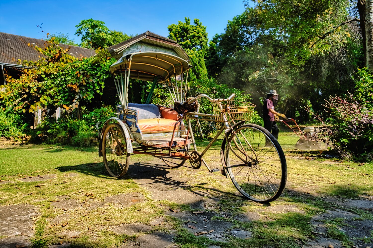
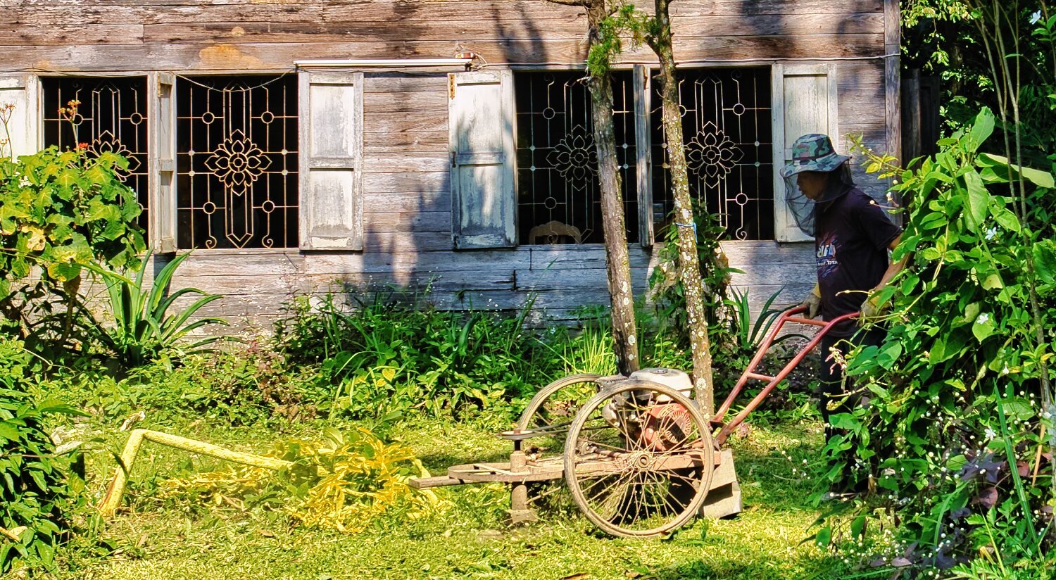
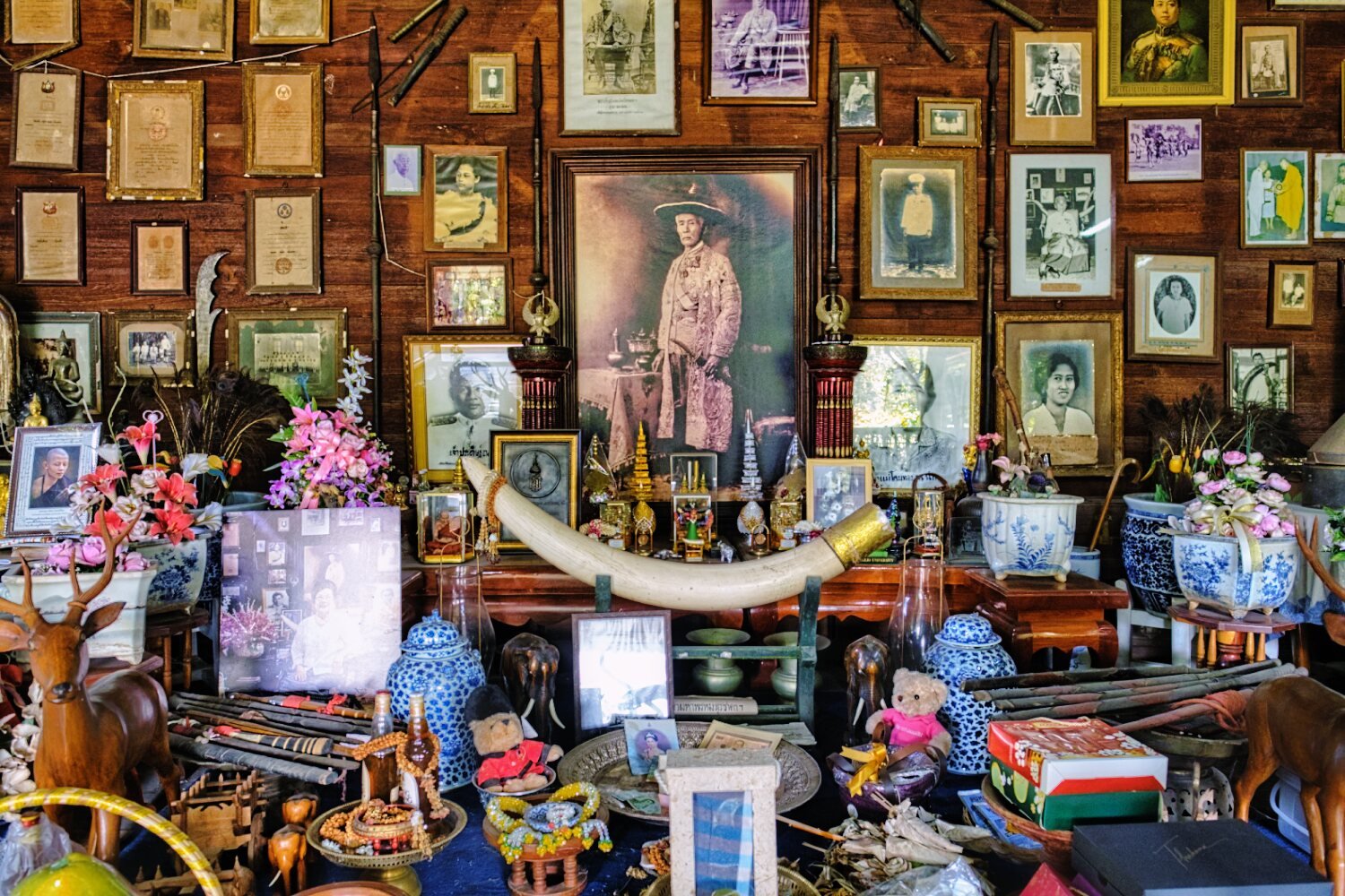
I am staying at this hotel in Nan, the Thai owner is extremely helpful, rides motorbikes too. The rooms are big with a fridge, parking outside of the room and 600 baht. https://maps.app.goo.gl/JNyJsrZ9CYXMEd757 First call of the day was a bike service, 5,000km this ride. For a change I went for a walk around Nan City, besides the normal temples there were some great finds new to me. The first being the tourist center which looked more like a temple. https://maps.app.goo.gl/J1sdzJBfXsrUmuNu8 Next was Wat Ming Mueang. https://maps.app.goo.gl/wtFfKwkudpCGFBxH9 Then onto Khum Chao Thep Male. A very old house. https://maps.app.goo.gl/XnwgFXjmLDqsD8NP8 From here I walked to Nan Old City Wall. https://maps.app.goo.gl/29XP4DoEE1u1UQqE7 Next was Wat Phra That Chang Kham Worawihan https://maps.app.goo.gl/QQiLL5u41ZRTcoAGA The last and most interesting place was called Khum Chao Ratchabut. https://maps.app.goo.gl/q8AwBFBvREmw21Dr6 More information here. https://www.tourismthailand.org/Attraction/khuom-chao-ratchabud This is an old teak building built in the time of Rama 4. 1866. The family have a Royal connection and the lady who showed me around is the current owner. The guy mowing the lawn is her husband. A very nice and polite lady, worth a visit.
-
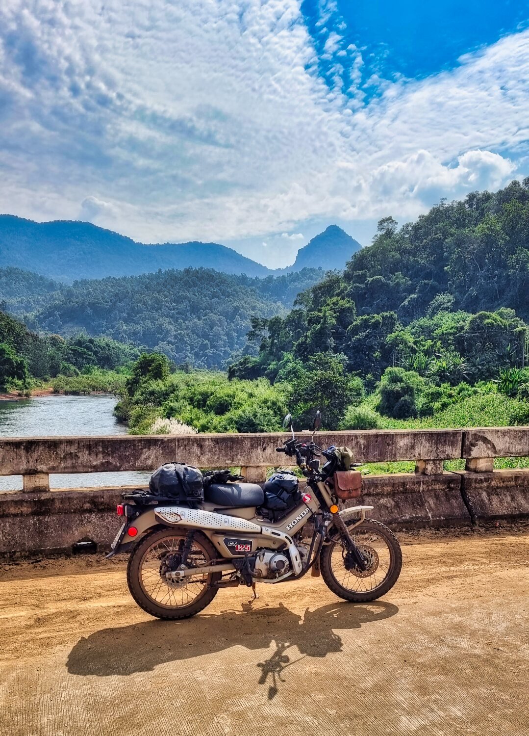
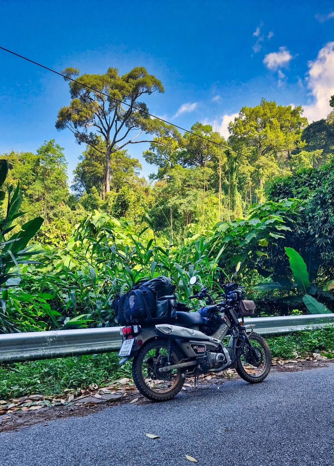
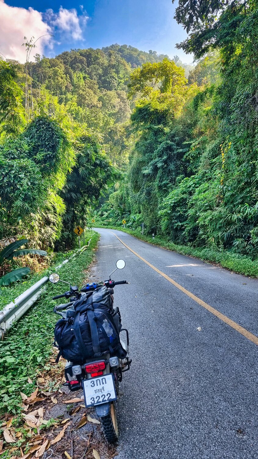
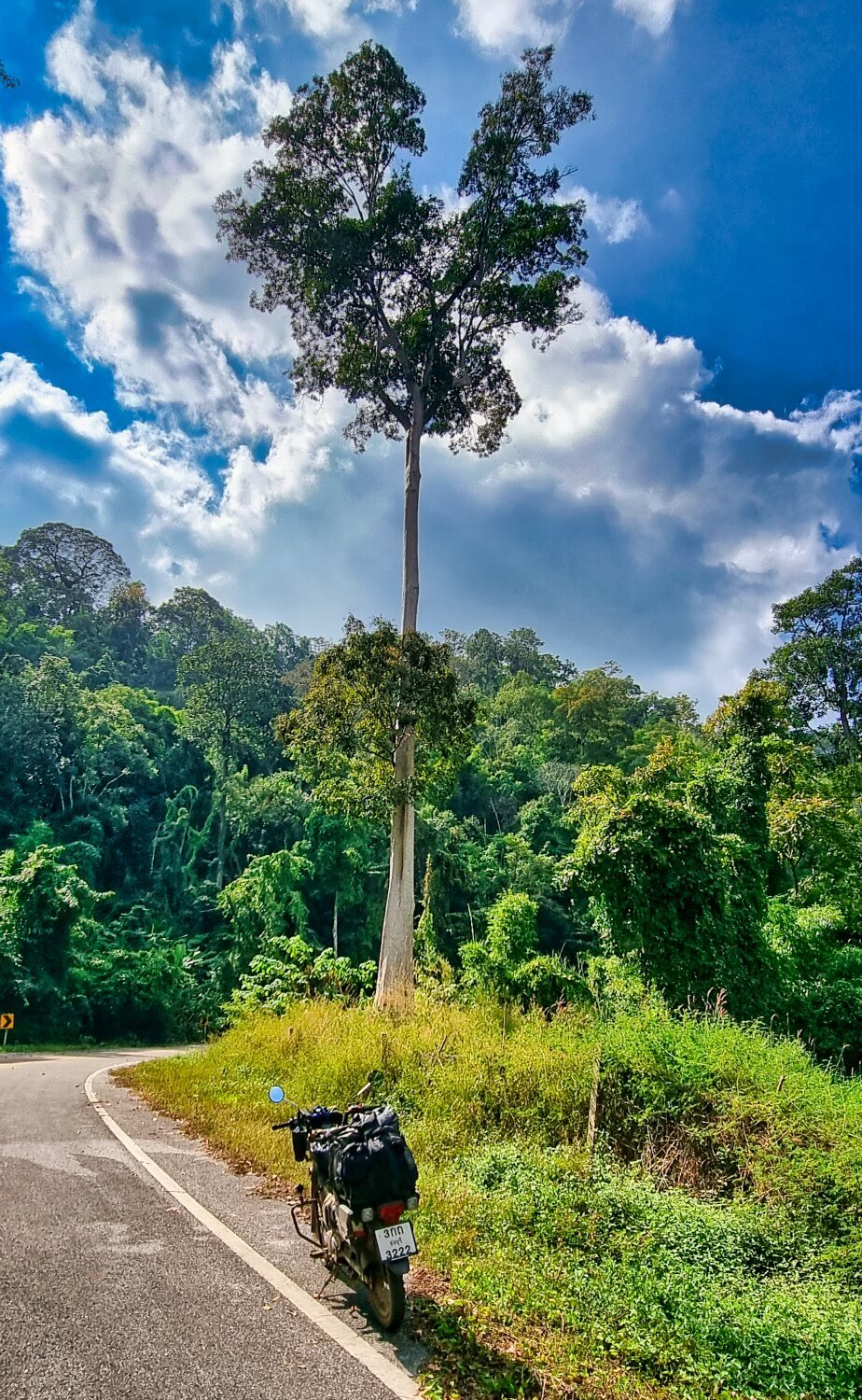
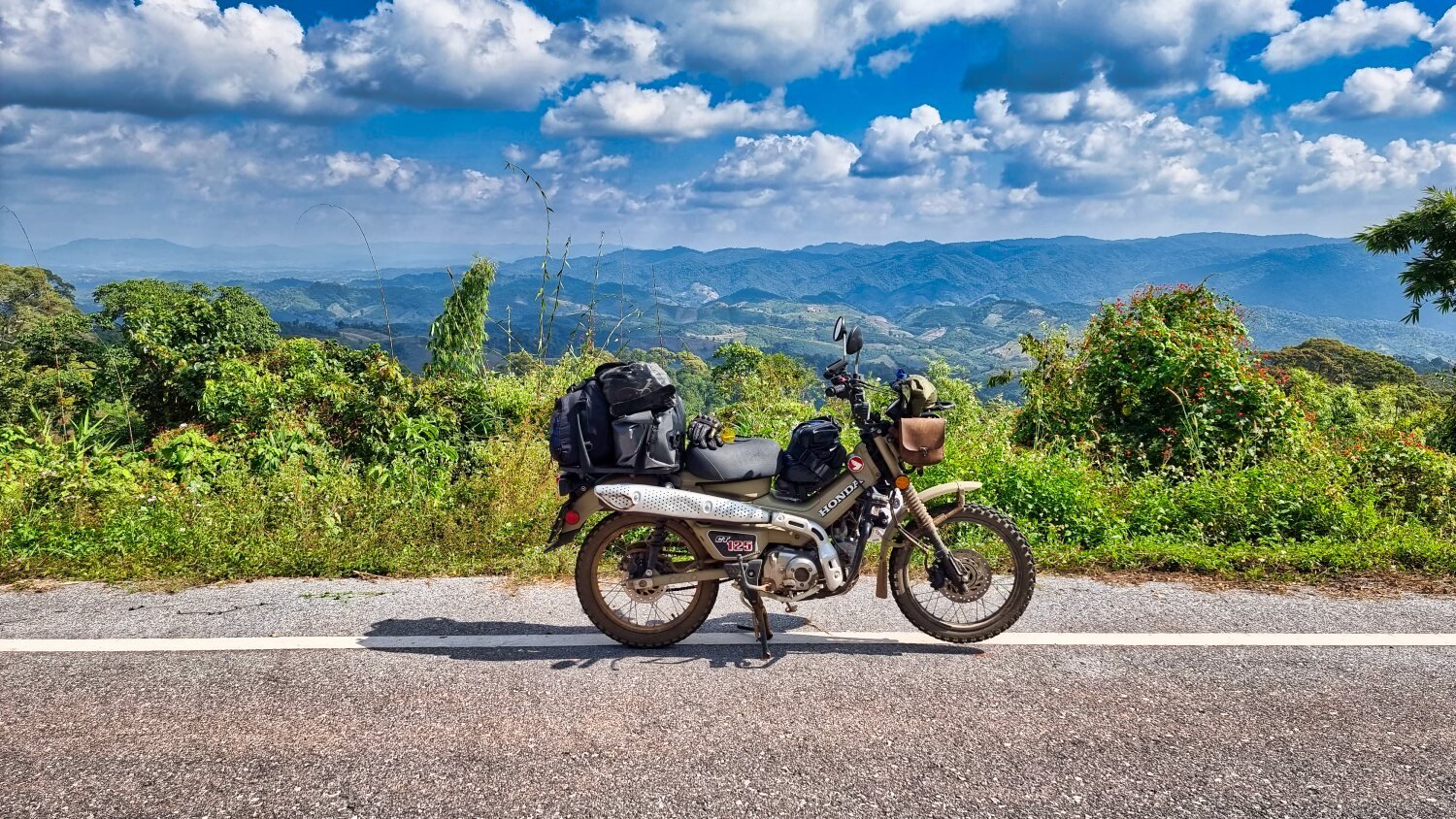
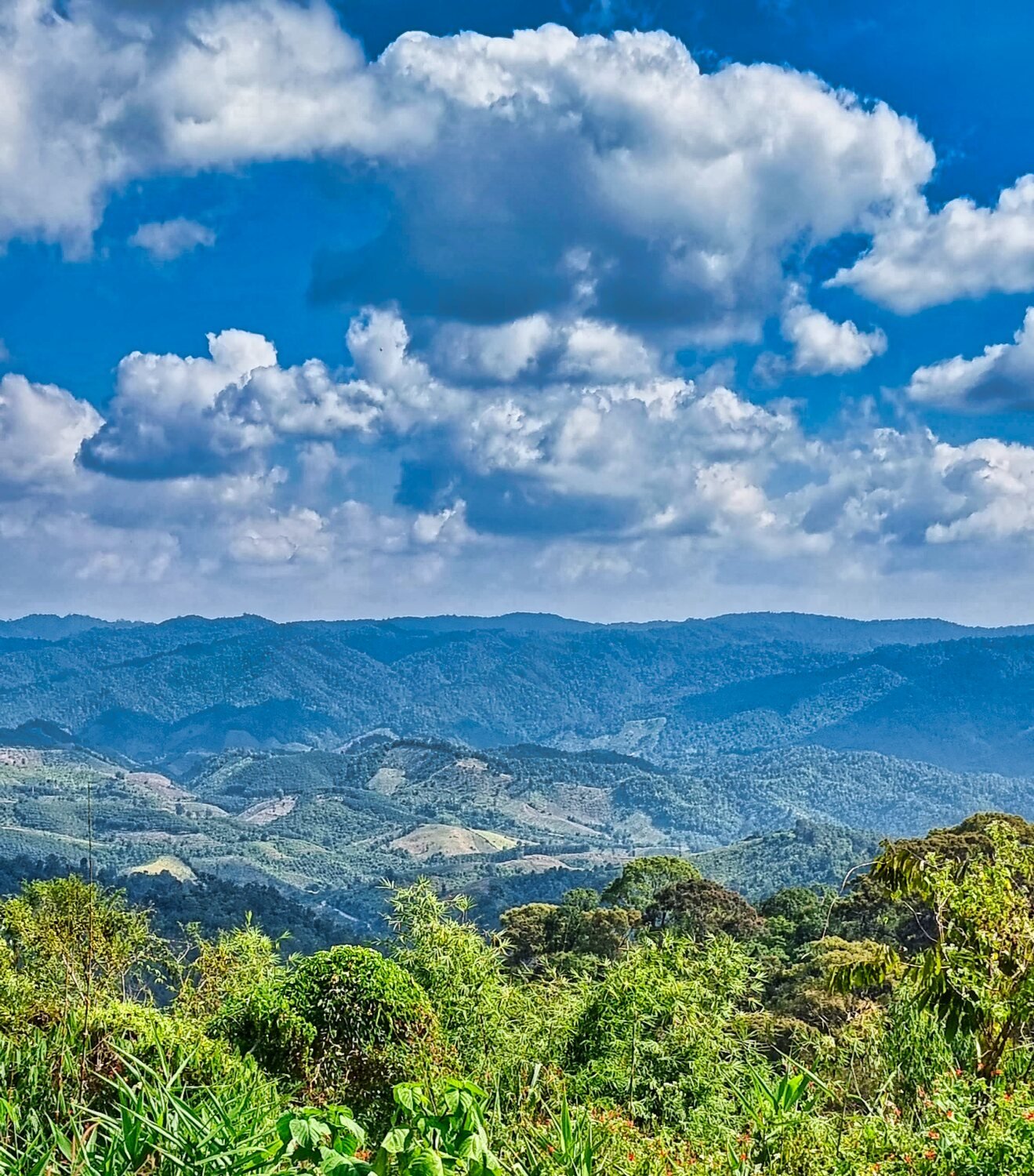
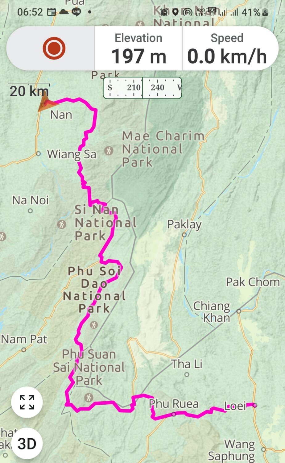
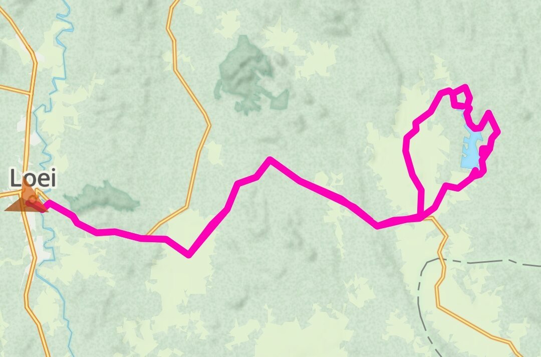
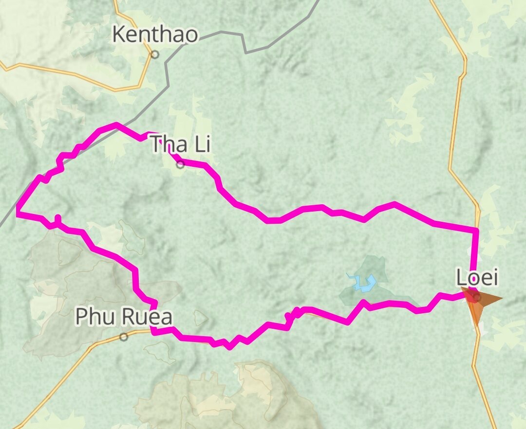
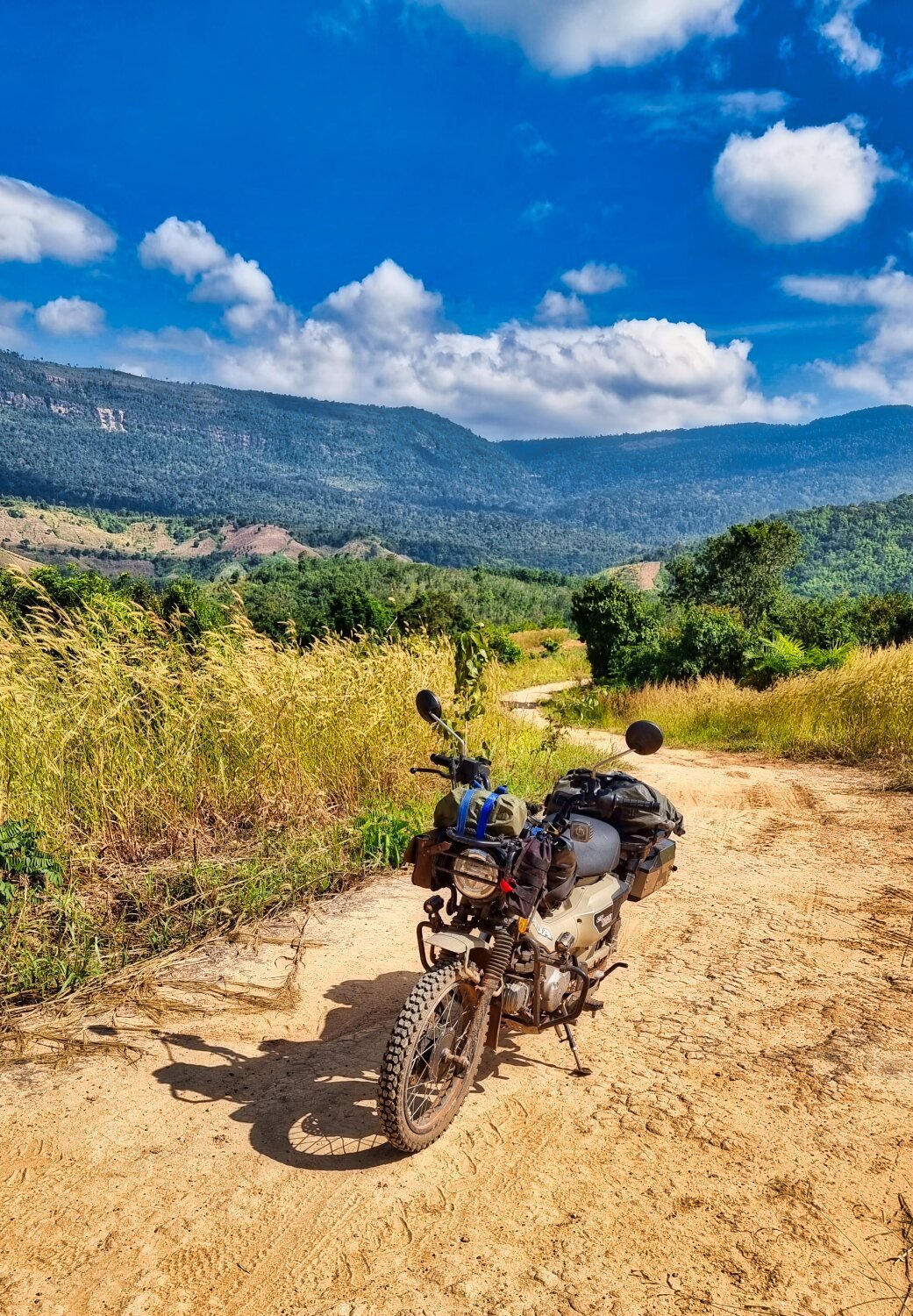
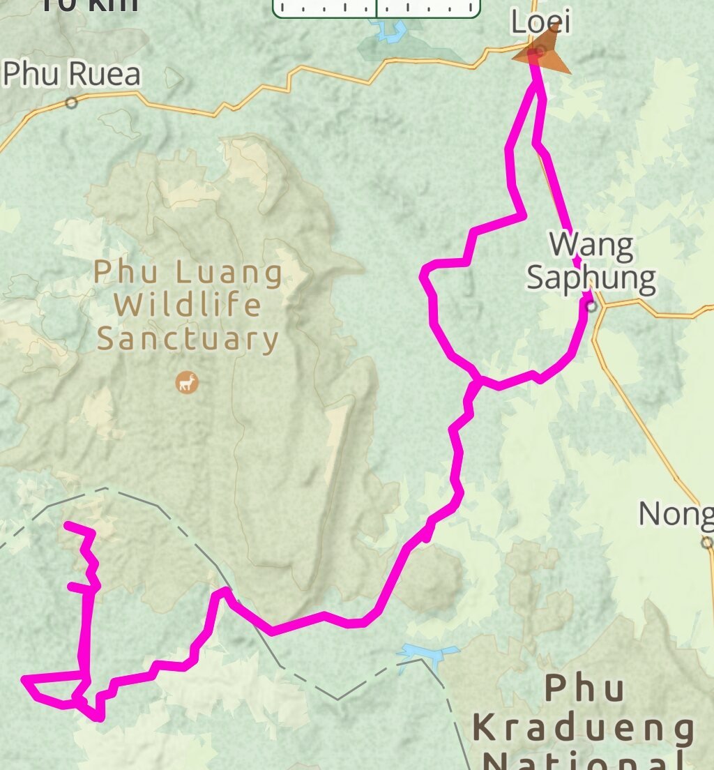
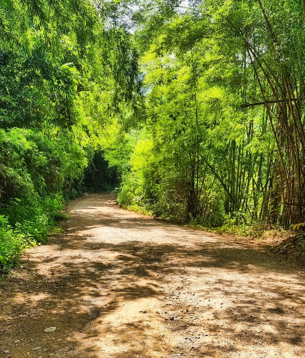
The ride from Loei following the Lao border is a great, if slow ride on the CT125. The views wonderful with remote villages with friendly locals 9 hours of actual riding to ride 400km https://www.relive.cc/view/v36AGyy4GGv
-
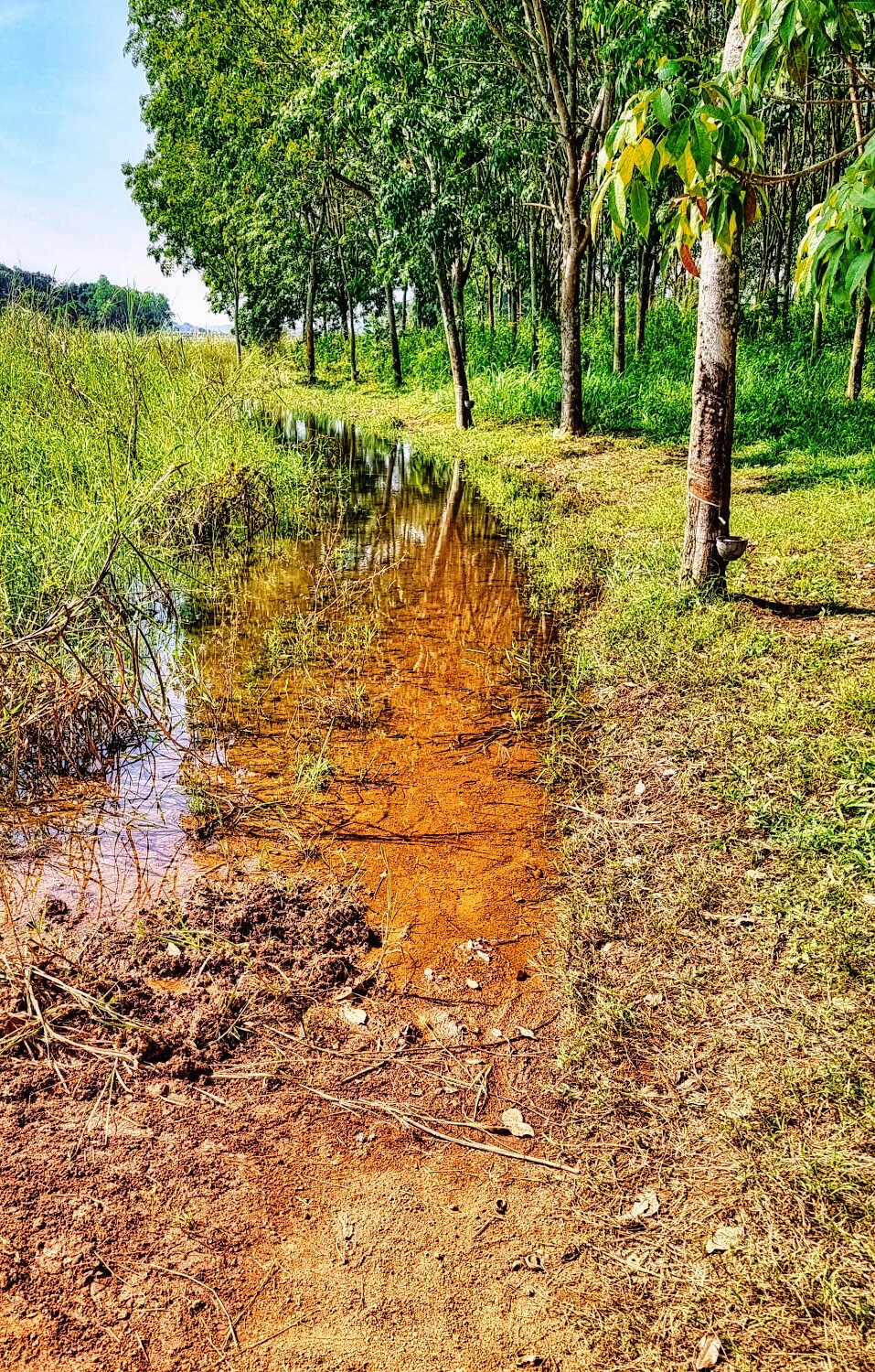
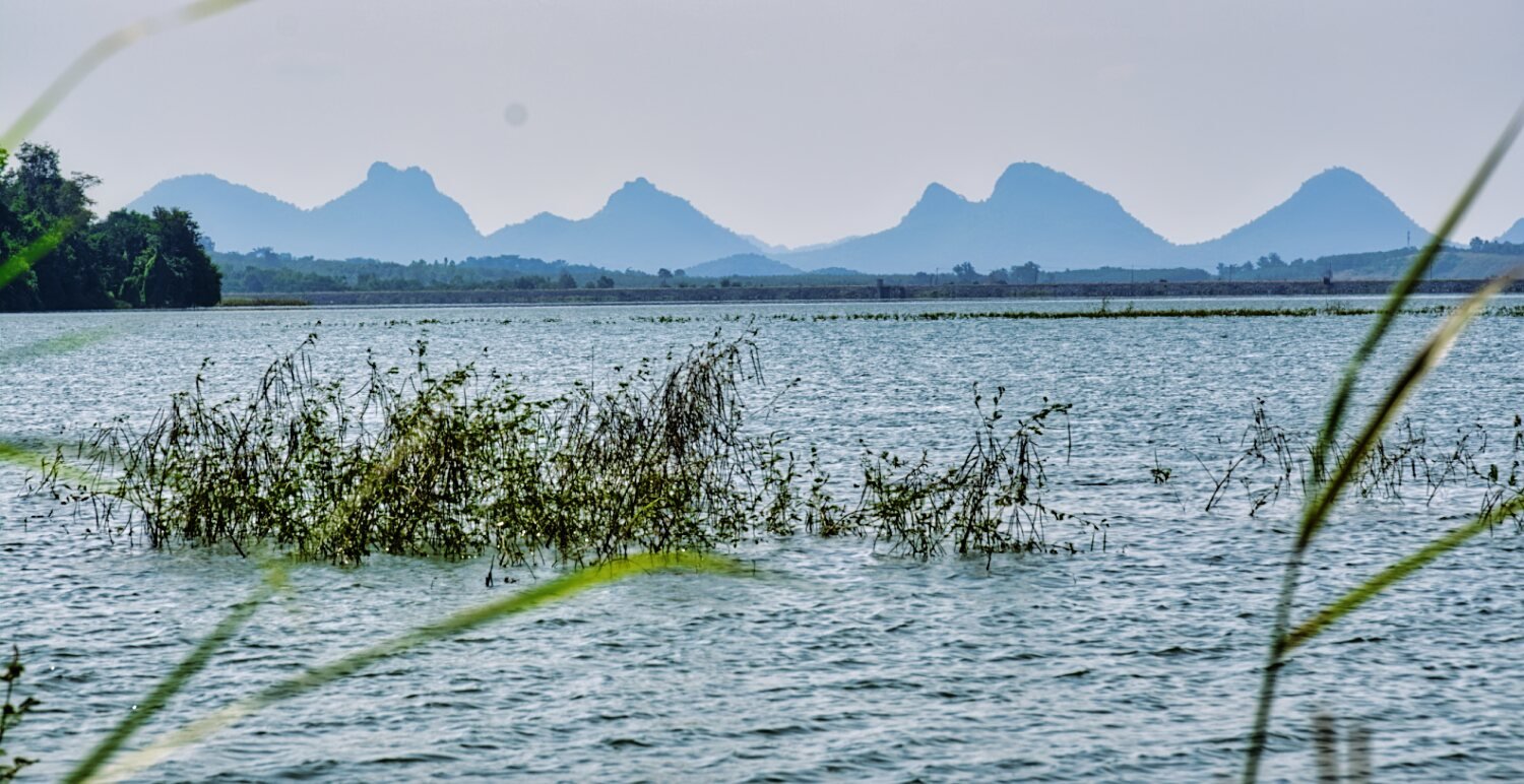
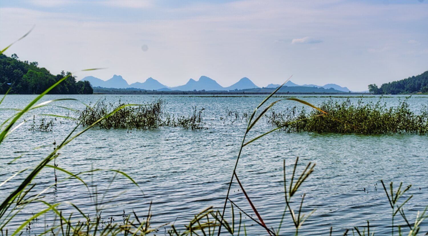
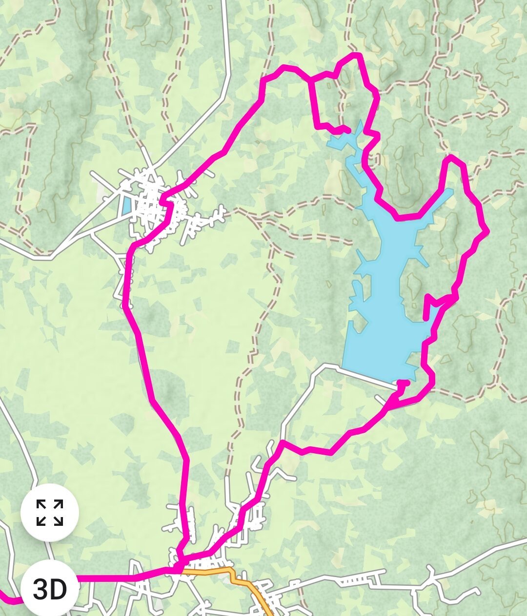
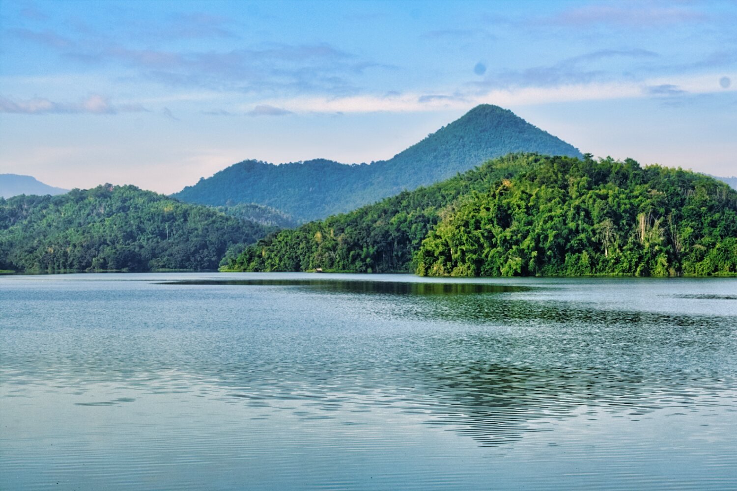
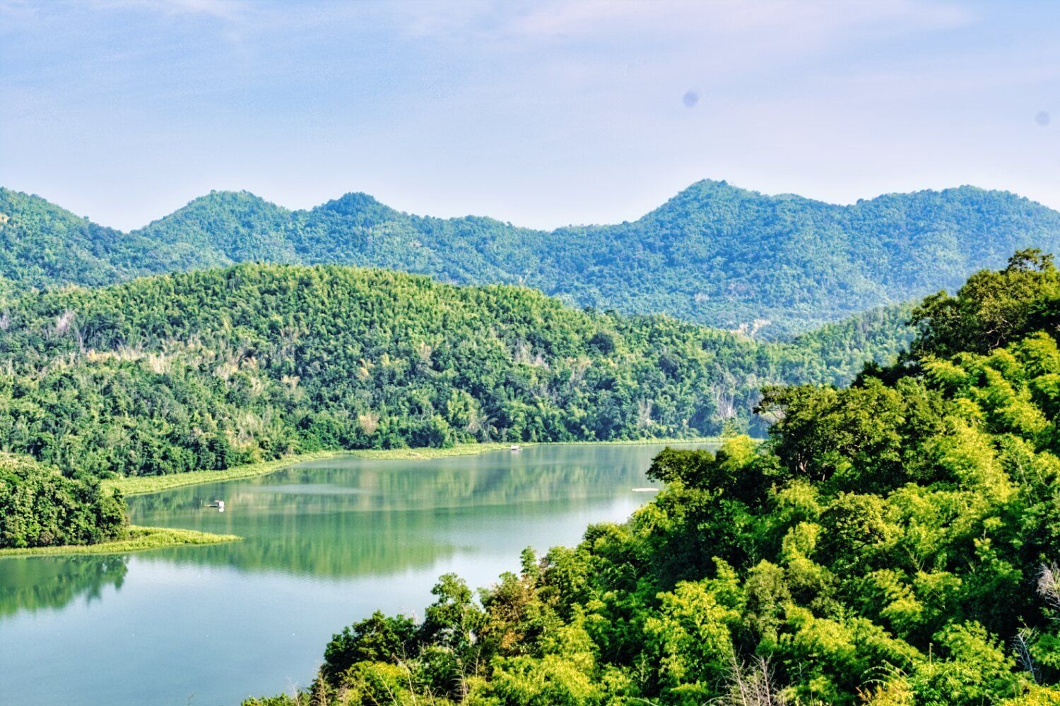
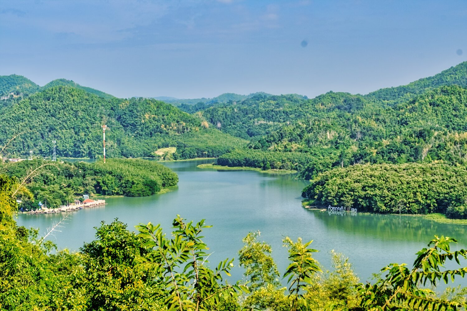
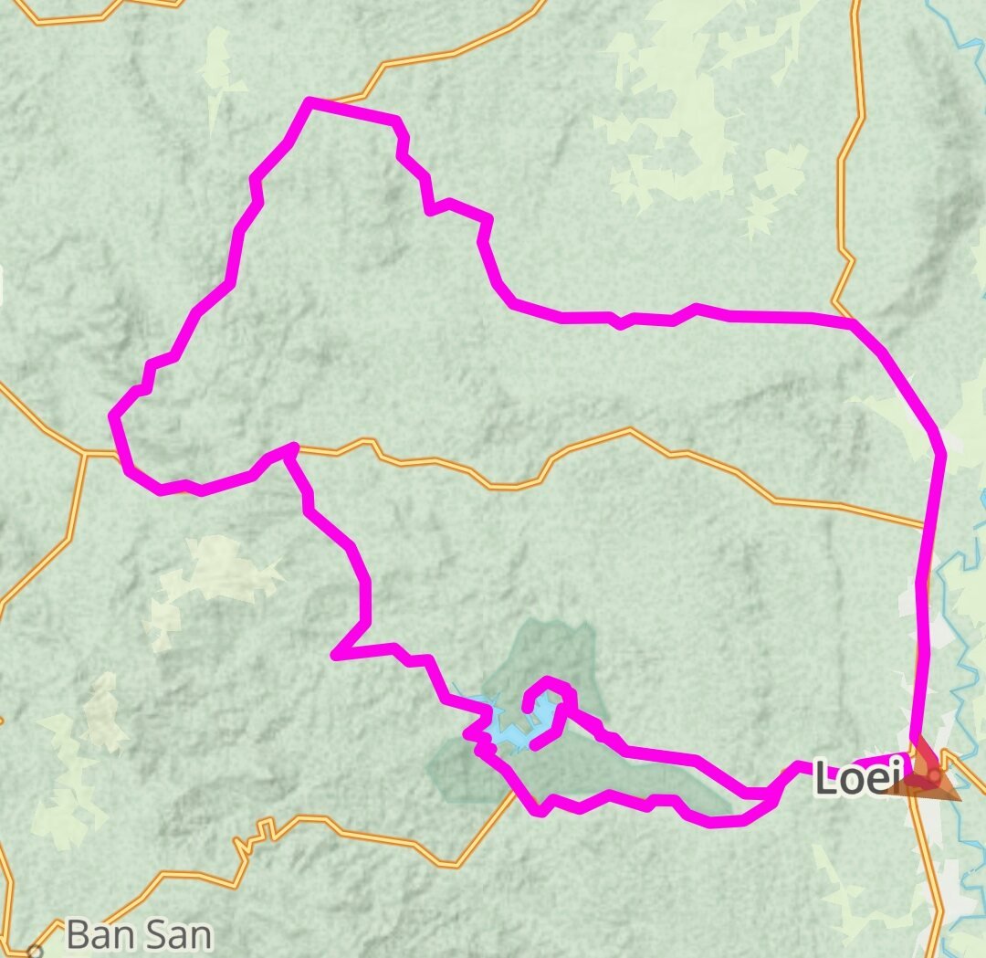
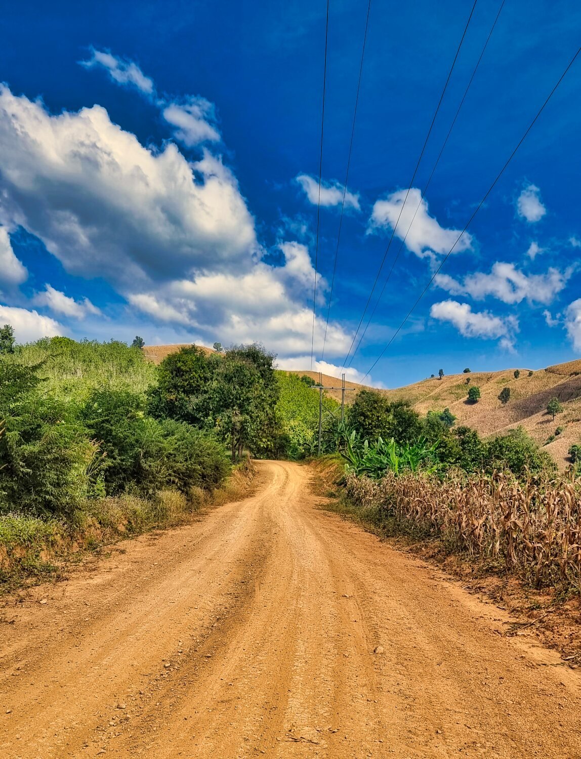
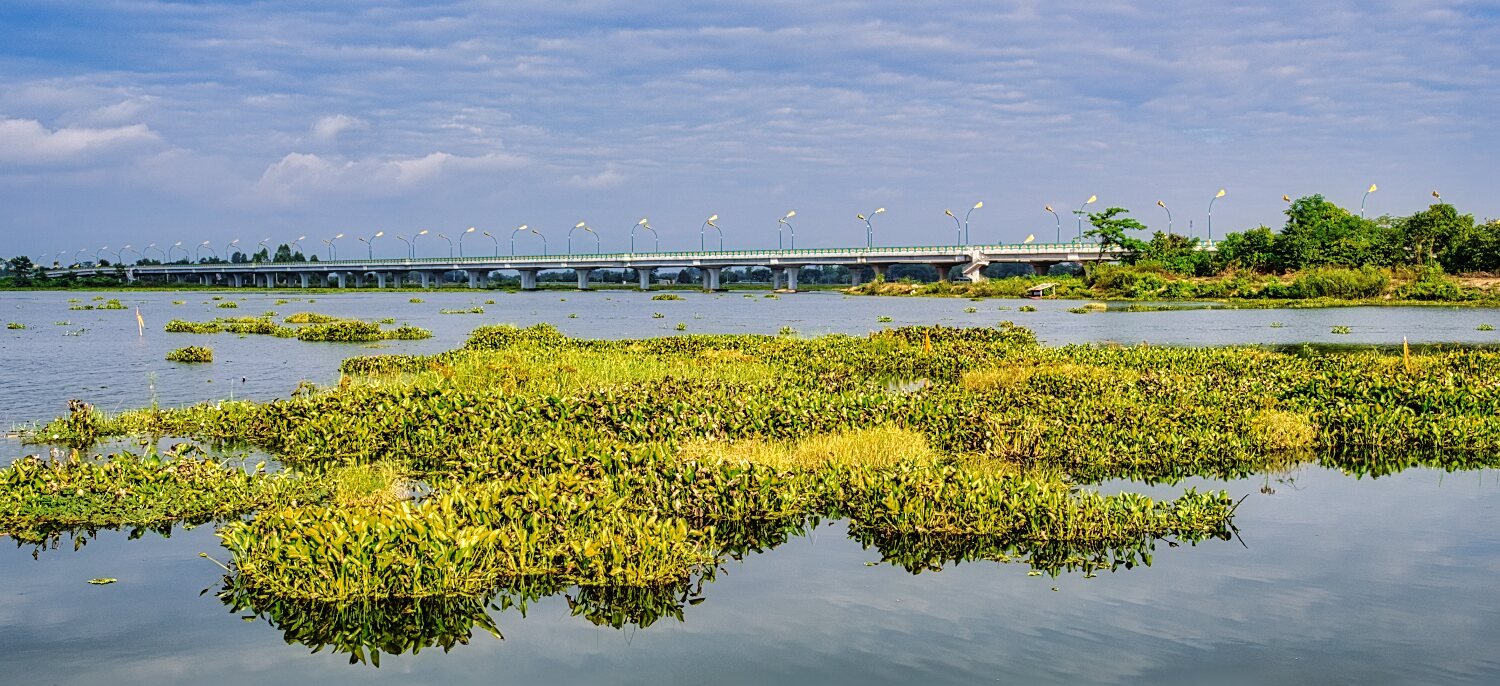
Today I rode east to ride around Huai Phaniang Reservoir, my first stop was near the dam, here. https://maps.app.goo.gl/Xy1R5kuZt6BXSnJn6 Riding anti clockwise following the track I went as far here where the track ended. https://maps.app.goo.gl/1czZo3e2KQDACvJL7 Backtracking I carried on to my next goal here. https://maps.app.goo.gl/Eoho6Ffgx6Wh6P6r8 But the dead end shown on my maps was not a dead end so I continued alongside the lake and then looped back to a dead end here. https://maps.app.goo.gl/fVNEbofxM6zJDuCKA From there back to Loei. There are many tracks there to explore, from turning off road until back on road was over 30km of fun and worth a look. https://www.relive.cc/view/vrqoP19dyyv
-
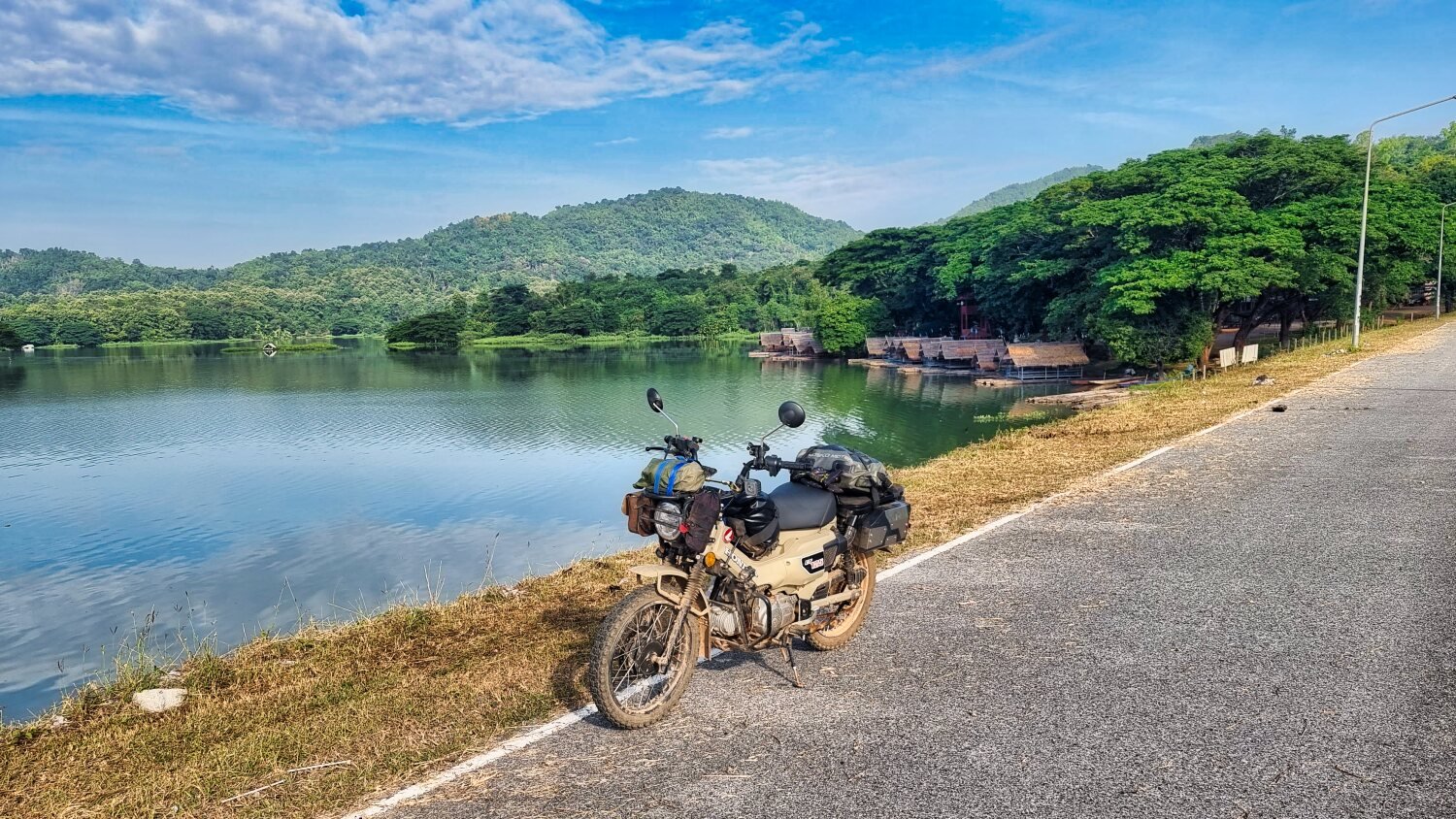
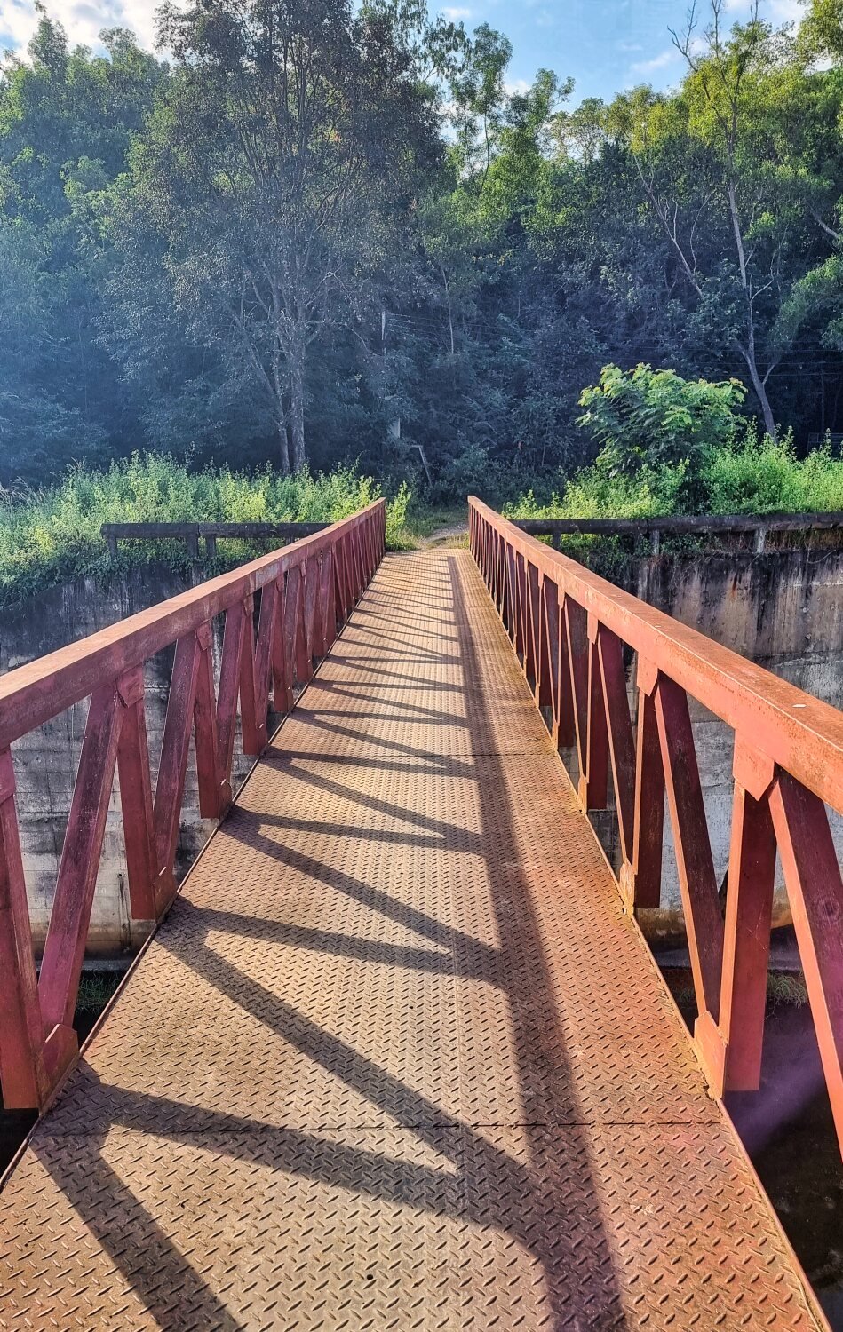
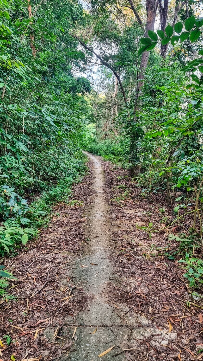
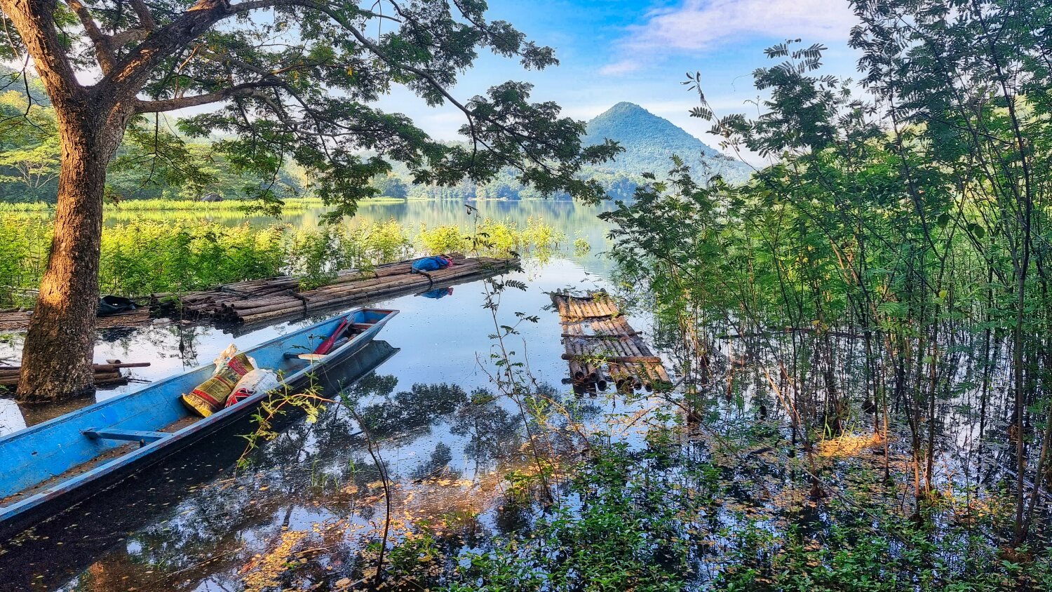
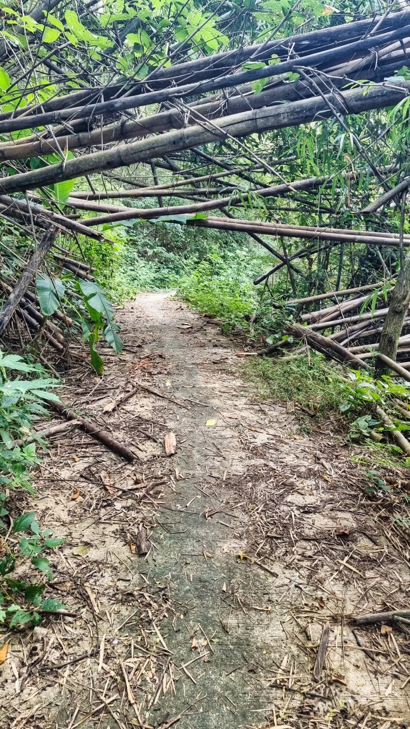
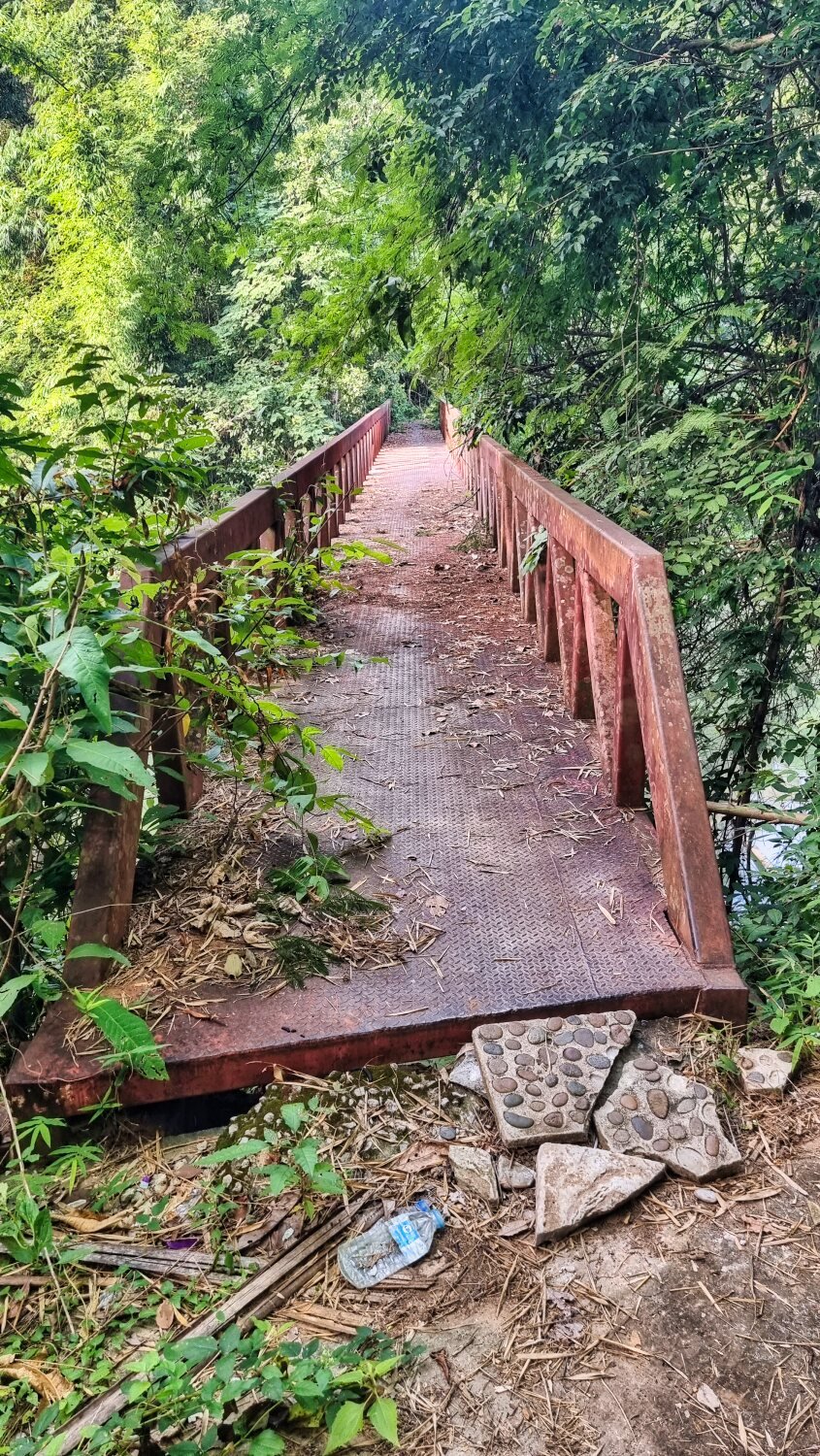
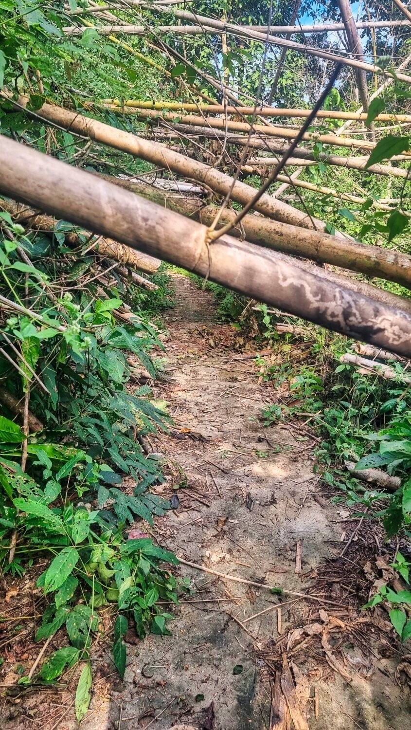
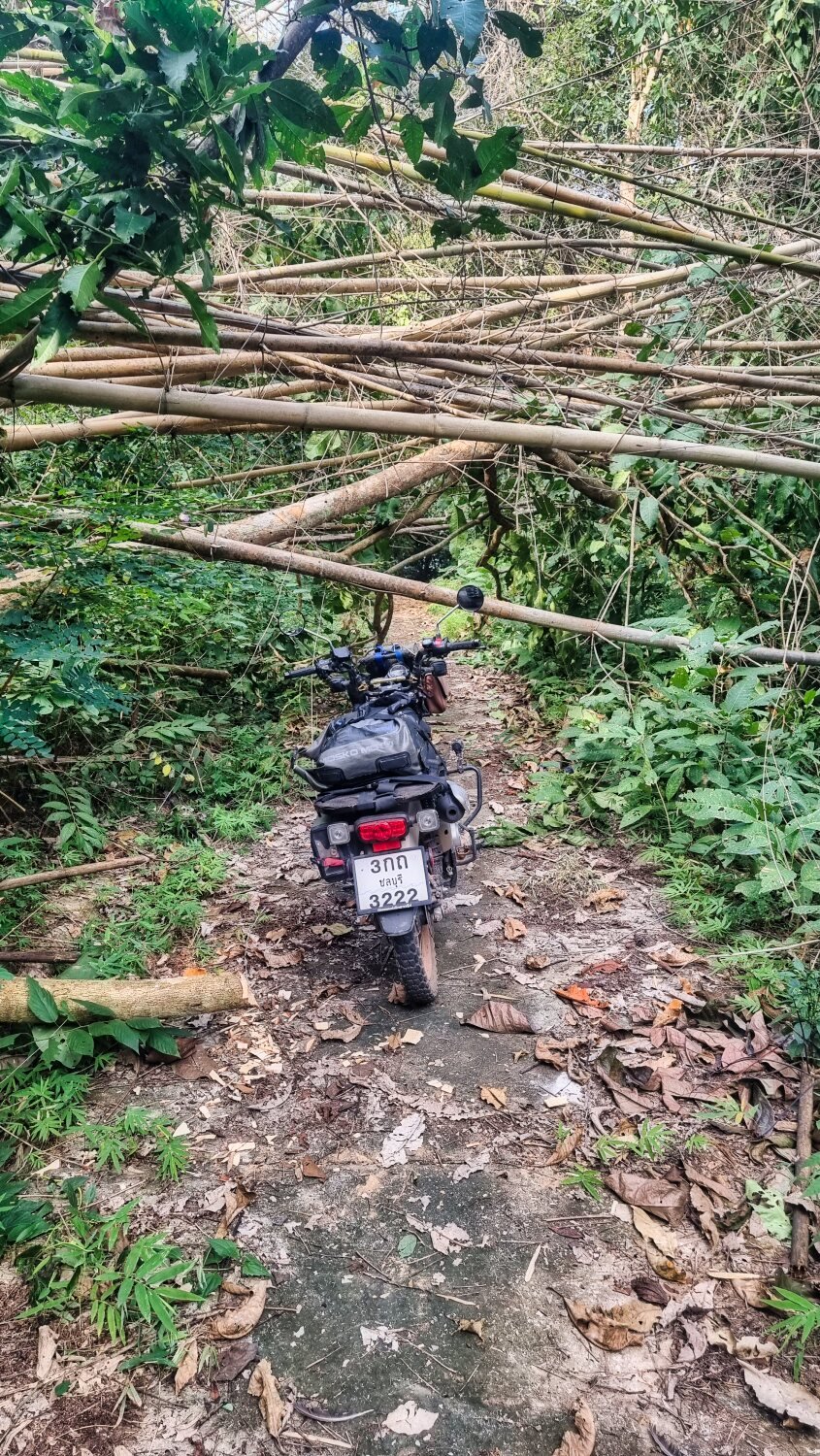
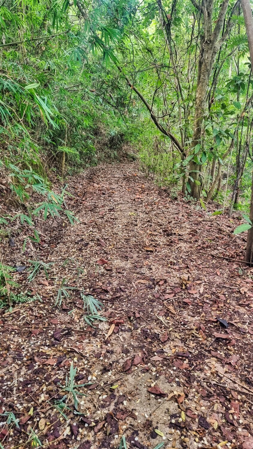
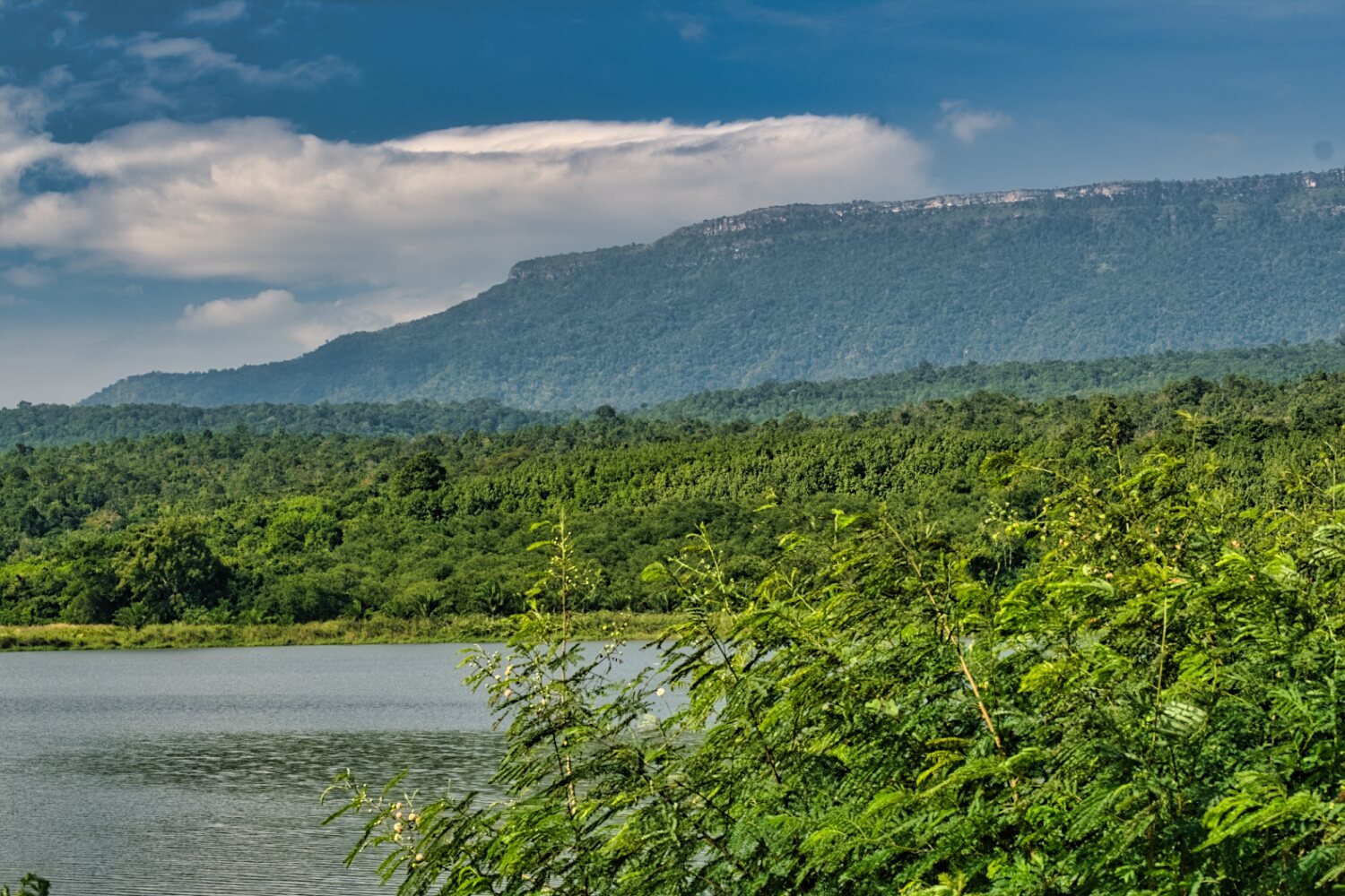
My plan today was to take a look at a reservoir near to Loei. Huai Nam Man Reservoir. https://maps.app.goo.gl/7WwbvacGcWrYtJJ97 The barrier was down to stop you riding along the dam but I bypassed it and continued over a small steel bridge onto a narrow concrete path that followed the edge of the dam.. It was overgrown with bamboo in places. After the second bridge it got increasingly difficult ducking under the fallen bamboo and a few times I had to walk the bike through but unfortunately i came to fallen bamboo which put a stop to my exploring here. https://maps.app.goo.gl/NkNNDcDhhFLfEwCc9 After returning I rode to Harirak Forest Park around the reservoir. https://maps.app.goo.gl/2ghgLjjEQD895CFR6 There was what looked like a nice camping area there. I then rode on to a viewpoint overlooking Huai Krathing Reservoir. https://maps.app.goo.gl/BaUQ1H2nHbFC9KFA6 I then rode north before looping back to Loei, another fun ride. https://www.relive.cc/view/vKv2YBWYX4q
-
Luxembourg family demands justice after fatal road accident
chrissables replied to snoop1130's topic in Phuket News
Well i ride every day, rarely at night. But everywhere from cities to the most rural of places. -
Luxembourg family demands justice after fatal road accident
chrissables replied to snoop1130's topic in Phuket News
I was reply to this....... "Too many foreigner's don't take the dangers of Thailand seriously." "Drive through Thong Lor area in BKK and watch expats walk side by side on small soi's" The rider of the motorbike was riding safely and its a terrible thing they got killed. It was not there fault though. I ride every day and have toured the whole of Thailand, Cambodia, Vietnam and a lot of Lao, so i do have experience riding here, a lot more than you i suggest. Telling people to not ride is a pitiful response. How do you travel here? -
Today I headed towards Phu Ruea then headed north from this point. https://maps.app.goo.gl/b9UM9Dg83boxN8bn9 This is a small and sometimes steep road that eventually comes out onto R2195 here, near the Lao border. Where I rode back to Loei. https://maps.app.goo.gl/5NwYh6SLyFtMPXme8 A ride with some very good views. https://maps.app.goo.gl/b9UM9Dg83boxN8bn9 https://www.relive.cc/view/vJOKZke55wv
-
Luxembourg family demands justice after fatal road accident
chrissables replied to snoop1130's topic in Phuket News
I have toured Vietnam, three times for months on my motorbike, no issues at all once outside main cities. -
Luxembourg family demands justice after fatal road accident
chrissables replied to snoop1130's topic in Phuket News
But this couple were riding in the correct lane at the correct speed, the car drive is to blame.- 110 replies
-
- 24
-

-

-

-

-
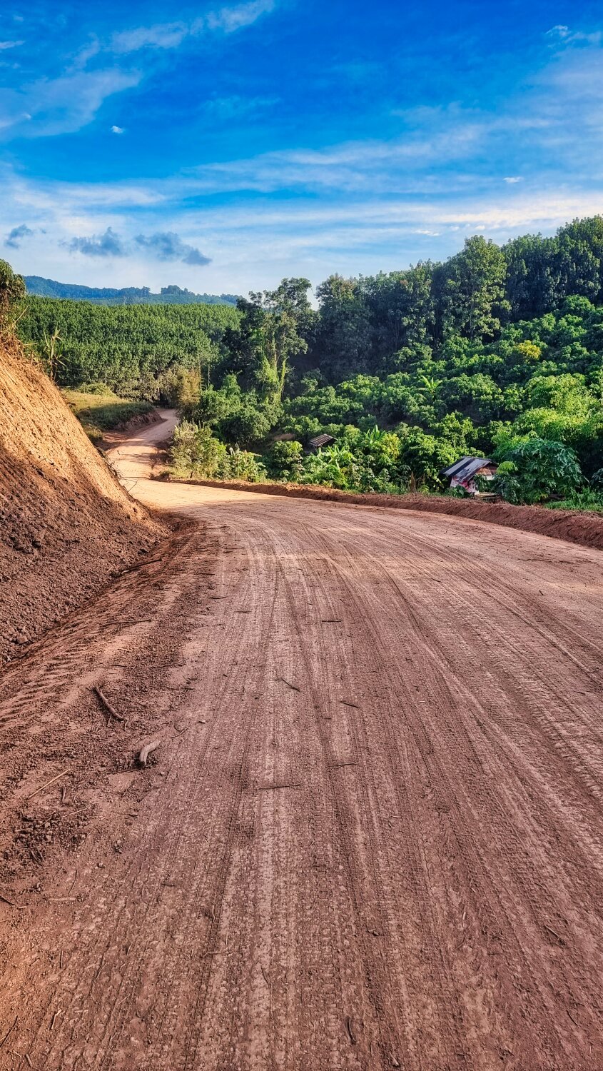
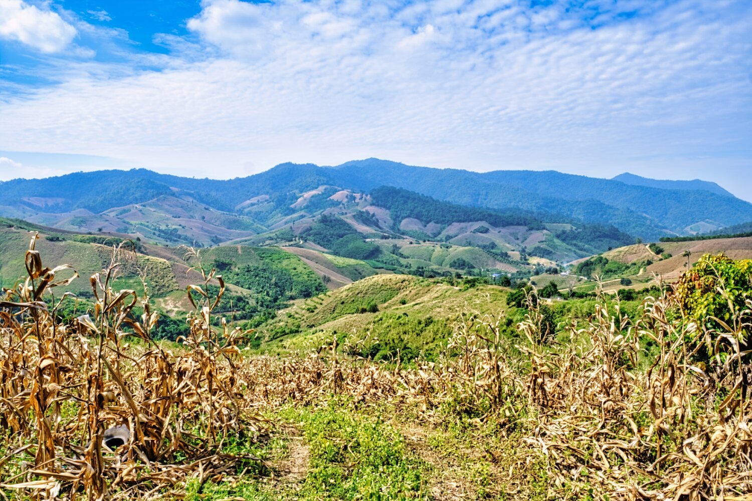
Today I headed south and then west of Loei. My first stop was at Pha Bao Pha Sao Arts and Crafts Center. https://maps.app.goo.gl/uWXXiqxd8PpE2dyJ7 Which had some nice views across the valley. Next I stopped at Nam Ban Ban Khu Reservoir for some shots. From here I was going to make a big loop back to Loei, but after reaching this point, https://maps.app.goo.gl/TybpMHdUrdpNoVUo9 which was steep first gear riding I did not want to carry on alone so I took Google’s faster option, but again I decided to turn back here at a school. https://maps.app.goo.gl/vMWRLH8AEYwkFps26 Not because it was difficult, but I was heading up into Phu Luang Wildlife Sanctuary and though I would be tied up for hours there. Both of the dead ends show I was near the end of the tracks on Gaia maps for some reason. https://www.relive.cc/view/v8qVQDAVG36
-
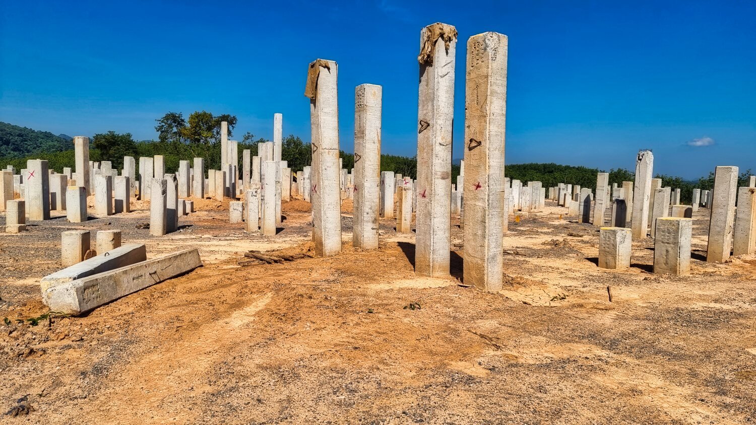
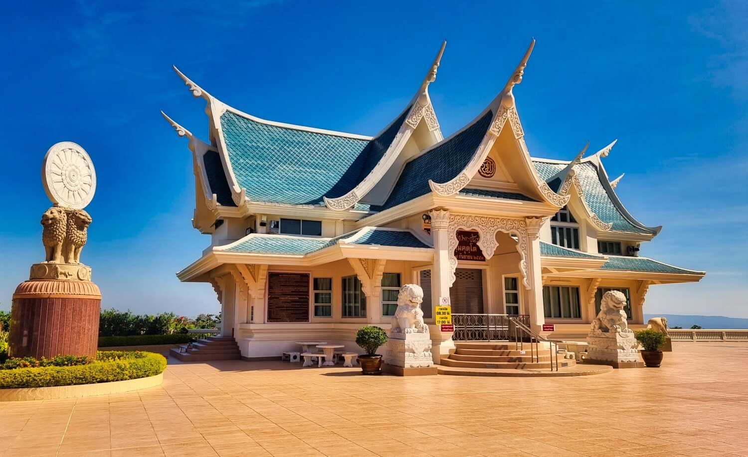
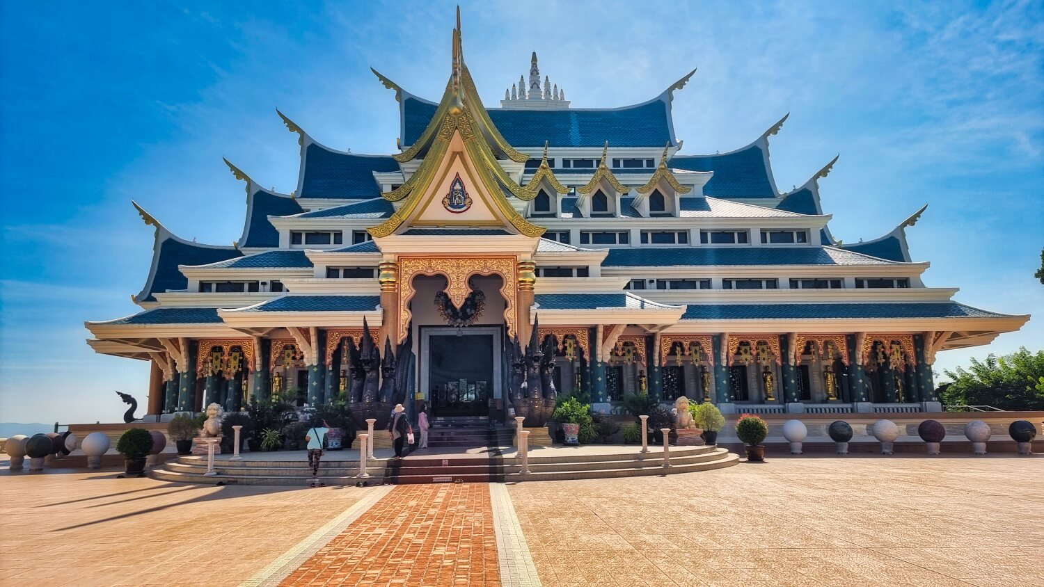
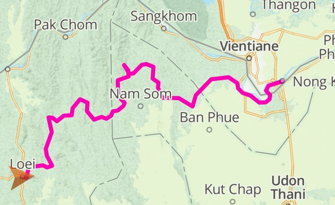
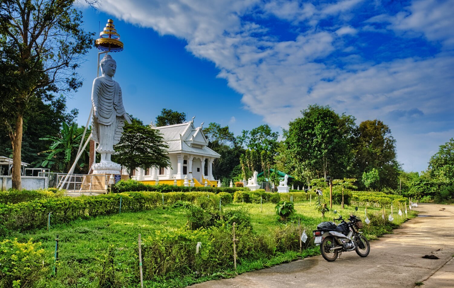
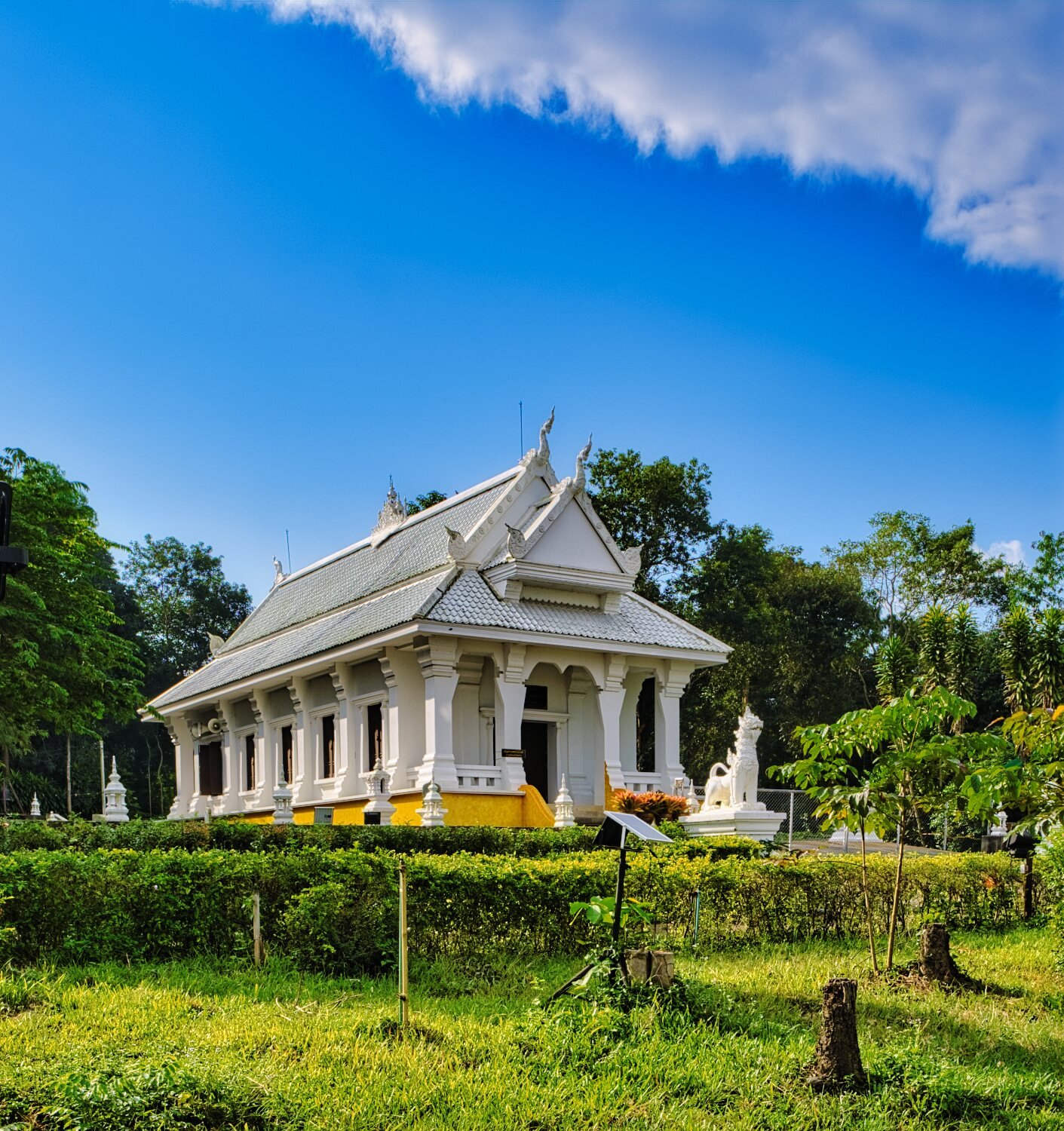
Day 21. 23.11.23 Nong Khai to Loei. Today was a nice ride from Nong Khai to Loei by an indirect route. My first stop was when I saw a new temple being built on a hill and lots of Stainless steel fencing surrounding. Riding to the top all there was concrete pilings. https://maps.app.goo.gl/Fnz5wcC7DYMvL6Cw7 Next stop was a temple on the side of a mountain. Wat Pa Phu Kon. https://maps.app.goo.gl/hEo5MSbvAy6CF8Qk9 Its worth a ride up, the nice looking building and good views over the countryside. On my ride through the mountains I saw a lady pushing her motorbike up a hill and turned back to ask why, luckily she was only out of fuel, so I gave her what I keep as spare before continuing to Loei. 229km ride today. https://www.relive.cc/view/v8qVQDQyj76
-
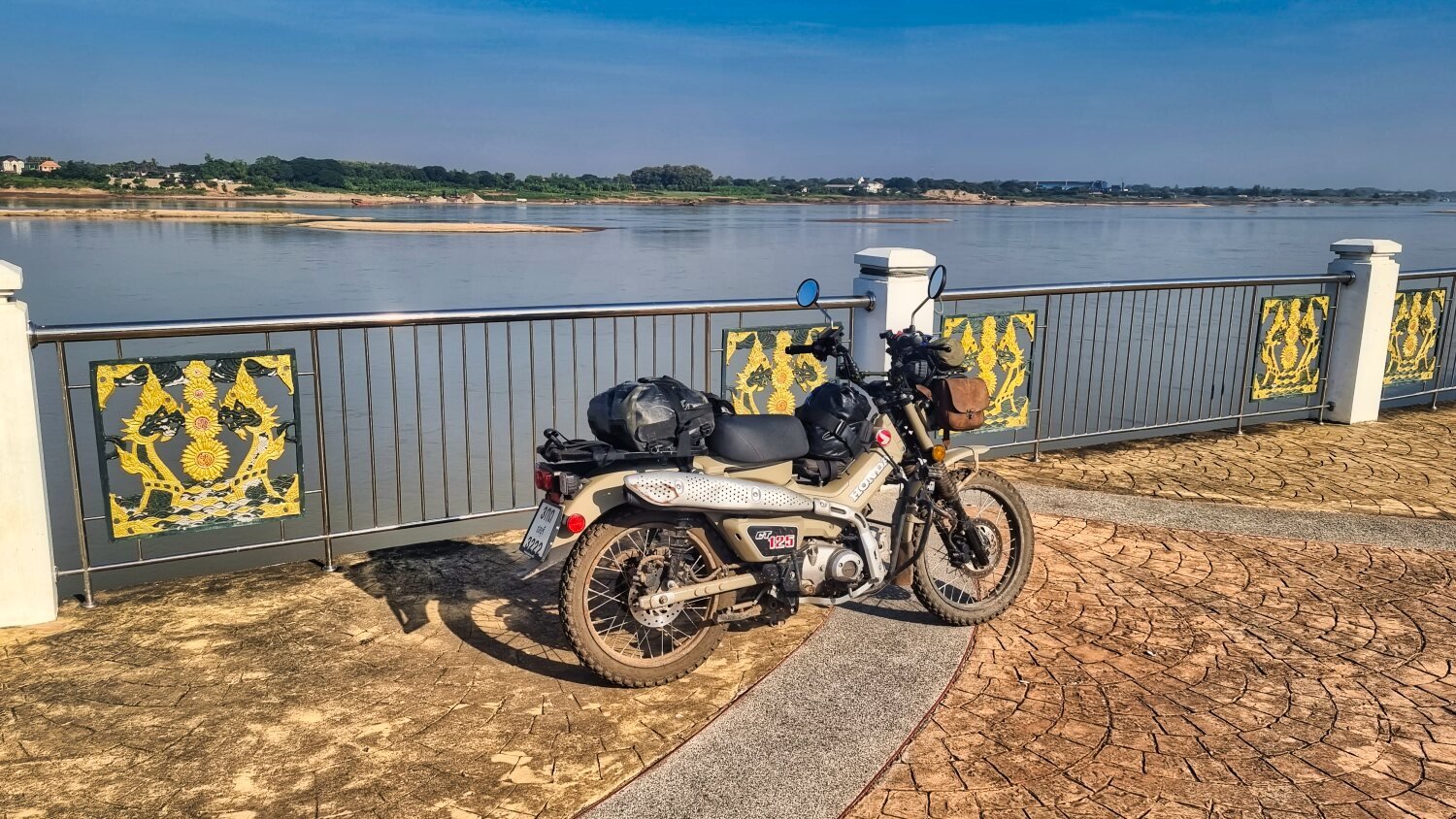
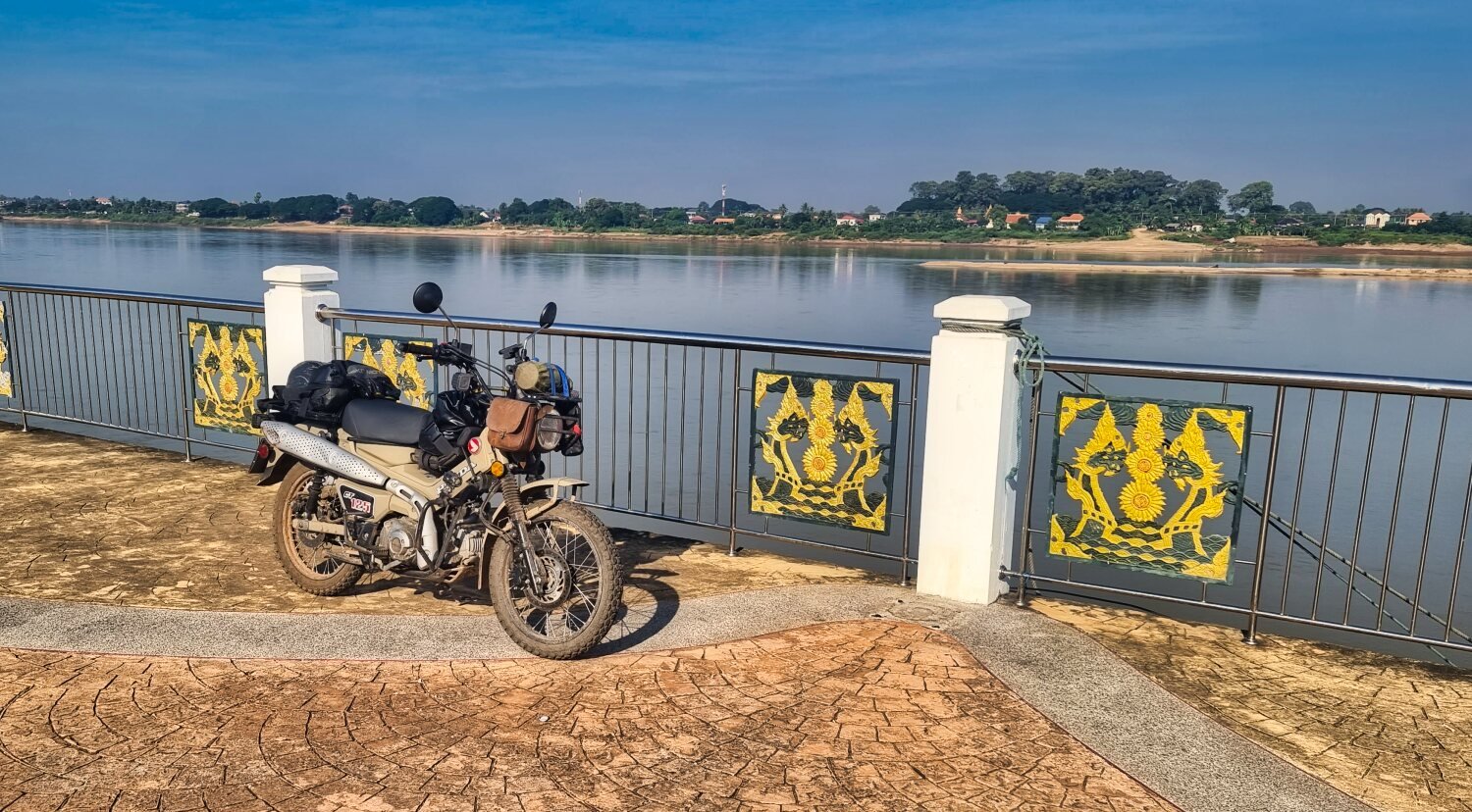
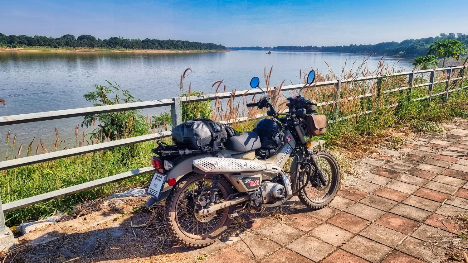
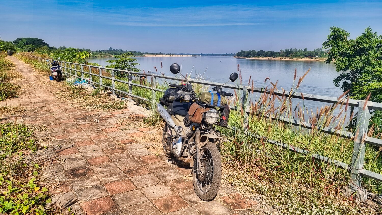
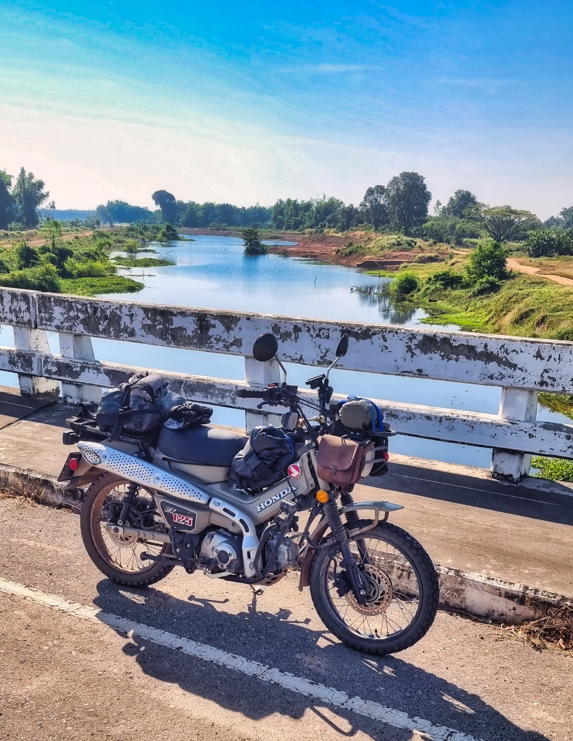
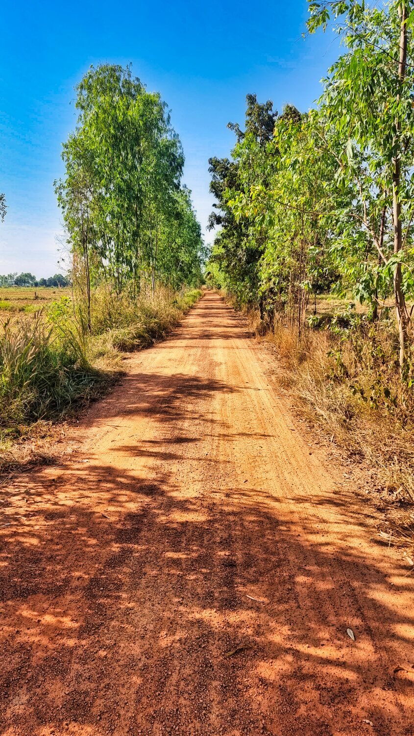
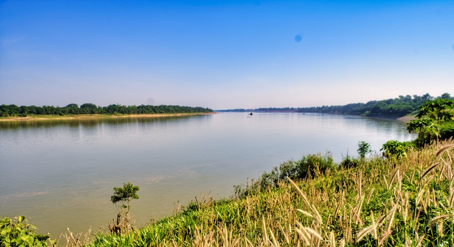
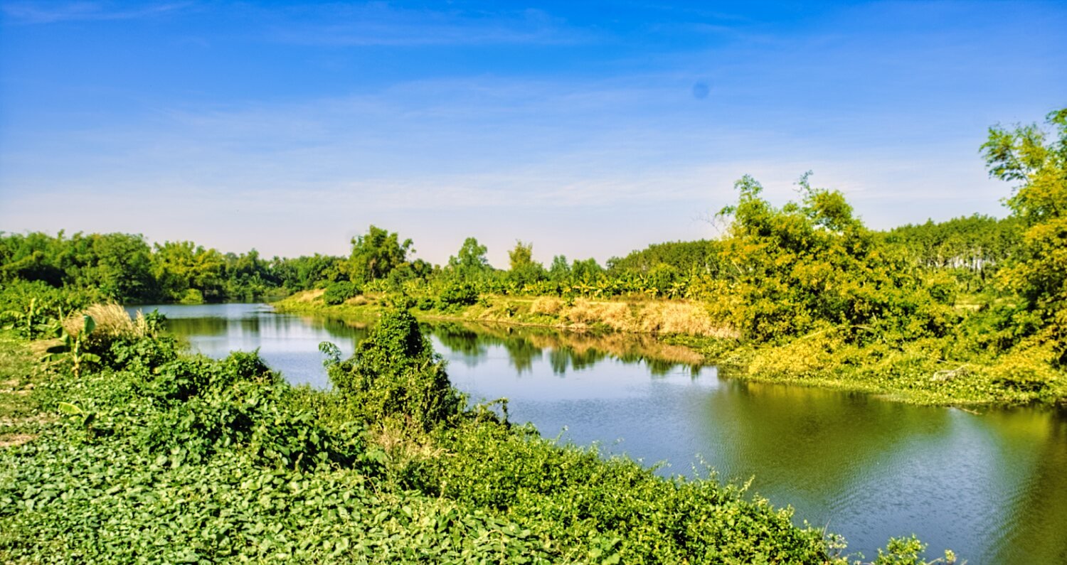
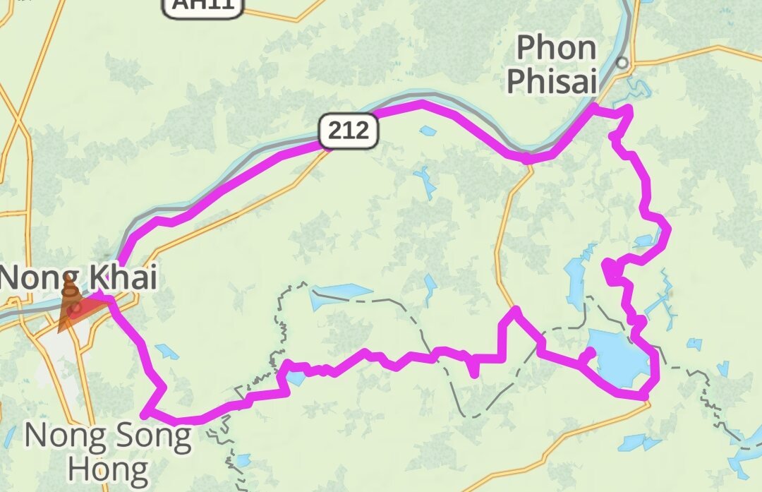
Day 20. 22.11.23 Nong Khai exploring east. My ride today was east of Nong Khai, following the Mekong before looping south and back. There were some nice views of of the Mekong this morning. After heading south to the bridge over Huai Luang. https://maps.app.goo.gl/mZi6qsyyCtzP7Fnr6 I arrived on on small roads and farmer tracks most of the way back to Nong Khai which was fun! My next stop was Nam Phan Rafting at Phan reservoir. https://maps.app.goo.gl/VwnPPo6qqiPNfHzRA I then rode around the reservoir to the other side. https://maps.app.goo.gl/Q5xfv3JHQPpV9iJj7 Onto Dong Phet Couple. https://maps.app.goo.gl/LagNHCV8f6Y3tB8s6 The access was blocked to the reservoir for some reason. So I carried on to Jumjim Kingkaew https://maps.app.goo.gl/CPpXL4tHtajvveVEA From here it was a short ride into Nong Khai. https://www.relive.cc/view/vAOZn3ByEyO
.jpg.c997af3e1b21cdf37beada3de566deb5.jpg)