chrissables
-
Posts
3,175 -
Joined
-
Last visited
-
Days Won
8
Content Type
Events
Forums
Downloads
Quizzes
Gallery
Blogs
Everything posted by chrissables
-
CT125 and Vespa Sprint 150, Southern Thailand Tour.
chrissables replied to chrissables's topic in Motorcycles in Thailand
Shop location for reference please. -
CT125 and Vespa Sprint 150, Southern Thailand Tour.
chrissables replied to chrissables's topic in Motorcycles in Thailand
Mike will come back tomorrow morning if possible, difficult to firm up anything until bike is running. I will update here when i know, but hopefully meet up. -
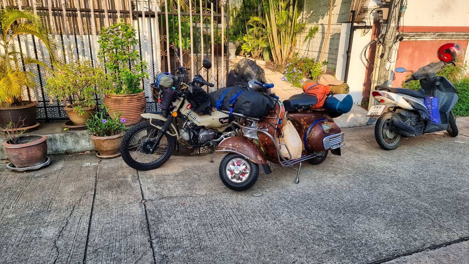
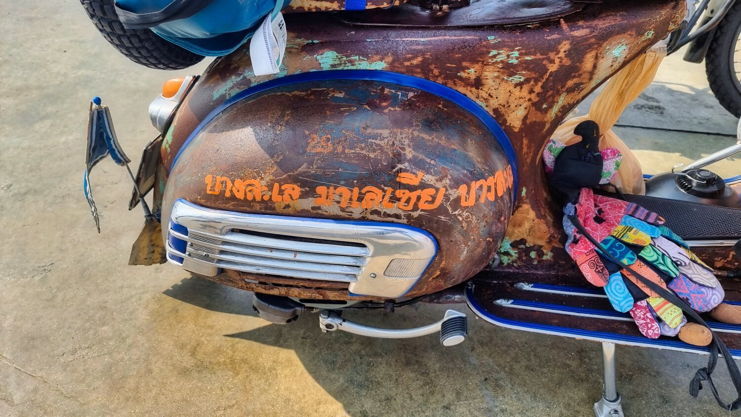
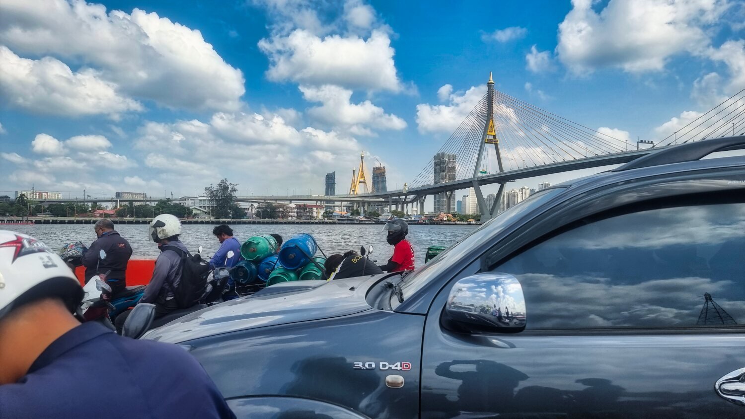
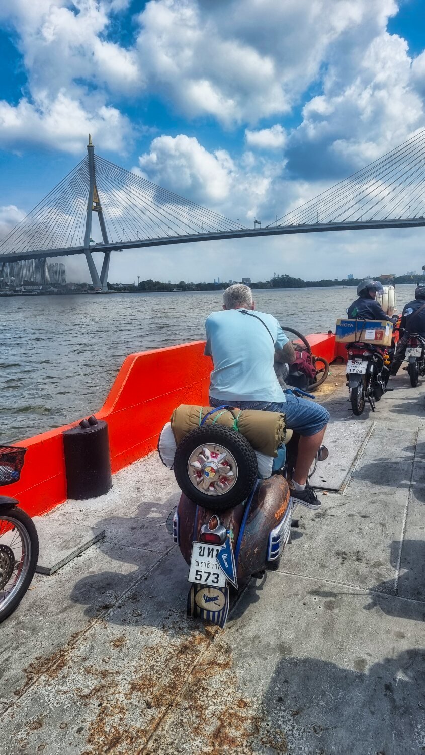
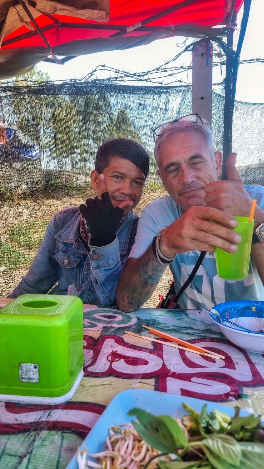
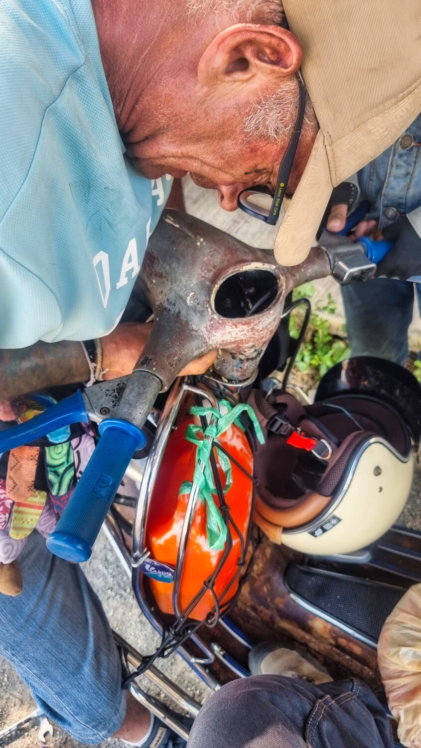
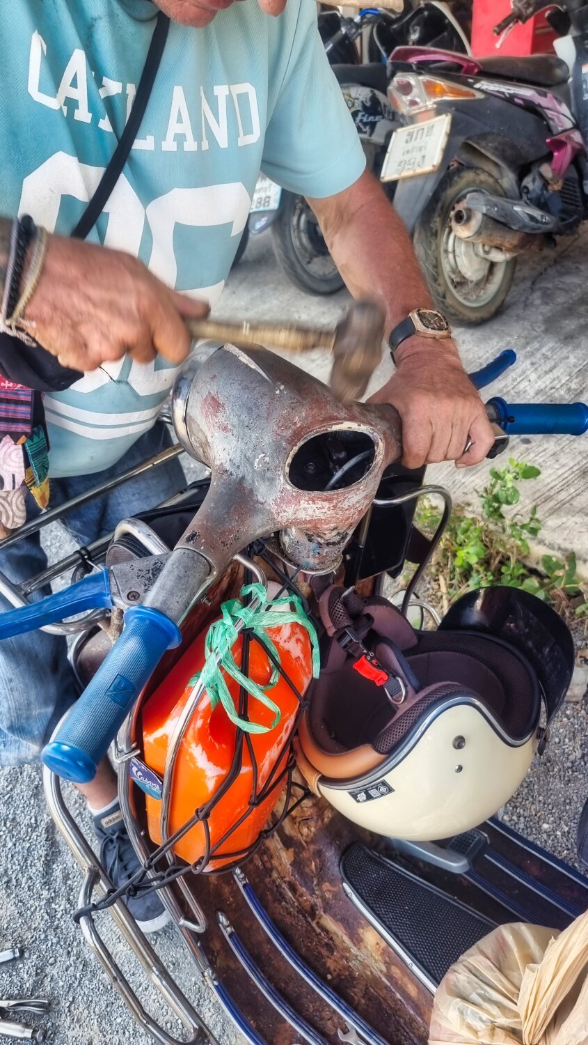
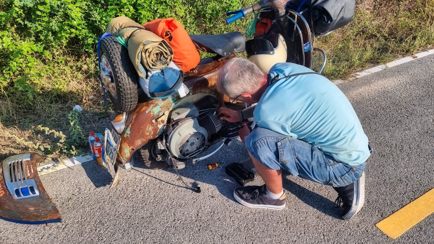
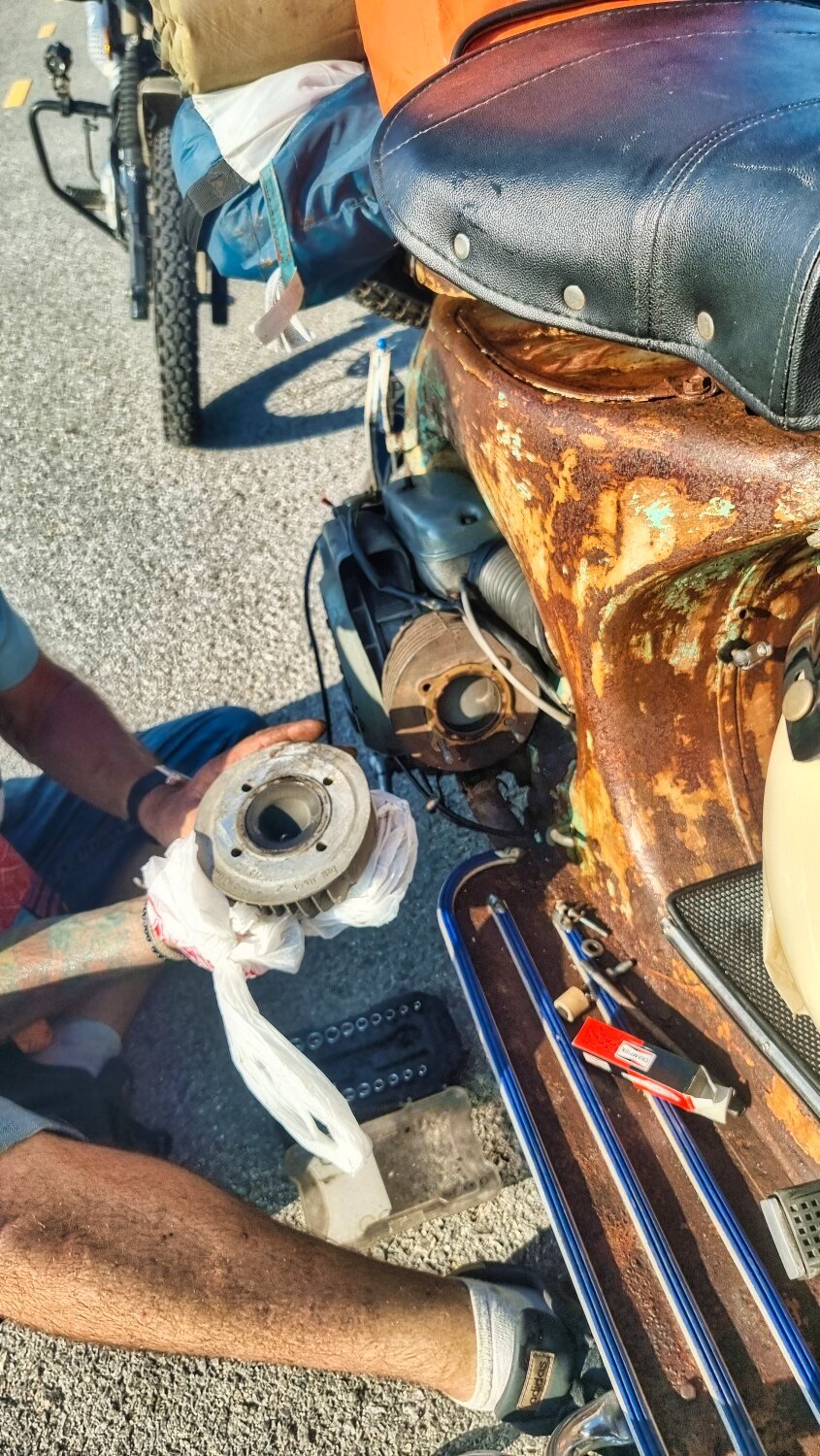
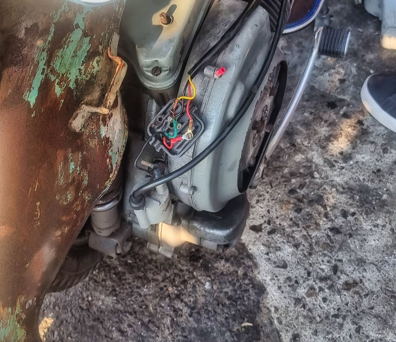
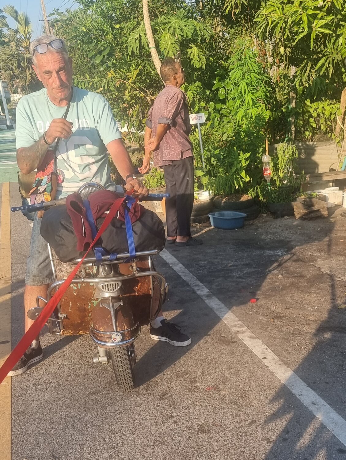
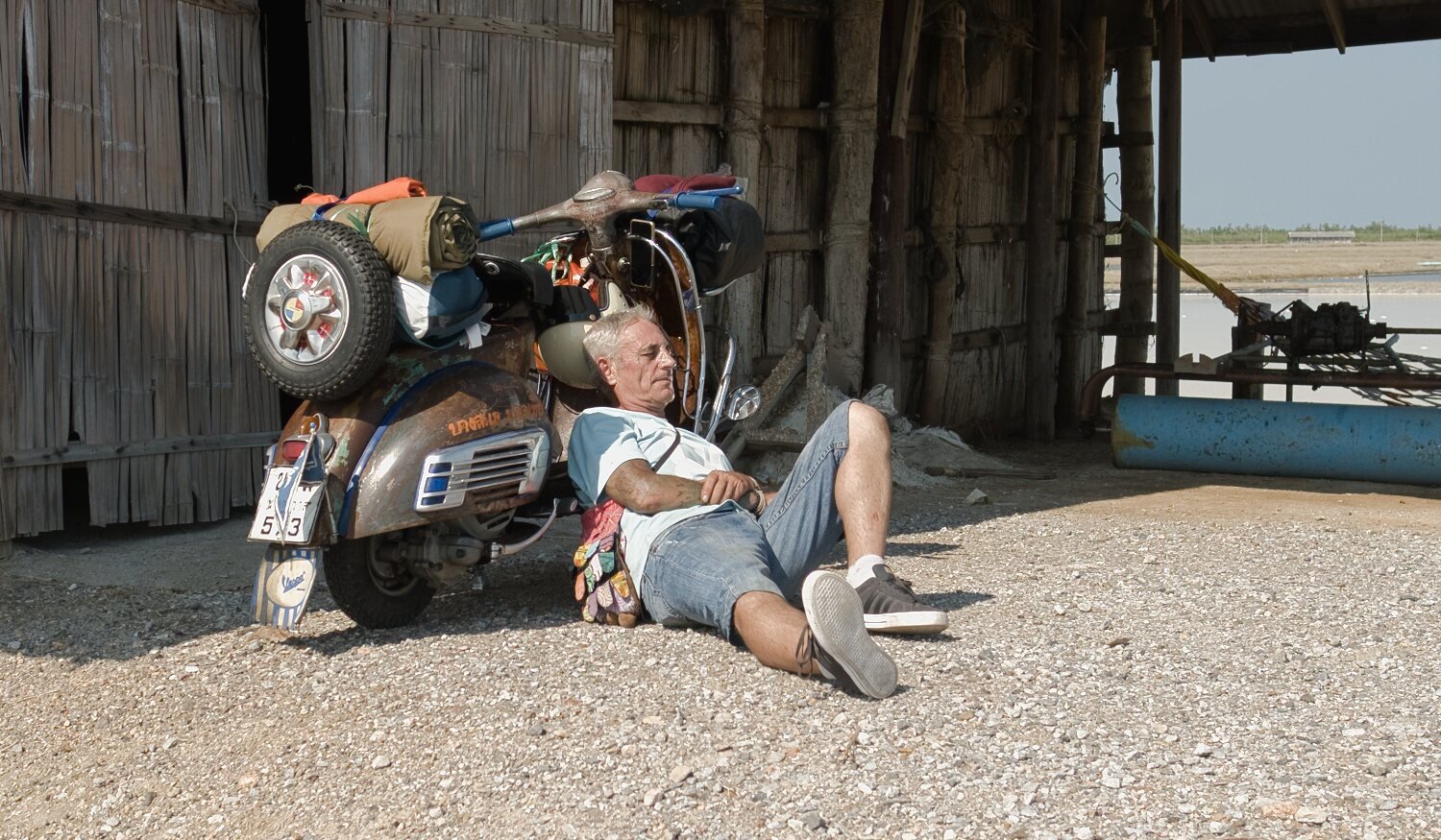
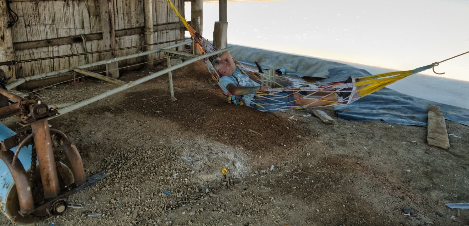
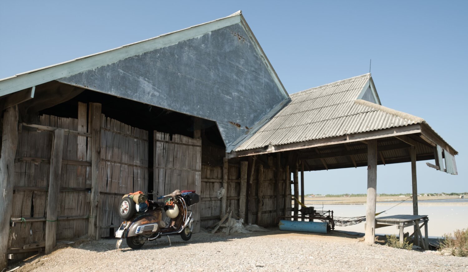
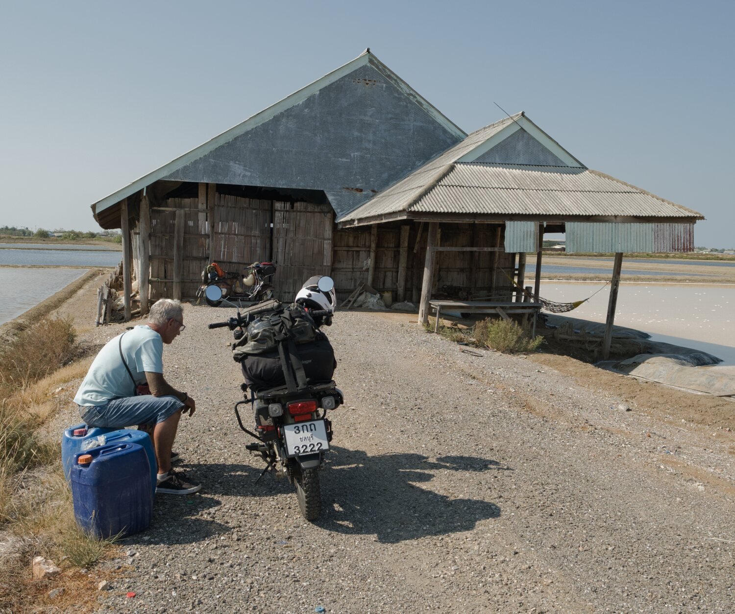
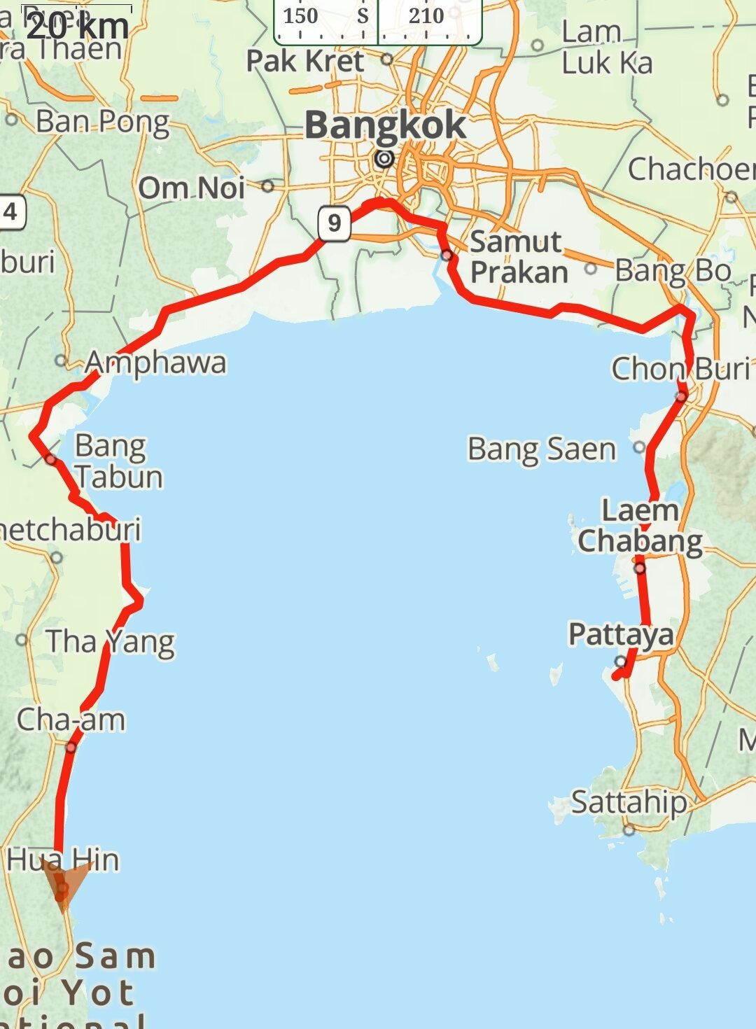
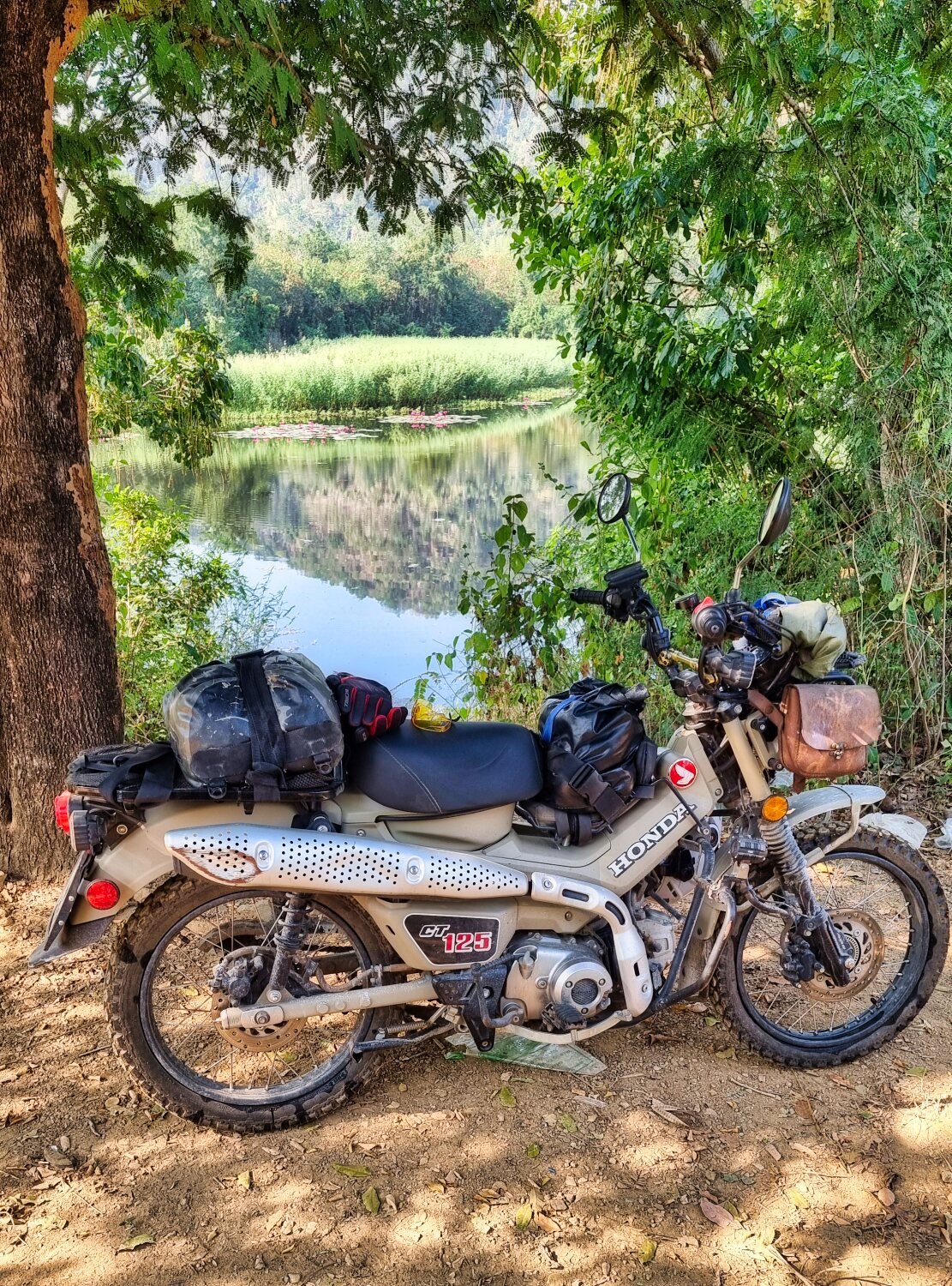
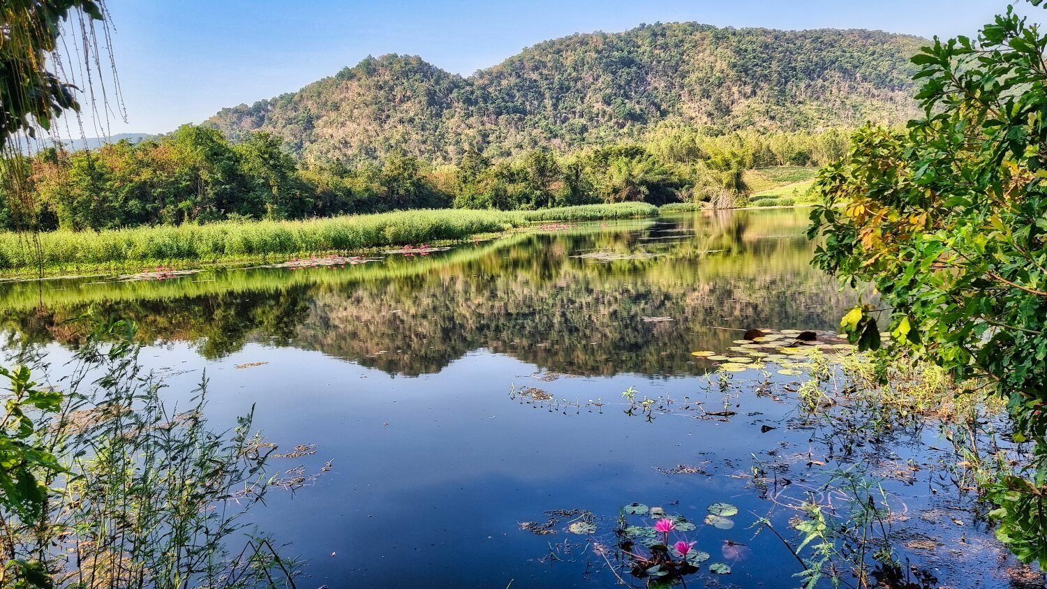
Day 1. Today was the first day of a tour to the south of Thailand with my Mate Mike on his 60 year old Vespa, with me riding my CT125. The ride up to the ferry crossing in Bangkok was ok considering the heat. But the road works heading south made things difficult with Google maps also getting confused at times. Not long after lunch Mike the Vespa had some issues with the headstock slipping which was eventually repaired Basil Fawlty with a hammer. Back on the road the Vespa started having more issues and we could only get it running by me towing it and bump starting it. We eventually got to Hua Hin after a very hot day. Day 2. Today we got the Vespa to a shop that specializes in Vespa’s but the staff were not available to help. Mike is now going back to Chonburi to pick up the spares required, hopefully back on the road tomorrow or Monday morning. https://www.relive.cc/view/v26MjzmkMEq

-
New Govt Tourist Insurance to Cover Deaths and Accidents
chrissables replied to webfact's topic in Thailand News
The government has been taxing all flights with a fee for medical help for years. You used to have to pay at a kiosk at the airport, but they added it to ticket prices. So nom the tax payers should not be paying as the government has the money already, but........... -
Tragic scooter crash in Thailand leaves Queensland dad in coma
chrissables replied to snoop1130's topic in Thailand News
Great, just asking 🙂 -
Tragic scooter crash in Thailand leaves Queensland dad in coma
chrissables replied to snoop1130's topic in Thailand News
Why do you think that? -
Tragic scooter crash in Thailand leaves Queensland dad in coma
chrissables replied to snoop1130's topic in Thailand News
From their own country, who knows. Thai licence most likely. -
Tragic scooter crash in Thailand leaves Queensland dad in coma
chrissables replied to snoop1130's topic in Thailand News
Having ridden all around Thailand 100,000+++km i would say yes. Have you ridden here, do you have any experience of riding anywhere? -
Tragic scooter crash in Thailand leaves Queensland dad in coma
chrissables replied to snoop1130's topic in Thailand News
Best way to travel Thailand is a motorbike, try it one day. -
Tragic scooter crash in Thailand leaves Queensland dad in coma
chrissables replied to snoop1130's topic in Thailand News
Do you ride here? -
Best way by far to see Thailand.
-
Yesterday was the last day of my ride, day 87. I was riding to Koh Chang, but at the last minute changed my mind. It’s been a great ride, seen great views and no punctures or accidents! Just short of 14k at 13,925km The screenshots are of yesterdays ride and my whole trip. https://www.relive.cc/view/vYvrQV42wxq
-
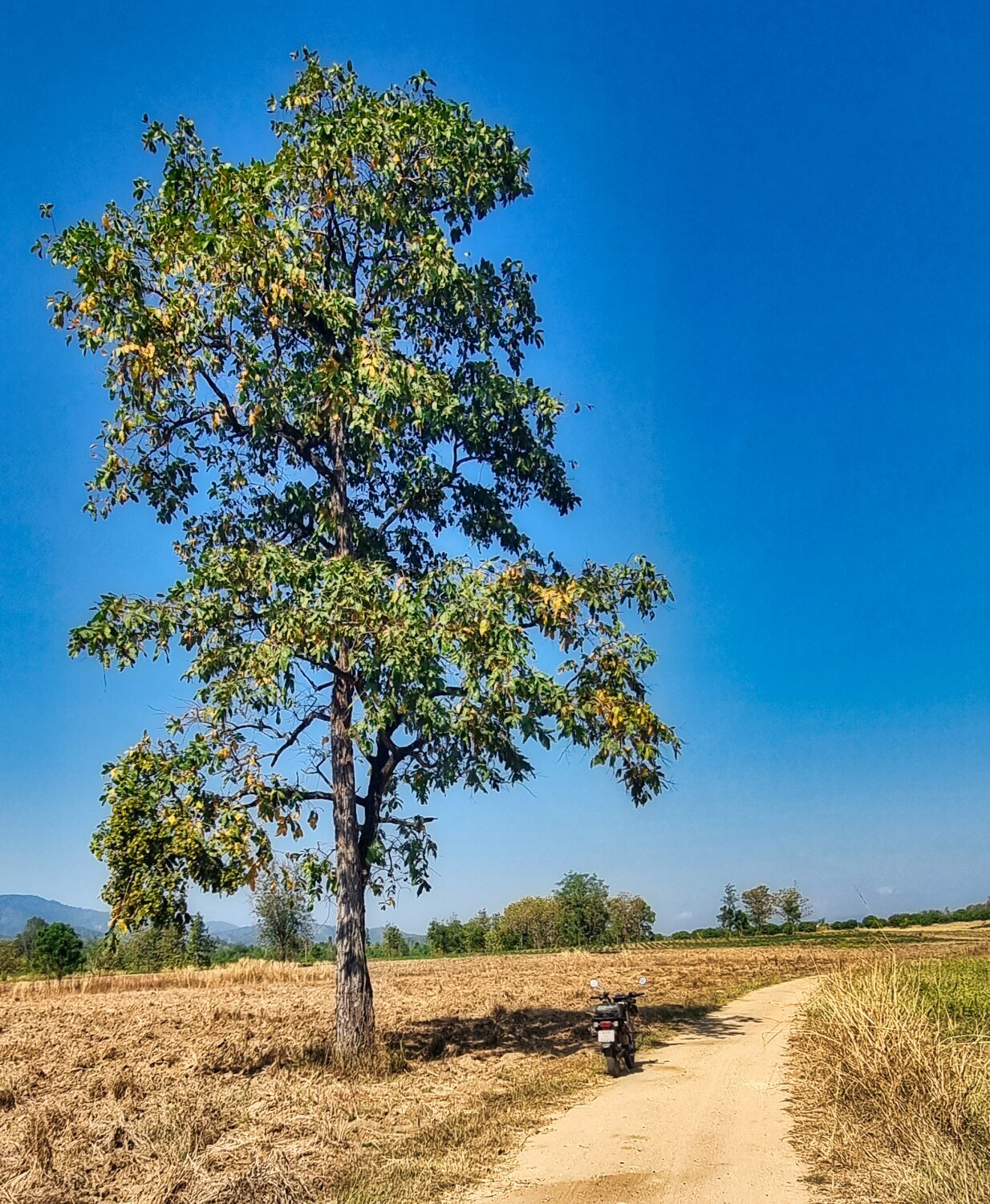
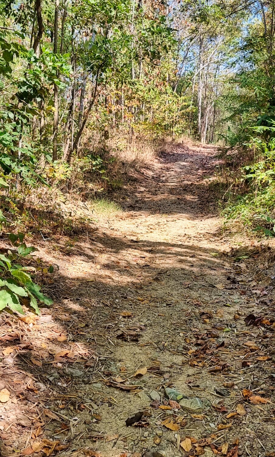
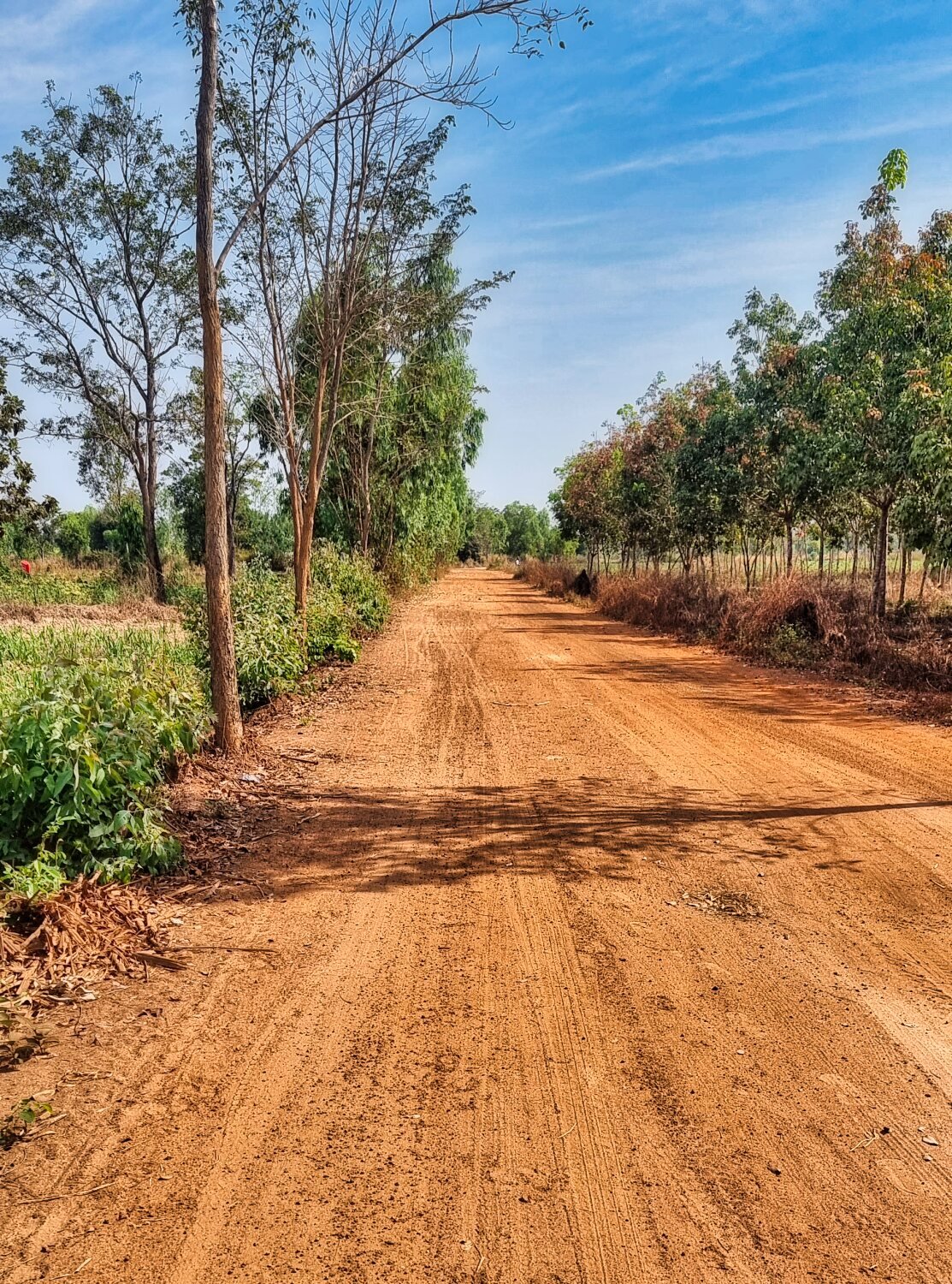
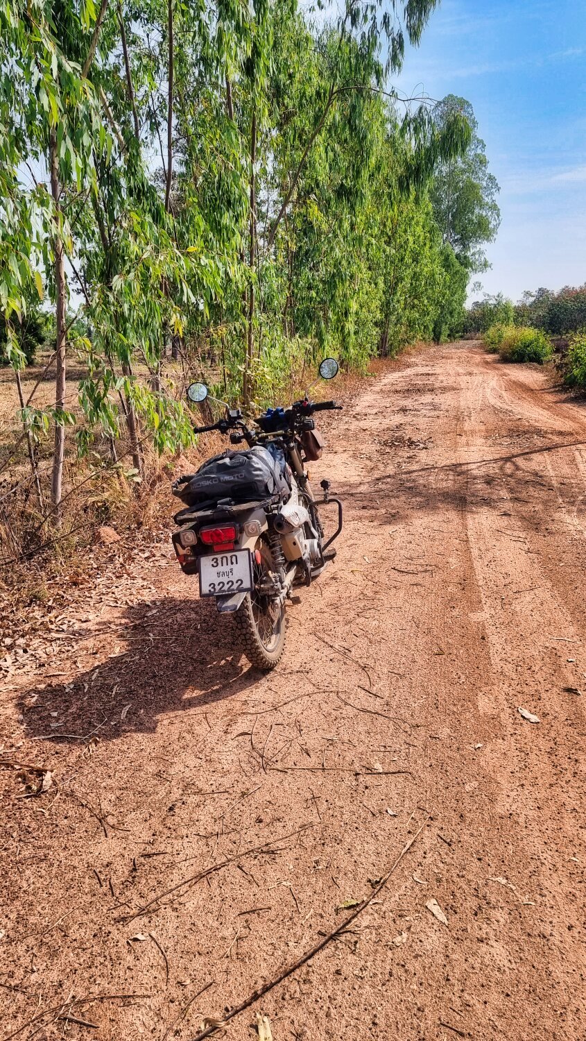
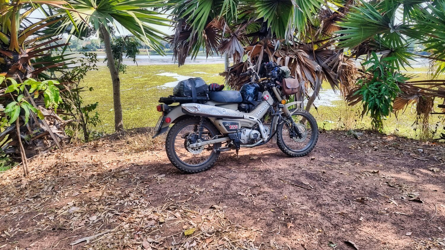
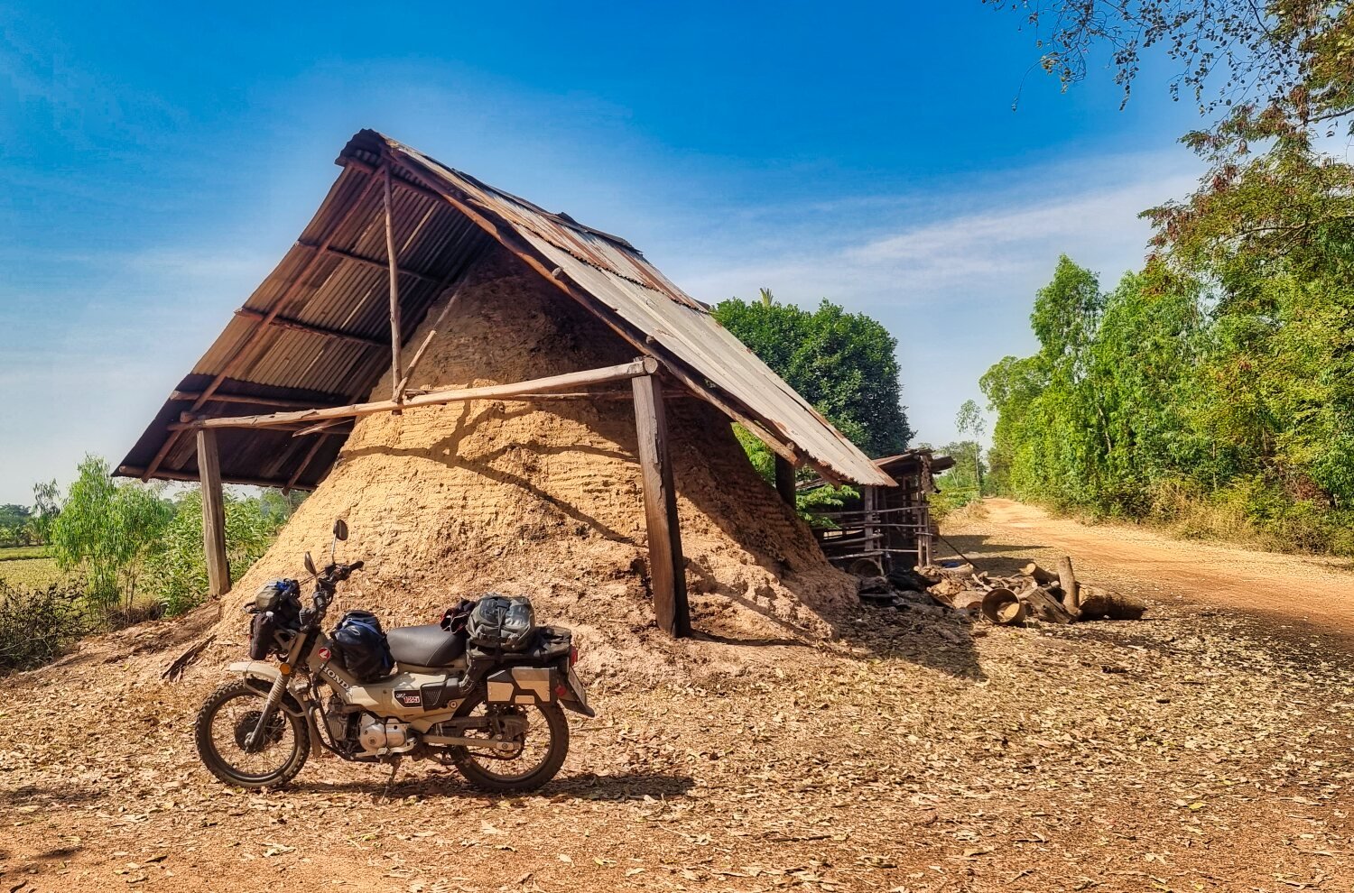
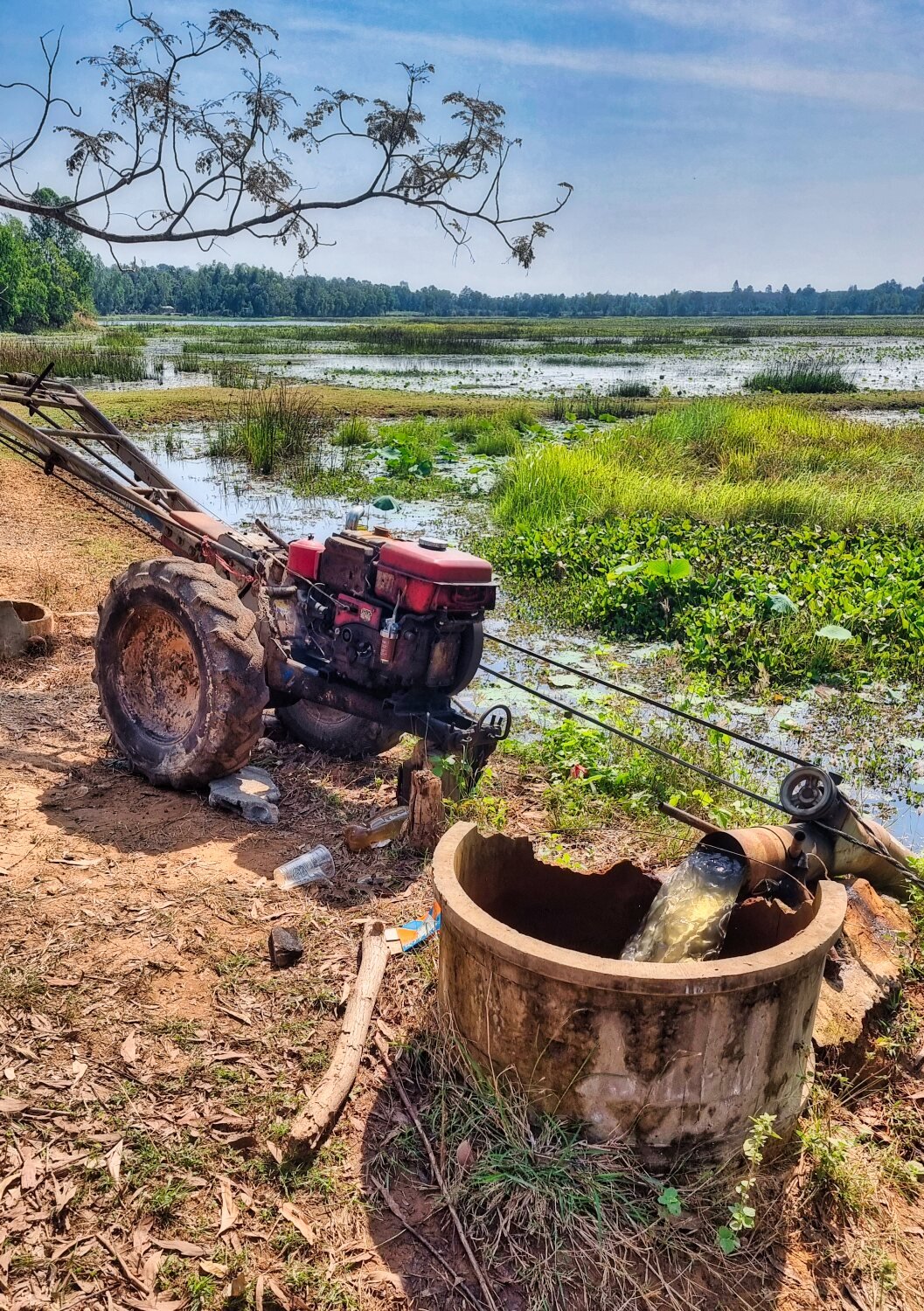
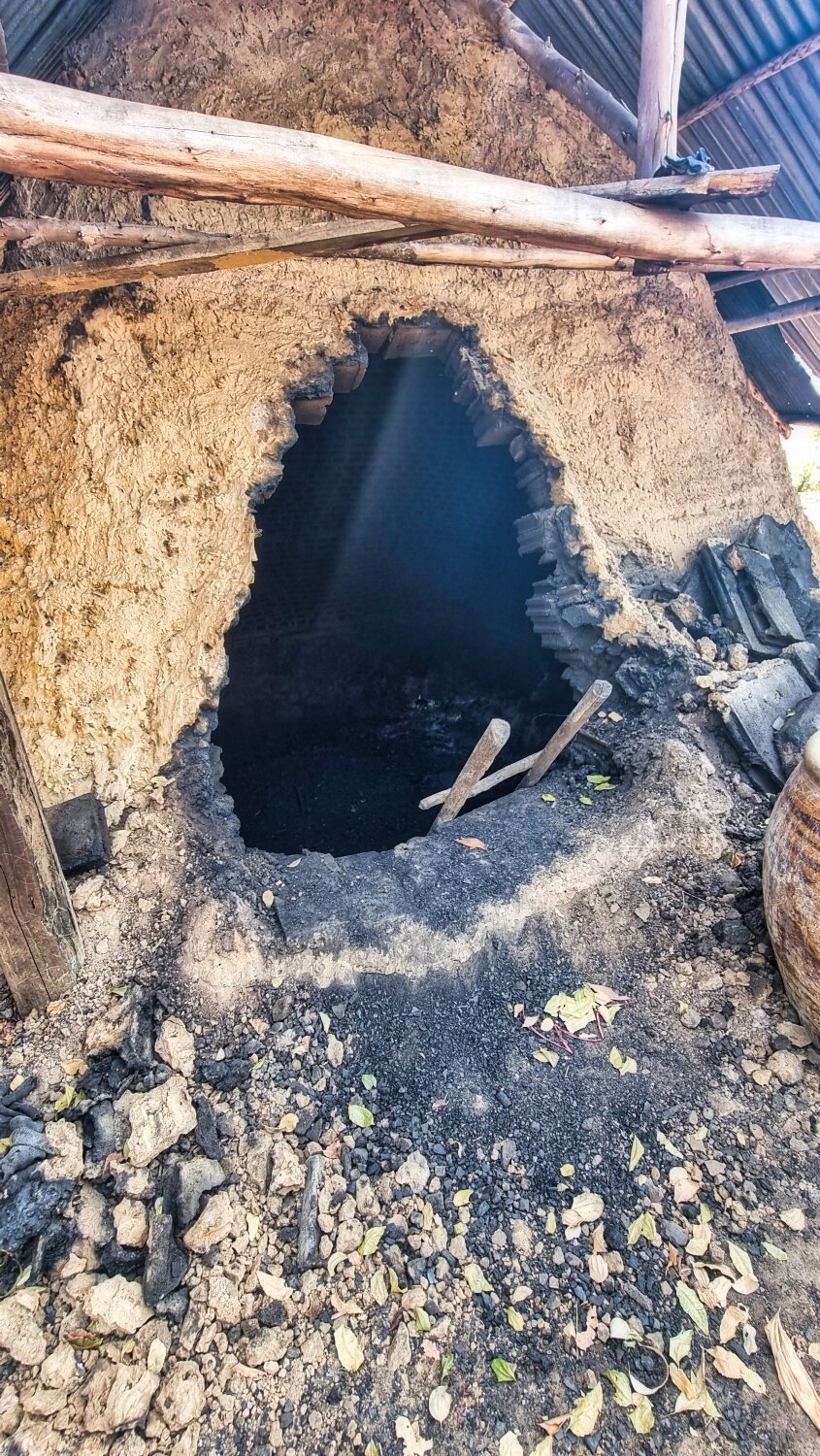
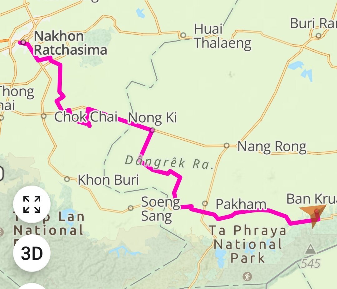
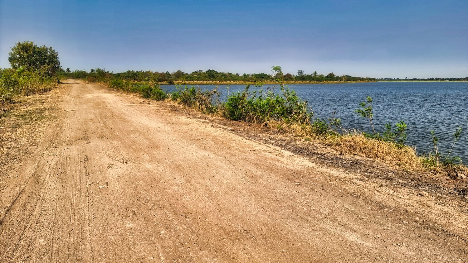
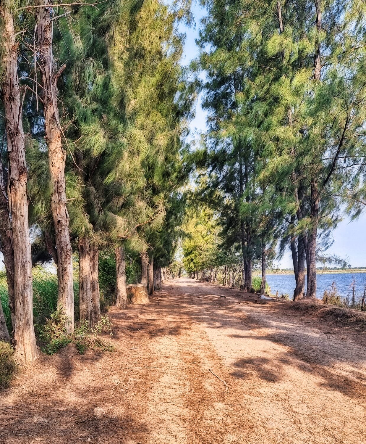
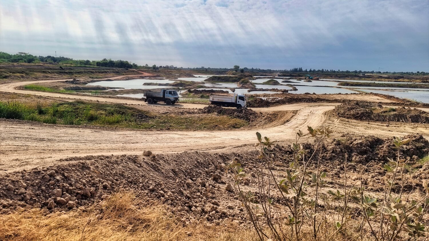
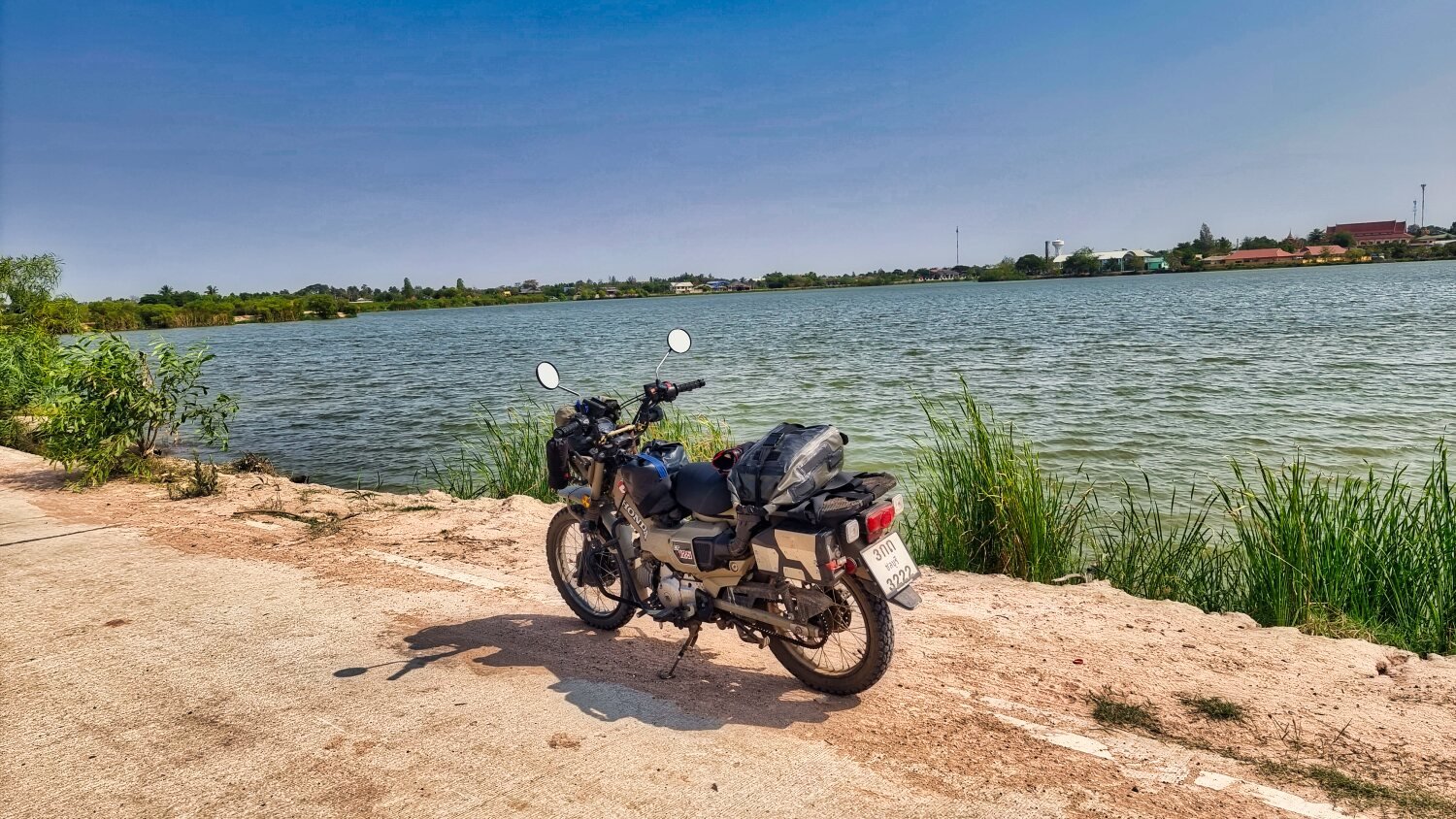
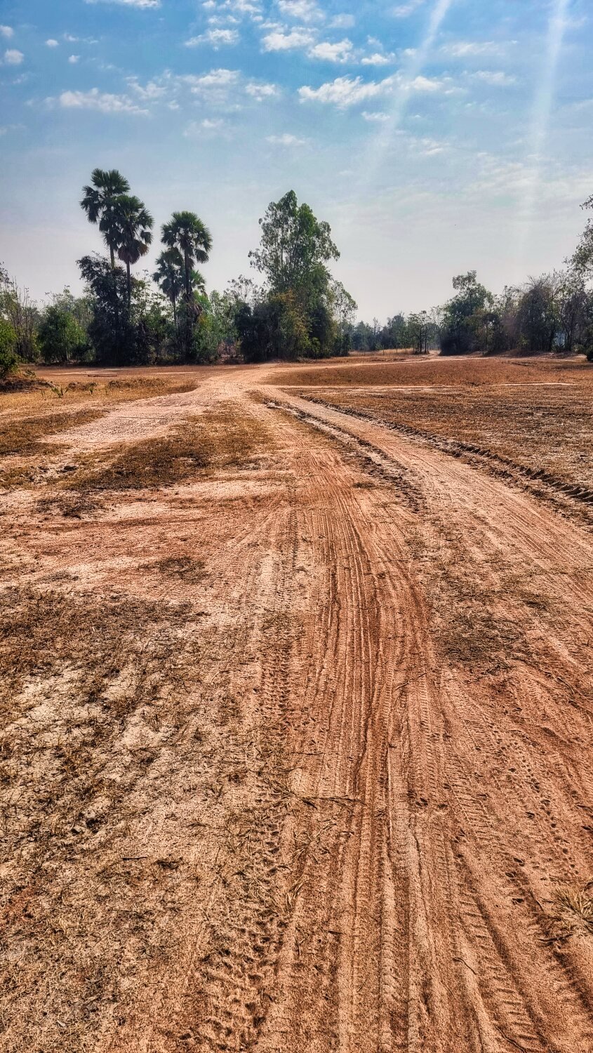
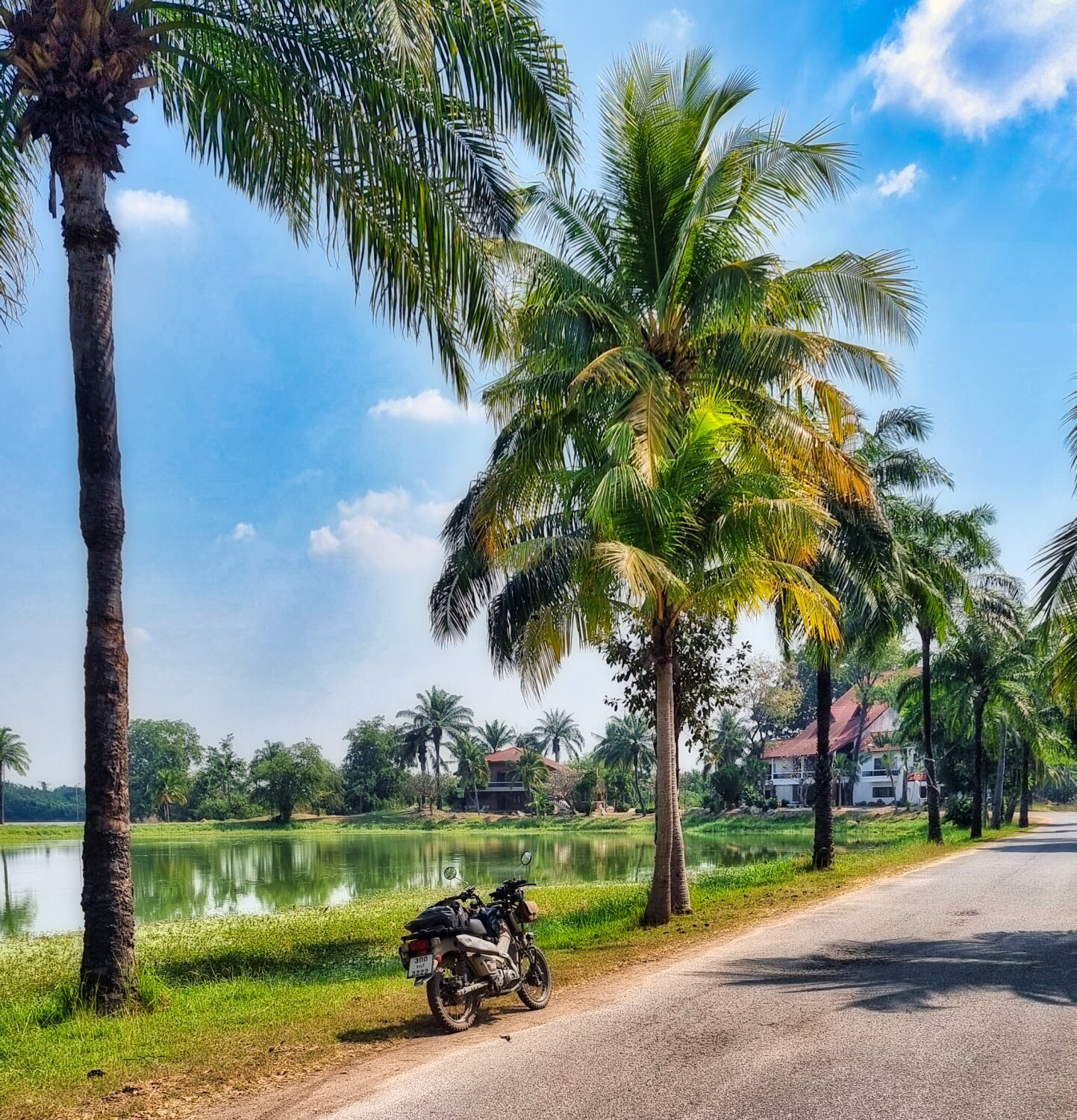
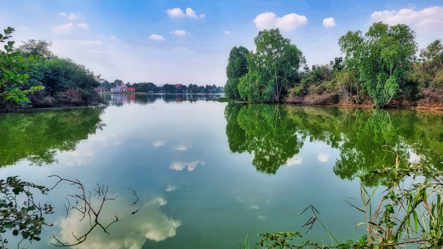
Today was another interesting day exploring Ban Kruat. Heading north east I was on small roads and farmers tracks just outside of town. My first stop was Lahan Sai Mai Reservoir, here. https://maps.app.goo.gl/7Tmp4Mhx5GsY6crF8 I rode all around it on good tracks, finding a large charcoal kiln here. https://maps.app.goo.gl/eXAKqSVDVT1eebKD6 Next to it was the walk behind tractor, locally called a tak tak I understand, pumping water out of the reservoir. Further round a rescued a turtle that was cooking in the sun and took it to the edge of the reservoir. I looped north and back to road 224 mostly off road before returning to Ban Kruat. https://www.relive.cc/view/vZqN17eV8G6
-
Today was an easy 200km ride from Korat to Ban Kruat in Buriram. The only photos are my breakfast at Da and Ped’s bar and restaurant, here. https://maps.app.goo.gl/HWcKZ3Y6UpQSEi78A And the Gaia map
-
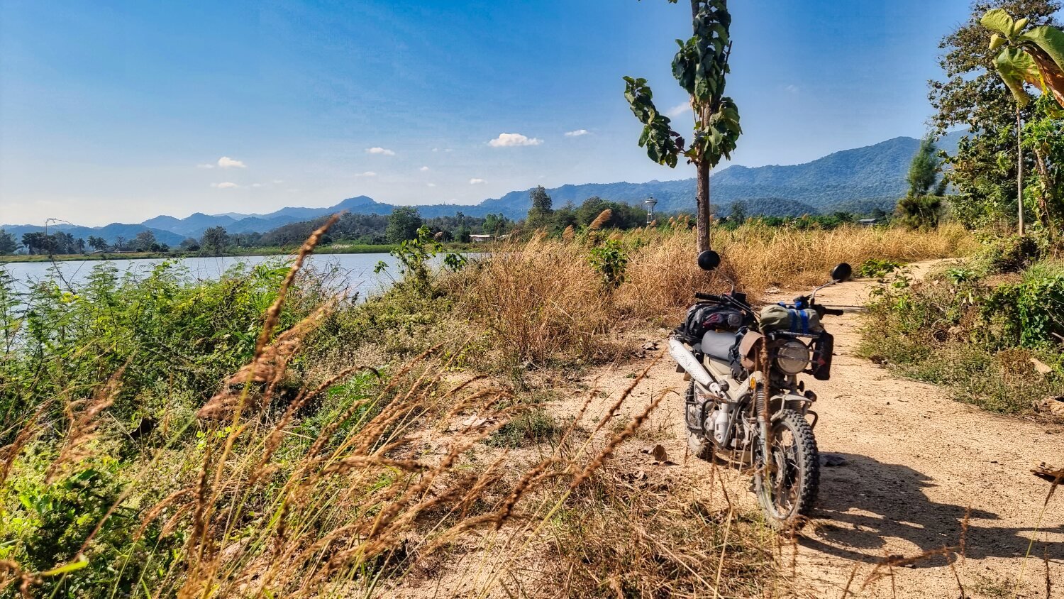
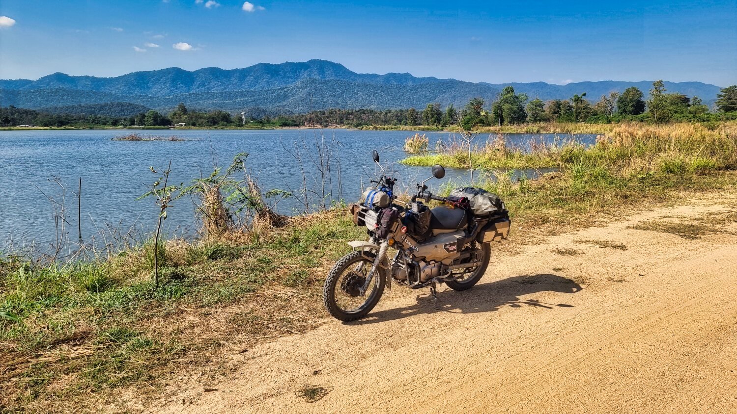
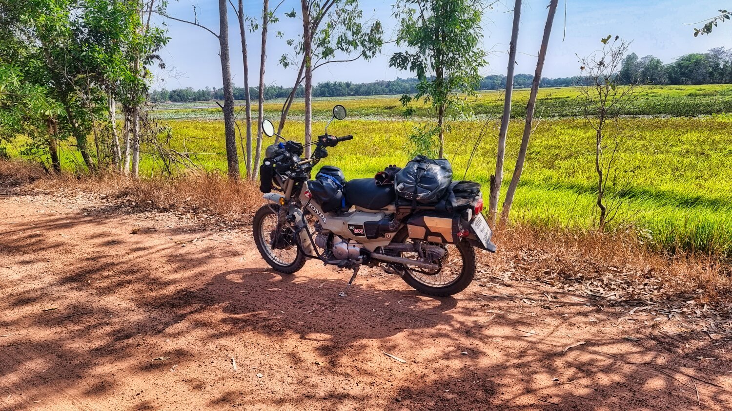
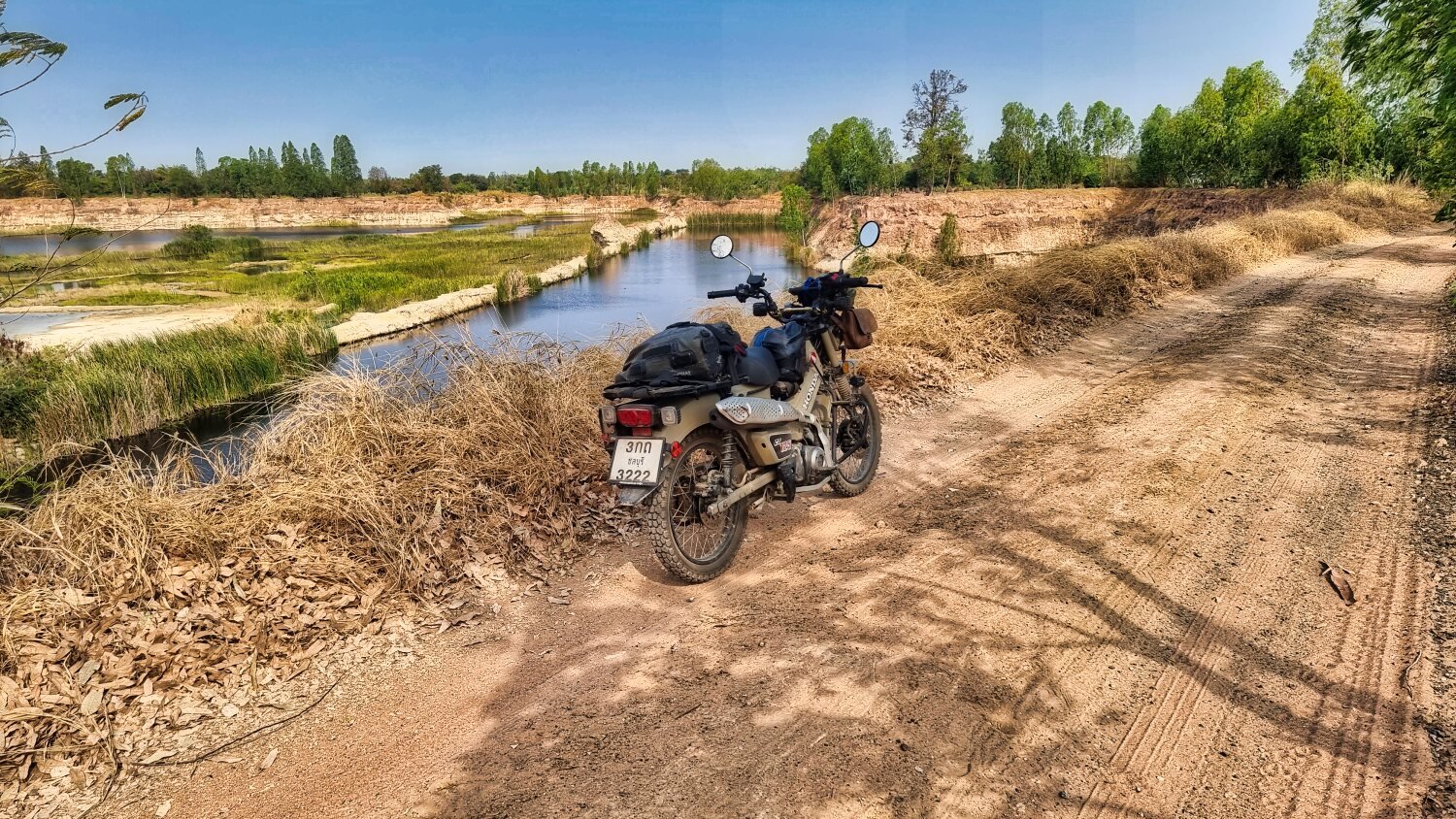
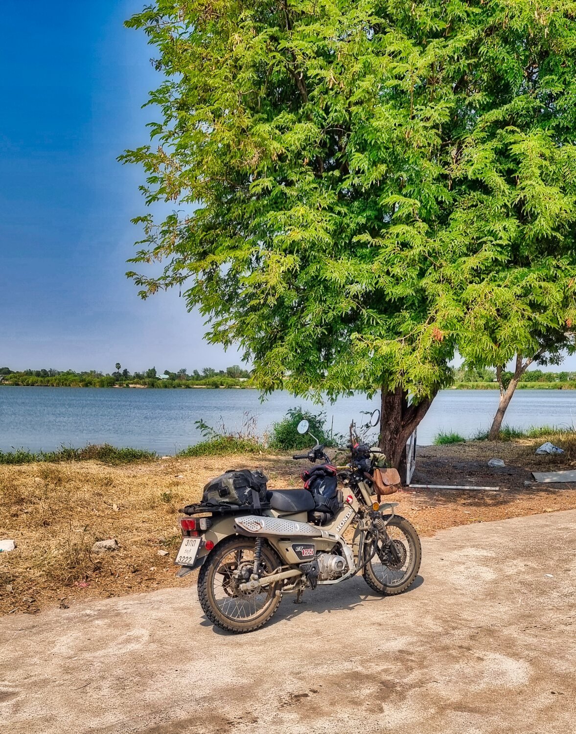
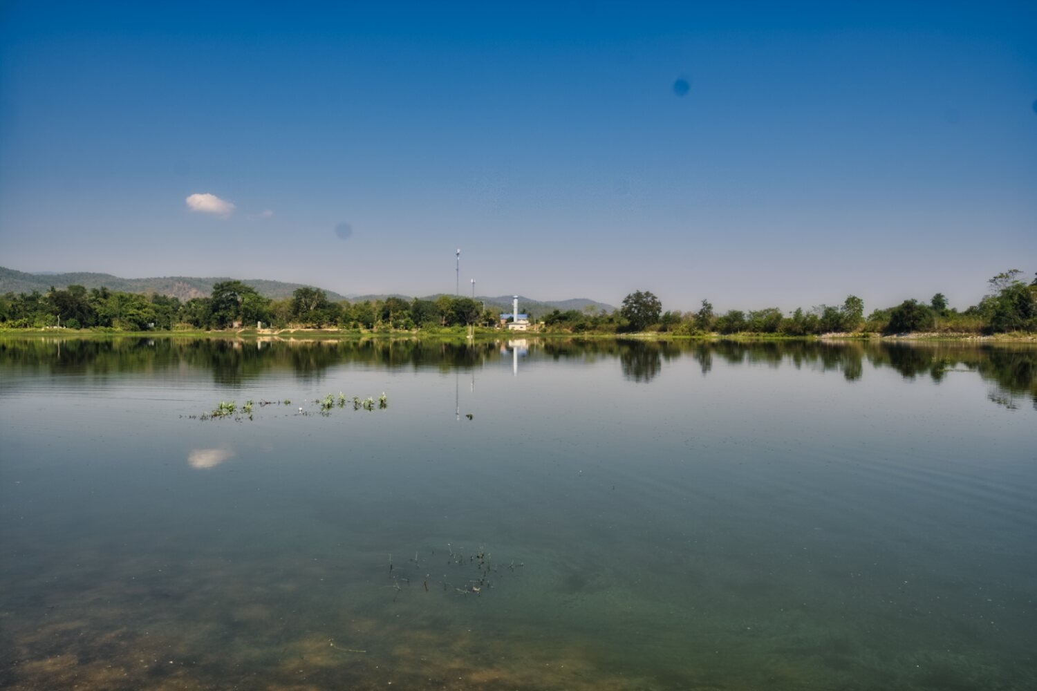
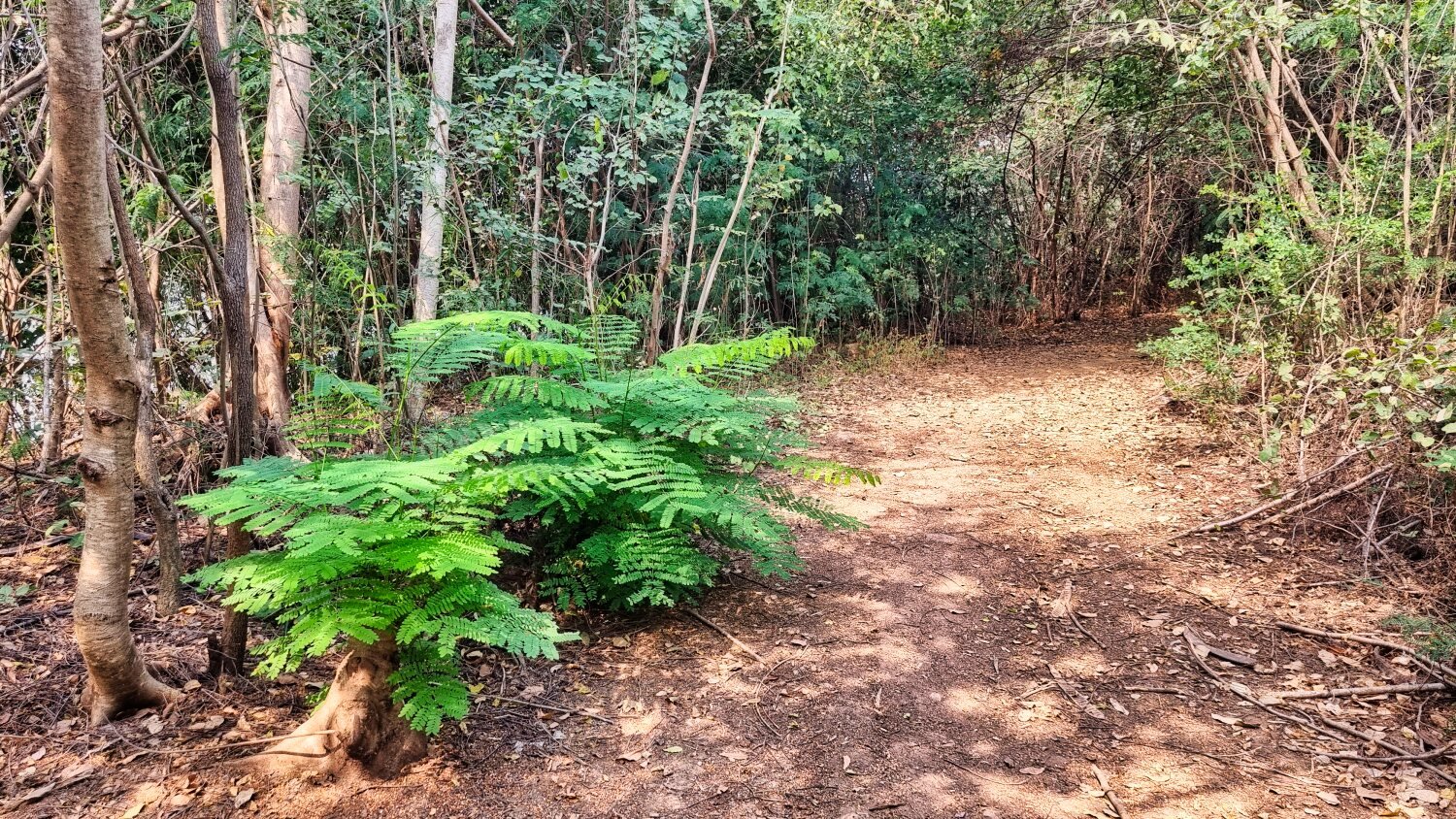
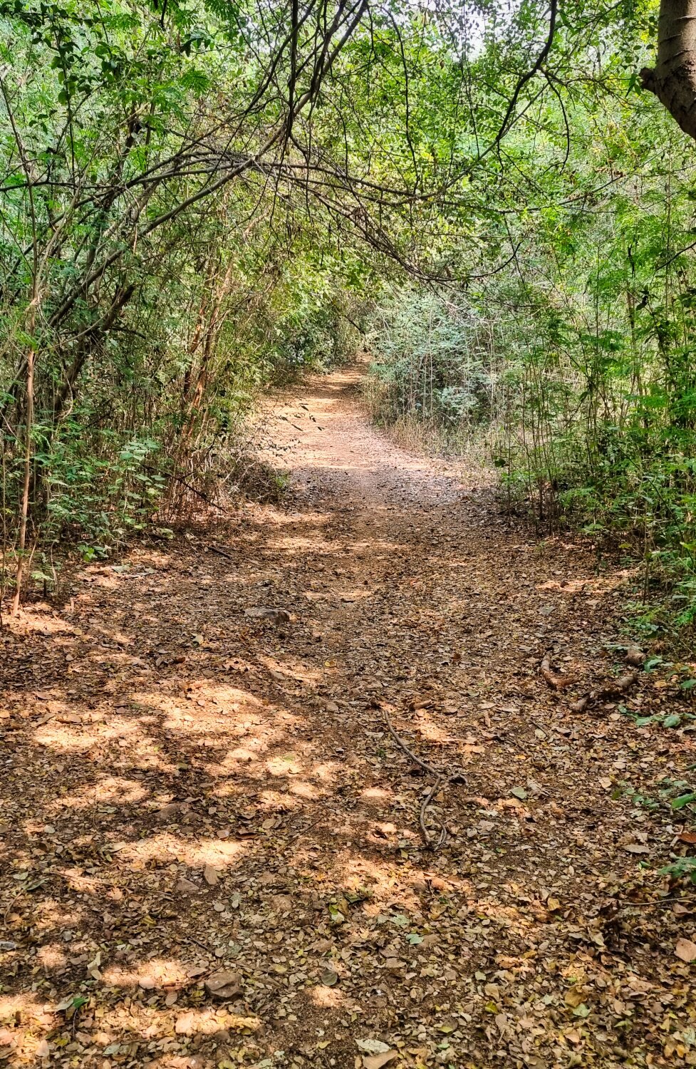
This morning I rode up to Putsa Reservoir to look for off road tracks. There are many all around the area. My starting point at the reservoir was here. https://maps.app.goo.gl/AoupfuCPA75HEyqW9 Almost all of my ride in the area was off road, and fun. https://www.relive.cc/view/vJOK4xeDLw6
-
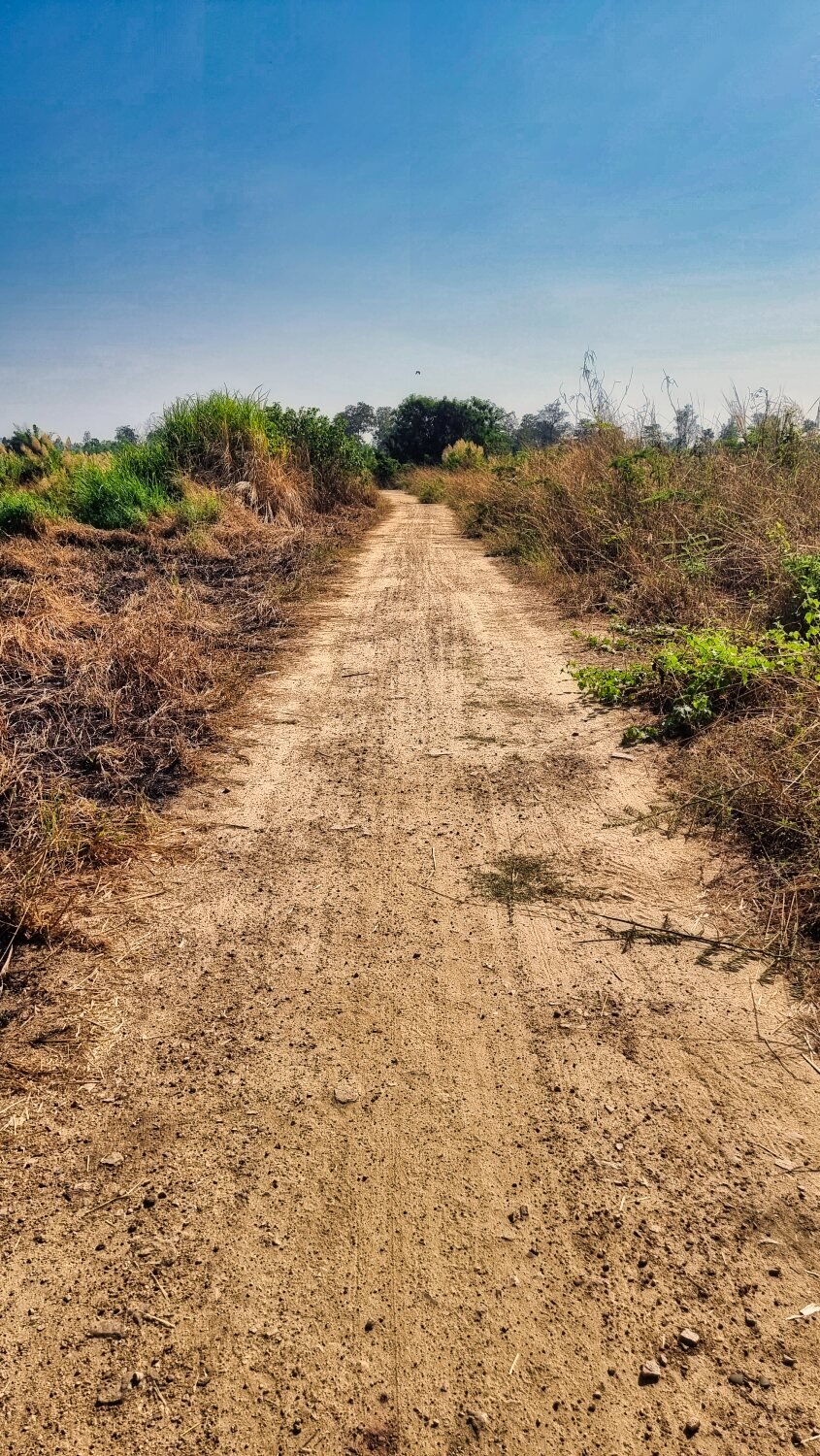
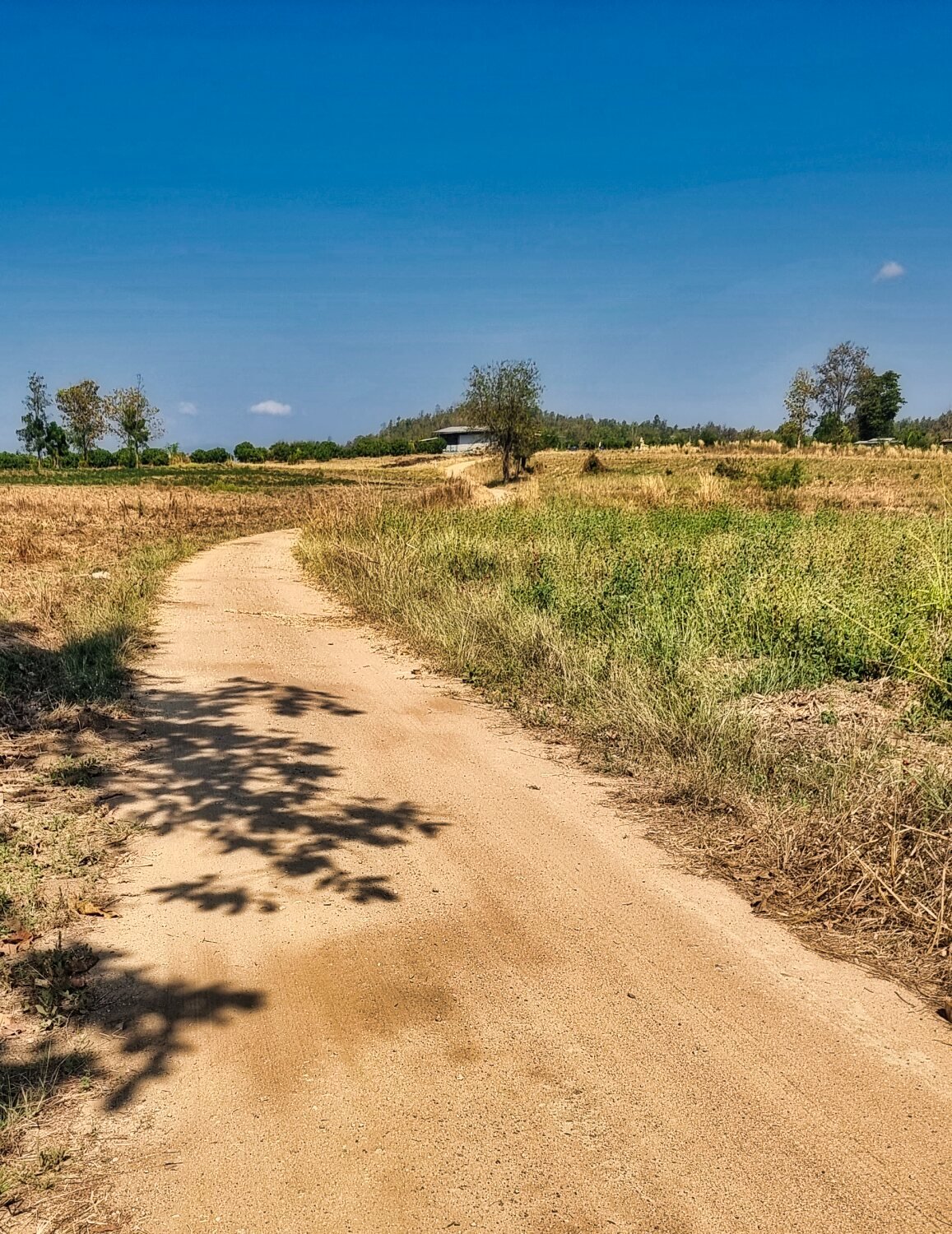
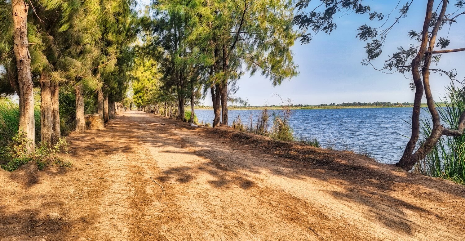
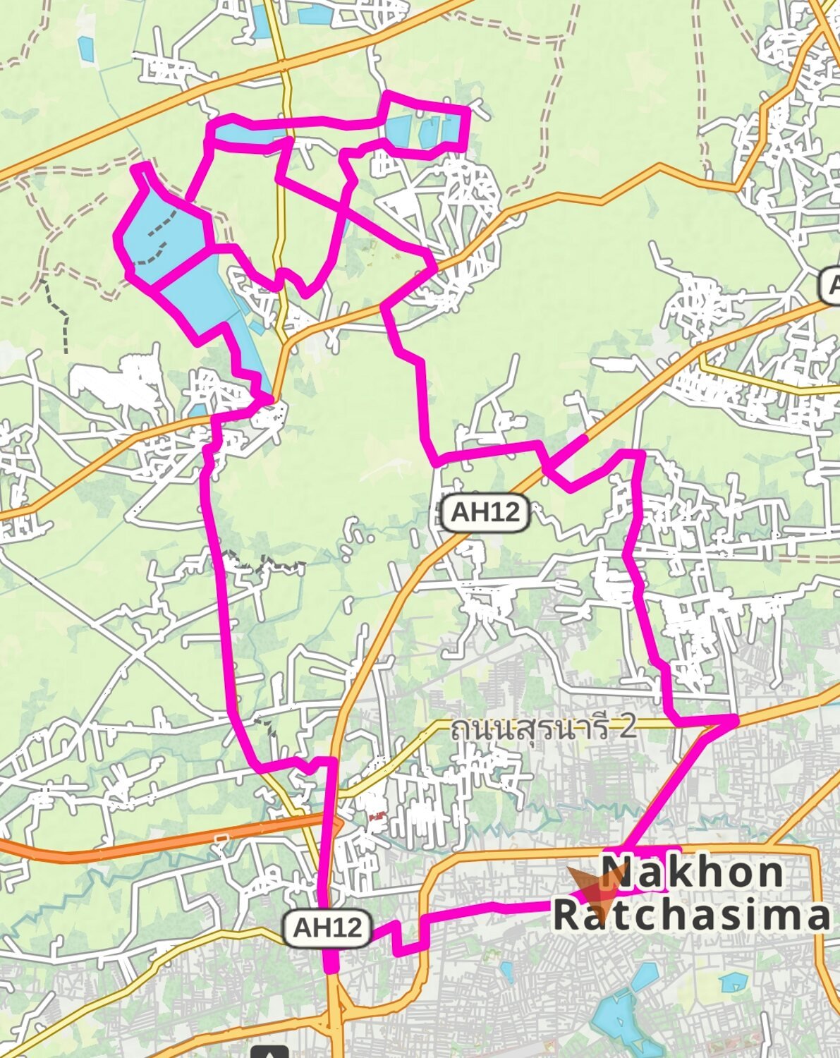
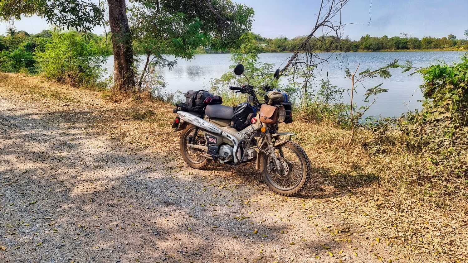
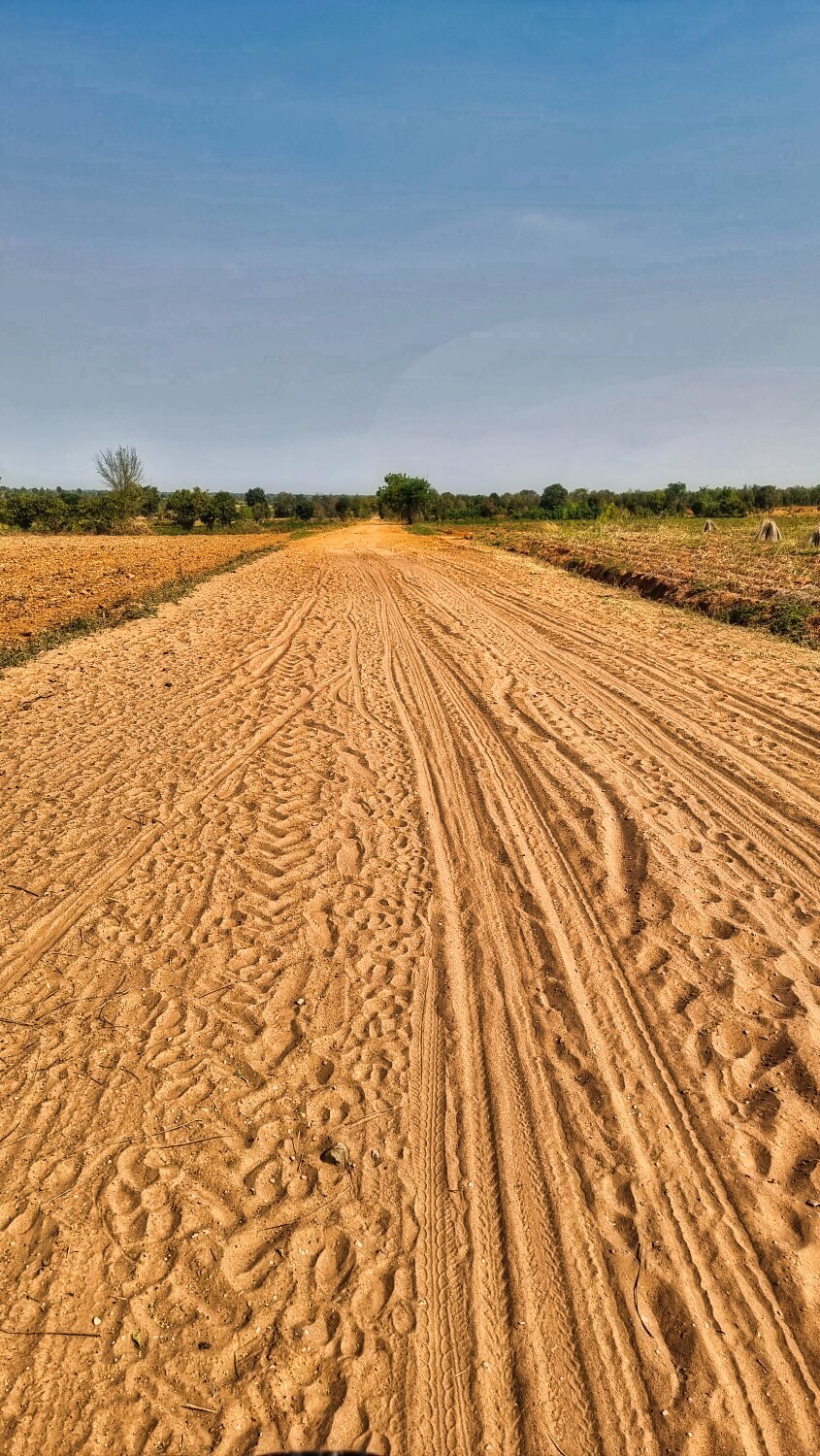
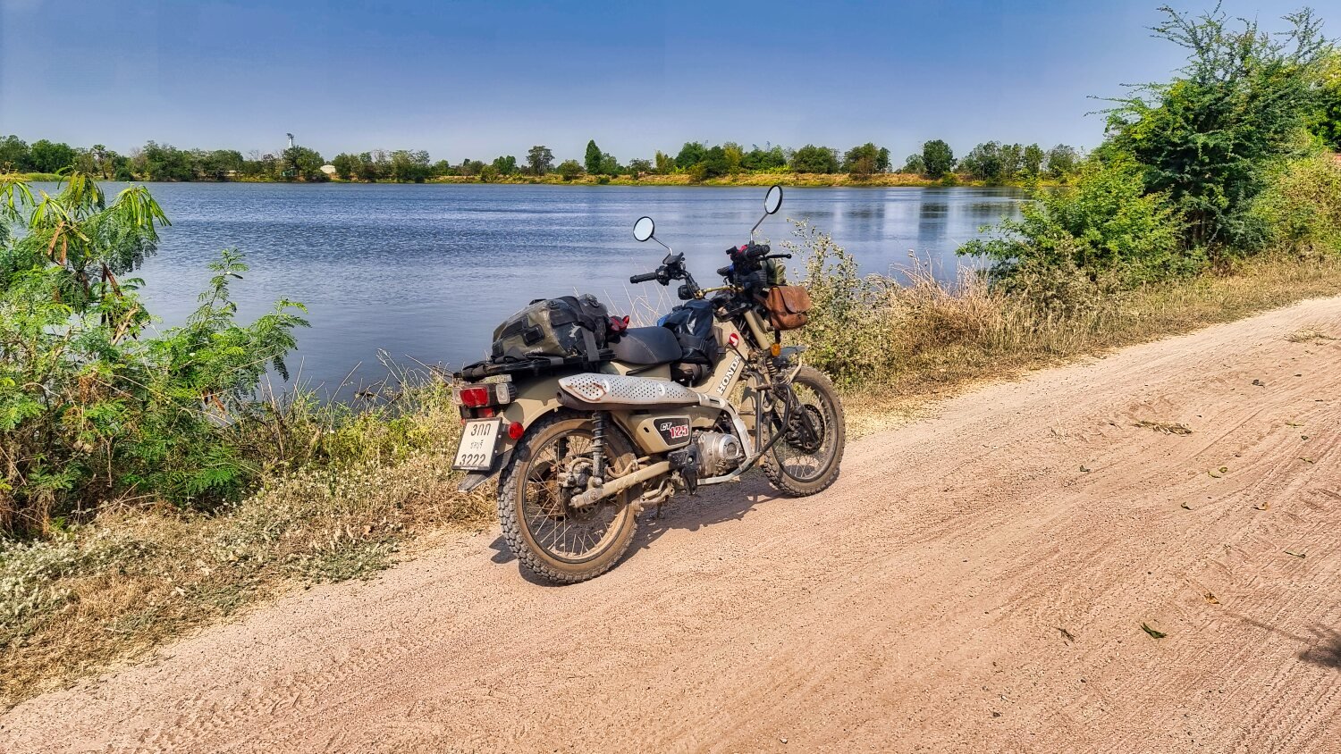
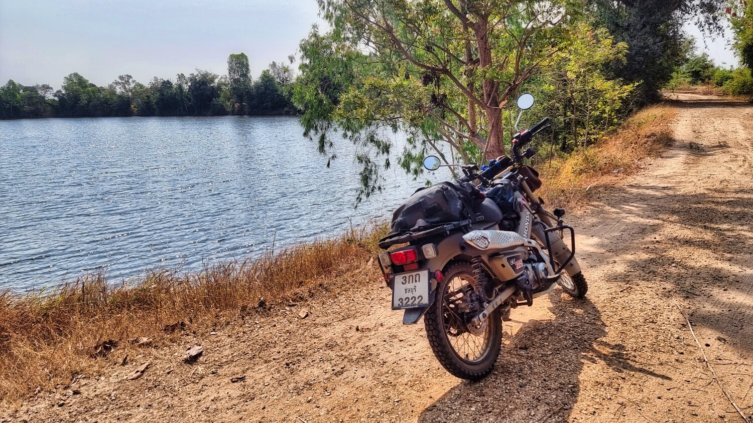
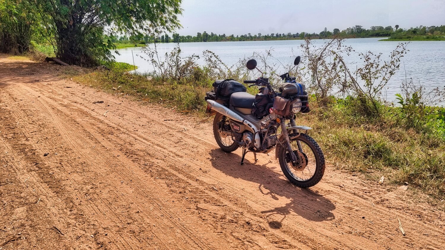
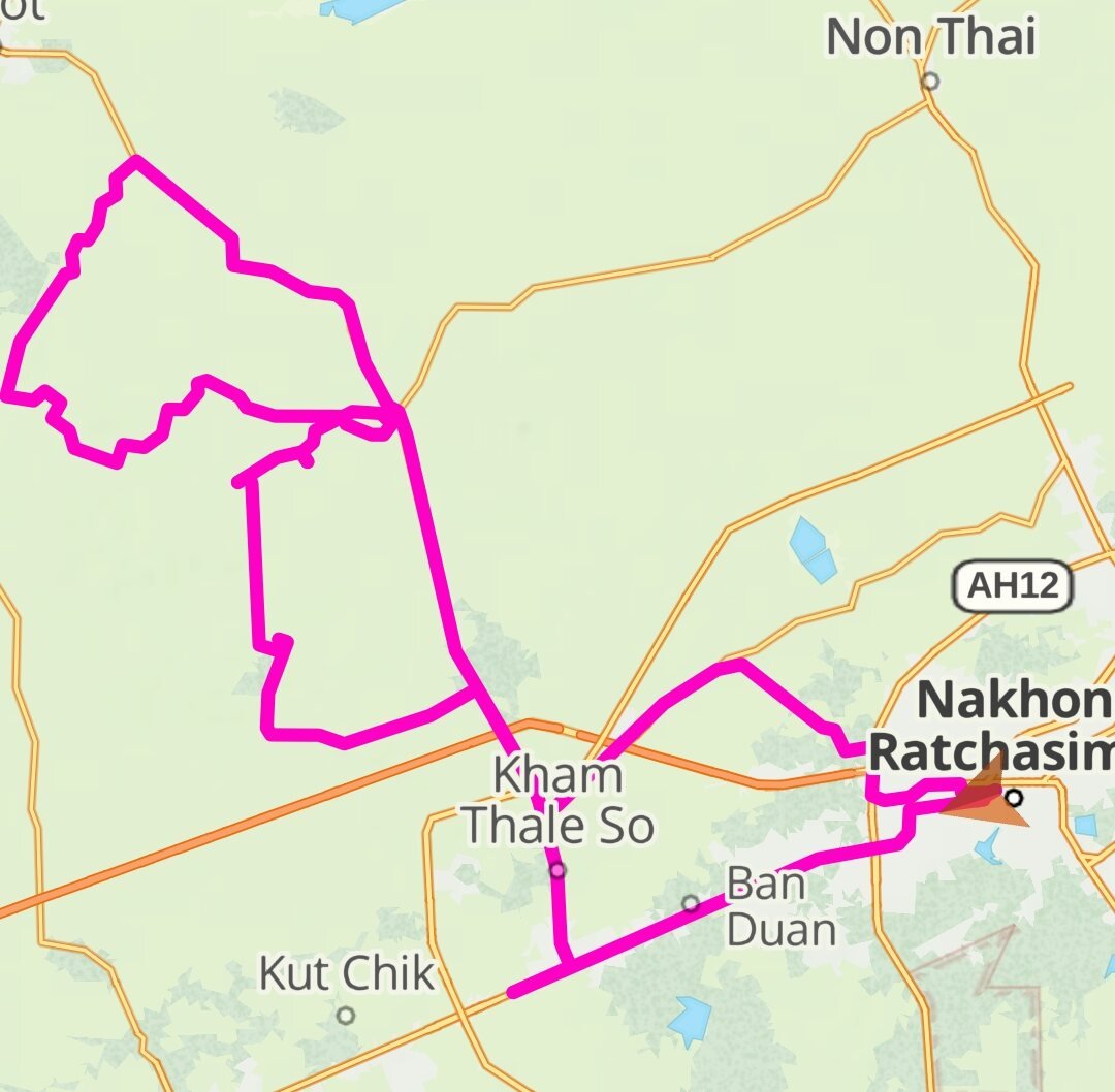
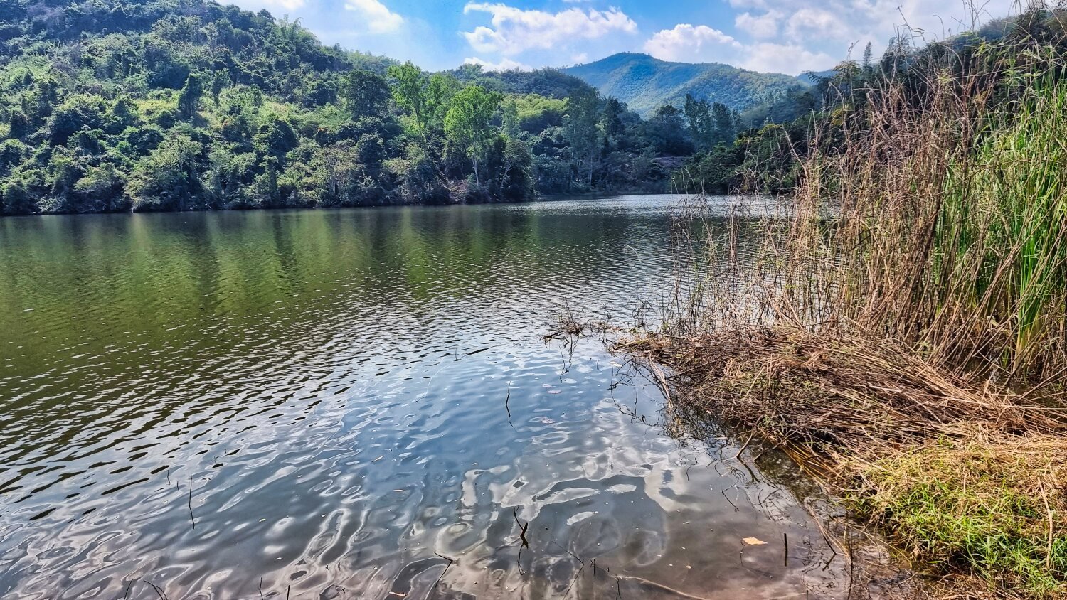
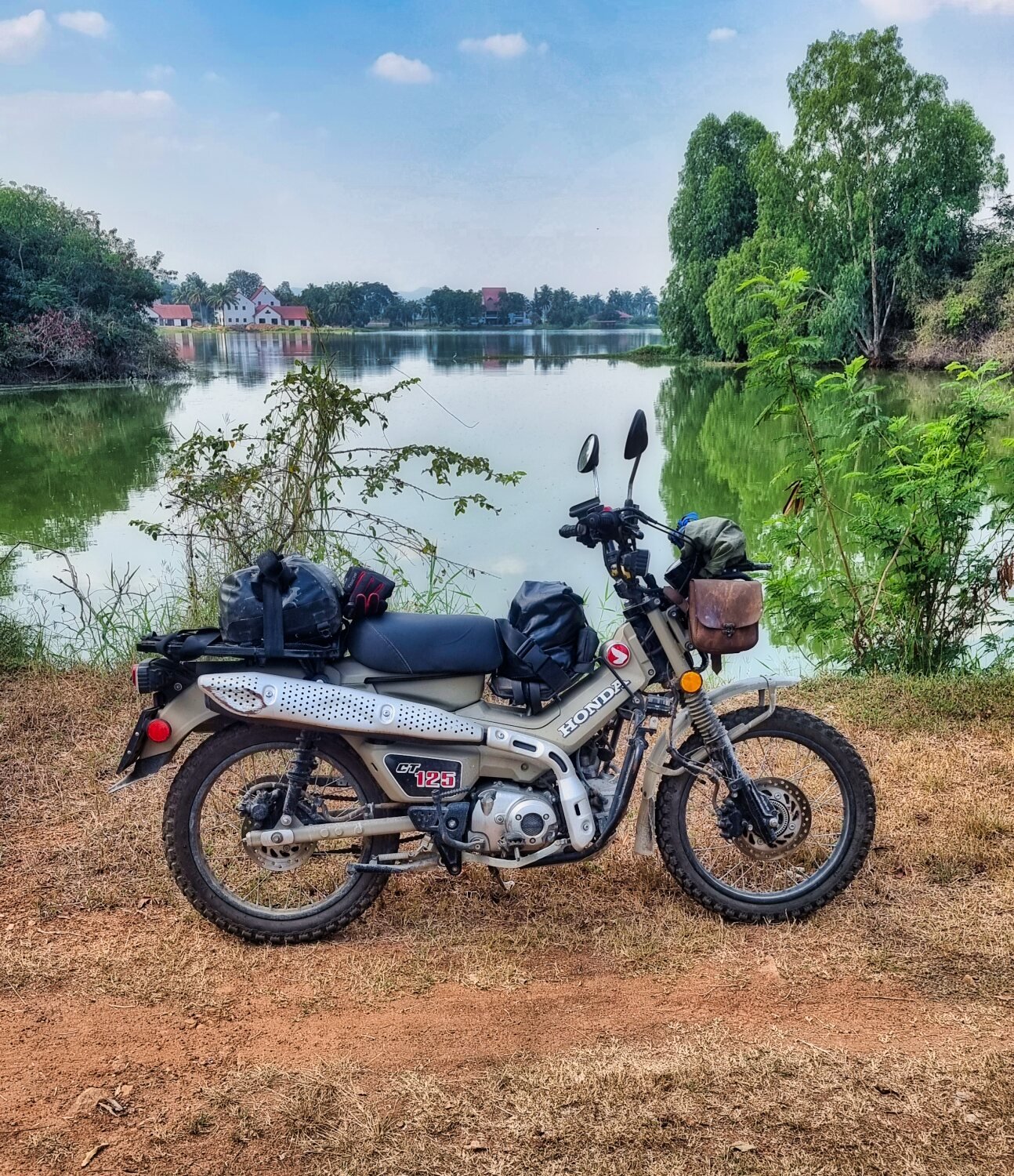
Today’s ride started off quite cool and I rode to a small un-named reservoir, here. https://maps.app.goo.gl/KZUpf3N2xUVT3HnB8 The next reservoir was also un-named, here. https://maps.app.goo.gl/aYQdzyx7f9heWQHg7 The tracks were becoming more and more soft sand in places and no fun at all to ride. Not far away was another small un-named reservoir, here. https://maps.app.goo.gl/vd2gSu4oG8QEBUkV7 Riding via Ban Nong Bong Reservoir, here. https://maps.app.goo.gl/CrVVkUQh6Zx84uXRA I struggled on until another un-named reservoir, here. https://maps.app.goo.gl/R9Lo6NF8414cG1Cm9 Then I returned back to Korat. https://www.relive.cc/view/v1vjdk8wKY6
-
I took a wrong turn :)
-
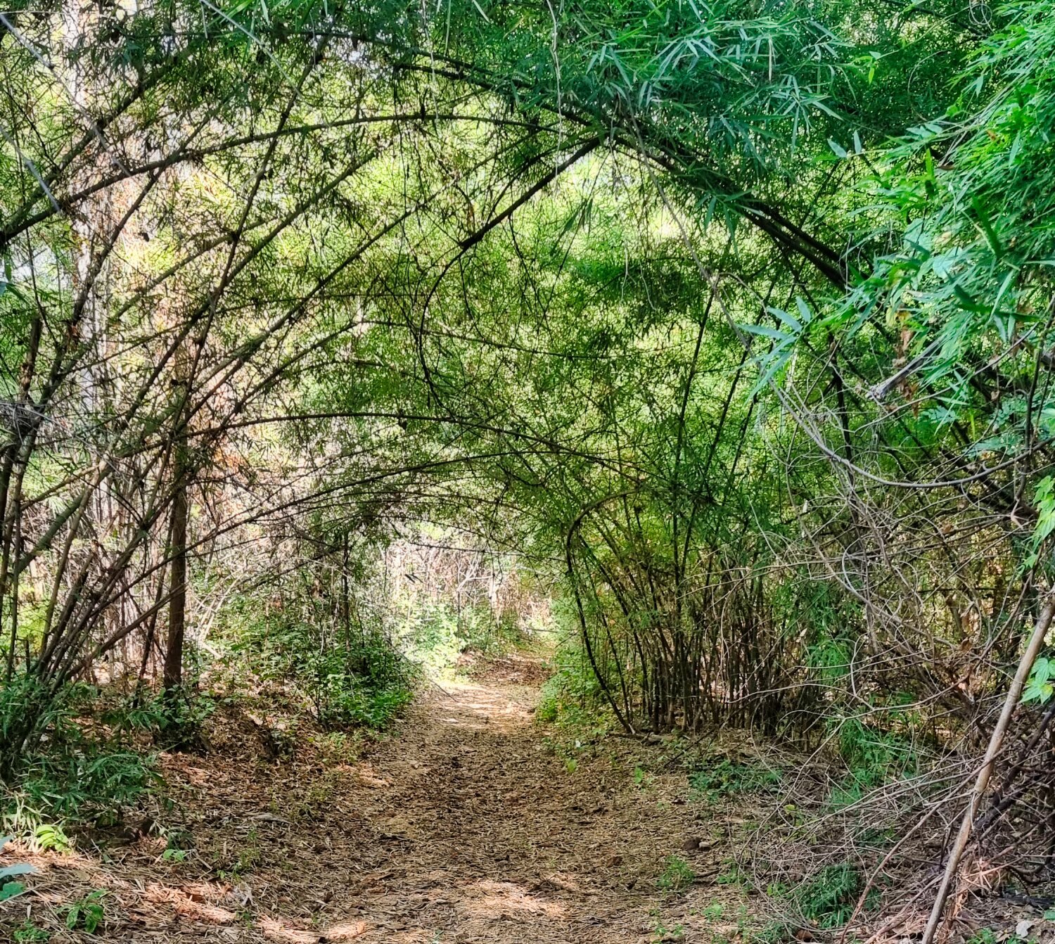
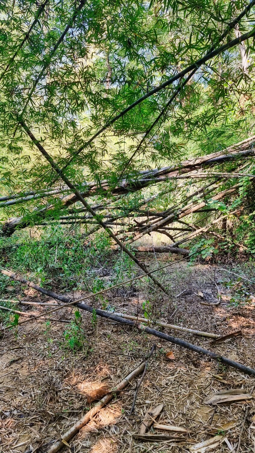
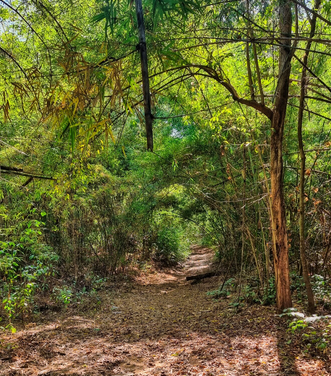
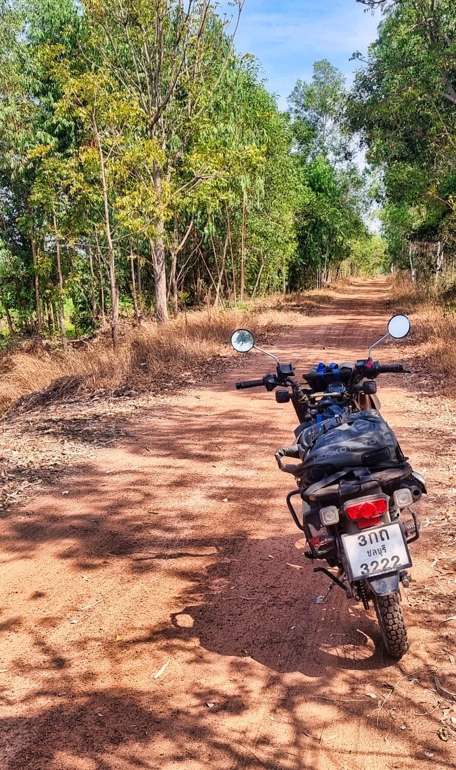
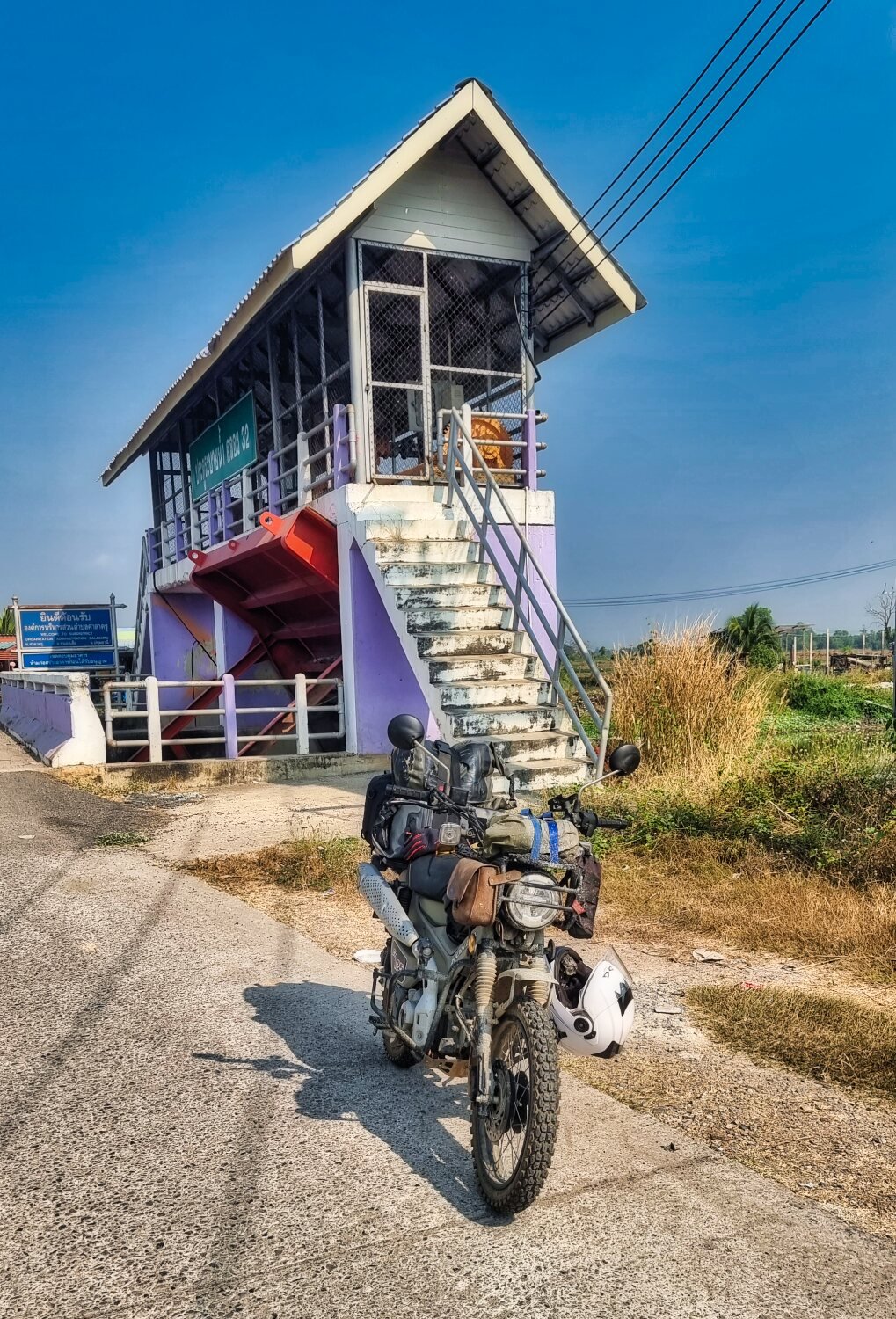
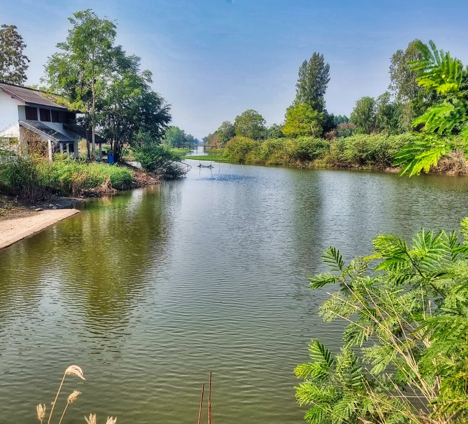
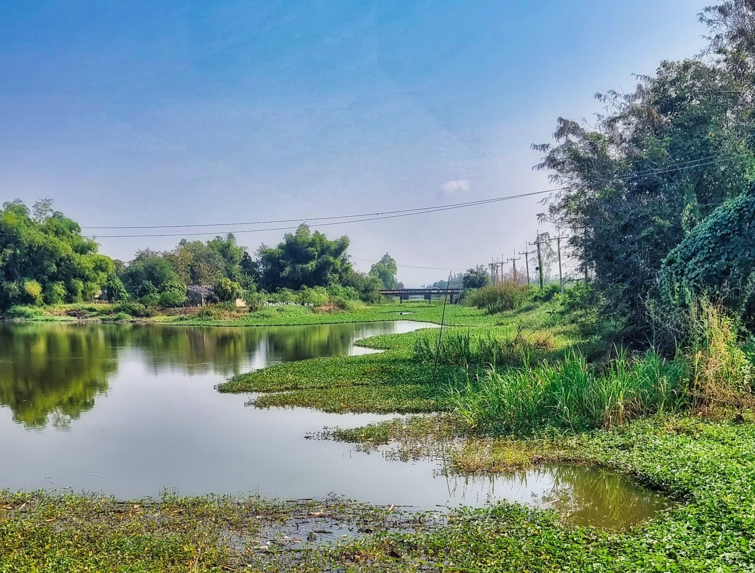
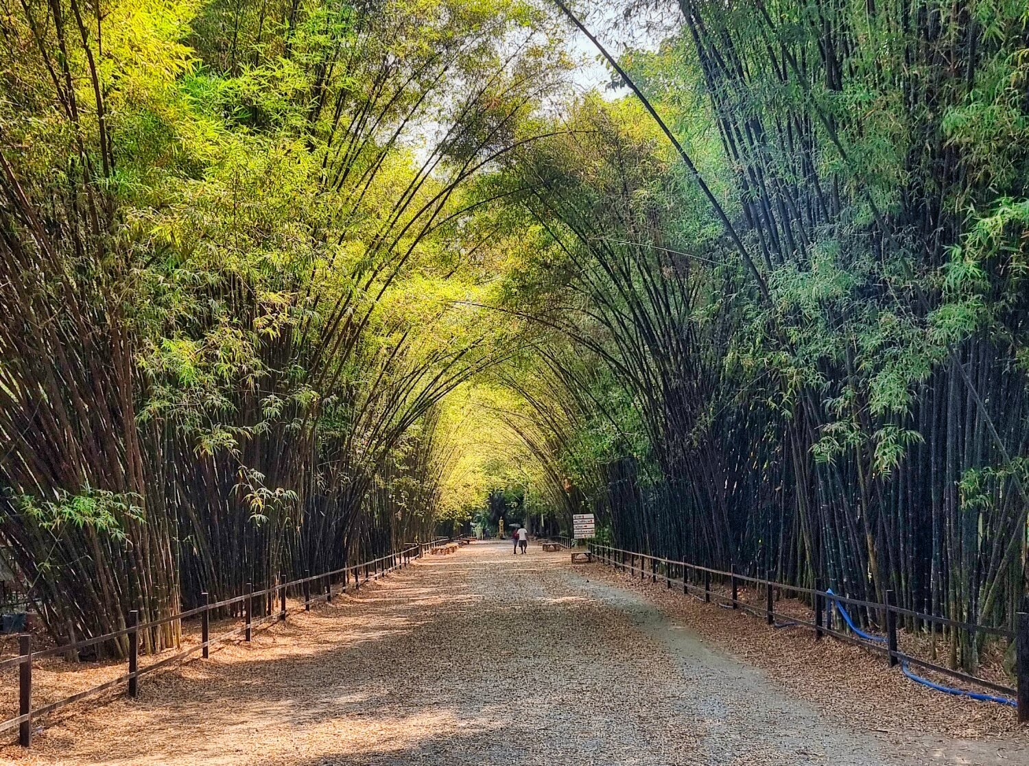
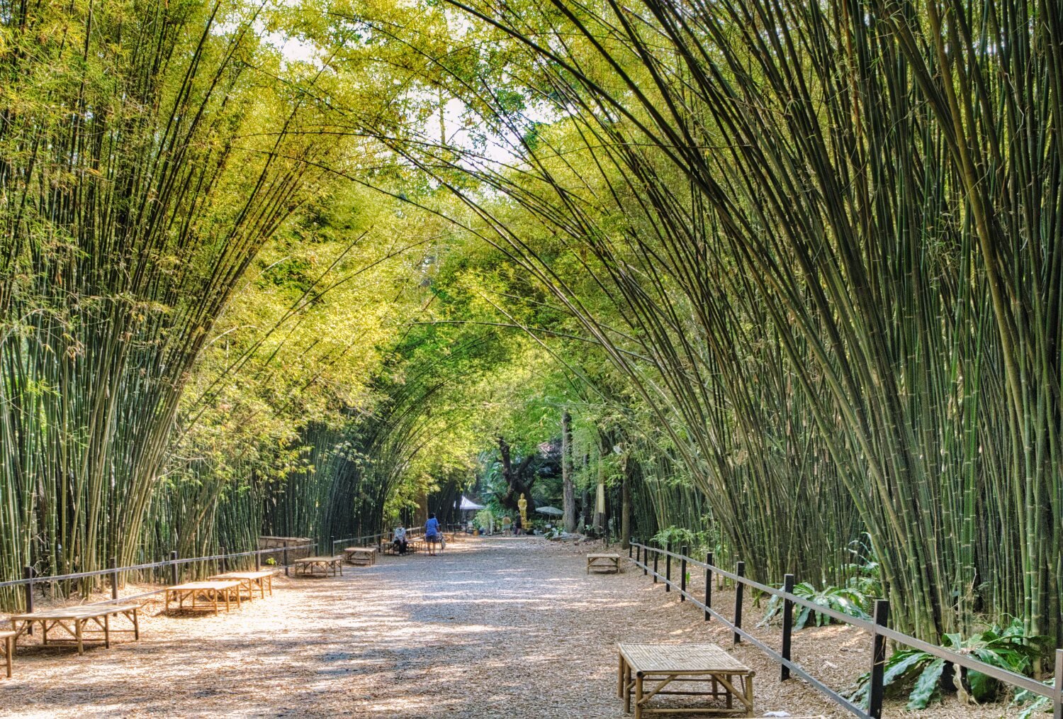
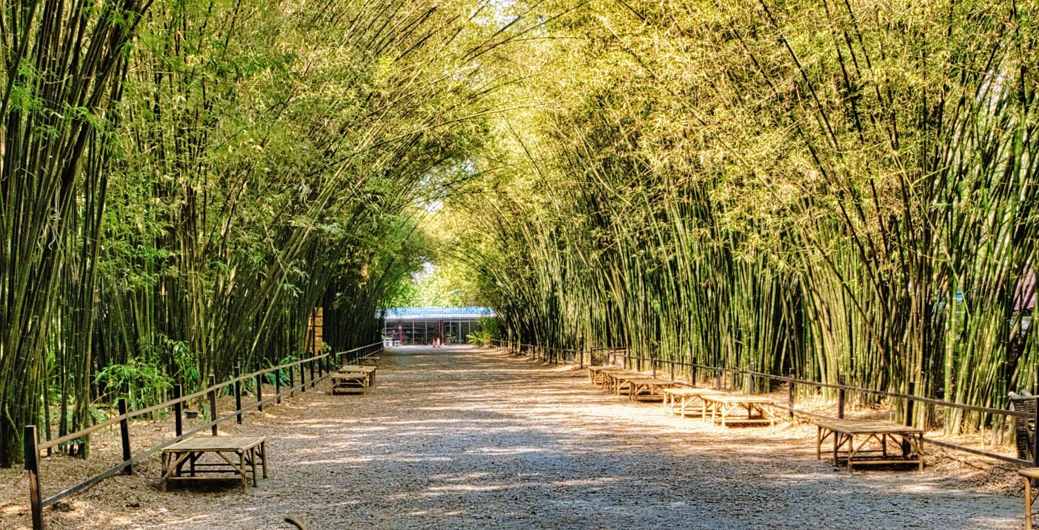
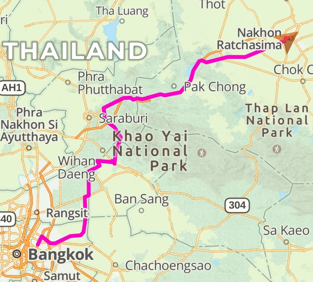
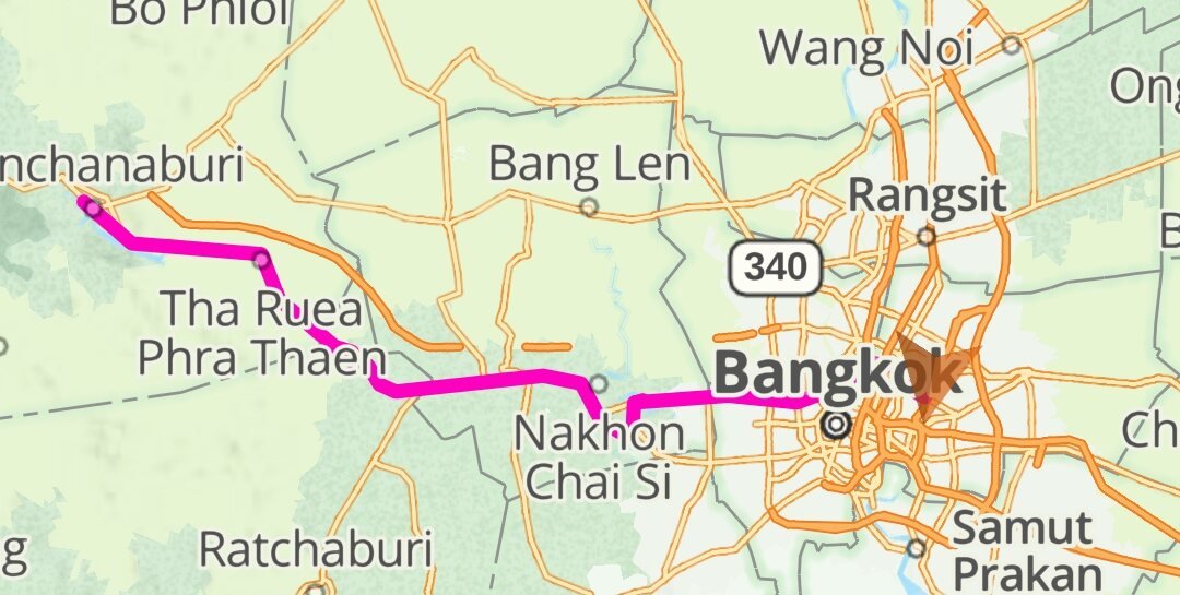
Today I rode from Bangkok to Korat by a slightly indirect route. Following a canal north out of Bangkok I stopped to take a few photos here. https://maps.app.goo.gl/VXQ77SgdXSnLLhJCA I then stopped at a bamboo tunnel here. https://maps.app.goo.gl/pdhv5RdoaZGGqGdEA Before carrying on to Korat, a ride of 284 km https://www.relive.cc/view/v26Mjr7mN3q
-
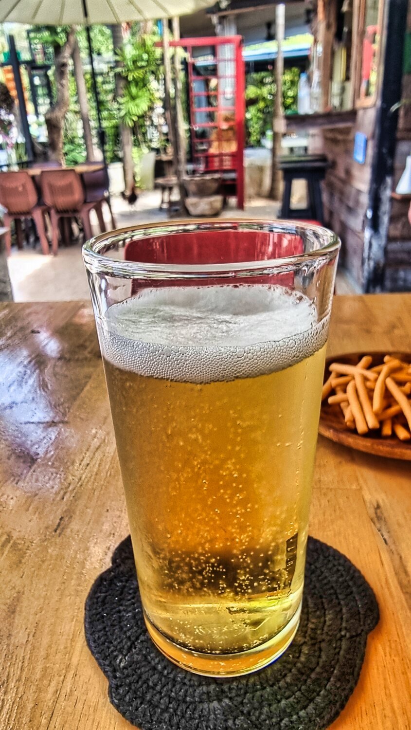
Today was day 80 of my trip and it was a hot and not too pleasant of 153km ride into Bangkok. The photo was my breakfast on arrival J https://www.relive.cc/view/v8qV3nN1D3v
-
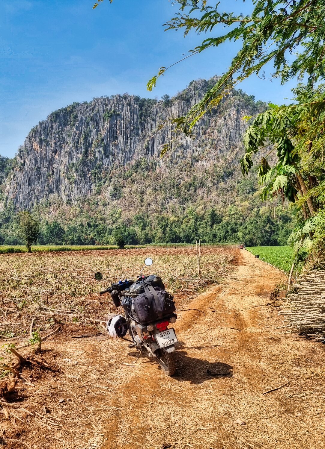
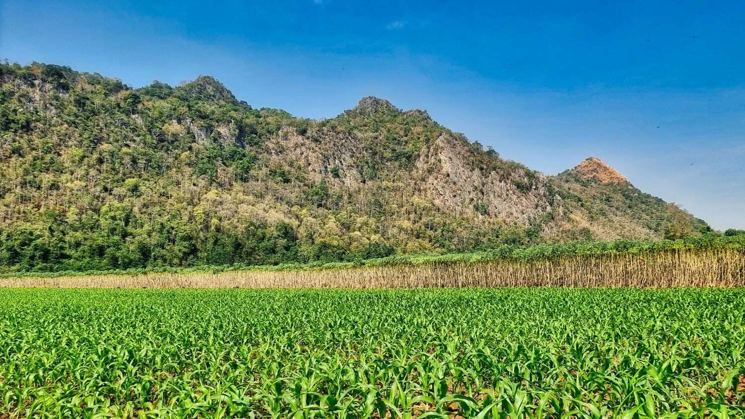
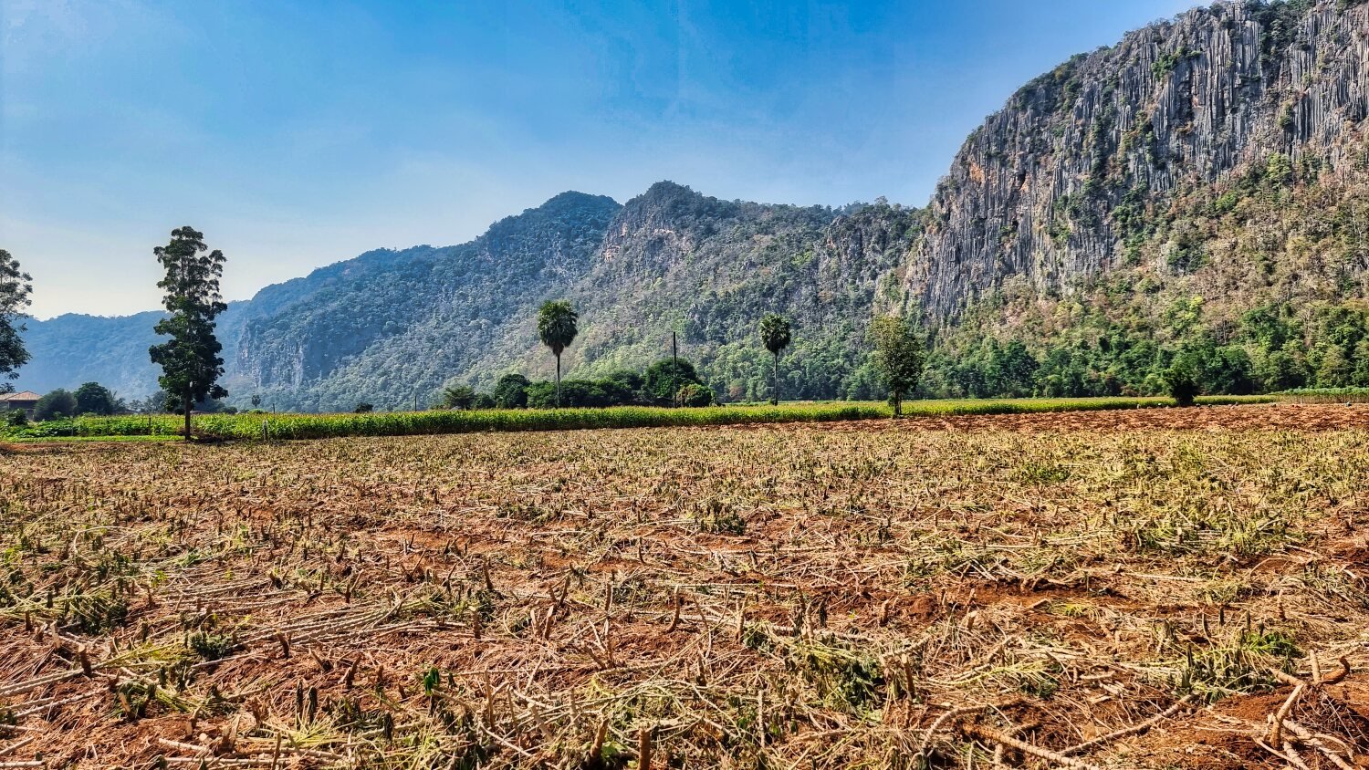
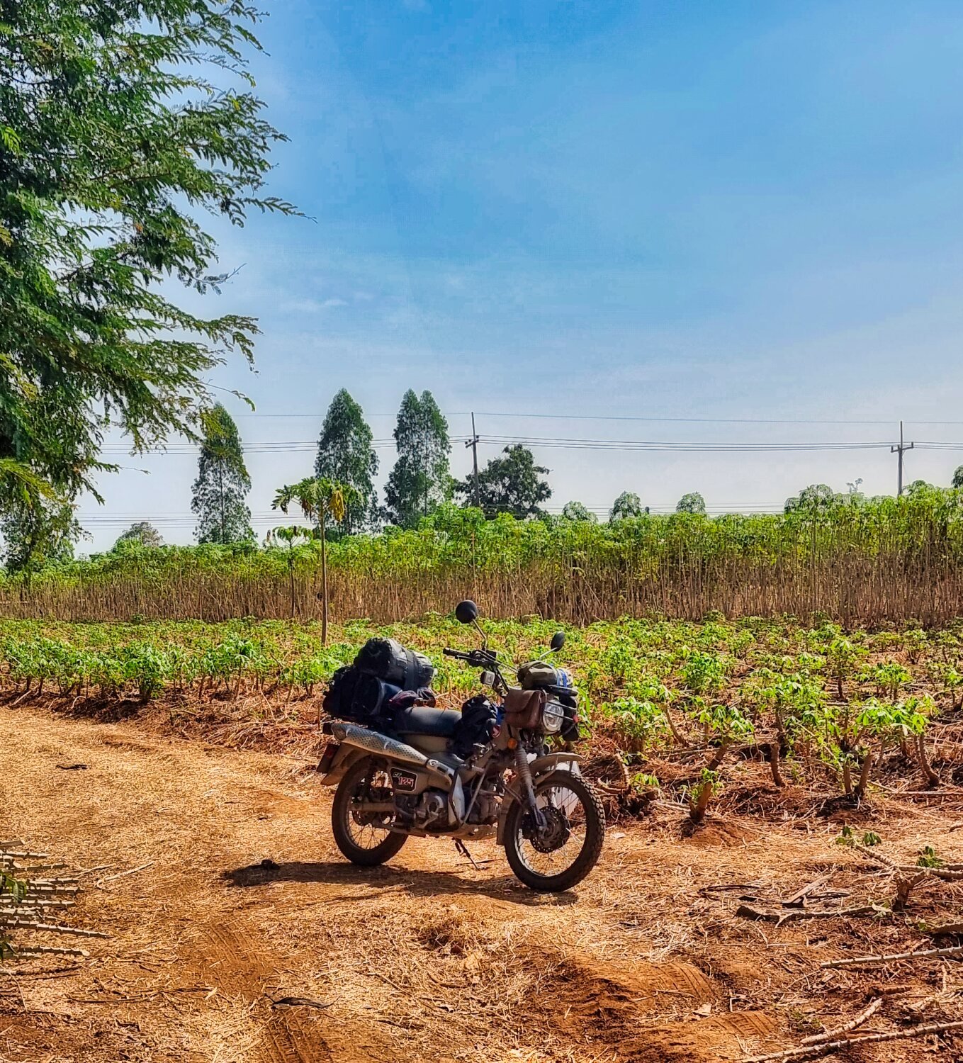
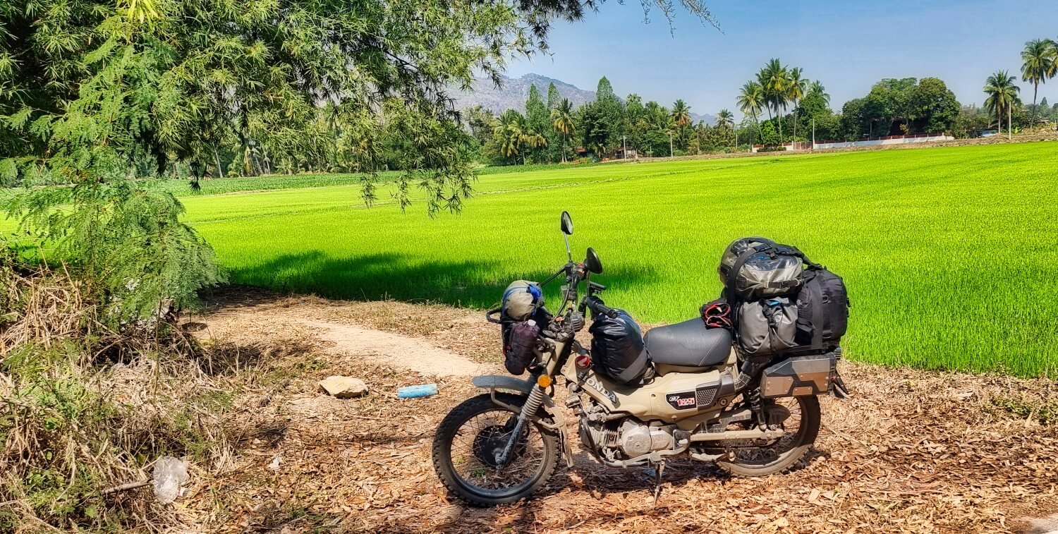
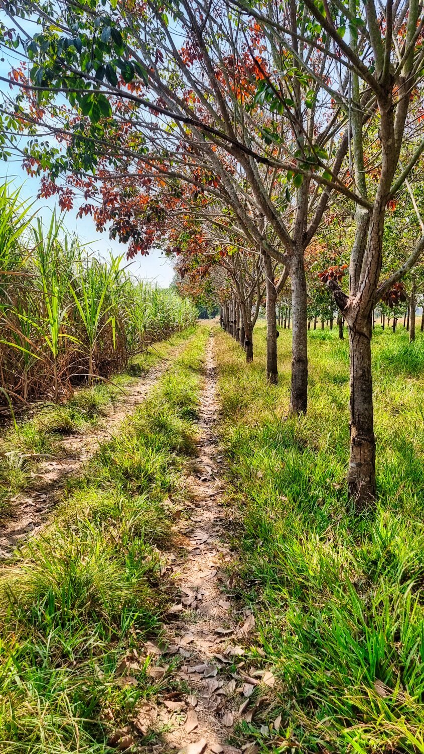
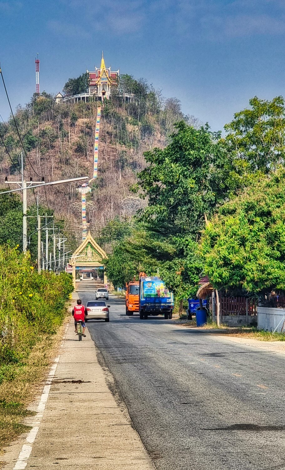
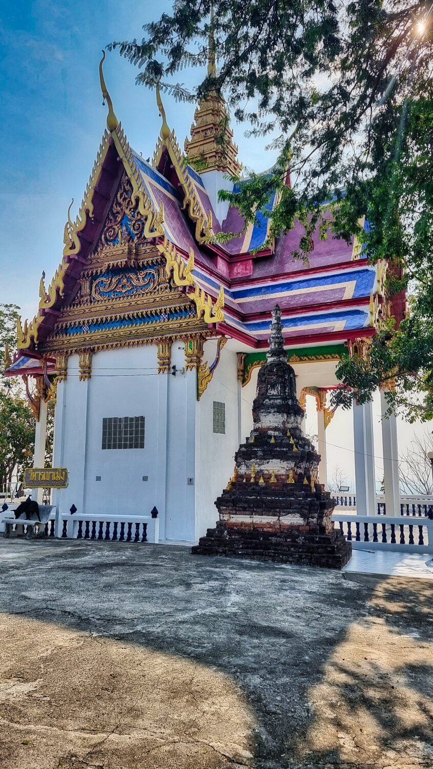
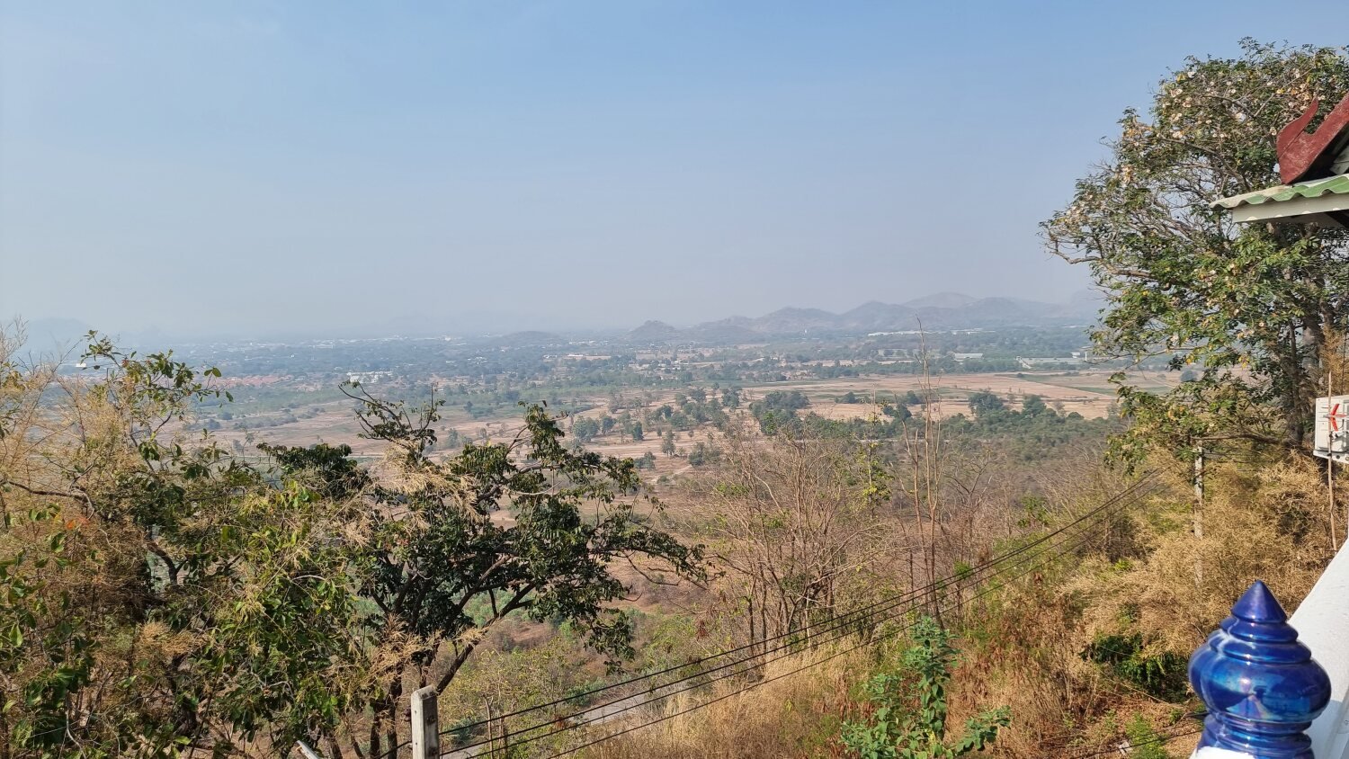
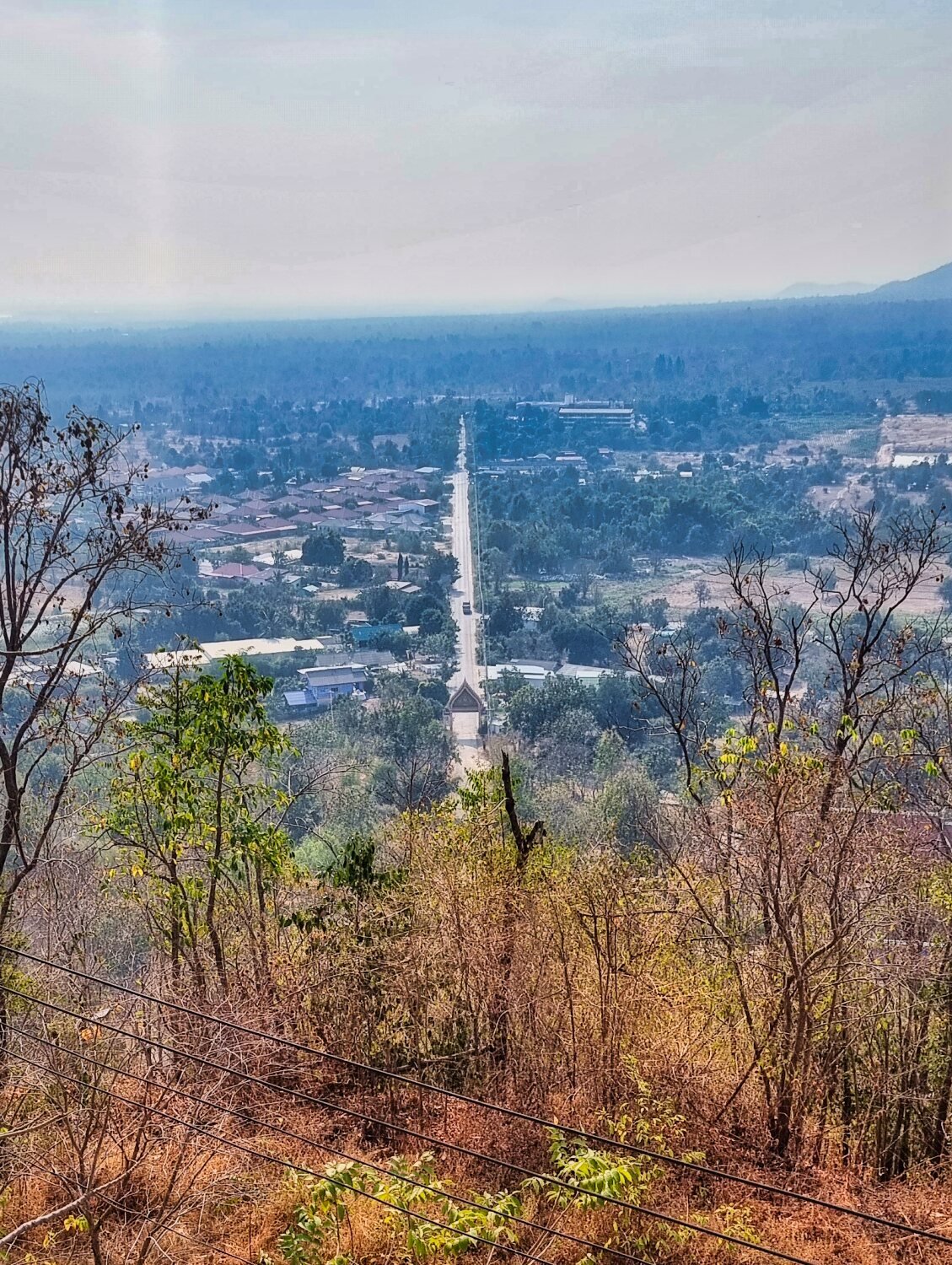
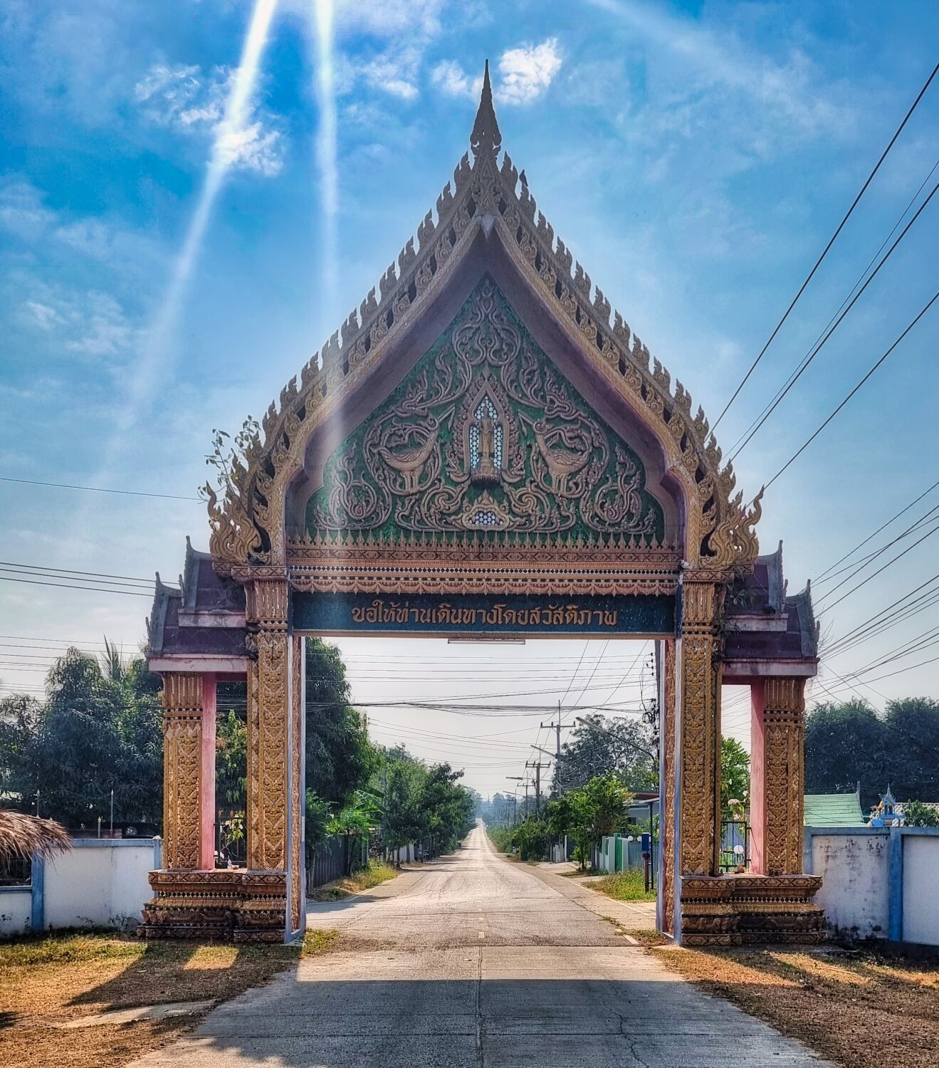
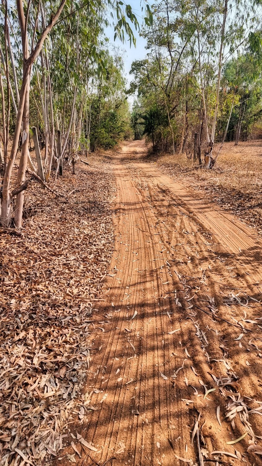
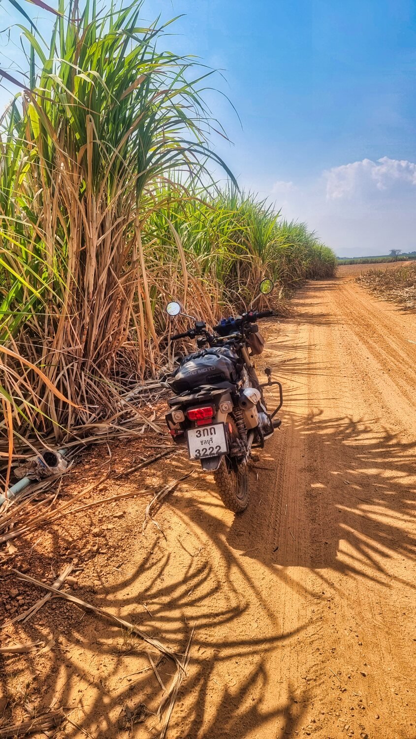
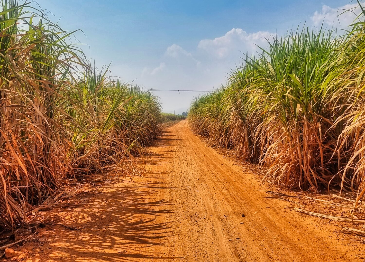
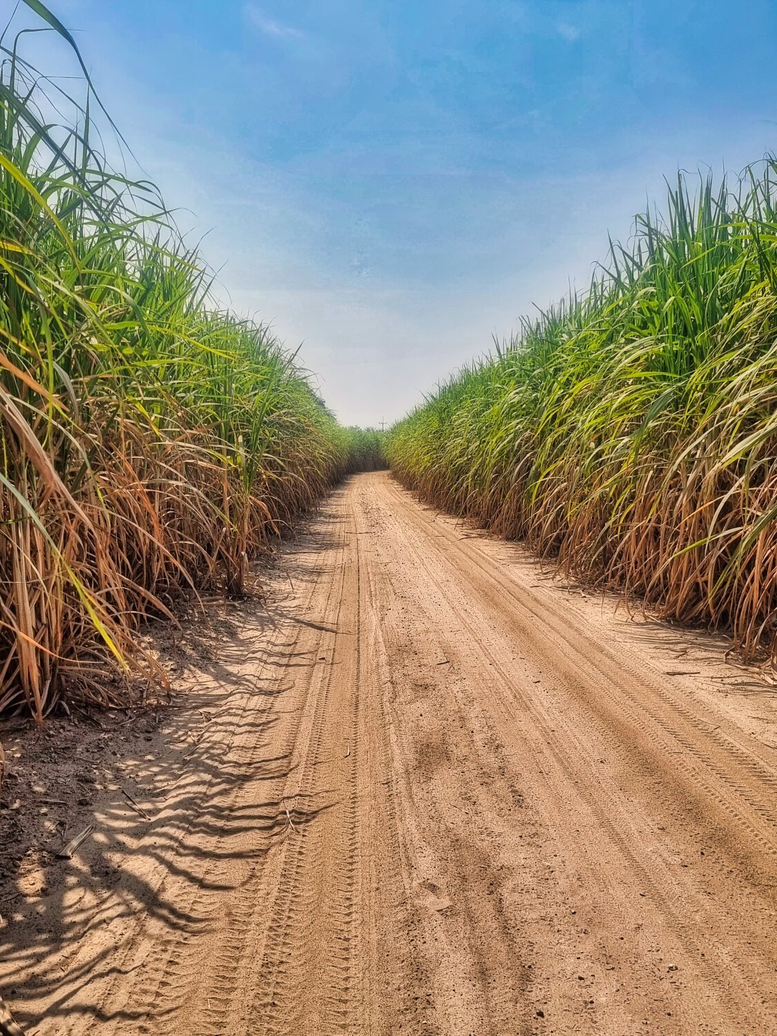
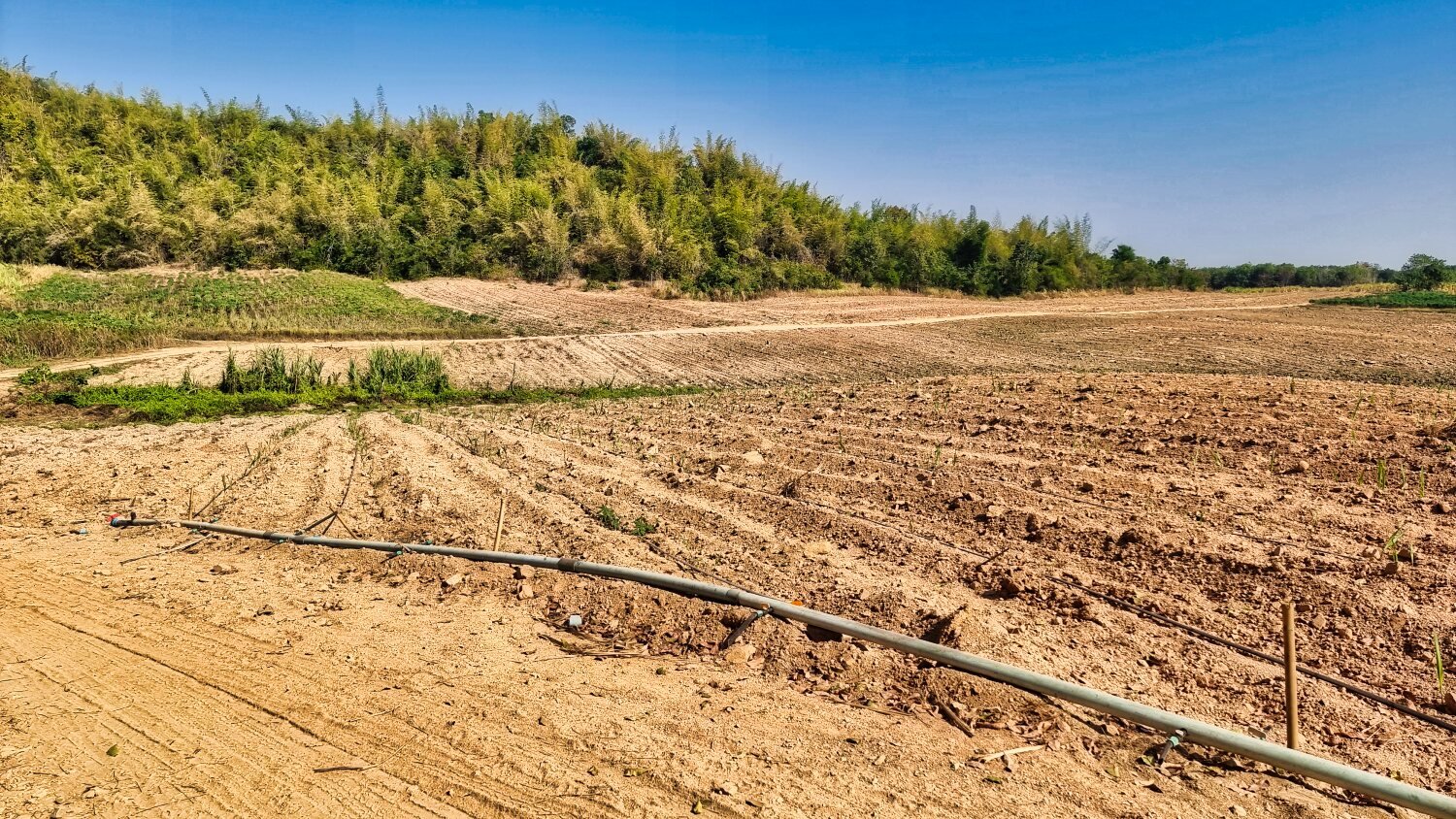
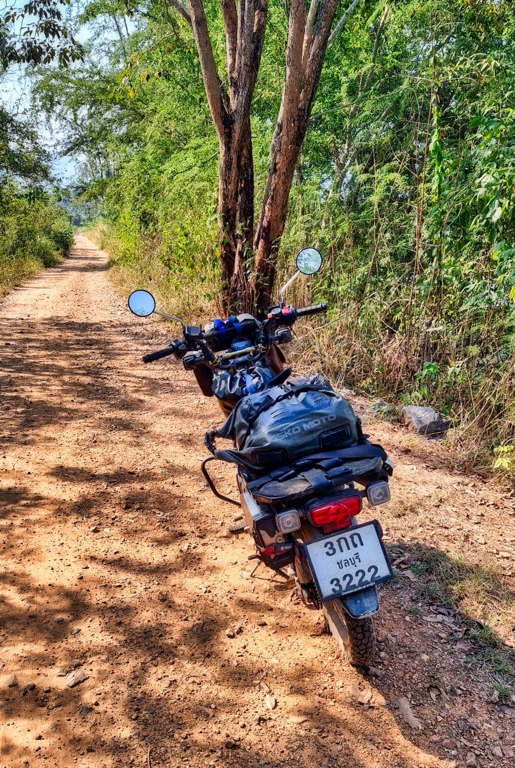
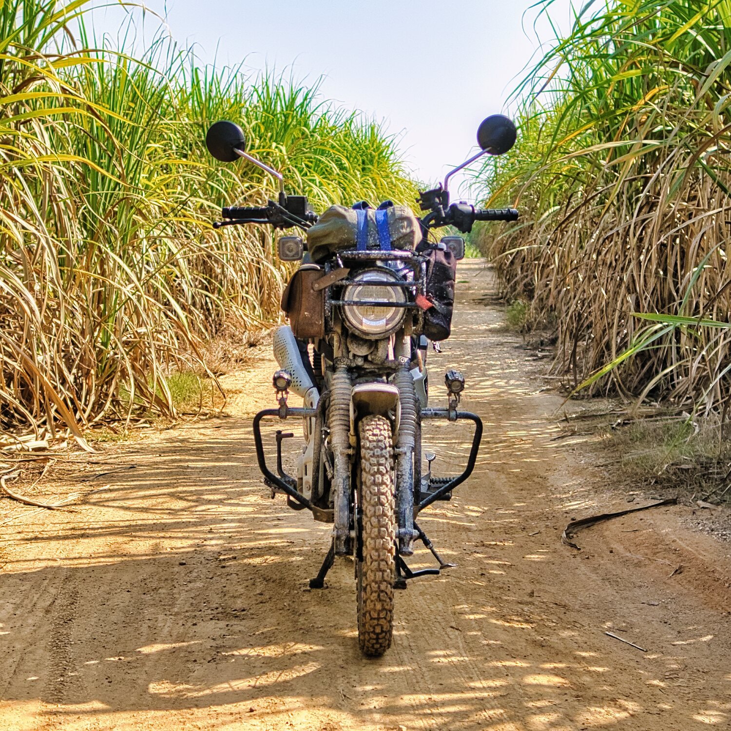
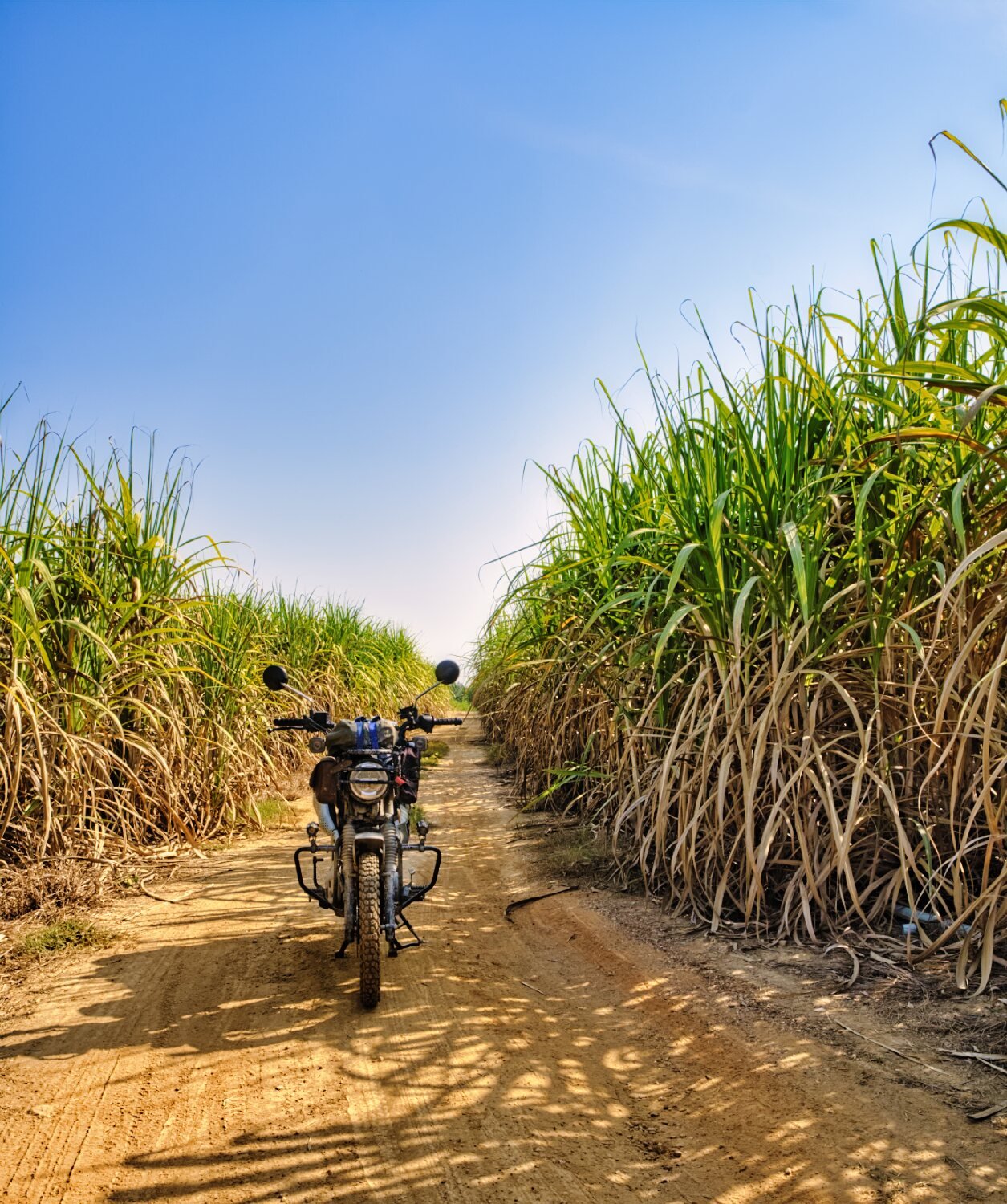
Today was hot, dusty and very hazy due to air pollution. My first stop was at Khao Meng Temple, where the bad visibility was very bad. Two photos are the same, one without editing out some of the haze the other as original. https://maps.app.goo.gl/A6so4N1CGvdAc5218 Nearby I explored some off road tracks, before riding north past Grand Prix Golf Course and looping back through many sugar cane fields starting here. (I found this area from Captain Slash’s site. Thanks Colin Scullion). https://maps.app.goo.gl/kQxT48aGrjx5AWdo6 Due to being too hot I called it a day and returned to Kanchanaburi. https://www.relive.cc/view/vKv2n1mYrov
-
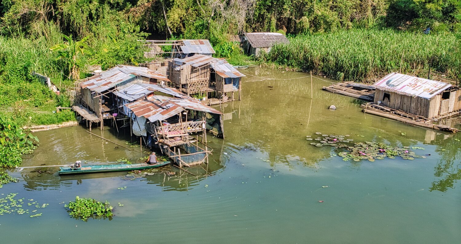
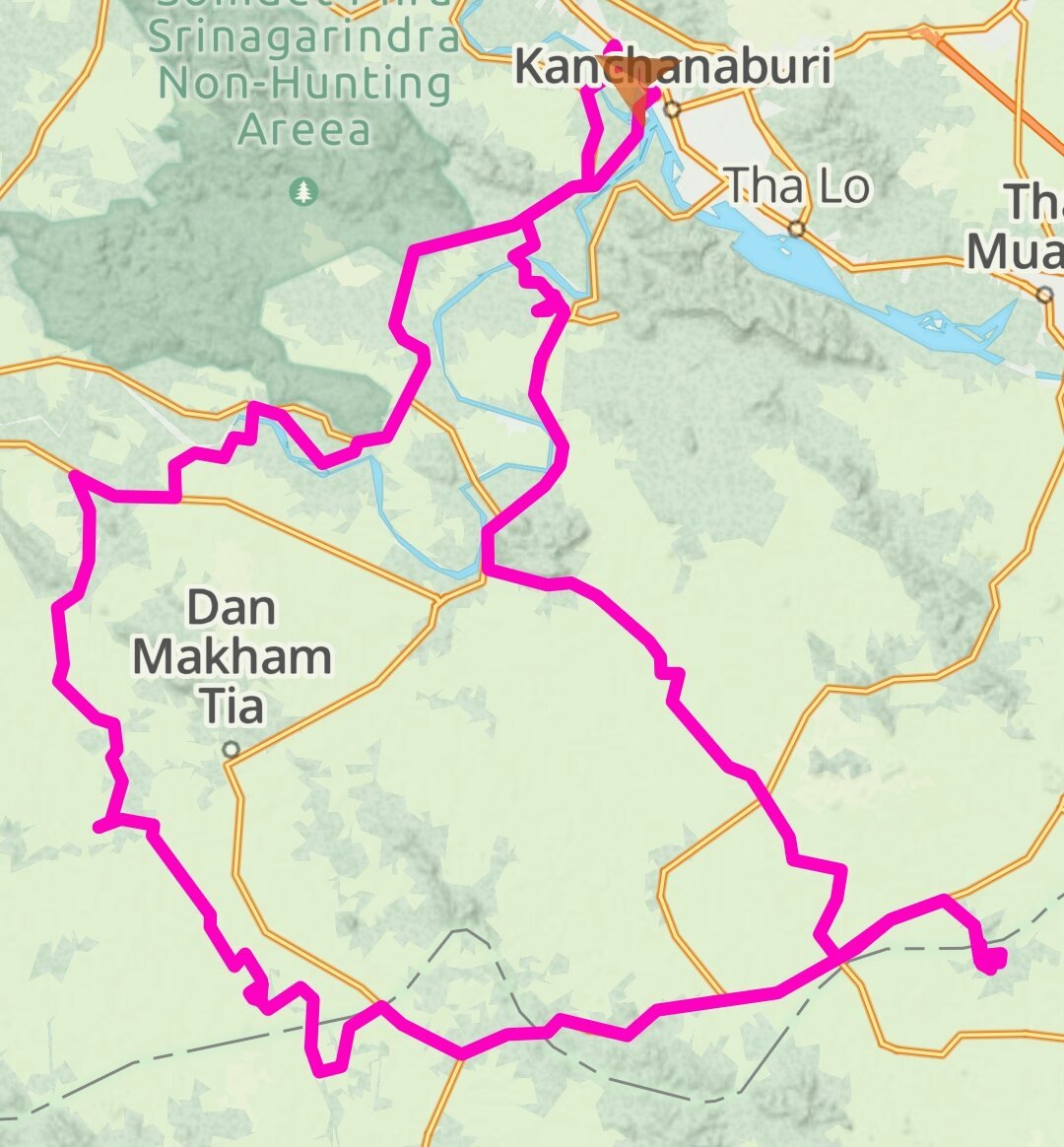
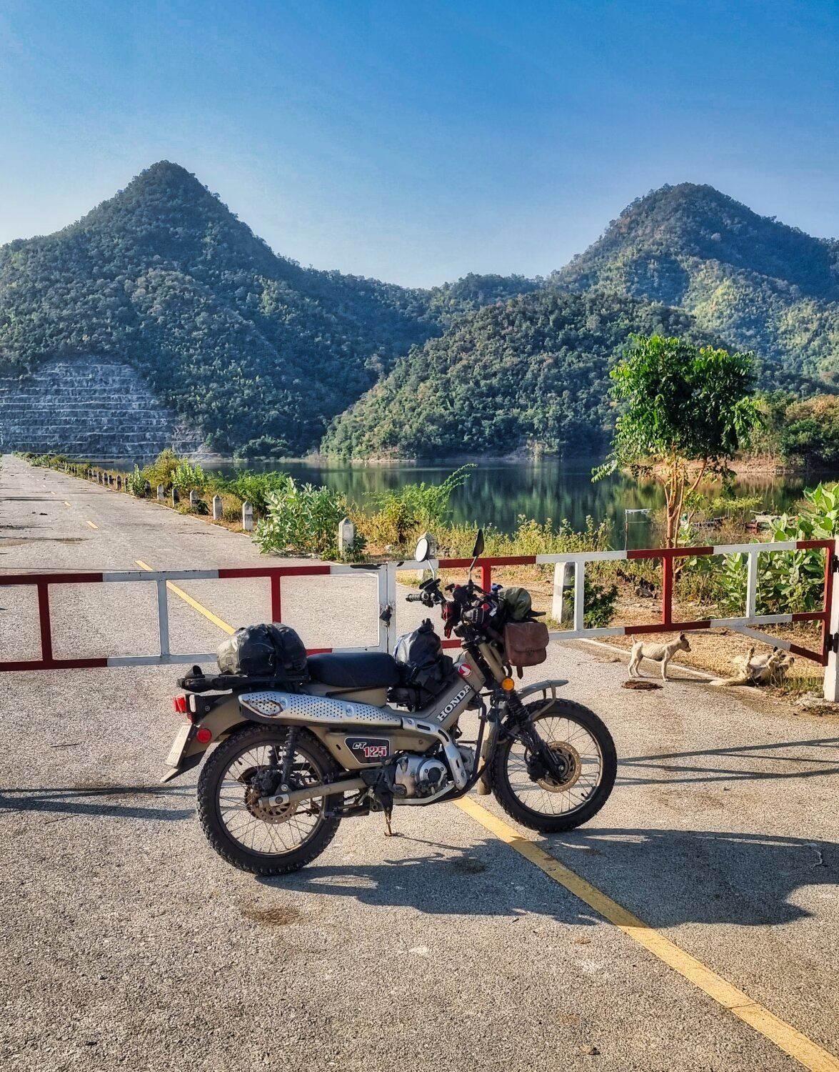
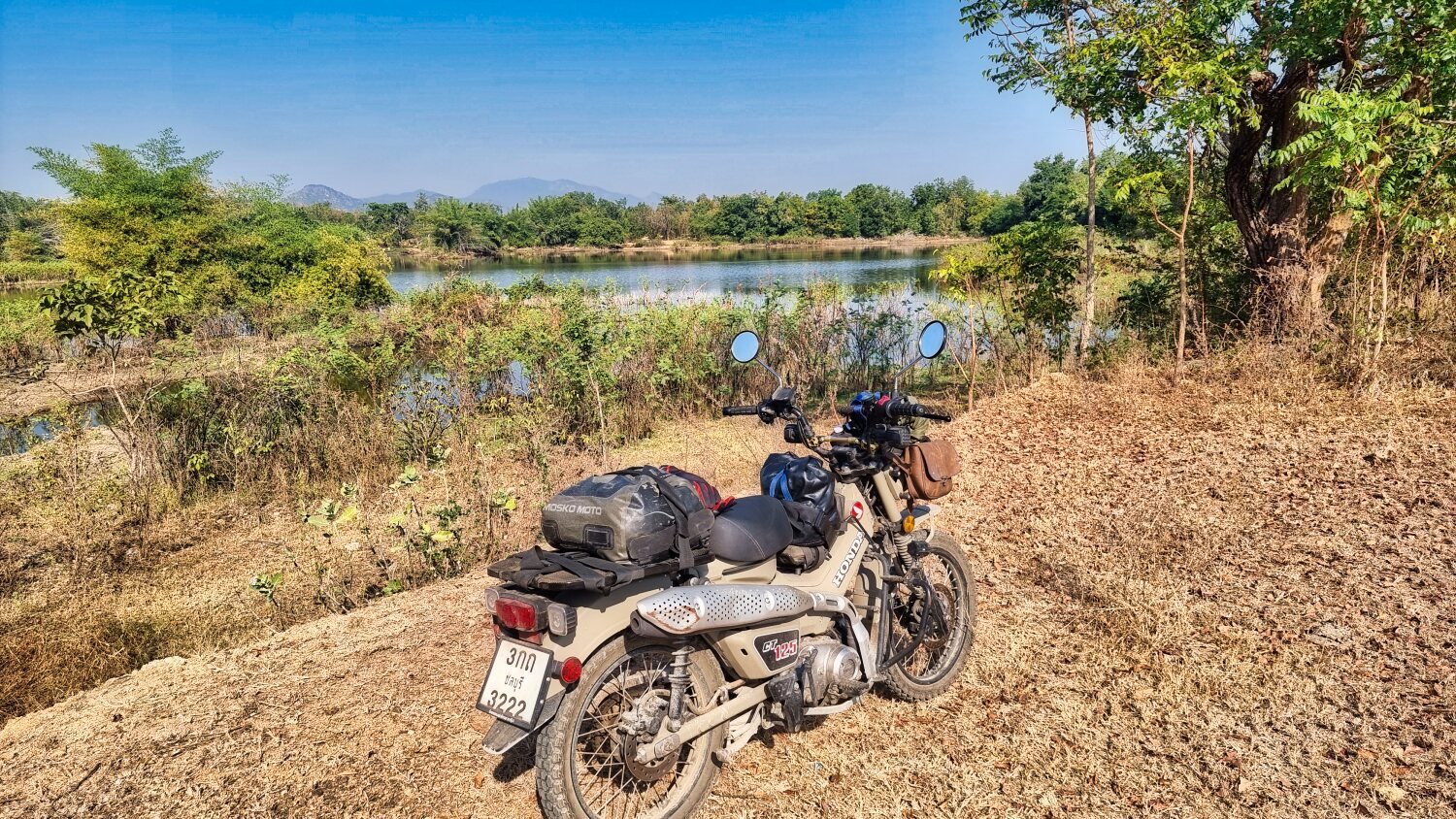
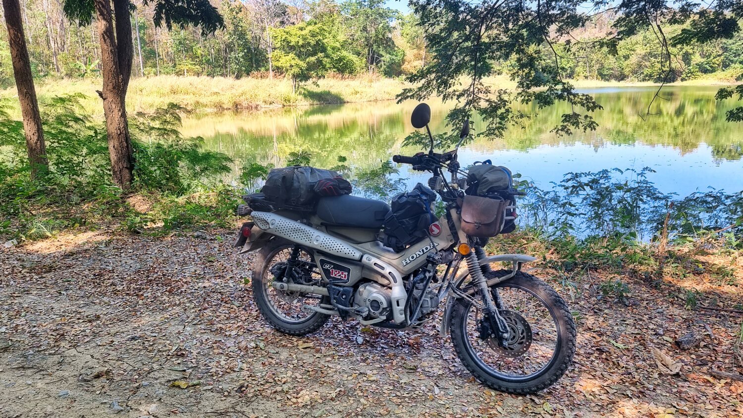
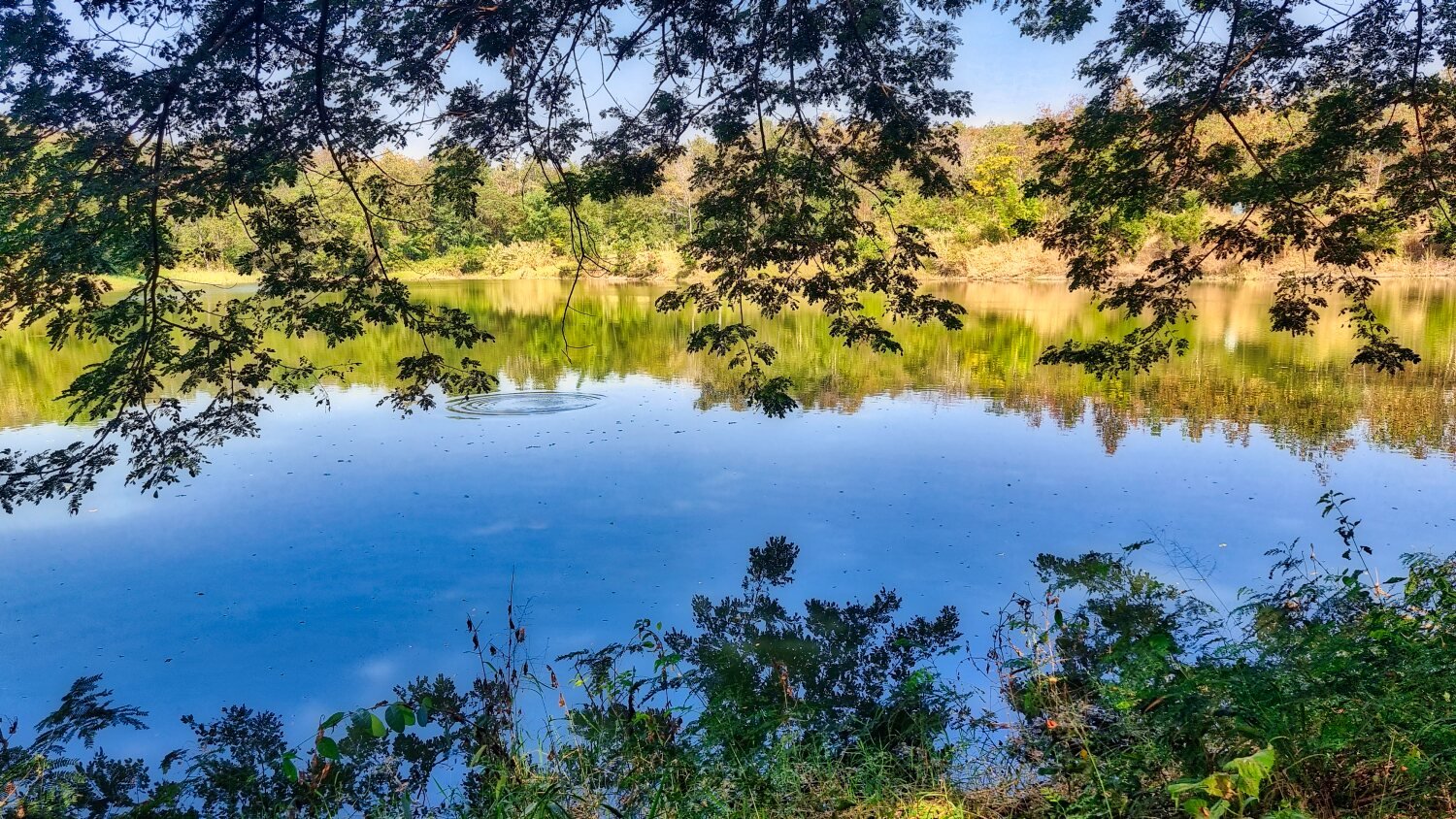
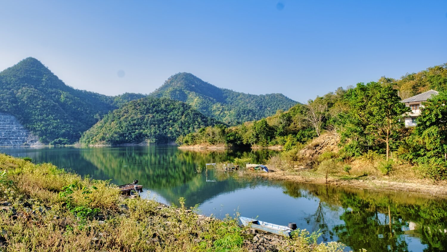
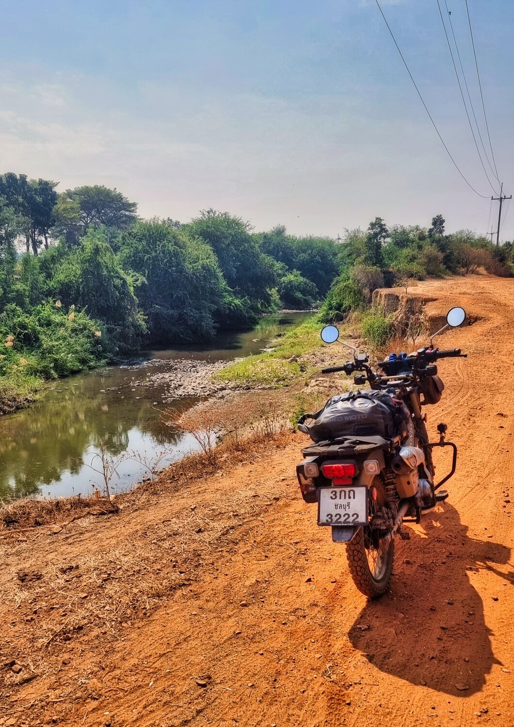
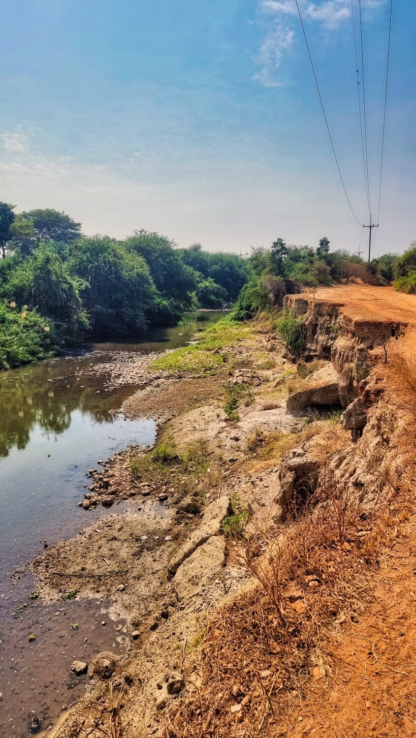
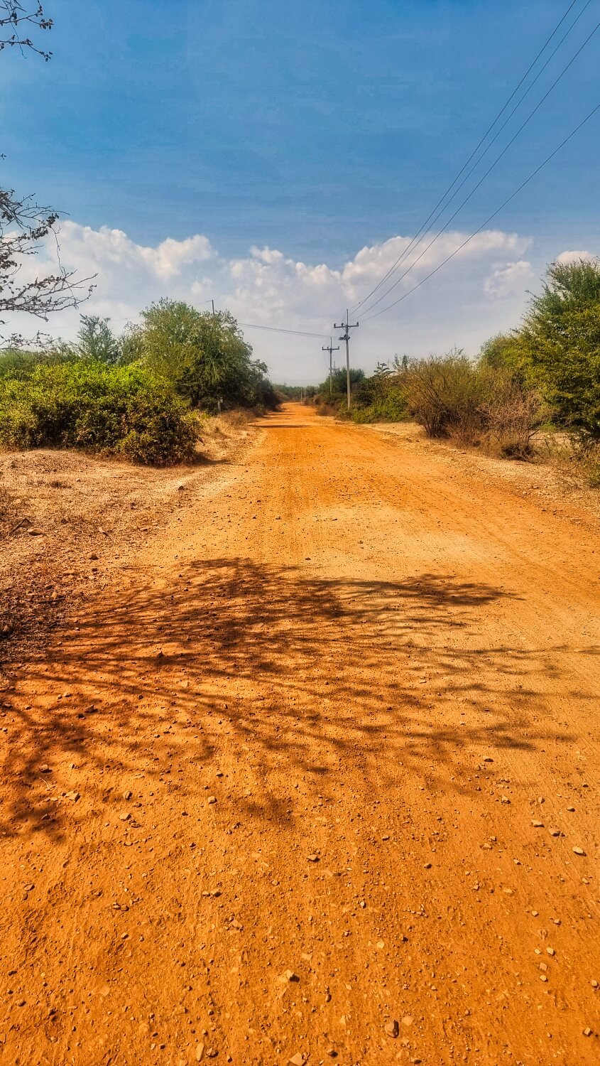
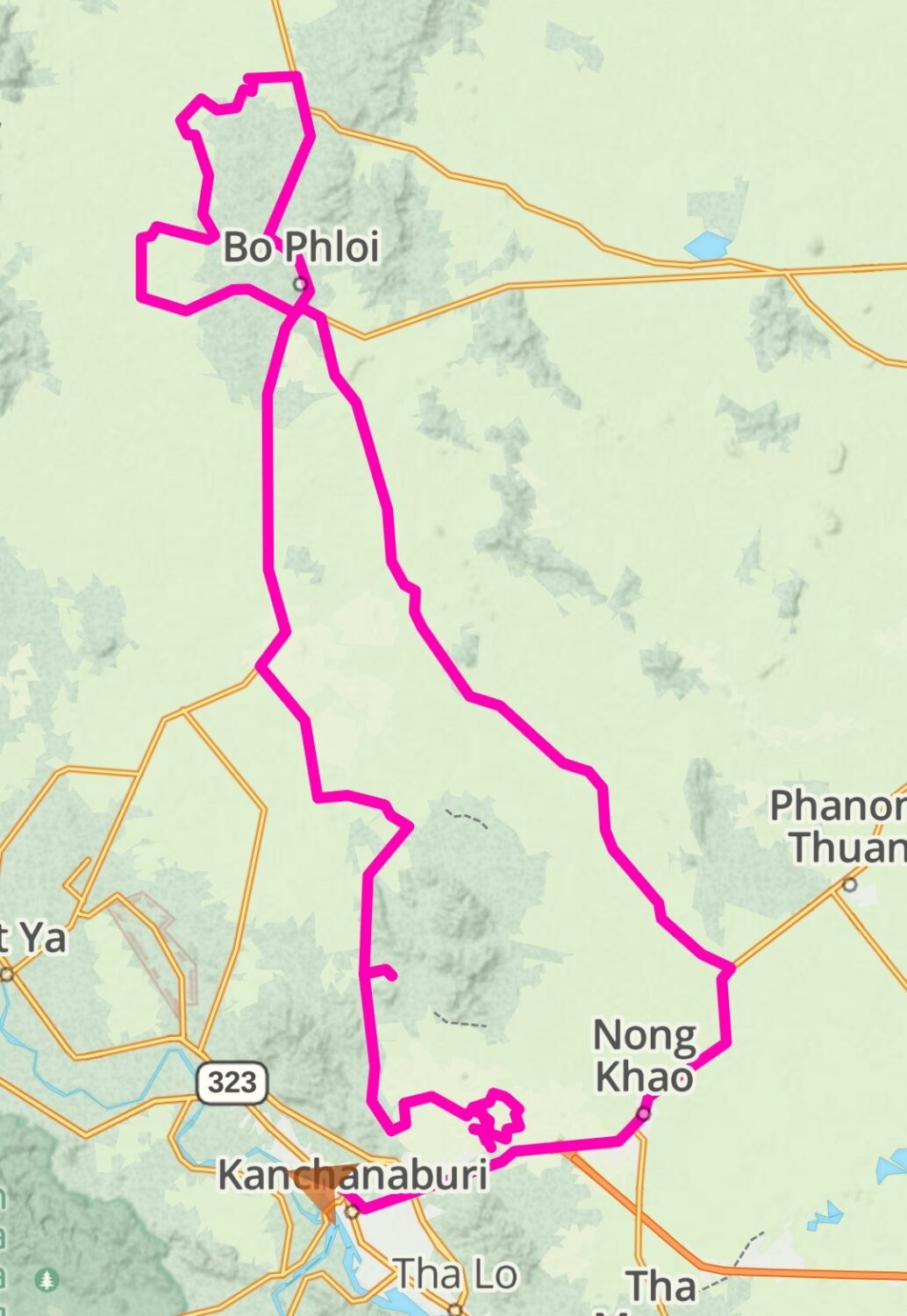
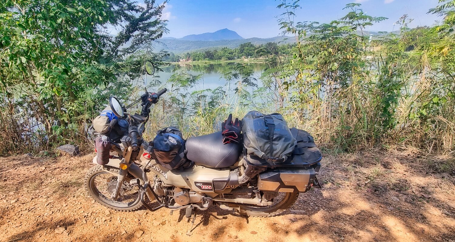
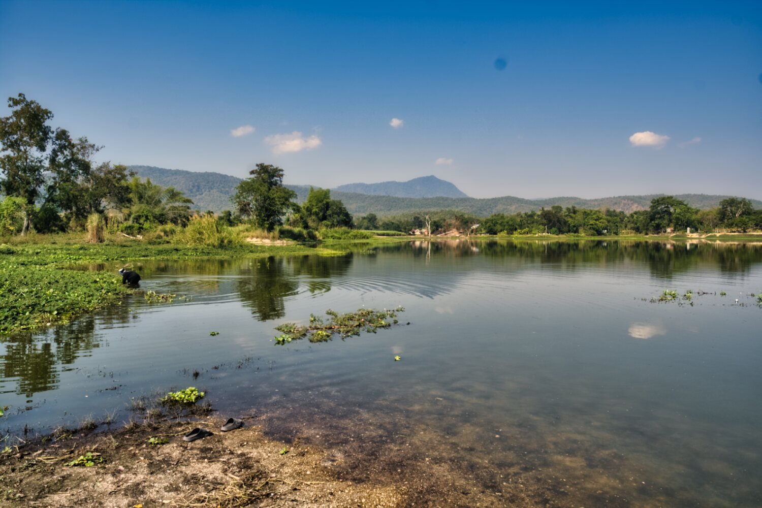
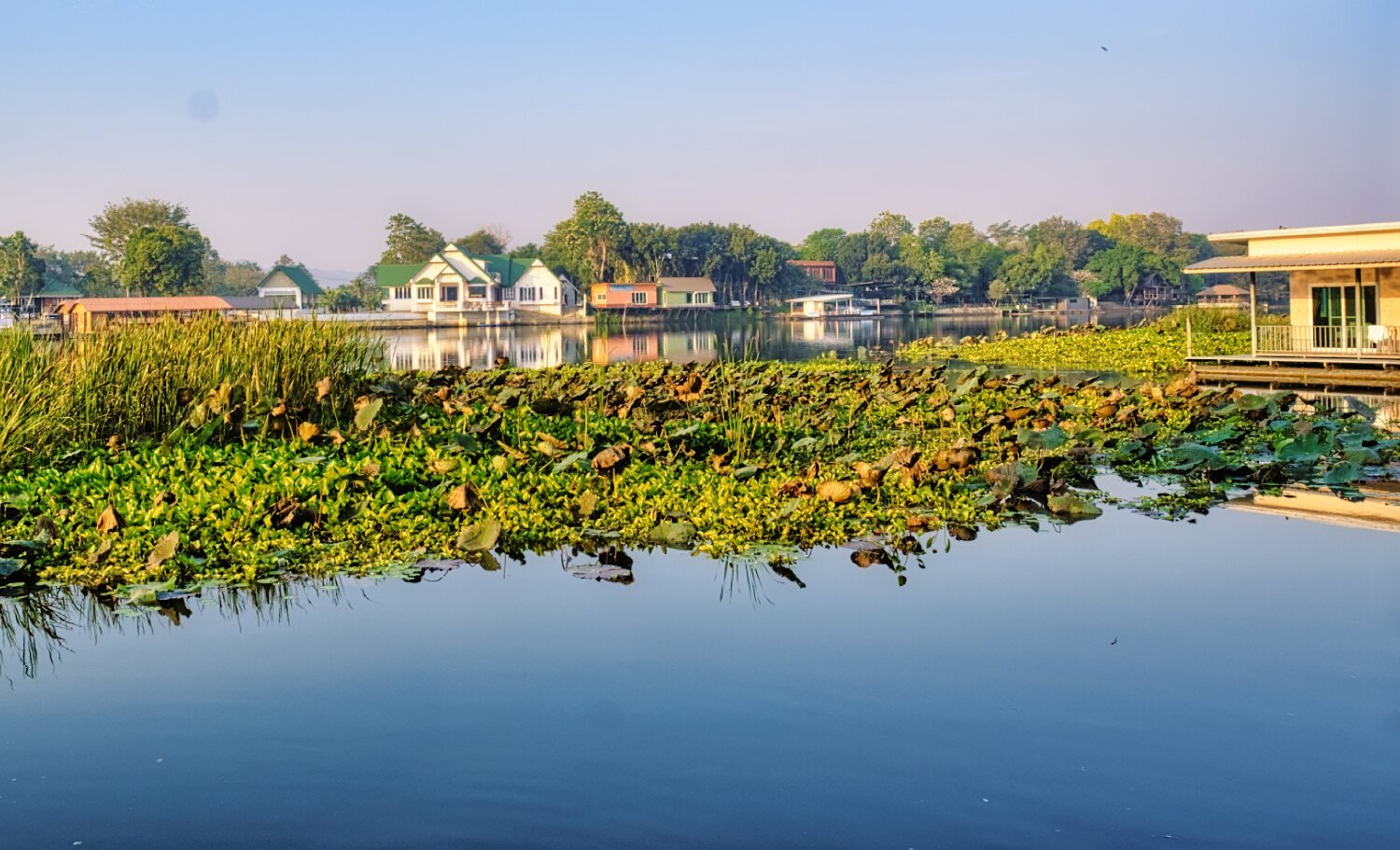
Today I headed out of Kanchanaburi to check out some reservoirs and to see how near I could ride to the Burmese border. My first stop was Ban Nong Kwang Reservoir, here. https://maps.app.goo.gl/fqqKPhCRPsoN1HnE9 Leaving via sugar cane fields I headed for Ban Takhian Ngam Reservoir, here. https://maps.app.goo.gl/G3xBDCrYFJrVrSvu7 I then failed to get to the Burma border, I came to a steep gully that the CT125 was just ok with in first gear but the loose stones eventually helped be decide to call it a day after two near spills. I back tracked and went to Ban Pattana Reservoir, here. https://maps.app.goo.gl/w7fE7s3MUkJvXJJj6 And here. https://maps.app.goo.gl/iUtm9wHRBeQCNhJY8 Stopping at Huai Lam Khlung Reservoir for a quick photo before returning to Kanchanaburi. https://www.relive.cc/view/v8qV3BXRW7v
-
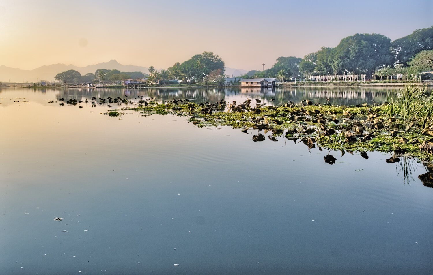
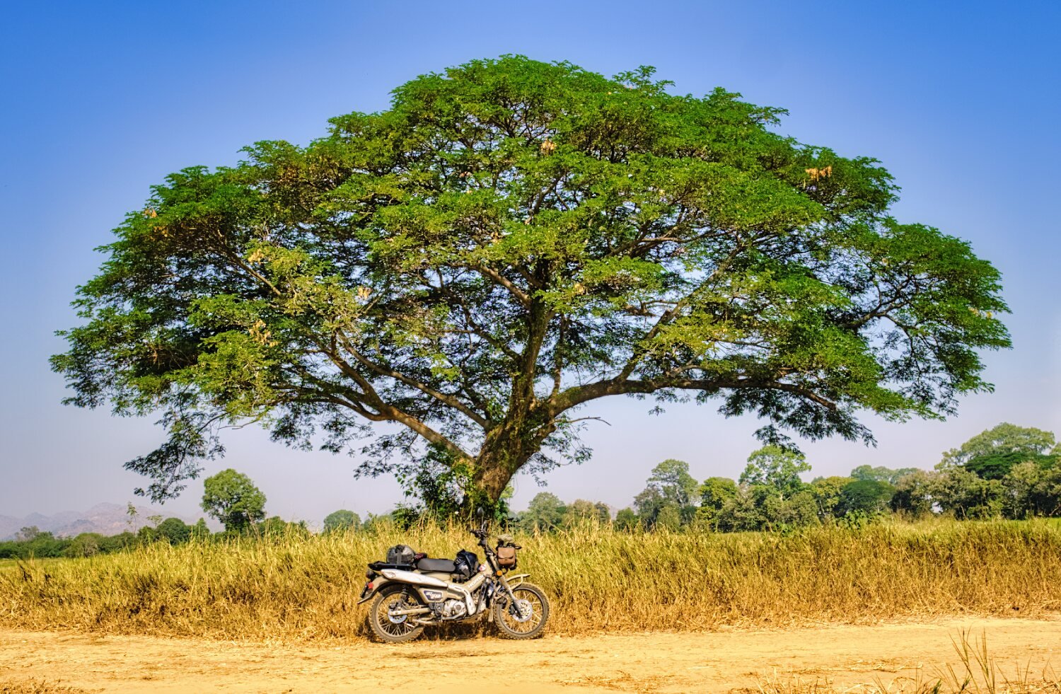
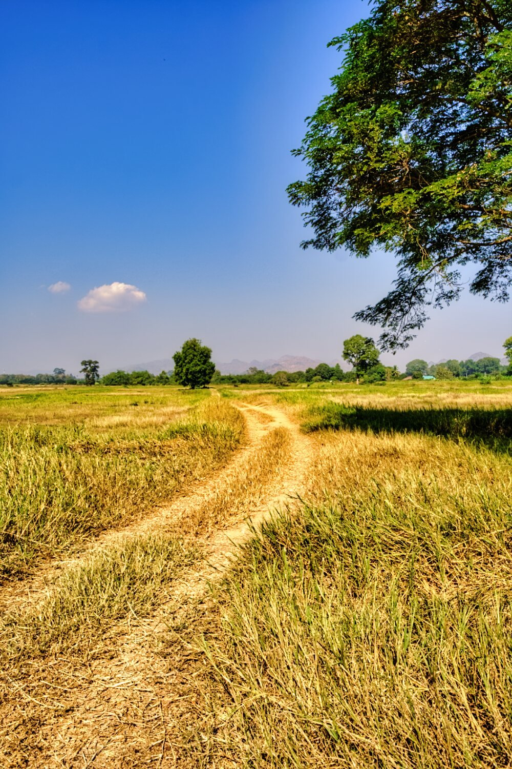
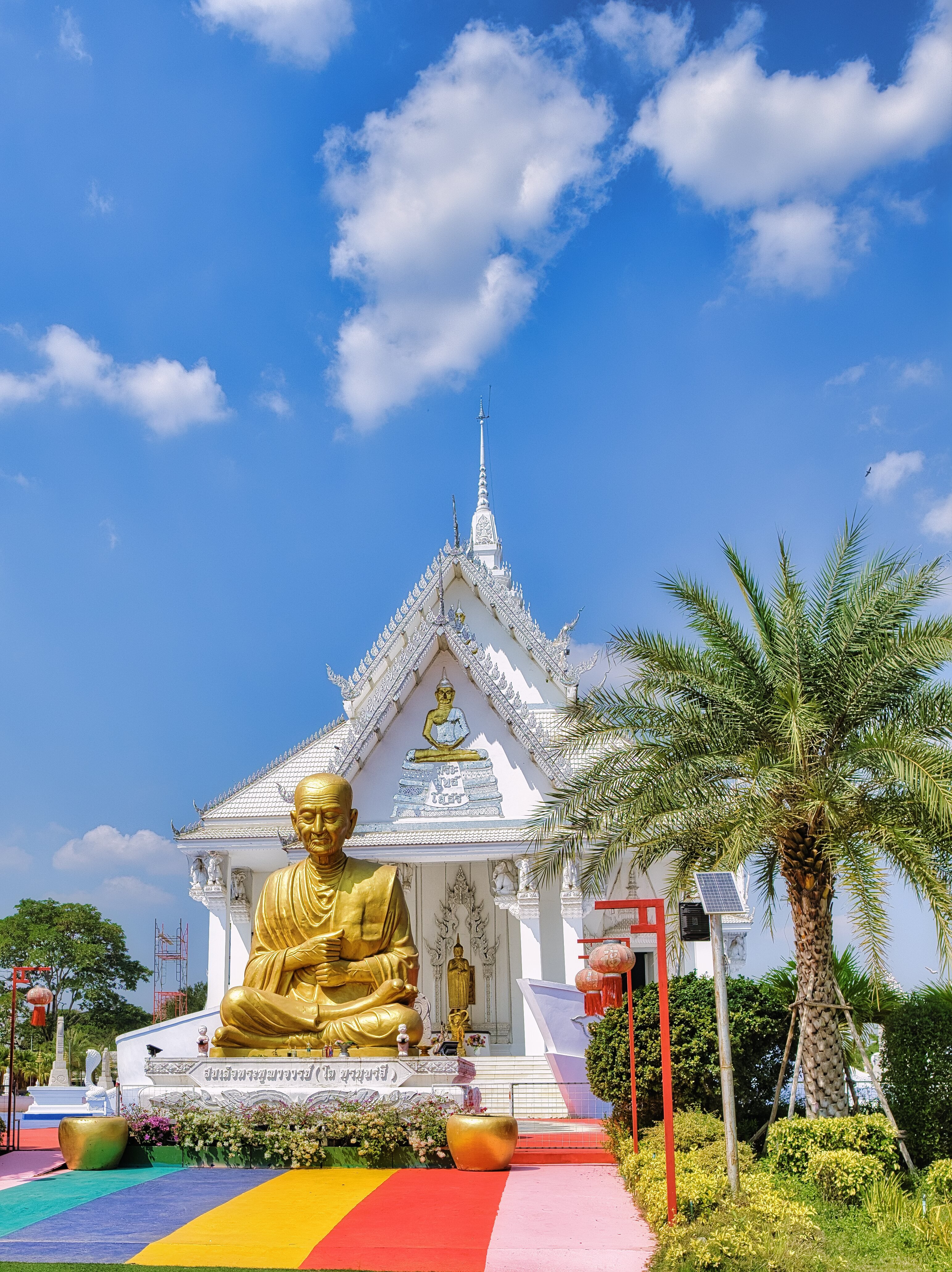
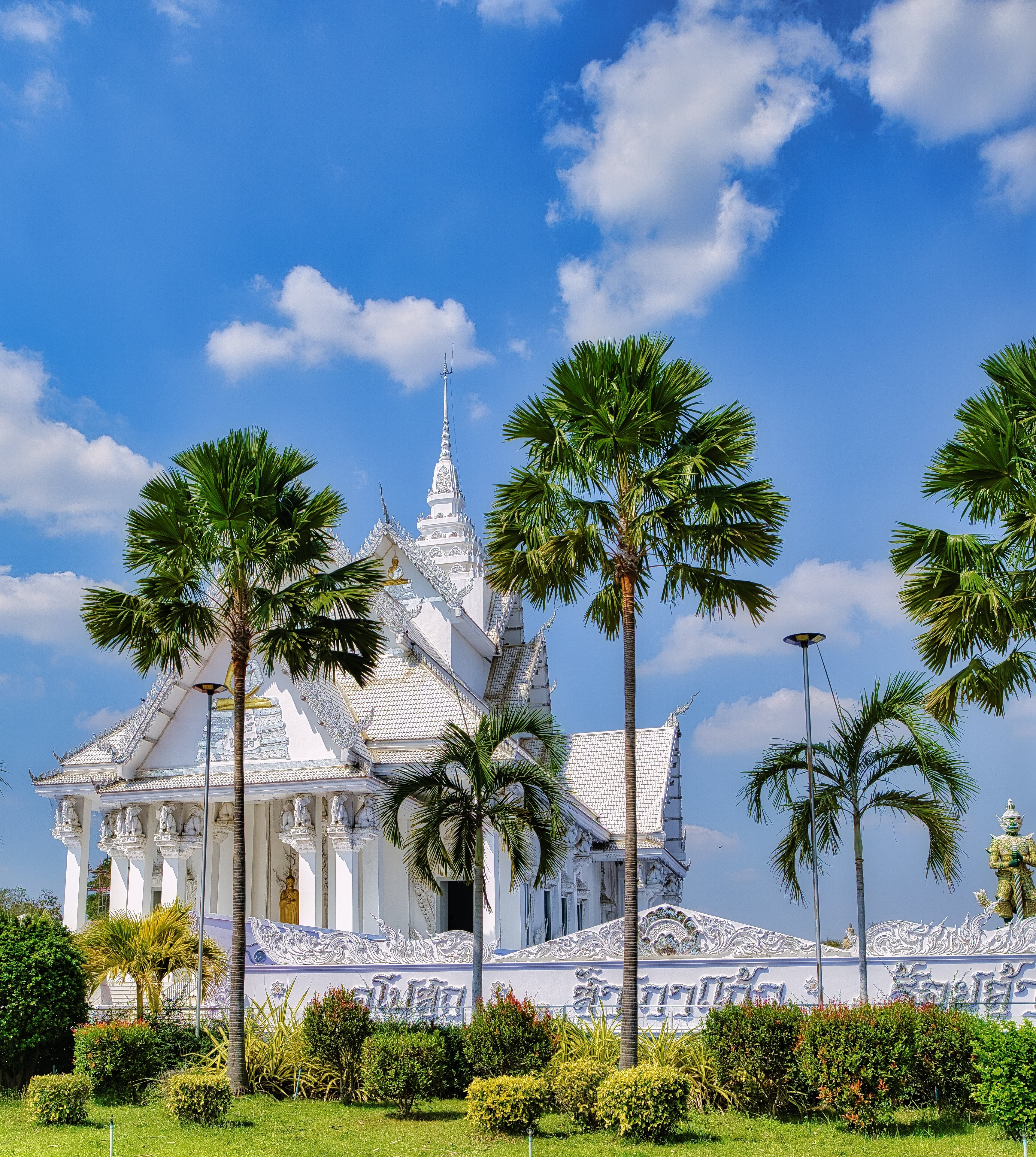
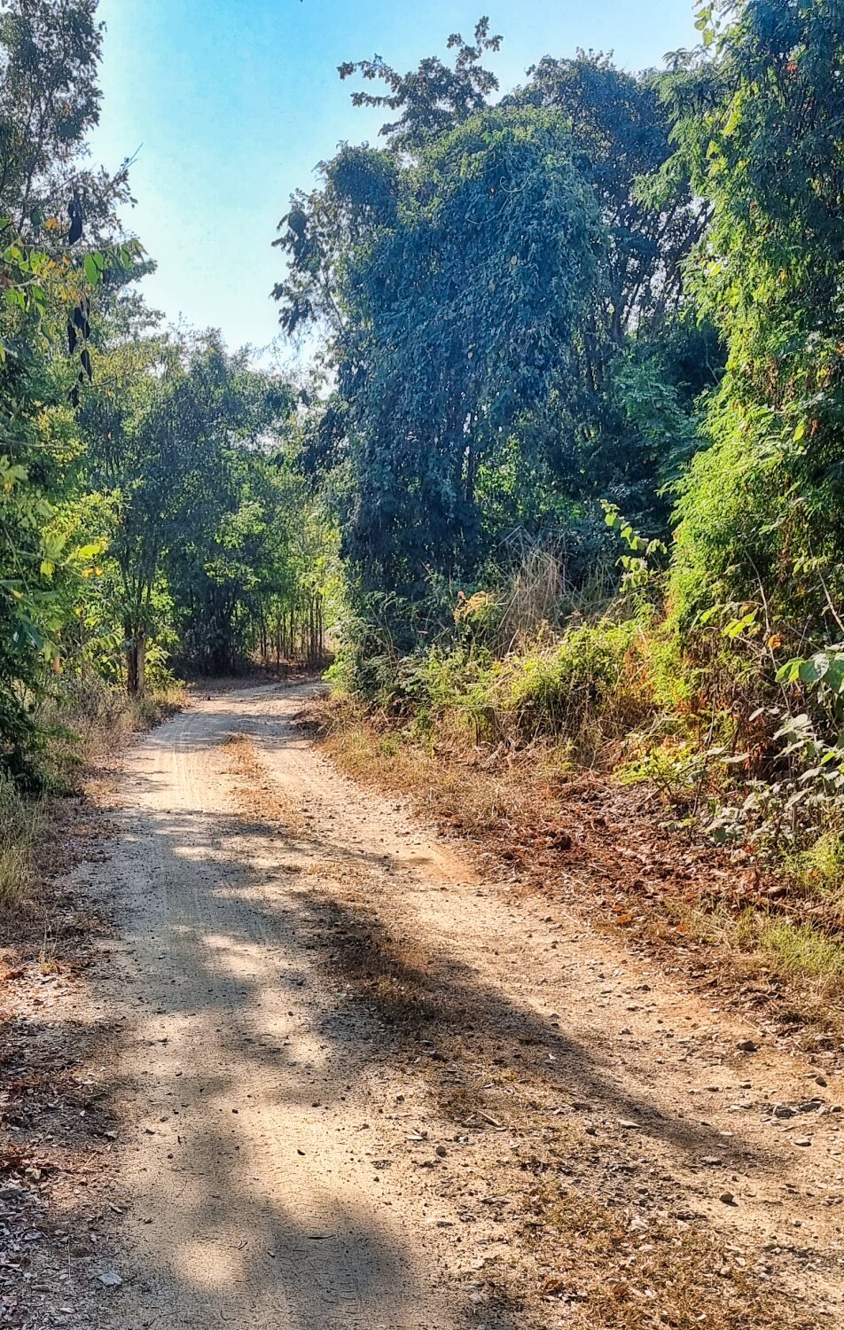
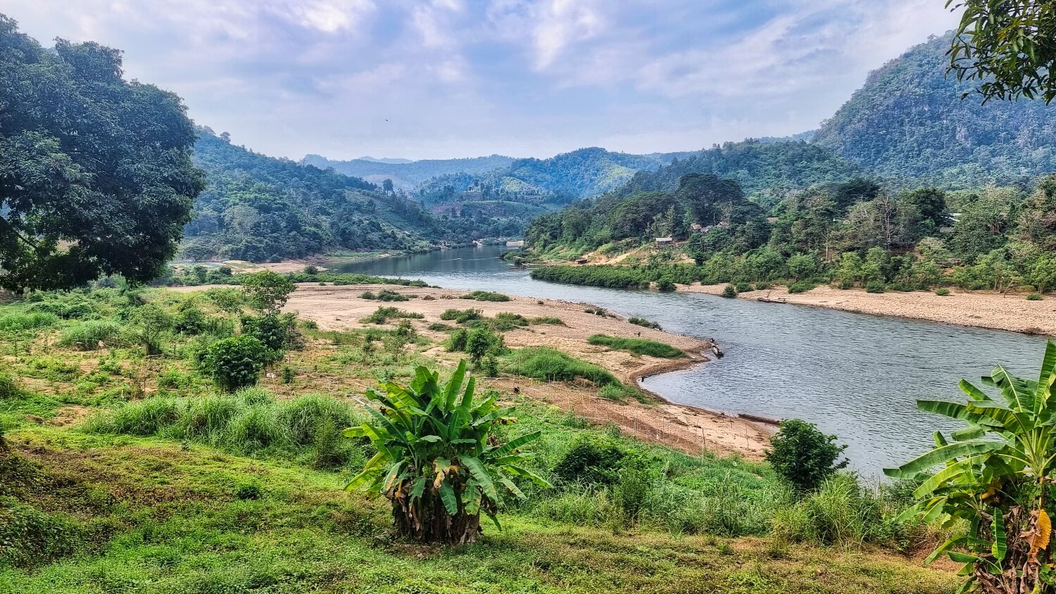
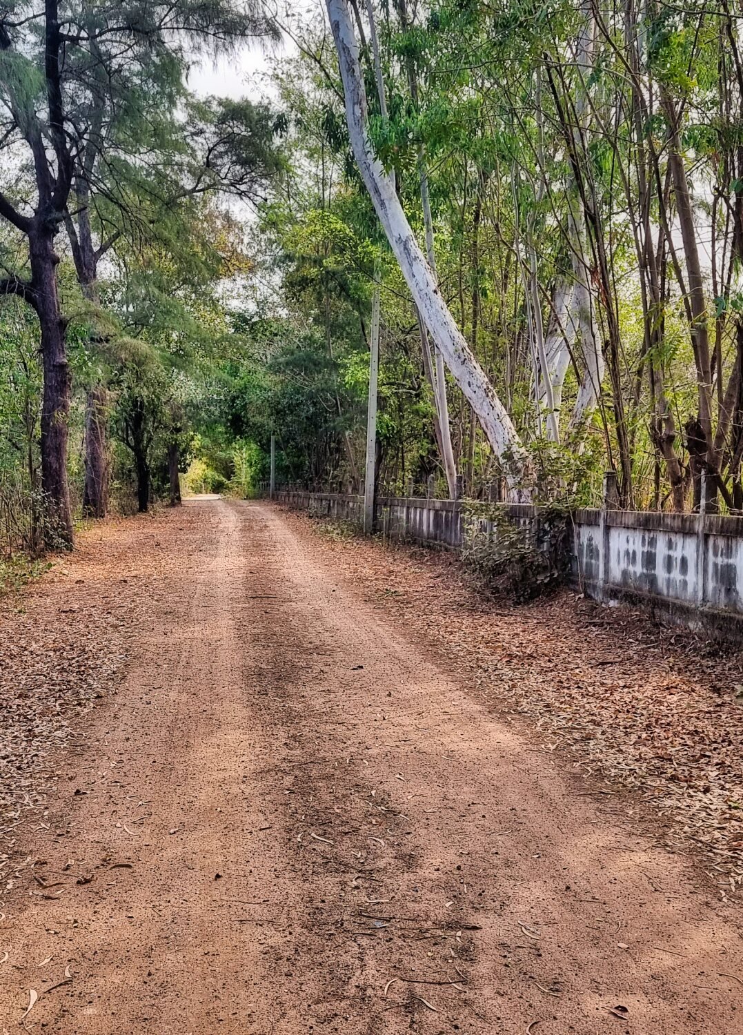
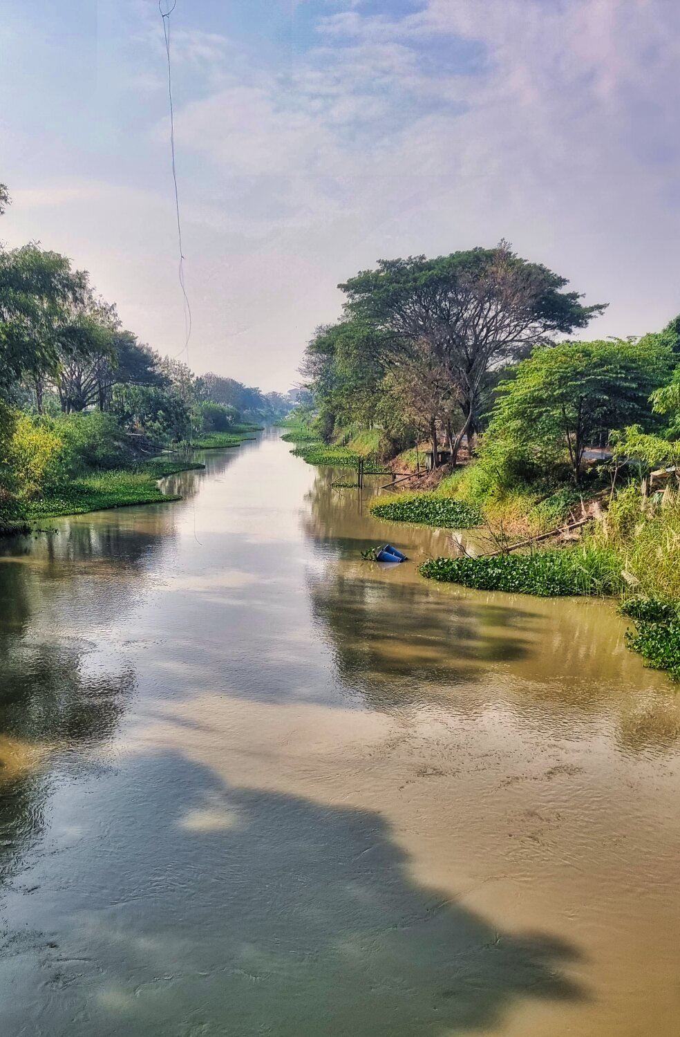
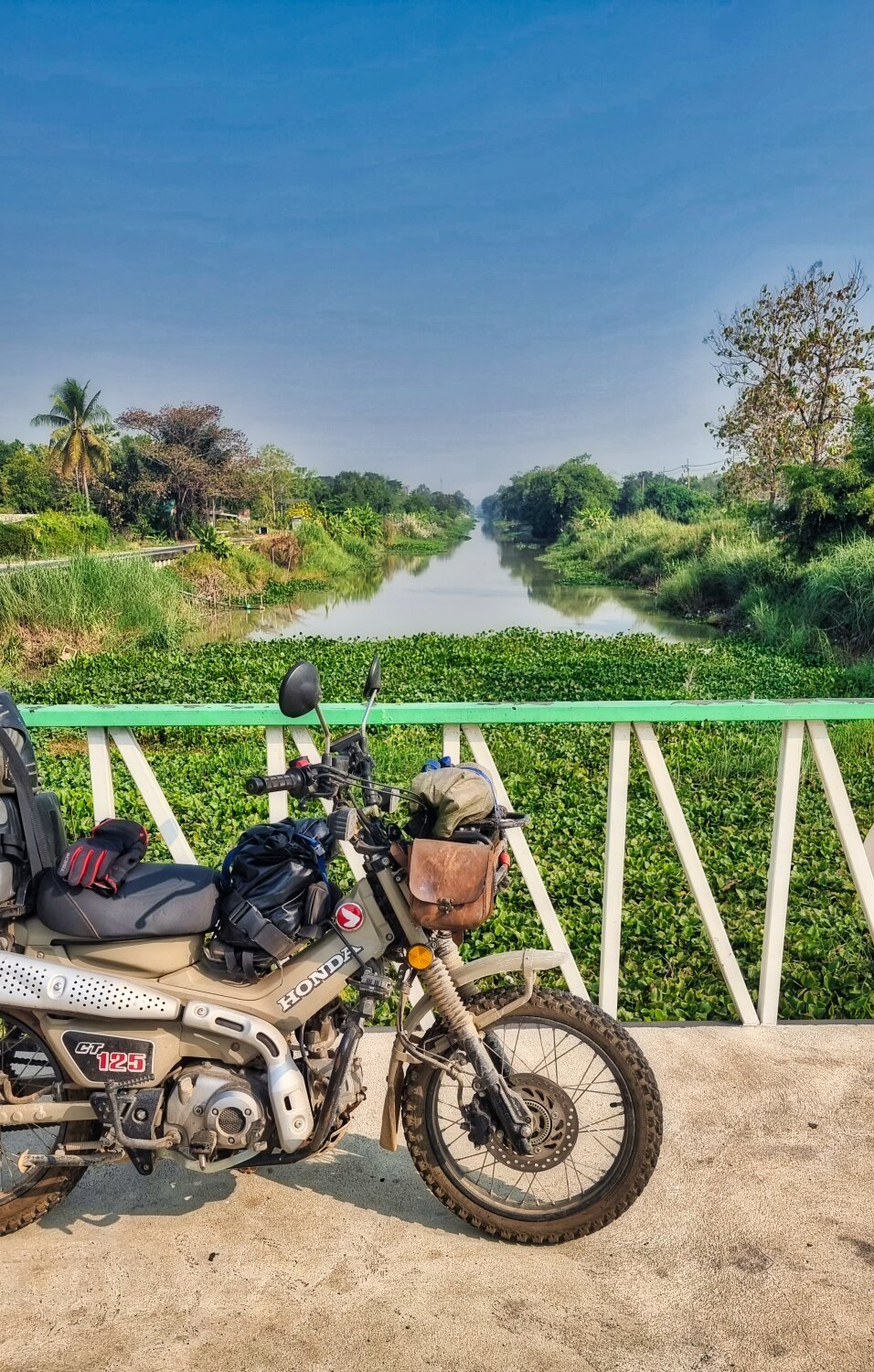
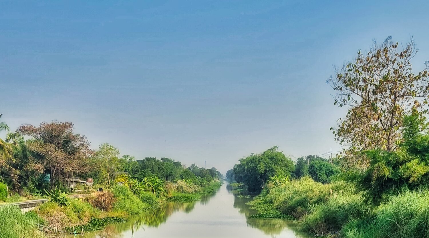
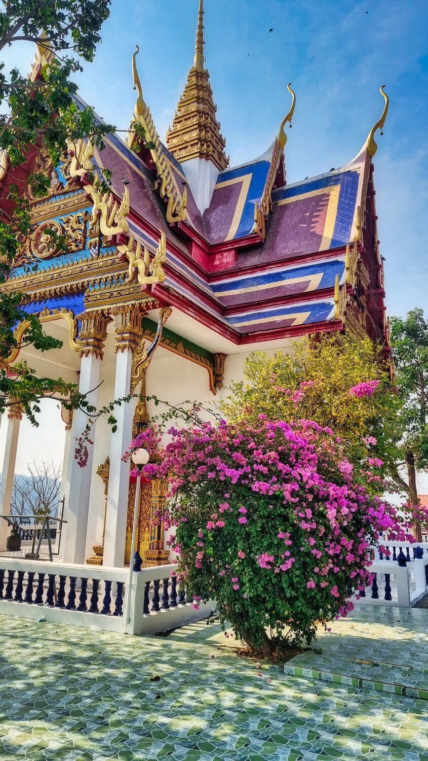
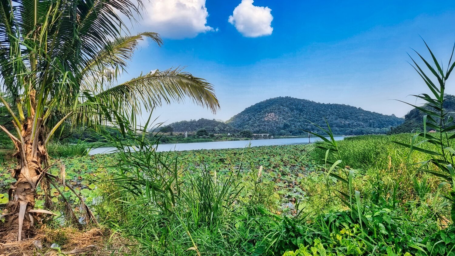
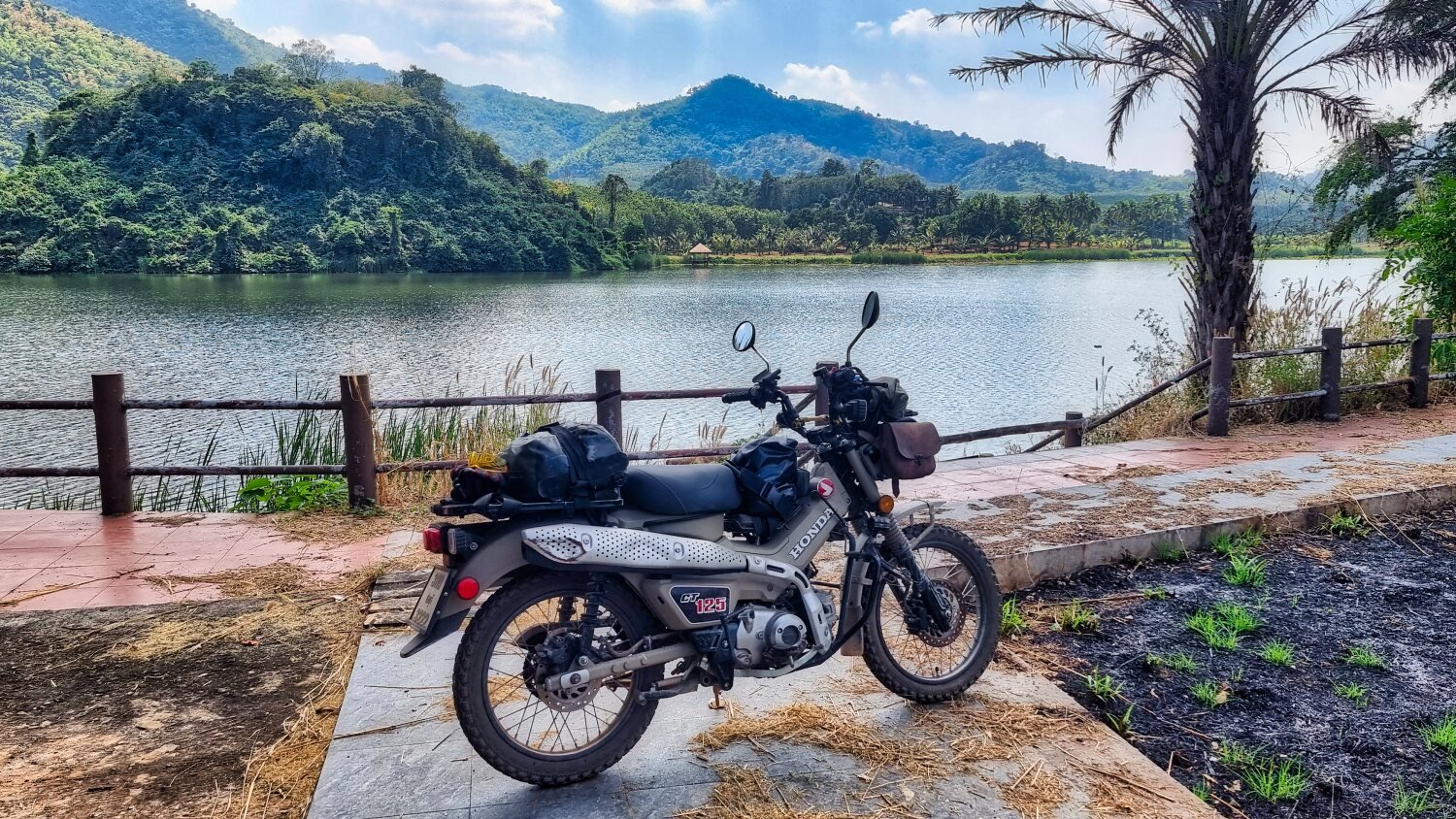
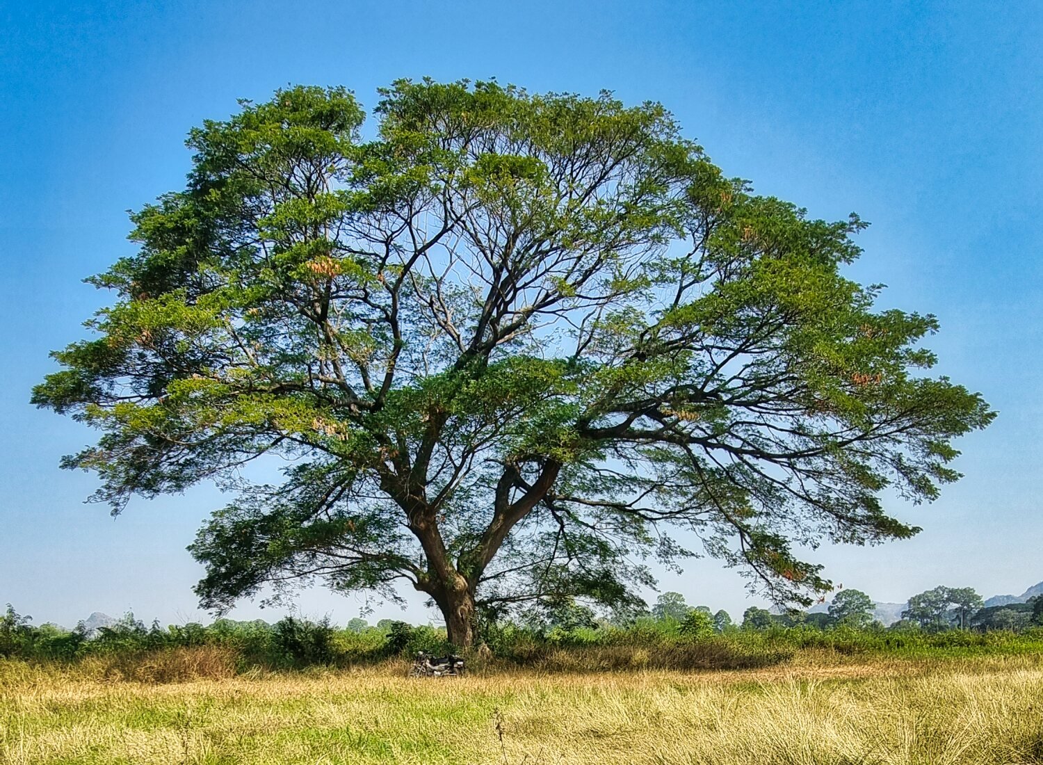
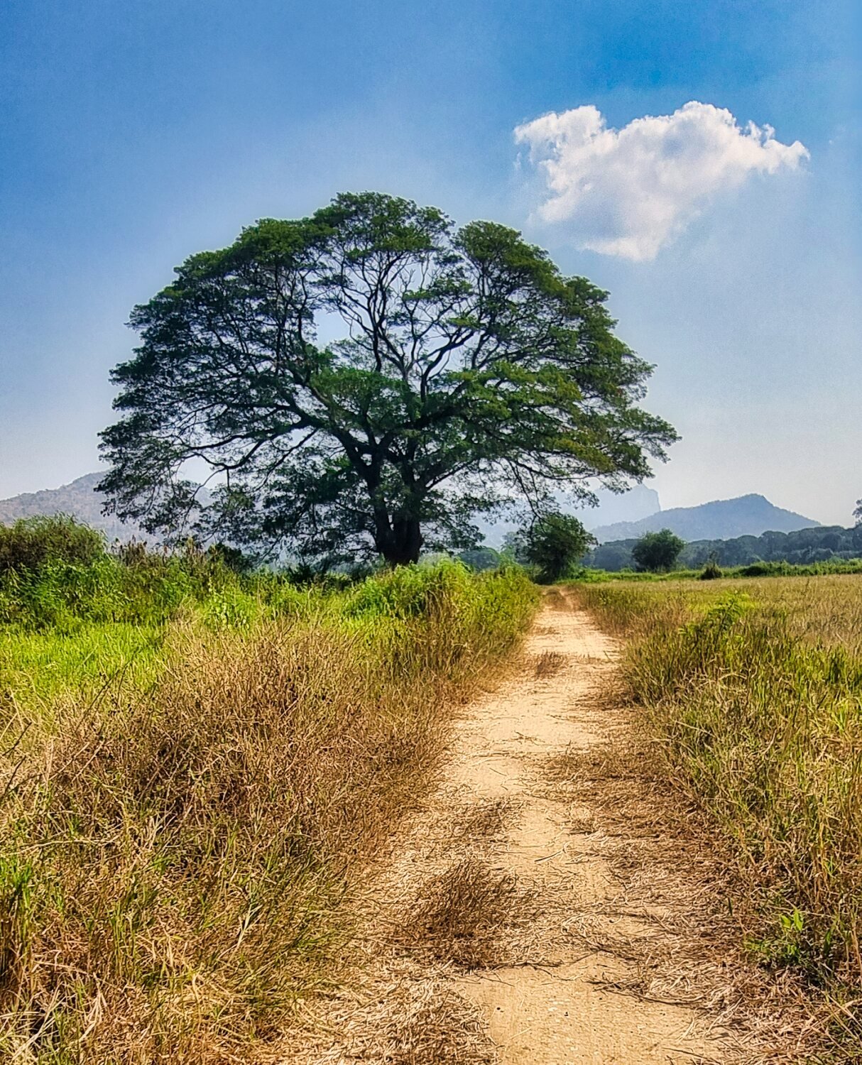
Today I went exploring some new places in Kanchanaburi. But before leaving I took a couple of shots of the River Kwai from my hotel. Leaving the city I crossed Koh Samrong-Nong Ya Bridge that crosses the River Kwai Noi, here. https://maps.app.goo.gl/1ioQvjWyhEVQtn7SA From there I headed to a rain tree I have visited before in the countryside which also has farmers tracks to ride on, here. https://maps.app.goo.gl/mRCZTTWdtC8cGXJJ6 Next I rode to a golf club to explore the reservoir there and managed to ride all around it, but the last part was through the jungle with no track, here. https://maps.app.goo.gl/t48Y2vVqLRtWb7aK7 Riding a convoluted route back I stopped to take photos of Wat Hin Taen Lam Pachee, here. https://maps.app.goo.gl/AABeupM8T1RY1HBs6 https://www.relive.cc/view/vevY3oWG7J6
-
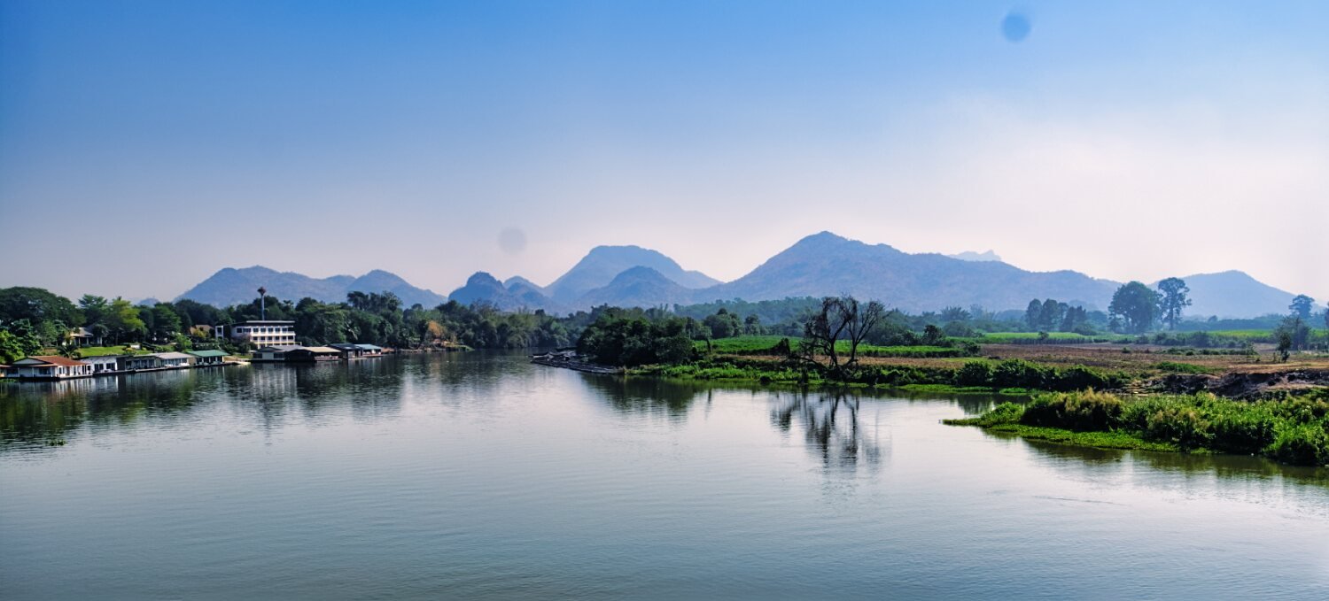
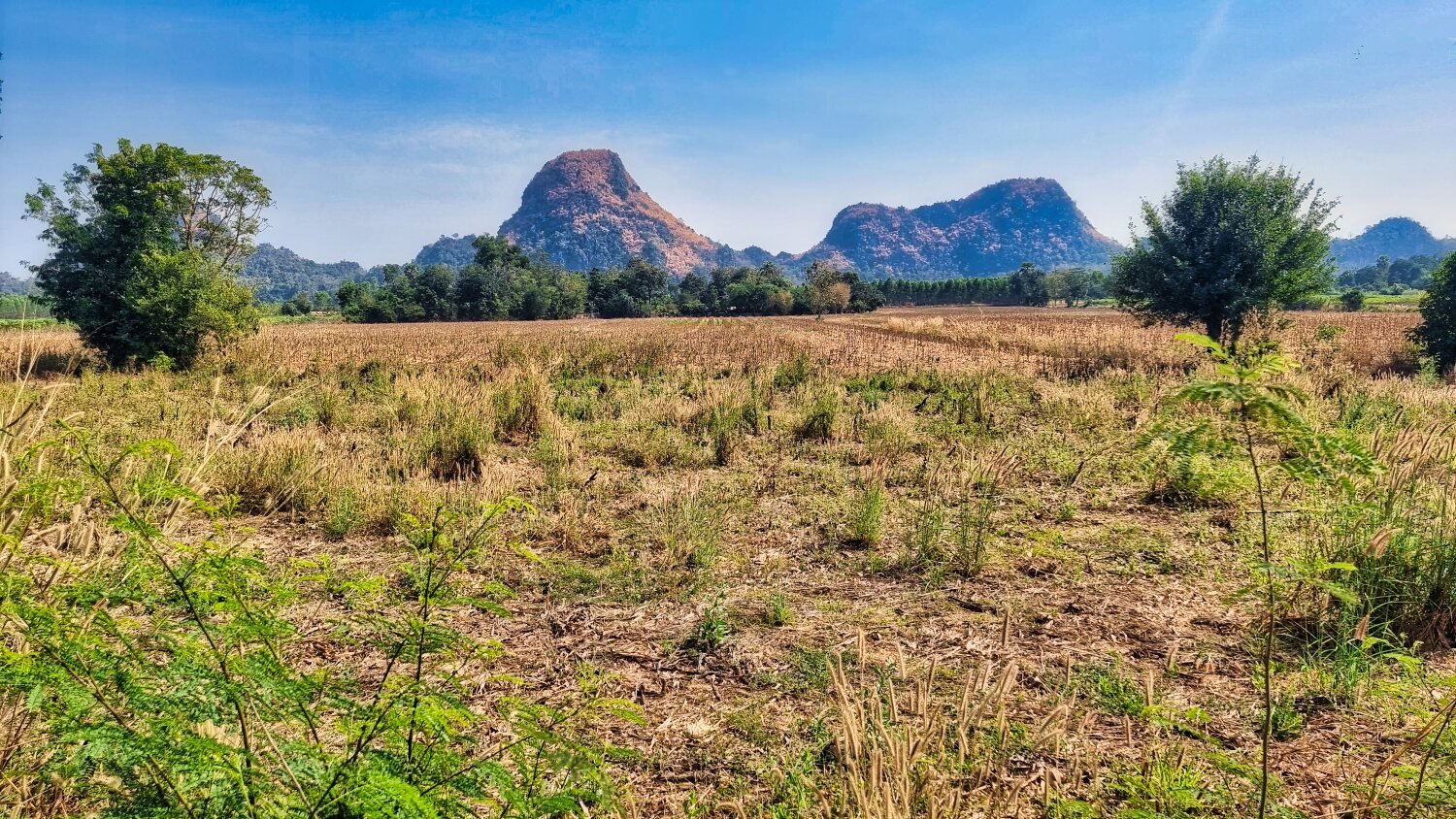
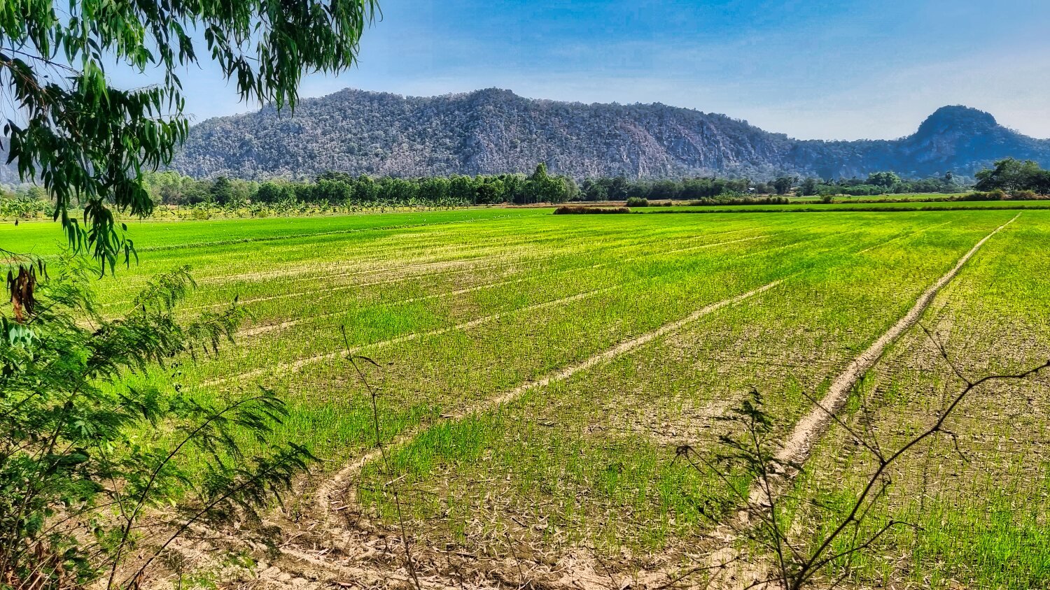
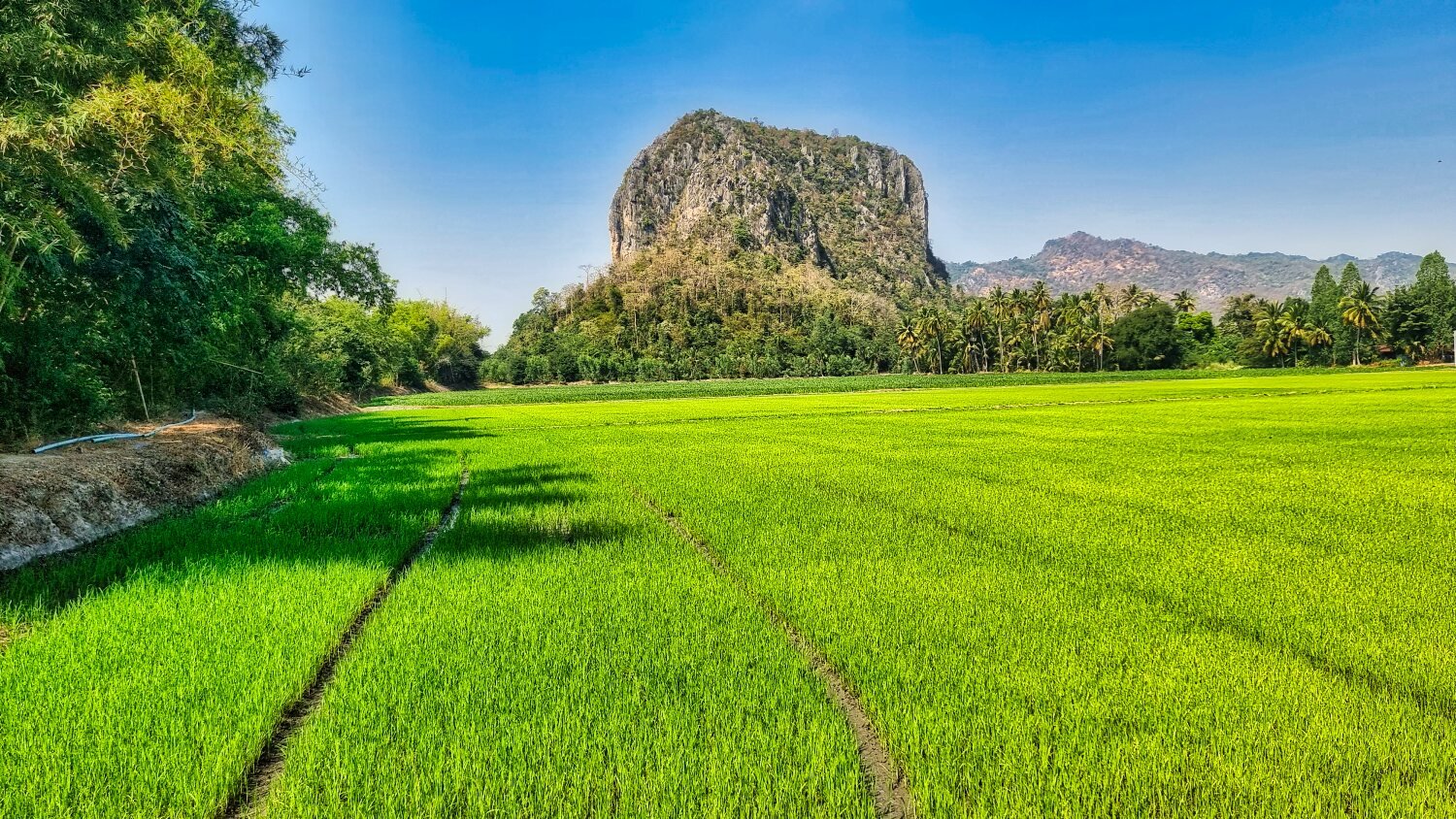
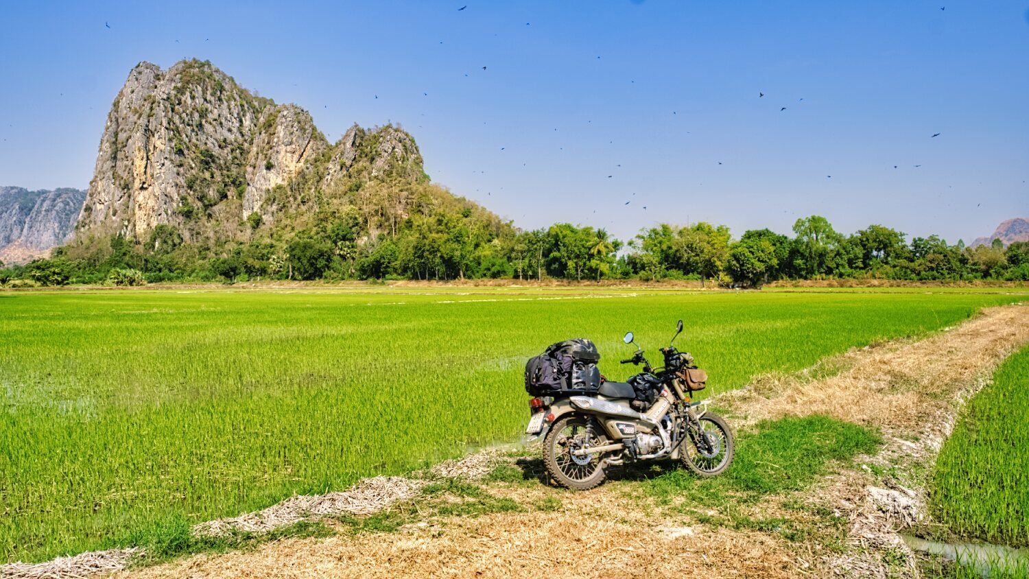
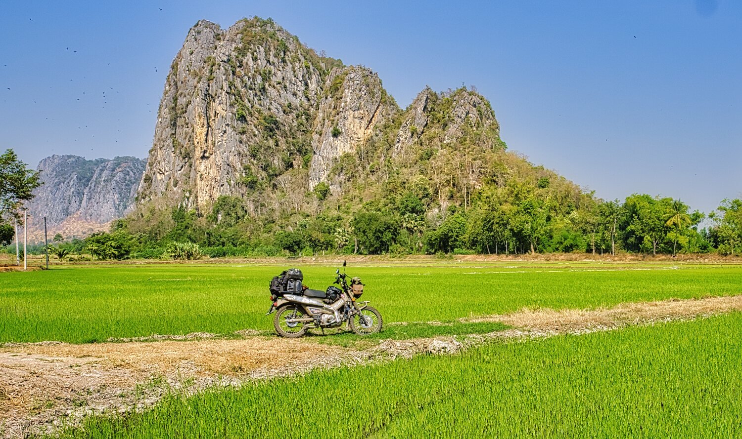
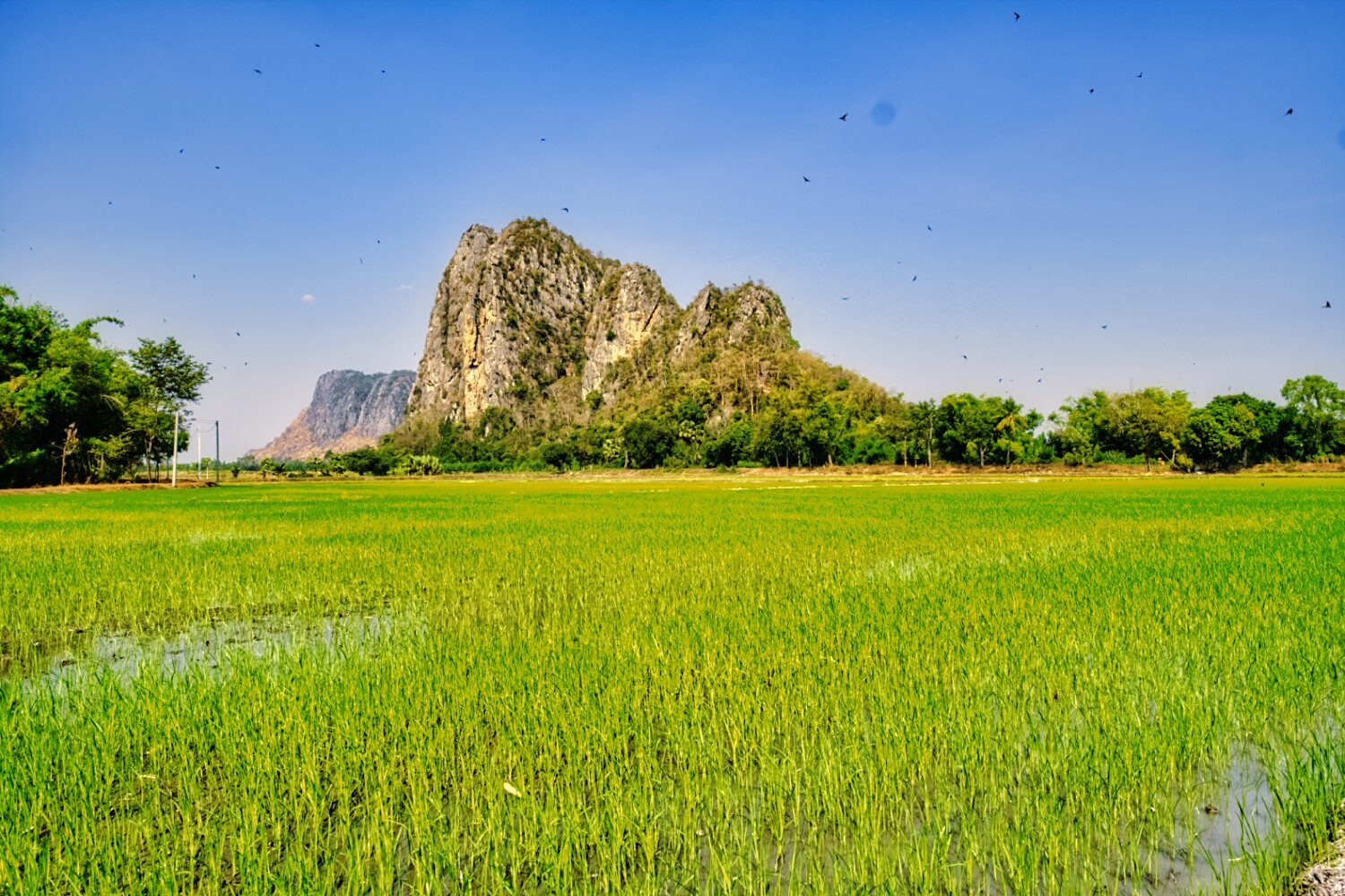
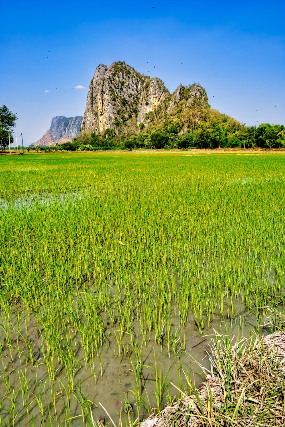
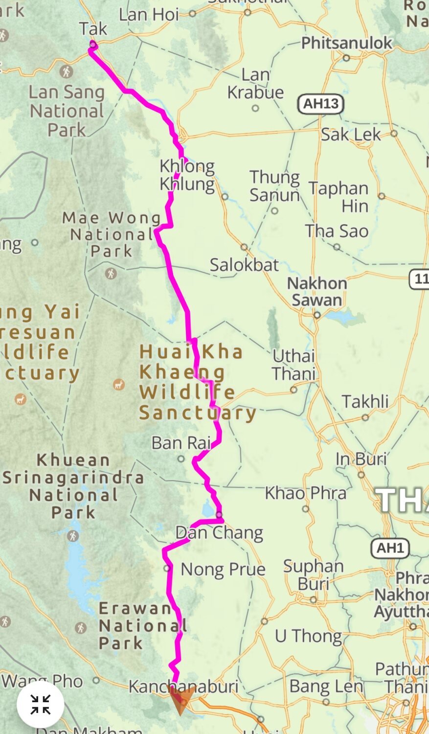
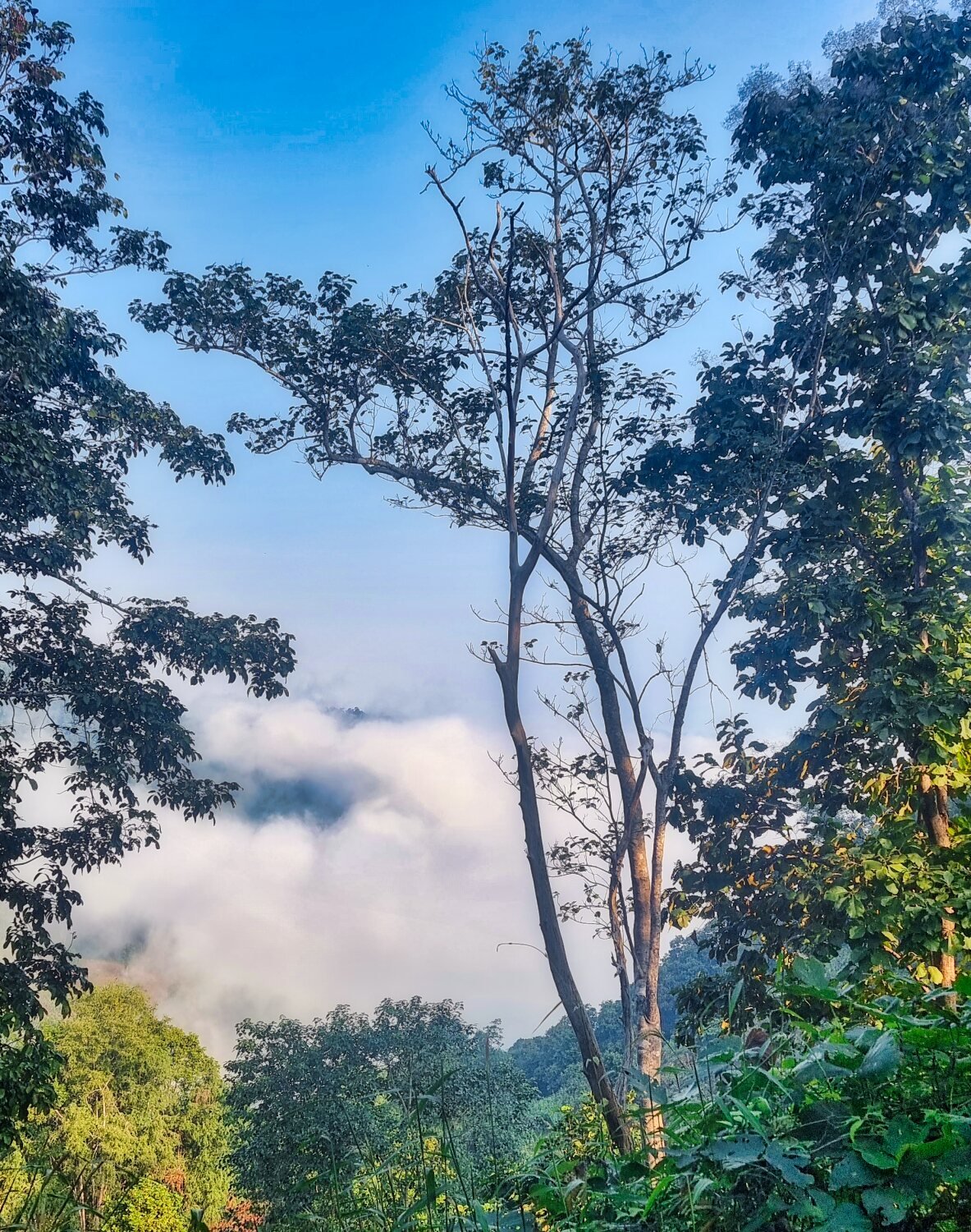
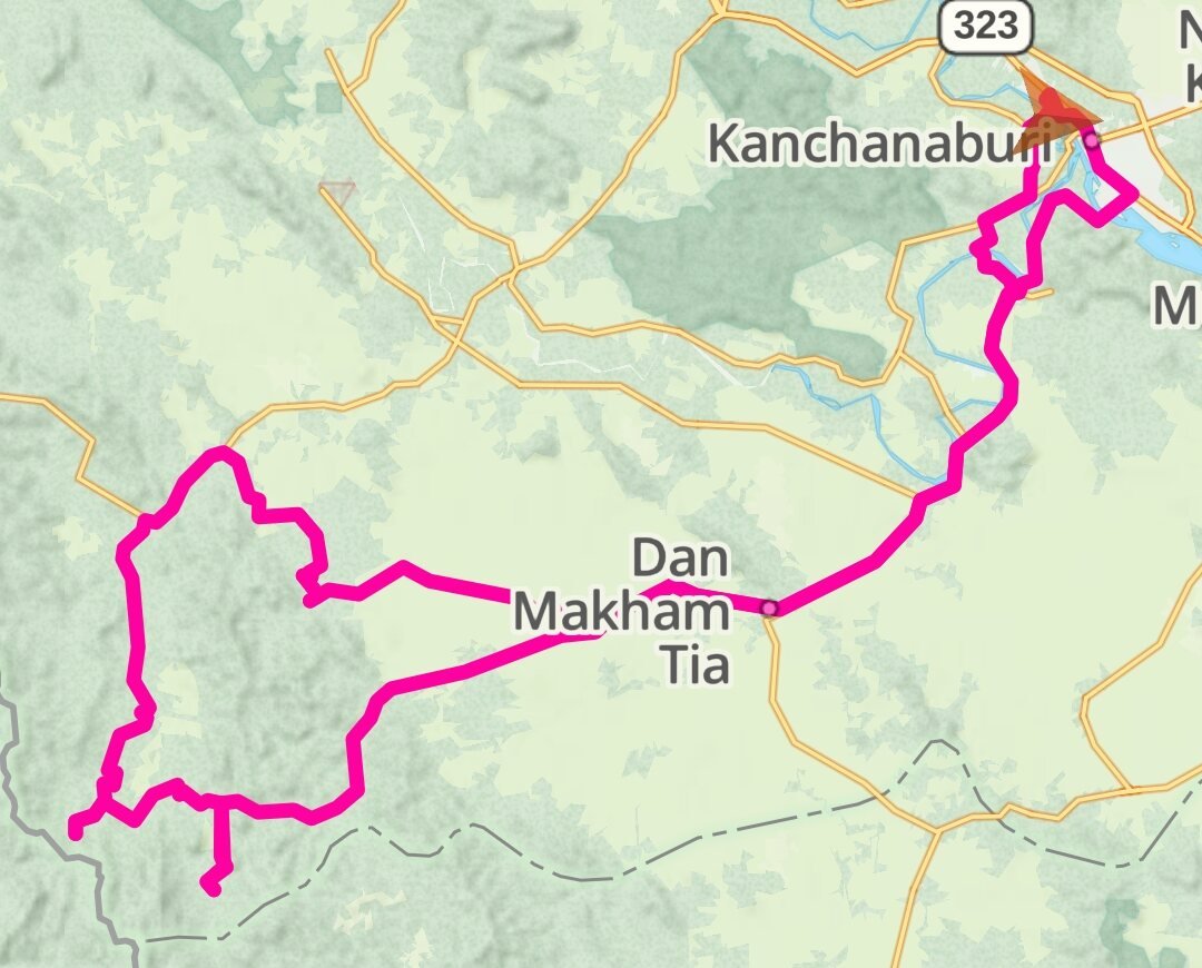
Today I rode a 413 km trip from Tak to Kanchanaburi. I stopped to take a few photos of a mountain view, here. https://maps.app.goo.gl/B7yKUrnqm83pgueQ8 Not far down the road some more mountain views with rice fields, here. https://maps.app.goo.gl/EuubSeGGqGK163wu6 Before continuing to Kanchanaburi https://www.relive.cc/view/vLqexkVeJd6
-
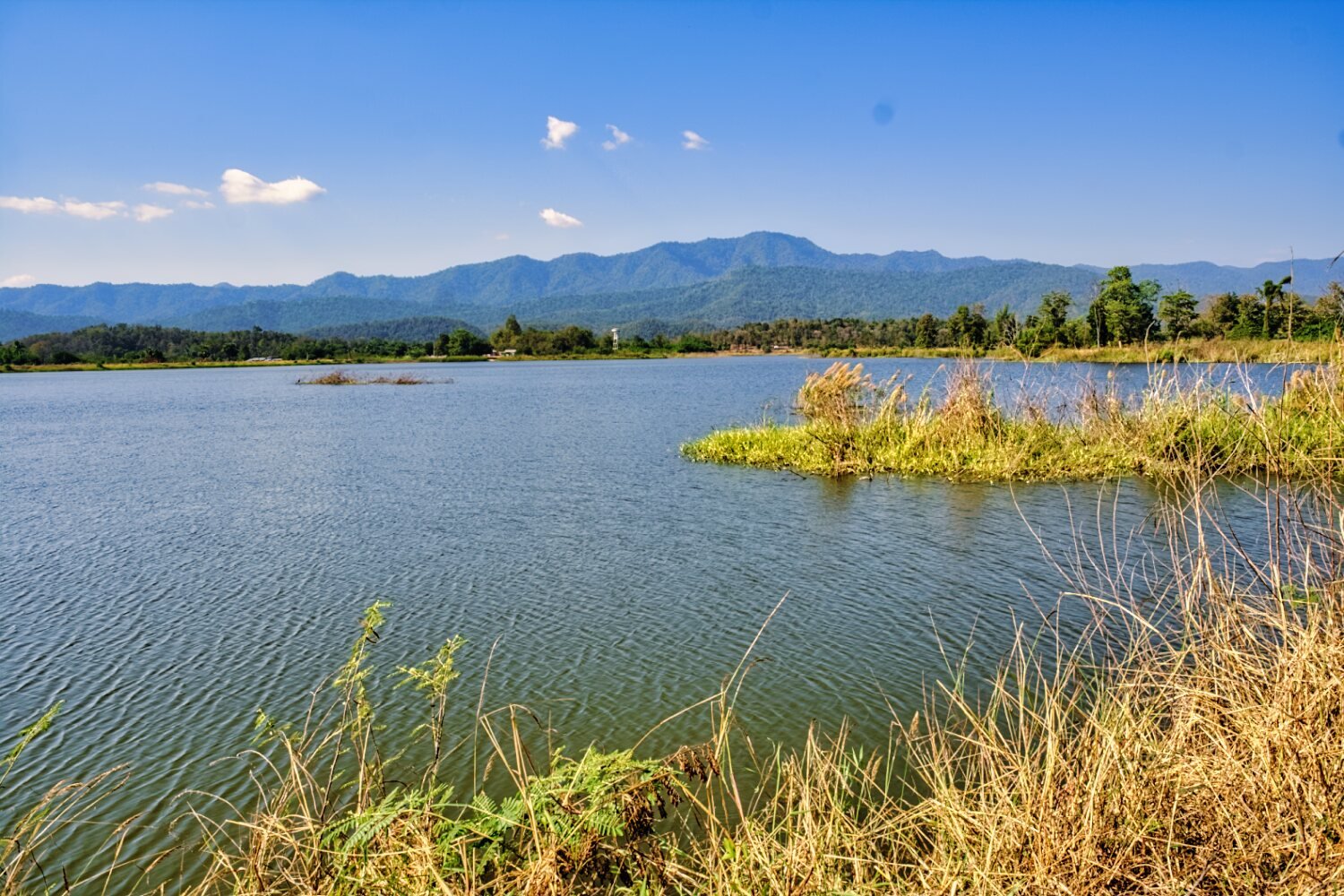
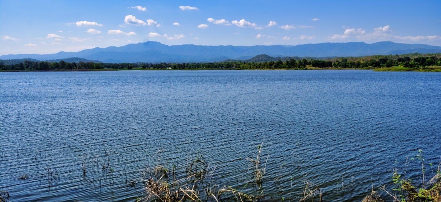
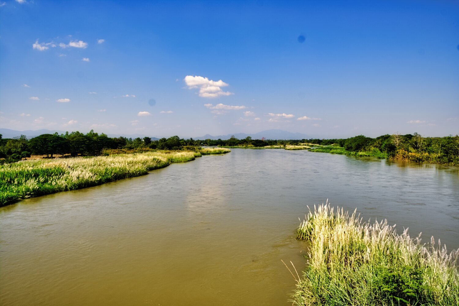
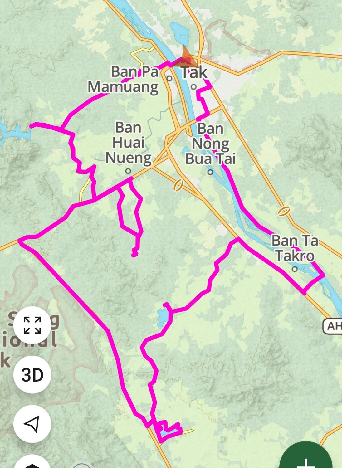
Staying local to Tak today my first stop was Huai Mae Tho Reservoir, here. https://maps.app.goo.gl/nM31aK9brjUhPiYa9 After getting lost in the countryside I rode on to Khlong Sai Reservoir, which had a track the whole way around, here. https://maps.app.goo.gl/zoMHSKiRhf6rtxJe8 After my loop I rode through the bamboo jungle and track for about 5 km before riding on to another reservoir with the same name, Khlong Huai Sai, here. https://maps.app.goo.gl/19udgyeMYZAUfoCKA Riding back to Tak I crossed the Ping river on Wang Hin-Pradang Bridge (Krittikun), here. https://maps.app.goo.gl/79Tcv6V25JYpnHc59 https://www.relive.cc/view/vdORjMjkkKO
-
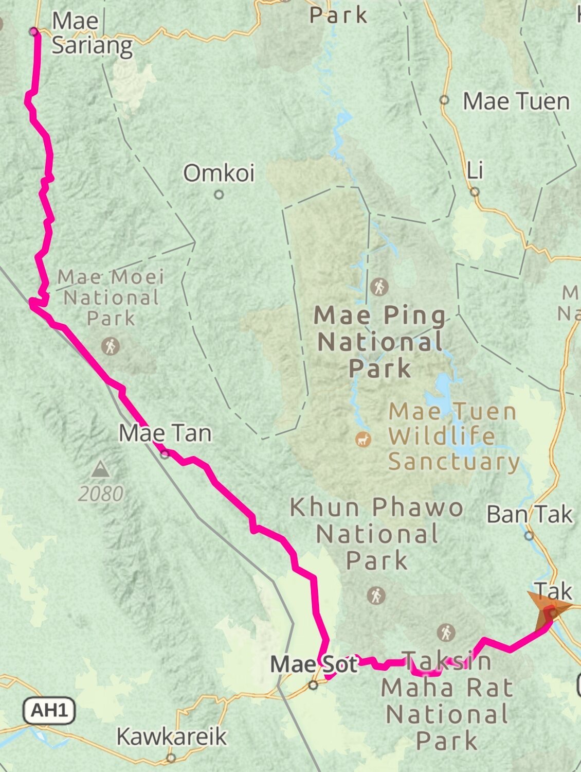
Today I rode 312km directly from Mae Sariang to Tak. The morning was a lot warmer than the last few days which was a nice change. https://www.relive.cc/view/vWqBmgnpZQ6

.jpg.7e65de92d4373b0bb9bf6b12d3a6a95b.jpg)


.jpg.27f486bb3c024fdd62c602fc671ad68d.jpg)


.jpg.a6f53eb88cc4a00c927c854b14ef527e.jpg)


.jpg.6fed72c5b37c6efa0875b649b9ba35a6.jpg)

.jpg.e32a112d5ba11b9202eb34bcd92f9141.jpg)