

chrissables
-
Posts
3,175 -
Joined
-
Last visited
-
Days Won
8
Content Type
Events
Forums
Downloads
Quizzes
Gallery
Blogs
Everything posted by chrissables
-
Traffic Pattaya's New Parking Rules: A Bid to Untangle Congestion
chrissables replied to snoop1130's topic in Pattaya News
Clamping them will cause congestion, tow them away as long as the area is well signposted. -
Report IKEA Goes Cashless at Key Thai Stores Amid Mixed Reactions
chrissables replied to snoop1130's topic in Thailand News
I have a smart phone and have no app to pay online. It suits me. If it does not suit a shop i can move on. -
Australian Teen Dies in Koh Samui Motorbike Collision
chrissables replied to webfact's topic in Koh Samui News
In my 20 plus years i have ridden around all of Thailand, Cambodia, Malaysia, Vietnam and some of northern Laos. Besides off road or green laning only one small scrape lane splitting in Bangkok. What is dangerous is racing around, no helmet, maybe drunk, maybe zero experience of riding. -
British Man Dies After Footpath Altercation in Bangkok
chrissables replied to webfact's topic in Bangkok News
They are, it takes them 6 weeks after arrest to go to the prison to start dealing with whatever the problem is. A friend of mine was twice held, i was his only contact and on both occasions the embassy took 6 weeks to contact him and then me. -
-
Many Thanks
-
Thanks 🙂
-
Someone used my photo? V rubber VRM VRM 022

-
Thanks 🙂
-
Thanks 🙂
-
-
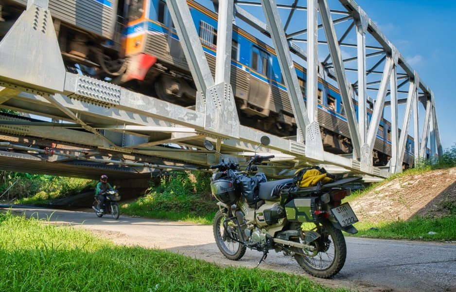
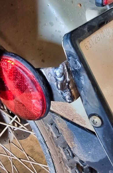
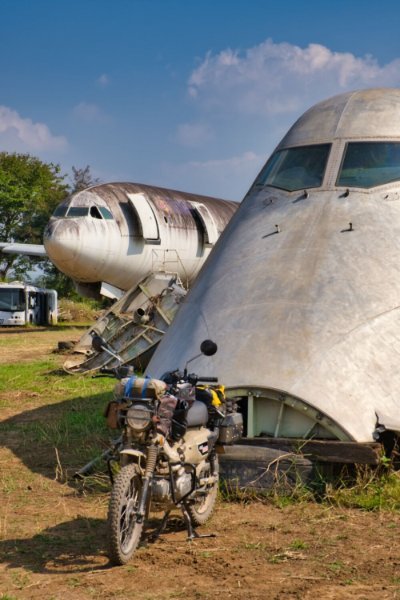
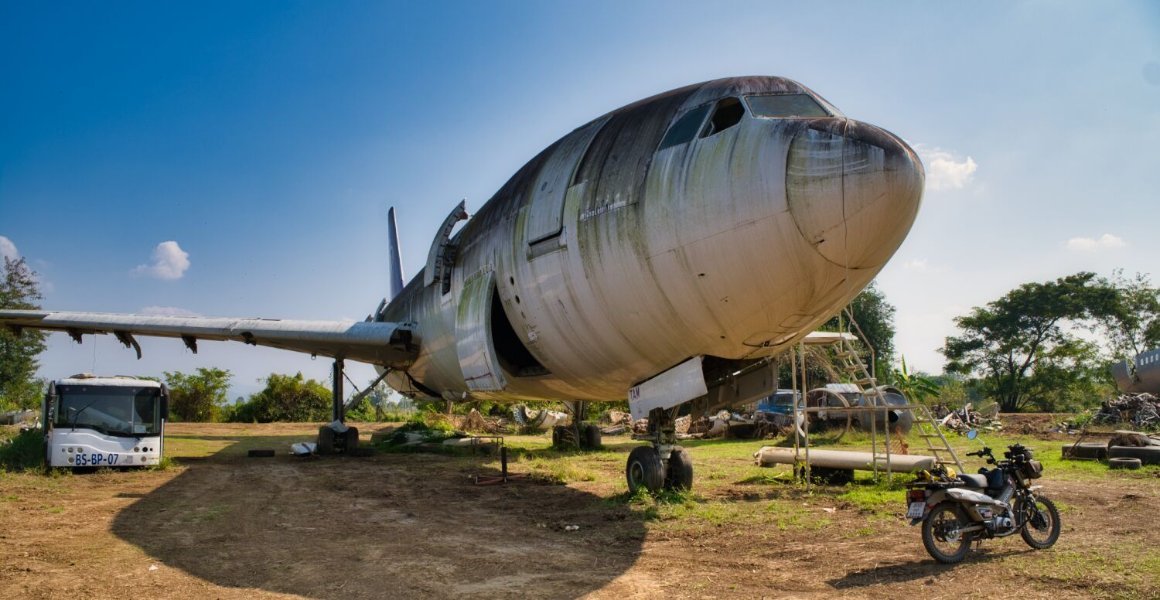
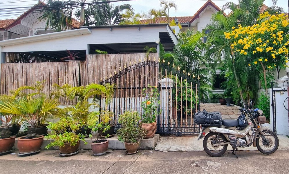
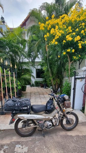
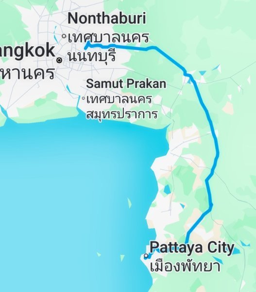
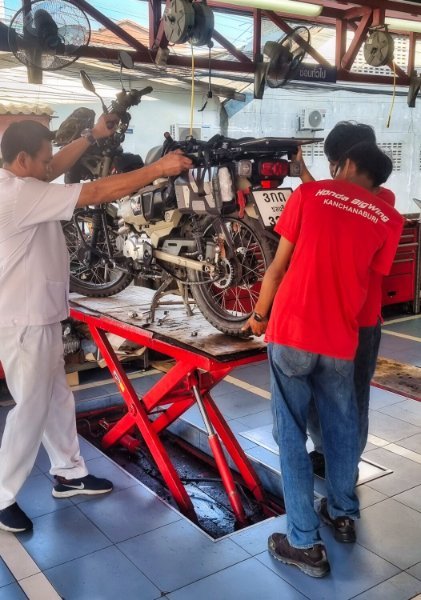
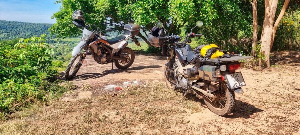
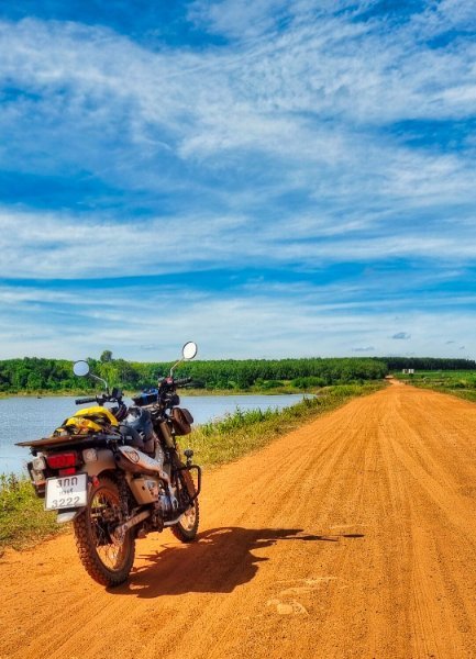
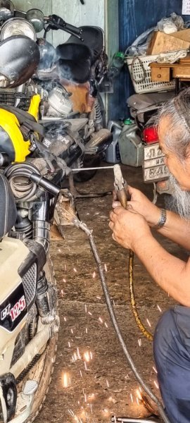
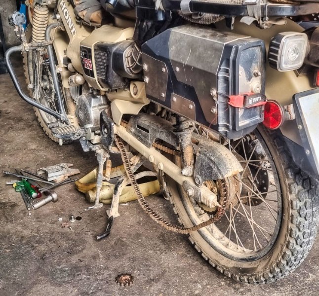
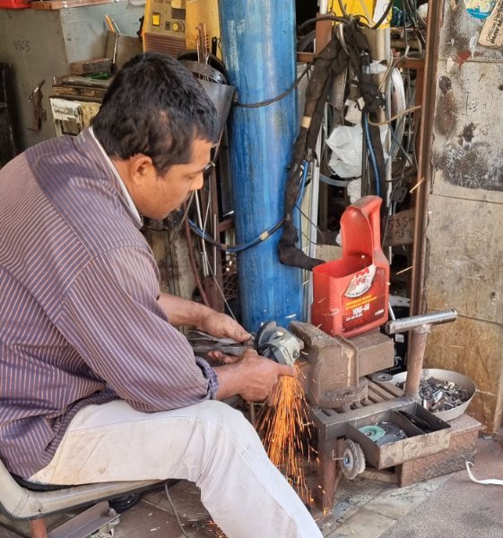
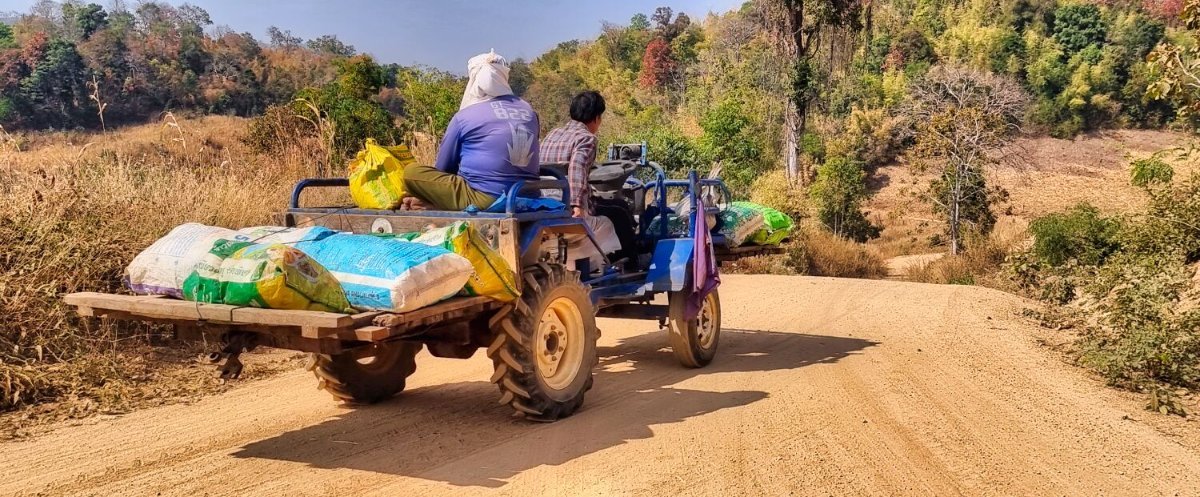
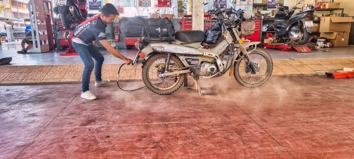
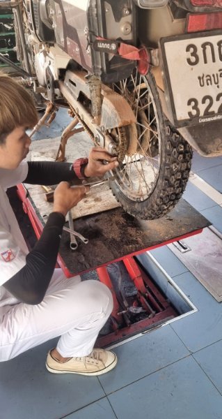
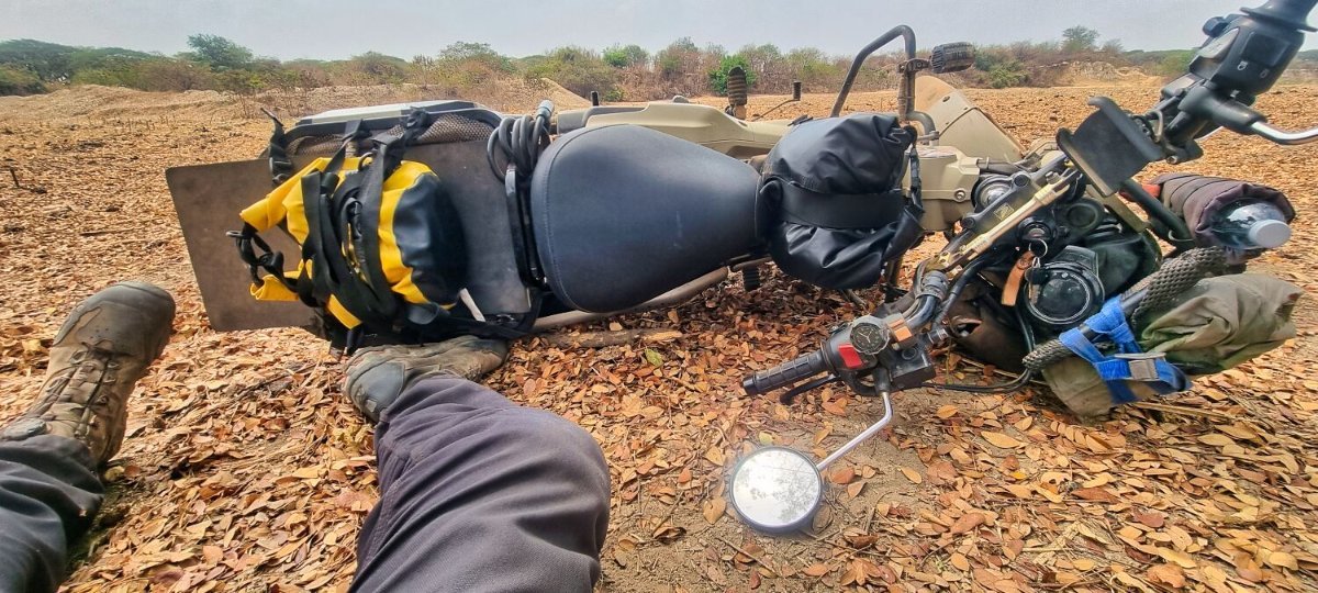
Yesterday I arrived back home in Pattaya from Bangkok after 132 days riding and 19,250km. There was just one puncture at the start of the ride, which was a slow puncture so easy to get repaired. I started the trip with a new set of tyres and replaced them one time on route. I had the bike serviced 2 times with a service now due. I had weld repairs to the tool box 4 times and always at a local shop and done quickly. Luckily only one accident, I was not hurt and the motorbike had no damage. There is a screenshot of almost all of my trip in the photos. https://www.relive.com/view/vYvEGZJ87w6
-
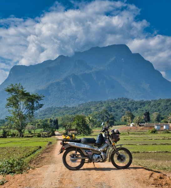
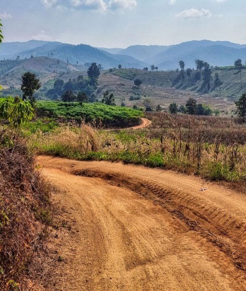
Day 131. 20.03.25. Kanchanaburi to Bangkok Nearly home now. I rode from Kanchanaburi to Bangkok in about three hours, most of the way the traffic was ok, even where the skytrain now is running. Before always very busy. https://www.relive.com/view/veqzdGWZPBO
-
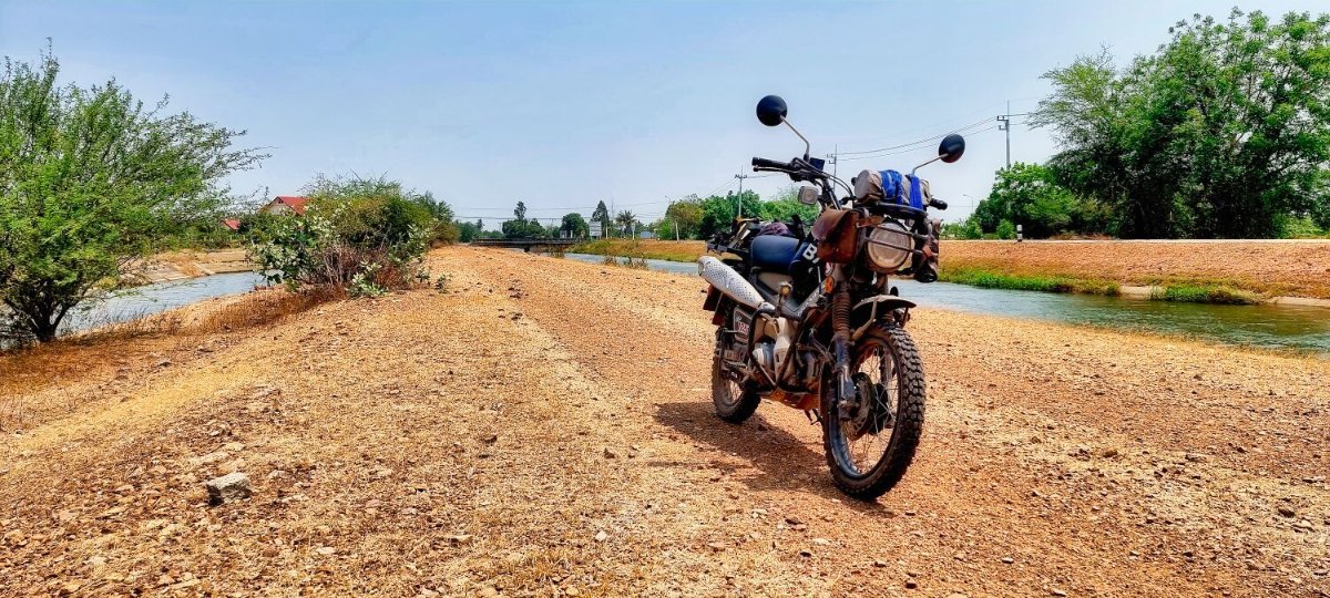
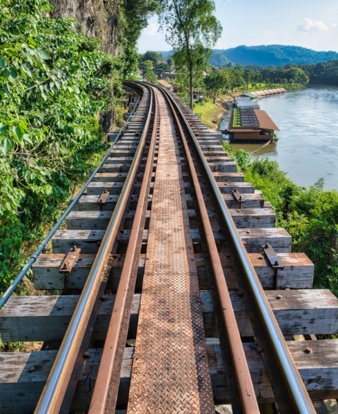
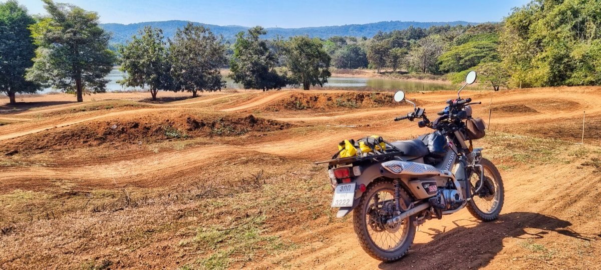
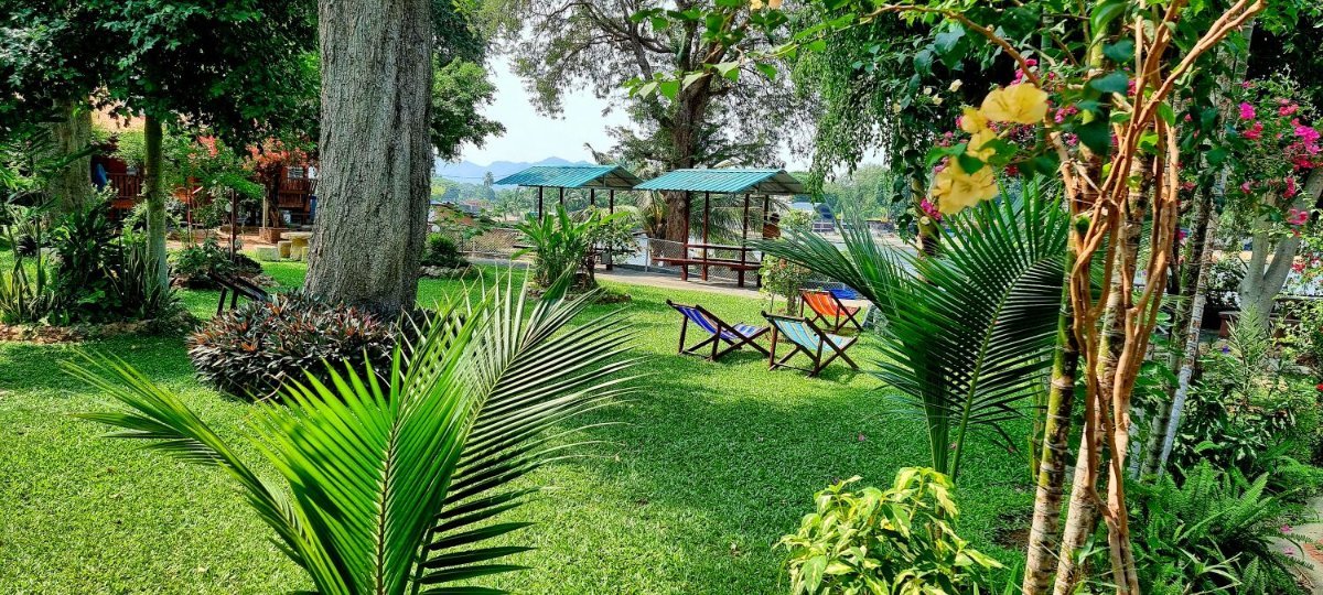
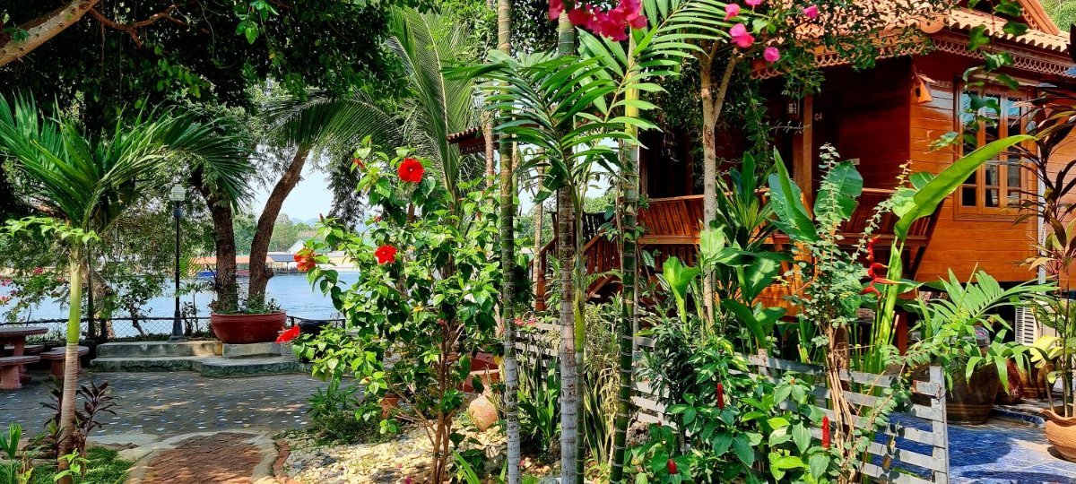
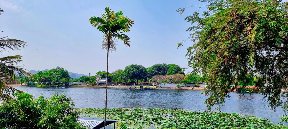
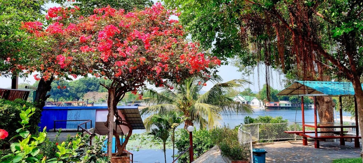
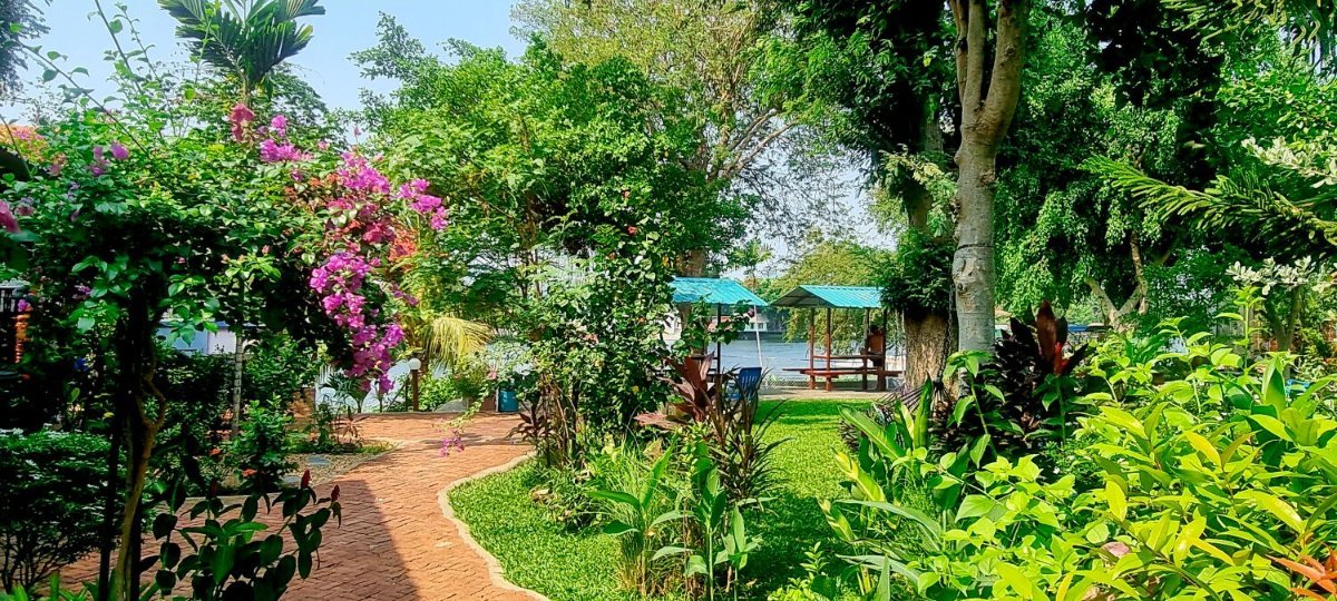
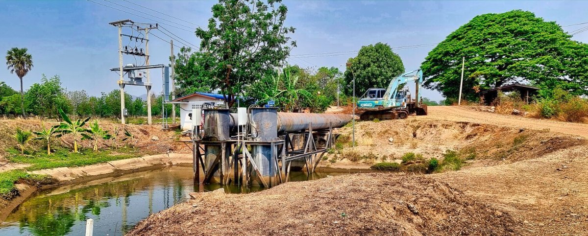
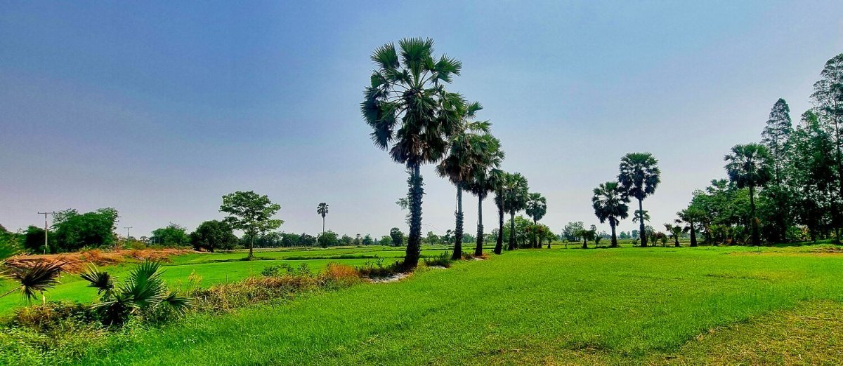
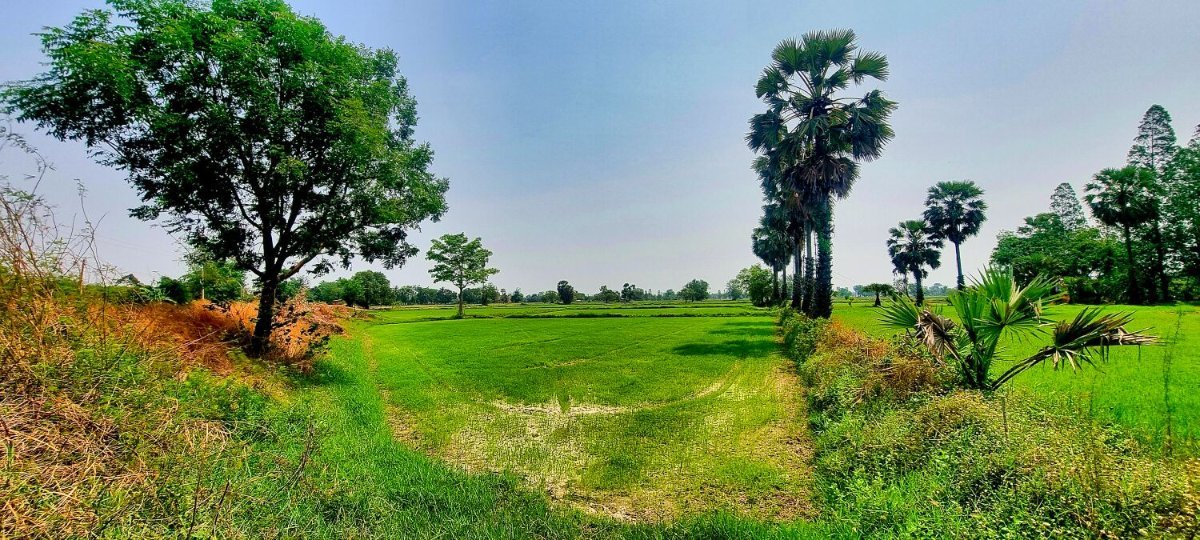
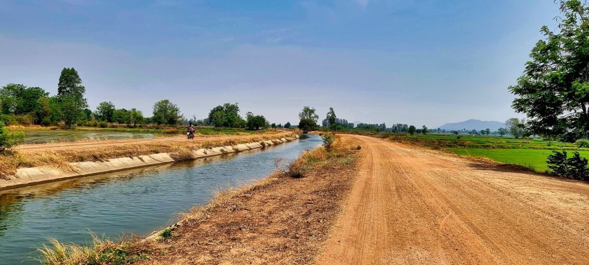
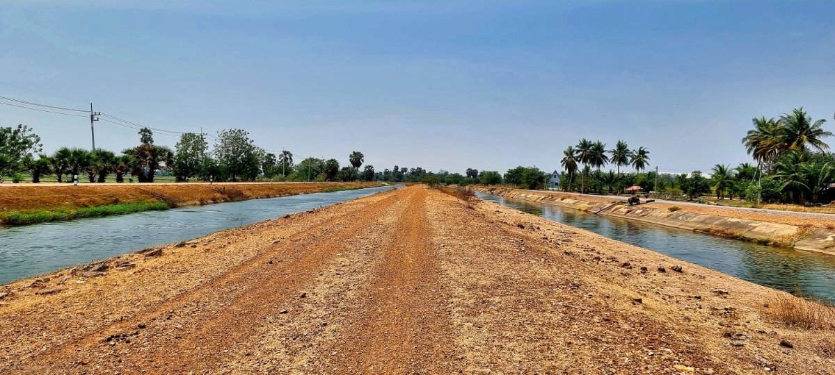
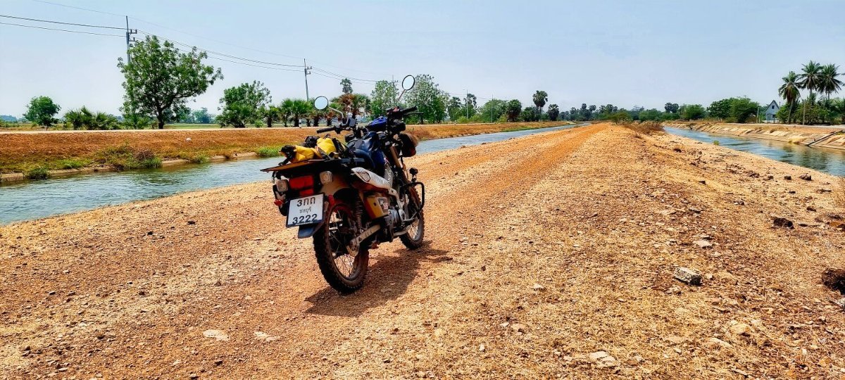
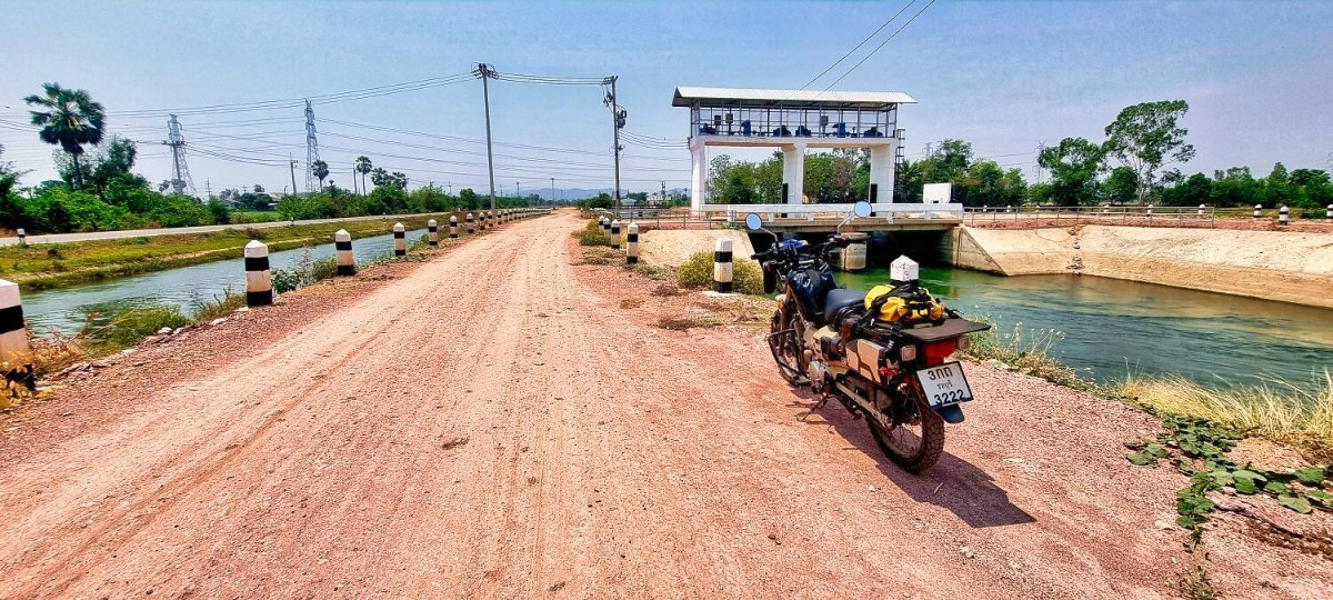
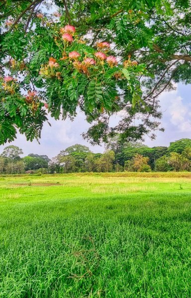
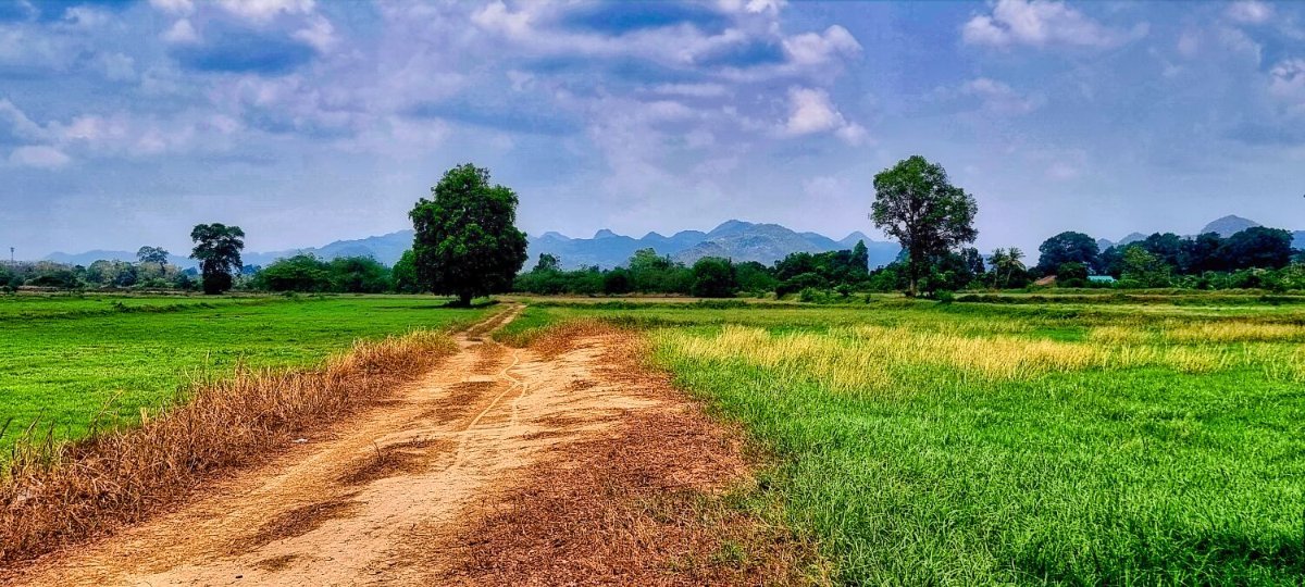
Today, after taking some photos of the garden at my hotel I went riding the tracks alongside irrigation channels in Kanchanaburi. I have ridden them before, but always nice to ride. https://www.relive.com/view/vMq5wG7m28O
-
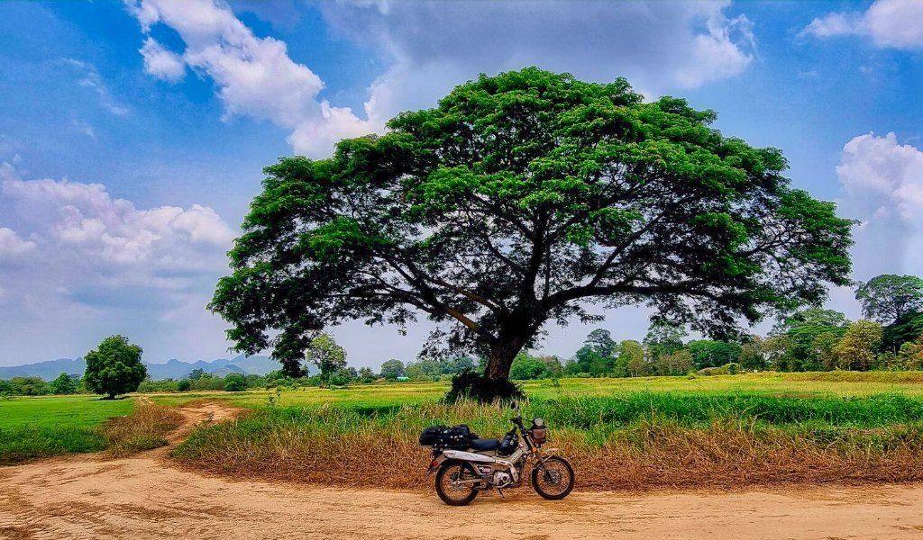
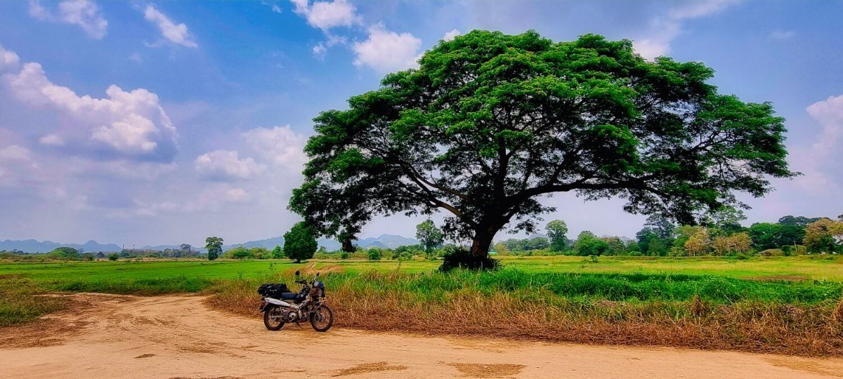
Today I carried on with my ride north and from Prachuap Khiri Khan and rode to Kanchanaburi. The sunset was again great to watch. I only stopped at the Rain Tree, outside of Kanchanaburi, here. https://maps.app.goo.gl/sLAGDrMVLGG65kR26 https://www.relive.com/view/vKv2d4BxKo6
-
-
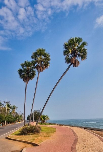
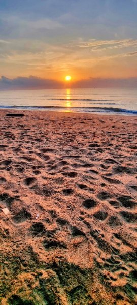
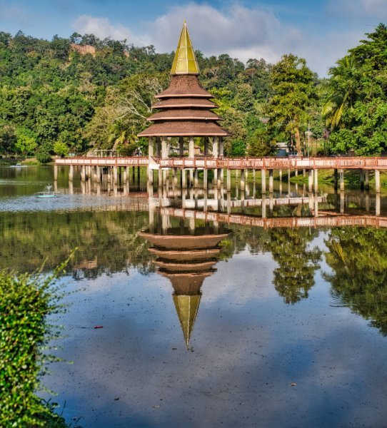
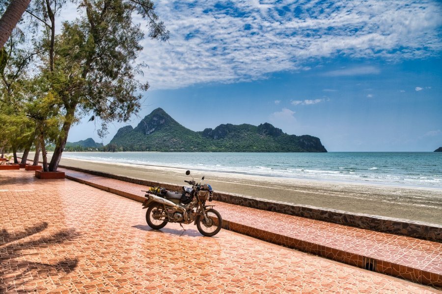
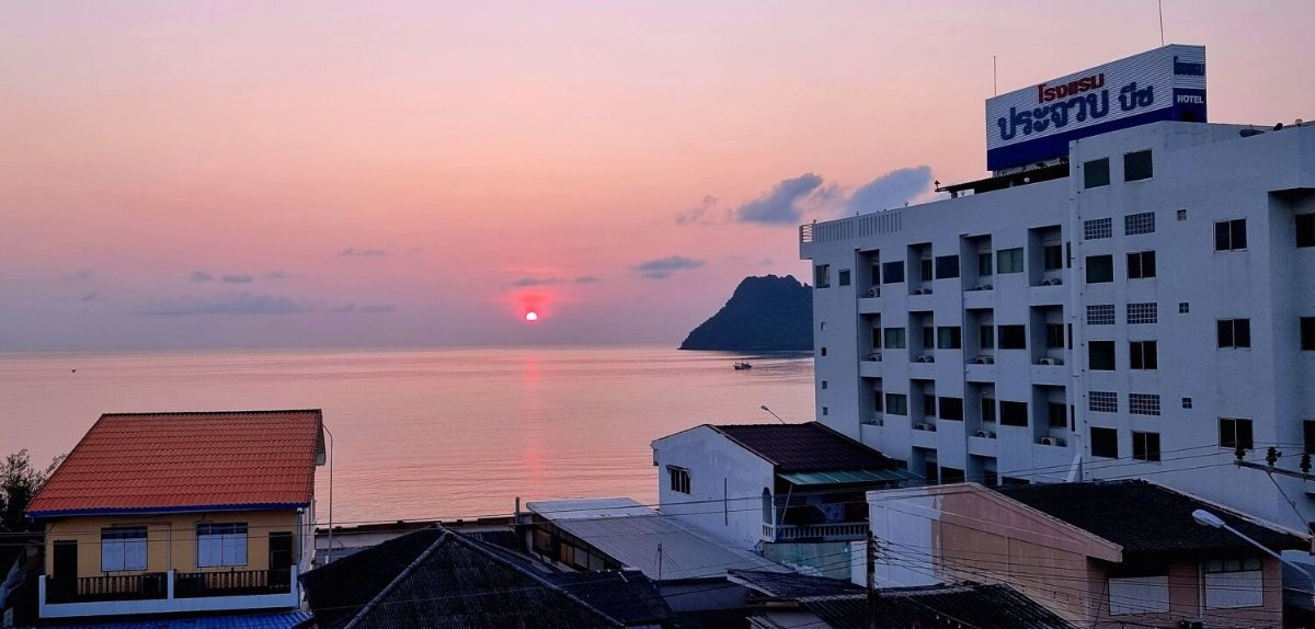
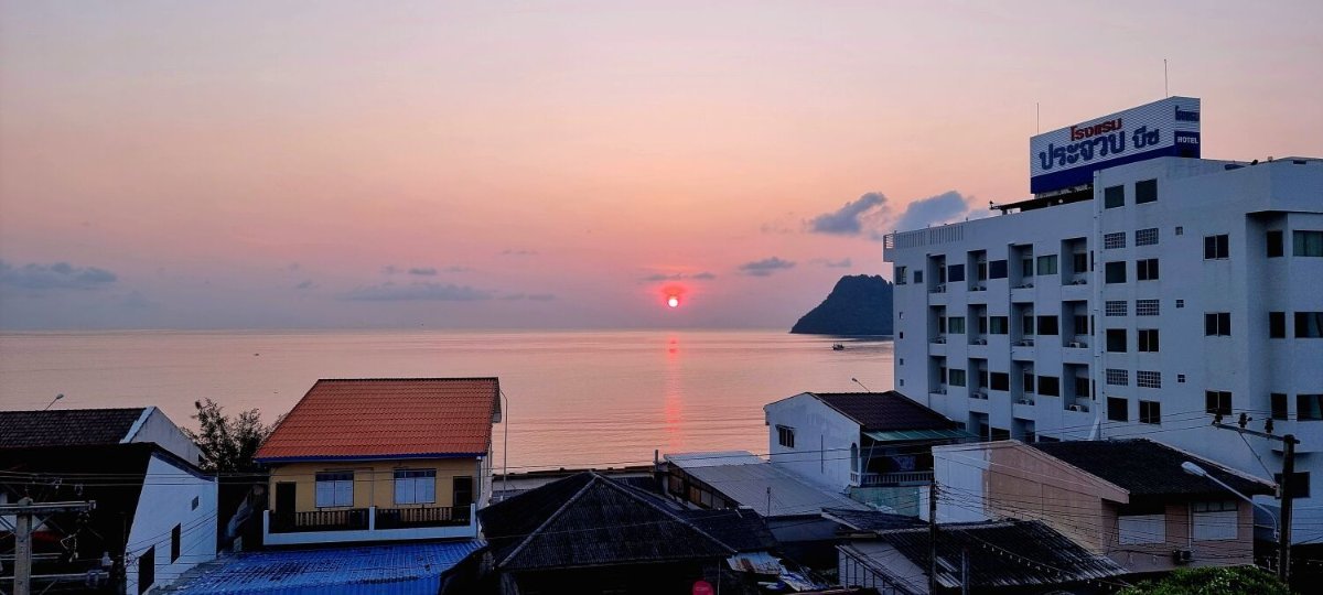
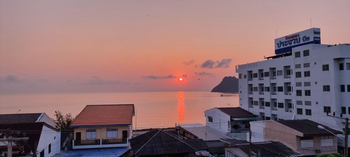
Today I stayed local to Prachuap Khiri Khan. After a sunrise photo I later rode along the beach road north and took a photo of the hill top temple, Wat Thamikararam (Khao Chong Krachok), here. https://maps.app.goo.gl/WhP79tQYPmHYkqGt7 I then rode up the road to the beach at Tourist Service Center, Khao Ta Mong Lai National Park, here. https://maps.app.goo.gl/XcmTNS9FNM3T2qZu6 Nearby I road up a fishing pier, here. https://maps.app.goo.gl/dqtu3eLA6pGkioHS6 I then backtracked along the coast to the Beach Promenade, here. https://maps.app.goo.gl/84u95yq4f8gJXzpM8 For my last stop i then rode to Ao Manao Beach, here. https://maps.app.goo.gl/Gy5LRoKWyRDdER5HA https://www.relive.com/view/v8qV51KwA76
-
Today I continued on my way home with a short ride north to Prachuap Khiri Khan. My first stop was at Shrine of Father Sang Khao Khwang, here. https://maps.app.goo.gl/9Xf5hRqG91wV6Tmu6 Further along the coast a found a small track that gave access to Saeng Arun Beach, here. https://maps.app.goo.gl/CrwPXTVcGKbrNgd4A From here I rode along the coast as much as possible until I arrived at Prachuap. https://www.relive.com/view/vLqe9Nw9ydq
-
-
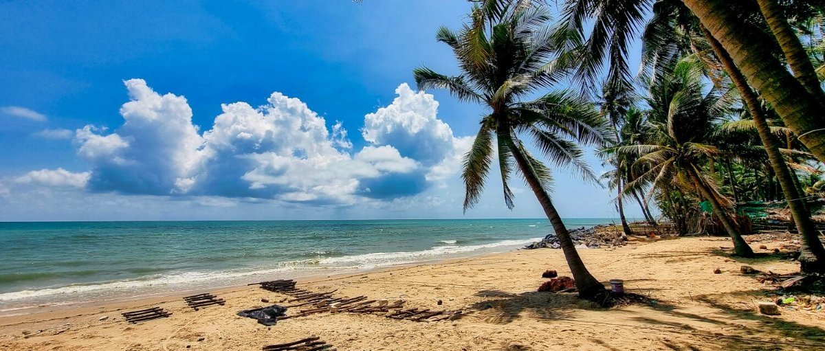
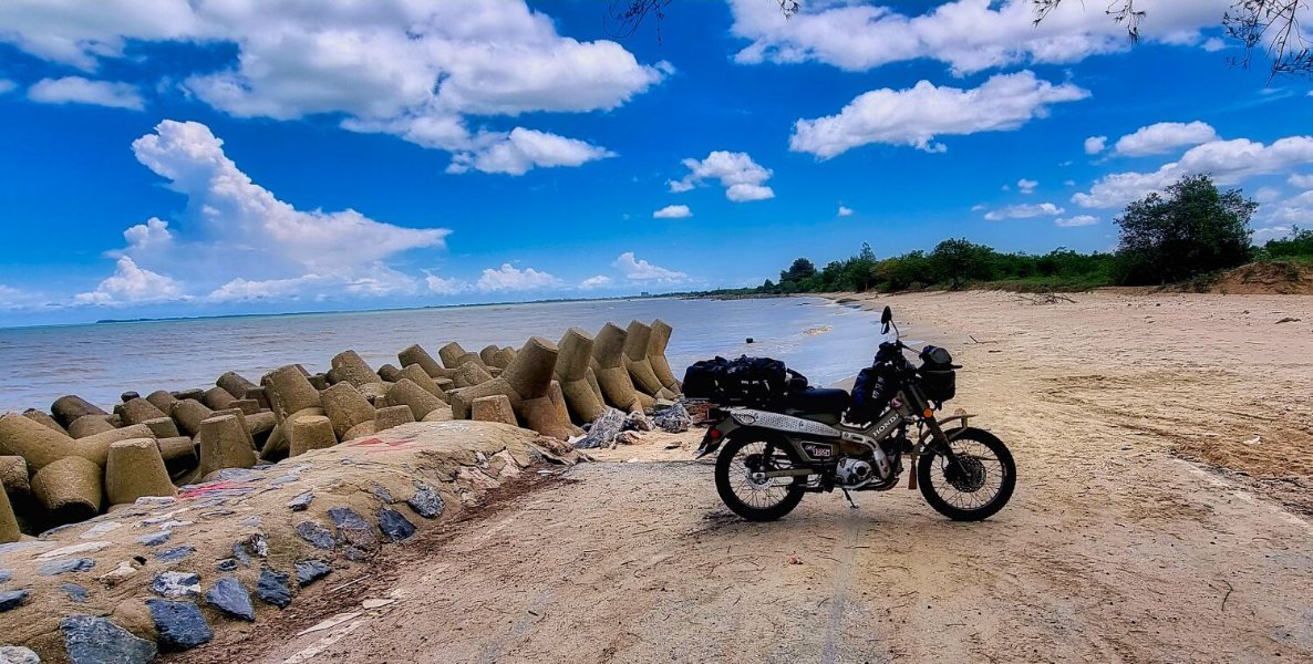
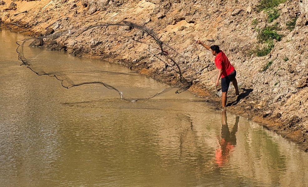
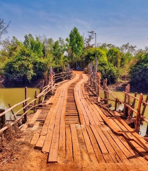
Today was a local day at Ban Krut. I went to the beach for sunrise and a walk about. Later I rode along the coast to a small bridge, here. https://maps.app.goo.gl/Wza7KSTgcqi37evSA Not far further down the coast is a small inlet for squid boats and a sand dredging area, here. https://maps.app.goo.gl/Wm4EWdhCj3vZbkSY6 https://www.relive.com/view/vevY7VkGyy6
-
Thanks 🙂
-
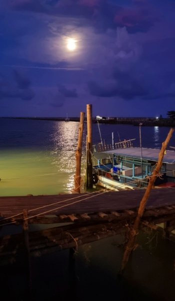
Last night I sat in a great seafood restaurant in Lang Suan, Maya, here. https://maps.app.goo.gl/orAymysaocyPUSP6A I watched a wonderful sunset with great food and drink. This morning I left Lang Suan to ride to Ban Krut, I only stopped once, at Arunotai Beach, here. https://maps.app.goo.gl/AJR6WXcvDoVGi6kD8 The place I usually stay was full, so I tried Sisina Resort, here. https://maps.app.goo.gl/eHCwESopPh1eW4wV8 A nice place set back from the beach, worth a look if staying here. https://www.relive.com/view/vE6J5d5WgxO
-
Today I rode north from Ao Nang to Lang Suan, a 284km ride. I only made one stop, Model ship Chakri Naruebet, Prince of Chumphon, Pak Nam Lang Suan, here. https://maps.app.goo.gl/ac64s8sHeFK9u2UL7 There are storms about, I can hear the thunder, but in my room, so no problem. https://www.relive.com/view/vevY7VojdJ6
-
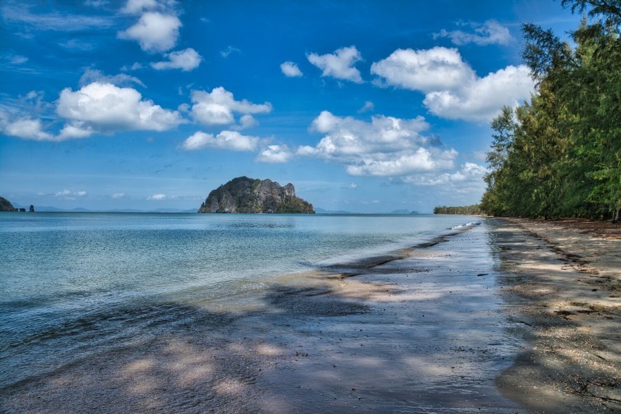
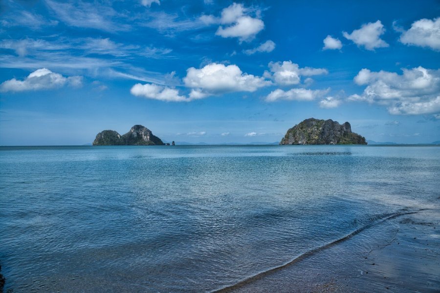
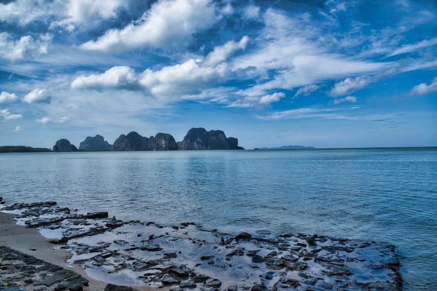
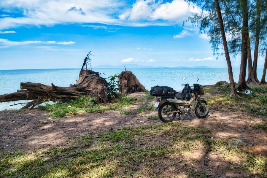
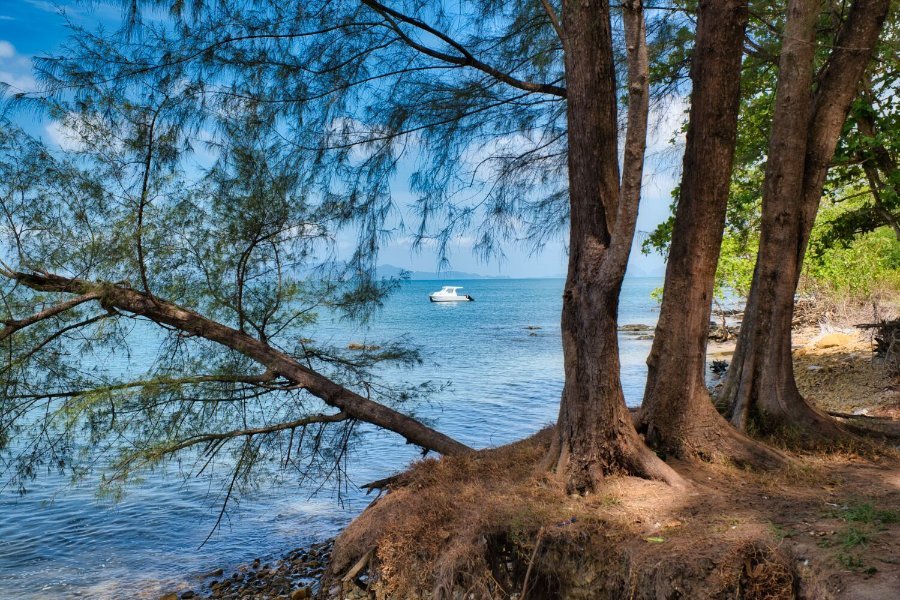
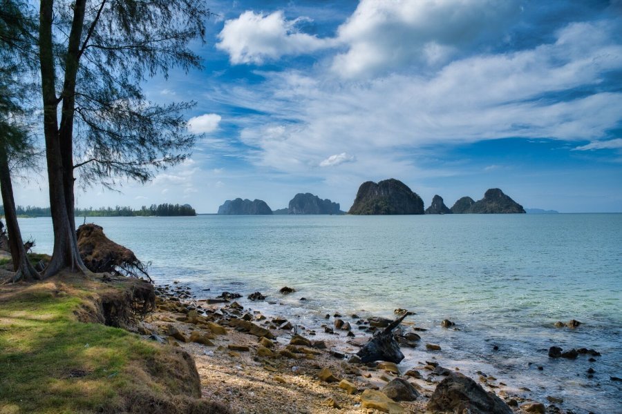
Today I left Trang heading for Ao Nang, my first stop was an unnamed beach with wonderful views, here. https://maps.app.goo.gl/akxsybmVzET3g5Df9 Next was Hua Hin Beach, Trang, again a place with great views, here. https://maps.app.goo.gl/NCehEQicYfVvH93Q8 Then an easy ride to Ao Nang. https://www.relive.com/view/vrqojdWJnK6
-
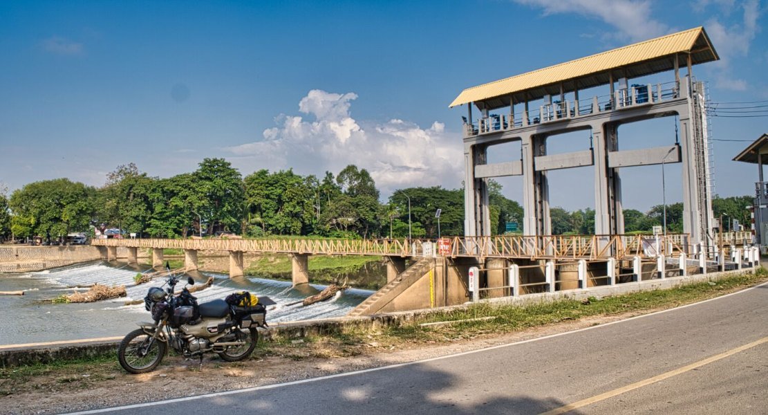
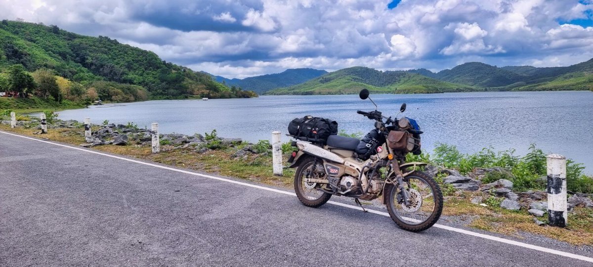
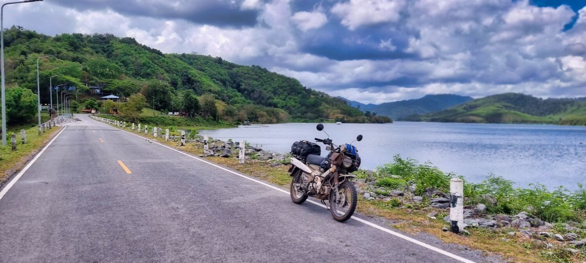
I left Songkla today heading towards Krabi, on route I stopped at Huai Nam Sai Reservoir, here. https://maps.app.goo.gl/BzTdwzBqmi1V4xW26 When there I changed my mind and headed for Trang, cutting a few hours off of my ride. https://www.relive.com/view/vNOPDBRzKYO


.jpg.c59f5b7219ce5b2b416f17cb7500fff5.jpg)
.jpg.045780ba87abce836366e1eb005c63b1.jpg)


.jpg.c2fa500f1b54502d9e52146119d15971.jpg)


.jpg.f52def83741dcc0b8a0a413d57b34f77.jpg)

.jpg.05799153481039073f4059669f29c3df.jpg)
.jpg.ffcf03e0e3fe4e31b110517a1c2c7a89.jpg)


.jpg.0dd673998bf225b71dc82b9001c84458.jpg)


.jpg.60b59f5834dfeef12502207d02c2f706.jpg)


.jpg.f509c2fb5719df172beca5e0259090e6.jpg)


.jpg.ae1355d781989755ebdfdd5941e1c2c8.jpg)


.jpg.37dc3a48733089aa955119d161c53ff0.jpg)


.jpg.d455a15681ed3897ce4da3f02acf50ac.jpg)


.jpg.e19b6ee1e7ae692212266b48c51eaf25.jpg)


.jpg.e8327d90ae2f34810522715826fc8c21.jpg)


.jpg.0a540223432e6fde8066c0da9b8872c3.jpg)