chrissables
-
Posts
3,175 -
Joined
-
Last visited
-
Days Won
8
Content Type
Events
Forums
Downloads
Quizzes
Gallery
Blogs
Everything posted by chrissables
-
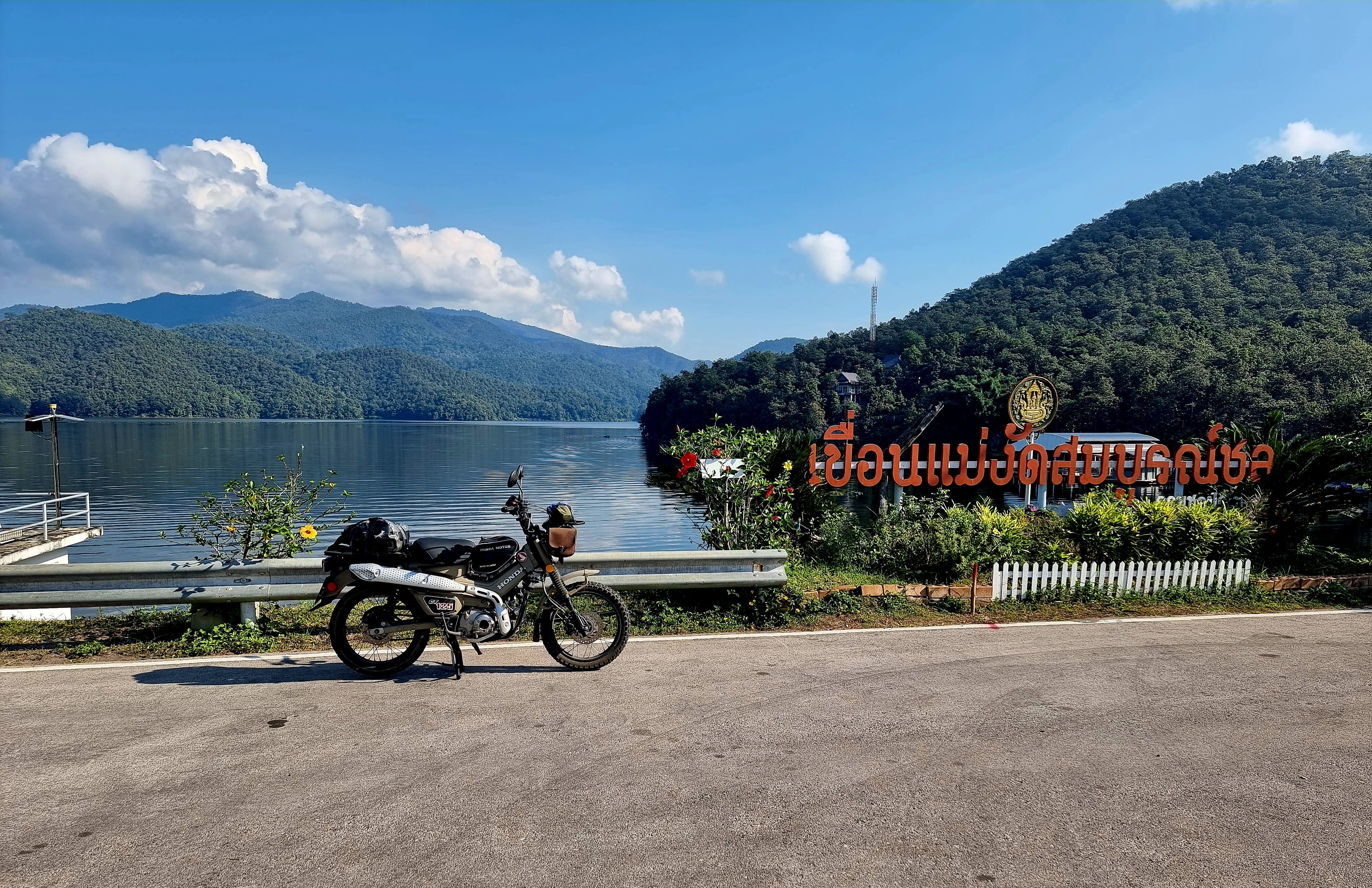
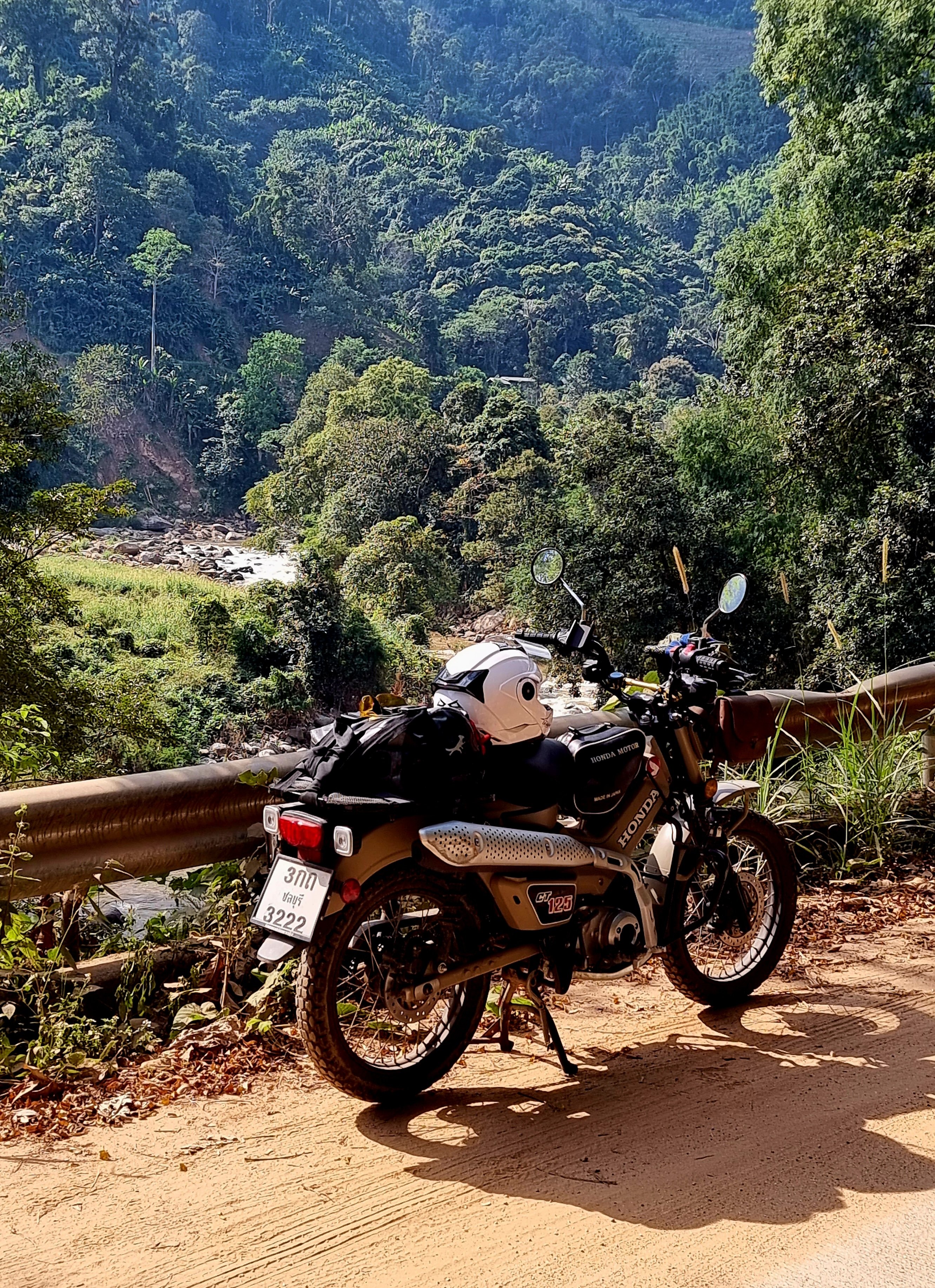
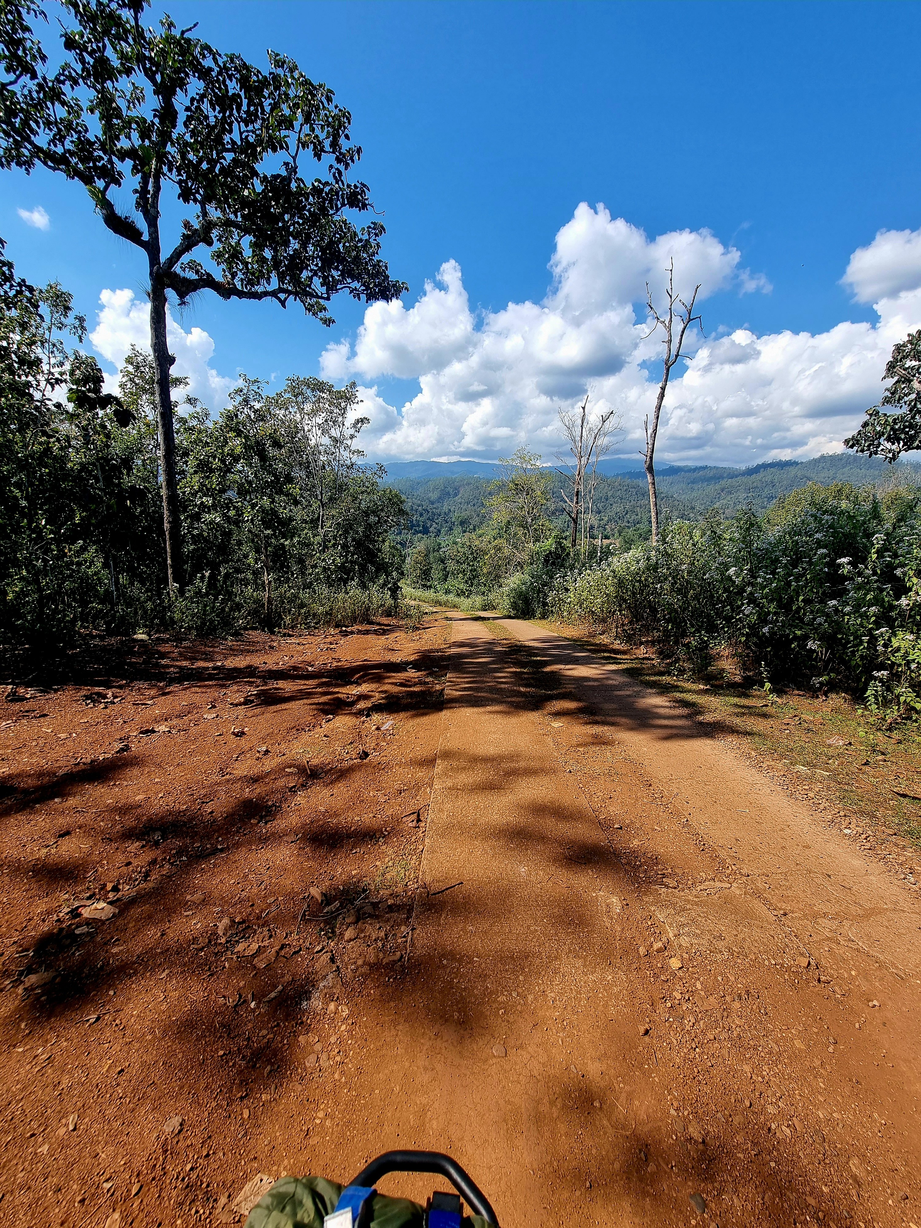
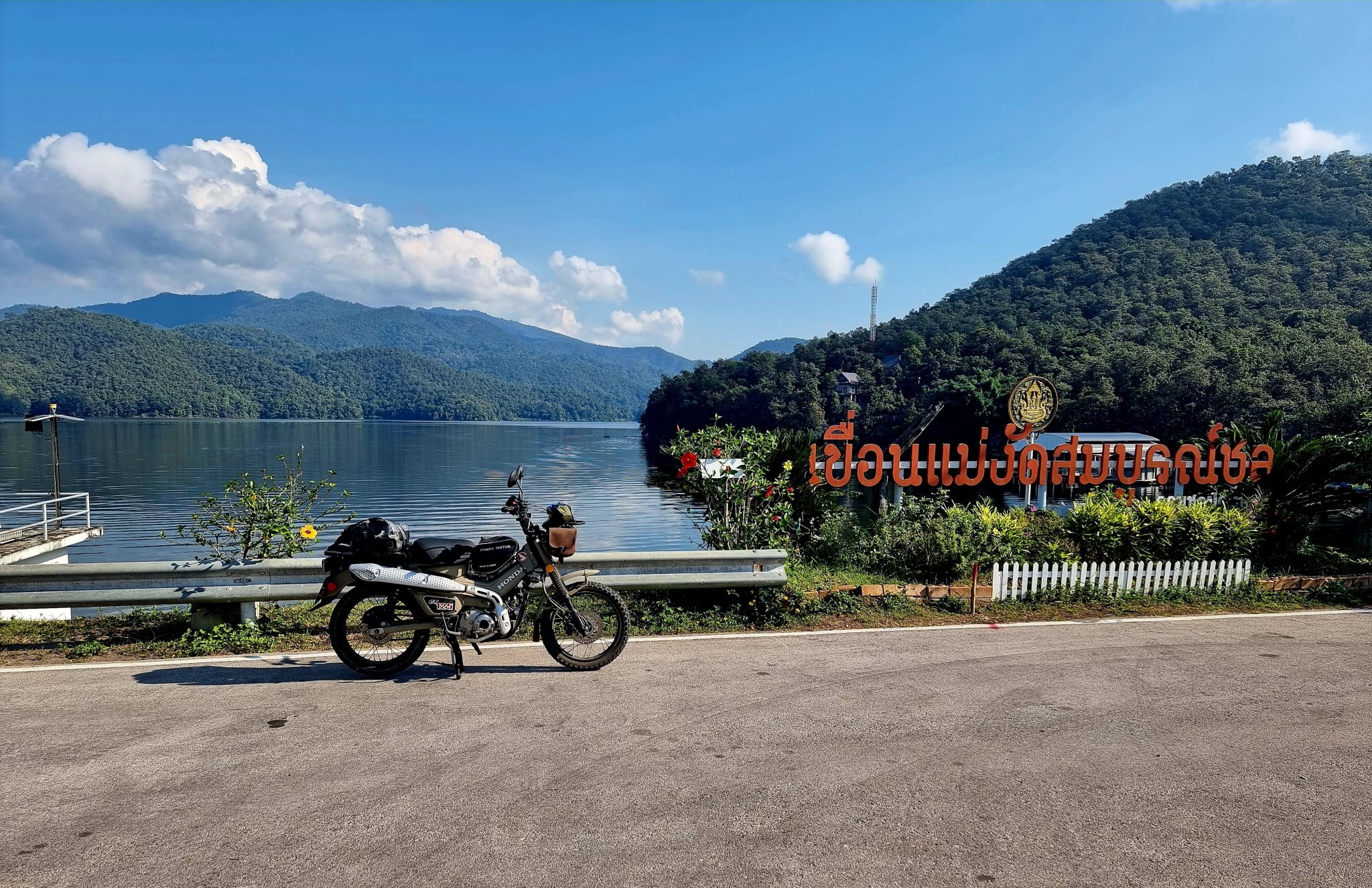
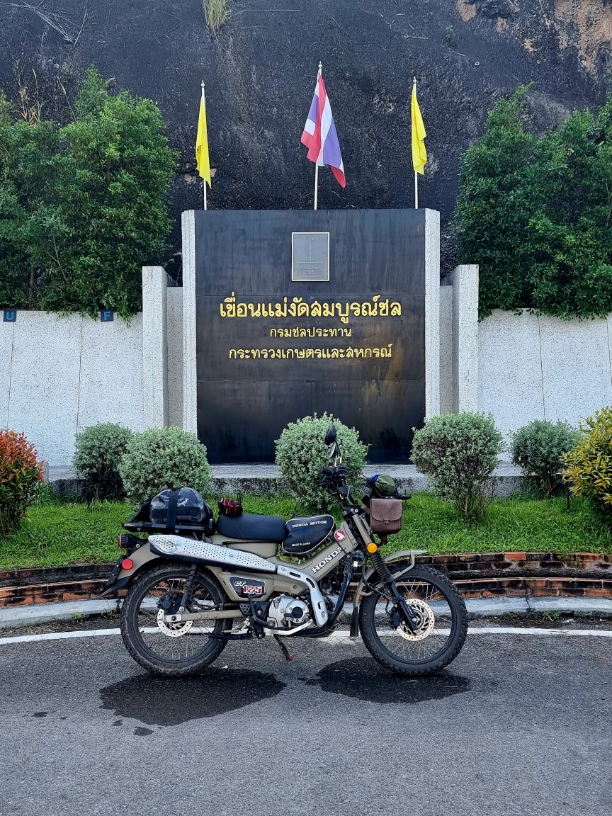
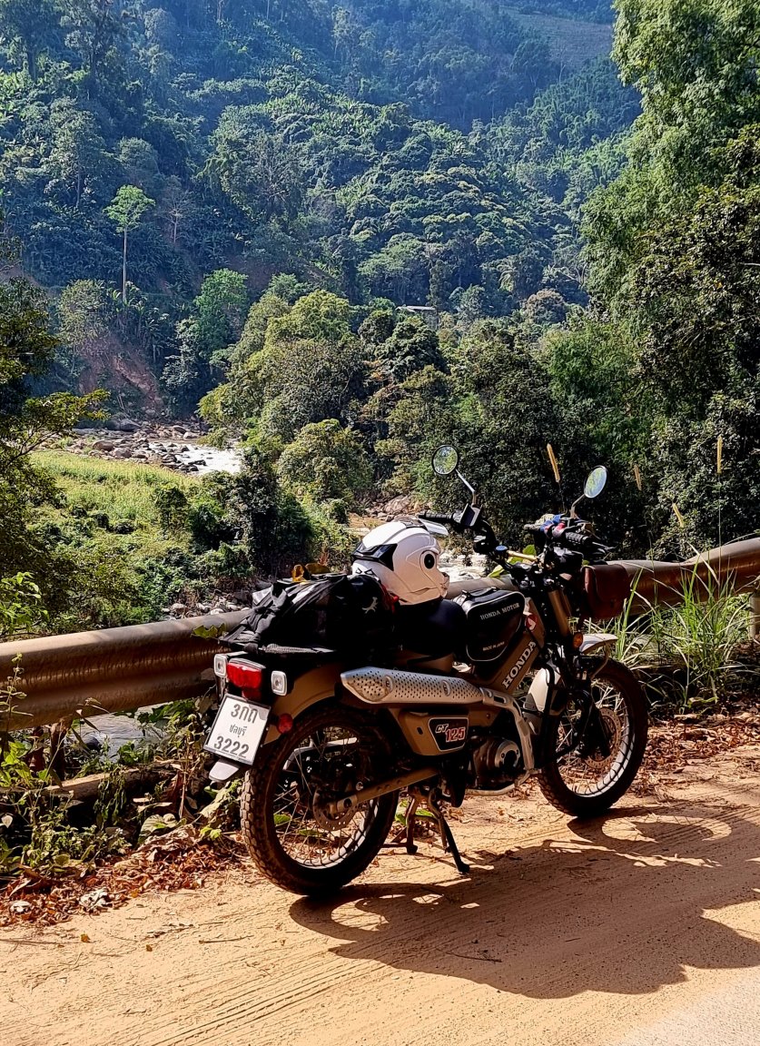
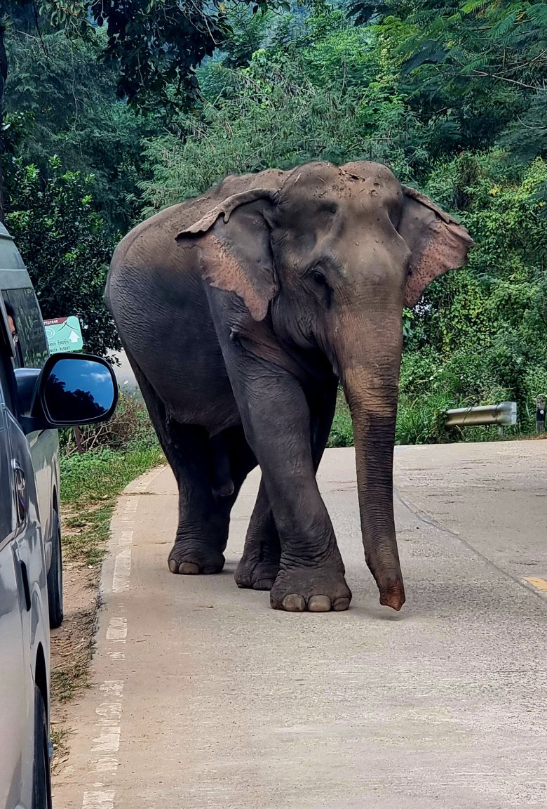
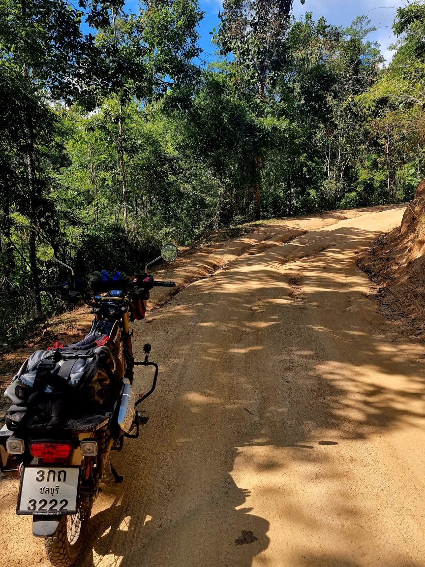
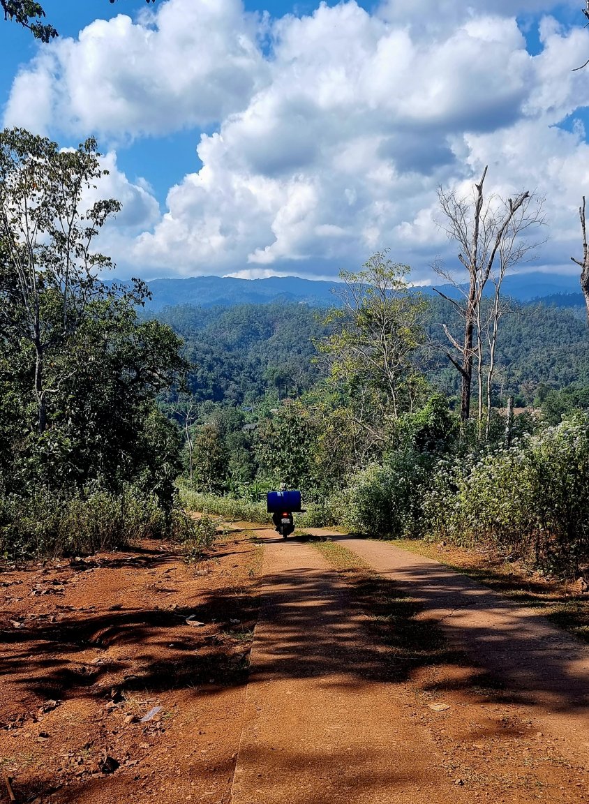
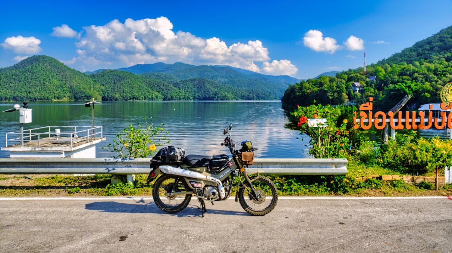
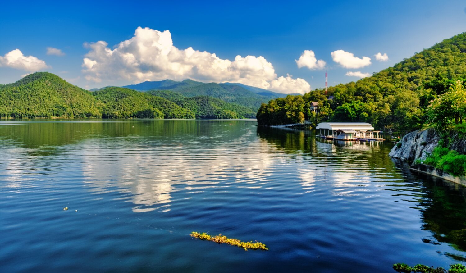
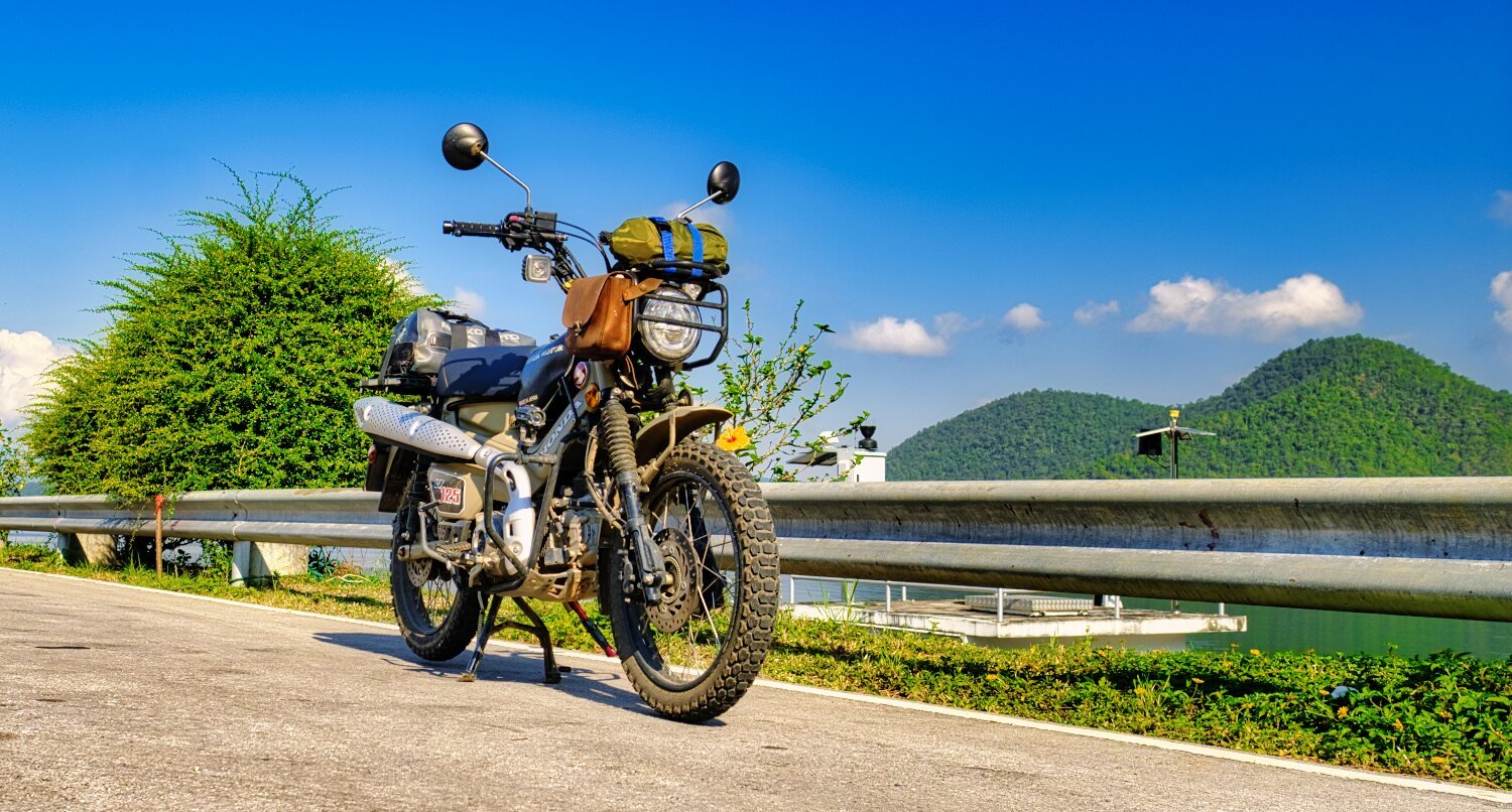
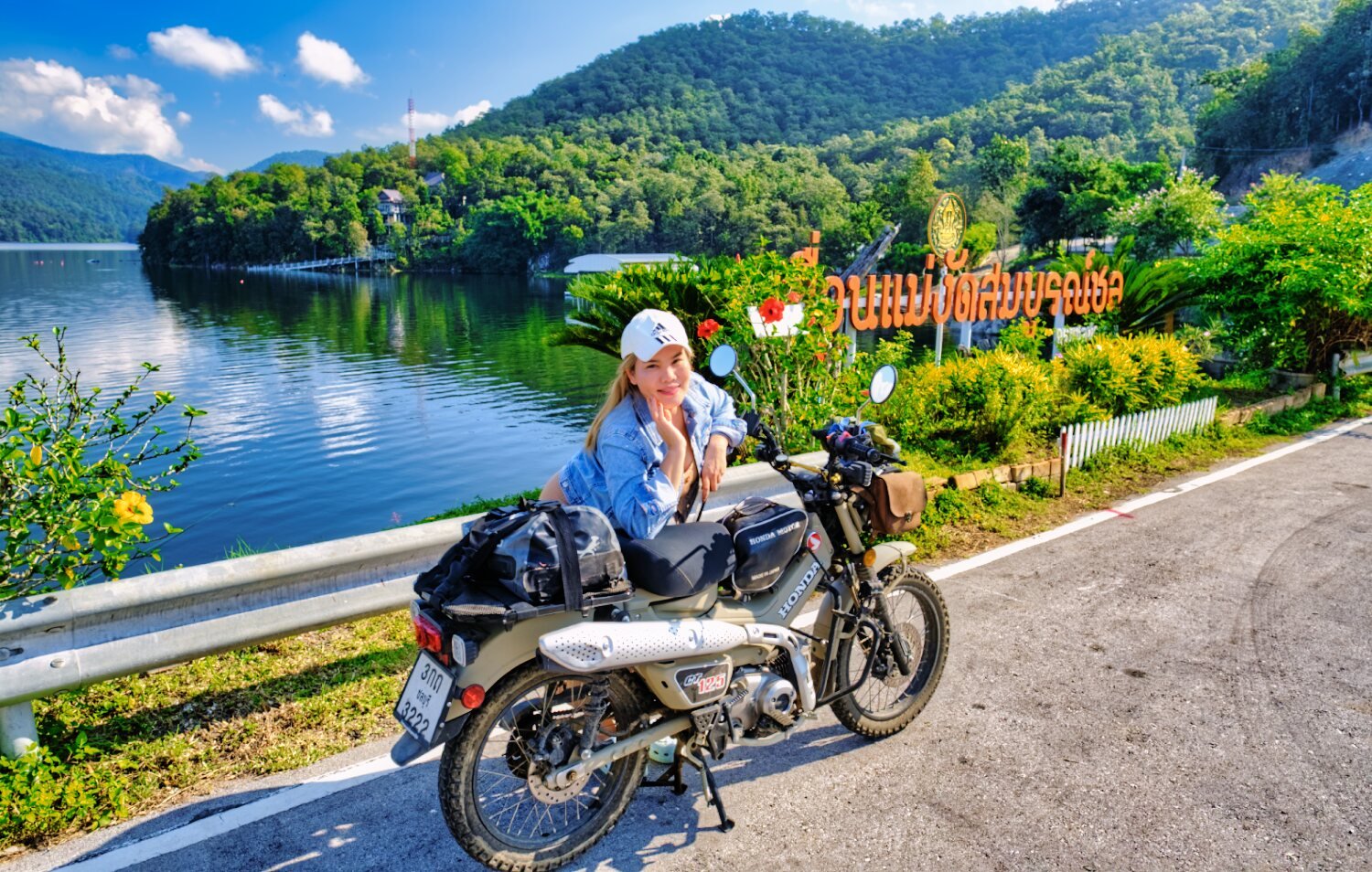
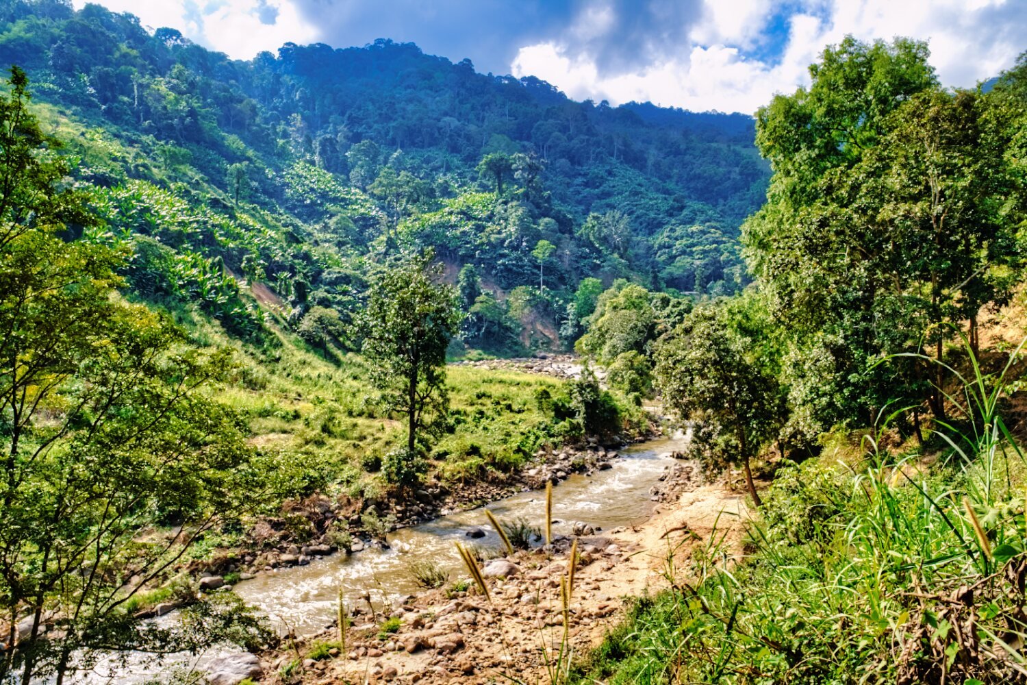
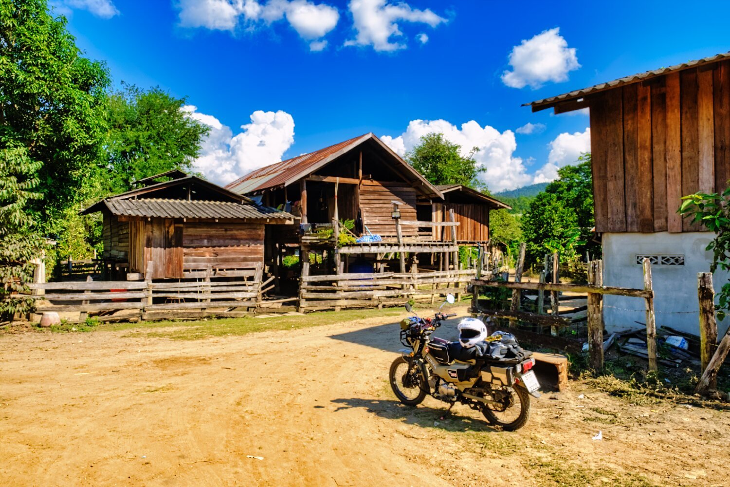
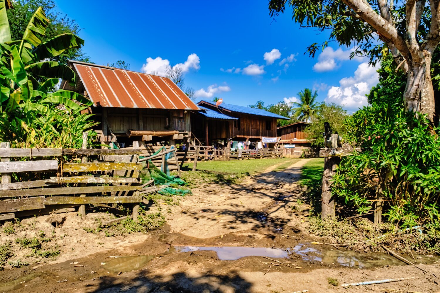
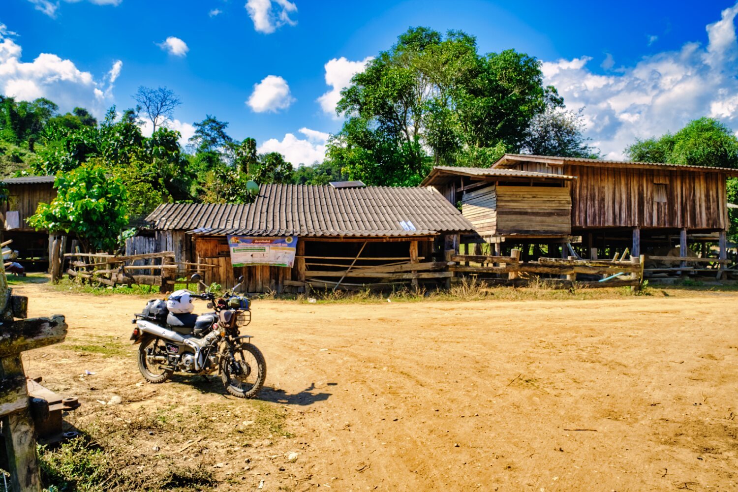
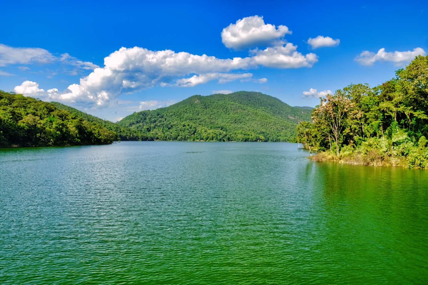
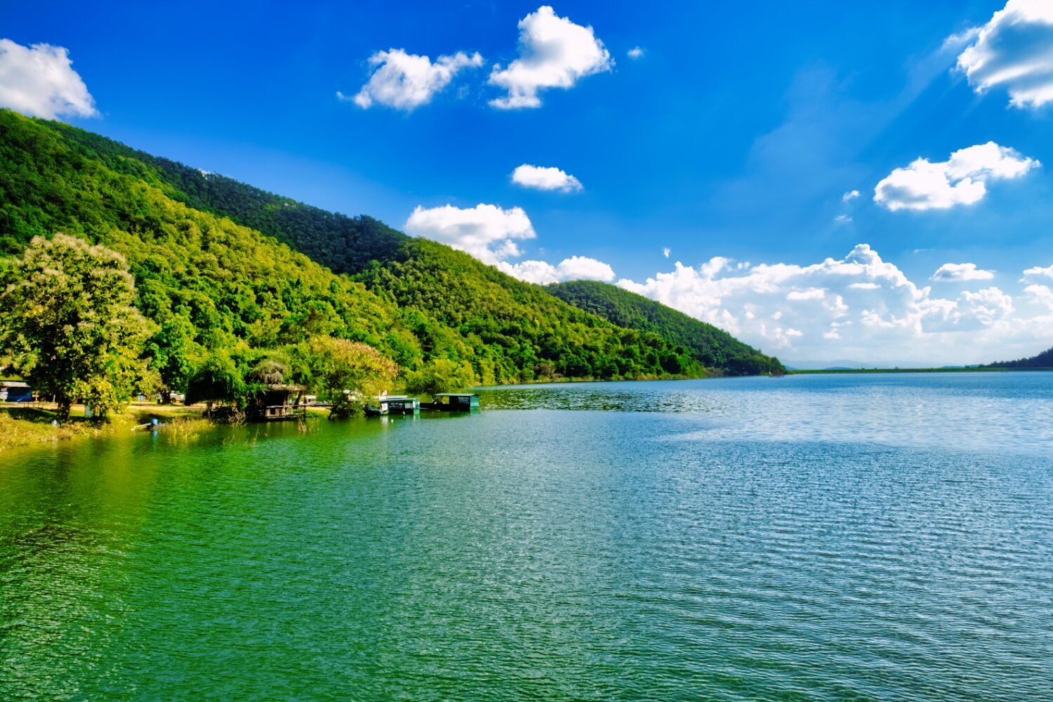
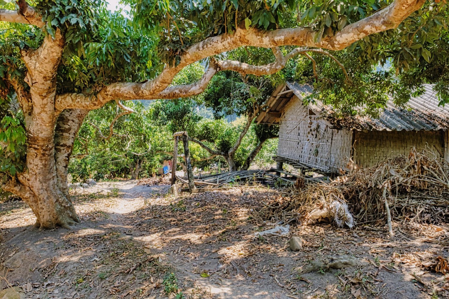
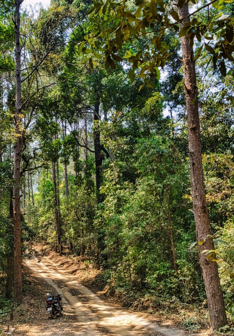
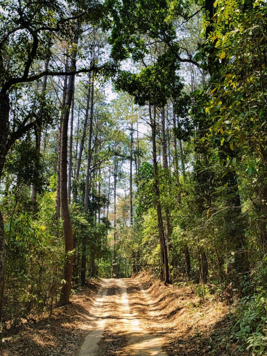
Today’s ride was a loop via Mae Ngat Dam, Ban Paa Khao Lam A busy road leaving Chiang Mai this morning that go quiet when I turned of towards Mae Ngat Dam. Where you can ride up to the top to take the views in. https://goo.gl/maps/QPA4nTwYUkPbRmfCA From there I rode to R3052 which is a narrow road through the jungle with many Elephant camps along it. I turned north to Ban Paa Khao Lam which is a single track road that slowly turned poor road and cay and sand tracks. It was about 34km of green laning there and back. I then continued along R3052 to R1095 and R3009 back to Chiang Mai, a wonderful days riding. https://goo.gl/maps/DMzxLz3KgE3Apkti6 https://www.relive.cc/view/v36A39njVZv

-
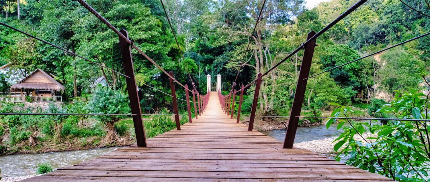
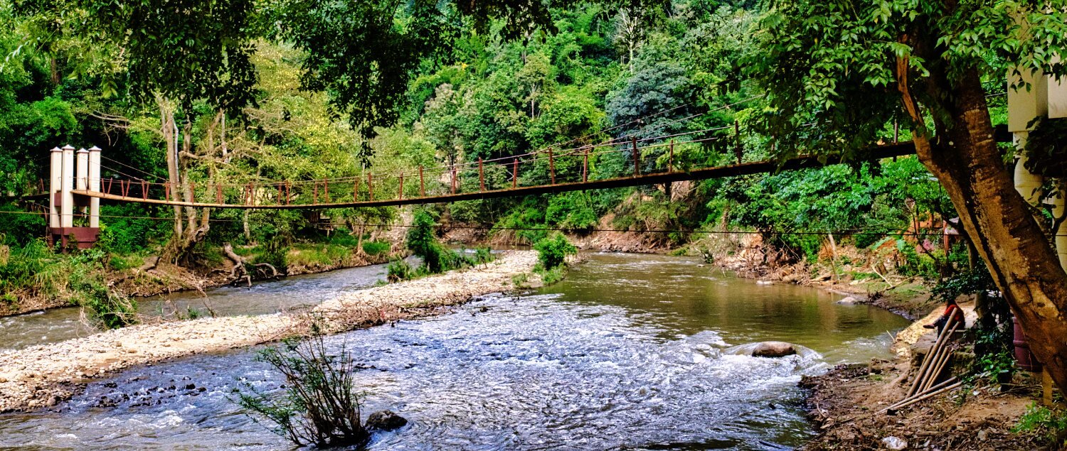
An easy ride after having my Sena headset repaired today (Chang Moto sorted it for free, great service) to the suspension bridge Mae Kuang Dam, Chiang Mai. The route in was confusing as due to high water levels I had to ride a different track in. I intended to cross the bridge and continue on a bigger loop, but the were signs stating the road was closed for building work. https://goo.gl/maps/SxZj1GWnHWqoBdDT6
-
Thanks, due to the amount of spills or near spill i have i think lack of concentration is my problem. ????
-
Thanks mate ????
-
It was wet yesterday already slipping a little which is why i turned back, will try again. Some shots from last year.
-
If you pass Doi Pui viewpoint eventually it turns to rough track, if you continue you come out at Huay Tueng Thao Reservoir.
-
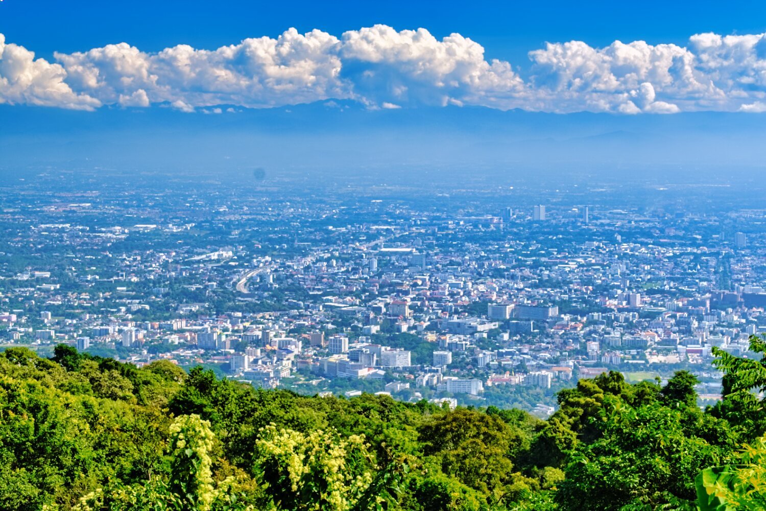
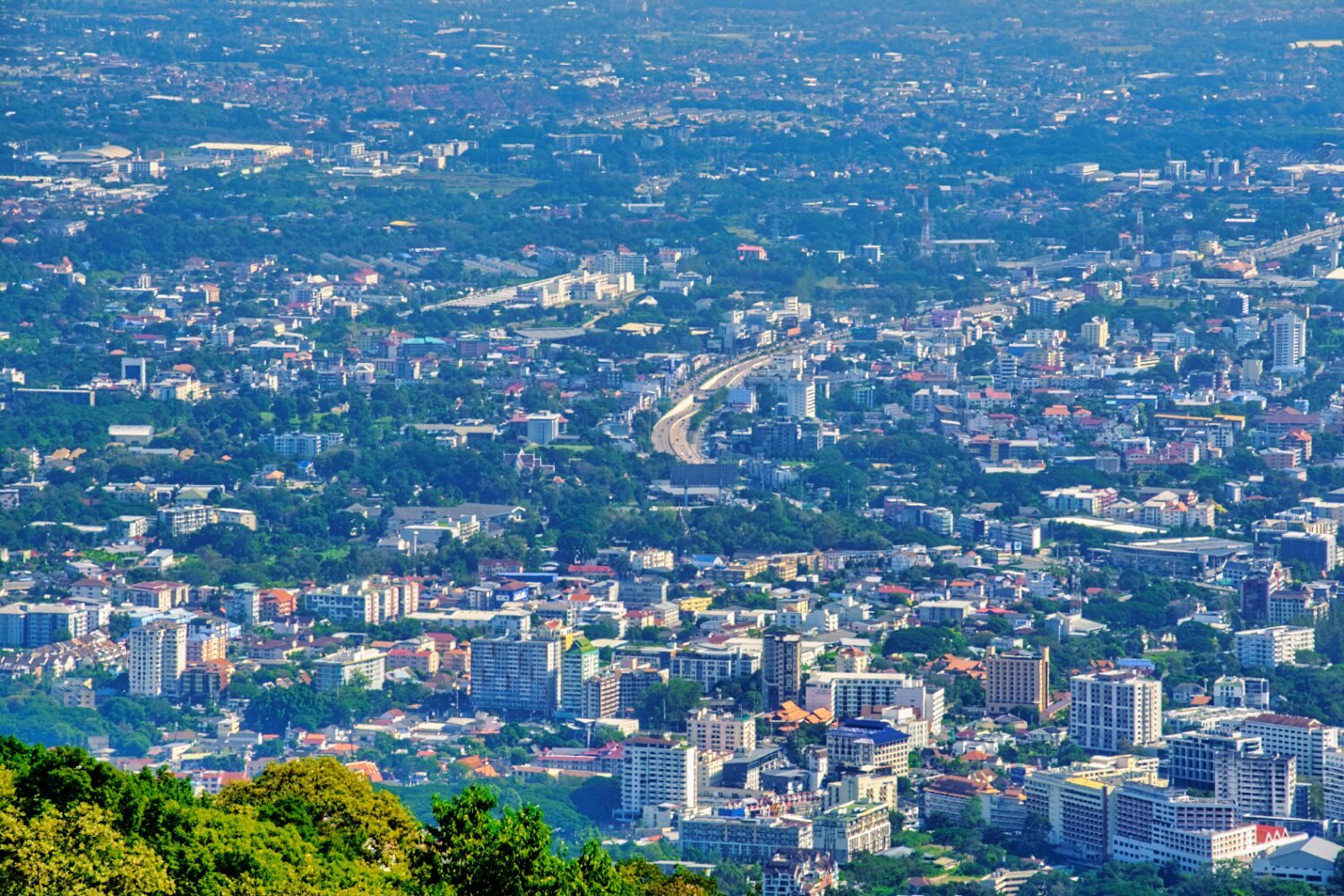
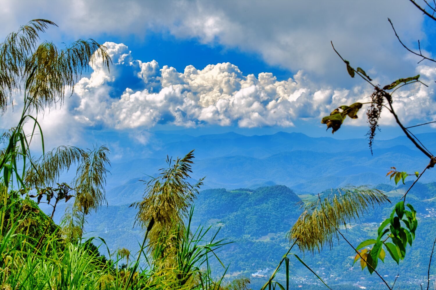
Today was my first day back on the bike since my fall. I rode up to Doi Pui viewpoint Chiang Mai, and carried on until the road turned to track and then doubled back. Good views but Thailand’s highest point Doi Inthanon was hidden by clouds. https://goo.gl/maps/rX6HTzuqqvasWeV37
-
Talking from experience?
-
Helpful ???? I am the same, but now if an interesting place if i remember note where.
-
Great photos, where was that?
-
Thanks, it's always fun travelling around whatever the bike. Some of my best memories were from my PCX rides. ???? I will start riding again soon and posting more photos.
-
d/s, what is that?
-
Maybe one day ????
-
Looks a great set up, wonderful view too. No, i did not have an x-ray as really only time heals.
-
The riding is not an issue, off road riding is tiring as i'm not used it.
-
Smiling at my failings
-
I actually carry a lot, camera, laptop, kettle ..............besides clothing and normal travel things. But i tend to ride to a city, then go out exploring taking just a camera and basic things. It works for me and at least now i can't ride i have my laptop and comforts instead of nothing to help pass the time.
-
I can and have fallen off a bike in just about anyway ???? The Thai farmers in the mountains always manage to go anywhere they want, follow their example.
-
Thanks, yes not fun at all, and sure i will continue as soon as i can.
-
Thanks for the compliment mate, i will stay here in Chiang Mai until fit for riding, hopefully more views to come ????
-
Thanks ????
-
Thanks ???? Thailand has a lot to offer and it's fun finding it.
-
Thanks, it's a fun bike and trip
-
Thank ???? Well i will stay in Chiang Mai area even when fit as i planned rides here already. Where are you in Thailand?
-
Thanks ???? Ribs take a while to heal, but as soon as fit enough for trail riding i will be on my way.