chrissables
-
Posts
3,189 -
Joined
-
Last visited
-
Days Won
8
Content Type
Events
Forums
Downloads
Quizzes
Gallery
Blogs
Everything posted by chrissables
-
d/s, what is that?
-
Maybe one day ????
-
Looks a great set up, wonderful view too. No, i did not have an x-ray as really only time heals.
-
The riding is not an issue, off road riding is tiring as i'm not used it.
-
Smiling at my failings
-
I actually carry a lot, camera, laptop, kettle ..............besides clothing and normal travel things. But i tend to ride to a city, then go out exploring taking just a camera and basic things. It works for me and at least now i can't ride i have my laptop and comforts instead of nothing to help pass the time.
-
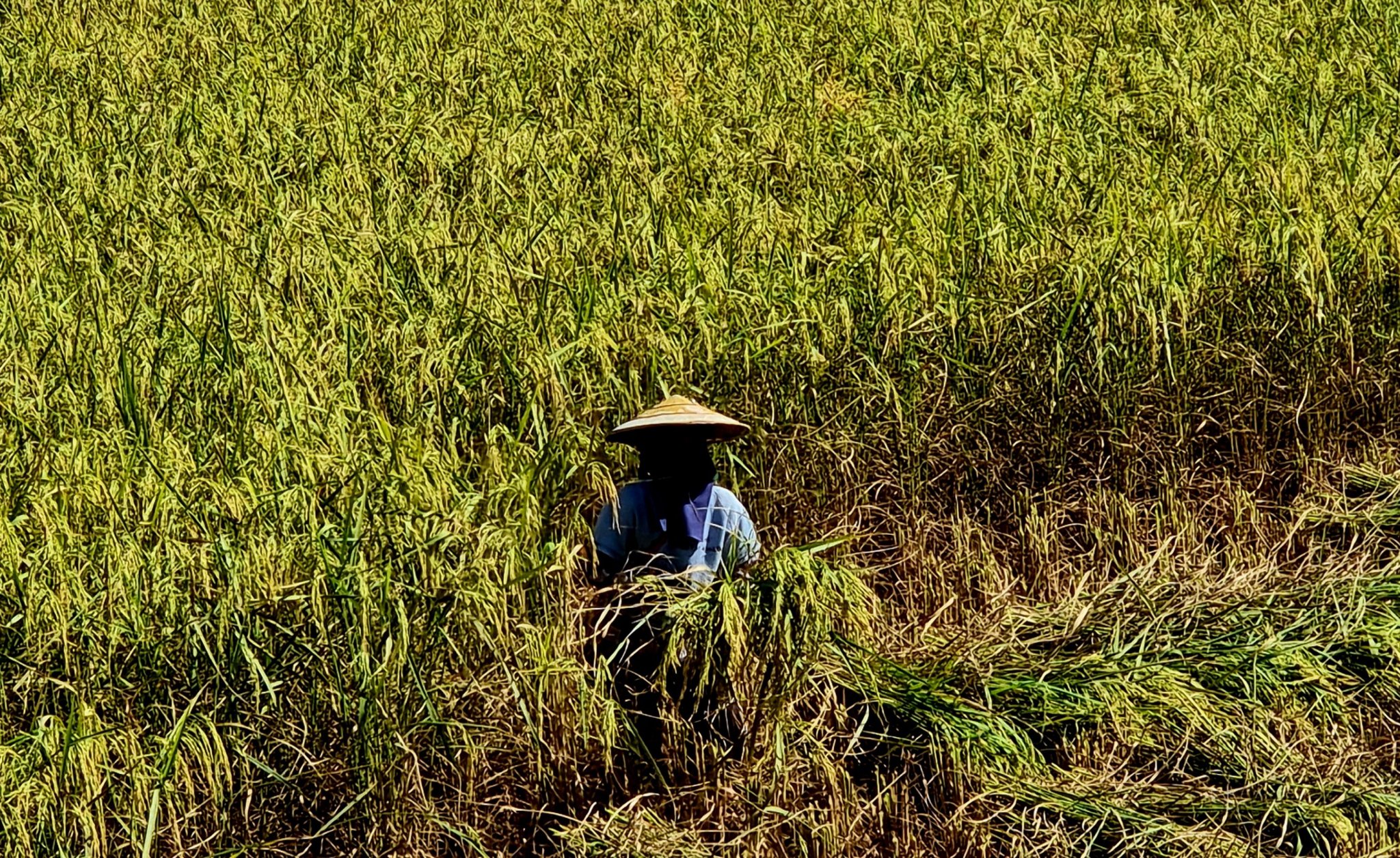
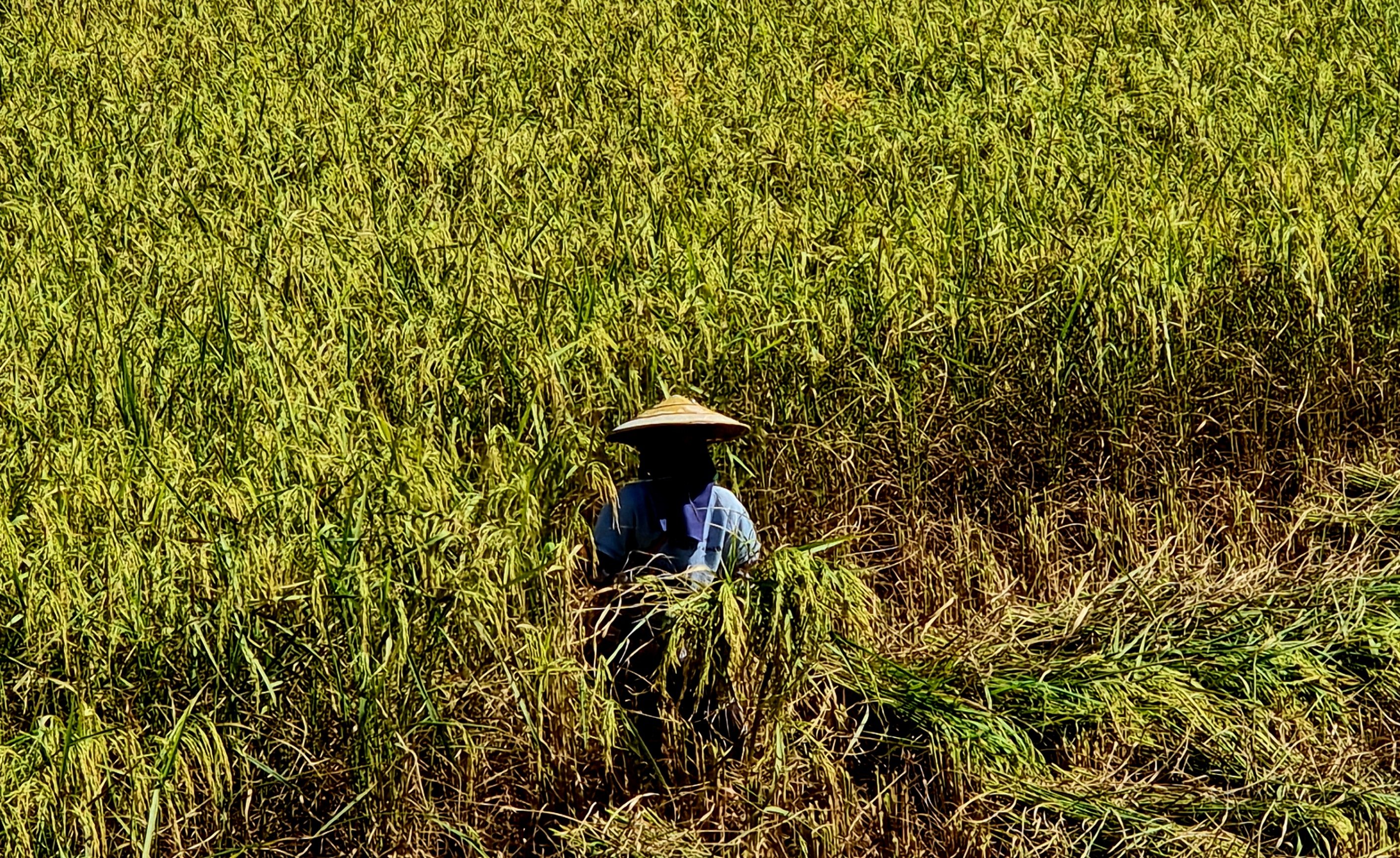
I can and have fallen off a bike in just about anyway ???? The Thai farmers in the mountains always manage to go anywhere they want, follow their example.
-
Thanks, yes not fun at all, and sure i will continue as soon as i can.
-
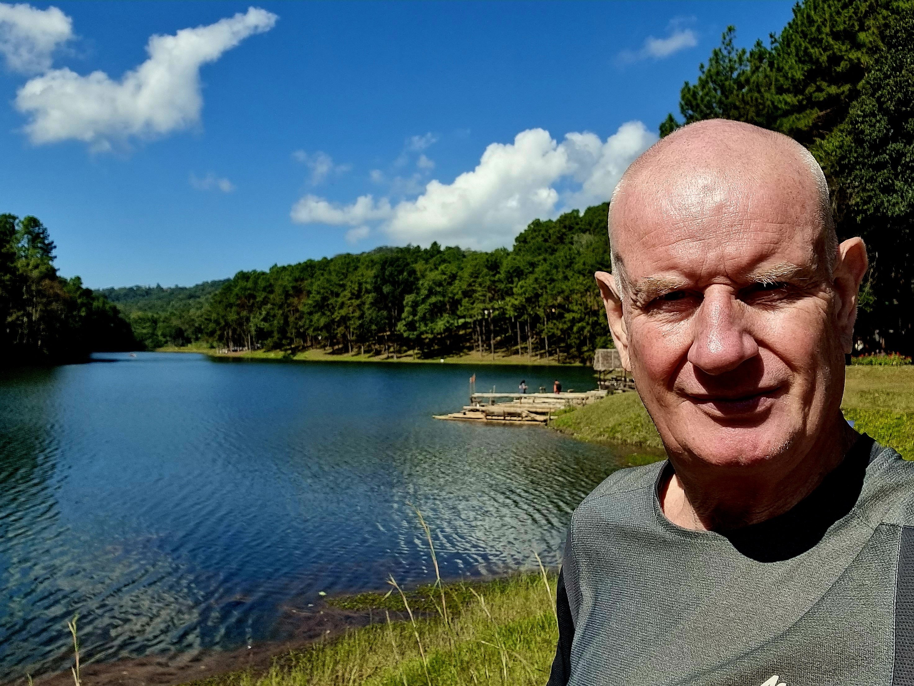
Thanks for the compliment mate, i will stay here in Chiang Mai until fit for riding, hopefully more views to come ????
-
Thanks ????
-
Thanks ???? Thailand has a lot to offer and it's fun finding it.
-
Thanks, it's a fun bike and trip
-
Thank ???? Well i will stay in Chiang Mai area even when fit as i planned rides here already. Where are you in Thailand?
-
Thanks ???? Ribs take a while to heal, but as soon as fit enough for trail riding i will be on my way.
-
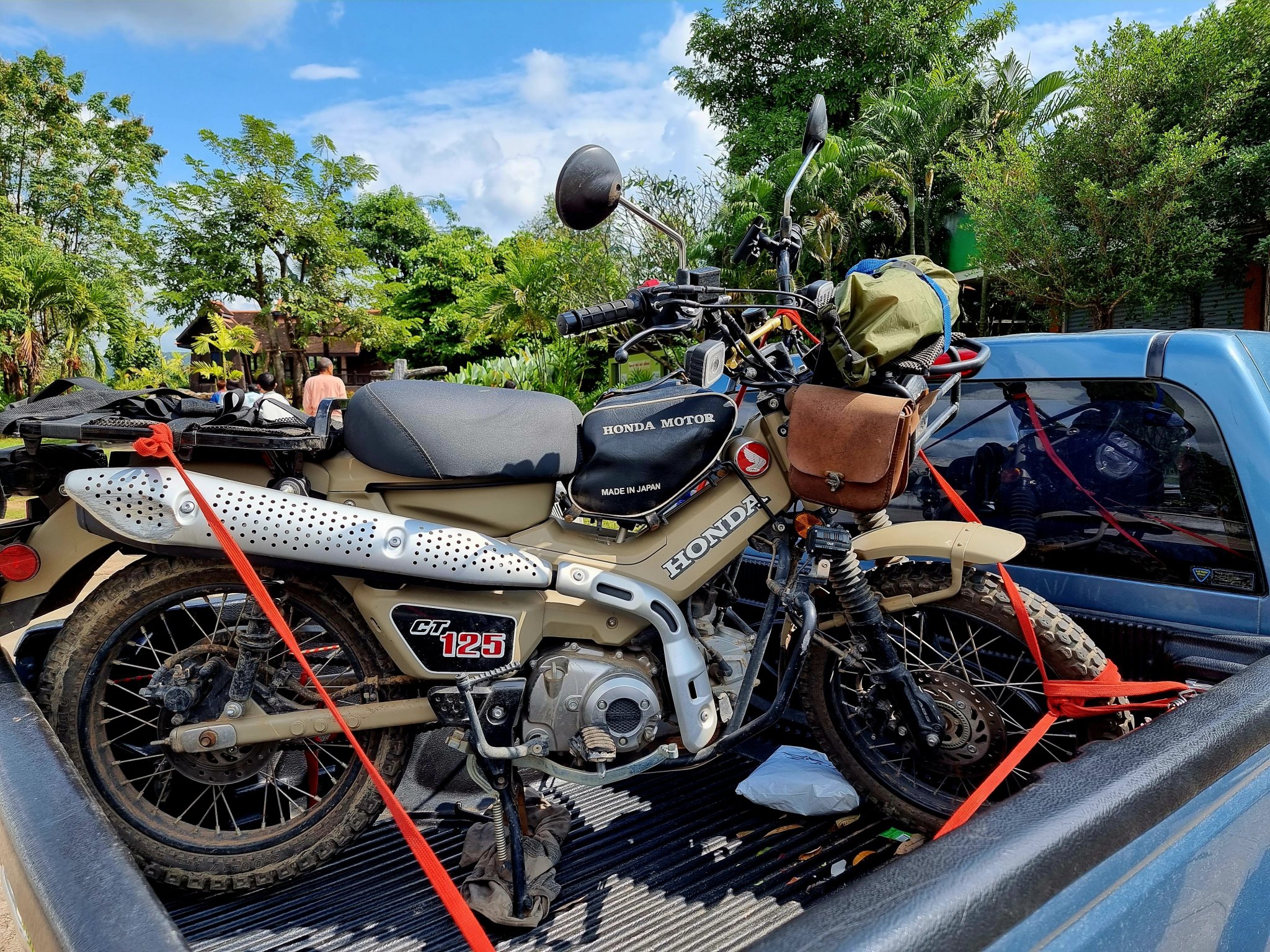
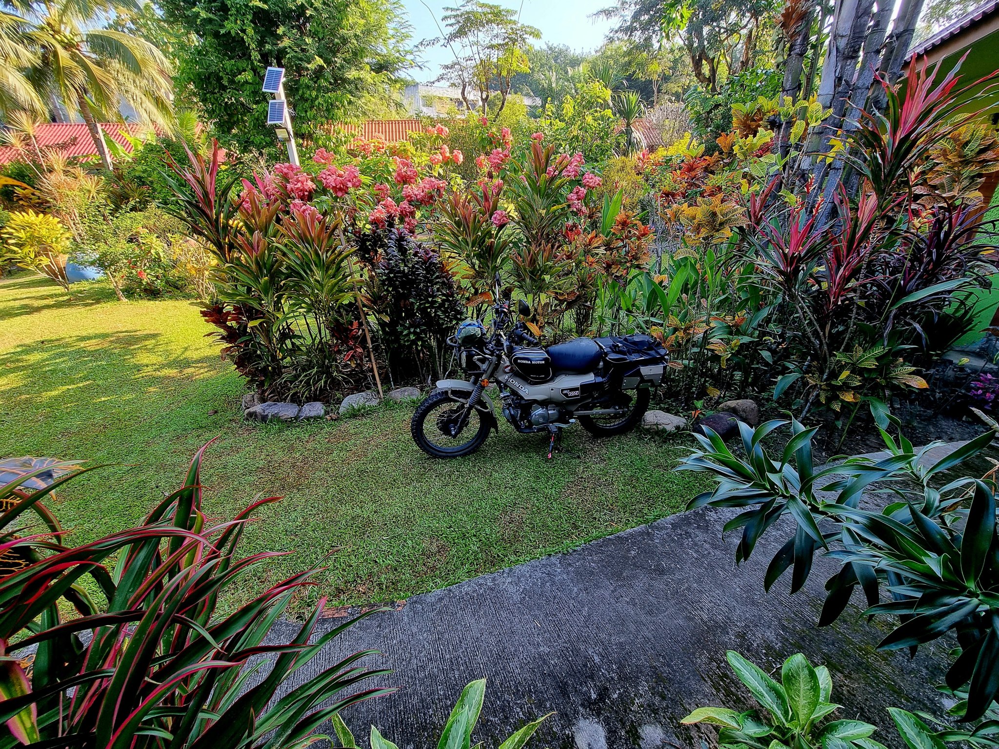
I really enjoy riding it. I have a larger than standard rear sprocket which has geared it down and better for in the jungle, but slow. I'm in no hurry though ???? I have been up to Pilock a few times already and at the time wanted to head north.
-
Thanks ???? Everywhere i have ridden is also ridden by locals on their clicks etc. Of course it is their local area and they know the easiest route through the jungle to ride. In the dry season small bikes can ride where i went.
-
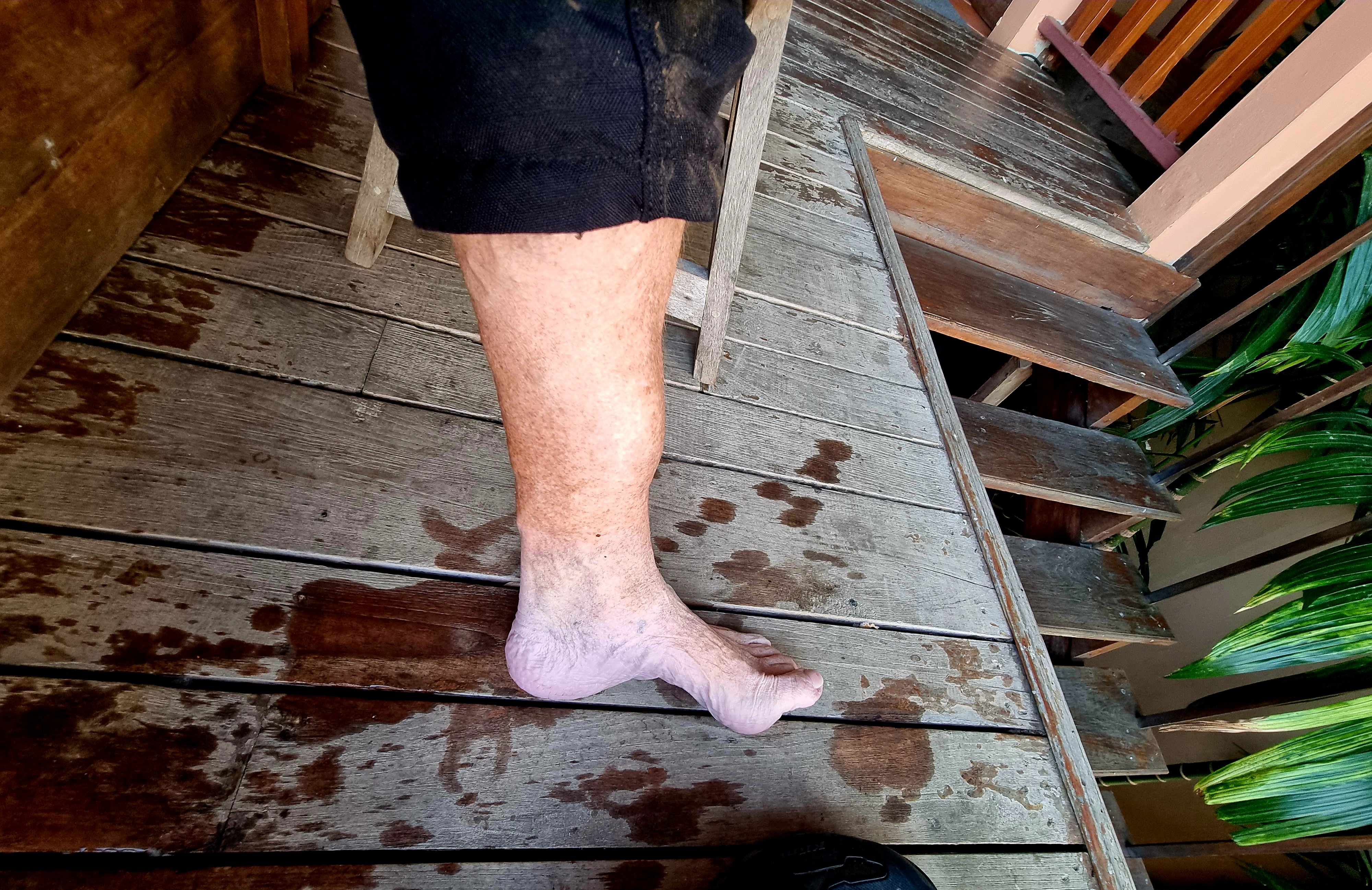
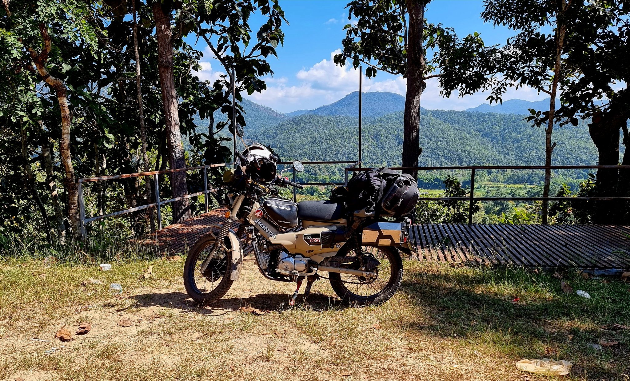
Day 20. 18.11.22 Pai I woke in agony with rib pain, it appears I may have broke it or very badly bruised it. The hotel was fully booked, so I booked a hotel in Chiang Mai, and the staff at the Pai hotel packed my bags for me and arranged a taxi for me and the bike. They were most kind and helpful. As was the Chiang Mai hotel where I am waiting to recover and continue my trip.
-
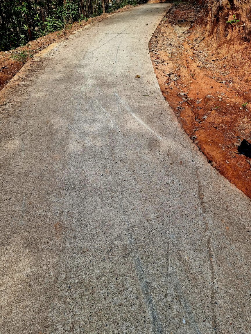
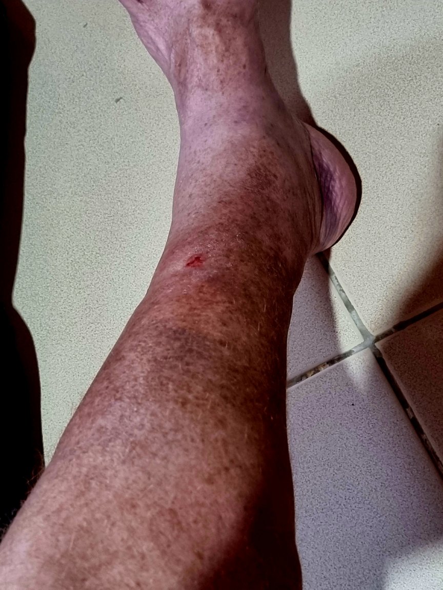
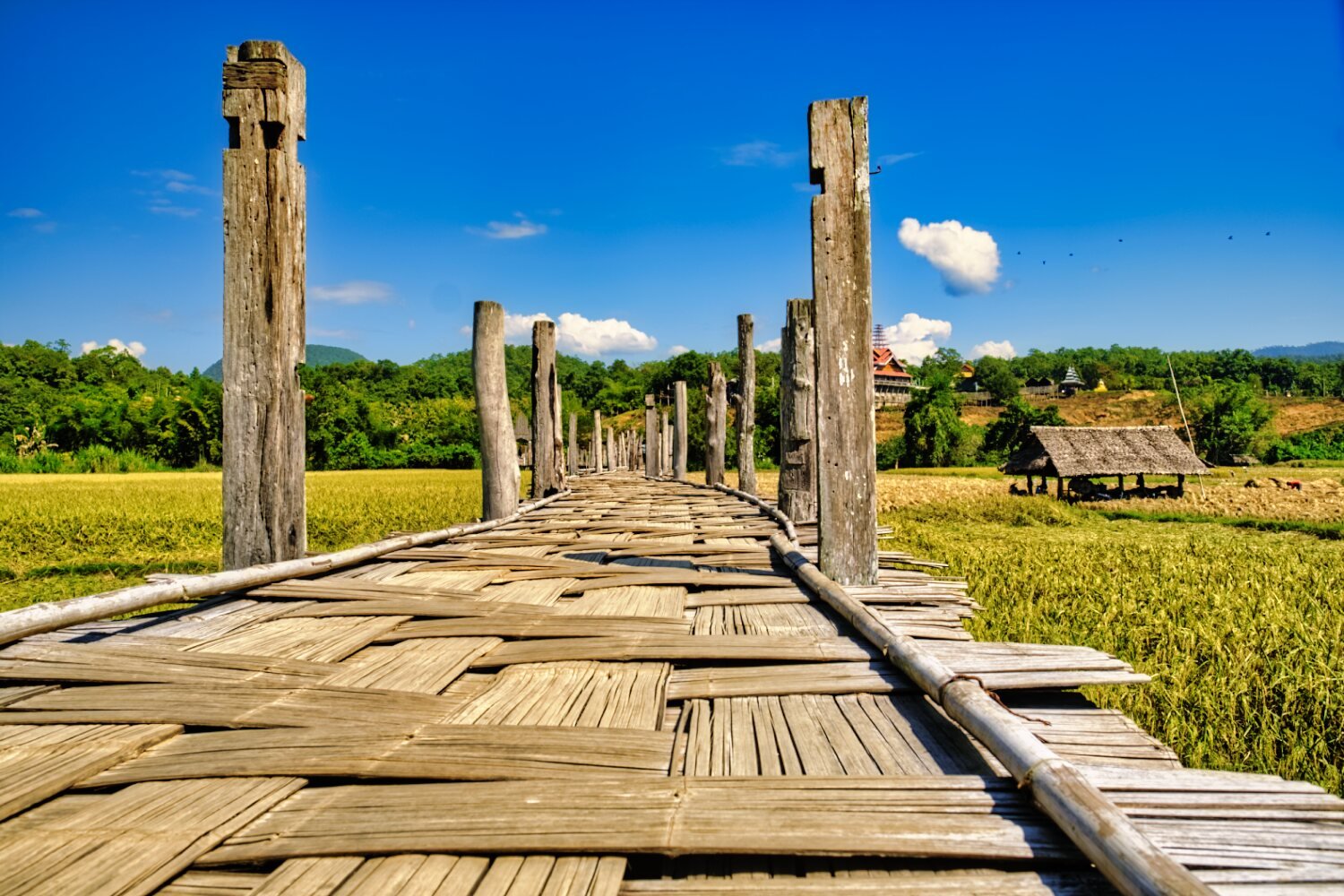
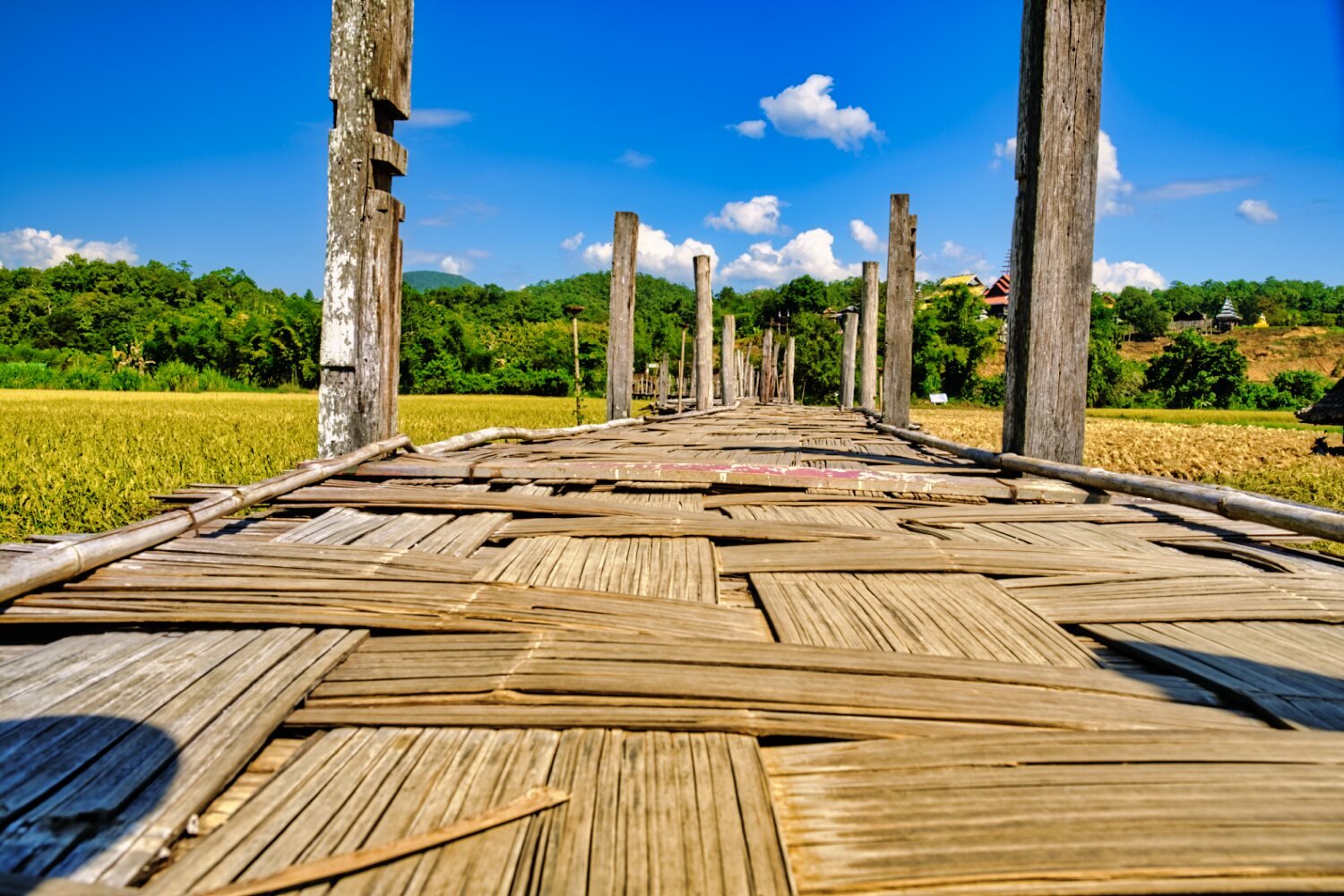
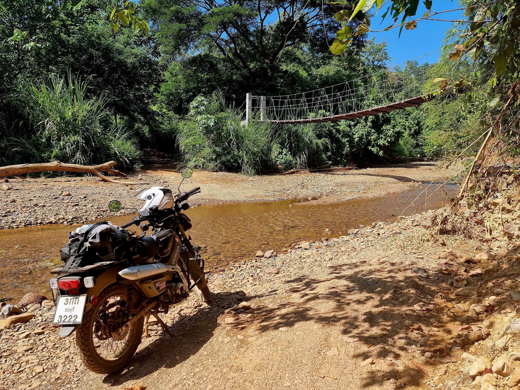
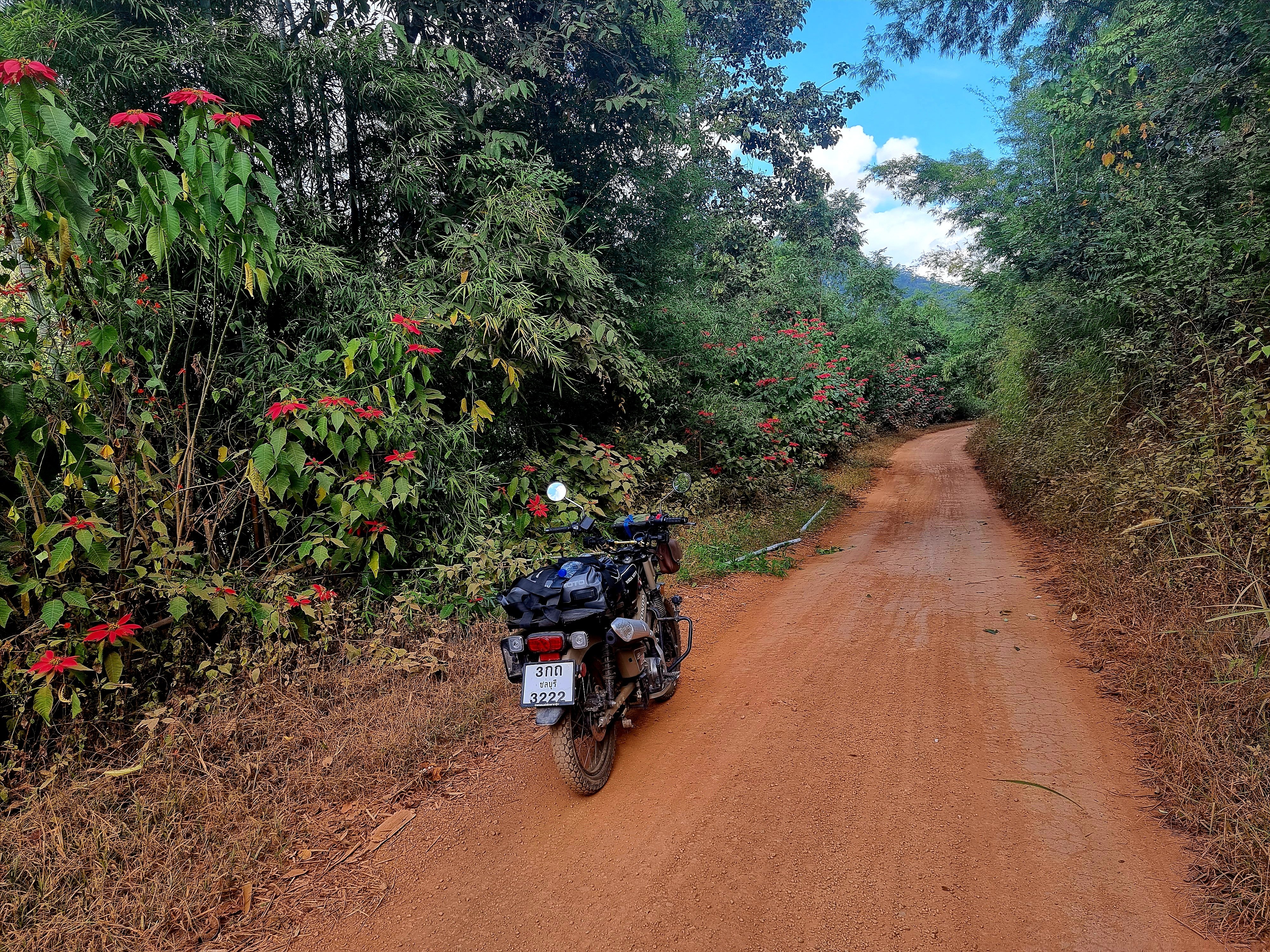
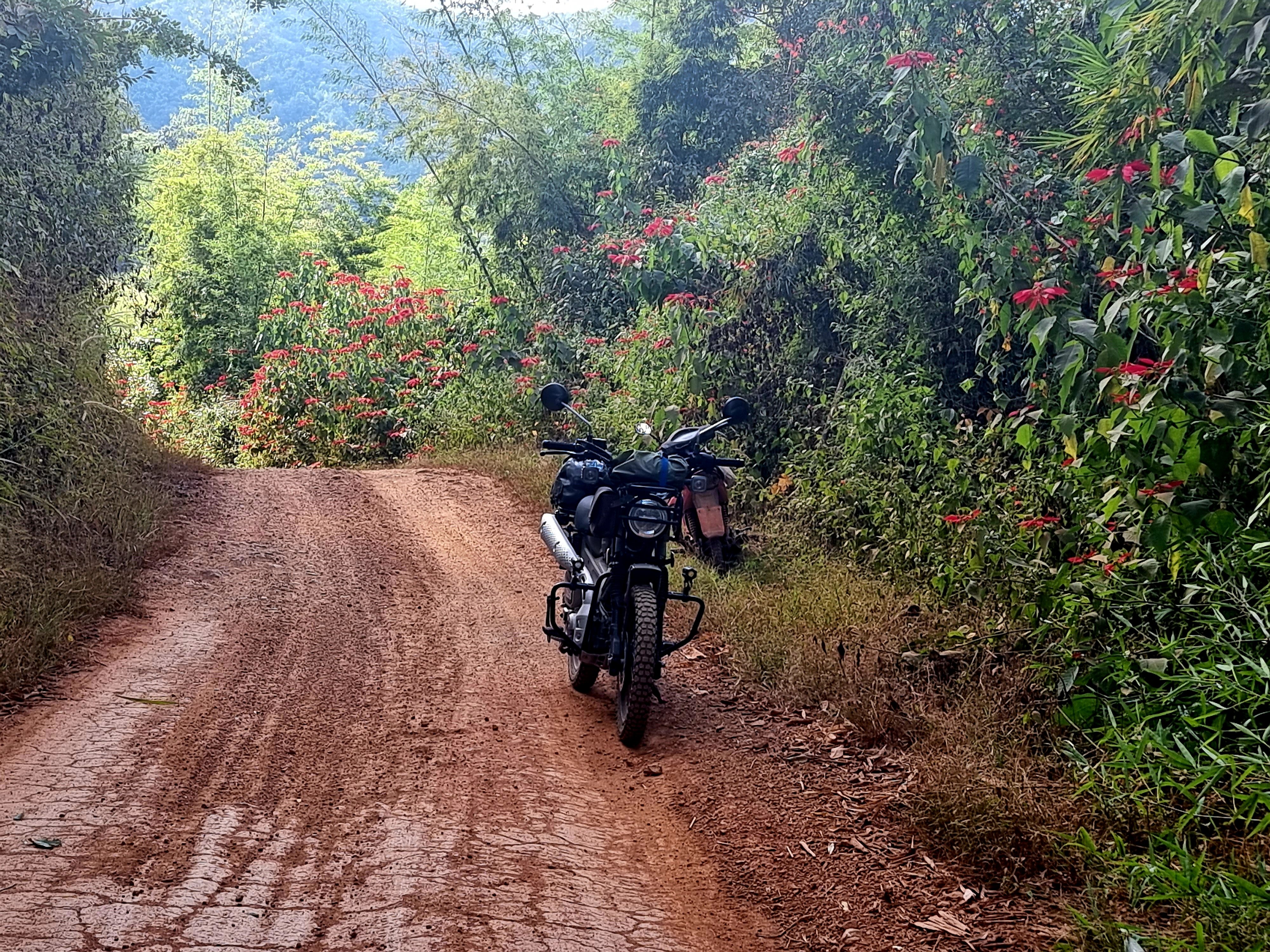
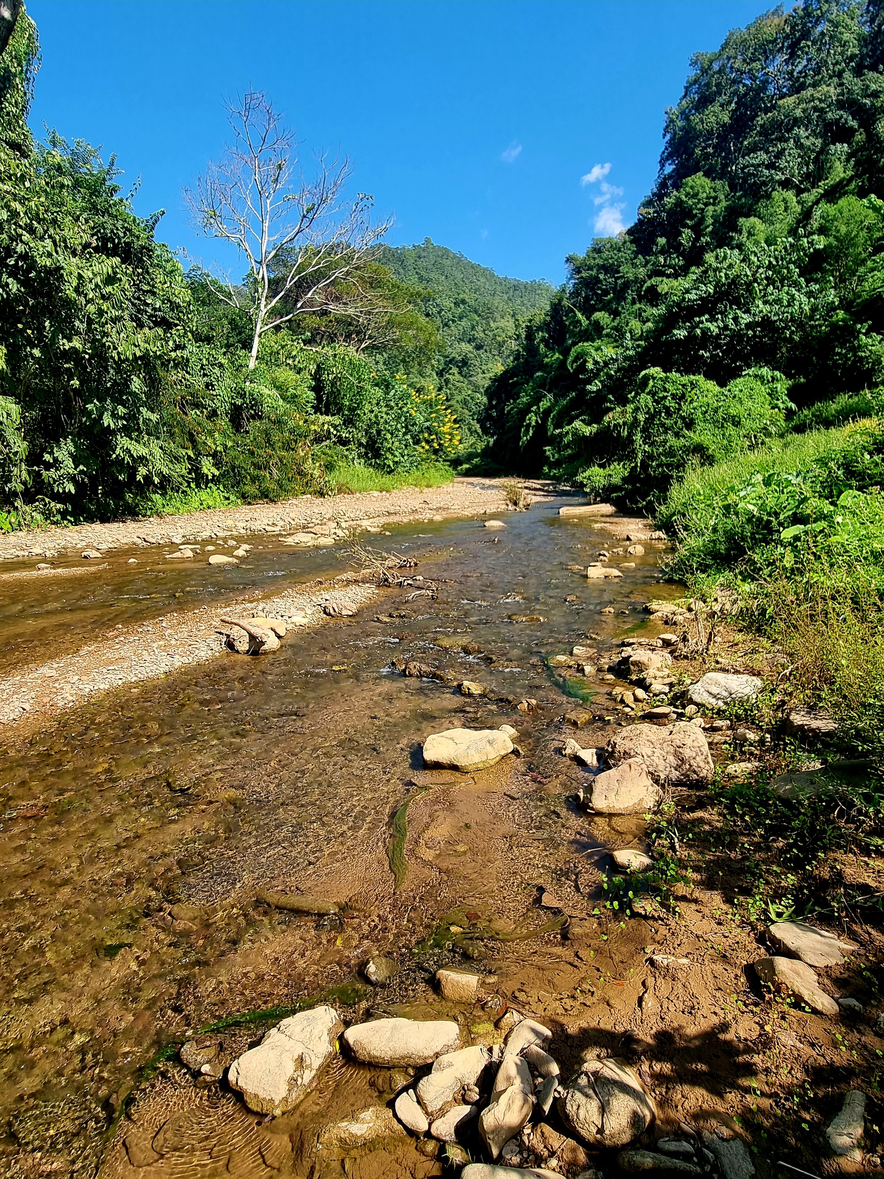
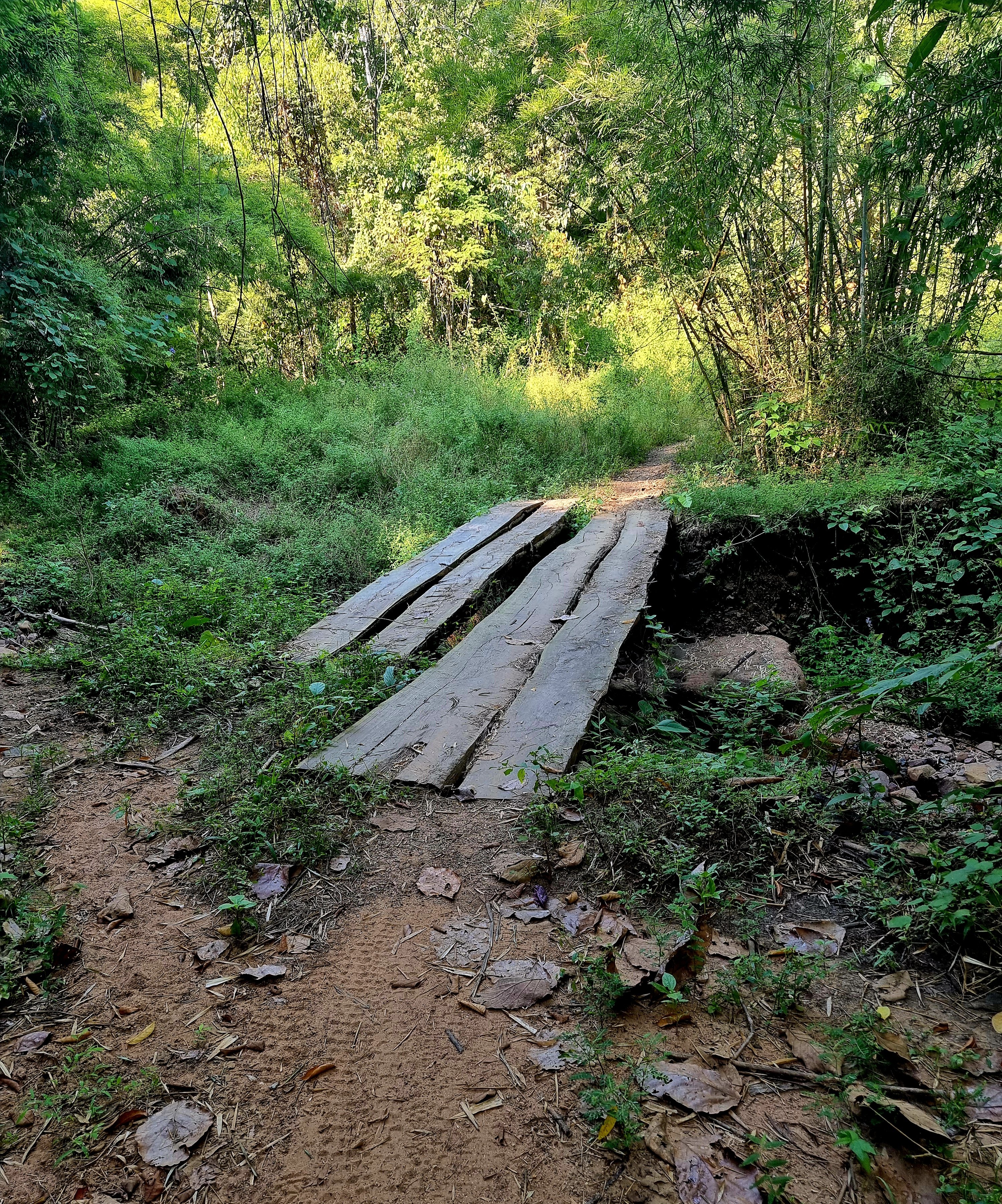
Day 19. 17.11.22 Pai to Bamboo bridge. After my easy ride to Pai yesterday today I wanted to ride to Kho Ku So Bamboo Bridge. https://goo.gl/maps/r41P571NX2G5nxN2A I have visited before and continued past there to the end of the track at Pa Tong Buddhist Monastery. Day dreaming I missed the Bamboo bridge and continued. At the turning for a view point my day went a tad wrong. I started riding up but thought I was in second gear, changing to first gear as I was struggling I hit neutral which resulted in me and the bike reversing down at speed until crashing quite hard. After sorting myself out I rode to the Monastery. https://goo.gl/maps/iaTqFfFx6xBvRPVN7 This was nice green laning riding, then returned to the Bamboo bridge for a short visit and to my hotel to drink painkillers for bruised ribs and my left shin that got another hard hit in the crash.


-
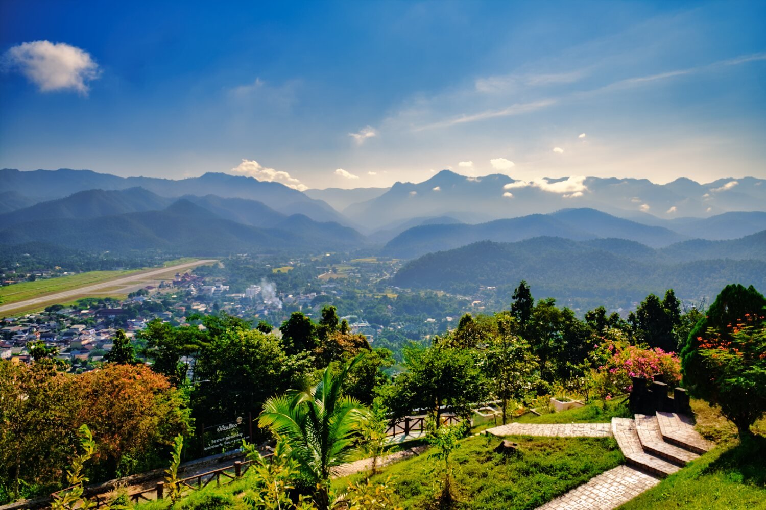
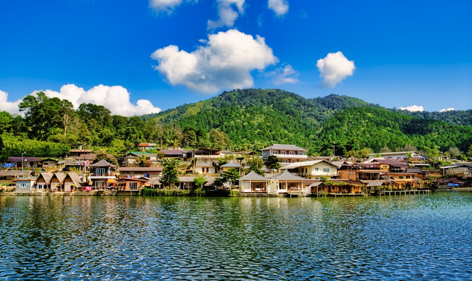
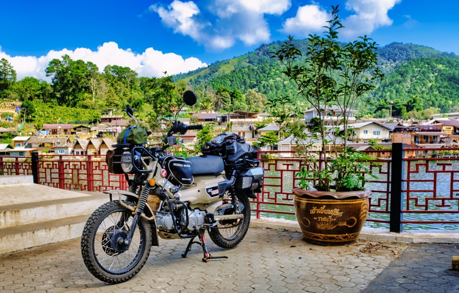
Day 18. 16.11.22. Mae Hong Son to Pai An easy ride to Pai today with beautiful sky’s promising rain.

-
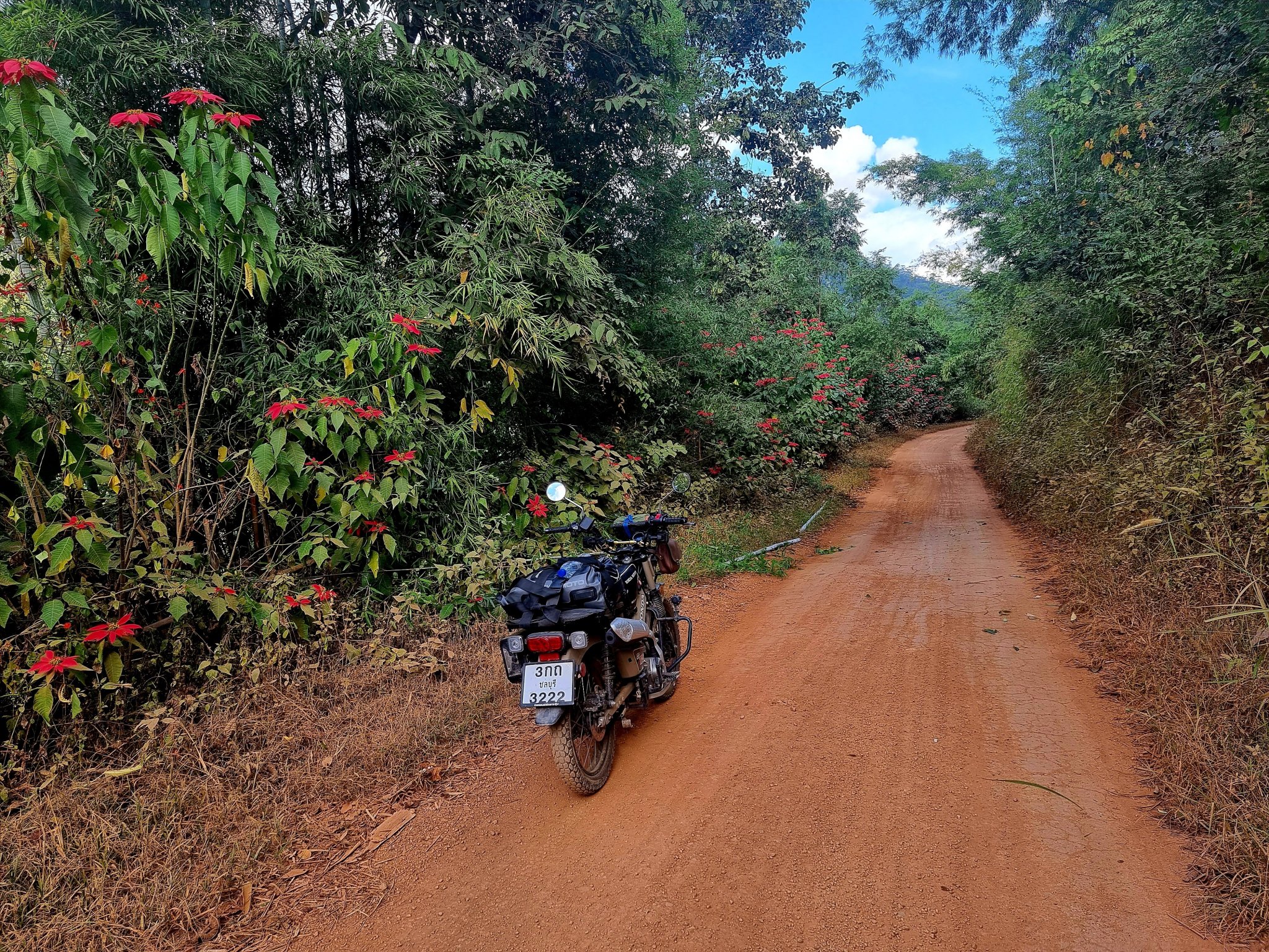
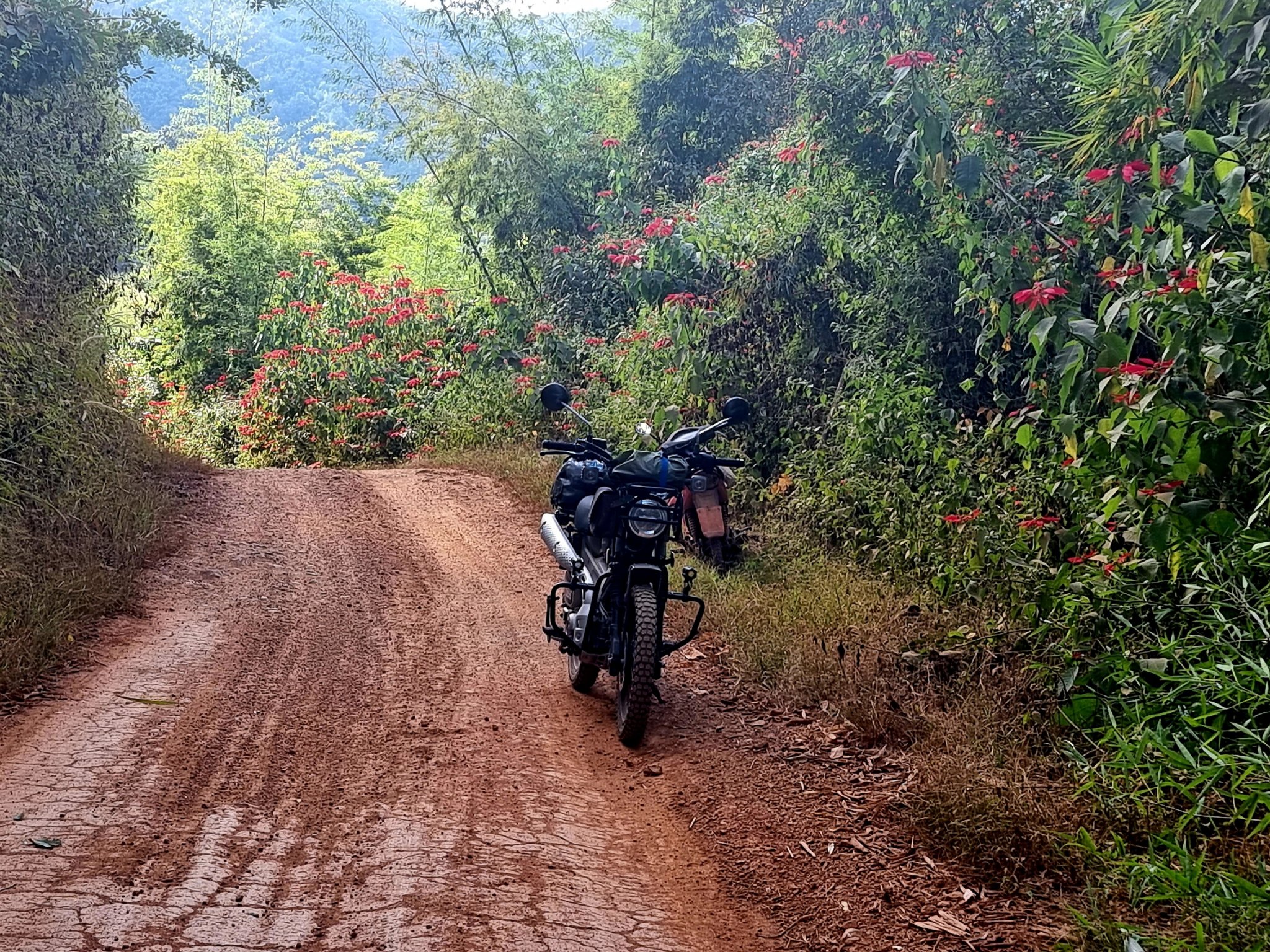
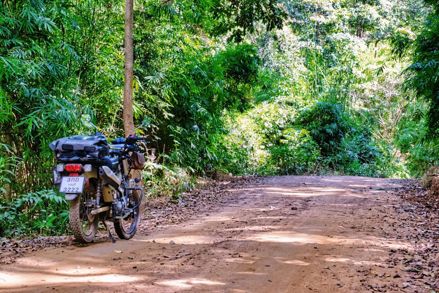
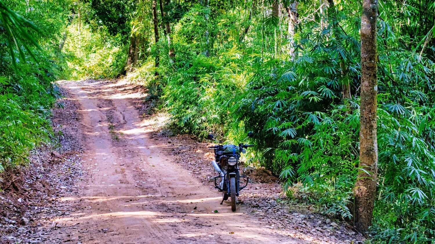
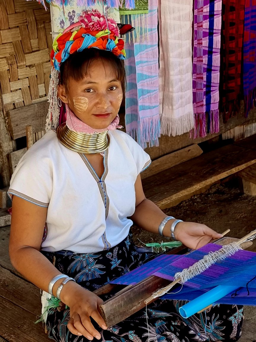
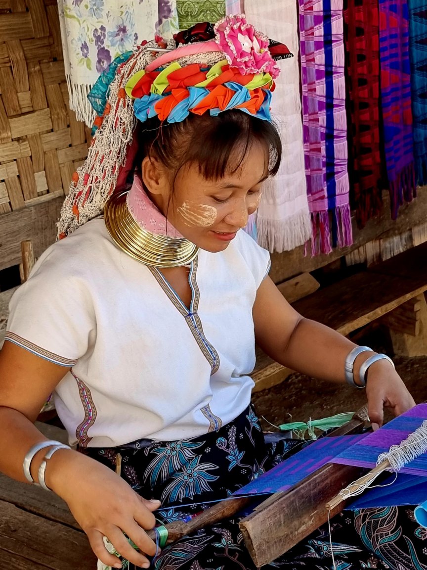
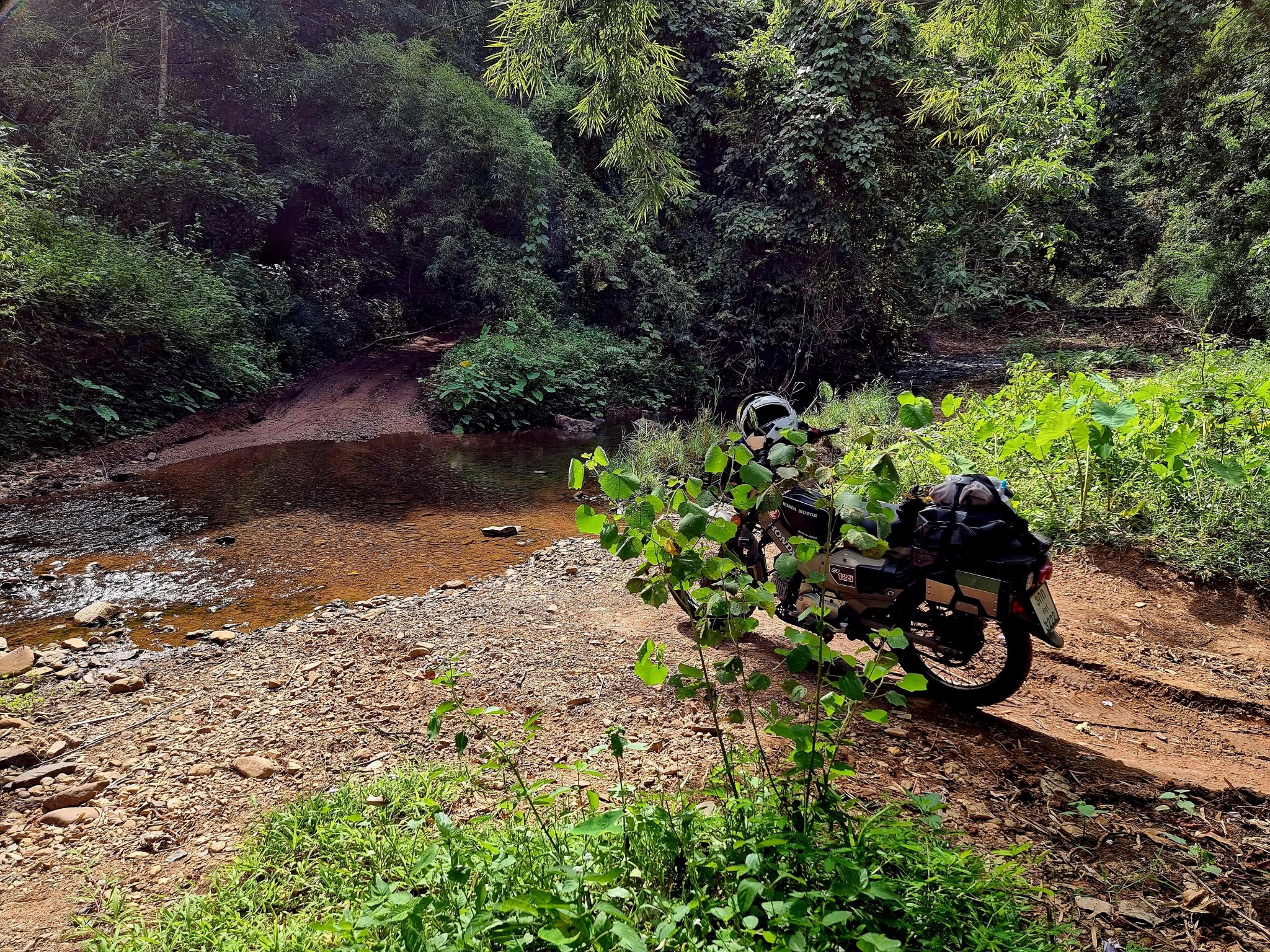
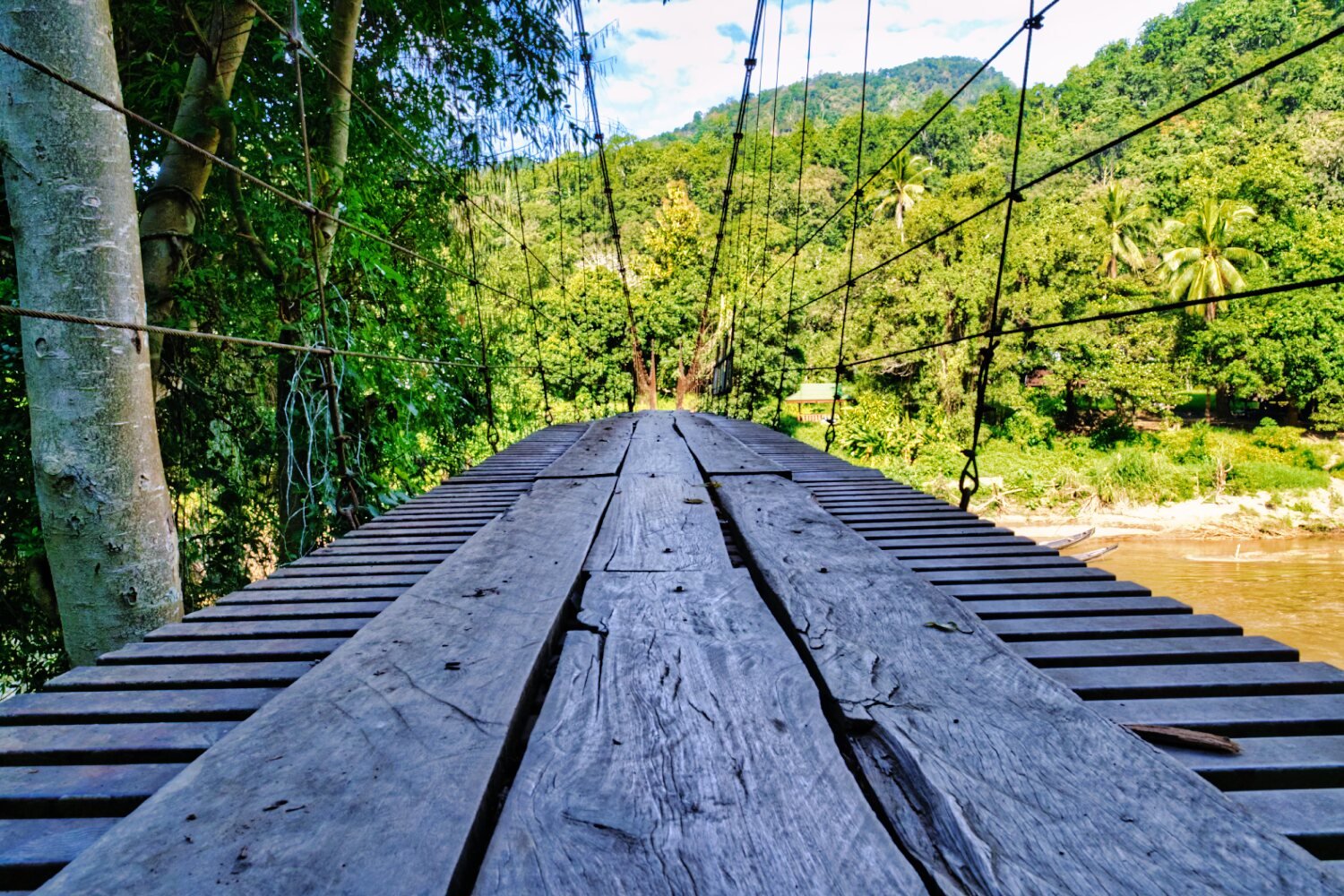
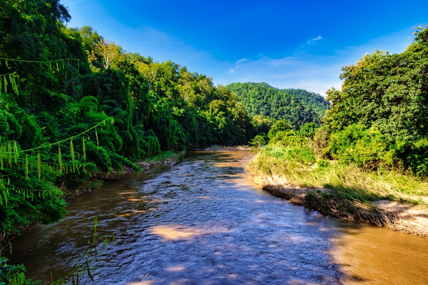
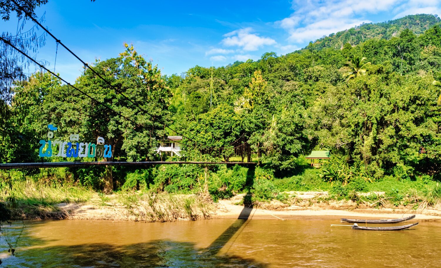
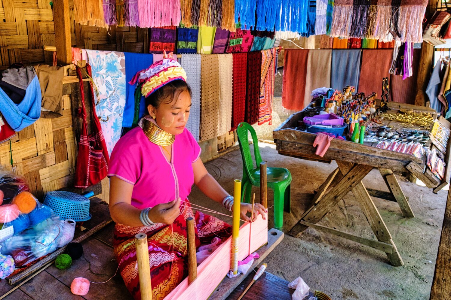
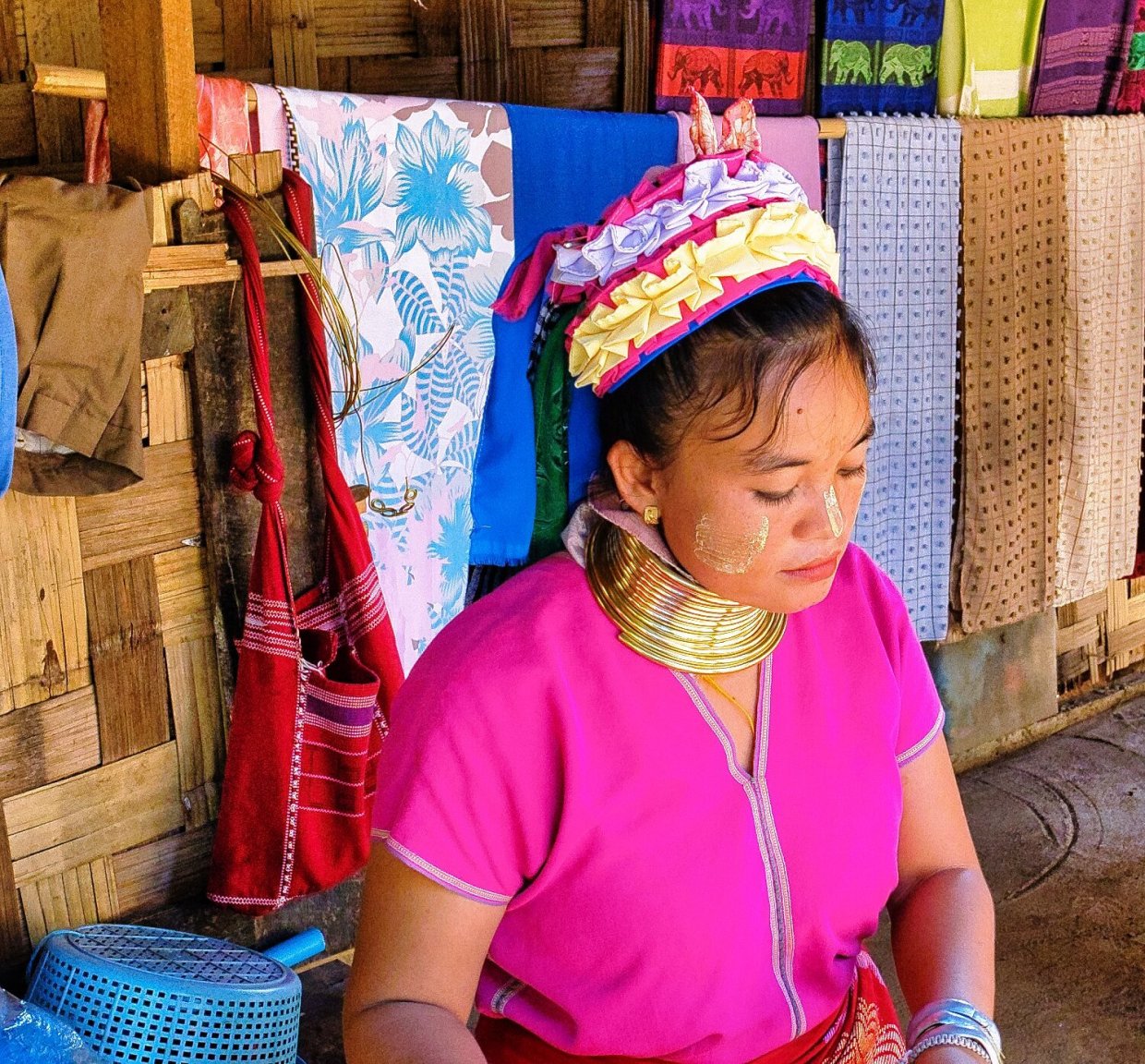
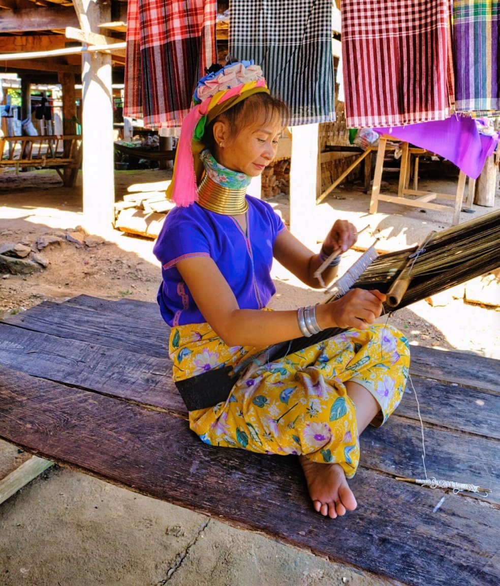
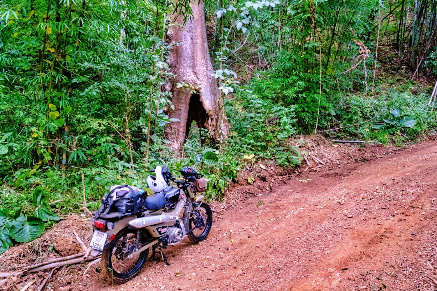
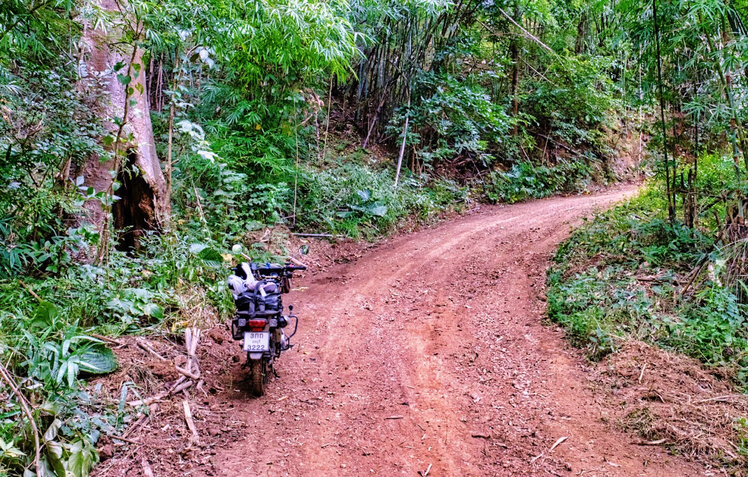
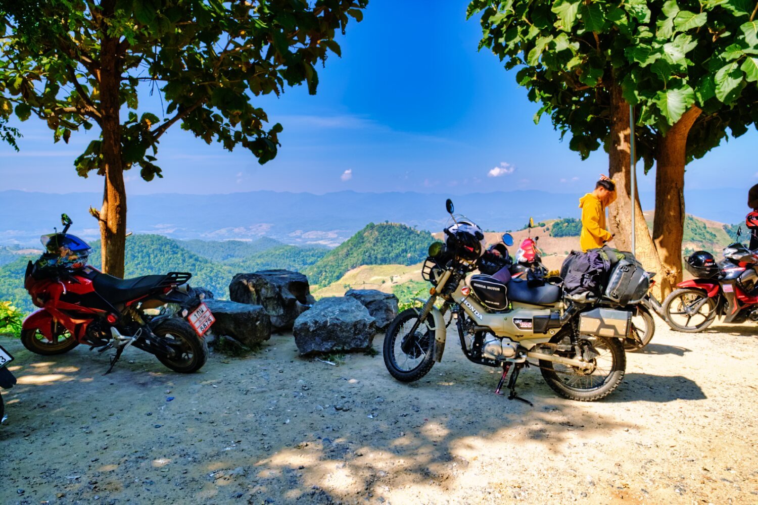
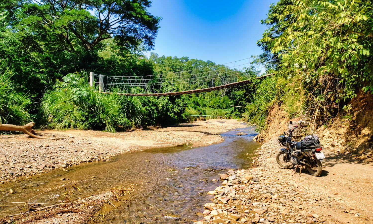
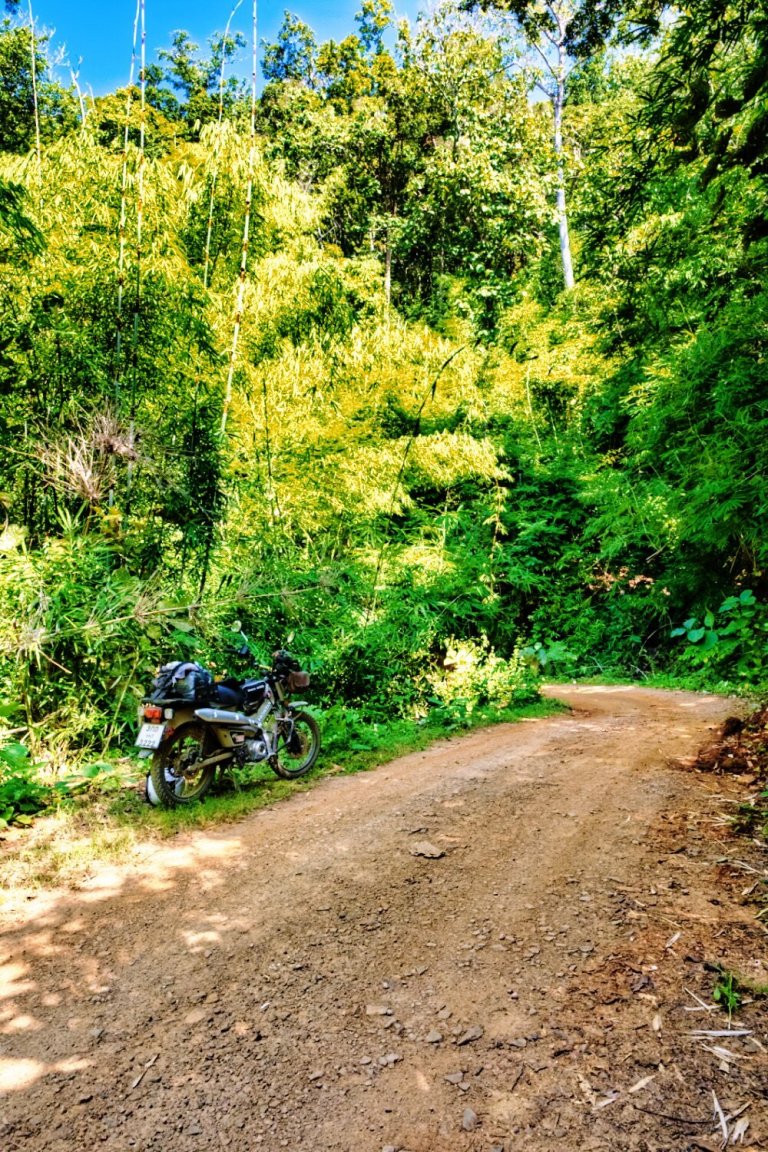
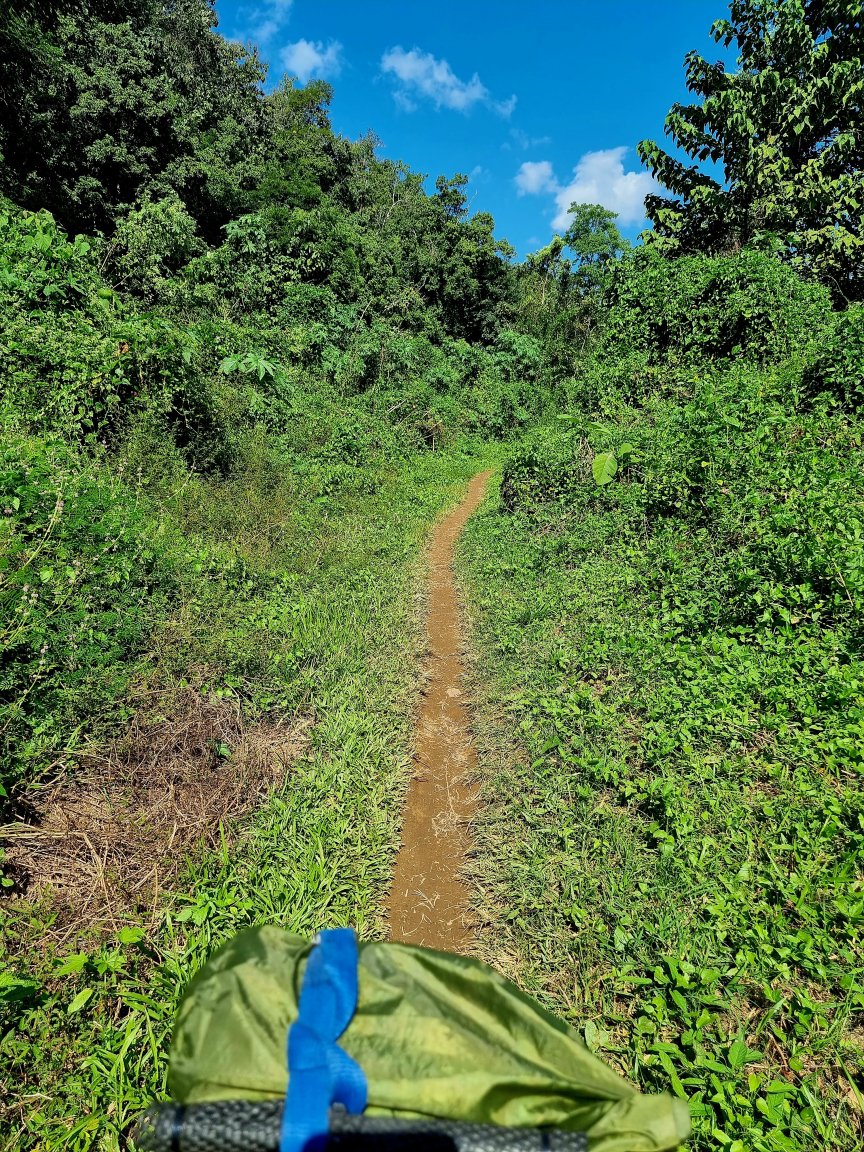
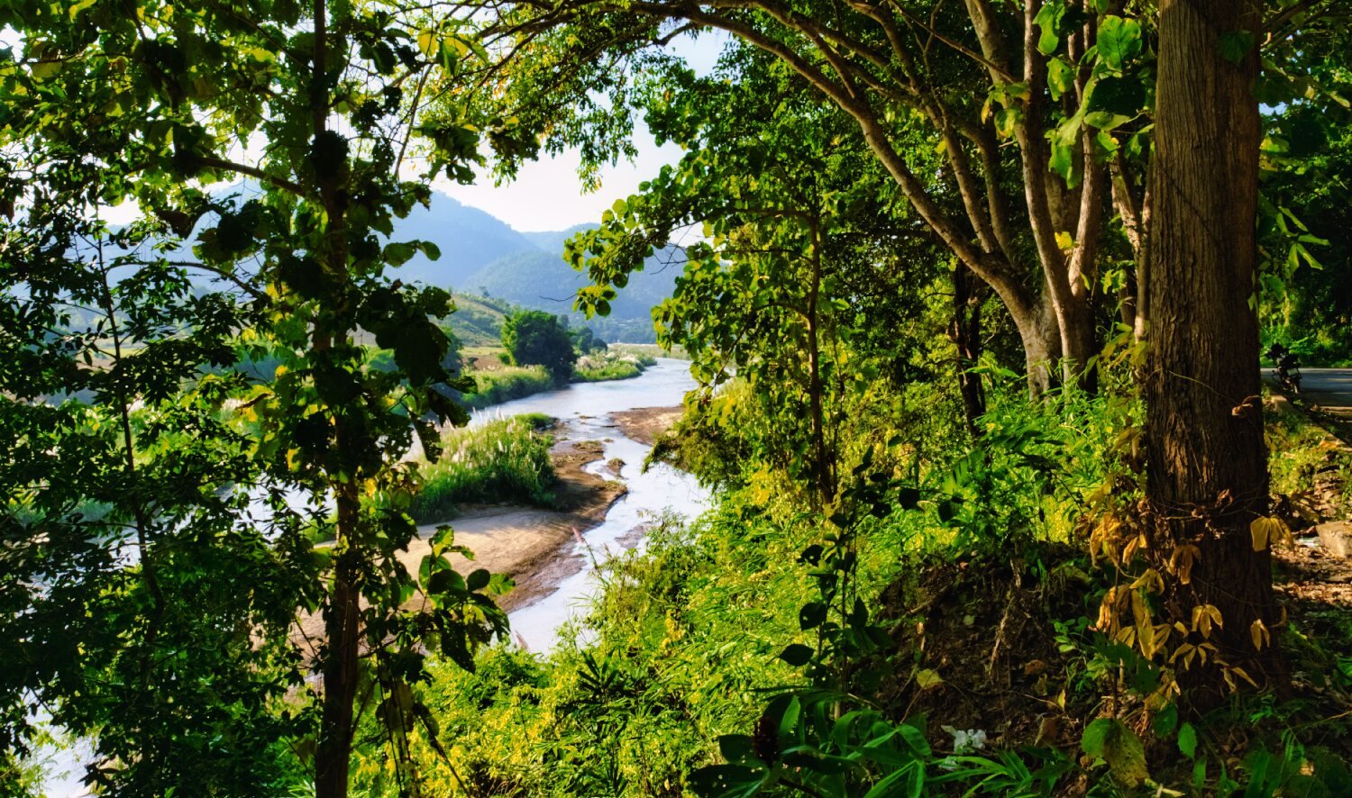
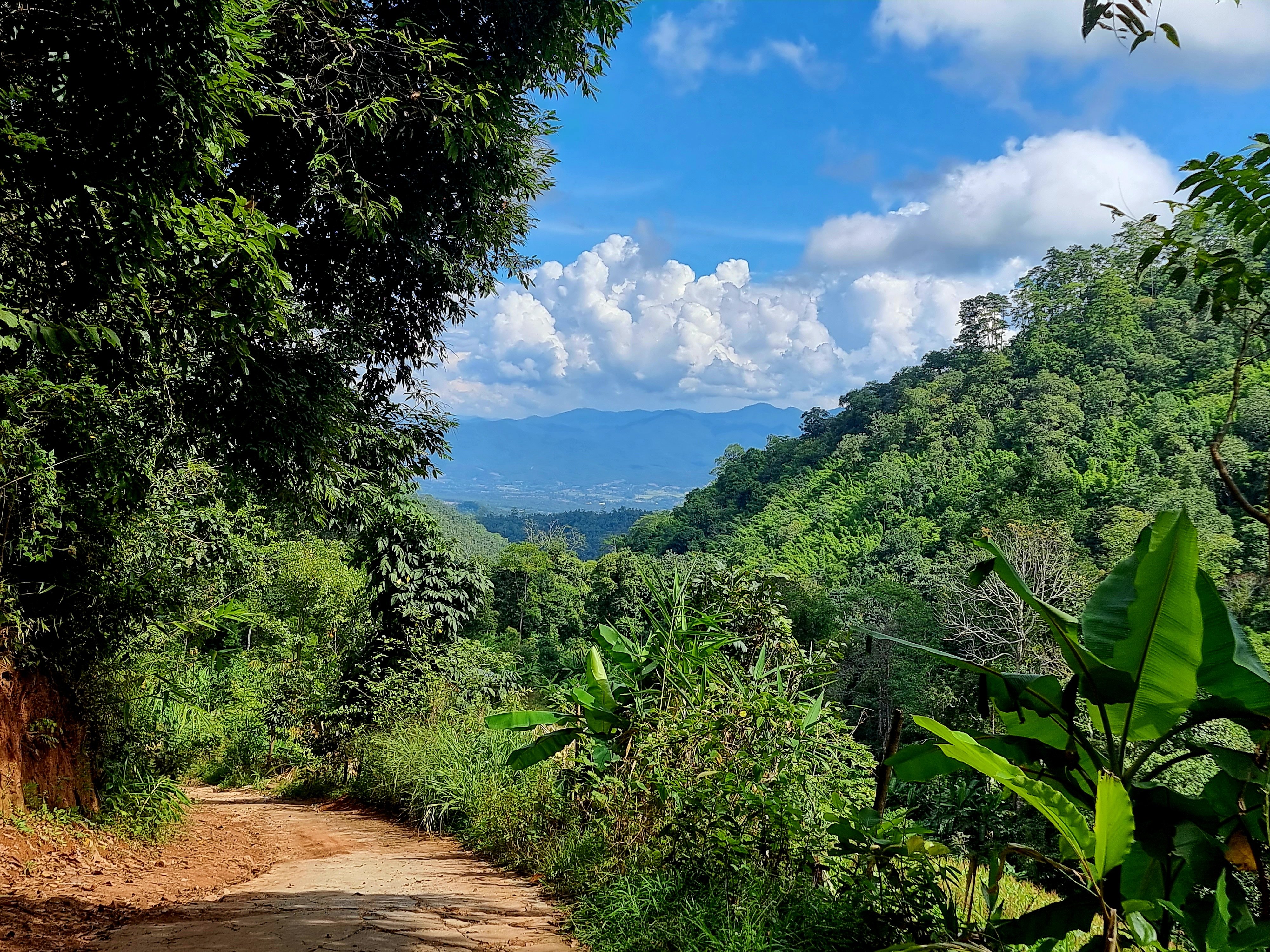
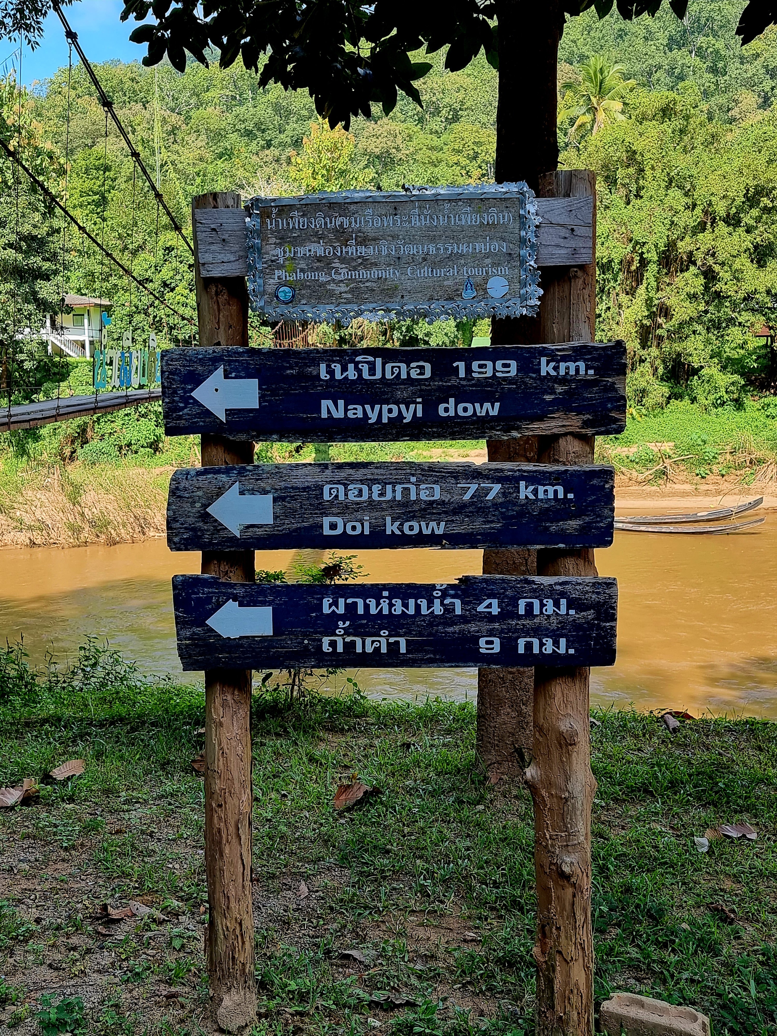
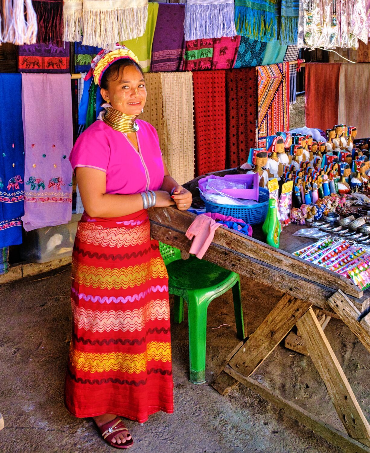
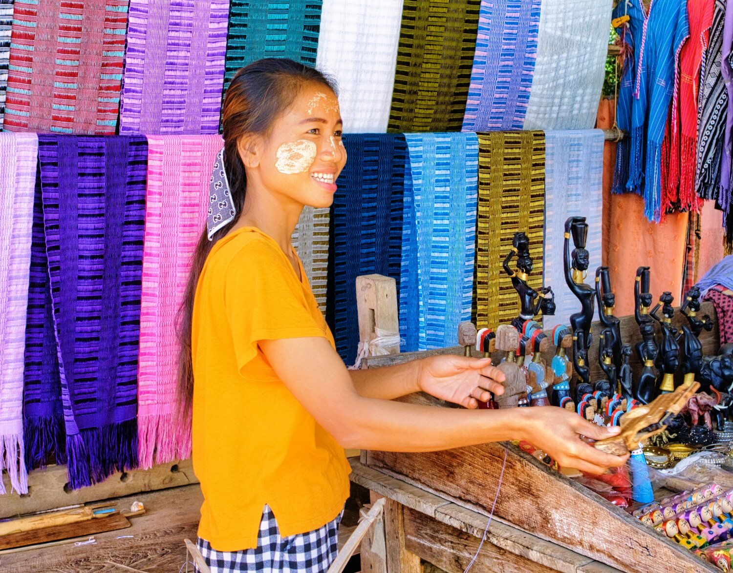
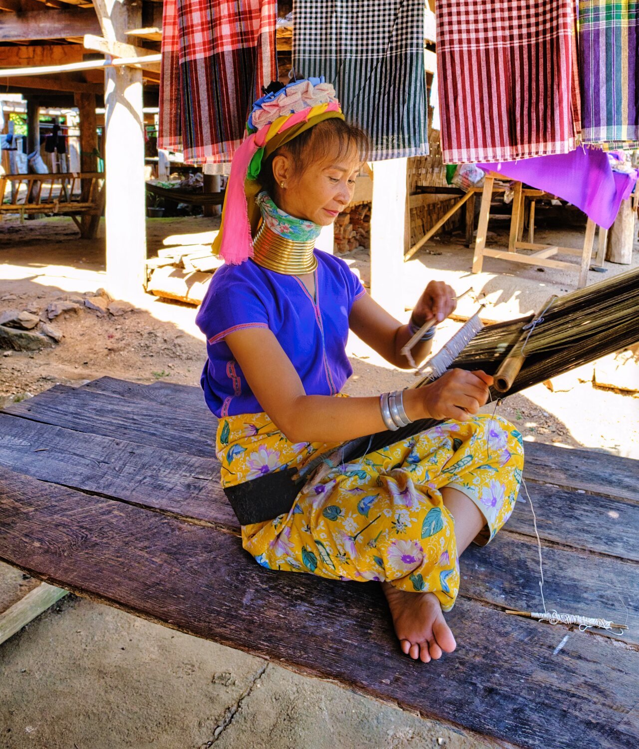
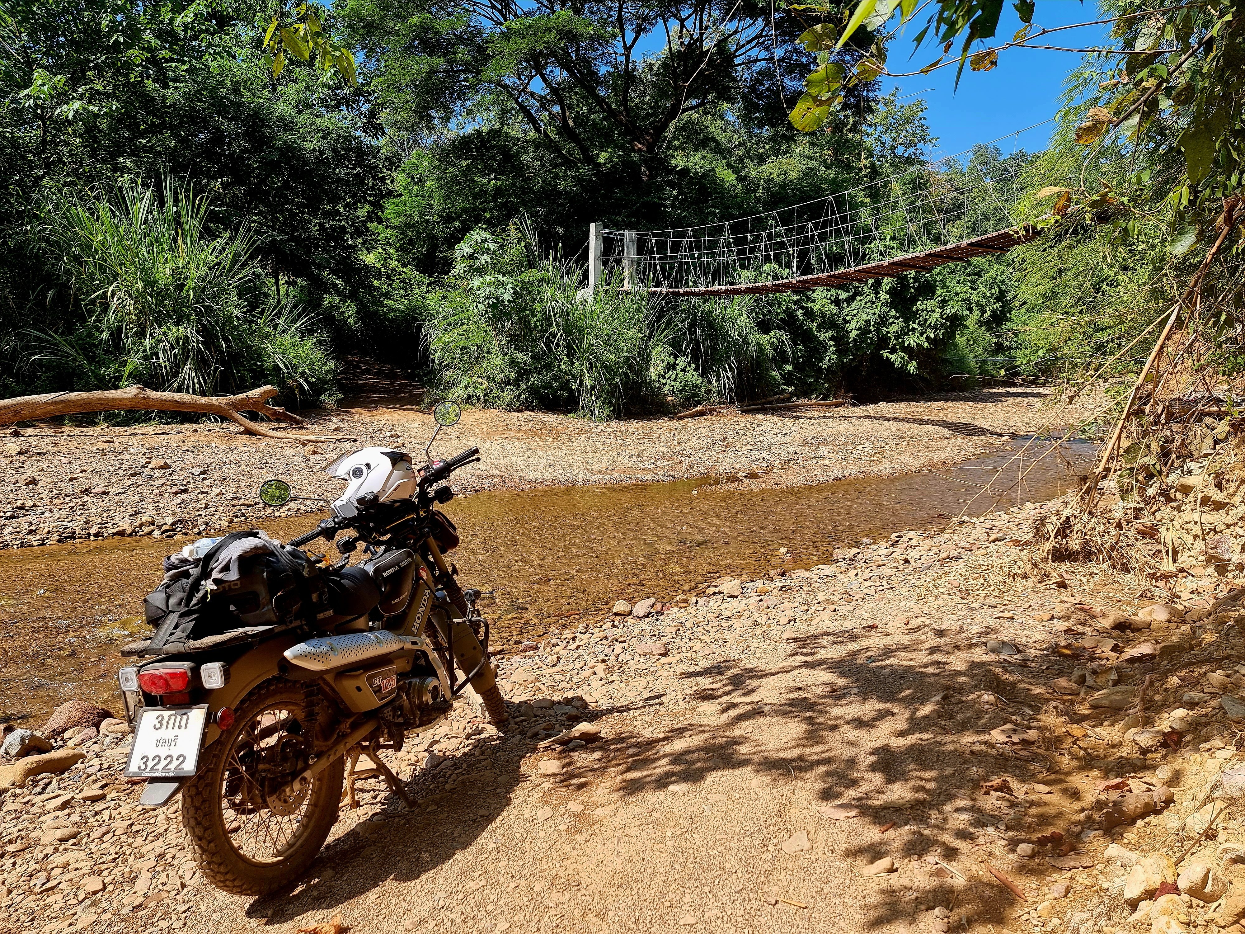
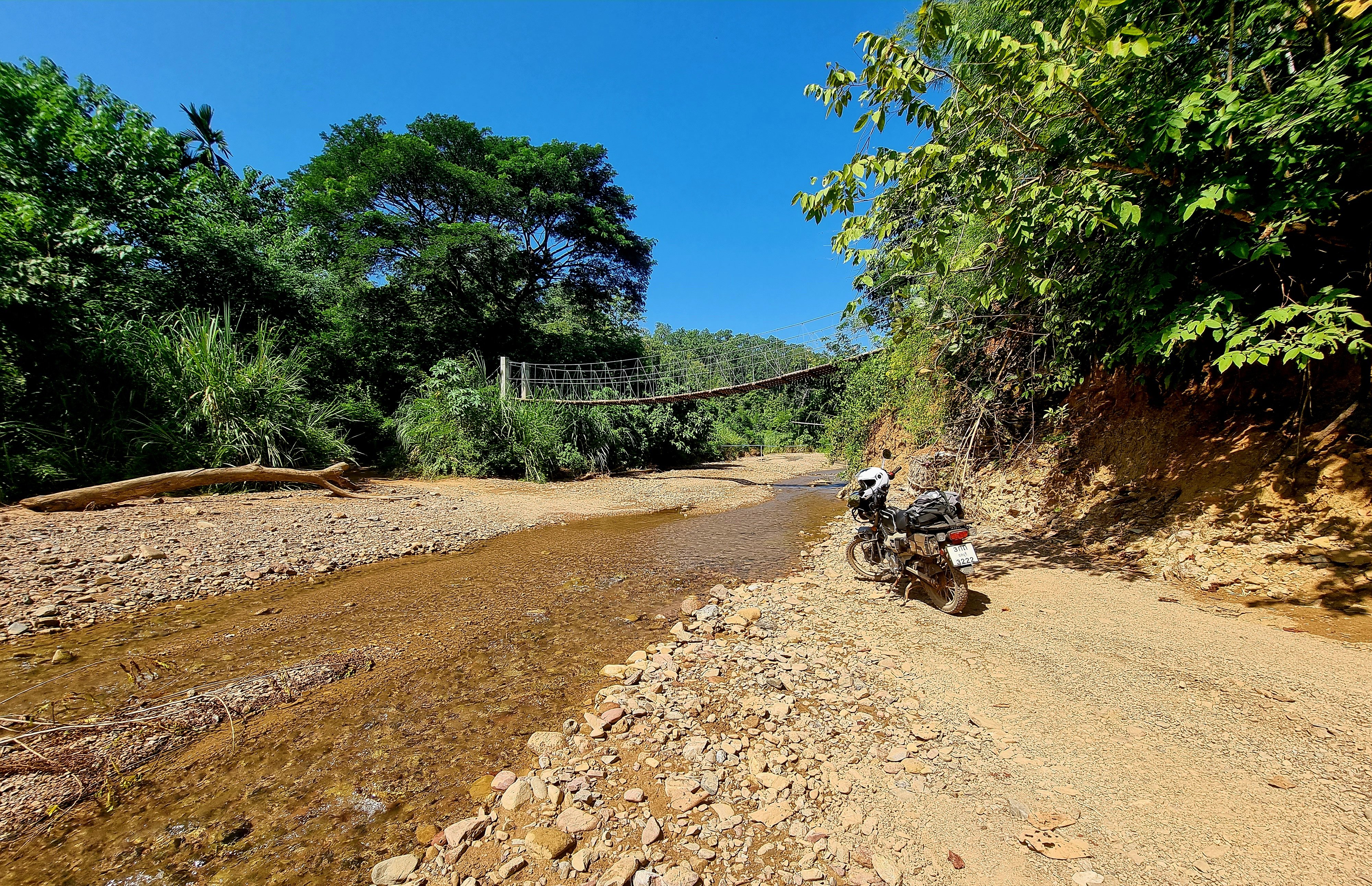
Day 17. 15.11.22. Mae Hong Son Green laning. My first stop today was a suspension bridge at Pai-Surin Bridge at the end of R3018 near the Burmese border. I walked on it to take some photos and very soon it started oscillating which was unnerving and at the time the thought of riding over it out of the question. I then watched a local ride across with no issue, so I followed his method, center of the bridge and steady, no problem at all. https://goo.gl/maps/K7ZuLBCGb2WqhEDL9 From here I rode to Huay Pu Keng Kayan-Village. And to a long tail boat across the river. The ladies here are the long neck people, I was in two minds on going but I enjoyed chatting with the people there and if there are no tourists life would be a lot harder for them. https://goo.gl/maps/mfNjPHd8tjVpji7B9 I had spotted a turning south on my way there so decided to go exploring, it follows the river Khi and the further I went it turned into broken road, sand and gravel track. Quite a few small river crossing and very remote. If wet some of the hill climbs would be very slippery. The road turns back to concrete about one km before Ban PA Lan School, from there, on to R108 and loop back to Mae Hong Son. Zooming in on Google maps it seems there are many tracks to explore in the area. https://goo.gl/maps/7kJp2qUTeWVaB8Vo7


-
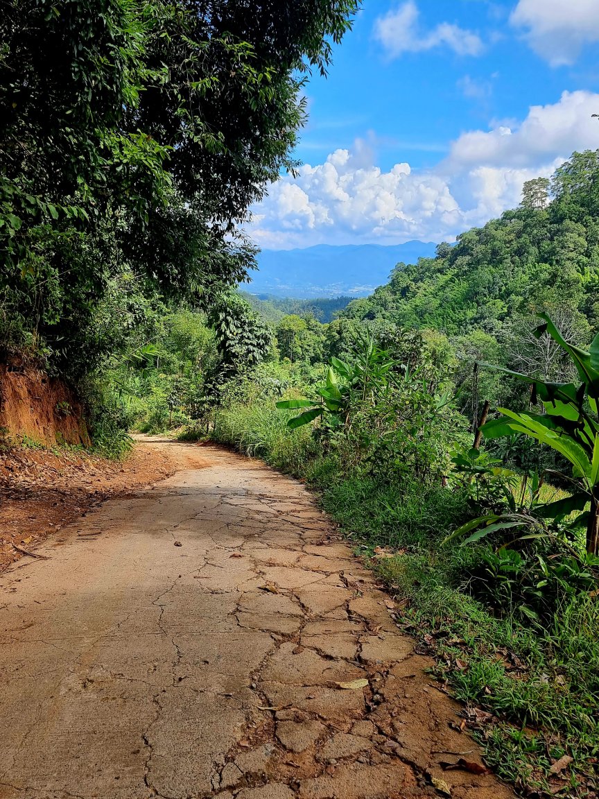
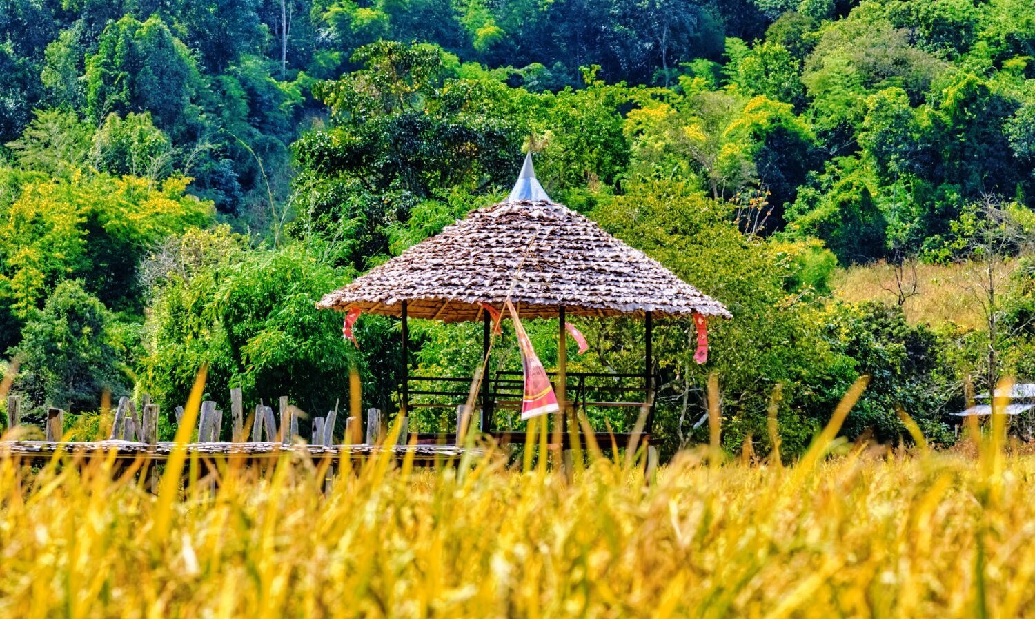
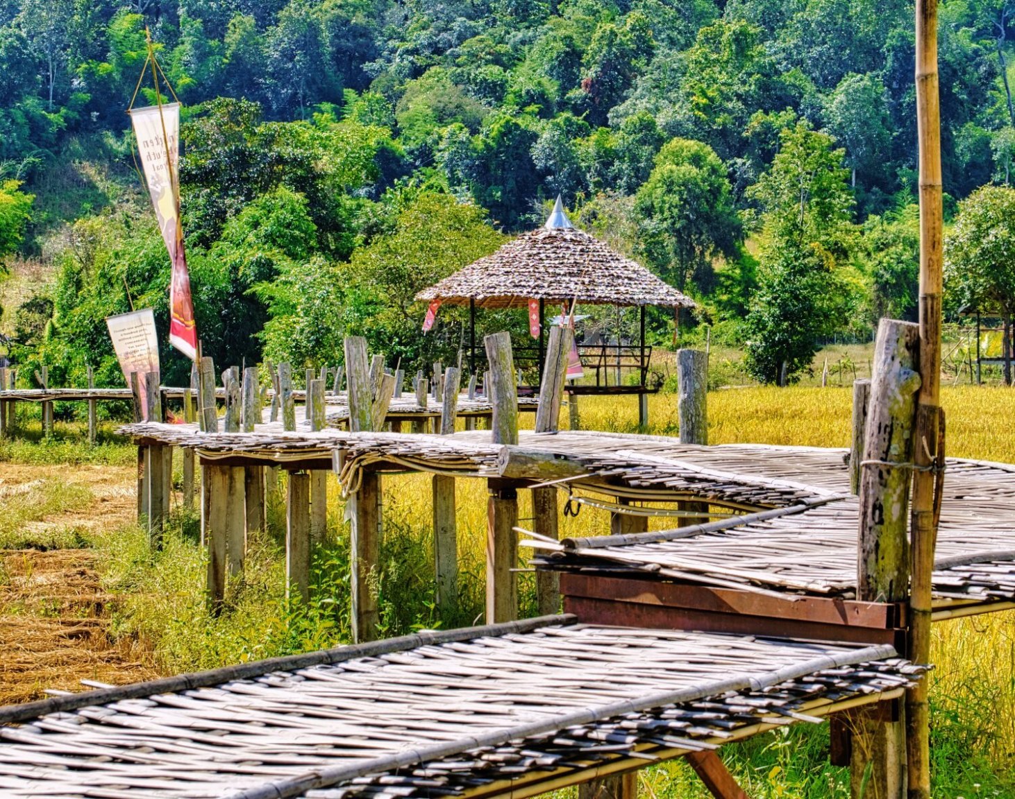
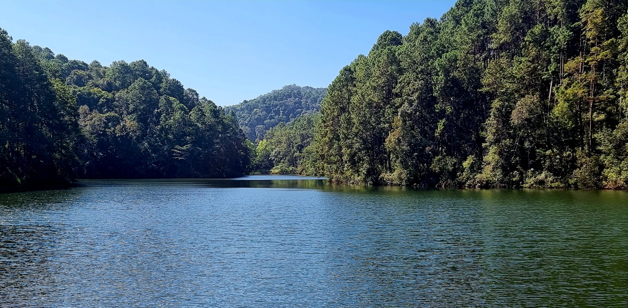
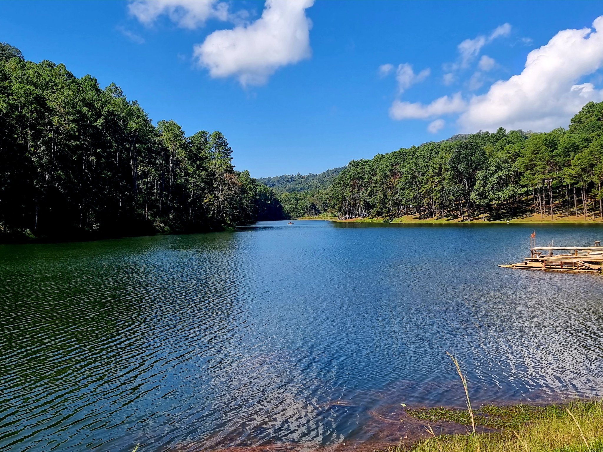
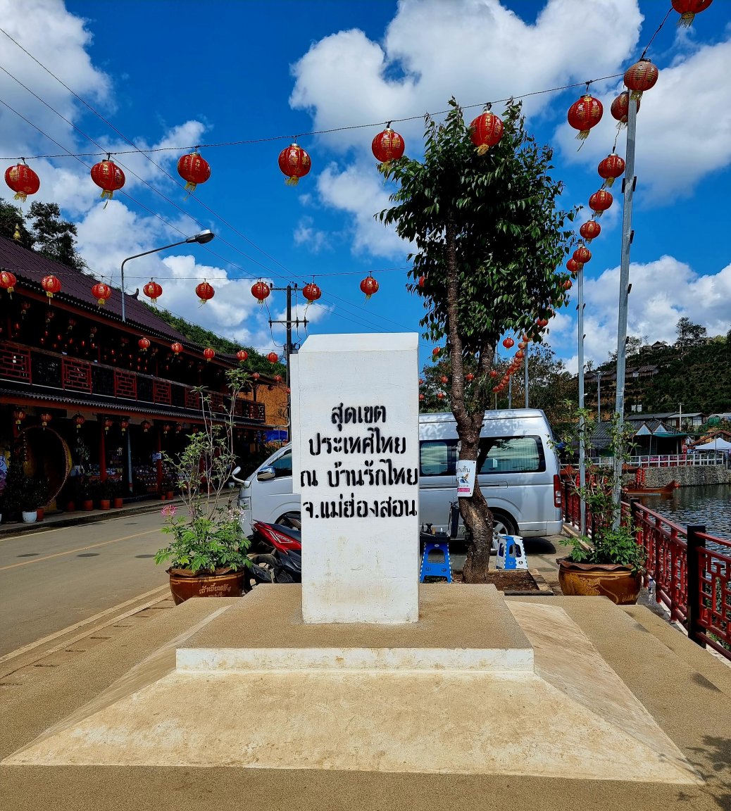
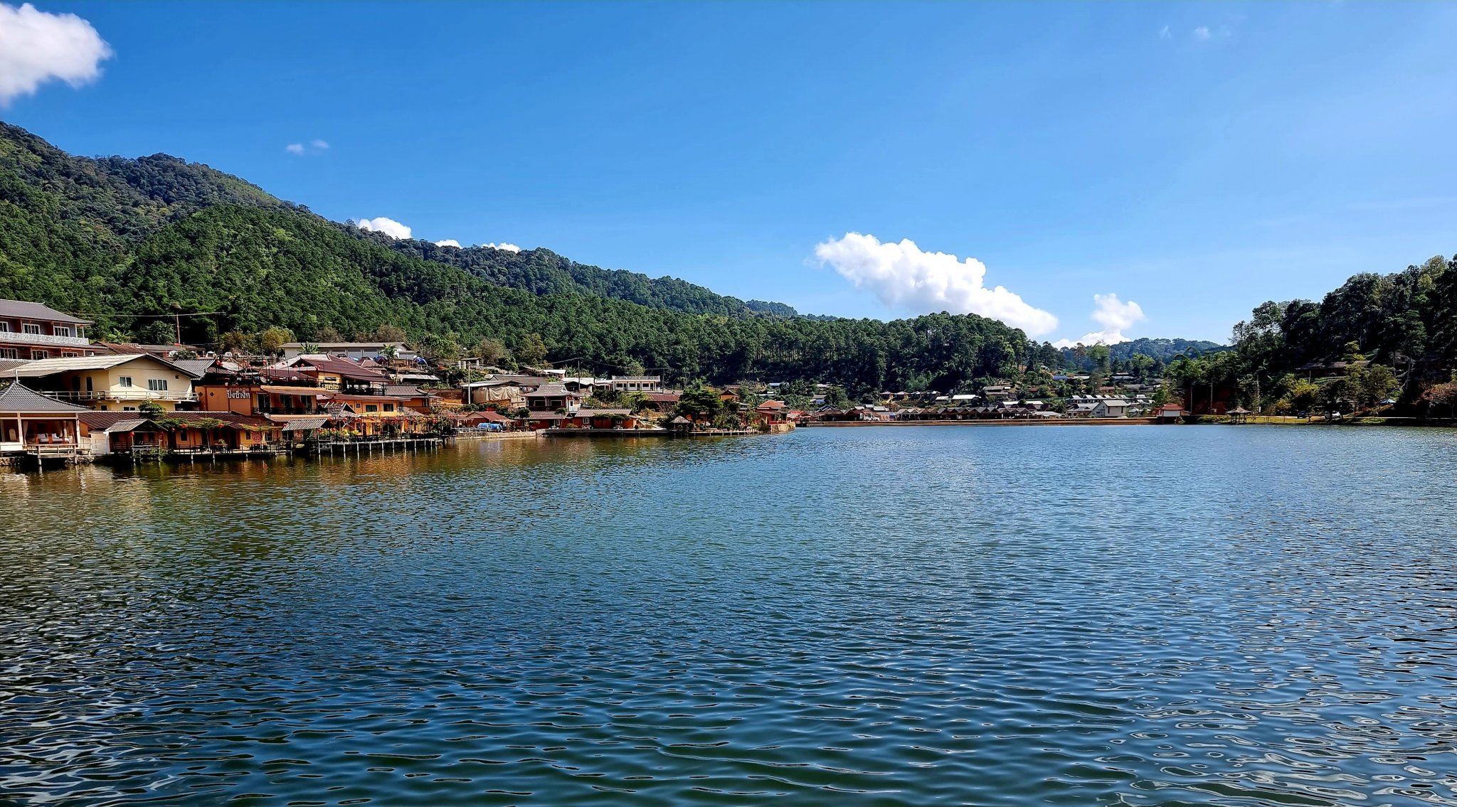
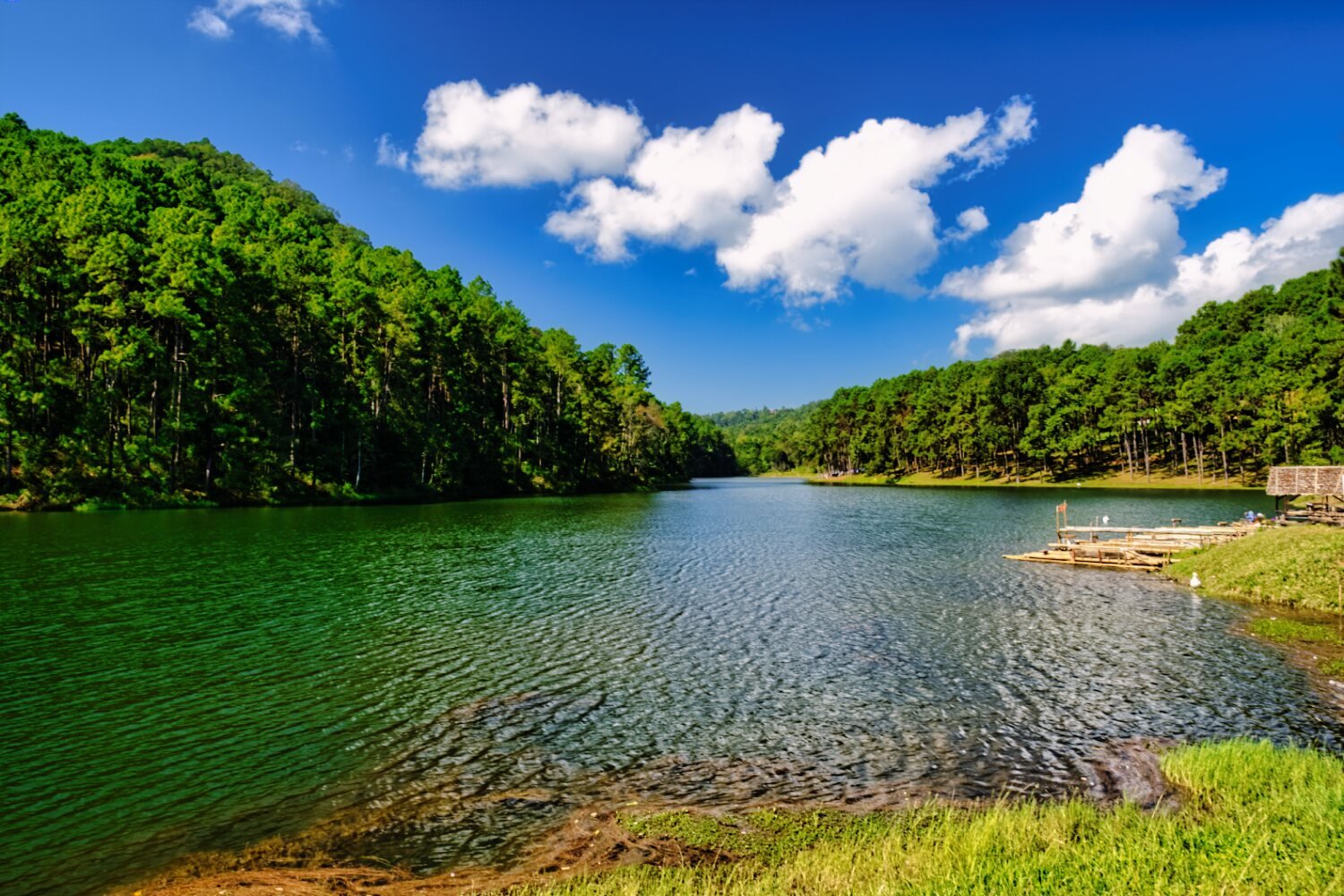
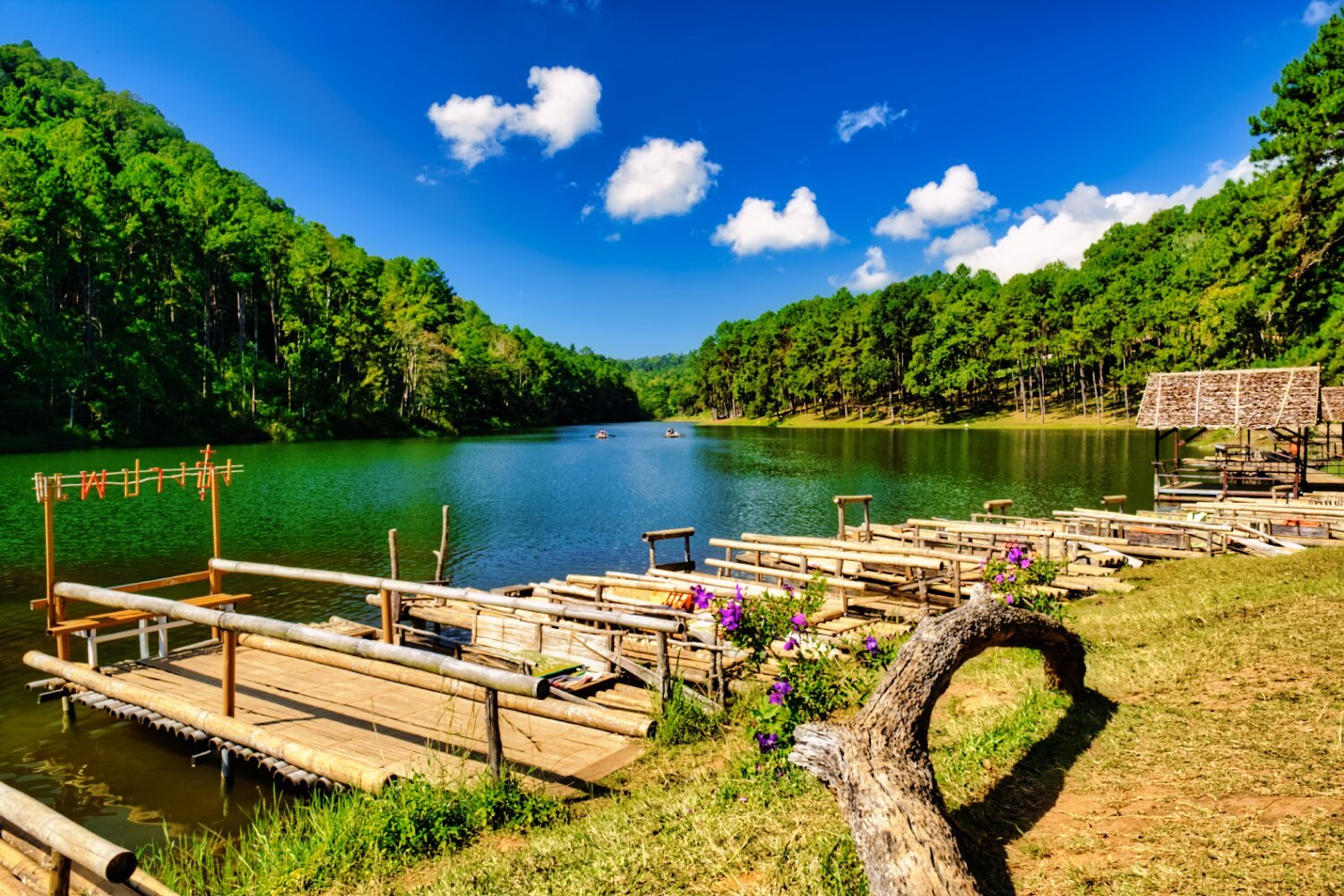
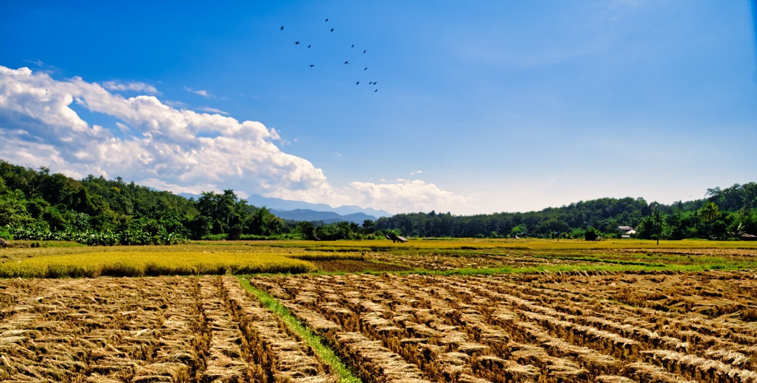
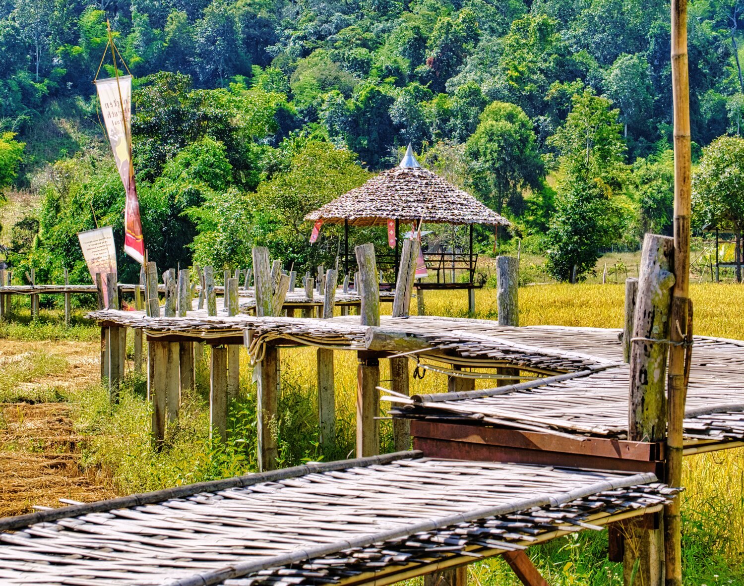
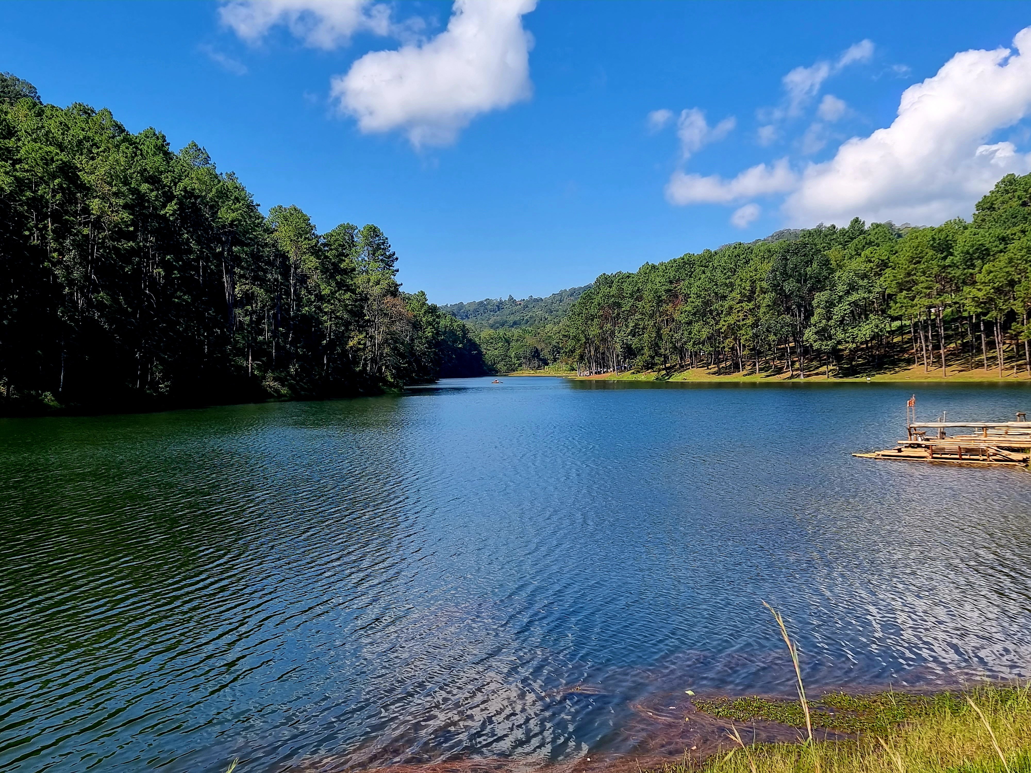
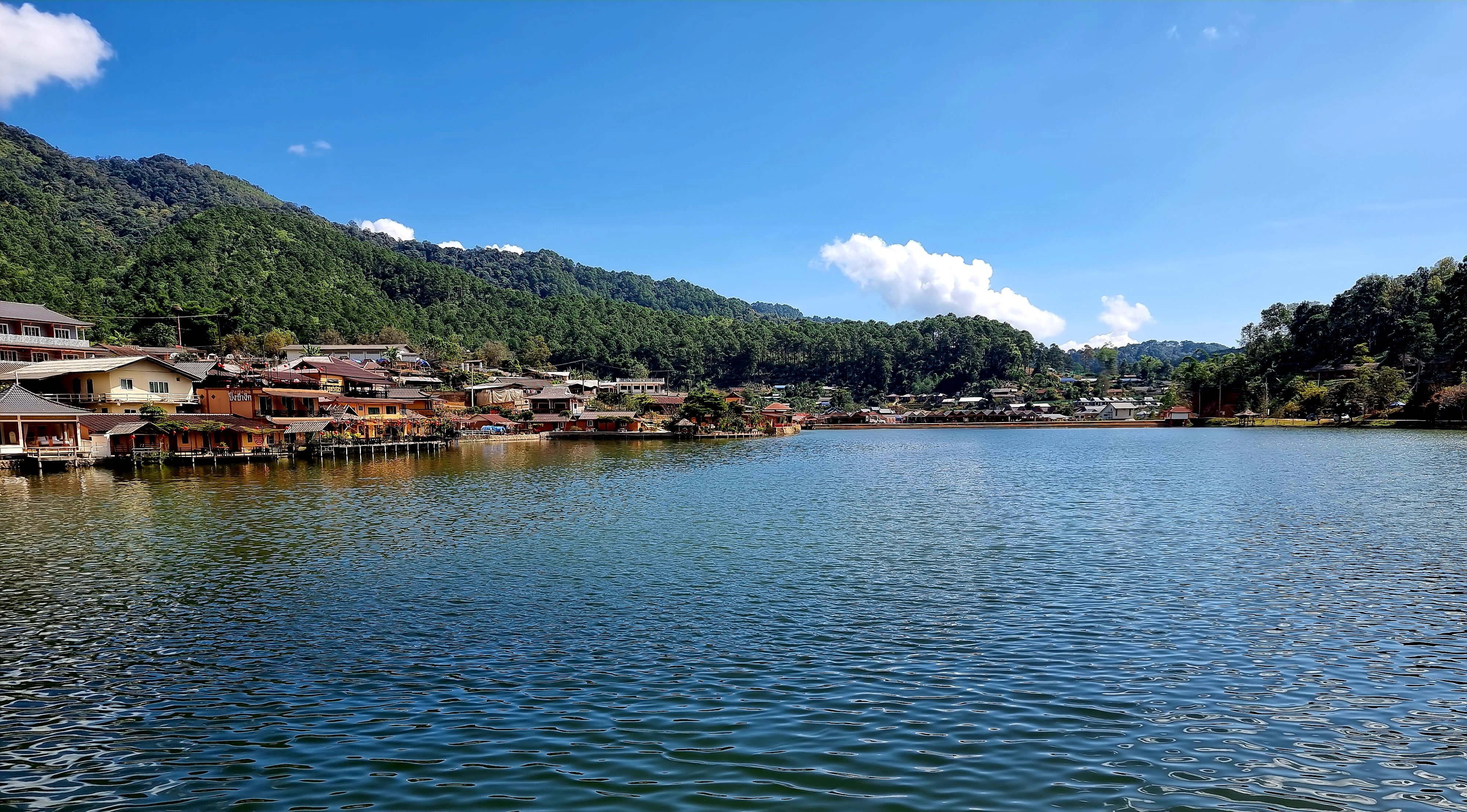
Day 16. 14.11.22 113km. Today I rode first to Pang Oung Lake for the first time. https://goo.gl/maps/jvM6syCvUqnTupdeA It was cool and refreshing there. I then continued to Ban Rak Thai. https://goo.gl/maps/VQ7U3WLqWHtMb5vz7 I had a quick look around before riding to Ban Kung Mai Sak Rice Bridge for a walk about. https://goo.gl/maps/zyQBq37RiCHf2xw7A https://www.relive.cc/view/vPv4AV1WB3O


-
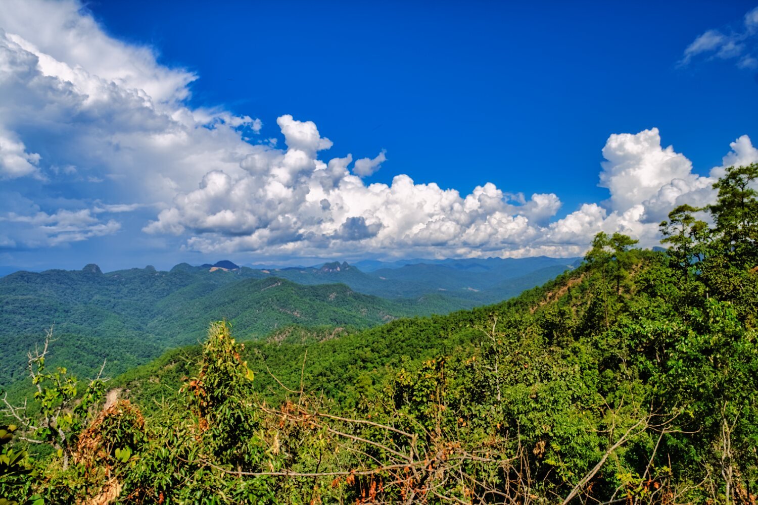
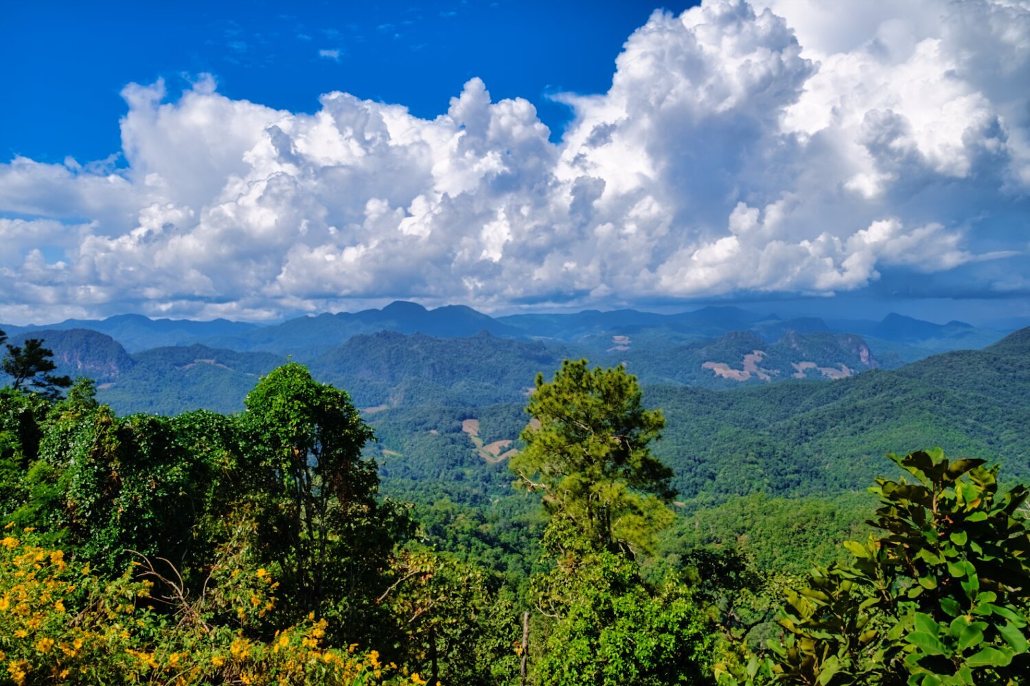
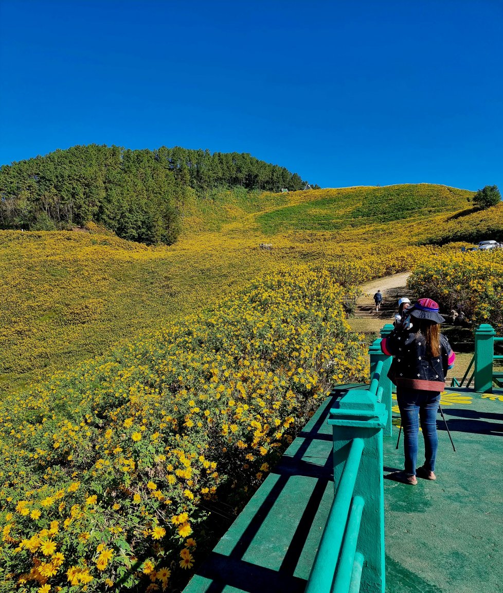
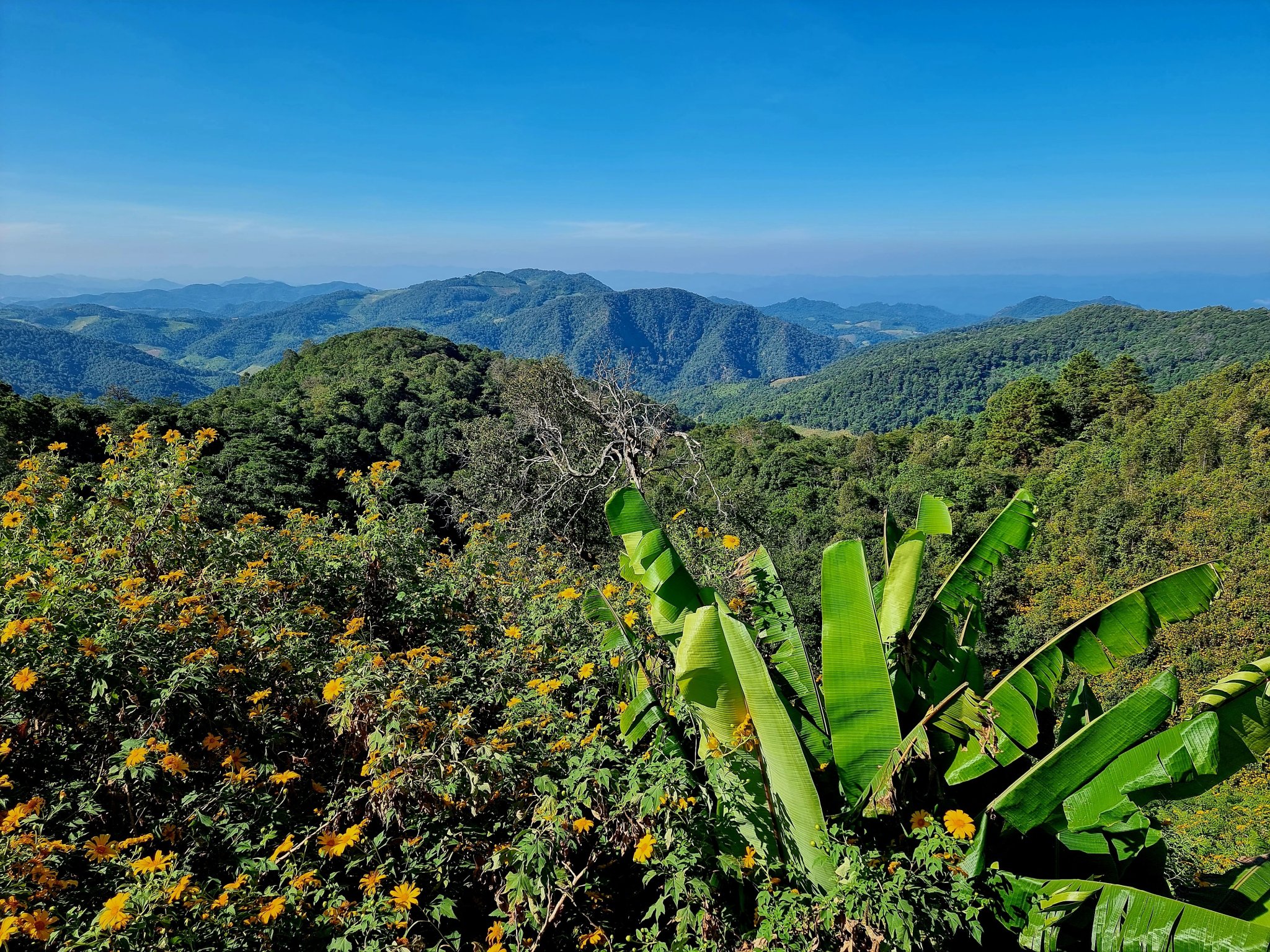
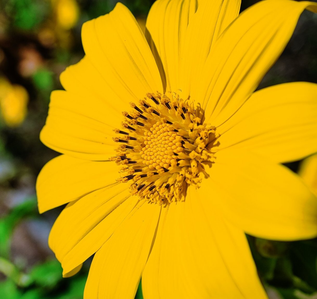
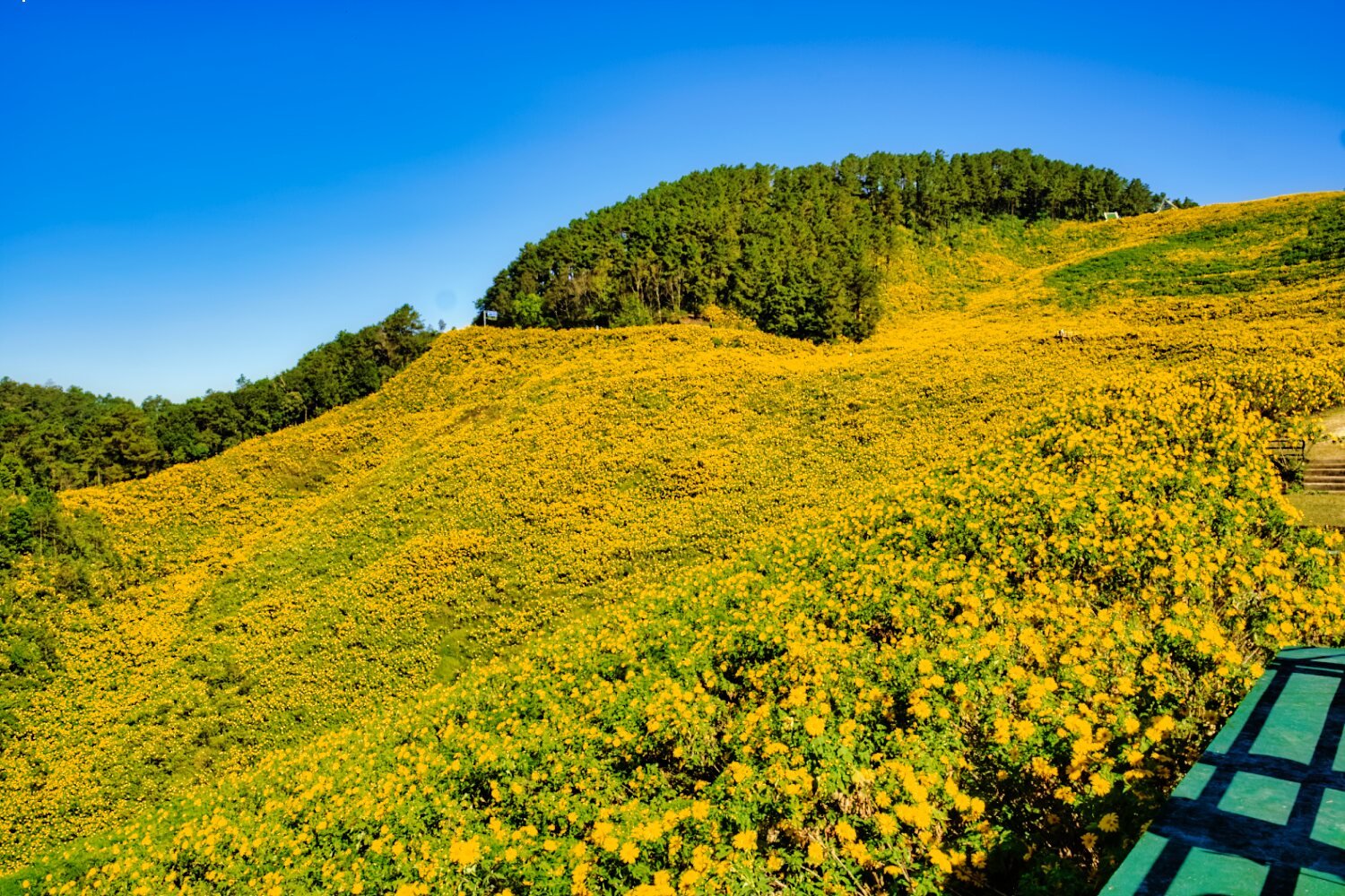
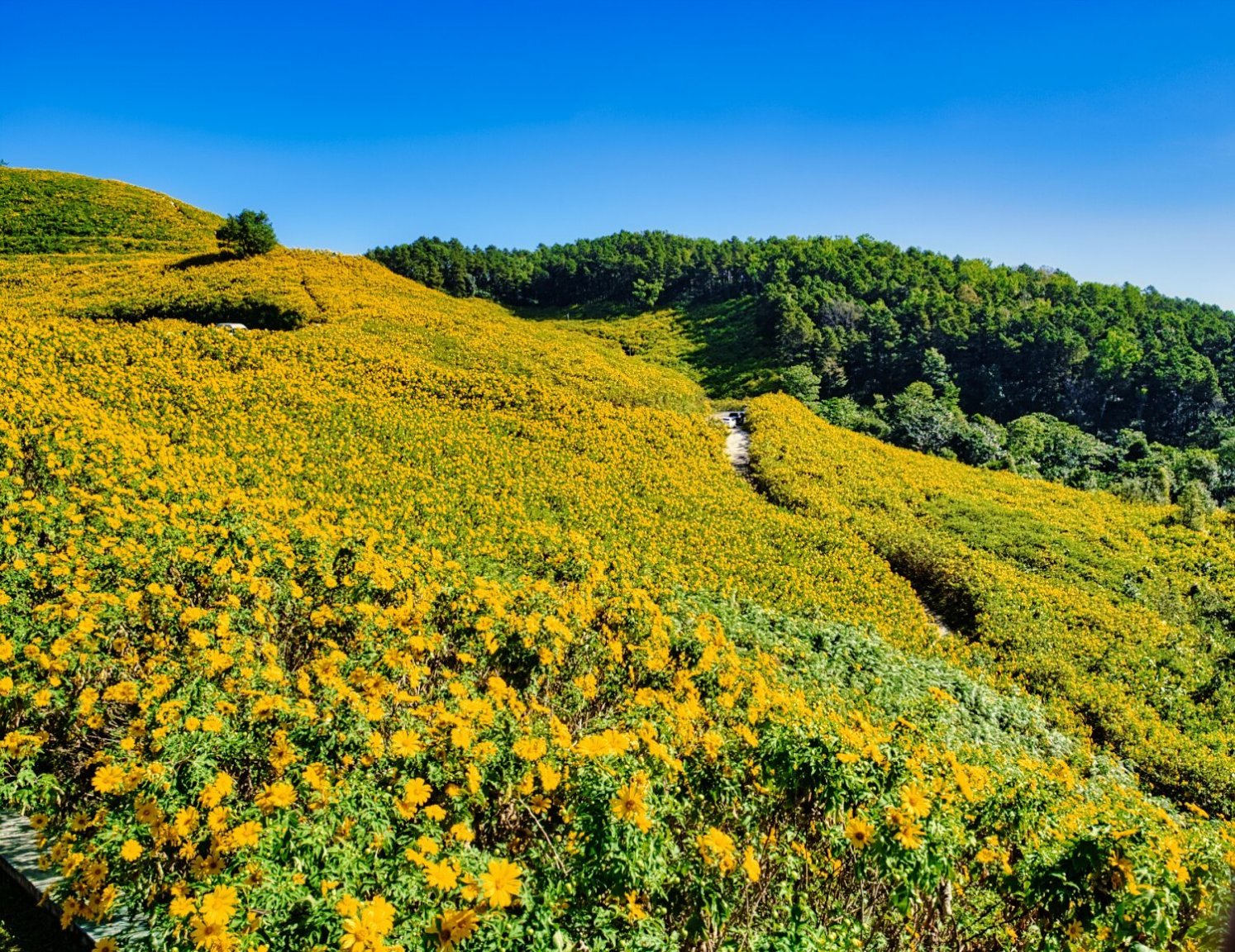
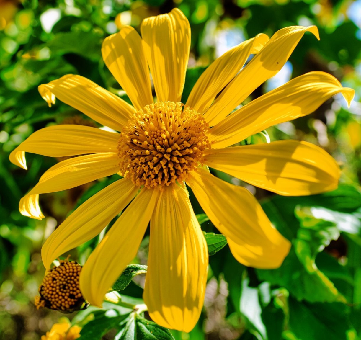
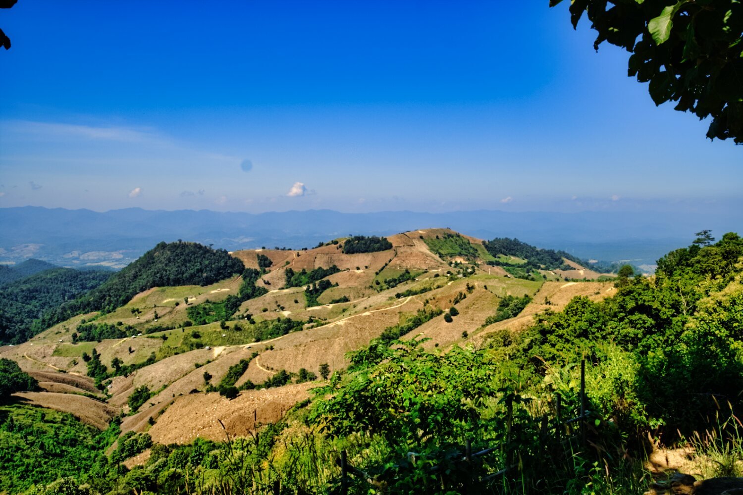
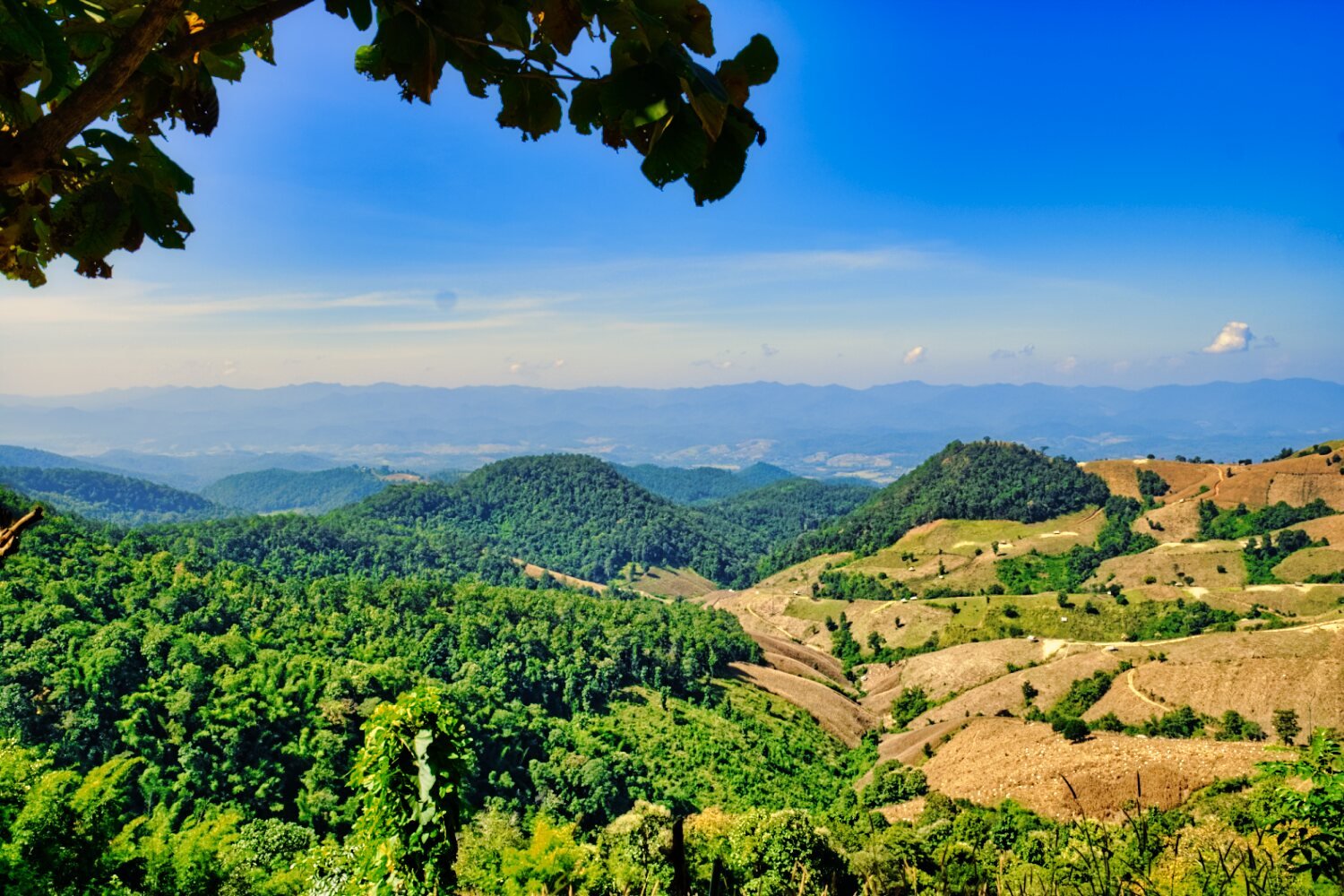
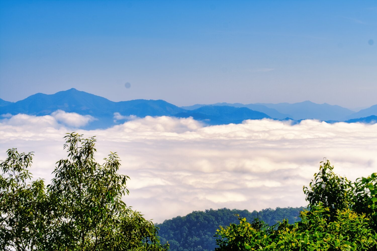
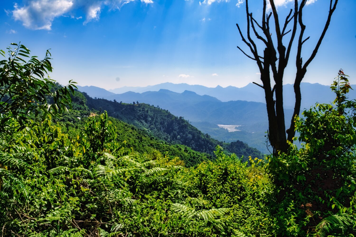
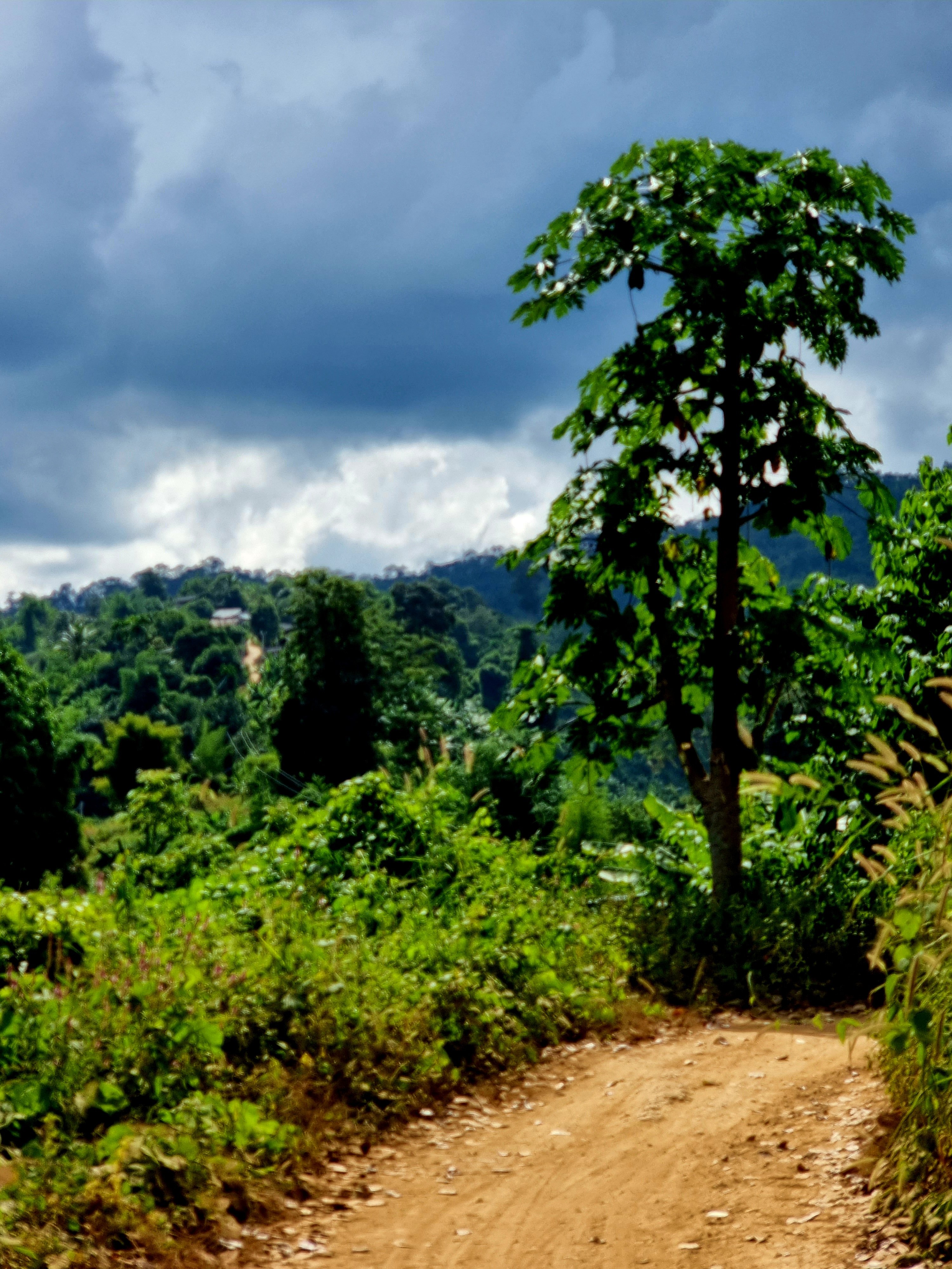
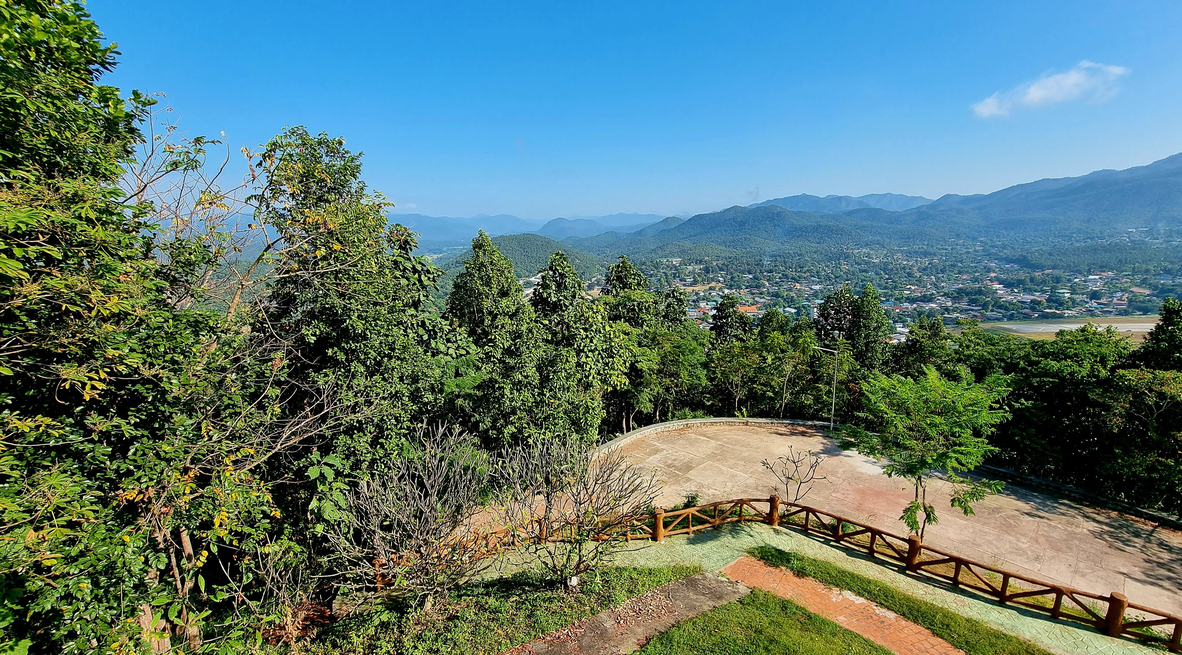
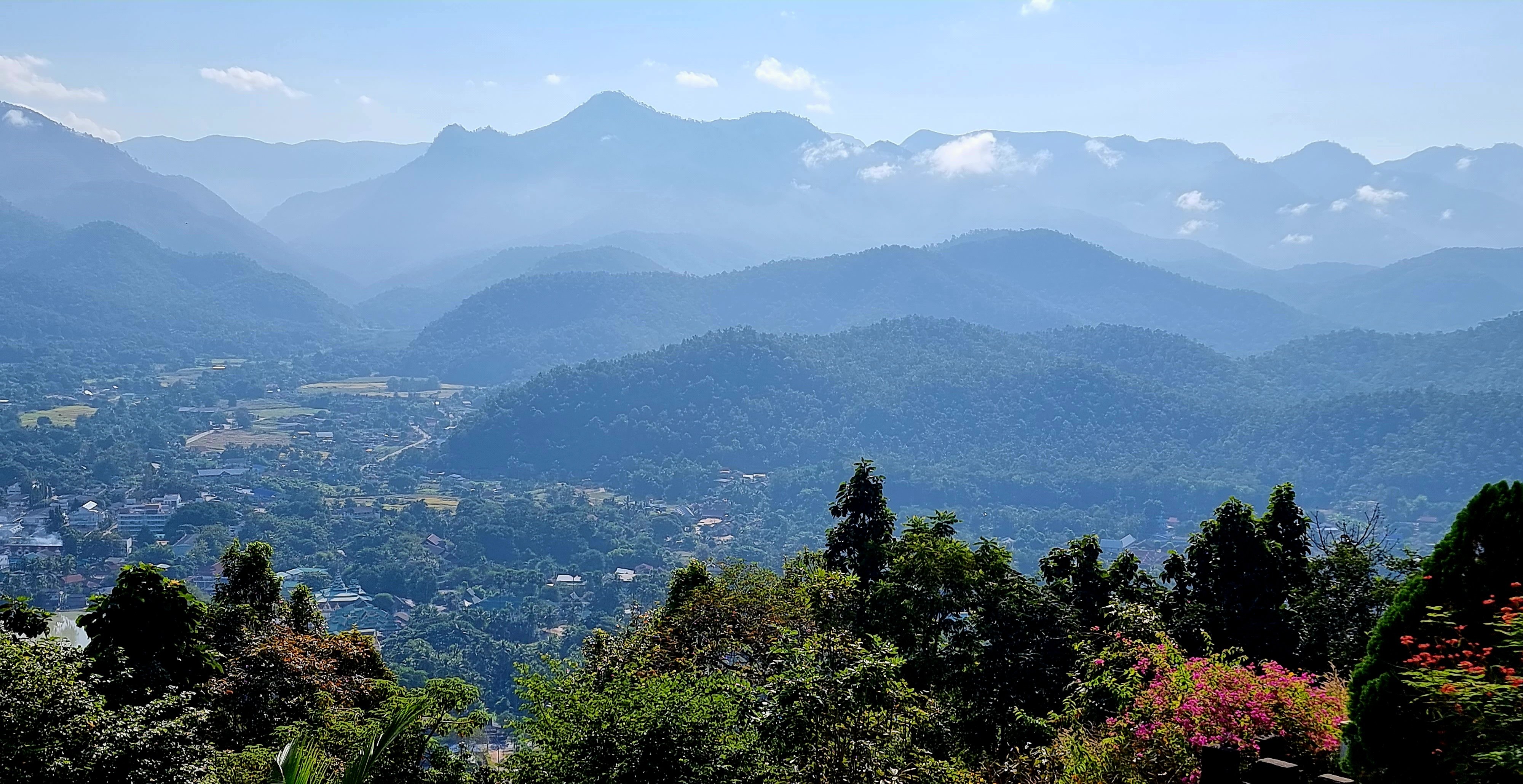
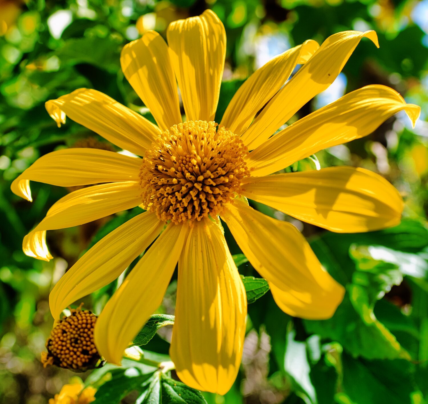
Day 15. 13.11.22 MHS to Phu Chi Phe 175km Today’s ride my first aim was to ride up to viewpoint Phu Chi Phe. https://goo.gl/maps/9bZq6RP65p1qe7h19 It was very damp from the fog and soon I was sliding all over the place. Even my boots were sliding around with no grip when I tested them. I called it day and turned back, a minute later a Thai couple on an off road bike came down past me as if it was a normal track! At the entrance to the track while map checking a Vespa came down too! It appears they went up yesterday to camp and were on their way back. It must have been drier than this morning when the Vespa went up for sure! After this I went to Thung Bua Tong Fields to see the sunflowers and then back to Mae Hong Son. https://goo.gl/maps/W9RRGUfLkvA3nTTN8 https://www.relive.cc/view/v26Mrj2yGEq


.thumb.jpg.d662bc056fd4b1ee952666985803bc30.jpg)
-
Day 13. 11.11.22 Mae Sariang, rest day. Day 14. 12.11.22 Mae Sariang to Mae Hong Son 215km Today’s ride was to Mae Hong Son, I was going to stay at Khun Yuam, but after three hotel were either shut, booked or too expensive I moved on. I stopped at a view point o R1266 for photos, then back on route to Mae Hong Son https://goo.gl/maps/yj8Gyxyb16GnxWV68 https://www.relive.cc/view/v4OG9gZWrmq


-
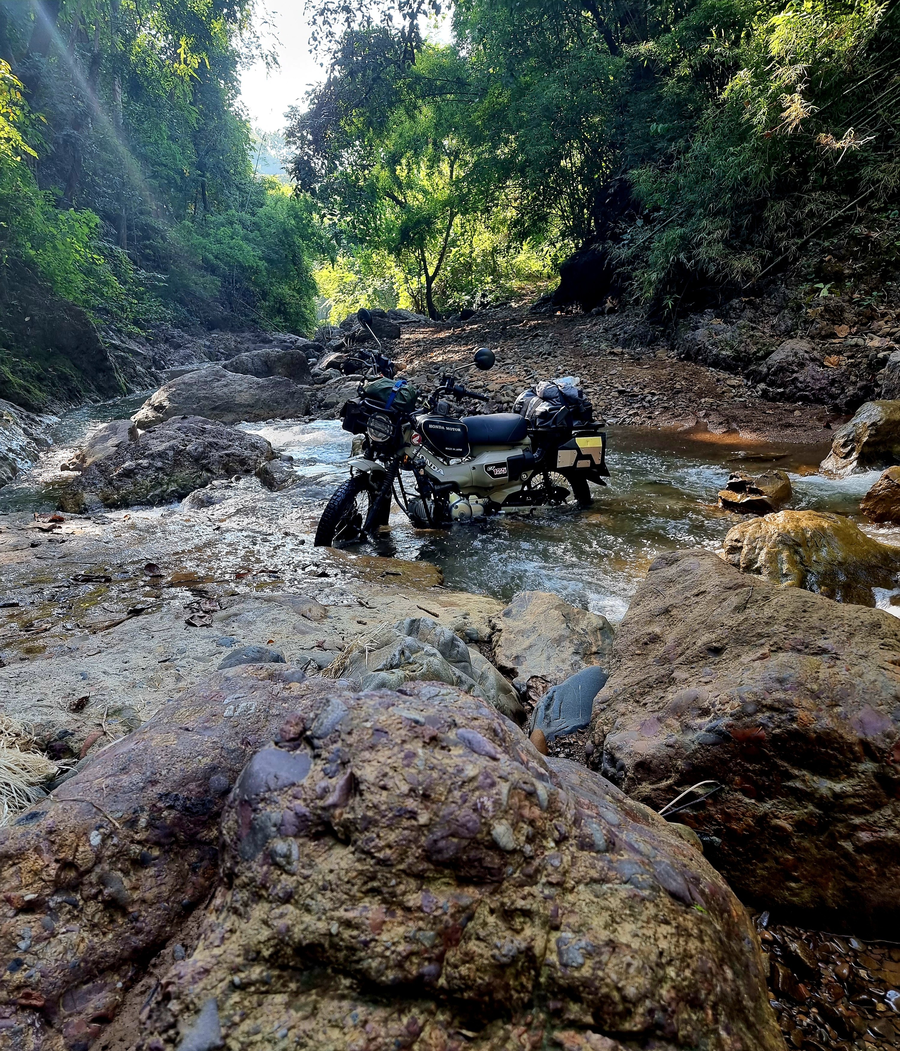
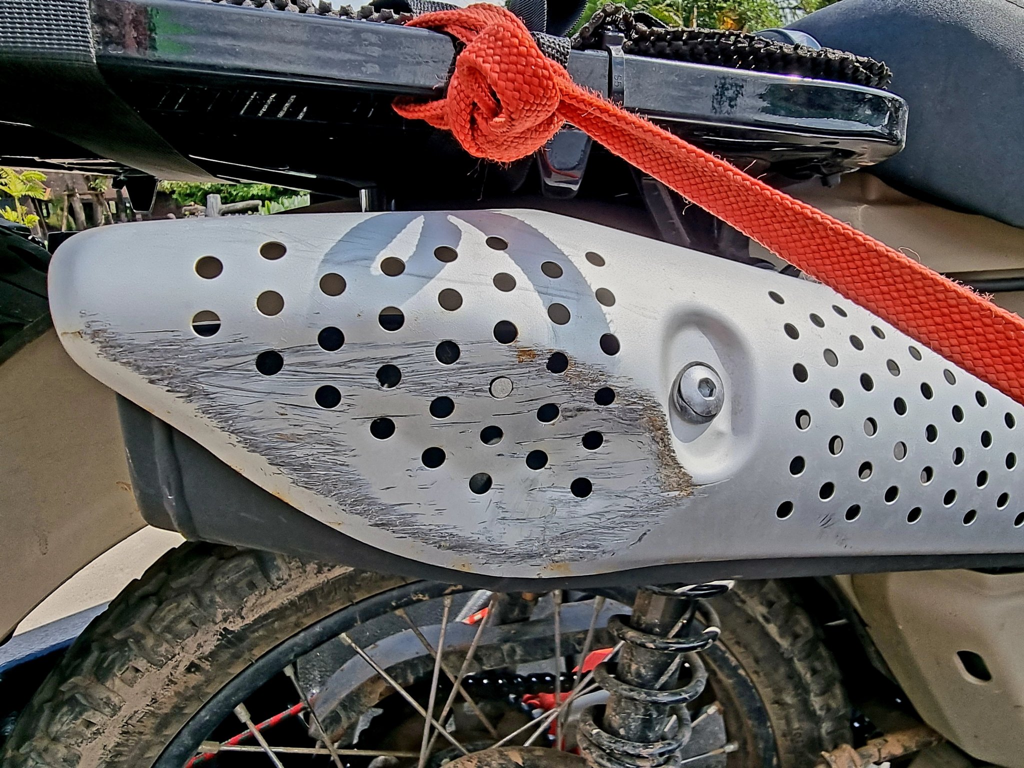
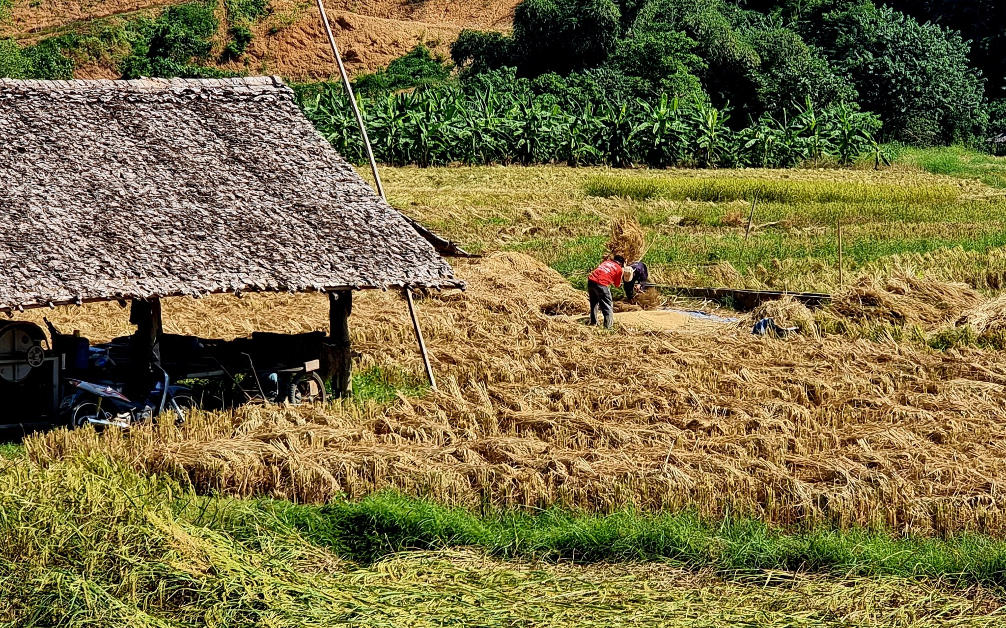
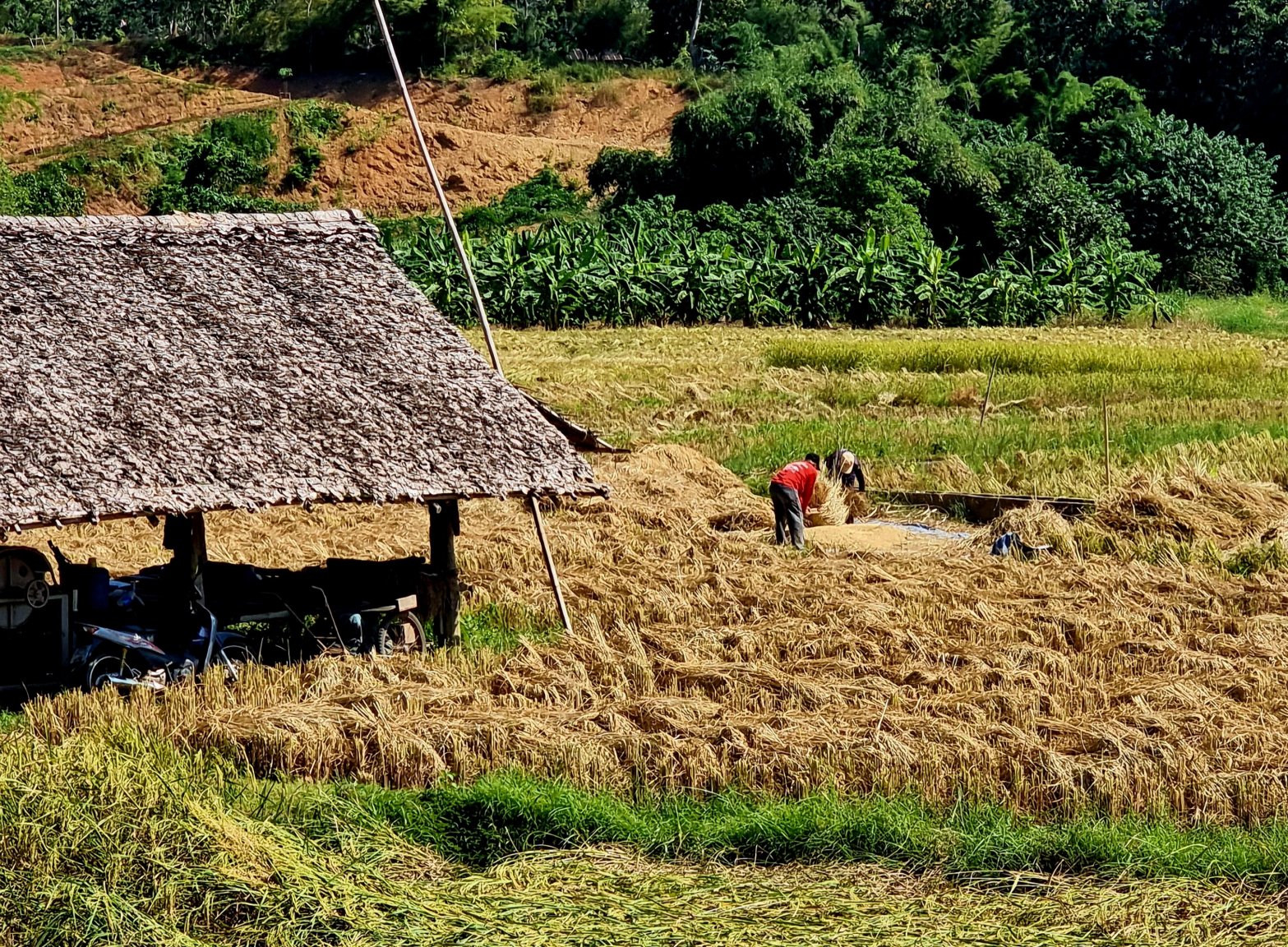
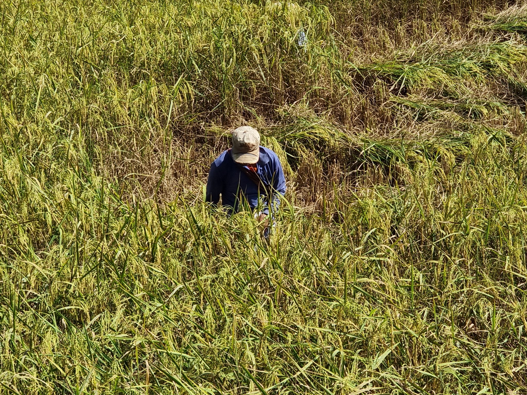
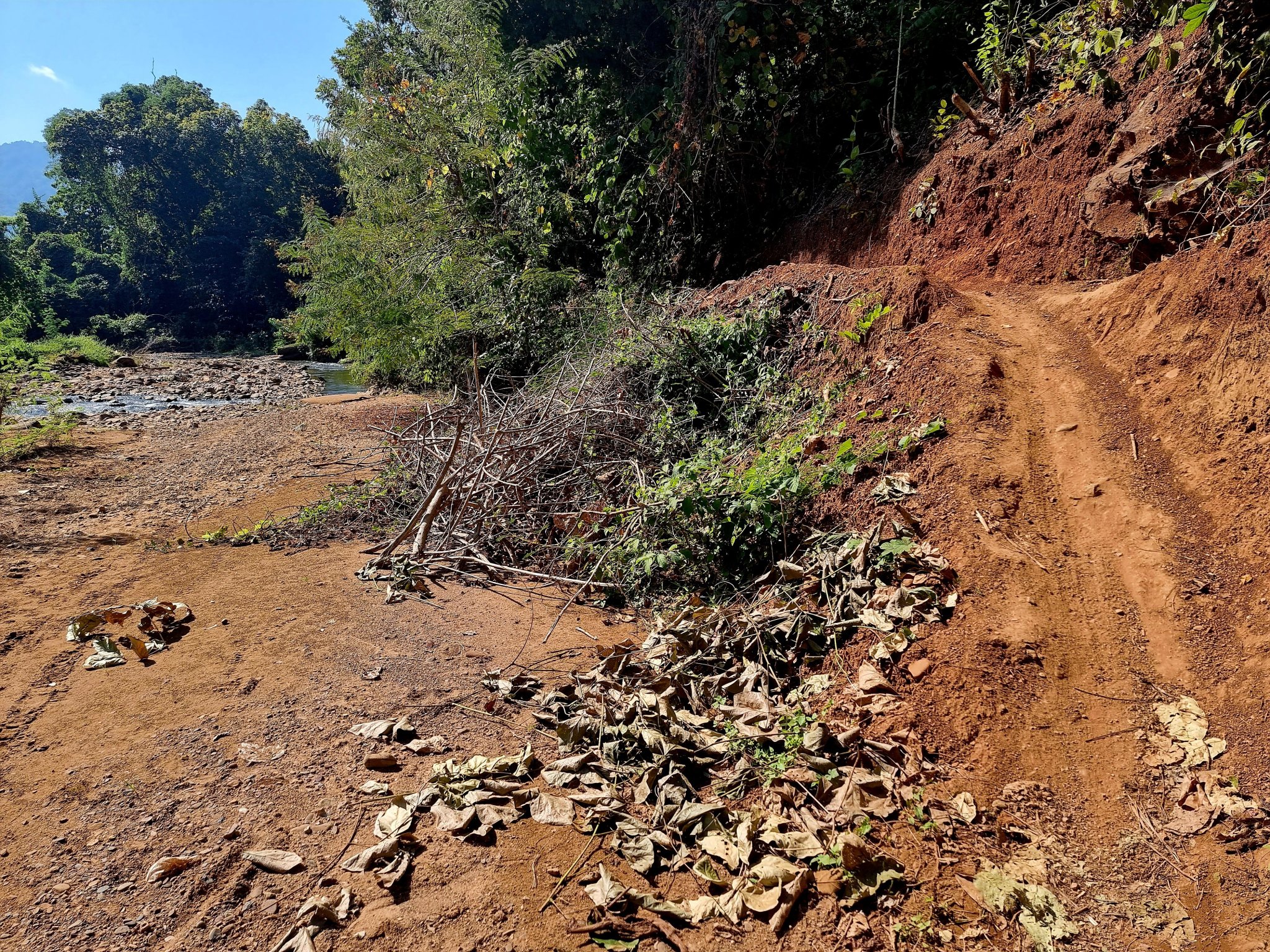
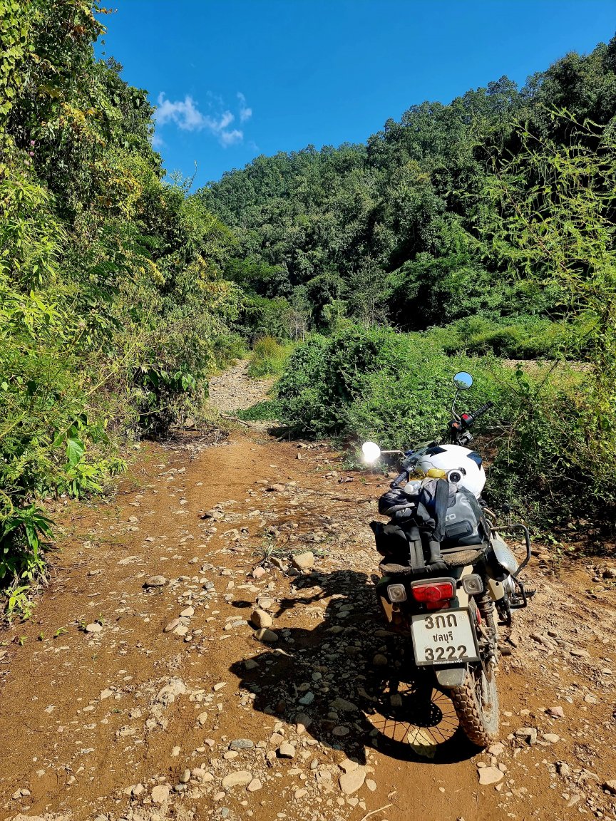
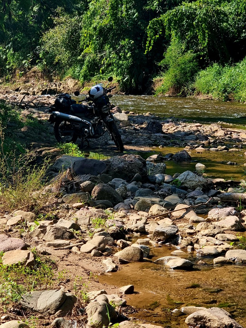
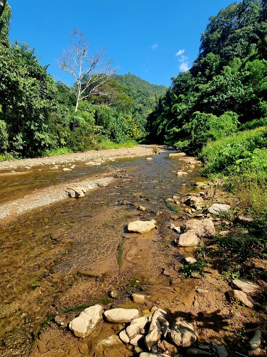
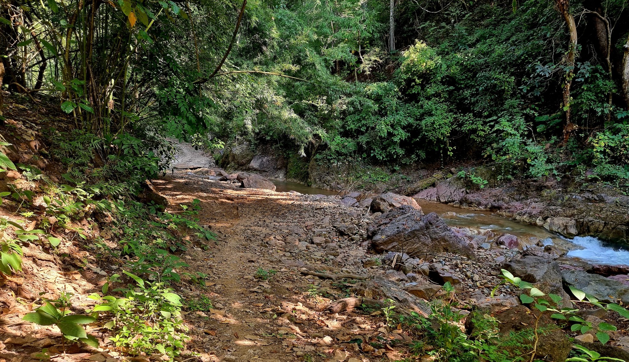
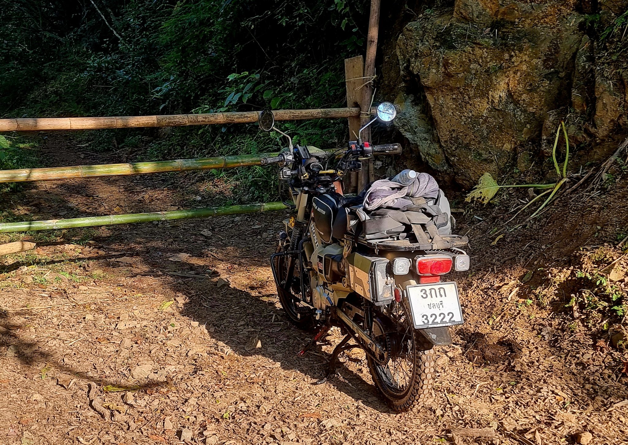
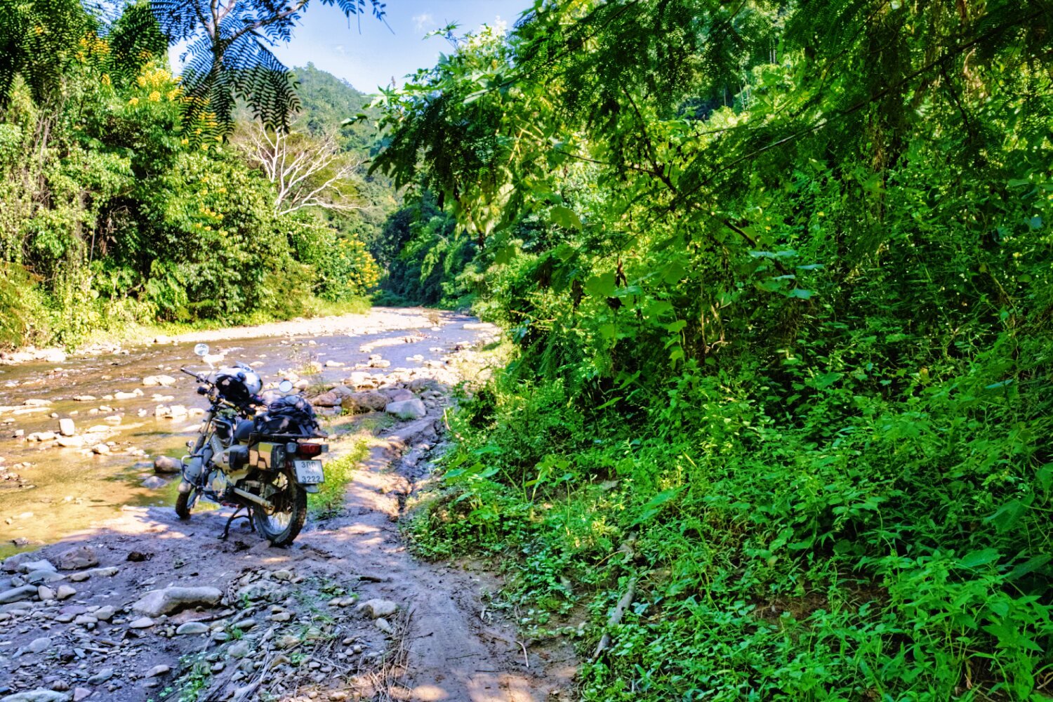
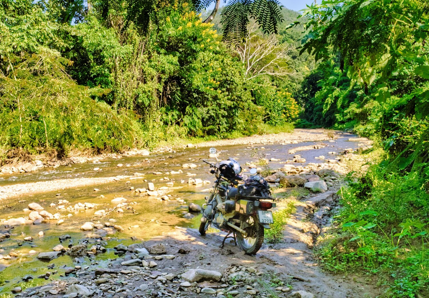
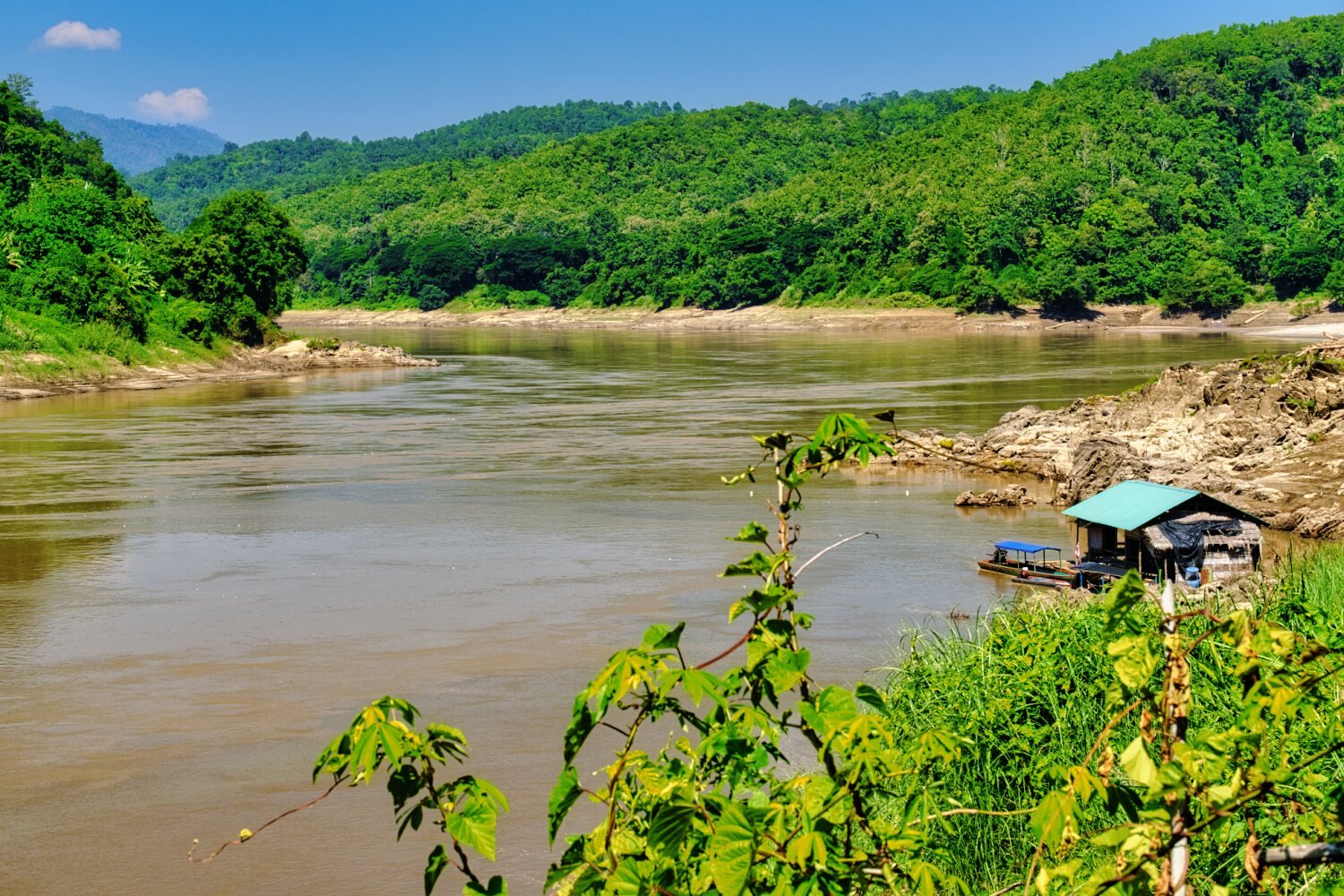
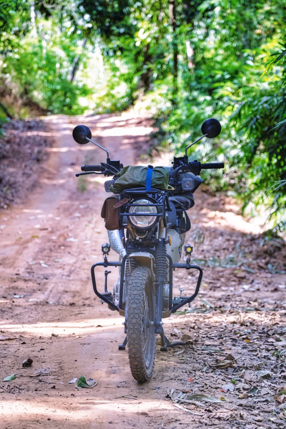
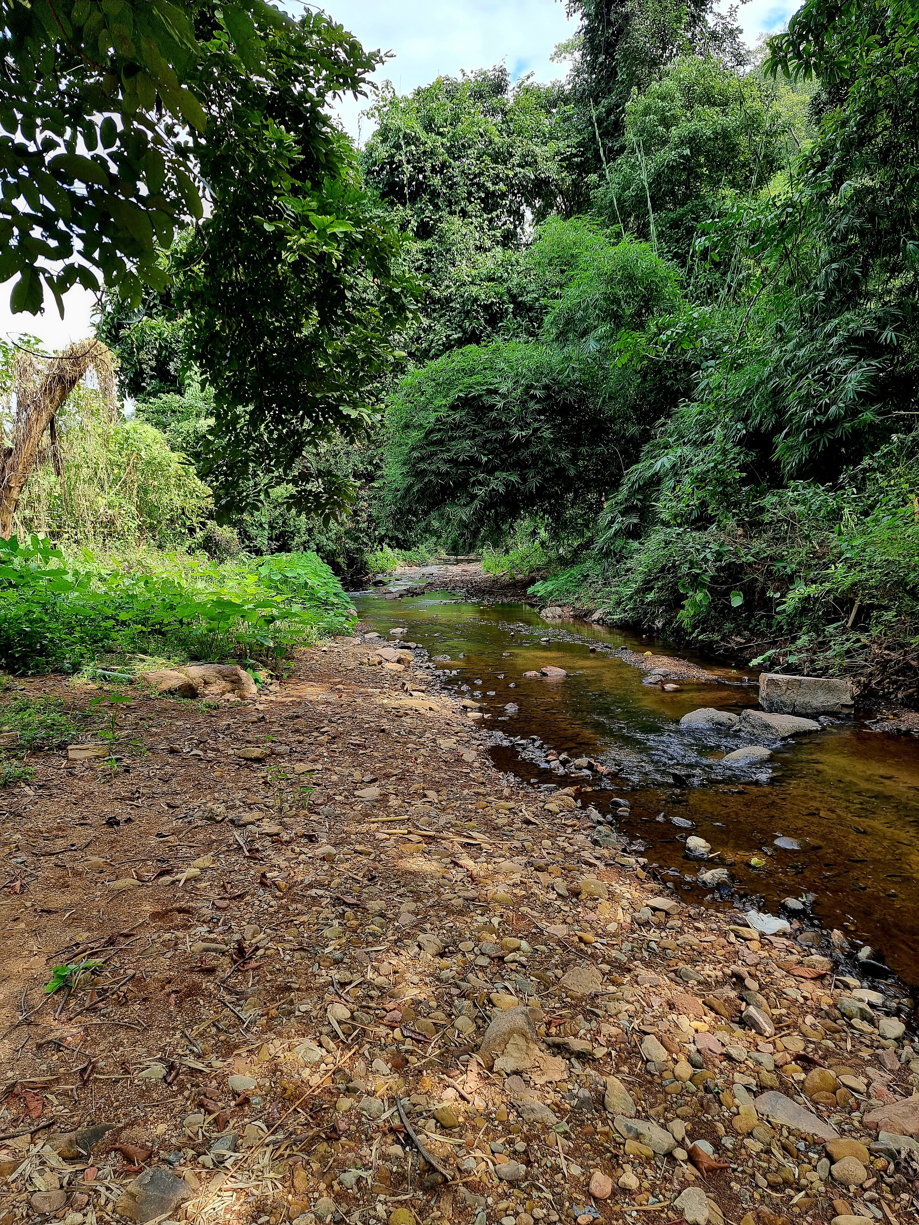
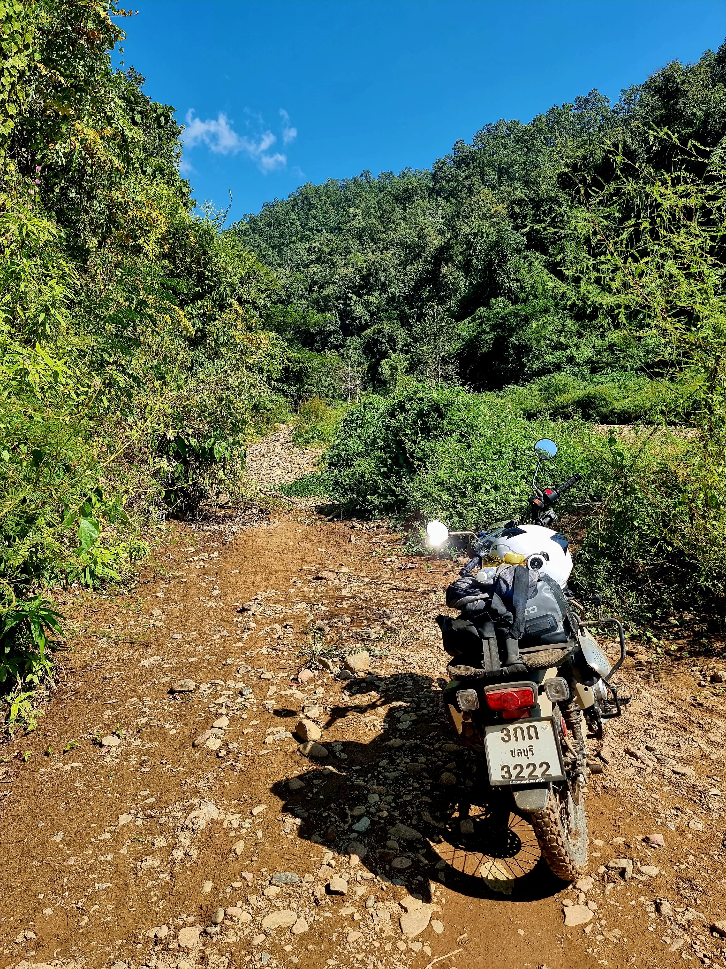
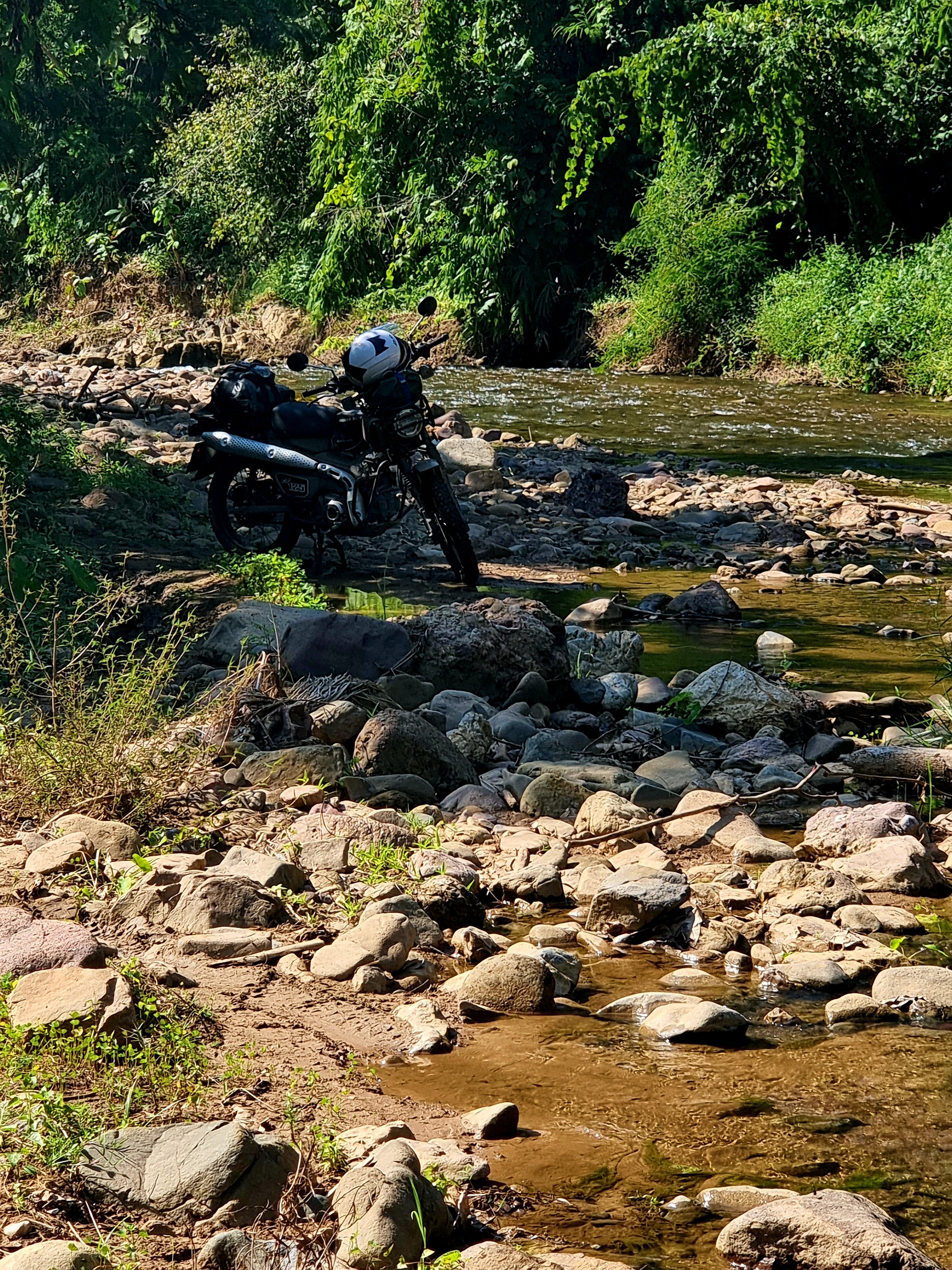
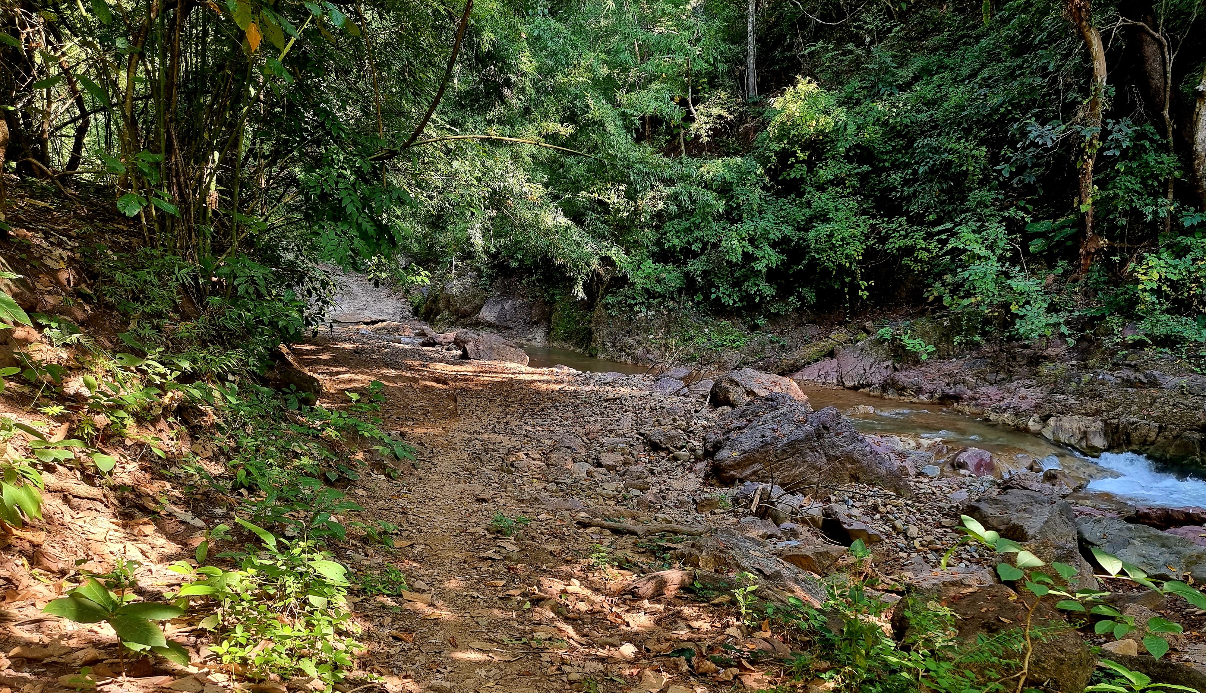
Day 12. 10.11.22 110km Mae Sariang River Riding. Today’s ride did not go as planned. Previously I have ridden to Salawin National Park and headed west to Ban Tha Ta Fang, then alongside the Salawin river to Mae Sam Laep and looped back to Mae Sariang. Which was a pleasant ride a little tricky in places and included a river crossing. Today I decided to ride the loop in reverse, first stop was Mae Sam Laep on the Salawin river. https://goo.gl/maps/yp91WYgZJK69AMZ78 All went well until just after Ban Tha Ta Fang. https://goo.gl/maps/6shVnSNxDnsMvBtLA I ended up on a very narrow track which confused me as it was not like this before, I got to point where there was a thin wooden plank to ride over with a drop to the dried up river on the right. I was feeling extremely uneasy and wanted to walk ahead to see what more was to come, but the only way was forward. A local pulled up behind me and came to chat, and offered to ride the bike through, totally embarrassed I let him, As it happened the plank was firm in the ground and I would have been ok. Our chat continued with him telling me the previous tracks were all washed away now, but keep going and no problem. Unfortunately he forgot to mention the ride now included a large amount of stream, dried river bed and riding along and crossing the river Kong Khe trying to find the way (I guess 30 plus crossings) Some were easy, some crossing were no issue, some I had to stop and walk to check where the track started again. I got stuck on one ride out and had to walk it up the ramp. Another ramp I was jammed in rocks and could not move at all. I eventually dug out the offending rocks and managed to carry on. This continued for hours with the occasional farmer telling me to keep going. I made it without coming off, just! Banged up my shin and right knee, though not sure how or when. If anyone wants an adventure this ride is for you! https://www.relive.cc/view/vdvm3XwMBN6


.thumb.jpg.592fa855363f4f48adc7b1e1c2a8bf10.jpg)


-
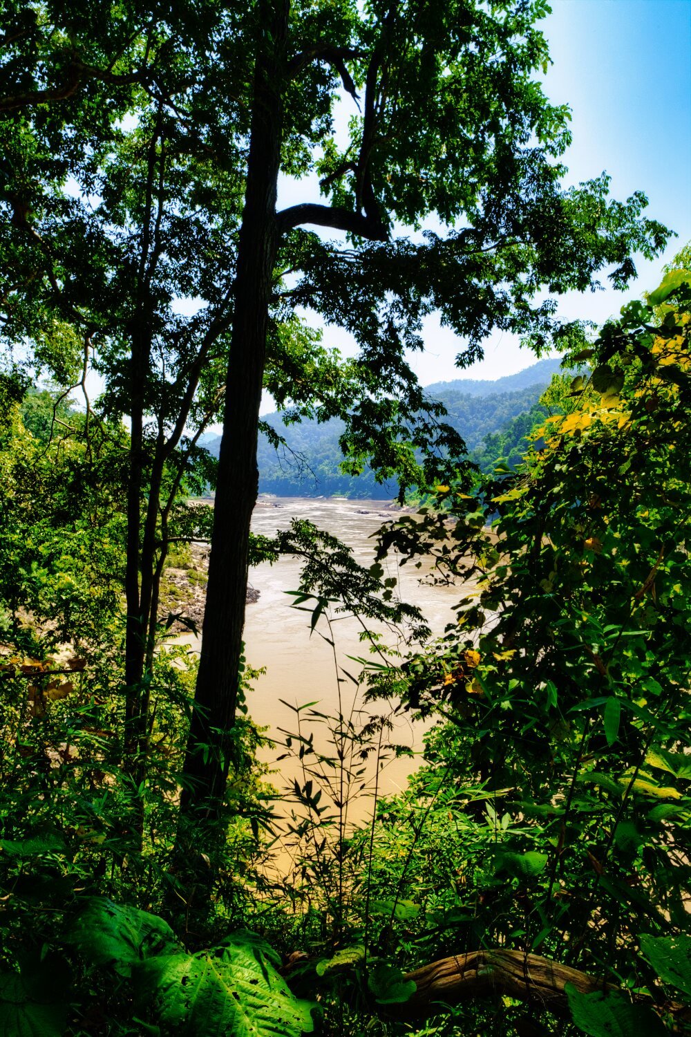
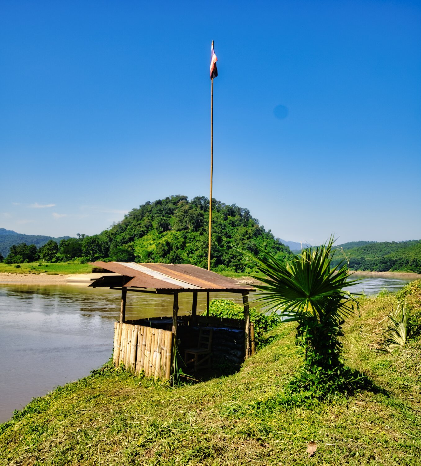
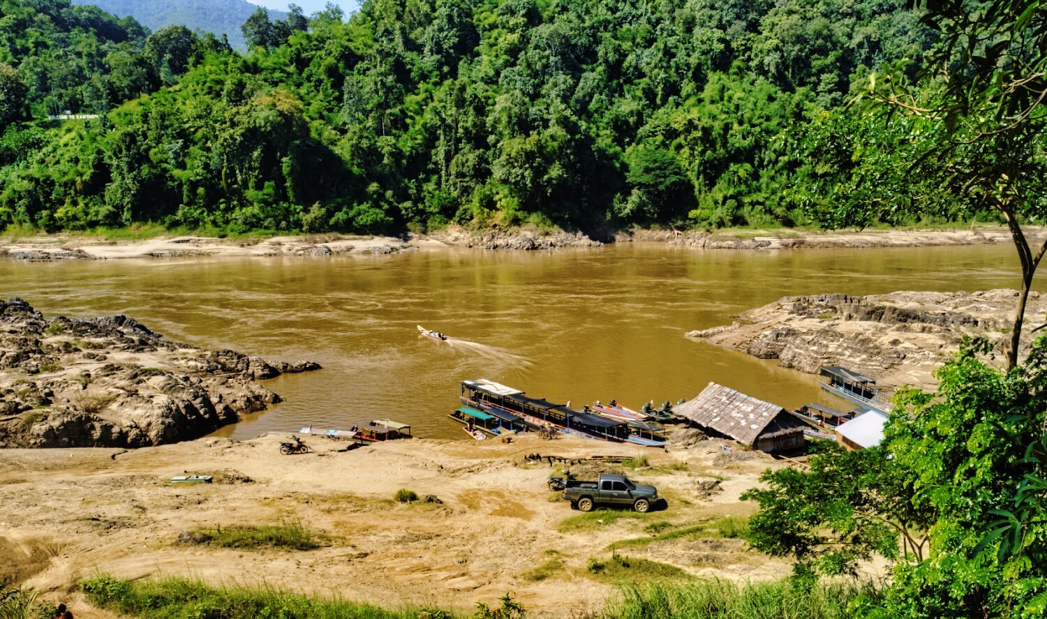
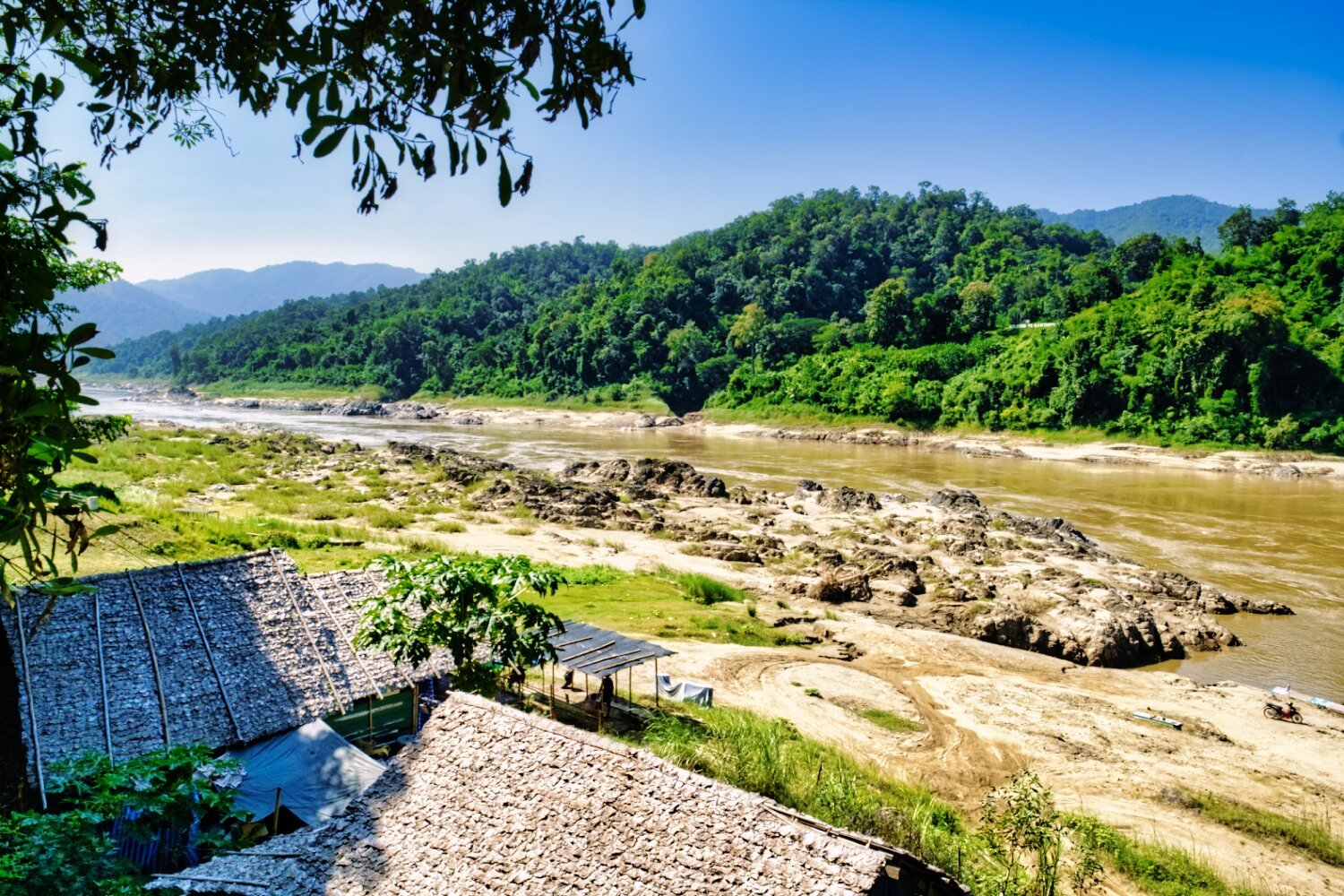
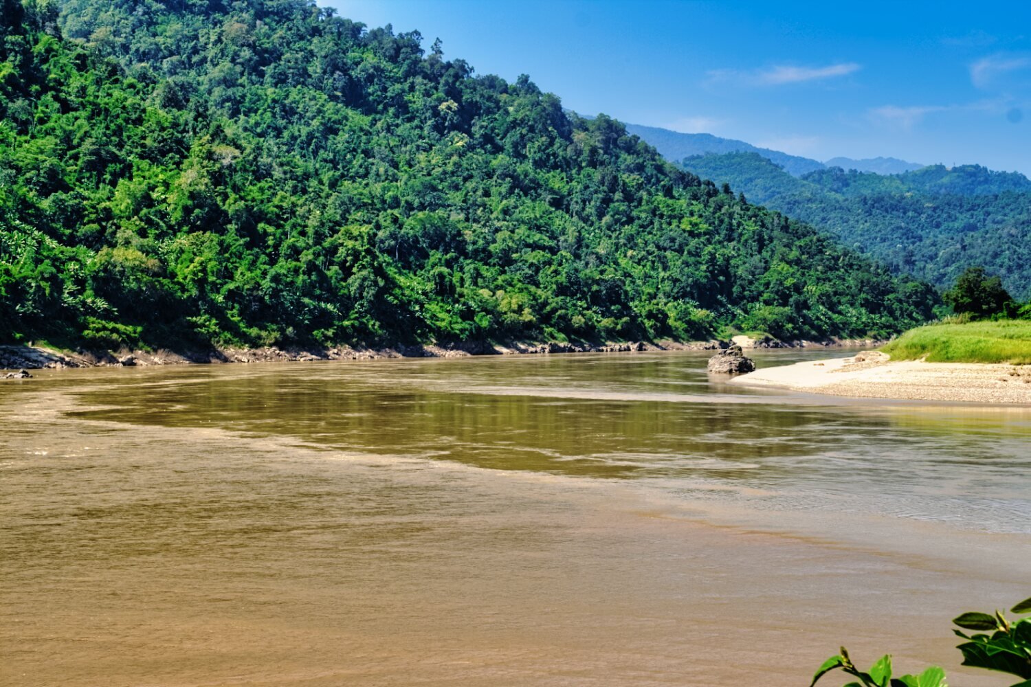
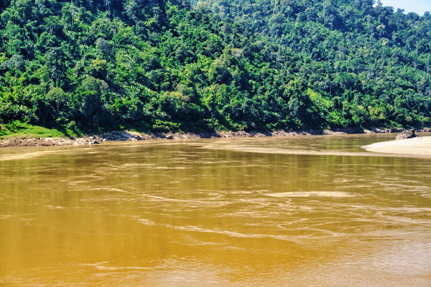
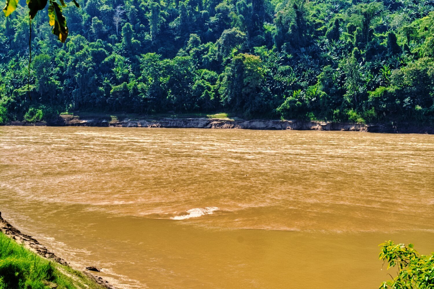
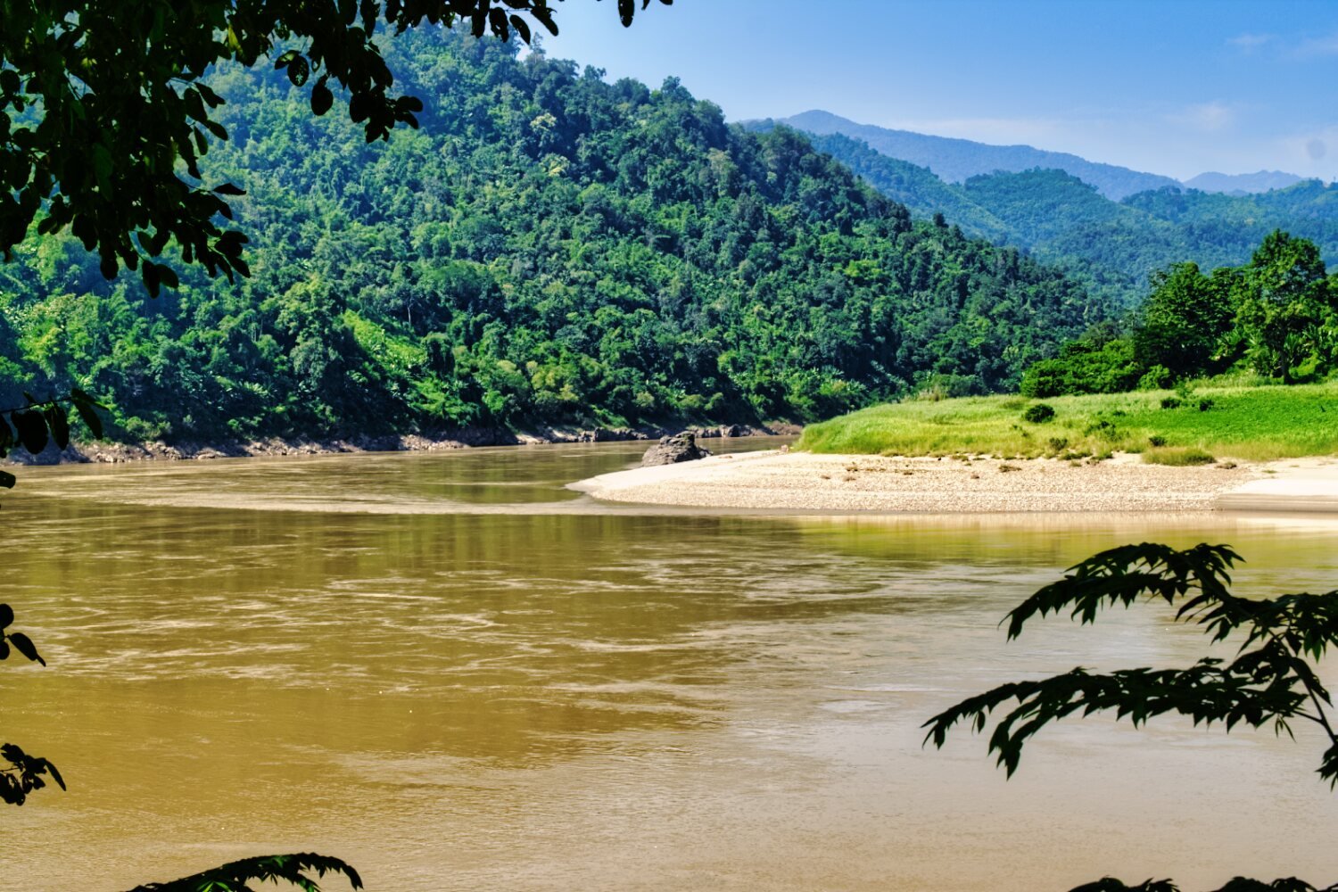
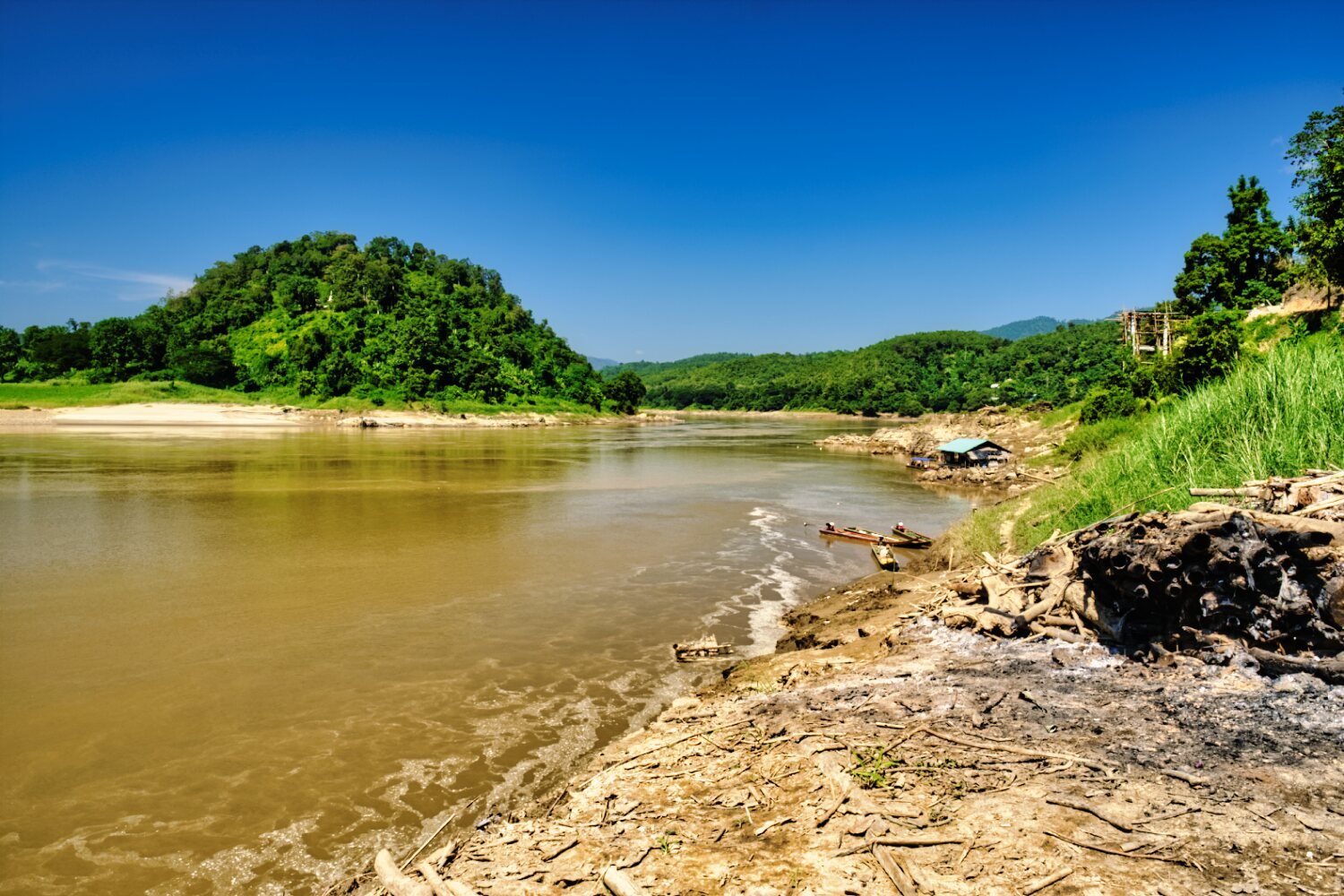
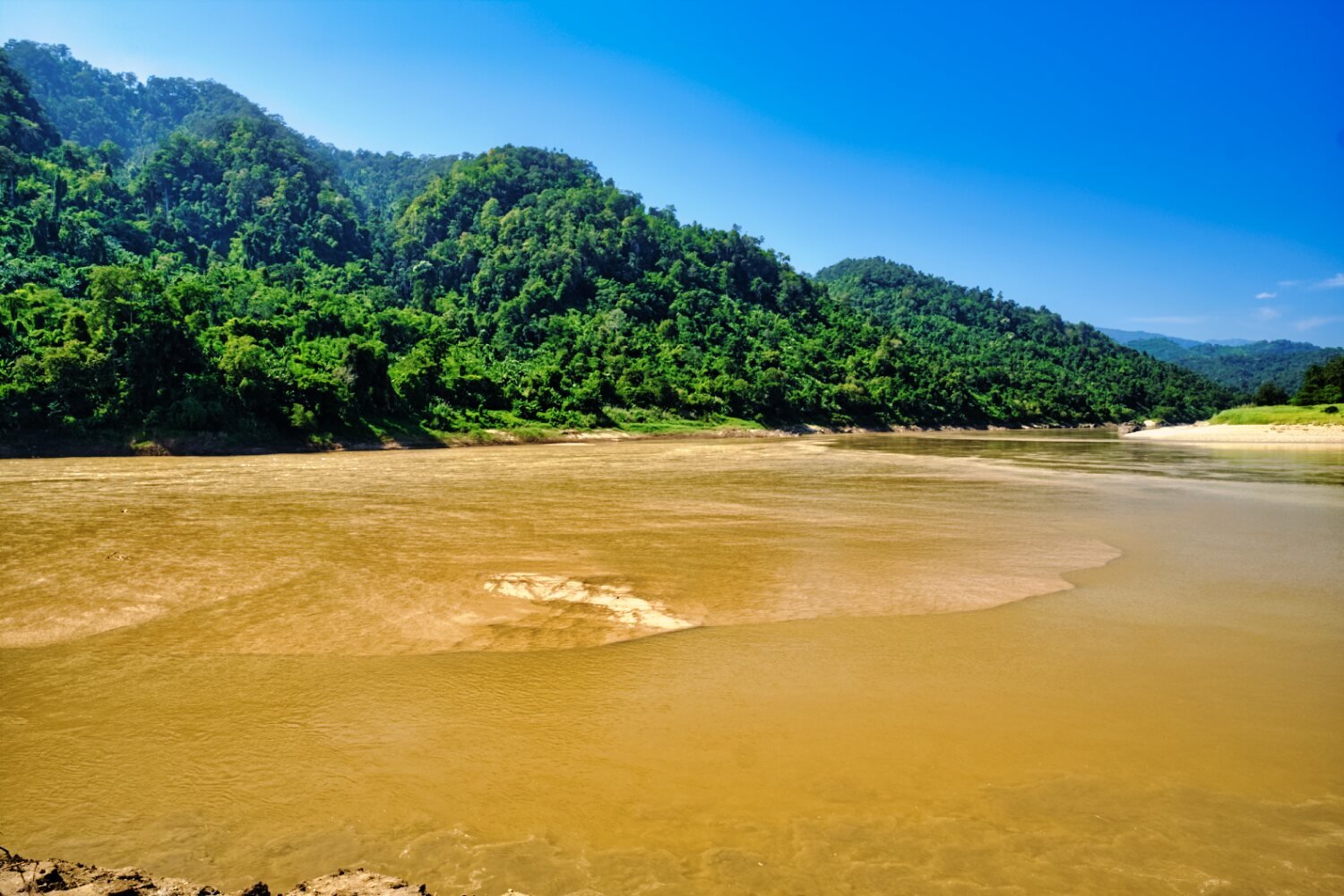
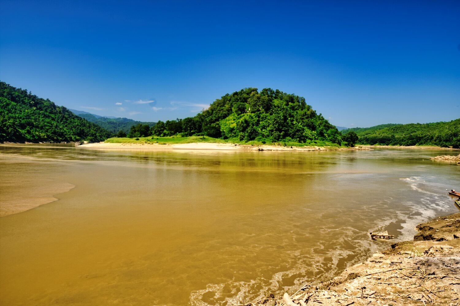
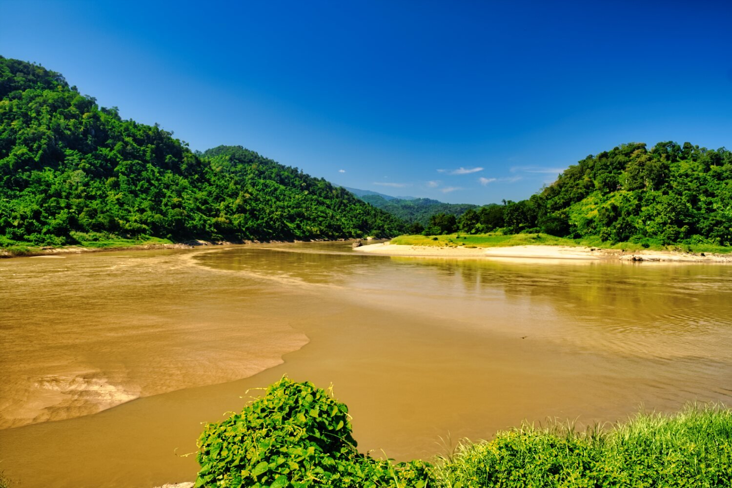
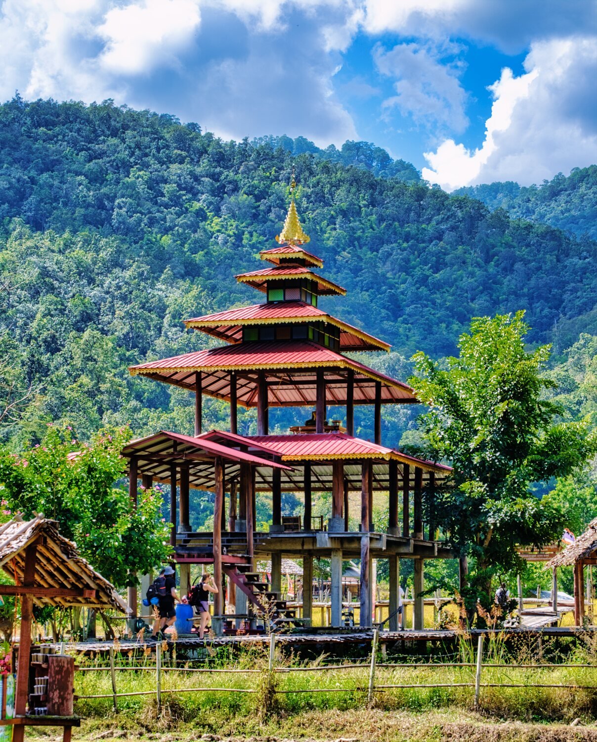
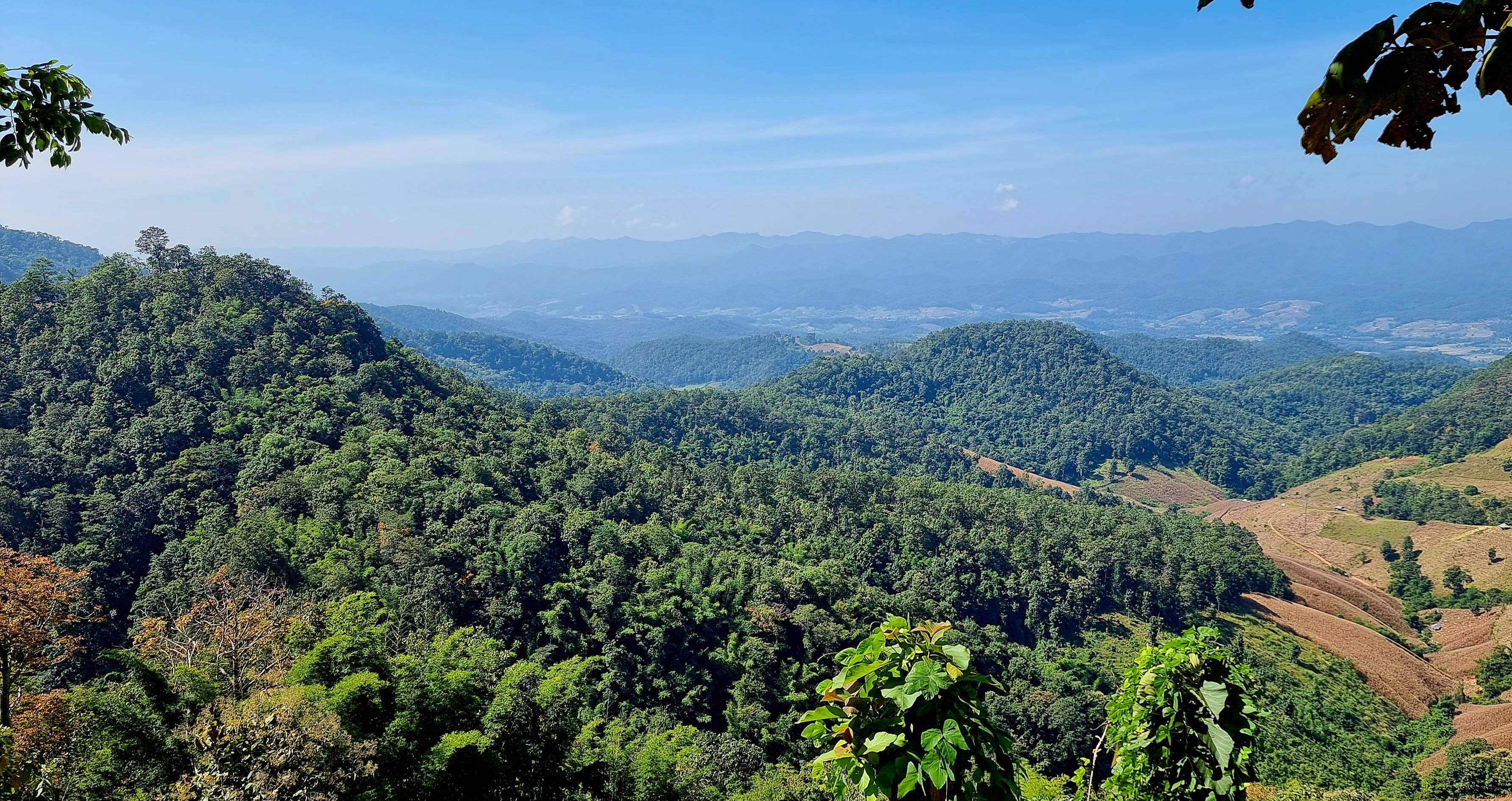
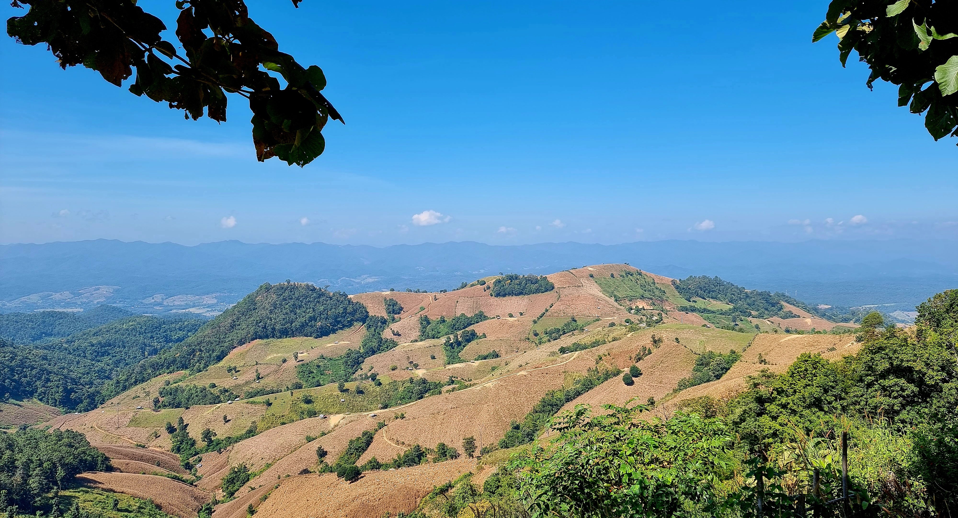
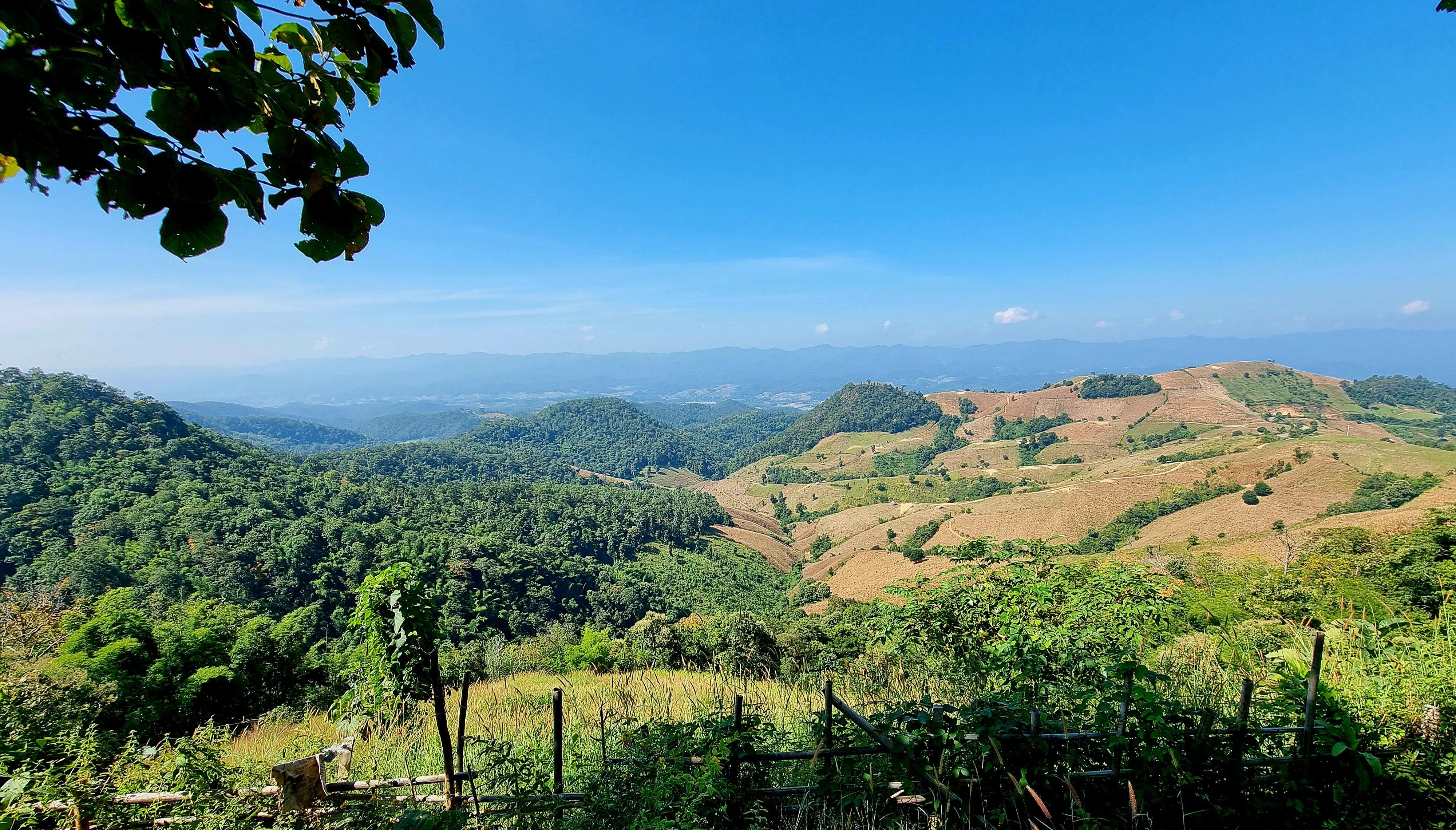
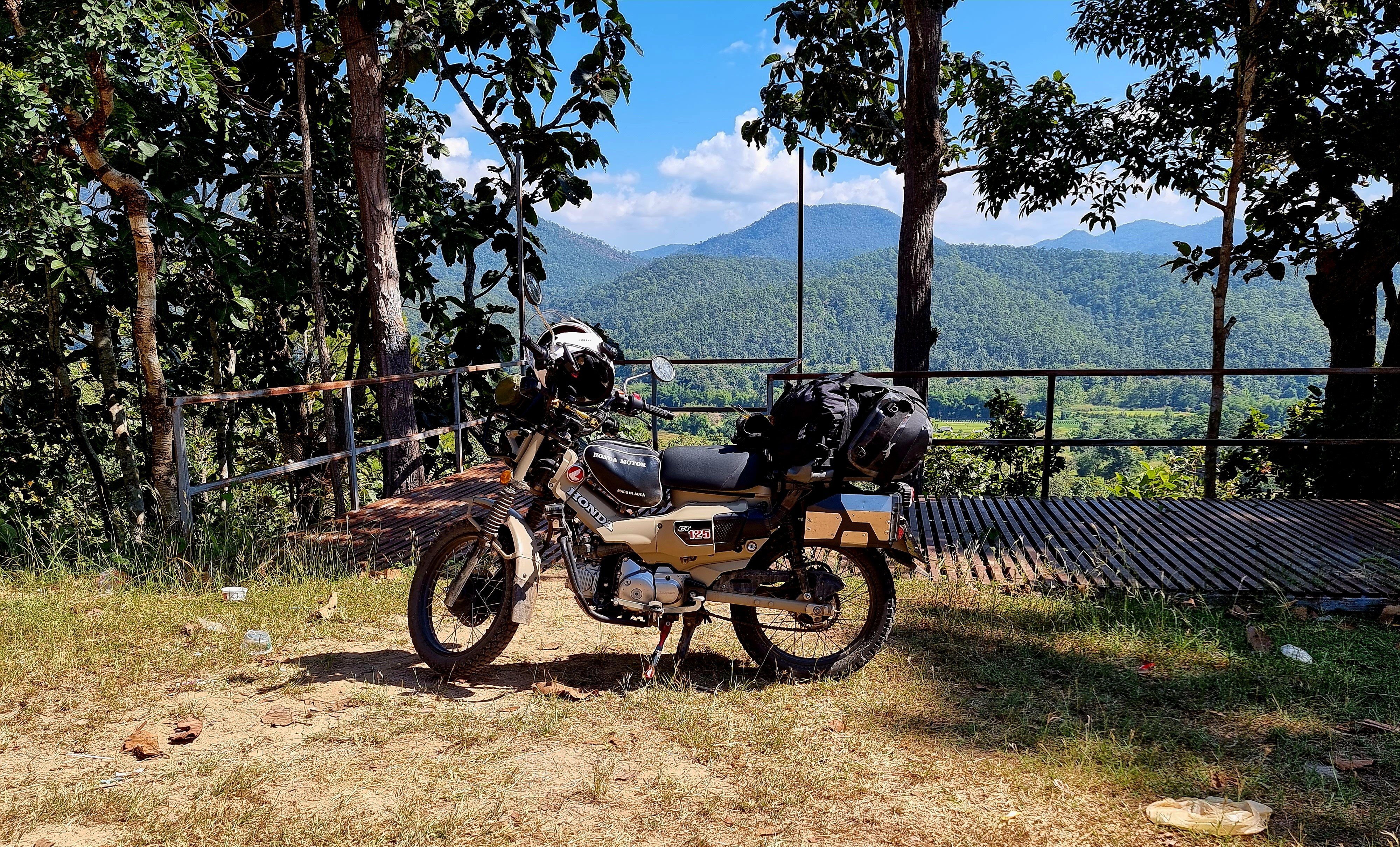
Day 11. 09.11.22 Mae Sariang to Ban Sop Moei Today’s ride was to Ban Sop Moei, a straight forward route via two viewpoints I have visited earlier on this trip. https://goo.gl/maps/SQvWQMMAGP2jtVoq5 And Two Land Sea Mist viewpoint, here https://goo.gl/maps/FrTXxpZsWGCReES48 The final part of the track down to Ban Sob Moei was steep and tricky. After that it was mostly well paved until the confluence of the Yuam and Salawin rivers. At the end of the track there is a restaurant to refresh yourself, then you can walk alongside the river to the Wat. The ride out was in first gear and still struggling on the dusty loose gravel, after that good riding and wonderful views. https://goo.gl/maps/PuMnGktkfNeZSd4D6 https://www.relive.cc/view/vrqo3PDdDyq


.jpg.60c81c1c7c6345168f6879c53ac0ea7f.jpg)

.jpg.f4b4d0e00bf41a3247f5db45377d0f13.jpg)