



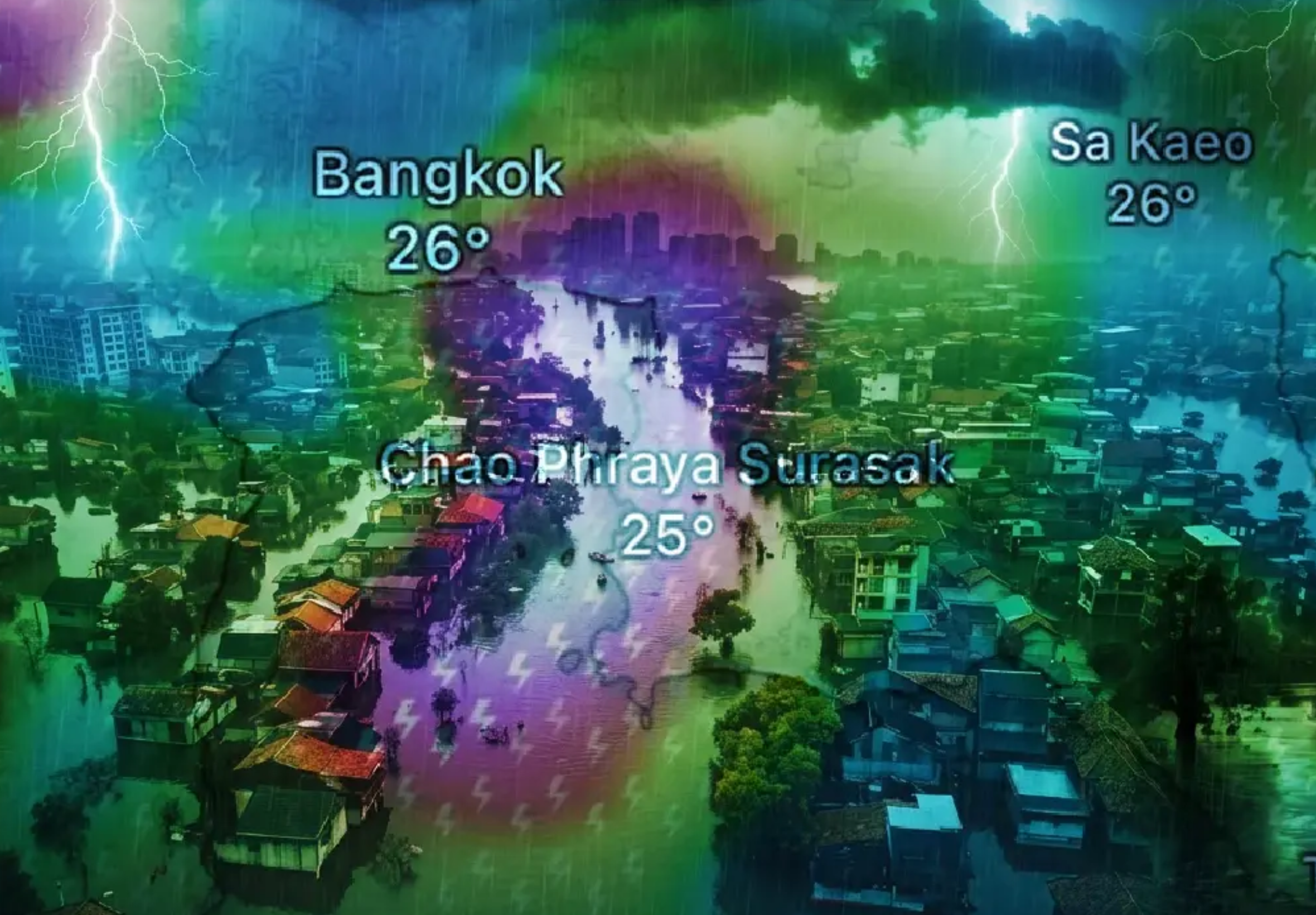

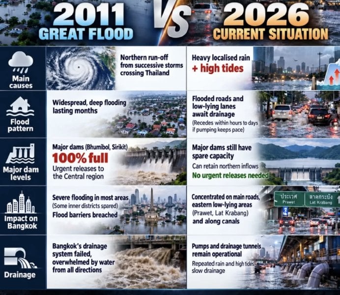
Thailand is "virtually impossible" to face a repeat of the 2011 flood disaster this year, according to two disaster and environmental specialists, despite heavy rain and flooding in parts of the country.
Assoc Prof Dr Seree Supratid of Rangsit University's Climate Change and Disaster Centre and Asst Prof Dr Thon Thamrongnawasawat of Kasetsart University's Faculty of Fisheries said current conditions differ sharply from 2011. However, they urged people to watch for run-off in western Thailand and intense local downpours known as "rain bombs".
Heavy rain shifts towards western provinces
An update from Rangsit University's Climate Change and Disaster Centre and the National Disaster Warning Council Foundation said accumulated rain over September 25-26 exceeded 300mm in several places.
Heavy to very heavy rain continued on September 26, especially in Kanchanaburi, Ratchaburi, Phetchaburi, Uthai Thani, Suphan Buri, Nakhon Pathom, Chai Nat, Nakhon Sawan, Tak and Kamphaeng Phet. Bangkok, nearby provinces and eastern areas including Trat and Chanthaburi saw moderate to heavy morning rain, expected to ease later in the day.
Nationwide rainfall was forecast to decline significantly from September 27, apart from the West. Conditions were expected to normalise on September 28, although some rain was forecast in the upper Northwest.
The Royal Irrigation Department has increased releases from Chao Phraya Dam to about 1,850 cubic metres per second, raising water levels in low-lying areas outside flood embankments.
Seree said flows through Nakhon Sawan were currently about 1,800 cubic metres per second, compared with up to 4,600 cubic metres per second in 2011. He said northern floodwater overtopping embankments would be a key warning sign of a major disaster.
"The difference remains substantial," he said.
Why 2011 comparisons do not fit
Thon cited three major differences: Thailand experienced La Nina in early 2011, when March and April rainfall was twice the average, while this year is influenced by El Nino and developing towards a "super El Nino".
Five tropical cyclones, including storms and typhoons, directly affected Thailand in 2011. None has directly affected the country so far this year. GISTDA satellite data also recorded 912,000 hectares of cumulative flooding in August 2011, compared with under 64,000 hectares this August.
Thailand remains under a monsoon trough affecting the East, lower Northeast and Bangkok area, with run-off accumulating in provinces including Ayutthaya and Prachin Buri.
Local "rain bombs" remain a danger
Thon said global warming can produce severe localised rain, even without a national-scale flood. Warmer seas increase evaporation, while atmospheric water vapour rises by about 7% for every 1C temperature increase.
Such downpours can trigger flash floods or slow-draining water in vulnerable areas, including Pattaya and several Bangkok districts. Residents and visitors were advised to use rain radar for forecasts two to three hours ahead, alongside Thai Meteorological Department updates, windy.com and thaiwater.net.
Picture courtesy of The Nation
Join the discussion? 

27 September 2026
Recommended Comments
Create an account or sign in to comment