chrissables
-
Posts
3,175 -
Joined
-
Last visited
-
Days Won
8
Content Type
Events
Forums
Downloads
Quizzes
Gallery
Blogs
Everything posted by chrissables
-
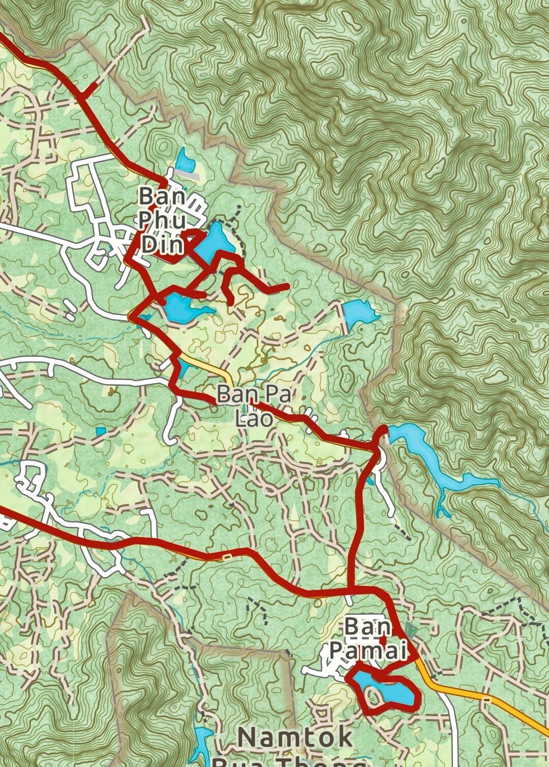
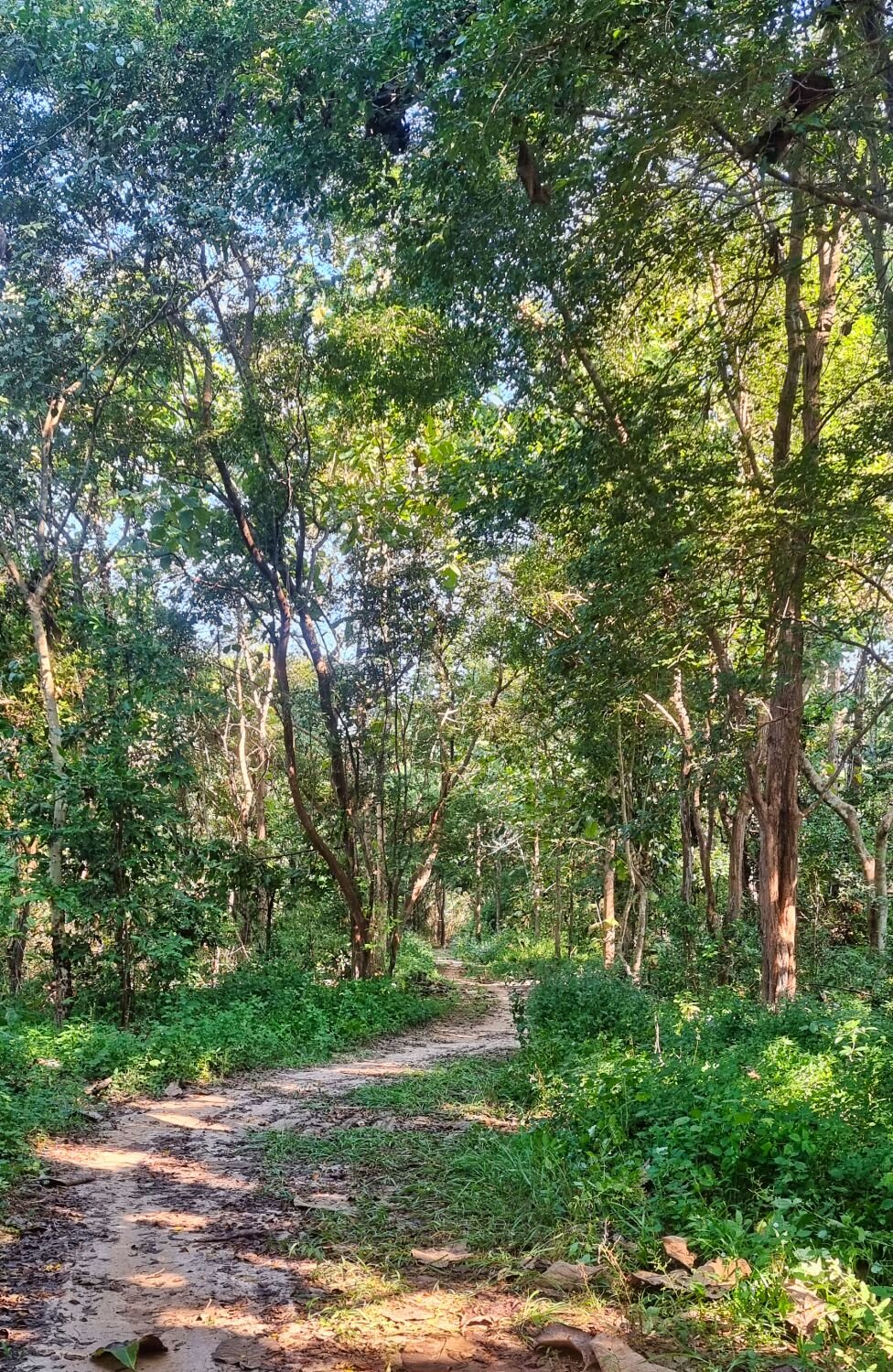
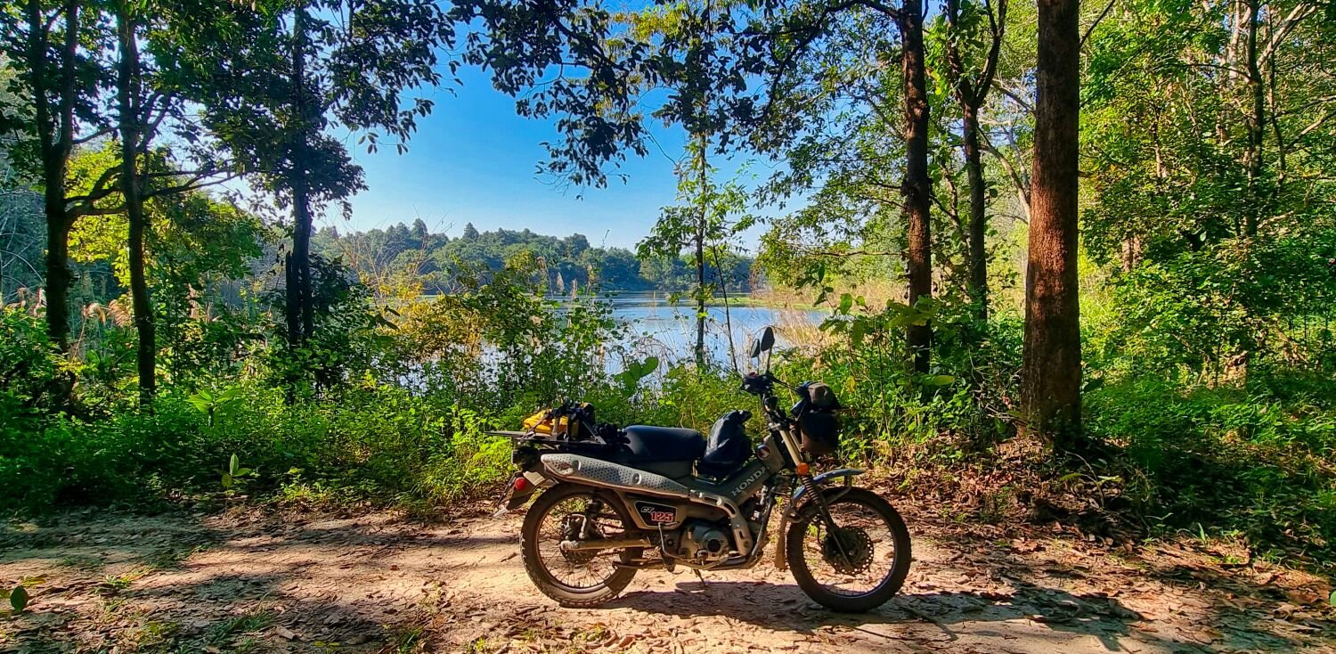
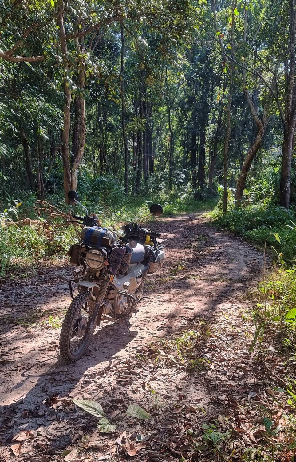
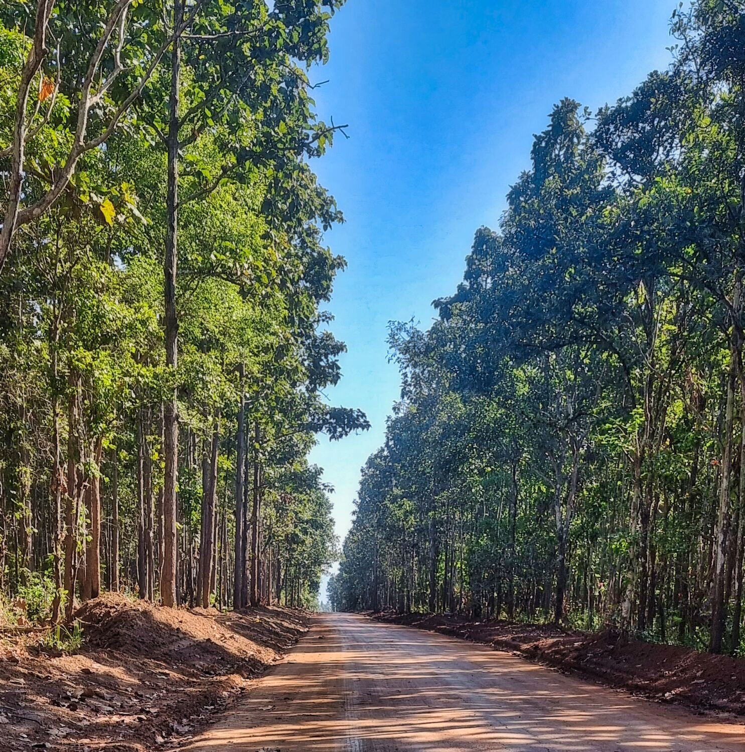
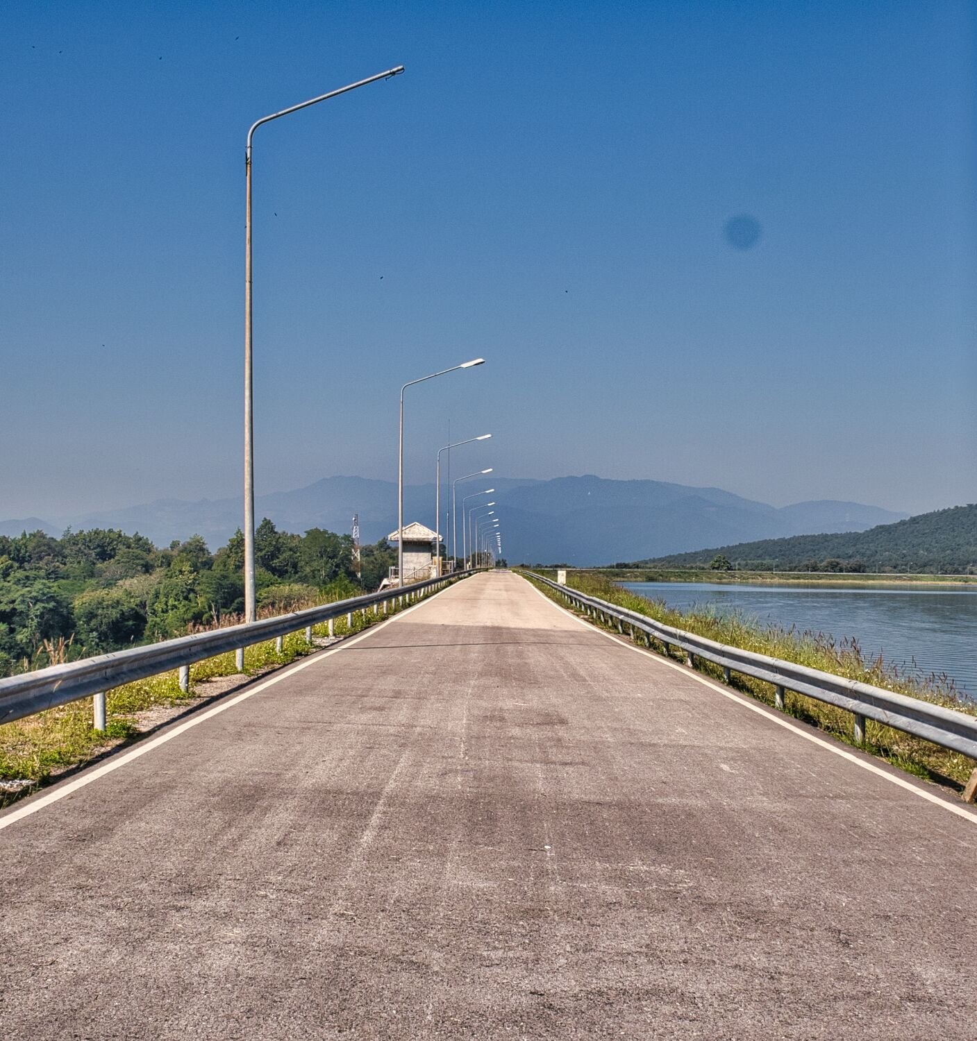
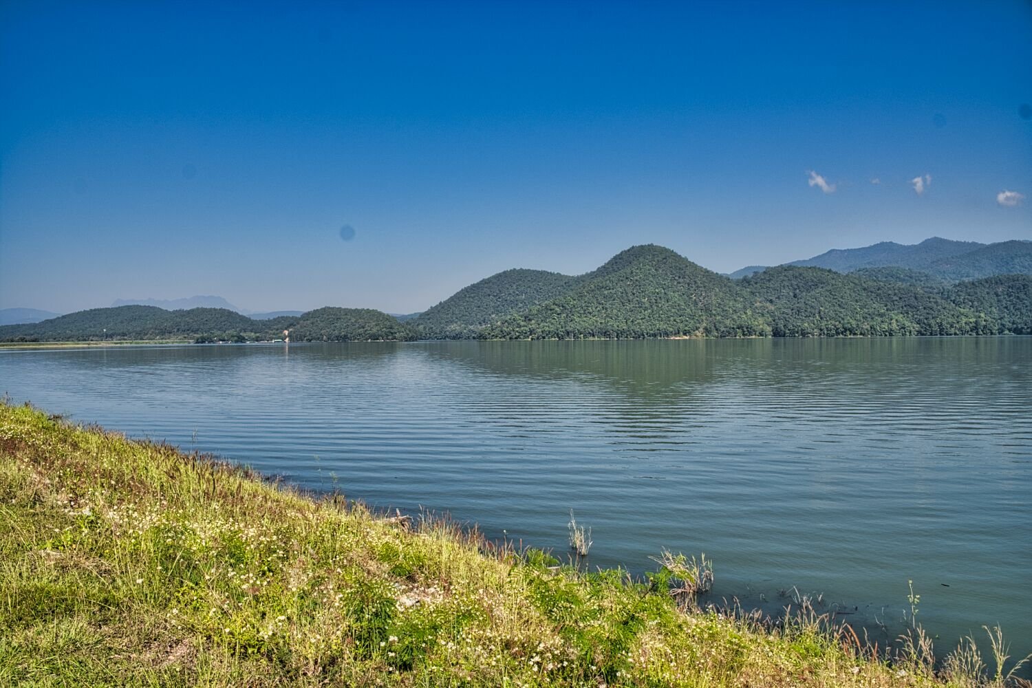
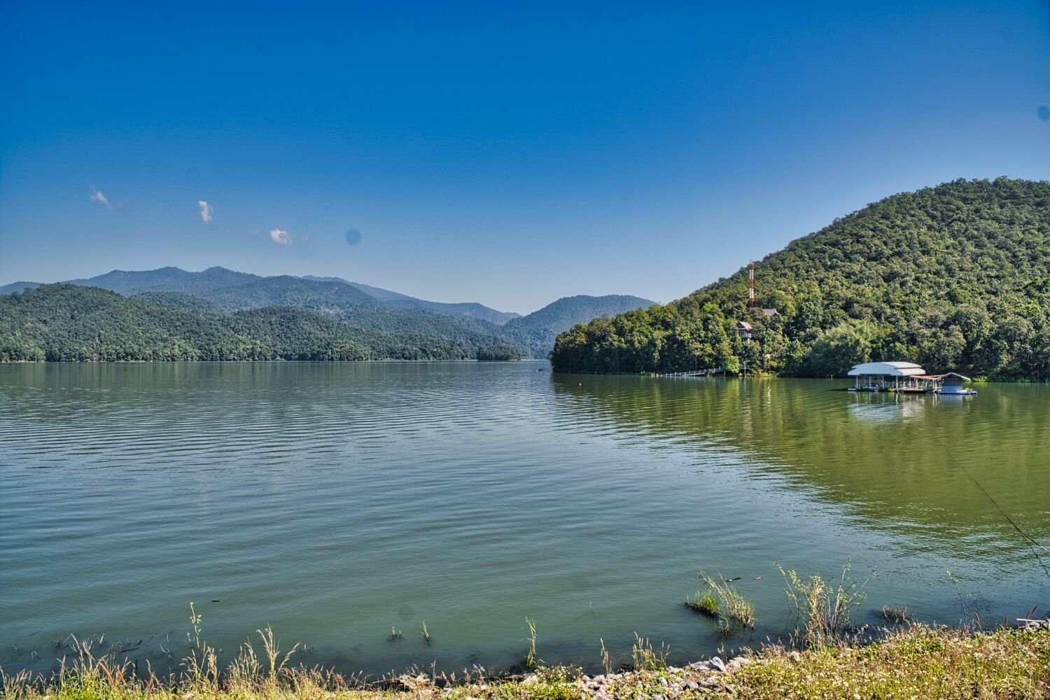
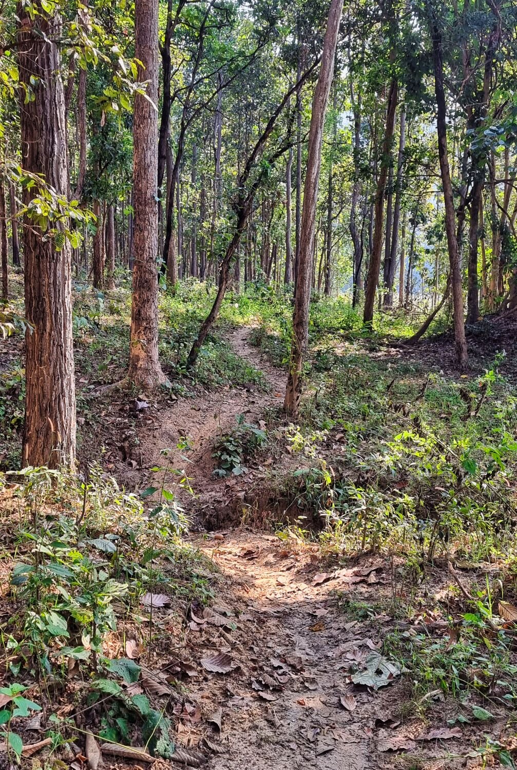
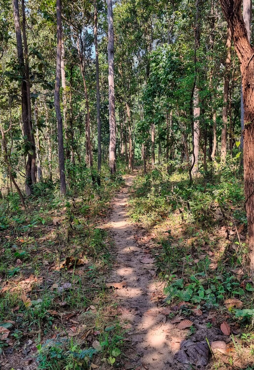
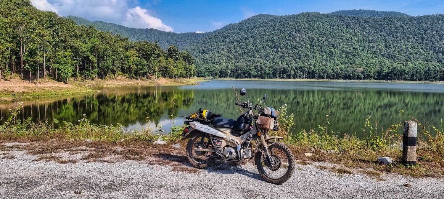
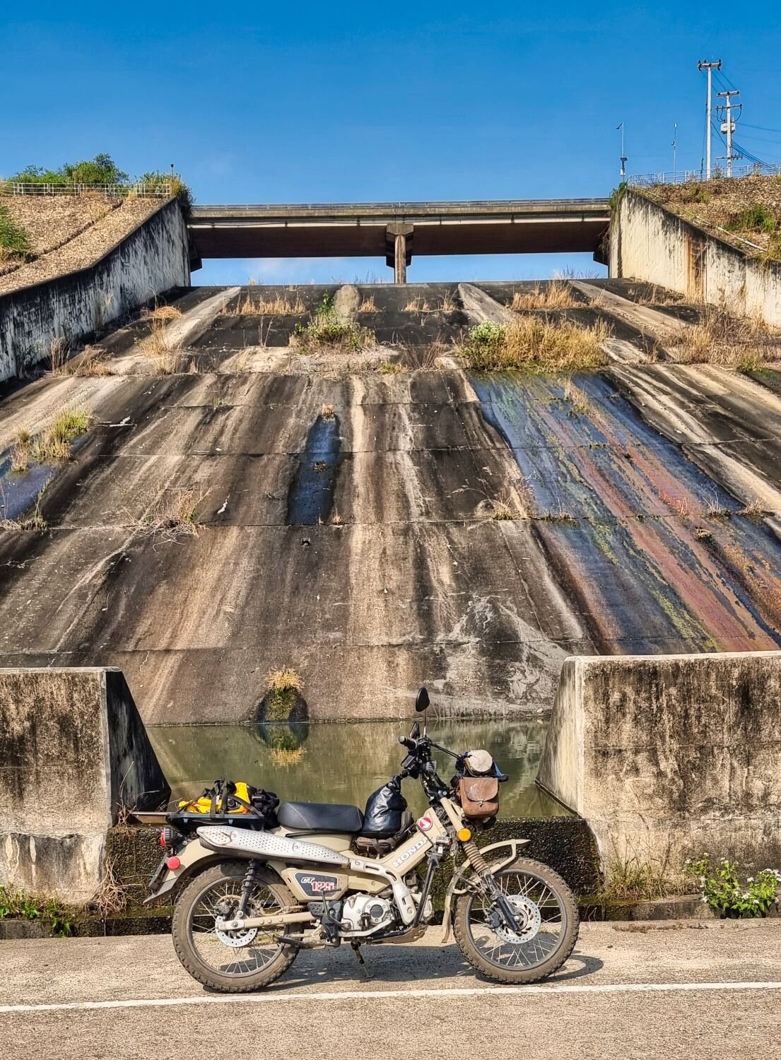
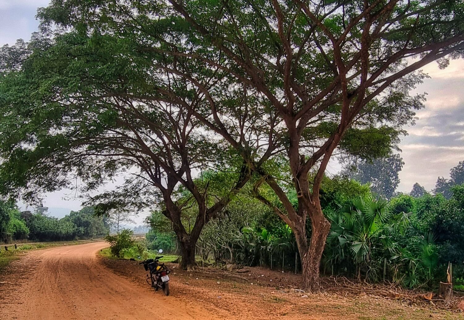
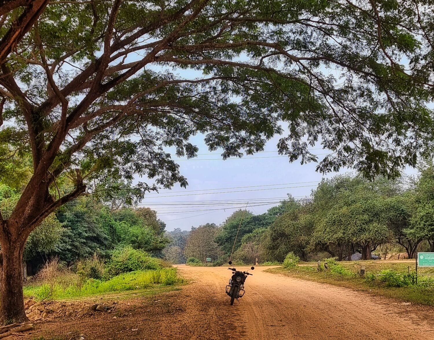
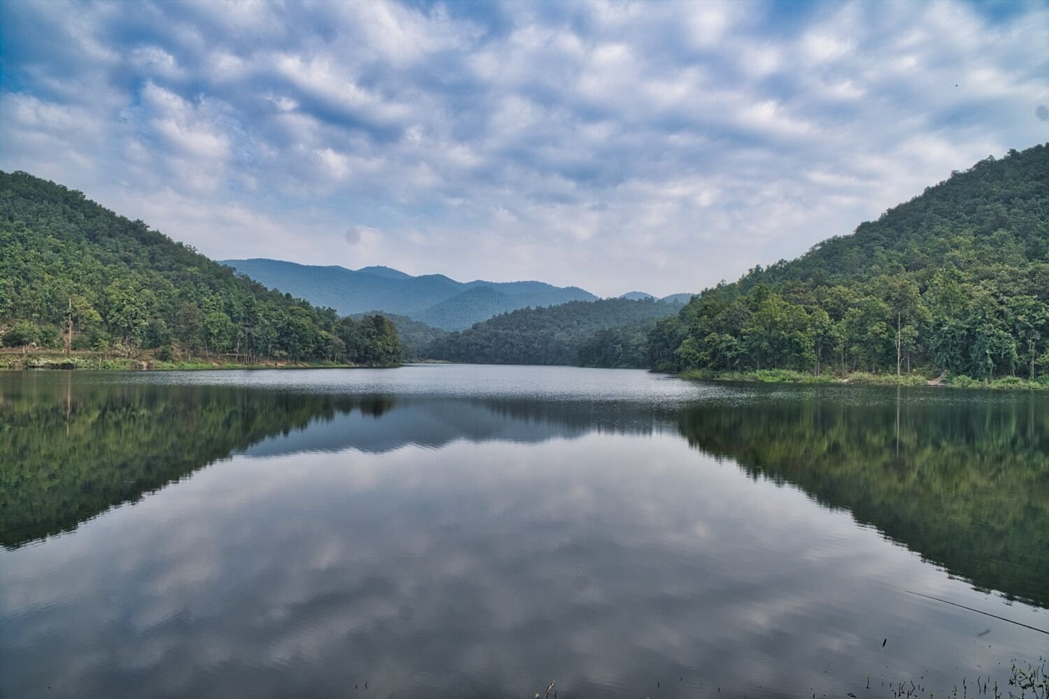
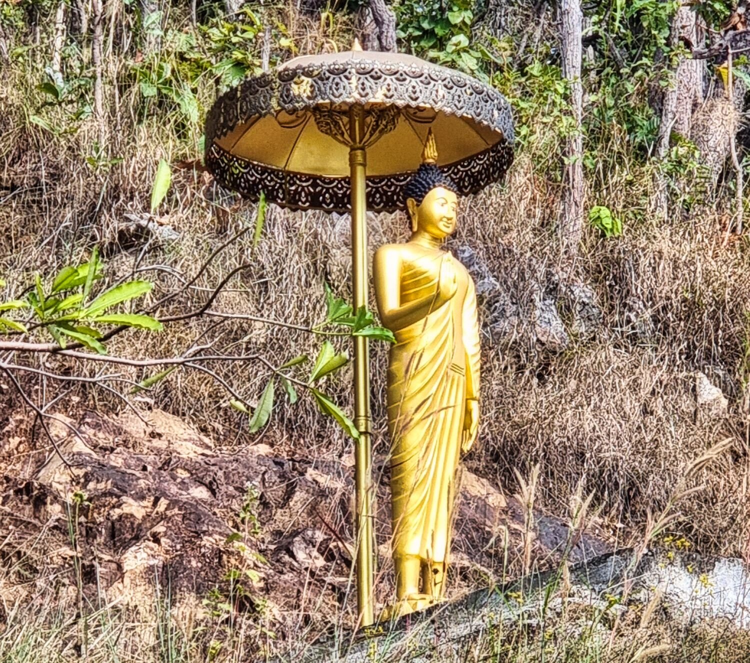
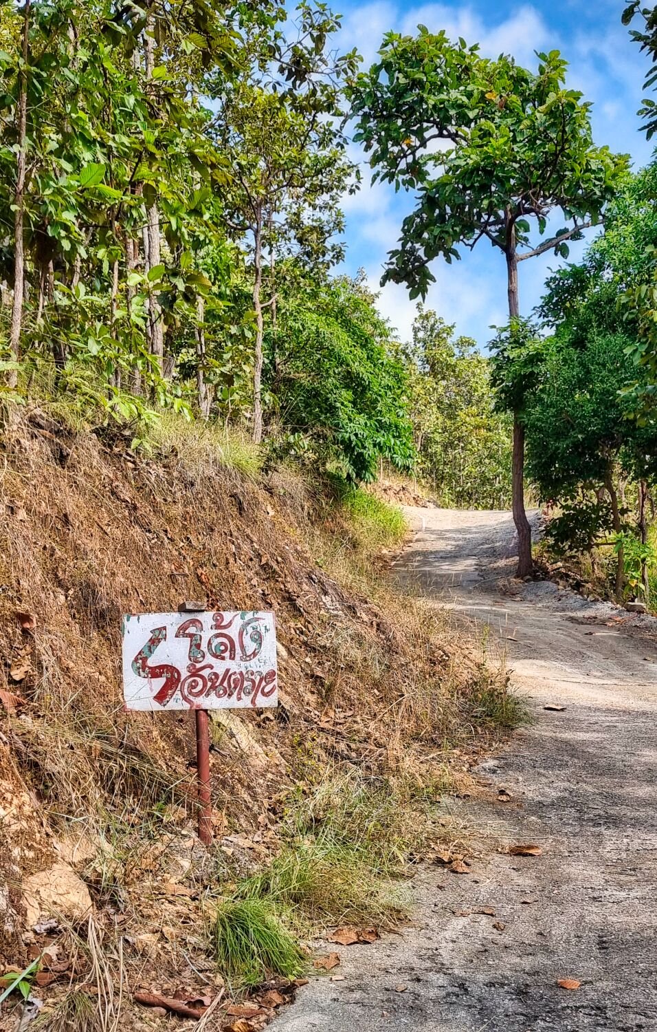
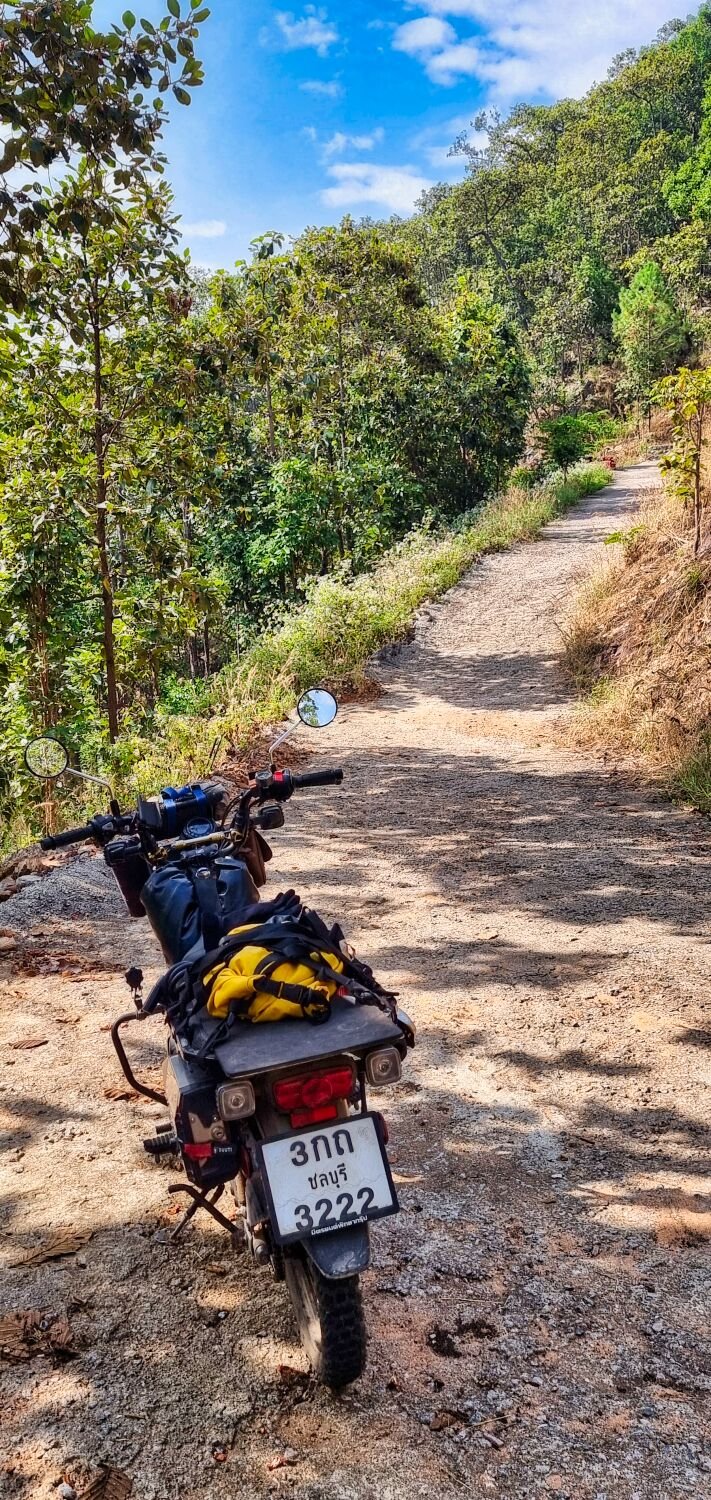
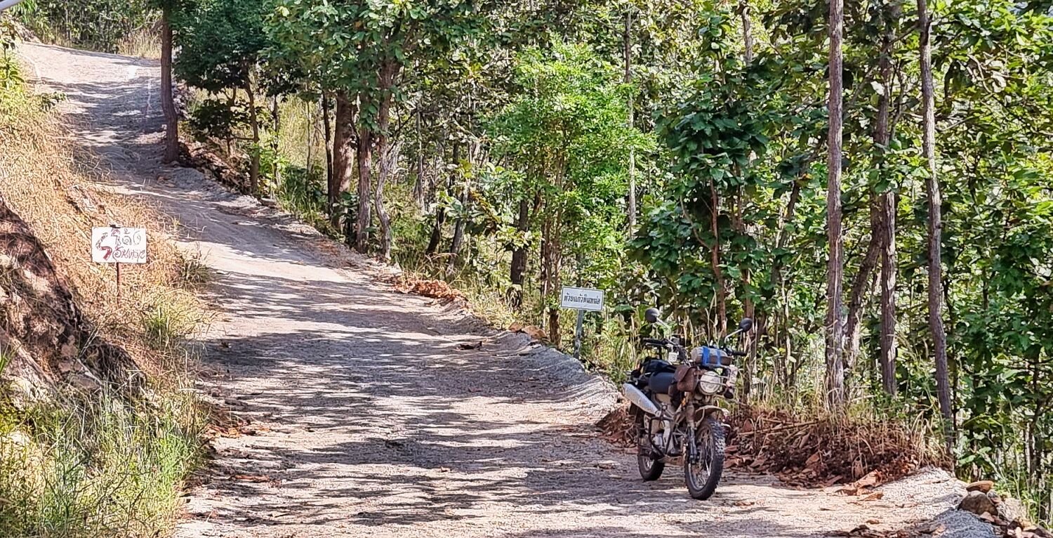
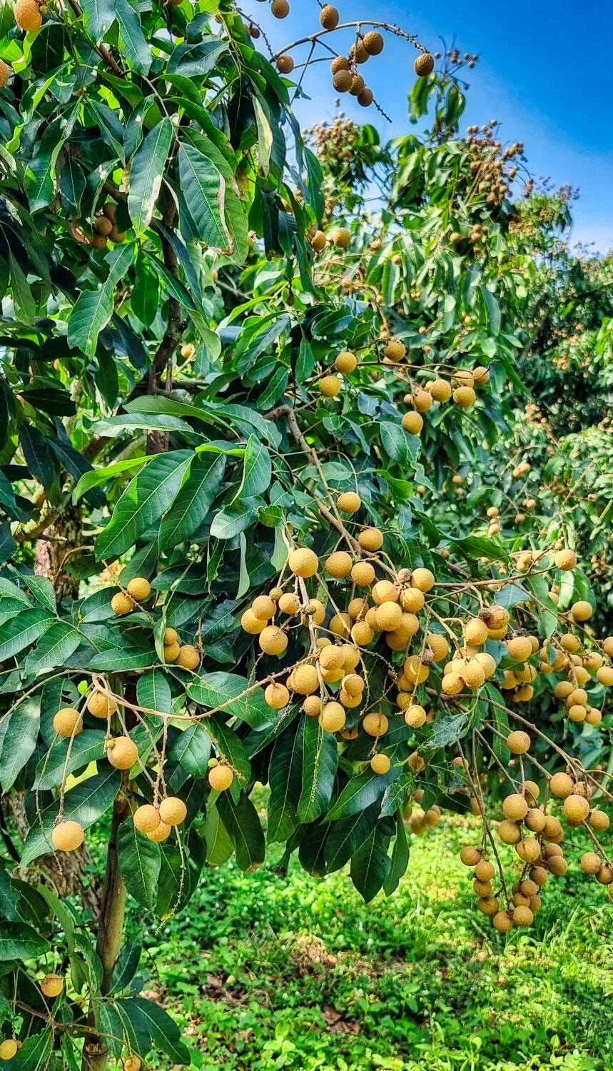
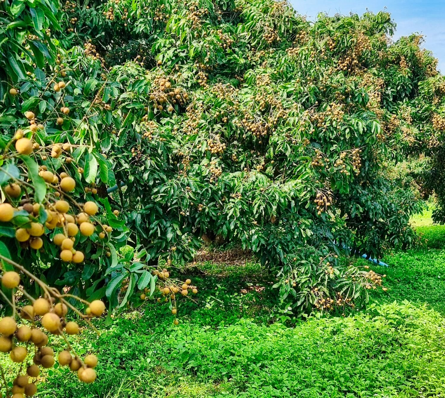
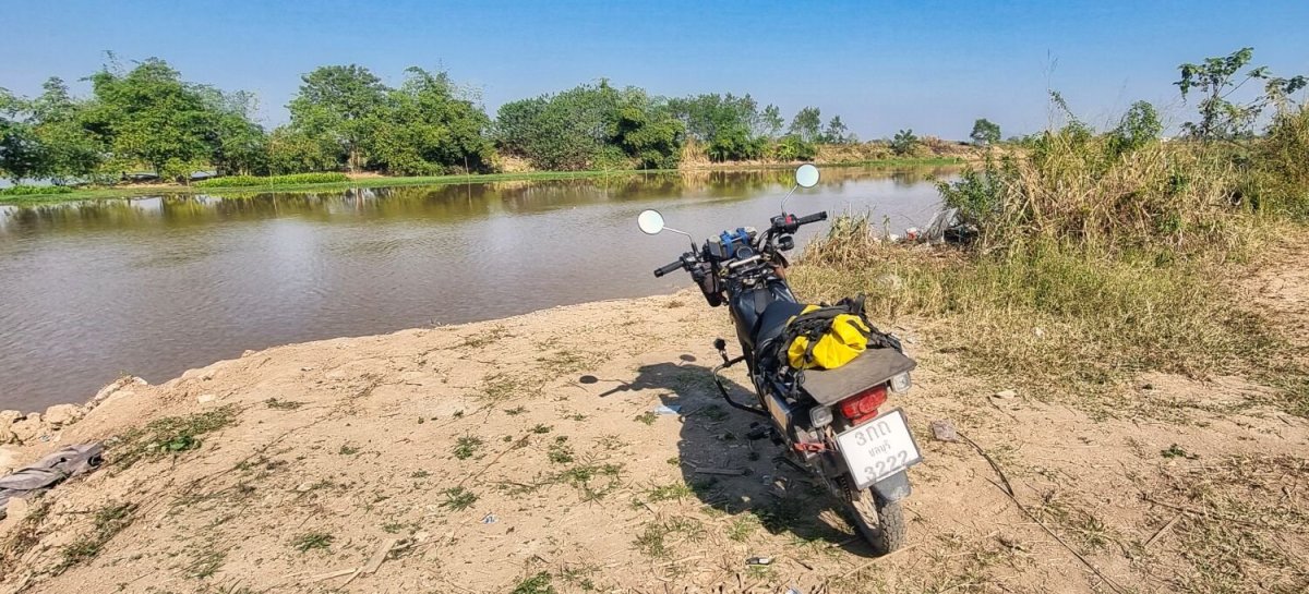
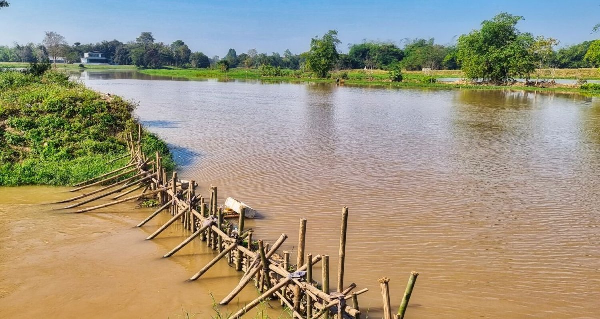
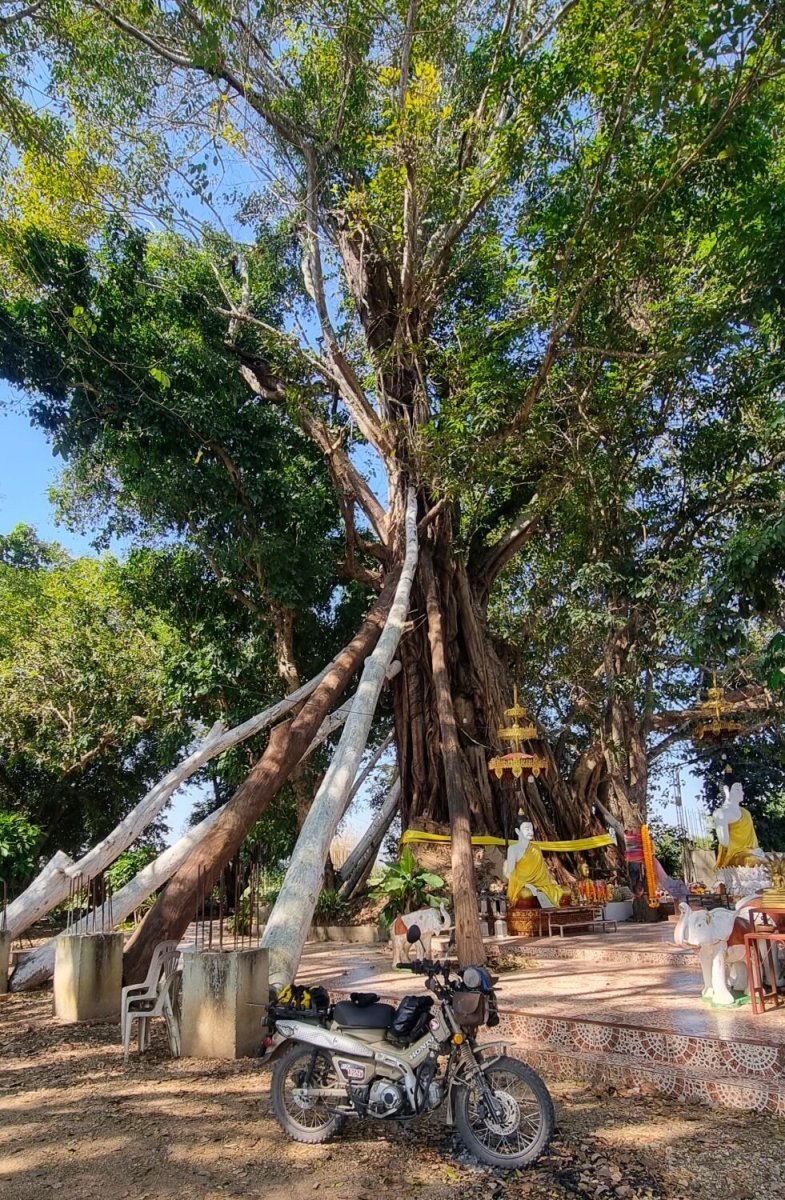
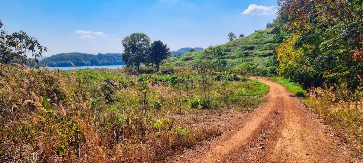
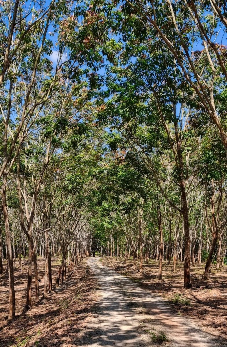
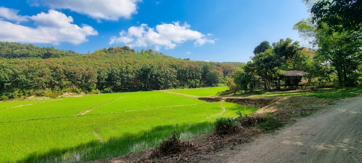
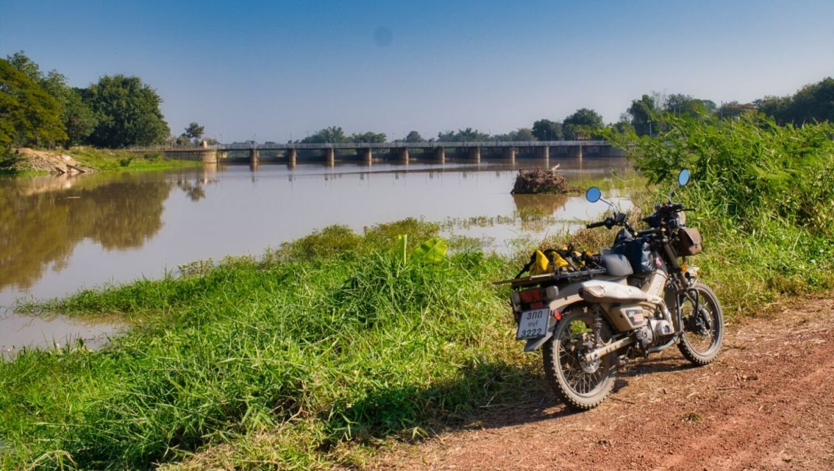
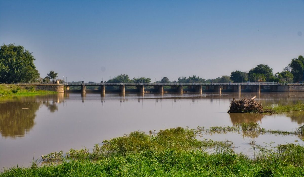
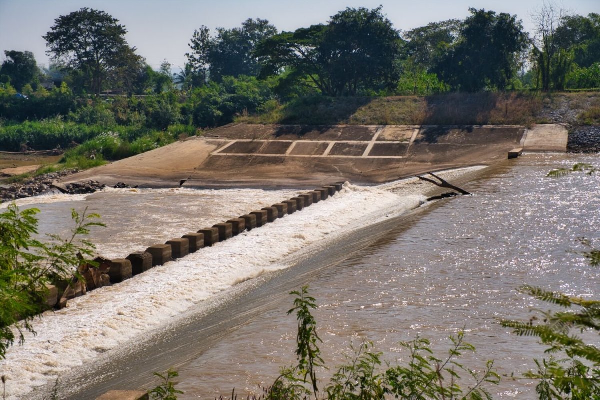
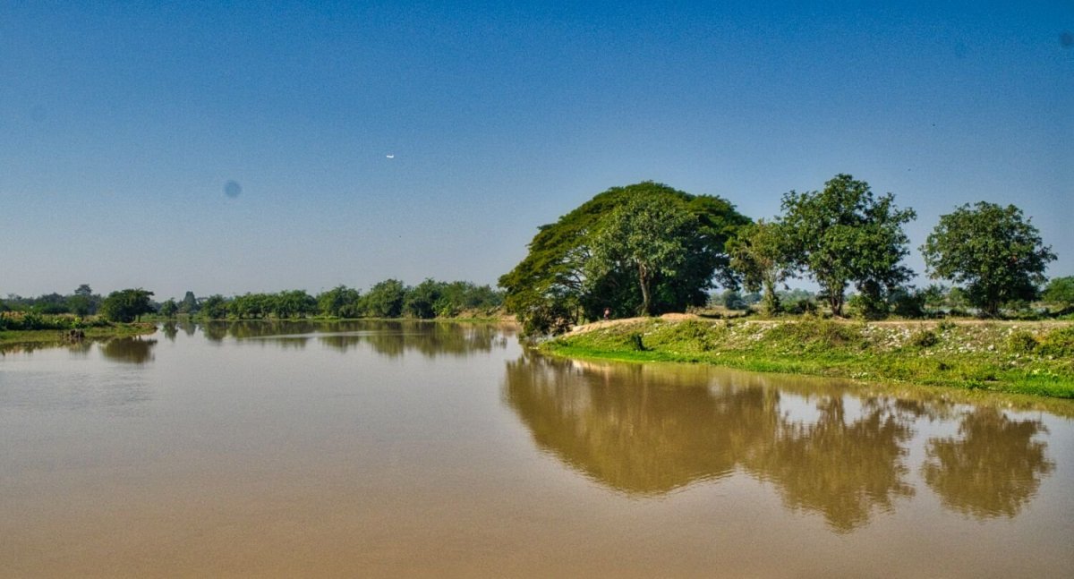
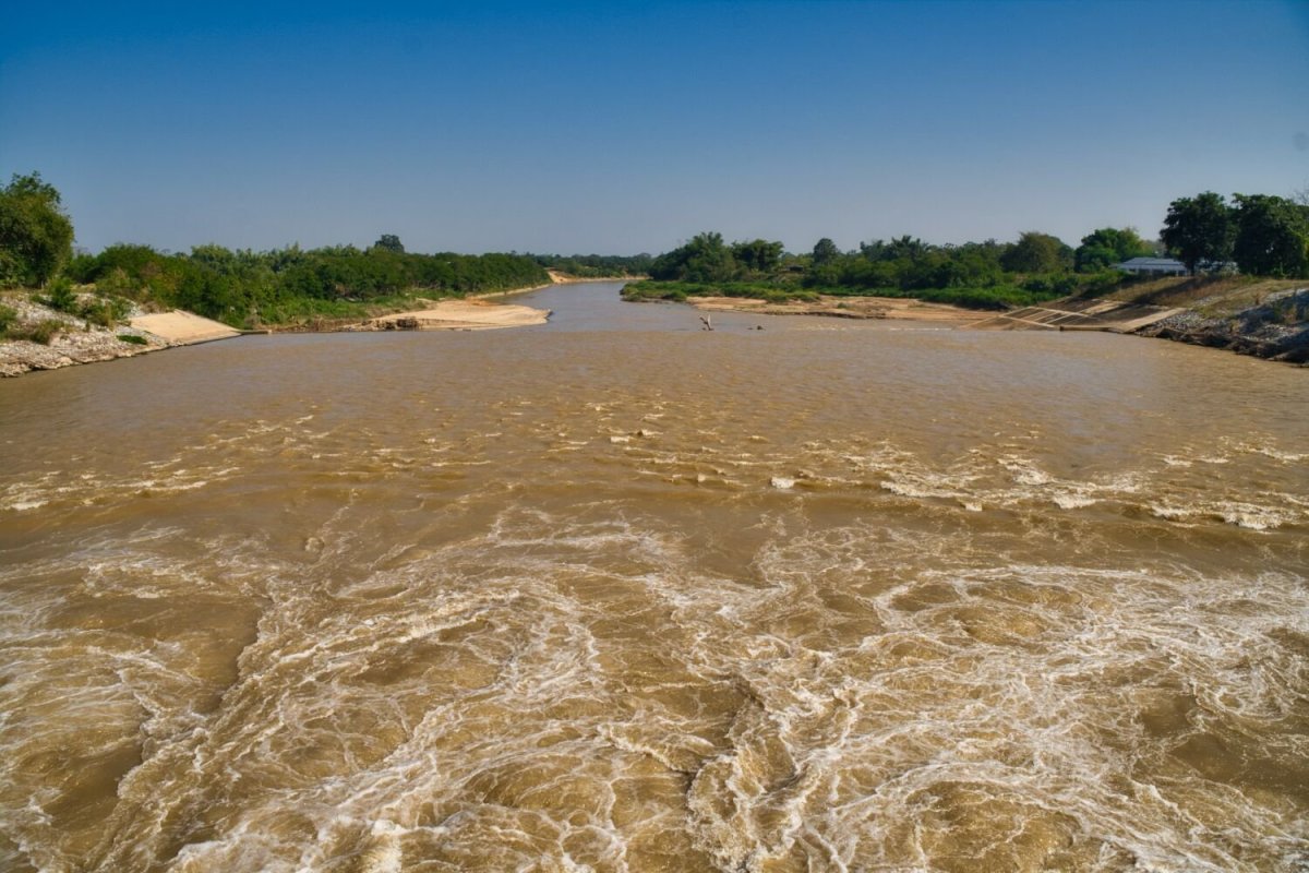
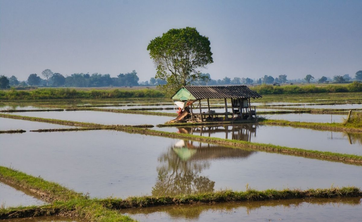
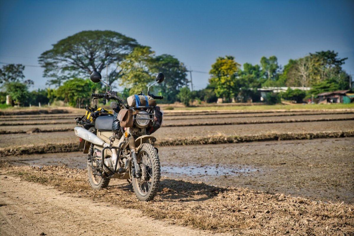
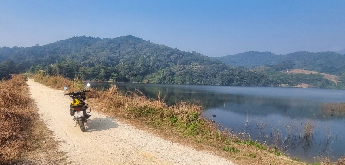
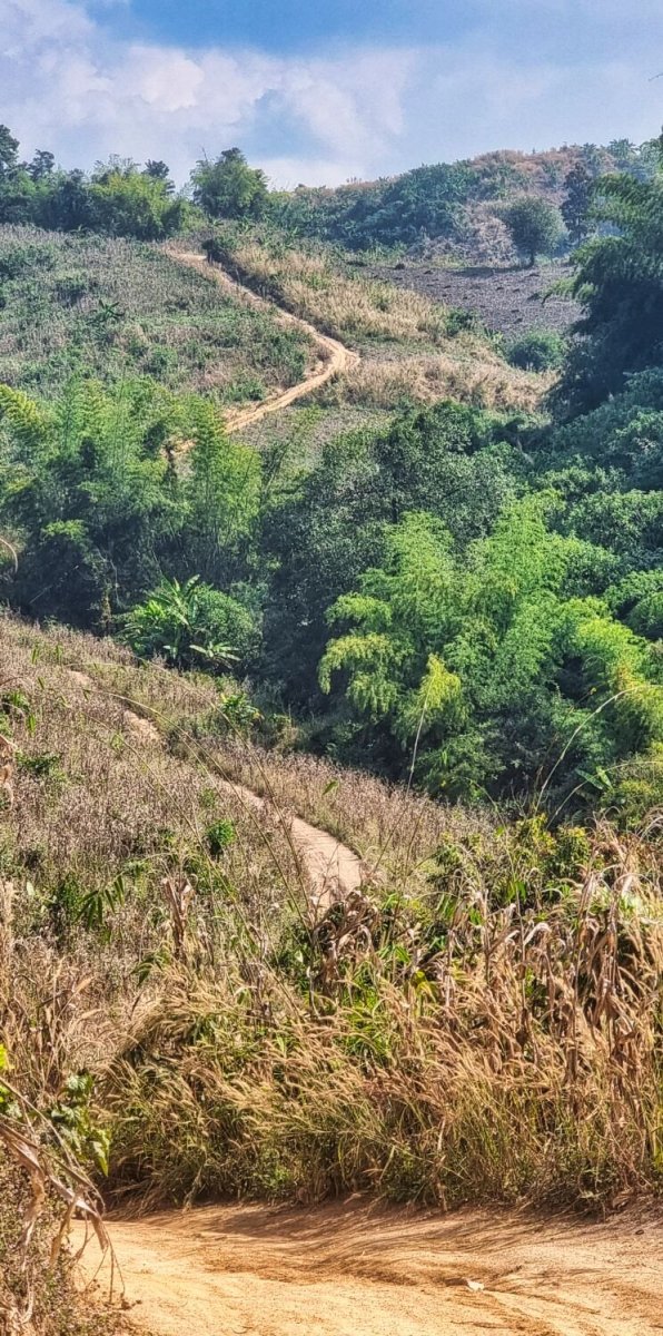
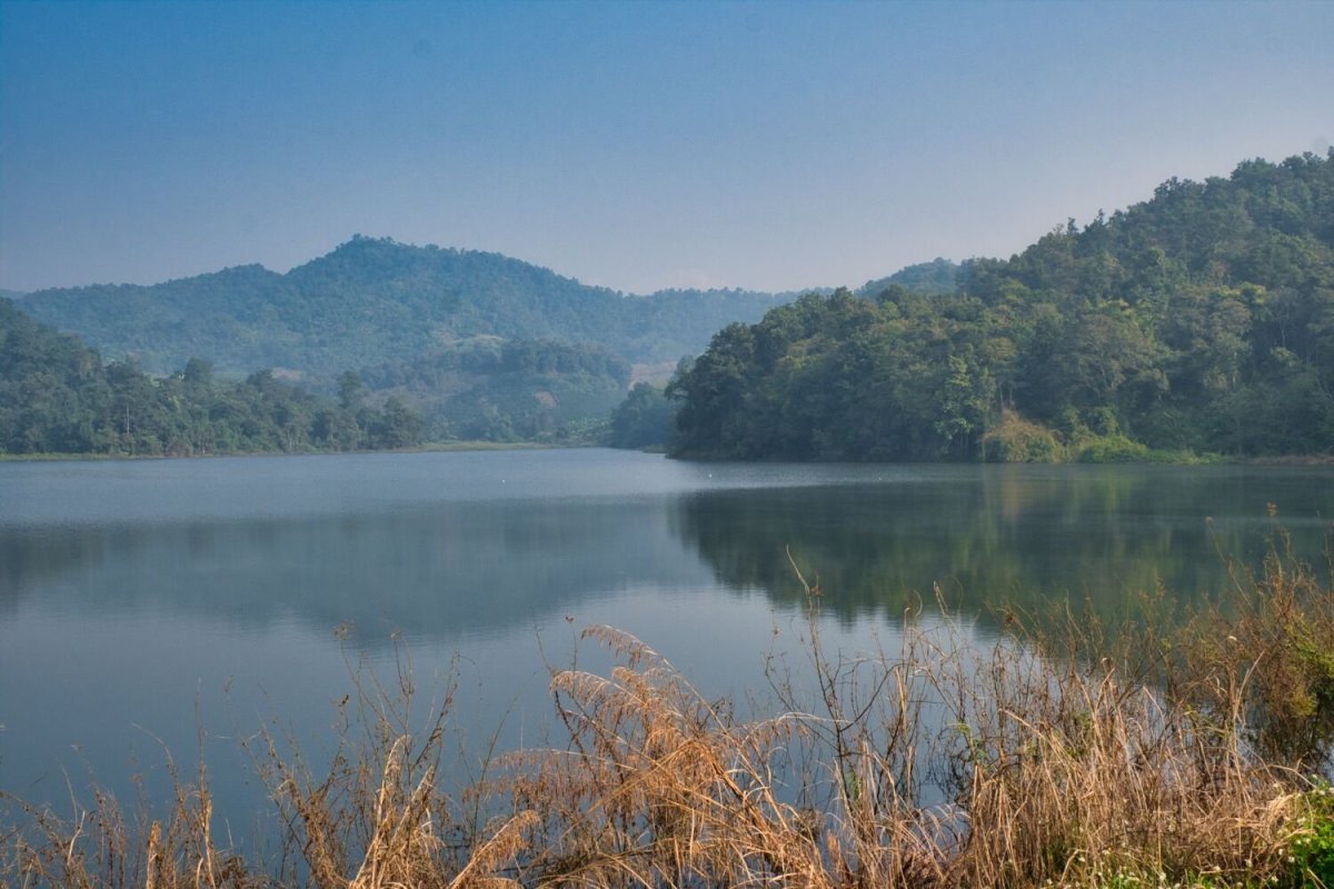
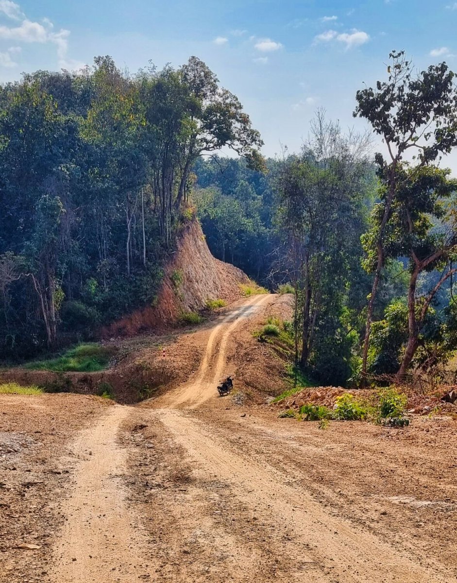
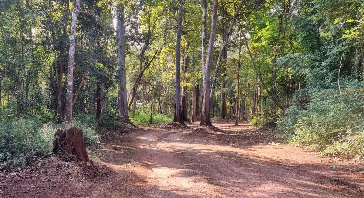
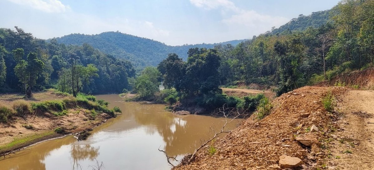
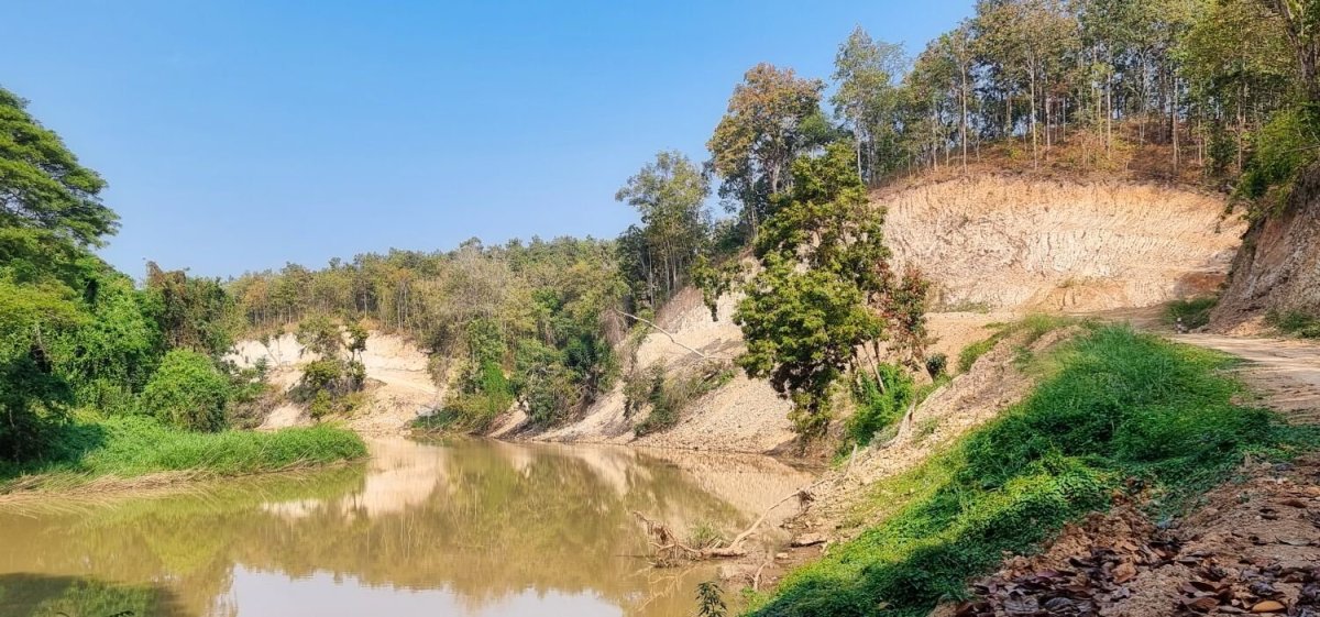
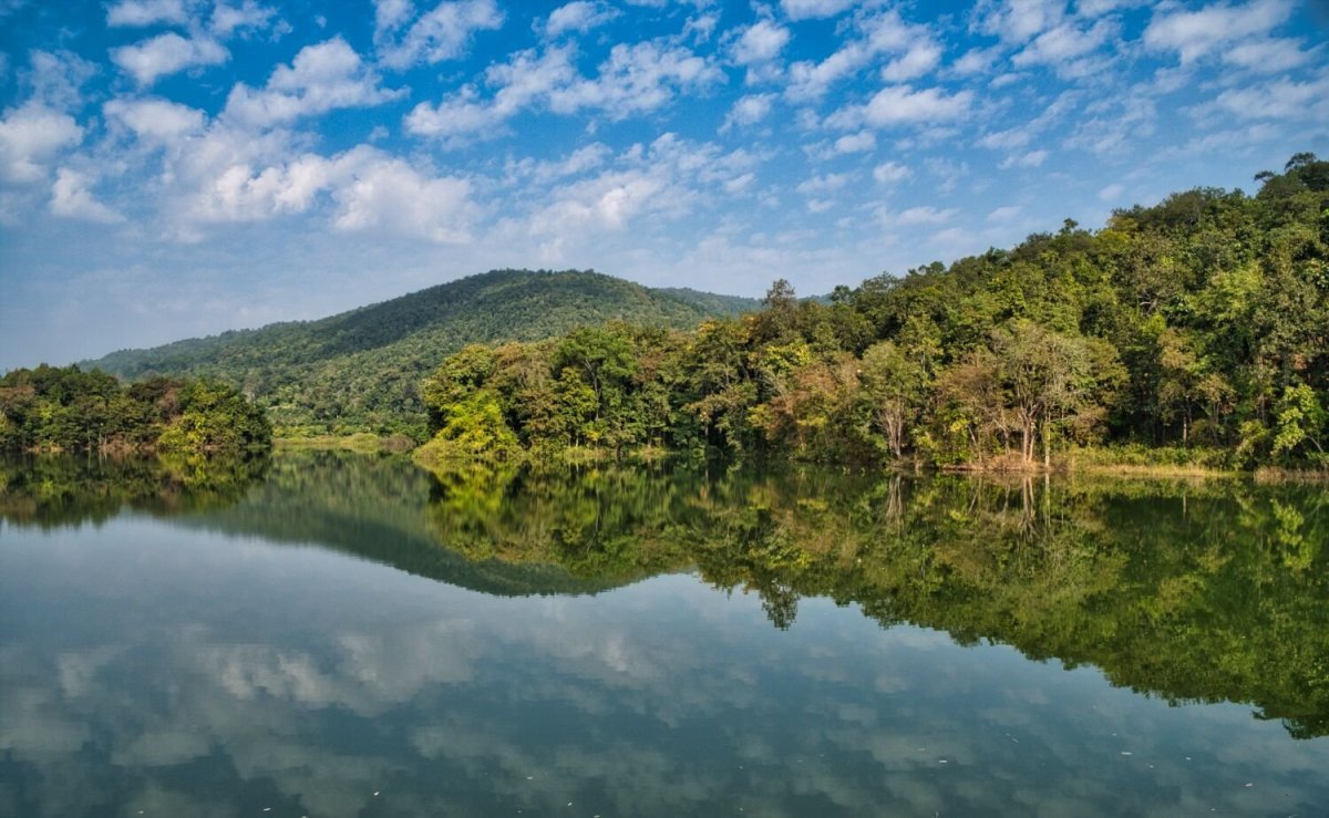
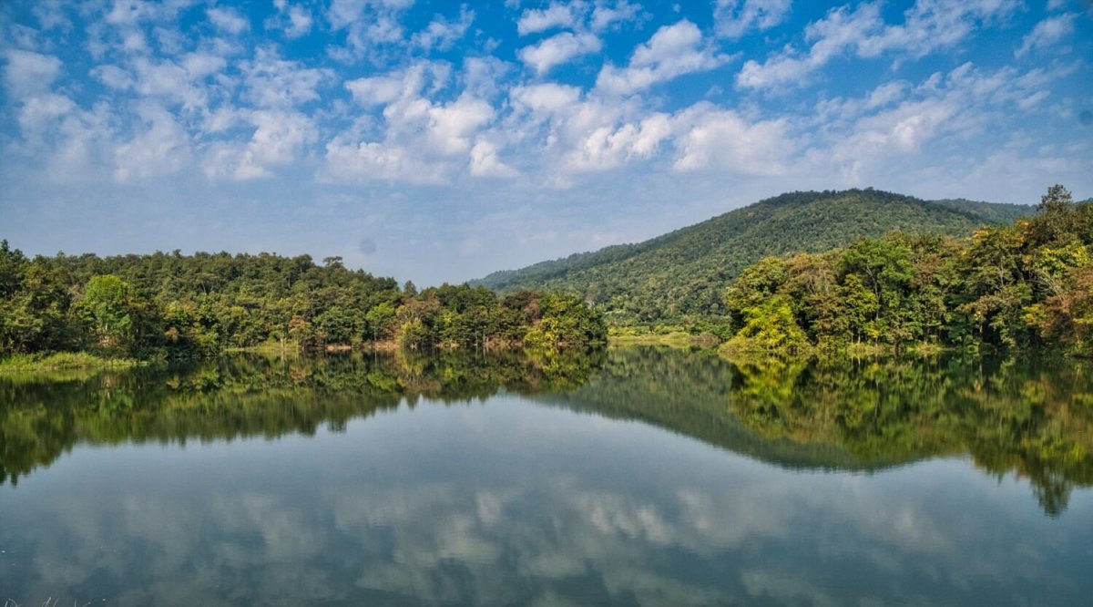
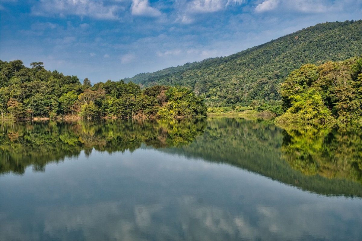
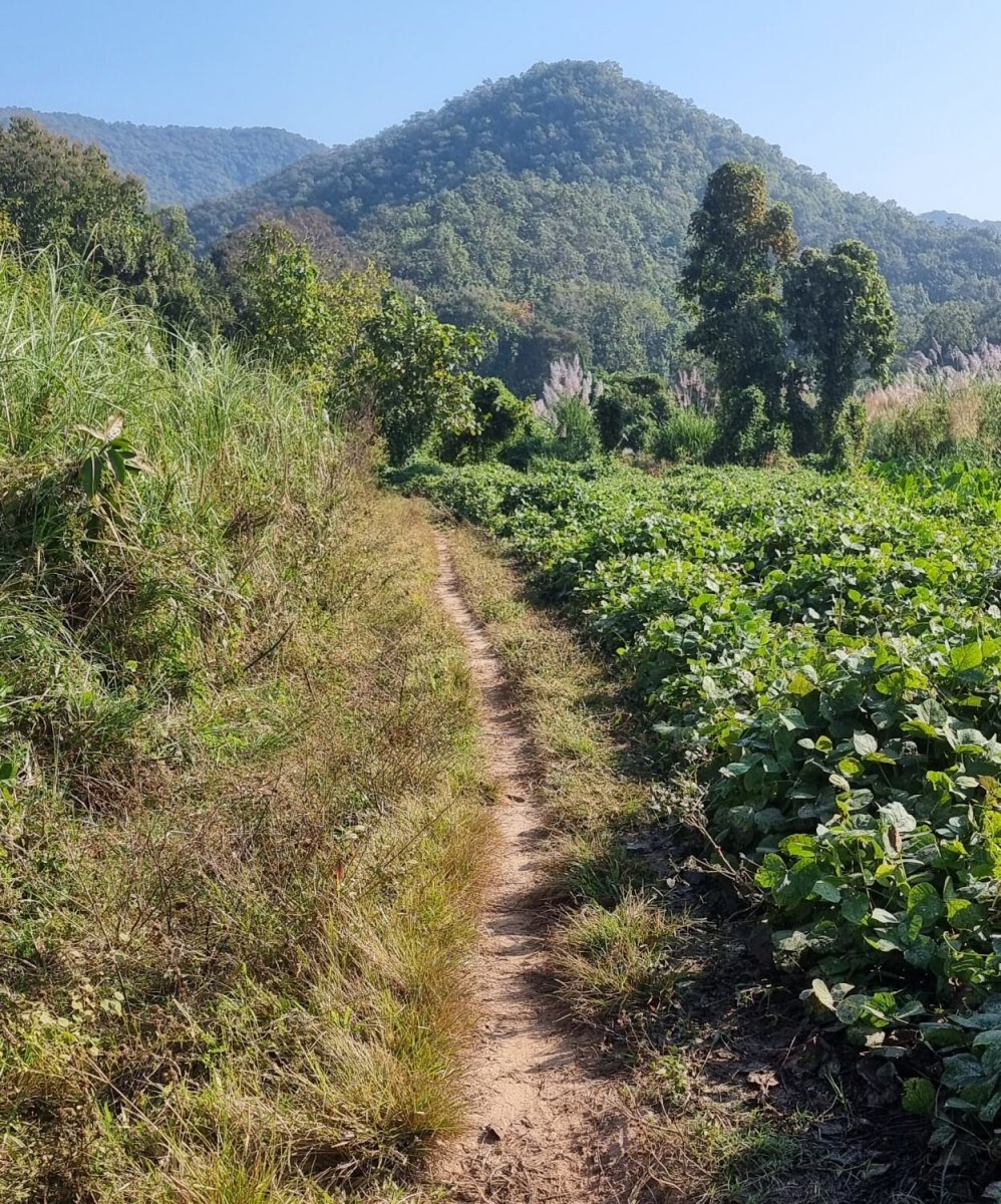
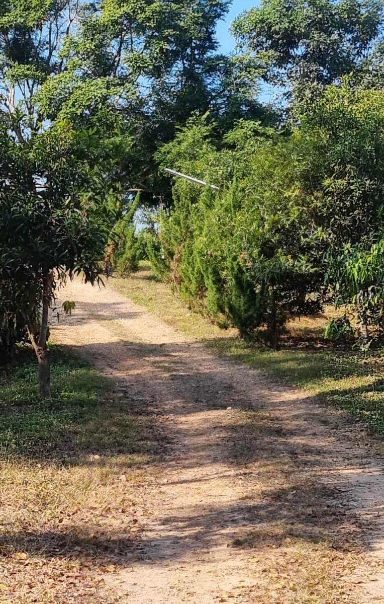
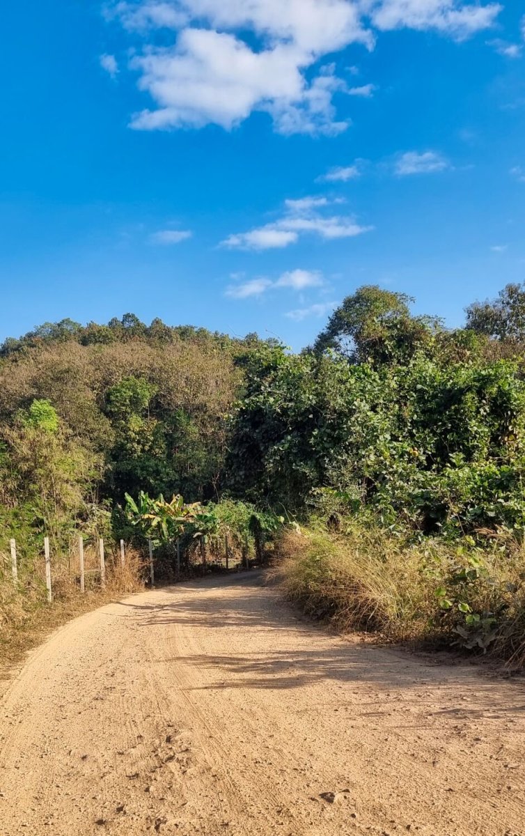
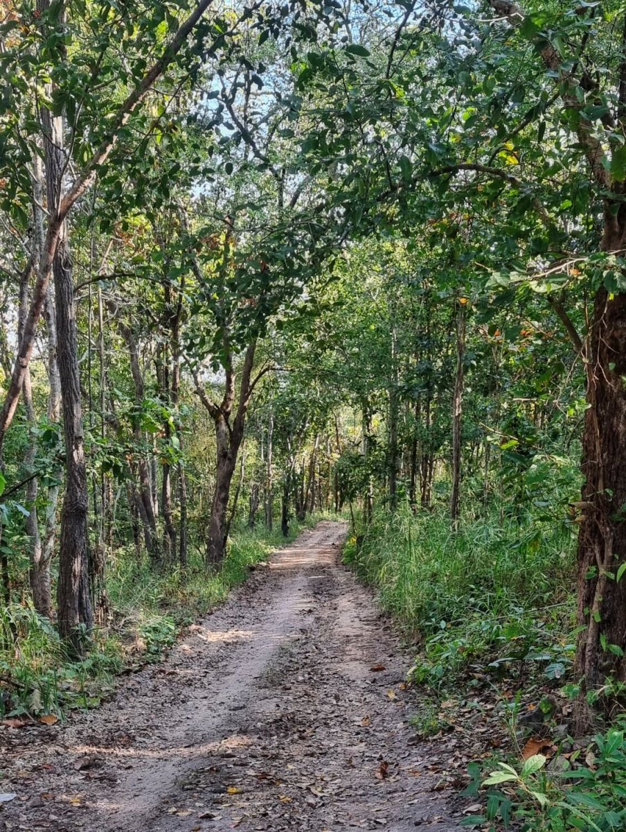
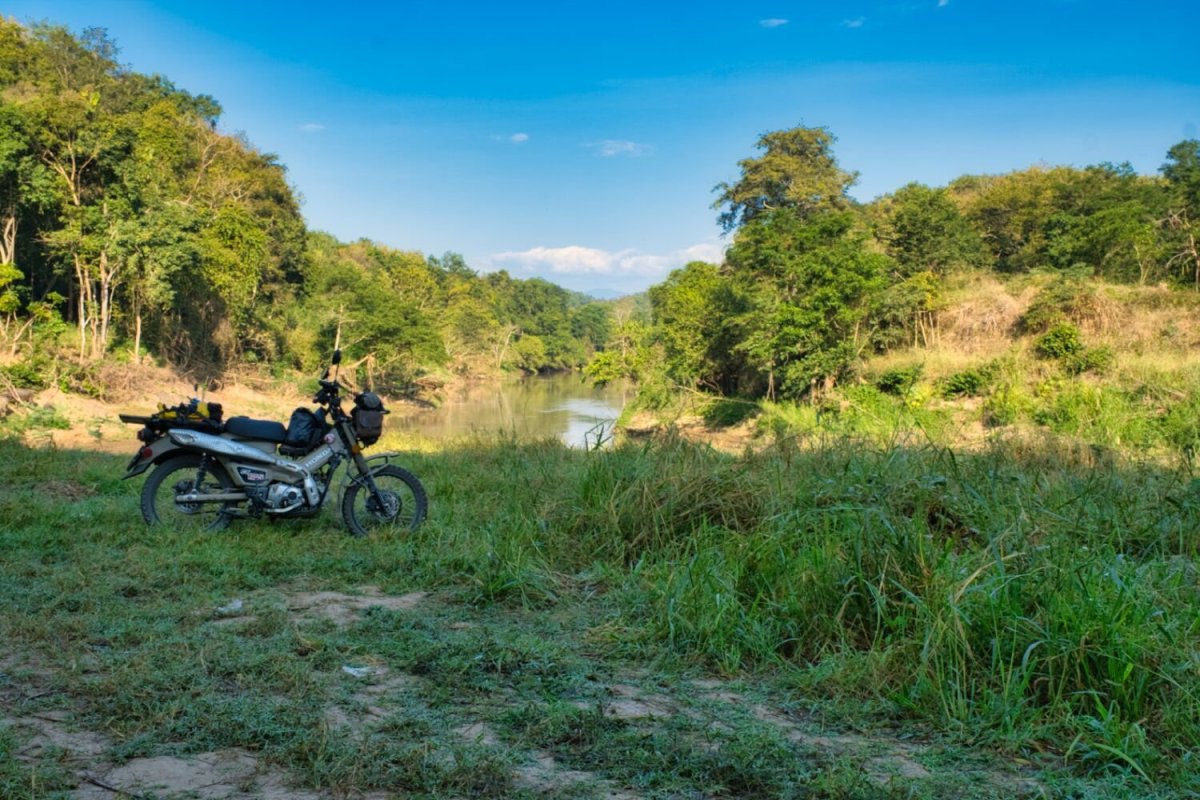
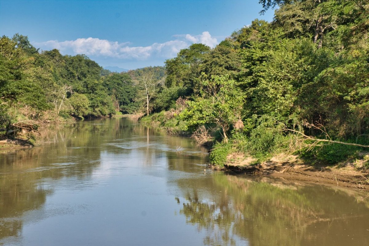
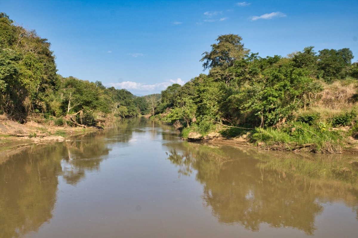
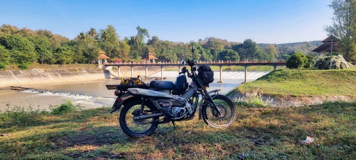
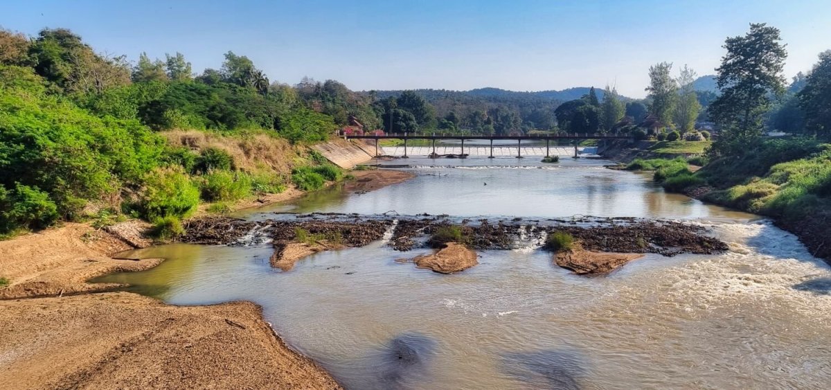
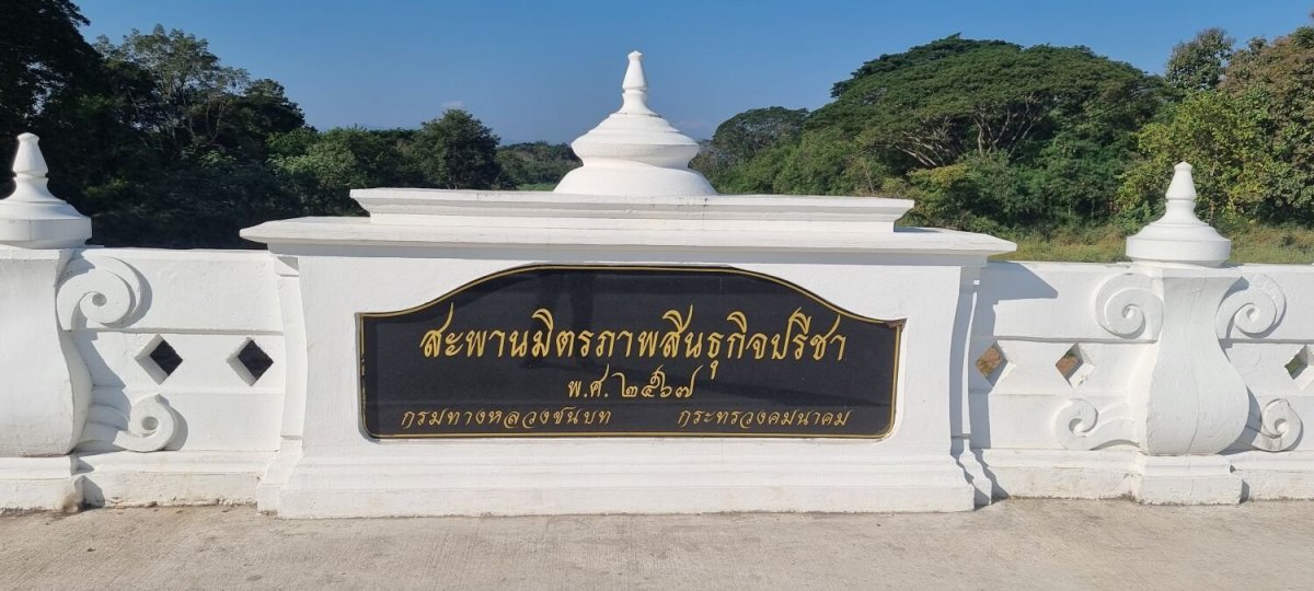
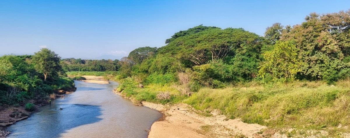
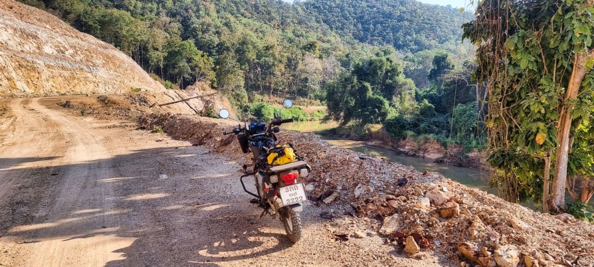
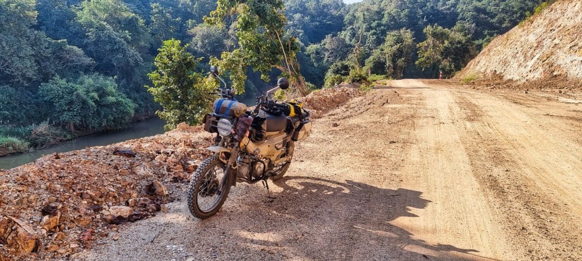
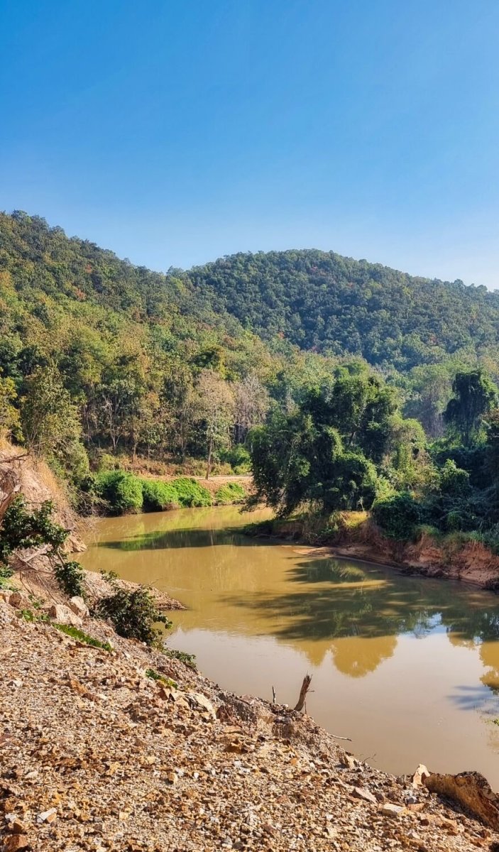
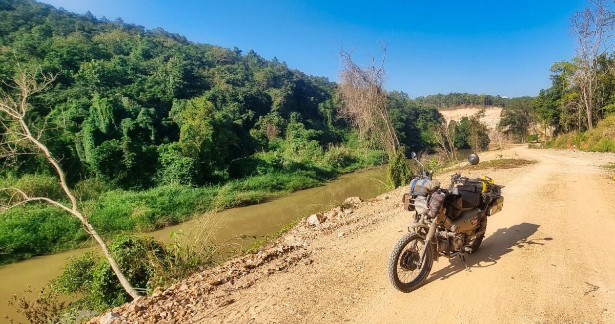
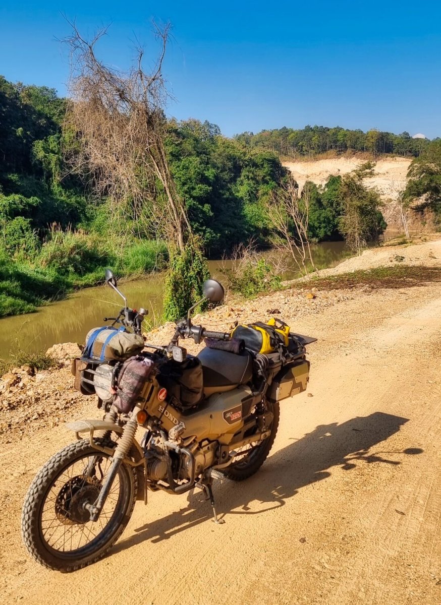
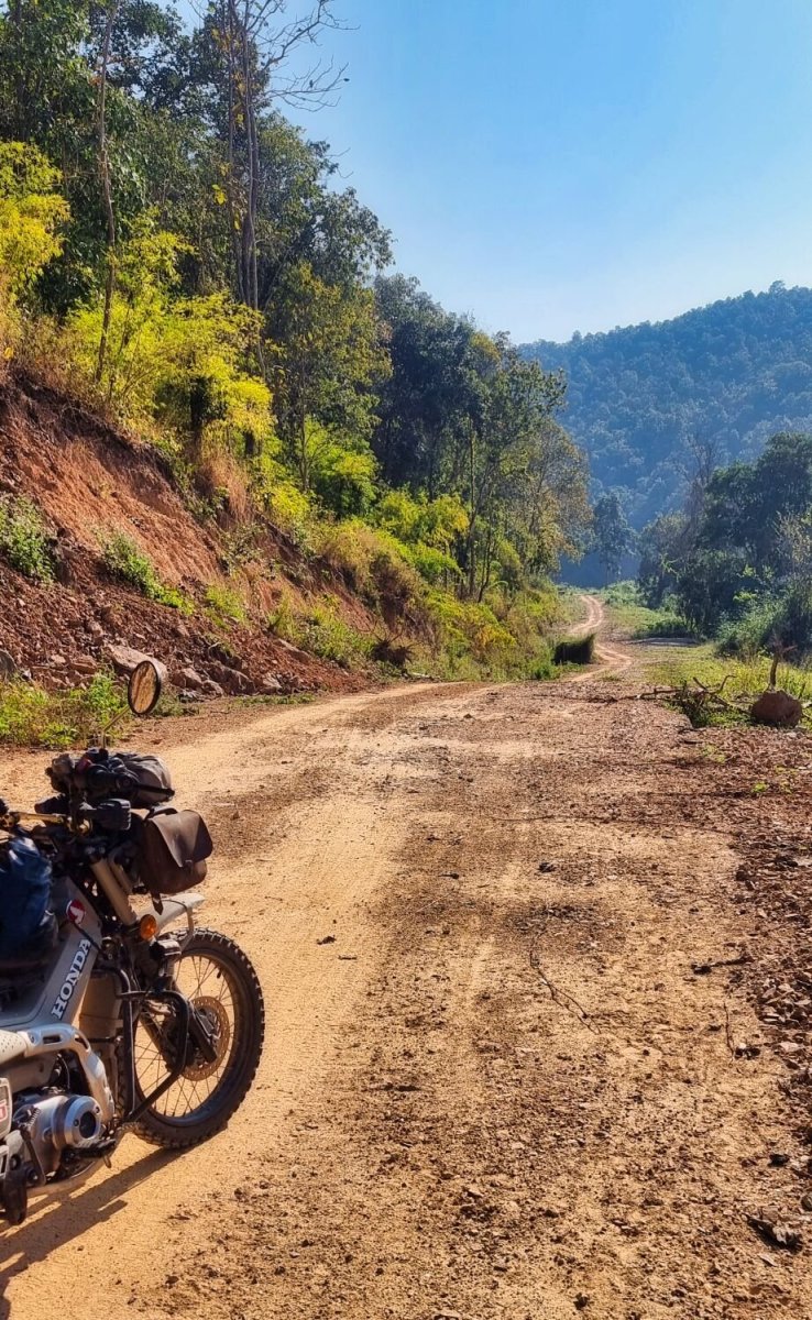
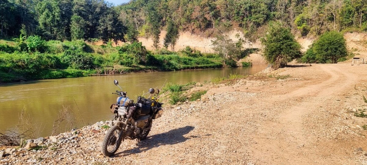
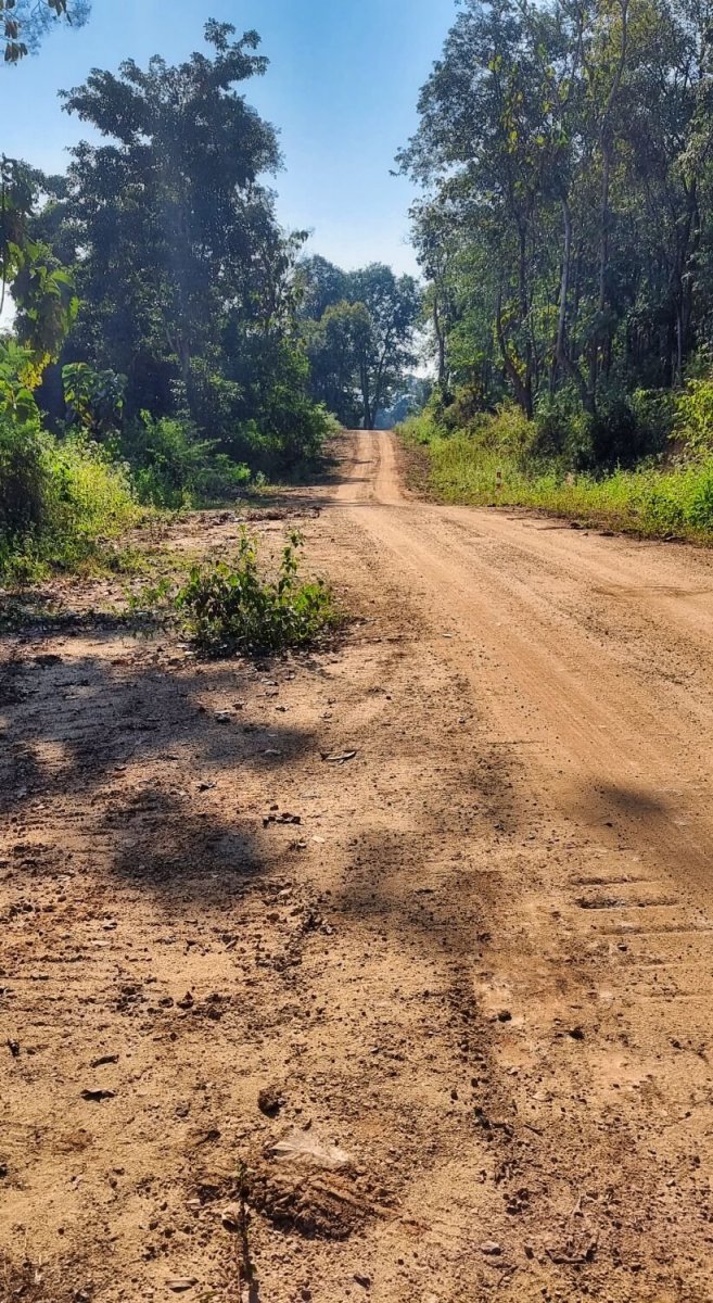
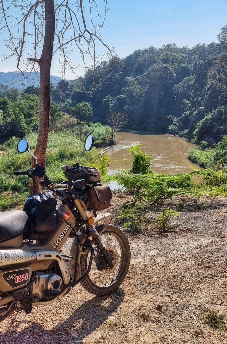
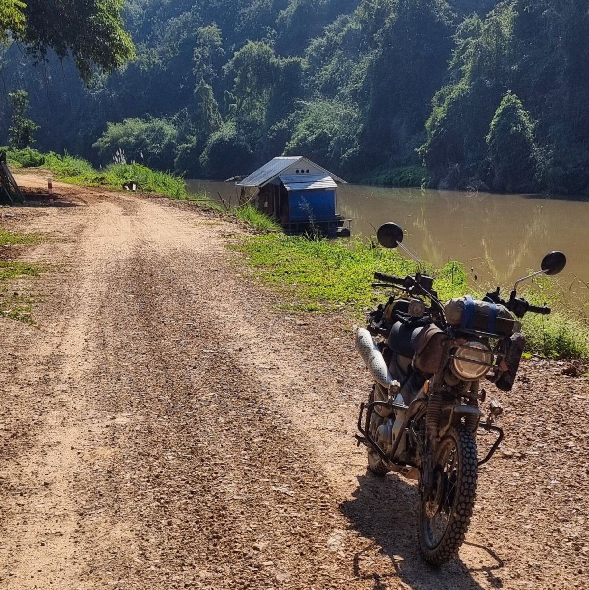
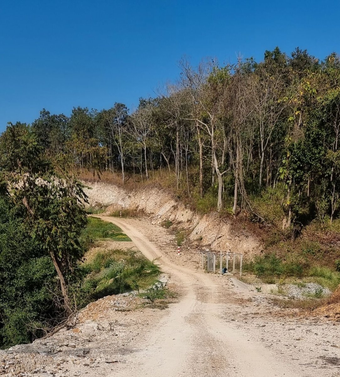
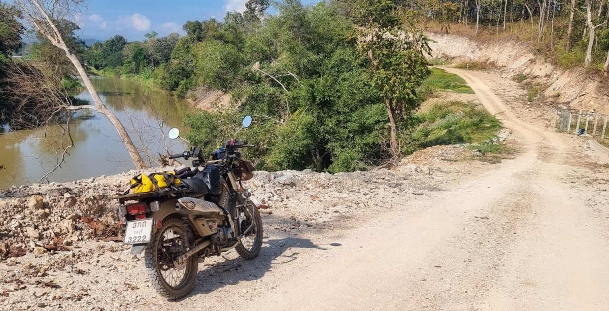
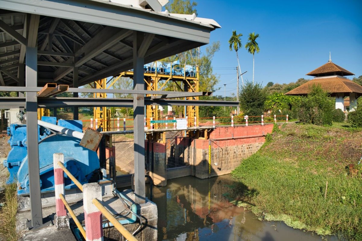
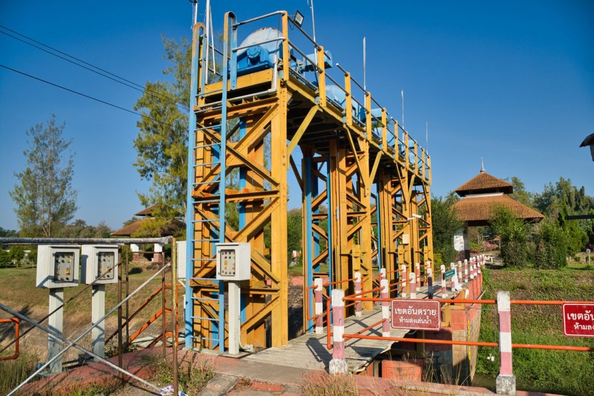
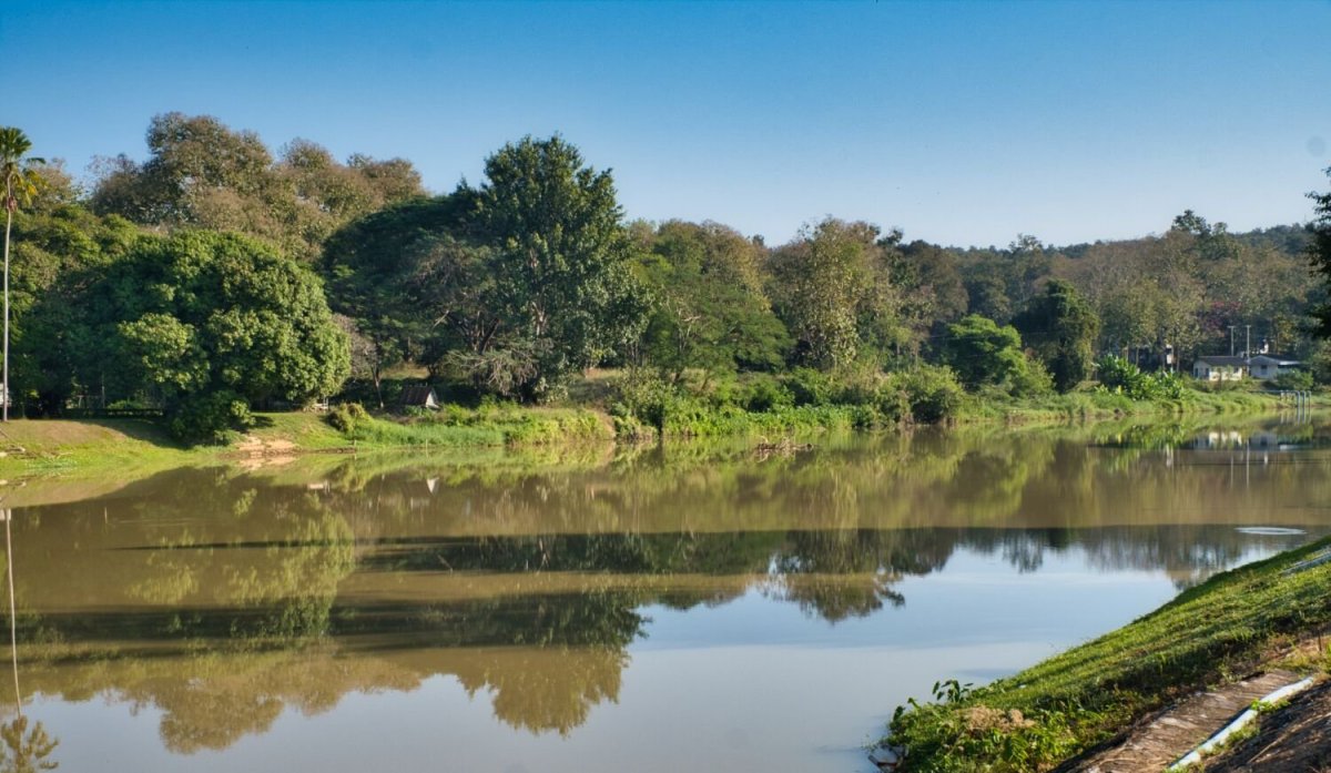
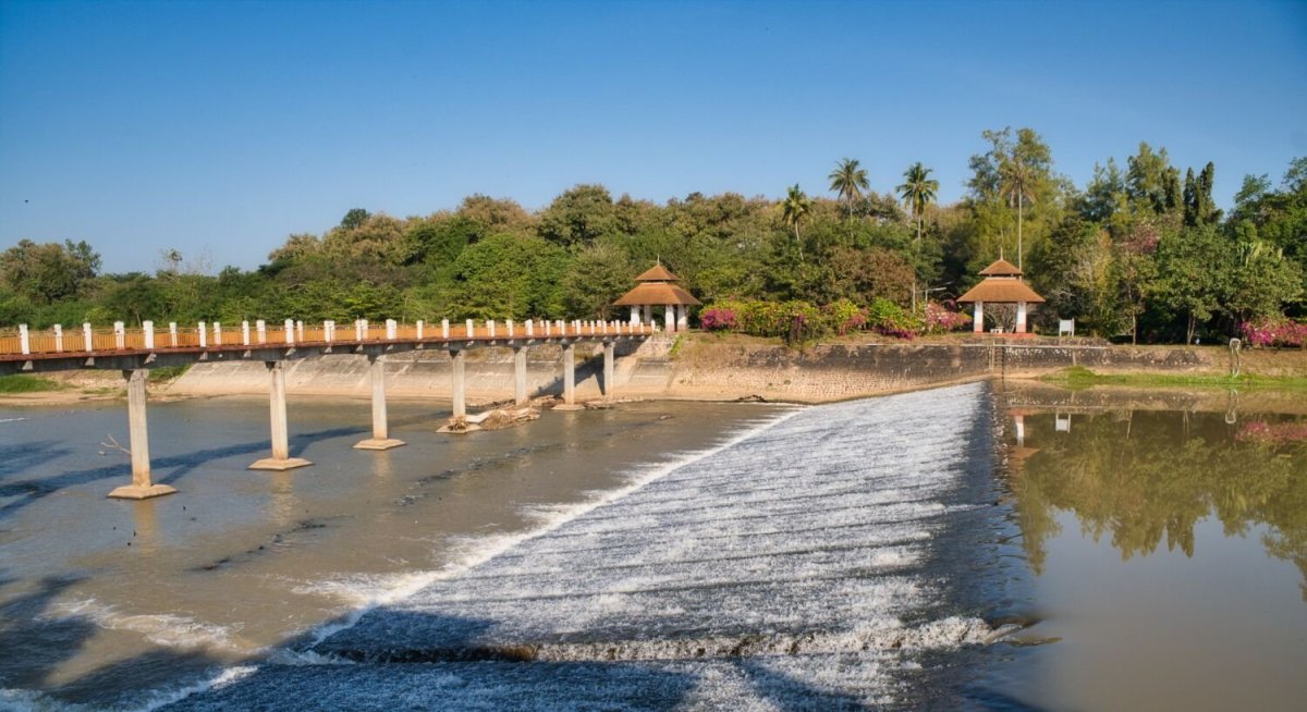
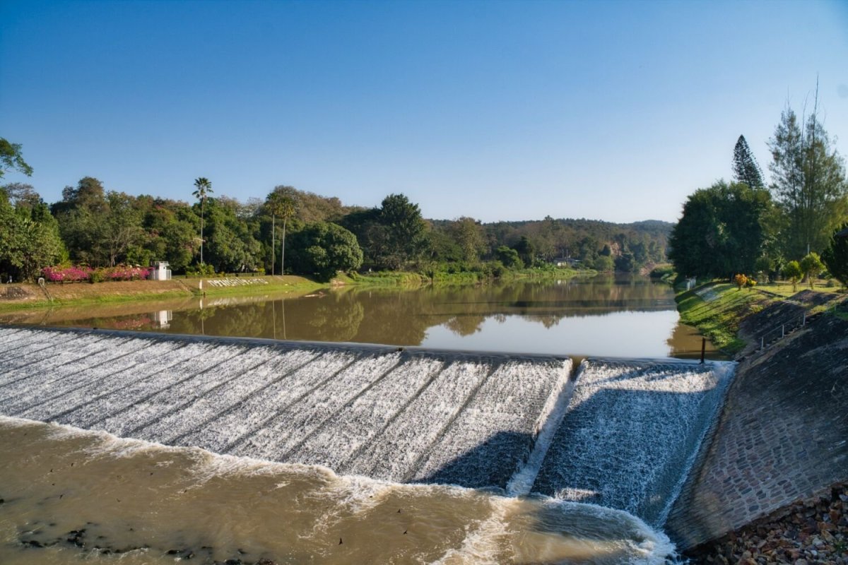
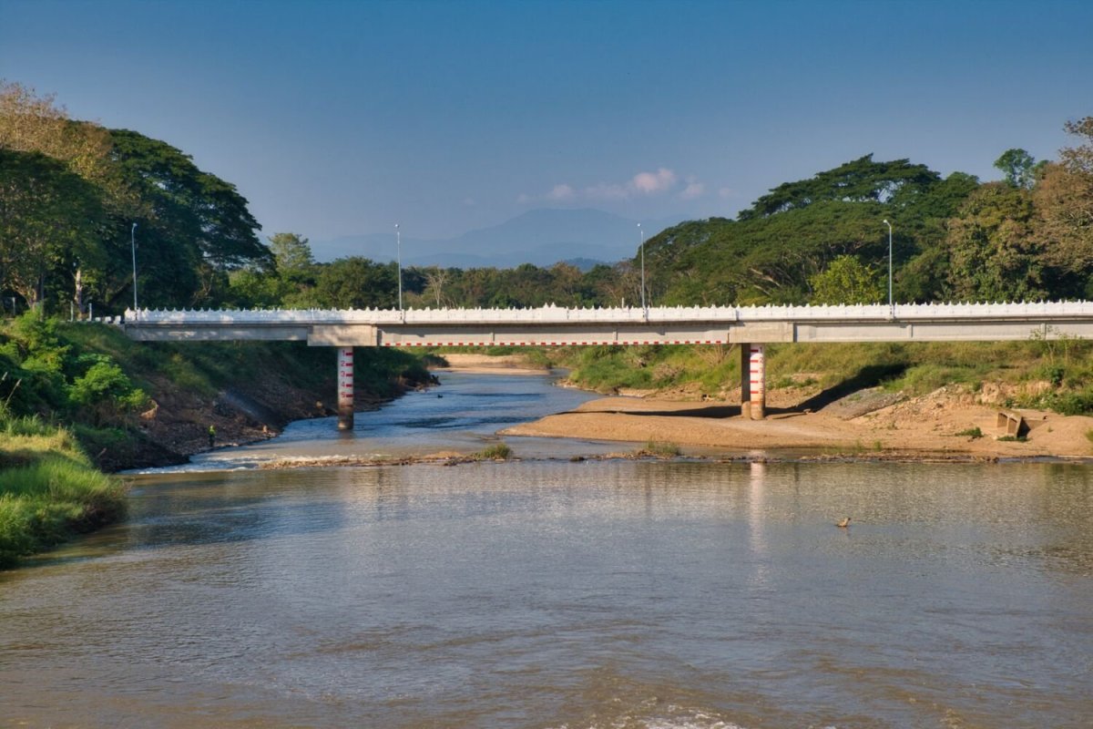
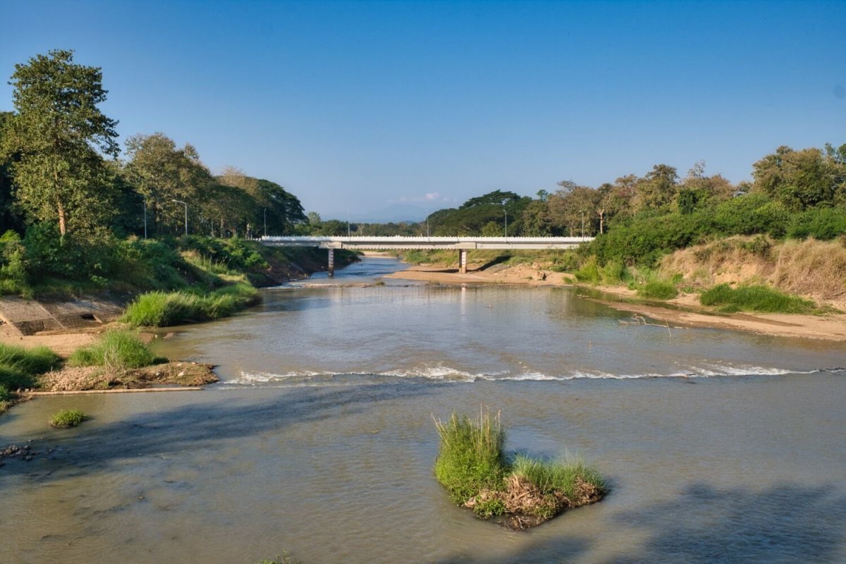
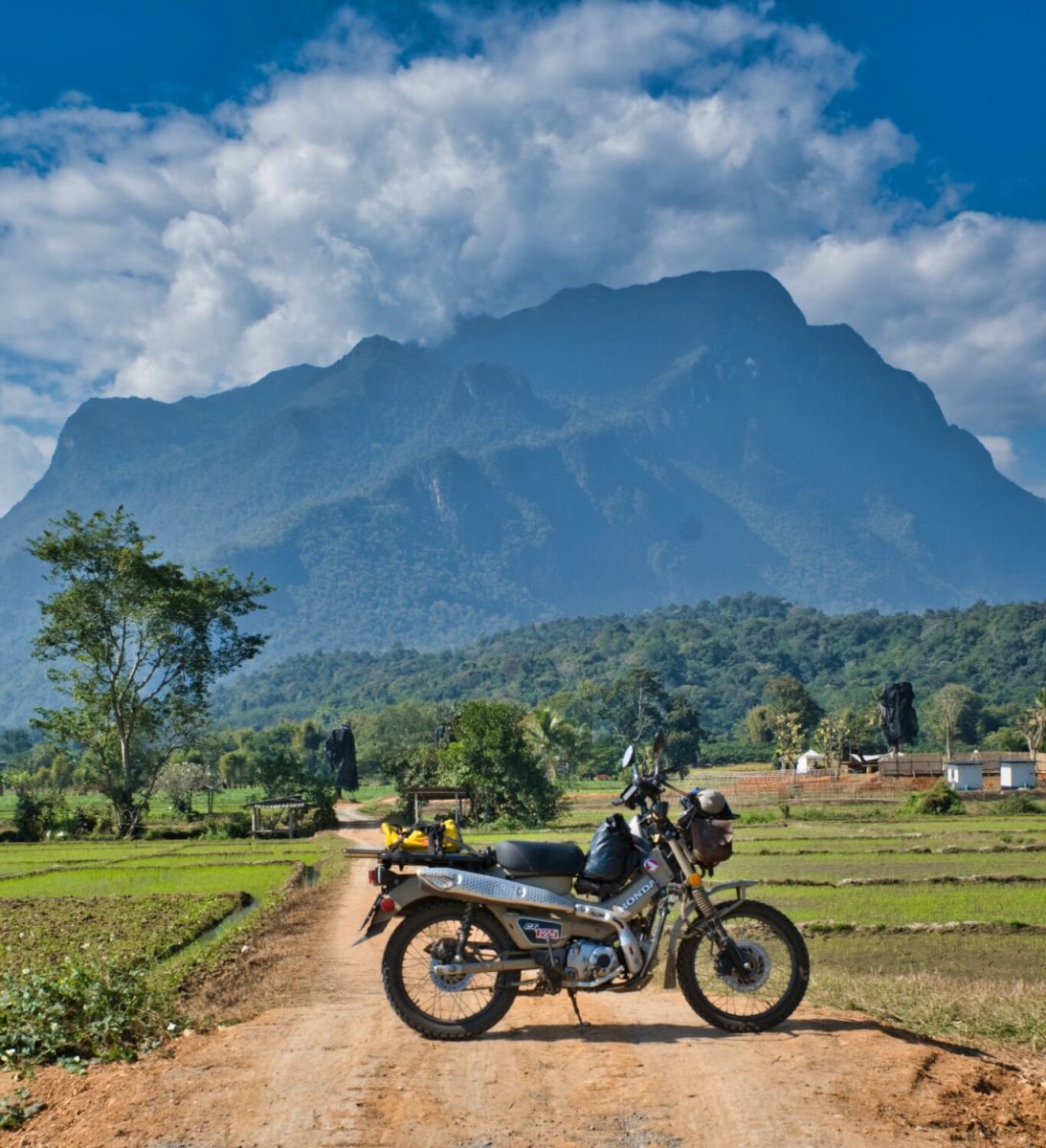
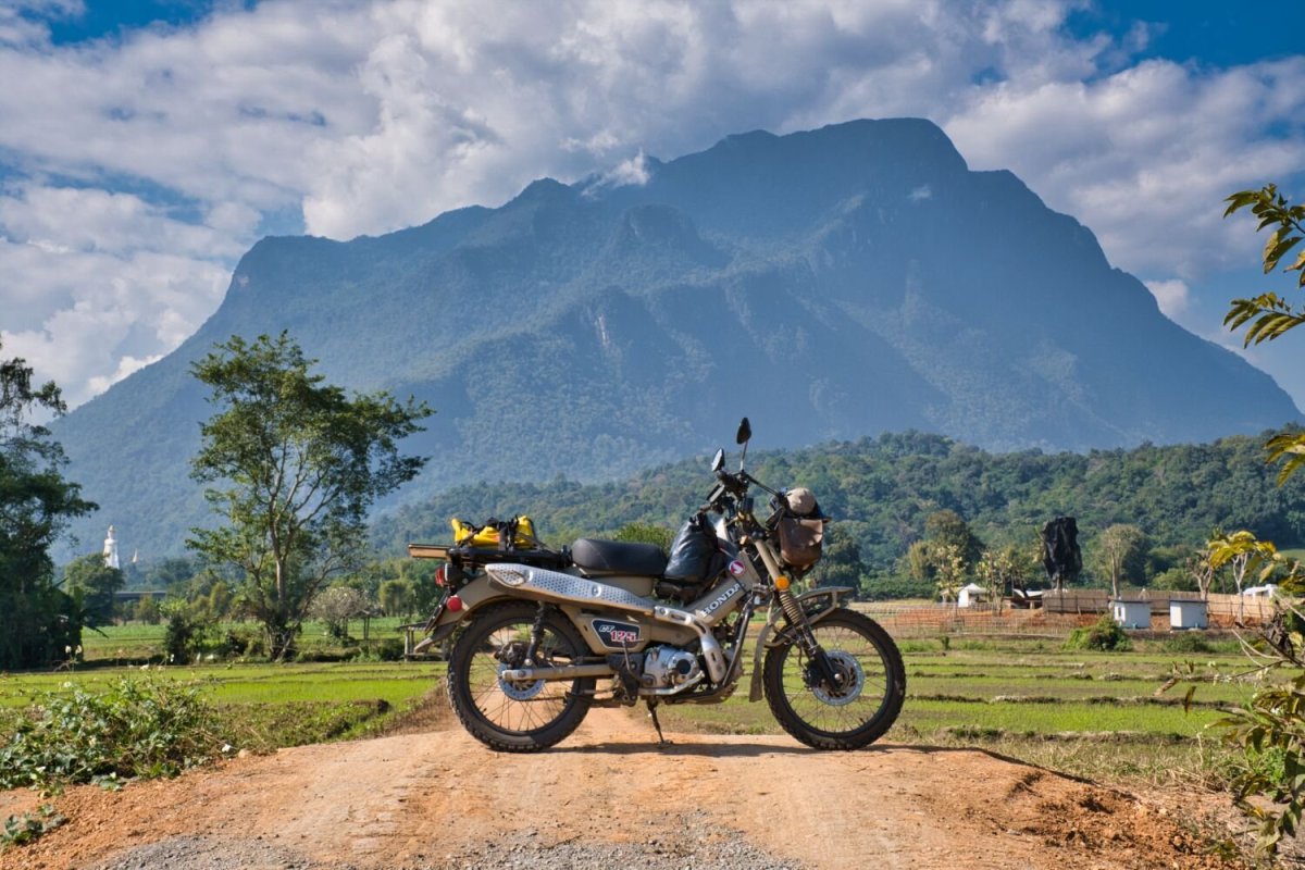
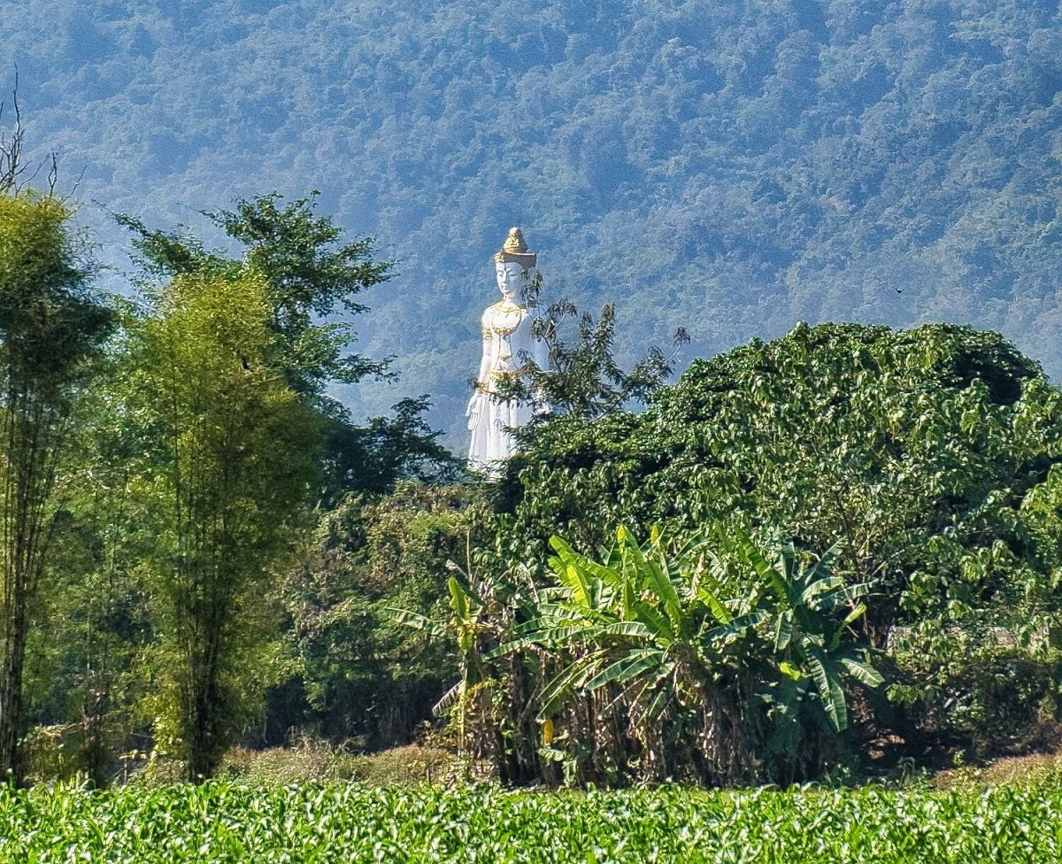
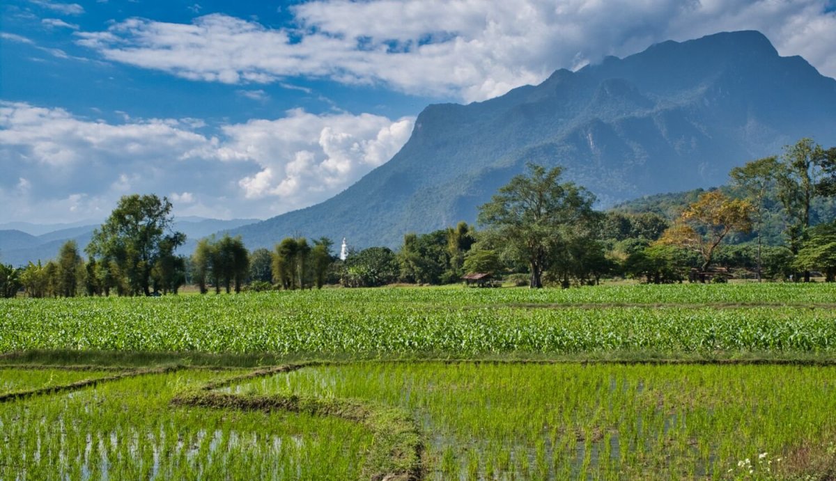
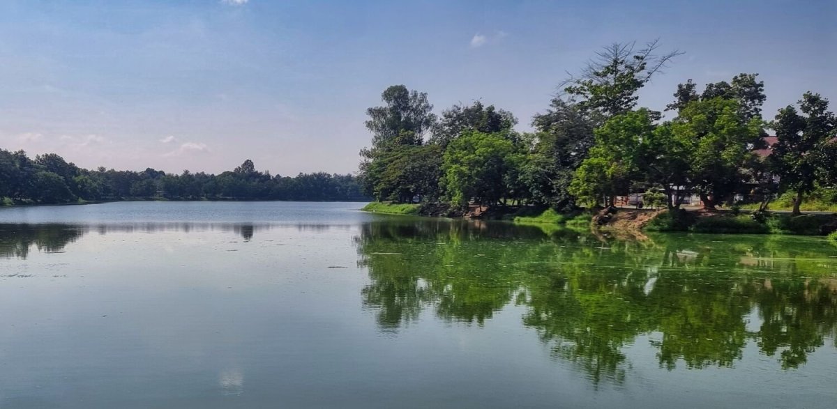
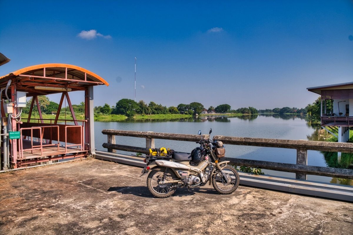
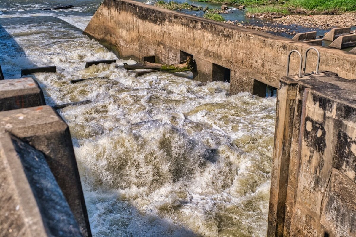
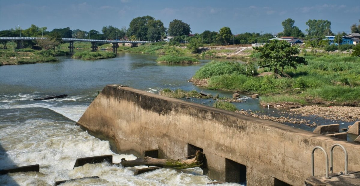
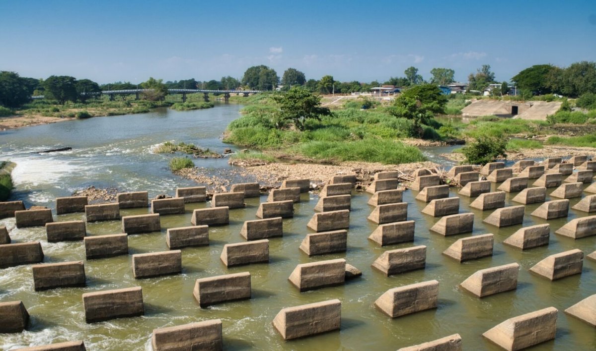
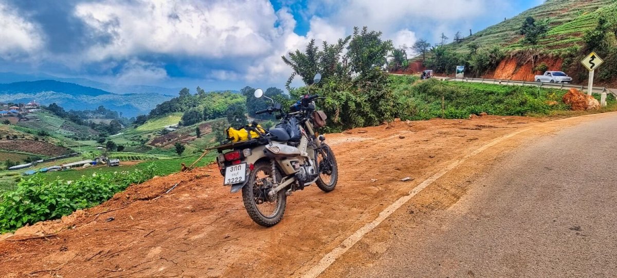
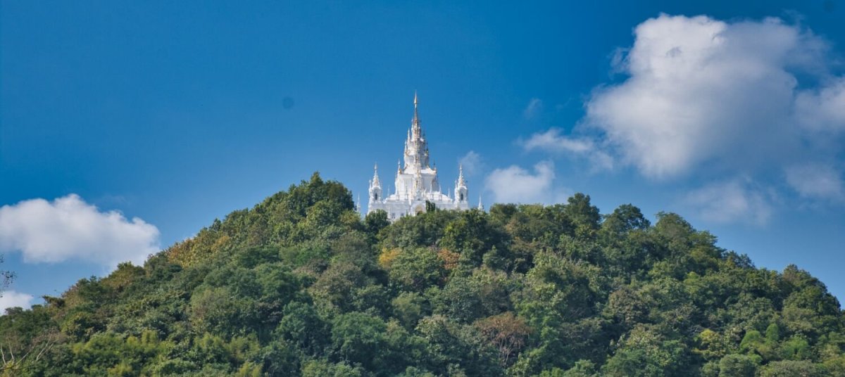
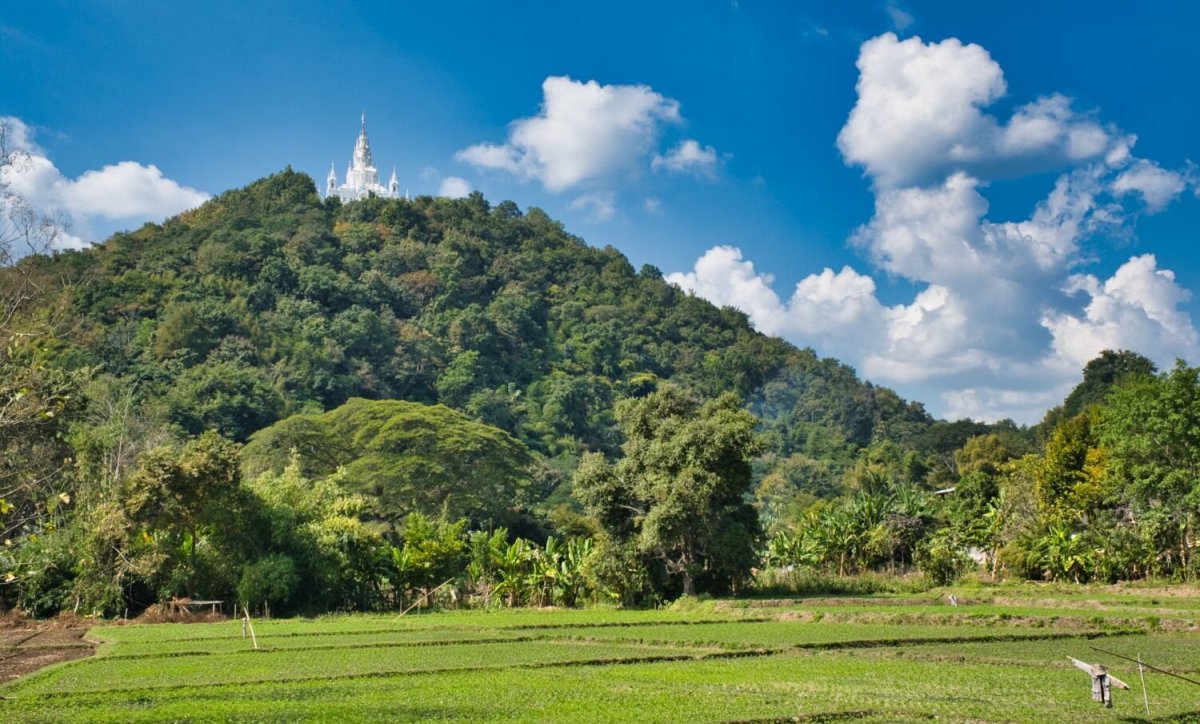
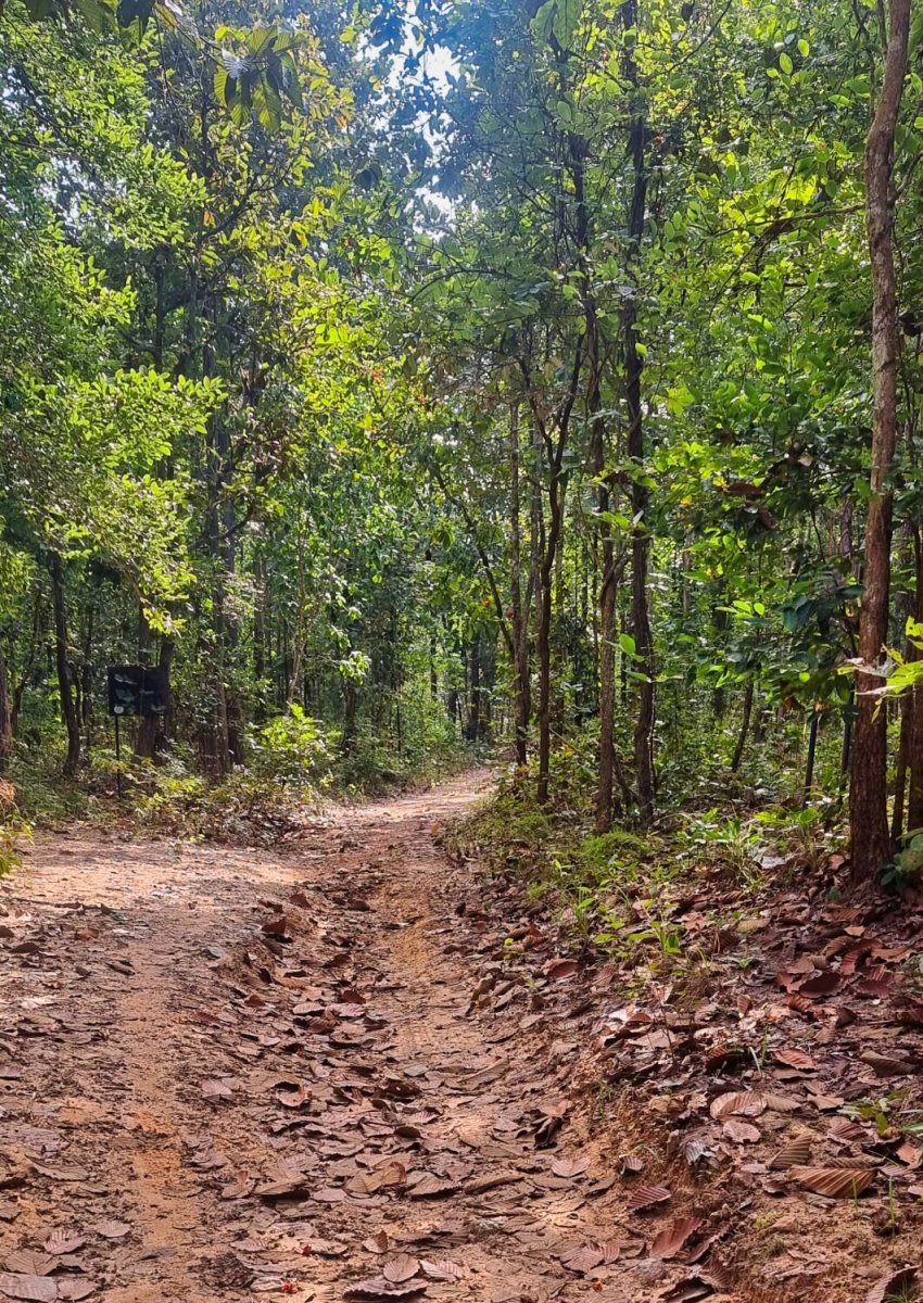
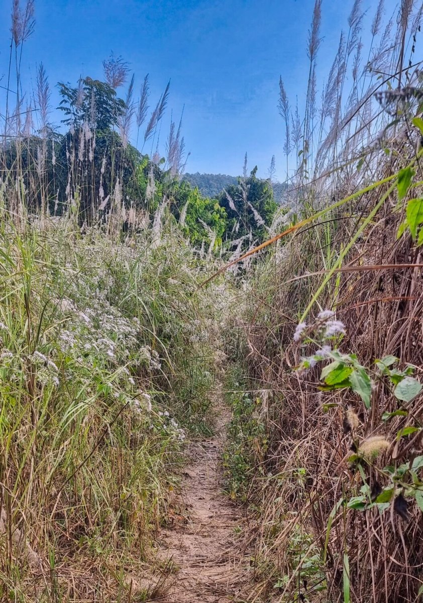
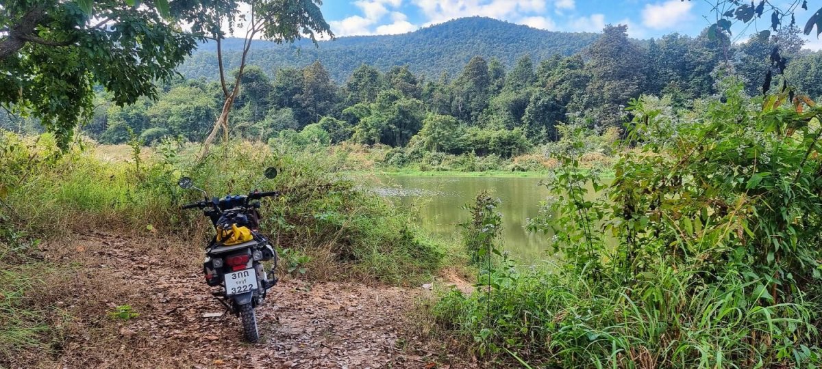
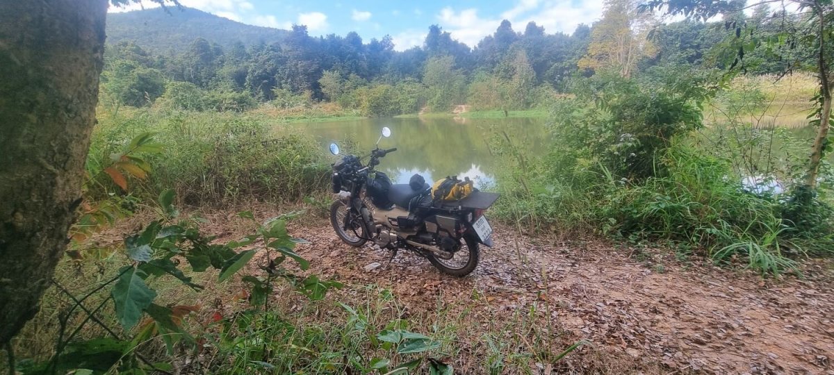
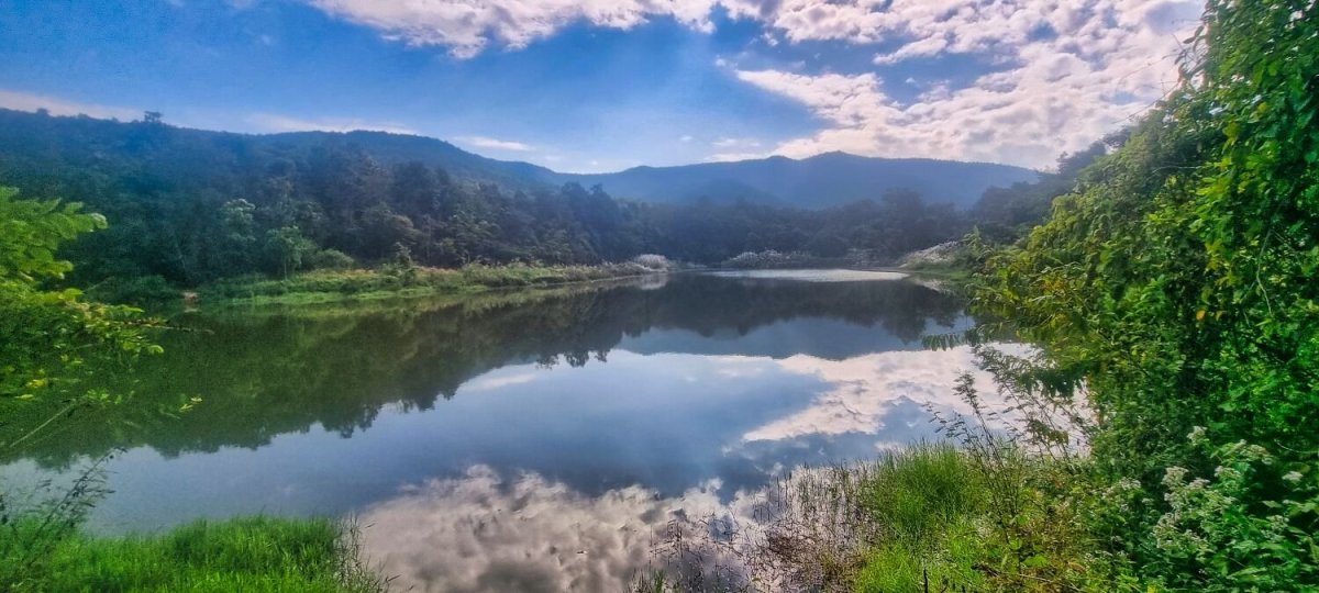
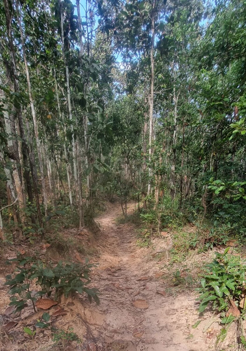
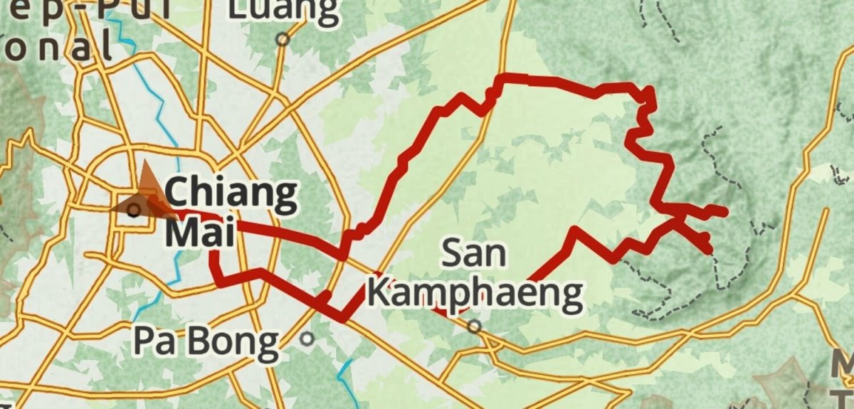
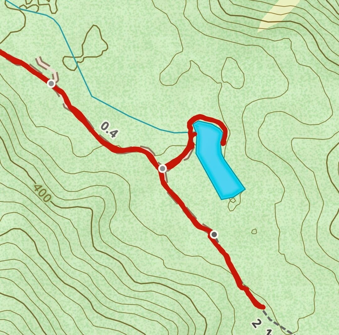
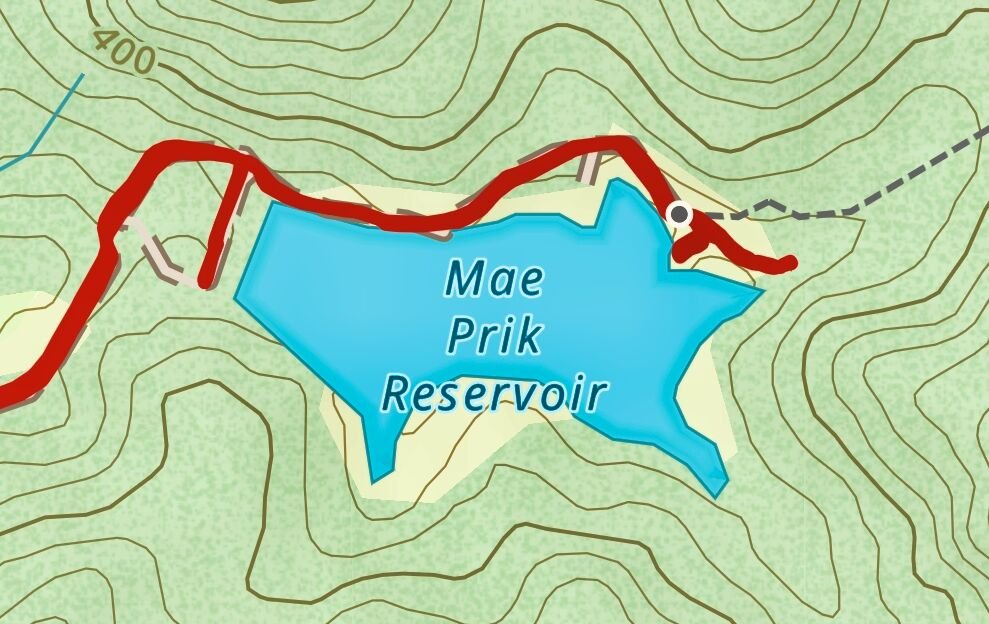
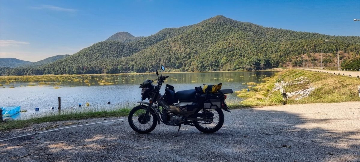
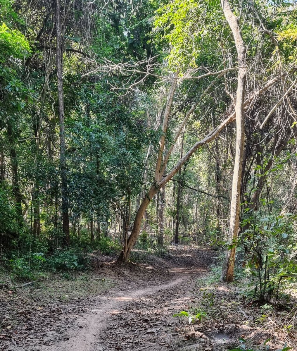
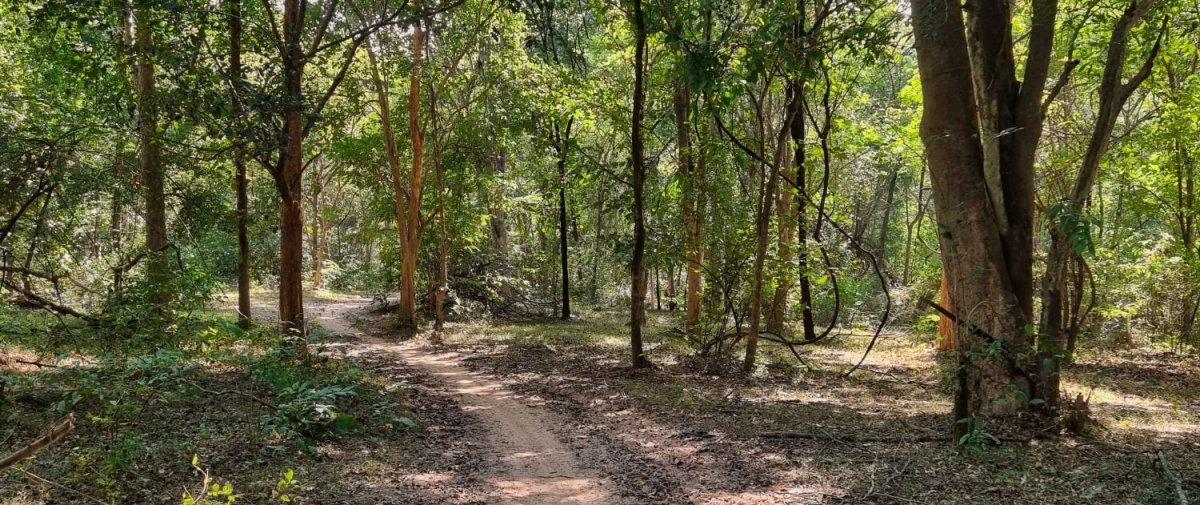
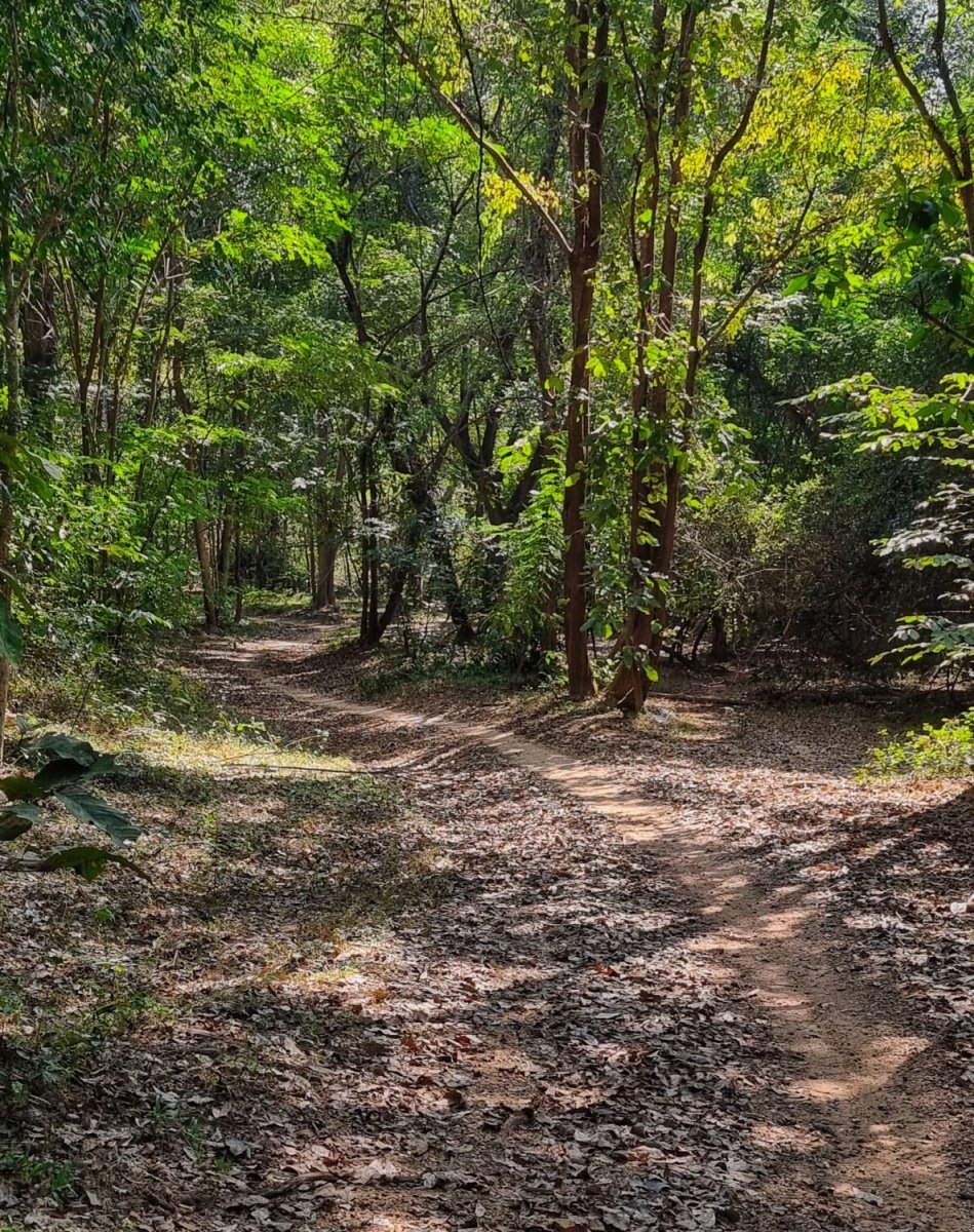
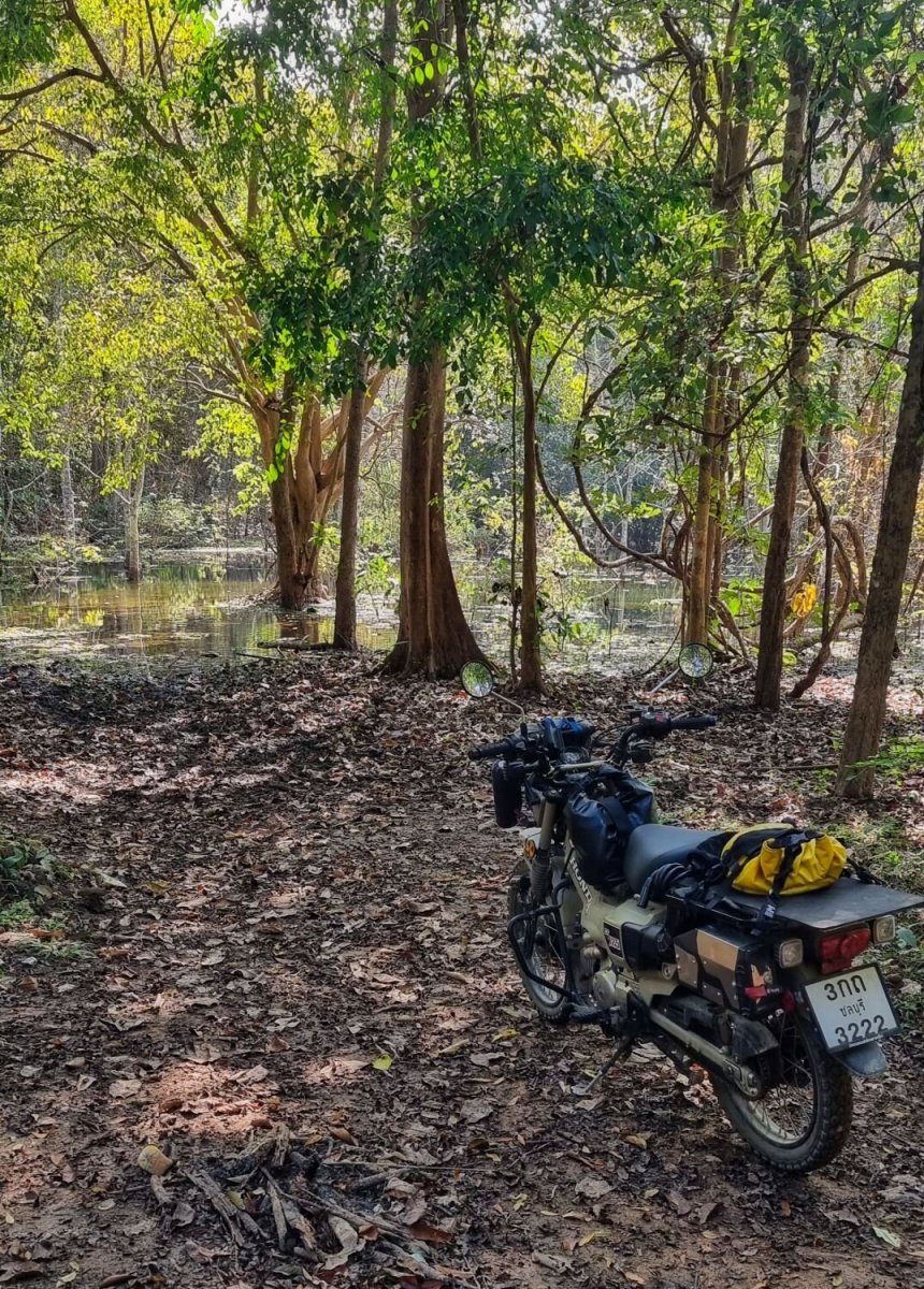
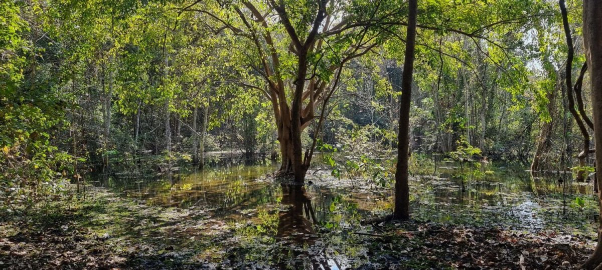
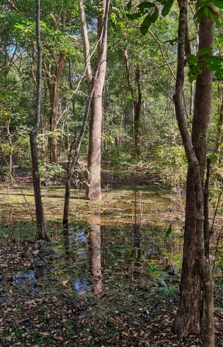
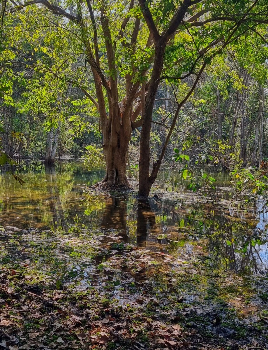
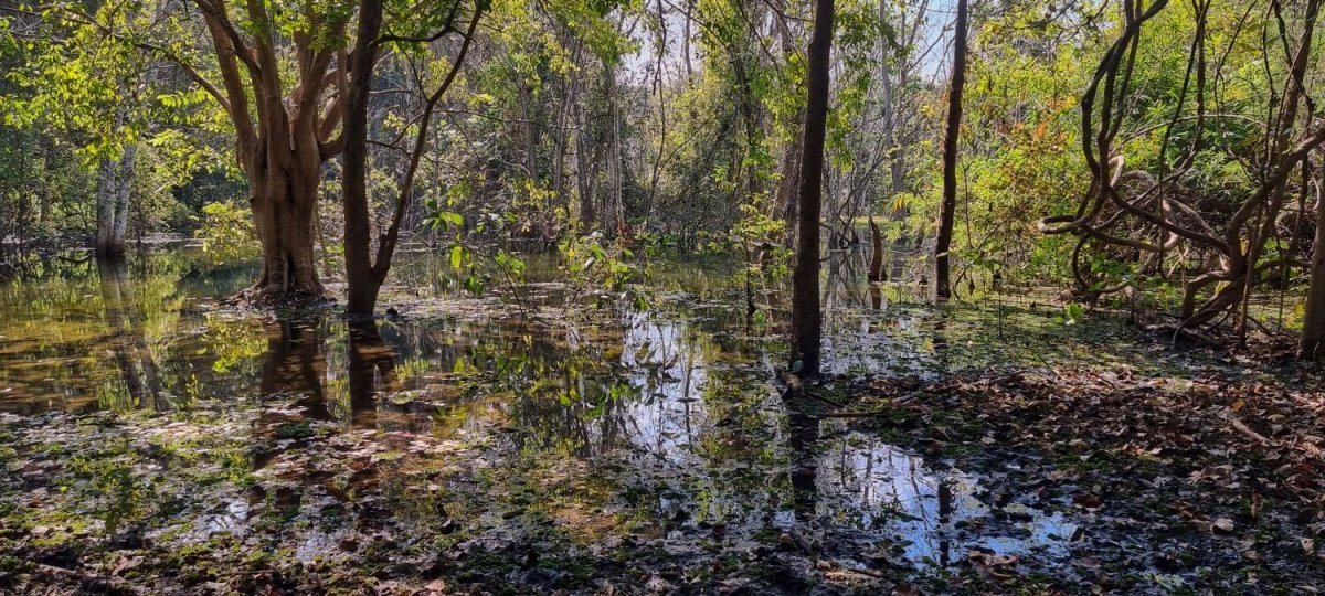
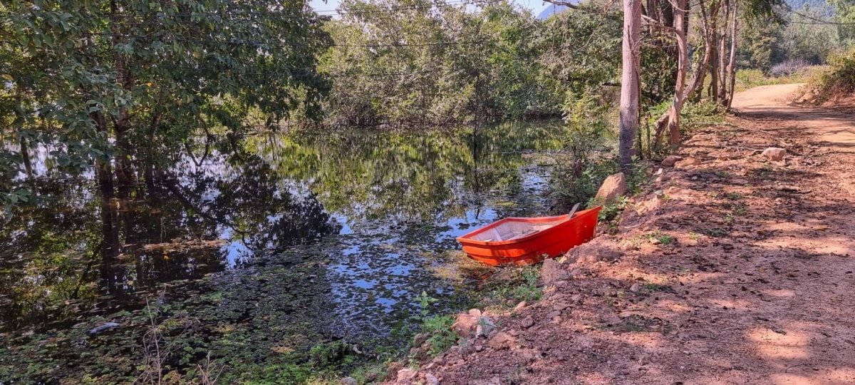
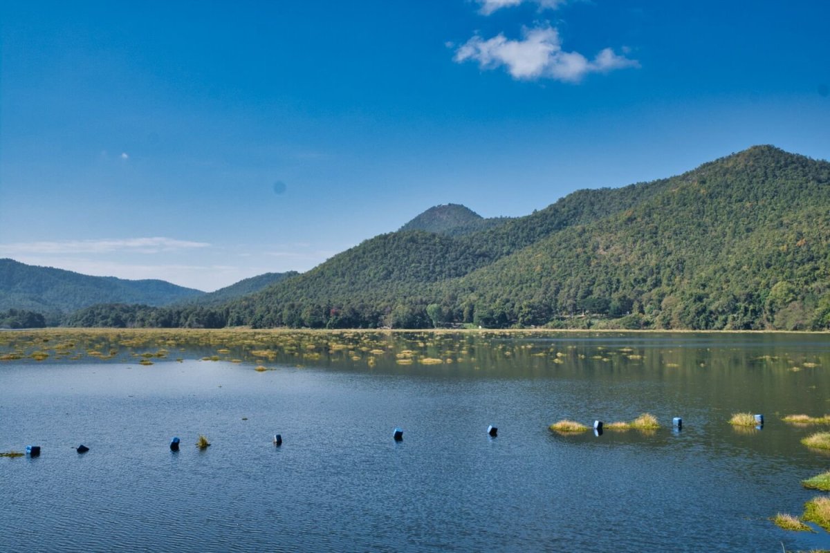
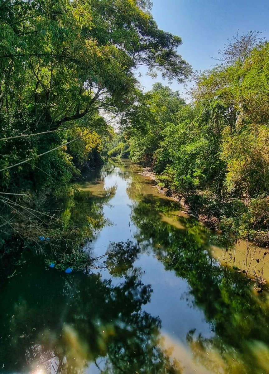
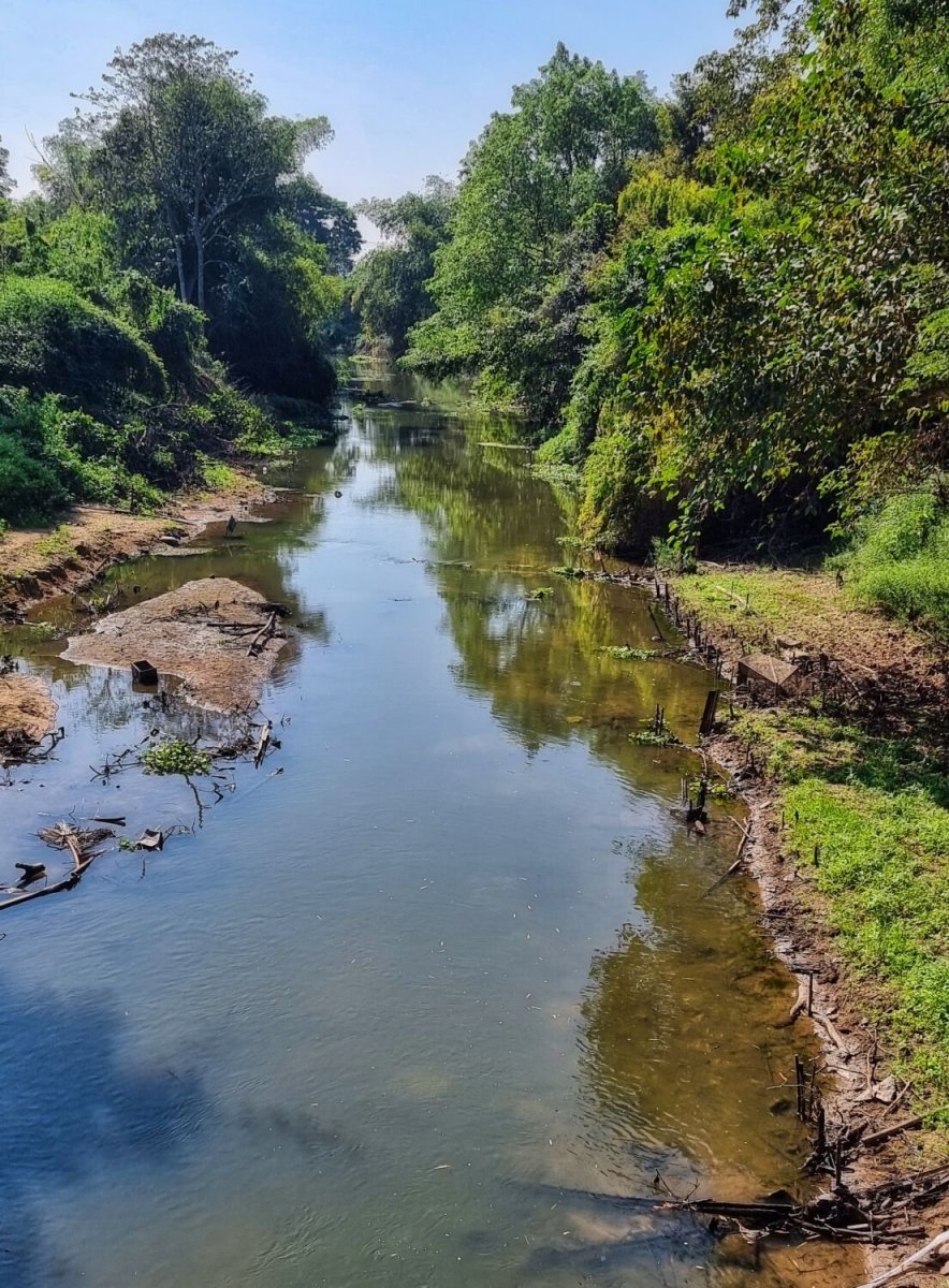
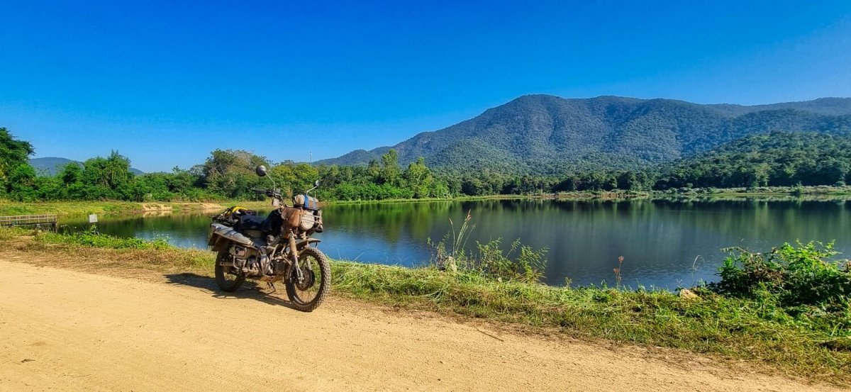
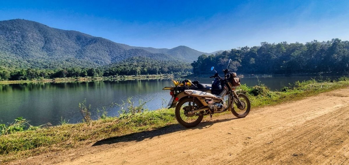
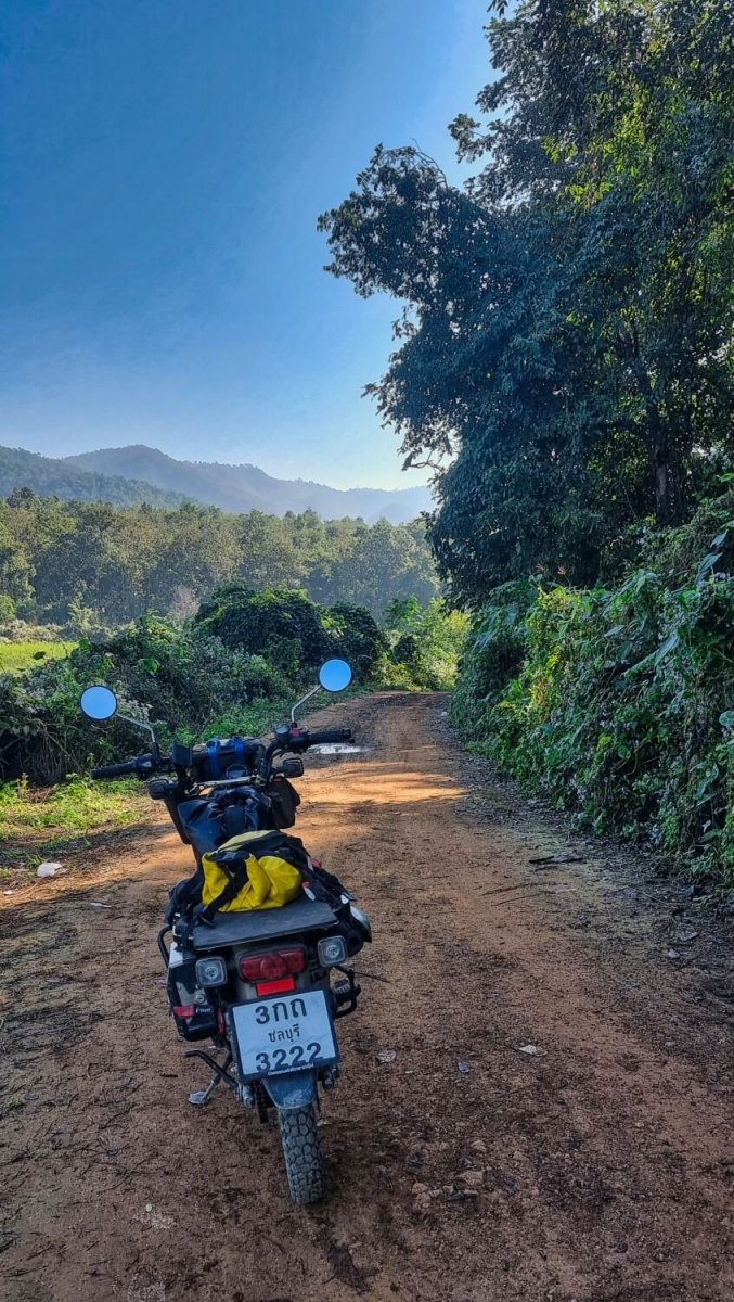
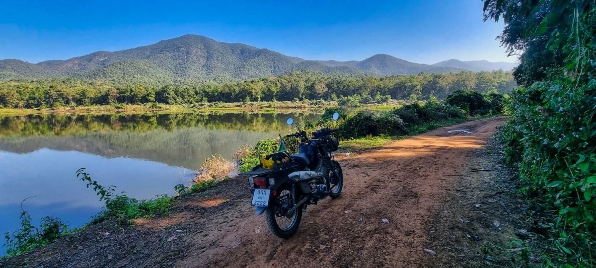
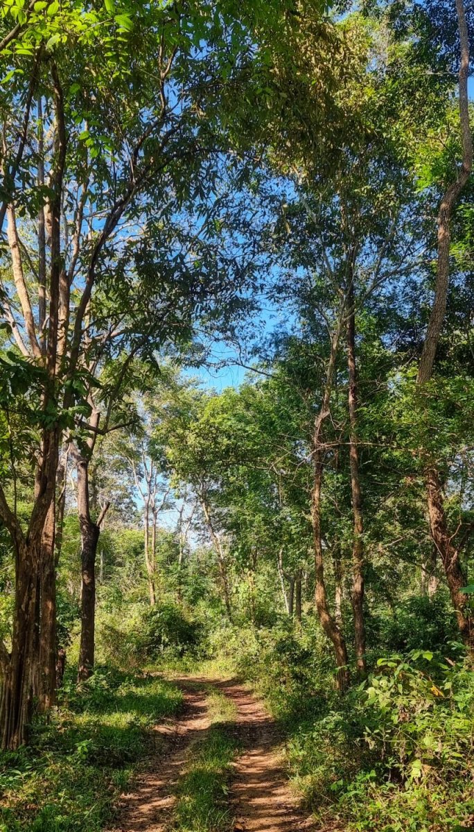
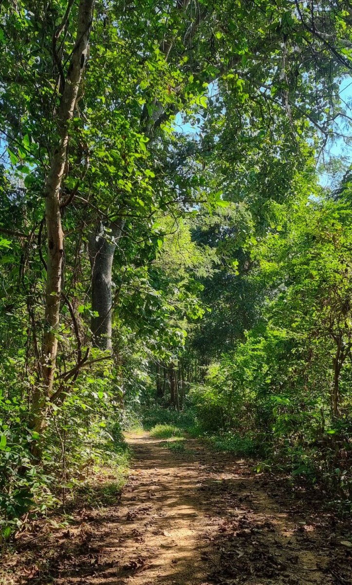
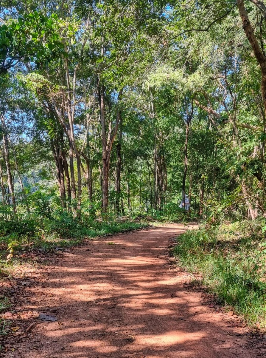
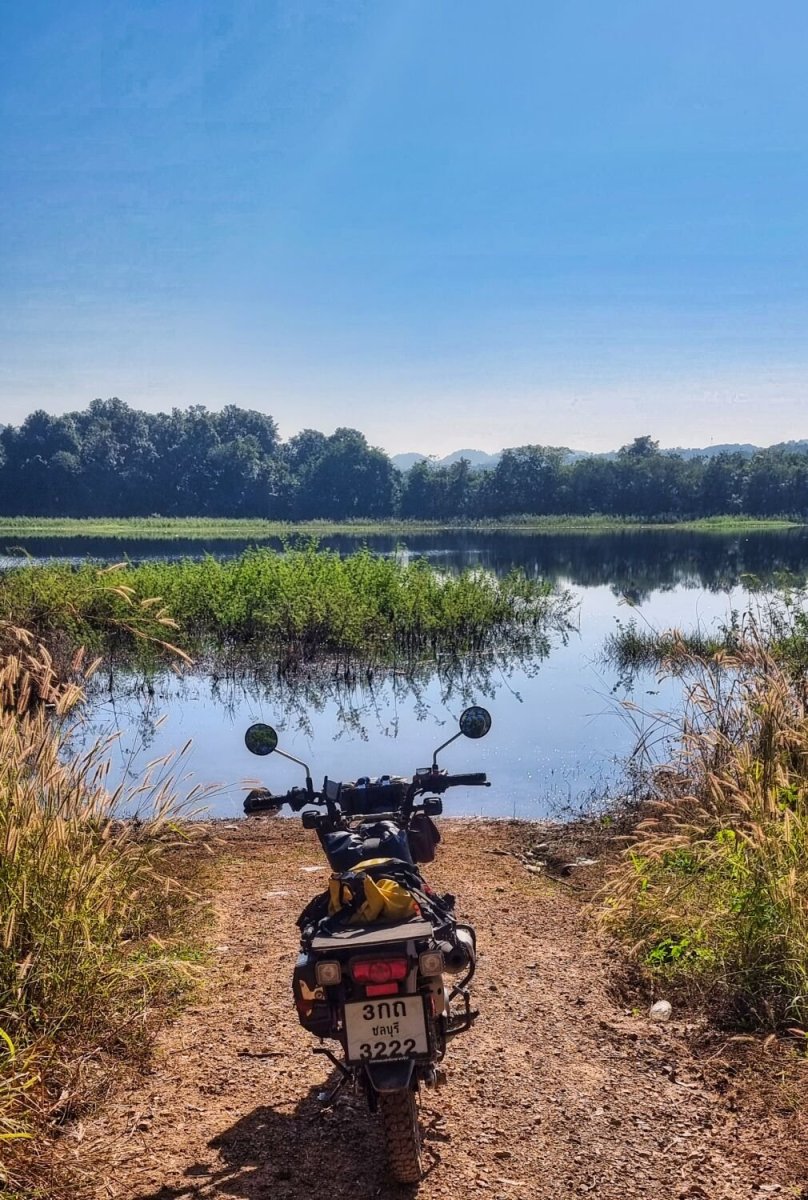
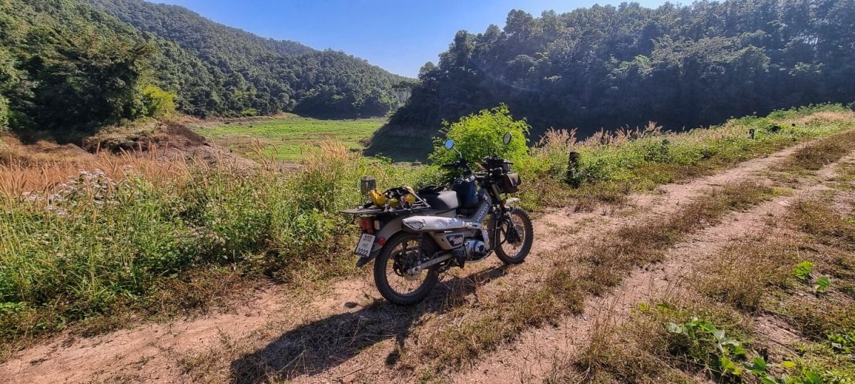
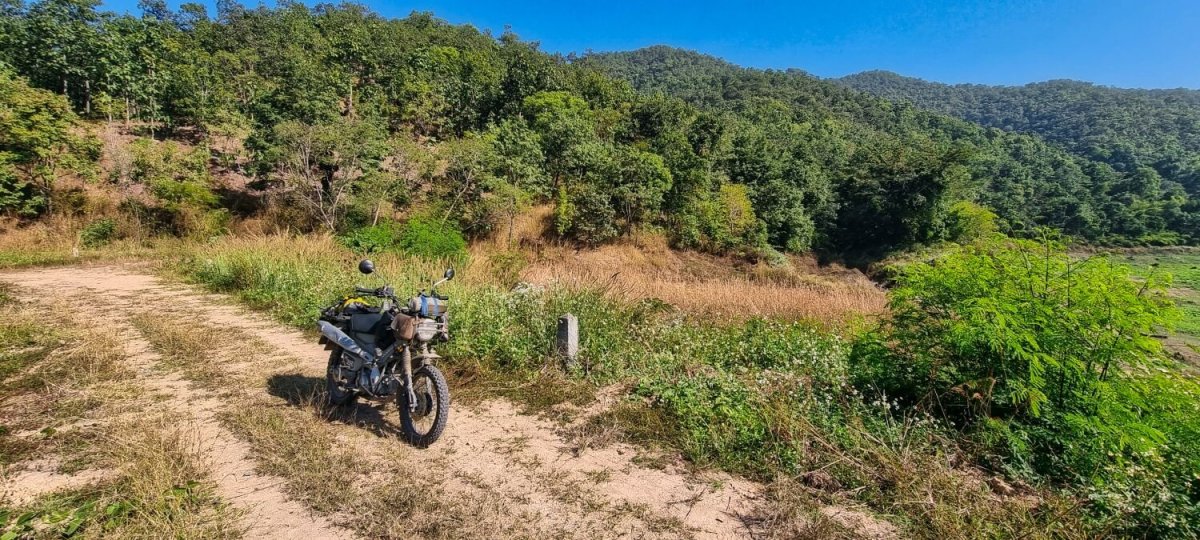
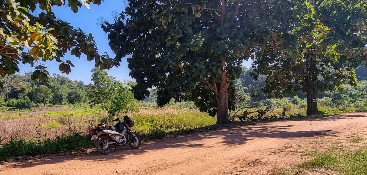
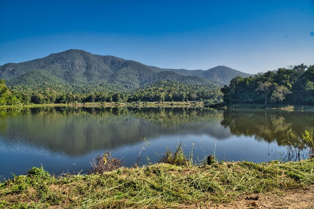
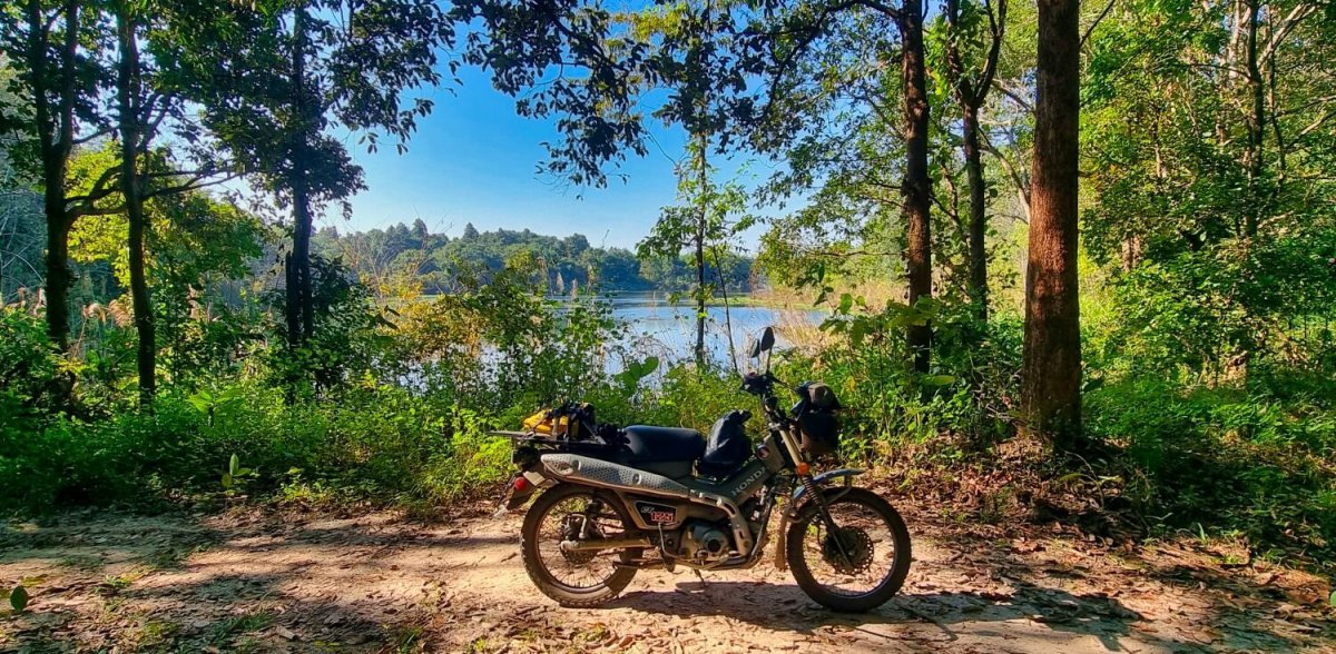
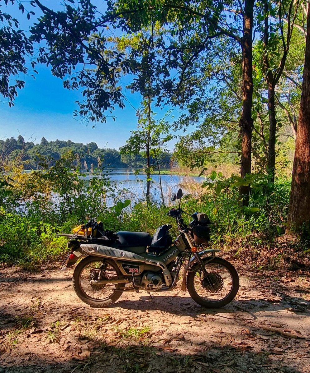
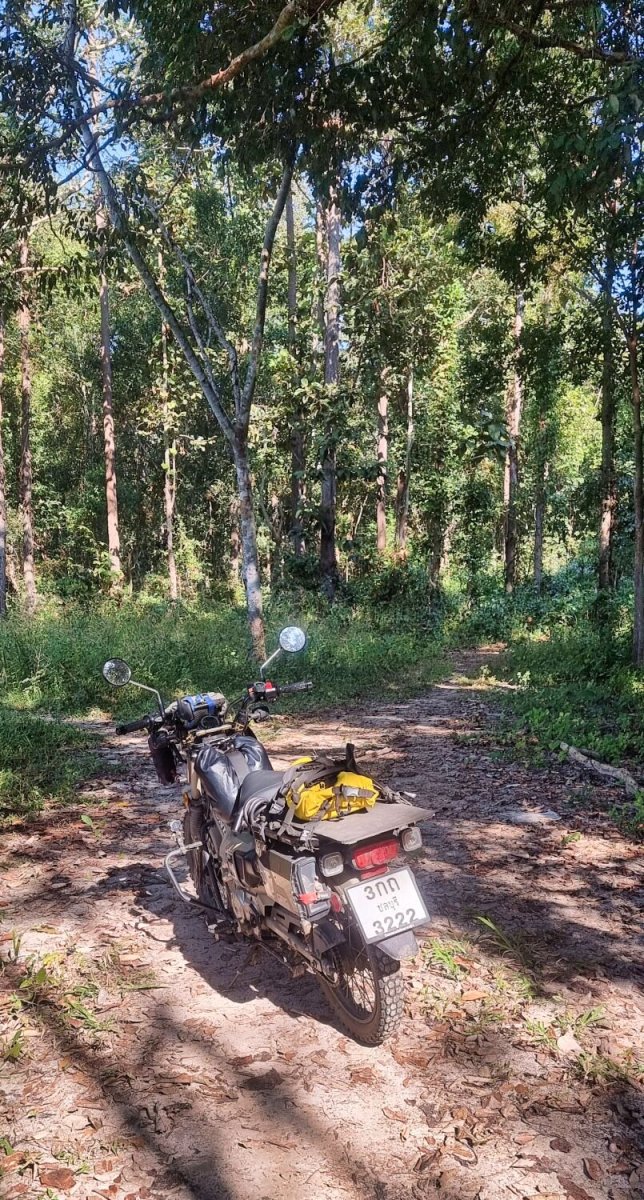
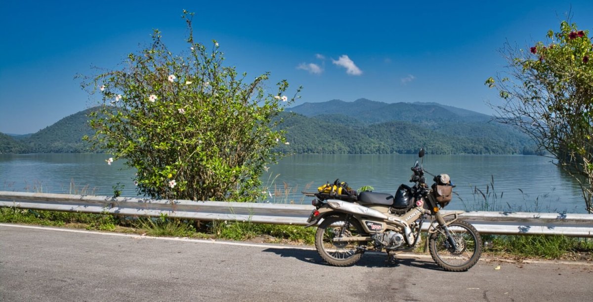
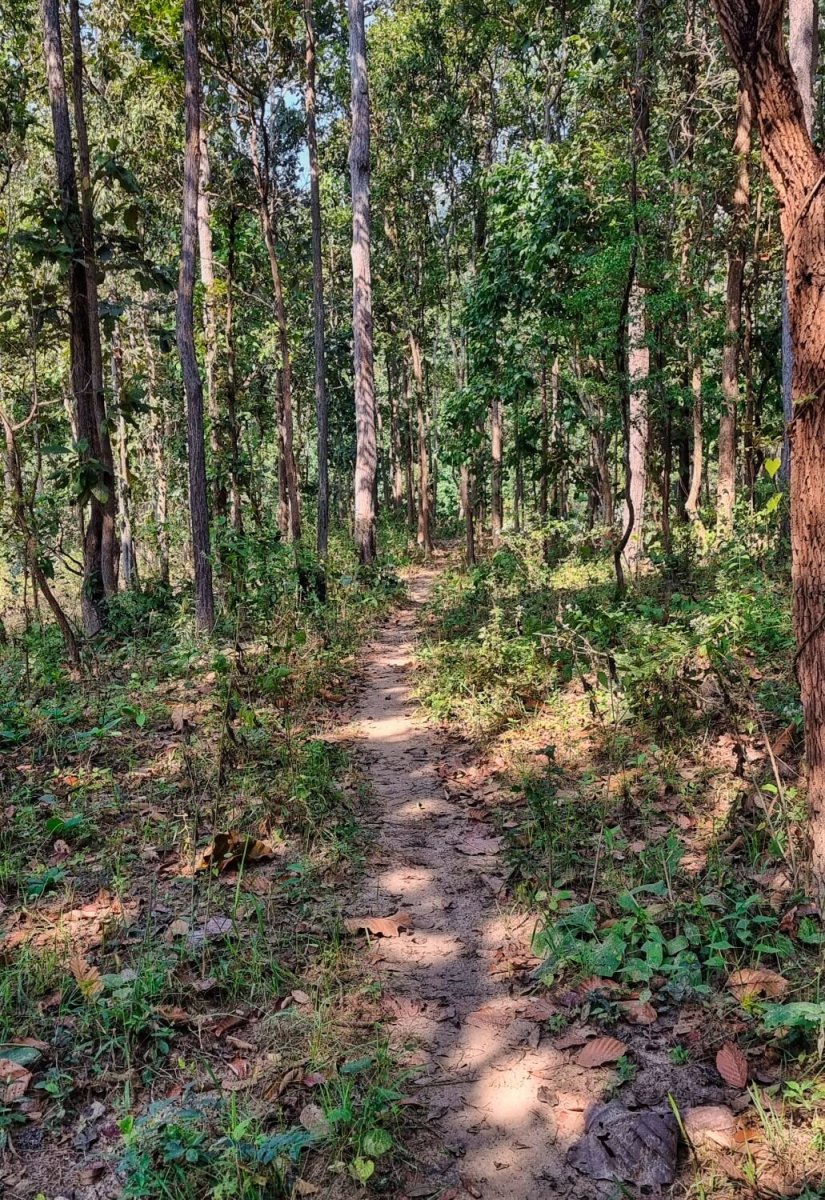
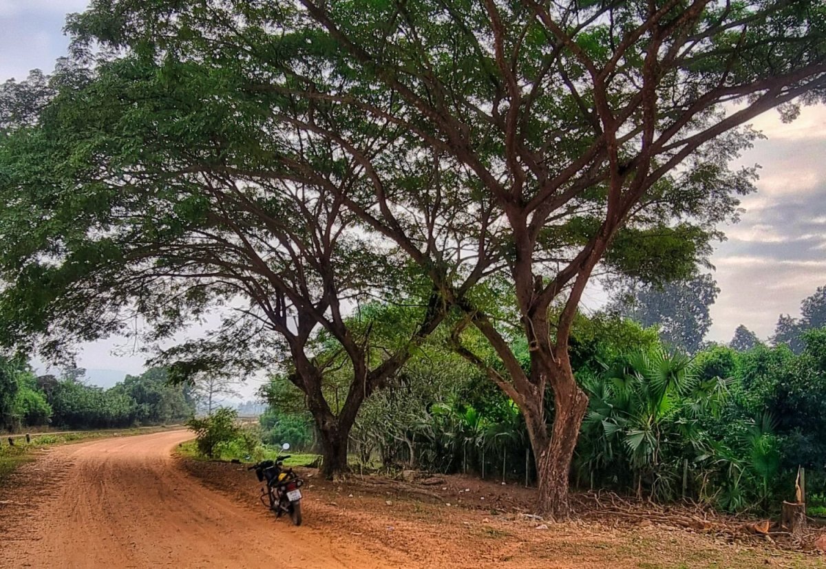
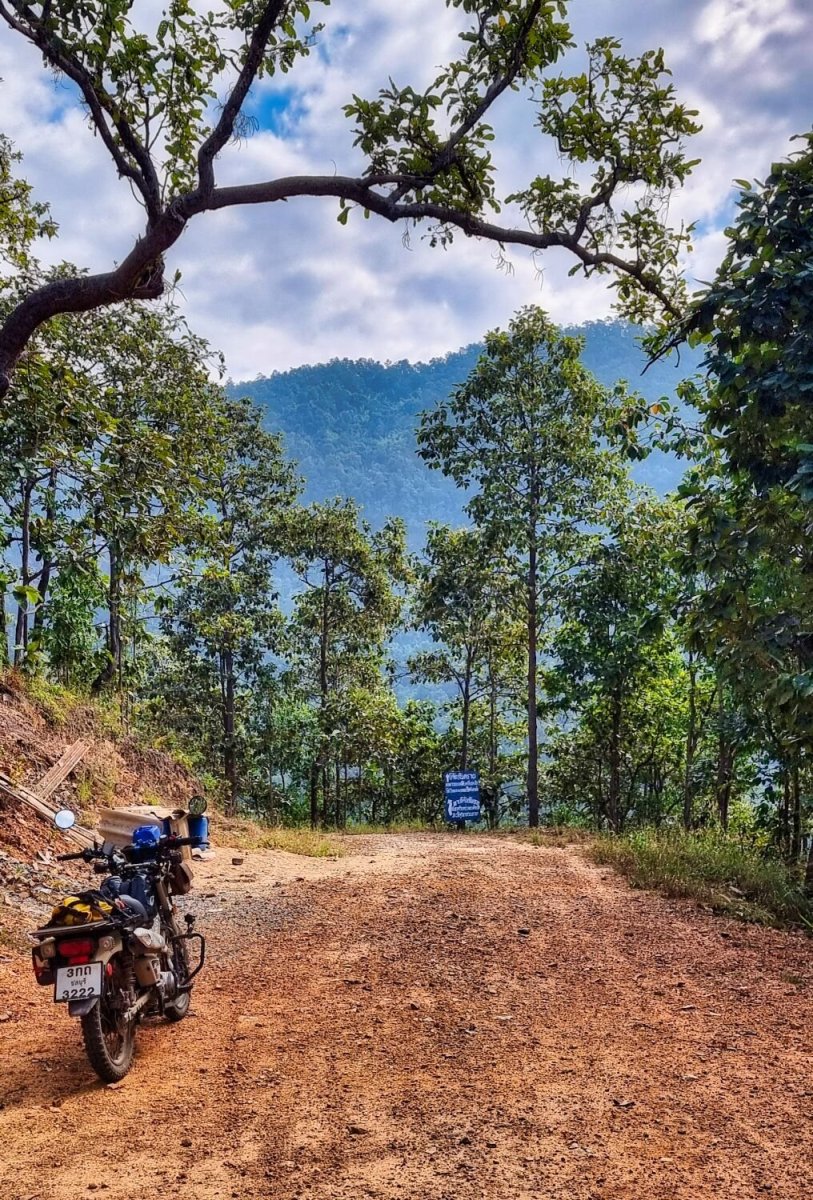
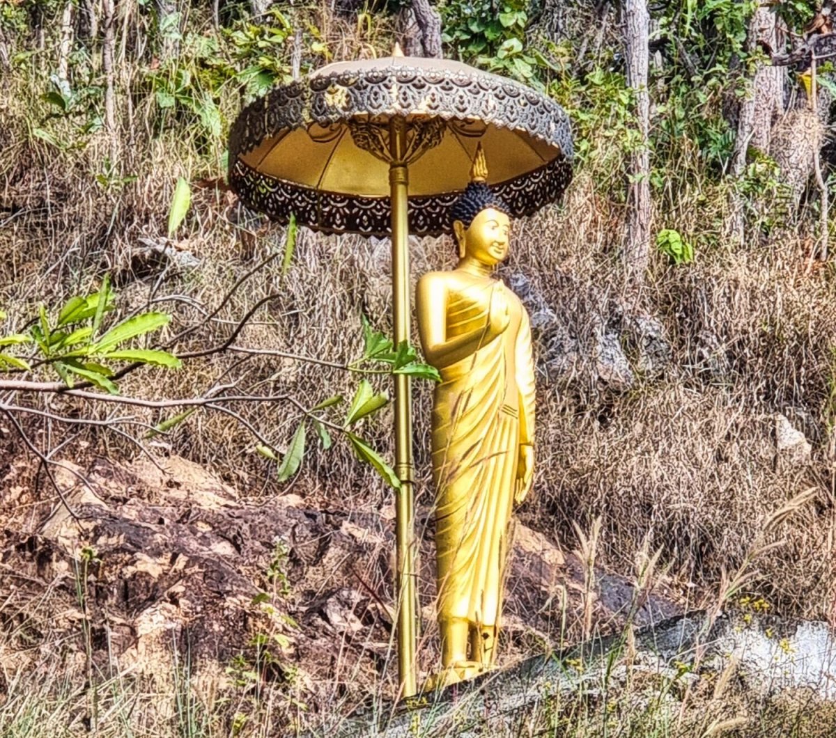
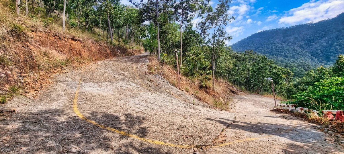
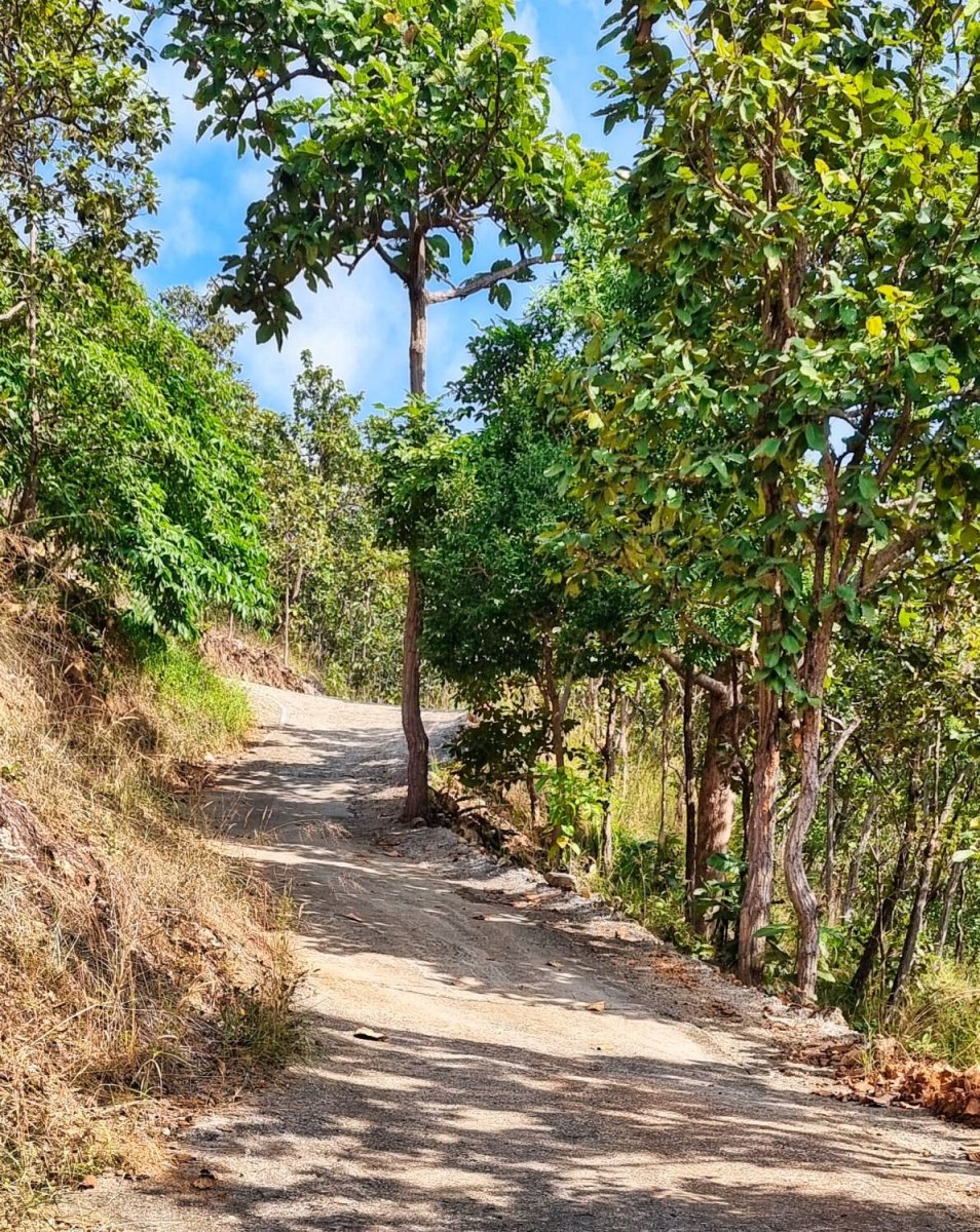
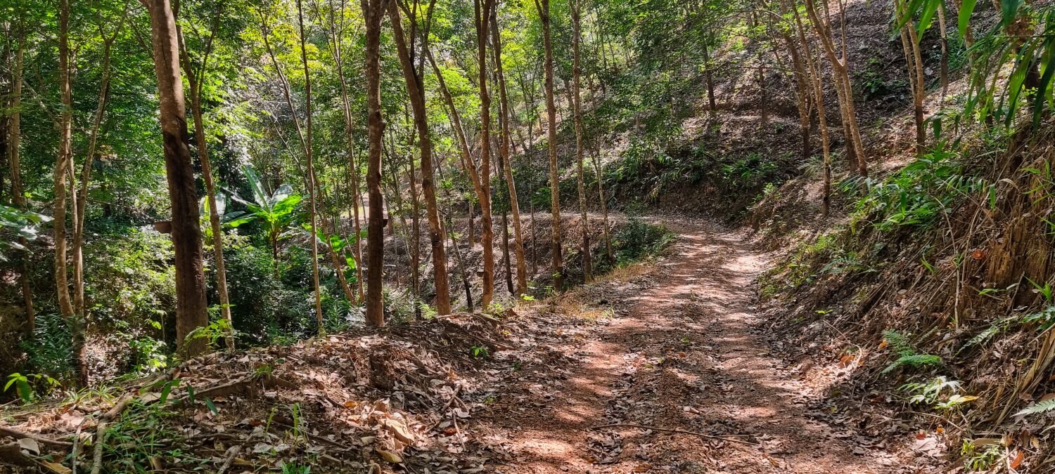
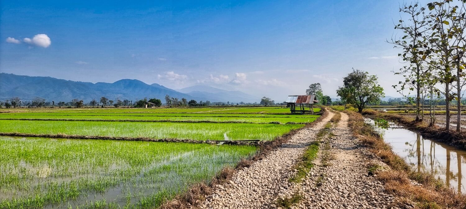
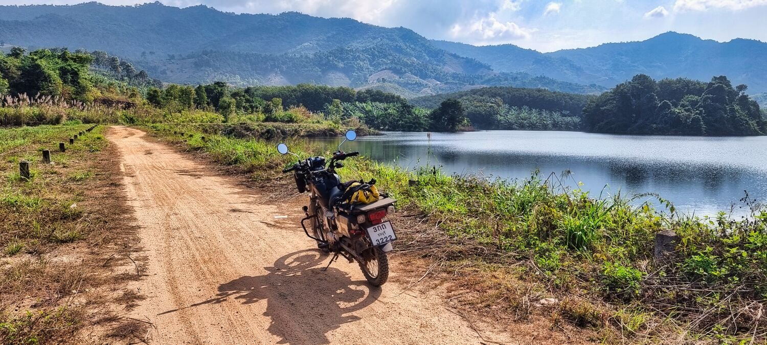
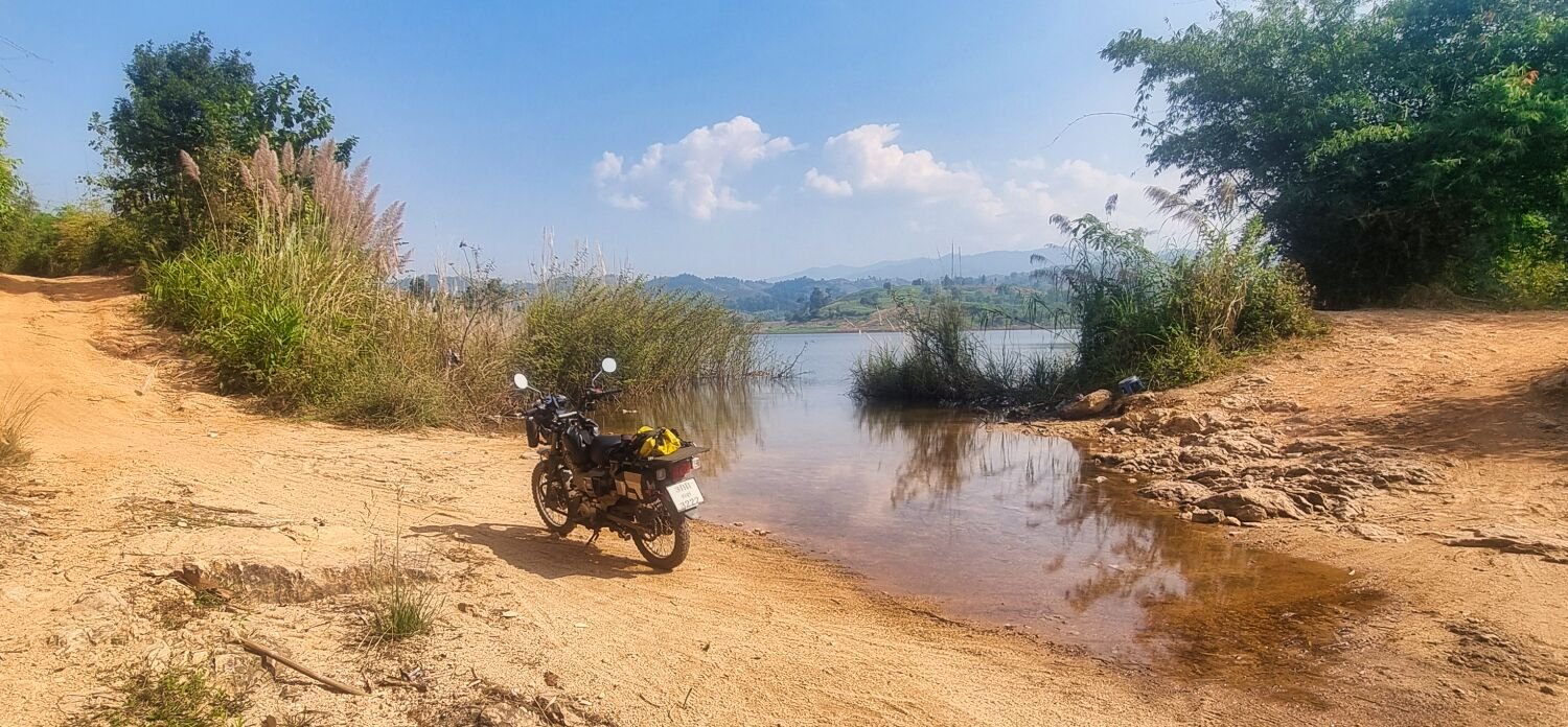
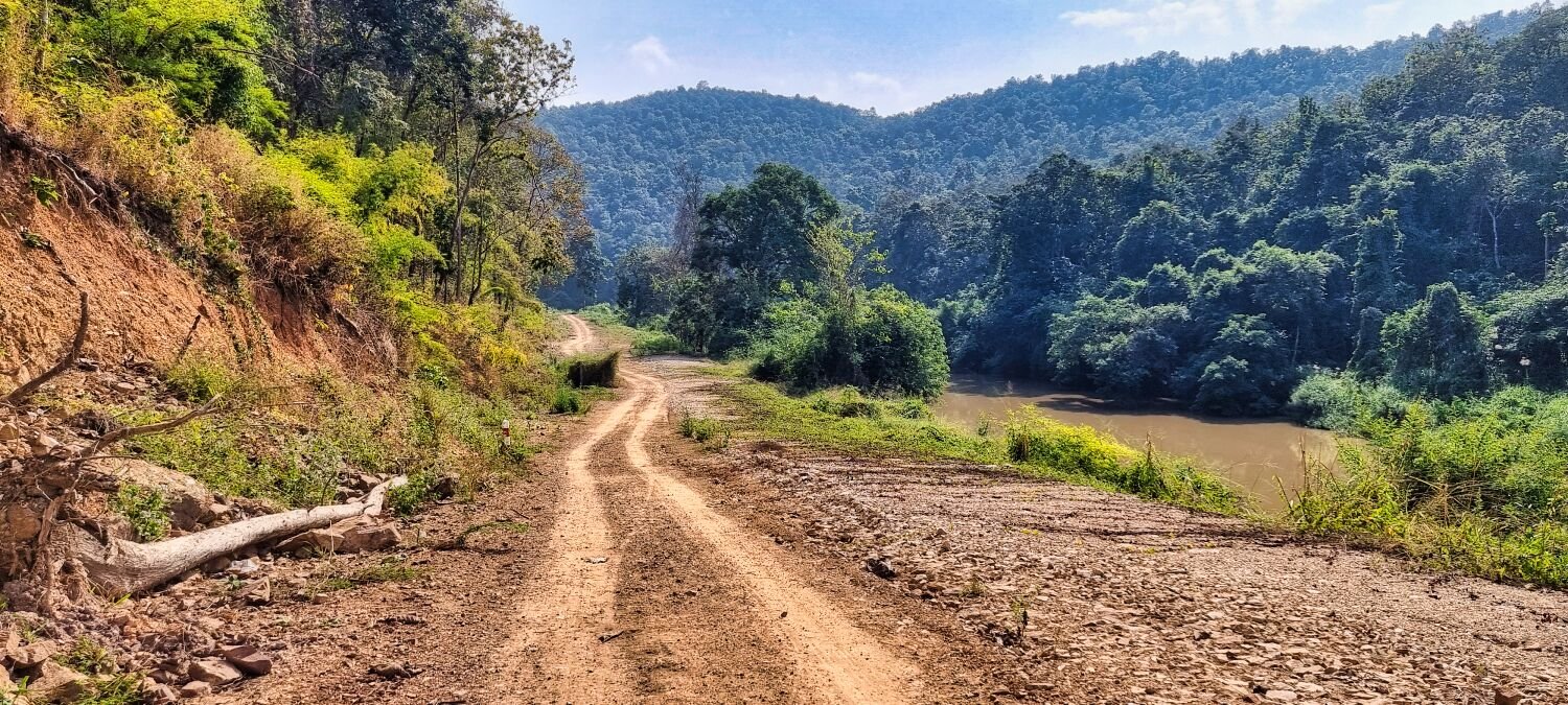
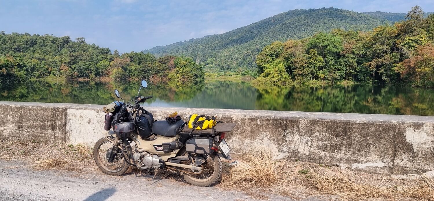
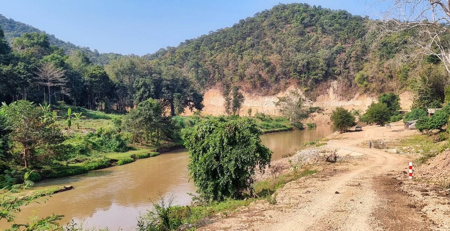
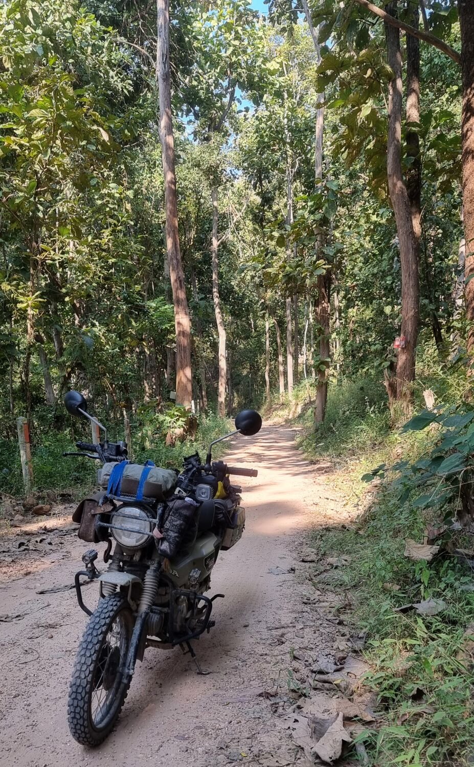
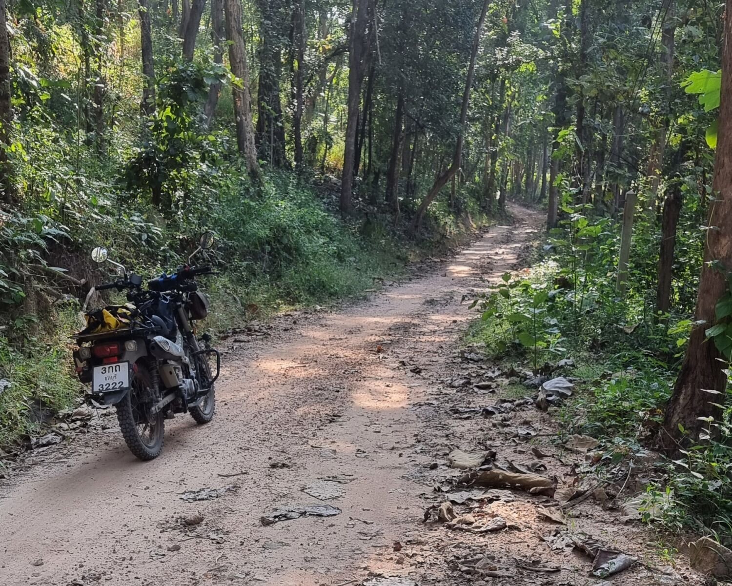
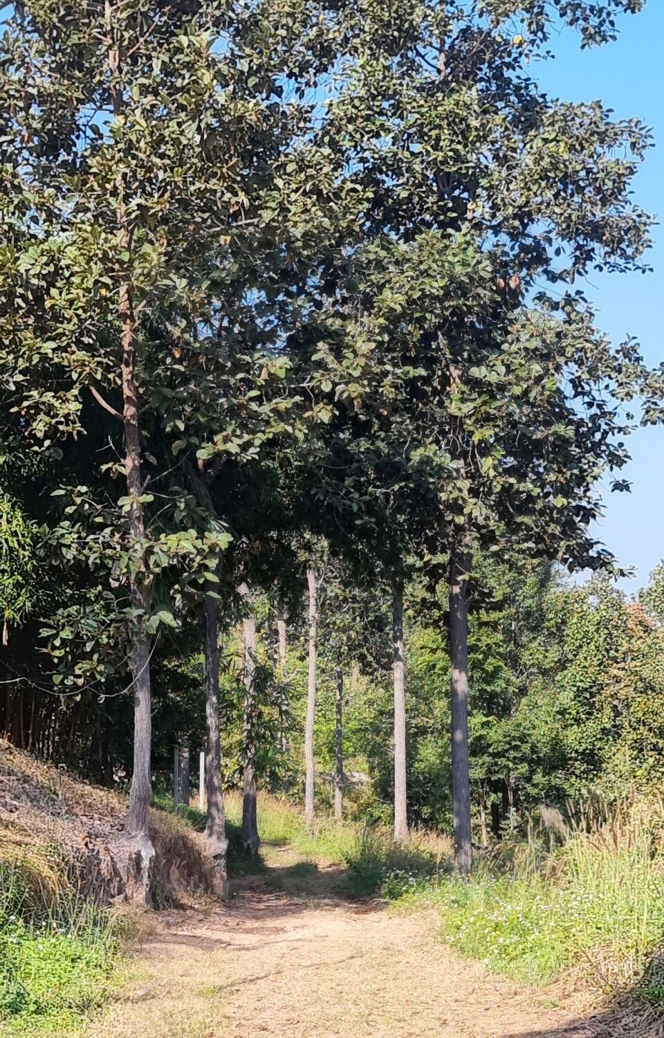
Today, day 65 of my trip I headed east out of Chiang Rai to check out a weir-pumping station on the River Kok, here. https://maps.app.goo.gl/mMmXS8x7kKUE2B9b9 I then rode onto the dam at Huai Khilek Reservoir, here. https://maps.app.goo.gl/mGrNCr8QQLZK12917 From the dam it was all unpaved road I rode along it and the tracks on the west side of the reservoir, before returning and riding the tracks on the east side. There was a small temple I rode past, Mongkhon Weluwan Temple, here. https://maps.app.goo.gl/9PpD7cFuxm3Q1Jyv7


.thumb.jpg.f01dc3805f12e94d726a1afbf993302a.jpg)
.thumb.jpg.c17c8d02783ecc40277a42c307ccae82.jpg)
-
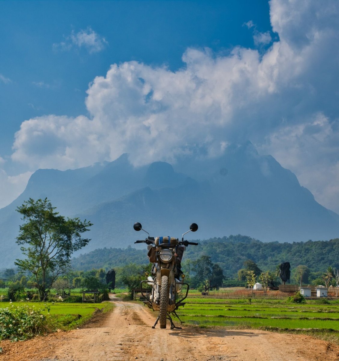
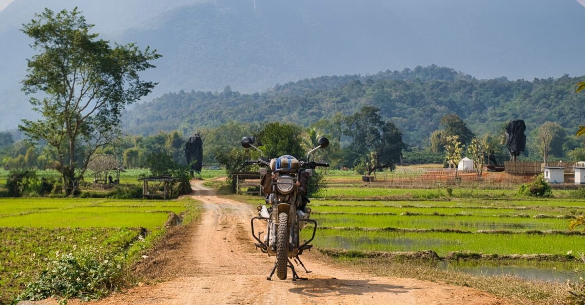
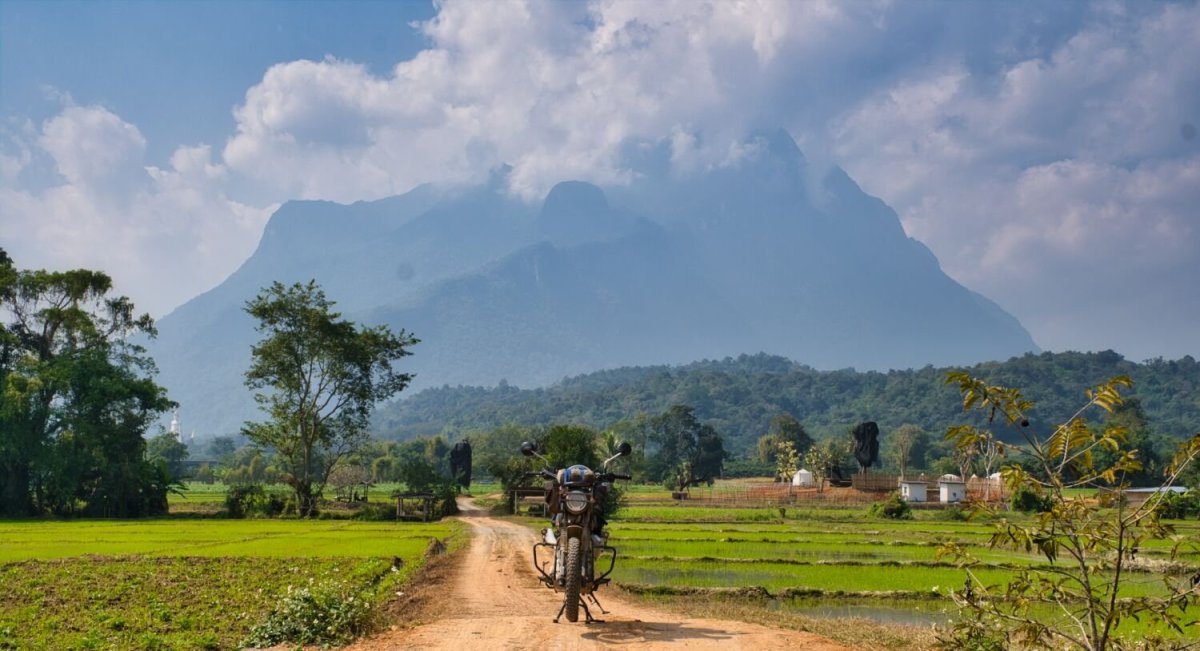
Today I woke to a very cold day for Thailand 12 Celsius along with an easterly wind making it feel colder. Luckily, I was only riding to Chiang Rai and arrived at lunch time. It took a few hours to warm up at my hotel though. Tomorrow I will be exploring again. https://www.relive.cc/view/v8qVE2G4o76
.thumb.jpg.2bc3dd0a69ecd6b5c451f2c77ececc53.jpg)
-
Thanks 🙂
-
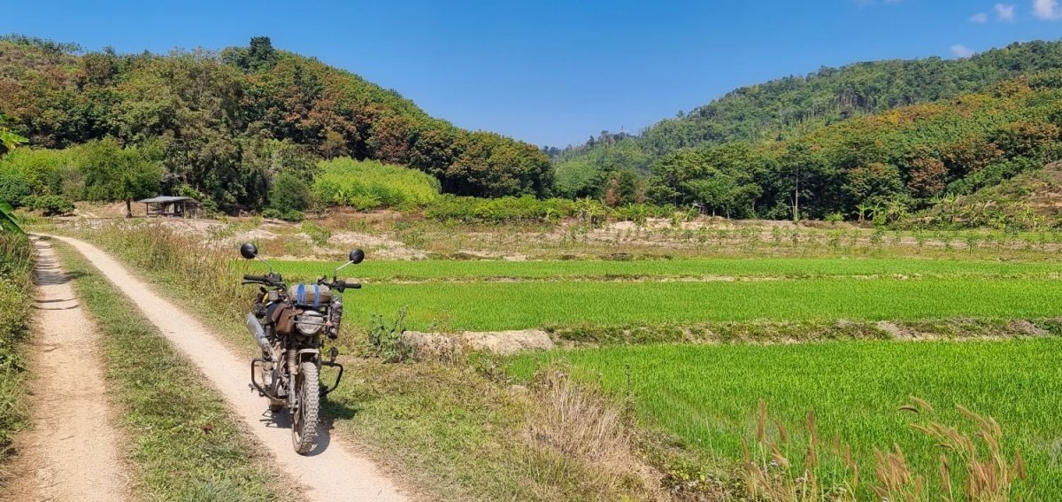
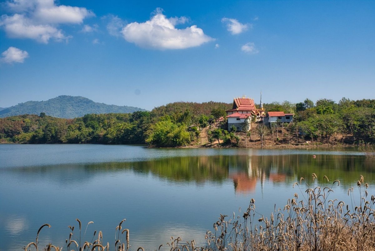
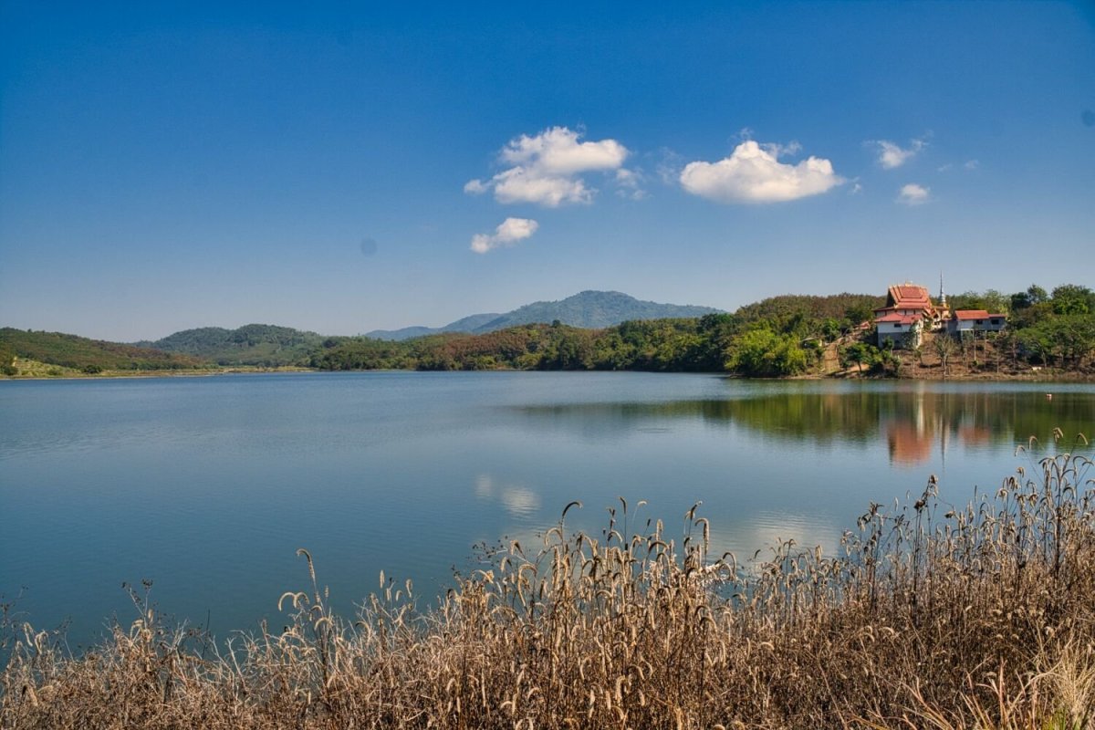
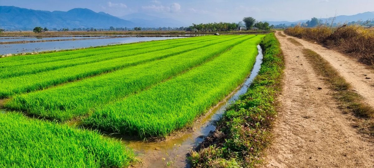
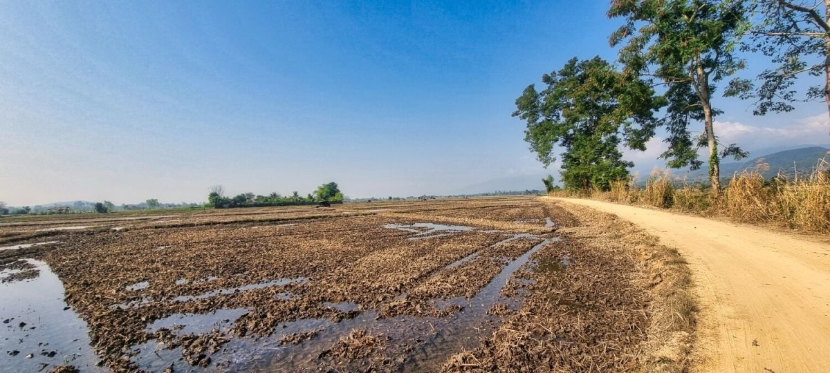
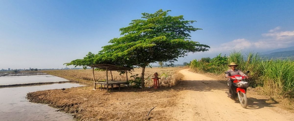
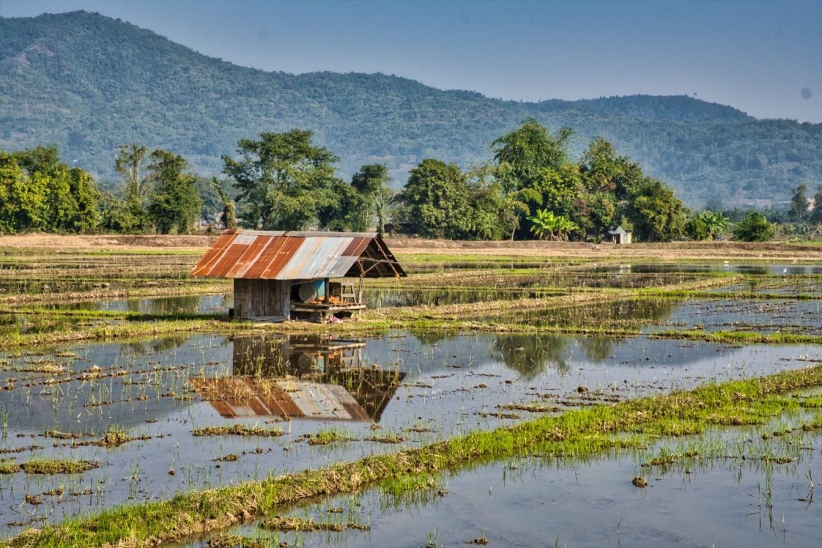
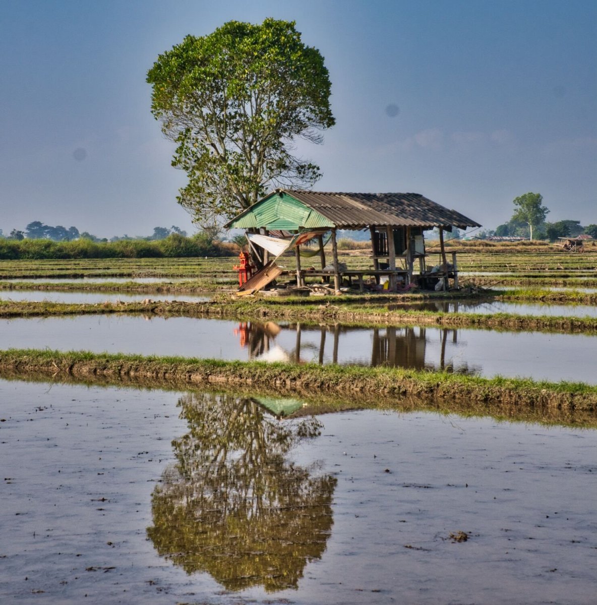
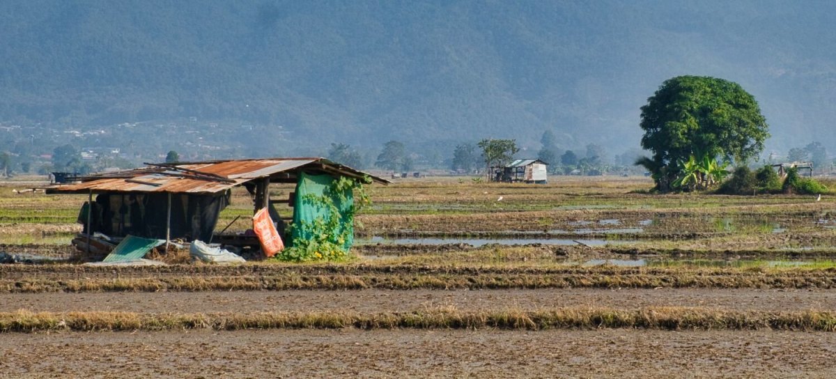
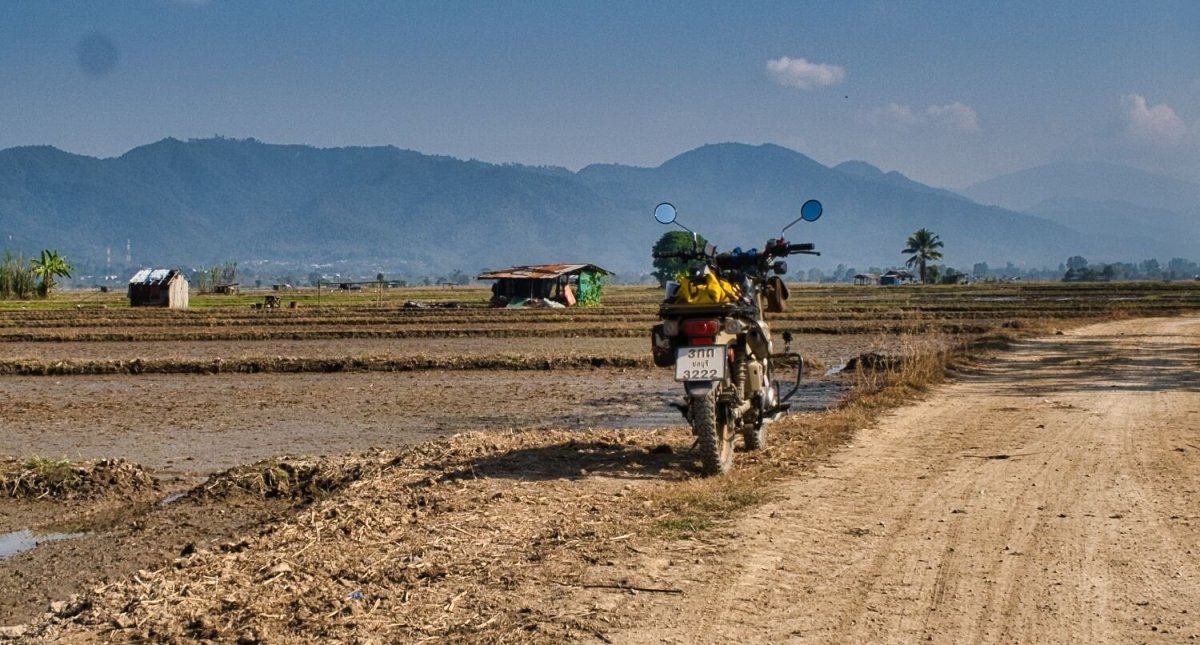
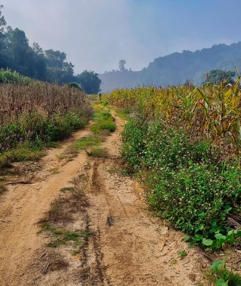
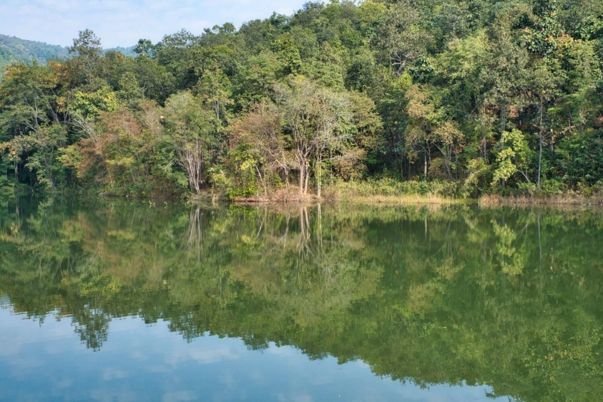
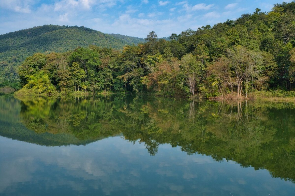
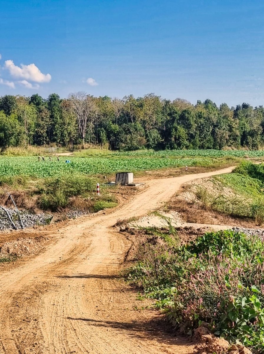
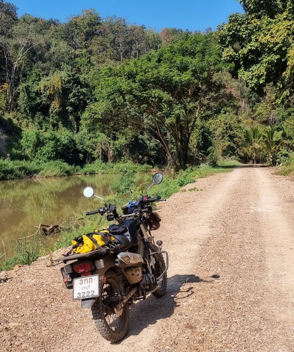
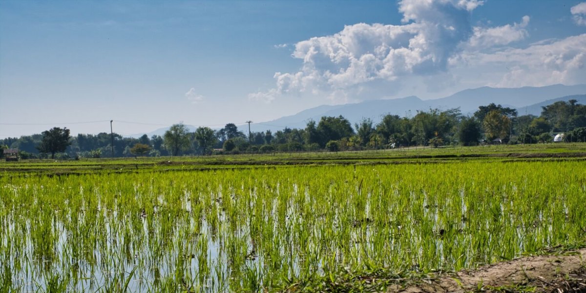
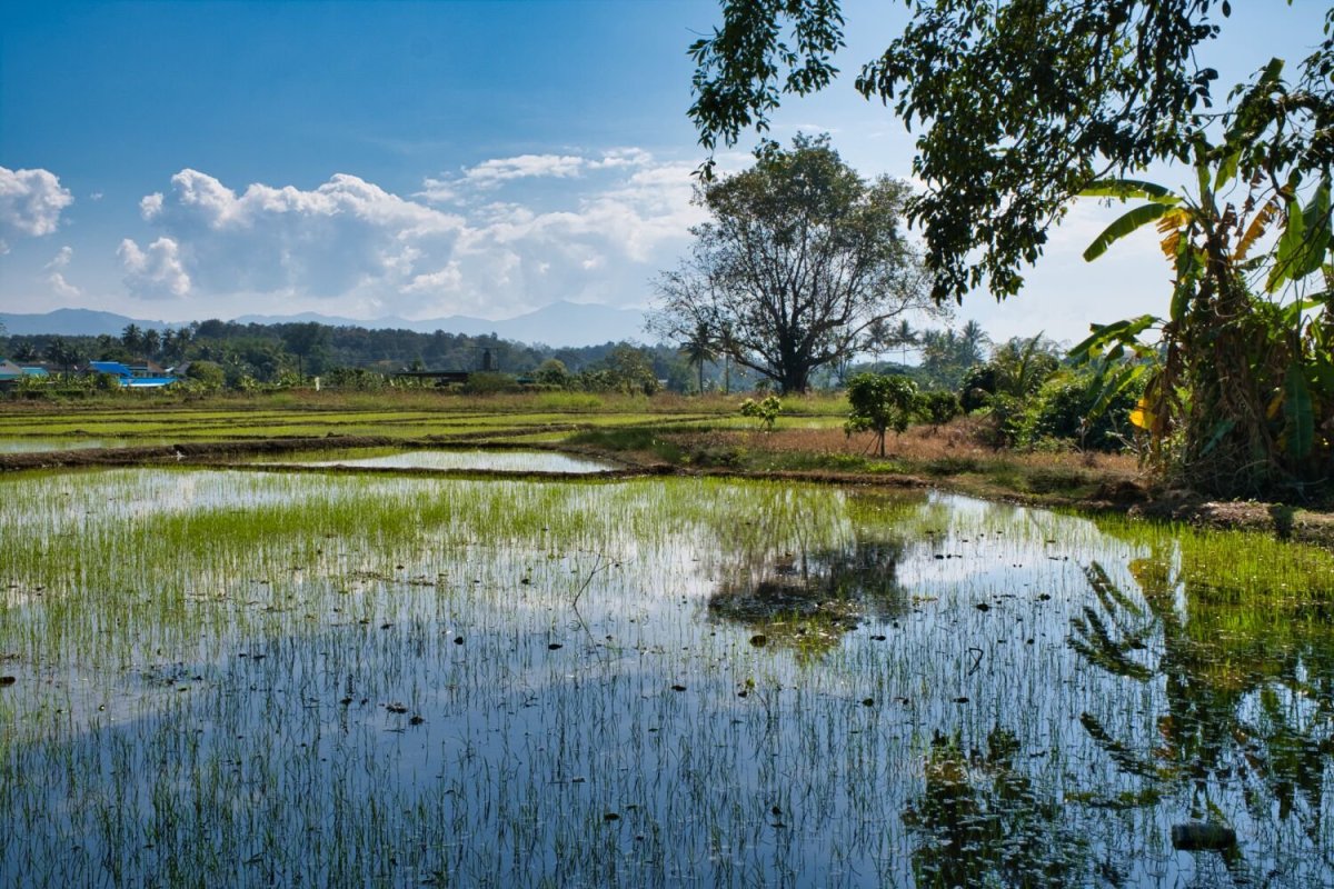
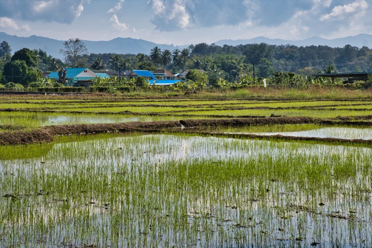
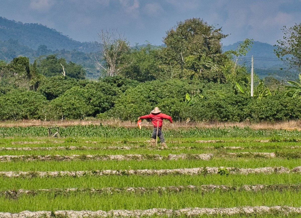
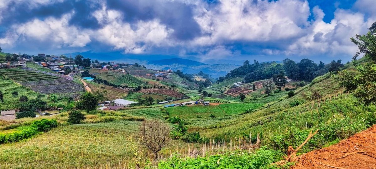
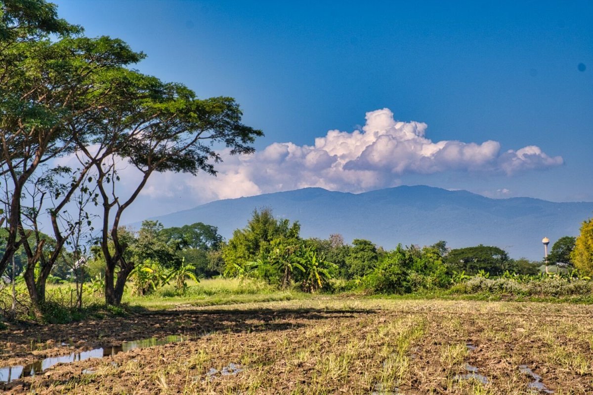
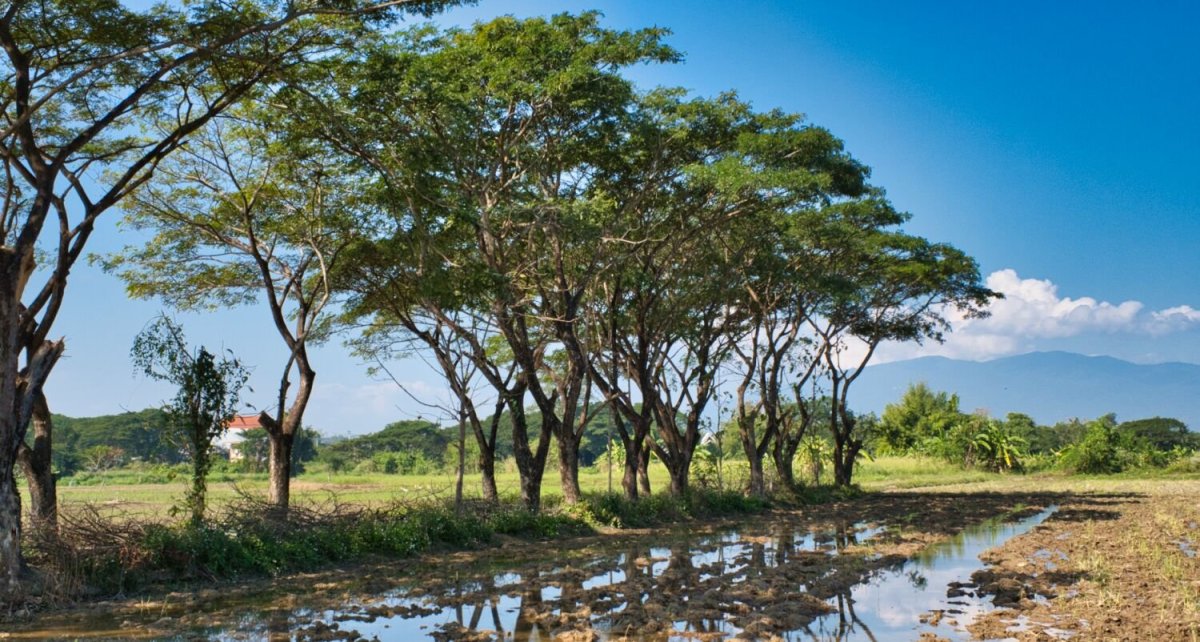
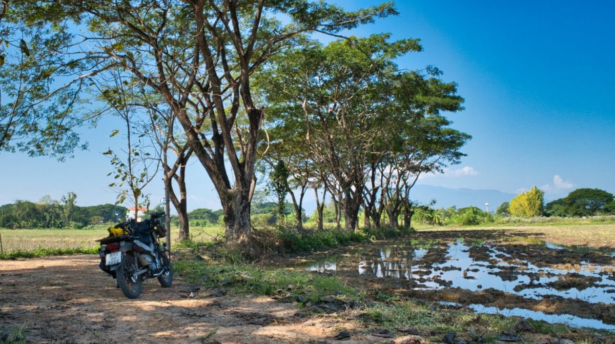
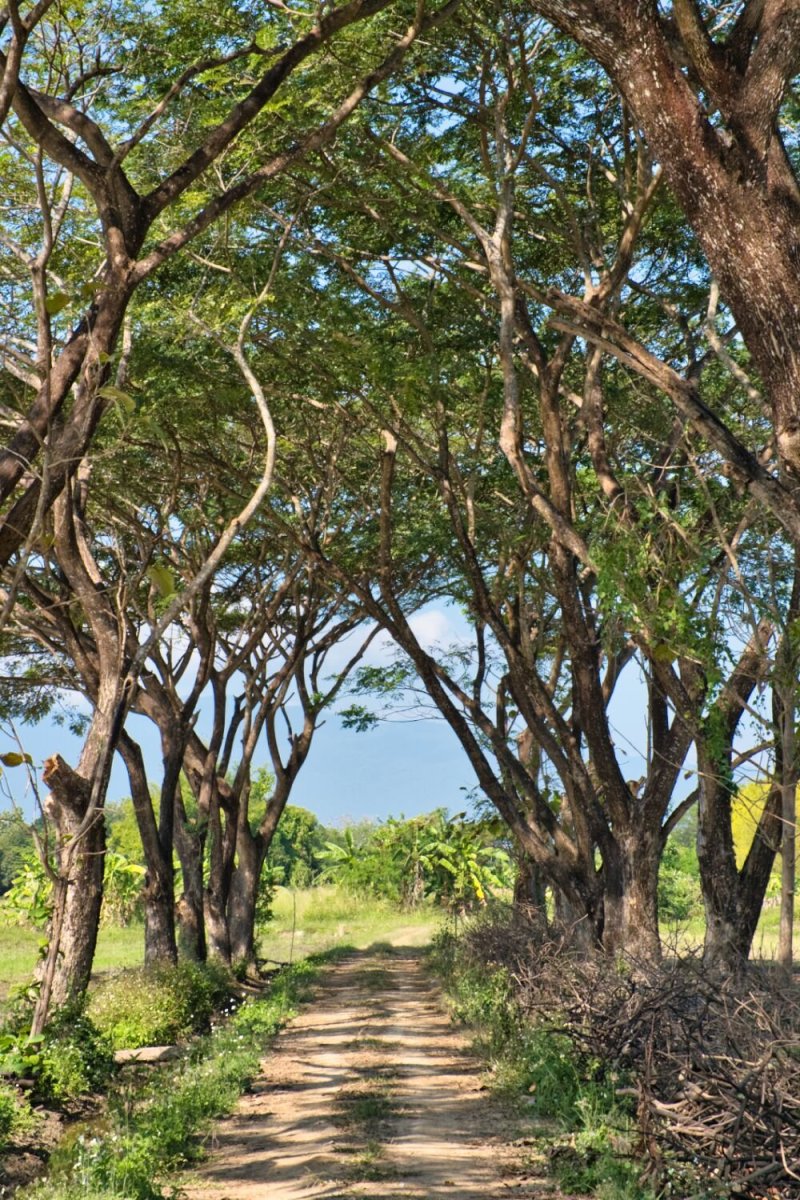
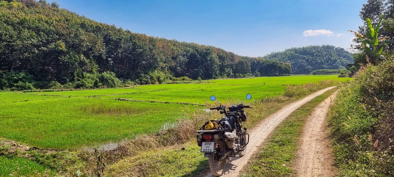
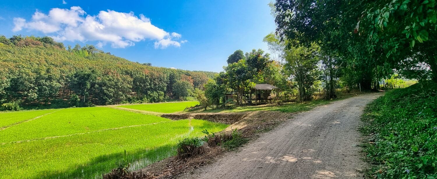
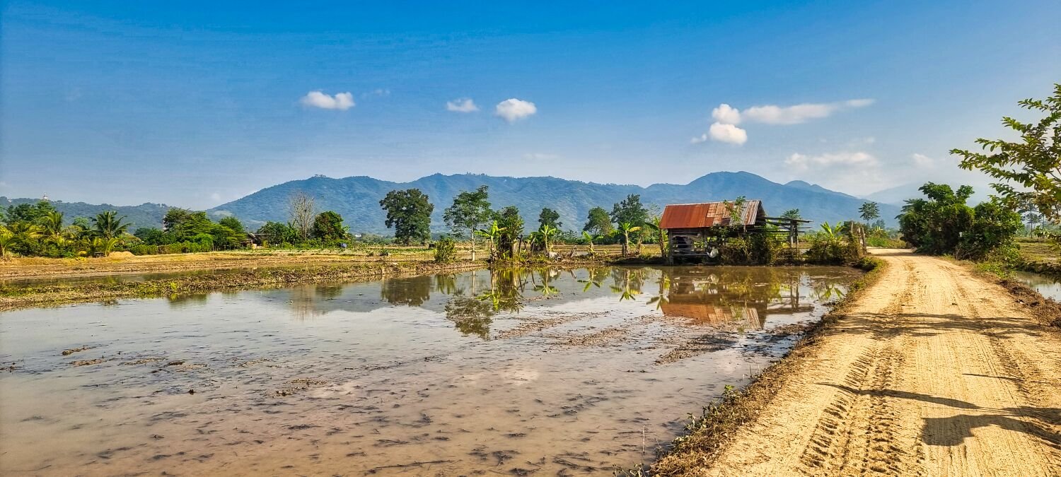
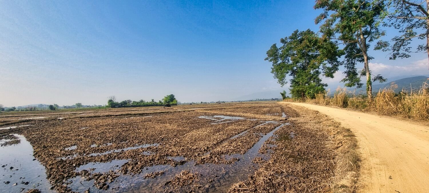
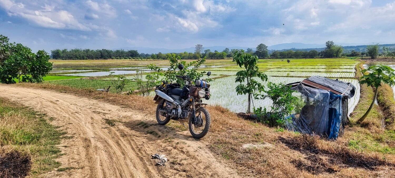
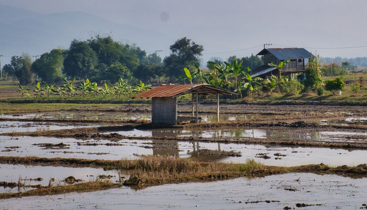
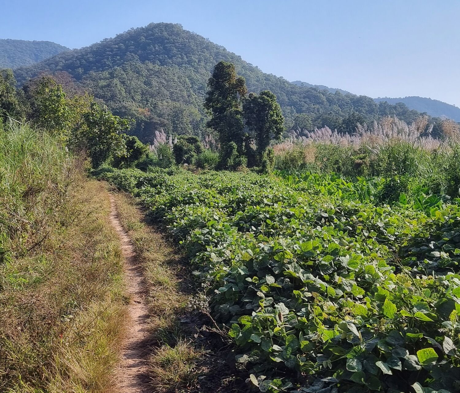
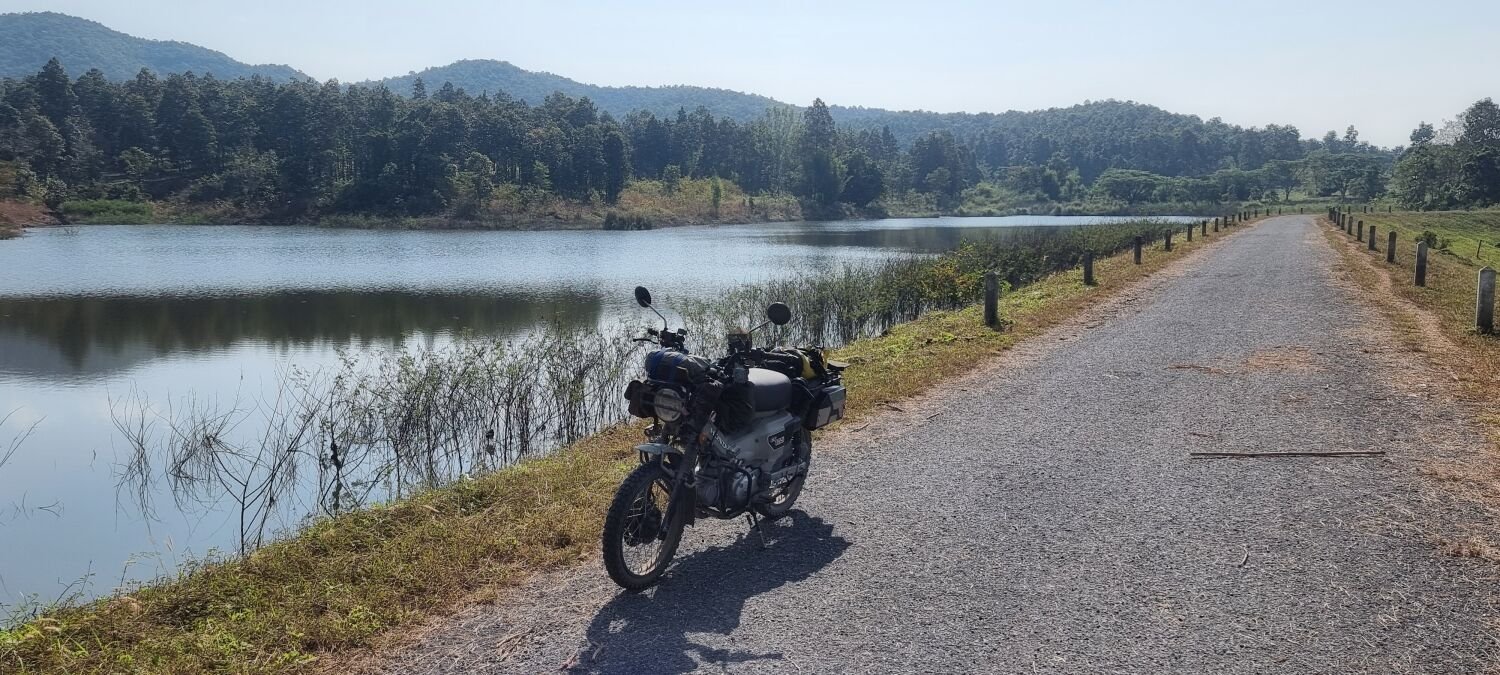
Today I decided to ride to the reservoir Huai Chang Si, here. https://maps.app.goo.gl/RYAxHMLfJ1n3Jwcv6 This was the reservoir I failed to get to on tracks yesterday. On the way I got side tracked at some rice fields and stopped to take photos, here is the start point. https://maps.app.goo.gl/XGbANYQJ95q46SdJ9 After riding to the reservoir on my return I again turned off to ride through rice fields, here. https://maps.app.goo.gl/PWrxC34ZgHnZd7DK9 https://www.relive.cc/view/vWqBZDgnyQq


.thumb.jpg.ce92973581a229a085cfbf71f5bbf01d.jpg)
.thumb.jpg.7416c873762538950021d325f6865220.jpg)
.thumb.jpg.1c15d46600d7436b10893a89c1a27e08.jpg)
-
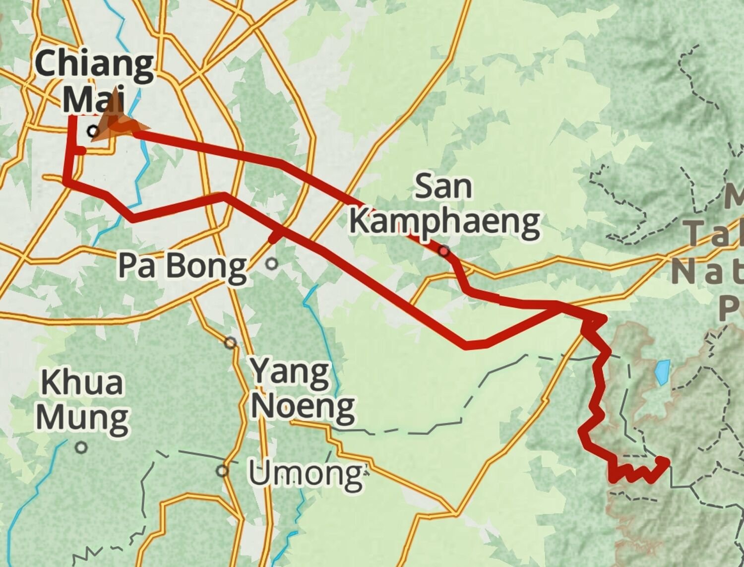
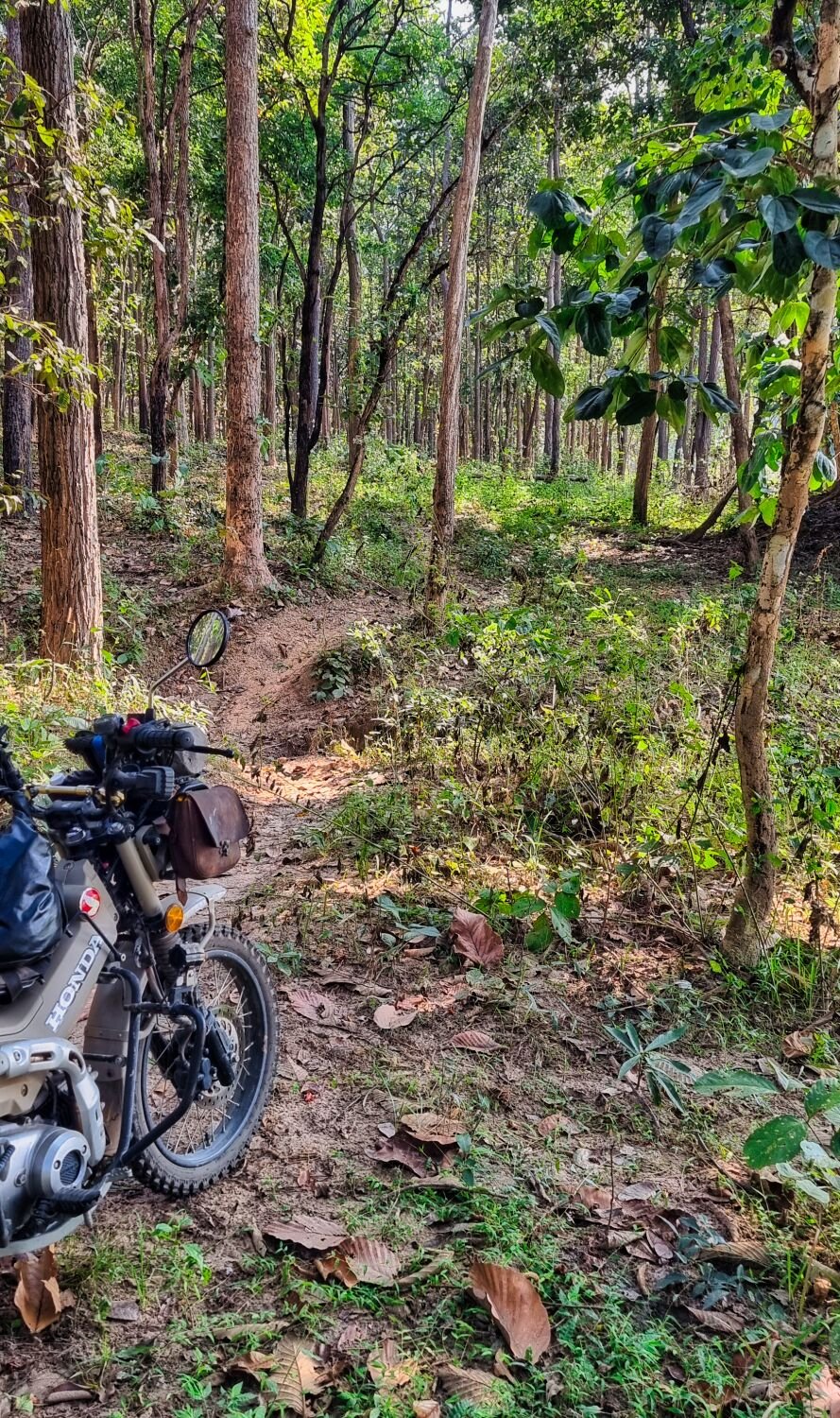
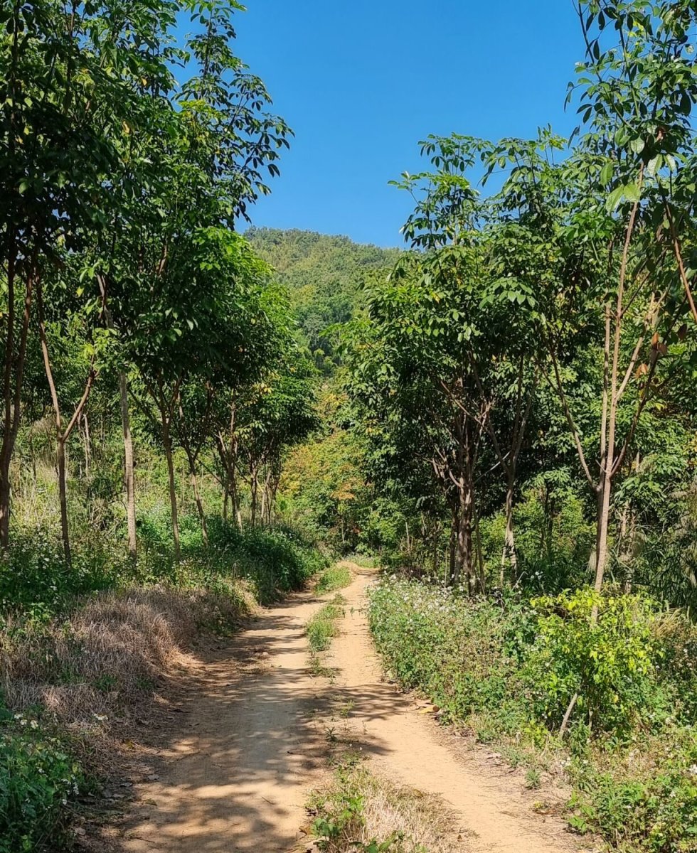
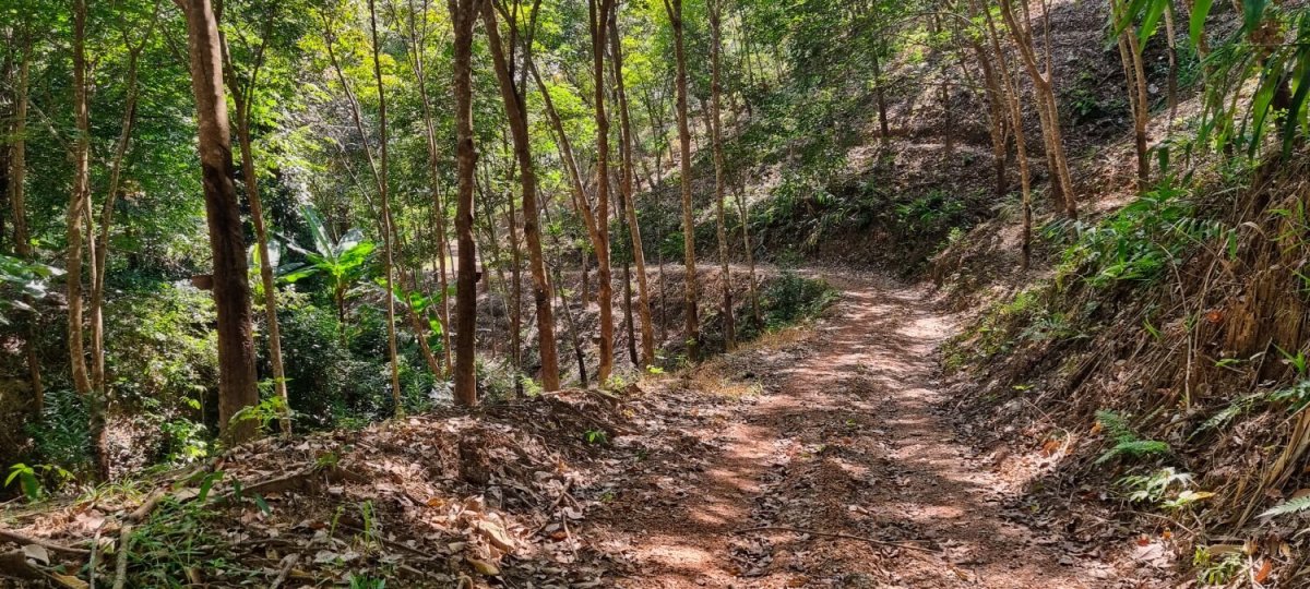
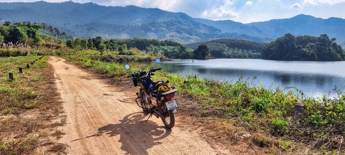
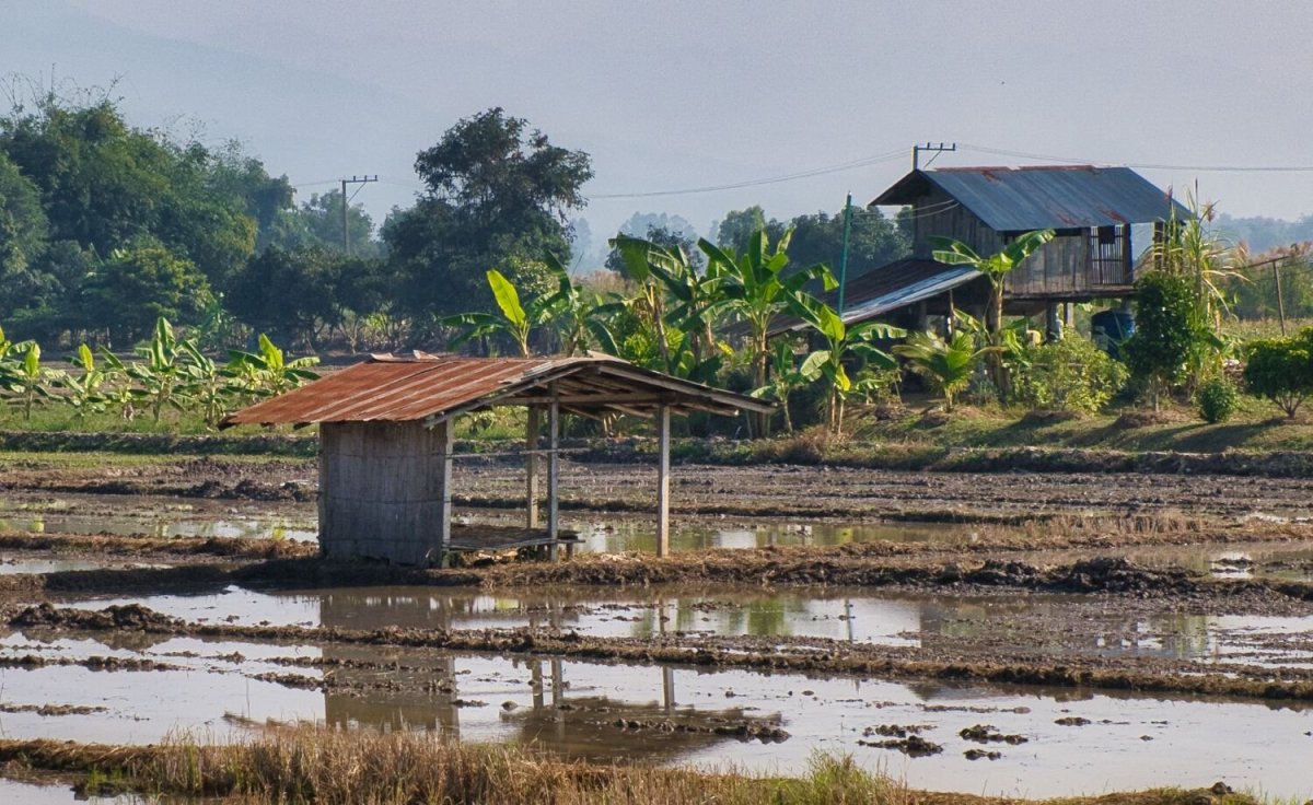
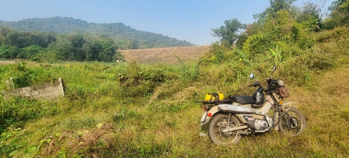
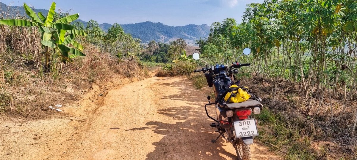
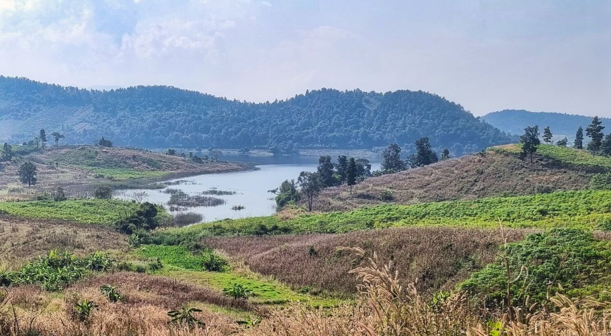
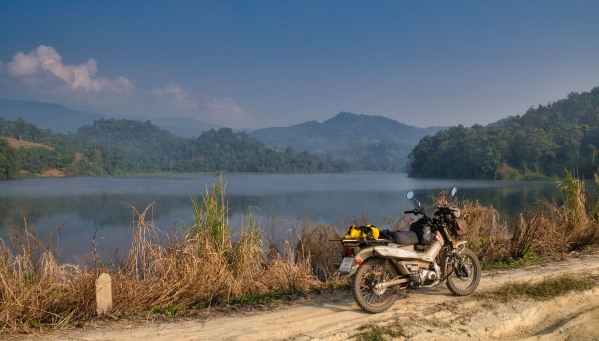
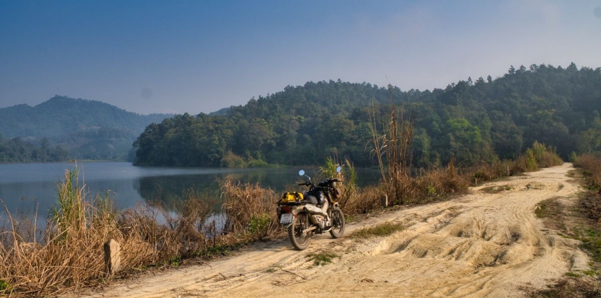
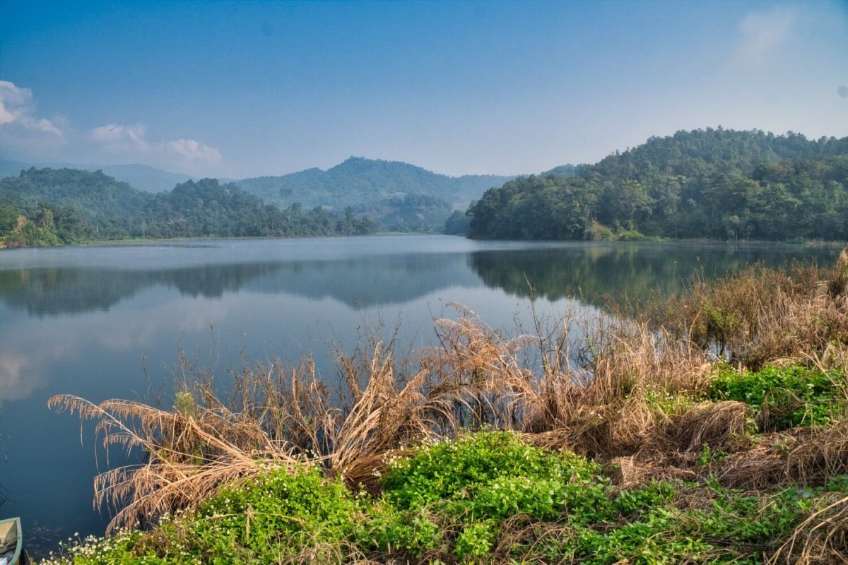
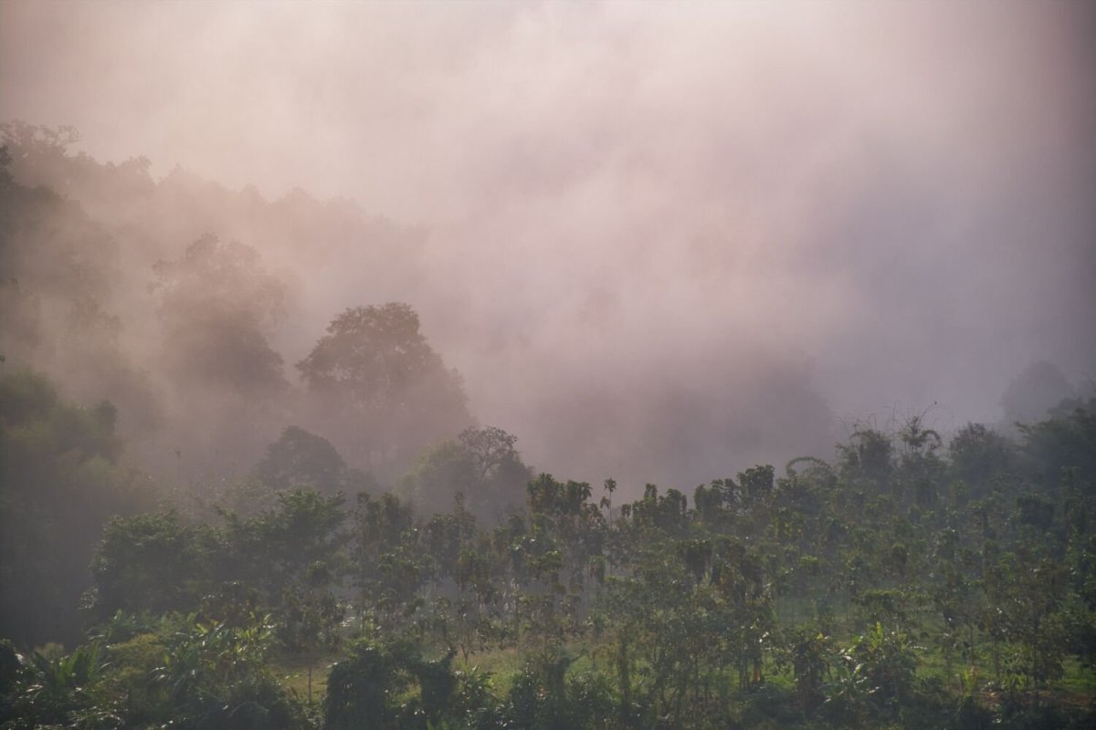
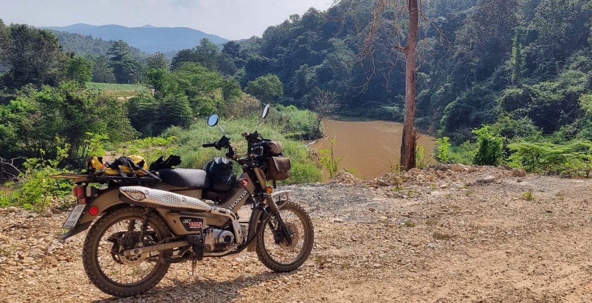
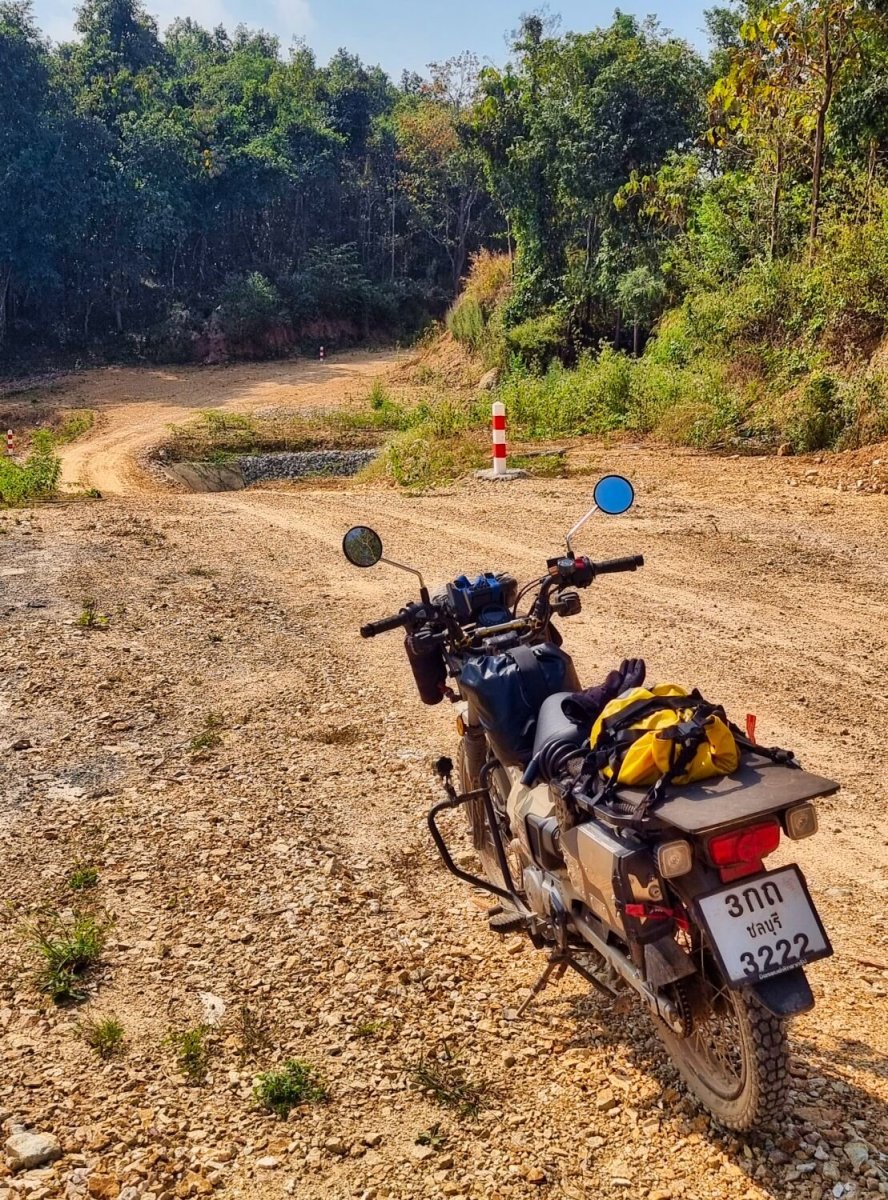
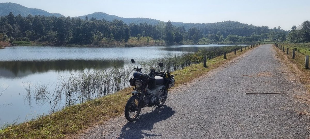
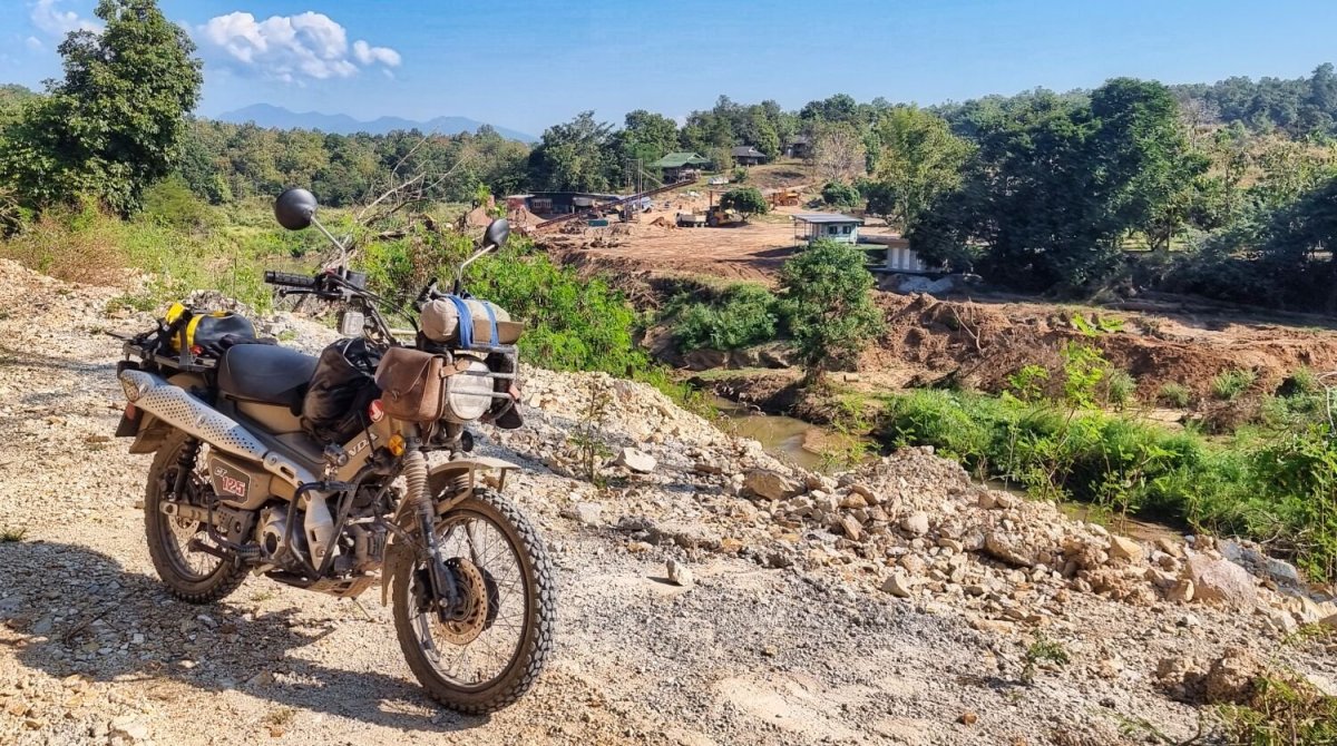
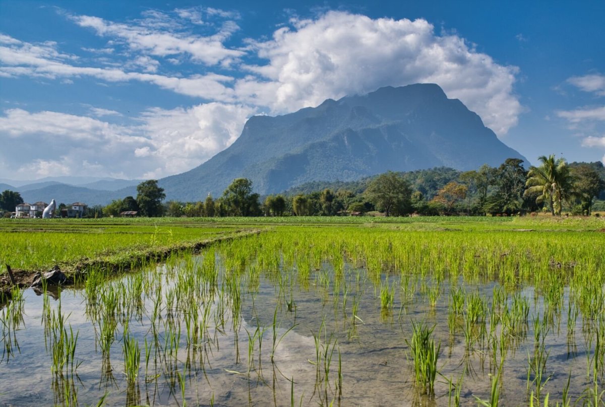
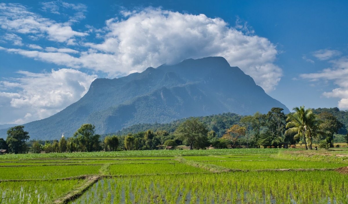
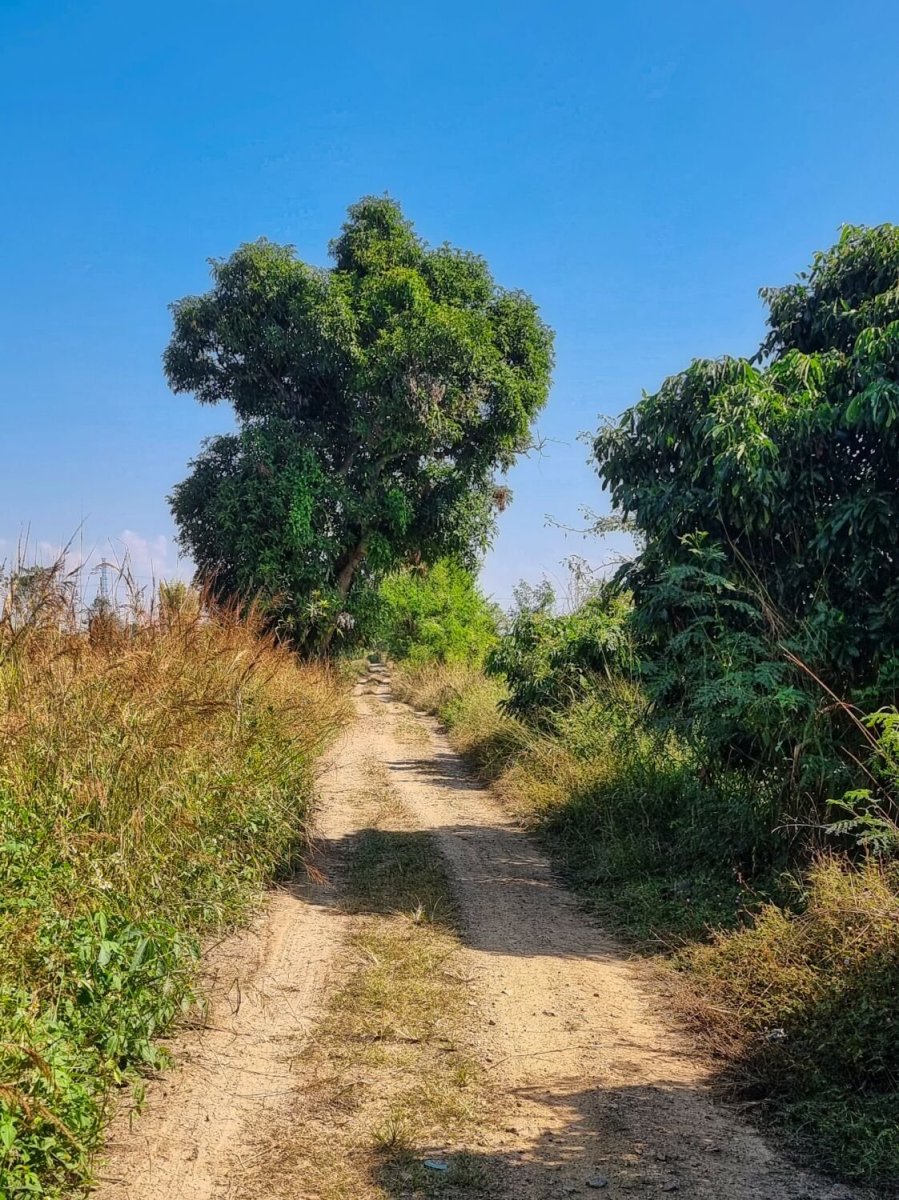
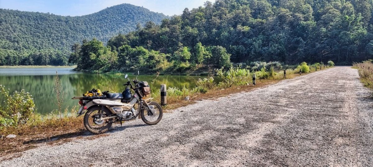
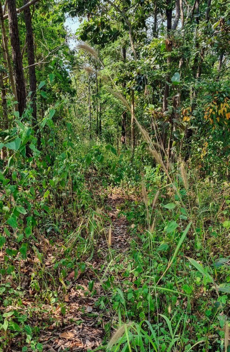
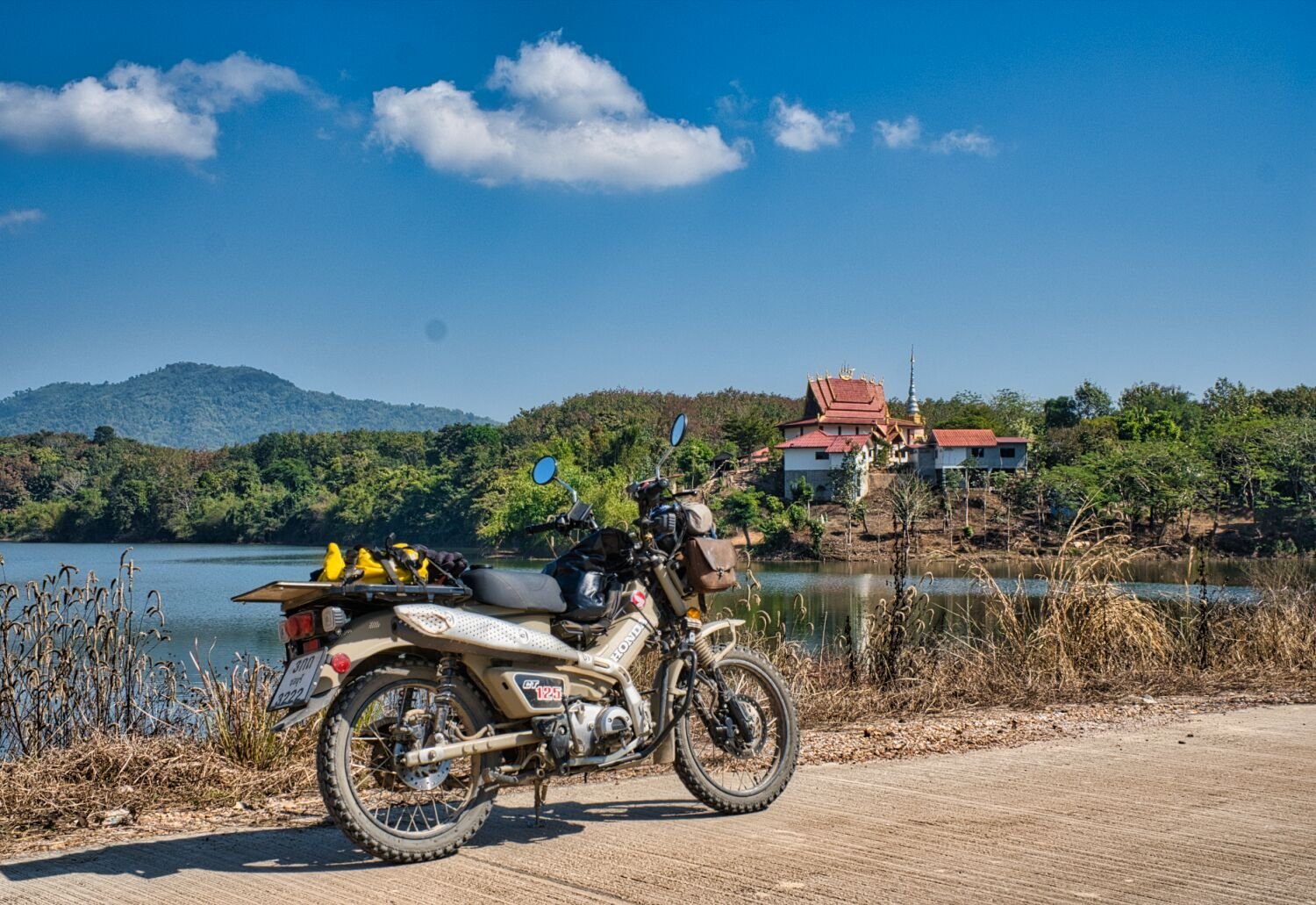
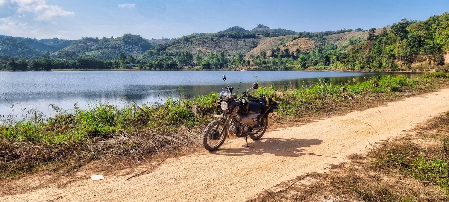
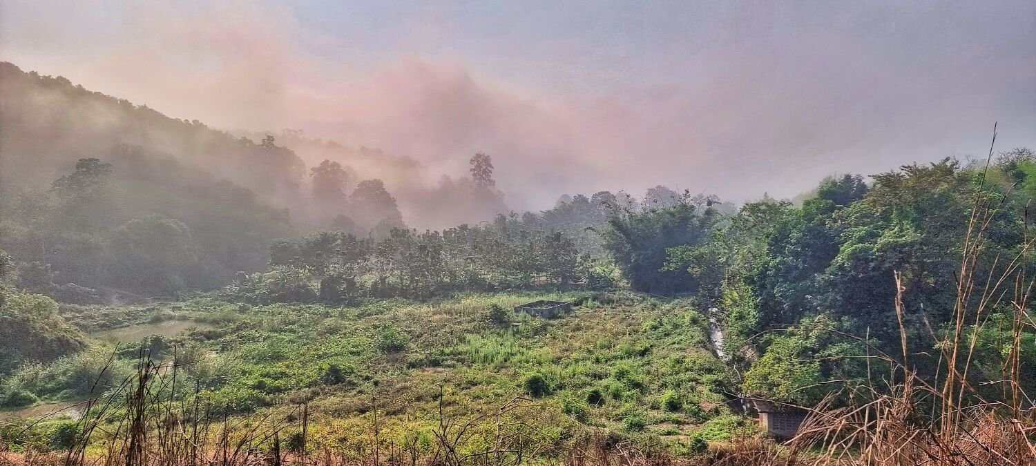
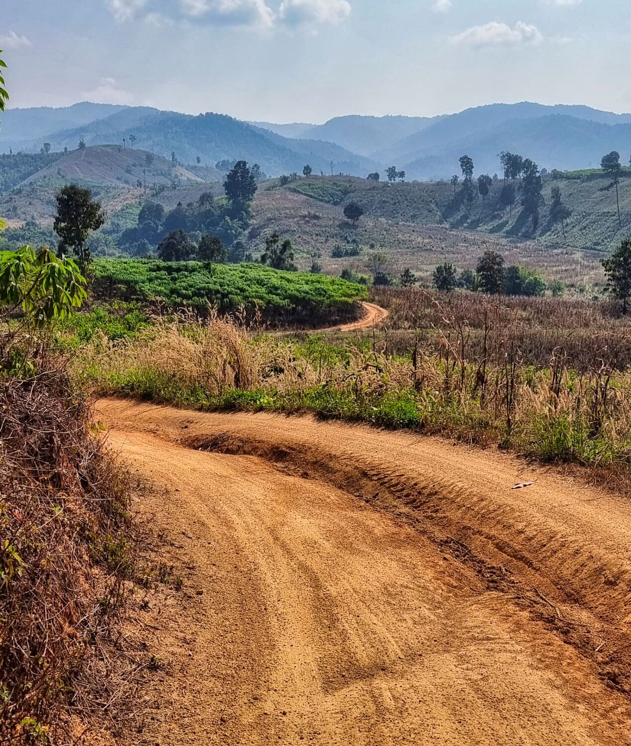
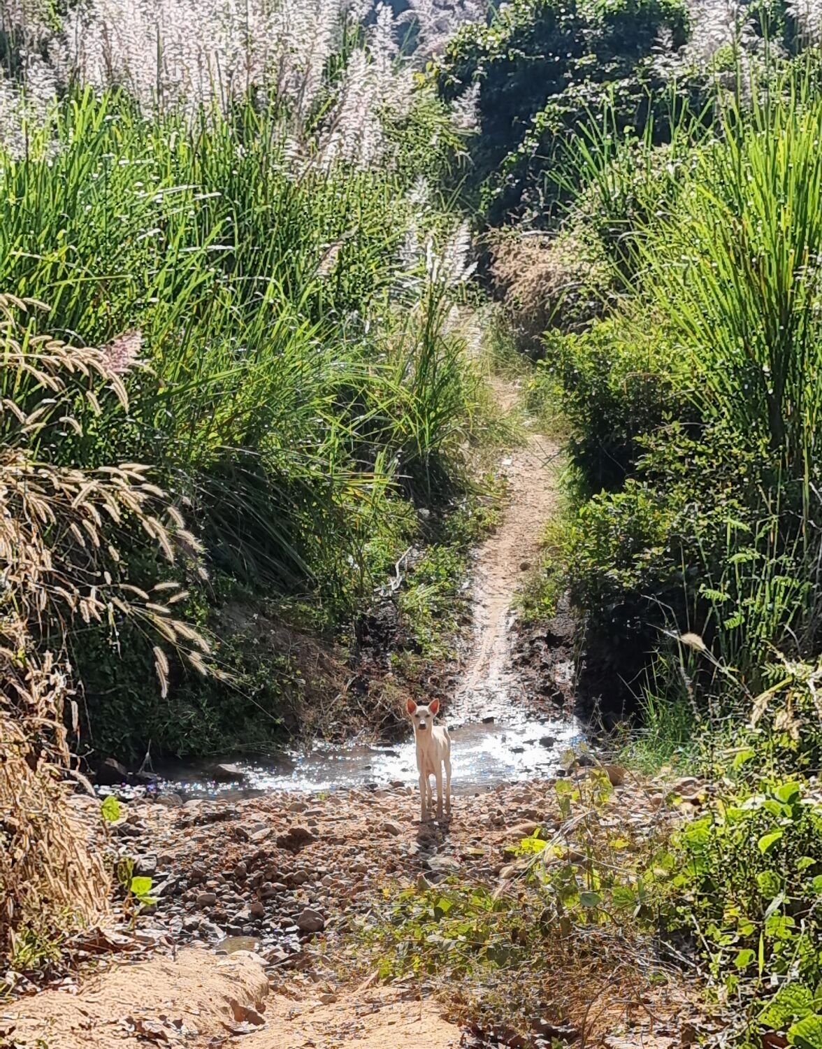
Today I went exploring near Fang, first heading to Huai Bin Reservoir, here. https://maps.app.goo.gl/kSePt9BE29bTDVmA9 It was very fogging and I nearly turned back as no chance of taking photos. But as I got near the sun started breaking through. The turn onto the dam itself is at the toll booth, after riding along I returned to see how far up a track that would bypass the tool booth I could go, this started here. https://maps.app.goo.gl/qonWP9GWn4ueVaQC7 I eventually got to a part of the track that was rutted too much and by crash bars were hitting the side, so I reversed back and rode out. I then rode to the dam at Huai Muang, here. https://maps.app.goo.gl/Rd4HAN75S2su7Jur9 From here I started to ride to Huai Chang Si, here. https://maps.app.goo.gl/G58pGWzSSxzS8C9MA I rode a track along side Huai Muang slowly riding higher and the track getting more rutted, I came to a point where cassava had been cut to form a barrier, I moved it and carried on, but ahead I saw a track rising up a hill that was steeper than the CT125 would go up, so I rode back. https://maps.app.goo.gl/An2zdyL9yAJgbXZ87


.thumb.jpg.3df0fe4e69a1eb0529e3c358374ad9c1.jpg)
.thumb.jpg.c407e3fba31d9a6ca50de1caf0020825.jpg)
.thumb.jpg.8f4a43cdae275a741da8fd409dc185ba.jpg)
-
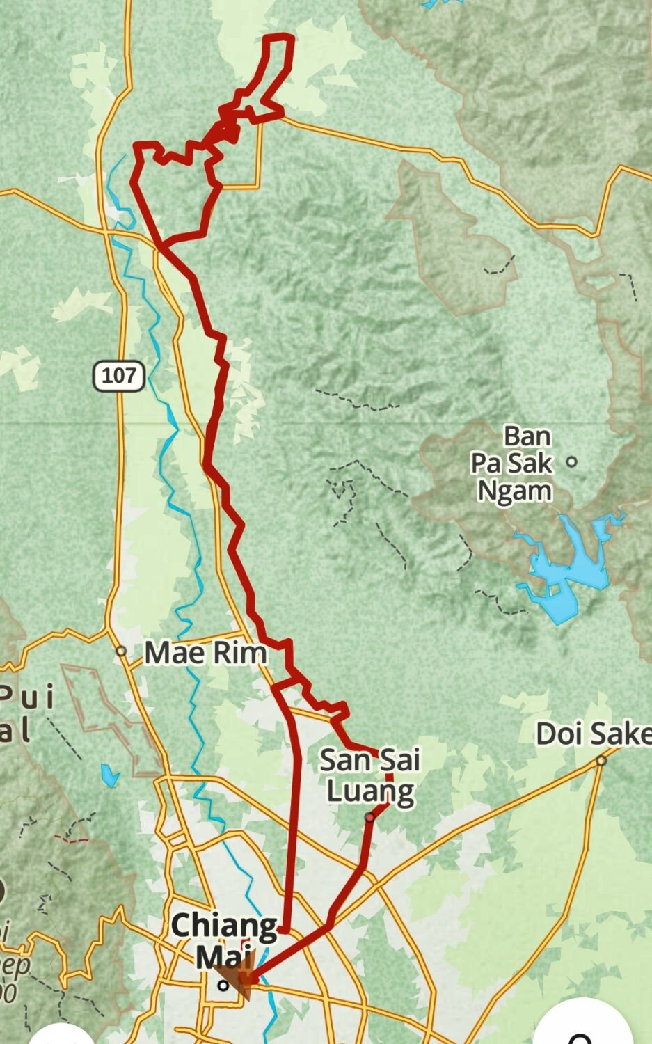
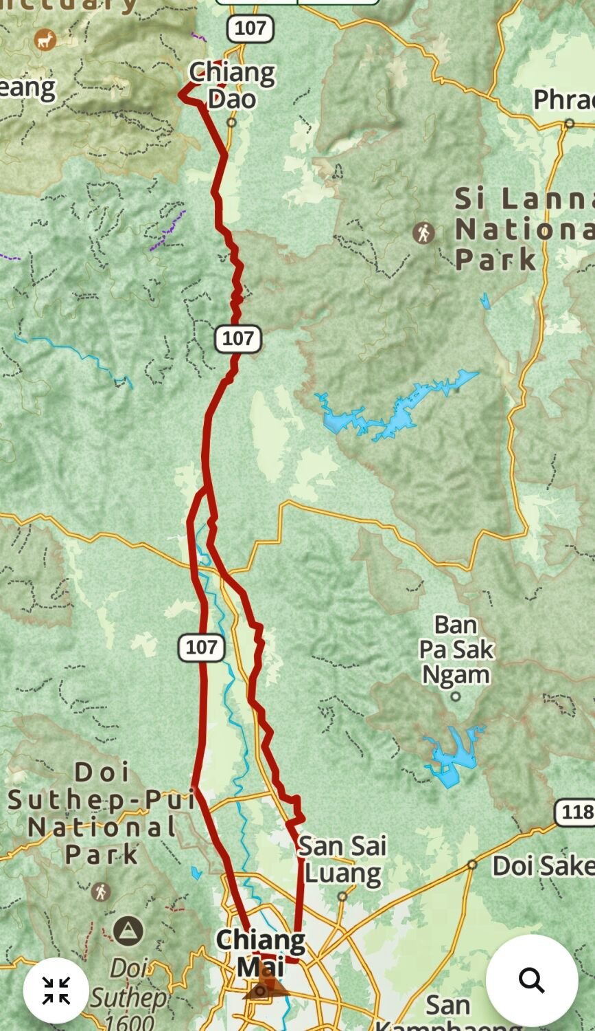
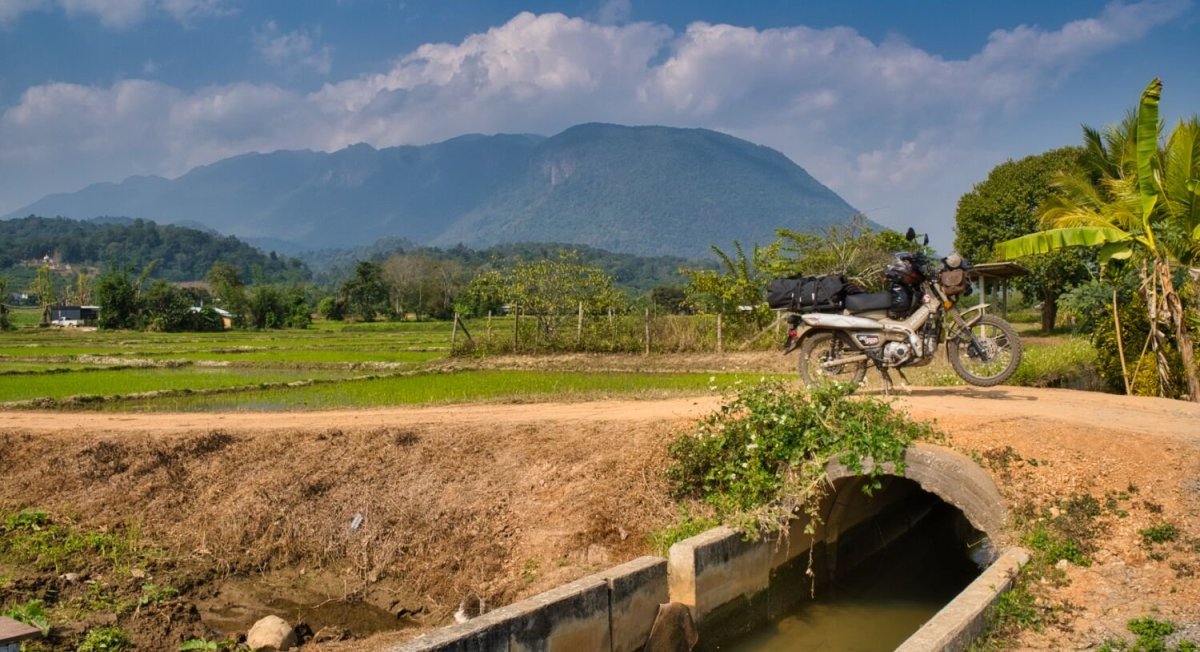
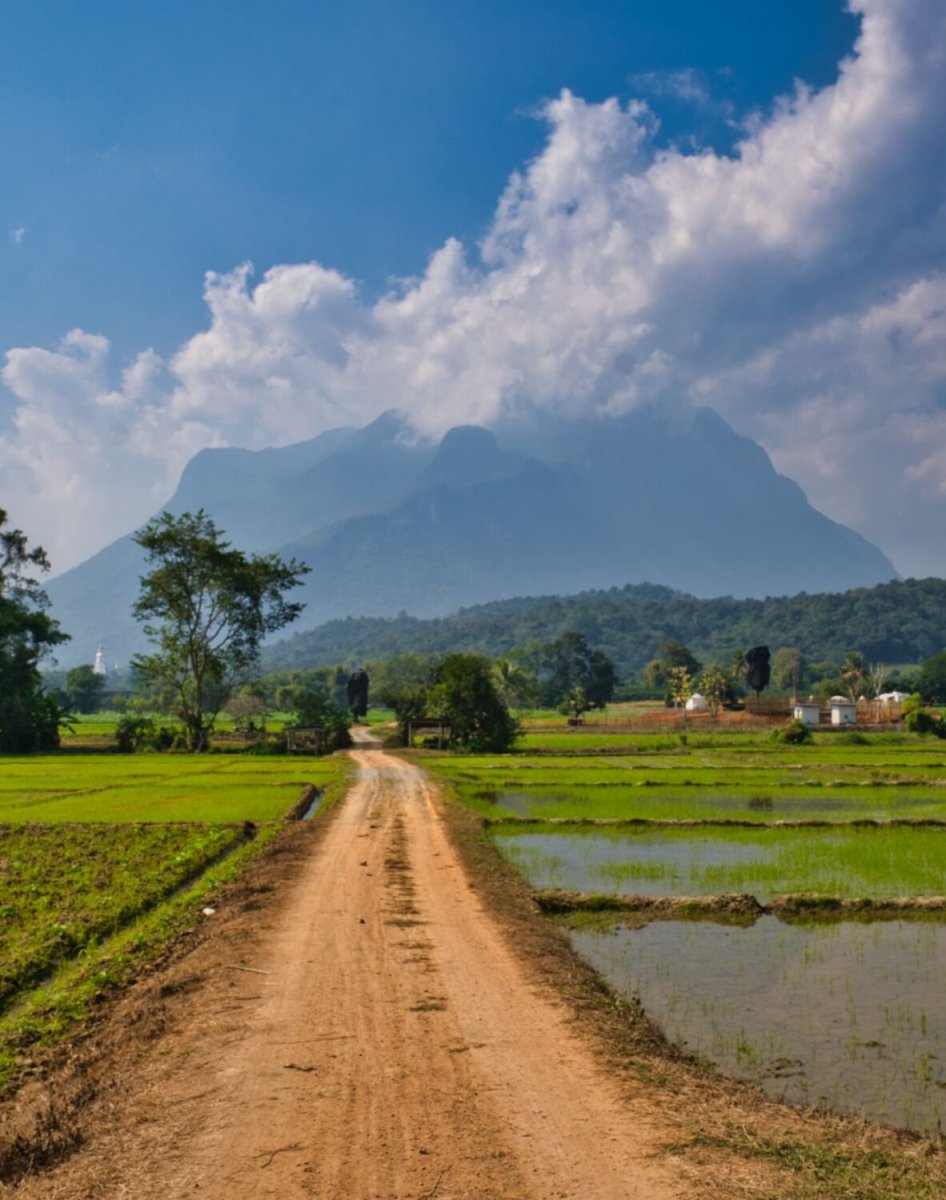
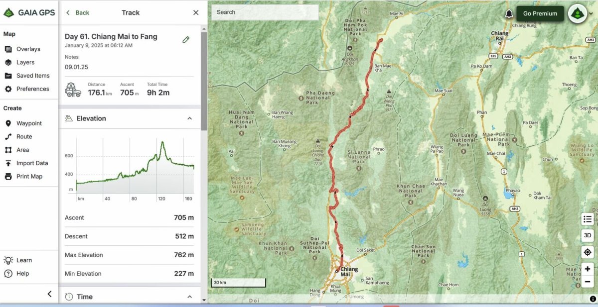
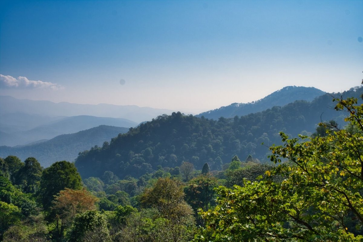
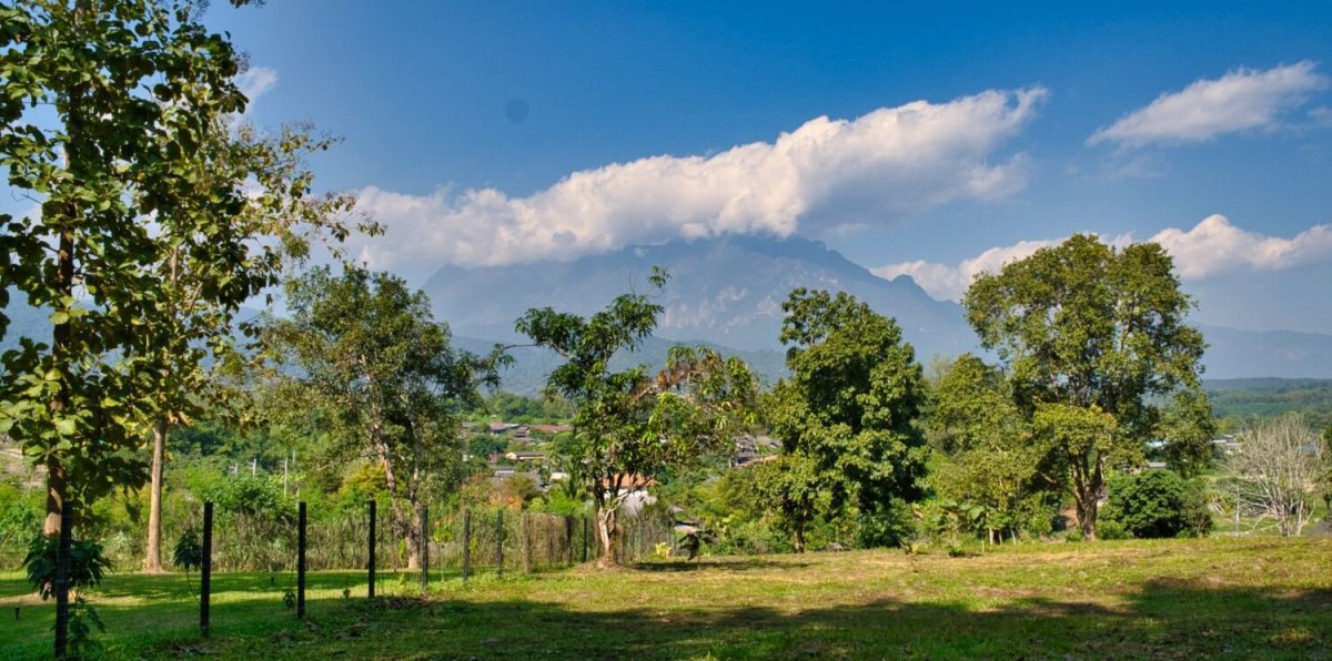
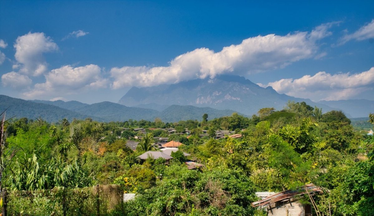
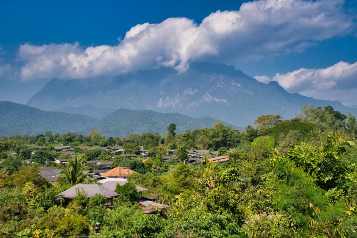
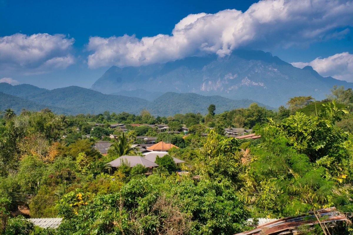
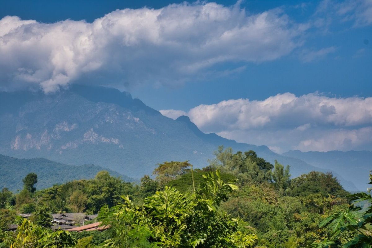
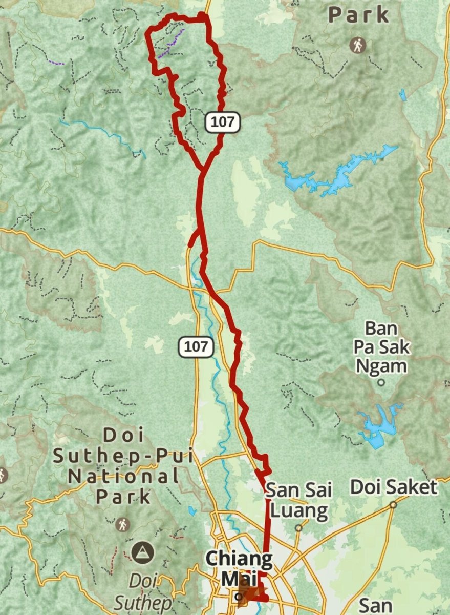
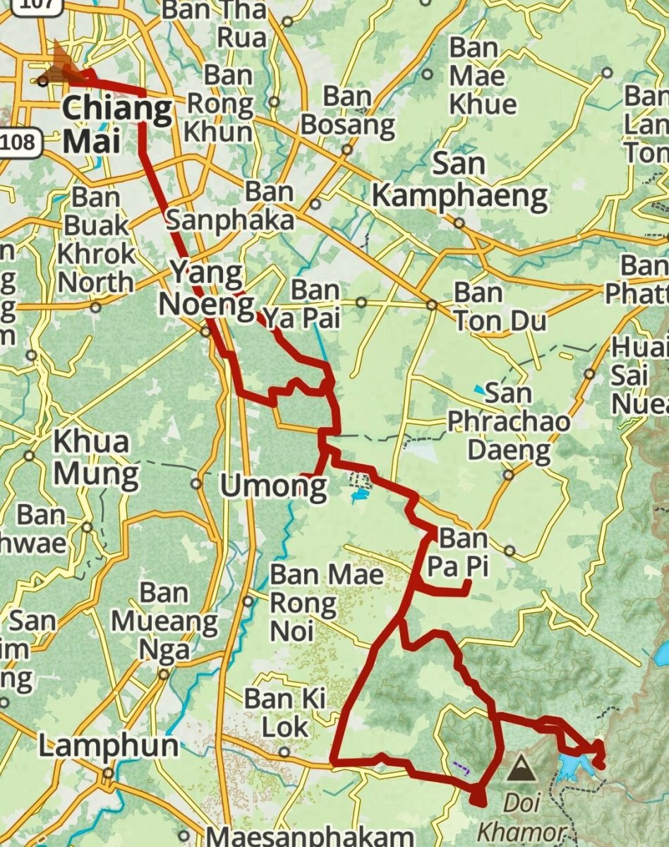
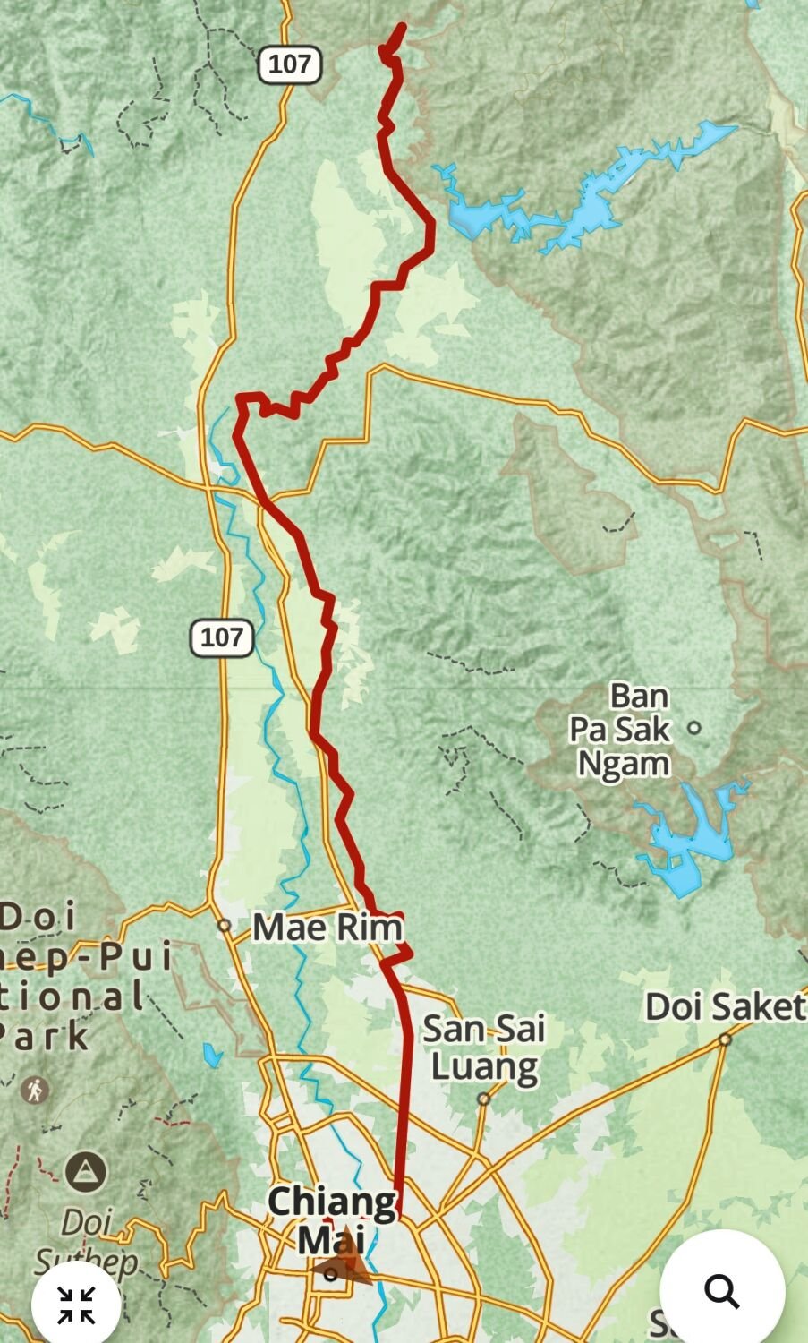
Today I left Chiang Mai and rode north to Fang, a 176km ride. I made a slight detour to ride the river Ping track again as maybe it will be surfaced before I return. The start point to ride east is here. https://maps.app.goo.gl/E8dZAiYrR57SLgd96 Next as I was passing Doi Chiang Dao I rode to the viewpoint I found before to take some more photos, here. https://maps.app.goo.gl/G6Gprj3GQkHMXRVq7 I then continued on to Fang. https://www.relive.cc/view/vE6JNzejgx6

-
Today, day 60 of my trip I again rode north from Chiang Mai with my first stop at Mae Roem Reservoir, here. https://maps.app.goo.gl/syXWVZjHHYccSh487 I then rode around some of the reservoir to Wat Tham See Nin, here. https://maps.app.goo.gl/QyPKmLXfXVhTMozL7 You can only see this on google maps if in satellite view. On returning I saw I was near the River Ping Track I found a few days ago, so rode that again before returning to Chiang Mai. https://www.relive.cc/view/vmqX9gQ4Jov


.thumb.jpg.8cd2bd1b51234eb1b2f674cca850623e.jpg)

-
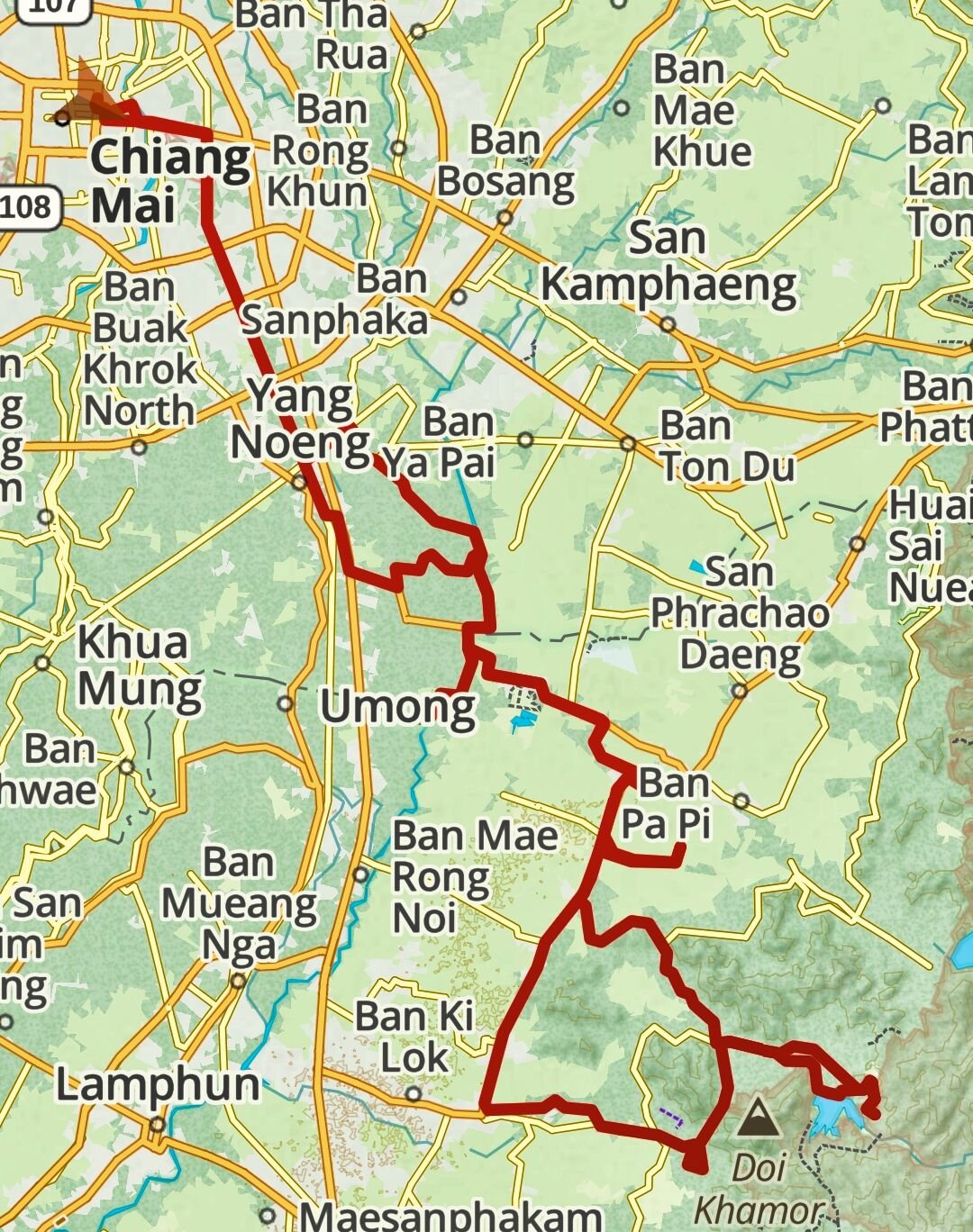
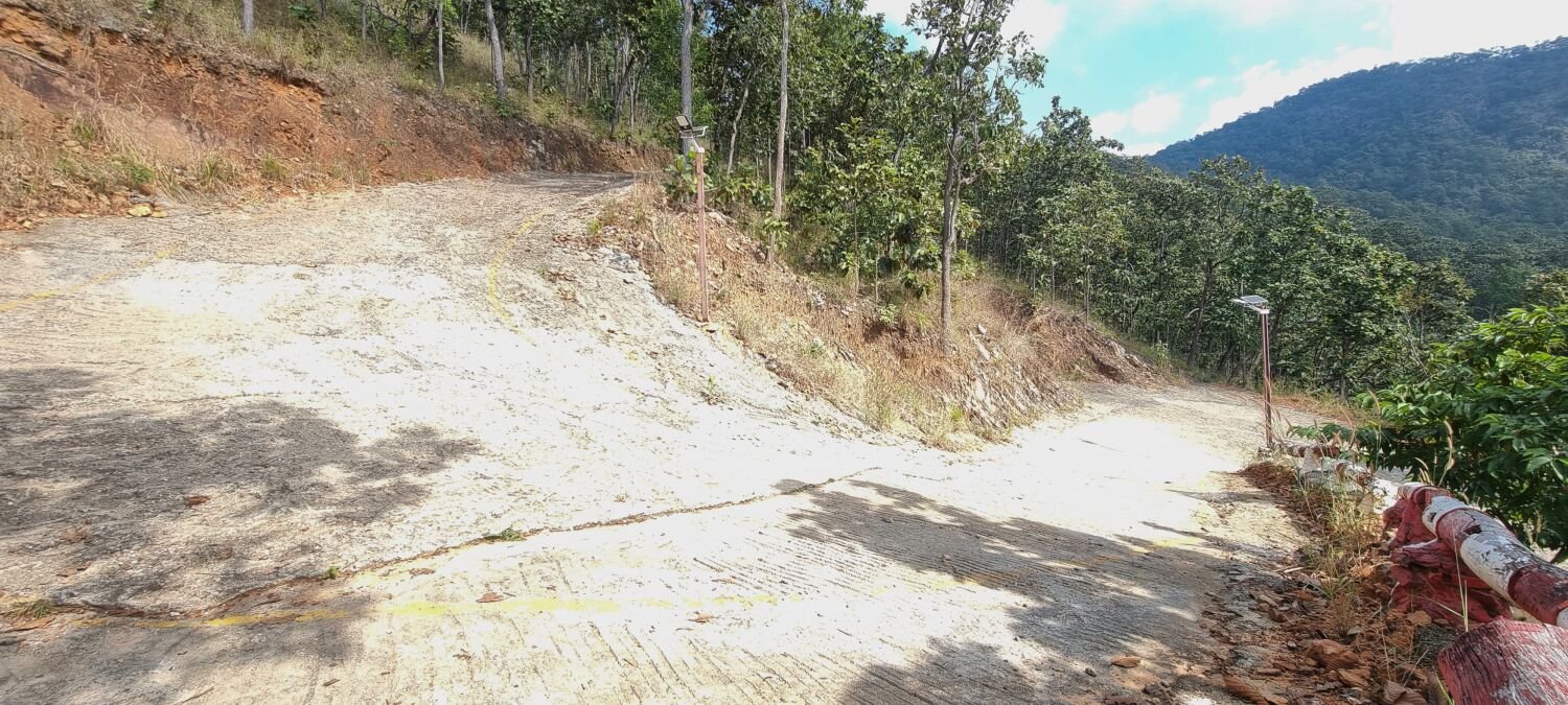
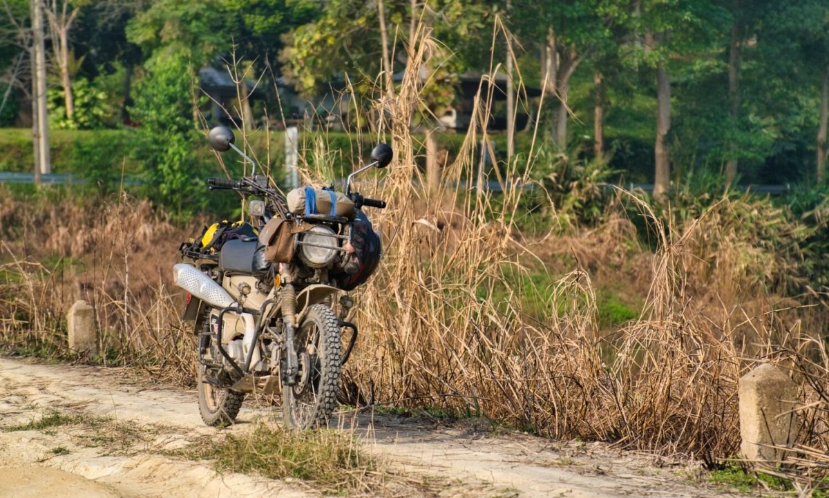
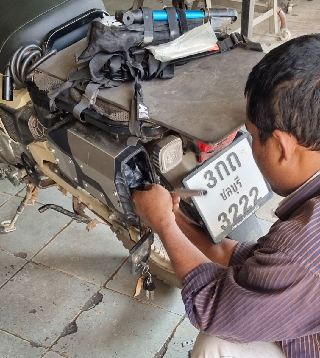
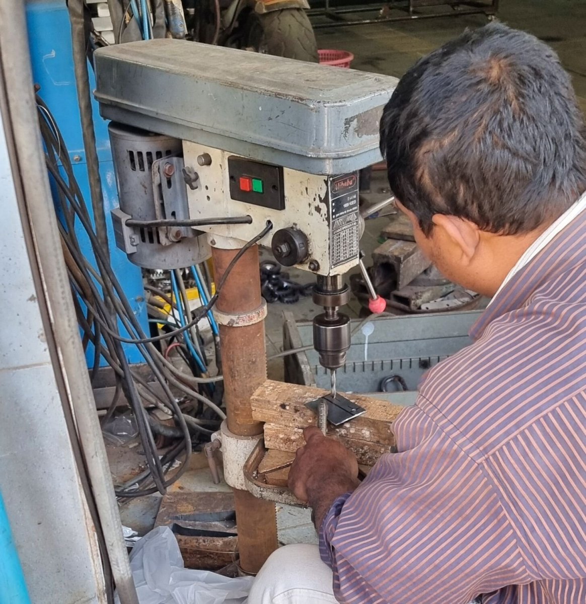
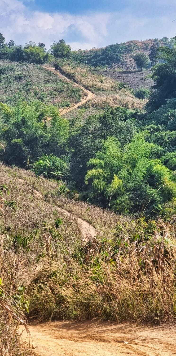
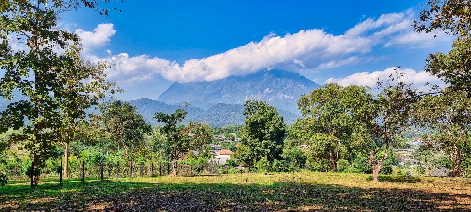
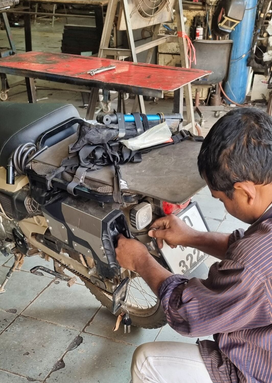
Today I rode north from Chiang Mai to ride up through part of the Raming Tea Estate, here. https://maps.app.goo.gl/L3wtc43vvbJvTsZm8 There is some very steep areas in this area which forced me to paddle in a few places. Riding down the other side was even steeper and I’m sure the CT125 would not be able to ride back up. Look at the elevation graph in the photos. From the bottom of the hill I rode a side road and fond a good view of Chiang Dao, here. https://maps.app.goo.gl/NLU8jvfhUyX9LP89A Arriving back in Chiang Mai I noticed the tool box had a bracket broke in a new place, so I had a new part made up. https://www.relive.cc/view/vdOREg8NYKv


.thumb.jpg.ec1b65564f47ef182f157f8770fa5874.jpg)
-
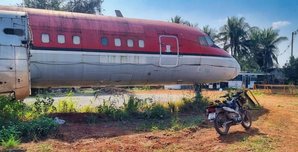
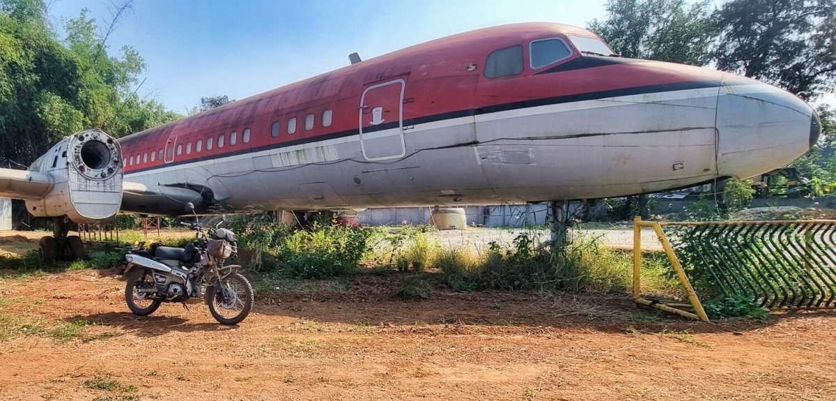
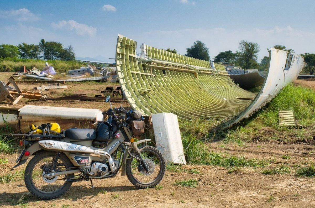
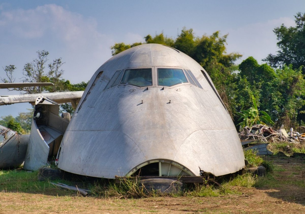
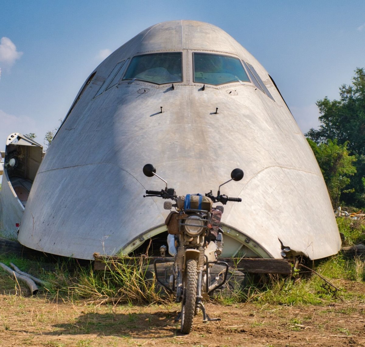
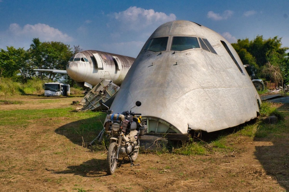
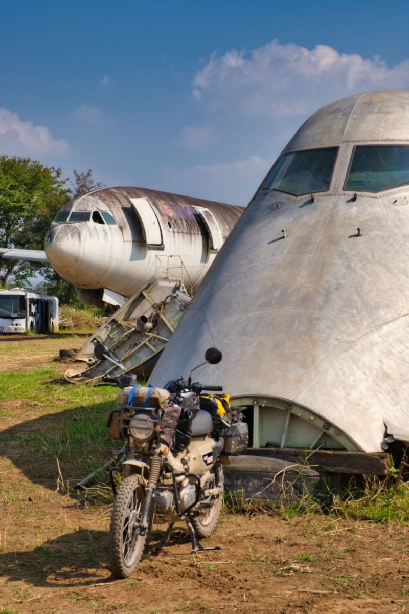
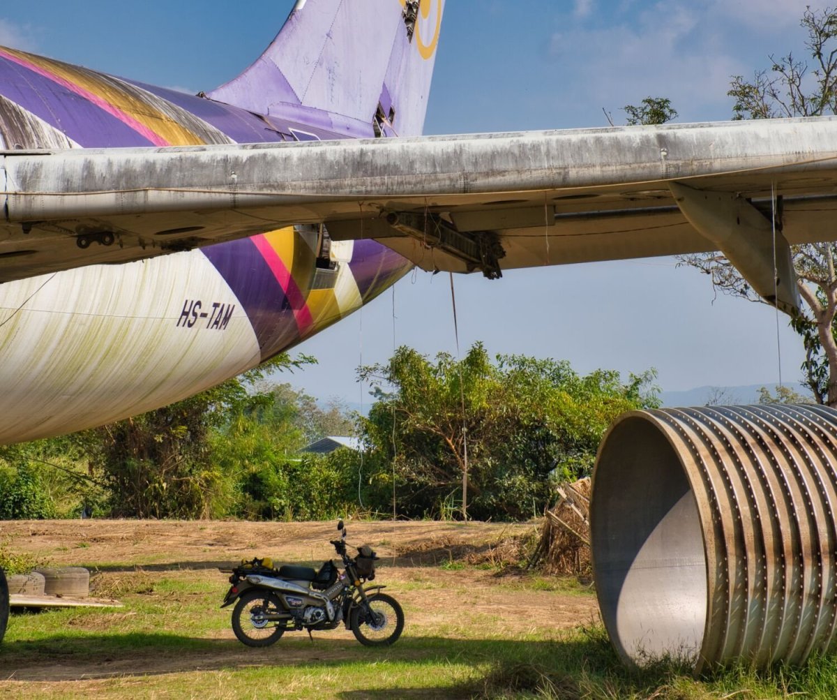
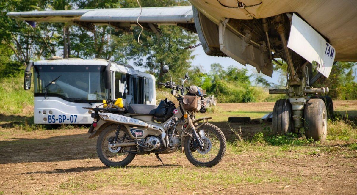
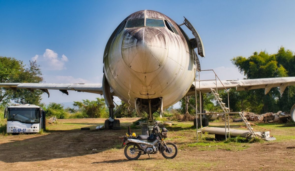
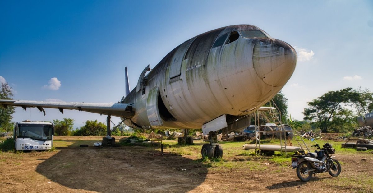
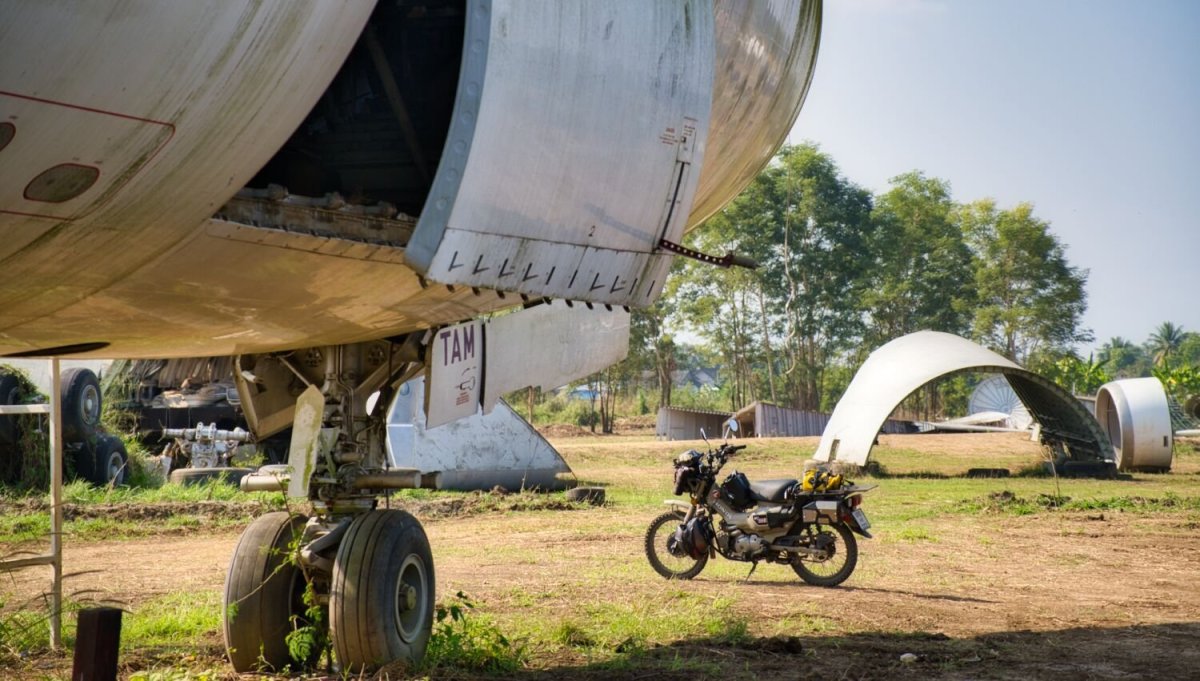
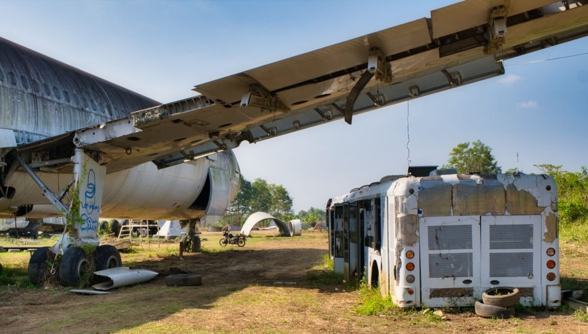
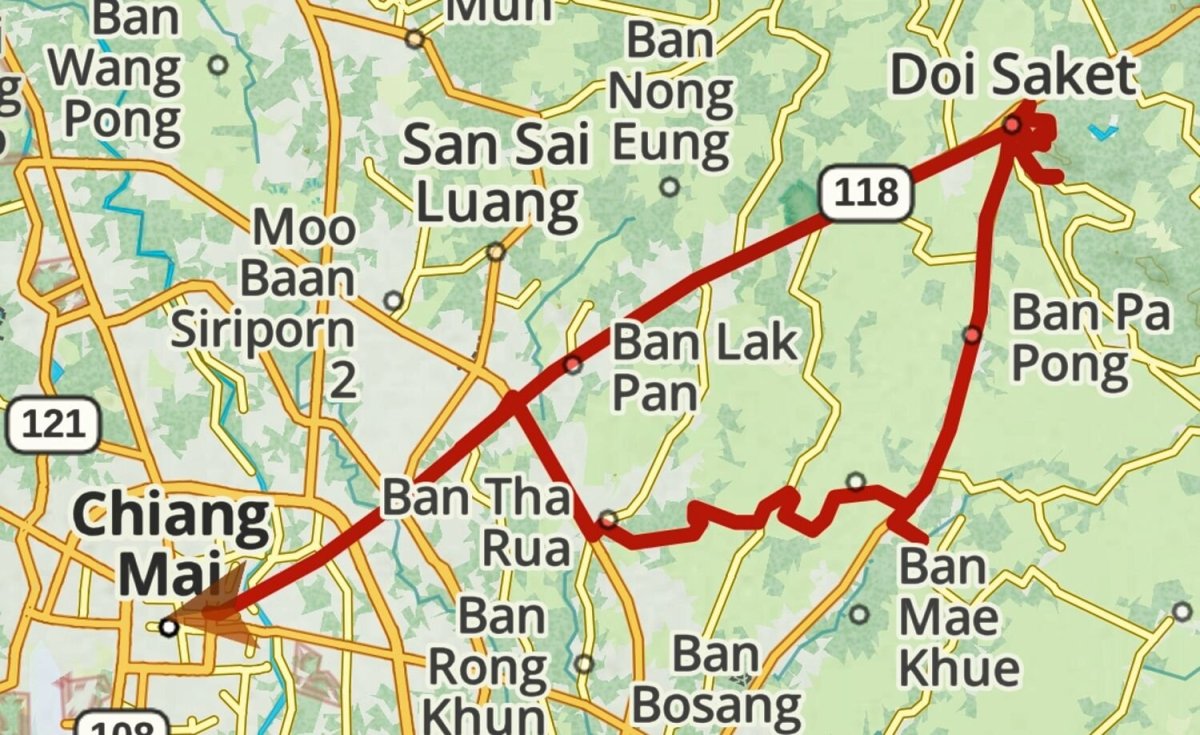
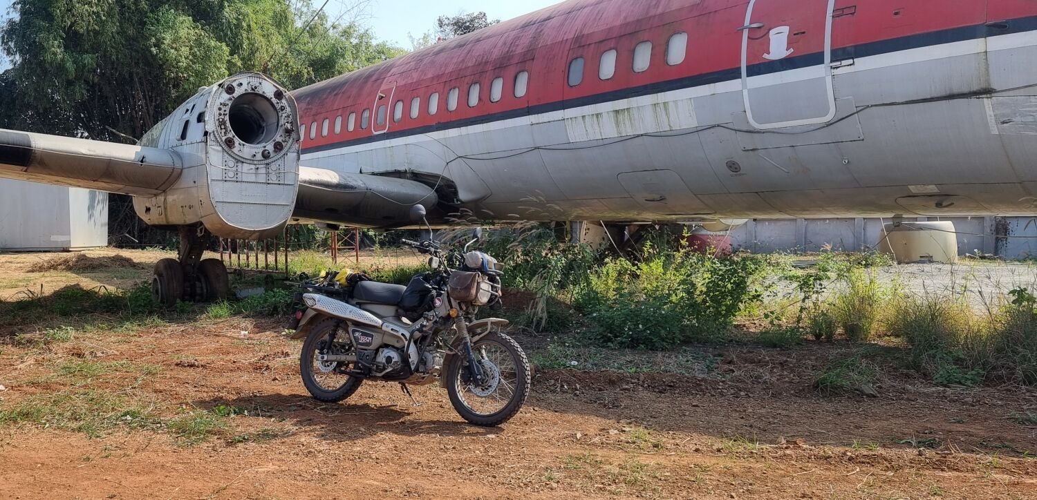
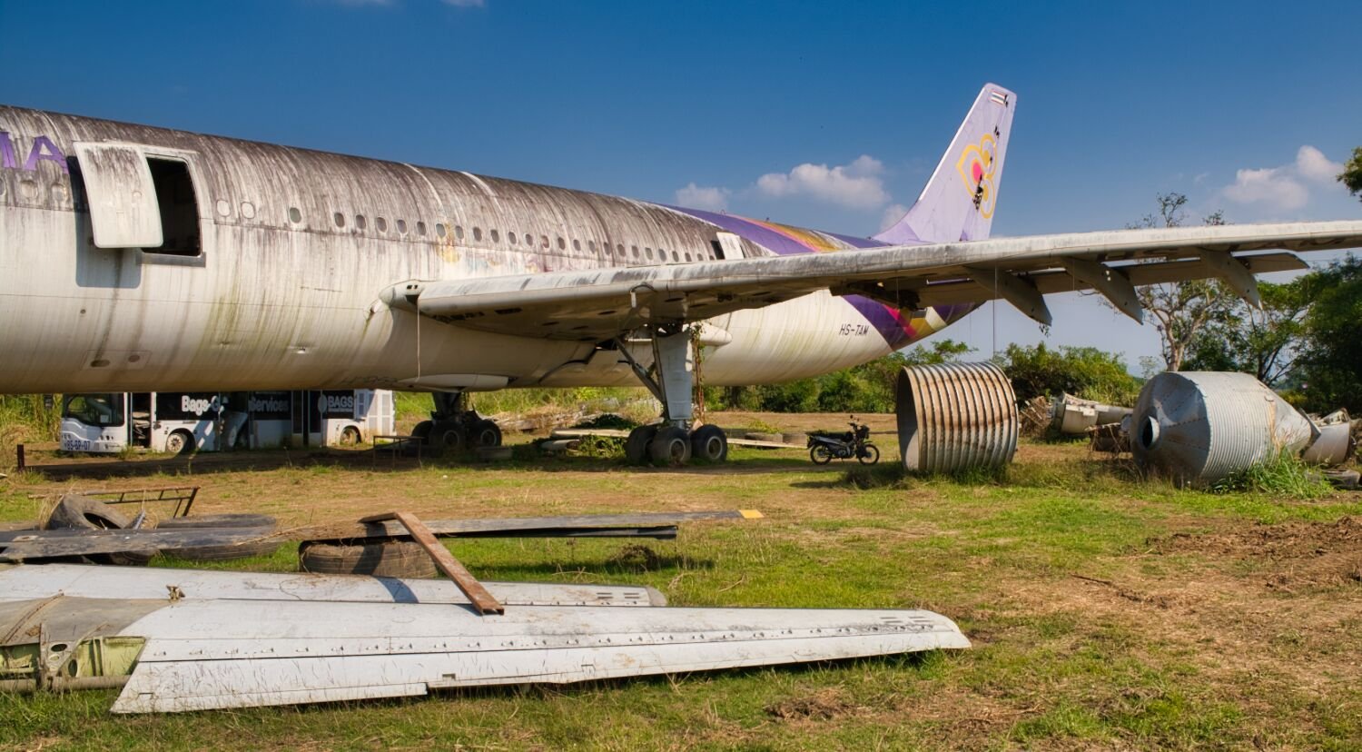
Today I just had a few hours ride out of Chiang Mai, my first stop was at the abandoned airplane site I have been too before, here. https://maps.app.goo.gl/id1Fe6gmZvGphNFh9 Next was Wat Phra That Doi Saket, here. Then back to Chiang Mai. https://maps.app.goo.gl/qLGbuQrFZevpmNzW7 https://www.relive.cc/view/vYvEnwJ5wGO


-
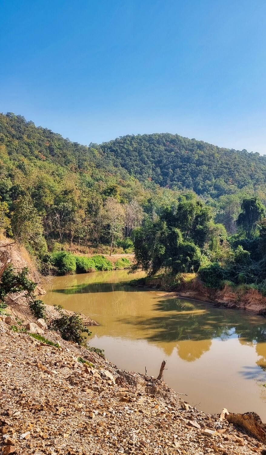
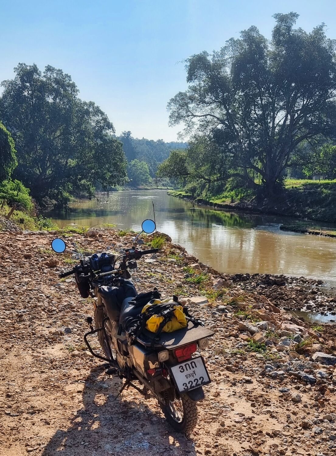
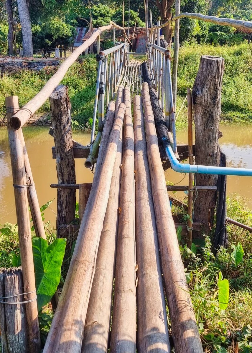
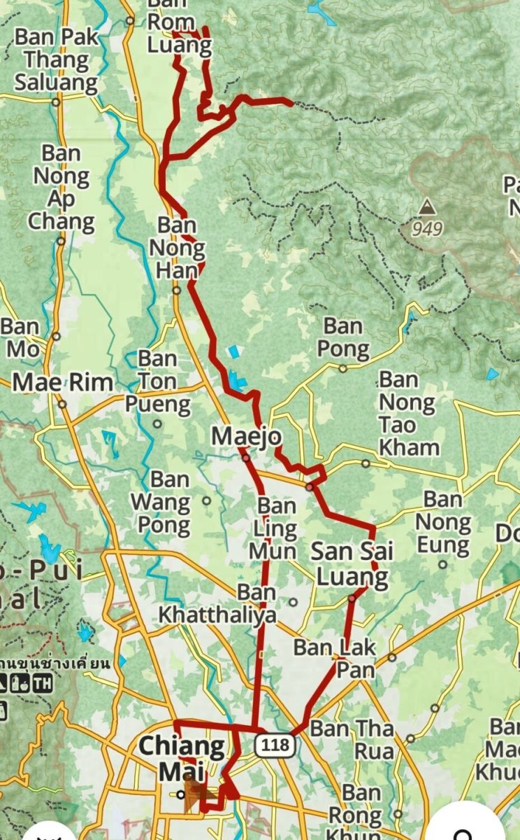
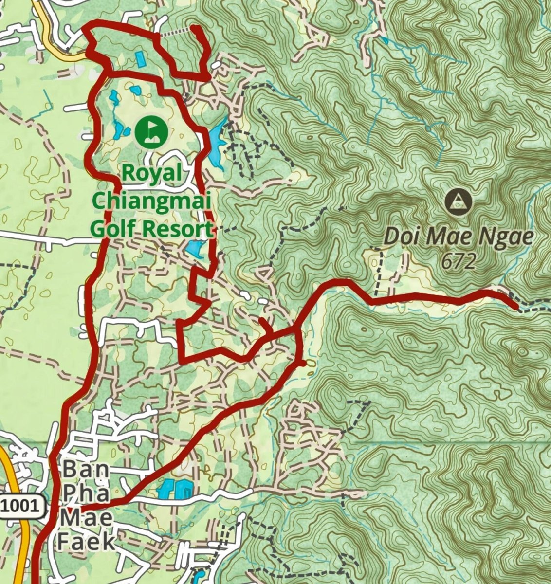
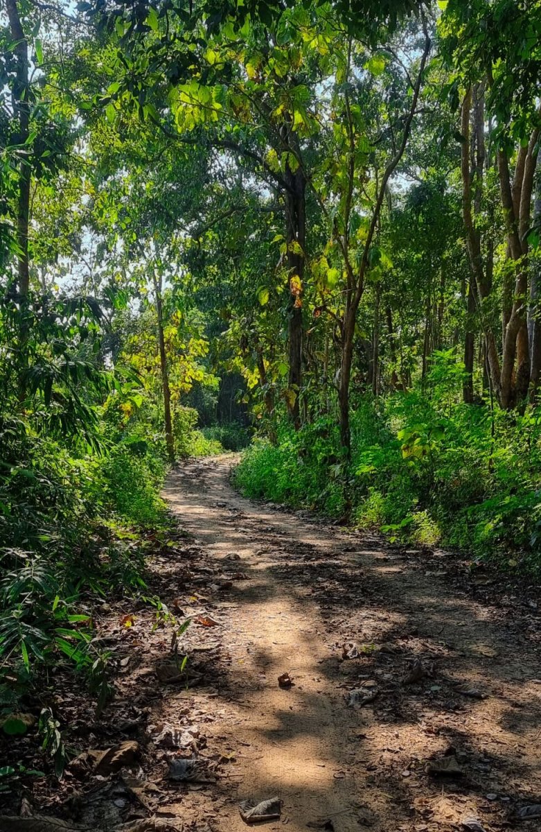
Today I again rode north to find some tracks, on the way I spotted a rather iffy foot bridge, here. https://maps.app.goo.gl/Jozm73hTvm4mgKVb7 I turned off the main road and the track started here. https://maps.app.goo.gl/xh7bbEaLZCdmgGym7 I continued to a point where there was a stream crossing, here. https://maps.app.goo.gl/mv6StDktf9Zqjf61A The track did continue after the stream crossing, but I decided to return and ride tracks that are behind The Royal Chiang Mai Golf Resort. I then rode on to Wat Phra That Chom Kitti (Wat Phra That Doi Kitchi) which is on a hill overlooking rice fields westwards. https://maps.app.goo.gl/nzvHU292S4qUg1vLA https://www.relive.cc/view/vRO79r9NGyq


-
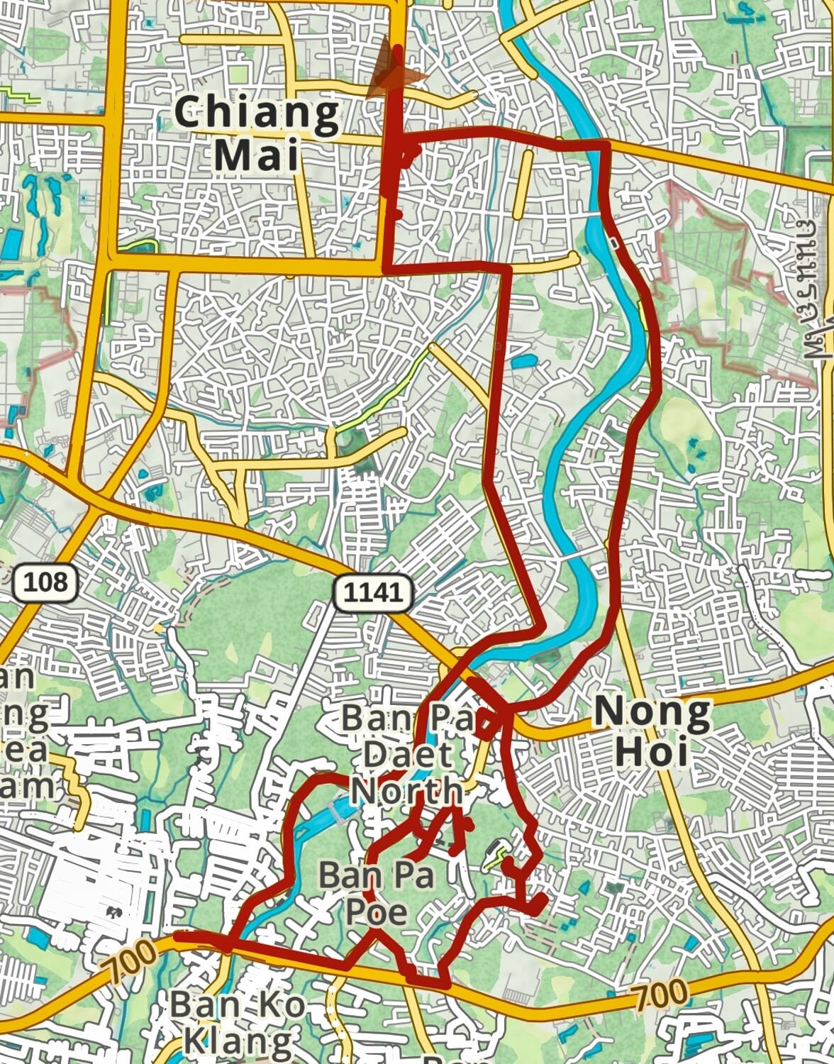
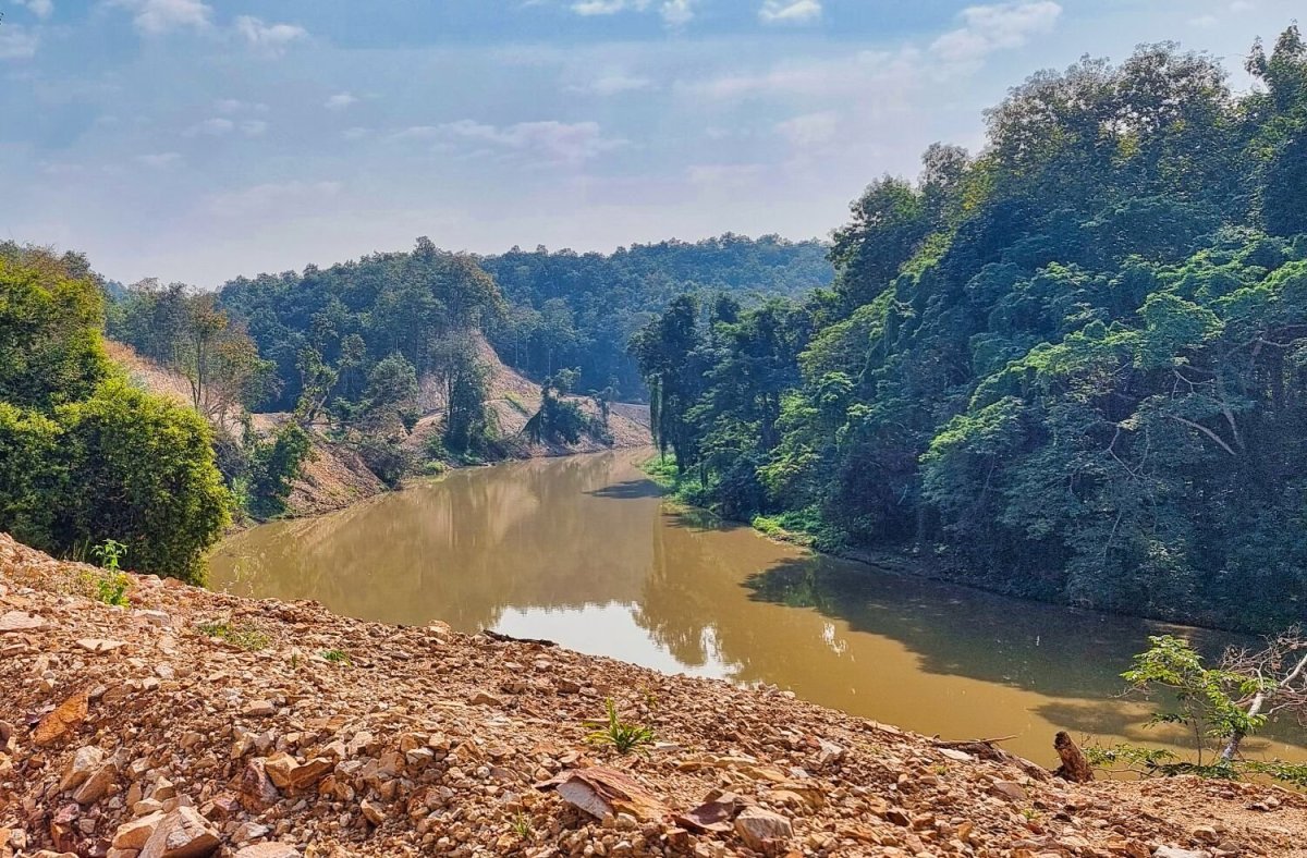
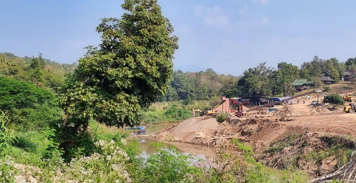
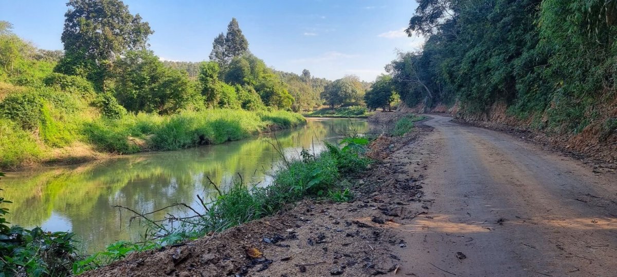
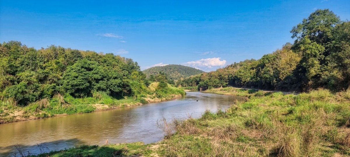
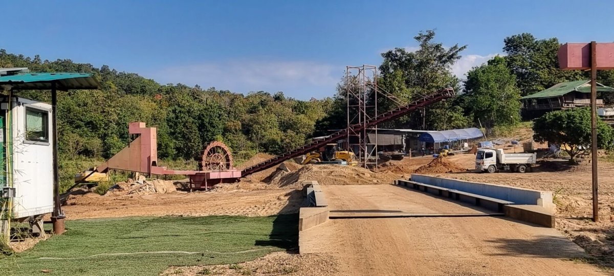
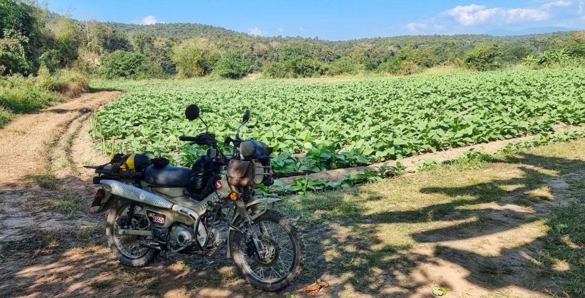
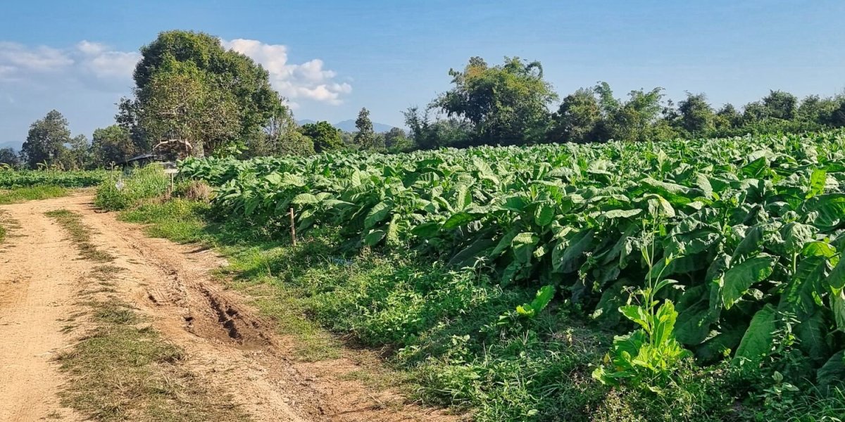
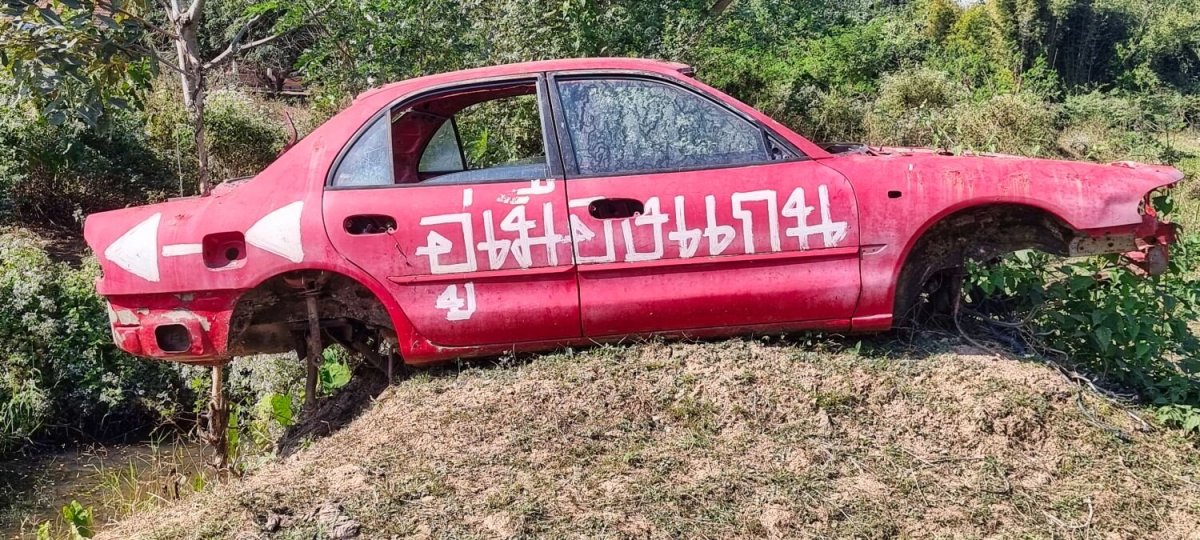
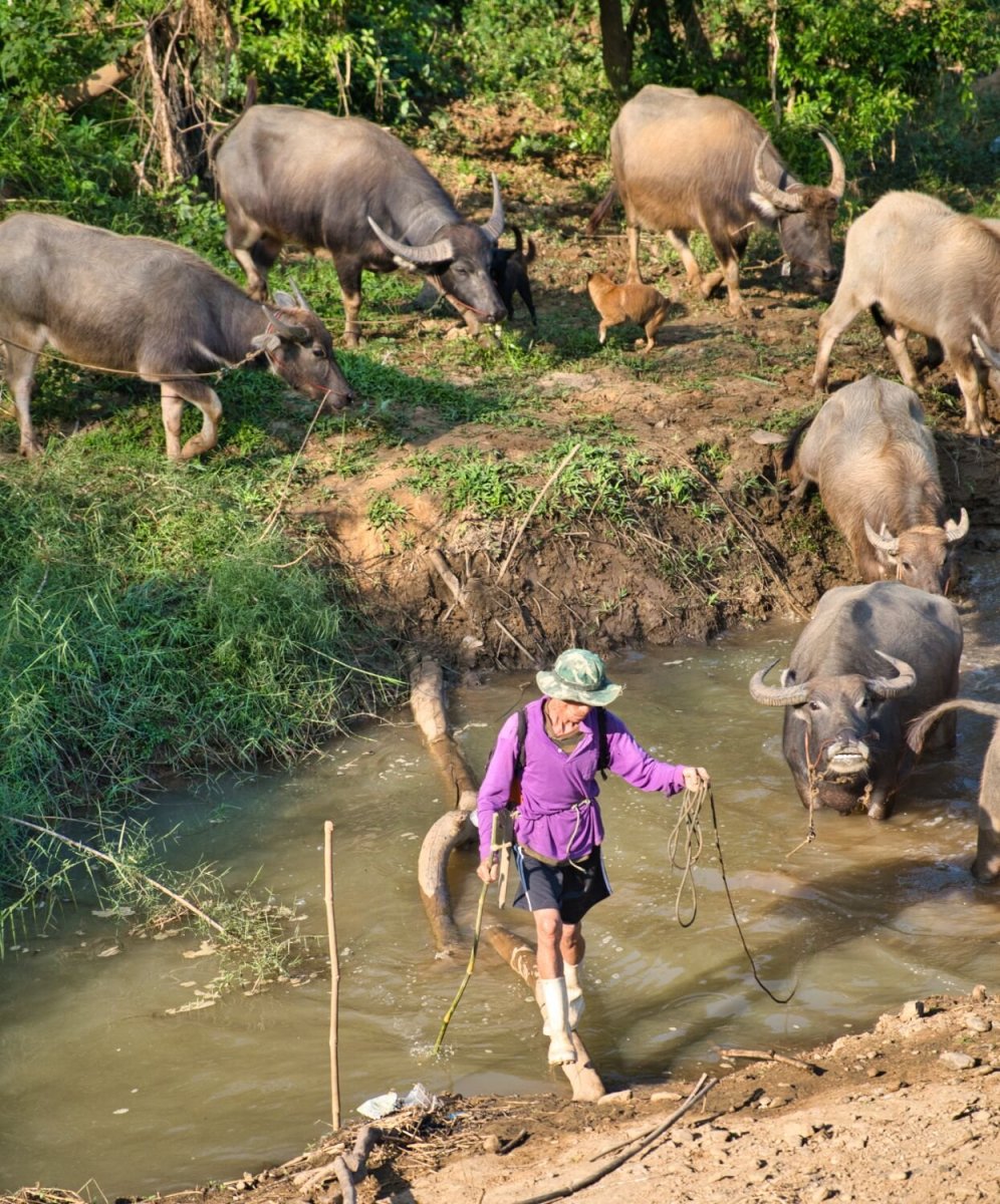
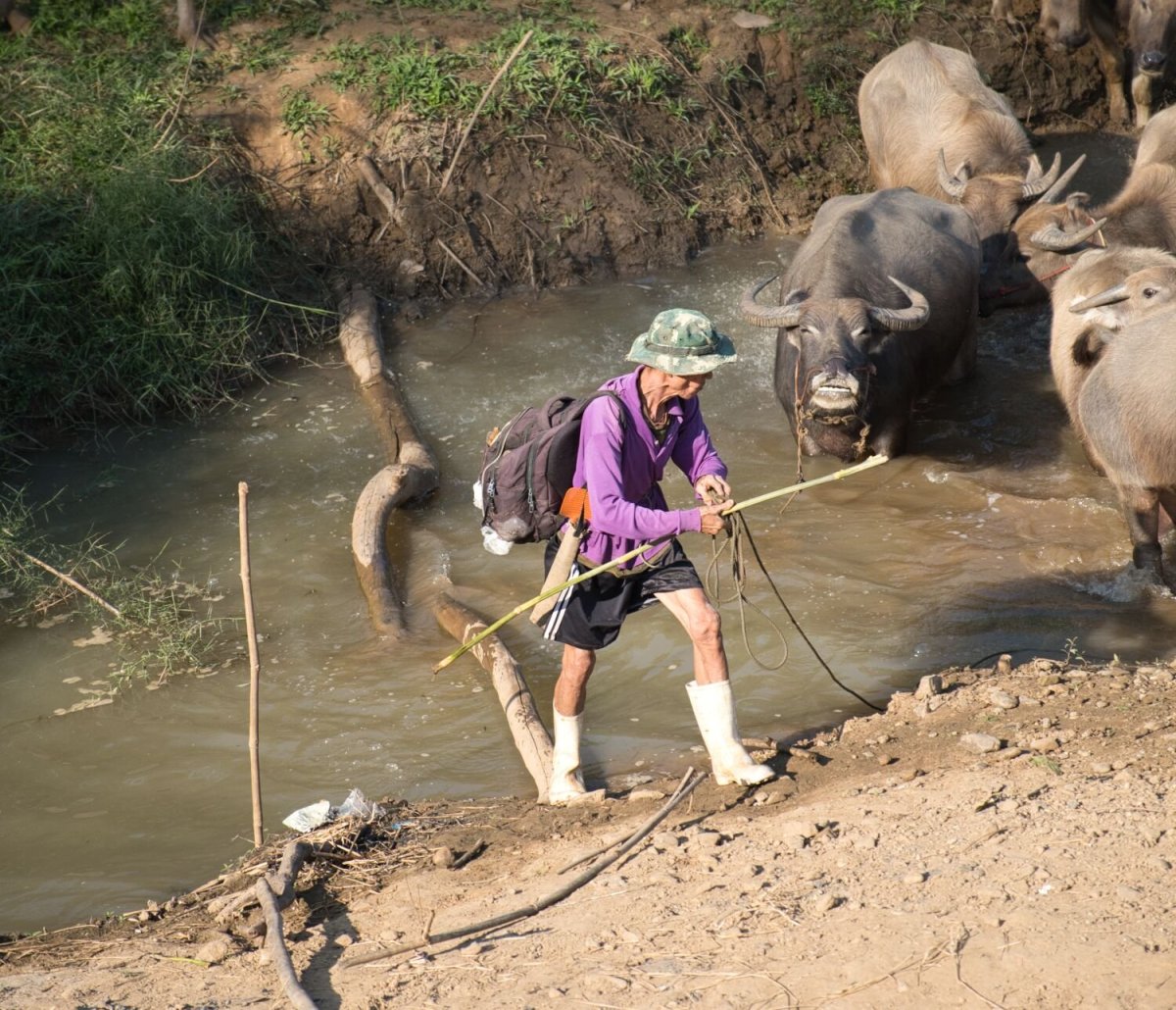
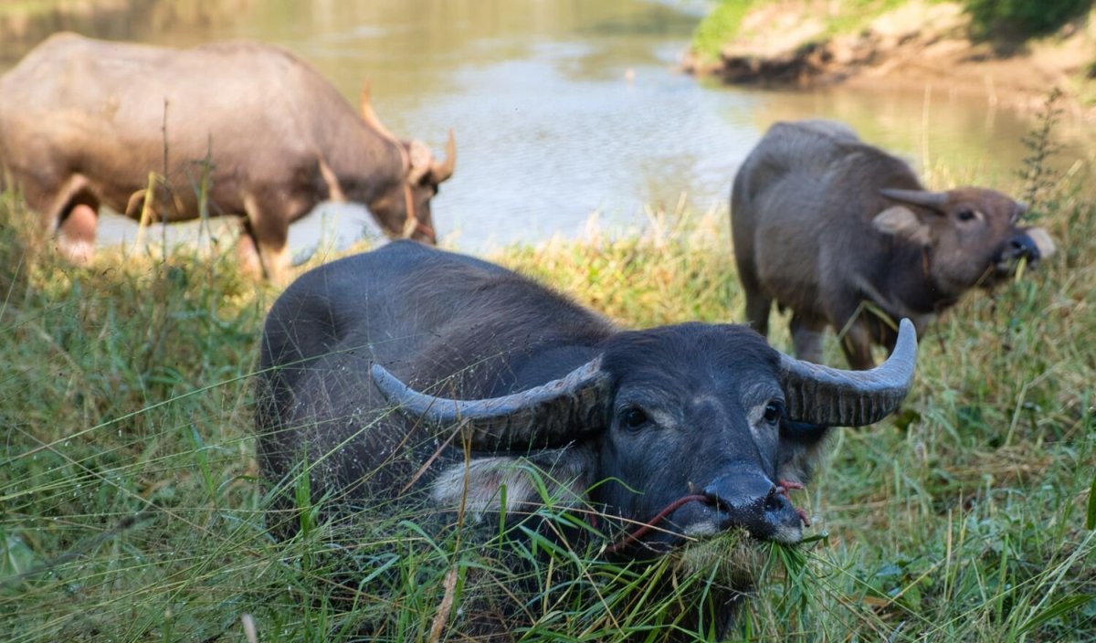
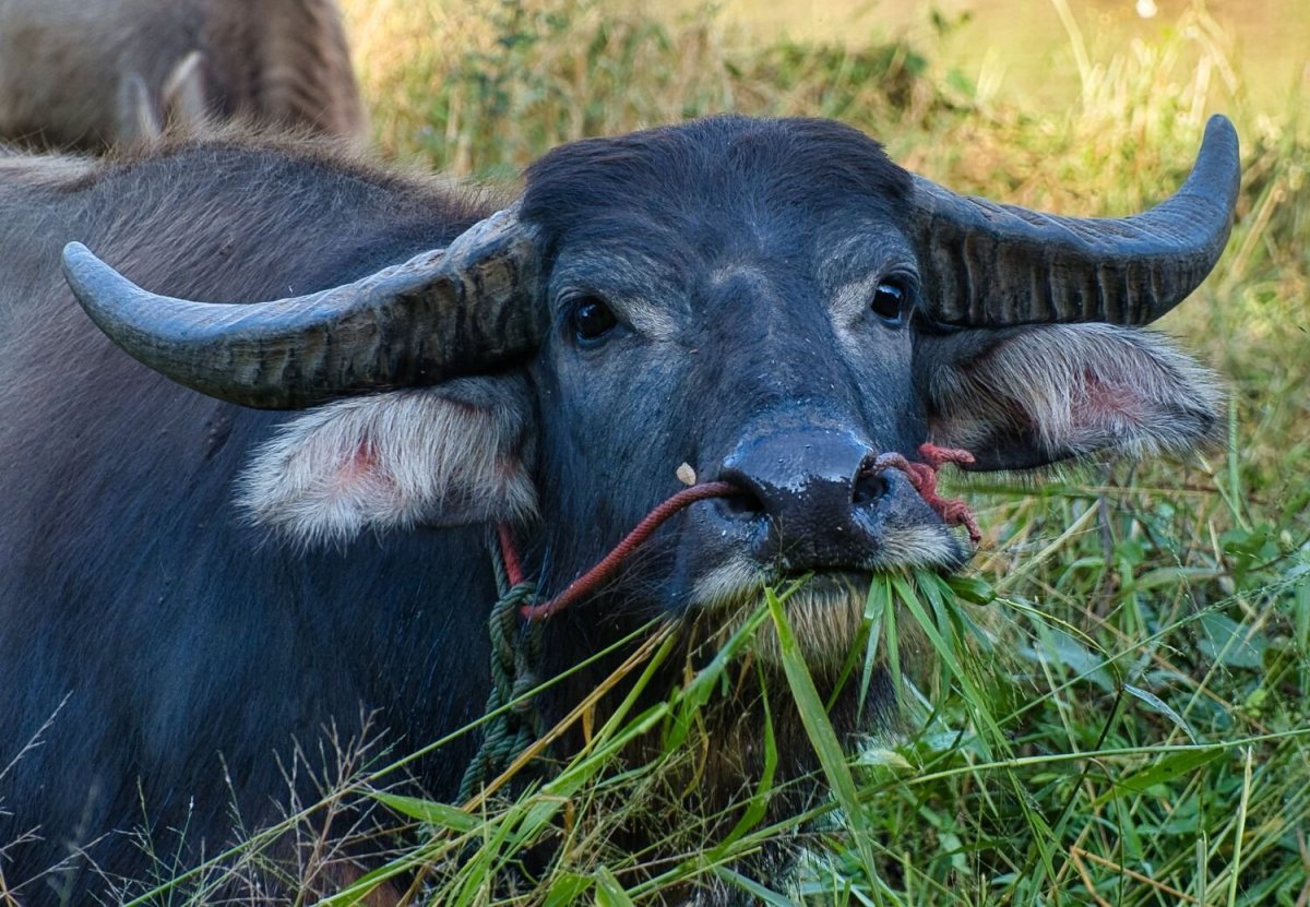
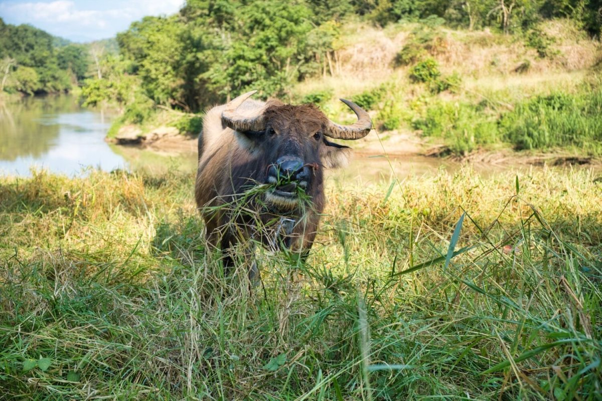
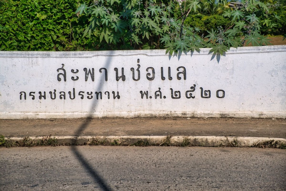
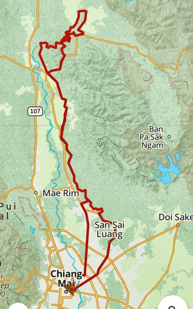
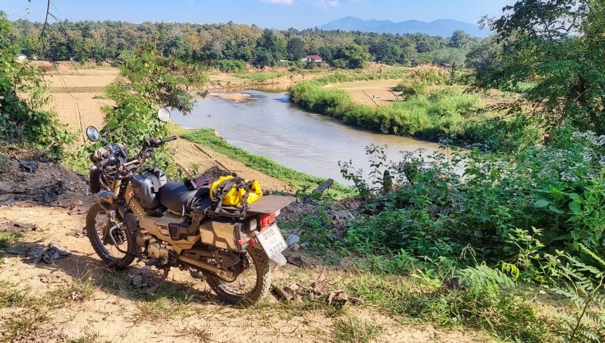
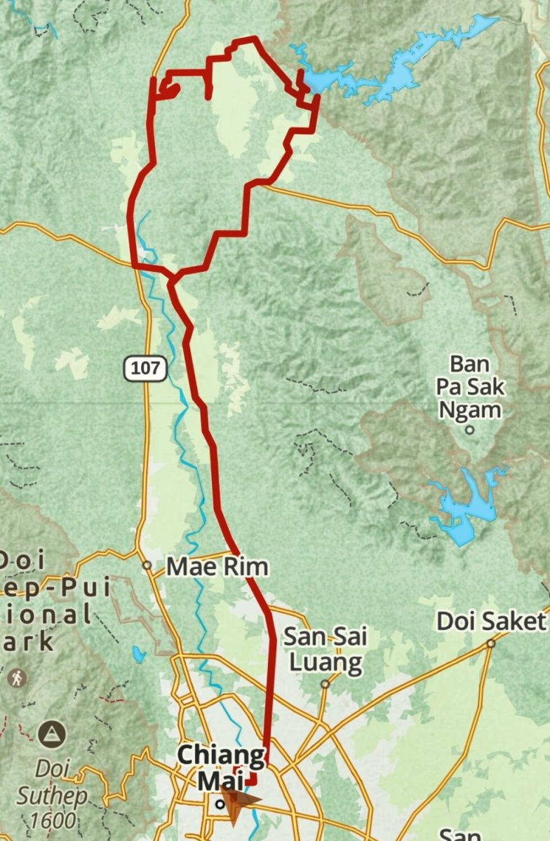
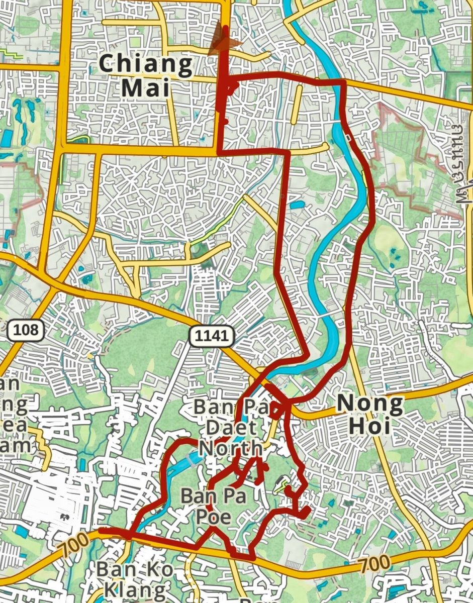
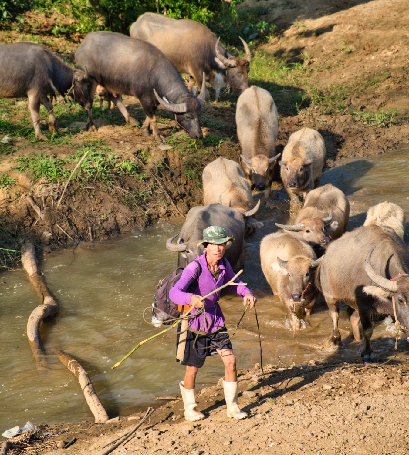
Today I rode north again to check out the tracks on the south side of the Ping River, opposite where I explored yesterday. Taking a slight detour leaving Chiang Mai I then continued north on R4034 and R1001 until turning onto the tracks here. https://maps.app.goo.gl/oGLjmTrGrmmZZ27s5 When I reached the Ping River I stopped to take photos of the buffalo and the guy herding them, here. https://maps.app.goo.gl/CzquPLVYoQNXEUCL9 I then continued to the sand quarry I spotted from the other side of the river yesterday, here. https://maps.app.goo.gl/2SjqpGfsDEGiSz3EA I continued on the track until a dead end, I did not know the crop in the fields but a farmer told me it was tobacco leaves. https://maps.app.goo.gl/dftvp6yqKd4phtz96 After looping around kind of lost for a while I got onto paved road and went to Cho Lae Bridge, here. https://maps.app.goo.gl/jgRLrm7fdaUgYkff6 After crossing I rode onto the car wreck signpost, here. https://maps.app.goo.gl/atRrQdi9RAwNP1YN7 I then rode the north side track I found yesterday back to the weir and then back to Chiang Mai. https://www.relive.cc/view/v1vjYgpYeYq https://www.relive.cc/view/v1vjYgpYeYq


.thumb.jpg.c8ec31adc191f76c43c636651ef2f94b.jpg)
-
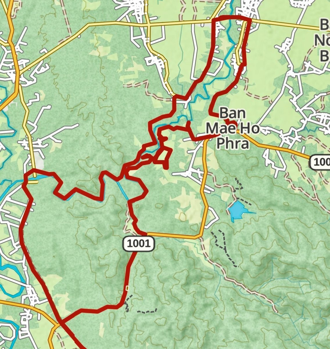
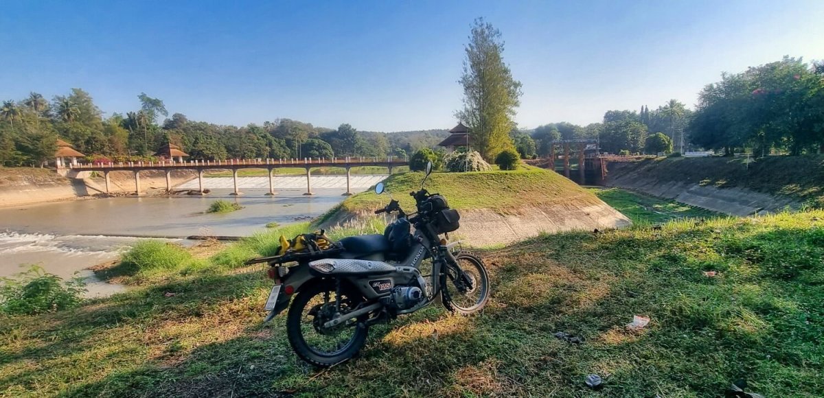
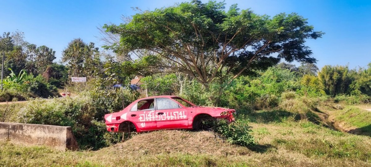
Today I rode north again up to the weir I passed yesterday. https://maps.app.goo.gl/z3SWEMtmXTZkP5yWA Instead of continuing north I took a turn east to see where it went. On both Gaia and Google maps it shows a few hundred meters, but it turned out there was an unpaved track that followed the River Ping, roughly 9km until it came to a paved area with a car wreck advertising a car repair garage! https://maps.app.goo.gl/PfUmCXsL3hkHNMbC6 From here I decided to ride back along the track and back to Chiang Mai. https://www.relive.cc/view/vdORE9r93rv

-
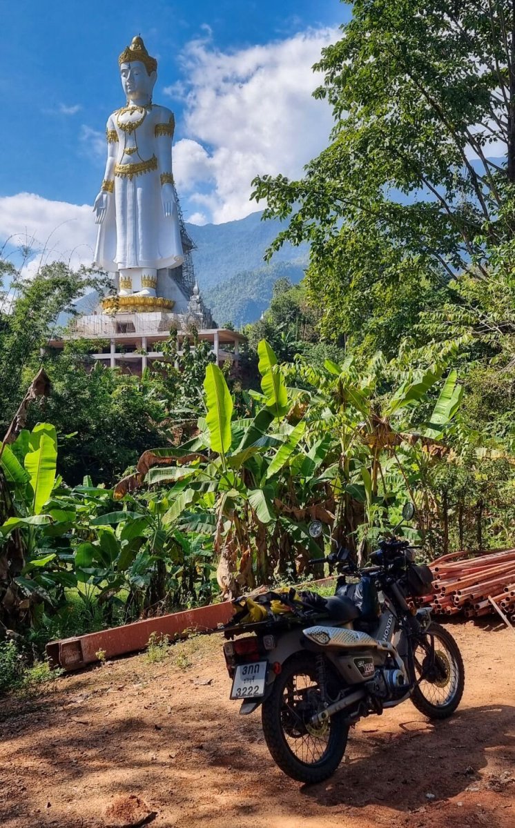
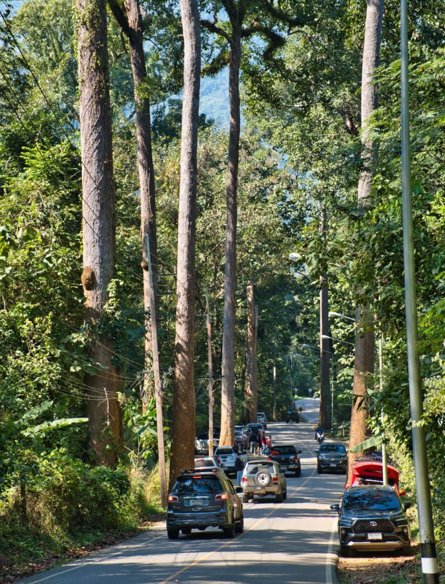
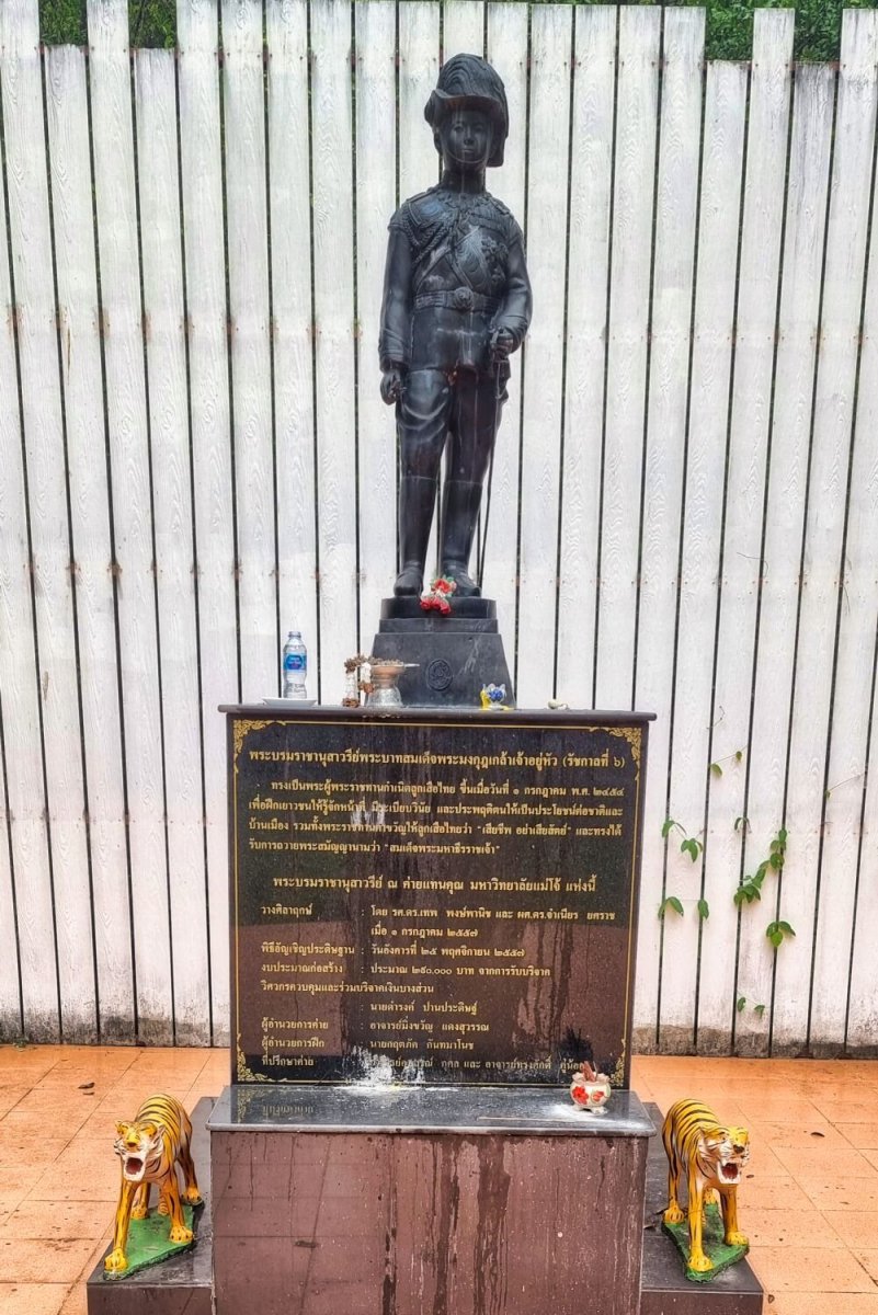
Today I rode north from Chiang Mai to Doi Chiang Dao, the best views are in this small village, here. https://maps.app.goo.gl/1Ttz63WLkkTEJvsv9 From here I went to The Great Emperor Statue, here. https://maps.app.goo.gl/vNJuT3qV7MdTDdvJ6 I then continued to the Great Tree Alley, here. https://maps.app.goo.gl/yiS2XY7MLVUTKy2D6 Way too busy to take decent photos though. Riding back, I went via Water Supply and Maintenance Division 1, Mae Faek-Maengat Somboon Chon, a weir on the River Ping, here. https://maps.app.goo.gl/ios722Cs1w7fV97q9 From here the ride south is far better than the R107. https://www.relive.cc/view/vYvEnkpm7wO
-
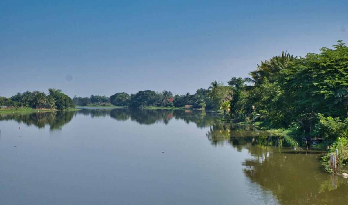
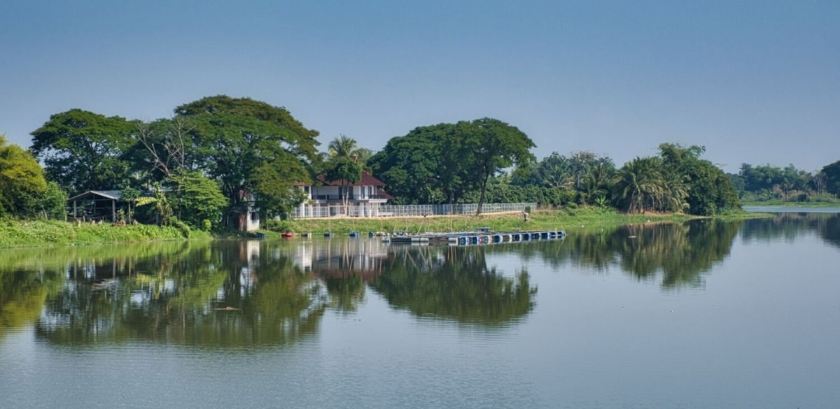
Today being New Years Day, I was late to start riding and planned an easy ride. I headed south alongside the railway road to Lamphun and then south west alongside the Ping River to 700th Anniversary of Chiang Mai Bridge, here. https://maps.app.goo.gl/S1a59Fjftupuxidt6 Just upstream is Nong Saleek Dam Project, here. https://maps.app.goo.gl/BkFqUNQMchquZ1VX9 Next was Nong Sariam Reservoir, here. https://maps.app.goo.gl/xSnwavJg9M79FTTSA Then a nice ride back alongside the Ping River. https://www.relive.cc/view/vNOPEk9yP26

-
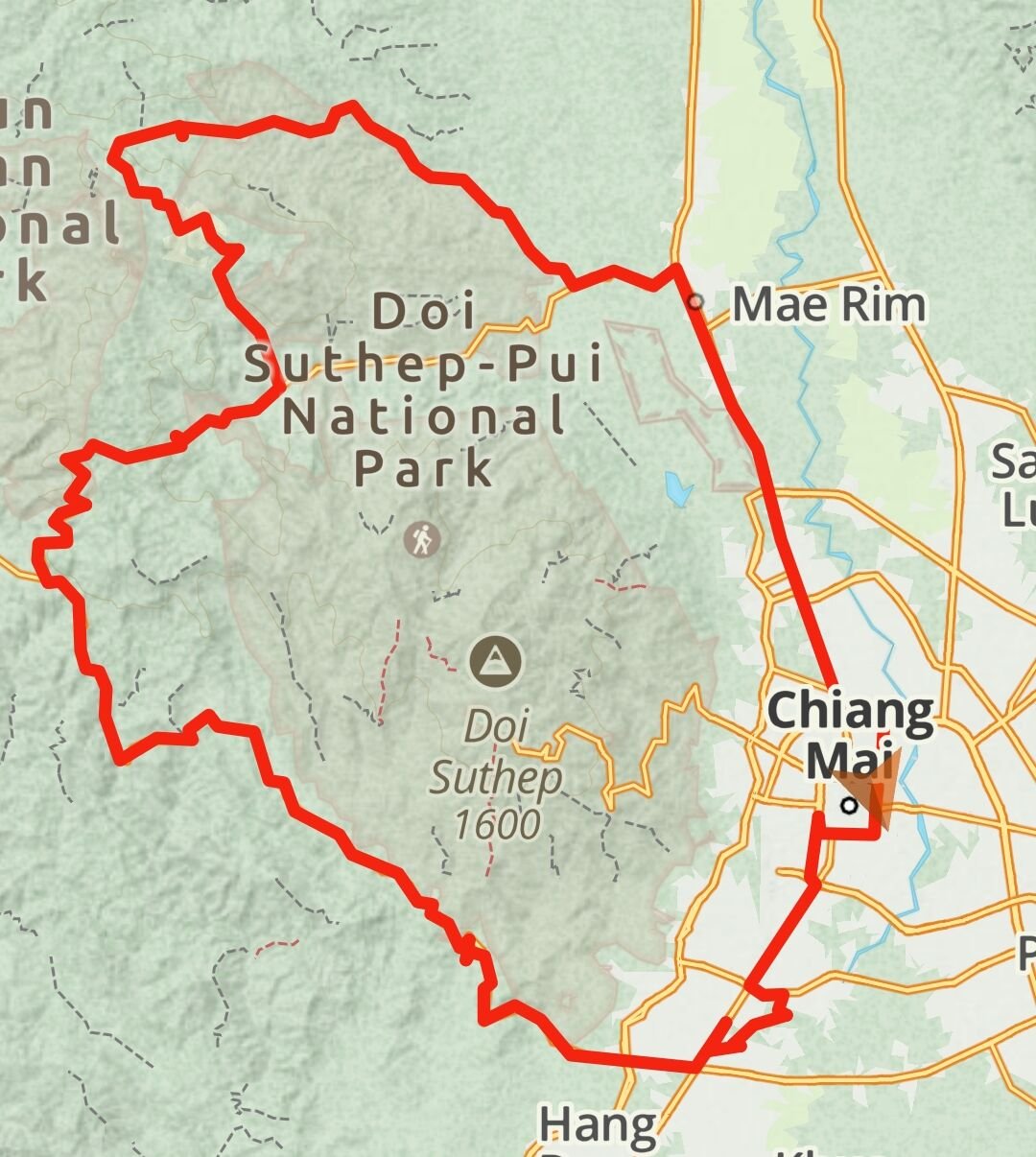
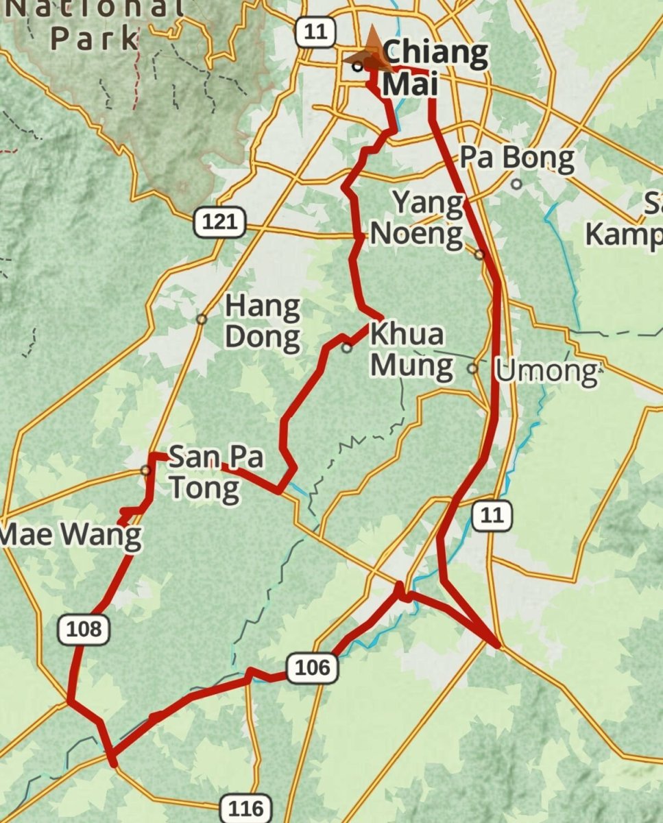
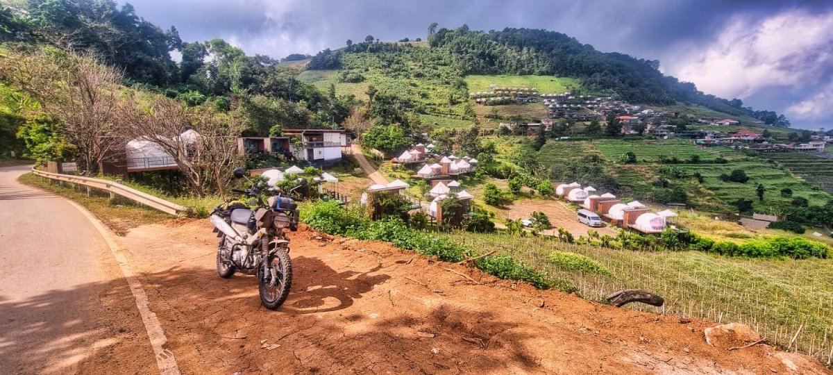
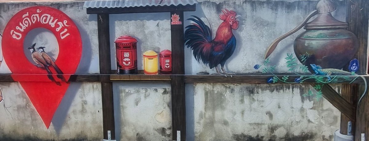
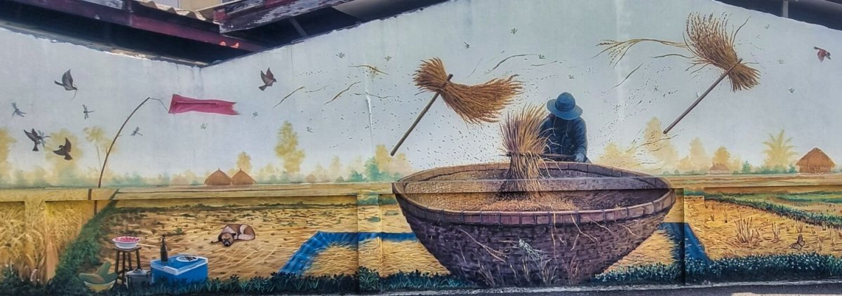
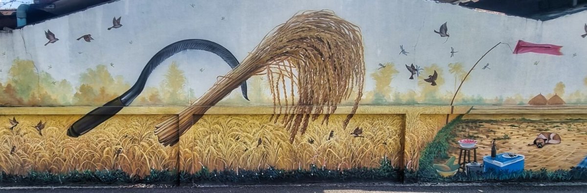
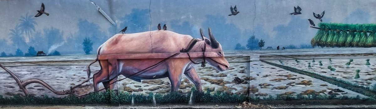
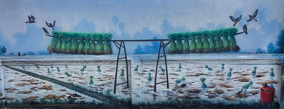
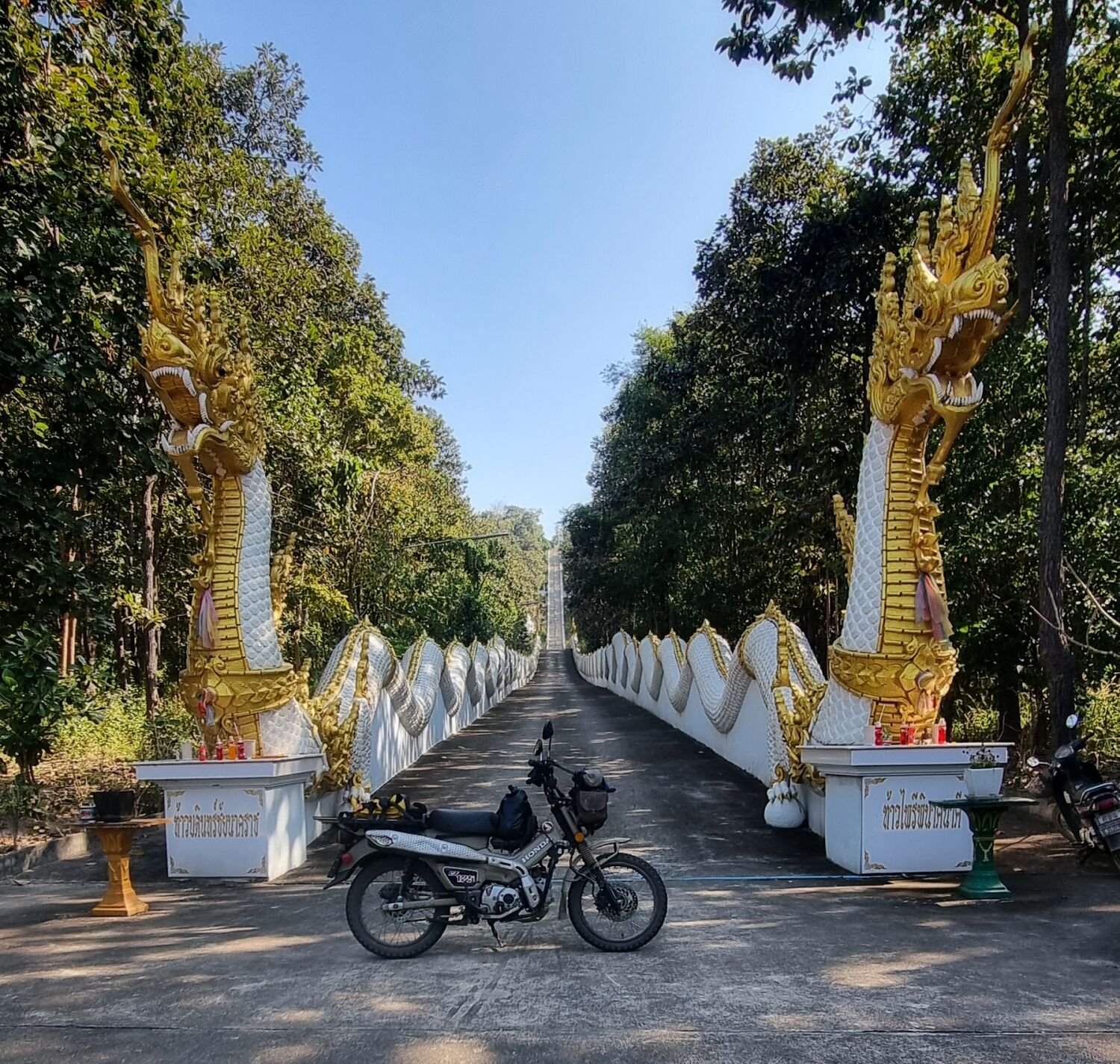
Today I rode a slightly enlarged Samoeng Loop, anti-clockwise. https://maps.app.goo.gl/nwtqGeFwbP6wJwcq7 Near the end I turned to go up a hill to Metal Castle, Phra That Si Mueang Pong. https://maps.app.goo.gl/psc1tTLNqXjWmBbW6 The road to the top was blocked with cars, so after taking some photos I rode to see some street art, here. https://maps.app.goo.gl/9rwfrDvsLAVU1d7k7 https://www.relive.cc/view/vQvyQWwENKv


-
Today I rode east of Chiang Mai to a new reservoir, Huai Sai, here. https://maps.app.goo.gl/PNzUm6Lz3oASnvT76 It’s a small reservoir and very overgrown. No far away is there is a reservoir with the same name that I managed to ride around to here. https://maps.app.goo.gl/96WH2zx8FE1x13NK8 From here I took back roads almost all the way back into the city. https://www.relive.cc/view/vdORE9jQNrv
-
Today, day 50 of my trip I left Chiang Mai riding south on the road that runs alongside the railway which is far nicer than R11. I then turned onto small country lanes following rivers and irrigation channel until I eventually arrived at Mae Thip Reservoir again, here. https://maps.app.goo.gl/FkfU9NYagJVeda6b9 I rode across the dam and into the jungle to see how far I could get. Just under two km was all due to the high water levels, but worth a look before returning. https://www.relive.cc/view/vXOdp7ZNQkO
-
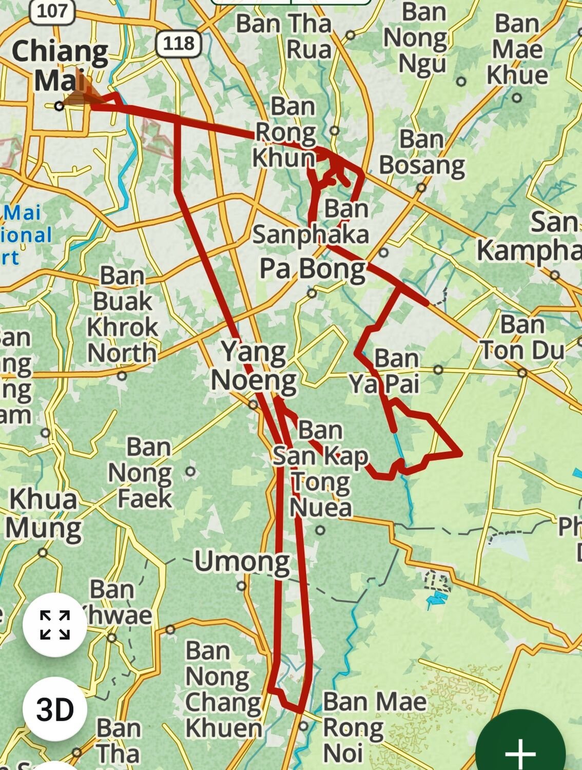
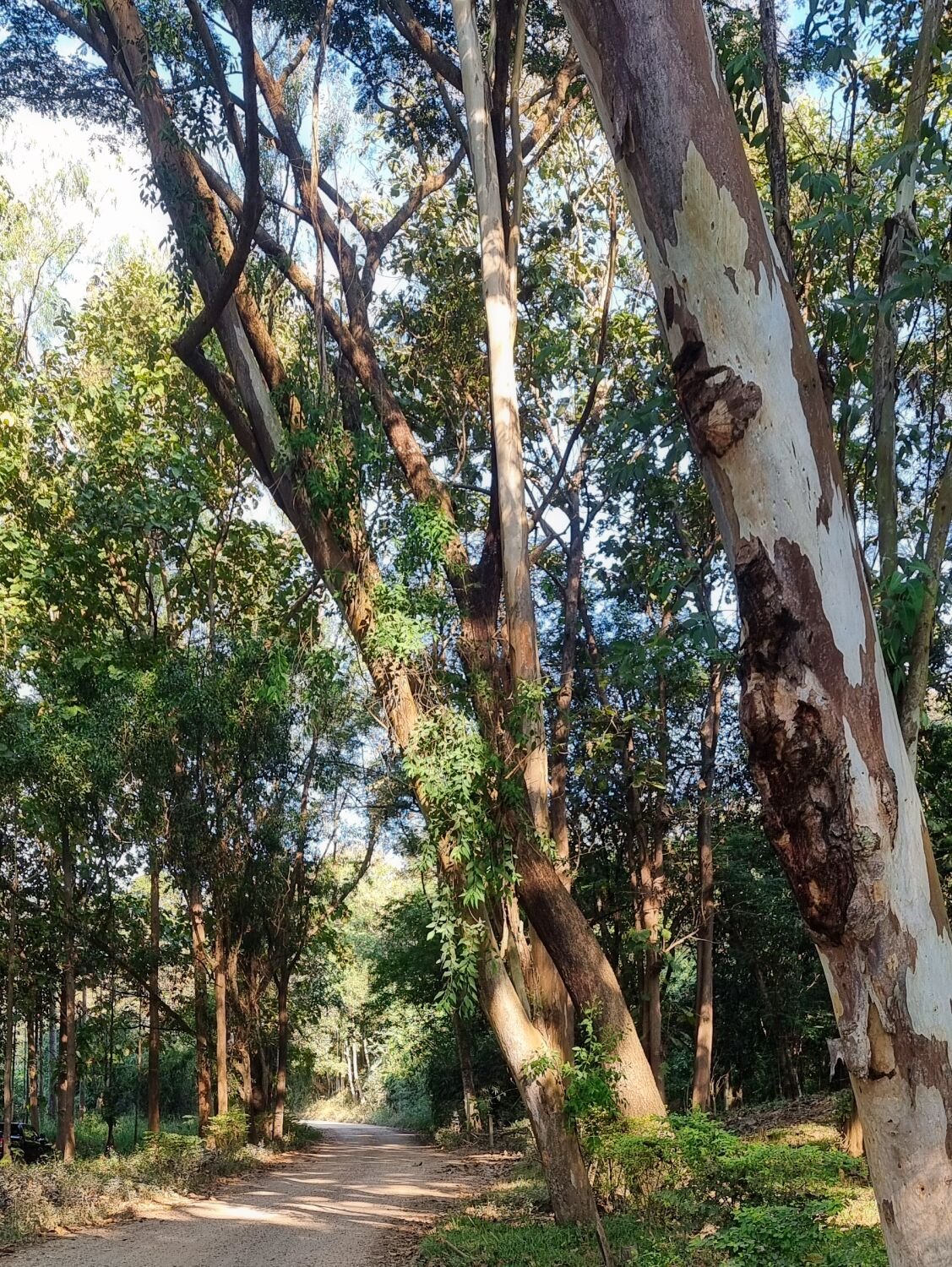
My ride today was mostly local to Chiang Mai, I went looking for rain trees I saw previously. On my way I found a small park with rain trees too, here. https://maps.app.goo.gl/pDSTNaomy2kB5iJQ8 From here I could see the original trees I was looking for, but I road around in circles for a long time until I found them. https://maps.app.goo.gl/KRkCoY2Uieo9Wpbe7 The view from these trees looks back over Chiang Mai to Doi Suthep. I then rode to a bridge over Mae Kuang River, here. https://maps.app.goo.gl/mA5mzadgUo9oksm19 I then rode farmers tracks in the area before returning. https://www.relive.cc/view/vr63gNj5n86

-
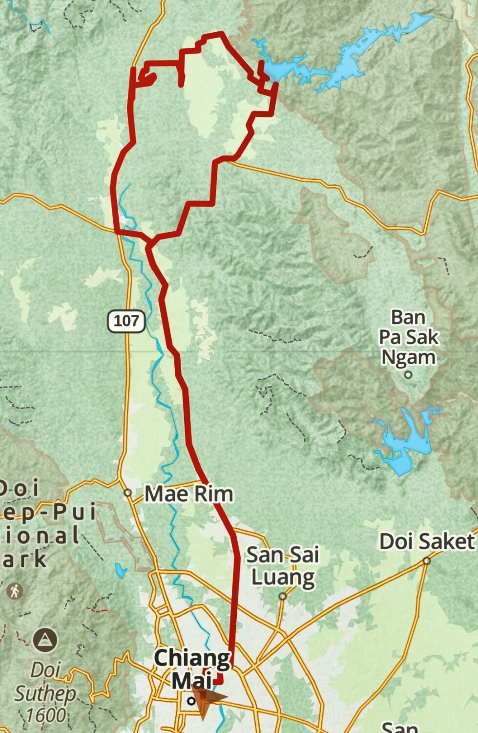
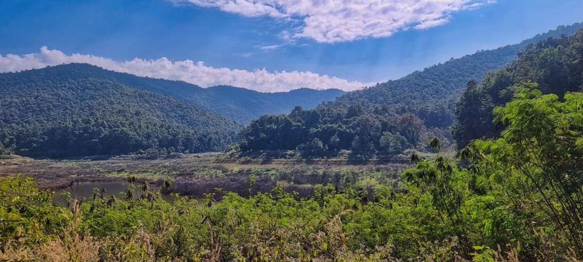
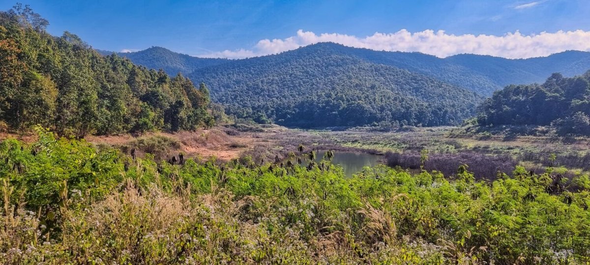
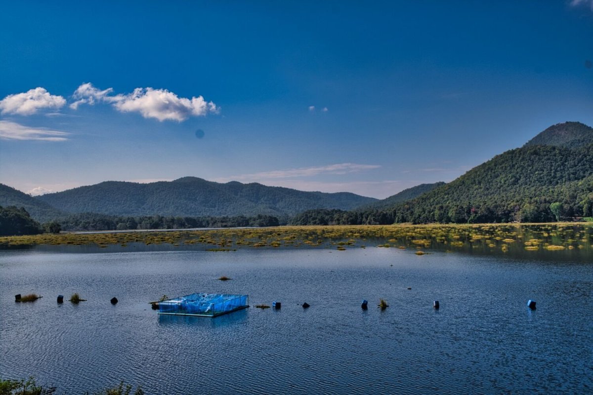
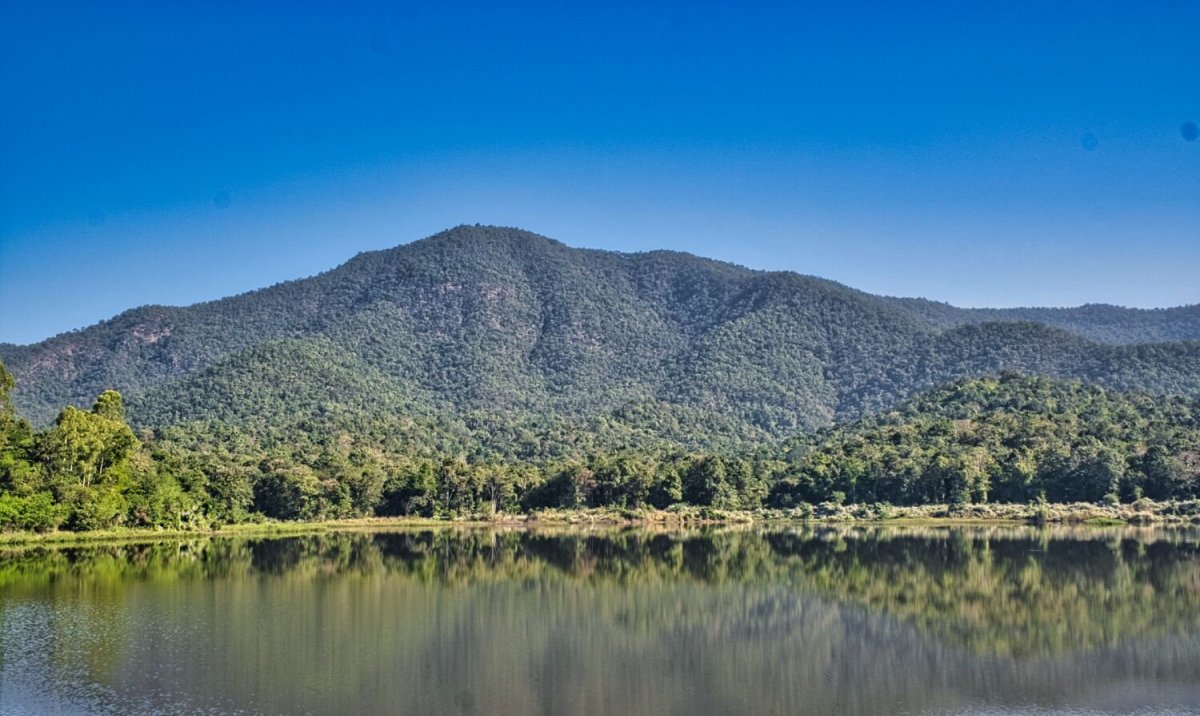
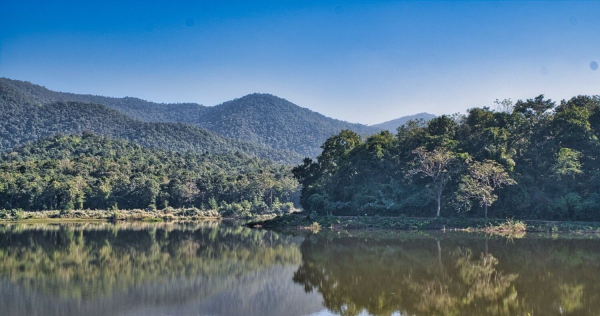
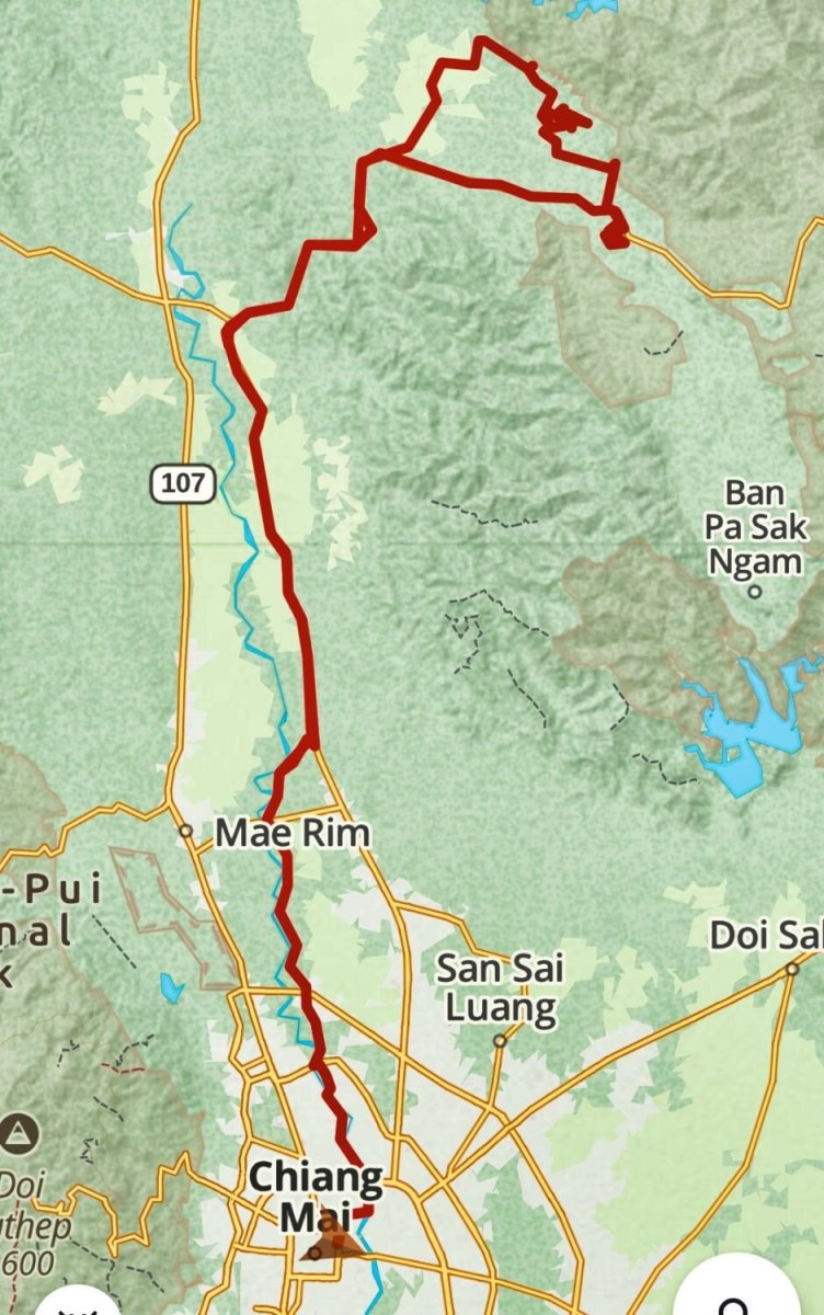
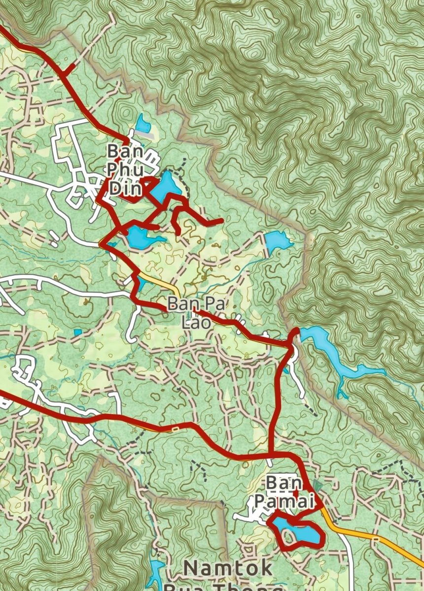
Today I continued finding and exploring reservoirs north of Chiang Mai. My first attempt failed as the track in is closed for construction with a barrier and a guard. Maye in three months it will be open. https://maps.app.goo.gl/oqPjJ1EDufNMaw4h7 I then rode to the following reservoirs, Huai Kang, here. https://maps.app.goo.gl/kScV3WmG8WmcZtFT9 Huai Kuk Reservoir, here. https://maps.app.goo.gl/rT7DBAypJceFJBAC6 Pong Sai Reservoir, here. https://maps.app.goo.gl/yonSHSvSV12i5FDV7 At Huai Mae Prachum Reservoir I rode up the stoney track to the top of the dam, but there was no water at all in the reservoir. https://maps.app.goo.gl/12qGgSruFzcN2jCo6 Last was Ping Reservoir, here. https://maps.app.goo.gl/erjrUYhWnL9YRmz67 https://www.relive.cc/view/vQvxQGxNjBO
-
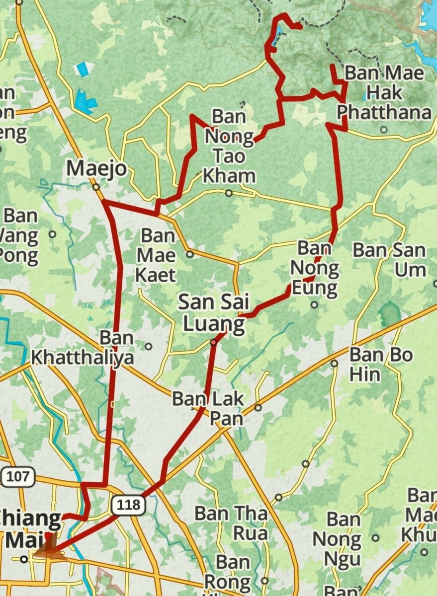
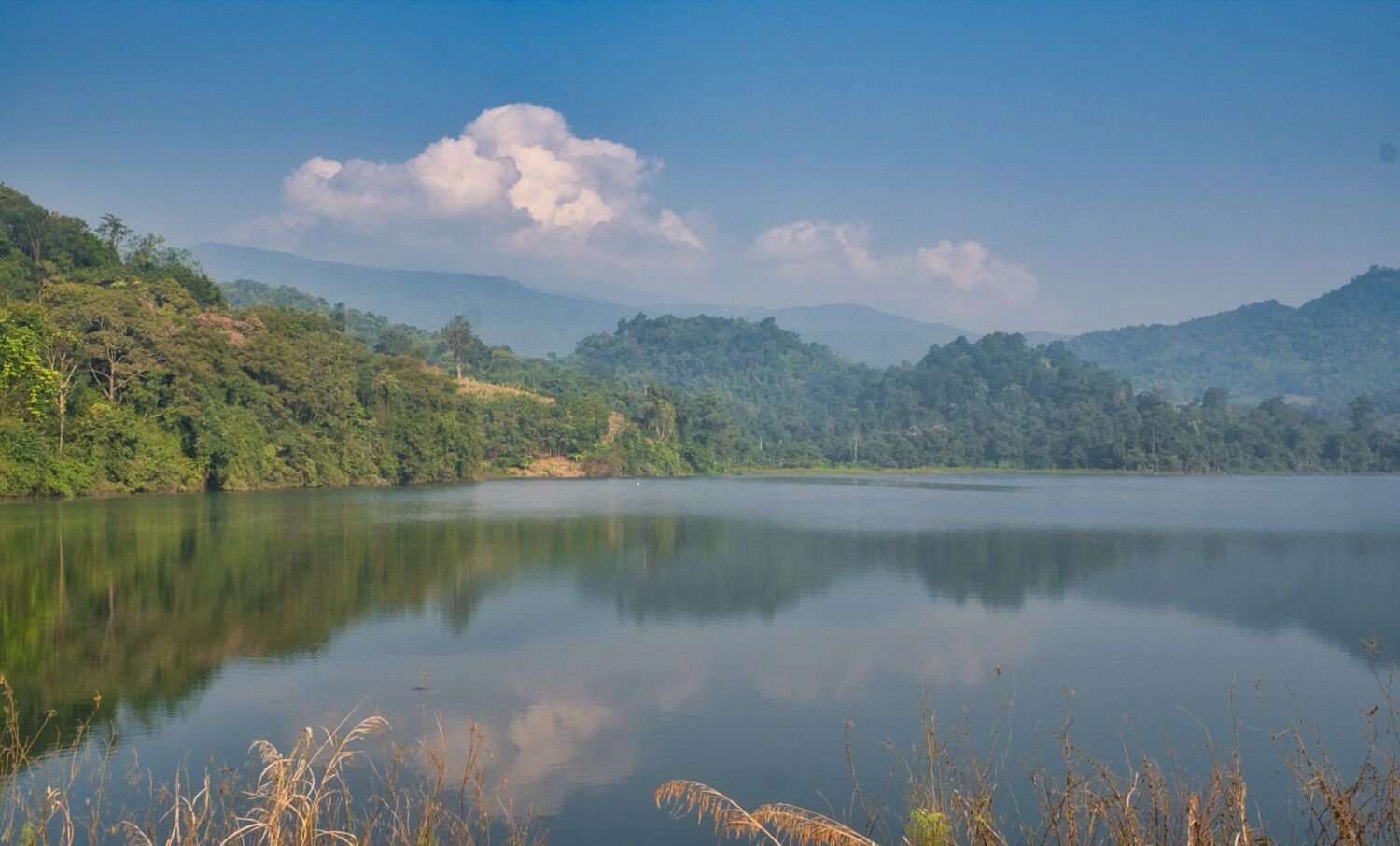
Today, day 47 of my trip I rode north from Chiang Mai with my first stop at Huai Bong Reservoir, here. https://maps.app.goo.gl/2uzPRpqpZPSNQnzt9 From here I went to Maengat Somboon Chon Dam, here. https://maps.app.goo.gl/5qDd1r9oUdJHweyf6 Then to a viewpoint at the other end of the dam, here. https://maps.app.goo.gl/GKGsuEpR6EenGN566 https://www.relive.cc/view/vWqBZLA3PYq


-
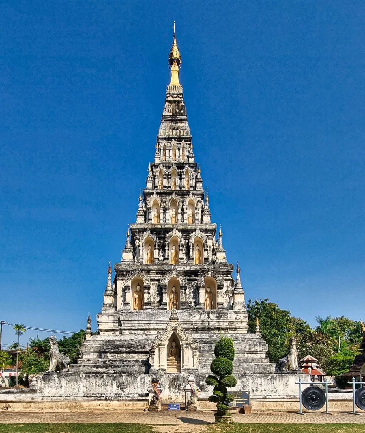
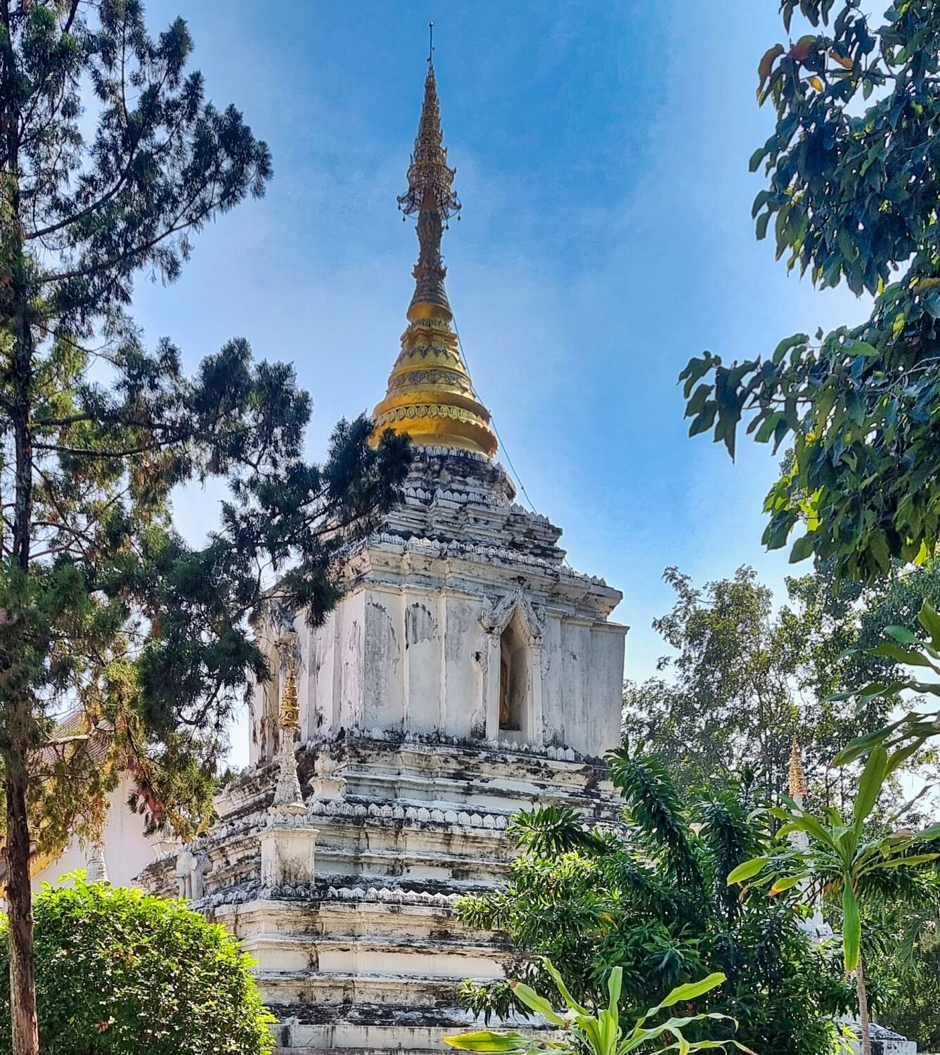
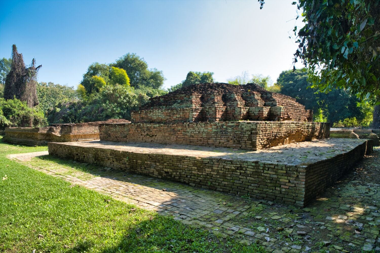
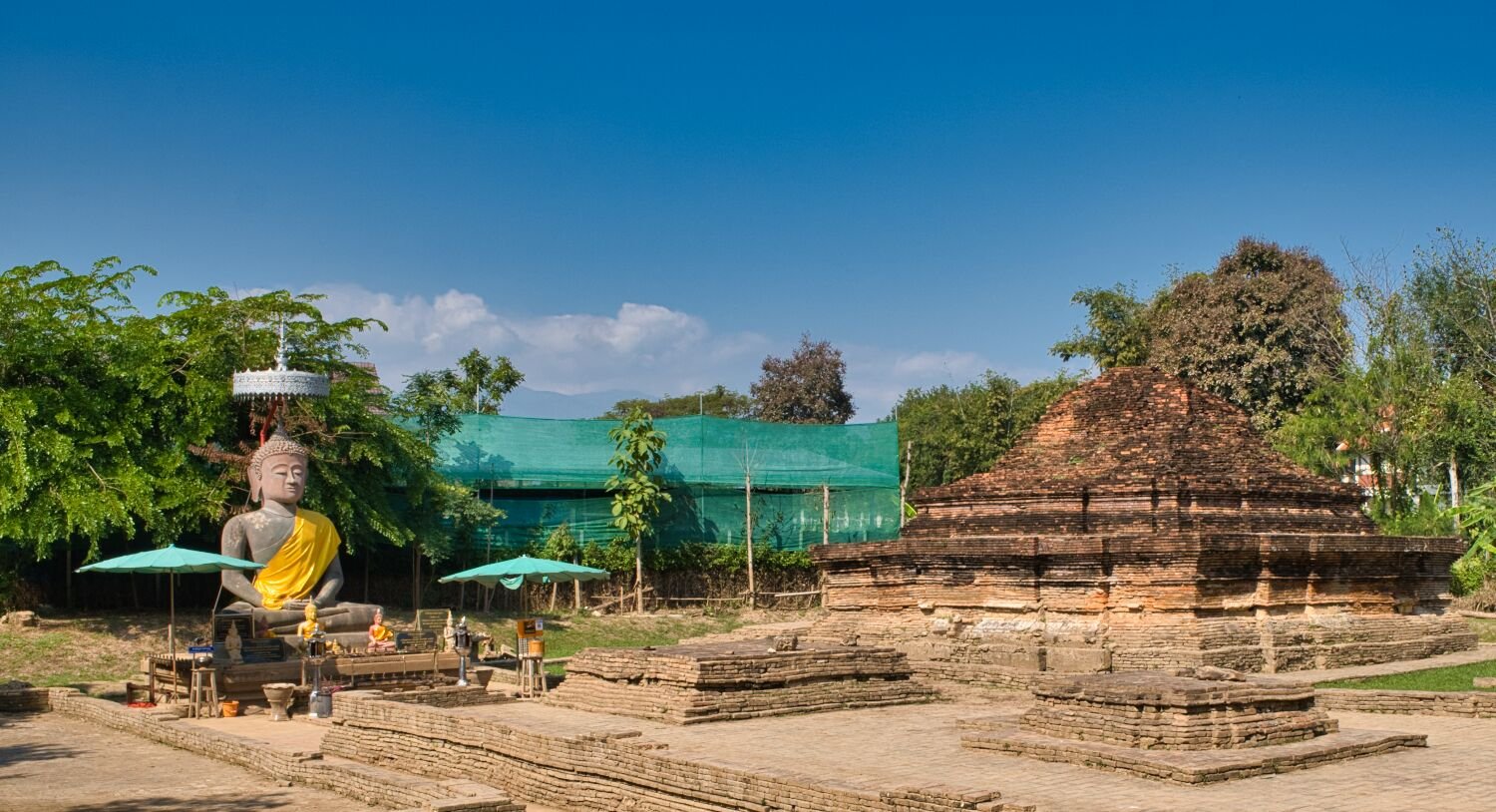
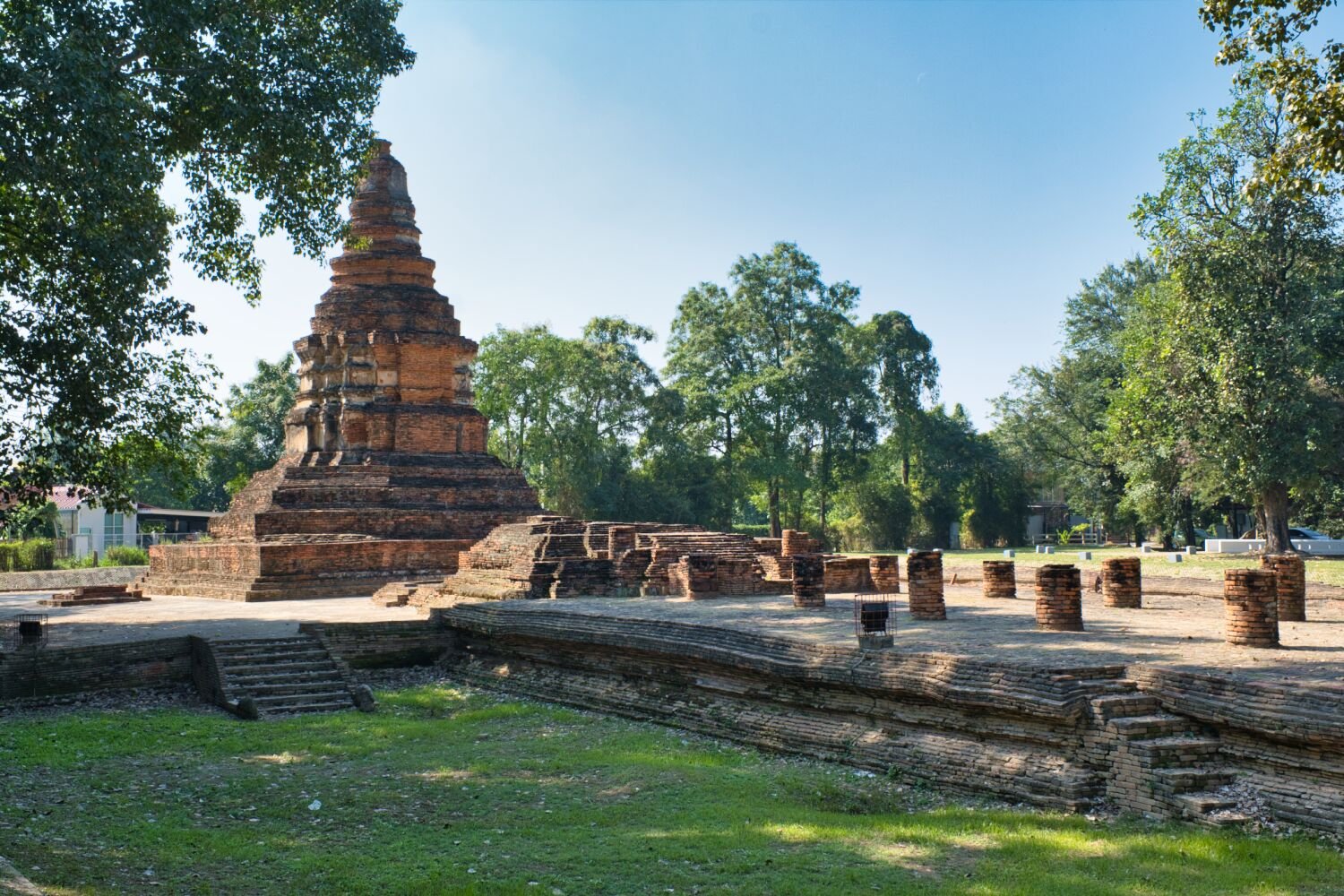
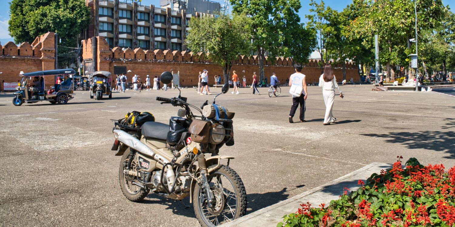
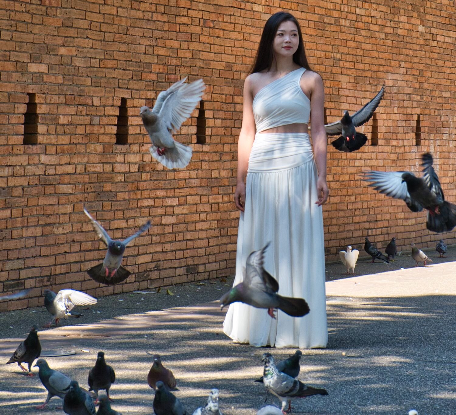
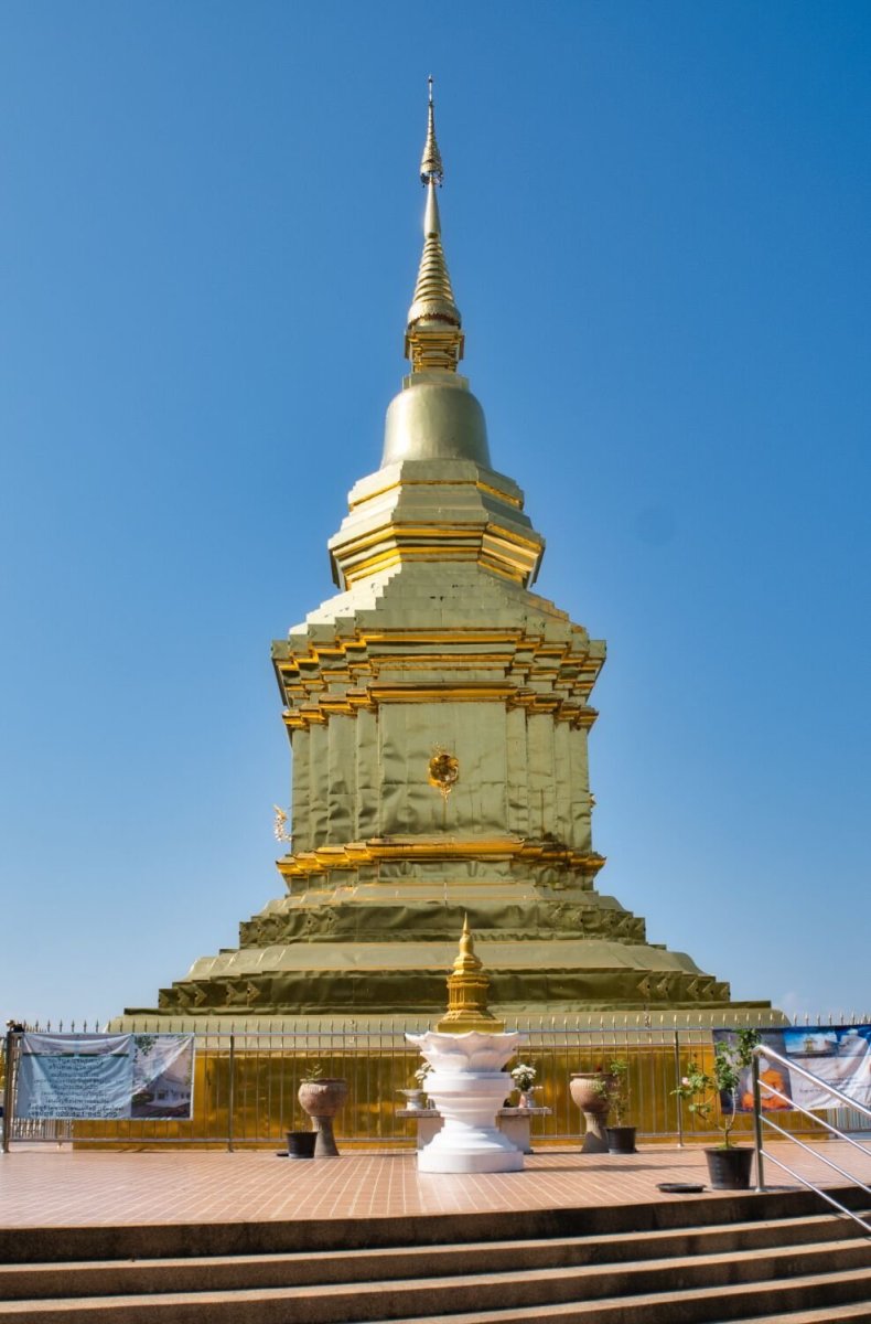
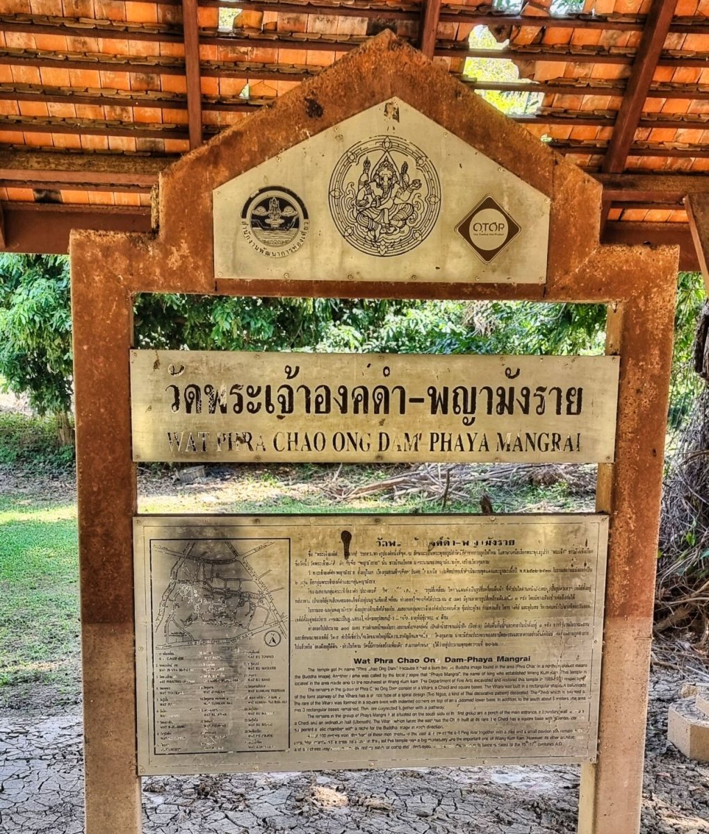
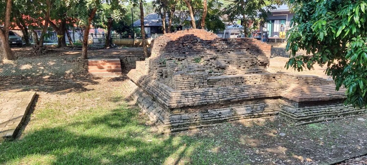
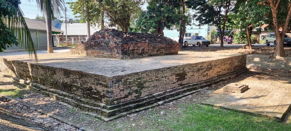
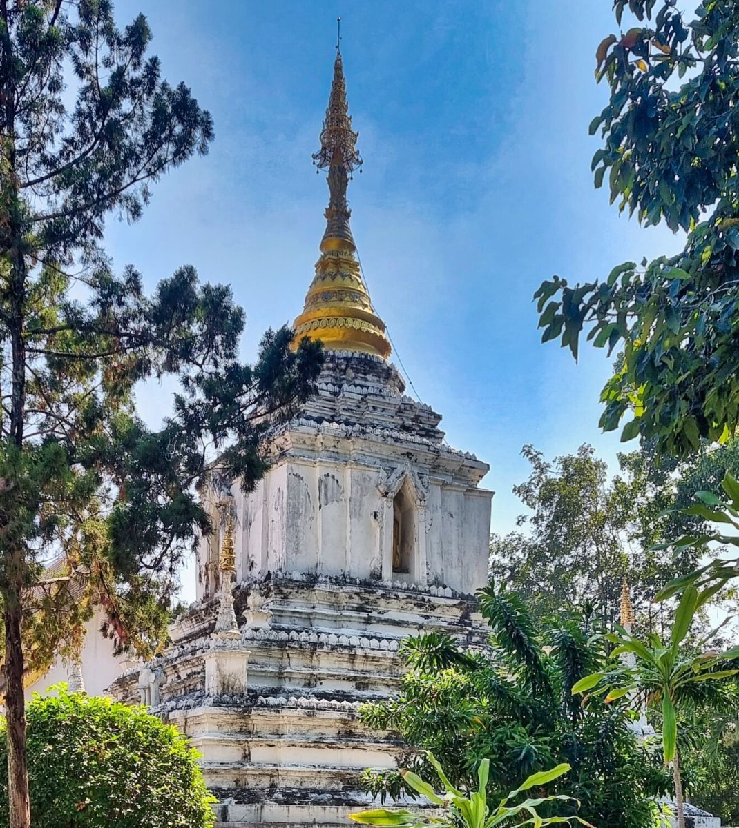
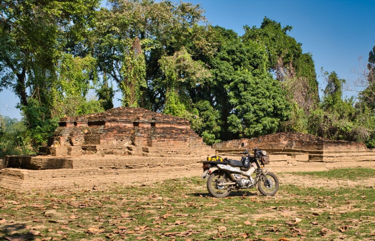
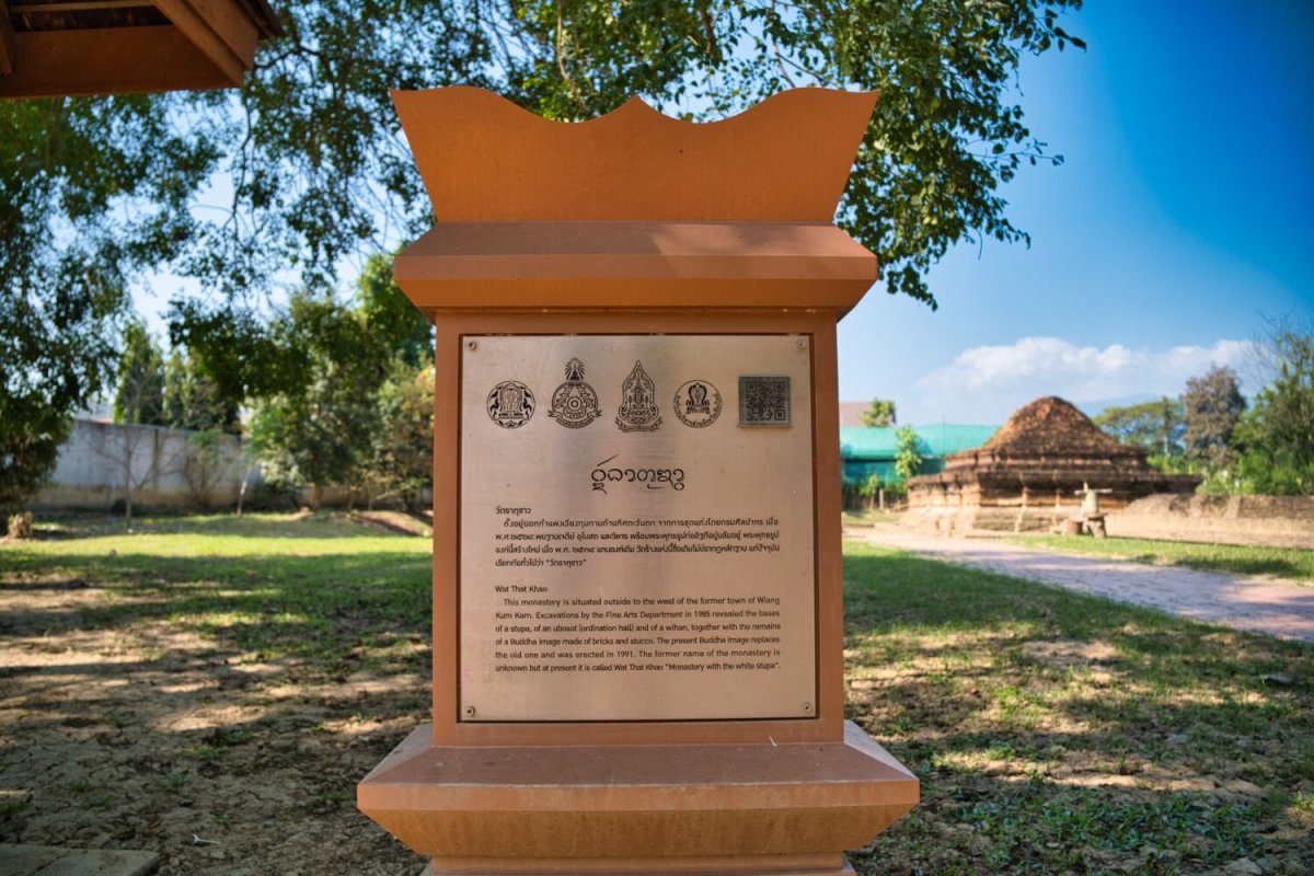
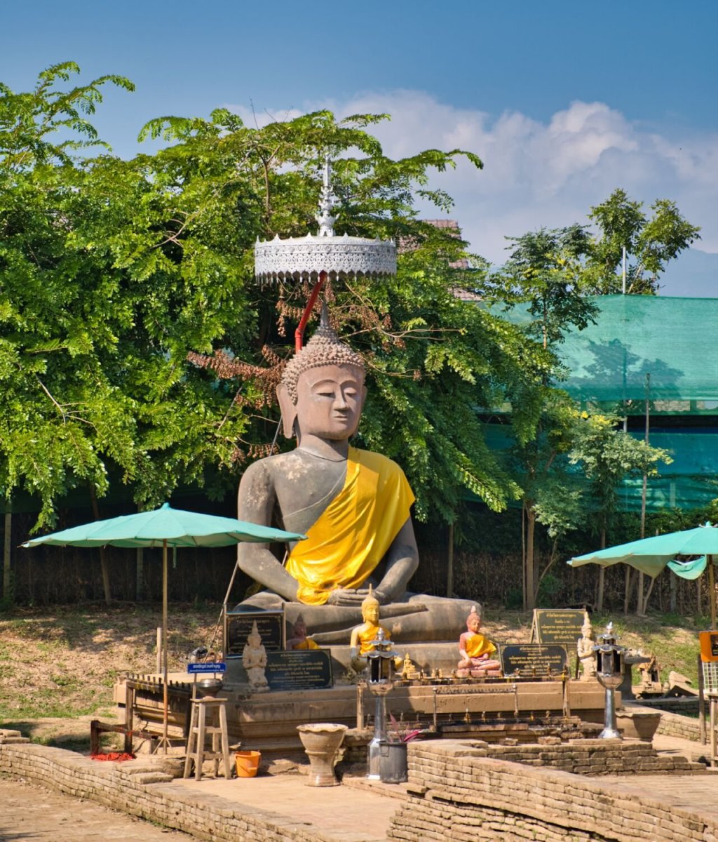
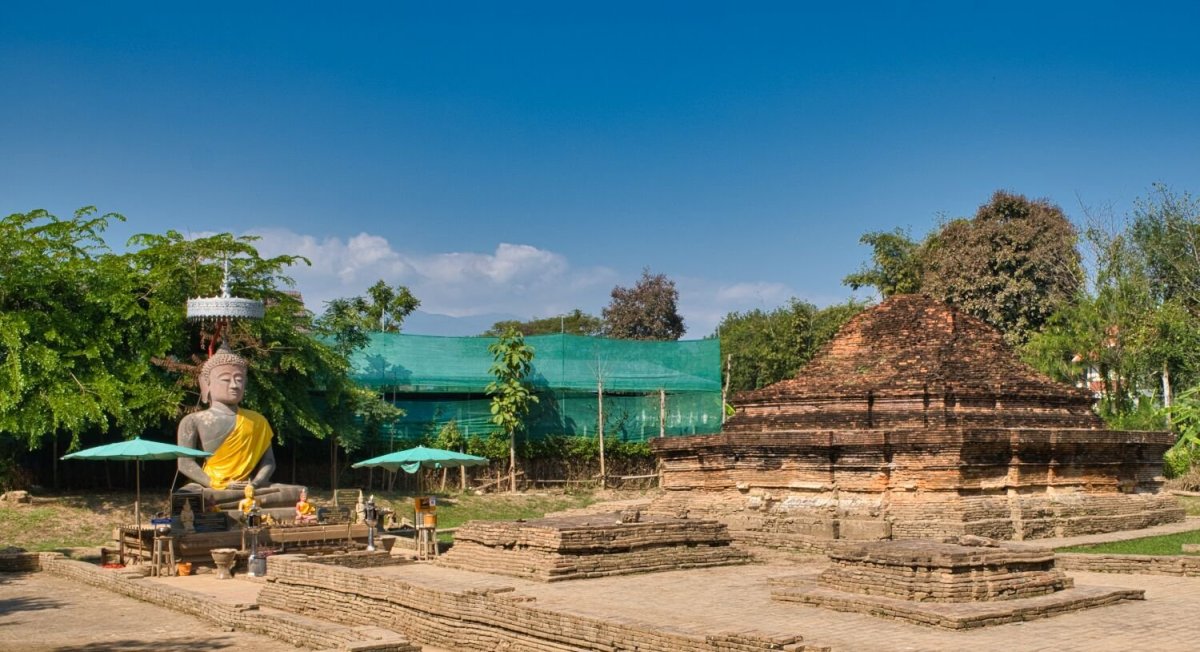
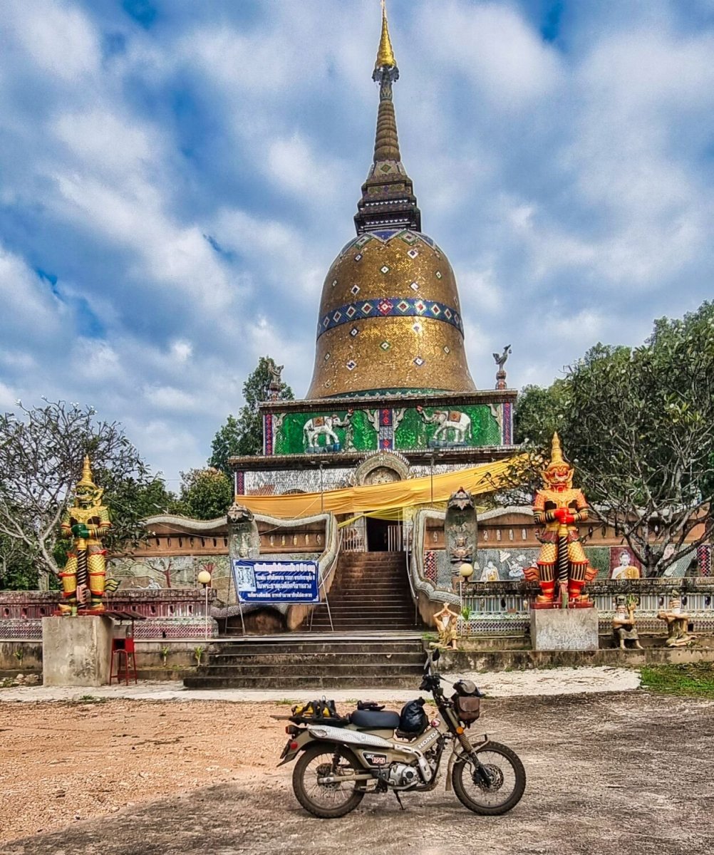
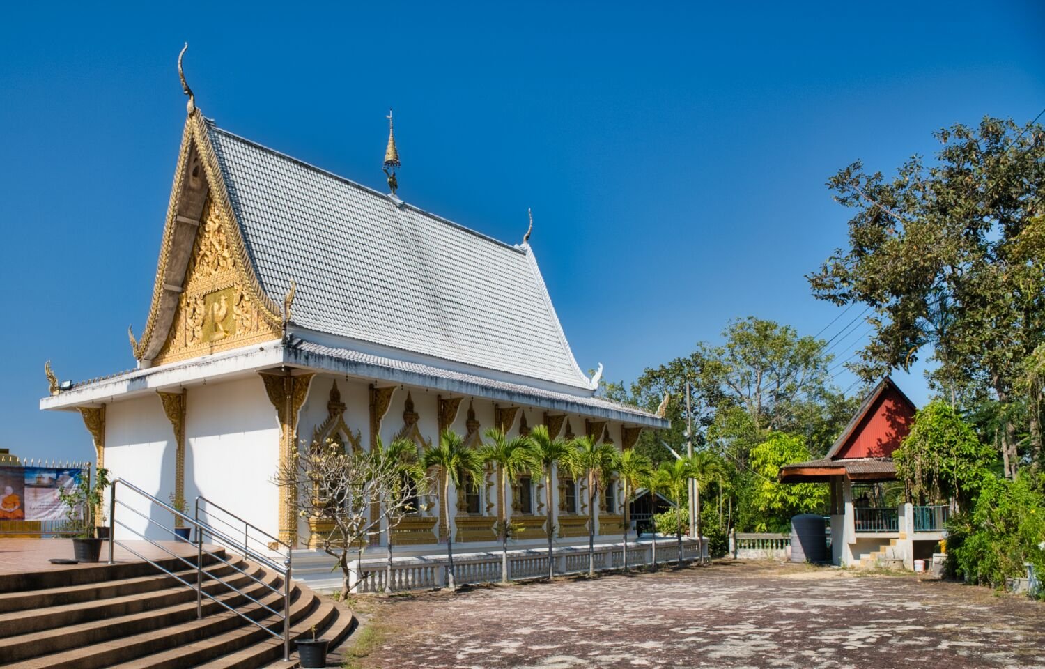
Christmas day and I decided to stay local to the city and headed for the Ancient City of Wiang Kum Kam area. My first stop was Wat Phaya Mangrai, here. https://maps.app.goo.gl/aXPxJcBSLTFeqd1Q9 Right beside it was Wat Phra Chao Ong Dam, here. https://maps.app.goo.gl/J6yHPwQ9o8PdaWSQ7 Next was Wat Chedi Liam, here. https://maps.app.goo.gl/oAaZeAA17ZmkvSeKA Next was Wat That Noi, here. https://maps.app.goo.gl/Ht6UTr82nPQDhV8t7 Wat That Khao, here. https://maps.app.goo.gl/wAJWFaX2eah42c8h9 https://maps.app.goo.gl/tKixeR3fZPQuskF5A I then rode to Tha Pae Gate. https://maps.app.goo.gl/tKixeR3fZPQuskF5A https://www.relive.cc/view/v7O92nADgL6


-
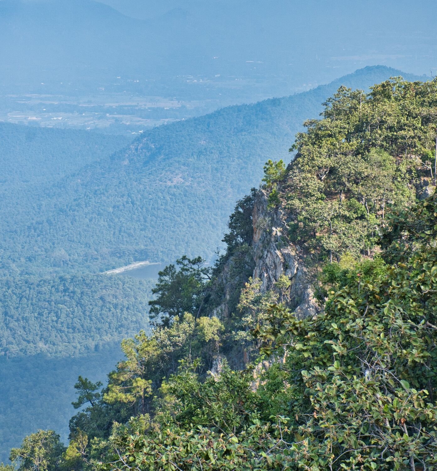
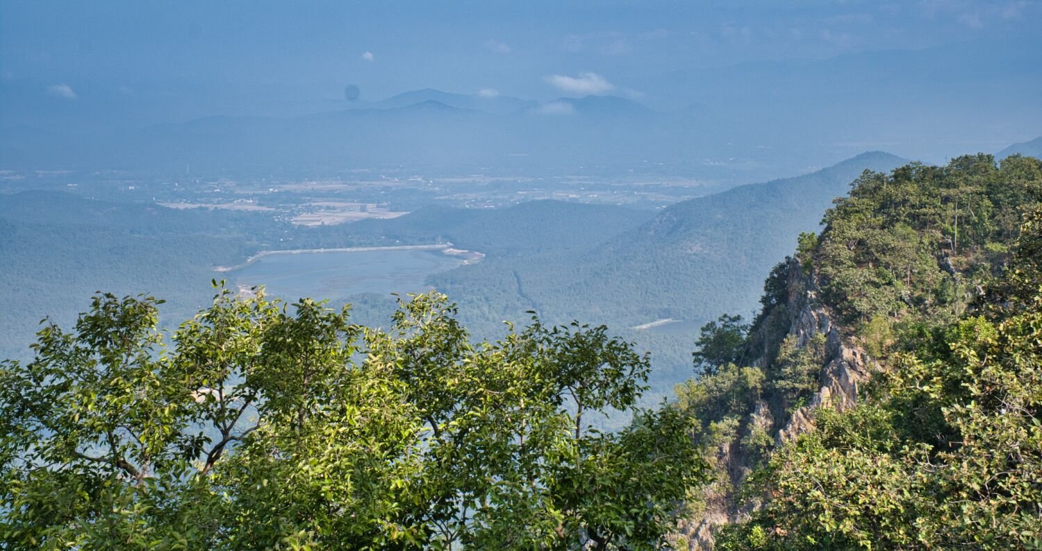
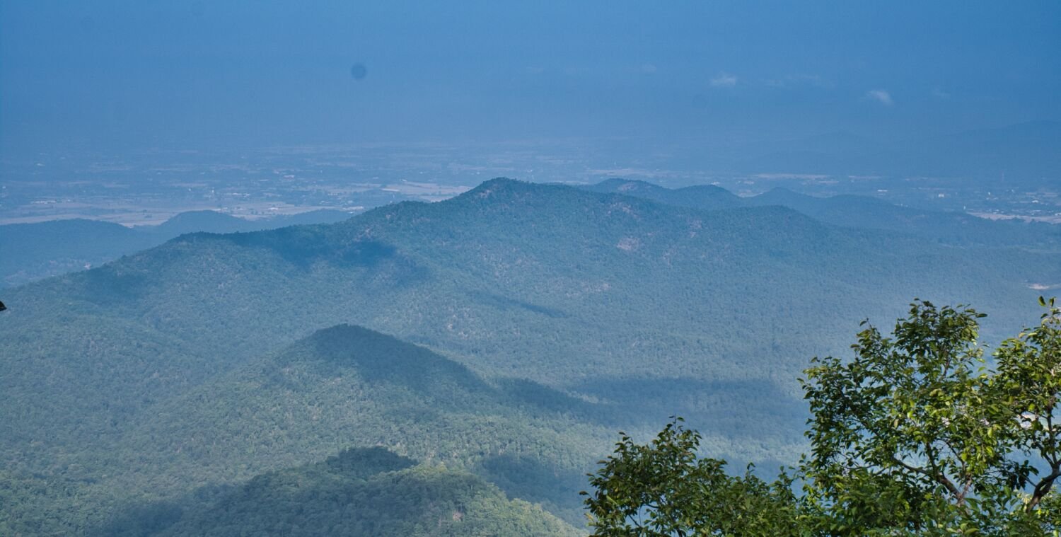
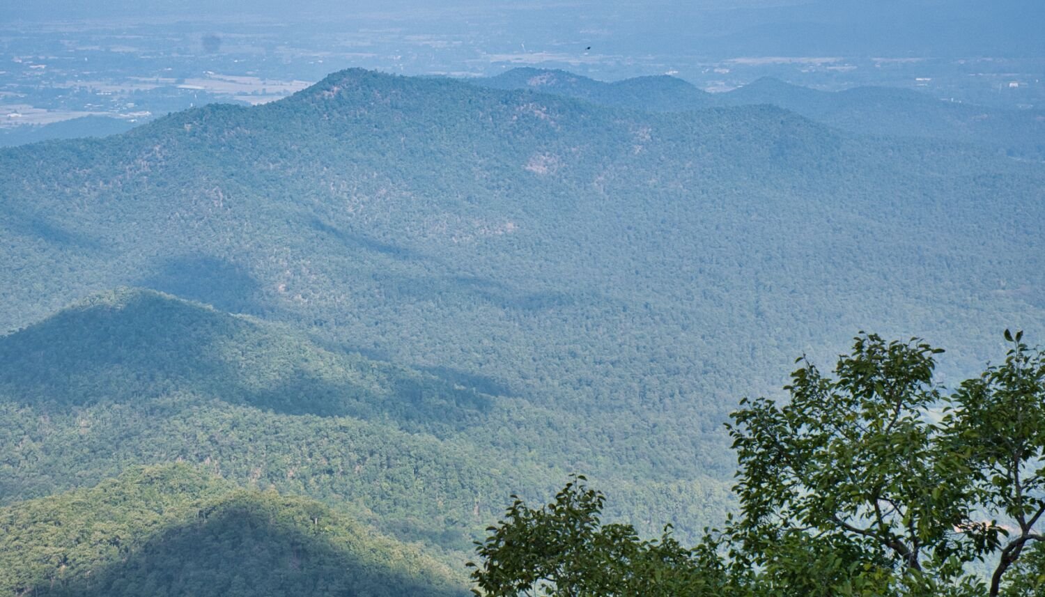
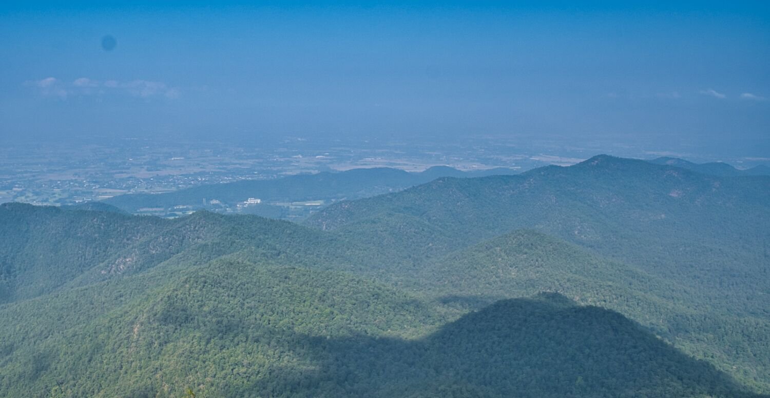
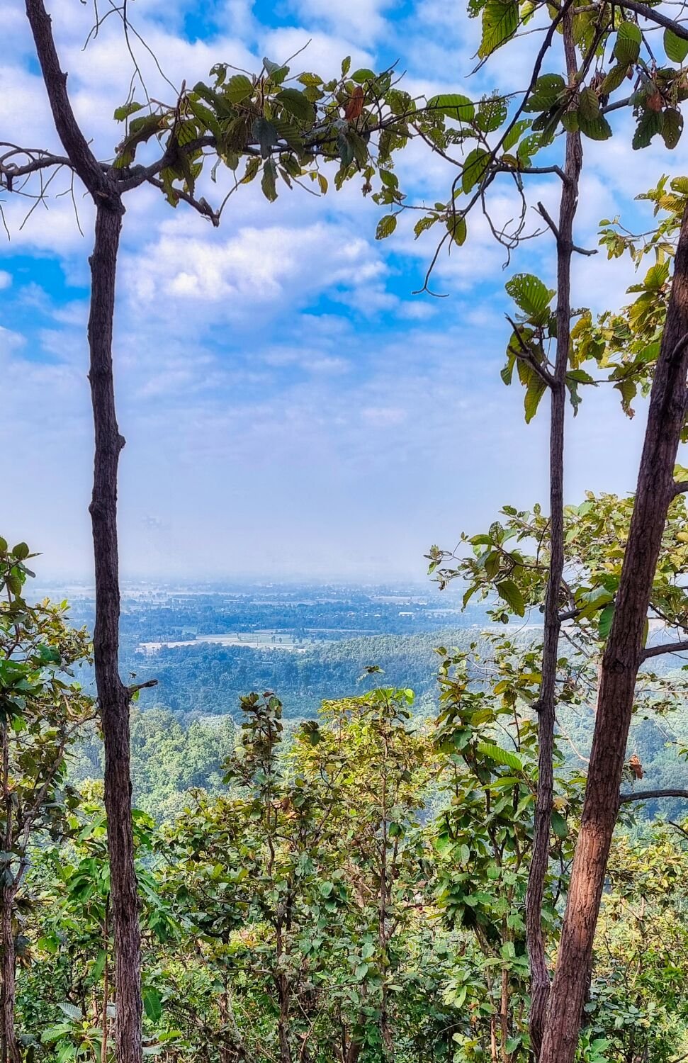
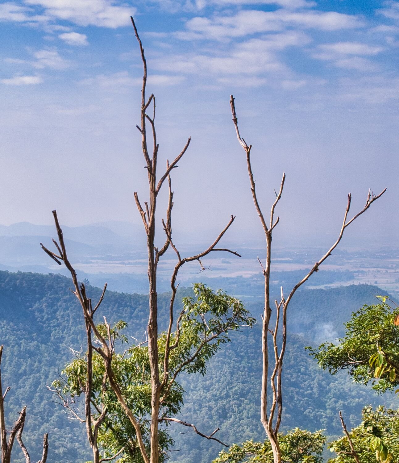
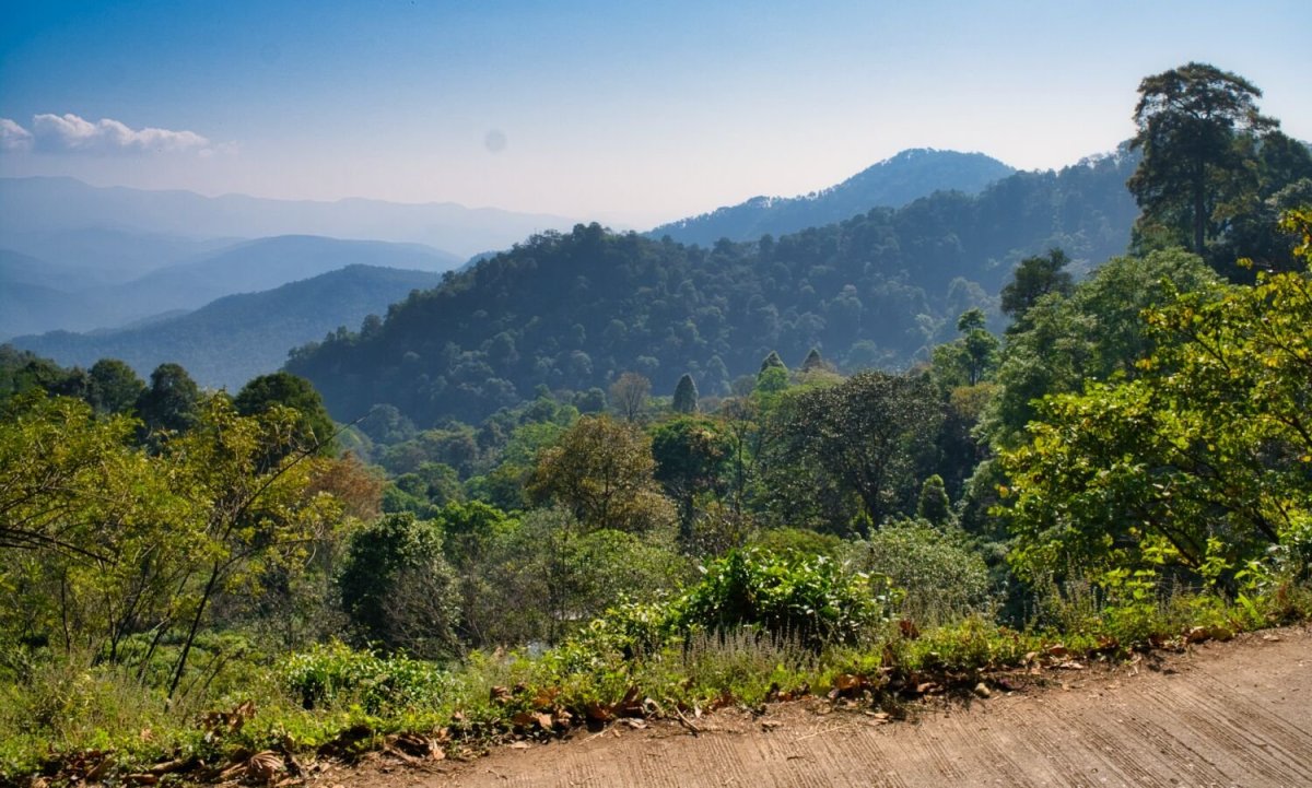
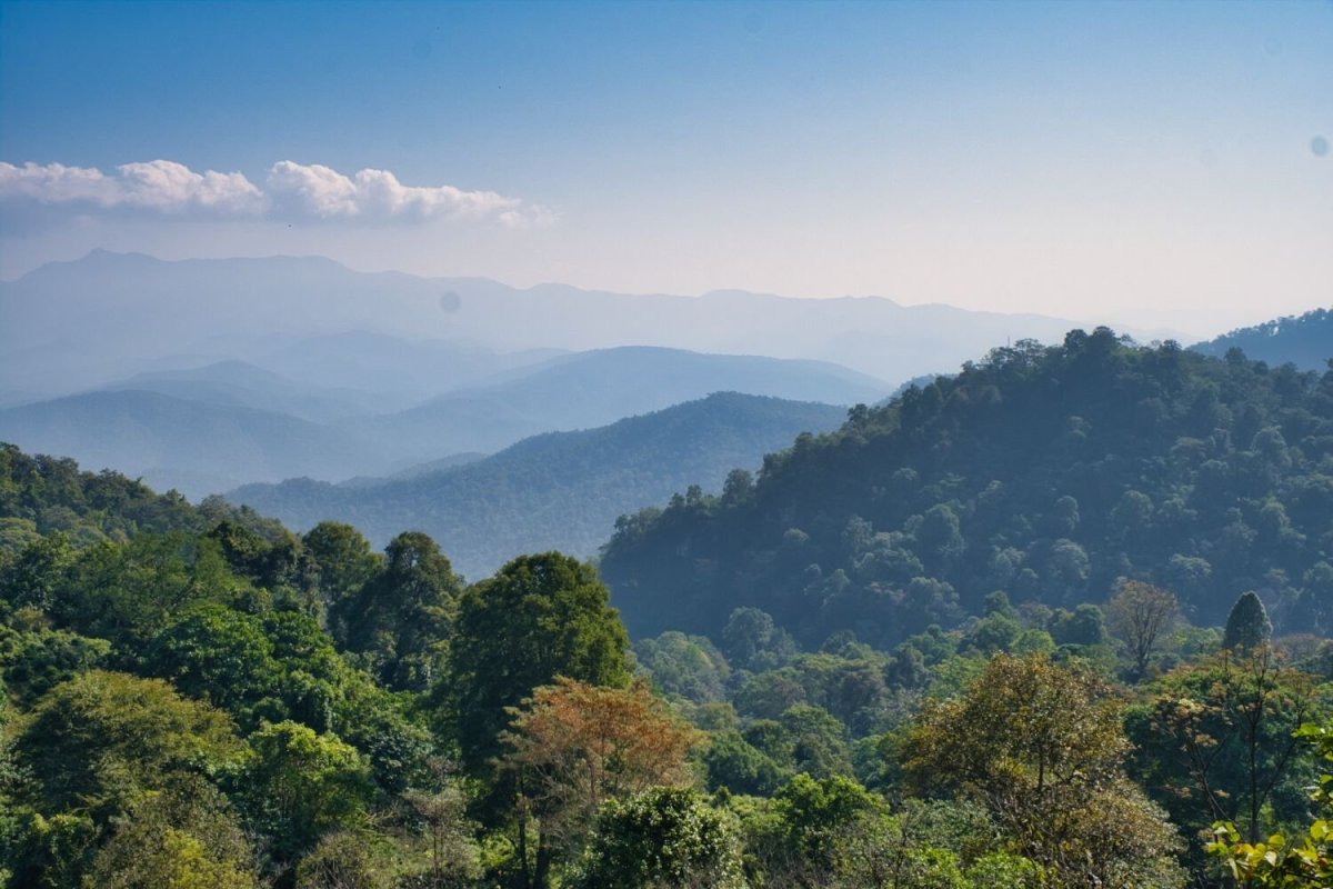
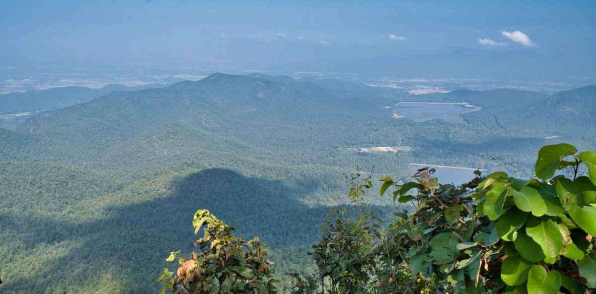
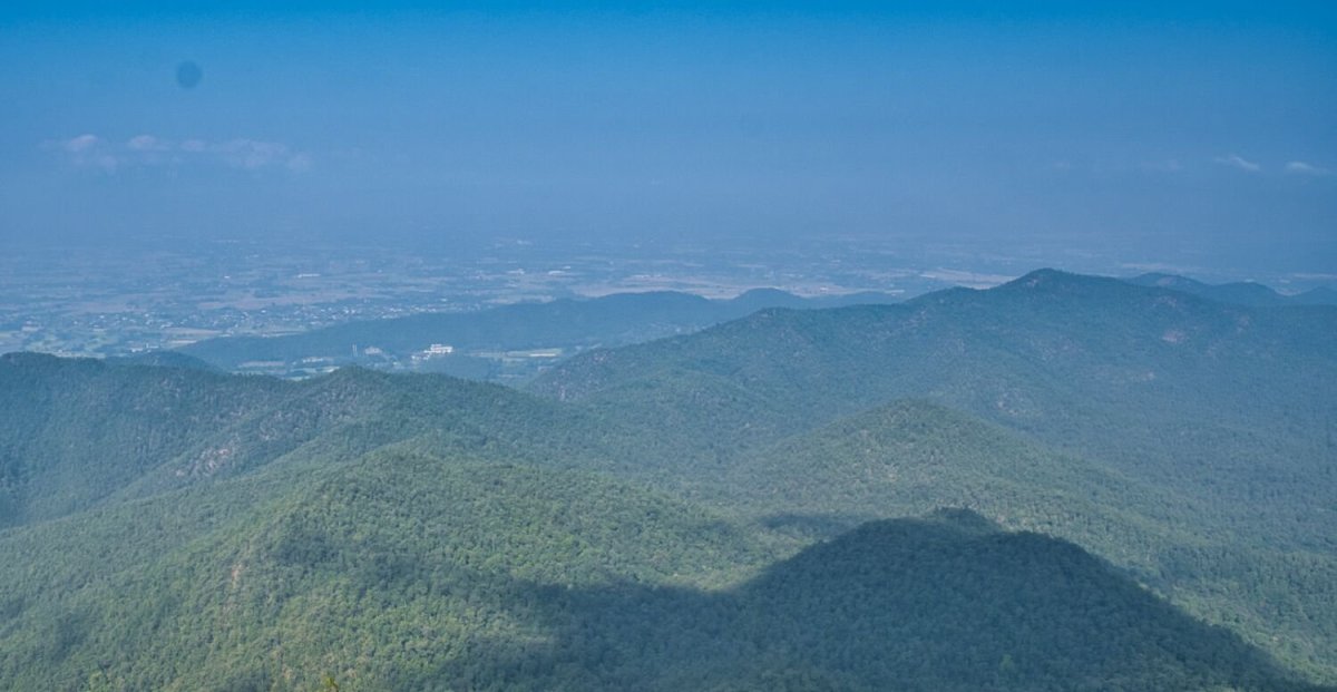
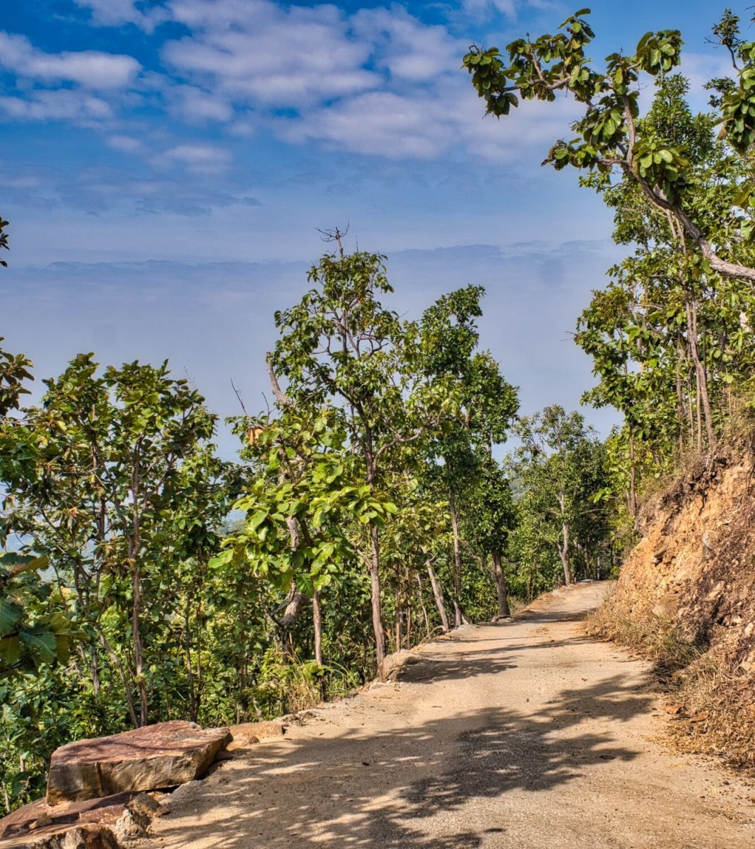
Today I decided to ride back to Doi Ngom and walk to the top where the CT125 can’t go. https://maps.app.goo.gl/krDLfzxZvW7yebgR6 I rode to about one and a half km from the top about a 45-minute walk up. Walking down took longer due to my battered knees. The views were too hazy with air pollution I presume, but it was worth the walk up. https://www.relive.cc/view/vdORE5B29rv


-
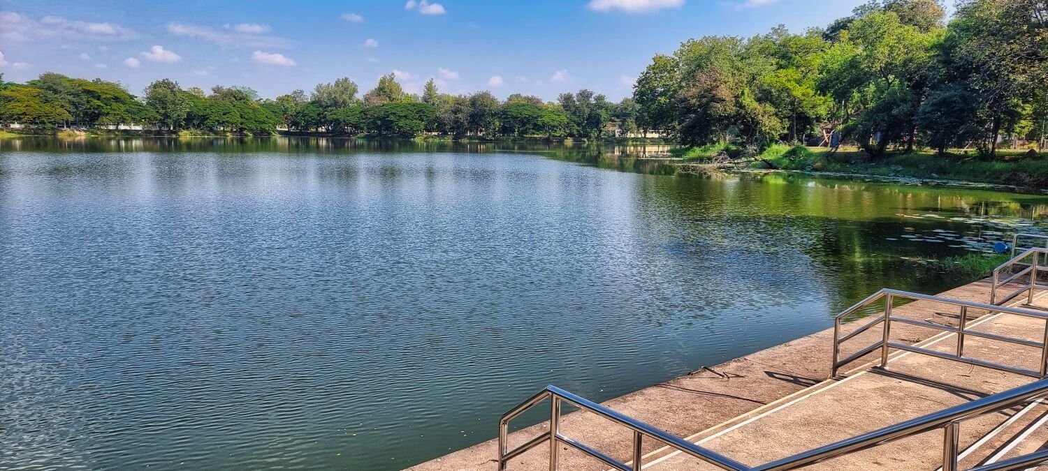
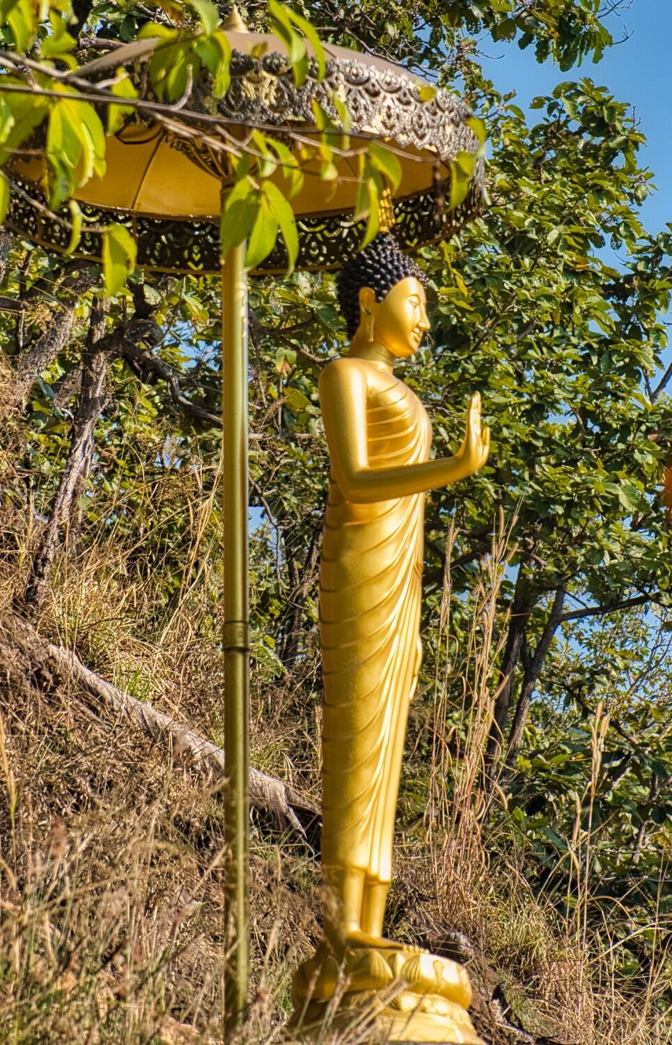
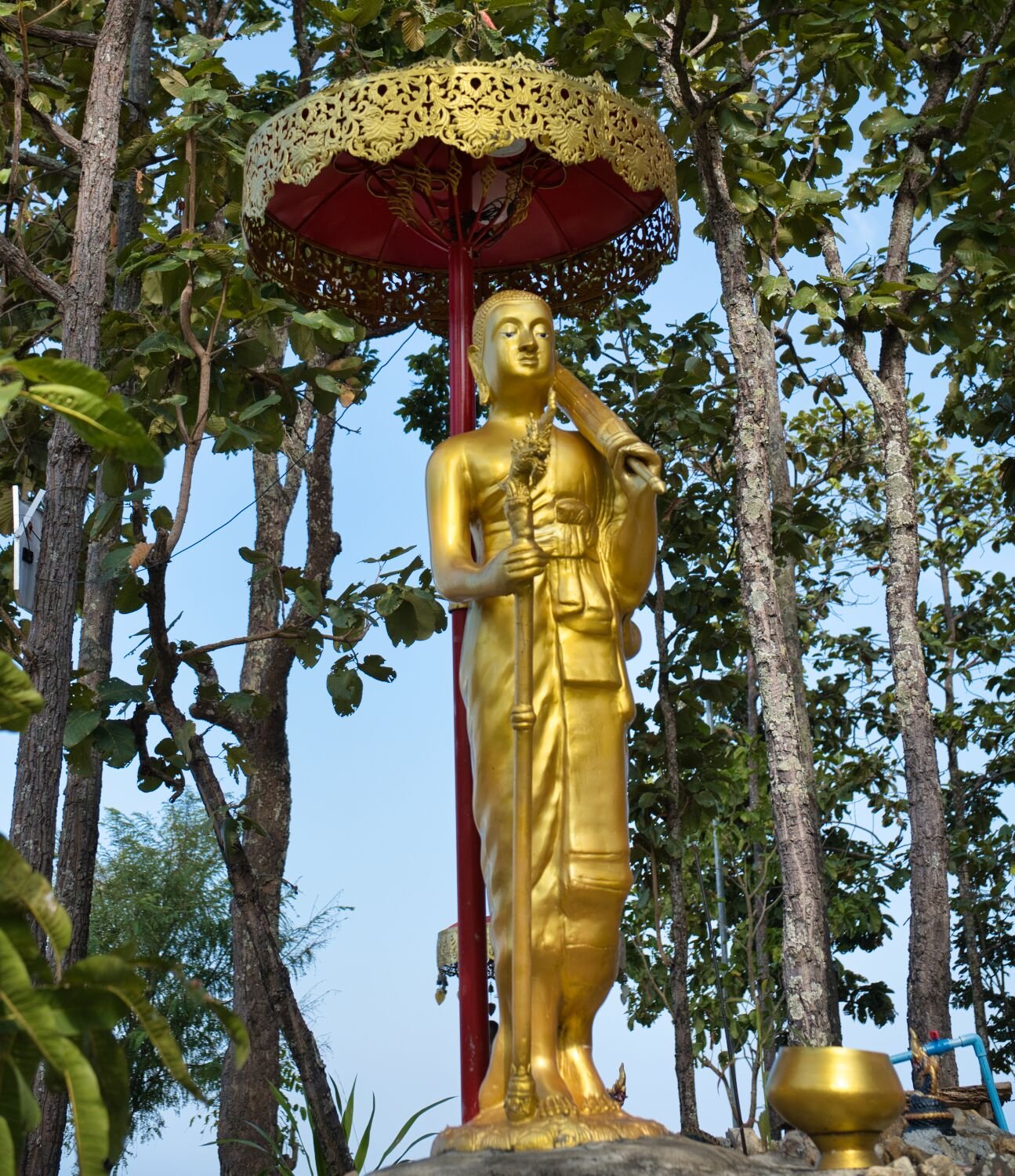
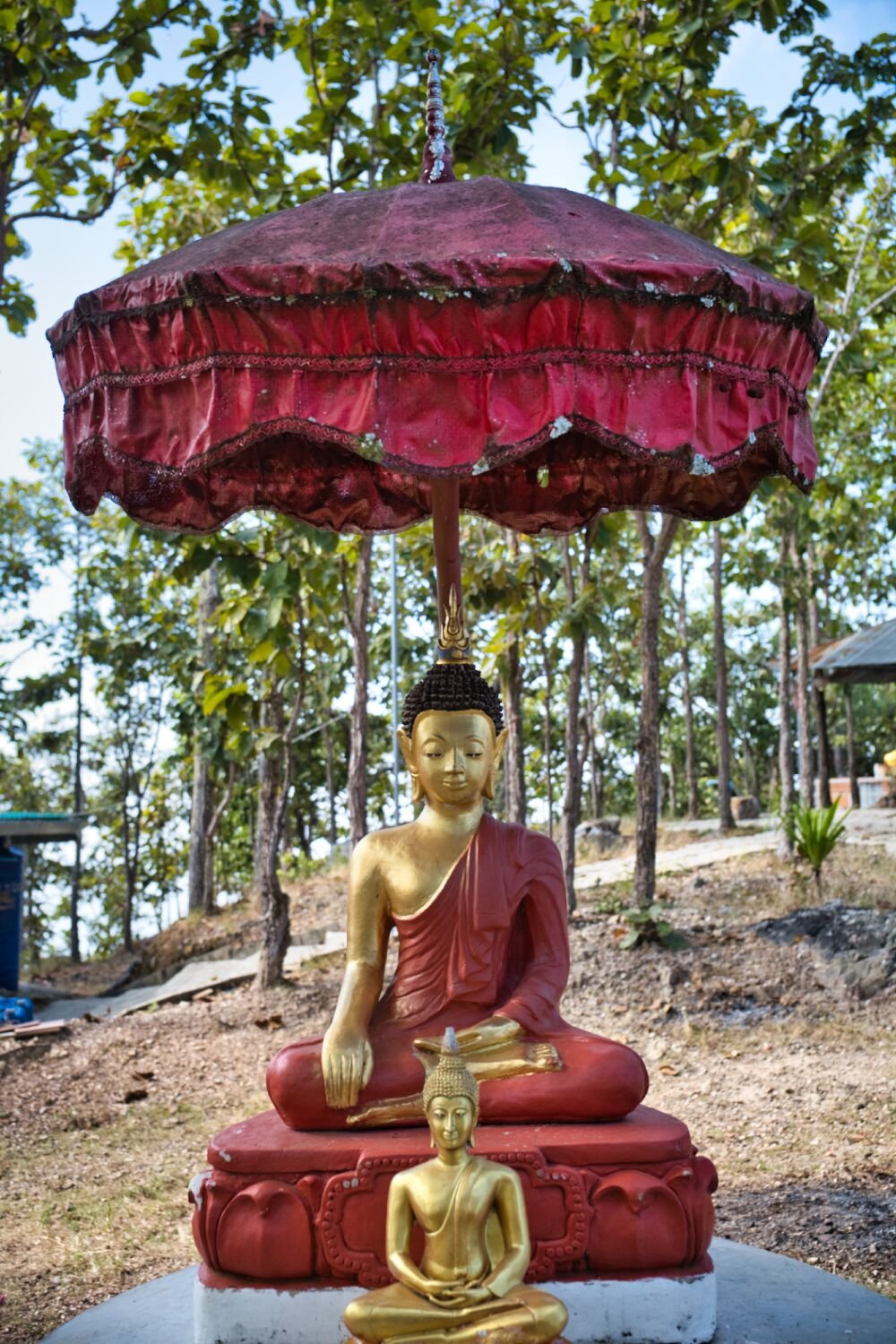
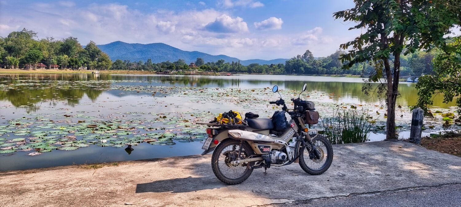
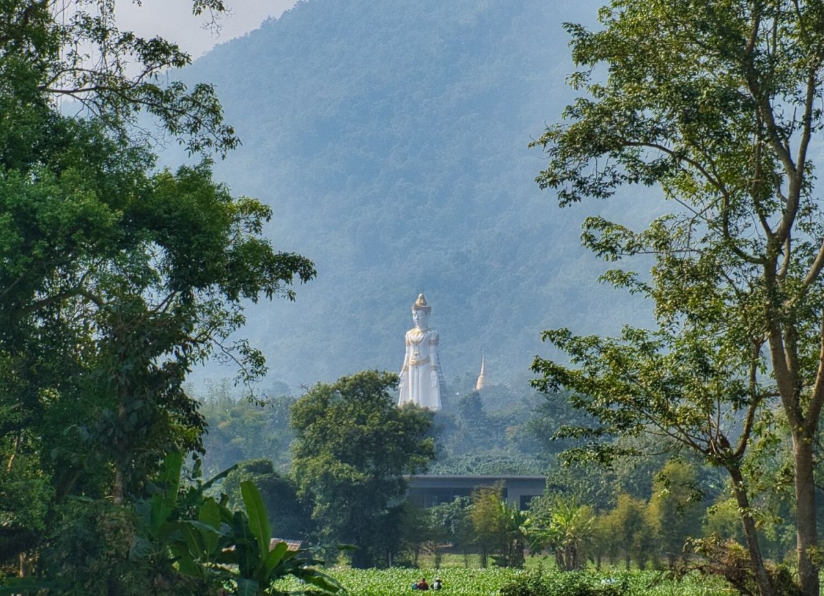
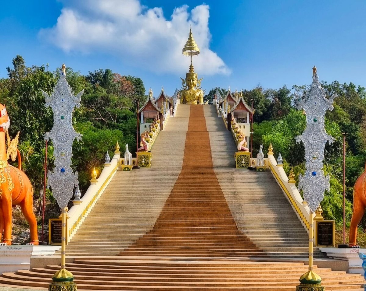
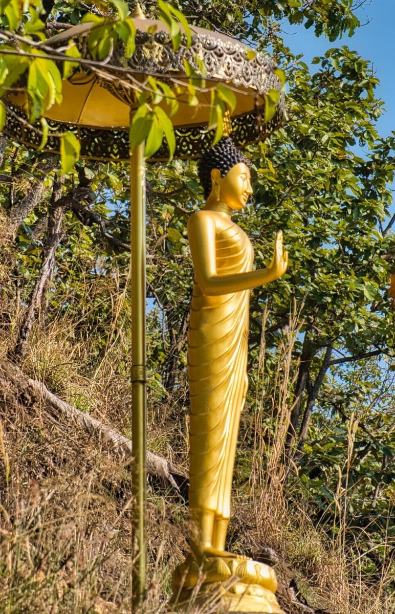
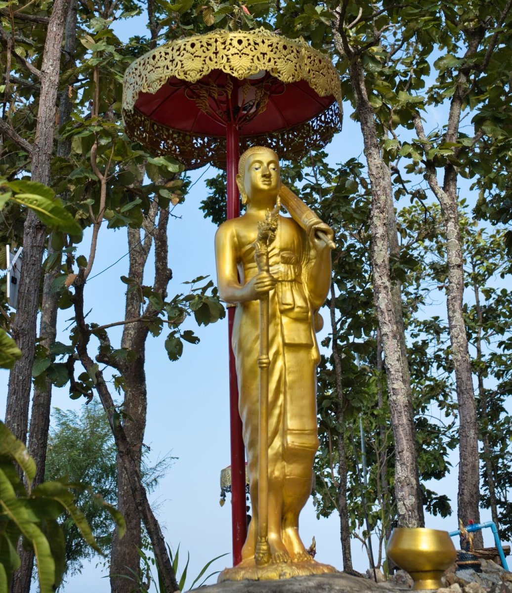
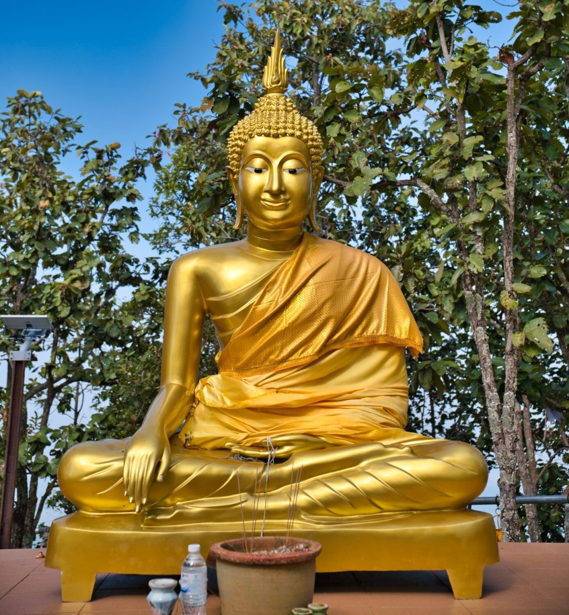
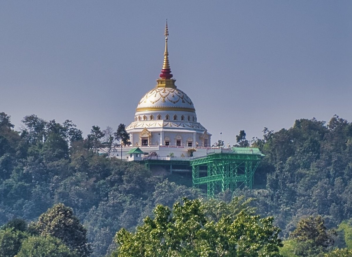
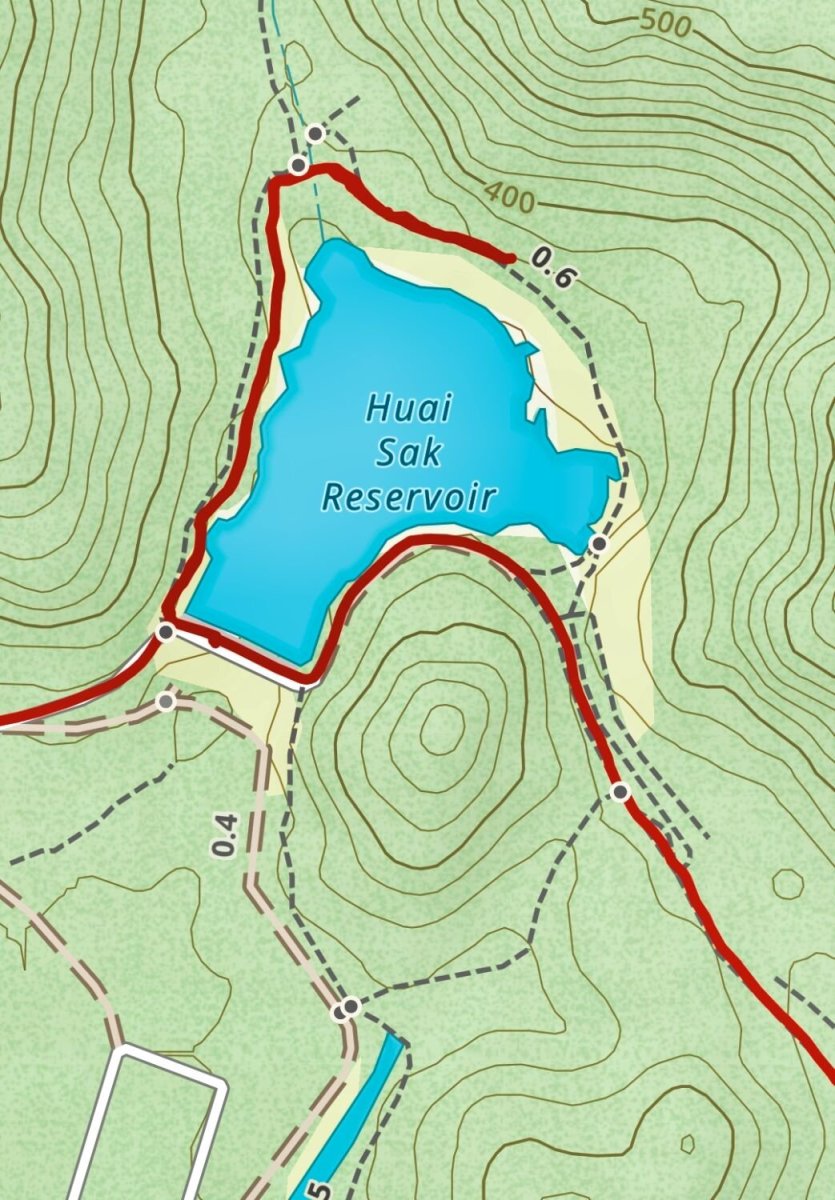
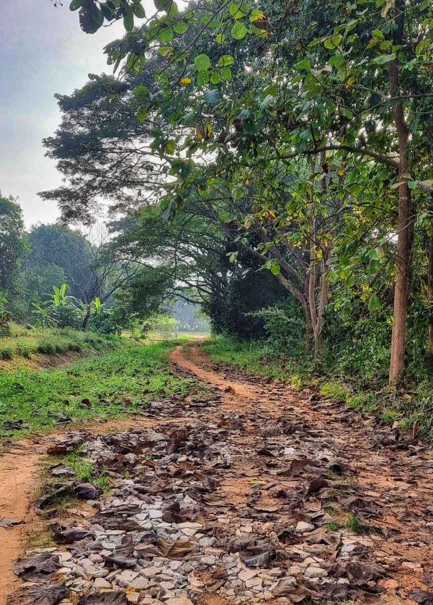
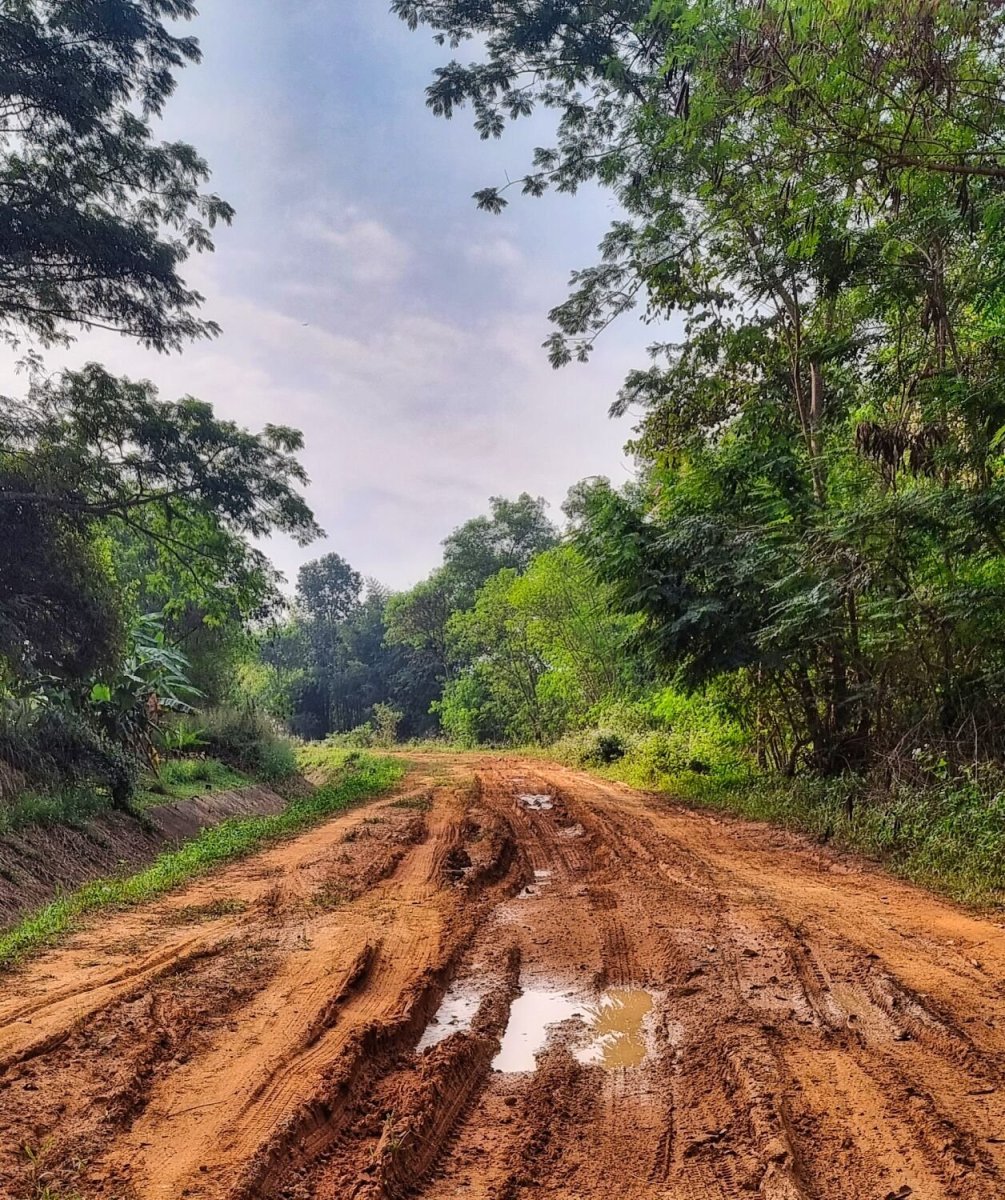
Today was another local and easy ride, my first stop was at Huai Sak Reservoir, here. https://maps.app.goo.gl/NDgXWiEGWUbA6nh19 I followed a track around it as far as I could before riding back and on to Mae Kuang Reservoir overflow, here. https://maps.app.goo.gl/eW7nDnTNHxPed5HT8 Next was the Lotus Lake, Nong Bua Phra Chao Luang, here. https://maps.app.goo.gl/SYkeaxFGfNqC1AN88 From here there was a good view of Buddha's footprint in Yonok City (Wat Phra That Doi Saket), here. Buddha's footprint in Yonok City (Wat Phra That Doi Saket) Nearby I rode up Doi Mon Tom, here. https://maps.app.goo.gl/PmRvVME4qtpRQr4N7 The track up starts here. https://maps.app.goo.gl/5UJDAkGFh2rSmupS9 But it’s a hiking track that is overrun with weeds and no view at the top. https://www.relive.cc/view/vrqDN9ALPLO


-
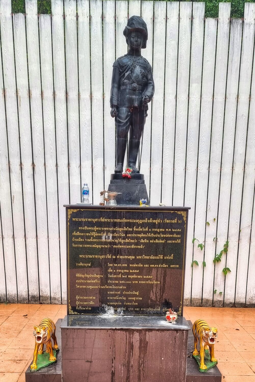
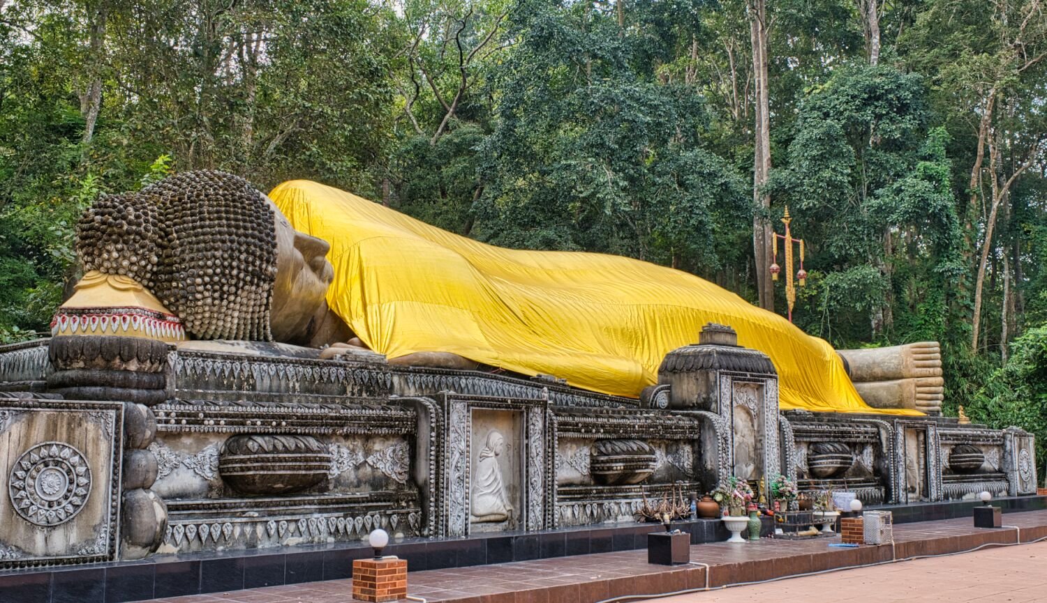
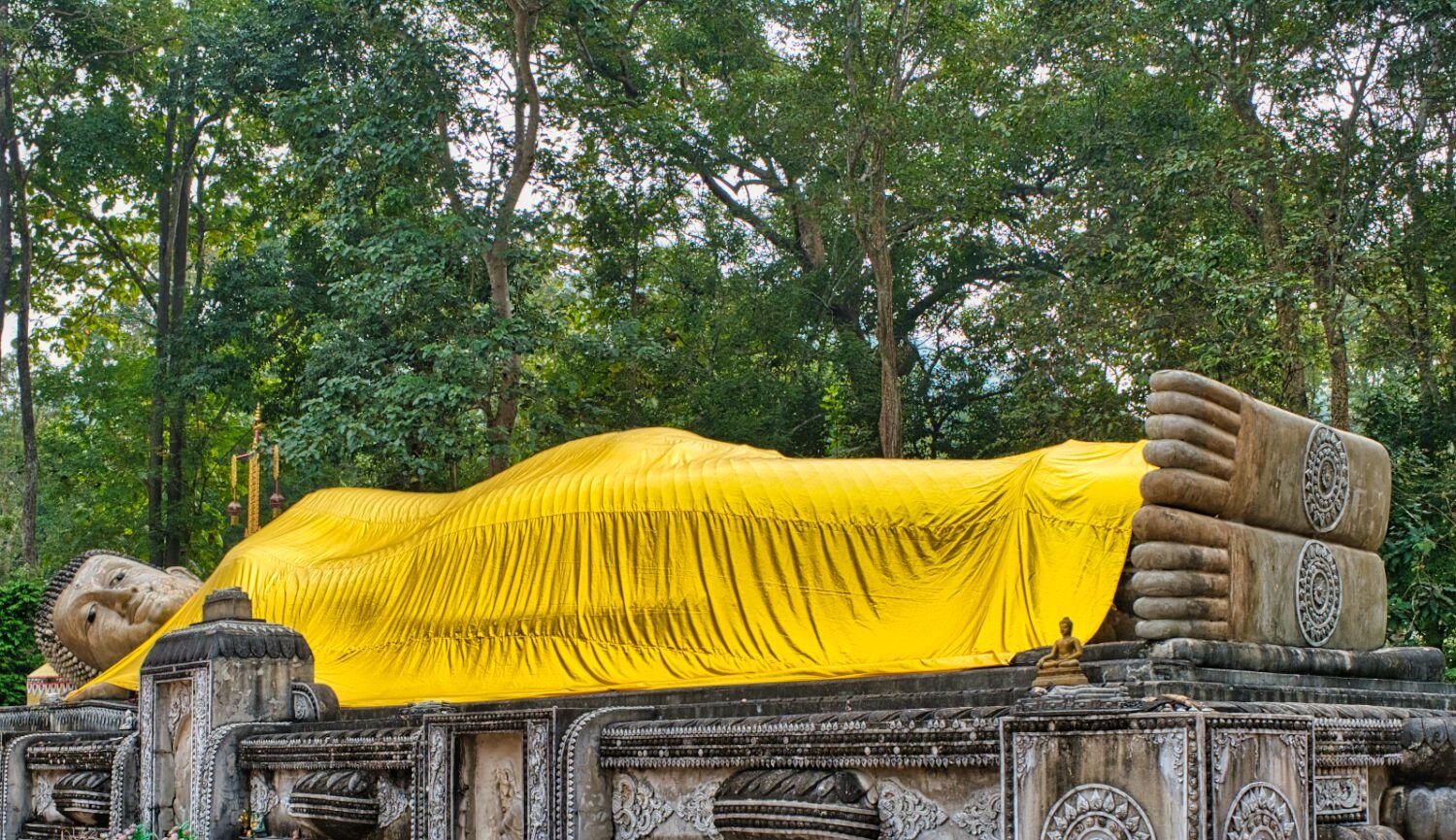
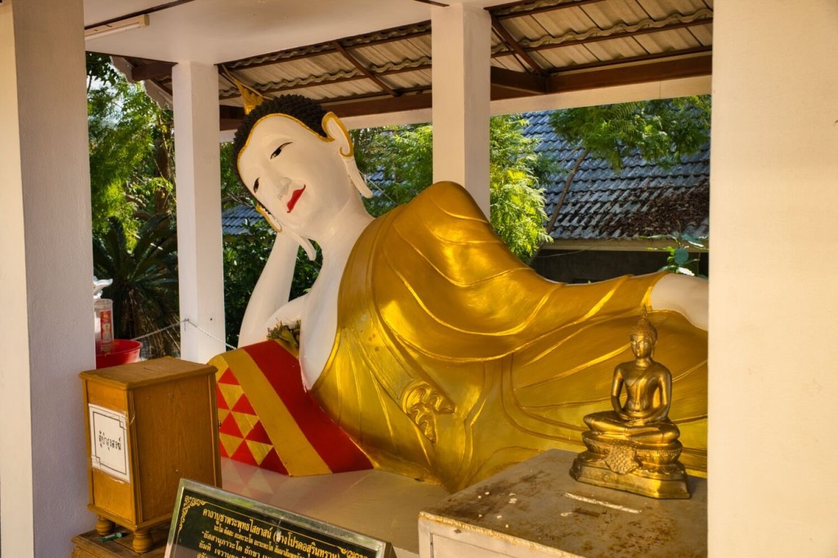
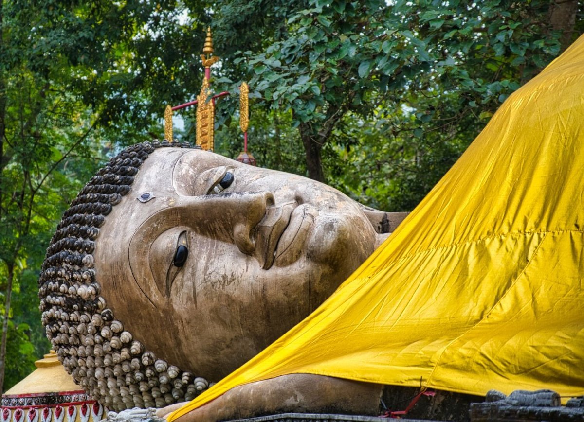
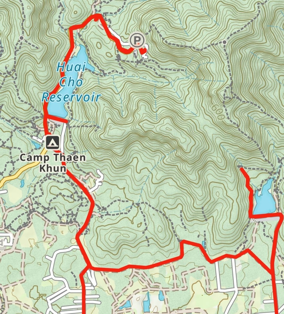
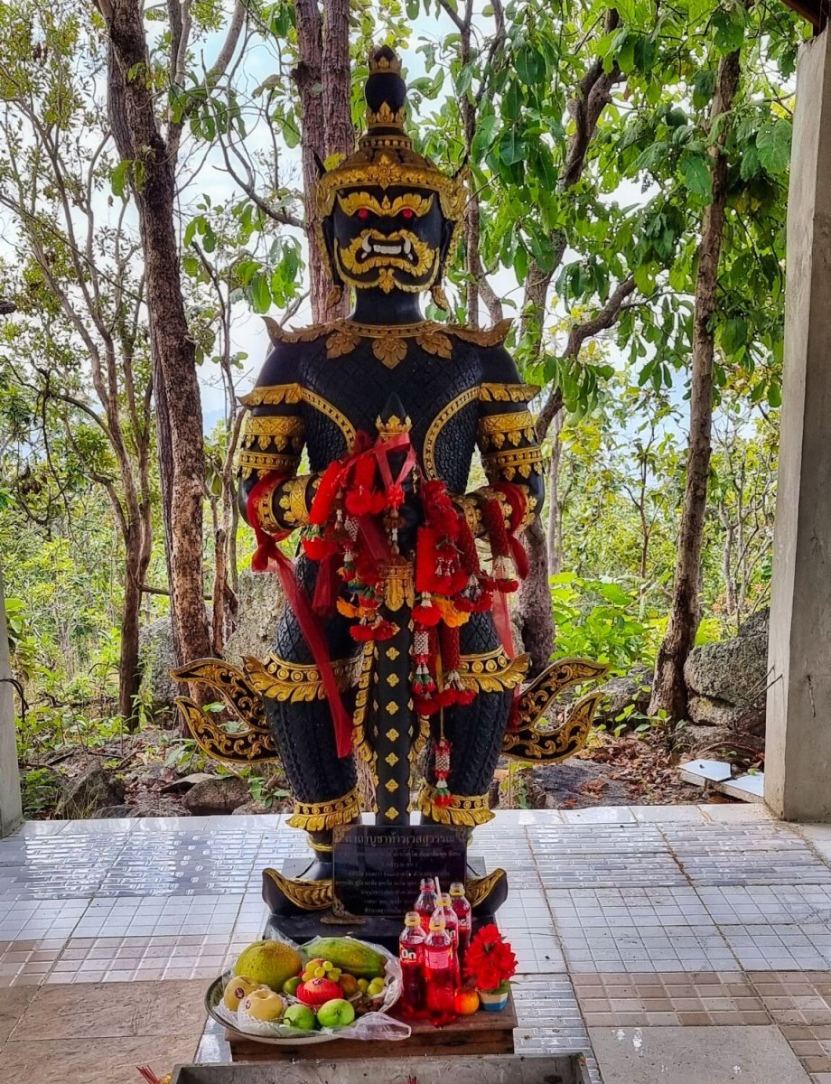
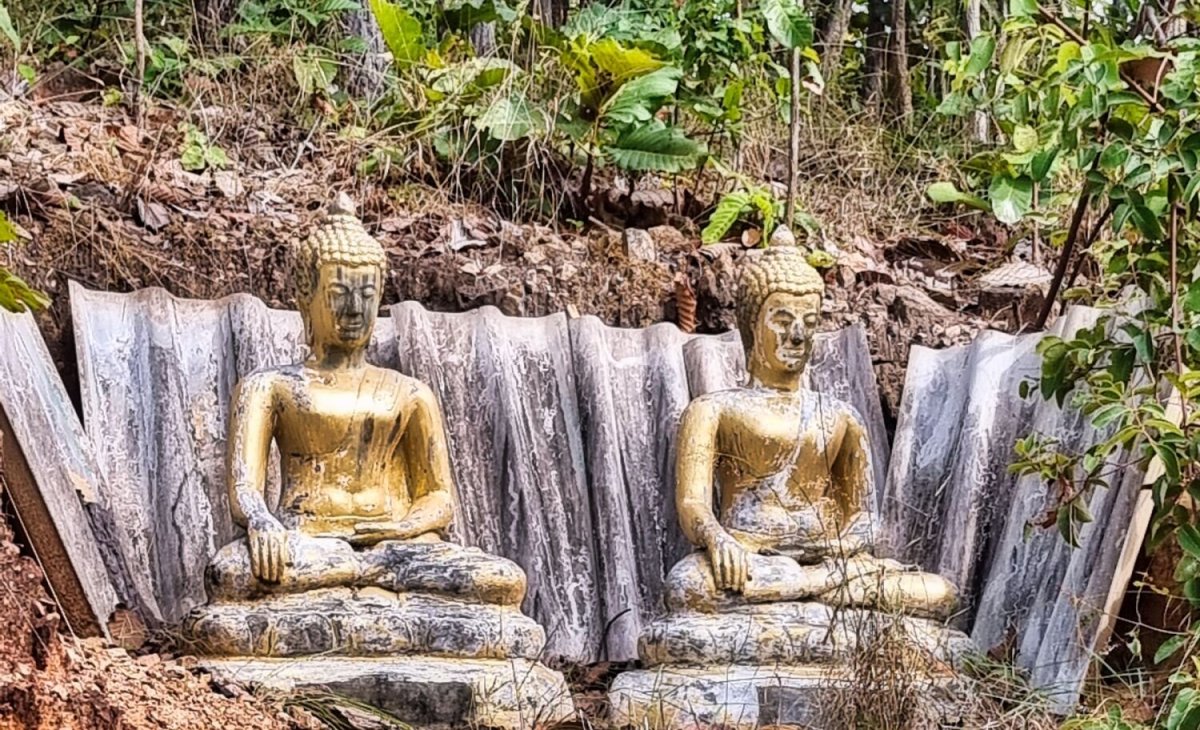
Today I rode out to Mae Jo to ride alongside some of the irrigation channels in the area, with a few diversions. My first stop was at a statue at Camp Than Khun, Maejo University, here. https://maps.app.goo.gl/T7PijURobnkZif3H8 Nearby is Huai Cho Reservoir, here. https://maps.app.goo.gl/CTrHoora9it3LJHPA Further round the reservoir was Reclining Buddha, Doi Tan Phra Pha Luang Temple, here. https://maps.app.goo.gl/TRGDE2DS1tackWHu8 Further up the hill was Doi Tan Phra Pha Luang Temple, here. https://maps.app.goo.gl/dEhK3EUDJg94eBPy6 From here I looped around to Huai Kiang Reservoir, here. https://maps.app.goo.gl/XEDabXwwjp9JhT8T9 I tried riding around the reservoir, but gave up when the track disappeared. Then an easy ride back for Sunday lunch in the city. https://www.relive.cc/view/vXOnk8P7RB6


-
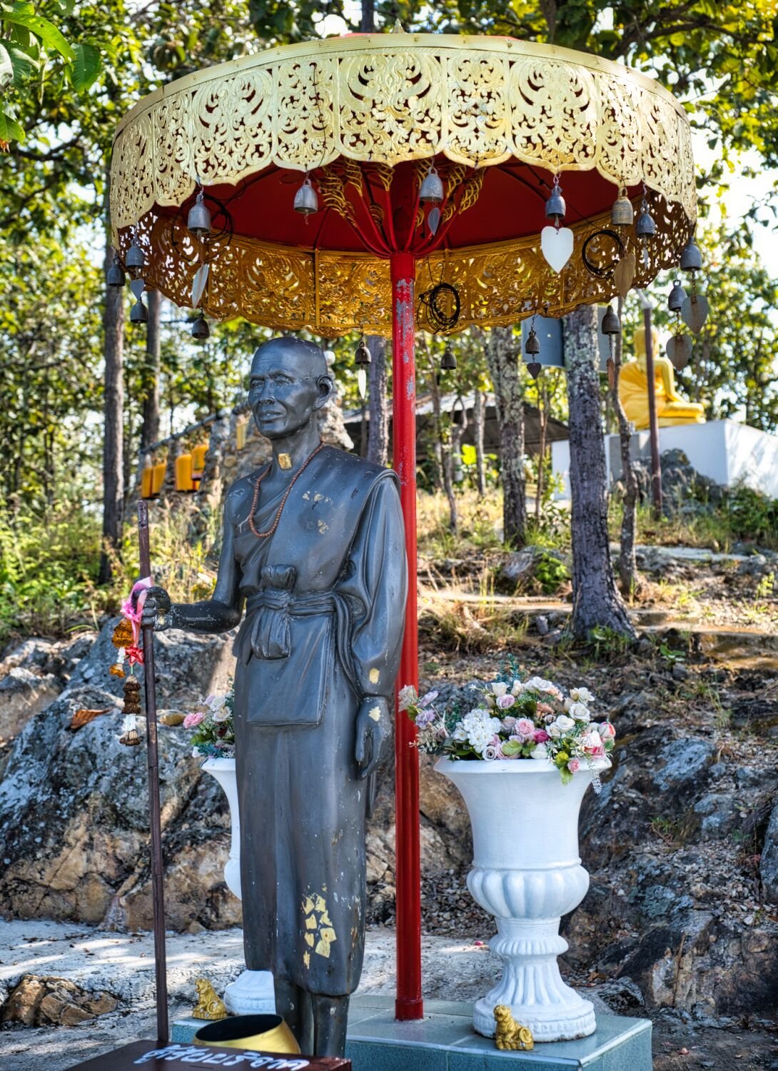
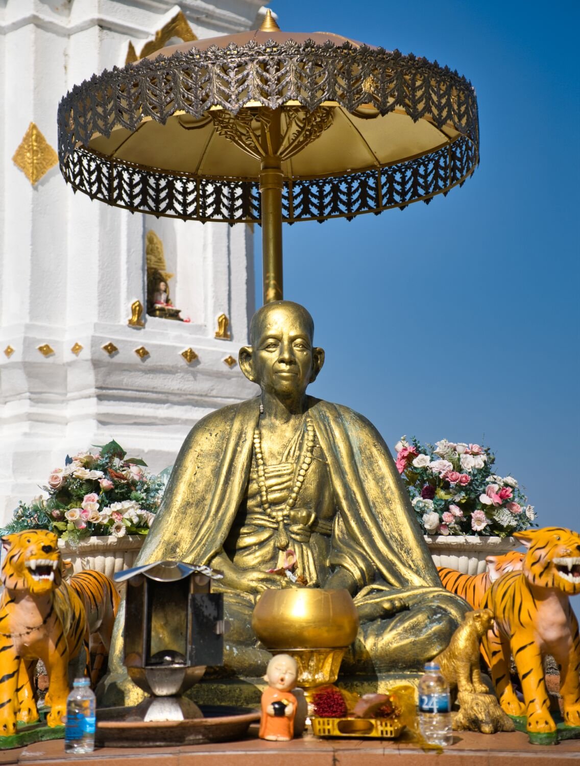
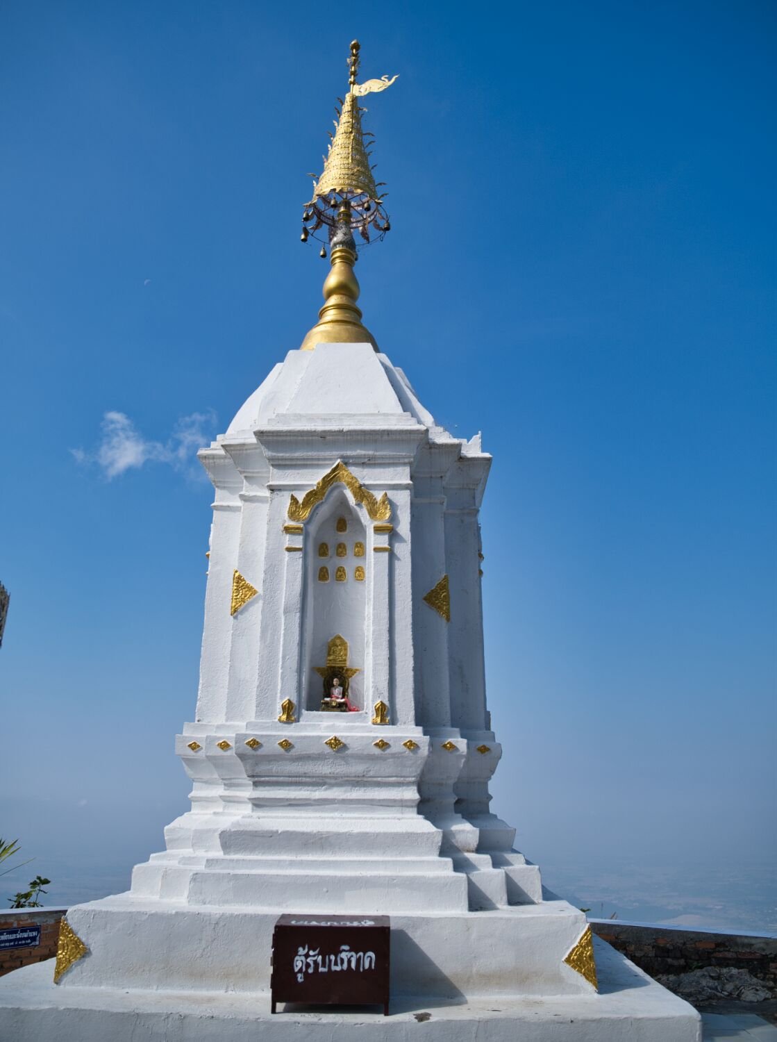
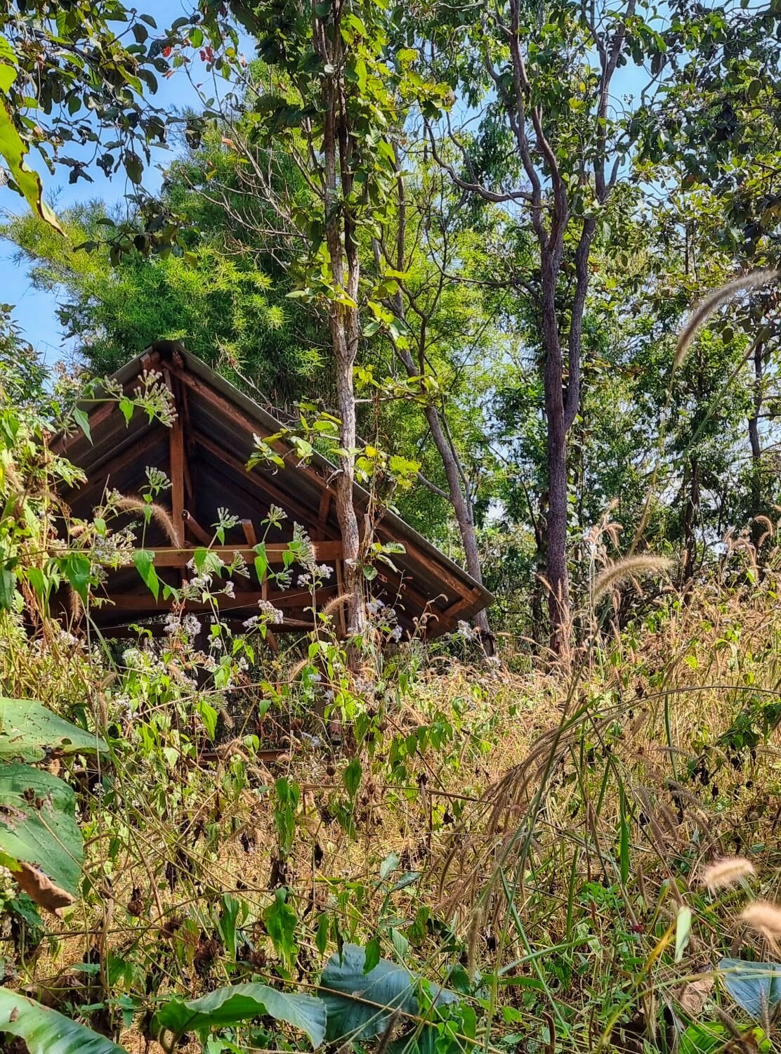
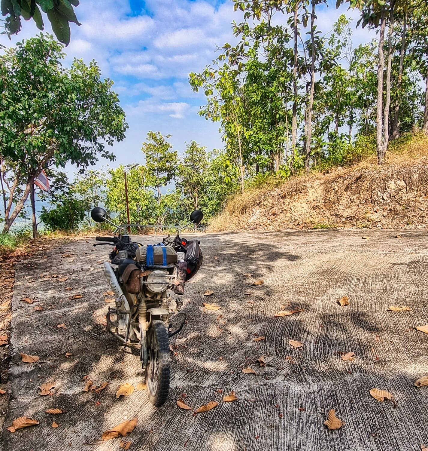
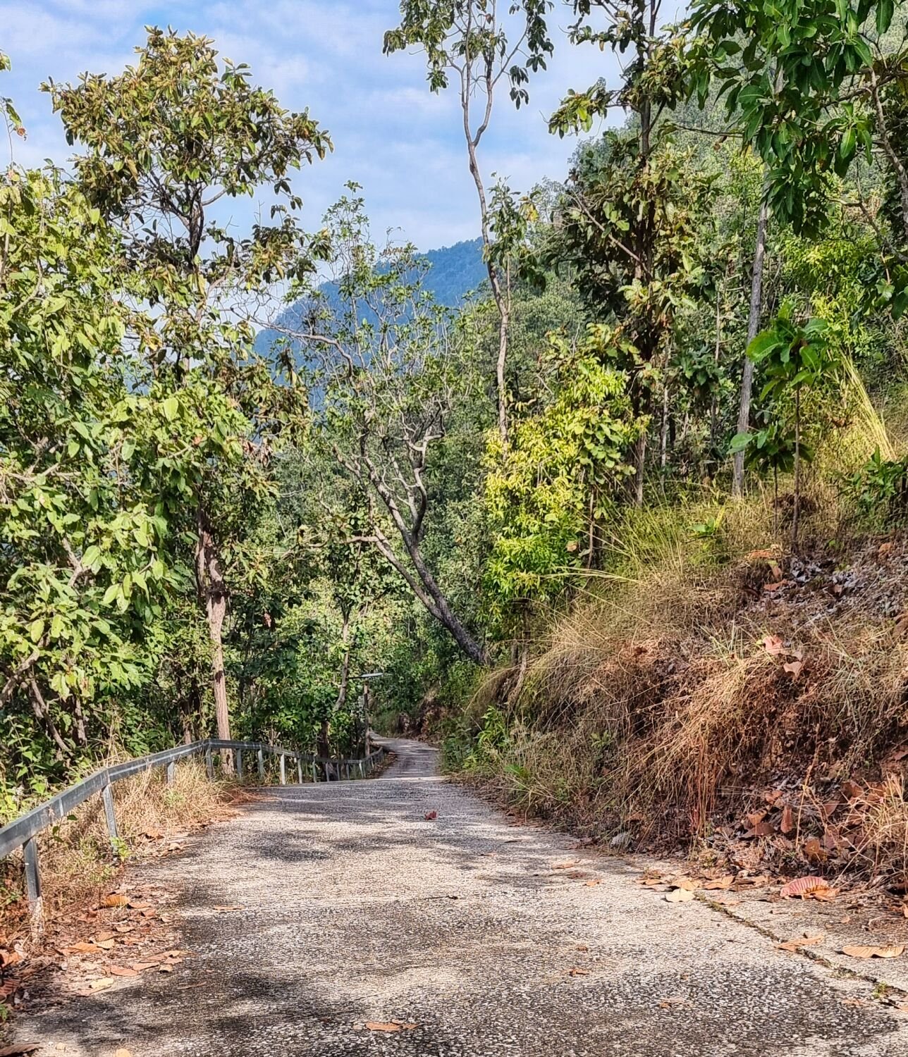
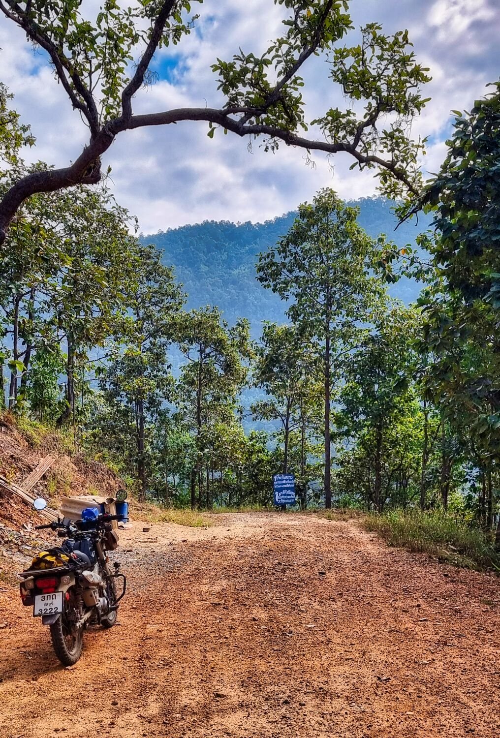
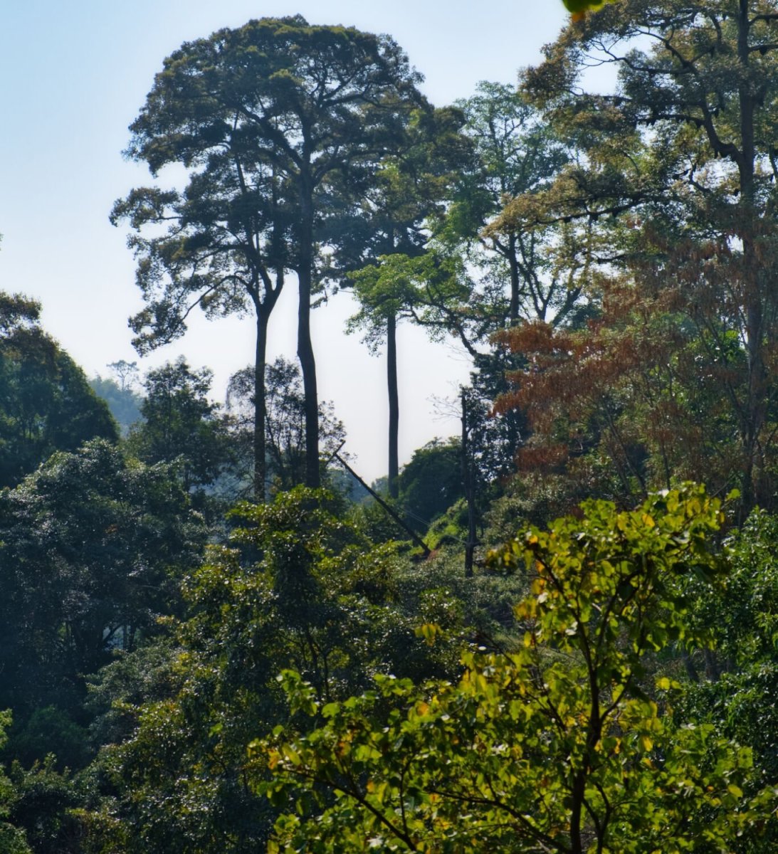
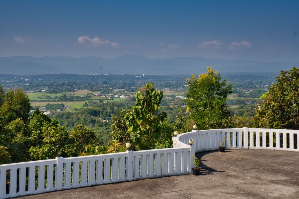
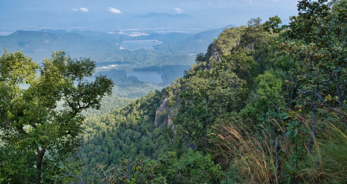
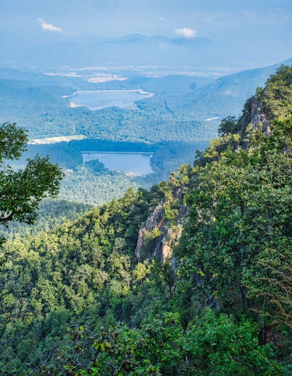
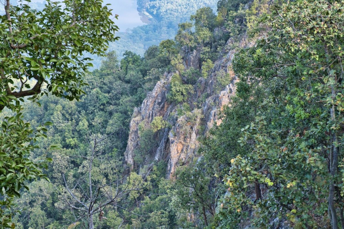
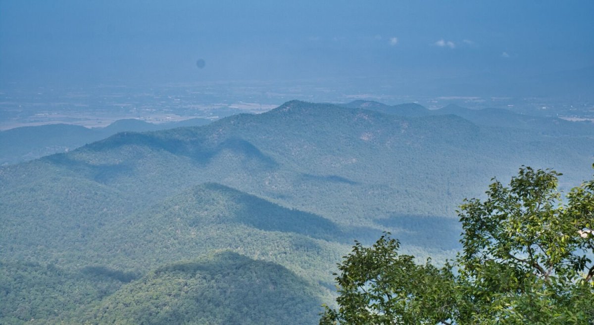
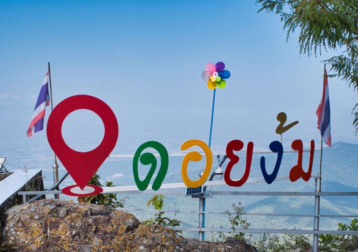
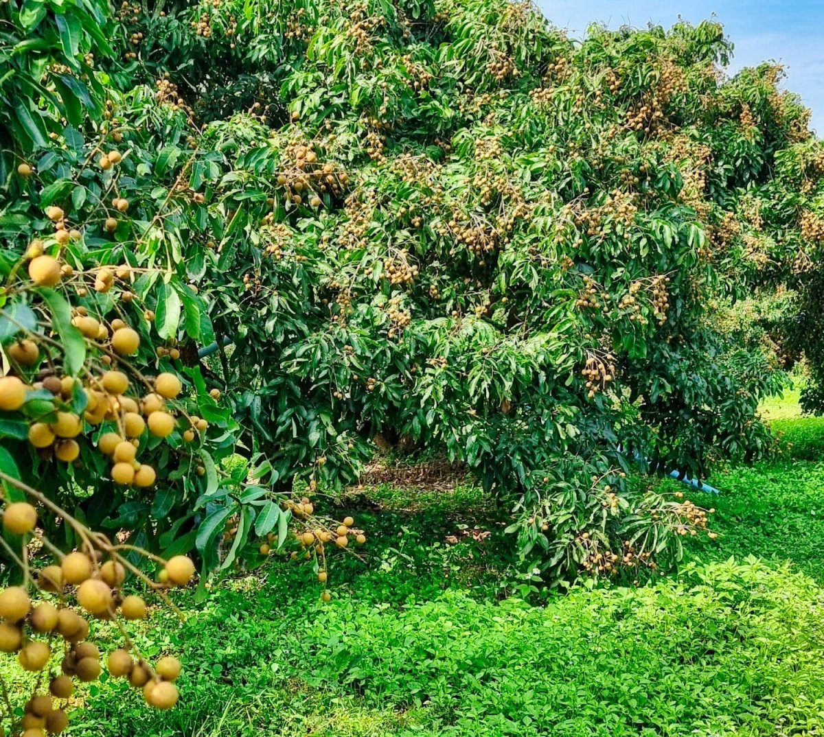
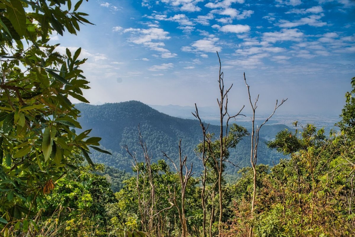
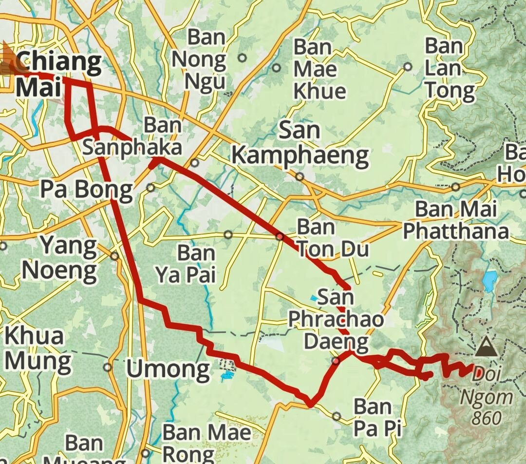
Today I rode to a new mountain to me to explore, Doi Ngom. Here. https://maps.app.goo.gl/LLW3HonkvGTyJ59r6 The way up started as a track but then turned to concrete road which slowly got steeper in places. Eventually I came to a very steep part that was a hairpin, due to a run up I just made it by paddling like crazy. The next part was steeper it seemed and with no run up the CT125 would never make, so a bit of a failure today. Looking at photos from the top I intend to go back and walk the rest of the way up early morning, hopefully to see the sea of fog. https://www.relive.cc/view/vZqNEQ2xk36


.jpg.228d150f90b51a8c11d9e135cde22a8c.jpg)
.jpg.4b85beb9173ab8c695002d28c47586a4.jpg)

.jpg.5bed61a71c1814a6bb3f348cf7fa4de8.jpg)


.jpg.d794321a0c26f2206c23ee66f7752e86.jpg)
.jpg.fe85de6881c4159477ecc1ee22f38571.jpg)
.jpg.c8f9ff54d7c84d6977fb7615440c7f0a.jpg)


.jpg.aa04ee1cce27b6358af7a71fd6761af1.jpg)
.jpg.1442ff2493a11a9baa59565cced94633.jpg)
.jpg.0a28faf97a853a500c6332b78f68e427.jpg)


.jpg.563f4818e1321fcbeb69a7d9325ab743.jpg)


.jpg.1314386c3ddf359b35f3a86e85c9643b.jpg)


.jpg.925597abd68c09fb91502e6c1c2056b6.jpg)