chrissables
-
Posts
3,175 -
Joined
-
Last visited
-
Days Won
8
Content Type
Events
Forums
Downloads
Quizzes
Gallery
Blogs
Everything posted by chrissables
-
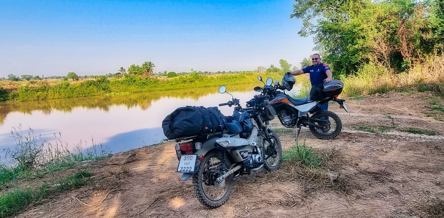
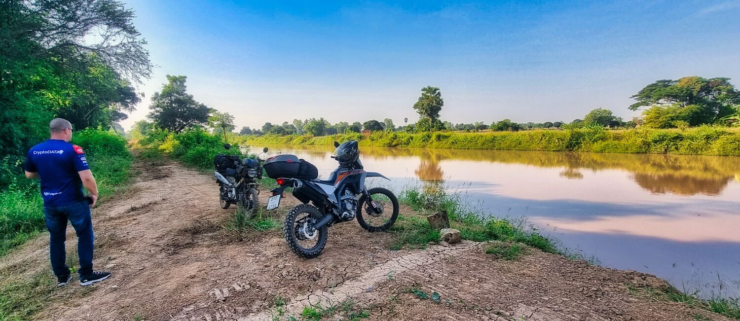
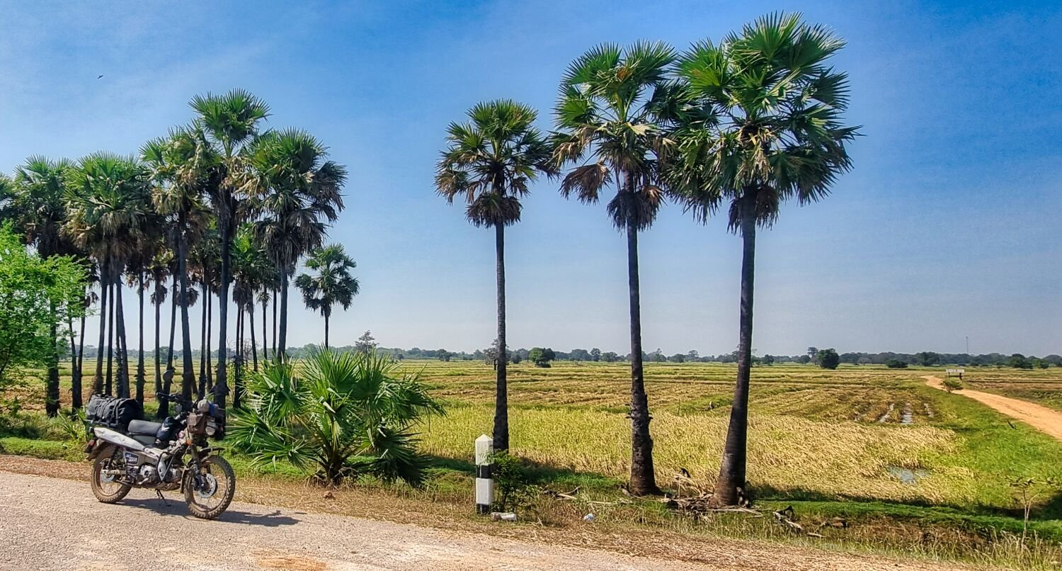
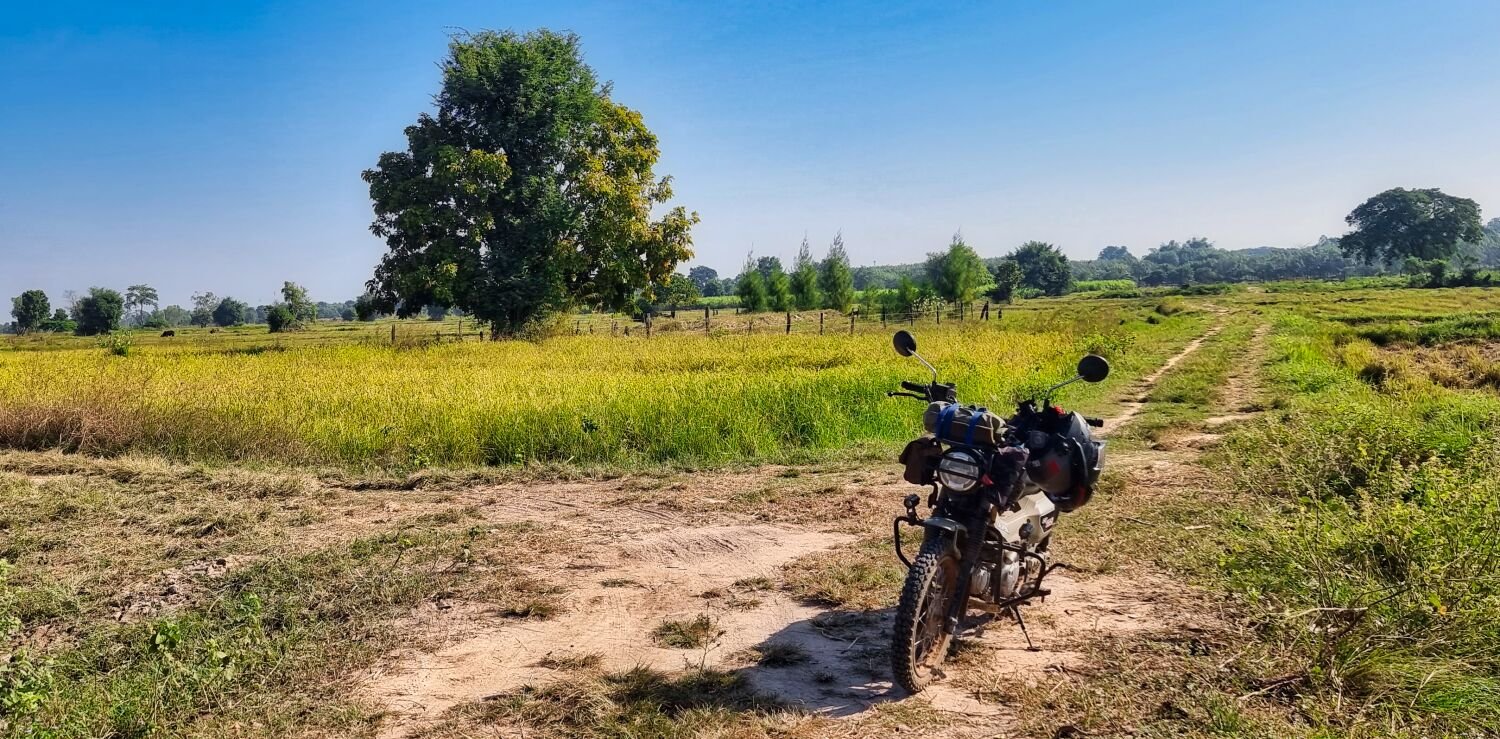
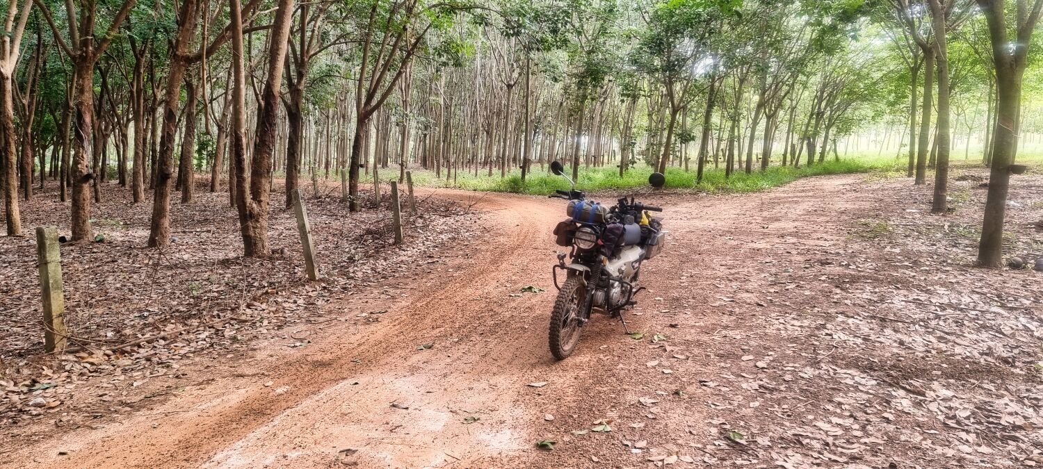
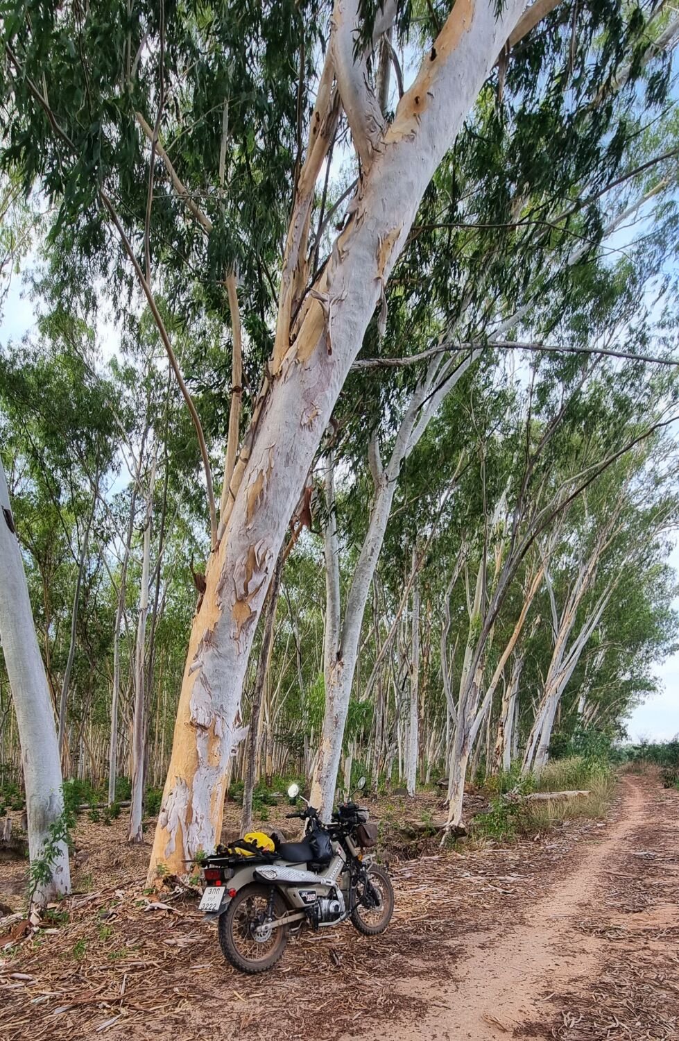
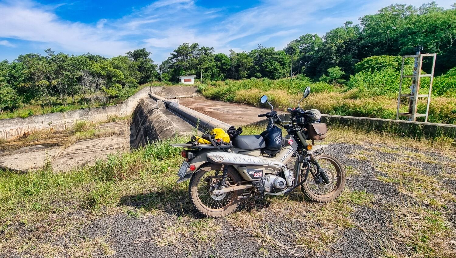
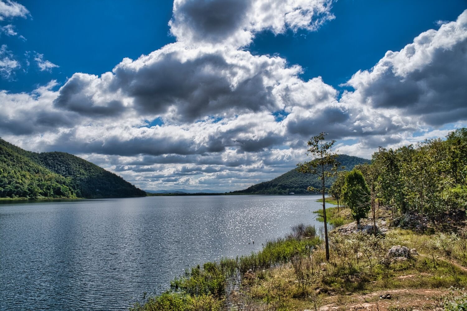
Today I decided to ride south and east of Chiang Mai with my firt stop at the large rubber trees, here. https://maps.app.goo.gl/Jm3JhmRxmXpJSus26 I then continued south to Black Bridge, Lamphun, here. https://maps.app.goo.gl/GBrpmkNSeXYk3zxVA From here I rode to Sri Buaban Reservoir (Wang Chomphu Reservoir), here. https://maps.app.goo.gl/wW1TwkSUU7bEZR13A I then rode onto Mae Thi Reservoir, here. https://maps.app.goo.gl/knZRNKoxh7jG44CR8 https://www.relive.cc/view/vrqowJVBLyq

-
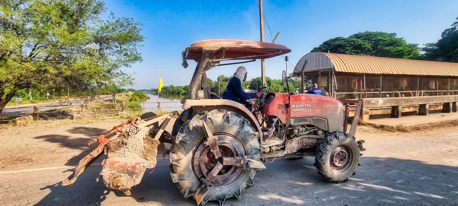
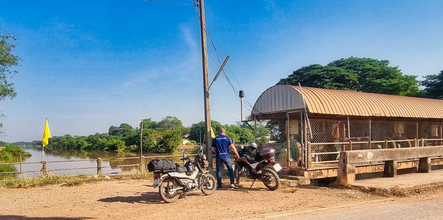
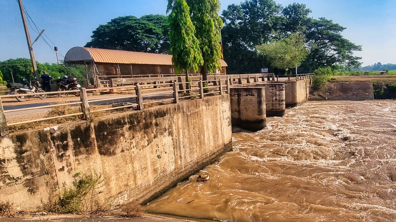
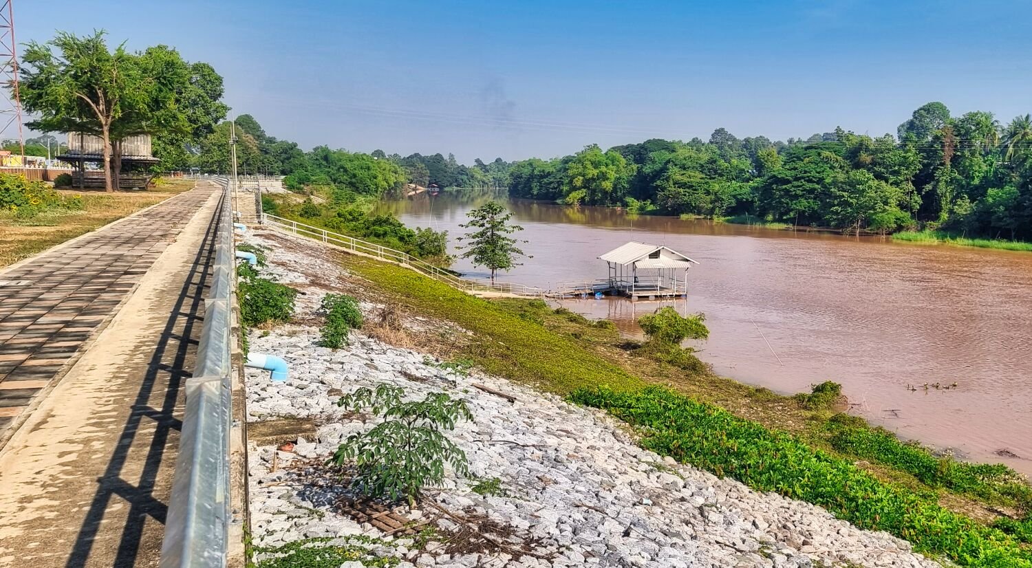
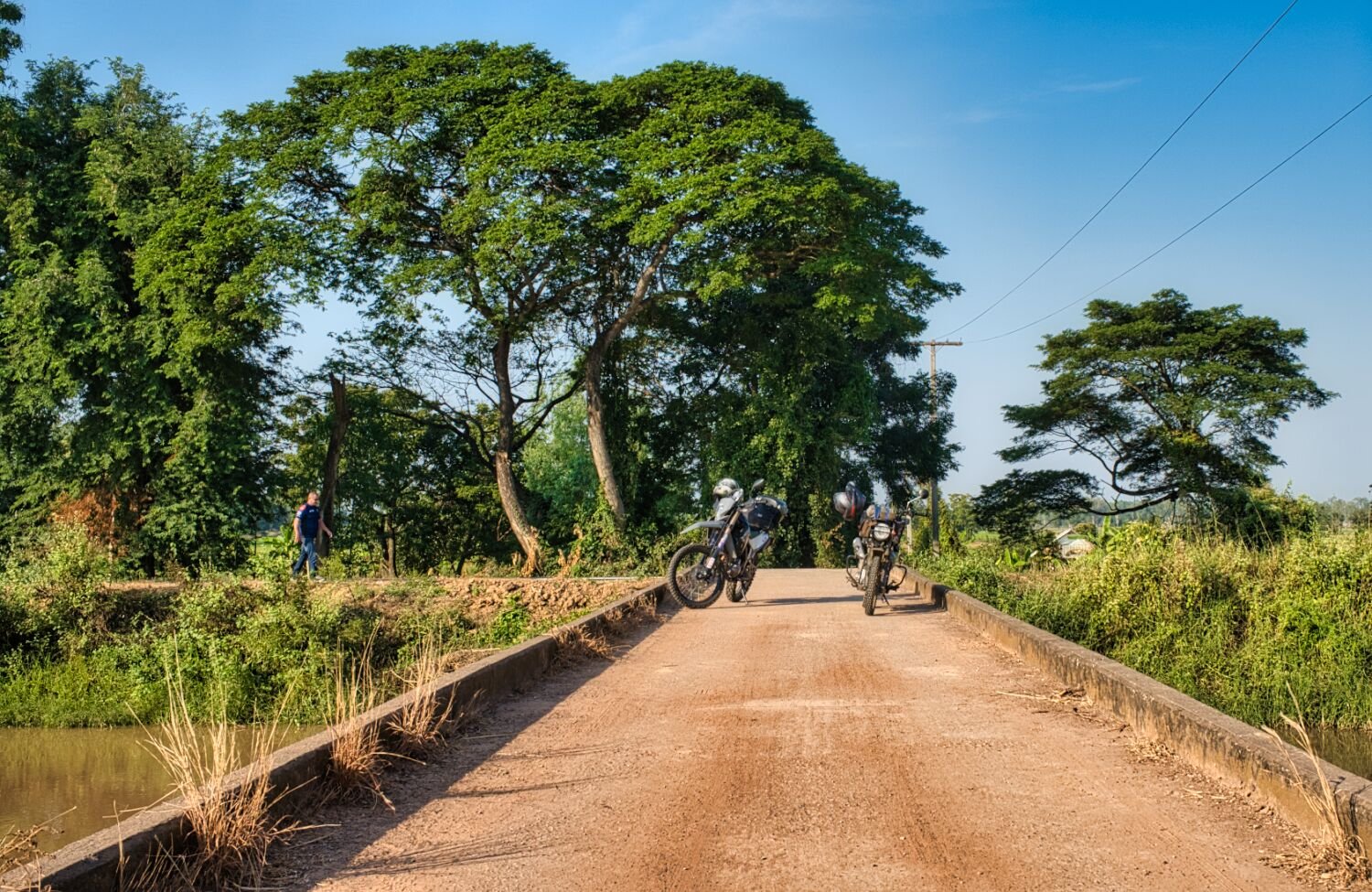
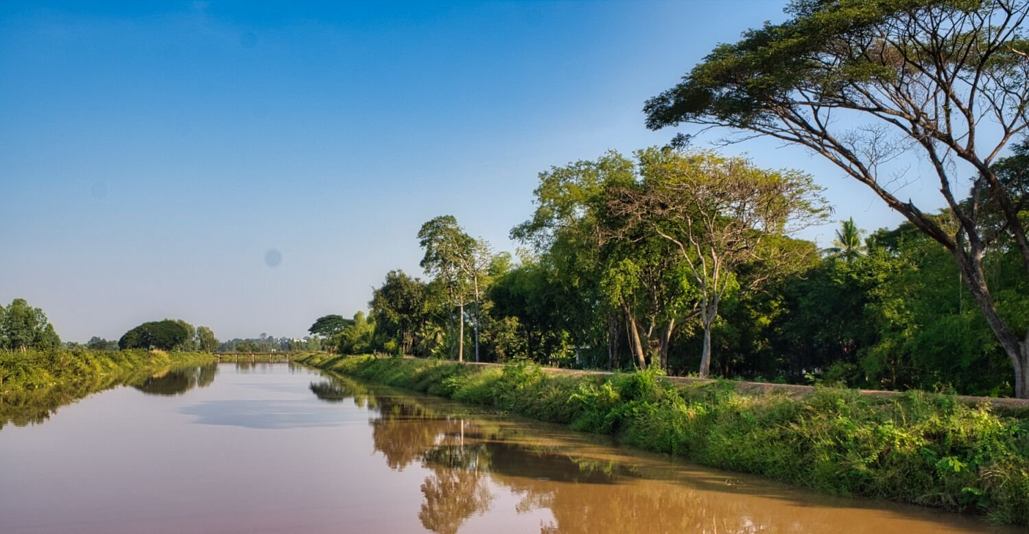
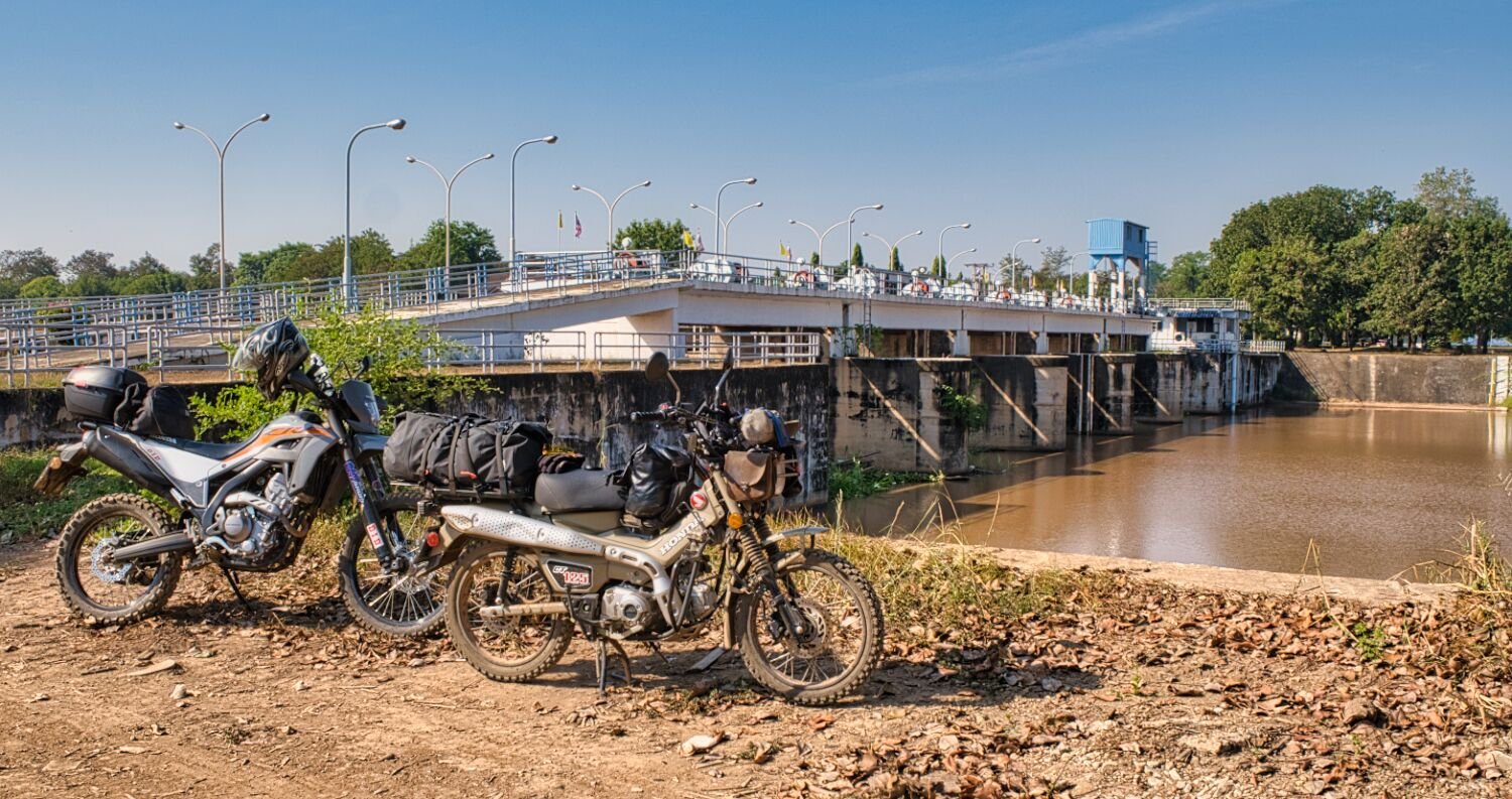
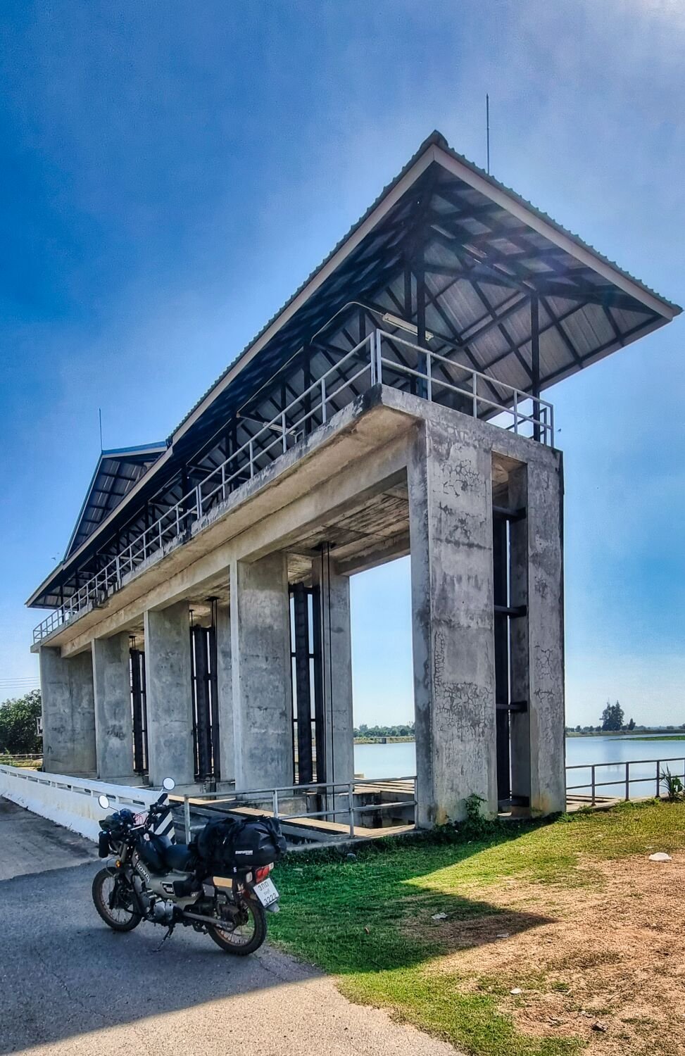
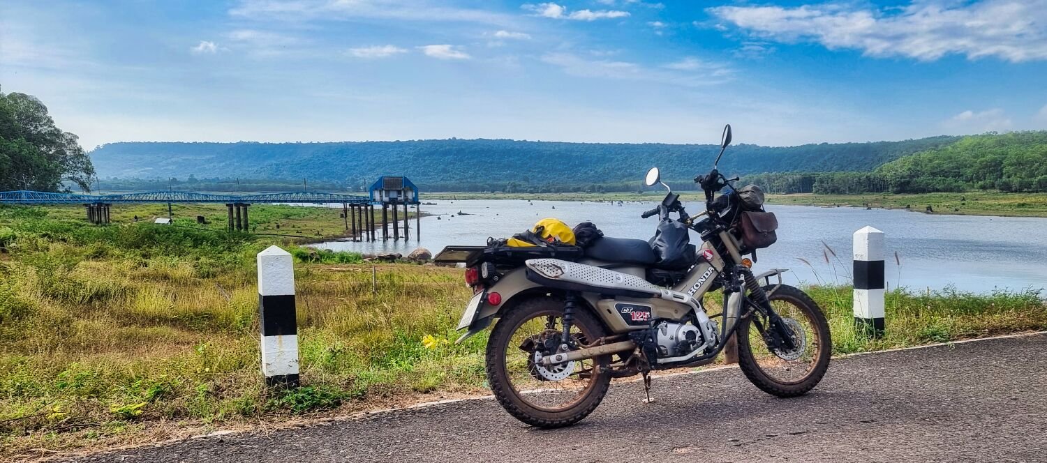
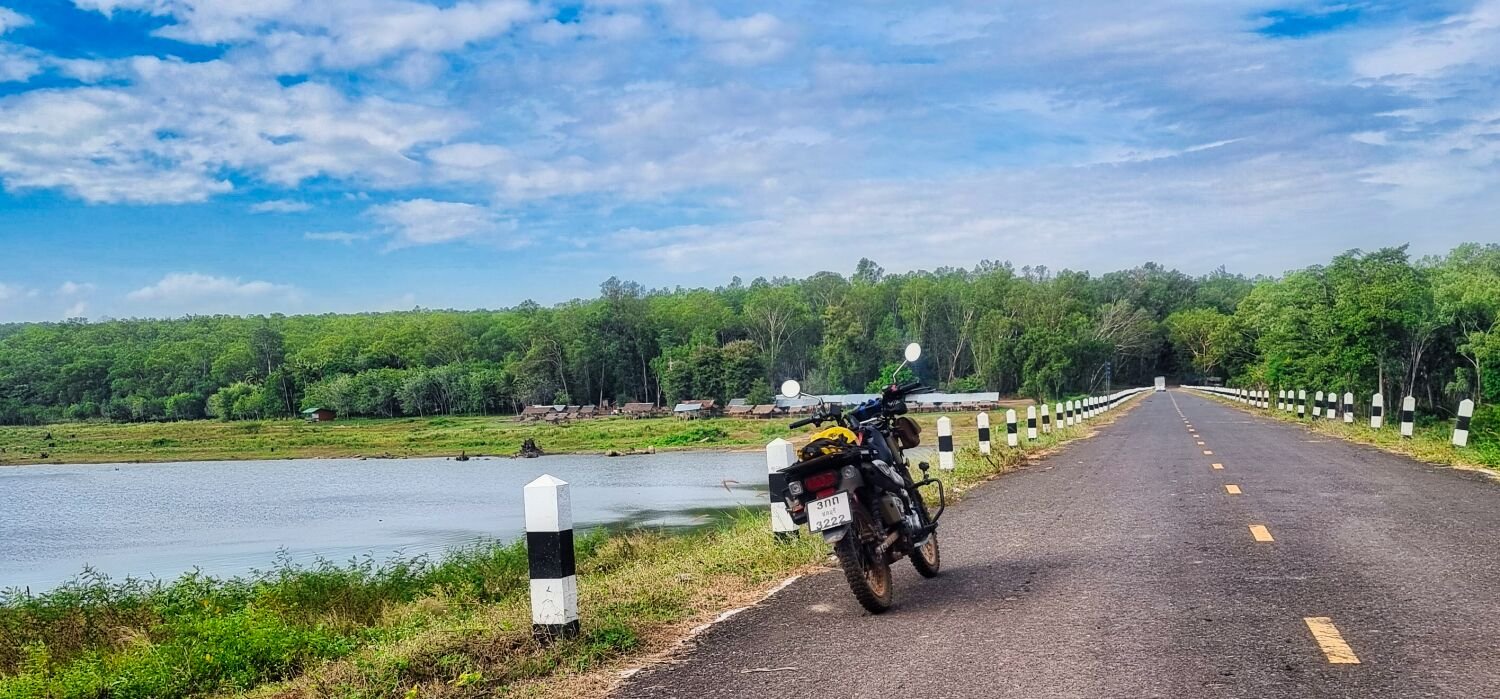
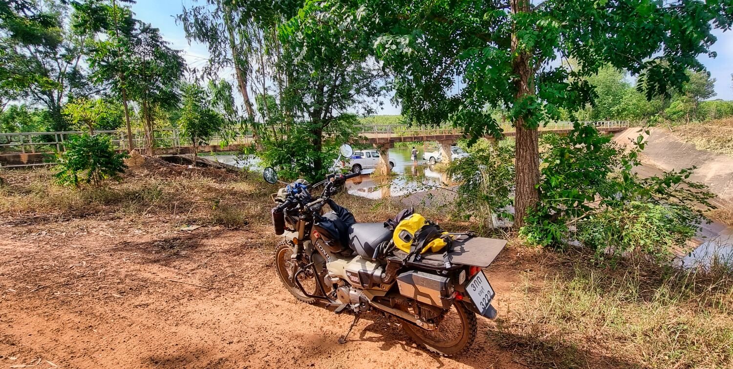
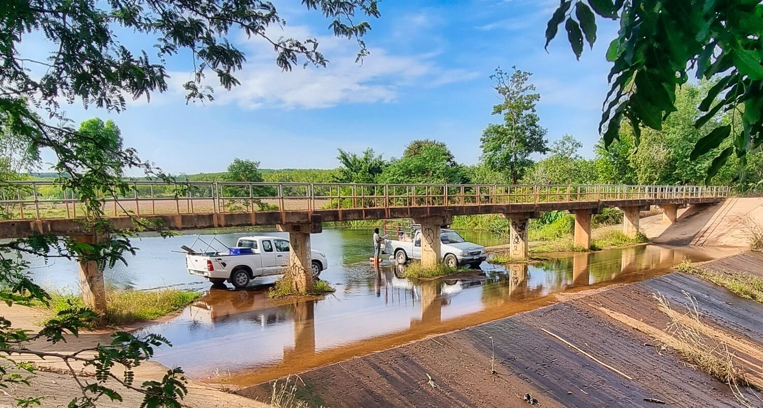
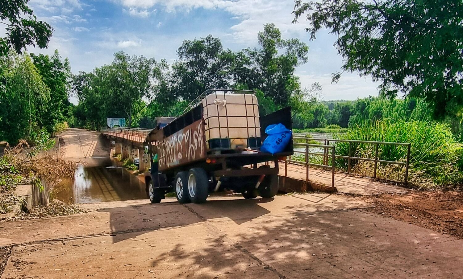
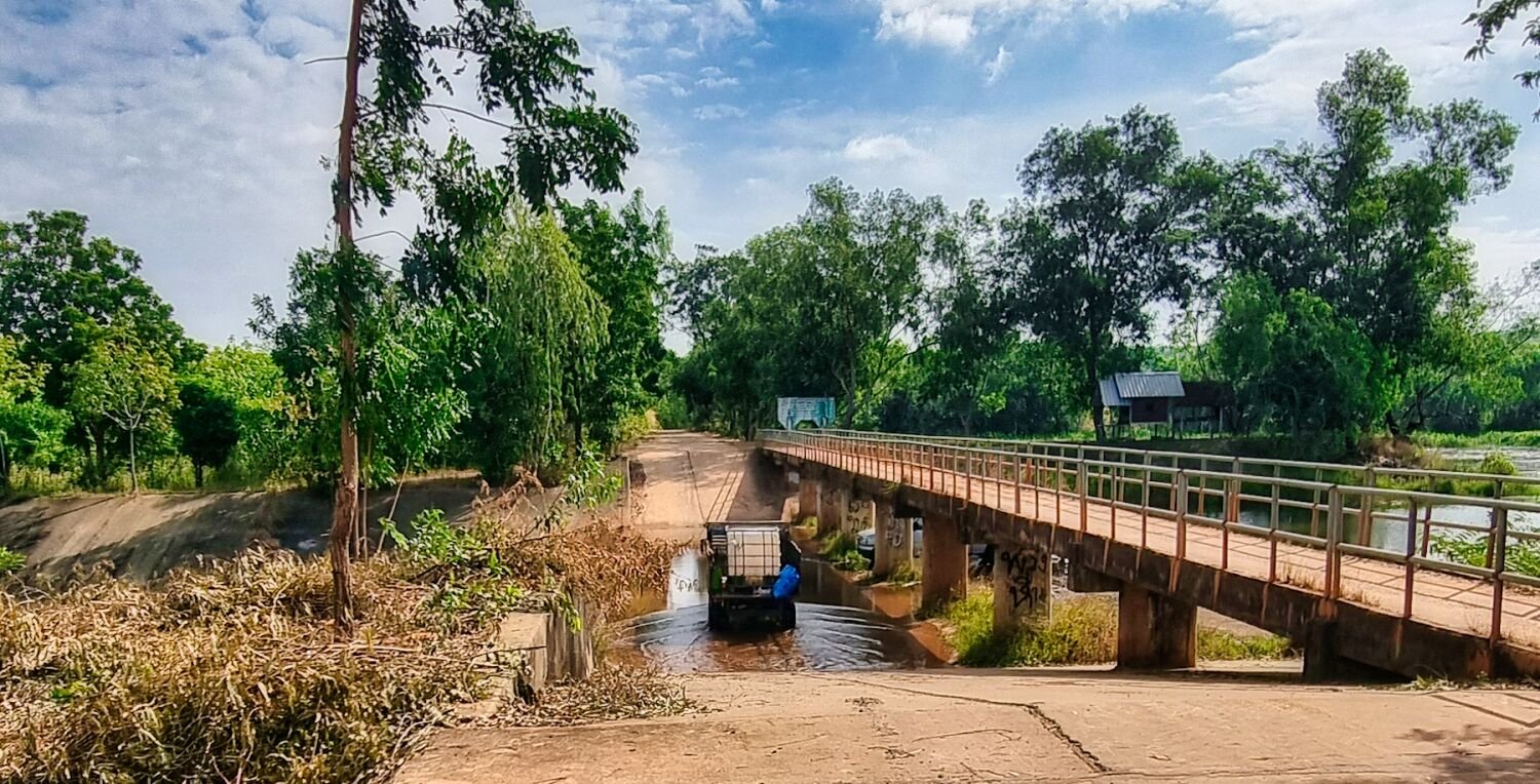
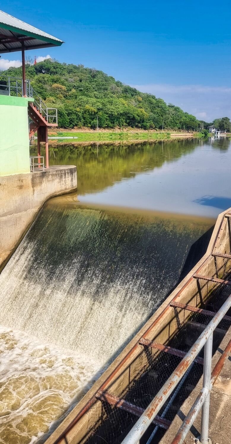
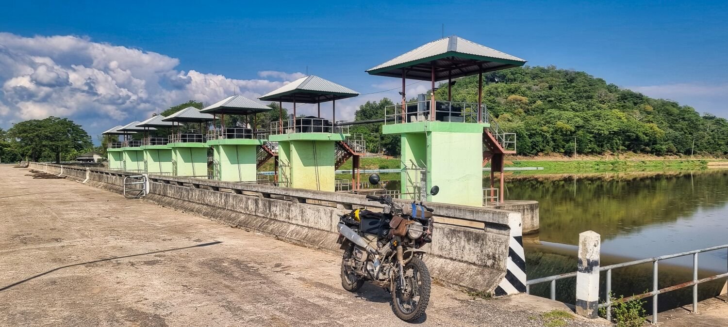
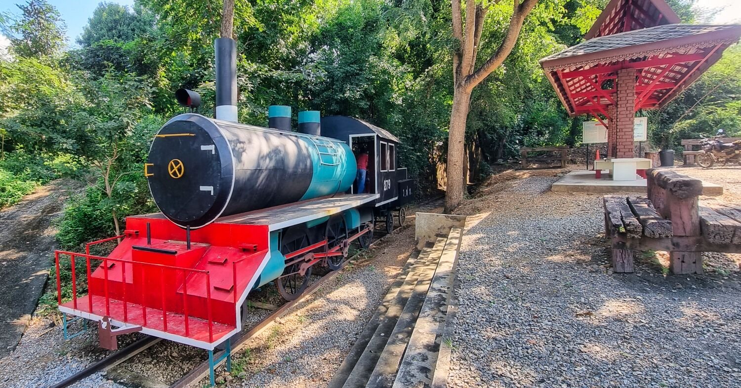
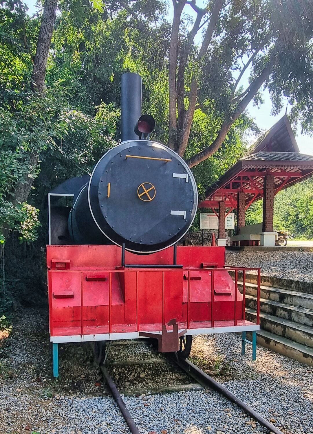
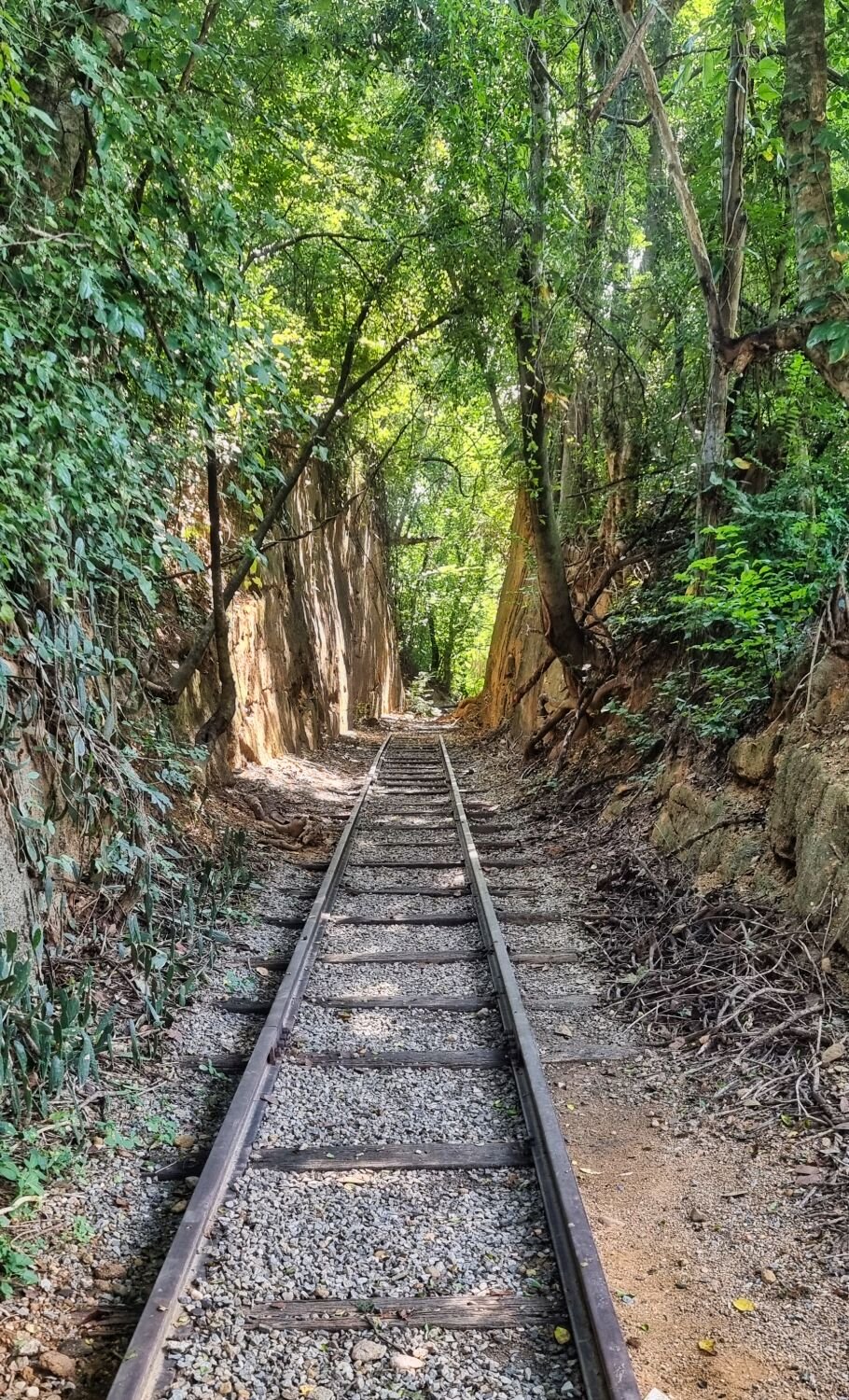
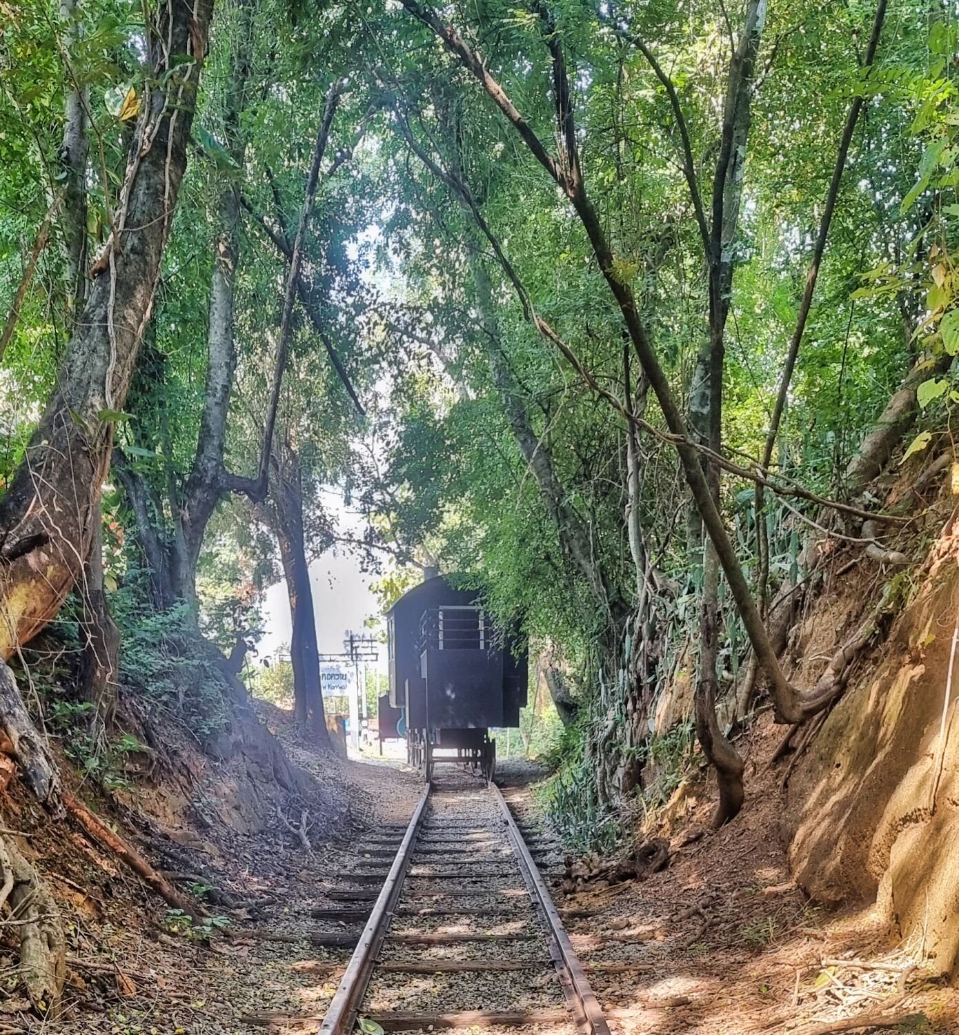
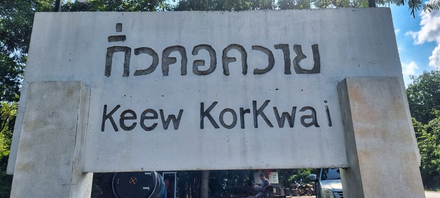
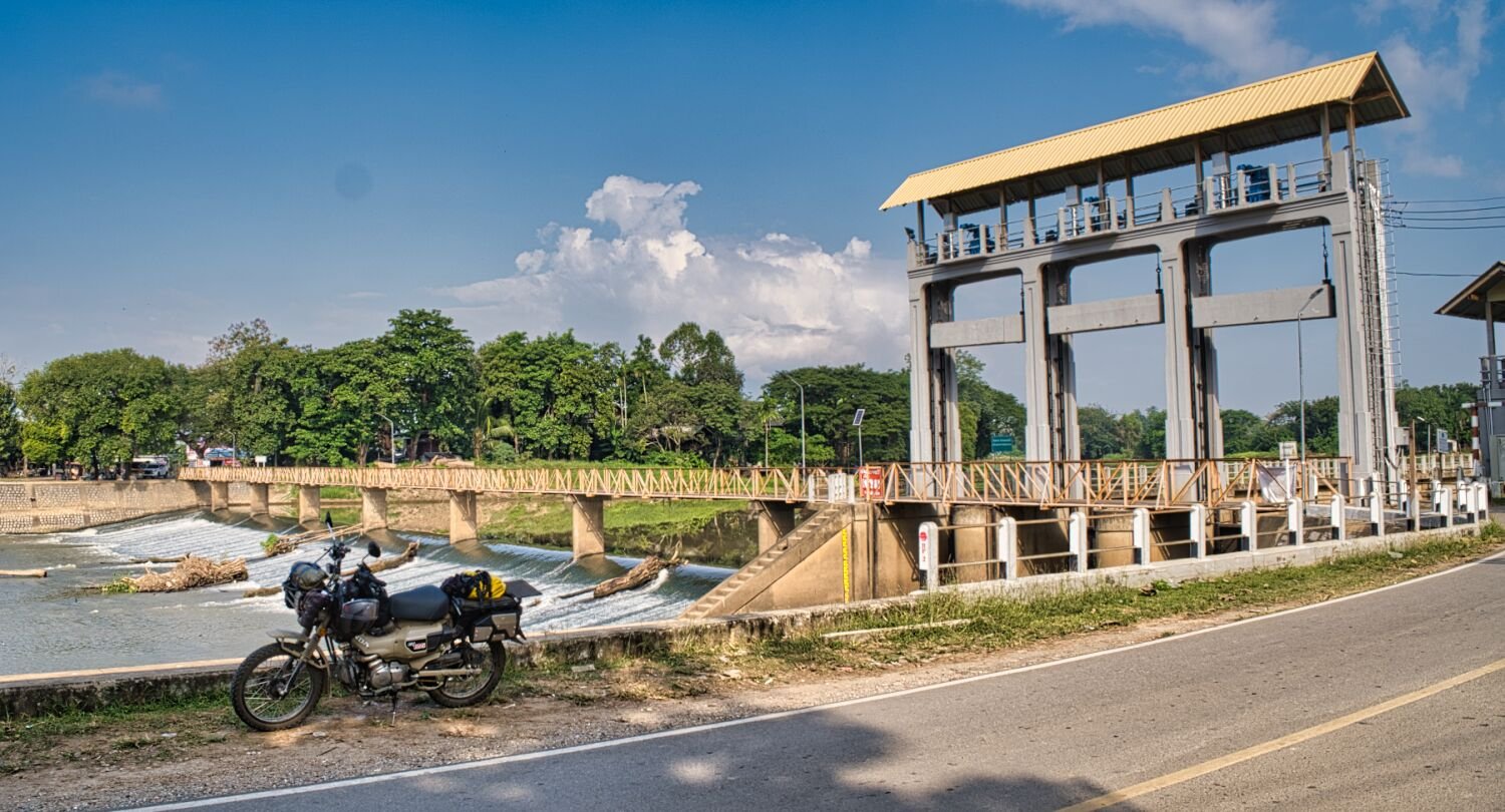
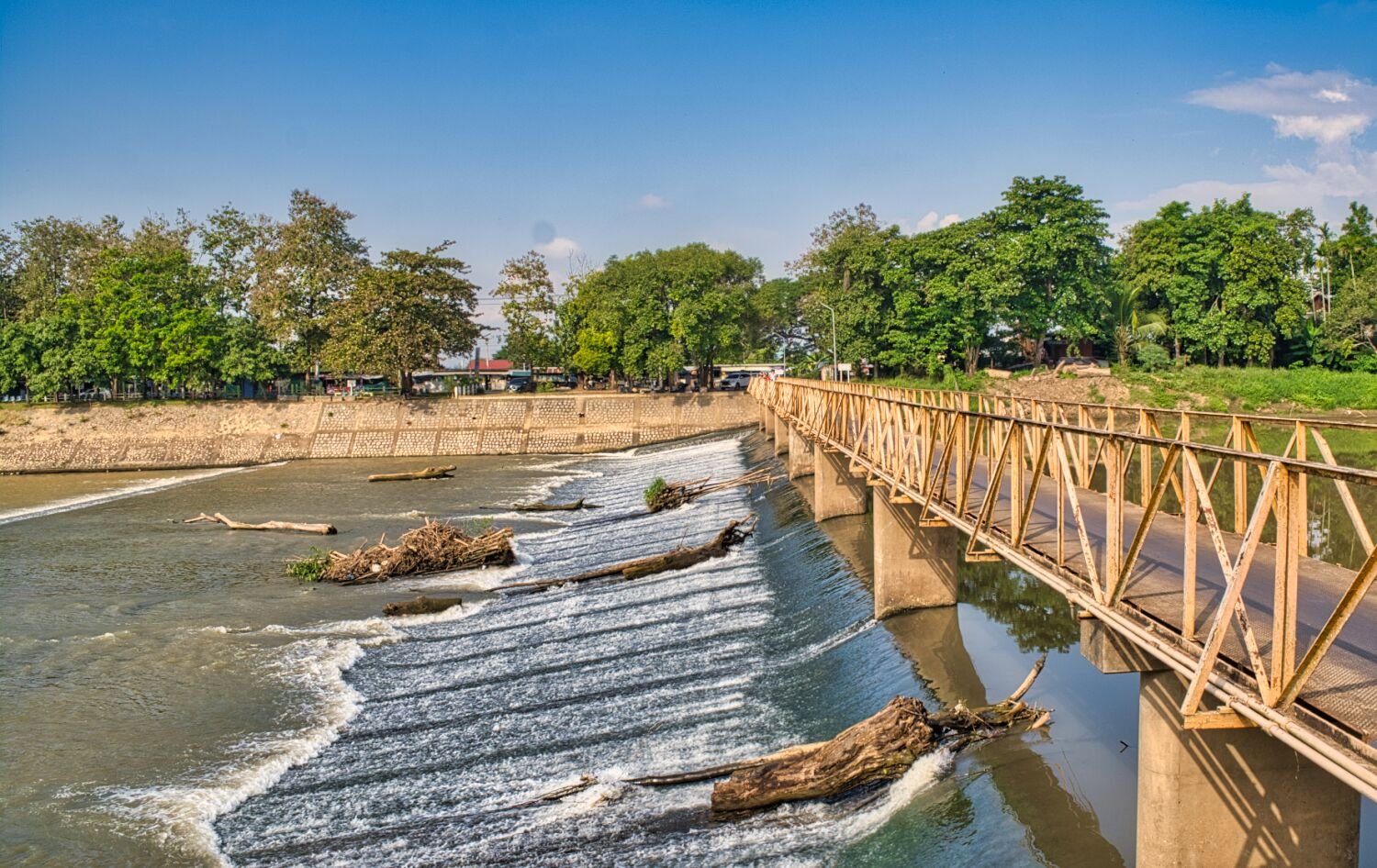
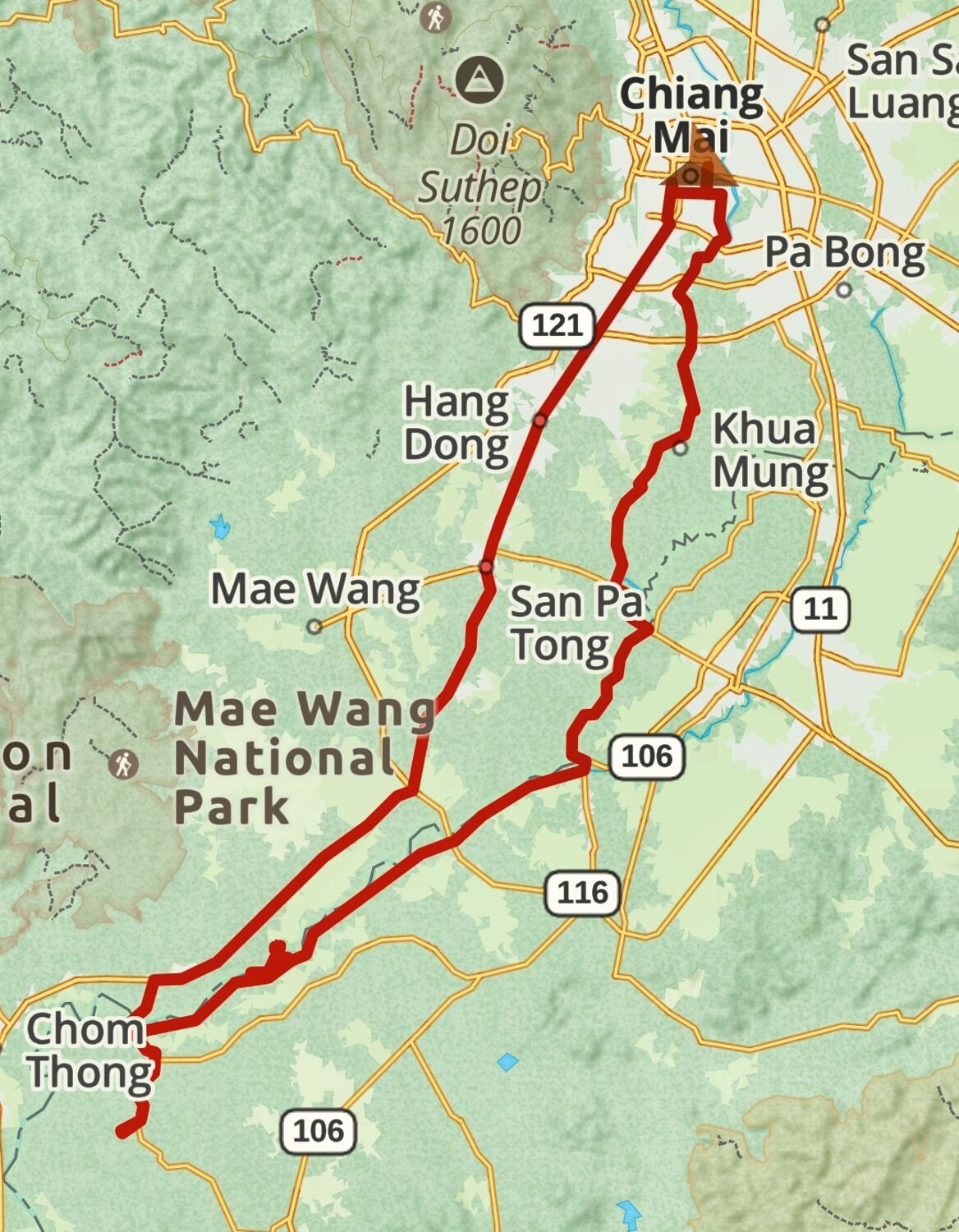
I am now 40 days into my tour in Thailand and today I rode south from Chiang Mai following the Ping River until the Irrigation Steel Bridge, here. https://maps.app.goo.gl/5wGSUz31N2PZTYSG7 From here I carried on alongside of the river until the Kruba Chao Sriwichai Monument, here. https://maps.app.goo.gl/V2zyeHabMW5J3G6o9 I carried along the river side and rode up a small hill to Phra That Temple (Doi Noi), Chulakiri, here. https://maps.app.goo.gl/zXX5aX8LBcaJMVue8 Nearby is, Floodgate, Doi Noi Weir, here. https://maps.app.goo.gl/jFMjSJqkzbcTU7Sf6 From here I rode to Old Railway Line of Ban Hong (Kiw Khao Kwai), here. https://maps.app.goo.gl/SRrWGyT7qFeUfq7g8 A good ride today. https://www.relive.cc/view/vQvxQxj5GBO
-
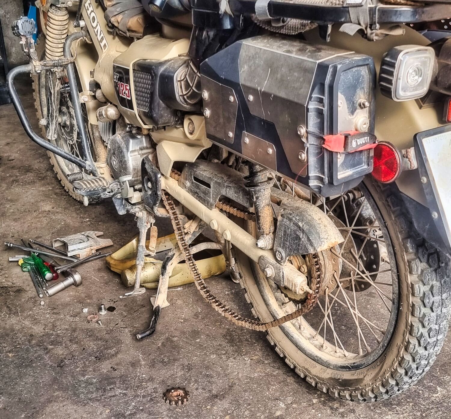
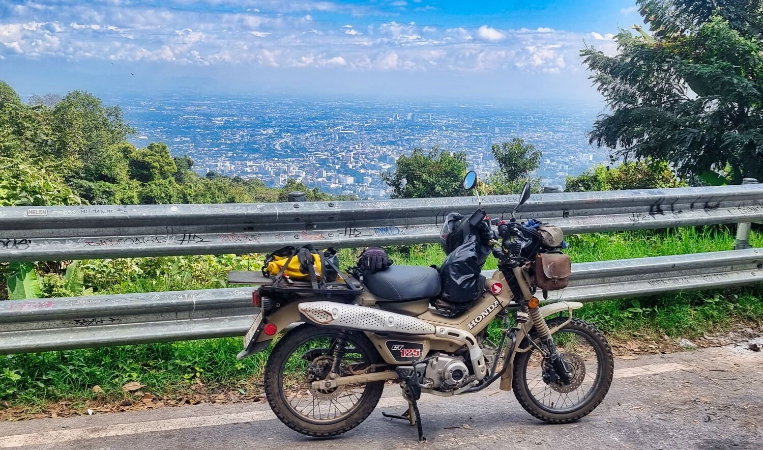
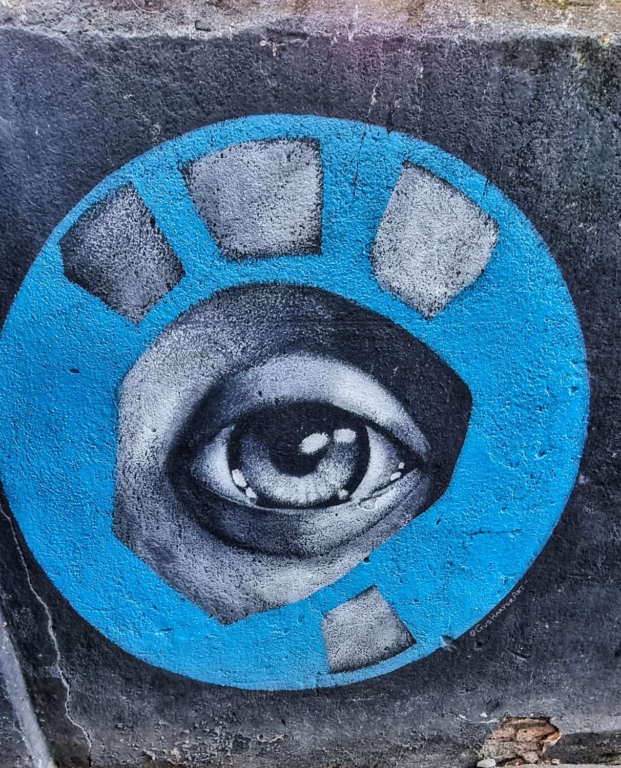
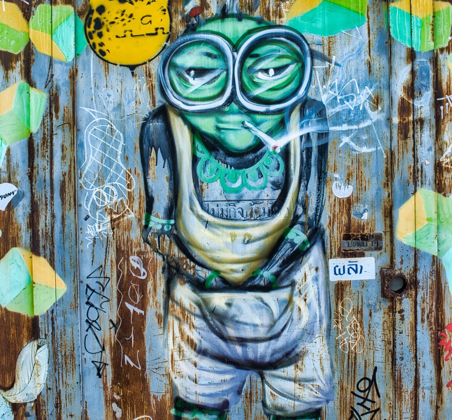
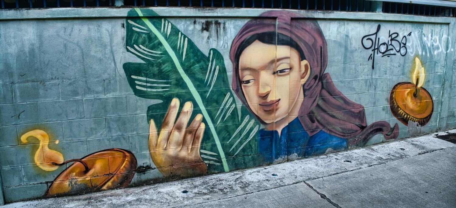
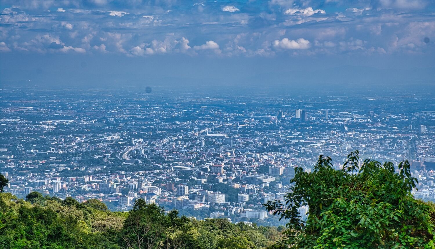
Today I started with going for a bike service. Cub House said to come back next week, maybe they would be free! I came back to the local guy next to the Lux Hotel. In addition to needing a service I needed to find out why I was getting strange sounds from the front sprocket area. It turns out the chain was knackered and was actually grinding the bolts holding the sprocket on. So, I had it changed to the standard size along with a 42 teeth rear sprocket and new chain. Service, chain and sprockets, oil etc 1,500. Great service. Located here. https://maps.app.goo.gl/LXYE9er5y6ihibSd6 While waiting for the service I went for a walk and found some more street art. I then rode up Doi Suthep to the viewpoint here. https://maps.app.goo.gl/z8Xe91oZFP8KMftNA https://www.relive.cc/view/v1vjYnW7PYq
-
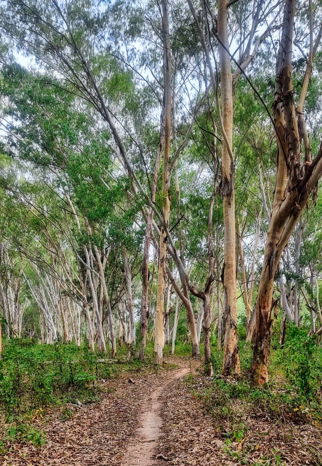
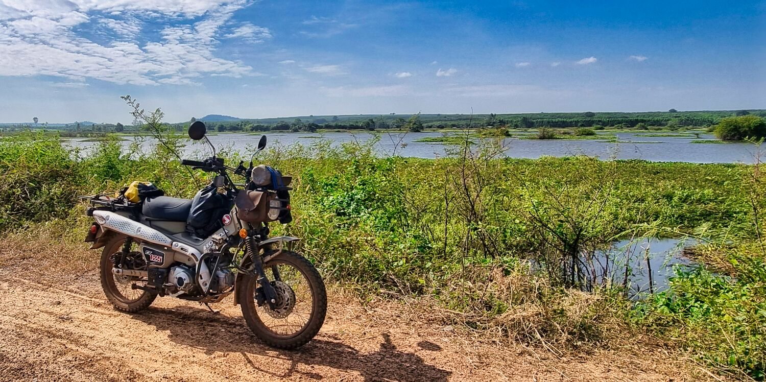
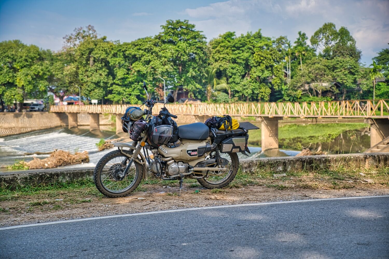
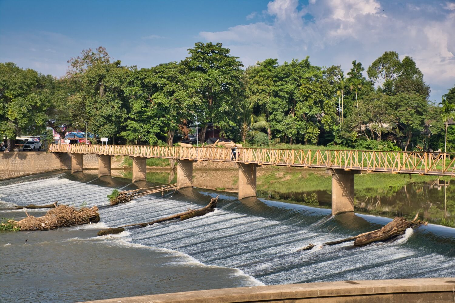
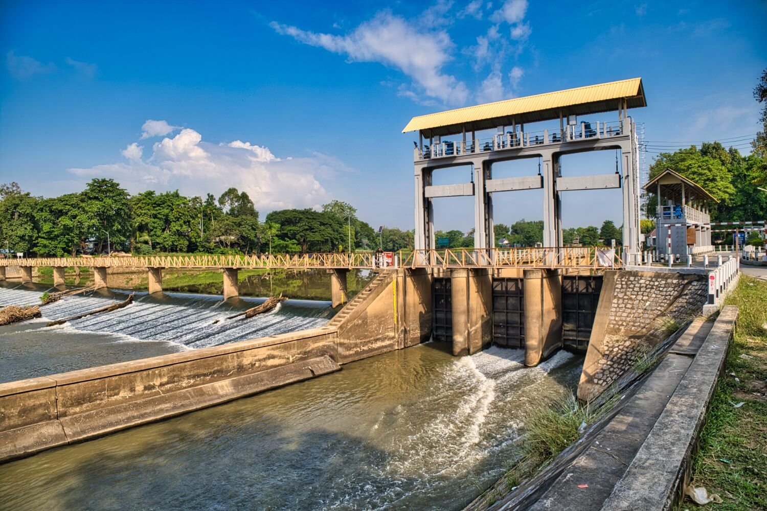
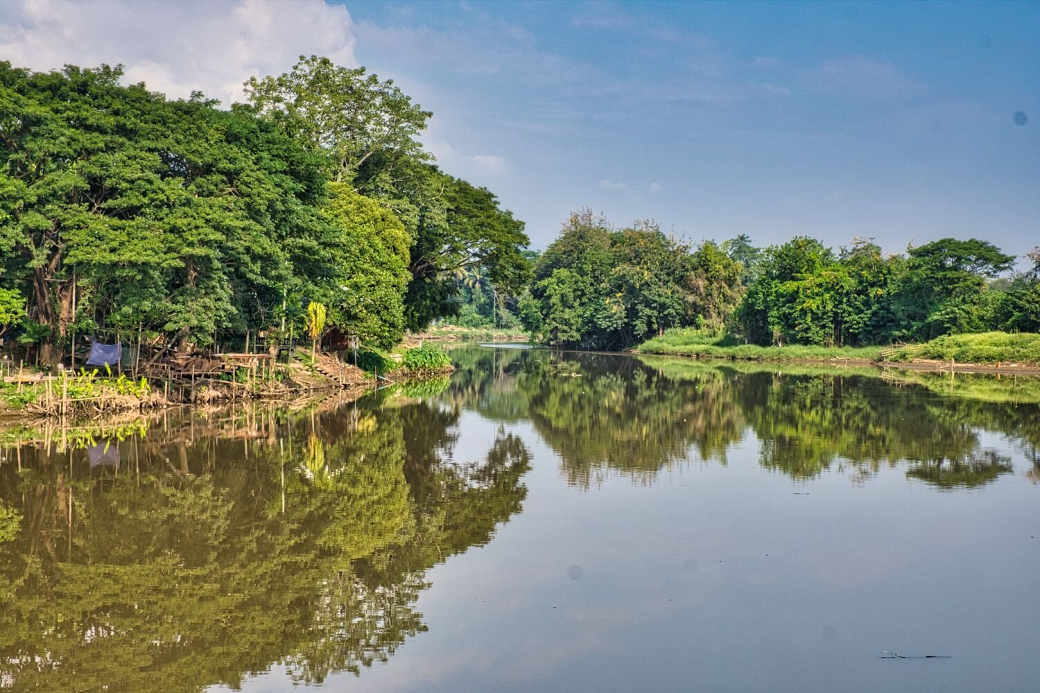
Today, day 38 I rode north from the center of Chiang Mai on small roads following the Ping River and then irrigation and drainage ditches. I tried to get to reservoir Ban Na Pak, but the two routes I tried were blocked off. https://maps.app.goo.gl/YW65MugN4x3BZtQJA From here I looped around to Mae Kuang Suspension Bridge, here. https://maps.app.goo.gl/Fm9Du2AJDFL7gVok6 Then back, a nice 120km ride. https://www.relive.cc/view/vAOZ2XK5JyO
-
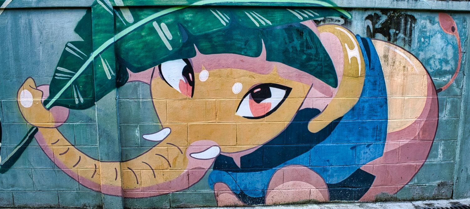
Today I had an easy morning exploring east of Chiang Mai, I did not go near mountains as they were hidden in cloud. My first stop was WAT Chai Sathan, here. https://maps.app.goo.gl/vprSBKfLTak4ZFJT8 My next two intended stops I did not get to as the tracks disappeared. I then found Mangalapo Weir (Mae Khao River), here. https://maps.app.goo.gl/JGFjHaRomUT2rgAd7 From here I rode back to Chiang Mai, took some photos of street art, here. https://maps.app.goo.gl/7361kLtZikwF8aGK9 https://www.relive.cc/view/vNOPEGEX7Y6
-
Today I left Mae Sariang to ride directly to Chiang Mai, where I will stay until the New Year. The ride was cold and the views hidden in the clouds by the rain from last night. 183km https://www.relive.cc/view/vMq5gJ7wL8O
-
Today I again went exploring Mae Sariang, my first stop was a small unnamed reservoir up a track, here, https://maps.app.goo.gl/u94vuFEZE1iAz7iq8 I then went to a weir that is not marked on maps, here. https://maps.app.goo.gl/YeftJMRGUjLG8KKD9 I then rode to Dharma Sarika Monastery, here. https://maps.app.goo.gl/dbK83j58AngJcjg66 Nearby is Shrine of Prince of Chumphon Khet Udomsak, Mae Sariang, here. https://maps.app.goo.gl/iJvCezMtX2bDfU2M6 From I follow farmers tracks into a picturesque valley, here. https://maps.app.goo.gl/C5d9LLG9pCov8XTw9 The next three stops were rice terraces, all brown awaiting flooding for the next planting, here. https://maps.app.goo.gl/ZEwGFDfgJBE9SUp48 https://maps.app.goo.gl/cCf1y4yW8iPXThoj8 https://maps.app.goo.gl/aMLLkB6WELaQMqdY8 https://www.relive.cc/view/vrqow215GKq
-
Today my plan was to ride up Doi Pui again and keep following the road as far as I could. I was delayed by trying to get my motorbike boots repaired, in the end I did it myself. I rode most of the way up the mountain when the weld on my tool box broke. A different place to the break a few days ago. I decided to ride back, strapped the tool box safely and went to find a small engineering place that worked on it straight away. All done for 100 baht. https://www.relive.cc/view/vQvxQEKe1BO
-
Today, day 33 of my tour and I rode the parking area of Doi Pui, here. https://maps.app.goo.gl/qsGcEJcPfFGkZnsi6 The start up was very thick fog before getting high enough to be in the sun. I had no intention of walking to the top which is 1.3 miles up a steep climb. I wanted to ride on but told I could not for some reason. From here I rode back towards Mae Sariang and turned here off R105. https://maps.app.goo.gl/1Ko9DFG8htjuftb7A This turns into a track and eventually with small river crossings. I have ridden up before but asking a cattle herder about the water depth, deep he told me further upstream. It was deeper earlier on and faster flowing than before making the rocks in the river difficult to see, nearly causing a fall at one time. I got to this point before deciding to turn back. https://maps.app.goo.gl/mLVmPk8t6FFdCjU89 https://www.relive.cc/view/v1vjYynVRYq
-
Today I had a lazy ride around Mae Sariang. My first stop was a local park named Red Swan, here. https://maps.app.goo.gl/QQAvijzPByj35GuB8 From here I rode to a small hill top temple, Phra That Chom Mon, here. https://maps.app.goo.gl/awV8vhp14EZ8ntGn7 Although it’s up a small hill the ride is very steep! I then rode to a water mill weir, here. https://maps.app.goo.gl/TpKXa8X5yXf14j2Q7 I then rode to Salawin Park entrance before riding back to my hotel. https://www.relive.cc/view/vMq5g95wkQO
-
Today, day 31 of my trip I went looking for the sea of fog in mountain valleys. The first stop was Huai Kong Mun Viewpoint, Mae Hong Son, here. https://maps.app.goo.gl/ii3DWfu13rWBejMaA From here I started riding the track towards Ban Sop Moei when a strange noise that started yesterday got louder and I found the bracket for the tool box had broken. I strapped and zip tied it to stop movement and returned to the viewpoint as there is a motorbike repair shop there. They welded it for the grand total of 40 baht, less than a pound! I then took an easy ride back. https://www.relive.cc/view/vLqe2y89RRv
-
Its a great area 🙂
-
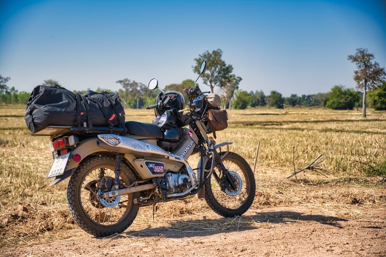
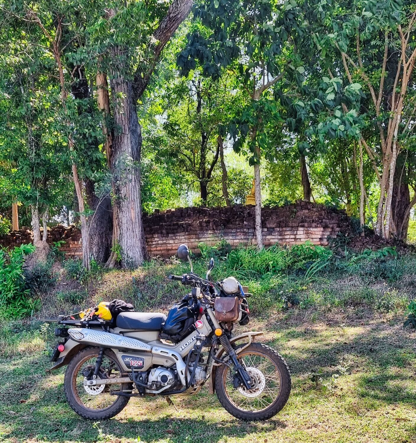
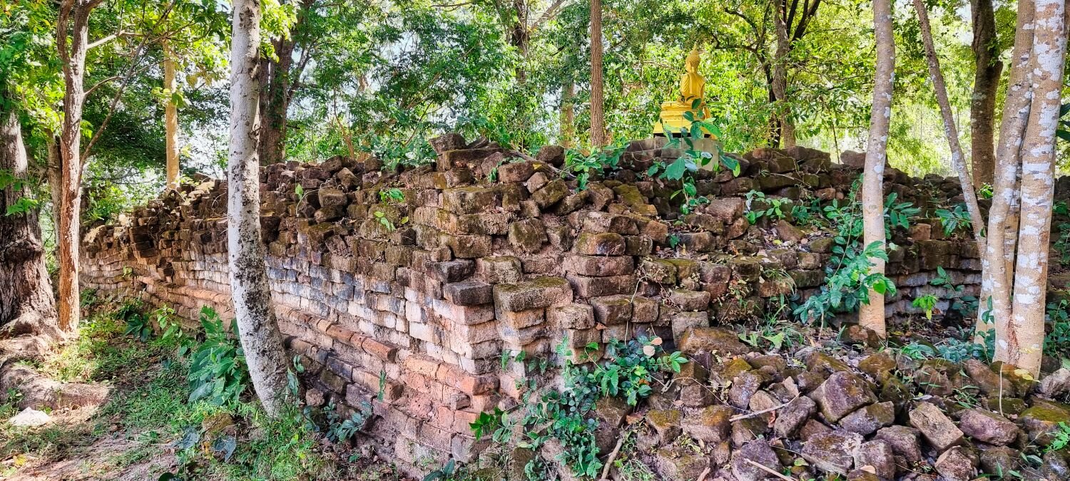
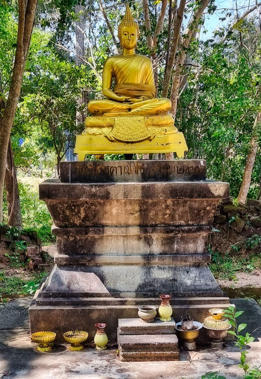
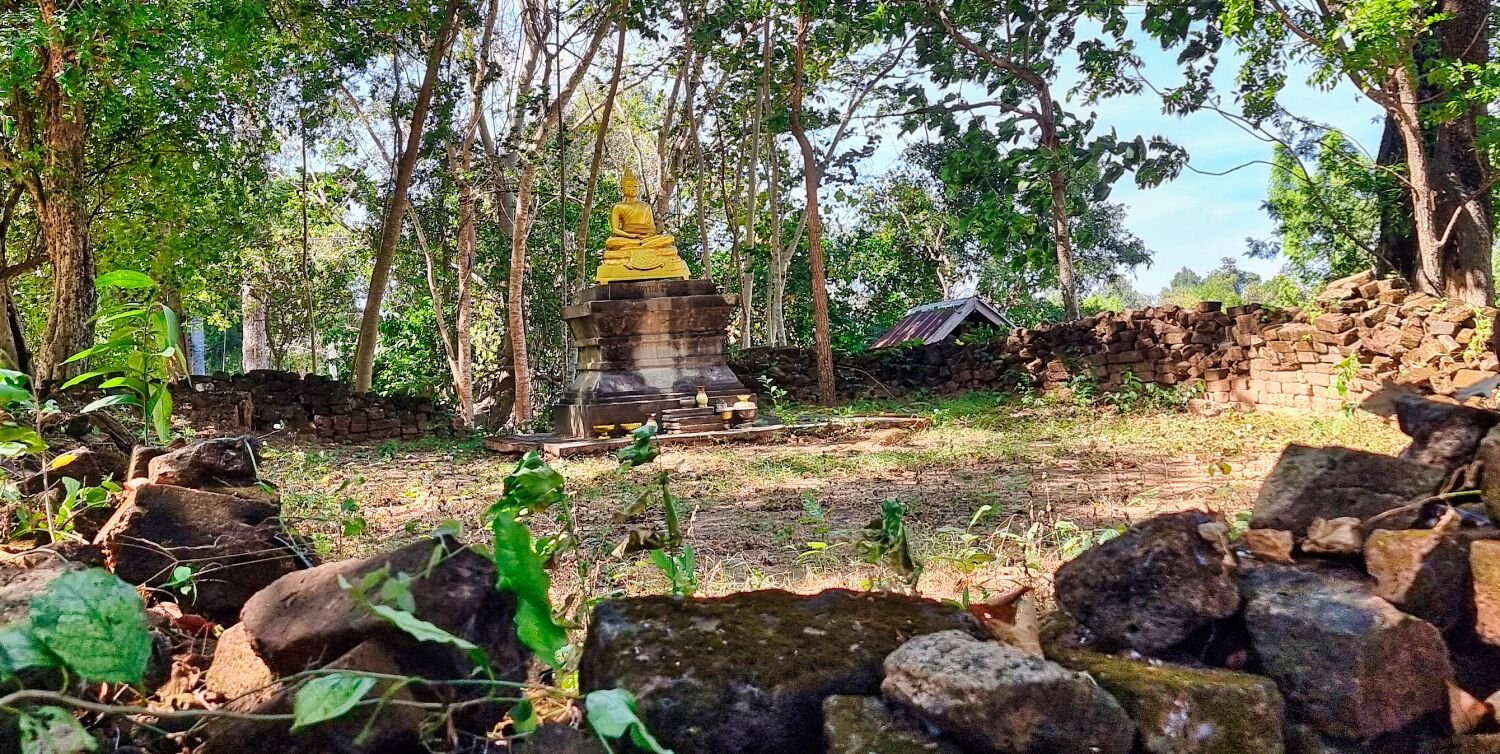
Today I rode from Tak to Mae Sariang, on the way I stopped at a refugee camp and chatted with some guys on a motorbike, very polite guys. I then carried on to Tha Song Yang Viewpoint, here. https://maps.app.goo.gl/cgyavUD9RrGTecYE8 I then rode onto Doi Mon Klui Mountain, here. https://maps.app.goo.gl/VLtoYhLjYLSS2t1k7 The start of the track is here. https://maps.app.goo.gl/nFcH9PKTbzZQiAZ29 The track was steep in places for the CT125 and the final 20 plus meters had me swearing a lot as I was paddling like mad not to stall out. As I arrived there was a group on the way to see who it was and check me out. By then I just managed get up without stalling! Amazing views up here. My room for the next few days is not too bad too. https://www.relive.cc/view/vr63g1on486
-
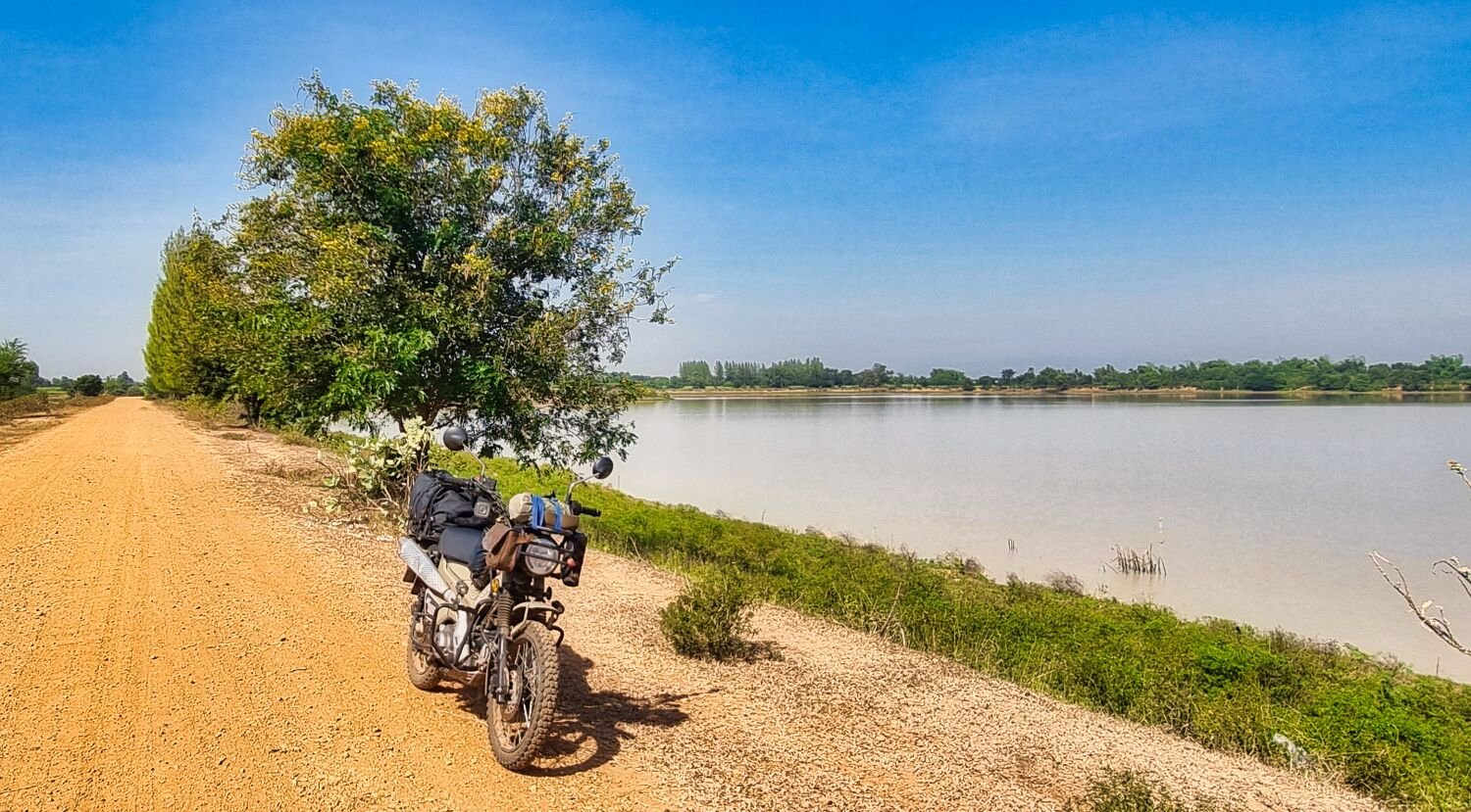
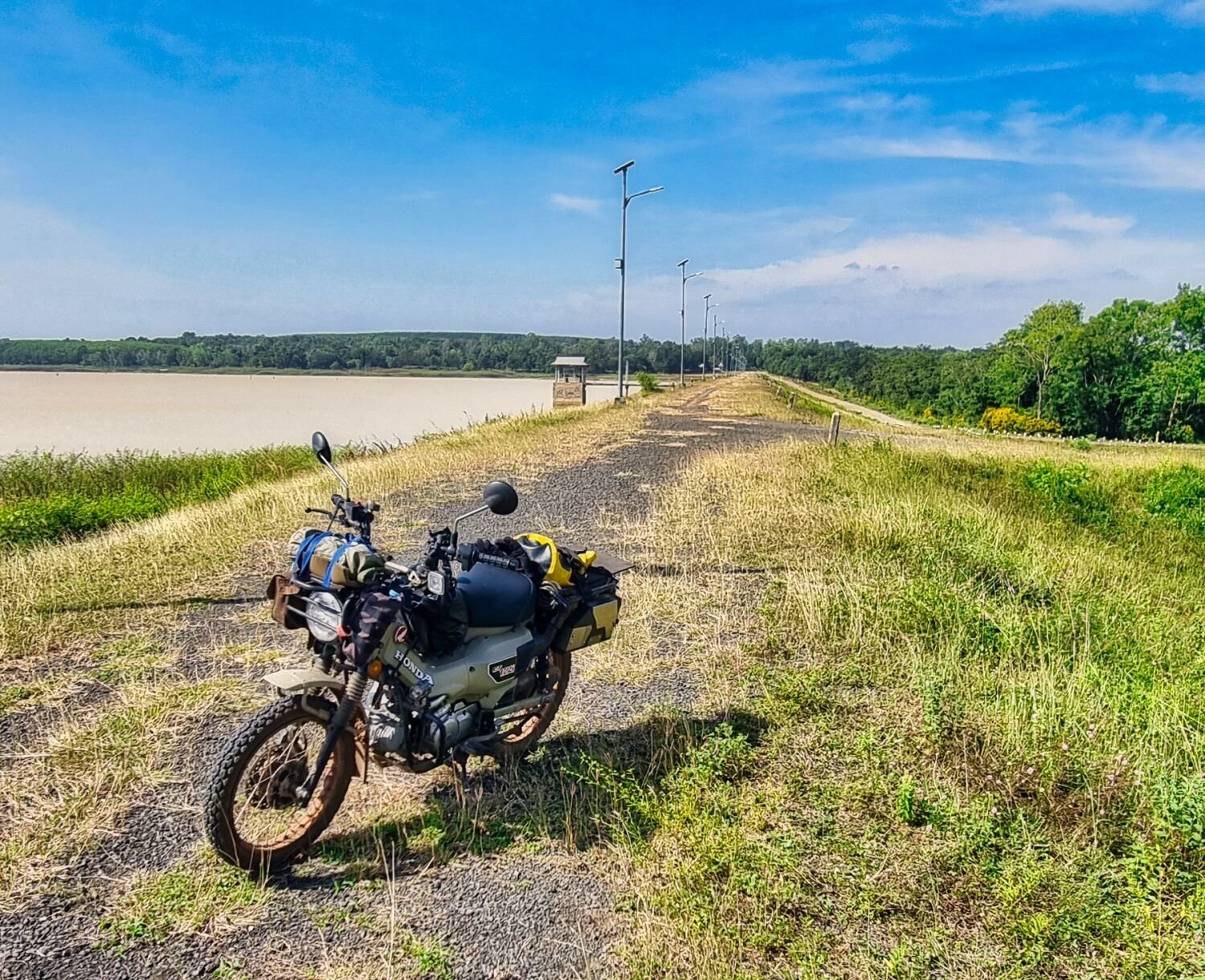
Today, day 29 of my trip I went looking for more reservoirs, the first was Wang Nam Daeng Reservoir (Ban Wang Taku), here. https://maps.app.goo.gl/t1eExztn45T3mTVm9 It was over grown with reeds and the local farmer was pumping out water adding fertilizer to feed his long beans. I then rode onto Khlong Khrai Reservoir, here. https://maps.app.goo.gl/pr8v5XGTyuZ4SBqj9 I then looped around to Tha Ta Baek Reservoir, here. https://maps.app.goo.gl/1sREEAYzJ4LKCtoN9 From the dam I rode a rough track for a while and after failing to find another reservoir I headed back to Tak. https://www.relive.cc/view/v26MoJrdAEv
-
Today I went exploring reservoirs near Tak, due to Google Maps sending me down farms tracks to dead ends I only saw a couple, but enjoyed the green laning. My first stop was Nong Ta Ruea Reservoir, here. https://maps.app.goo.gl/4WwmB1J8h1XE2phi8 Next was Khao Yot Lek Reservoir (Ban Kui Pa Rang), here. https://maps.app.goo.gl/785TyBrWDMHd4BVS9 https://www.relive.cc/view/vXvLo3AXP1q
-
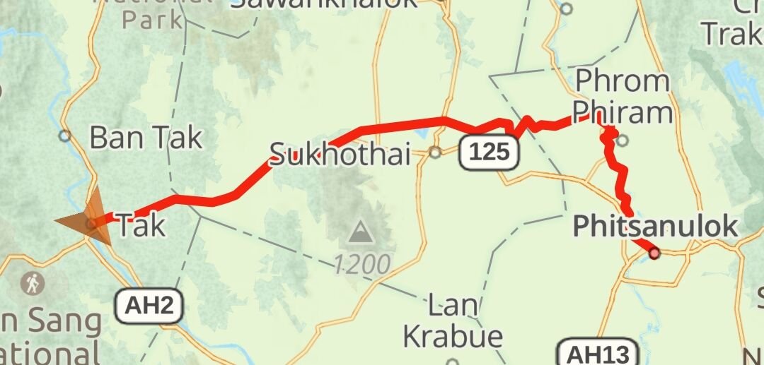
Today, day 27 Ray left to ride home and I went exploring. My first stop was the Rattanakosin 200th Anniversary Bridge (suspension bridge) in Tak, here. https://maps.app.goo.gl/UHiVY6aTeWorerch7 I then rode to Klong Huai Sai Reservoir, here. https://maps.app.goo.gl/shNHT78oD1YT5aKU7 I then rode onto Khlong Mot Daeng Reservoir, here. https://maps.app.goo.gl/thdzLijQREH7nF4o9 I then rode into Kamphaeng Phet over the Ping river on this bridge. https://maps.app.goo.gl/aVYNm9cRGW62AiyD8 I followed the River Ping north to cross the river again at Wutthikun Bridge, here. https://maps.app.goo.gl/xNDdCRSpfBSfwR5P9 From here I returned to Tak. https://www.relive.cc/view/vMv8pw8QyNv
-
Today Ray and I went to ride up Doi Soi Dao, here. https://maps.app.goo.gl/8wxifGmEHPJUybjb9 On the CT125 it was struggling on the steep areas and I ended up paddling a few times to continue. Three and a half km up I came to a straight climb that I had no chance to get up, here. https://maps.app.goo.gl/5sMzd76nLRCDgCp69 Ray had already ridden up on his CRF, so I returned to meet up later. We rode back to Tak alongside the Ping River. It was a good ride despite being unable to complete it. https://www.relive.cc/view/vXOdpMgYP4O
-
Today Ray and I left Pitsanalok heading to Tak, first we headed north alongside the Nan River, riding the farmers tracks where possible. We stopped at Naresuan Dam, here. https://maps.app.goo.gl/UaCqfx4fKYj9NBb86 We then found a nodding donkey oil pump, here, but they stopped me taking photos. https://maps.app.goo.gl/5gyFT2CtzQdzki9u7 A good ride of 180 km today. https://www.relive.cc/view/vevWmxxNJG6
-
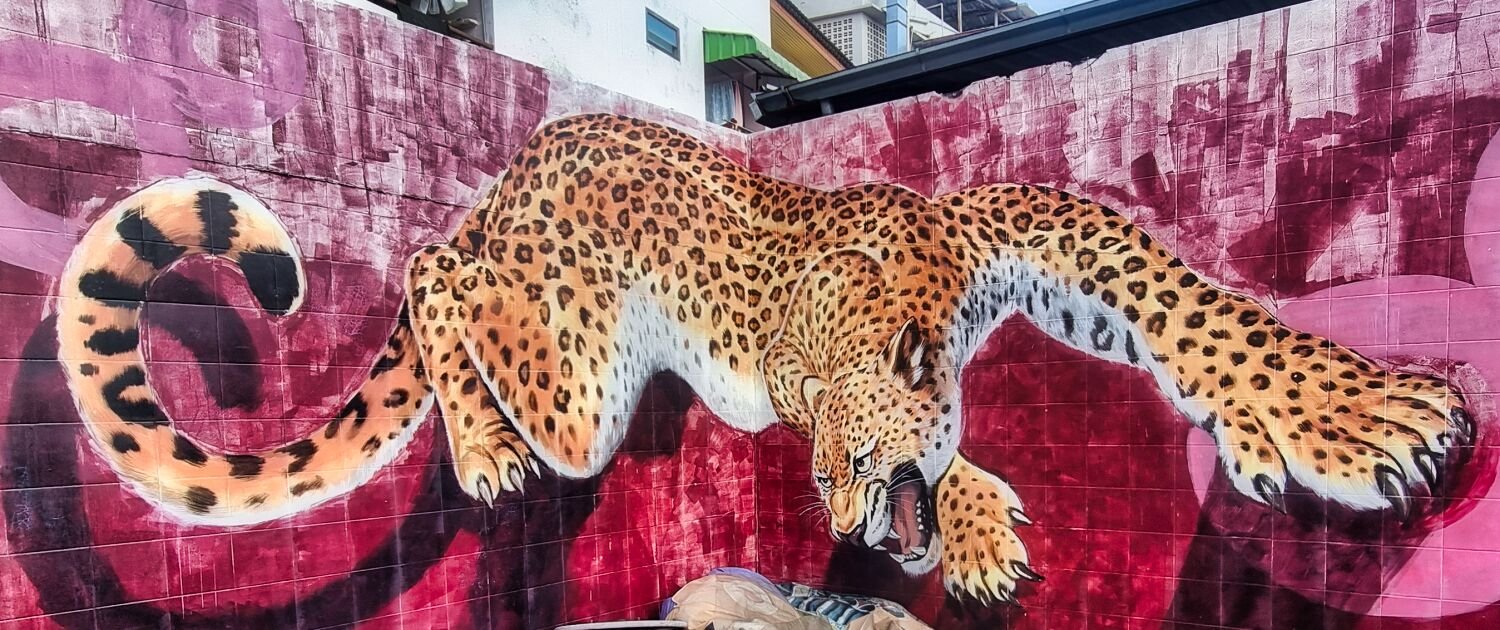
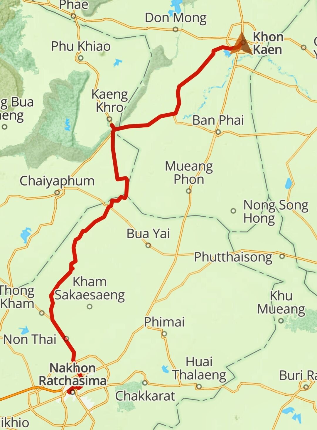
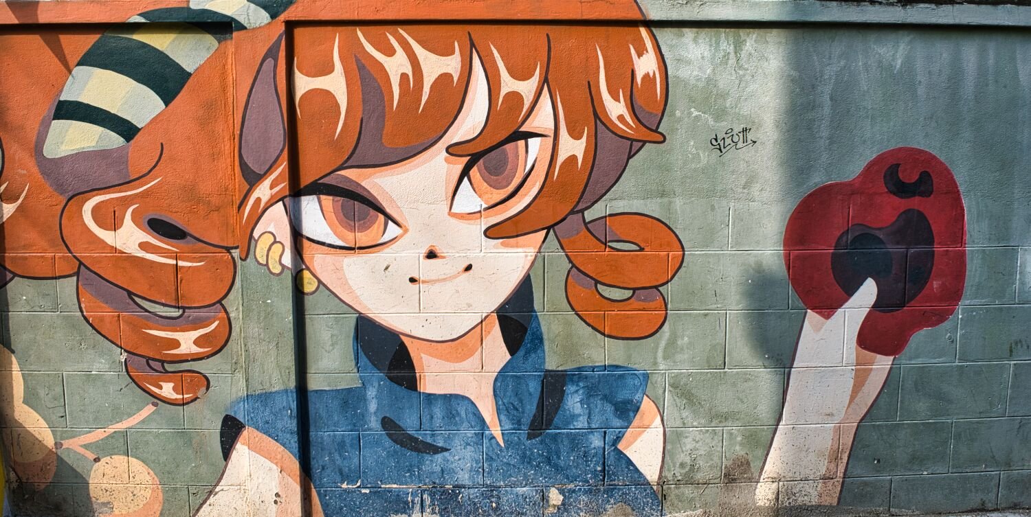
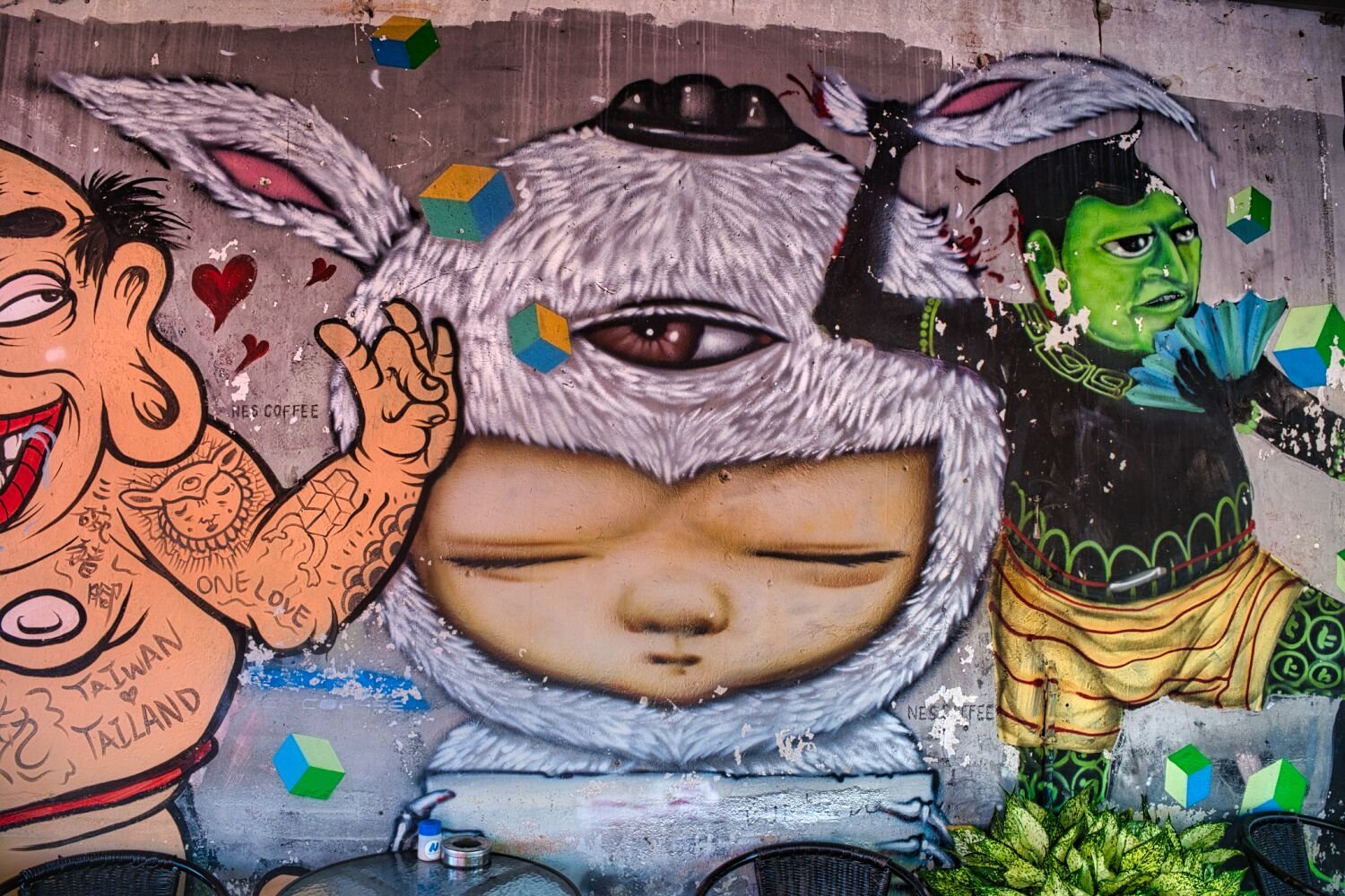
Ray arrived last night to join me again for exploring. Today was a straightforward 325km ride from Khon Kaen to Pitsanalok along R12. We stopped at Huai Tong Bridge, here. https://maps.app.goo.gl/RWFTYbdbFmnup6Da6 When we arrived at Pitsanalok I found some street art near our hotel, here. https://maps.app.goo.gl/vPmKsXaQ8jywounh6 https://www.relive.cc/view/vYvEnWekZwO
-
There many around, keep looking 🙂
-
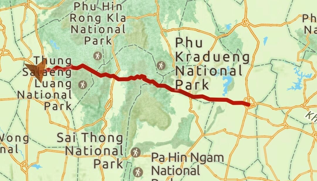
Today was day 23 of my ride. Leaving Korat my first stop was Barai Sawan Bamboo Bridge, which was collapsing and not worth a visit. https://maps.app.goo.gl/tfhwhLr2M8w9LmmLA Nearby was Prasat Ban Prang, here. https://maps.app.goo.gl/eJCQCpoEsitTxuM49 This is in the school grounds. My next stop was at Suang Reservoir, here. https://maps.app.goo.gl/aazkhkzn3q6CpFkZ7 I then rode to Lahan Na Reservoir, here. https://maps.app.goo.gl/VAjFwmUsSK7mDXDU9 https://maps.app.goo.gl/UkSh2FKXbfC4iRVL8 From here I rode onto Khon Kaen. https://www.relive.cc/view/vrqowpL7nKq
-
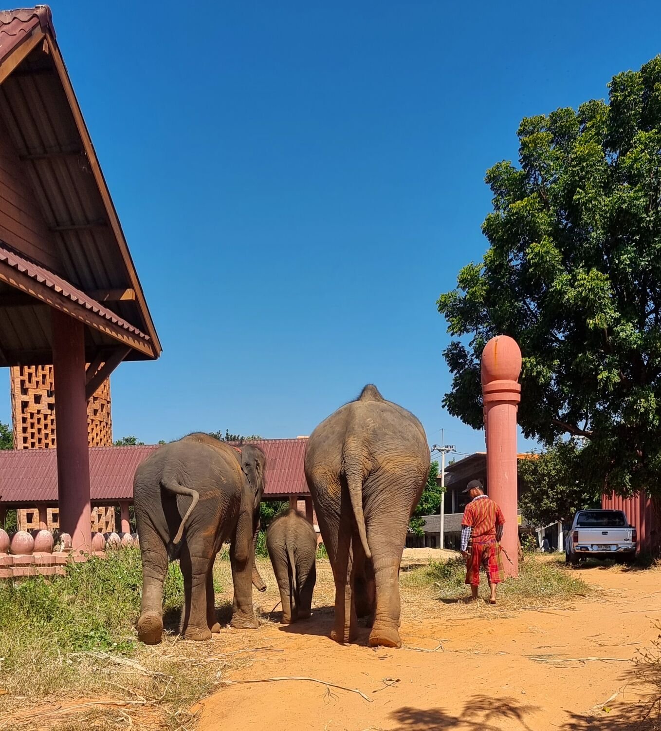
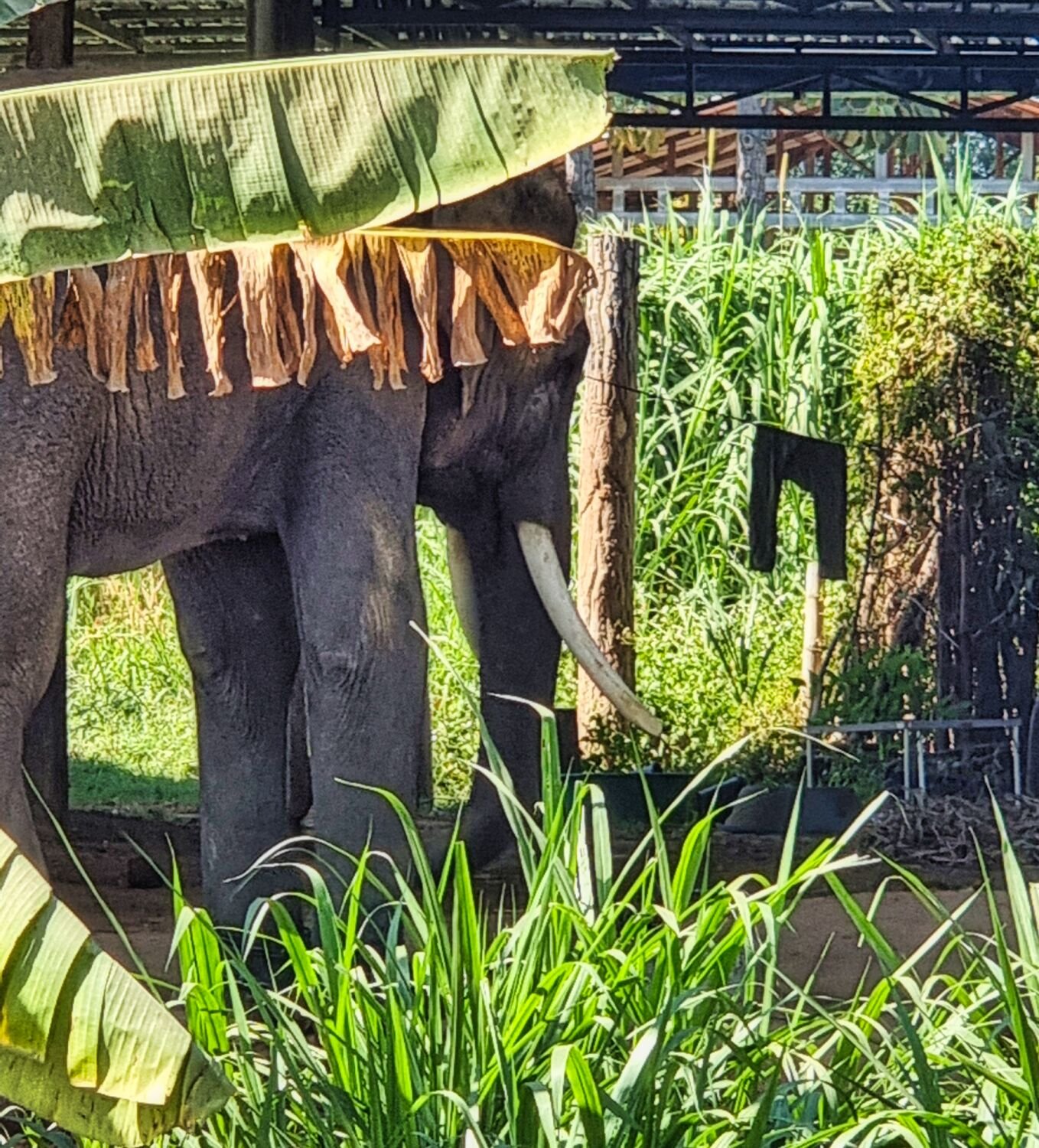
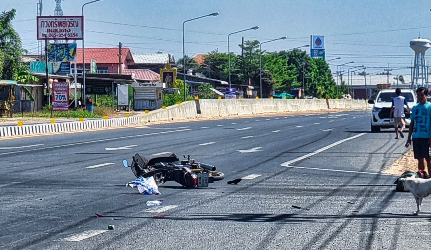
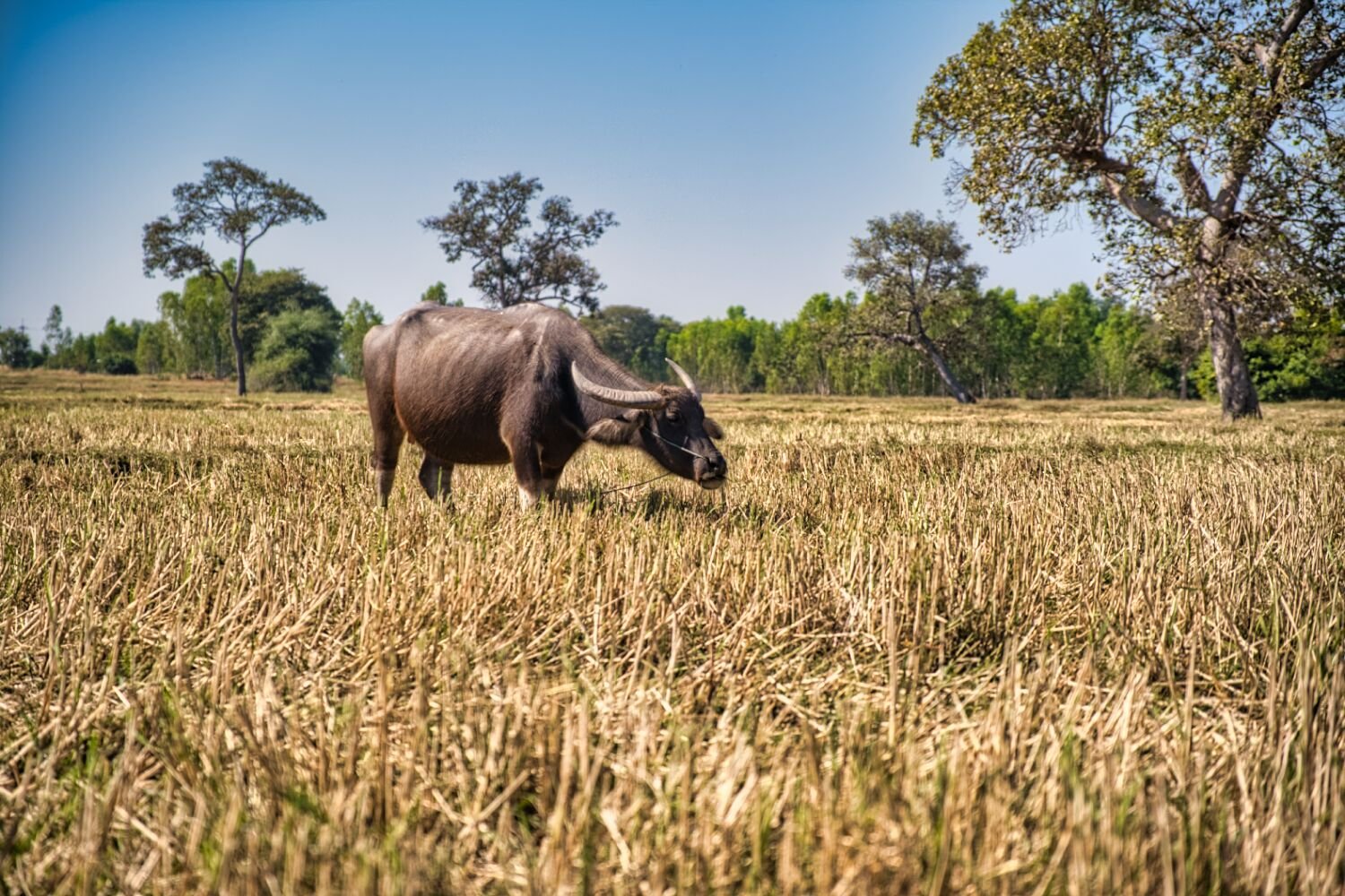
This morning I left Ban Kruat to go photo some elephants In Surin. On the way I stopped at a random rice field to take some photos. In Surin almost all the elephants I saw were chained up, so I moved on. On the way to Korat I witnessed a bad accident where a Thai farmer on his motorbike turned in front of a car. It hit him full on. He was still alive when I left but not a good day for him. https://www.relive.cc/view/vrqowpPWEyq
-
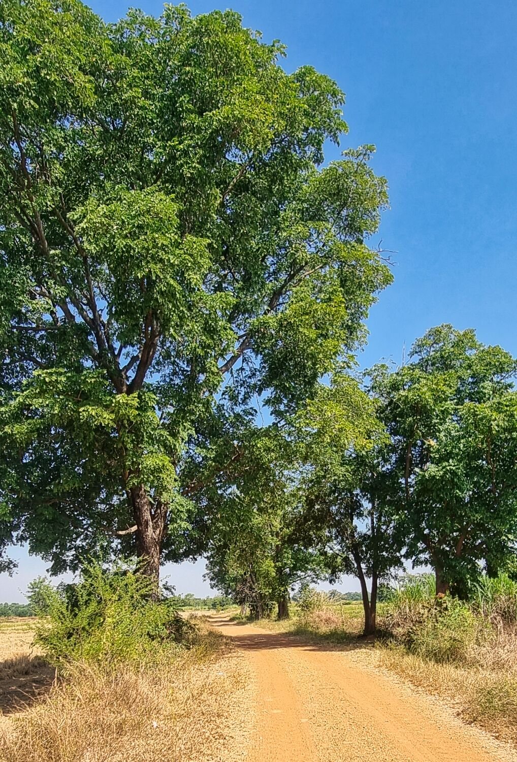
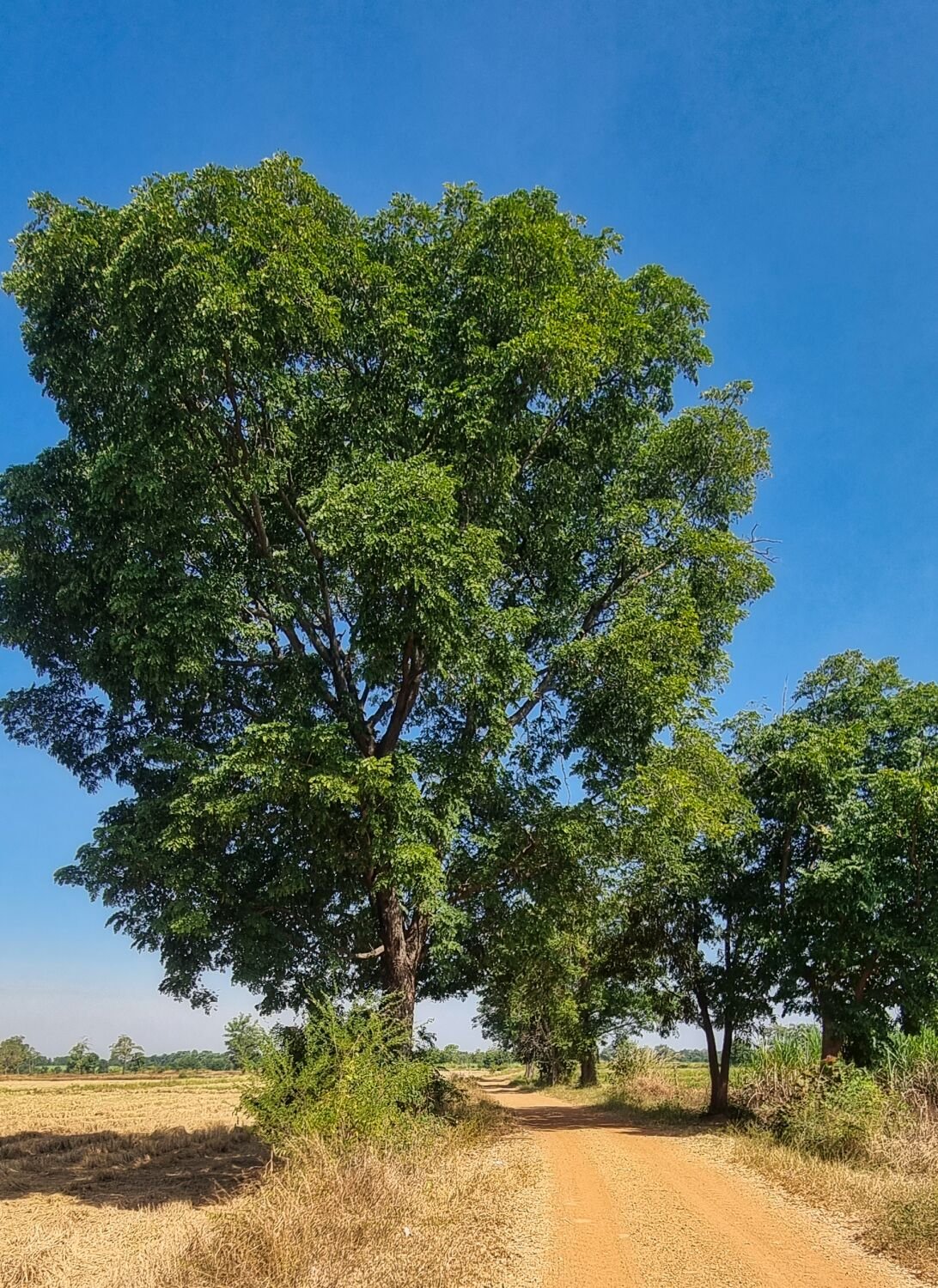
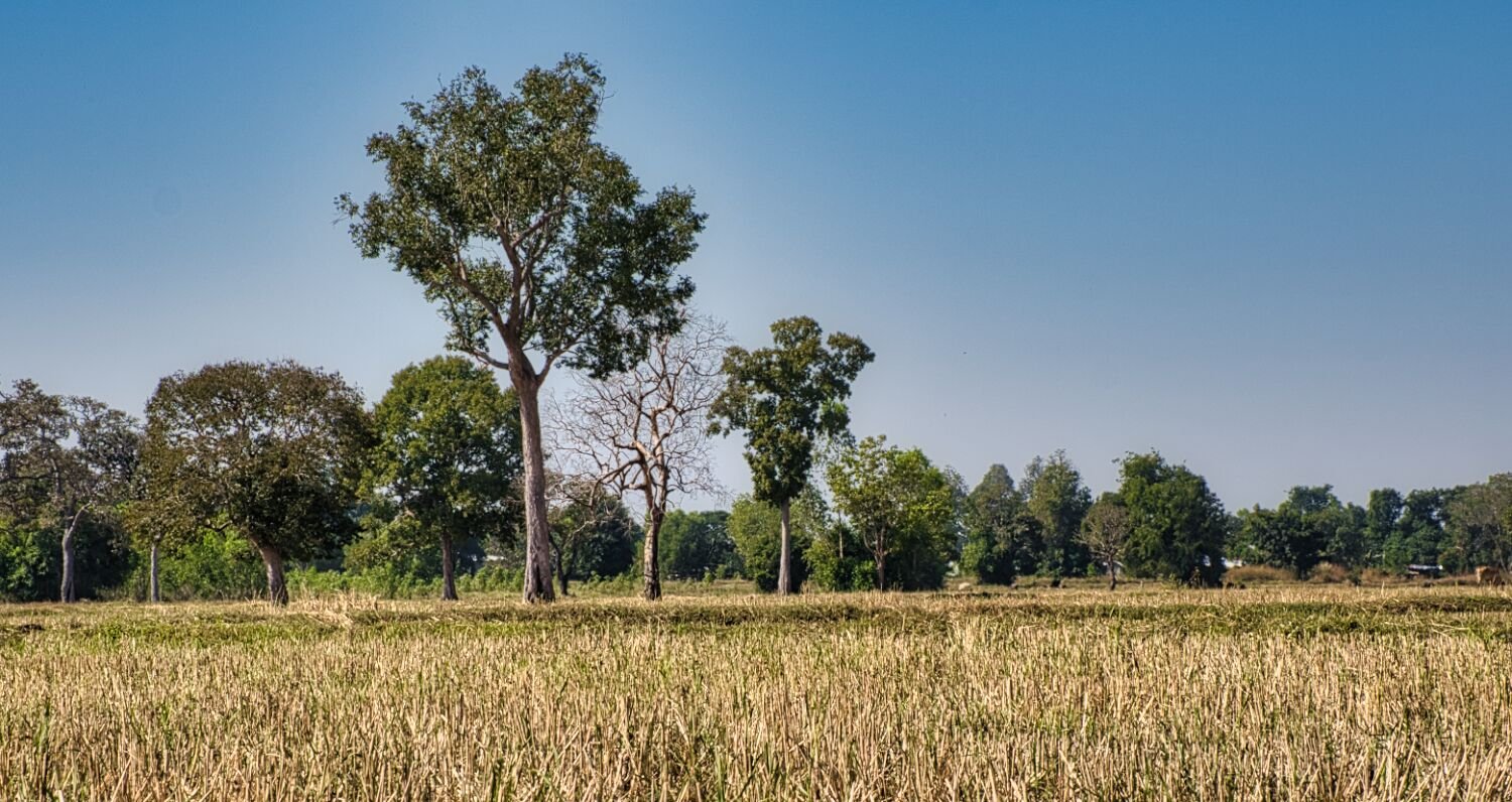
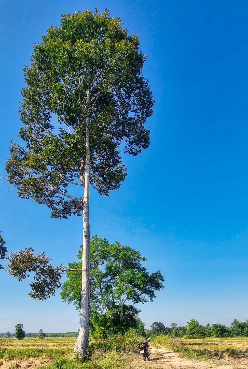
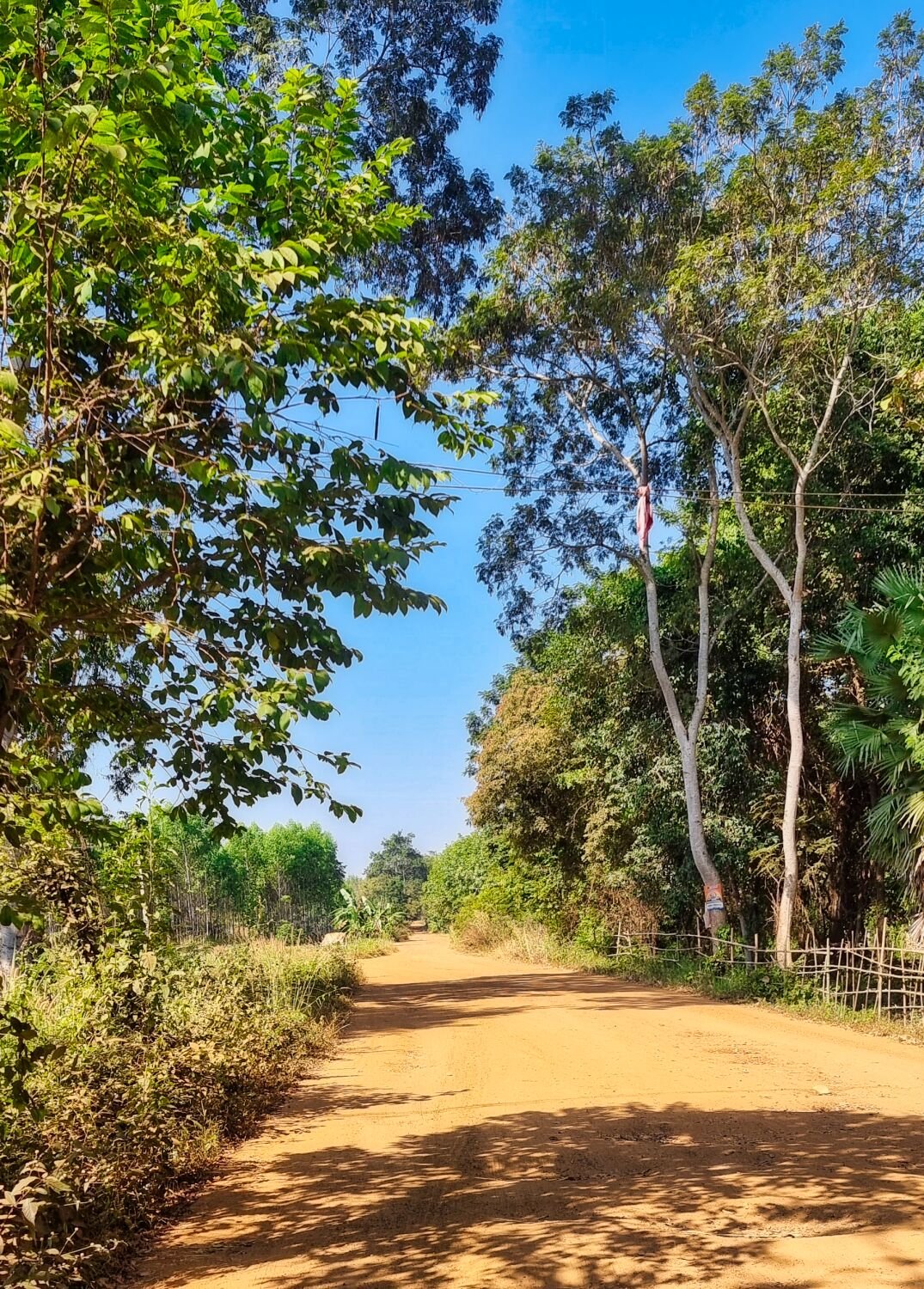
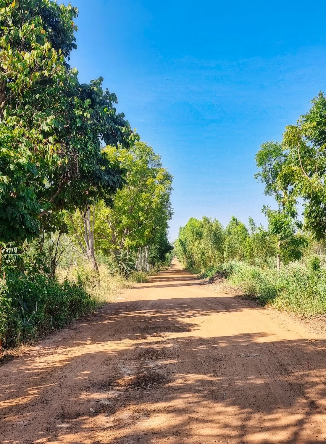
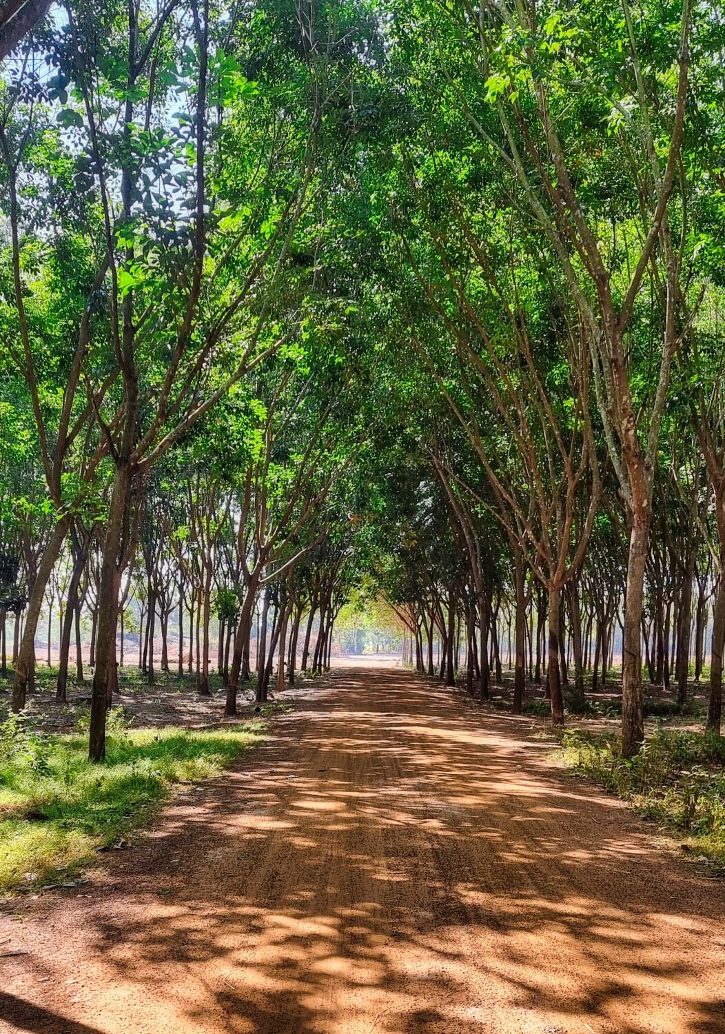
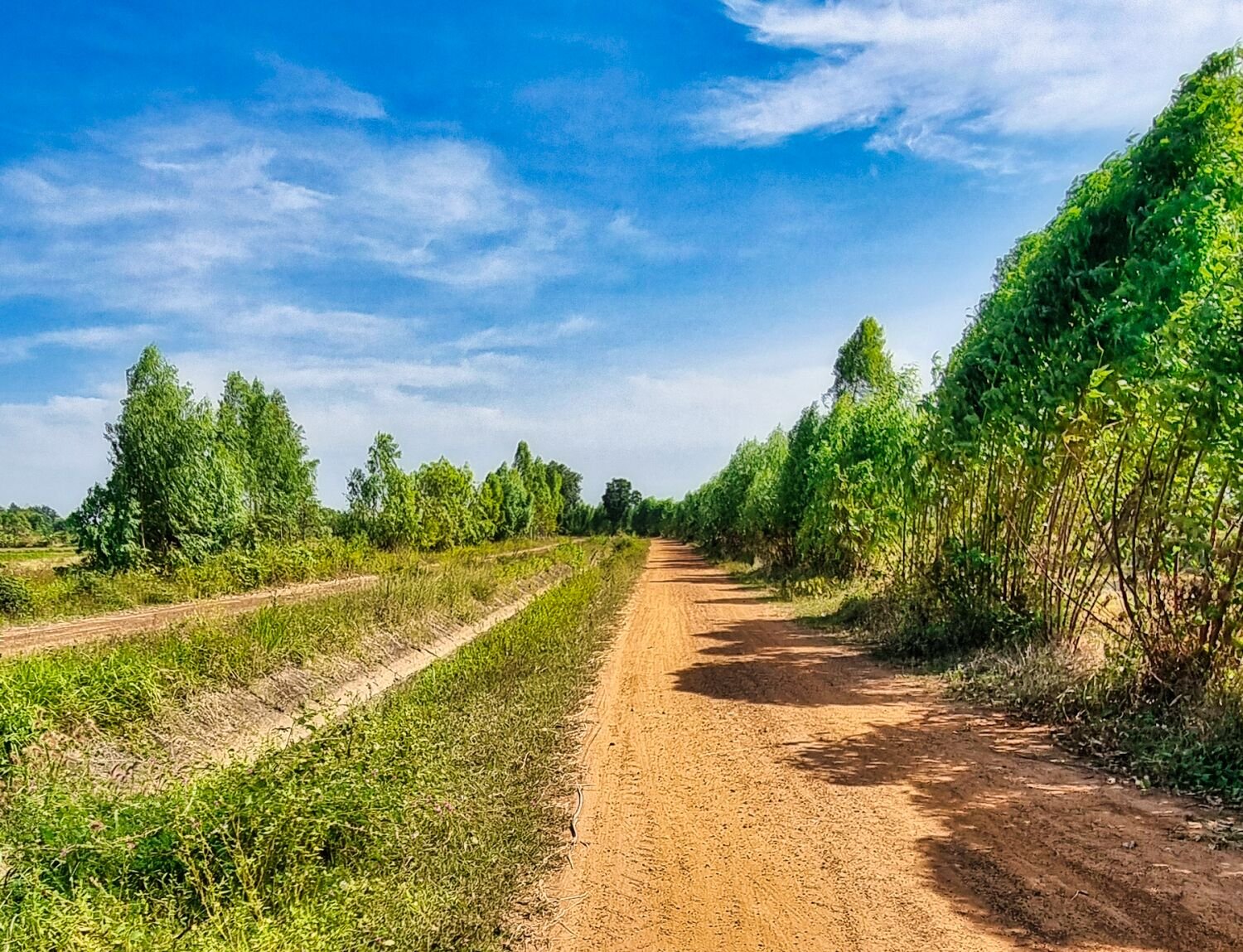
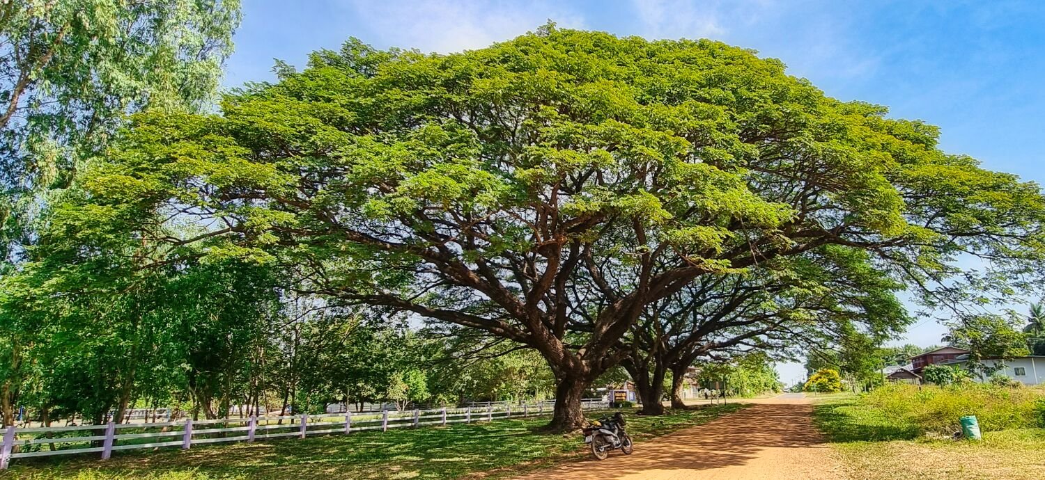
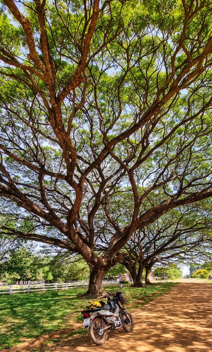
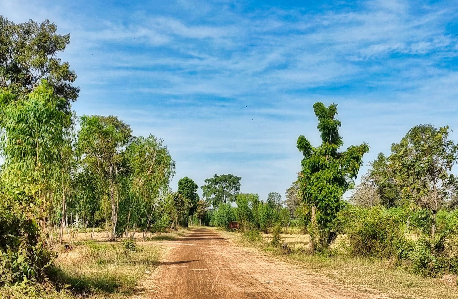
Today I spent more time exploring farmer tracks and irrigation channels. No views points after the big tree, here. https://maps.app.goo.gl/VcHKj9jEfRtK2CPf6 Here are some waypoints to off road areas. https://maps.app.goo.gl/pZBZeJuYPibMREbN9 https://maps.app.goo.gl/w4hNZxfNXsFSDcZG6 https://maps.app.goo.gl/t8VRnTnk8r8KZsHQ7 https://maps.app.goo.gl/aXTyarA1PQ8ffKra6 https://maps.app.goo.gl/qj5UzYZwVBMa42qM8 https://www.relive.cc/view/vrqDNWGRnwO
-
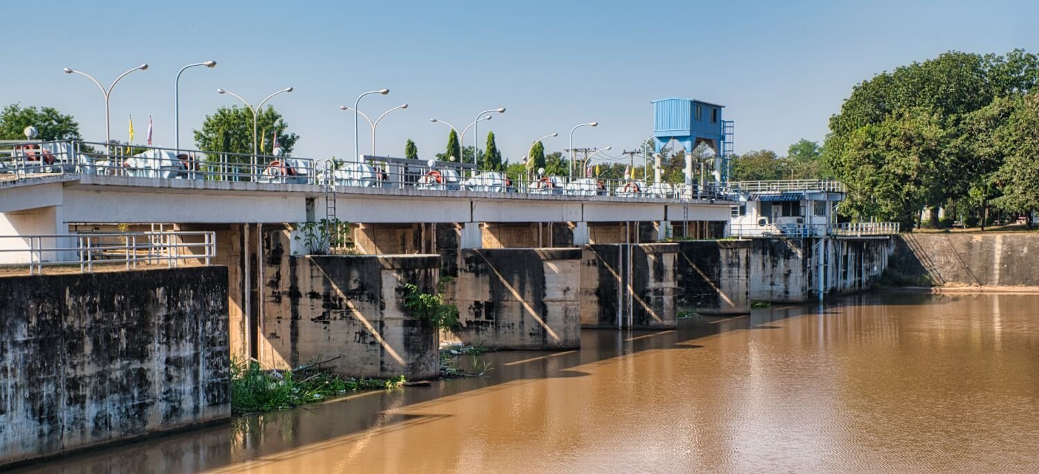
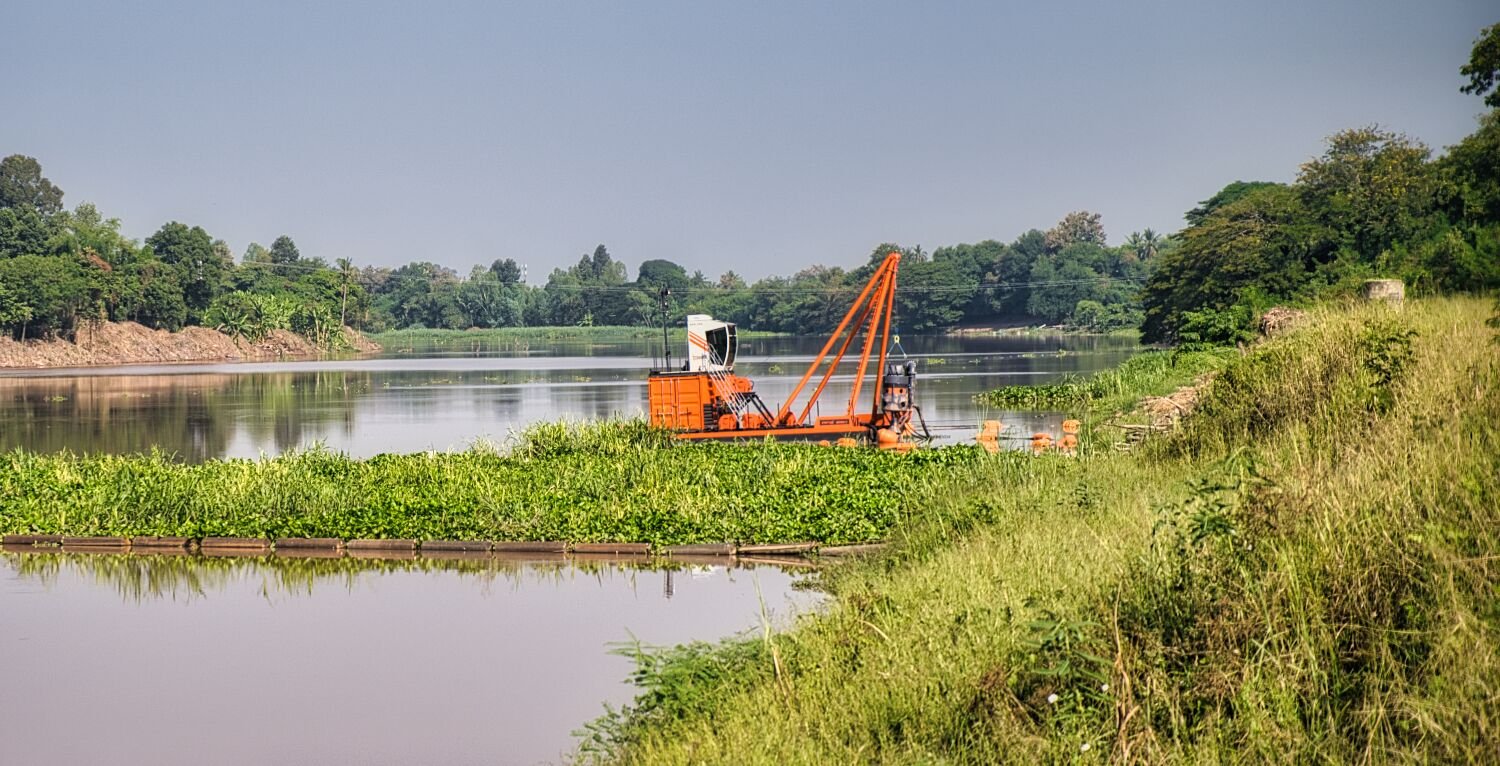
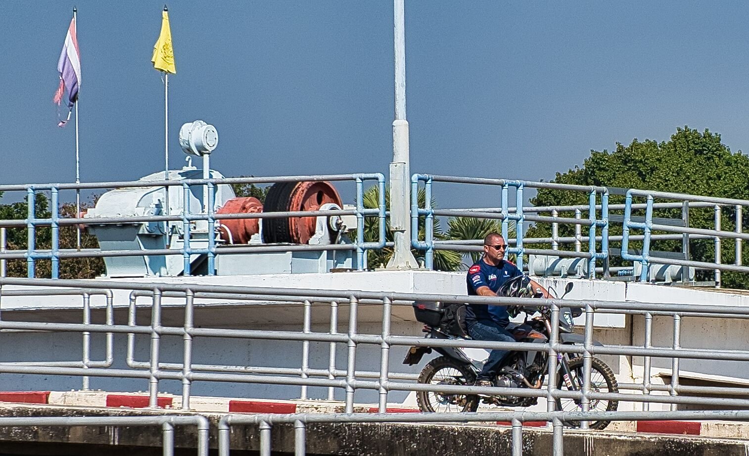
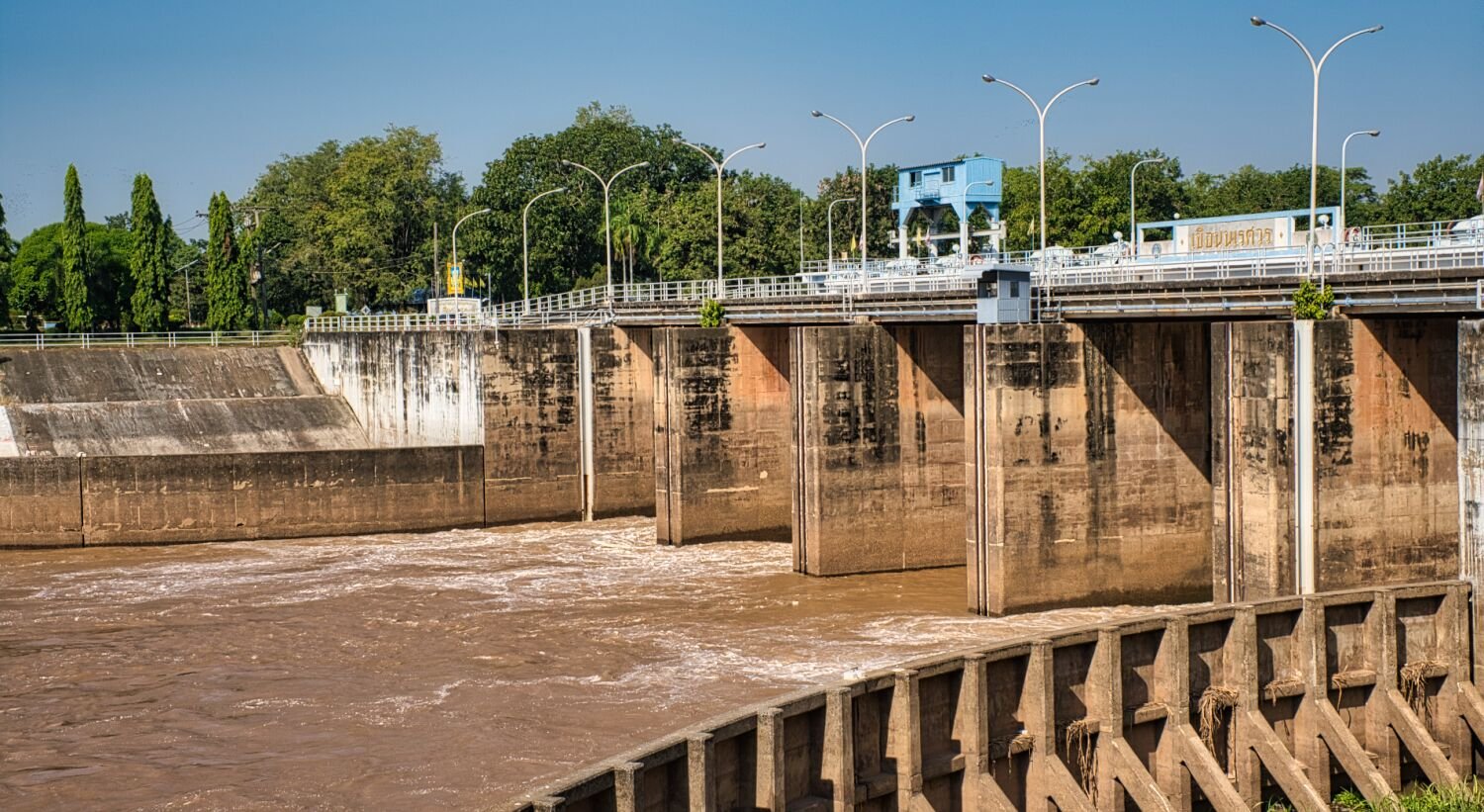
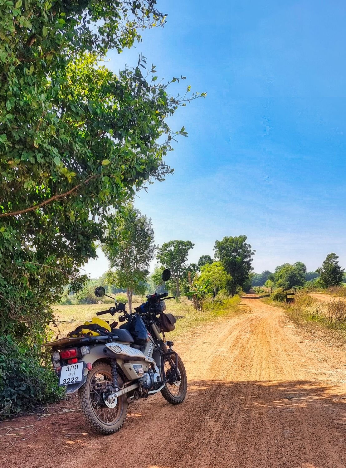
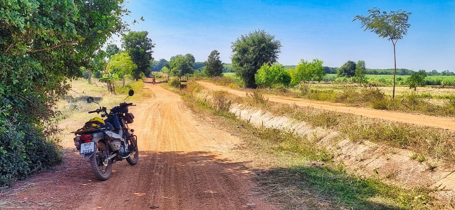
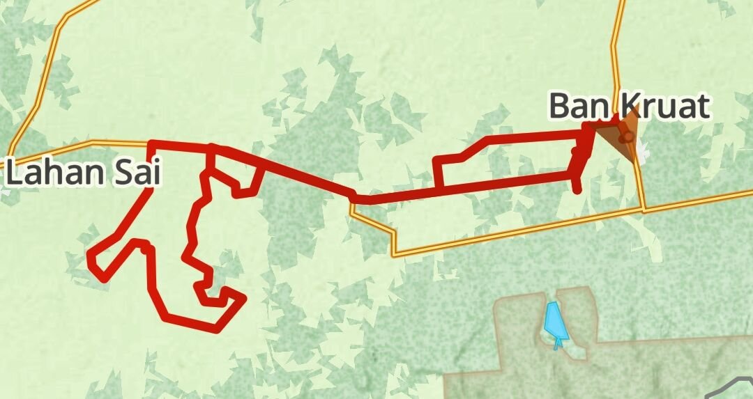
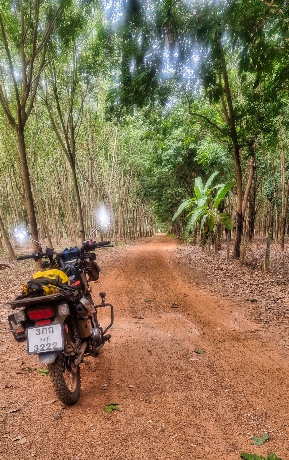
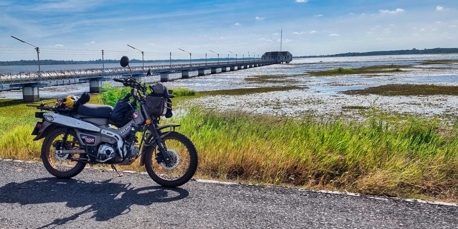
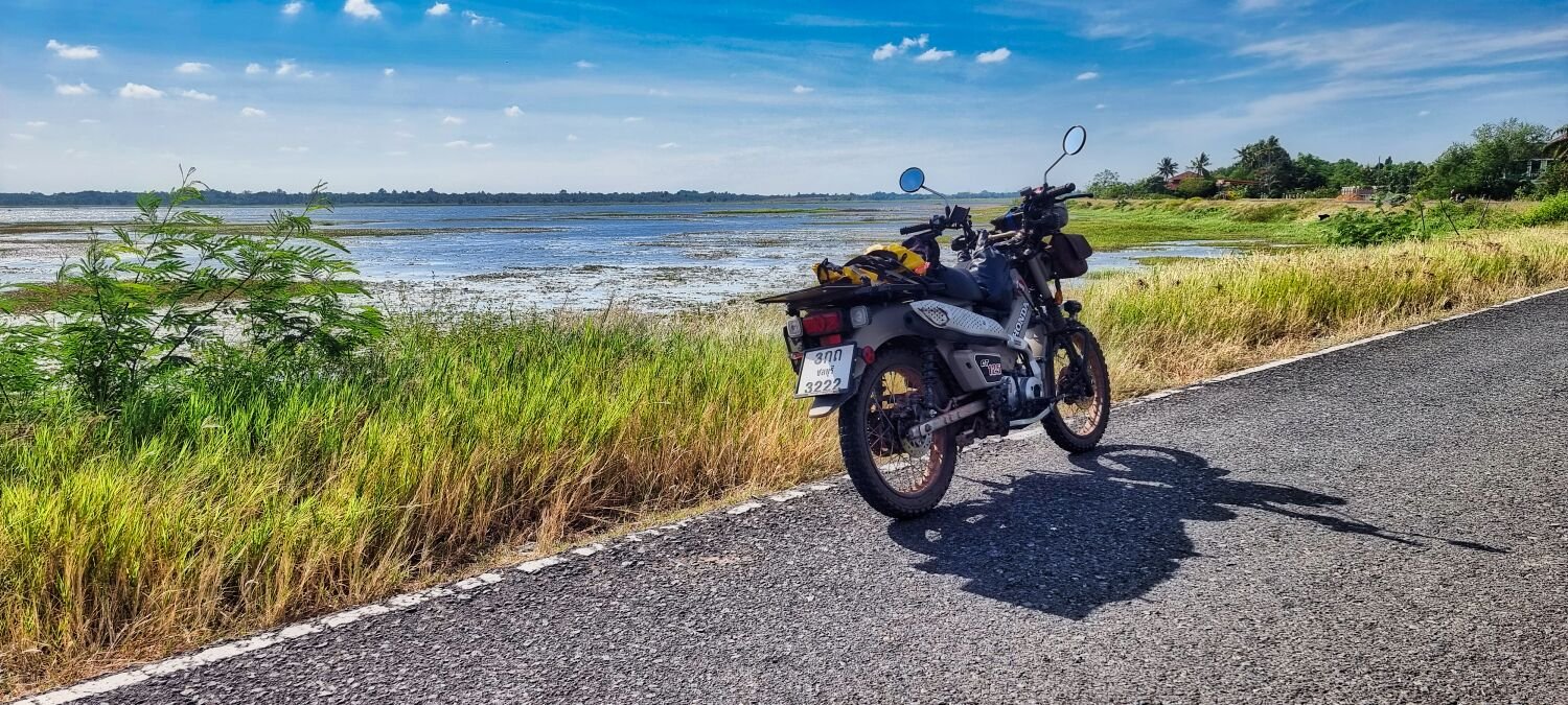
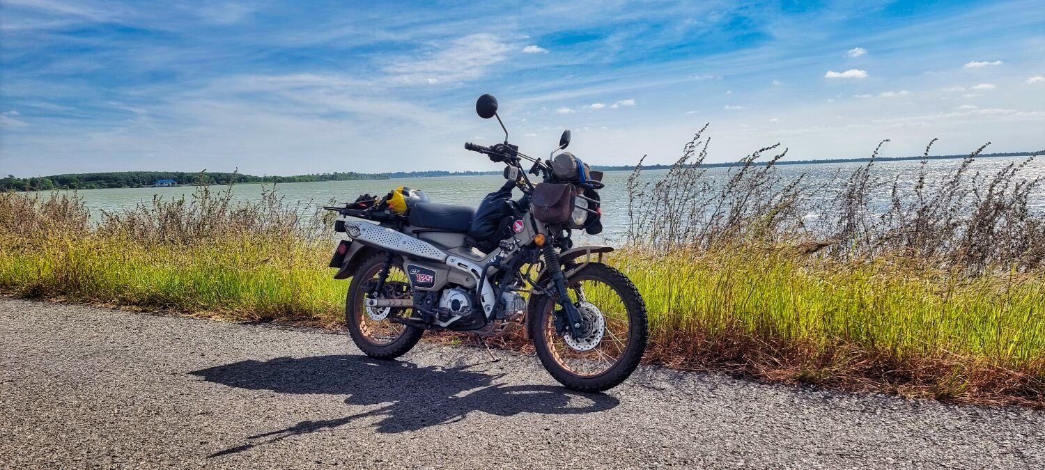
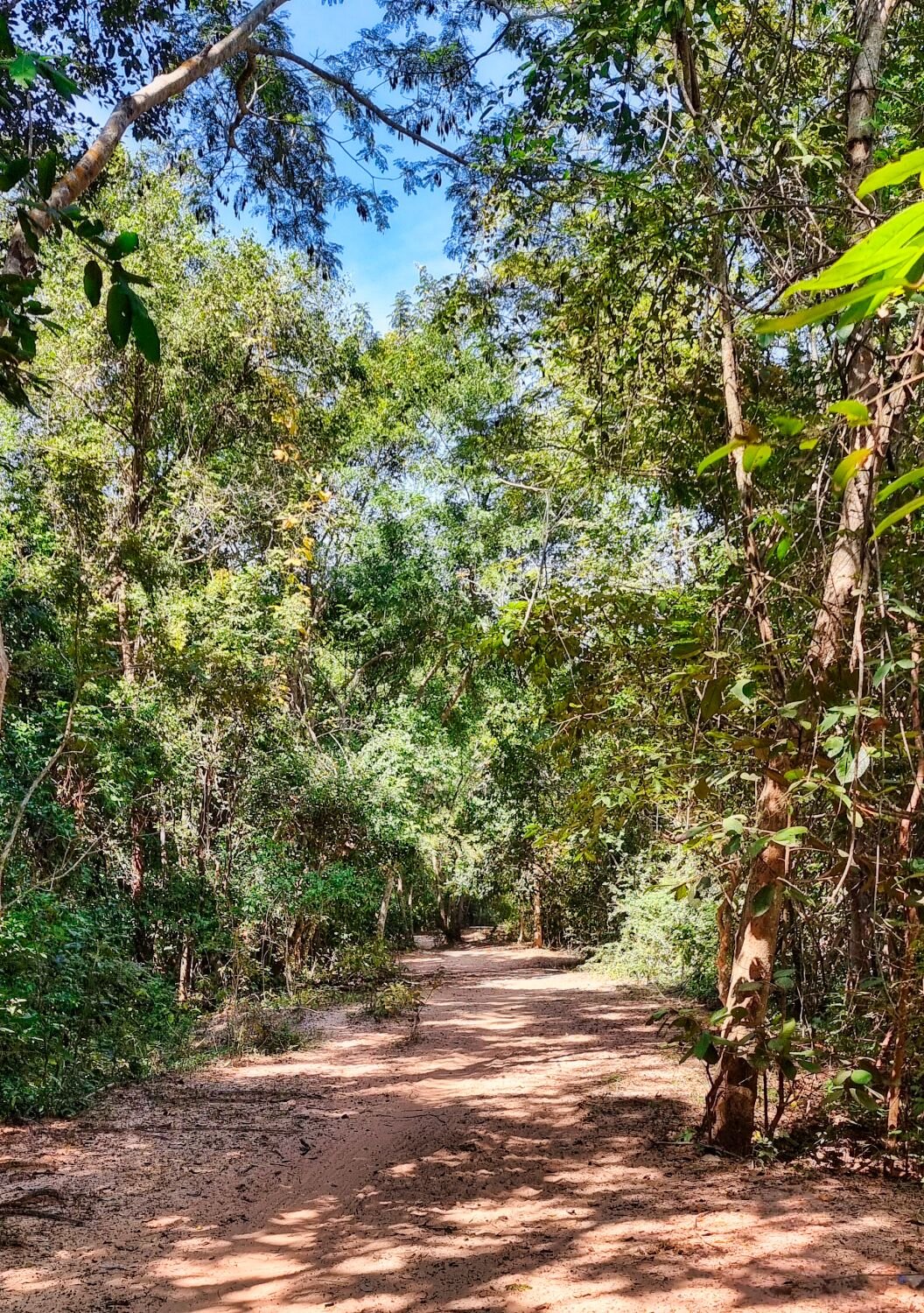
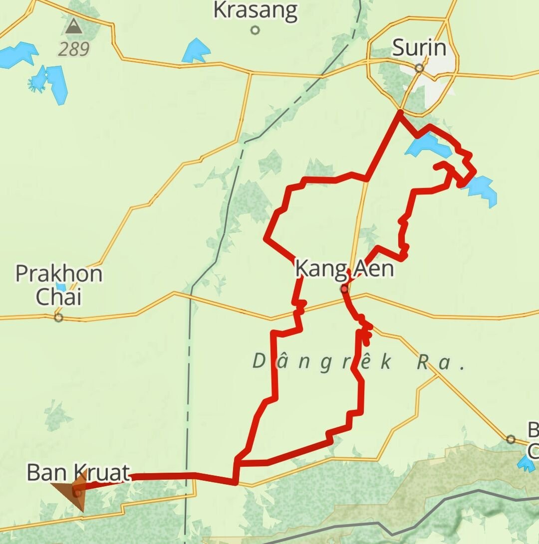
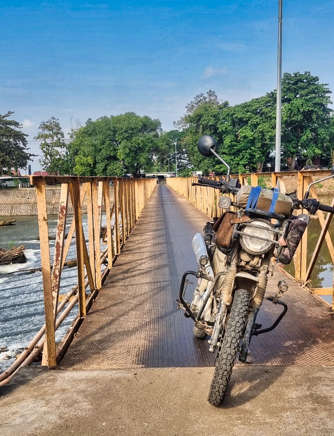
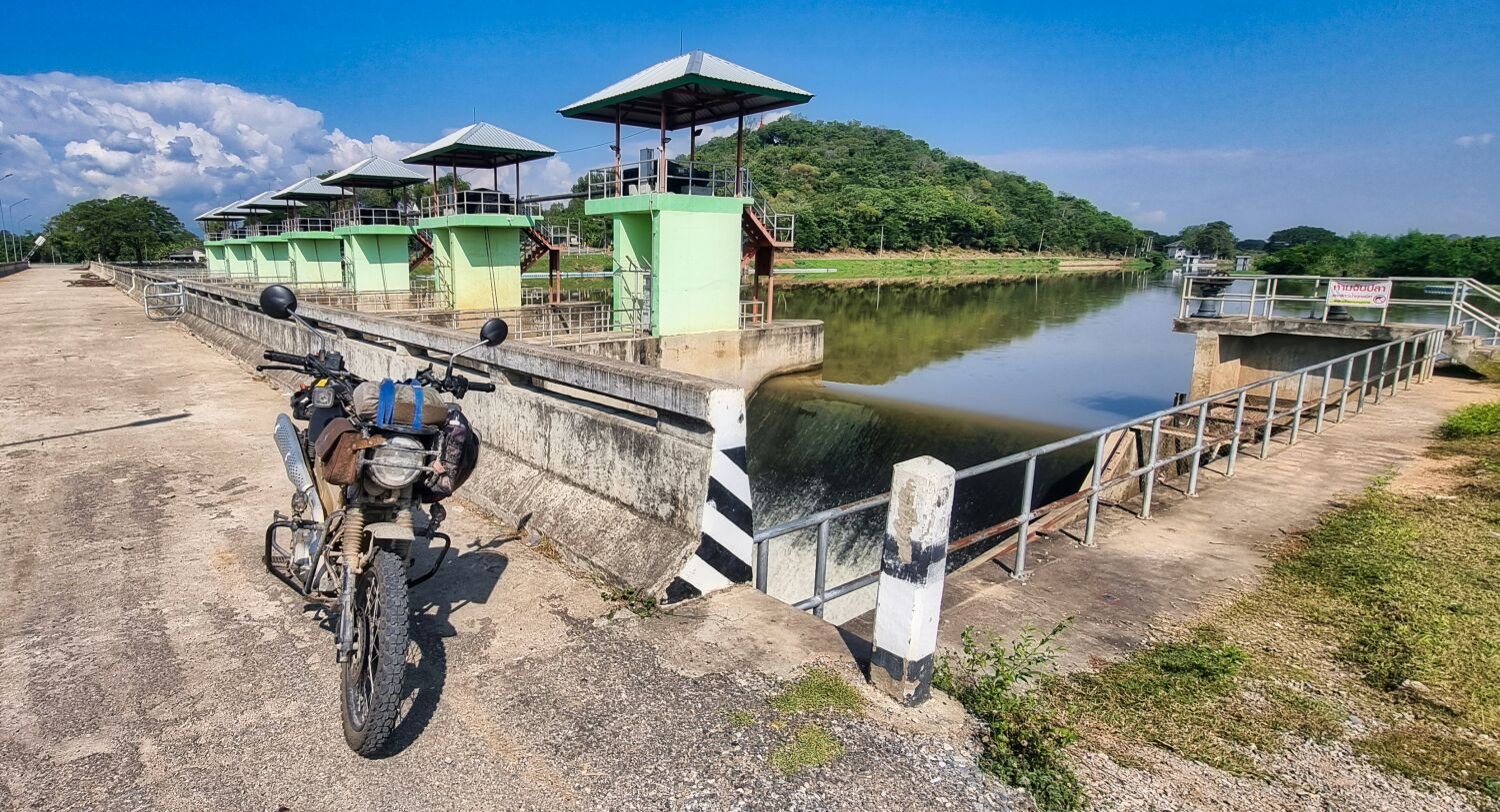
Day 20 today and I went green lane hunting. Unfortunately, both Gaia and Relive app’s stopped recording. My first stop was at Cloud Dam, here. https://maps.app.goo.gl/hxuTPvgFxTKUE2eK6 Riding along the dam I turned right and followed a single track through the forest until I came out onto a track heading west, here. https://maps.app.goo.gl/hxuTPvgFxTKUE2eK6 I continued onto a weir I visited earlier, here. https://maps.app.goo.gl/vZW9LbSzHTZyyxTQ8 My next stop was Seo Reservoir, here. https://maps.app.goo.gl/8bXaUrmDgfeop4ZL8 The next stop also a reservoir, was Lampathia Reservoir, here. https://maps.app.goo.gl/CMC3ZftfrZW6SctEA From here I rode north following irrigation channels before looping back to Ban Kruat.
-
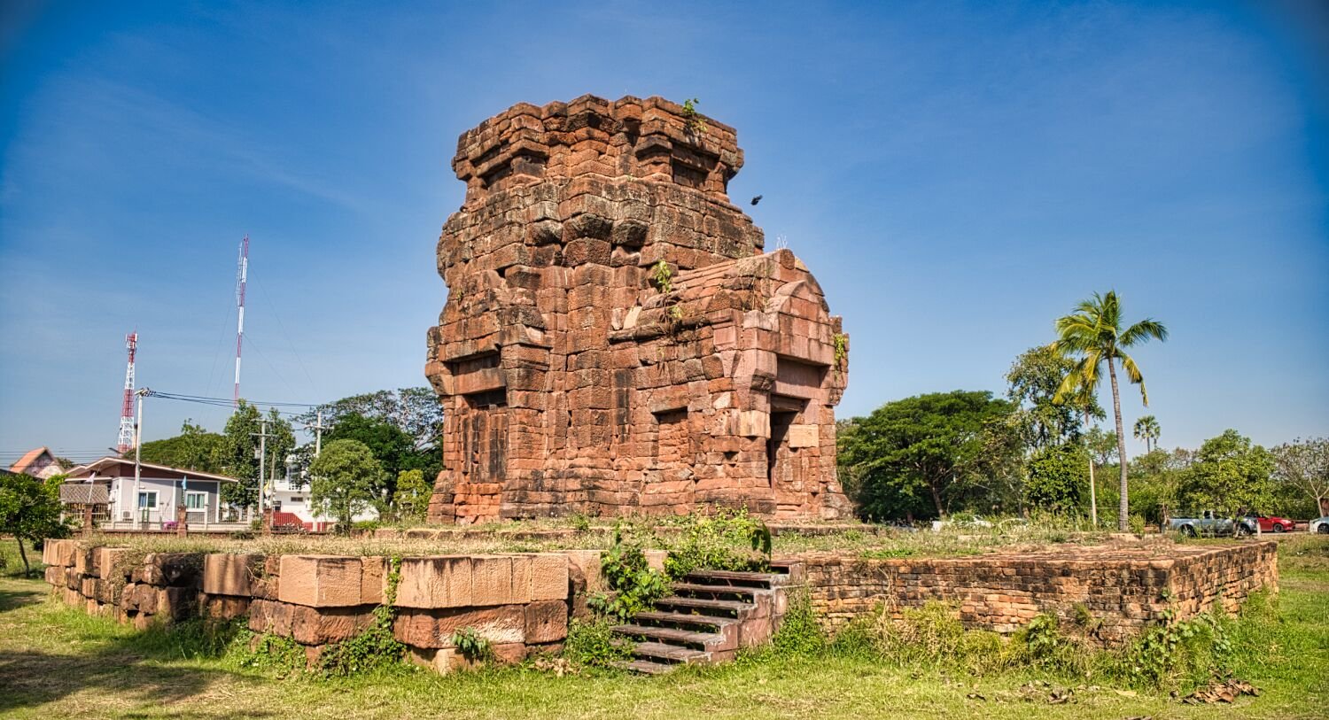
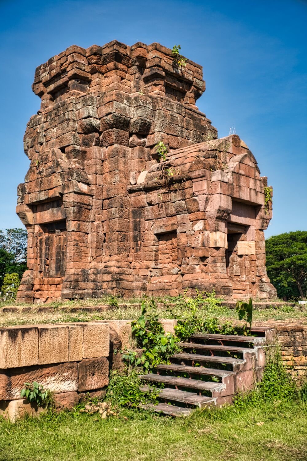
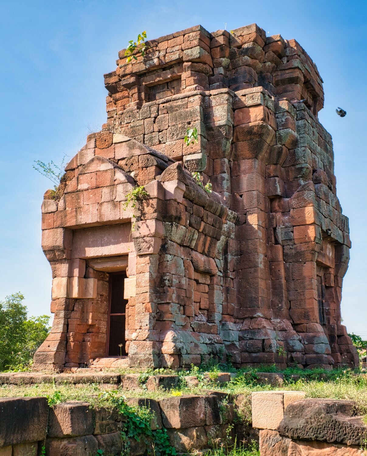
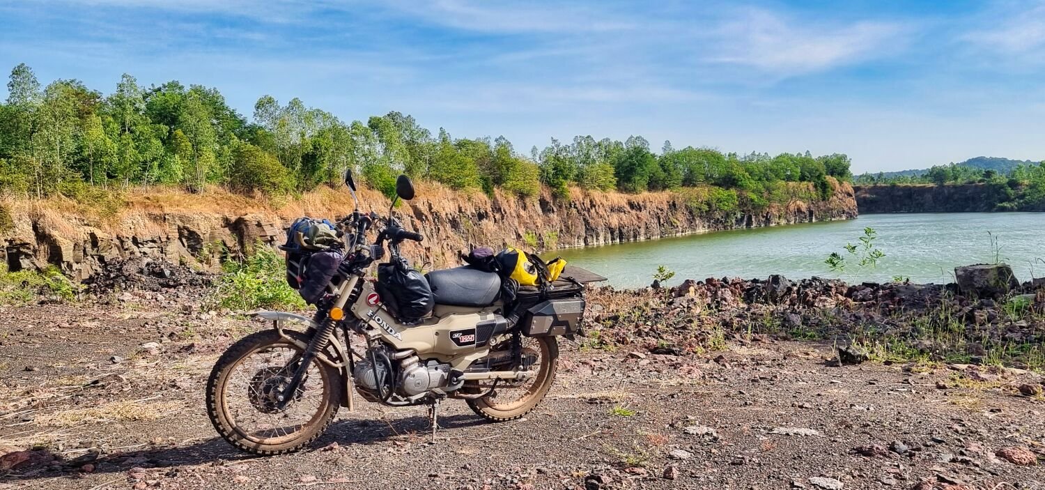
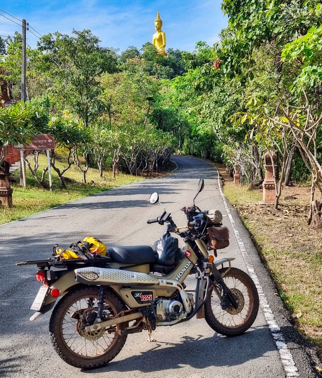
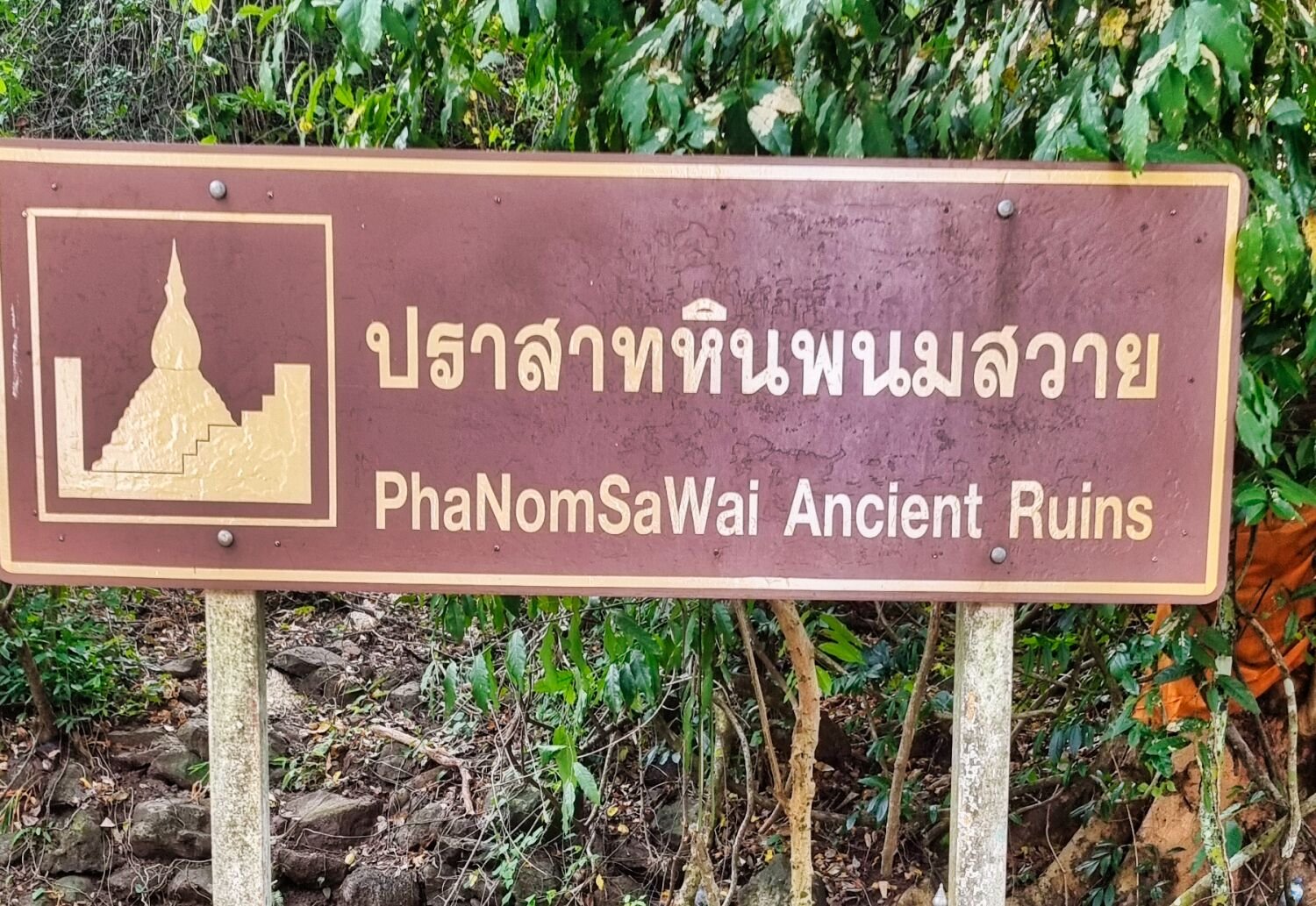
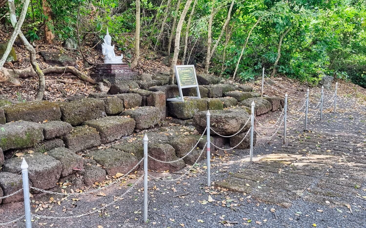
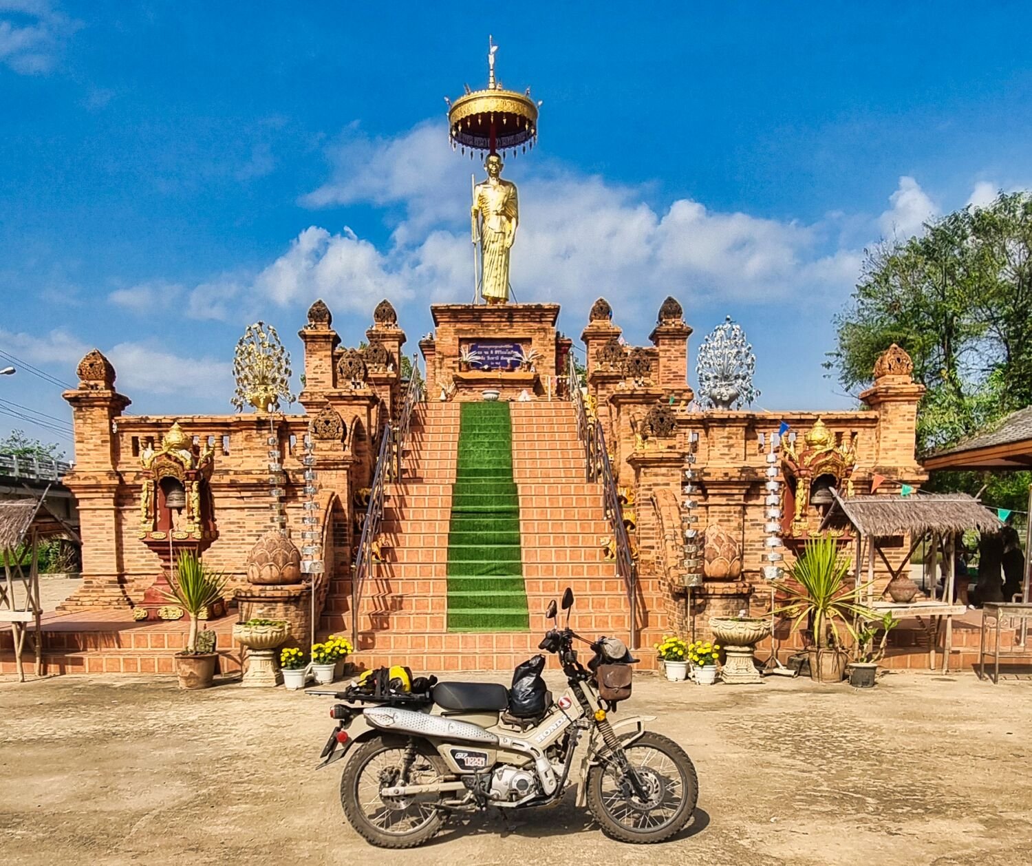
Today I decided to ride up to Surin. On the way I found a lot of quarries in this area. https://maps.app.goo.gl/kVAfpLk28RDb1pvw8 From here I rode to Prasat Hin Phanom Sawai, here. https://maps.app.goo.gl/KU7gijYiEQifvoFD9 I then rode onto Huai Saneng Reservoir, here. https://maps.app.goo.gl/xnWHHY3kpeDTw8NH9 The nearby reservoir, Ampuen Reservoir was my next stop, here. My last stop was Prasat Kokphet, here. https://maps.app.goo.gl/VKUnpcqhb7EfpMCt8 A good 210km ride today. https://www.relive.cc/view/v7O92PkzWQ6


.jpg.db262a5c68342660235cf52a0bacf437.jpg)


.jpg.061f8bf8c5c7f1230499efbefe3647da.jpg)