

chrissables
-
Posts
3,175 -
Joined
-
Last visited
-
Days Won
8
Content Type
Events
Forums
Downloads
Quizzes
Gallery
Blogs
Everything posted by chrissables
-
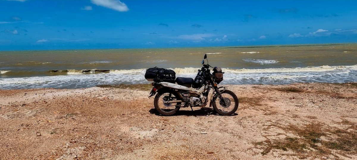
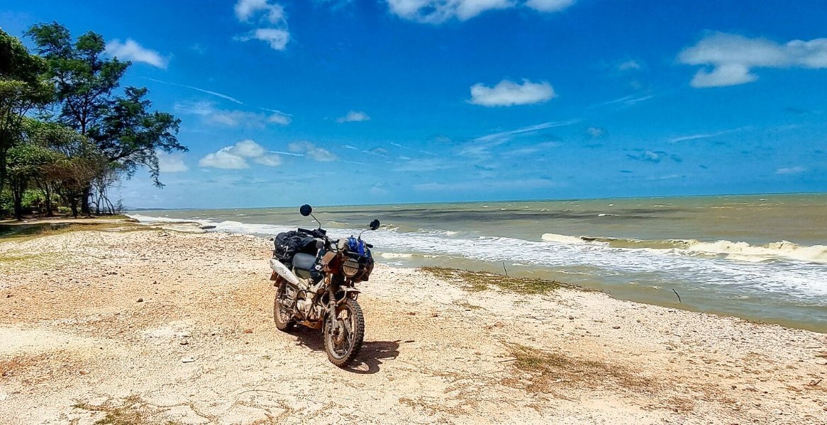
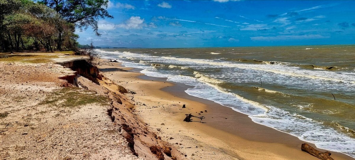
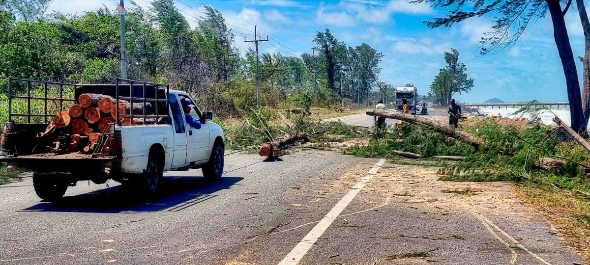
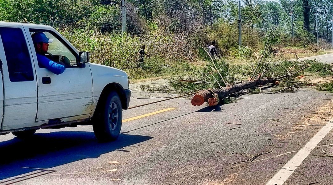
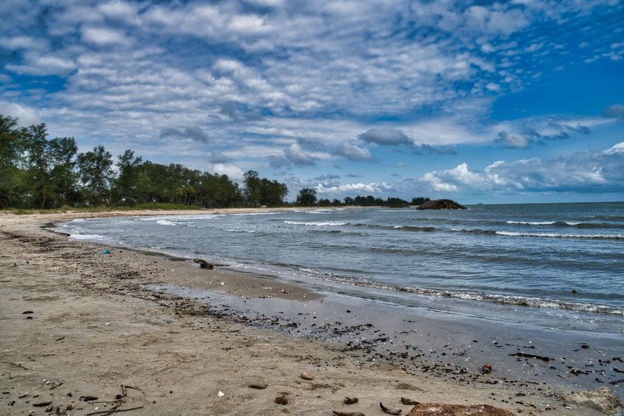
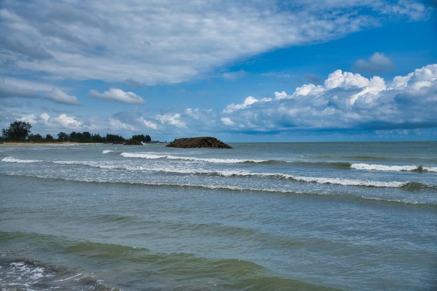
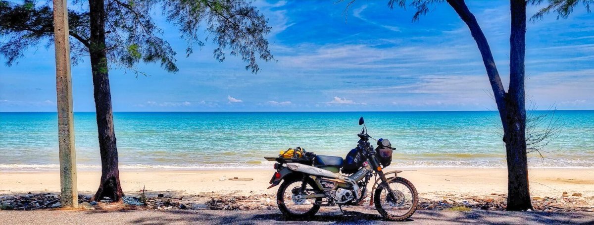
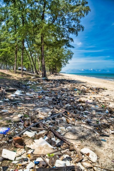
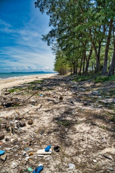
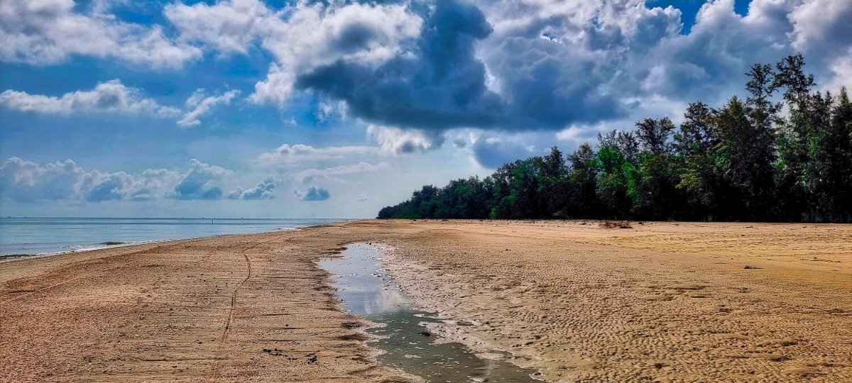
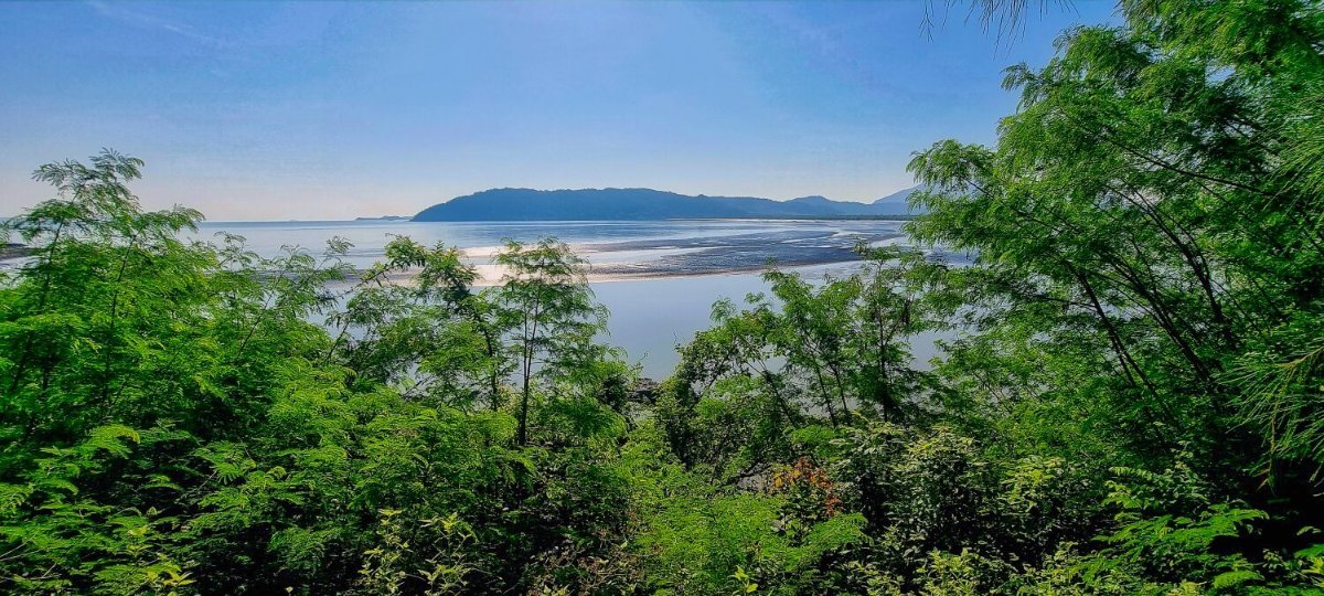
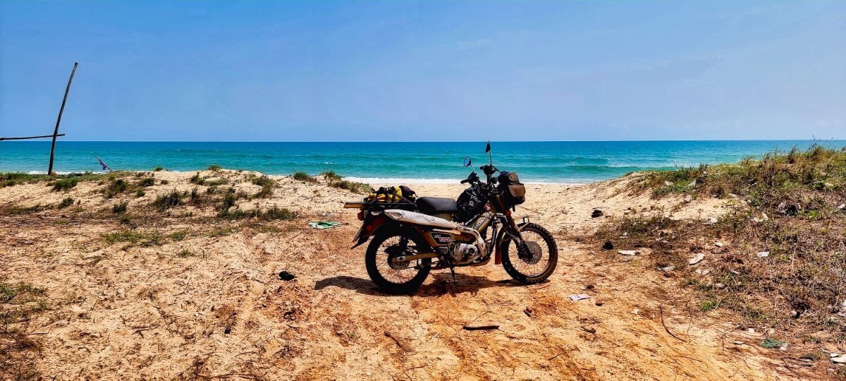
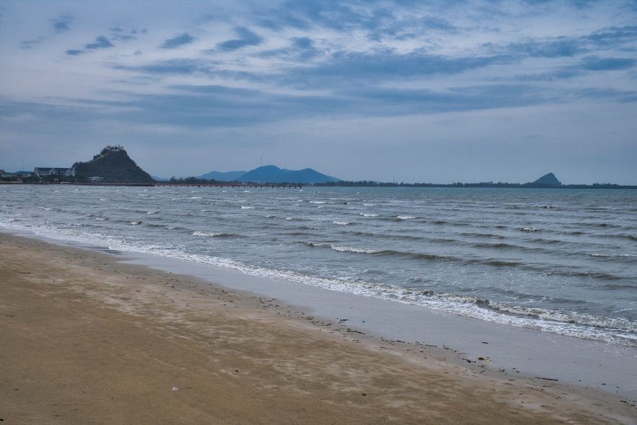
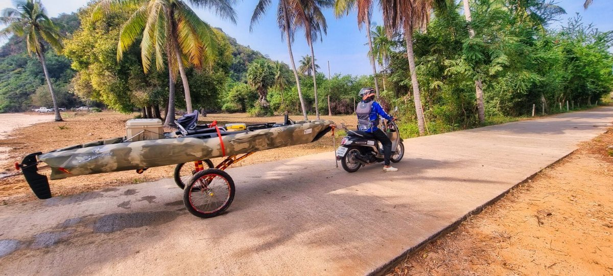
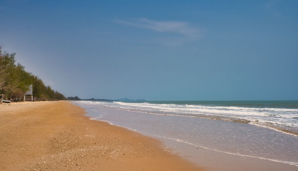
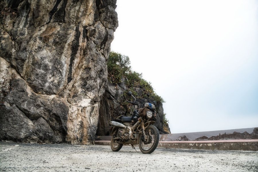
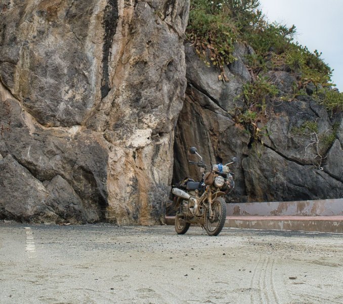
I left Betong today and started riding north, there were plenty of shower storms around, but I managed to miss them. I stopped at Highway Viewpoint, here. https://maps.app.goo.gl/AaTn1hLXdd7DN3zFA Riding along the coast to Songkla I stopped at an unnamed beach, here. https://maps.app.goo.gl/qaEPA8Rt53ujjxCW8 It was very windy with sand in the wind. A little less wind you could fly a hang glider or paraglider off the sand dune edge. A little further up the coast workmen were cutting down trees and the road was blocked for a while. It was then a straight ride into town. https://www.relive.com/view/vdvm48w19Nq

-
Cheers
-
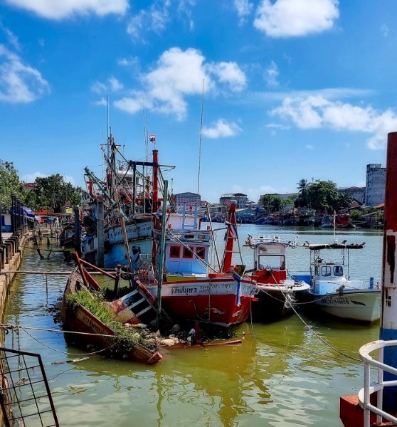
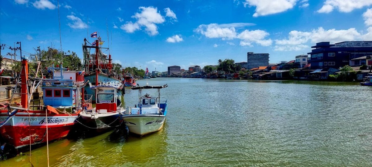
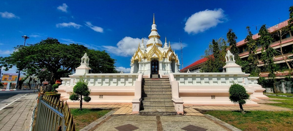
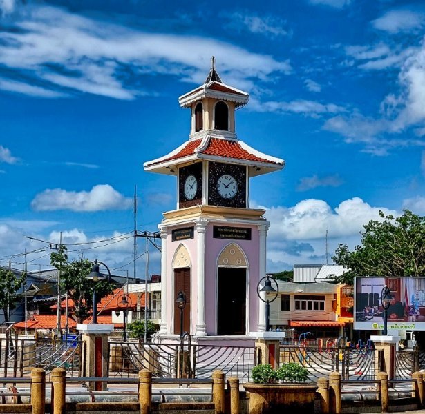
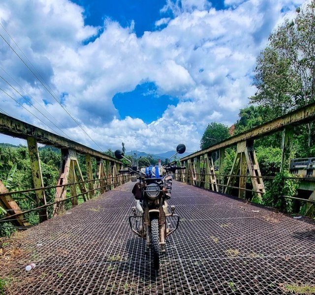
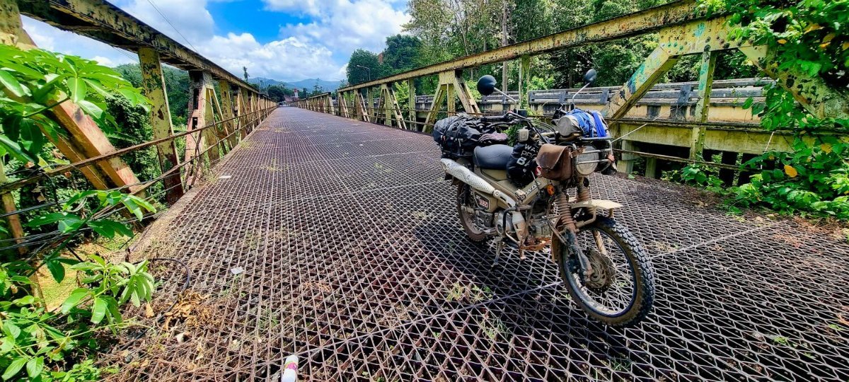
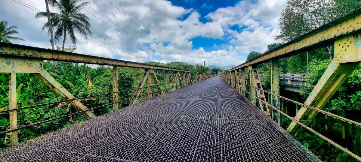
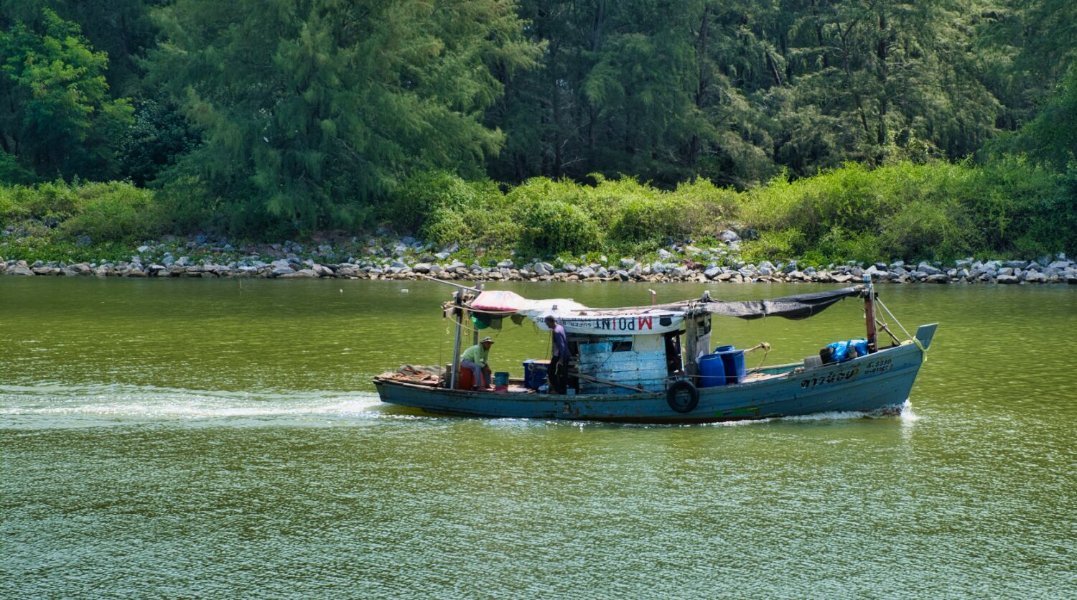
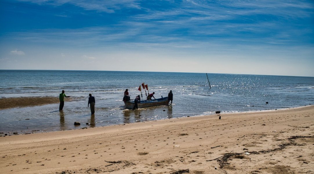
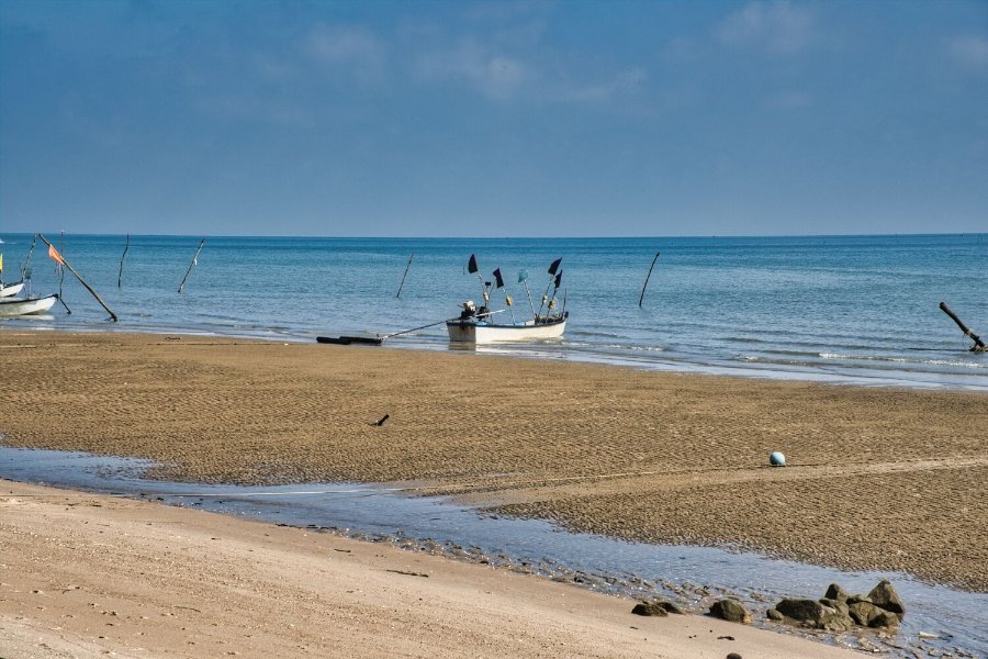
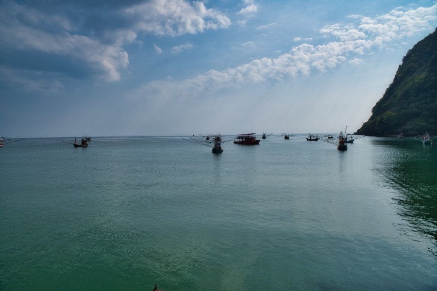
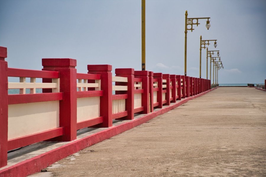
Leaving Pattani this morning my first stop was Sak Senee Bridge, here. https://maps.app.goo.gl/Eu6TUdxxAvXQZLUe9 I photographed boats on the river, then the Original Pattani City Pillar Shrine, here. https://maps.app.goo.gl/JZ83d6B24y9cjUv46 Across the road was Three Cultures Clock Tower, here. https://maps.app.goo.gl/ab8PyFiDei9FqetW8 Further south I stopped at Yilapan Bridge, here. https://maps.app.goo.gl/x965MN3t6Zw6vYnF6 I then rode on to Betong. https://www.relive.com/view/v1OwKzEA4XO
-
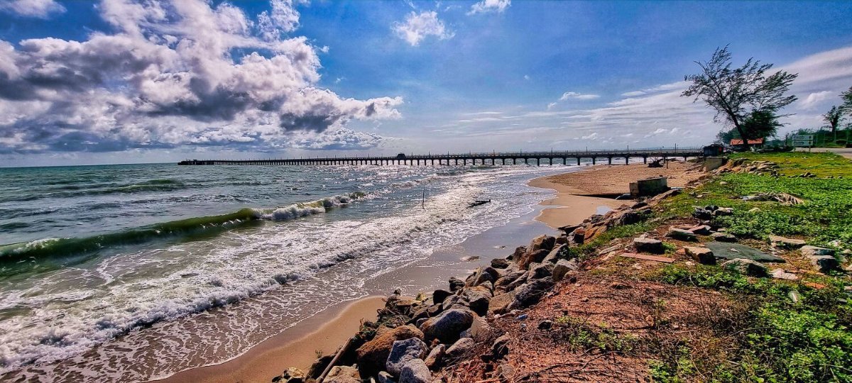
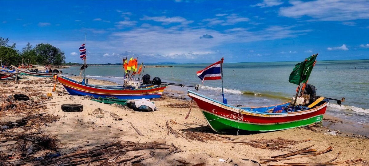
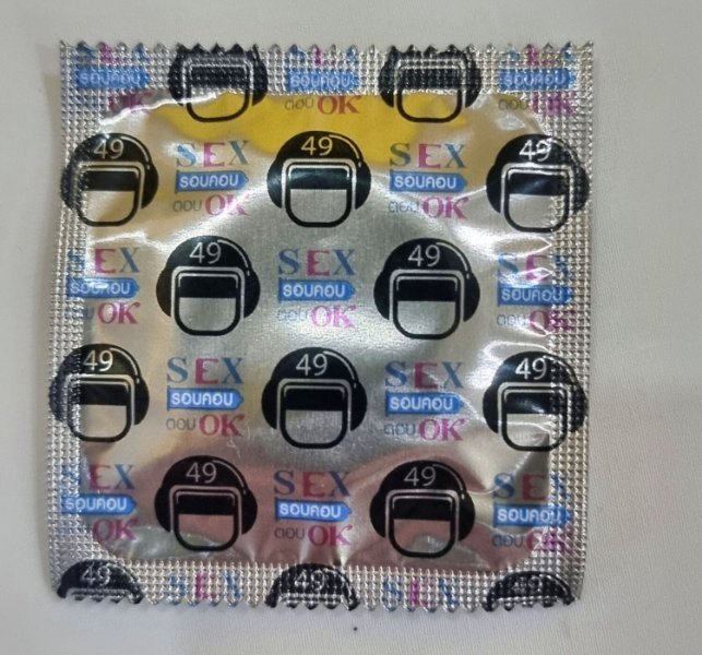
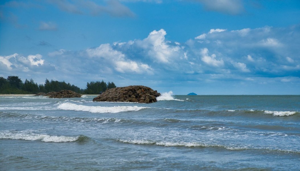
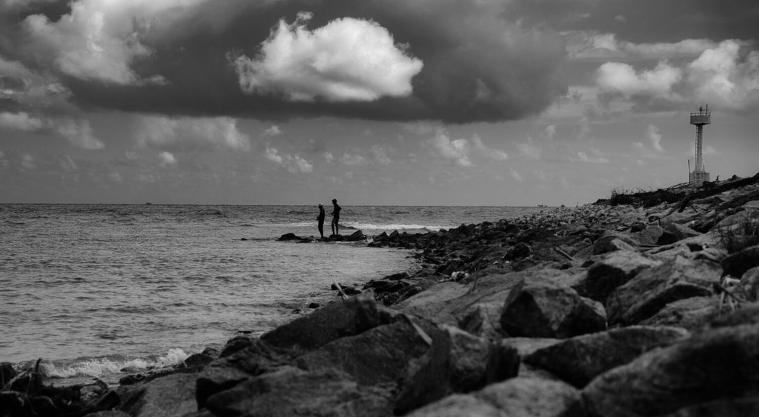
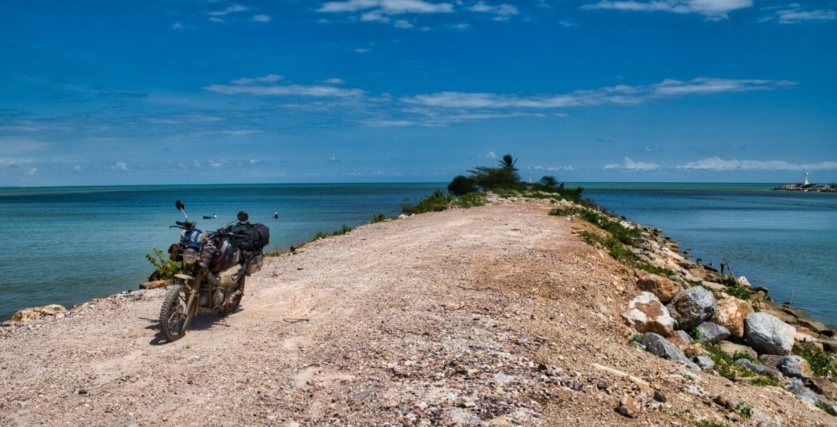
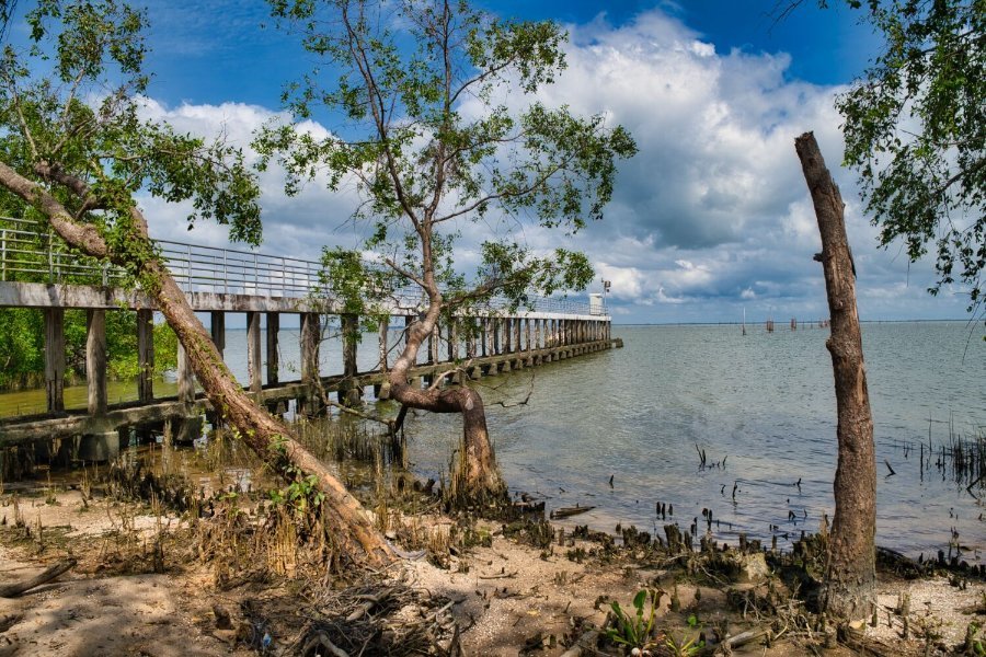
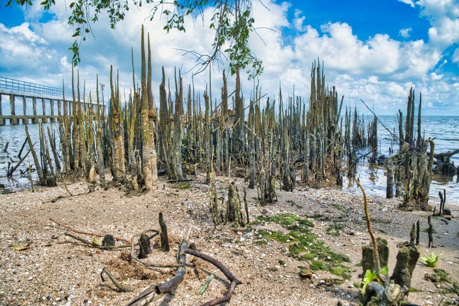
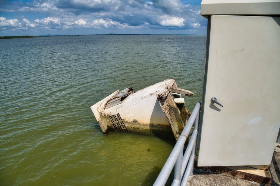
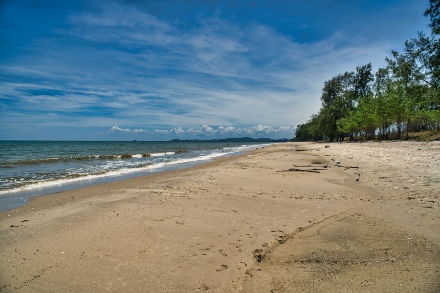
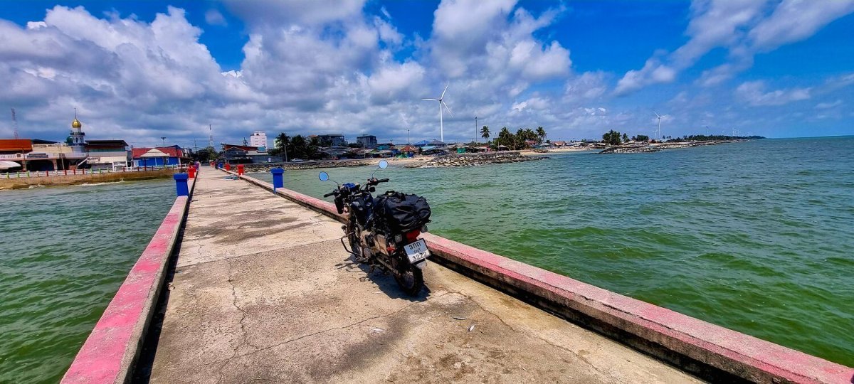
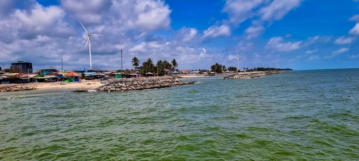
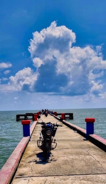
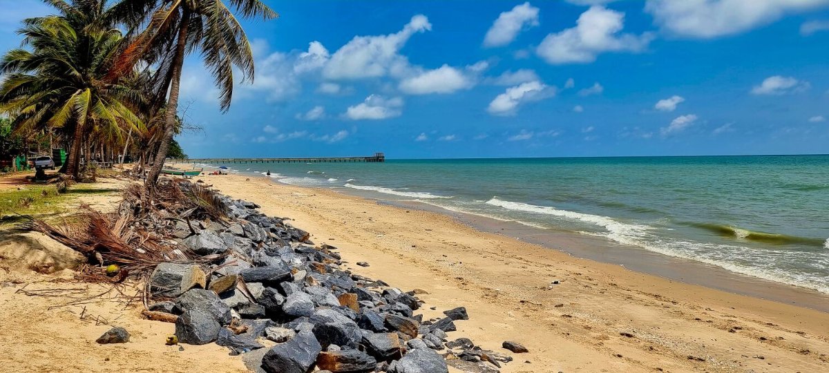
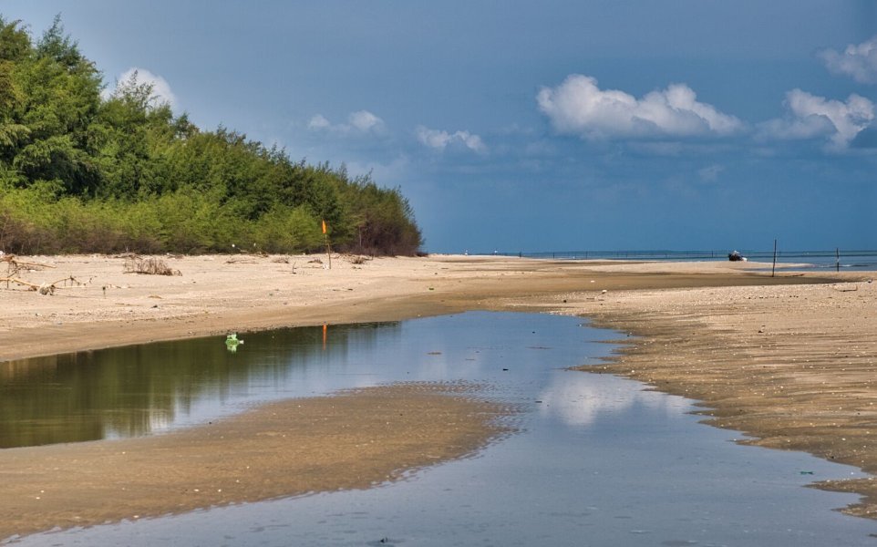
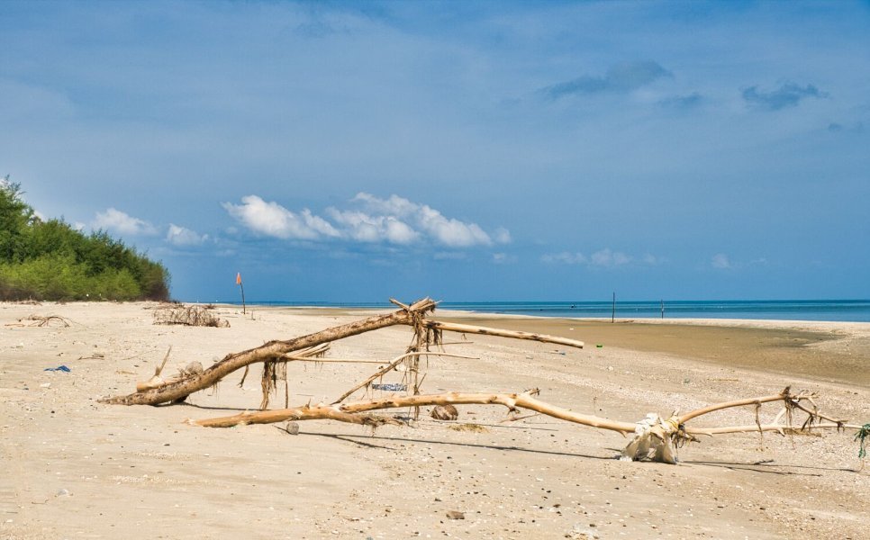
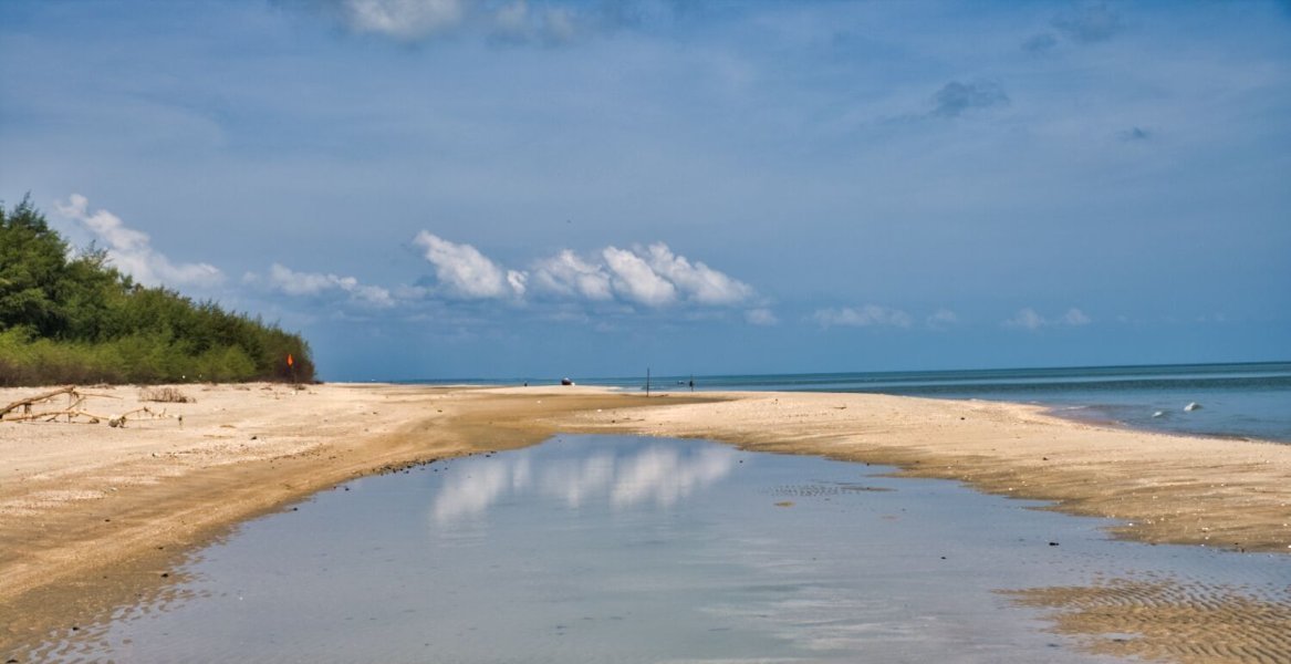
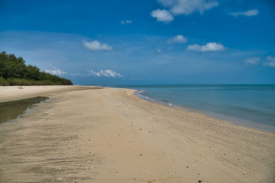
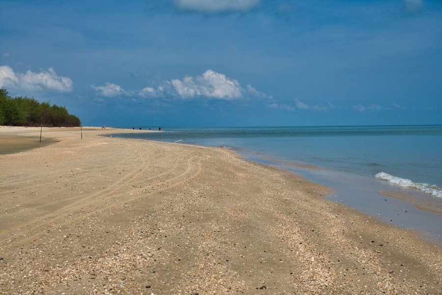
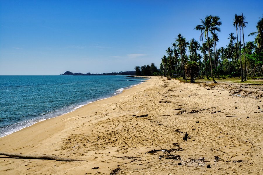
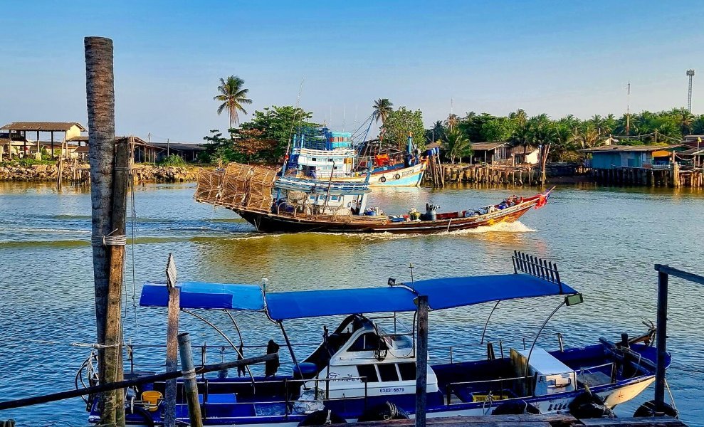
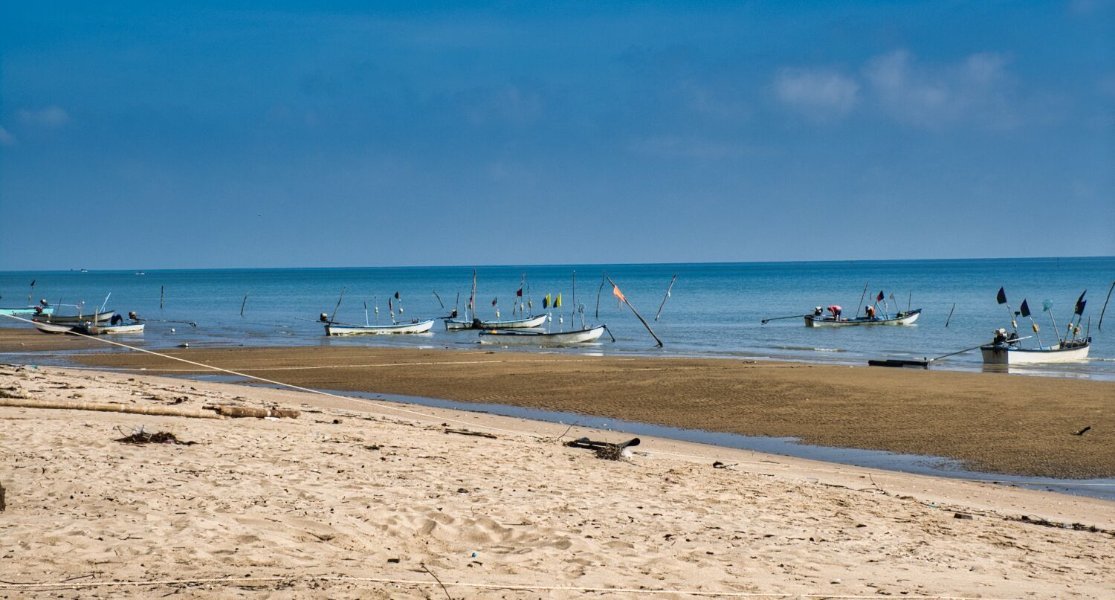
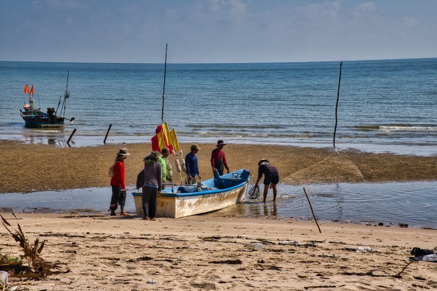
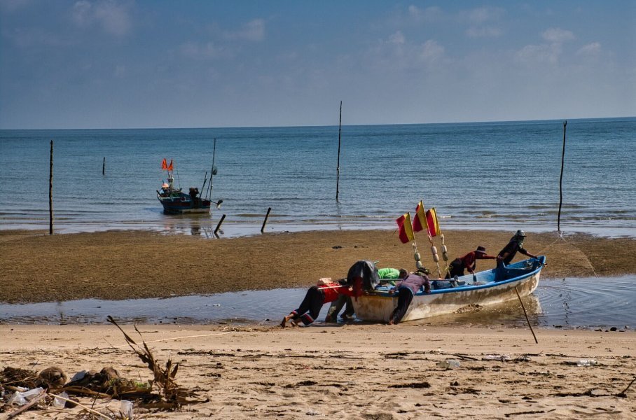
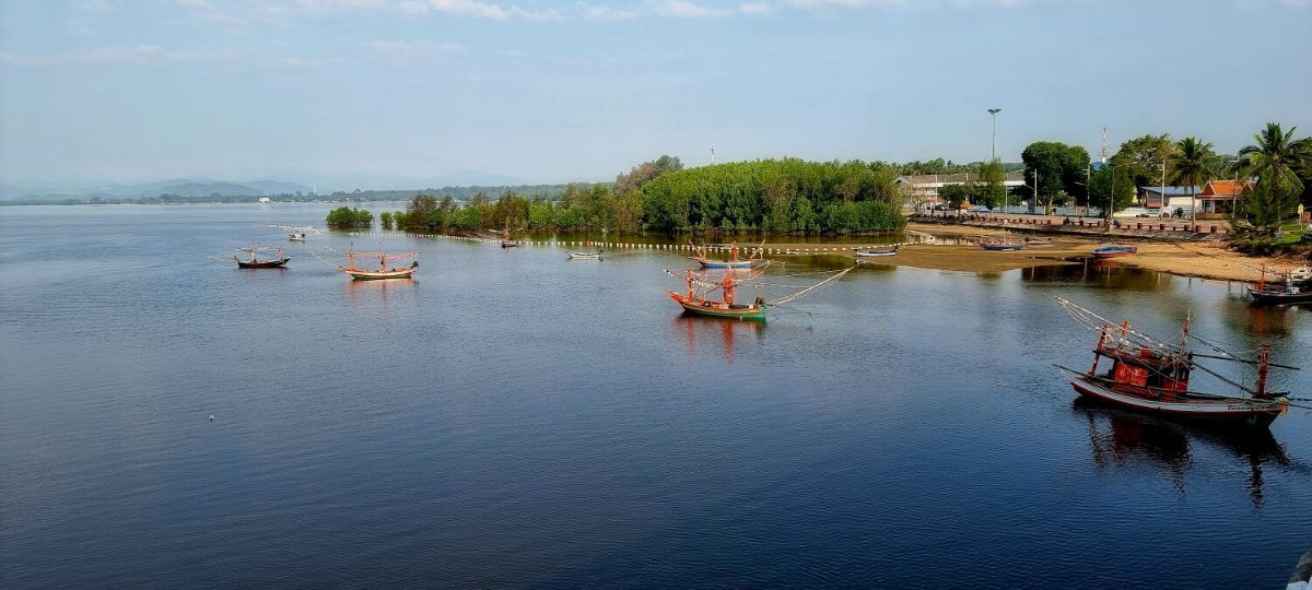
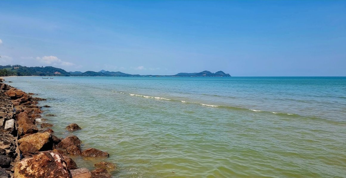
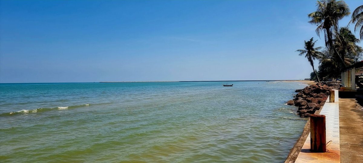
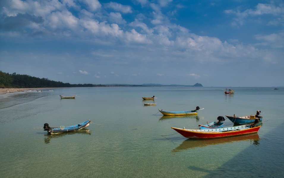
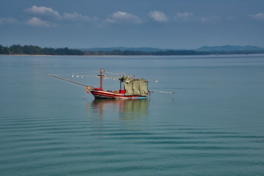
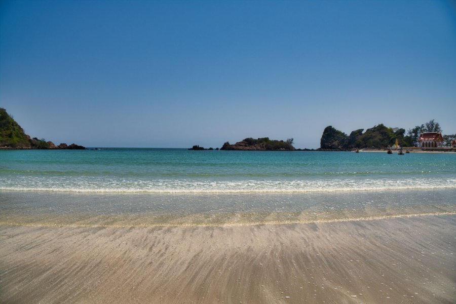
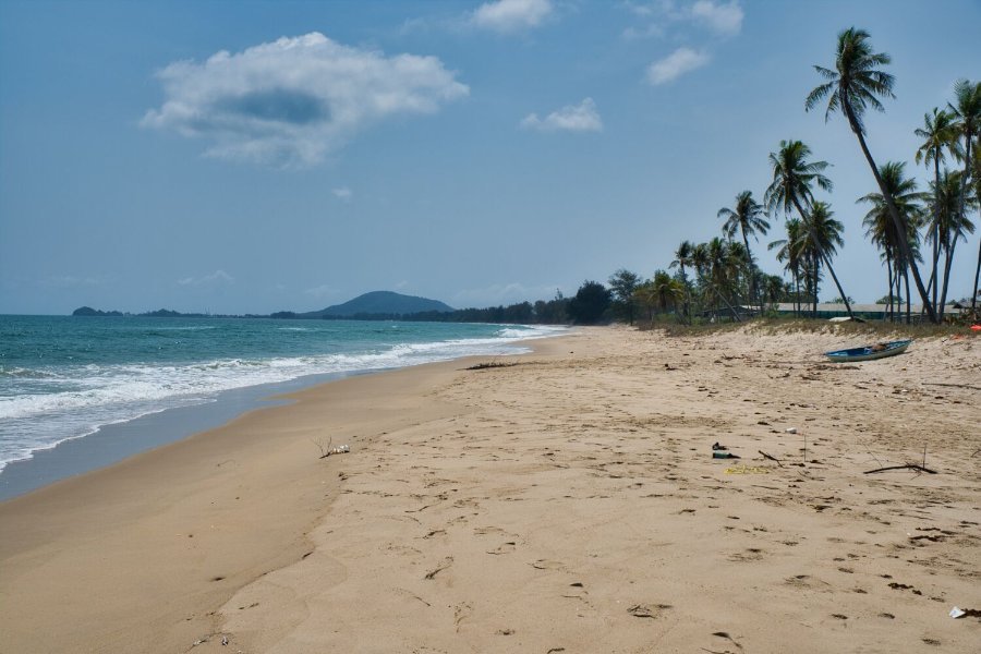
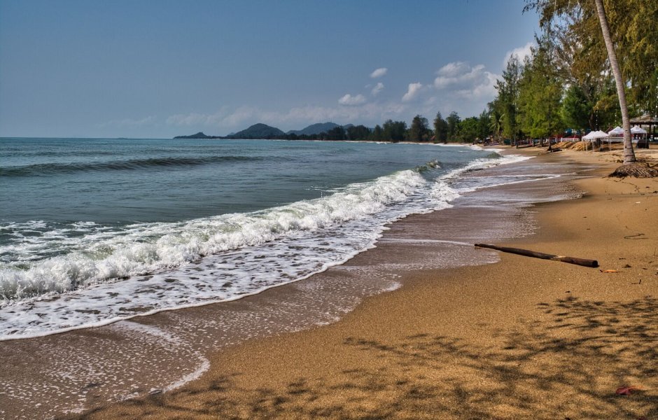
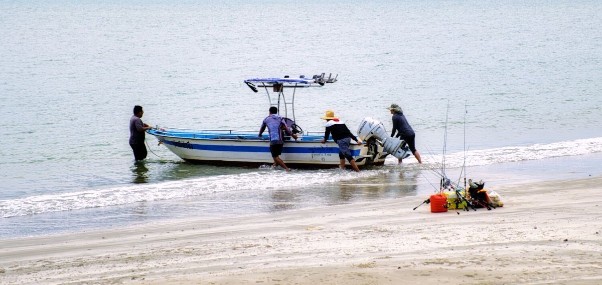
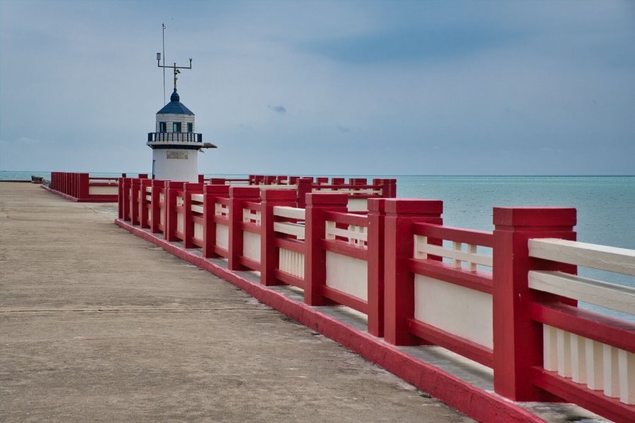
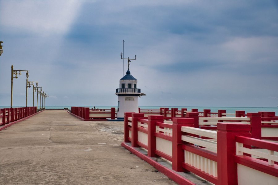
Leaving Songkla this morning my first stop was to photograph the pier that carries oil to Akibam Oil Company, here. https://maps.app.goo.gl/4X9QVt1sy8juhY7HA South of there is Pak Bang Na Thap Beach, here. https://maps.app.goo.gl/RZ9SywbsrA8UoHxT7 Next, I stopped at the east of Ban Bo Chon Beach, here. A place with very miserable people. Asking what I wanted and not polite at all. https://maps.app.goo.gl/x4NQRrjWdKQ31kLH8 The beach and small headland were similar, here. https://maps.app.goo.gl/r5xoehCzbGYANqgy6 https://maps.app.goo.gl/FPrajrMTxzcMV6mW9 I then rode to Bangtawa Beach, a dead-end road, here. https://maps.app.goo.gl/cTycCk74Yh3oypo98 Checking into my room, there was no chocolate on my pillow but a condom was supplied! 5555555 https://www.relive.com/view/vKv2dMgnN46
-
Mangrove
-
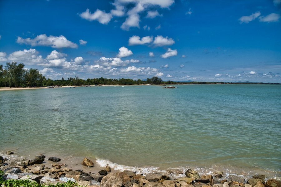
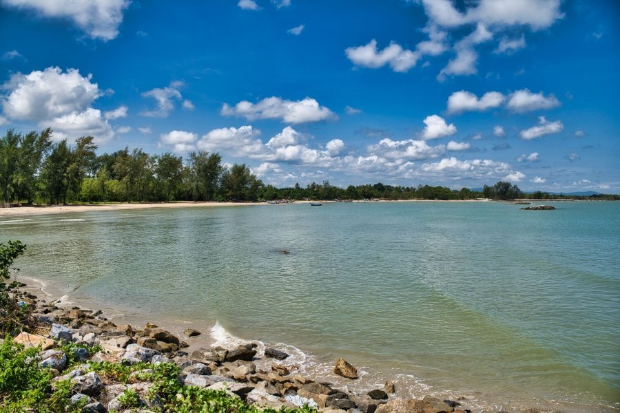
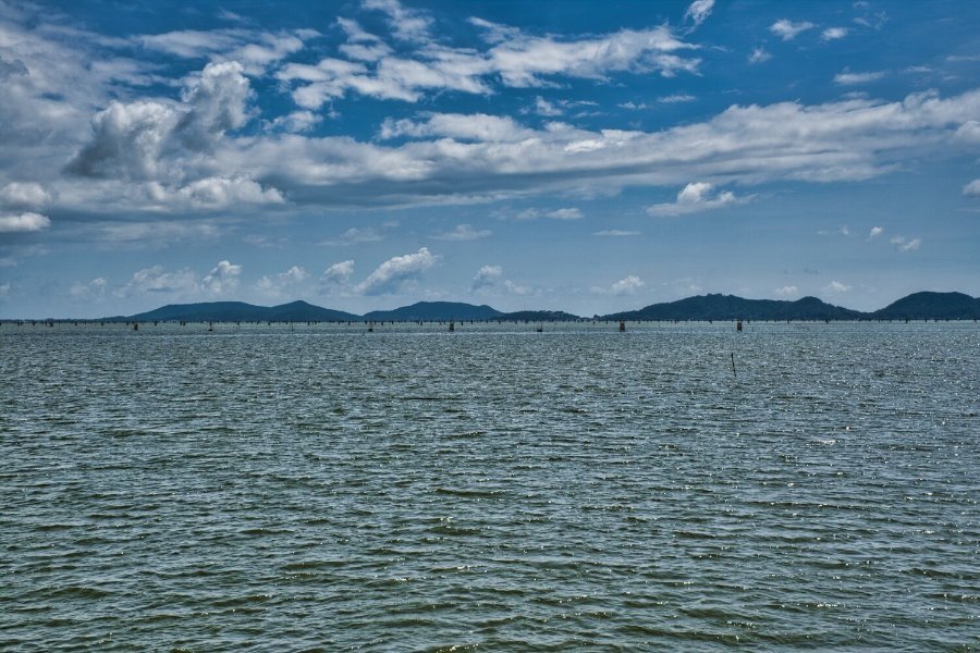
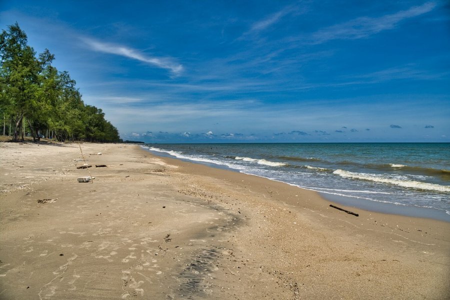
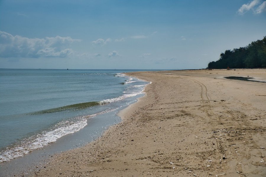
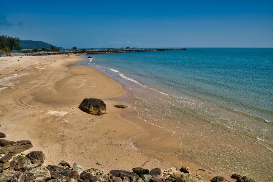
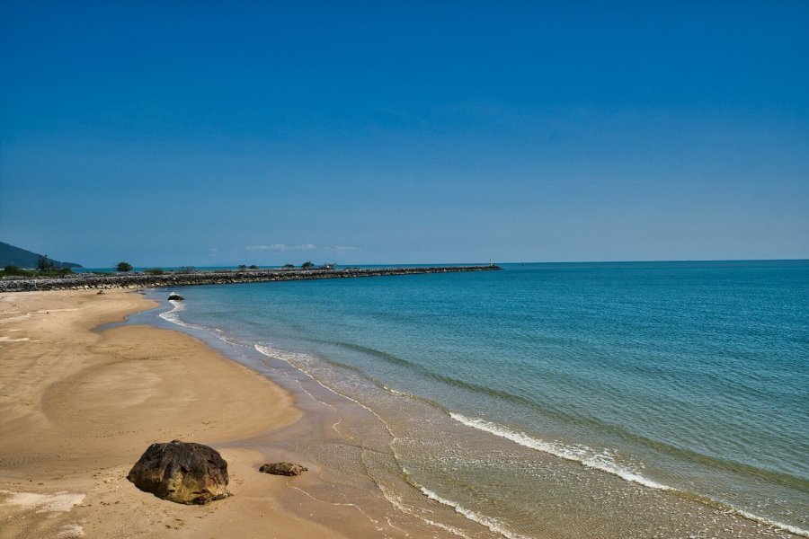
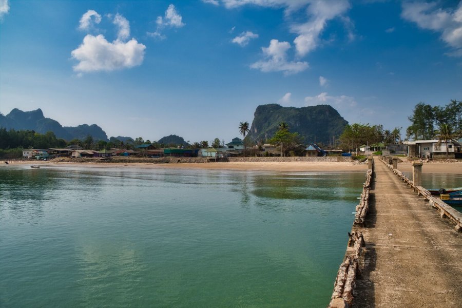
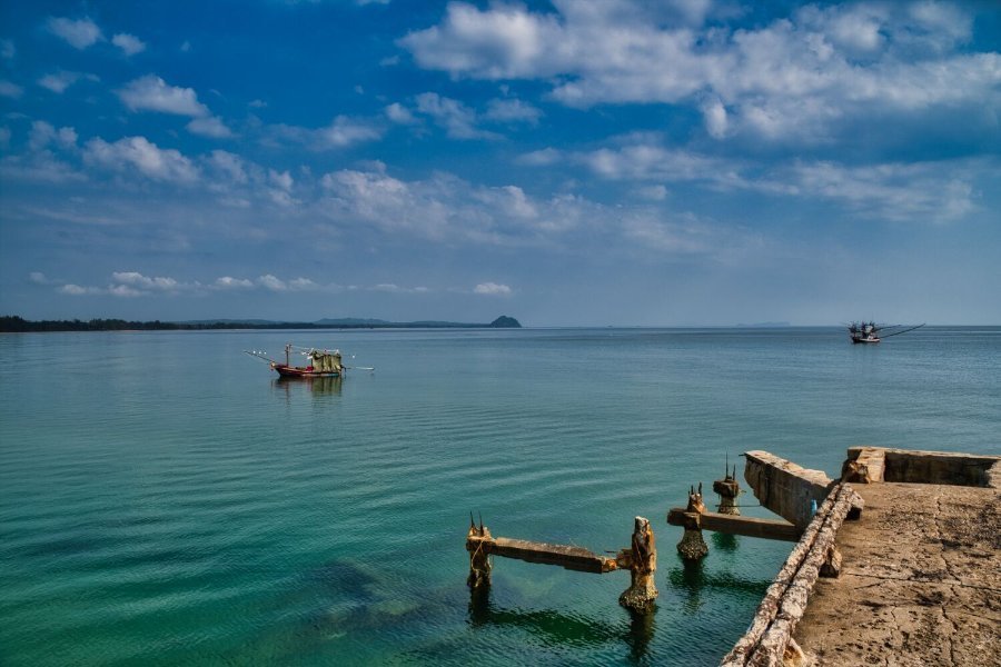
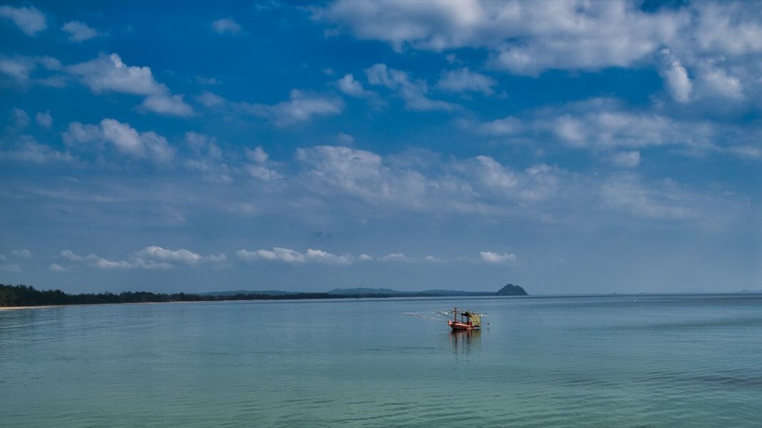
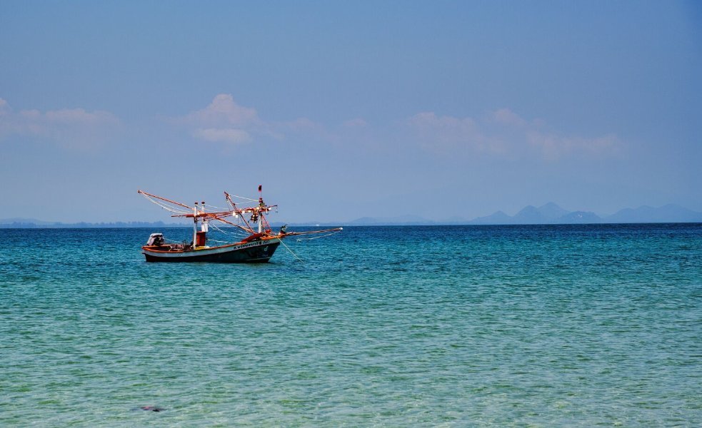
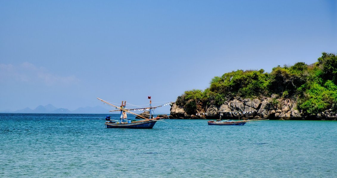
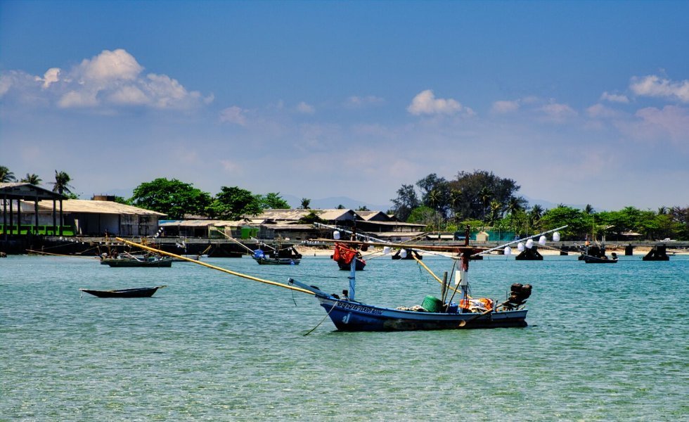
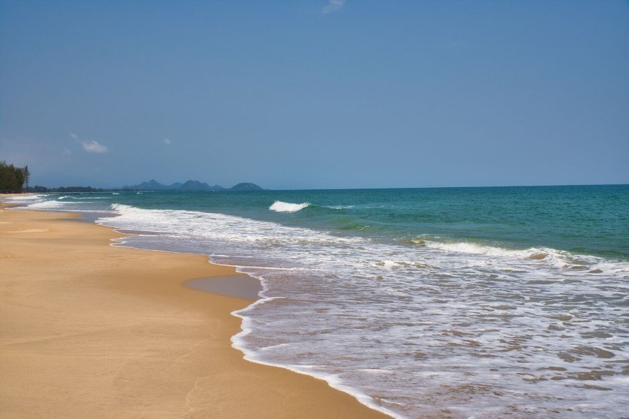
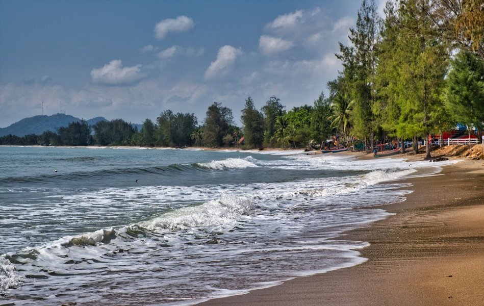
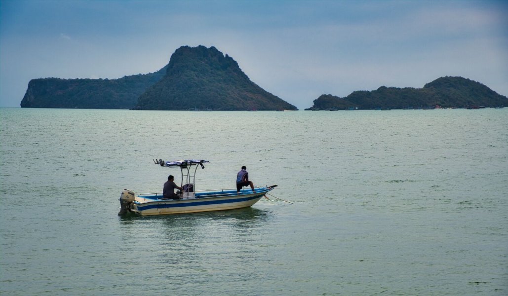
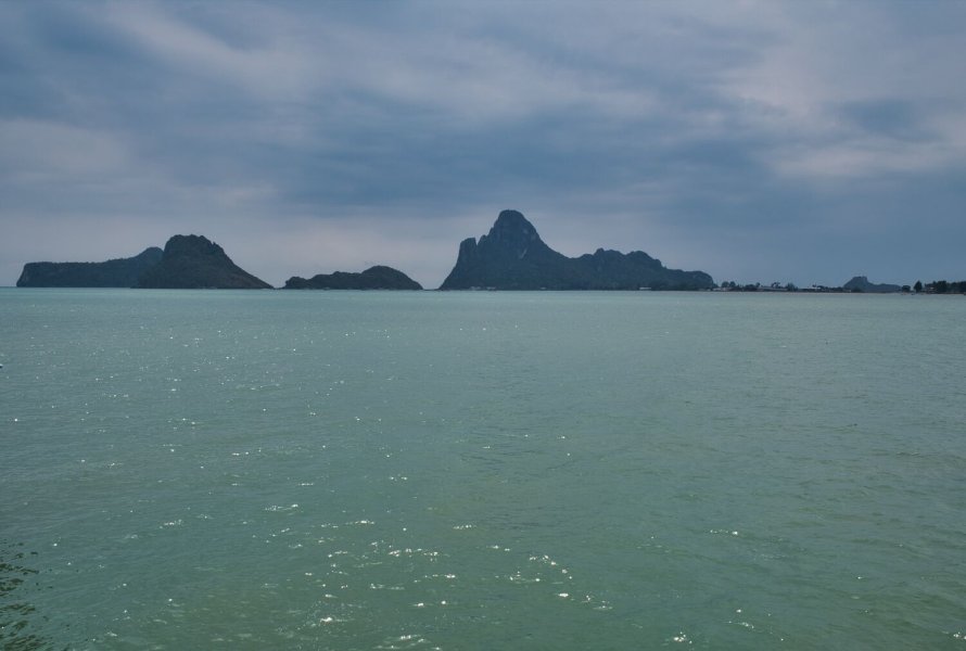
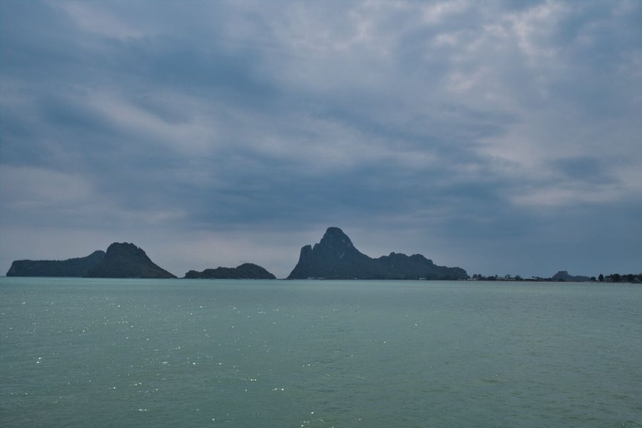
I went exploring Songkla today, my first stop was at Laem Pho, here. https://maps.app.goo.gl/Pgogg2bqHs5oMcTB9 I then rode east to Wang Nao Beach (Na Thap Beach), here. https://maps.app.goo.gl/k9z3GoFVxyu3Mcsa6 I then rode the beach road north back to Songkla. https://www.relive.com/view/vMq5wB7eZ8O
-
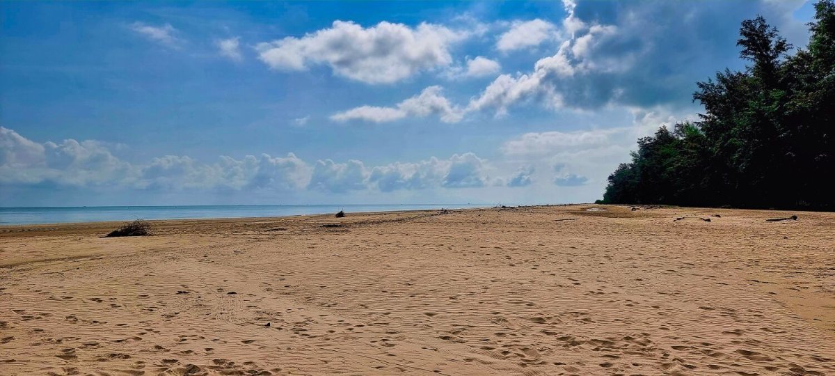
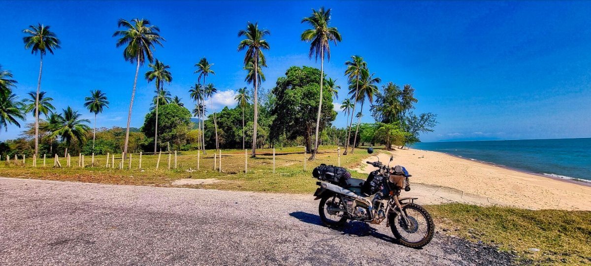
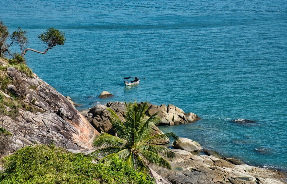
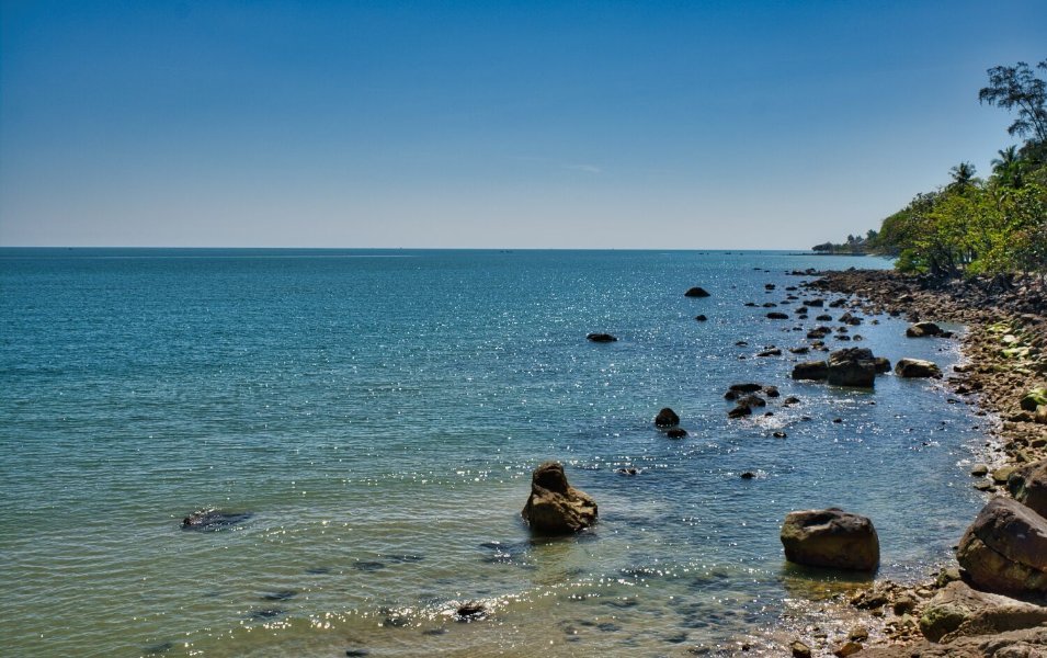
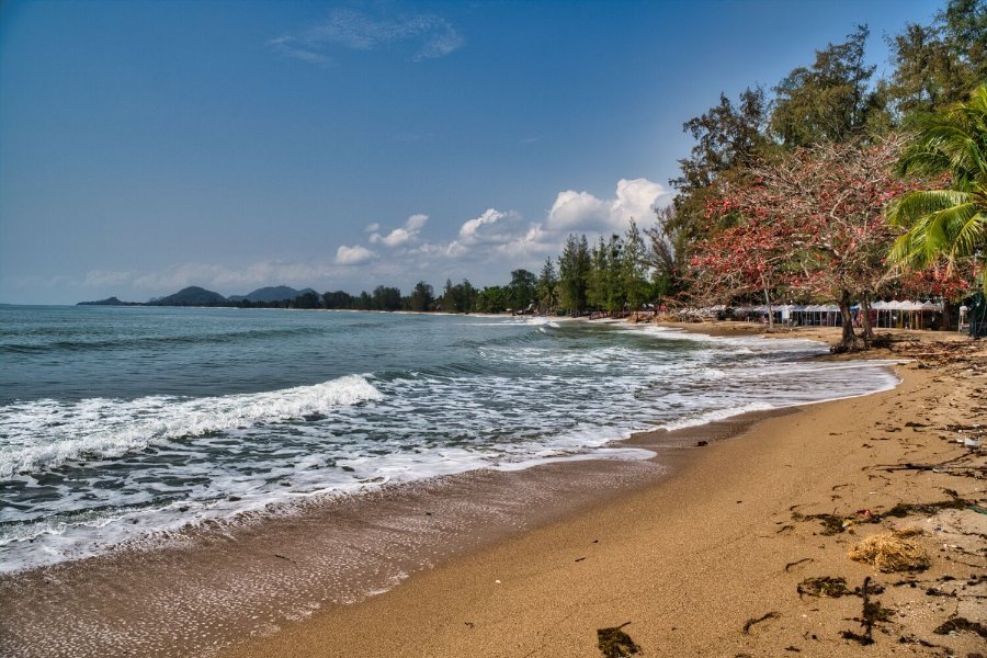
Today I rode from Nakhon Si Thammarat to Laem Talumphuk Garden Beach, here. https://maps.app.goo.gl/V2Y7wk7QtCiporrh8 No tourists here, just a few locals cleaning. From here I headed south stopping at Ban Na San Pier, here. https://maps.app.goo.gl/Ldic5PPDF9xfYu4z9 Further south I found a small lane leading to a nice view of some palm trees, here. https://maps.app.goo.gl/iXRM4ys8RPwsuxwr5 I then carried on riding to Songkla. https://www.relive.com/view/vxOQ5MZg3MO
-
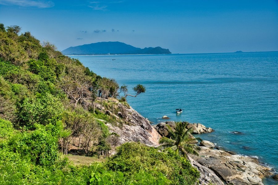
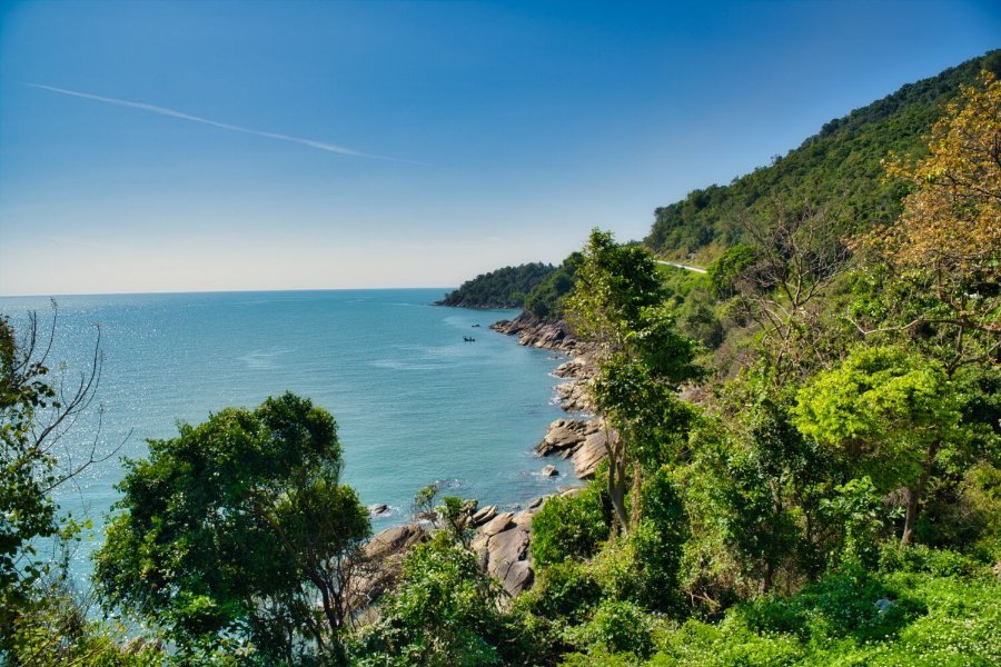
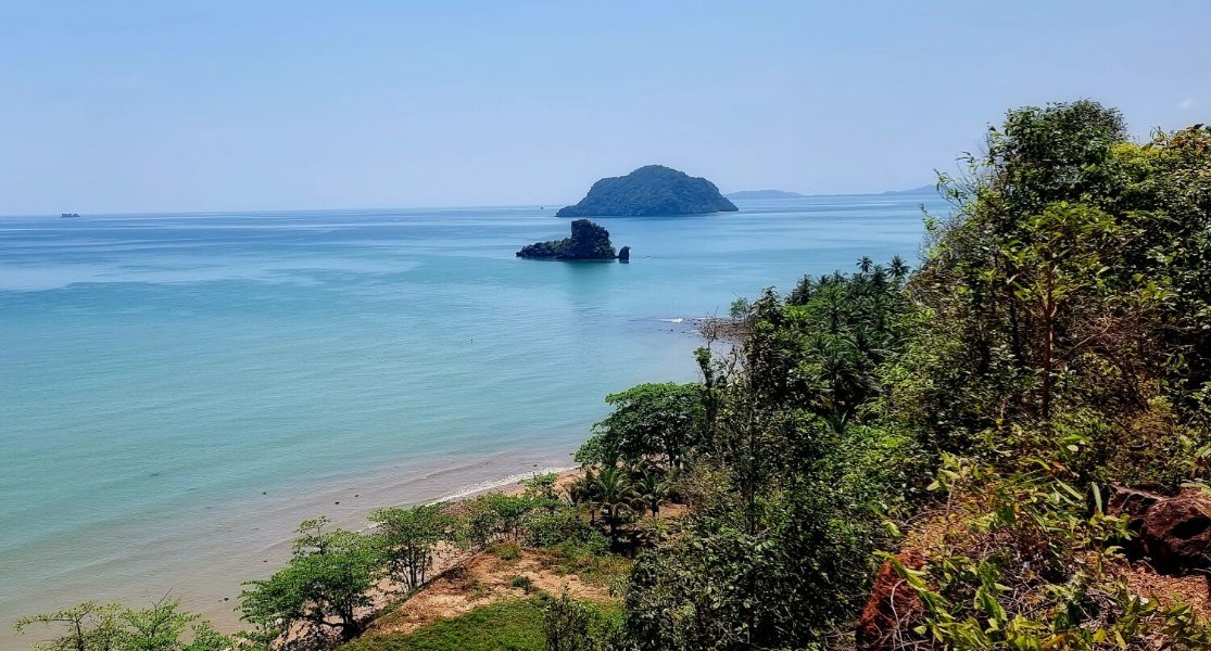
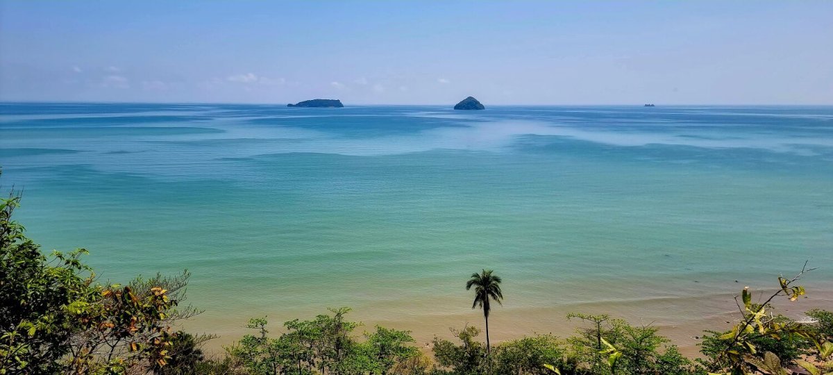
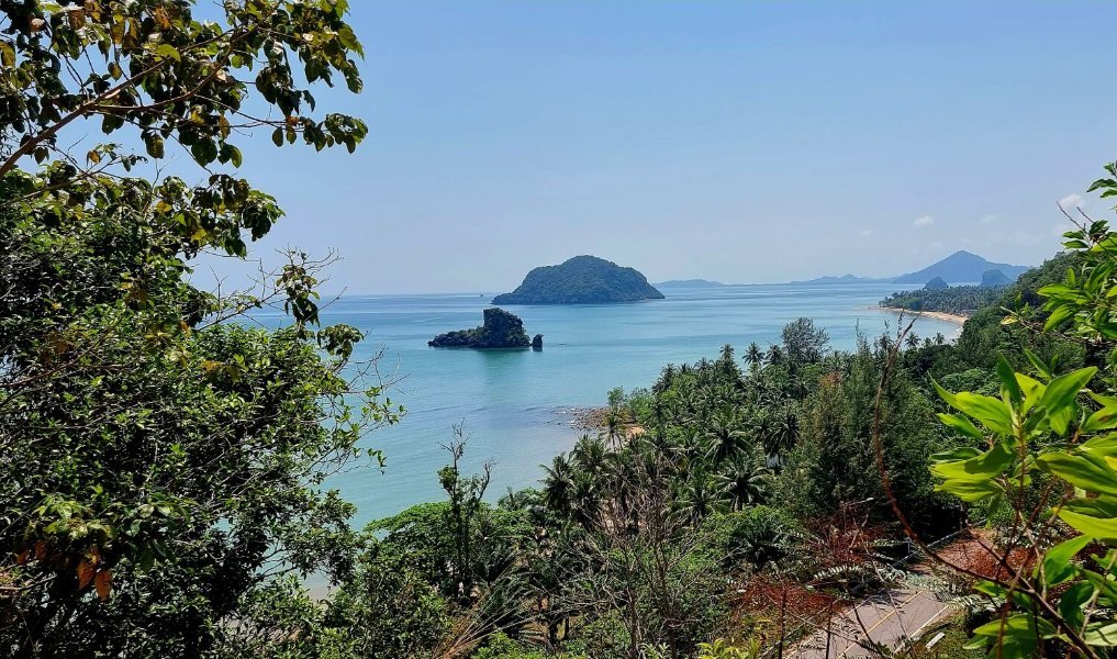
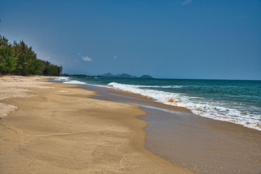
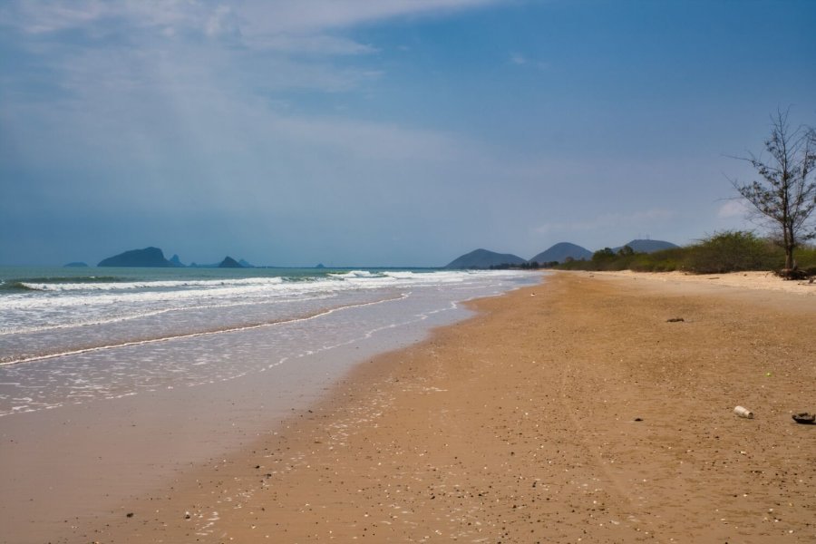
Leaving Donsak today and heading south I rode to Cape Prathap, but the entrance was blocked, I did manage a photo of the cape from here. https://maps.app.goo.gl/1FNurirGG3xzd7mL9 Next stop was Sichon-Khanom Viewpoint, here. https://maps.app.goo.gl/NS9GTpwYtYcx9MkE9 Next was Thung Sai Beach, here. https://maps.app.goo.gl/FZNHfBN9sY65fZHs9 Further down the coast was Chalermprakiat Public Park, here. https://maps.app.goo.gl/G2K9t1XuErzXqrhp8 From here I continued on to Nakhon Si Thammarat. https://www.relive.com/view/vDqg28gVeV6
-
Cheers 🙂
-
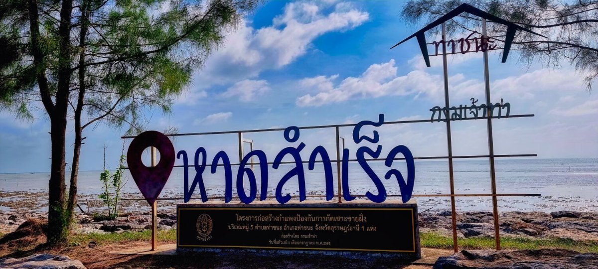
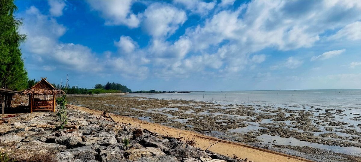
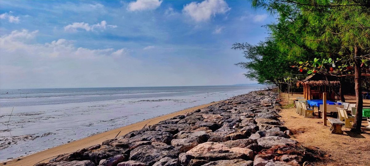
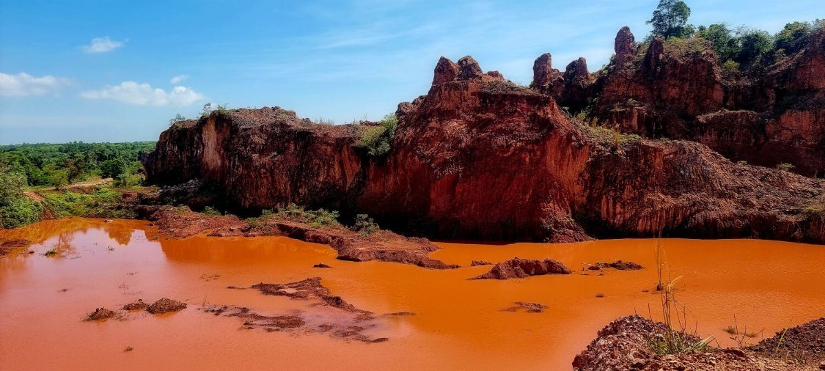
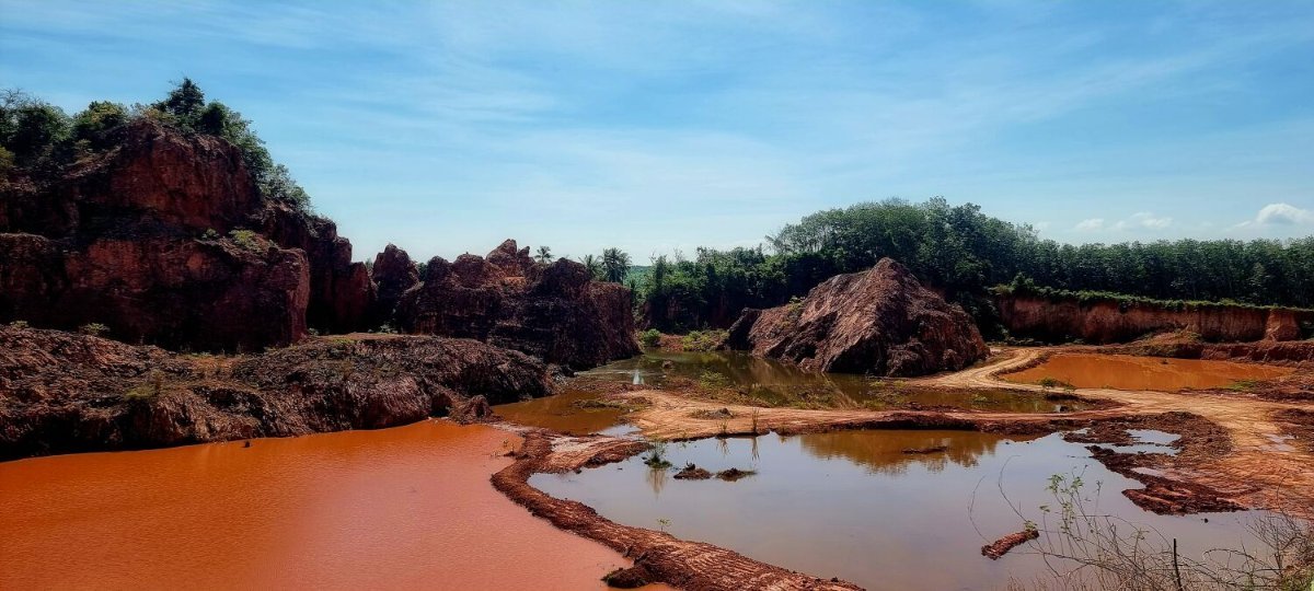
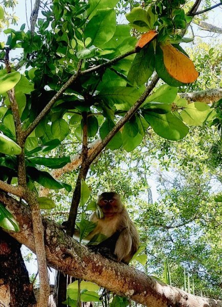
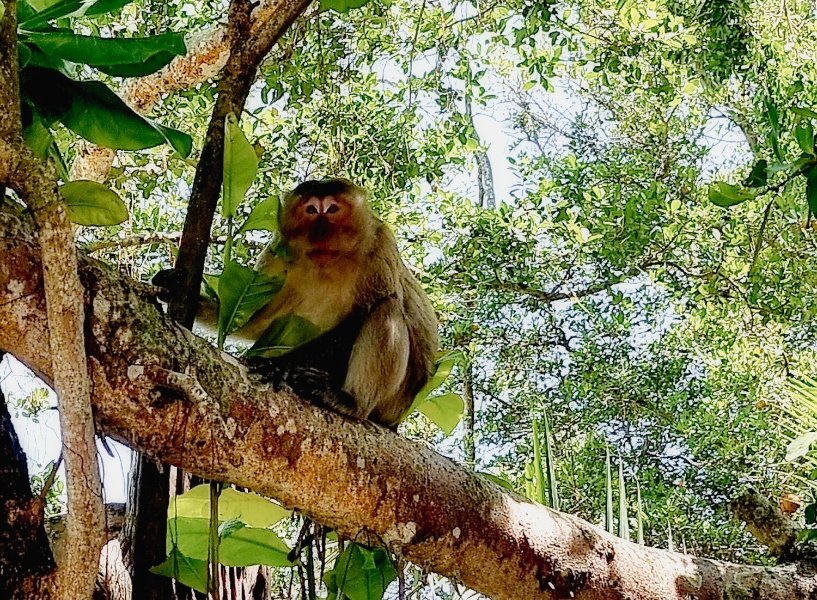
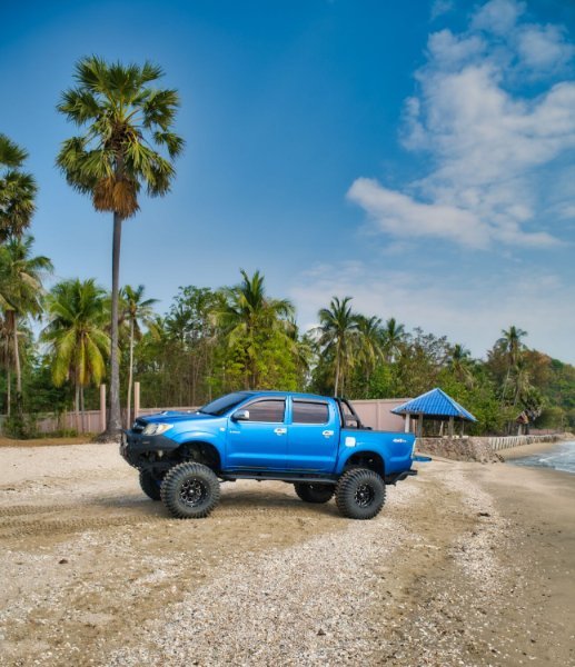
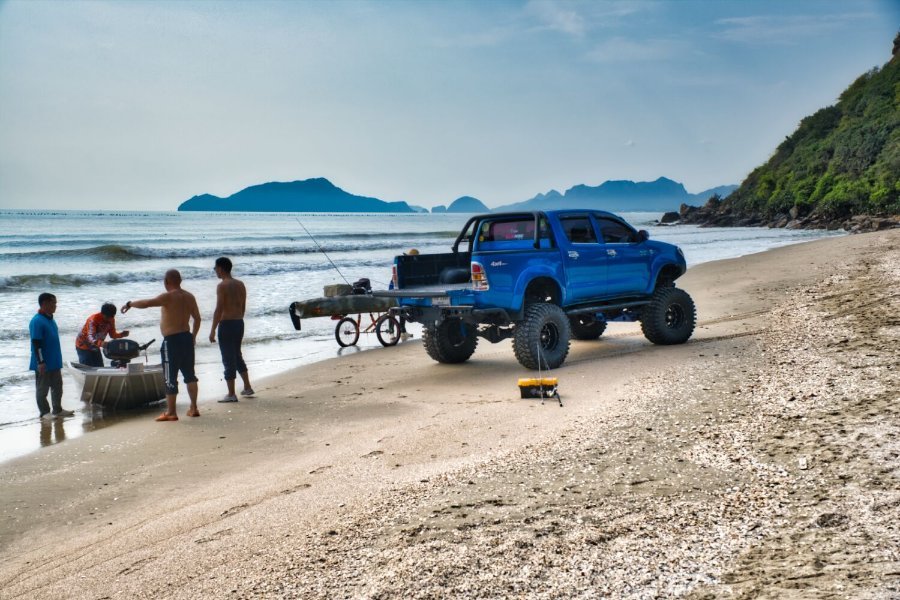
I rode to Donsak today from Lang Suan, my first stop was at Successful Beach, here. https://maps.app.goo.gl/rxt5abK3RzFtoxMU6 Next was Popular Beach, here. https://maps.app.goo.gl/2JsqTbhrjdFAPWsW7 Next was The Grand Canyon Tha Change, here. https://maps.app.goo.gl/4uJAroWGeT7fQLT1A I then rode to Mangrove Forest Resource Learning Center, here. I didn’t stop as there a large monkey waiting to ambush me in the trees and I didn’t want my helmet or other items going missing as happened to me once in Hua Hin. https://maps.app.goo.gl/BTDBAjhHdaWB2F9g8 From here it was a 80km ride to Donsak. https://www.relive.com/view/vrqDyG389wv
-
I left Ban Krut this morning to ride south, but not sure of my destination. My first stop was Mae Ramphueng Bridge, here. https://maps.app.goo.gl/aA2S7XgD168BFp1B8 Then Thun Thong Fishing Pier, here. https://maps.app.goo.gl/c66xYbpVpVjqugXo8 South of Chumphon I stopped at Sairee Beach Viewpoint, here. https://maps.app.goo.gl/yrjJYiAG1nxq24Zn9 I then rode onto Pak Nam Lang Suan, where I will stay tonight. https://maps.app.goo.gl/cg2pt8fQ6Ff4KAeY9 https://www.relive.com/view/vdORBNeA2KO
-
Thanks 🙂
-
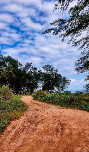
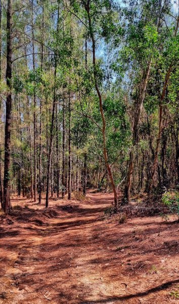
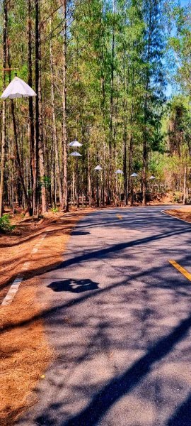
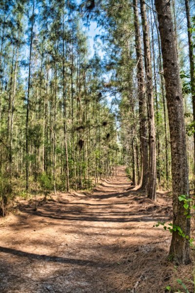
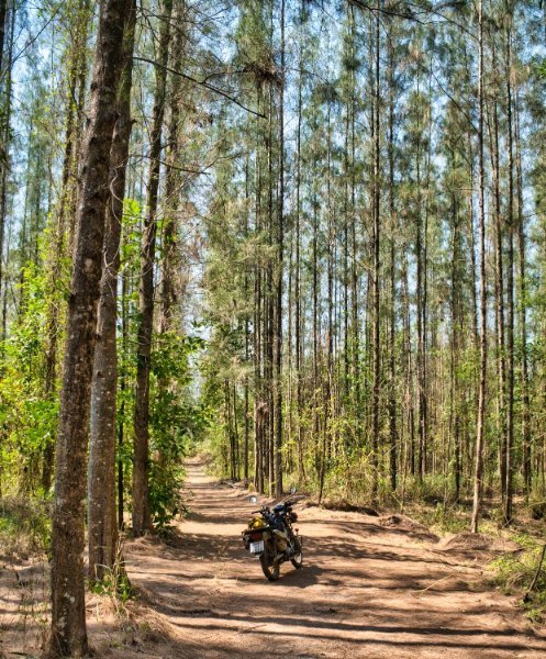
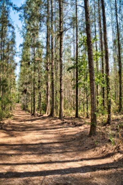
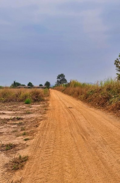
This morning after looking at “memories” on Facebook I changed my planned ride and decided to visit Mining Pine Forest again, here. https://maps.app.goo.gl/qtqeyrAfVQvp86Km6 After riding some of the tracks there I headed to Bo Thong Lang Bay, here. https://maps.app.goo.gl/ih1egvFMnXNbzML18 From here I followed the coast road back to Ban Krut. https://www.relive.com/view/v1vjPNY8PJ6
-
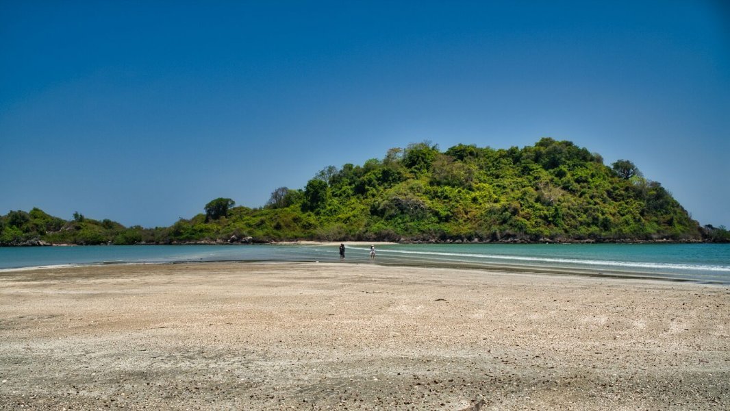
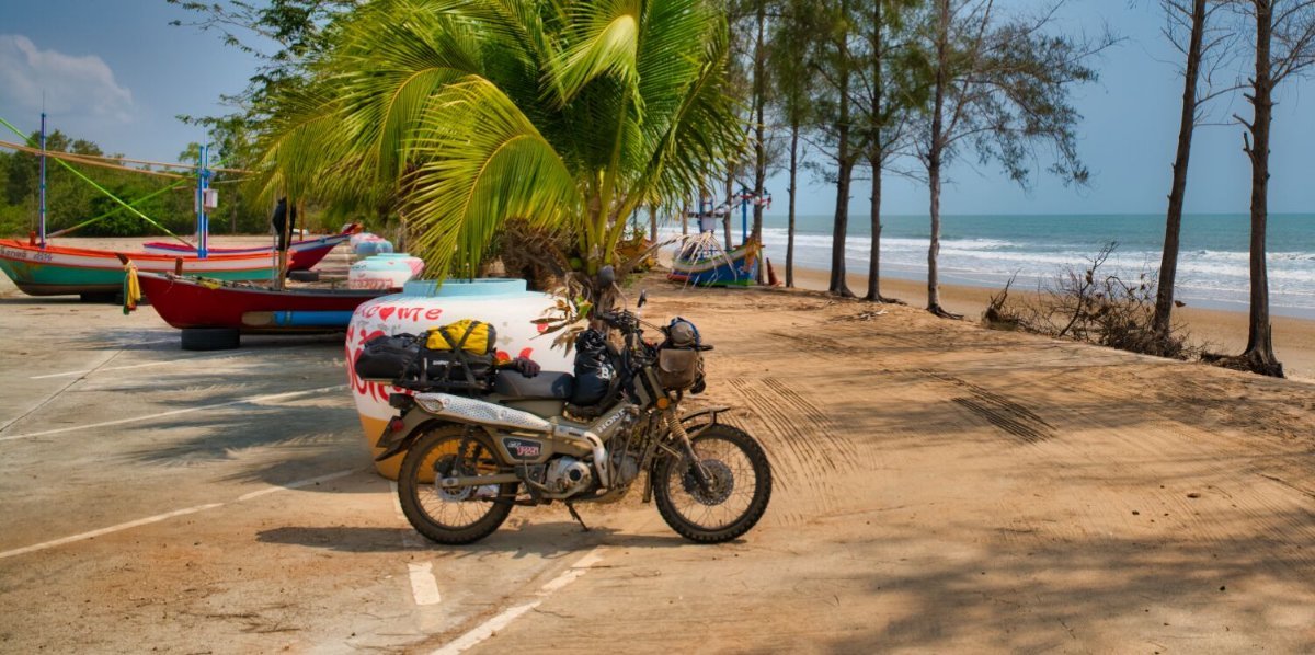
Today I woke early and sat on the beach at Ban Krut to watch sunrise. It was a cloudy and overcast sunrise, but I still took a few photos. Later in the morning I rode west to the Burmese border, here. https://maps.app.goo.gl/7vw8addU7vuYbJ6C8 The ride up is 3km of track a little tricky in places due to the lack of power on the CT125 and there were four sections I was forced to paddle to get up. On my previous visit I was told straight away “No Photos”. But I took my camera out in front of the army border guard and he said nothing! As I was leaving, I was checking my route on my phone when a different guard arrived and told me “No Photos”. I showed him it was a map and left quickly. My next destination was Don Samran Beach, here. https://maps.app.goo.gl/iXJ1F6cKZgNCM1SR8 It was then a short ride back to Ban Krut. https://www.relive.com/view/v1vjPNp4jY6
-
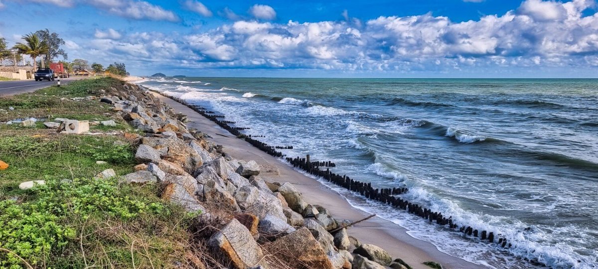
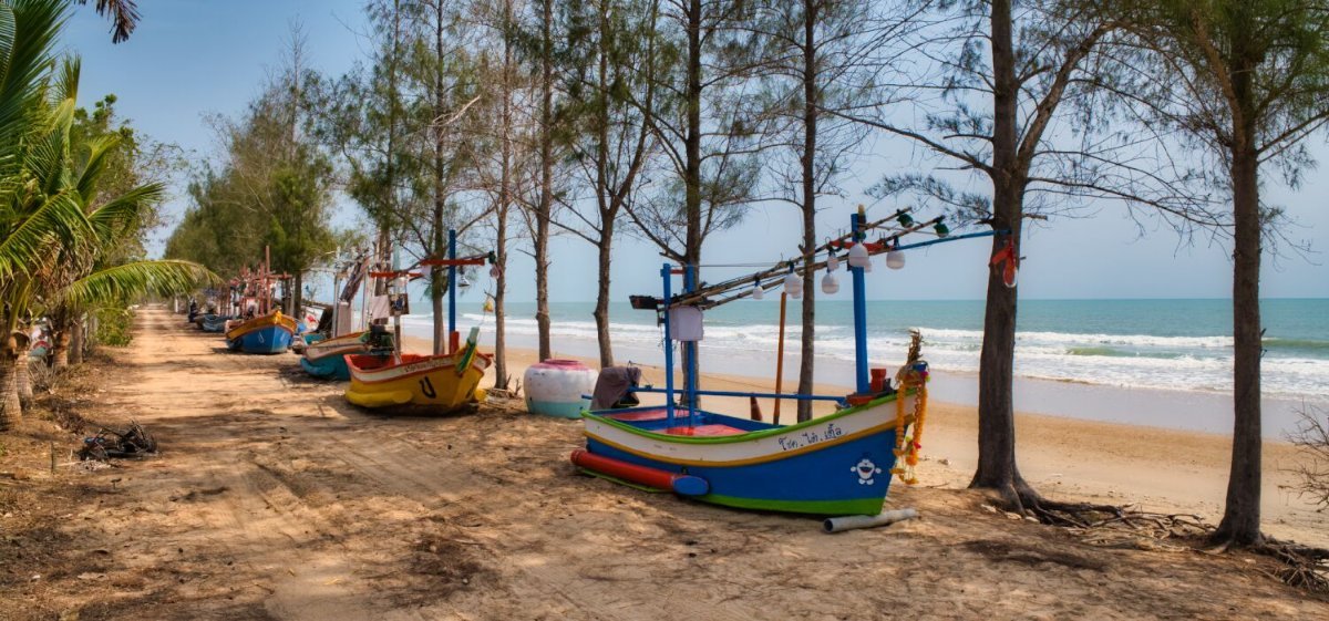
Today I had an easy lazy ride south to Ban Krut, following the coast where possible. My first stop was at Tap Sakae Fish Pier, here. https://maps.app.goo.gl/431GfSgyqf6kk4jz8 I continued riding south along Tak Sakae Beach until I came to Lamkum Beach, here. https://maps.app.goo.gl/g8GU2f11udfS5sKy9 Then onto Ban Krut, here. https://maps.app.goo.gl/7aQUpgcn6ChEsnZx6 https://www.relive.com/view/vMq5w1AoQQO
-
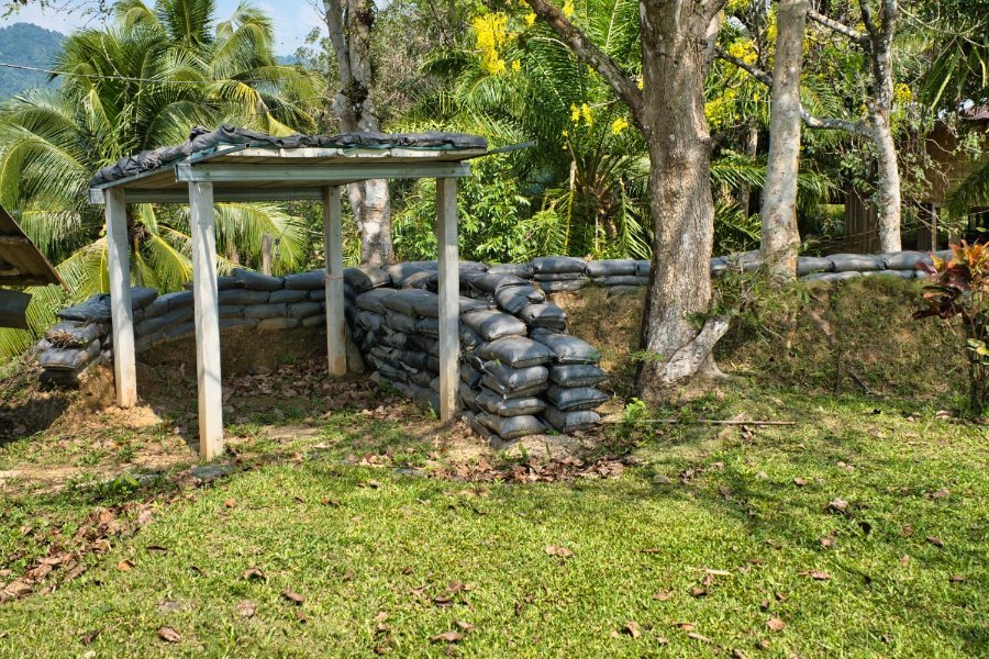
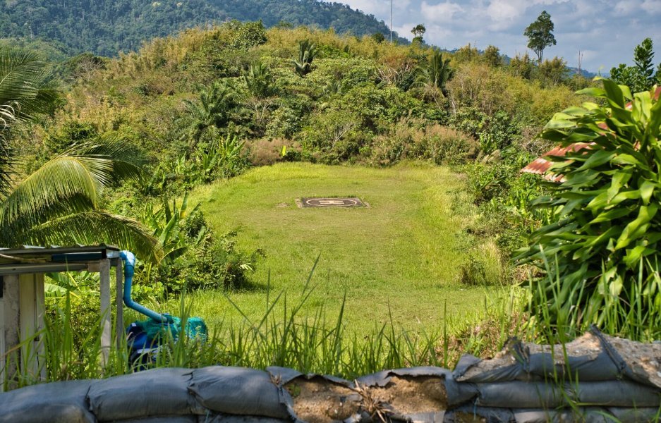
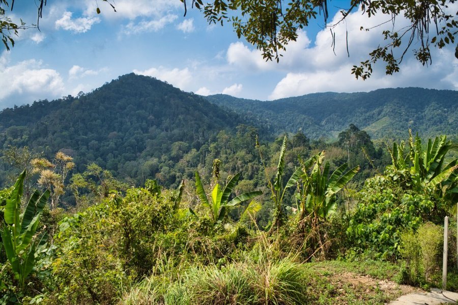
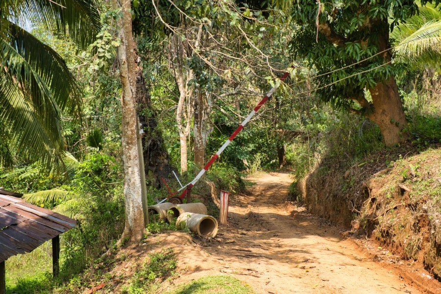
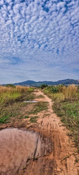
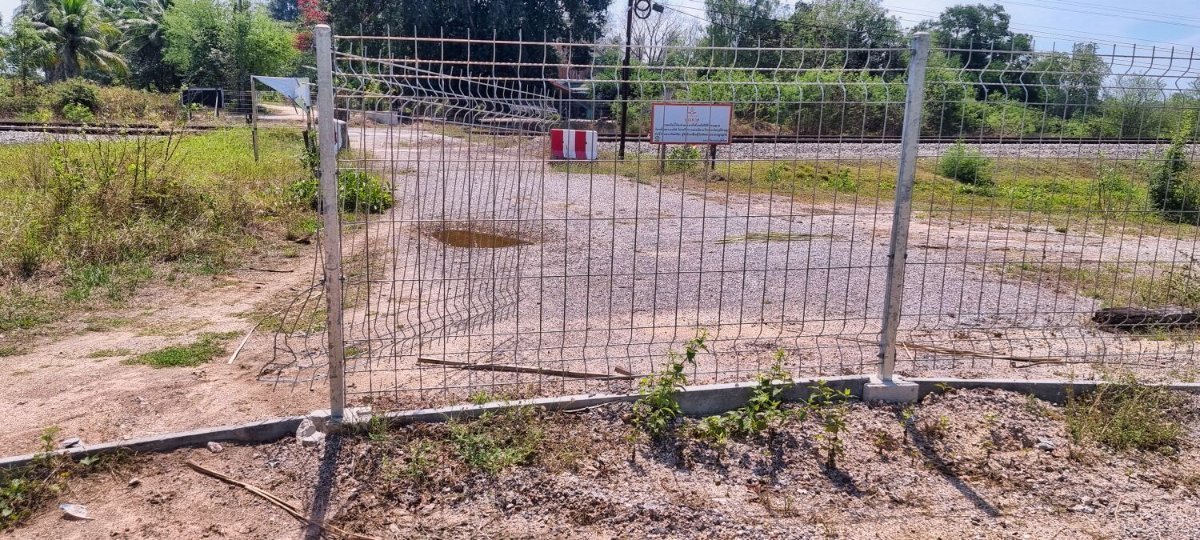
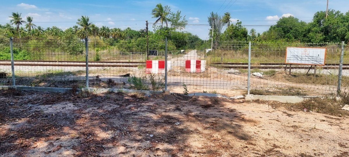
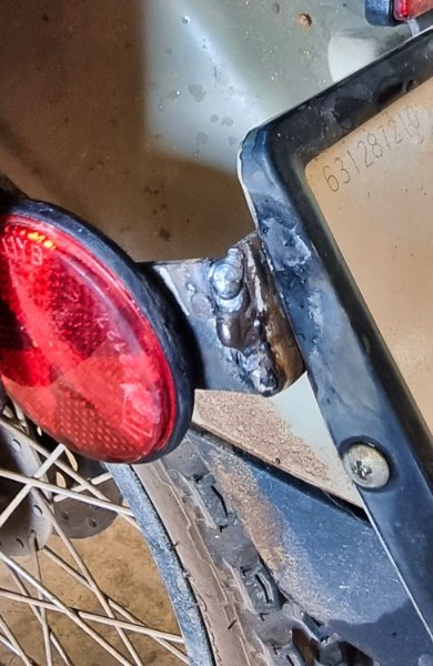
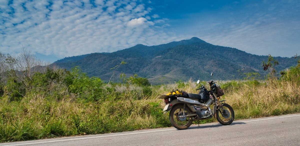
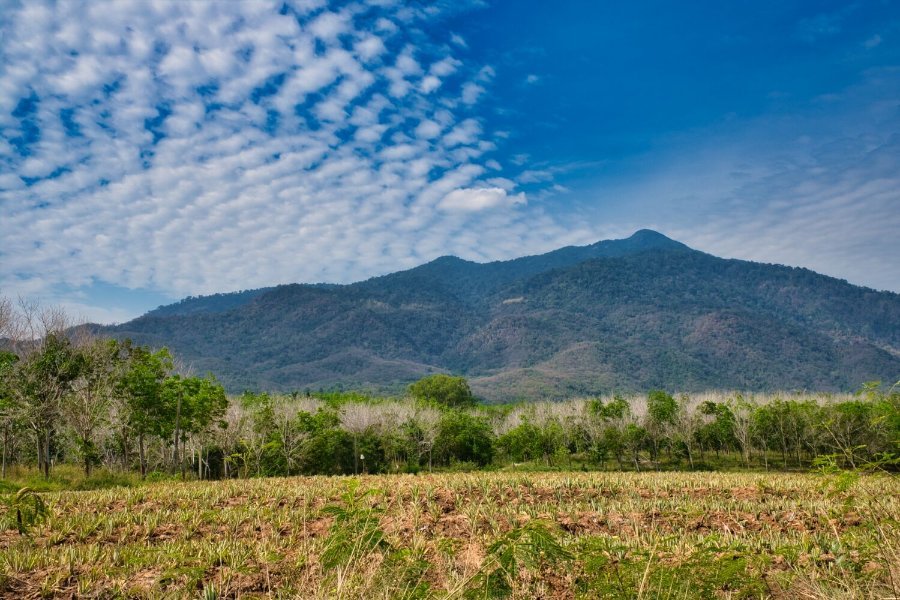
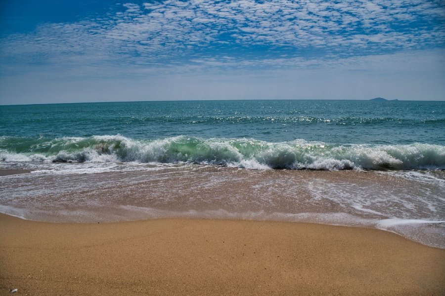
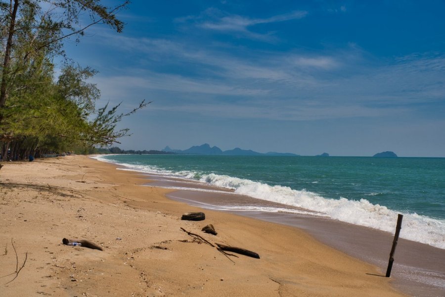
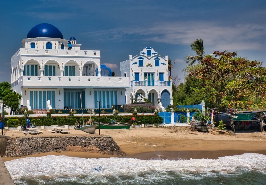
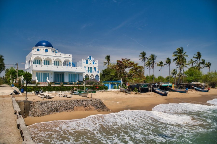
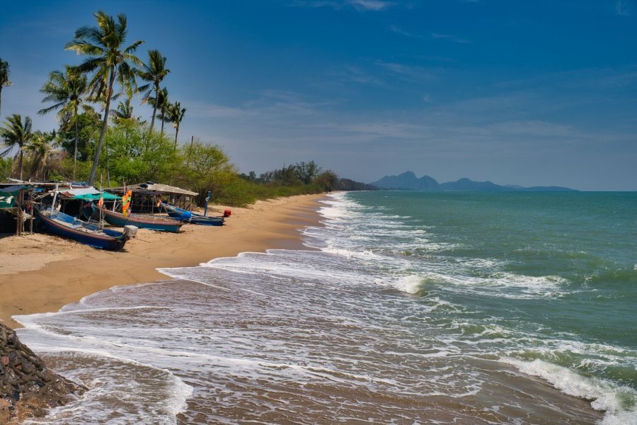
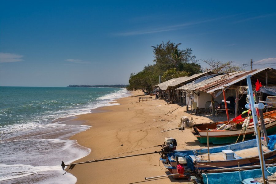
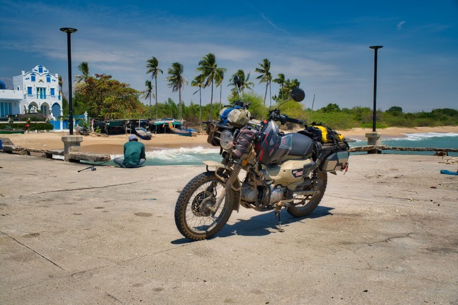
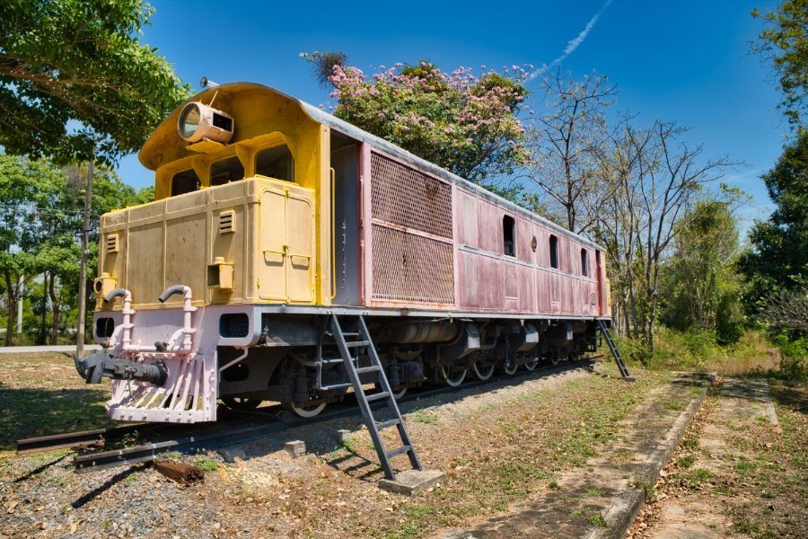
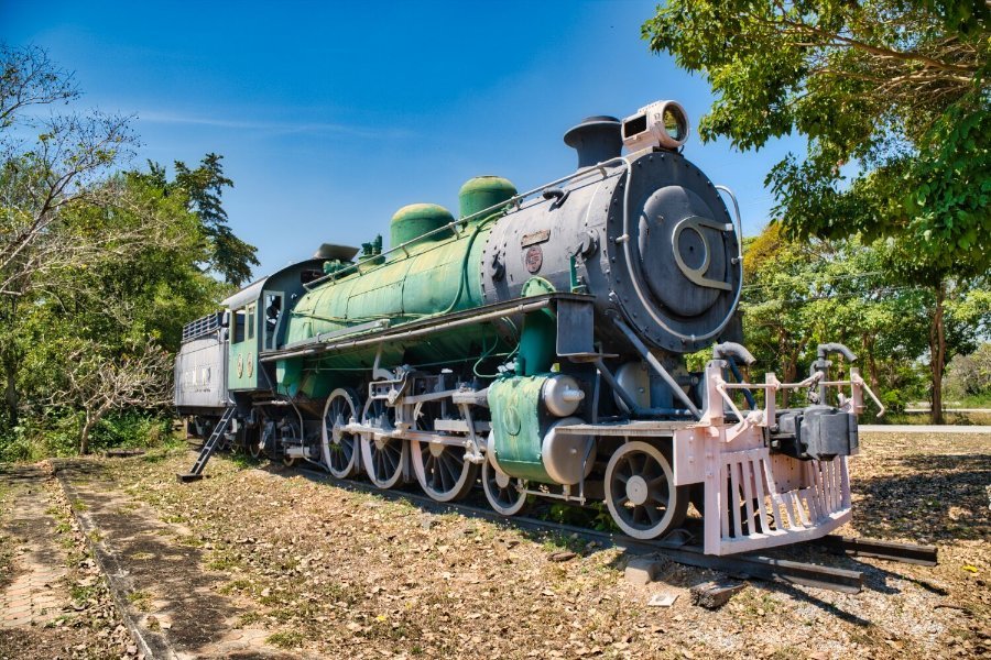
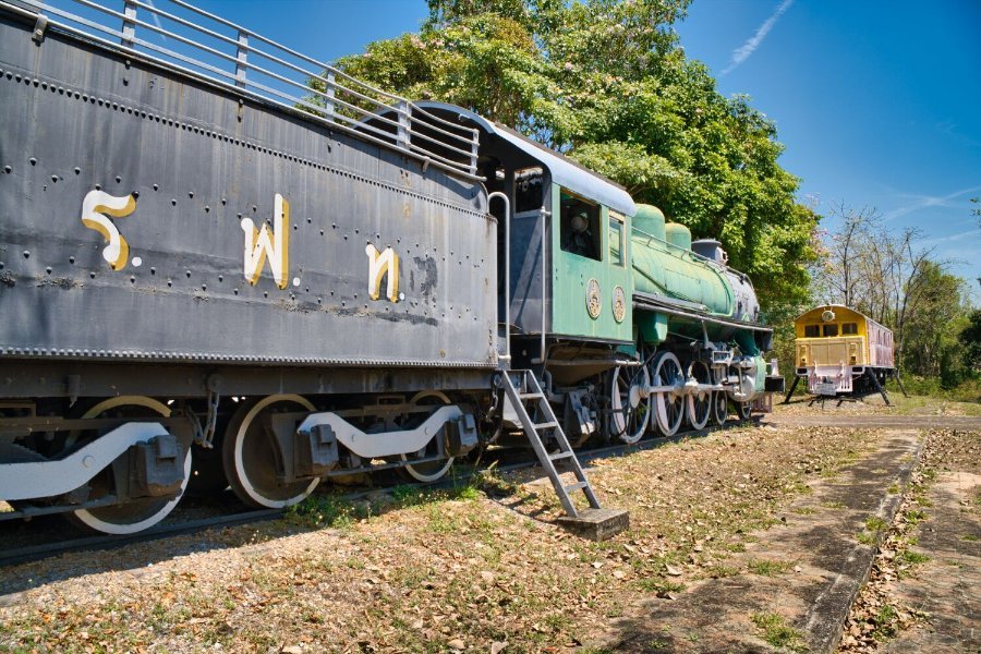
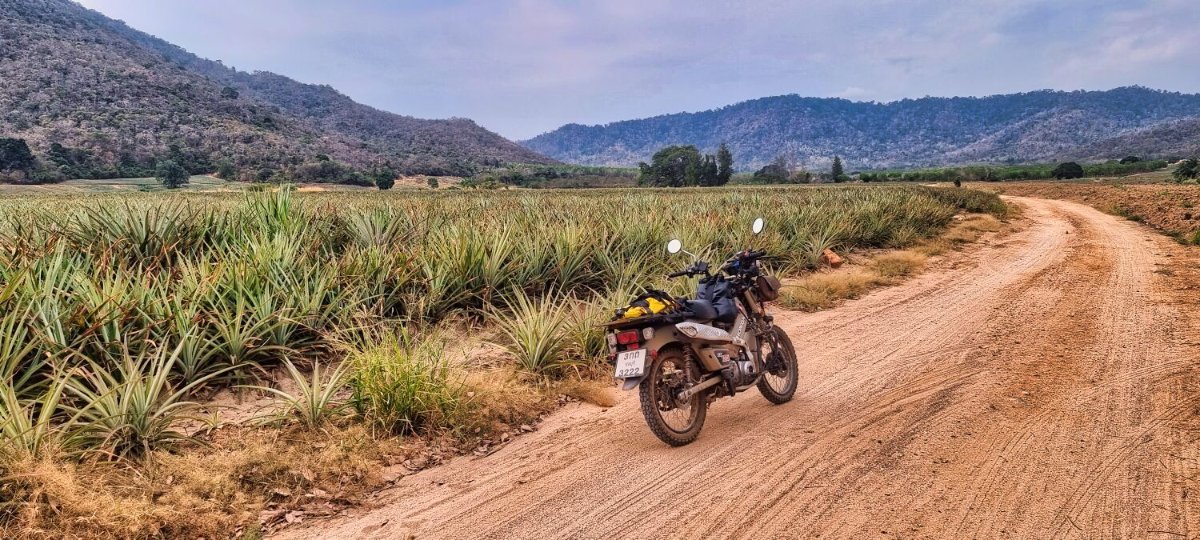
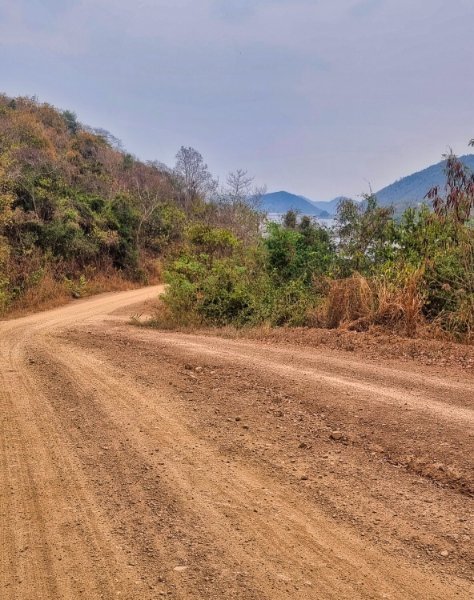
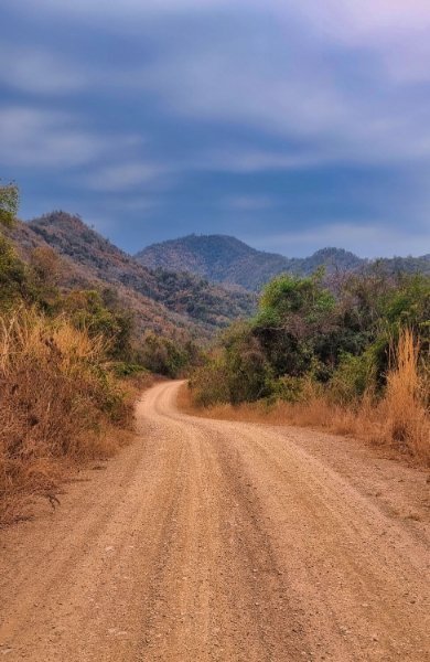
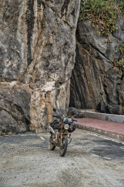
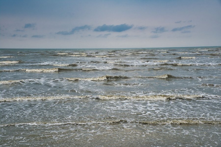
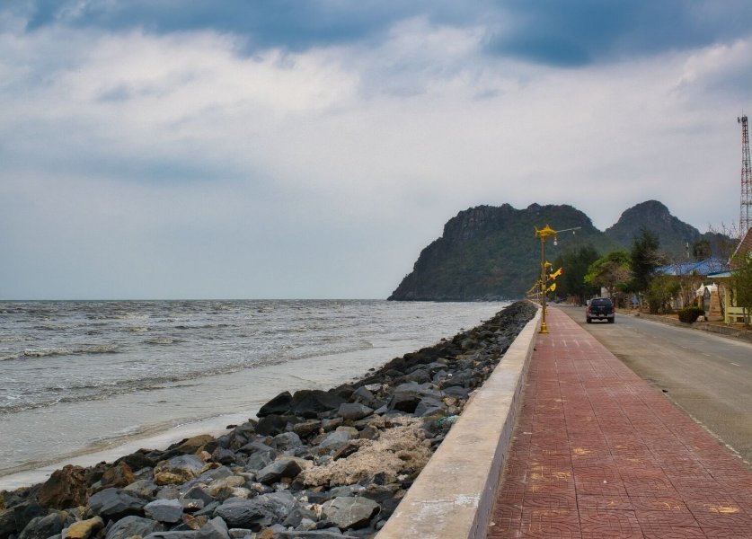
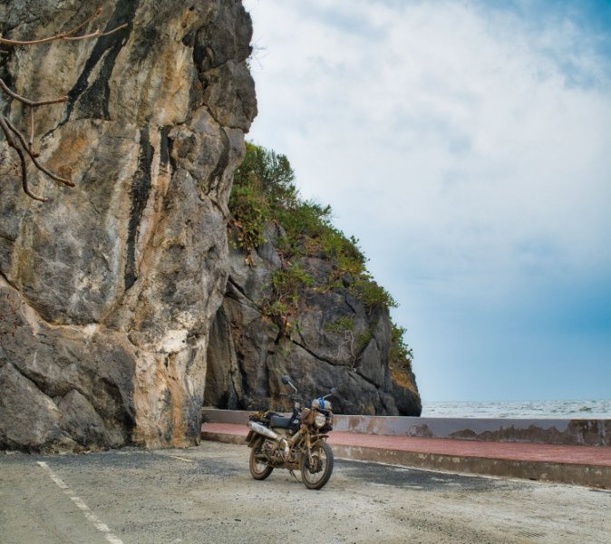
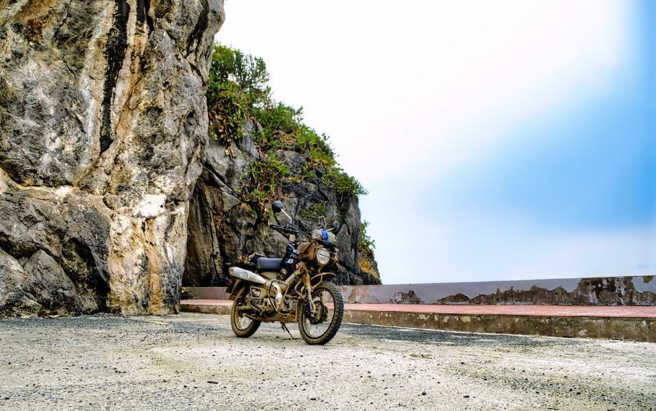
Today I rode inland towards the Burmese border, just a little green laning unfortunately, but good weather and views. My way was blocked and rode as far as here. https://maps.app.goo.gl/h7aDgeiD6SrU29Eb8 The mountain view of the border was taken from here. https://maps.app.goo.gl/opWMdEHGN7GQ48Co8 I then rode to the coast and stopped at Lemon Bay to photograph the beach and waves, here. https://maps.app.goo.gl/sQ4wFPMcvPprvxNq7 I then headed to the Blue Mosque, but had to cross the railway track Thai style, meaning through a gap in the fence. The Blue Mosque is here. https://maps.app.goo.gl/T3z7BnkazQpmepxj8 Just up the coast there are a couple of old trains, here. https://maps.app.goo.gl/ygSTjPMhqJrzZNsy7 Arriving back to my hotel I saw the weld had broken on my tool box, I went to a bike mechanic who could not repair it, but we noticed some builders making a roof on a shop nearby, so I asked them if they could weld it, which they did for free, great job! https://www.relive.cc/view/vxOQ5BmWY2O
-
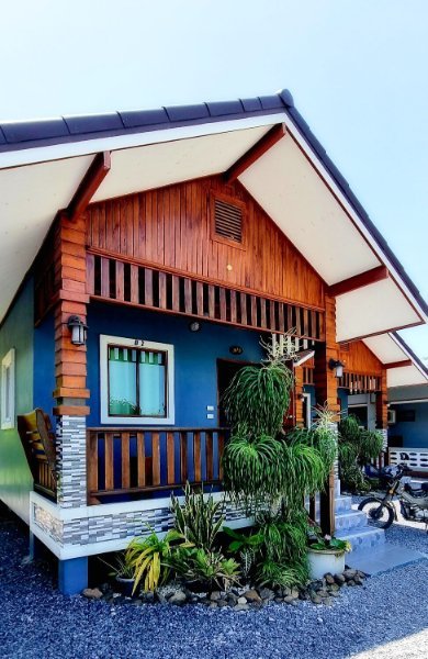
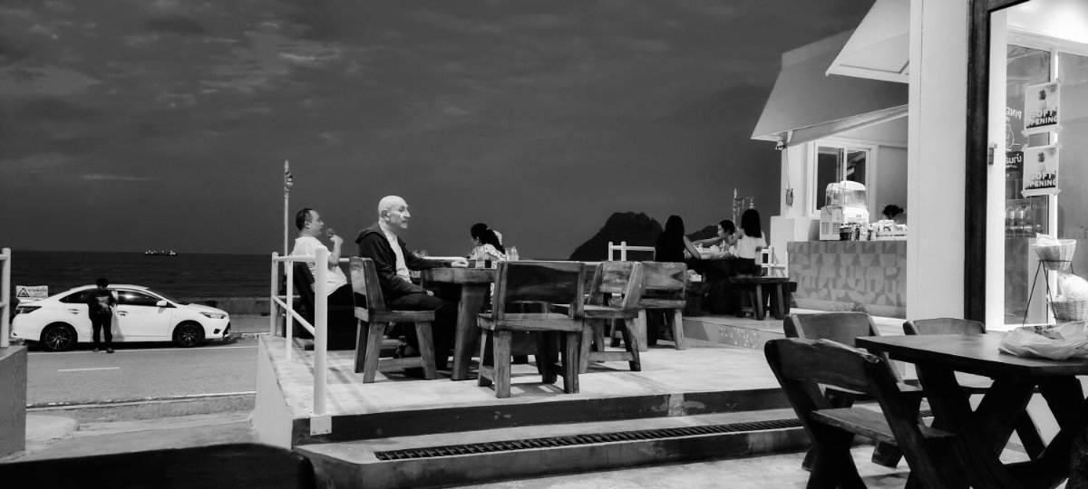
Today was phone repair day, I arrived in Hua Hin about 9.30 and the staff at Samsung were spot with their help, but it was an expensive fix. 8k plus 1k because it was a European model, so when I bought it second hand in Pattaya Samsung forgot to mention it. I’m not sure why they add 1k for a non Thai phone, but basically I have a new phone now. The company gave me a loaner phone during the wait, another bonus to them. As it happened my CT125 battery died yesterday too. No issue as it can be kick started, but with time on my hands I had a new one fitted. 770 baht. A boring expensive day but no rain and the bike and I will ride south in a few days weather permitting. https://www.relive.cc/view/veqzdZ2gZ7O
-
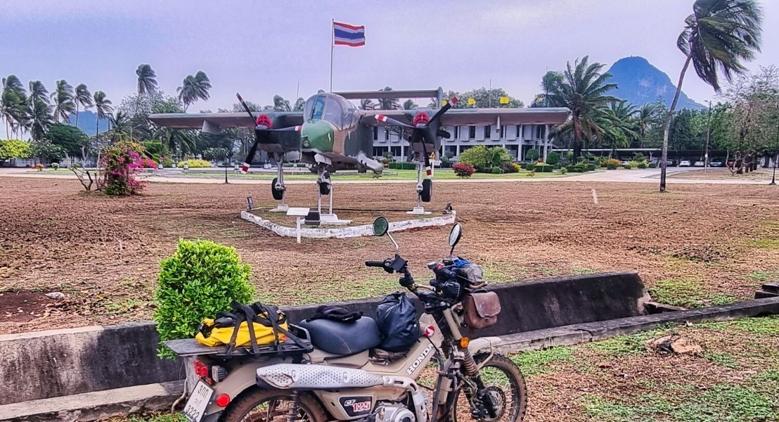
Today, as yesterday was windy and rainy on and off. I started a ride and the rain started, so I just took one quick photo of a plane at the Airforce base, here. https://maps.app.goo.gl/wrEPcLoPChDTYepr8 Arriving back at my hotel I noticed my phone has a vertical green line to bottom. So tomorrow I must ride back to Hua Hin and hopefully get it repaired at the service center there.
-
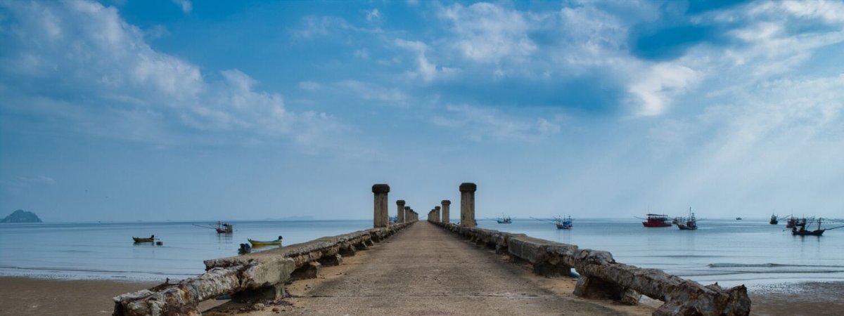
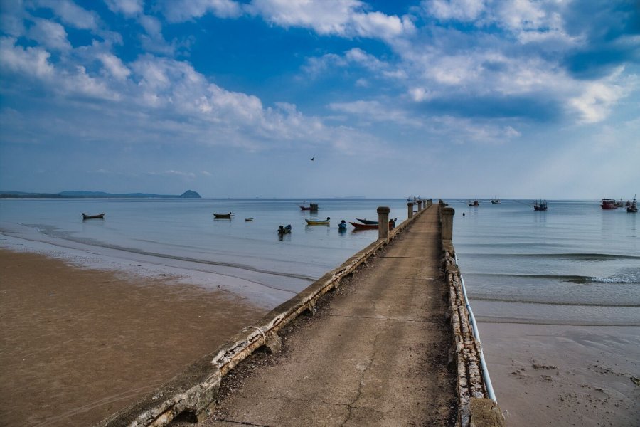
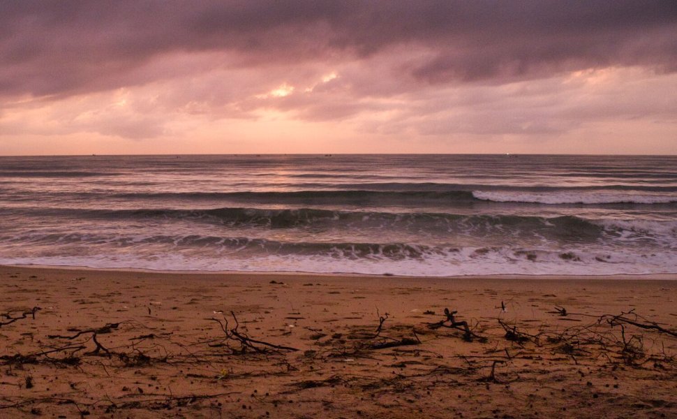
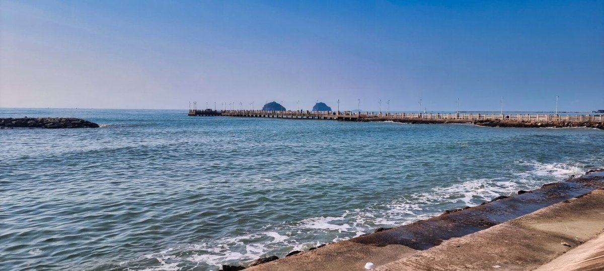
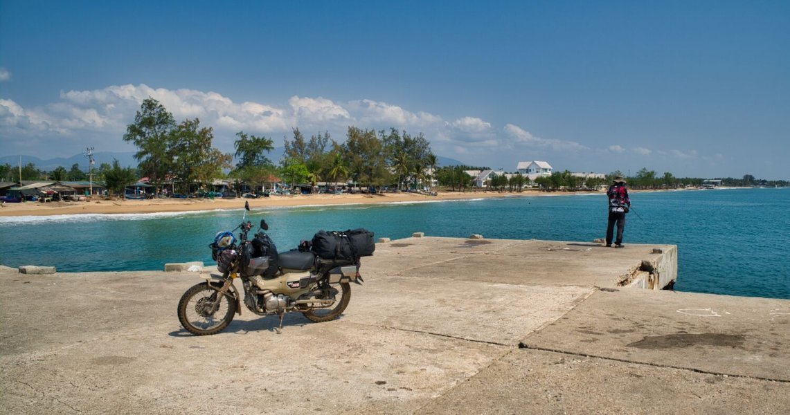
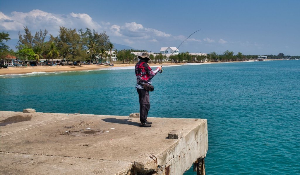
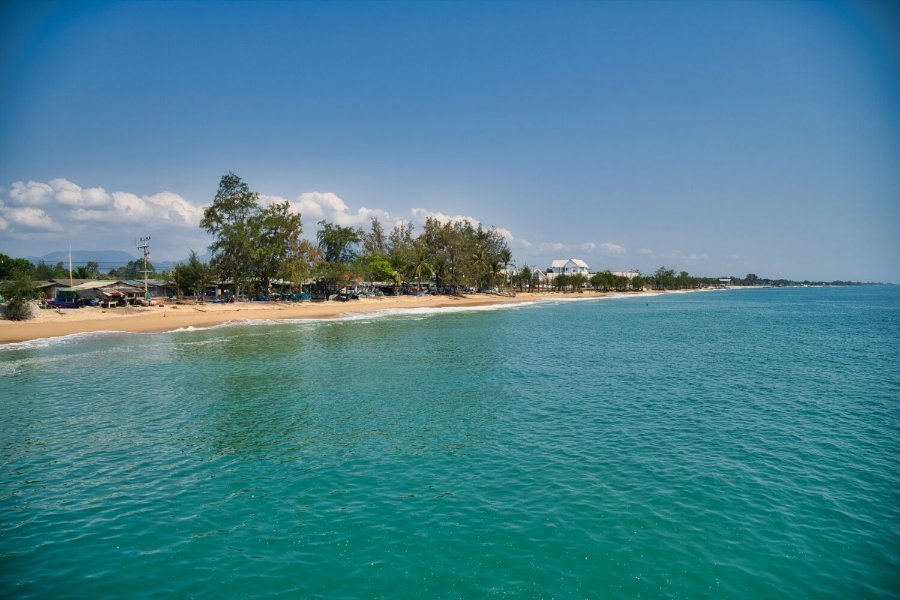
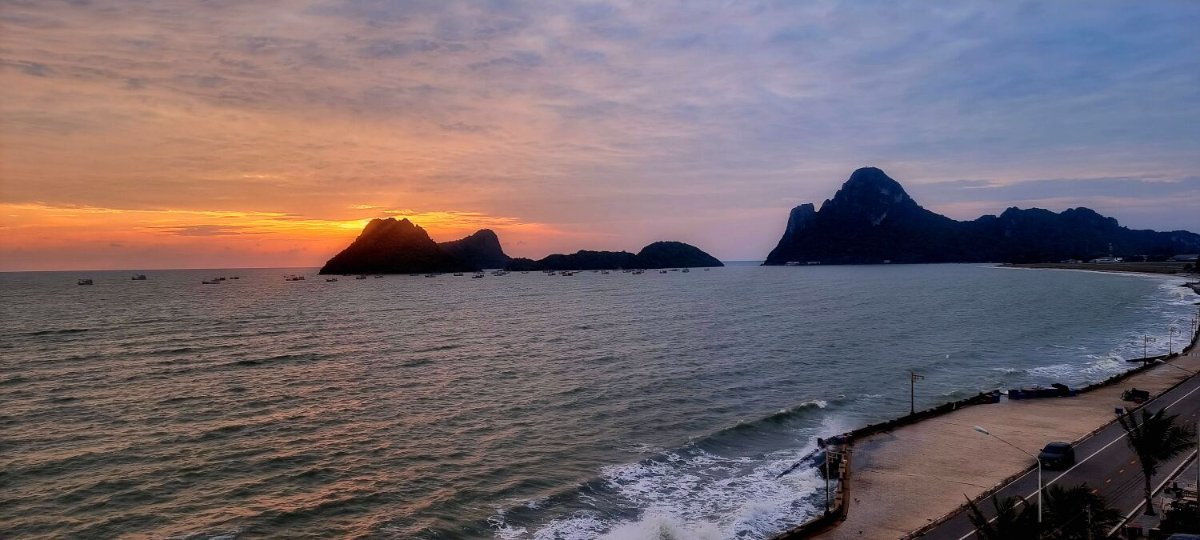
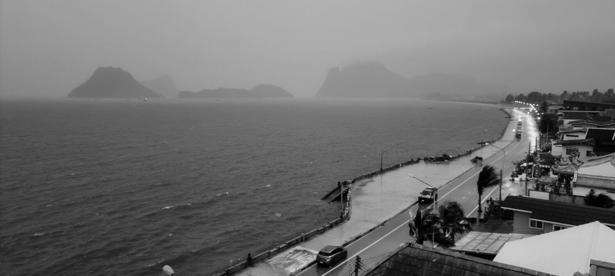
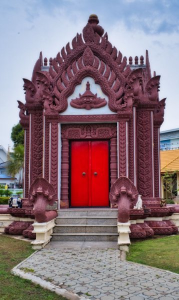
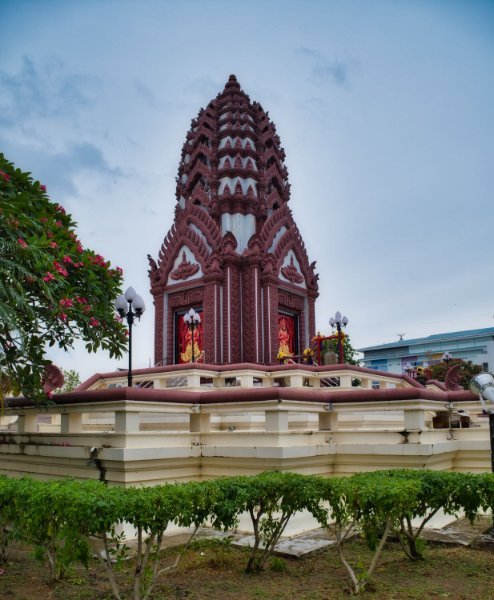
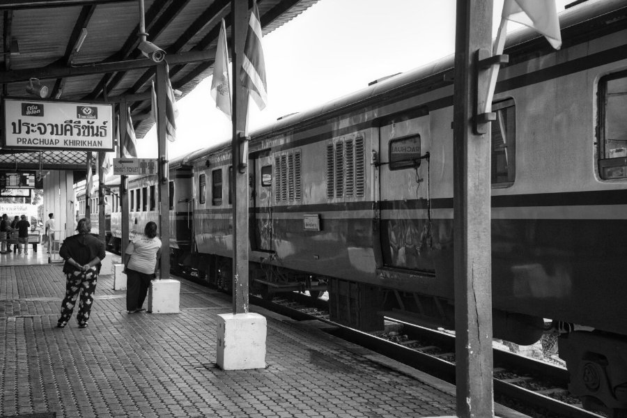
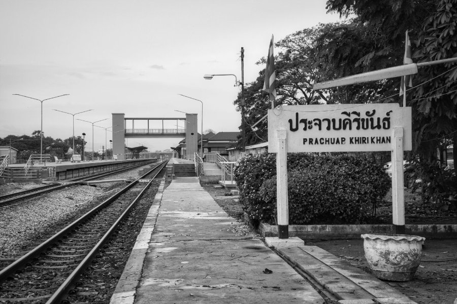
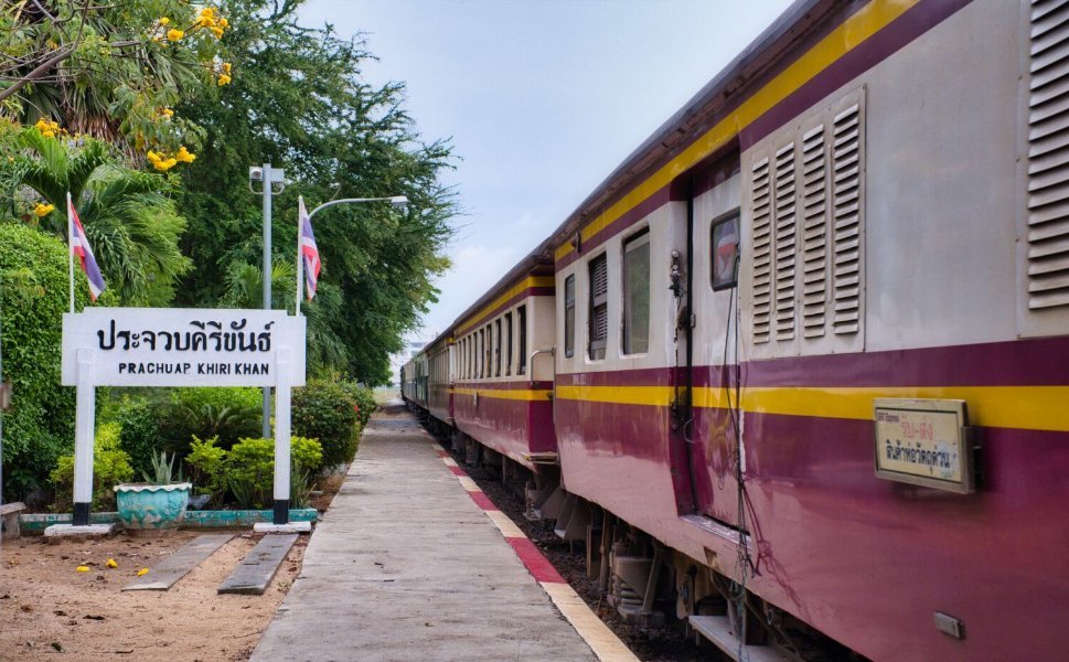
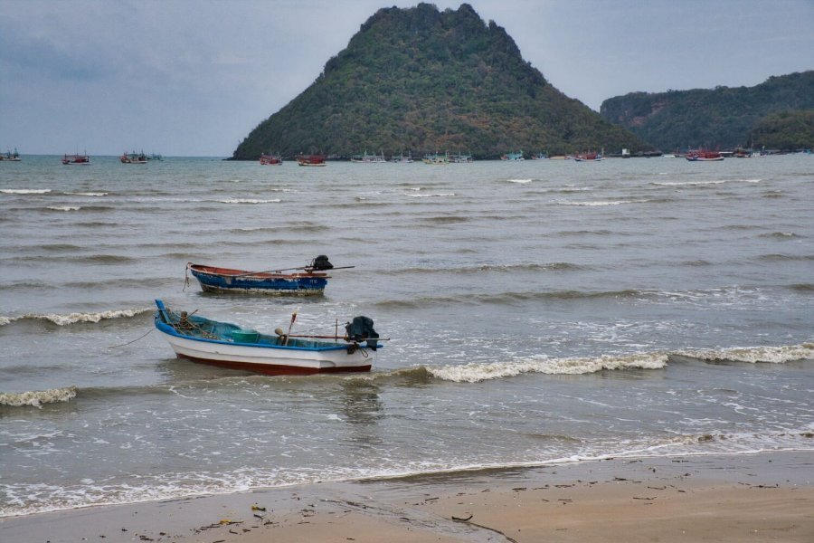
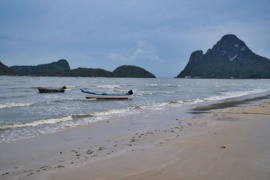
Yesterday was a rainy day here in Prachuap Khiri Khan, the first photo I took was the rain over the bay. Later in the day I started a ride, but quickly returned as the rain started again. About 5pm bored I decided to ride to some local site, first was Prachuap Khiri Khan City Pillar Shrine, here. https://maps.app.goo.gl/VsNB7Fy4y7Kvu4kN9 Nearby is the train station, here. https://maps.app.goo.gl/afEE8aFJcY6fdS2J9 I then rode to Plajoat Pier, here. https://maps.app.goo.gl/N9DbXFG48Fy5D8zi9
-
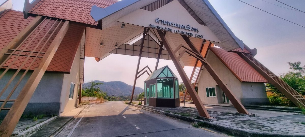
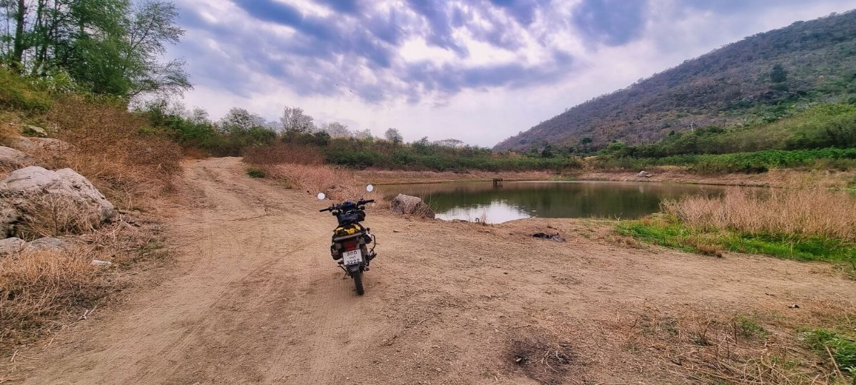
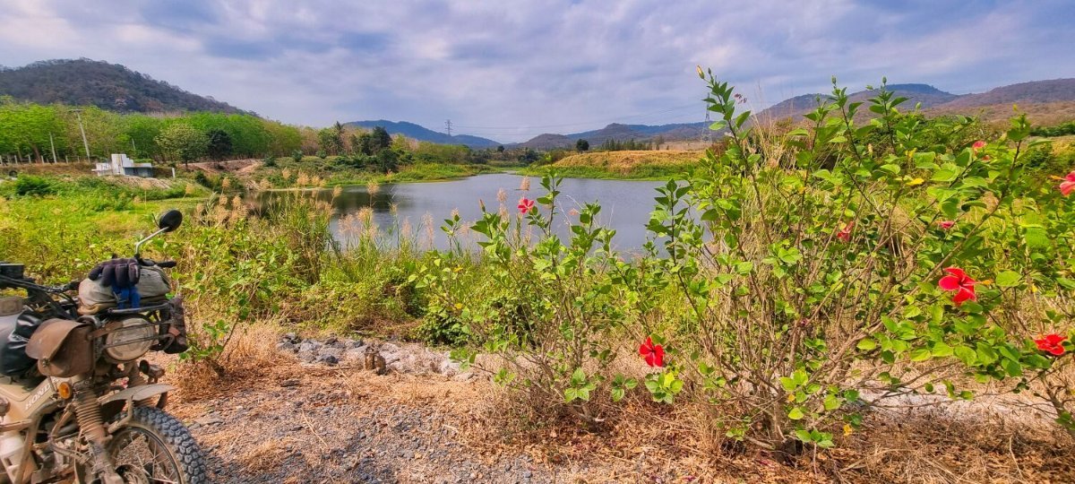
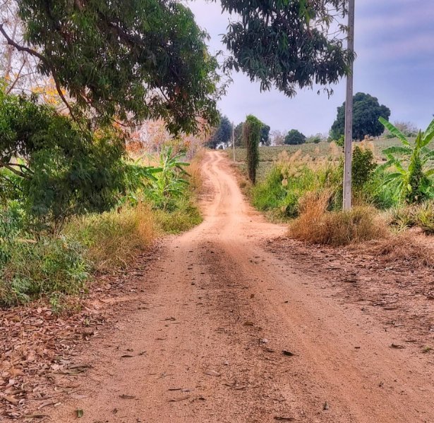
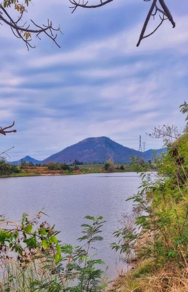
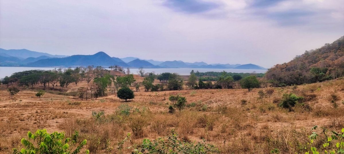
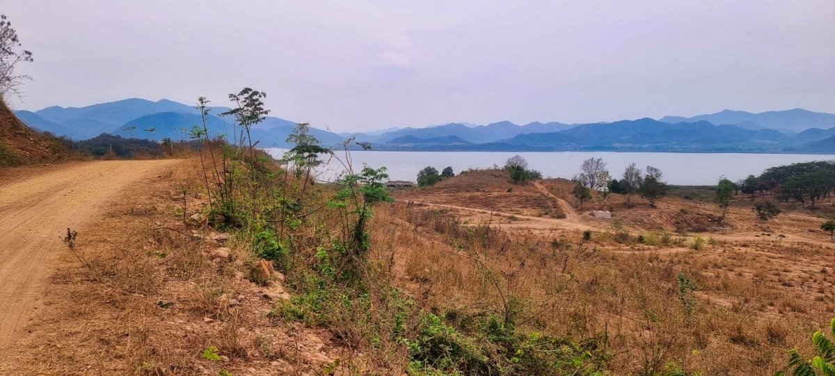
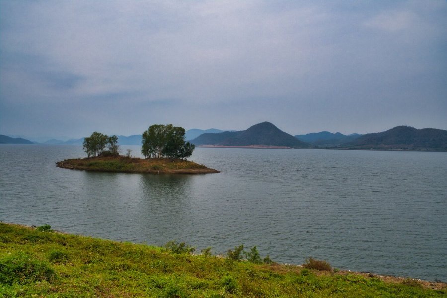
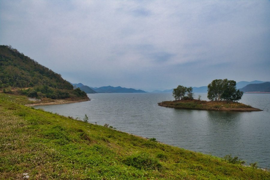
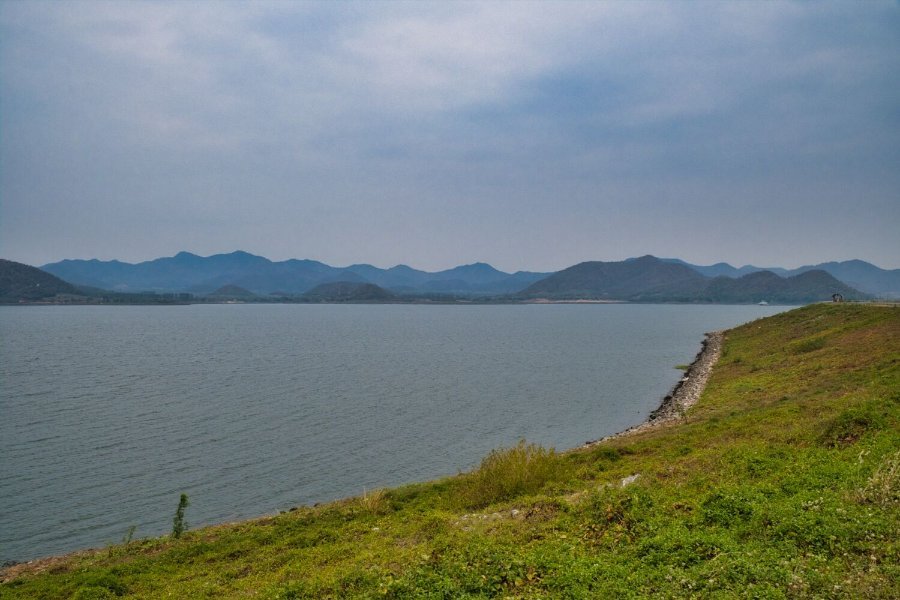
Today I rode towards the Burmese border to the Sing khon Border Crossing Station, here. https://maps.app.goo.gl/4KCA5sweyhXtZDLZ7 Then for some green laning I rode to Hub Phueng Reservoir, which was small and dirty. https://maps.app.goo.gl/KbZq4n7SVb5k8ET56 I then continued to Rong Thotsakan Reservoir, here. https://maps.app.goo.gl/UDjNYNShXTUaGzUD6 Another not so special place. The next place was better, Bo Maka Reservoir, here. https://maps.app.goo.gl/1JVECi1ALcXSGvcb9 My last stop was Saranwithi Bridge, here. https://maps.app.goo.gl/Q6tkWAoHLLNaL1aC6 https://www.relive.cc/view/vmqXJDoAxLO
-
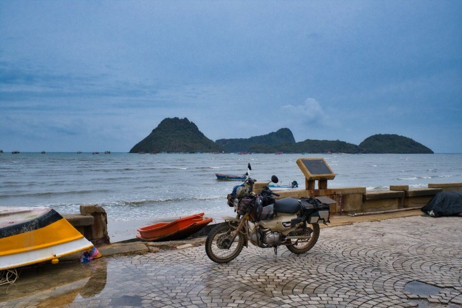
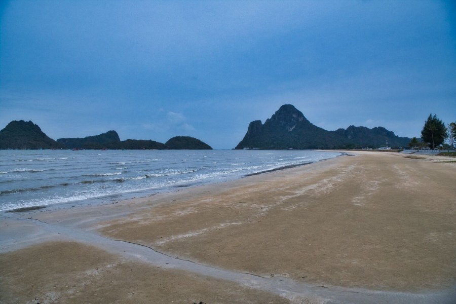
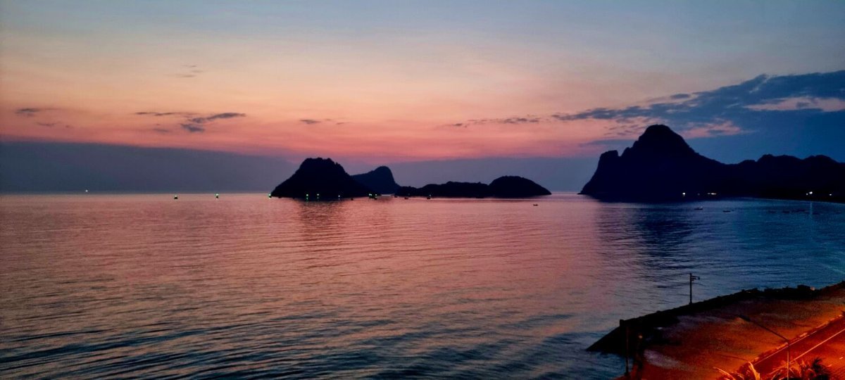
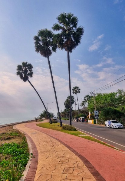
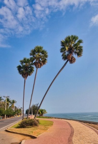
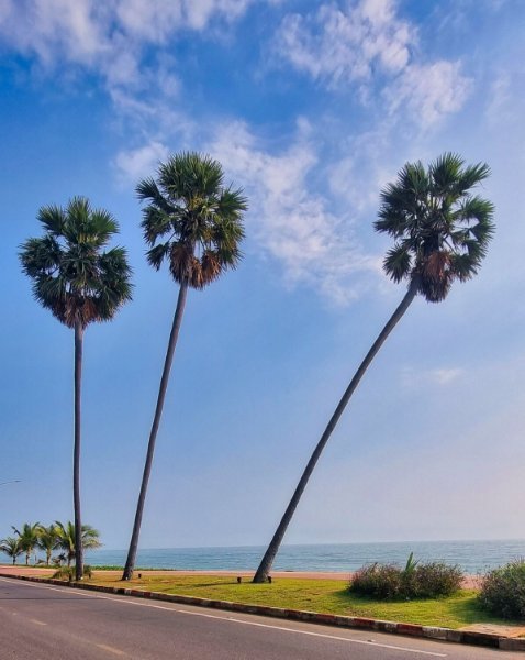
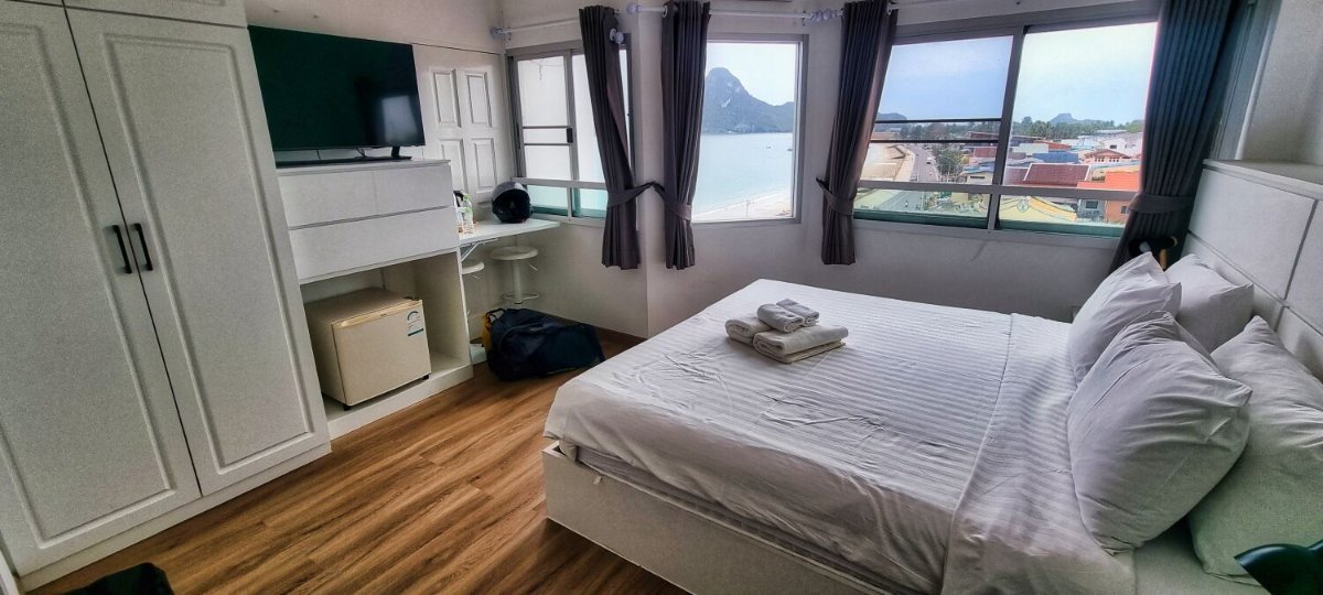
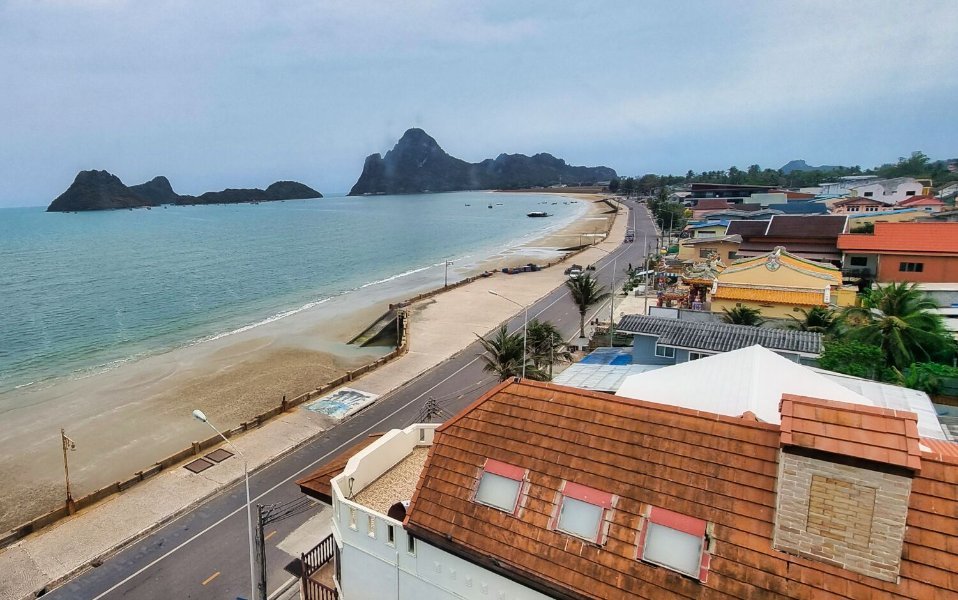
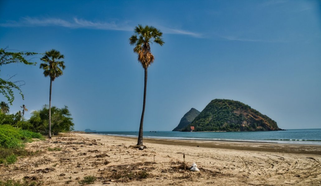
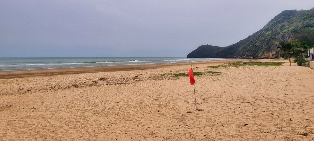
Today I left Hua Hin and rode to Prachuap Khiri Khan. My first stop was at Three Palm Trees, here. https://maps.app.goo.gl/i5ihezKe5tBTPh9n6 Next, I stopped at Sam Roi Yot Beach, here. https://maps.app.goo.gl/vVvGECwWrY2kDUtM8 I then stooped to photo Nom Sao Island Beach View, here. https://maps.app.goo.gl/pw4FiGaoMZisjQ2P8 Next was White Beach, here. https://maps.app.goo.gl/sKrVGWCkprTNPCPy5 Arriving at Prachuap the first few hotels were full, so I went to the more expensive Prachuap Beach Hotel, which has wonderful views over the bay. https://www.relive.cc/view/v1vjYozBdYq
-
I did try the app before and did not like it.
-
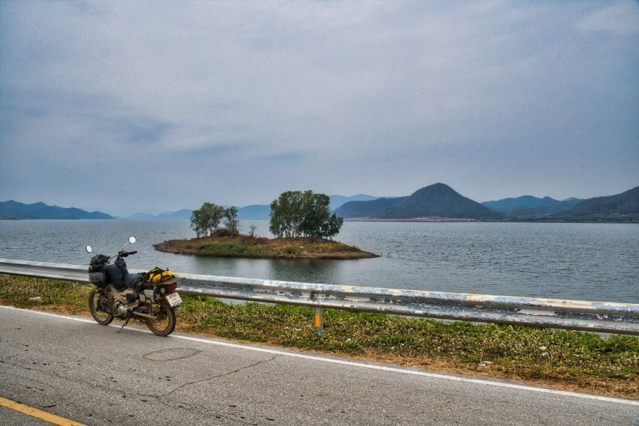
Today I rode back to Pranburi Reservoir to ride the dam, here. https://maps.app.goo.gl/4sY1HpYZhvZEsaB97 I rode to the west end of the dam where the track starts and continued to here. https://maps.app.goo.gl/1h3iKVRcsANnRaK77 It was quite overcast and at times spots of rain. From this point I rode to Dead End Road @ Khuen Kamnan Road, here. https://maps.app.goo.gl/ycNugpJXMfLJUmbj8 I then continued to Khao Kalok Beach, here. https://maps.app.goo.gl/wgT6SX7dZYt37Y5Q8 I then continued onto Hua Hin. https://www.relive.cc/view/vdvm1GZ2XNv
-
I have downloaded google maps, it will get you back to main roads and help. But i would not like to ride all day like that. Google maps i use with a headphone, which is great when it works 🙂
-
Great memories


.jpg.349bf343fabeb8c7a8704025d6c6af78.jpg)

.jpg.4f1a652606824cd0d3d582353bac3654.jpg)


.jpg.e6167b9c8f7d080793dd0ff67daacdcd.jpg)
.jpg.bbf564f013648c00e3aa5aaa512b4e10.jpg)
.jpg.7ece2664690e8536f77245b0352c3f00.jpg)
.jpg.8678e3d4122055e9711b0cbc163d4503.jpg)
.jpg.e1a68059888aadeefa5a669c9eaa64de.jpg)

.jpg.ae86e8484a48bd5f174ec2ee1a744af0.jpg)
.jpg.4de37ba1abf88d0a0fe891867dc7a197.jpg)
.jpg.07f59347908ca18d2533d3efb125e011.jpg)
.jpg.c22d92b7802bfe1e4755d1bddafb001f.jpg)
.jpg.1fe8cfbdaade598a0e6fab55726819b5.jpg)

.jpg.d4a3cf37c358ab23c701fb8d201db4bb.jpg)
.jpg.9dcaa023974970b285ee886245b0ea0b.jpg)
.jpg.4f73bb36399bce4faa7af154b5009f86.jpg)
.jpg.dbbc9f4cffc8c73fe7de1df08133a7ad.jpg)


.jpg.79d5806eebfa24dd67141bcb160b3323.jpg)
.jpg.32218b45ada79c60278bf1f84378c2df.jpg)


.jpg.04eb616e47683e1fd22b3354b9950eeb.jpg)

.jpg.c7630b107b7448306116c96654f290a2.jpg)
.jpg.35a288eb39b354b0a35a0968b8a34ab5.jpg)

.jpg.63064b23cc3fe2ea71a9921a7353395f.jpg)


.jpg.6422e9ebd197e7d3aea0a28a31e50dde.jpg)
.jpg.43c87ecc5610ac149ff76d3e9249fcf3.jpg)


.jpg.7347e1af258471e1dd08a5c3614567e5.jpg)
.jpg.30f44c8ebd540946a50737063d9ac238.jpg)