- Popular Post


chrissables
-
Posts
3,175 -
Joined
-
Last visited
-
Days Won
8
Content Type
Events
Forums
Downloads
Quizzes
Gallery
Blogs
Posts posted by chrissables
-
-
23 hours ago, Randell said:
Magical buddy thanks.
Thanks
-
- Popular Post
- Popular Post
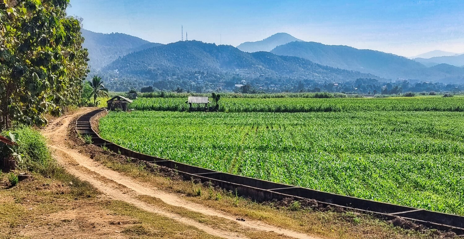
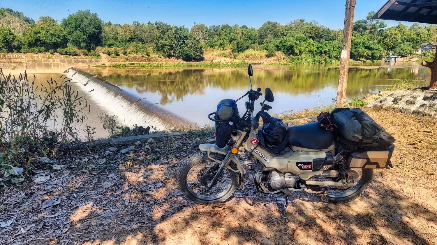
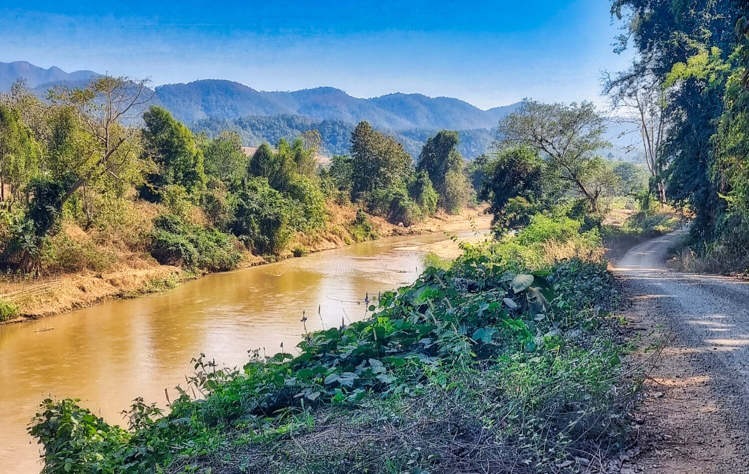
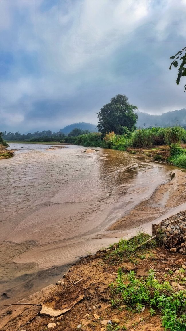
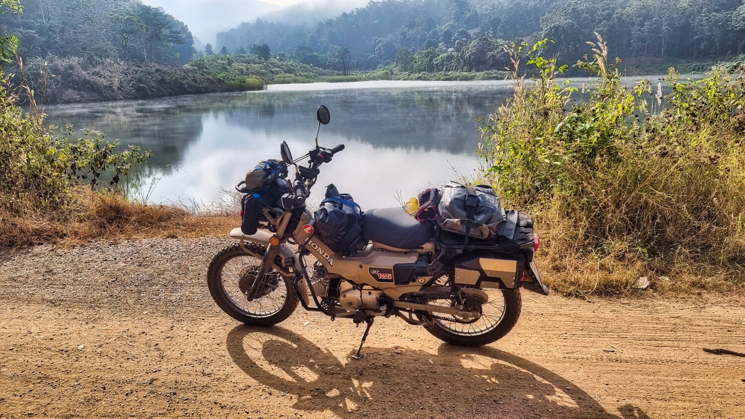
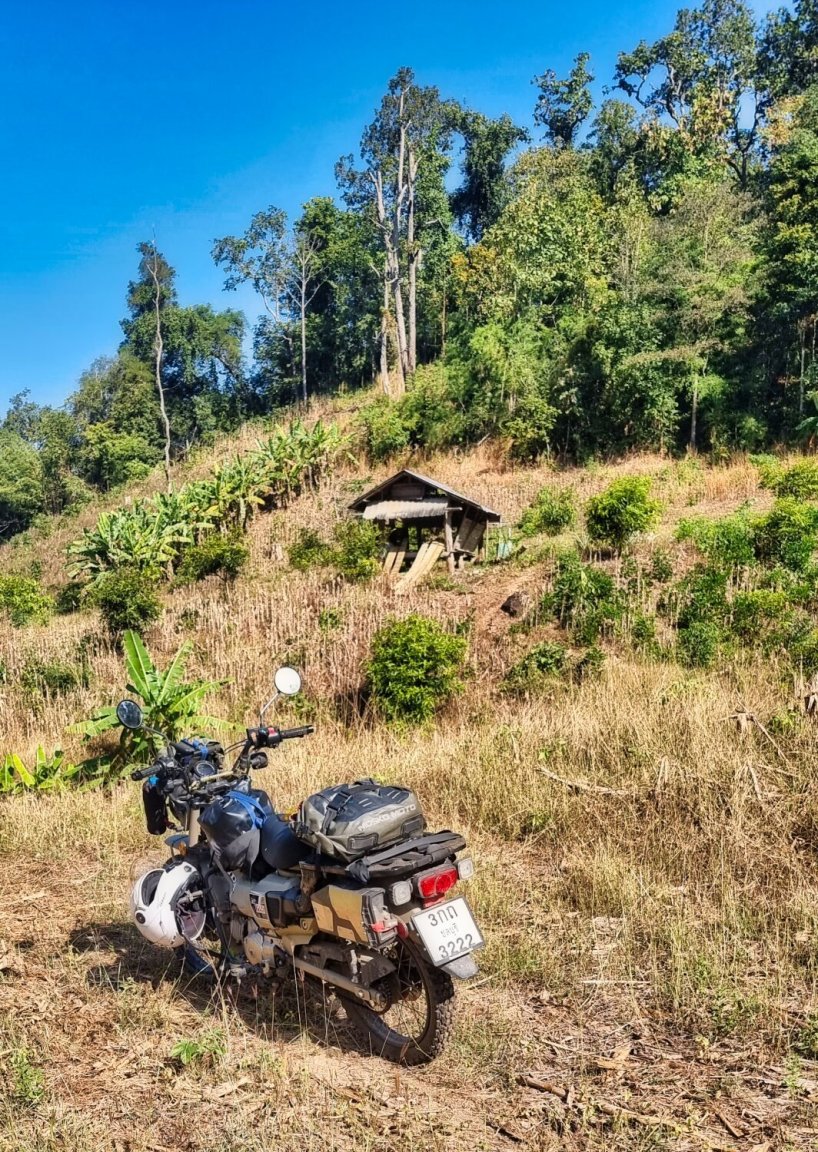
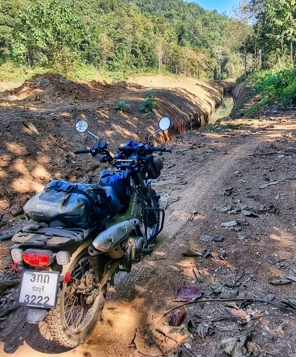
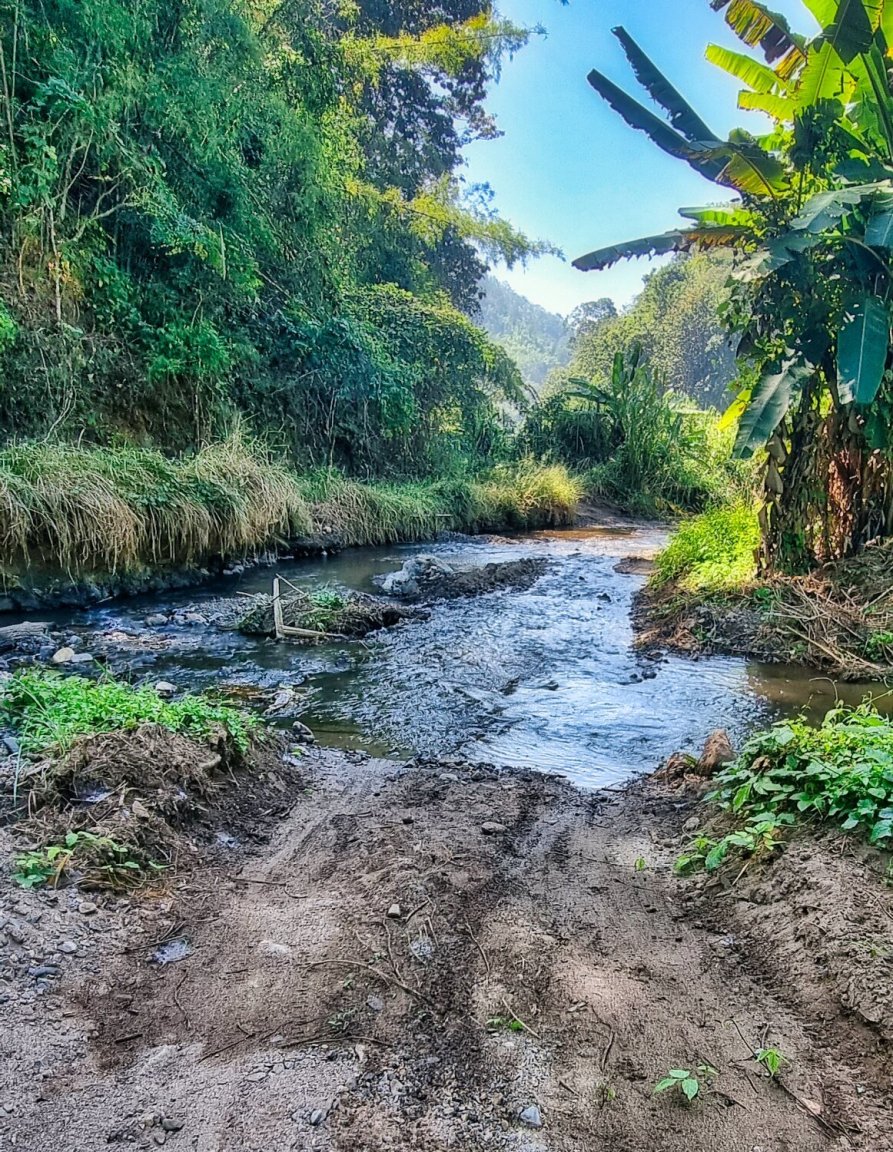
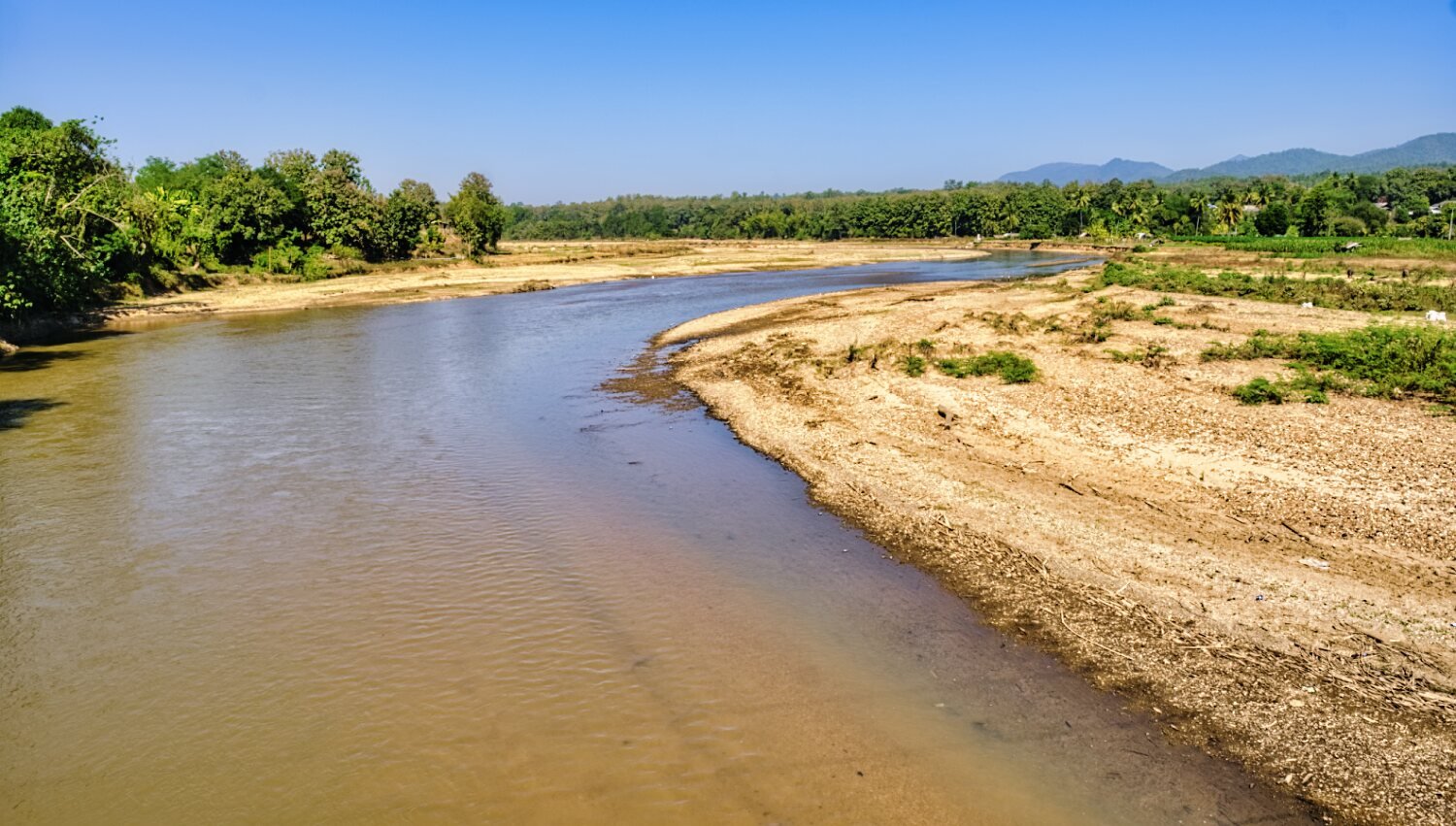
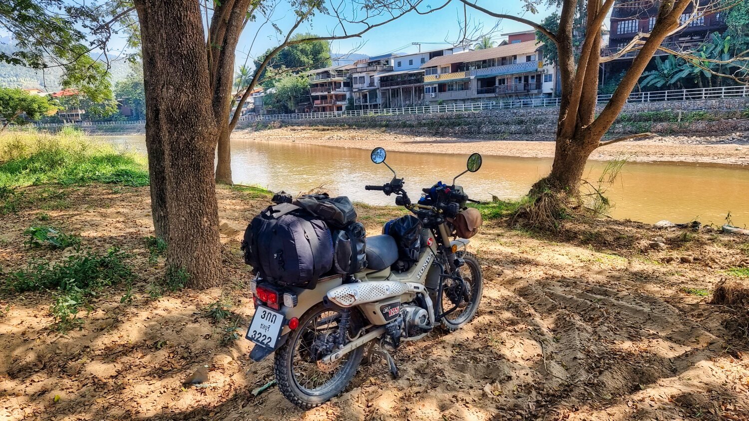
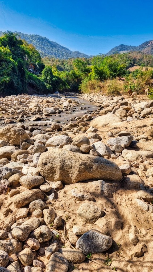
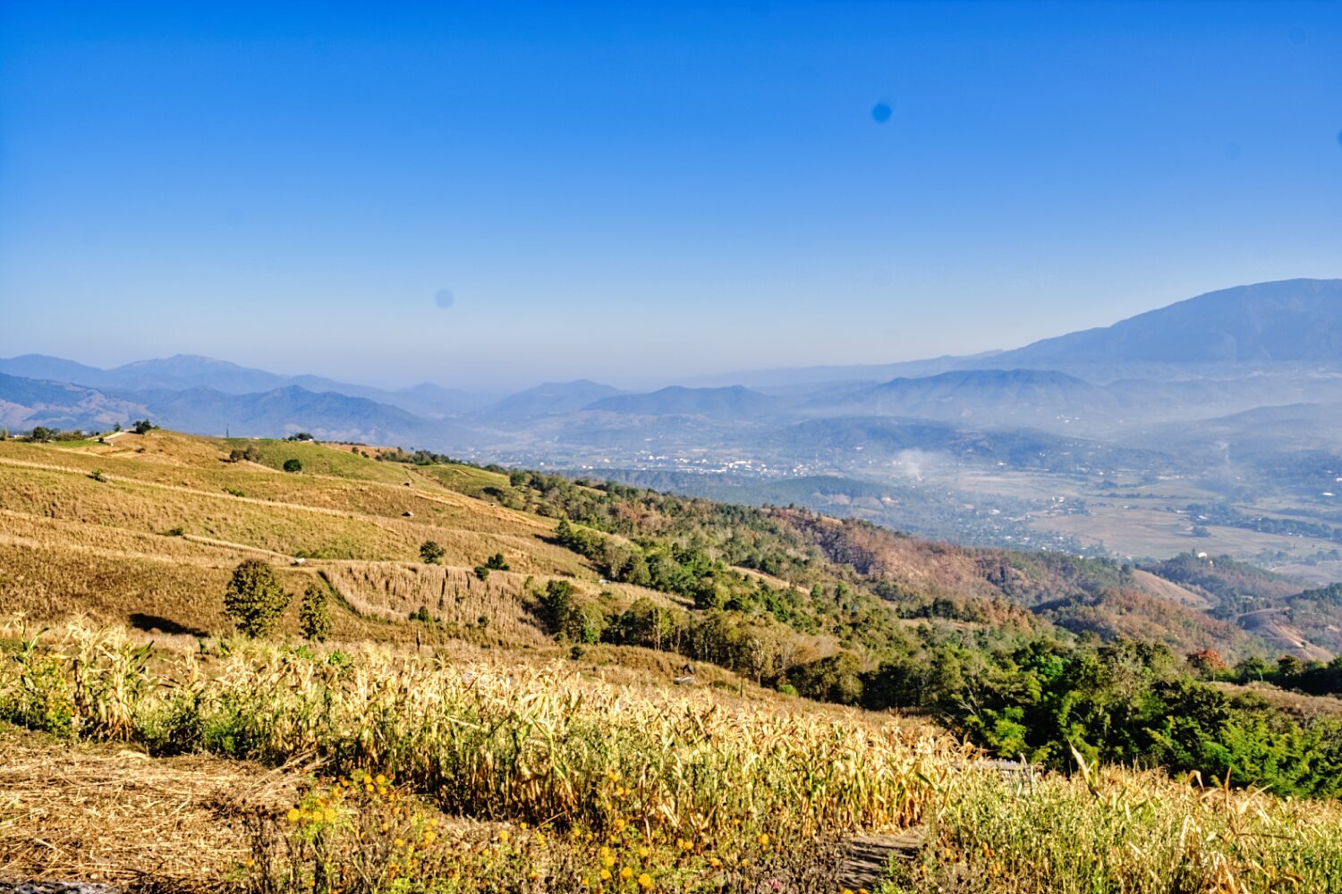
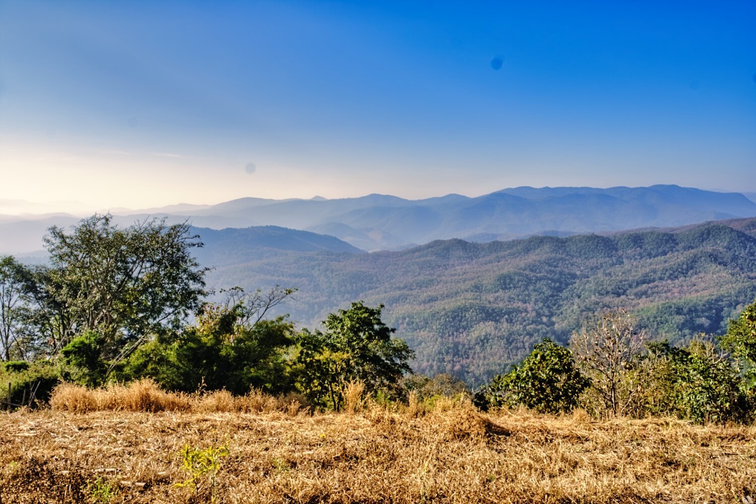
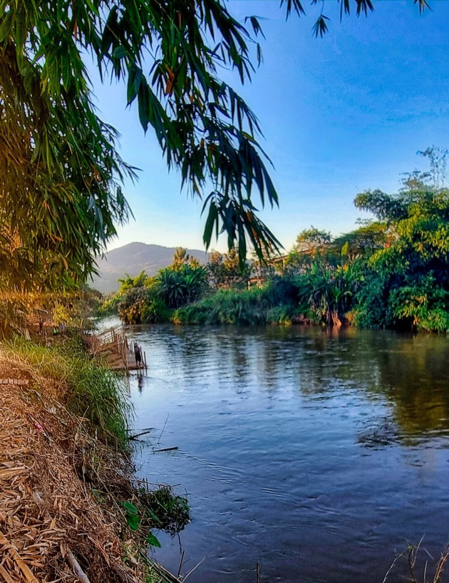
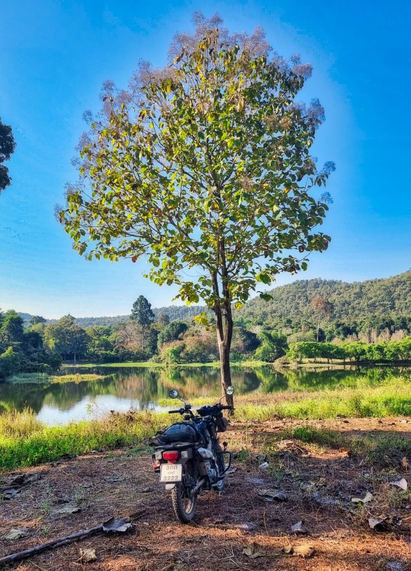
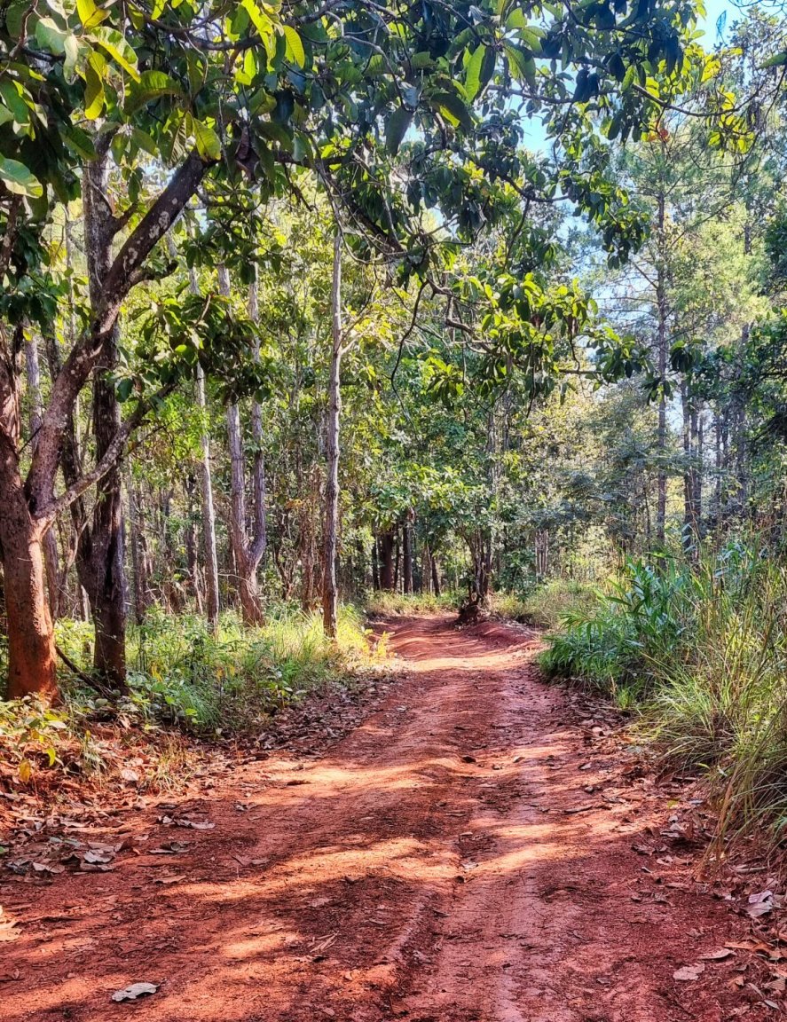
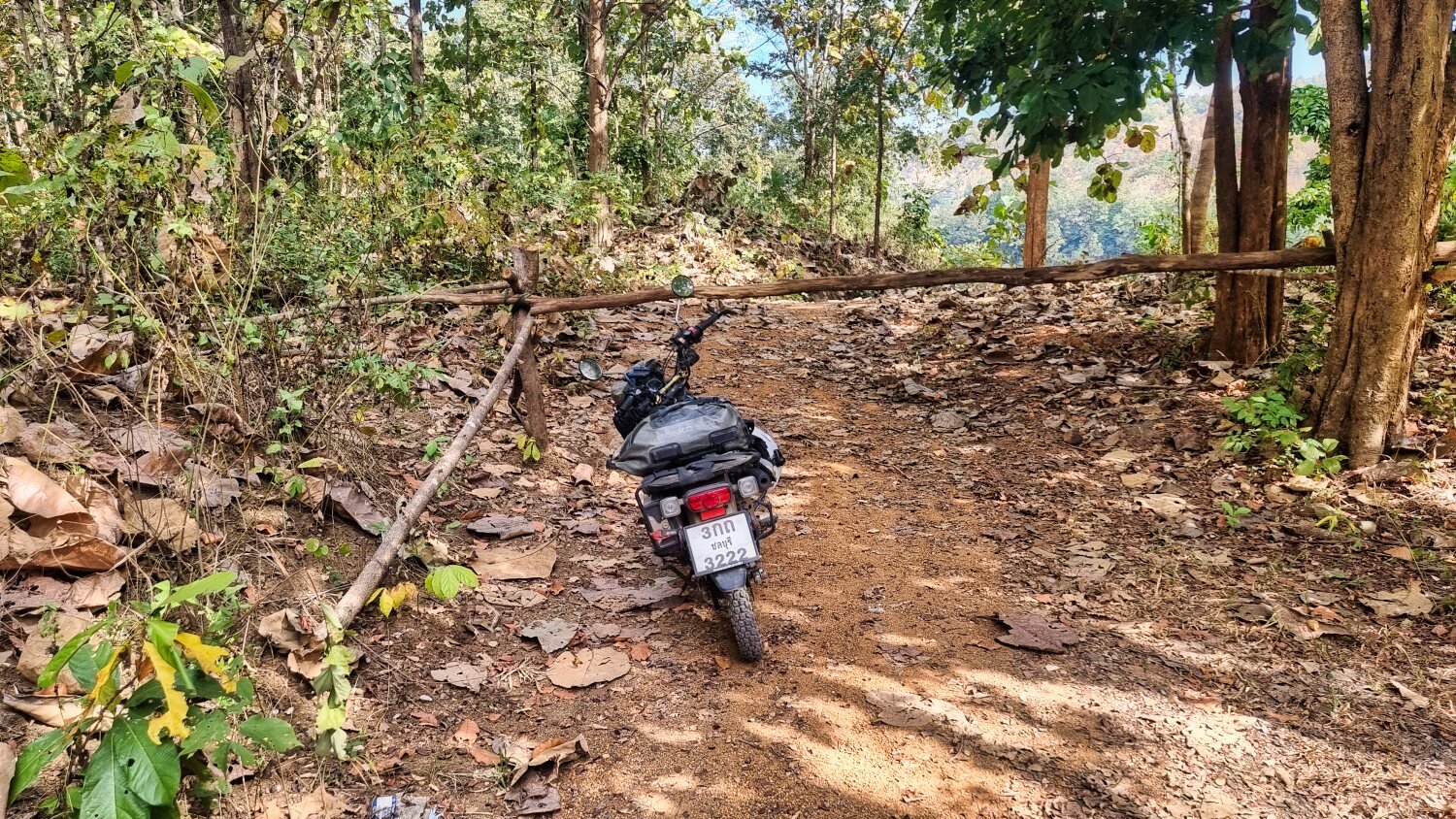
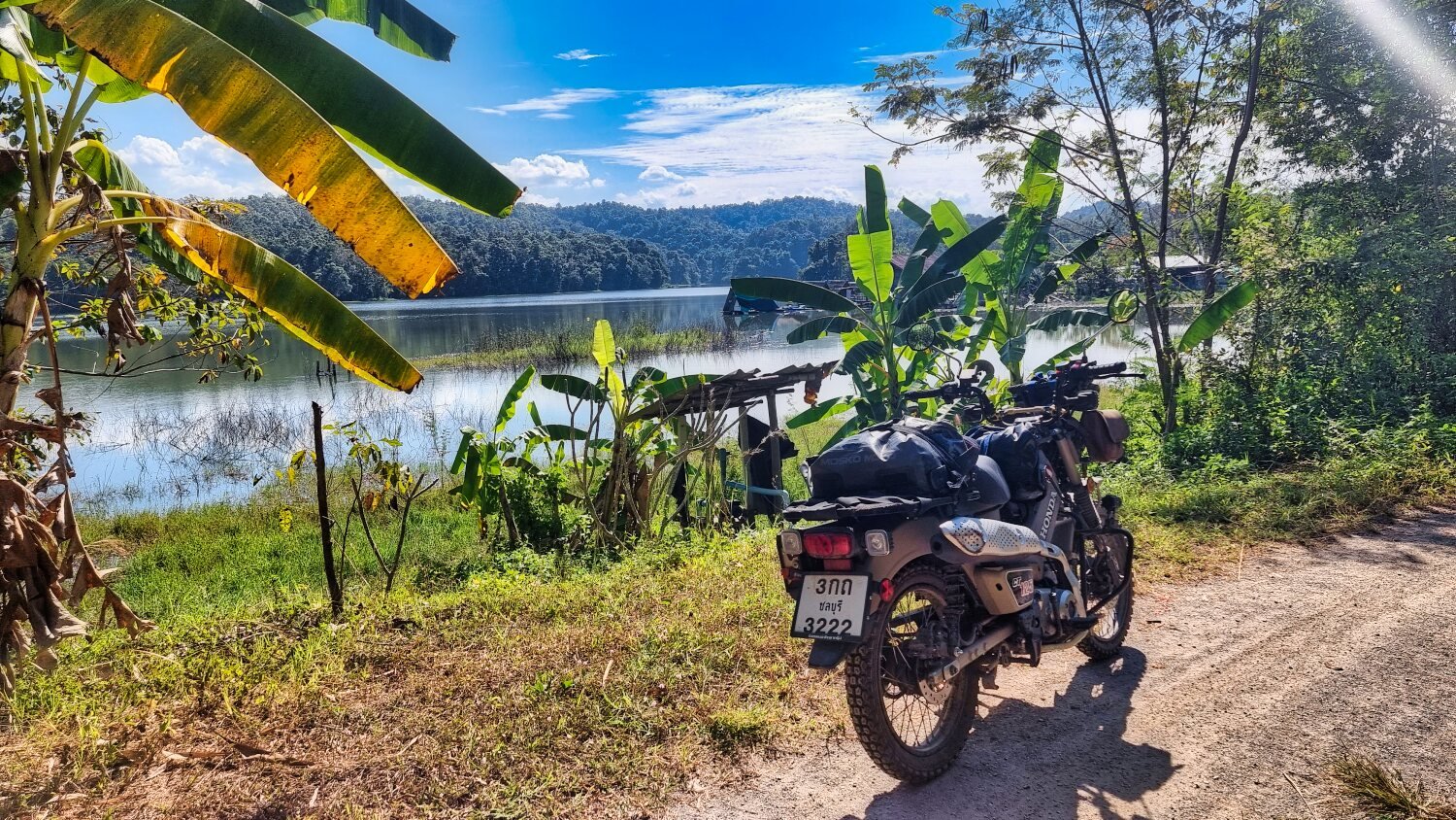
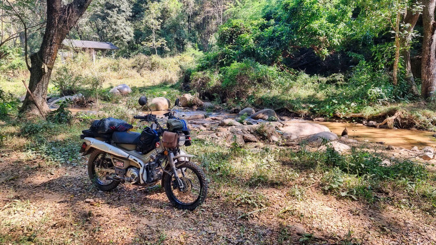
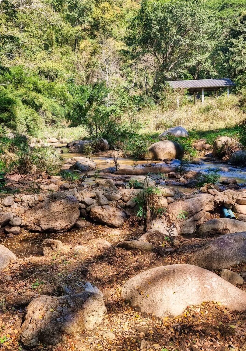
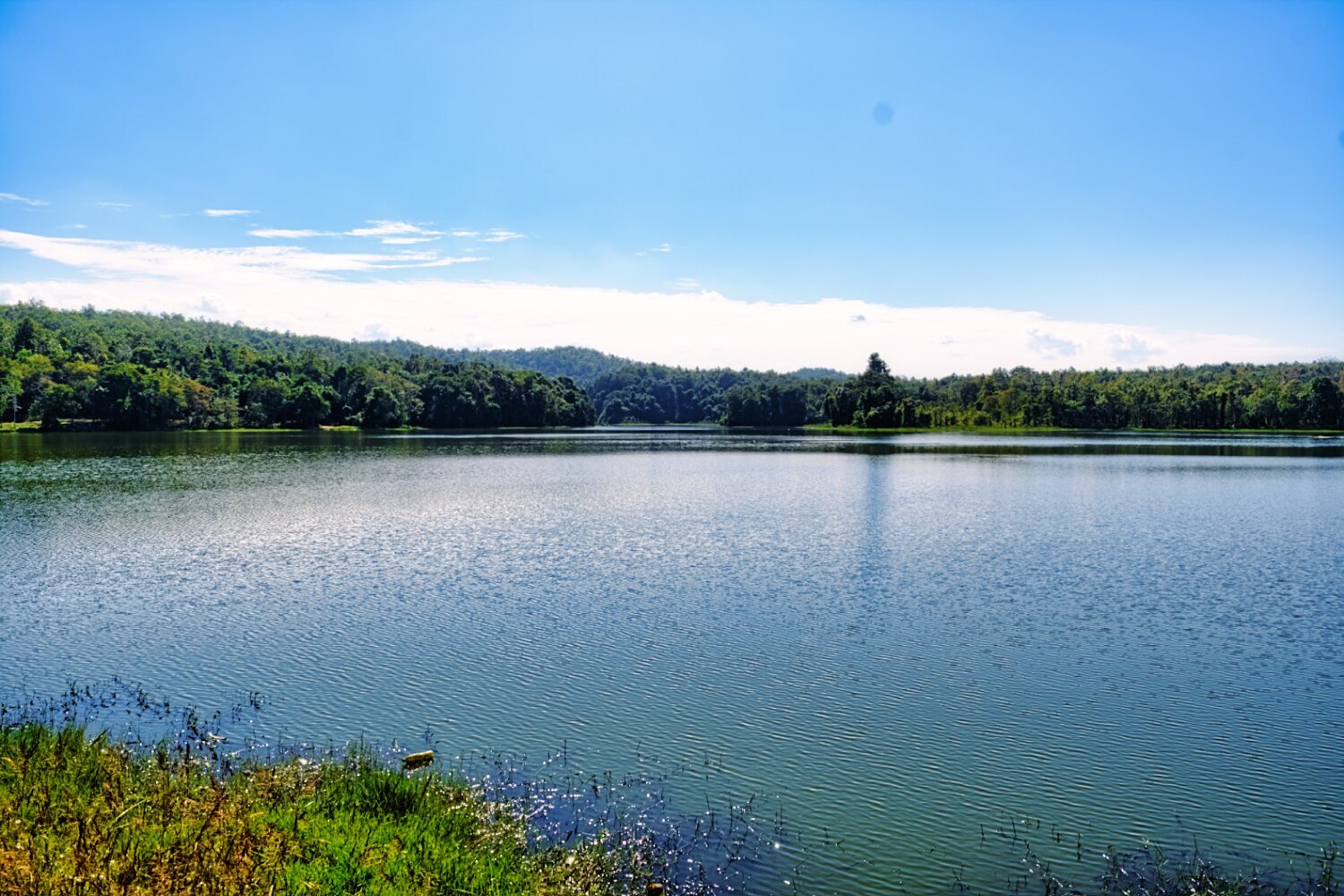
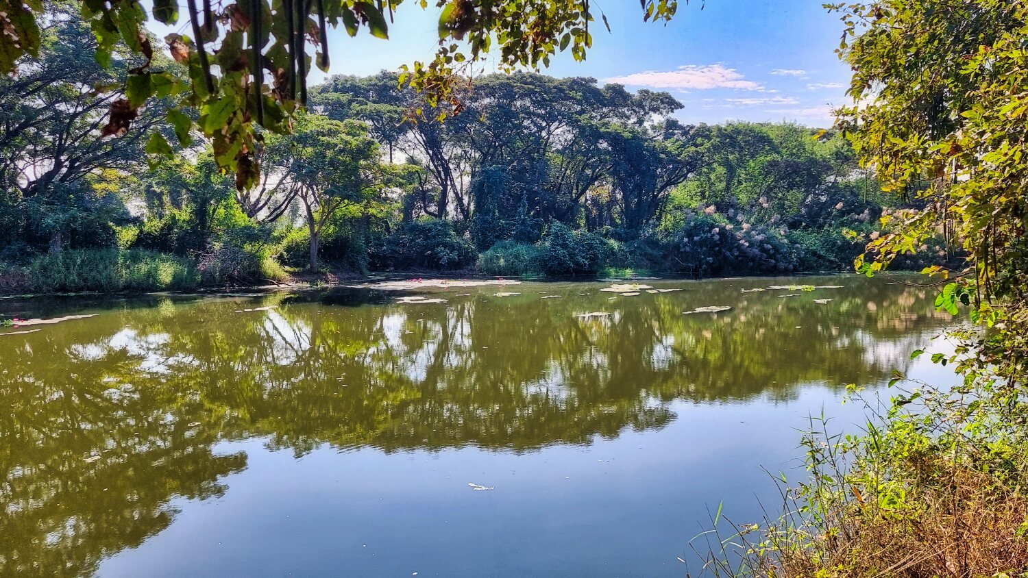
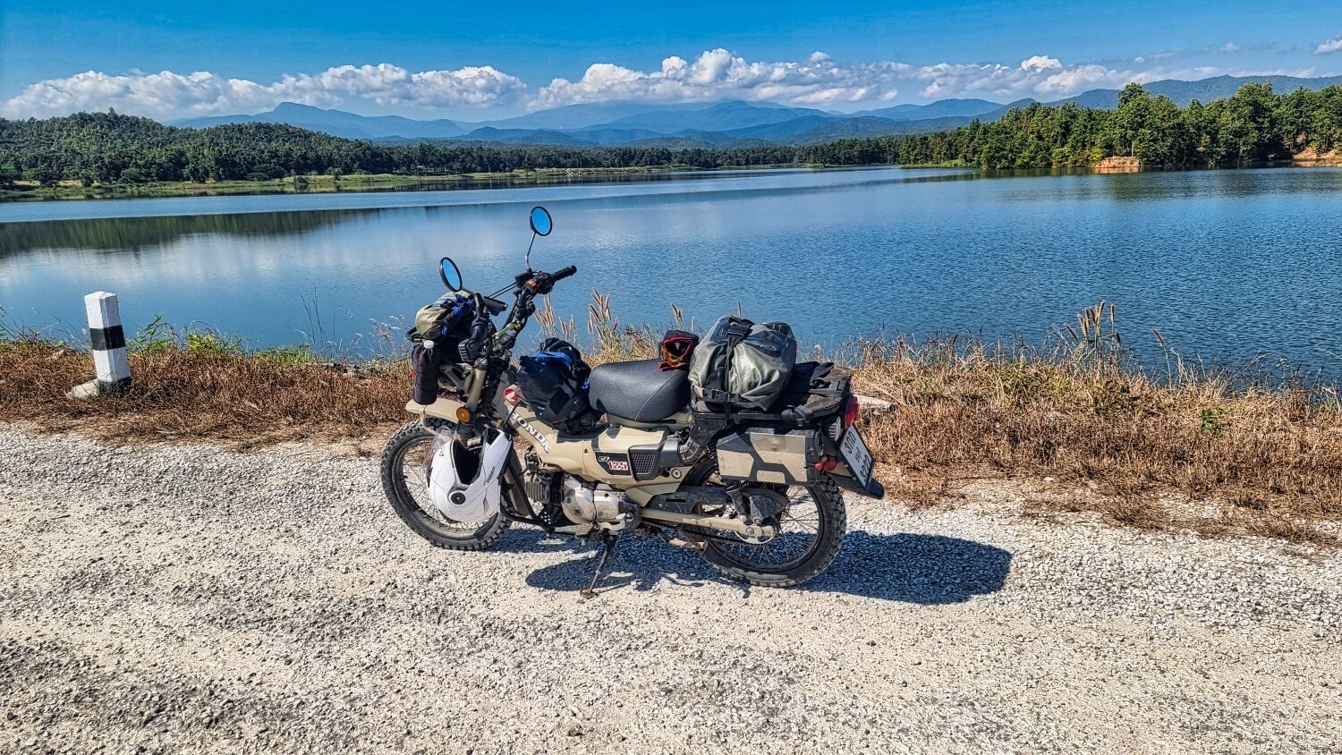
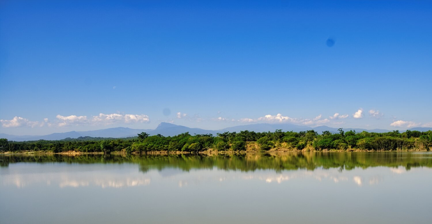
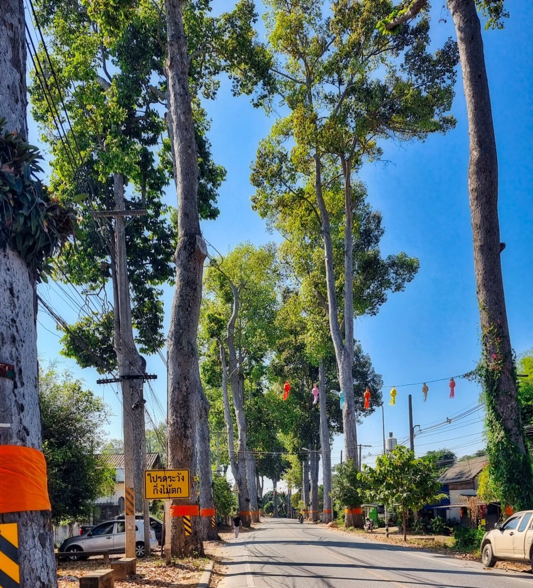
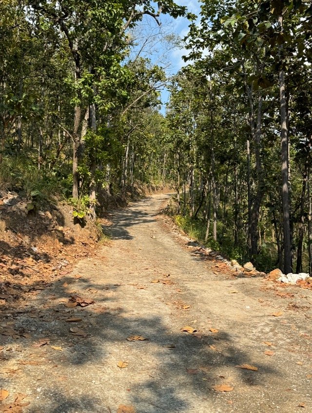
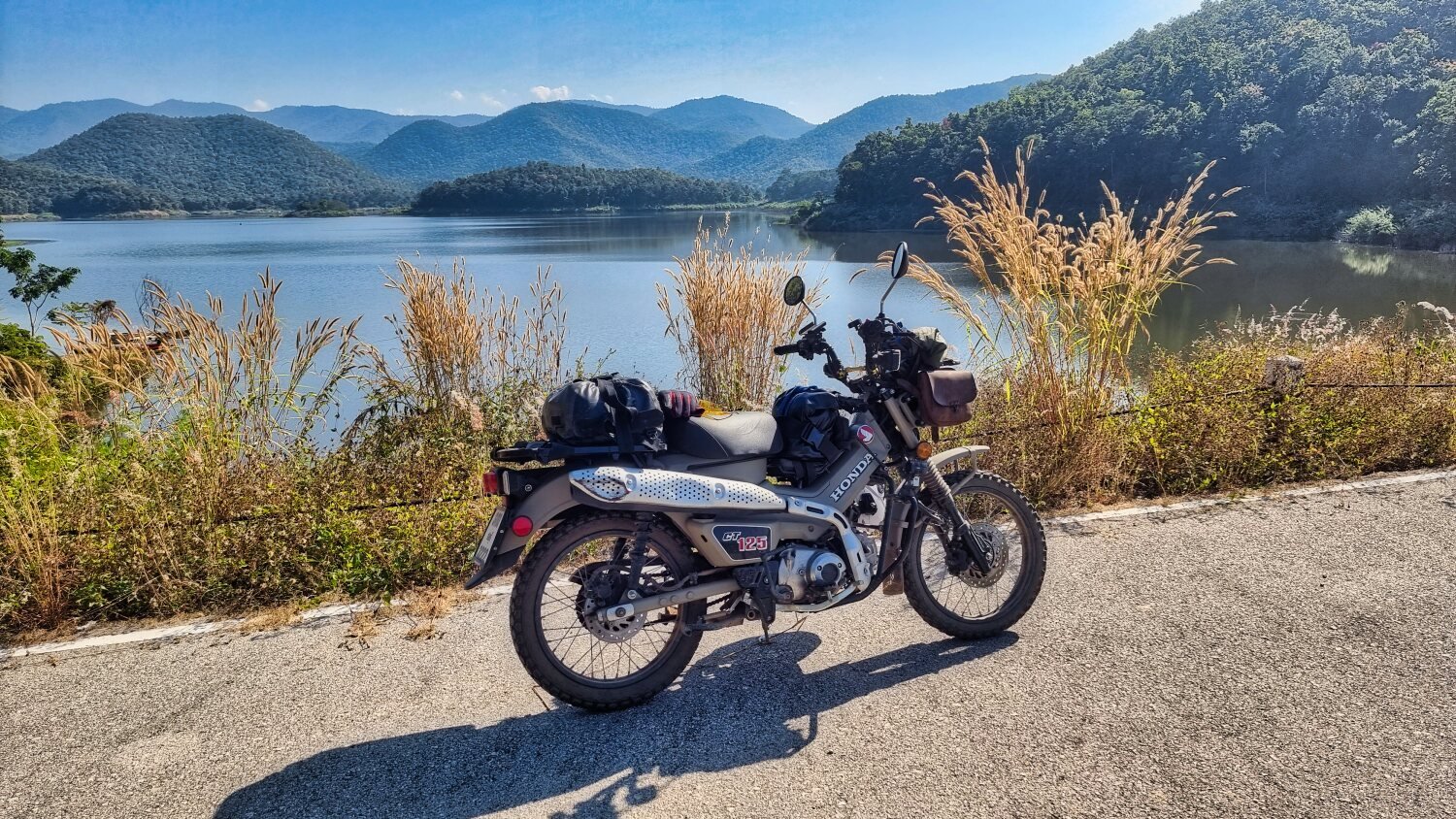
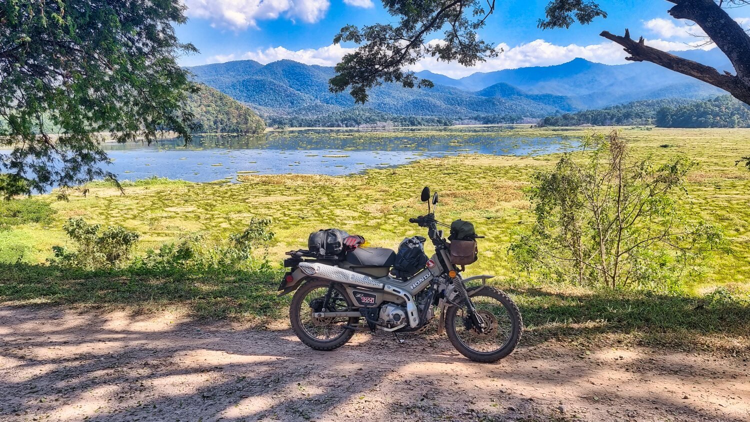
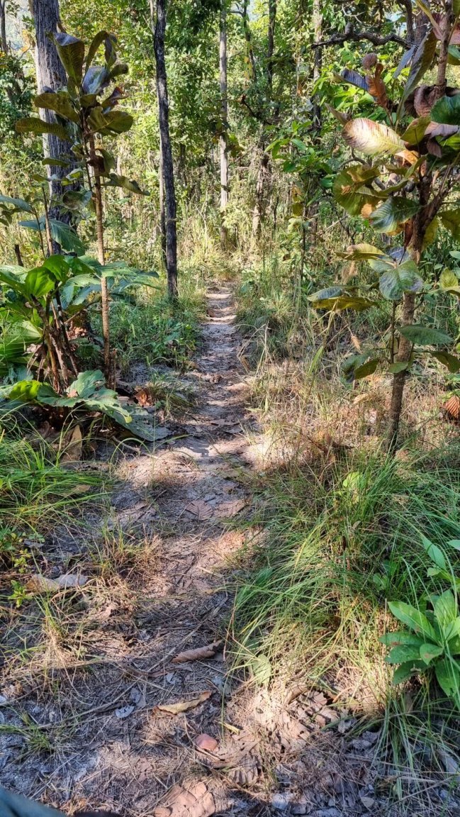
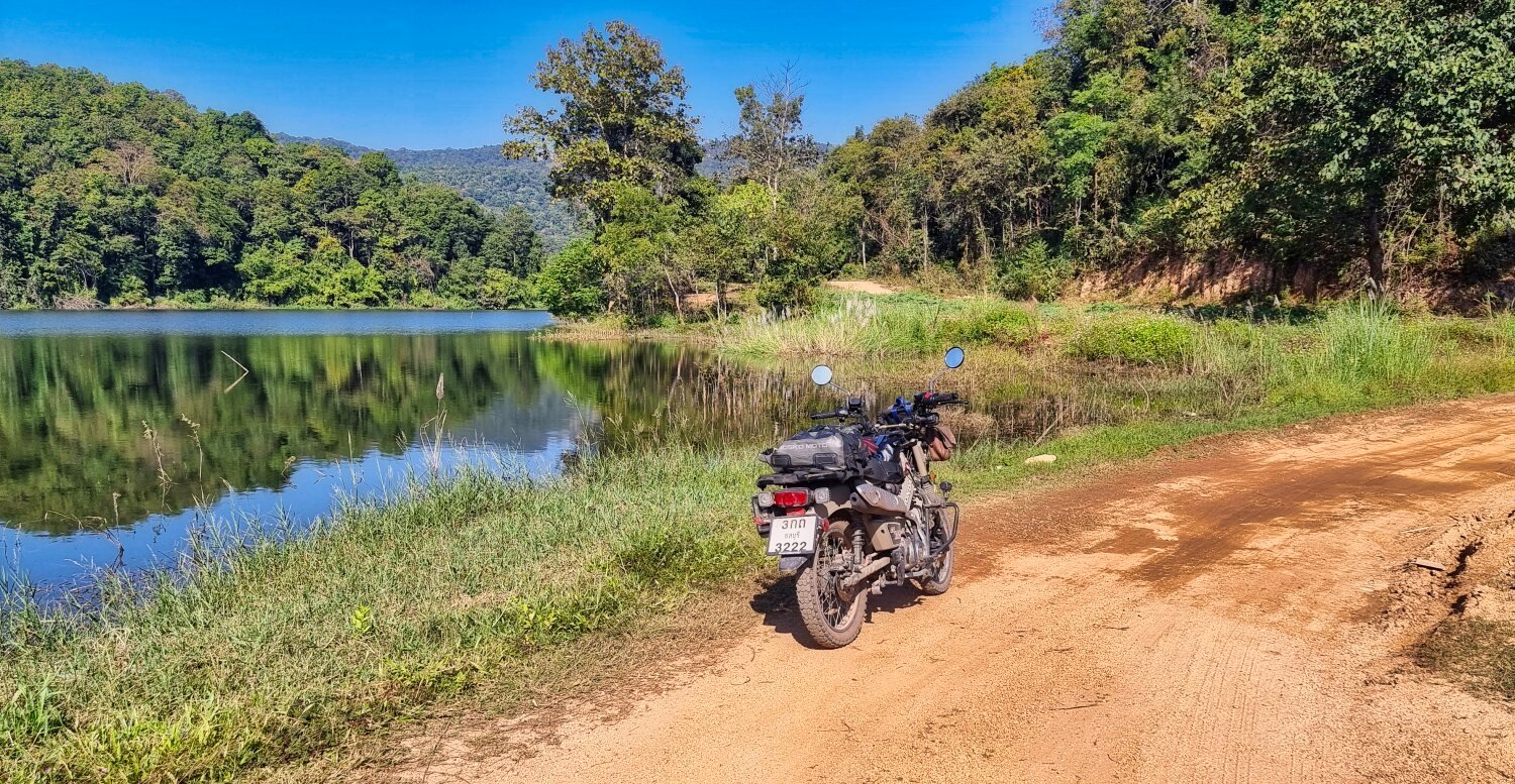
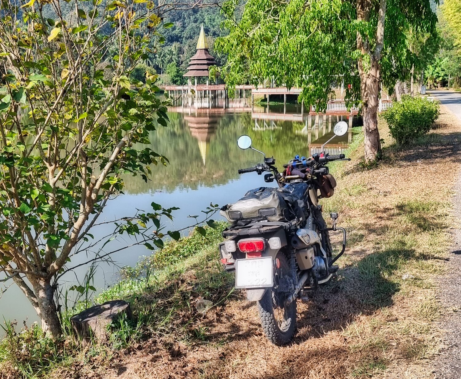
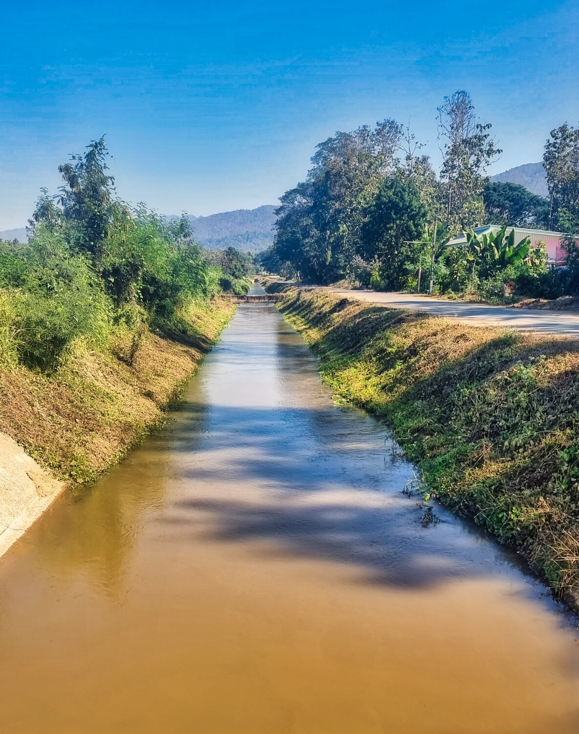
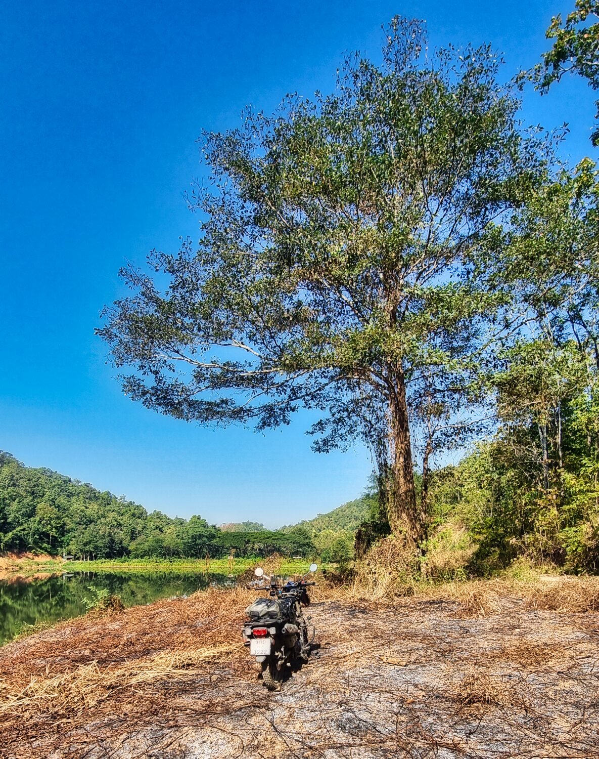
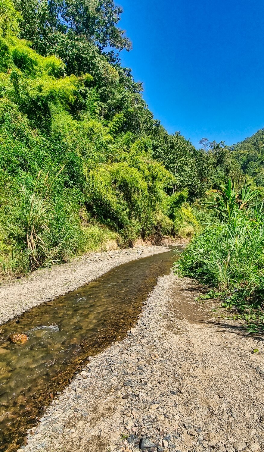
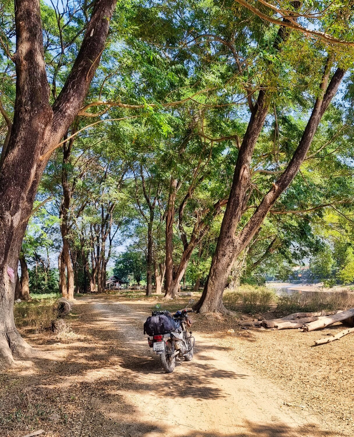
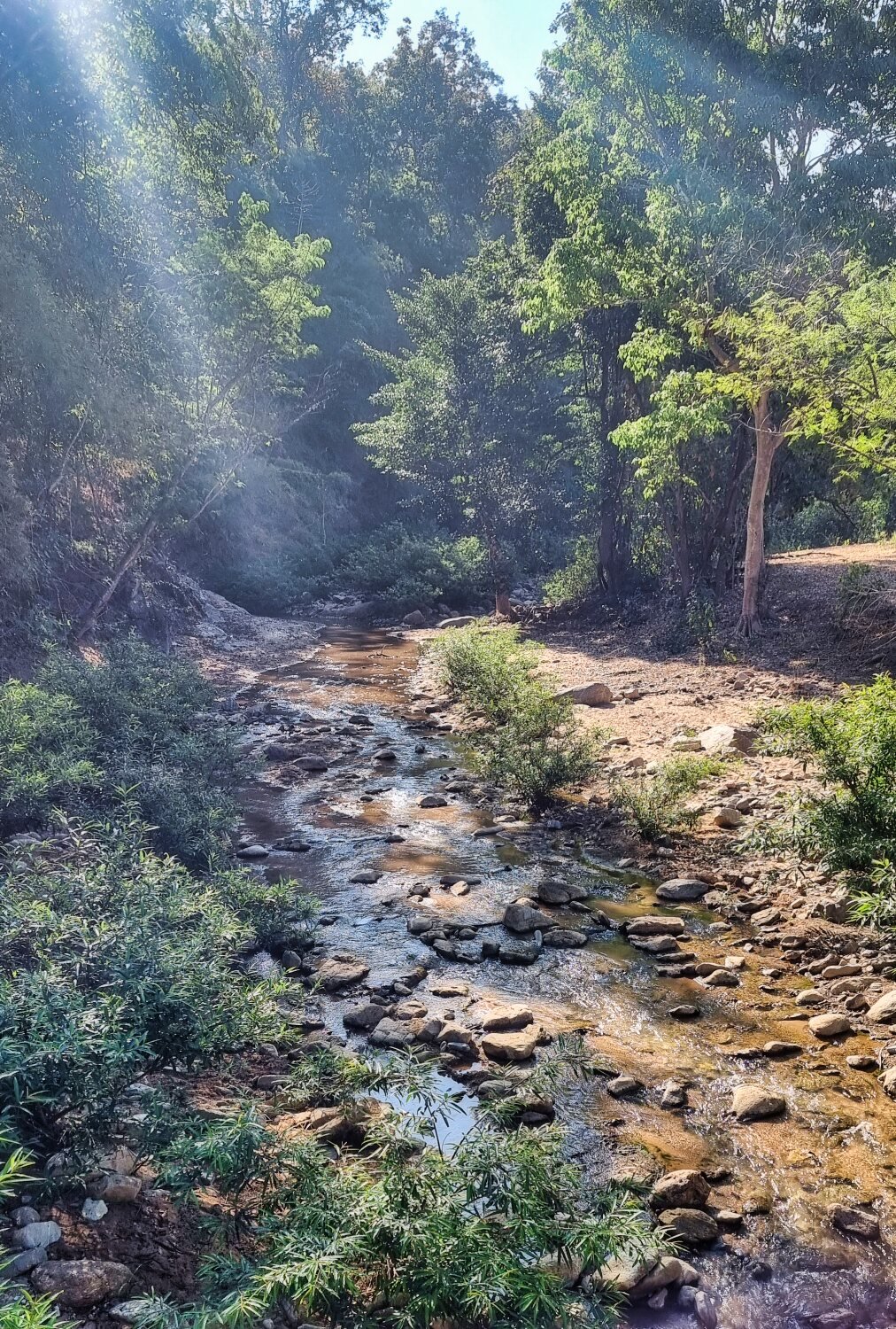
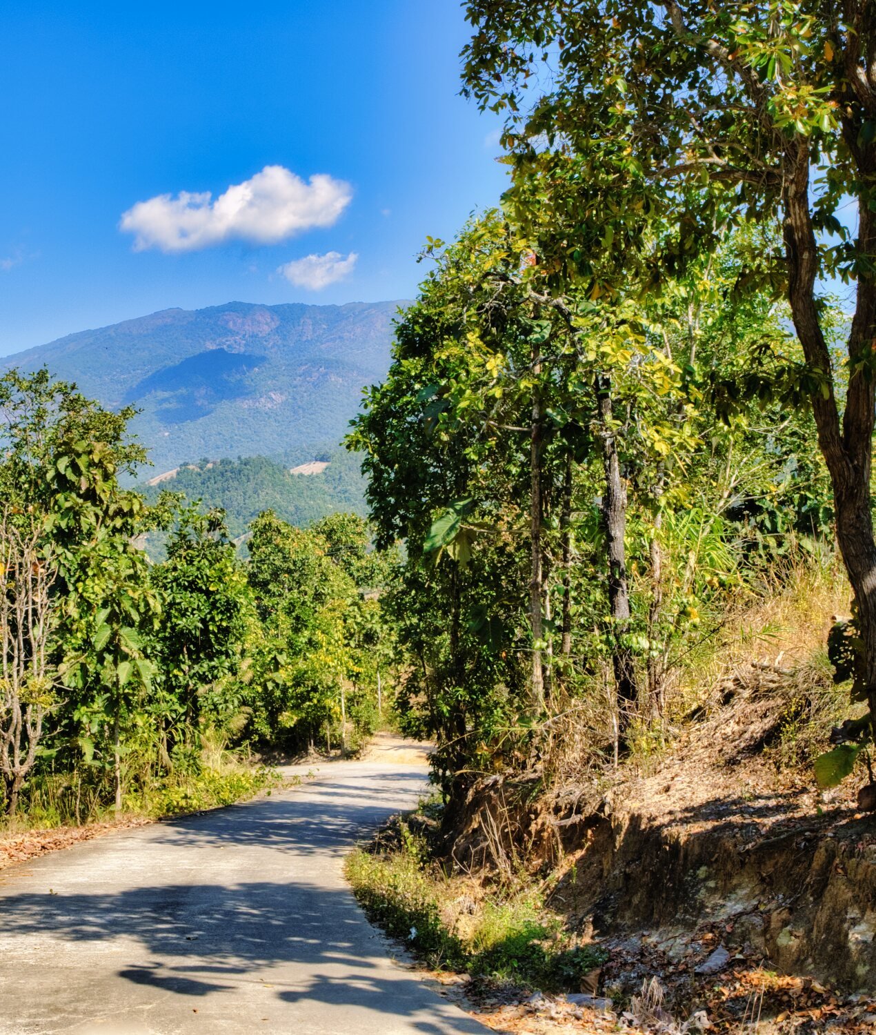
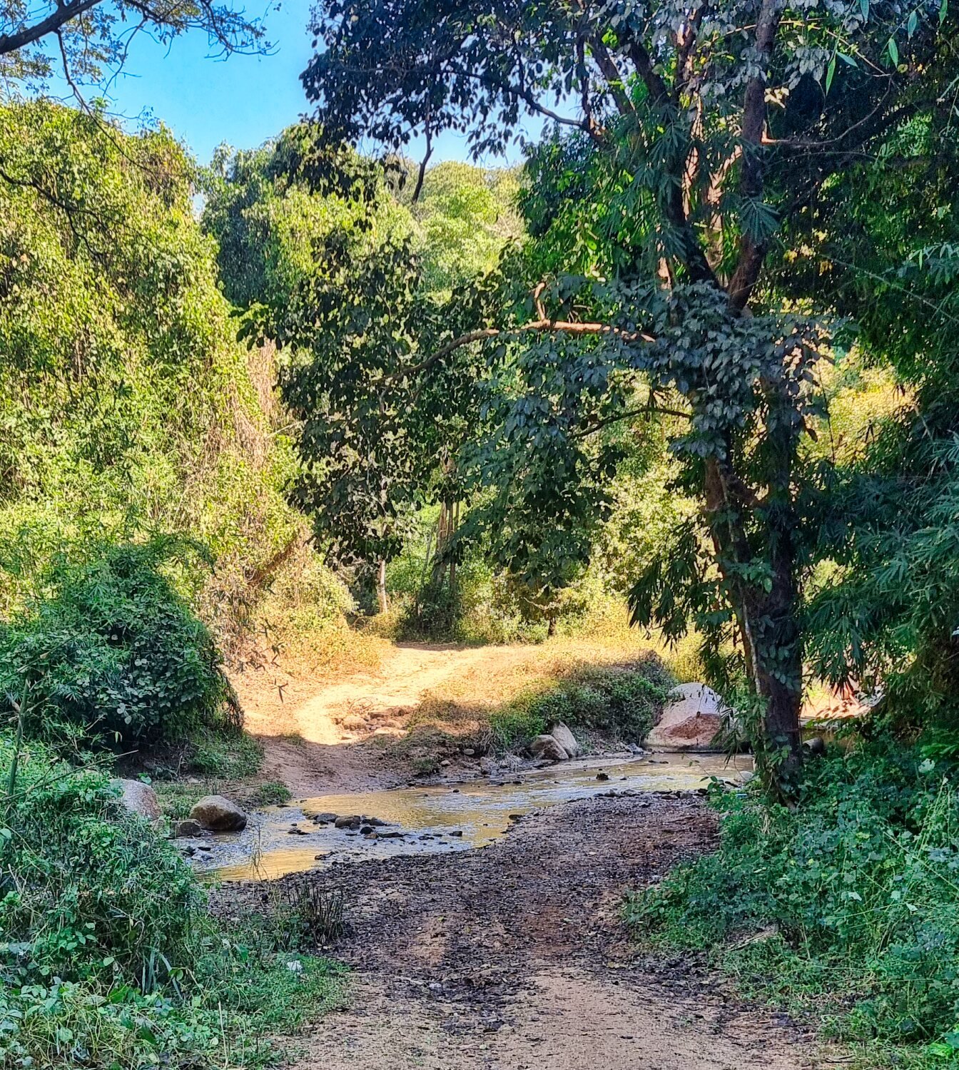
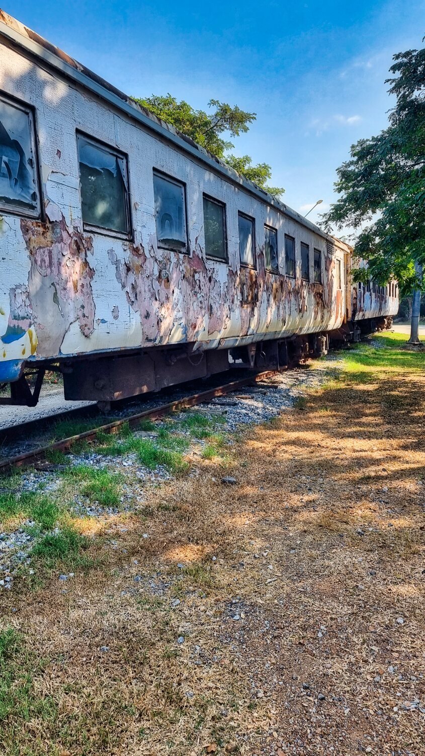
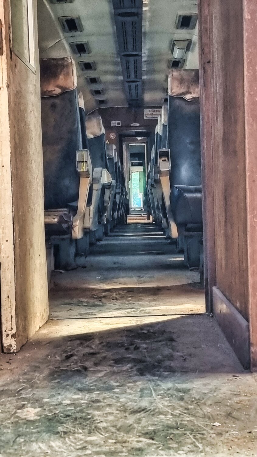
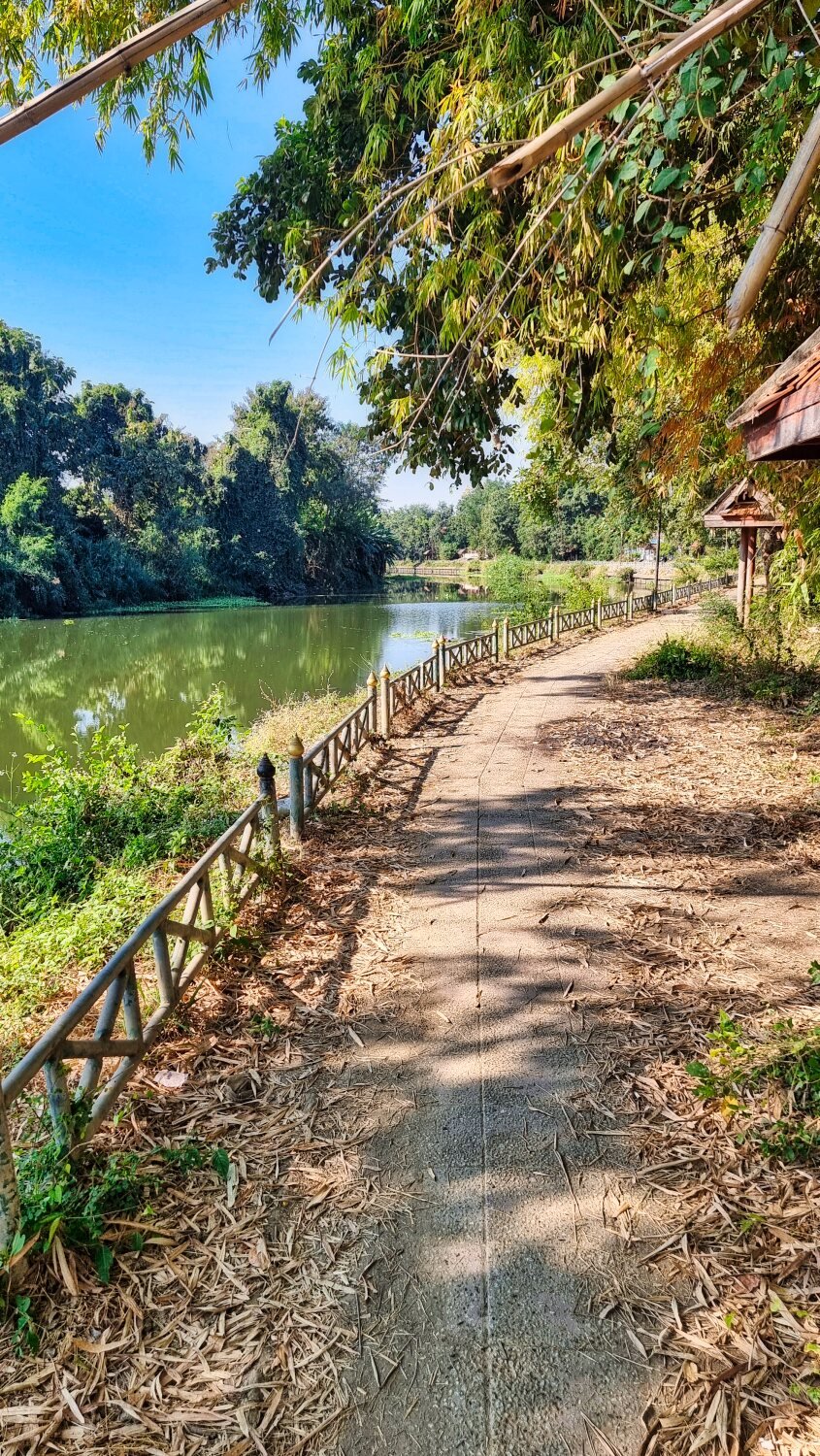
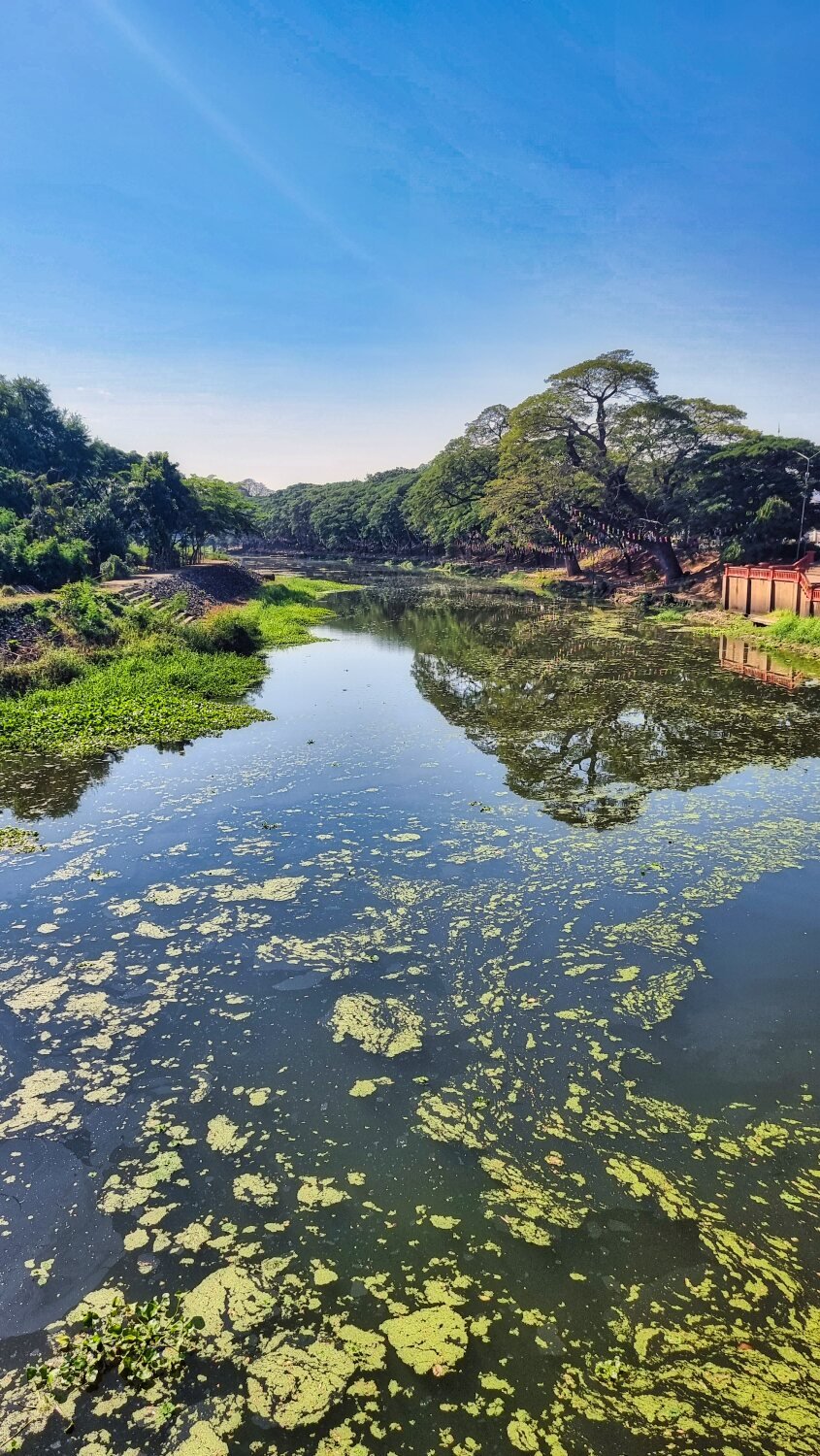
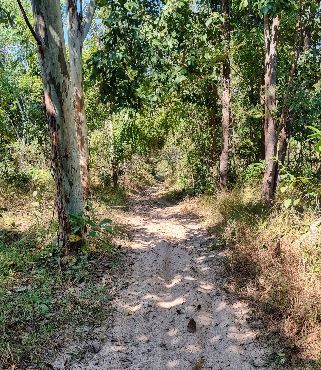
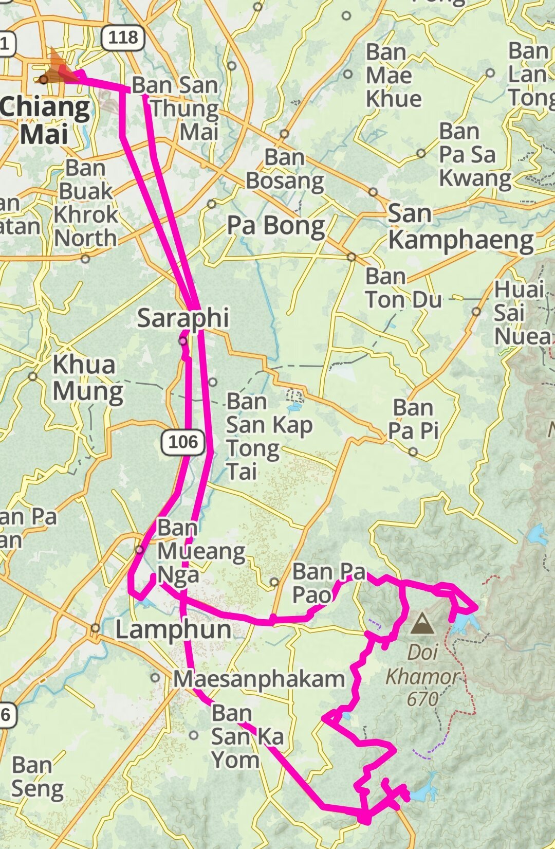
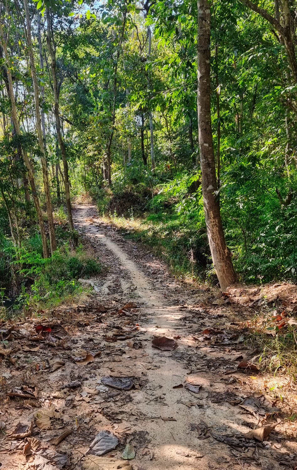
Today I went exploring rivers and reservoirs north of Mae Sariang.
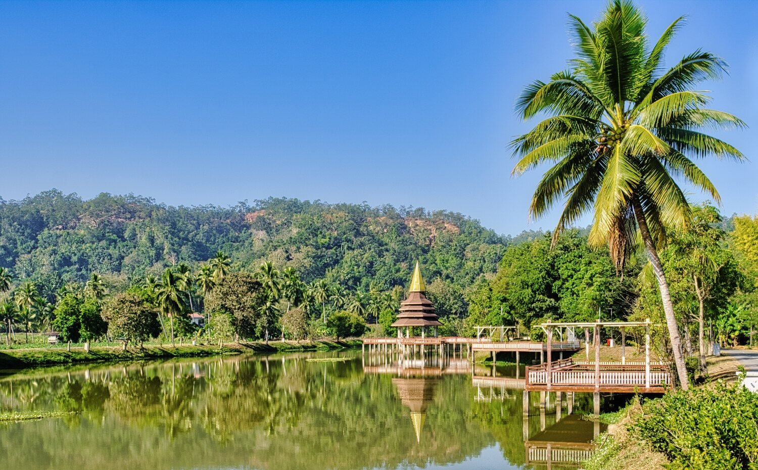
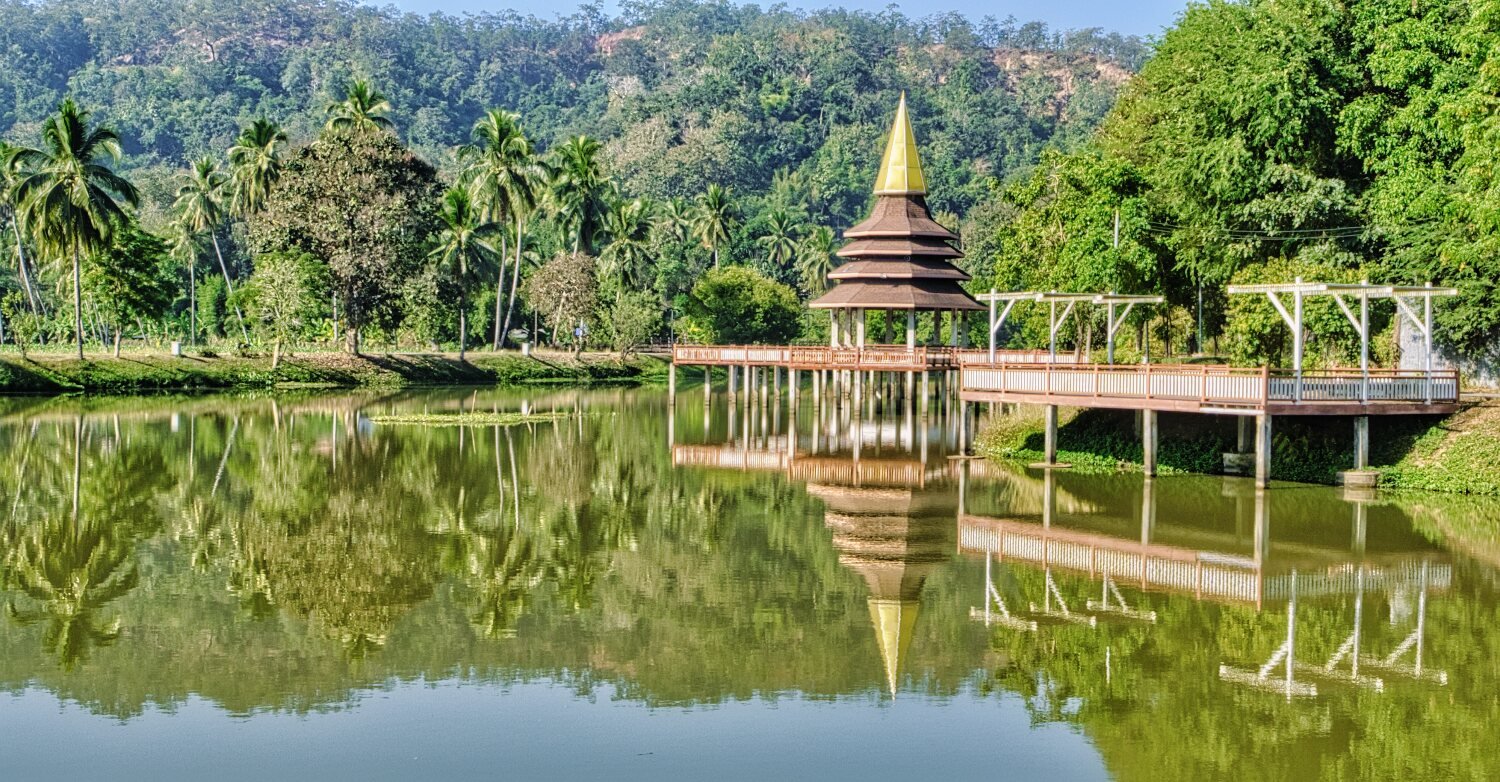
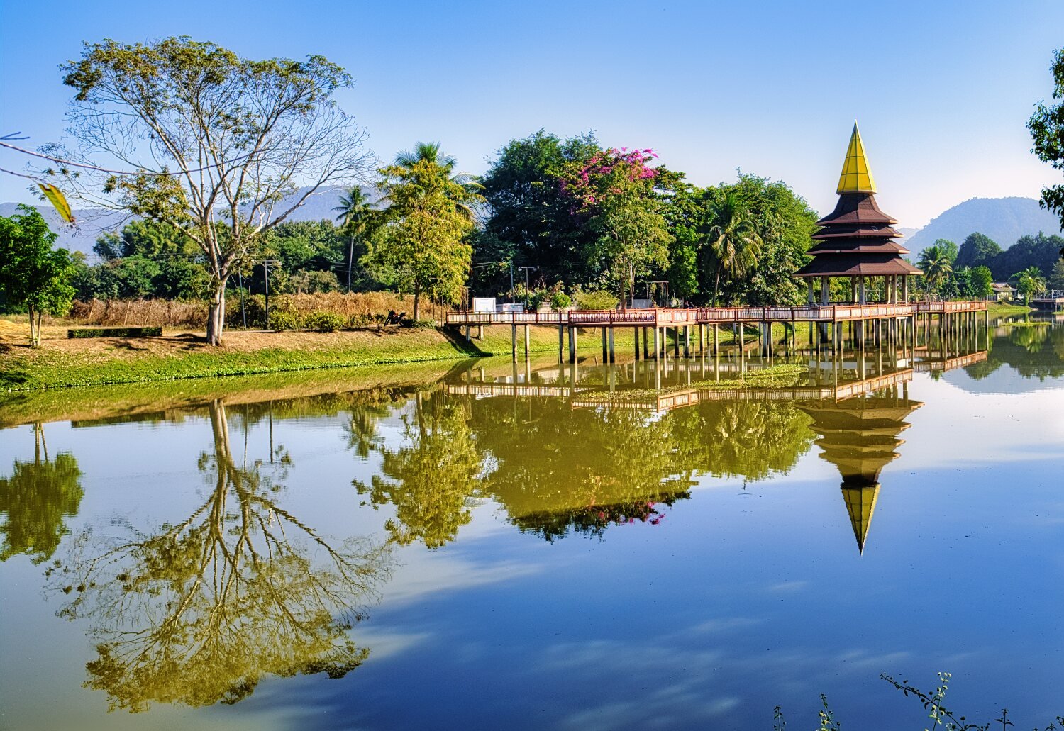
My first stop which was very near was Nong Tahuk Daeng Health Garden, a small but clean and tidy place, here.
https://maps.app.goo.gl/Vuv2otT9hici8rBQ9
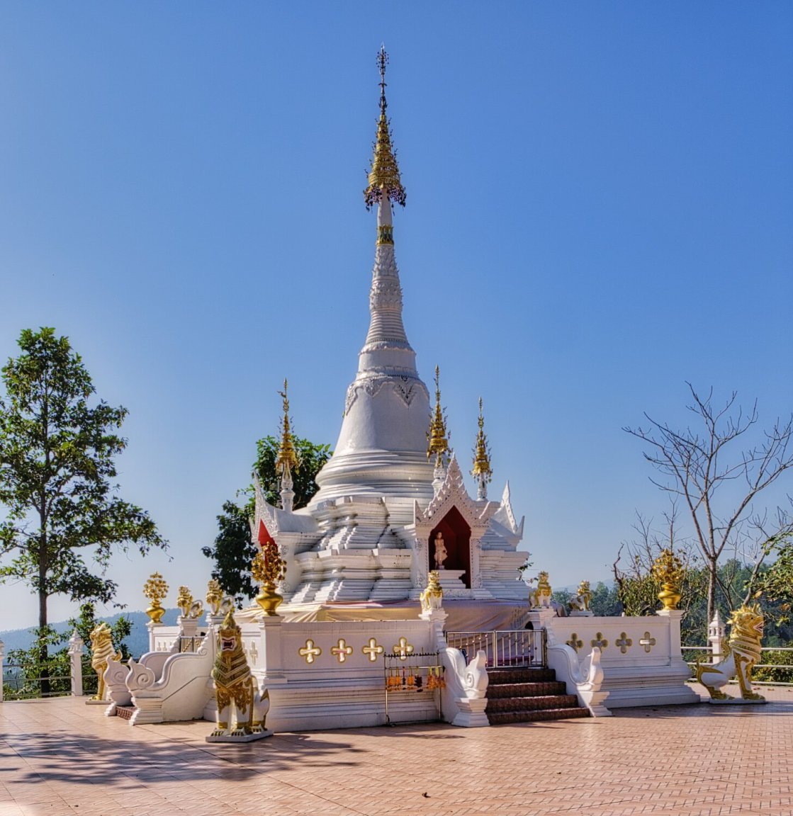
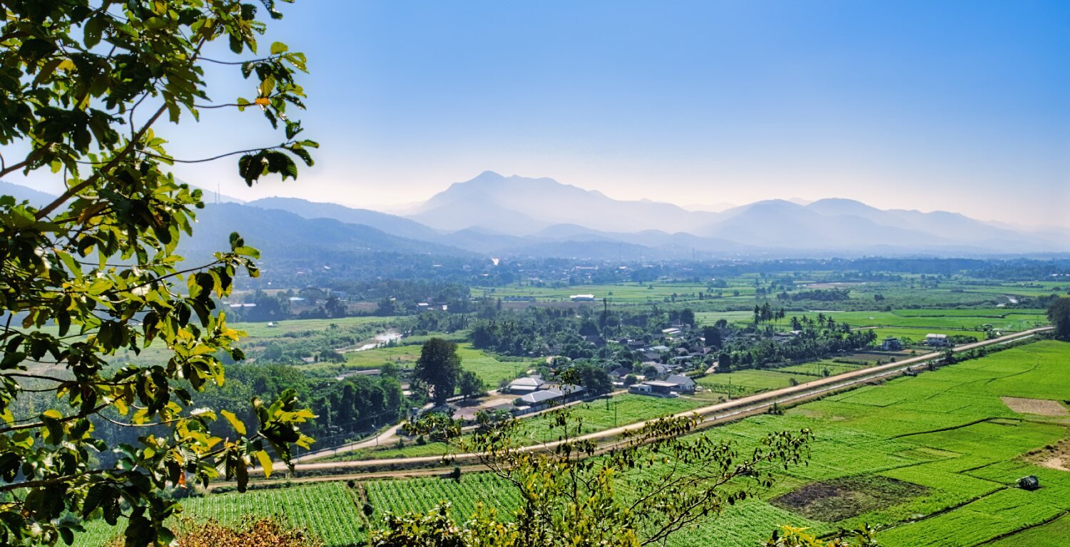
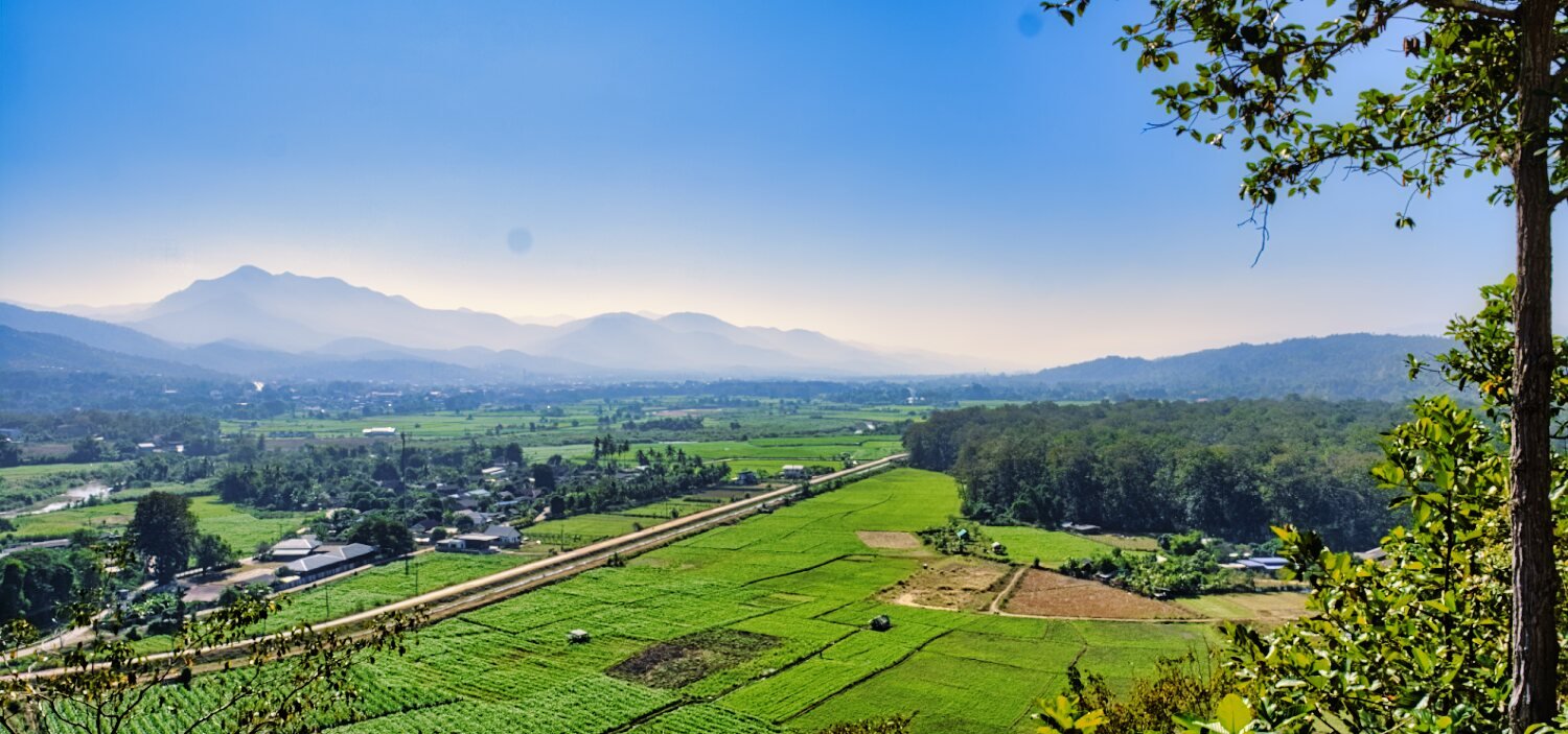
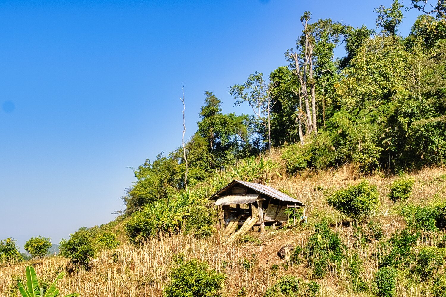
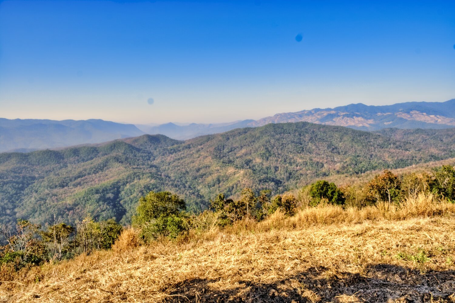
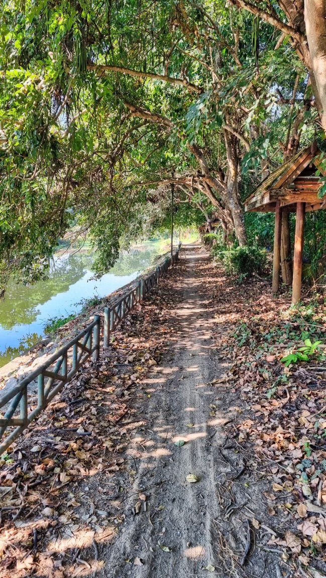
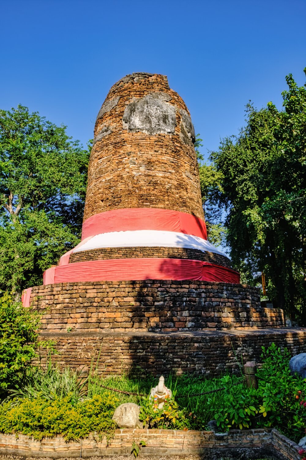
Riding north along an irrigation channel I turned to go to Phra That Chom Mon which is up a very steep ride on a small hill, here.
https://maps.app.goo.gl/gSFCmkjQHTZB7s3T6
Well worth a visit for the views.
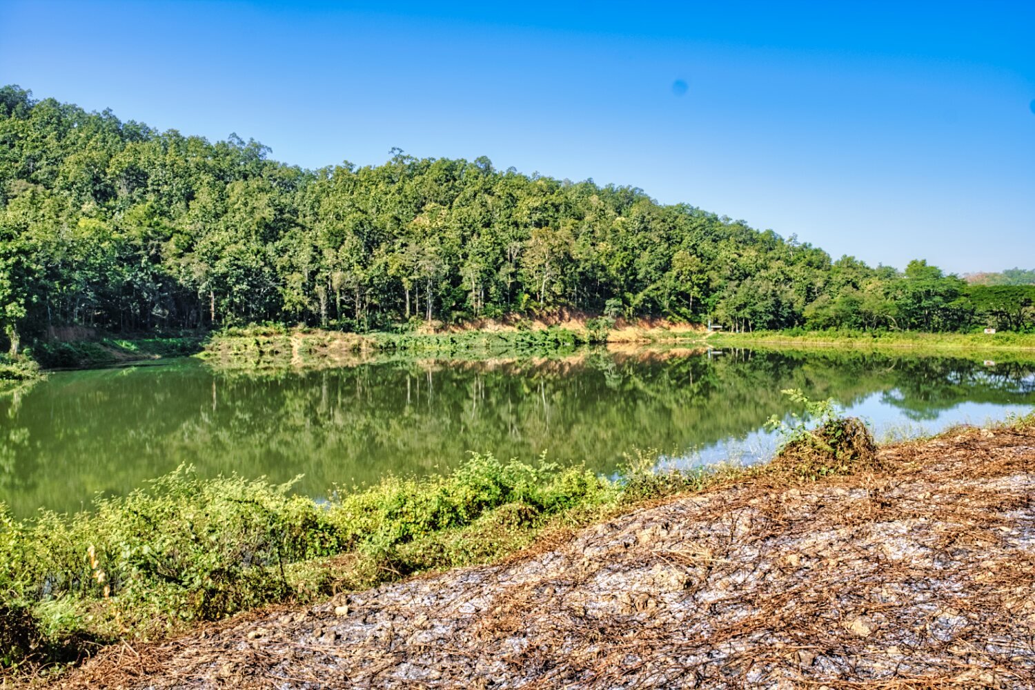
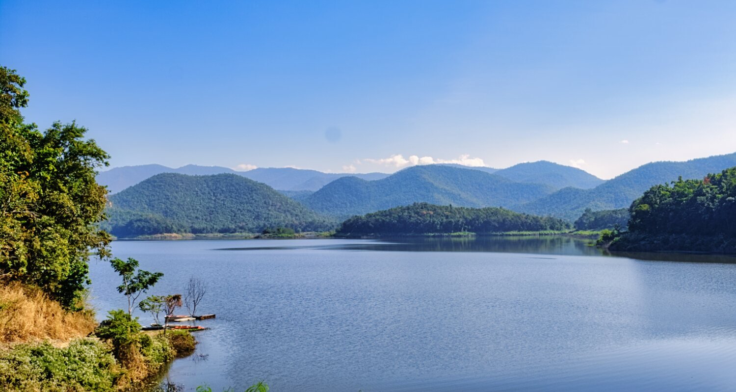
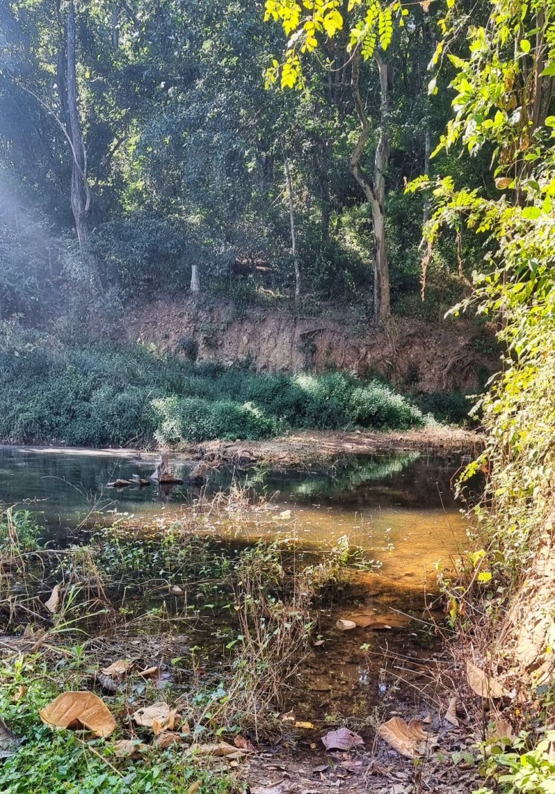
Not far away was a small unnamed reservoir, here.
https://maps.app.goo.gl/Z1nA1hWM9SBVVomA6
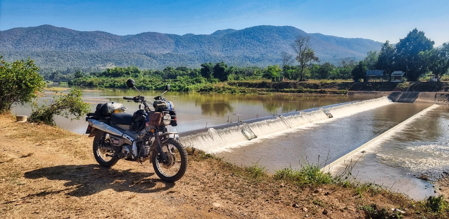
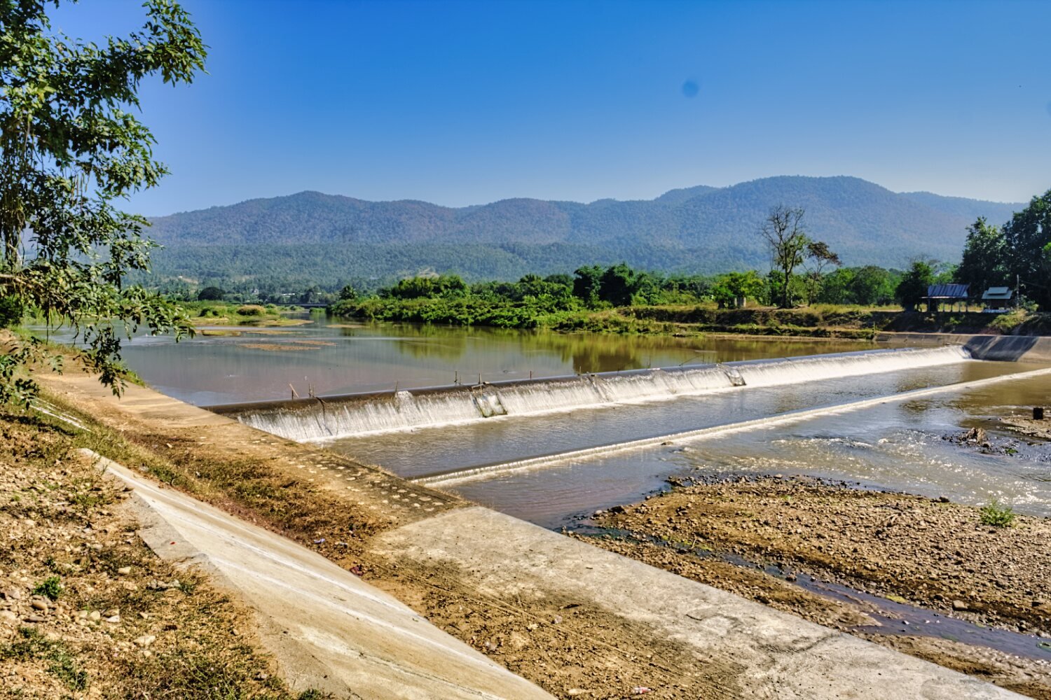
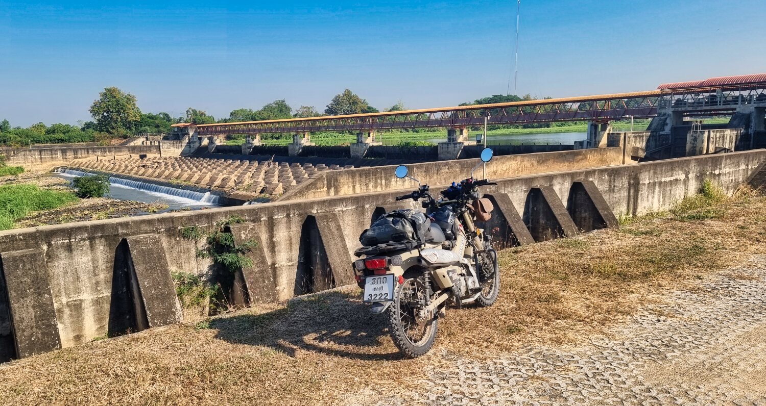
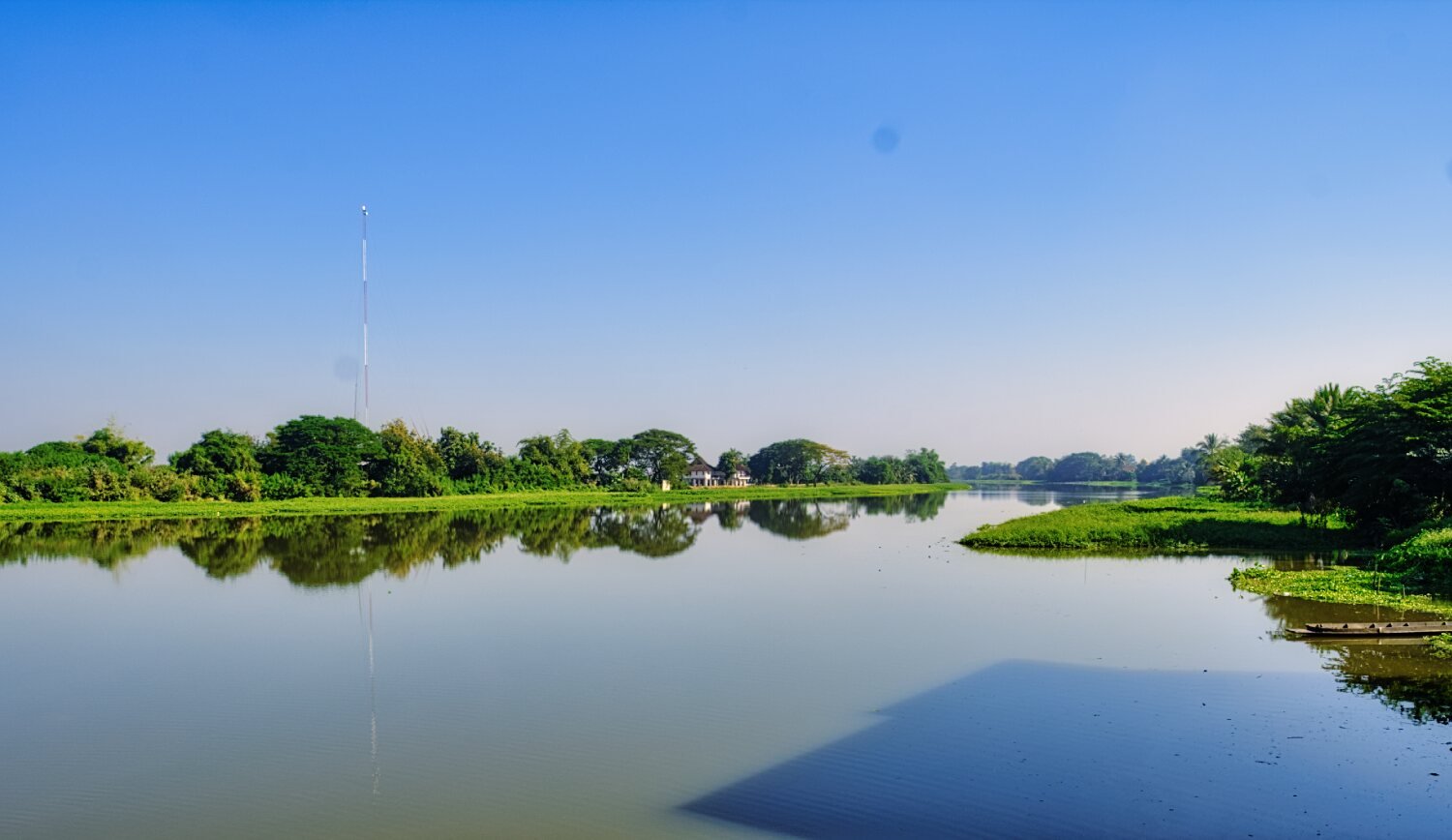
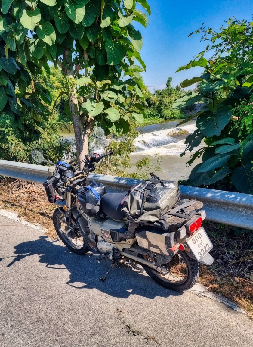
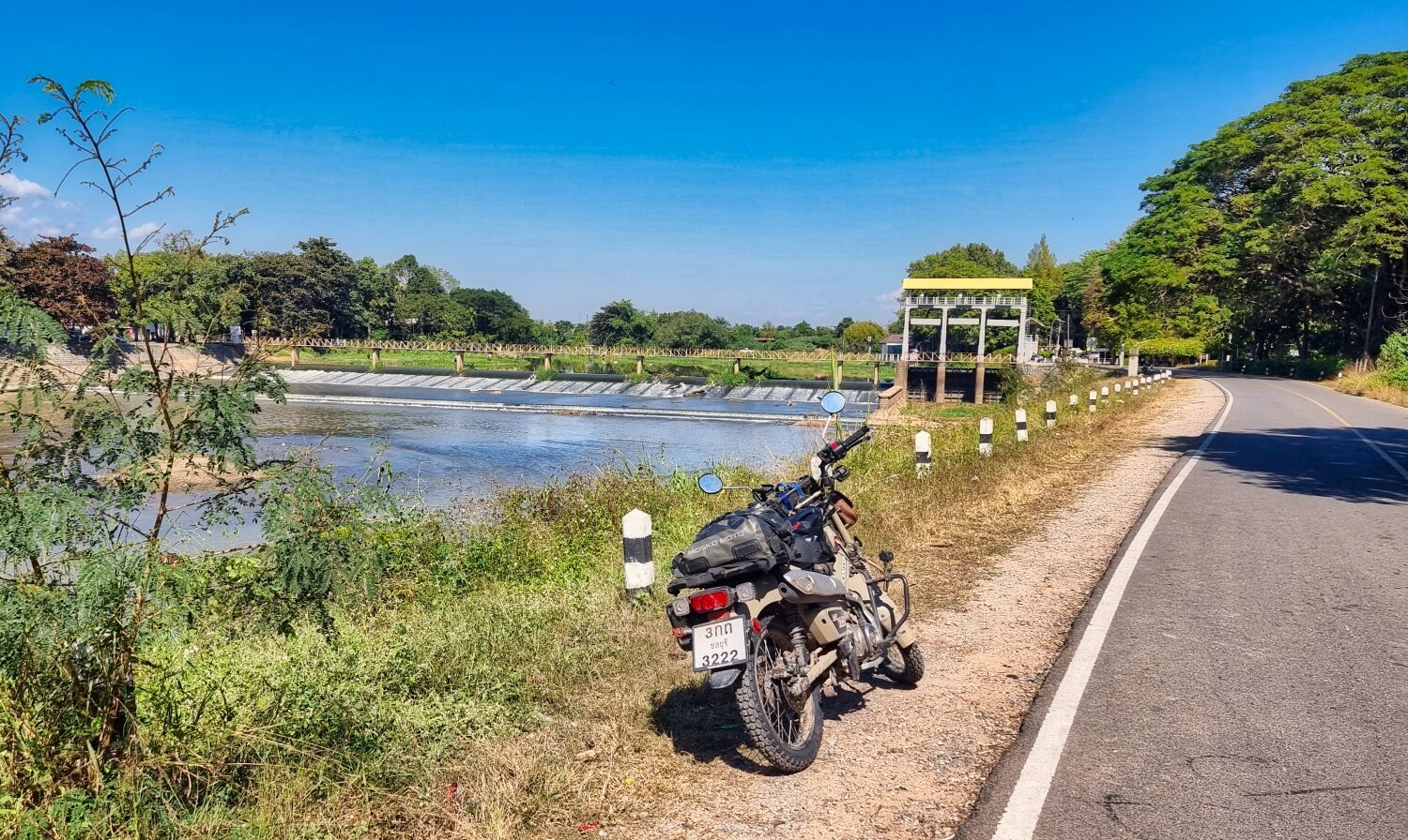
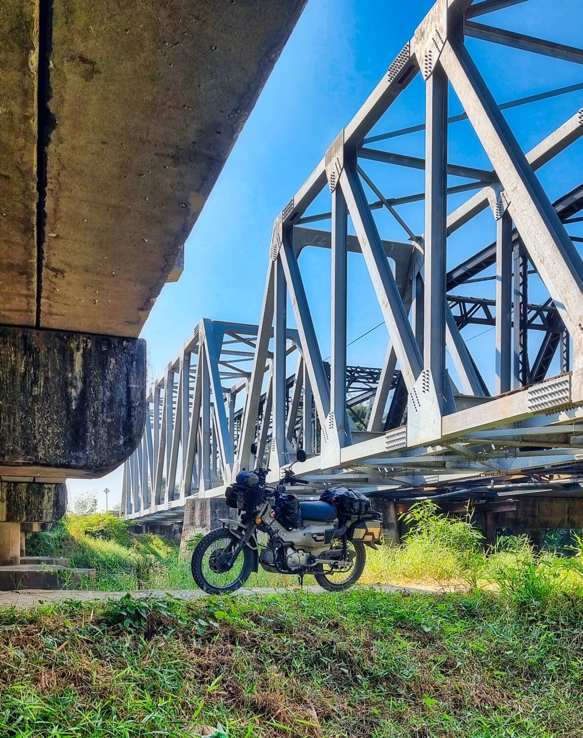
On the River Yuam next to the reservoir was Stauwehr Weir, here.
https://maps.app.goo.gl/8y6QyMJ3RSygaVMC6
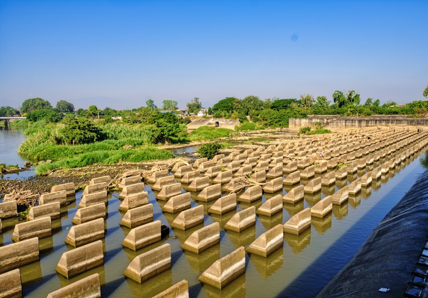
From here I rode a loop to photograph the weir from the opposite side, here.
https://maps.app.goo.gl/B3sxvArR3Wm6qtfQ9
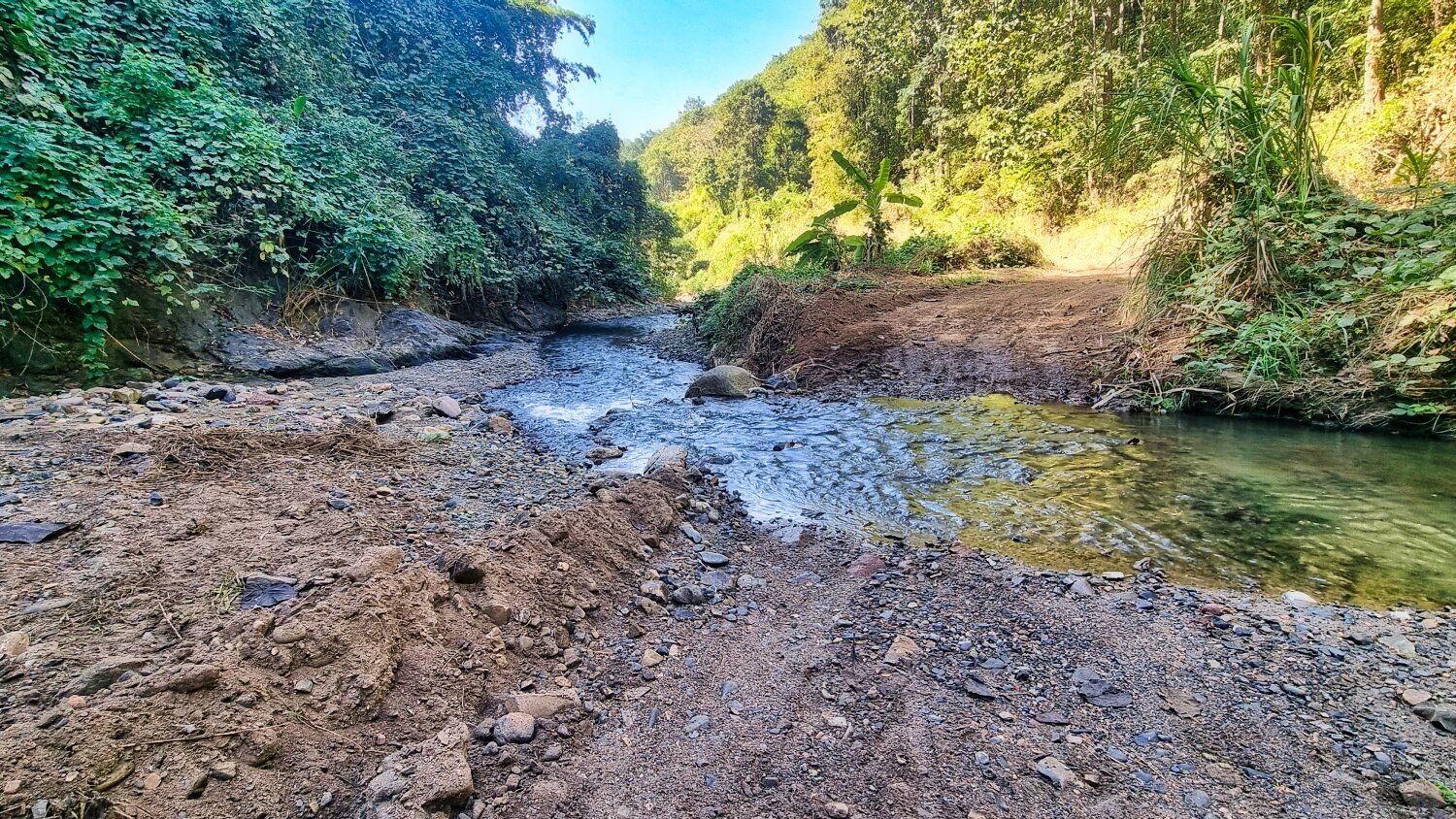
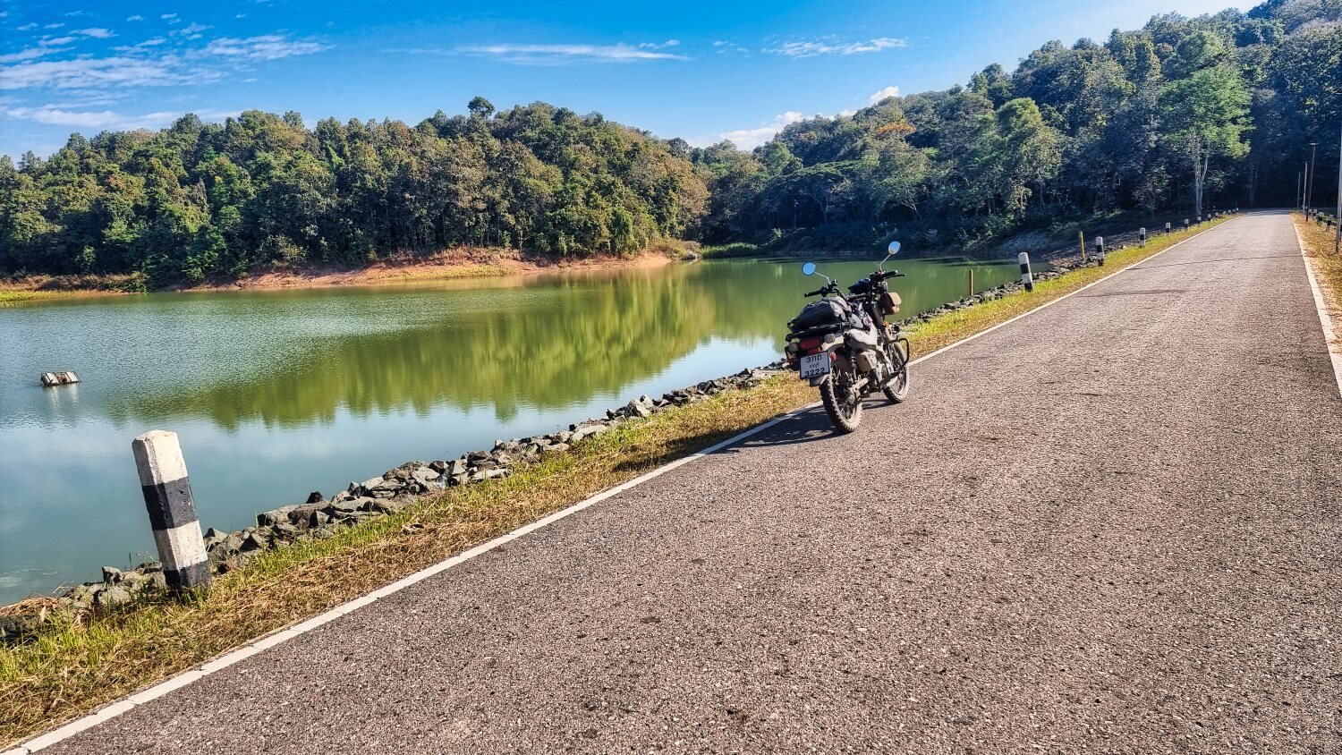
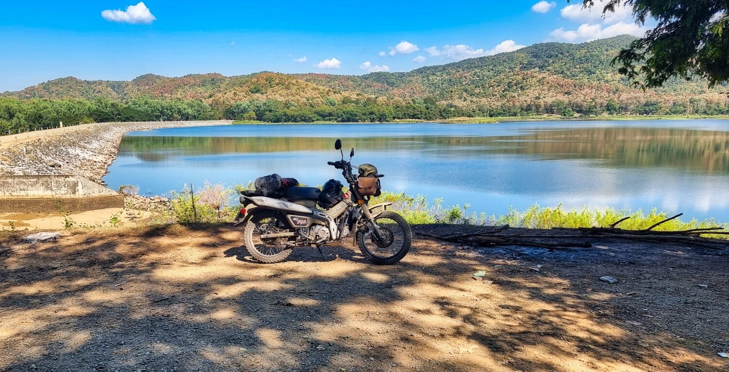
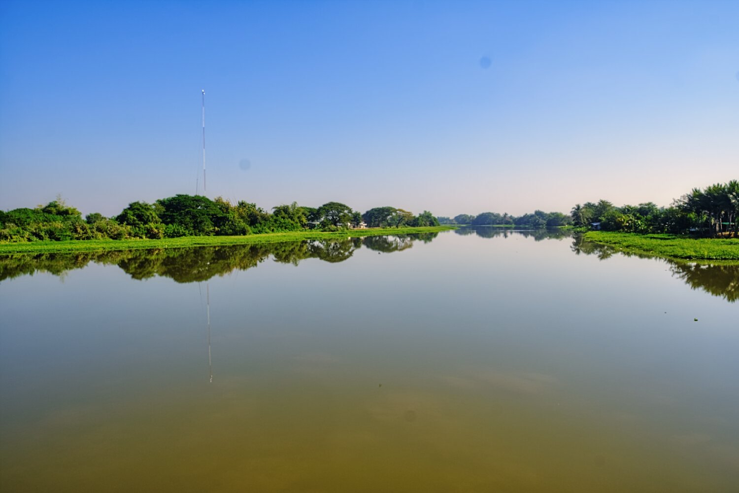
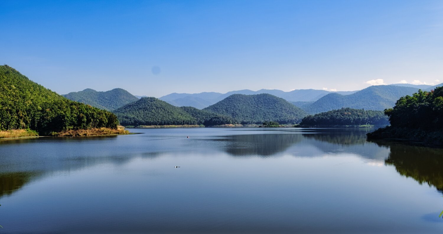
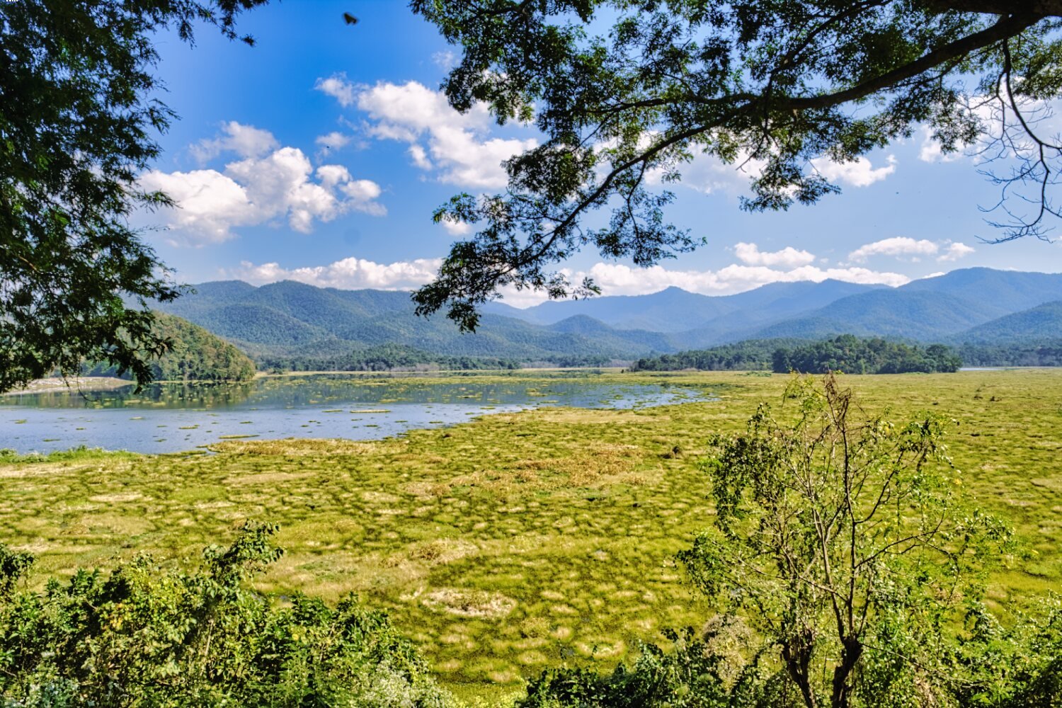
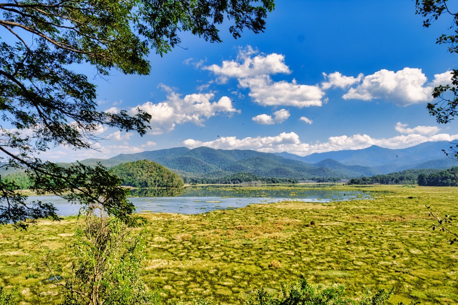
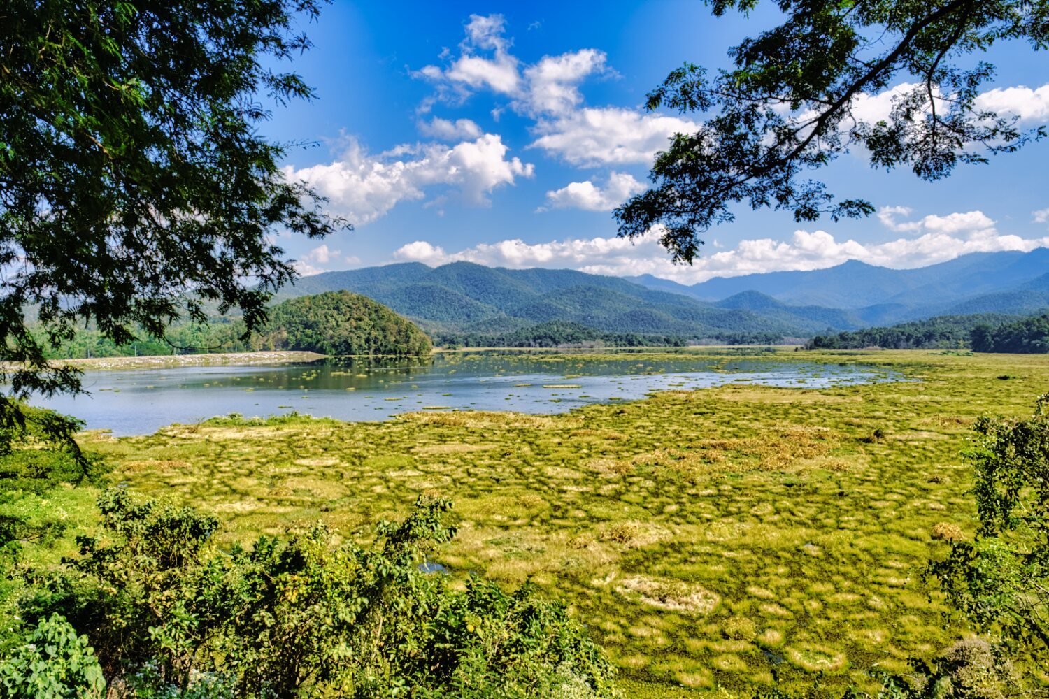
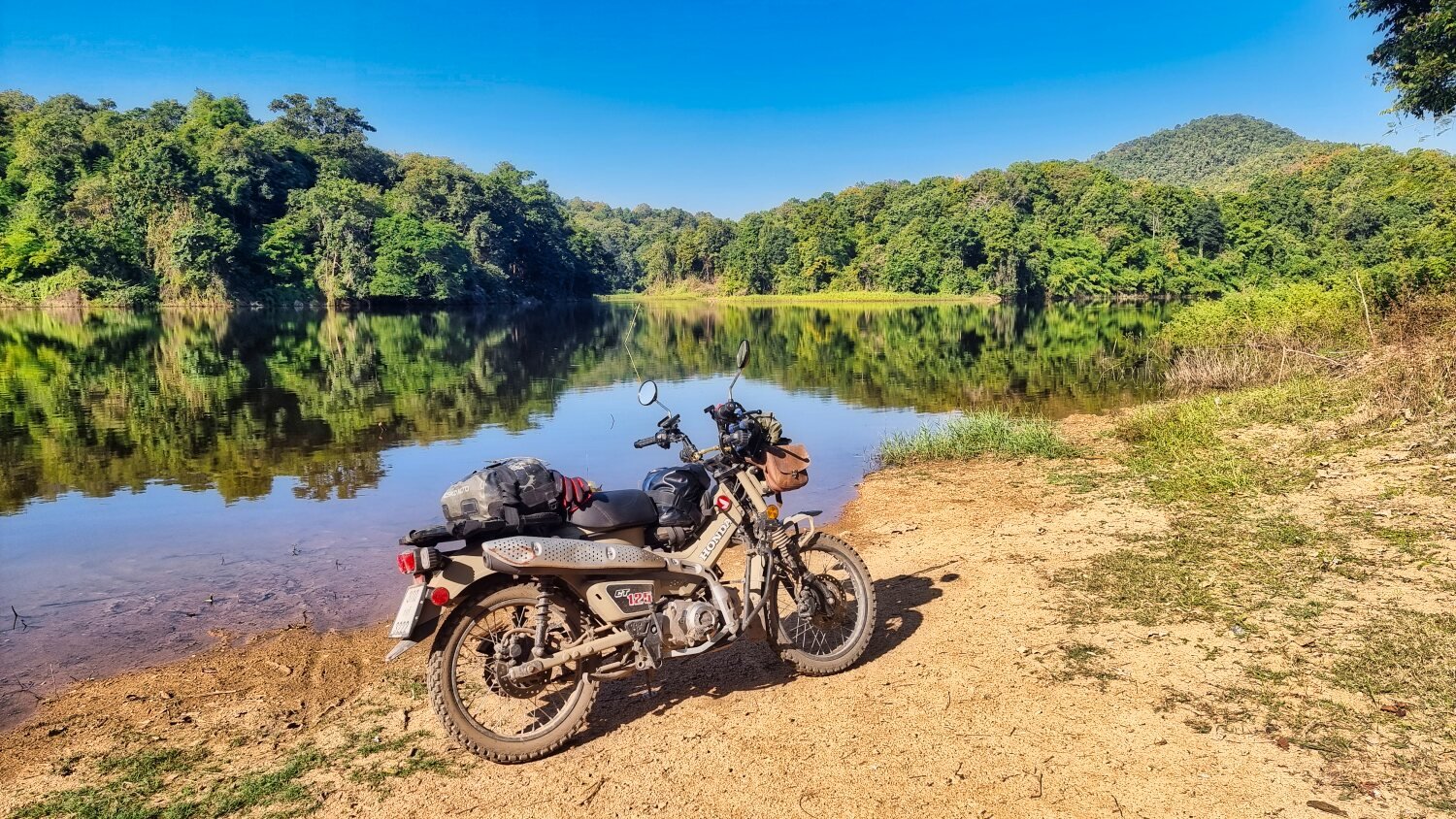
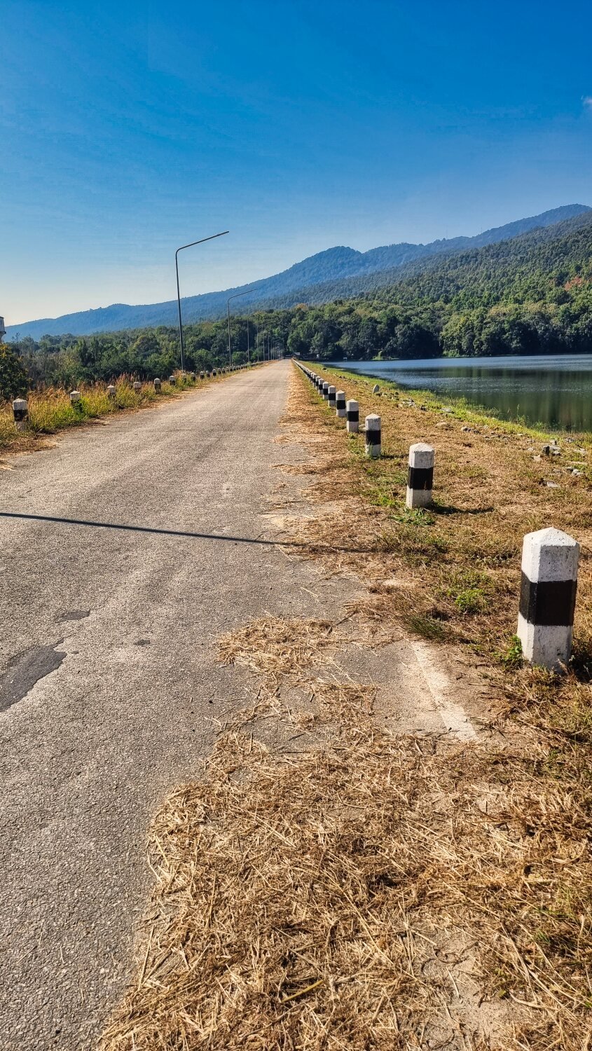
Following at times the River Yuam I rode to Ban Thung Ruang Thong Reservoir (Thung Ruang Thong Dam), here.
https://maps.app.goo.gl/LCFZ8eFCpHYLEBph9
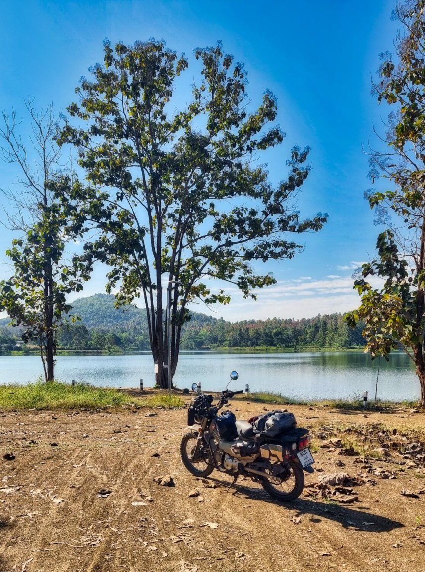
I did ride up the hill at the dam to see if I could find a good view, but could not. I then returned to Mae Sariang.
https://www.relive.cc/view/v26MjxJJWEq


-
 4
4
-
- Popular Post
- Popular Post
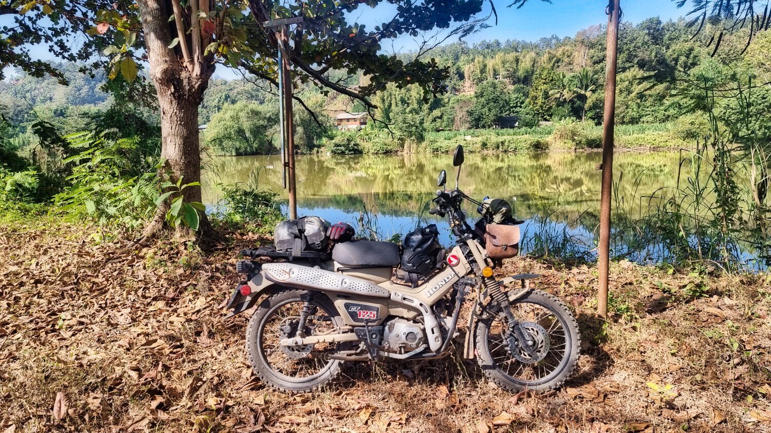
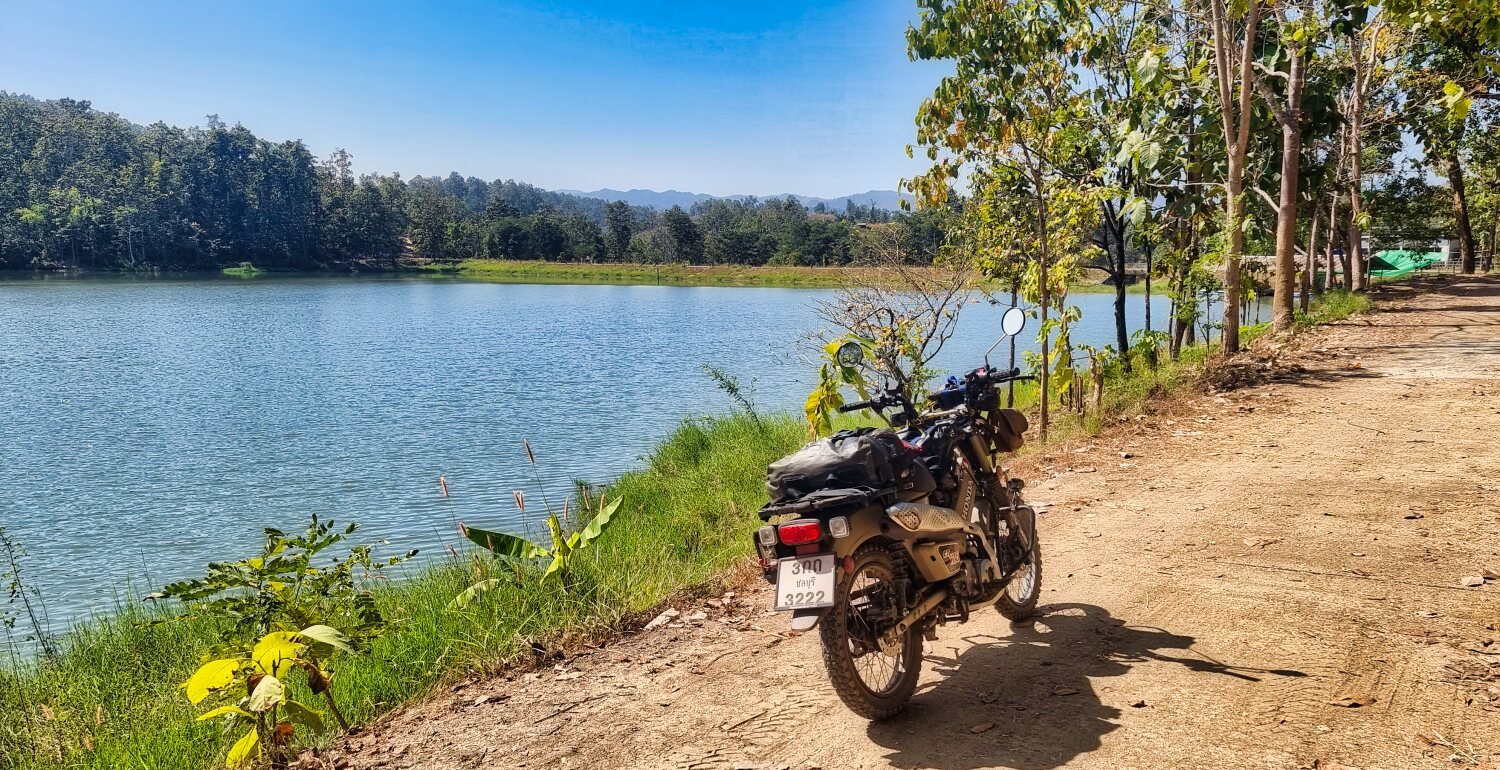
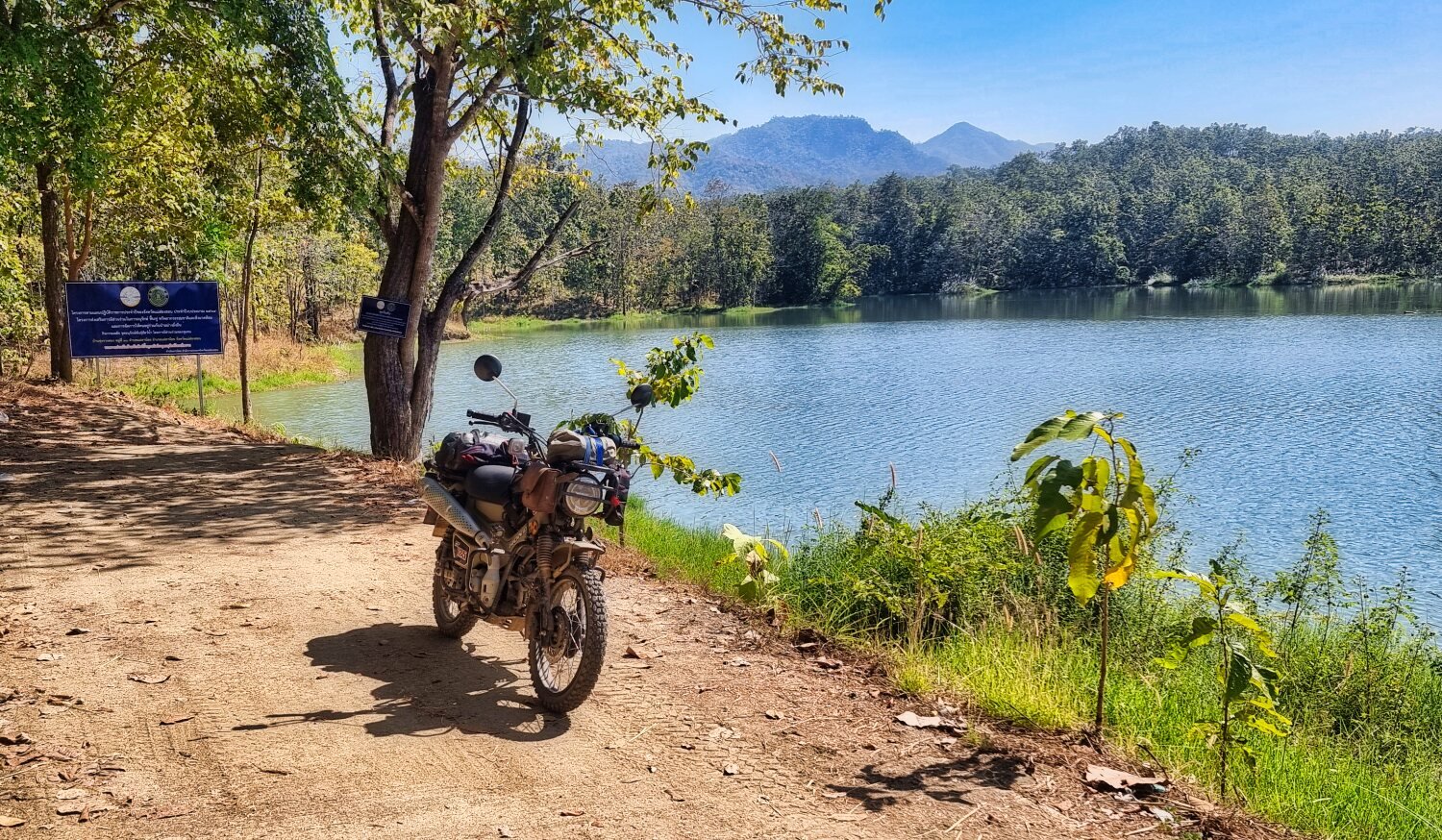
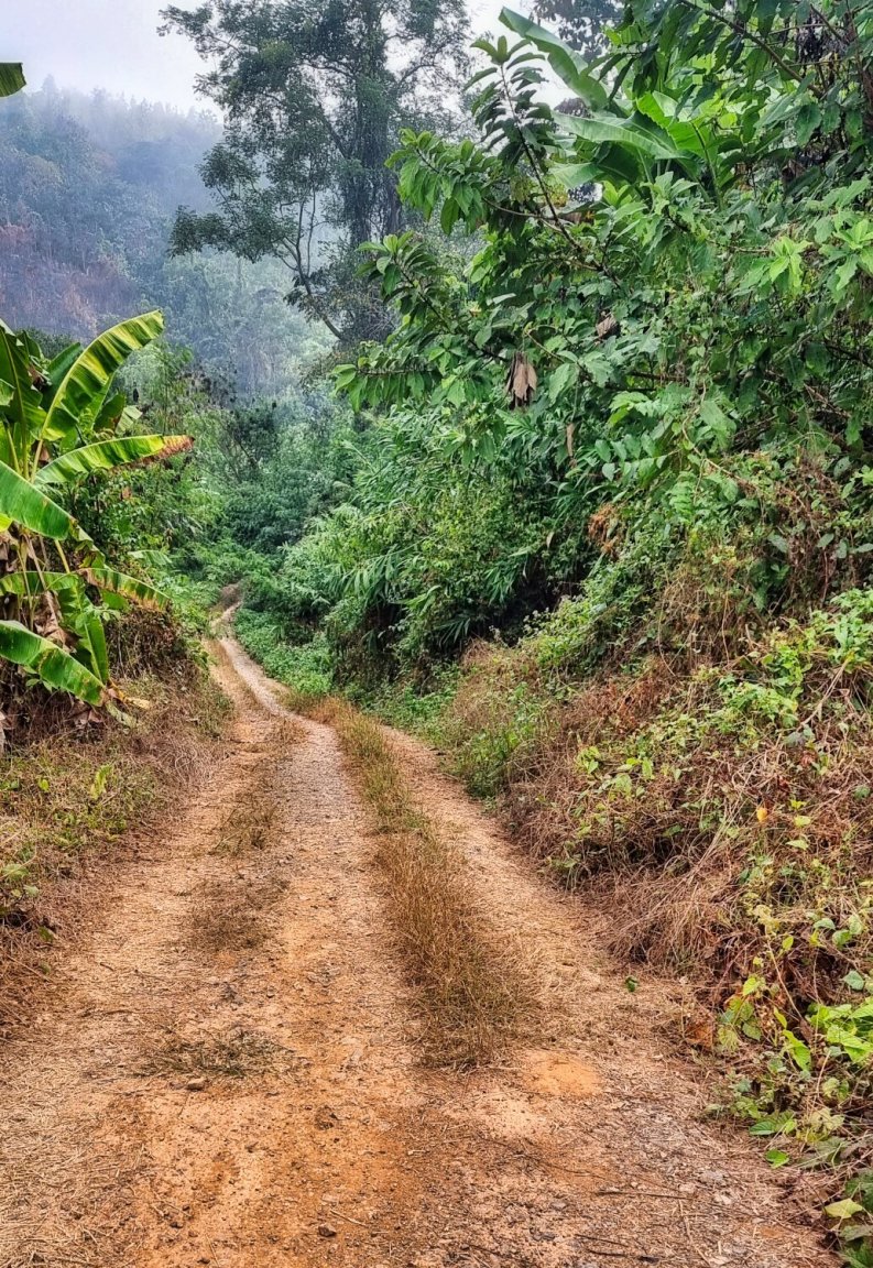
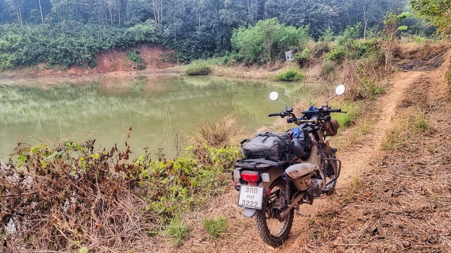
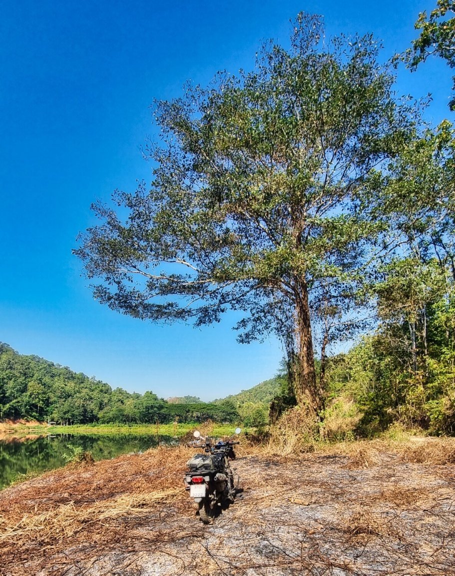
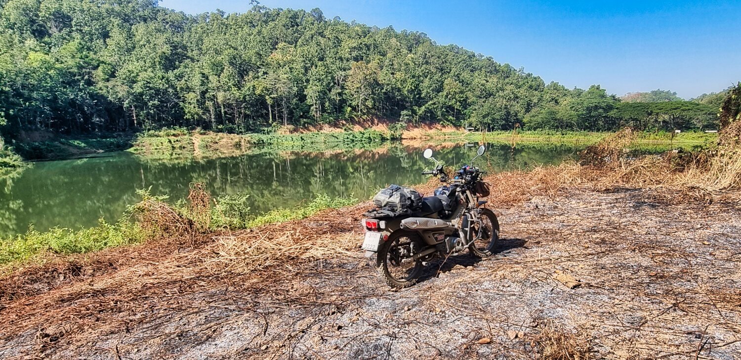
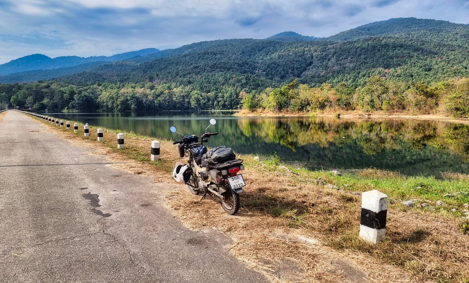
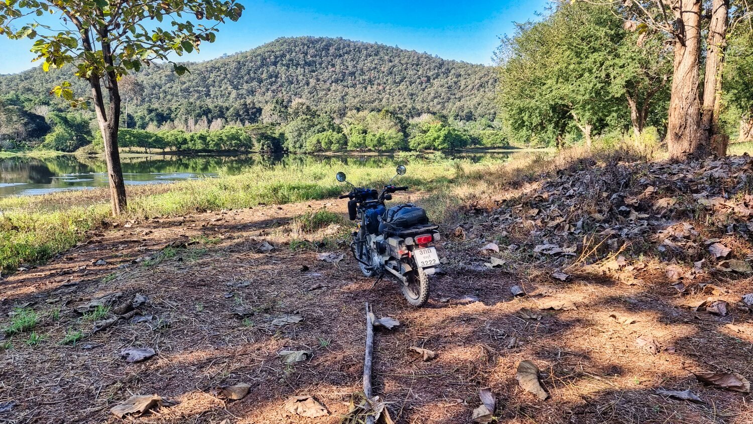
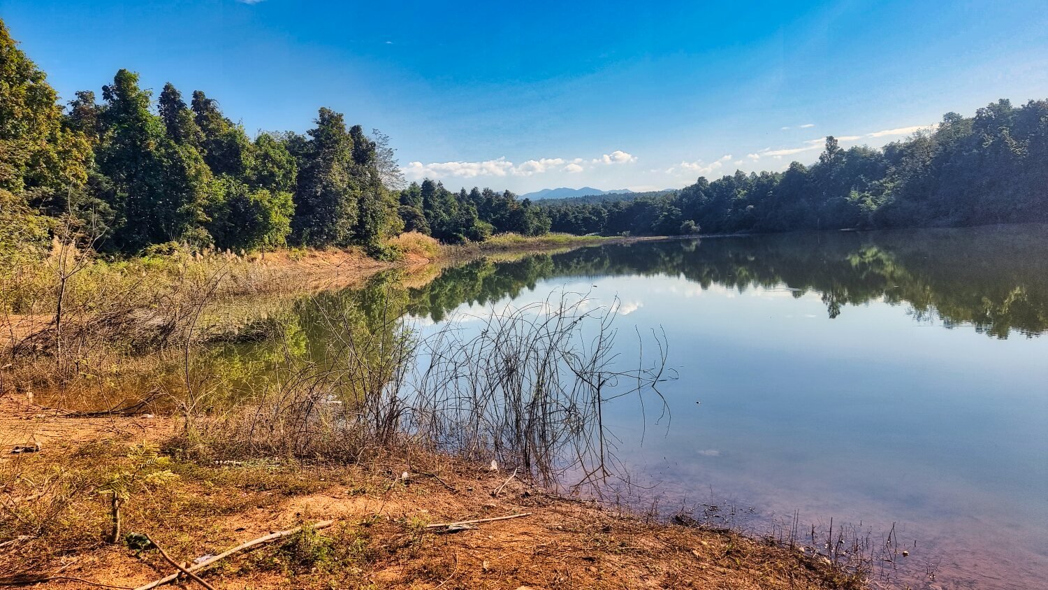
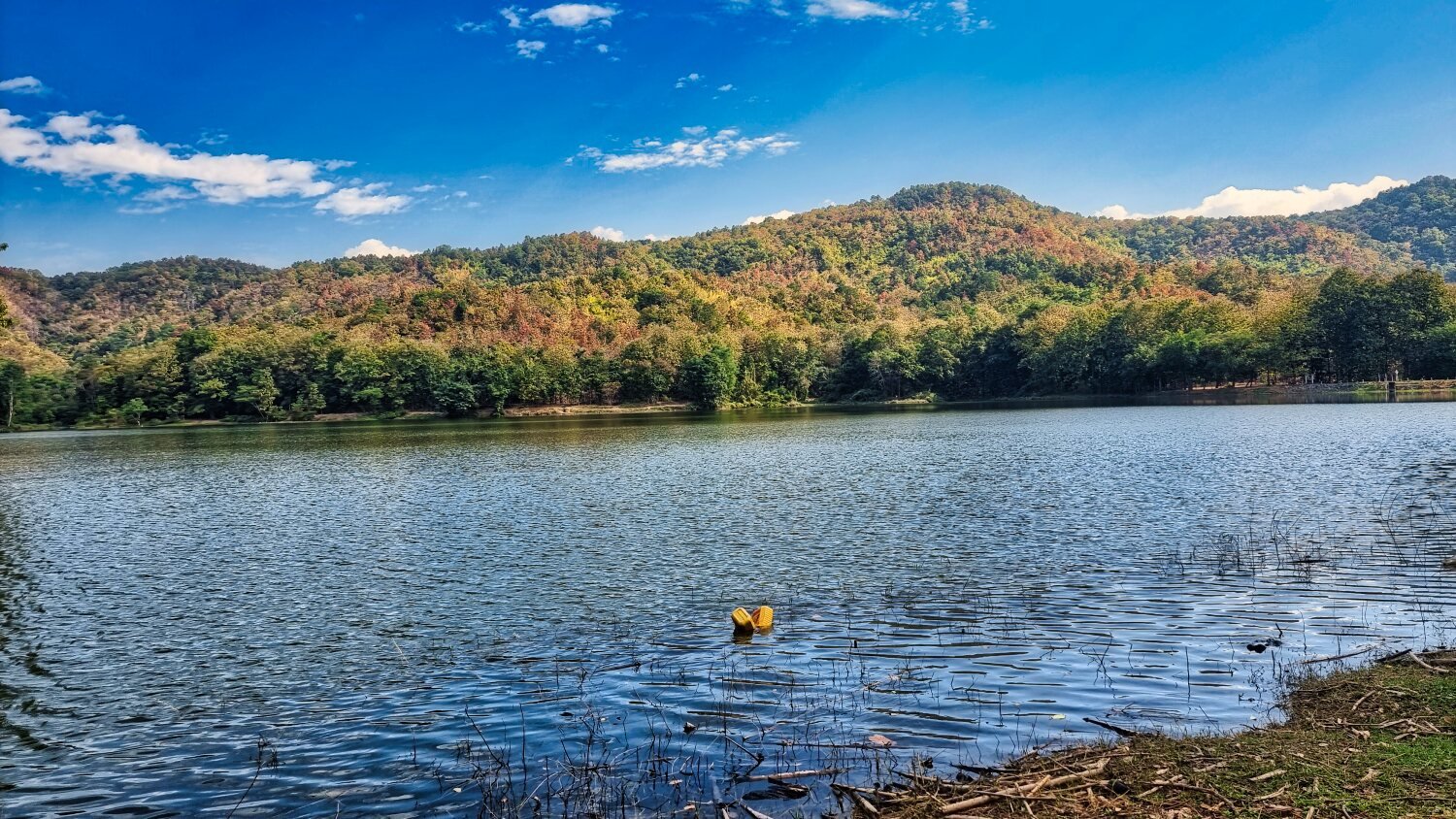
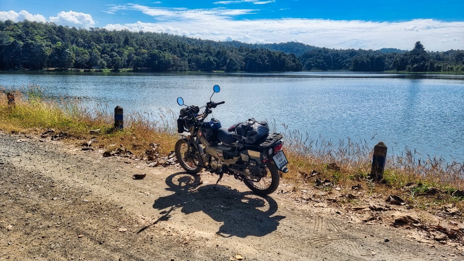
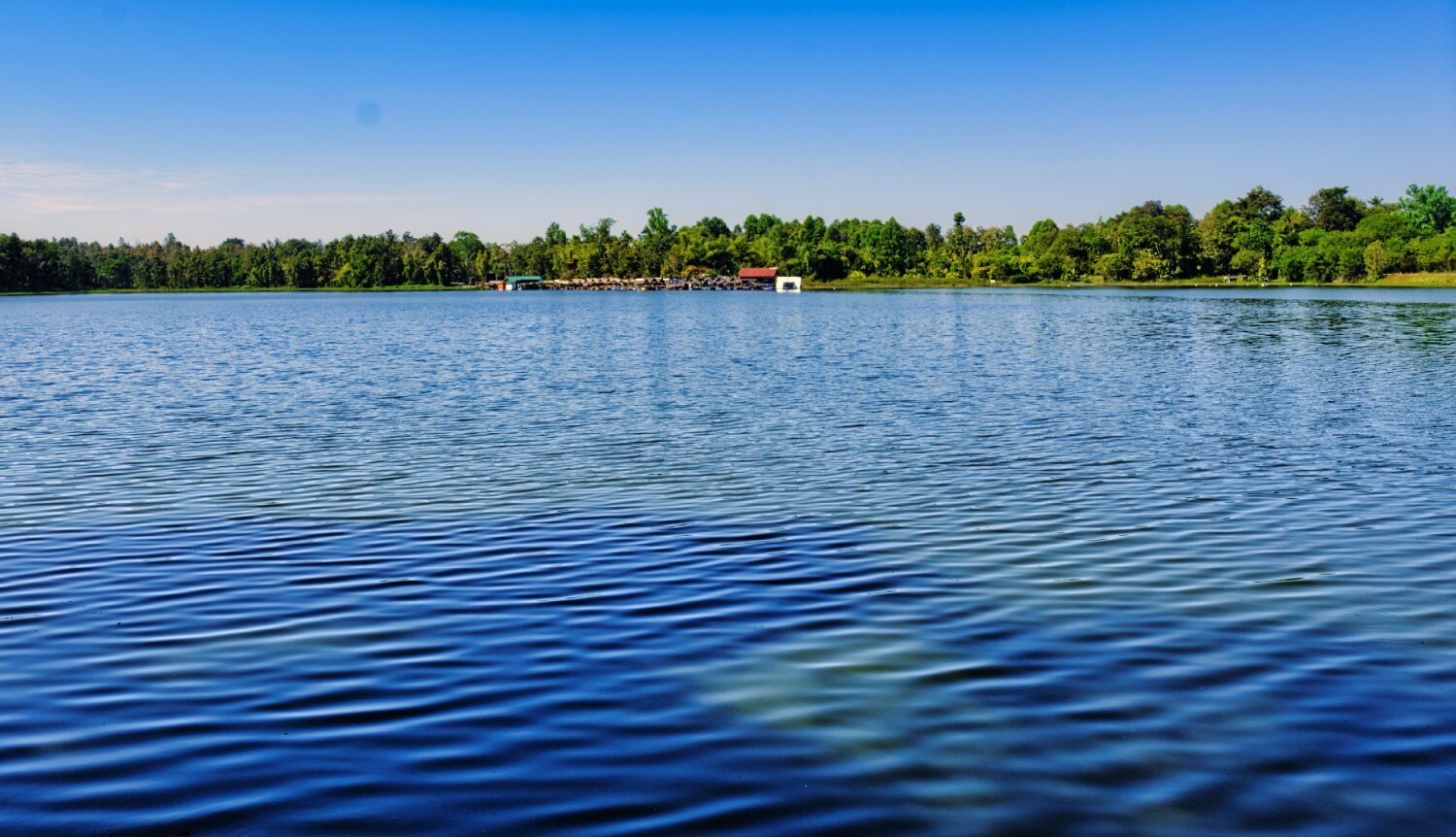
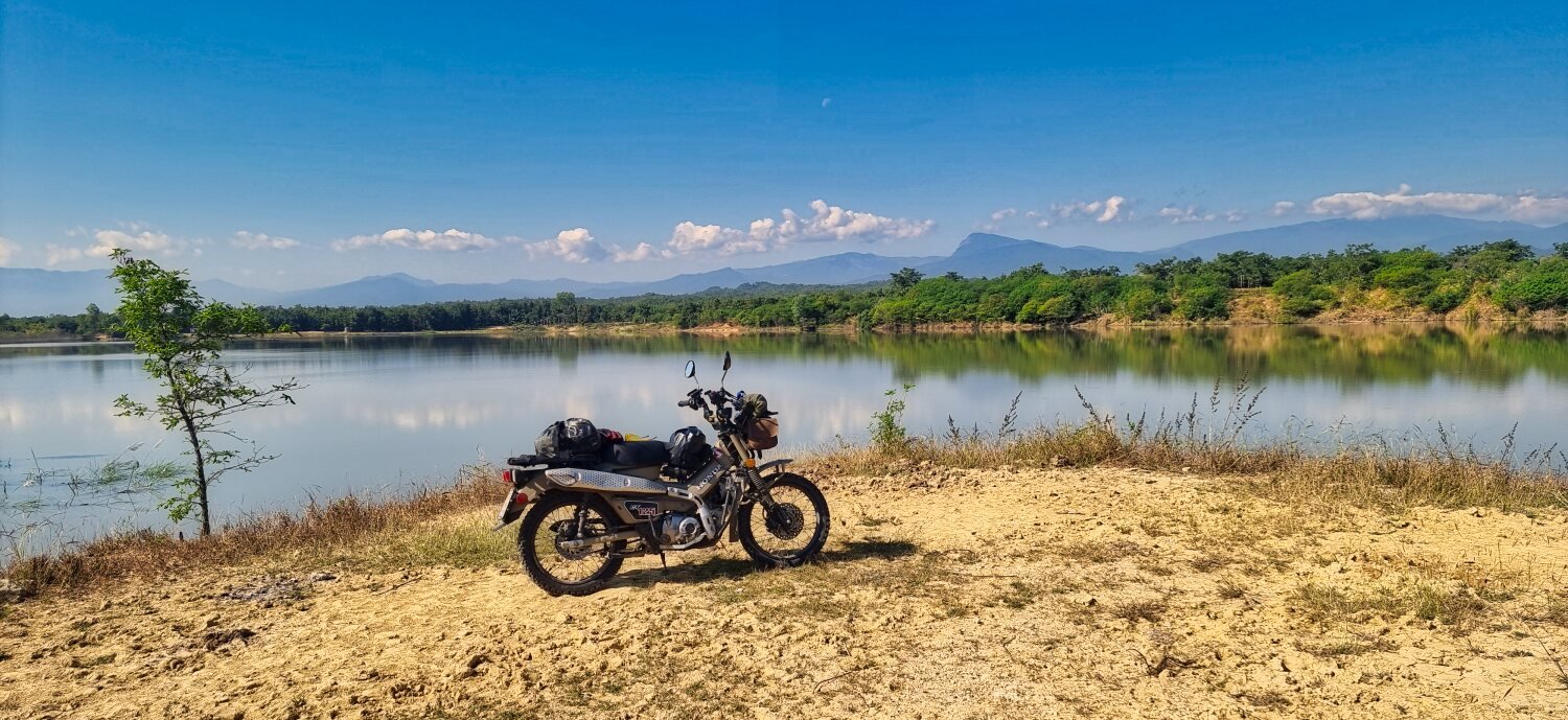
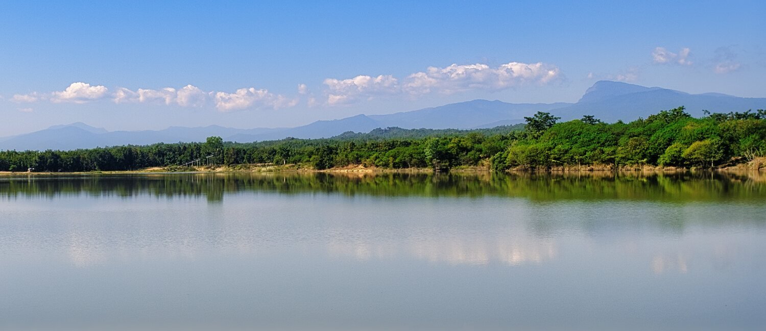
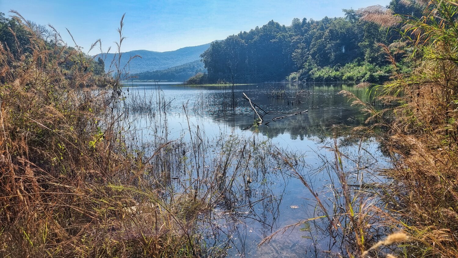
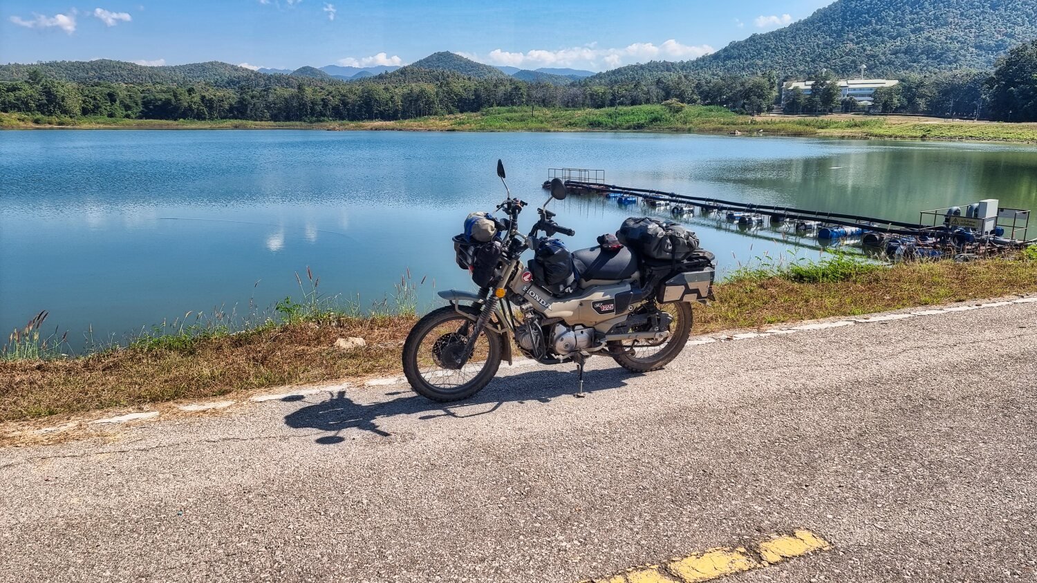
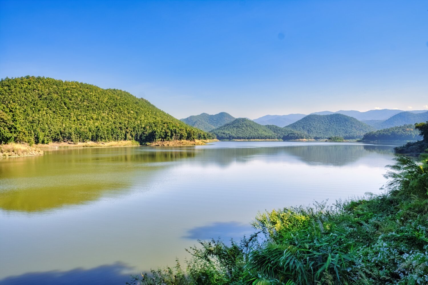
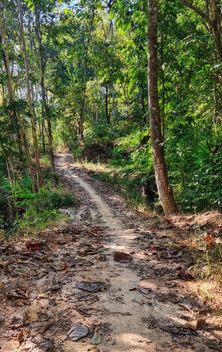
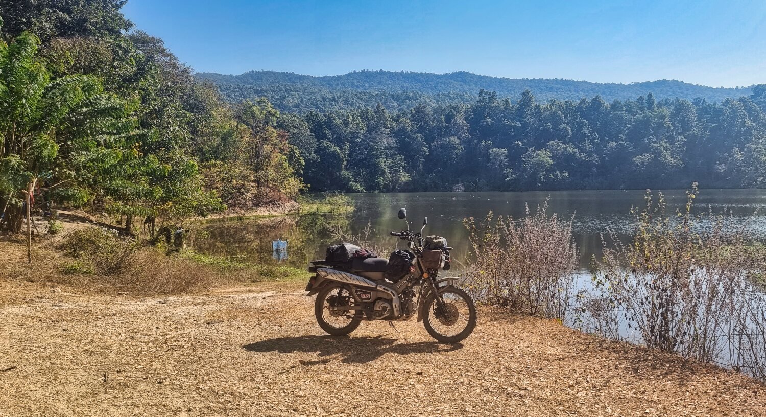
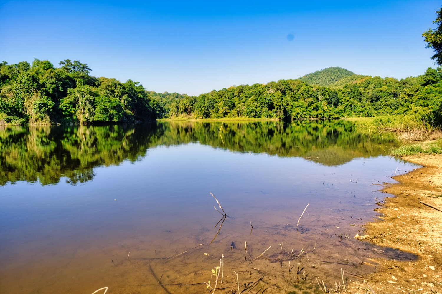
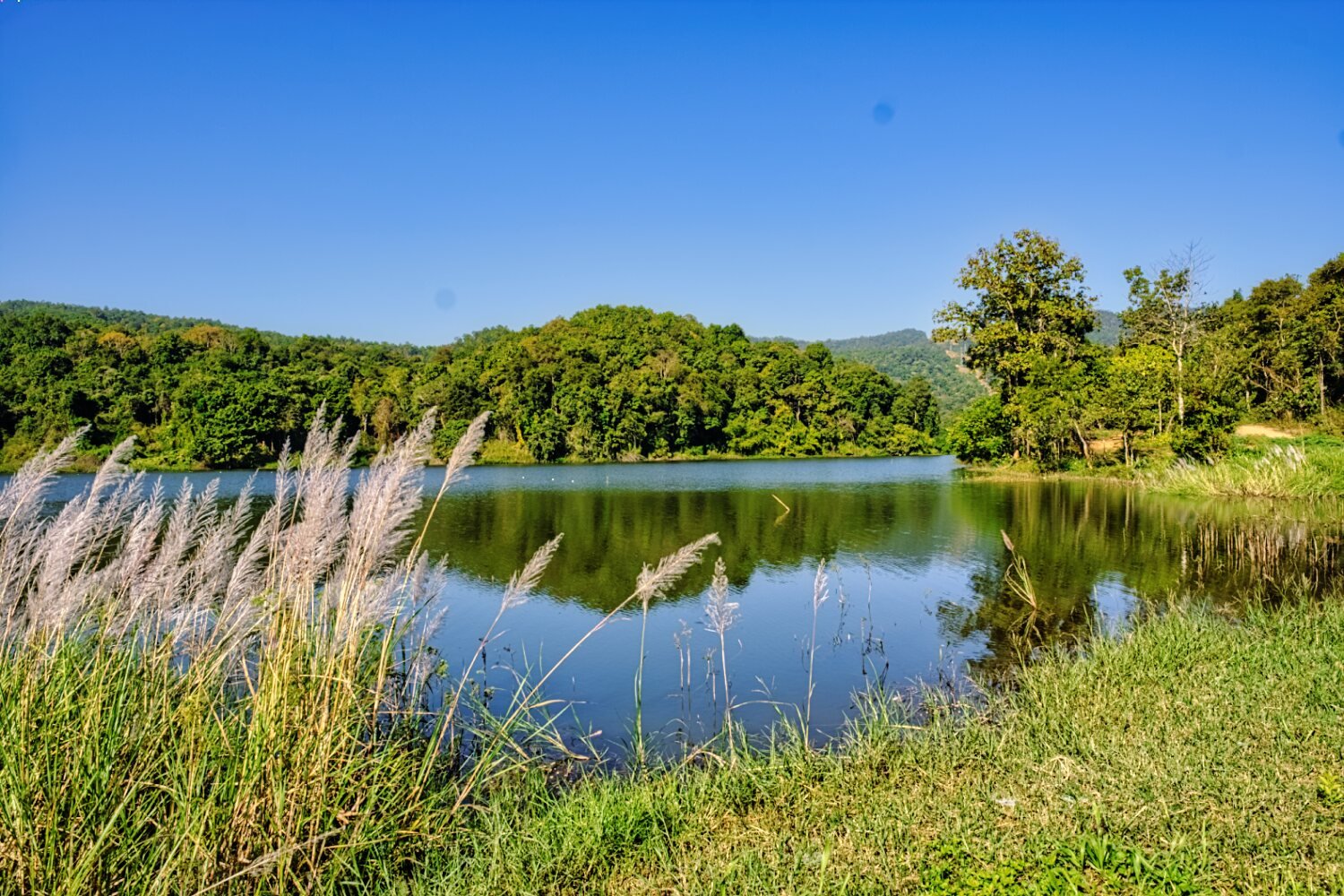
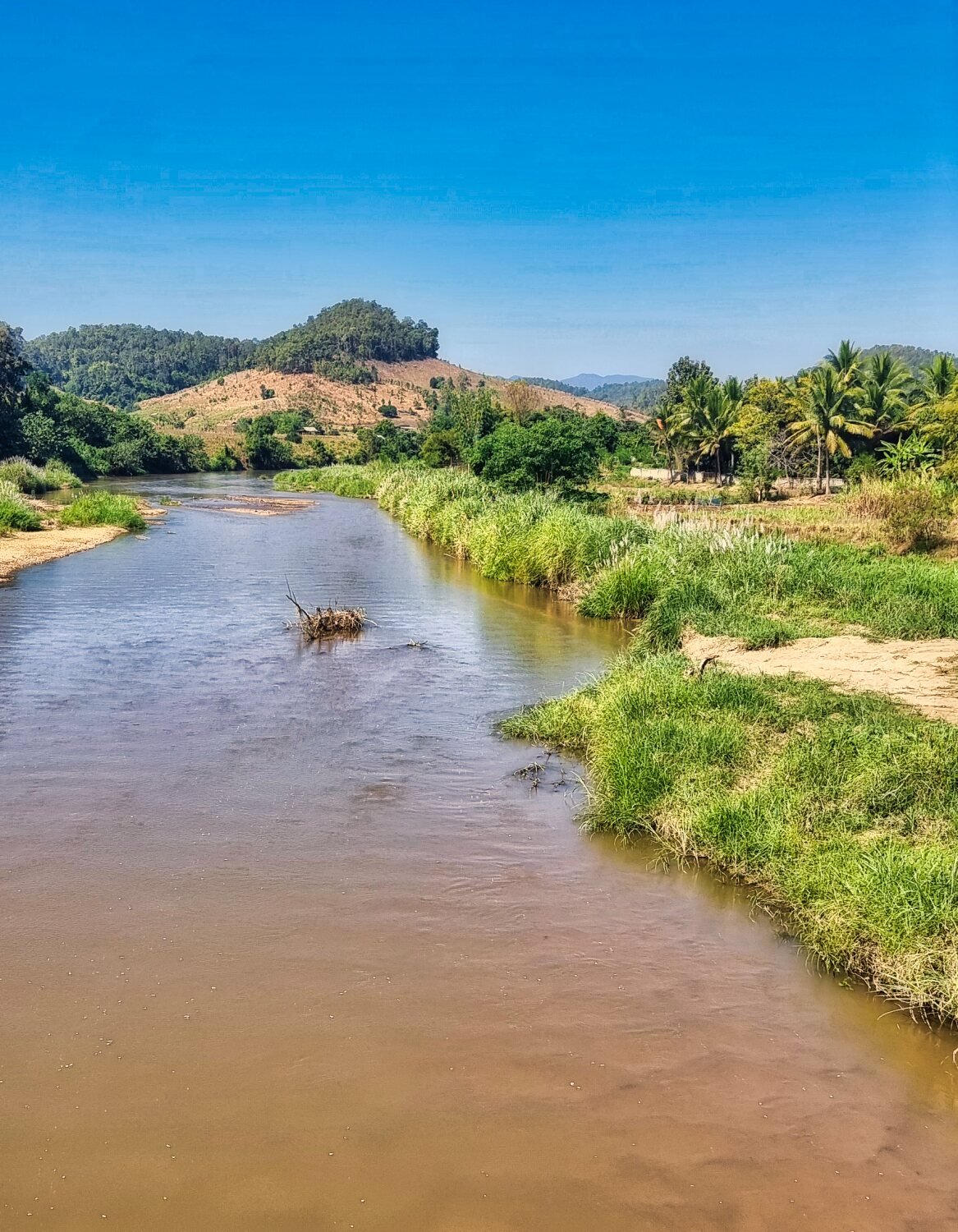
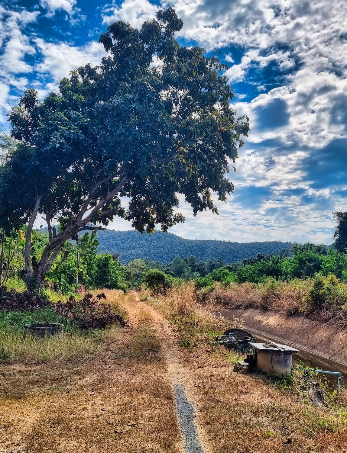
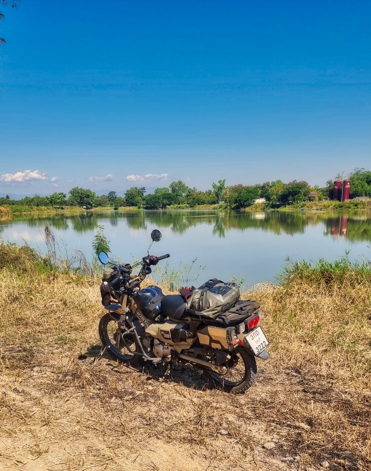
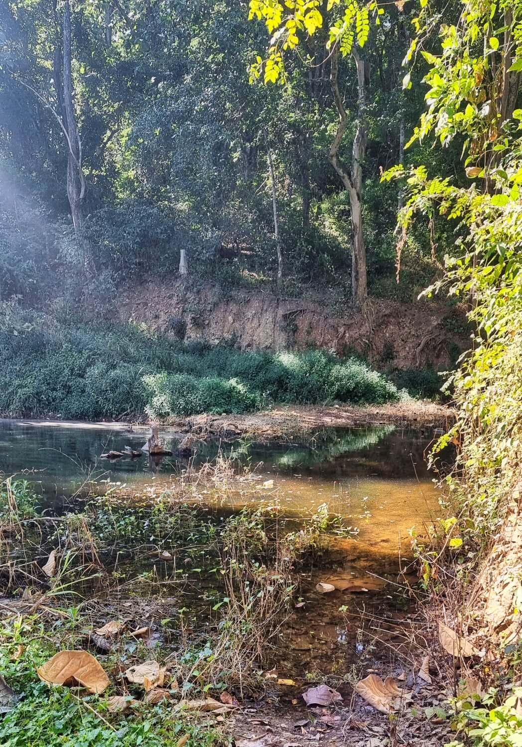
Today I went to explore some reservoirs in Mae Sariang. Even at nearly 10am there was still lots of fog about. My first stop was at an un-named reservoir, here.
https://maps.app.goo.gl/nLGYeWQu8Xi81Huh8
Next was Huai Pu Reservoir, here.
https://maps.app.goo.gl/2rGF8CxmohYJbbCJ8
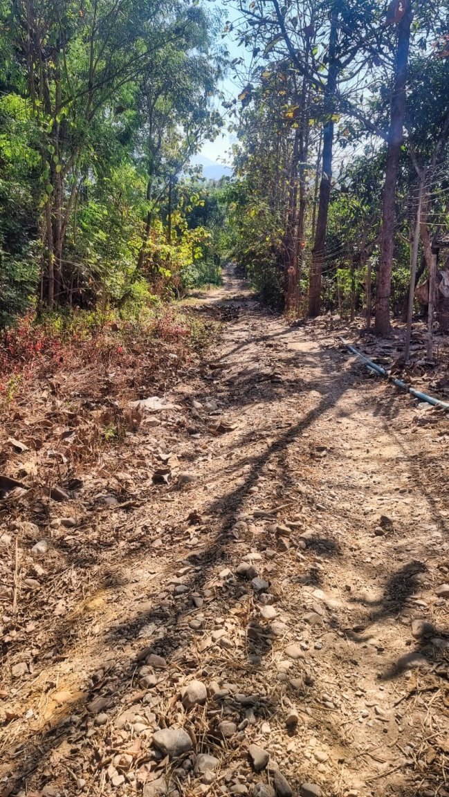
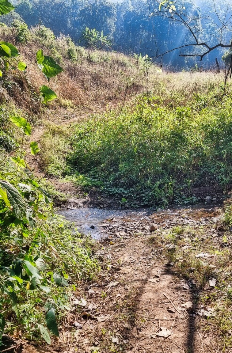
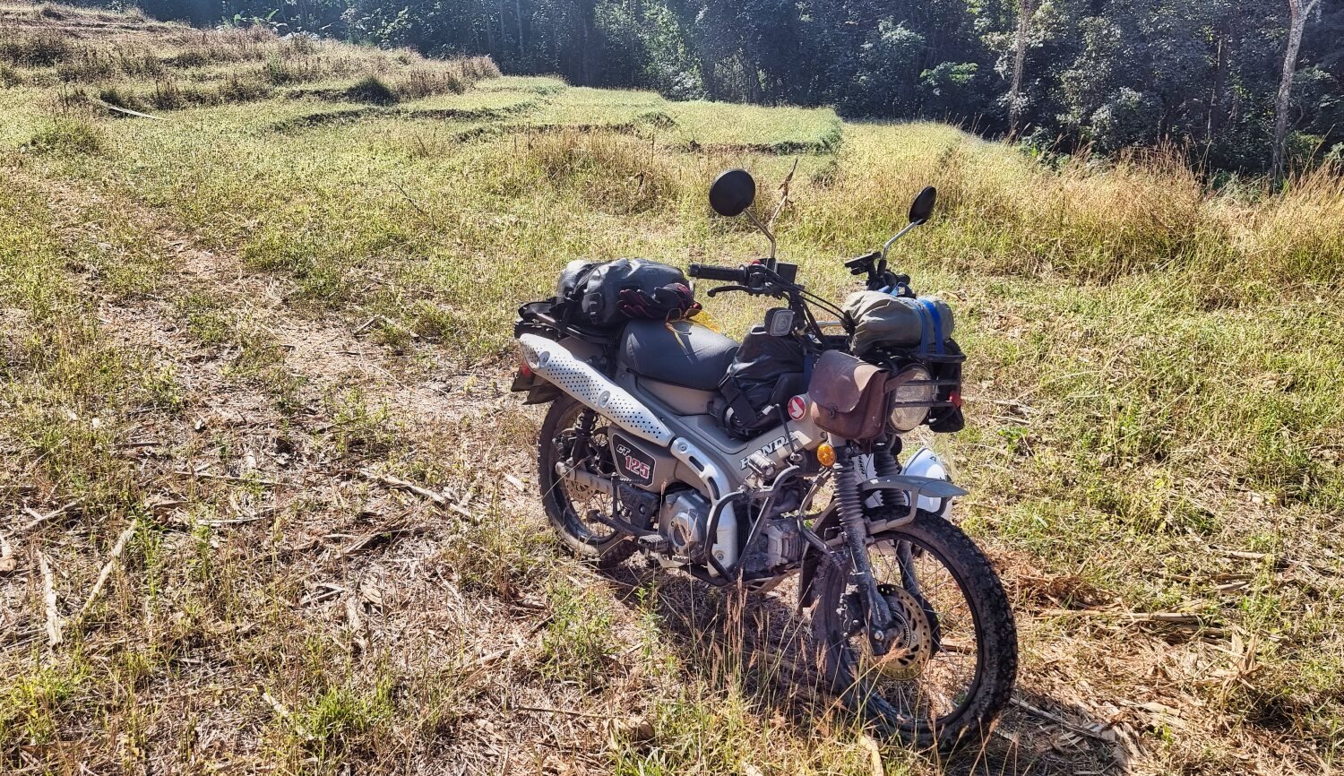
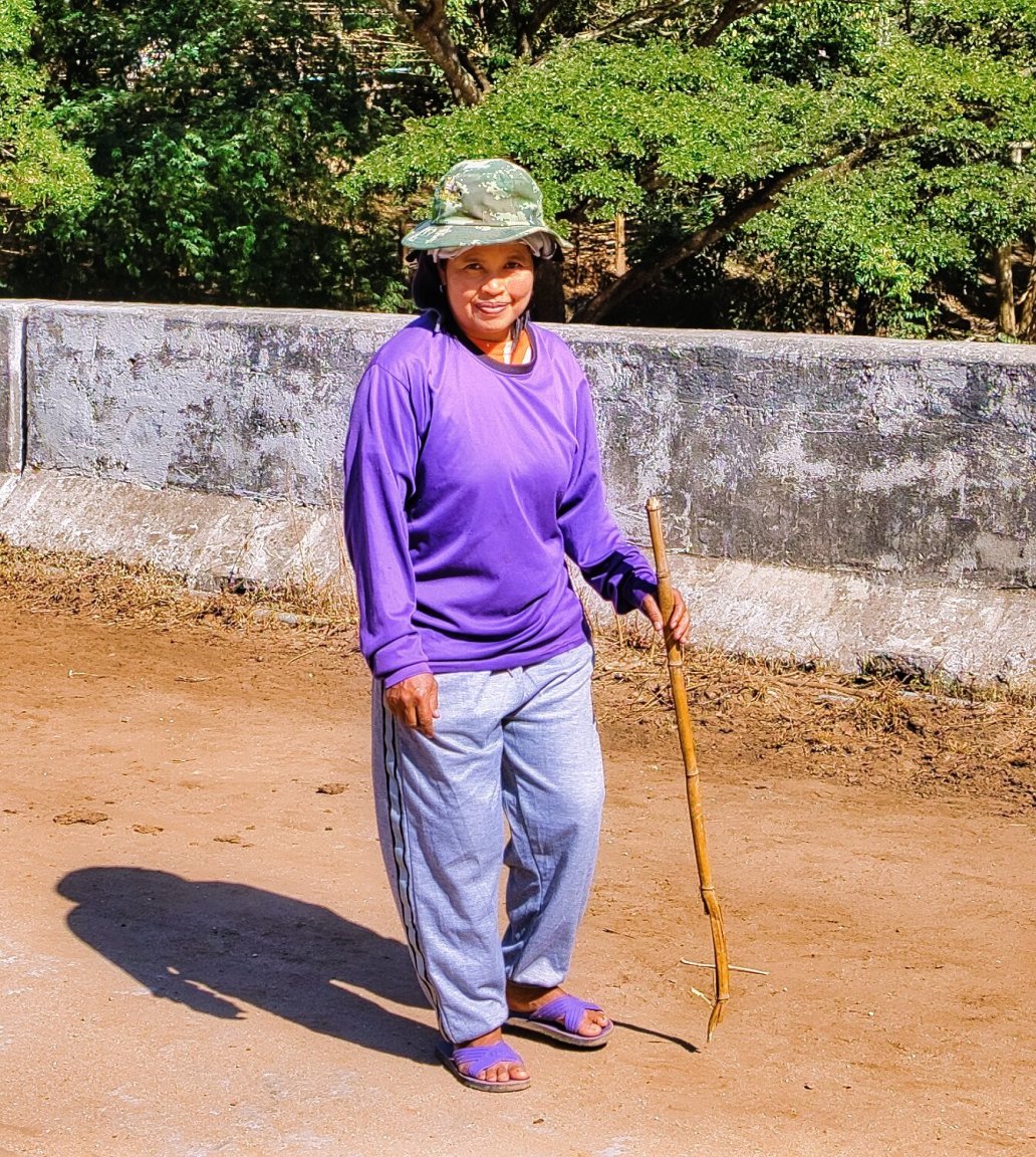
Chatting with a farmer I found out the track continued on for a while. I kept going until a dead-end at a small rice terrace, here.
https://maps.app.goo.gl/jWVMG1uNAzsrXmbcA
Further south I turned north east of R105, here.
https://maps.app.goo.gl/RSCfesr1tbMgLN4K6
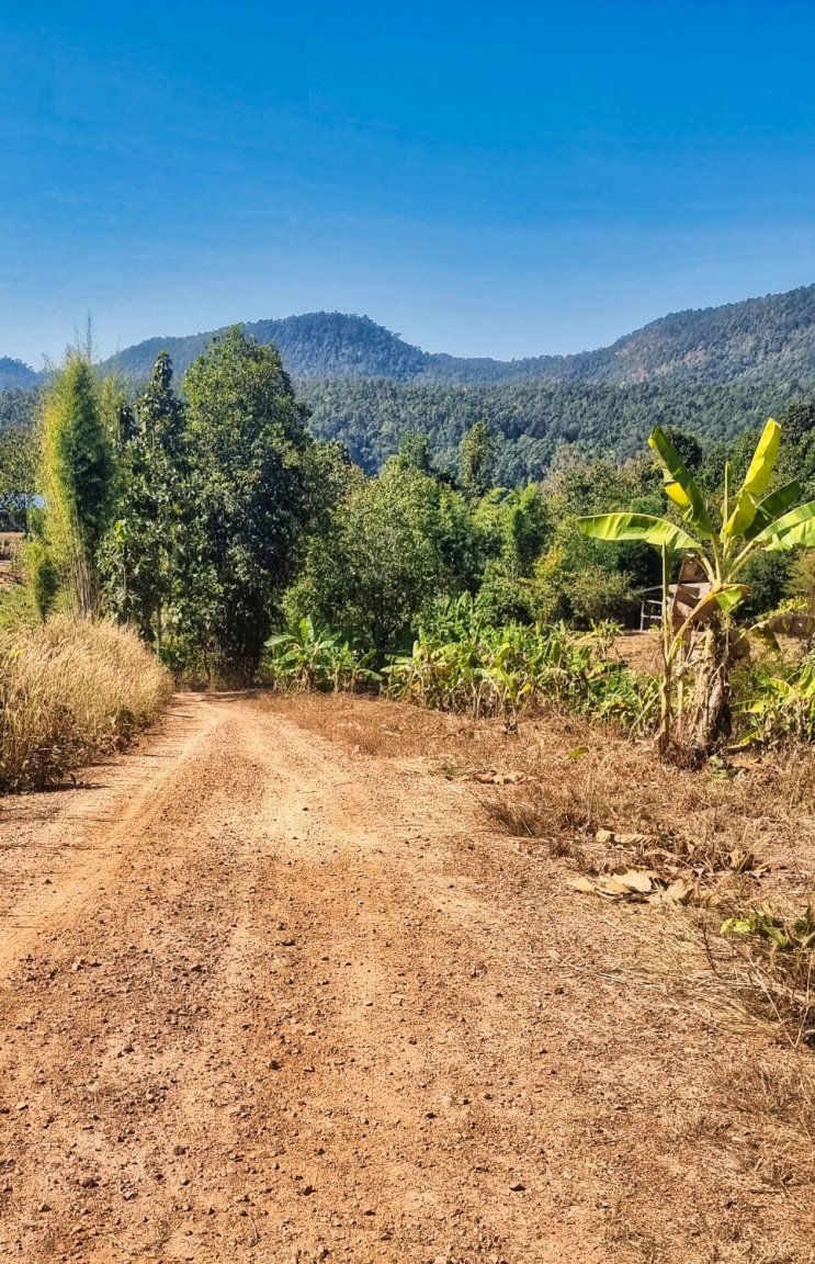
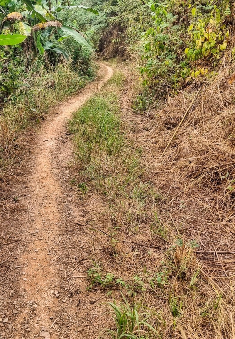
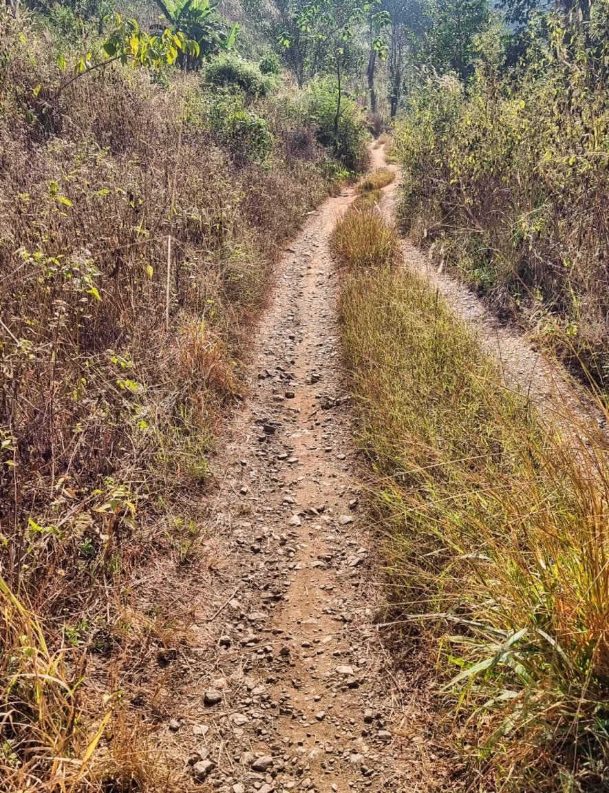
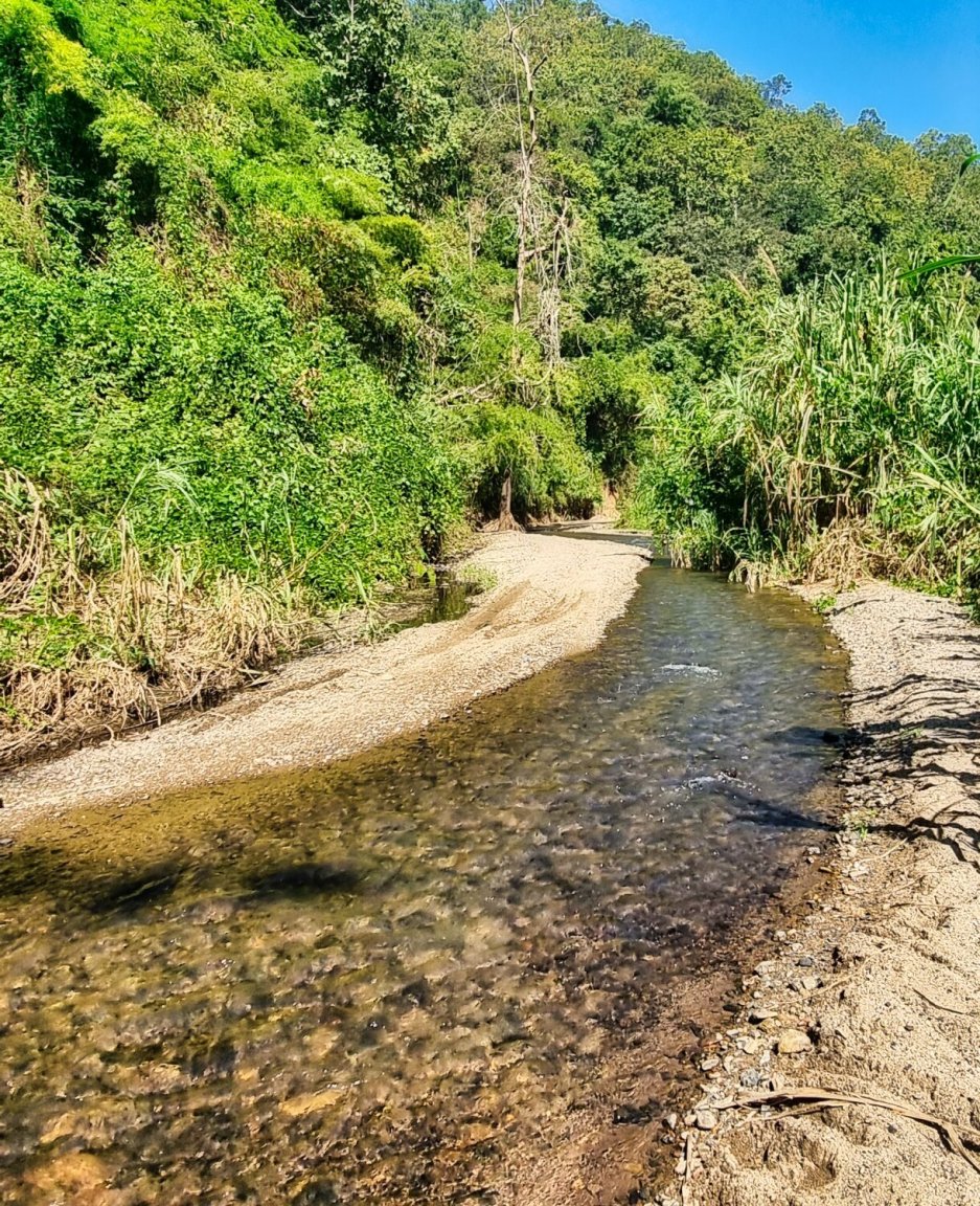
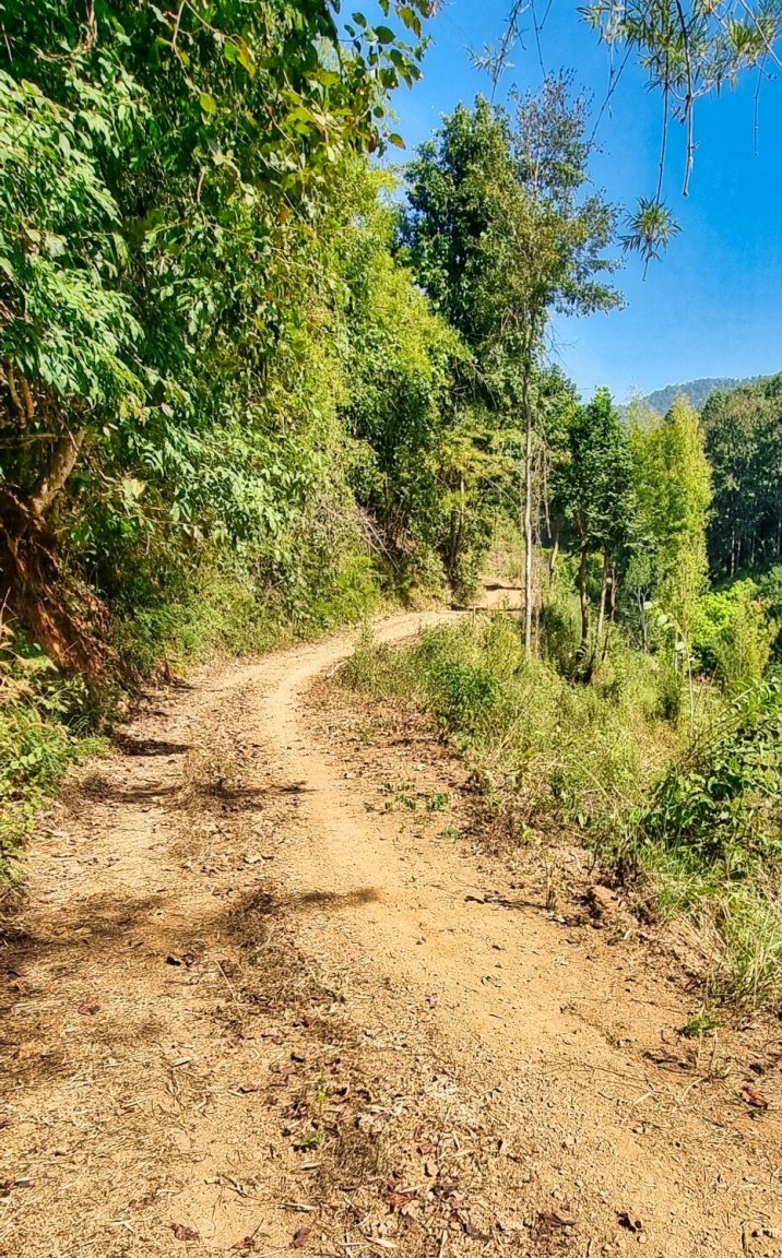
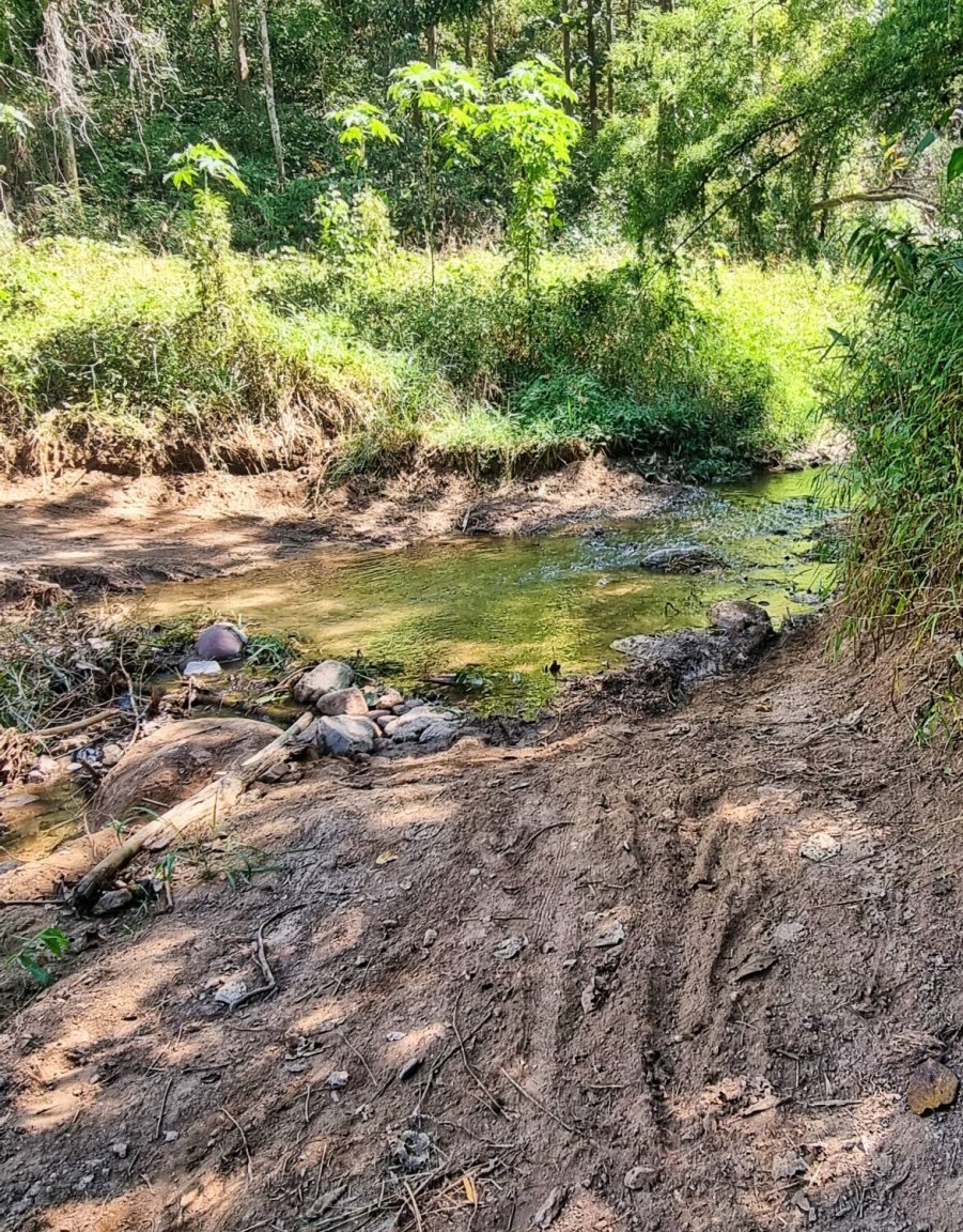
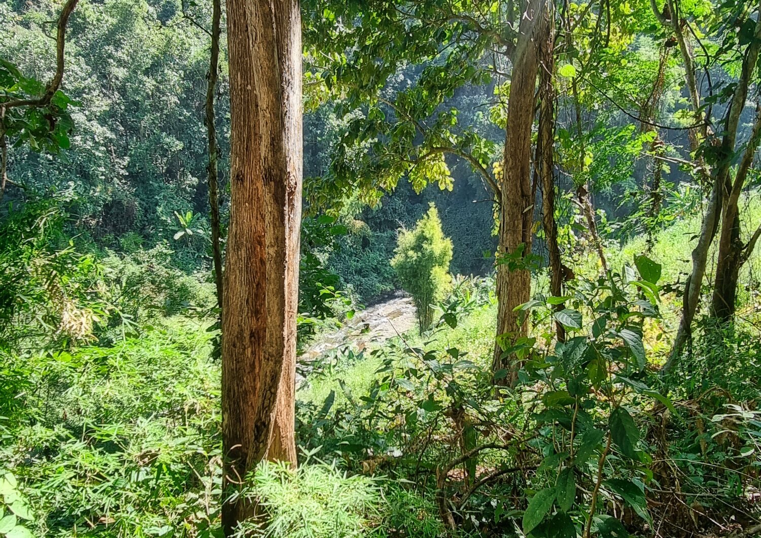
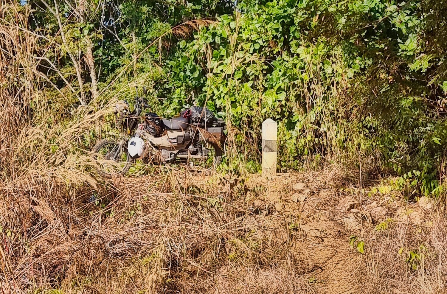
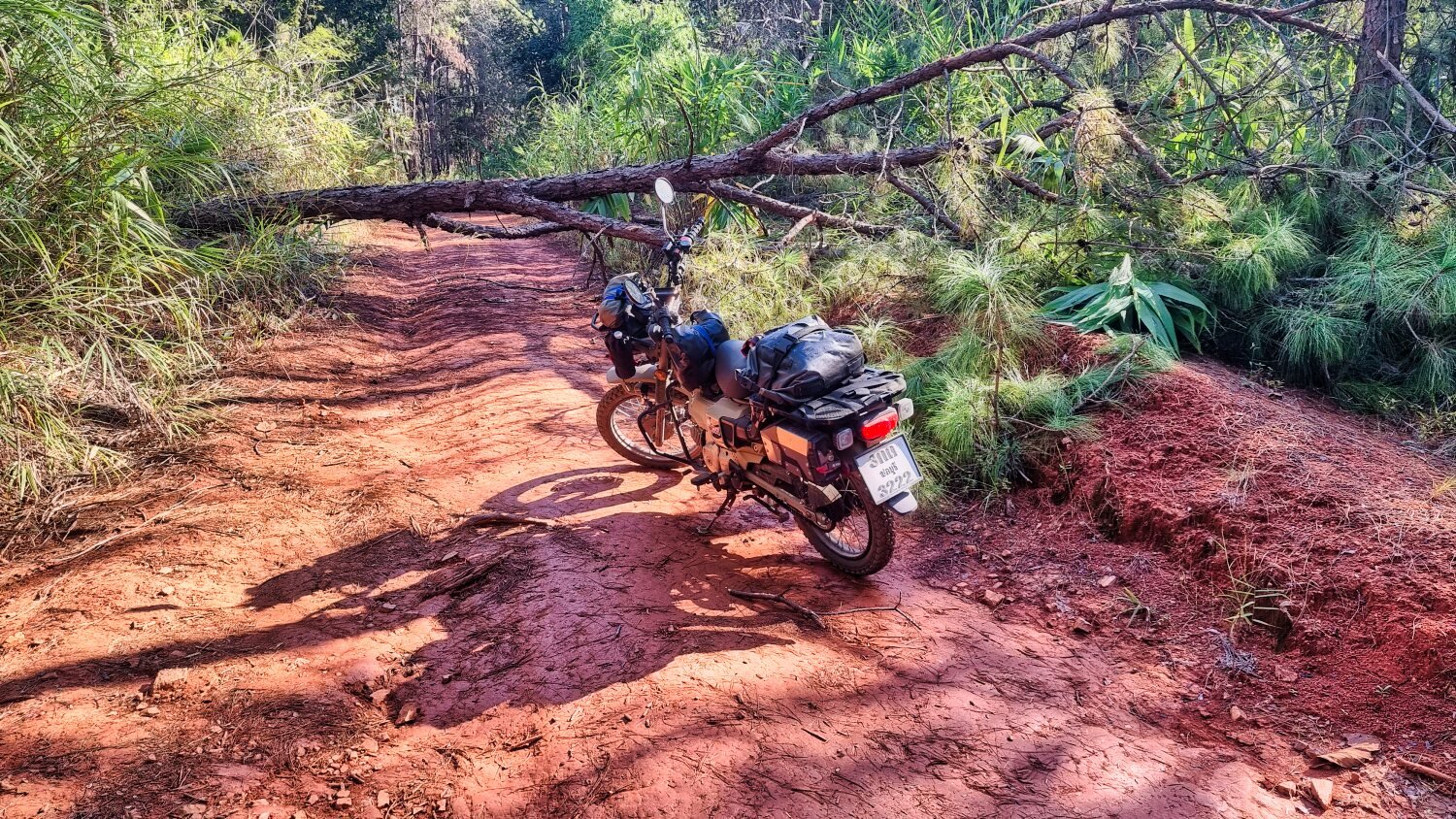
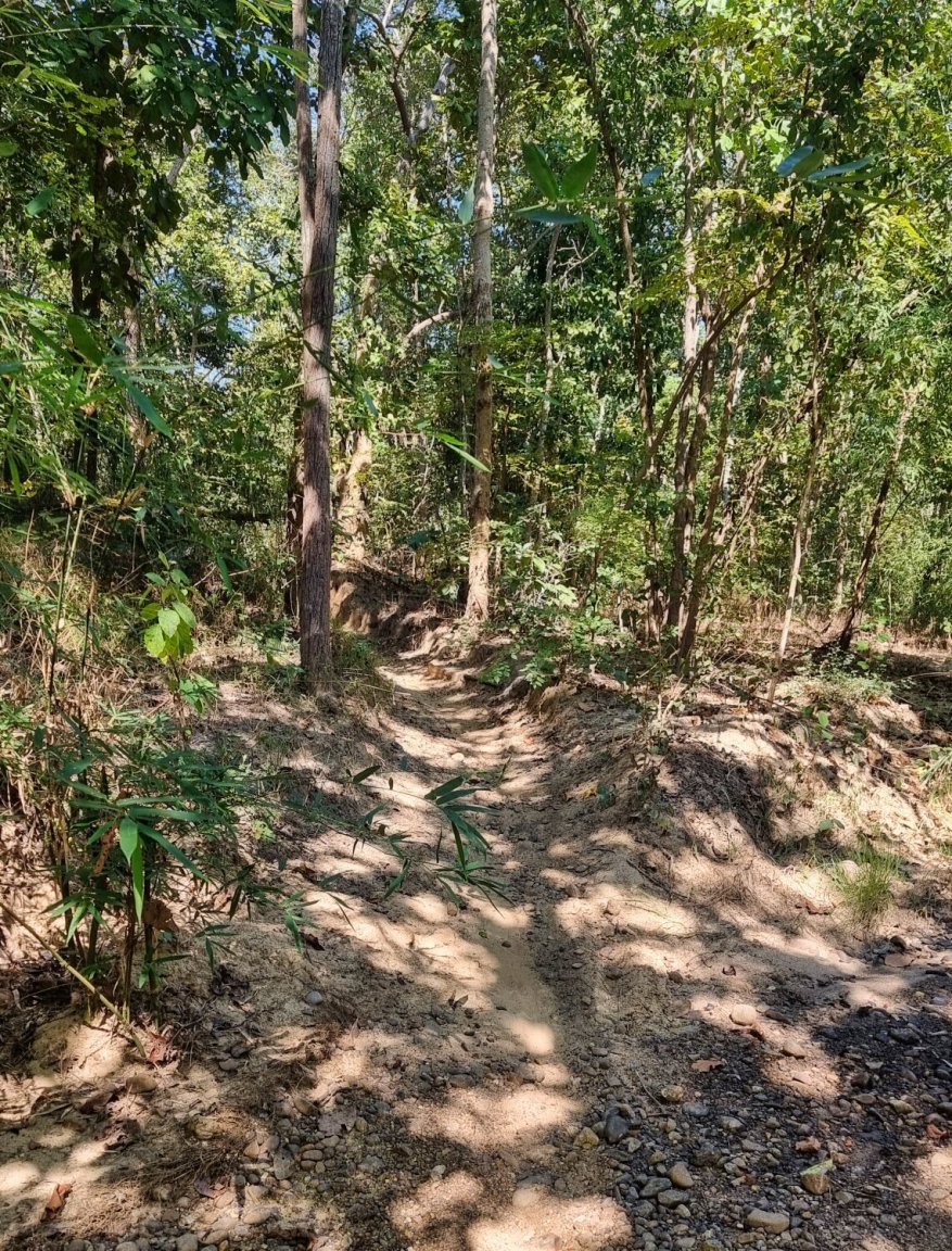
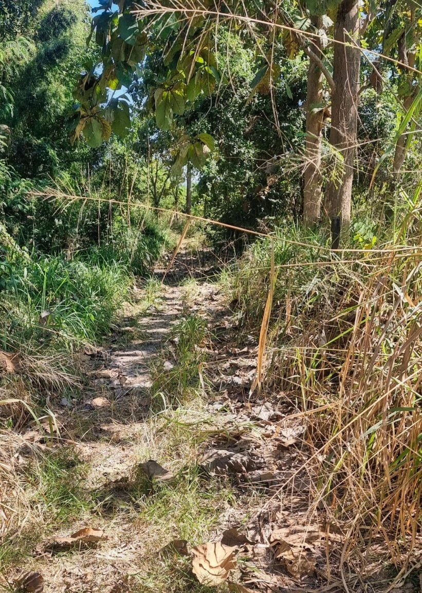
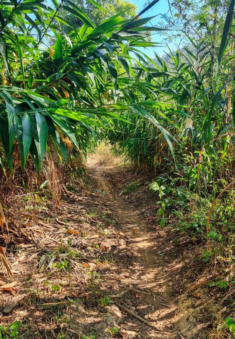
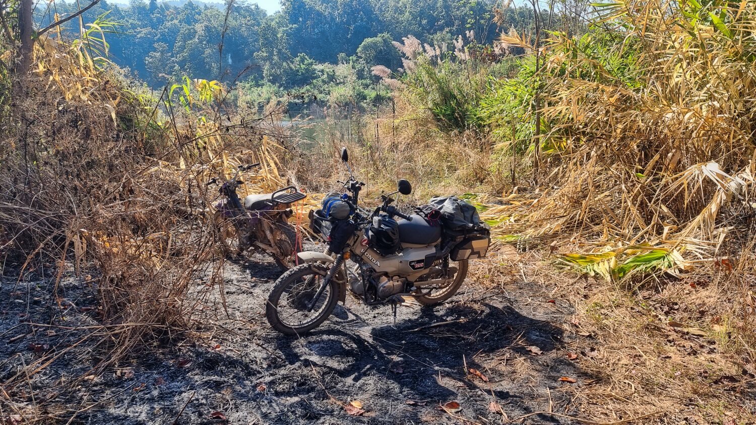
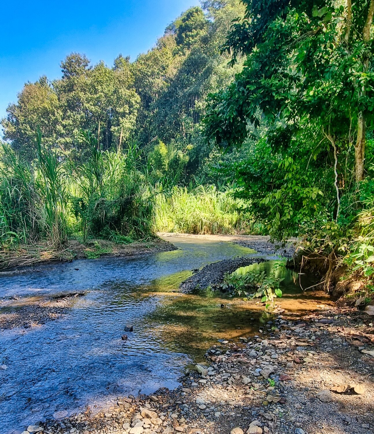
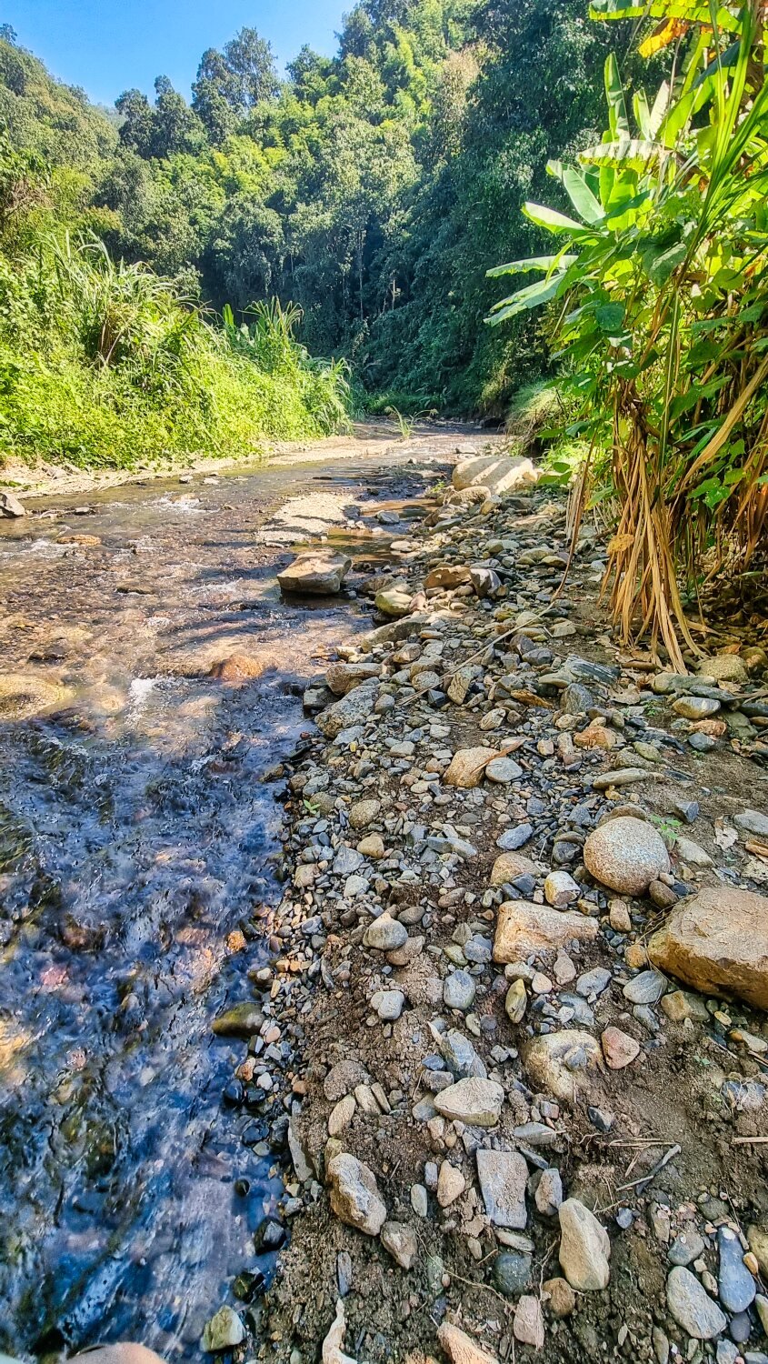
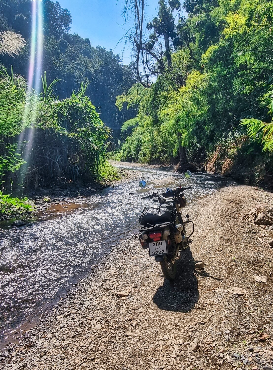
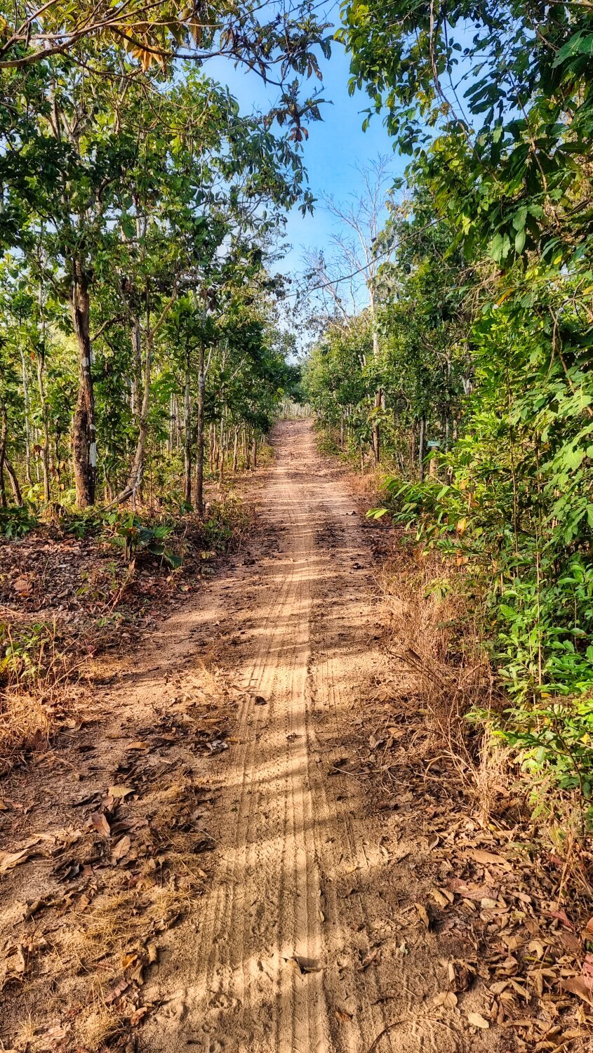
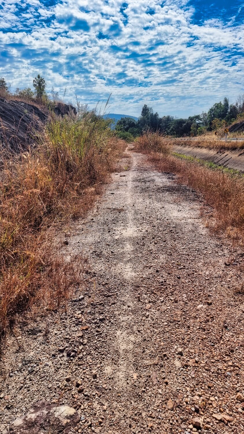
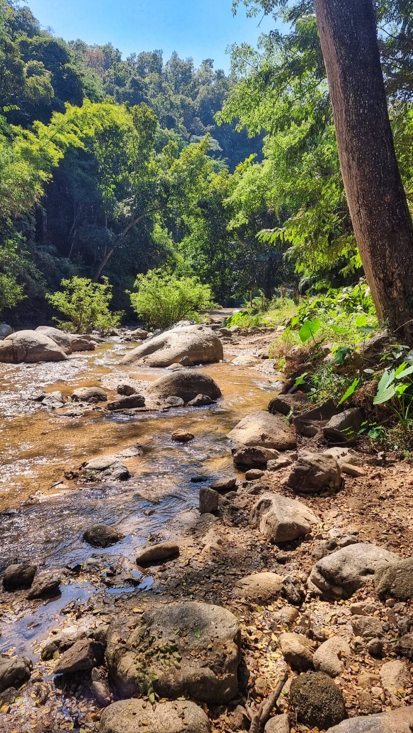
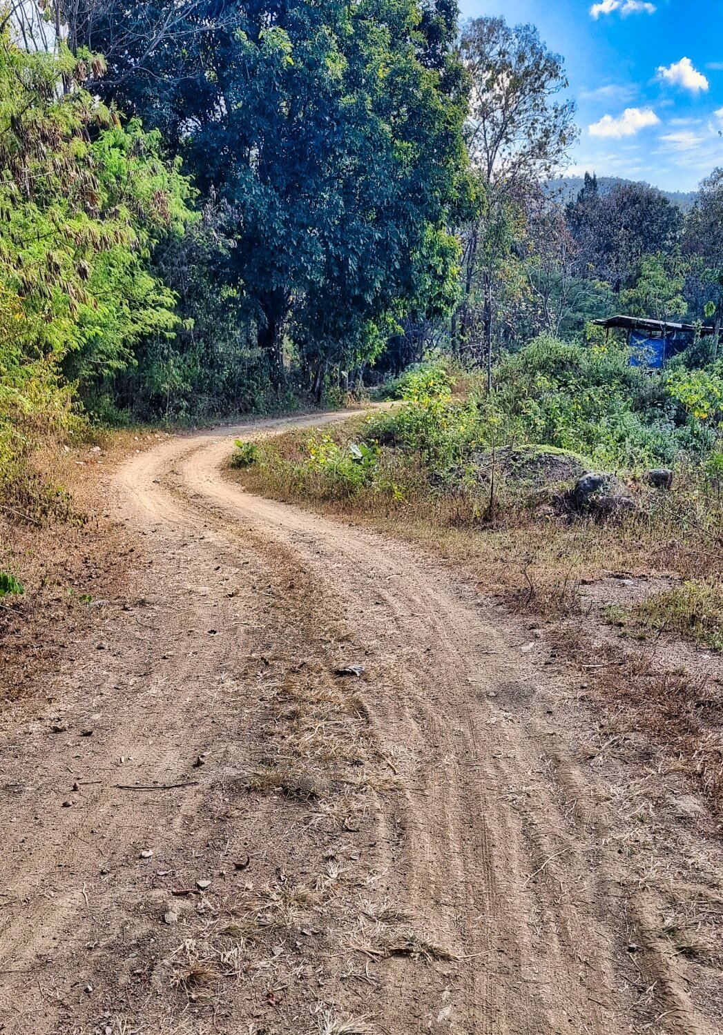
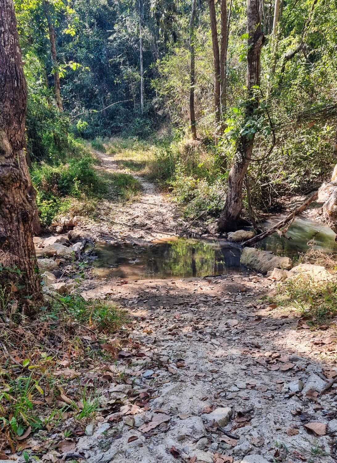
I followed this road until it turned into a track and decided to continue as far as could. Eventually I ended up having to cross and ride up the river to keep going quite a few times. I only stopped when I could see no sign of anyone having already ridden there even though the track and river kept going.
https://maps.app.goo.gl/moLUTLpbShBjHbm39
I continued south and crossed the Yuam River before riding back to Mae Sariang.
https://maps.app.goo.gl/gnmZUygoQhRLg1iN7
https://www.relive.cc/view/vXOnnwYEpBO


-
4
-
- Popular Post
- Popular Post
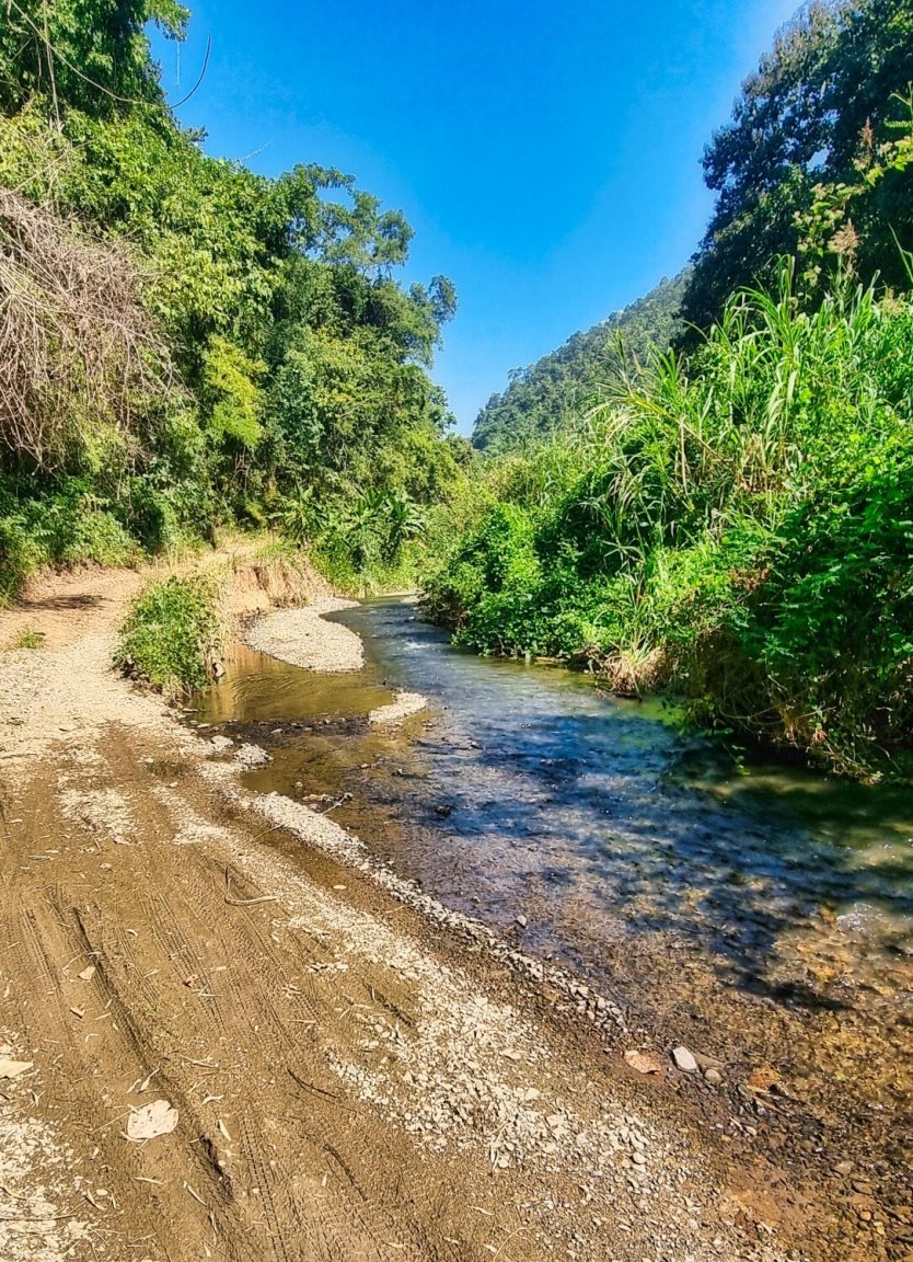
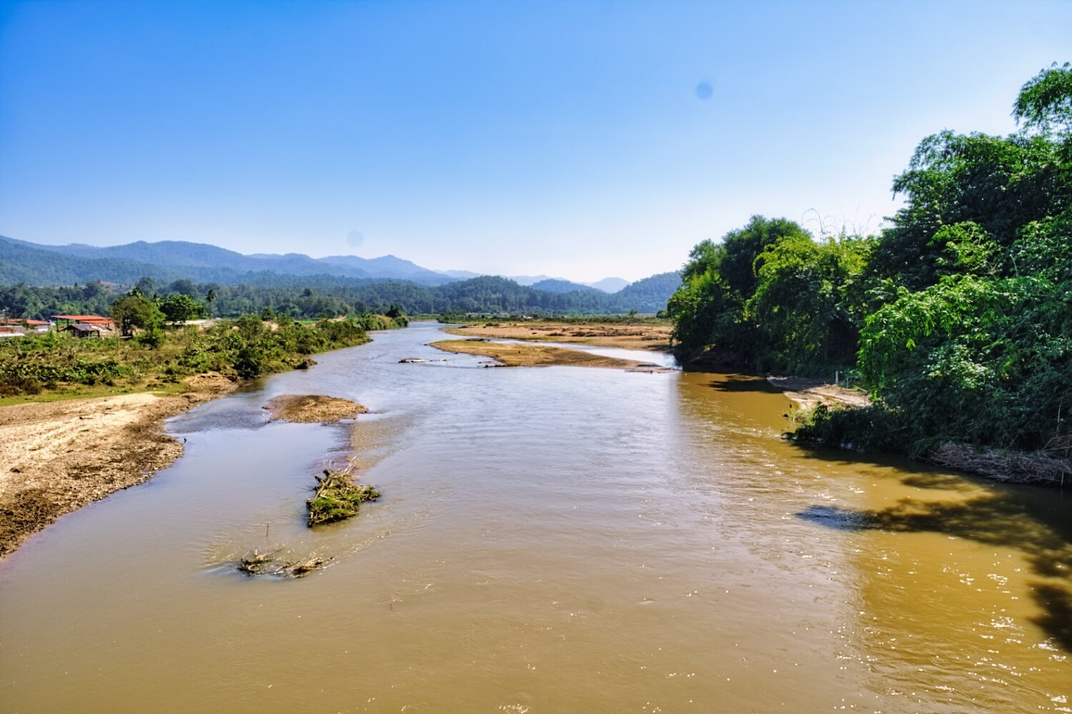
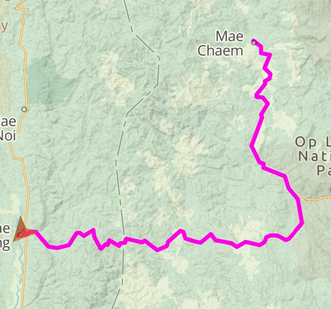
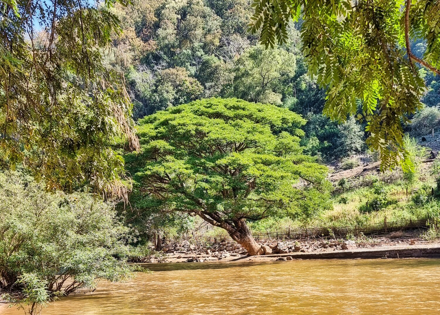
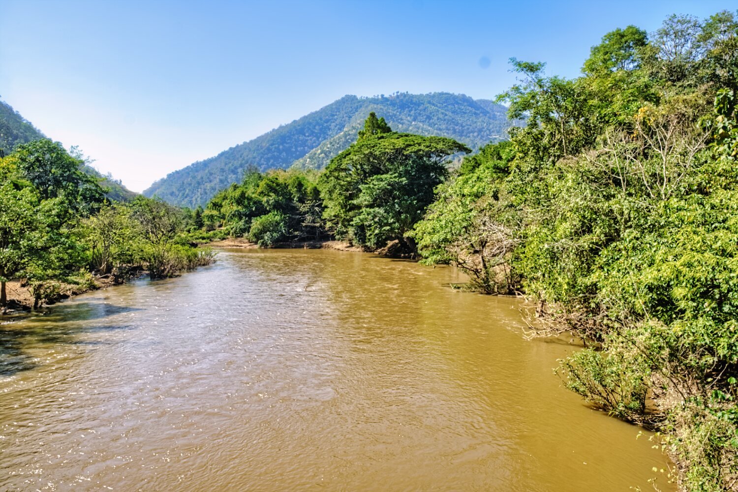
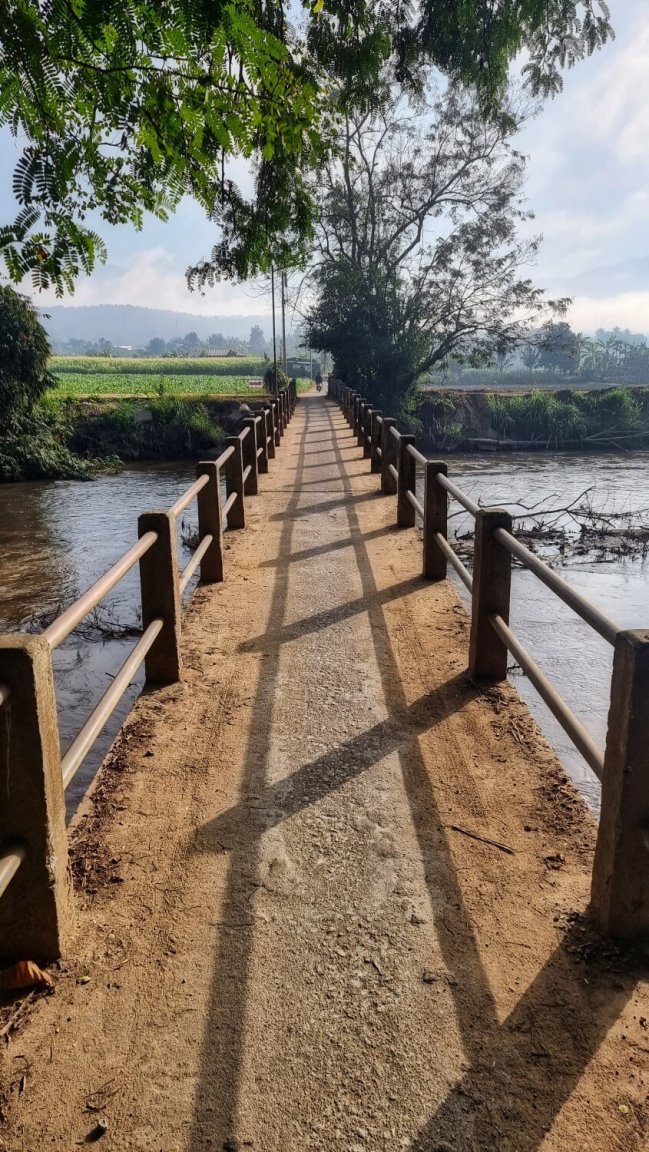
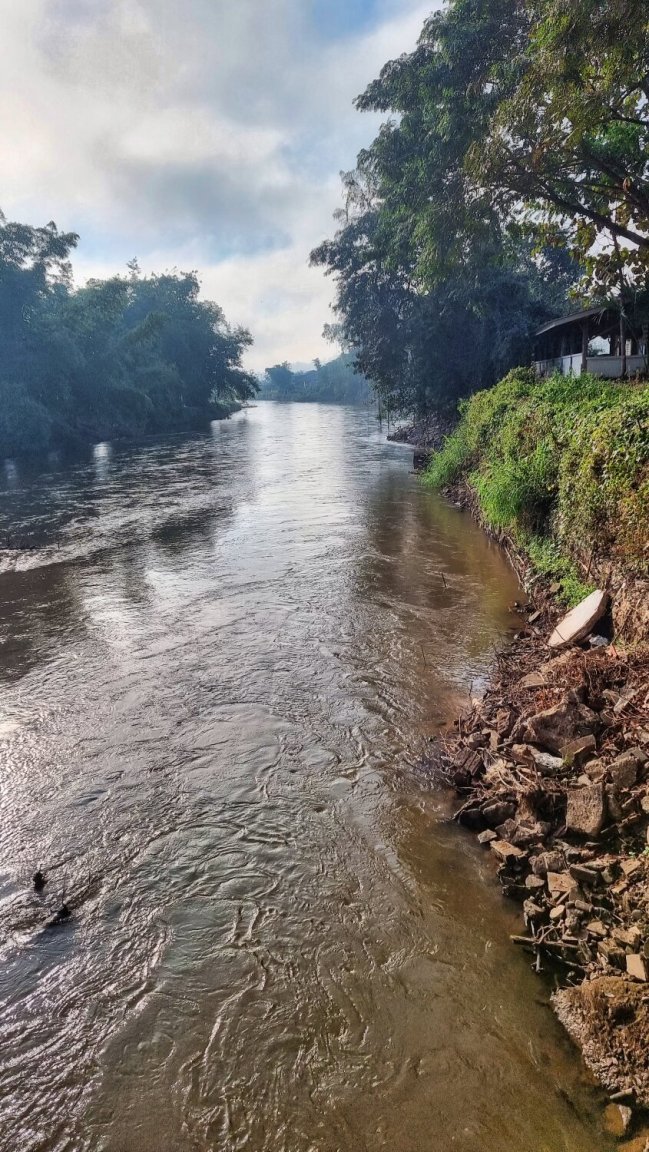
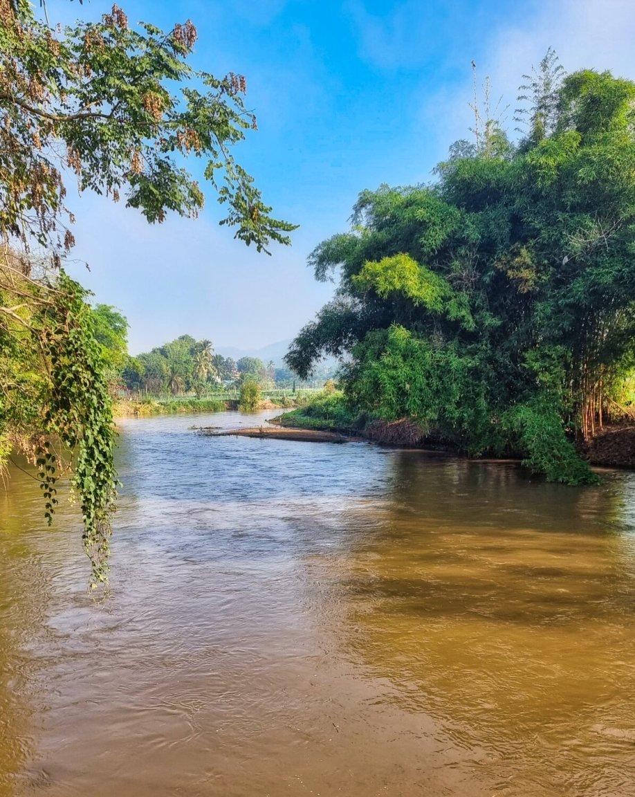
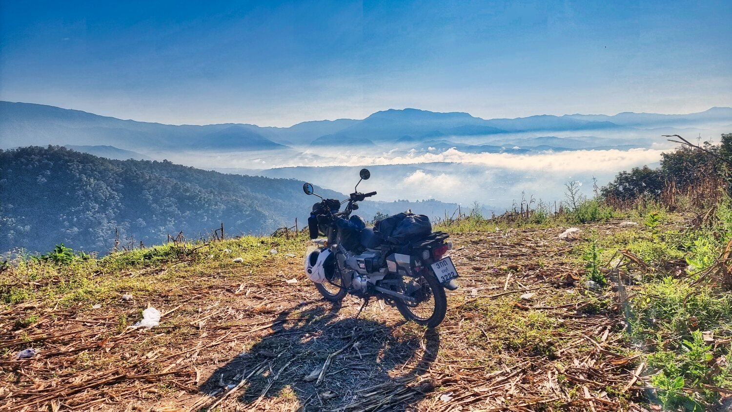
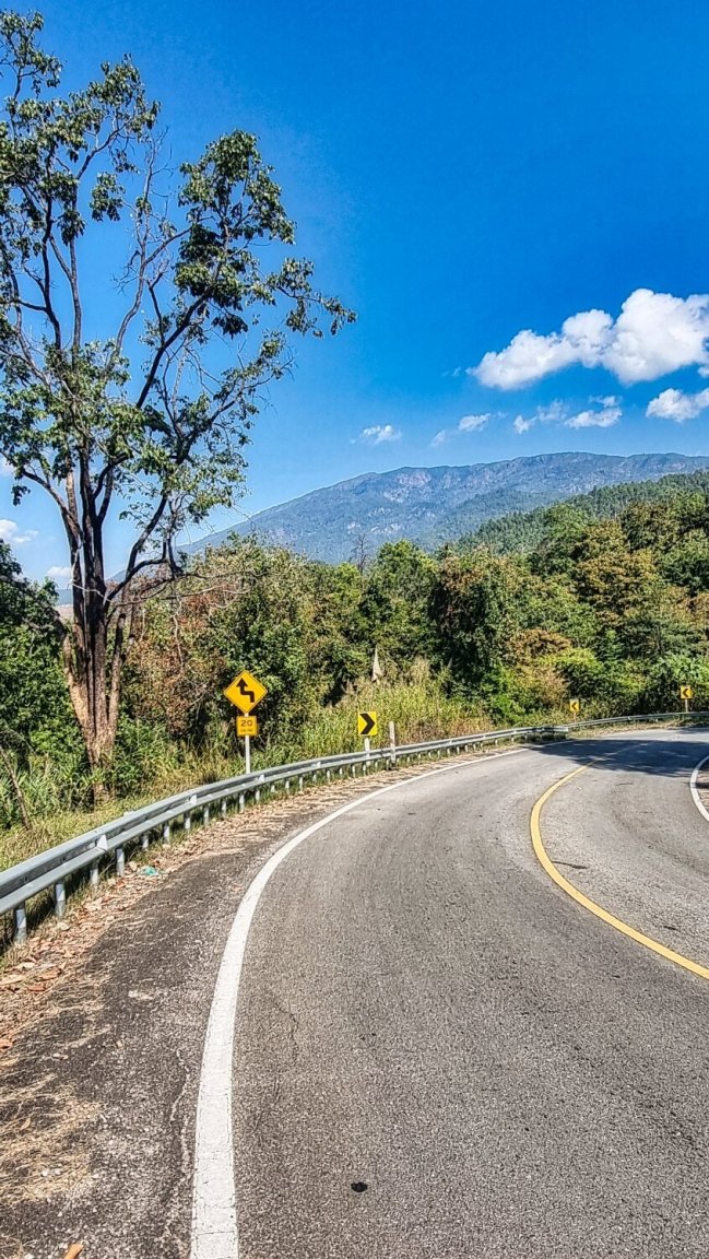
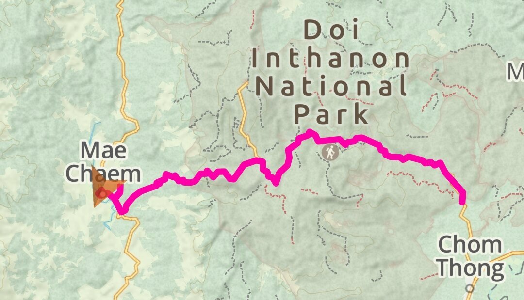
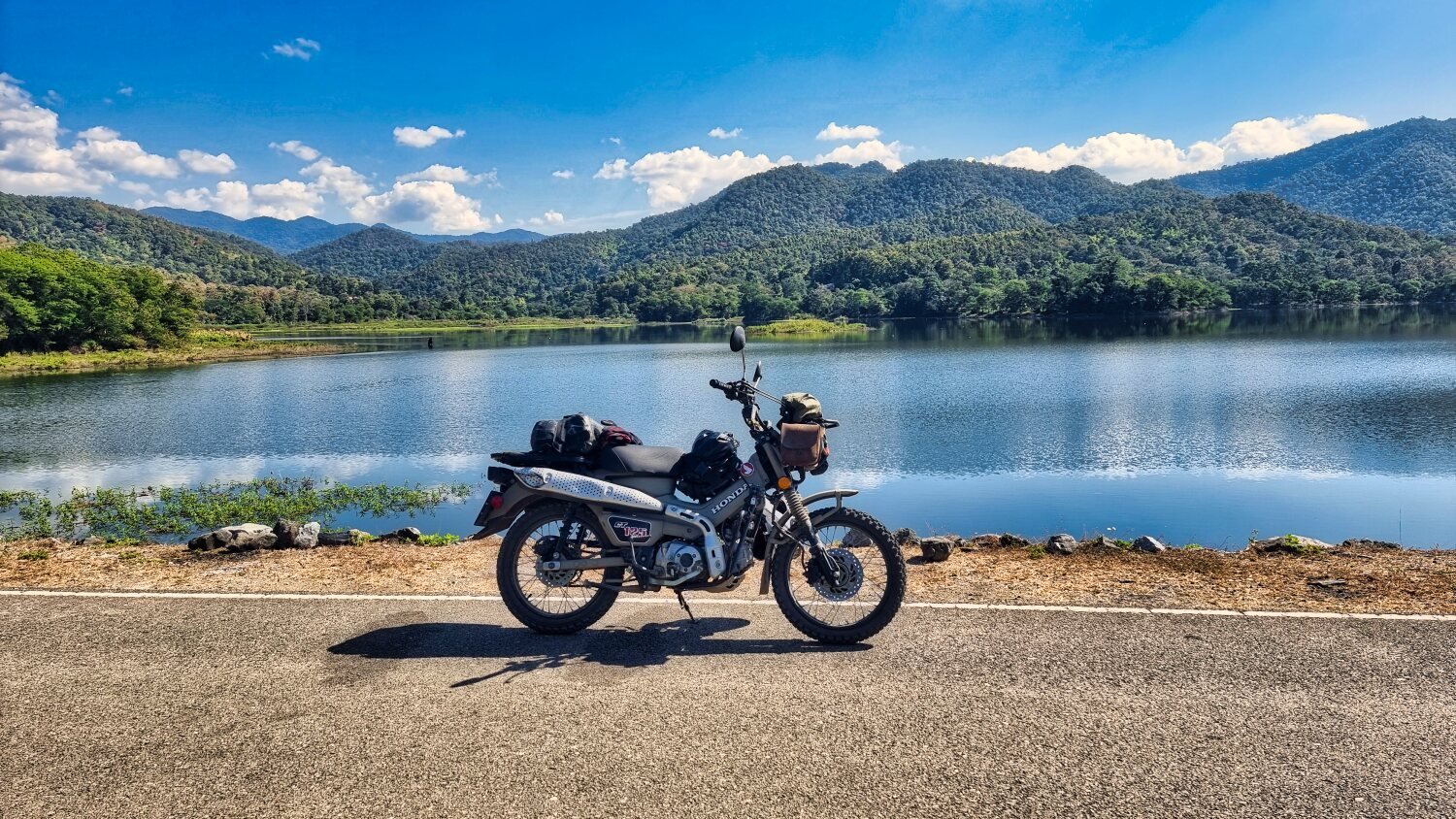
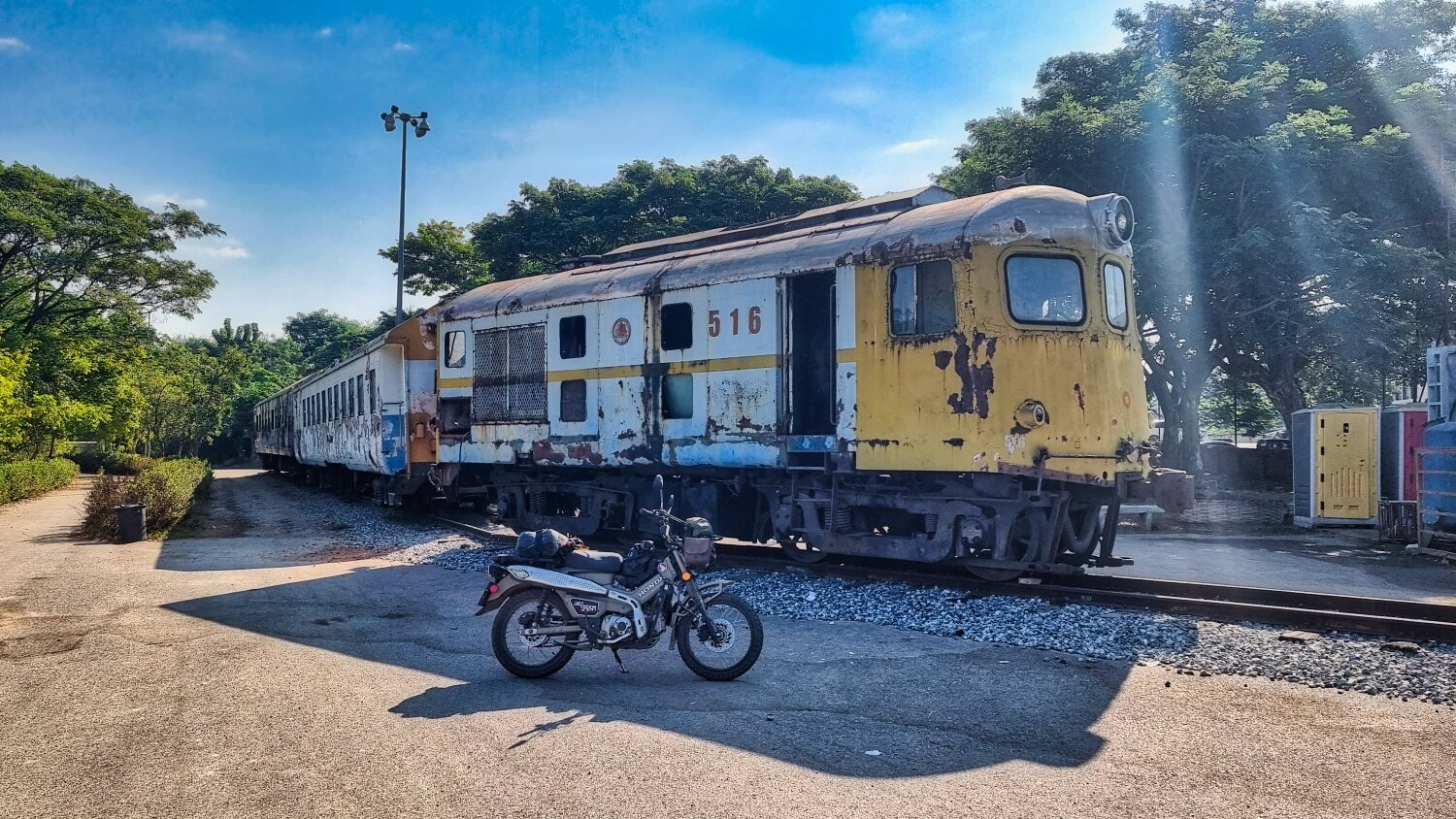
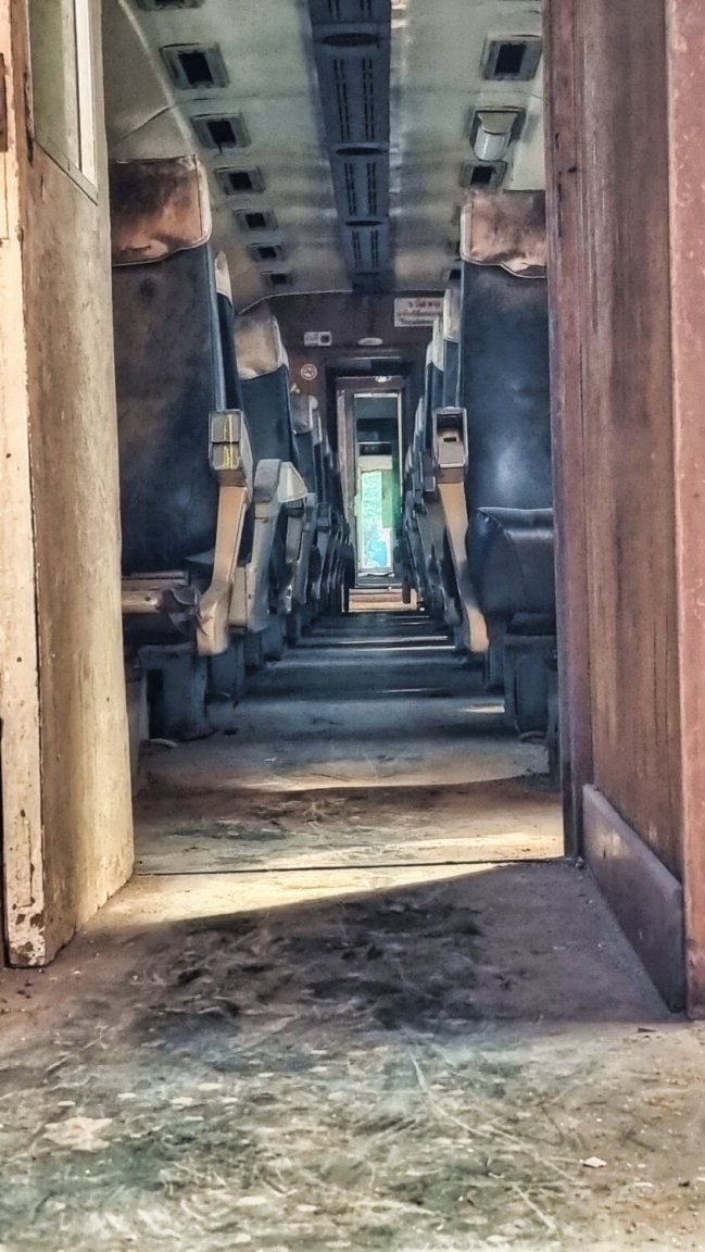
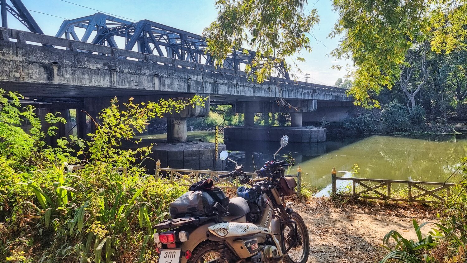
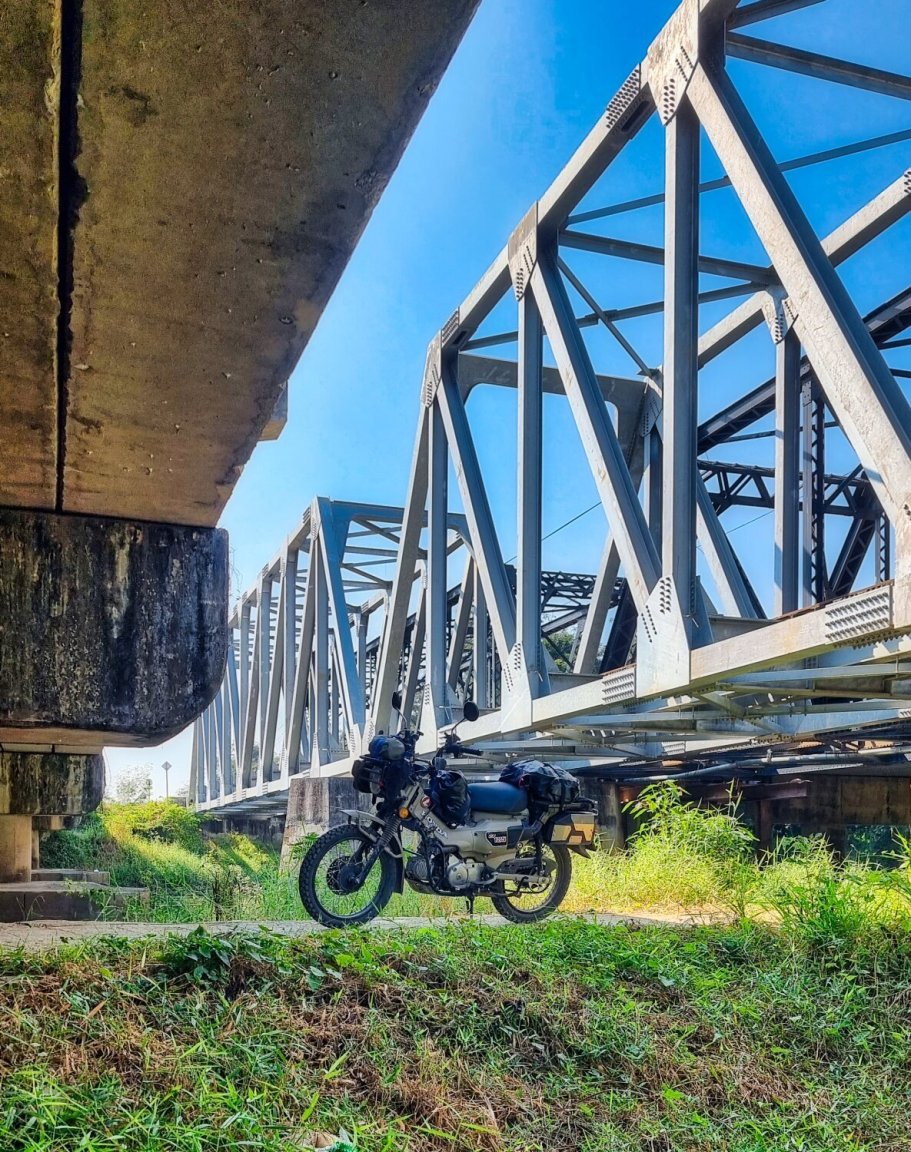
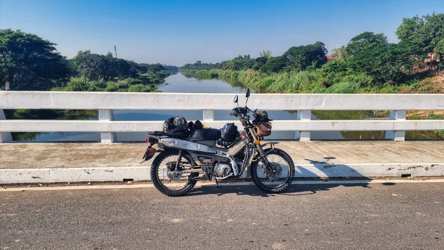
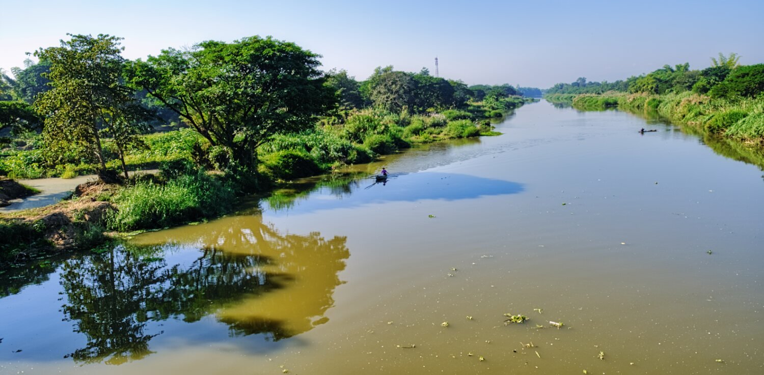
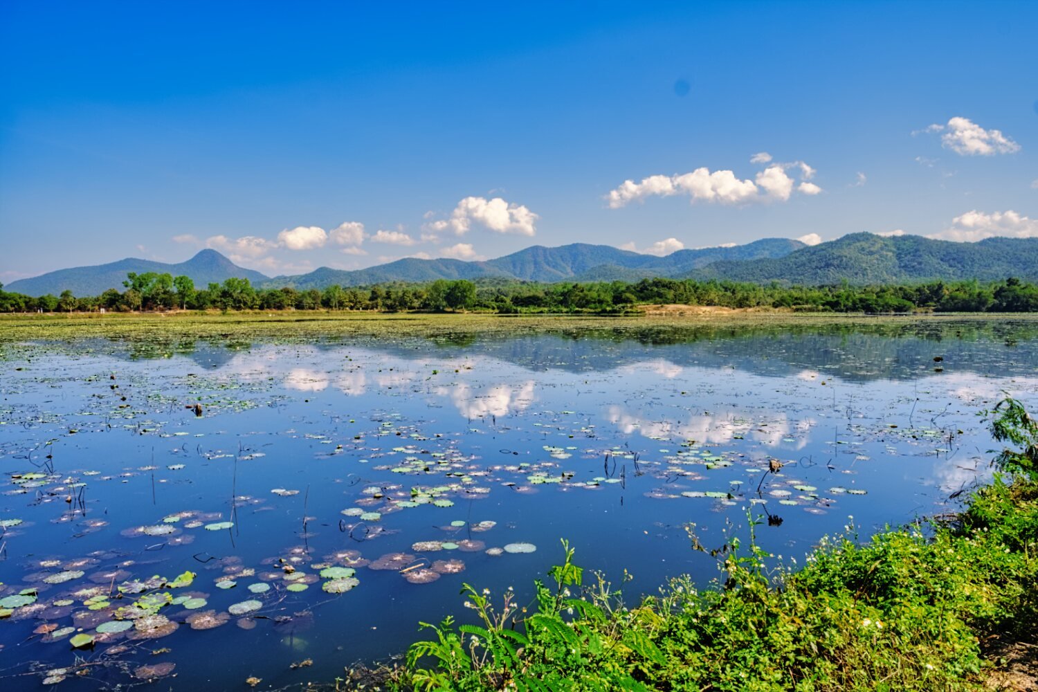
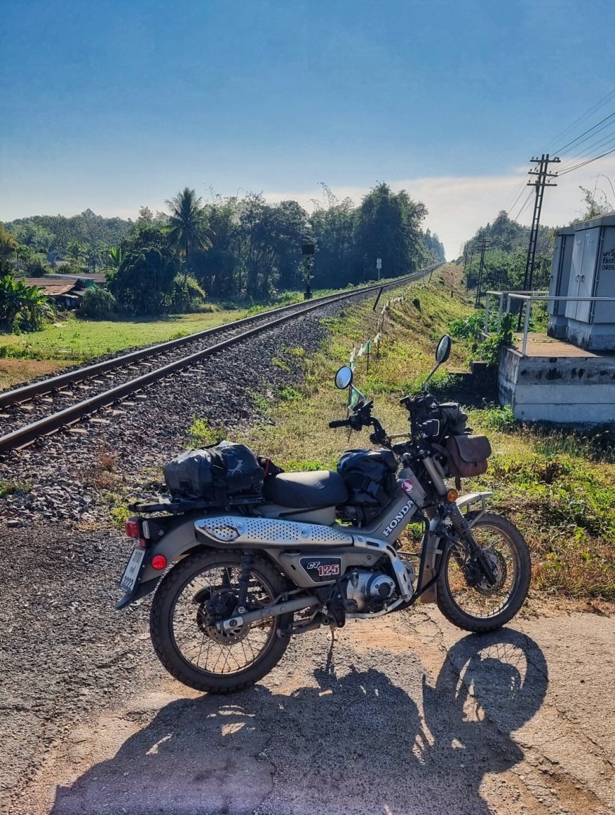
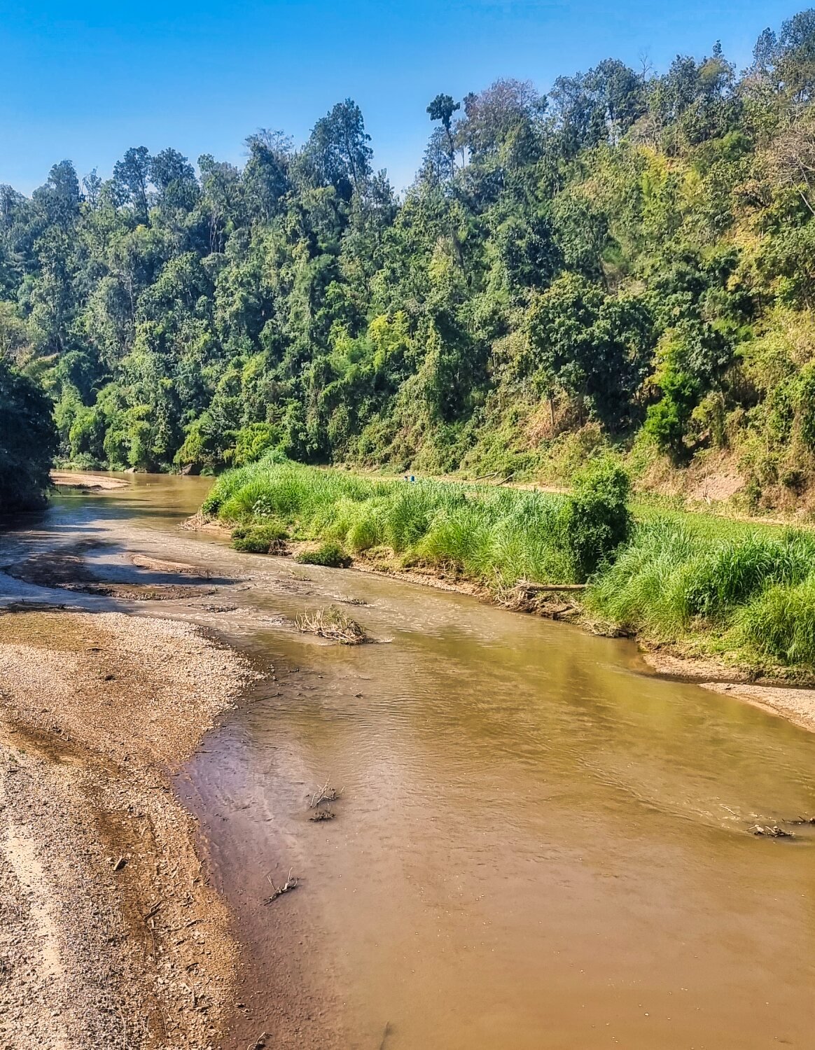
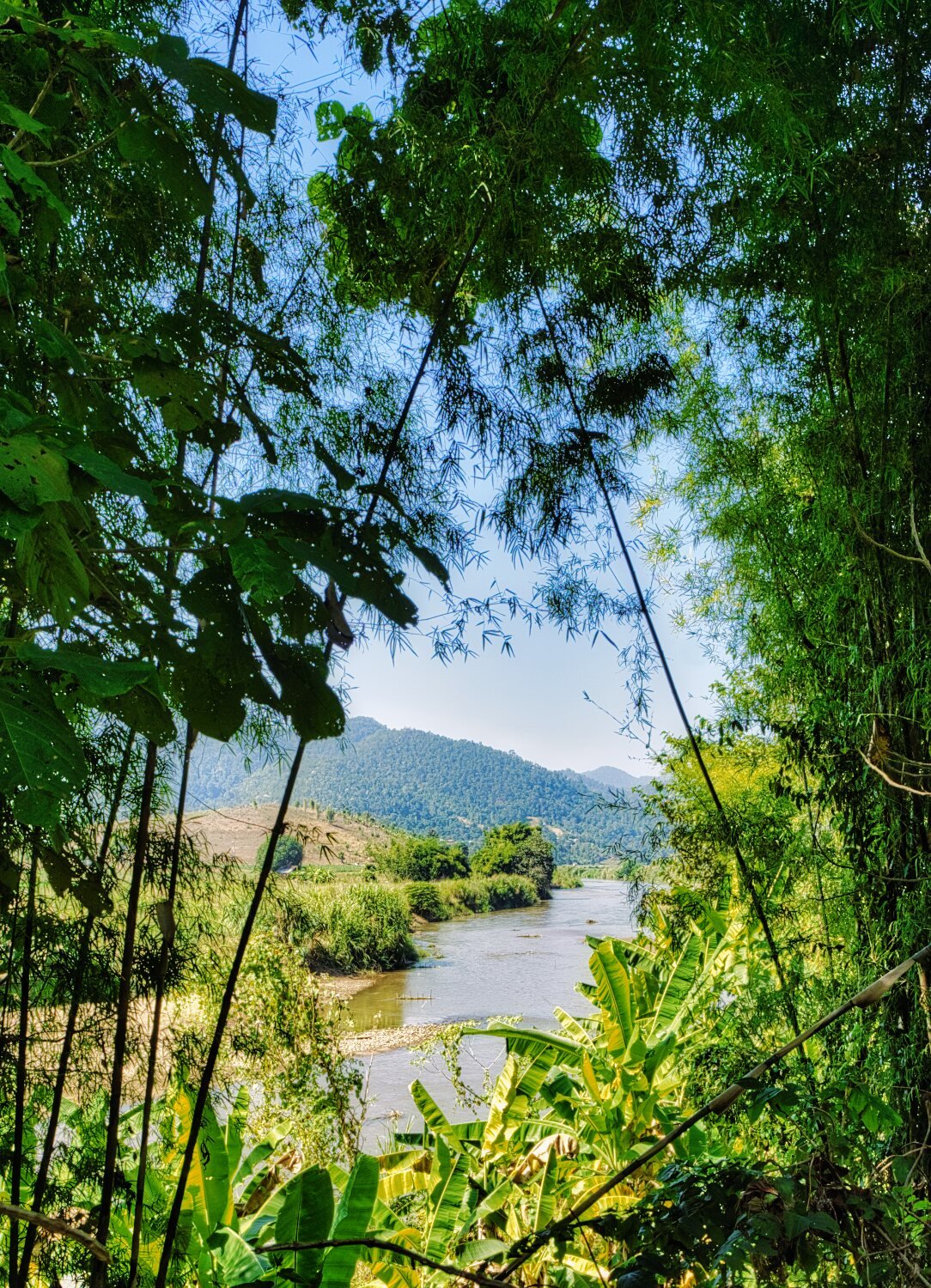
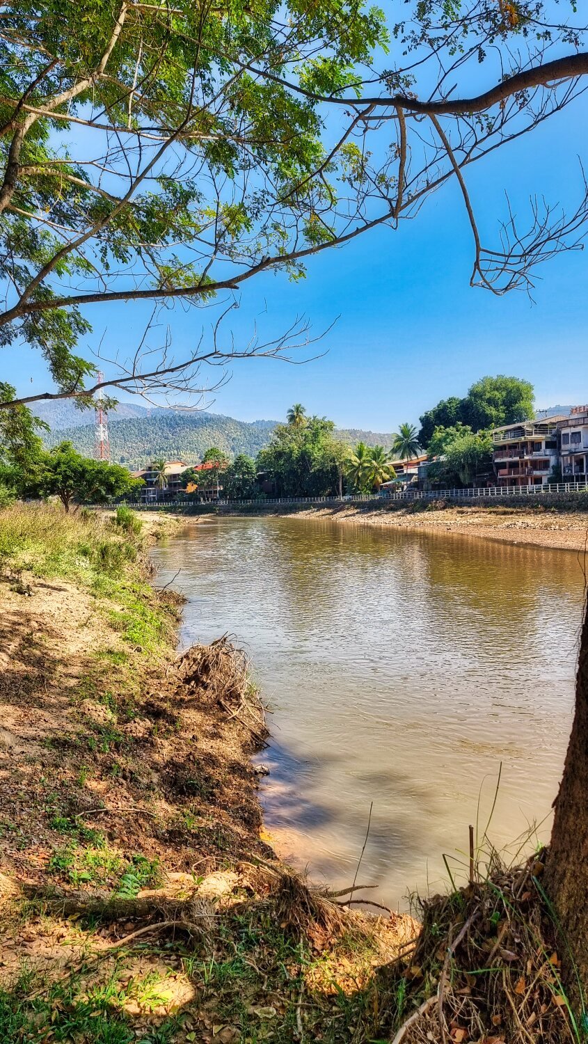
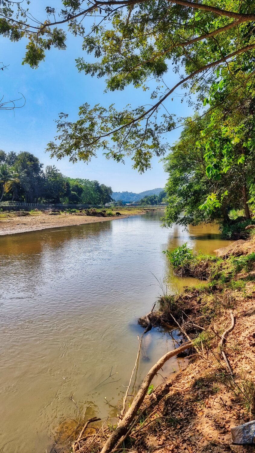
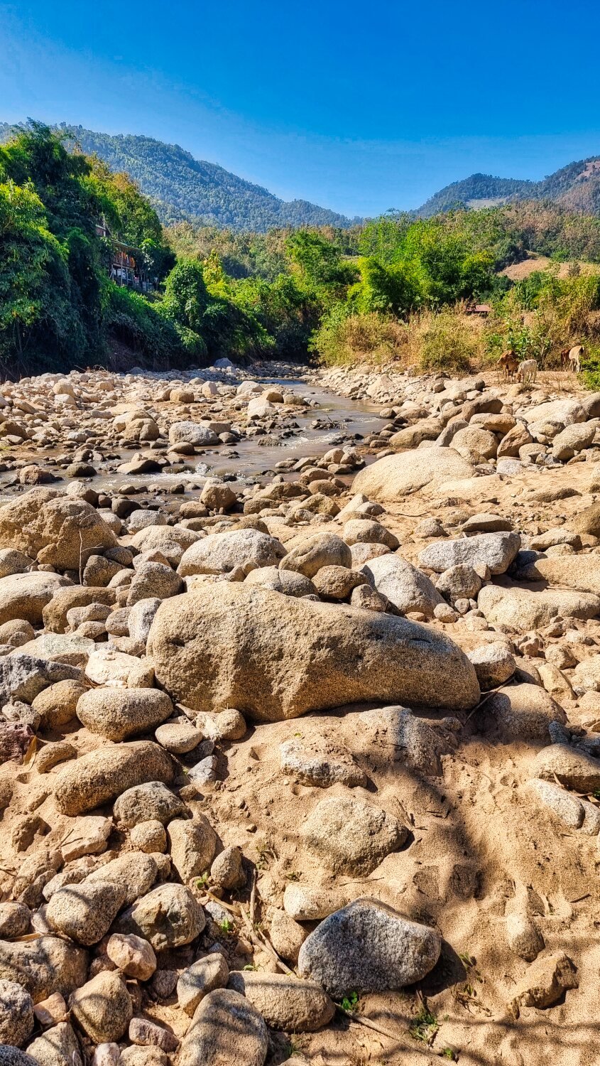
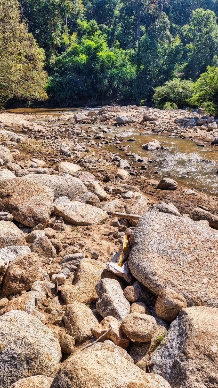
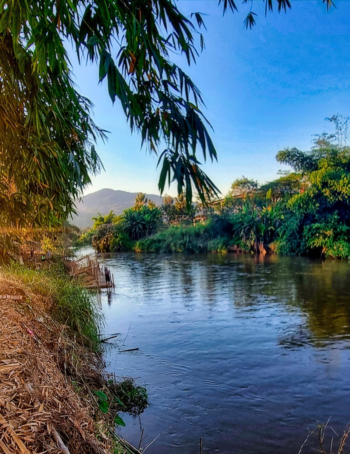
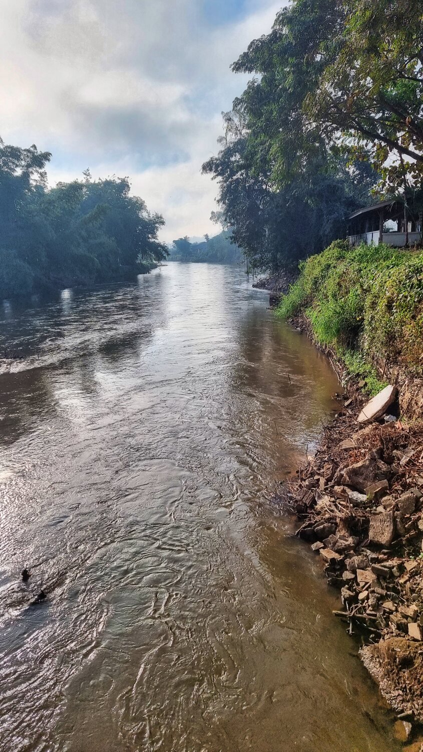
Today was day 70 of my ride and I rode an easy ride from Mae Chaem to Mae Sariang. I only stopped to take photos once I arrived at the Yuam River, here.
https://maps.app.goo.gl/n8NuLXg3RDBdDN9E9
https://www.relive.cc/view/vevW32ZB1yv


-
3
-
- Popular Post
- Popular Post
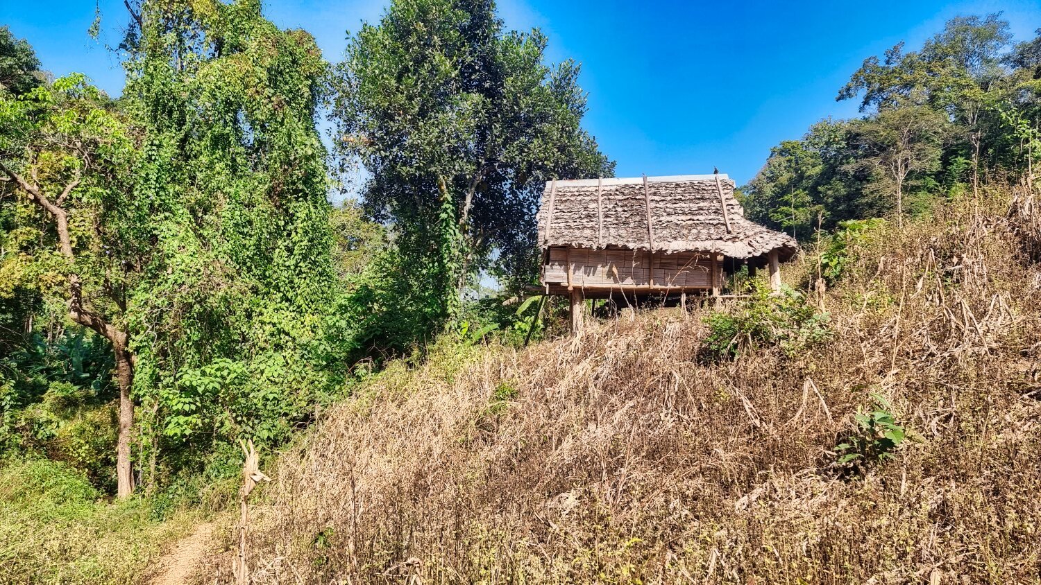
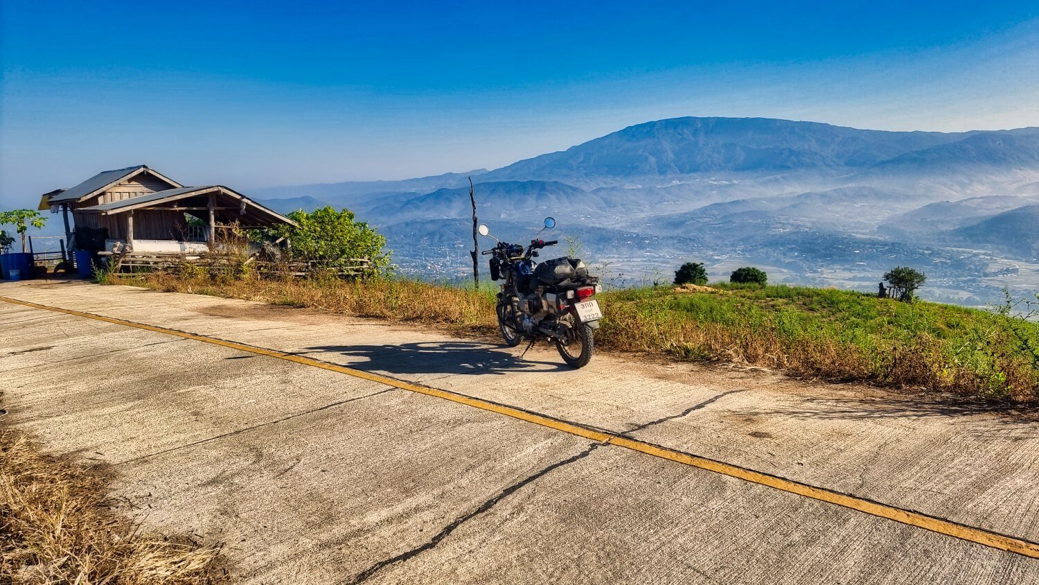
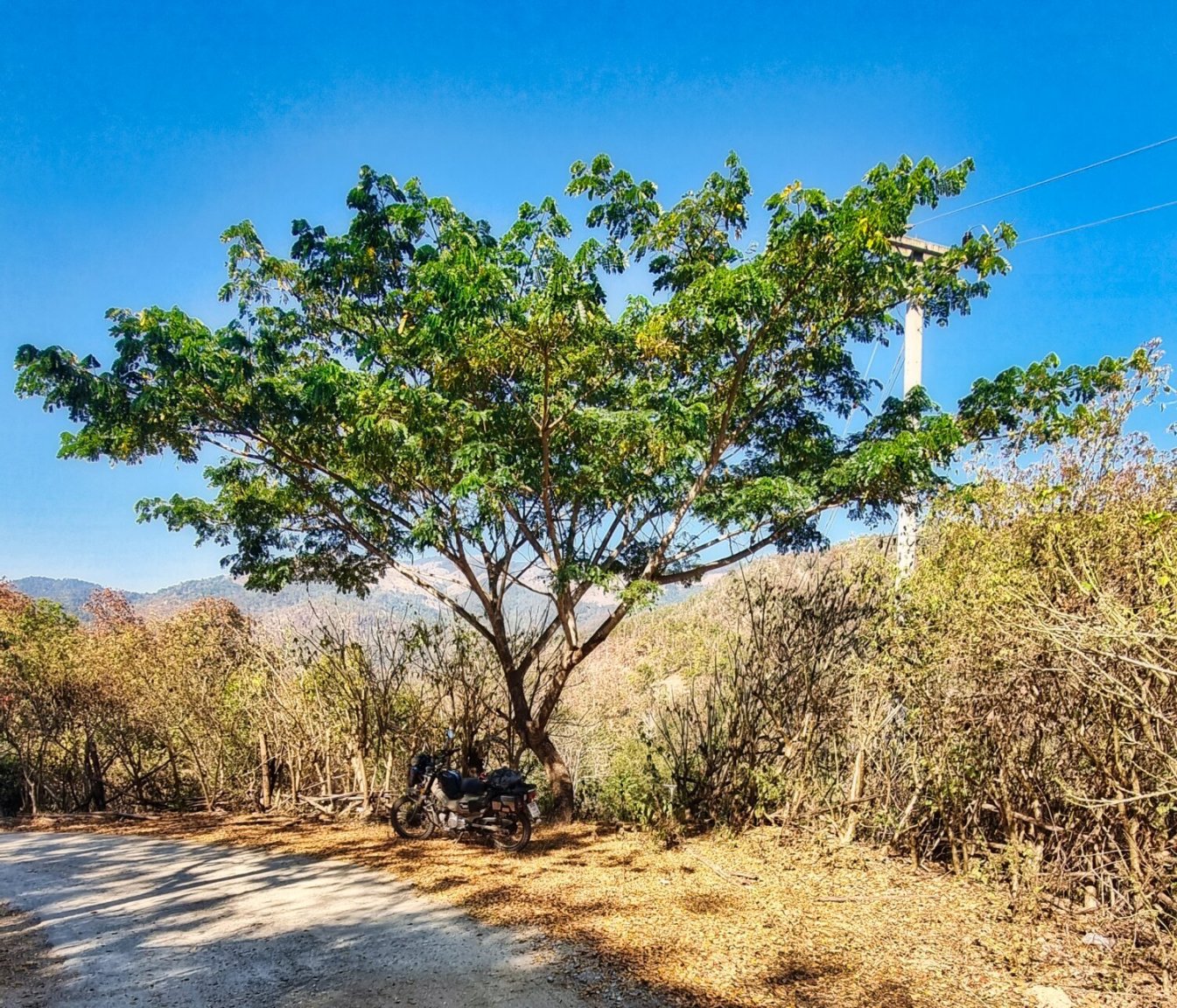
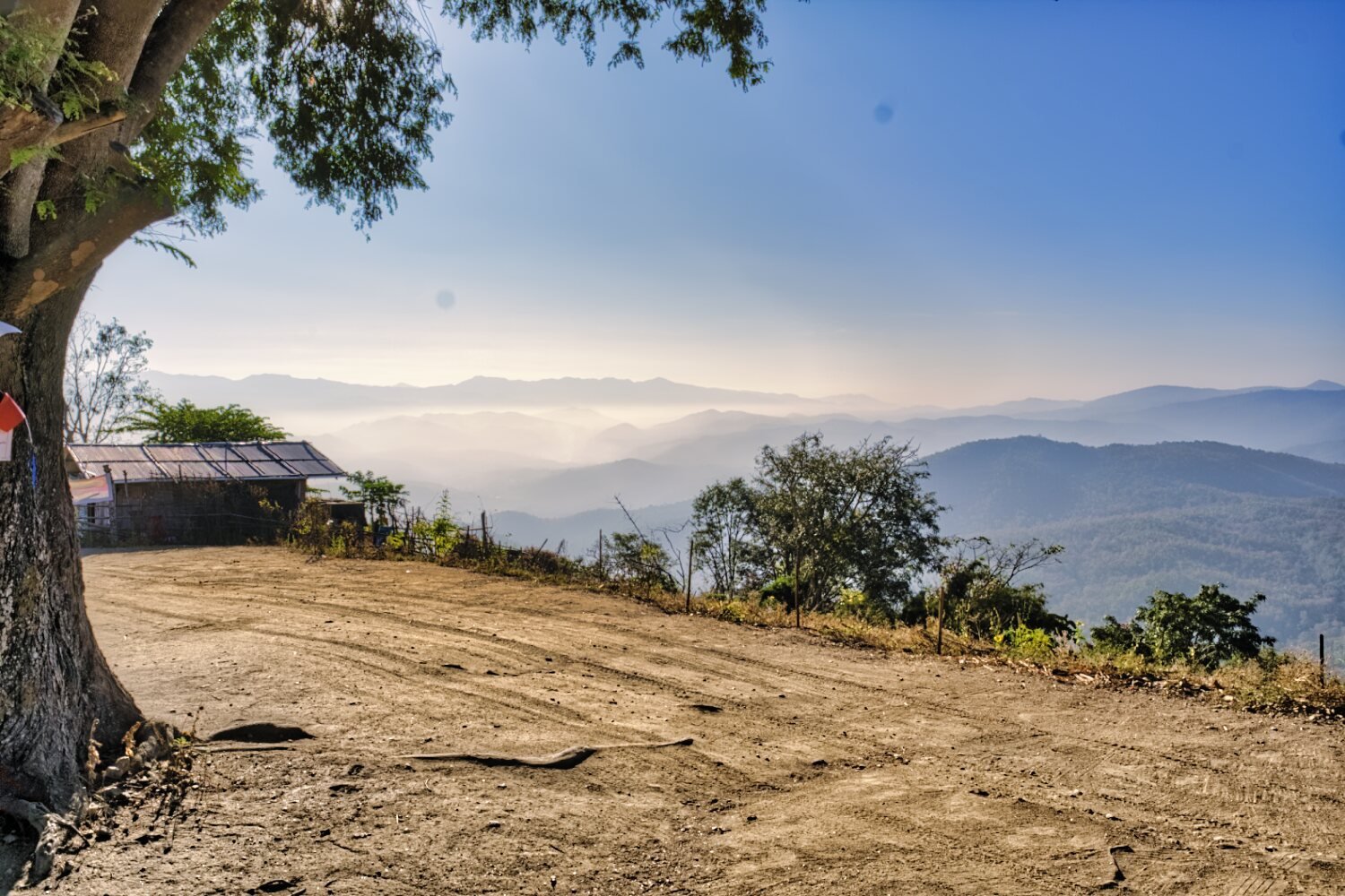
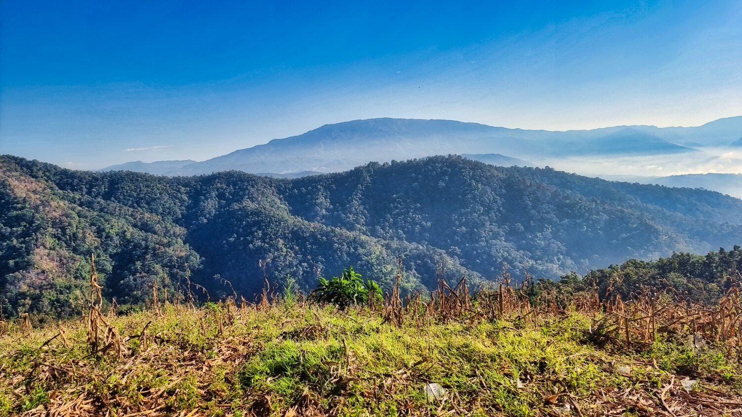
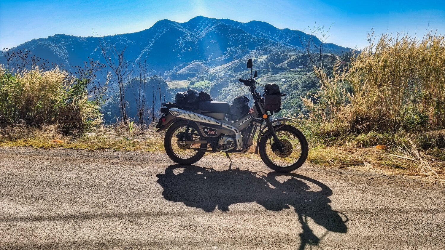
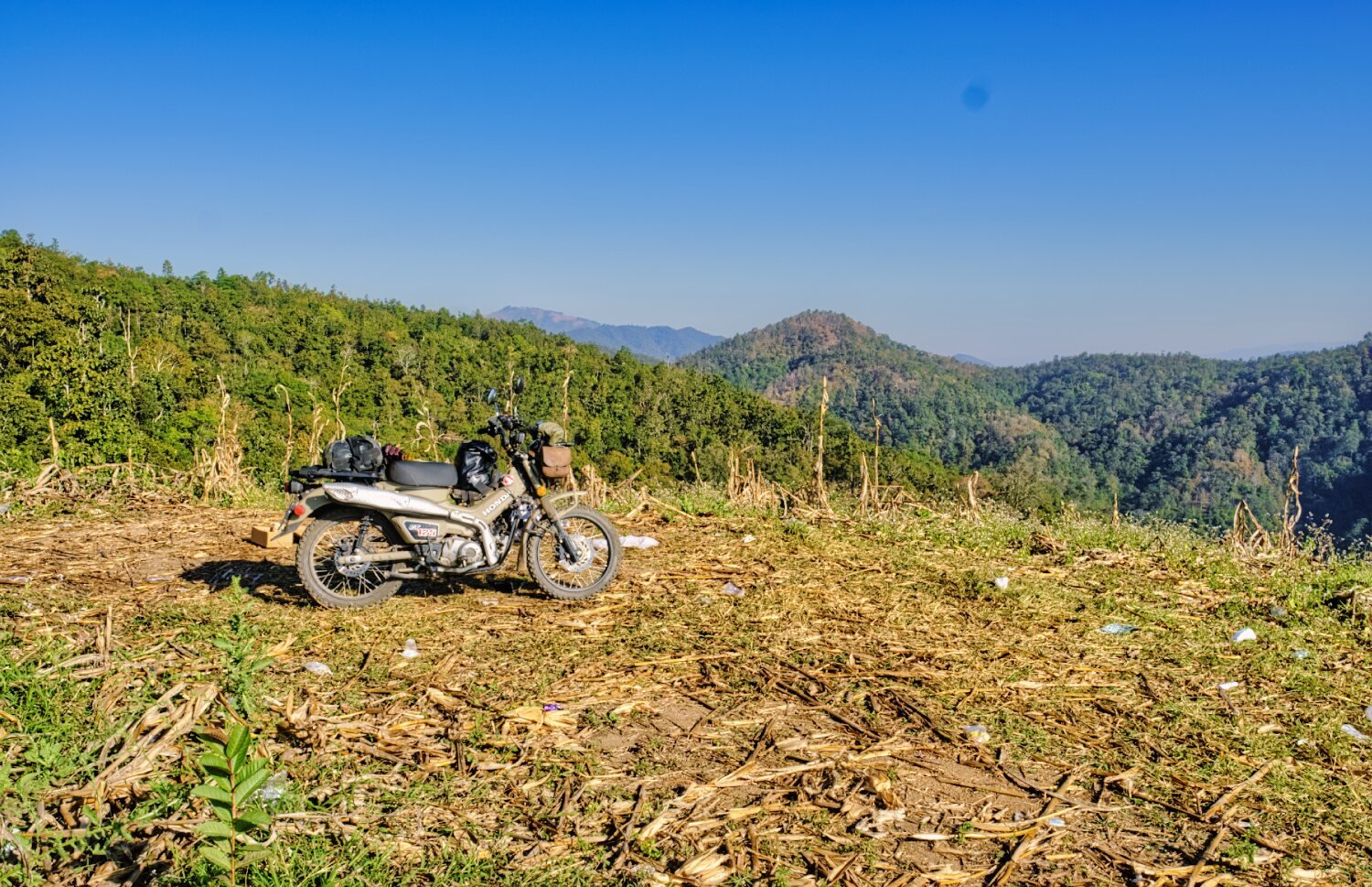
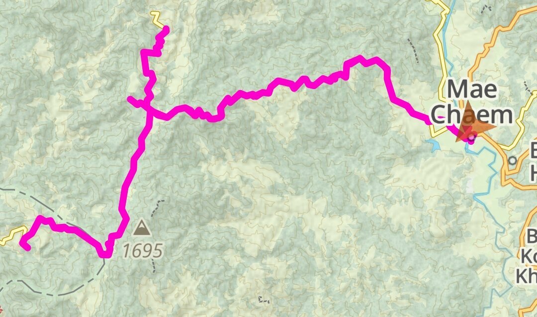
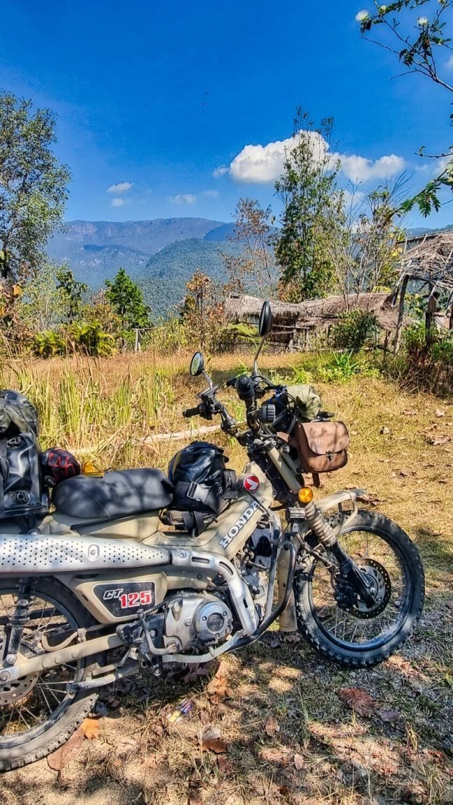
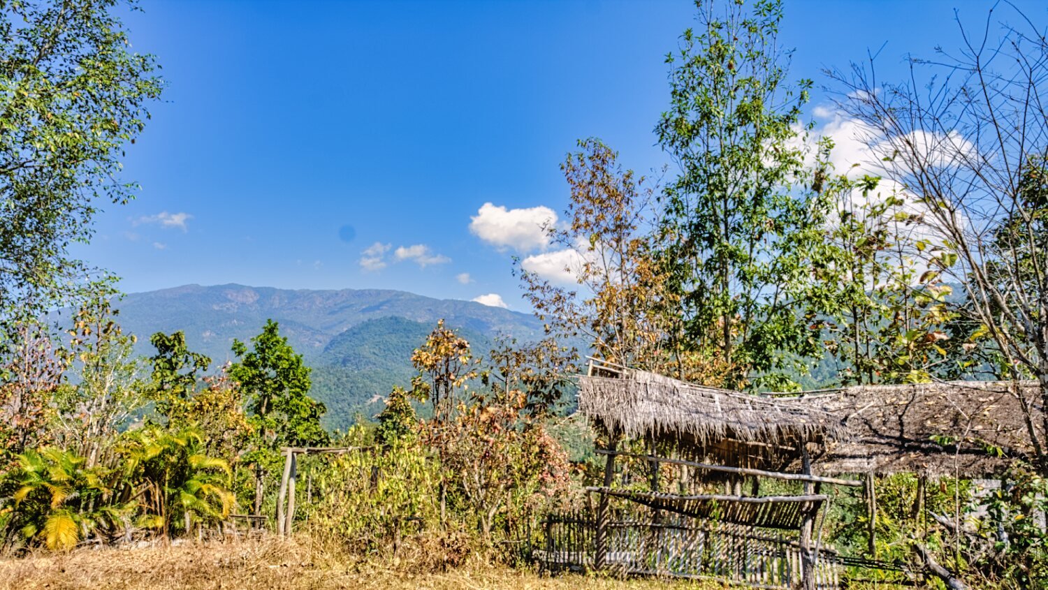
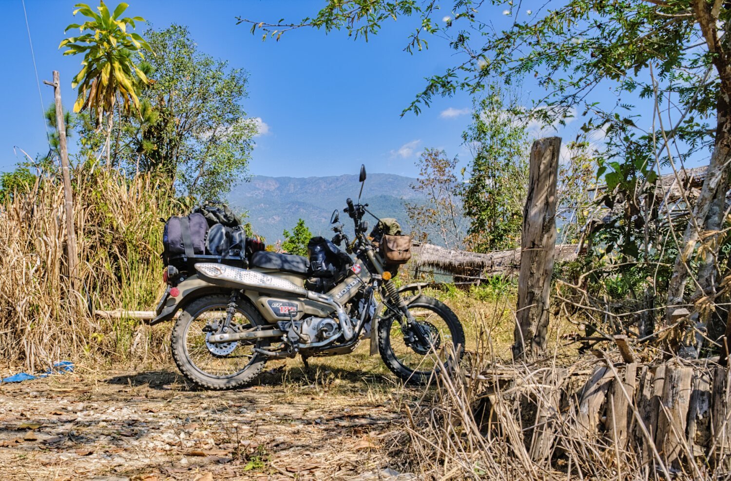
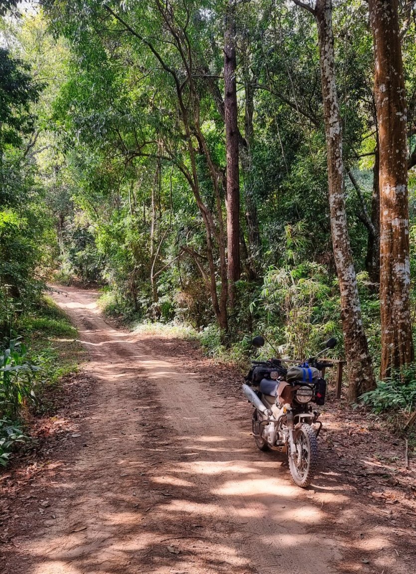
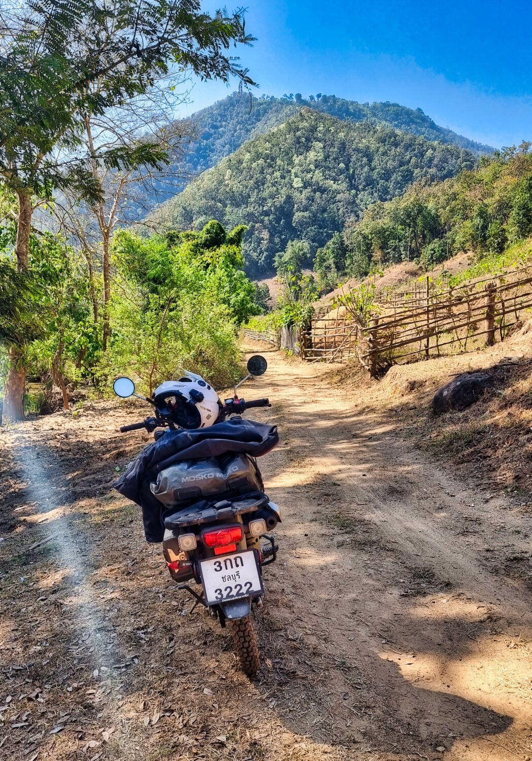
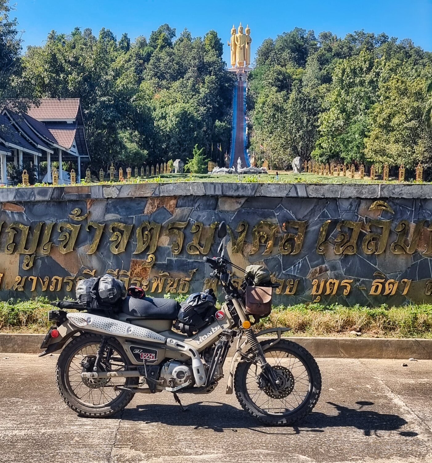
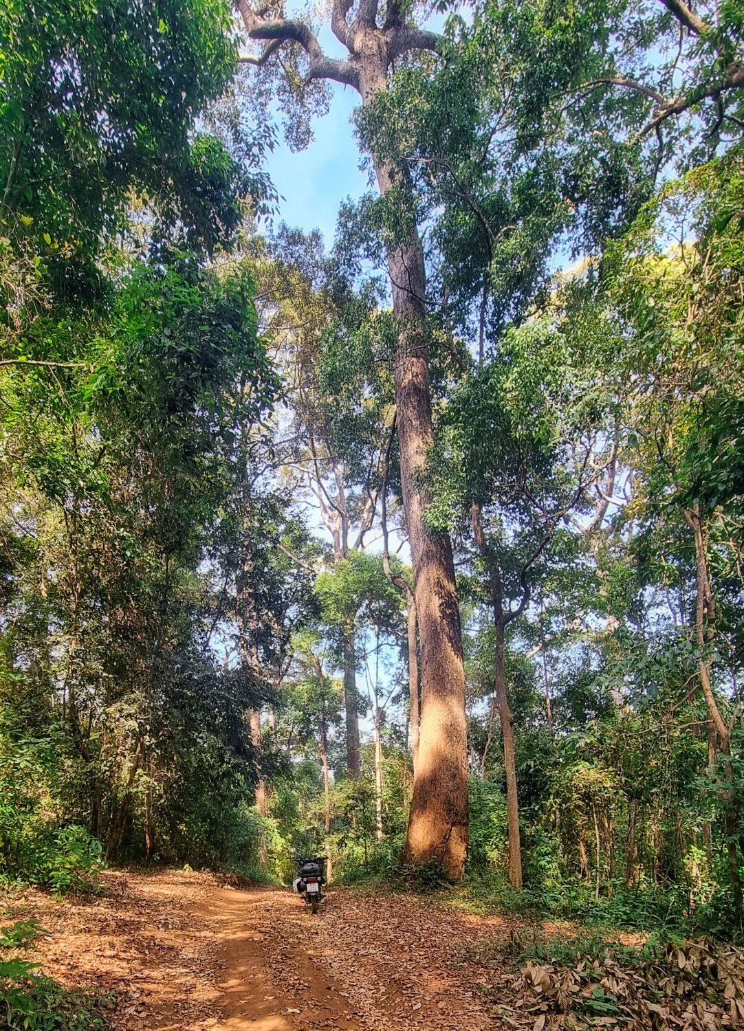
Today’s ride out from Mae Cheam started with a ride to Mae Ya Camp, here.
https://maps.app.goo.gl/pet1wDXt6KXeaBVA8
Thanks Steve Coupland for the heads-up.
Google sent me off road not long after leaving my hotel and from Wat Pa Saraphi, there was a kilometer of stony track before I got back onto route.
https://maps.app.goo.gl/6TdqeQkHSL8t6Gkw6
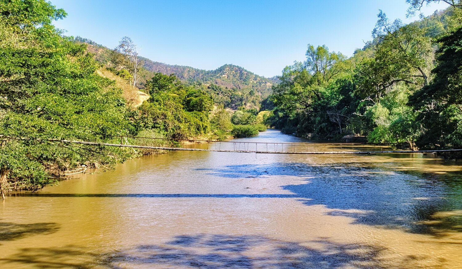
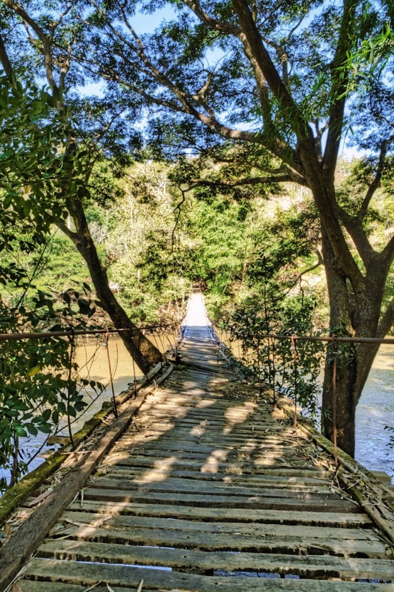
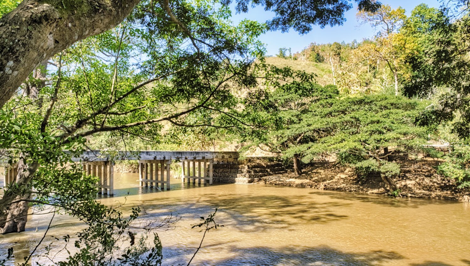
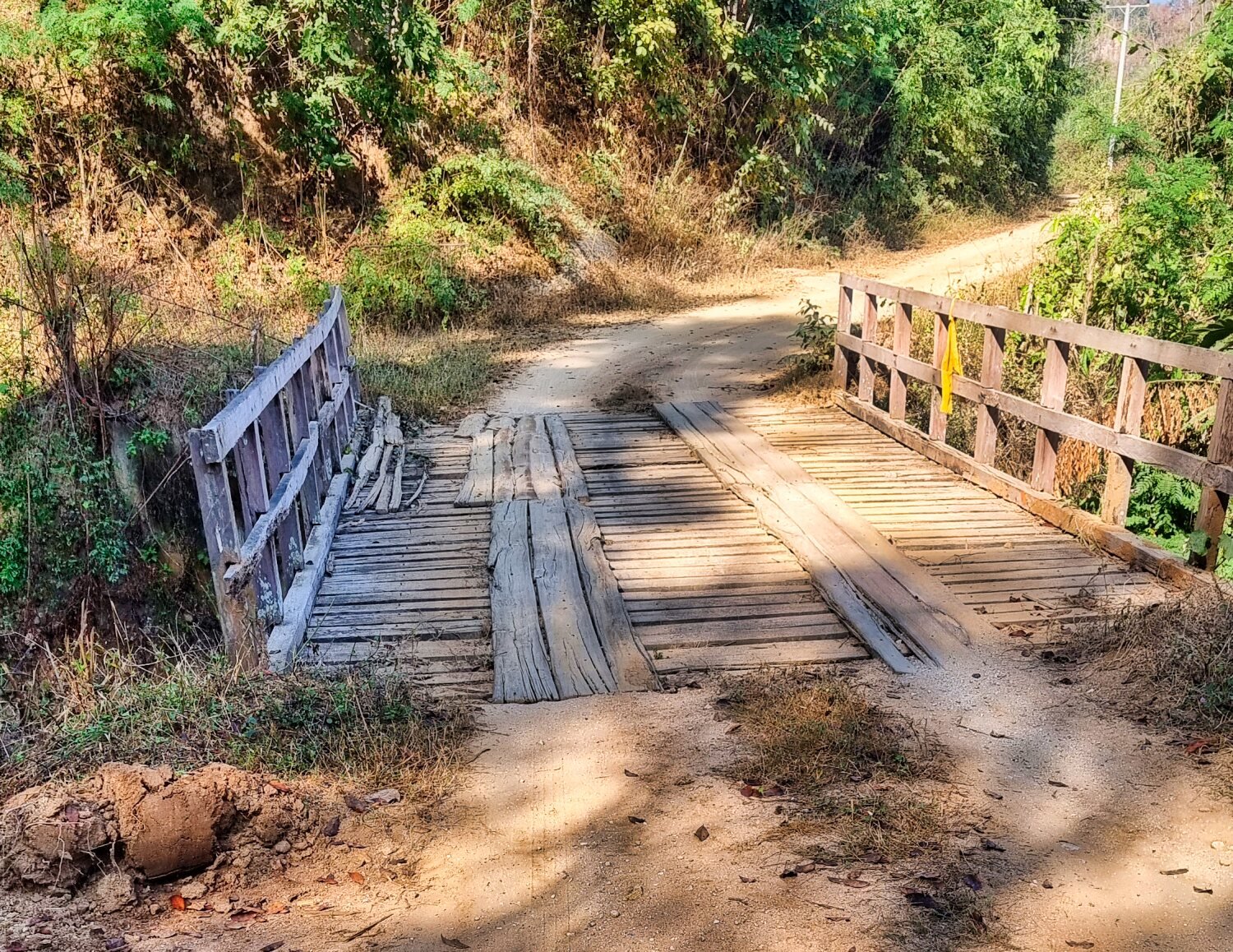
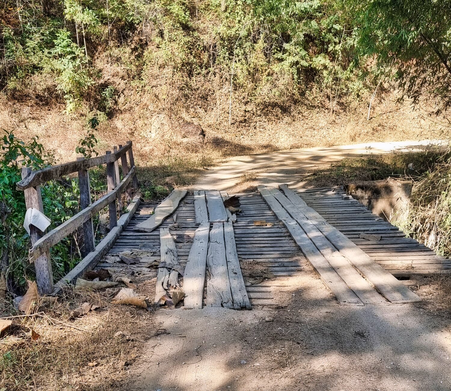
Next I road to a suspension bridge, here.
https://maps.app.goo.gl/Z9Q1F4QWHPkoRSW2A
To get here was a 50 minute ride off the main road and a mixture of small roads, and tracks.
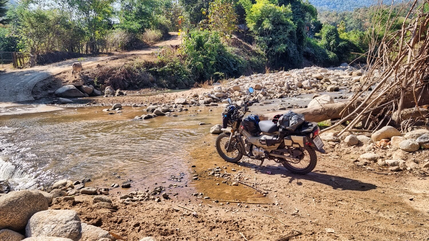
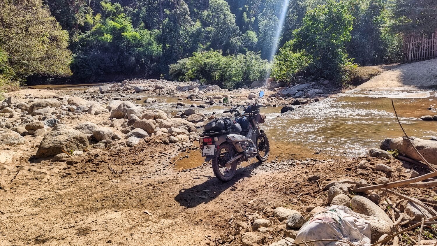
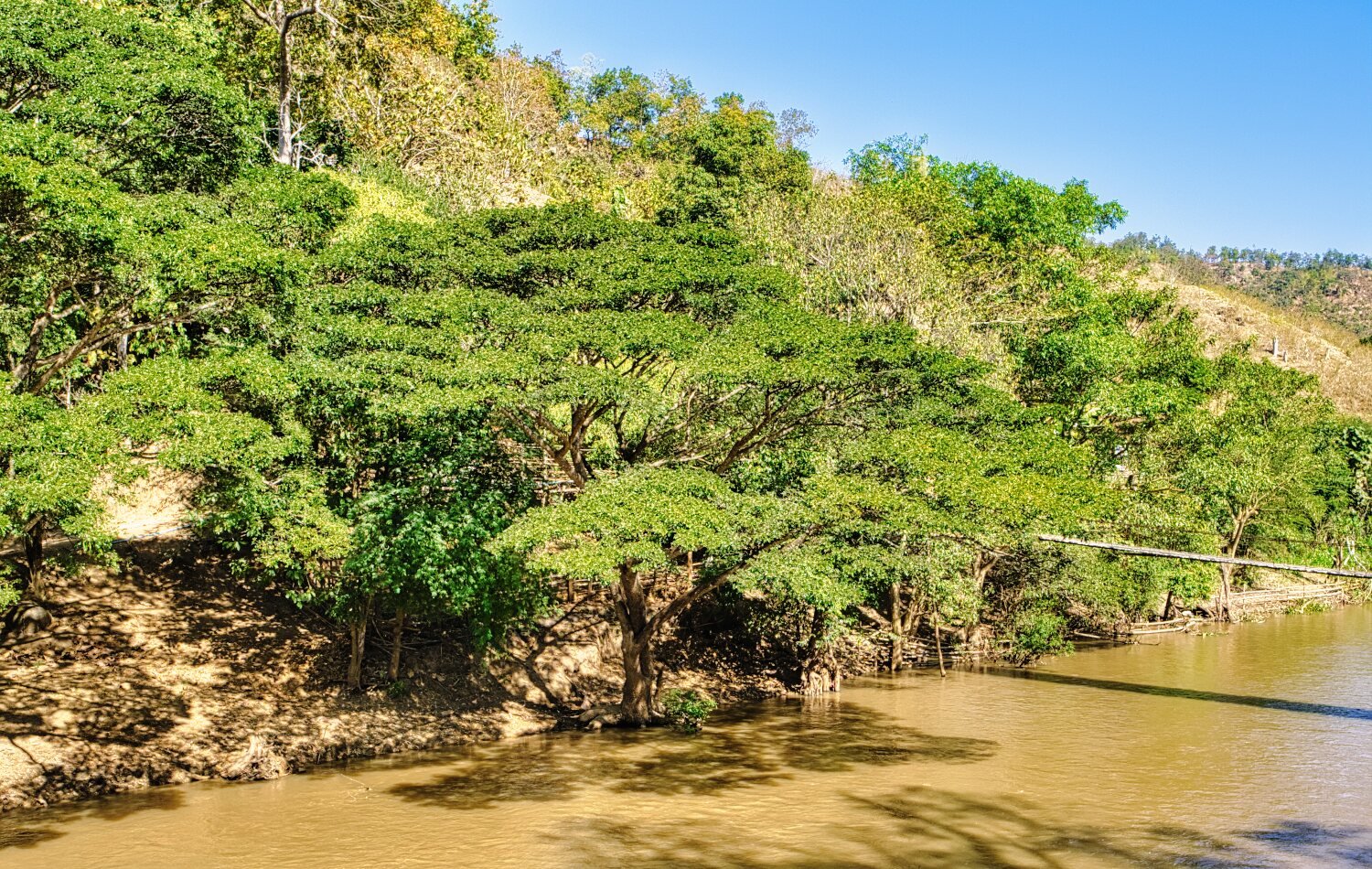
Speaking with a local cow herder she told be the road did continue to a way out, but it was very steep. So I decided to ride along the side of the Mae Chaem River until the farmers tracks disappeared into the jungle, the returned to Mae Chaem.
https://www.relive.cc/view/vLqex42wjd6


-
3
-
 1
1
-
9 hours ago, rhodie said:
Looks like another great ride.
Yes it was :)
-
1
-
-
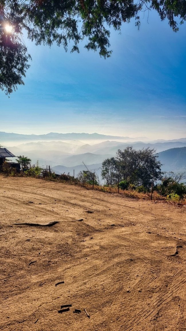
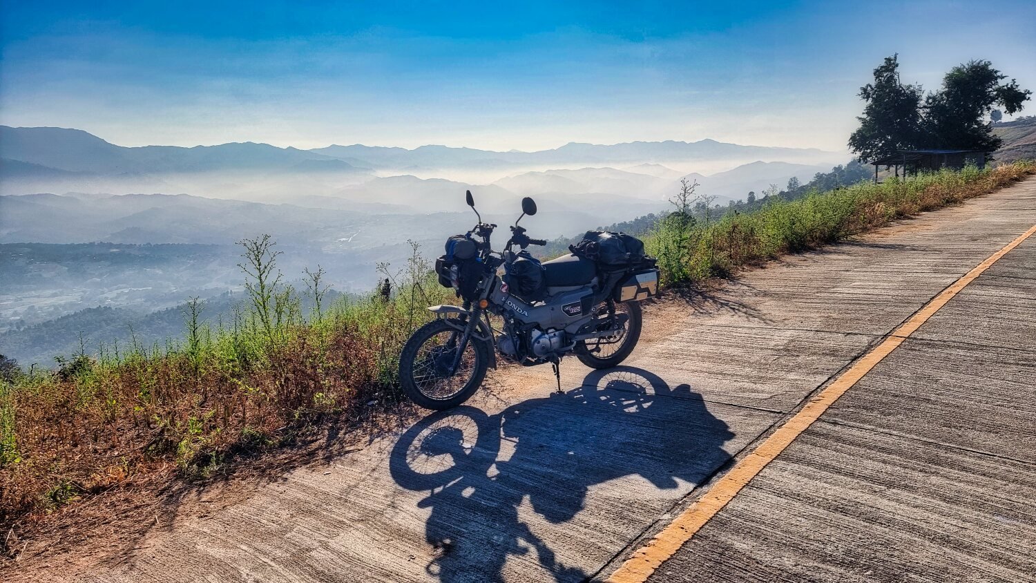
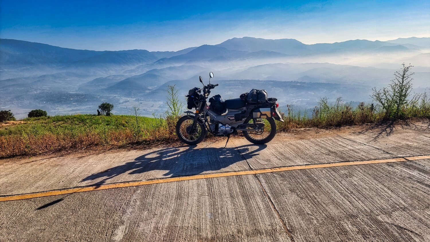
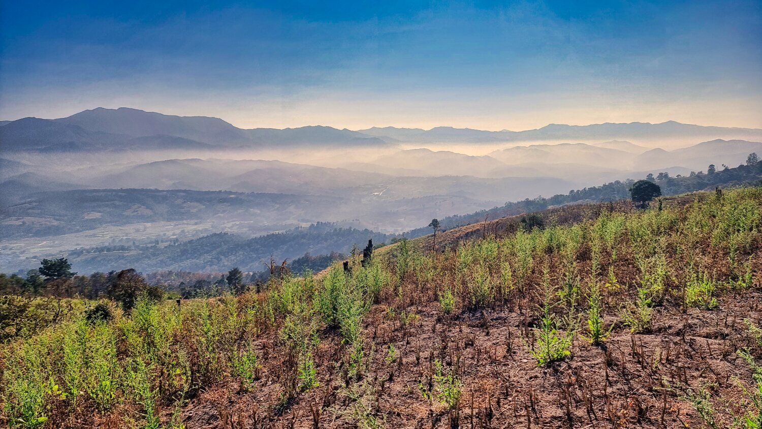
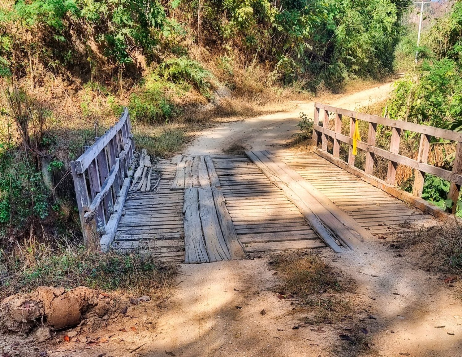
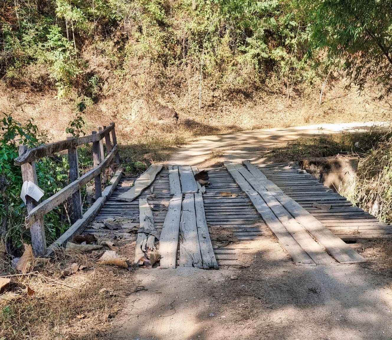
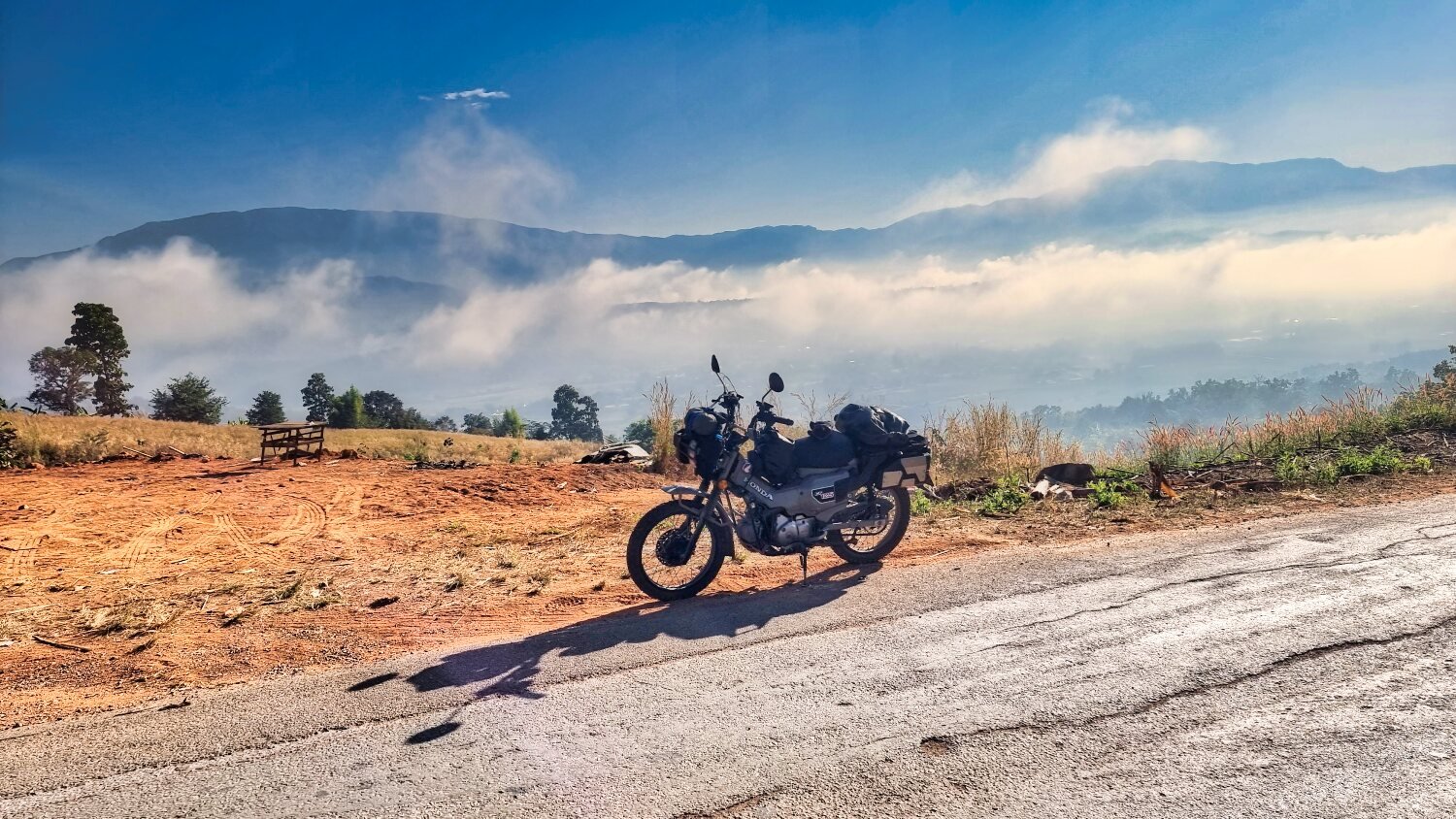
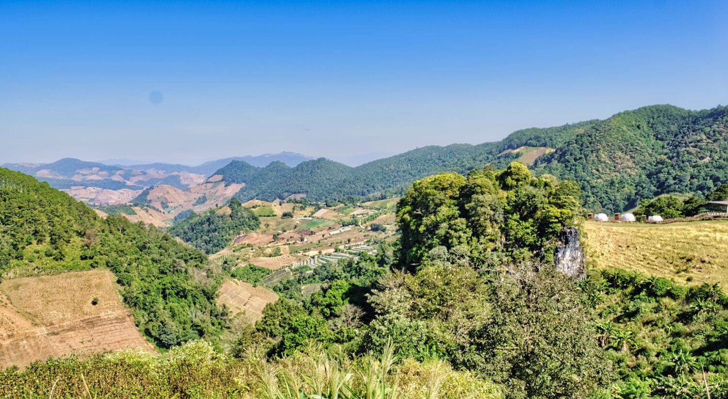
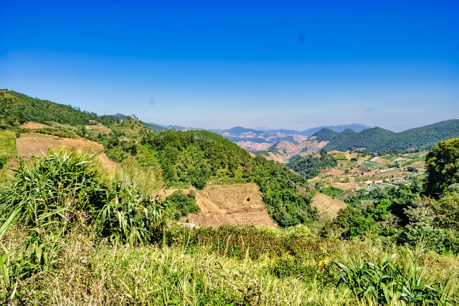
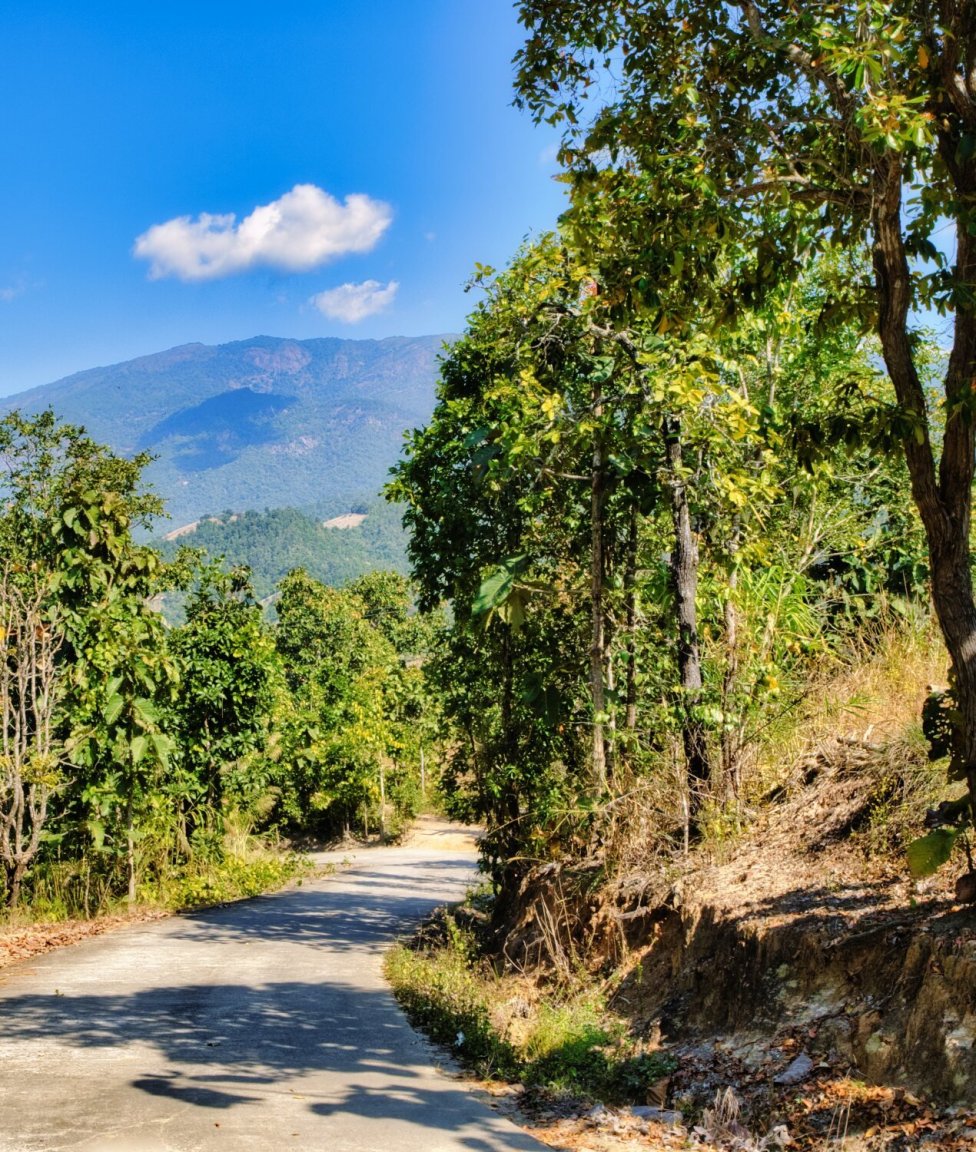
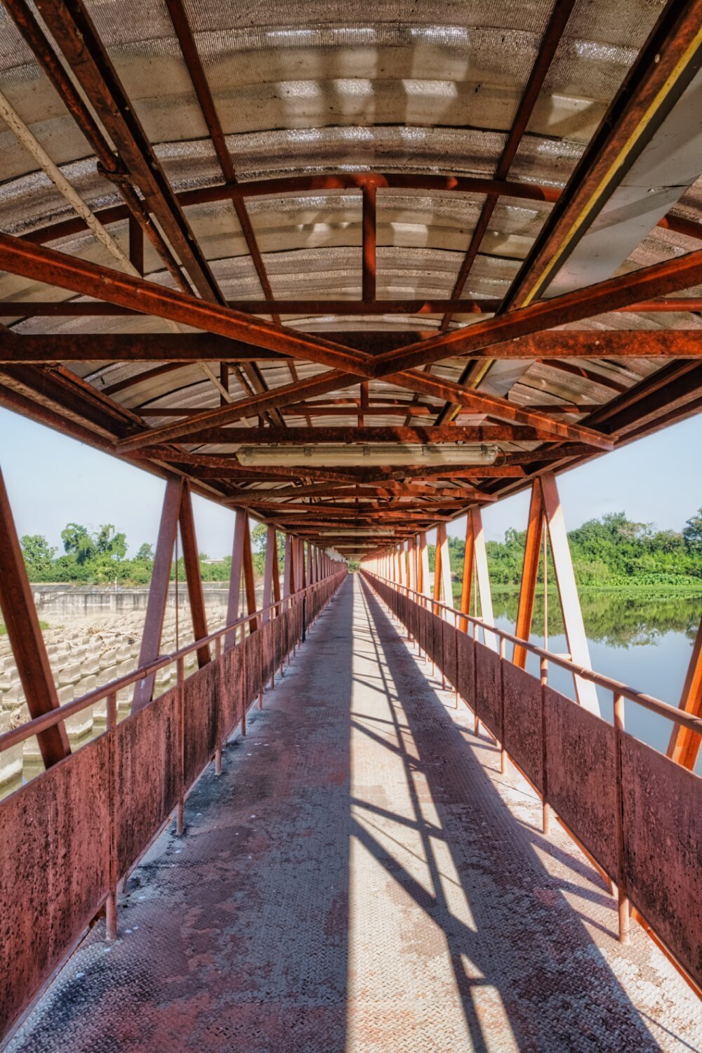
This morning I went exploring west of Mae Chaem on the way I spotted this bridge and took some photos, here.
https://maps.app.goo.gl/vjvhpJtqsUPAKygB8
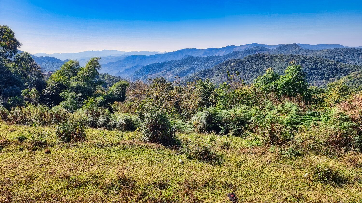
Riding up the mountain I took photos looking back towards Doi Inthanon, here.
https://maps.app.goo.gl/8i7r1nFKWtvC5Gqj9
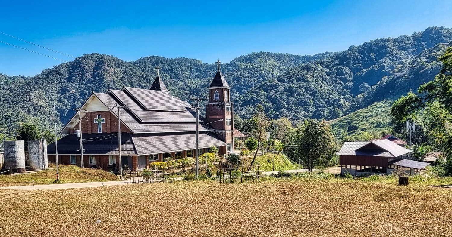
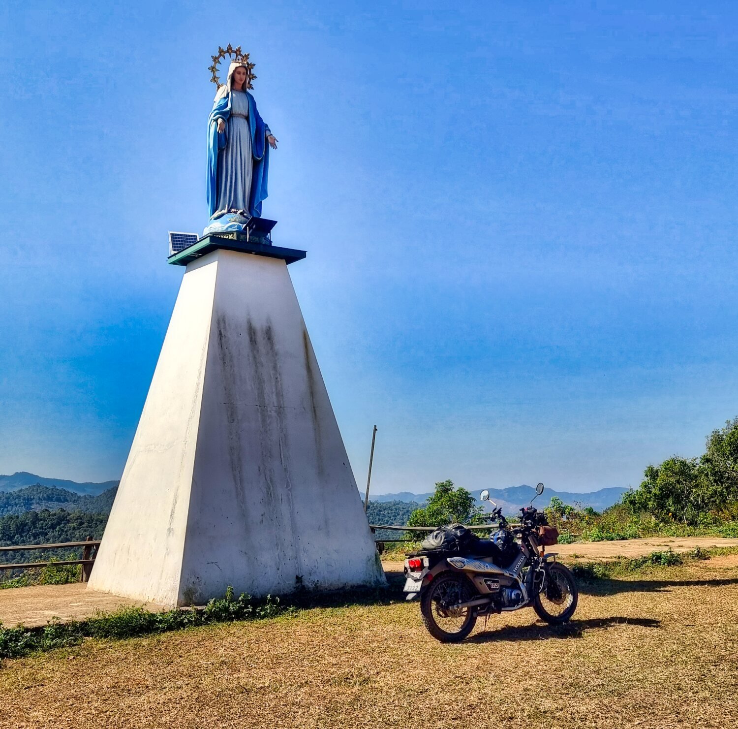
After riding both north and then back tracking south I passed this Catholic Church, here.
https://maps.app.goo.gl/DRHLJ54Qq7T5xx9V8
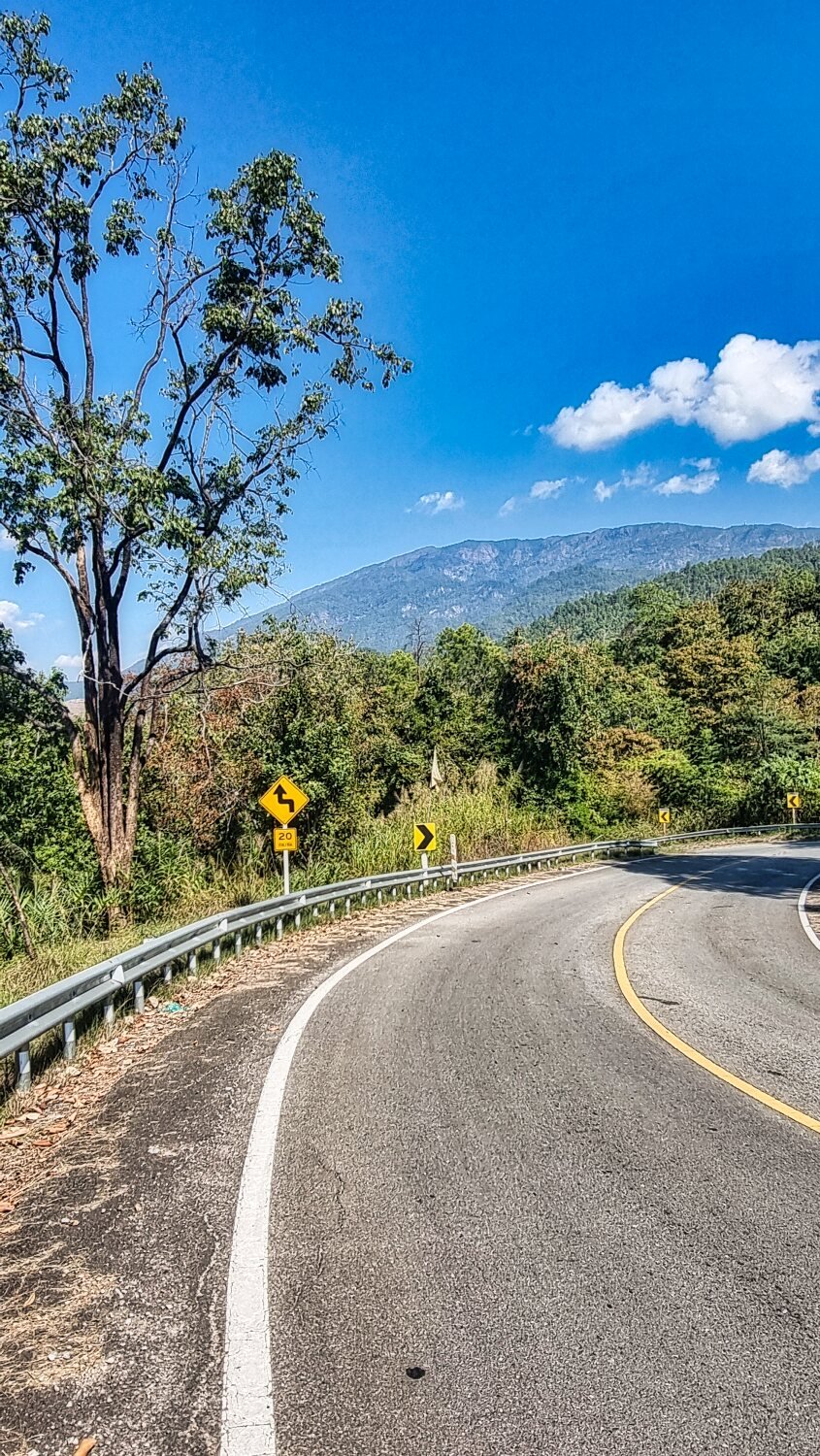
An area I wanted to loop back through I decided to ride up tomorrow. I decided to ride back, there were some steep areas but nothing the CT125 could not handle, and the highest point was 1500 meters.
https://www.relive.cc/view/vmqX3X27do6

-
1
-
-
1 hour ago, papa al said:
Leaving CM,
... bound for ... ?
Mae Chaem now for a few days.
-
1
-
-
2 hours ago, Randell said:
Chris your post are the next best thing to being there and riding with you. Thanks again so very much you covered a lot of territory. Well done you intrepid explorer. Have a safe trip home. I wish you all the best for 2024.
Thanks Randell, i am slowly making my way home so still more exploring to be done on the way :)
-
1
-
1
-
-
- Popular Post
1 hour ago, d2b2 said:These types of racist and nation basing comments make reading the comments on this site useless and offensive.
Do these commenters ever consider
“Is my comment necessary”
“Is my comment helpful”
“Is my comment true”
It seems doubtful they consider anything at all before spewing their hateful and hurtful vitriol
Too woke to understand the humour of the Brits, Aussies and Americans it seems.
Racist? Grow up.-
 4
4
-
 1
1
-
4
-
 2
2
-
8 hours ago, rhodie said:
Have a safe trip back!
Cheers
-
2
-
-
- Popular Post
- Popular Post
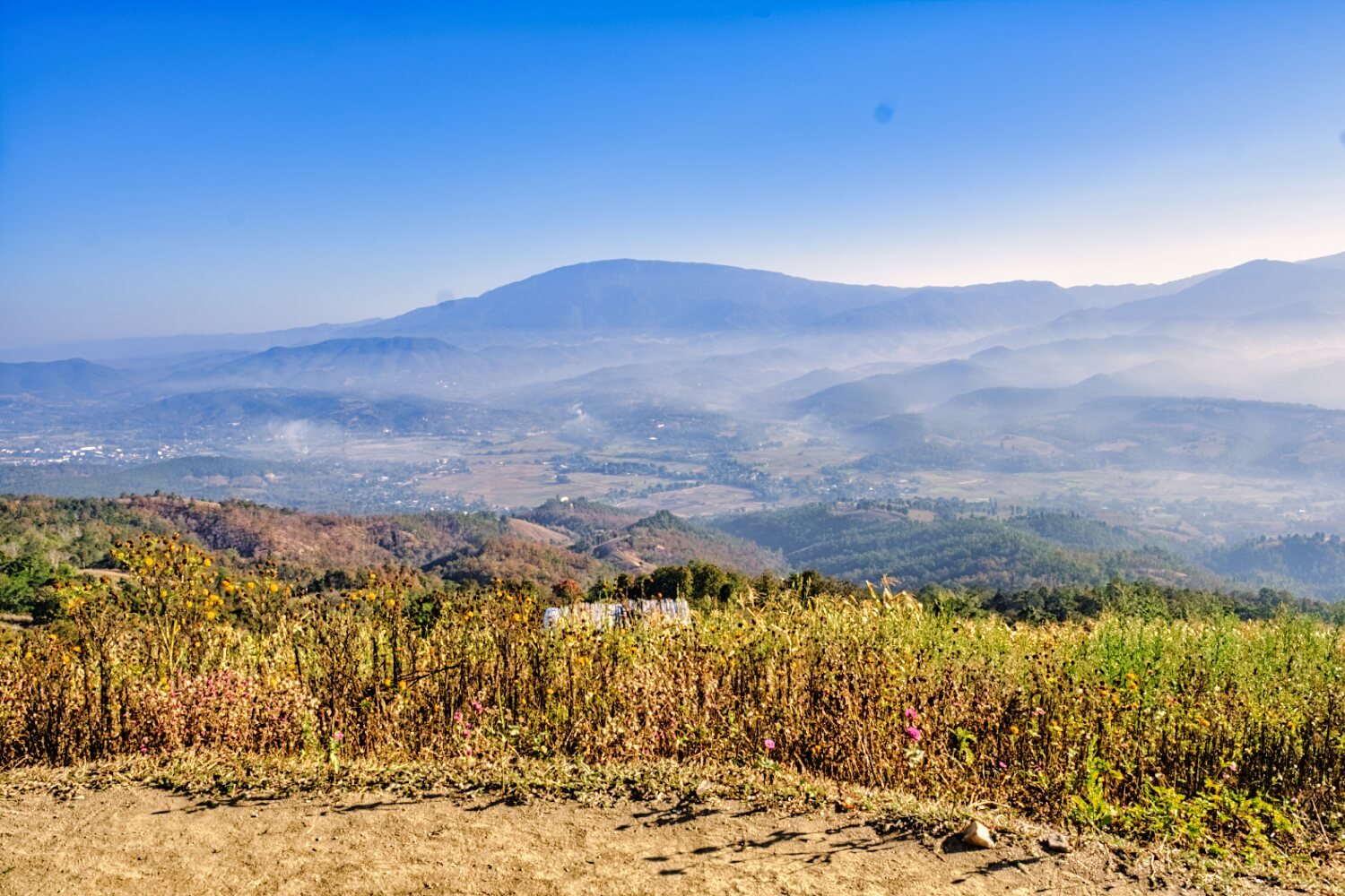
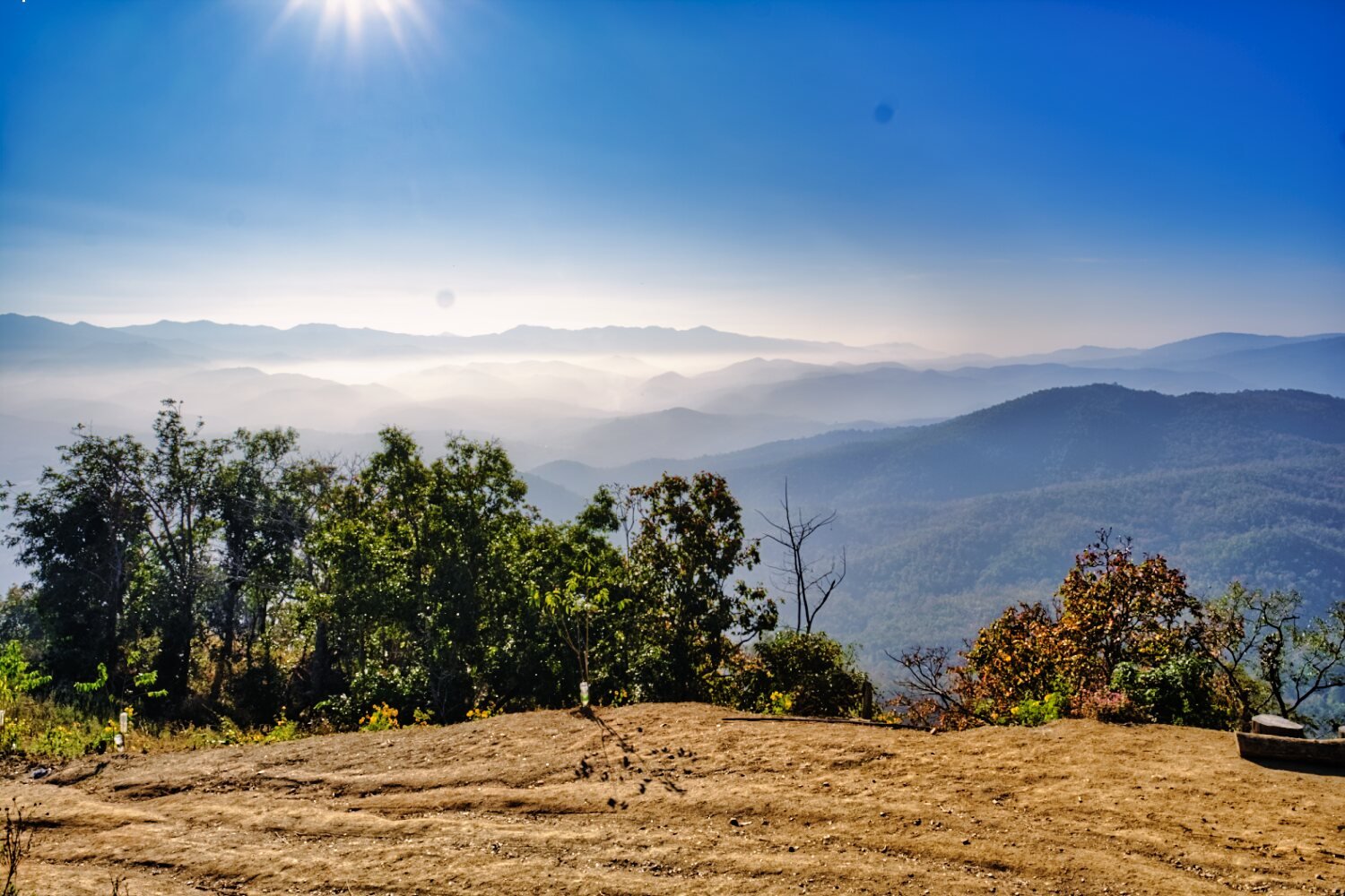
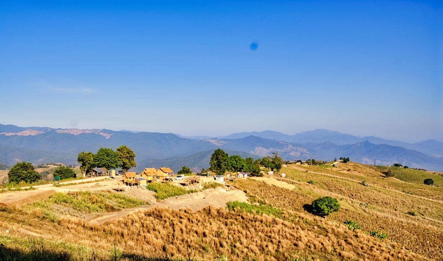
Today was an easy 120km ride from Chiang Mai to Mae Chaem.
The map is not complete as I forgot to open the app,
I stopped only once to photograph Doi Inthanon, the highest mountain in Thailand at 2,565 meters. (8,414 feet)https://www.relive.cc/view/vQvyZdg1PKO

-
3
-
15 hours ago, biervoormij said:
Do you take requests of things to do on your exploring?
Since you are in the Chiang Mai area could you try and see how well the Expat Privileges works to enter one of the national parks for free that are on this offer? Maybe Doi Suthep-Pui National Park since it is in the area.
https://expatprivileges.com/deal/8323
I want to try and visit some of the parks on offer but don't want to make a long ride to find out it is not really free. Note you only have 24 hours to enter the park after the request or at least that is what I saw when I requested one park.
I'm leaving this morning.
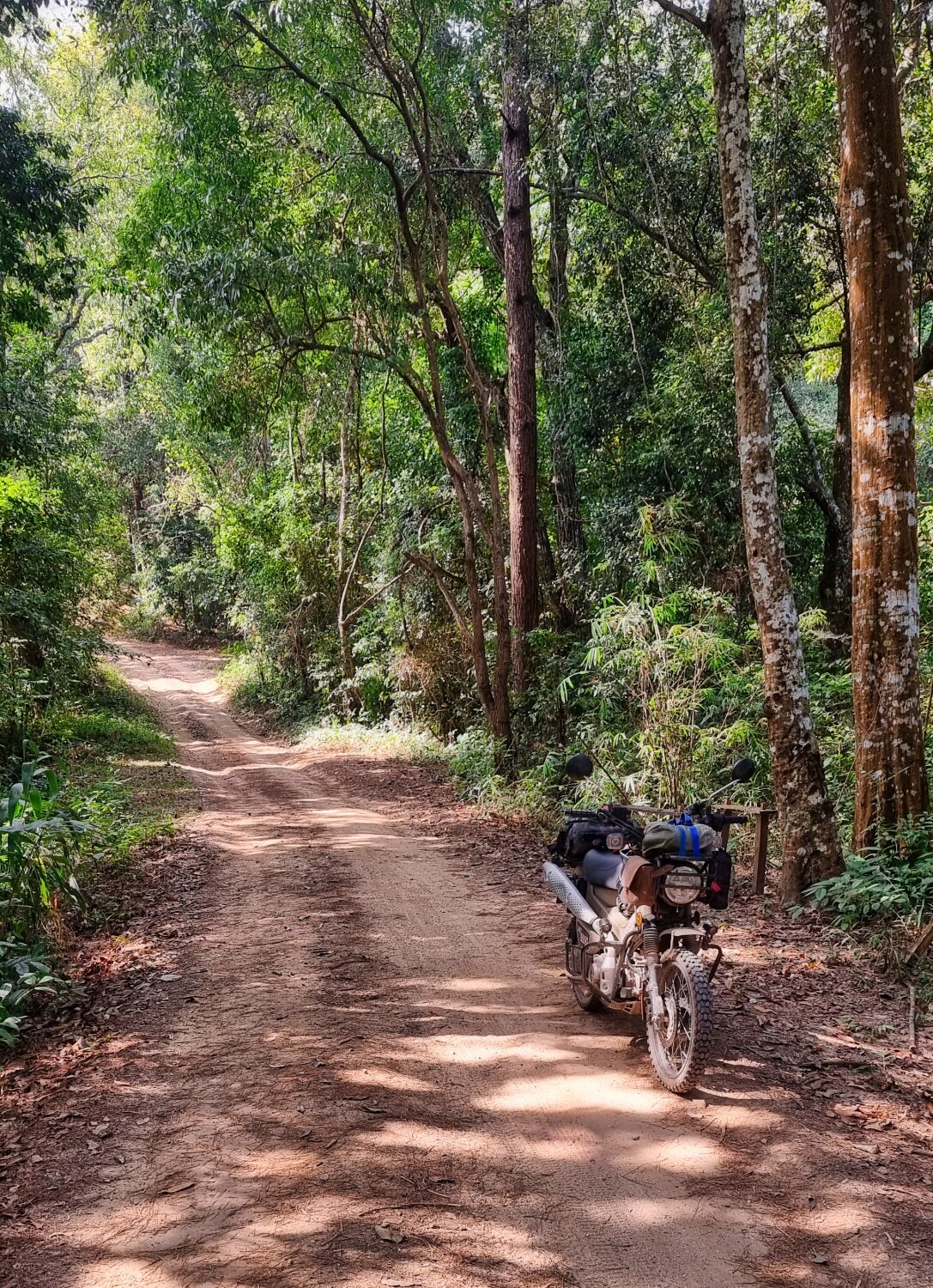
Riding up Doi Suthep and Doi Pui is free anyway, worth it for the views. If you want off road riding continue past Doi Pui viewpoint and keep going for a few hours
-
 1
1
-
-
- Popular Post
- Popular Post
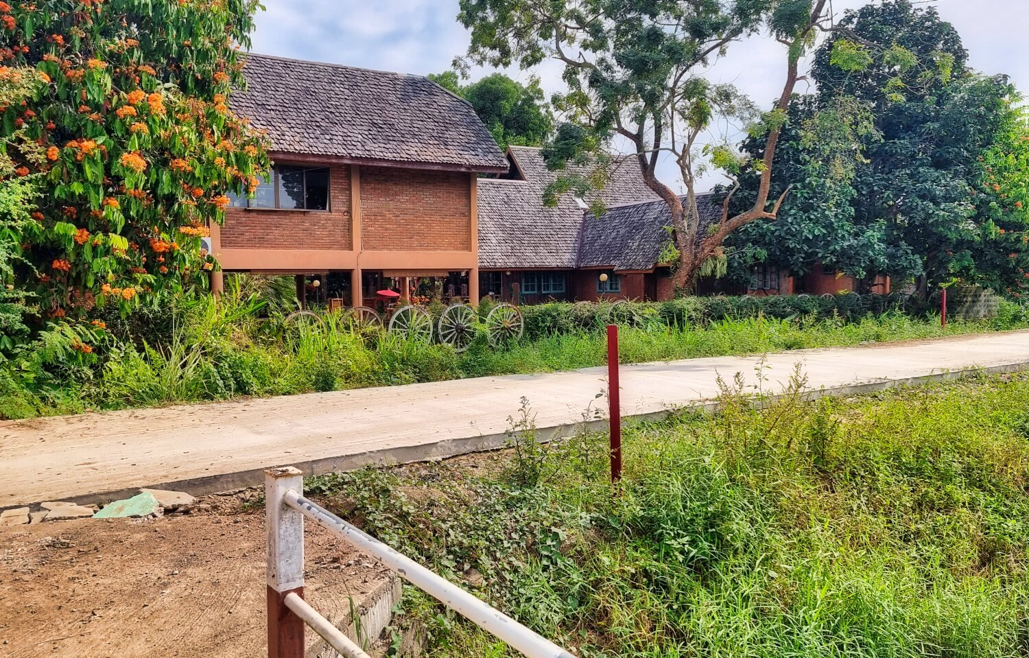
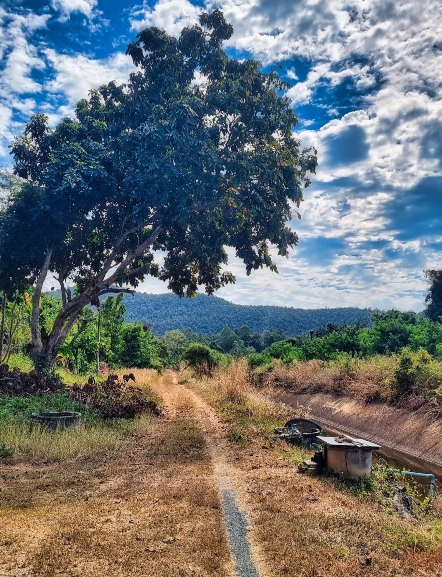
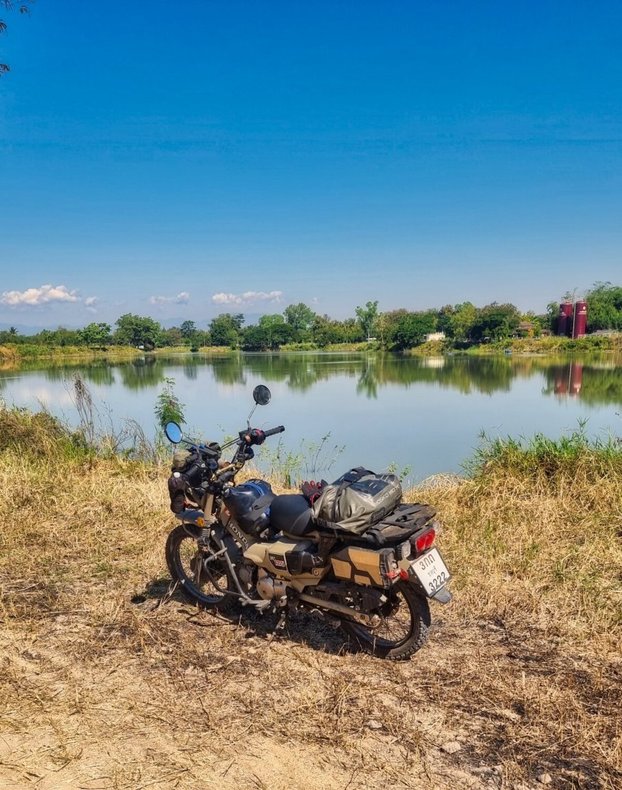
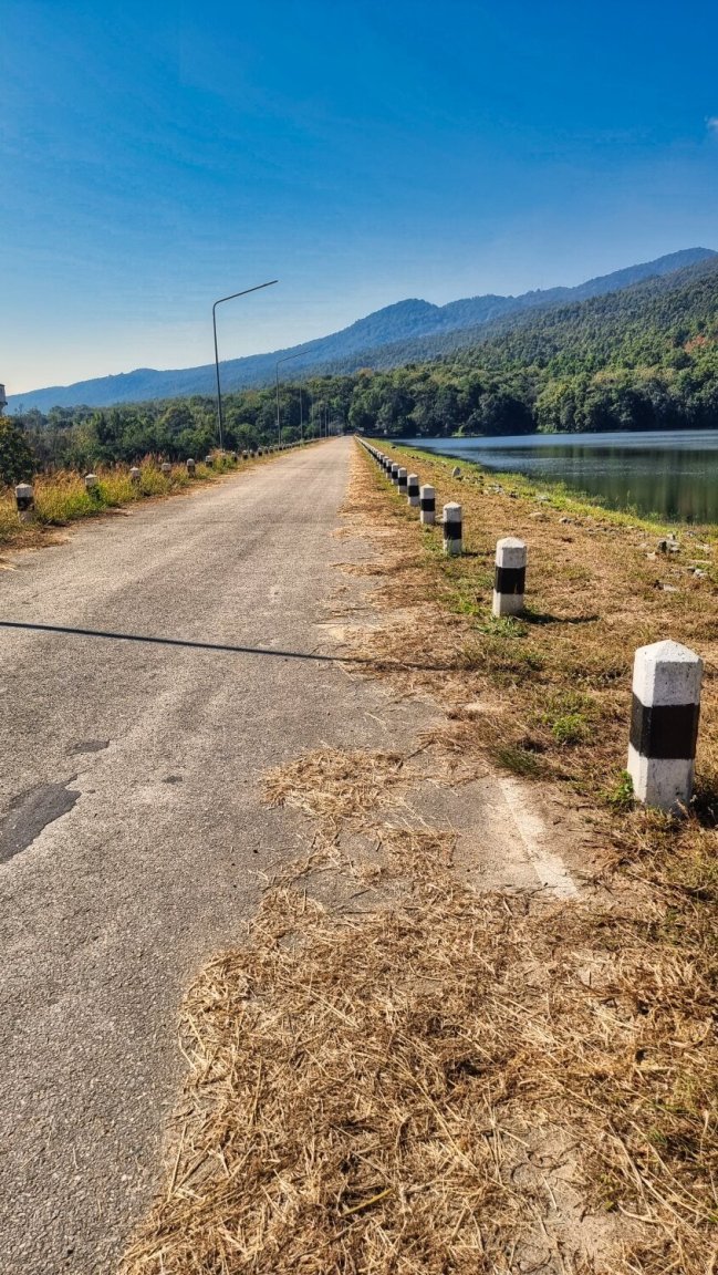
Today I just went for a few hours ride local to the city. First I revisited Navamin Reservoir, here.
https://maps.app.goo.gl/aBZQAyFL1F1QAtwSA
I then rode east across the Ping River and then rode north alongside the drainage ditch, starting here.
https://maps.app.goo.gl/breuBnAcSQ9Fdejt8
There are some nice sites along that road and I spent time exploring the area before returning.
https://www.relive.cc/view/vWqBmnMZVQ6
-
4
-
- Popular Post
- Popular Post
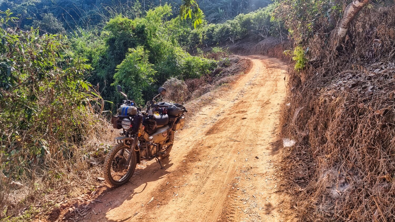
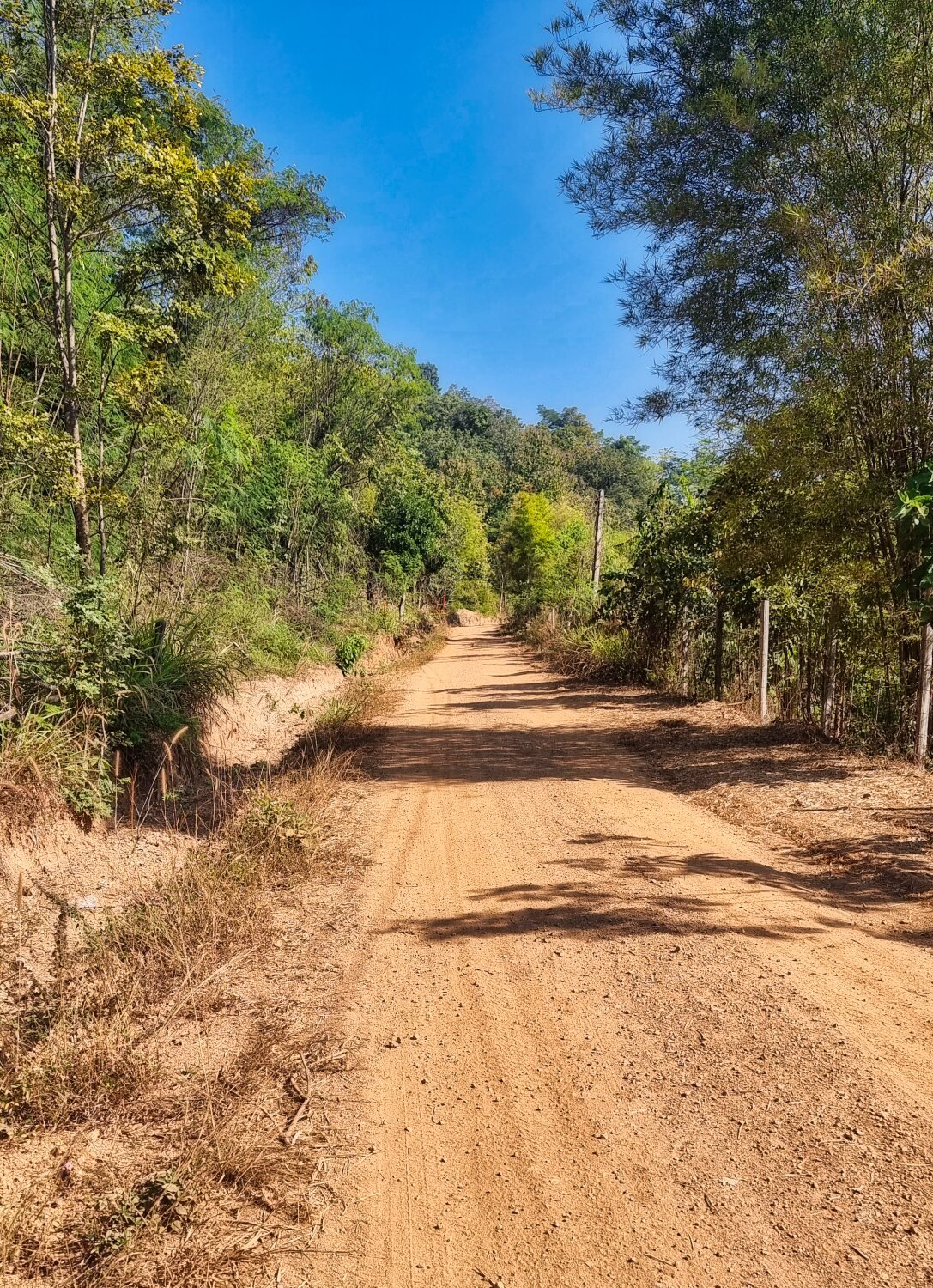
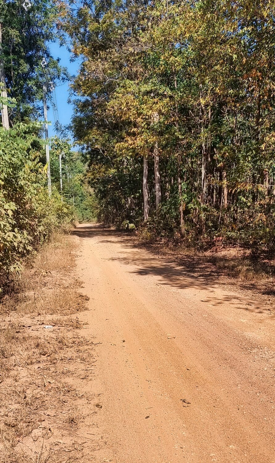
Today I rode to the same area as yesterday with the aim of seeing new reservoirs and tracks,
My first reservoir took three attempts due to the tracks being fenced off, in fact most of my ride in the area was fenced off and signs in Thai saying “no entry” which I ignored.
Sala Pang Sak, here.
https://maps.app.goo.gl/9HfDjCupxsE1EfK16
The next reservoir is not even on Google maps, but the tracks there were fun.
https://maps.app.goo.gl/K9S1TV5gw2YCLPeW9
The next reservoir again is not on google maps.
https://maps.app.goo.gl/M2an1dzJqSL9uUN79
The next reservoir was Sahakorn reservoir, here.
https://maps.app.goo.gl/QzzBEUyn6PLM2Xj29
The next is again not on Google maps, called Sahakorn Reservoir 3, here. Bot entrances had a barrier to stop entry for some reason.
https://maps.app.goo.gl/5yxff3fzfZwptzcx9
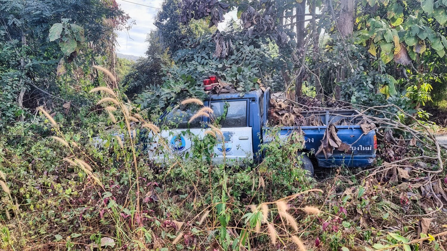
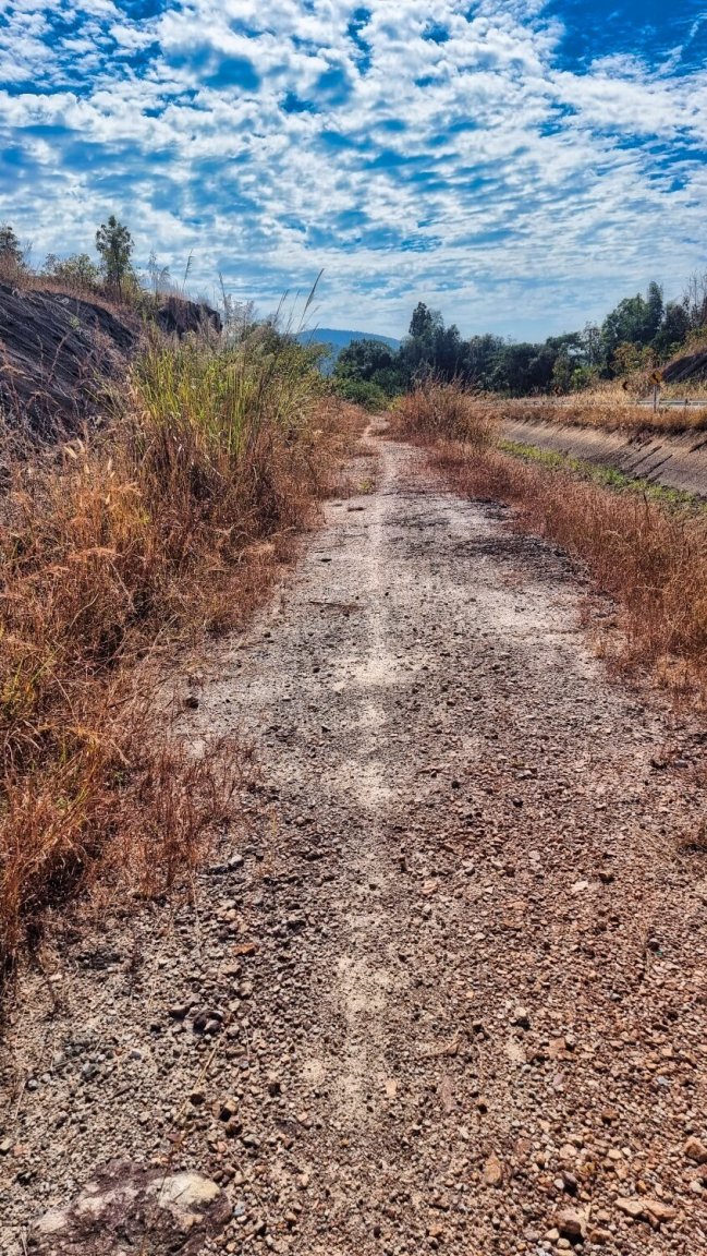
Returning I decided to ride the tracks alongside drainage channels, starting here.
https://maps.app.goo.gl/p6SG73duTzk7ie2f6
Along the way I found an undercover police car, here.
https://maps.app.goo.gl/fm9Kz3oLo2H88c4i9
After leaving the drainage channels, I took a convoluted route back to Chiang Mai.
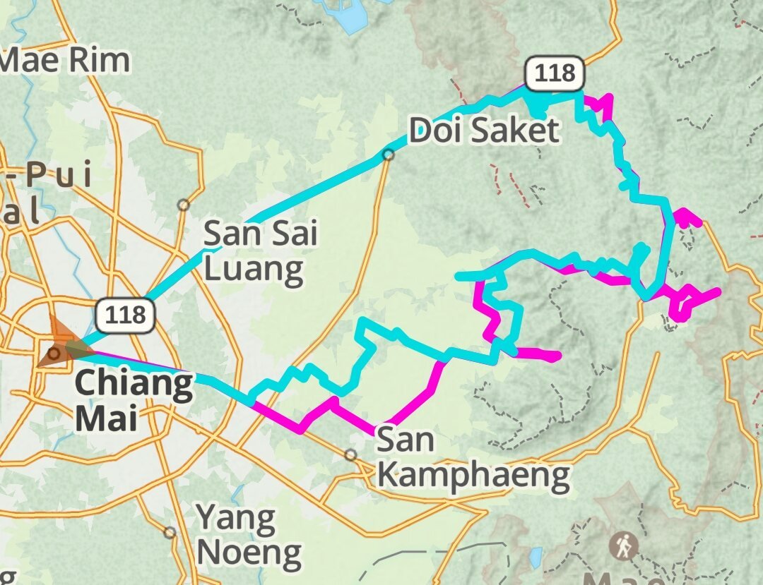
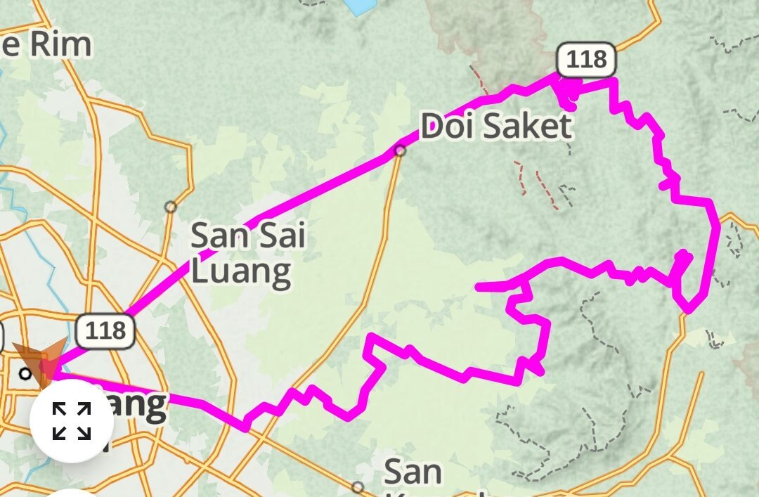
The map with two colours the last two day rides, blue being today, pink, yesterdays ride to compare.
Single pink map is today’s ride.
https://www.relive.cc/view/v8qk5jLgk3O

-
3
-
- Popular Post
- Popular Post
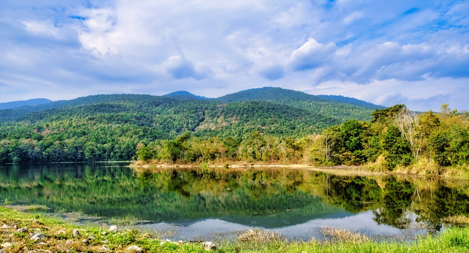
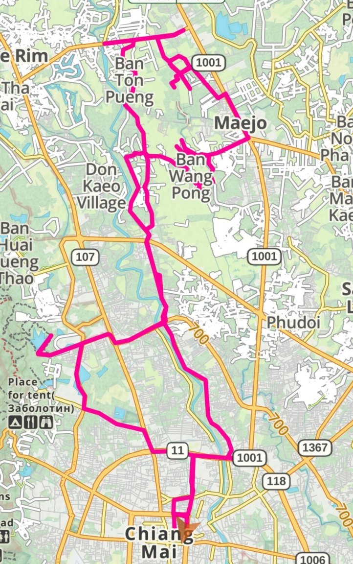
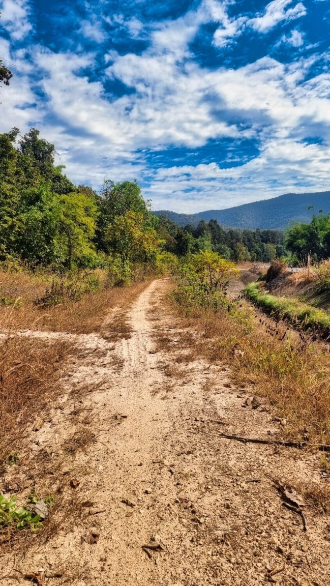
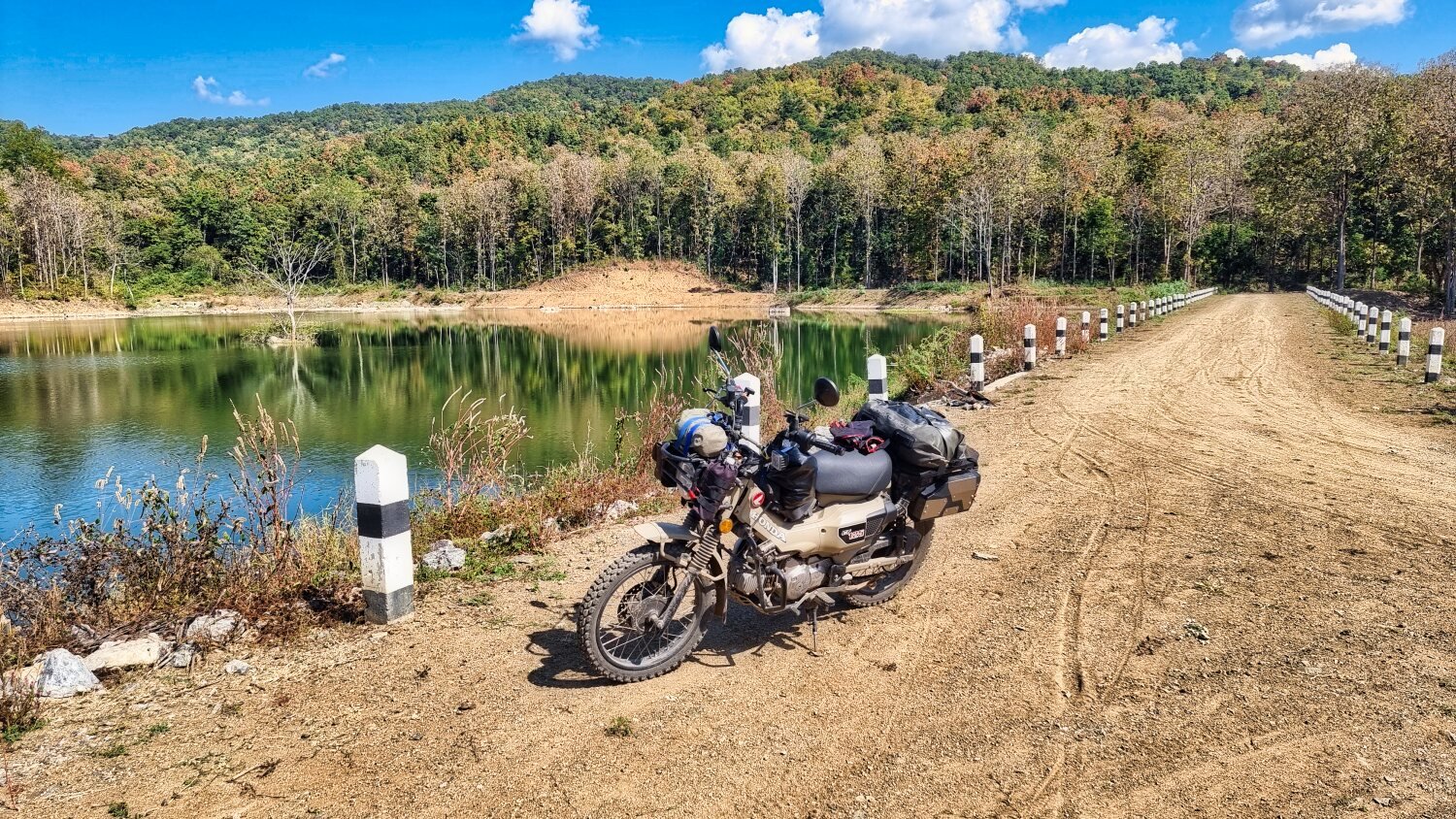
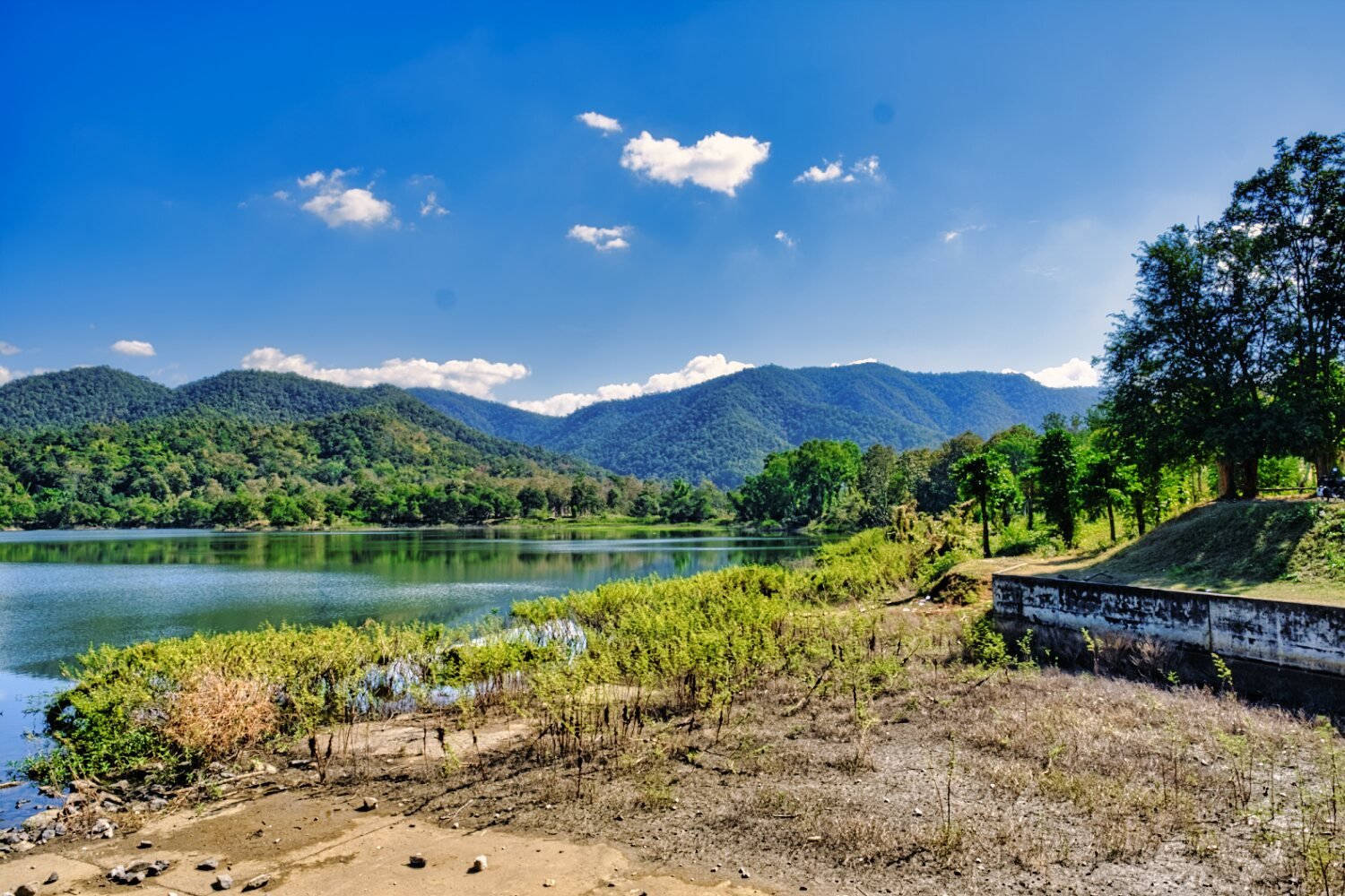
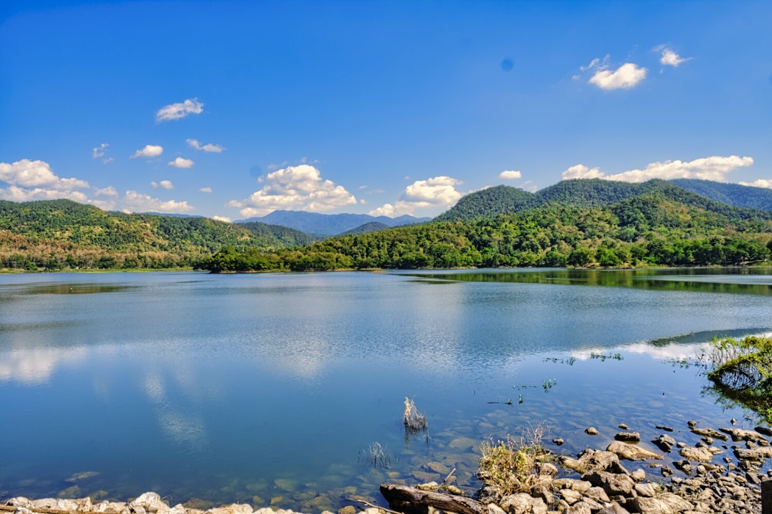
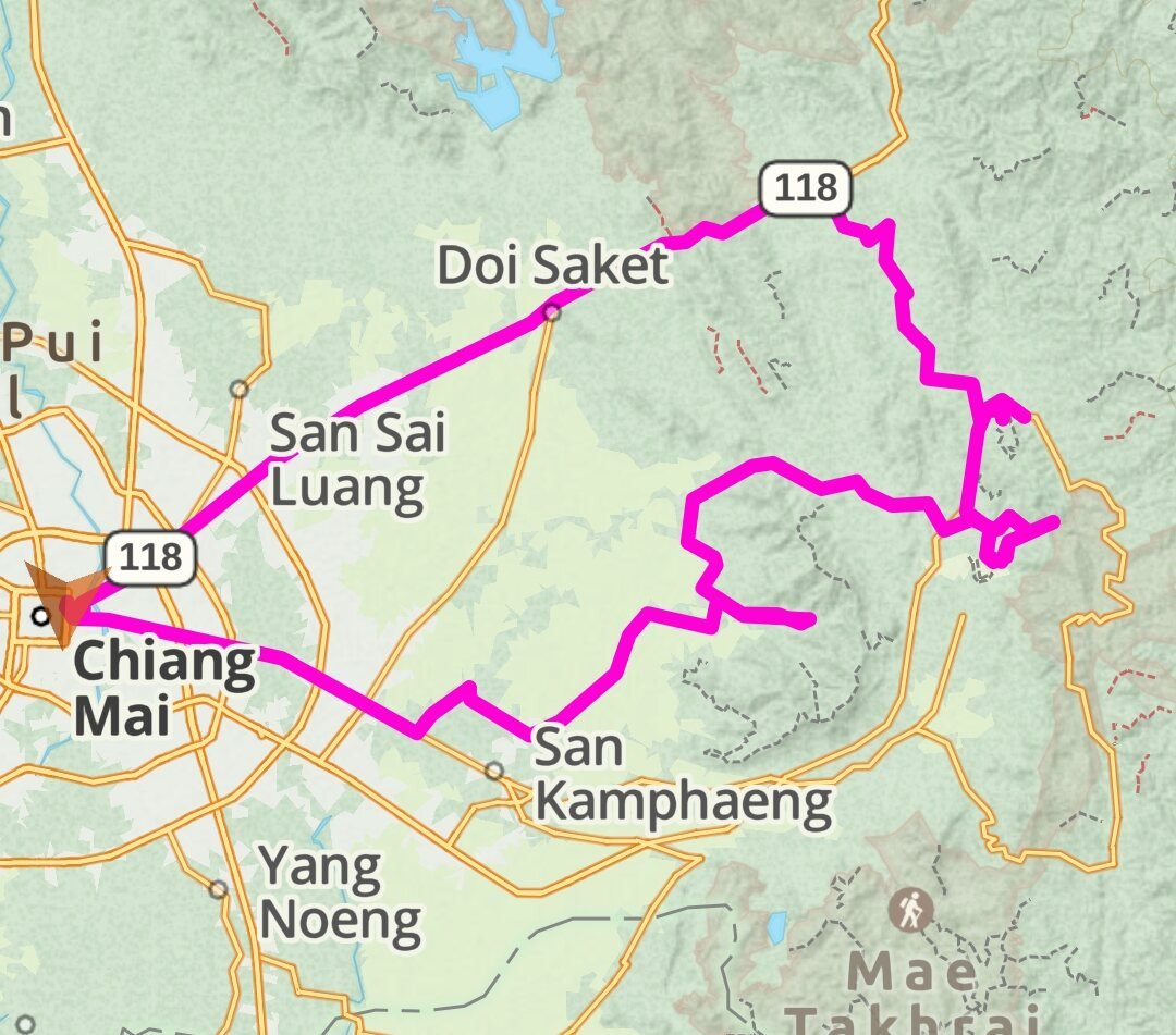
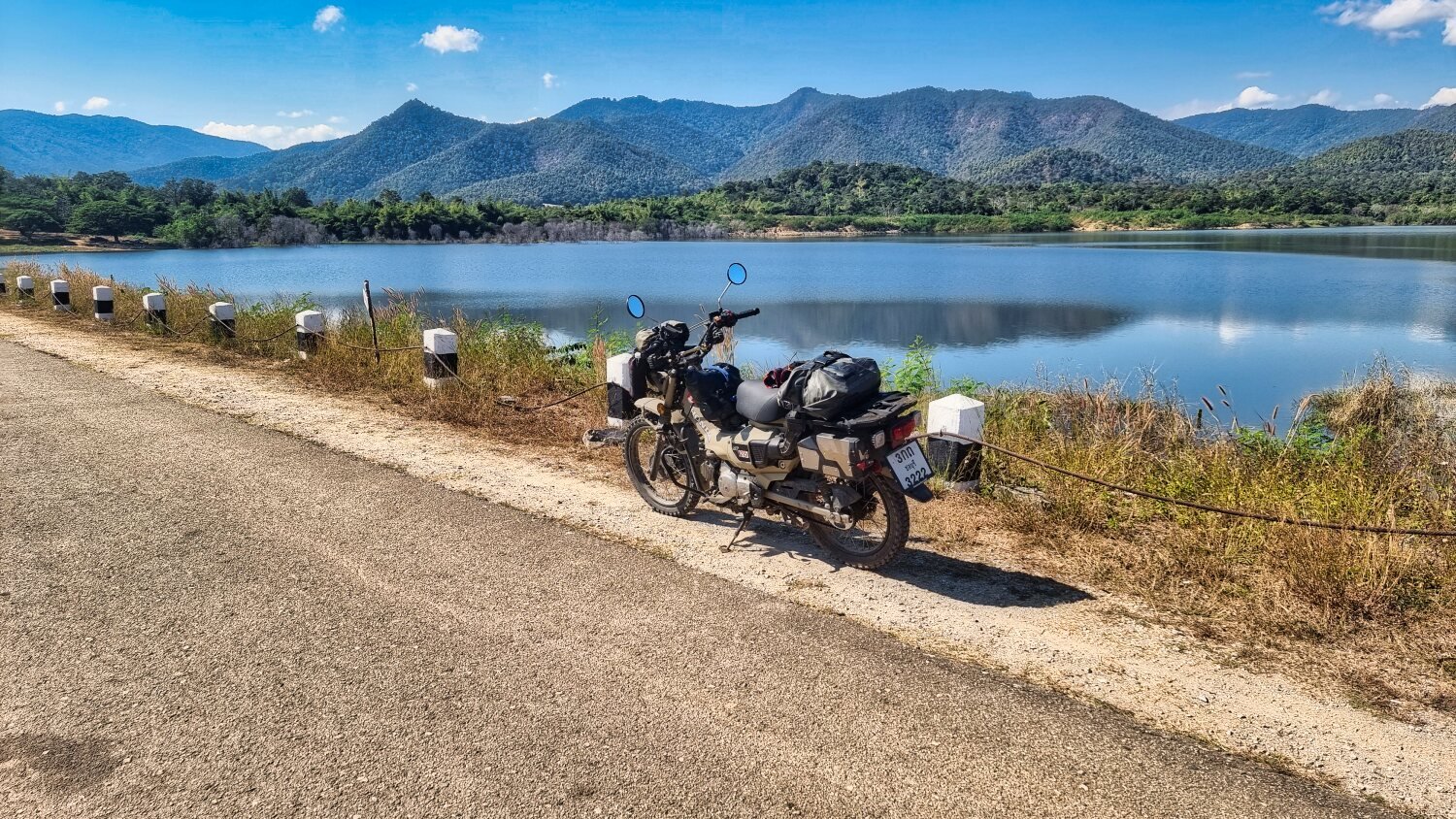
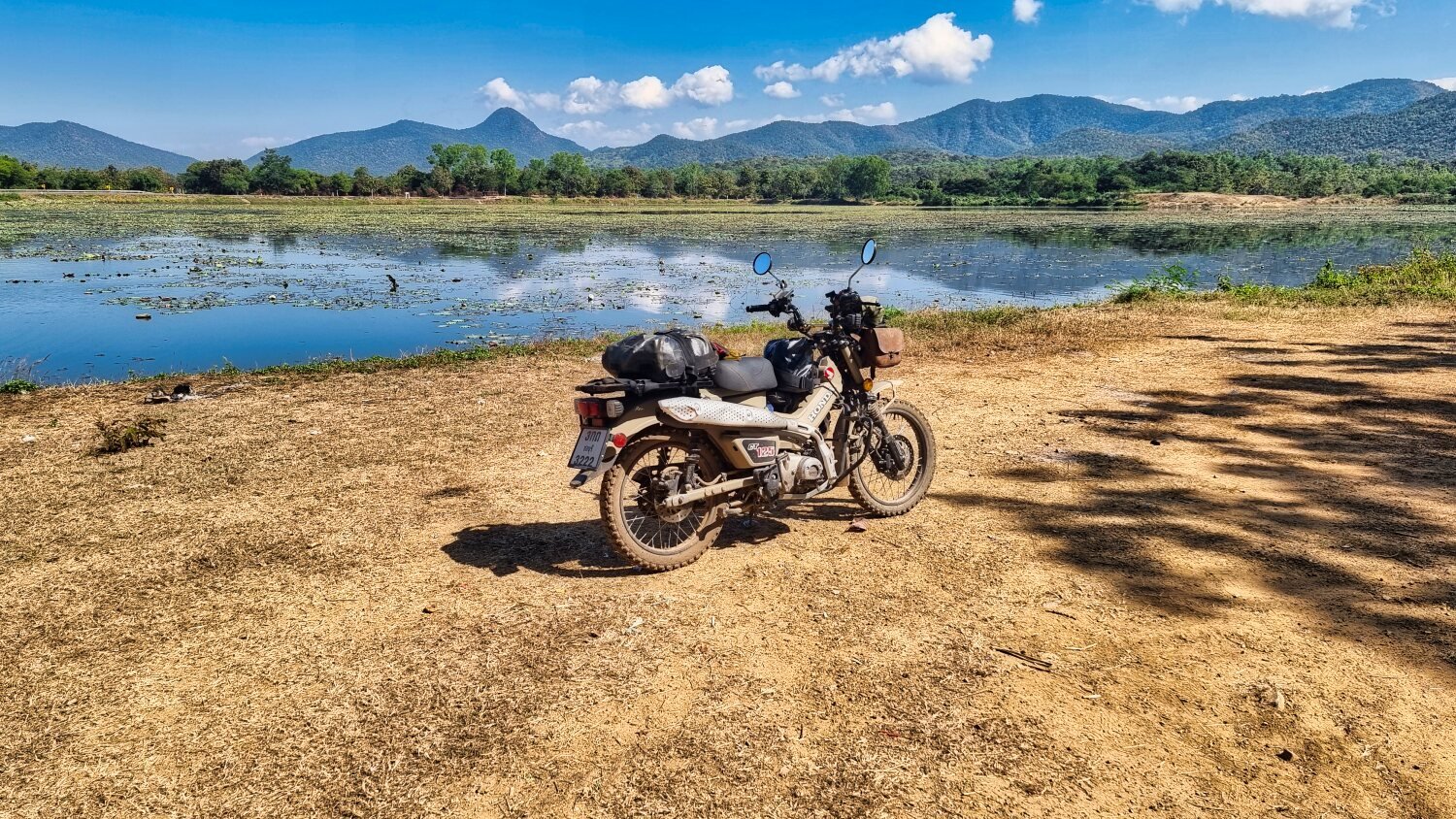
Today I headed east out of Chiang Mai again searching reservoirs, as soon as I turned off of R118, the countryside was great to ride through.
My first stop was Huai Bok Reservoir, here.
https://maps.app.goo.gl/bLjUXuGyGWiFKUiPA
Next was Mae On Reservoir, here.
https://maps.app.goo.gl/egoLjjgxtGyCP8D2A
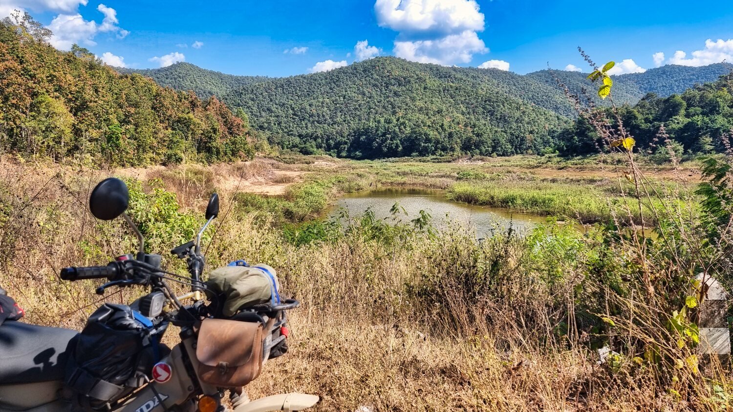
I tried to ride around the reservoir and nearly managed it, but failed.
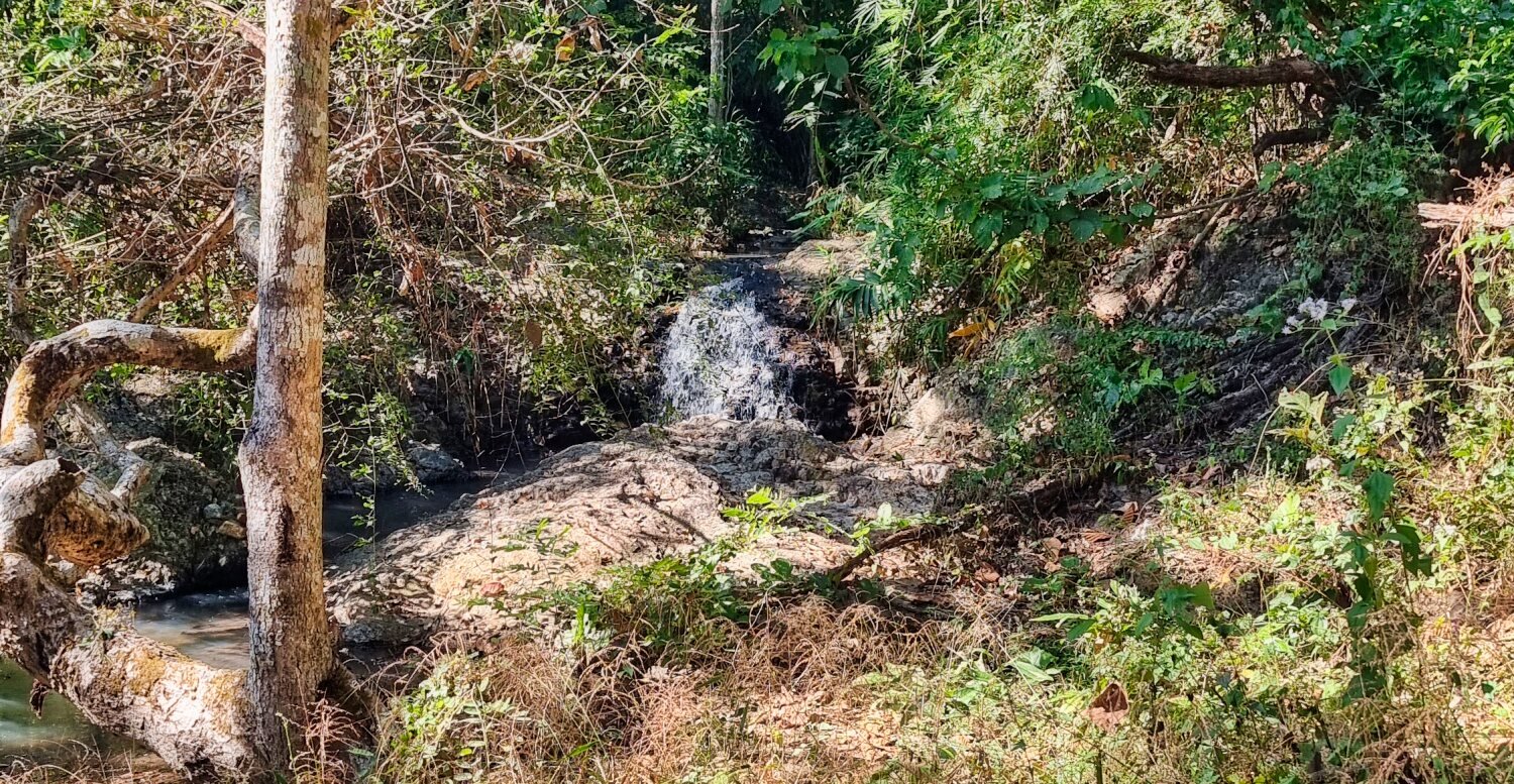
I rode as far as I could into the jungle and the track finished alongside a small rocky stream, here.
https://maps.app.goo.gl/1tjx5YGDiGfq3yMb6
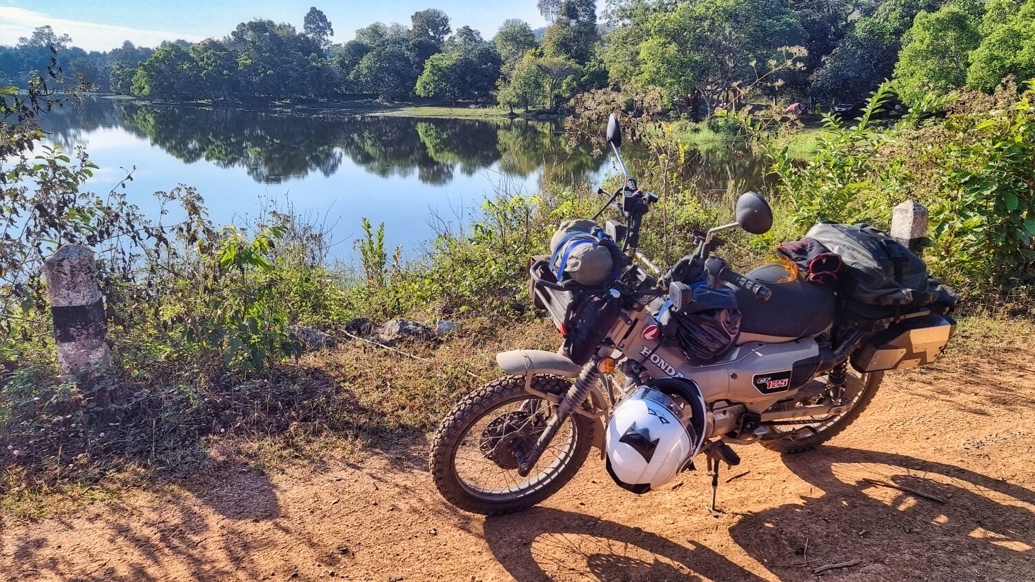
Trying to loop the opposite was round I found another small reservoir, Mae Na Koen Reservoir, here.
I then rode until there was no more track, here. About 200 meters short of a full loop.
https://maps.app.goo.gl/S95HgEB3UaKt7Zaa7
The next find was Mae Phrik Reservoir, here. This was nearly dry and surrounded by dense jungle.
https://maps.app.goo.gl/gc6xojySirAjvYRi8
Then I rode back the city, another good days exploring.
https://www.relive.cc/view/vXvLydjGB7O


-
4
-
1
-
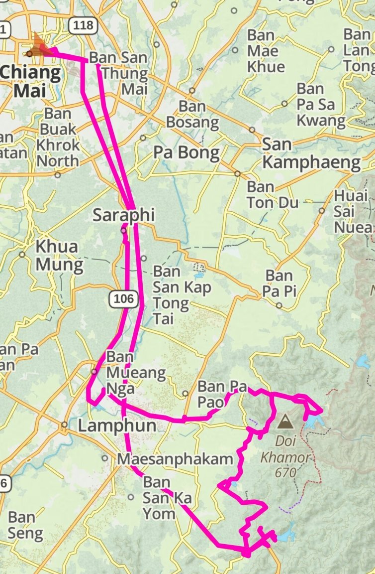
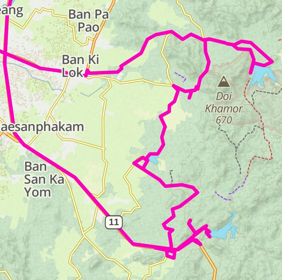
- Popular Post
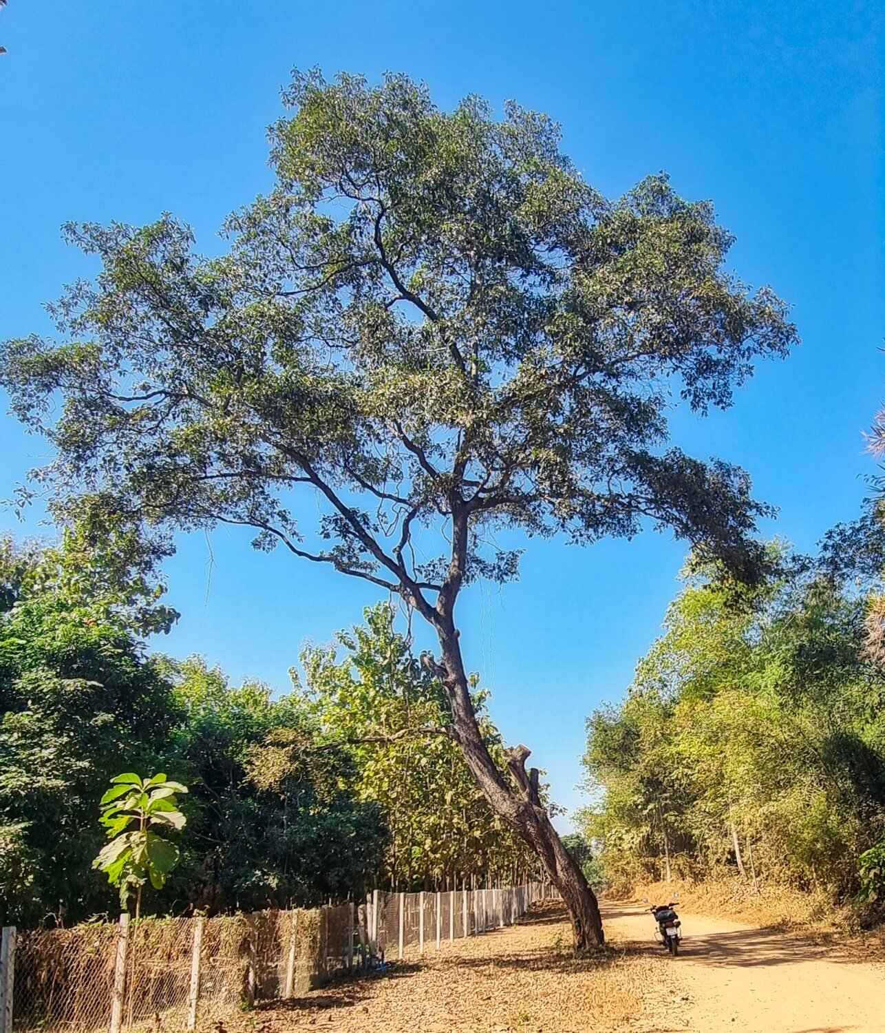
- Popular Post
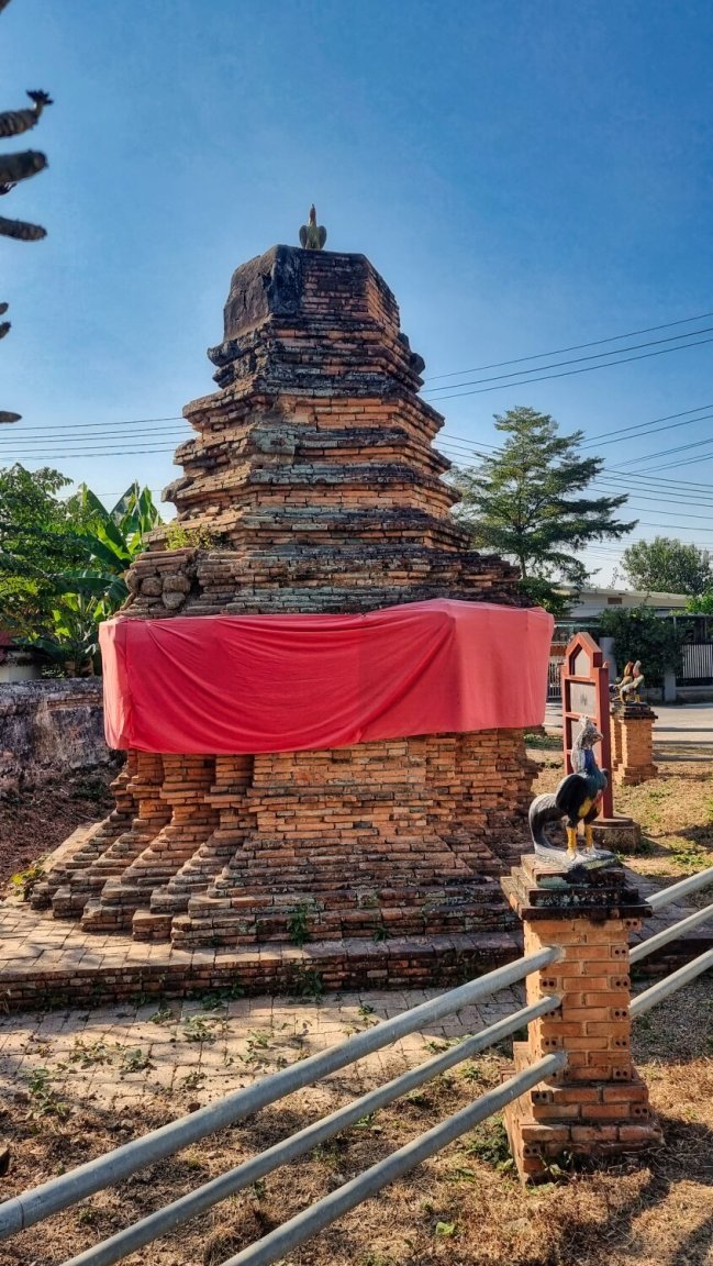
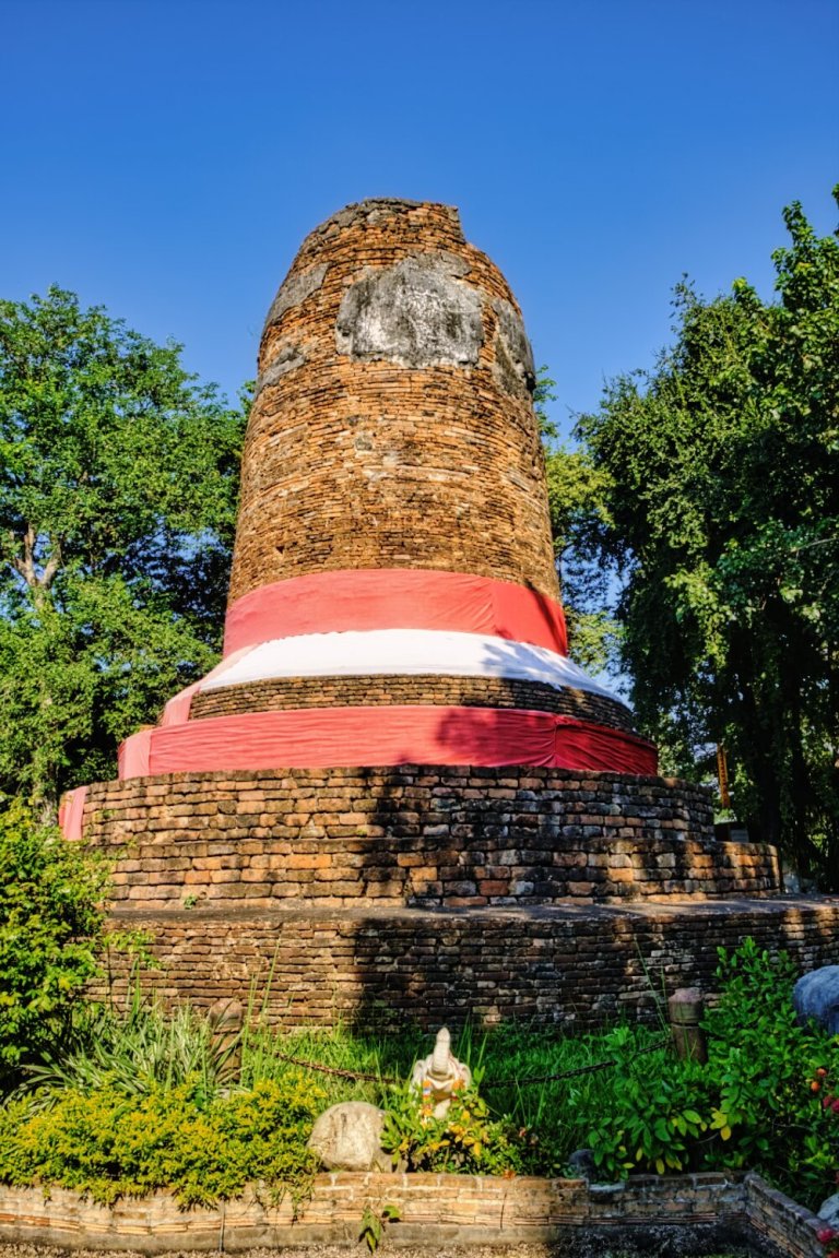
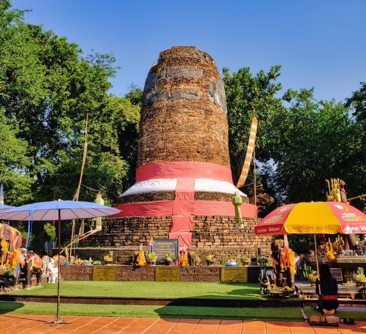
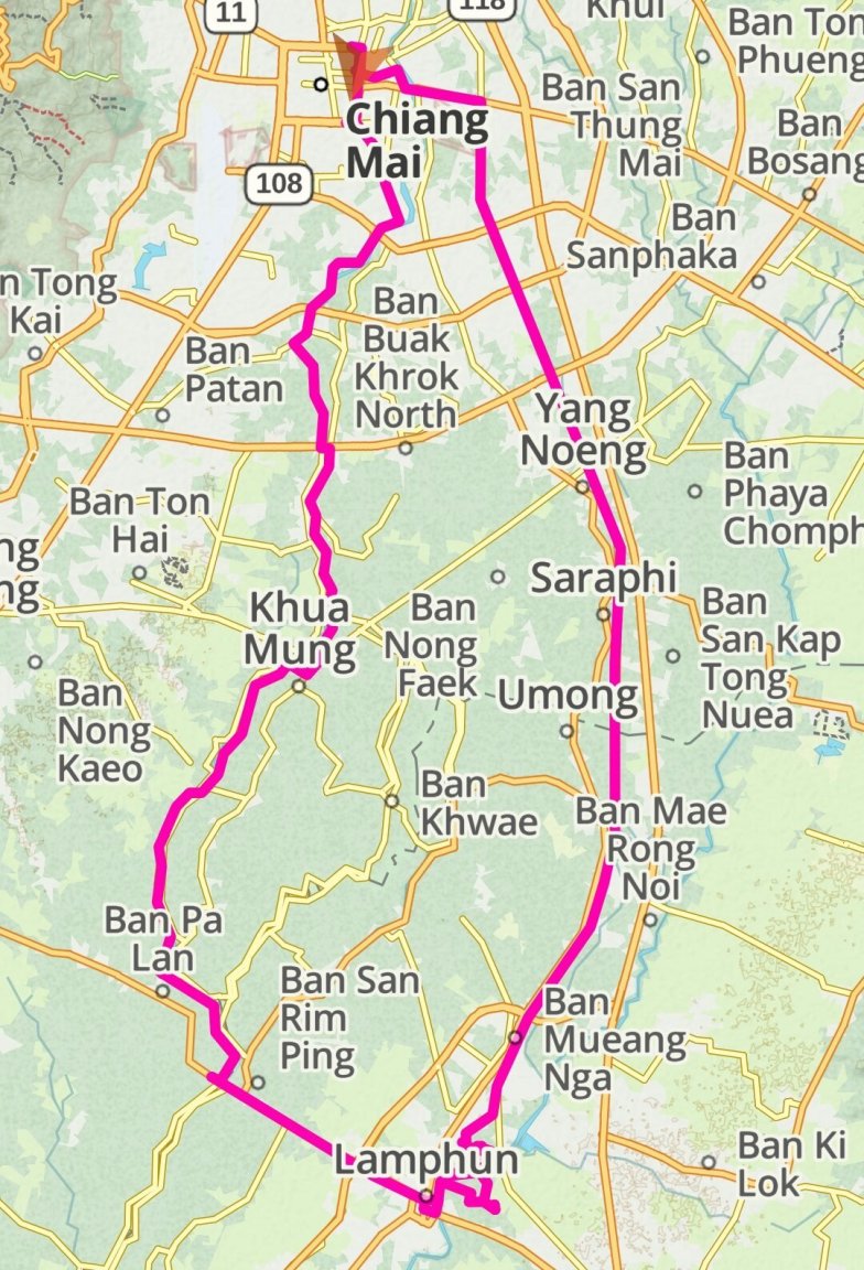
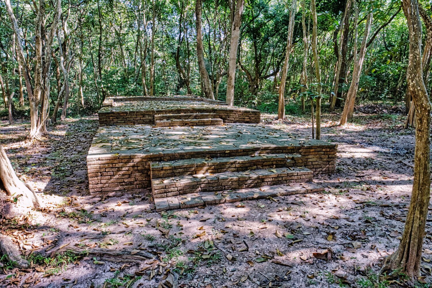
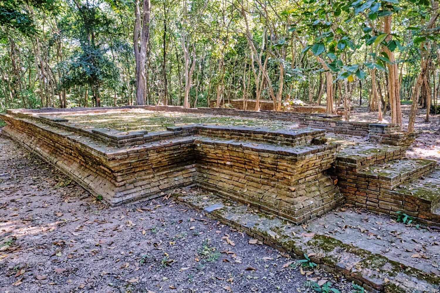
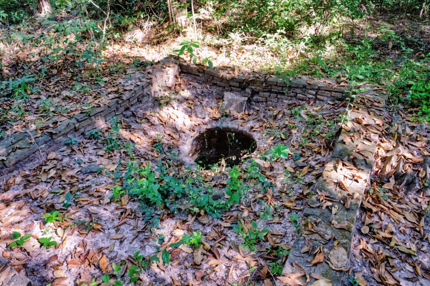
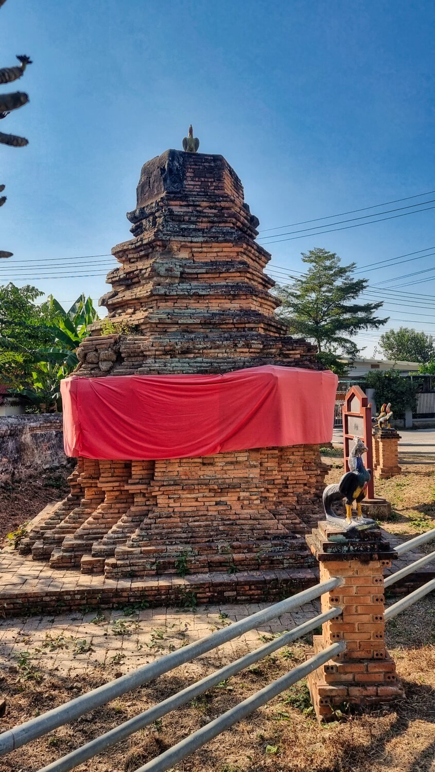
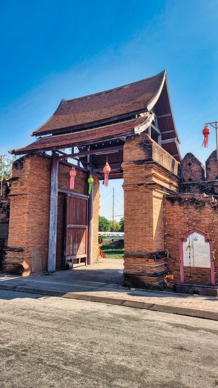
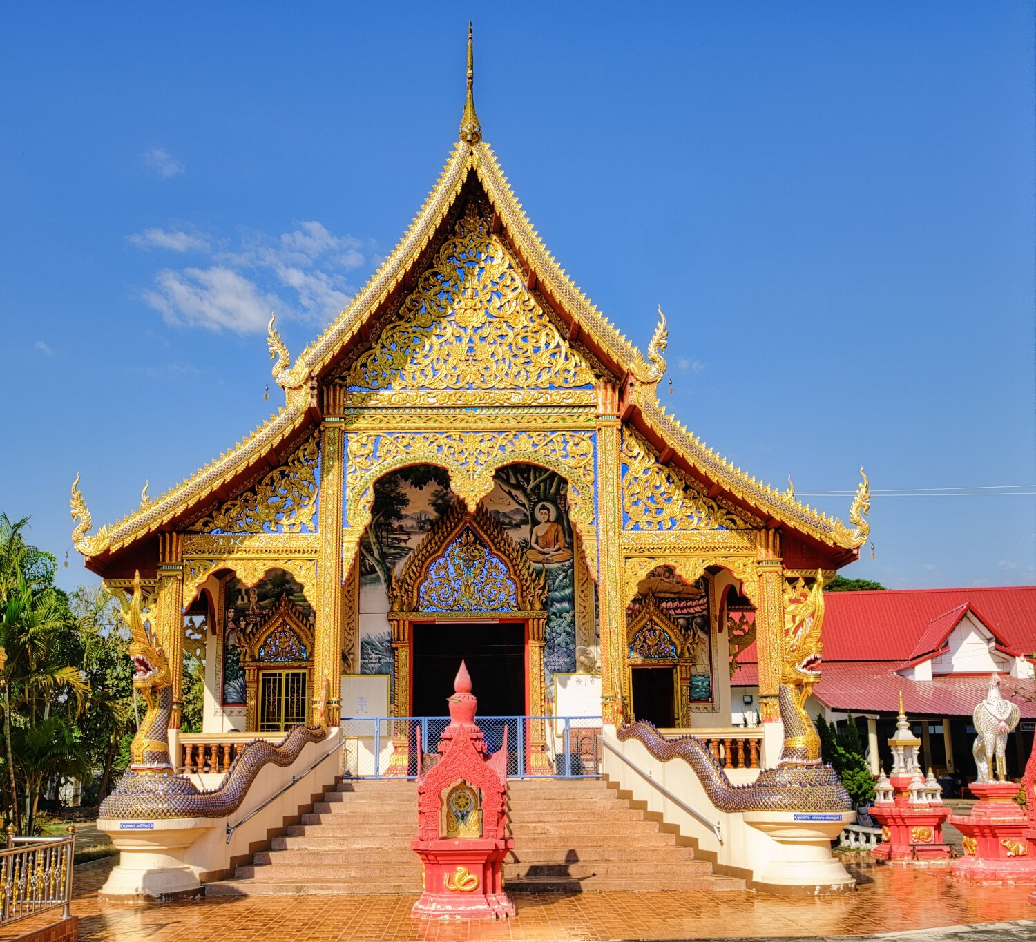
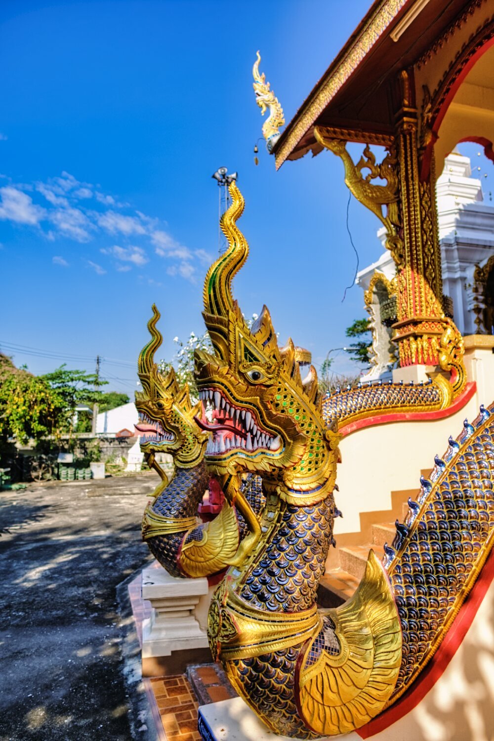
Today I rode to Lumphun to check out some old temples and some view points. My first stop was Koo Kai Ancient Monument, and the Wat behind it, here.
https://maps.app.goo.gl/cV4Mgdse7RwhRbG19
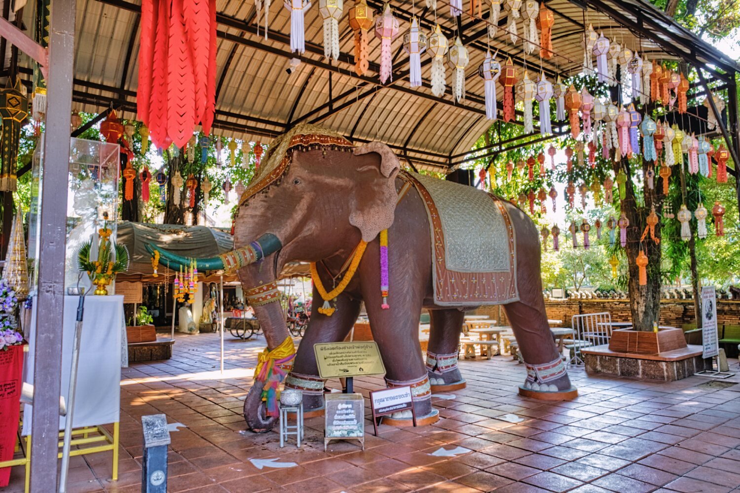
Nearby was Ku Chang War Elephant Memorial, here.
https://maps.app.goo.gl/XJWyH5ZU1JEJVe3a7
Next stop was Black Bridge, Lamphun, here.
https://maps.app.goo.gl/RyQFPAREstMEBCDc8
From here I rode along the pathway beside Kuang River before heading to Wat Phra Yuen, here.
https://maps.app.goo.gl/4LDfy1admd6rX5uLA
Next stop was the Ta Nang Old City Gate, here.
https://maps.app.goo.gl/kK6zuQ6H9gT4EiS67
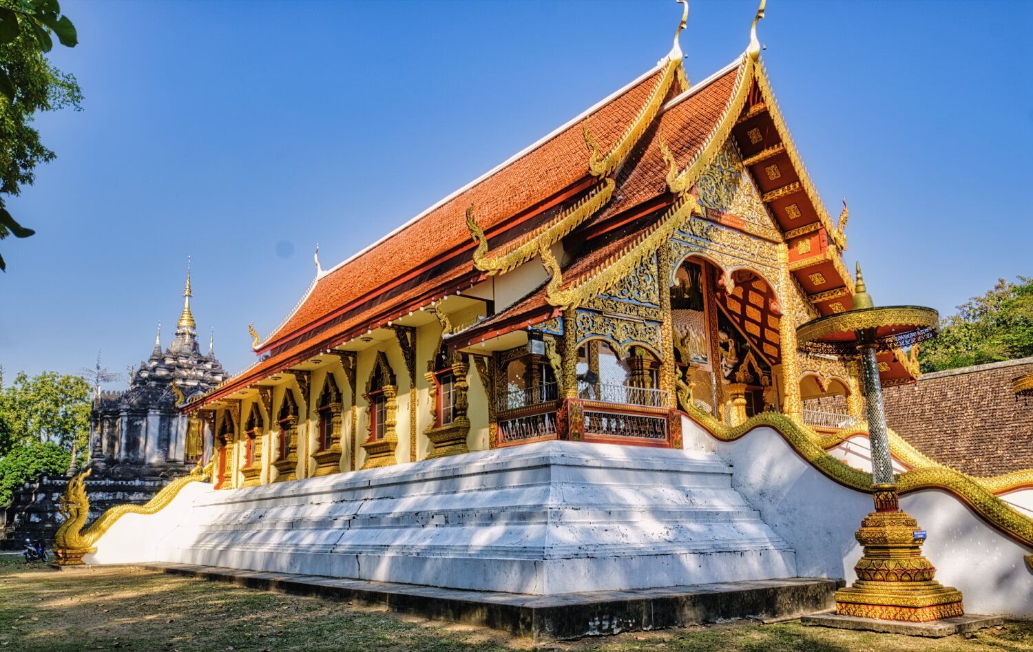
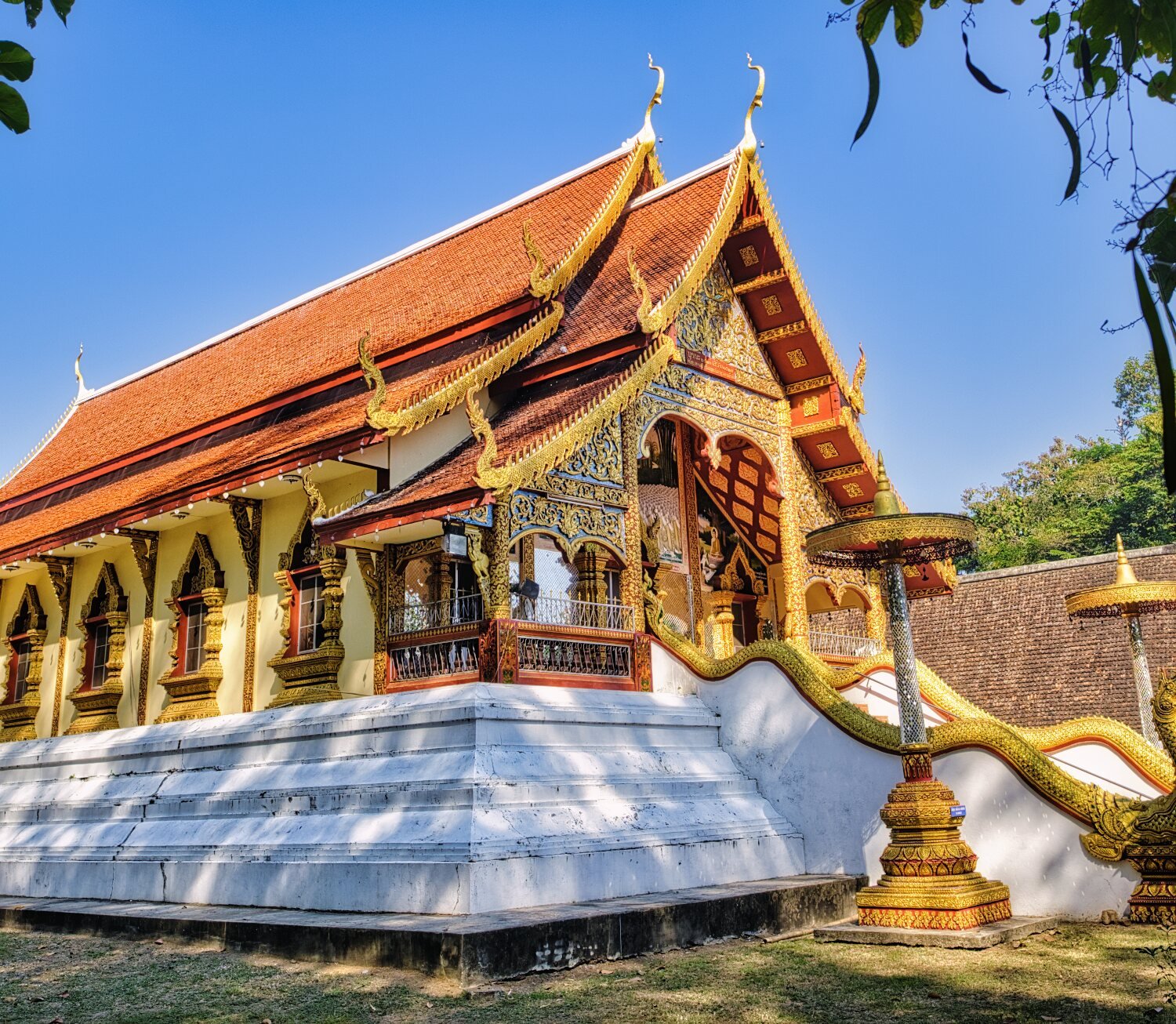
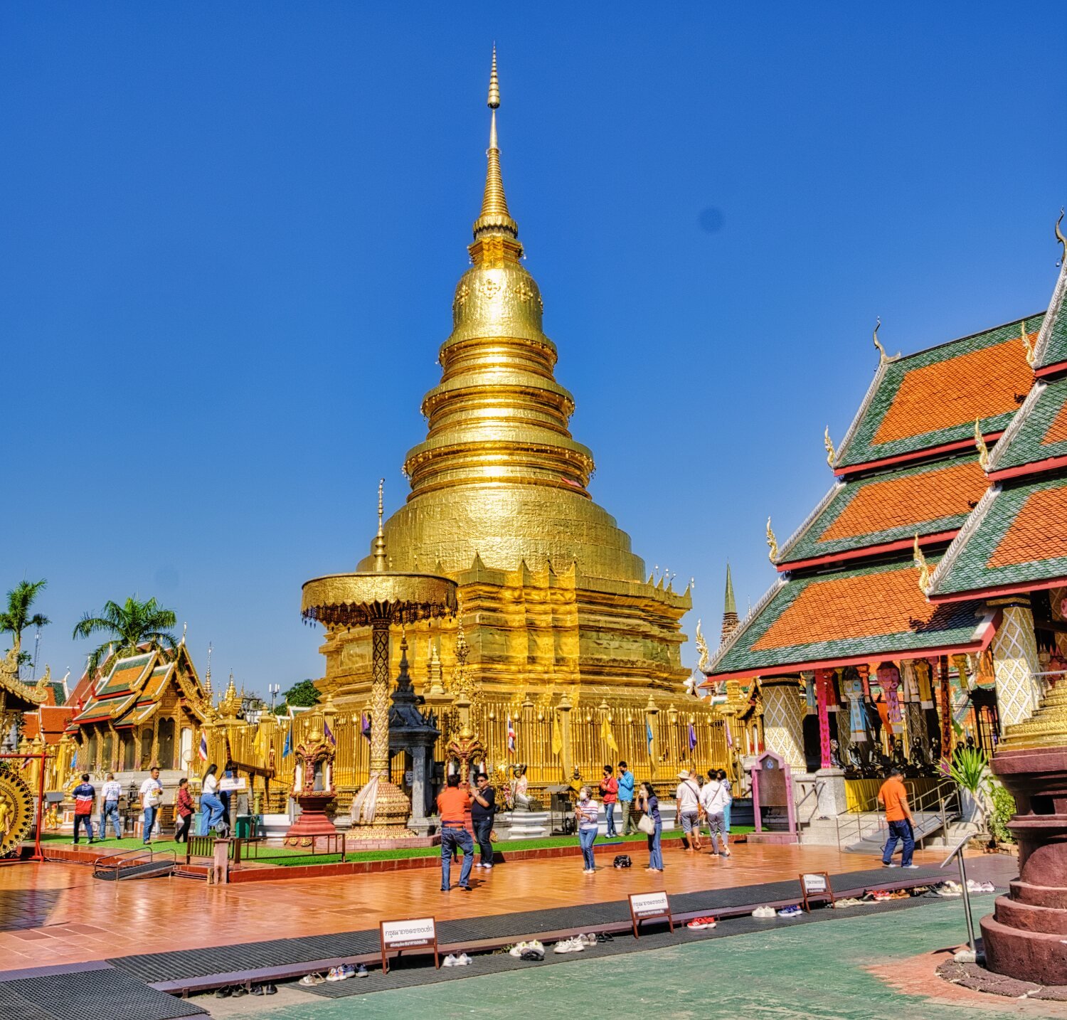
Next, Wat Phra That Hariphunchai Woramahawihan, here.
https://maps.app.goo.gl/o58WgxSHid3ktbR26
Double pricing to enter, but I just wandered in, way too busy to enjoy.
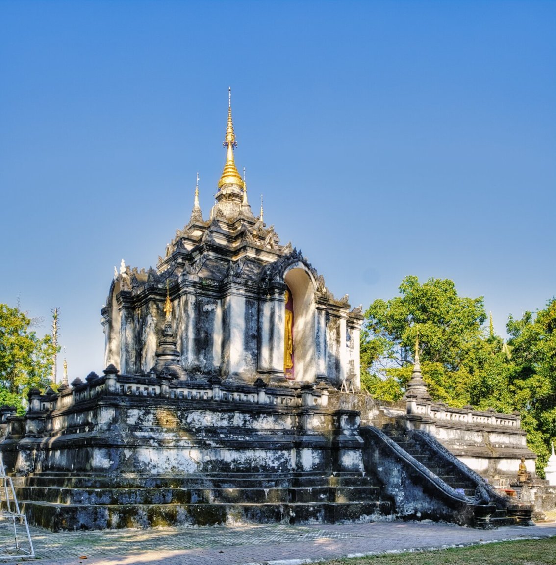
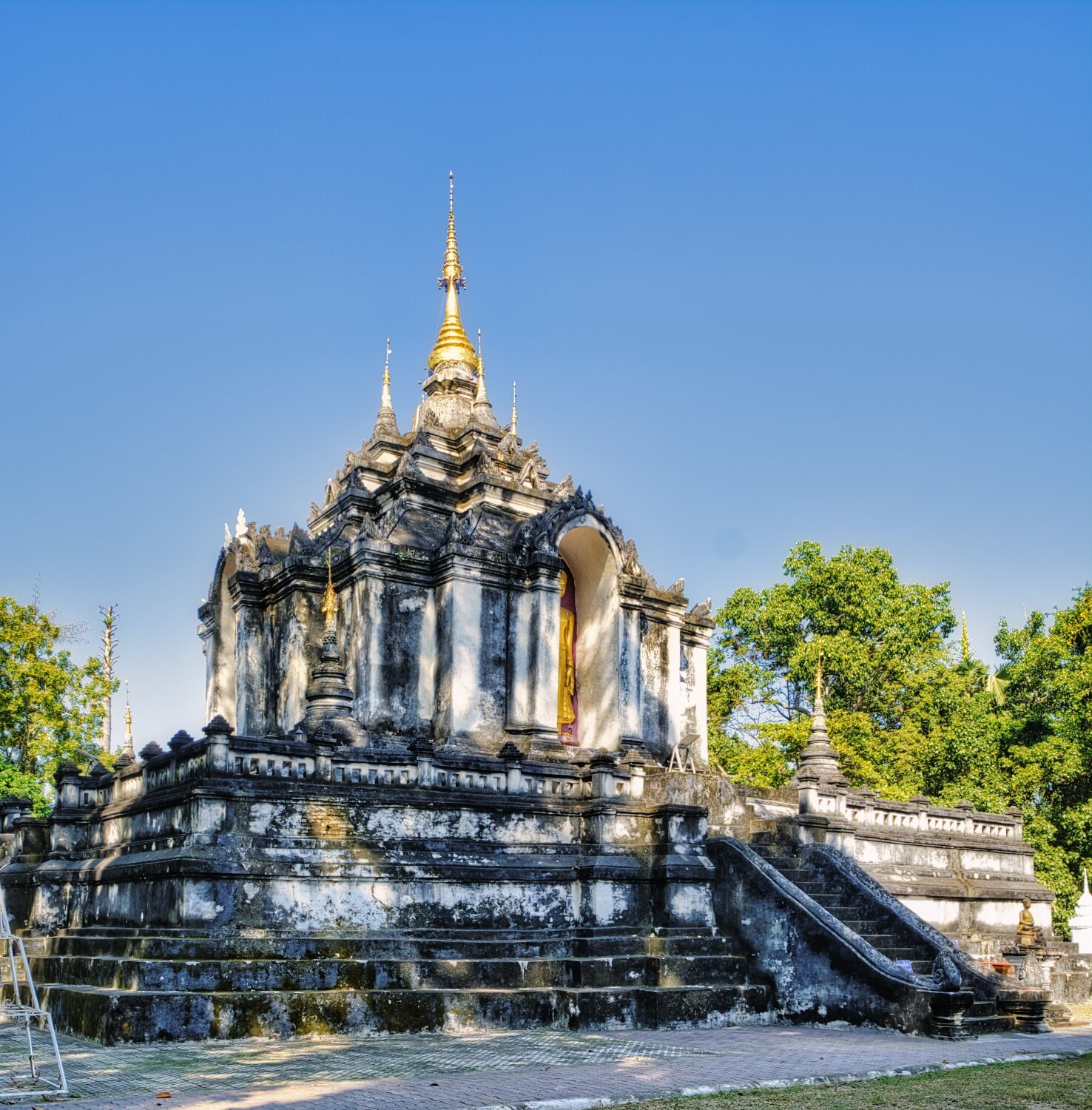
Further on was Wat Chamthewi, here.
https://maps.app.goo.gl/7oFrCcafG2kADTvWA
From here I rode the road that follows the Ping River back to Chiang Mai.
https://www.relive.cc/view/vQvyZ1K1zKO


-
4
-
1
-
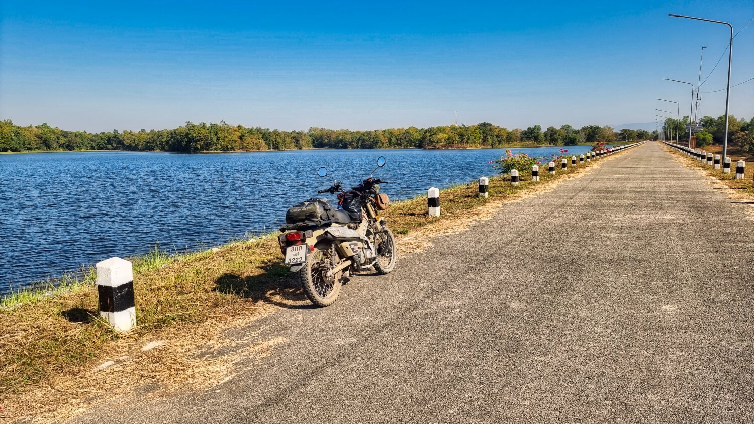
- Popular Post
- Popular Post
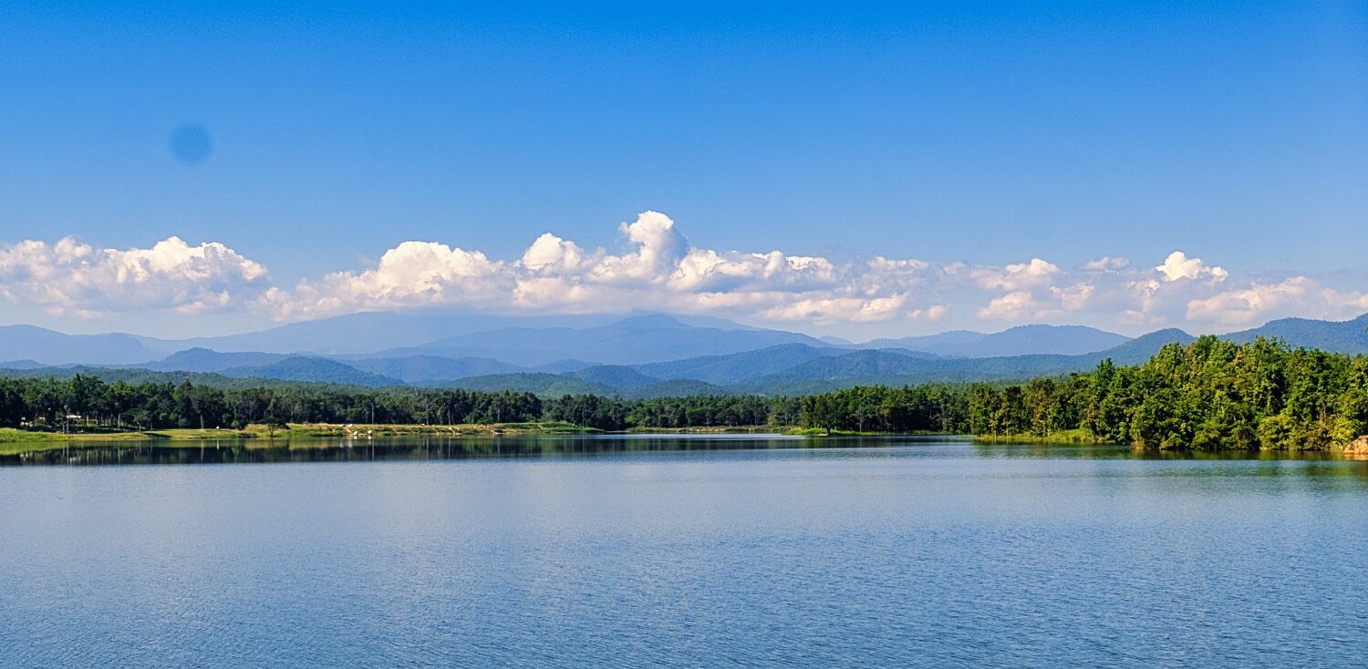
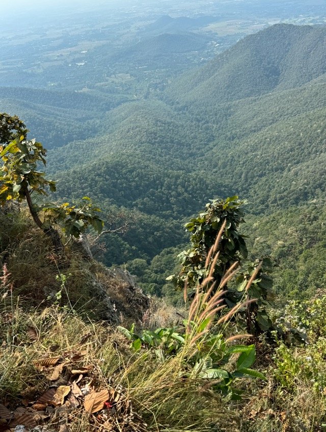
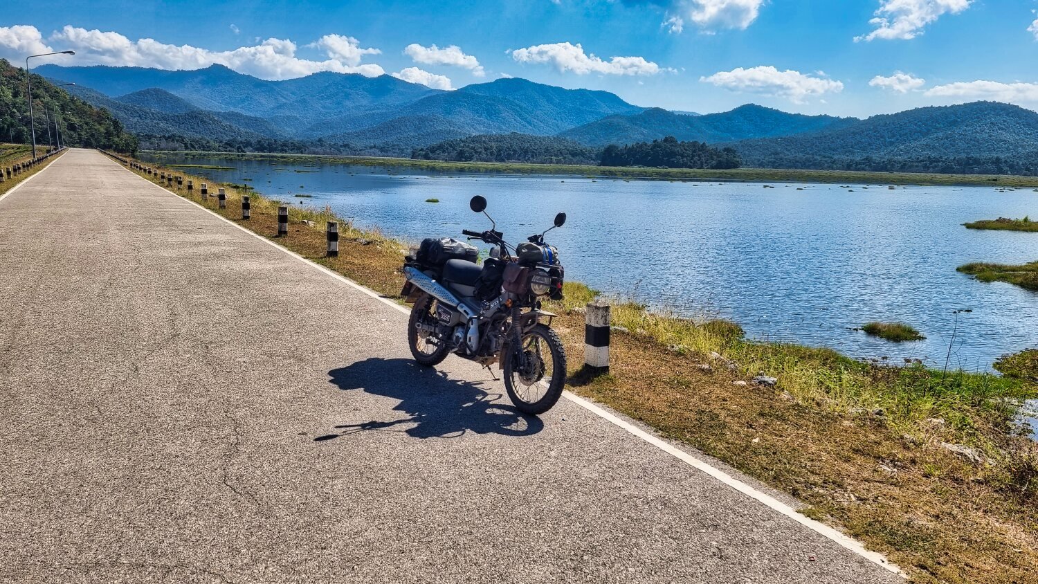
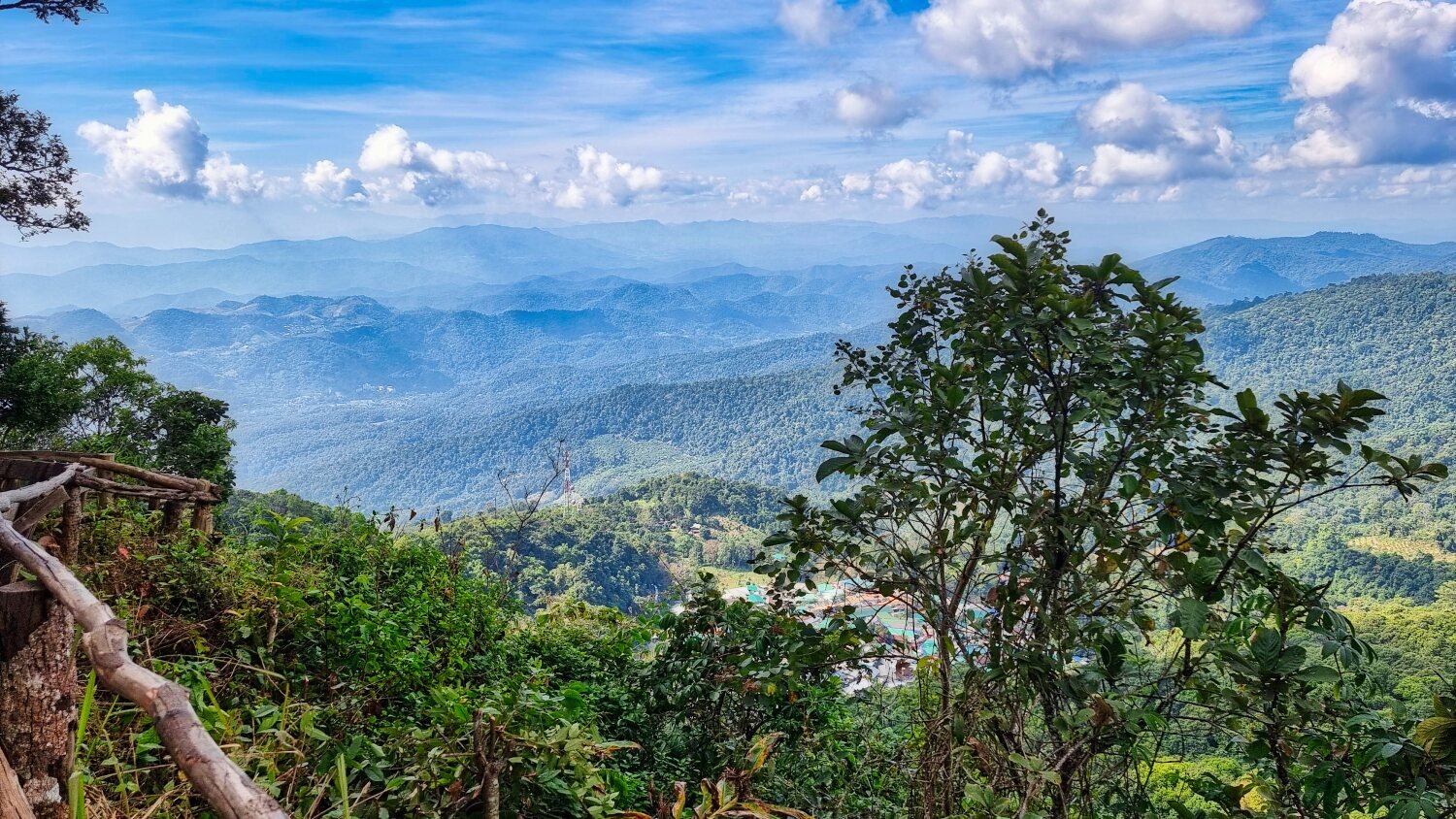
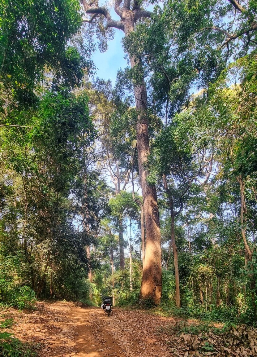
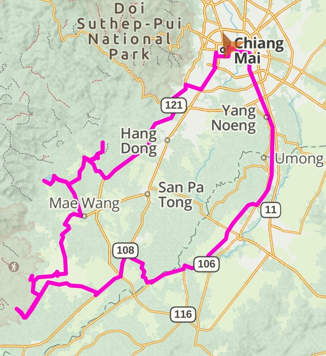
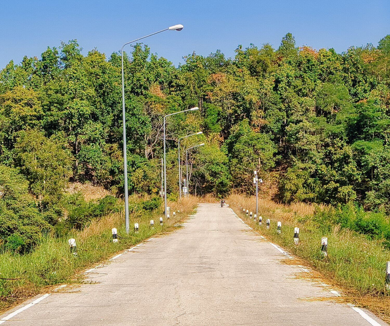
Today I rode to the Mae Wang National Park area, again looking for reservoirs and side tracks from them.
My first stop was Nong Salik Weir and Dam Project, here.
https://maps.app.goo.gl/t4u8HBR3CGYqXGu1A
The River Ping flowinf through it. Crossing Chiang Mai 700th Anniversary Bridge downstream, here.
https://maps.app.goo.gl/zSzCkLxaeB4dju438
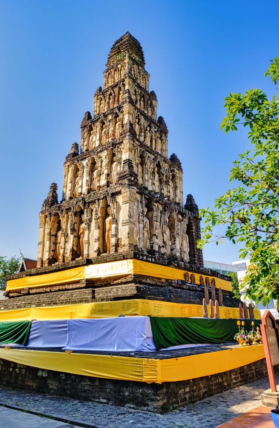
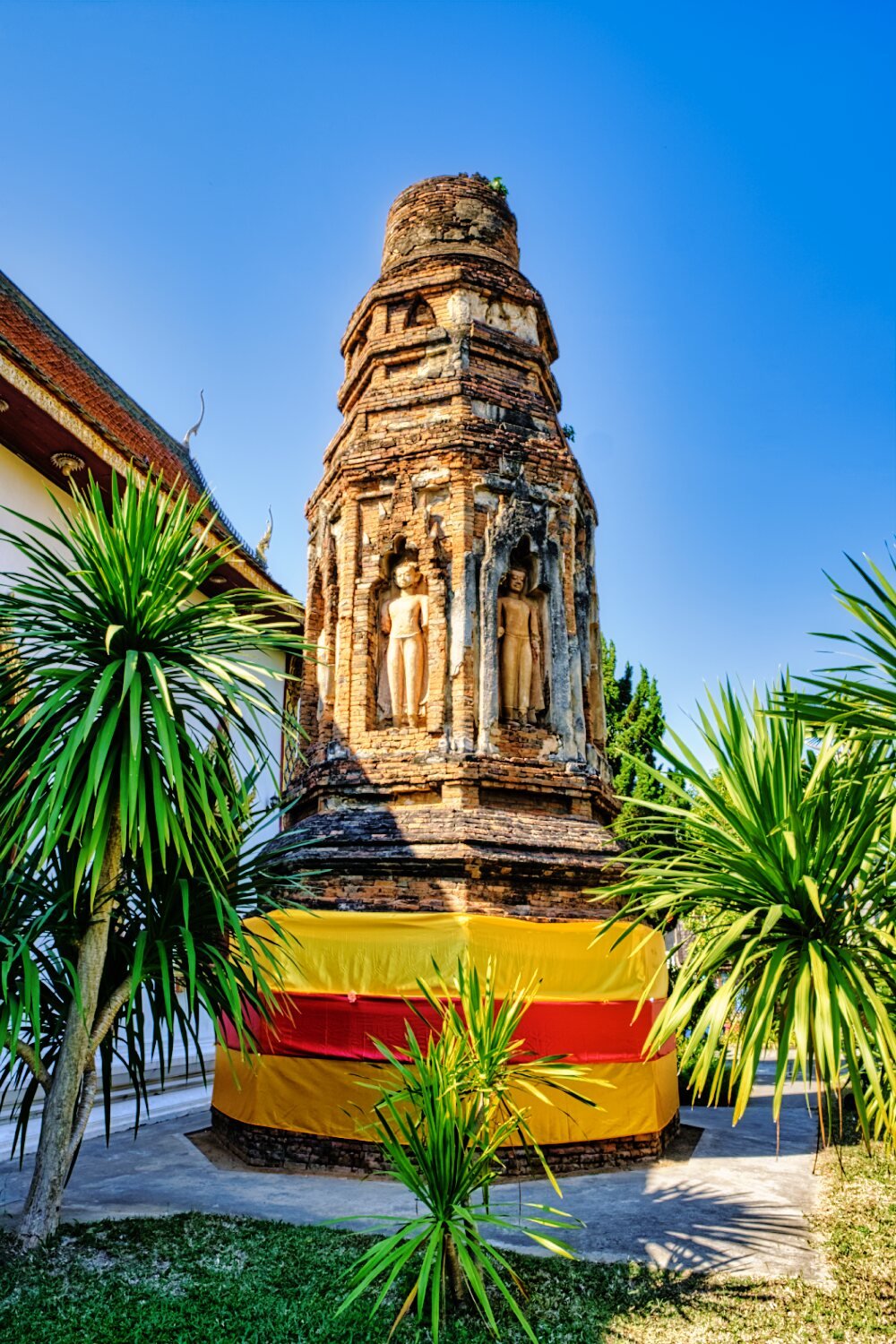
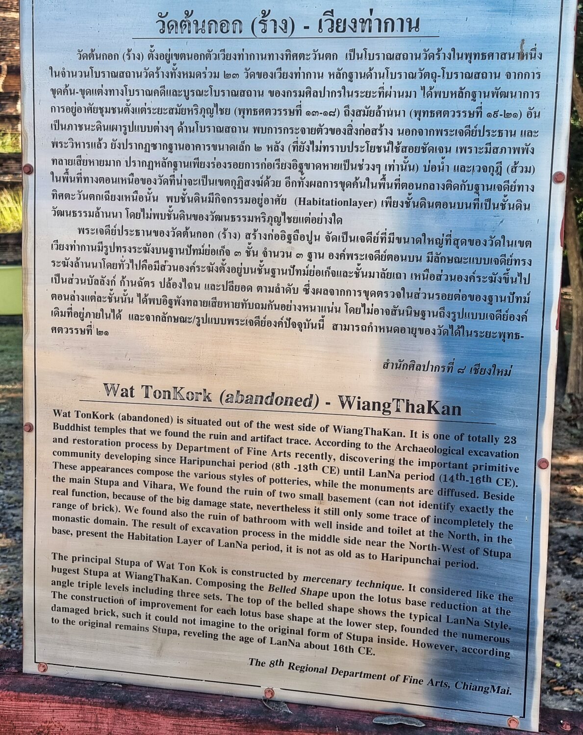
Not far and i found Wat Ton Kork (Wiang Tha Kan), here.
https://maps.app.goo.gl/wJC7Mu1cvoDgaDV57
I then rode to an un-names reservoir, here.
https://maps.app.goo.gl/8NNqWLLAj36oB9Bc8
I rode into the jungle for a while before returning and riding to Pong Cho Reservoir, here.
https://maps.app.goo.gl/hiCxzptmXYGNa5WSA
This is where the entrance to Mae Wang National Park is, off road from the south to avoid the pay booth!
https://maps.app.goo.gl/9hqTLKPizngrbrSp9
Nearby was Nong Hoi Reservoir, here.
https://maps.app.goo.gl/seWuxFiH3obd5V2g8
Next was Huai Manao Reservoir, here.
https://maps.app.goo.gl/ribUmfbw9bYscv3m8
https://www.relive.cc/view/v1vjdD19gY6


-
4
-
1
-
- Popular Post
- Popular Post
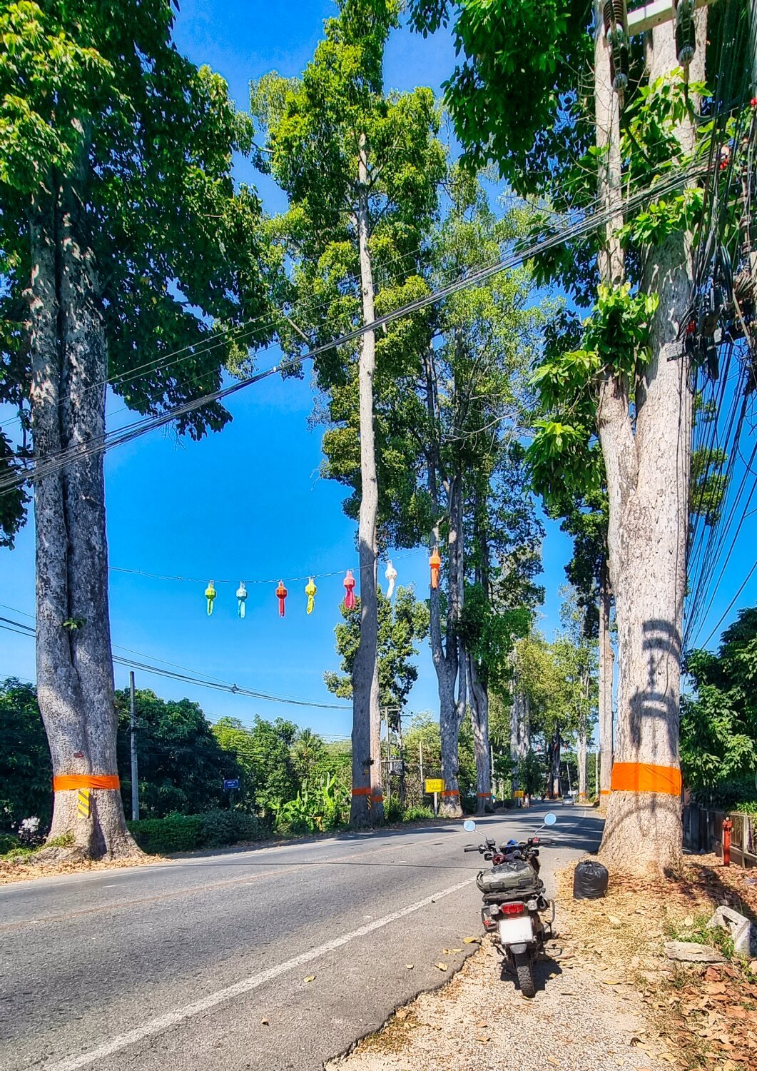
This morning I had new tyres, chain and sprockets fitted along with an oil change. A single guy working at his shop, good work and price, worth noting I think, he is behind the Lux Hotel, here.
https://maps.app.goo.gl/iPUqgEvR4N86Wn4n6
After that I had a short ride down to Lumphun on the railway side road and the giant rubber tress before looping back alongside the Ping River.
https://www.relive.cc/view/vMq53GZnP8O

-
2
-
1
-
13 hours ago, novacova said:
We rode out in that area today, Doi Thon and a couple reservoirs then to Lamphun, bike is a little big for much off roading…
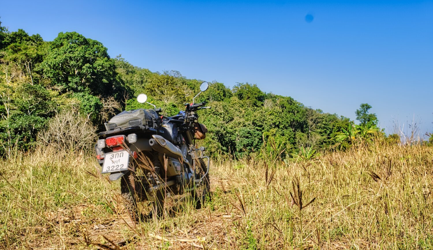
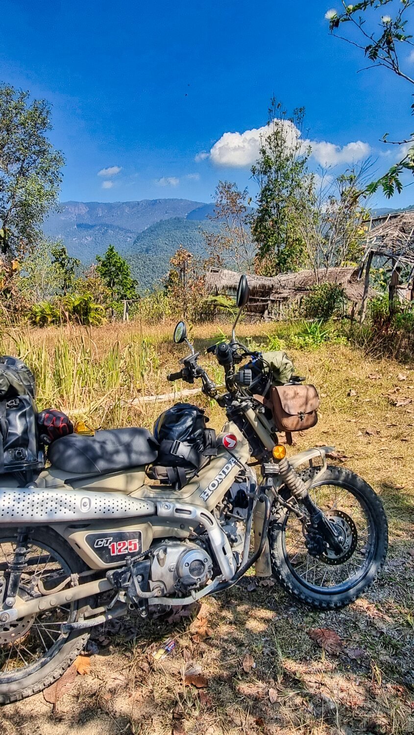
CT125 is great for this style riding, slow in the mountains though
-
1
-
1
-
-
- Popular Post
- Popular Post
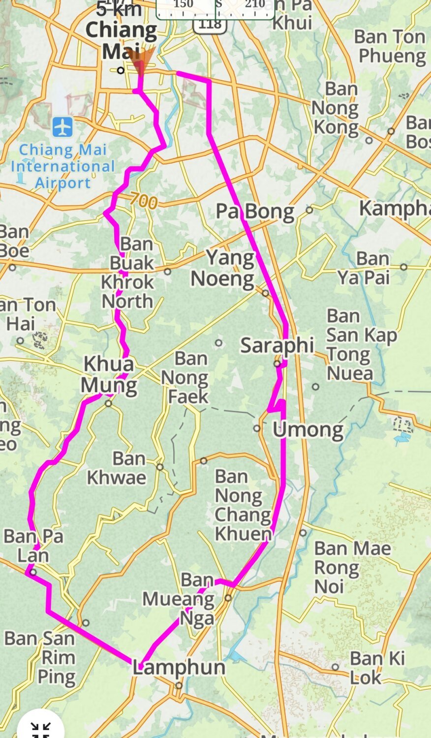
Today was day 60 of my trip and New Year ’s Day. I headed south of Chiang Mai searching for reservoirs again.
My first stop was Mae San Reservoir, here.
https://maps.app.goo.gl/WGdg654ovpEJoFoa6
The off road tack to it is directly off R11. There are two dams that I rode across here, before the first I carried on down a small track until I found a local’s motorbike by the side of the reservoir. Riding back I then crossed the first dam and rode over a small hill to find the second dam, which was a great find and I’m glad I went exploring.
I failed to connect with the track I needed to my next stop and had to ride back on R11 before a U-turn into Chiang Mai University Education Center, Hariphunchai. After thee small reservoir there it was off road riding for a fail while then small roads to Si Bua Ban Reservoir, here.
https://maps.app.goo.gl/CCibaaW1wV5abwYJ8
Next I found Nam Mae Tip Reservoir, here.
https://maps.app.goo.gl/F6yjeWBAXTfNuJACA
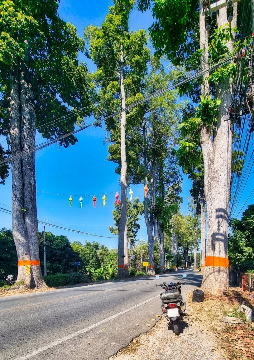
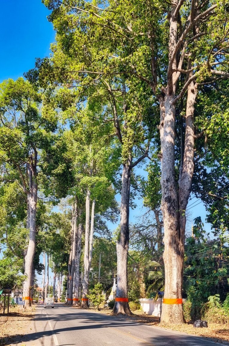
I then started my ride back and found R106 lined with huge rubber trees, here.
https://maps.app.goo.gl/jkXcqaU4Tyiccrw37
Finding the road that runs alongside the railway I used it for the first time, much nicer than the bypasses.
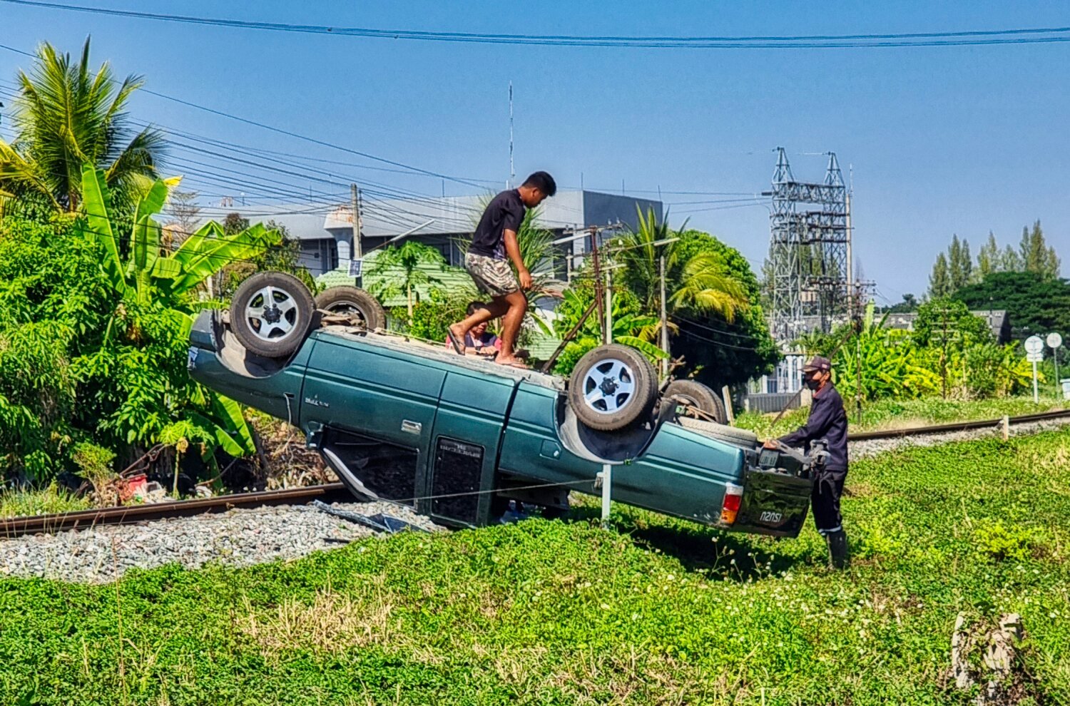
Along the way I saw a car parked upside down on the railway line, Incredible parking!
https://www.relive.cc/view/vXOdXBgMX4O


-
3
-
1
-
- Popular Post
- Popular Post
Today being News Years Eve I decided to stay local and went to explore Navamin Reservoir in Chiang Mai which is near the sports stadiums, here.
https://maps.app.goo.gl/A2hygTCBRyEZ6wPB9
Once I crossed the dam I tried to loop all around the reservoir, after a few attempts I thought I had found my way, but after passing a small waterfall and crossing a stream I came the track stopped at the waters edge. I decided to call it a day and go and have Sunday Roast at Annies in the City.

-
2
-
2
-
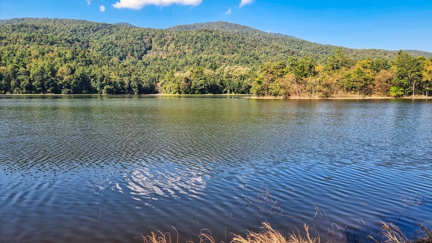
- Popular Post
- Popular Post
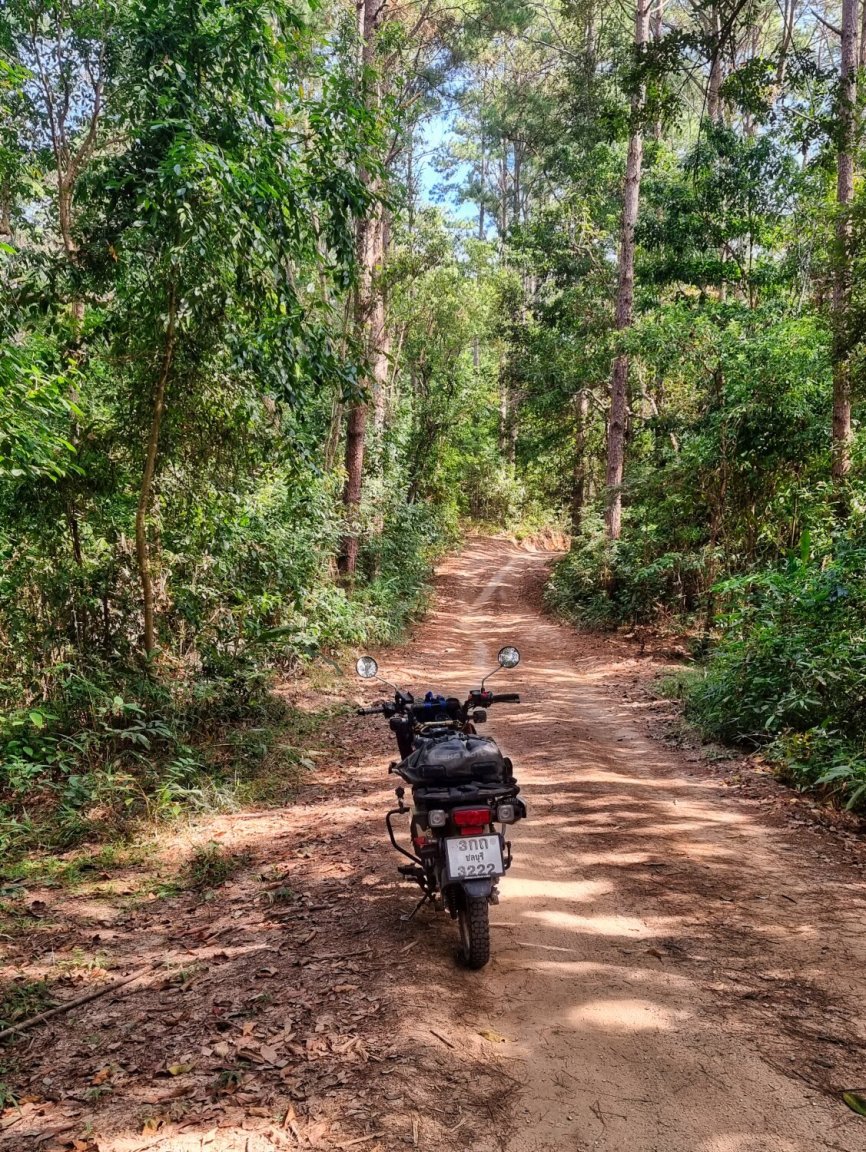
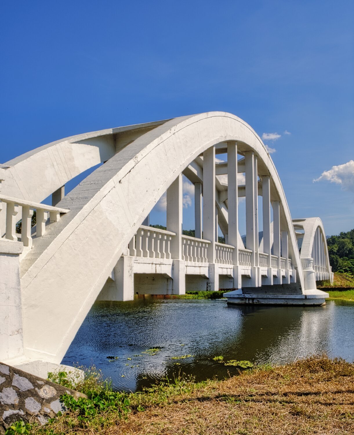
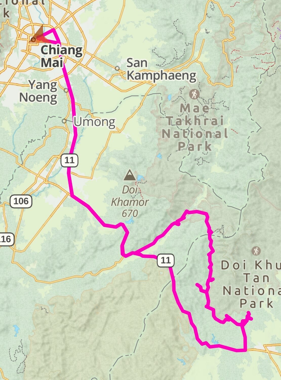
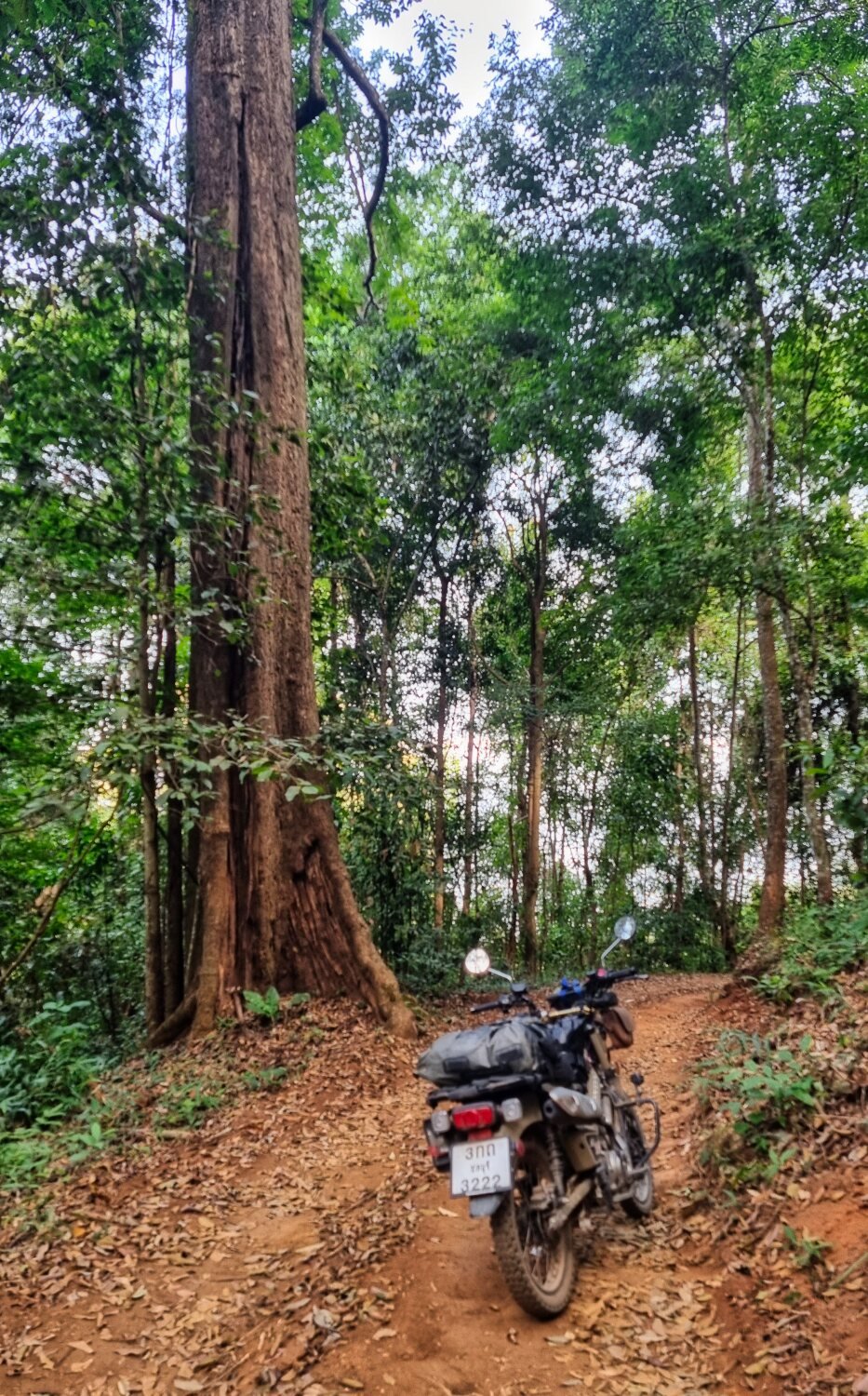
Today I rode to the Doi Khun Tan area, the idea to find some more reservoirs and green laning. As it happens, very little green laning, but I found some great sights.
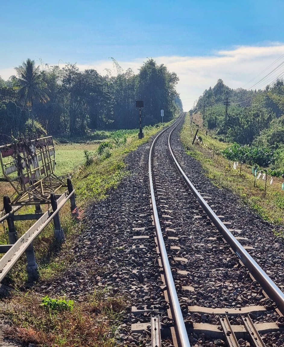
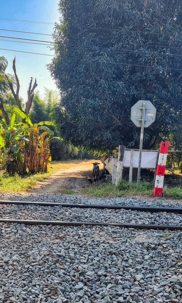
The first reservoir is un-named and to get there I had to cross the railway line at Huai Rian station, here,
https://maps.app.goo.gl/KqHSDjwBD5g8VWXd6
the locals had just piled up stones to allow access!
The reservoir was not far along a dirt track, here.
https://maps.app.goo.gl/RtoSiDkkueDouGnNA
I then rode to Mae Tan Reservoir, here.
https://maps.app.goo.gl/zyVQjWLpcFiwVyeD8
My next stop was Huai Mae Long Reservoir, here.
https://maps.app.goo.gl/GQHjr8ekBNMsx4ik8
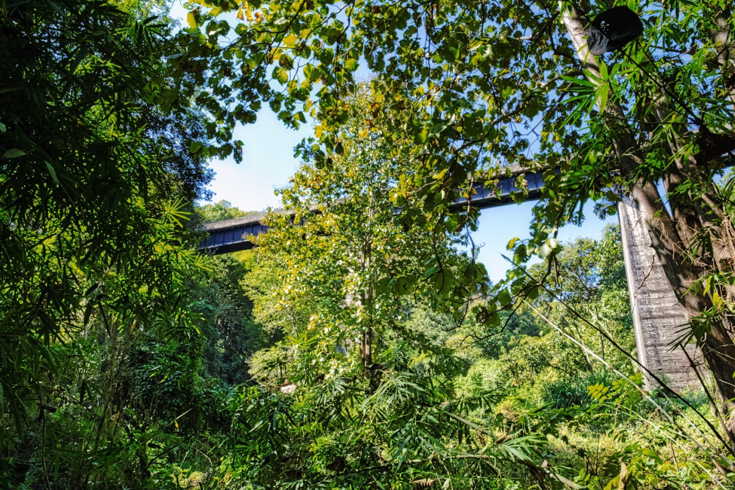
I then went looking for a railway bridge to photograph, I was directed through some jungle and found it, but I was at the bottom, this needs more time to explore how get on the track.
https://maps.app.goo.gl/o6tRotrP37GG8dmk6
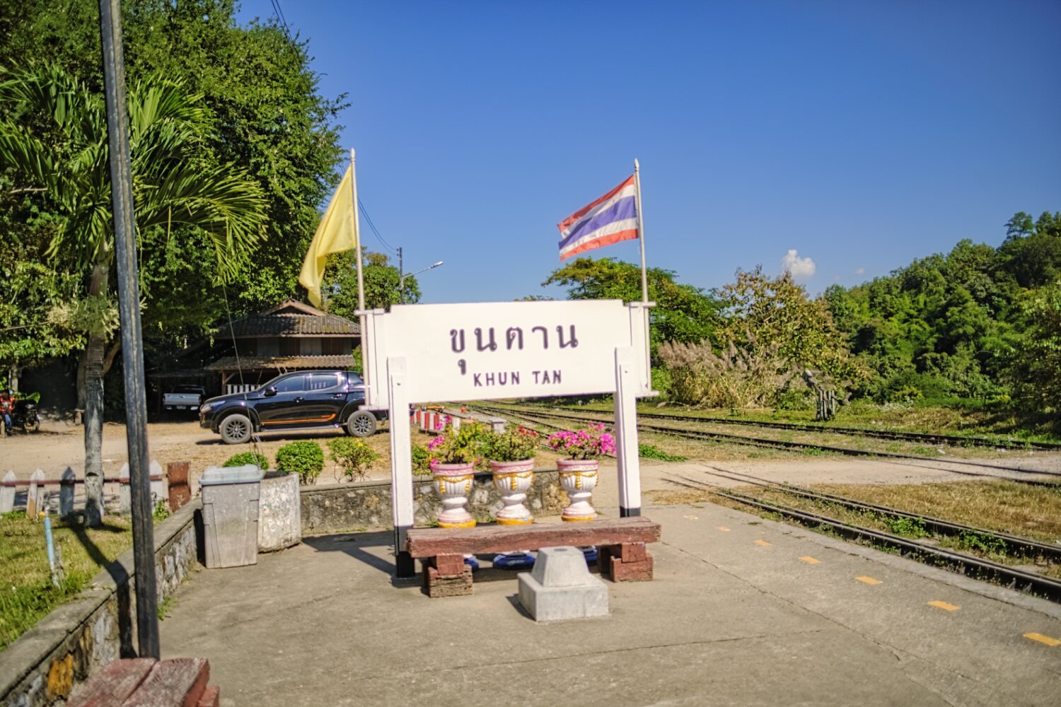
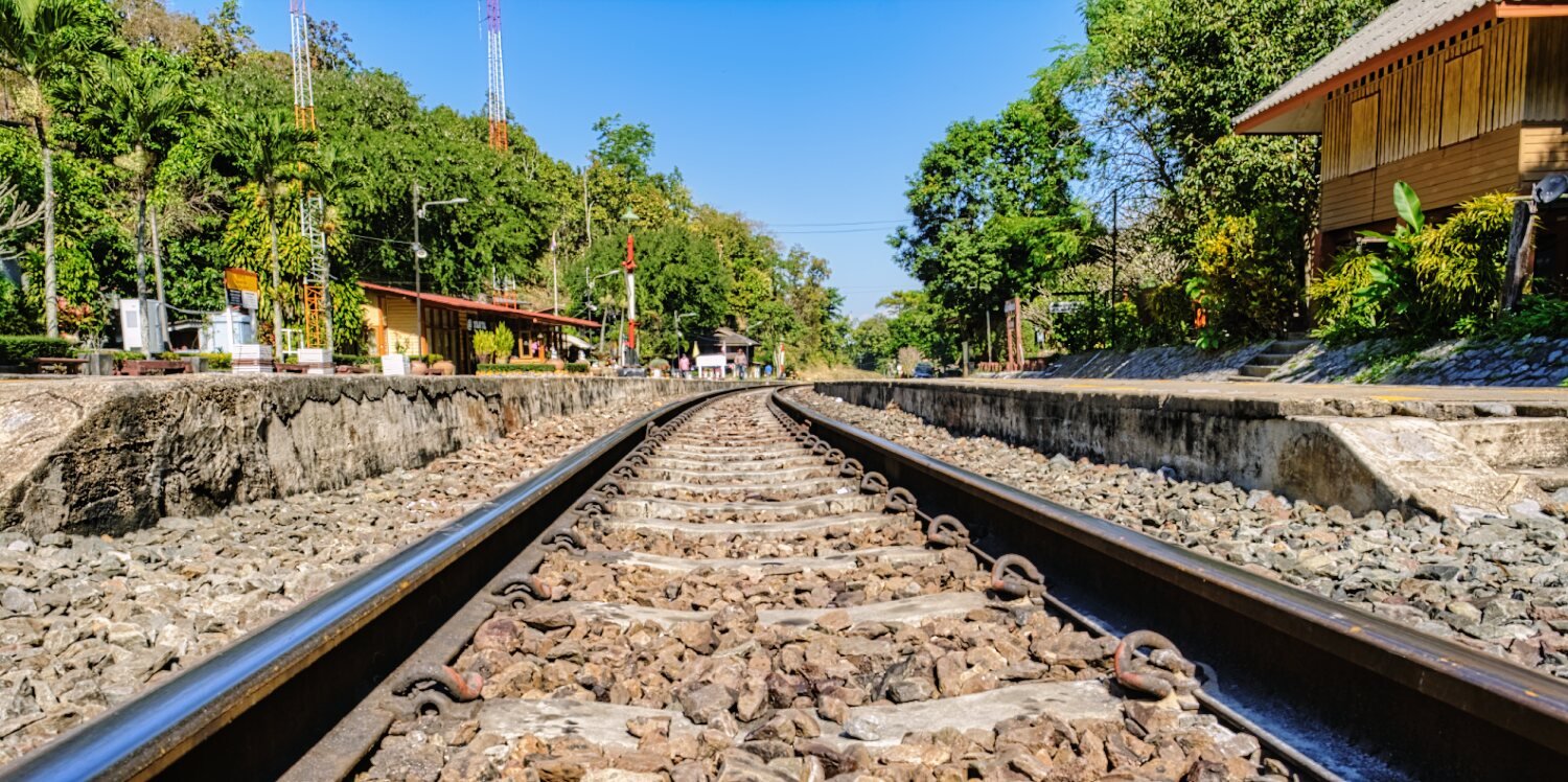
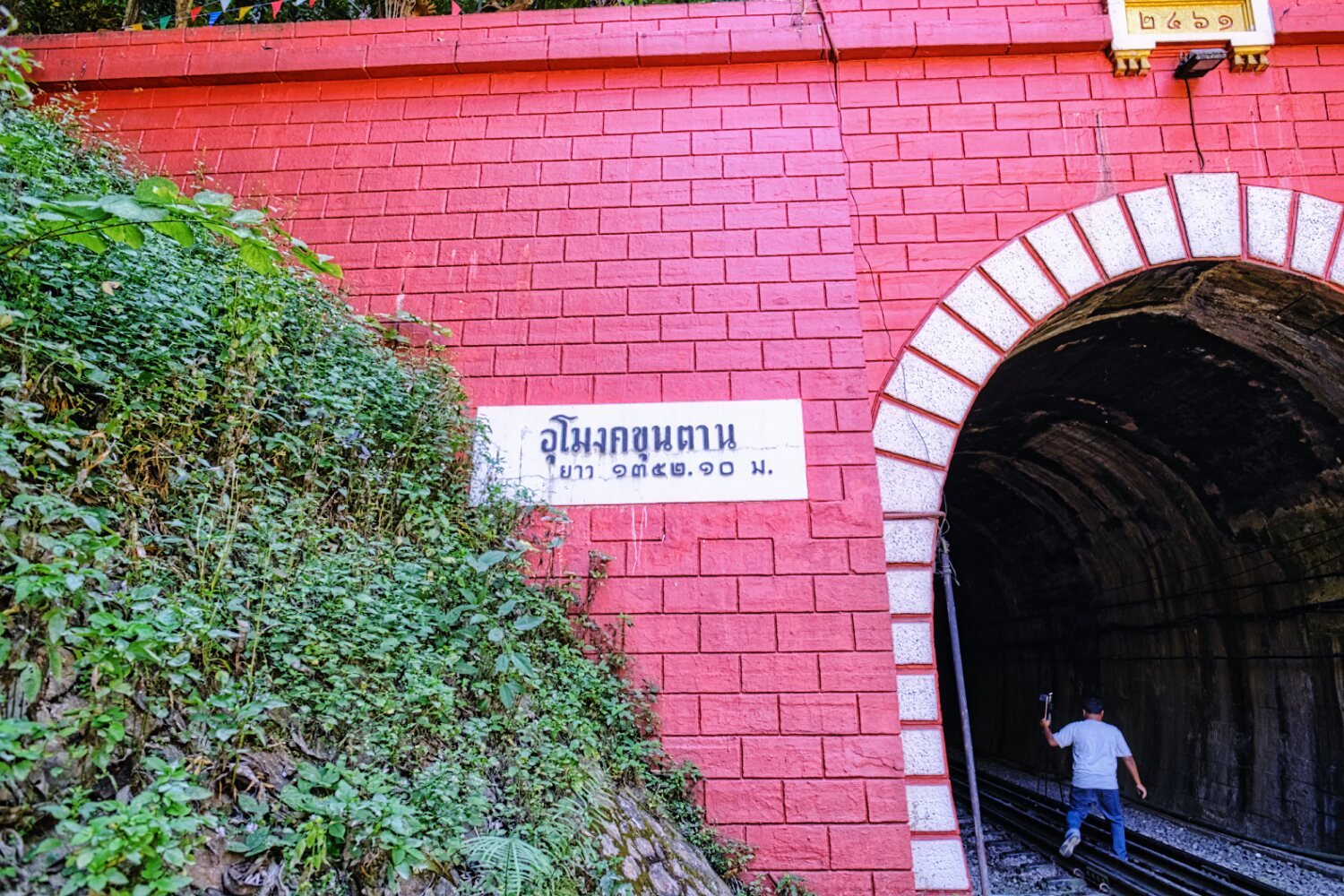
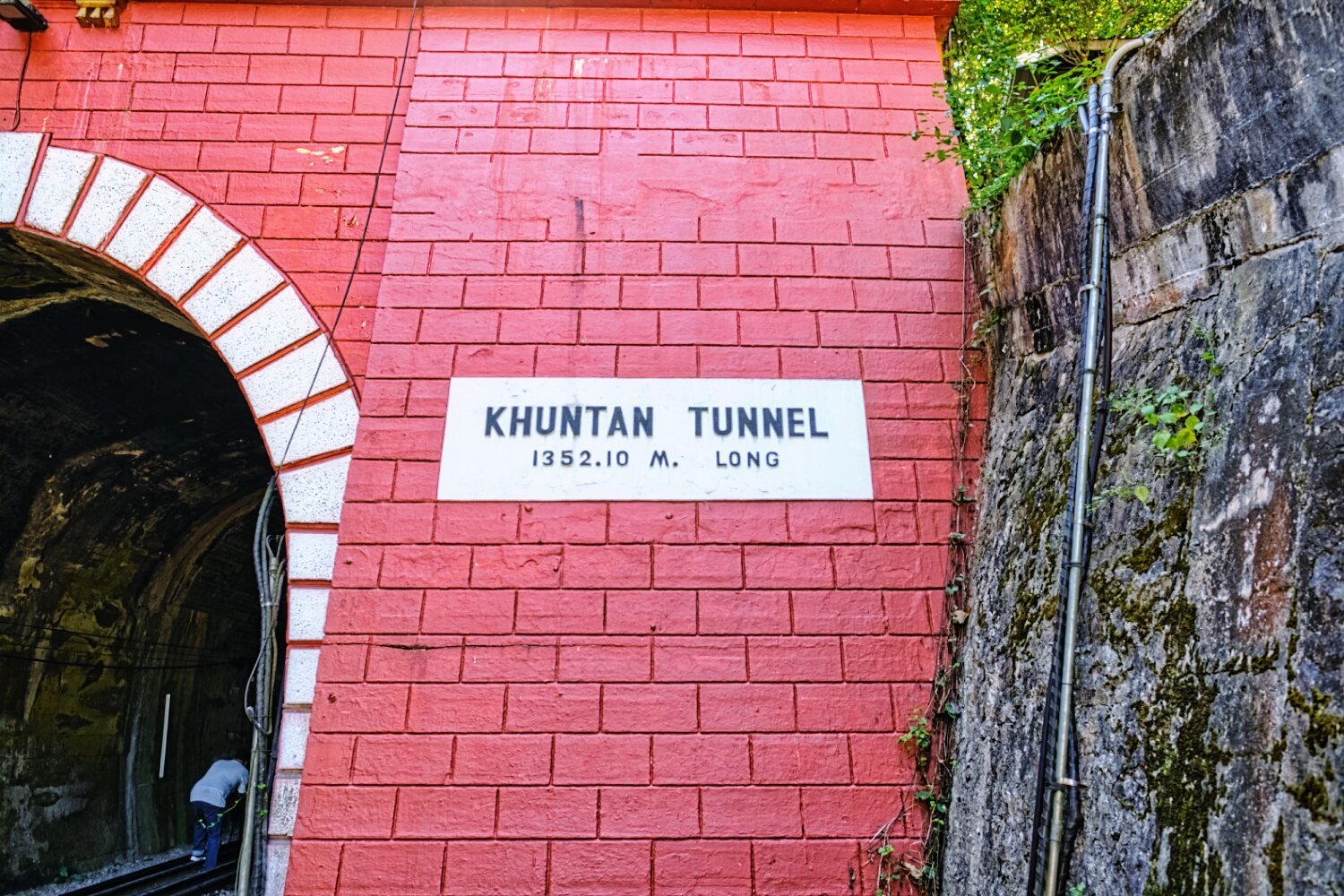
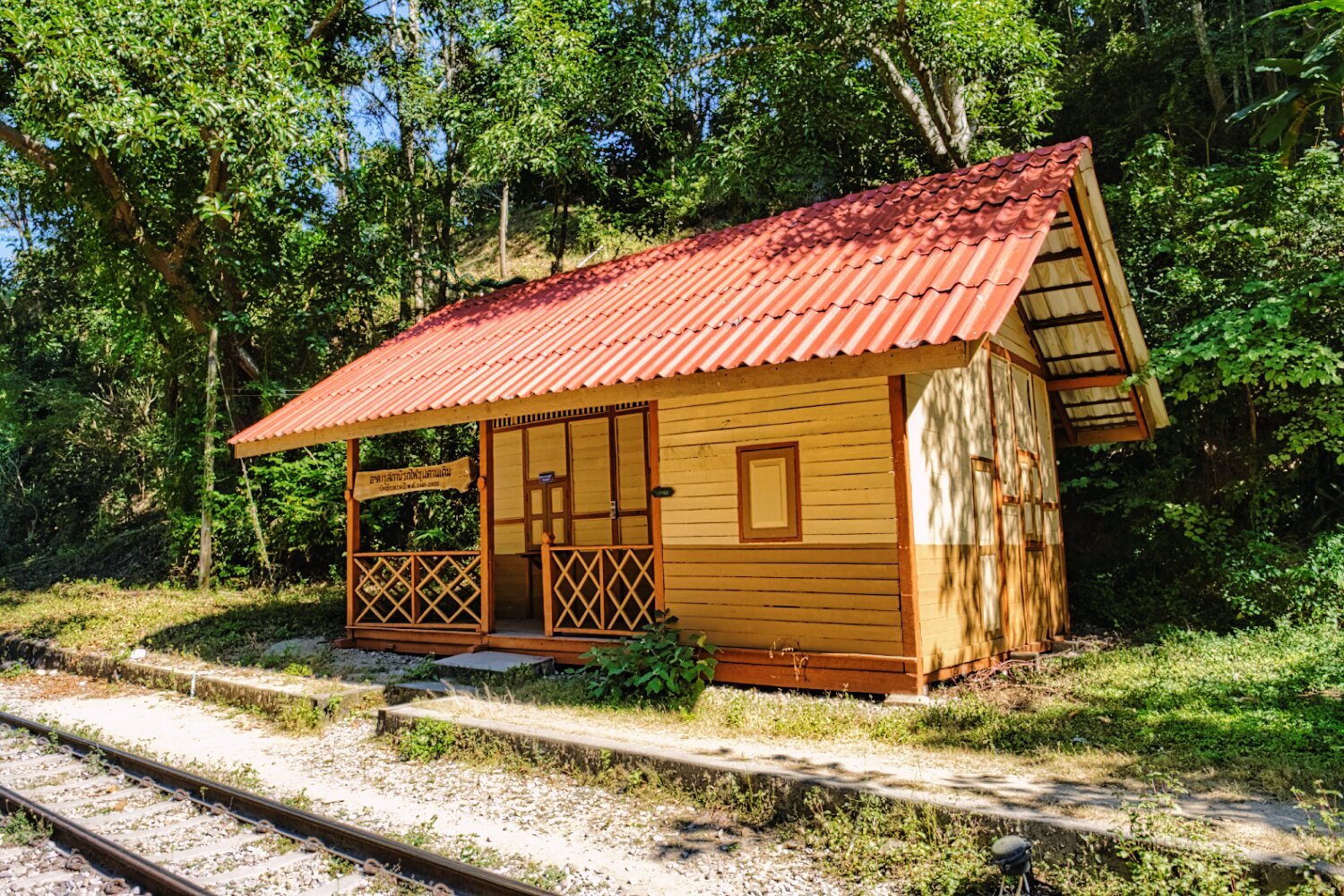
Up some steep and windy roads my next visit was Khun Tan Railway Station and Tunnel, here.
https://maps.app.goo.gl/ZnXF65QMwDStVP1JA
https://maps.app.goo.gl/zvaeBMvkWneRtJ4F8
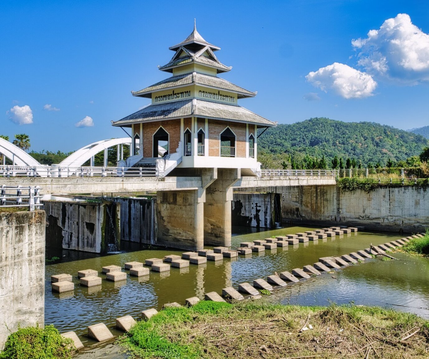
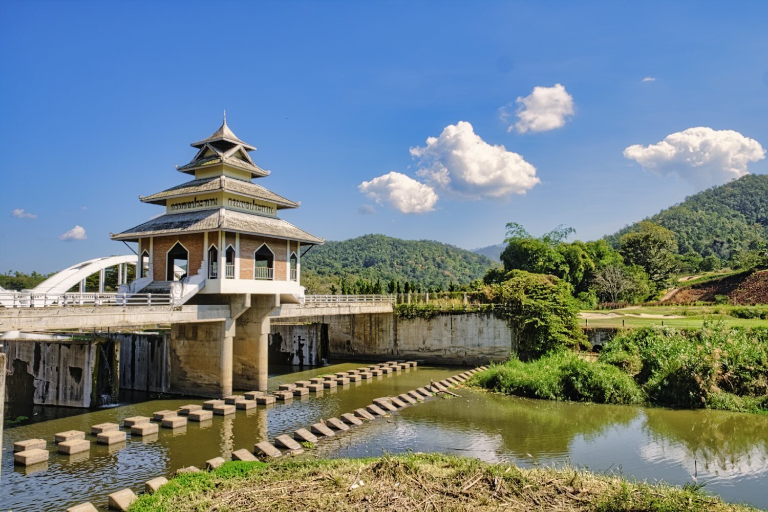
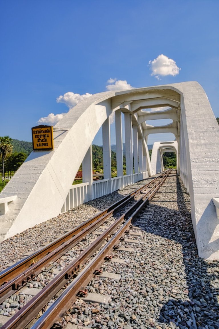
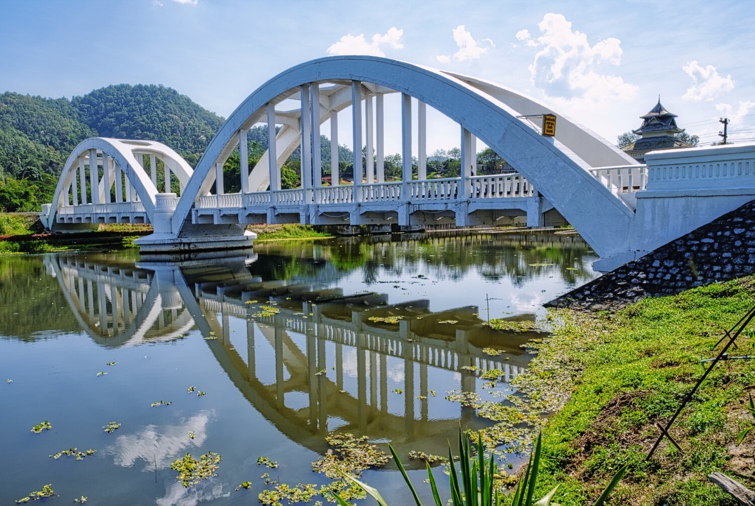
My last stop was at Tha Chompu Bridge (White Bridge) and the nearby weir, here.
https://maps.app.goo.gl/hQ7DtiN4WGHSfkSB7
https://www.relive.cc/view/vYvE2ZP5BGO


-
3
-
1
-
- Popular Post
- Popular Post
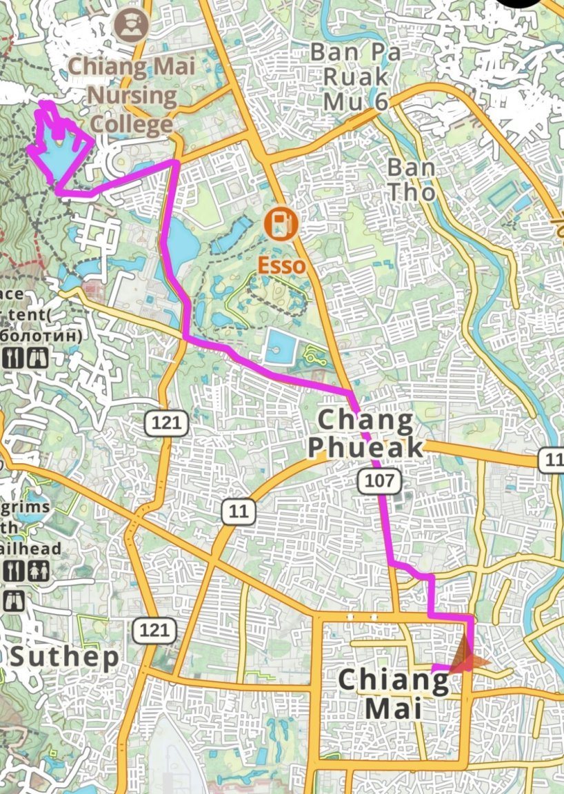
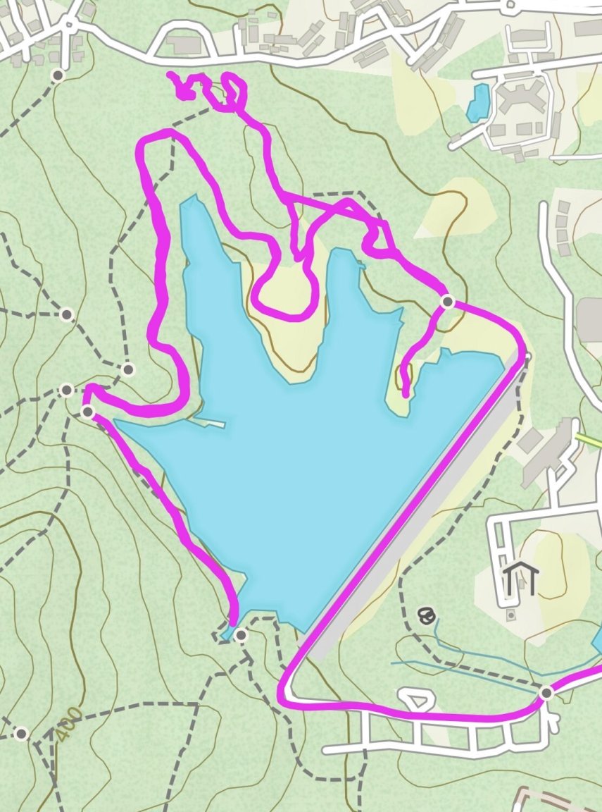
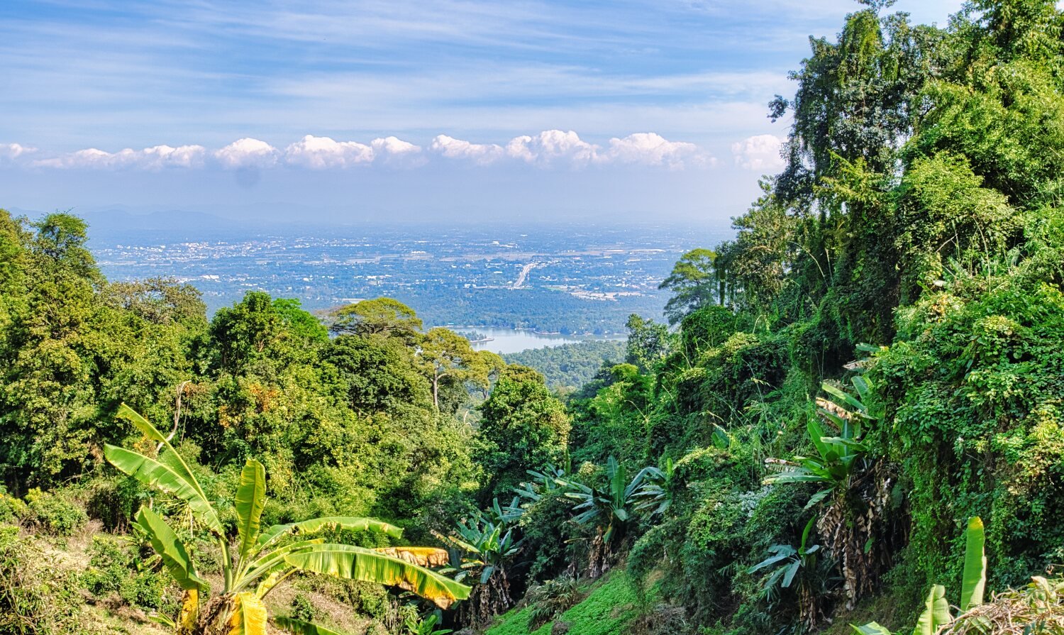
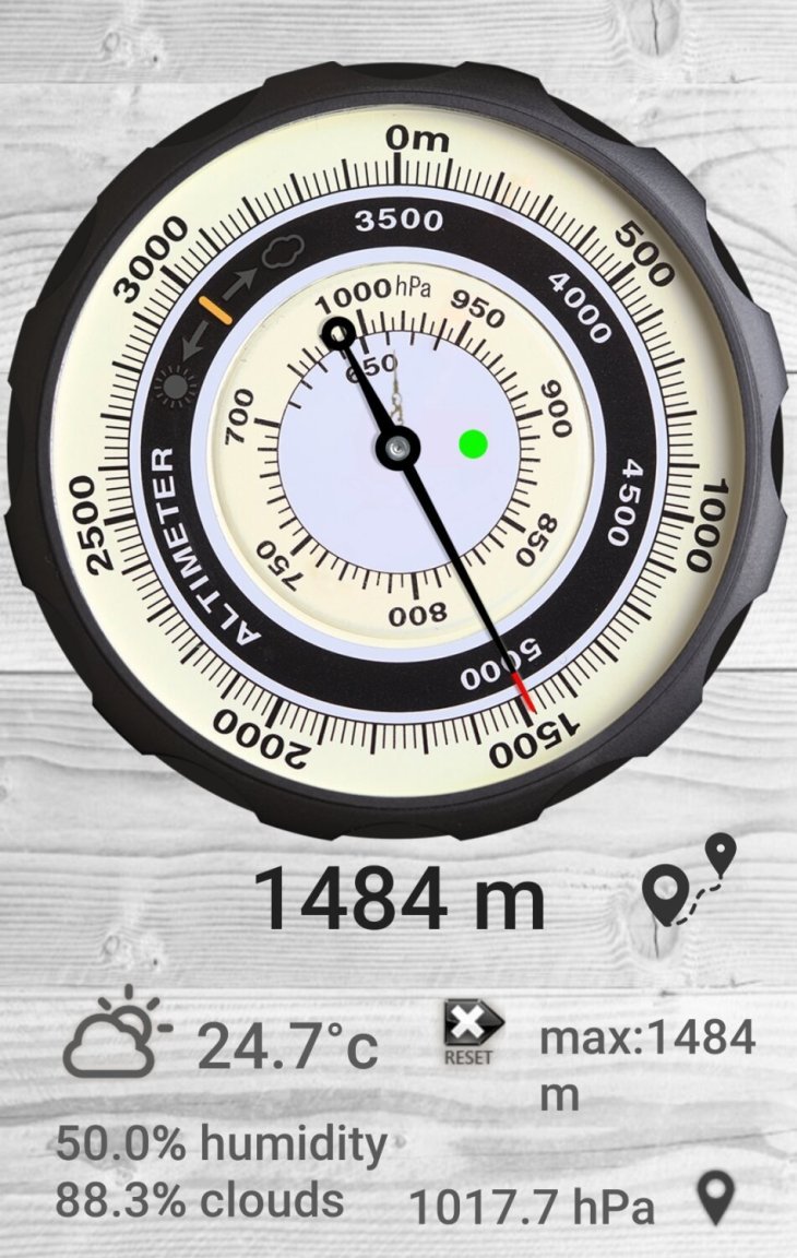
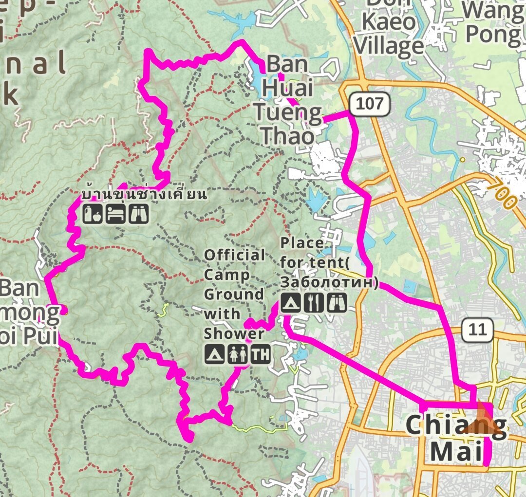
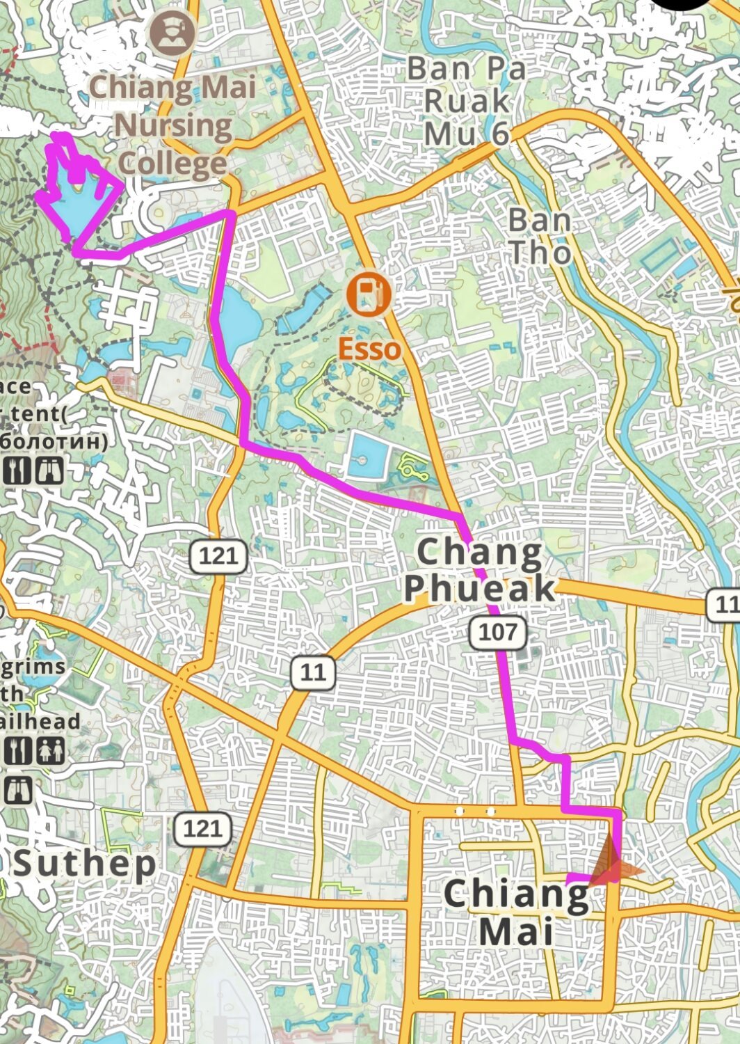
Today I was going to ride up to Doi Pui Viewpoint.
https://maps.app.goo.gl/VAJMoHb2wYyt5TCw9
With the idea of riding back the same way, the traffic was crazy so I decided to continue and rode a loop past the camp ground nearby and down through the jungle past Khun Chang Khian, here.
https://maps.app.goo.gl/T3HZaoQYrEXzqGk28
There are not may viewpoints once in the jungle, but I found one place where I could look down on to Huai Tueng Thao Reservoir, or the lake next to it, I’m not sure.
https://maps.app.goo.gl/GPQ25chJLGudx394A
https://www.relive.cc/view/vMv8GVpVVPq


-
2
-
1


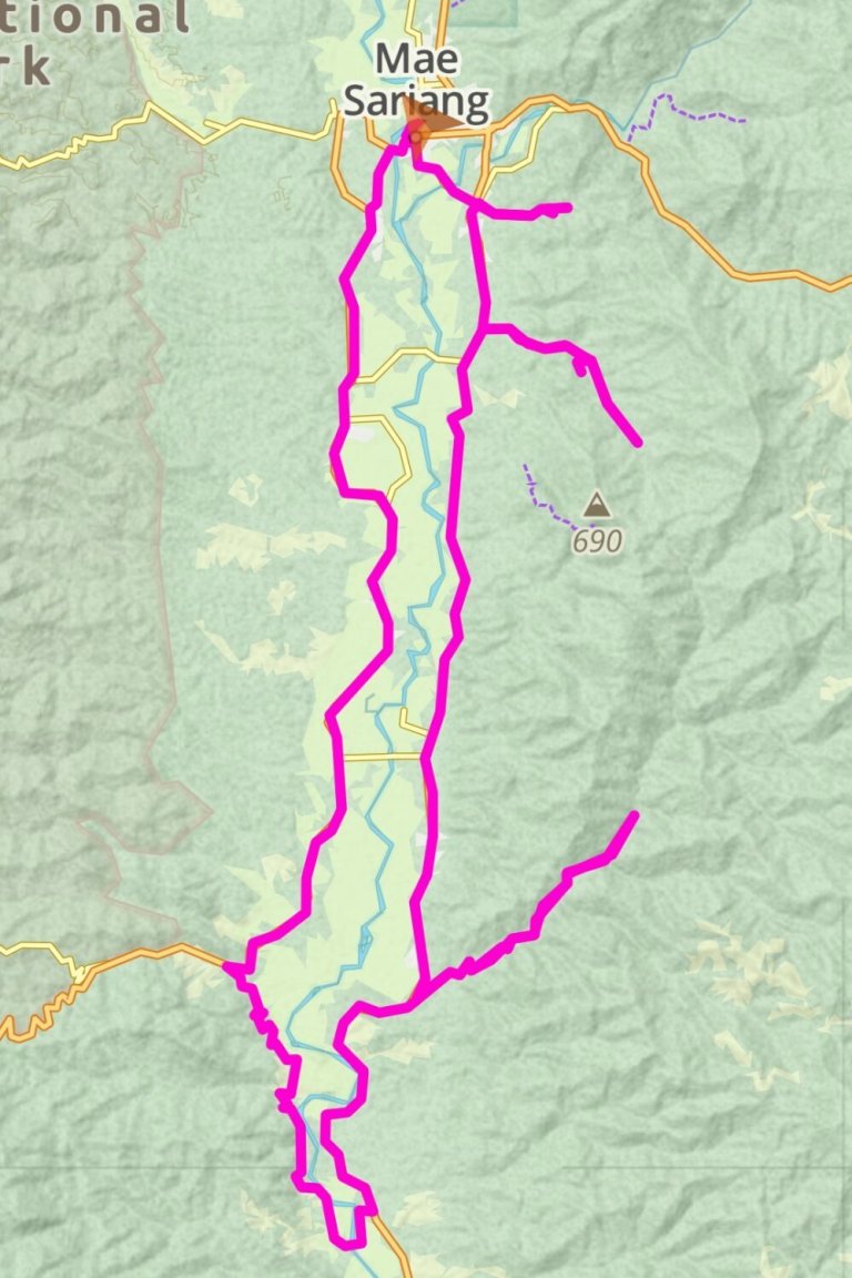
CT125 Winter tour
in Motorcycles in Thailand
Posted
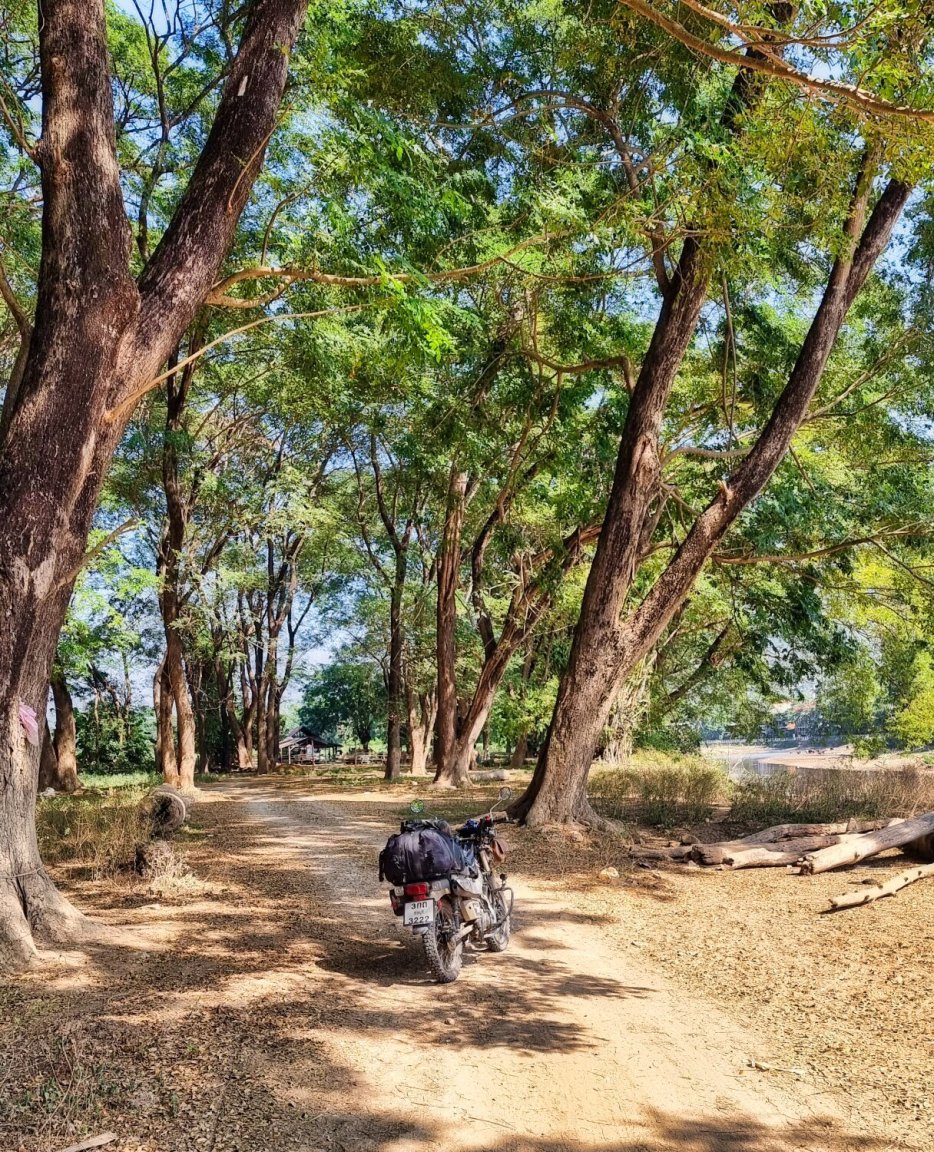
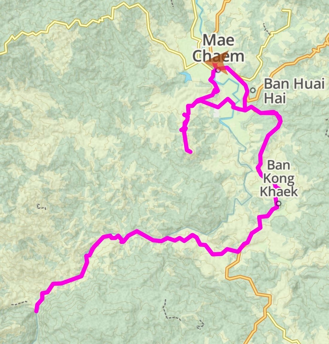
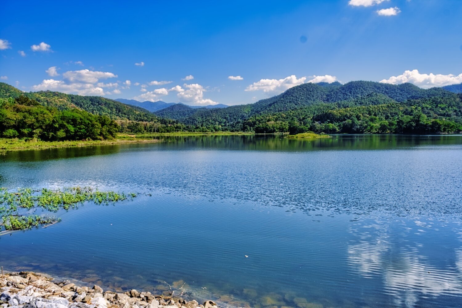
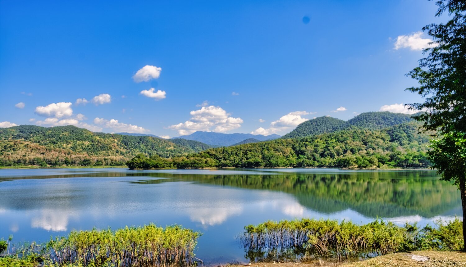
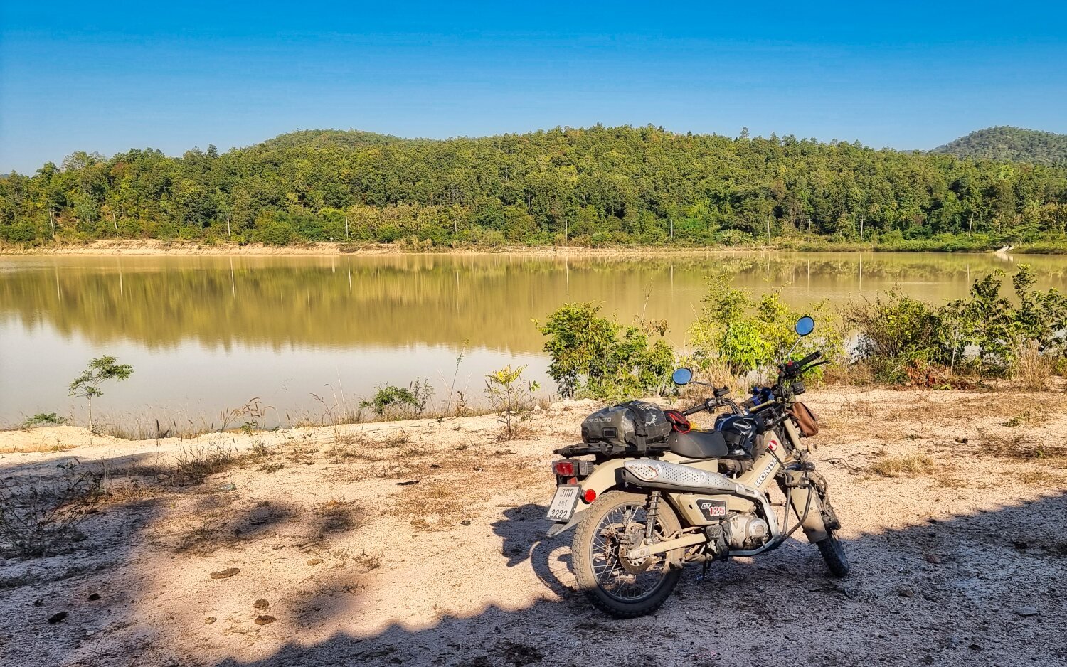
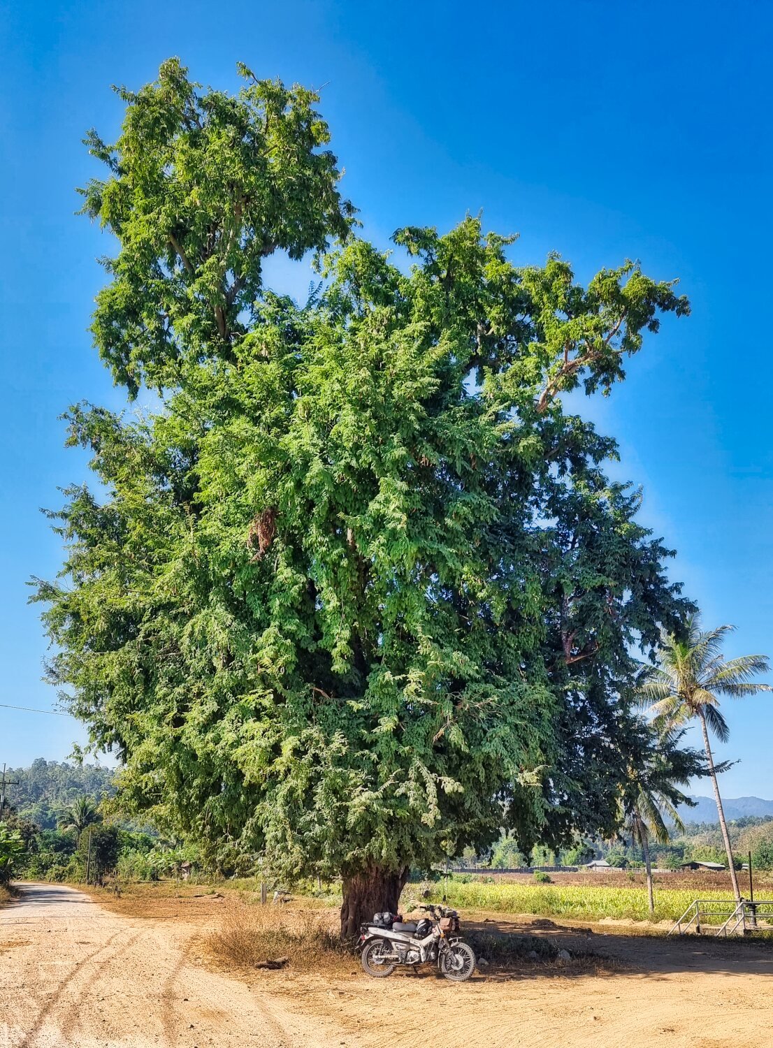
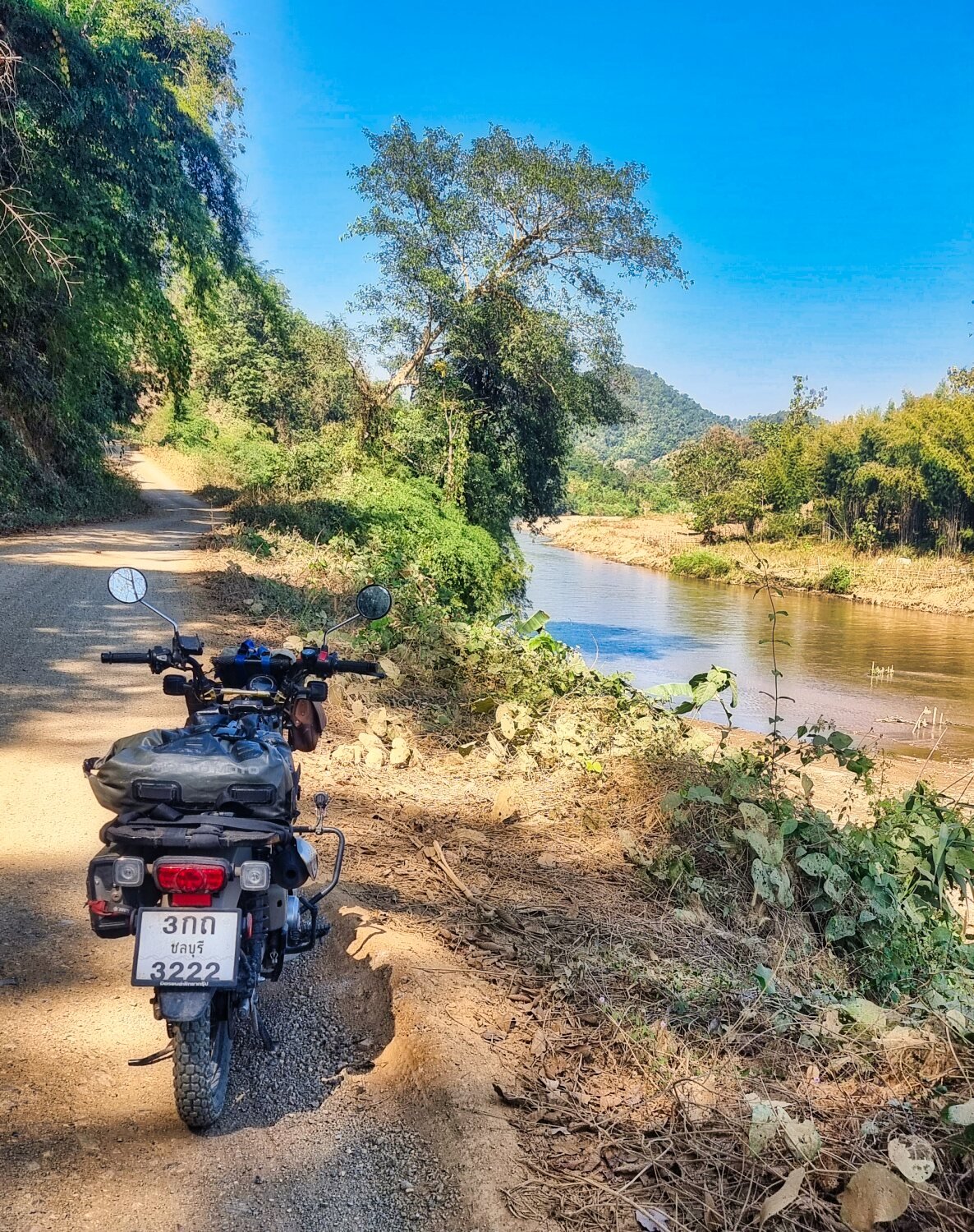
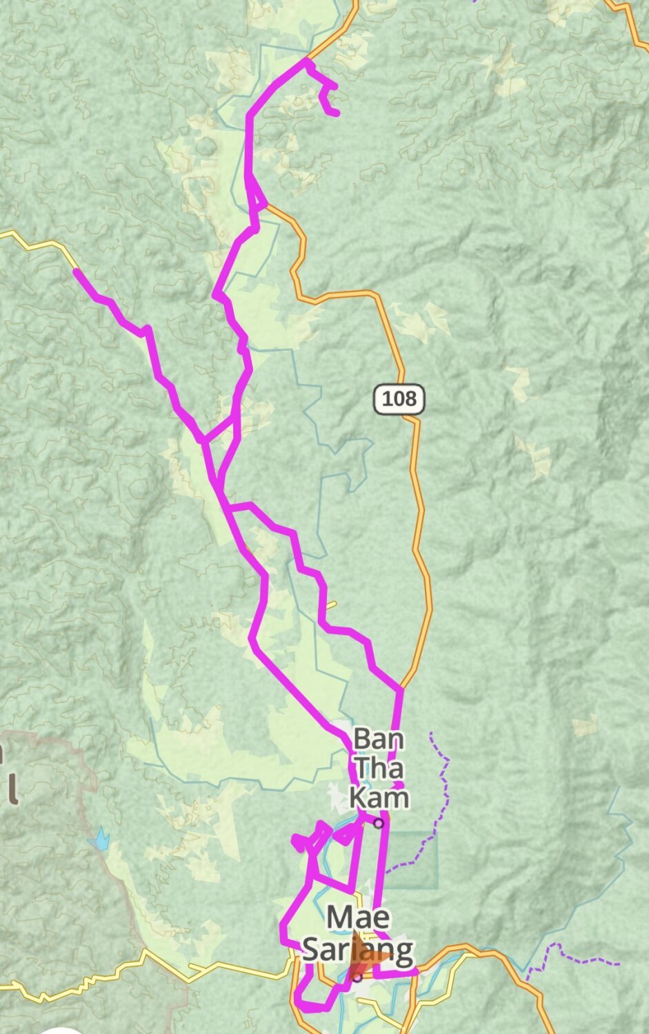
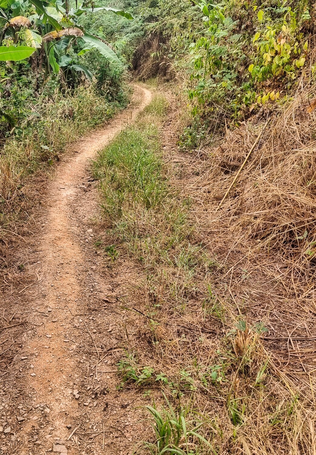
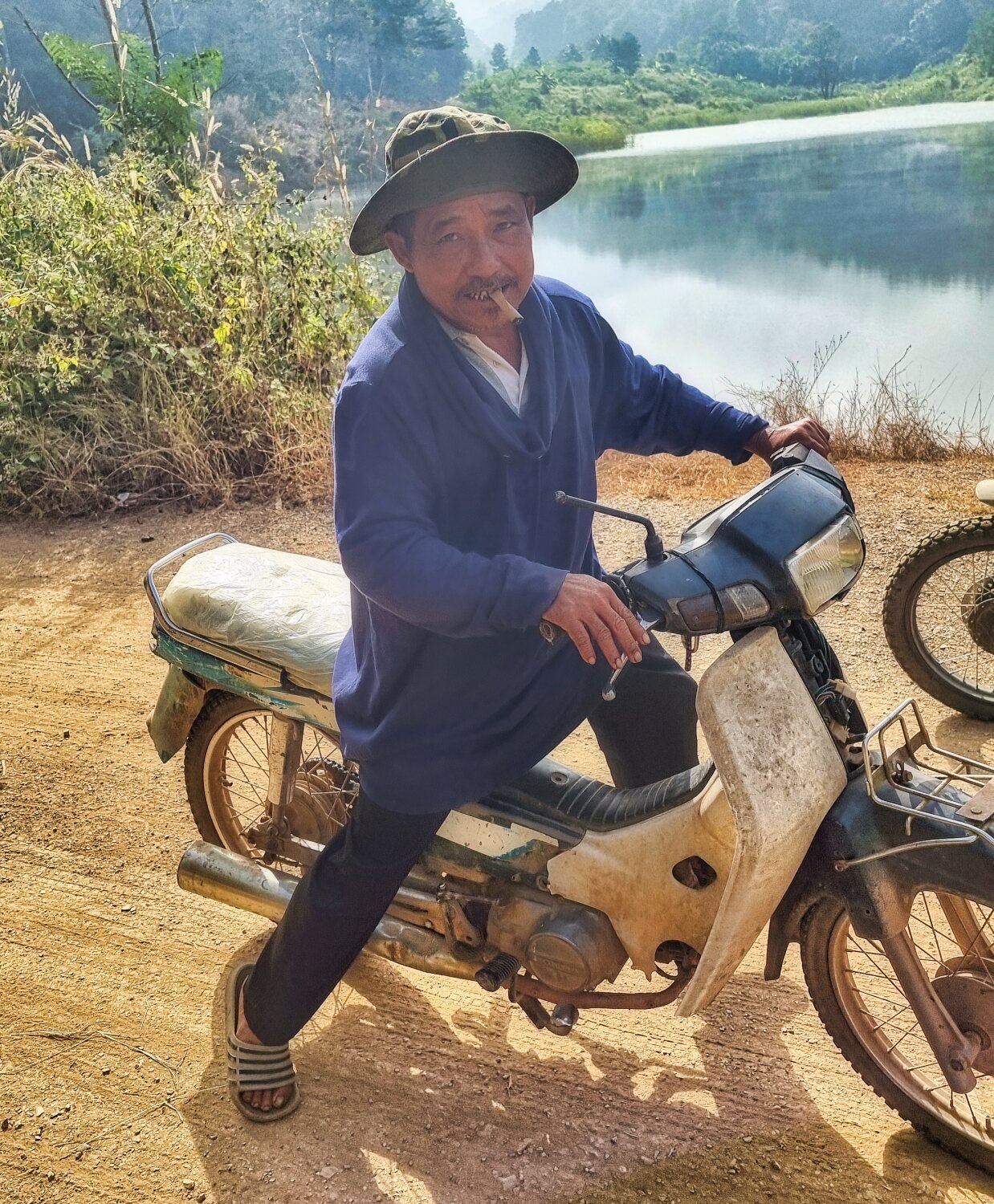
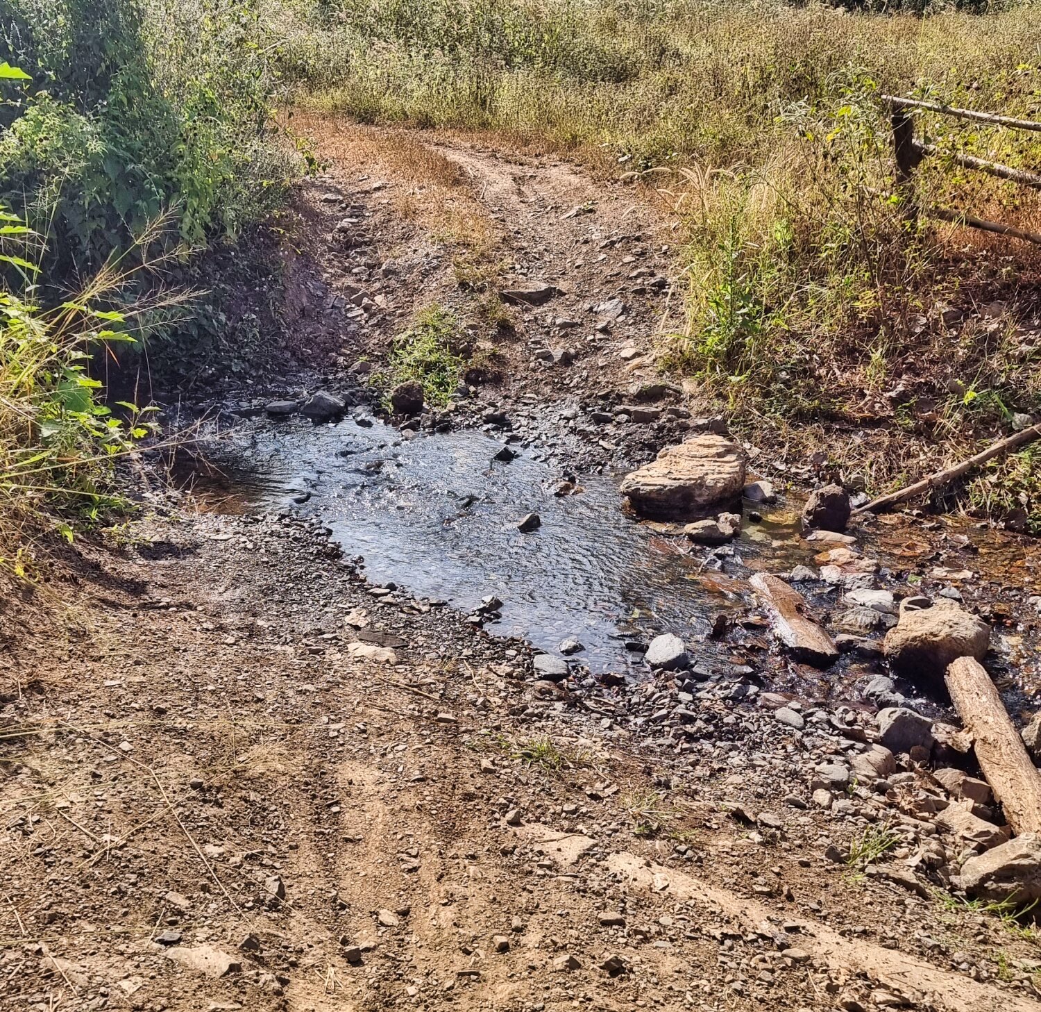
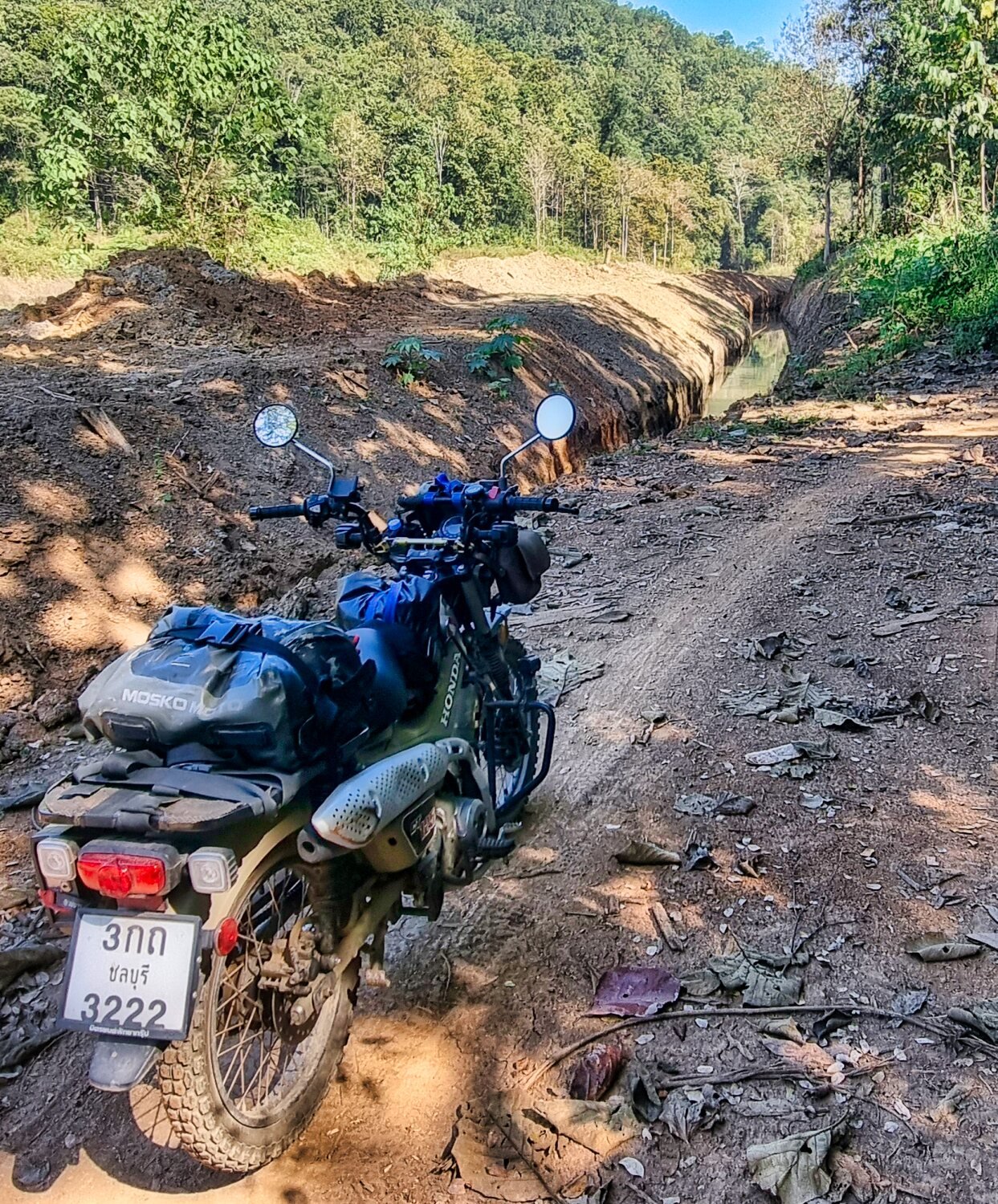
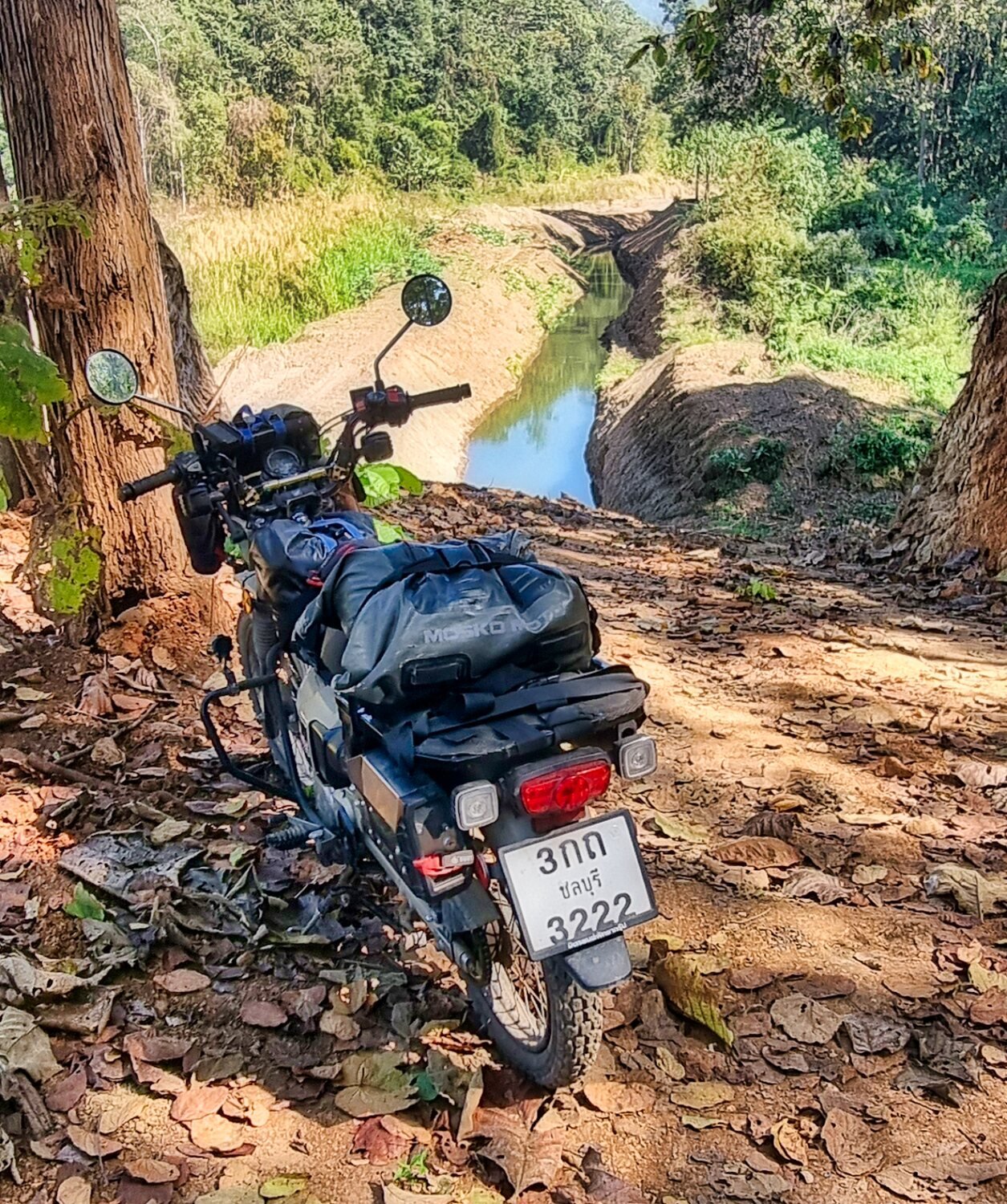
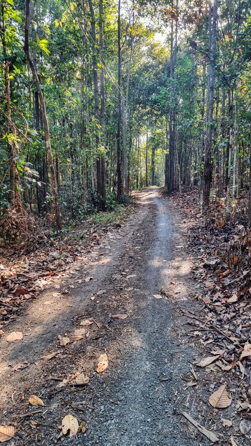
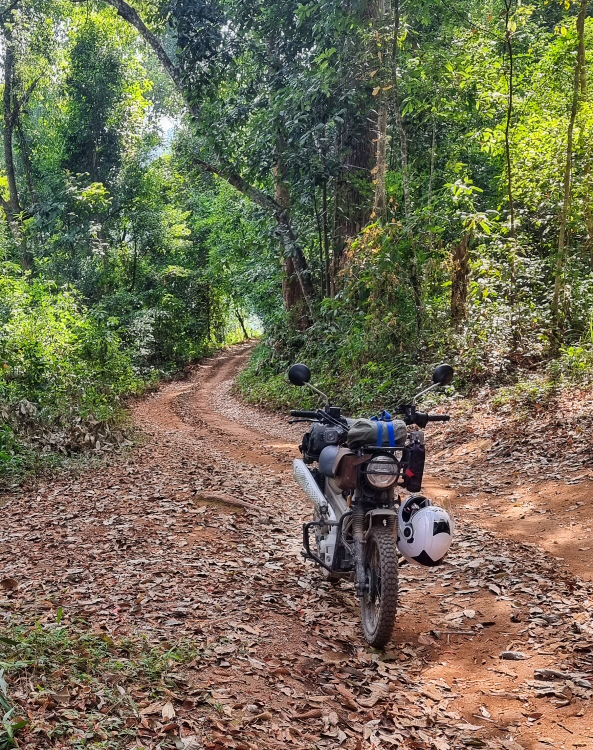
Today was another day of following irrigation channels and finding a few reservoirs.
First I rode to Huai Mae Salab Reservoir, here.
https://maps.app.goo.gl/FkM3D2nFoT6uKrD3A
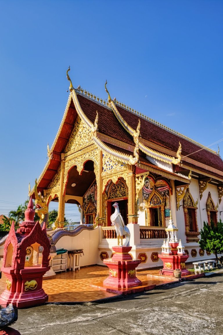
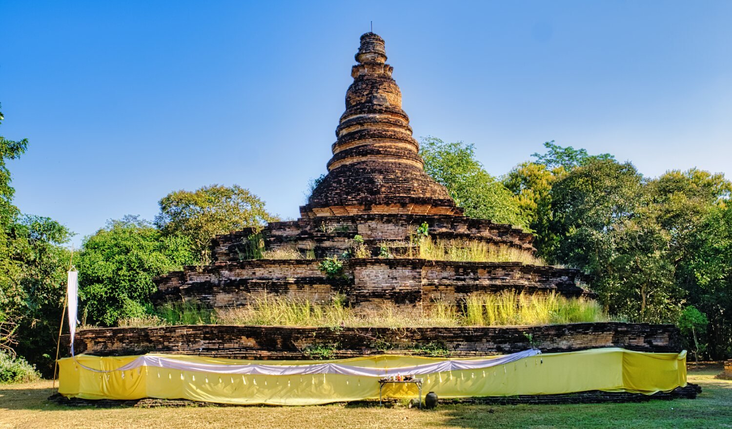
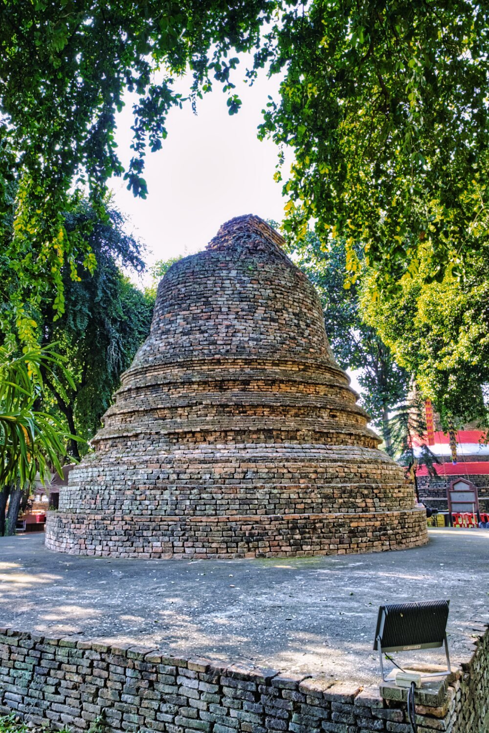
From here I back tracked and rode up a small hill to Phra That Chom Kitti Temple, here.
https://maps.app.goo.gl/GKyt4qGcJnQ679LB6
From here I followed irrigation channels and the River Yuam south as much as possible until finding a reservoir here.
https://maps.app.goo.gl/22wyG1HrJme2J4jG8
Then I retraced my ride back to Mae Sariang.
https://www.relive.cc/view/vYvrQ42kwLq