chrissables
-
Posts
3,175 -
Joined
-
Last visited
-
Days Won
8
Content Type
Events
Forums
Downloads
Quizzes
Gallery
Blogs
Everything posted by chrissables
-
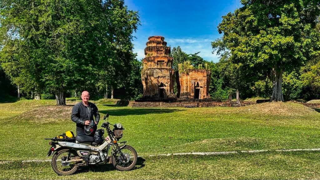
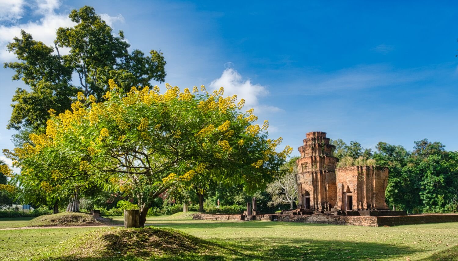
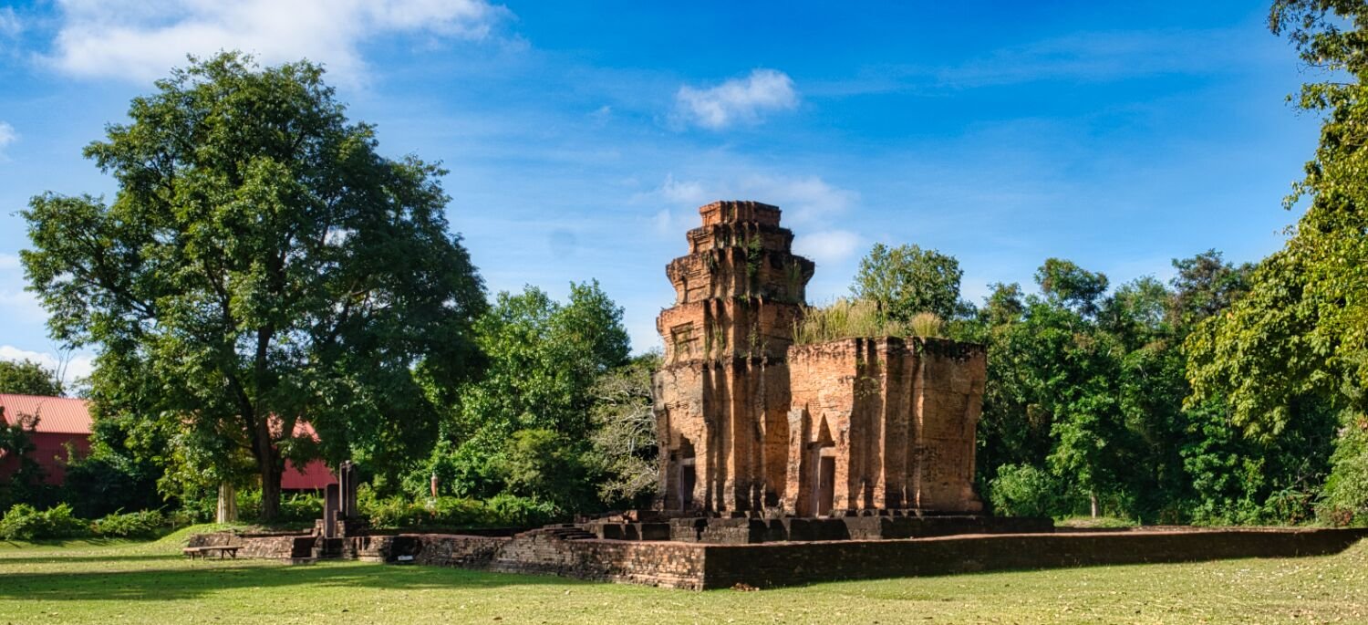
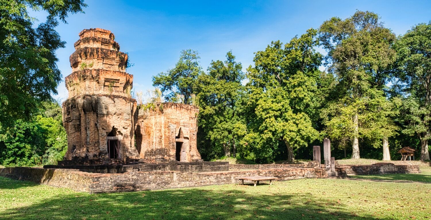
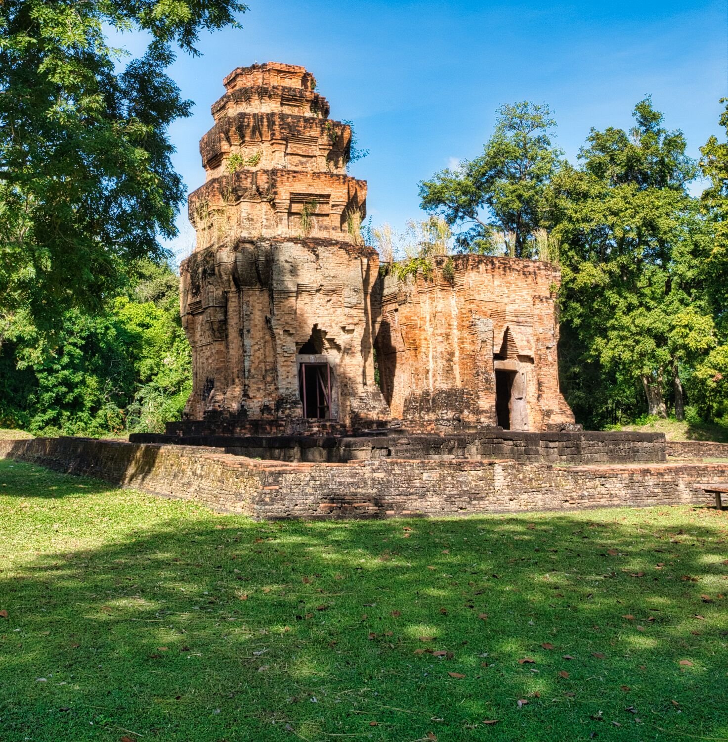
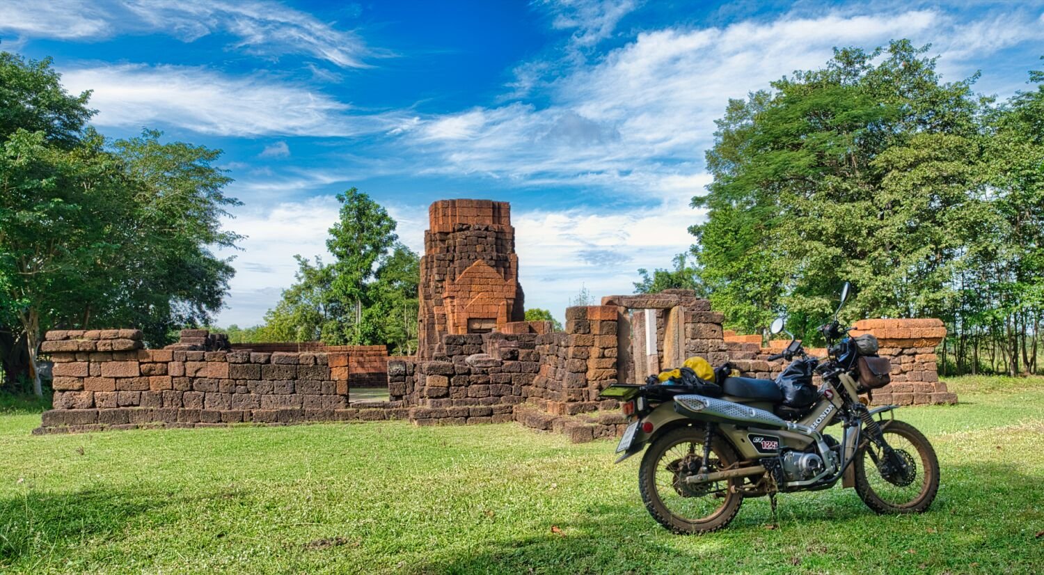
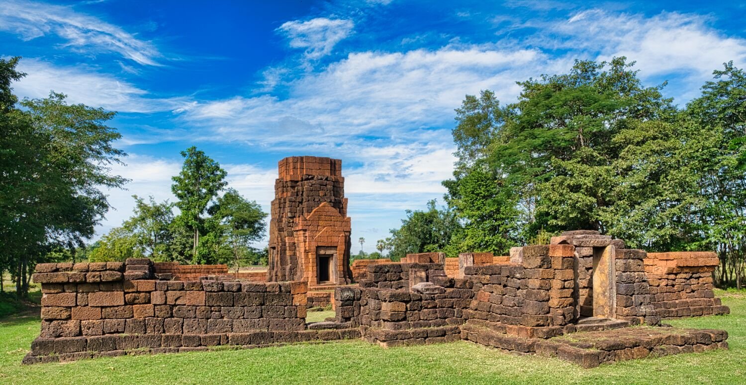
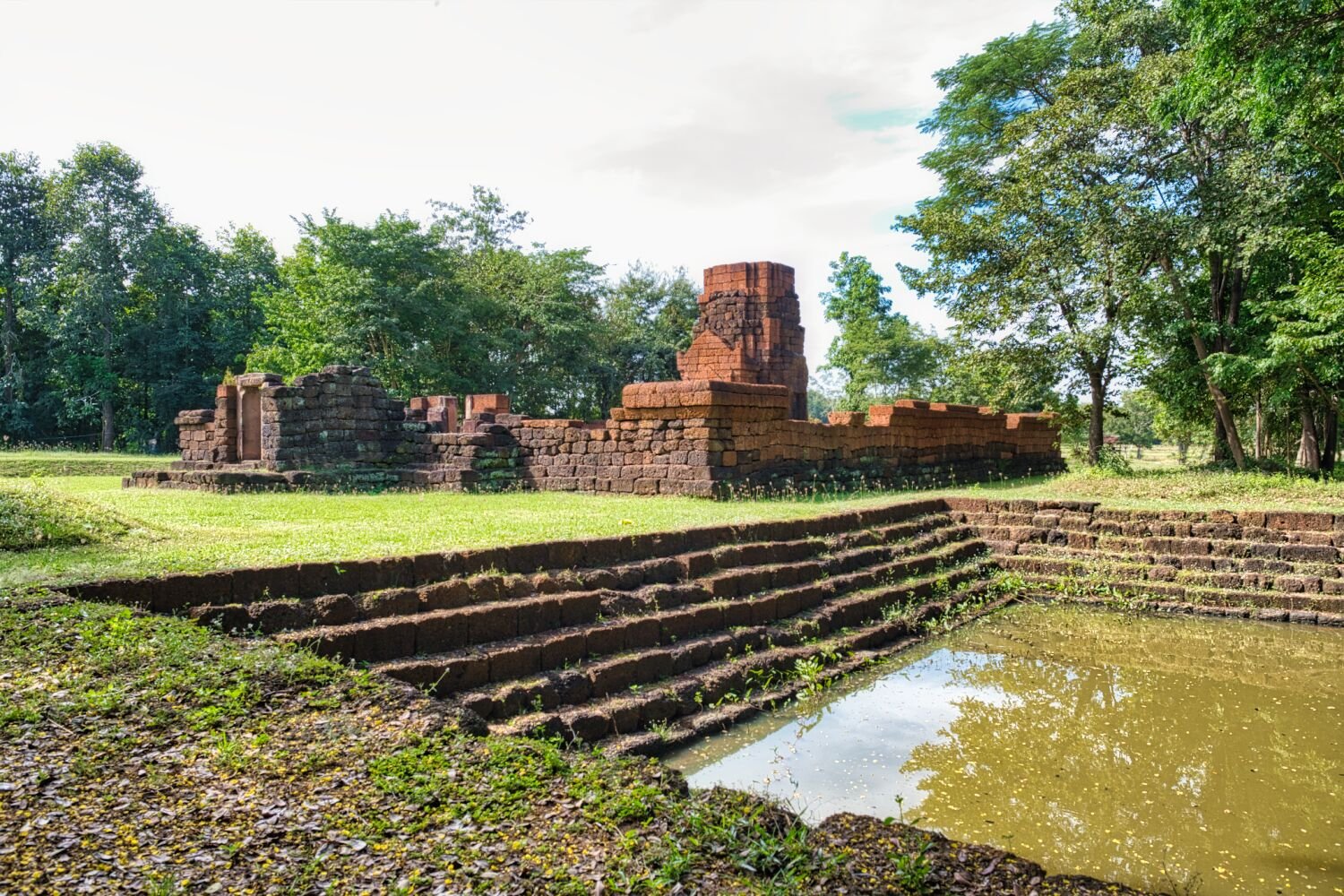
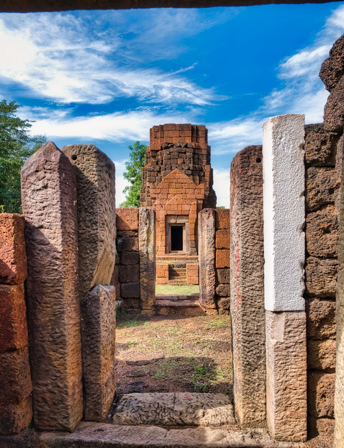
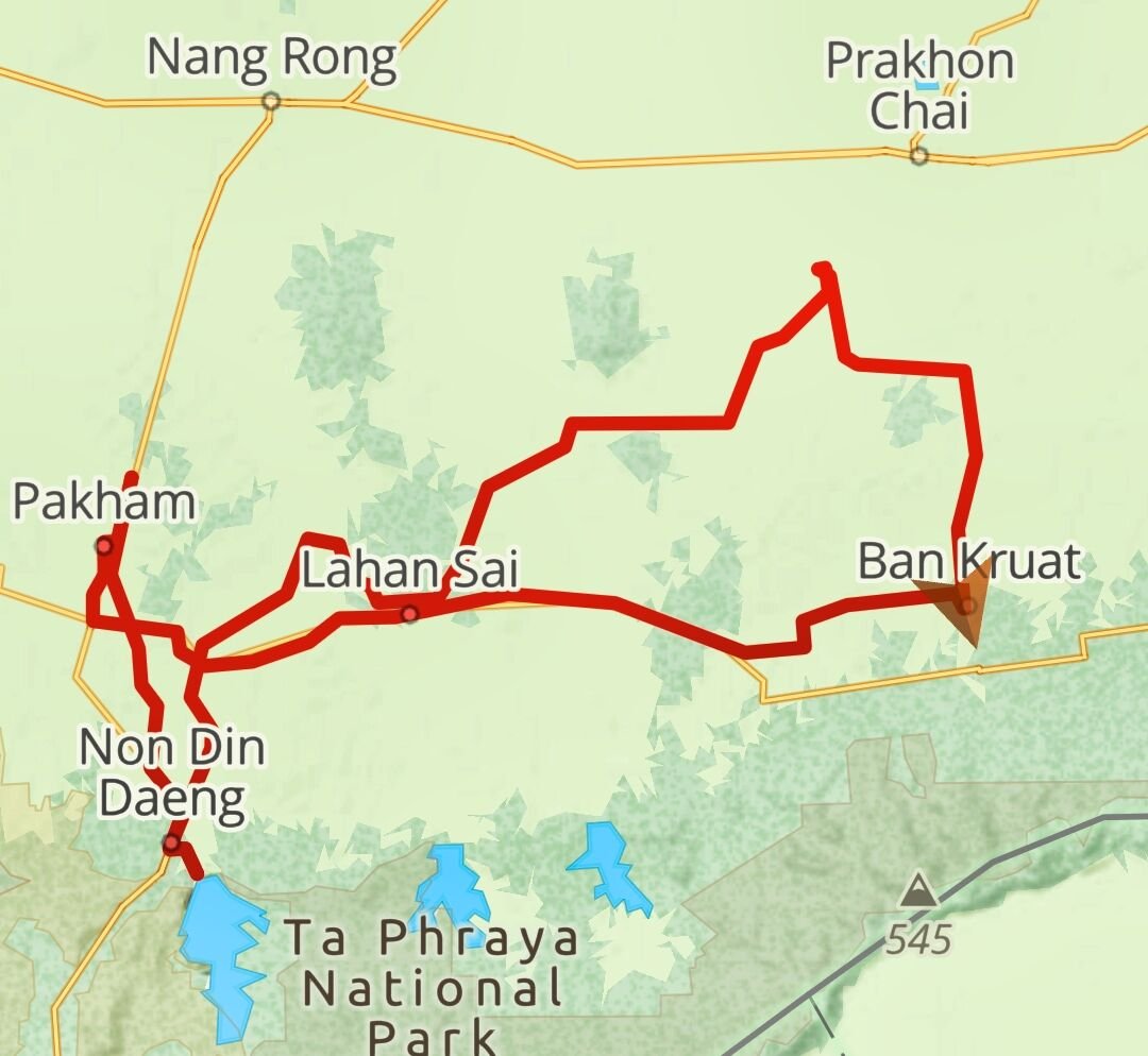
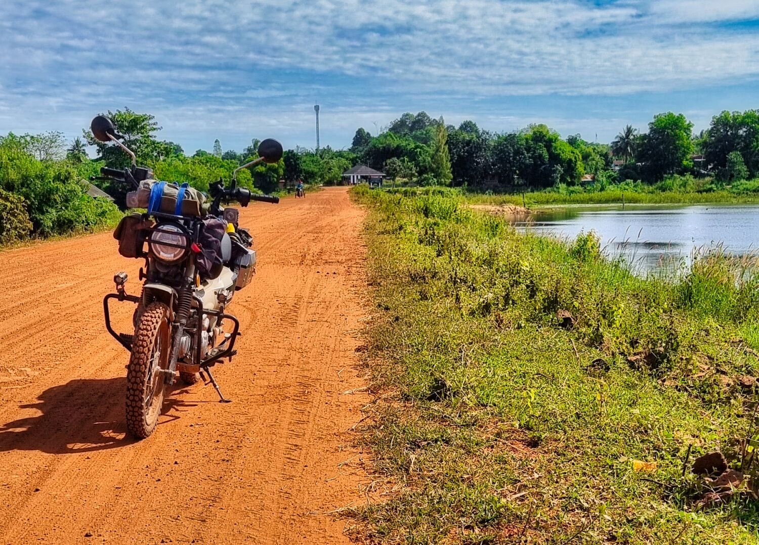
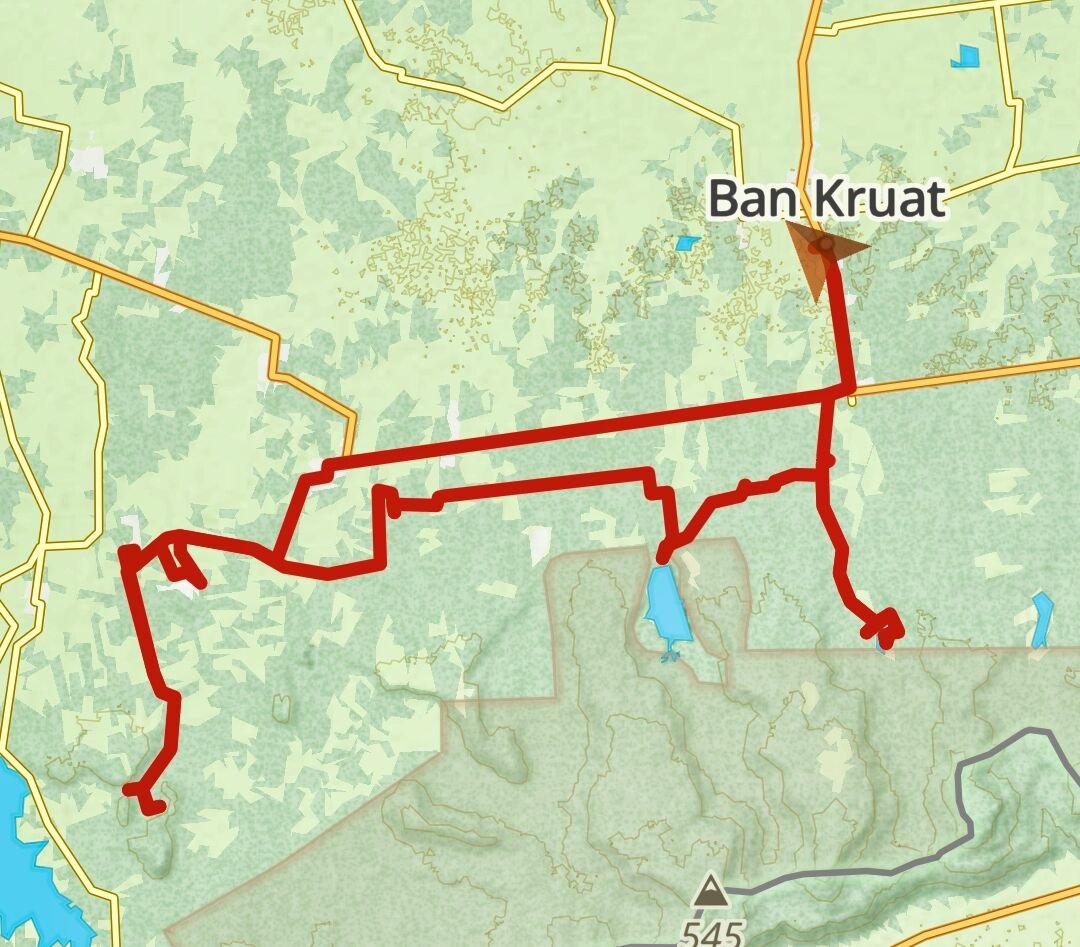
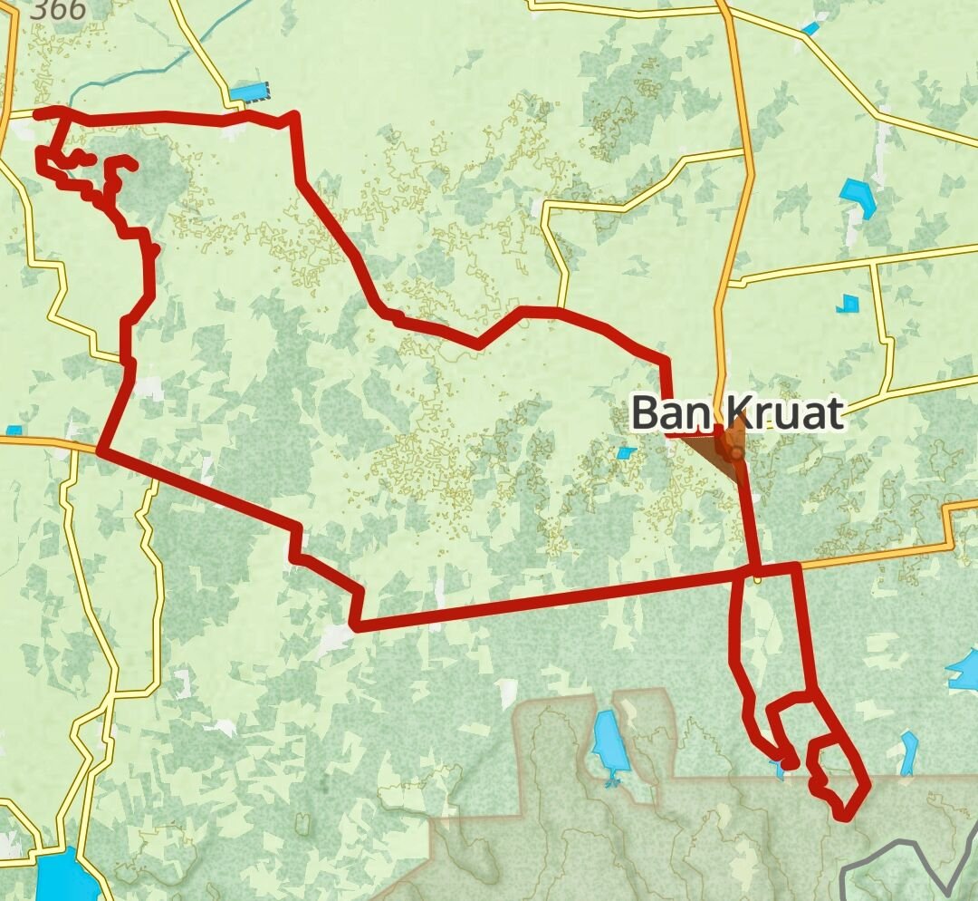
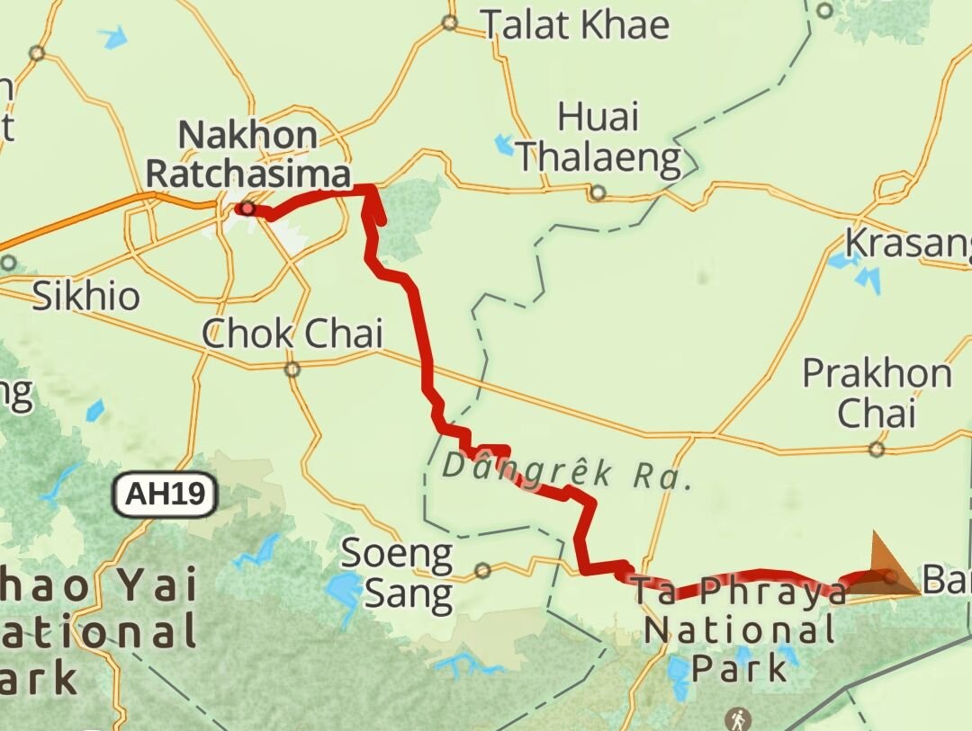
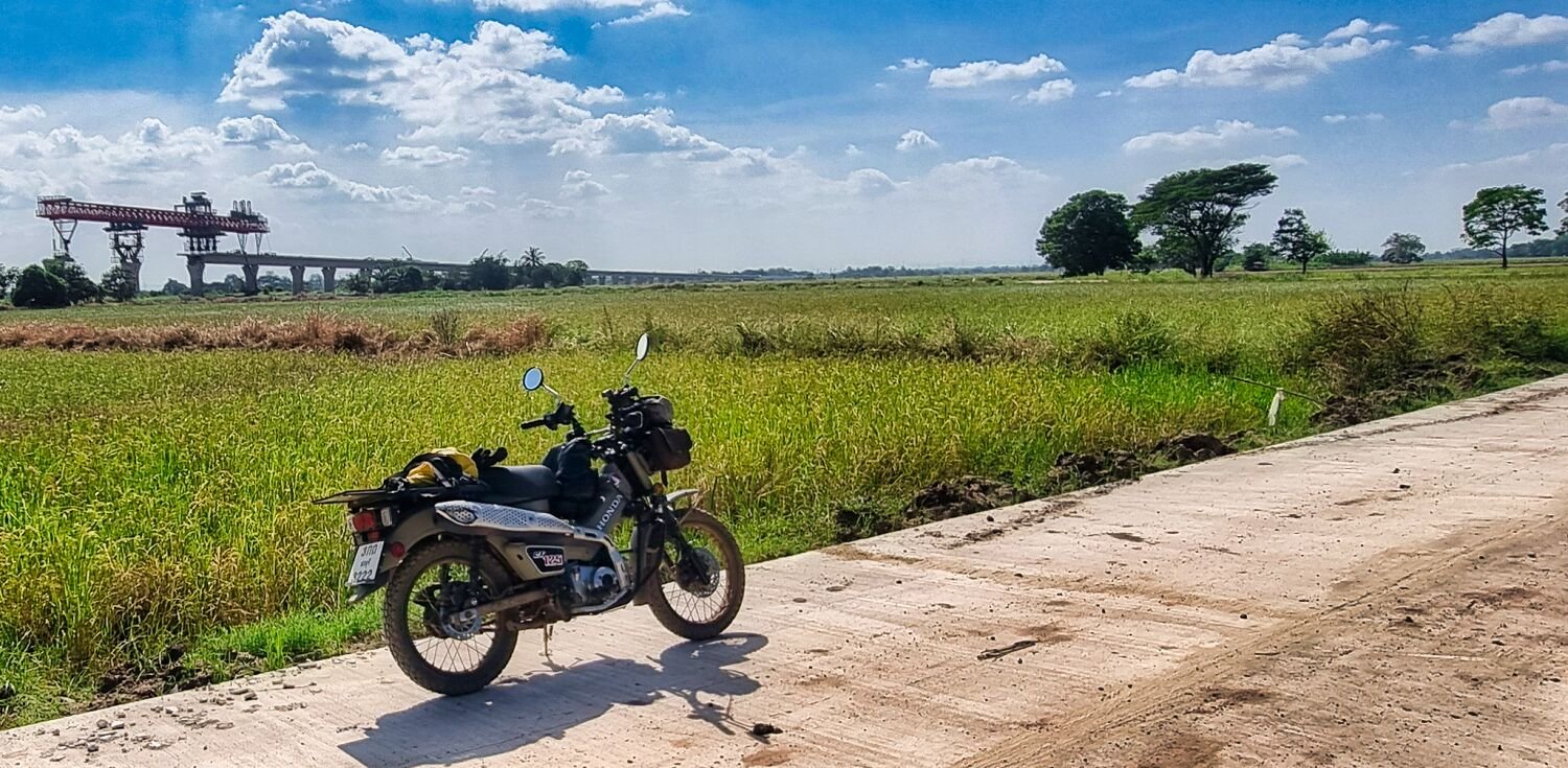
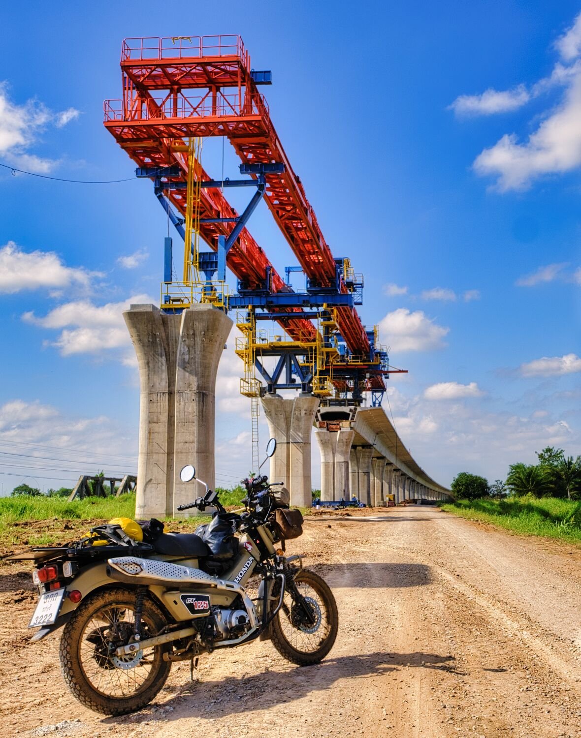
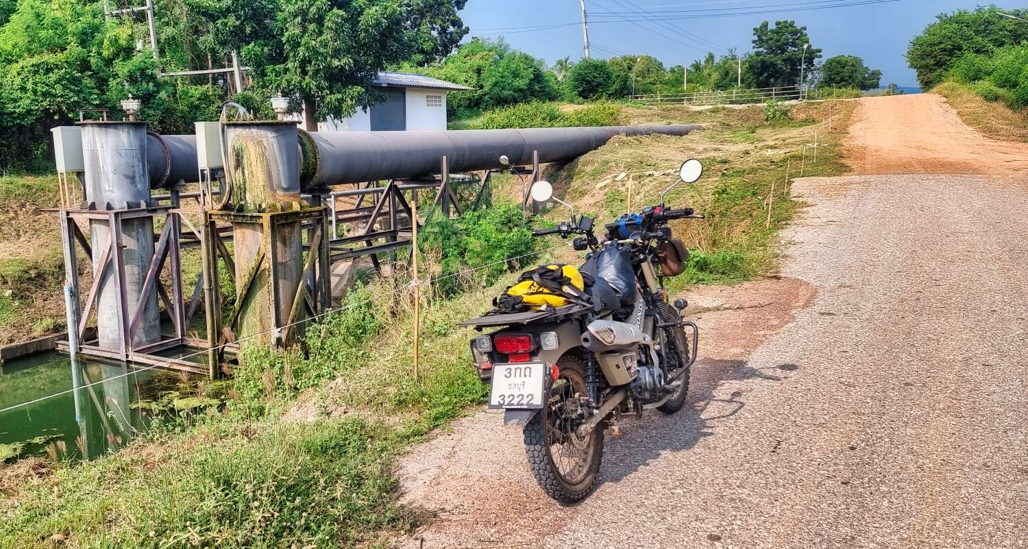
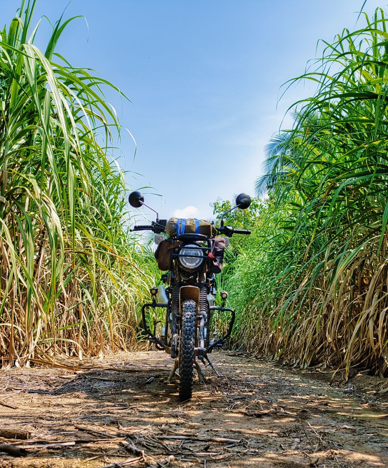
Today I met up with a friend, Robert Merks. We decided to meet at Prasat Yai Ngao a few hours west of Ban Kruat, here. https://maps.app.goo.gl/sp9rVBMTaZgz35wc9 I arrived early to have time to walk around taking photos. After meeting up we went for coffee before parting ways. I rode to Huai Dan Reservoir, near the Cong Chom Cambodian border crossing here. https://maps.app.goo.gl/7fgdDtafyYfREbJHA I tried to ride a track towards the border but was turned back by the army. https://www.relive.cc/view/vWqBZwRKLQq

-
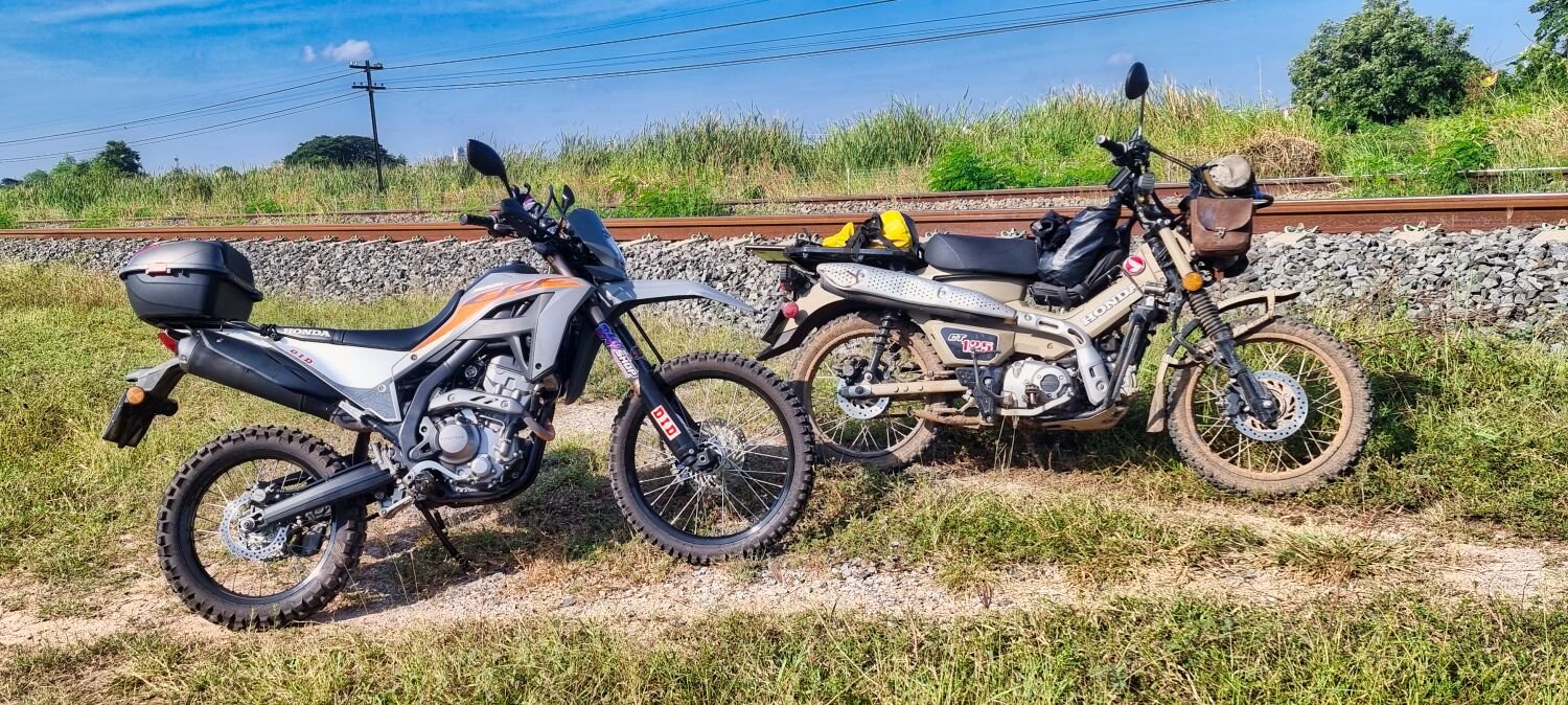
I have had it tuned up, 2 hp more which is a lot and makes it more fun.
-
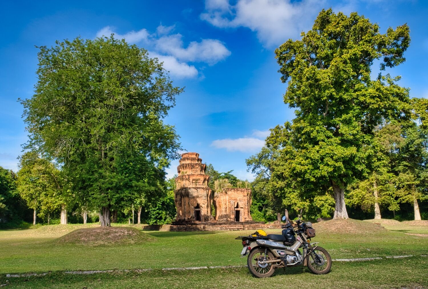
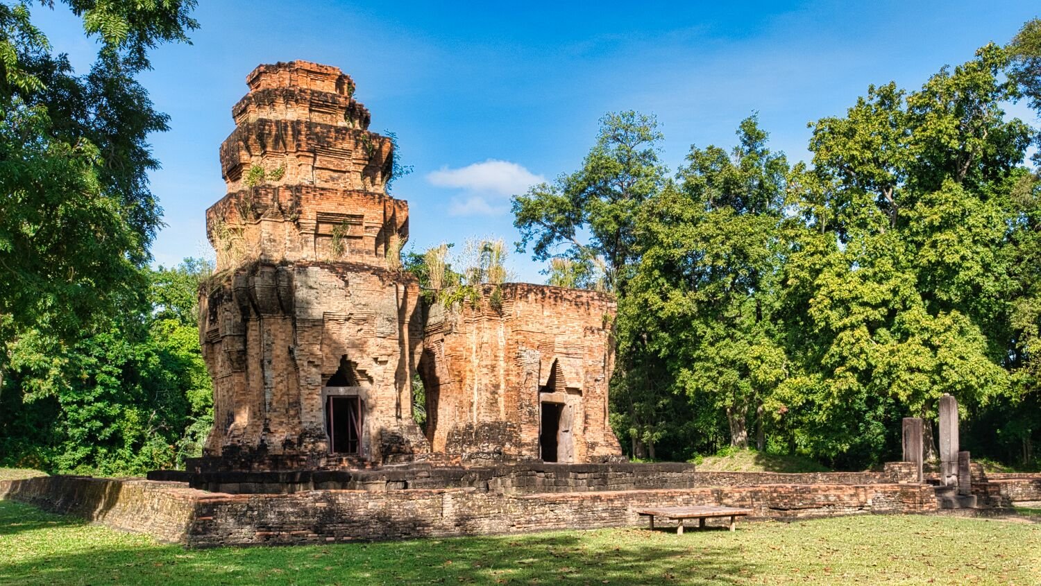
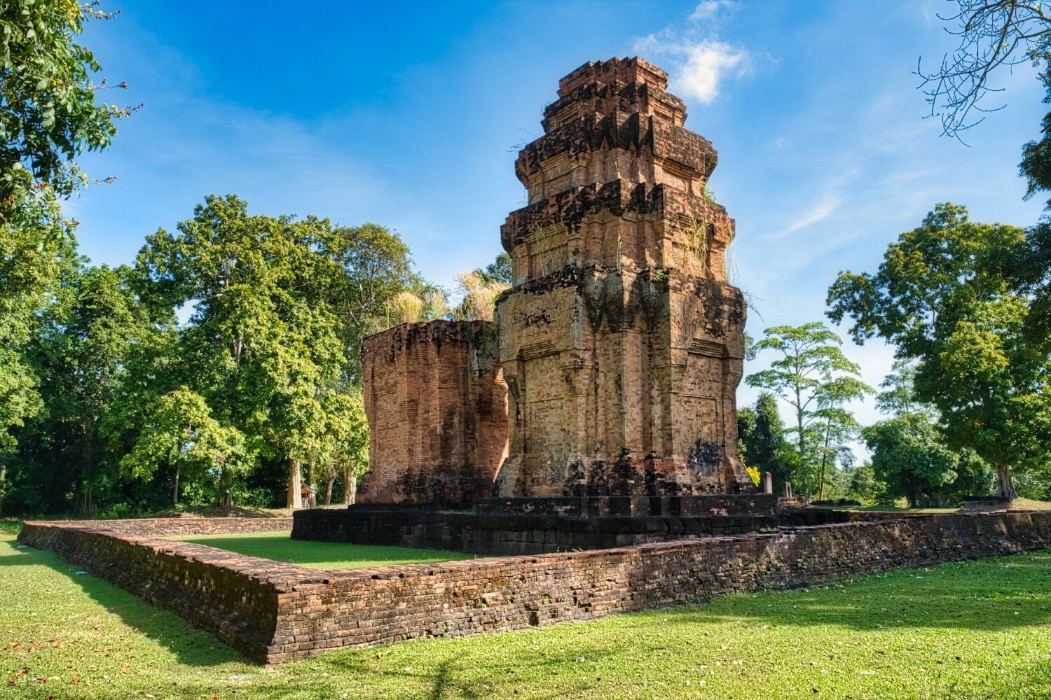
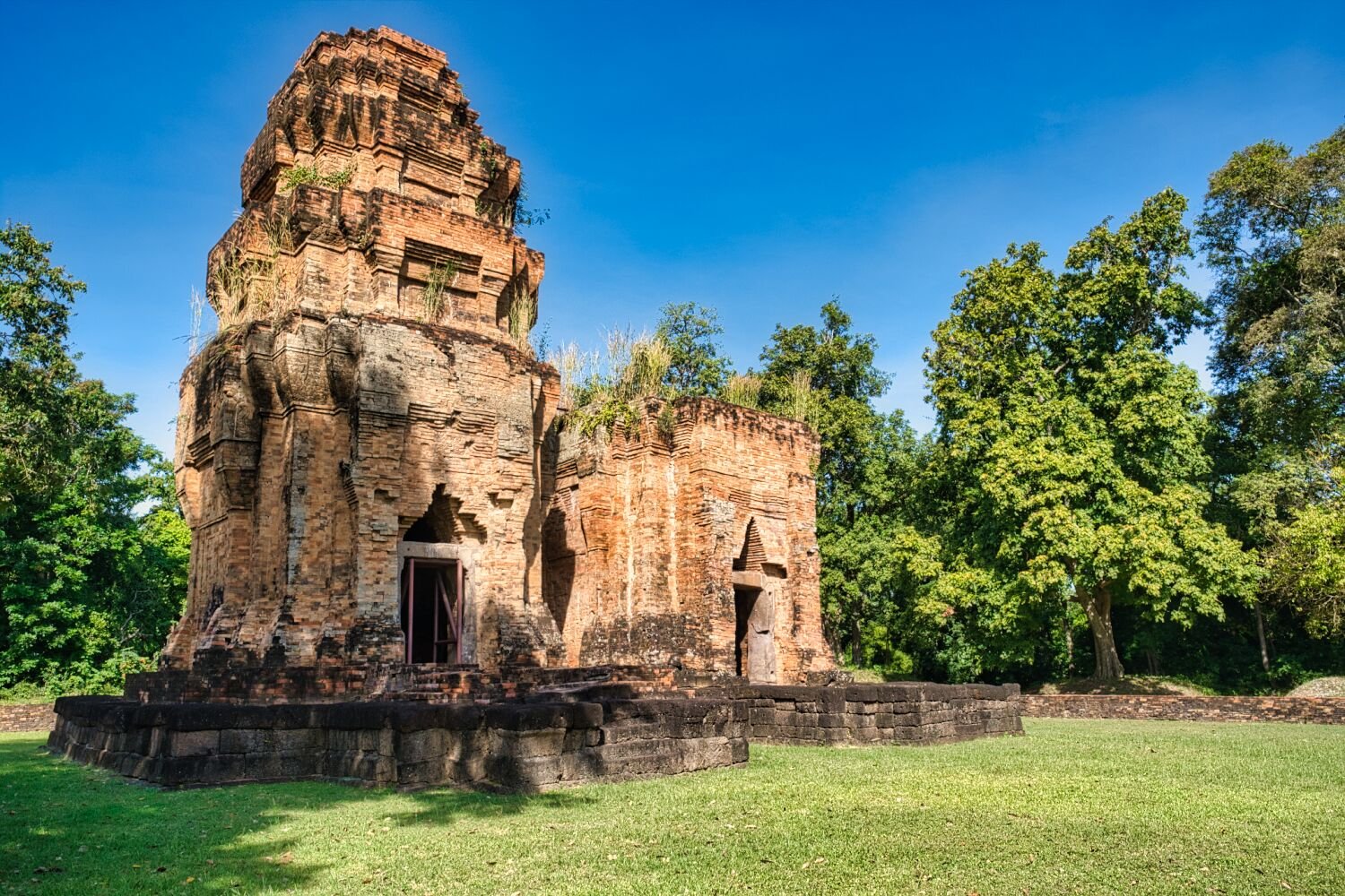
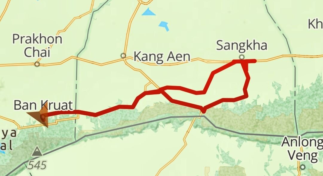
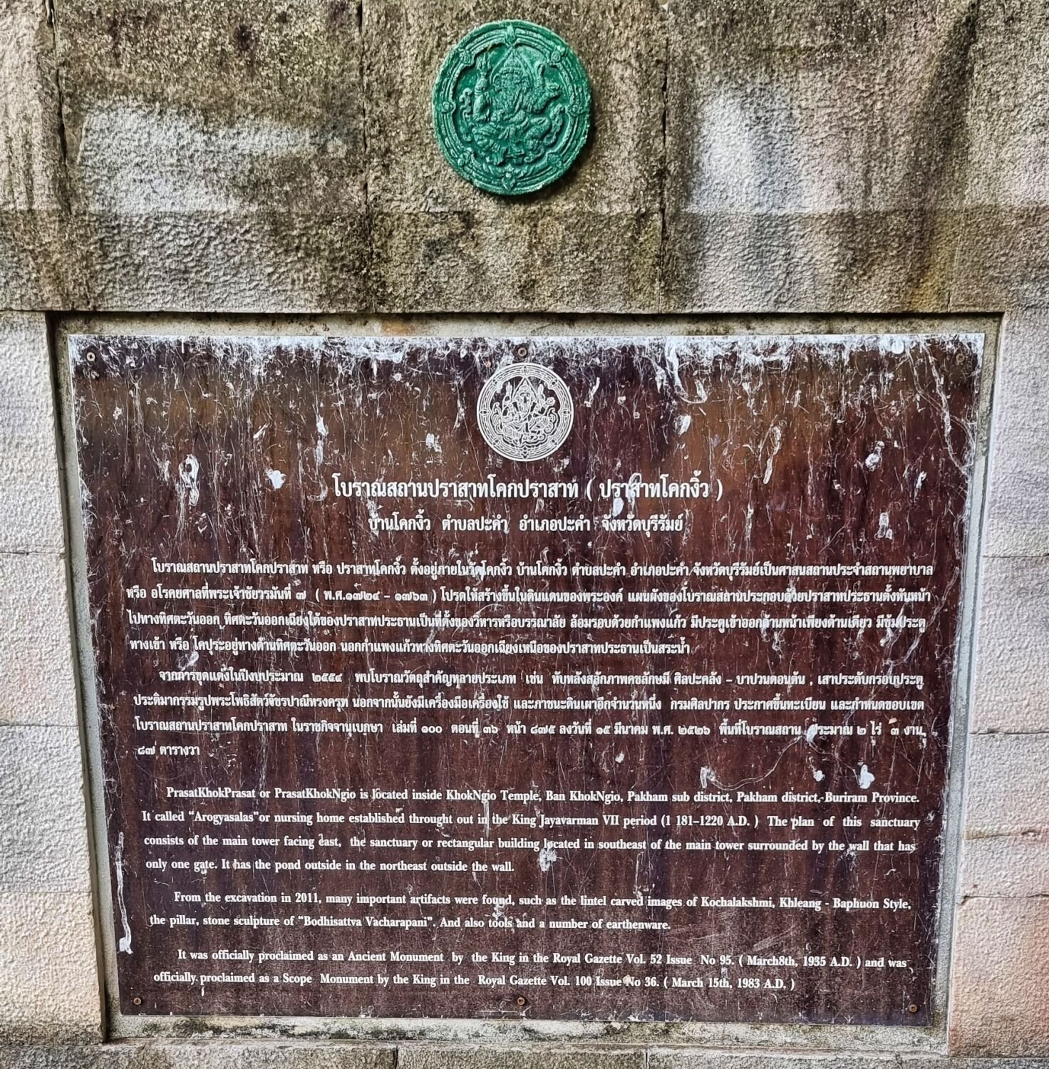
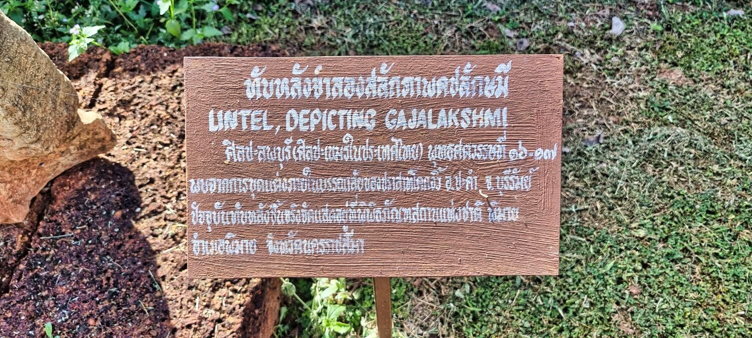
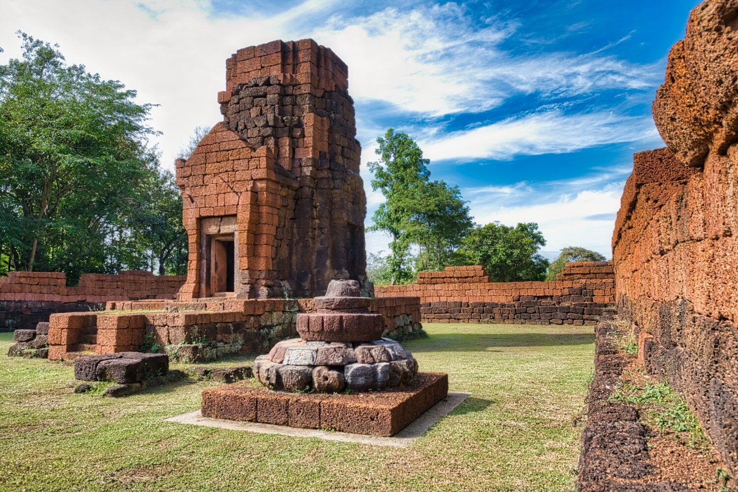
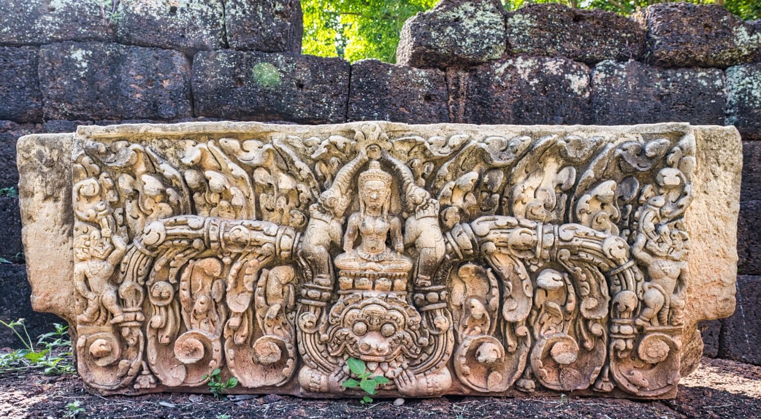
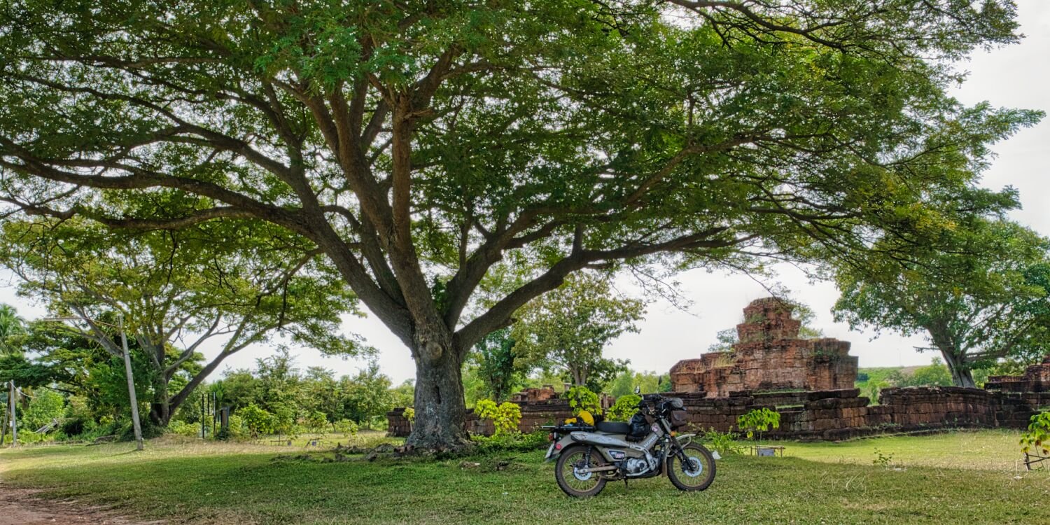
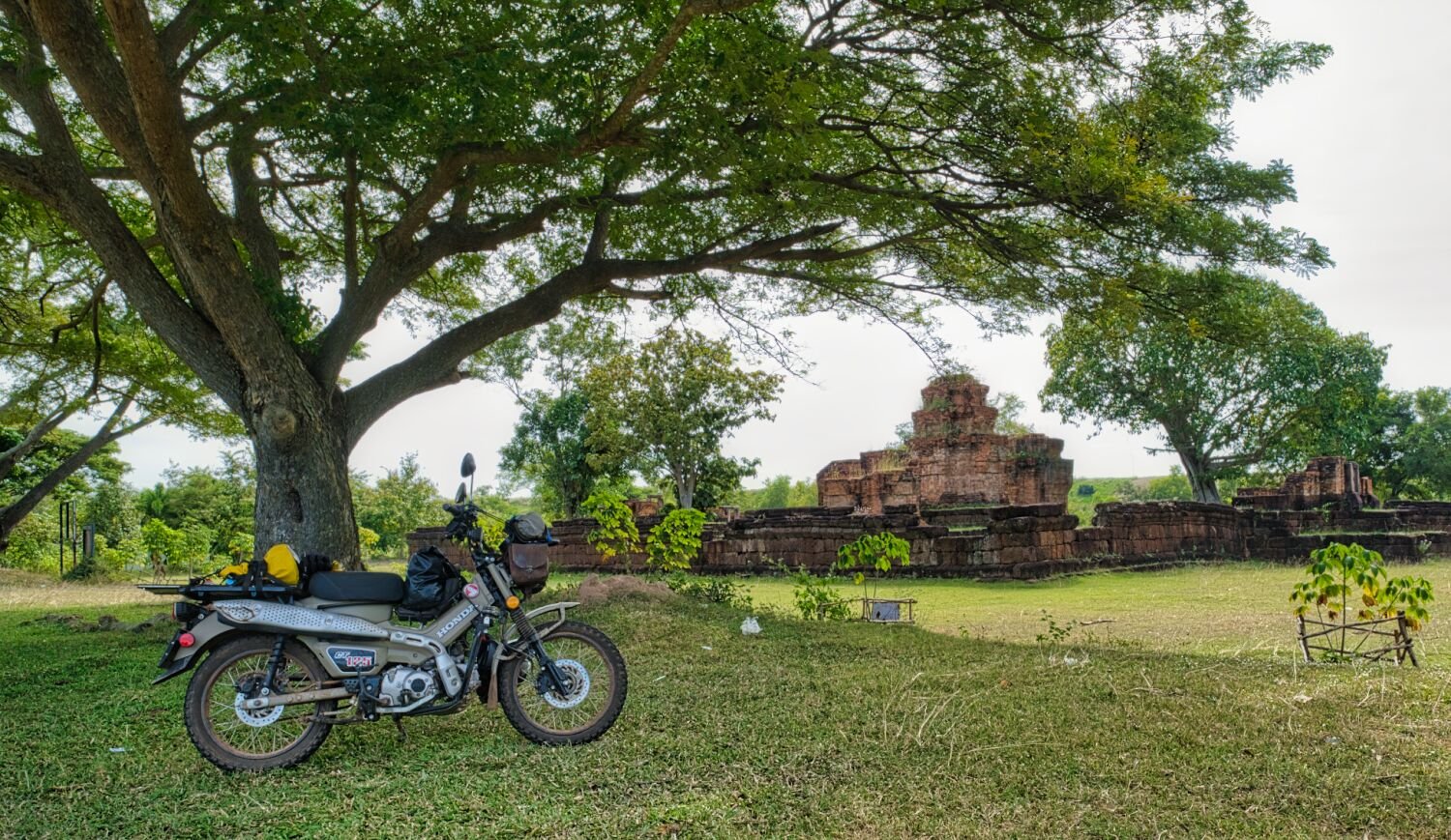
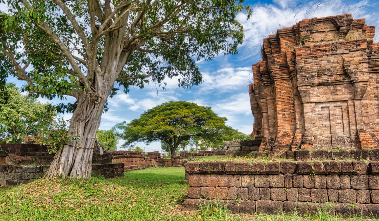
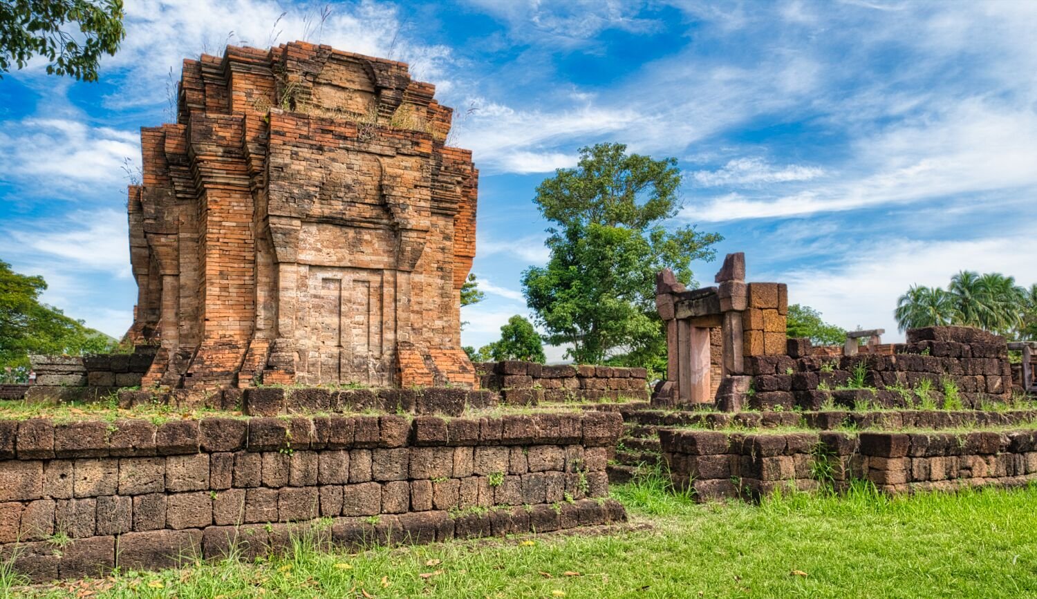
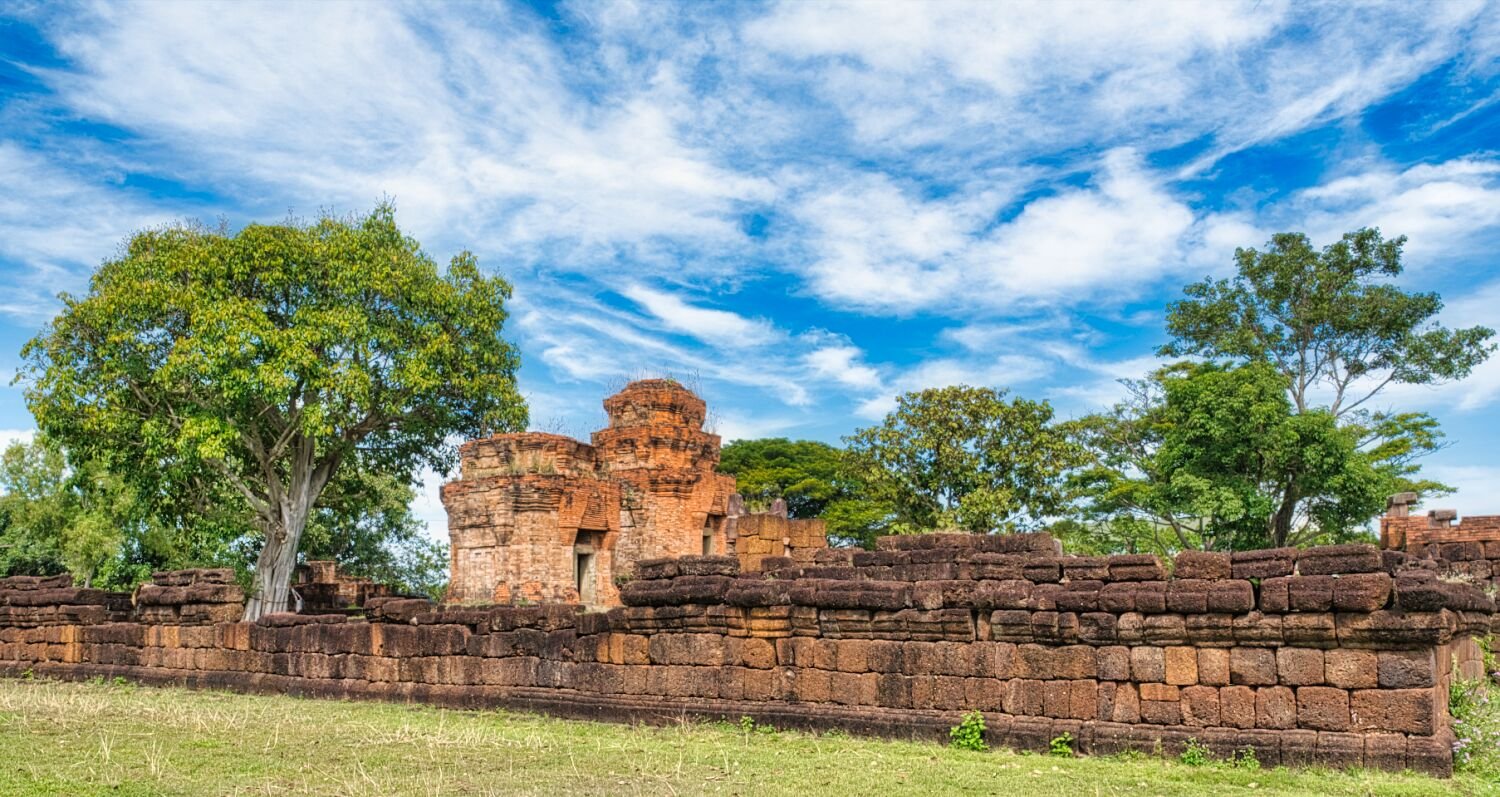
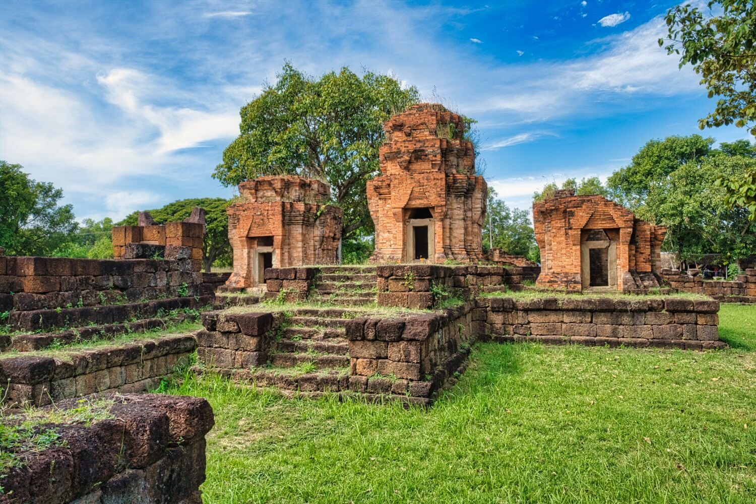
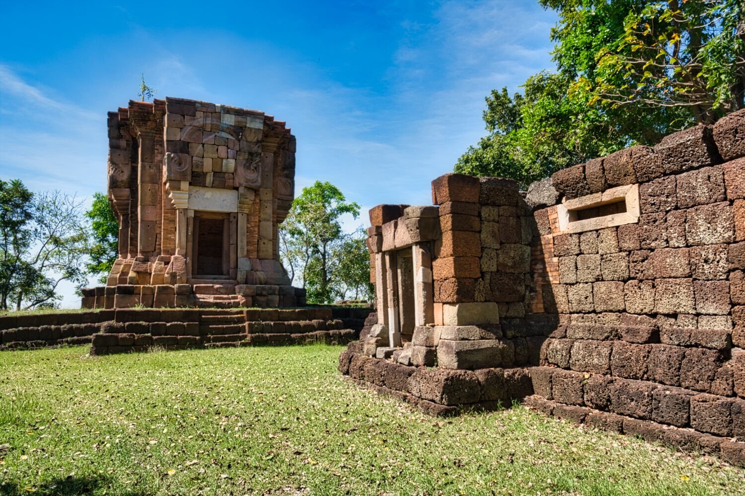
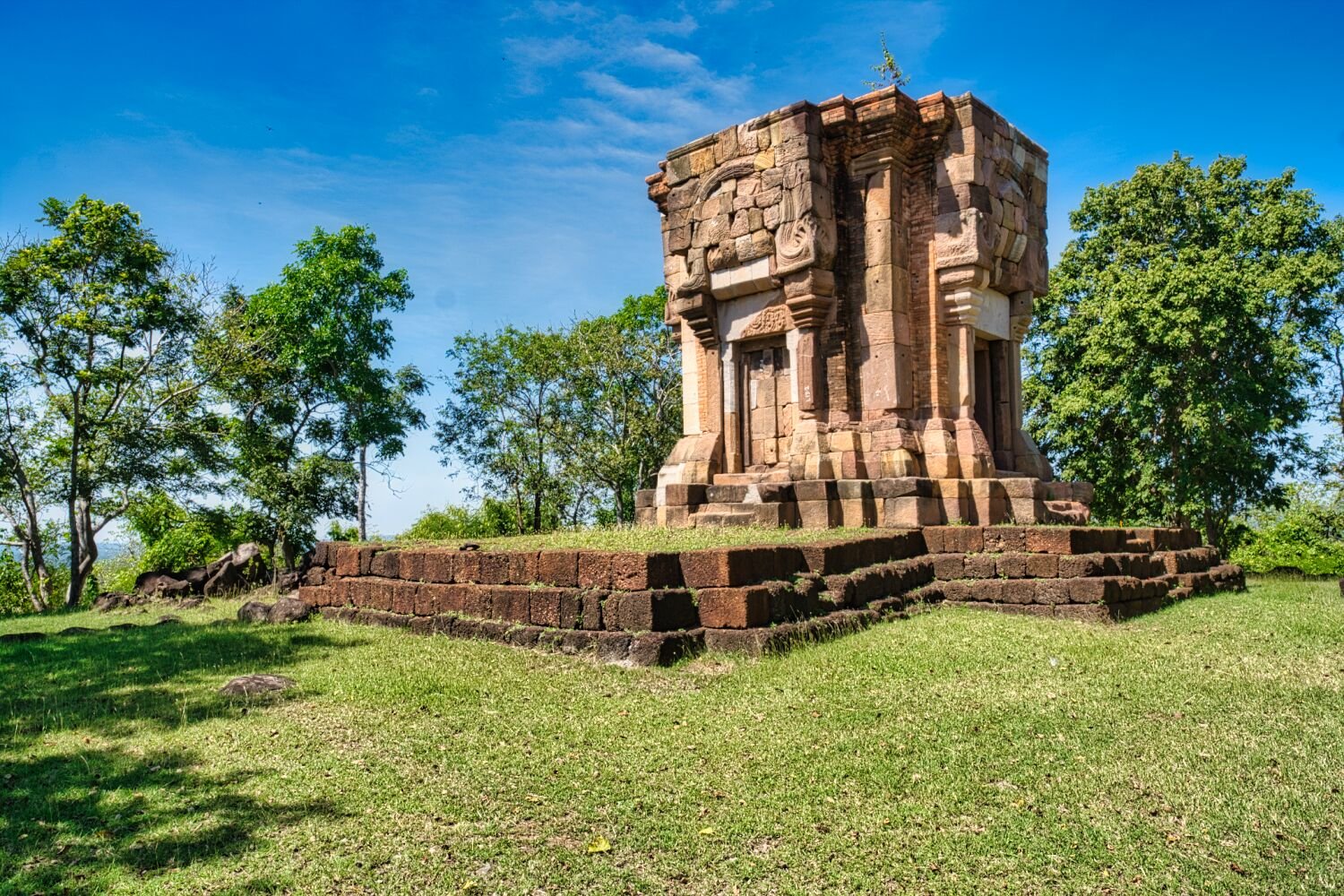
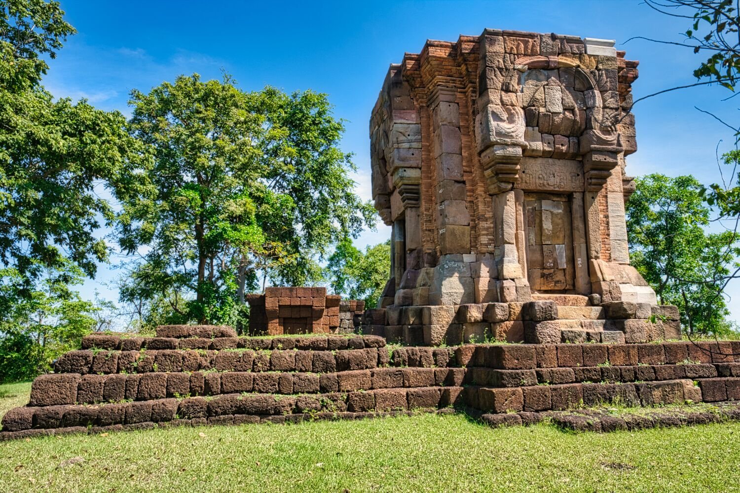
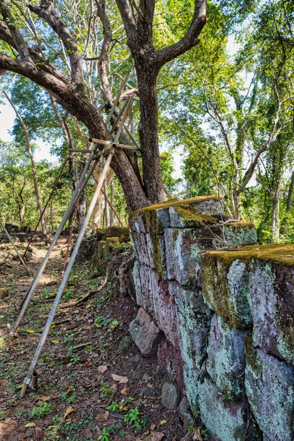
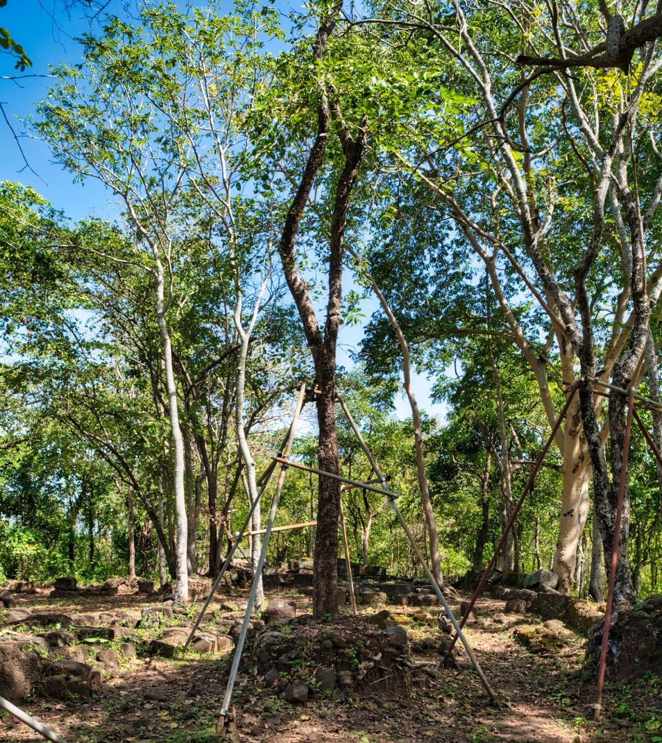
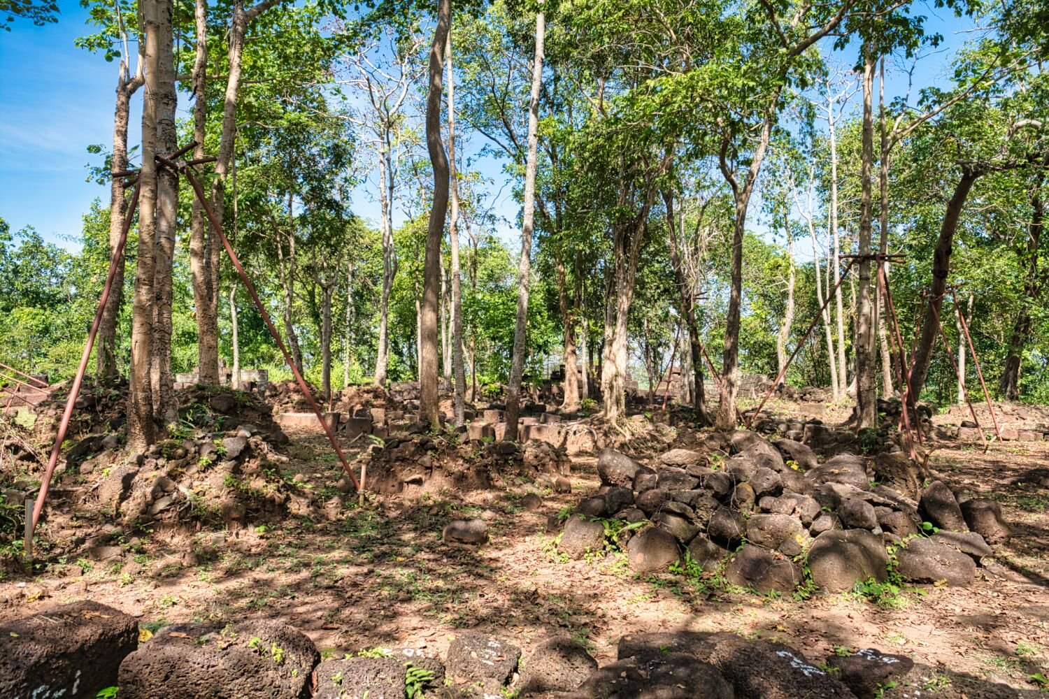
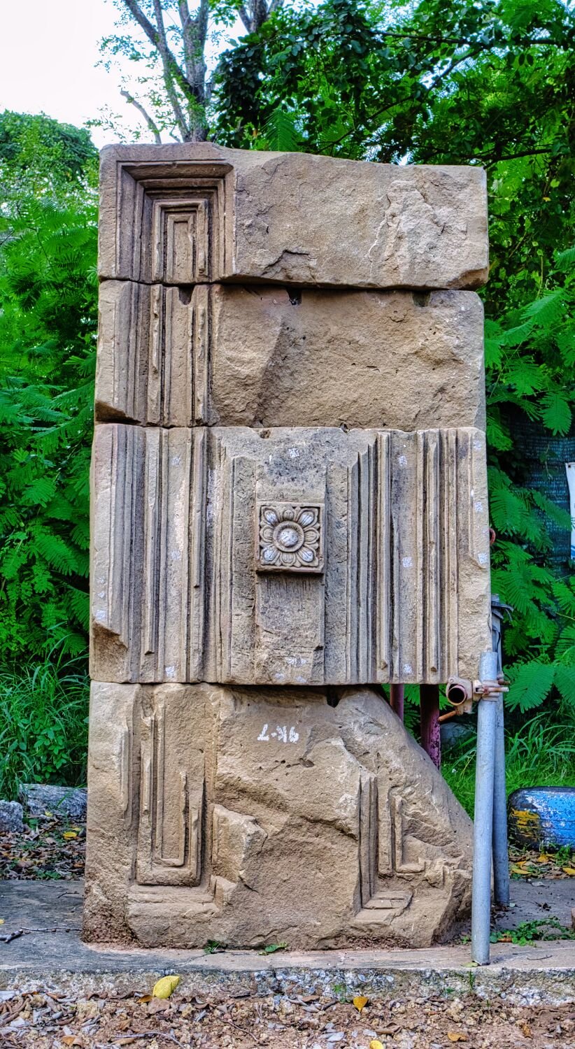
Today I went Prasat hunting, the first one was guarded too many dogs from the local temple. Prasat Ban Khok Ngiu, here. https://maps.app.goo.gl/fLRHm519X4ZpQdSe7 The second, Prasat Nong Hong, here. https://maps.app.goo.gl/R8FVuEaNwn5jdvPq9 https://www.relive.cc/view/v7O92PegMQ6
-
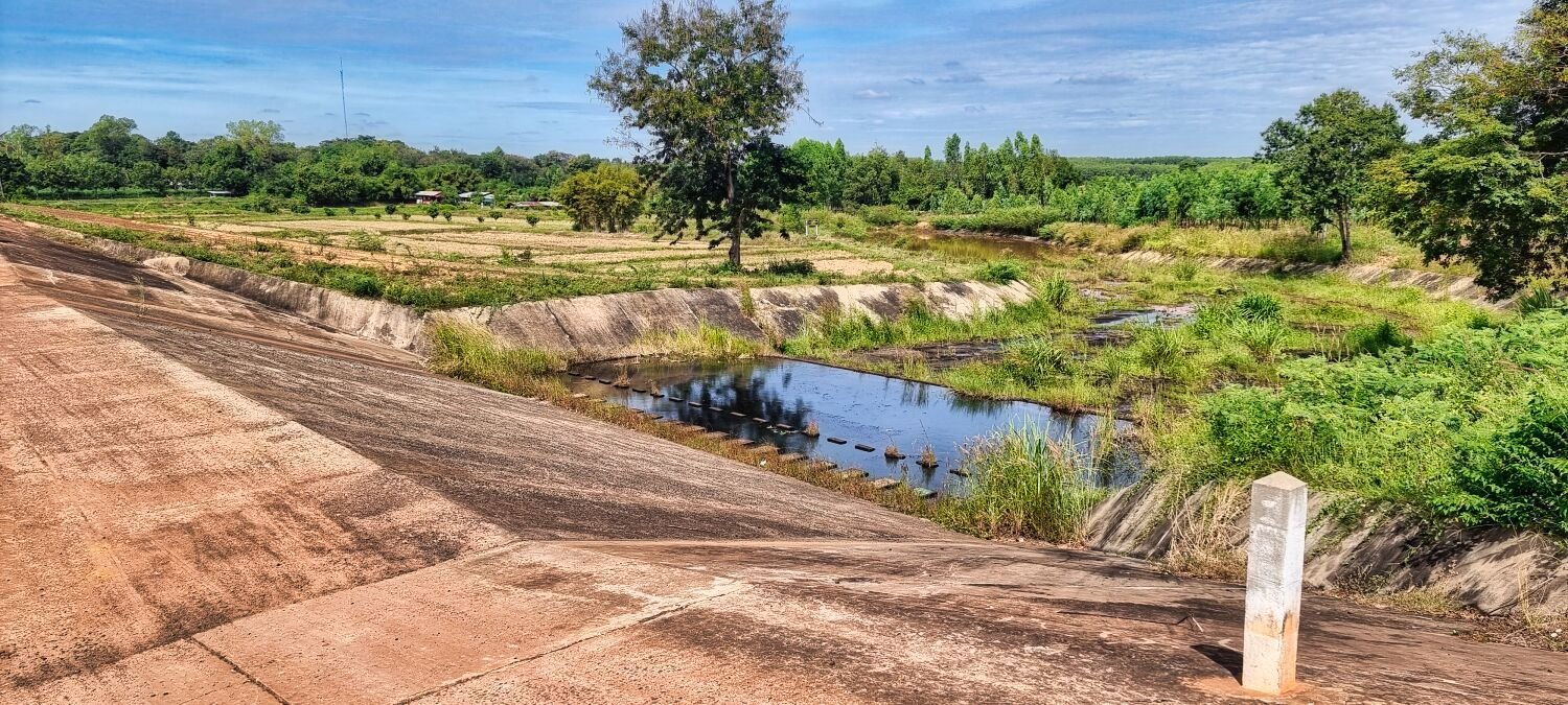
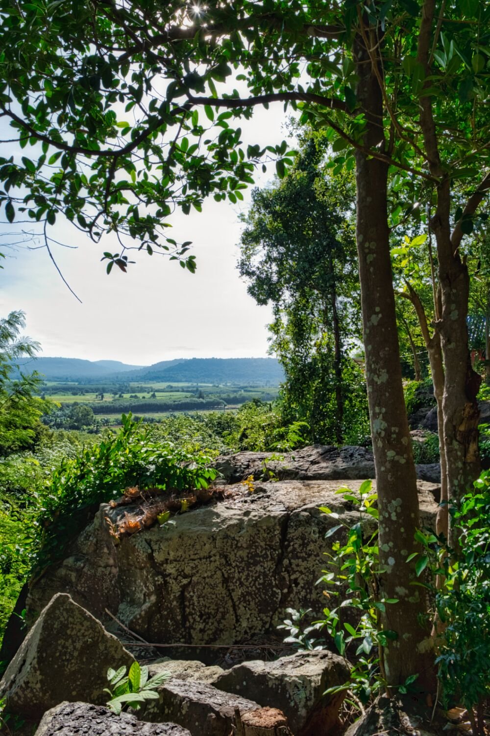
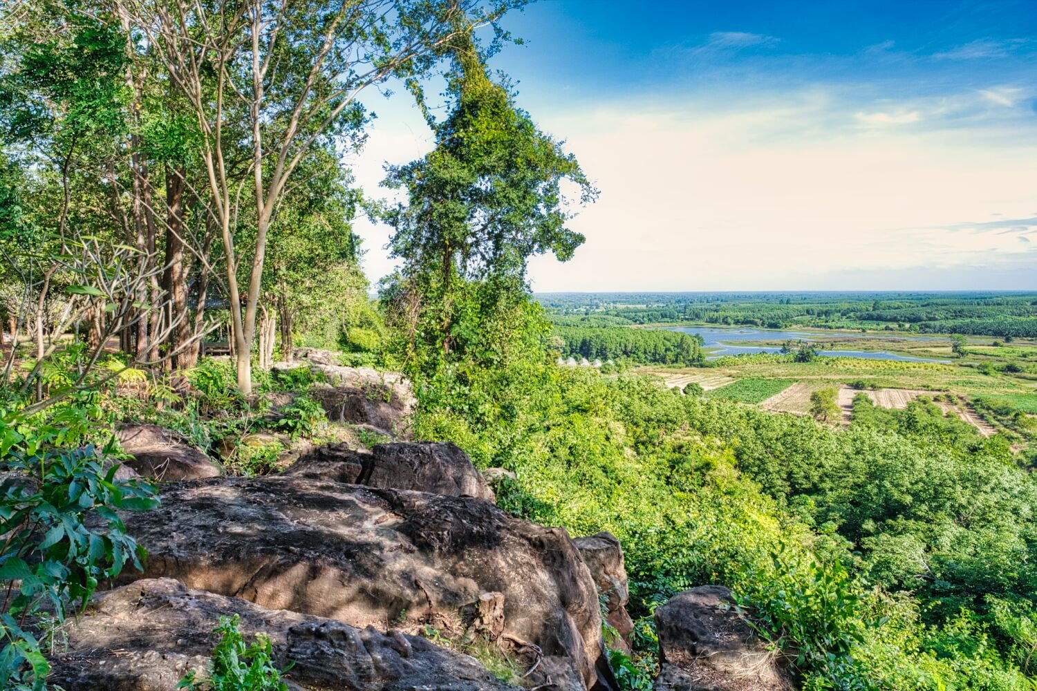
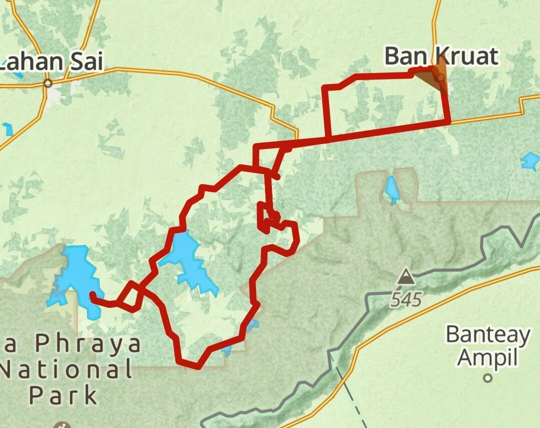
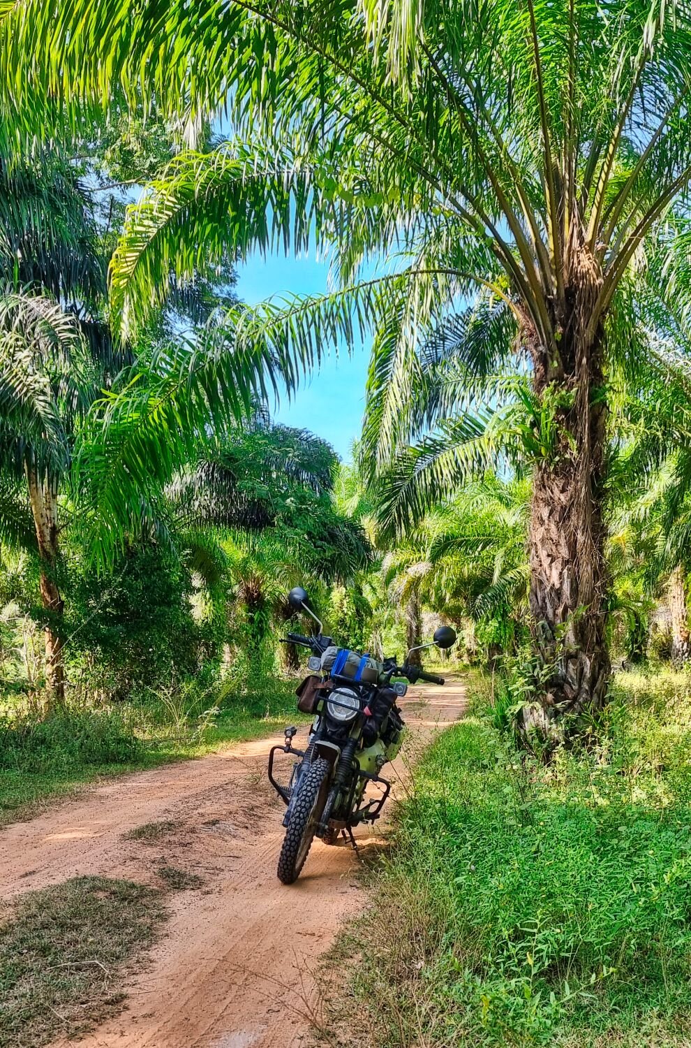
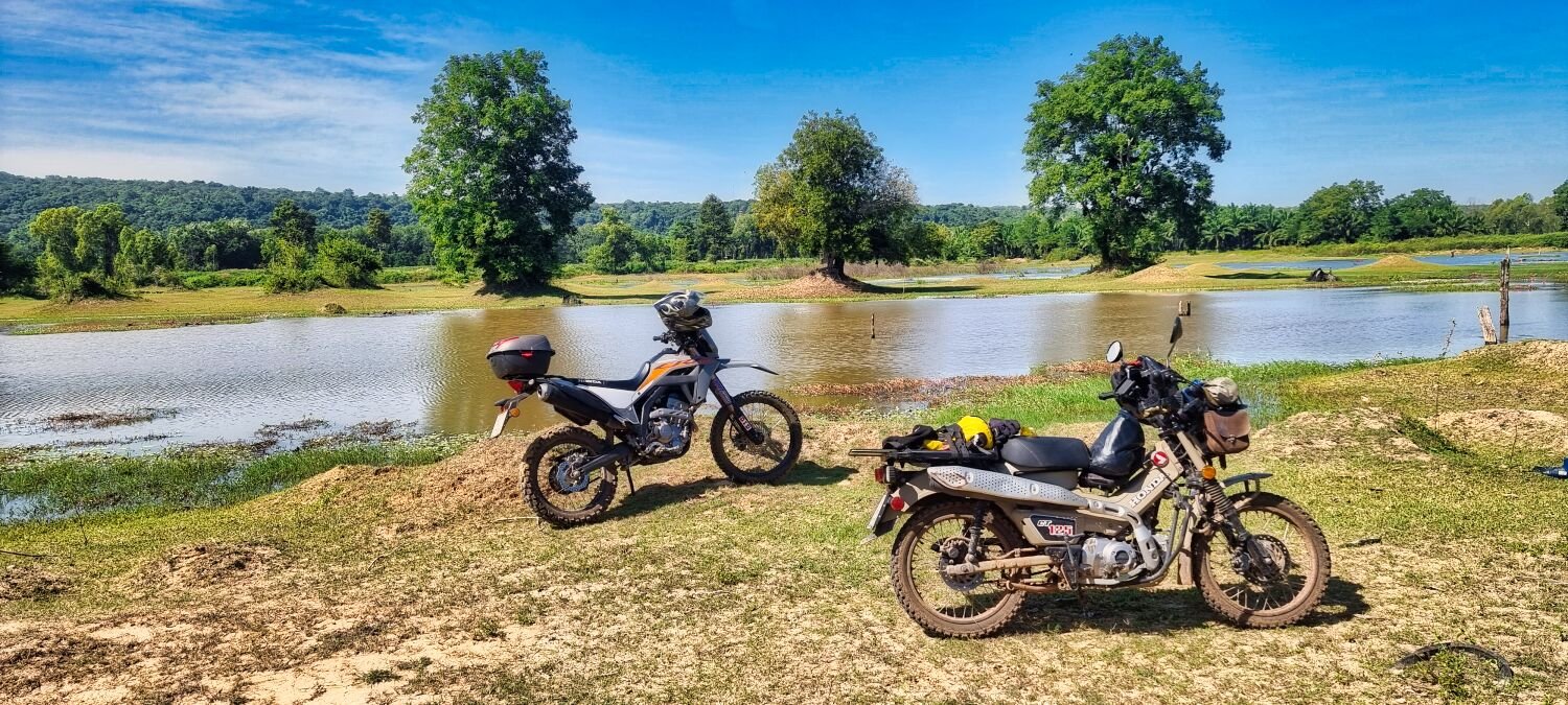
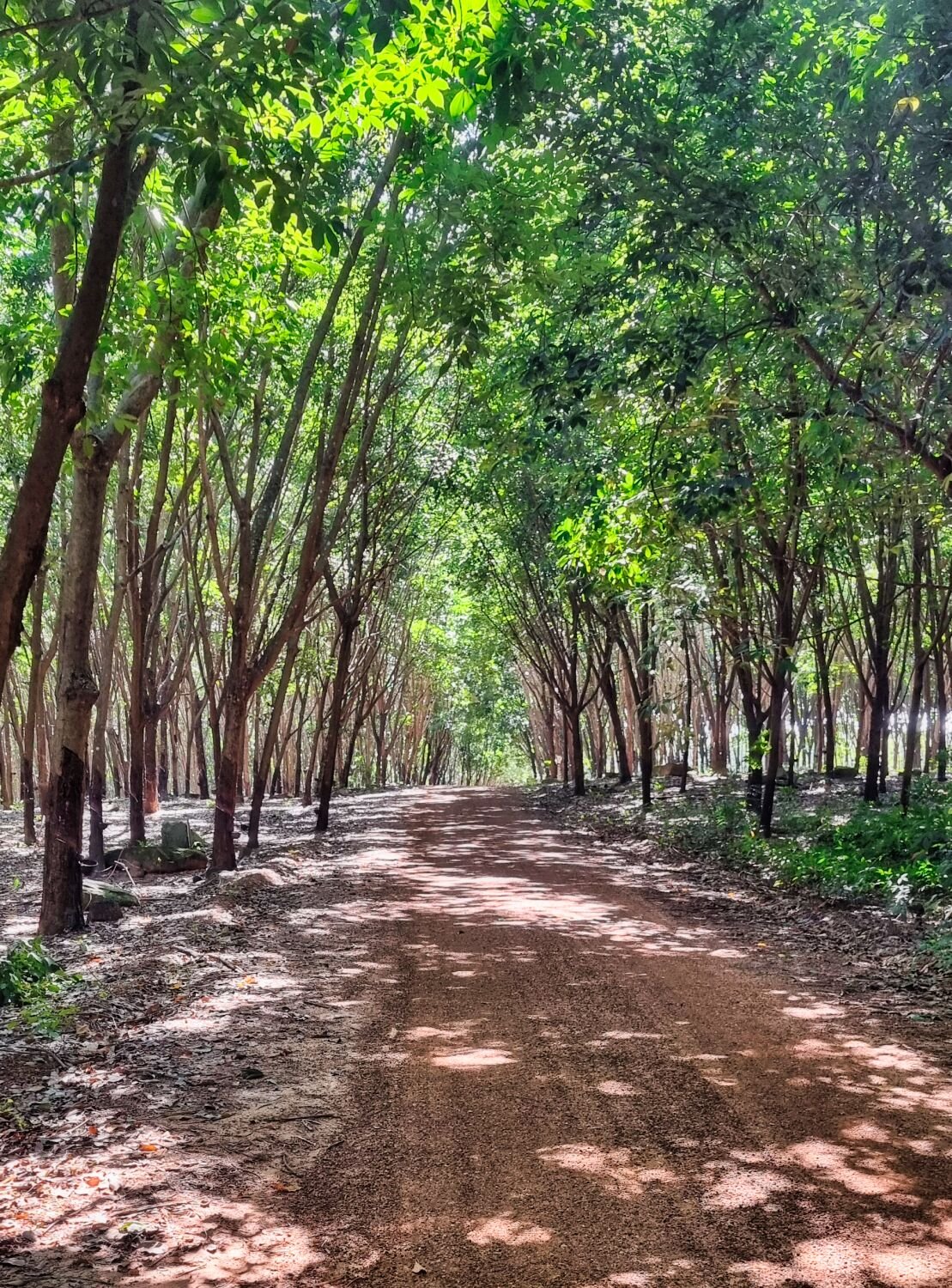
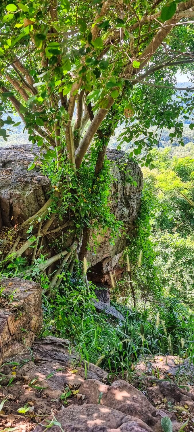
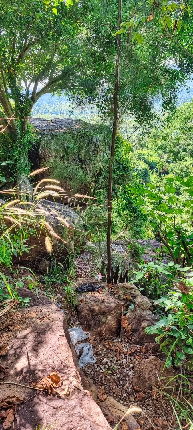
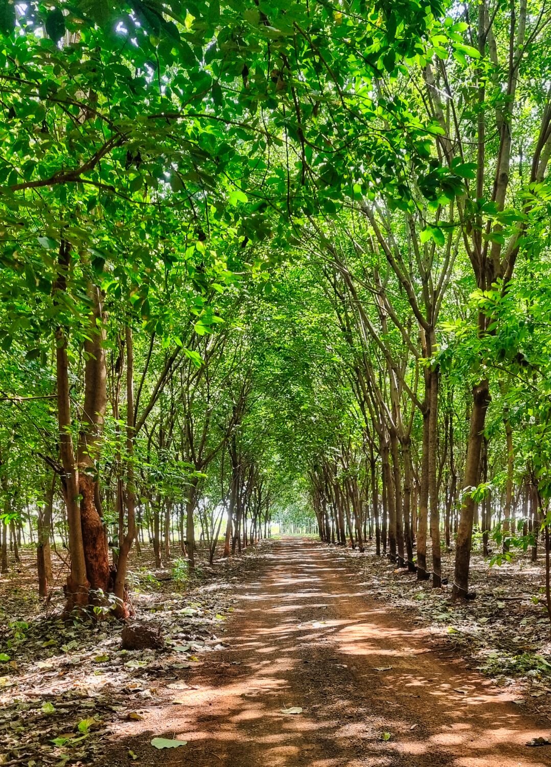
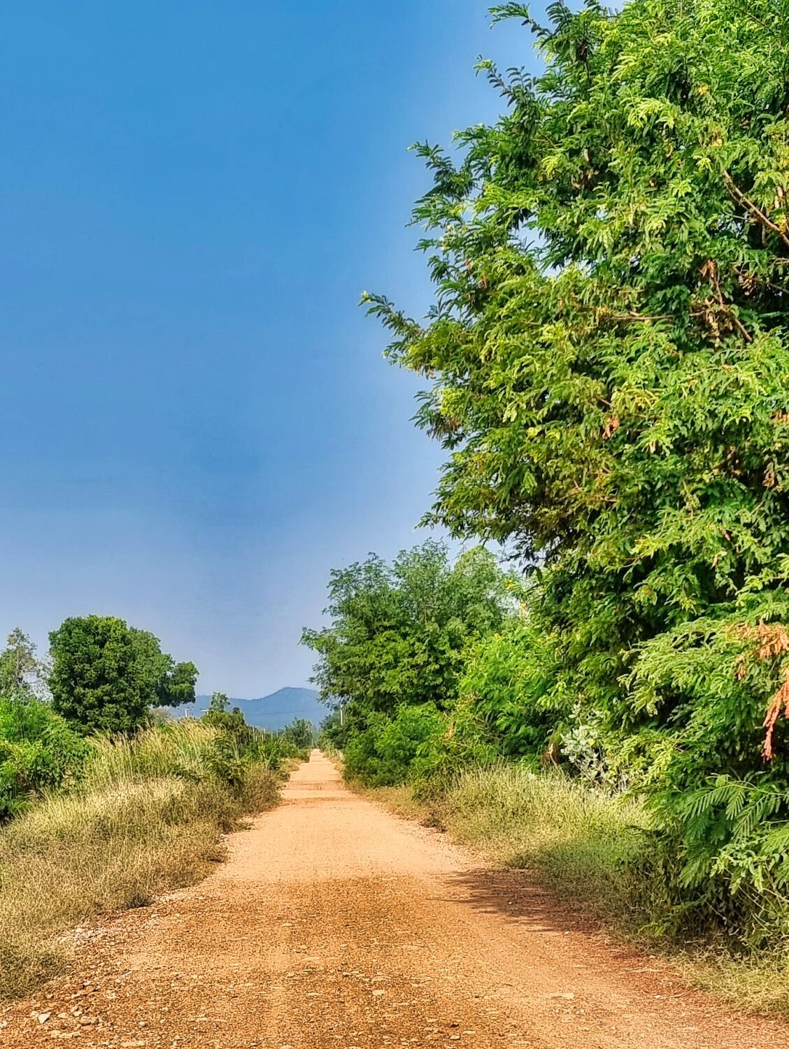
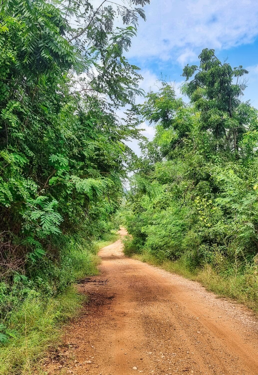
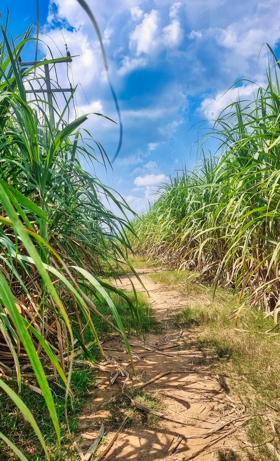
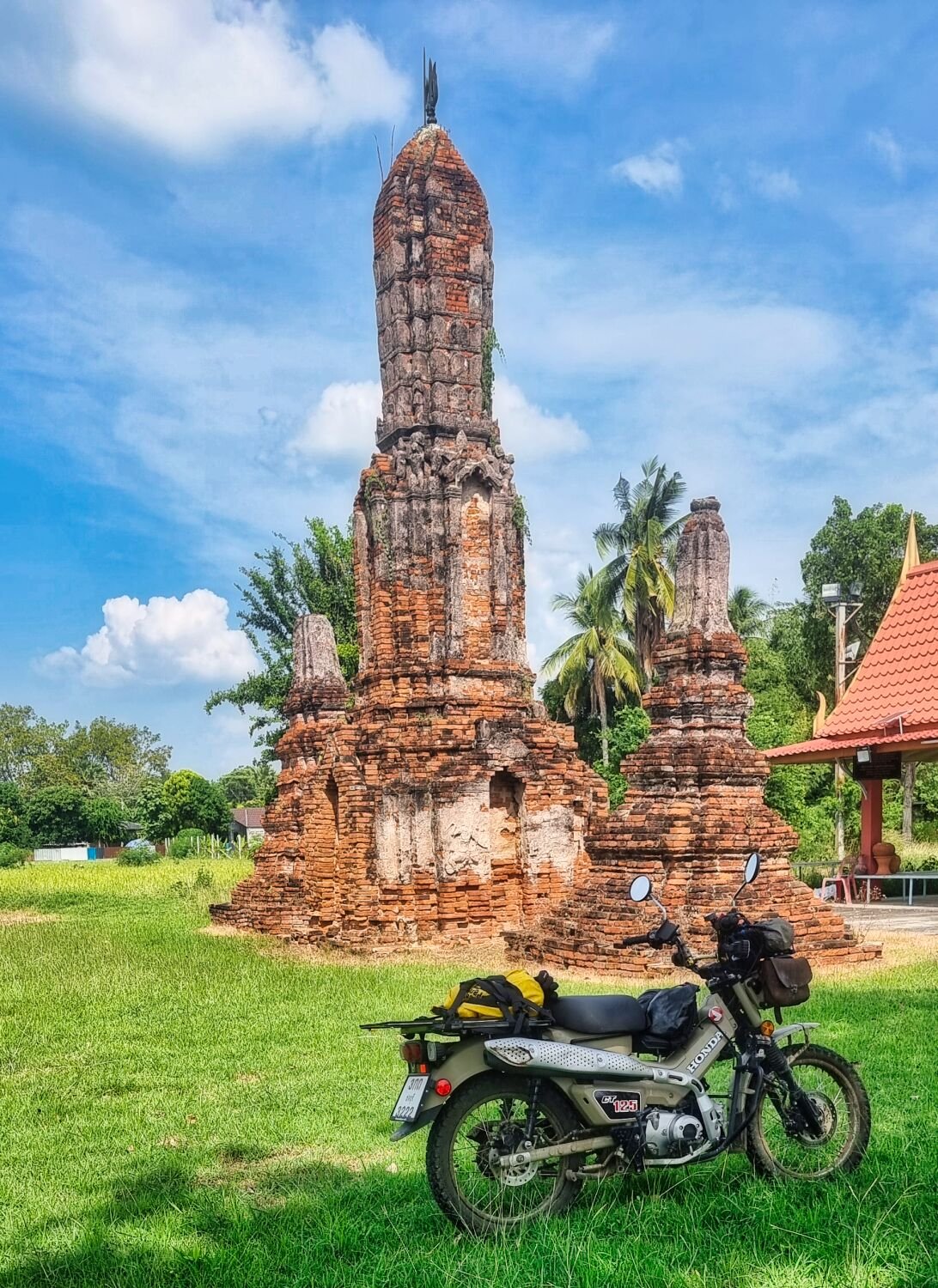
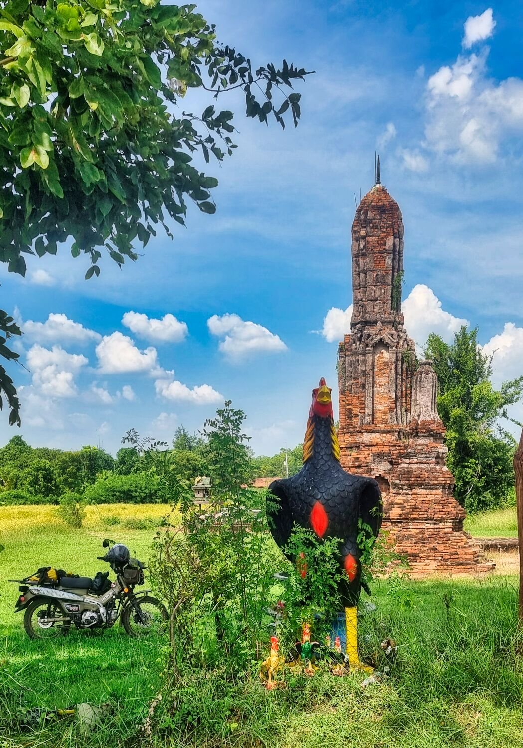
Day 15 of my tour and I am still in Ban Kruat. Today my first stop was Wat Pa Khun Khao Phinijt, Here. https://maps.app.goo.gl/7M3Le9vo4PQpdQEU7 Just past the temple is a cliff overlooking the countryside, here. https://maps.app.goo.gl/Mf75aDGsdexzoBYy8 From here I kept riding along farmer tracks I passed Reservoir Na Nuea, here. https://maps.app.goo.gl/u3QQQgPSKz1hMZwR7 Then Din Sai Reservoir, here. https://maps.app.goo.gl/m4Ureo5CJwrGpN9k9 Then past Lampathia Reservoir, here. https://maps.app.goo.gl/9Qr2BE7k1w79xwKf7 https://www.relive.cc/view/vPOp14Z4oE6
-
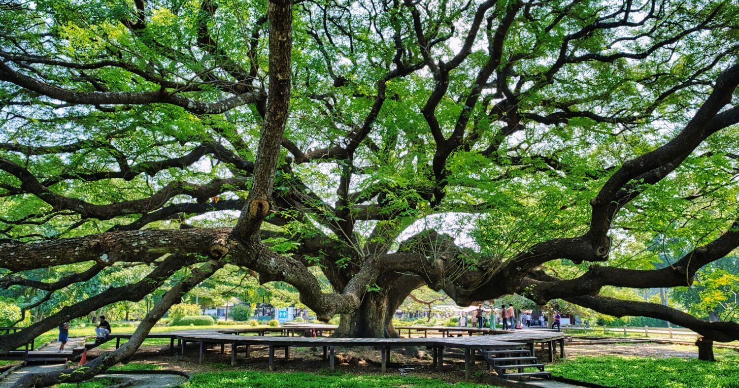
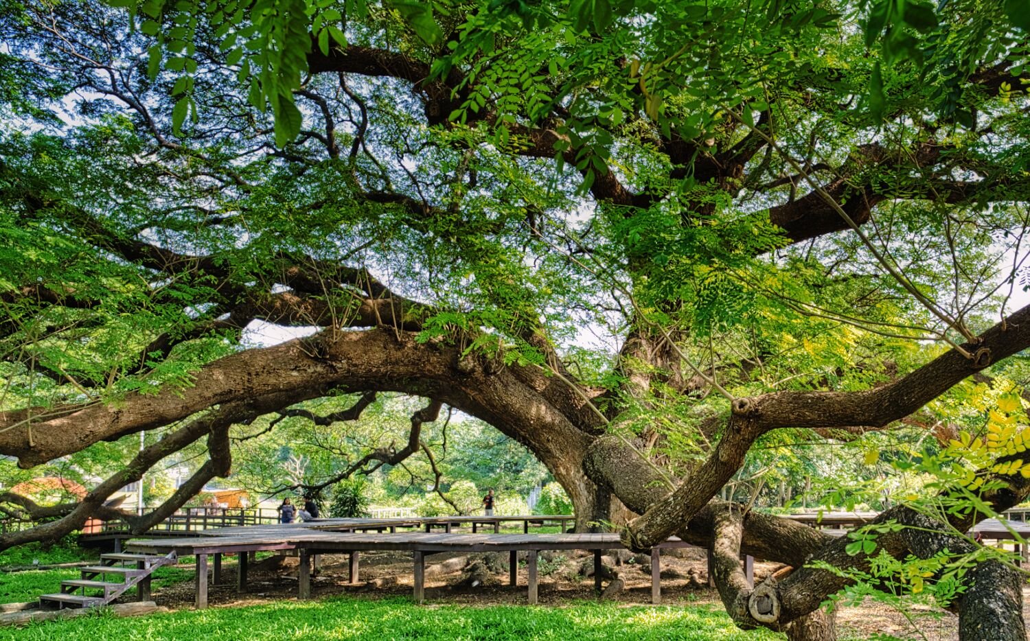
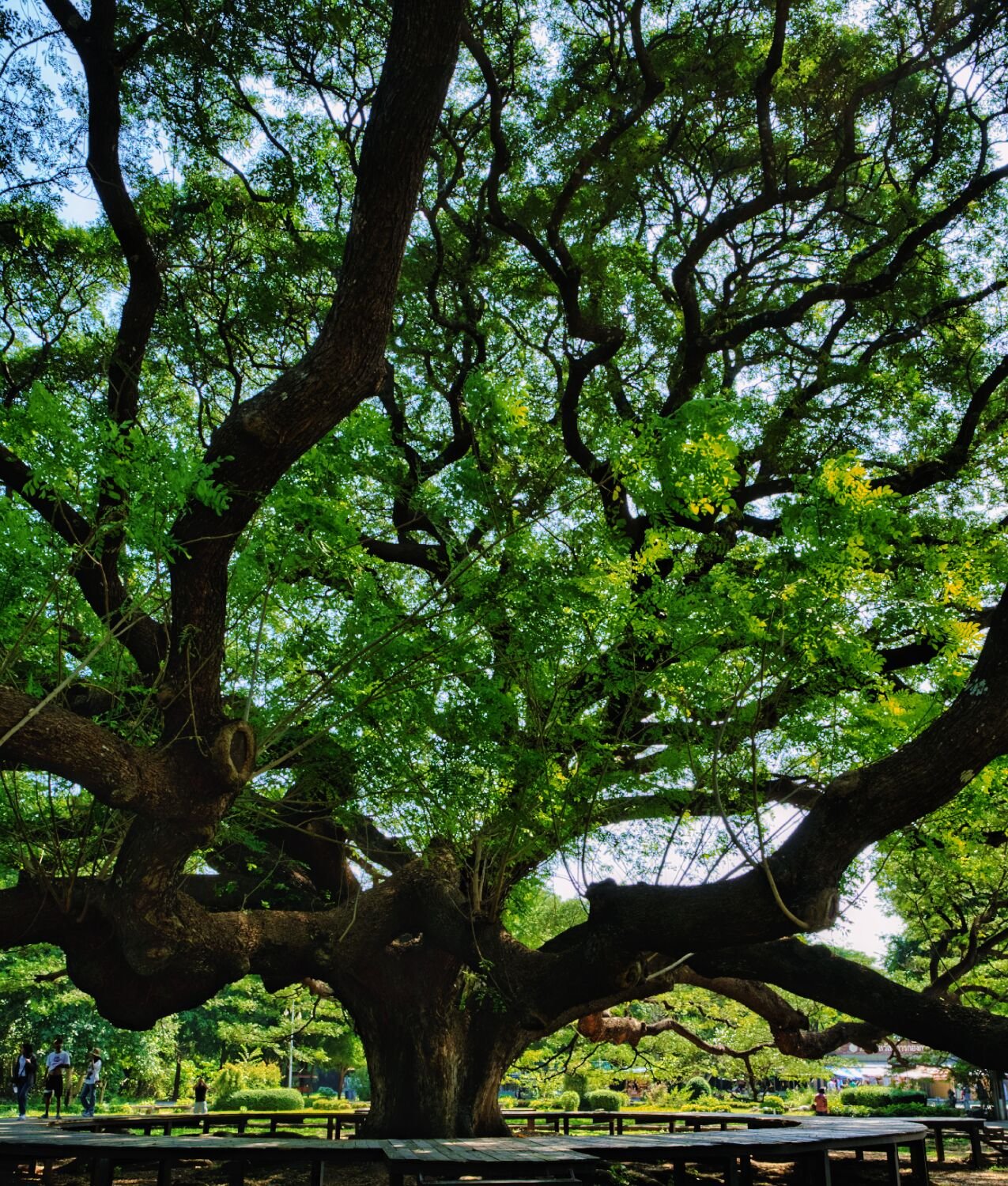
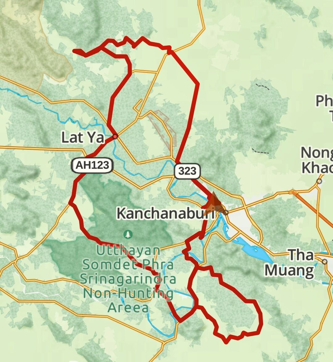
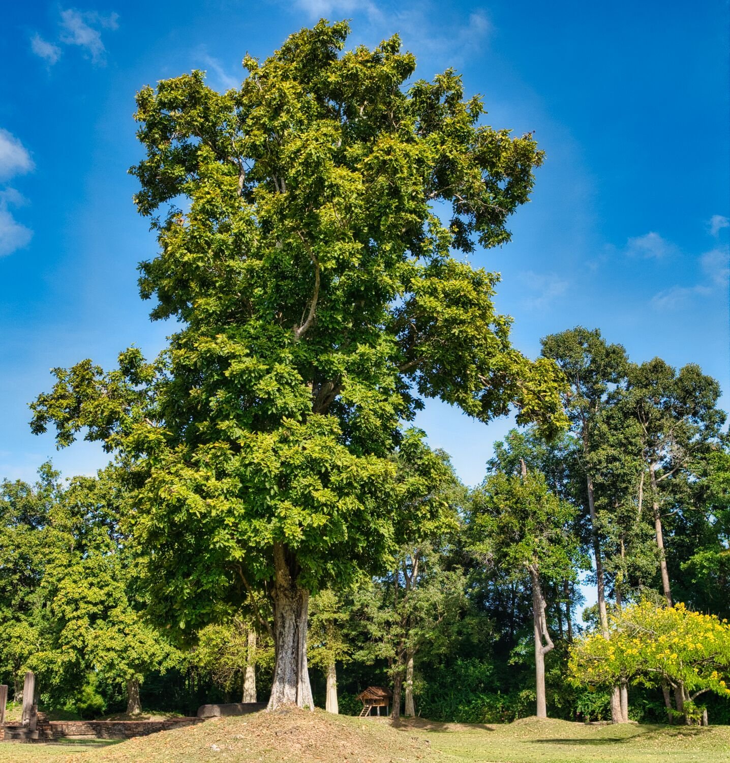
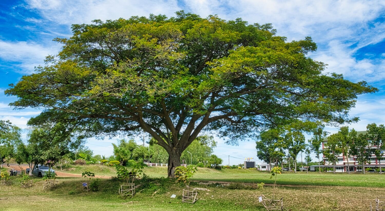
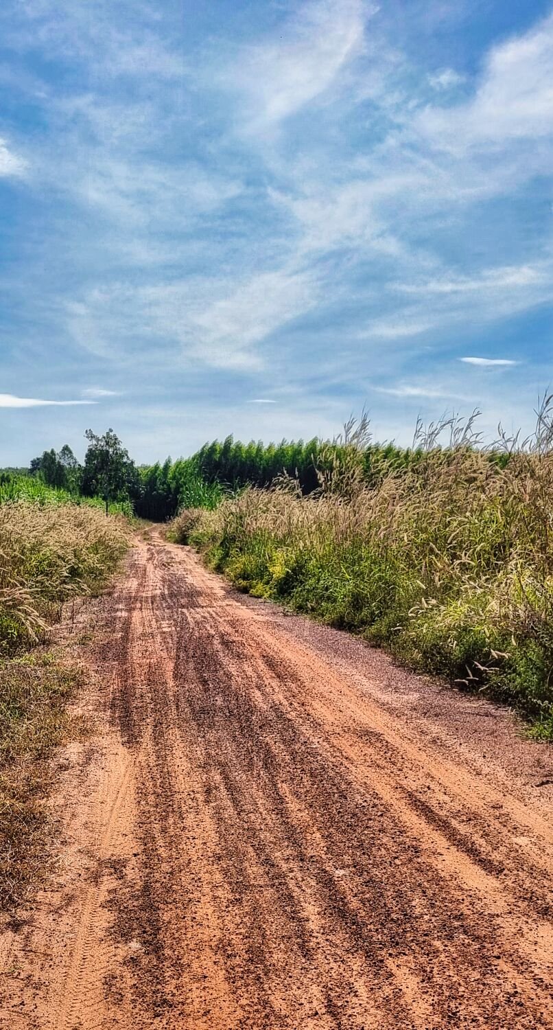
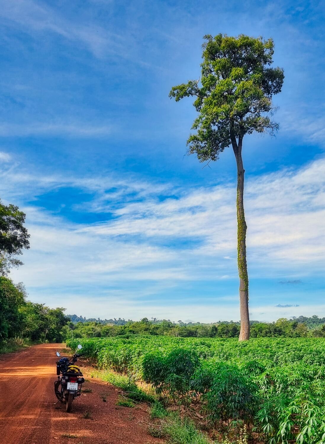
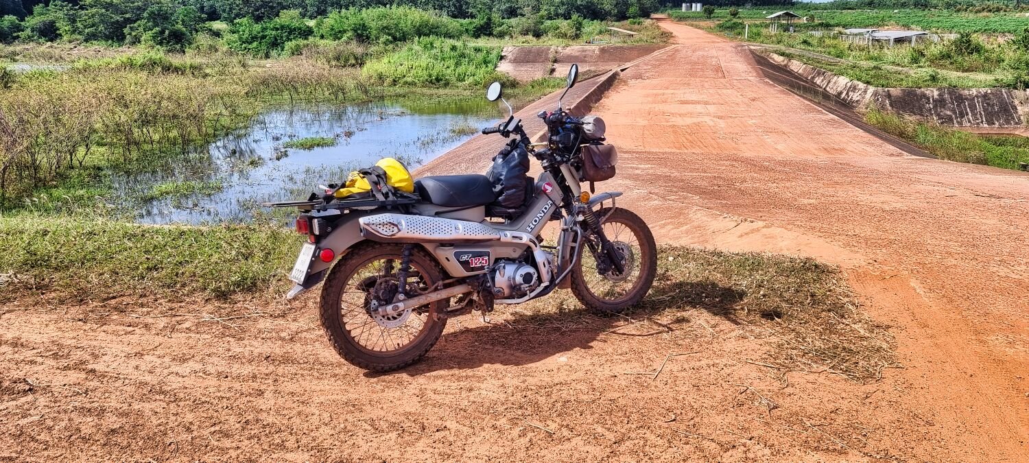
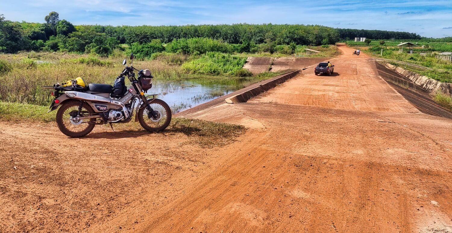
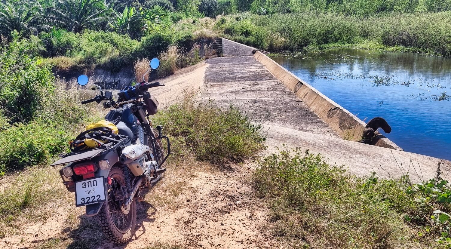
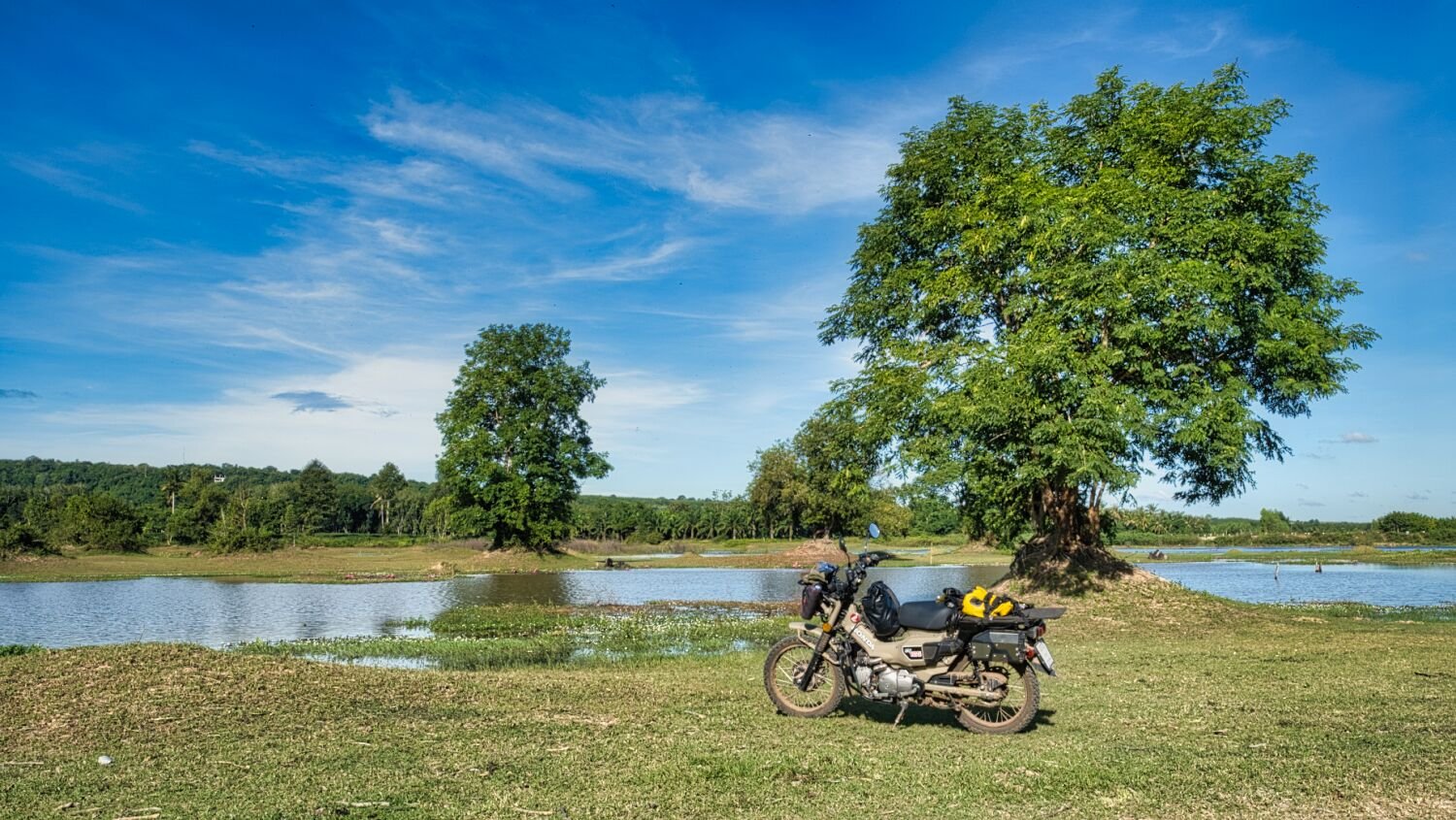
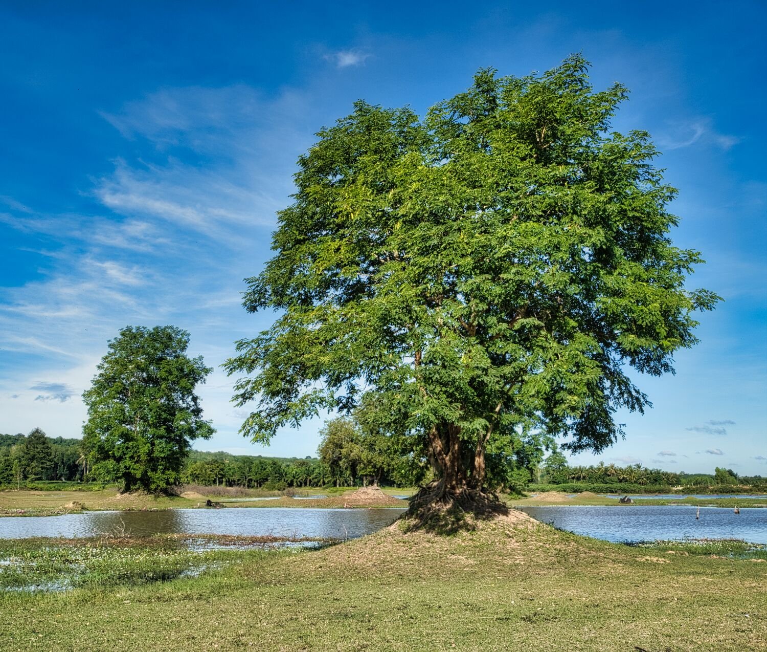
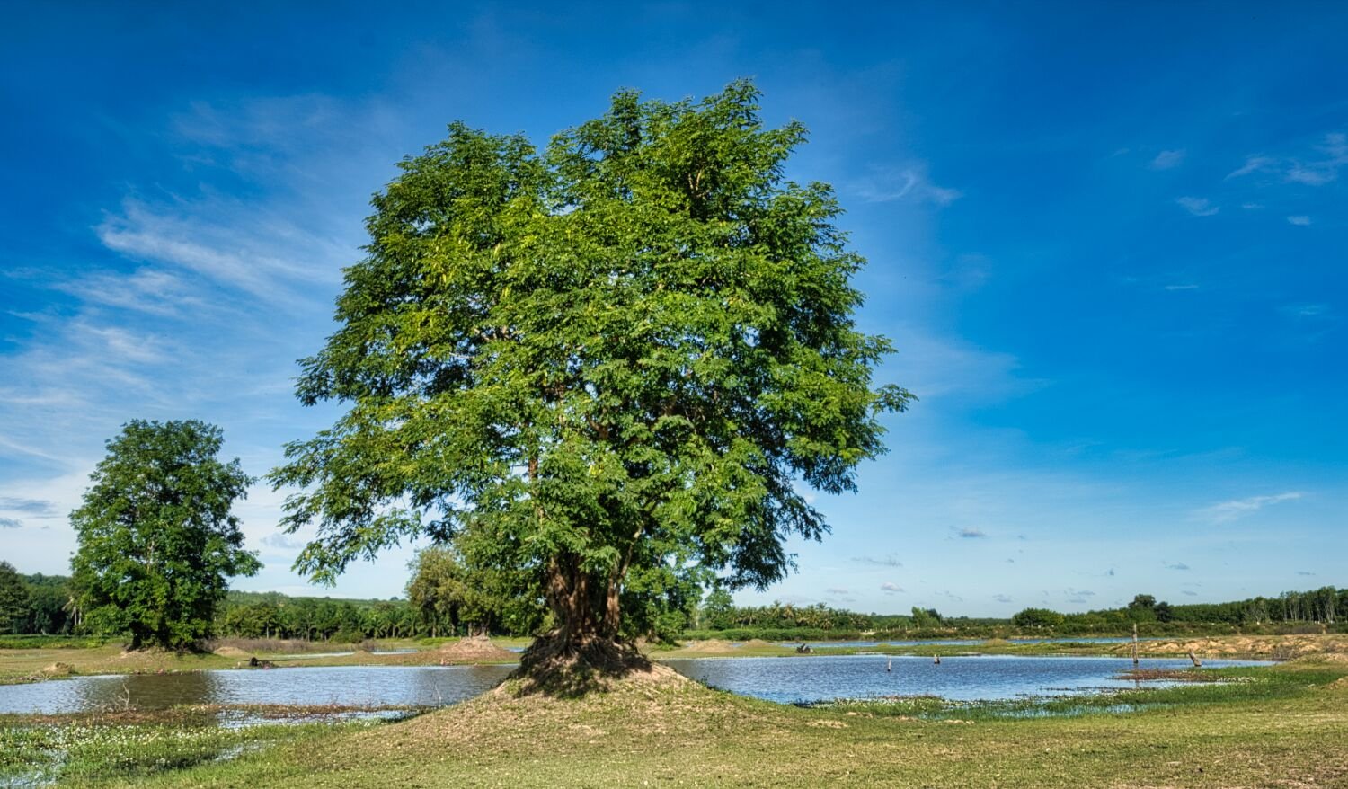
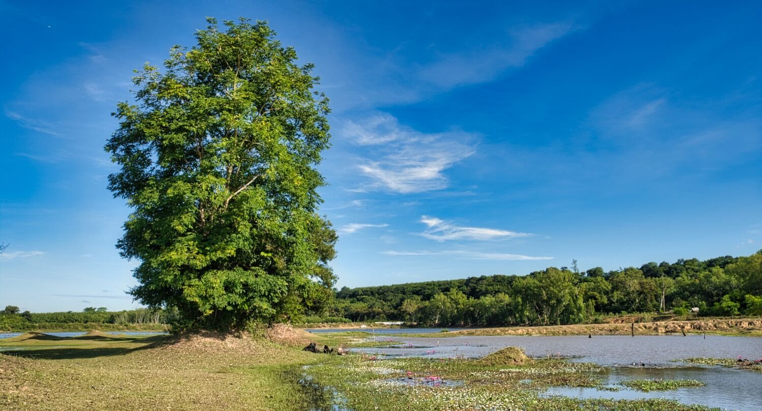
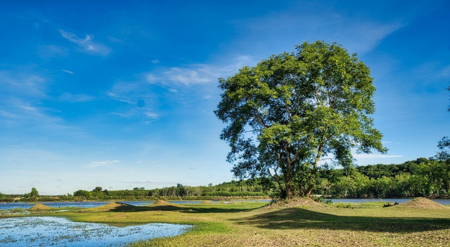
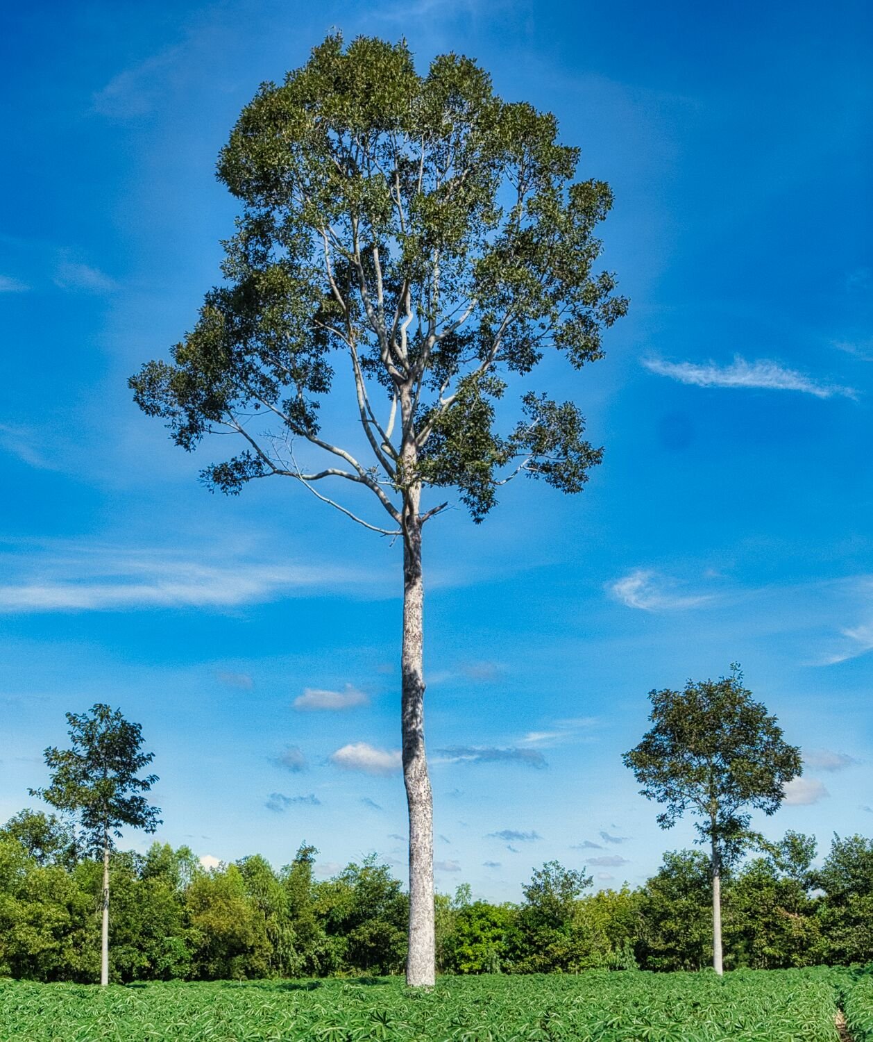
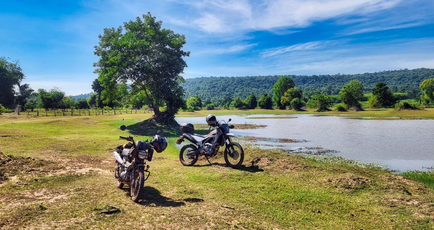
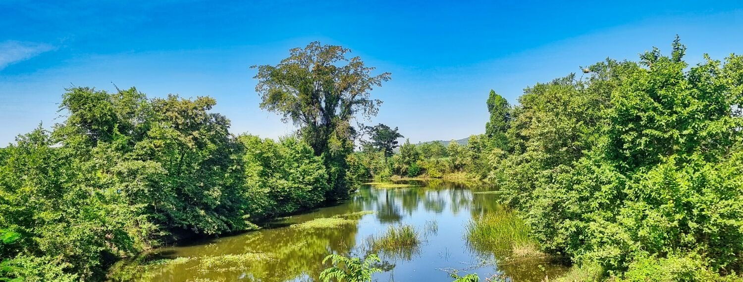
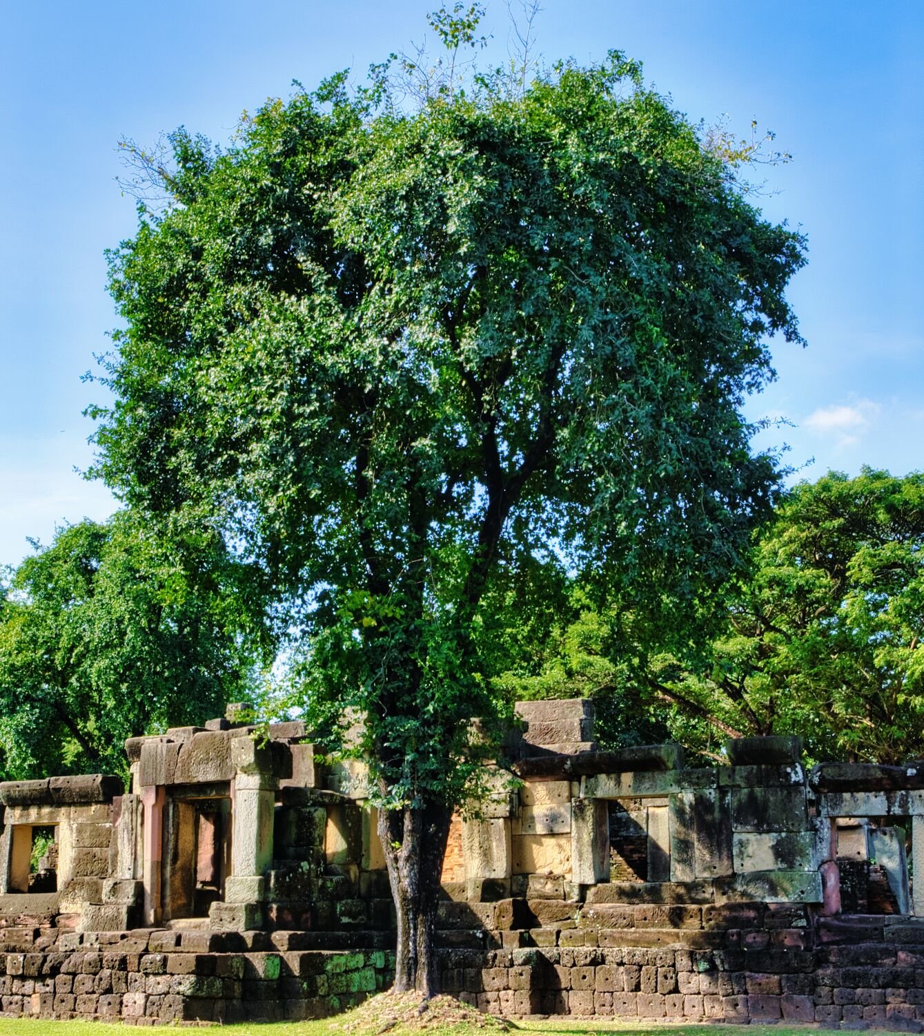
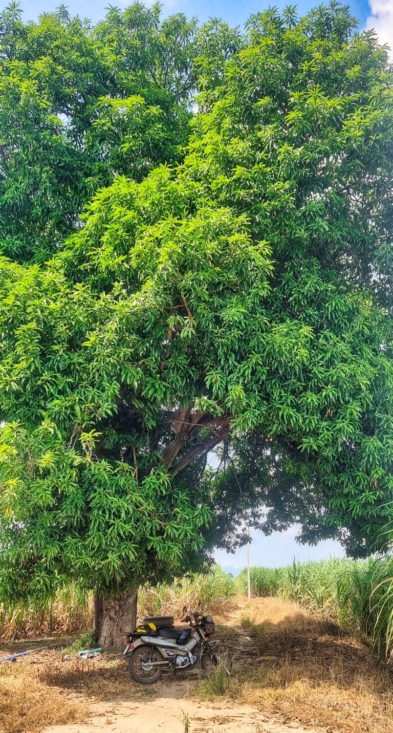
Day 14 of my ride today and I was riding alone, my first stop was at Huai Bok Reservoir, that I stopped at yesterday with Ray. https://maps.app.goo.gl/8fCAyg6tTNpGeXXj6 From here I rode both concrete and sand roads exploring, the wier and small wooden temple were here. https://maps.app.goo.gl/PaBkiuv3vuoDc8Ev9 The tall single tree photo nearby, here. https://maps.app.goo.gl/cdpxGewLNrGJ2HE16 The second wier I could not cross was here. https://maps.app.goo.gl/BppU8MfDqJCfP5hw8 https://www.relive.cc/view/vJOK53r8ewq
-
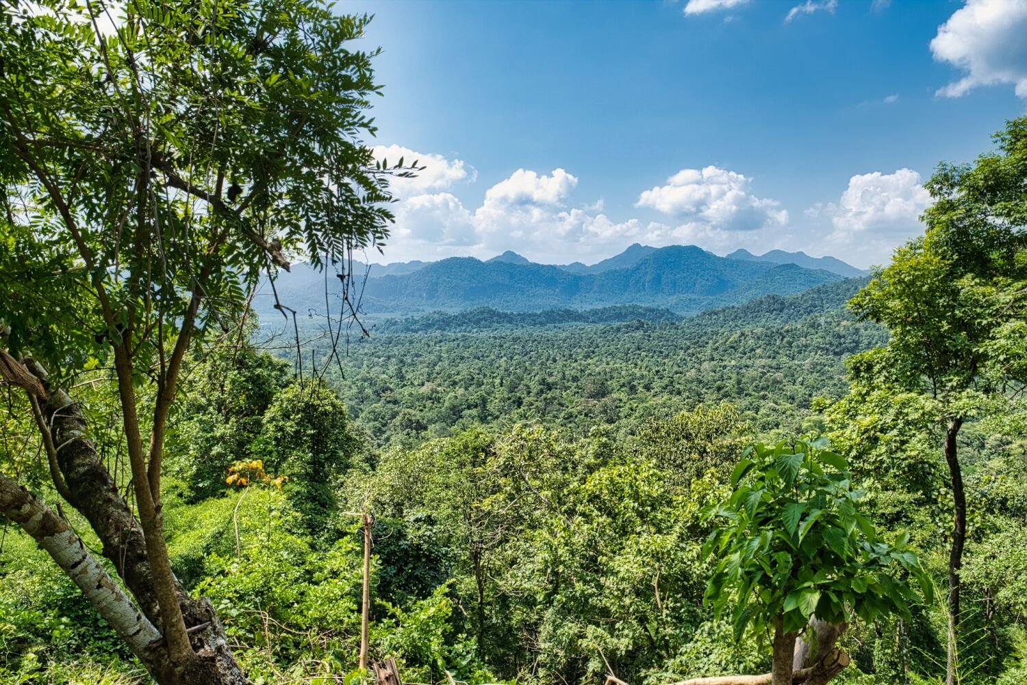
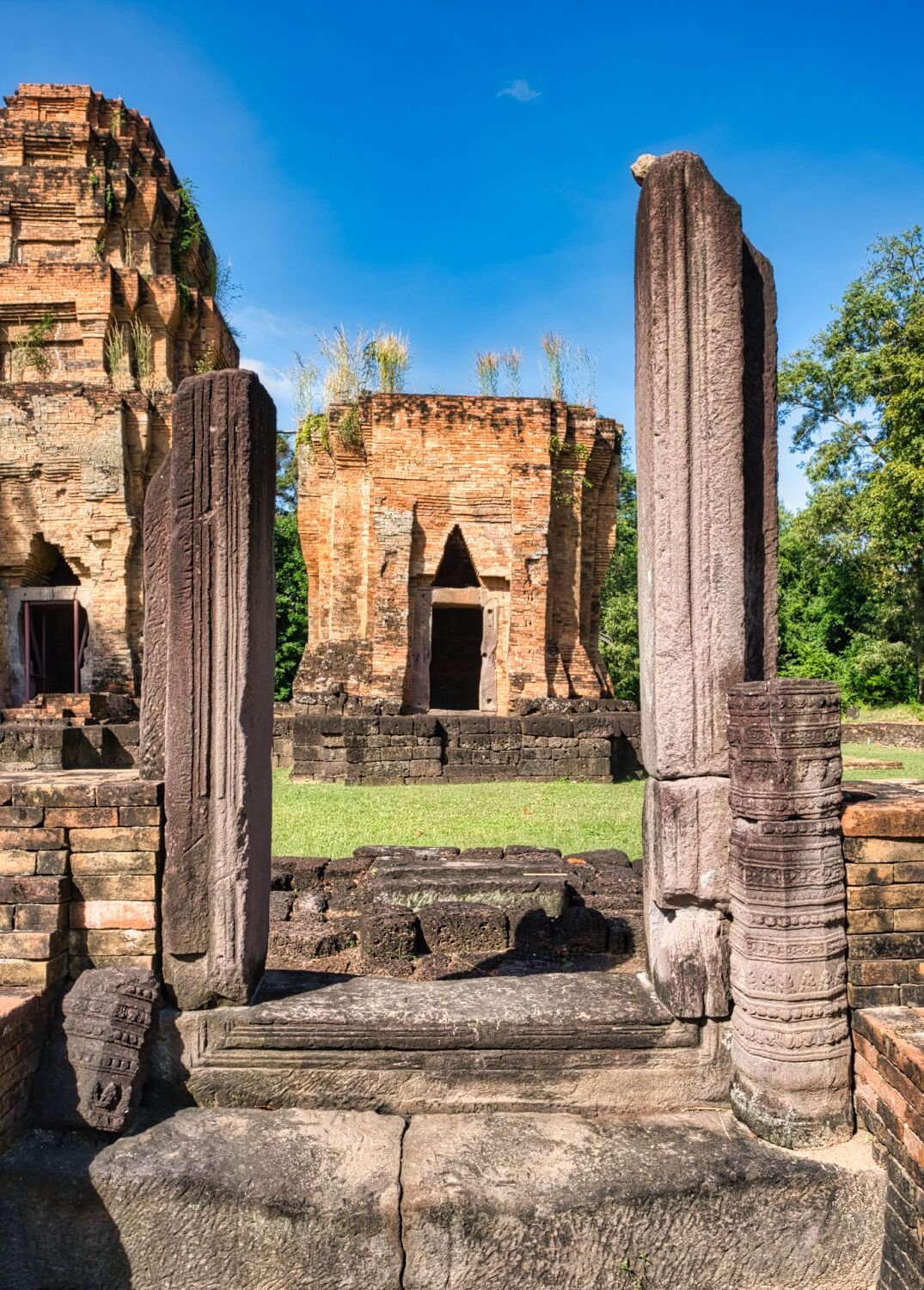
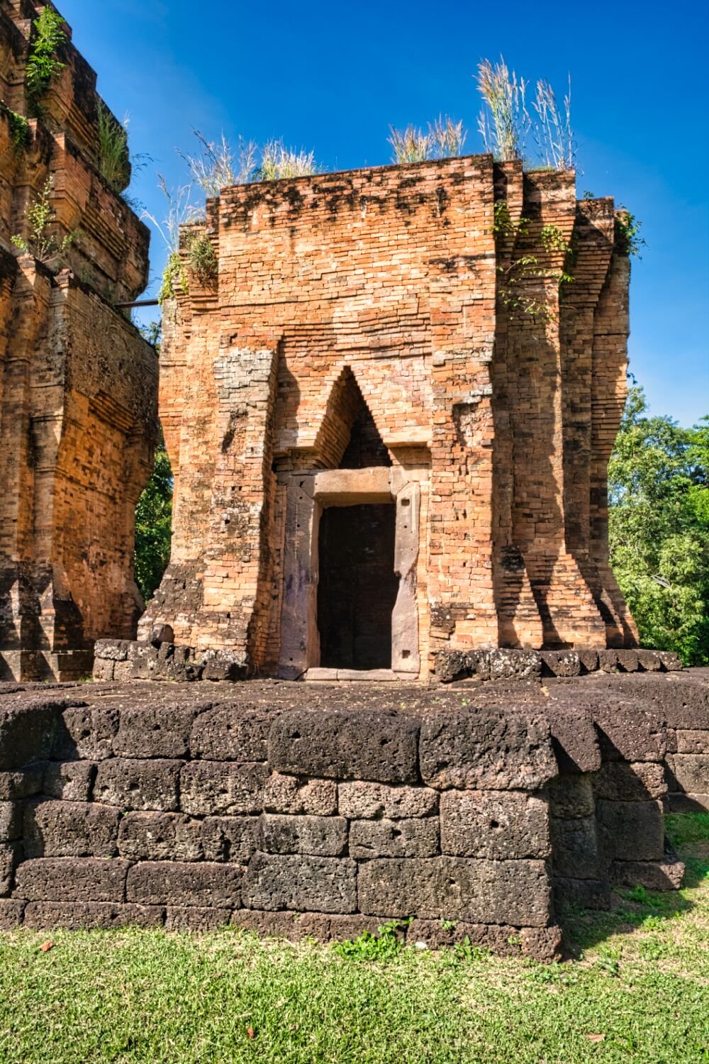
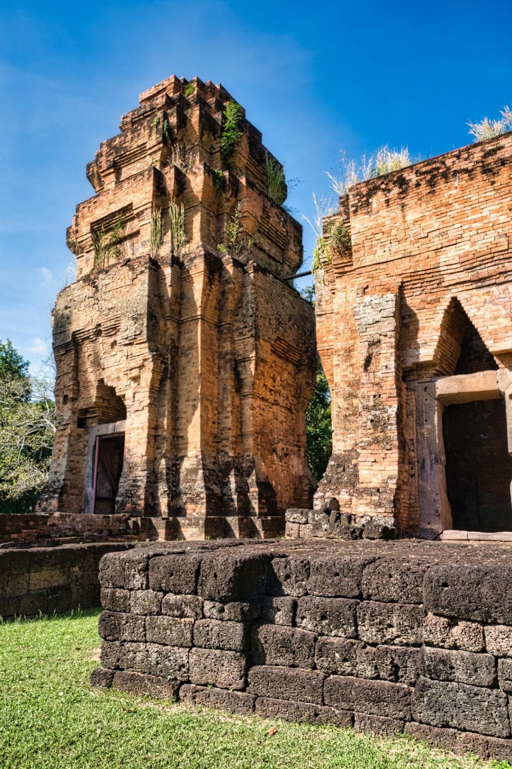
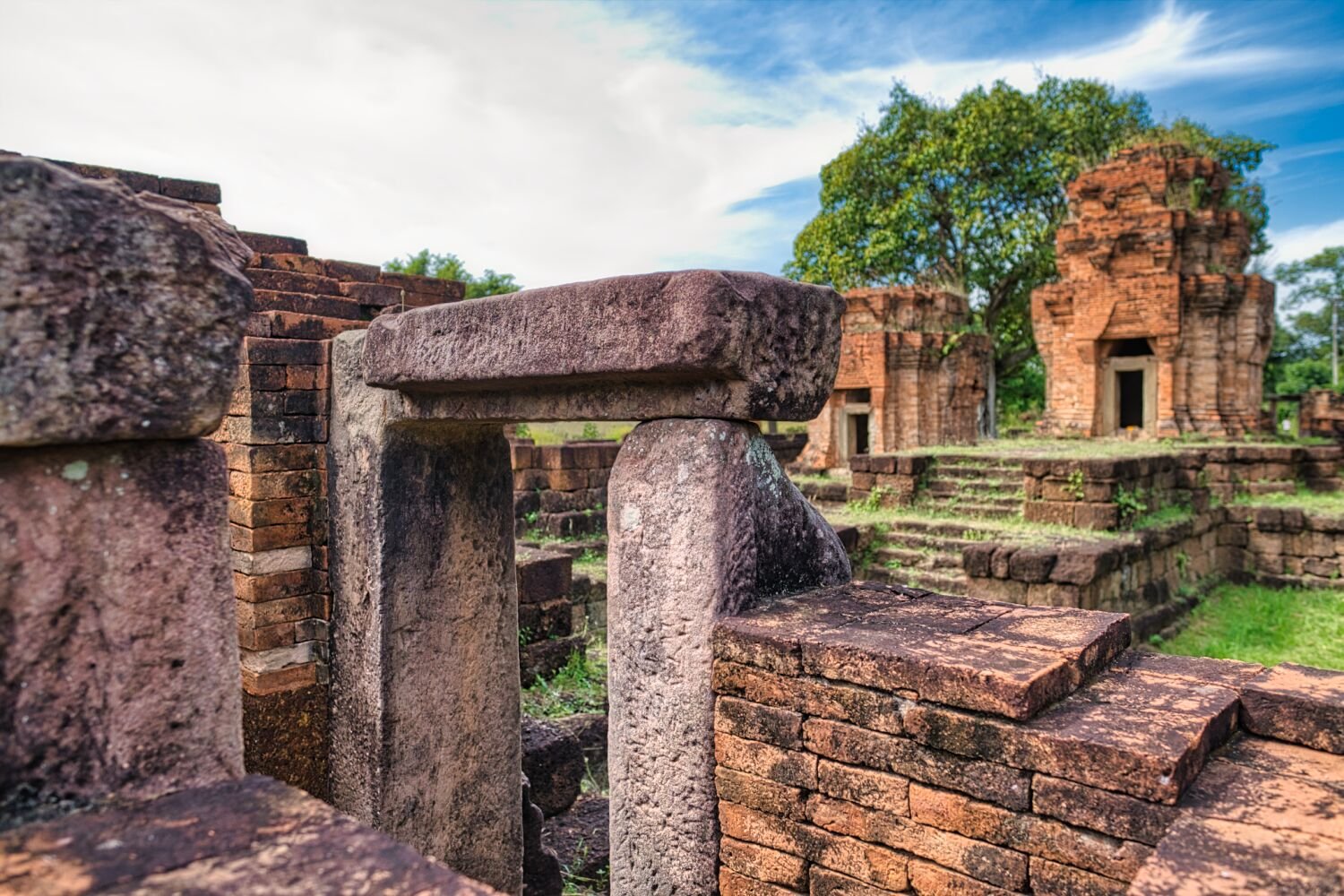
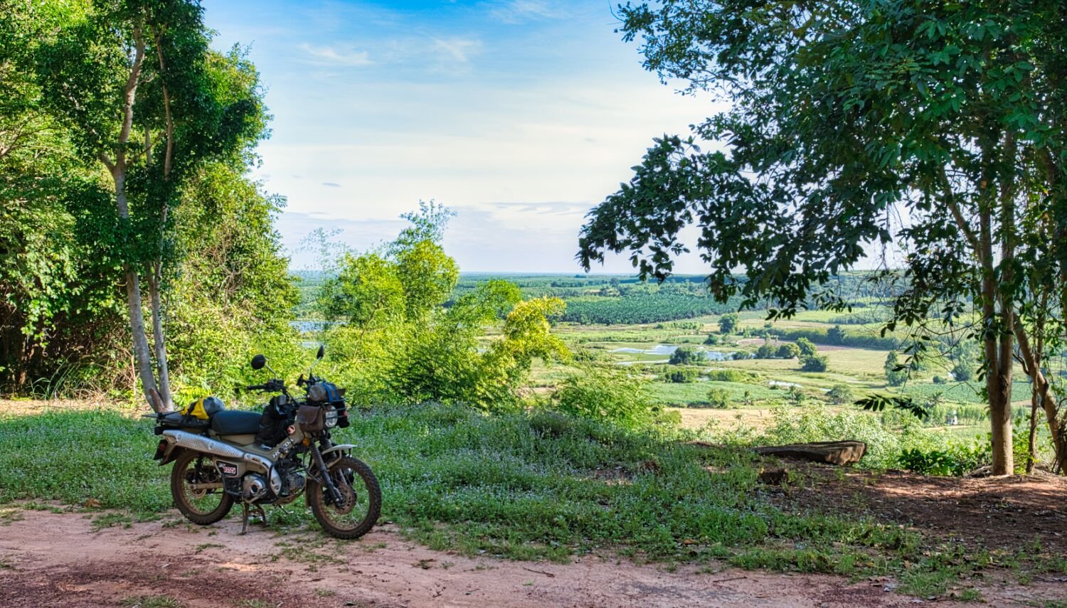
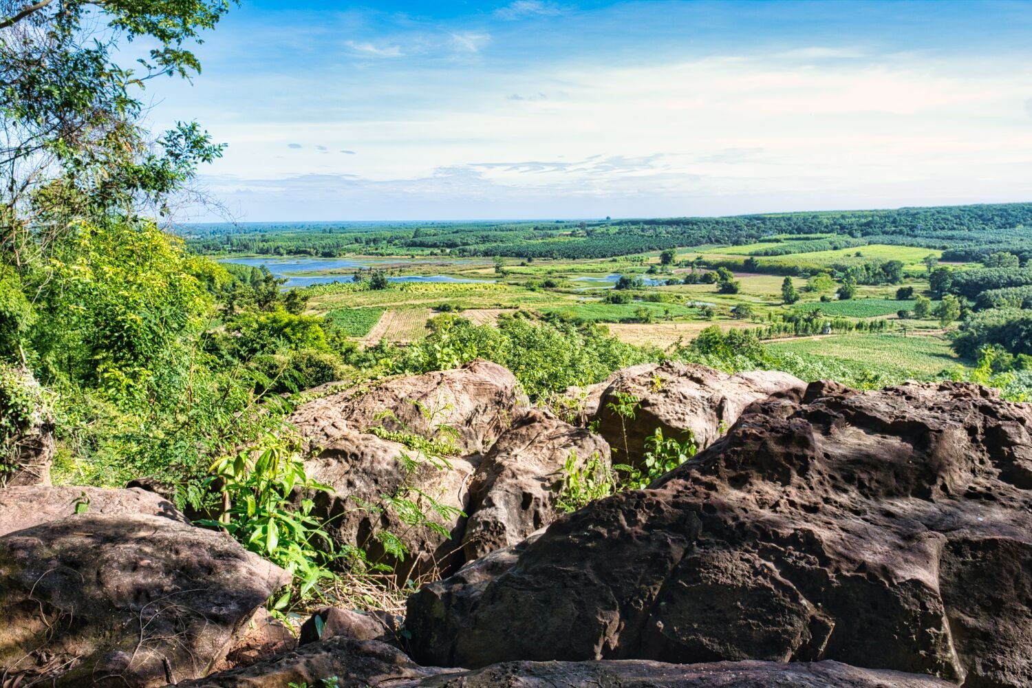
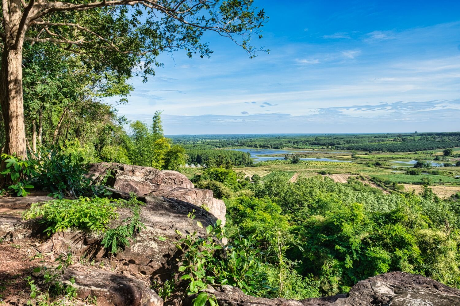
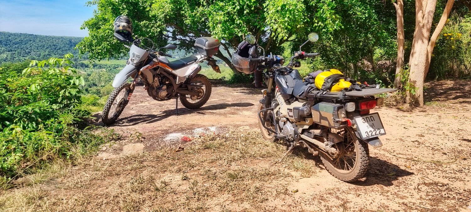
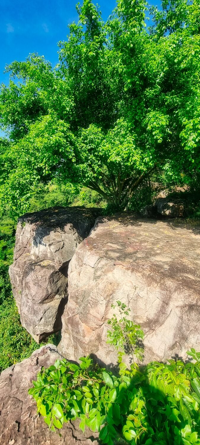
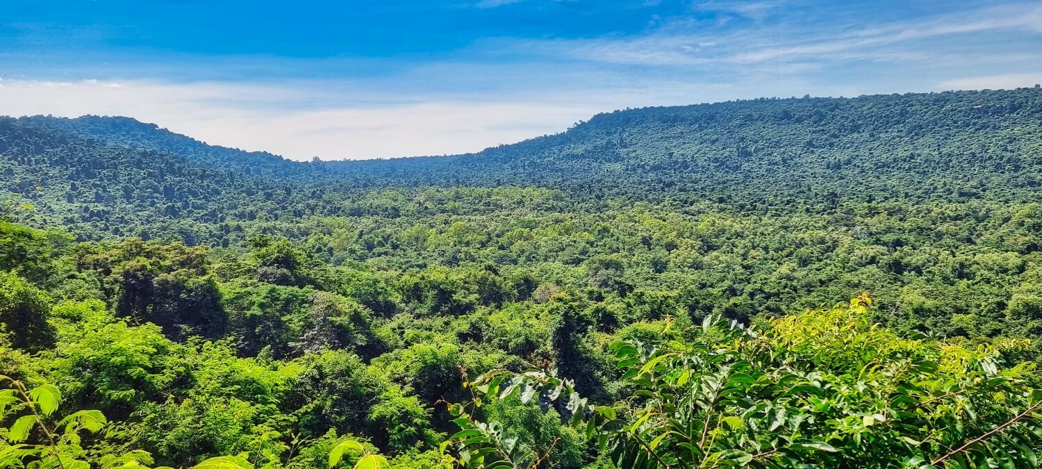
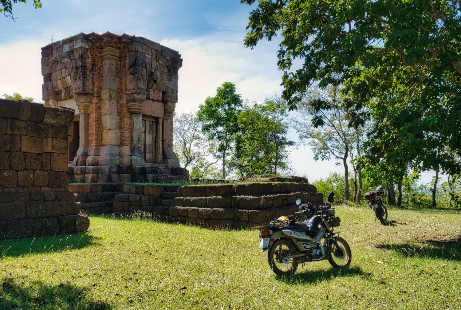
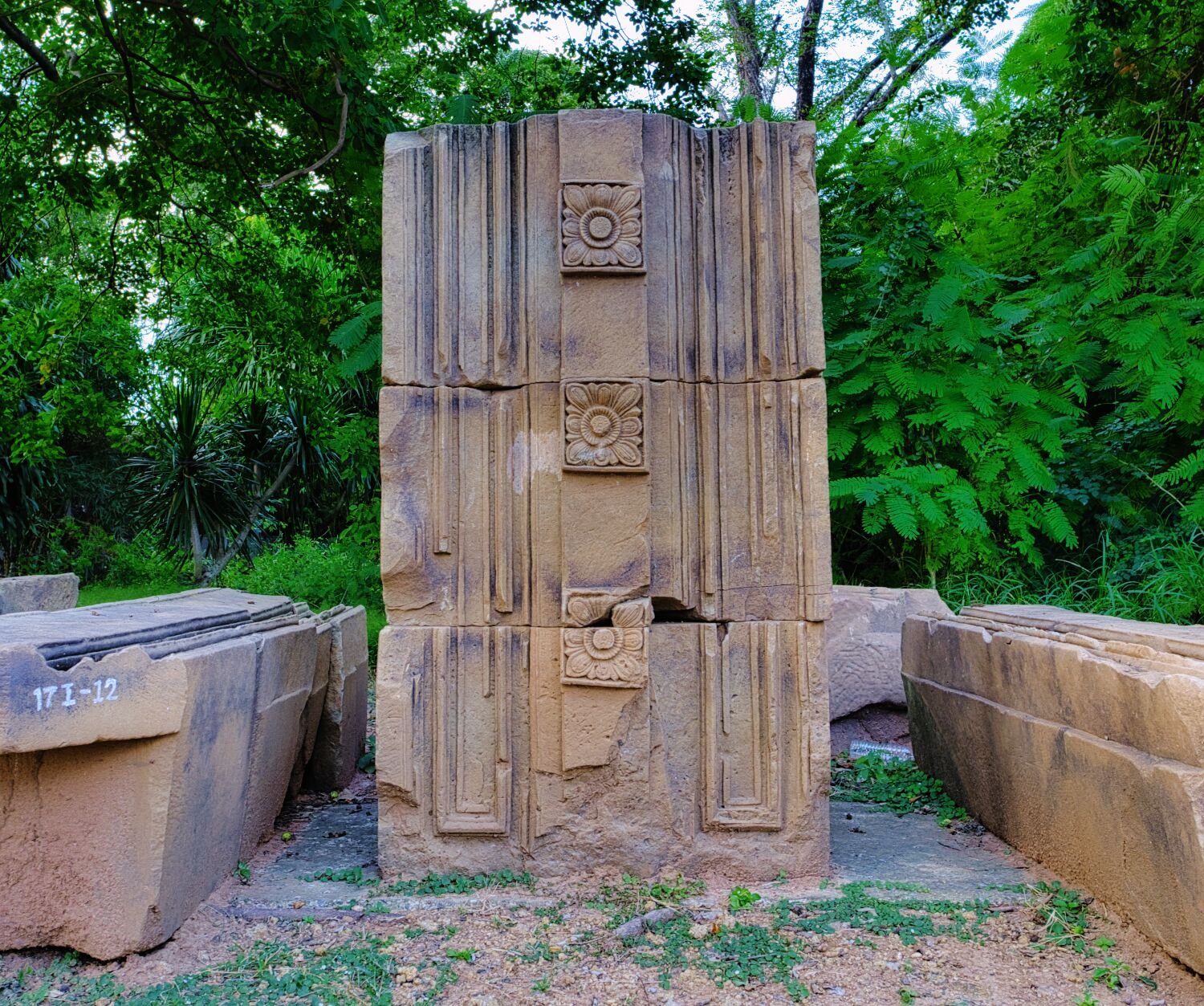
Today, day 13 of my tour Ray and I left Ban Kruat exploring areas I already knew, but Ray had not seen. Our first stop was Huai Bok Reservoir, here. https://maps.app.goo.gl/AovCzmLomav2bQkP6 We then rode to a start point of a narrow way to ride through the jungle, here. https://maps.app.goo.gl/KB7JmH4acL7UukV27 This route leads to a cliff top with great views towards Cambodia, Pha ta-rung, here. https://maps.app.goo.gl/7XRhALHZ2SMiaKUM9 From here we rode to a Khmer Temple, Prasat Bai Bat 1, here. https://maps.app.goo.gl/9RRwQmzkTJDa5ceN6 It is difficult to find the way up, but worth the ride. From here we found another trail that eventually lead to Prasat Bai Bat 2, here. https://maps.app.goo.gl/GfsEpkN7gAggsGRN9 https://www.relive.cc/view/vXOnkDmJo56
-
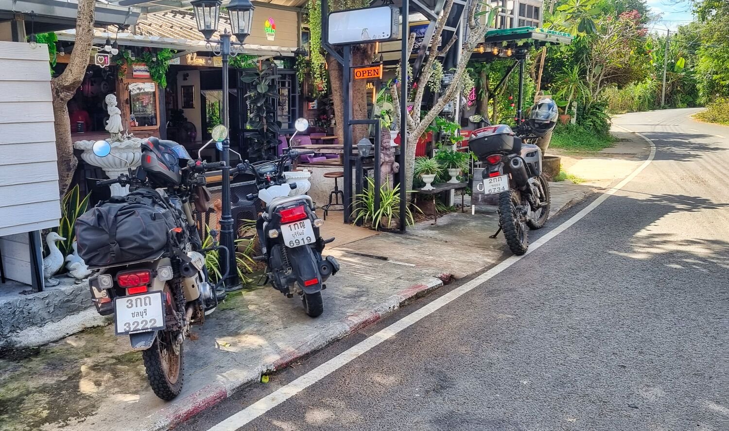
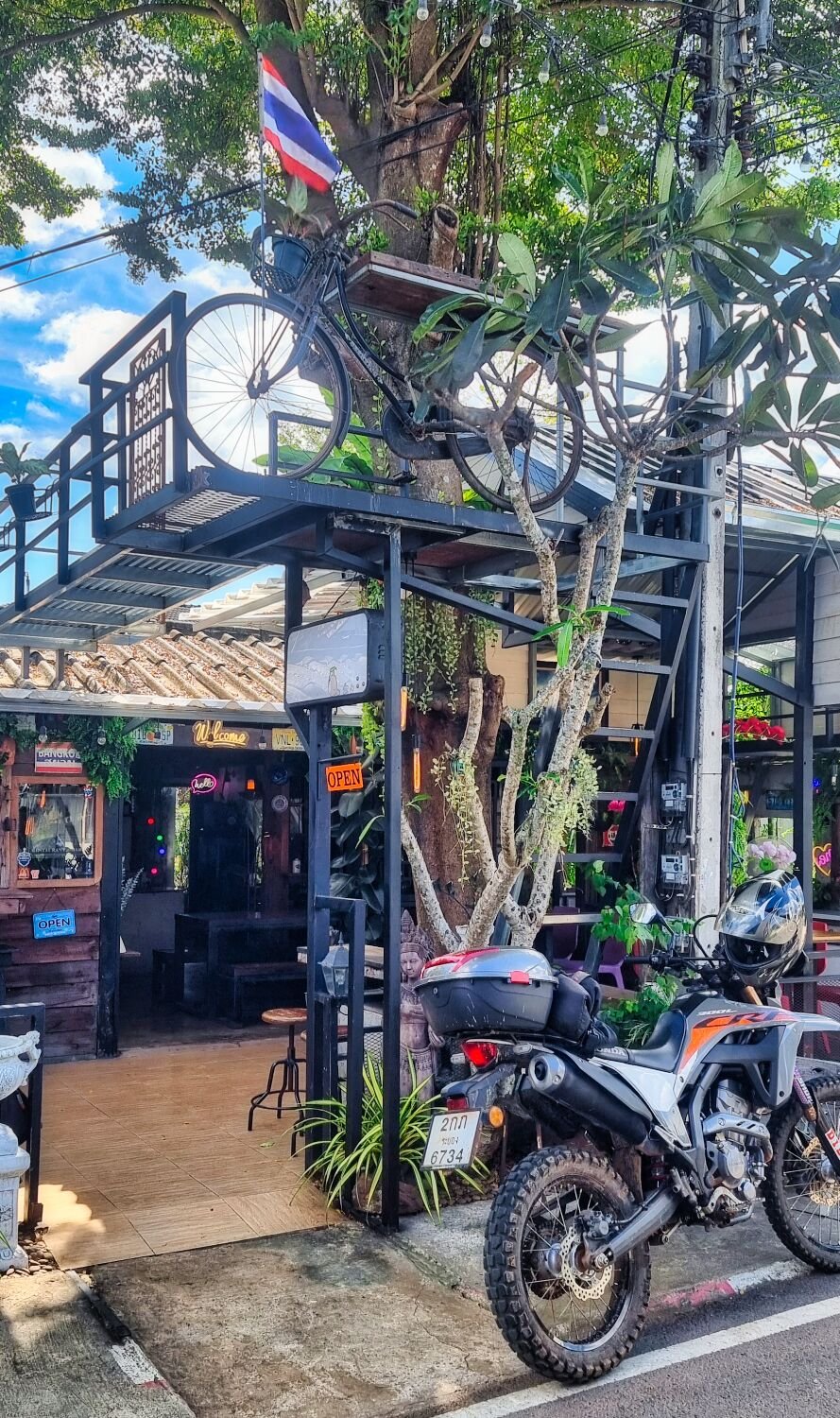
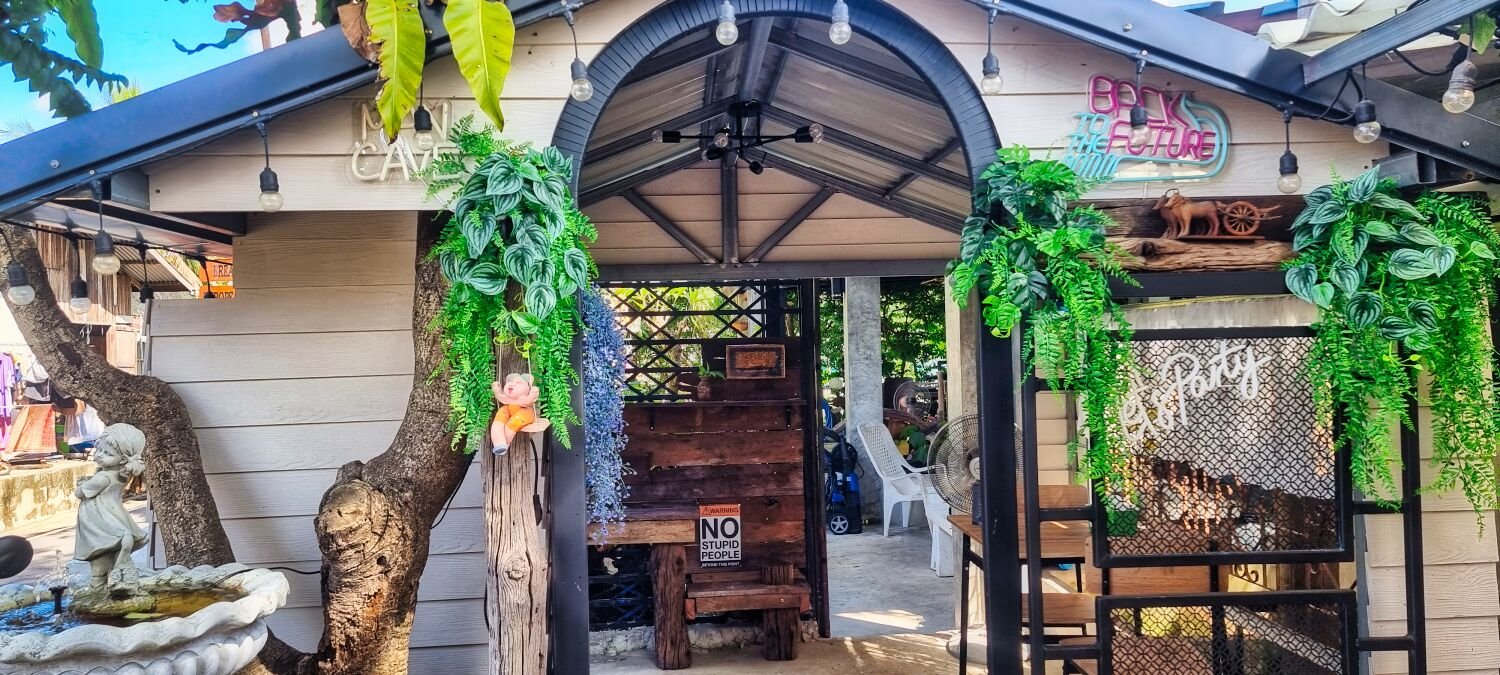
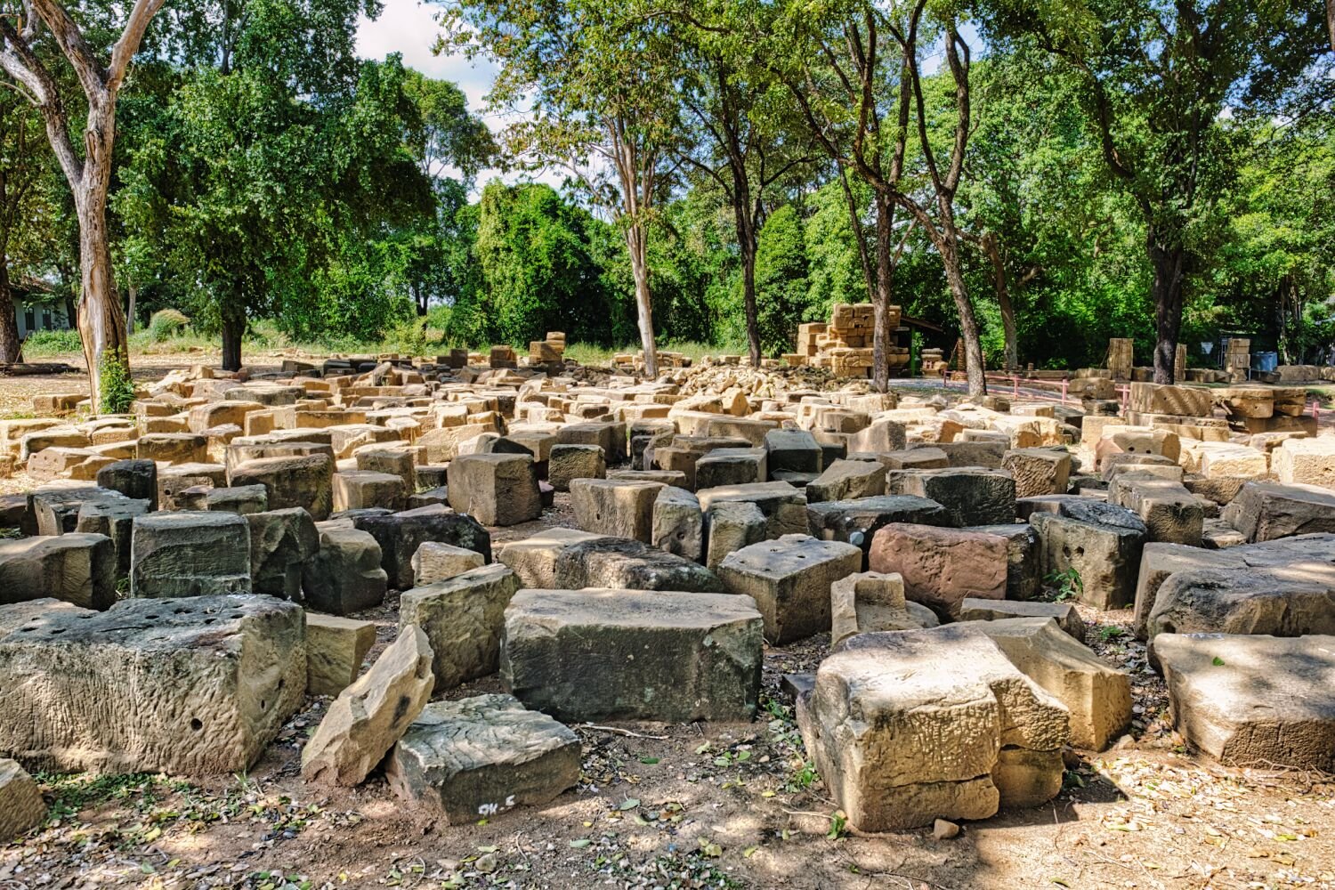
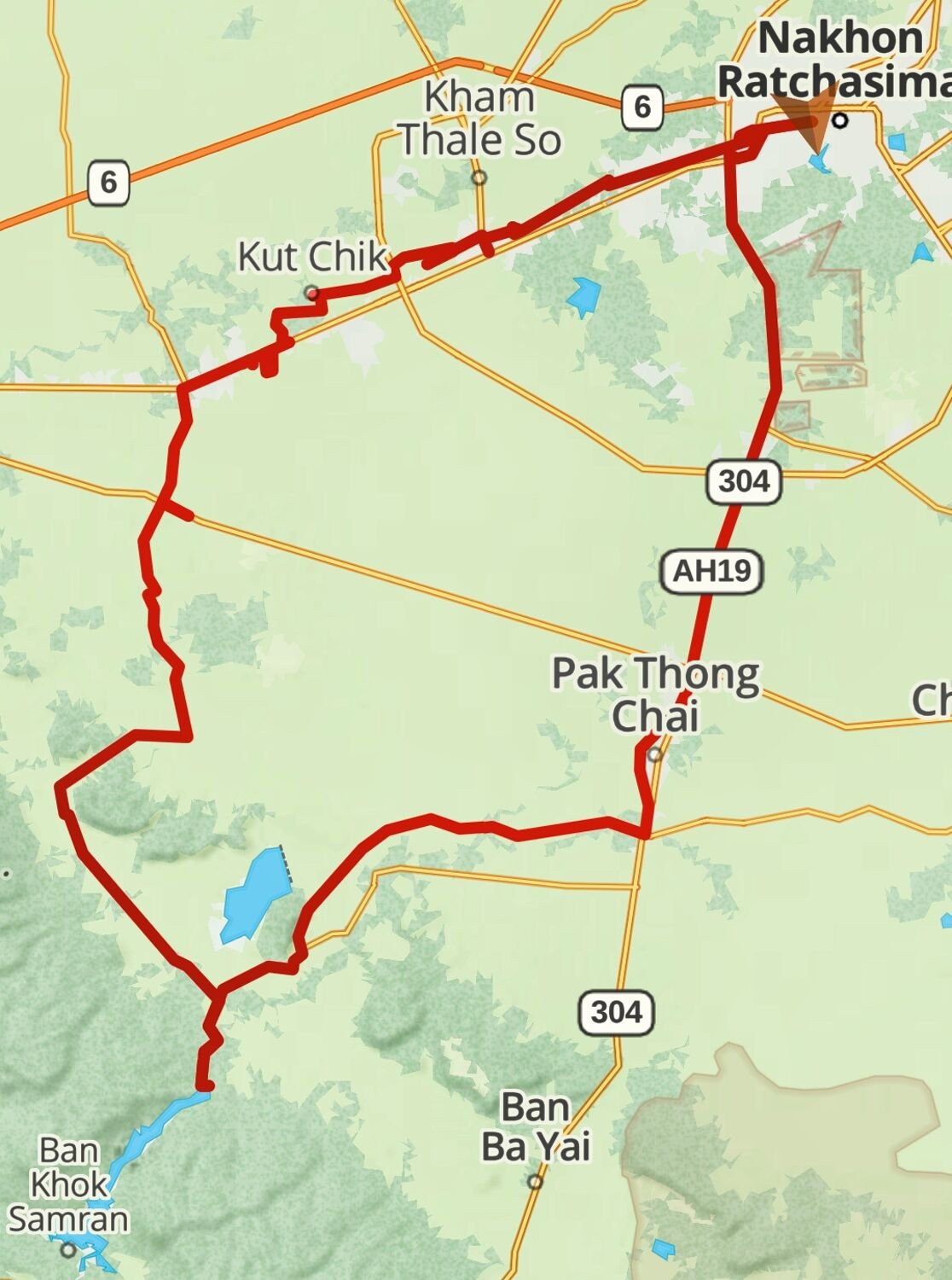
Today, day 12 on the road, Ray and I rode from Korat to Ban Kruat. Our first goal was a reservoir but the farmers tracks stopped before we were near. We then decided to ride on to some old Khmer Temples, here. https://maps.app.goo.gl/CkyNg9GdaZmhXNC96 https://maps.app.goo.gl/5rRWc21guekG4NU27 At both of these places there was no sign of any ruins, but we had some fun green laning looking. From here we rode to Da and Ped Restaurant and bar at Ban Kruat for lunch, here. https://maps.app.goo.gl/RTMcoySPNJWkL9p29 https://www.relive.cc/view/v7O928npPQ6
-
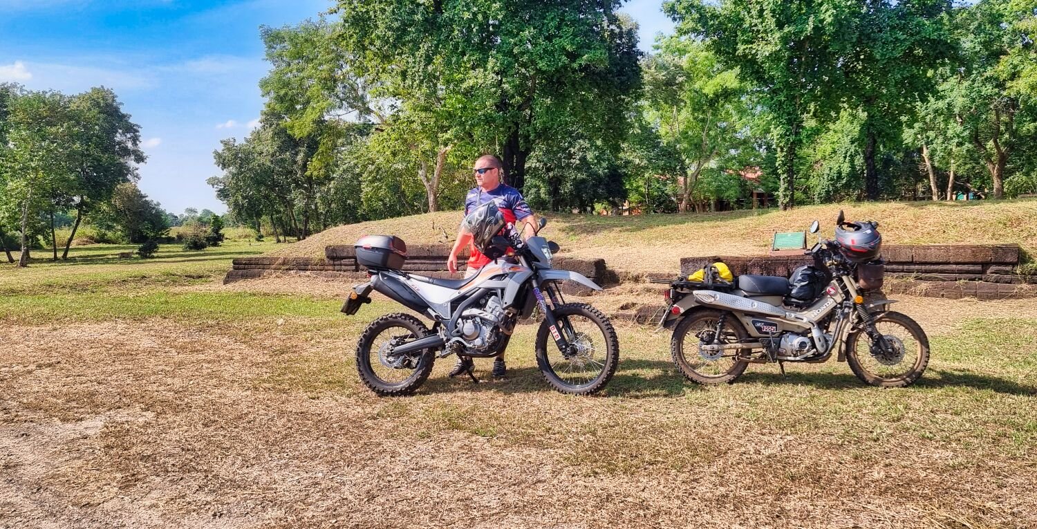
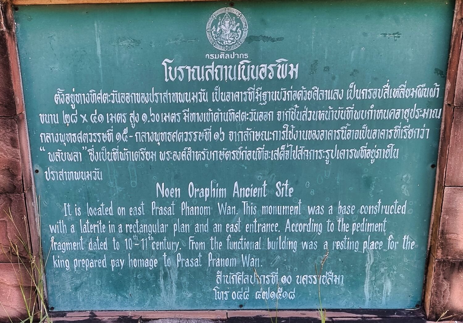
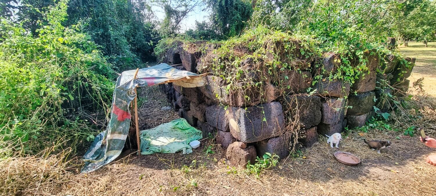
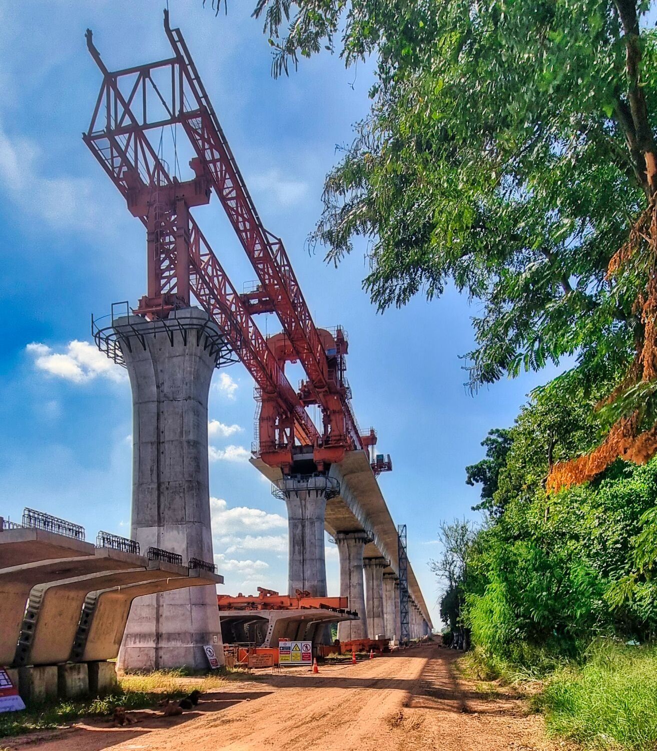
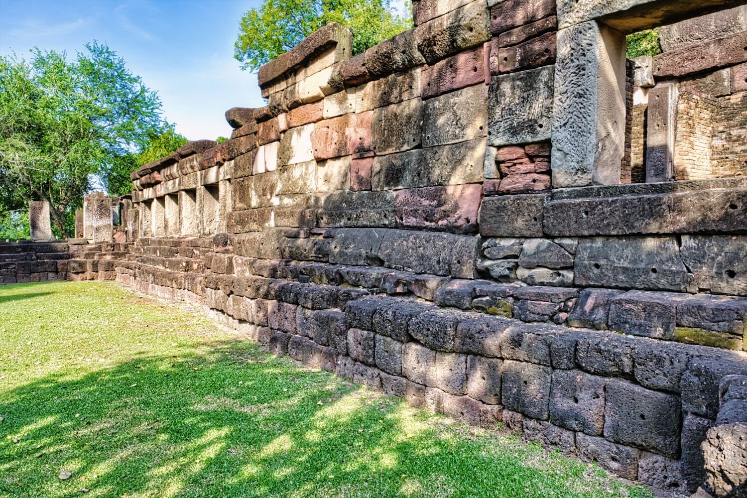
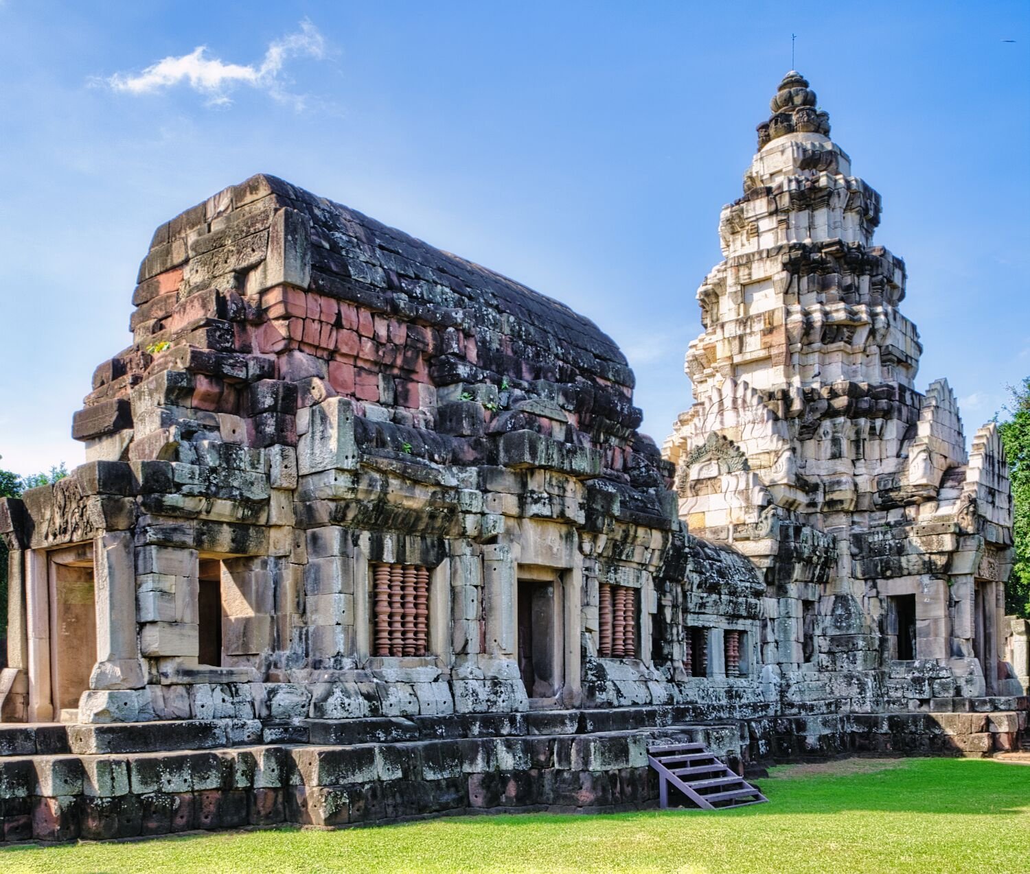
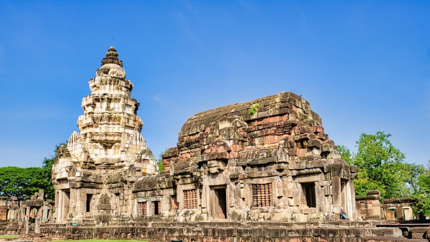
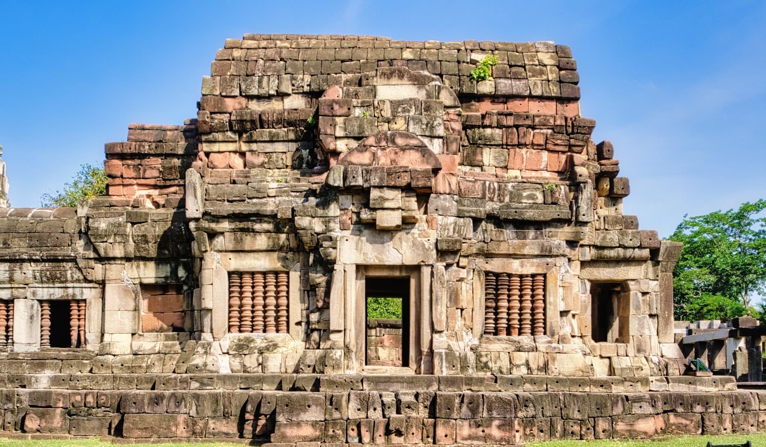
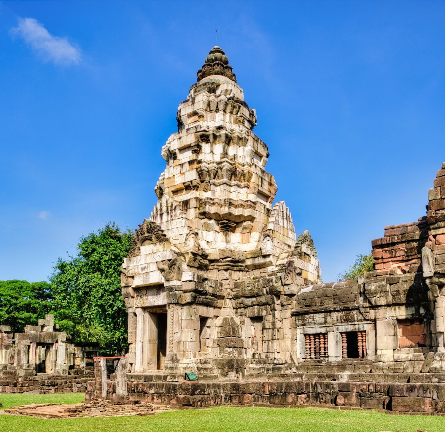
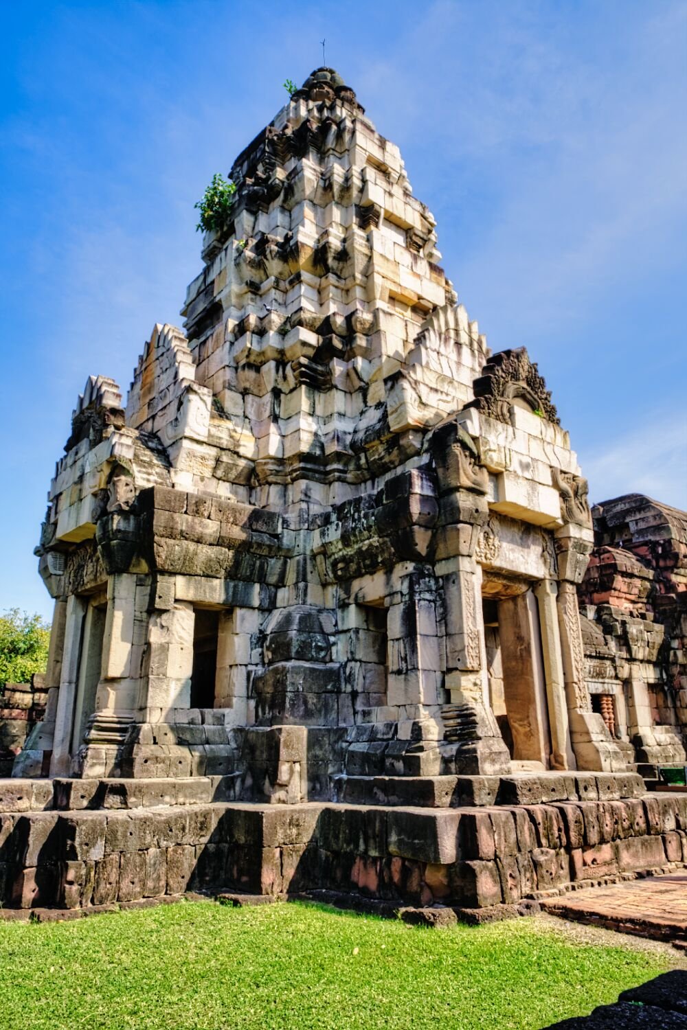
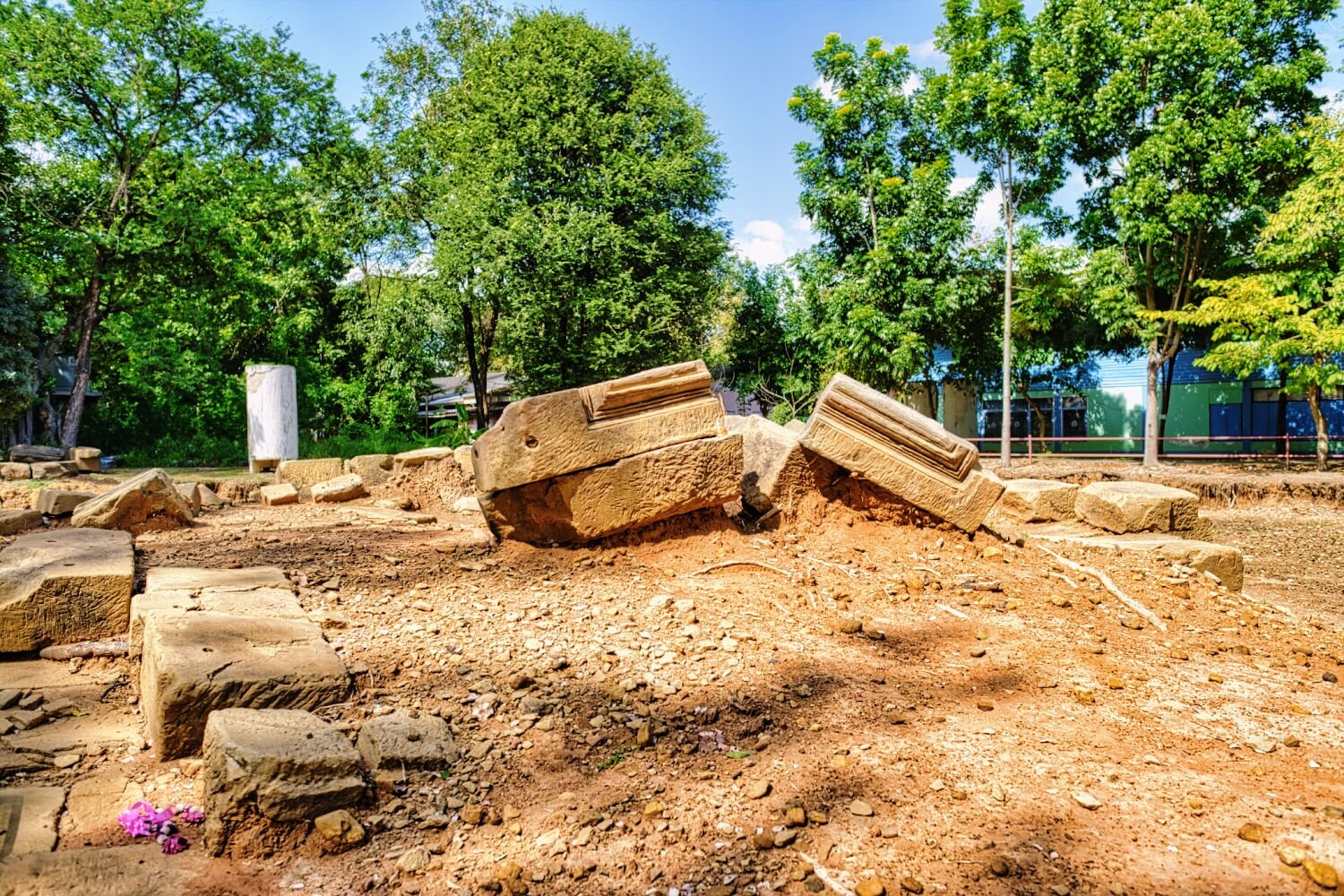
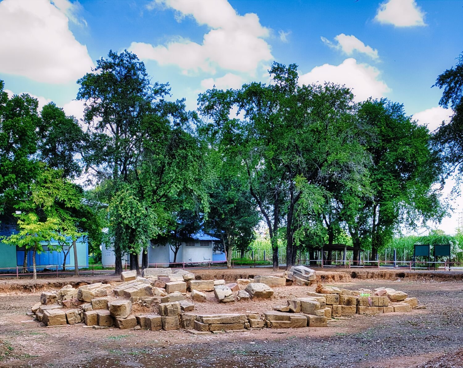
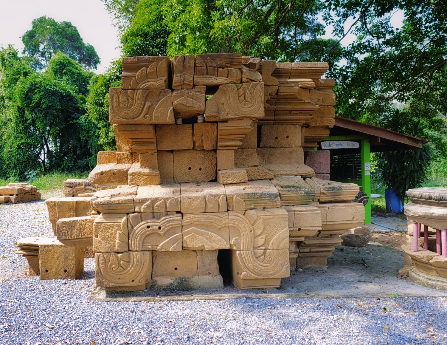
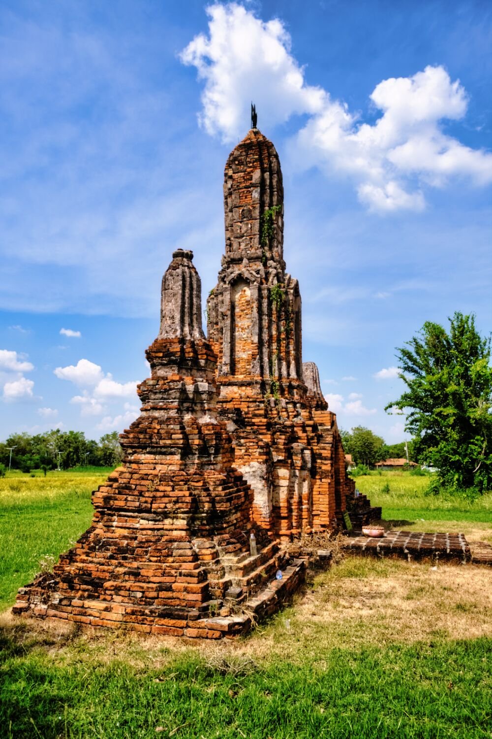
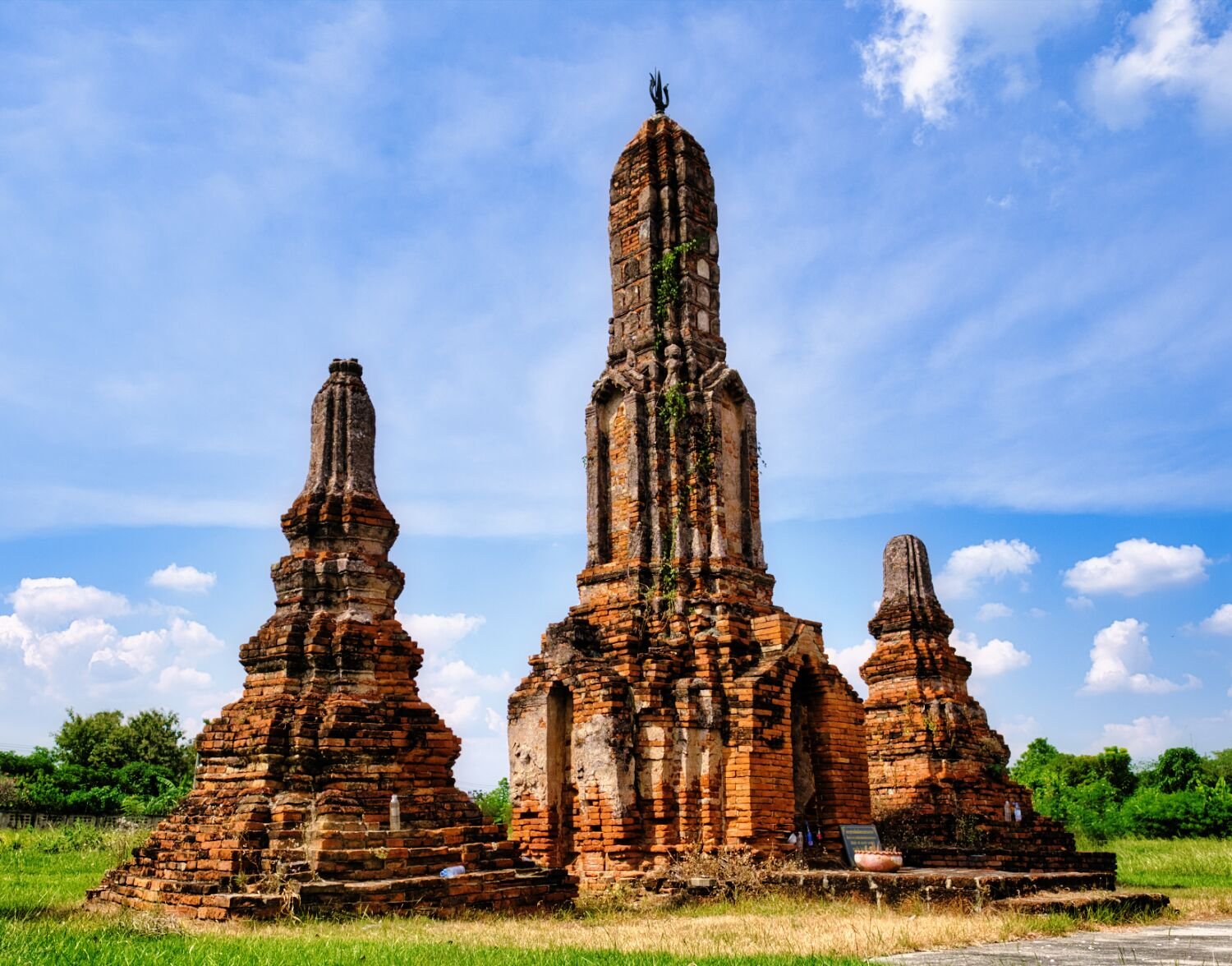
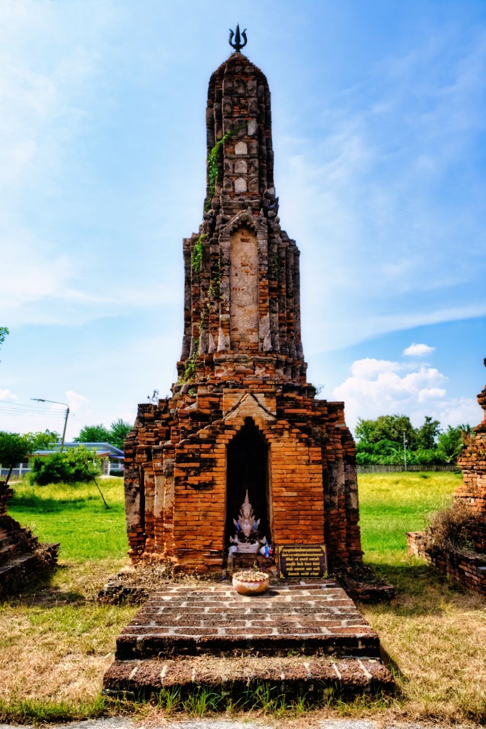
Today, day 11 of my trip I was joined by Ray who rode up from Pattaya to ride with me. Our first stop after a some green laning was Prasat Hin Phanom Wan, here. https://maps.app.goo.gl/hq3wk4E7Dh9m9H4PA A well kept Khmer Temple with a small entrance fee. Next door were the ruins of another Khmer Temple, Noem Oraphim, here. https://maps.app.goo.gl/Hx27uvRxytmq2h6LA From here we went looking for some off road tracks, but ended up on a newish road closed to the public, although we did ride a lot of it. We returned to Korat to ride the tracks under the bypass I rode yesterday. https://www.relive.cc/view/vrqDN33KeLO
-
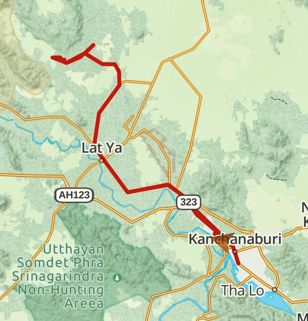
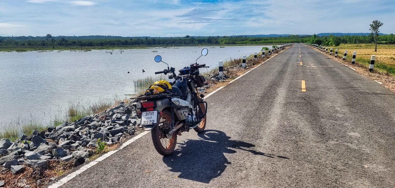
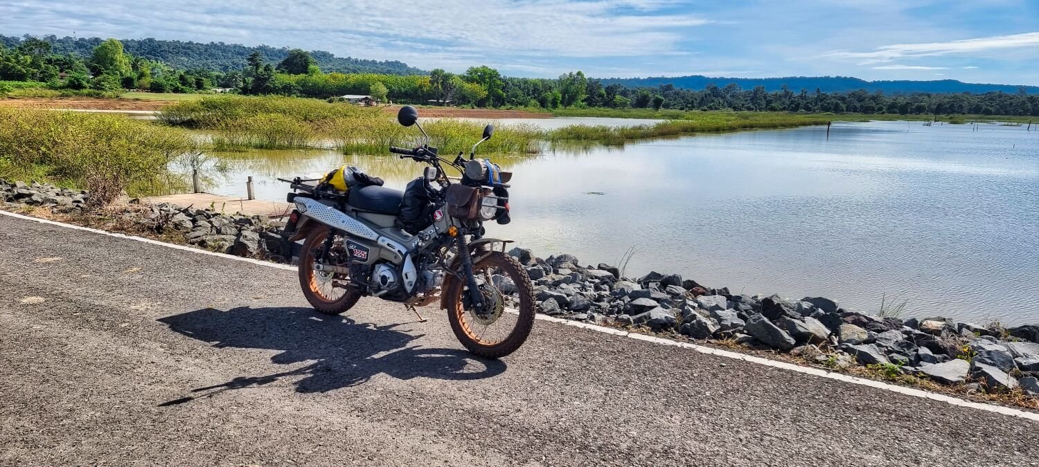
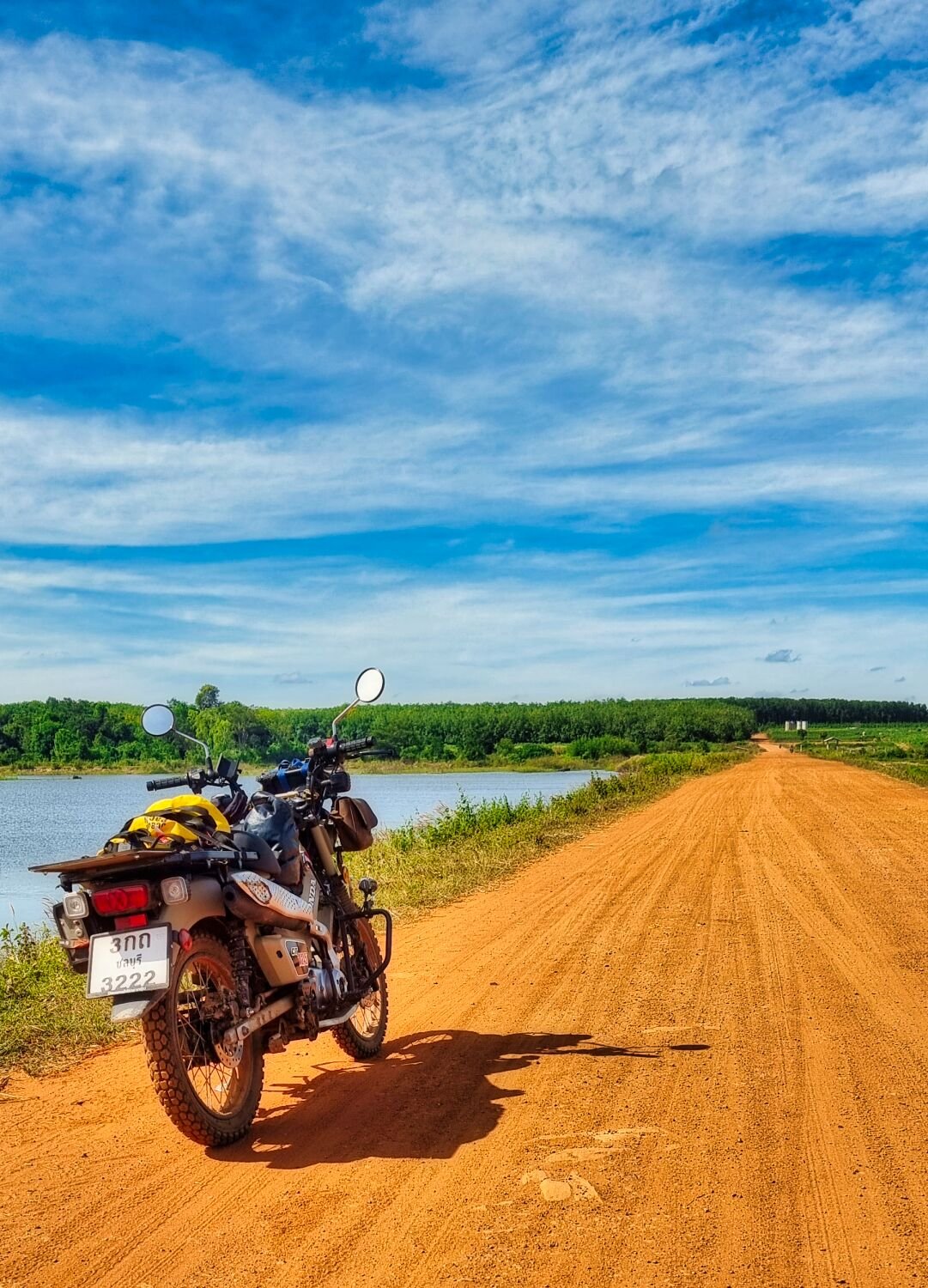
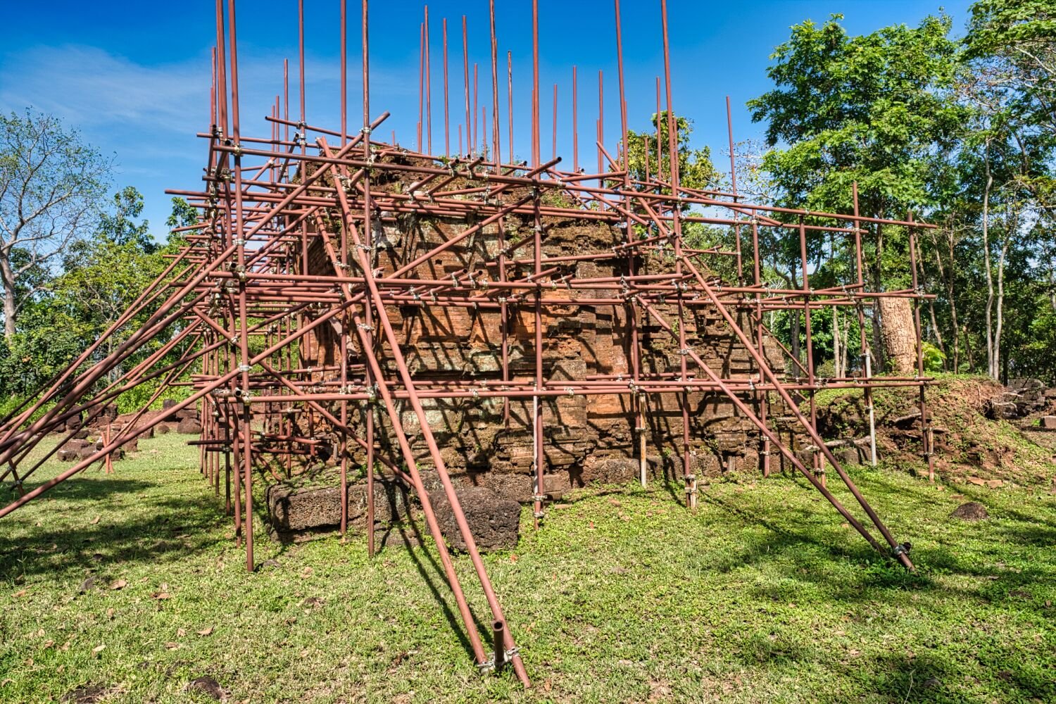
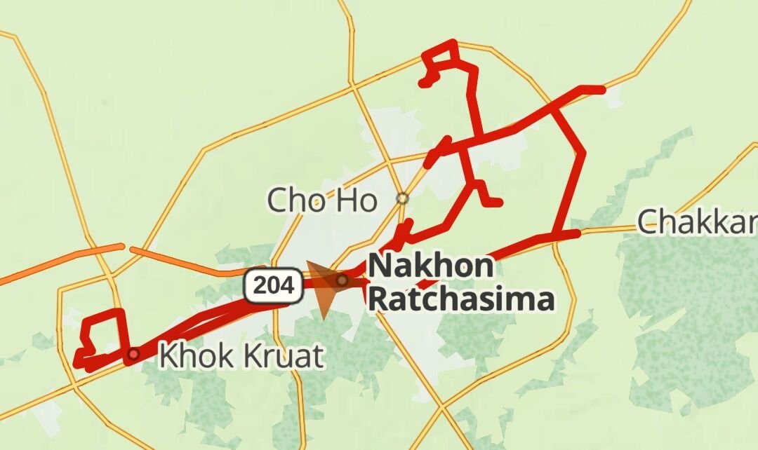
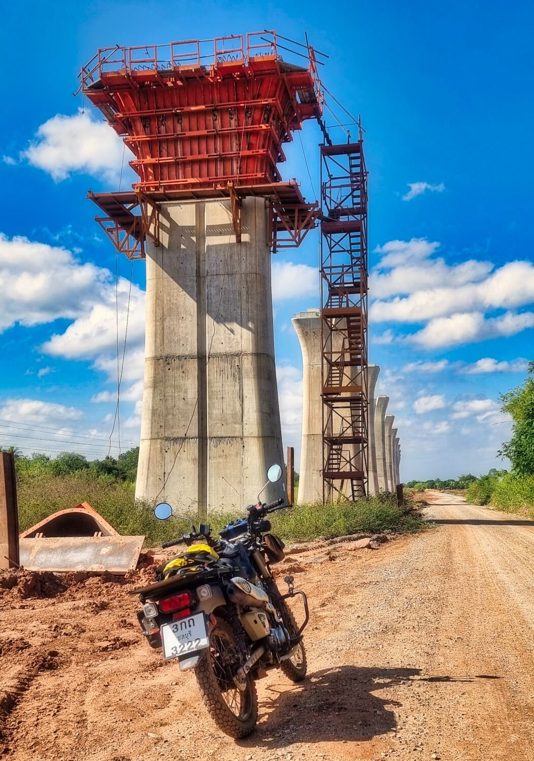
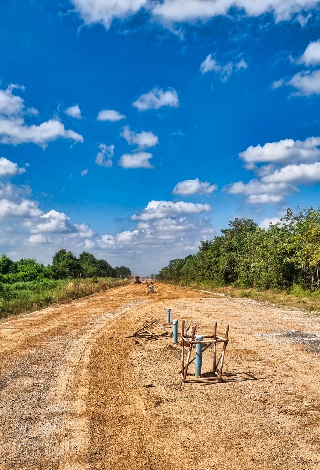
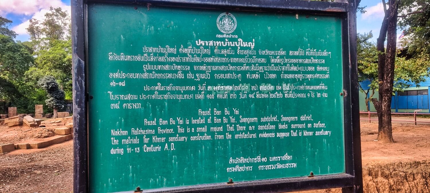
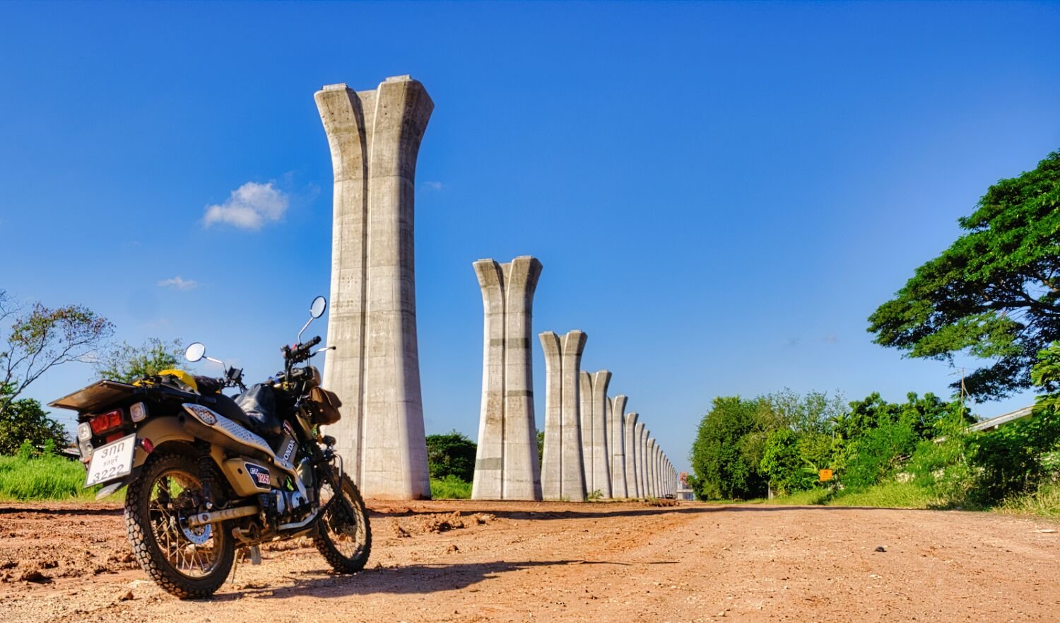
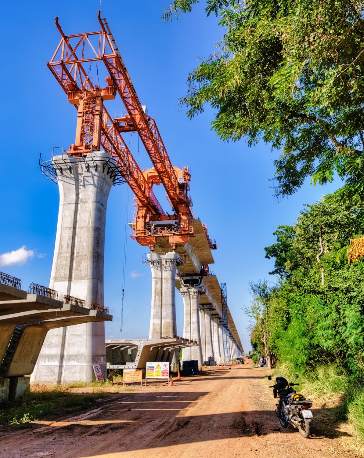
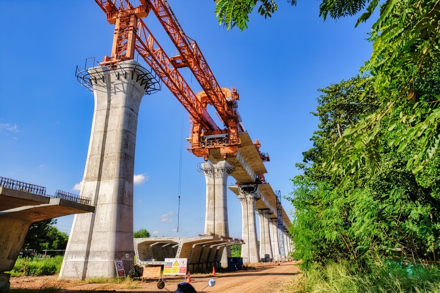
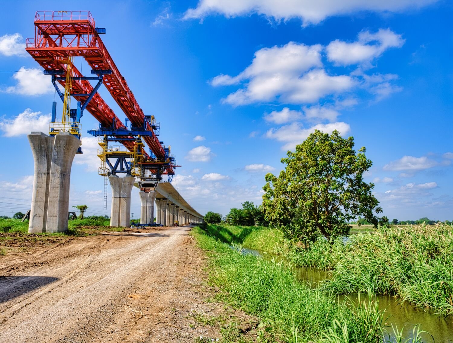
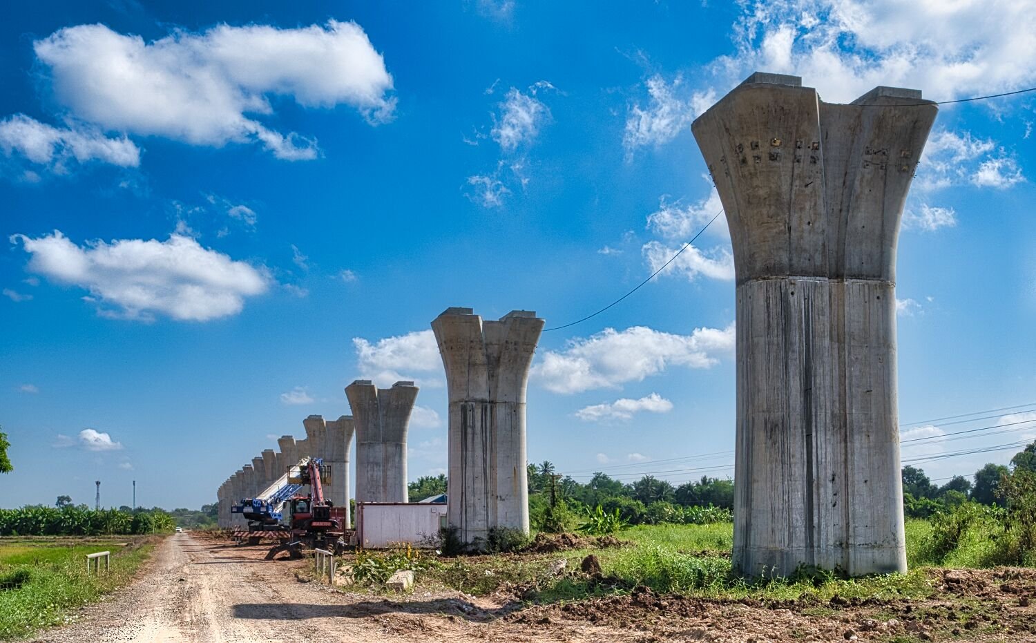
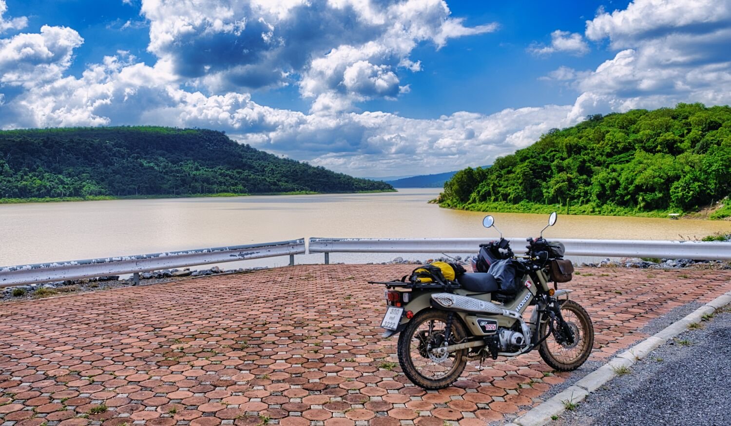
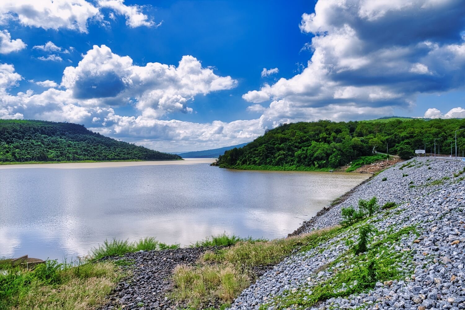
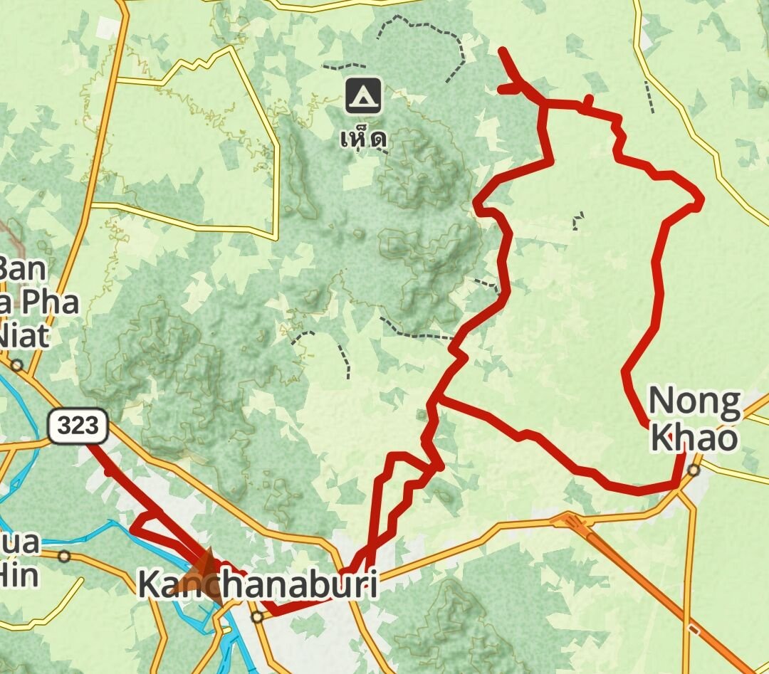
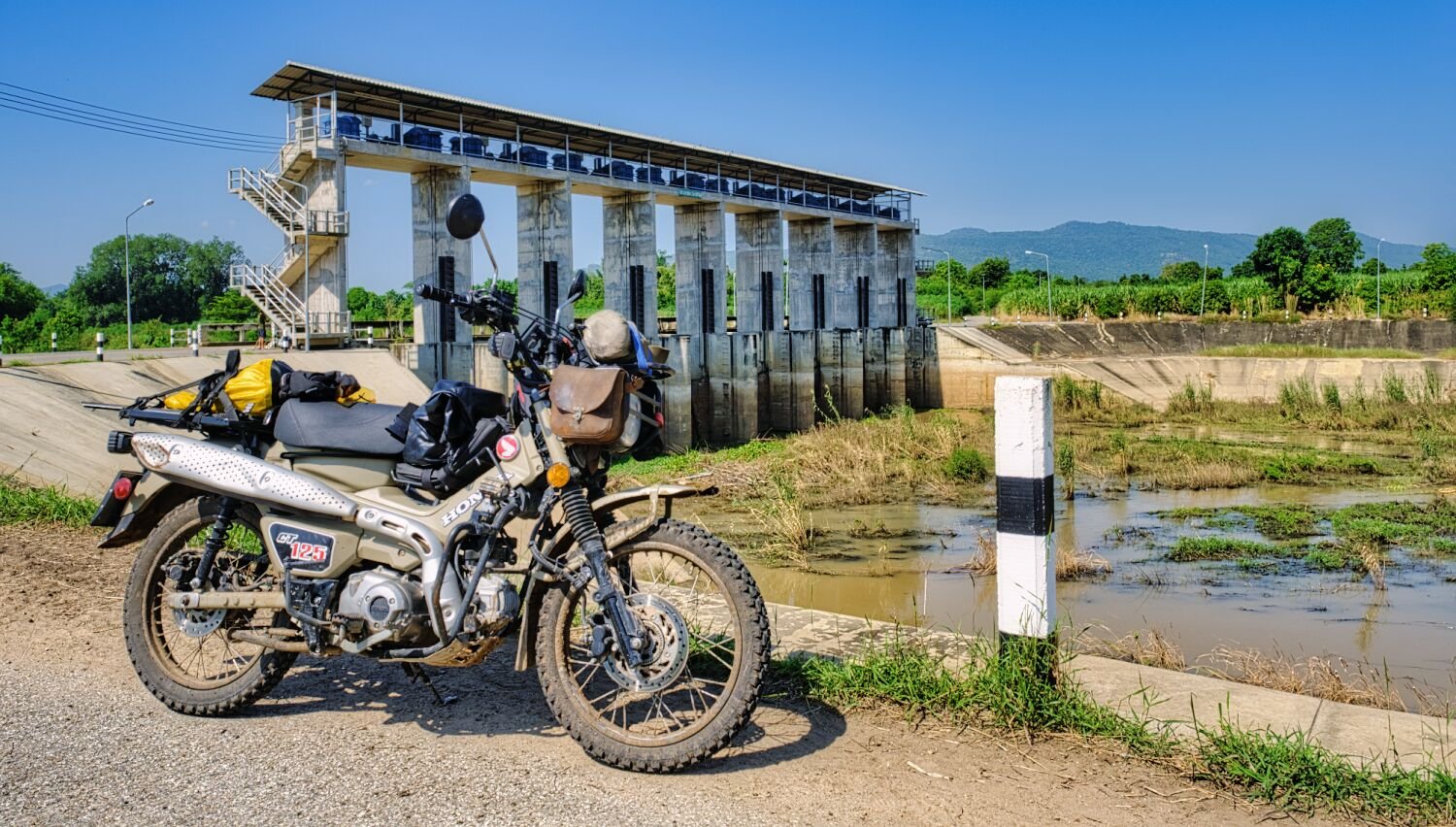
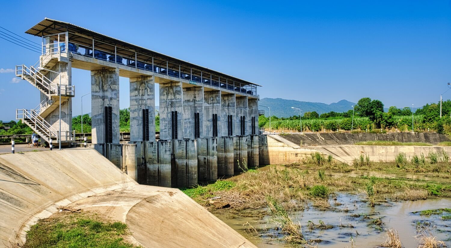
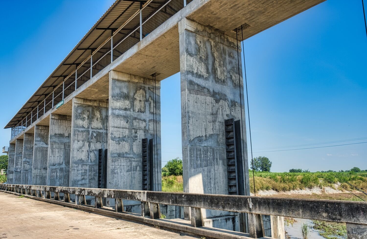
Day 9. 18.11.24. Kanchanaburi to Korat Yesterday, day 9 I rode to Korat a 340km ride from Kanchanaburi. https://www.relive.cc/view/vPv4dYwmZ3v Today, day 10, I went exploring along the route of the expressway that is being built, heading west from here. https://maps.app.goo.gl/HX7QLyhsuuBaBDb68 I continued a fair way and then went to Prasat Ban Bu Yai, here. https://maps.app.goo.gl/af3wL9SZta1Wwp2P7 This place is waiting to be restored. From here I rode to Lam Phra Phloeng Dam, here. https://maps.app.goo.gl/yZerRzXJdaNdfJd48 https://www.relive.cc/view/vdvm15pLexv
-
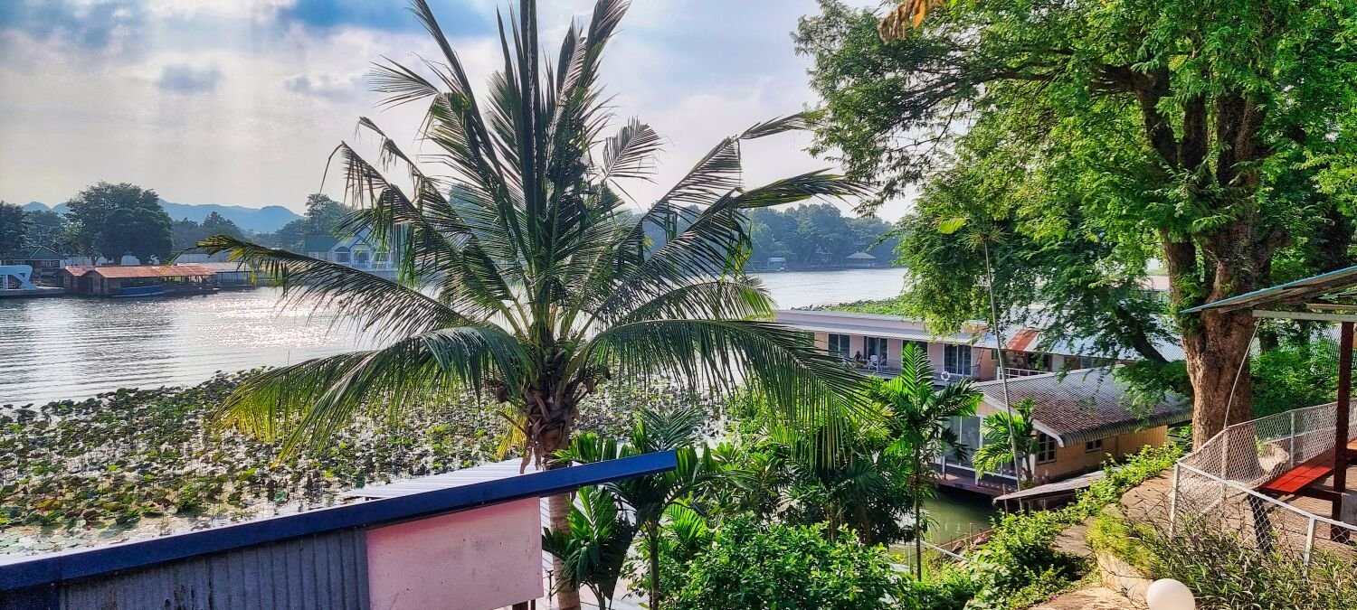
Today I again decided to stay in Kanchanaburi and continued to explore off road tracks. https://www.relive.cc/view/vQvxQ91QW9O
-
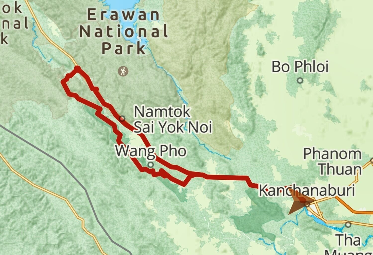
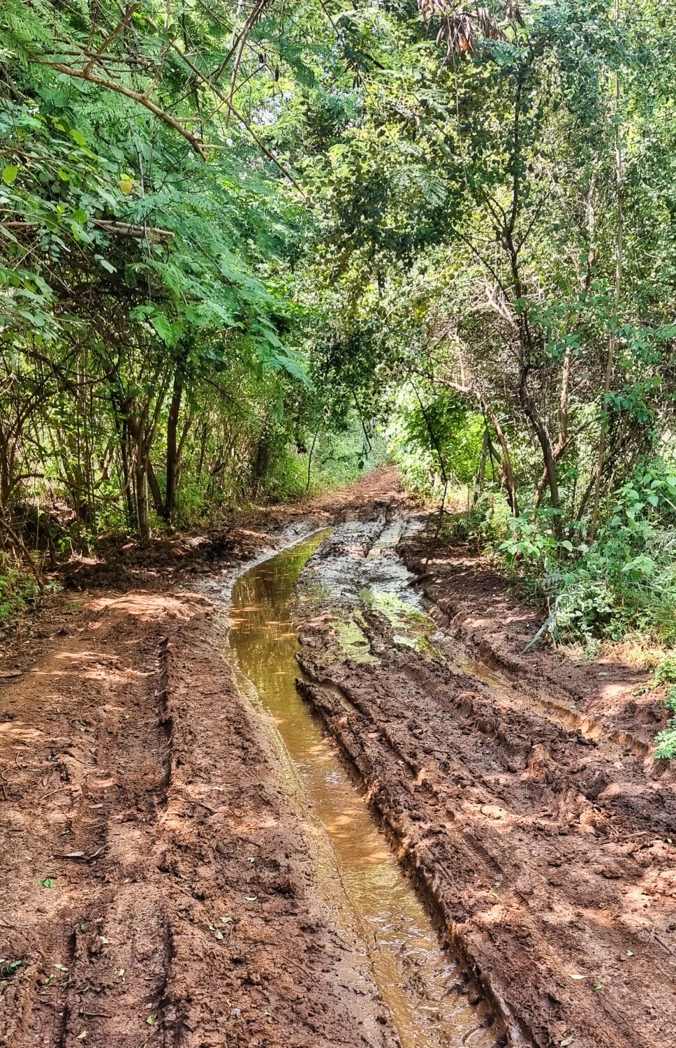
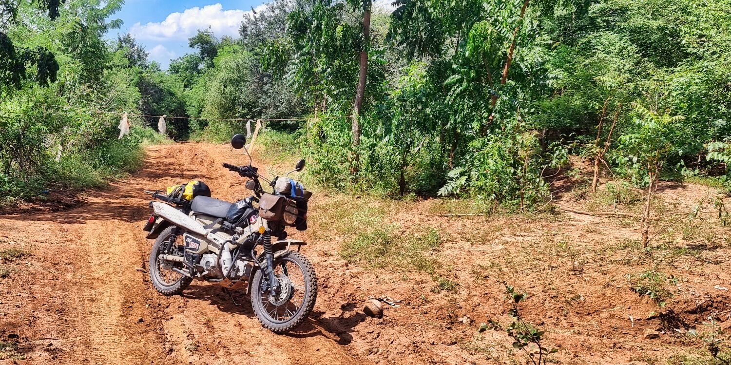
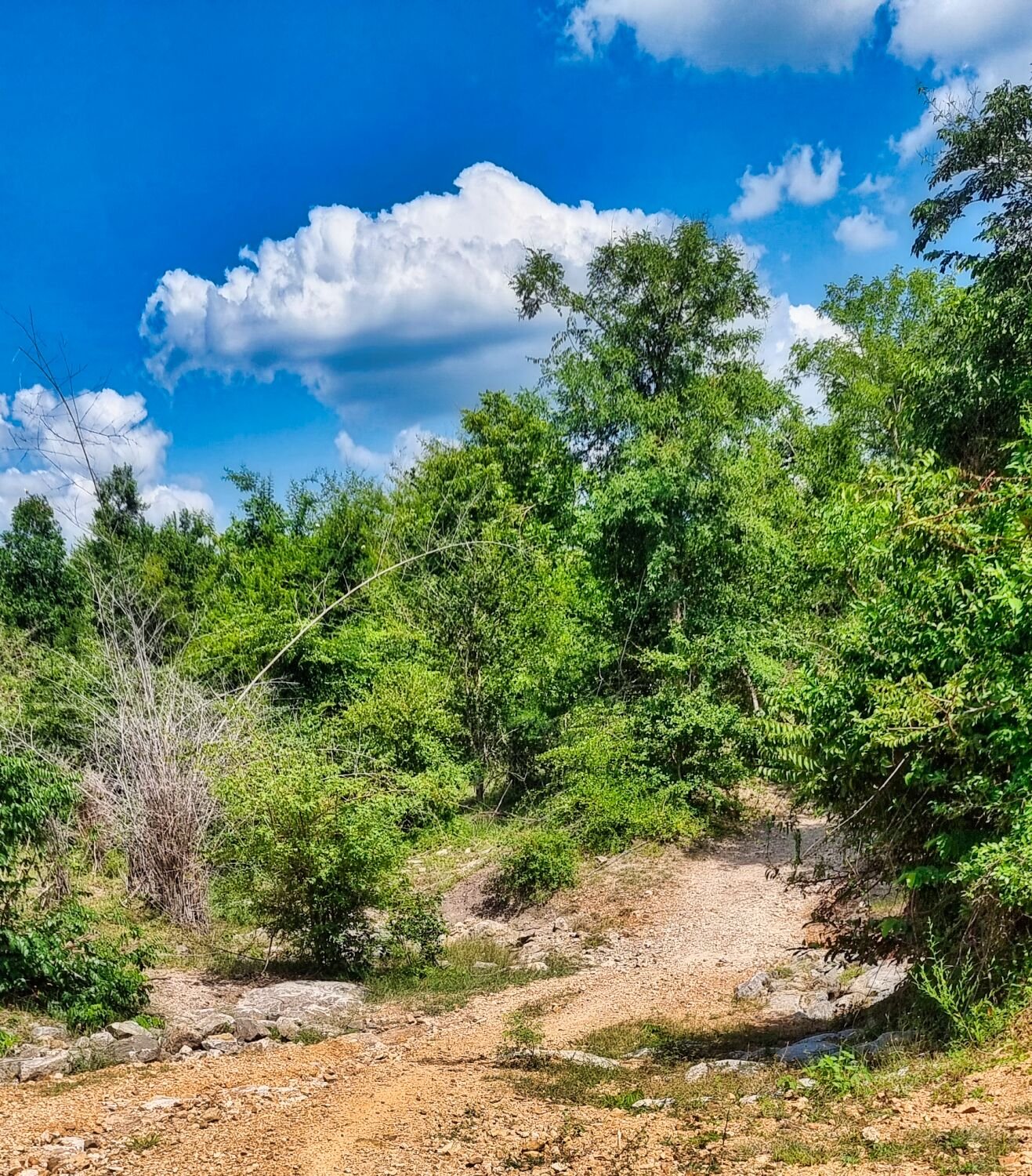
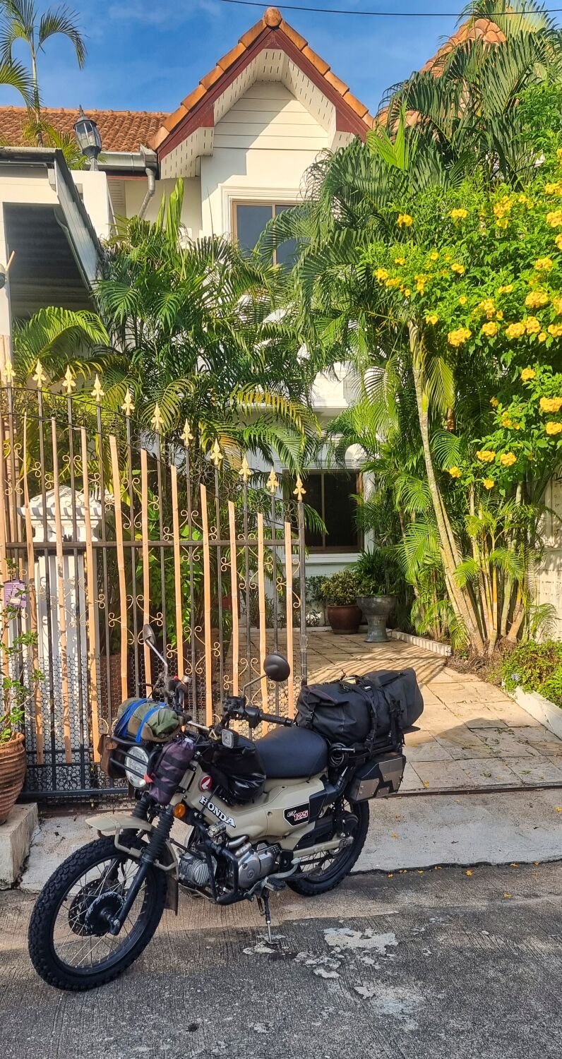
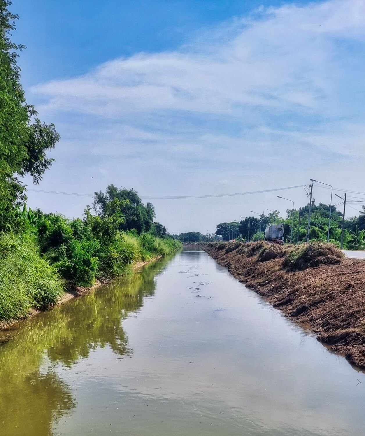
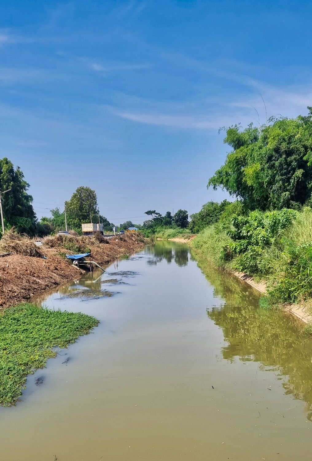
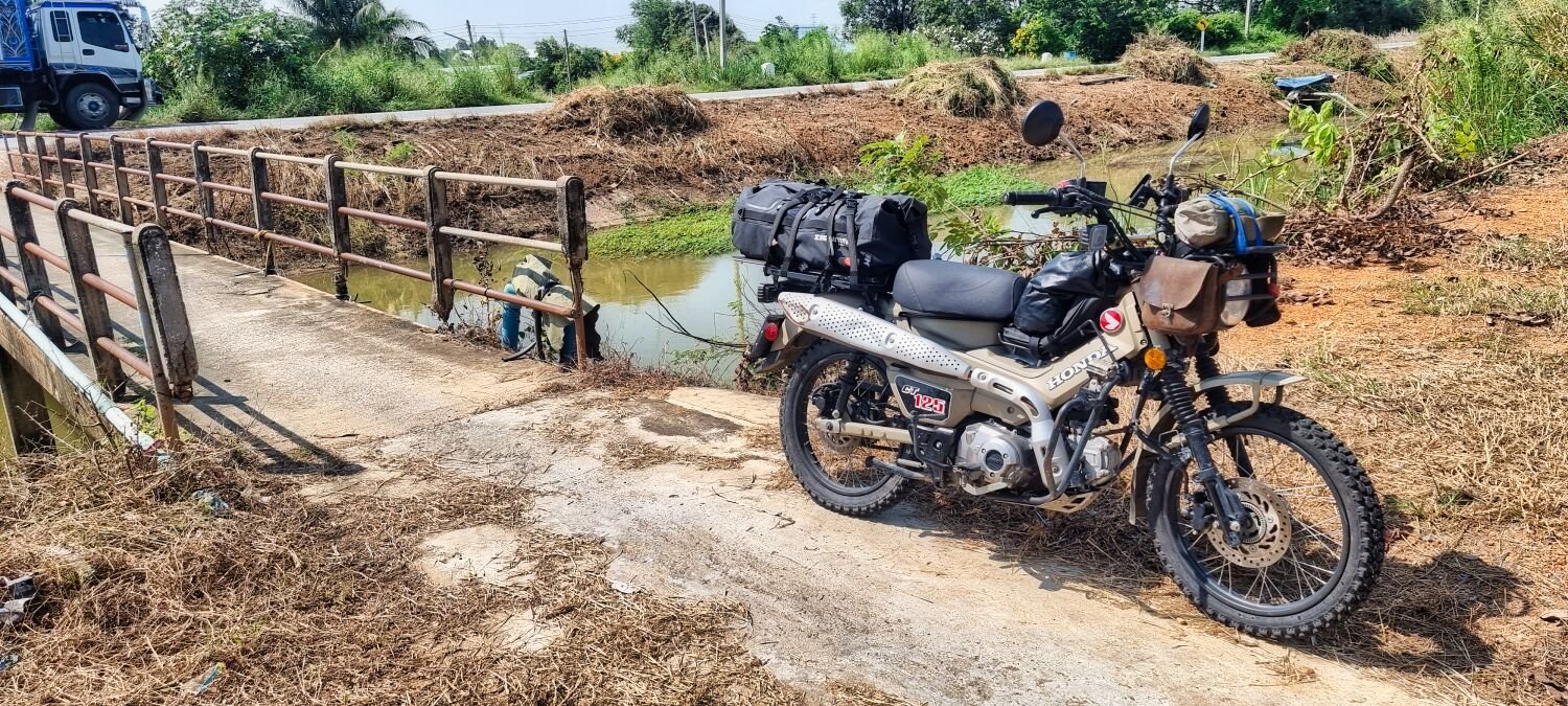
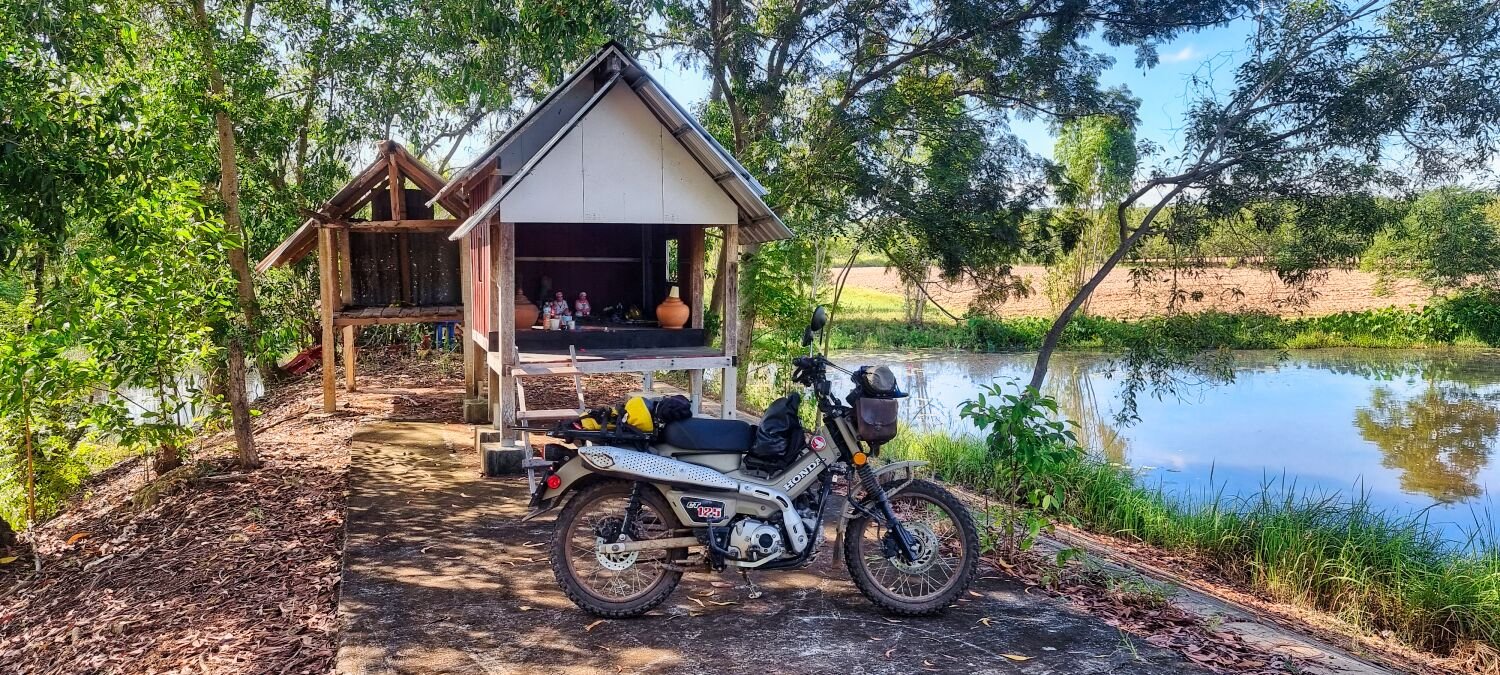
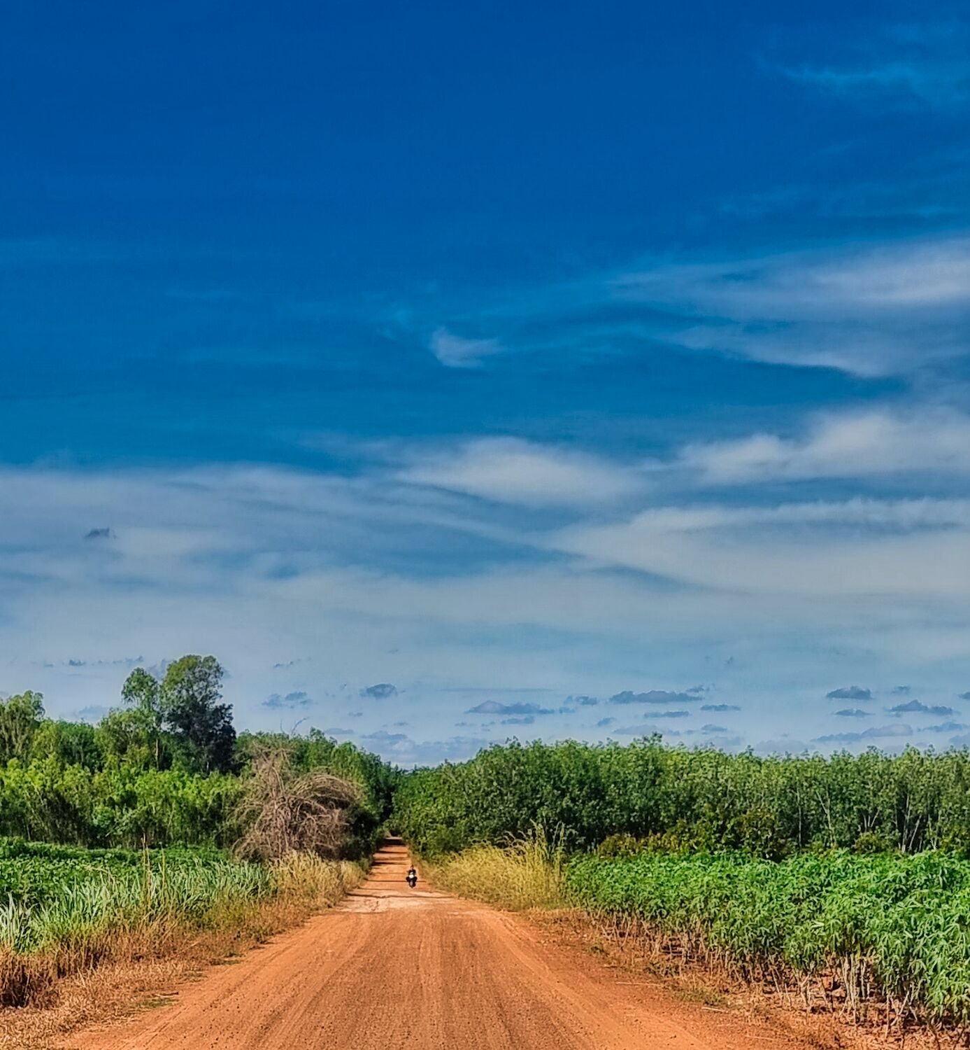
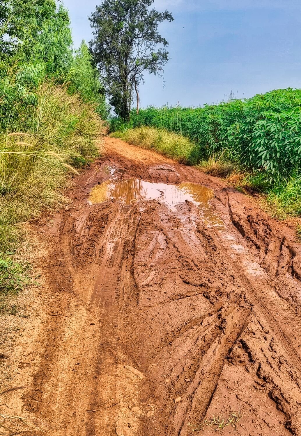
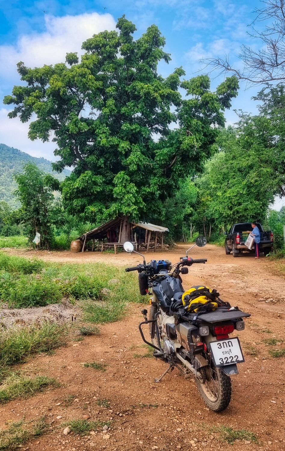
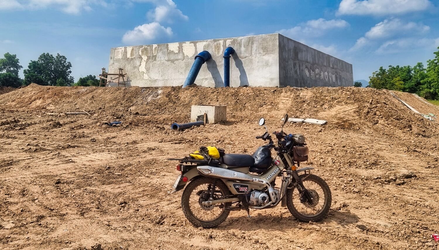
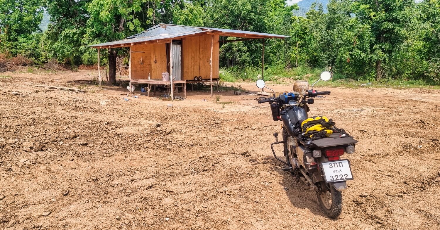
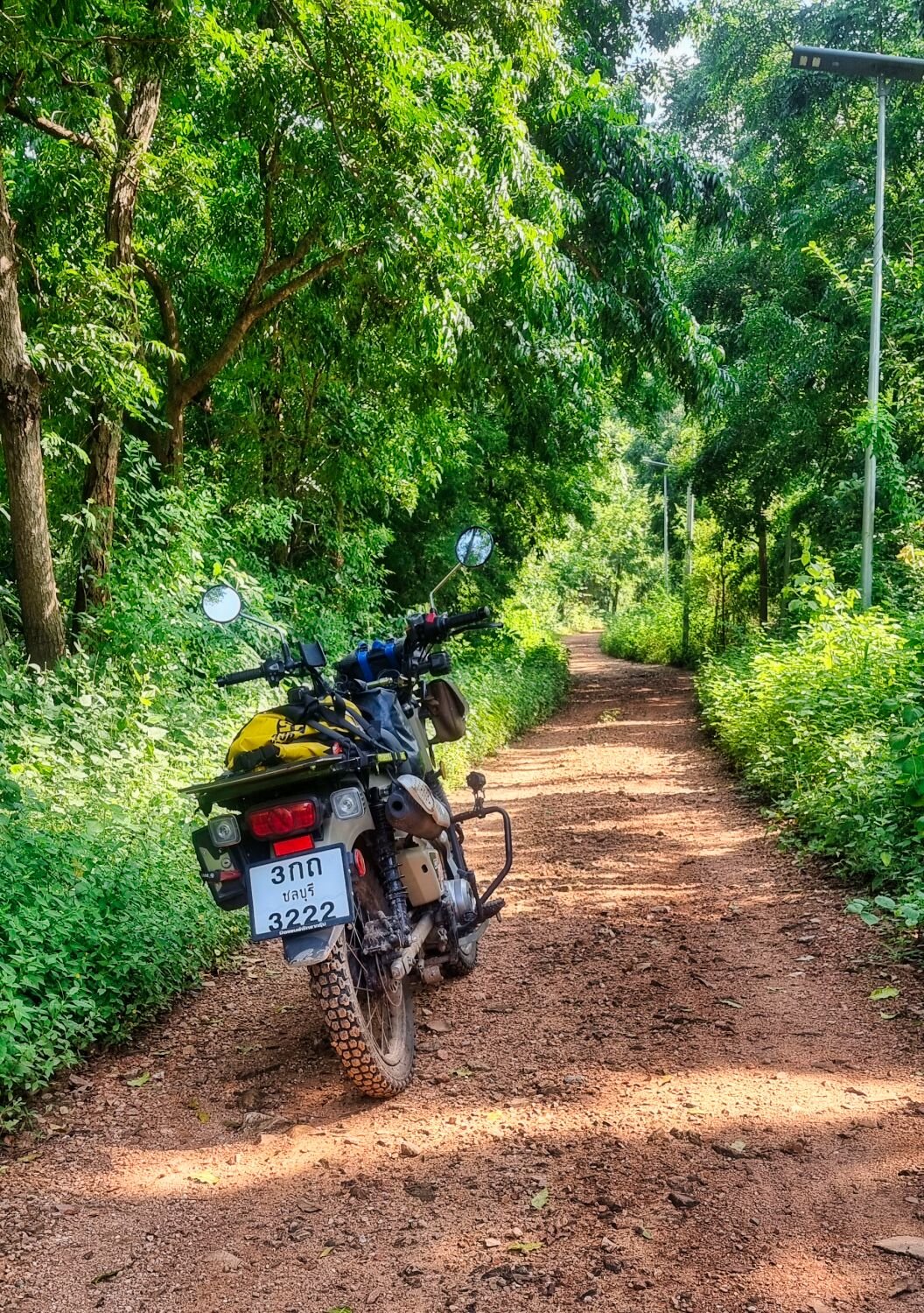
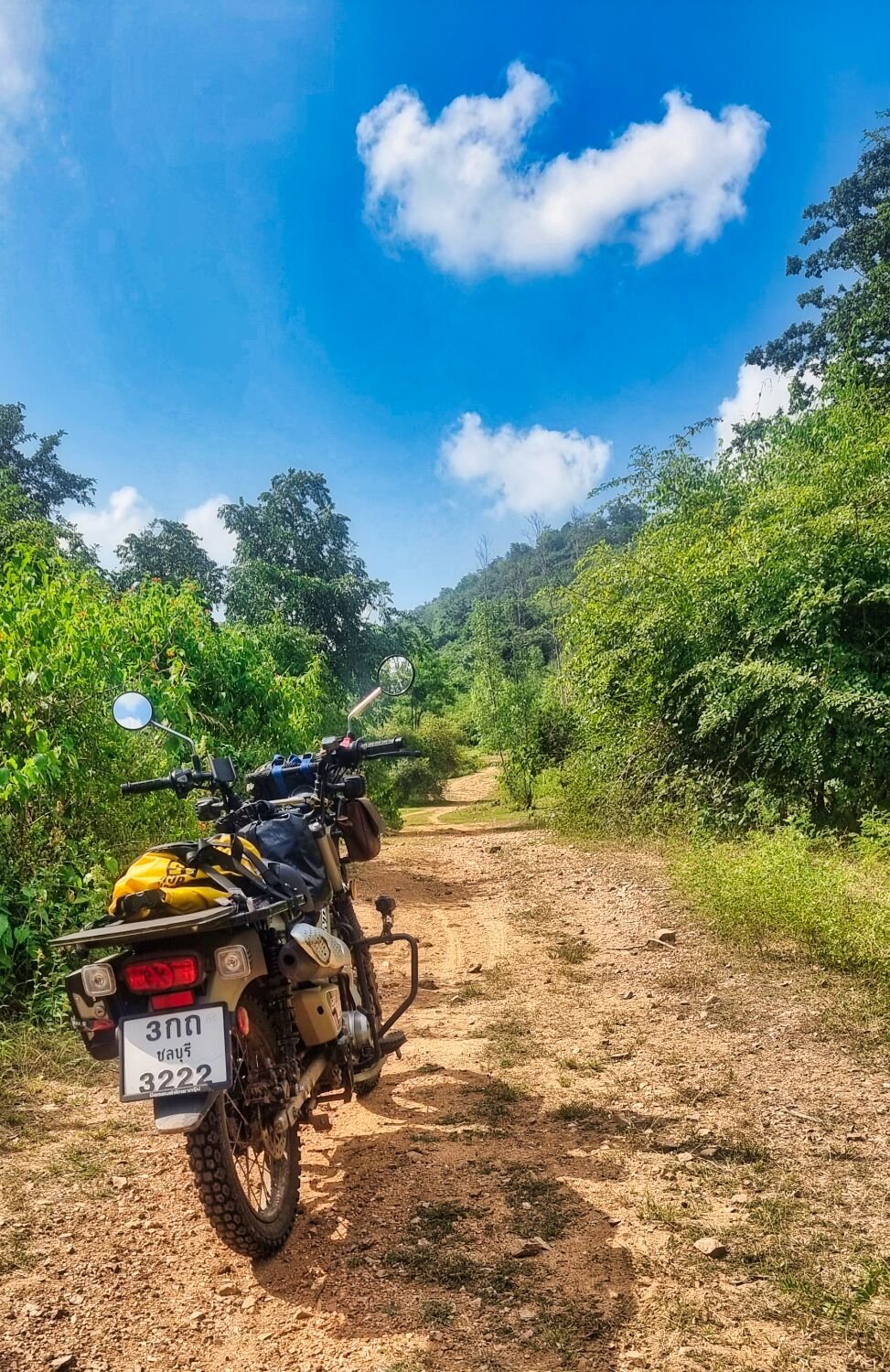
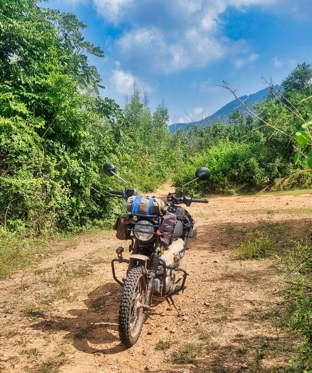
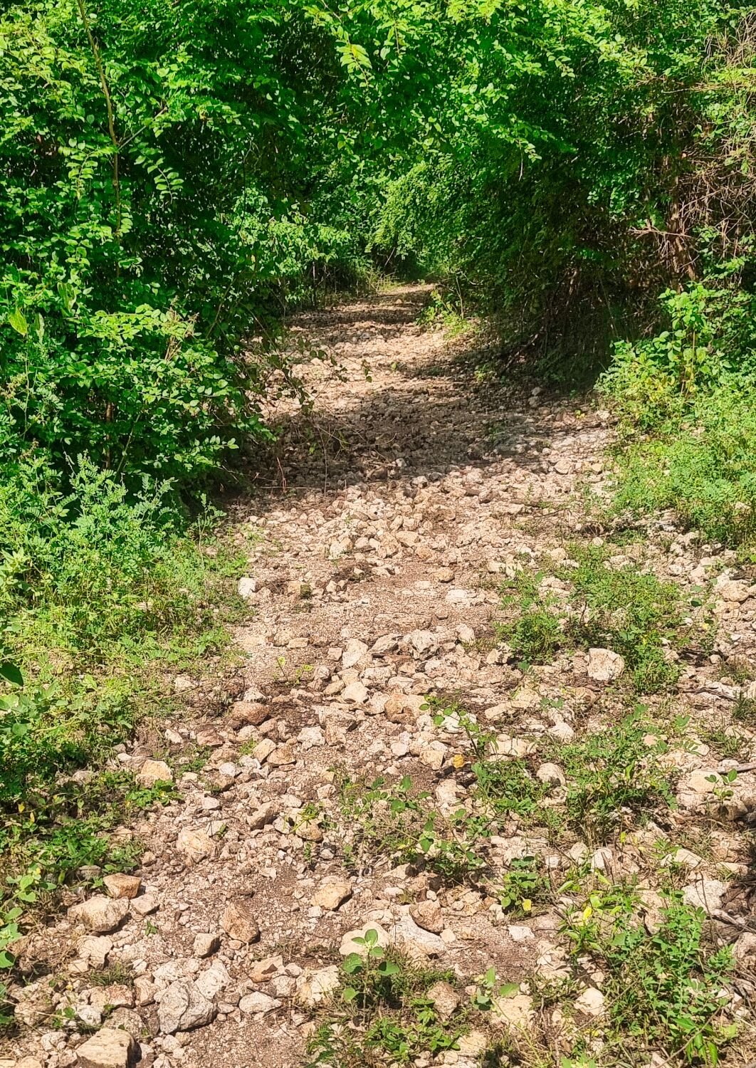
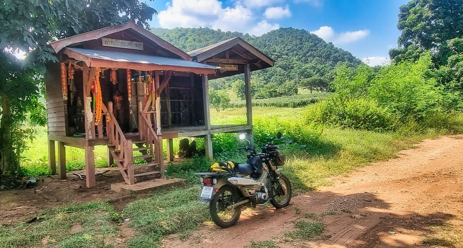
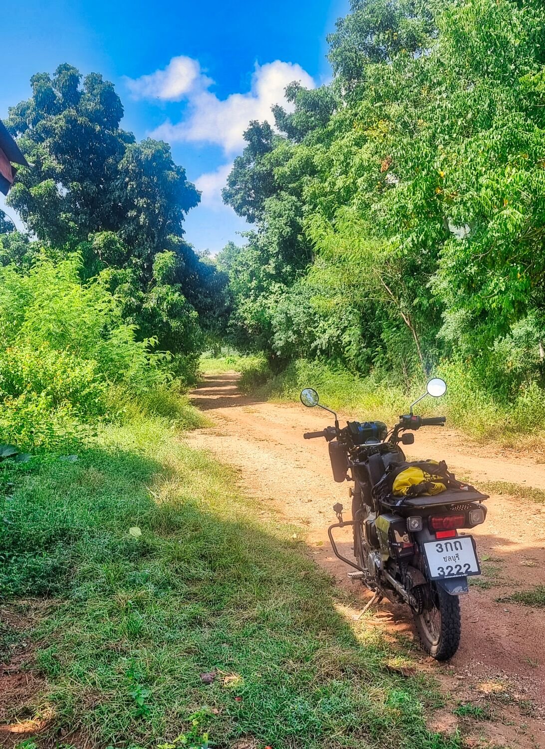
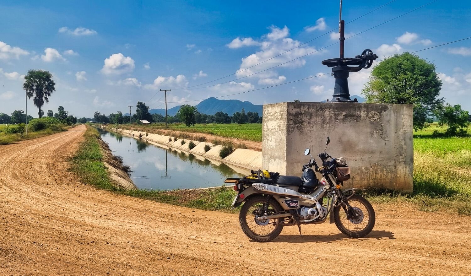
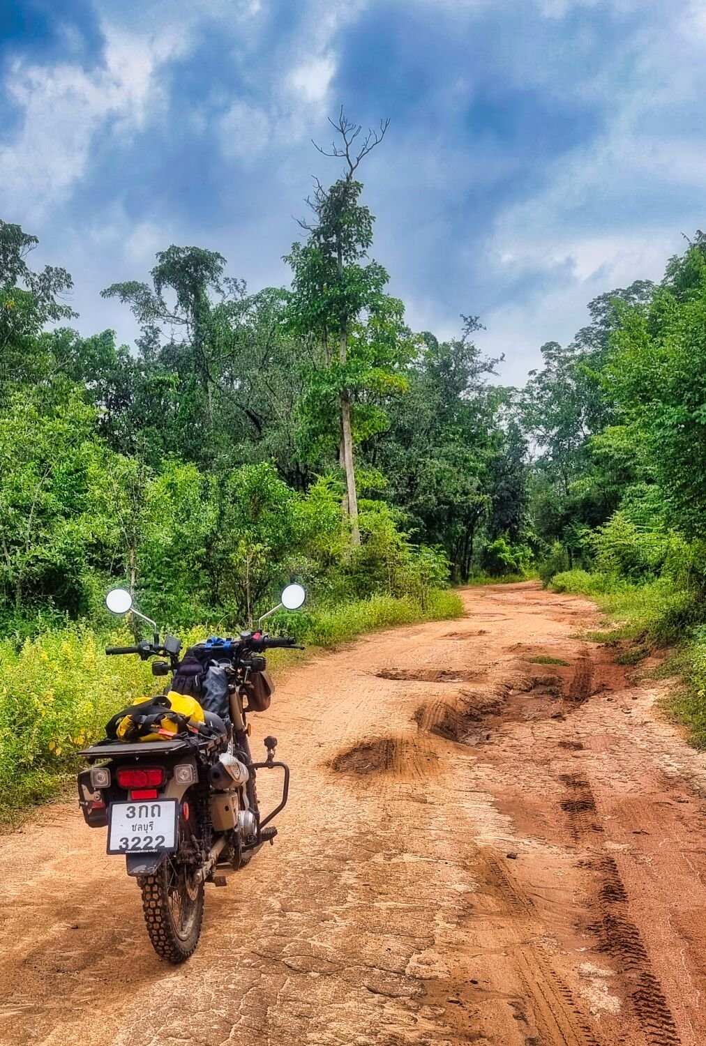
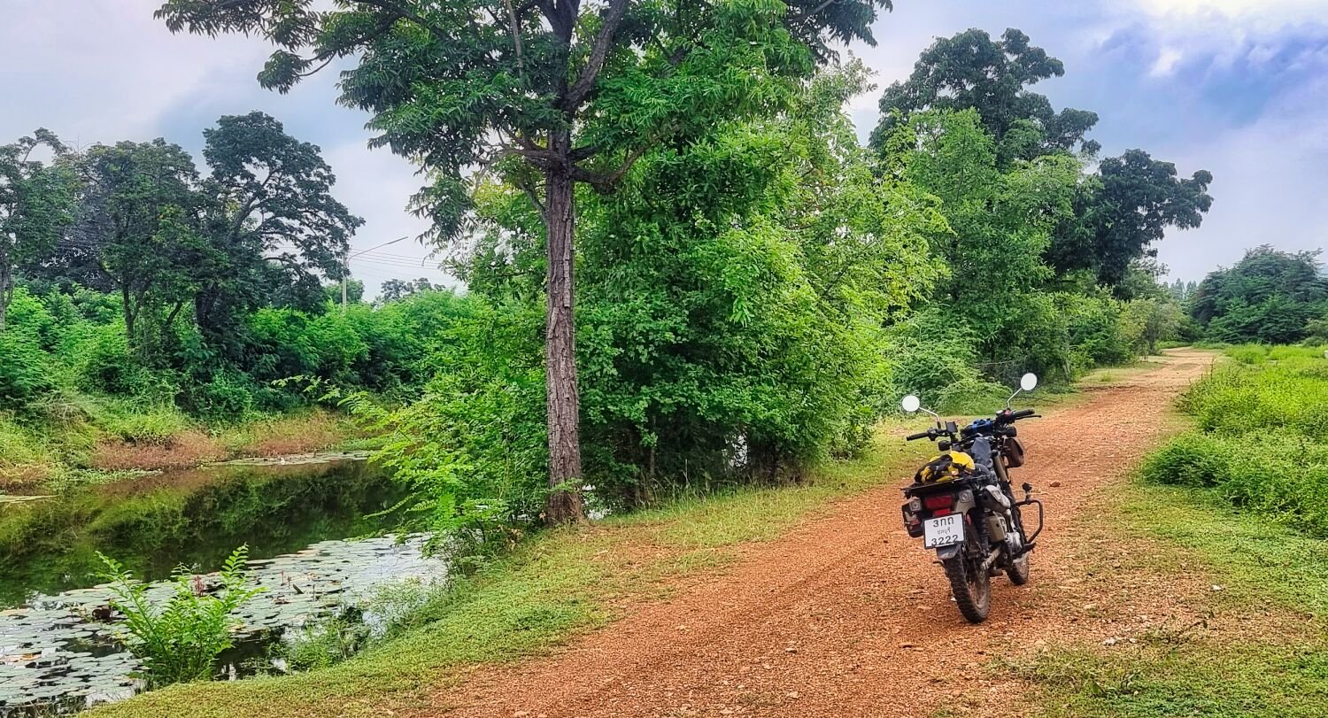
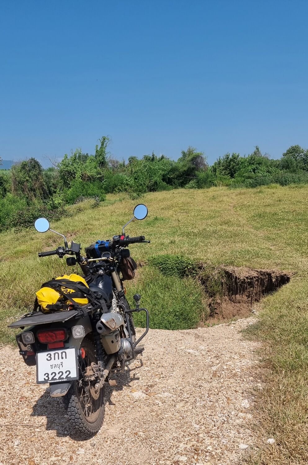
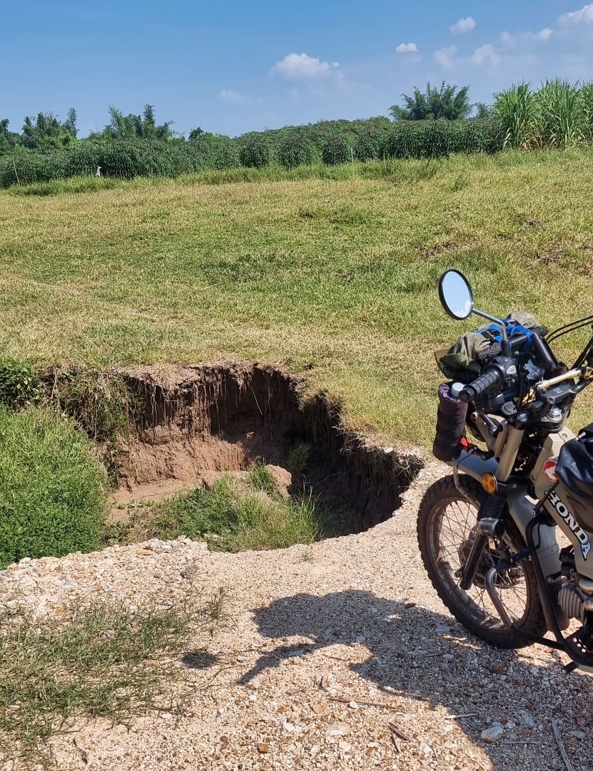
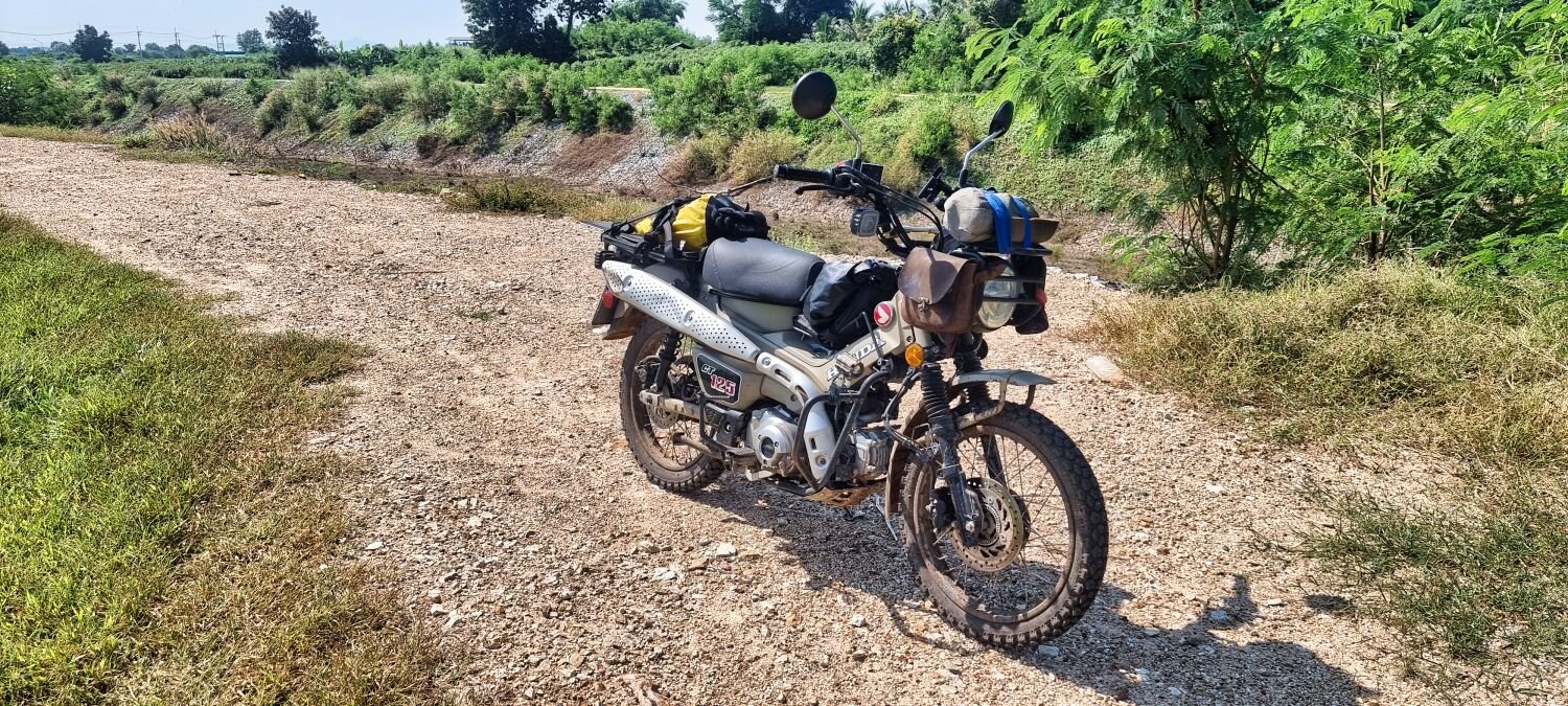
Today, day 7, I went green laning again at Kanchanaburi. Great riding, some very stoney parts and a few soft sand areas, but most of the off road riding was on hard packed sand and gravel. The wooden shrine in my photos is here. https://maps.app.goo.gl/MdvAn52t6saaxBcC8 The irrigation channel, here https://maps.app.goo.gl/TrQzvb8ppgb39o3S6 There are many more tracks in this area. https://www.relive.cc/view/vrqDNP5MZwO
-
Cheers, i am 🙂
-
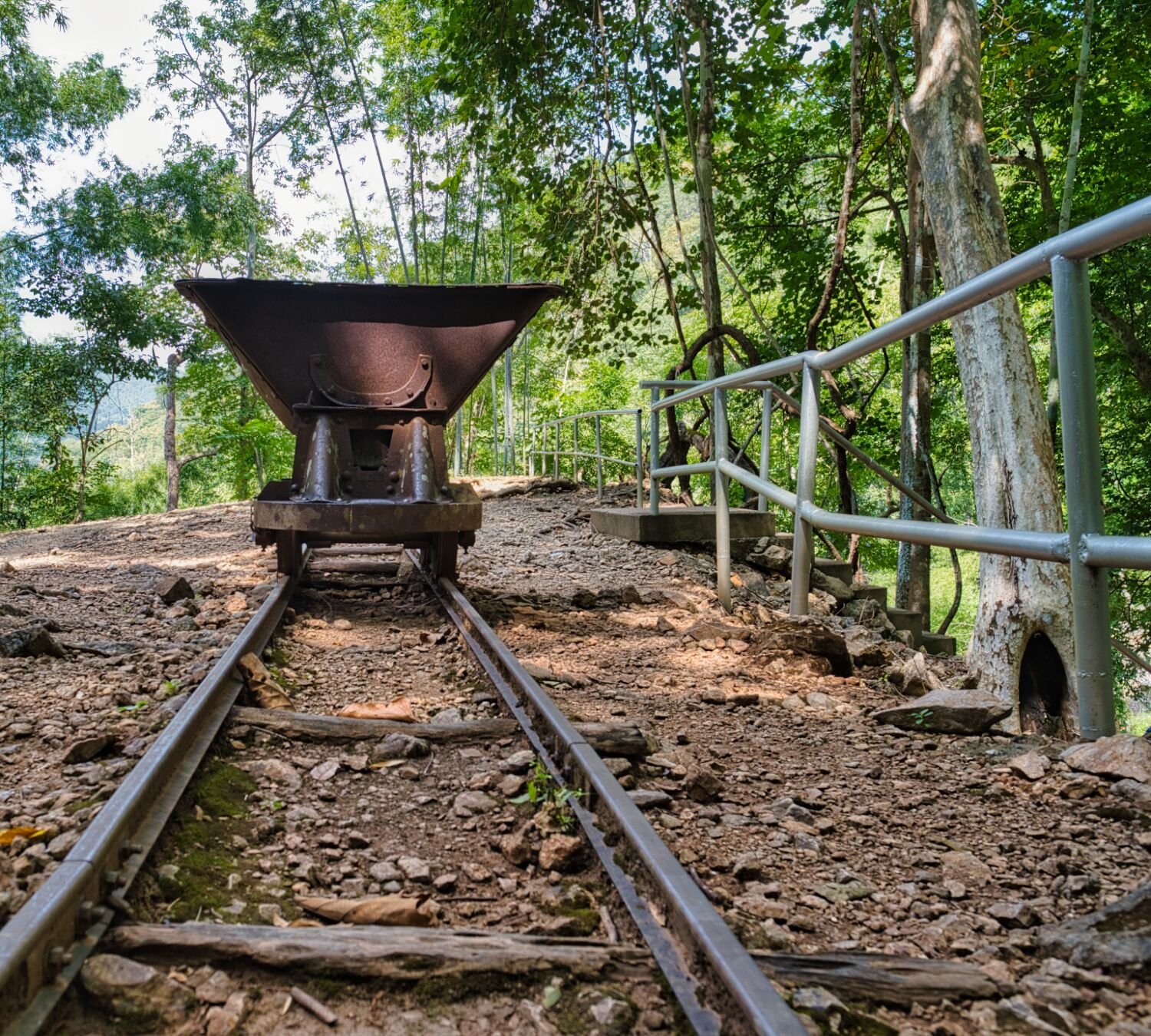
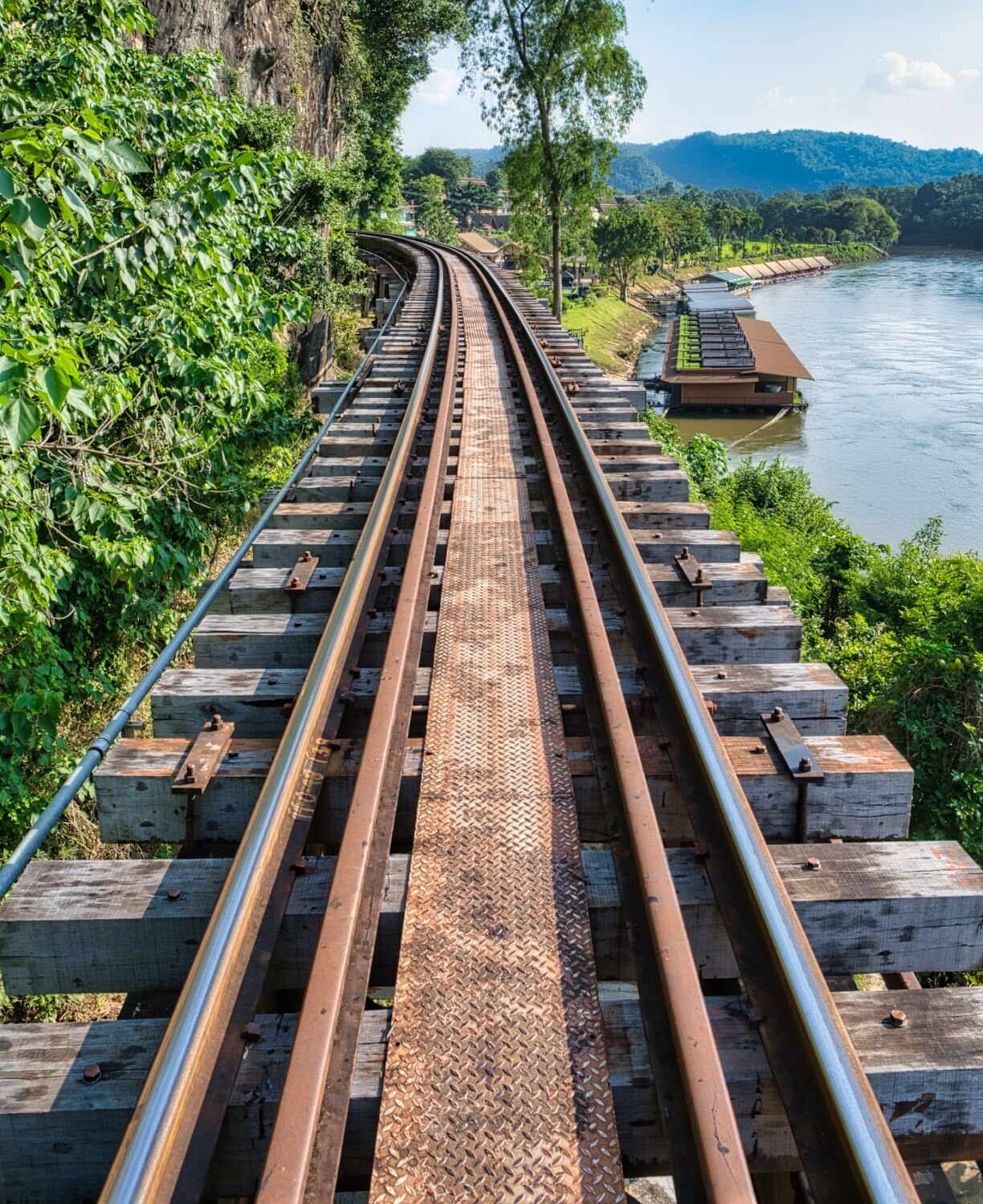
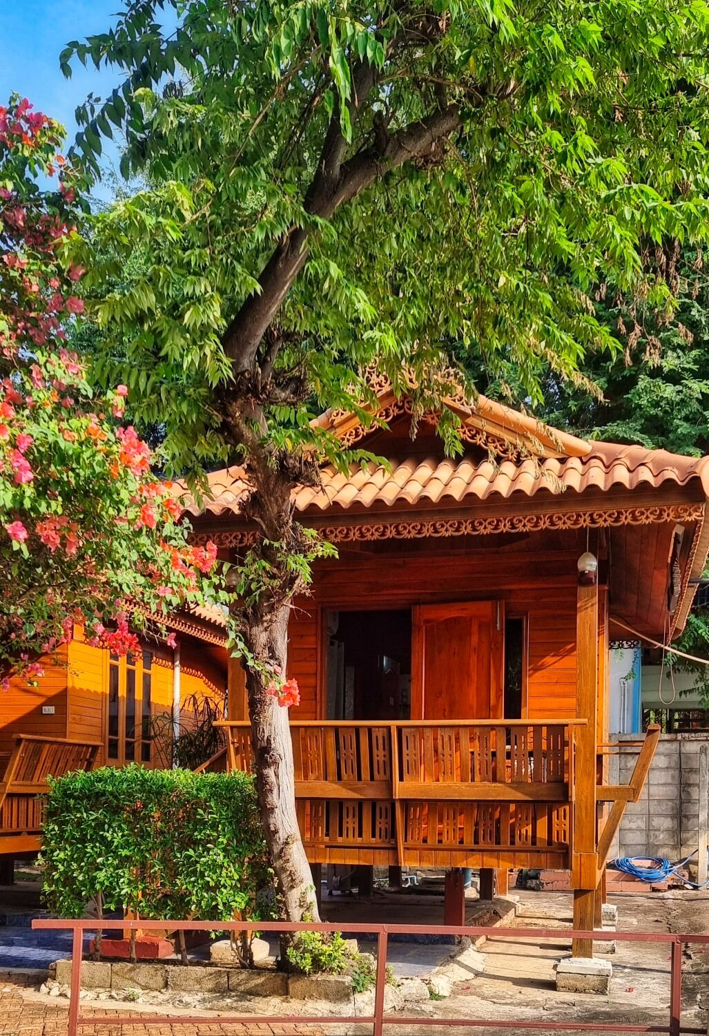
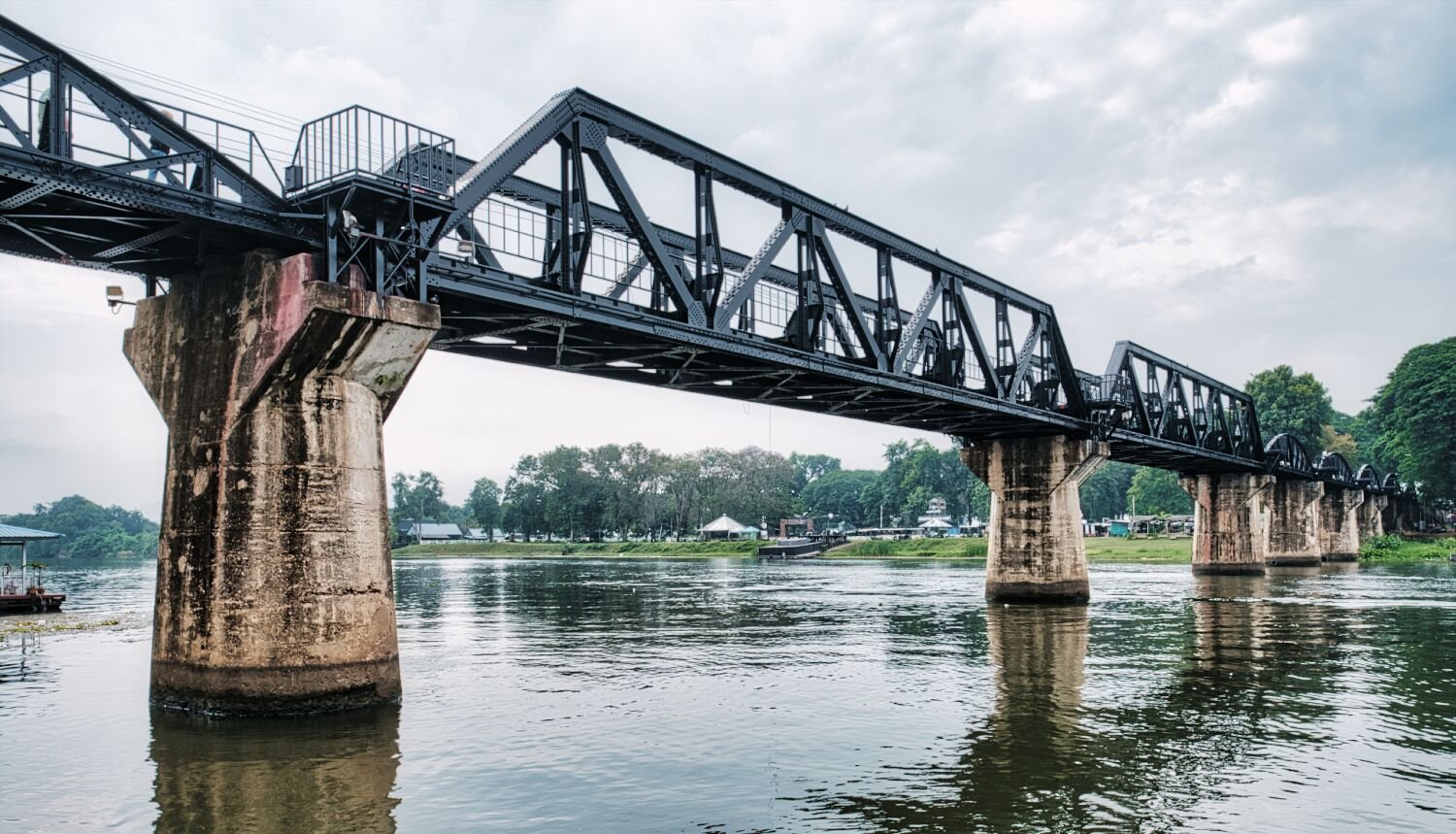
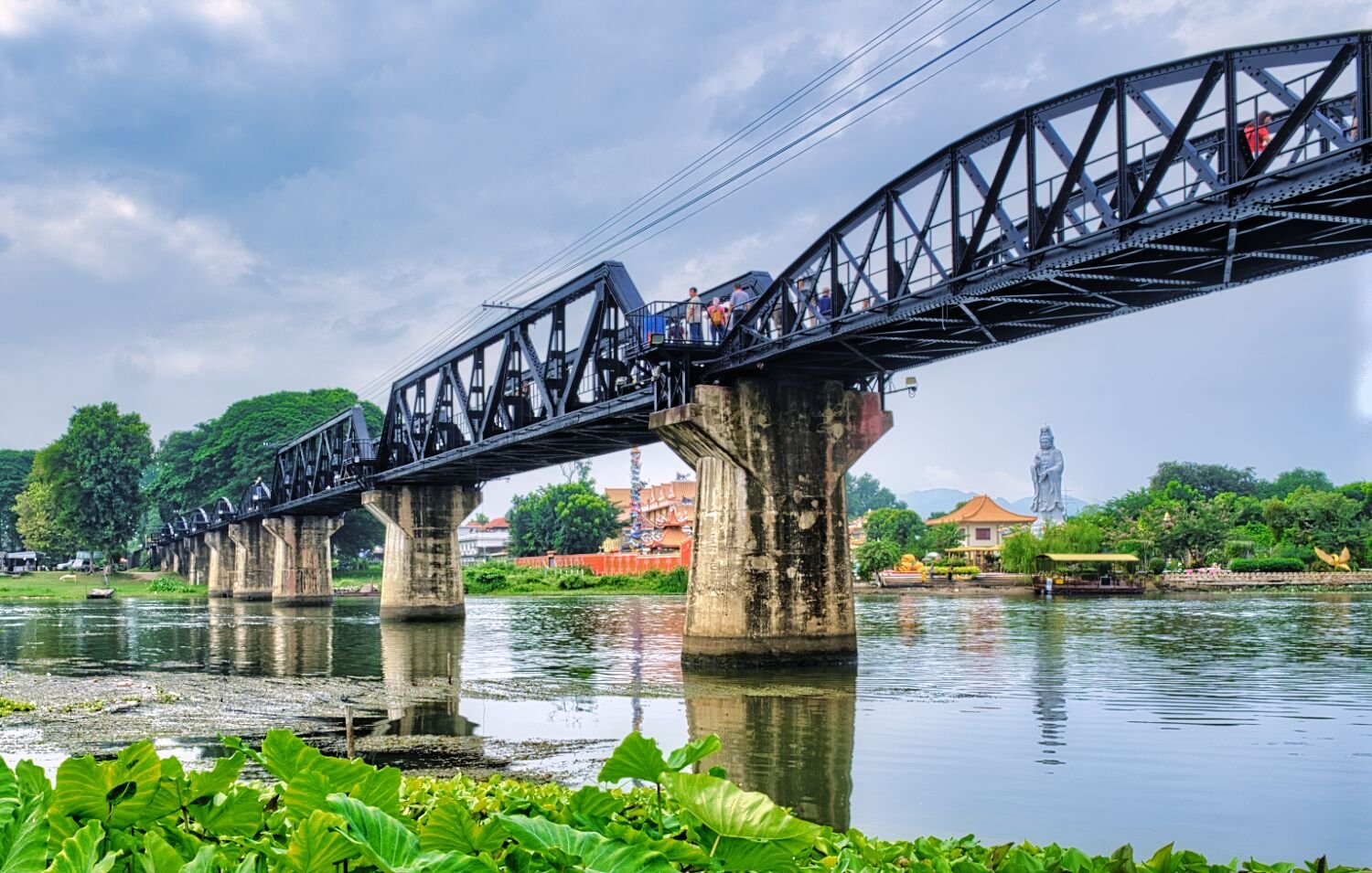
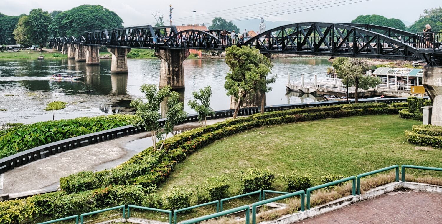
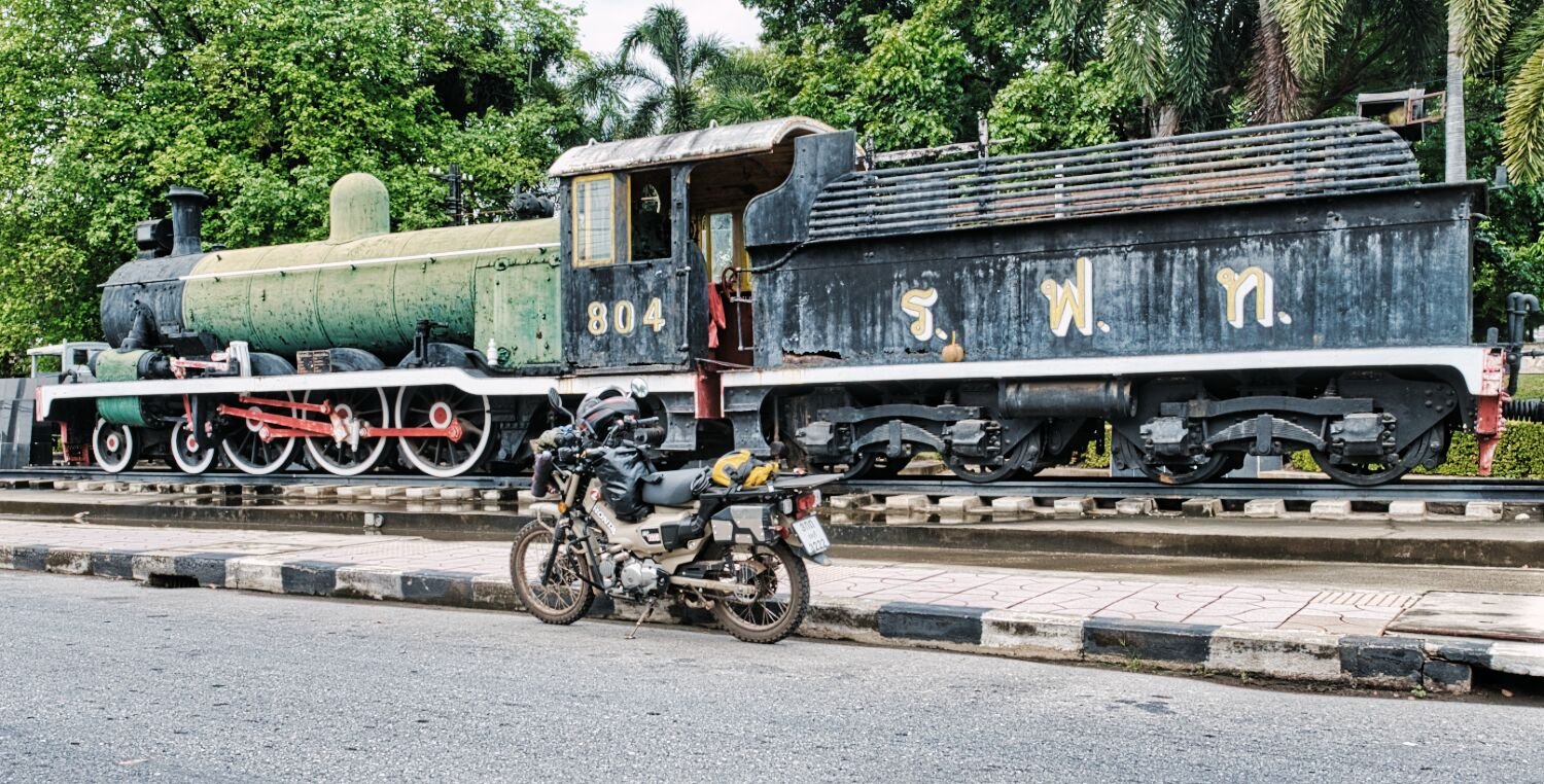
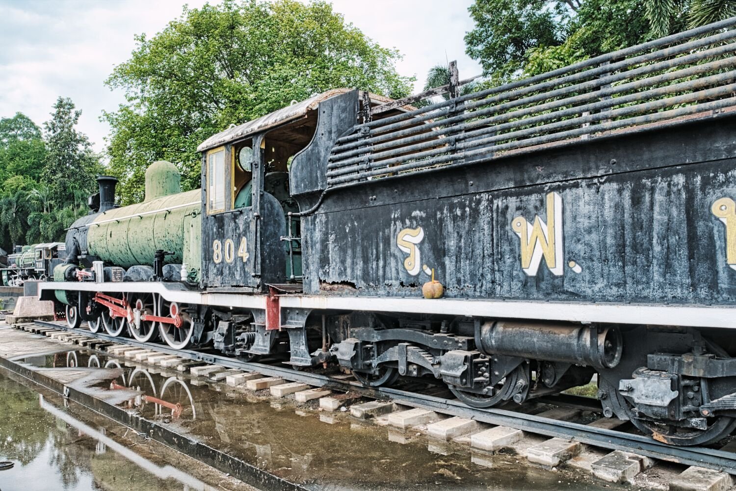
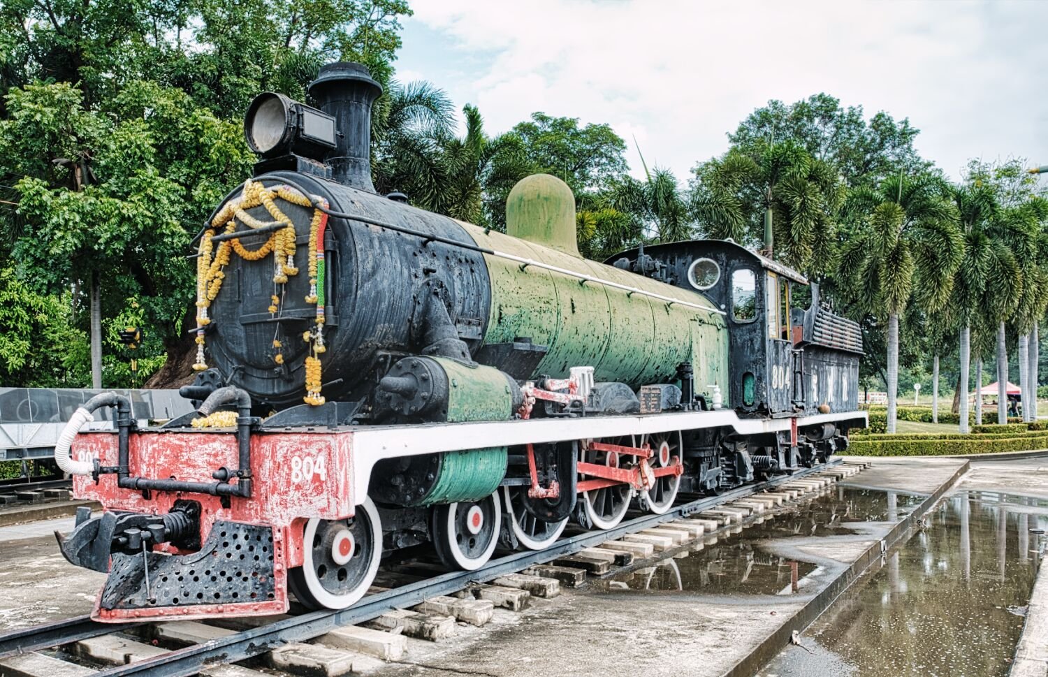
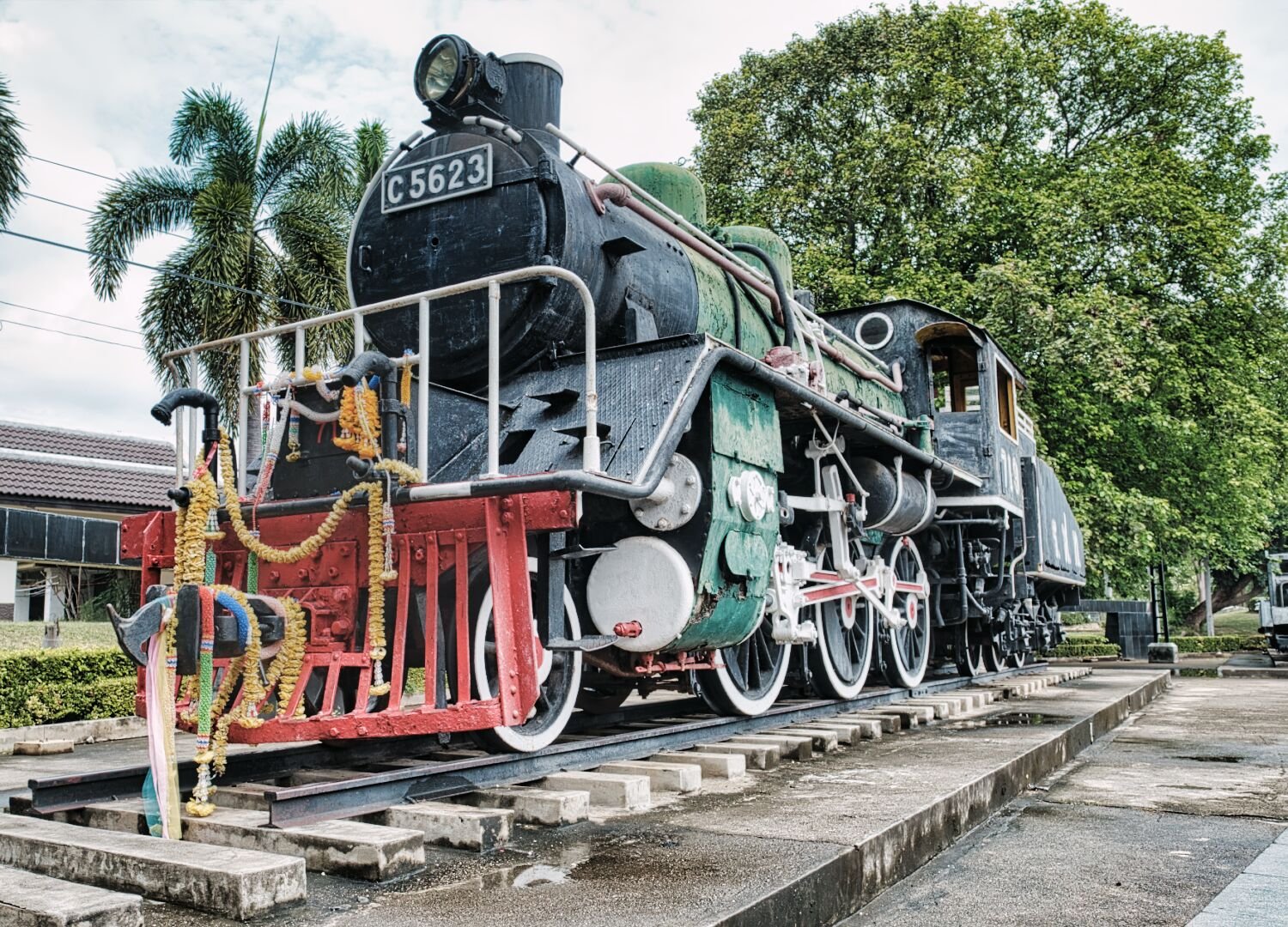
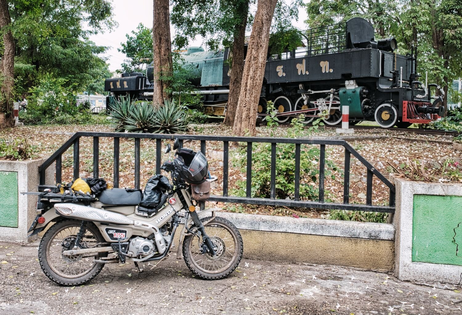
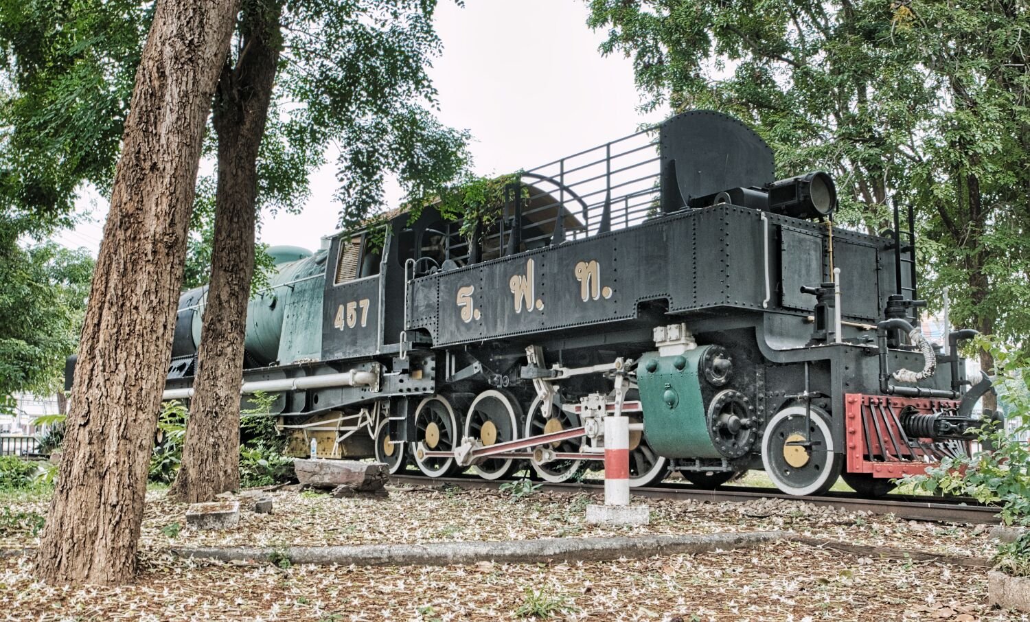
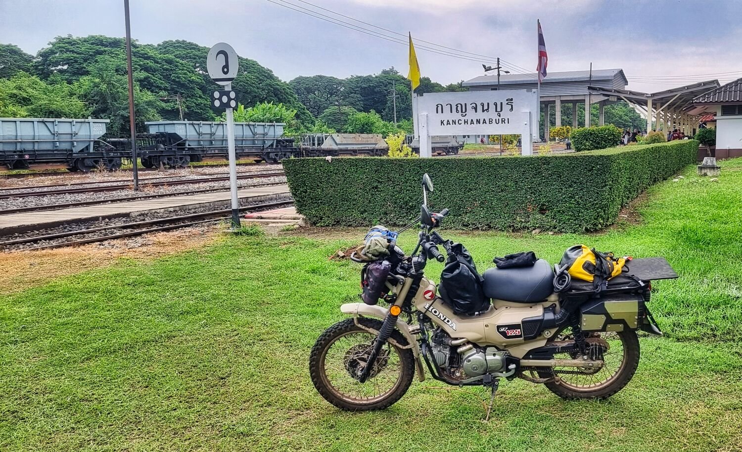
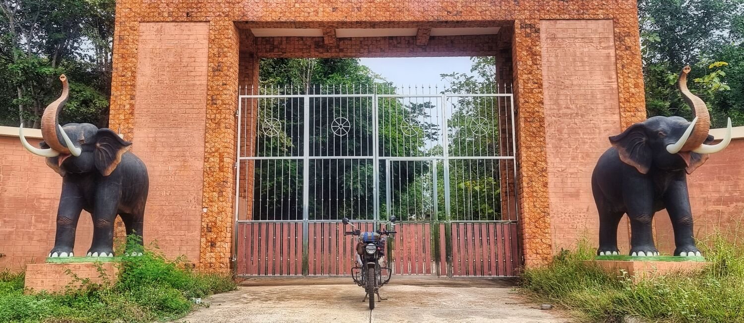
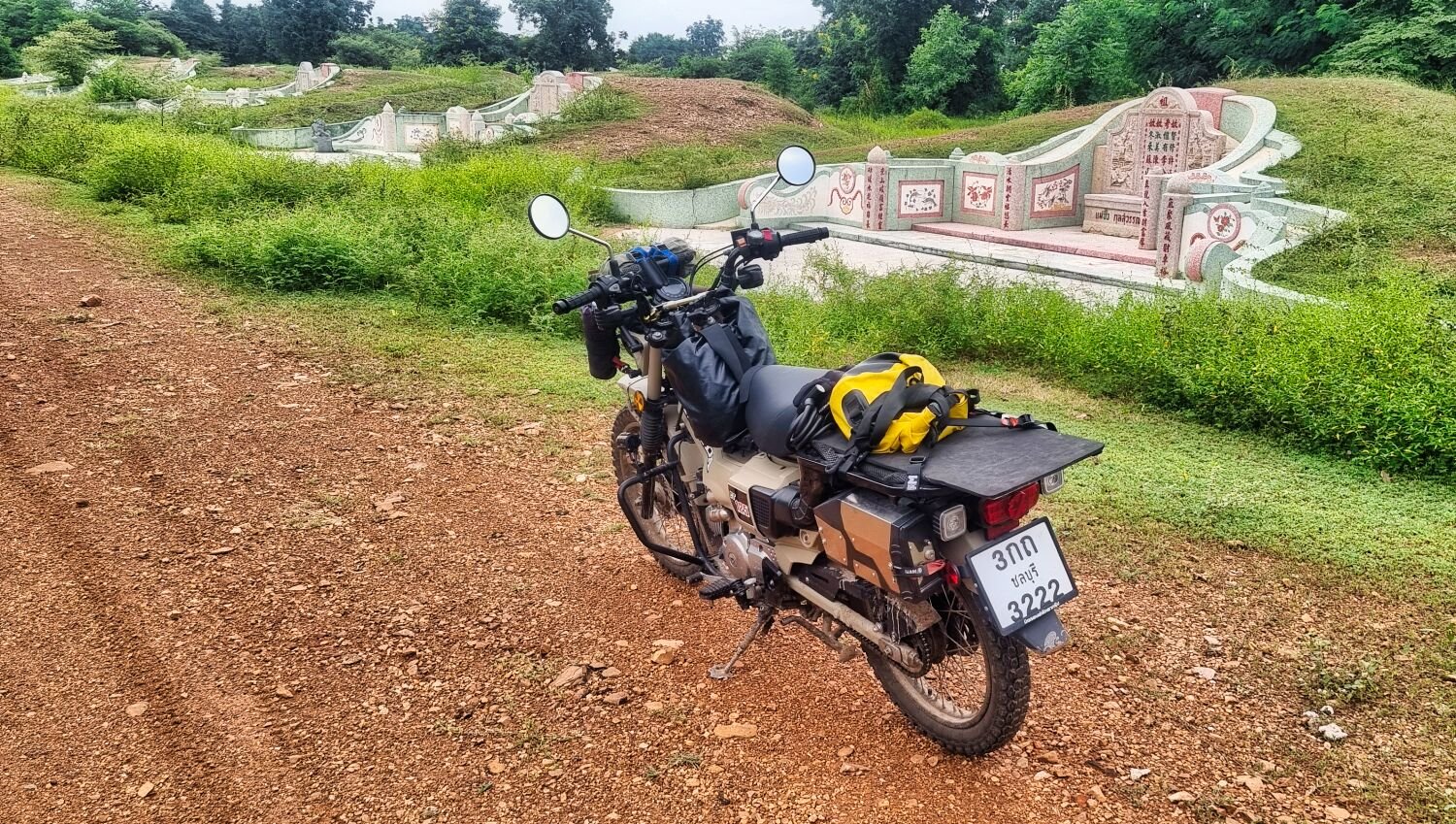
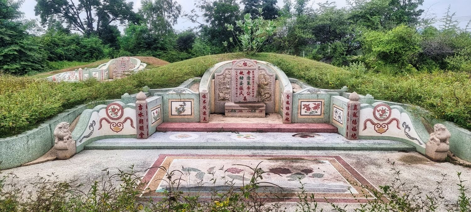
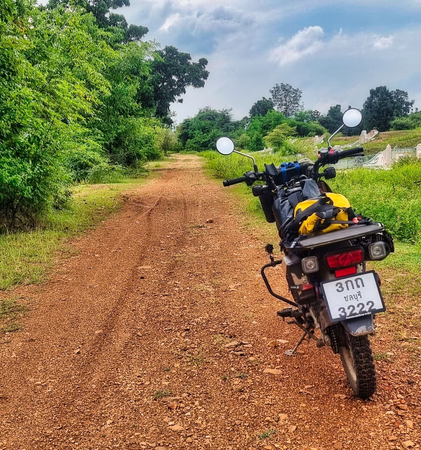
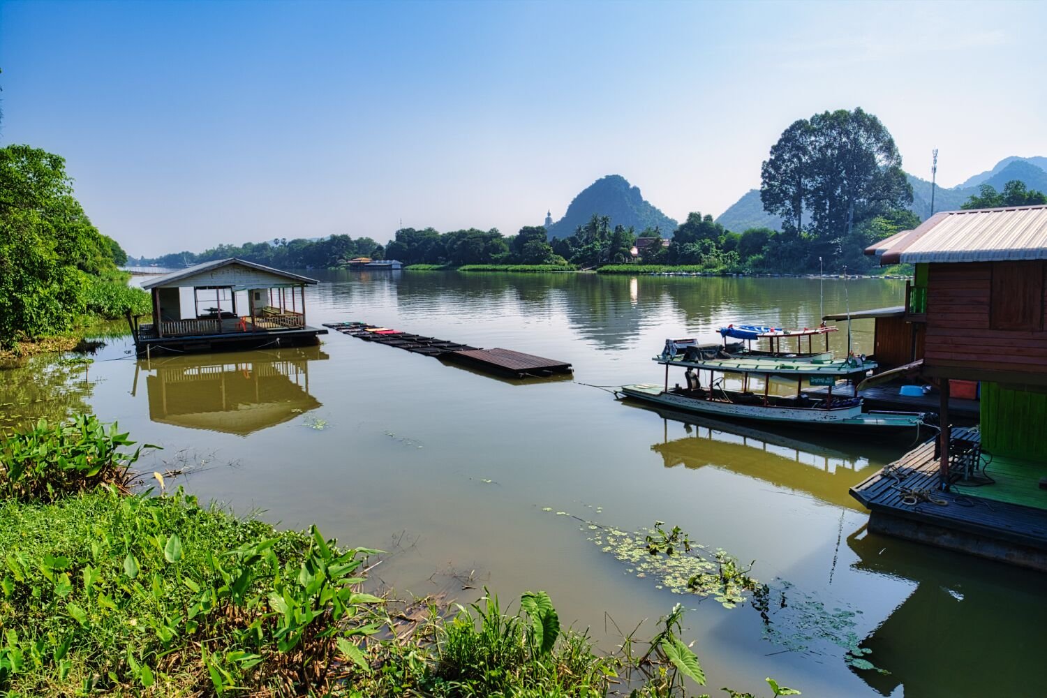
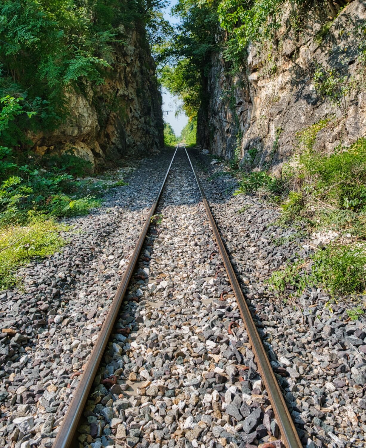
Today, day 6 and I woke early to light rain, then heavy rain for a while. So I decided to stay another night and started the day with visiting some local tourist sites. My first stop was The Bridge Over the River Kwai, here. https://maps.app.goo.gl/HeJF5mJvuRk2vqjX8 Nearby there a few more old trains, here. https://maps.app.goo.gl/f2R3i6n7FnS7QadaA On my way to Kanchanaburi Train Station there is another Train set back a little from the road and next to The Hundred Years Princess Mothers park, here. https://maps.app.goo.gl/f2R3i6n7FnS7QadaA After a quick photo at the train station, here. https://maps.app.goo.gl/573inKPjutYmrwna9 I then picked a random area and on the way to side tracks until I found an entrance gate with two elephant statues either side, here. https://maps.app.goo.gl/L6Z7Z4MXX3uiCbH37 This is the entrance to a military base. I then added another random waypoint which luckily hidden off of sand roads and was a place of worship with aggressive dogs, here. https://maps.app.goo.gl/oSRfQqCj1vzxpxUAA Heading back to Kanchanaburi I found a Chinese Cemetery, here. https://maps.app.goo.gl/t8hZDfWxA31Mw6M49 https://www.relive.cc/view/vevYpLPJPyq
-
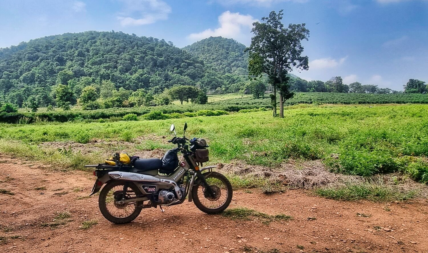
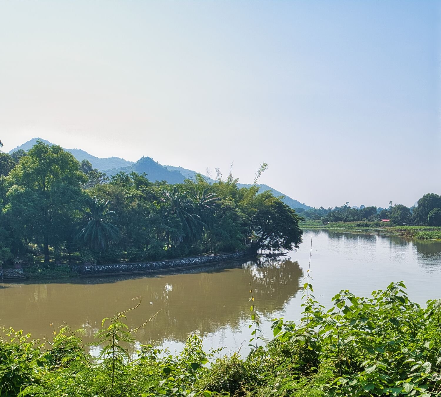
Today was day five of my ride, Ray has ridden back to Pattya and I had planned to ride to Korat, but the forecast was 90% rain late morning, so I thought about Tak, then recalled Loy Krathong Festival causes the hotels to be fully booked. So I decided to stay in Kanchanaburi. My first stop today was the dam Ray and I found yesterday, I spent a little time exploring the green lanes there. https://maps.app.goo.gl/bKiRfyn2uf3f2eJy9 From here I rode to a dam I had been to a few years ago, Tha Chaeng Dam, here. https://maps.app.goo.gl/CG7675k2Zncpk7Wo6 Then some more green laning on my ride to Don Chedi Elephant Battle Memorial (Phanom Thuan), Kanchanaburi, here. https://maps.app.goo.gl/Upw4ePGwmBTFnTtn8 Nearby I found Three Ancient Pagodas, here. https://maps.app.goo.gl/1V53XEewuqfDiHLu9 I then returned to Kanchanaburi a 125km ride exploring today. https://www.relive.cc/view/vYvEnroBVGO
-
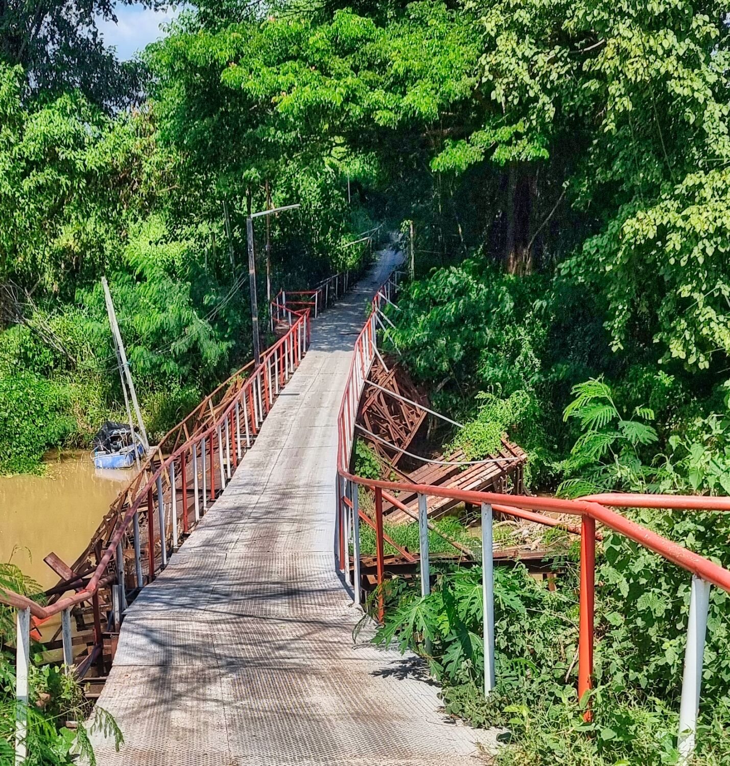
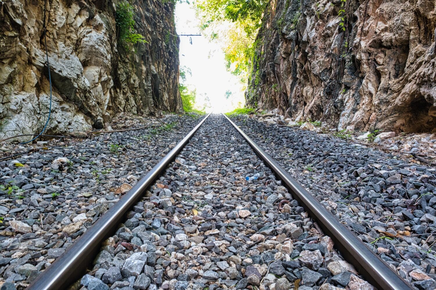
Today, day 4, Ray and I went riding, again to places I had already been before, but happy to ride again. First stop was Kanchanaburi railway cutting, Broken Mountain Pass (Khao Pun Cave Temple), here. https://maps.app.goo.gl/yUYydzDe6itFz3bT6 From here we rode a long loop to the Monkey Pod Tree, here. https://maps.app.goo.gl/xfKm5238u6pEqFiu8 We then continued to the decrepit bridge I visited a few days ago, here. https://maps.app.goo.gl/puoPGRjV48LWcA9M8 Before some fun off road riding and exploring, finishing at a un-named dam, here. https://maps.app.goo.gl/bKiRfyn2uf3f2eJy9 https://www.relive.cc/view/v1vjYLW8ZJq
-
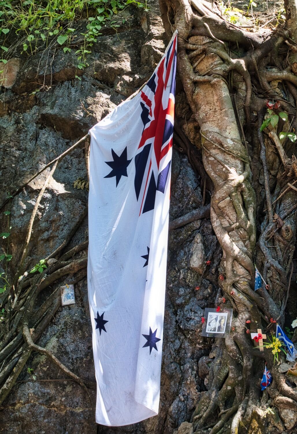
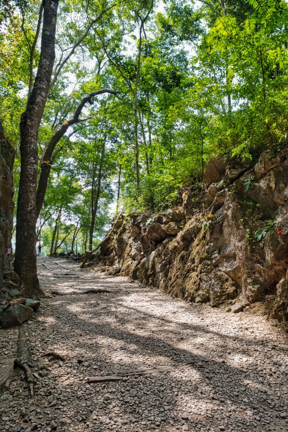
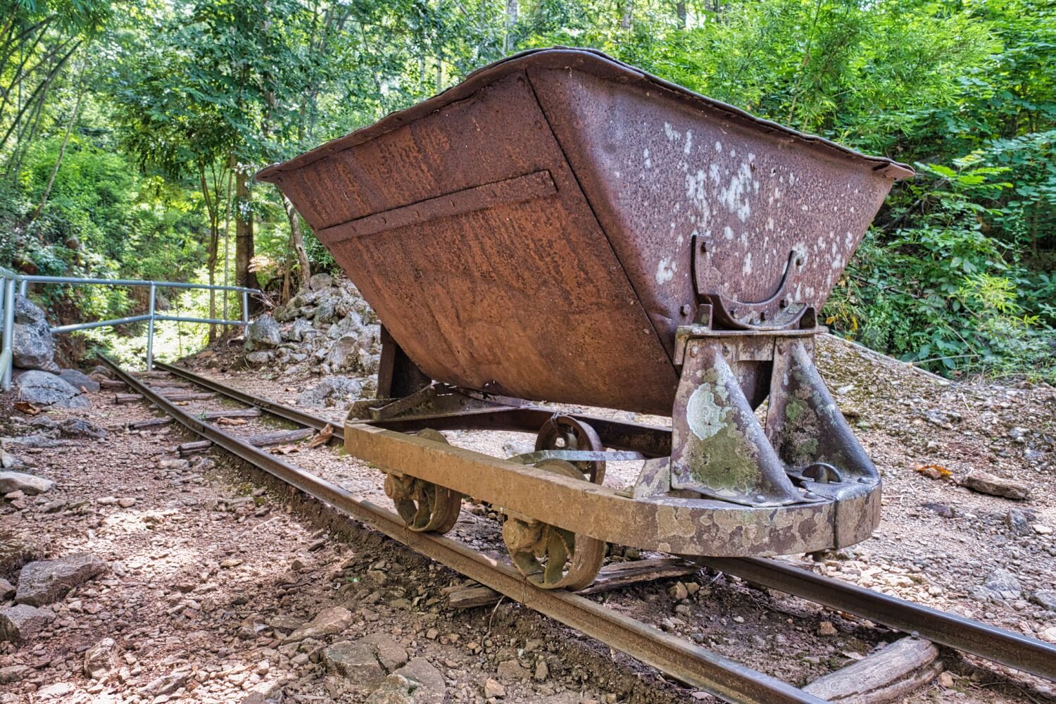
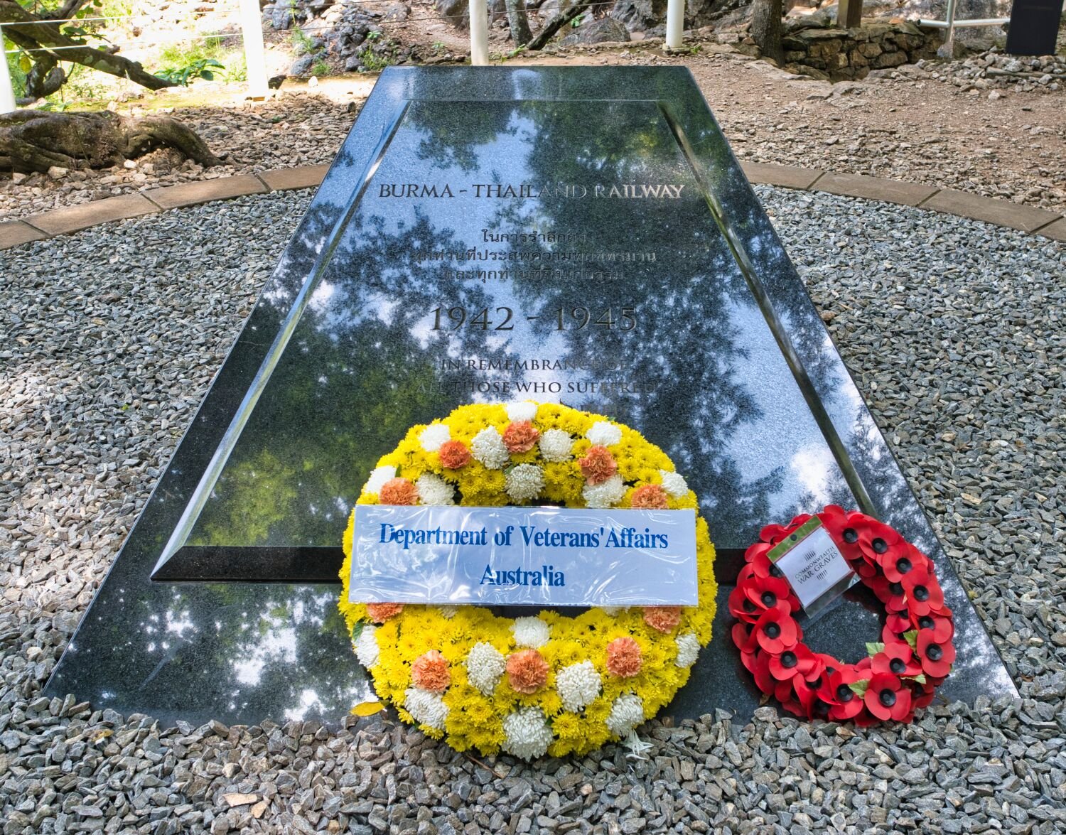
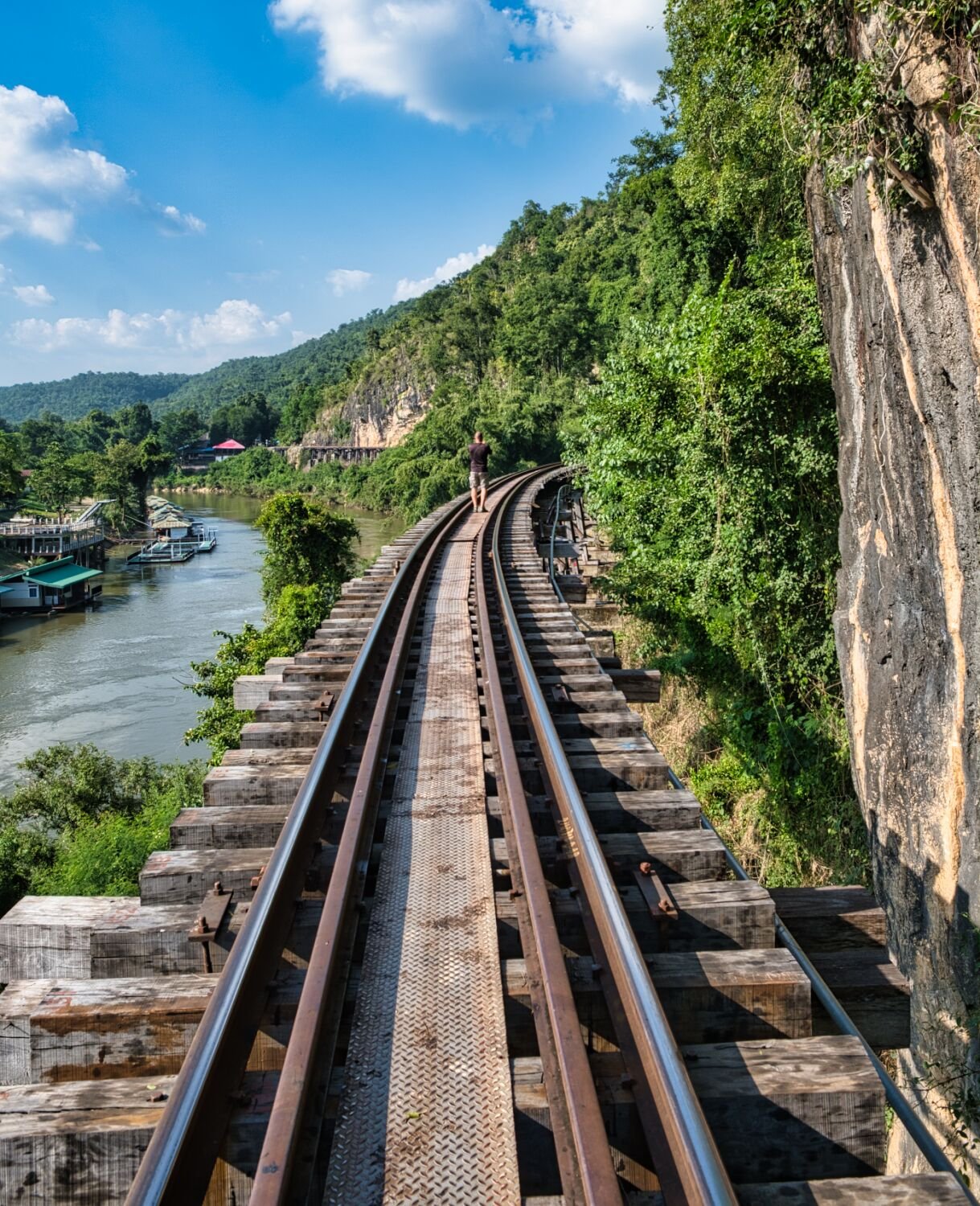
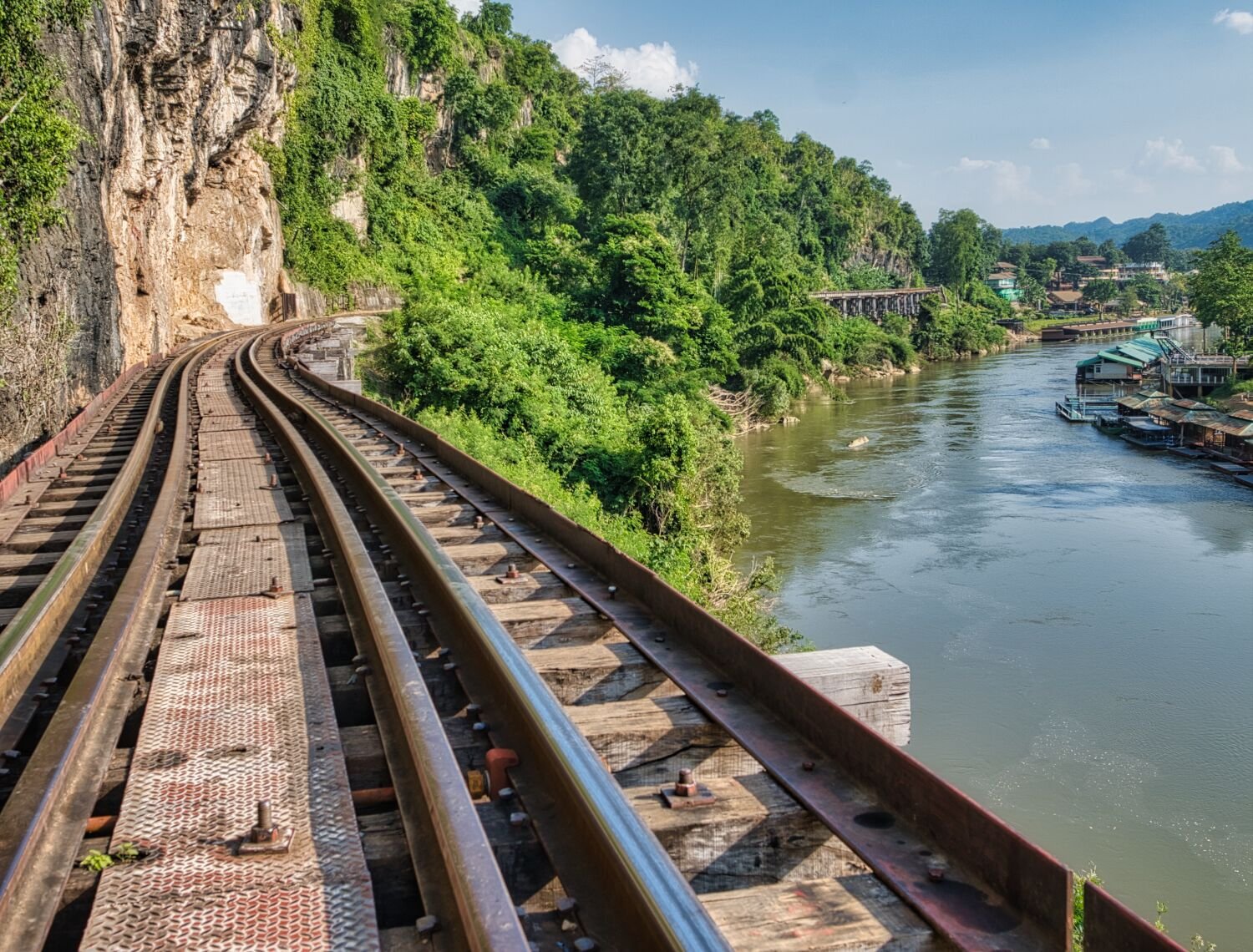
Day 3 of my tour today and I was joined by Ray from Pattaya and Darren who although we have been chatting online for a long time we had never met. Our ride was to tourist area’s that both Ray and Darren had never been to before, firstly Hellfire Pass, here. https://maps.app.goo.gl/2Z7p8dFZYki4VwSo8 It’s been a while since I have walked there and I’m glad I did. From here we rode to the suspension bridge over River Kwai Noi, here. https://maps.app.goo.gl/2KYJWKS475vssipw5 Again, I have ridden here many times. After the bridge we turn left following concrete and sandy roads for a while then onto Tham Krasae Railway Bride, here. https://maps.app.goo.gl/TqDkCQ5GxiW5nAQC7 We walked along the bridge to the railway station before returning back to Kanchanaburi. https://www.relive.cc/view/vDqgxLVwnVv
-
Not a fast bike for sure, i recently had it tunes and that added 2 hp, which is a lot when you start at 7hp. More usefull in mountains for sure.
-
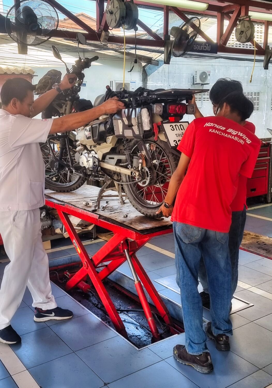
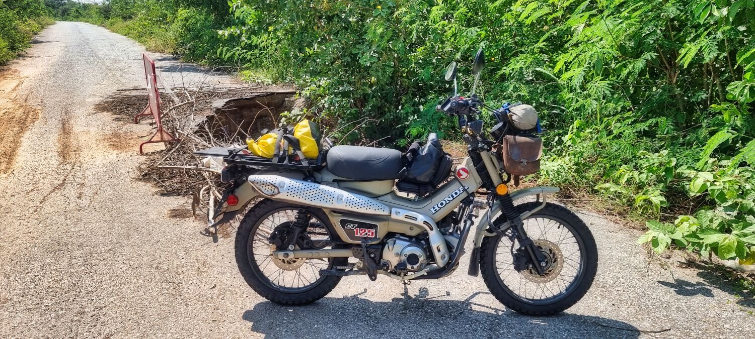
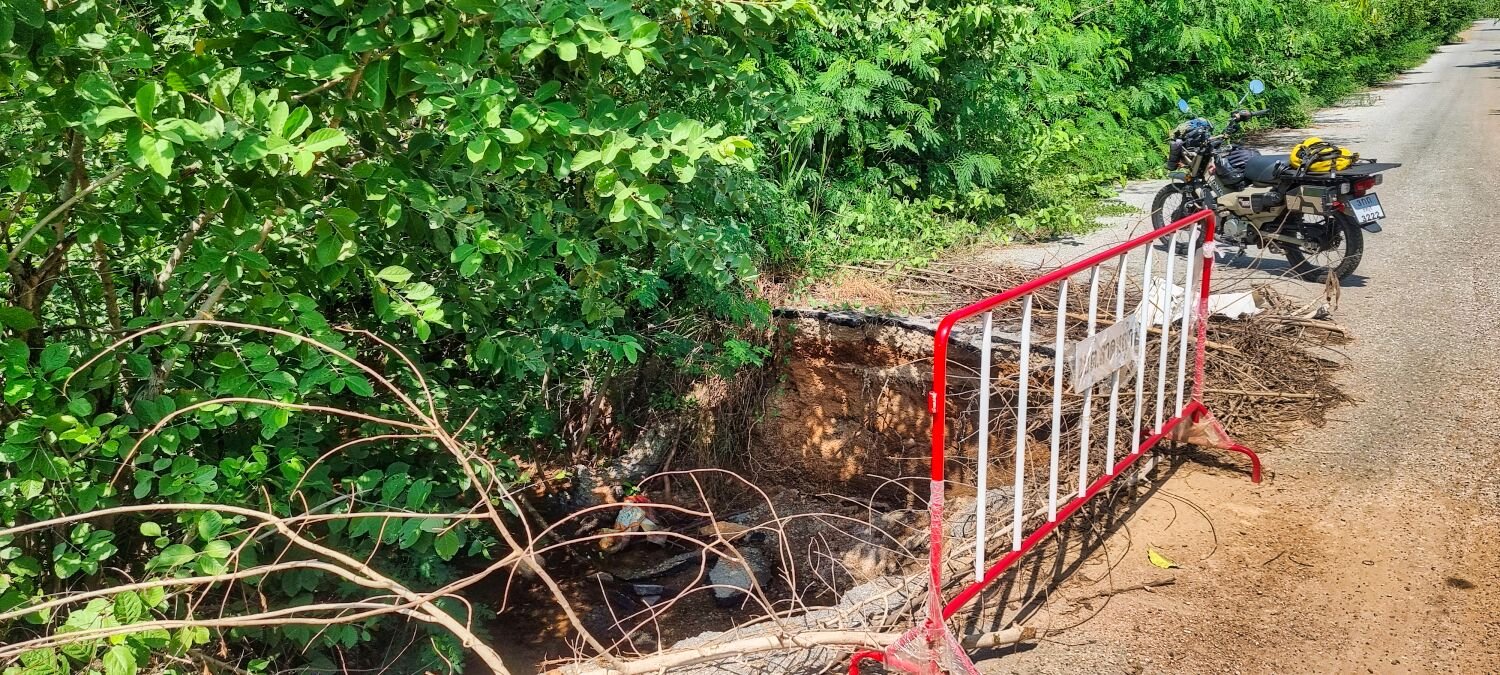
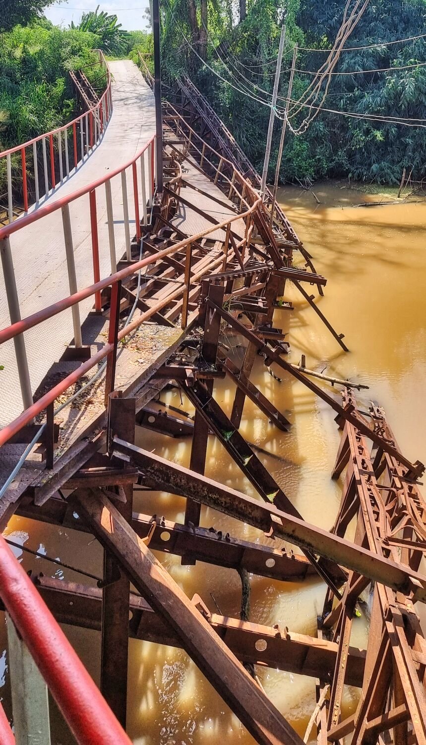
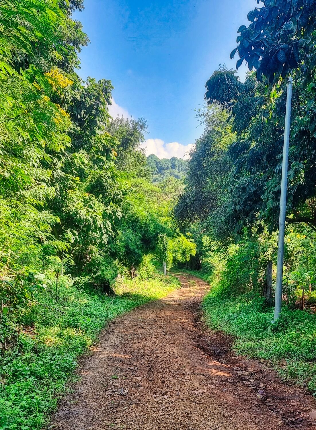
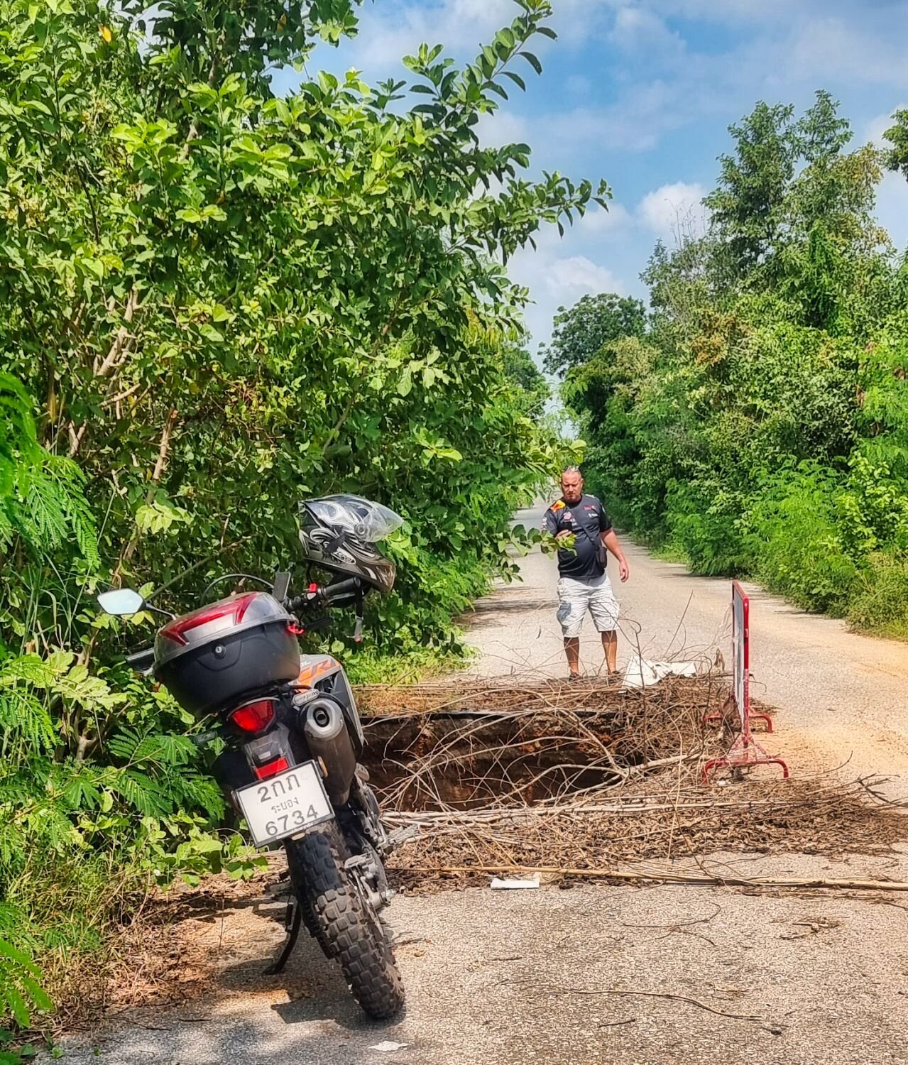
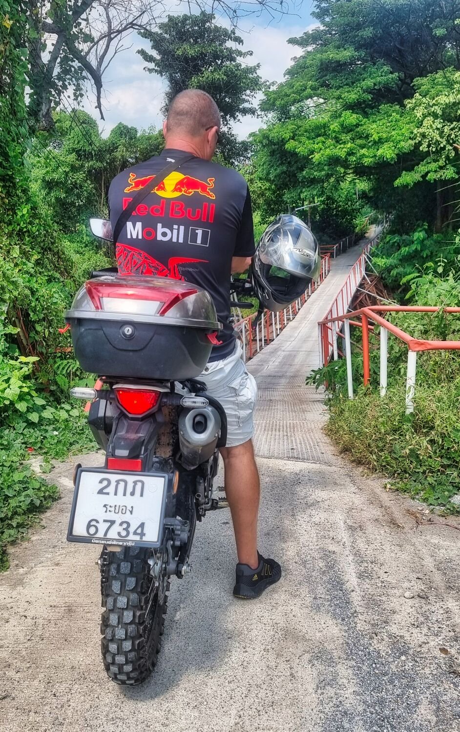
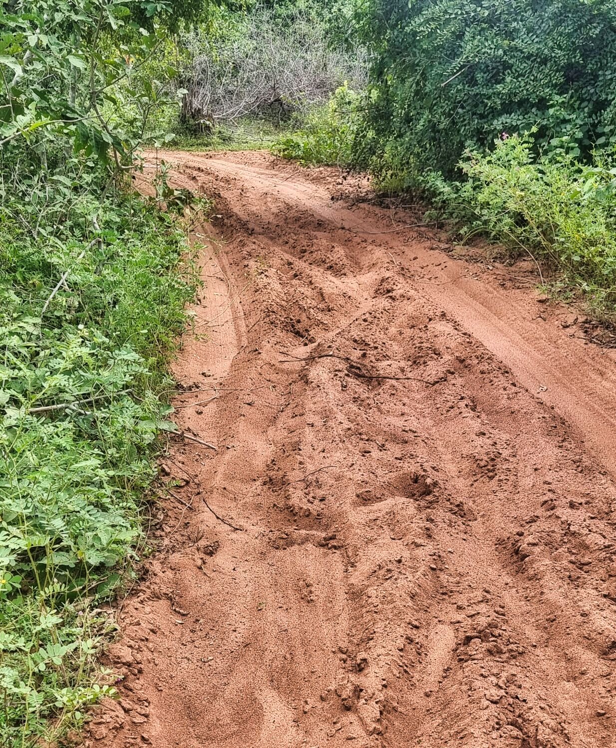
Today, day 2 of my tour I had a new inner tube fitted at a Honda dealer, at times it took three of them to get it done with lifting the bike and trying to remove the wheel. As soon as I was back on road I returned to my hotel to put my riding gear on and went off road track hunting. Getting onto a small side rode I came across a huge pothole, if nighttime I may have ridden into it. Just up the road was a decrepit bridge which dad collapsed and been partially rebuilt, here. https://maps.app.goo.gl/k5dnw4wyDcptP23p7 After this the road turned to gravel and sand. I followed until I came to some rope with bags attached stretched across the track to prevent access, I did continue but soon came to a mud bath of a track and turned back. Riding back I missed a few turns before getting back on road. I must go explore more of the area!
-
I had the original seat made higher by adding soft foam, more comfortable and stops my butt hitting the grab bar. Tyres have a tube
-
Today, day 1 of my trip was a 321km ride to Kanchanaburi. The bike had been serviced a few days ago and new tyres fitted. There seems to be either a valve leak or very slow puncture on the rear tyre and after 6 hours of riding the pressure was down from 33psi to 12psi. I looked around for a repair shop but being Sunday I could not find any open. There were quite a few idiots on the road today driving past me so close I could touch the car. Beside that a boring ride and tomorrows exploring can only happen after the tyre is fixed. https://www.relive.cc/view/vZqNEDAkzG6
-
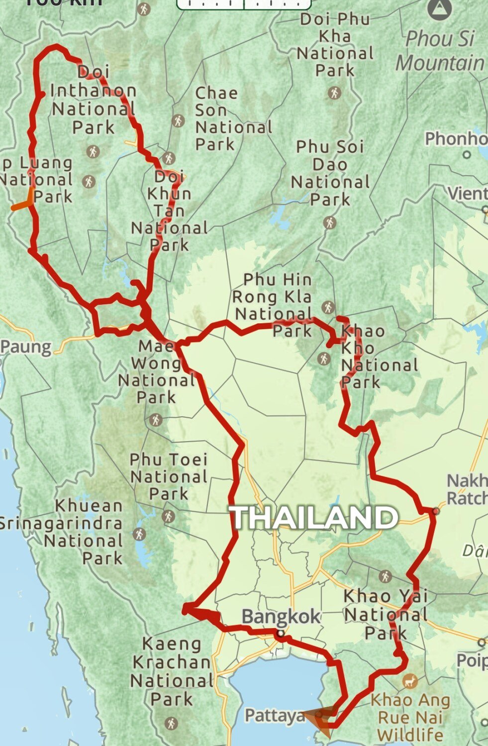
Royal Enfield’s and CRF trip August 2024
chrissables replied to chrissables's topic in Motorcycles in Thailand
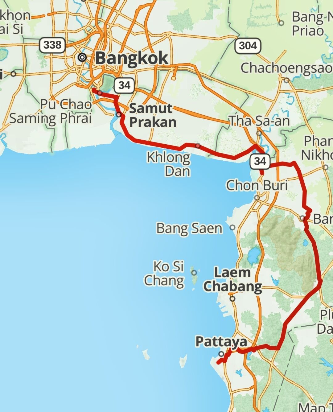
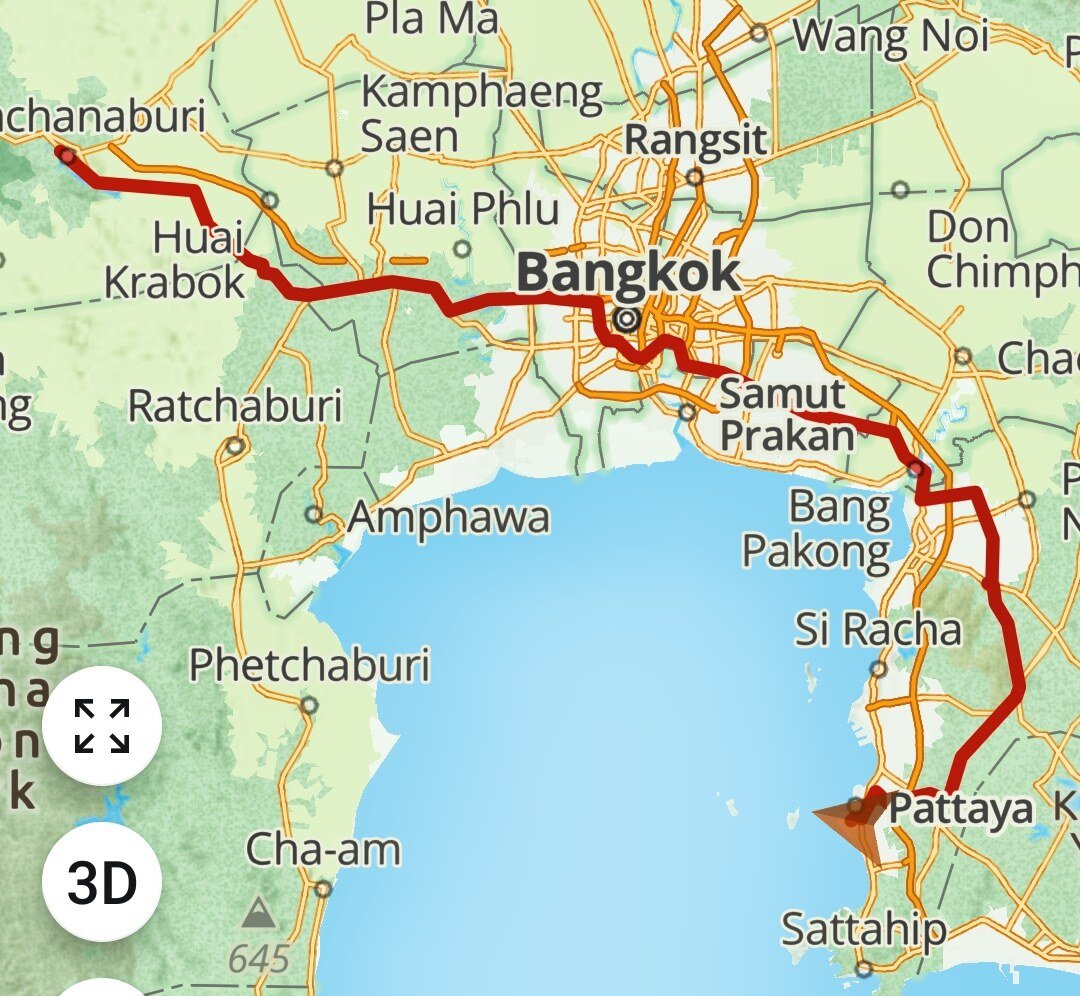
Day 14. Kanchanaburi to Pattaya Today was the final day of my trip and I completed 3638 km of mostly good riding and very little rain. https://www.relive.cc/view/vWqBZPVE4Yq
-
Royal Enfield’s and CRF trip August 2024
chrissables replied to chrissables's topic in Motorcycles in Thailand
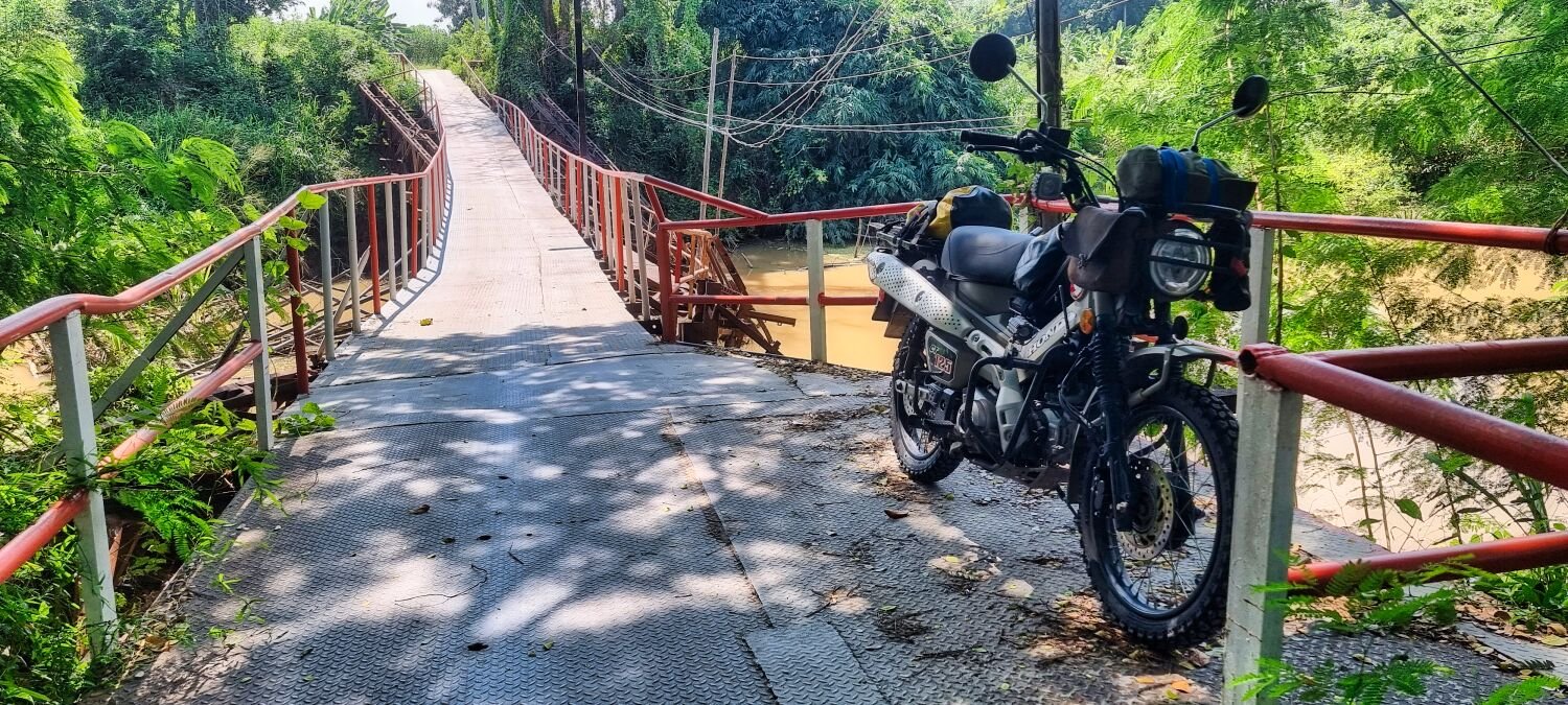
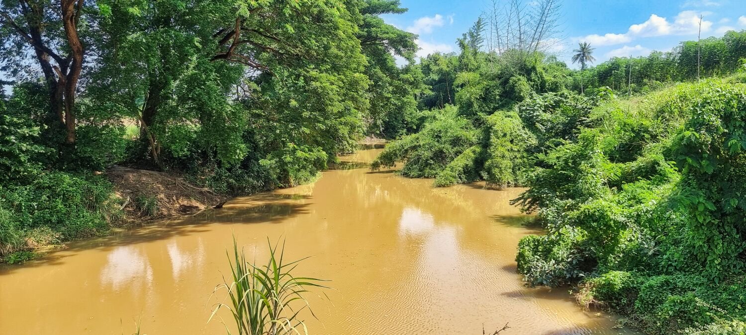
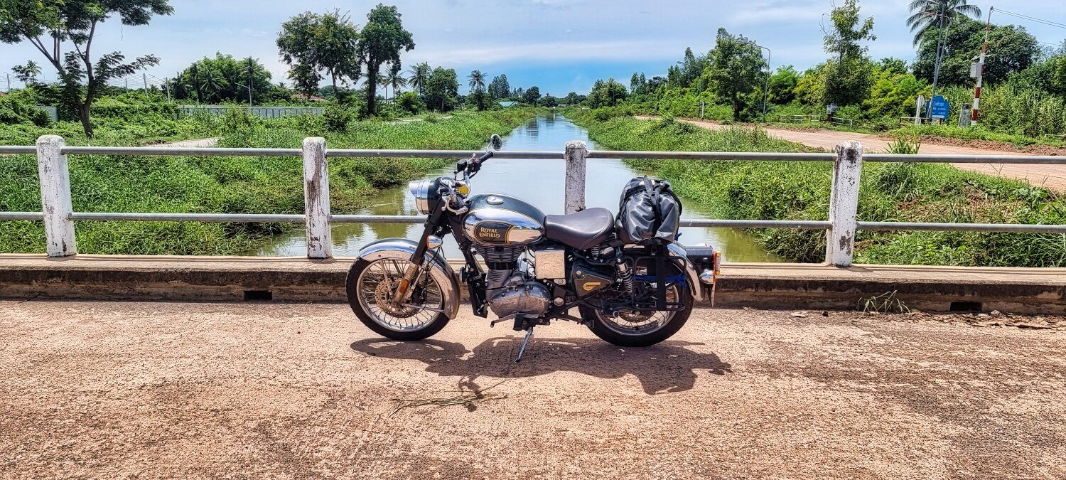
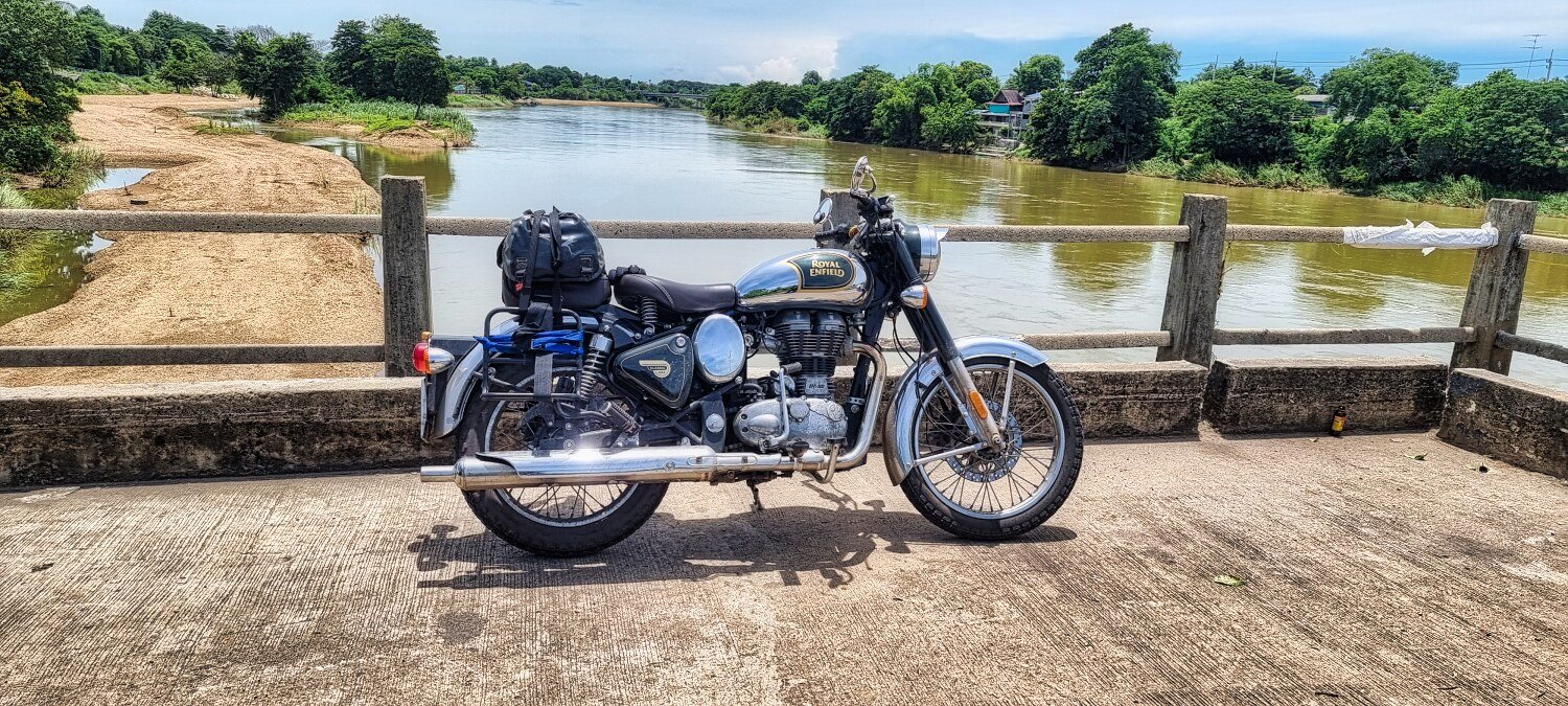
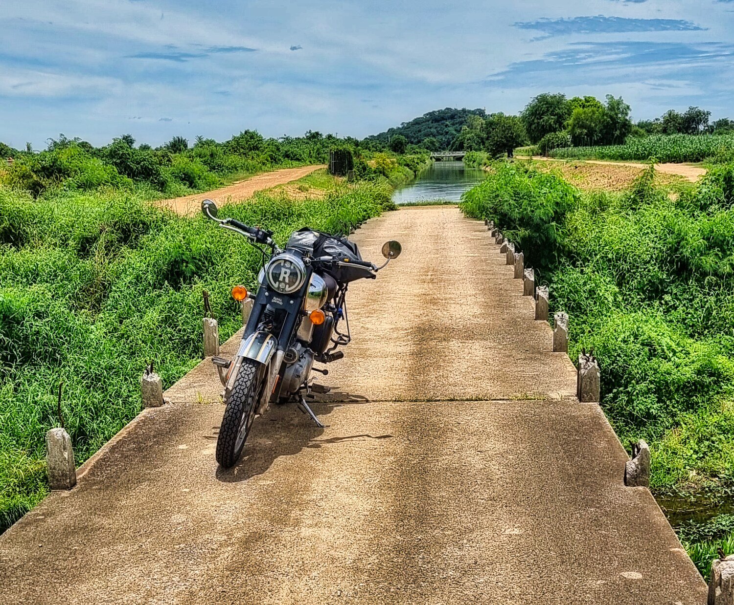
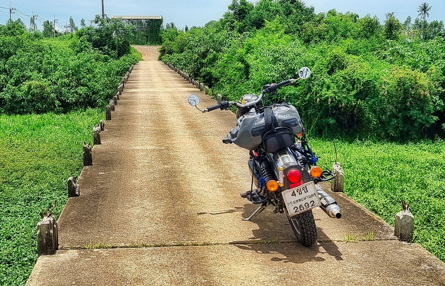
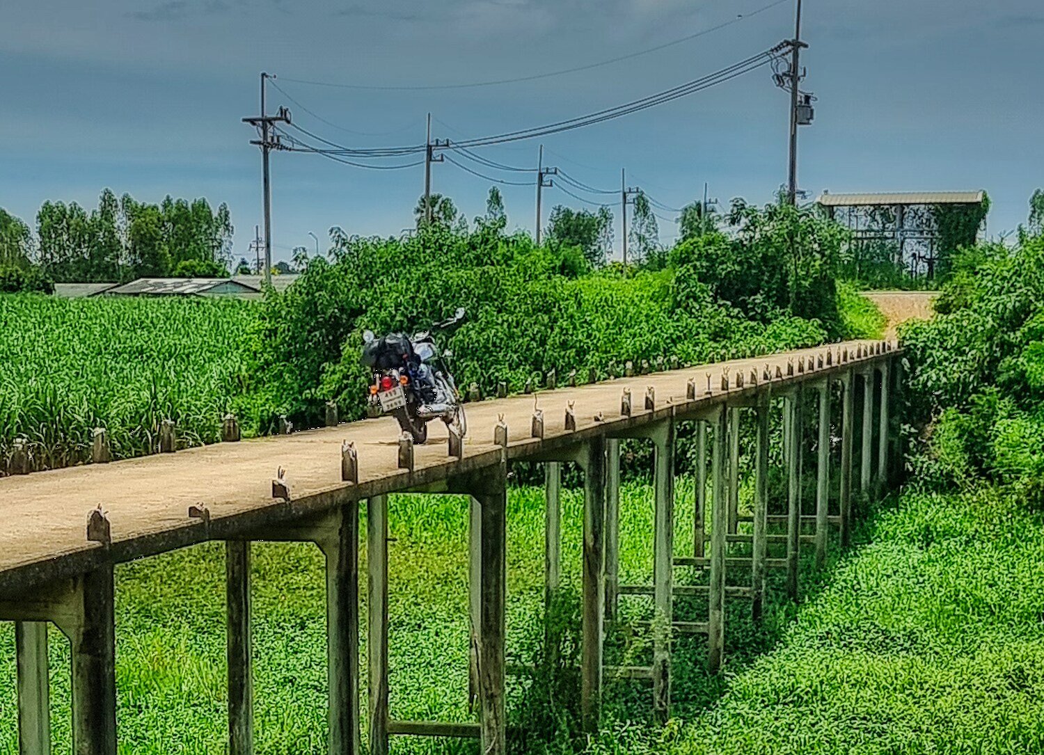
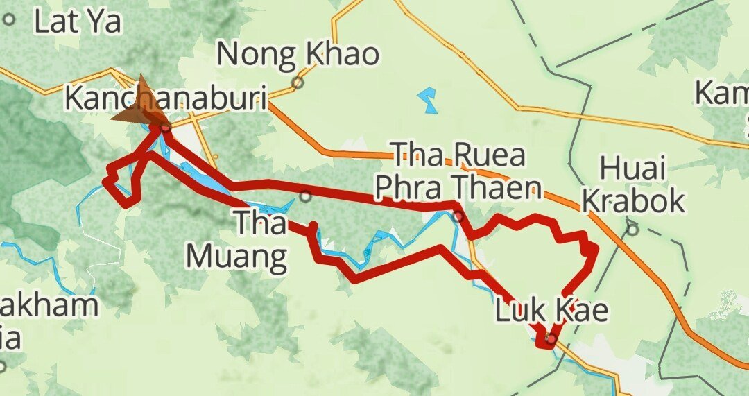
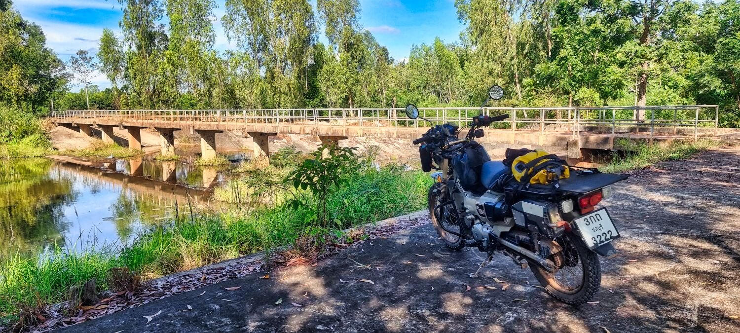
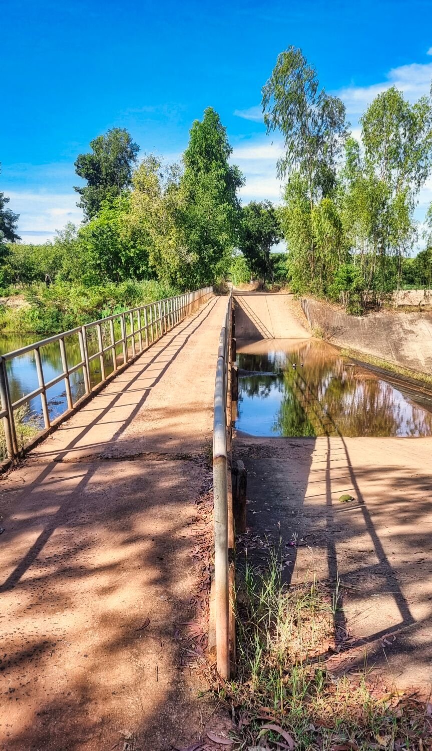
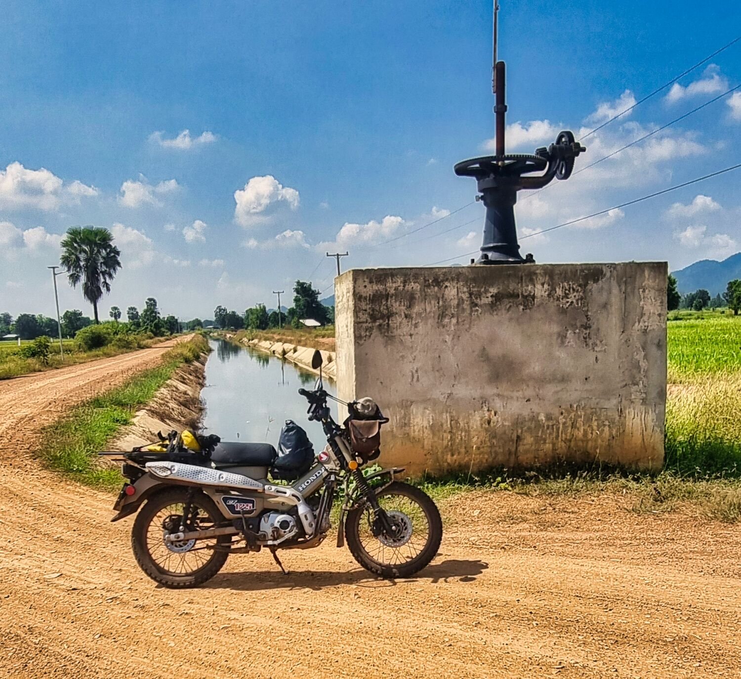
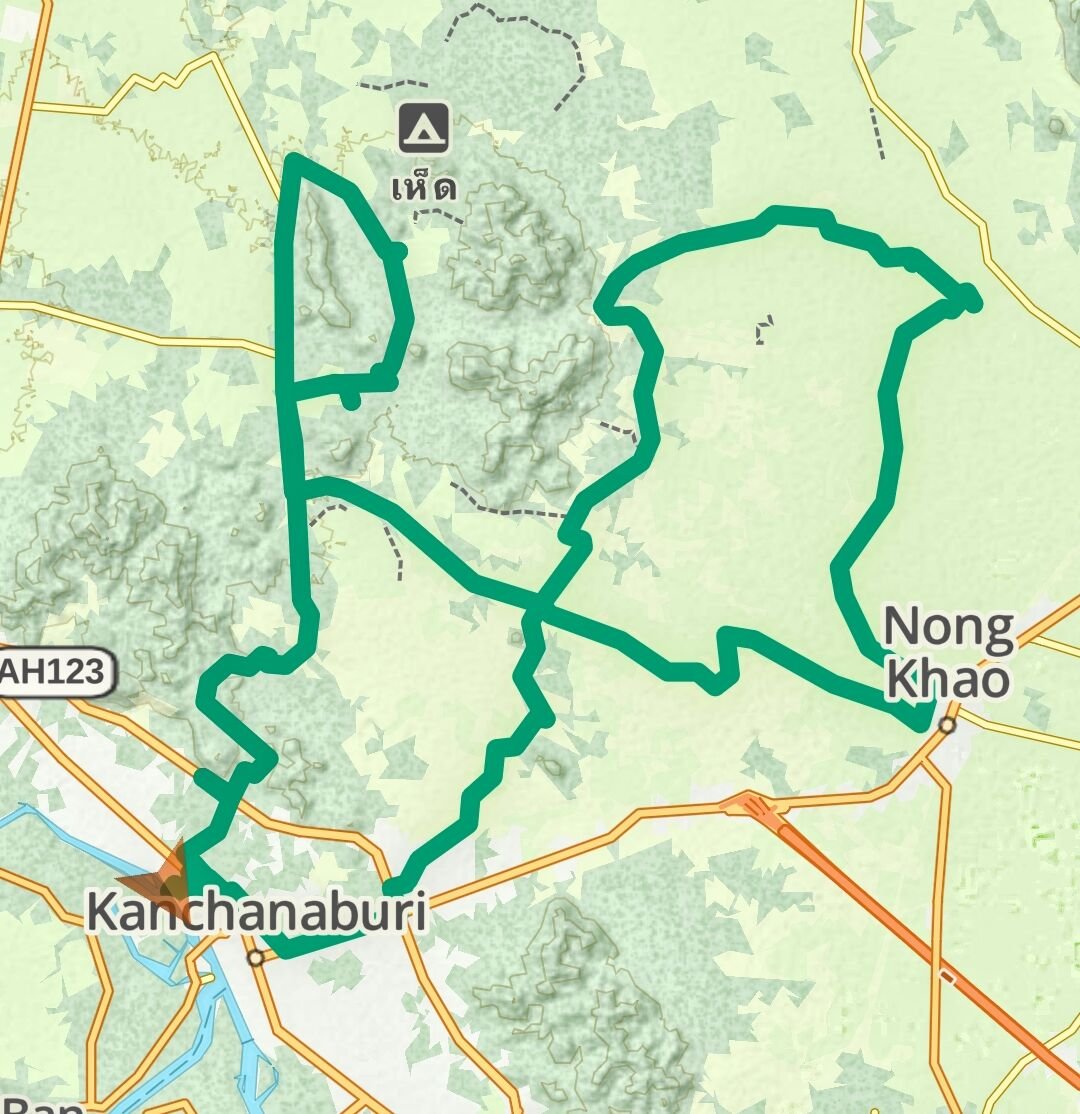
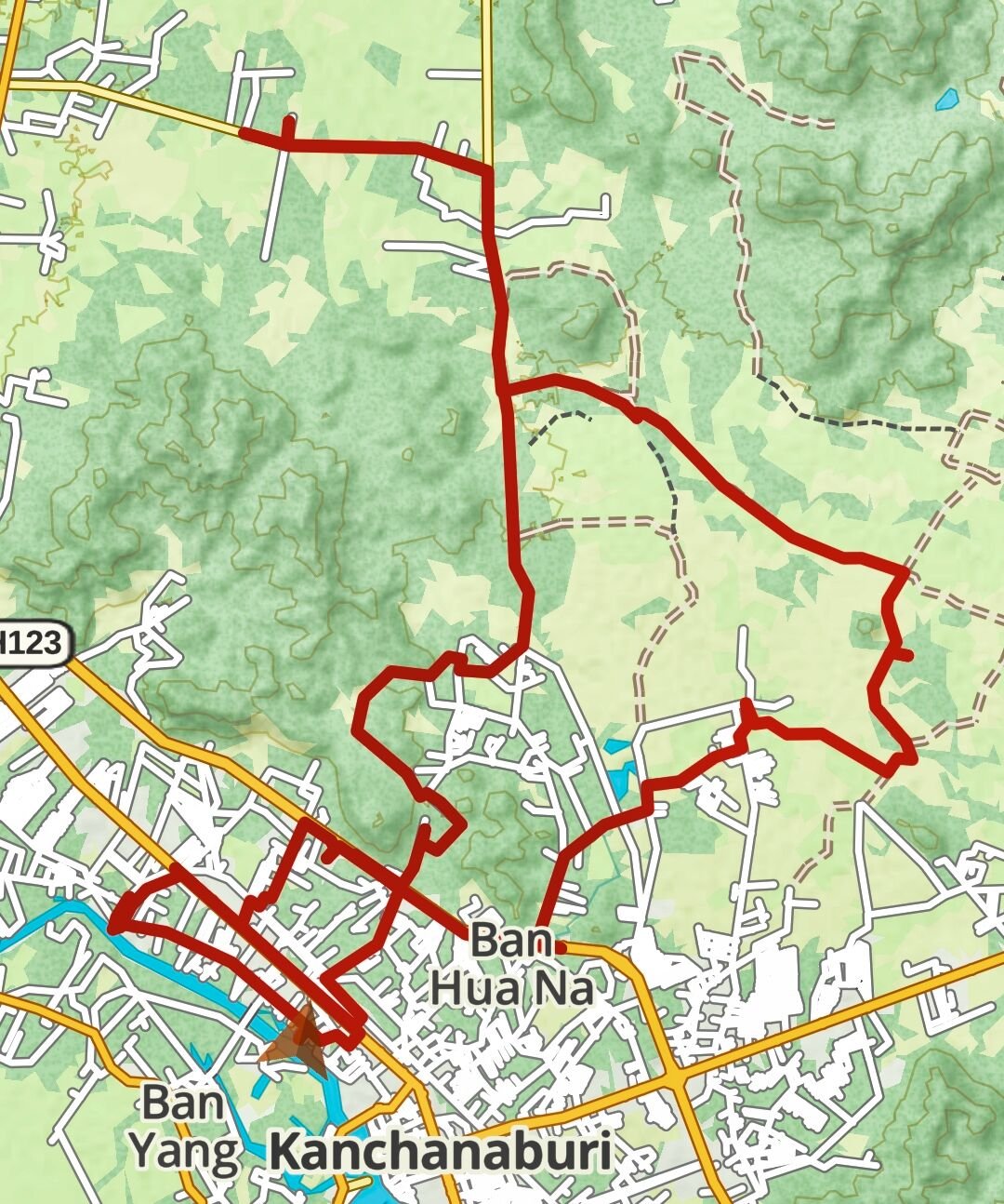
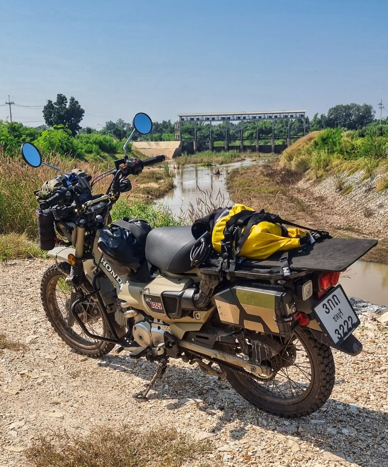
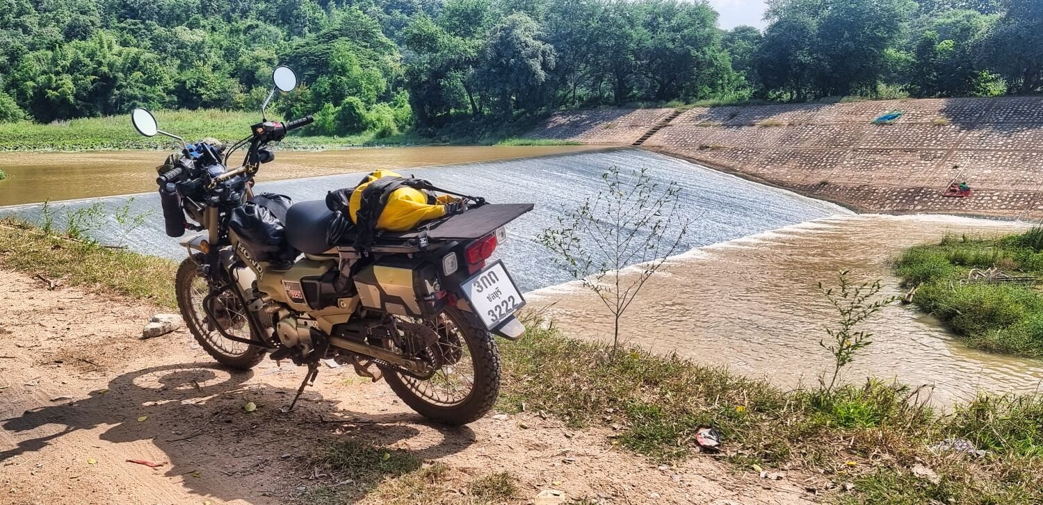
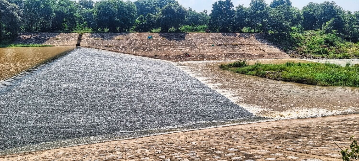
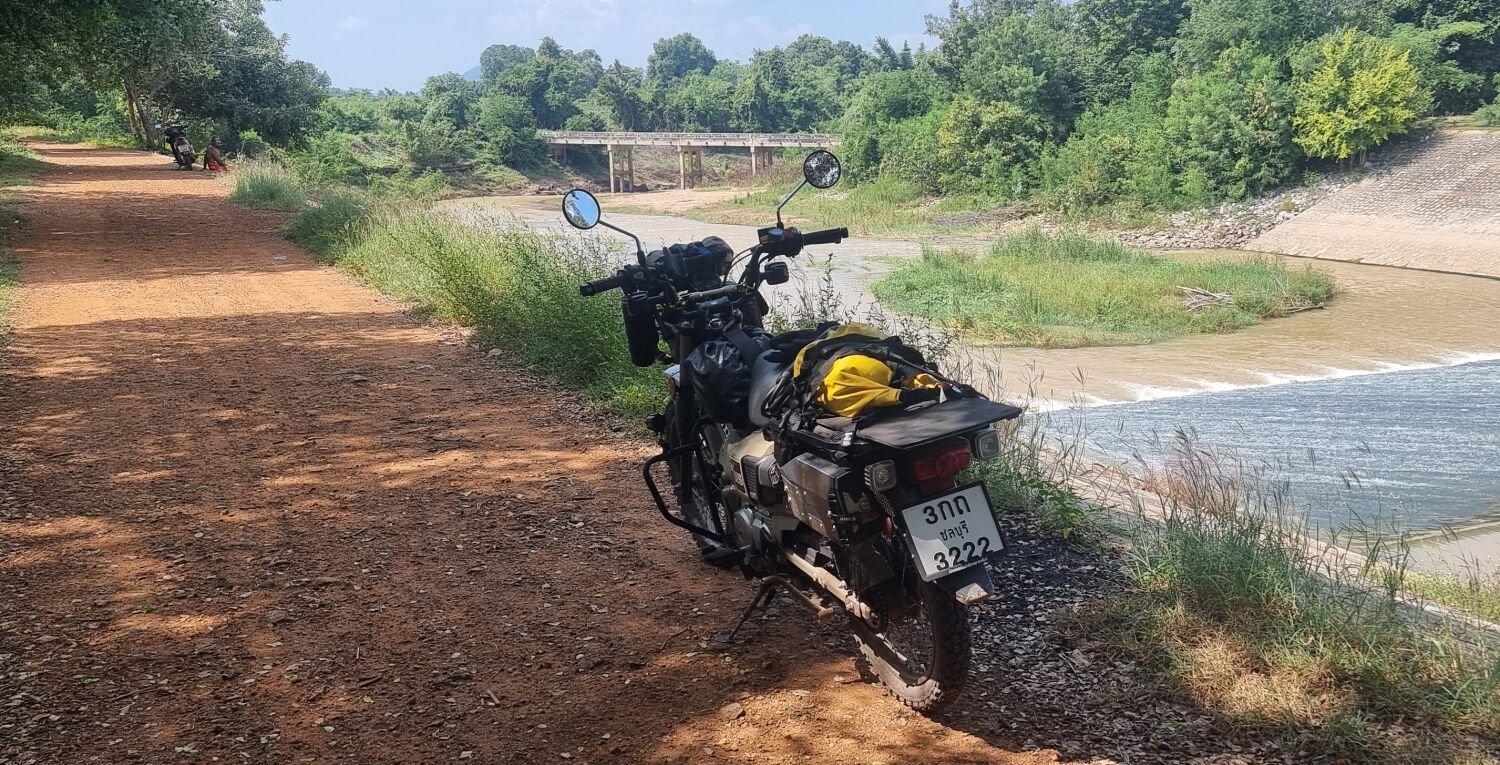
Day 13. 23.08.24 Kanchanaburi Loop Today I rode a loop following rivers and irrigation channels and visited a decrepit bridge I have been to before. A nice and easy 117 km ride. https://www.relive.cc/view/vdvm1X1zPxv
-
Royal Enfield’s and CRF trip August 2024
chrissables replied to chrissables's topic in Motorcycles in Thailand
Yes the Enfield is more comfortable. Ray was with me until Chiang Mai but decided to ride on from there. Pattaya is my next destination, i think. 🙂 -
Royal Enfield’s and CRF trip August 2024
chrissables replied to chrissables's topic in Motorcycles in Thailand
Some vibration, but nothing i worry about. -
Royal Enfield’s and CRF trip August 2024
chrissables replied to chrissables's topic in Motorcycles in Thailand
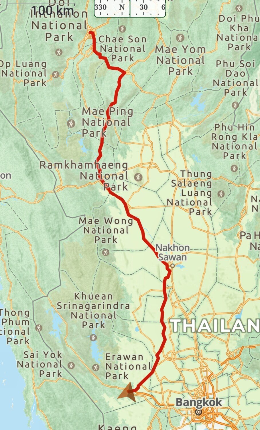
Day 12. Chiang Mai to Kanchanaburi After arriving at Chiang Mai a few days ago I hurt my ankle and decided to relax it a while. Due to all day rain on the Wednesday it was a good decision! Yesterday I rode nonstop for 9 1/2 hours to Kanchanaburi, 677km with no rain at all. https://www.relive.cc/view/vmqX9w2dKov


.jpg.c22d49e6f9f48846e870c17c2c394ef4.jpg)