.png.3b3332cc2256ad0edbc2fe9404feeef0.png)
- Popular Post


chrissables
-
Posts
2,983 -
Joined
-
Last visited
Content Type
Profiles
Forums
Downloads
Posts posted by chrissables
-
-
- Popular Post
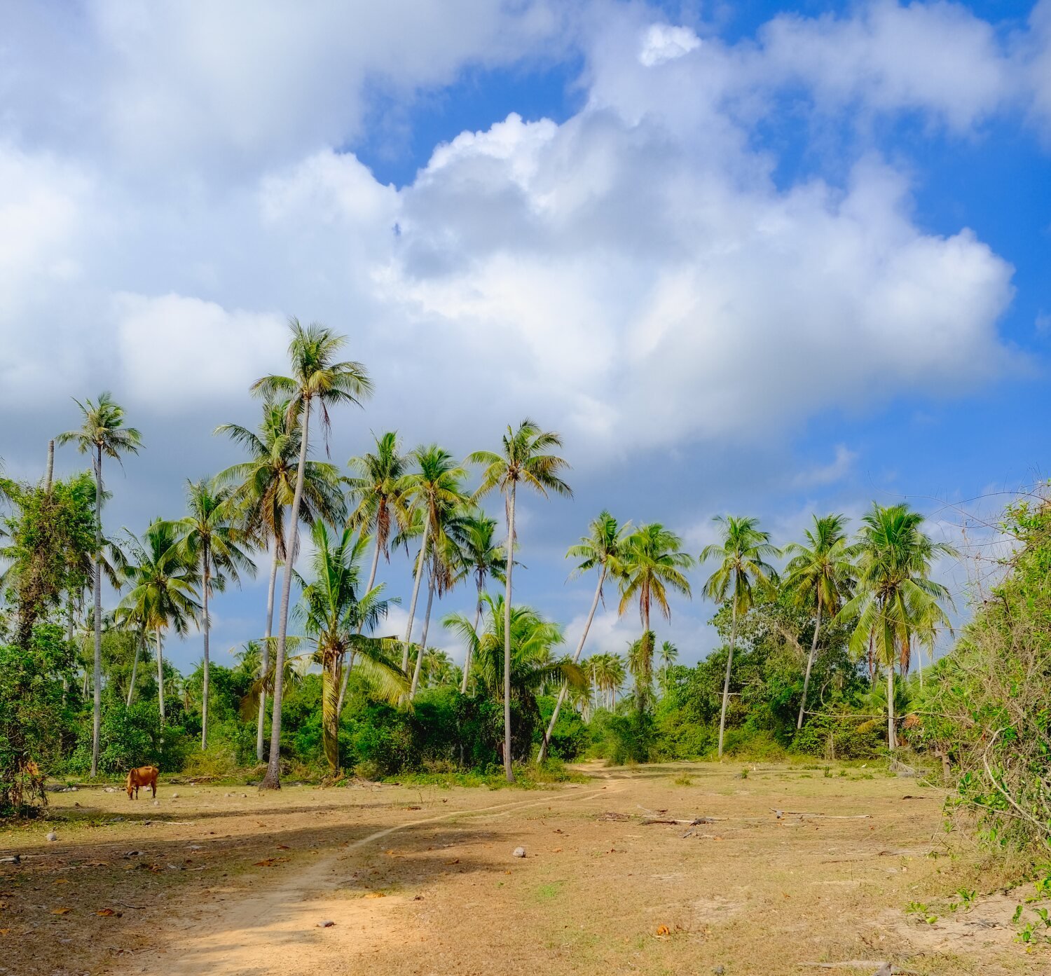
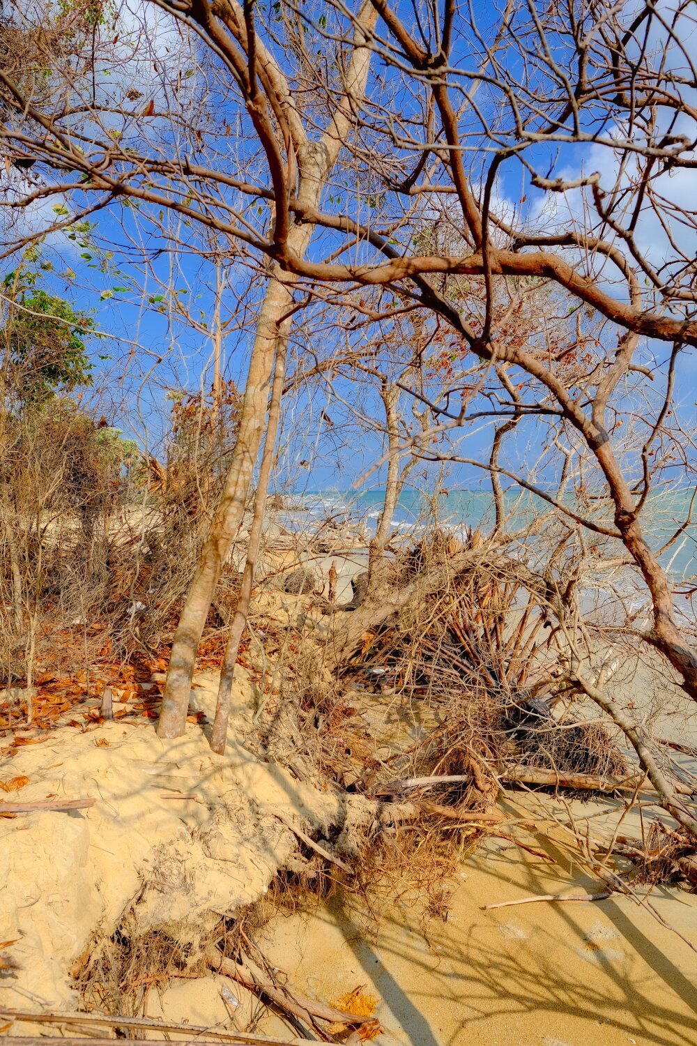
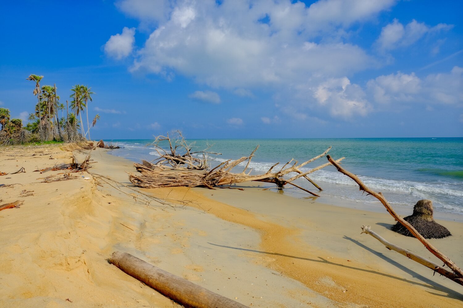
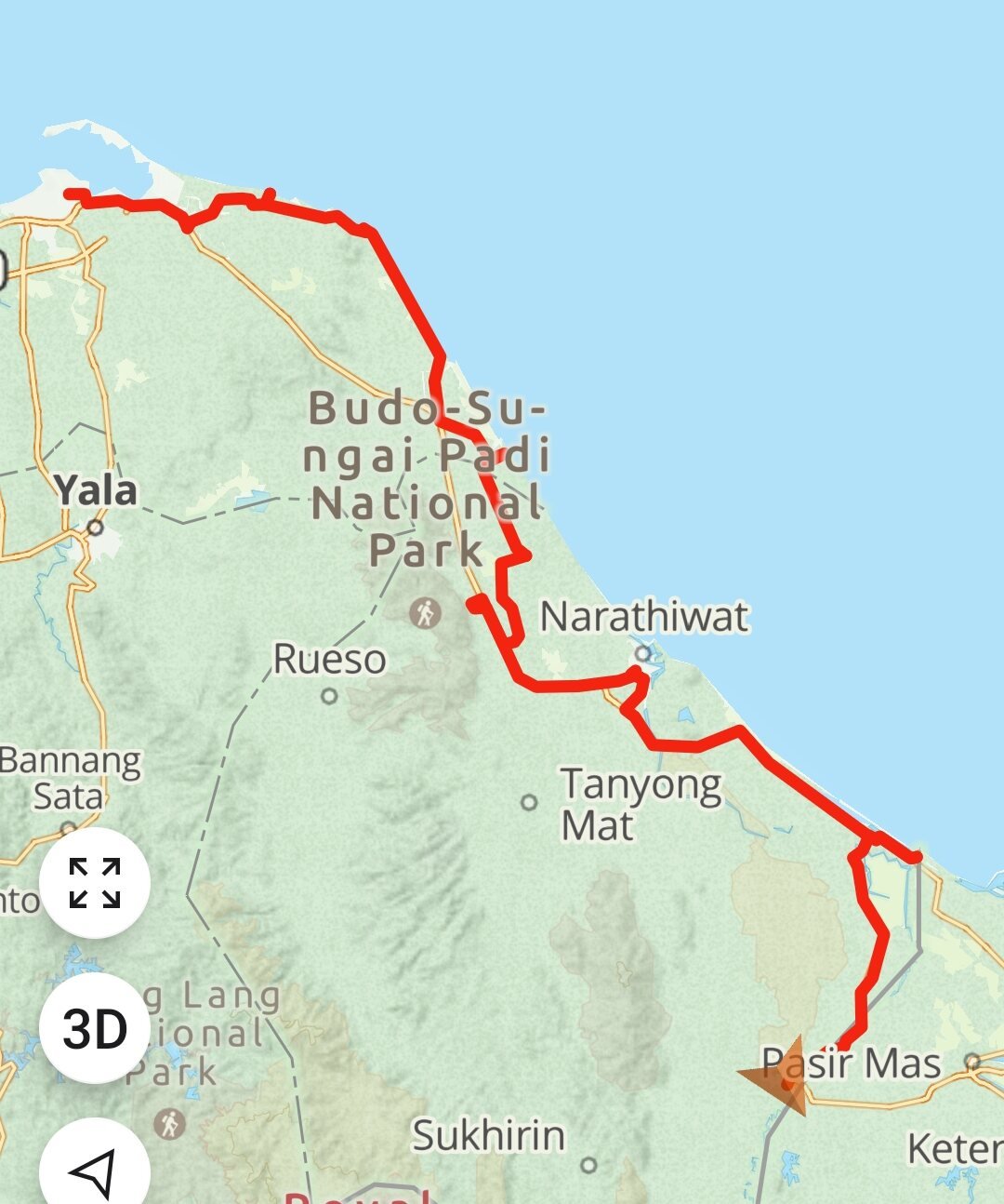
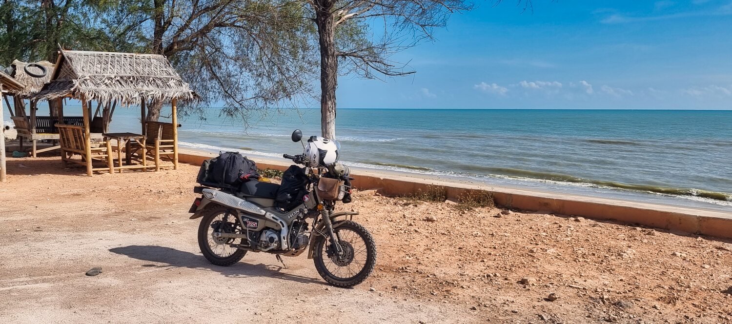
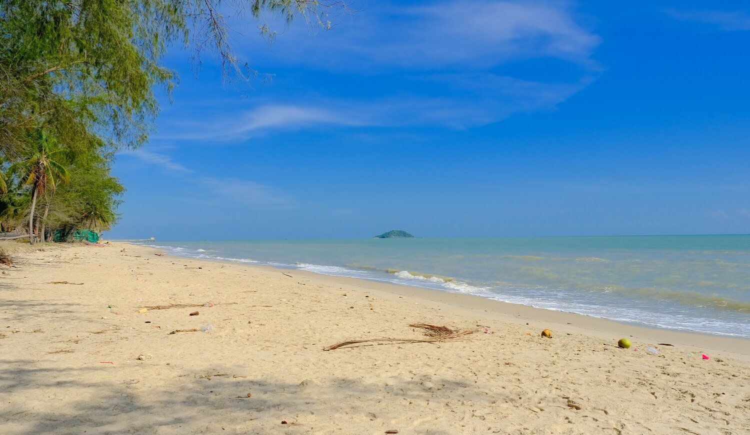
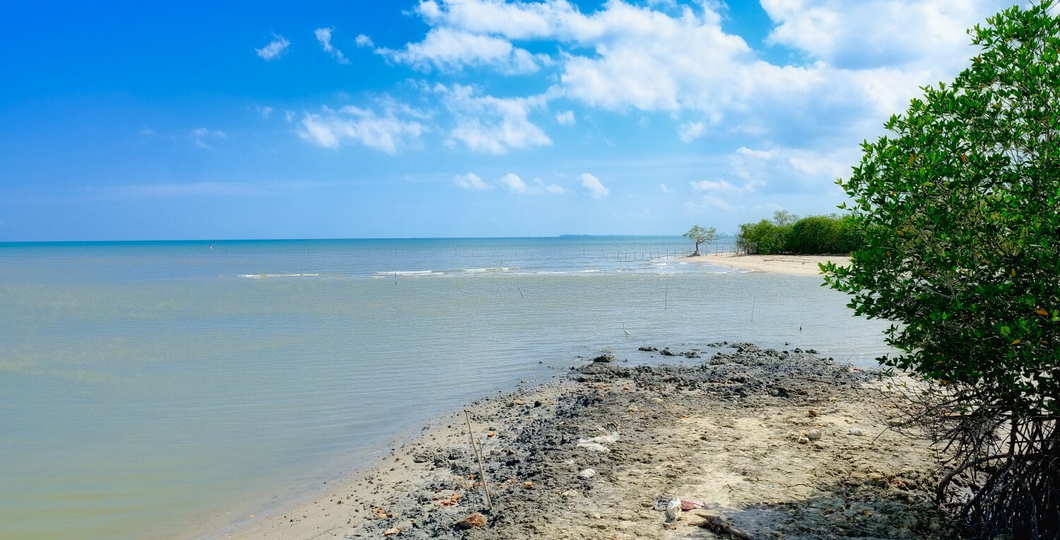
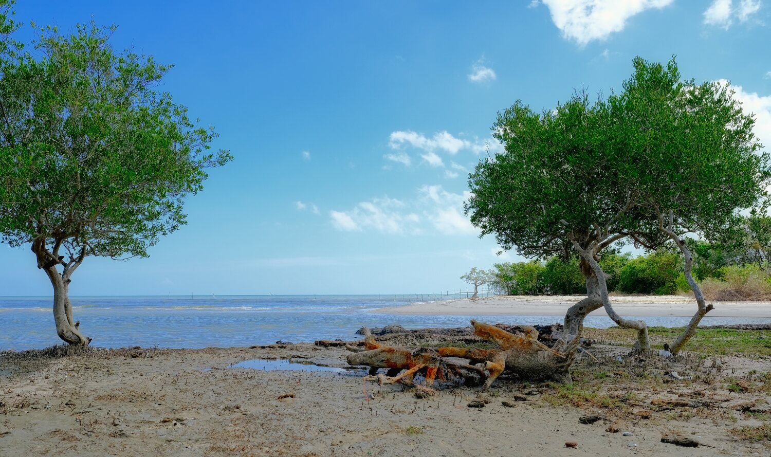
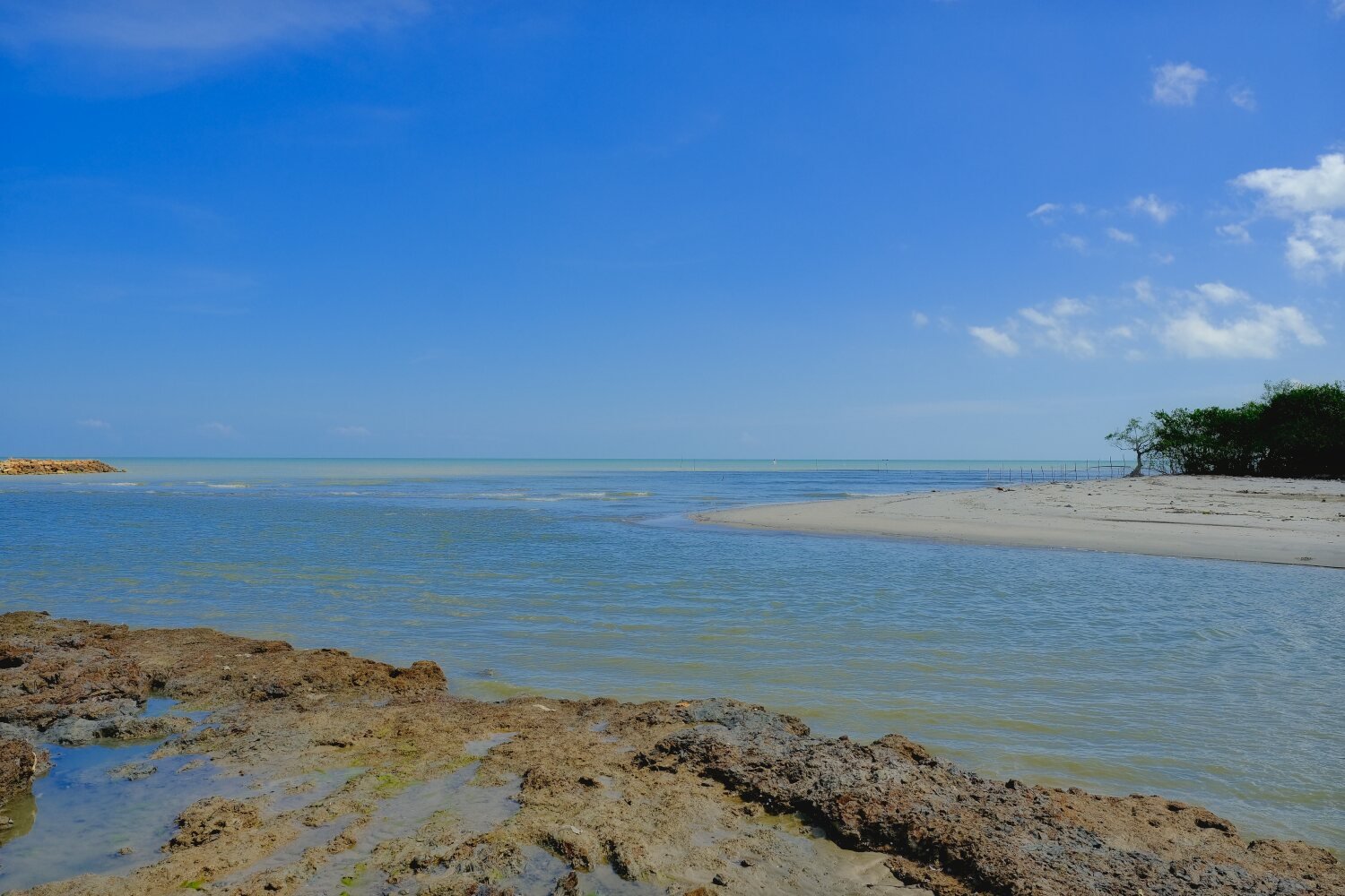
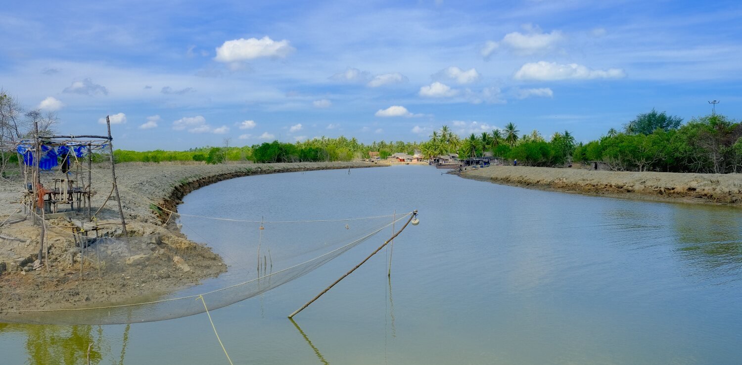
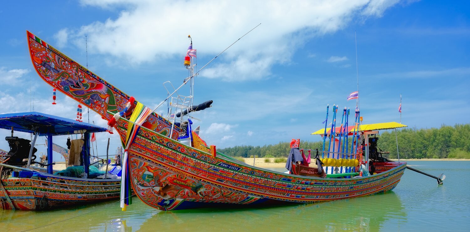
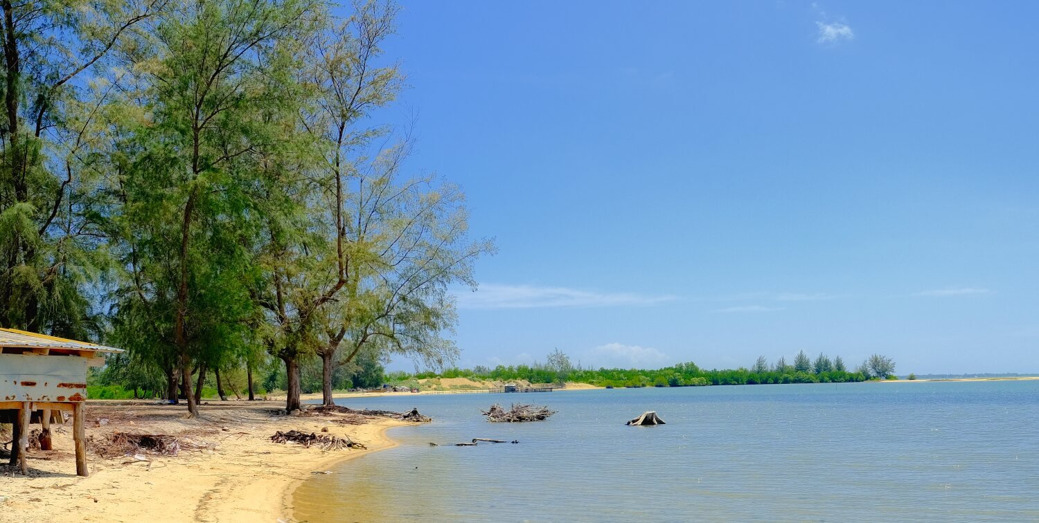
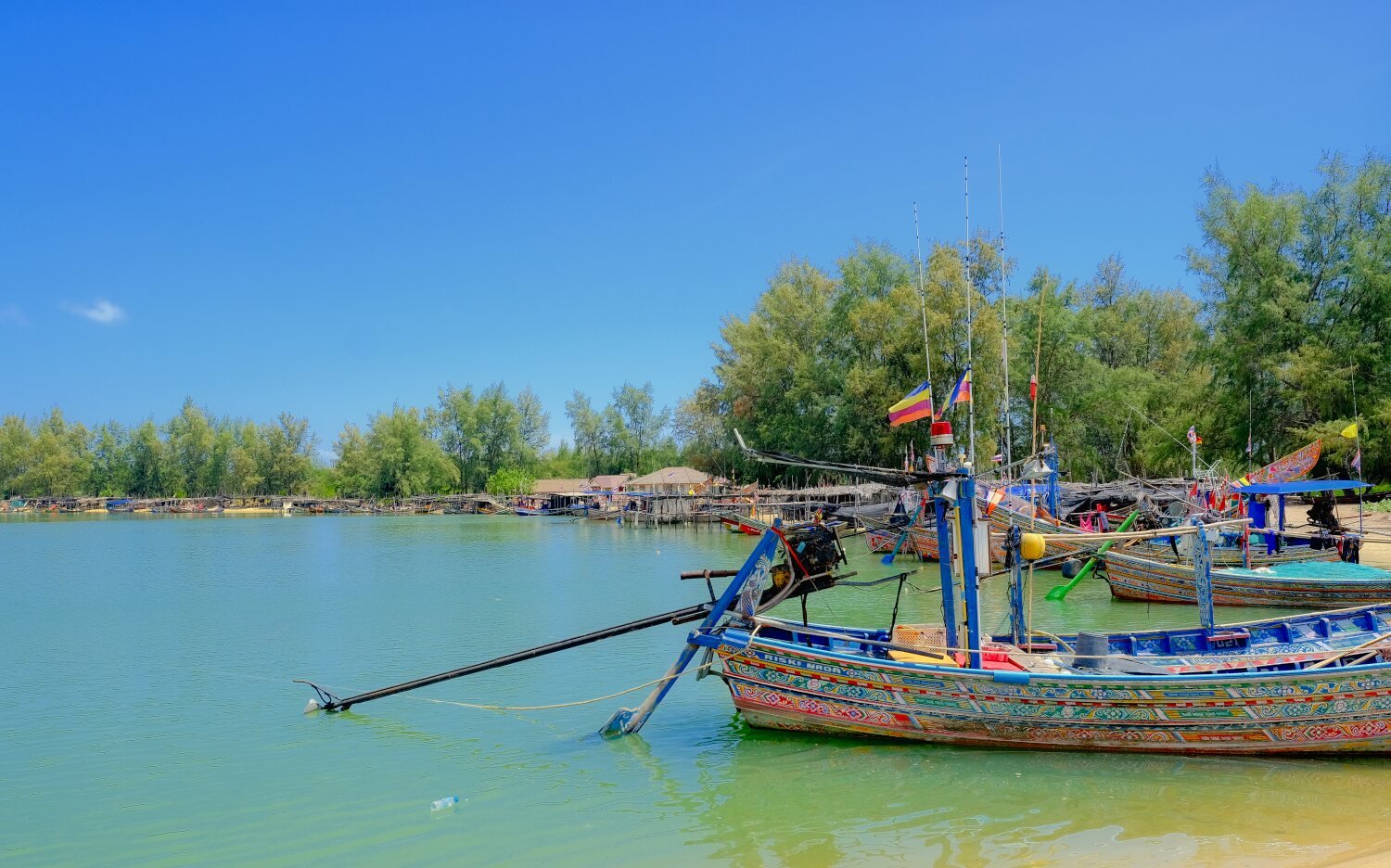
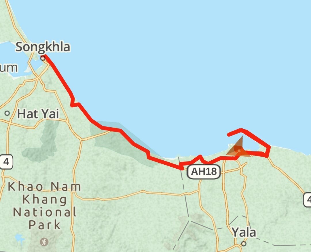
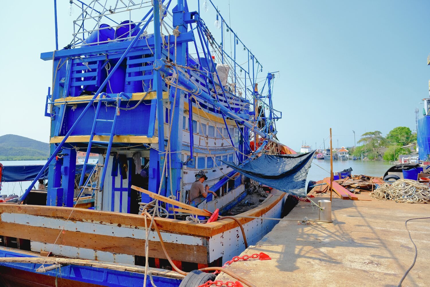
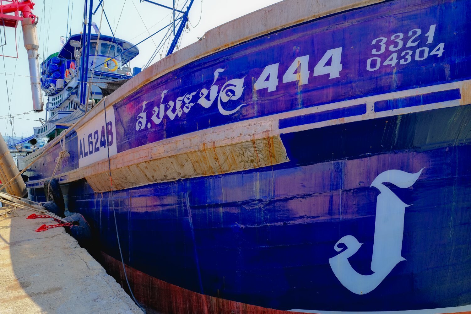
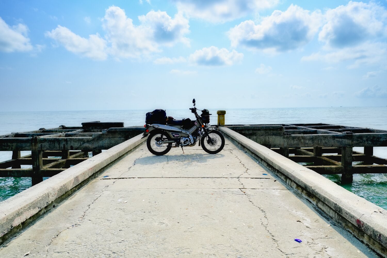
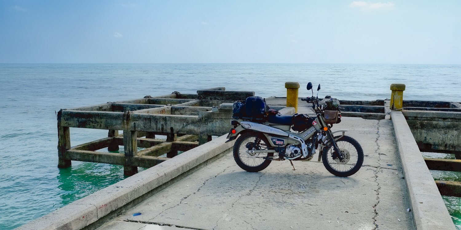
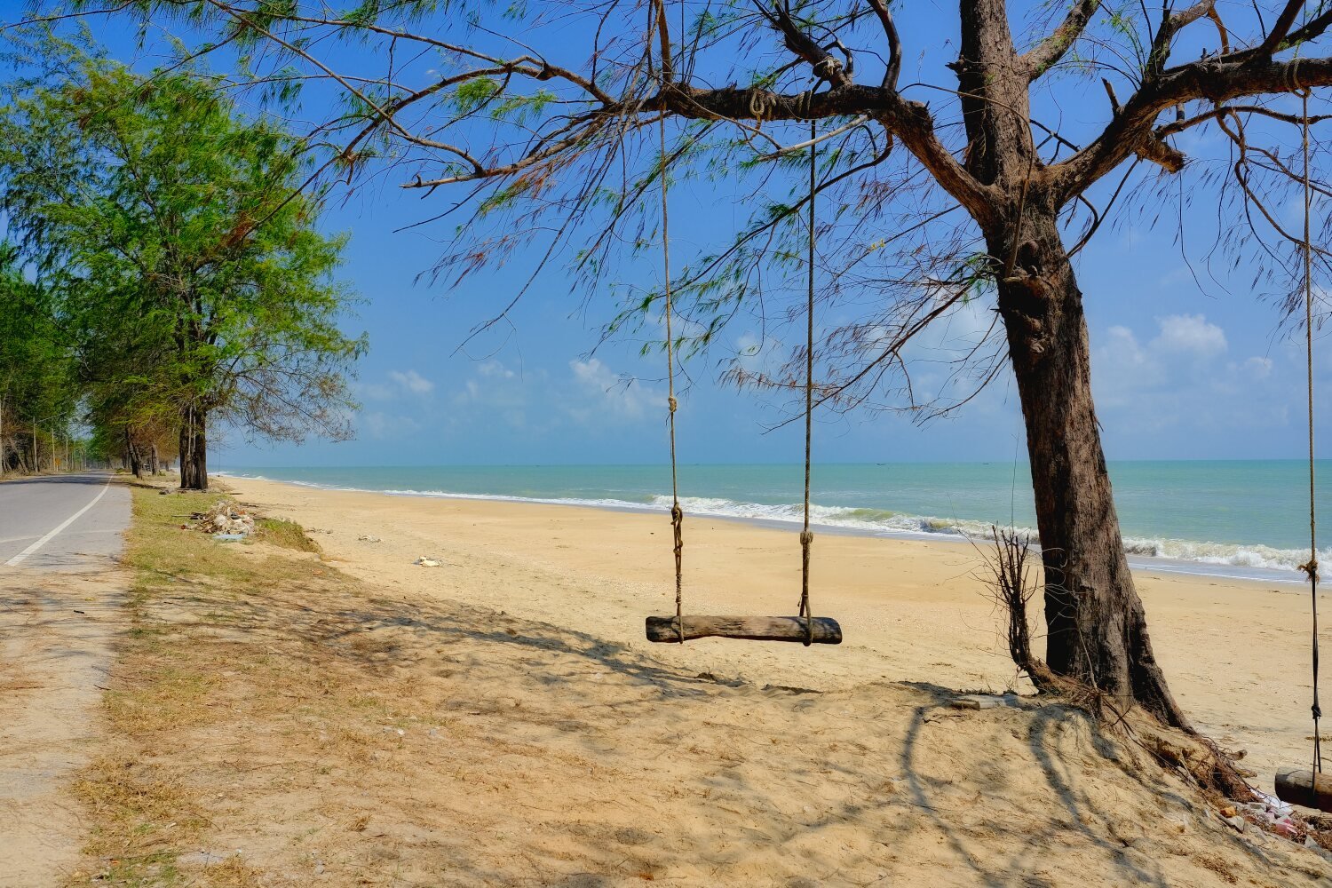
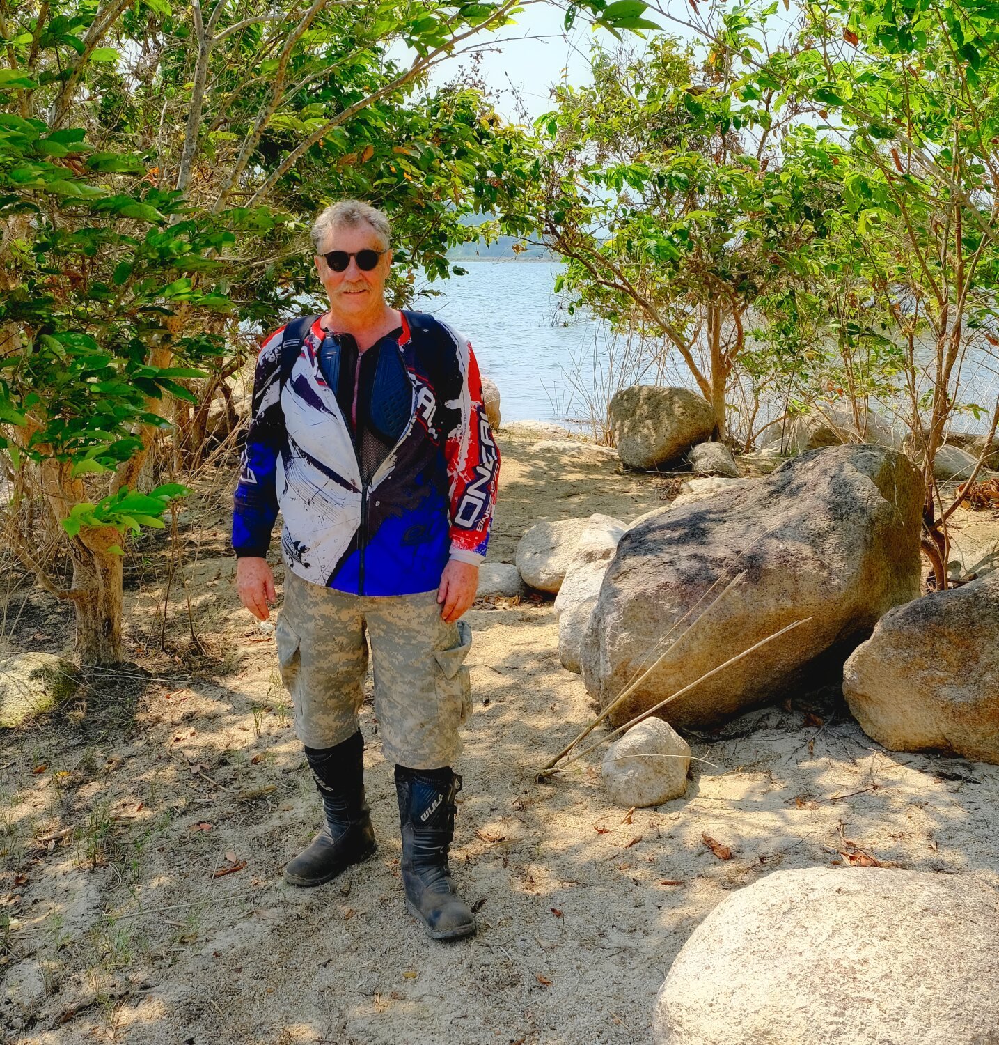
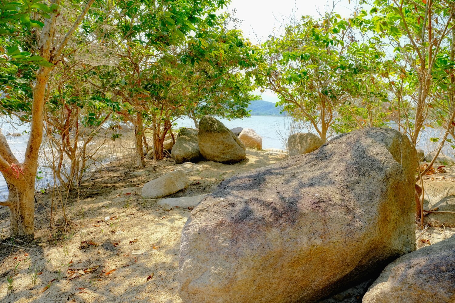
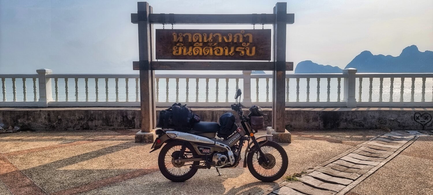
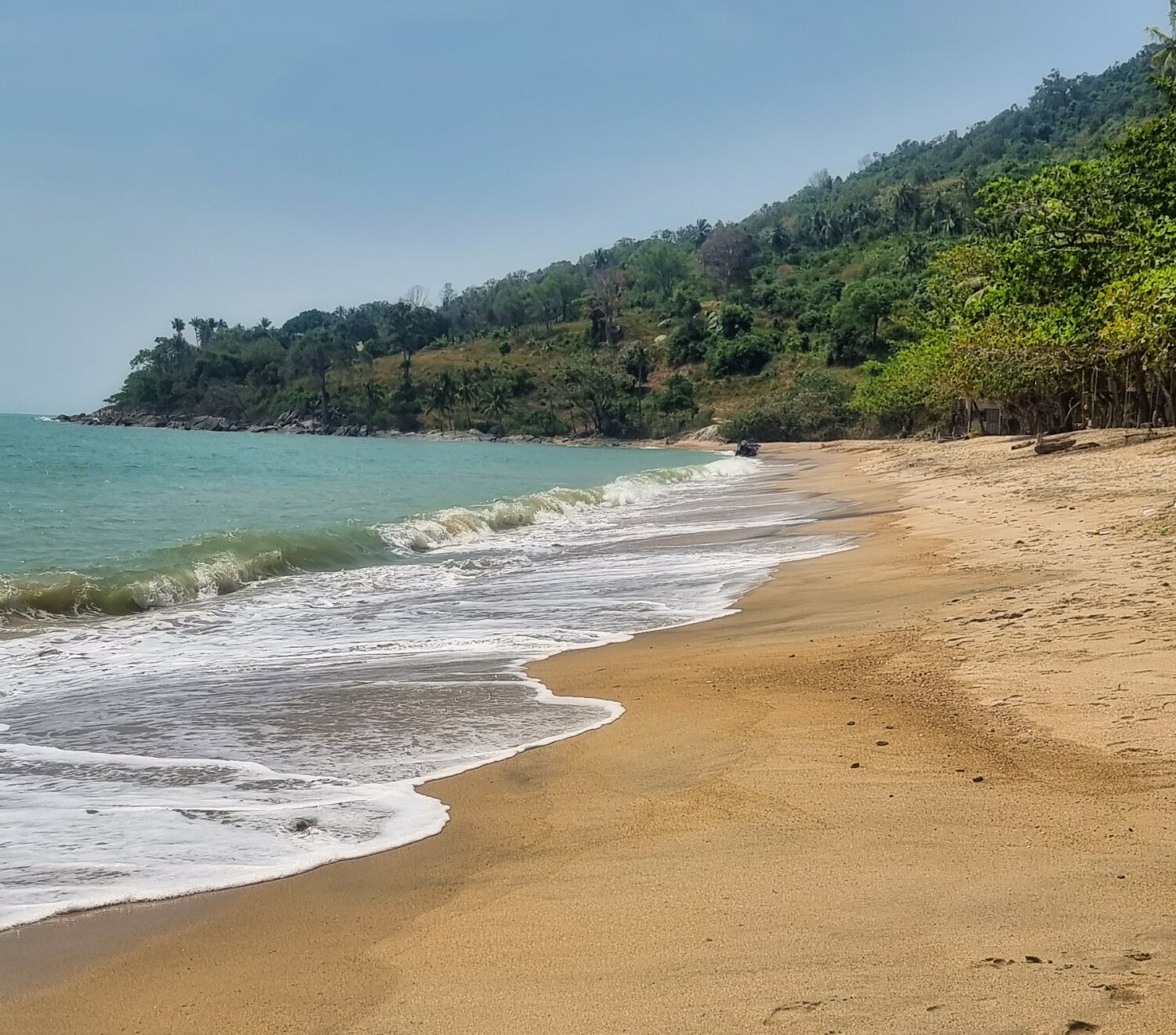
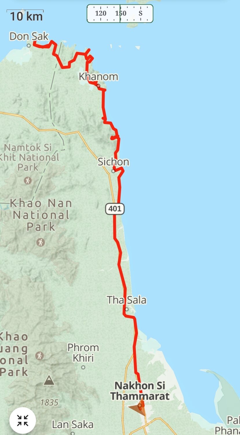
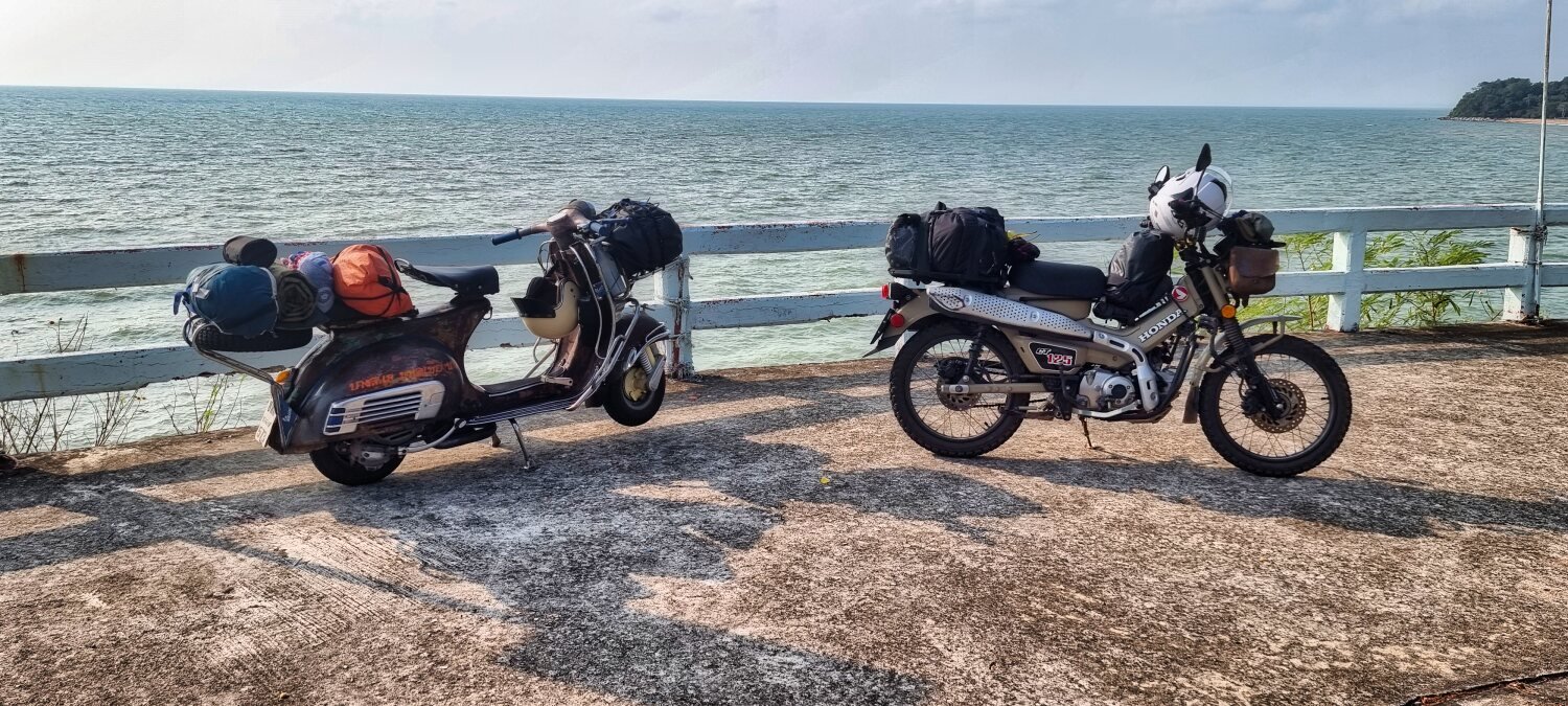
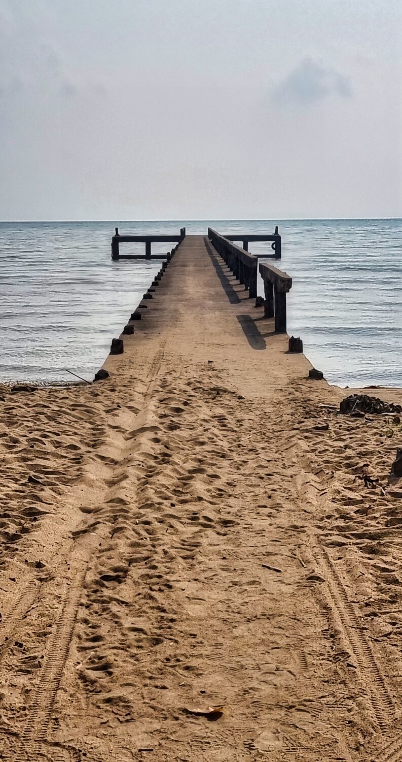
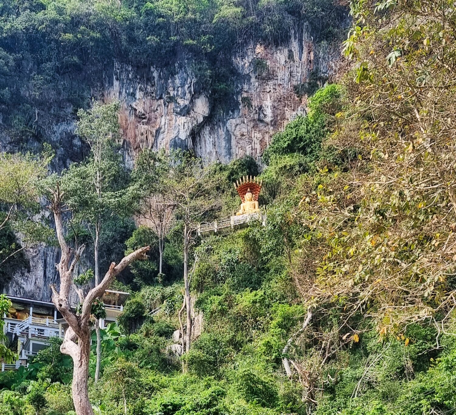
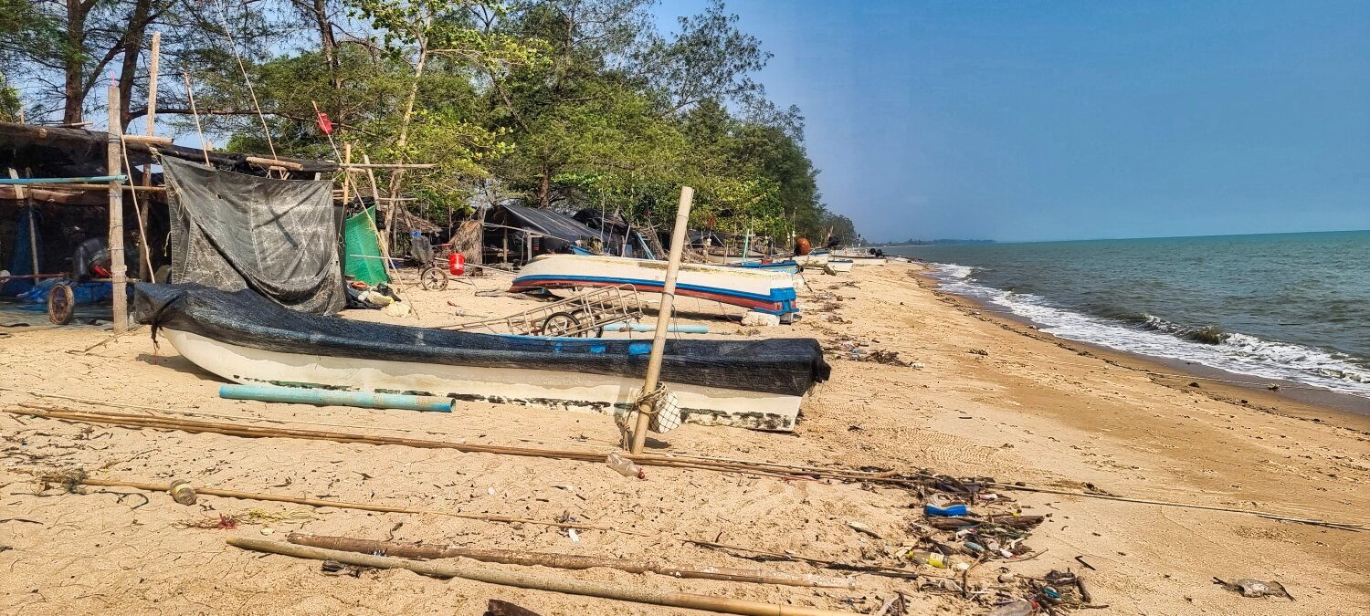
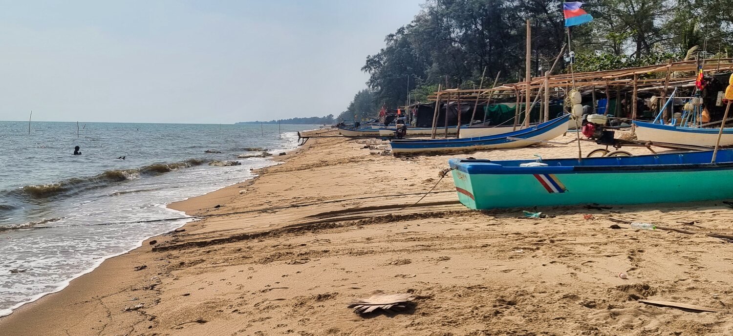
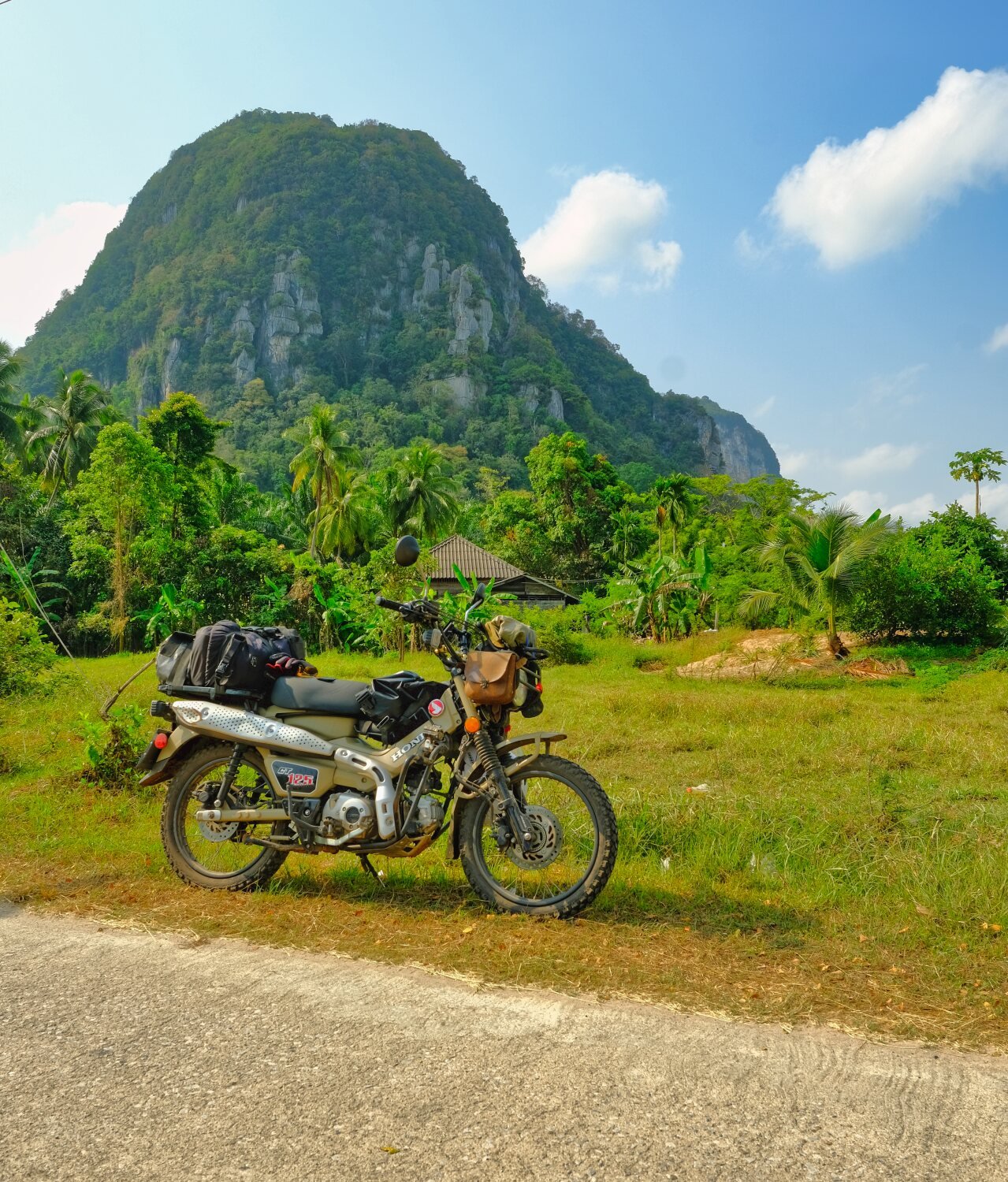
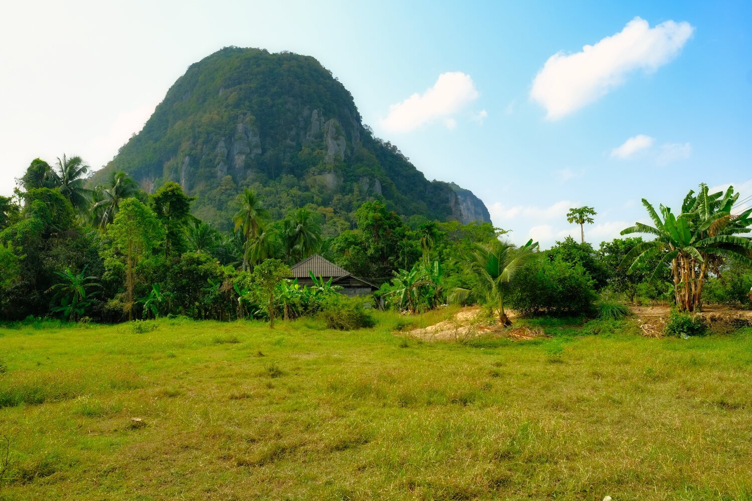
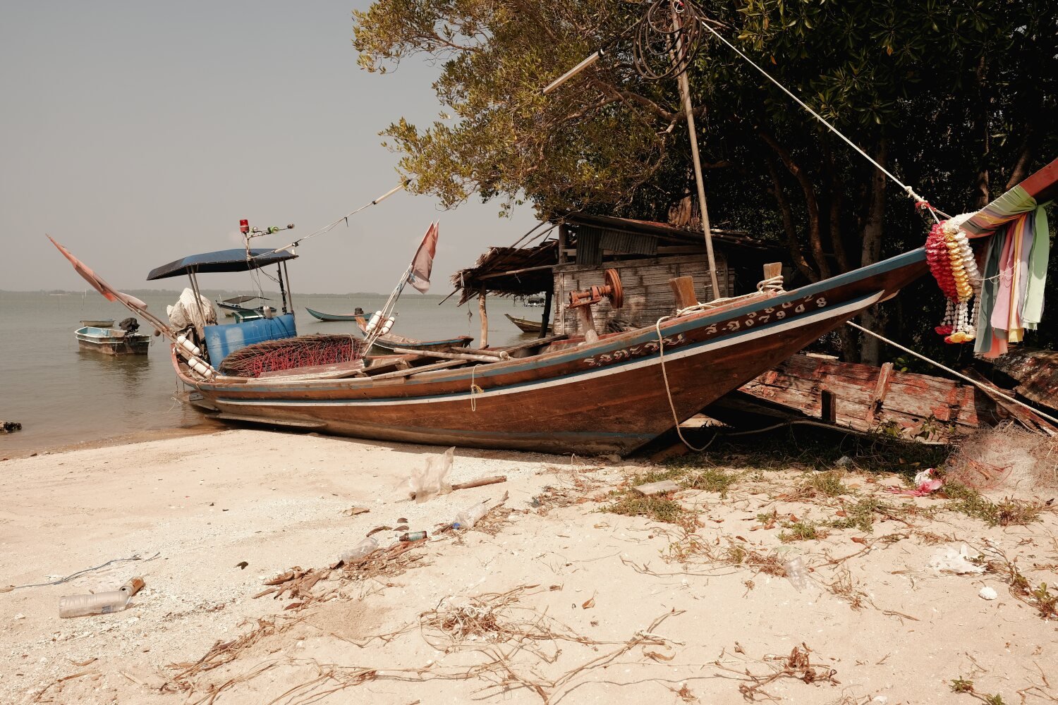
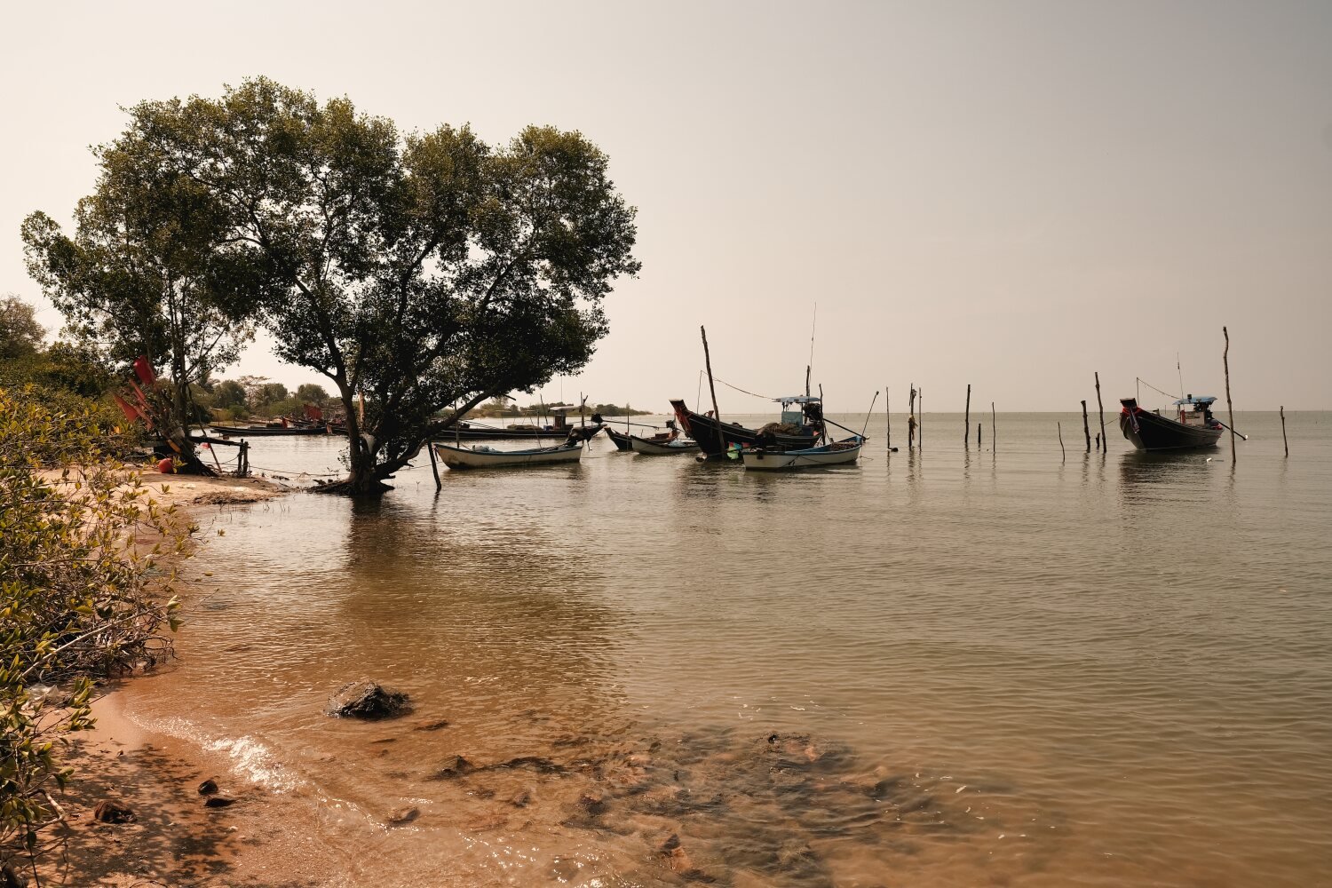
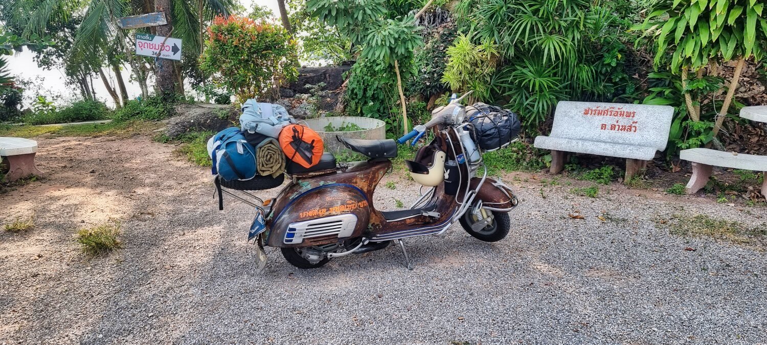
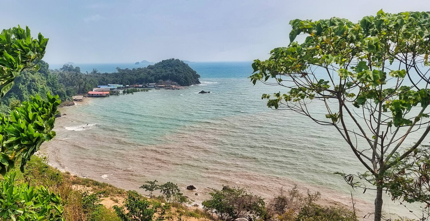
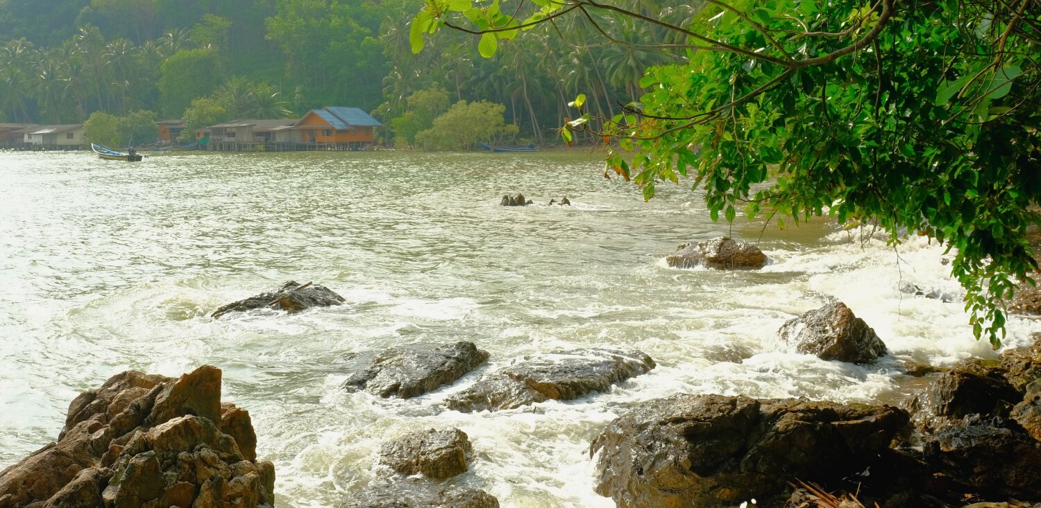
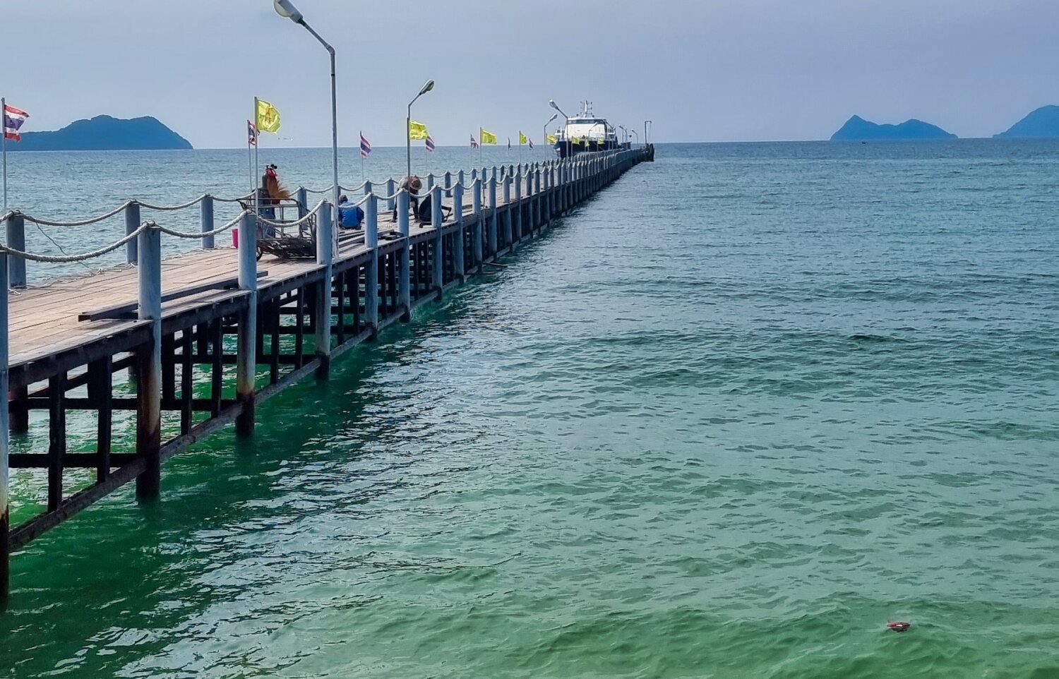
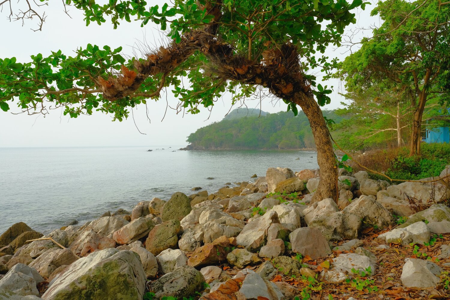
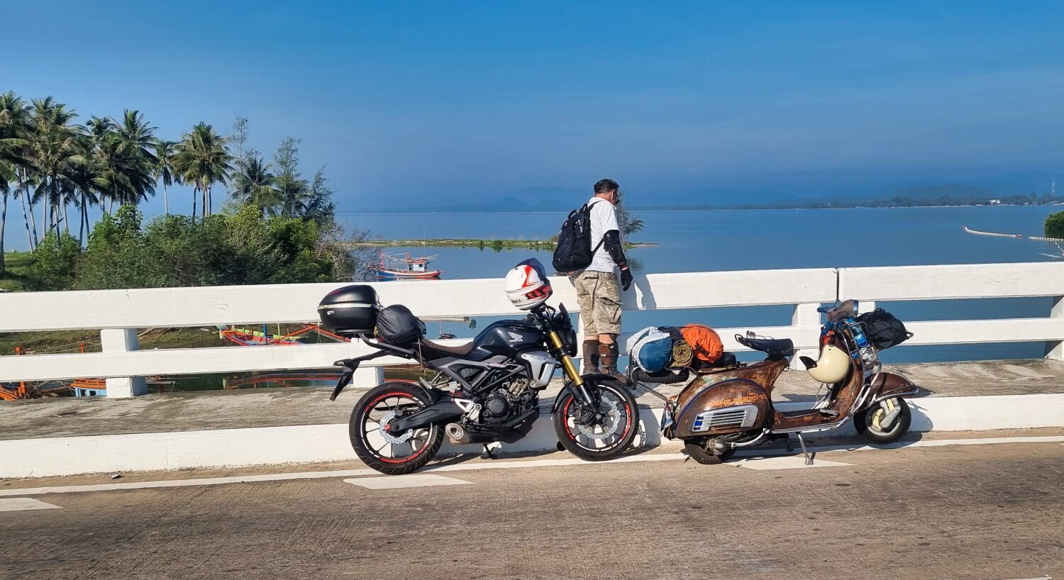
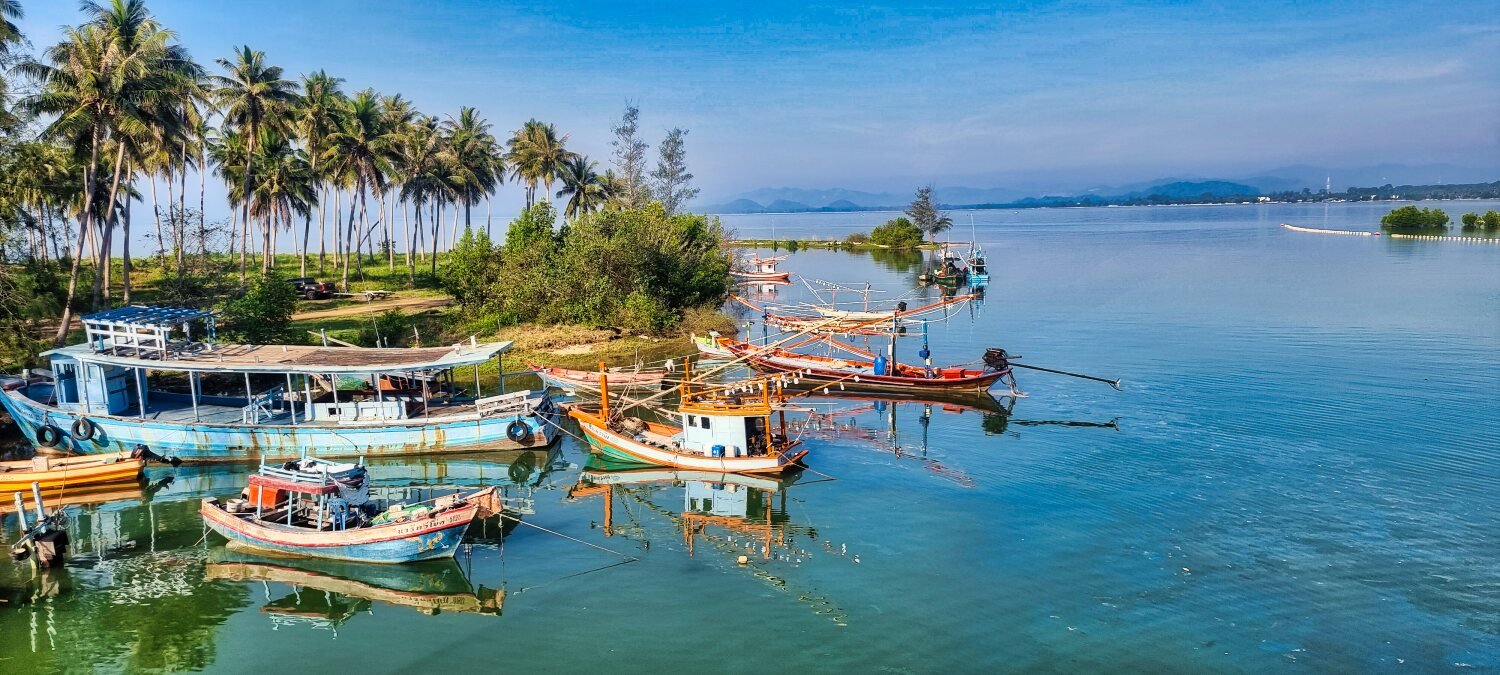
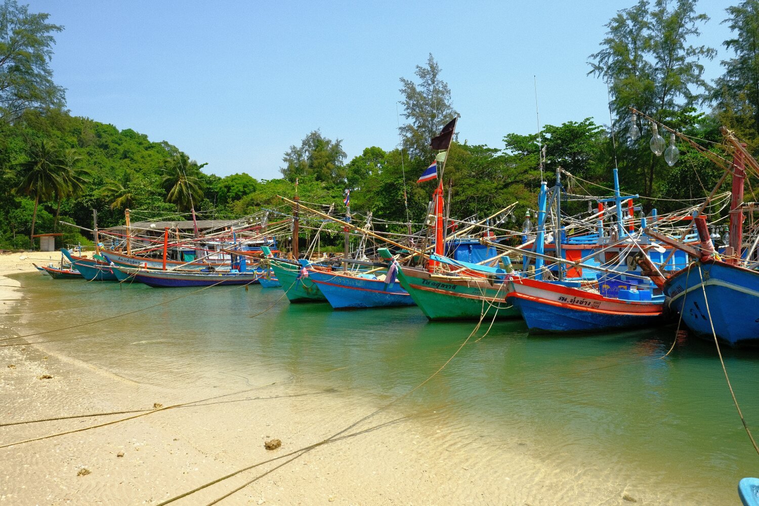
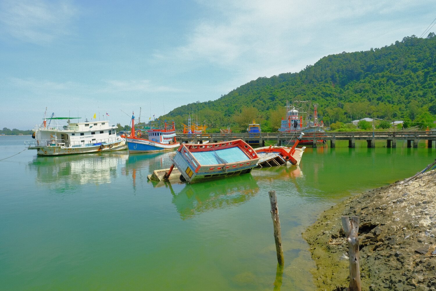
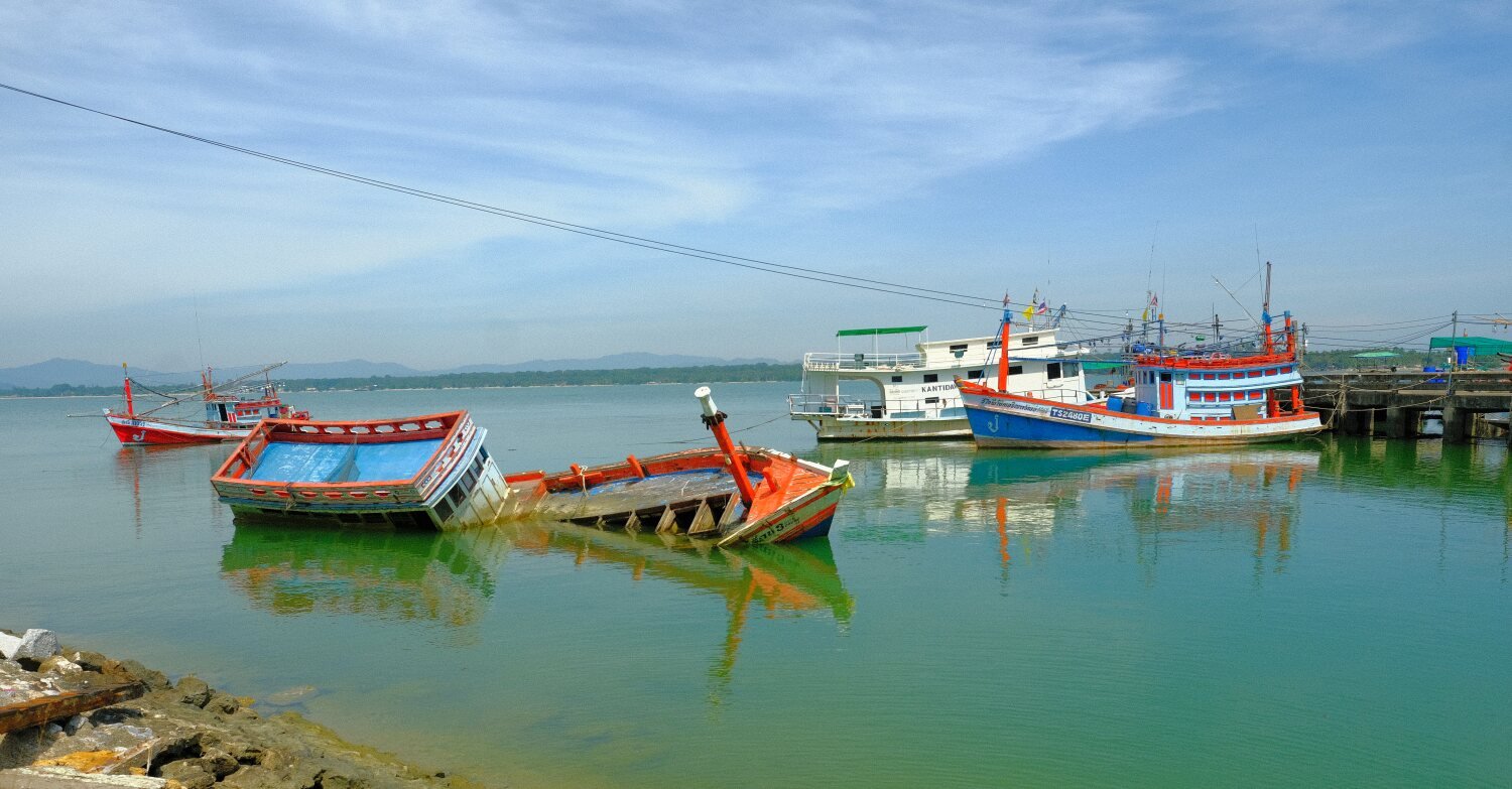
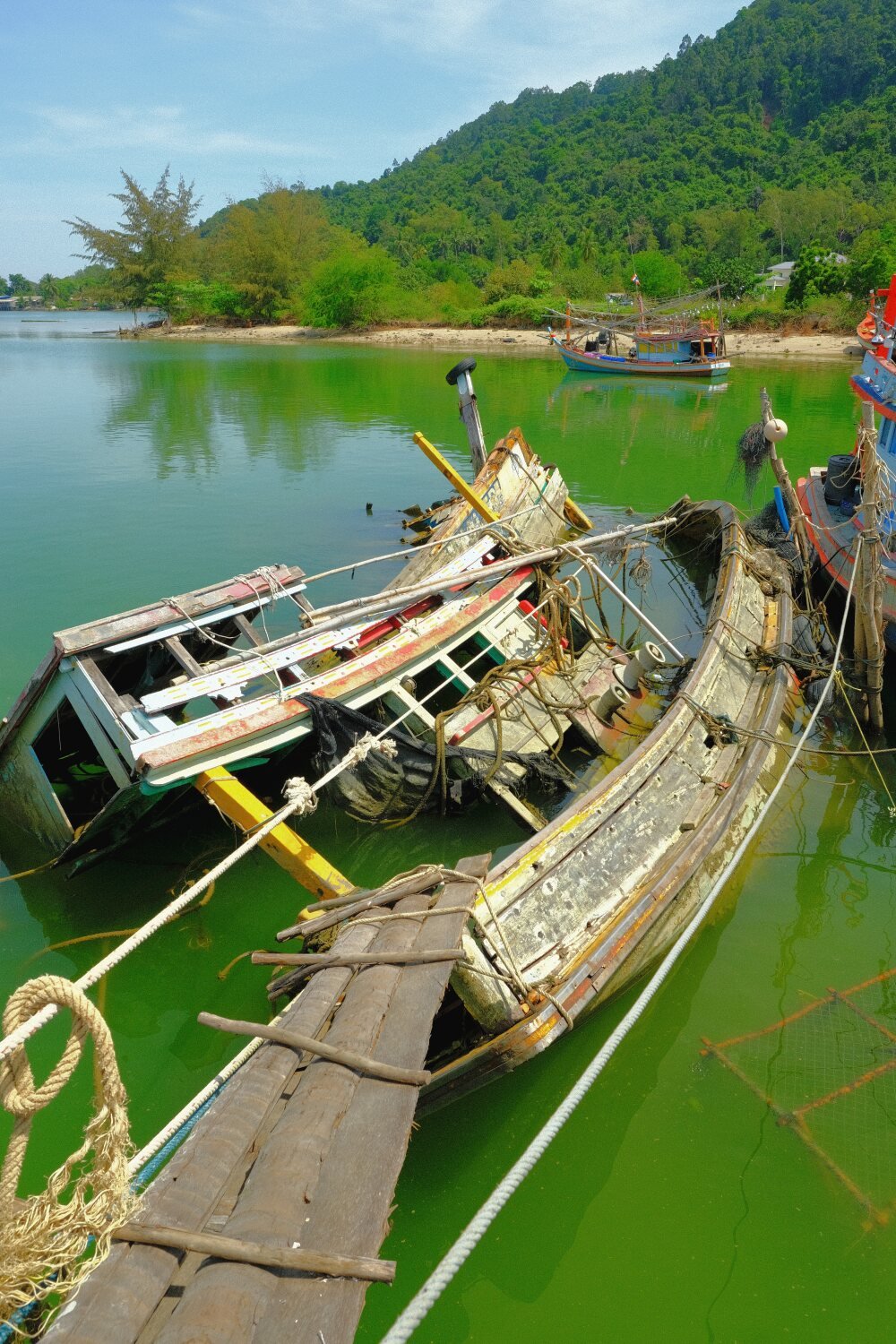
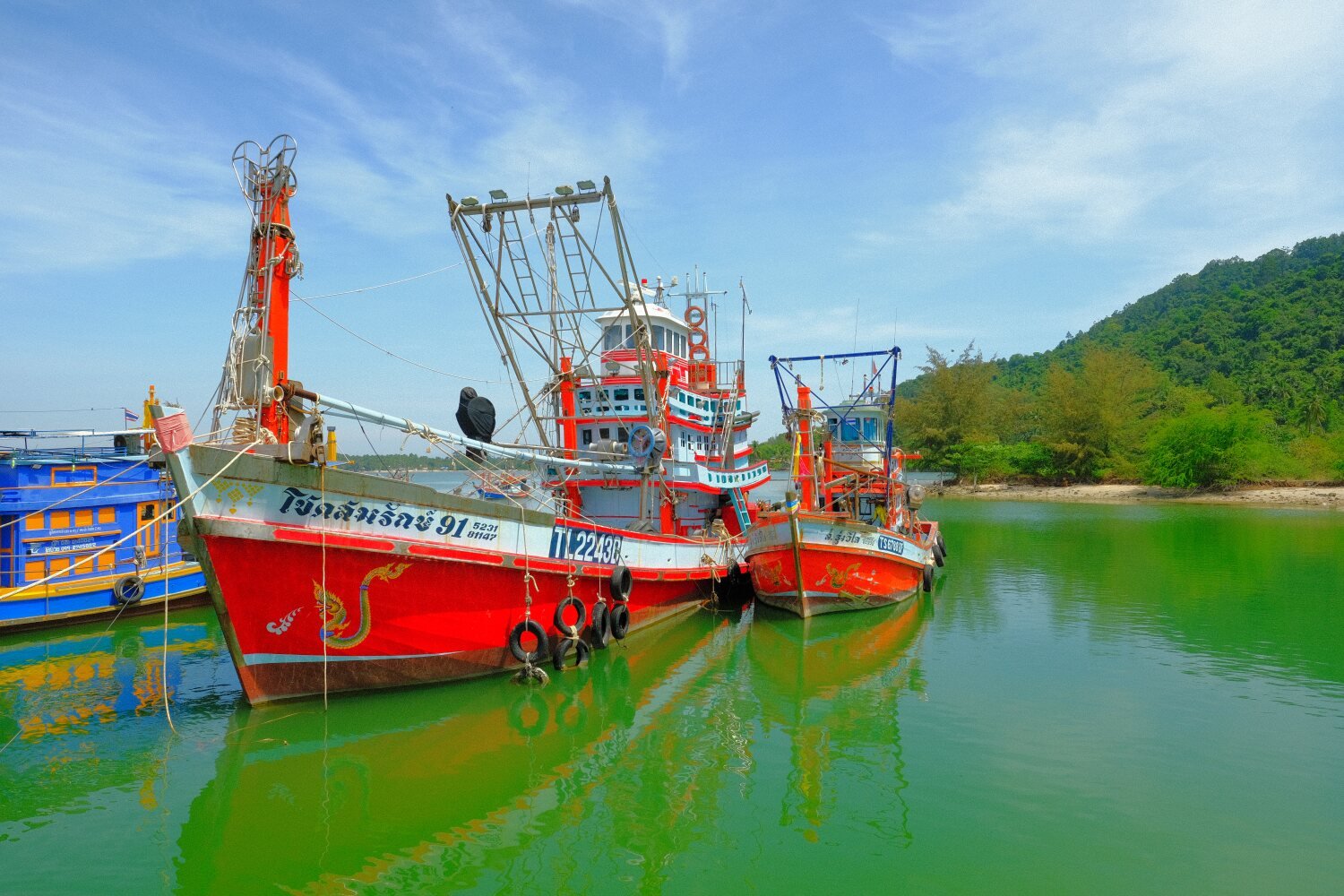
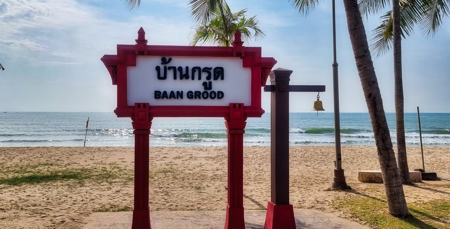
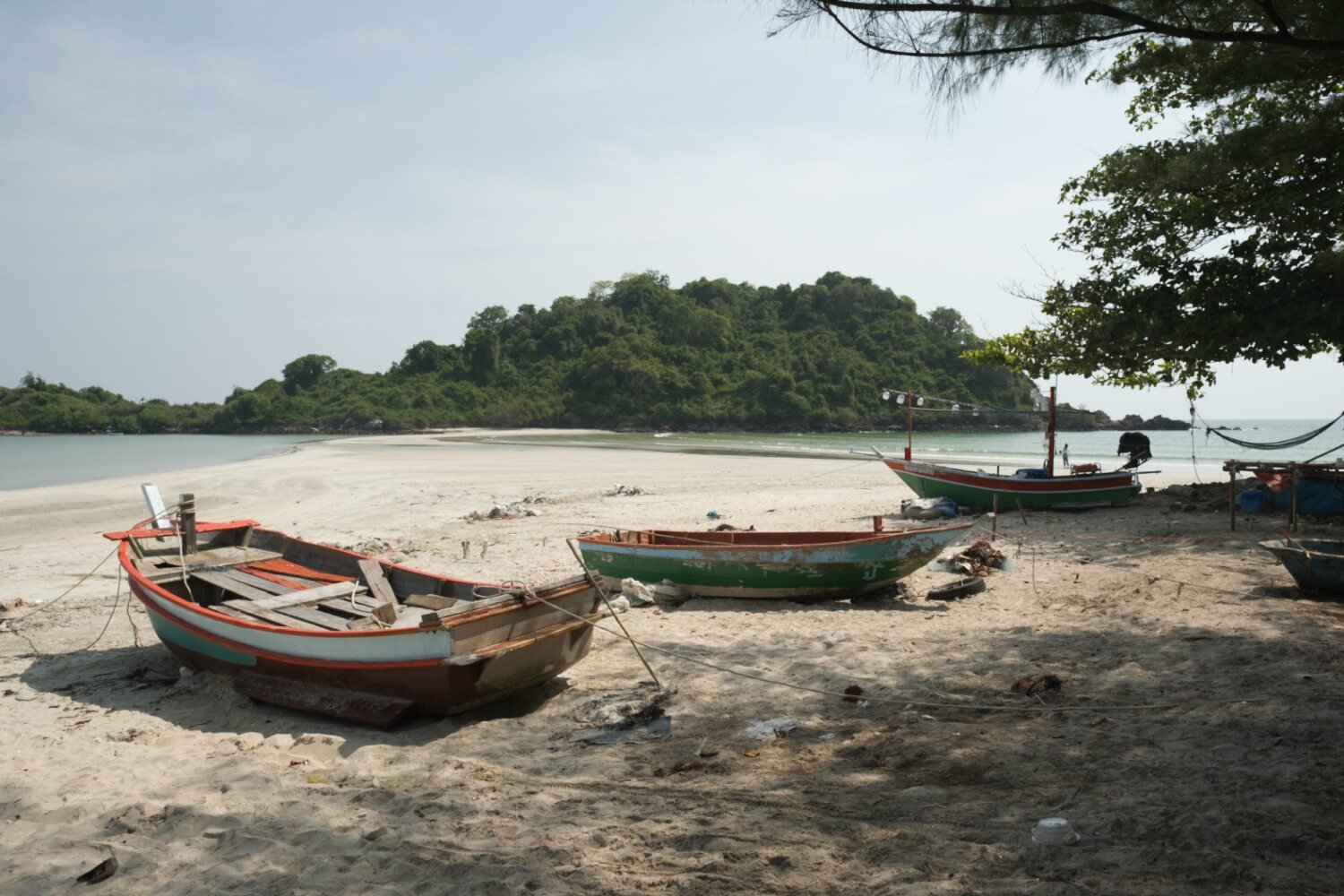
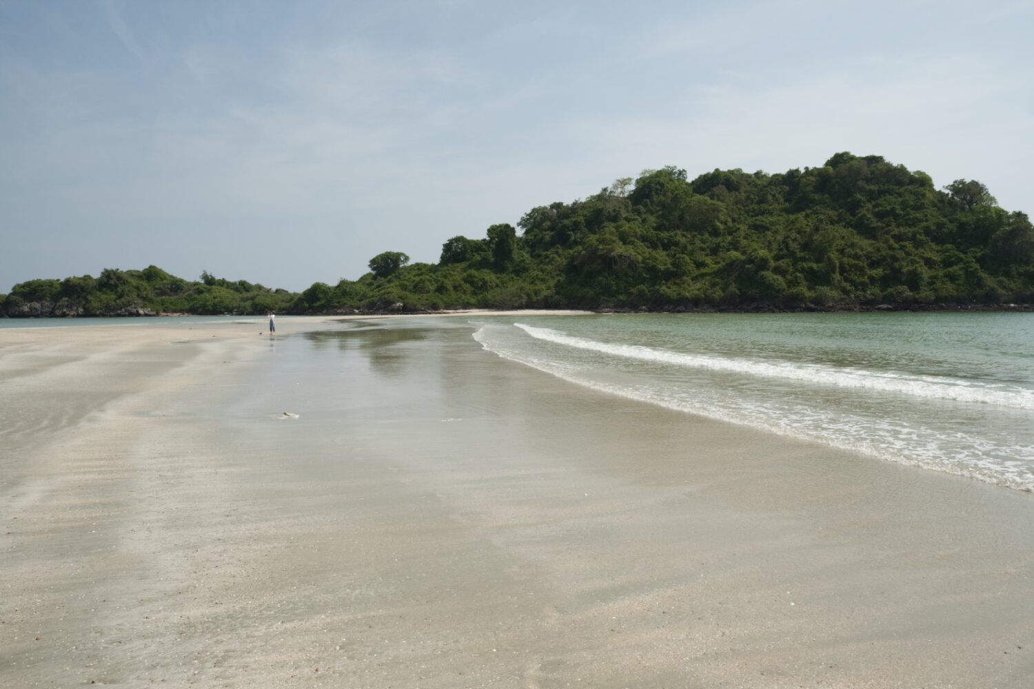
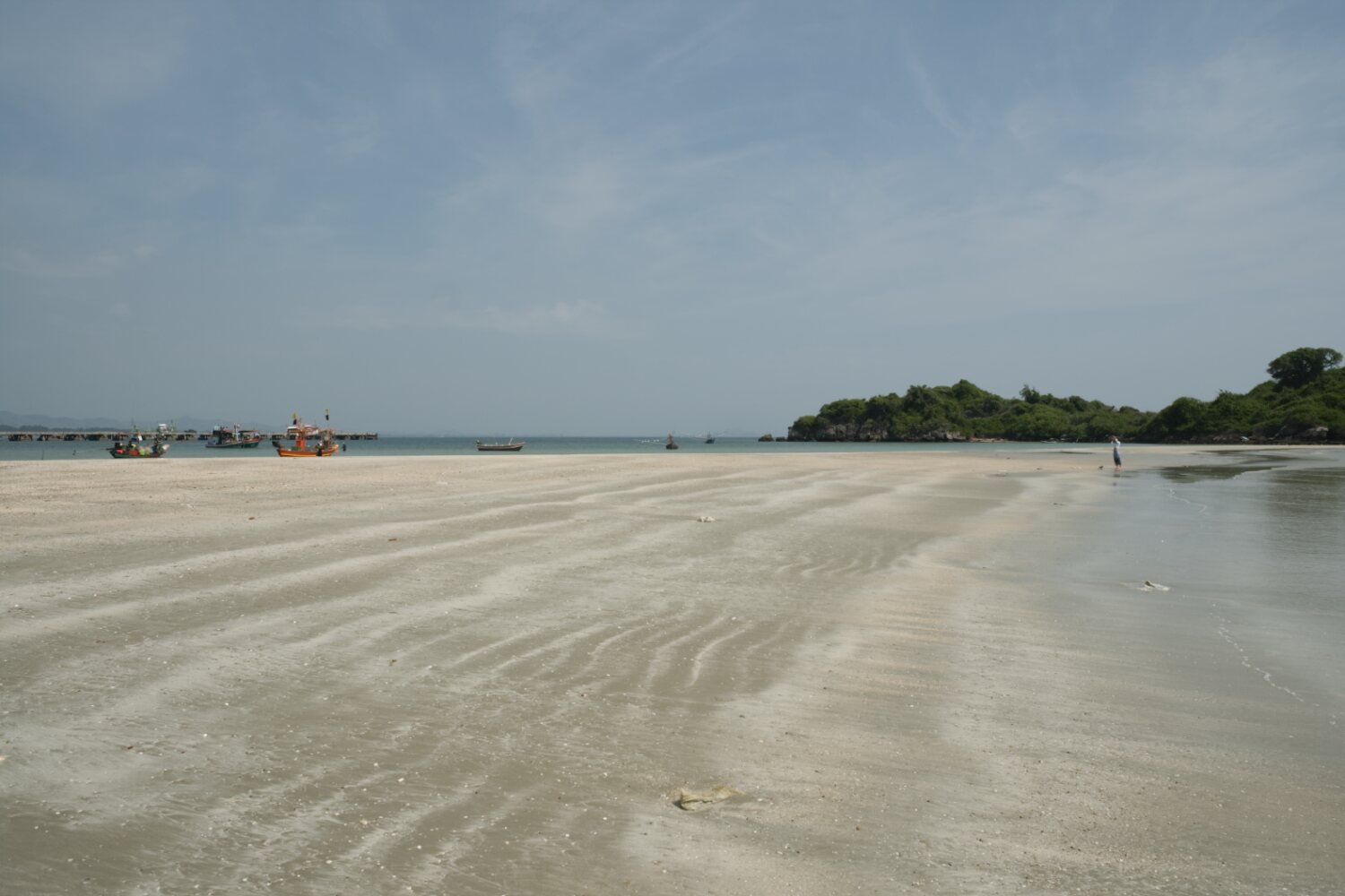
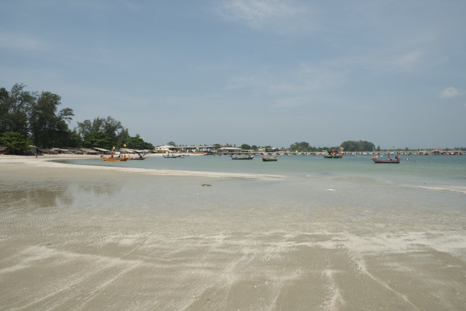
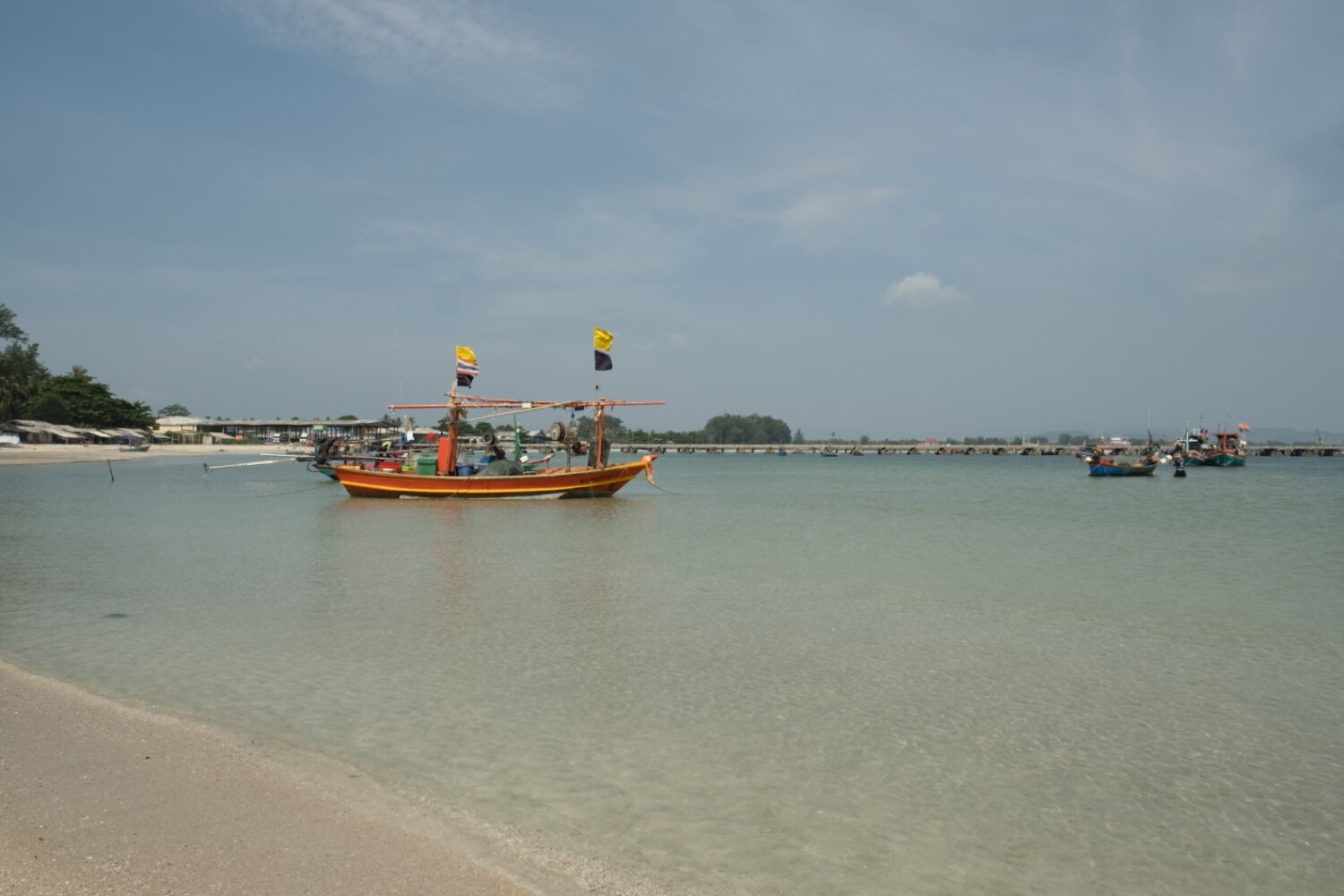
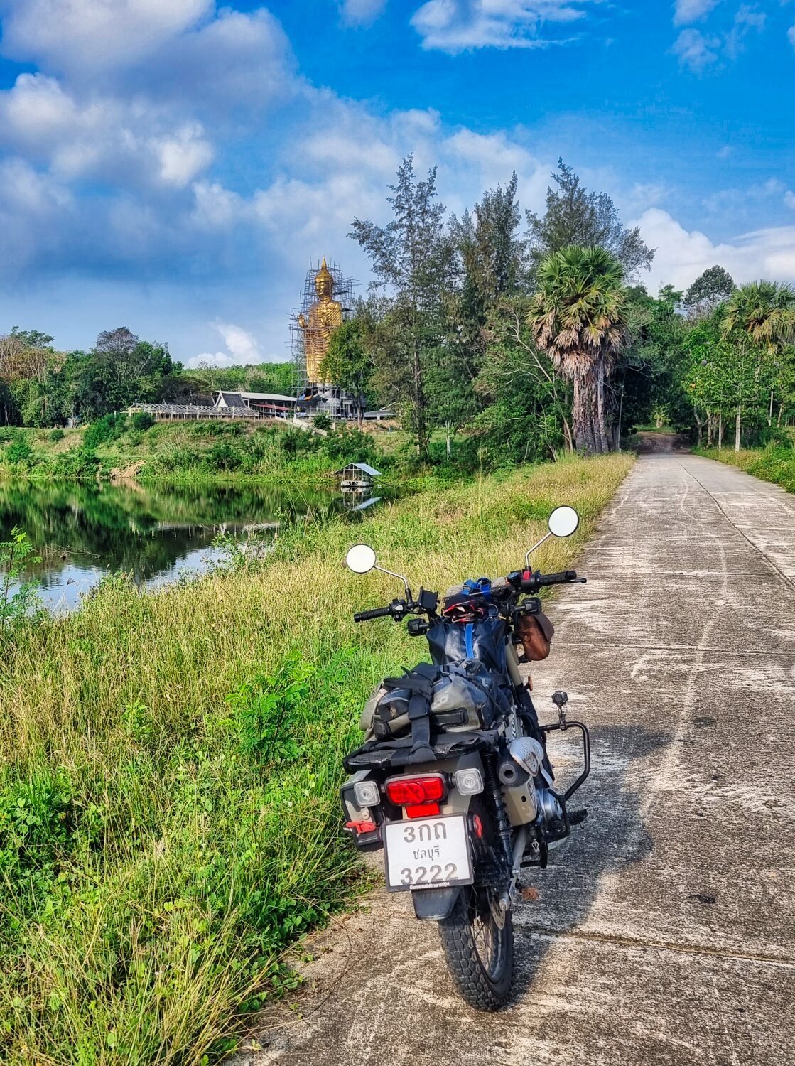
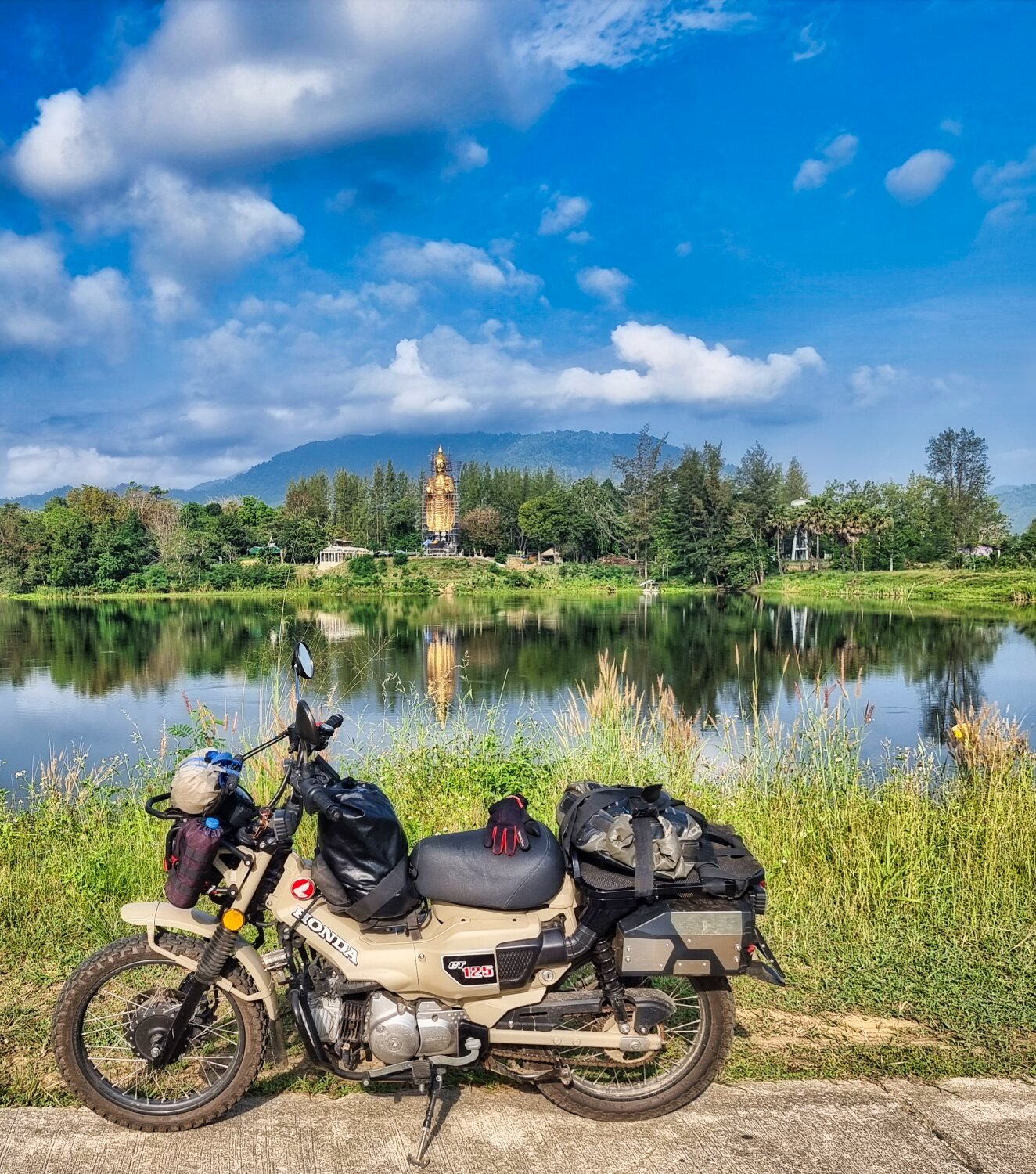
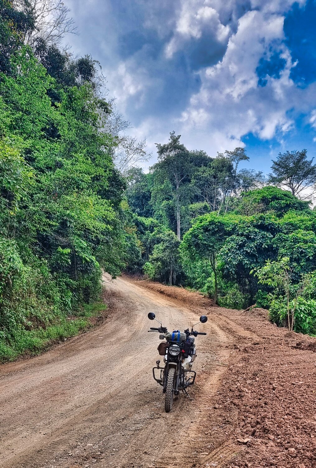
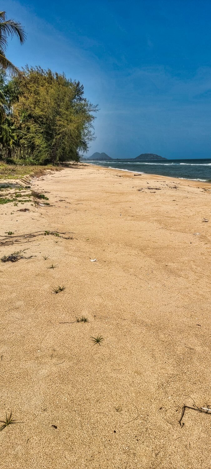
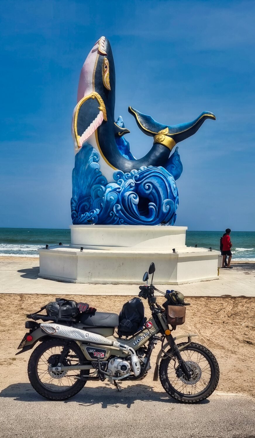
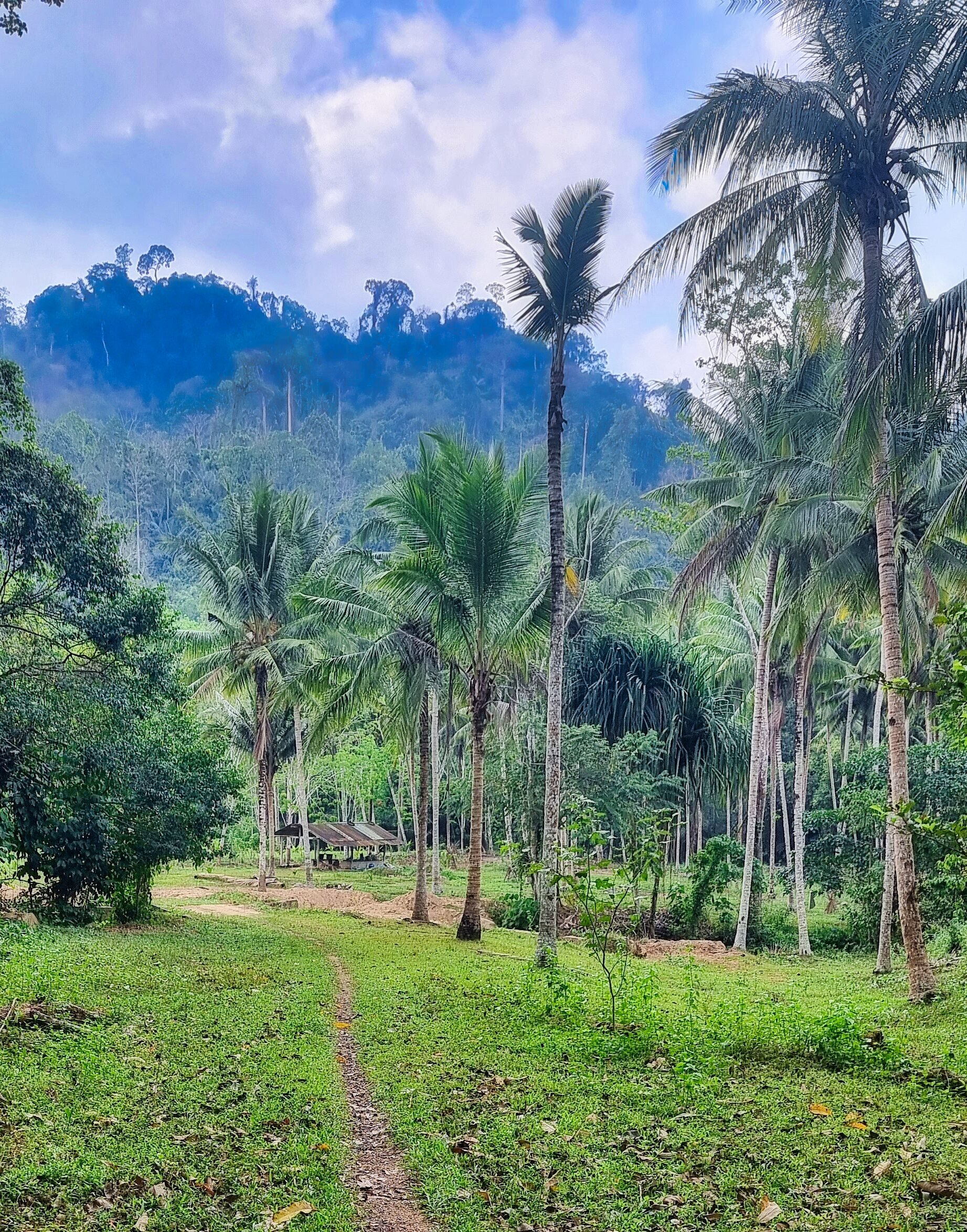
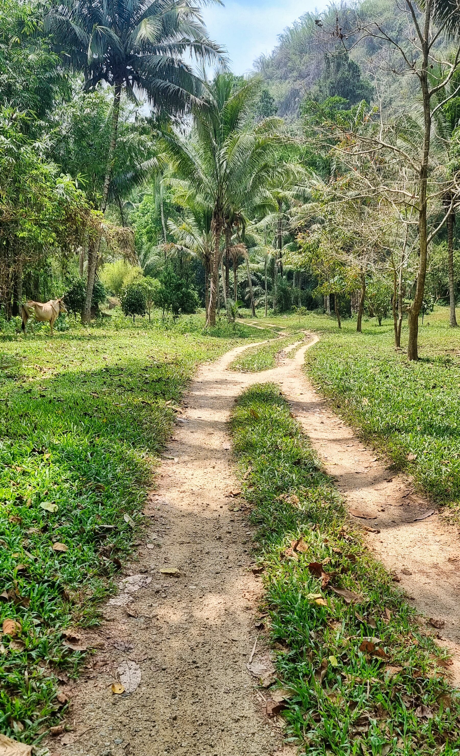
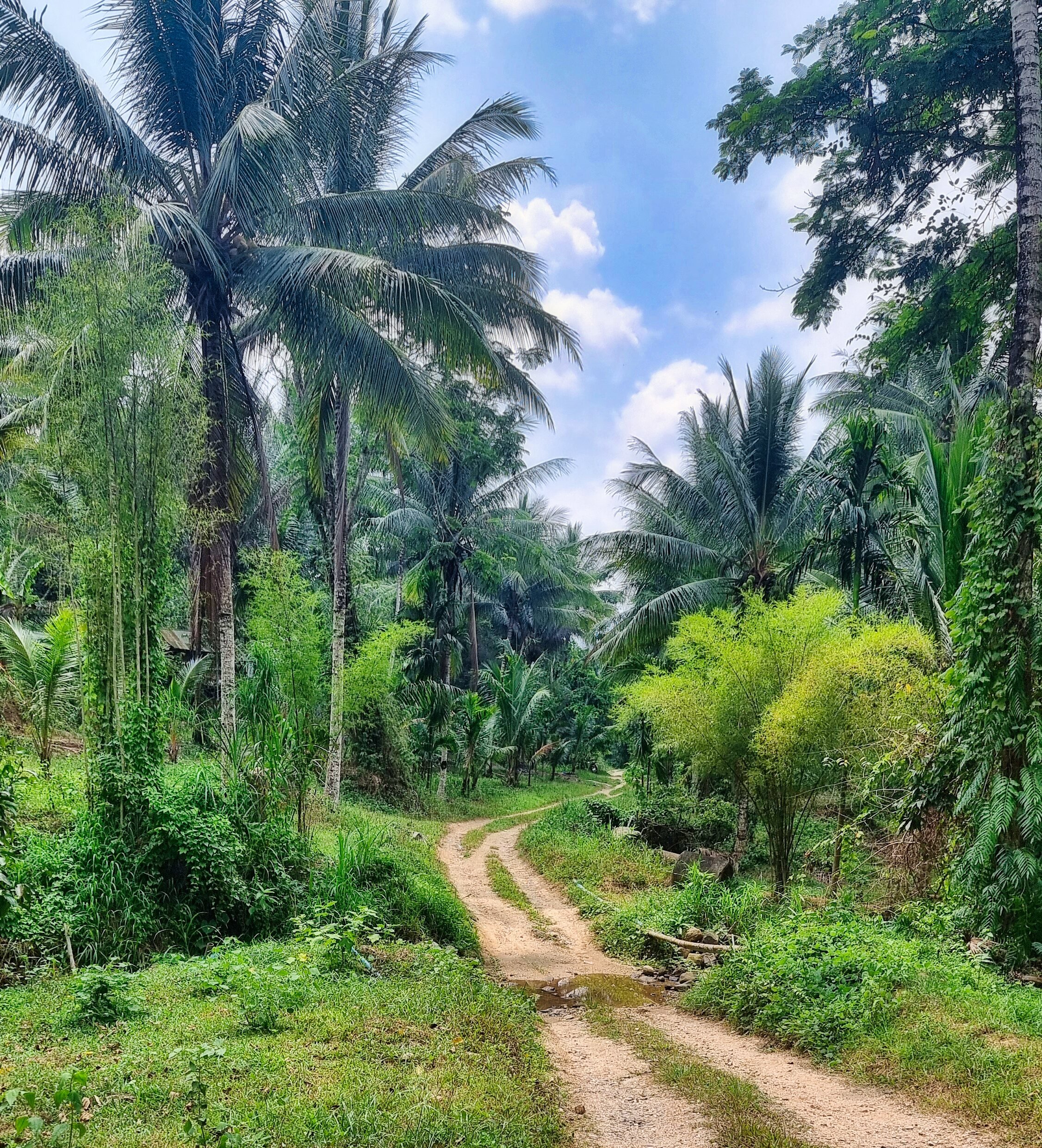
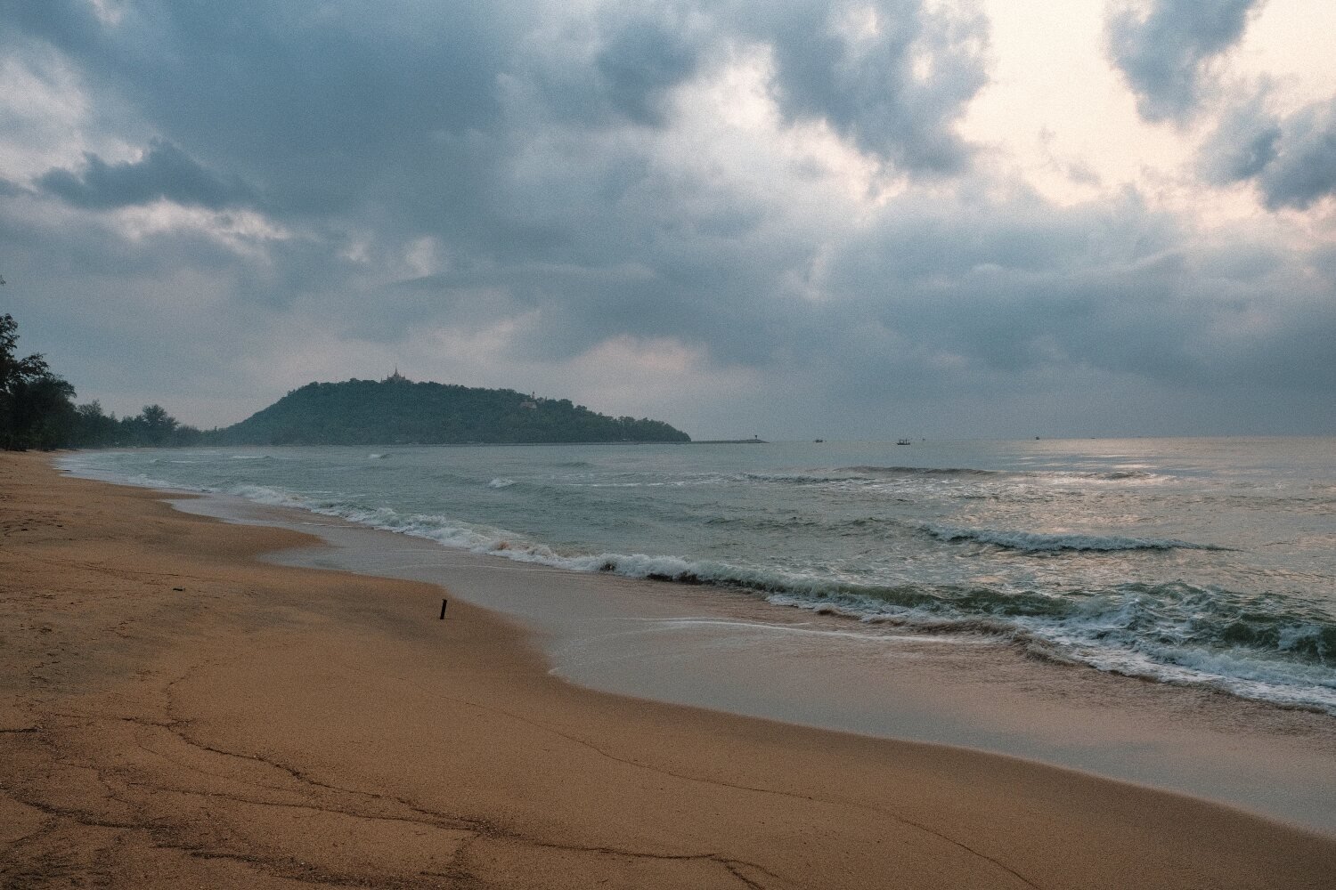
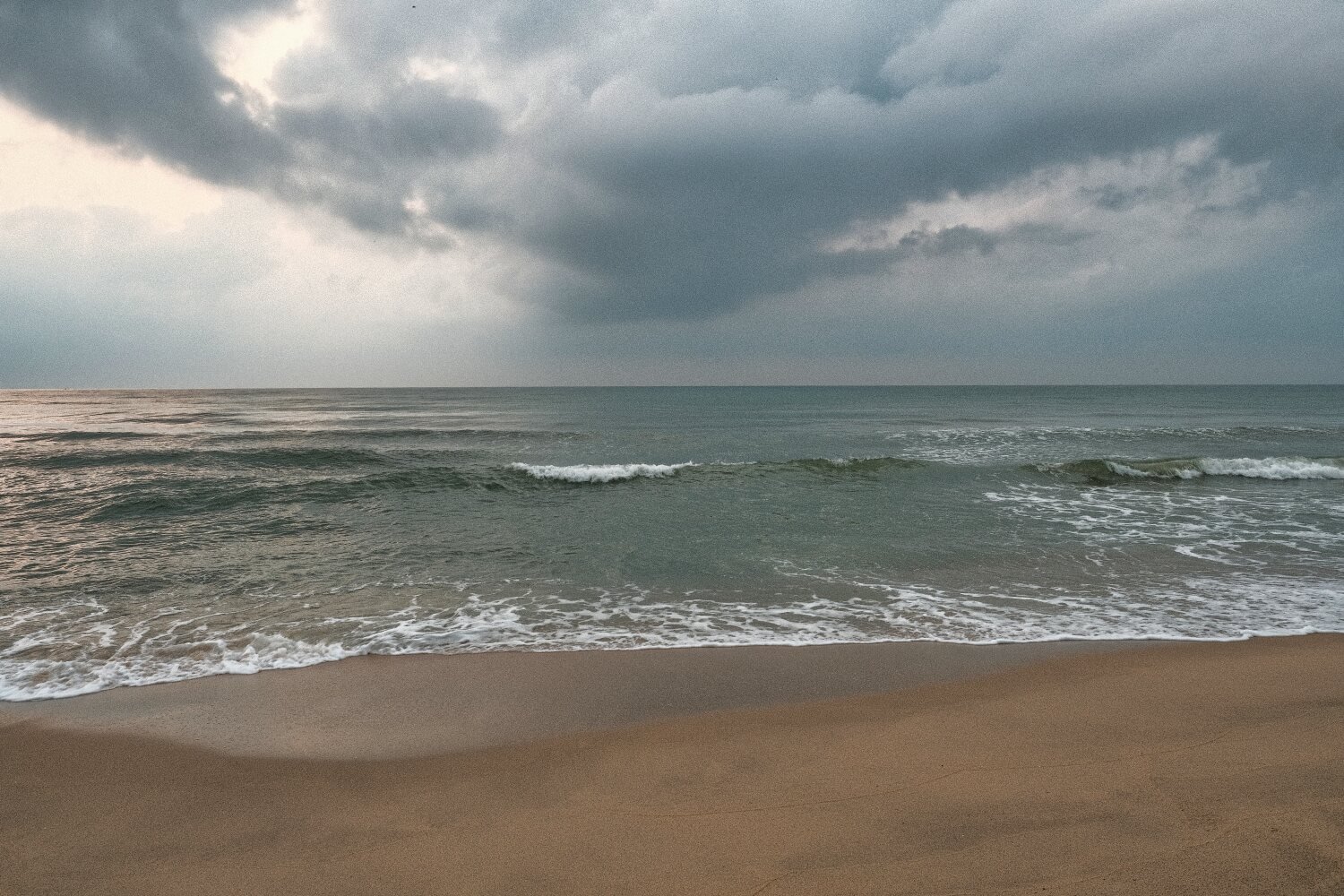
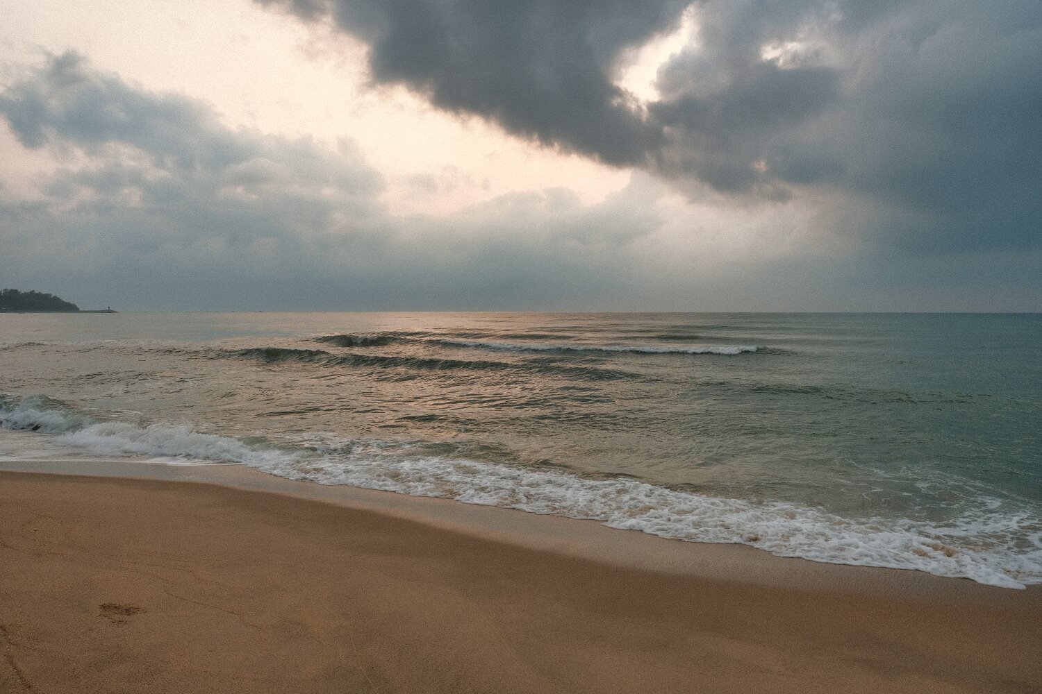
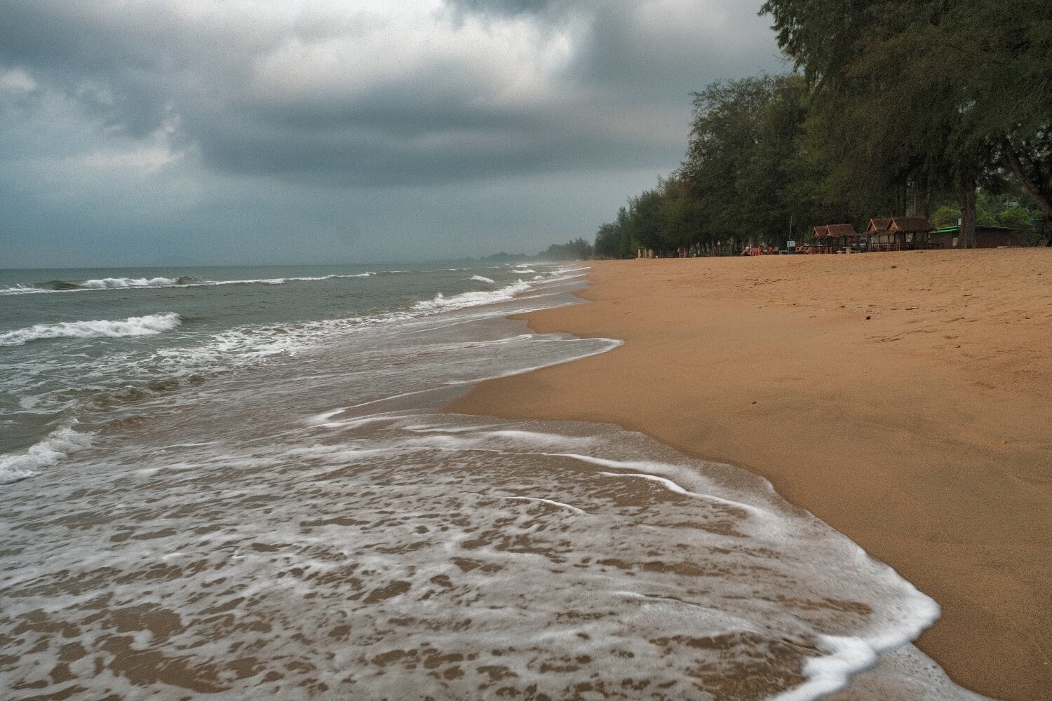
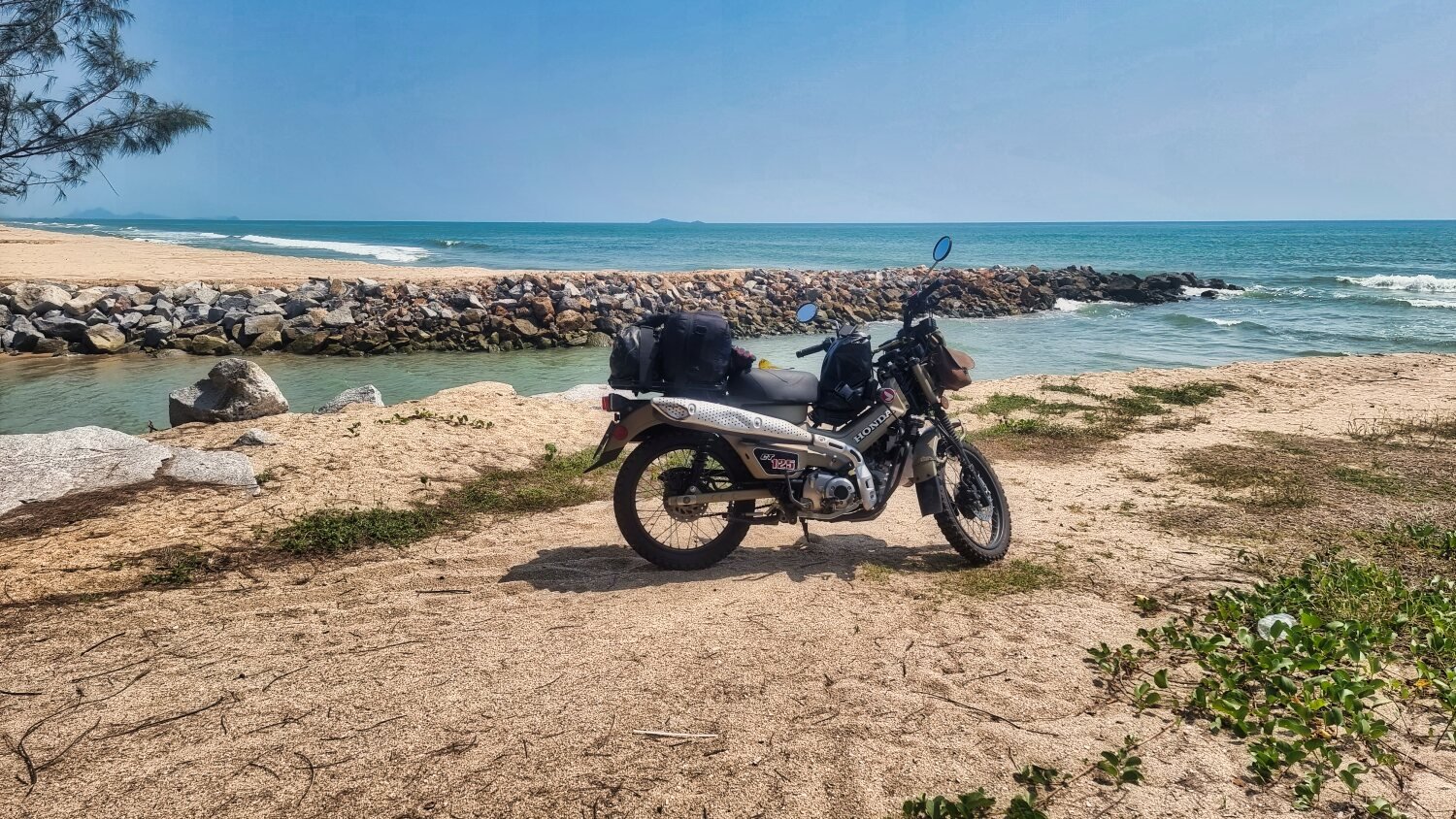
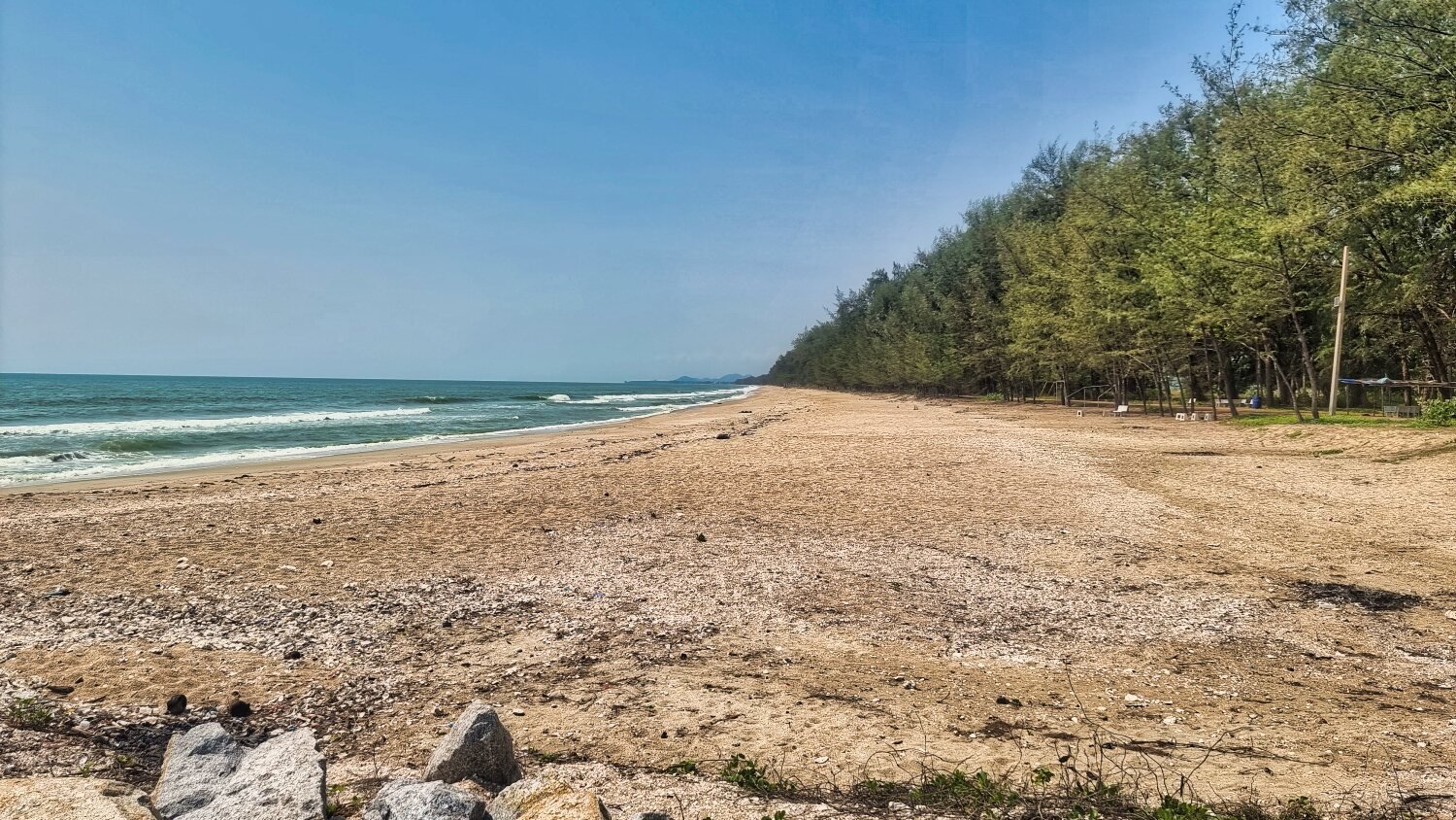
Day 24. Pattani to Sungai Golok
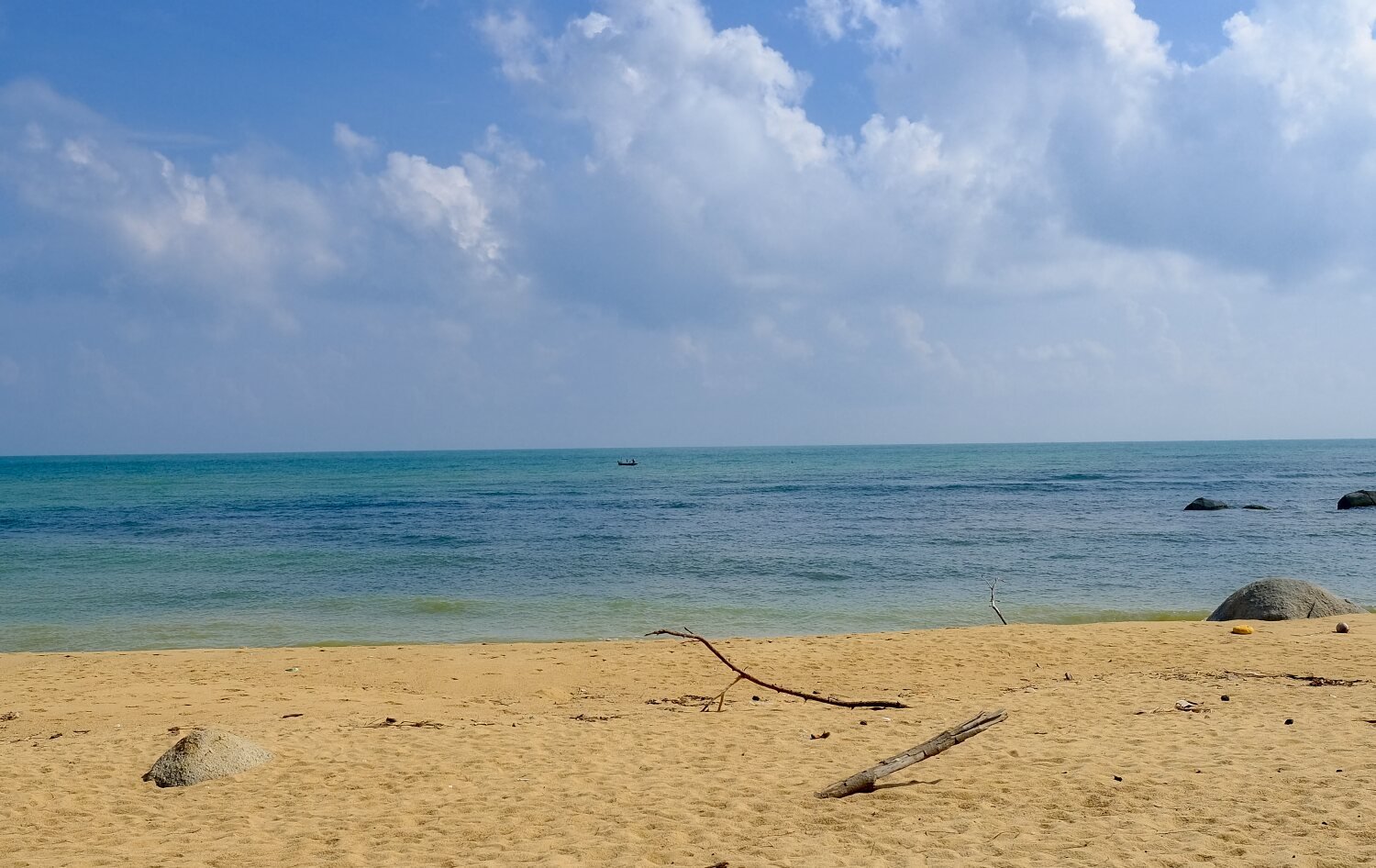
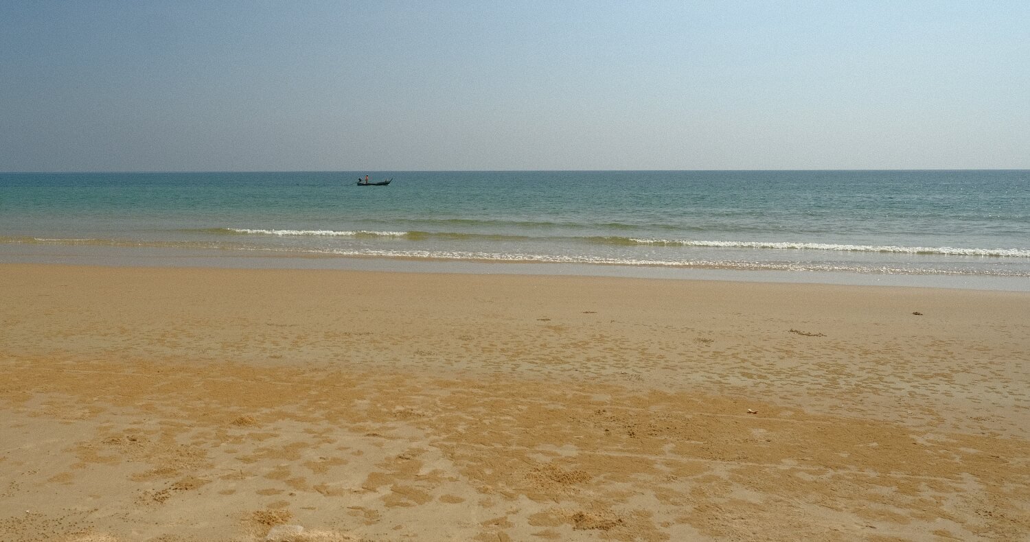
Today Al and I were riding to the Malaysian border. Our first stop was Weyama Beach, here.
https://maps.app.goo.gl/KA2LNJyuohBquFCBA
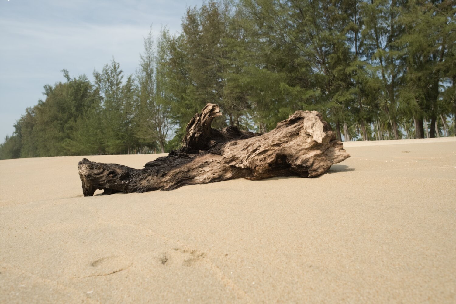
Google sent us down a long sandy track to the beach, there was nothing there but dead trees on the beach.
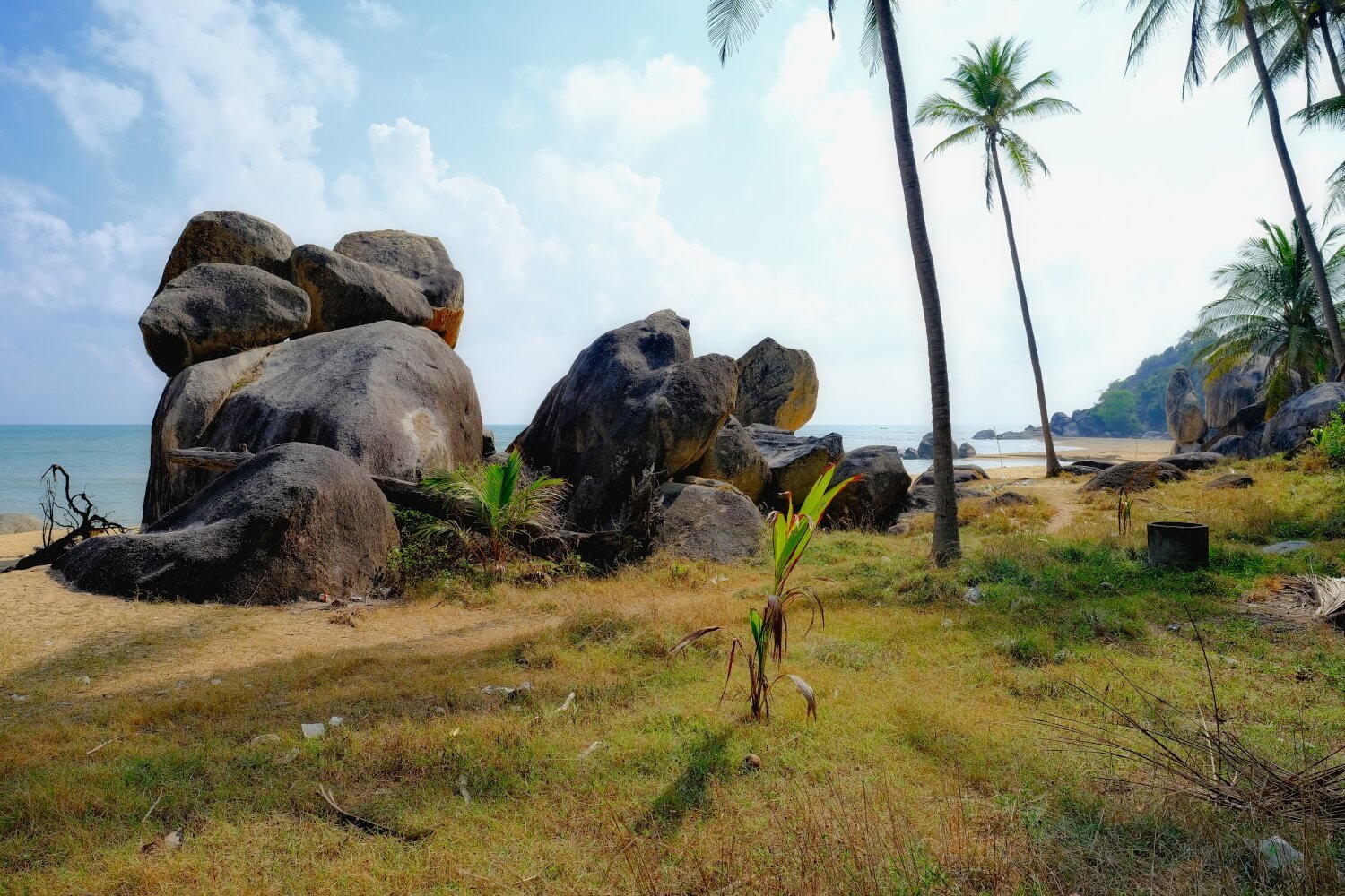
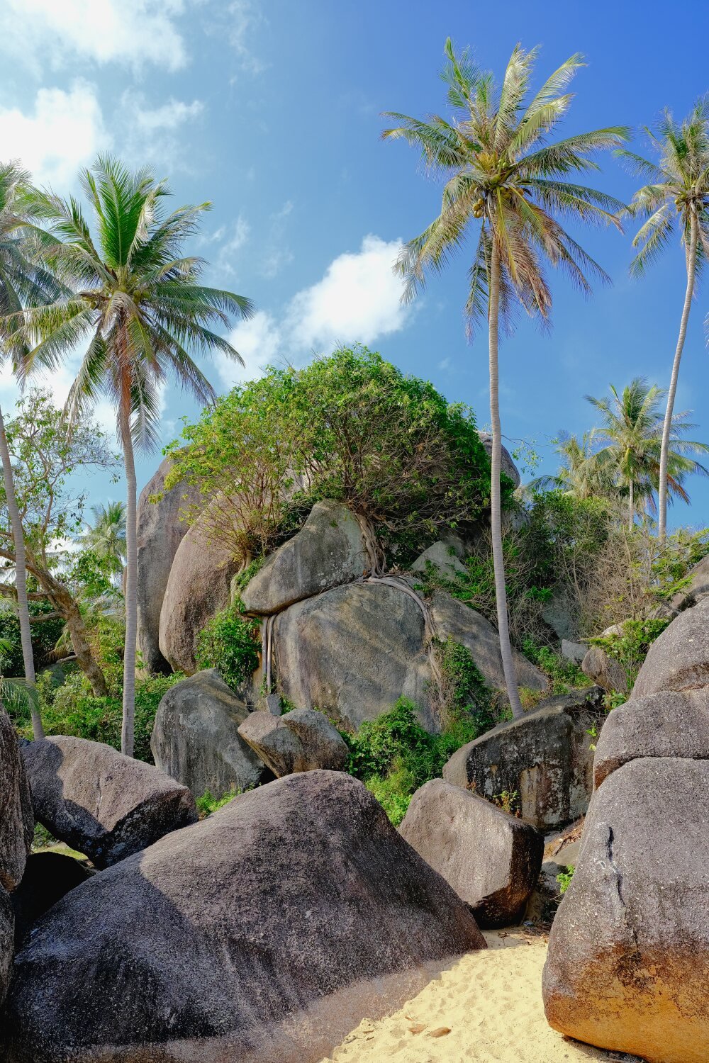
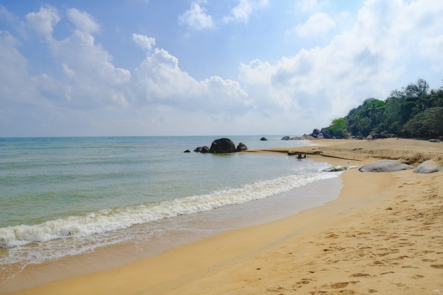
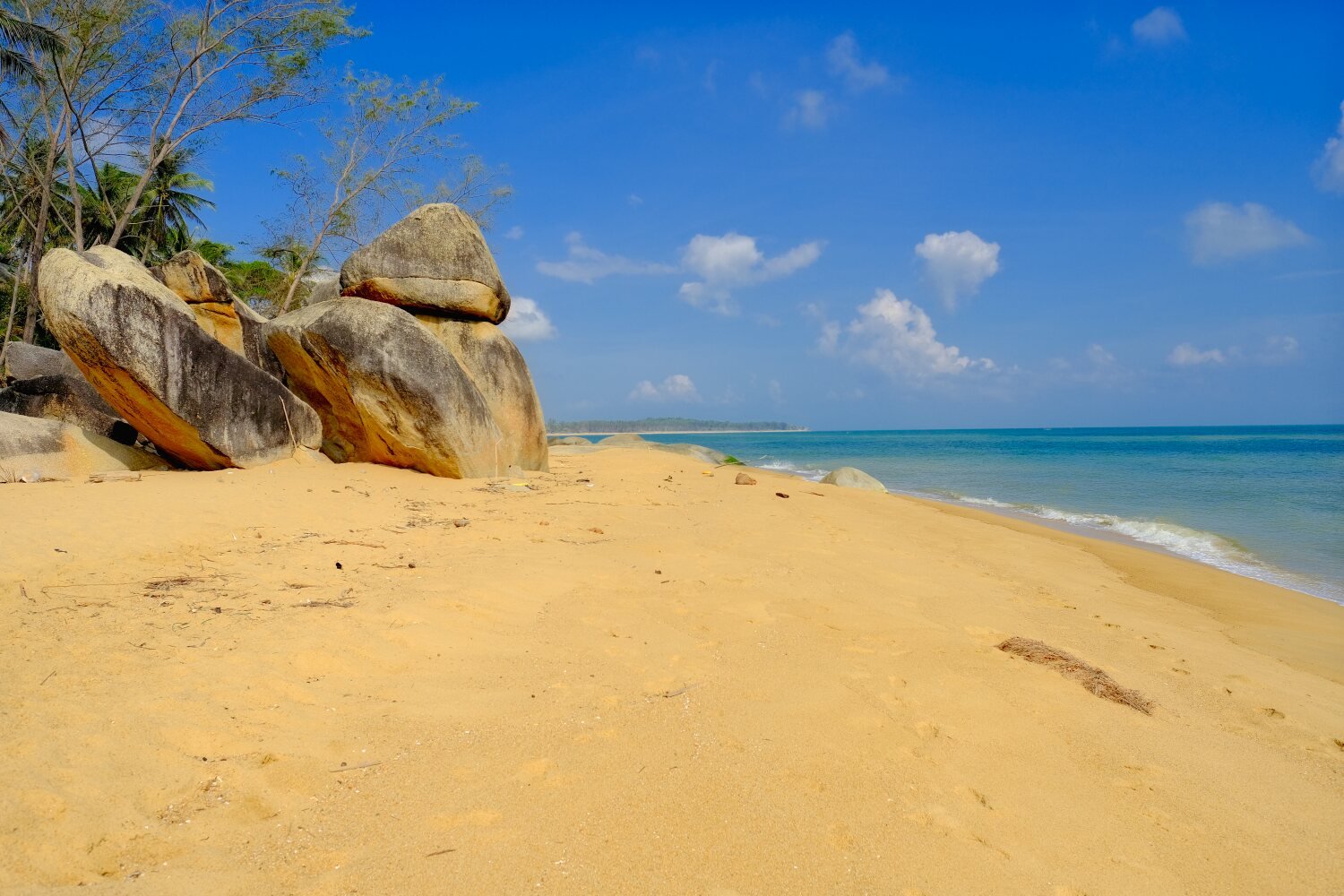
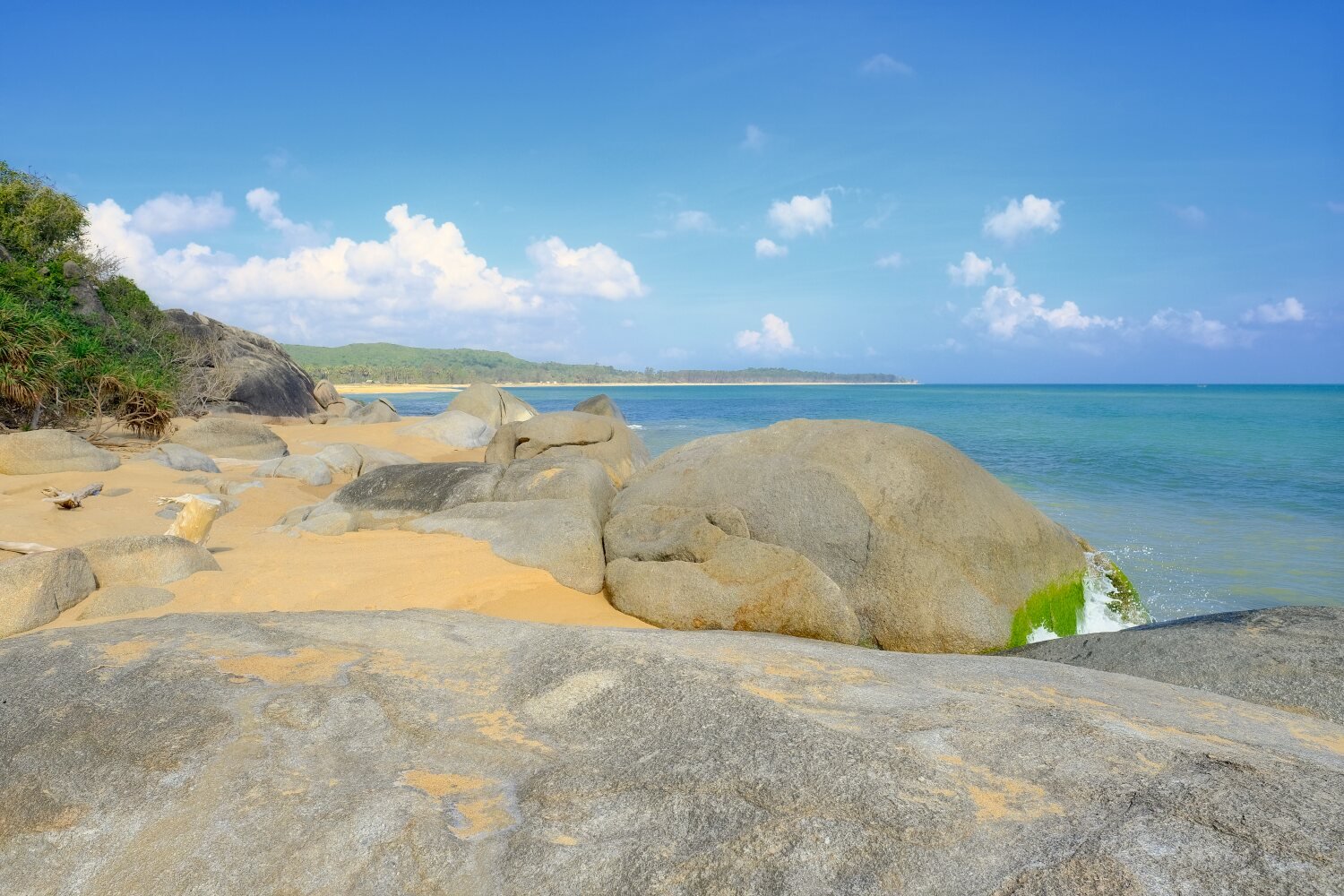
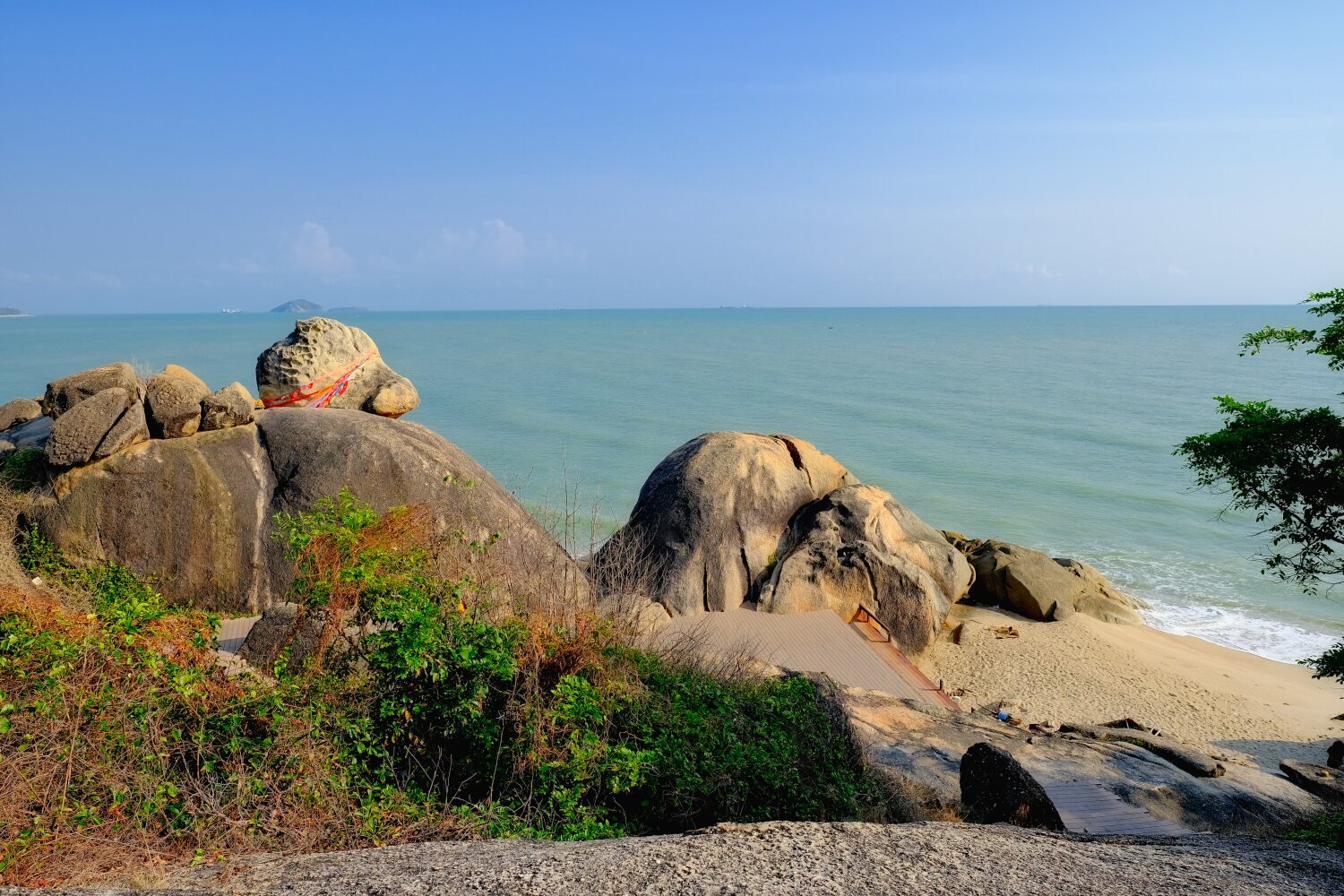
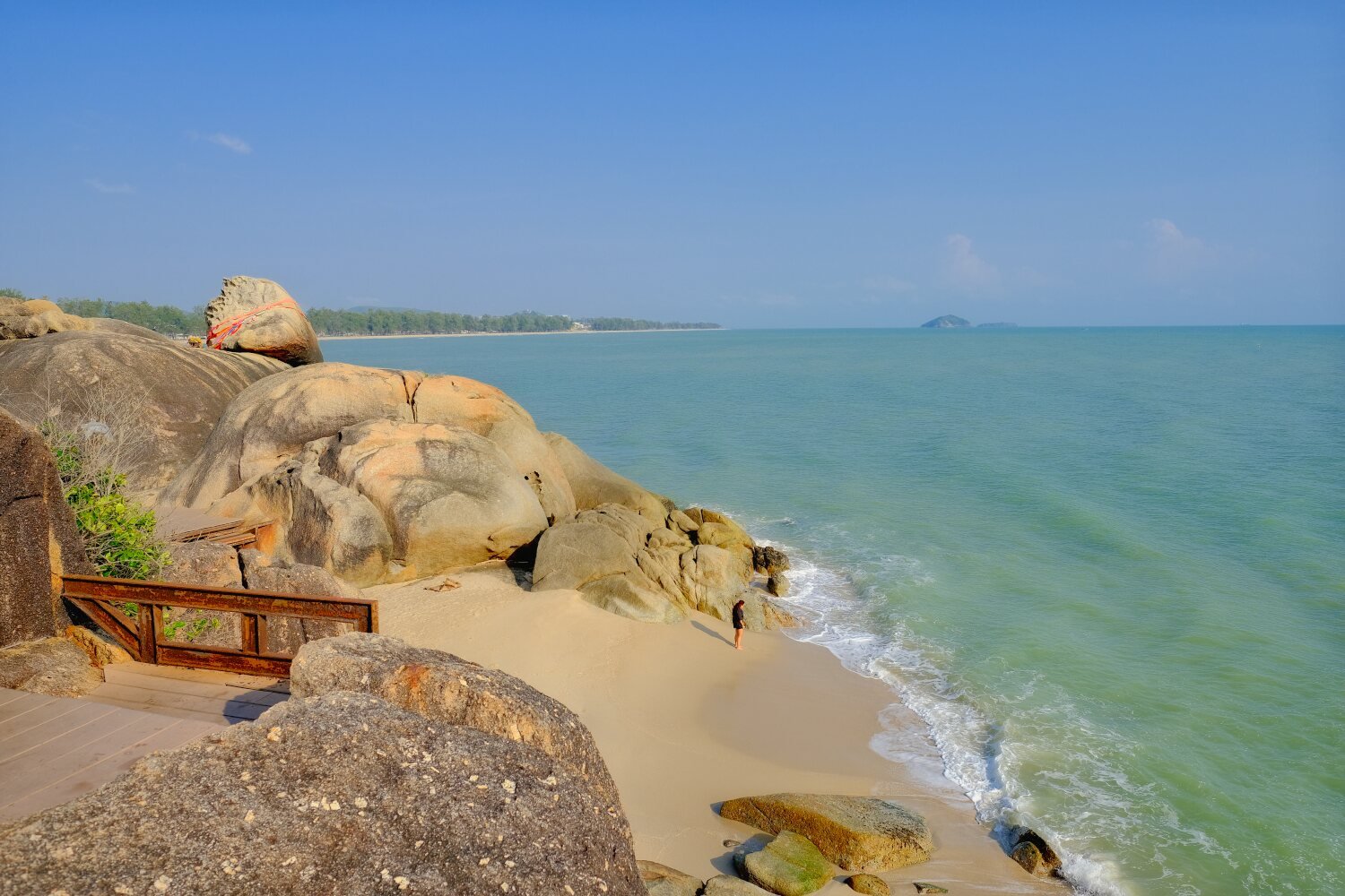
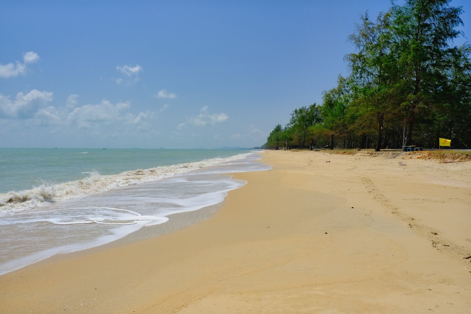
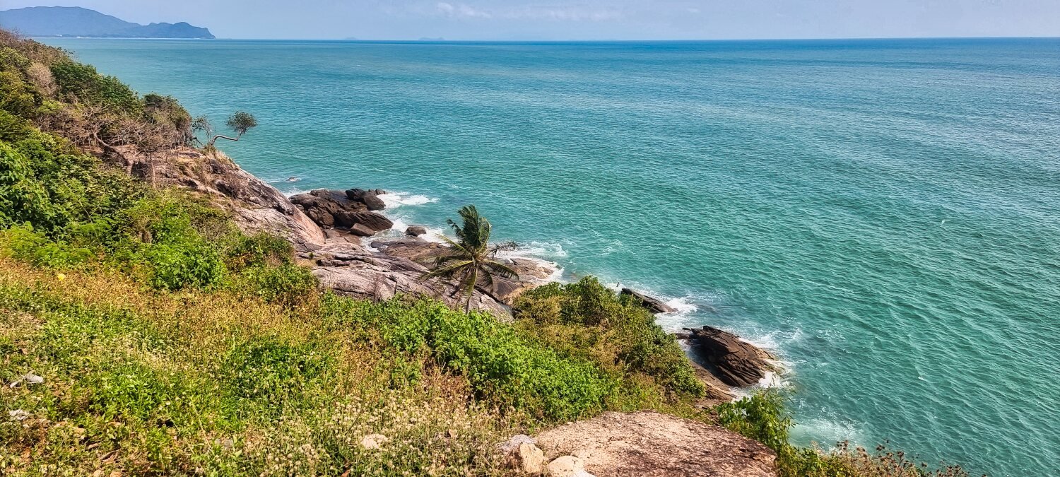
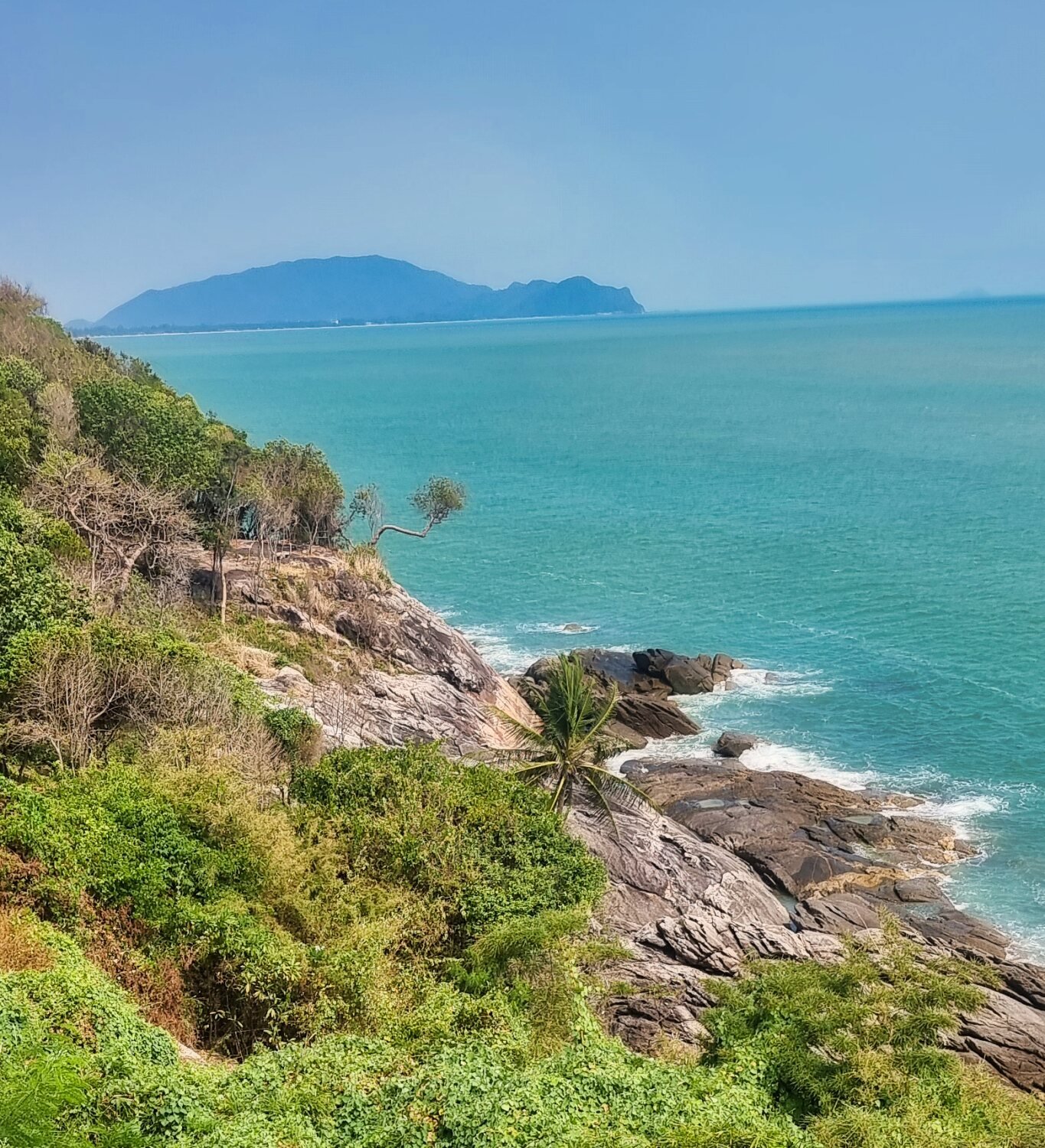
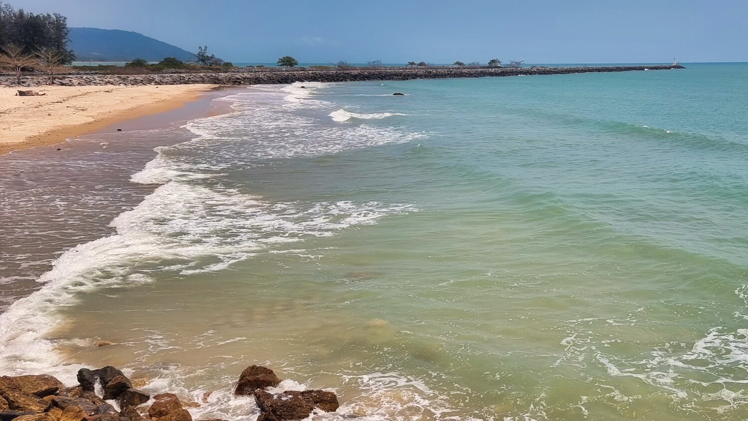
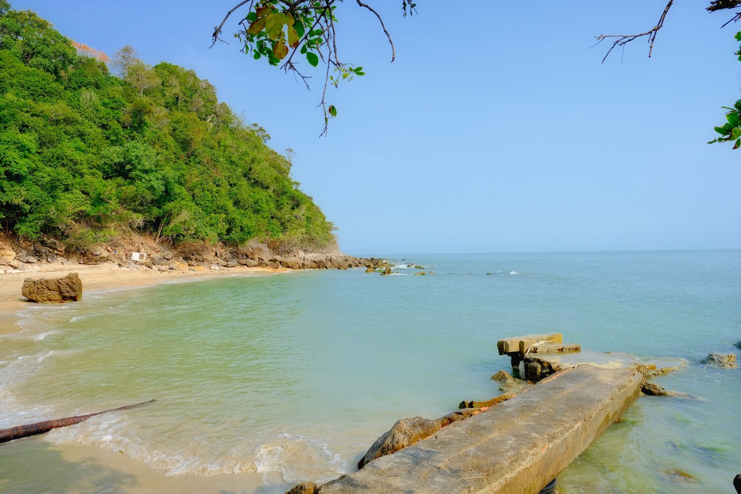
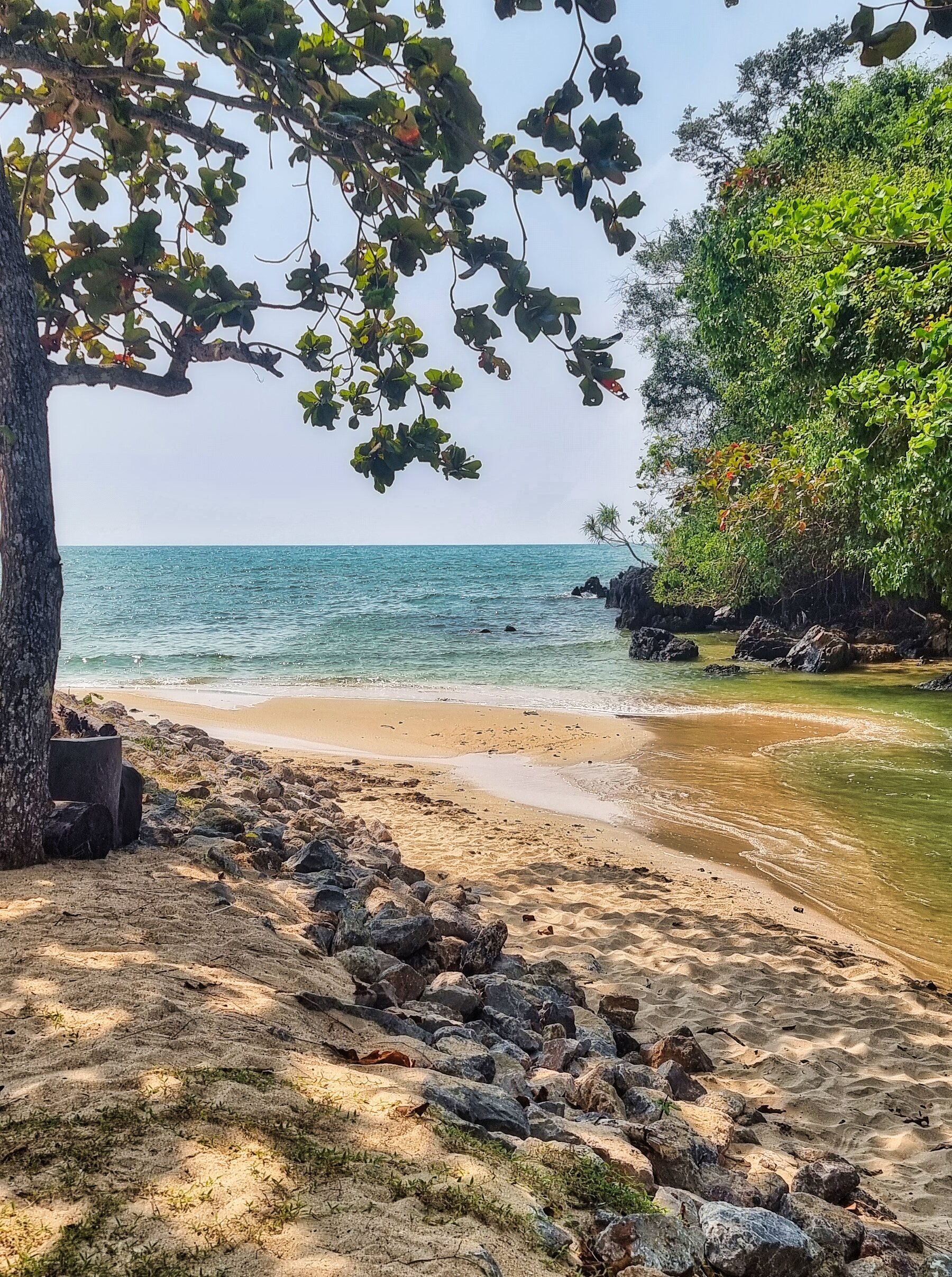
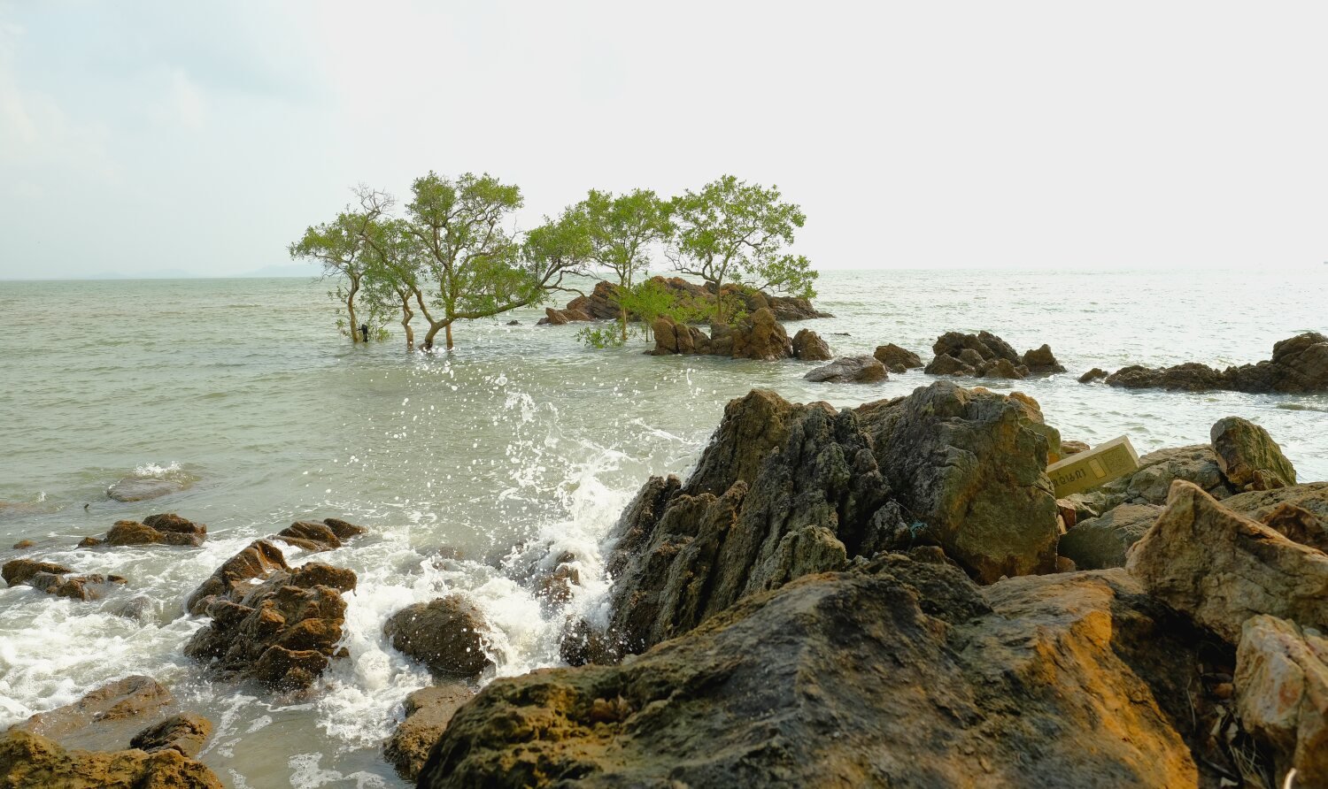
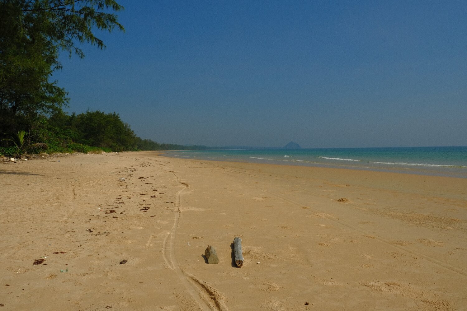
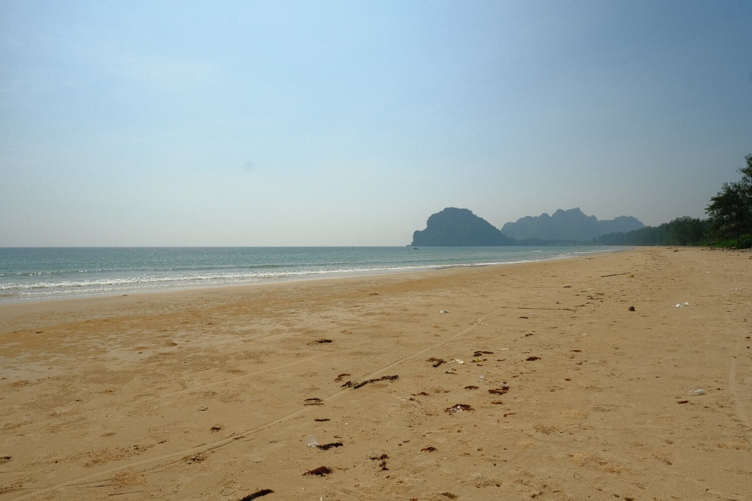
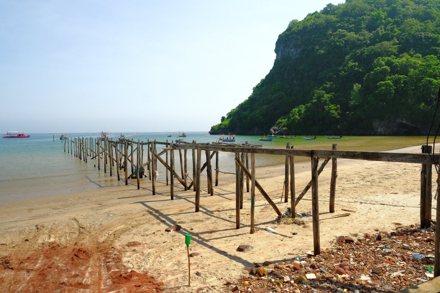
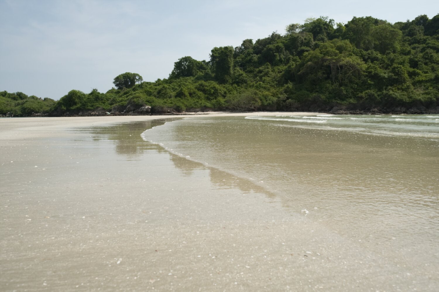
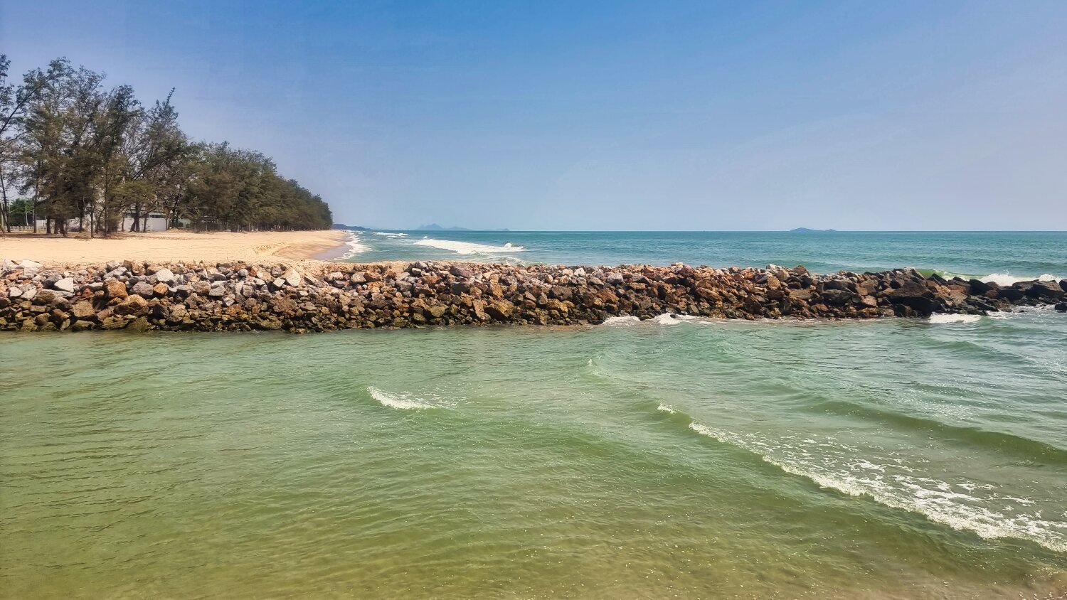
From here we rode on to Khae Khae Beach, here.
https://maps.app.goo.gl/M2L3r1Mv6LNYHKcM6
This was a nice area with large rocks and a sandy beach.
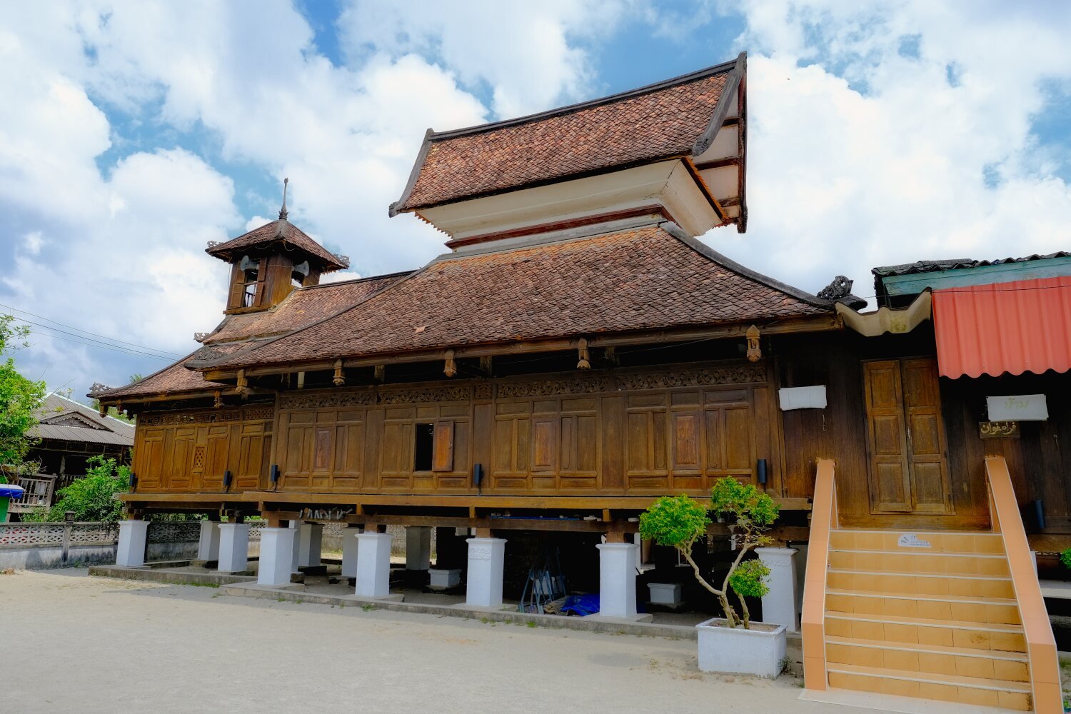
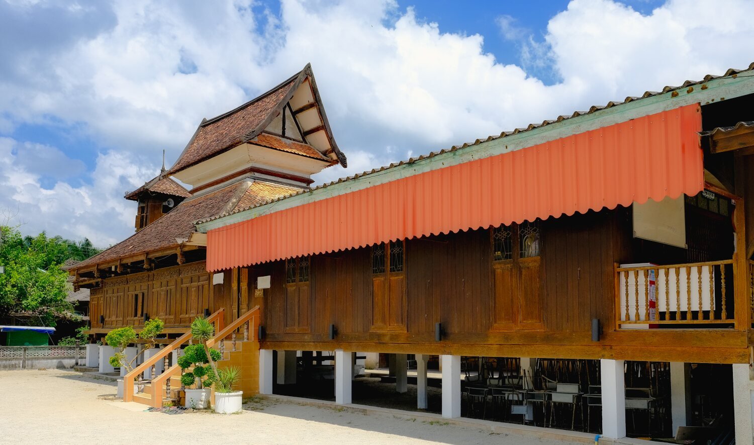
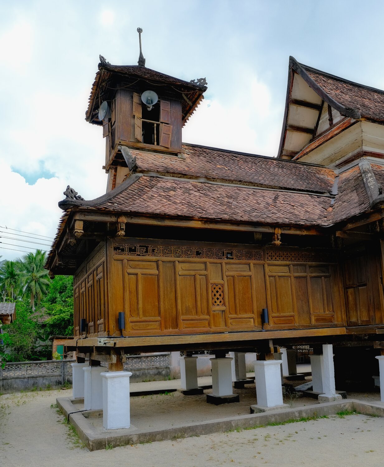
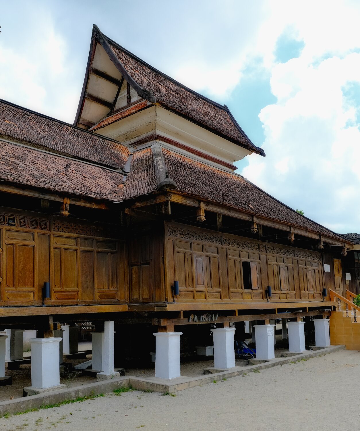
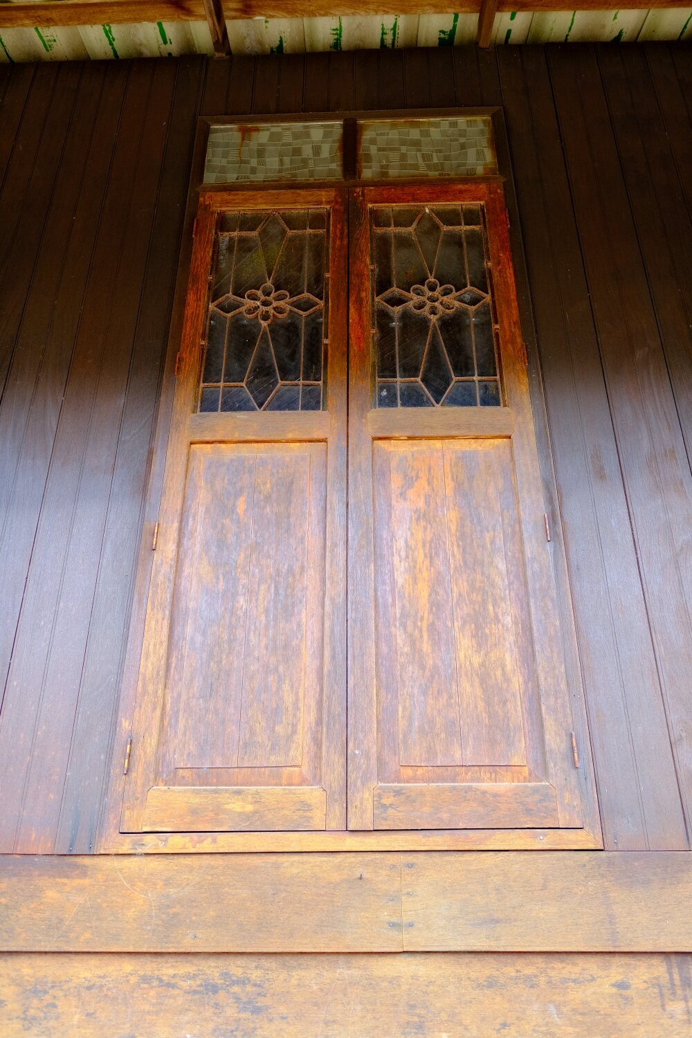
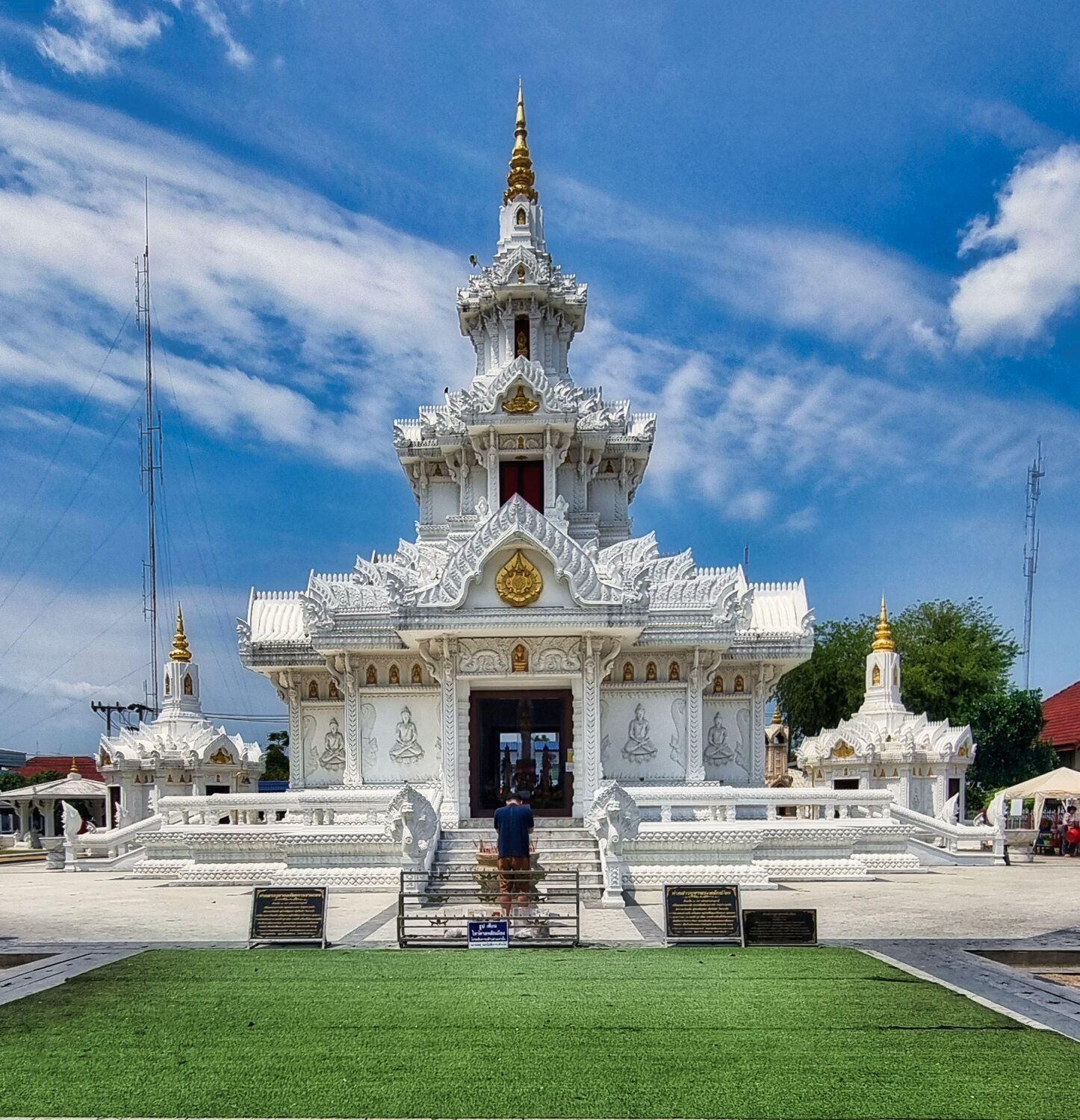
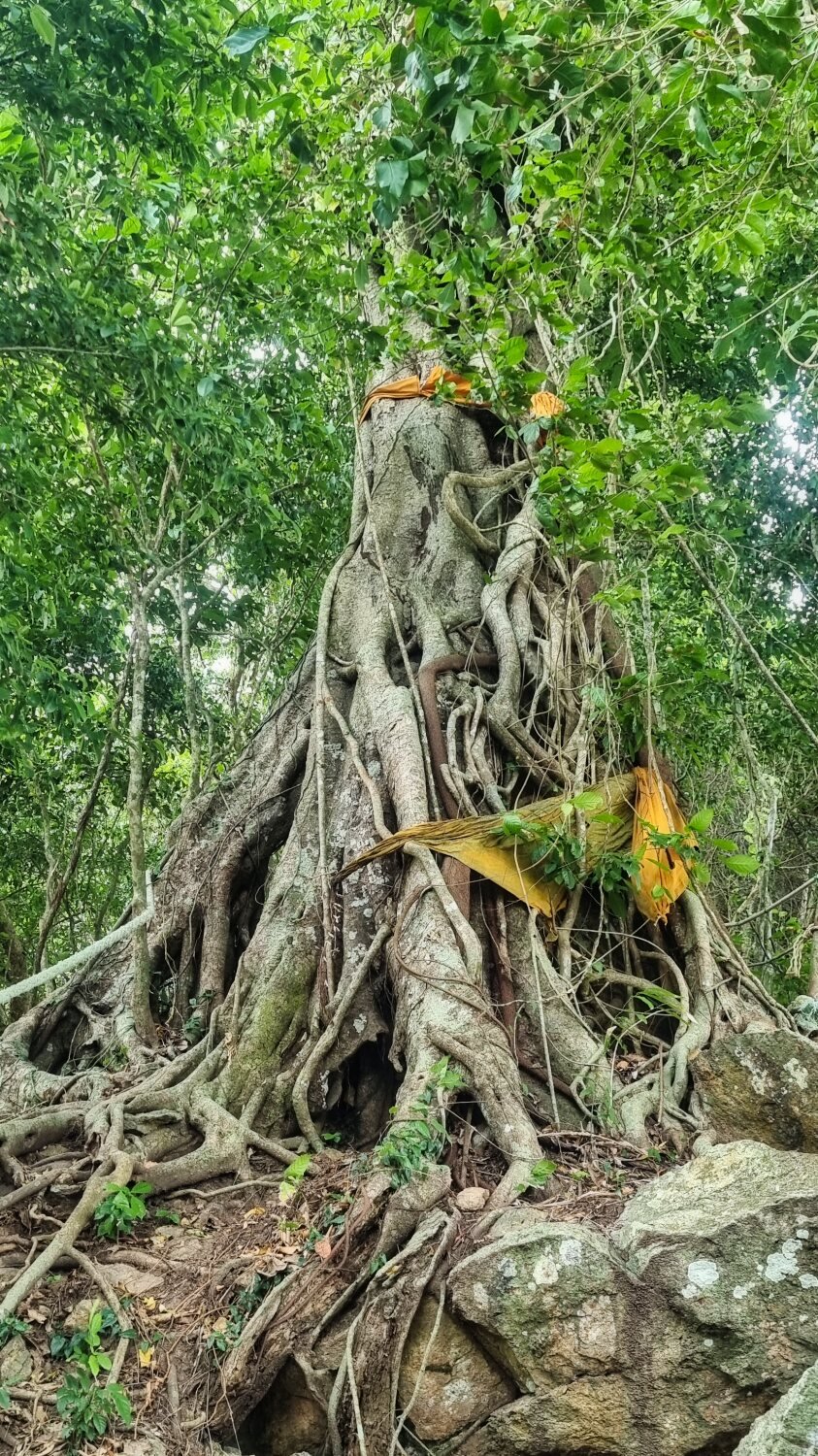
We then rode inland to 300 year old mosque (Wadi al-Husein Mosque) | Masjid Wadi al-Husein (Telok Manok), here.
https://maps.app.goo.gl/HbD19jowcvXko692A
It was smaller than I expected and we were refused to be allowed inside as we were not Muslim.
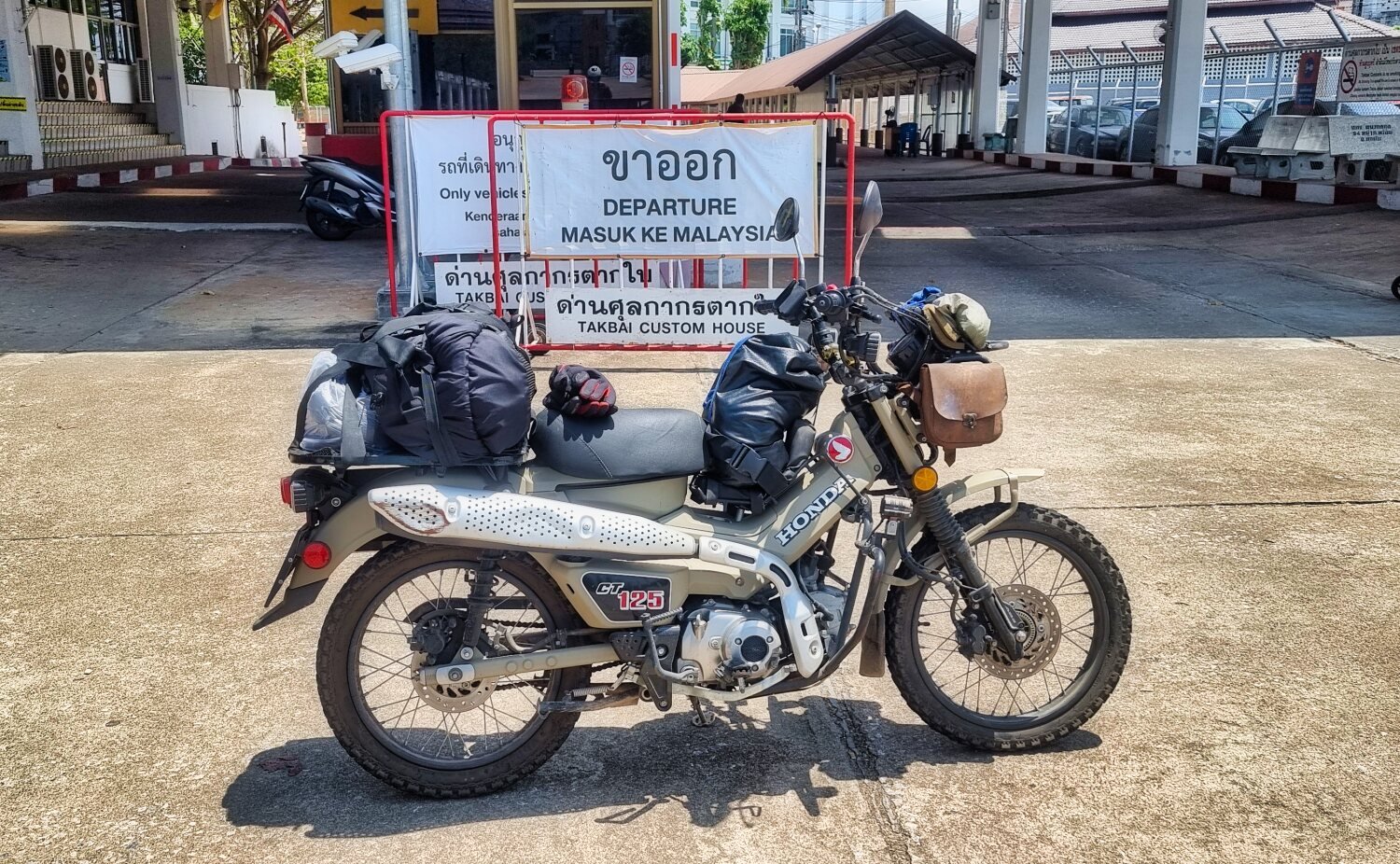
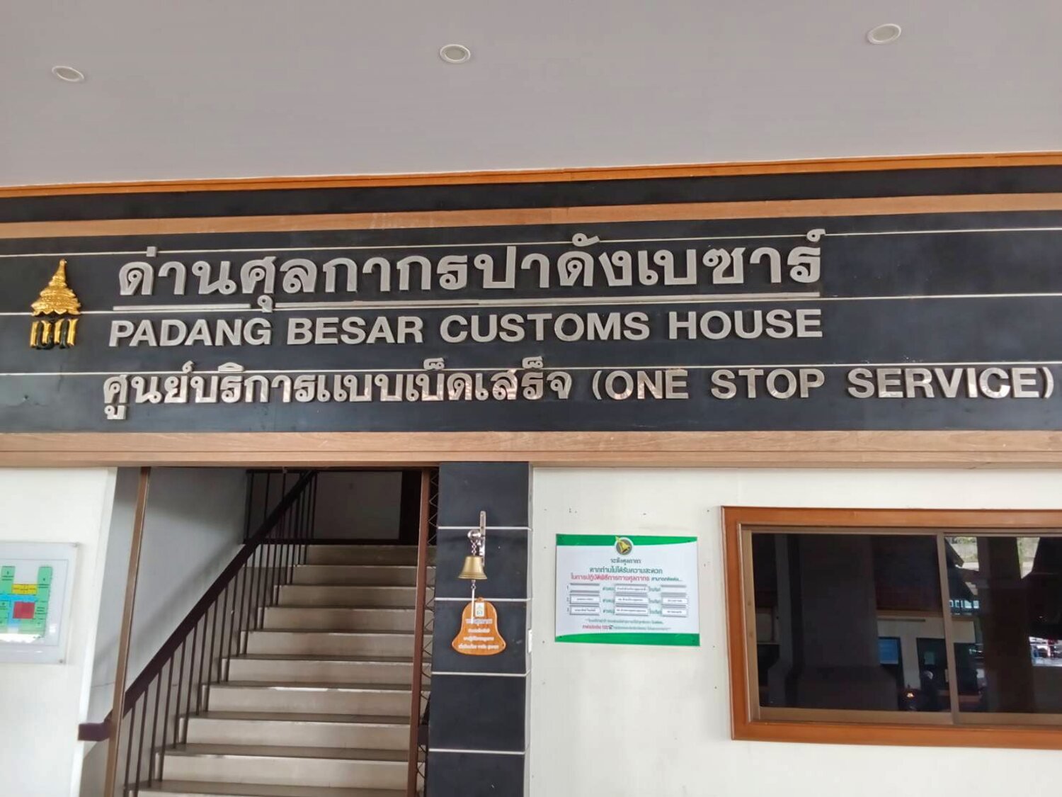
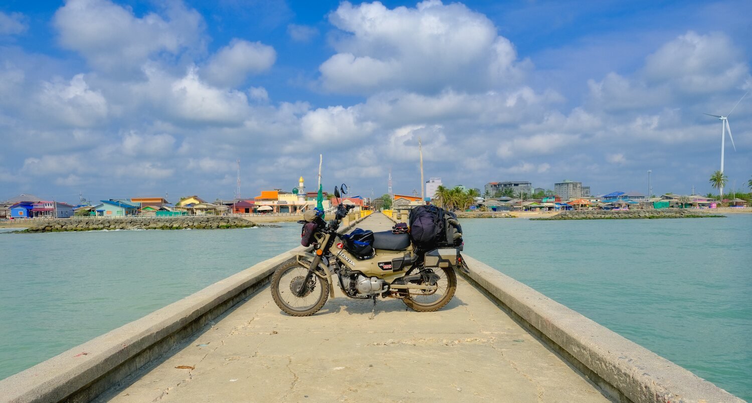
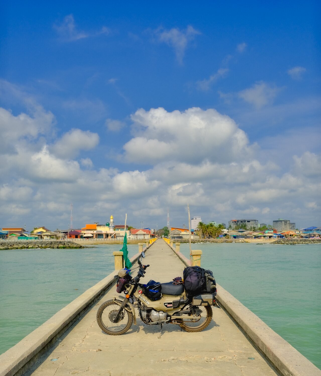
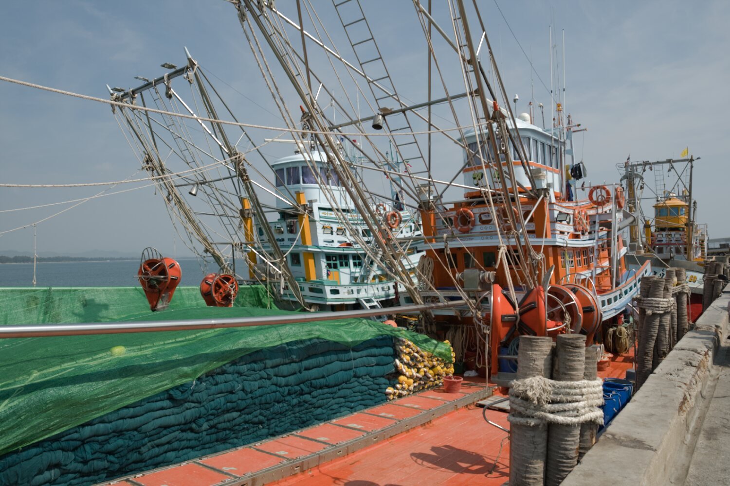
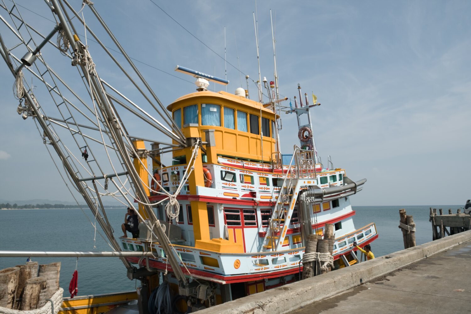
We then carried on to the Malaysian border at Tak Bai border checkpoint, here.
https://maps.app.goo.gl/m4gddrpKk74xvma99
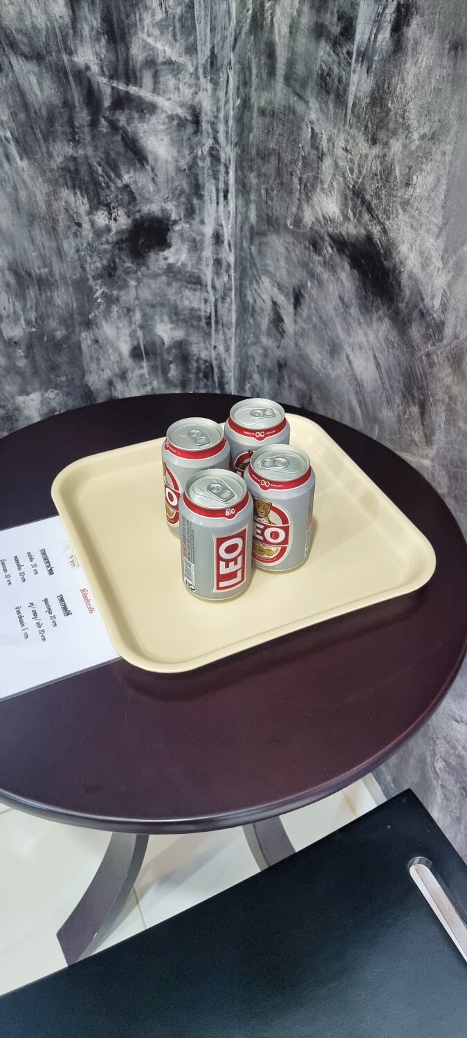
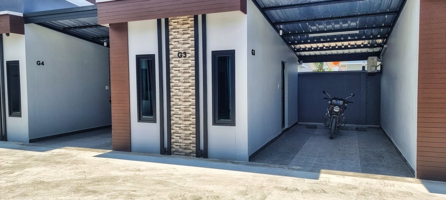
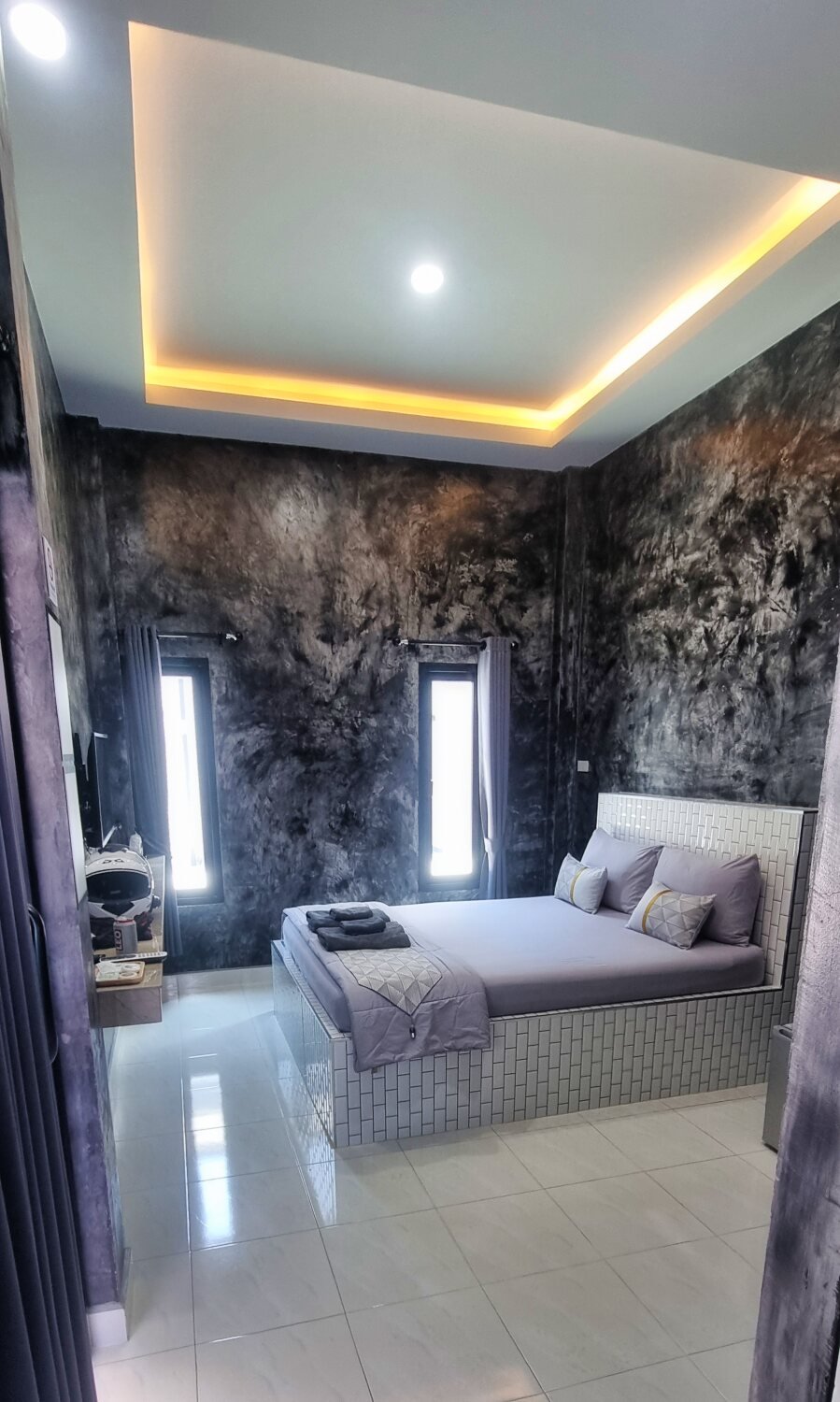
From here we rode to Sungai Golok and checked into a cheap place. The owner is great but the room smells of cigarettes.
https://www.relive.cc/view/vevY3ZLomy6

-
 4
4
-
 1
1
-
2 hours ago, Randell said:
Impressive as usual , fantastic to follow thanks , Rand
Many thanks
-
- Popular Post
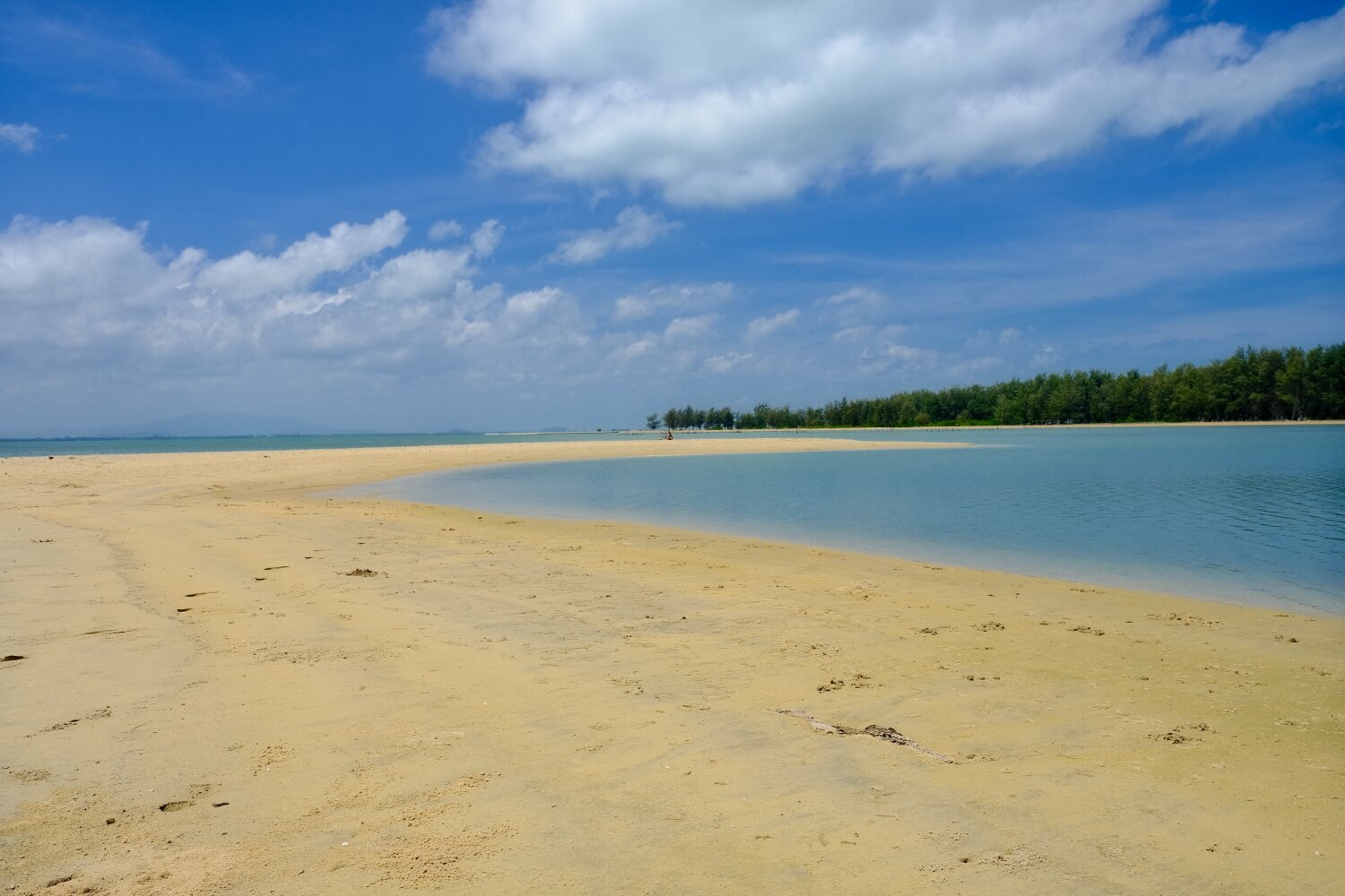
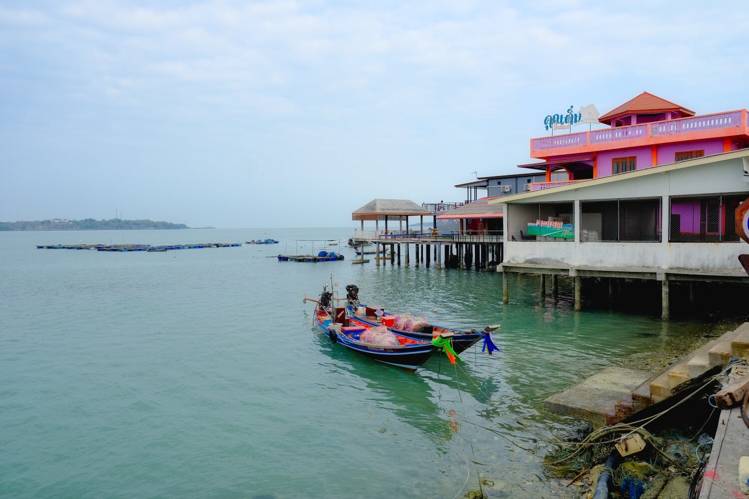
Day 23. Songkhla to Pattani.
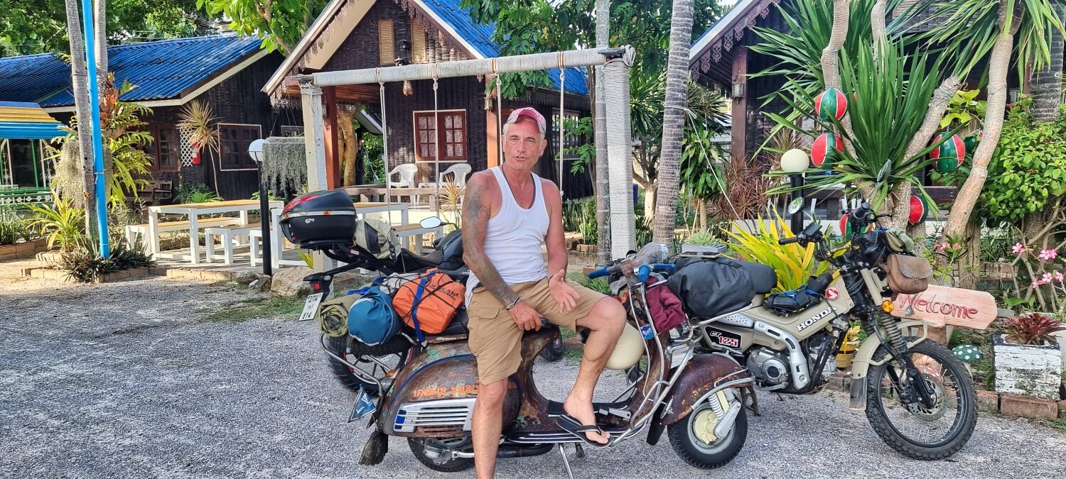
Yesterday Mike fulfilled his wish to ride his 60 year old body on a 60 year old Vespa to the Malaysian border. Despite many issues he succeeded, well done mate!
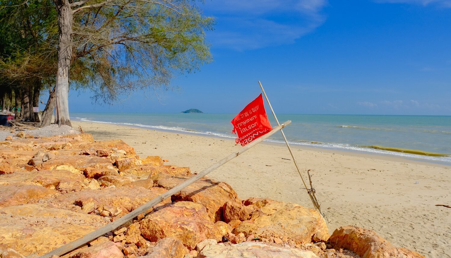
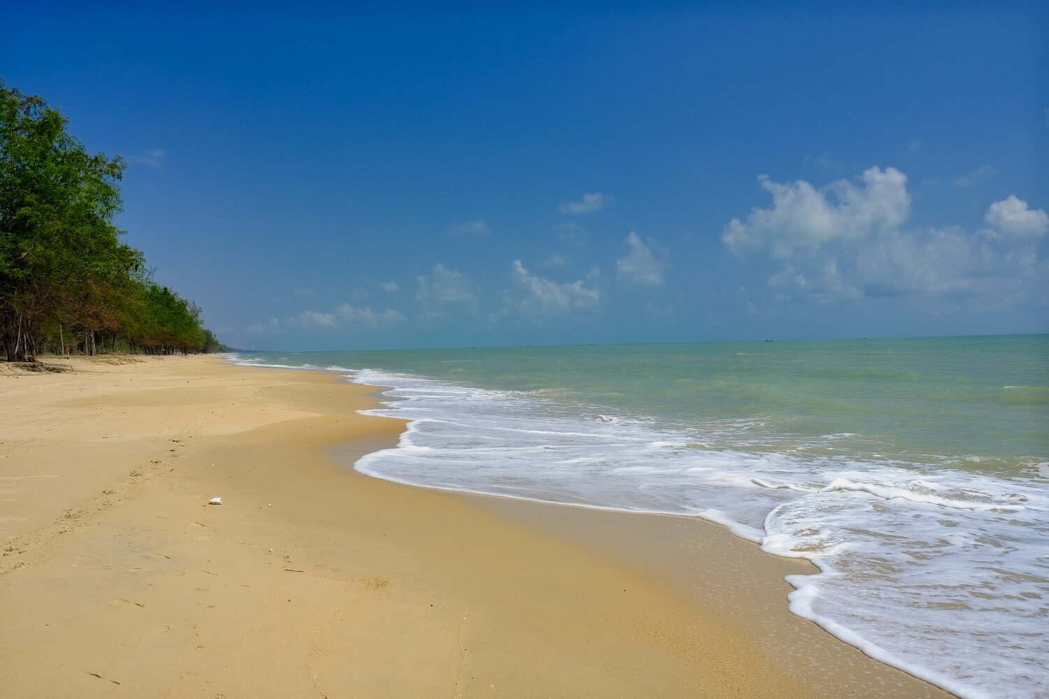
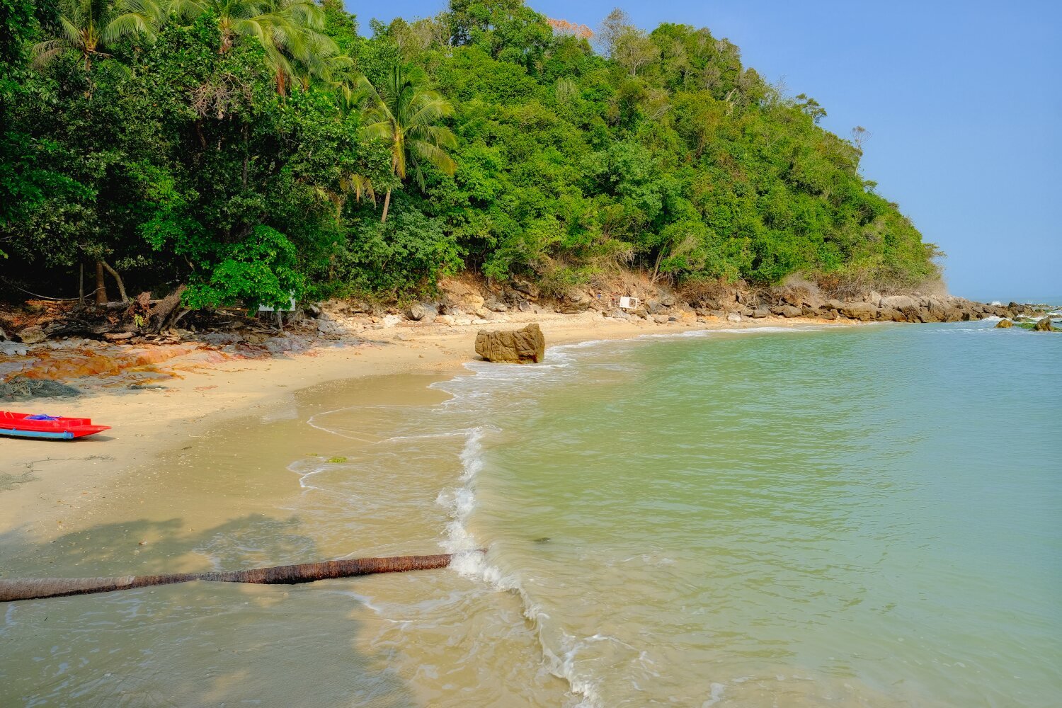
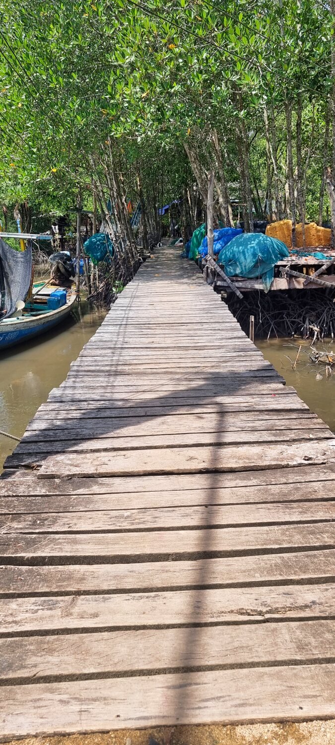
Al and I carrying on a longer route and arrived in Pattani today. Our first stop was at a dirty beach, as most seem to be, here.
https://maps.app.goo.gl/99UP7g9UapsD2miZ7
Next stop was Ratchadaphisek Beach, here.
https://maps.app.goo.gl/eNd1HpckxYWAdr7e6
From here we rode around the peninsular to Laem Tachi, here.
https://maps.app.goo.gl/ywZg4zwGXpwSAg726
This again was very dirty and full of sheep and goat crap.
Backtracking we found a small resort in Pattani, The Good Night Resort, here.
https://maps.app.goo.gl/cZZccgW72i1AXQ846
Good clean rooms, parking, the delivered a late breakfast to my room too! 600 baht a night.
https://www.relive.cc/view/vMq53rQ31QO
-
4
-
1
-
- Popular Post
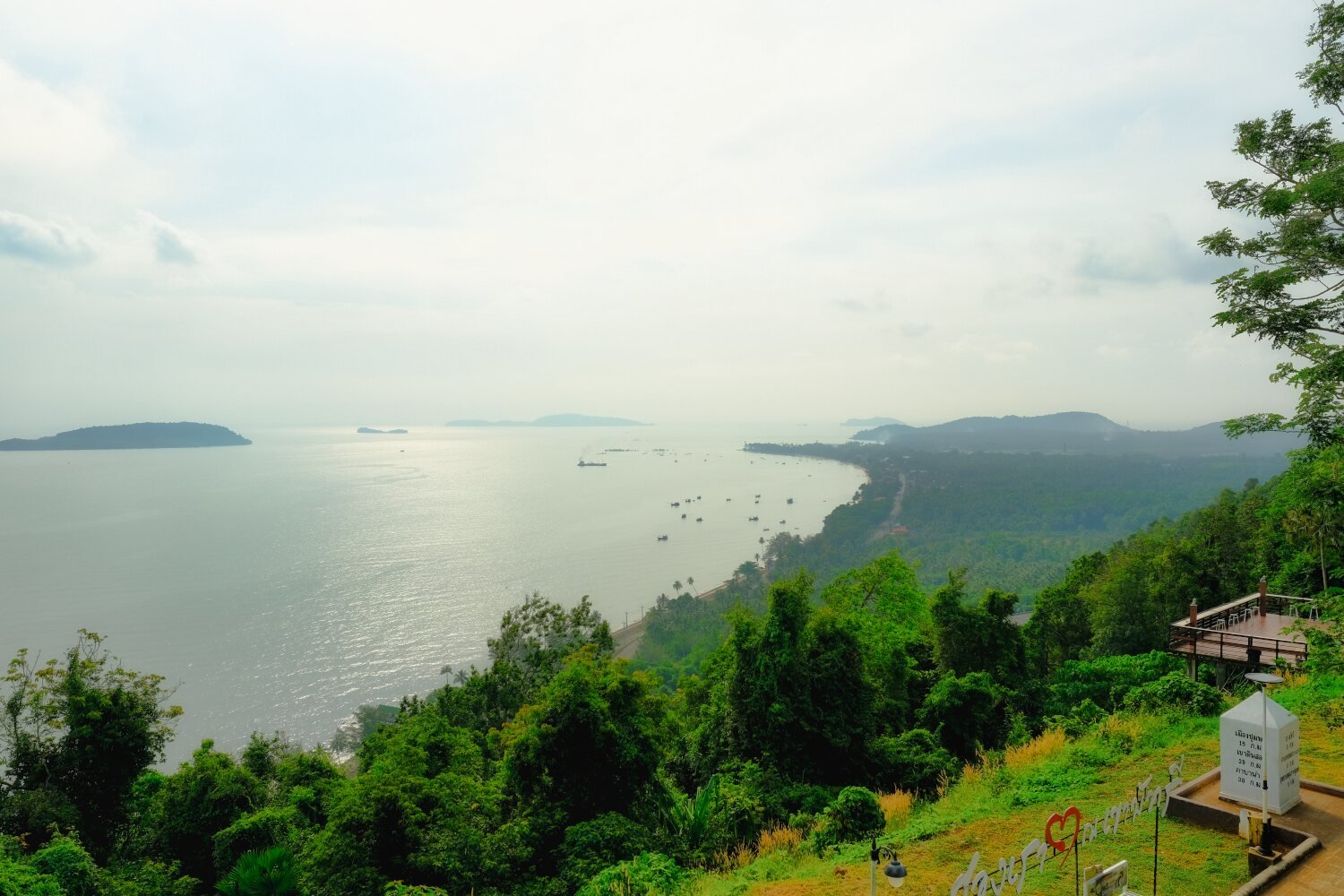
Day 22. Songkhla – Hat Yai Ride.
Last night was Mikes last night with us, he planned to ride to the Malaysian Border and then home, cutting his ride short due to the delays earlier in the ride.
To celebrate he picked up couple of ladies and is smuggling them back home!
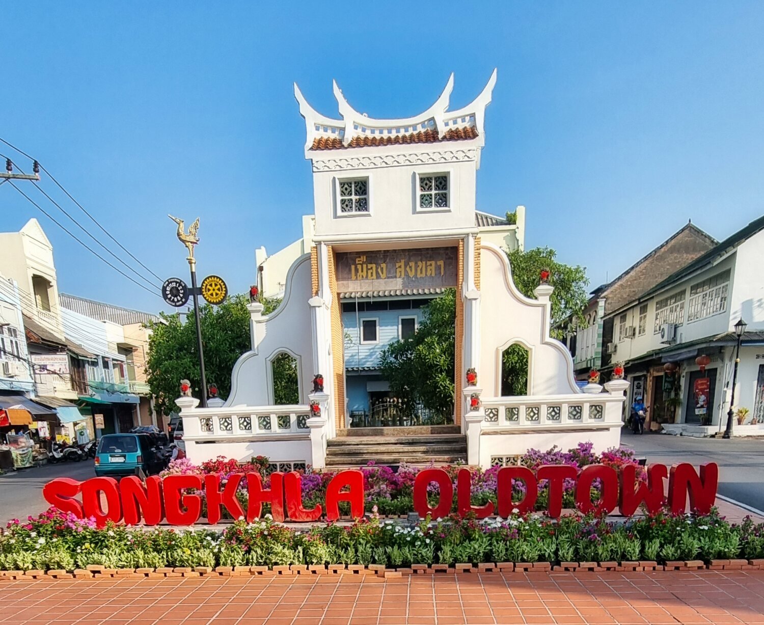
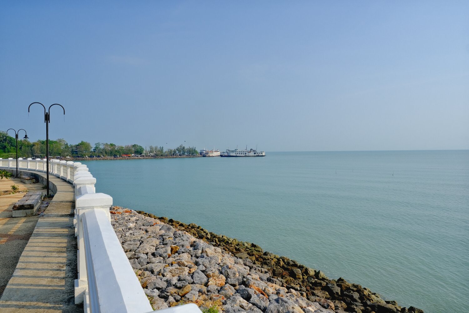
This morning Al and I started our ride around with the first stop at Songkhla Old City Gate, here.
https://maps.app.goo.gl/A22XNrjFVy2WTejq8
Then up a small hill to Khao Kao Saen Temple, here.
https://maps.app.goo.gl/BhWfs9biEAnJkgXG6
On the beach there, there was Kao Seng Rock, here.
https://maps.app.goo.gl/tCucx7fH6BdTXGmR6
Leaving here the day became very frustrating as the GPS on my phone started failing and turning itself off every minute or so, and as my routes are usually not straight forward it really slowed us down.
Eventually we rode on to Ko Yo Viewpoint, here.
https://maps.app.goo.gl/4jmnihCfYVGcsFU89
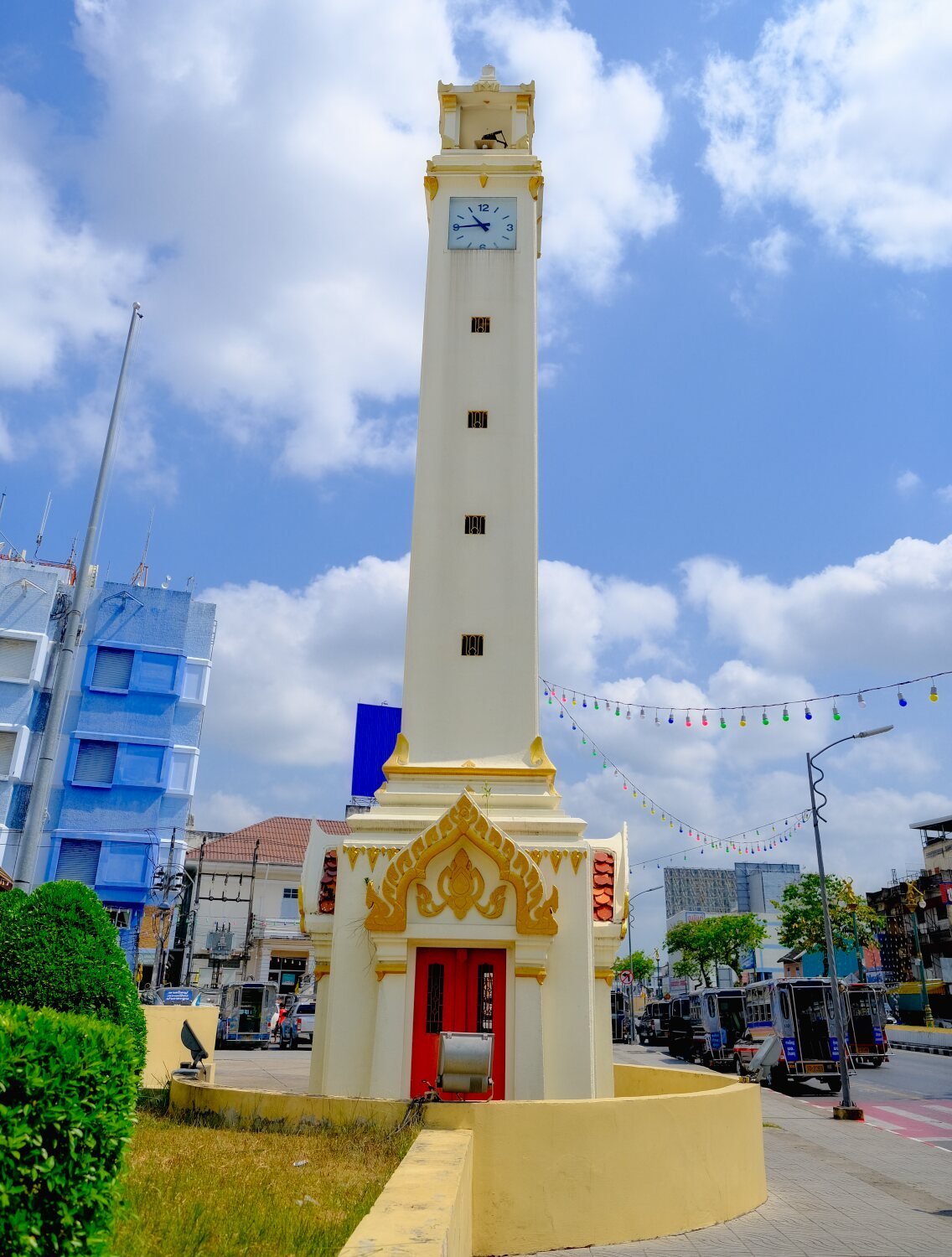
I then decided to ride to Hat Yai Clock Tower, here.
https://maps.app.goo.gl/be9noQ2dgXfzfhQR9
I then tried to find a phone repair shop, the few were shut down or not open or gave bad advice such as “change your sim card”.
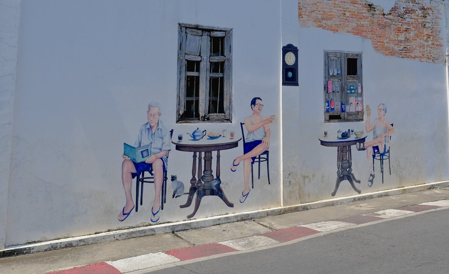
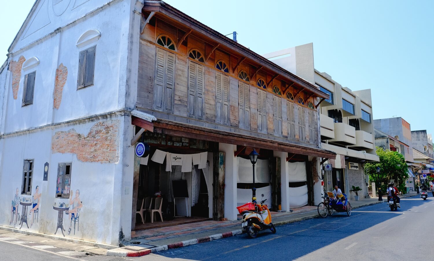
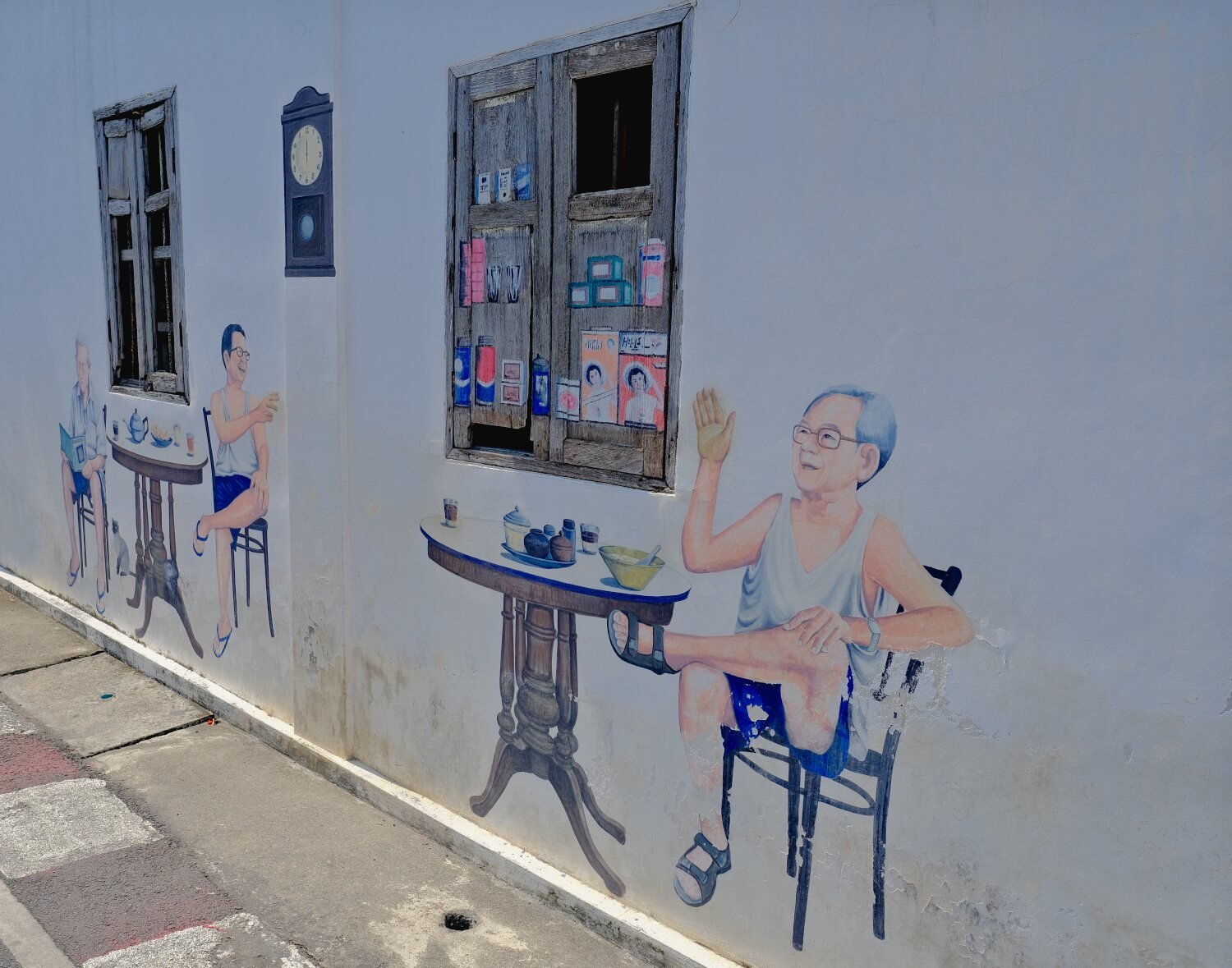
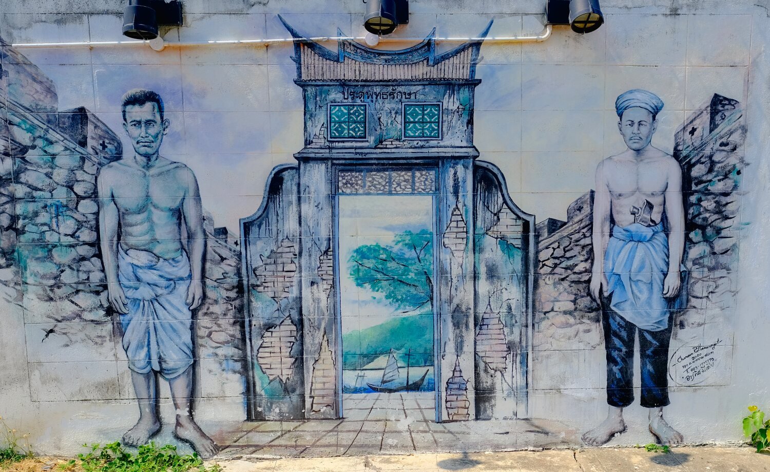
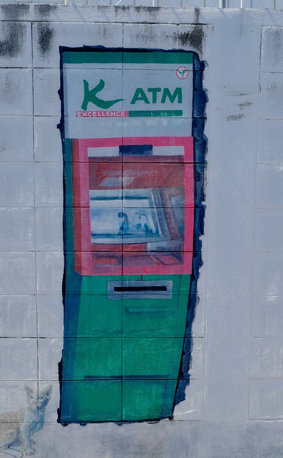
Eventually Samsung service centre sorted it out and we rode back to Songkhla where I carried on alone checking out local sights.
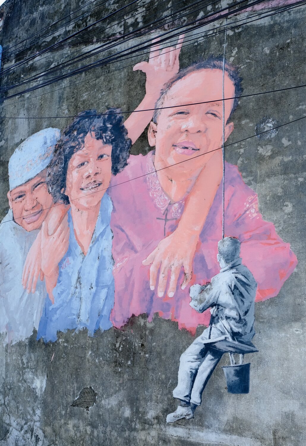
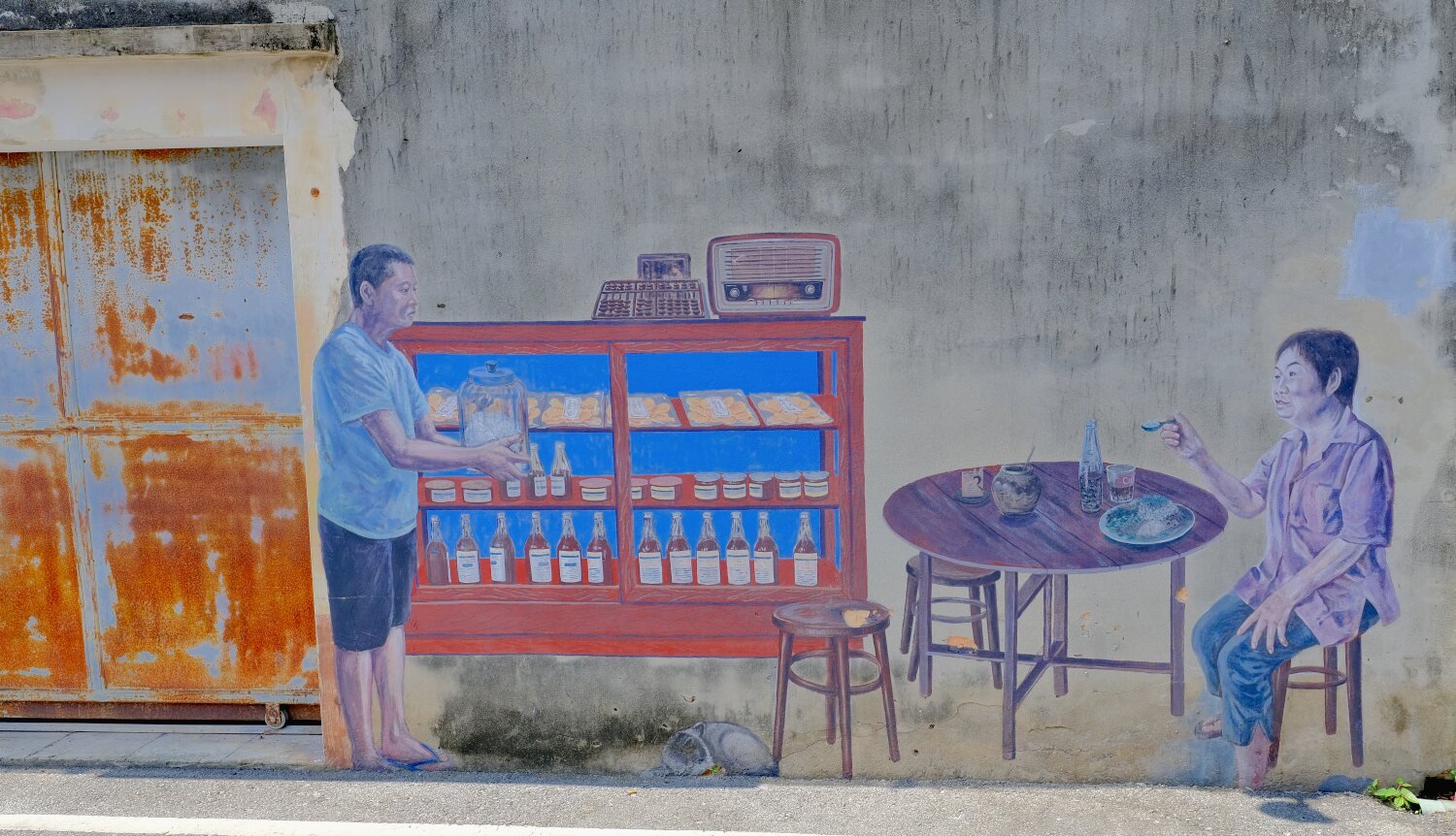
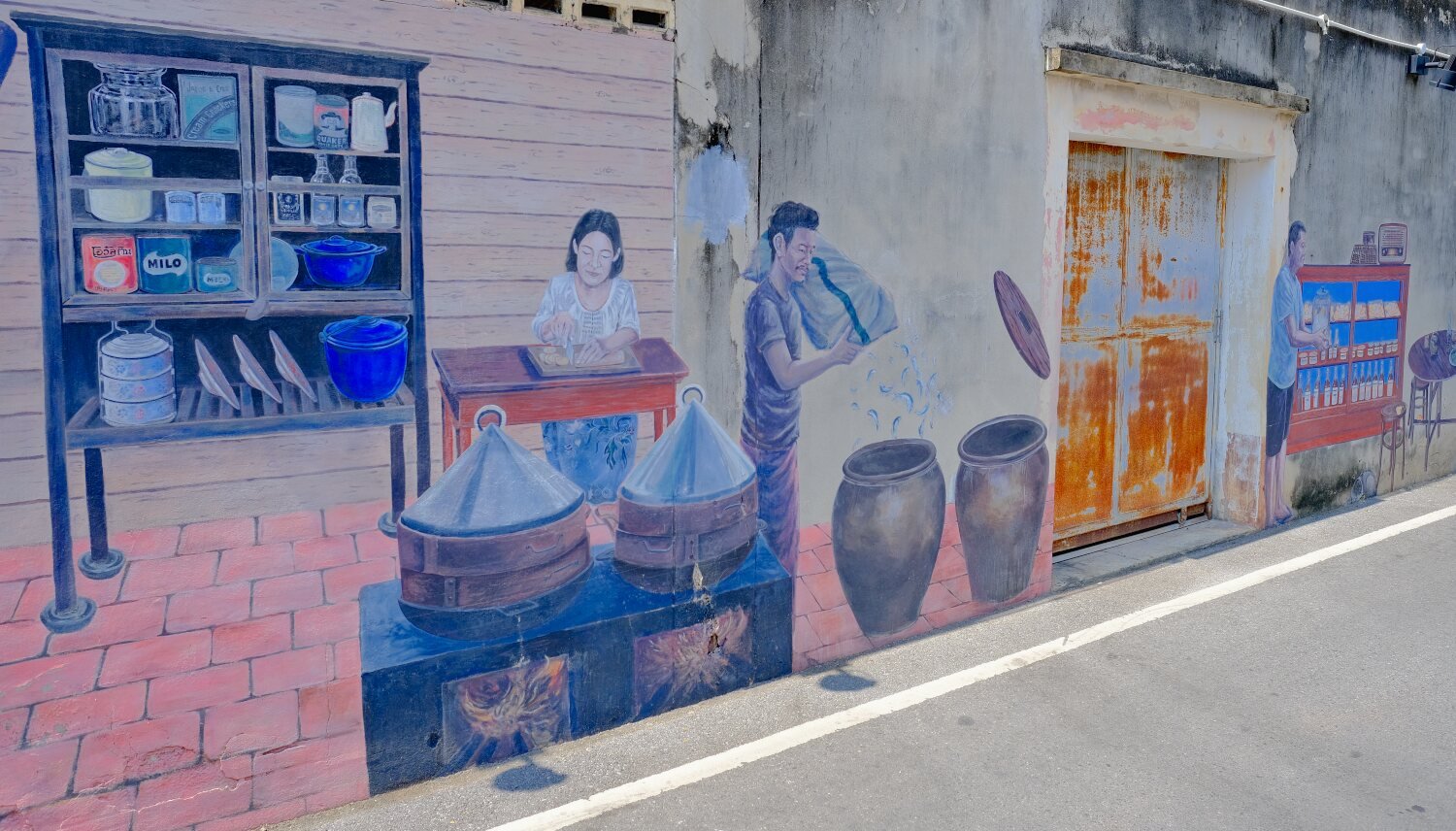
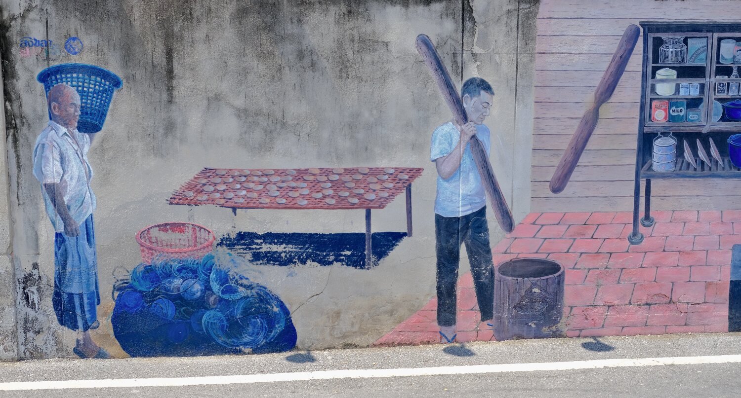
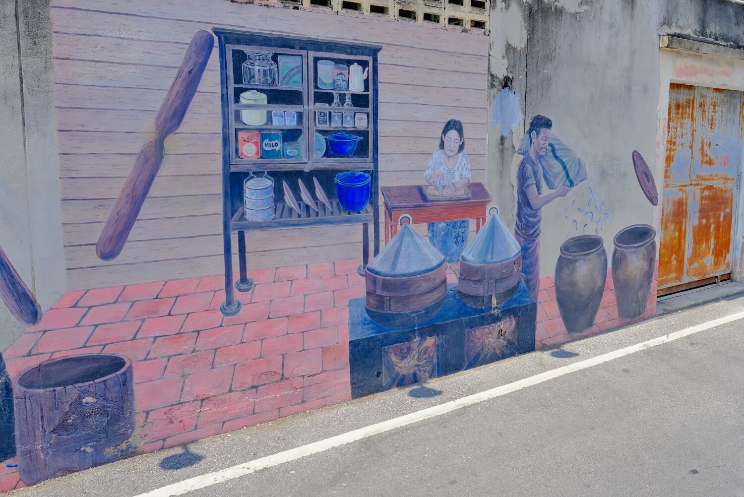
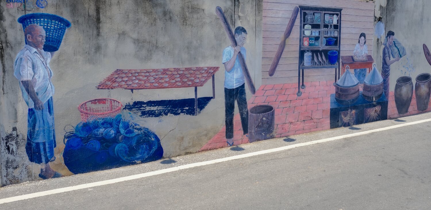
The first was Songkhla Old Town with some grat street art, here.
https://maps.app.goo.gl/wbTThnGuJet7Fg7G6
Nearby was The Red Factory (Mill), here.
https://maps.app.goo.gl/Ev6d4moP9CiPDnXY8
There was some more street art here too. After that I called it a day.
https://www.relive.cc/view/vXOdXV89xkO
-
4
-
 1
1
-
1
-
- Popular Post
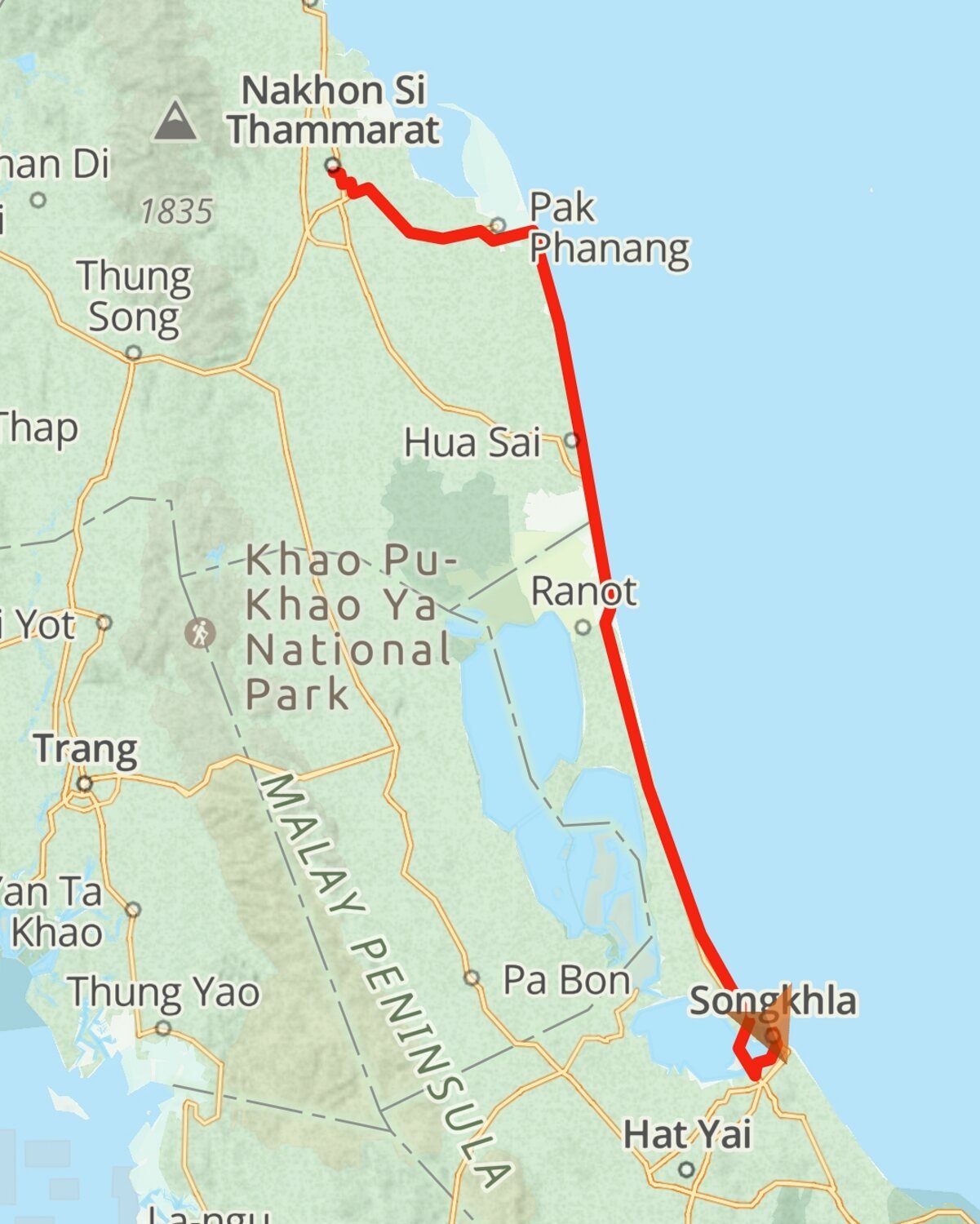
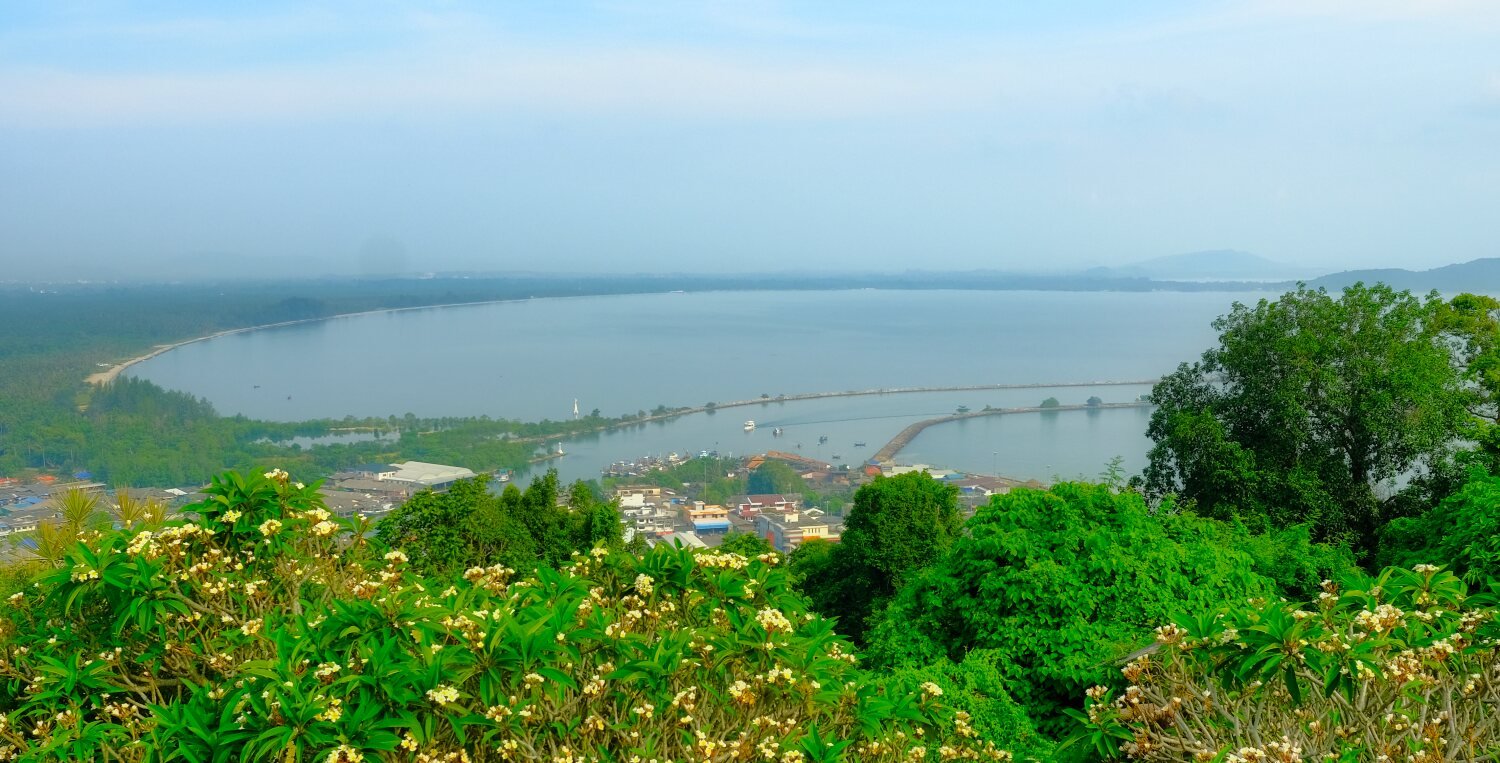
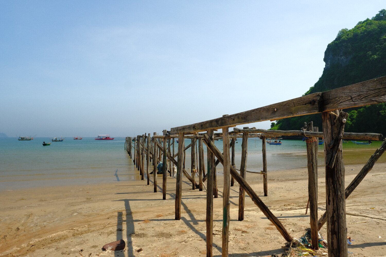
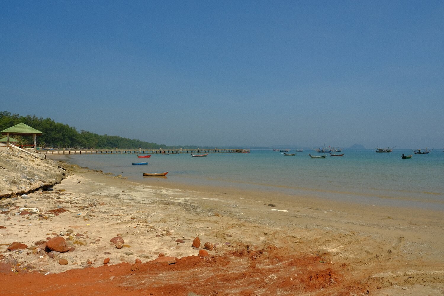
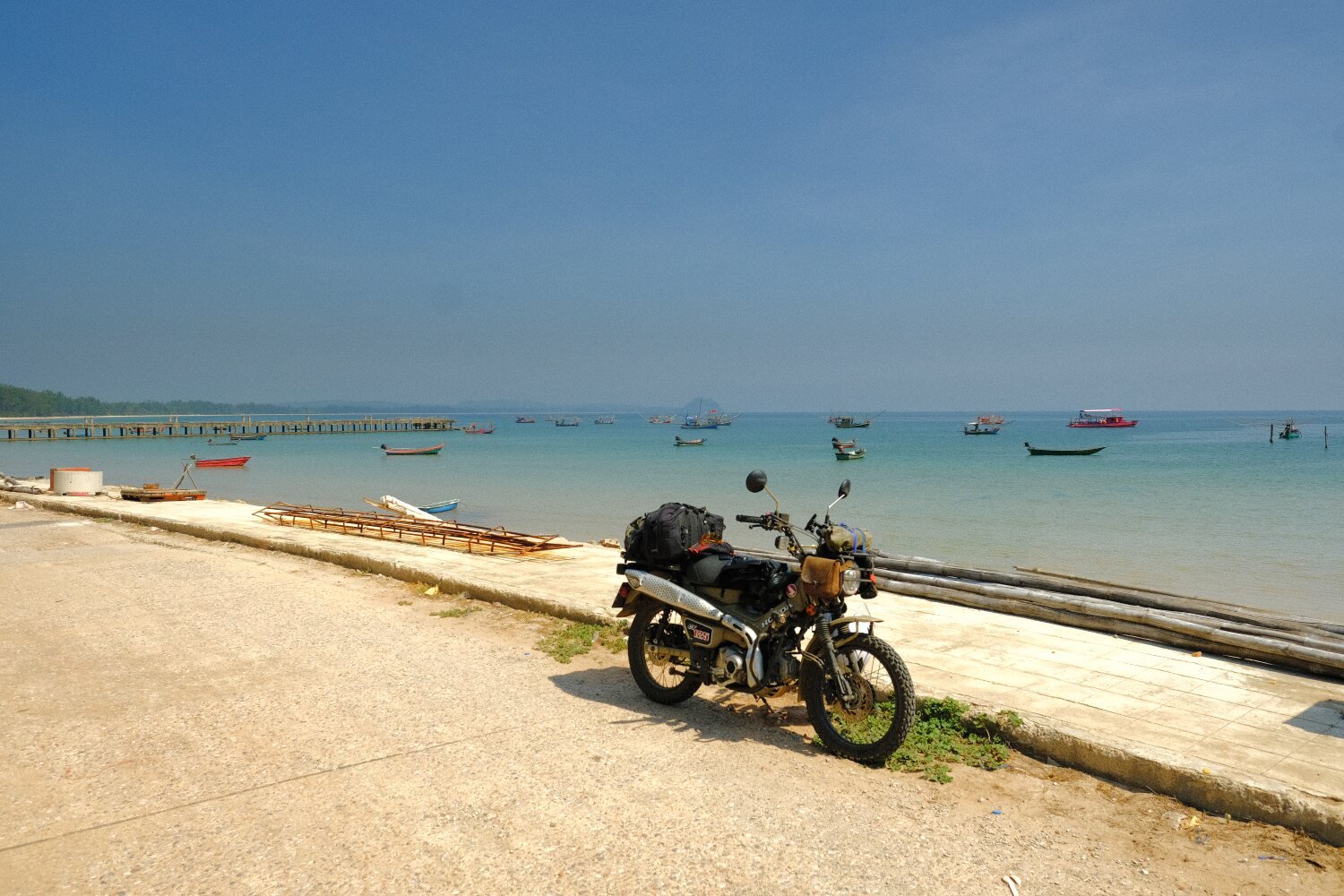
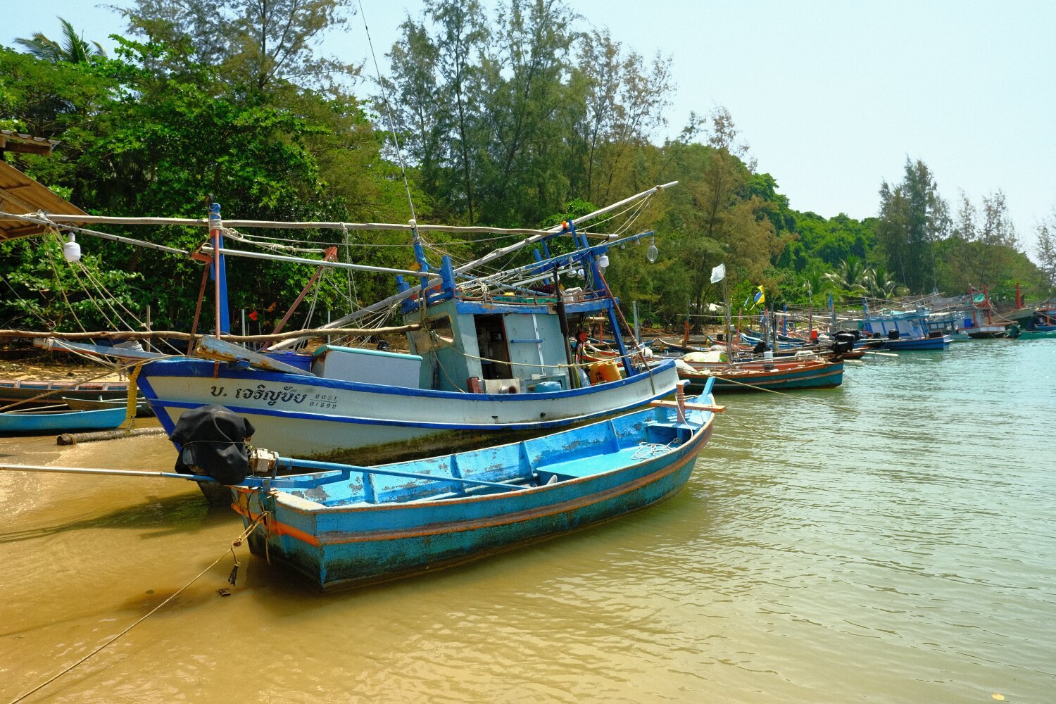
Day 21. Nakhon Si Thammarat to Songkhla.
Today it was Al and I riding as Mike had already arrived in Songkhla.
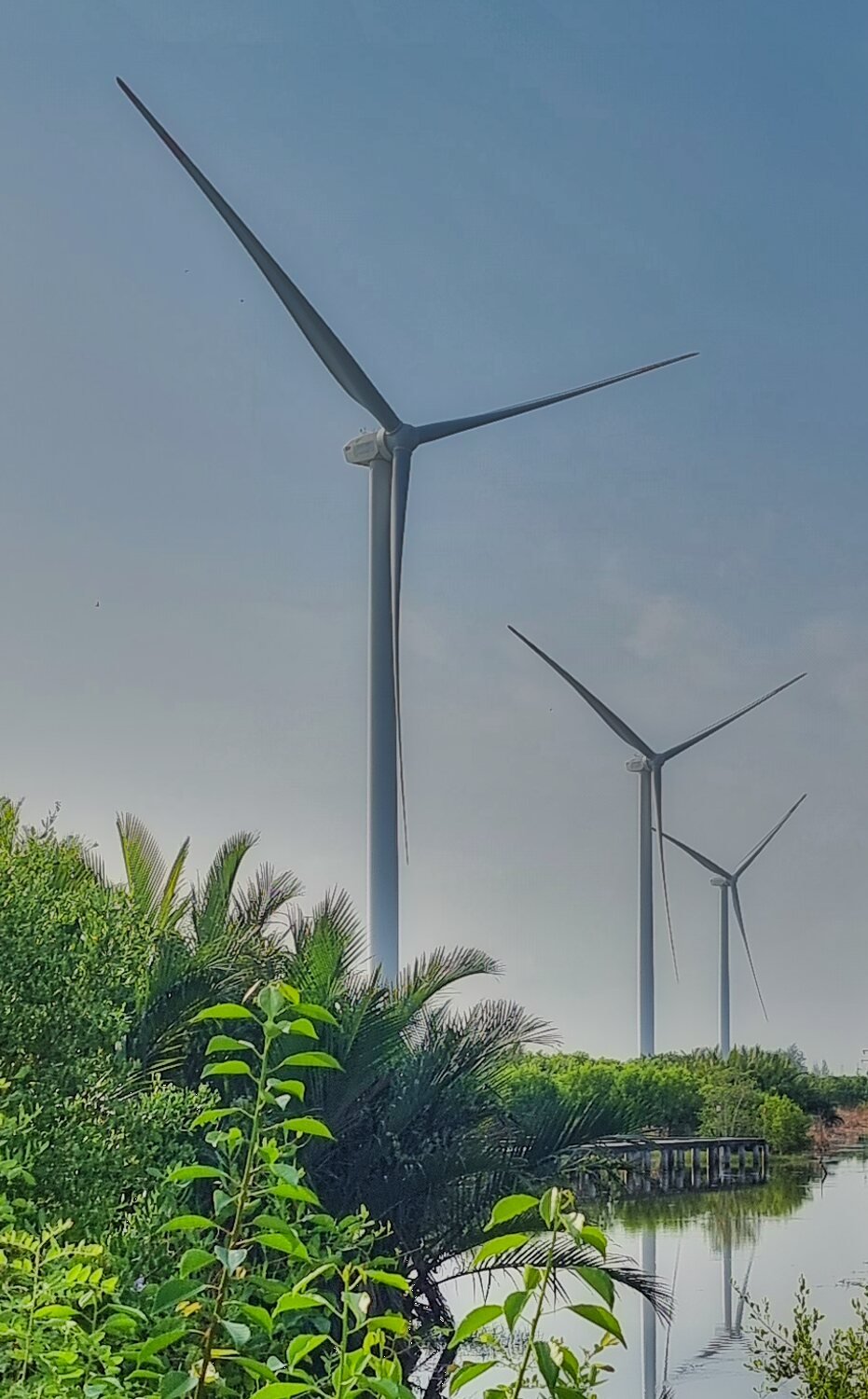
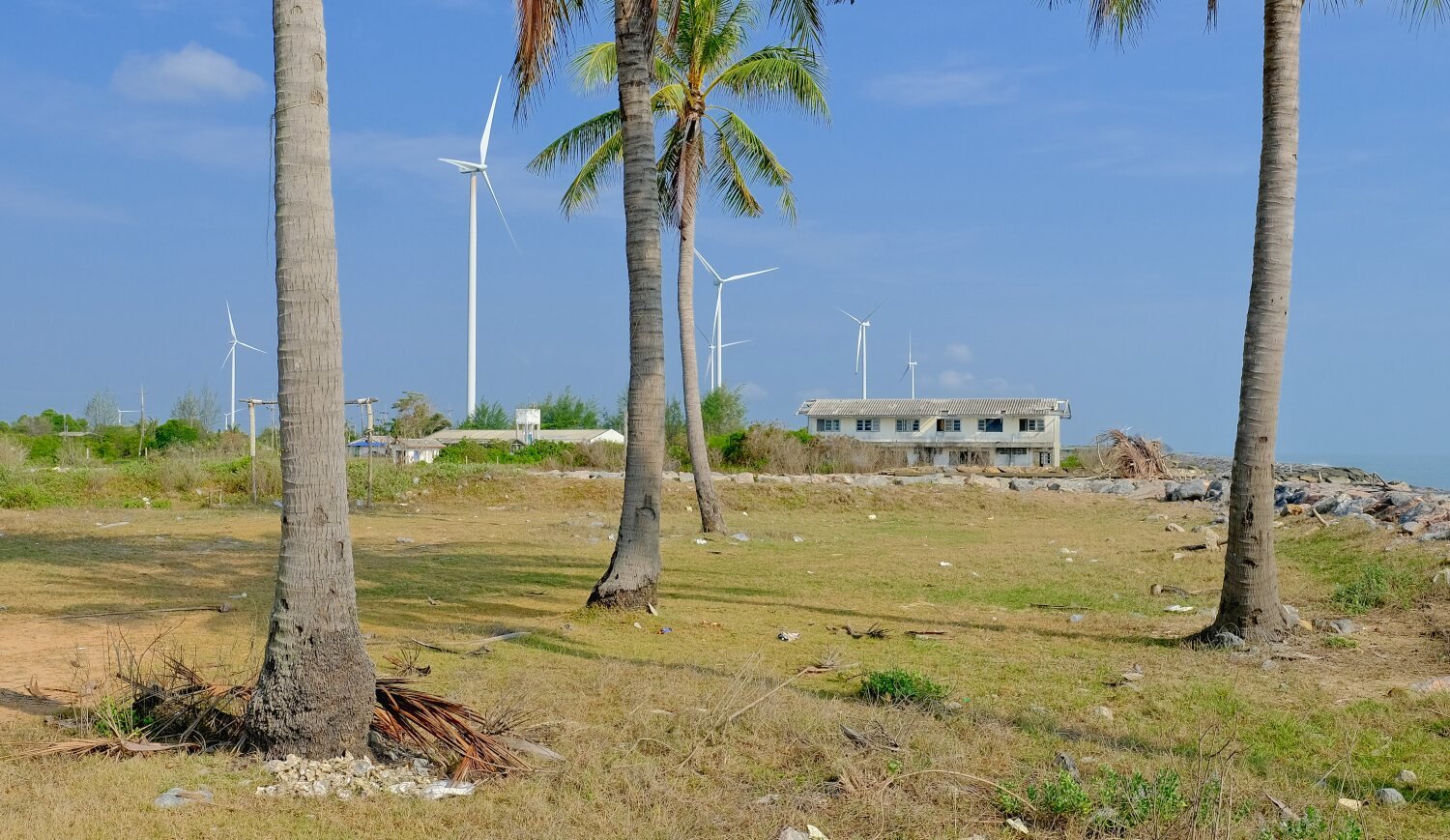
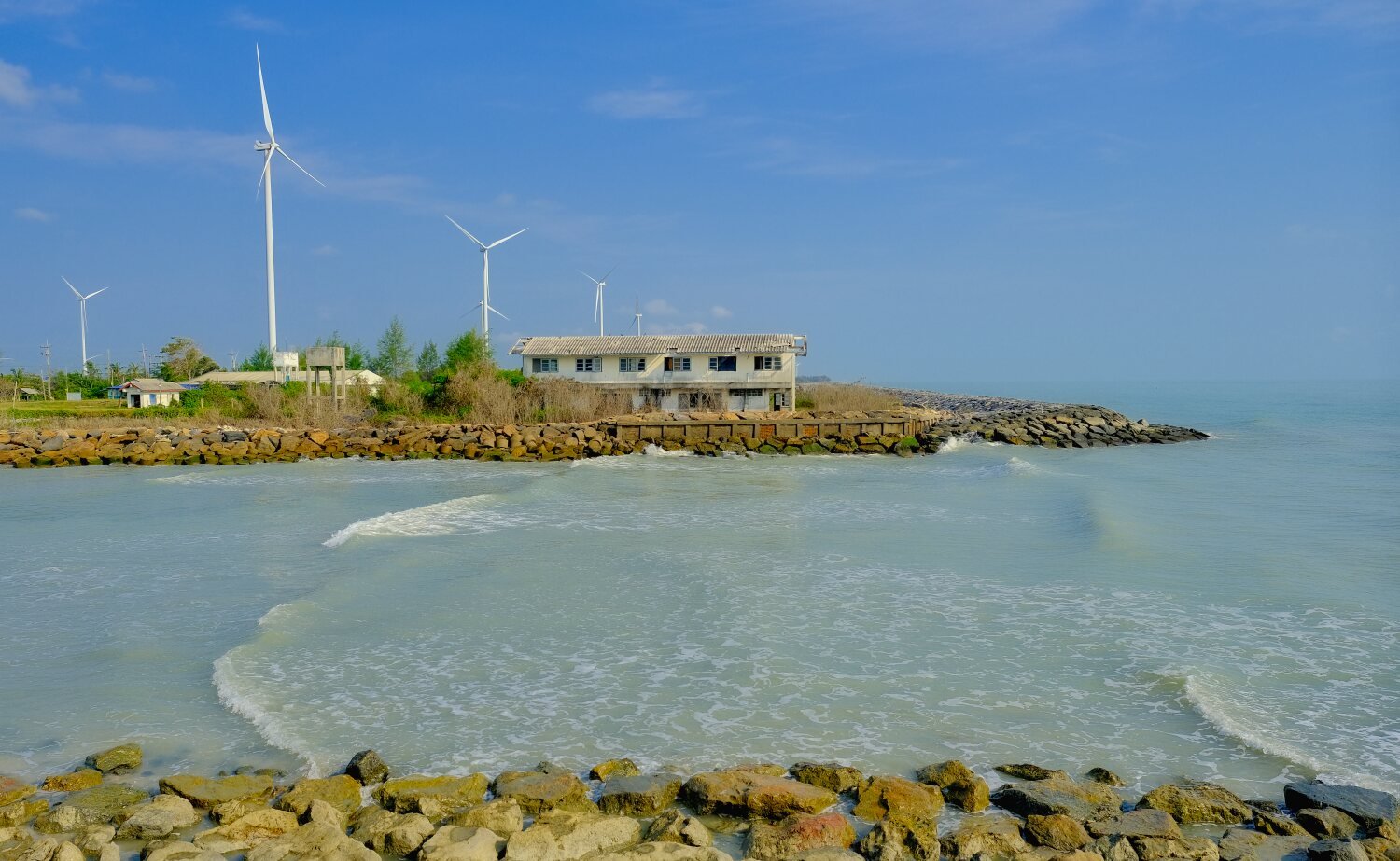
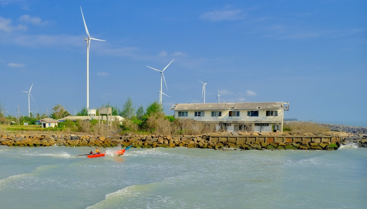
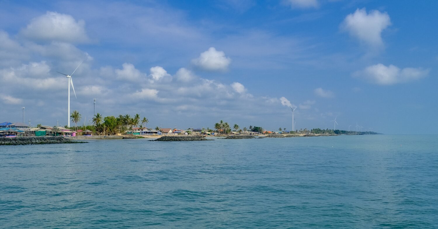
Our first stop was Phak Phanang Wind farm, here.
https://maps.app.goo.gl/ADKssFSnFrbC9Ywp7
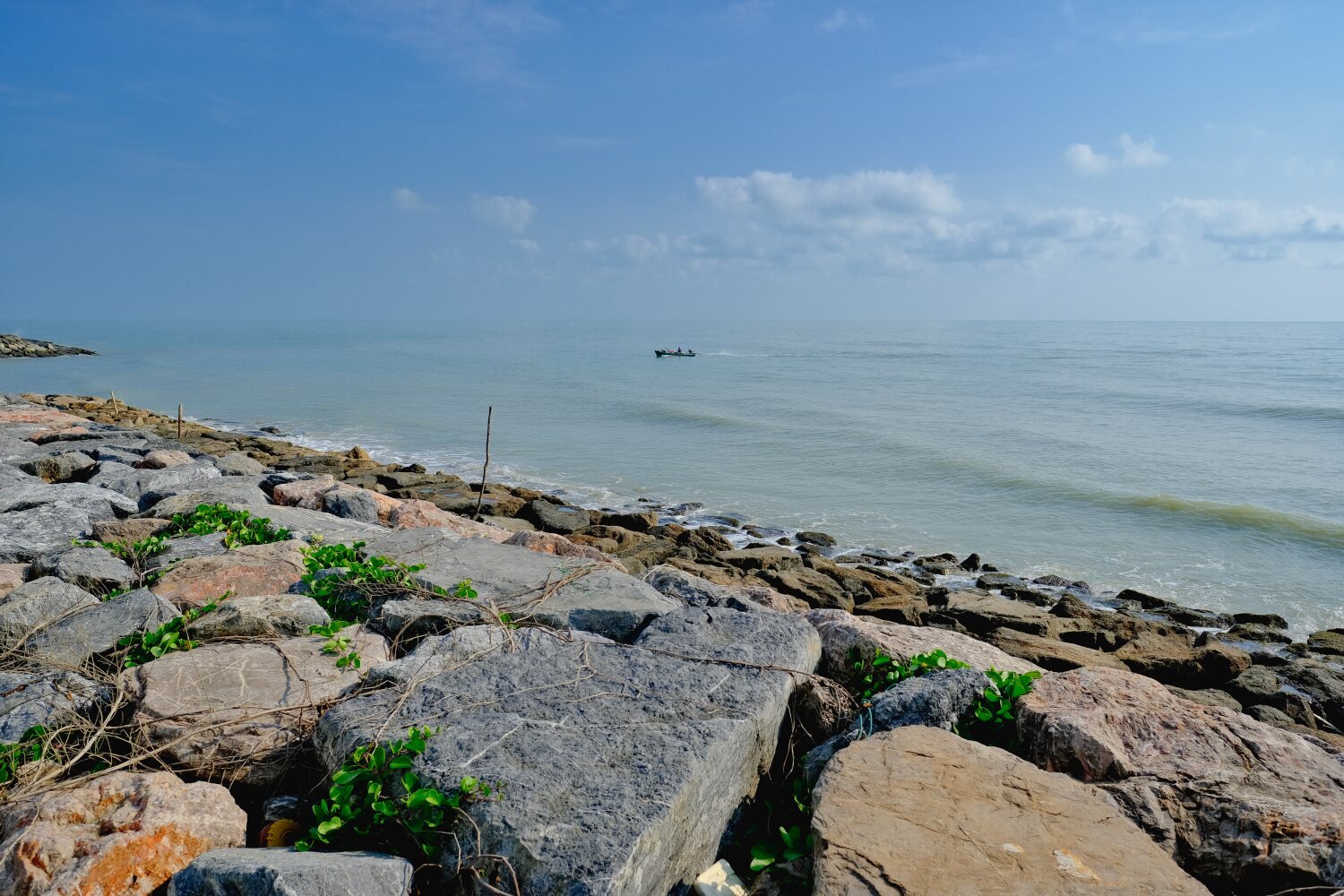
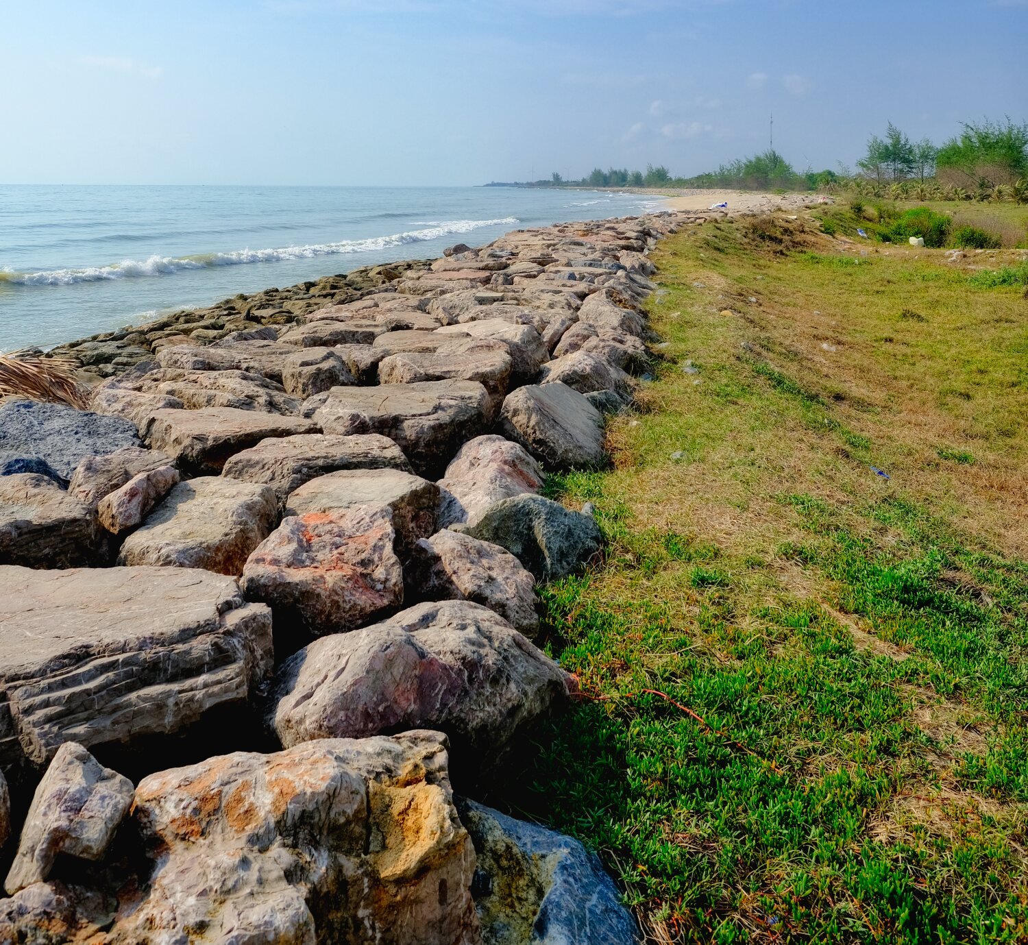
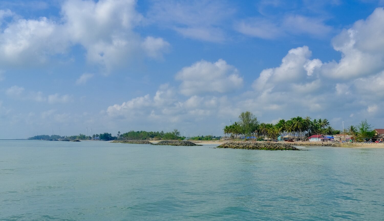
Not far down the coast we stopped at Lan Tha Phaya Beach, here.
https://maps.app.goo.gl/8WFf8c1pLWLiiBTZ9
Then Pier bridge in front of the courthouse, here.
https://maps.app.goo.gl/FVsZ8UNhomYhUh8r6
Next stop was Cactus Beach, here.
https://maps.app.goo.gl/zvhUZPSwhcCCAoBN7
We then rode into Songkhla Old Town, where we will stay two nights.
https://www.relive.cc/view/v7O9GjdGLQq
-
4
-
1
-
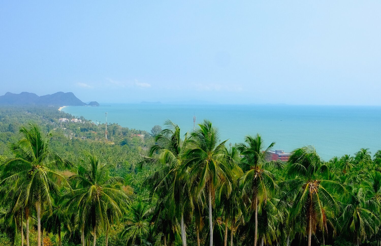
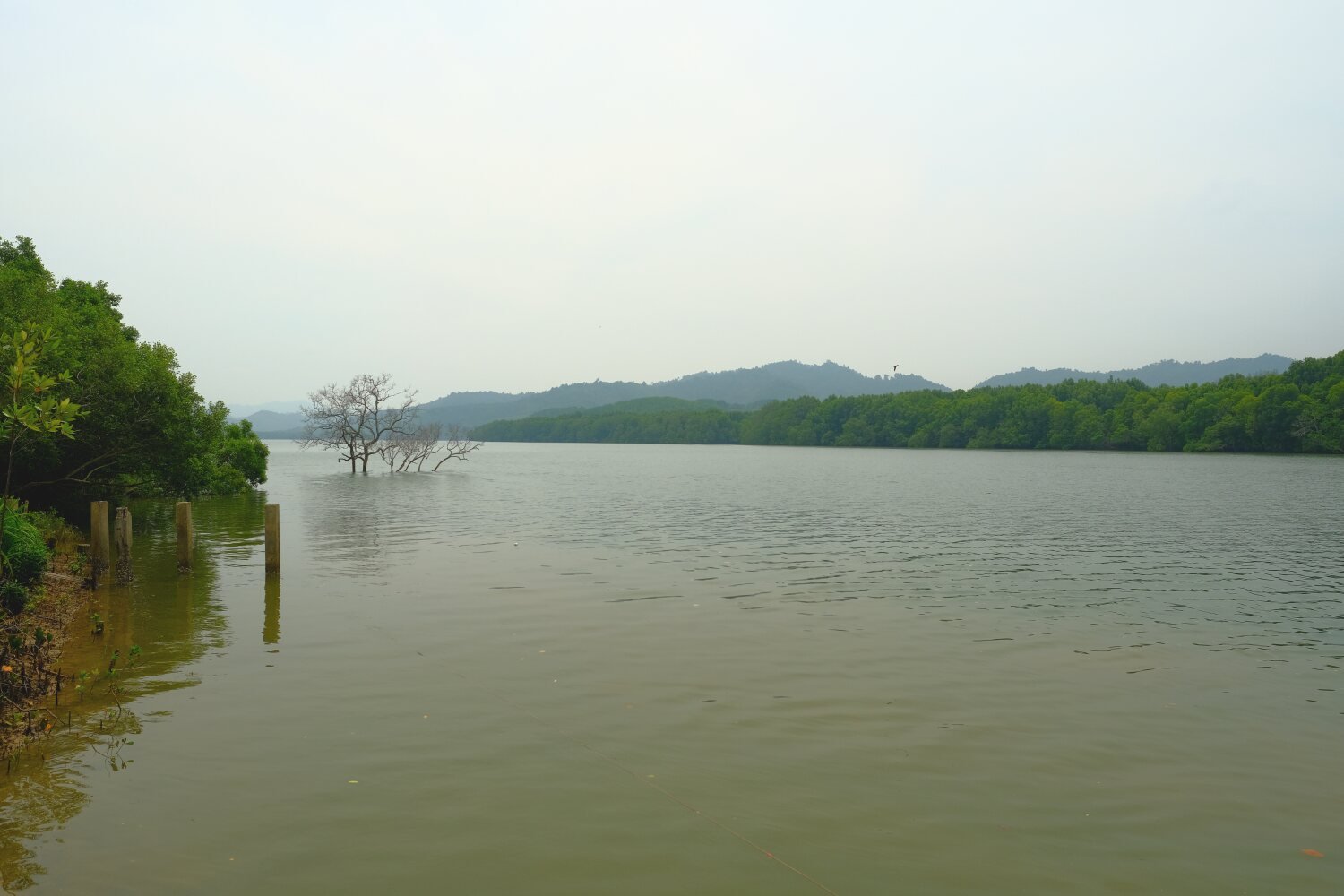
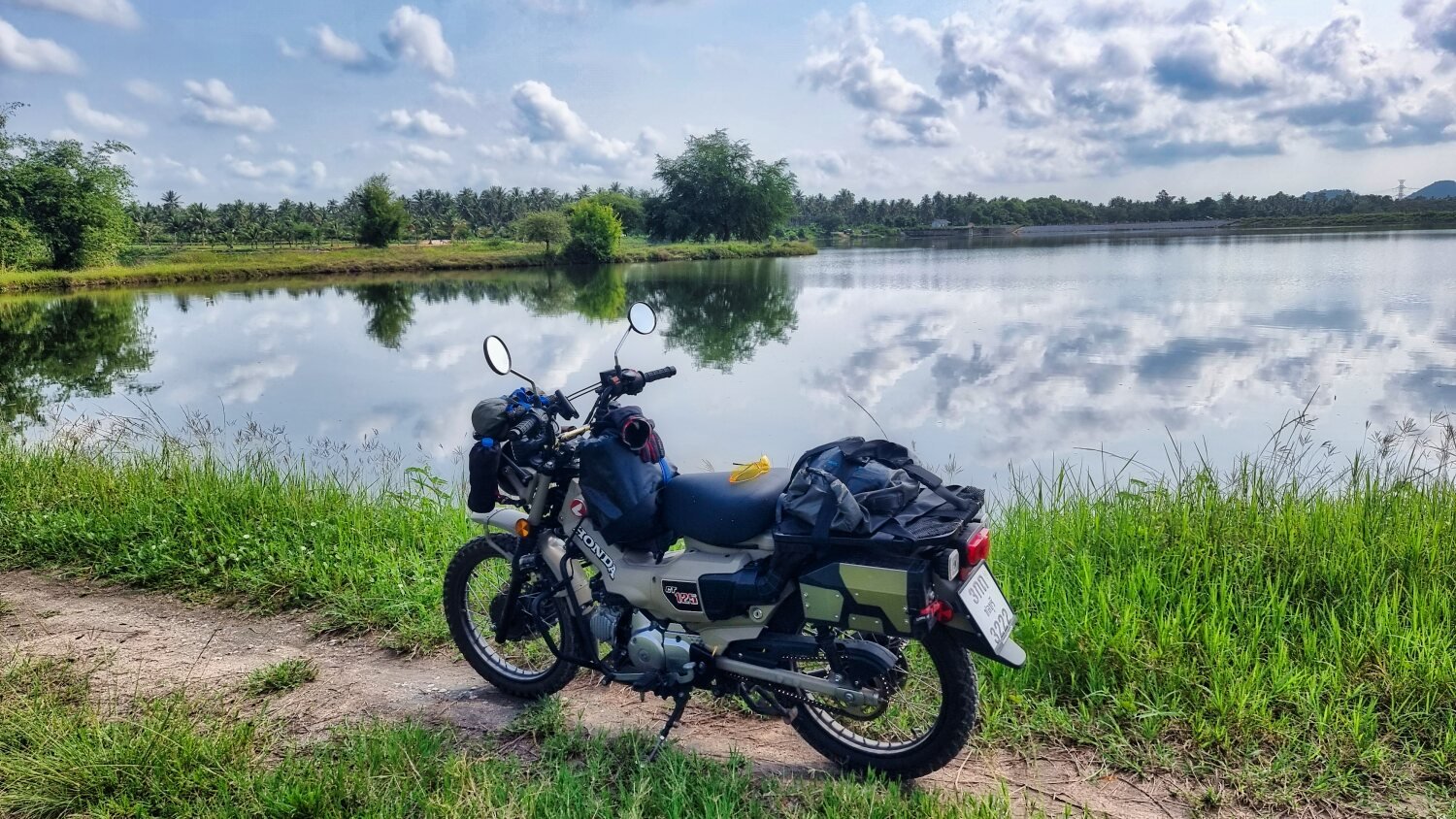
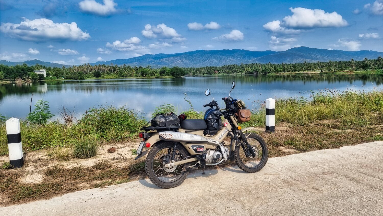
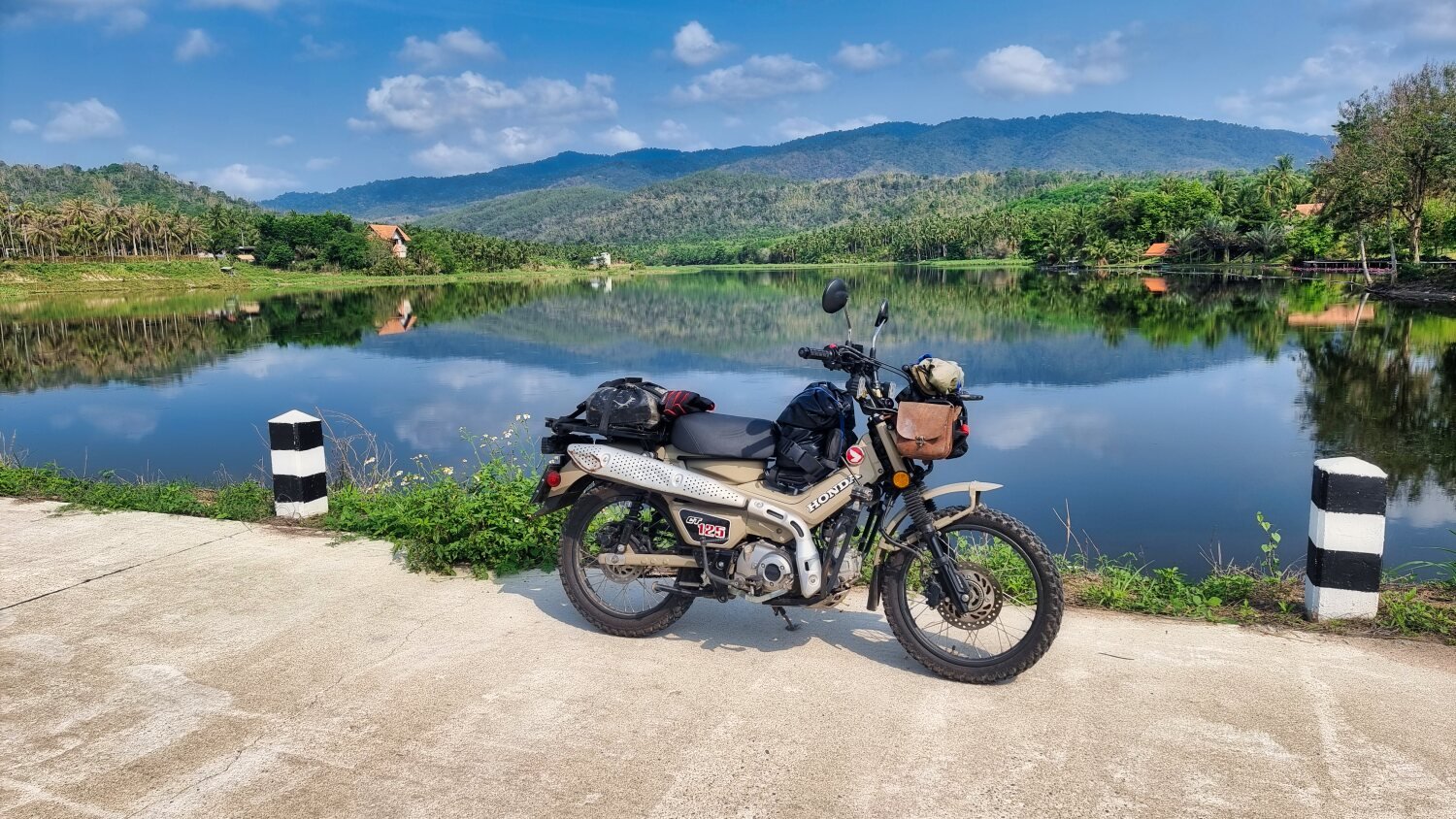
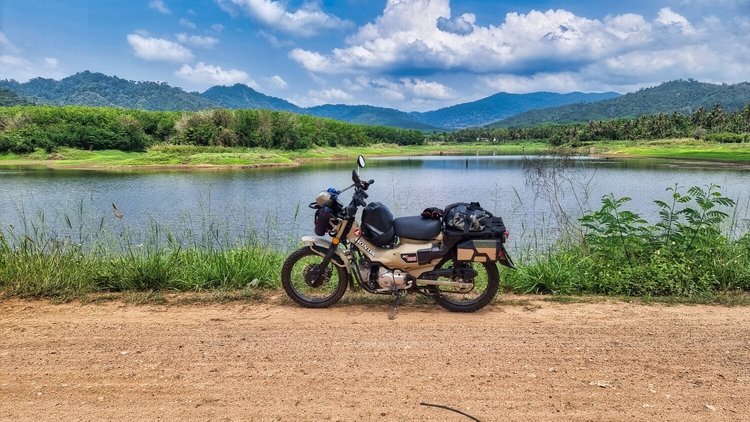
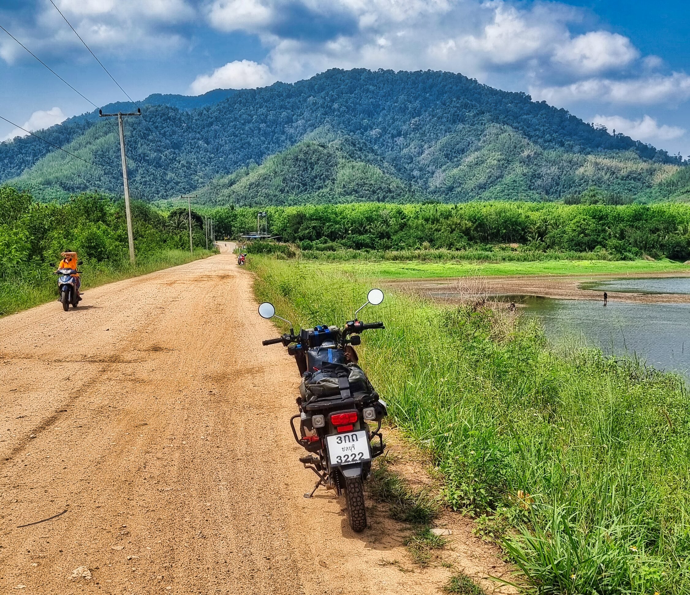
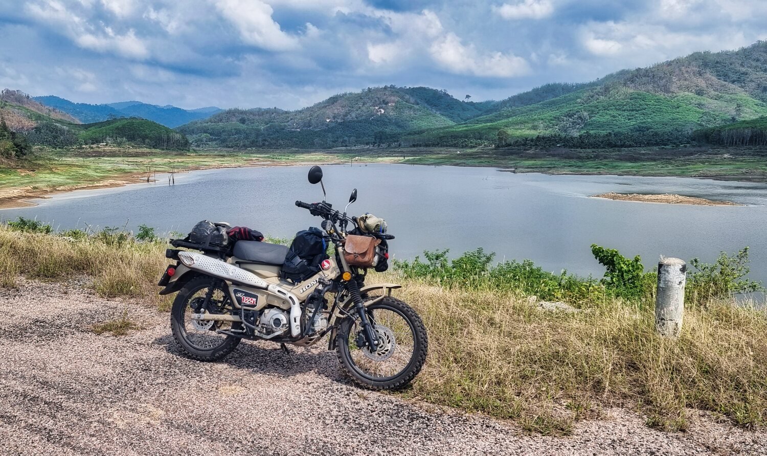
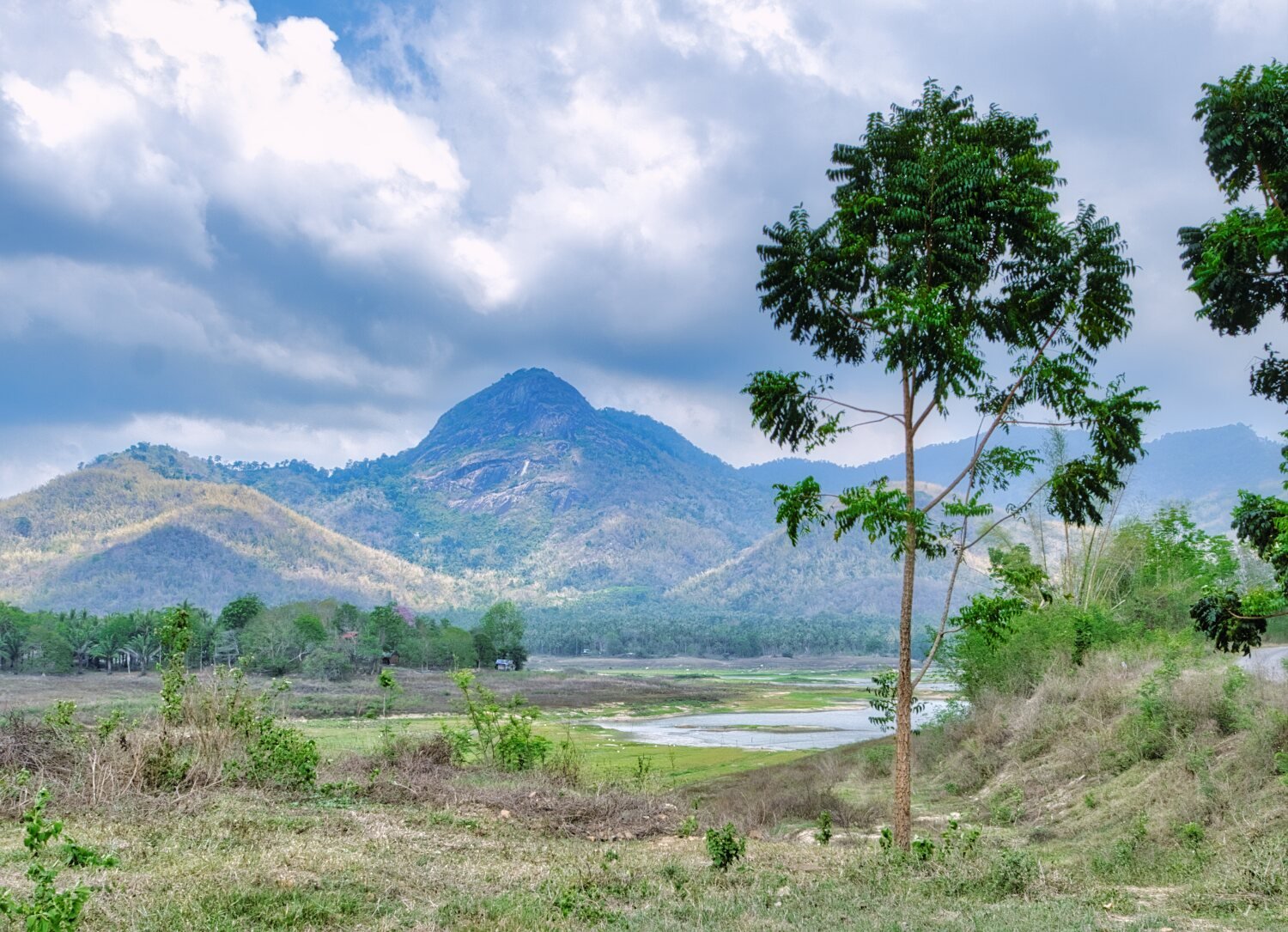
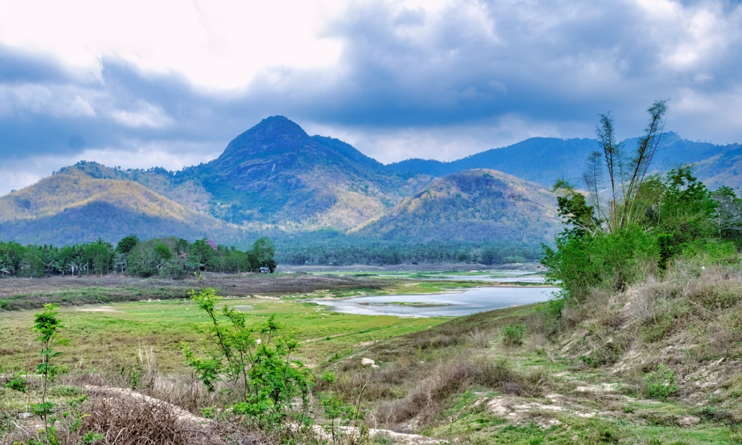
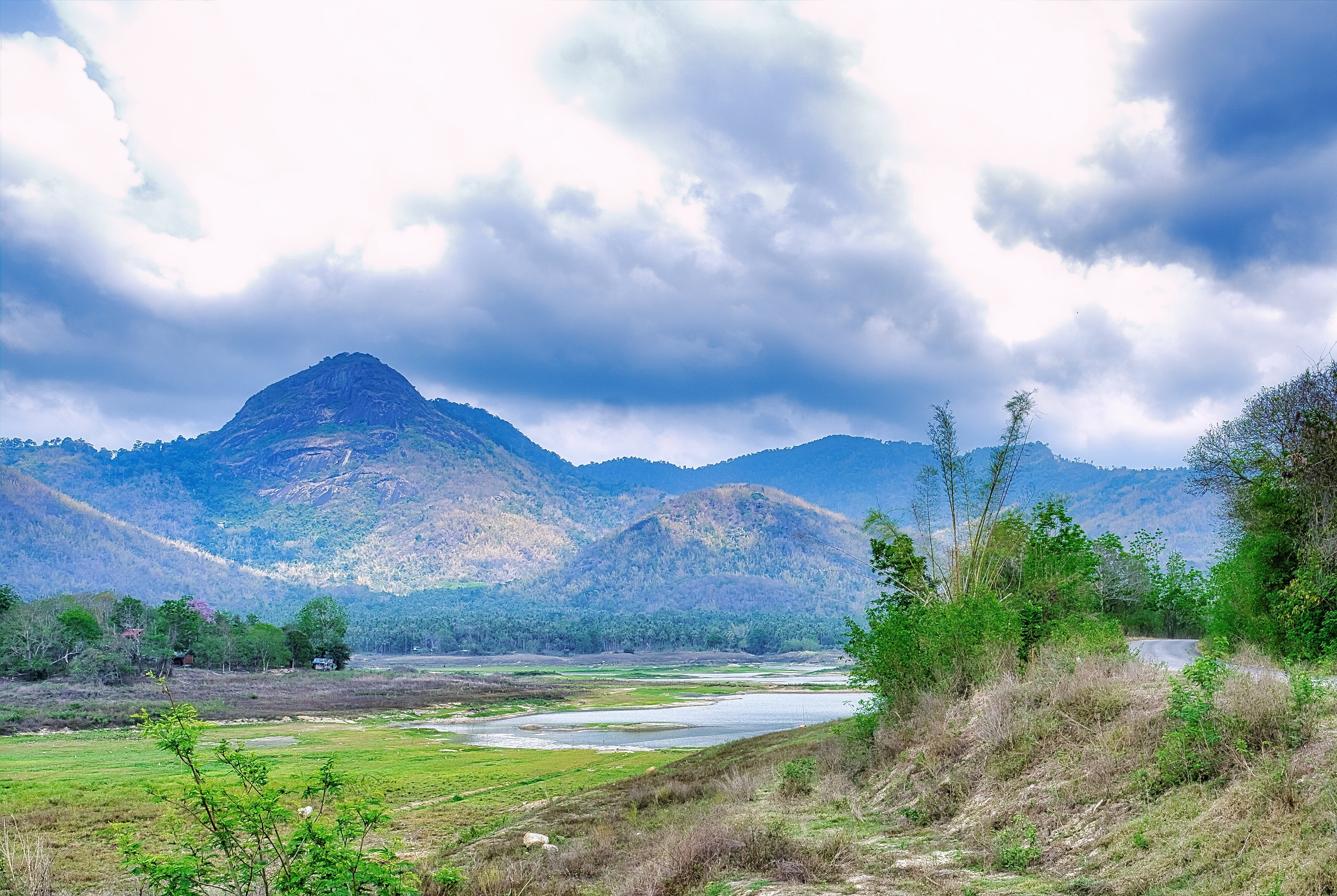
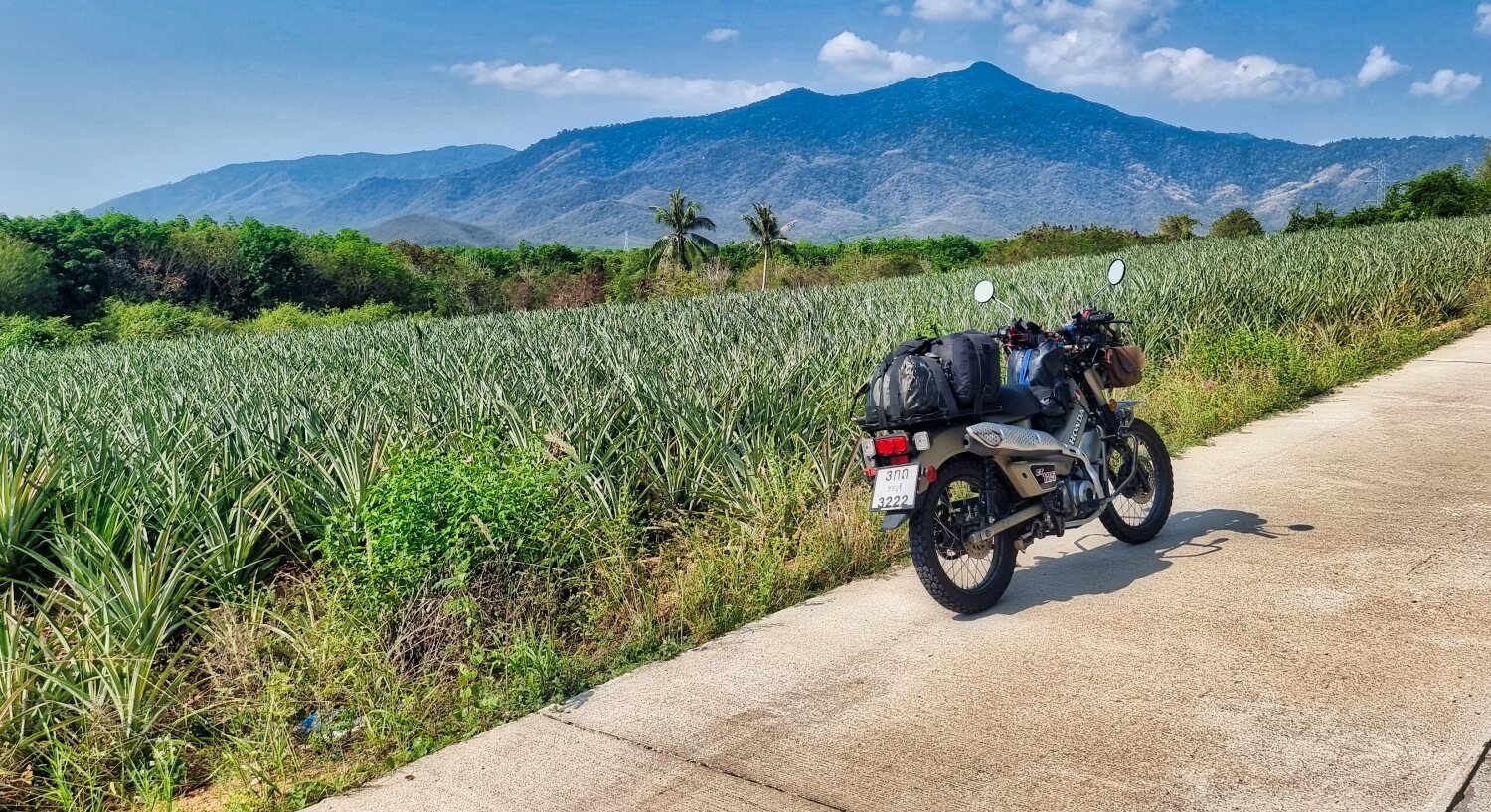
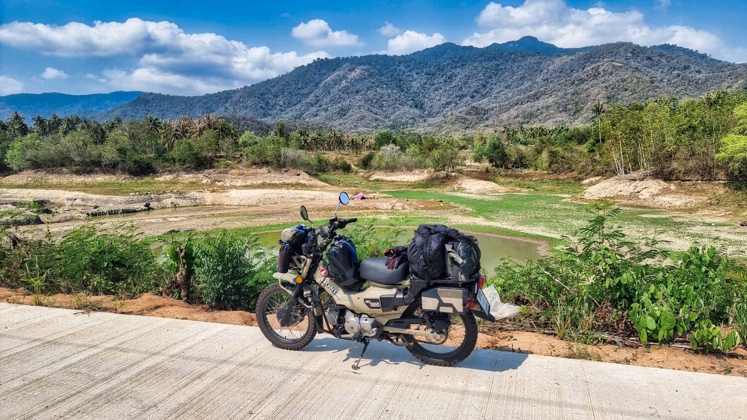
Day 20. 13.03.24. Nakhon Si Thammarat Reservoir Exploring inland.
This morning Al and I went riding and left Mike at the beach gypsy girl hunting.
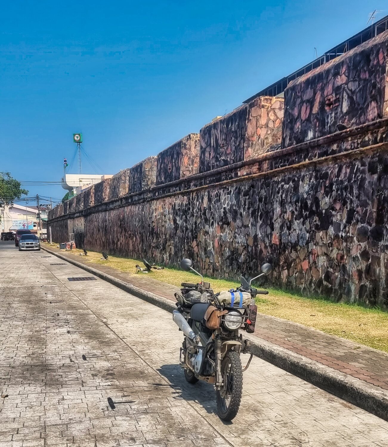
The first stop was in town to photograph The Old City Wall, here.
https://maps.app.goo.gl/Xt7PfcHn1mvHzYWWA
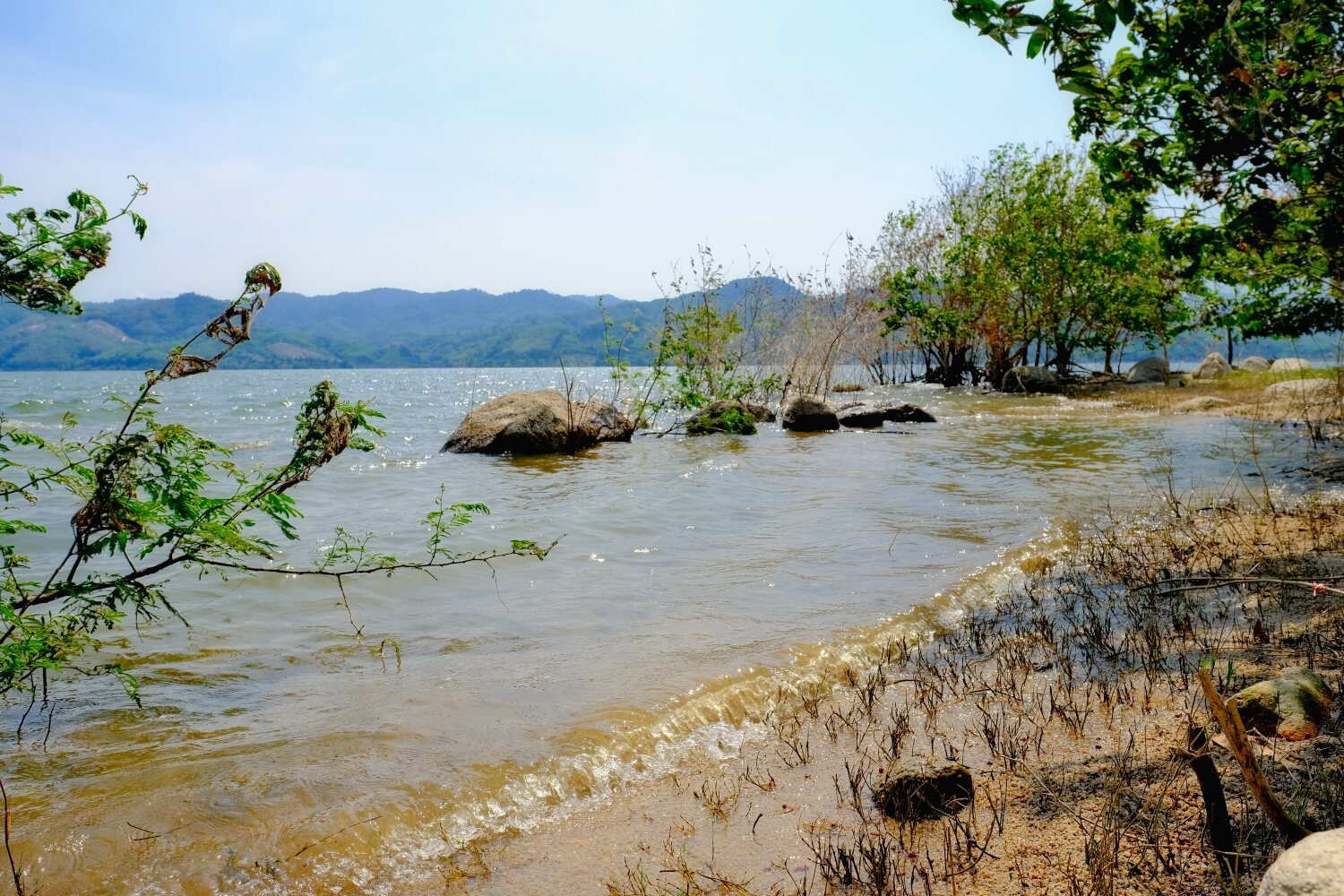
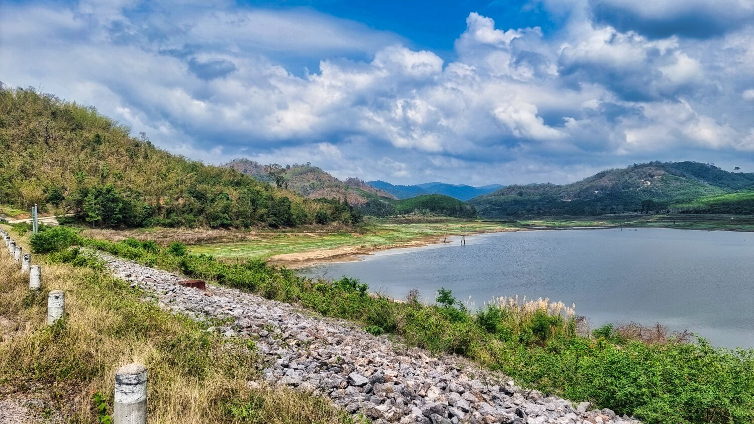
We then headed inland to our first stop which was Khlong Kathun Reservoir, here.
https://maps.app.goo.gl/jsoDNKV38tkLHXRL9
We then rode a small track in another area of the reservoir hunting out isolated camping spots for Mike as he seems keen to do so, here.
https://maps.app.goo.gl/uNEpbsAPUBU6e4VA8
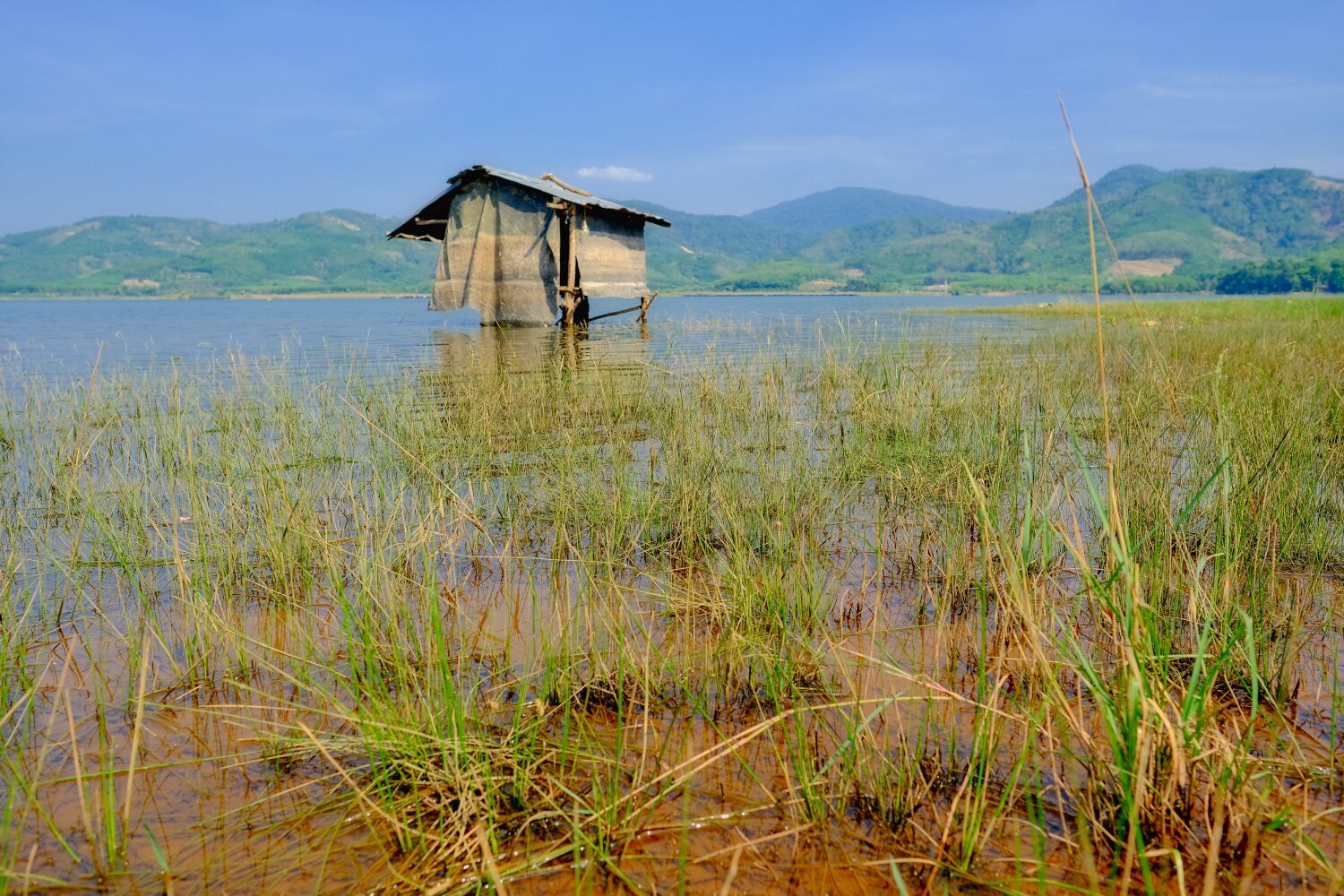
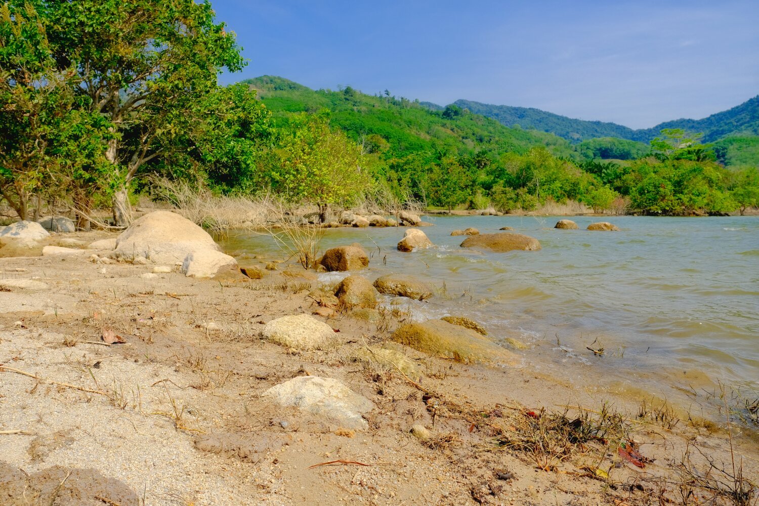
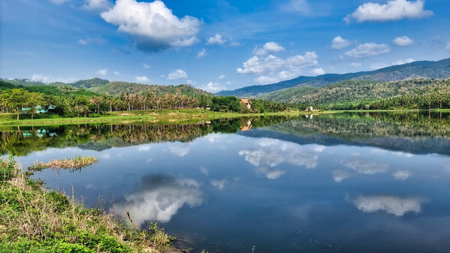
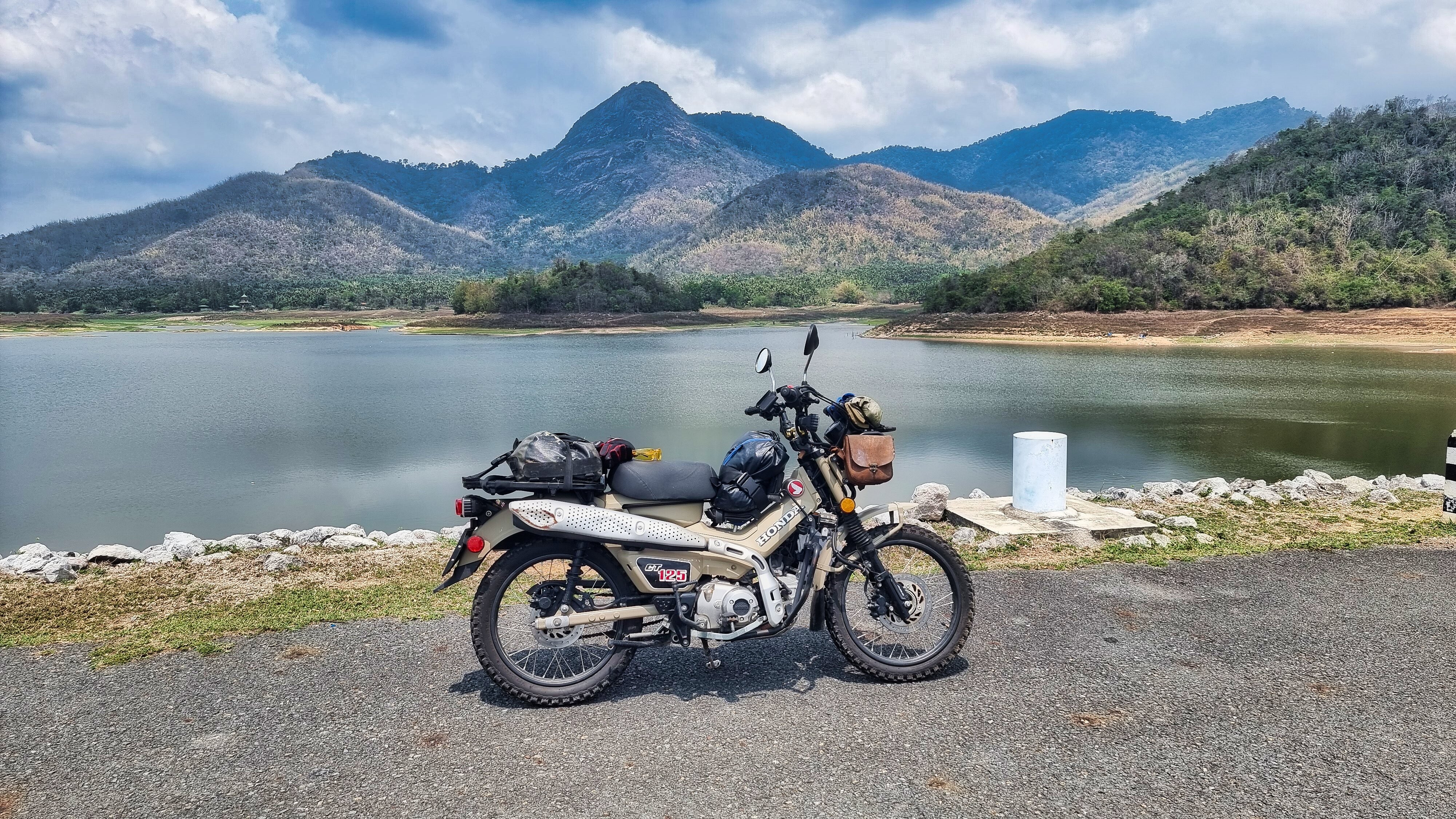
We then rode to a second reservoir nearby, Khlong Din Daeng Reservoir, here.
https://maps.app.goo.gl/gabHx5M9qRTabLdT8
Just around the reservoir was Khlong Din Daeng Beach, here.
https://maps.app.goo.gl/XVxWiHeWU8UpoHq19
This was not a beach, just a rocky area with nice views.
We then rode back to the city.
https://www.relive.cc/view/vevY3KdEry6
-
2
-
-
22 hours ago, jvs said:
Yes we see it all the time,guys on big bikes roaring past,they must go from hotel to hotel without
really seeing anything but as long we all enjoy what we are doing then by all means.
The nicest stuff you see is when you take the smaller roads or even off road and visit and talk to local people.
Chris,what kind of tires are you using now?I just installed some semi-off road ,trail tires.
Going off road with normal tires got a bit too scary for me.
V rubber VRM 022, good hard wearing tyres, i get 10 per set
-
 1
1
-
-
23 hours ago, Korat Kiwi said:
What a trip. Hope you're not getting any saddle sores!
Great way to see the sights without missing much (You tend to go a bit faster on bigger bikes).
Once I settle down it's something I'd like to do. Take my time and enjoy the journey.
Love it, well done guys
Thanks. Yes i have ridden south on a bigger bike and tend to miss the best sites.
-
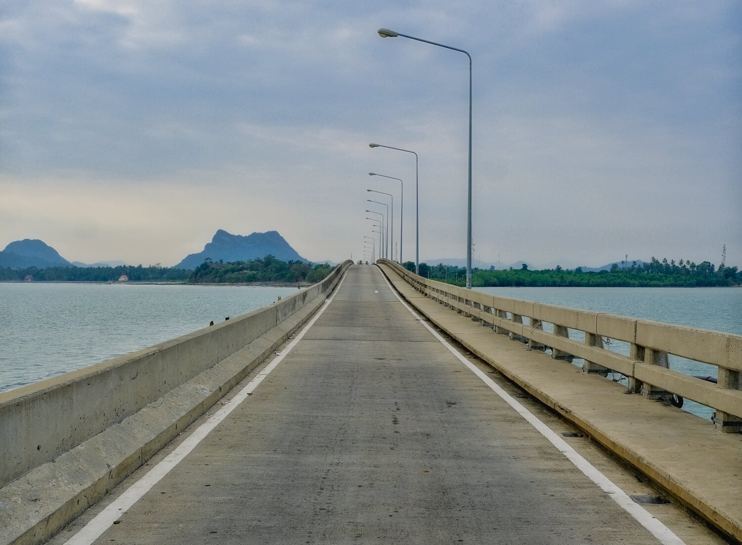
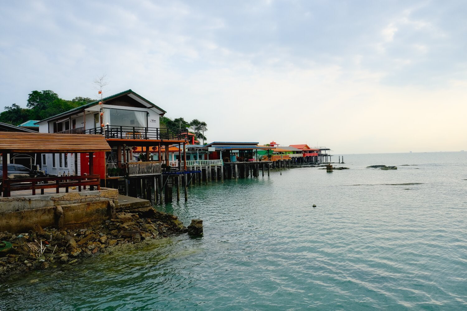
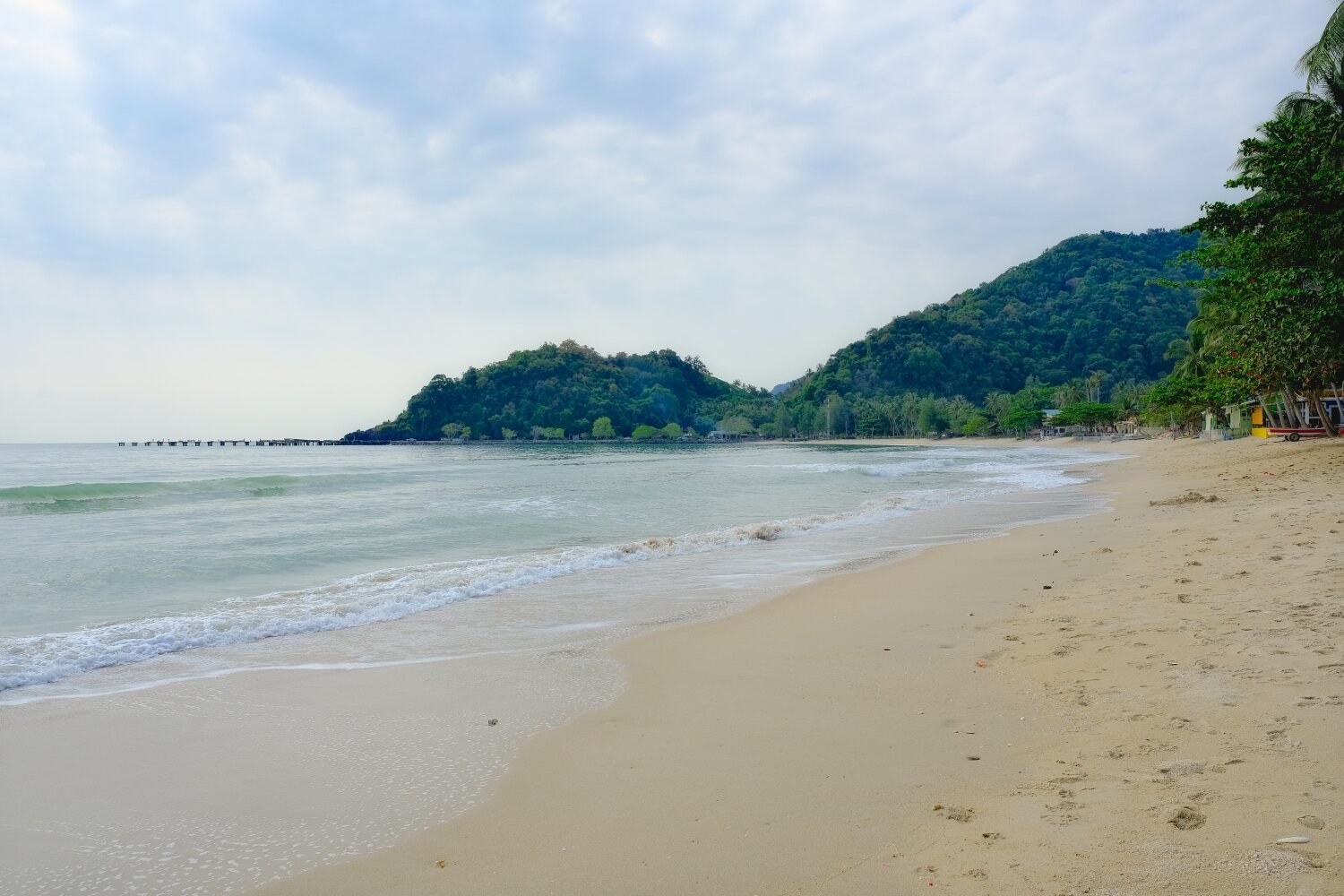
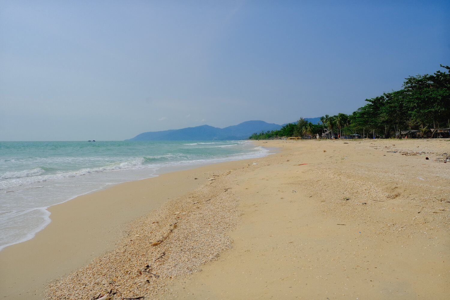
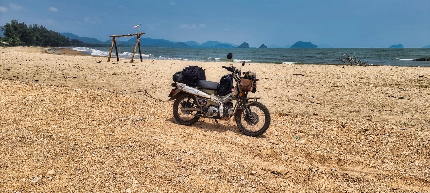
Day 19. Don Sak to Nakhon Si Thammarat.
From our hotel in Don Sak this morning we backtracked to see Koh Raet and rode over the bridge to the island, here.
https://maps.app.goo.gl/8enWFQw16cM2Pfu47
From here we rode east then south with many viewpoint stops, the first being Nang Kam Beach view point, here.
https://maps.app.goo.gl/egKUTEhq4StMRcaH9
Onto Tong Node Beach, here.
https://maps.app.goo.gl/FrN5b86pfU7zBJB38
Right next to it was a small bay, Dinso Bay, here.
https://maps.app.goo.gl/c8U358rryRFmtDpU6
Then, Thong Nian Beach, here.
https://maps.app.goo.gl/D1t7ebxdmEgC5cBC6
On to Kho Khao Beach, here.
https://maps.app.goo.gl/48rigRYRsNxXwfp86
Next we rode up a small hill to Noen Thewada Viewpoint, here.
https://maps.app.goo.gl/RpLMTePBeTK5iupb6
Then Phlai Dam Beach, here.
https://maps.app.goo.gl/R8tbUGFLU7fxeot38
After lunch we rode on to Nakhon Si Thammarat, Mike deciding to camp on the beach and Al and I stayed in town.
https://www.relive.cc/view/vMv8GrZQ5Pq
-
2
-
-
- Popular Post
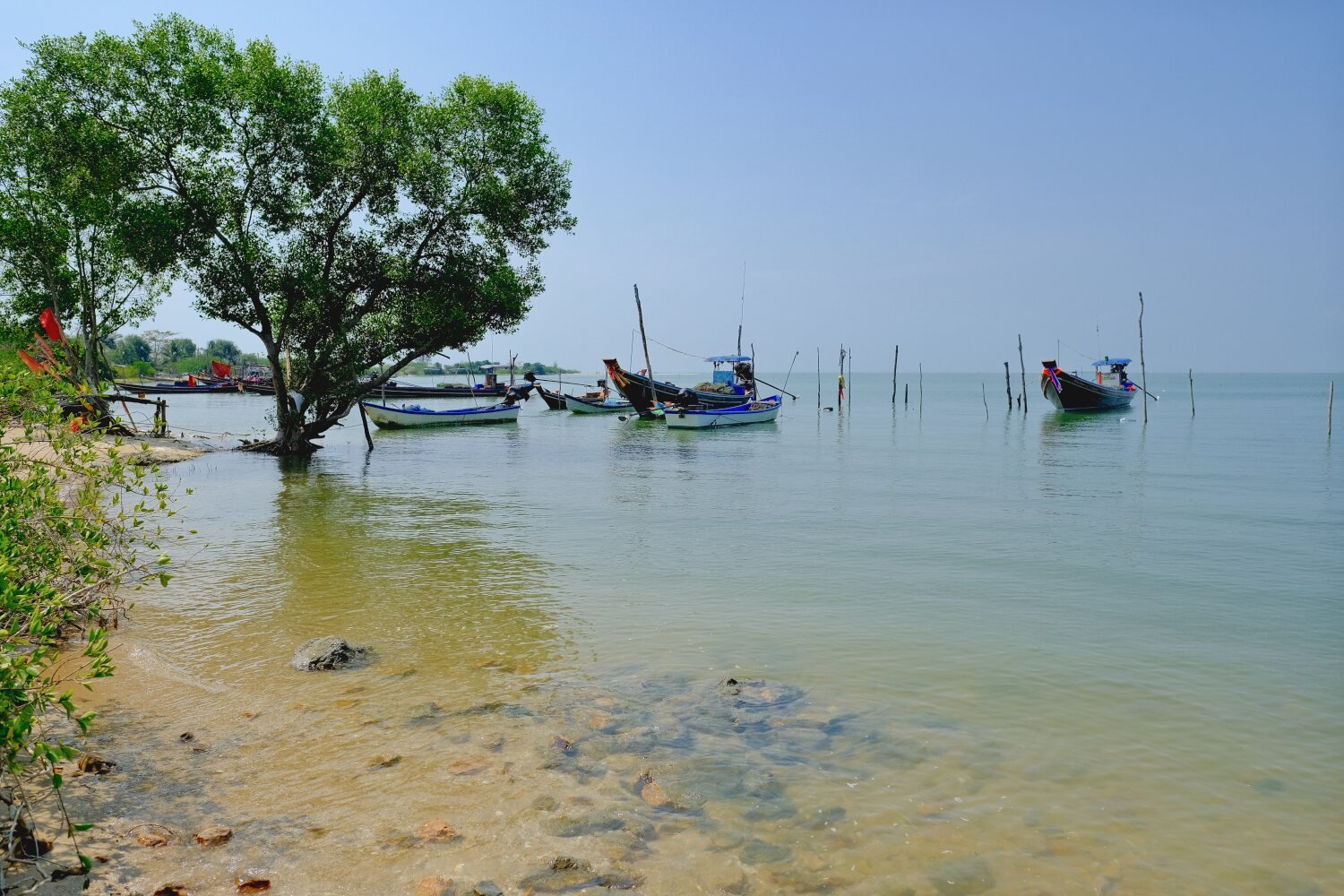
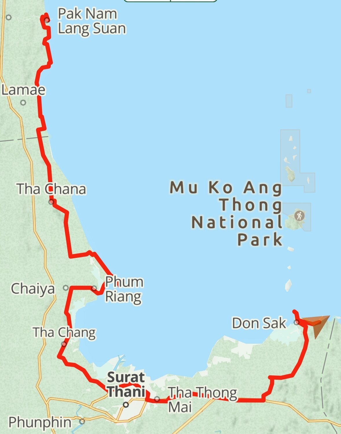
Day 18. Lang Suan to Don Sak
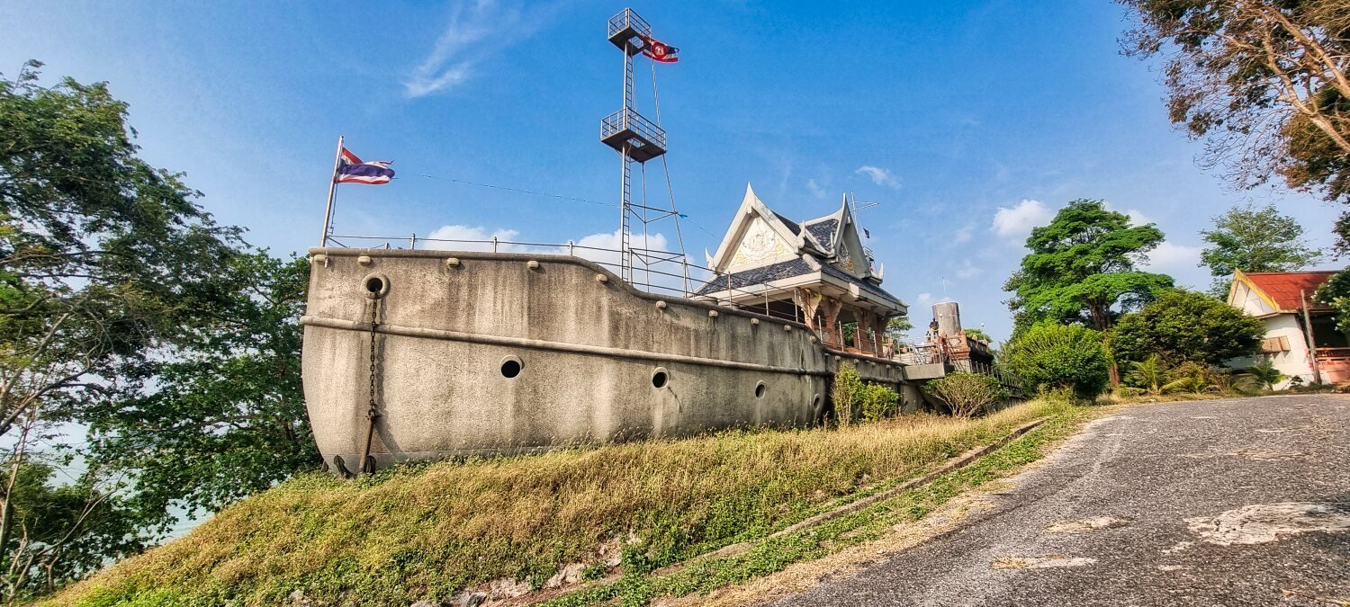
Today we headed for Surat Thani. Leaving Lang Suan we stopped to photograph Replica of Chakri Naruebet ship, here.
https://maps.app.goo.gl/ko7V8wfm71S4dBL49
A little further south we found another concrete boat at, Kho Khao Beach view point, here.
https://maps.app.goo.gl/tZcVFJGobXeYYsr68
Further down the coast we stopped at Nong Bua Bridge, here.
https://maps.app.goo.gl/dRdJYRiBD3hZy84A8
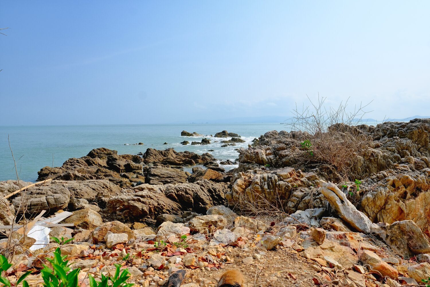
Next we stopped at Hua Laem Sui Lighthouse, but I did not see a lighthouse, but the view was great, here.
https://maps.app.goo.gl/fNDJXixHbpLS6d5r7
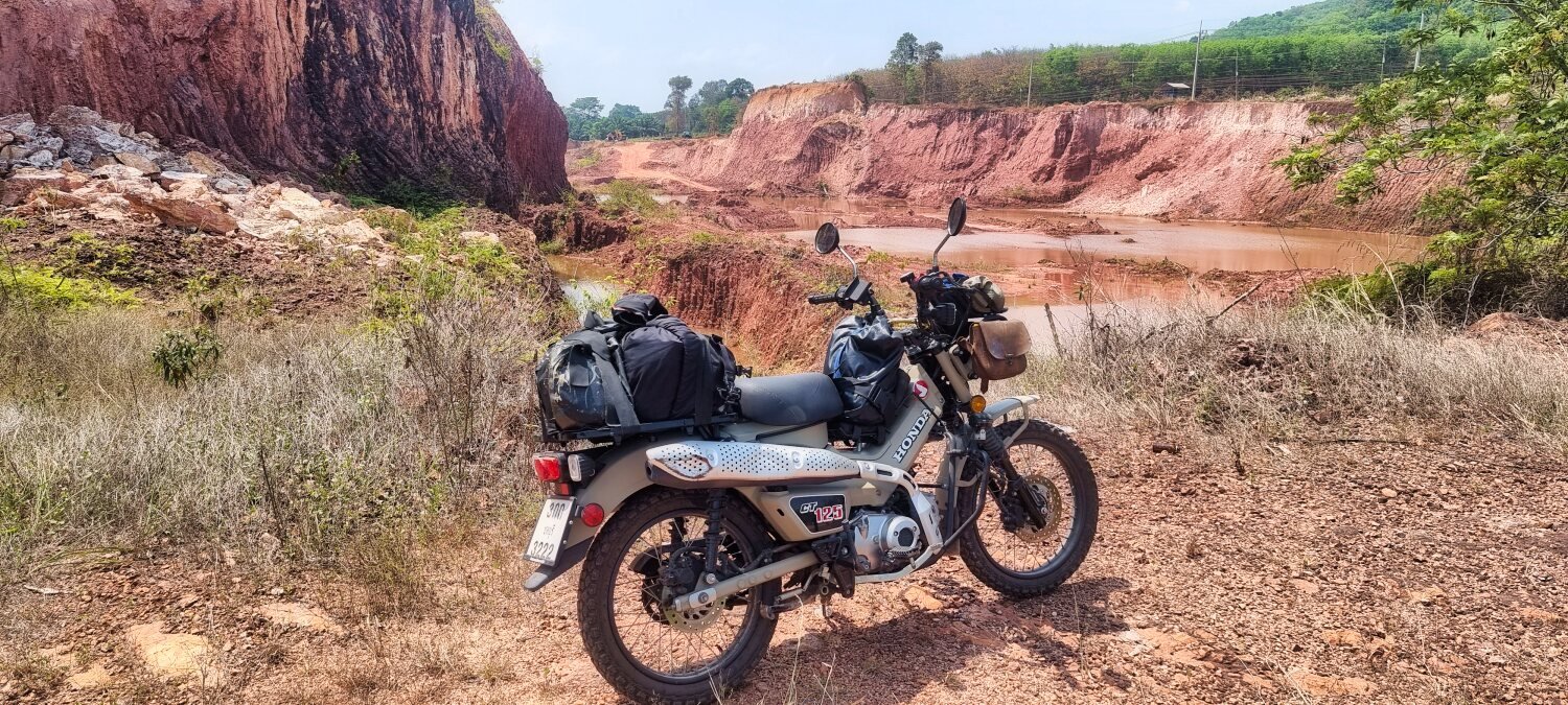
Back tracking and then riding south we had a quick stop at the Grand Canyon Tha Chang. Which actually seems to be a quarry, here.
https://maps.app.goo.gl/eZo18sPhmTBRamry9
From here we rode on to Don Sak for the night. Al and I are staying at The Rest Don Sak Resort, here.
https://maps.app.goo.gl/eS1oCZR3SNvEayUV9
https://www.relive.cc/view/vNOP739e8Yv
-
3
-
- Popular Post
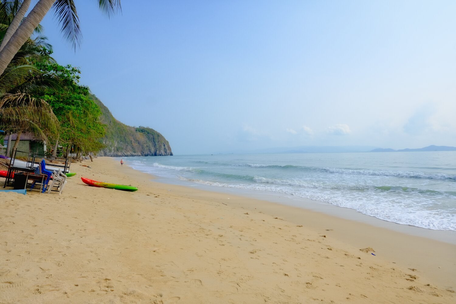
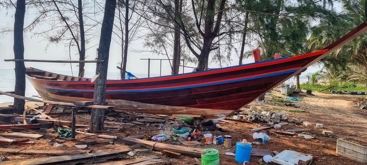
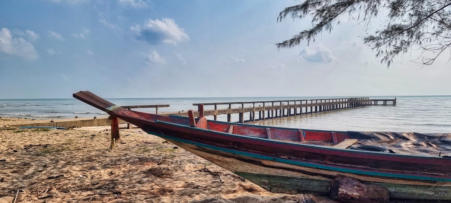
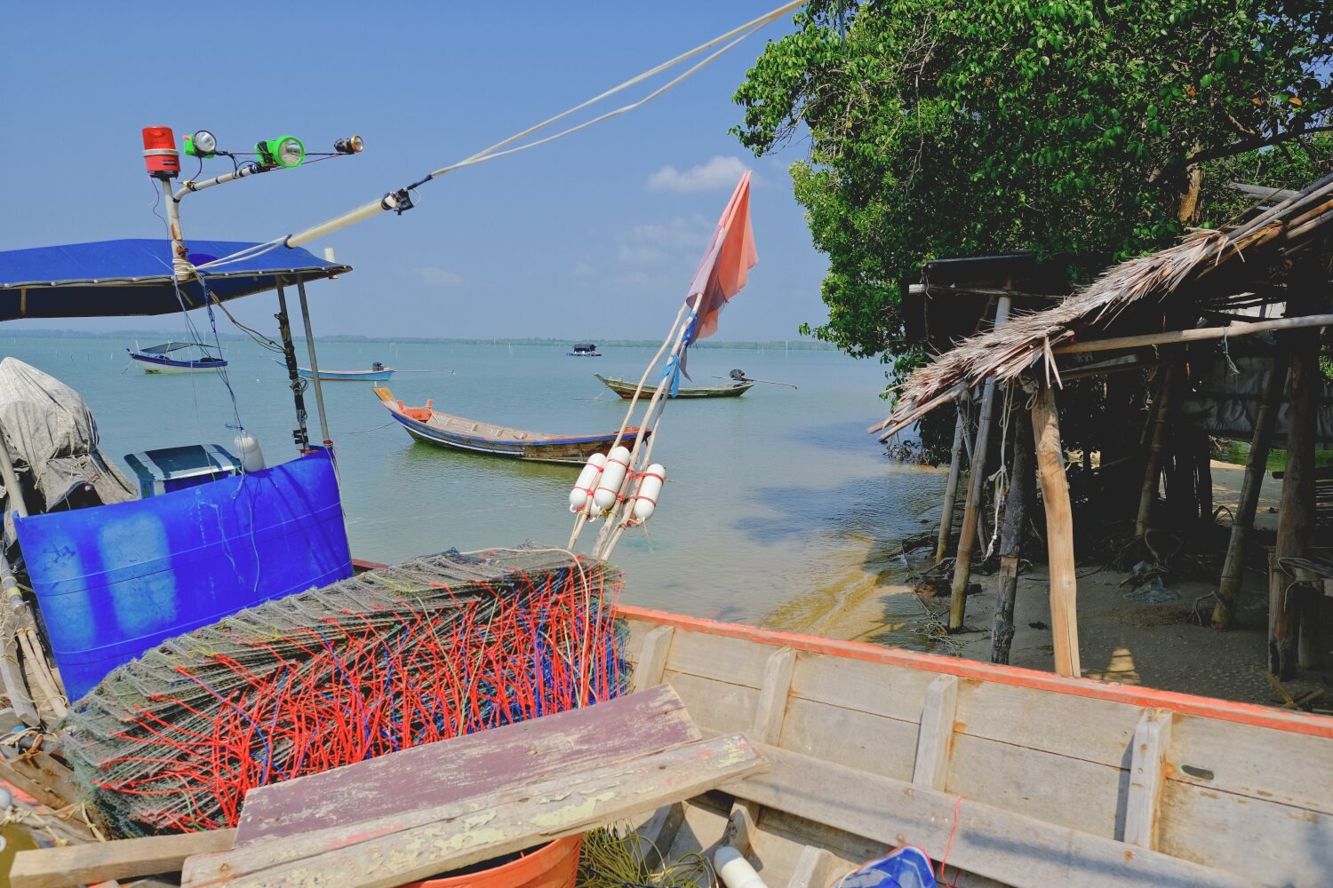
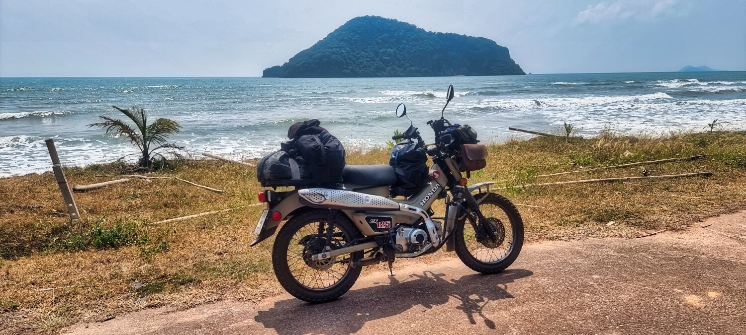
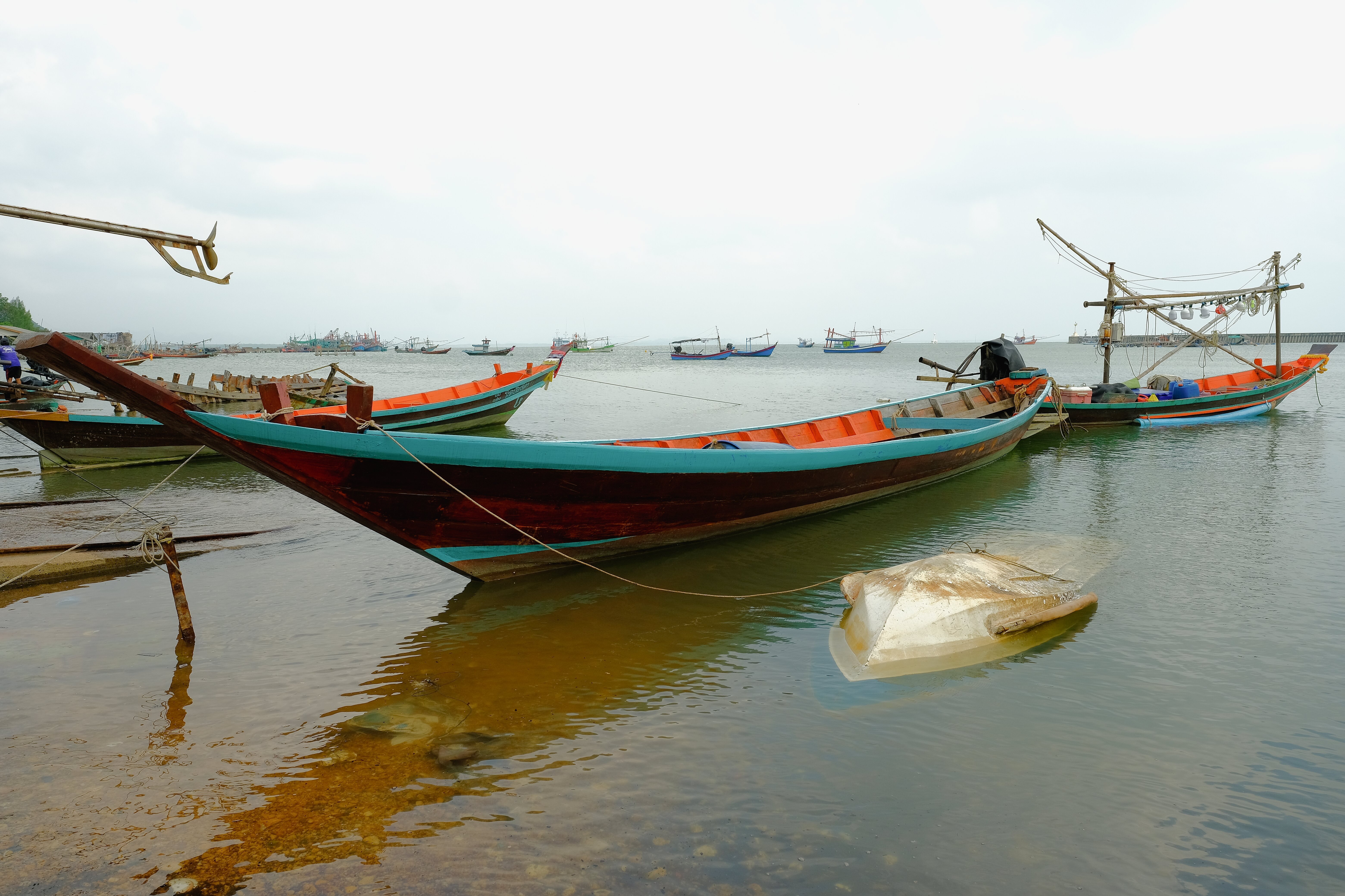
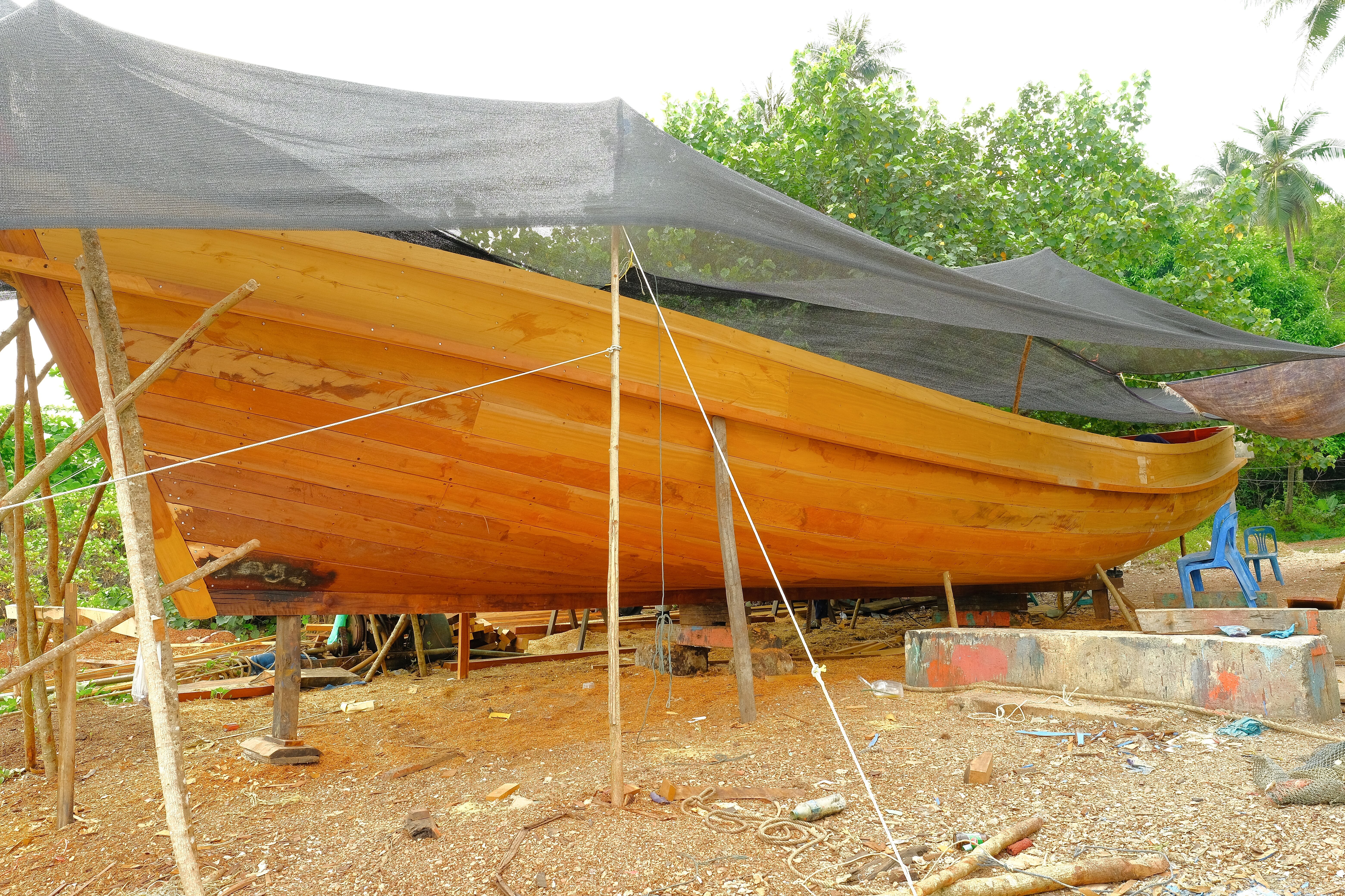
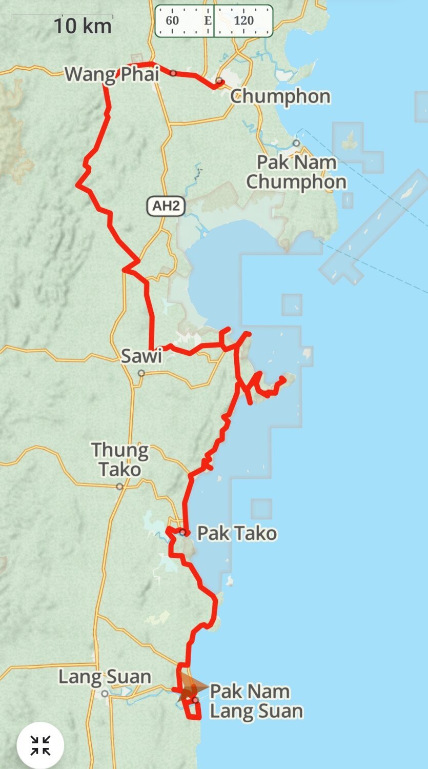
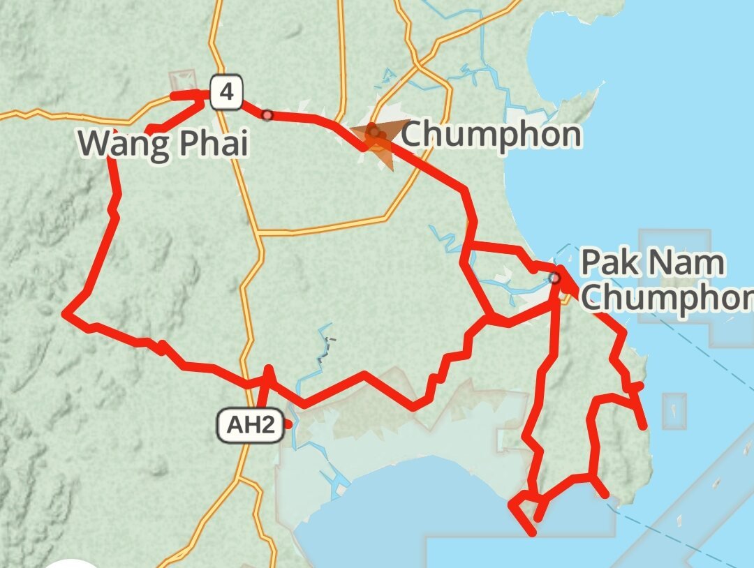
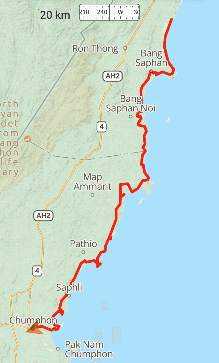
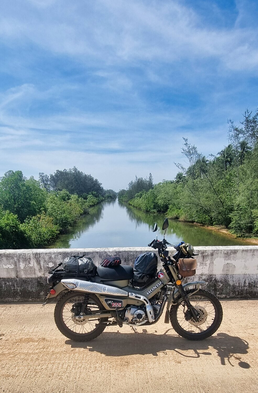
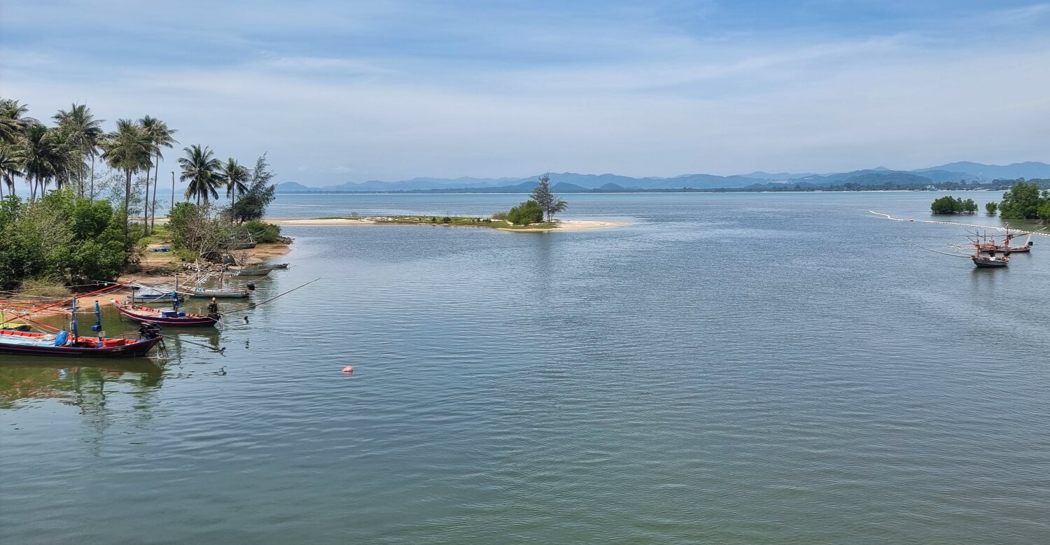
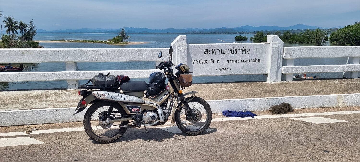
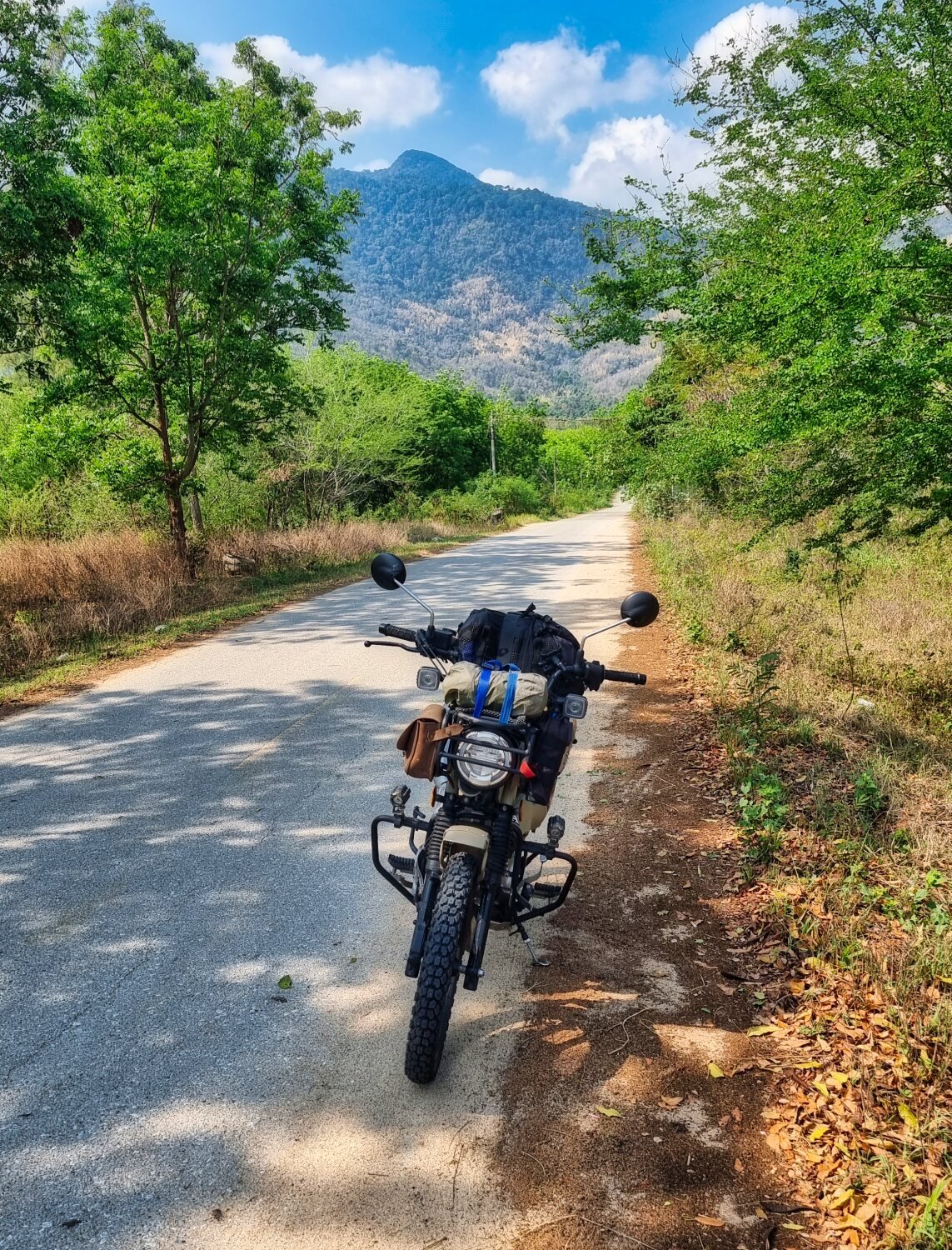
Day 17. Chumphon to Pak Nam, Lang Suan.
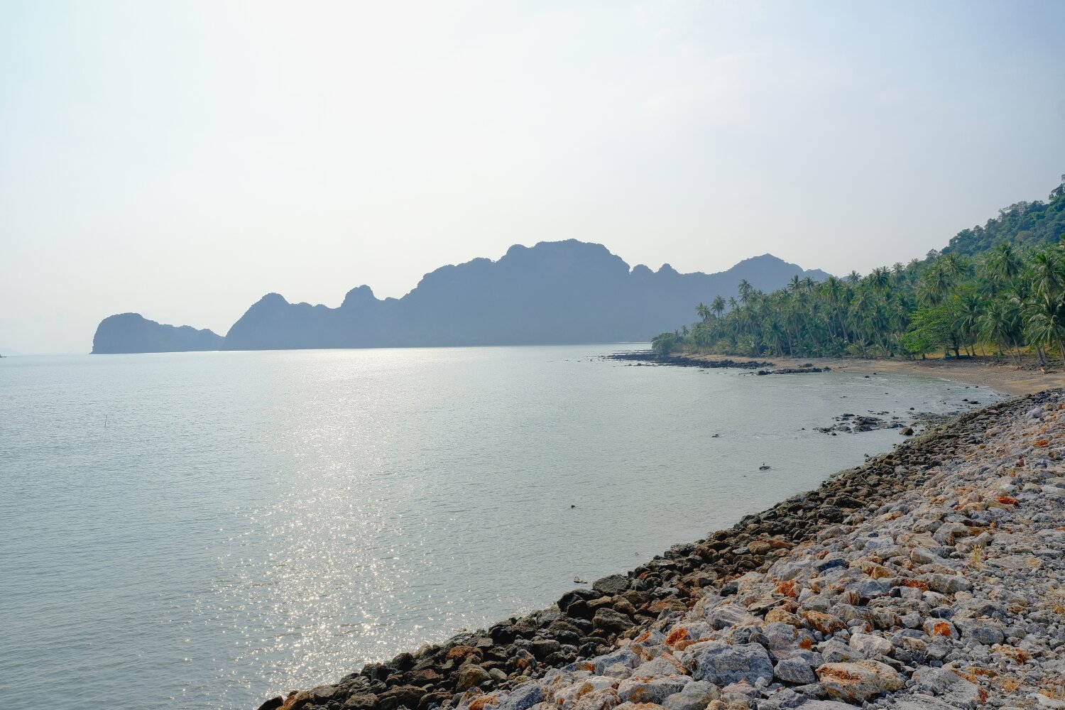
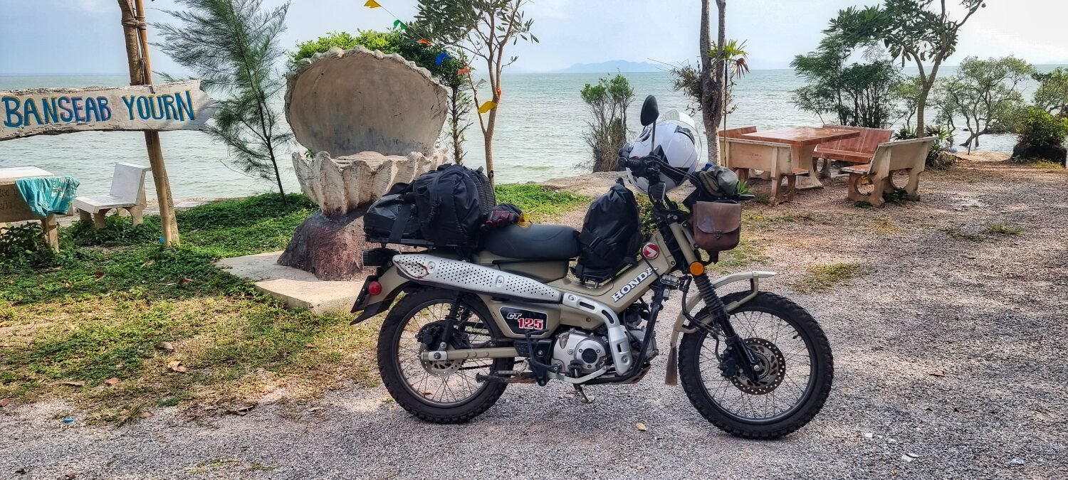
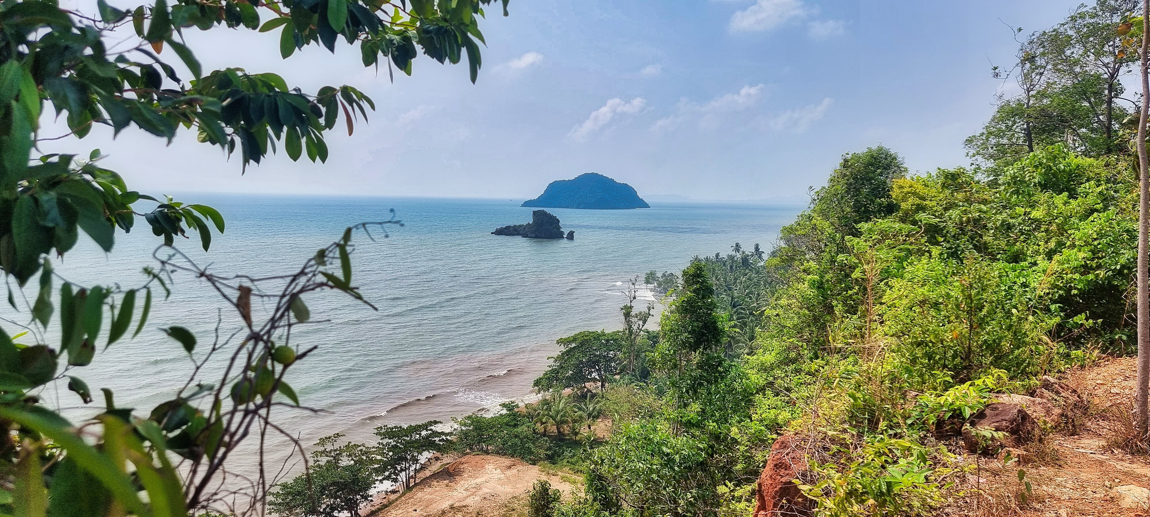
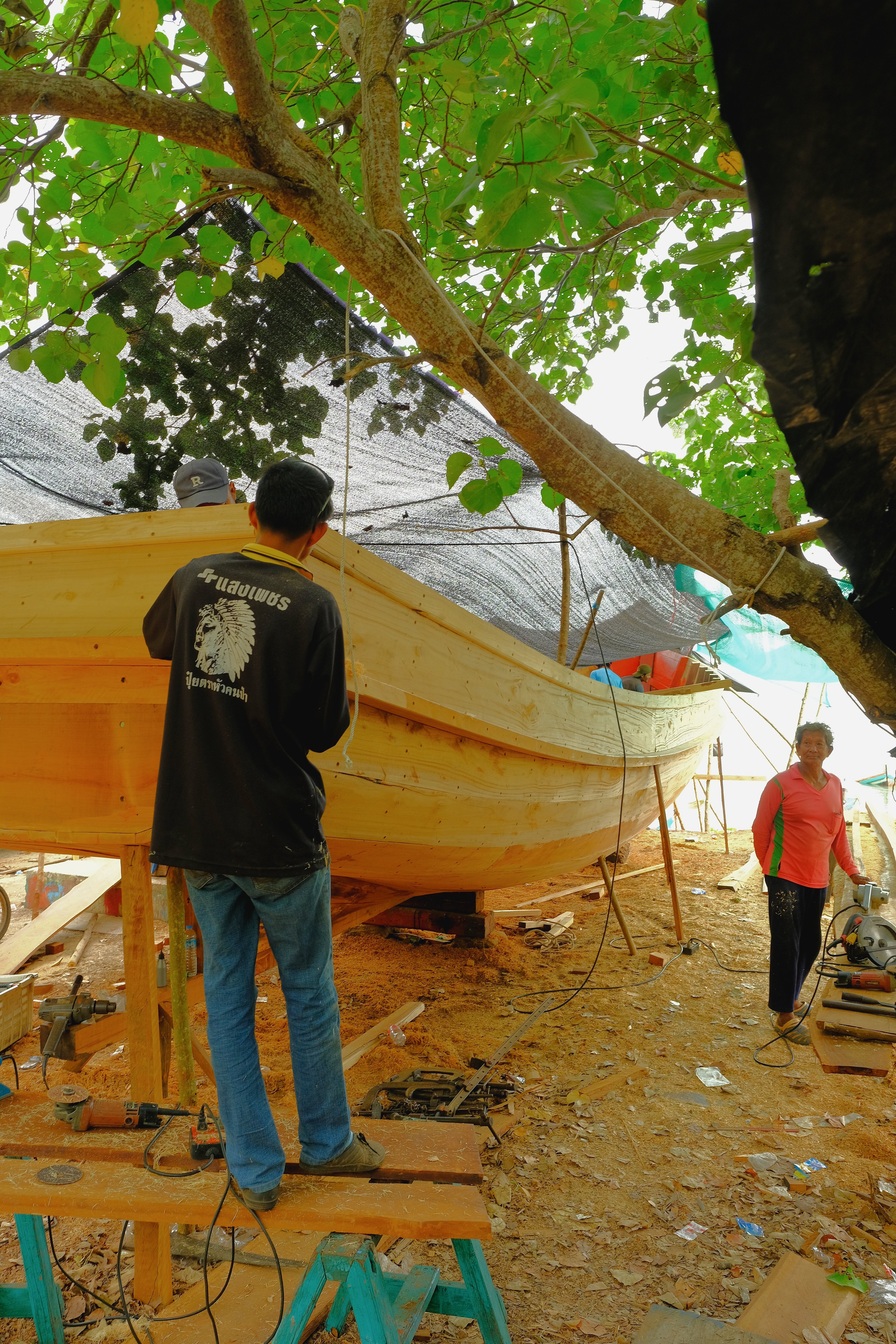
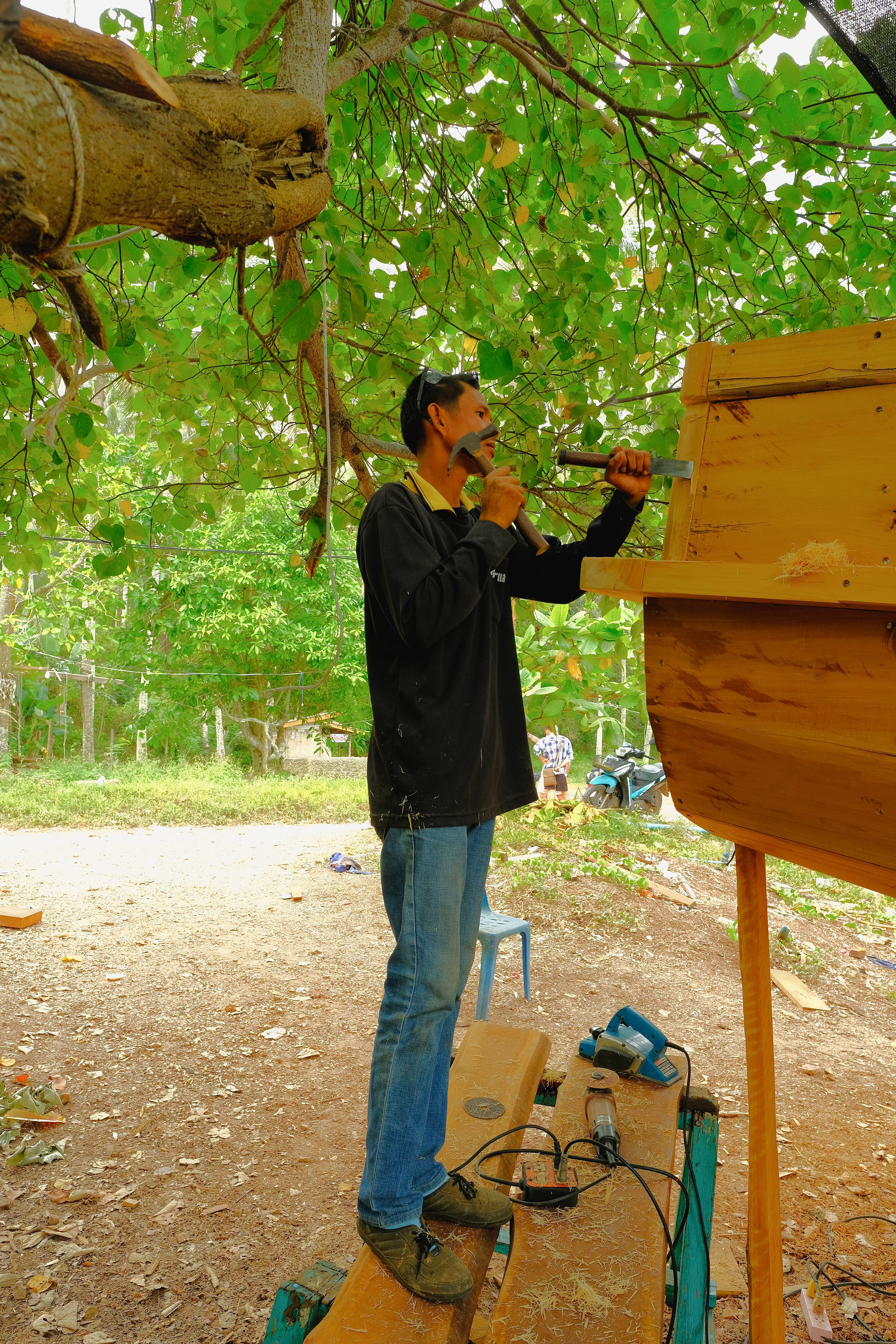
Today the three of us started riding together again. We left Chumphon riding inland and south through some great scenery before heading to the coast. Our first stop was Ban Searb Yourn Viewpoint, here.
https://maps.app.goo.gl/Gq3soWX6fasip4F7A
On the opposite side of the bay we went to Bo Kha Beach, here.
https://maps.app.goo.gl/LvFQAZTyYDh9vR3P8
Here we found boat builders building a new boat from Takhian tree wood. They were very friendly and explained it takes one month to build a boat and to buy one would cost 700,000 Baht.
Further round the peninsular riding some very steep roads we went to Dan Dome Home Stay Viewpoint, here.
https://maps.app.goo.gl/U4C7m8asNUtgJREz6
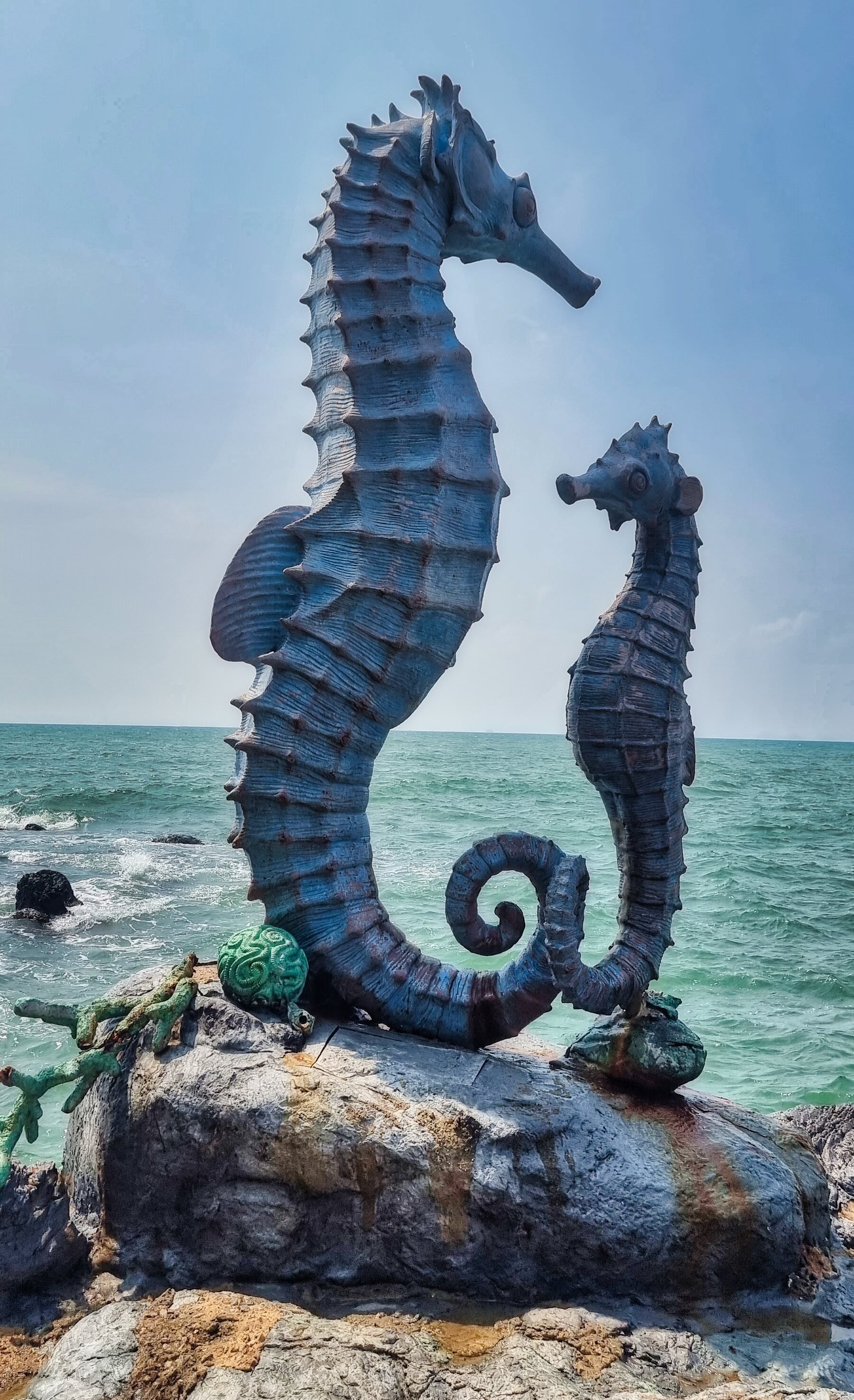
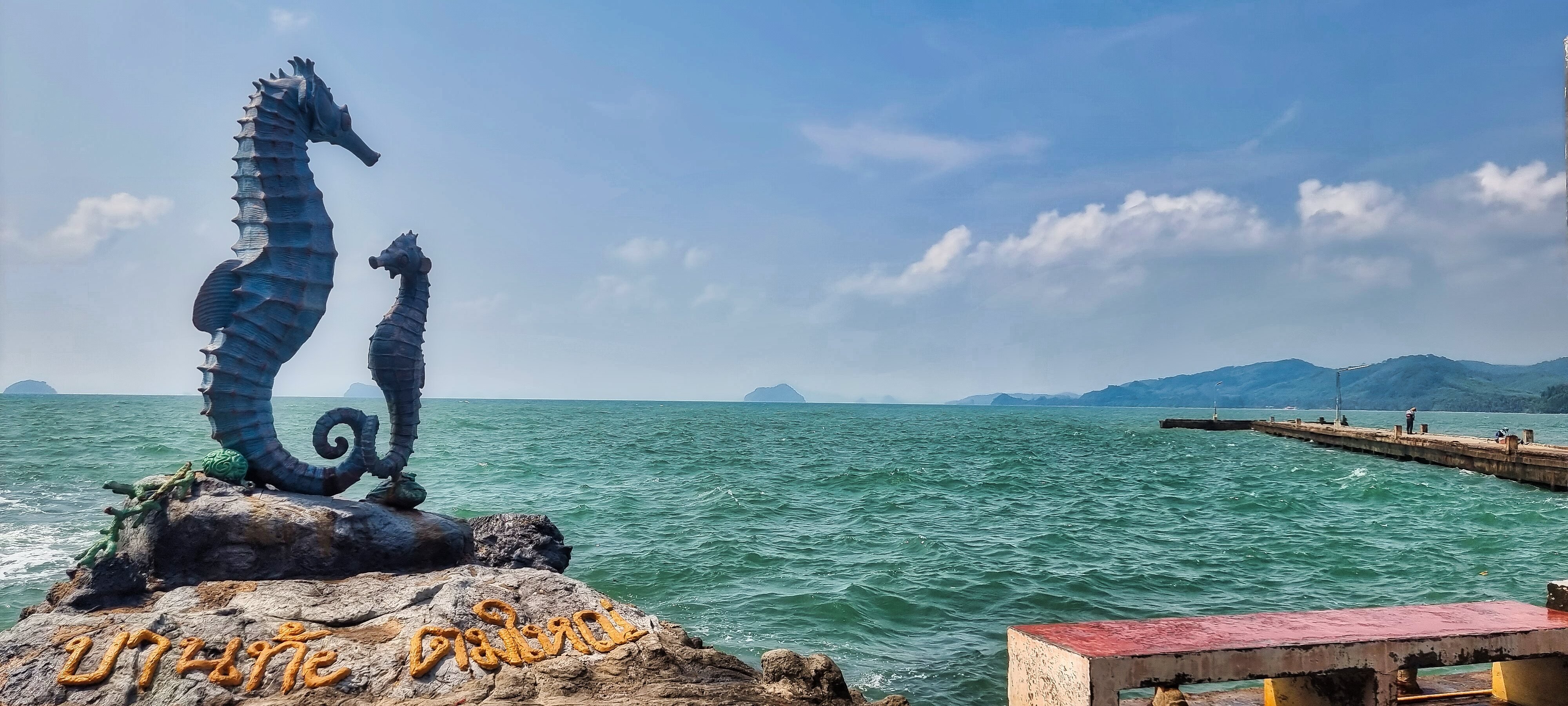
We next stopped at Ban Thong Tom Yai Seahorse Statue, here.
Stopping for a quick photo at this viewpoint.
https://maps.app.goo.gl/934Co5EyauhZdmbt8
We rode on to Thung Khwan Thong Beach, here.
https://maps.app.goo.gl/pxj8txQqXxACXYoP8
Further we had another quick stop at Arunothai Beach, here.
https://maps.app.goo.gl/aiqT6zuC3QrkLSWy6
Continuing south we started looking for a place to stay near the beach as Mike was going to be camping.
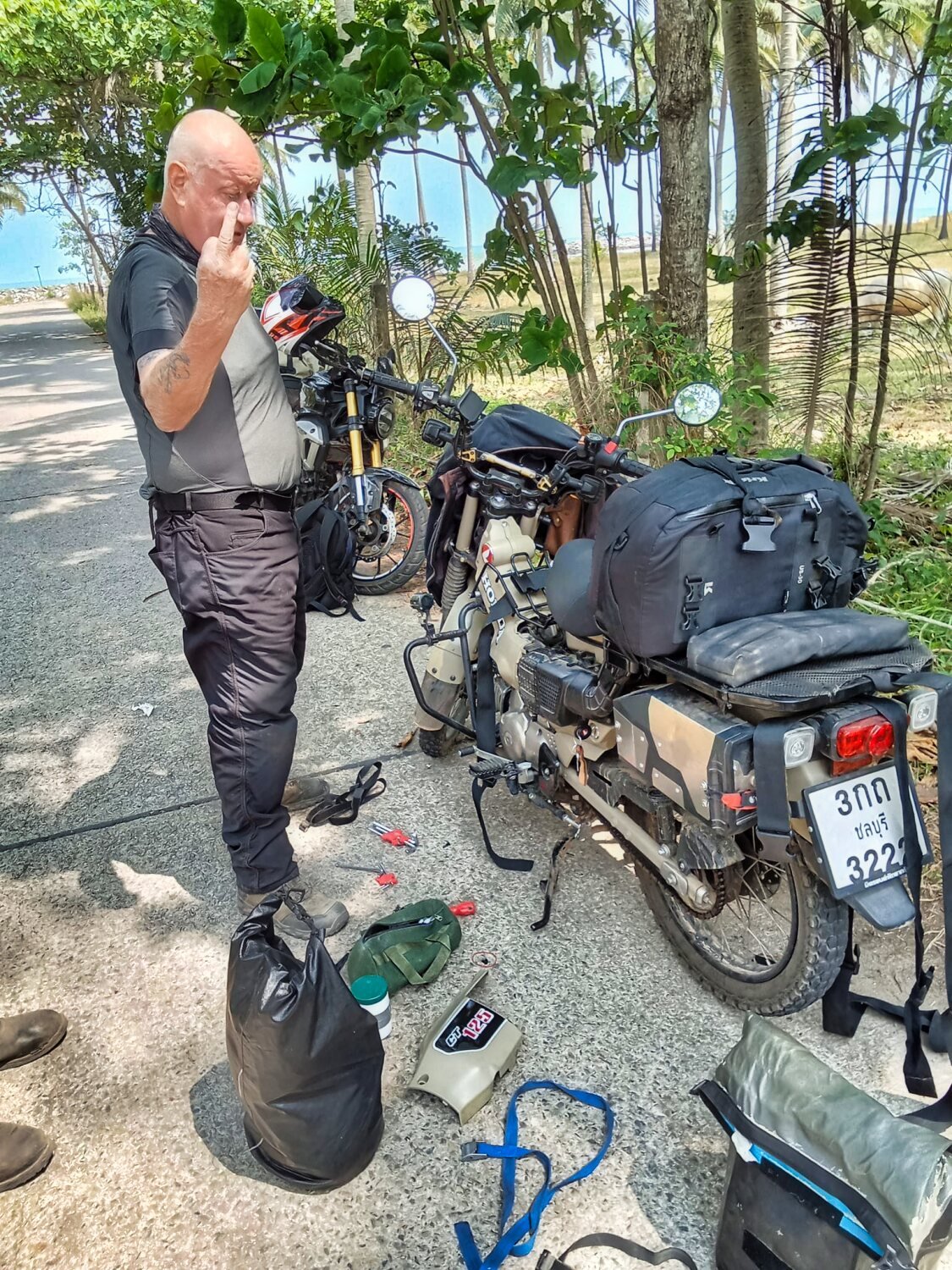
My CT125 decided to have a breakdown in sympathy of the Vespa. Luckily Mike did not take the piss too much, but he would have been happy to have towed me if needed! He found an electrical problem which was sorted fairly quickly. Mike will check it more in the morning.We checked in to 99 Bay Resort, here.
https://maps.app.goo.gl/rKto7UisevFL1PNfA
The rooms are 500-700 a night and on the beach.
https://www.relive.cc/view/v1vjdBmPPJ6
-
3
-
1
-
- Popular Post
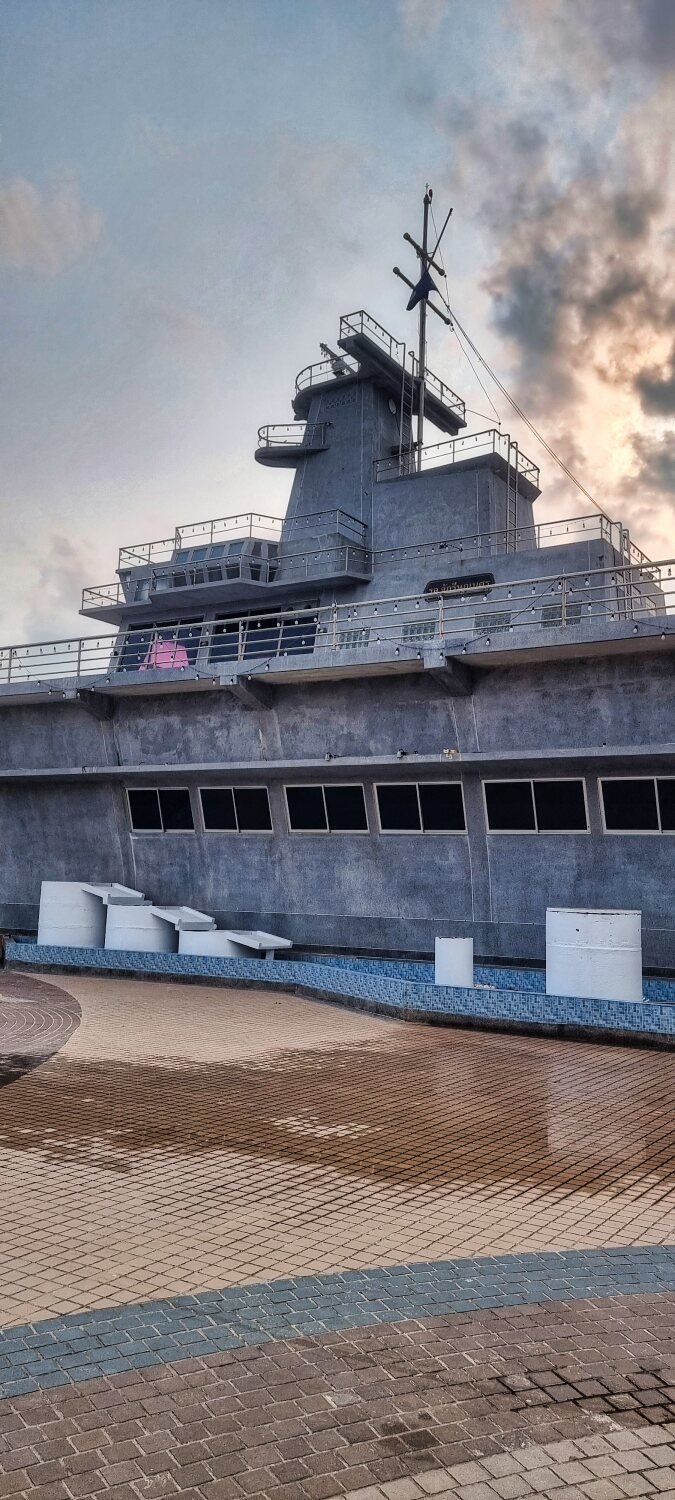
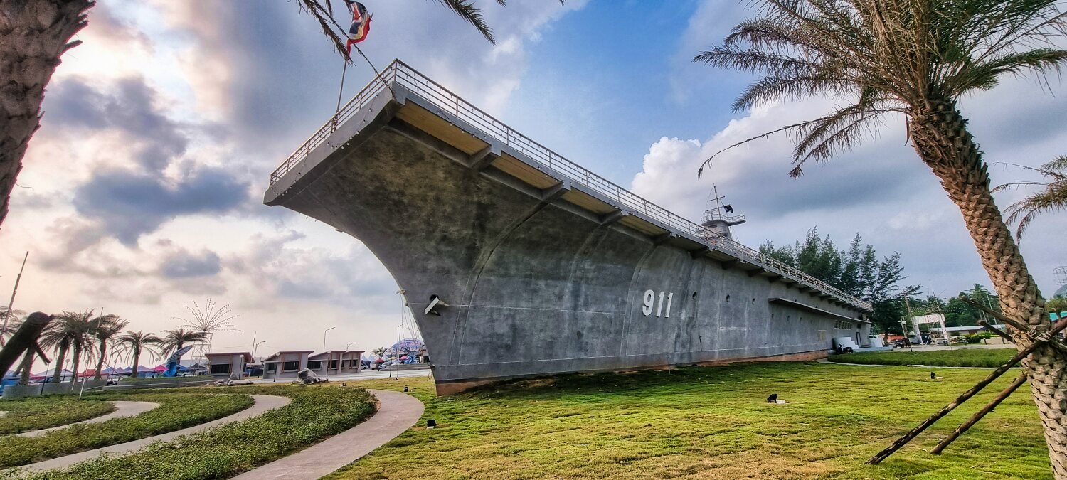
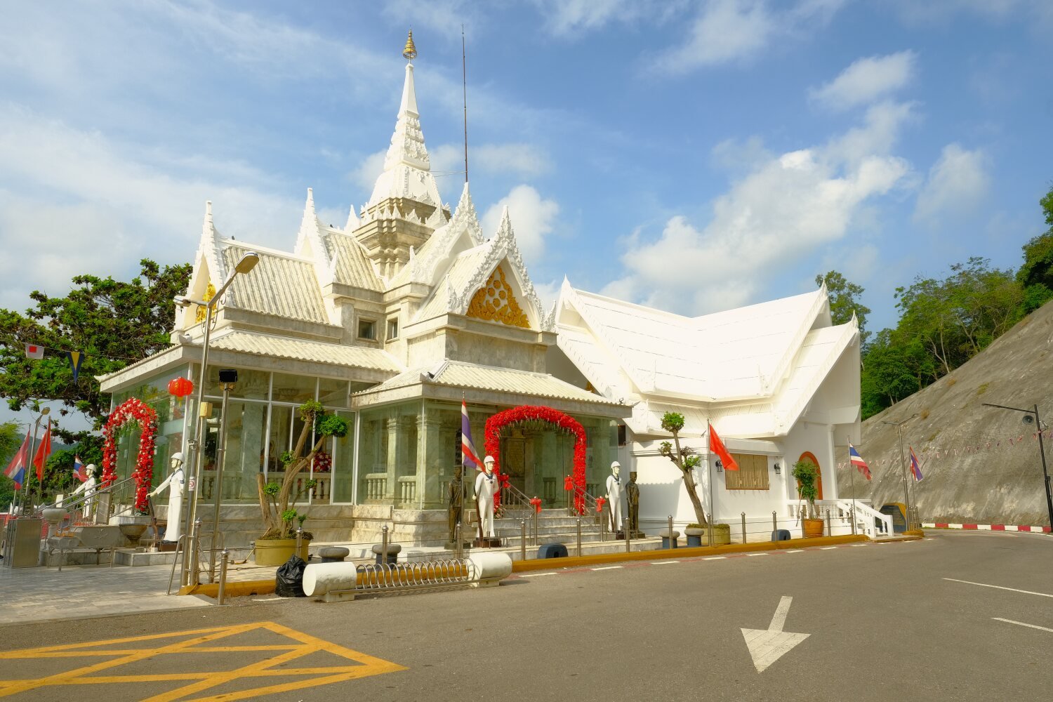
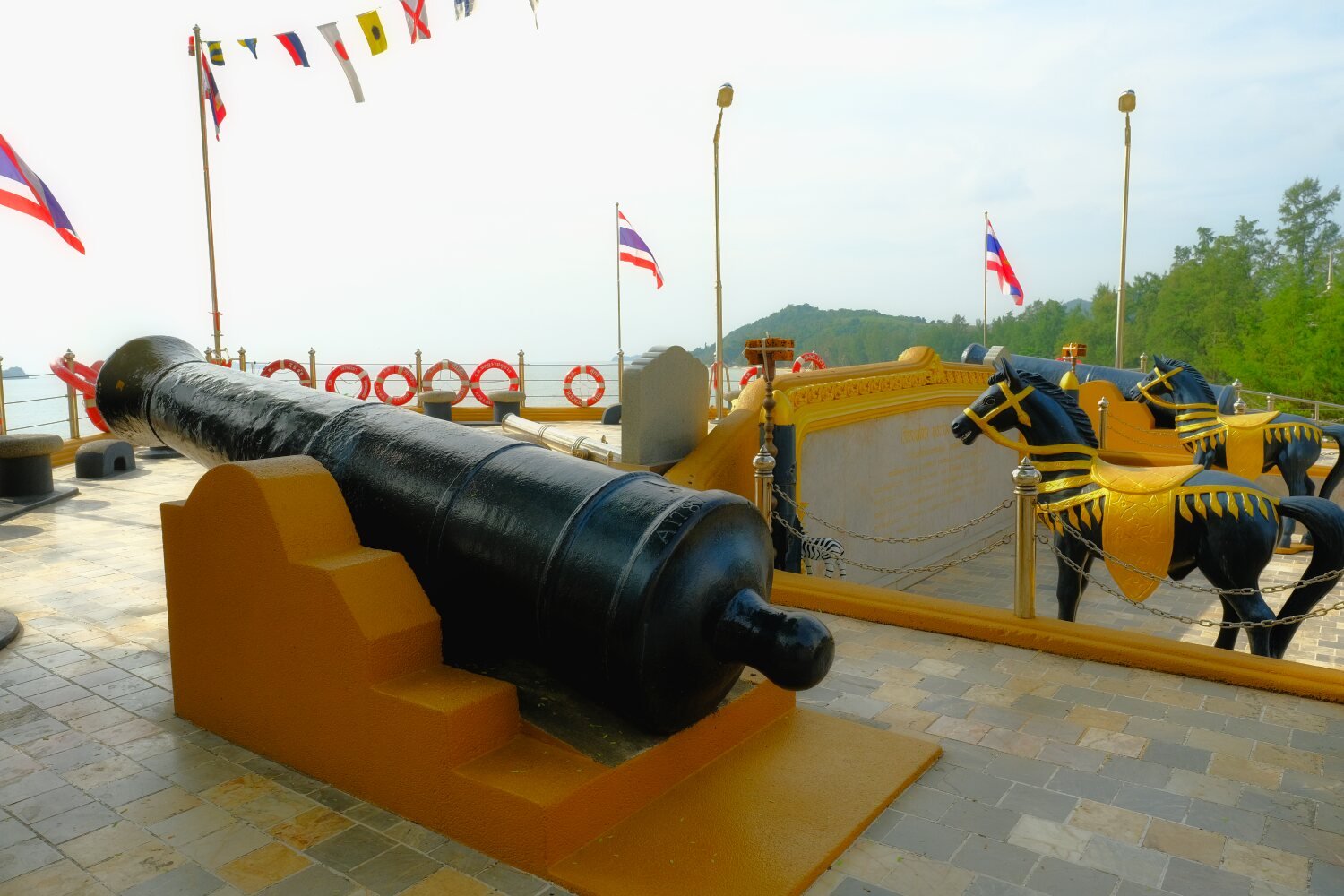
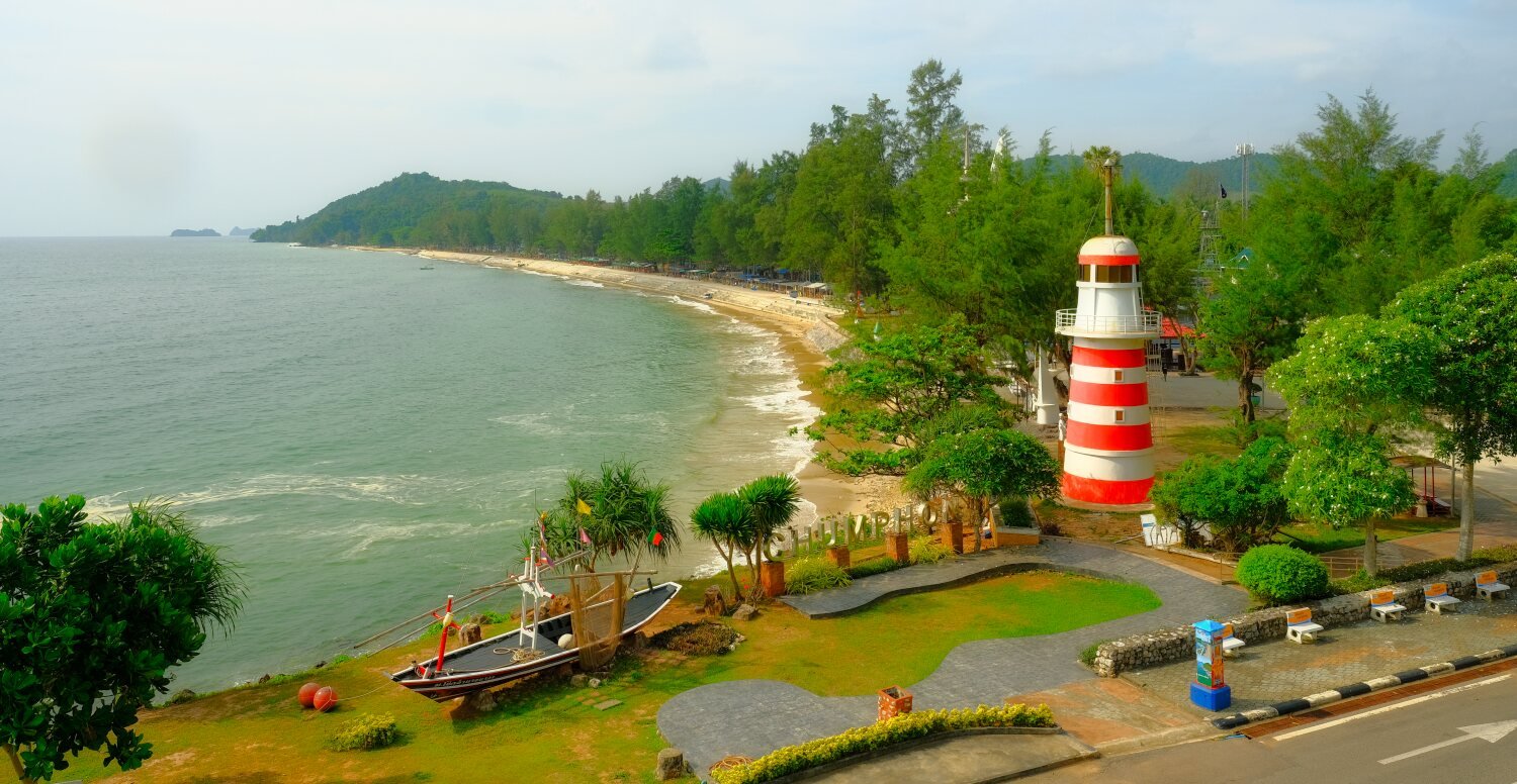
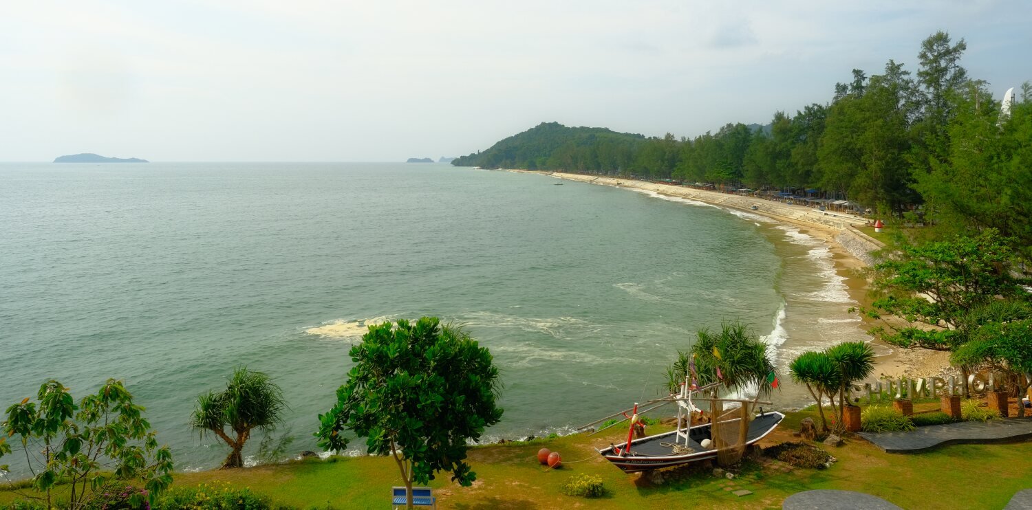
Day 16. Chumphon Exploring.
Today Al and I went exploring just the two of us as Mike was busy.
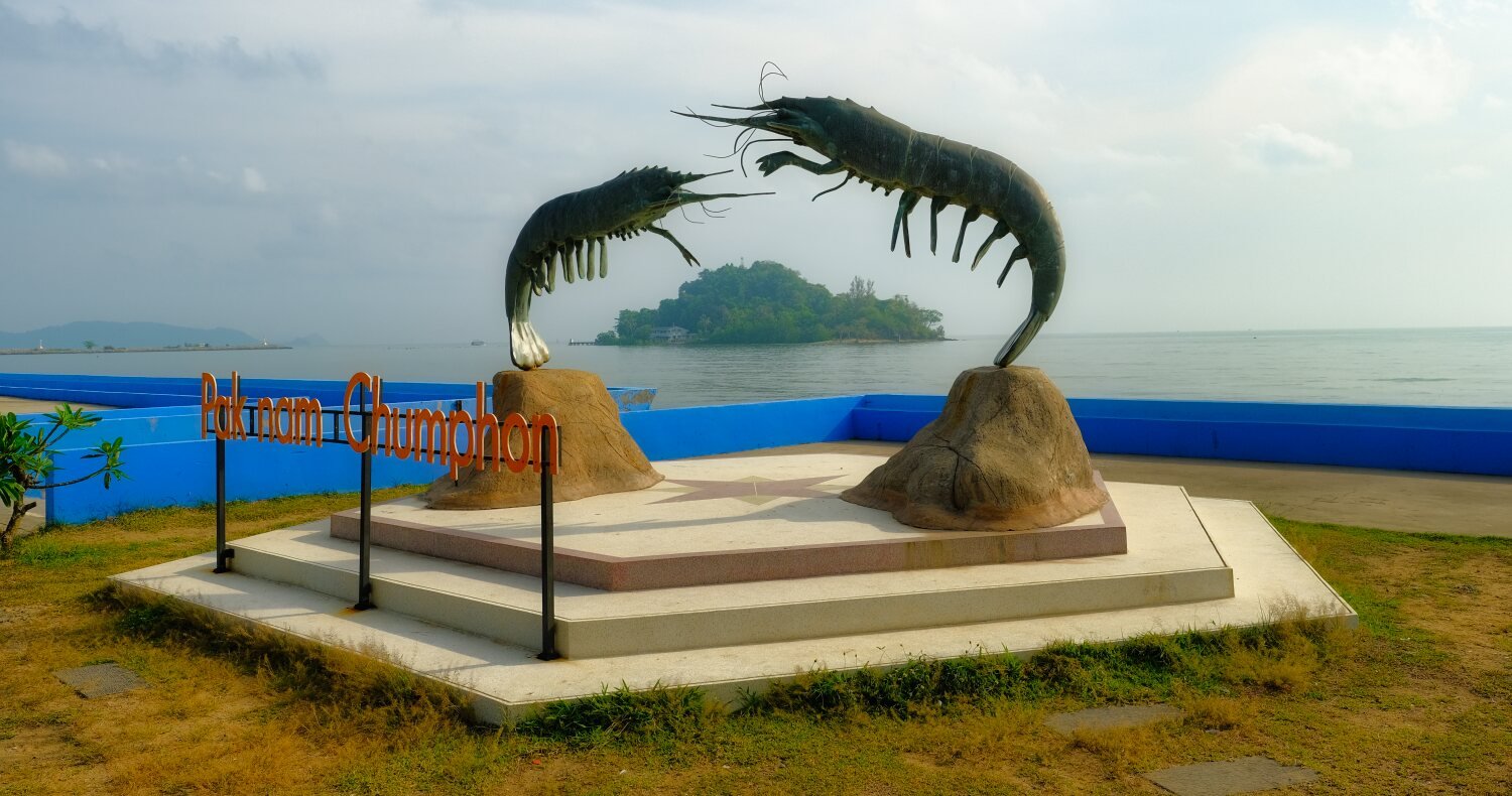
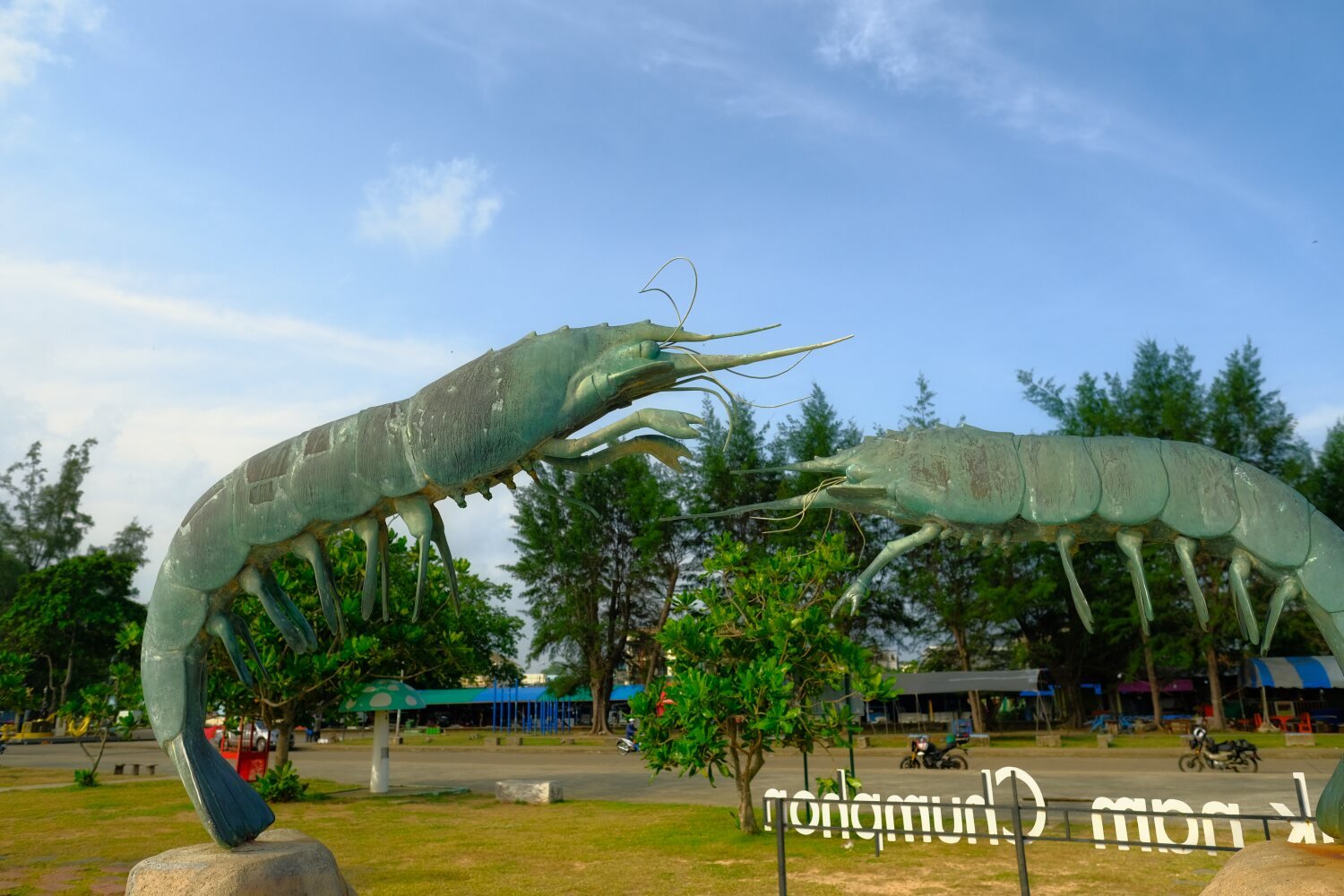
We started by finding viewpoints along the coast south of Chumphon.First stop was Pak Nam Chumphon Beach, here.
https://maps.app.goo.gl/EyX5g2PewrEsftq78
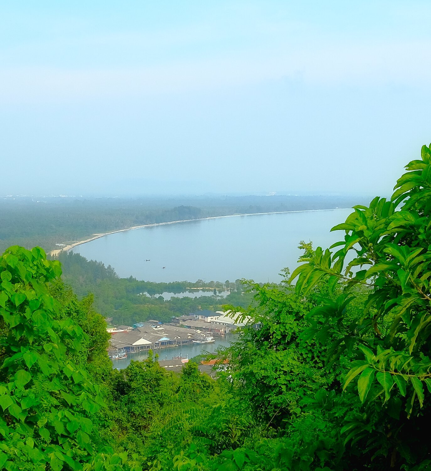
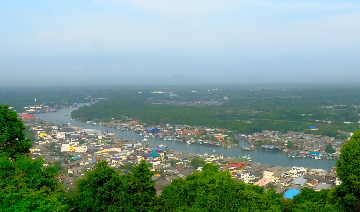
Nearby we rode up the steep road to Khao Matee Viewpoint, here.
https://maps.app.goo.gl/QYnoGL3aC2iMcVPd7
Further along the coast we stopped at Krom Luang Chumphon Khet Udomsak Shrine, here.
https://maps.app.goo.gl/azAAdy6dXpsKq3Vd7
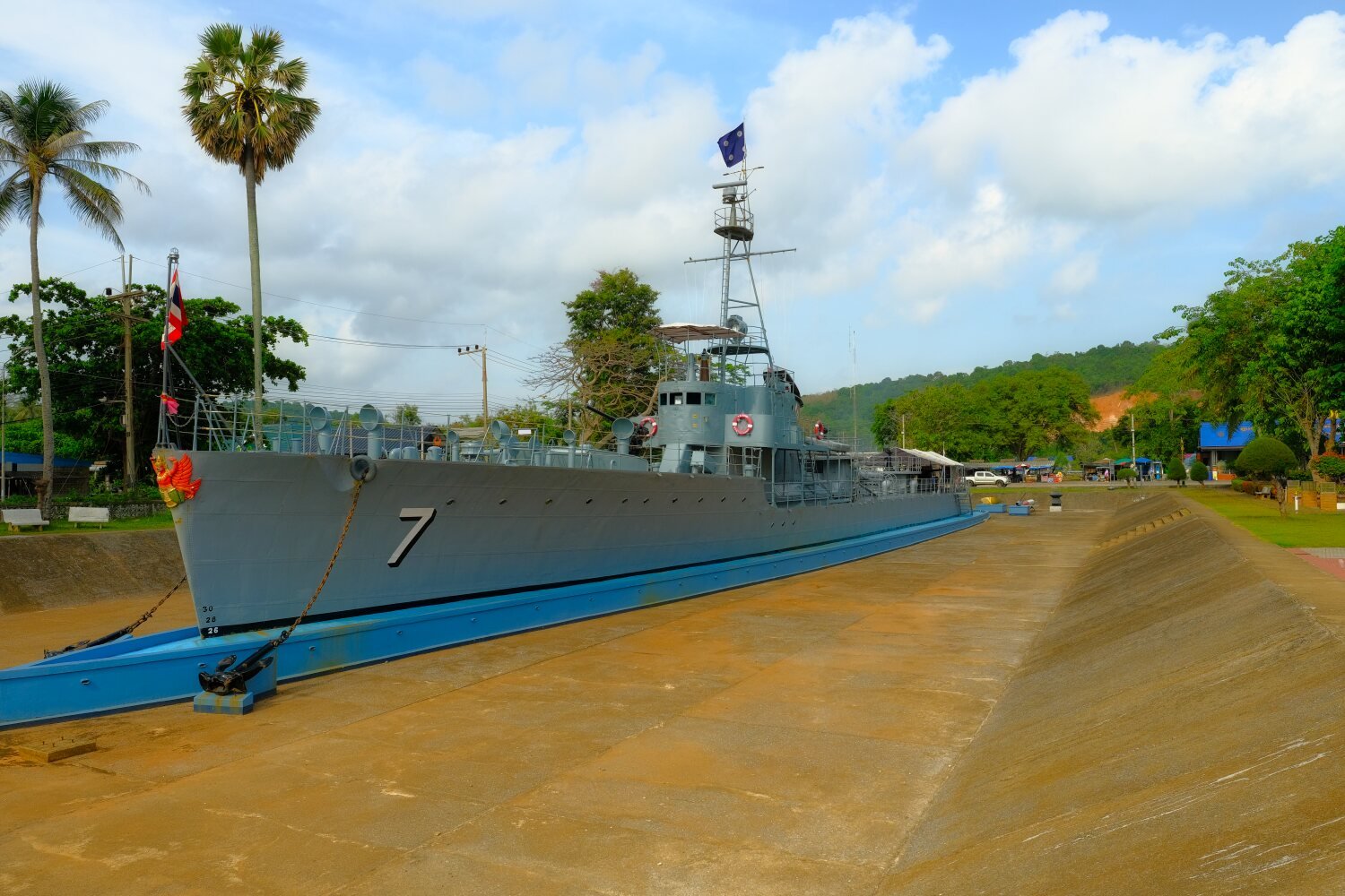
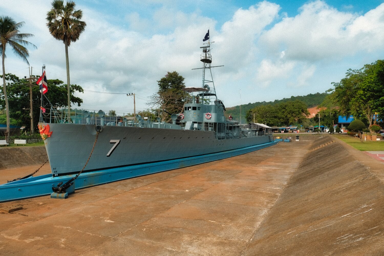
Just down the hill was HTMS Krom Luang Torpedo Boat Memorial, here.
https://maps.app.goo.gl/3pPLKxdPGgWyxqHP7
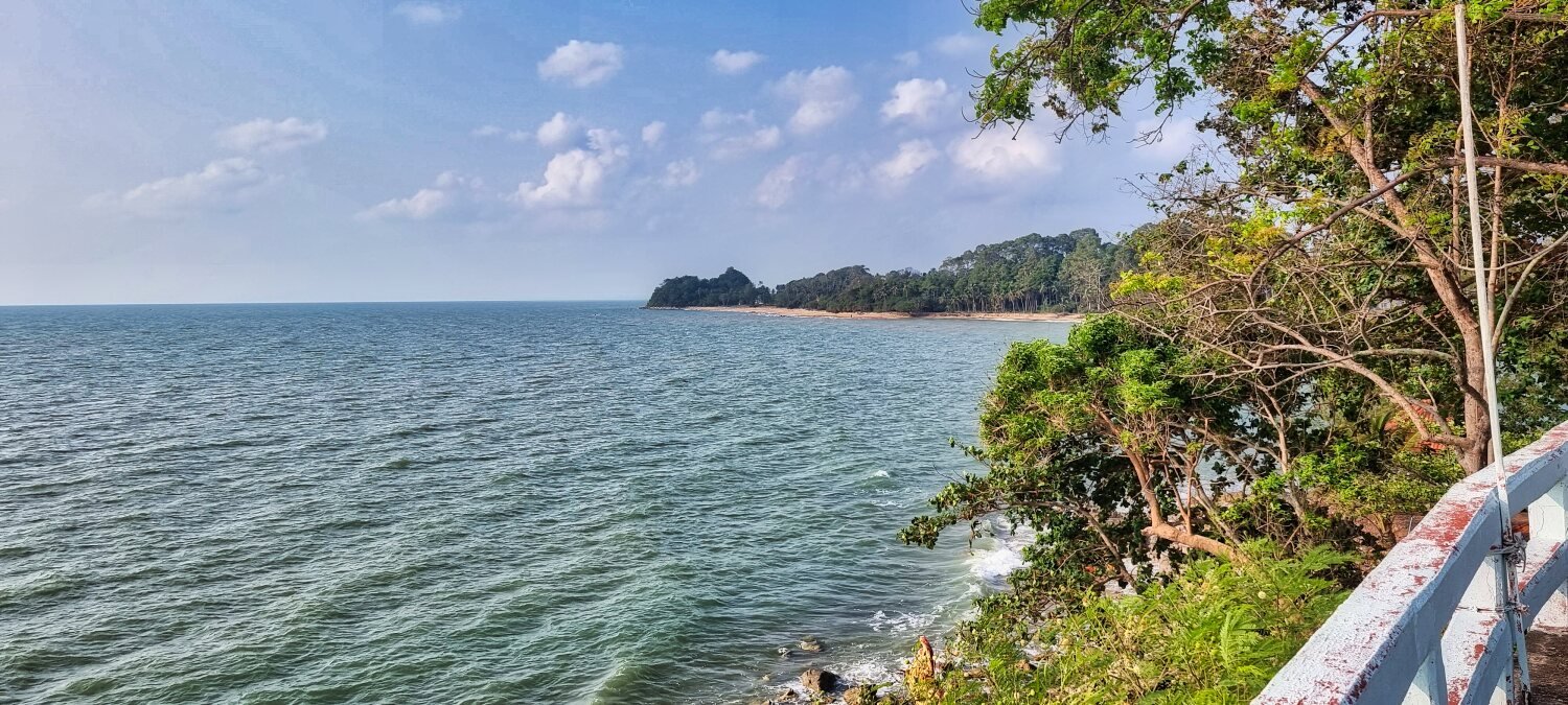
Again not far along the coast was Marine National Park Operations Center No. 1, Chumphon Province, here.
https://maps.app.goo.gl/dUBmXdmRSy9vGLQf7
Which had a nice view out to Maphrao Island.
Next was Ao Thung Makham Noi Beach, here. Where the catamaran boat service runs out to the local islands.
https://maps.app.goo.gl/fHsCoeGQyDJP5iCKA
Then on to the next headland to Viewpoint: Father Ta Fa Lan Shrine, here.
https://maps.app.goo.gl/gsVwB9Q53eEM3F4X6
We then rd inland to Pu Chao Nam Phut Pool spring, here.
https://maps.app.goo.gl/mducszNGJdXjRpGa6
We then looped back to Chumphon, a ride exploring.
https://www.relive.cc/view/vAOZwKz5My6
-
4
-
1
-
14 hours ago, bob smith said:
irrespective of what the good folks of Lopburi may think - Myself and all the other patrons at the beach this afternoon found the beach vendors actions reprehensible.
It wasn’t just me.
bob.
Wait until they have stolen all your belongings and get aggressive with you, i can sell you a sling shot 🙂
-
1
-
-
- Popular Post
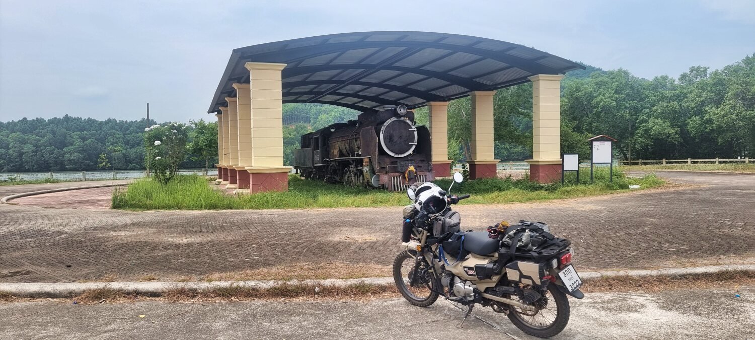
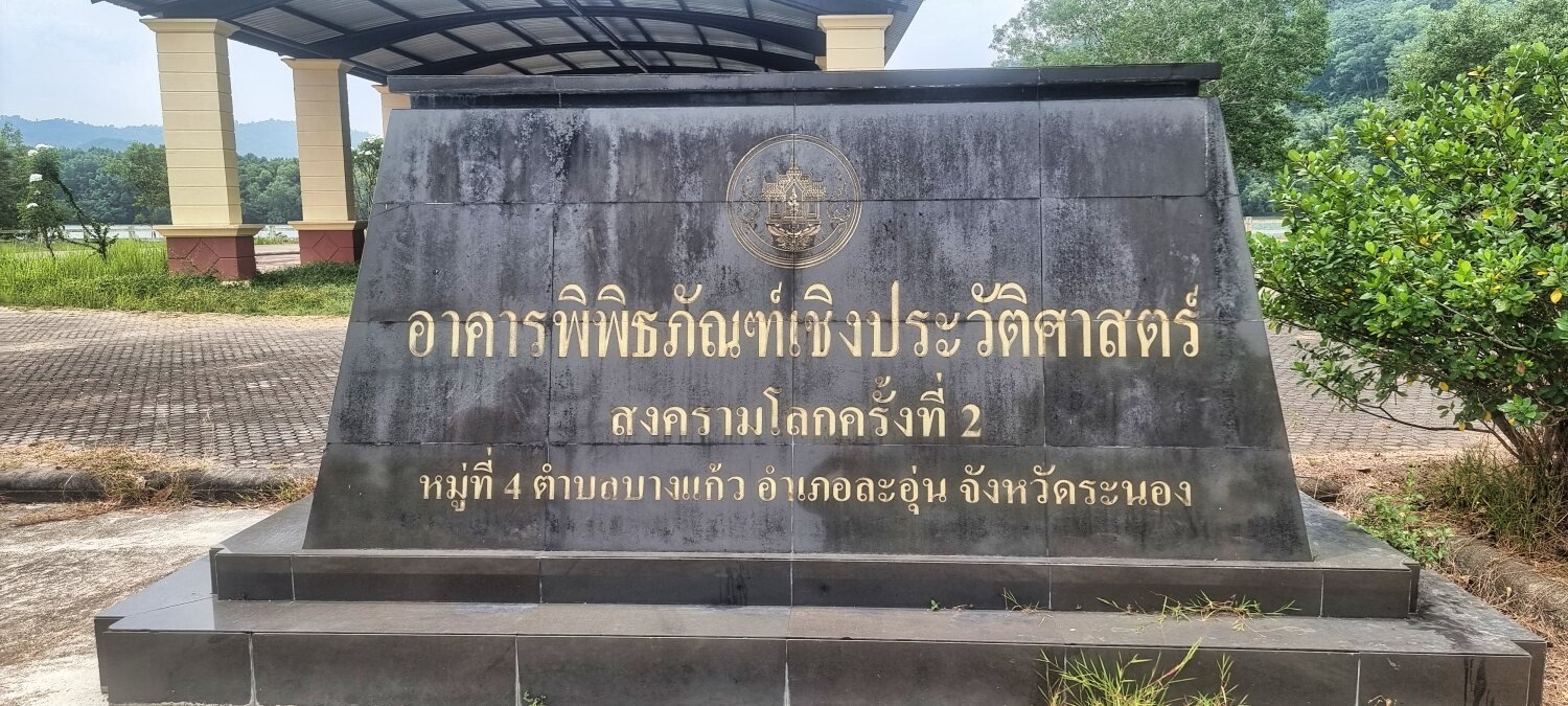
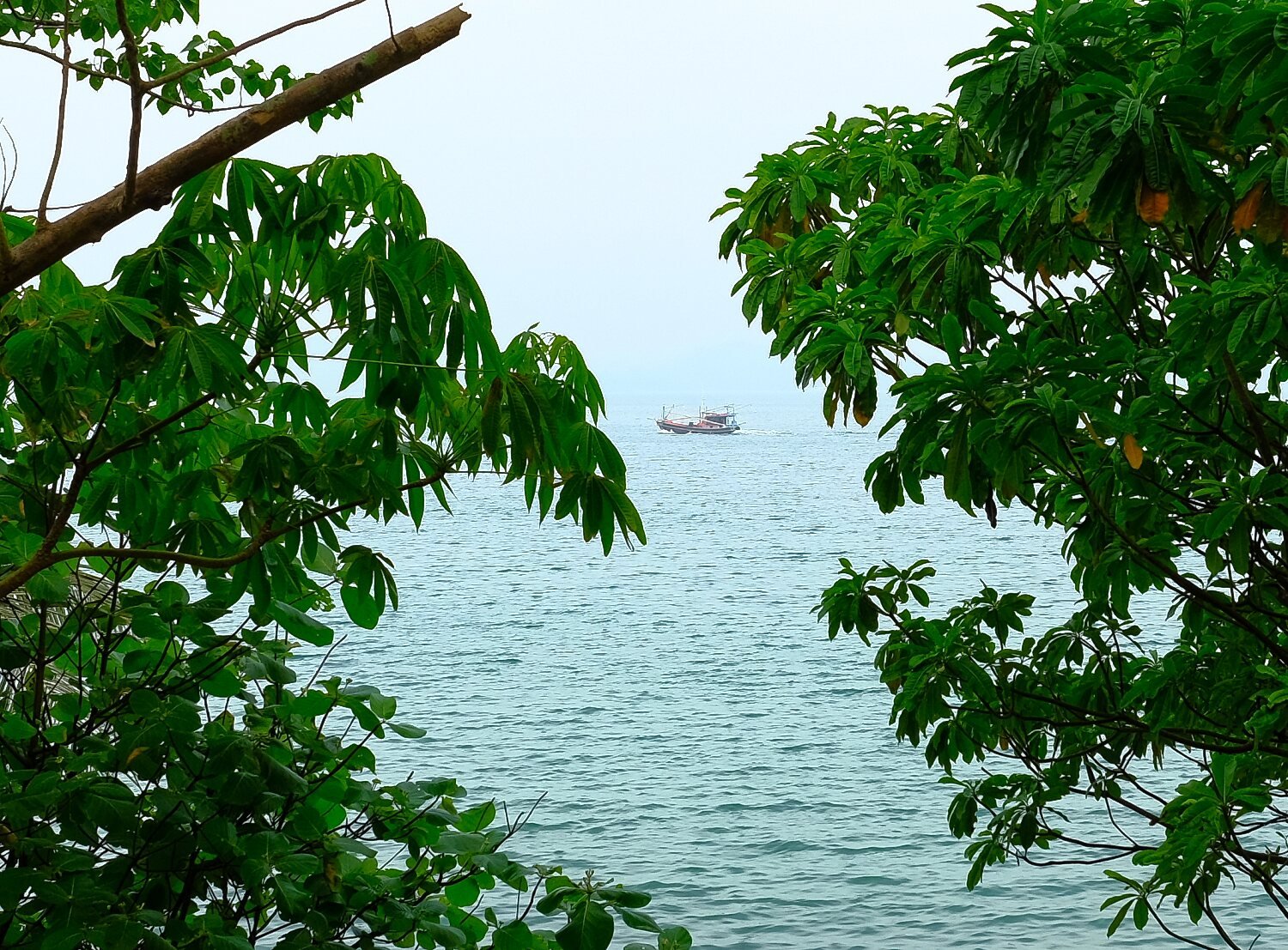
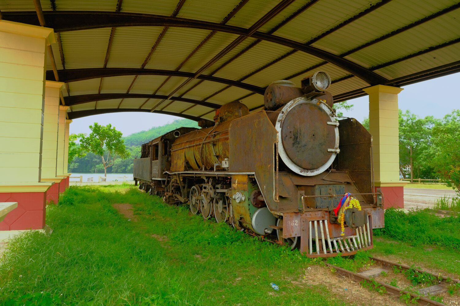
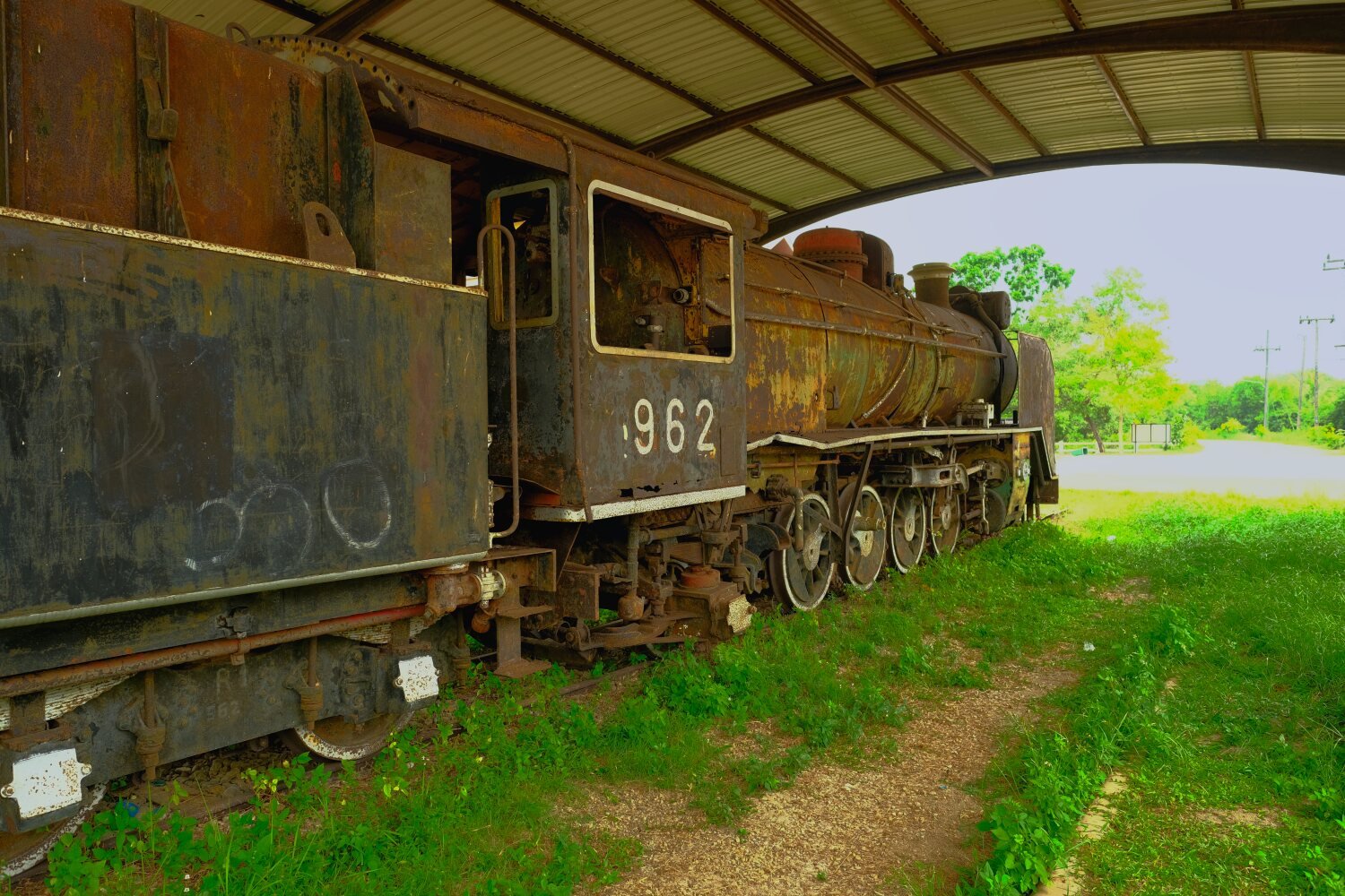
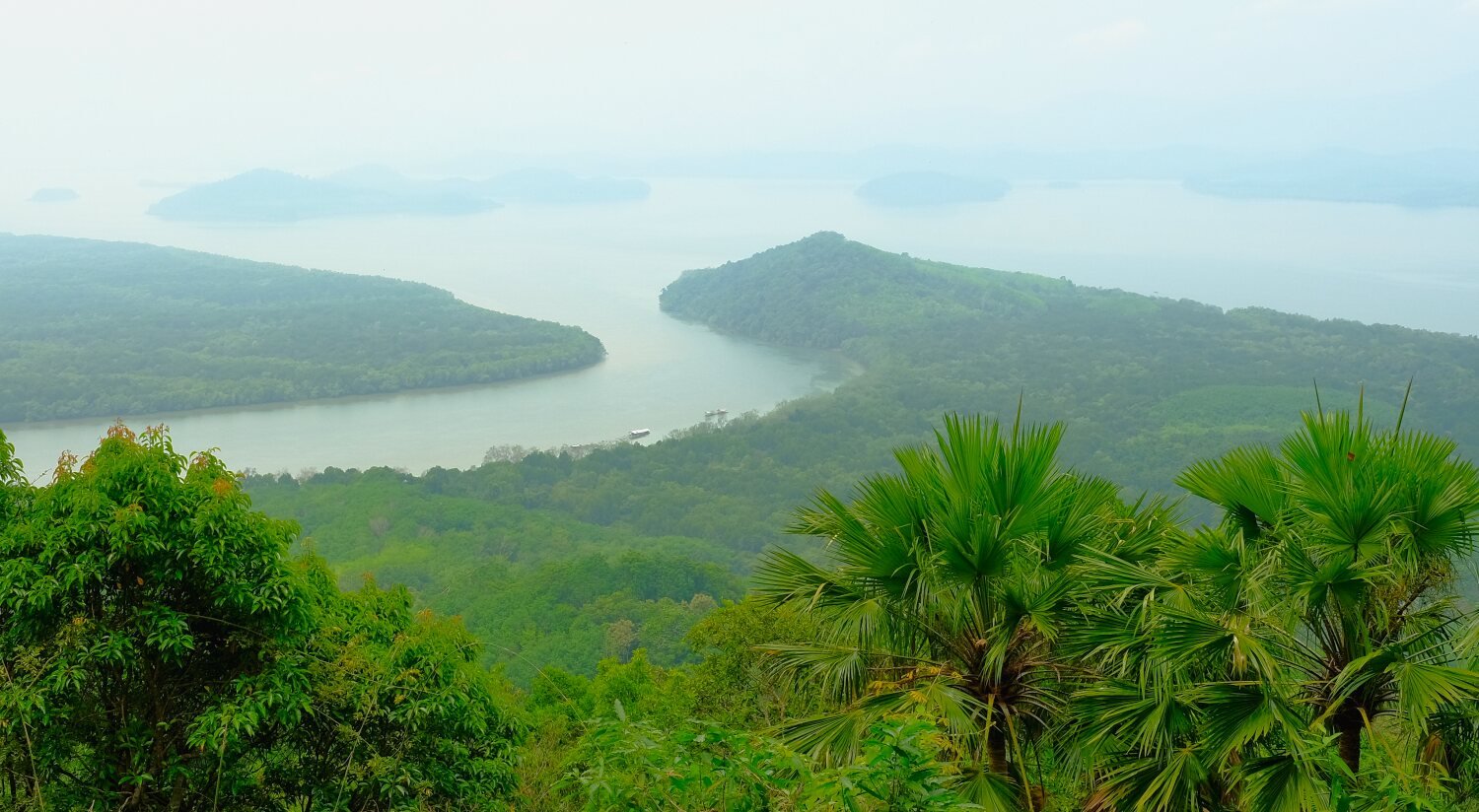
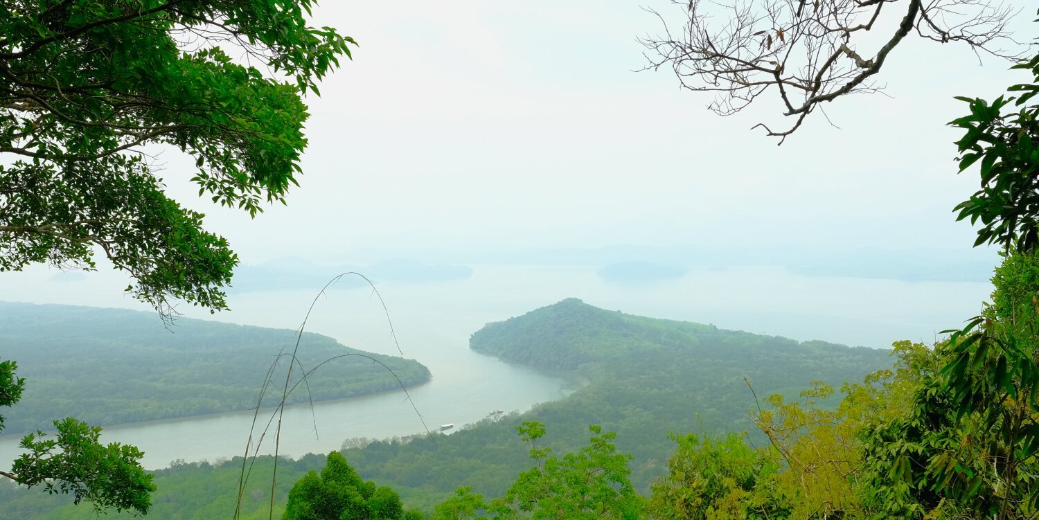
Day 15. Chumphon to khao Faa Chee Viewpoint.
This morning we met up at Laem Hua Mong-Kho Kwang Viewpoint, here.
https://maps.app.goo.gl/AGzV2bRgb1fFxKkb7
It was very hazy and hardly worth taking photos, but I did anyway hoping they would be ok.
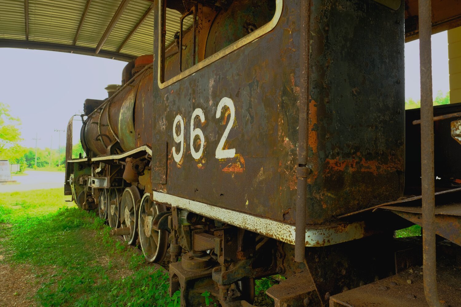
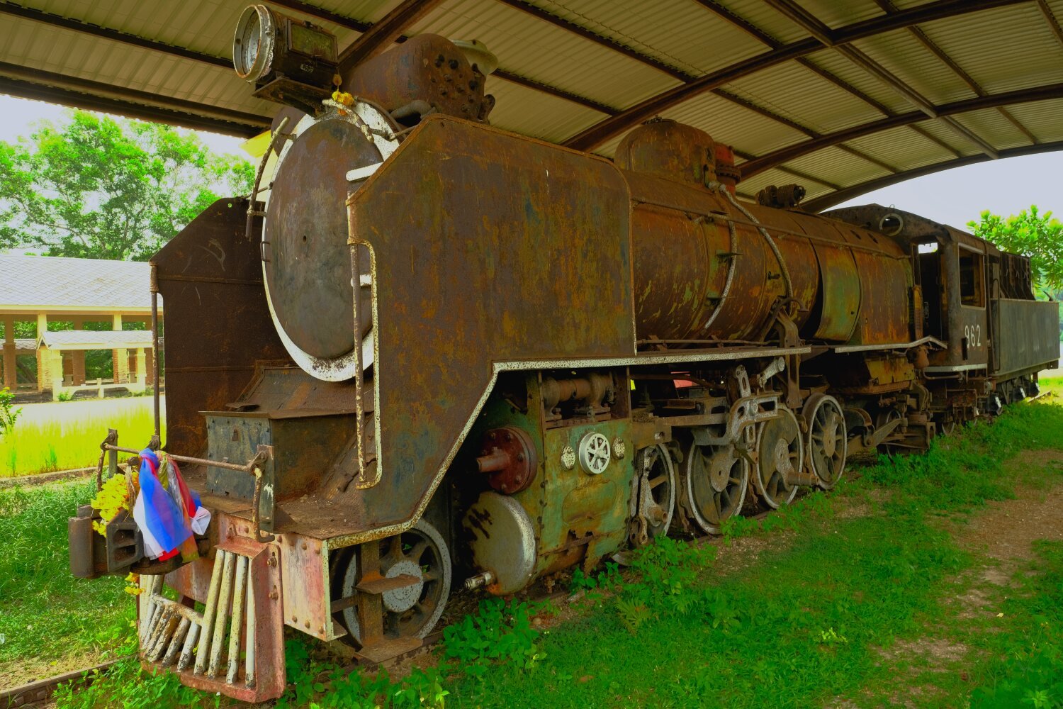
Riding west we stopped at garage to check the tyres etc and due to a misunderstanding Al and I lost Mike. We carried on to the Old Steam Train, here.
https://maps.app.goo.gl/y51aoDxB4a5Uu4mS8
There is an empty museum here and the train is from World War 2.
Nearby was Khao Faa Chee Viewpoint, here.
https://maps.app.goo.gl/Ka7ej9JpZRpPkPrf7
Again very bad visibility. From here we returned to Chumphon.
https://www.relive.cc/view/vNOP73AZW2v
-
2
-
1
-
20 hours ago, Neilly said:
Hi Chris, is Samui on your list for your travels down south? I know a very nice beach bar in the south of the island, and wouldn't mind buying you a beer or two...plenty of room there for Mike to practice his tent erection skills
I'm actually not sure, we will talk about it later.
Thanks 🙂
-
1
-
-
- Popular Post
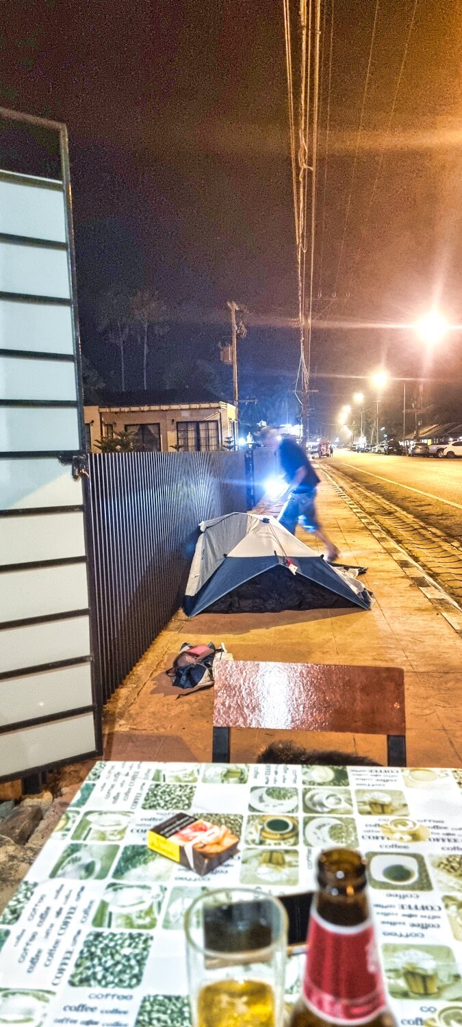
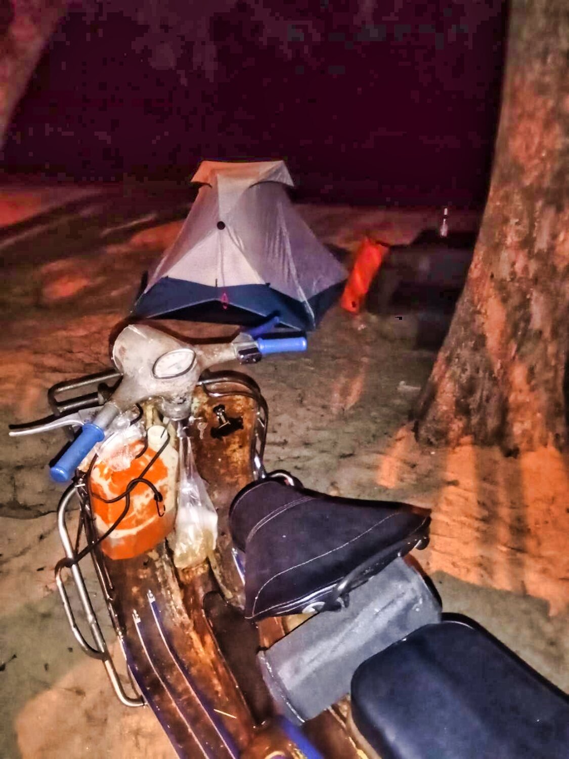
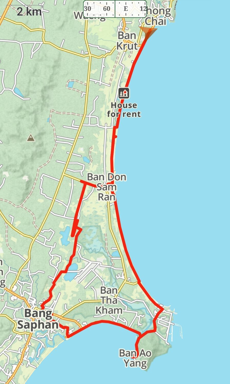
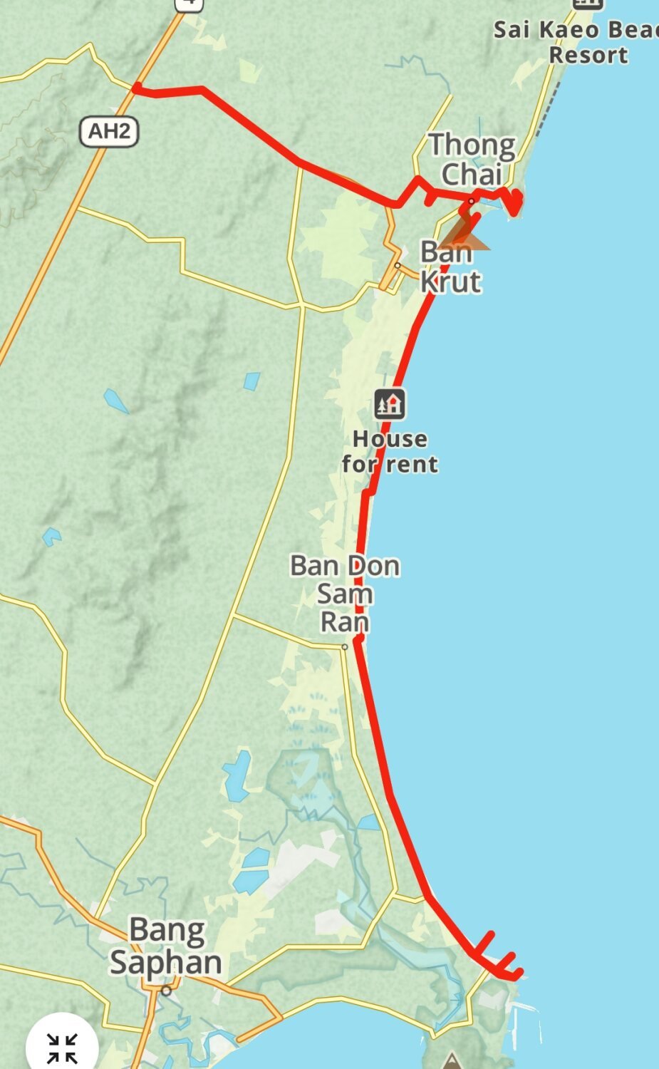
Day 14. Ban Krut to Chumphon.
Yesterday afternoon both Mike and Al arrived at Ban Krut. Mike gave a great comedy act trying to erect his tent on the beach and eventually brought it onto the street where the lights helped him sort it out.
Today we left to ride south following the coast if possible. Our first stop was at Mae Ramphueng Bridge, here.
https://maps.app.goo.gl/iTLdSrk7U3XiHePp6
From here we went to Noen Sai Chumphon Sand D Dune, here.
https://maps.app.goo.gl/JxwSG2SFQSKSm7mA8
Nest we stopped at a rickety pier, here.
https://maps.app.goo.gl/n3qKsANin3XfpPbd6
Further along we found a small fishing village that’s not on the map here.
https://maps.app.goo.gl/mgRJgNp7K1vQcZU89
Next we found Ban Hin Kop Bridge, here.
https://maps.app.goo.gl/unHksFFXYVFbhGPA9
They are building a ferry terminal here now.
Not far down the coast was Prince Chumphon Khet Udomsak Shrine, Laem Thaen, here.
https://maps.app.goo.gl/7foaprtV8CgWmTNP6
We then rode onto Sam Siem Bridge, here.
https://maps.app.goo.gl/K9GkeJfmRtzUV48BA
We split up here as Mike has fallen for a sea gypsy and is courting her on the beach and impressing here with his tent erection skills!
Al and I rode into Chumphon City where we will stay a while exploring.
We are staying at Chumphon Palace Hotel, here.
Nice clean rooms for 500B a night.
https://maps.app.goo.gl/L4zTUJWVXo24whU58
https://www.relive.cc/view/veqz19E5DB6
-
2
-
1
-
- Popular Post
Day 13. Ban Krut Exploring South
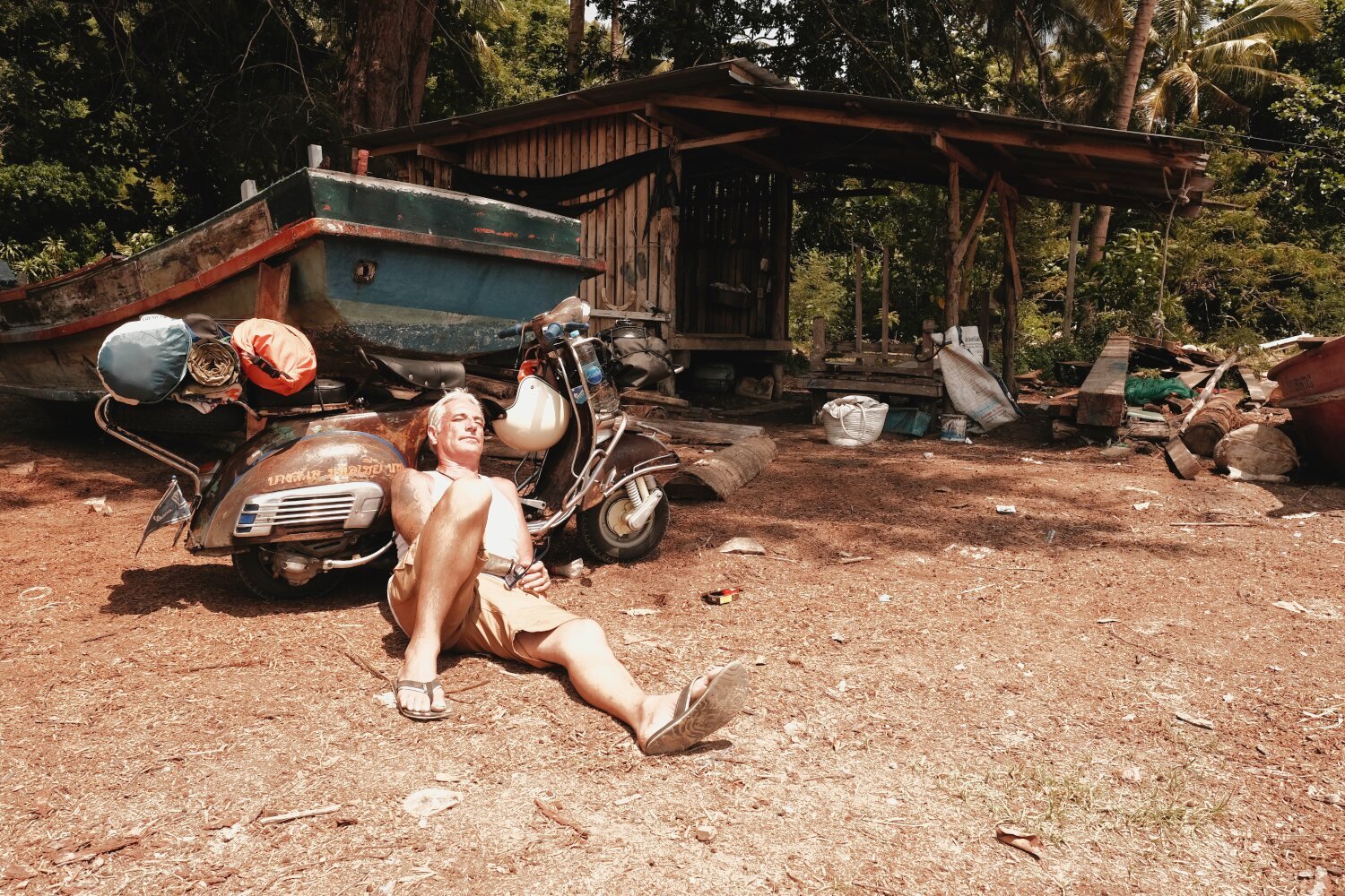
Today Mike and his Vespa is arriving along with Al, so my last day here in Ban Krut before riding south.
I stayed local today with my first stop at King Garden, here.
https://maps.app.goo.gl/mNjy36oSHV8U5y8m6
Just along the coast is Mae Ramphueng Bridge, here.
https://maps.app.goo.gl/gfFrqUGLW5TkY5629
There was a small bridge just along the coast called Bang Saphan Bamboo Bridge, here.
https://maps.app.goo.gl/xzvVyKgSYnSkuTN1A
From here I followed the railway line back towards Ban Krut for a while before using the coast road.
https://www.relive.cc/view/vAOZwNyypo6
-
2
-
2
-
- Popular Post
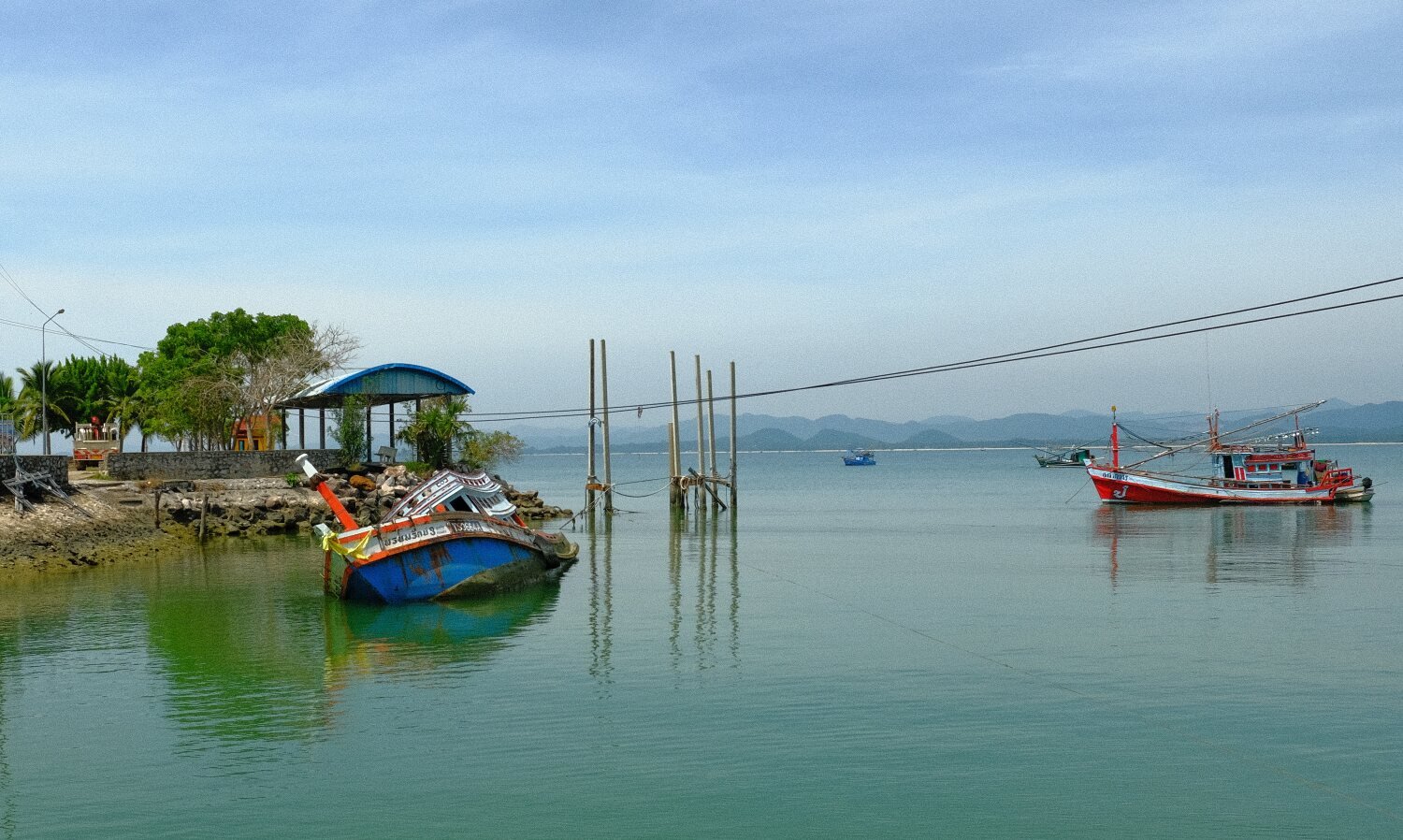
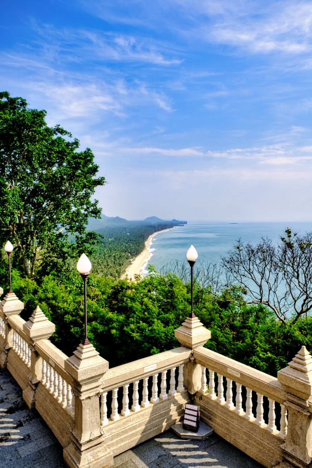
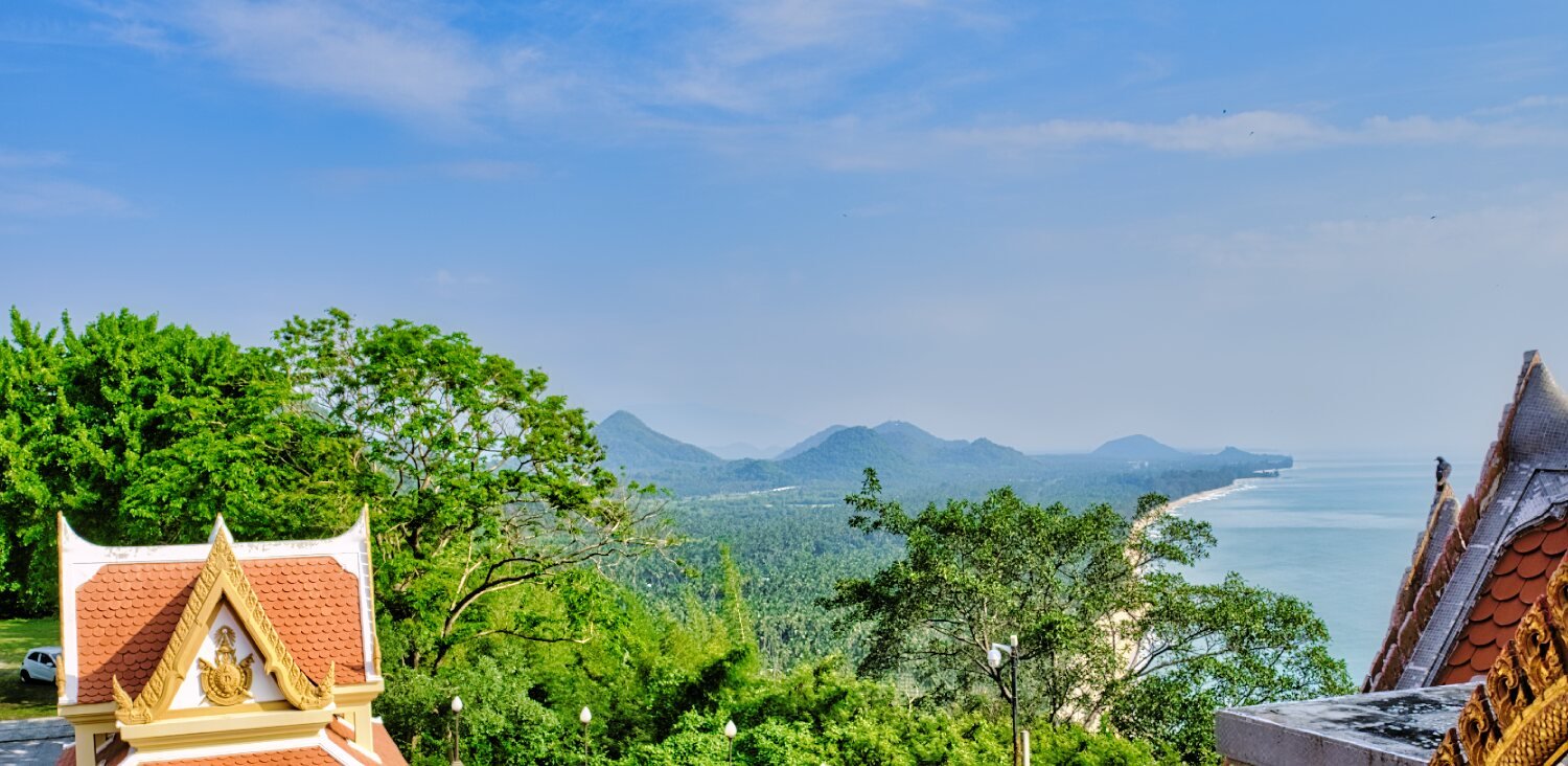
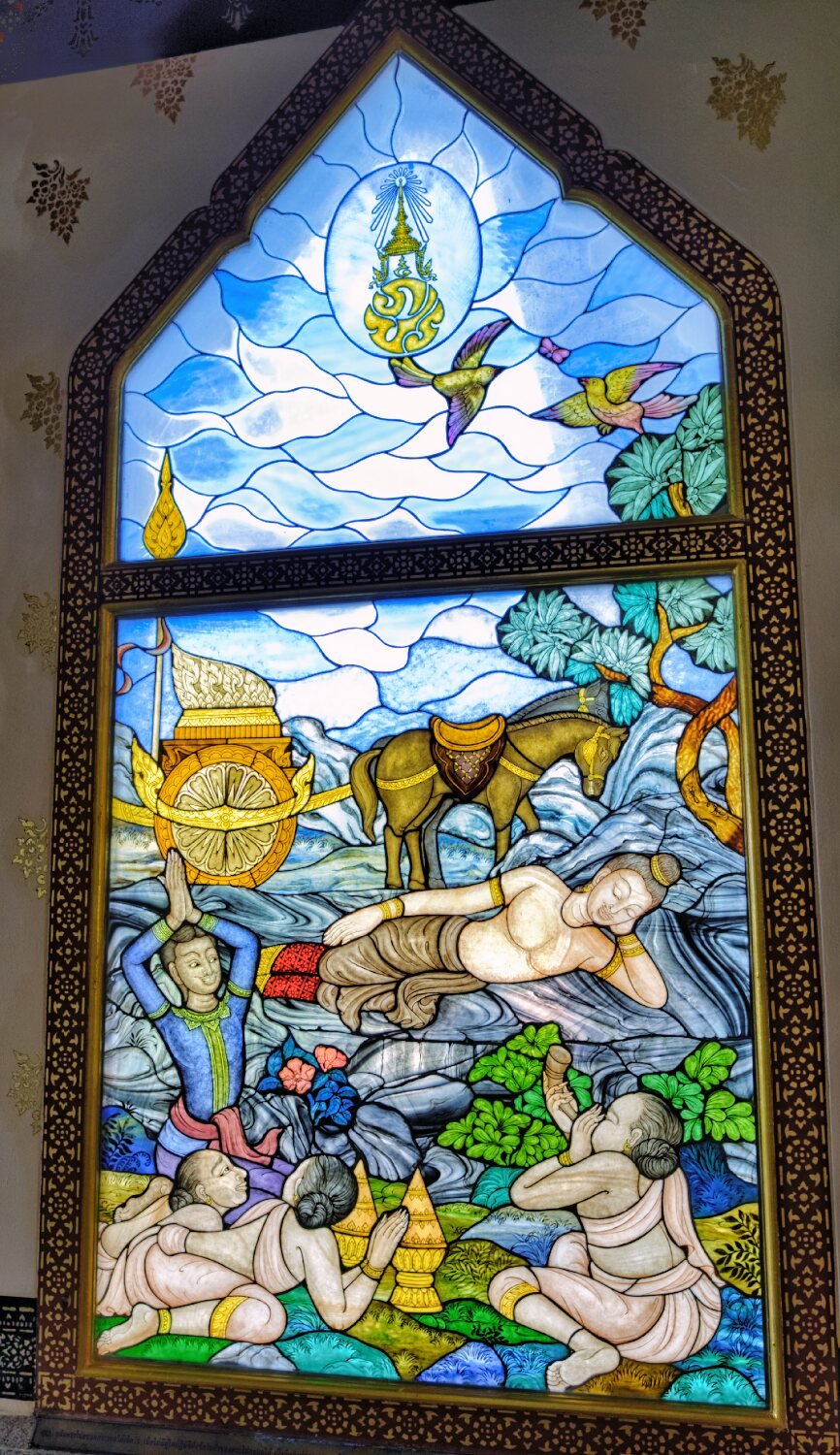
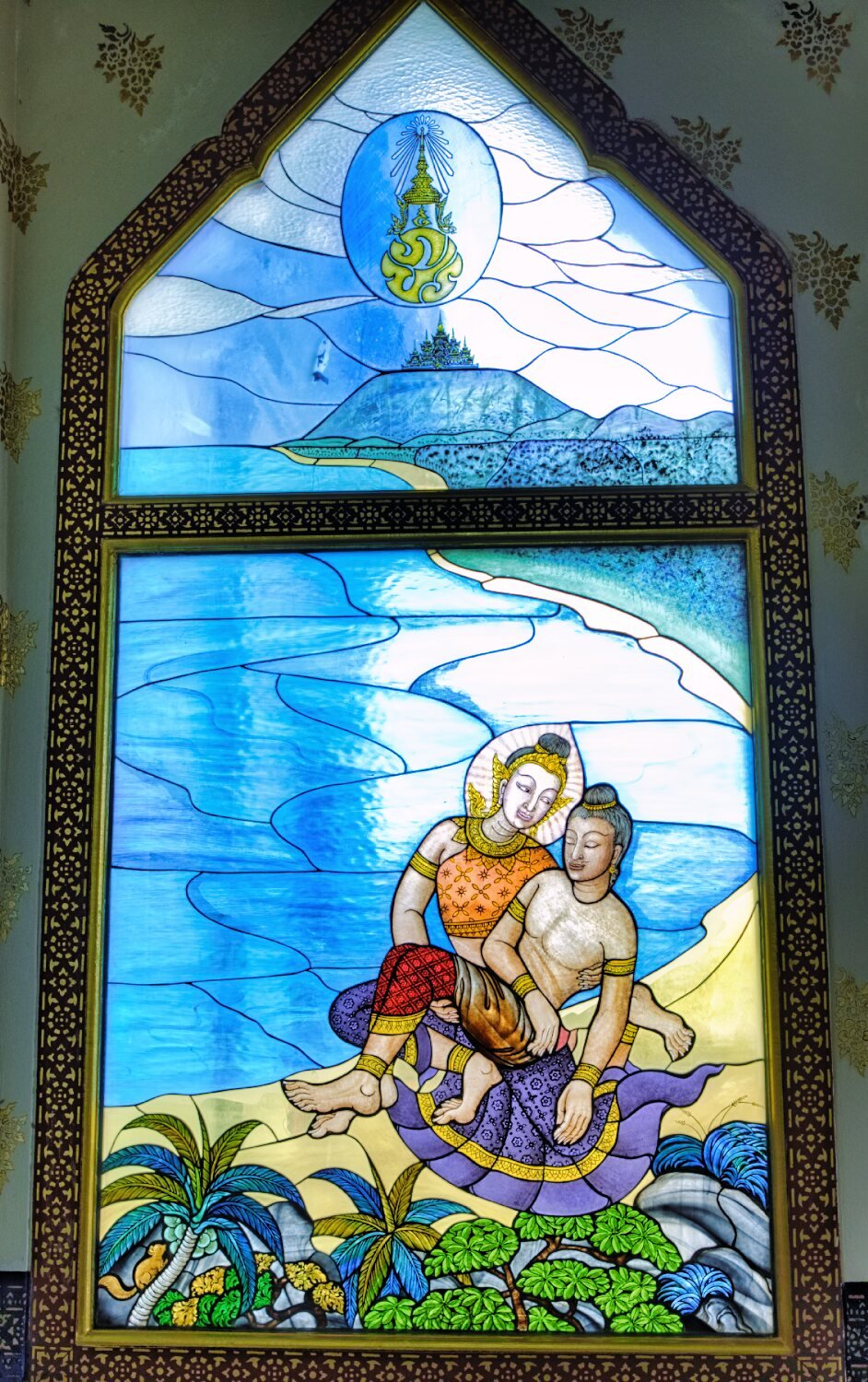
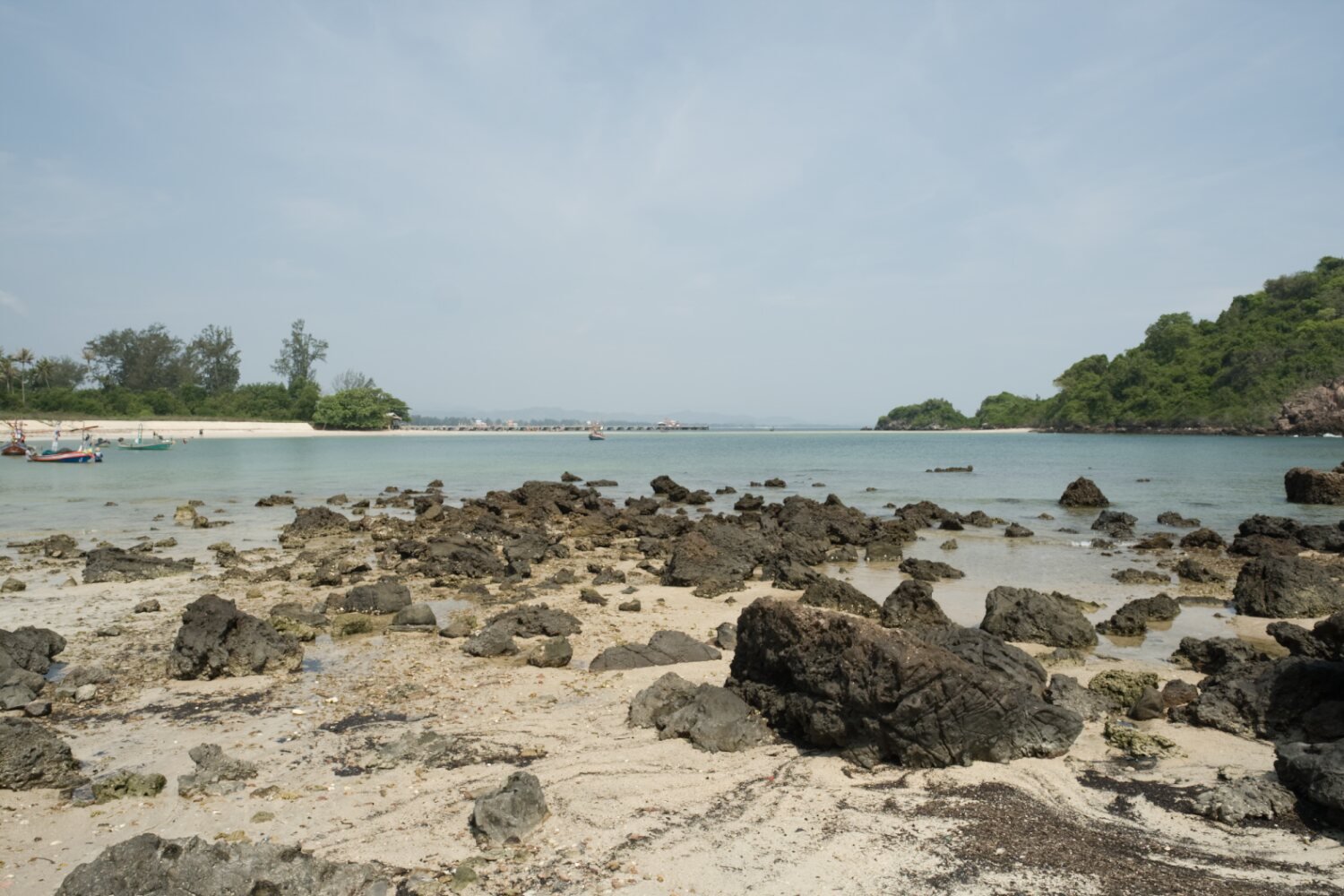
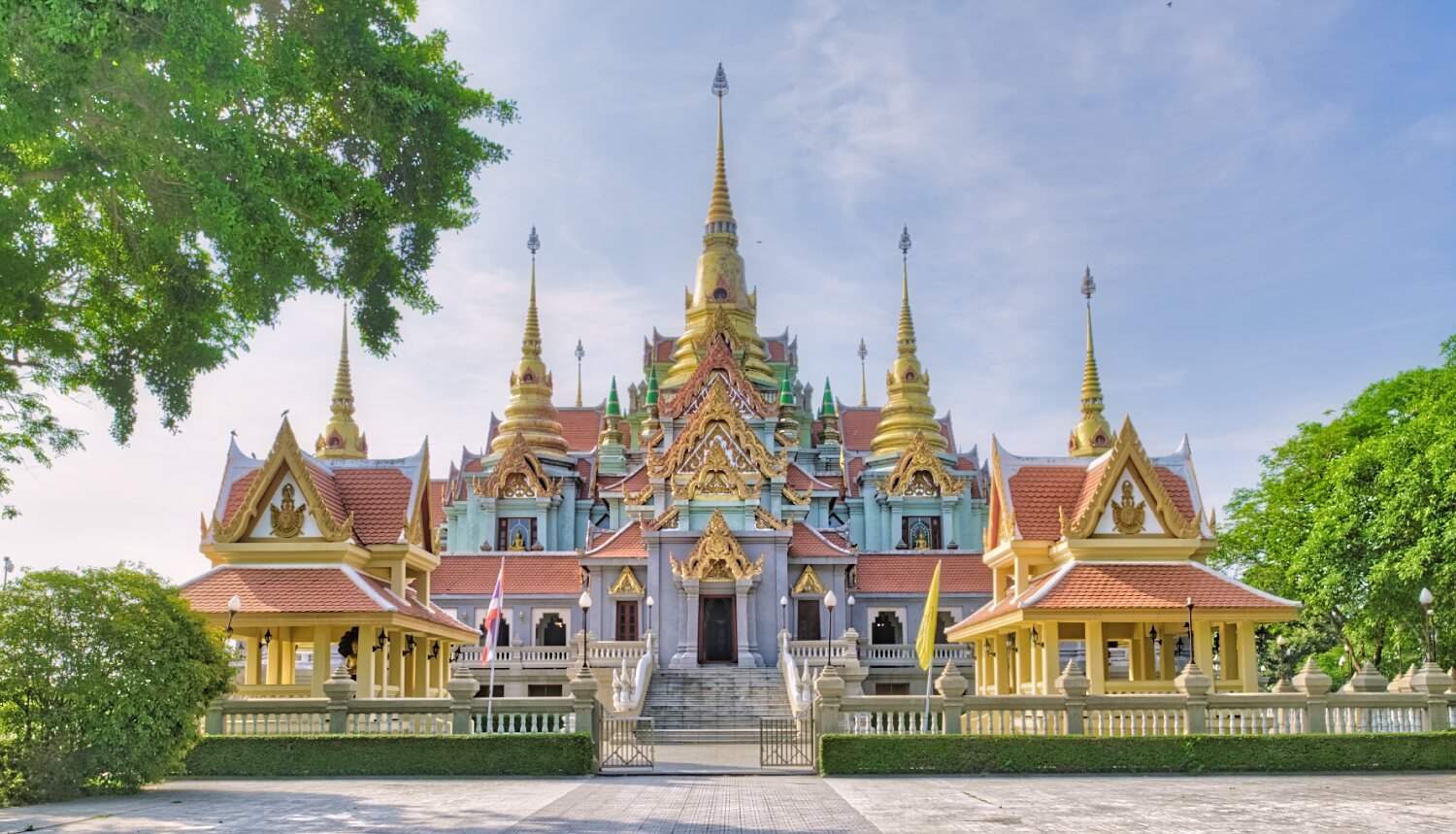
Day 12. Ban Krut Temple and beach views.
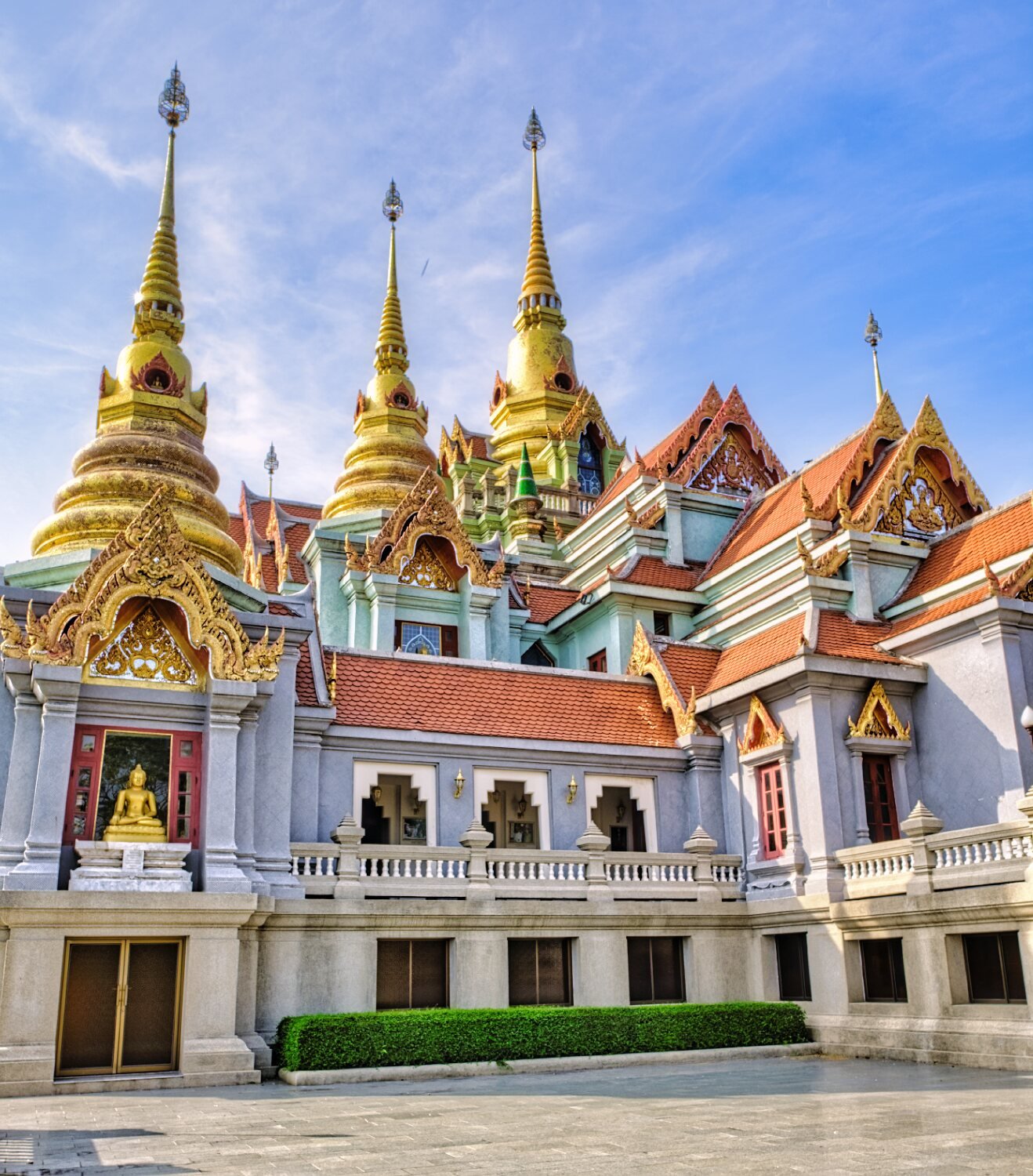
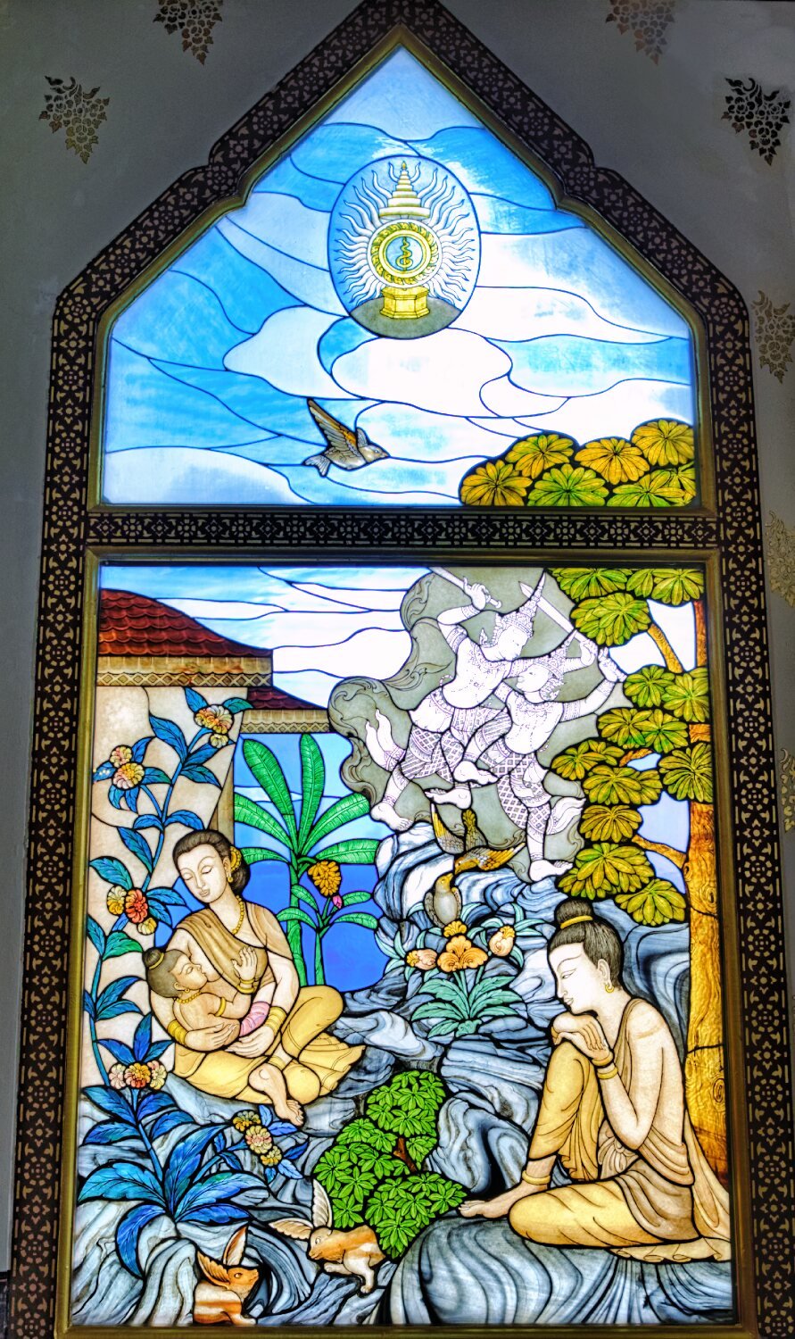
Today I stayed local and had a good time looking at local sites. The first was Phra Mahathat Chedi Phakdi, here.
https://maps.app.goo.gl/fmDBMxsmnp2qsdp76
There some great views along the coast from here and inside the stained glass windows were well worth a look.
From here I stopped at Ban Krut Landmark on the beach, here.
https://maps.app.goo.gl/Q1dNf33JtpuGG6PR7
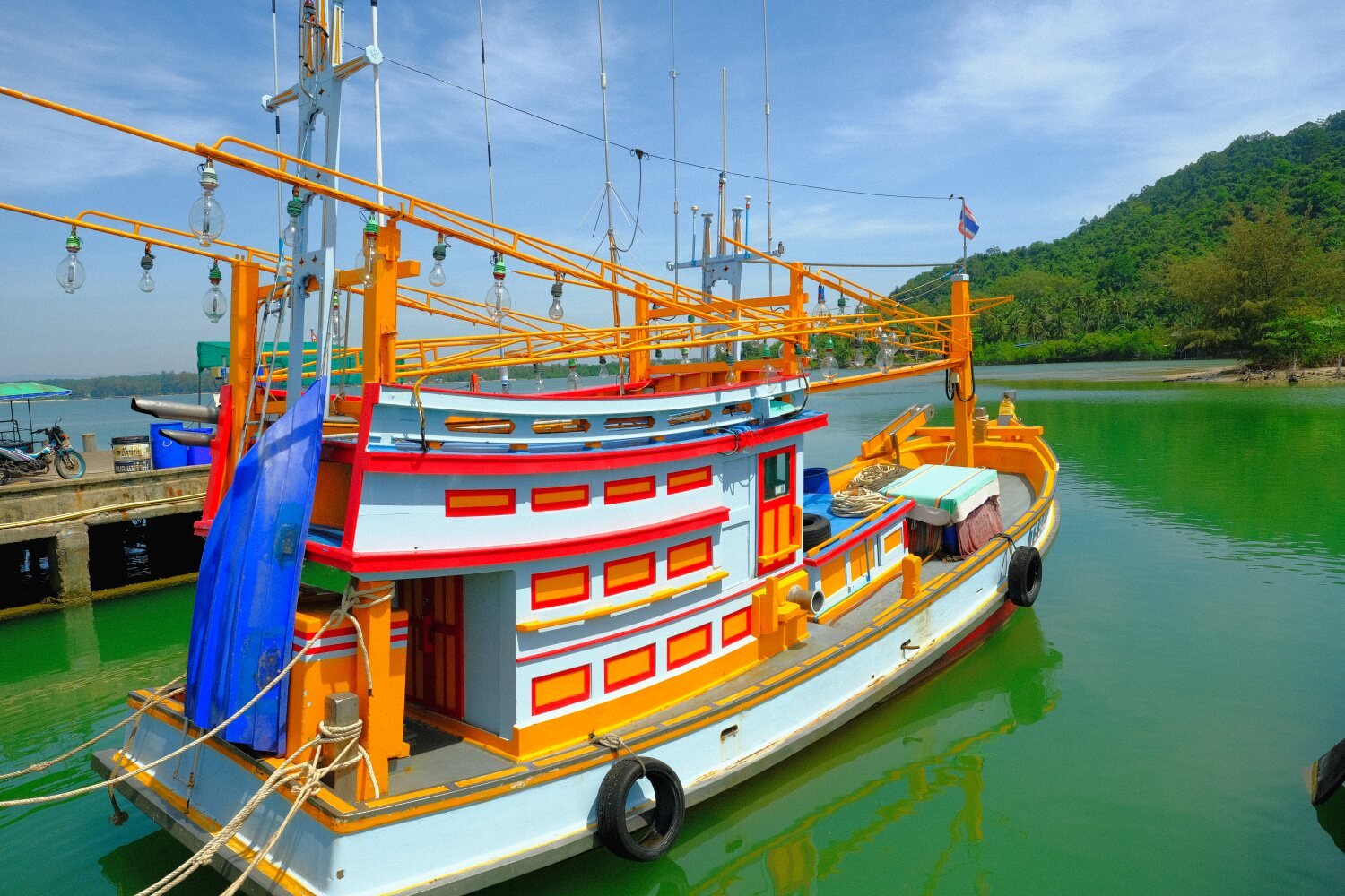
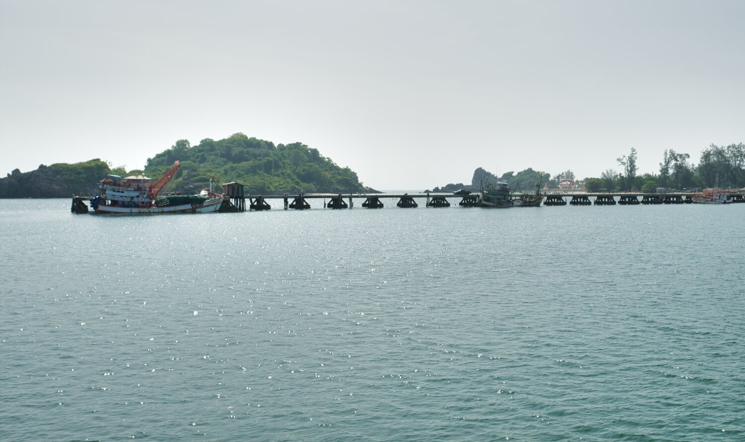
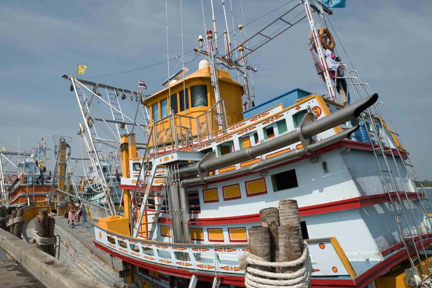
I then headed south alongside the beach before riding up a pier to photograph the fishing boats, here.
https://maps.app.goo.gl/wSPPLVpoQY5xFEsq5
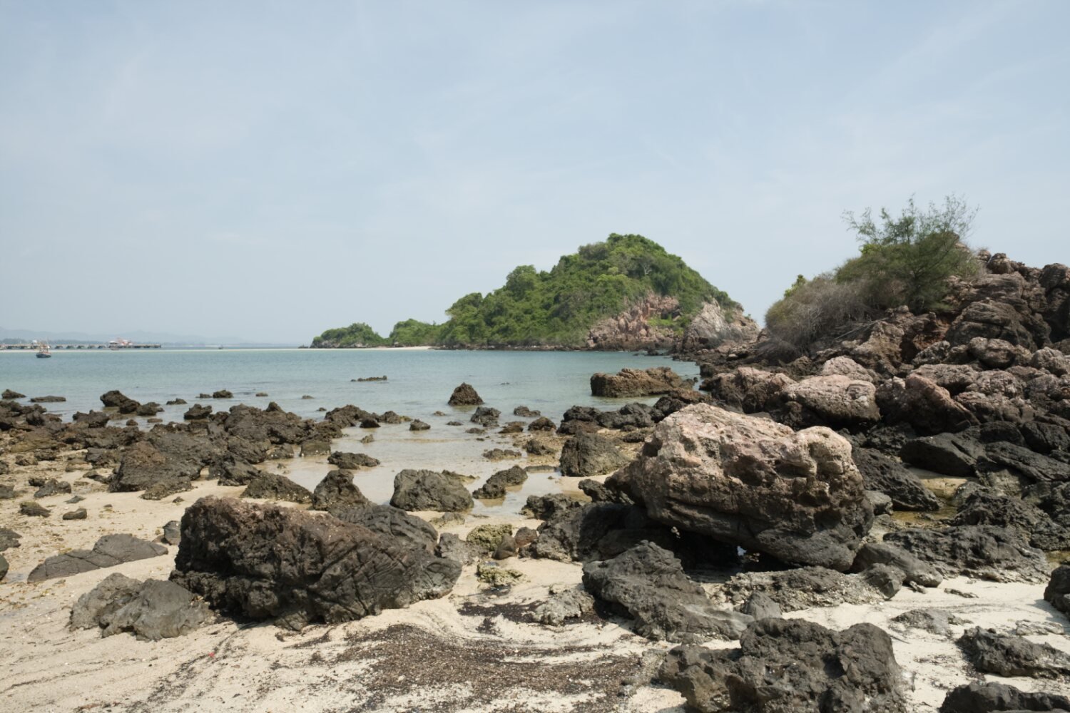
Along the coast I stopped to walk across a sandbank, here.
https://maps.app.goo.gl/FZhLwwaxyWywVhfK7
The sandbank goes to Koh Hua Pin, here.
https://maps.app.goo.gl/k92JdfzbkkCyWe1N9
Nearby was Bo Thong Lang Temple, here.
https://maps.app.goo.gl/Sibf6uN5sxB7pNVG9
Prakanhttps://www.relive.cc/view/v7O9GeLXRLq
-
3
-
- Popular Post
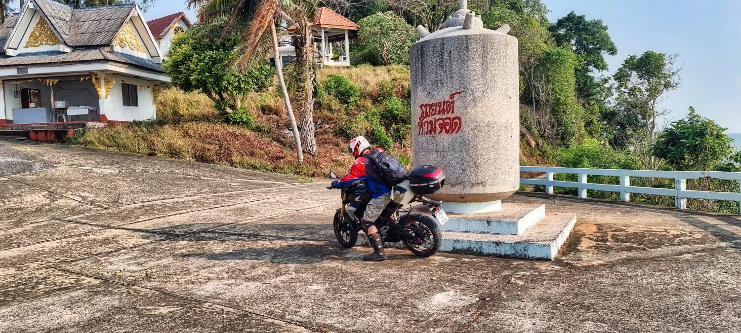
Day 11. Ban Krut – Burmese Border Ride Two.
Today’s goal was to find another border crossing on the Burmese border.
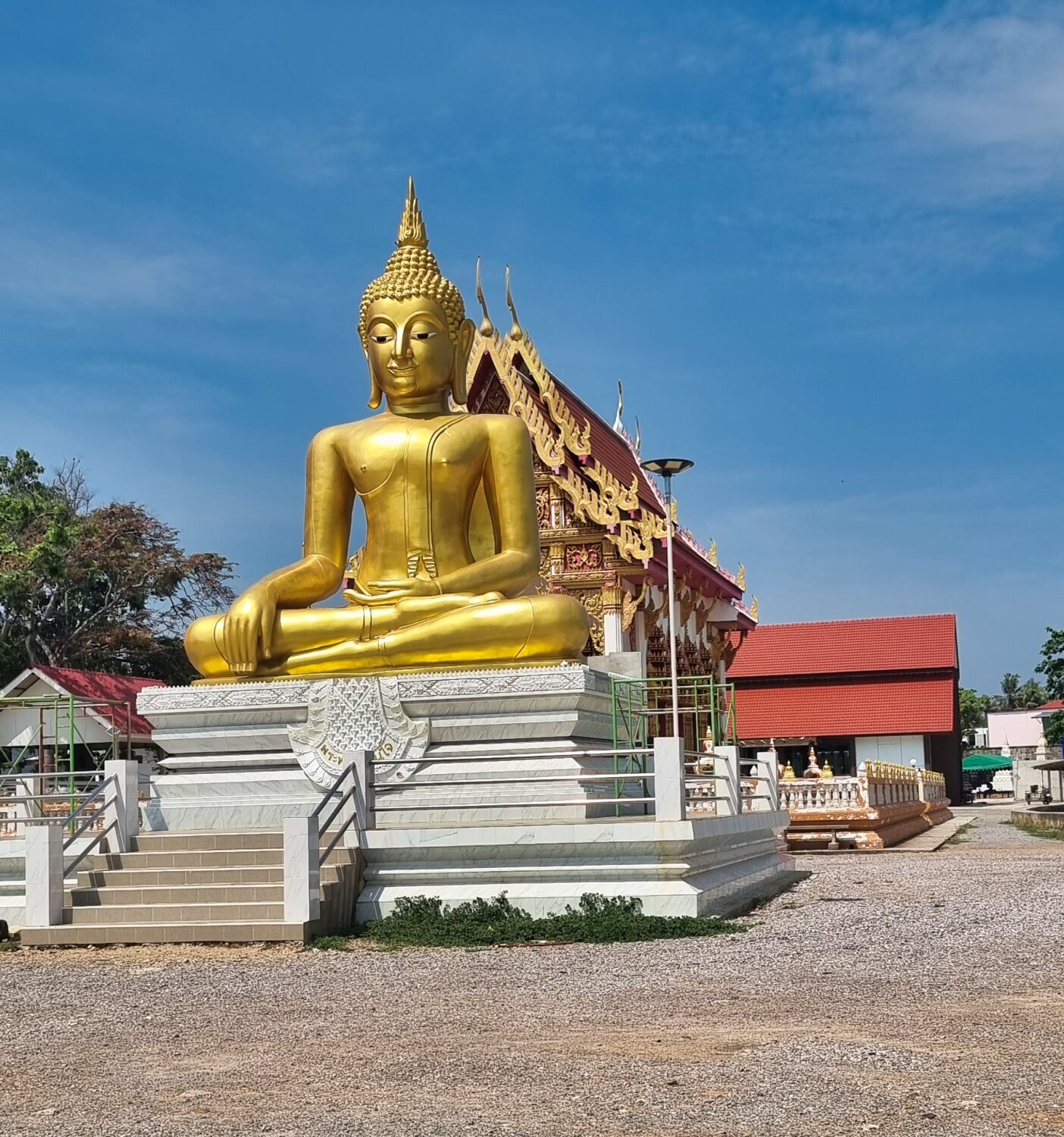
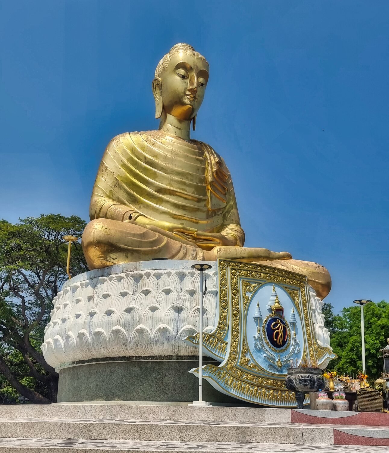
My first stop was Huai Takhian Reservoir with its Golden Buddha Statue besides it, here.
https://maps.app.goo.gl/ZaDh58sqxCP1u4eG6
Next was Kham Sam Reservoir, here.
https://maps.app.goo.gl/CQJGvFr8SyA8yyke9
From here I rode as far as the border barrier was, here.
https://maps.app.goo.gl/dFioadgP4SkHNzSv9
The dogs were a bit rowdy and had to be controlled, but the guy was nice and polite and let me take a few photos.
From here I tried to find another border area but ended up a Temple, here.
https://maps.app.goo.gl/YHcfPNArTa8JkvAF7
Google show a way to the border, if so it must be on foot, Gaia shows nothing.
I backtracked and rode south west for a while hoping to find a track heading for the border, but eventually I gave up and headed back to Ban Krut.
https://www.relive.cc/view/vQvx5N7EGBO
-
2
-
1
-
13 hours ago, Randell said:
Wonderful to travel with you again Chris 555. I always enjoy your photos always so crisp. Fantastic I how the boys catch up with you soon. Have a good on .
Randell
They are leaving tuesday as far as i know.
Mike will not continue to the deep south as his budget went on a total rebuild of his Vespa. Al and i will carry on alone.-
1
-
-
Day 10. Ban Krut – Burmese Border ride.
Today I decided to see if I could ride up to the Burmese border. Leaving Ban Krut my first stop was Ban Morasuap Reservoir, here.
https://maps.app.goo.gl/WLFsz5edf1RxMubg6
And here.
https://maps.app.goo.gl/D2JdaStkEmYwxqEaA
Strangely the next reservoir had the same name, here.
https://maps.app.goo.gl/eJ6V9E2mFBm6jaAc9
I then rode to Kha On Waterfall National Park, here
https://maps.app.goo.gl/bmzDy59vPptpmMHa9
As there was no charge I continued to waterfall One, here.
https://maps.app.goo.gl/qB4FeWCoGUKnKBPQ9
There is about 400 meters to walk to see the rest, I did not bother as it was very hot and there was very little water.
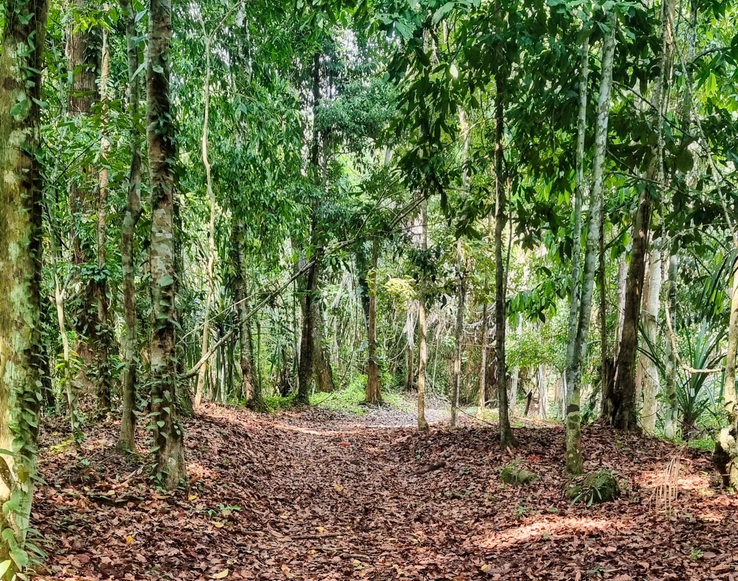
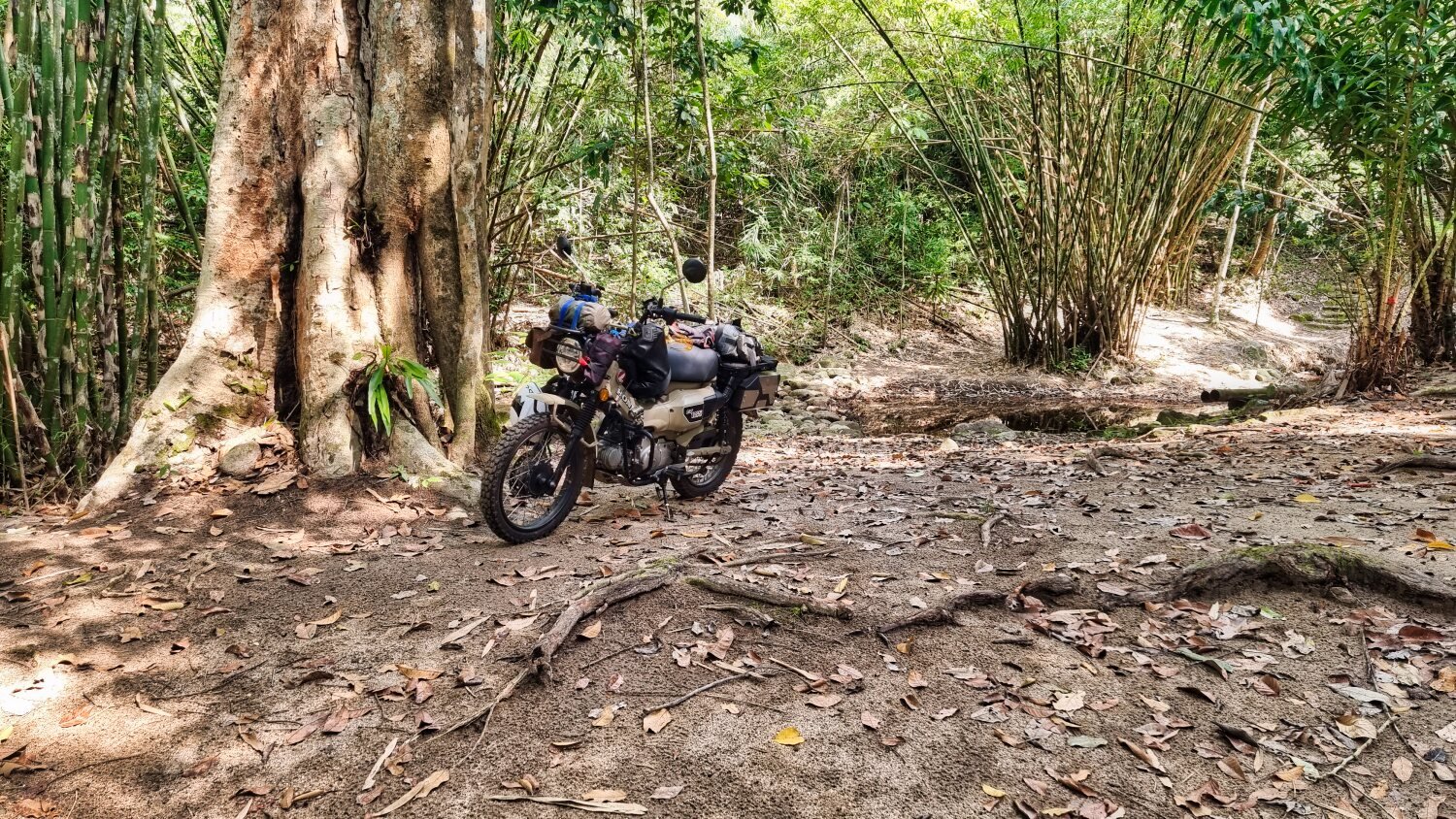
Leaving here I took a side track and went green laning which was fun, good flowing tracks there.
Looking at Gaia now it seems I should have kept going as it meets up with the road I later took.
I rode back and onto Huai Kai Taw Reservoir, here.
https://maps.app.goo.gl/dzn9SoWtm78n5AKs8
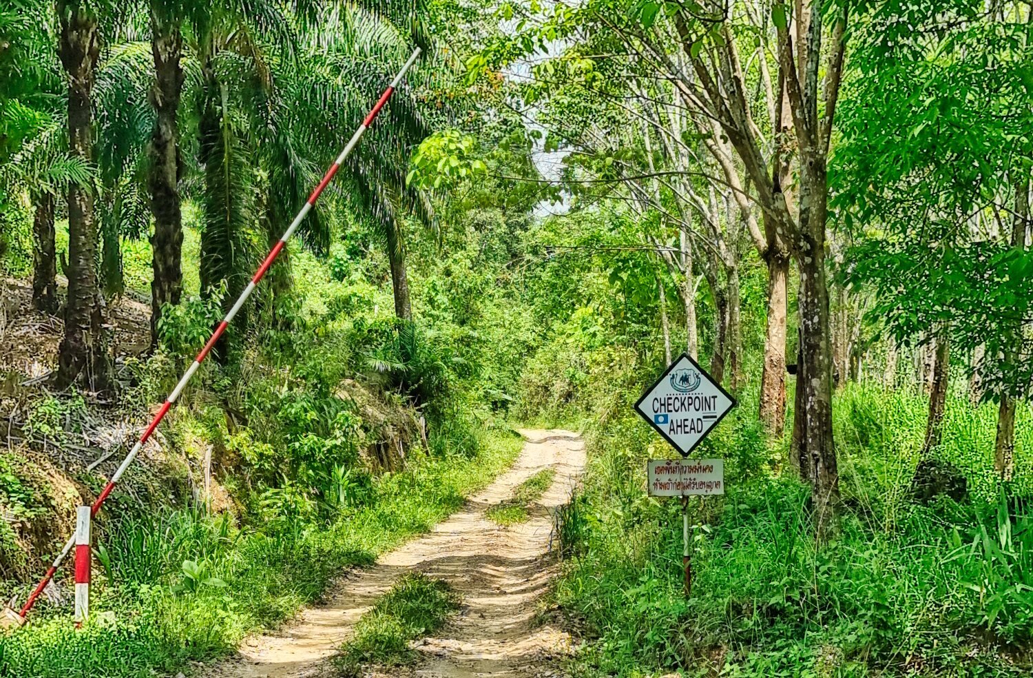
From here I took the track up towards the Burmese border. At the first checkpoint I told them I was just looking around and was waved through. At the top of the track the checkpoint is actually on the border. I was stopped from taking photos for some reason. I got a few before being told this, but not of the view back over Thailand unfortunately.
From here I returned to Ban Krut.
-
2
-
-
12 hours ago, jvs said:
Yesterday we past each other likes ships in the night but you did have a short conversation with one
of our group.
We got back to Cha-am today and we had a great ride and saw a lot spectacular views.
Going across the mountains was great and some nice roads.
We also did take some challenging off road tracks and it was a good test for the team spirit and the bikes.
Too bad we did not meet but maybe someday we can ride together and enjoy the great views Thailand has to offer.
This was our second trip South and it was really nice,better than the first trip which was in November and we really got soaked nearly every day.
Today,like you said ,some rain early in the morning but it cleared up later and was pretty hot.
How long will you be out?
Hopefully we will meet up.
At the moment they may be another guy, Al (Papa from thaivisa) joining Mike in Pattaya for the ride south and at the moment we thinking of meeting at Chumphon.
Mike has had the bike stripped down and it's being totally rebuilt, so once on the road we should be good for the whole trip.We are riding following the east coast to the Malaysian border, then west and up north. Timewise i'm not sure, we we are riding together i will know more.
-
1
-
-
Day 9. Ban Krut
This morning it was raining at 6.30, when it stopped I went for a walk on the beach here. I decided to not use the diving board though. The sky looked as if more rain was on its way but it was ok.
My first stop was Mining Pine Forest, here.
https://maps.app.goo.gl/FvxwEwumvAT831Xa6
I then found reservoirs that are un-named and only on Gaia maps, here.
https://maps.app.goo.gl/o3igHG1GCrakMXBW7
Not far away was Khlong Chakra Reservoir, here.
https://maps.app.goo.gl/pbhnyH4PeLZuMwmb7
I then rode onto Khlong Chong Lom Reservoir, here.
https://maps.app.goo.gl/wPDJeMybS4FHQRRS7
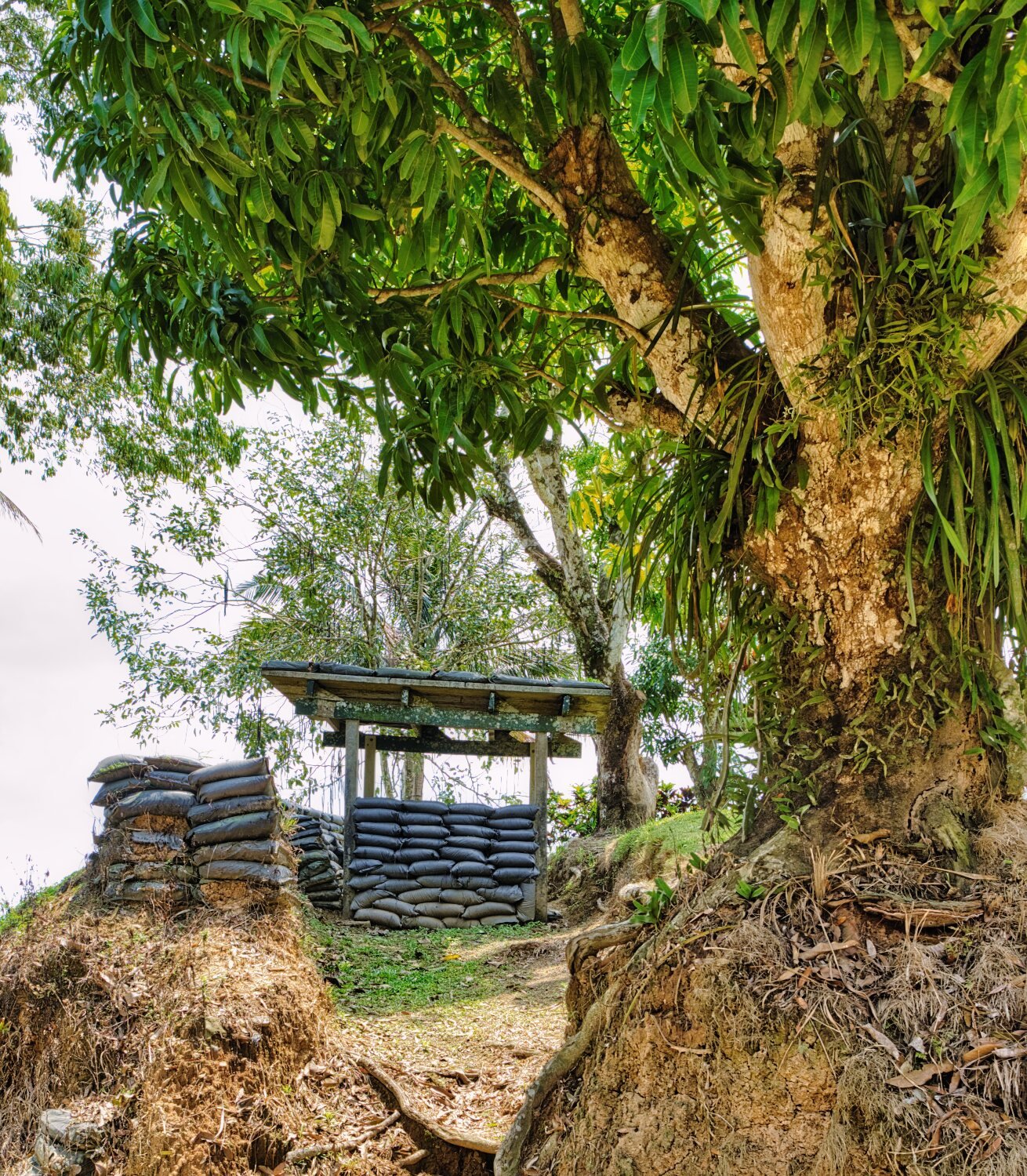
The mountains behind the reservoir form the border with Burma and are in Namtok Huai Yang National Park. I rode as far as I could into the border area until the track faded into a walking track into the distance.
From here I returned to Ban Krut.
-
1
-
-
- Popular Post
Day 8. Prachuap Kiri Khan to Ban Krut.
An update on the Vespa, Mike is having everything overhauled and hoping to be on the road early next week. Until then I will ride slowly south exploring as much as possible.
Today’s riding was a mix of beach roads and riding inland trying to avoid R4. This was made a bit tricky by a lot of the railway crossing marked on Google maps not actually being there.
My first stop today was at Huai Maprang Reservoir, which was nearly empty, here.
https://maps.app.goo.gl/cTSwyH9j6Zp67x969
Next was Crystal Island, here.
https://maps.app.goo.gl/FXbSLVNh3dY4t4kA6
There was not much to see and too much litter around.
Just a way up the beach was a small inlet that was my next stop, here.
https://maps.app.goo.gl/DkGKYmprXAZAeg597
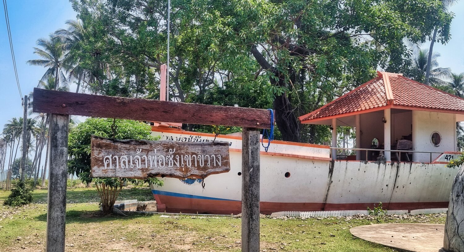
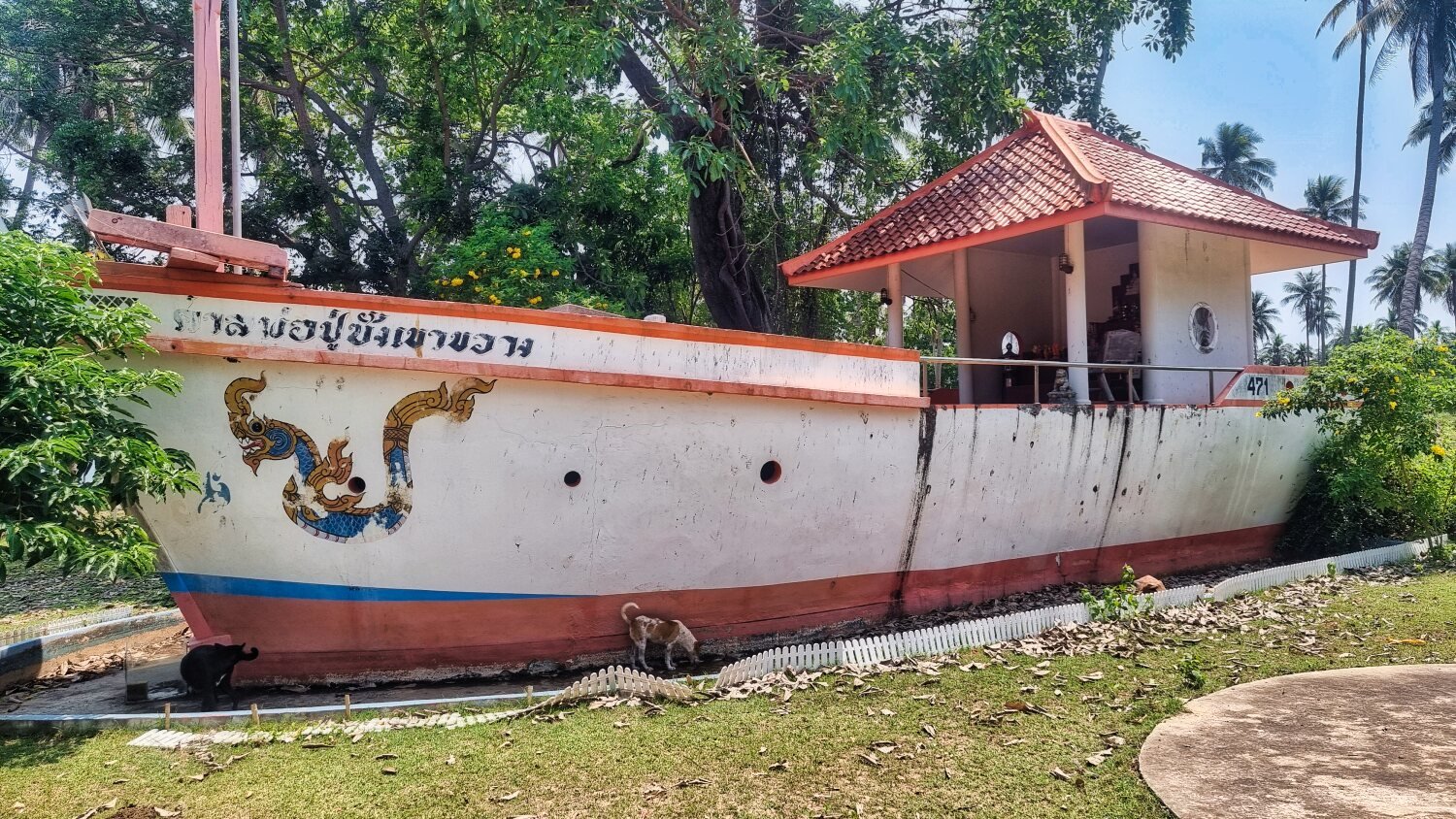
Next I stopped at the Shrine of Chao Por Sang Khao Kwang. The shrine was a boat, here.
https://maps.app.goo.gl/zcWdauxMi2iToZxA8
On my way into Ban Krut I stopped to take a photo at Phraphut Kiti Sirichai, here.
https://maps.app.goo.gl/jkuvMh1QvWLAZehP8
From here I found a room and a cold beer.
https://www.relive.cc/view/vdvmJ7zDYNO
-
2
-
1


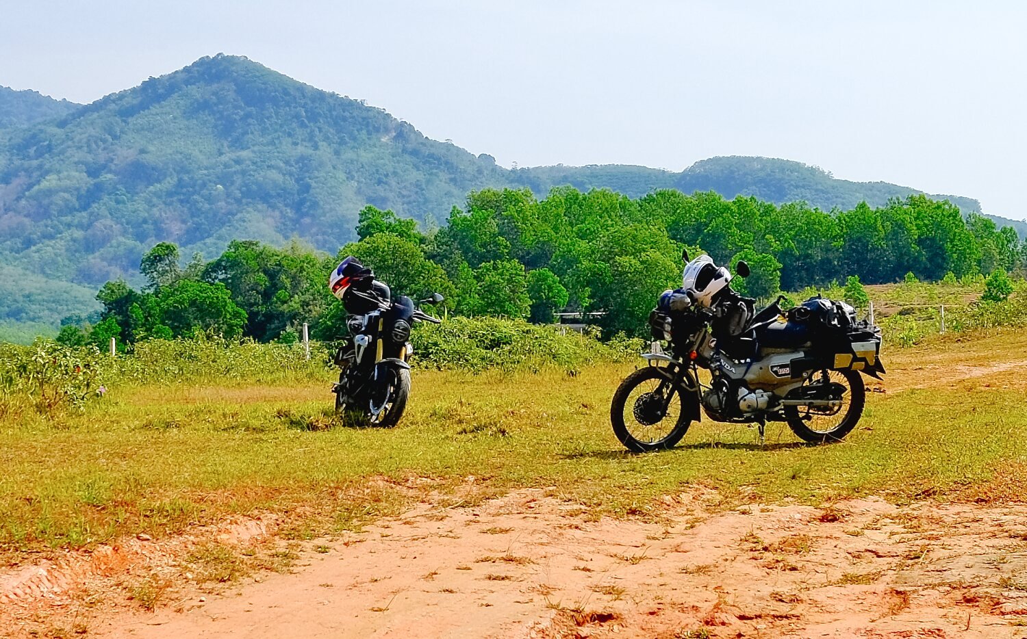


.jpg.0ddc74389ac36502c52d7a25f92c9074.jpg)
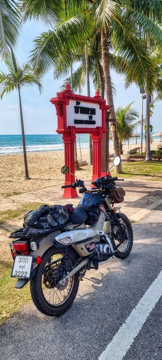


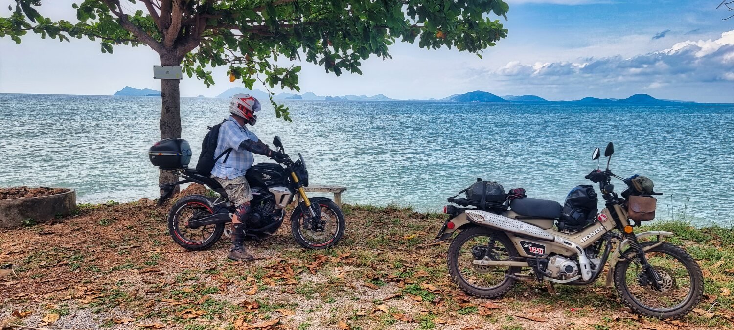
CT125 and Vespa Sprint 150, Southern Thailand Tour.
in Motorcycles in Thailand
Posted
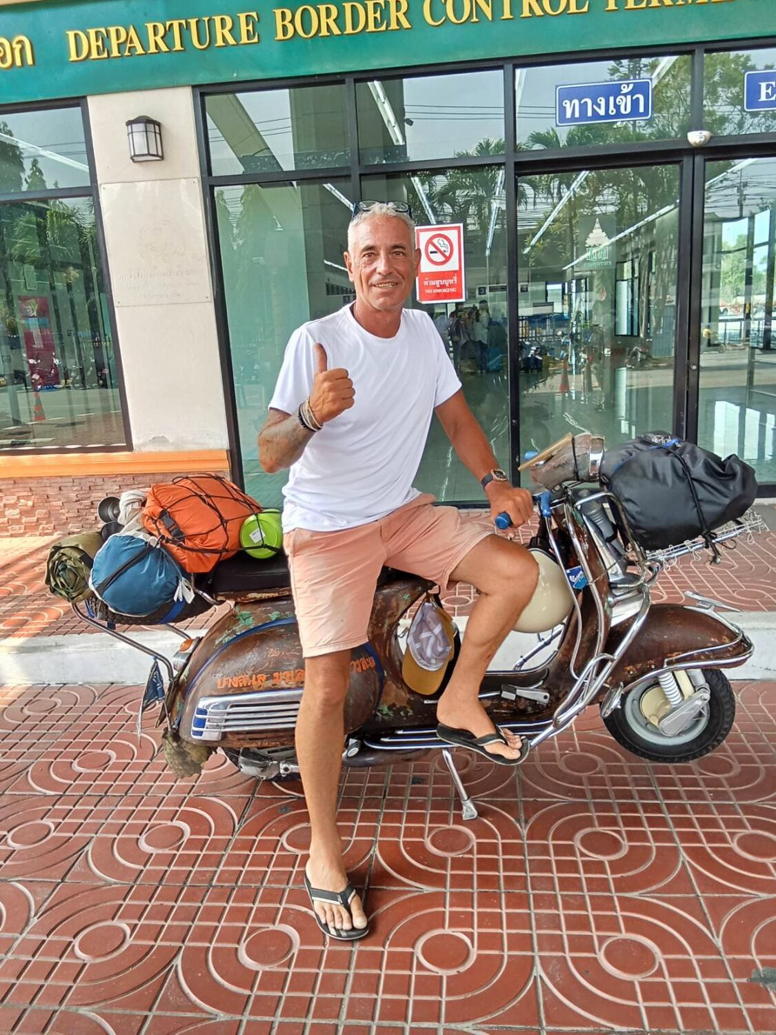
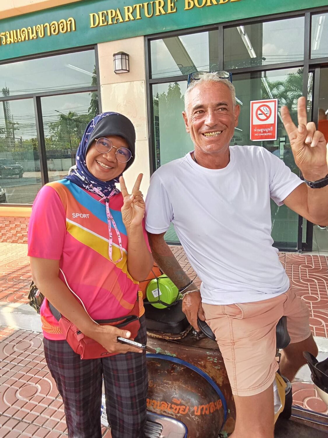
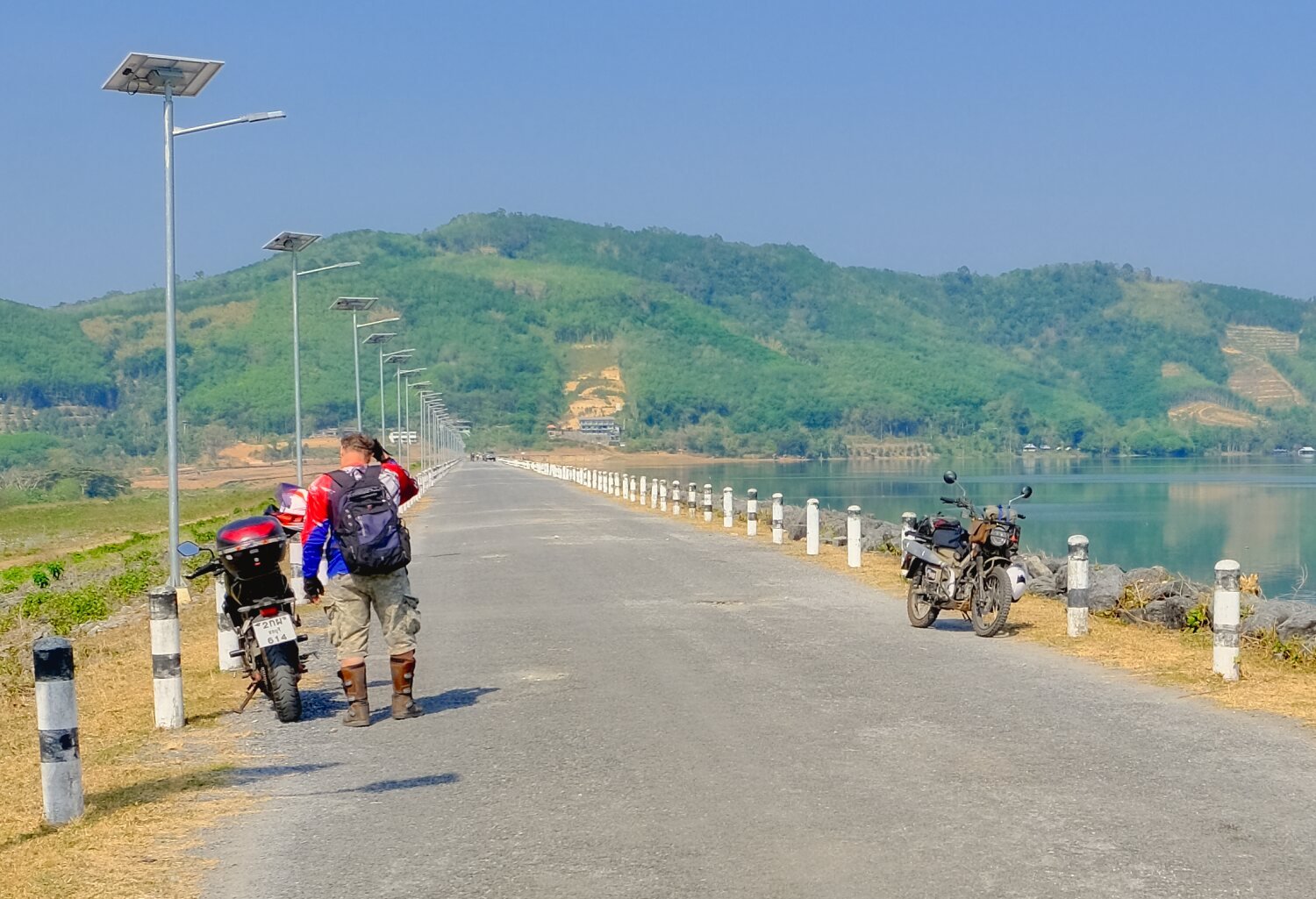
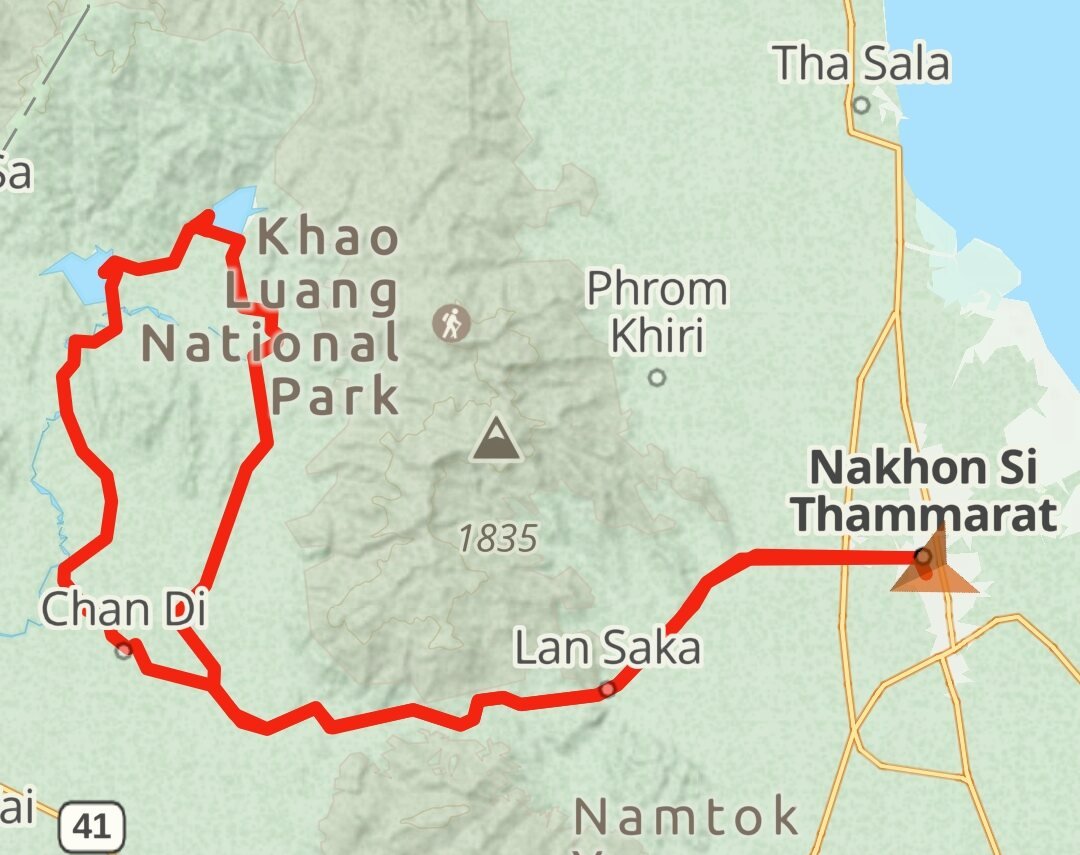
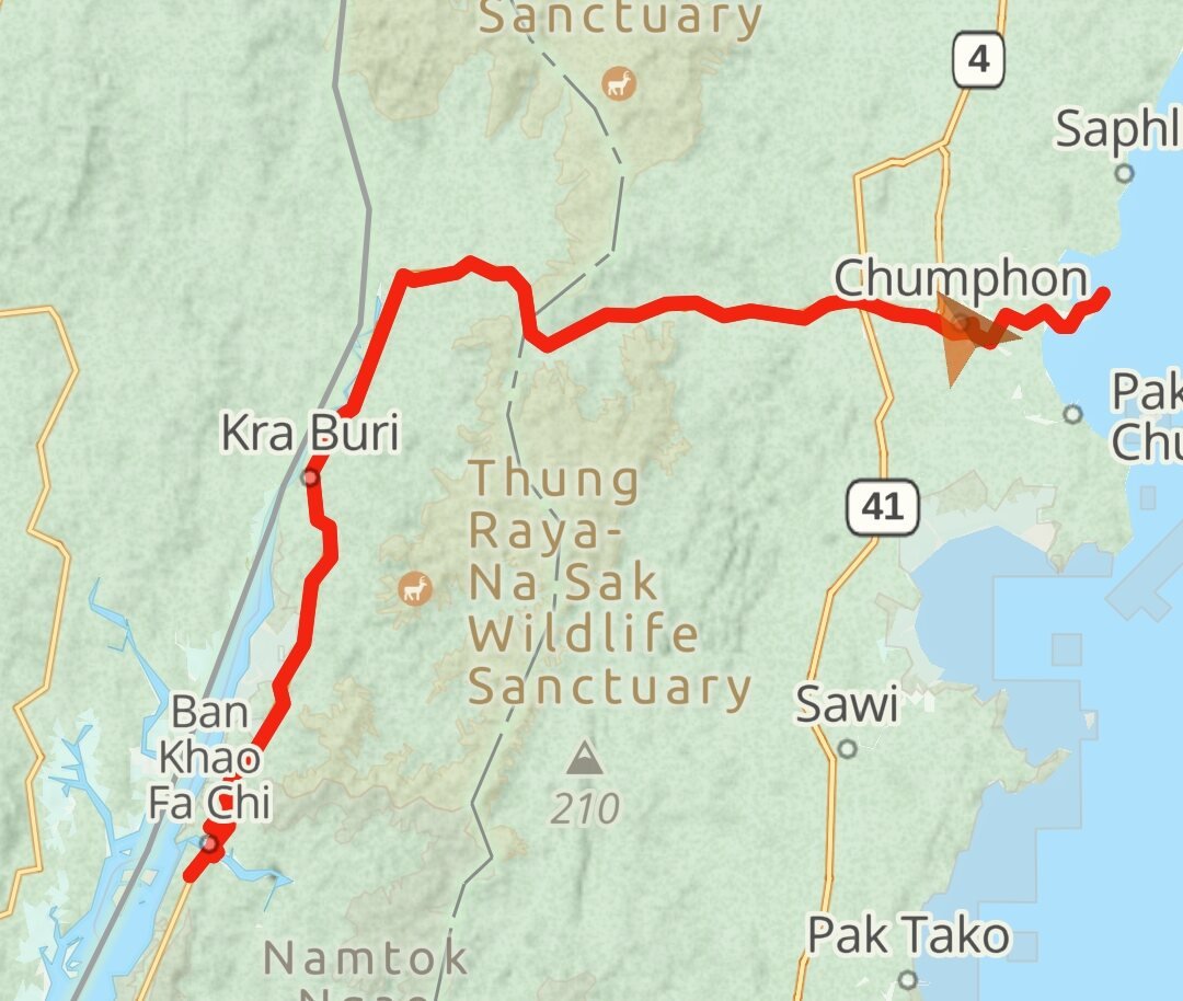
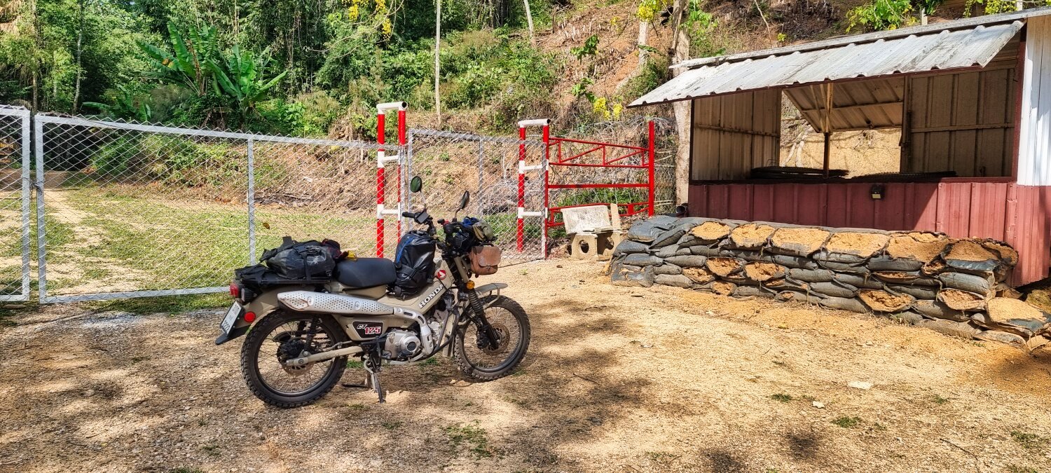
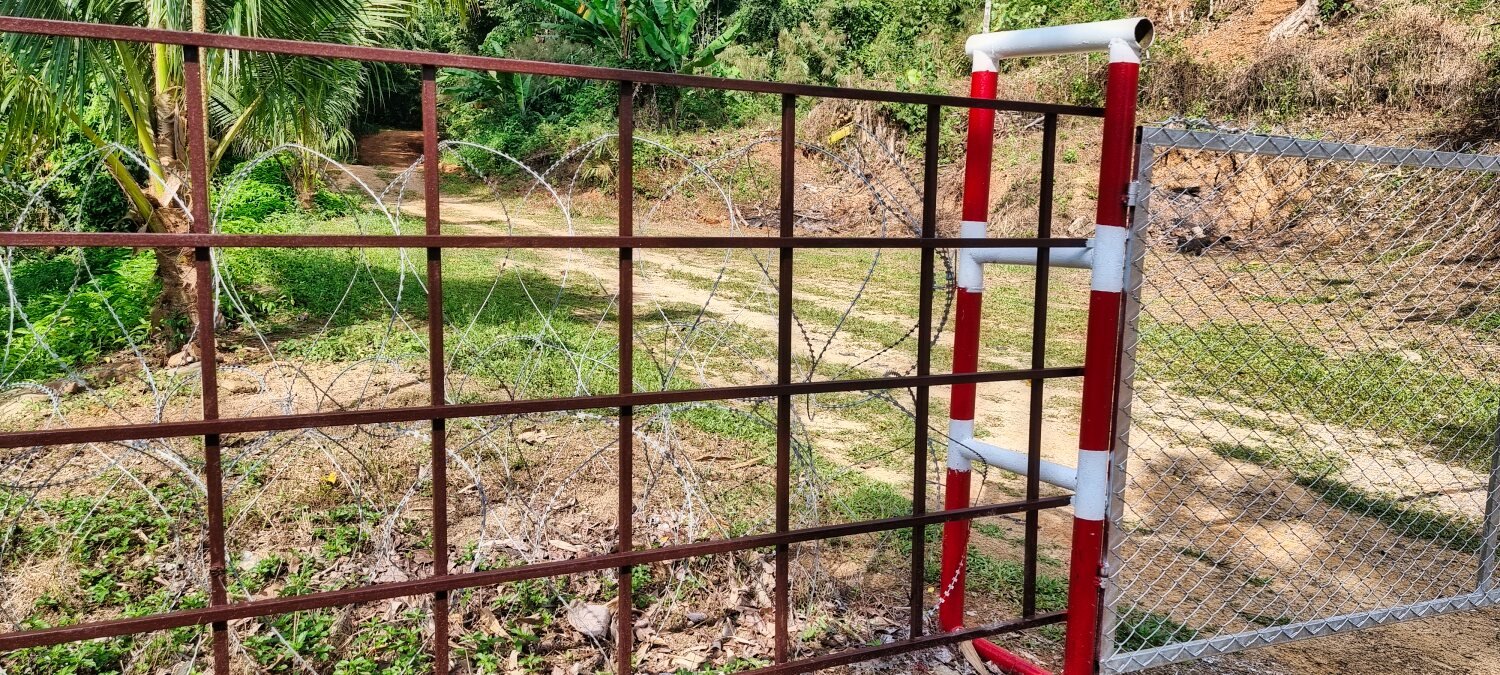
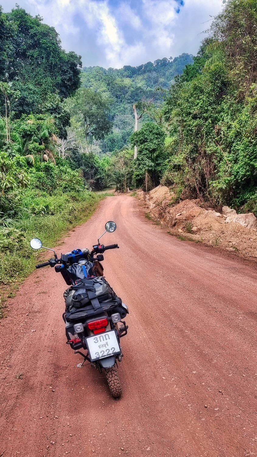
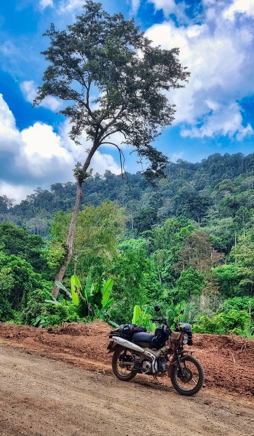
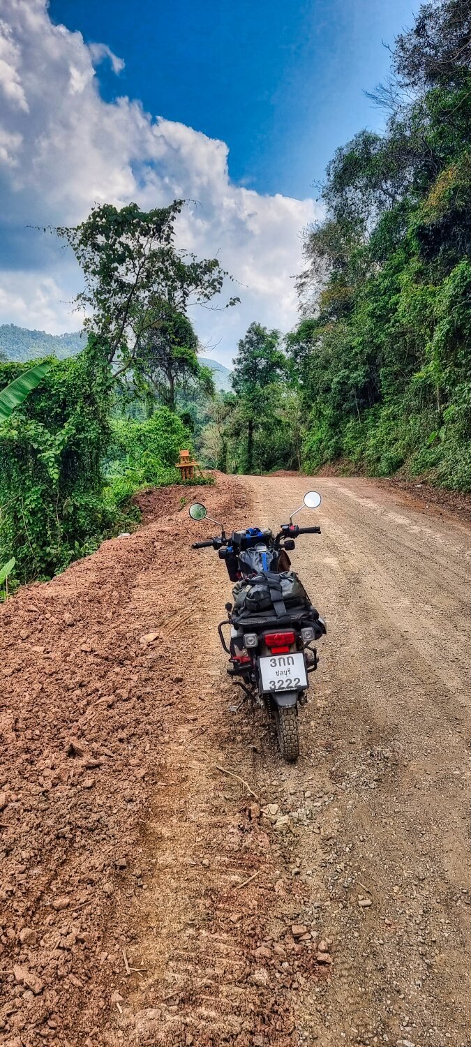
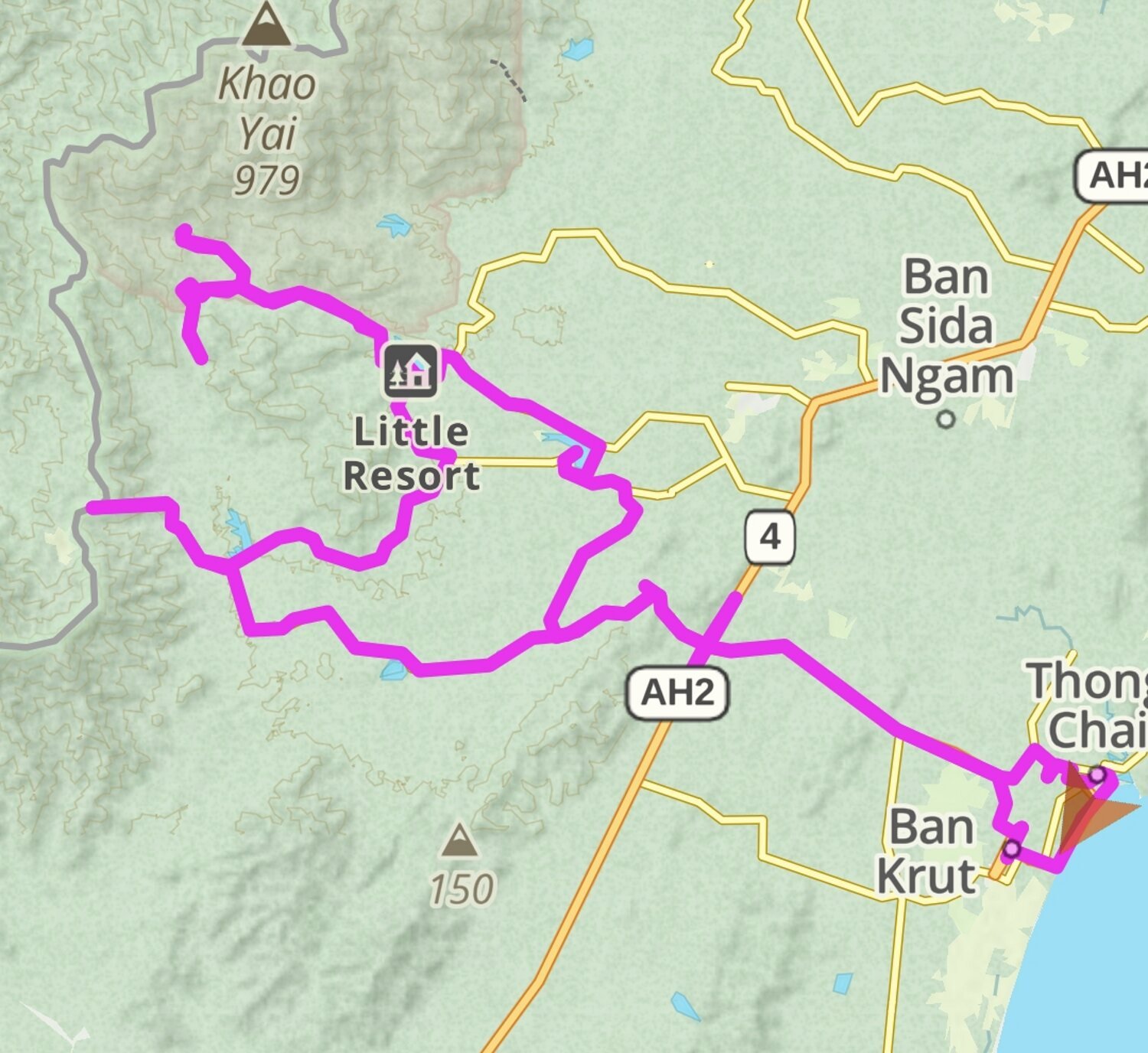
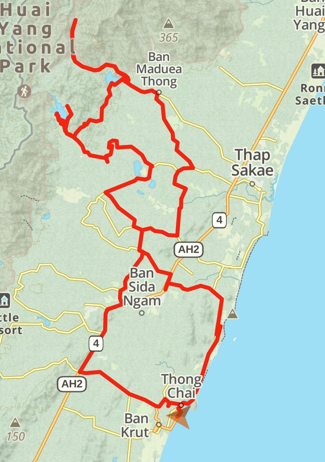
Day 25. Sungai Golok to Betong.
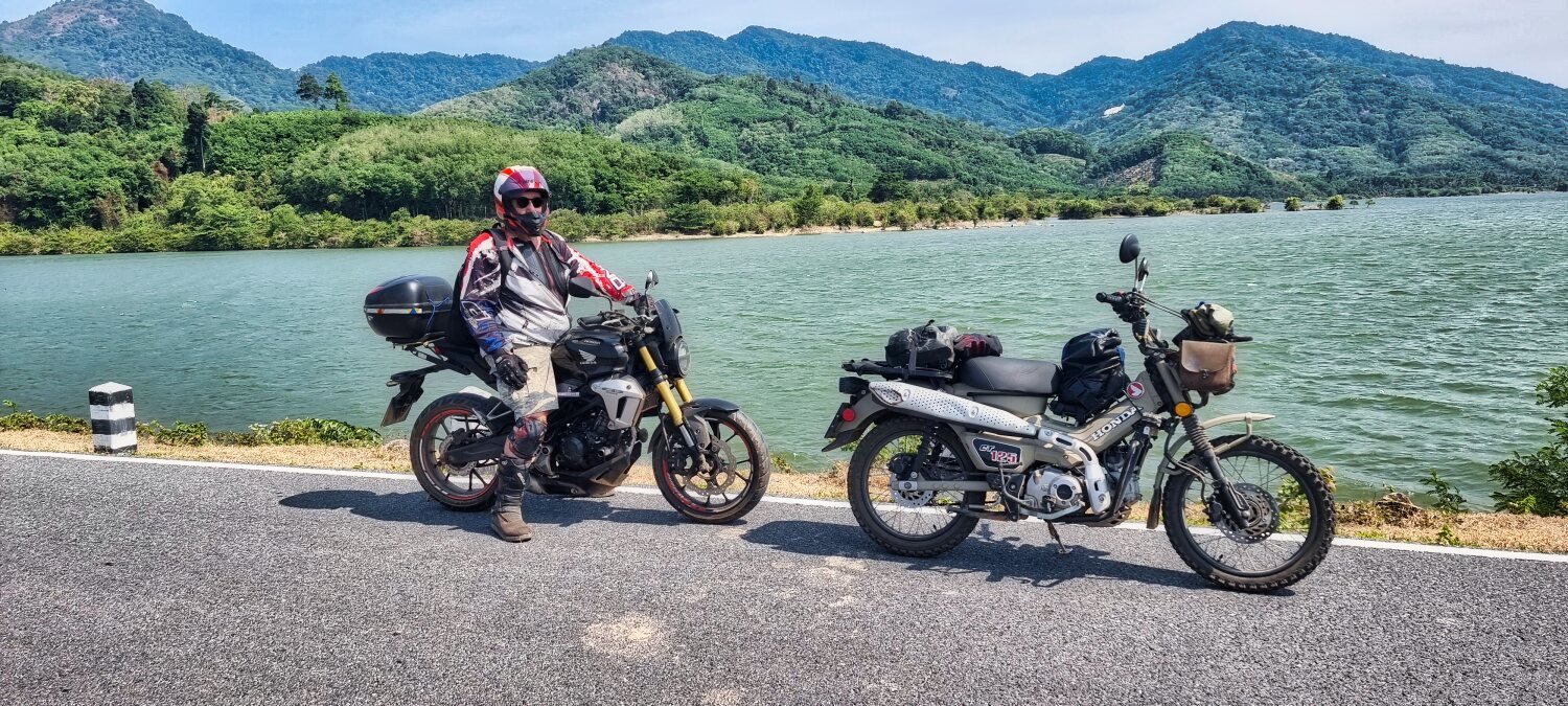
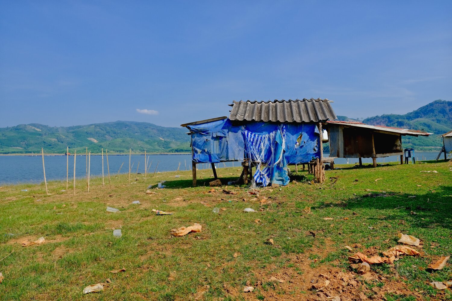
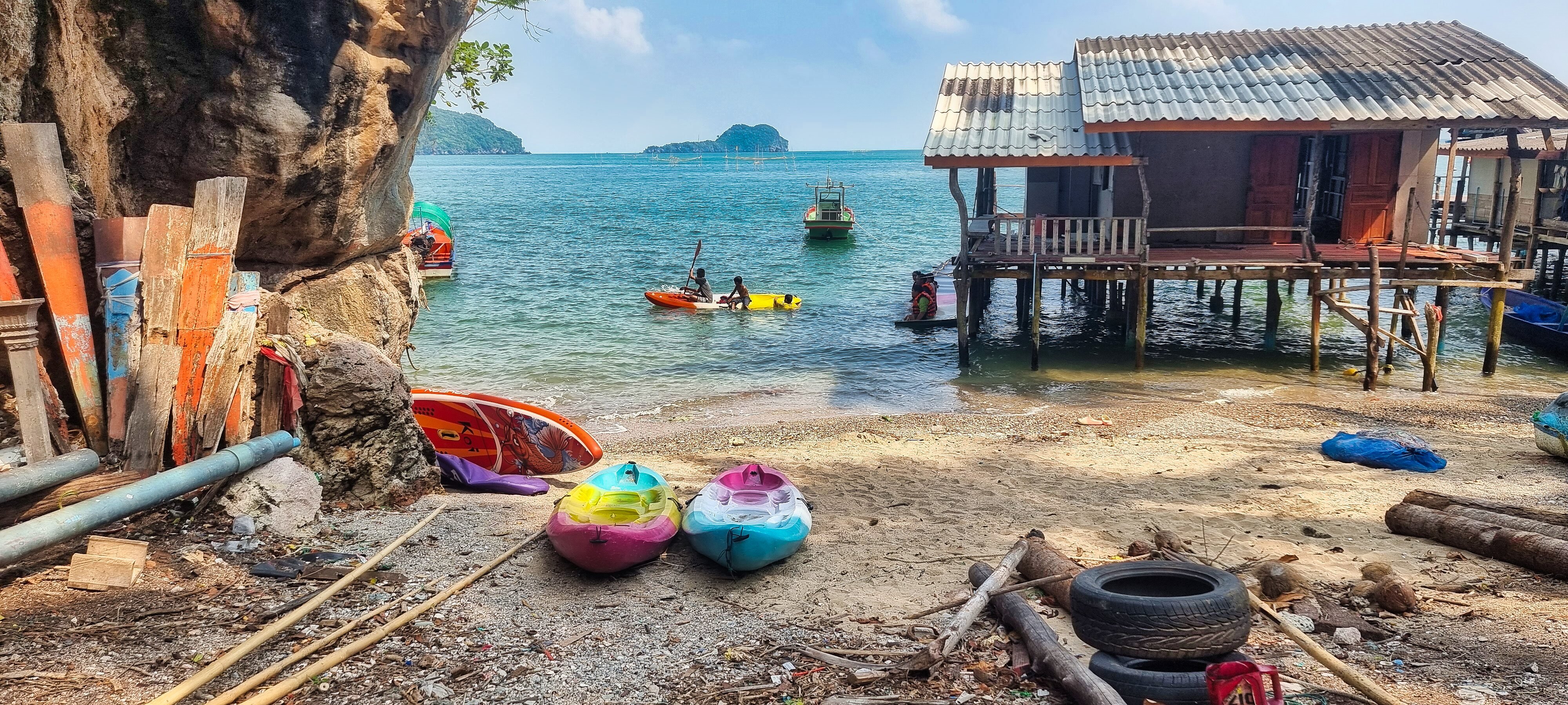
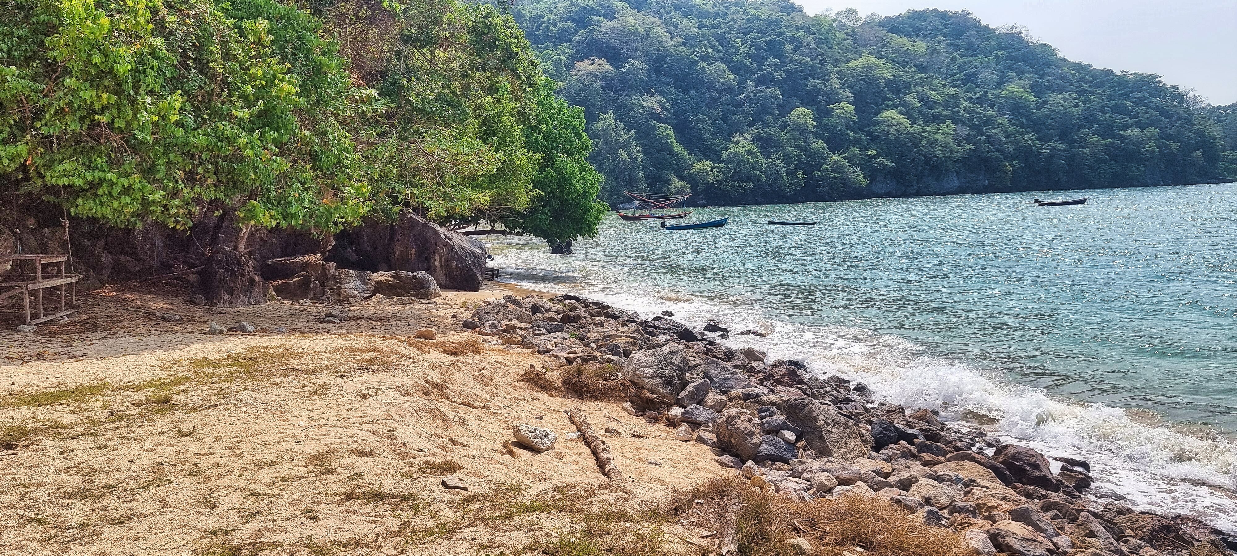
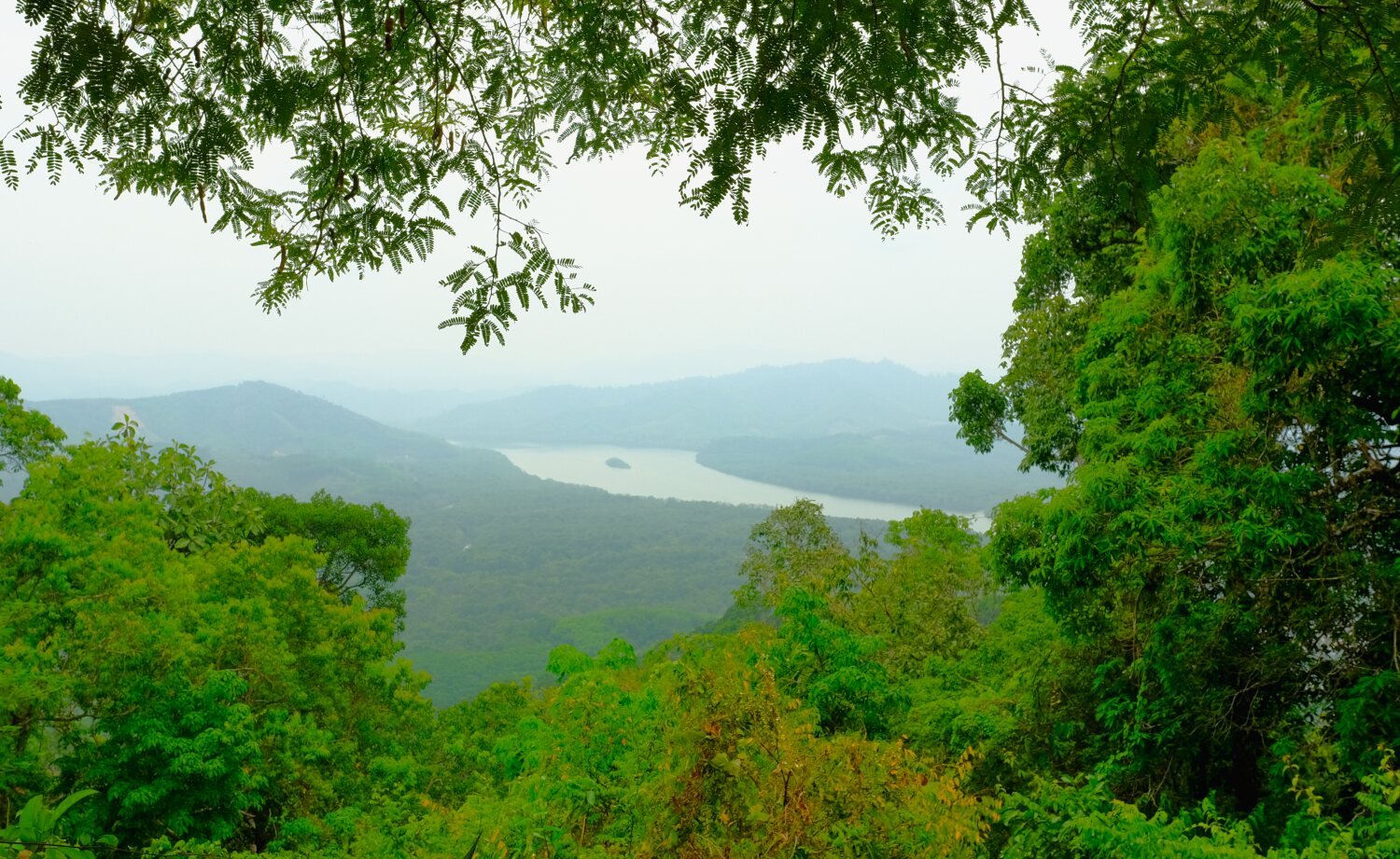
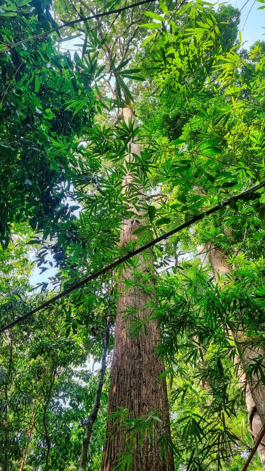
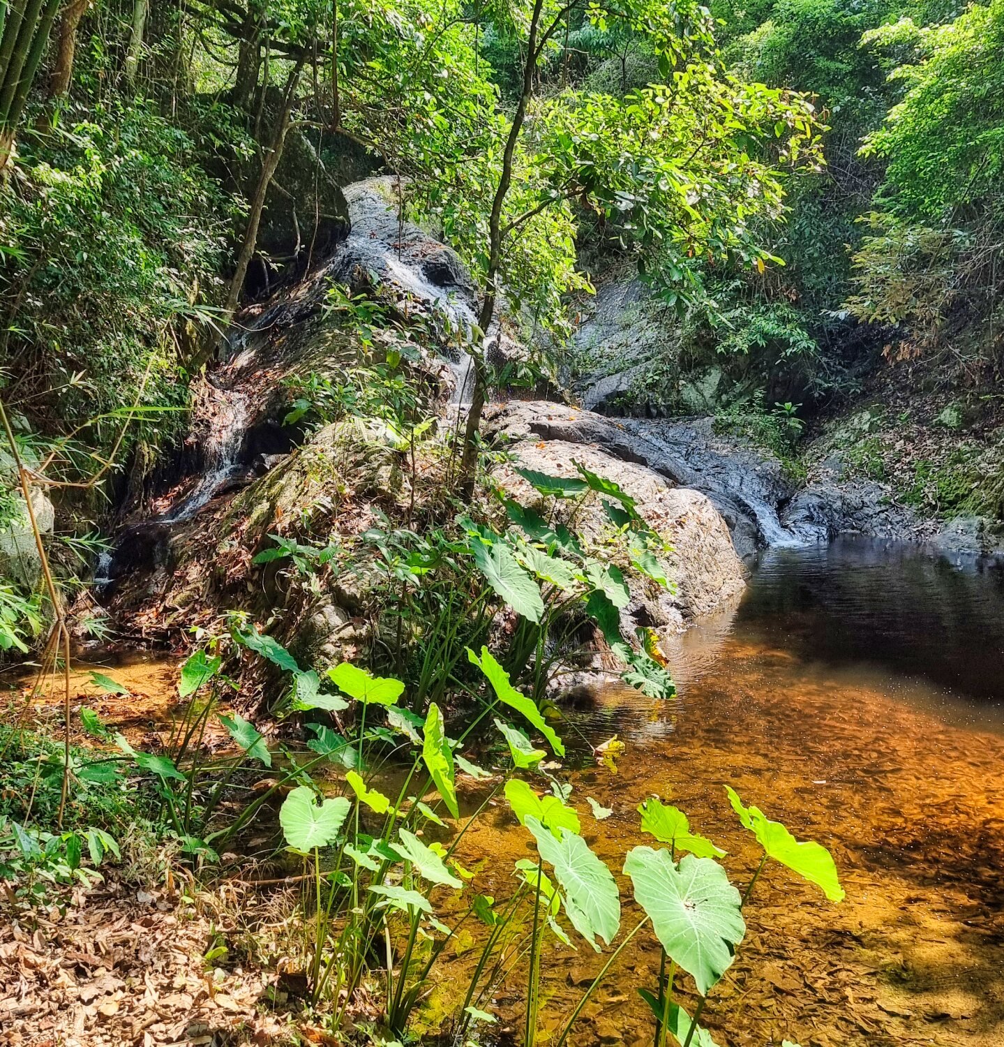
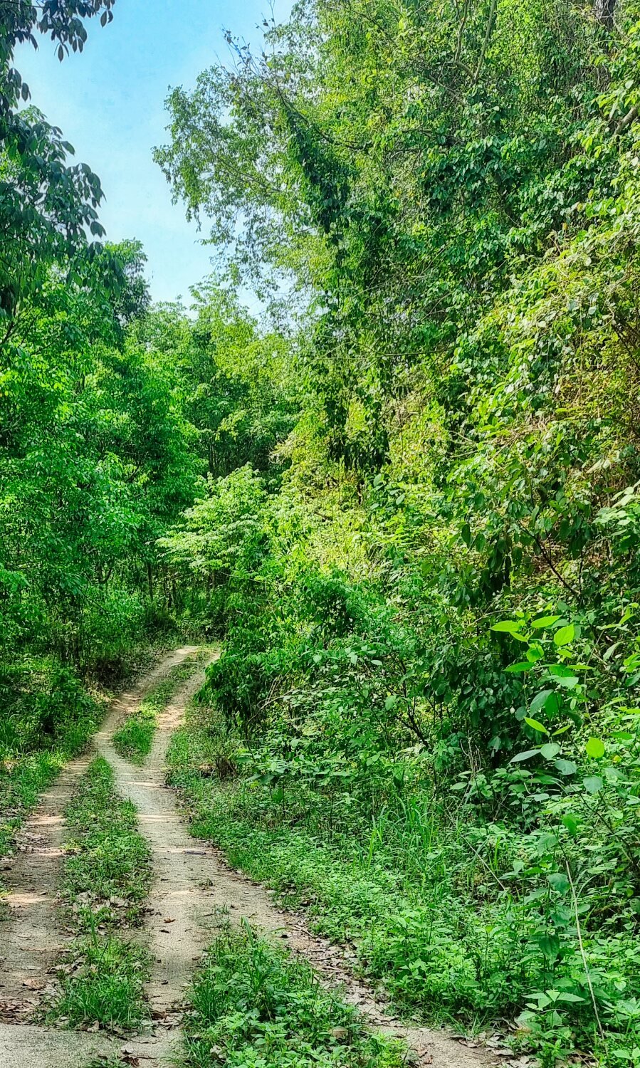
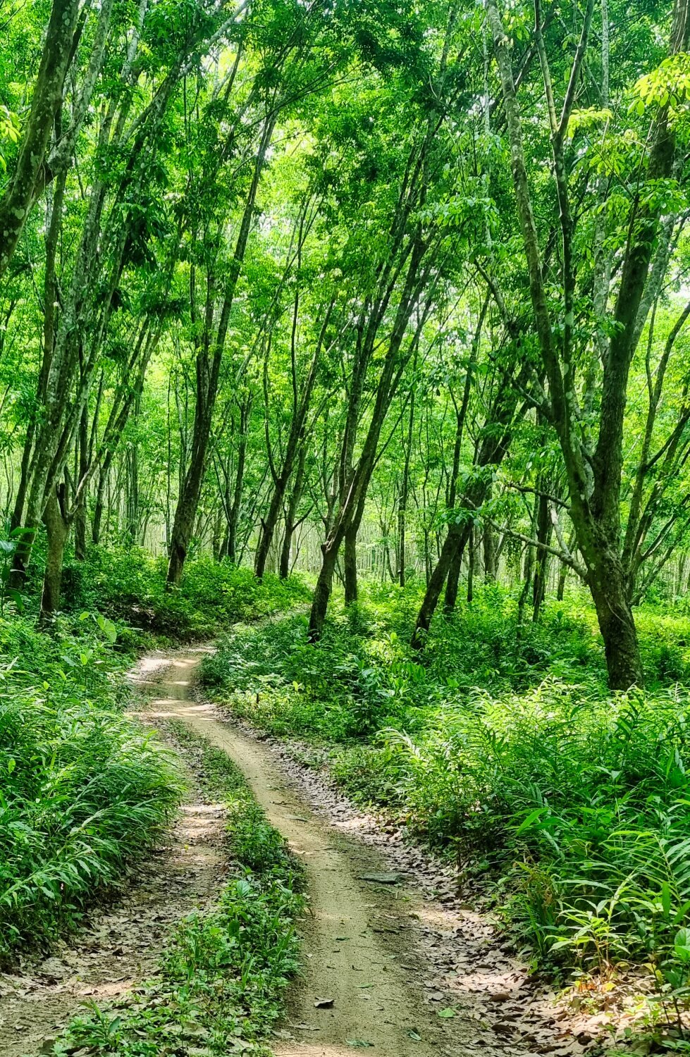
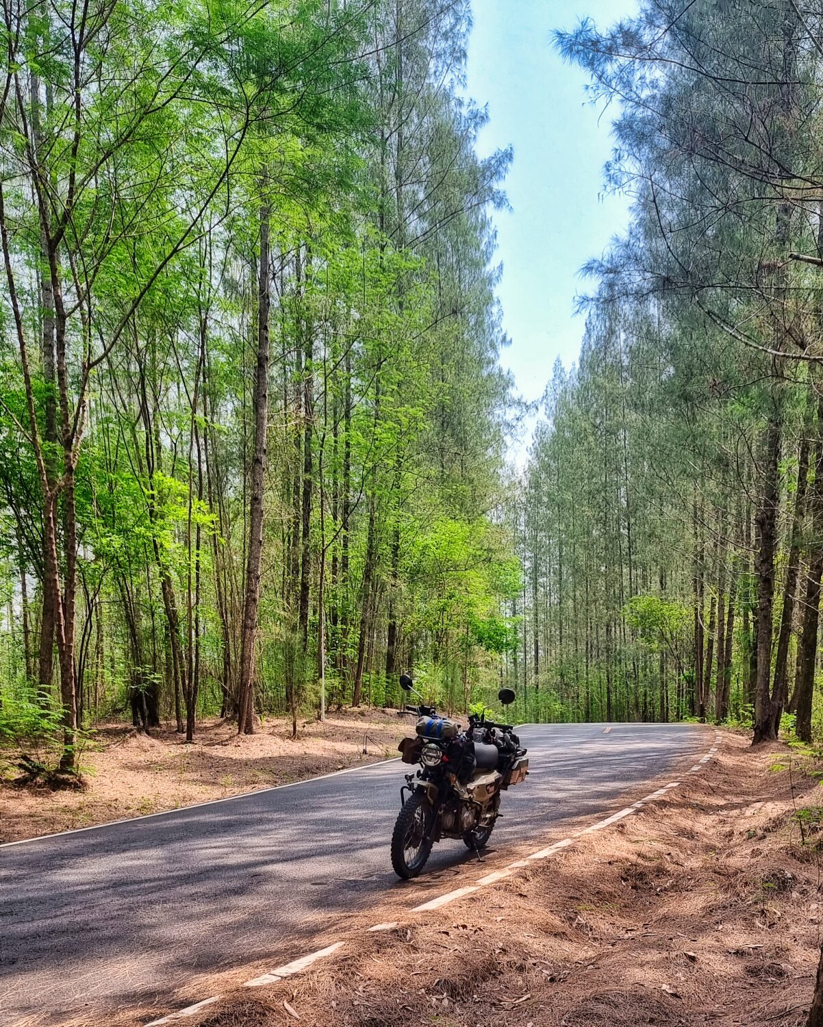
Today Al and I rode from Sungai Golok to Betong. Our first stop after a fabulous ride through the mountains was Landmarks of Thailand@Sukirin, a viewpoint on the Malaysian border, here.
https://maps.app.goo.gl/ve7fABZpVFPetmAL8
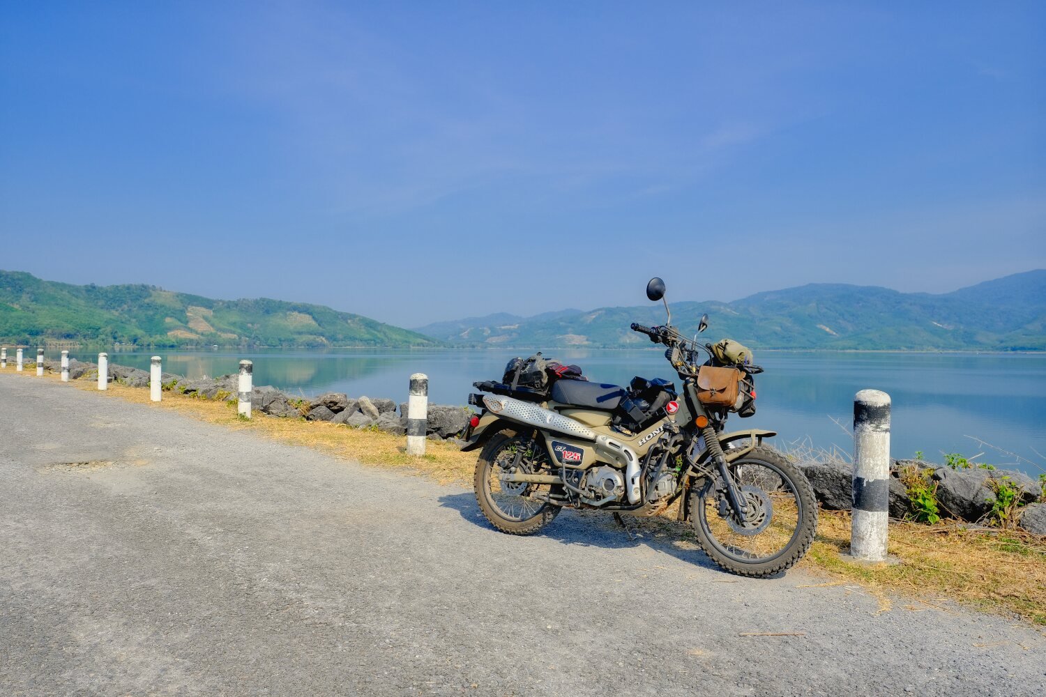
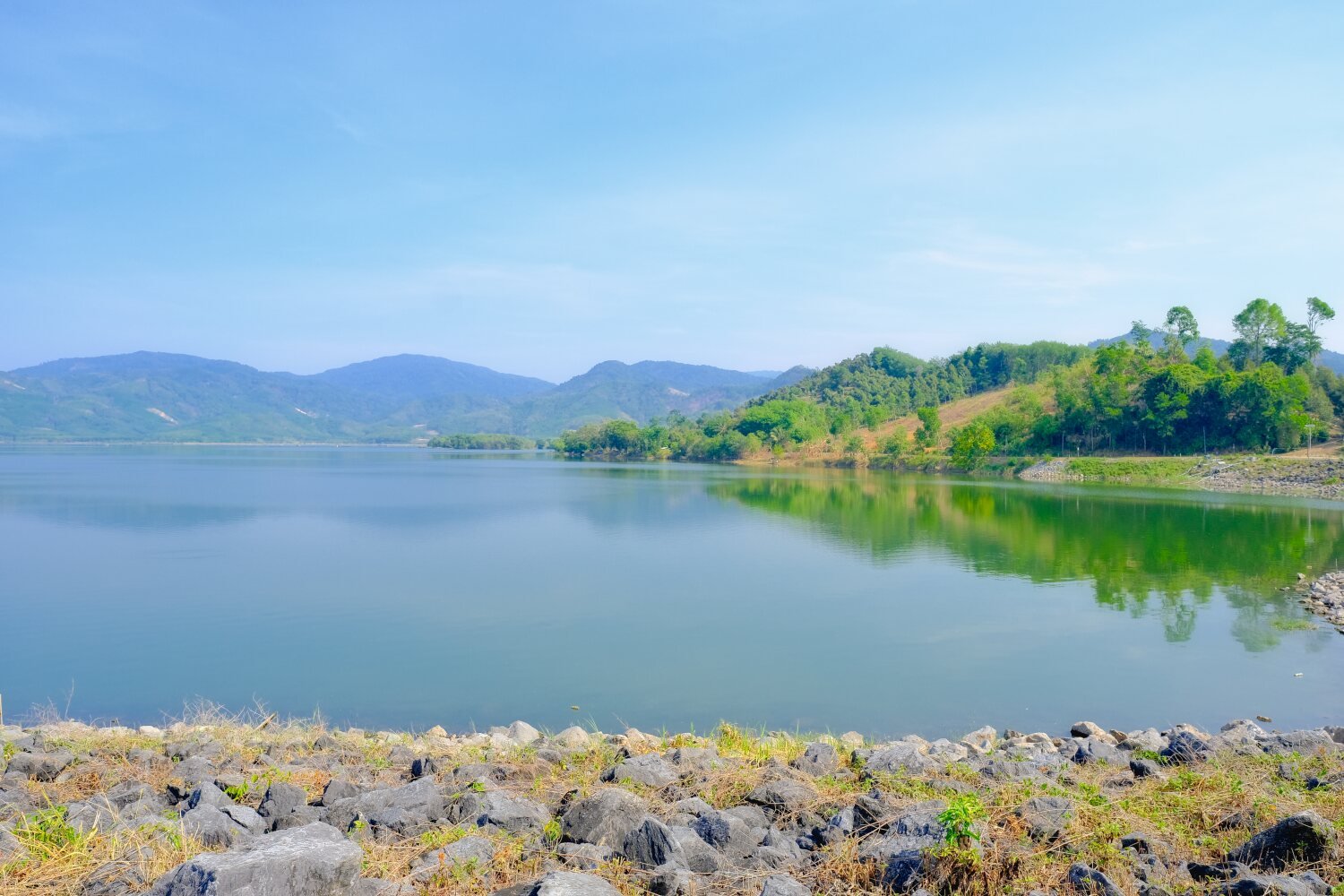
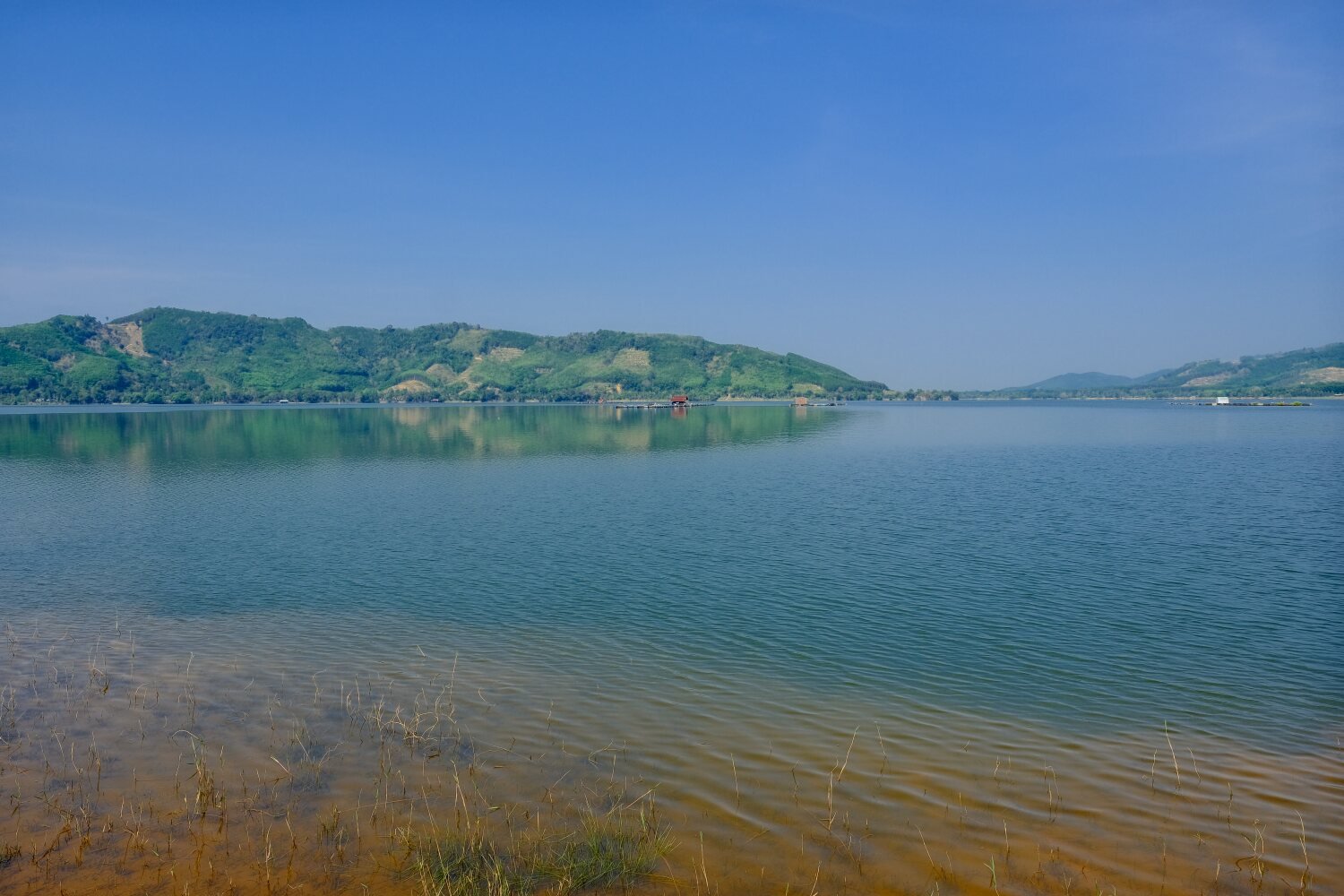
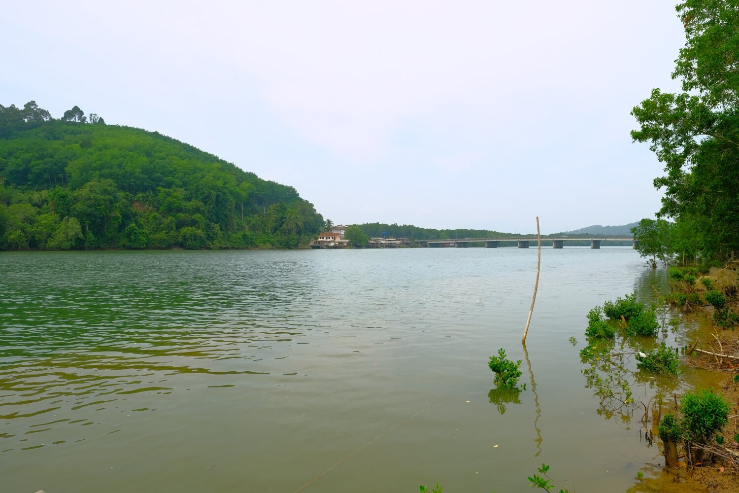
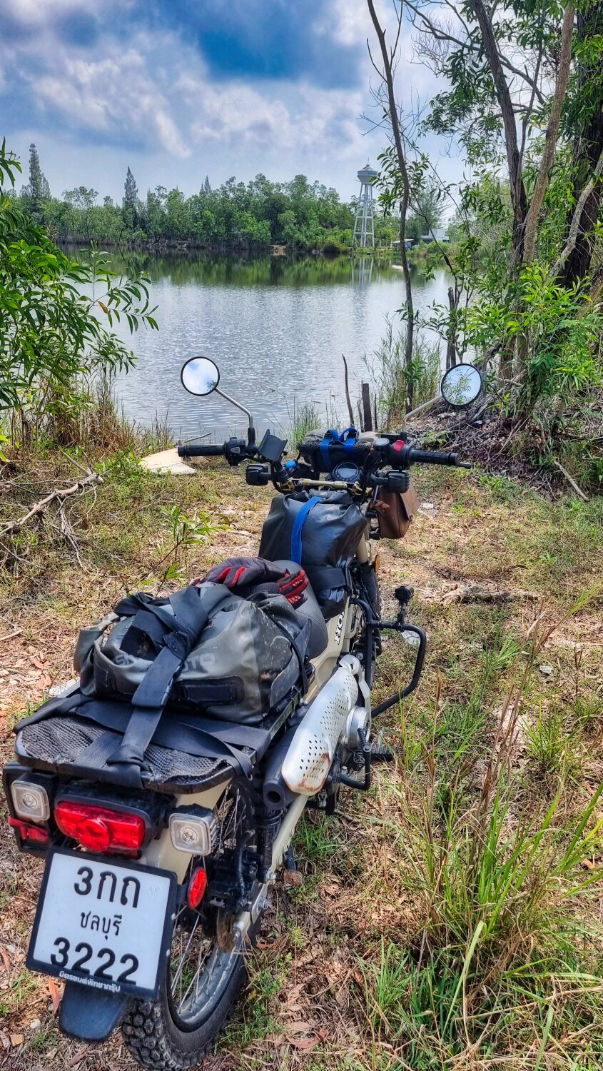
Next stop was Bang Lang Dam, here.
https://maps.app.goo.gl/Y9BGWwAuYdjkA9k76
We then continued to Betong, a 273 km good ride.
https://www.relive.cc/view/vevY3ZmQAy6