.png.3b3332cc2256ad0edbc2fe9404feeef0.png)
- Popular Post


chrissables
-
Posts
2,983 -
Joined
-
Last visited
Content Type
Profiles
Forums
Downloads
Posts posted by chrissables
-
-
- Popular Post
- Popular Post
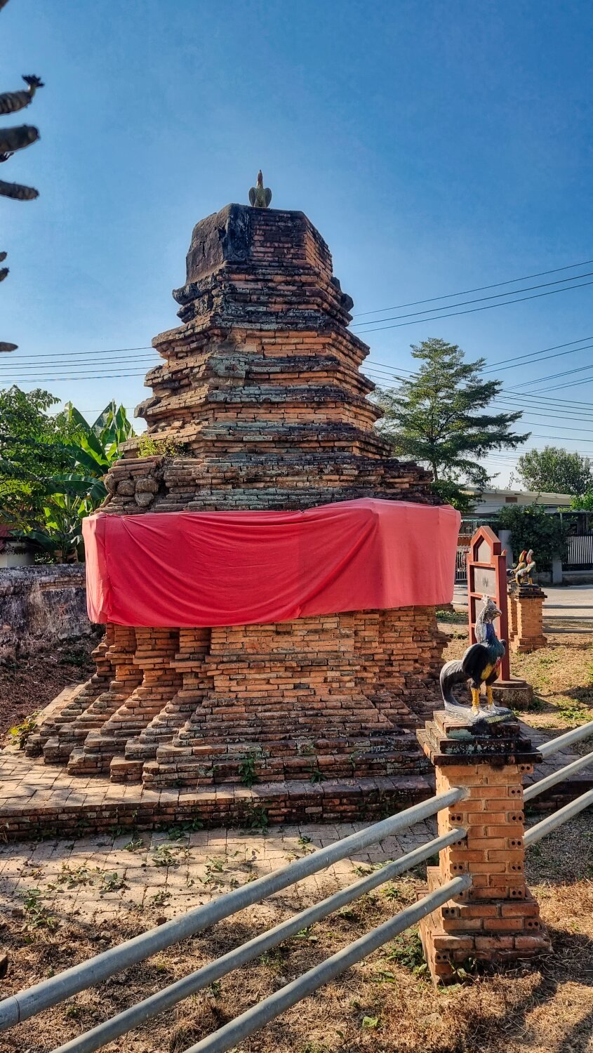
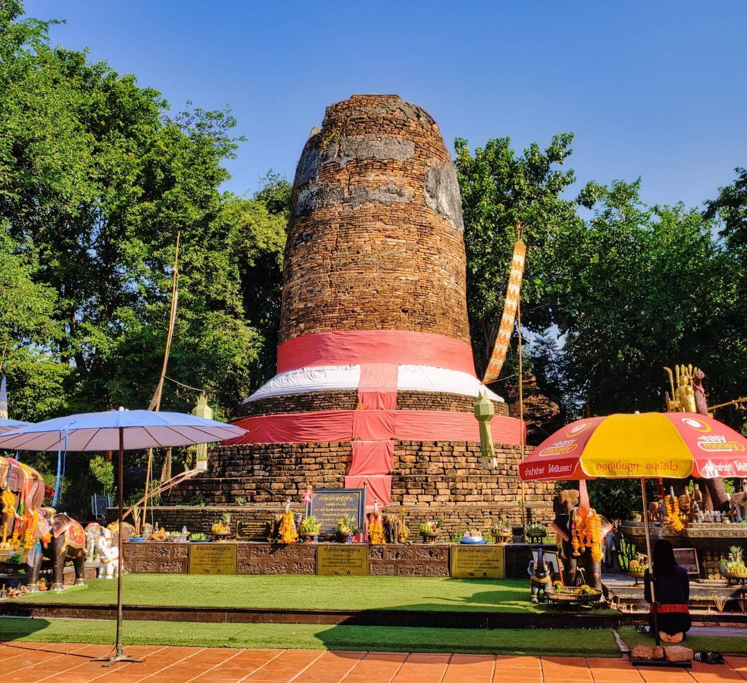
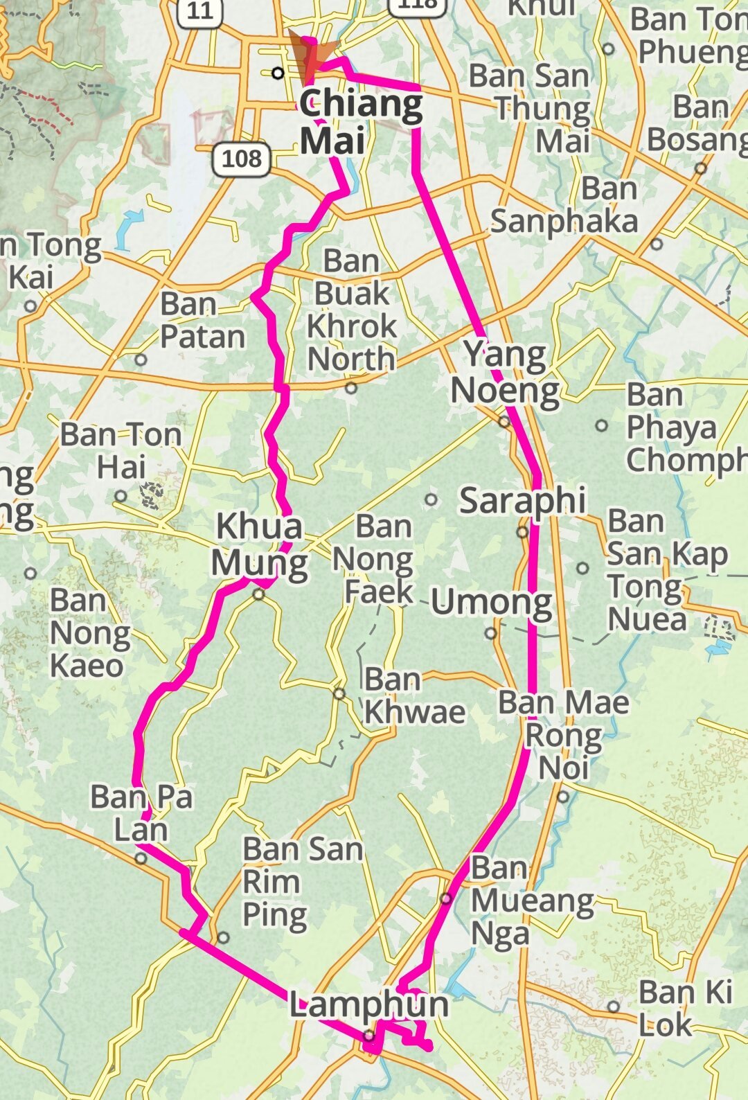
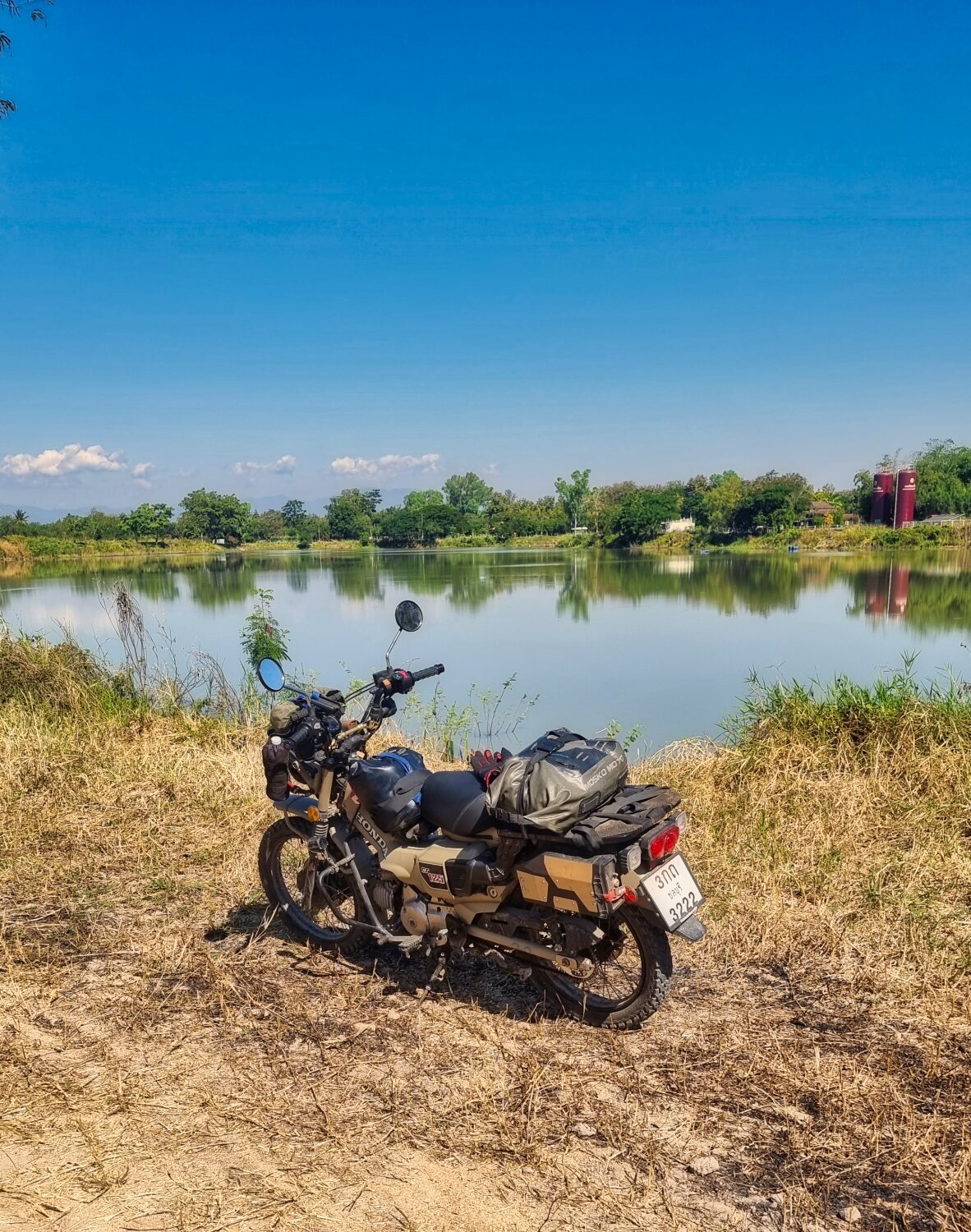
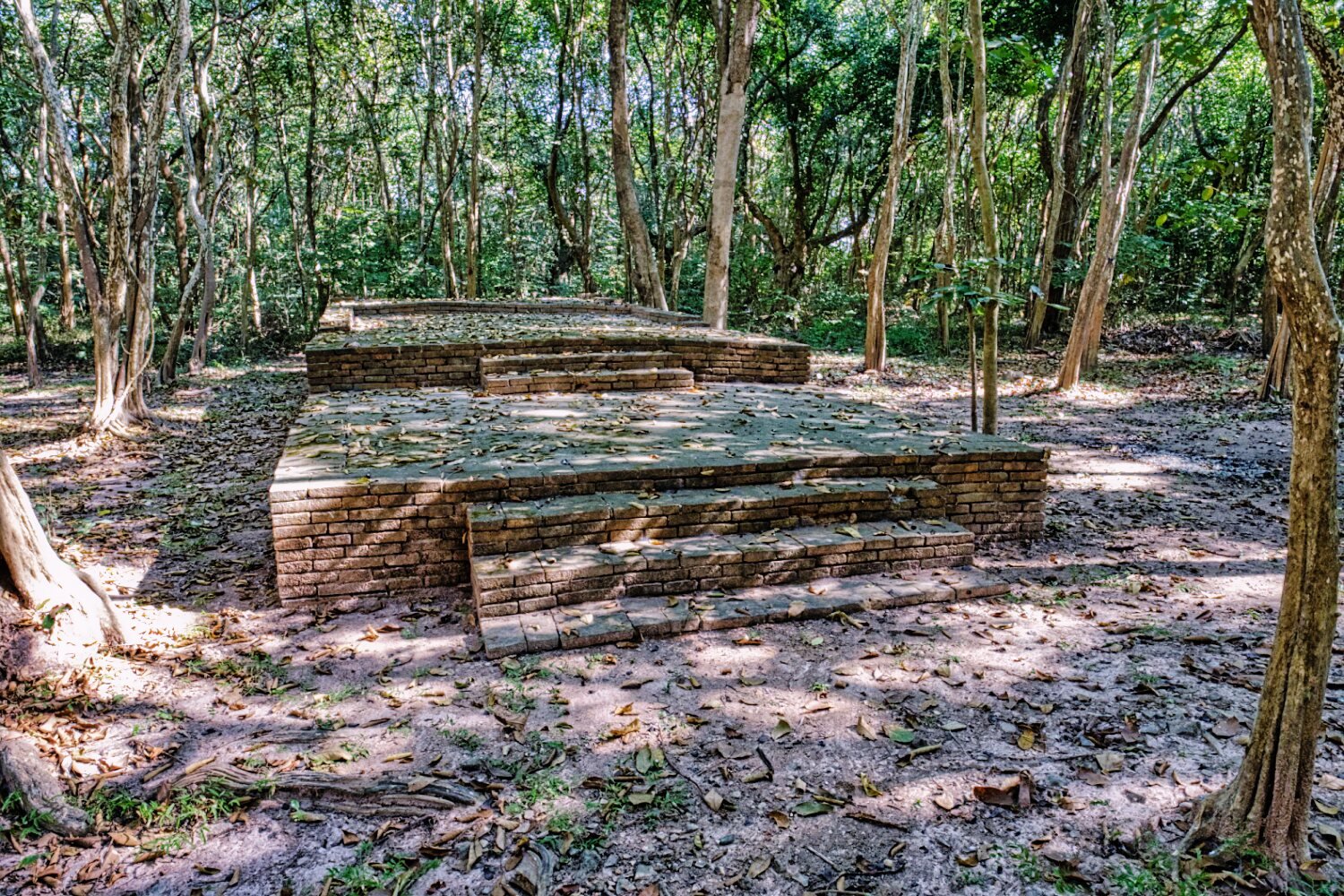
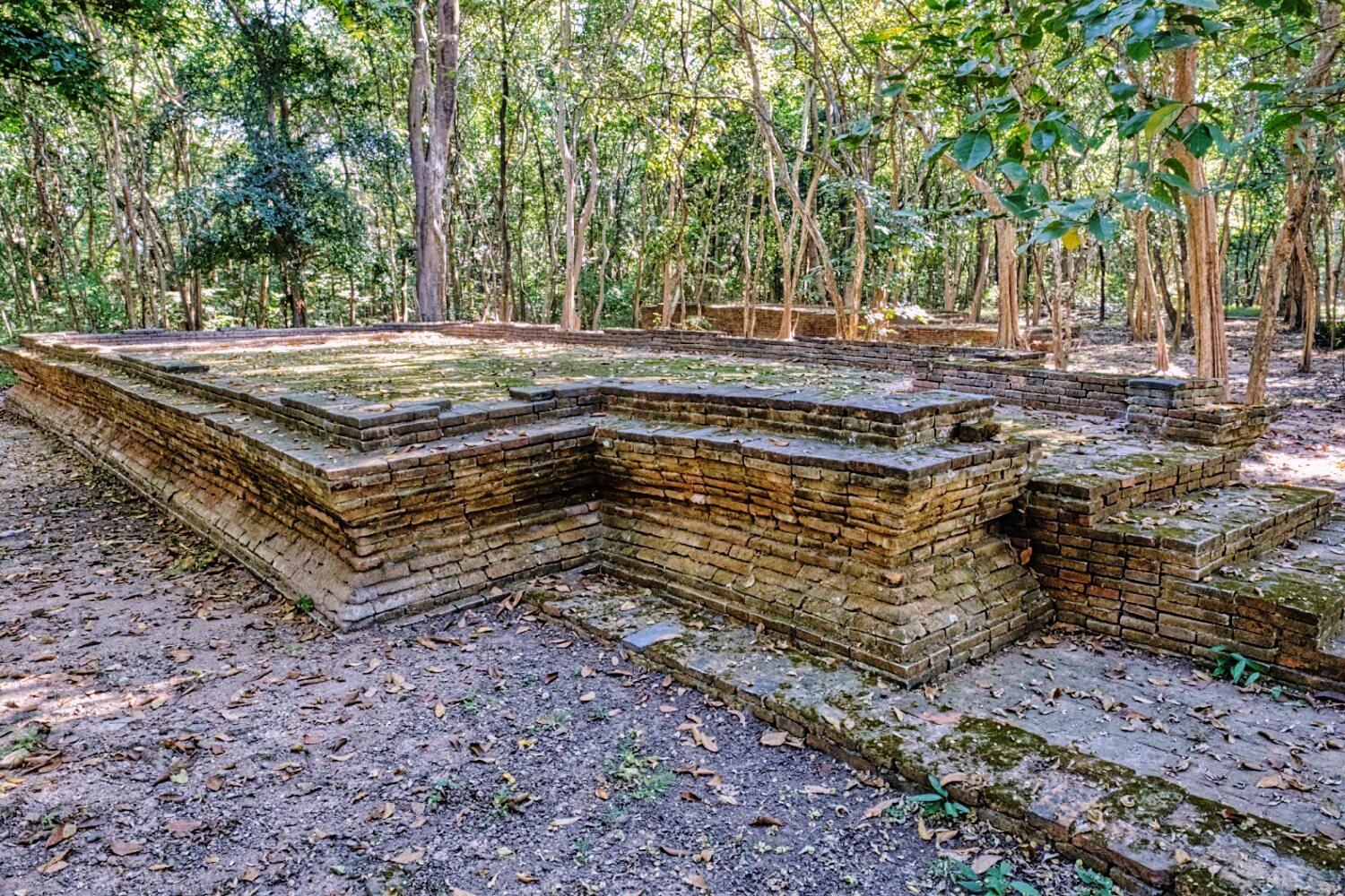
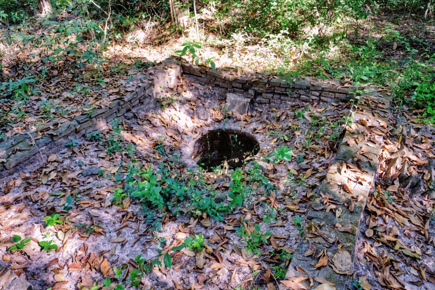
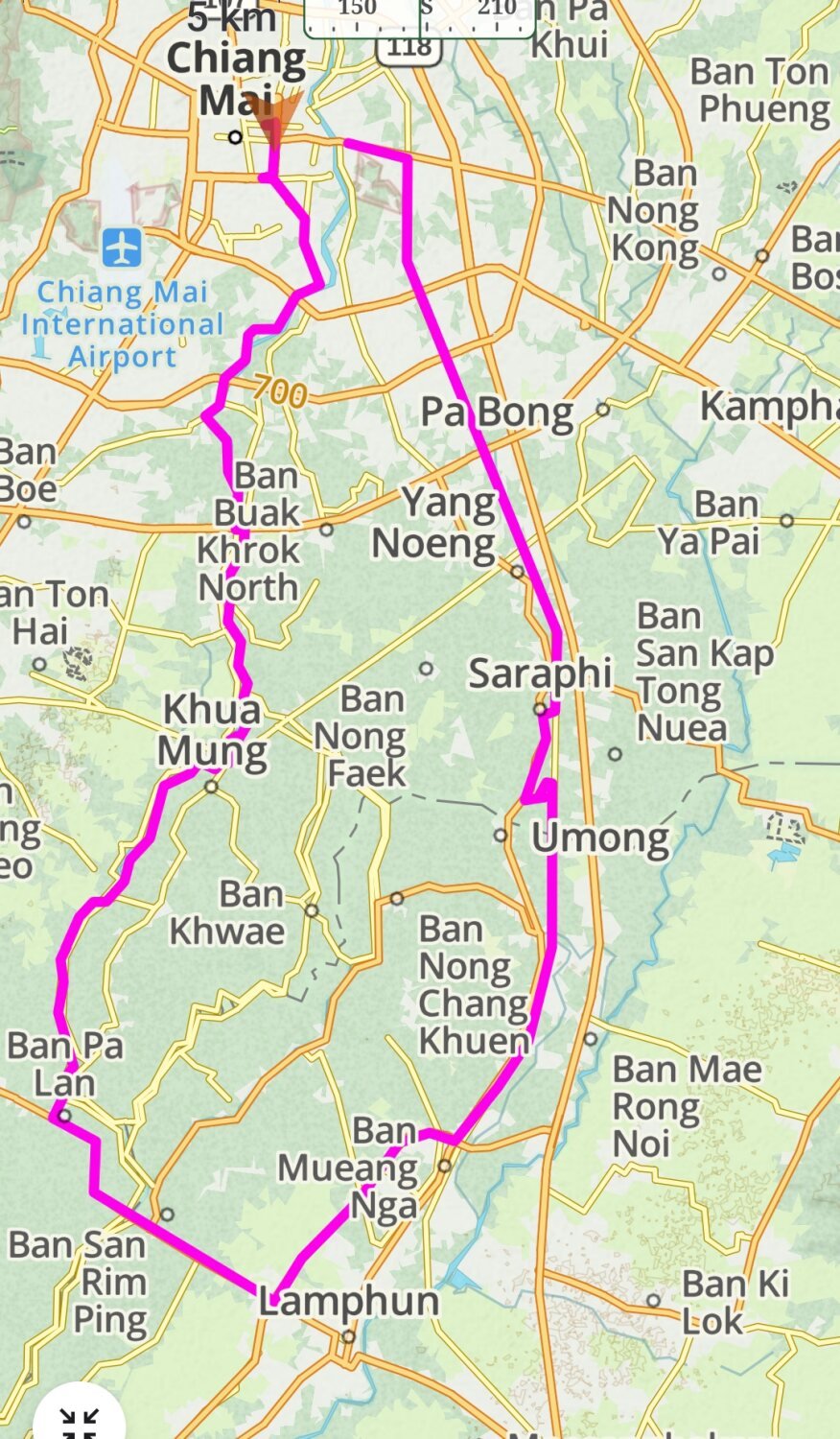
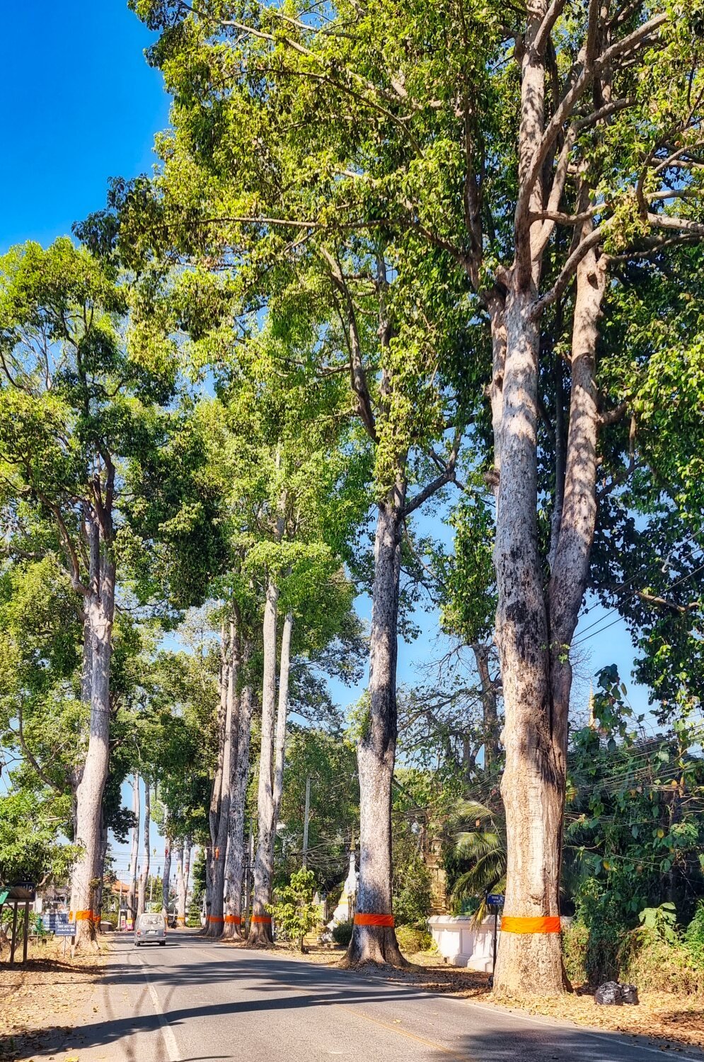
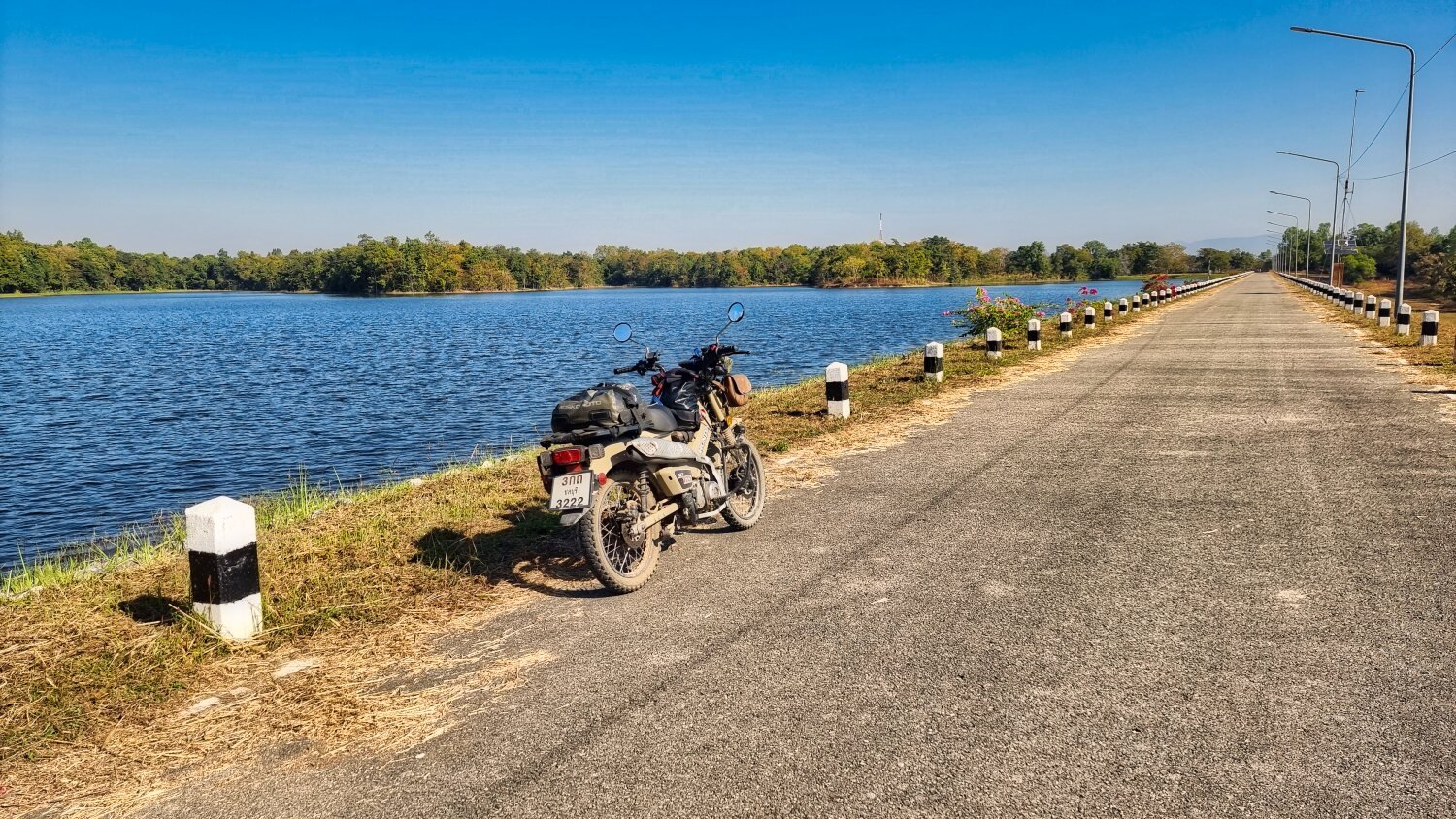
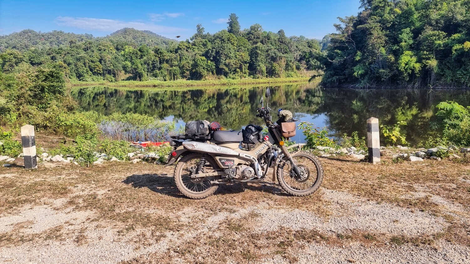
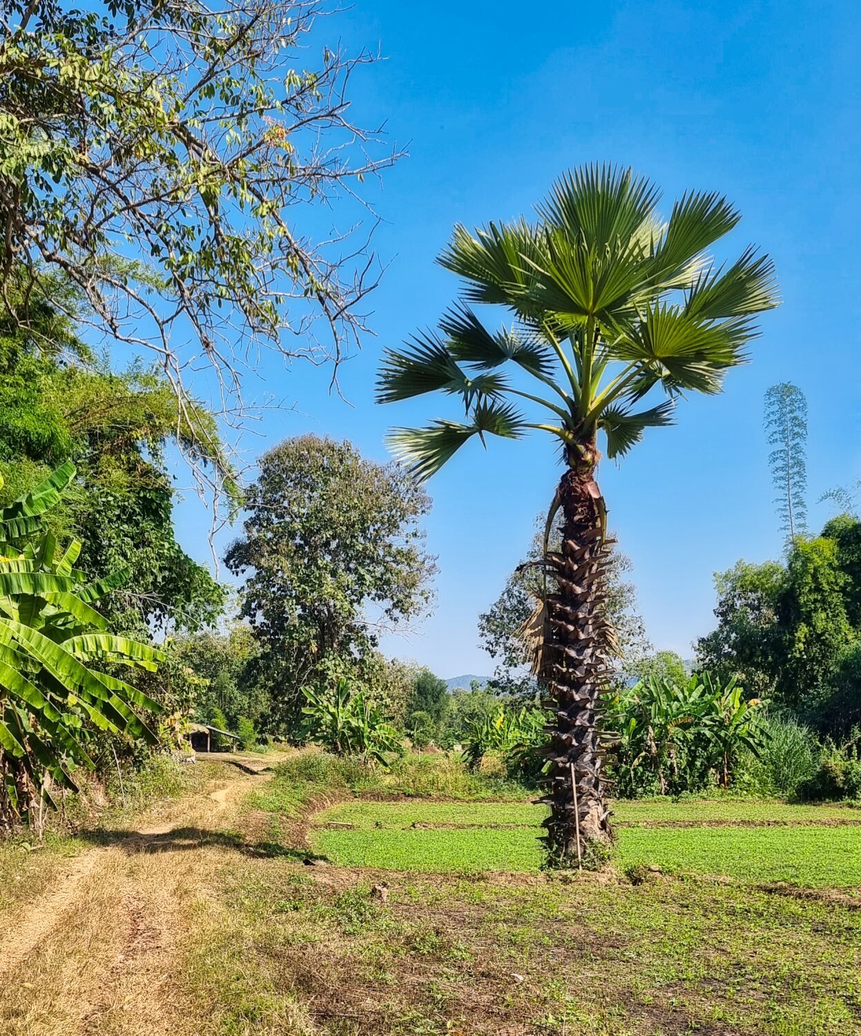
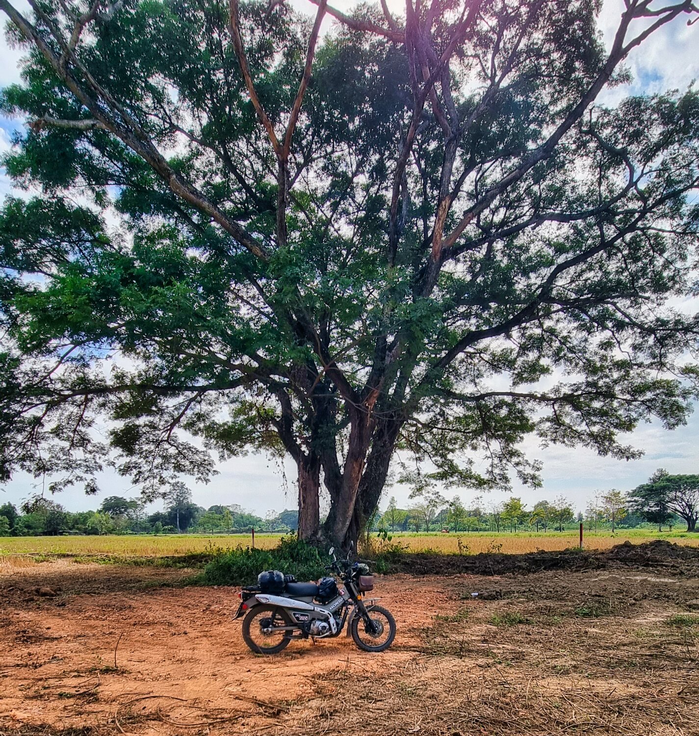
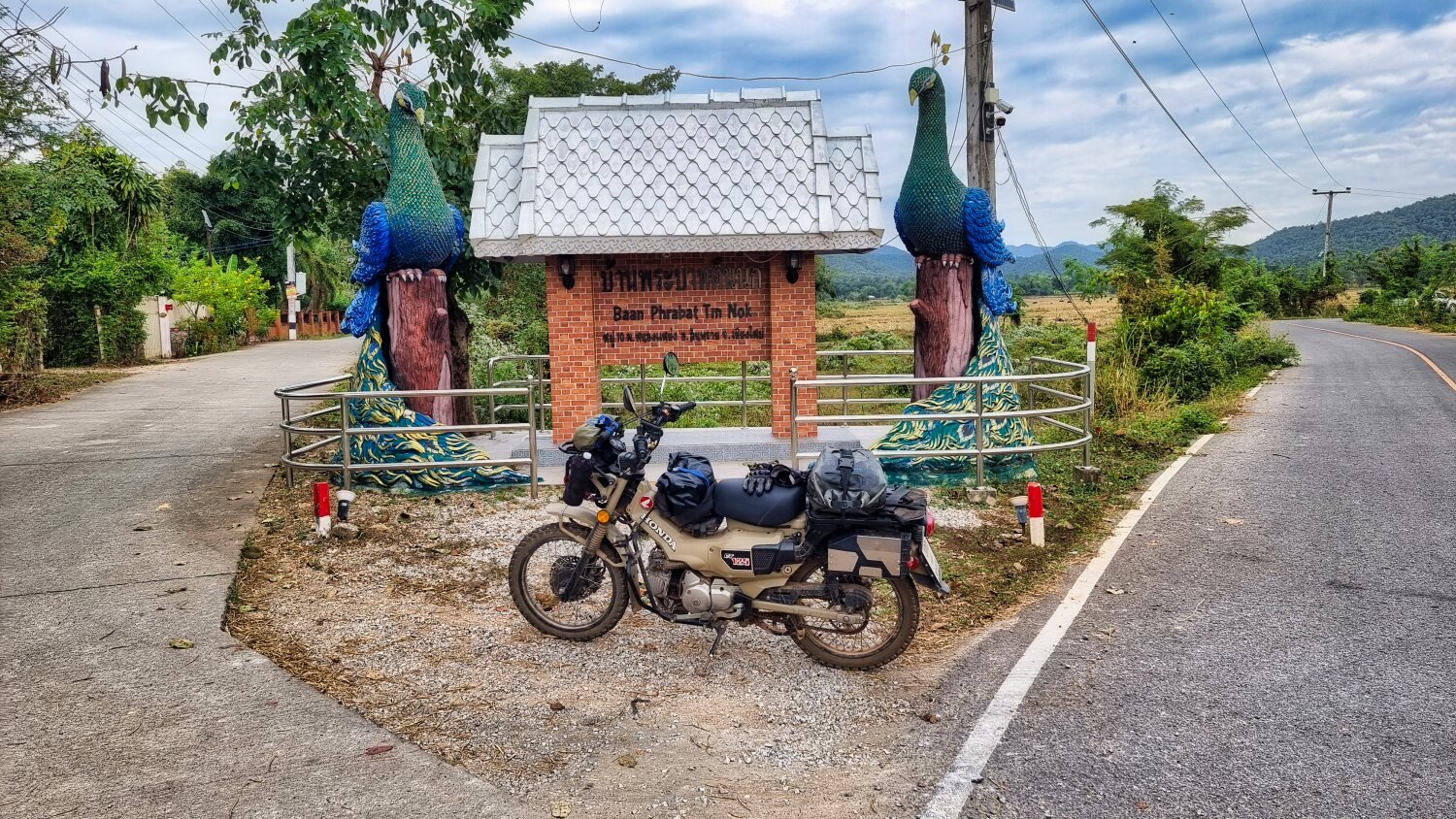
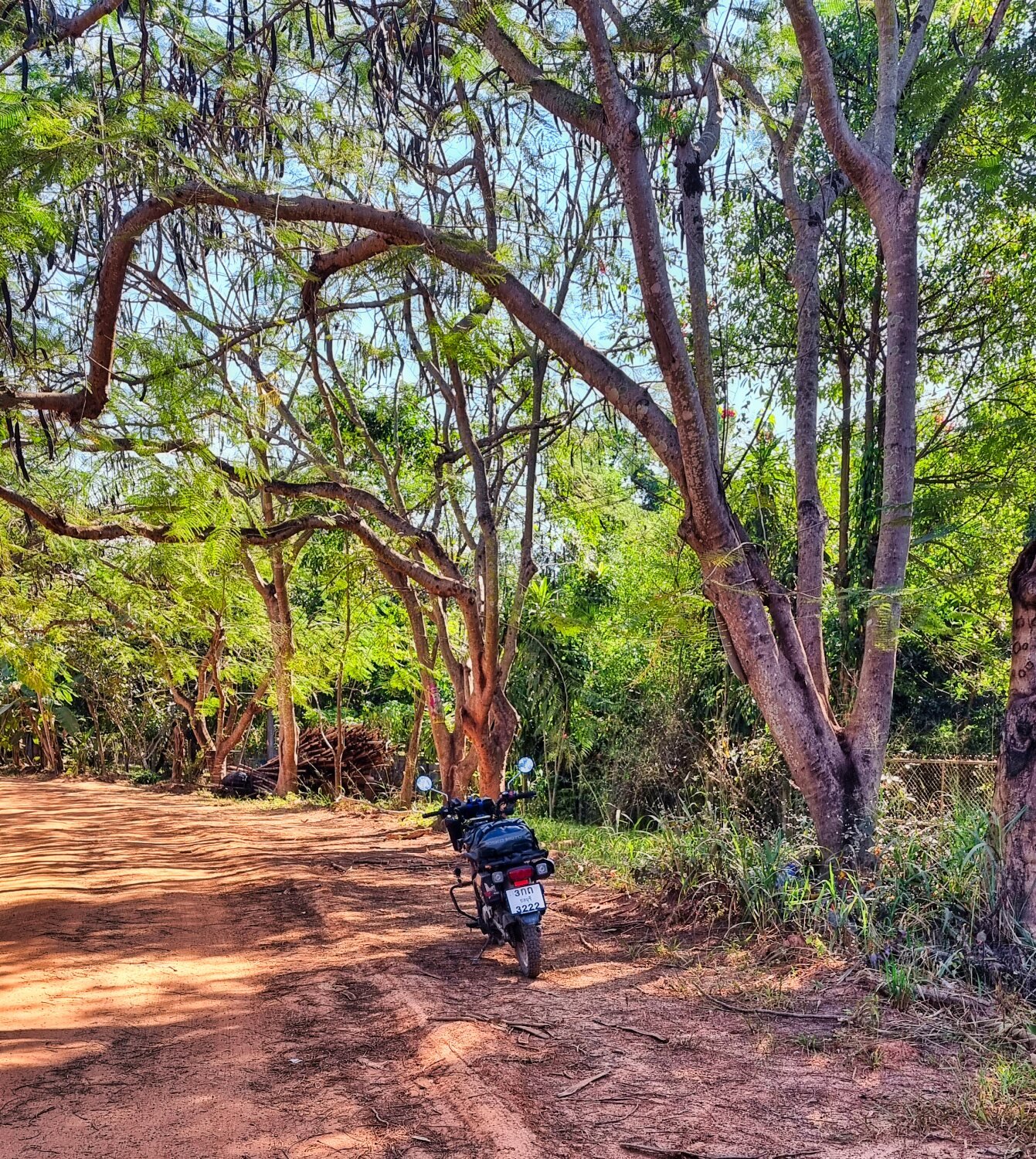
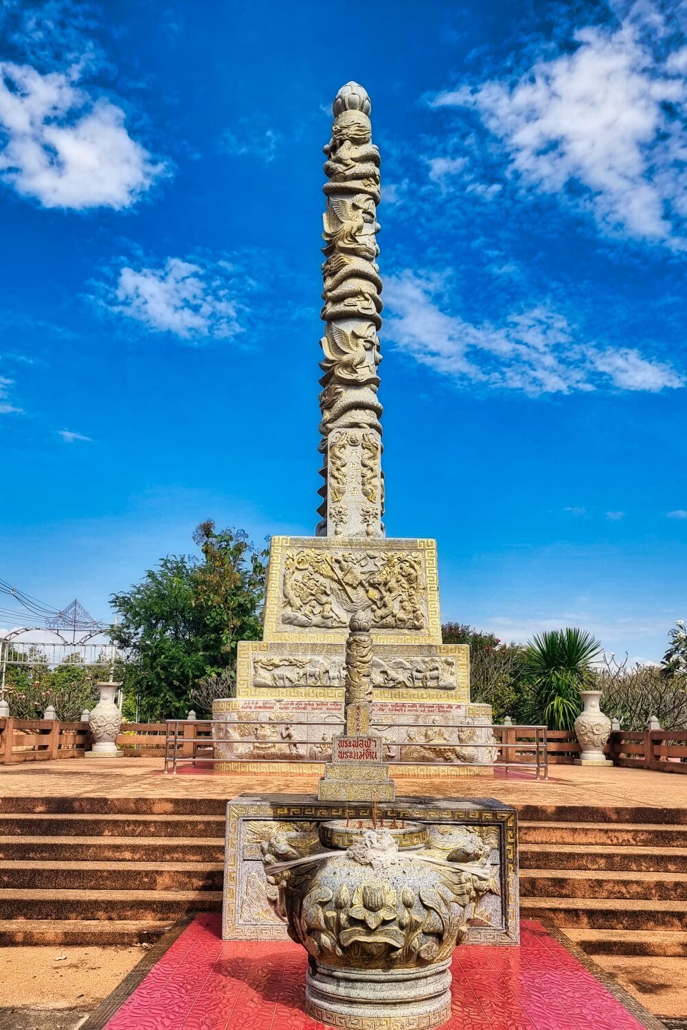
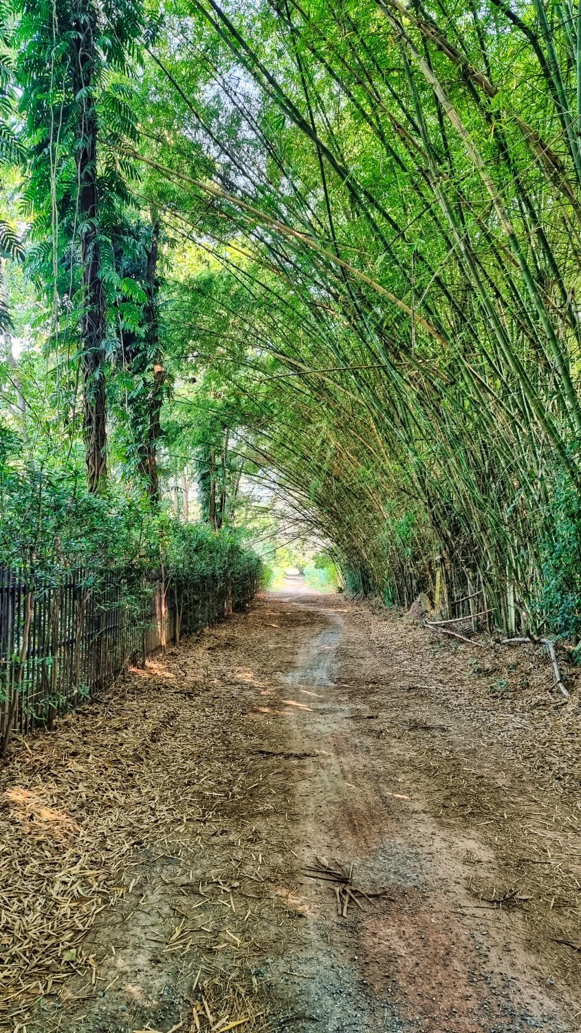
Today I rode to Lumphun to check out some old temples and some view points. My first stop was Koo Kai Ancient Monument, and the Wat behind it, here.
https://maps.app.goo.gl/cV4Mgdse7RwhRbG19
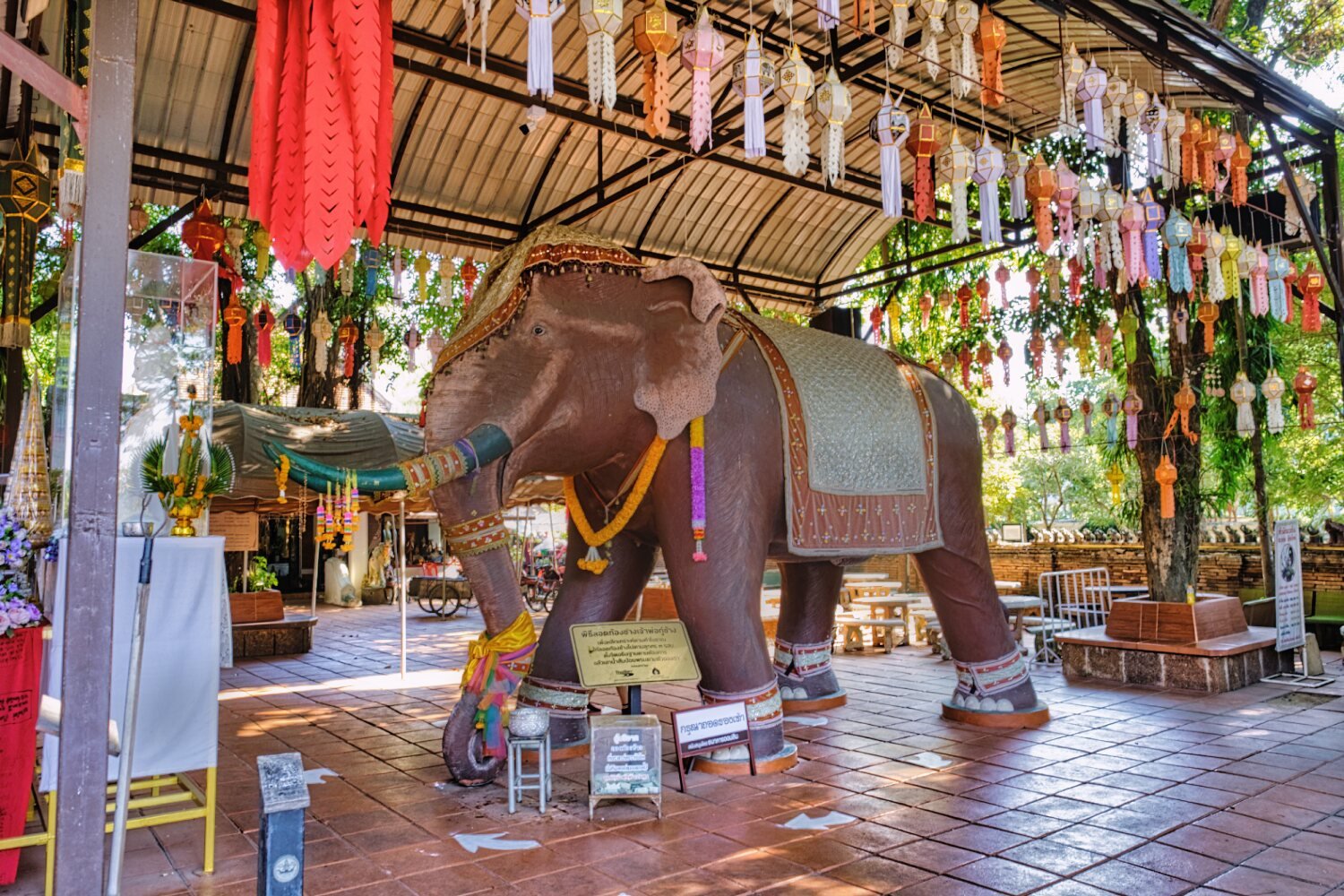
Nearby was Ku Chang War Elephant Memorial, here.
https://maps.app.goo.gl/XJWyH5ZU1JEJVe3a7
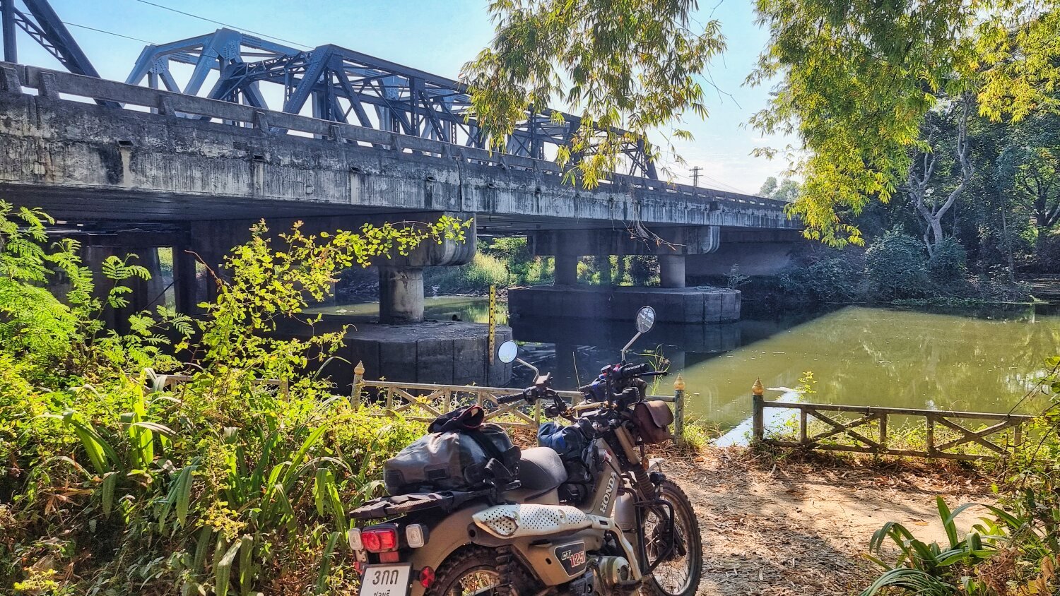
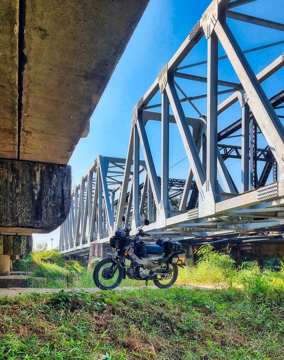
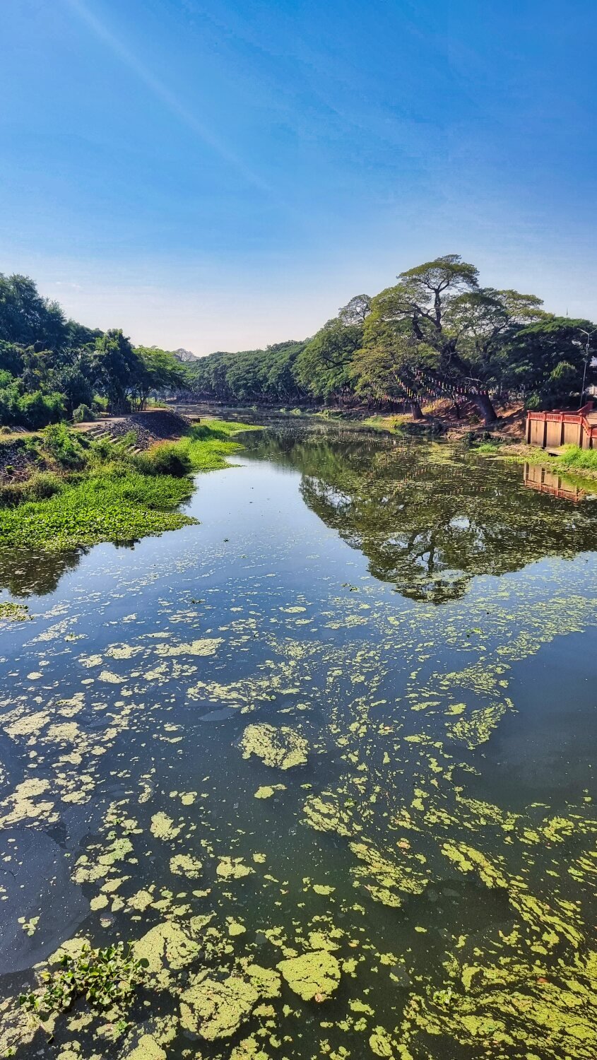
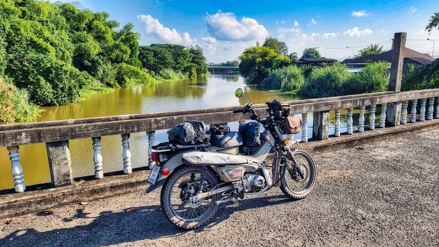
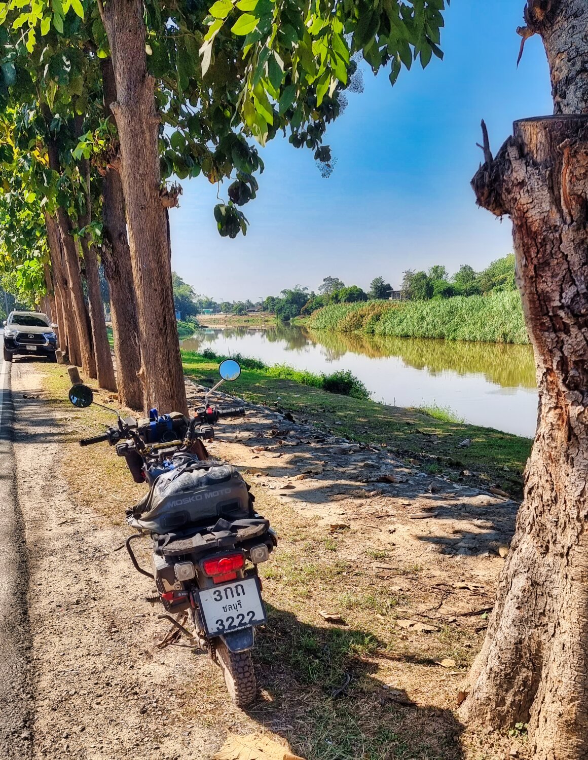
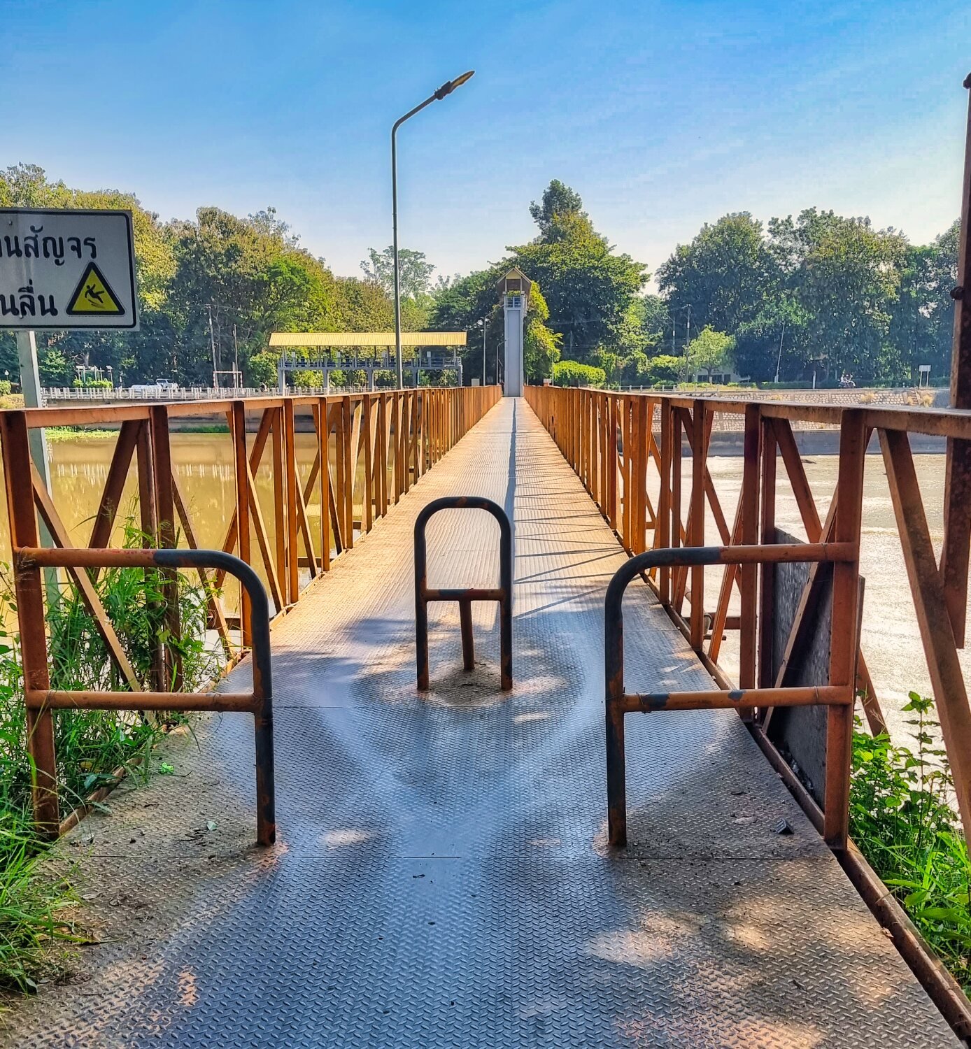
Next stop was Black Bridge, Lamphun, here.
https://maps.app.goo.gl/RyQFPAREstMEBCDc8
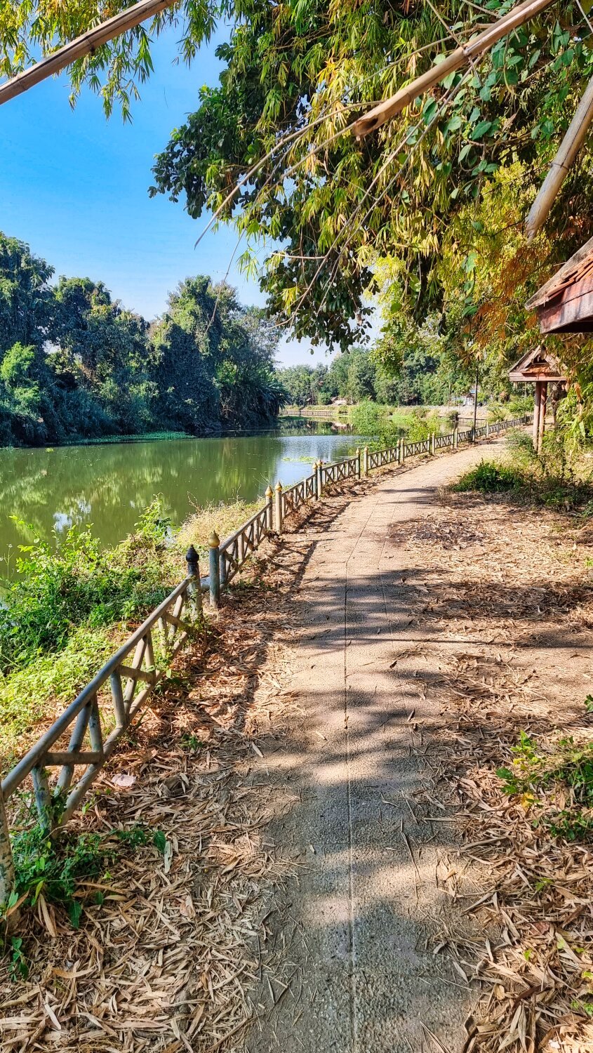
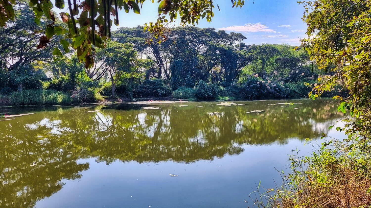
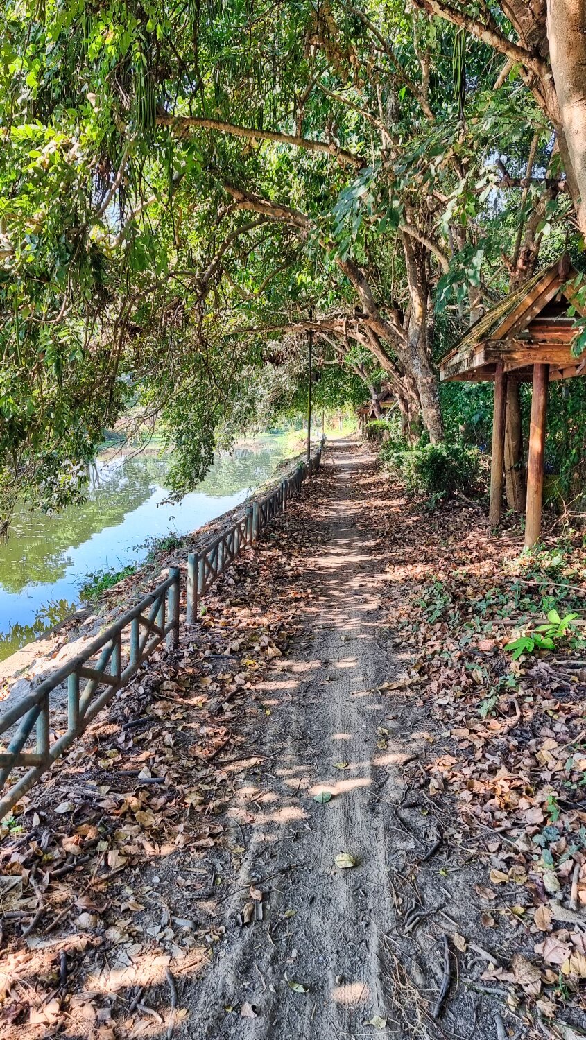
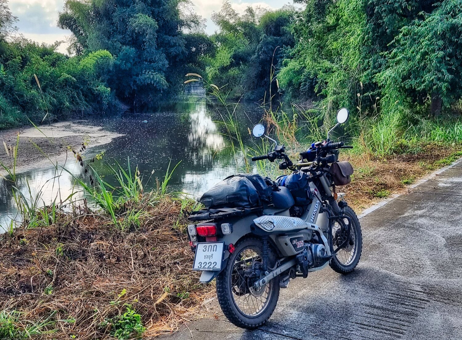
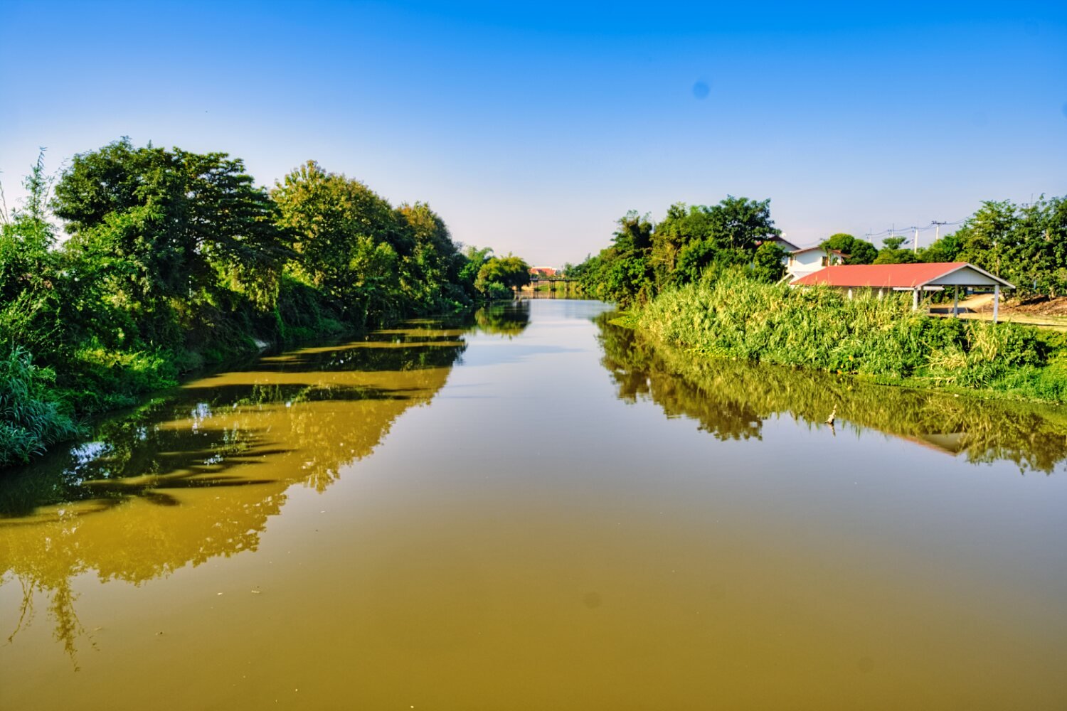
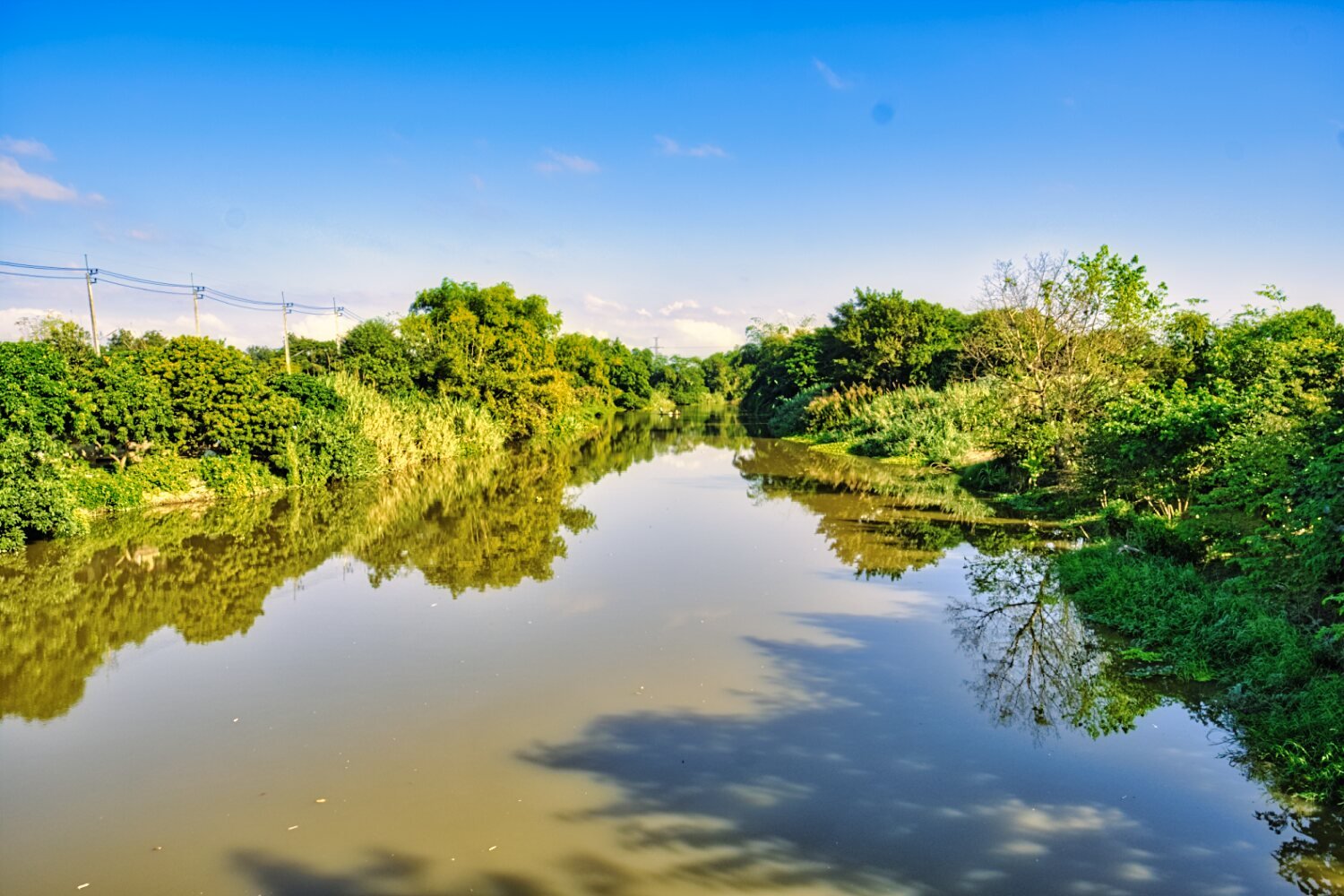
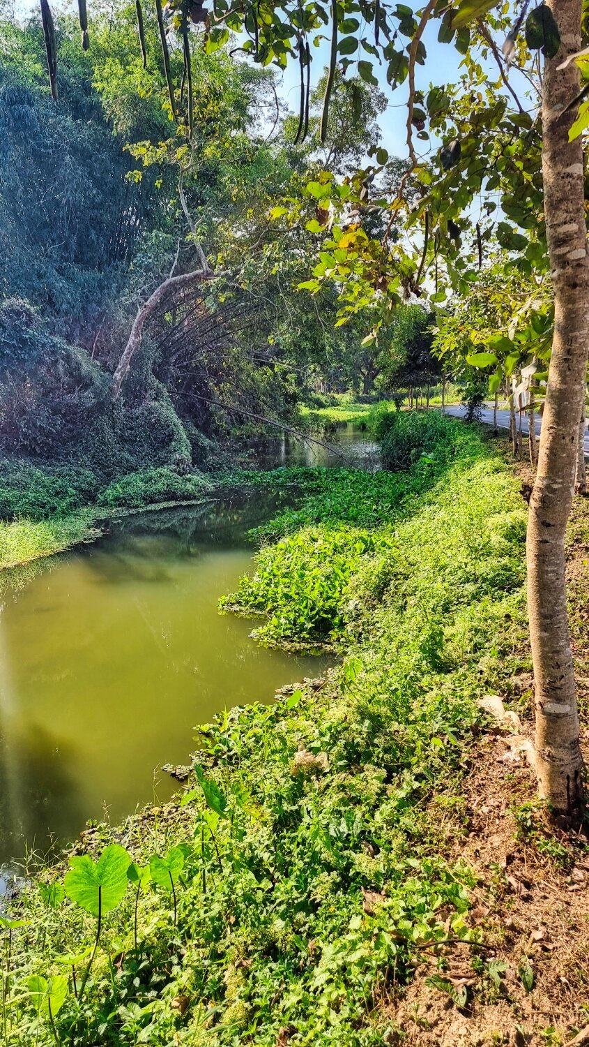
From here I rode along the pathway beside Kuang River before heading to Wat Phra Yuen, here.
https://maps.app.goo.gl/4LDfy1admd6rX5uLA
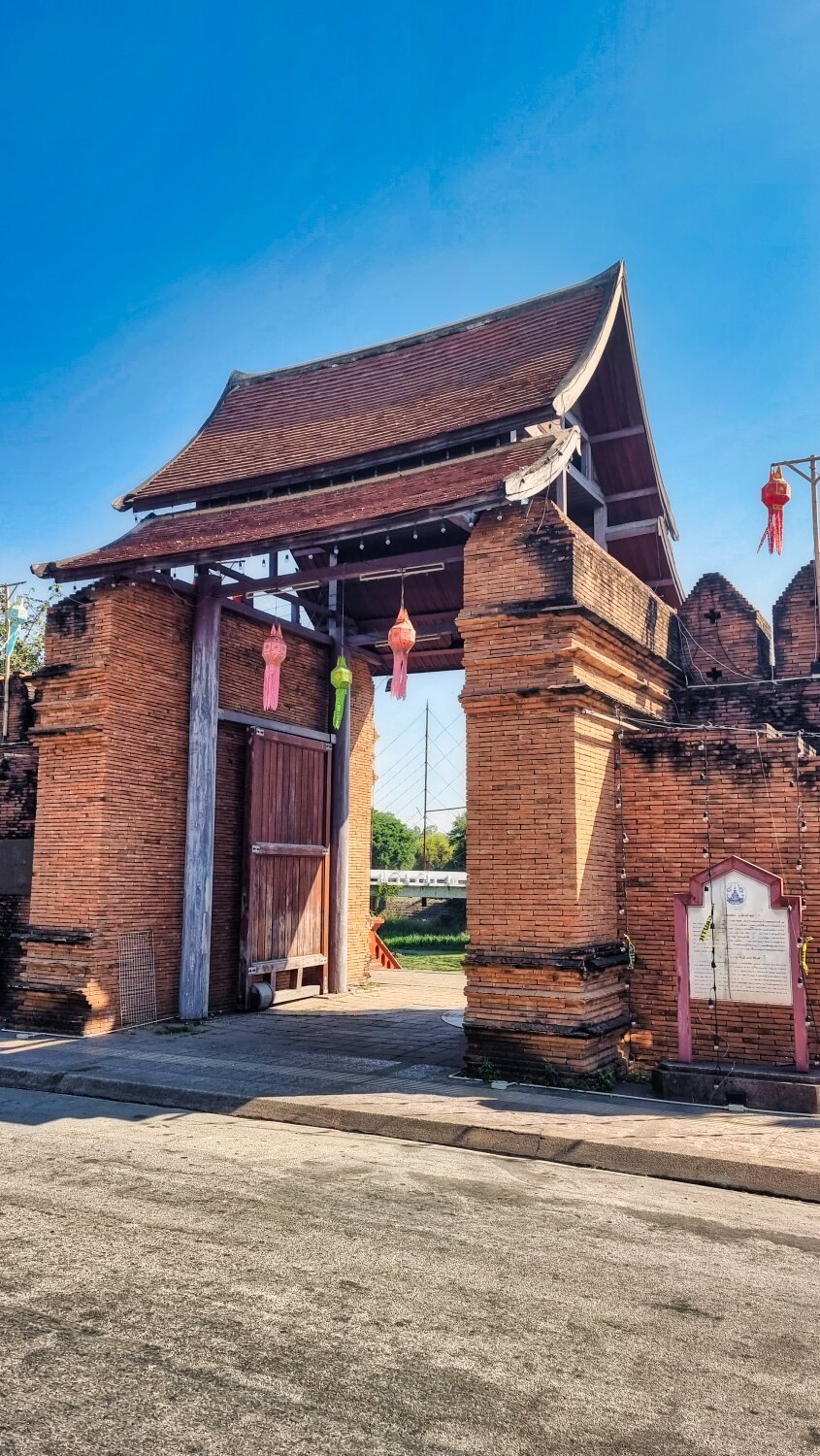
Next stop was the Ta Nang Old City Gate, here.
https://maps.app.goo.gl/kK6zuQ6H9gT4EiS67
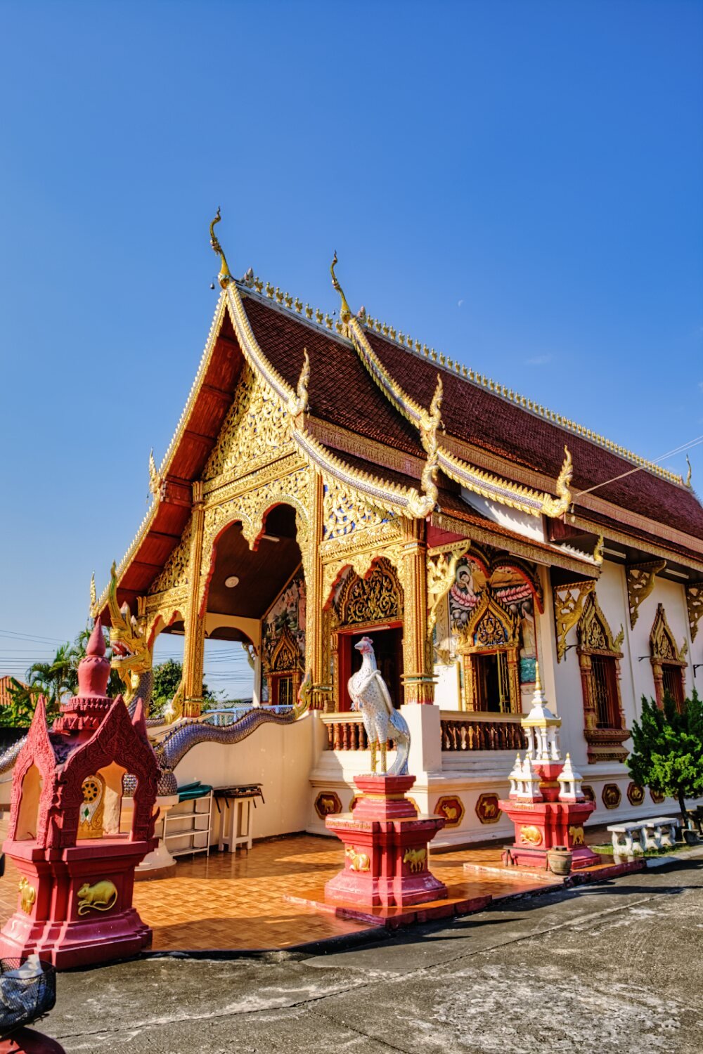
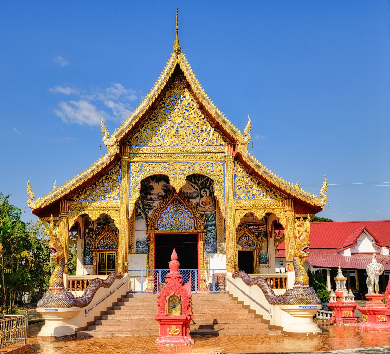
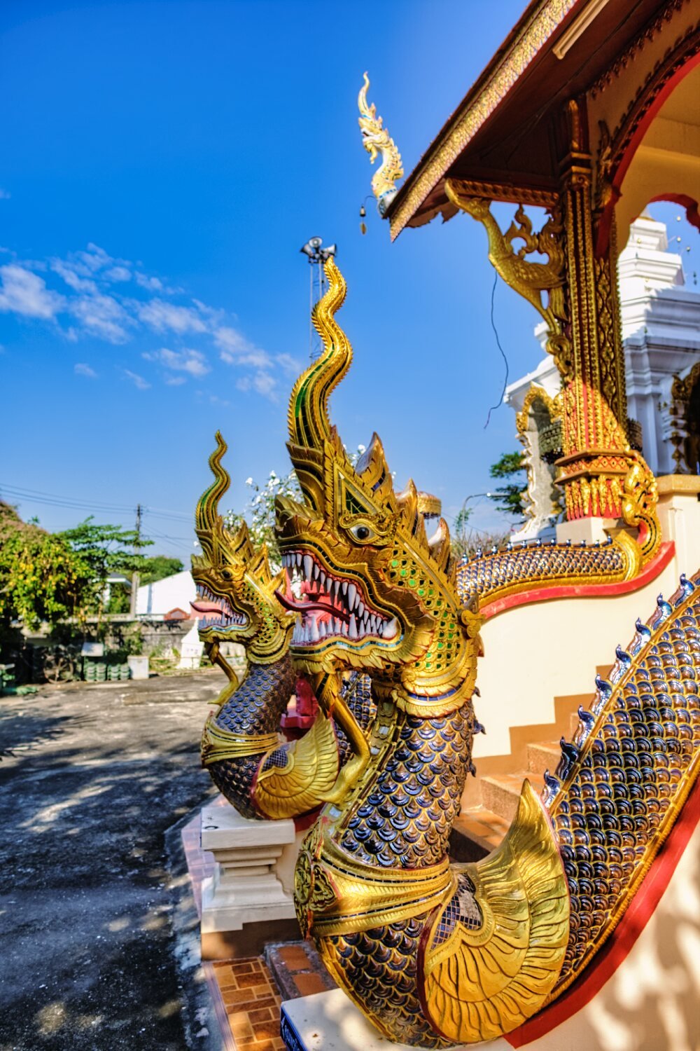
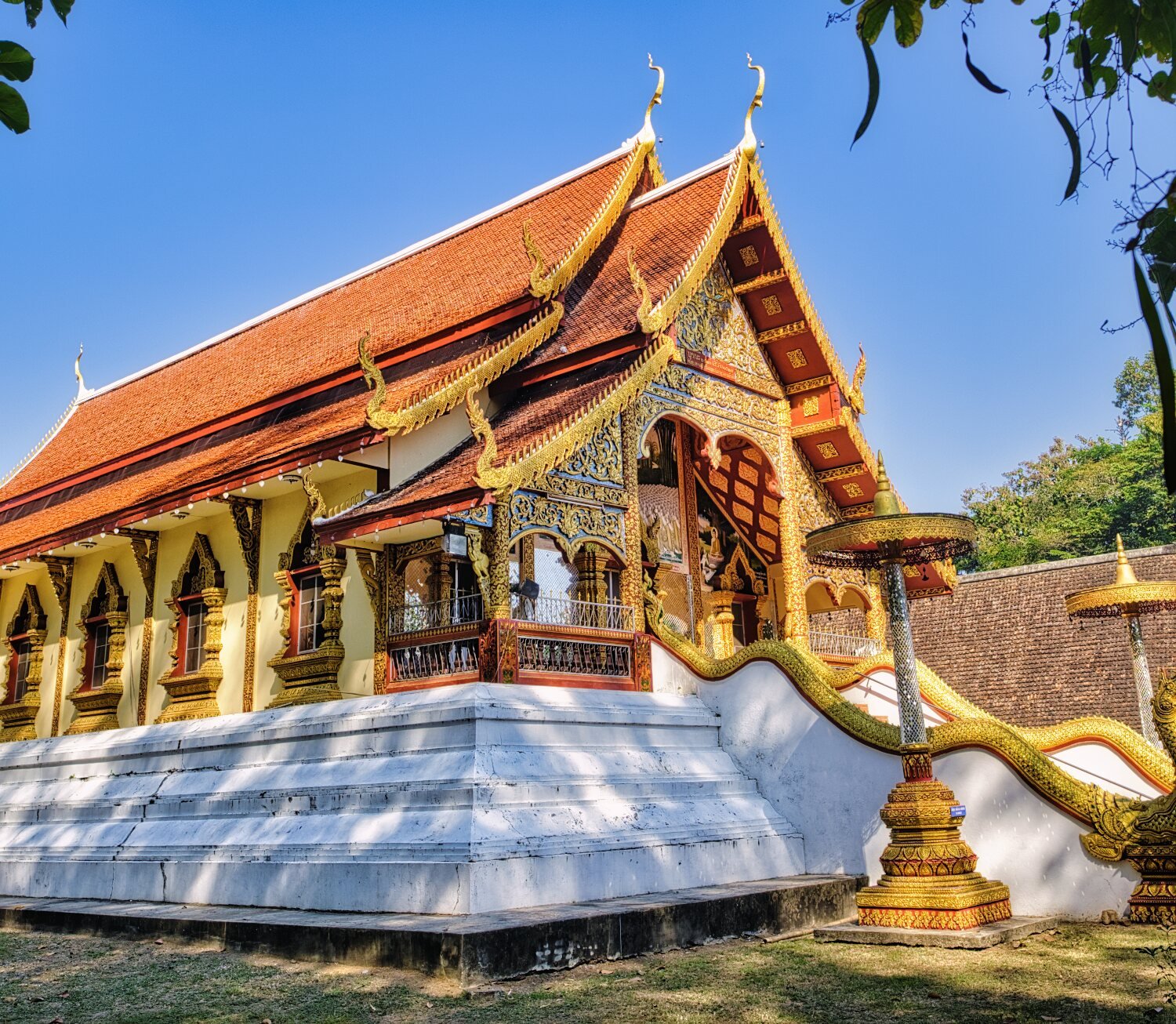
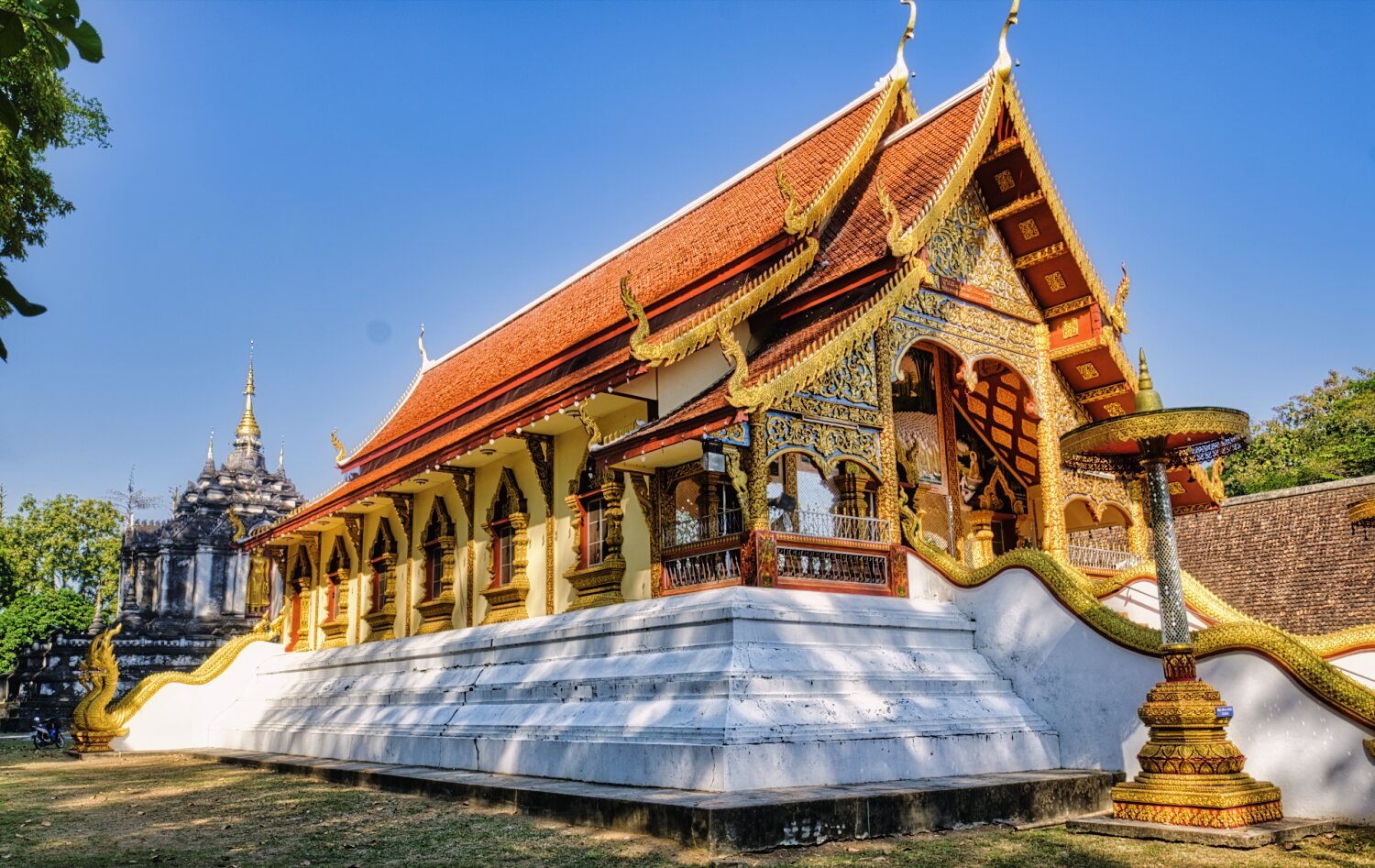
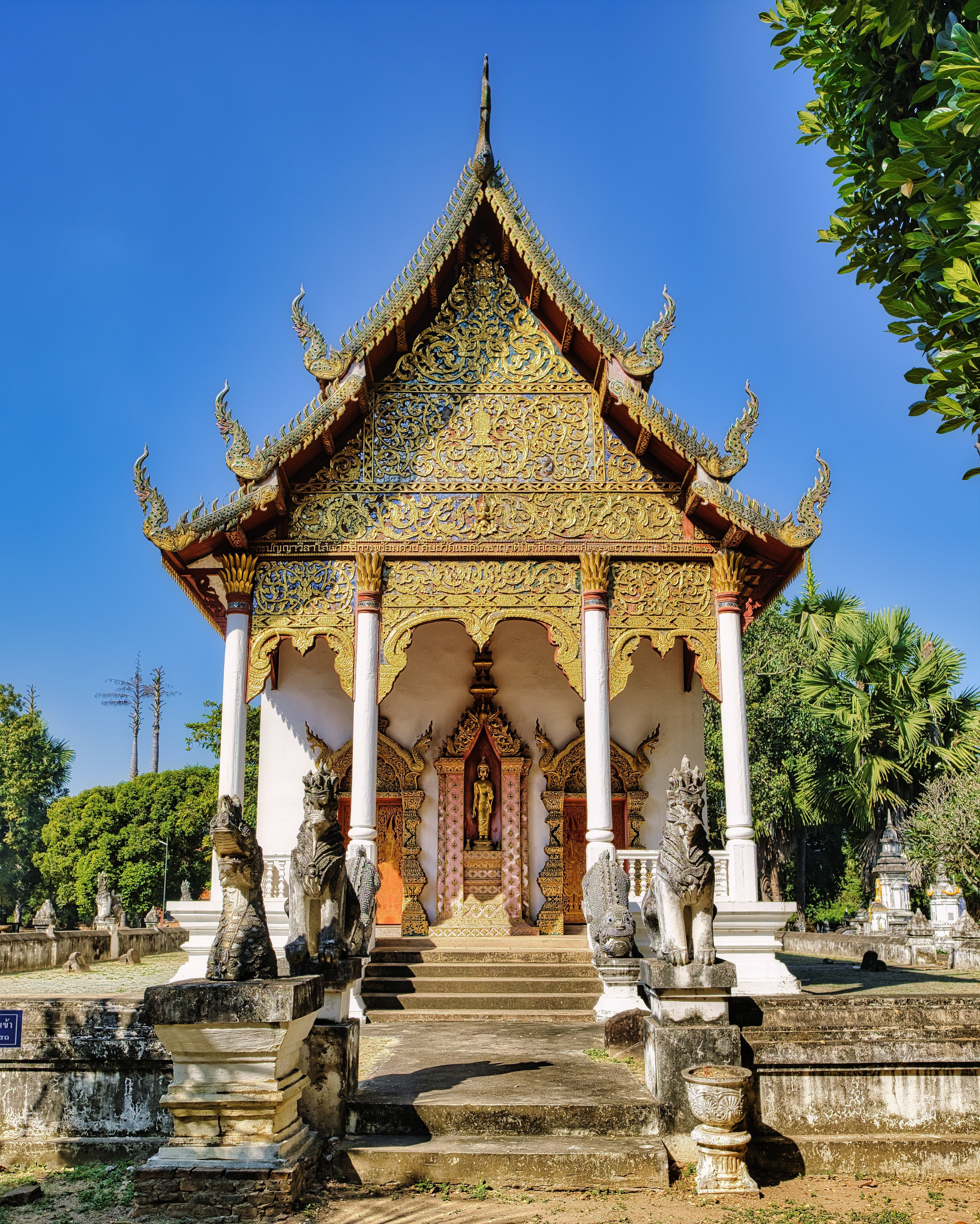
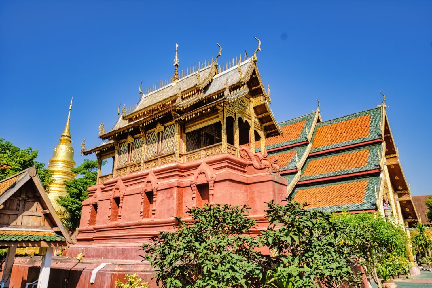
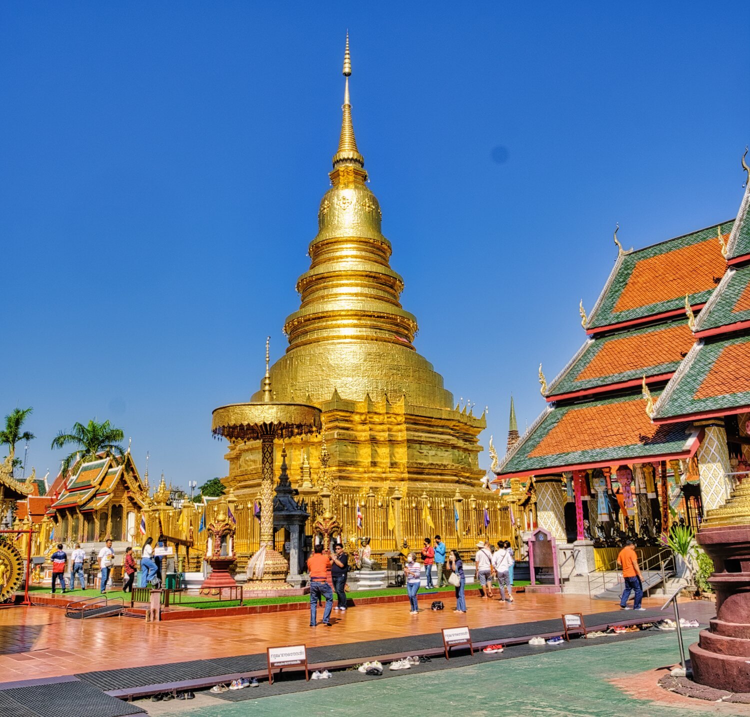
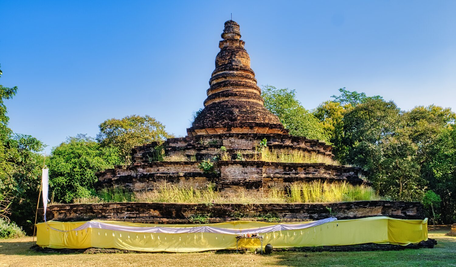
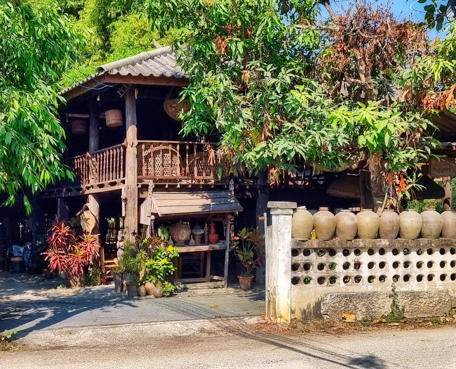
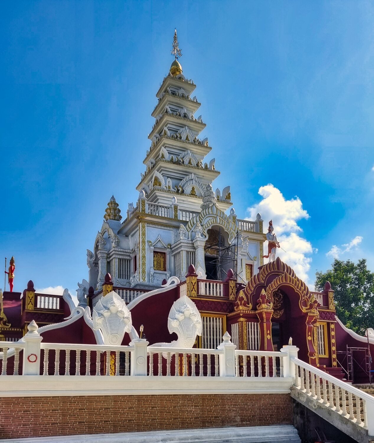
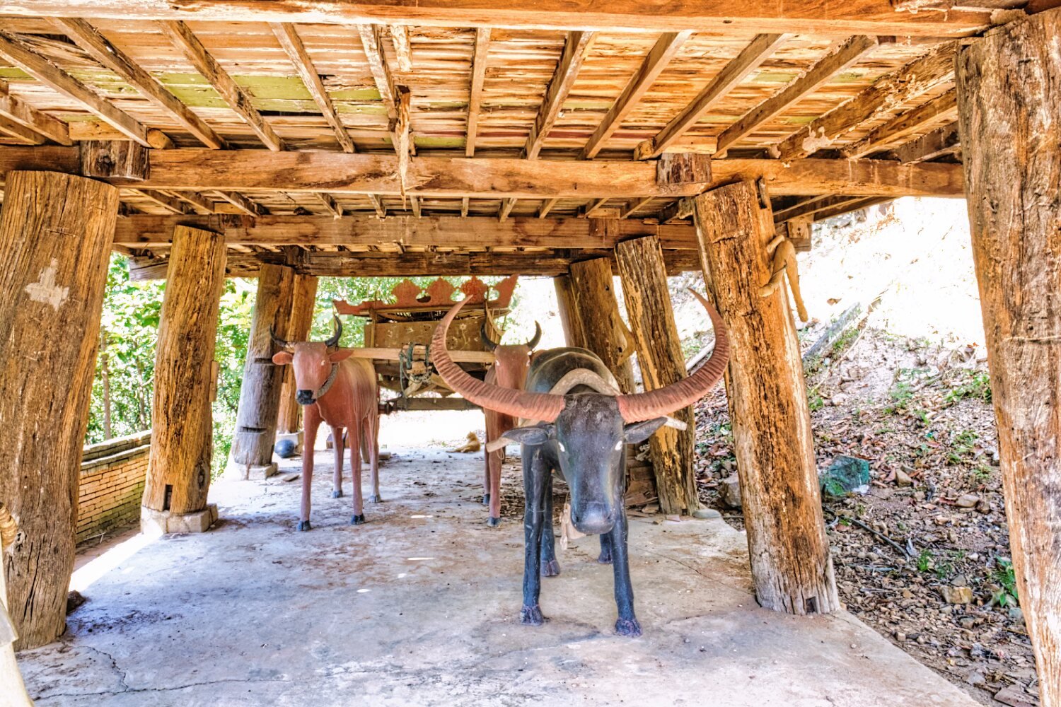
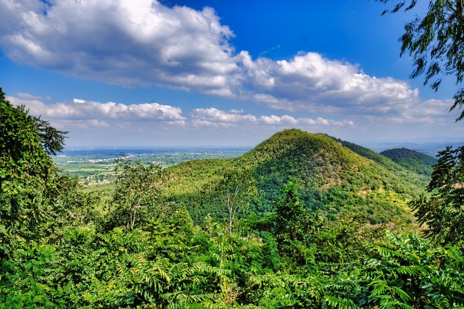
Next, Wat Phra That Hariphunchai Woramahawihan, here.
https://maps.app.goo.gl/o58WgxSHid3ktbR26
Double pricing to enter, but I just wandered in, way too busy to enjoy.
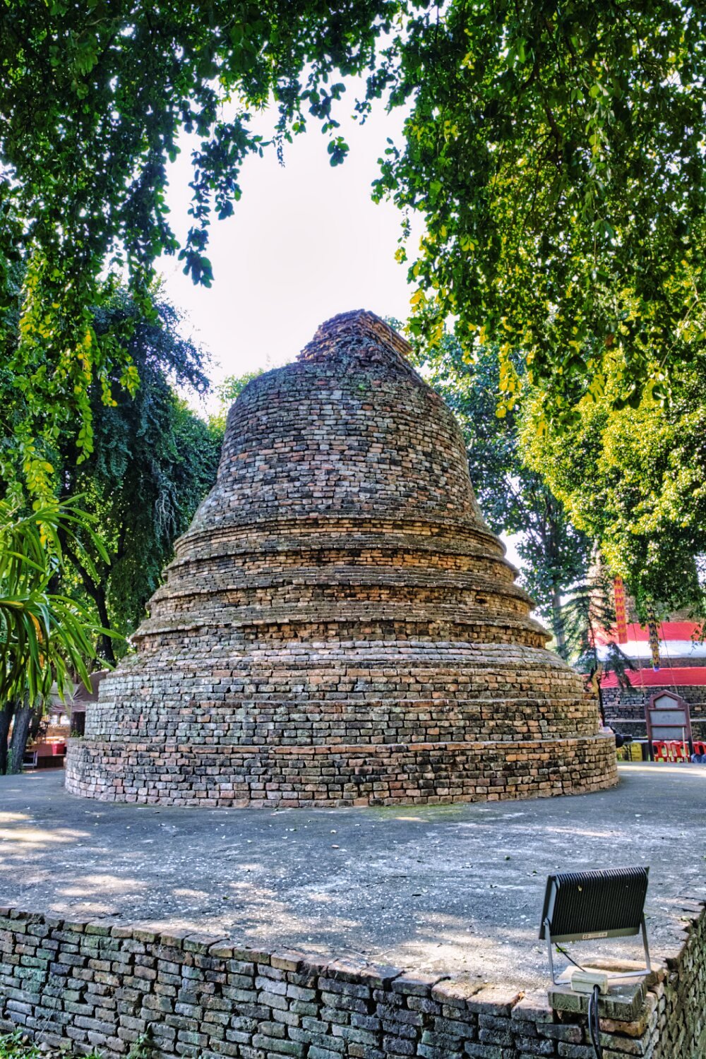
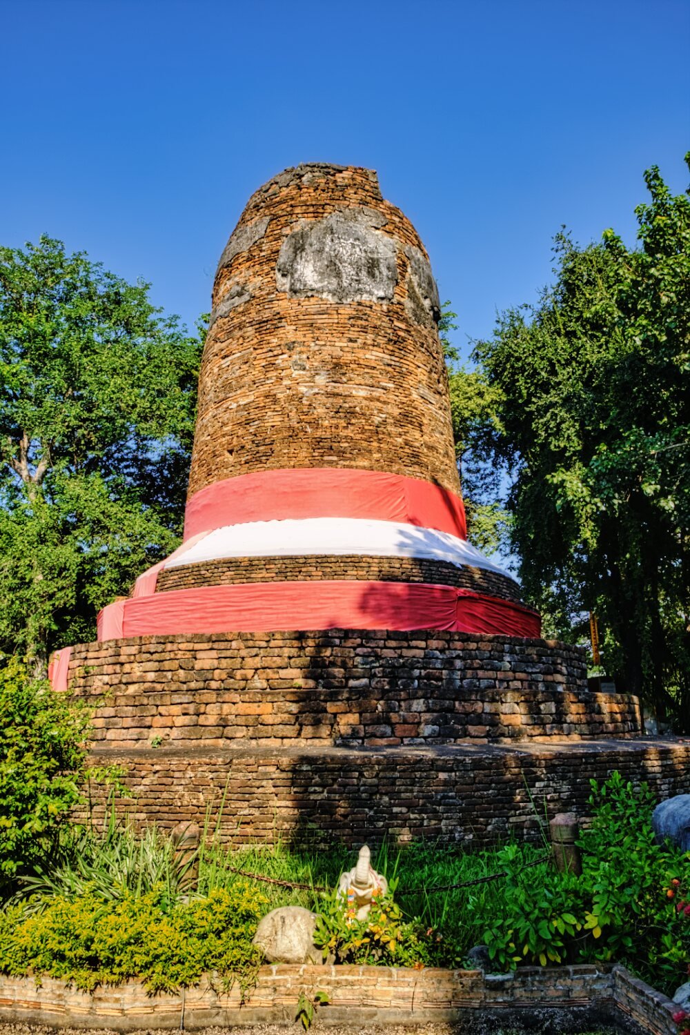
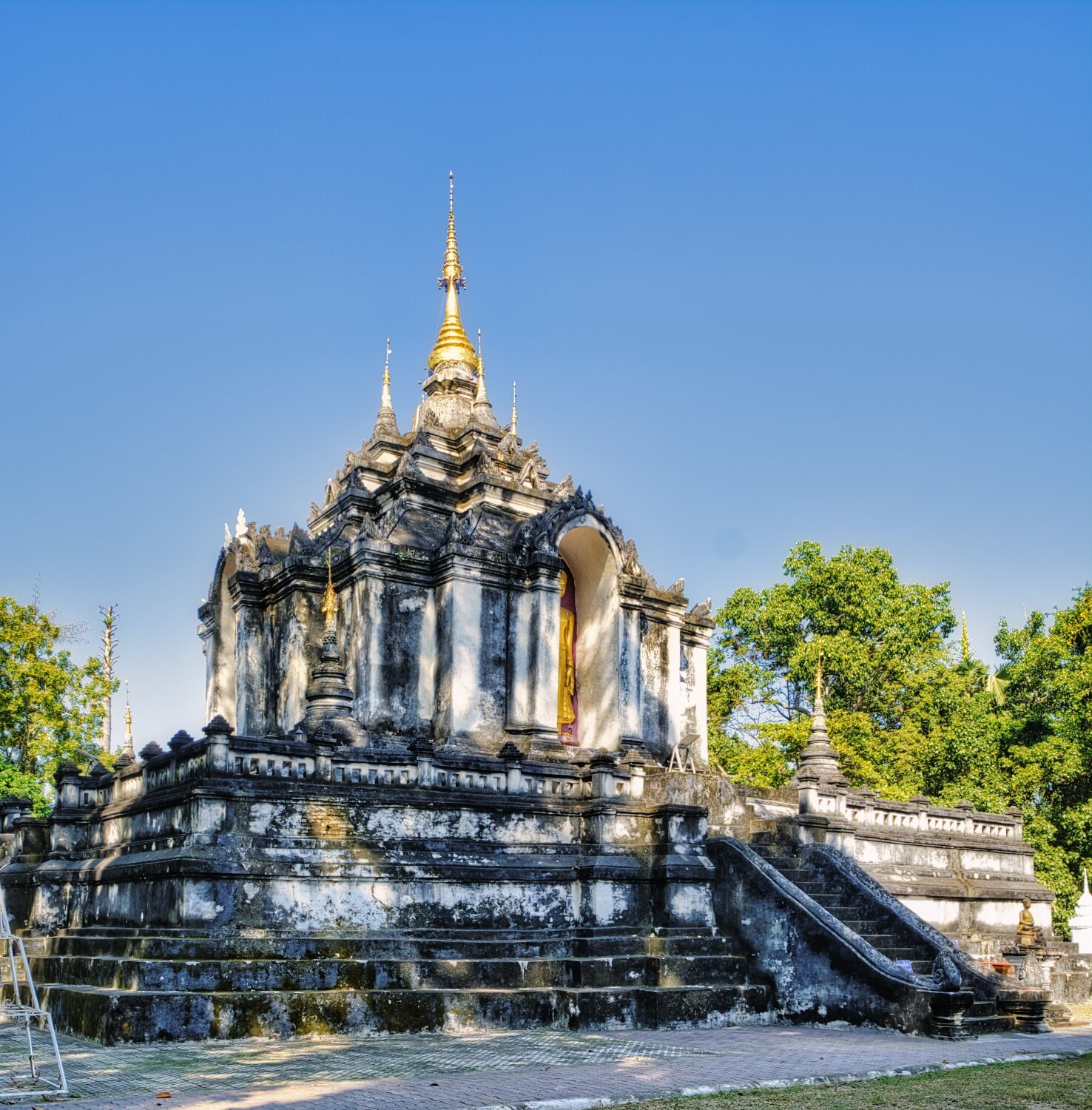
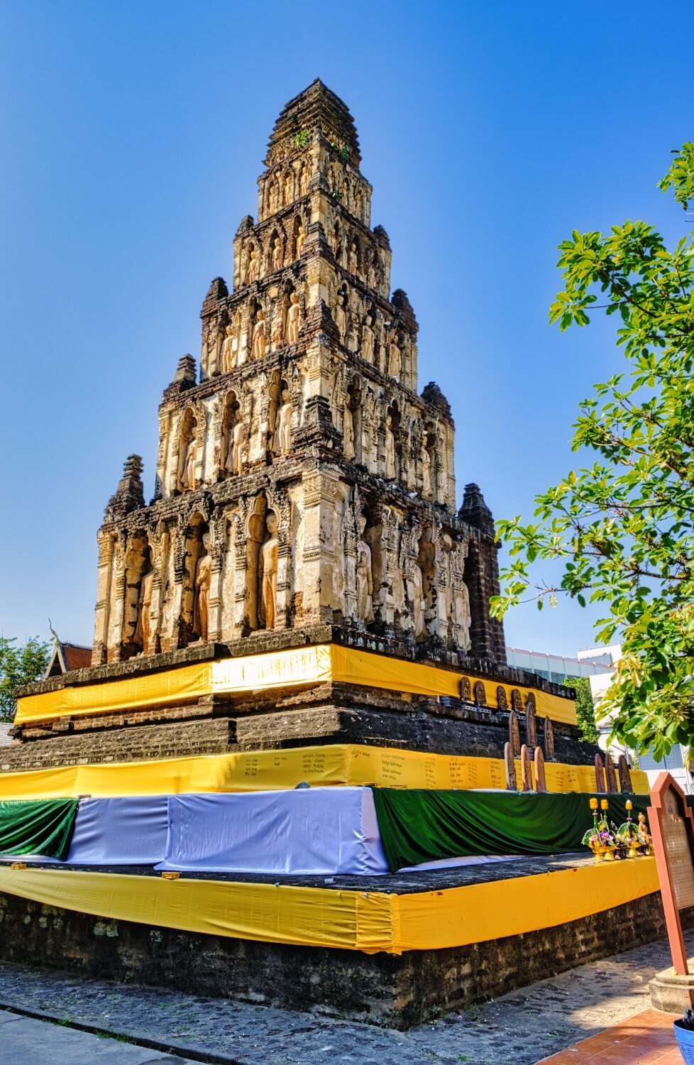
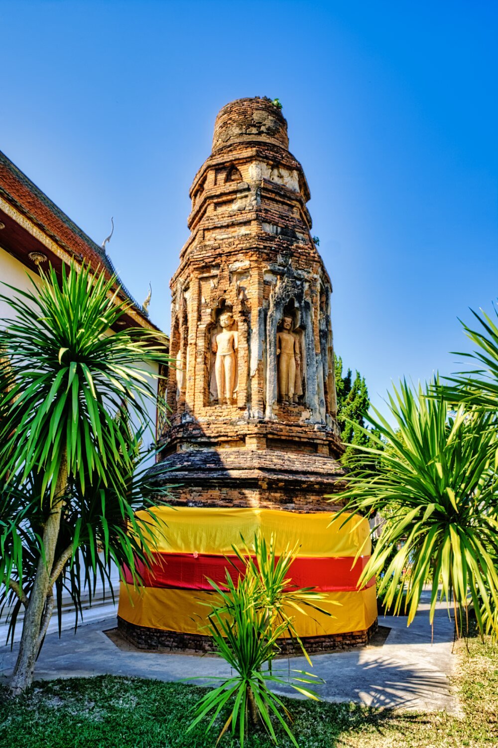
Further on was Wat Chamthewi, here.
https://maps.app.goo.gl/7oFrCcafG2kADTvWA
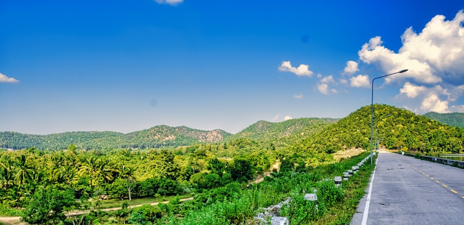
From here I rode the road that follows the Ping River back to Chiang Mai.
https://www.relive.cc/view/vQvyZ1K1zKO

-
 4
4
-
 1
1
-
- Popular Post
- Popular Post
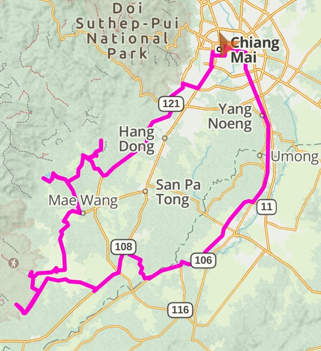
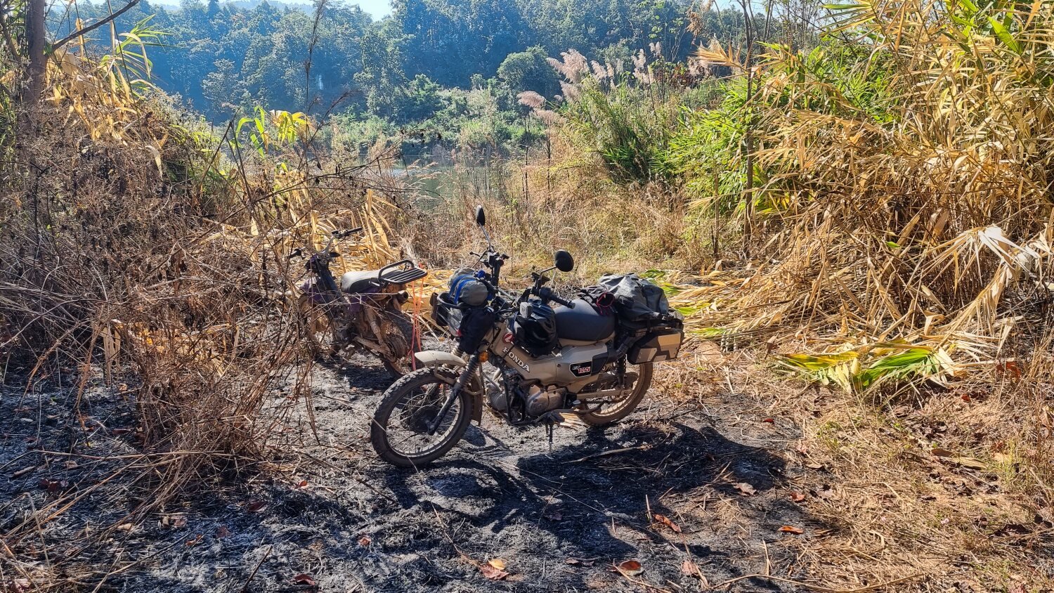
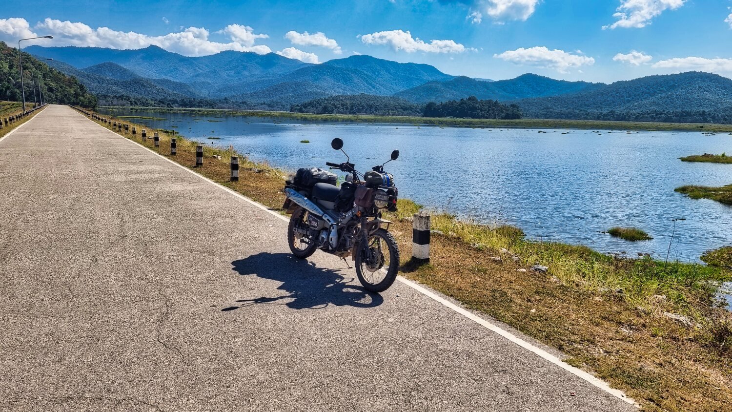
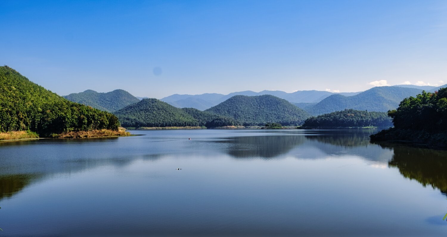
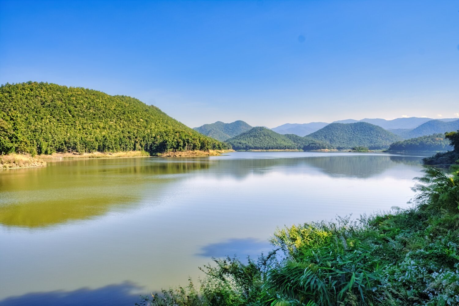
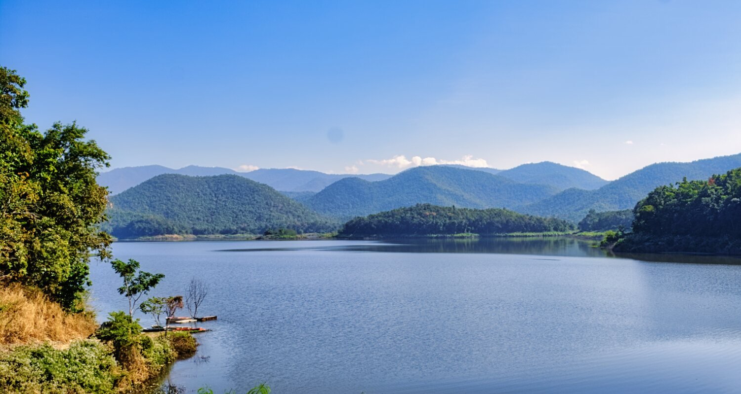
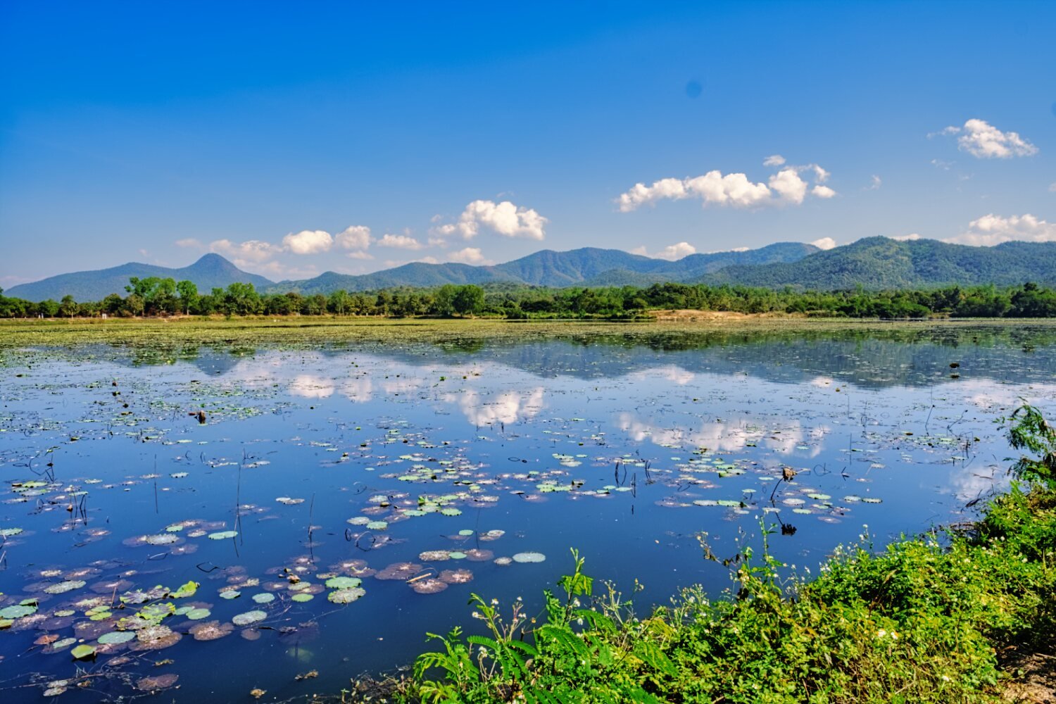
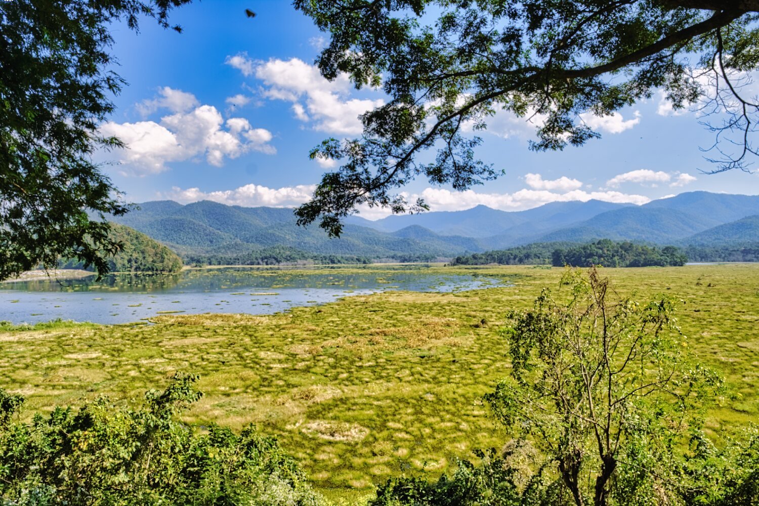
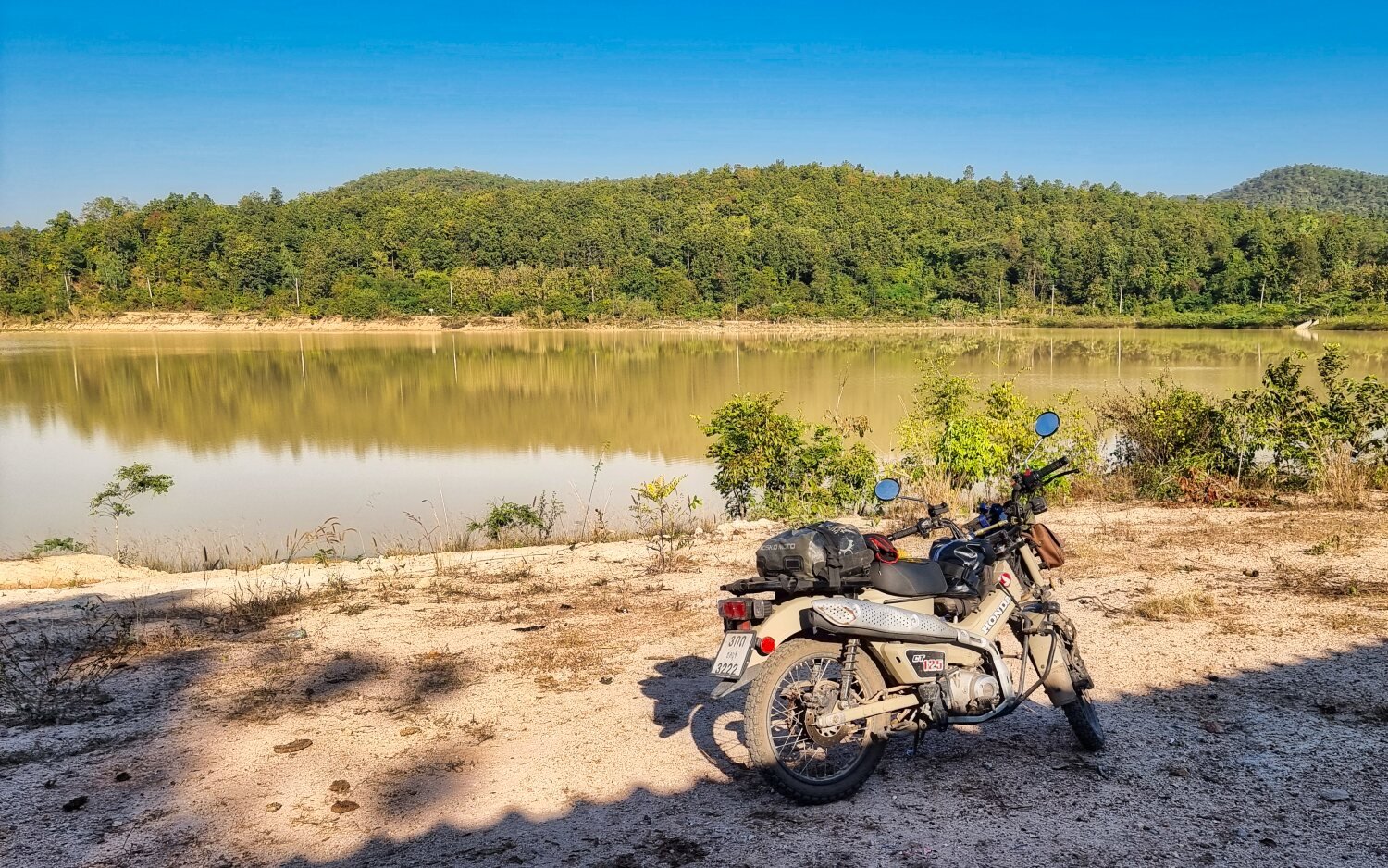
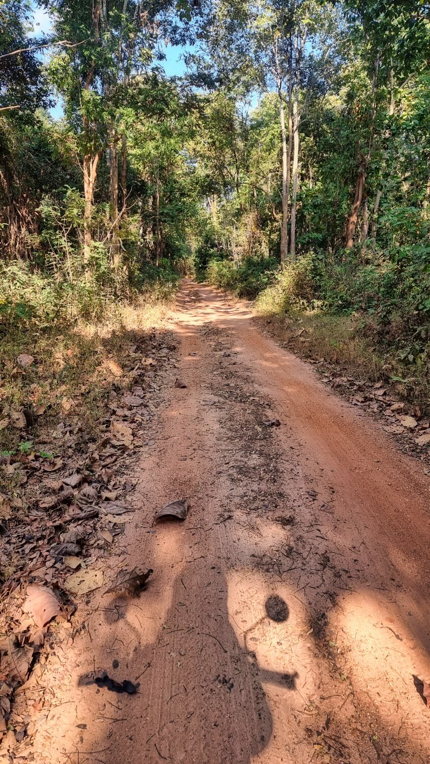
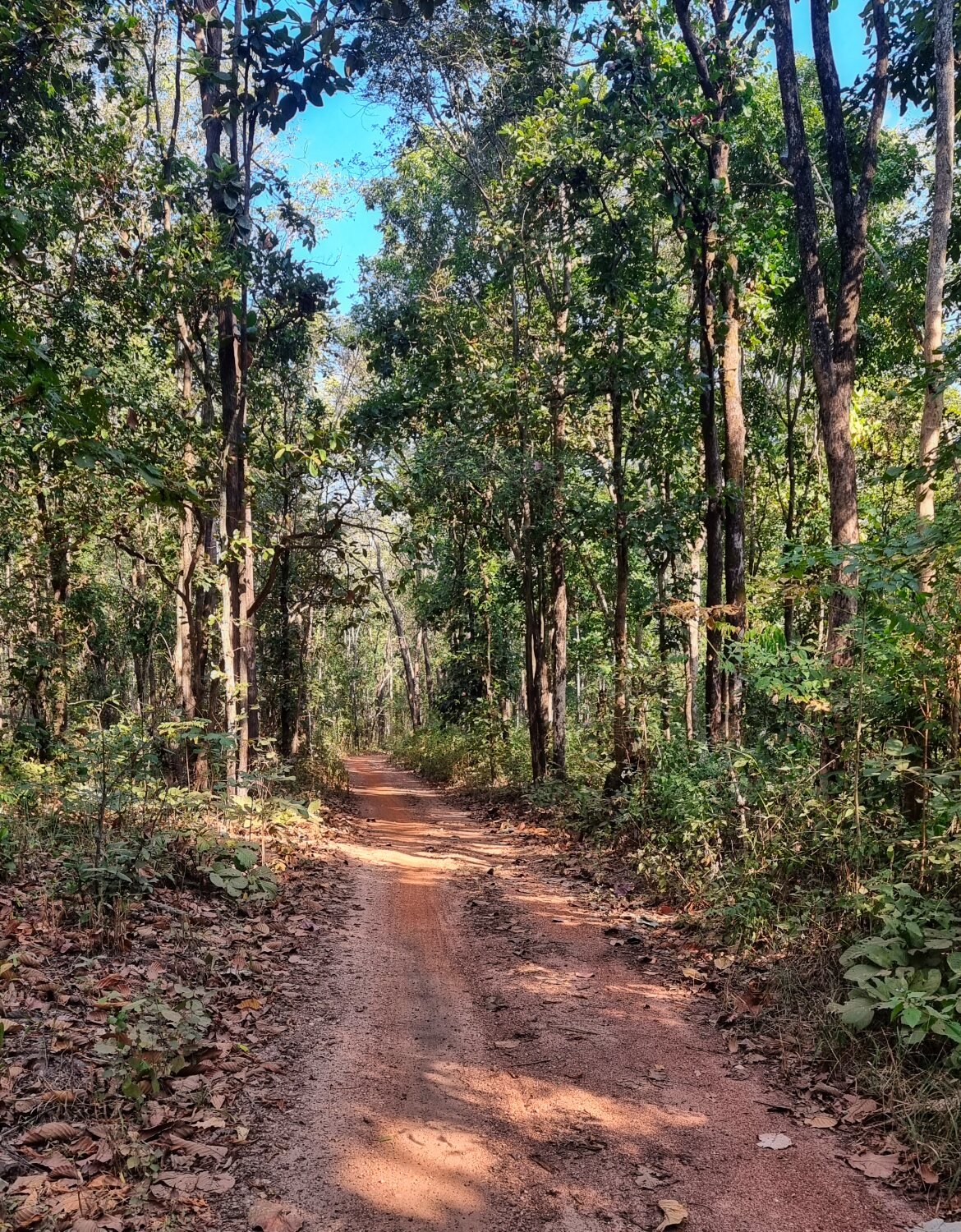
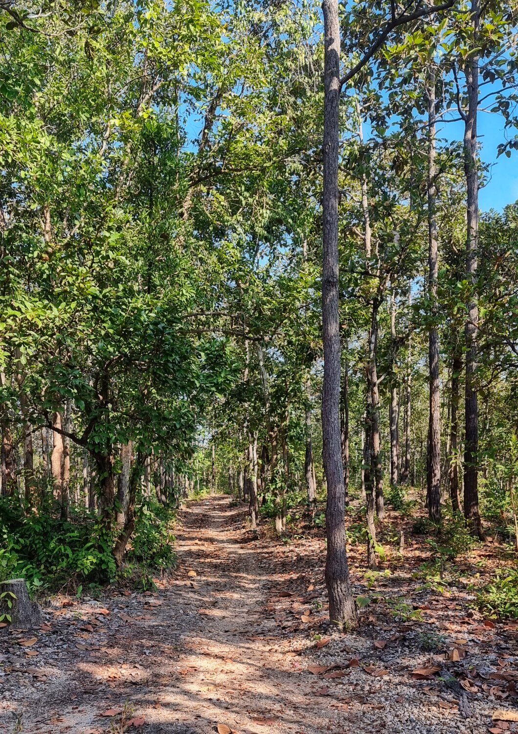
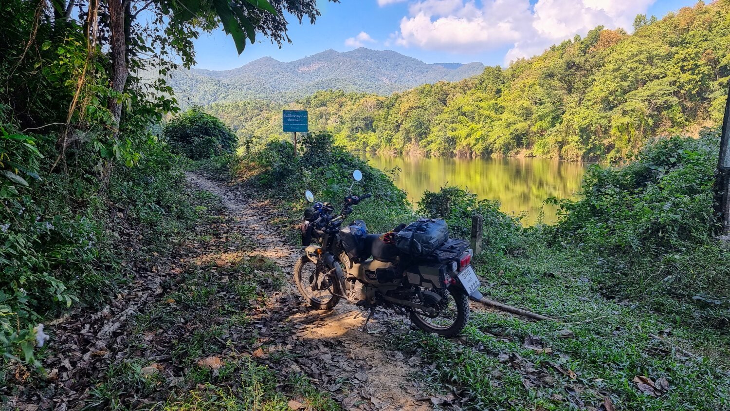
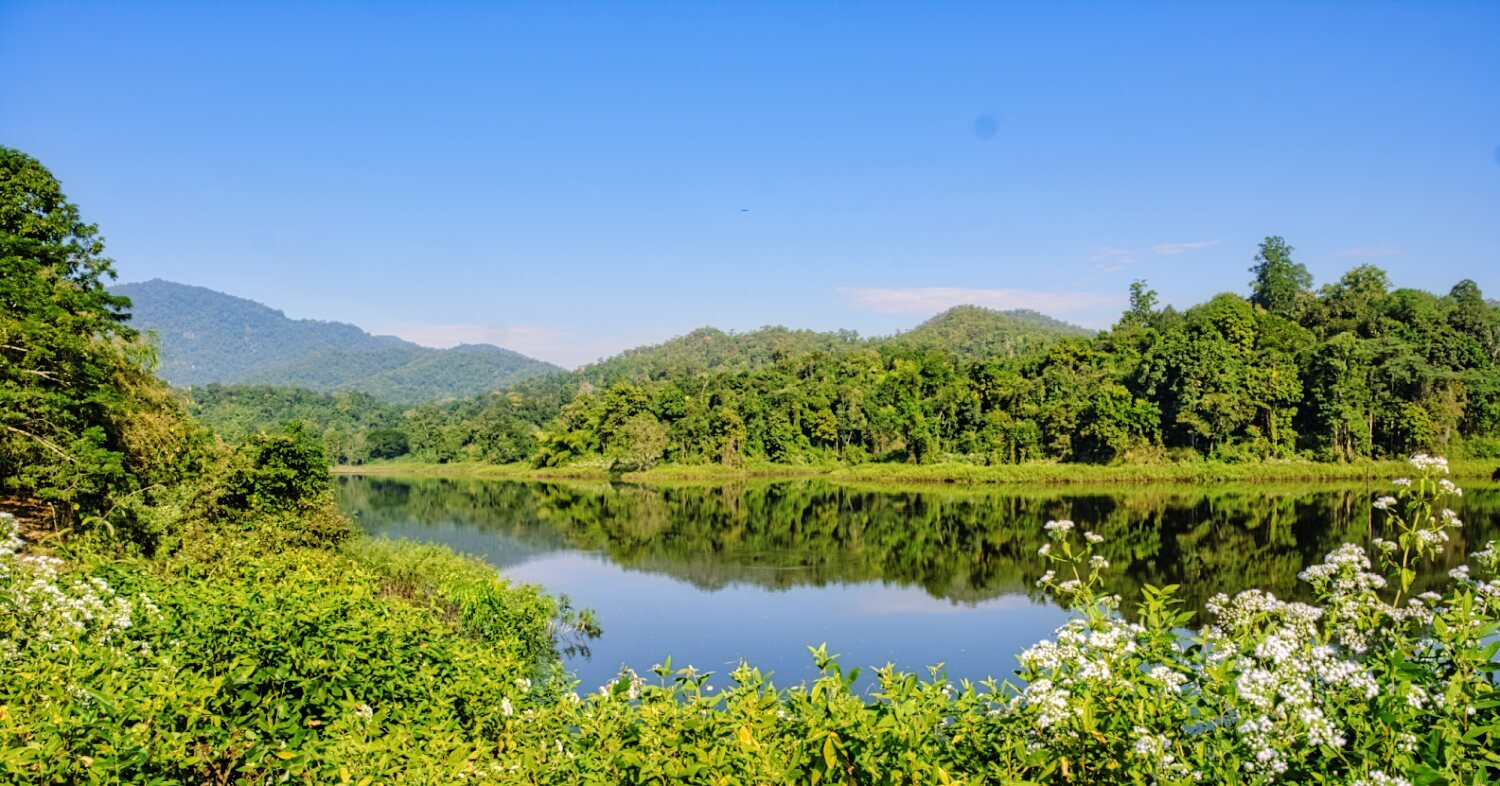
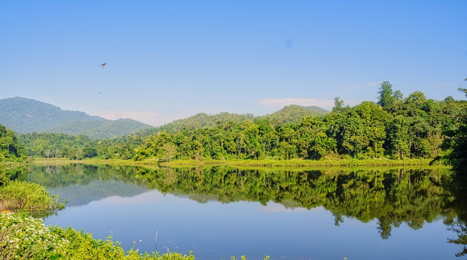
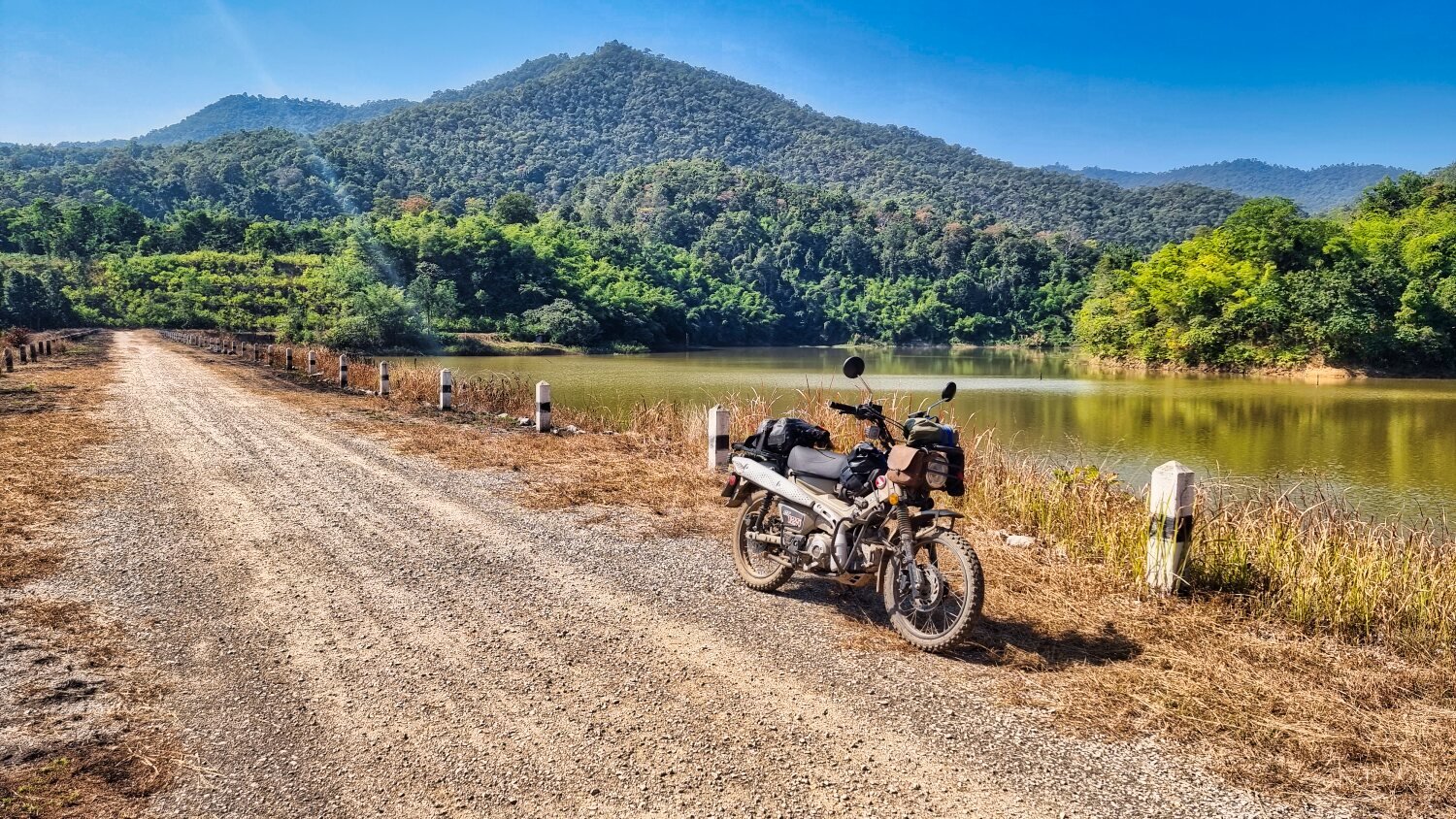
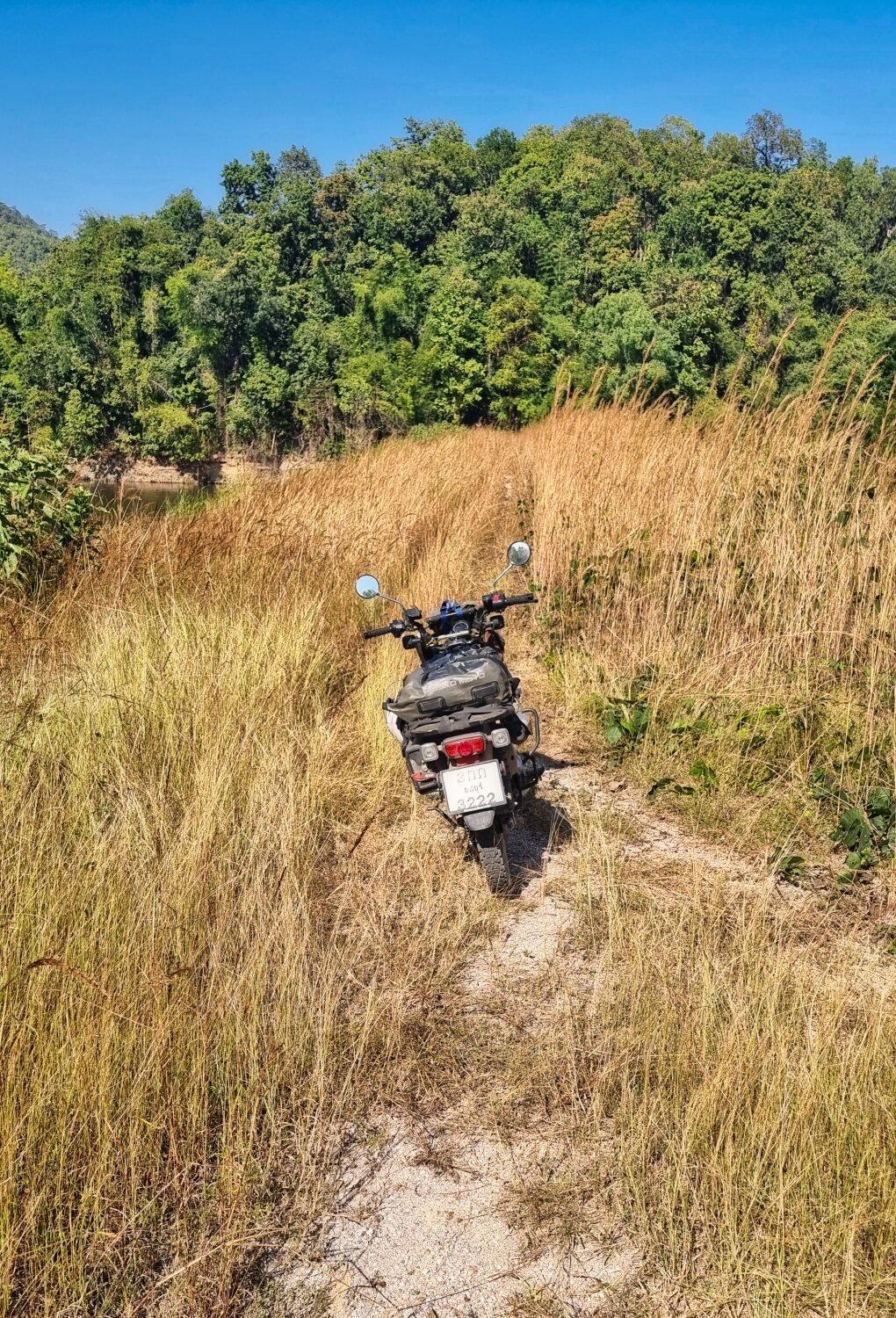
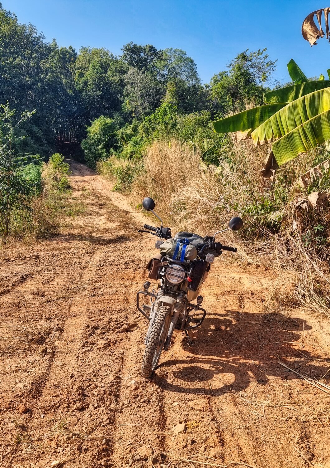
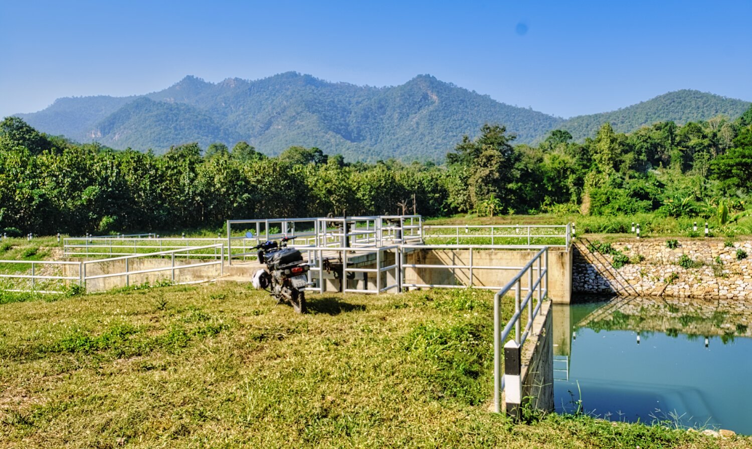
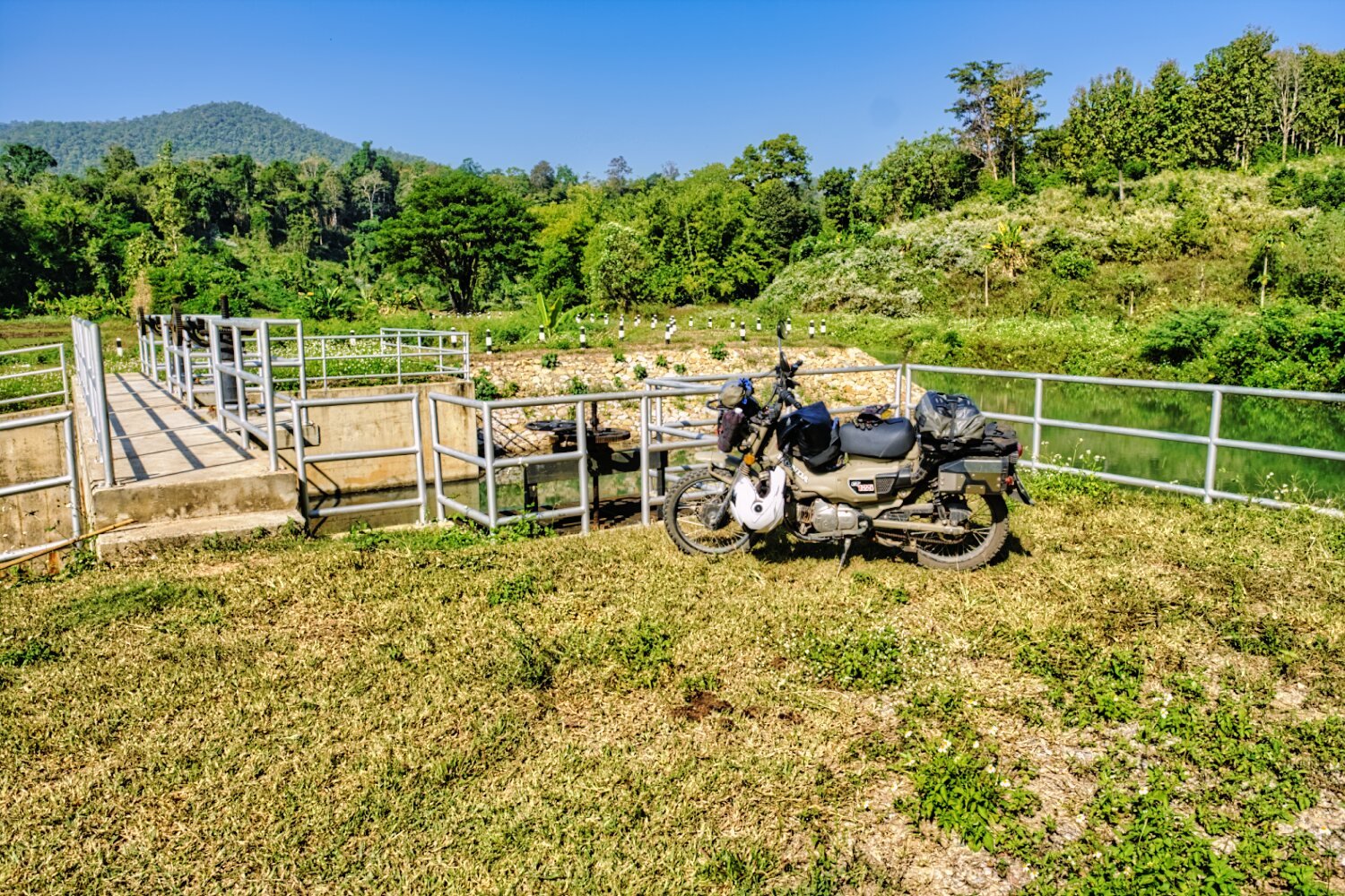
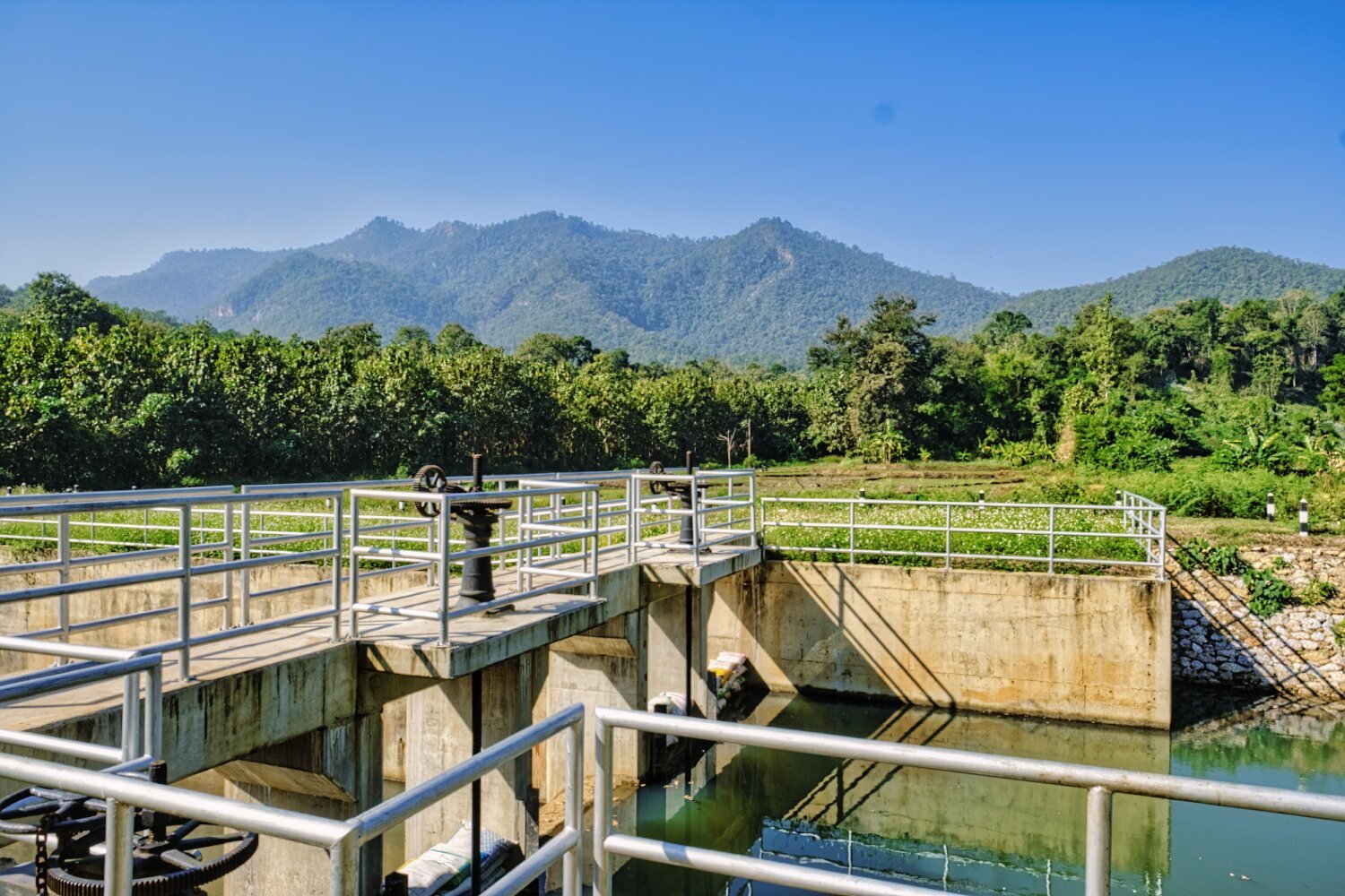
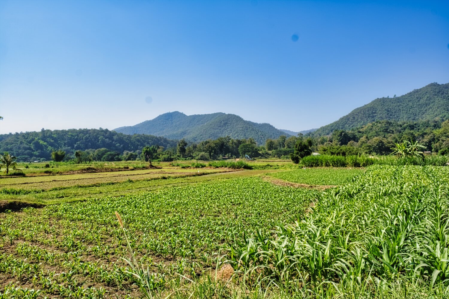
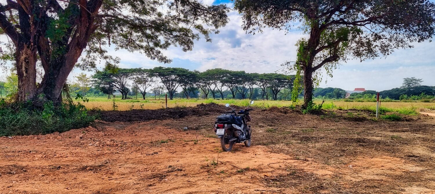
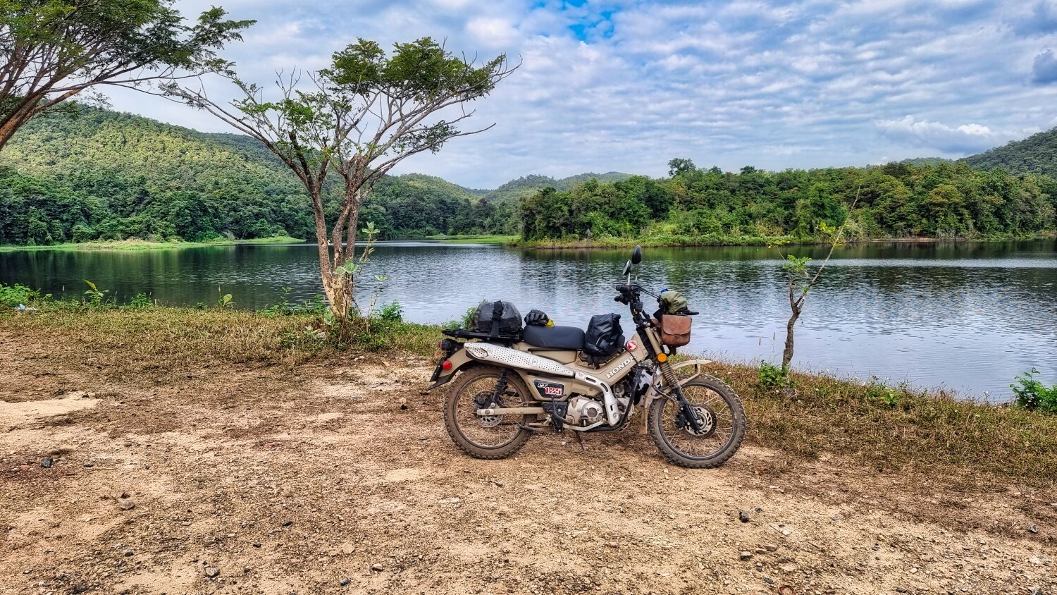
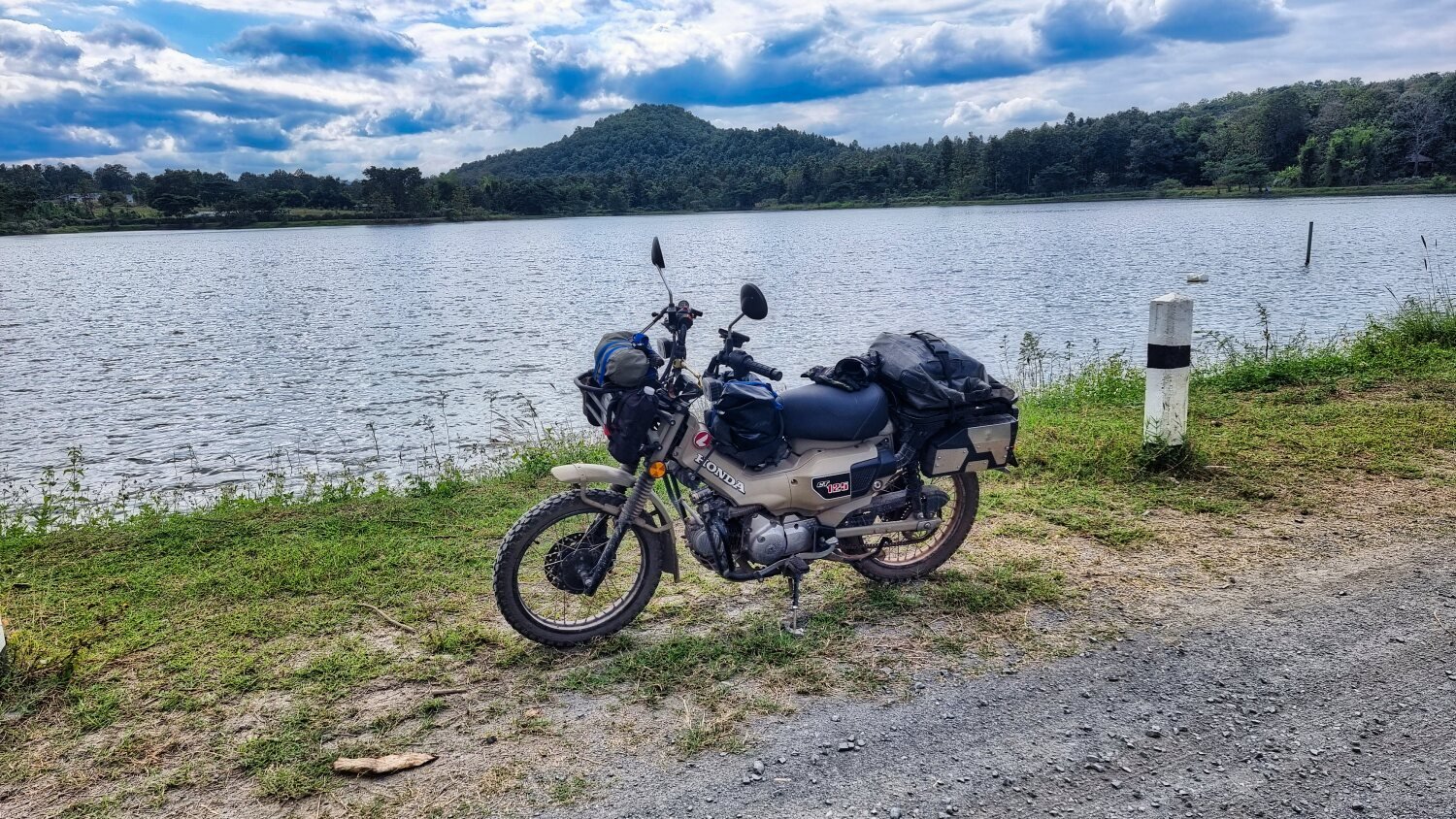
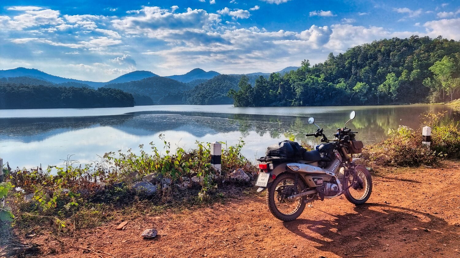
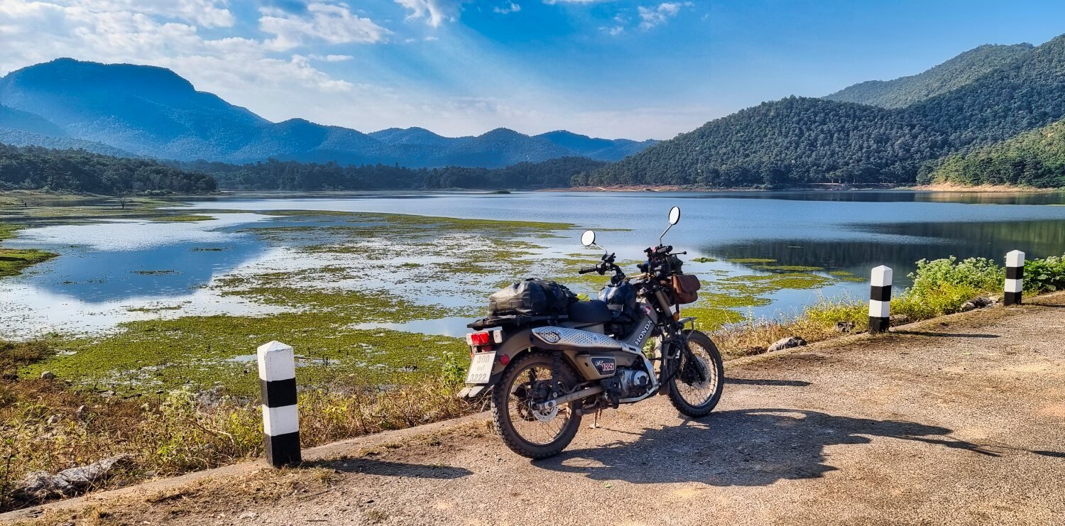
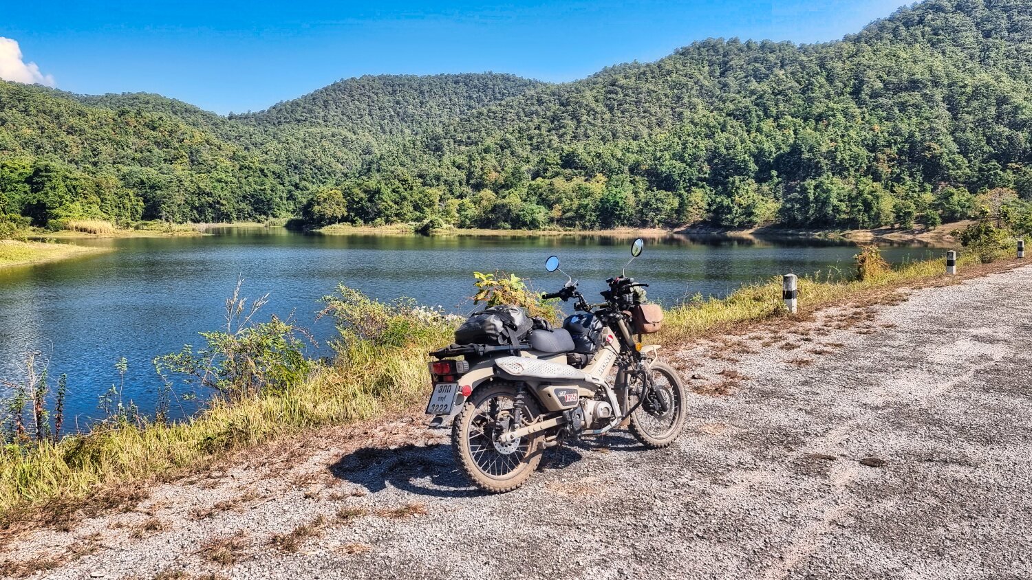
Today I rode to the Mae Wang National Park area, again looking for reservoirs and side tracks from them.
My first stop was Nong Salik Weir and Dam Project, here.
https://maps.app.goo.gl/t4u8HBR3CGYqXGu1A
The River Ping flowinf through it. Crossing Chiang Mai 700th Anniversary Bridge downstream, here.
https://maps.app.goo.gl/zSzCkLxaeB4dju438
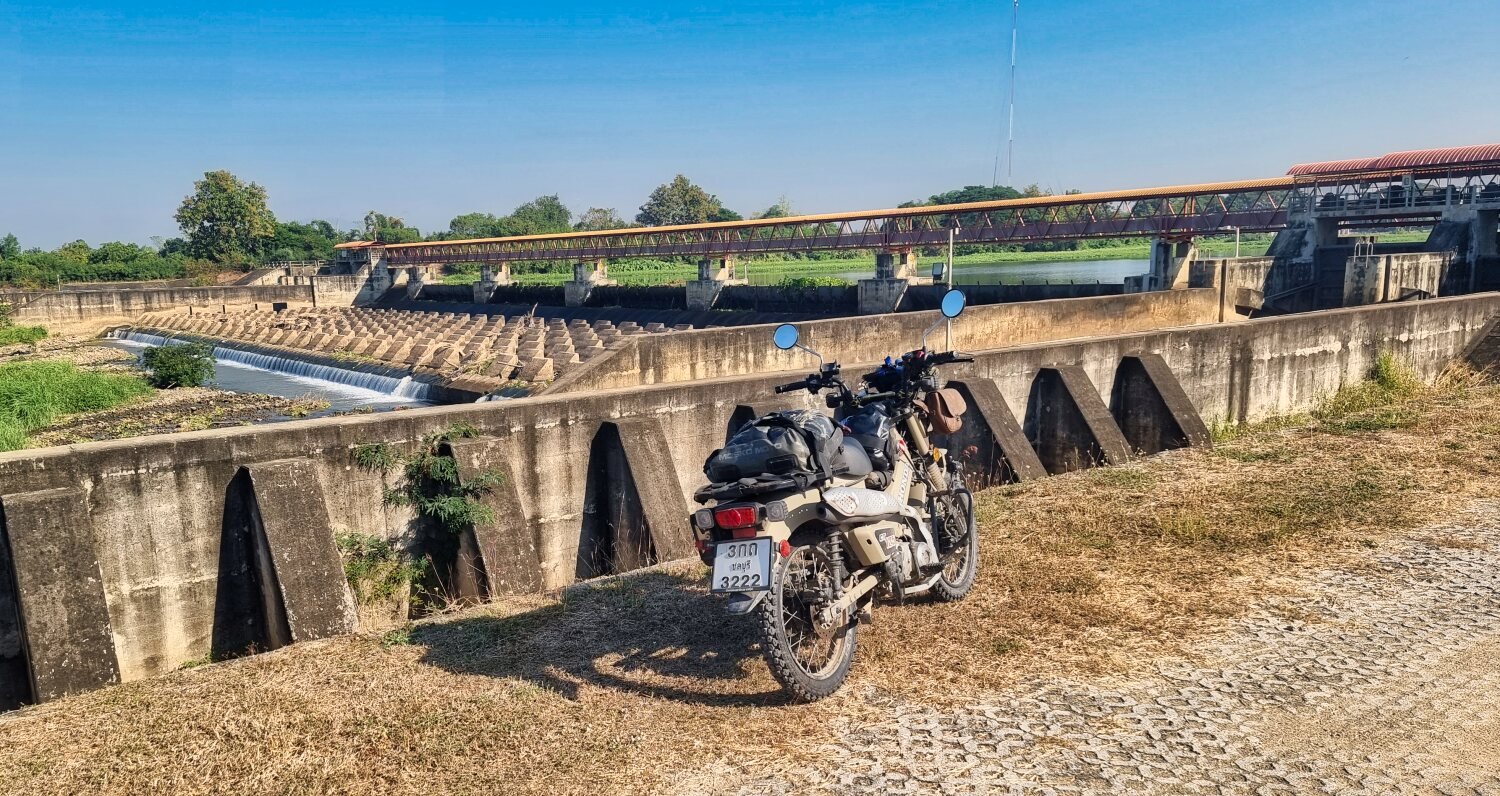
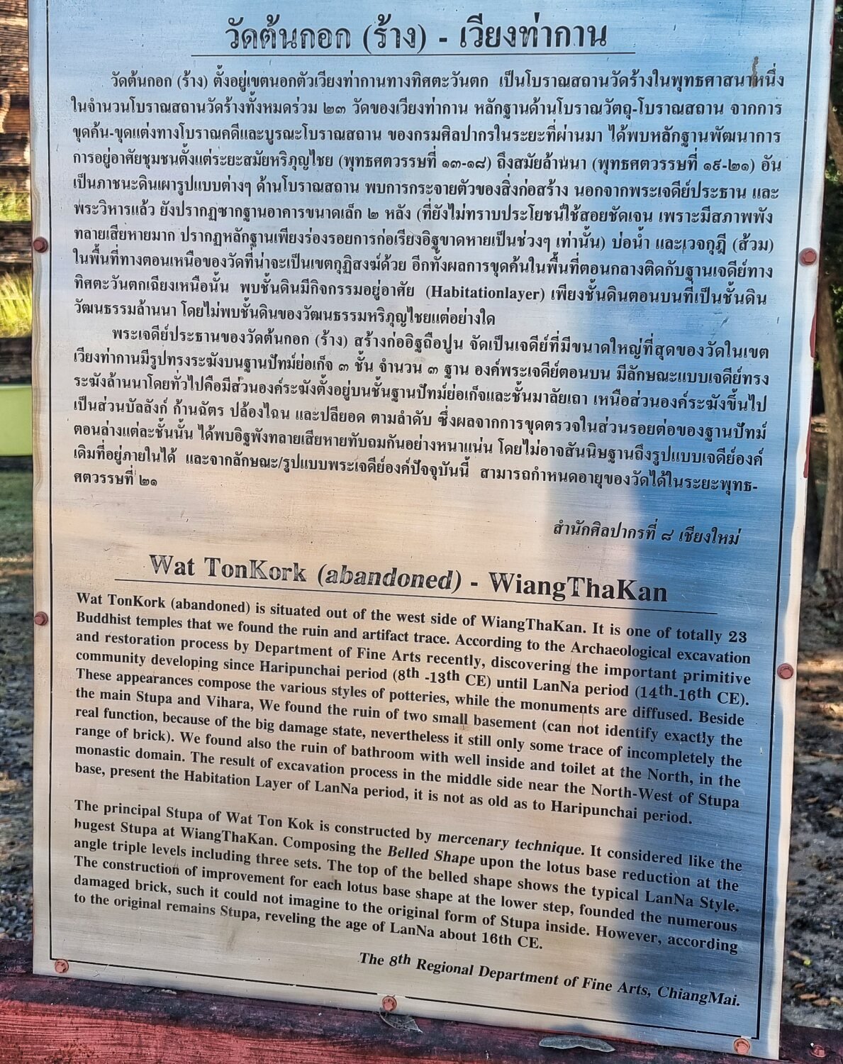
Not far and i found Wat Ton Kork (Wiang Tha Kan), here.
https://maps.app.goo.gl/wJC7Mu1cvoDgaDV57
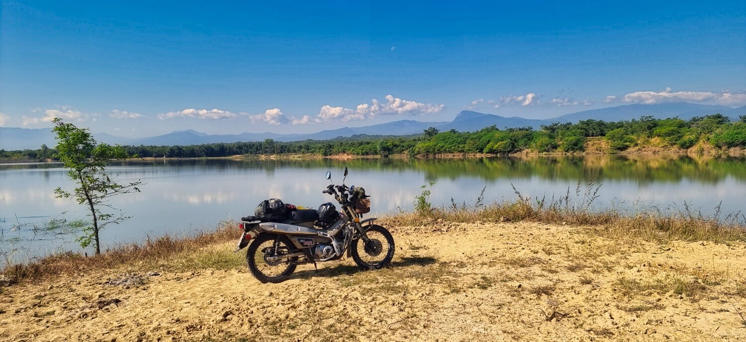
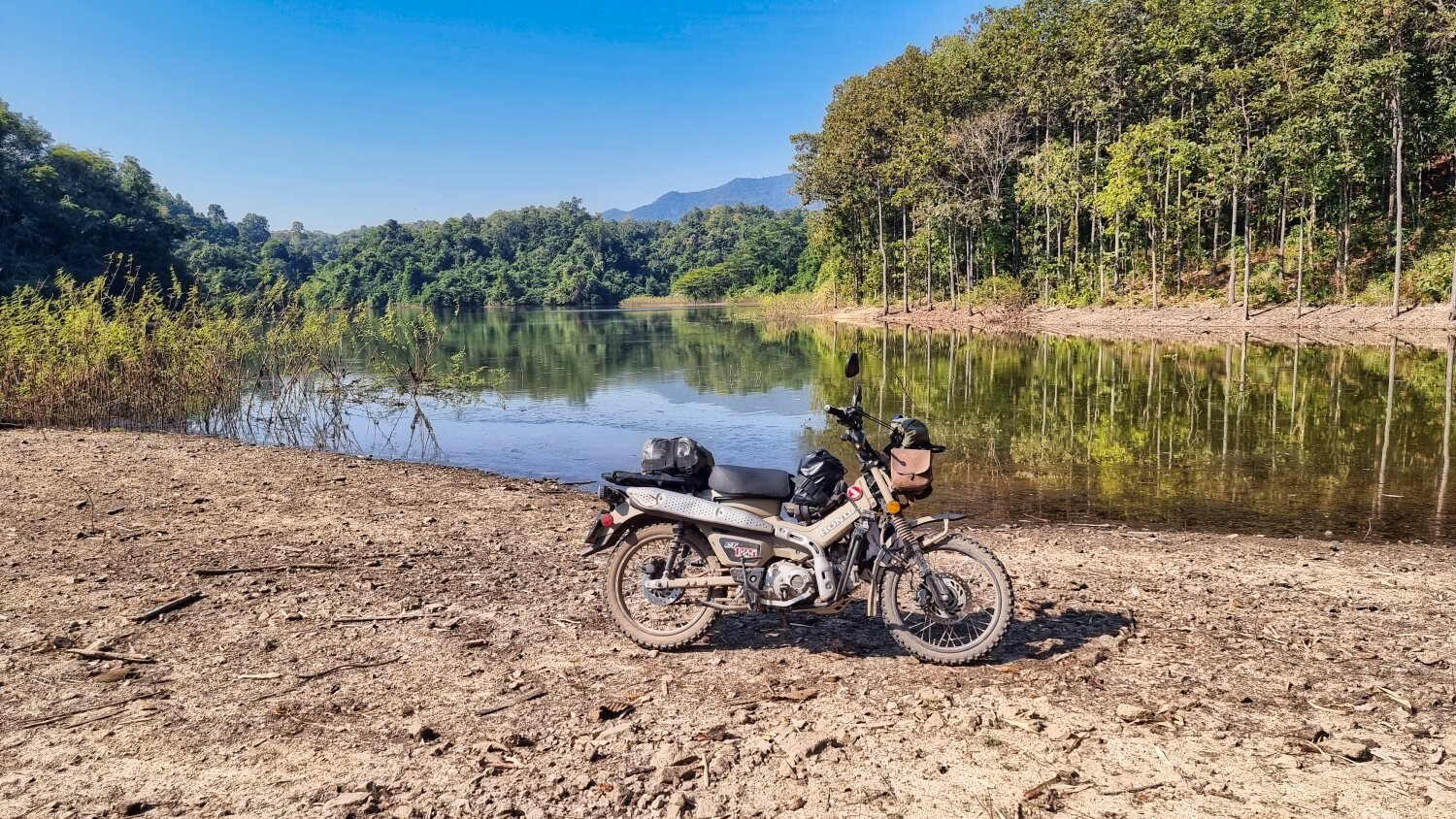
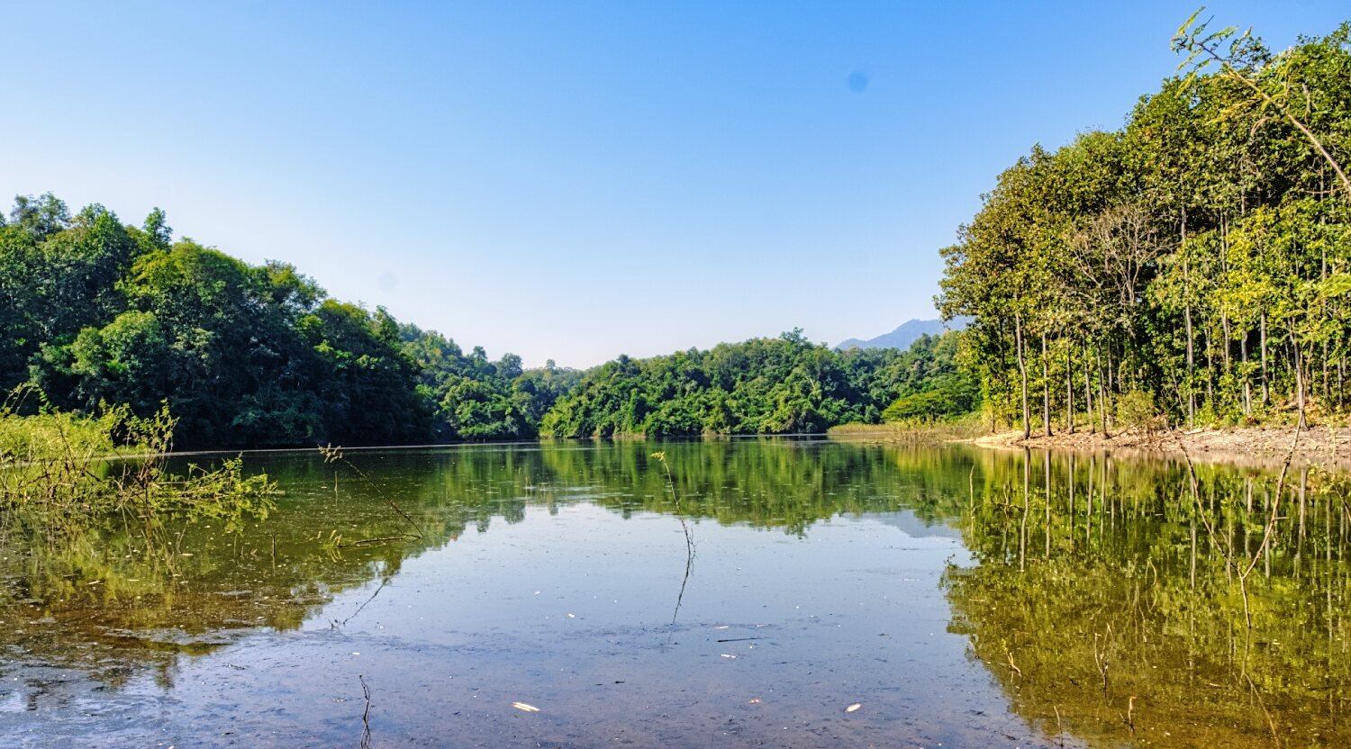
I then rode to an un-names reservoir, here.
https://maps.app.goo.gl/8NNqWLLAj36oB9Bc8
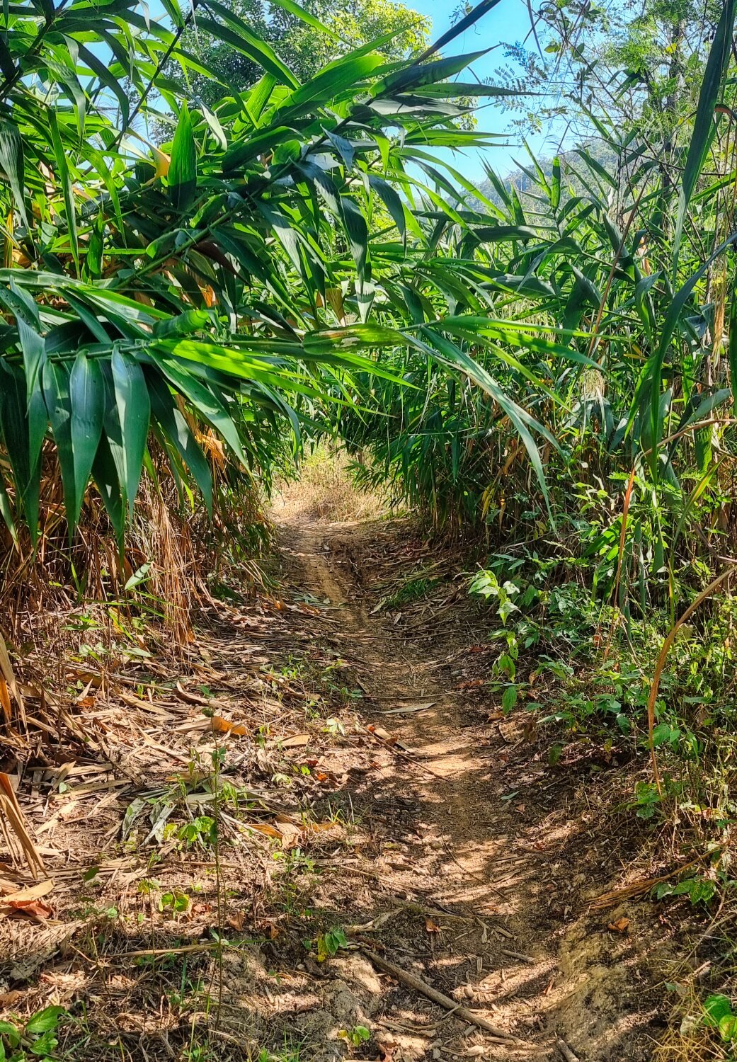
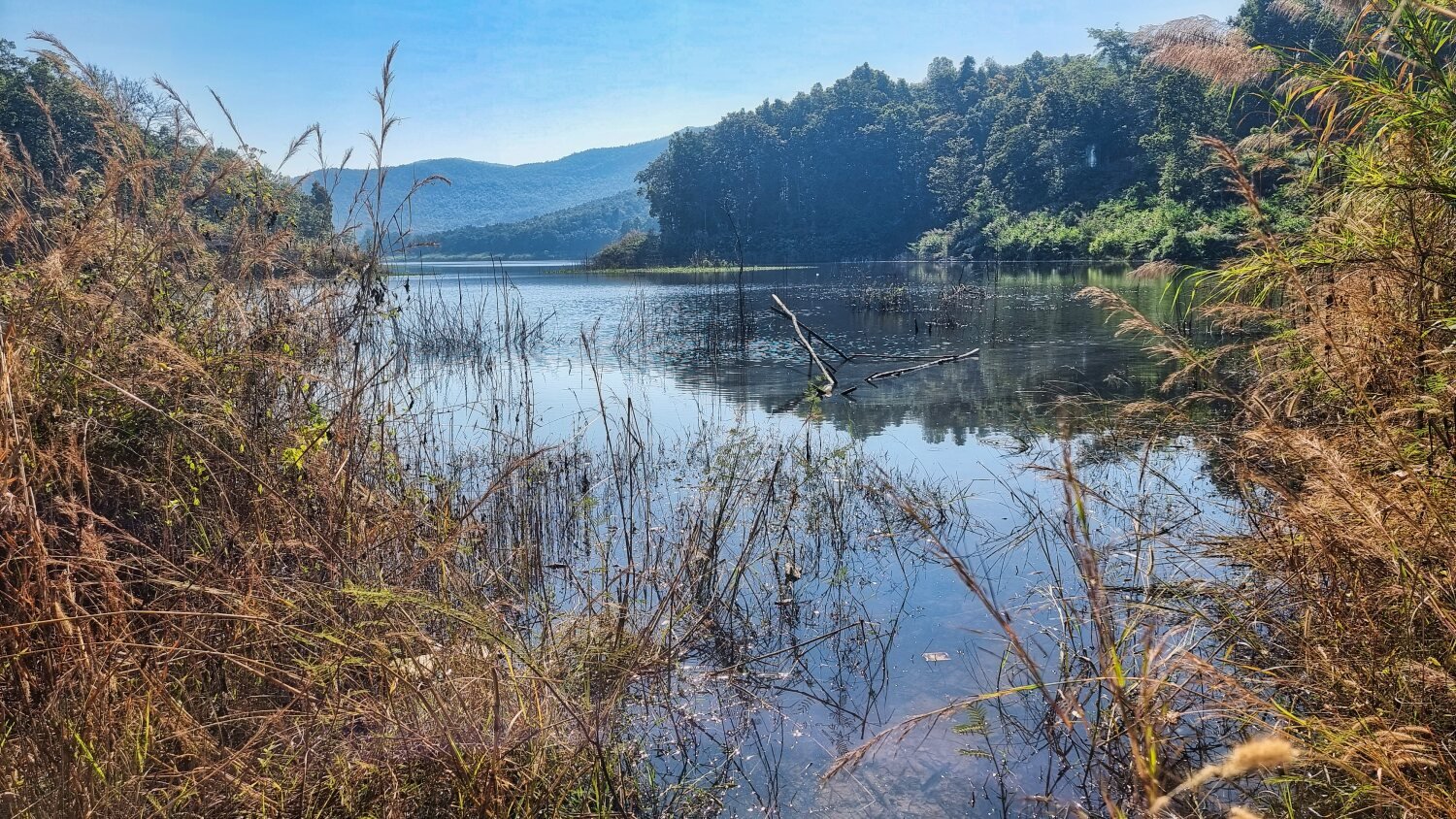
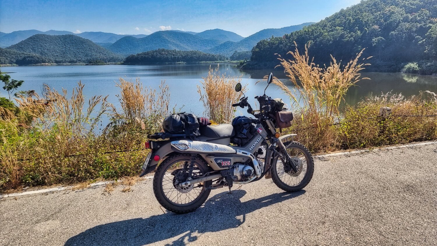
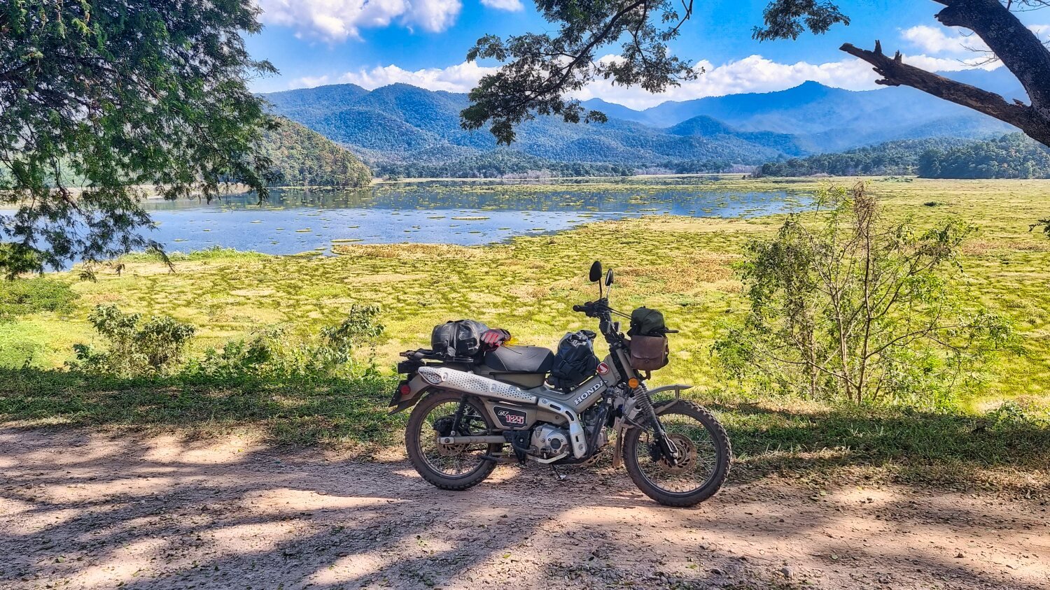
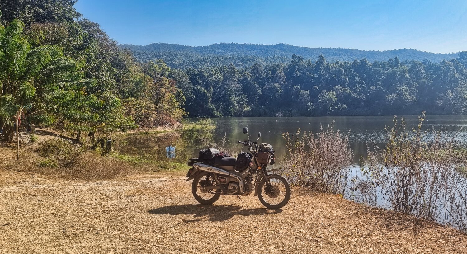
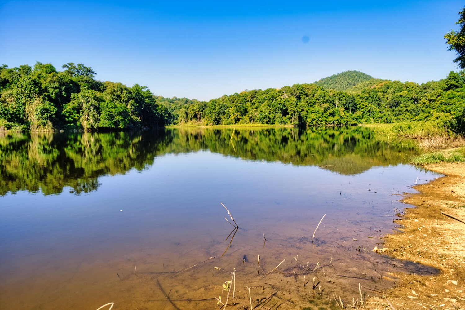
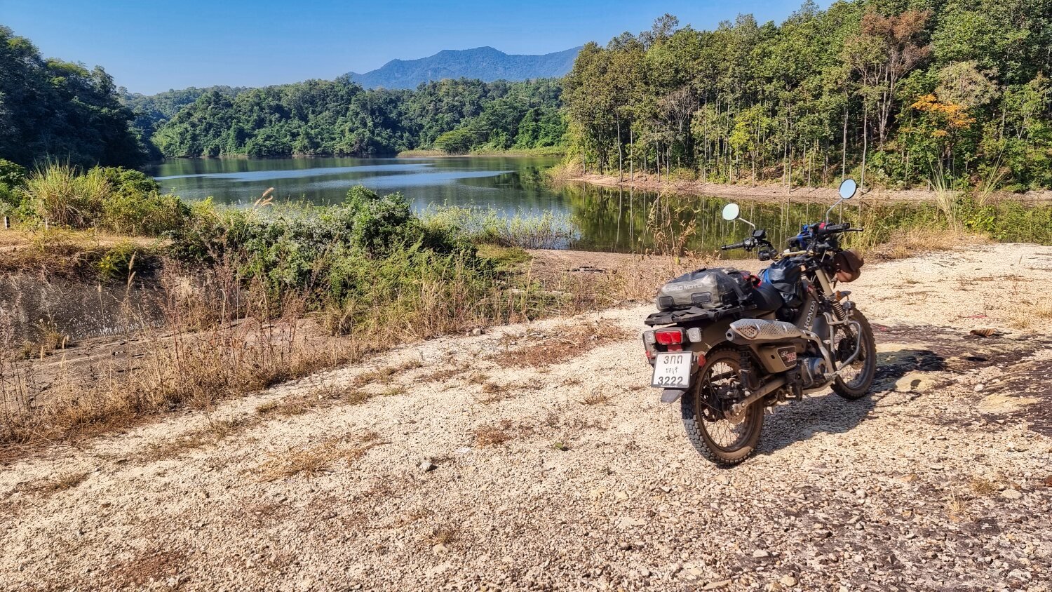
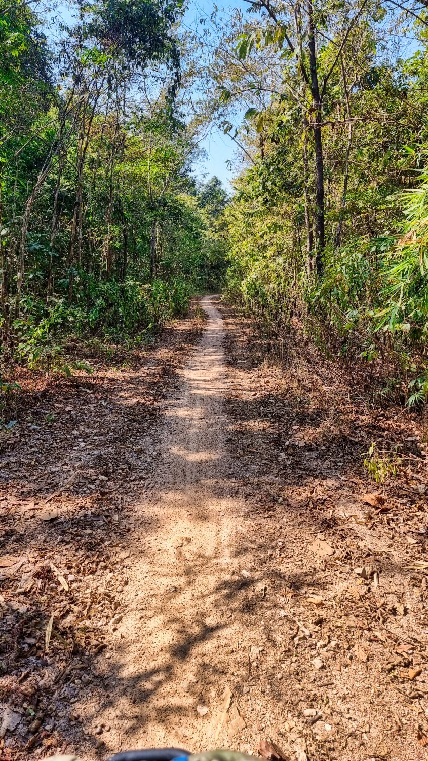
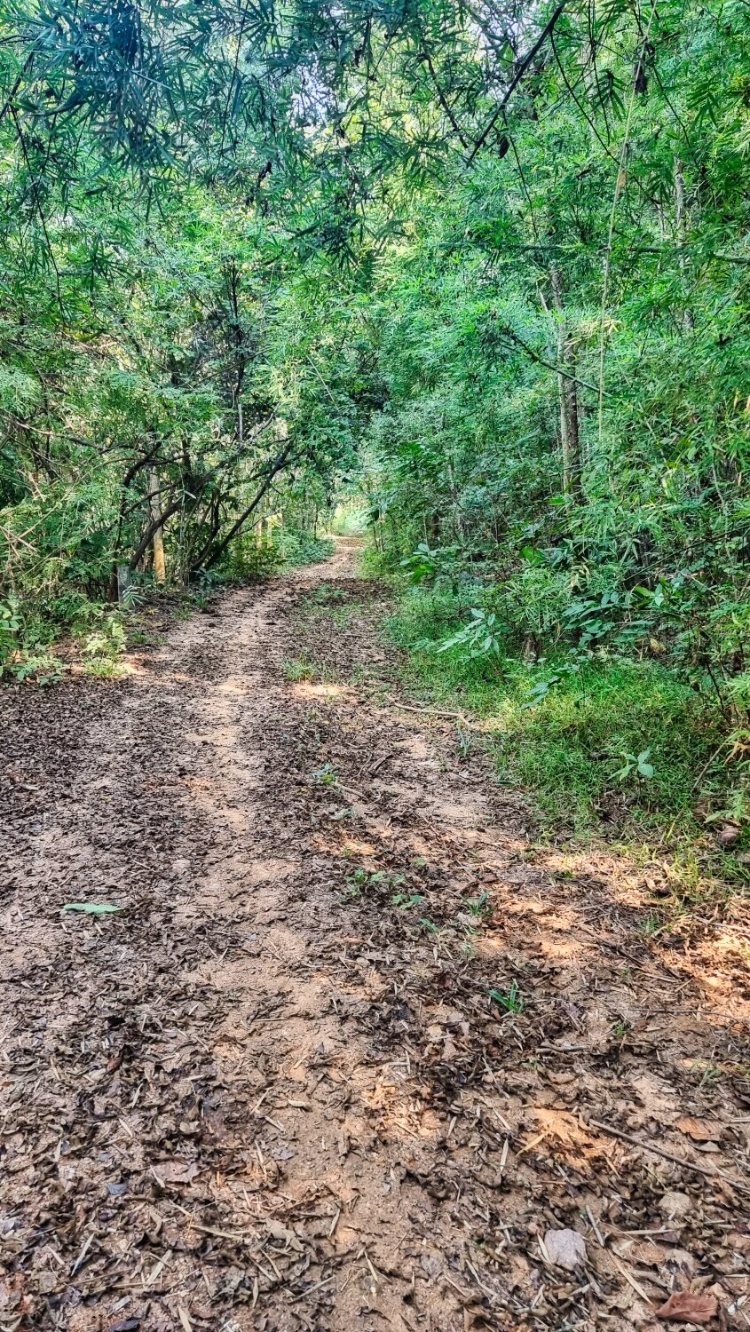
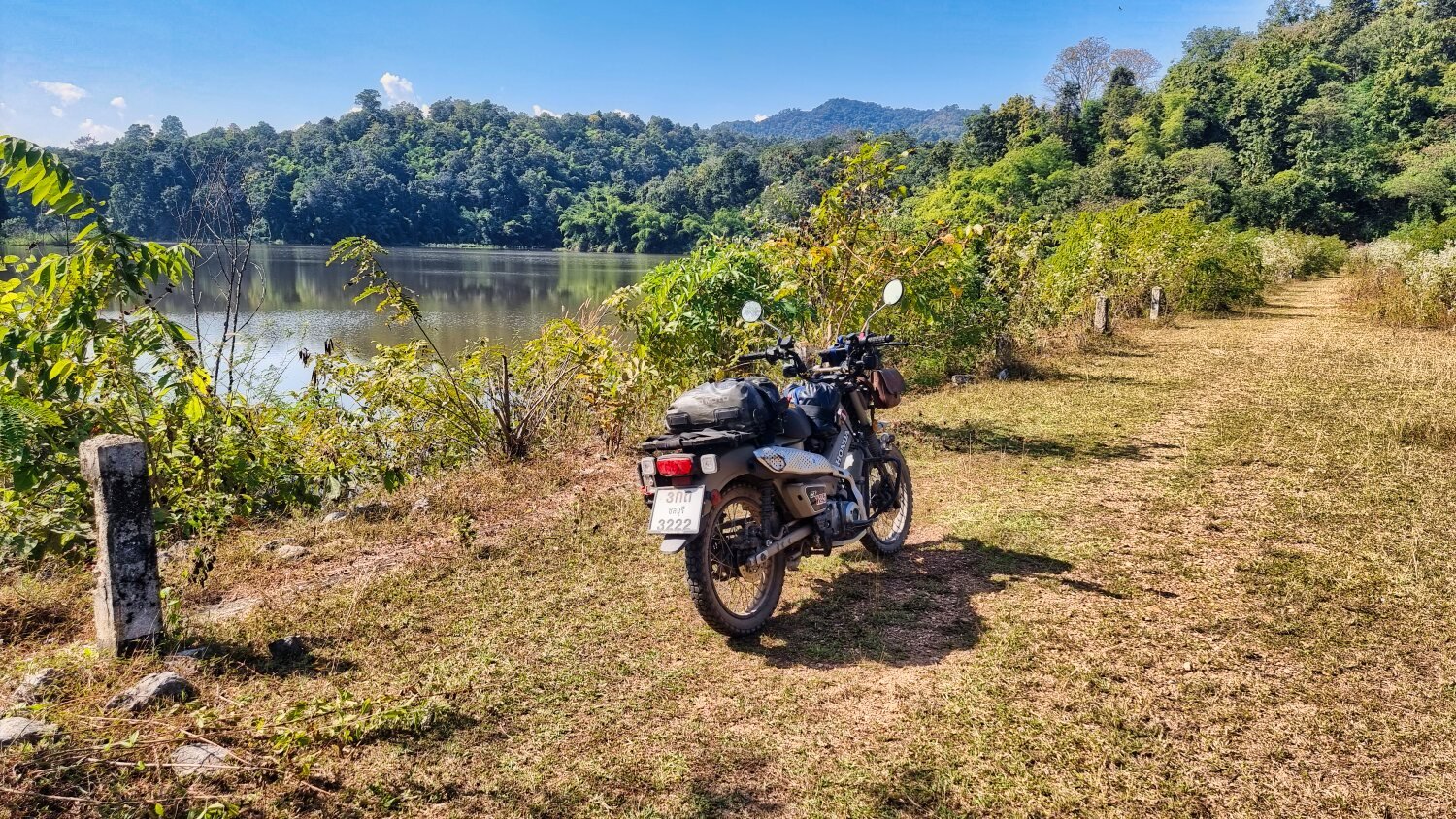
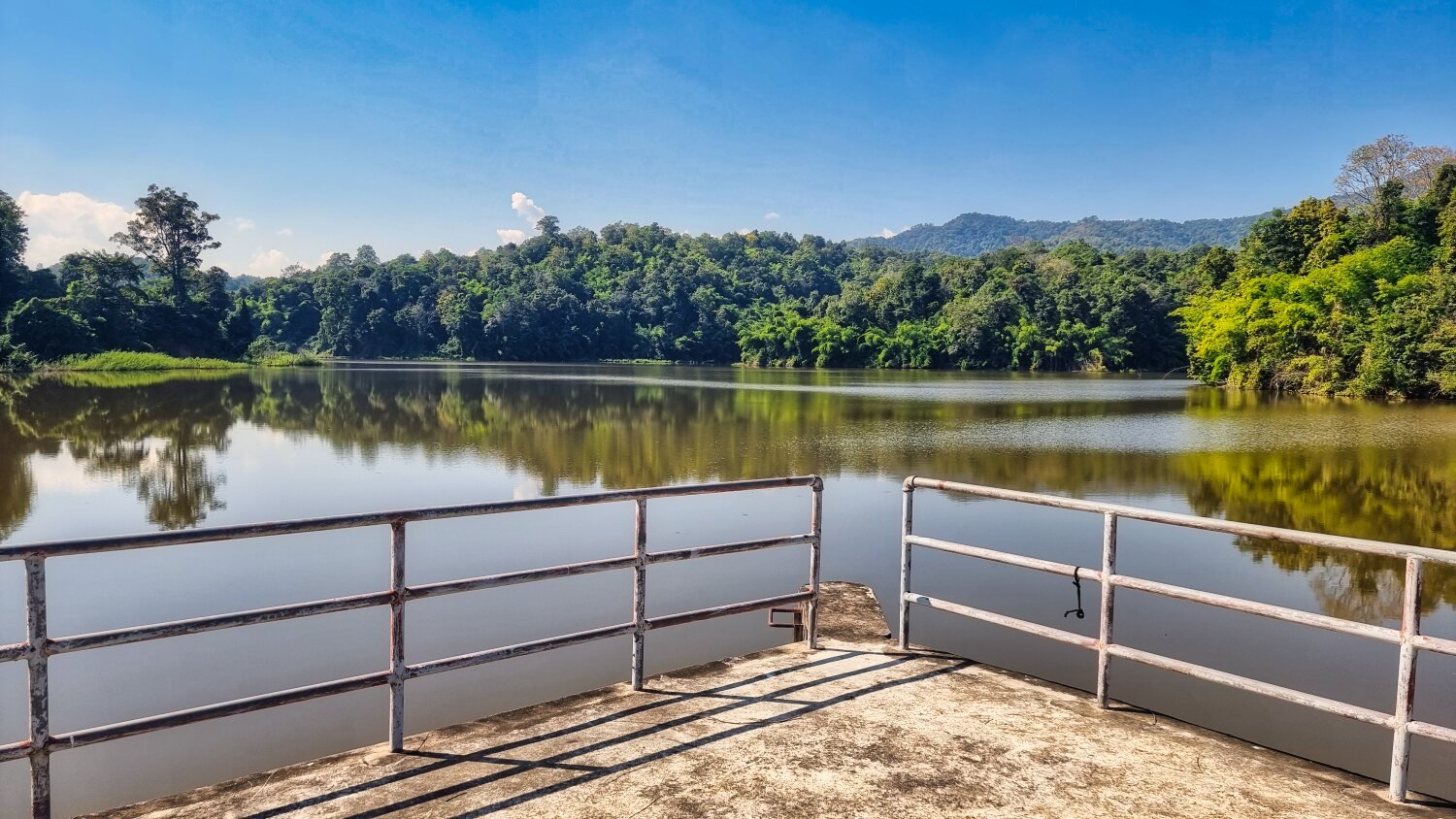
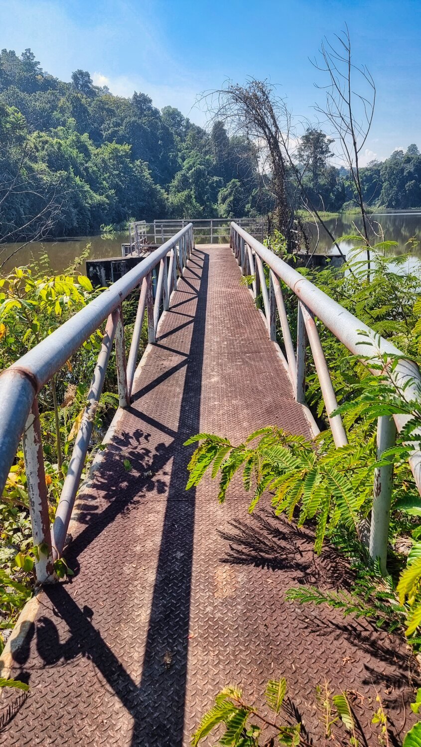
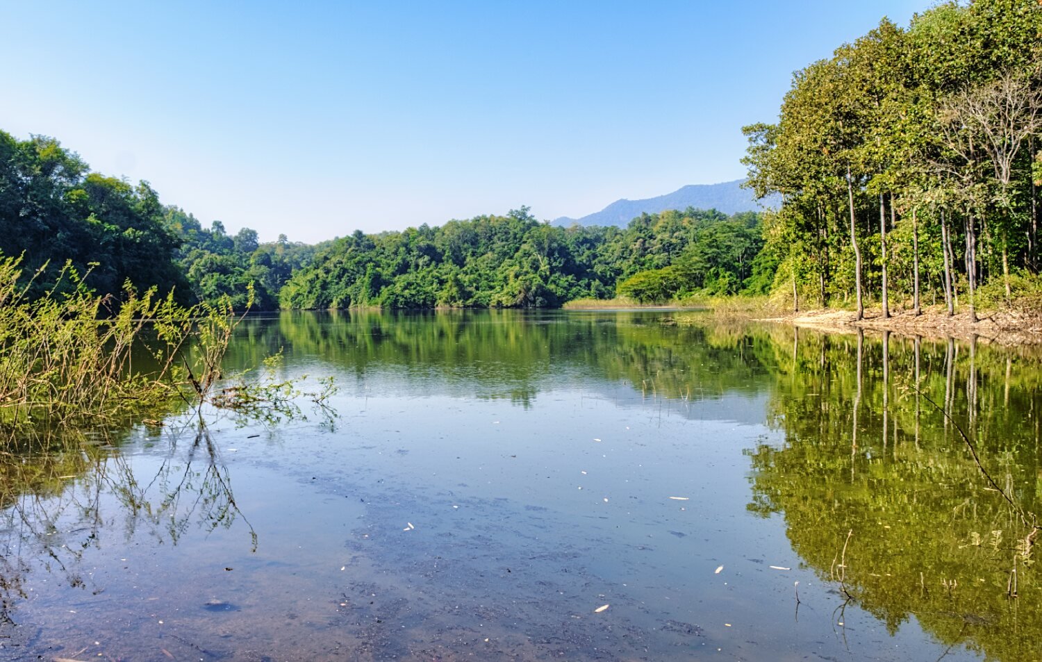
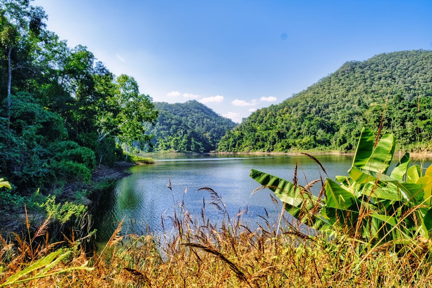
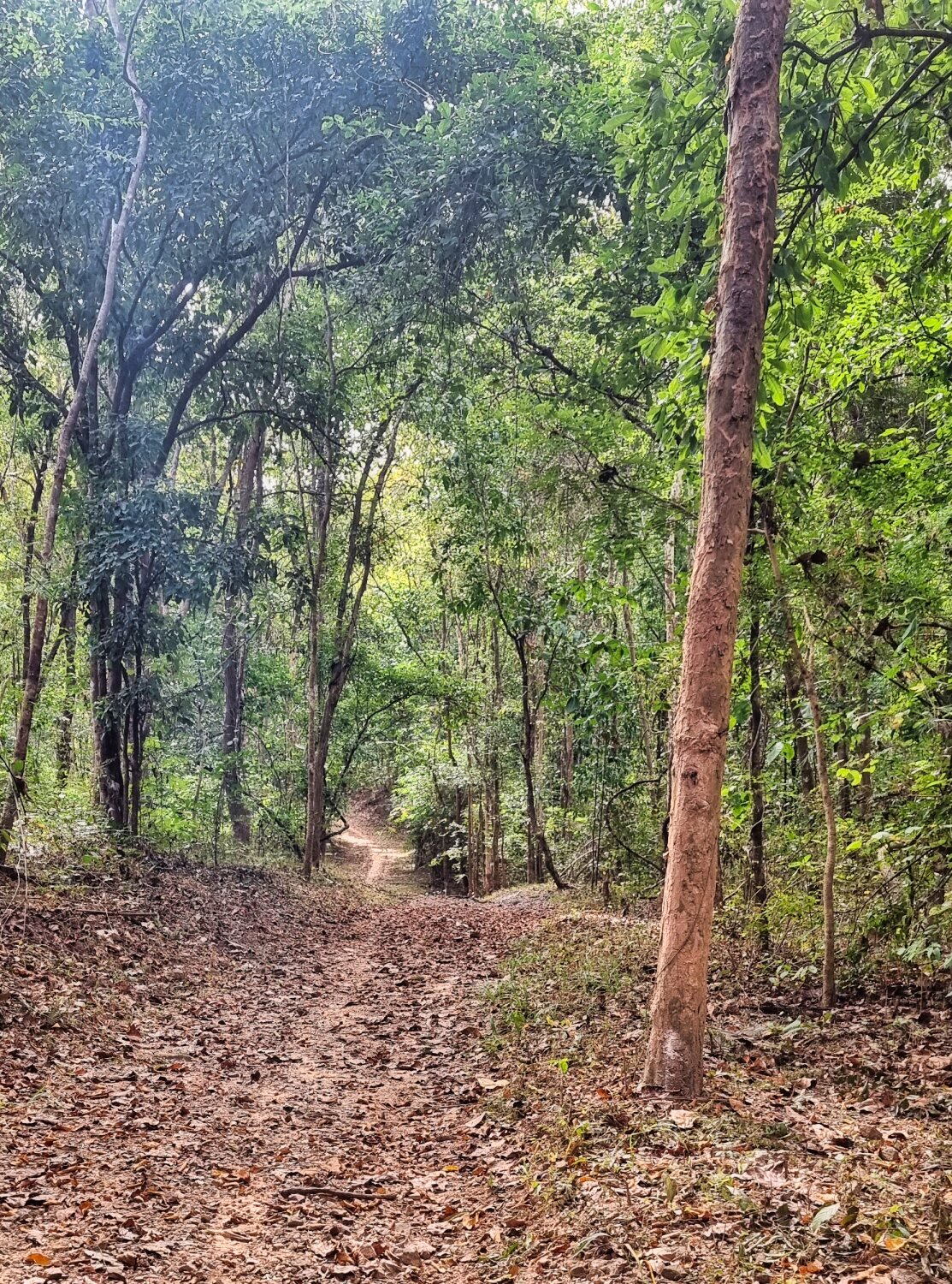
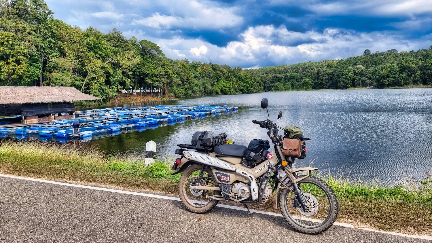
I rode into the jungle for a while before returning and riding to Pong Cho Reservoir, here.
https://maps.app.goo.gl/hiCxzptmXYGNa5WSA
This is where the entrance to Mae Wang National Park is, off road from the south to avoid the pay booth!
https://maps.app.goo.gl/9hqTLKPizngrbrSp9
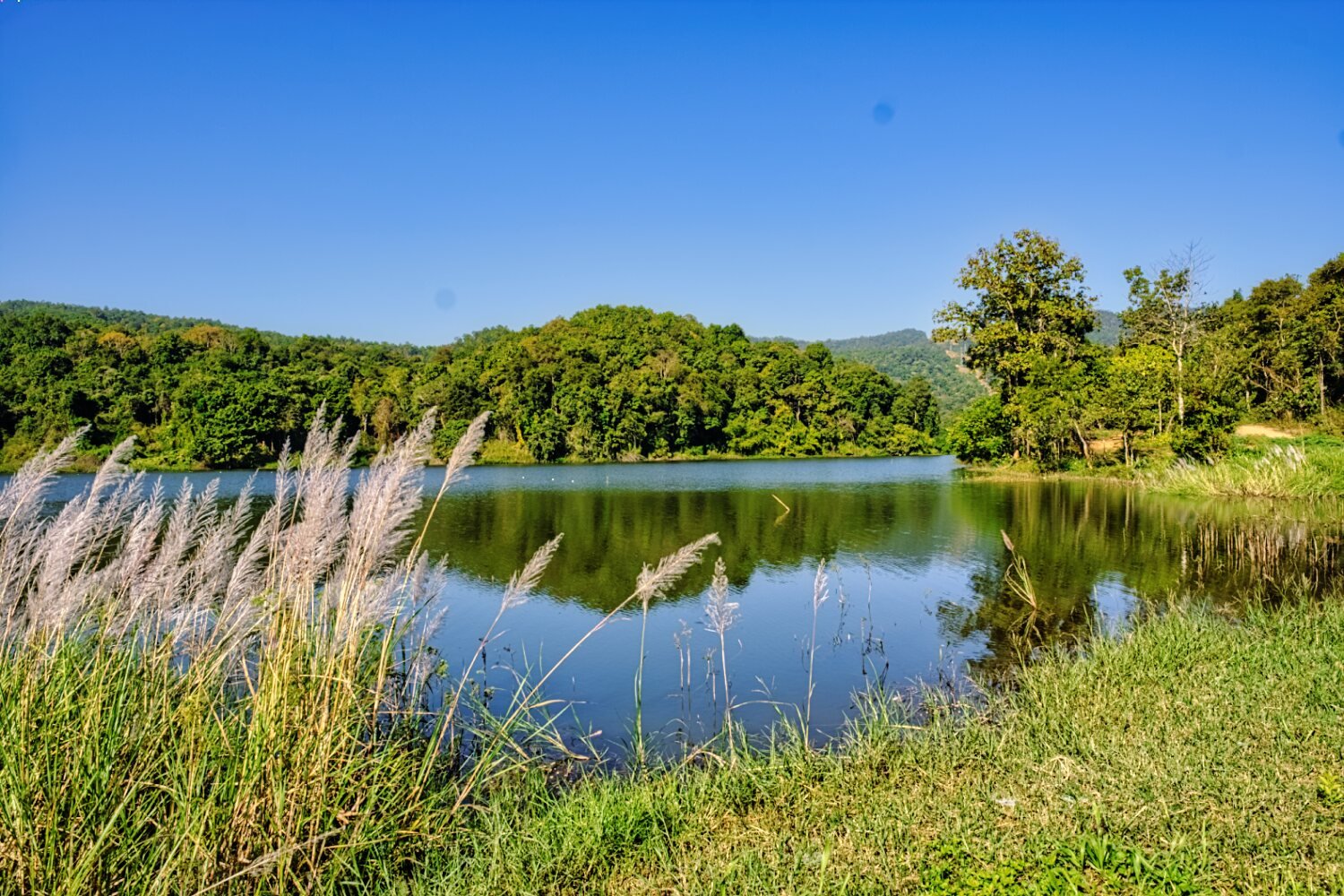
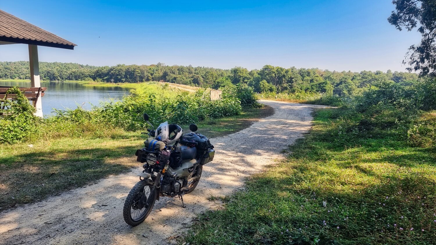
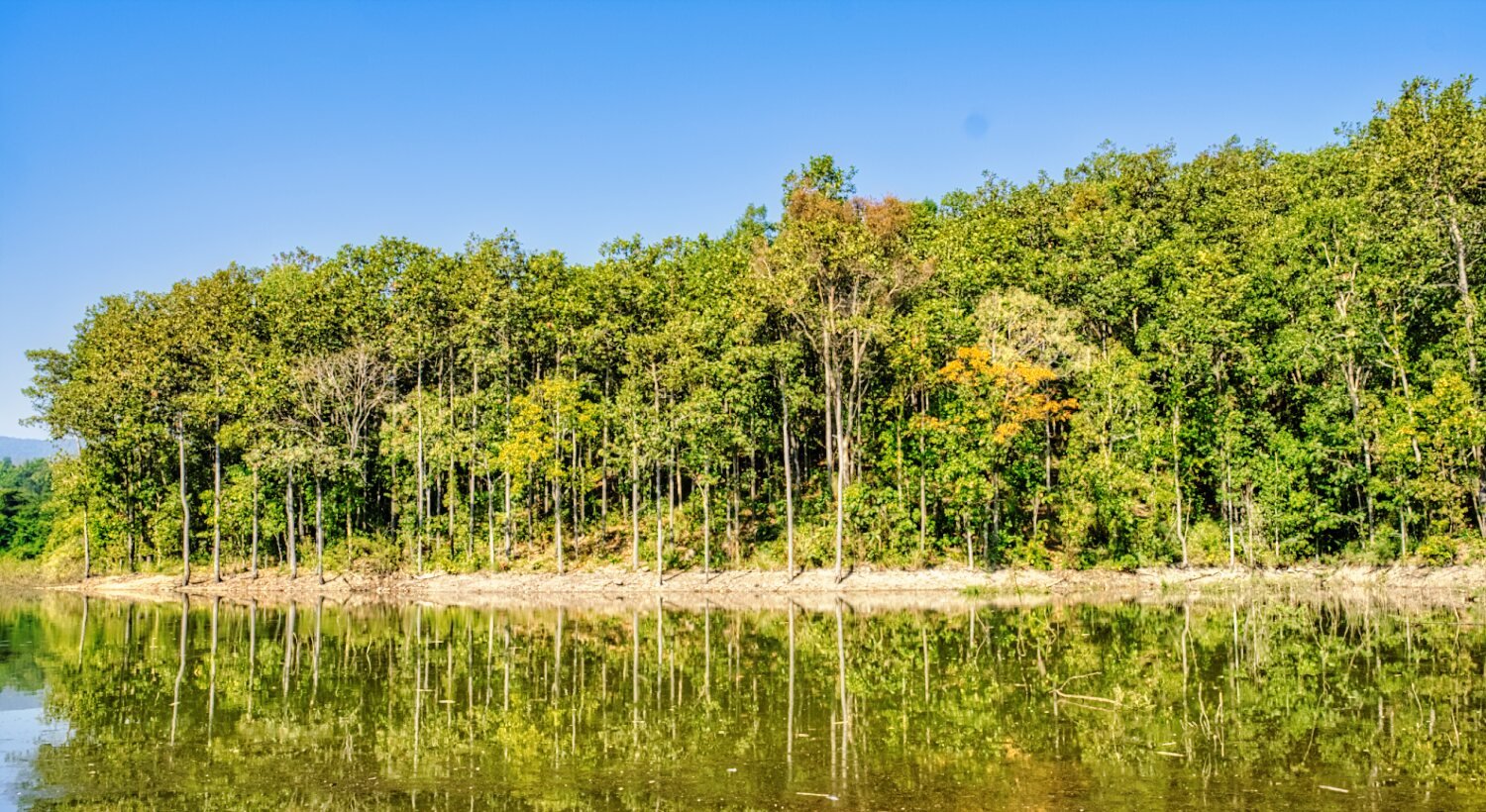
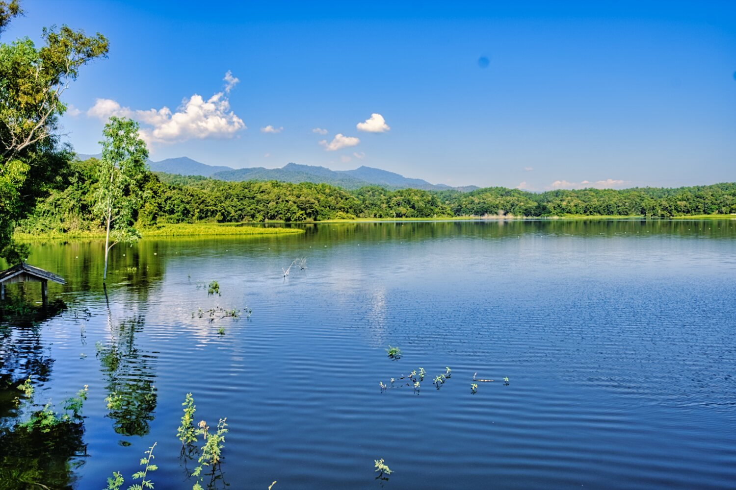
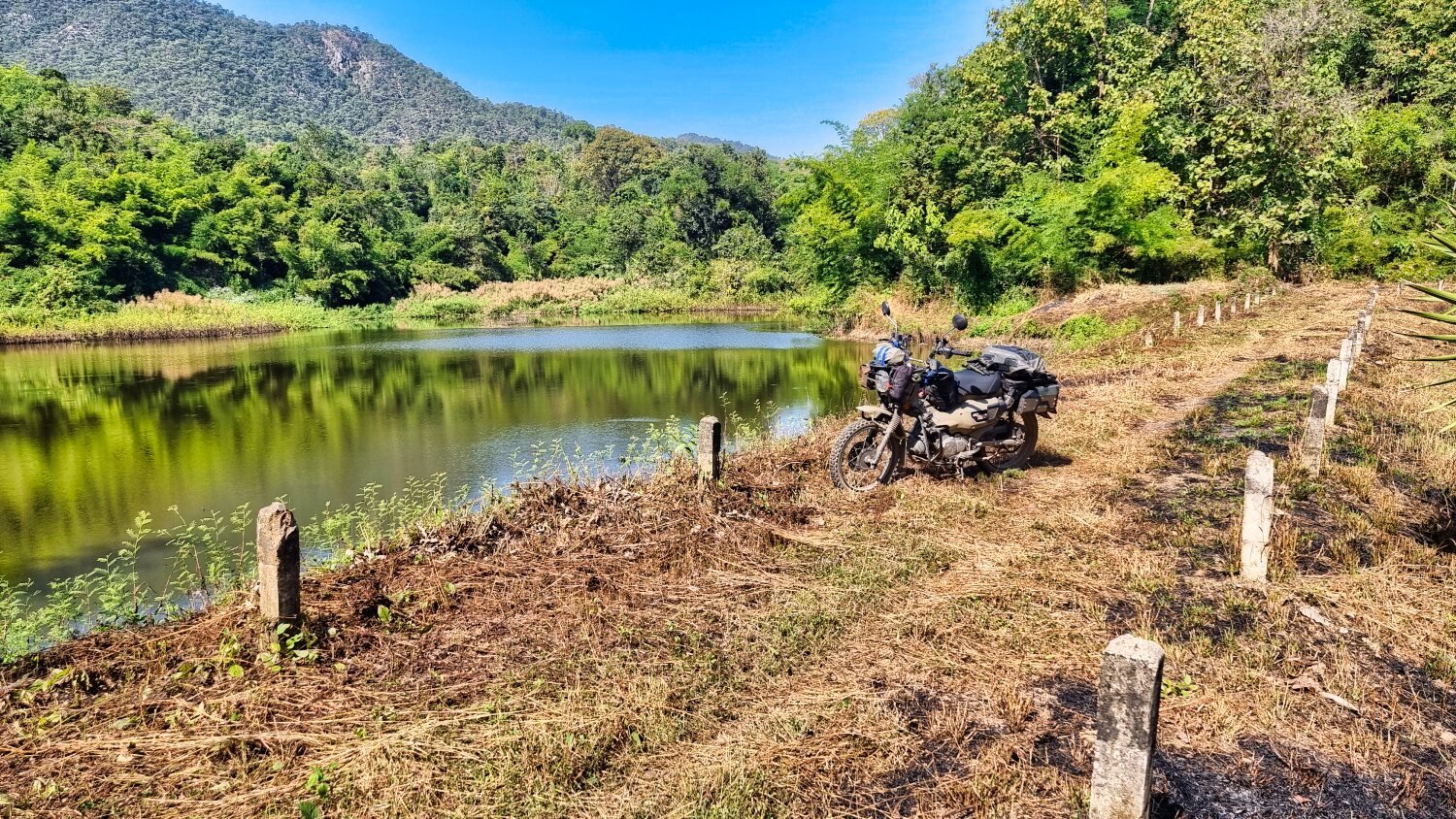
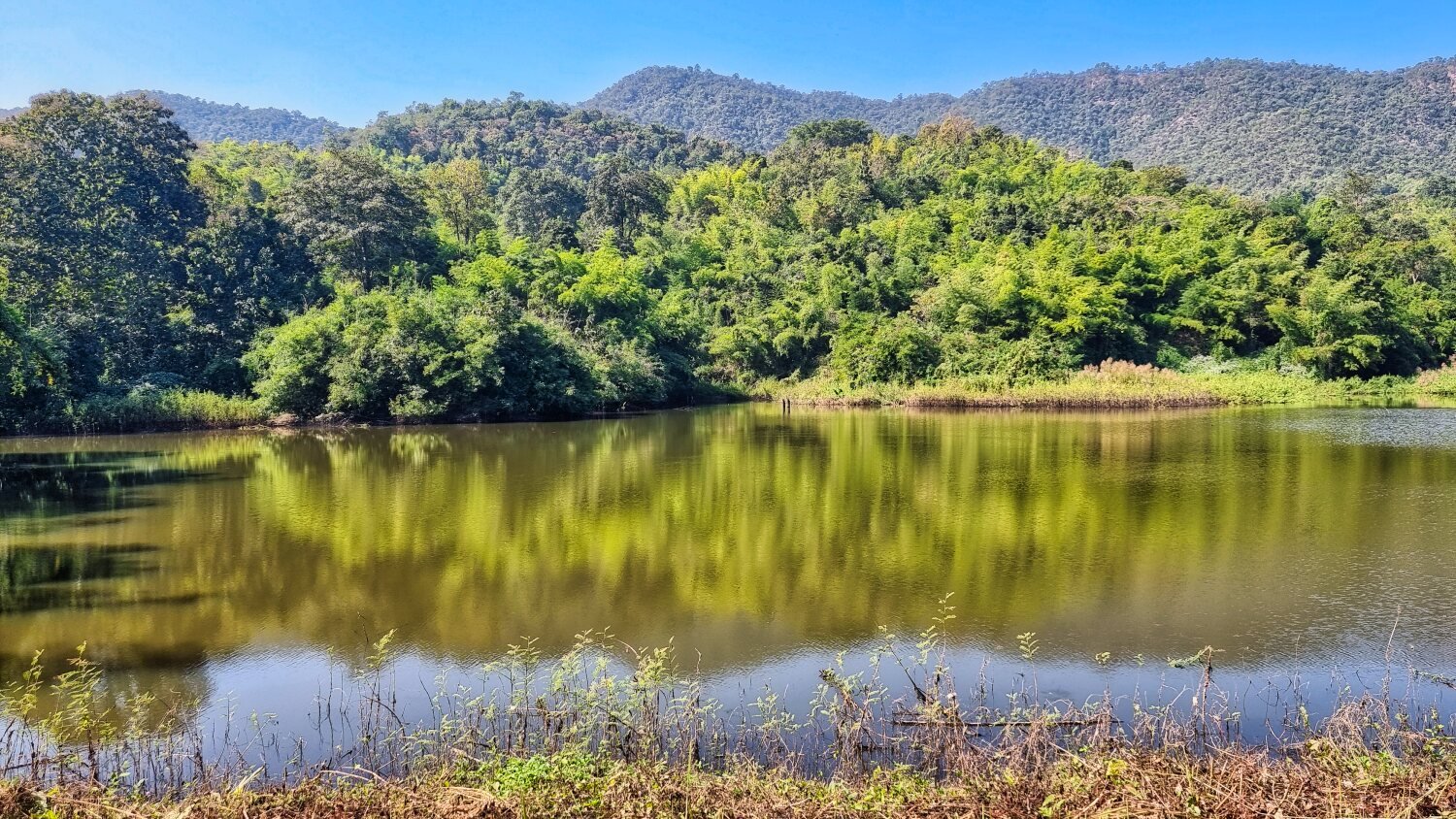
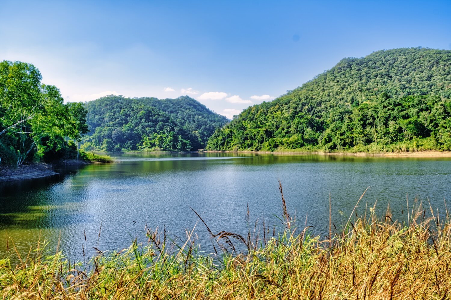
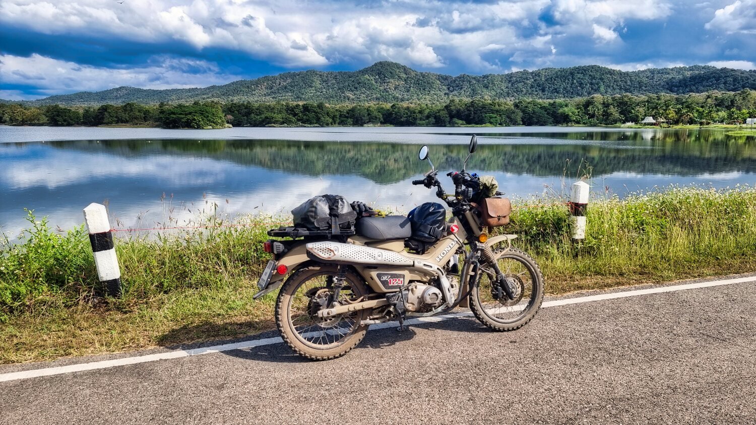
Nearby was Nong Hoi Reservoir, here.
https://maps.app.goo.gl/seWuxFiH3obd5V2g8
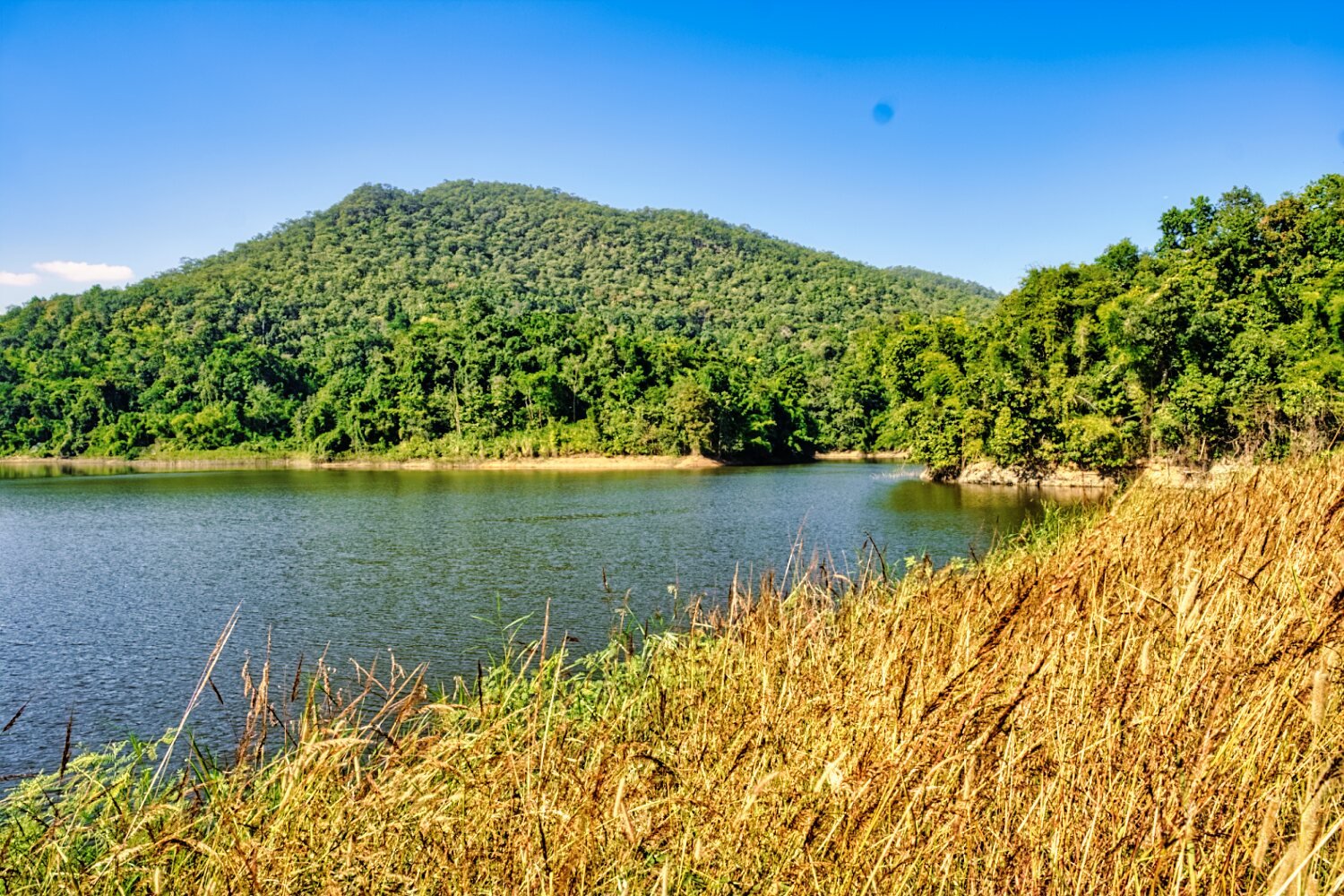
Next was Huai Manao Reservoir, here.
https://maps.app.goo.gl/ribUmfbw9bYscv3m8
https://www.relive.cc/view/v1vjdD19gY6
-
4
-
1
-
- Popular Post
- Popular Post
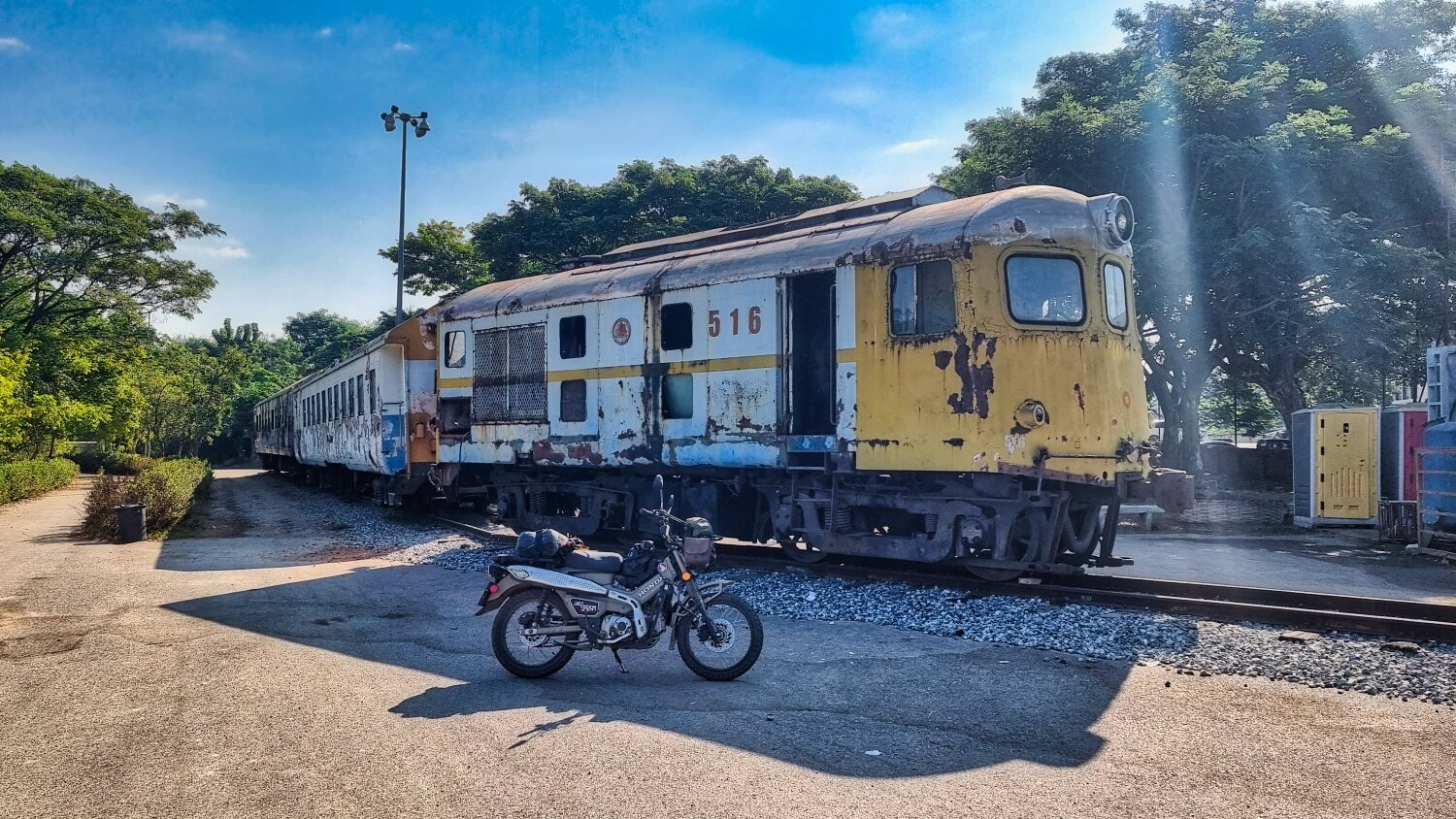
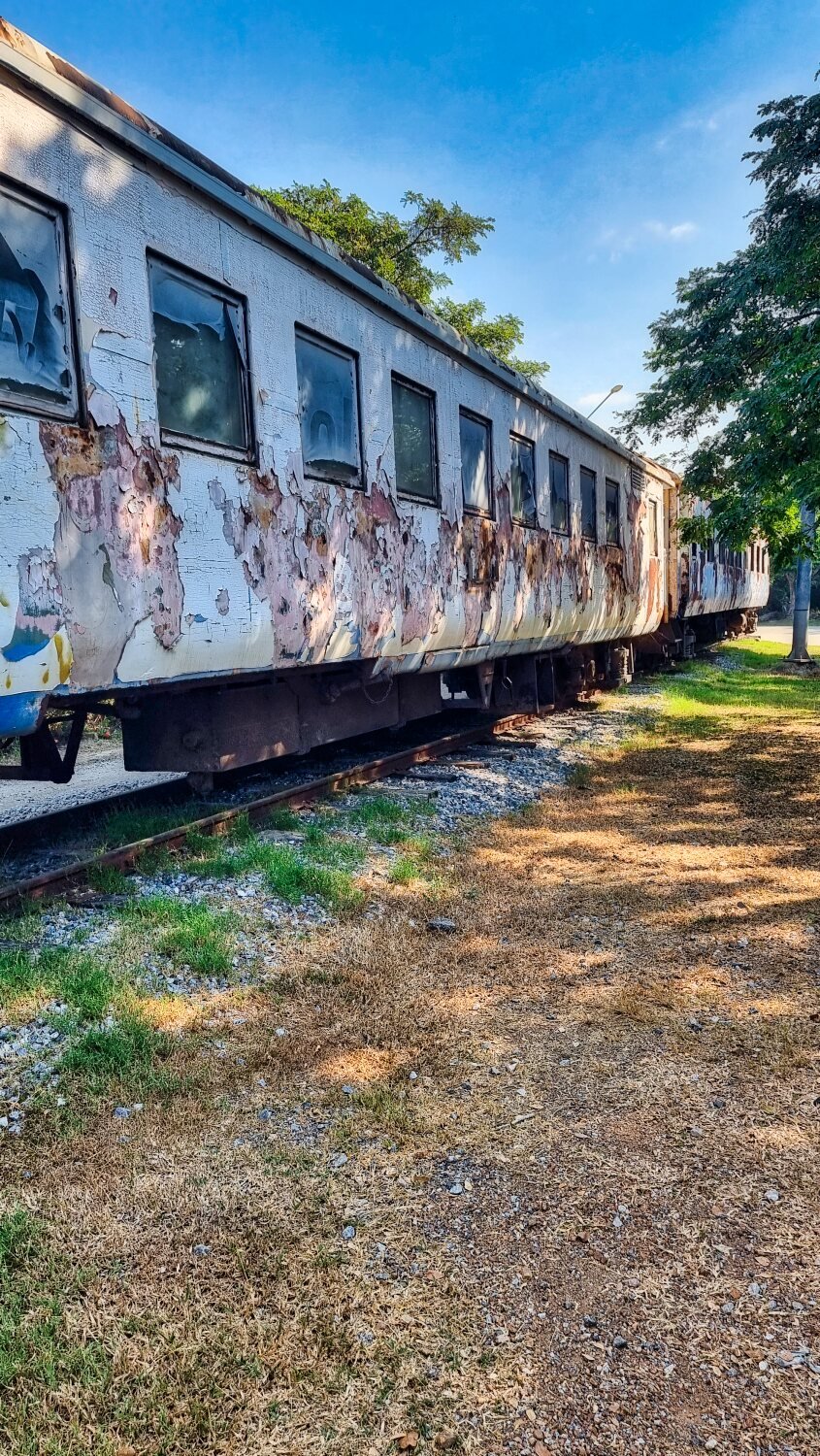
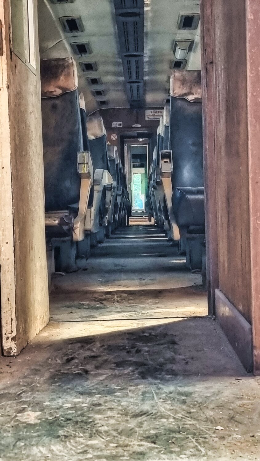
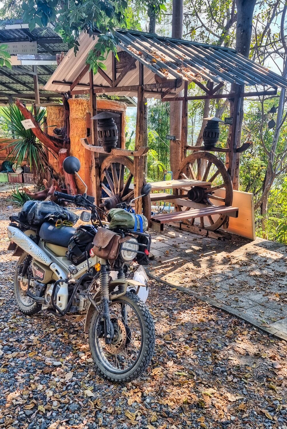
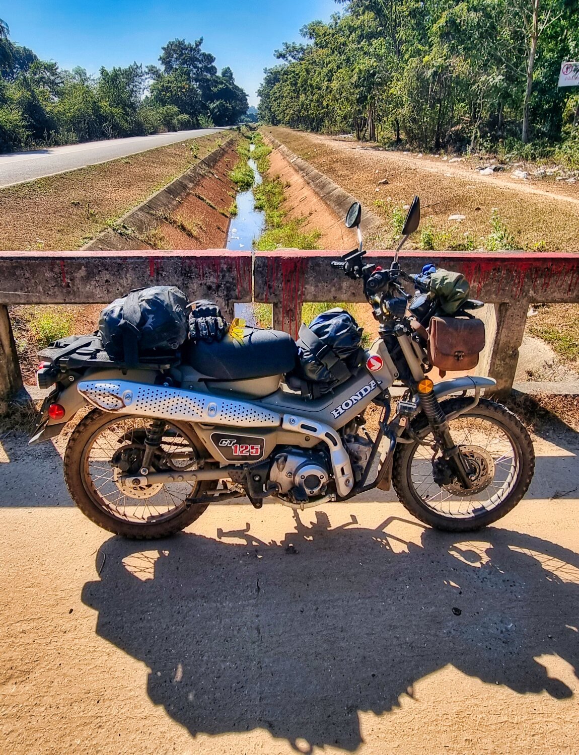
This morning I had new tyres, chain and sprockets fitted along with an oil change. A single guy working at his shop, good work and price, worth noting I think, he is behind the Lux Hotel, here.
https://maps.app.goo.gl/iPUqgEvR4N86Wn4n6
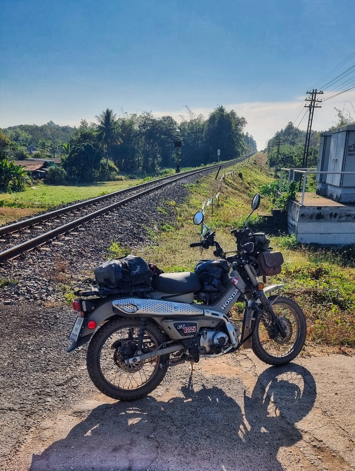
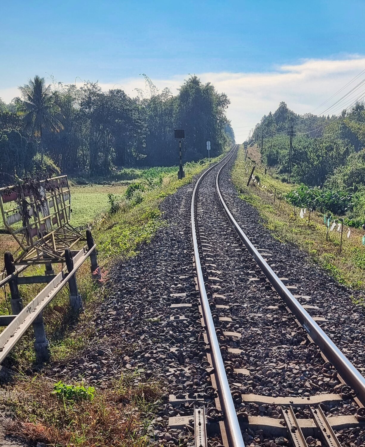
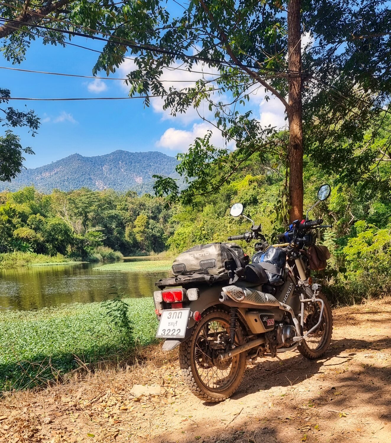
After that I had a short ride down to Lumphun on the railway side road and the giant rubber tress before looping back alongside the Ping River.
https://www.relive.cc/view/vMq53GZnP8O
-
2
-
1
-
13 hours ago, novacova said:
We rode out in that area today, Doi Thon and a couple reservoirs then to Lamphun, bike is a little big for much off roading…

CT125 is great for this style riding, slow in the mountains though
-
1
-
1
-
-
- Popular Post
- Popular Post
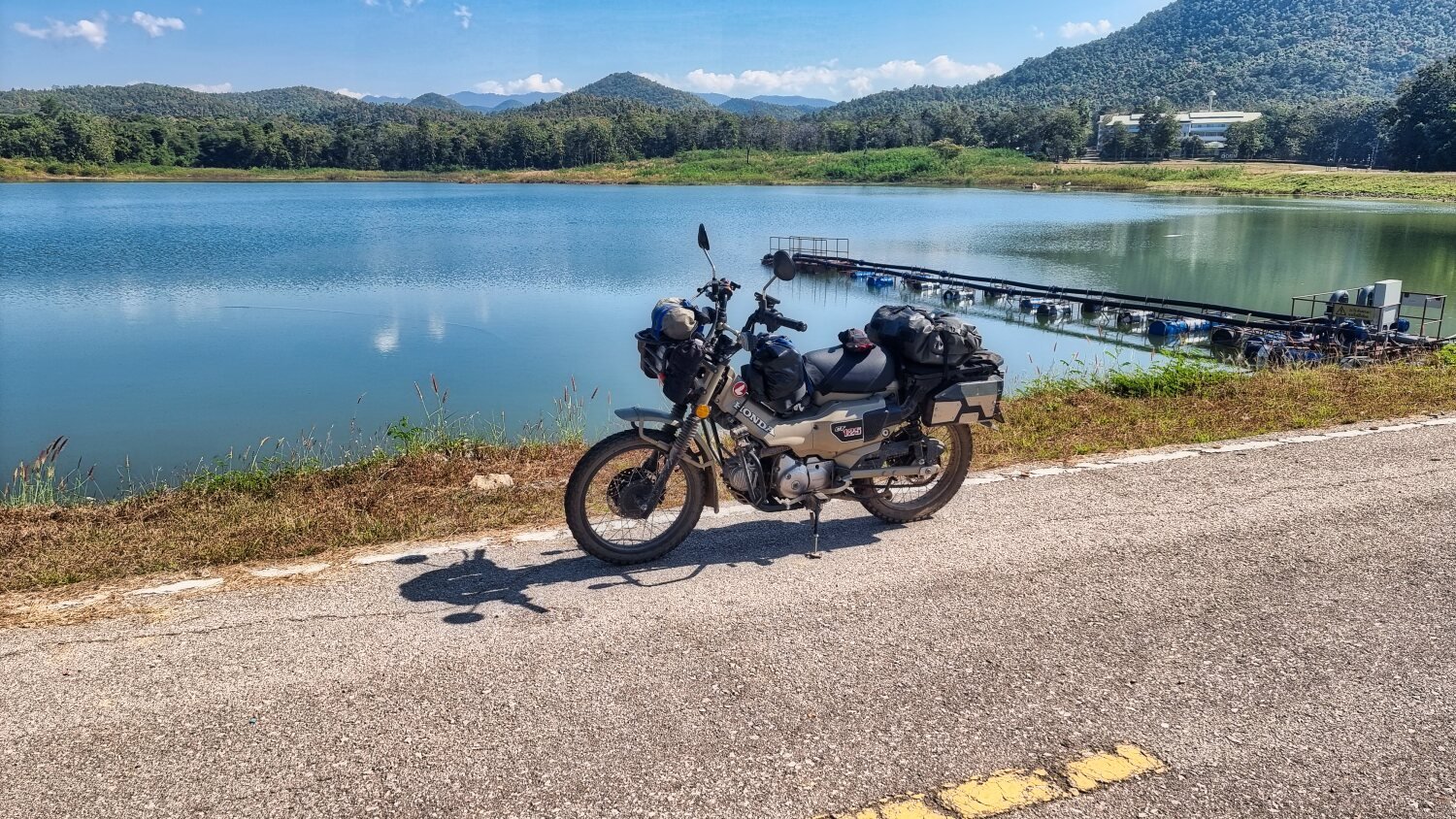
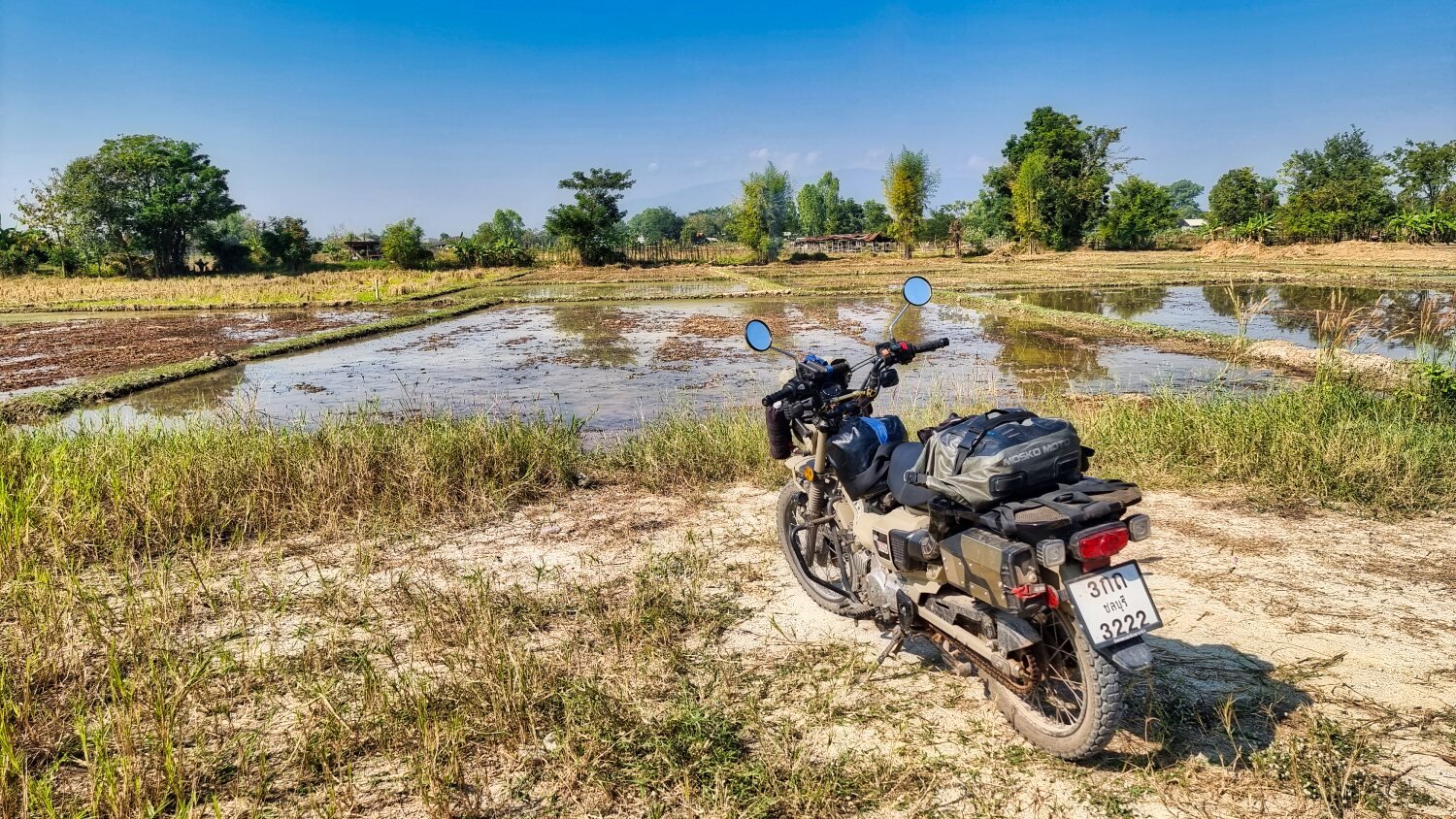
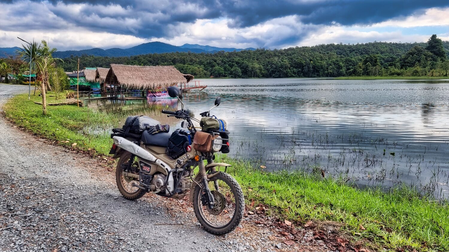
Today was day 60 of my trip and New Year ’s Day. I headed south of Chiang Mai searching for reservoirs again.
My first stop was Mae San Reservoir, here.
https://maps.app.goo.gl/WGdg654ovpEJoFoa6
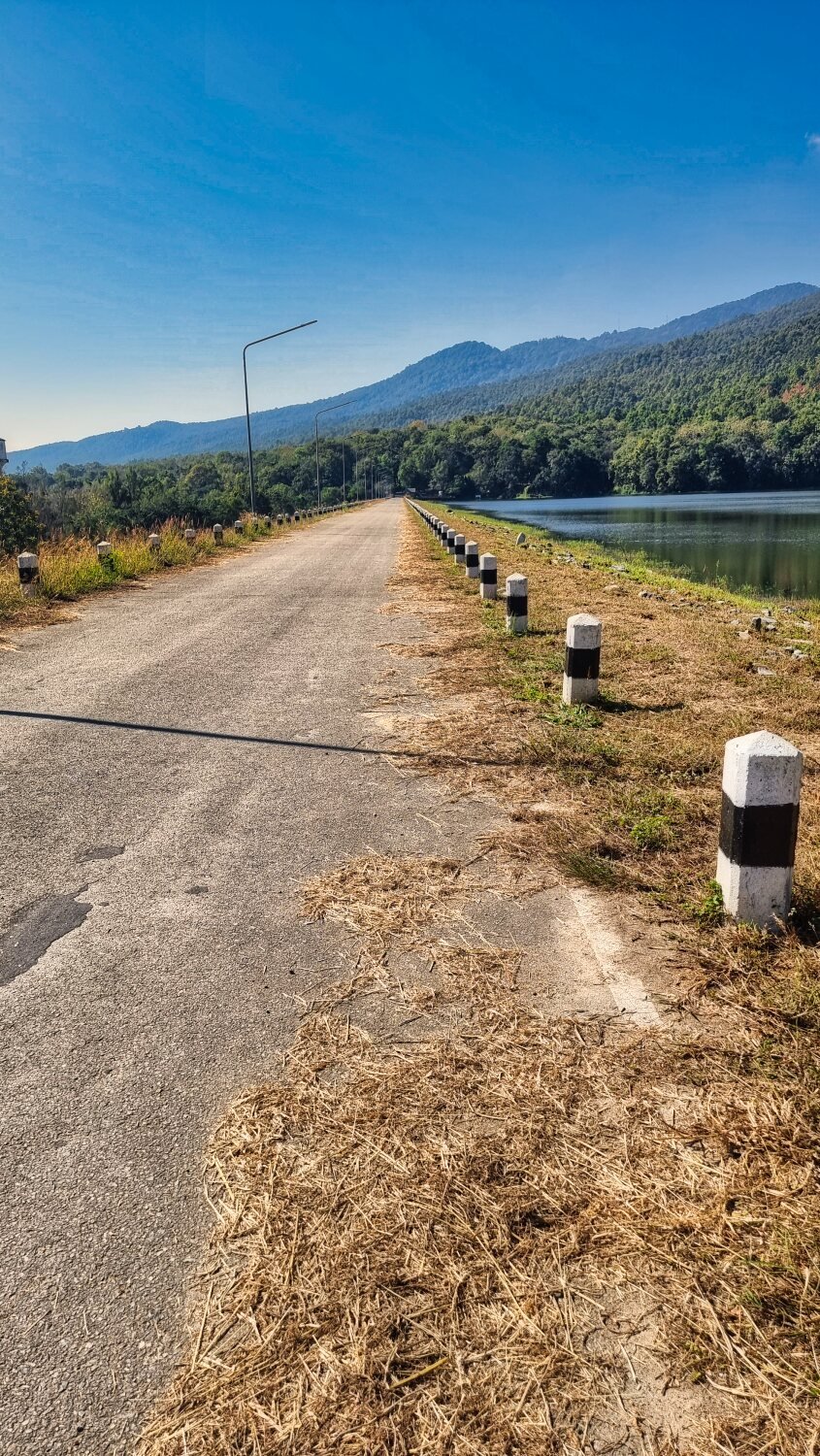
The off road tack to it is directly off R11. There are two dams that I rode across here, before the first I carried on down a small track until I found a local’s motorbike by the side of the reservoir. Riding back I then crossed the first dam and rode over a small hill to find the second dam, which was a great find and I’m glad I went exploring.
I failed to connect with the track I needed to my next stop and had to ride back on R11 before a U-turn into Chiang Mai University Education Center, Hariphunchai. After thee small reservoir there it was off road riding for a fail while then small roads to Si Bua Ban Reservoir, here.
https://maps.app.goo.gl/CCibaaW1wV5abwYJ8
Next I found Nam Mae Tip Reservoir, here.
https://maps.app.goo.gl/F6yjeWBAXTfNuJACA
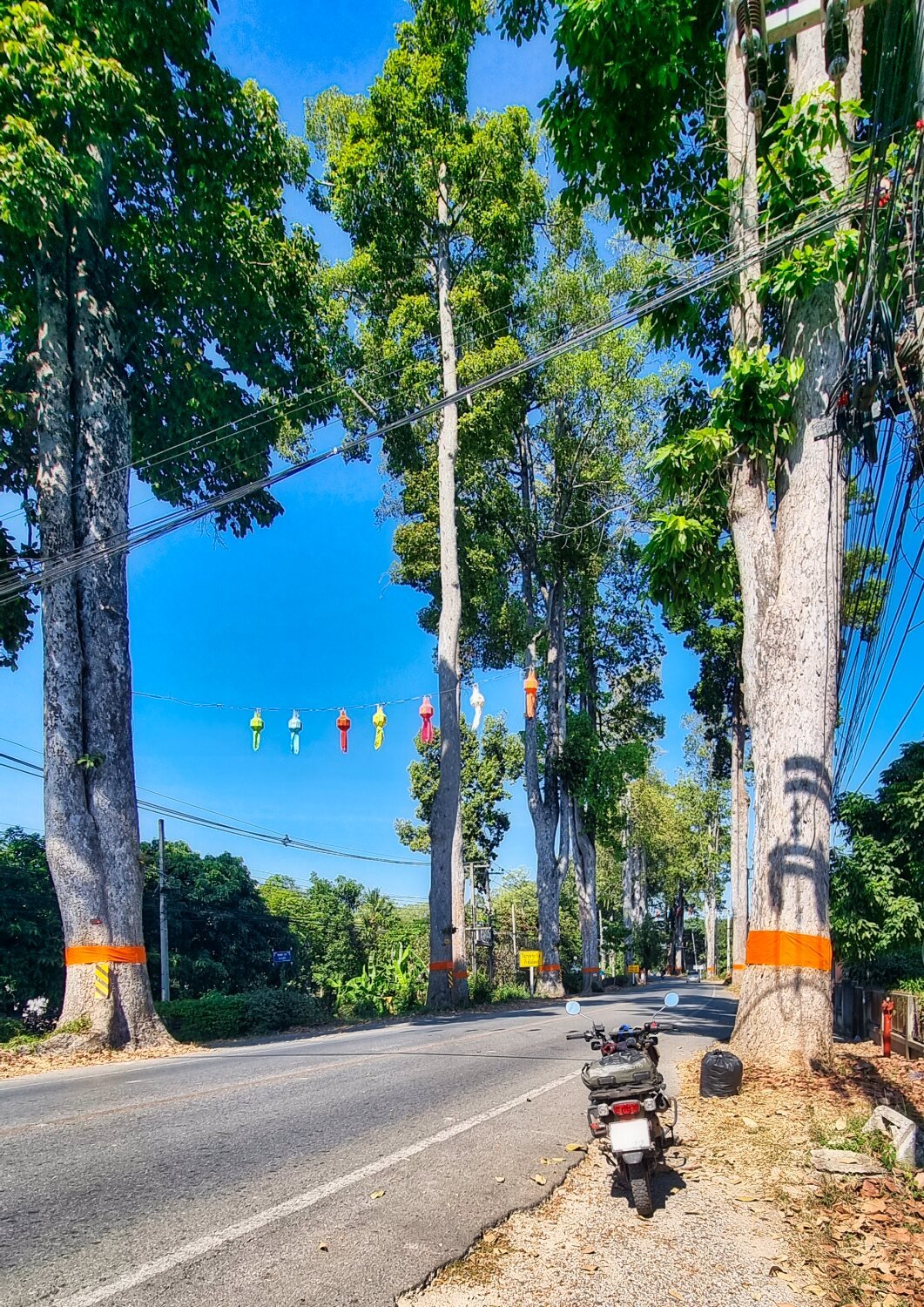
I then started my ride back and found R106 lined with huge rubber trees, here.
https://maps.app.goo.gl/jkXcqaU4Tyiccrw37
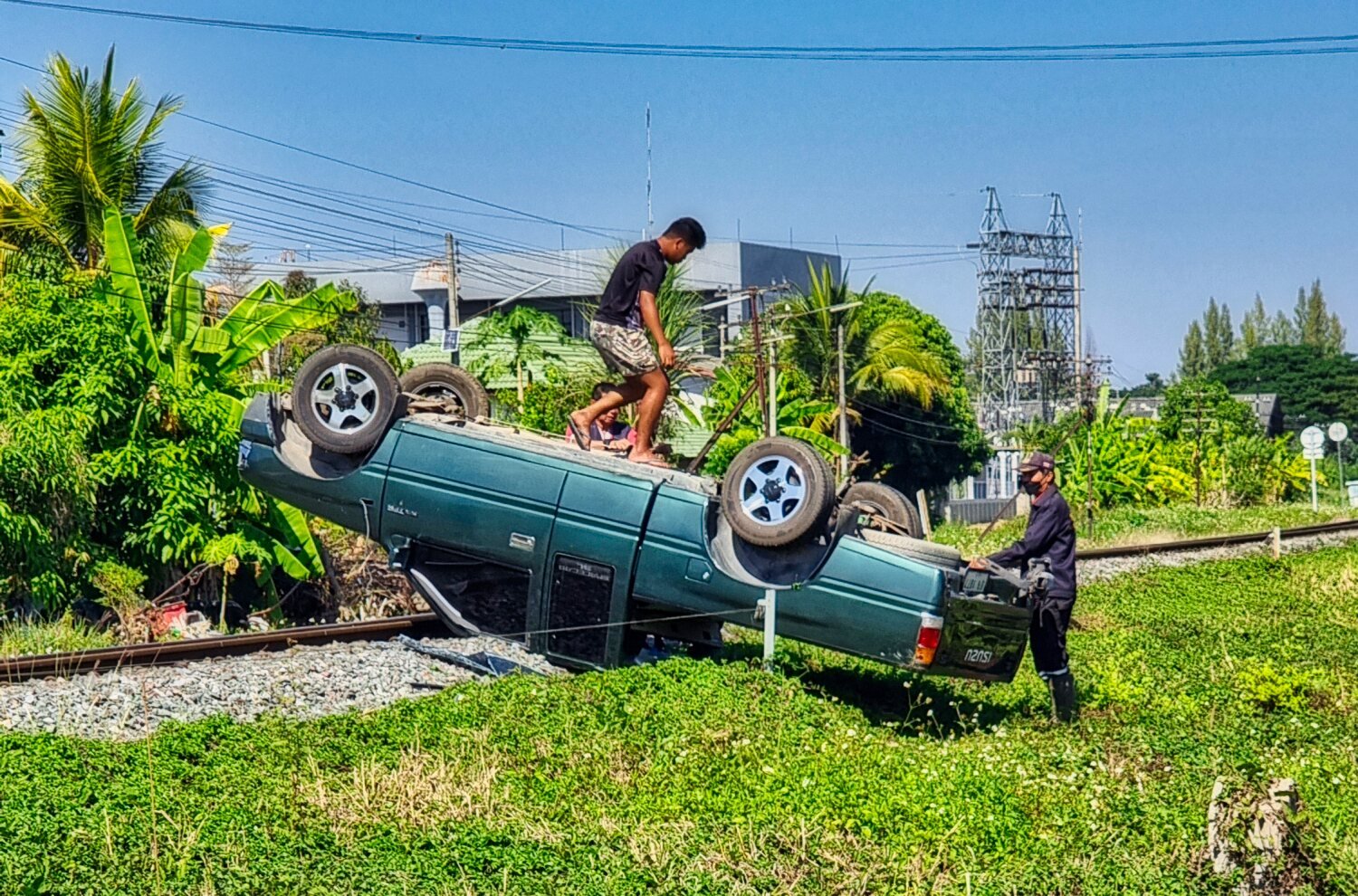
Finding the road that runs alongside the railway I used it for the first time, much nicer than the bypasses.
Along the way I saw a car parked upside down on the railway line, Incredible parking!
https://www.relive.cc/view/vXOdXBgMX4O
-
3
-
1
-
- Popular Post
- Popular Post
Today being News Years Eve I decided to stay local and went to explore Navamin Reservoir in Chiang Mai which is near the sports stadiums, here.
https://maps.app.goo.gl/A2hygTCBRyEZ6wPB9
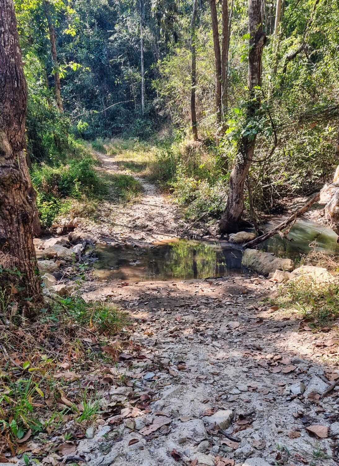
Once I crossed the dam I tried to loop all around the reservoir, after a few attempts I thought I had found my way, but after passing a small waterfall and crossing a stream I came the track stopped at the waters edge. I decided to call it a day and go and have Sunday Roast at Annies in the City.
-
2
-
2
-
- Popular Post
- Popular Post
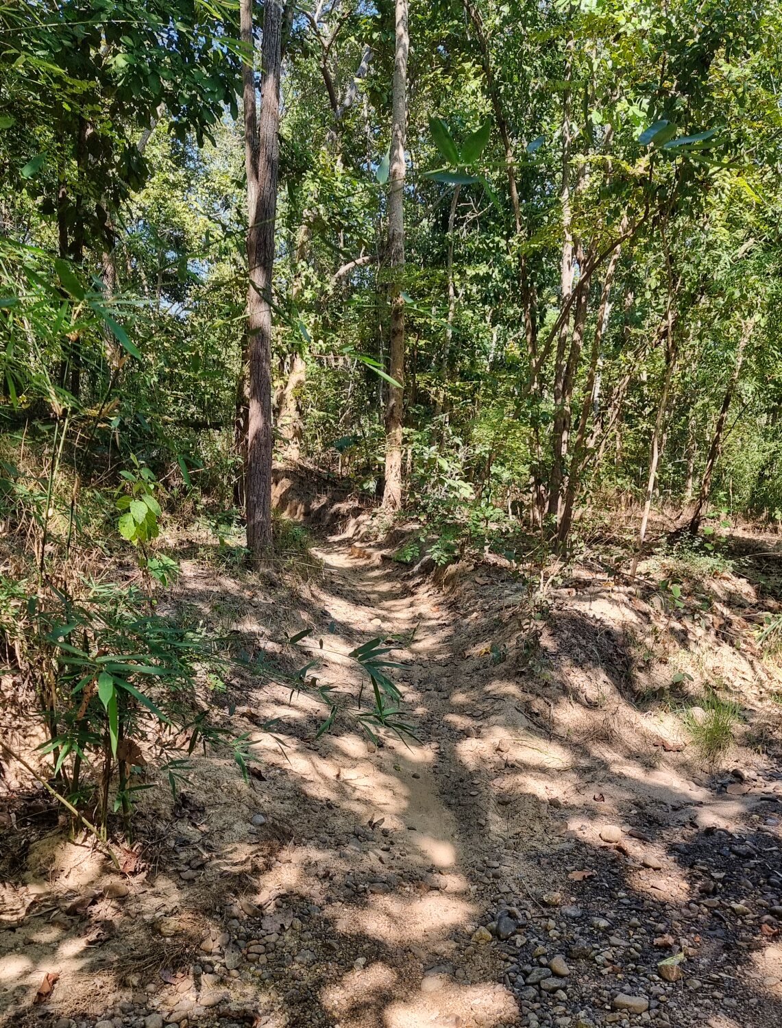
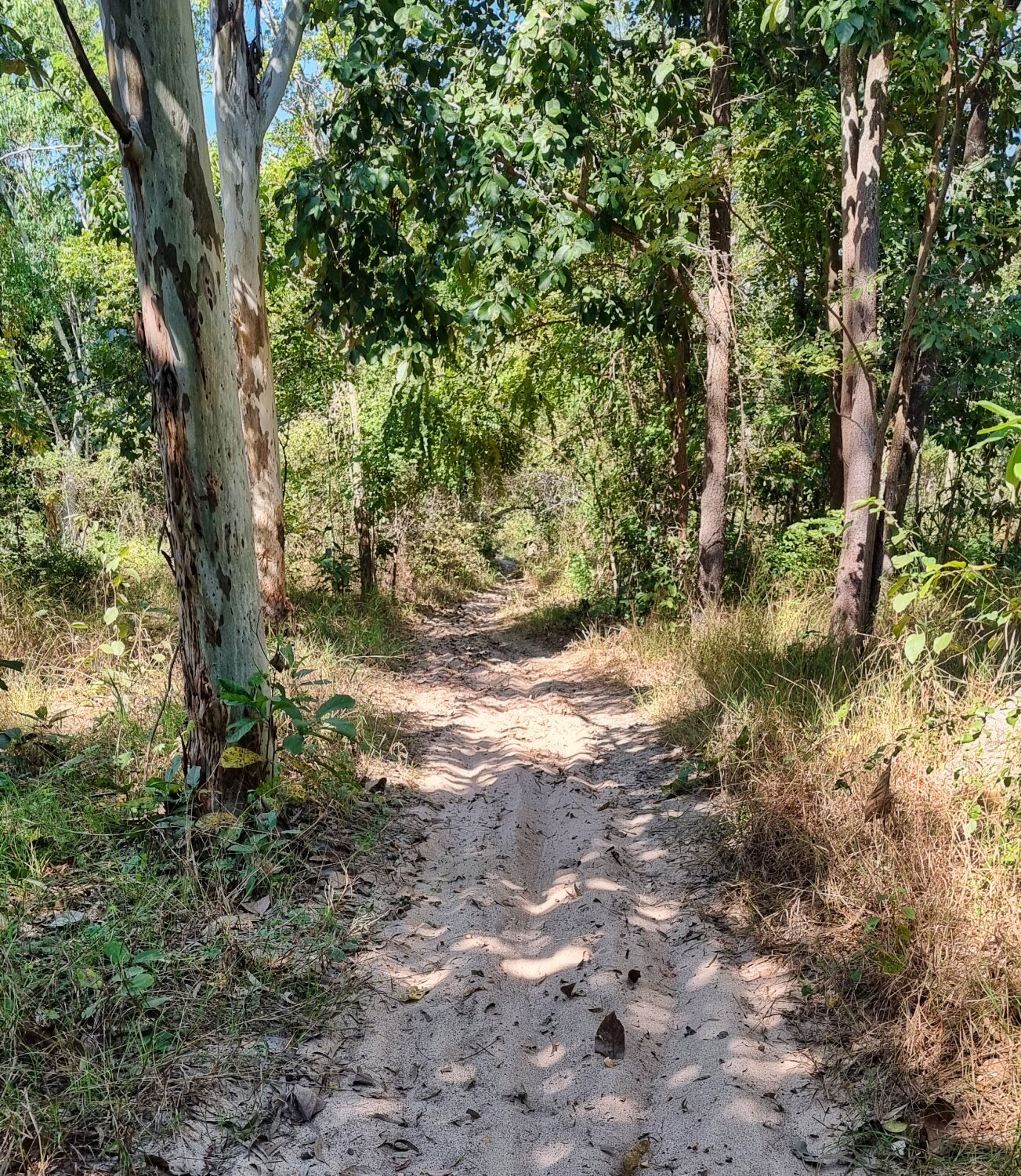
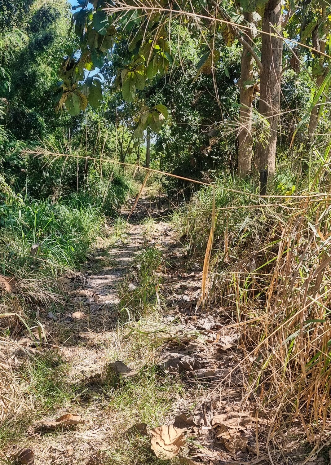
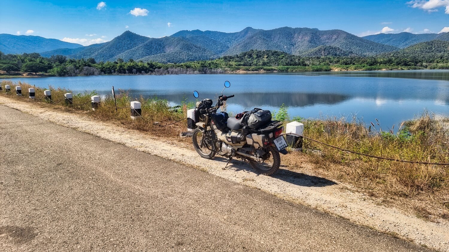
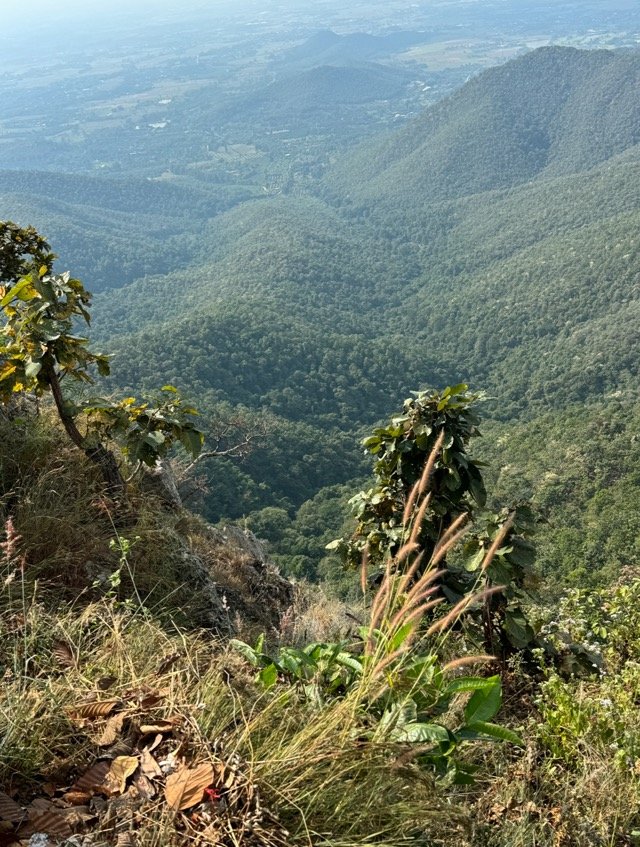
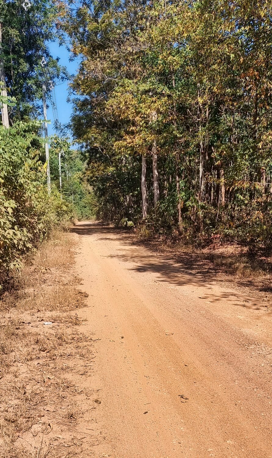
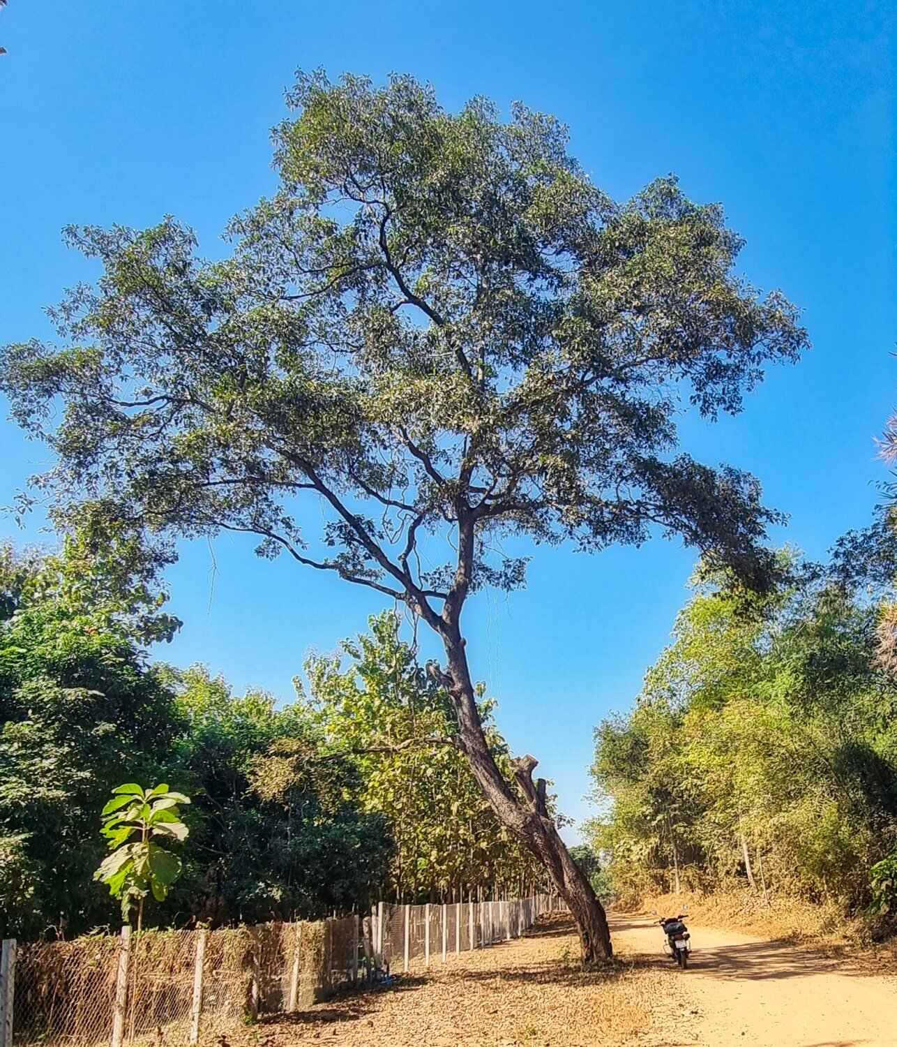
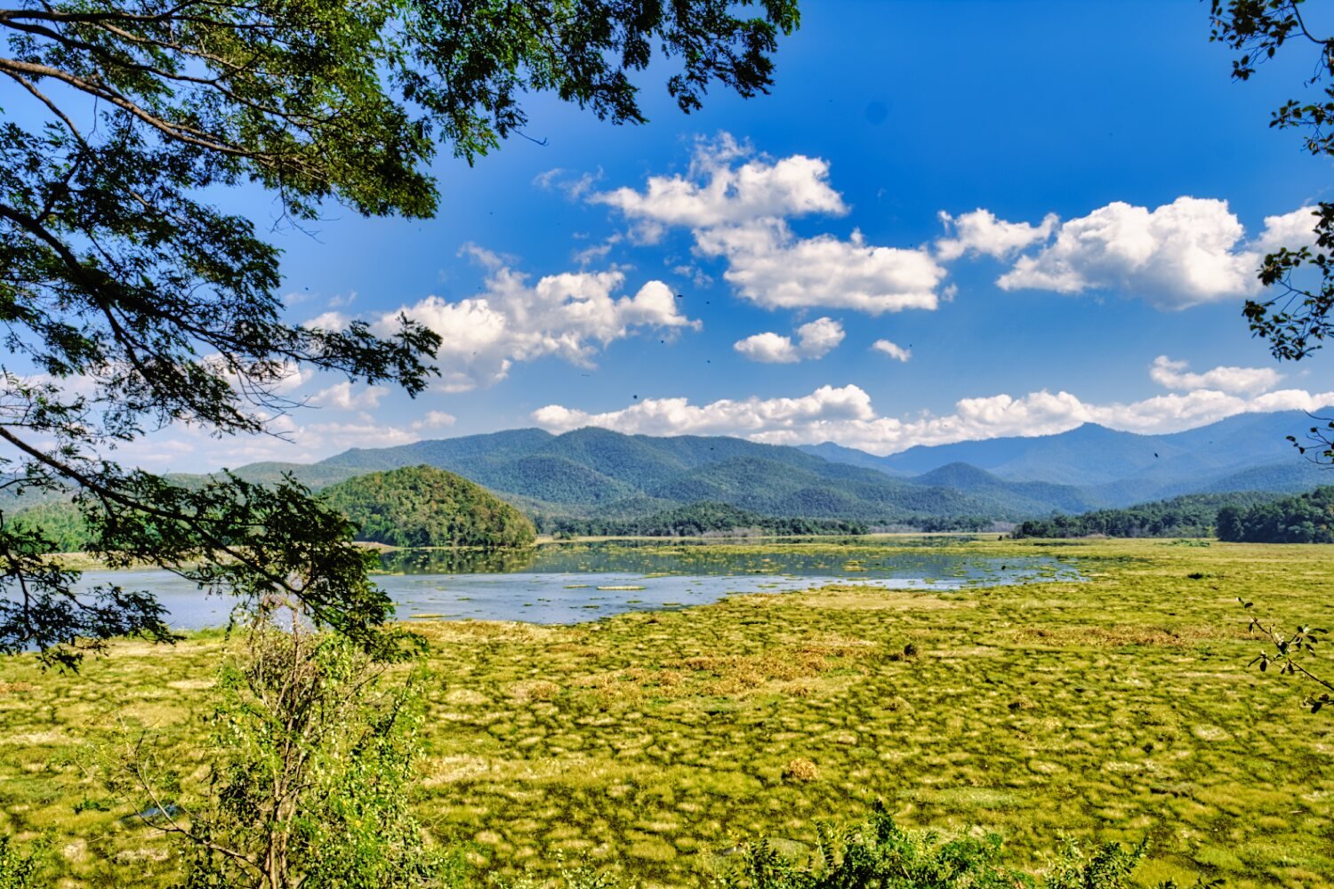
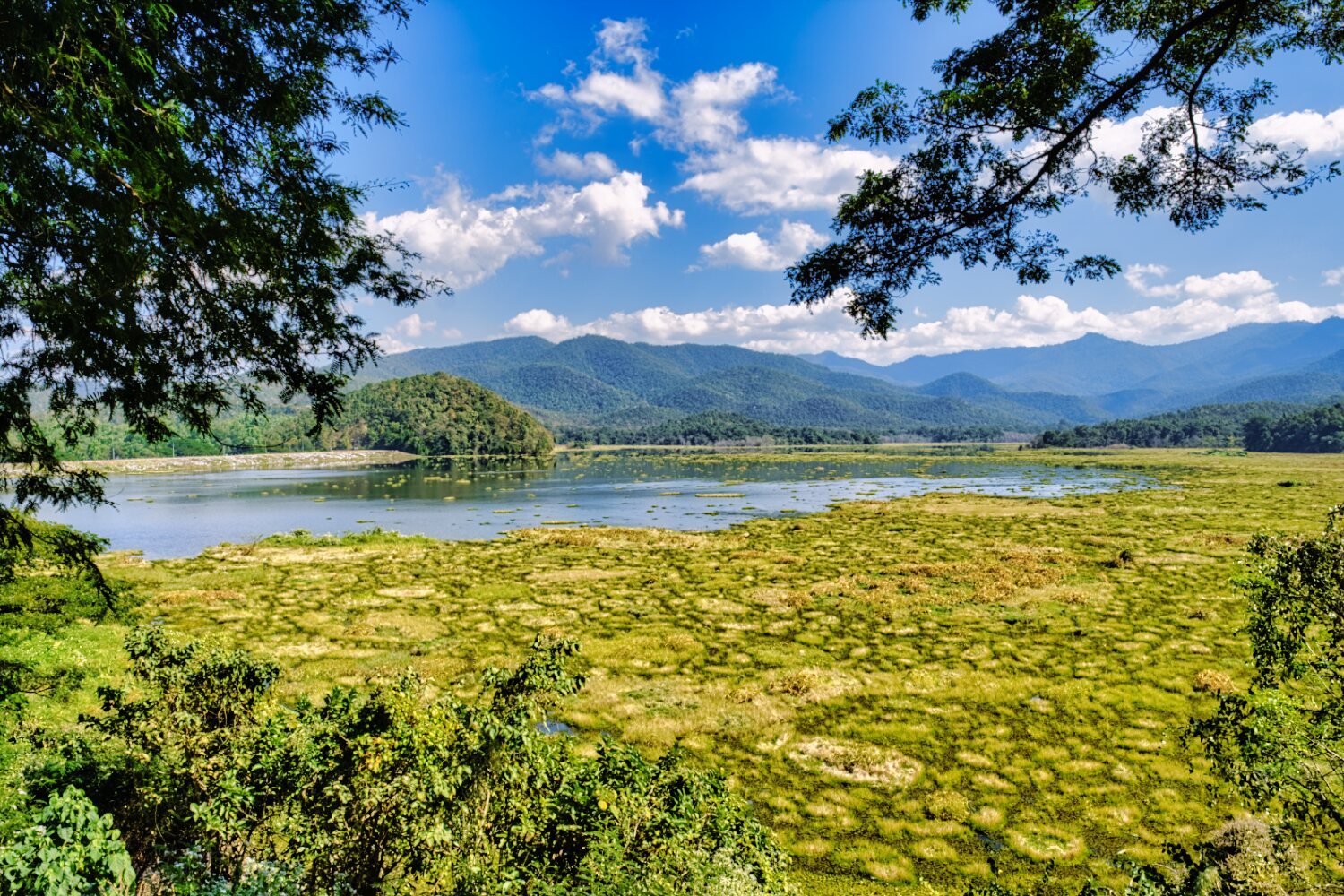
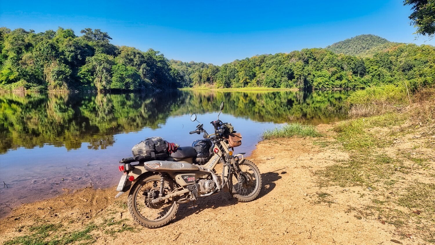
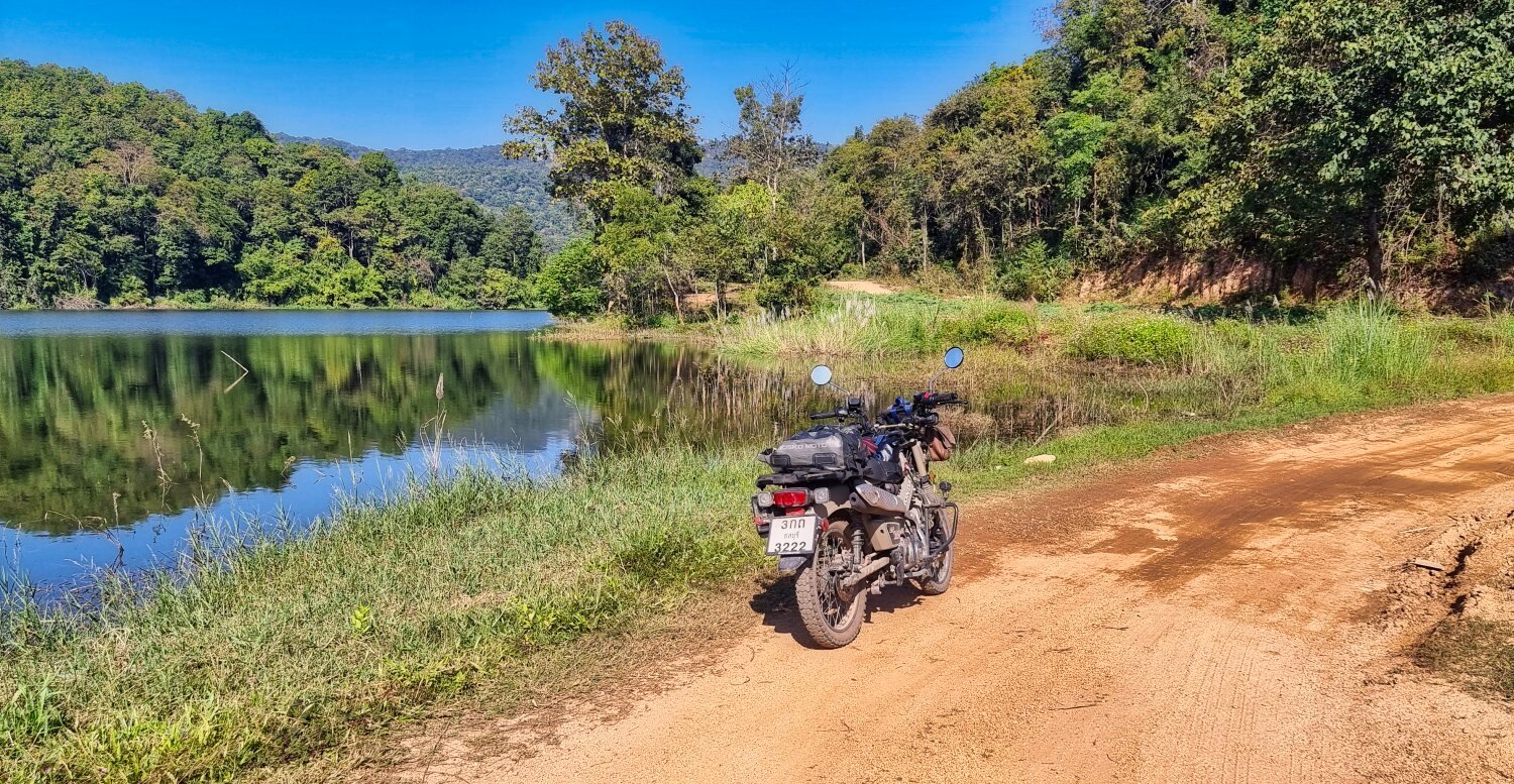
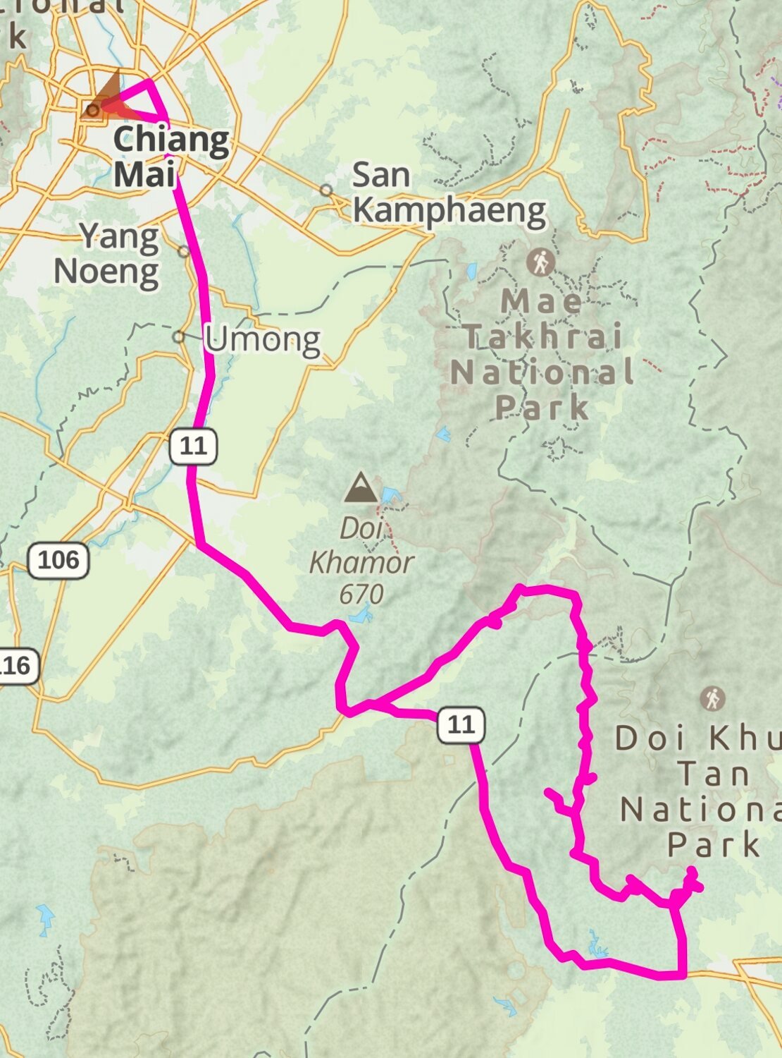
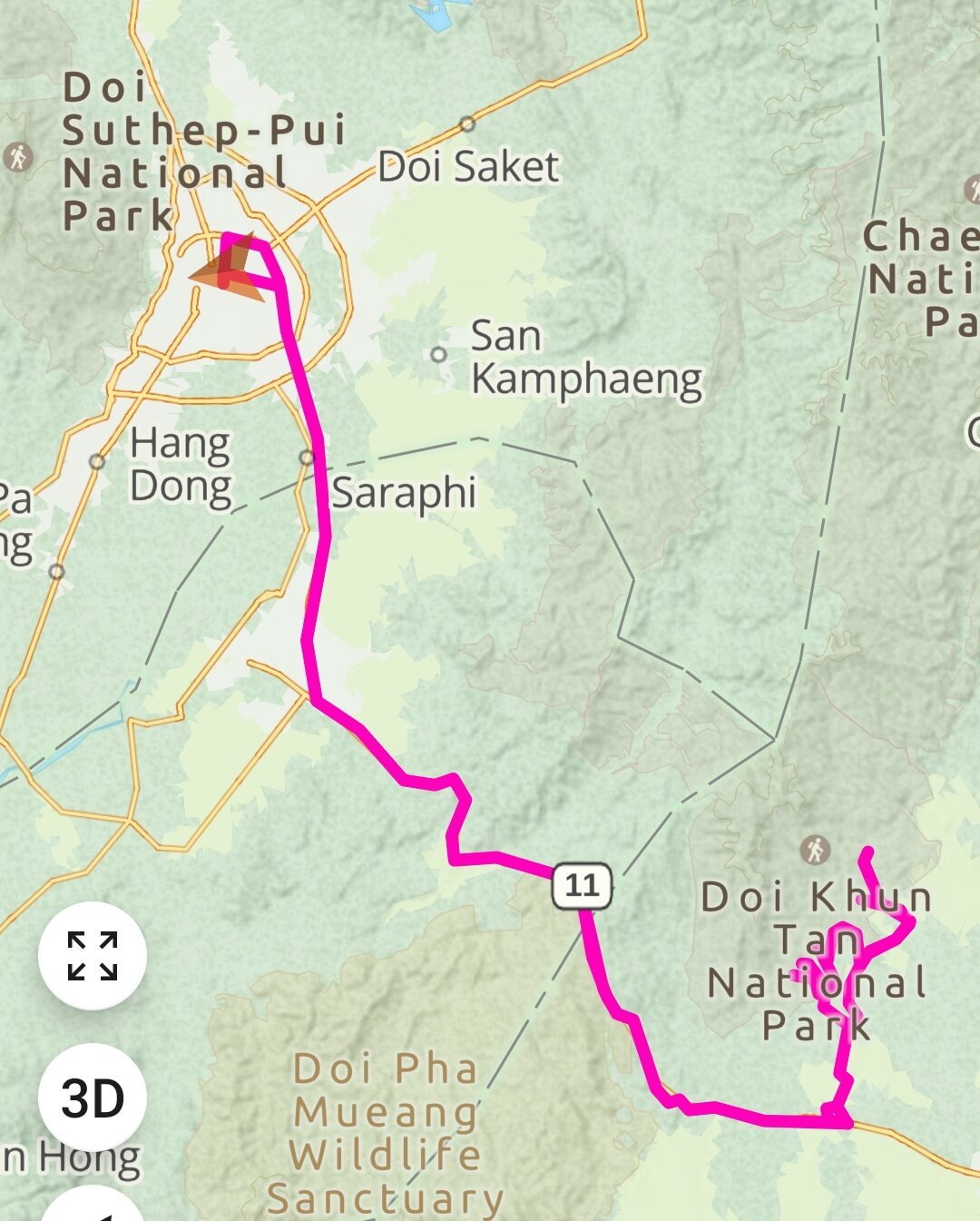
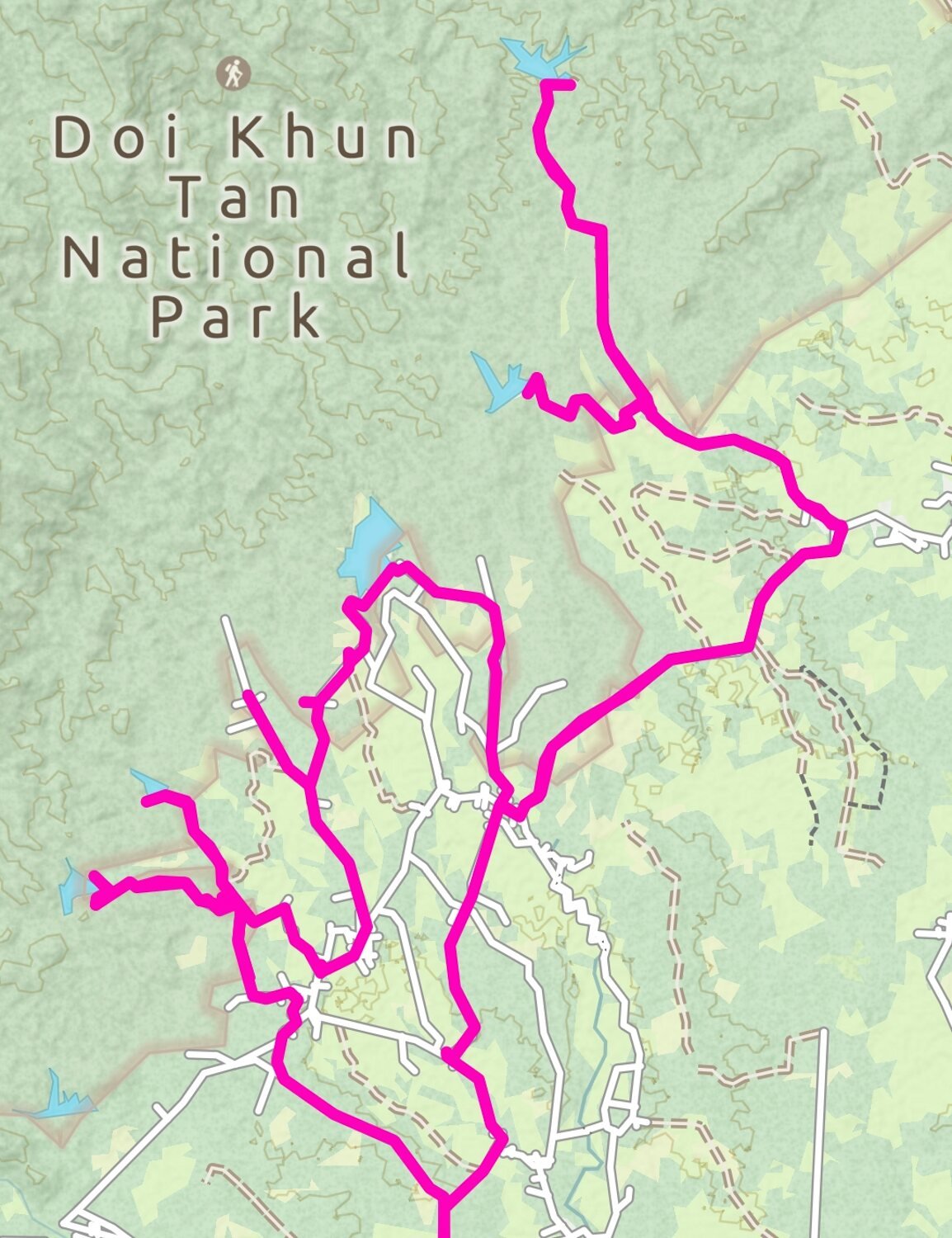
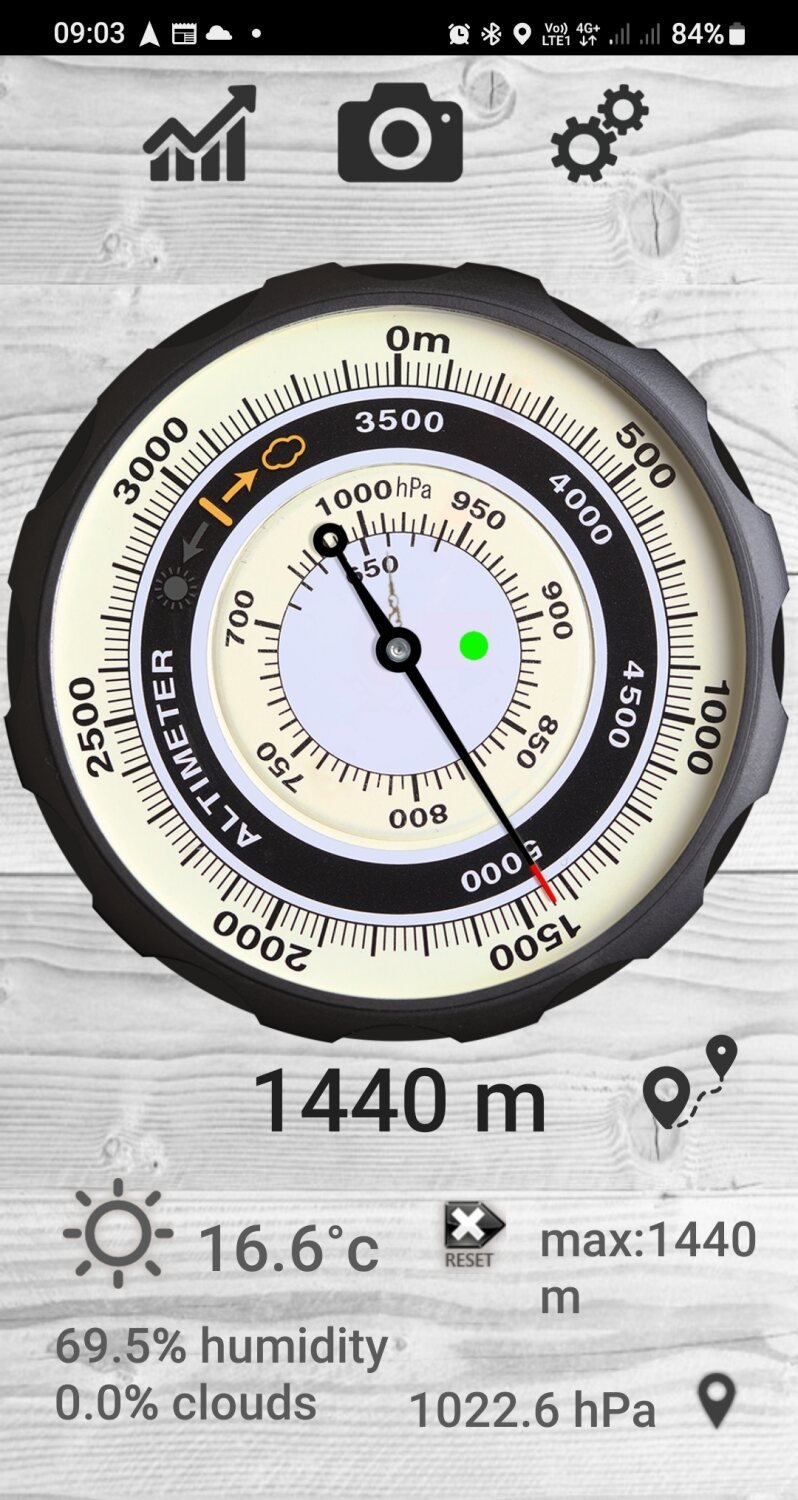
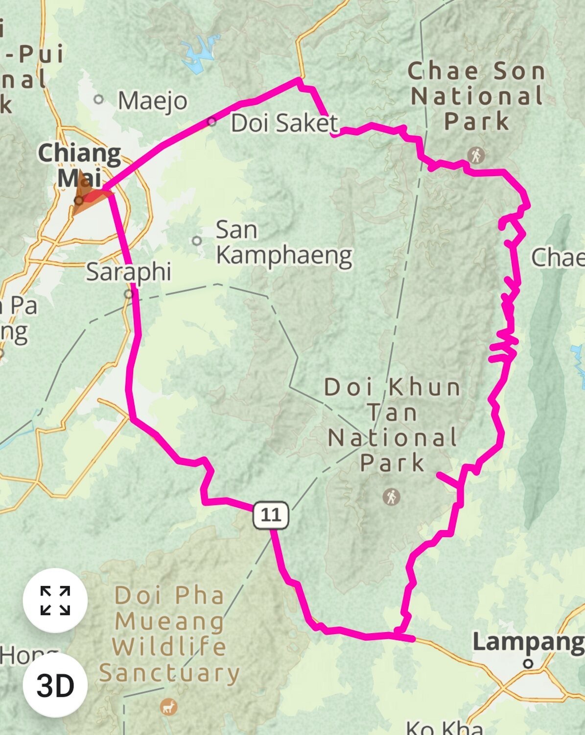
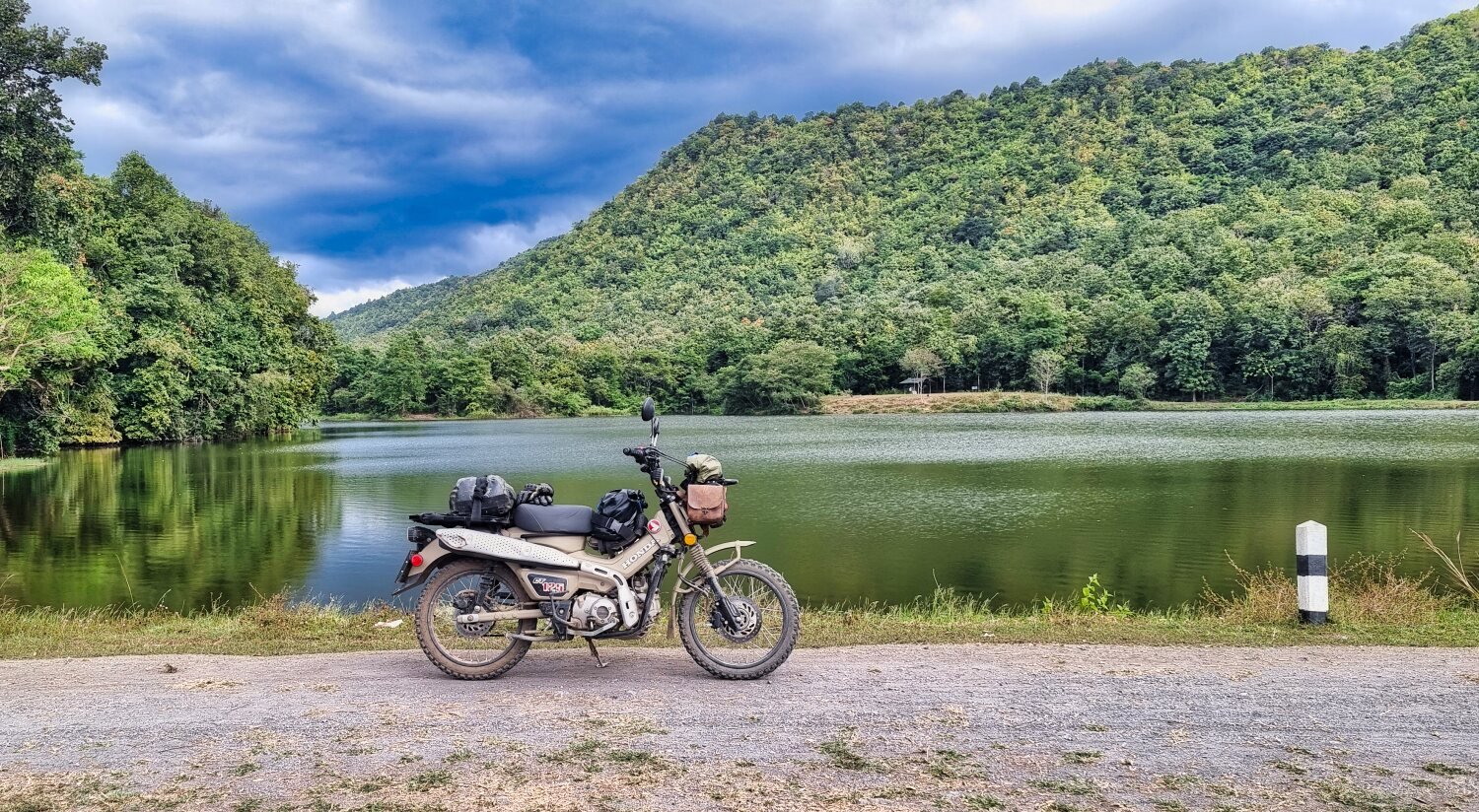
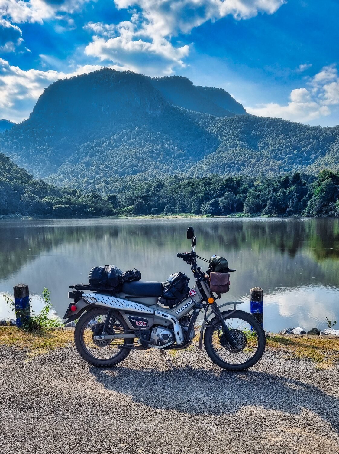
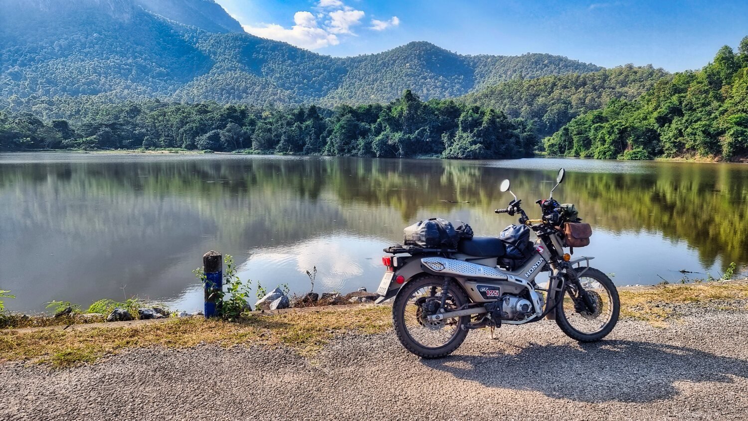
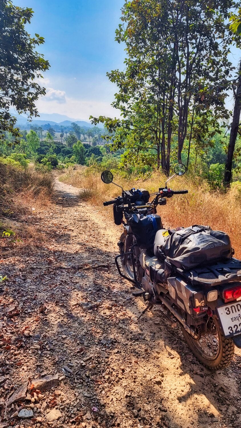
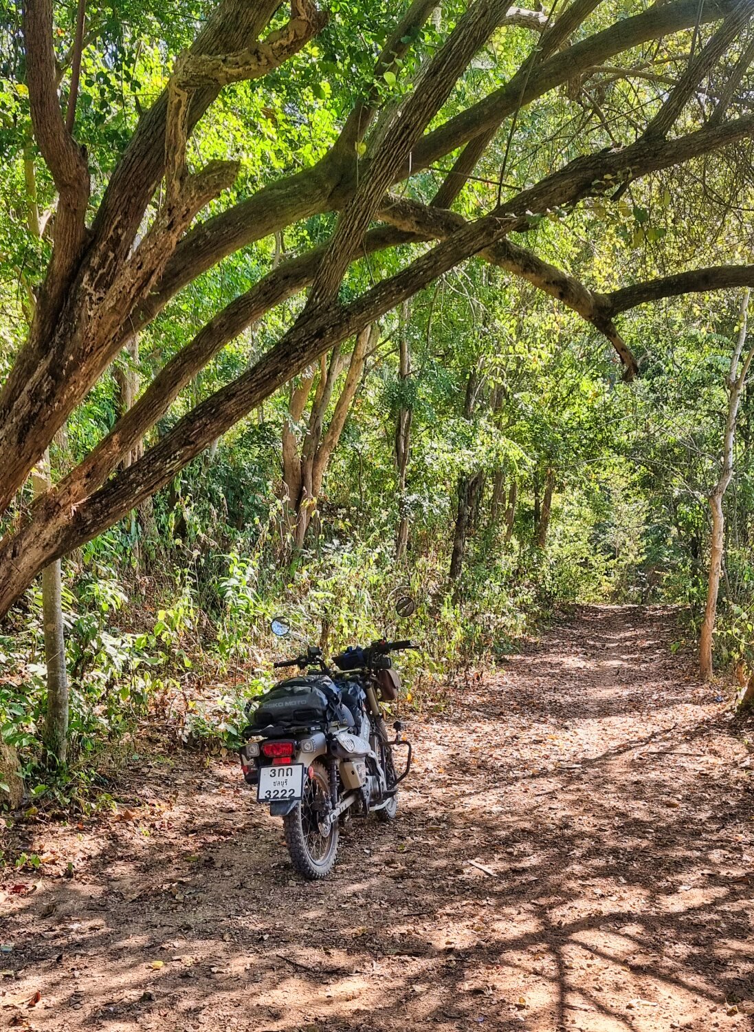
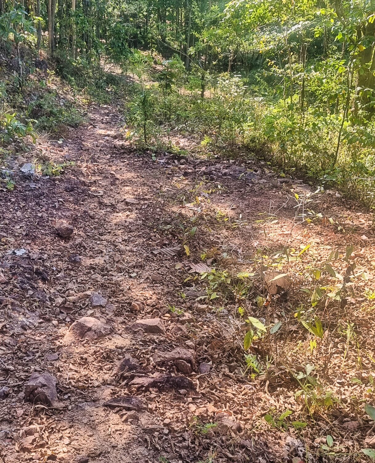
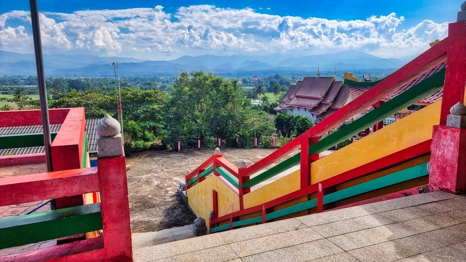
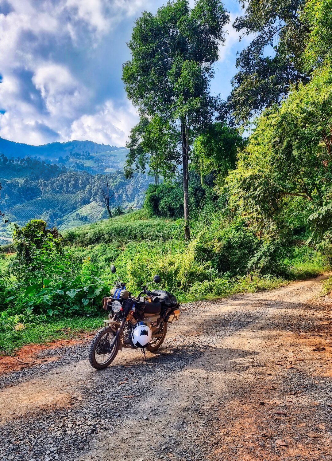
Today I rode to the Doi Khun Tan area, the idea to find some more reservoirs and green laning. As it happens, very little green laning, but I found some great sights.
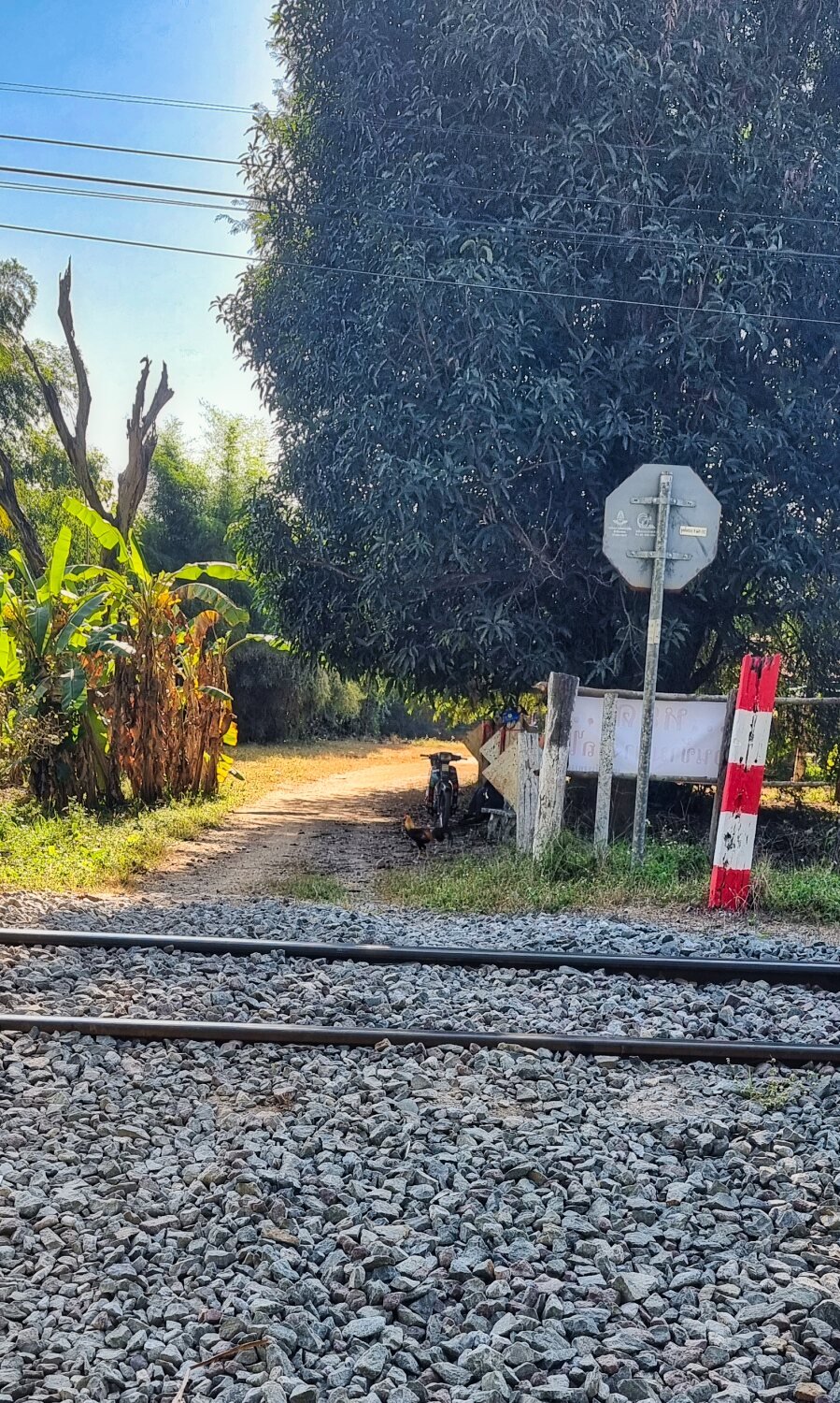
The first reservoir is un-named and to get there I had to cross the railway line at Huai Rian station, here,
https://maps.app.goo.gl/KqHSDjwBD5g8VWXd6
the locals had just piled up stones to allow access!
The reservoir was not far along a dirt track, here.
https://maps.app.goo.gl/RtoSiDkkueDouGnNA
I then rode to Mae Tan Reservoir, here.
https://maps.app.goo.gl/zyVQjWLpcFiwVyeD8
My next stop was Huai Mae Long Reservoir, here.
https://maps.app.goo.gl/GQHjr8ekBNMsx4ik8
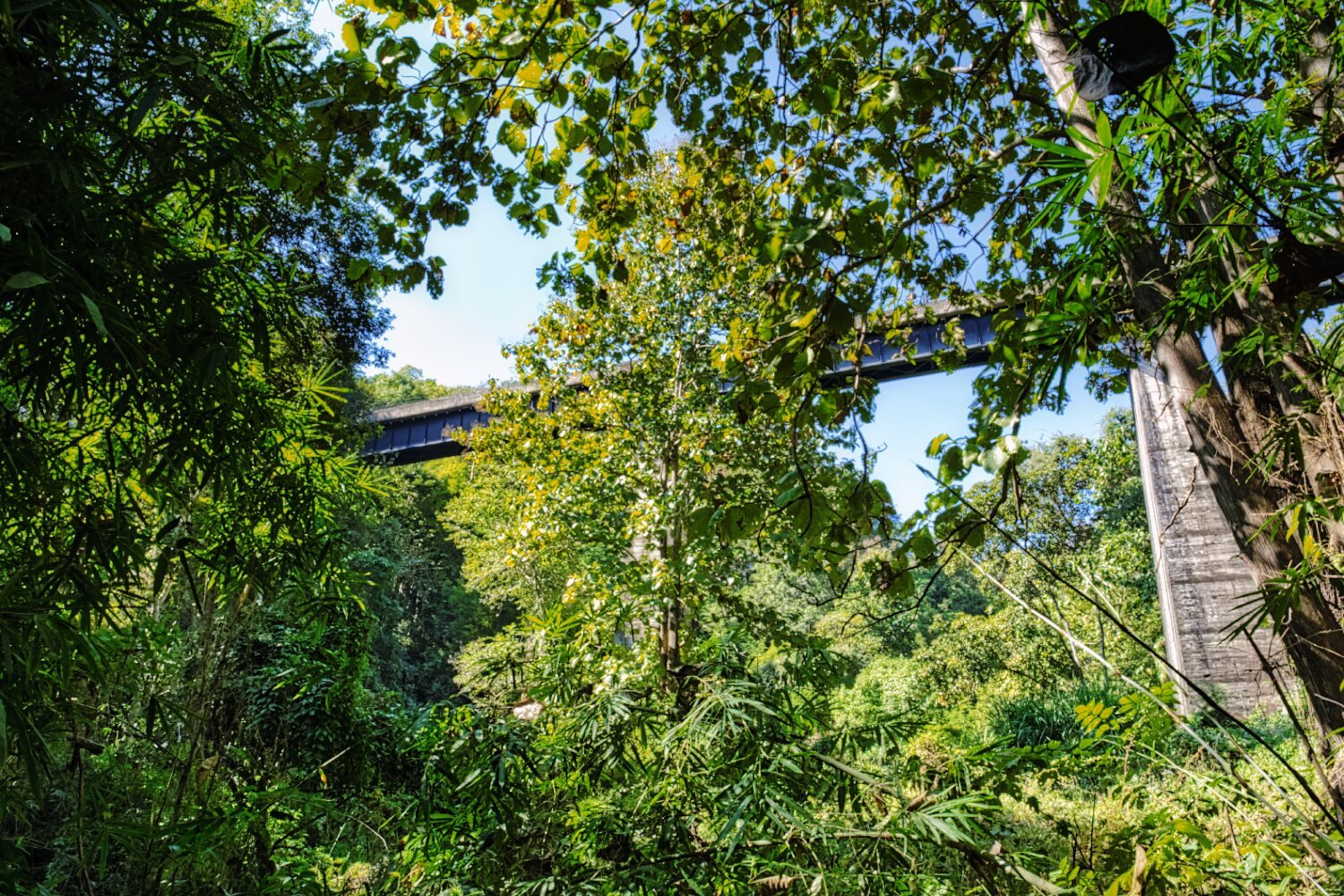
I then went looking for a railway bridge to photograph, I was directed through some jungle and found it, but I was at the bottom, this needs more time to explore how get on the track.
https://maps.app.goo.gl/o6tRotrP37GG8dmk6
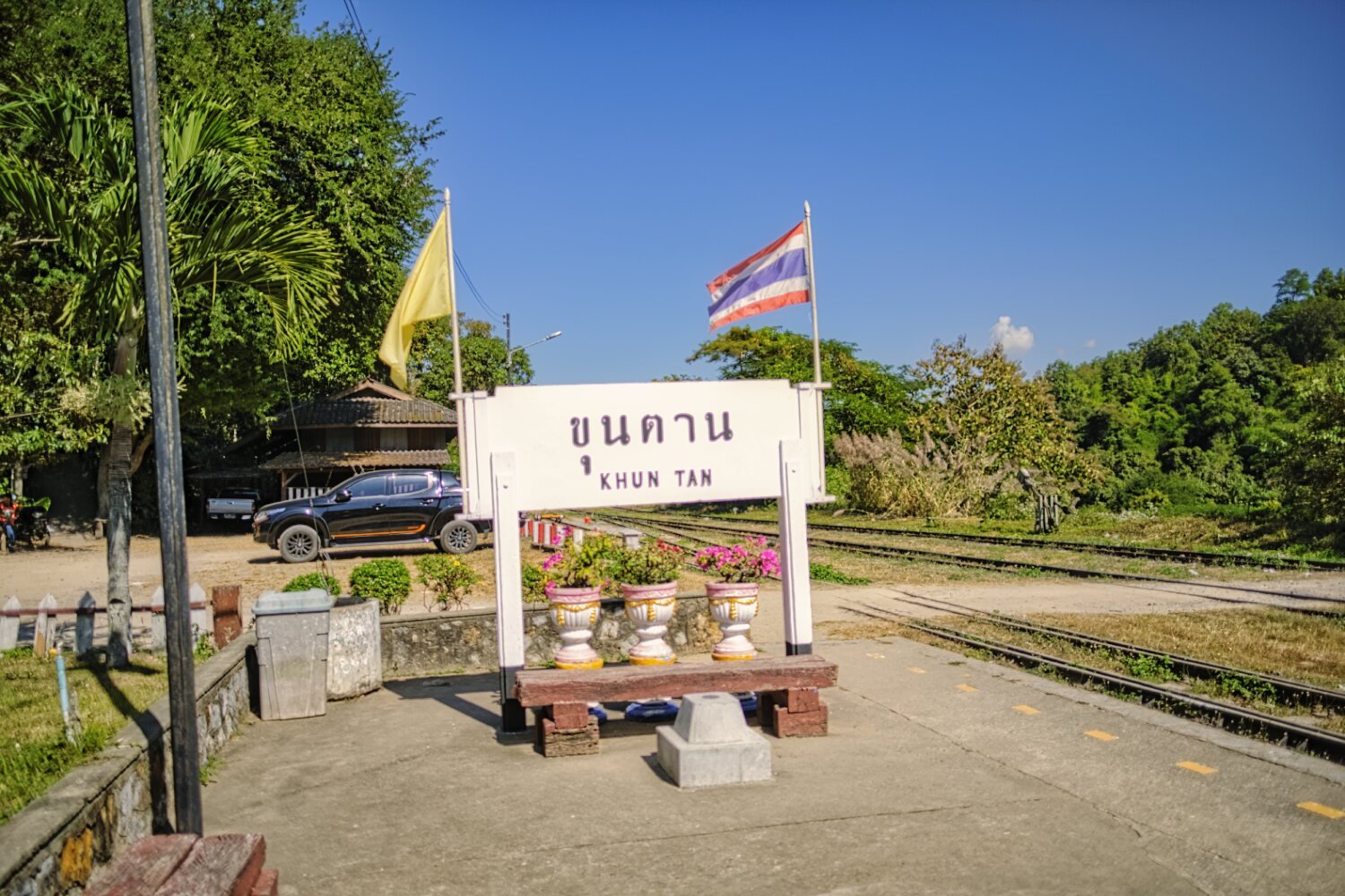
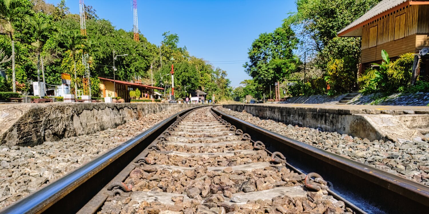
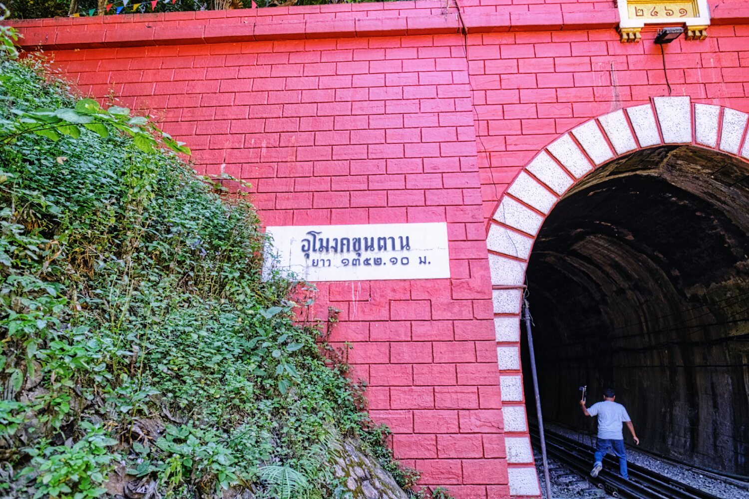
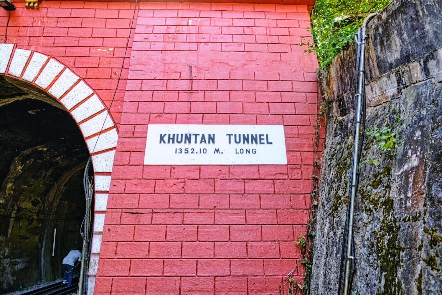
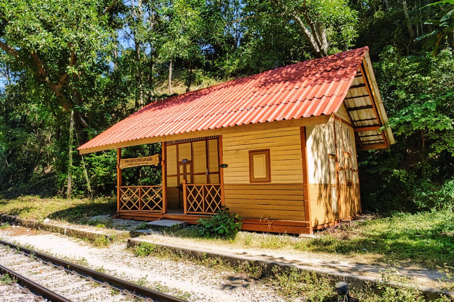
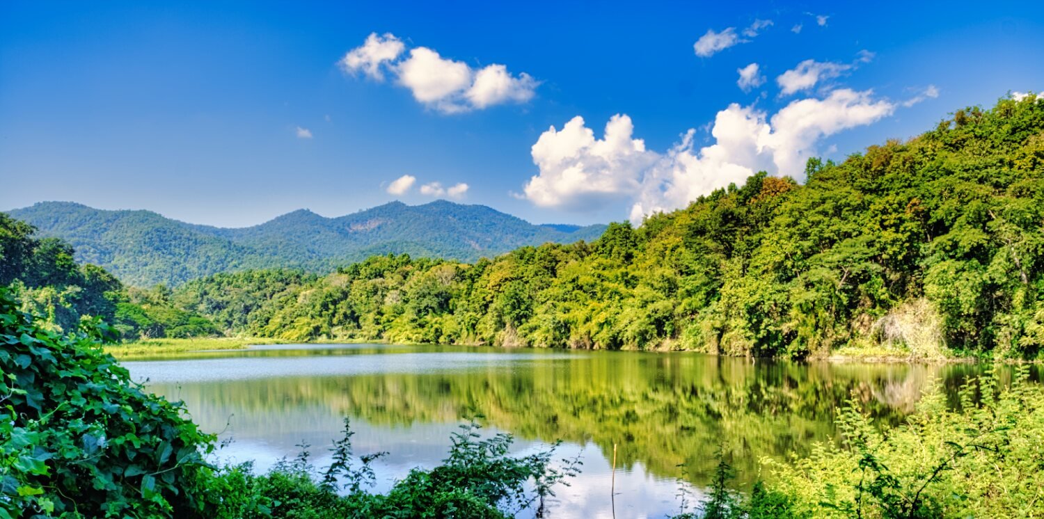
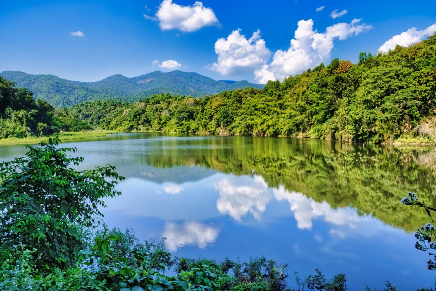
Up some steep and windy roads my next visit was Khun Tan Railway Station and Tunnel, here.
https://maps.app.goo.gl/ZnXF65QMwDStVP1JA
https://maps.app.goo.gl/zvaeBMvkWneRtJ4F8
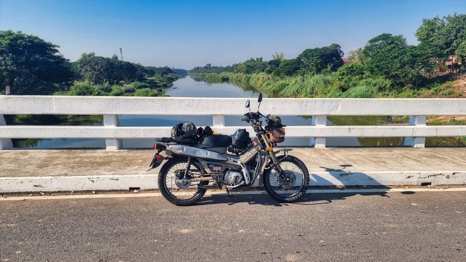
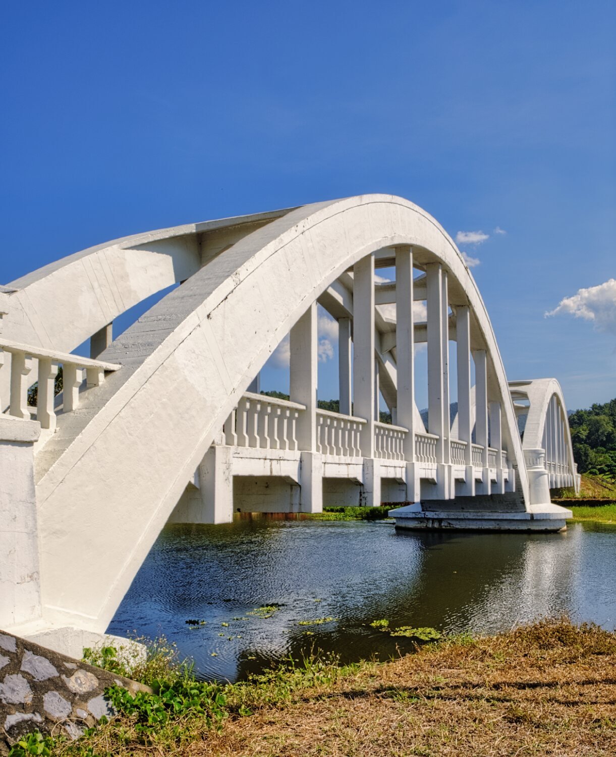
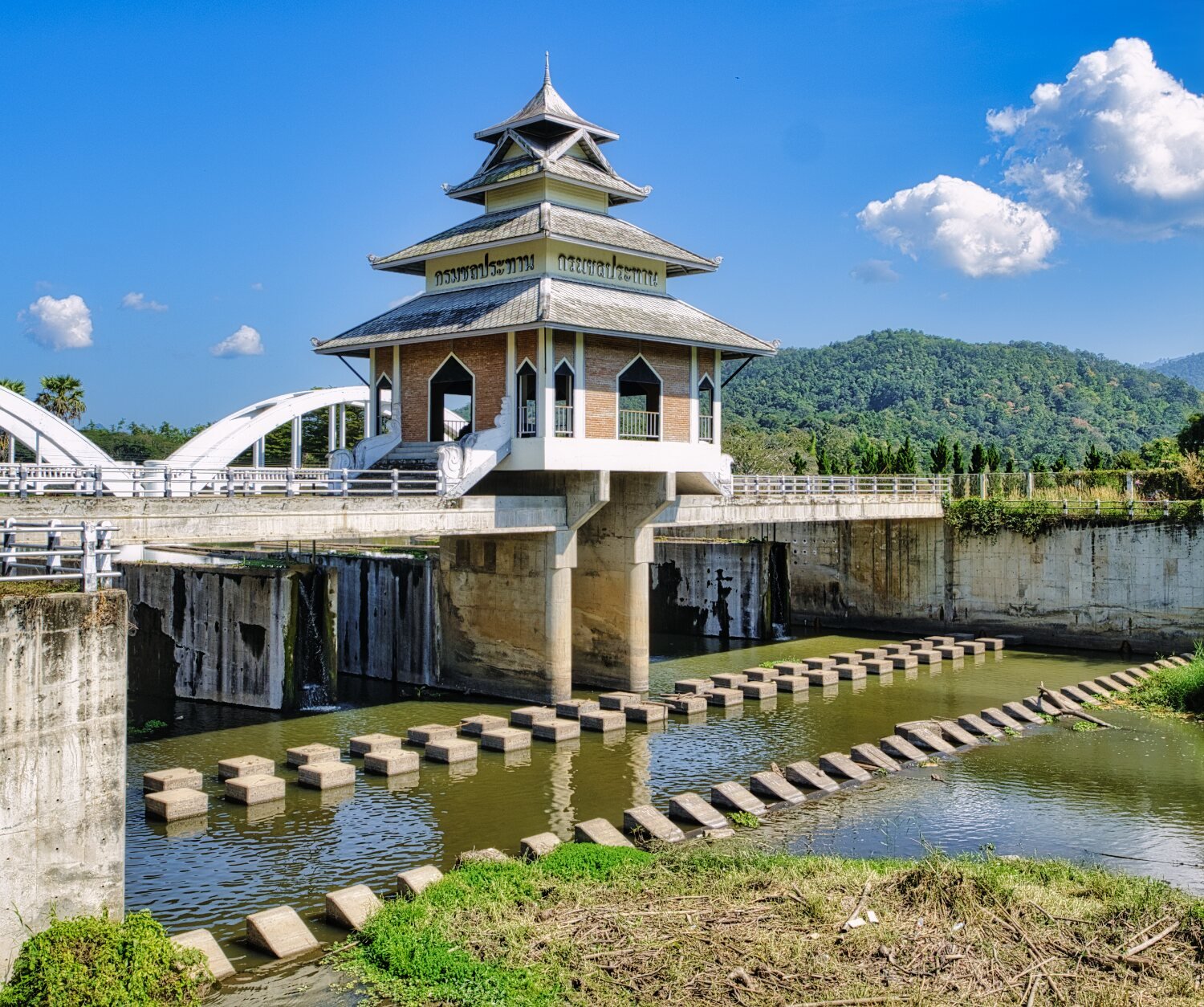
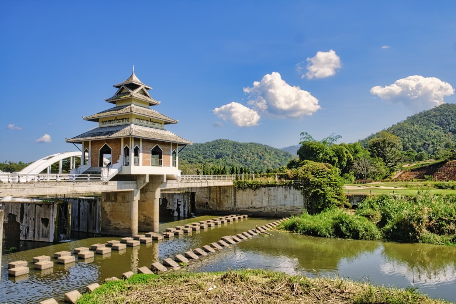
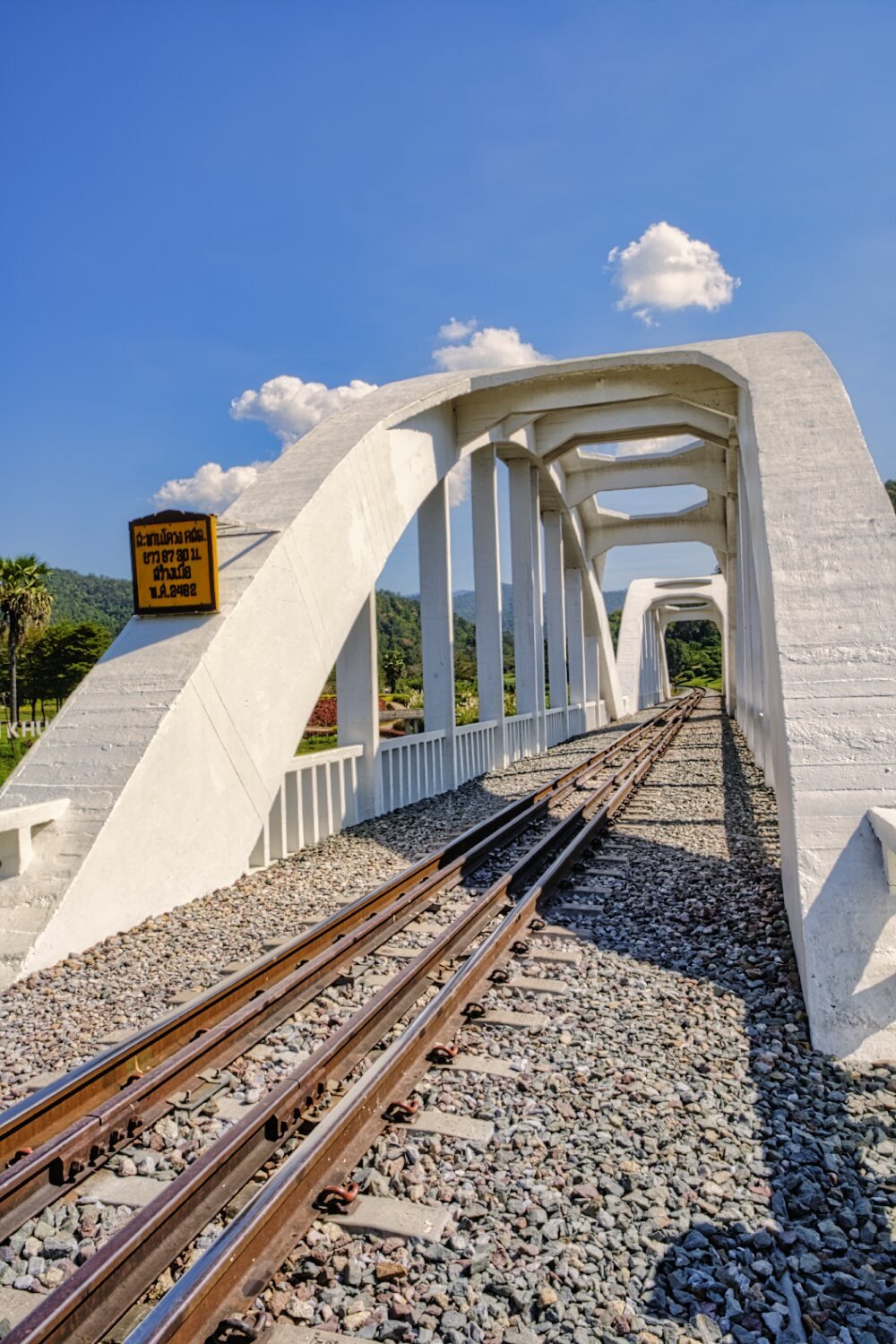
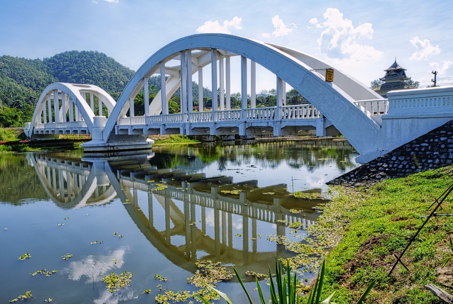
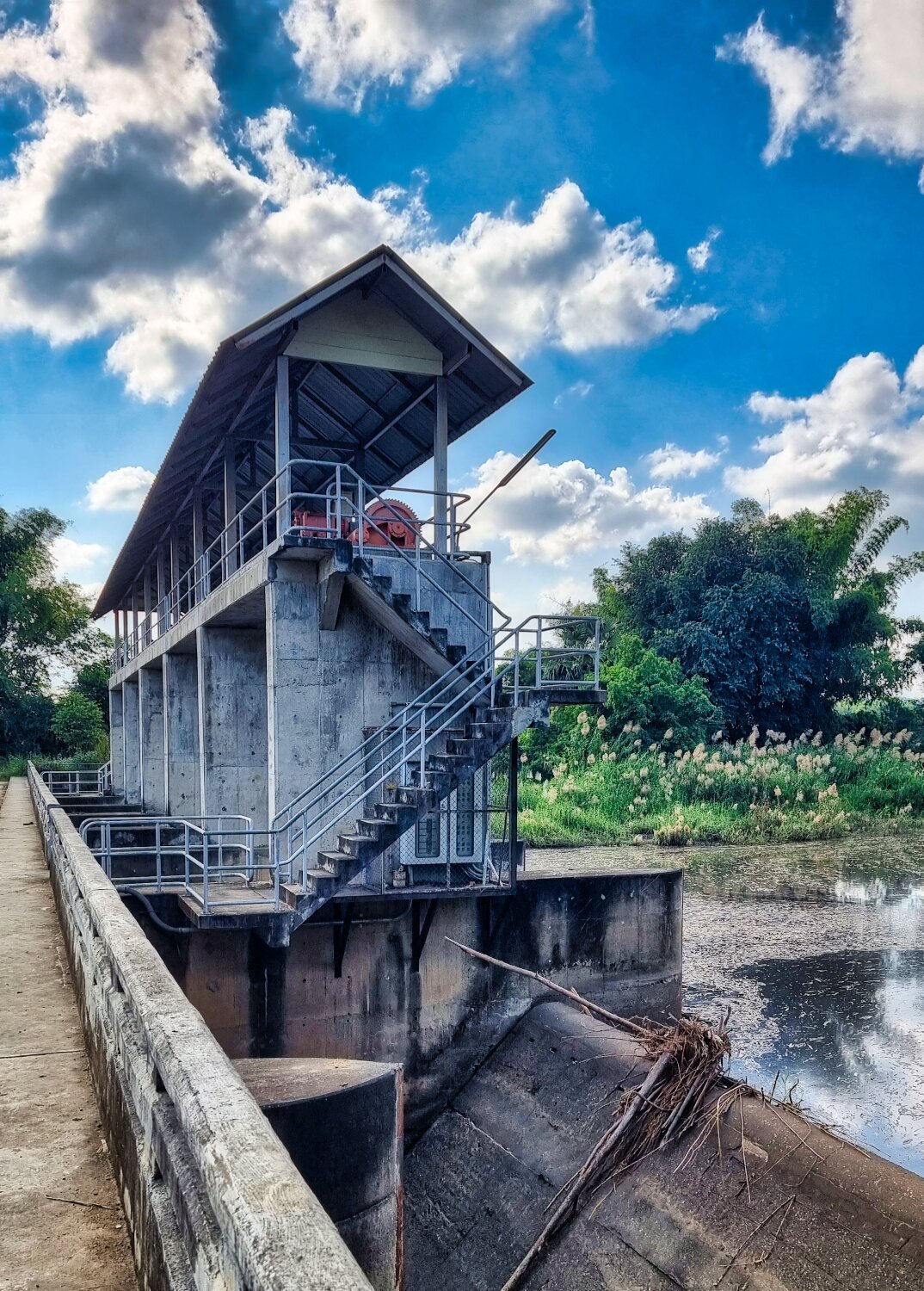
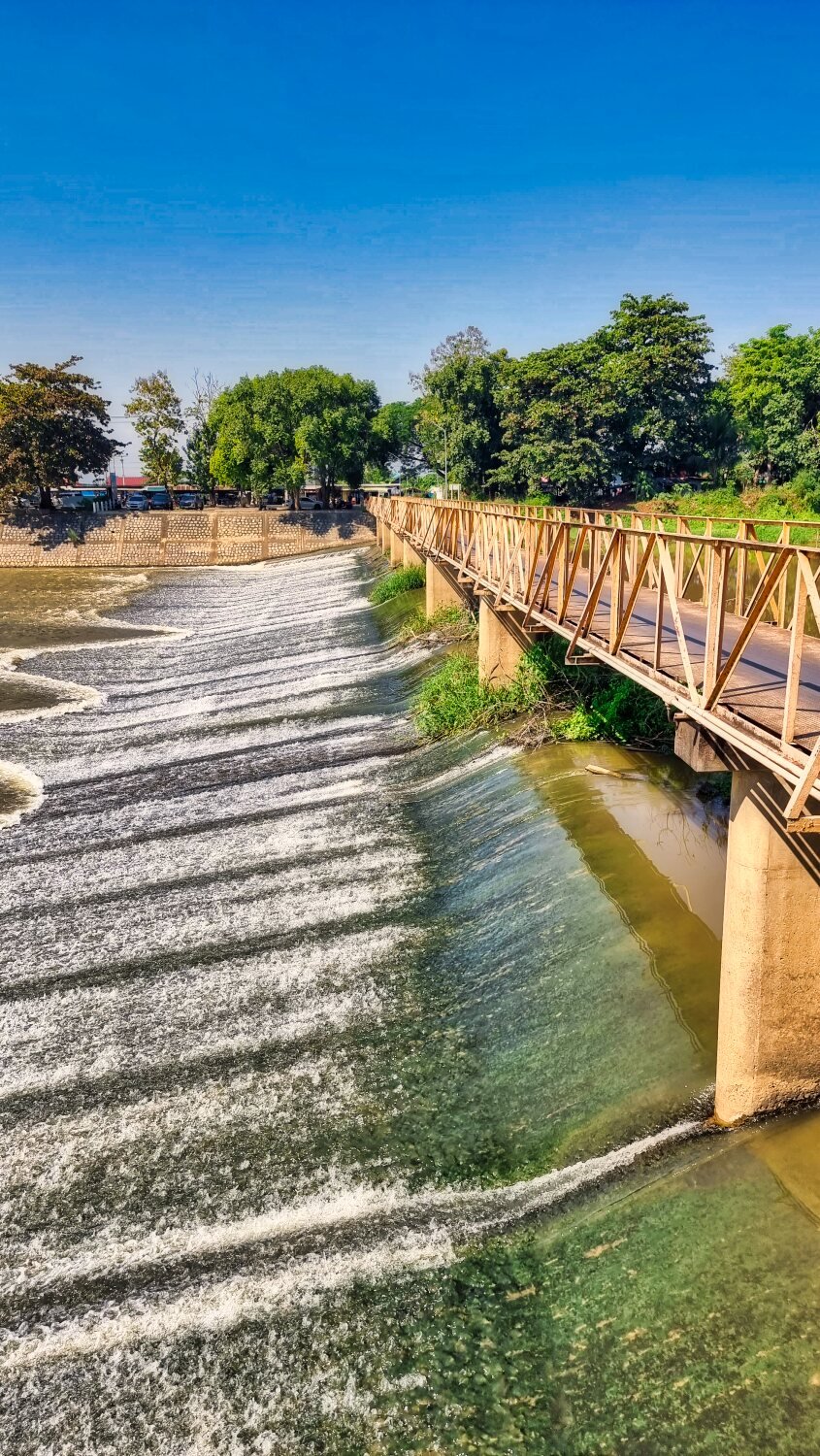
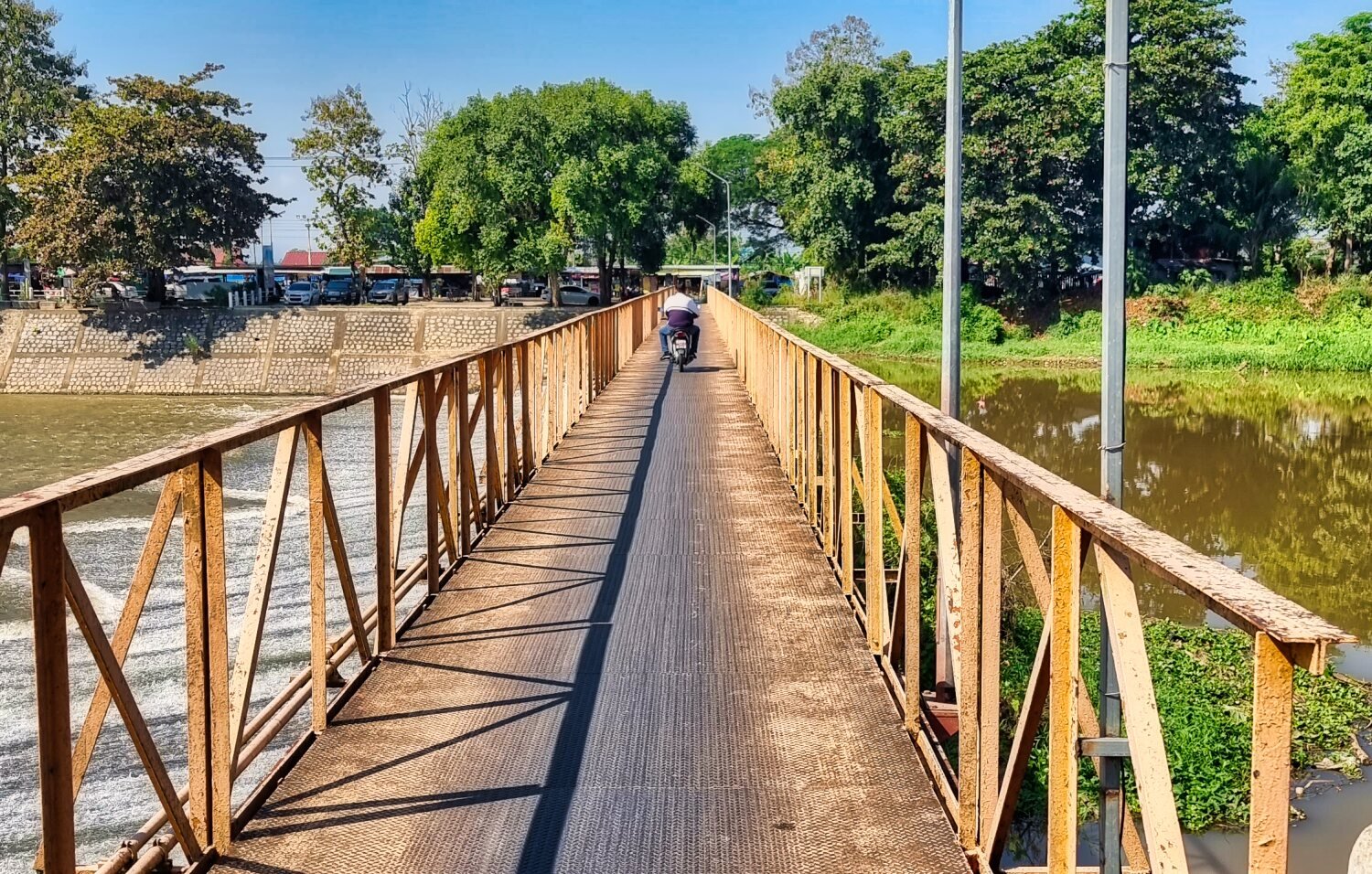
My last stop was at Tha Chompu Bridge (White Bridge) and the nearby weir, here.
https://maps.app.goo.gl/hQ7DtiN4WGHSfkSB7
https://www.relive.cc/view/vYvE2ZP5BGO
-
3
-
1
-
- Popular Post
- Popular Post
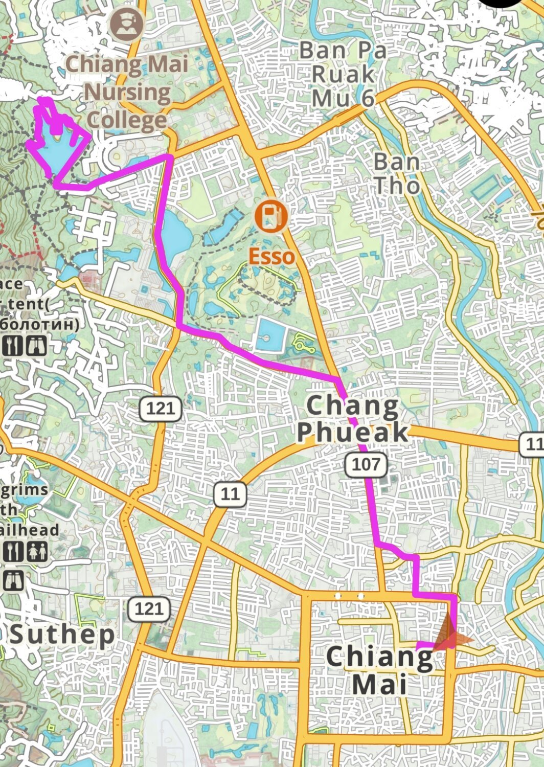
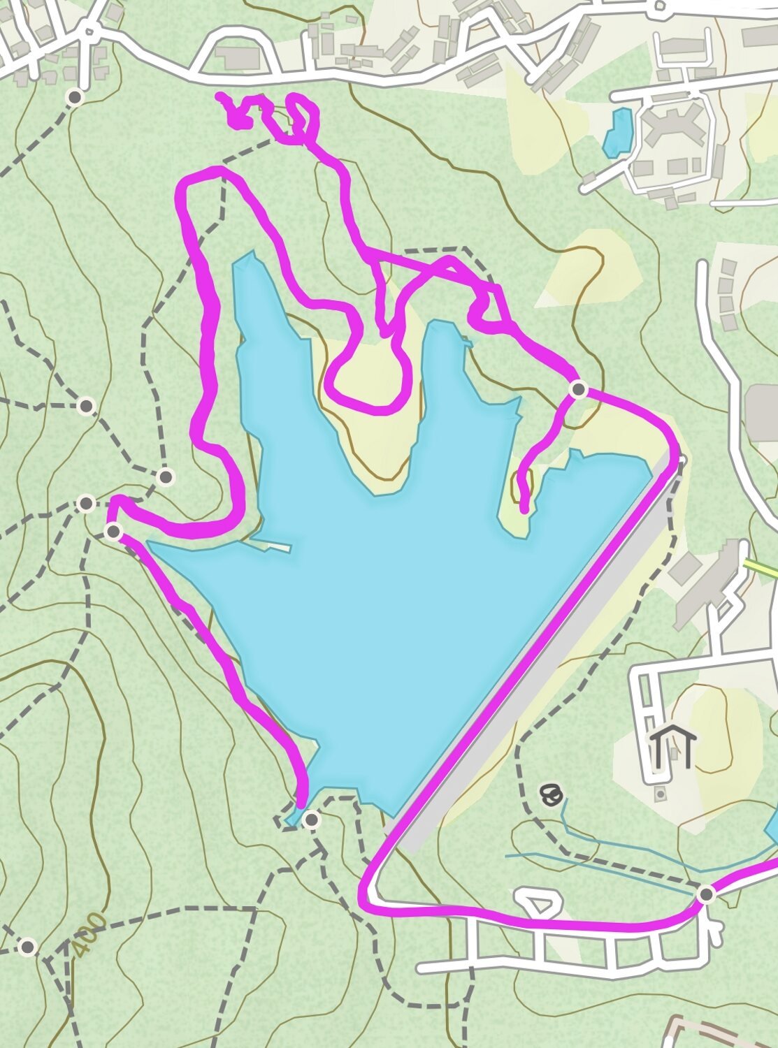
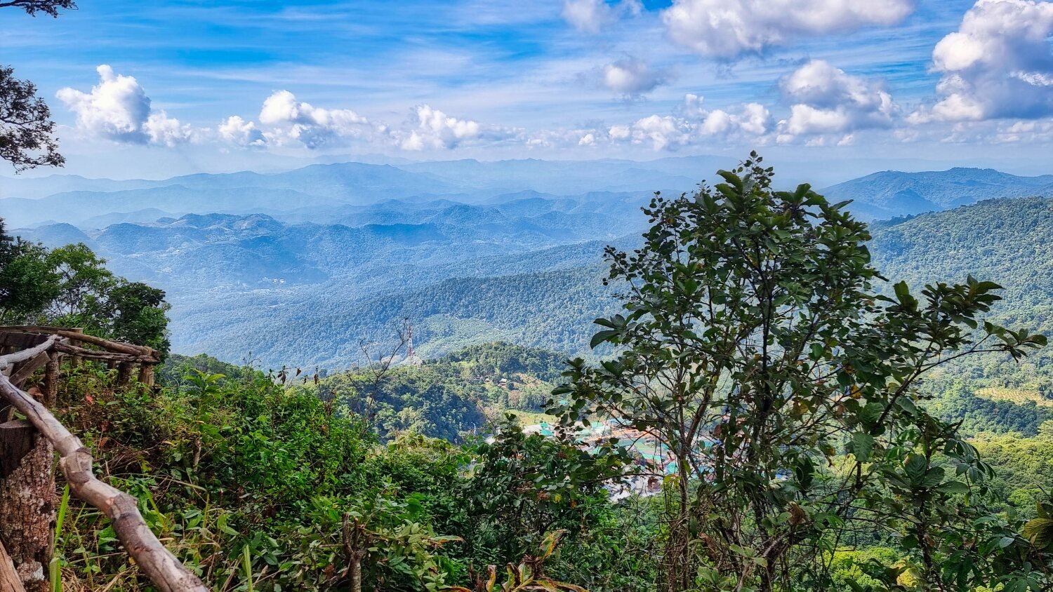
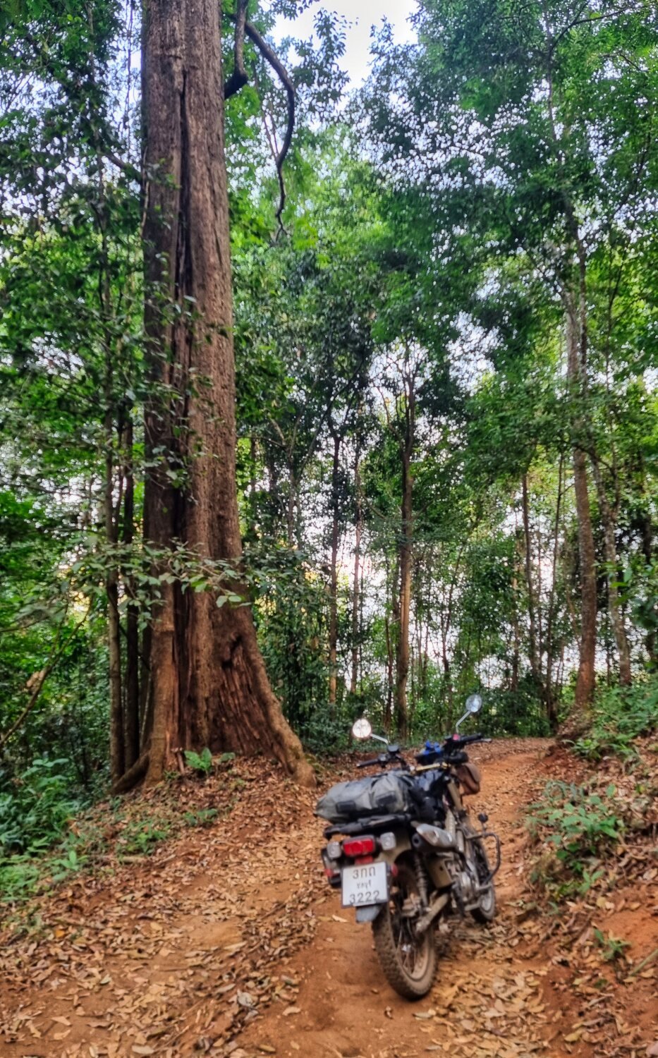
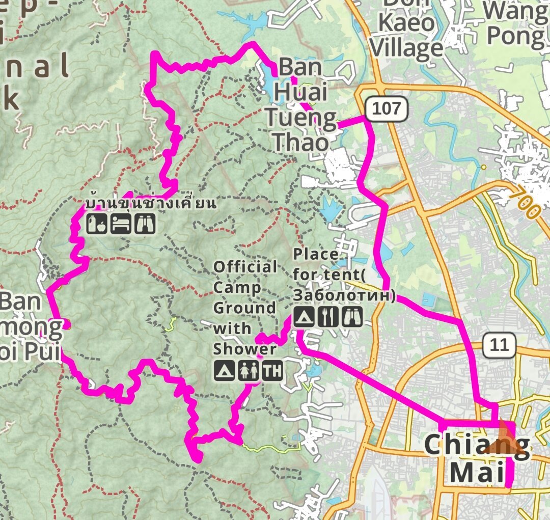
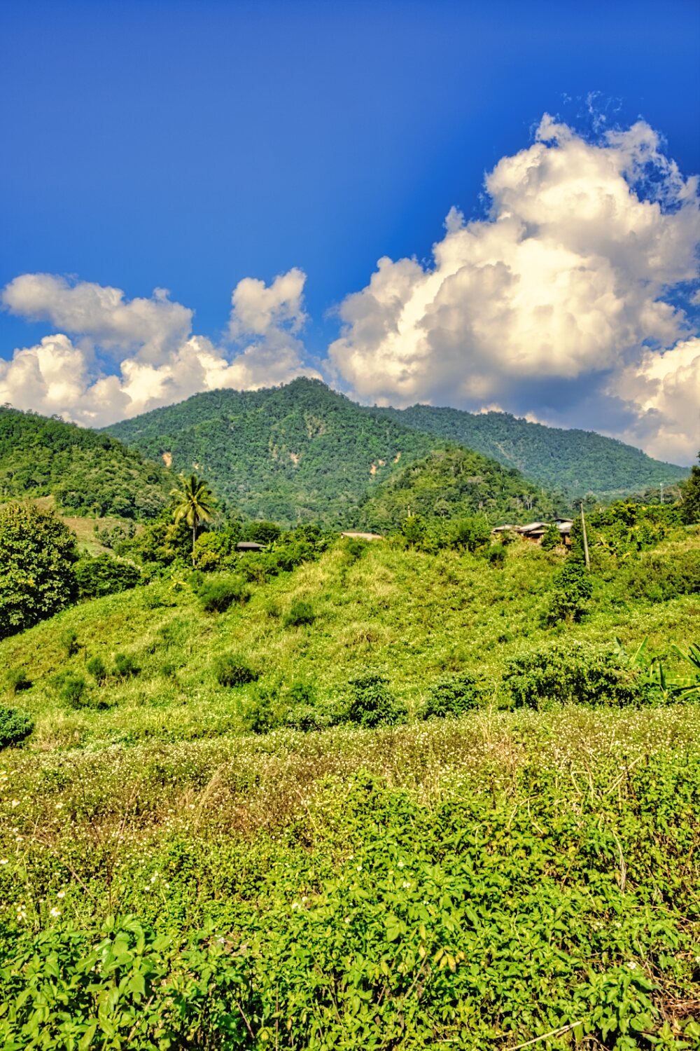
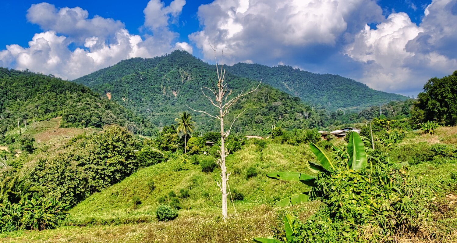
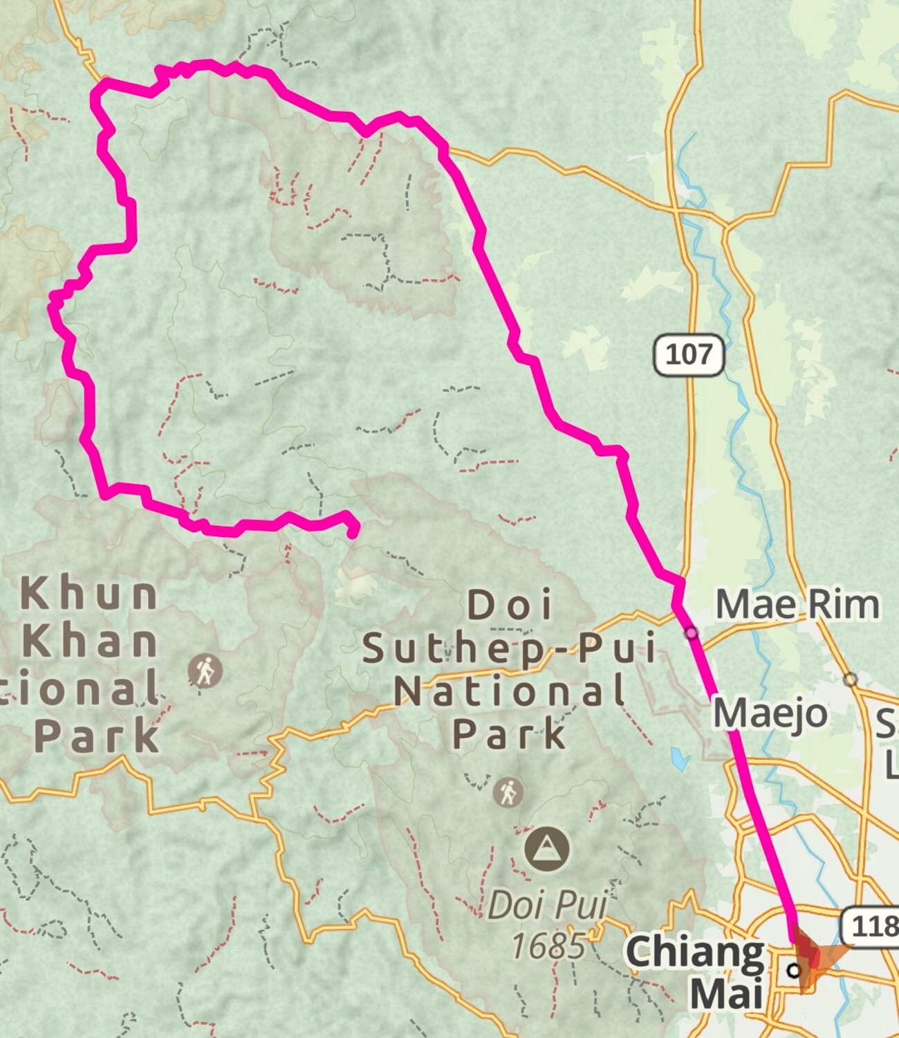
Today I was going to ride up to Doi Pui Viewpoint.
https://maps.app.goo.gl/VAJMoHb2wYyt5TCw9
With the idea of riding back the same way, the traffic was crazy so I decided to continue and rode a loop past the camp ground nearby and down through the jungle past Khun Chang Khian, here.
https://maps.app.goo.gl/T3HZaoQYrEXzqGk28
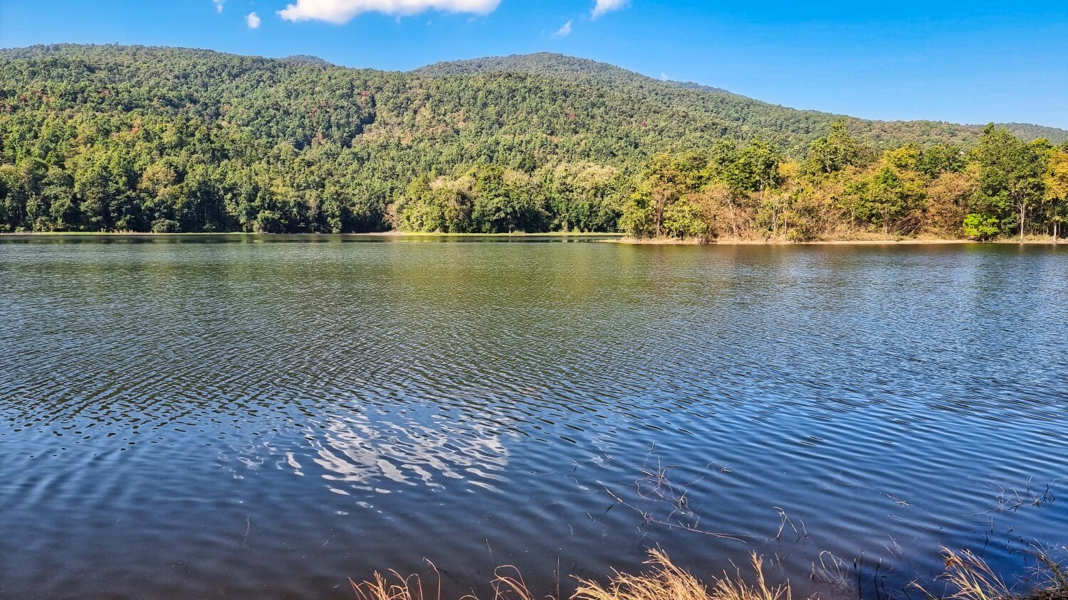
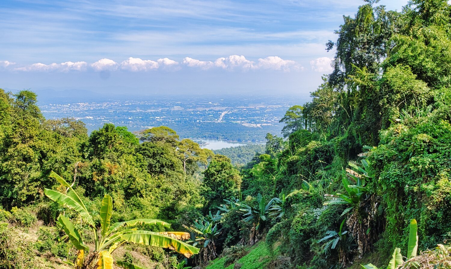
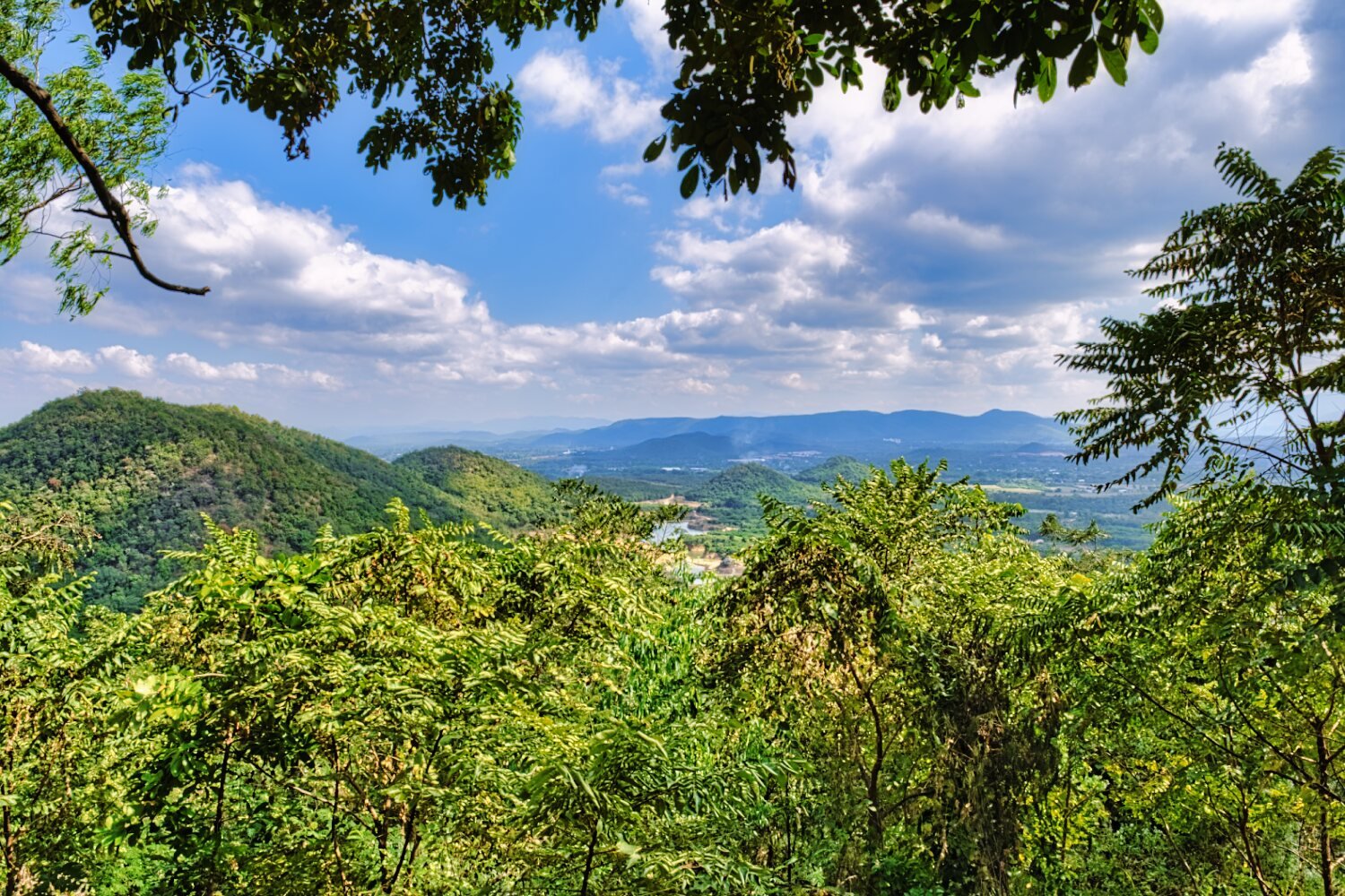
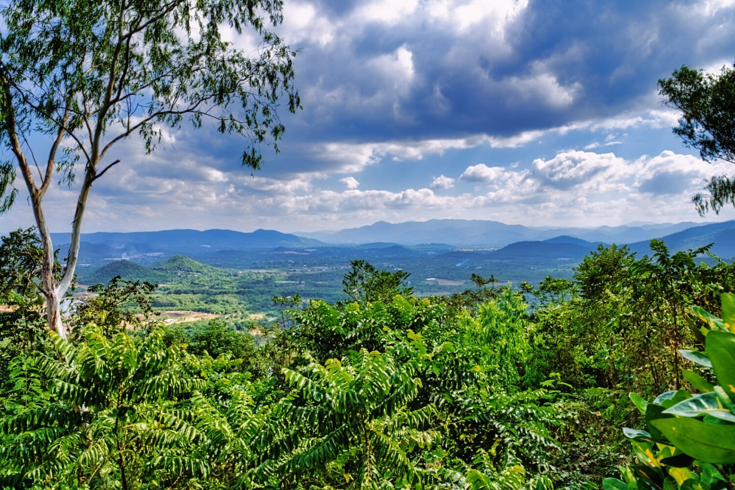
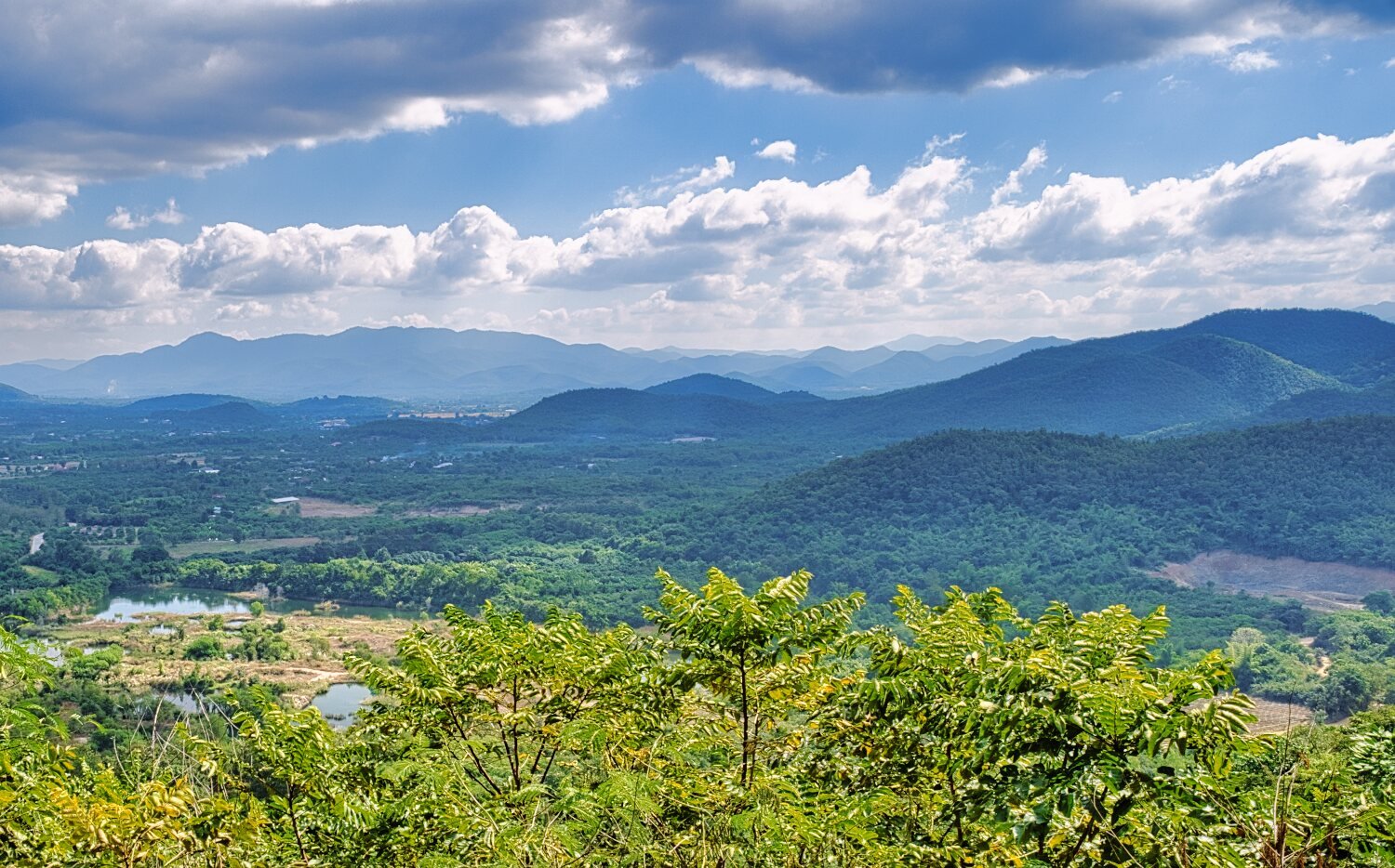
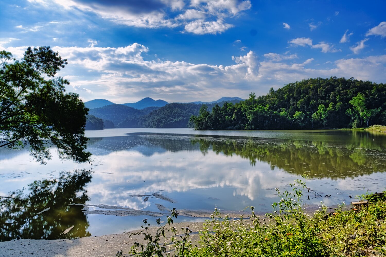
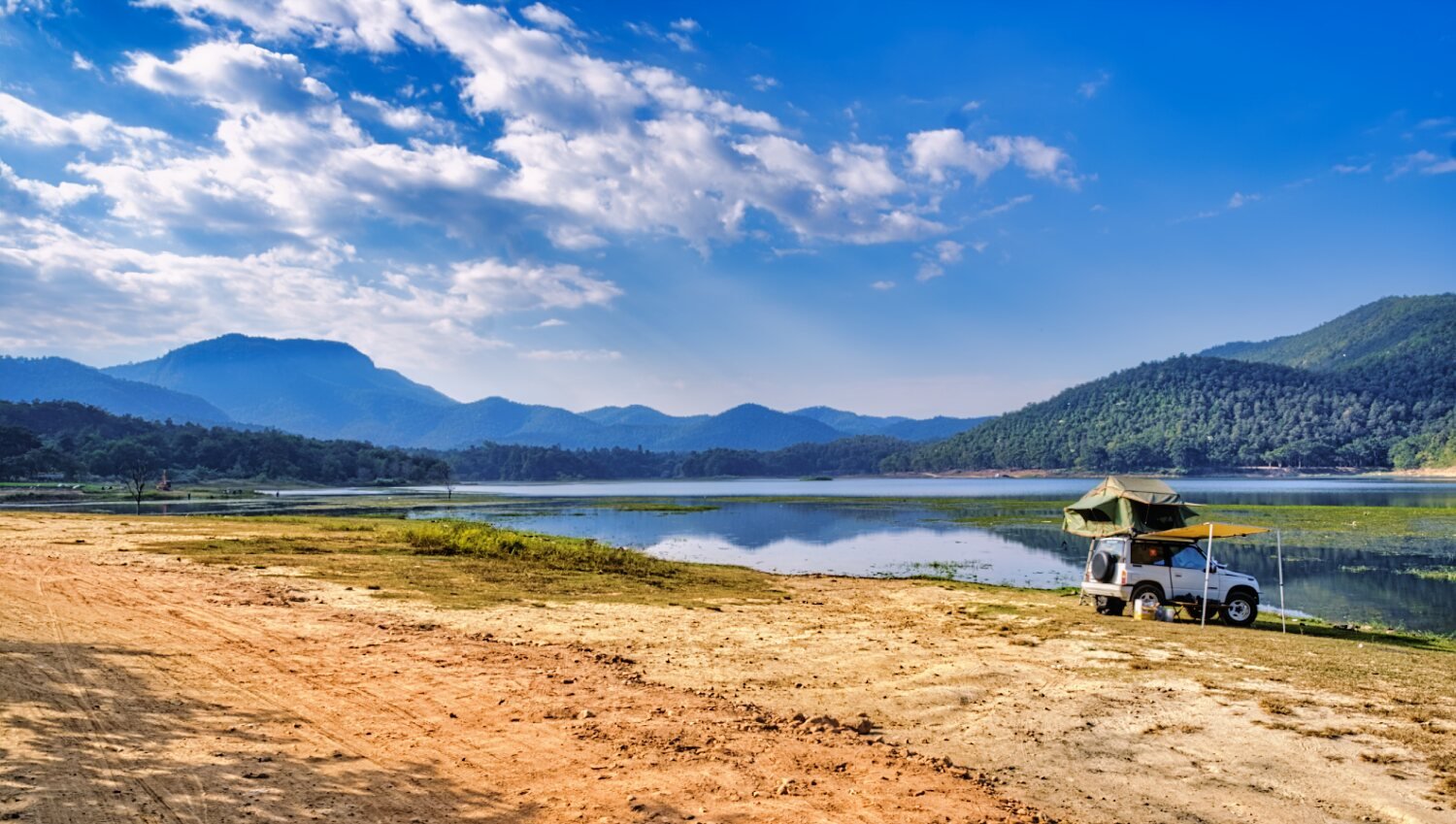
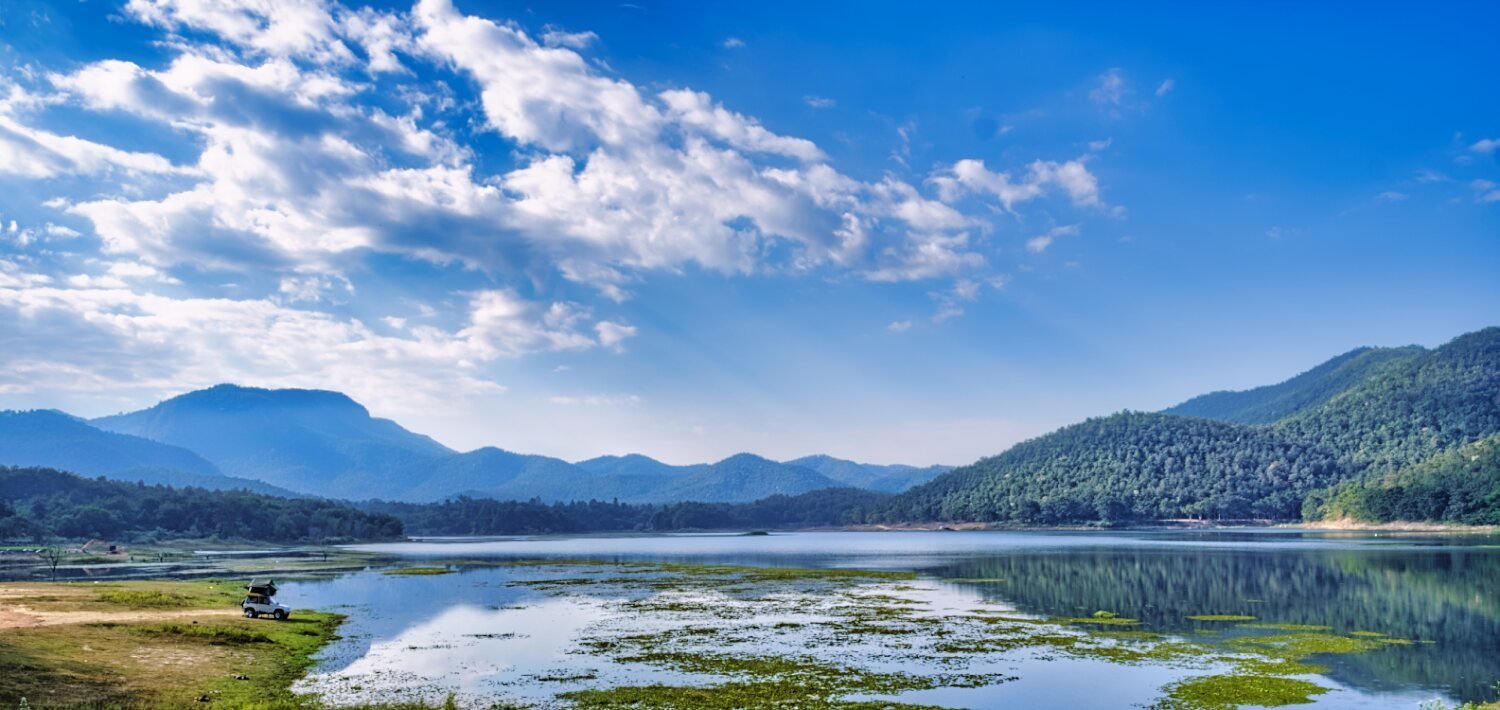
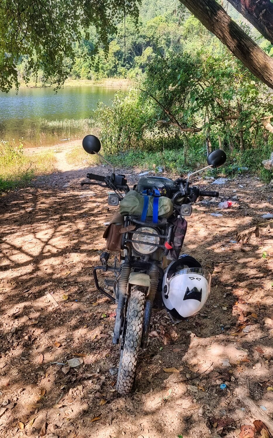
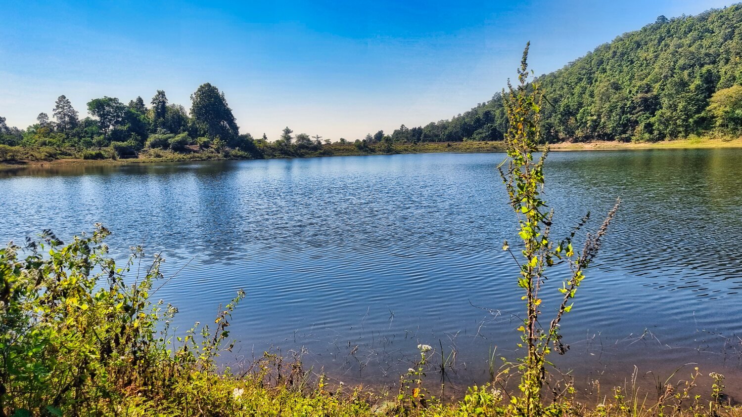
There are not may viewpoints once in the jungle, but I found one place where I could look down on to Huai Tueng Thao Reservoir, or the lake next to it, I’m not sure.
https://maps.app.goo.gl/GPQ25chJLGudx394A
https://www.relive.cc/view/vMv8GVpVVPq
-
2
-
1
-
- Popular Post
- Popular Post
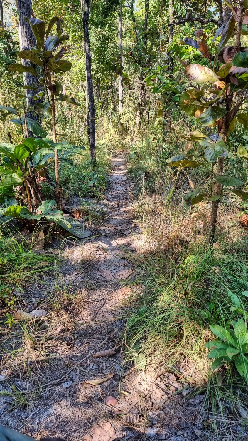
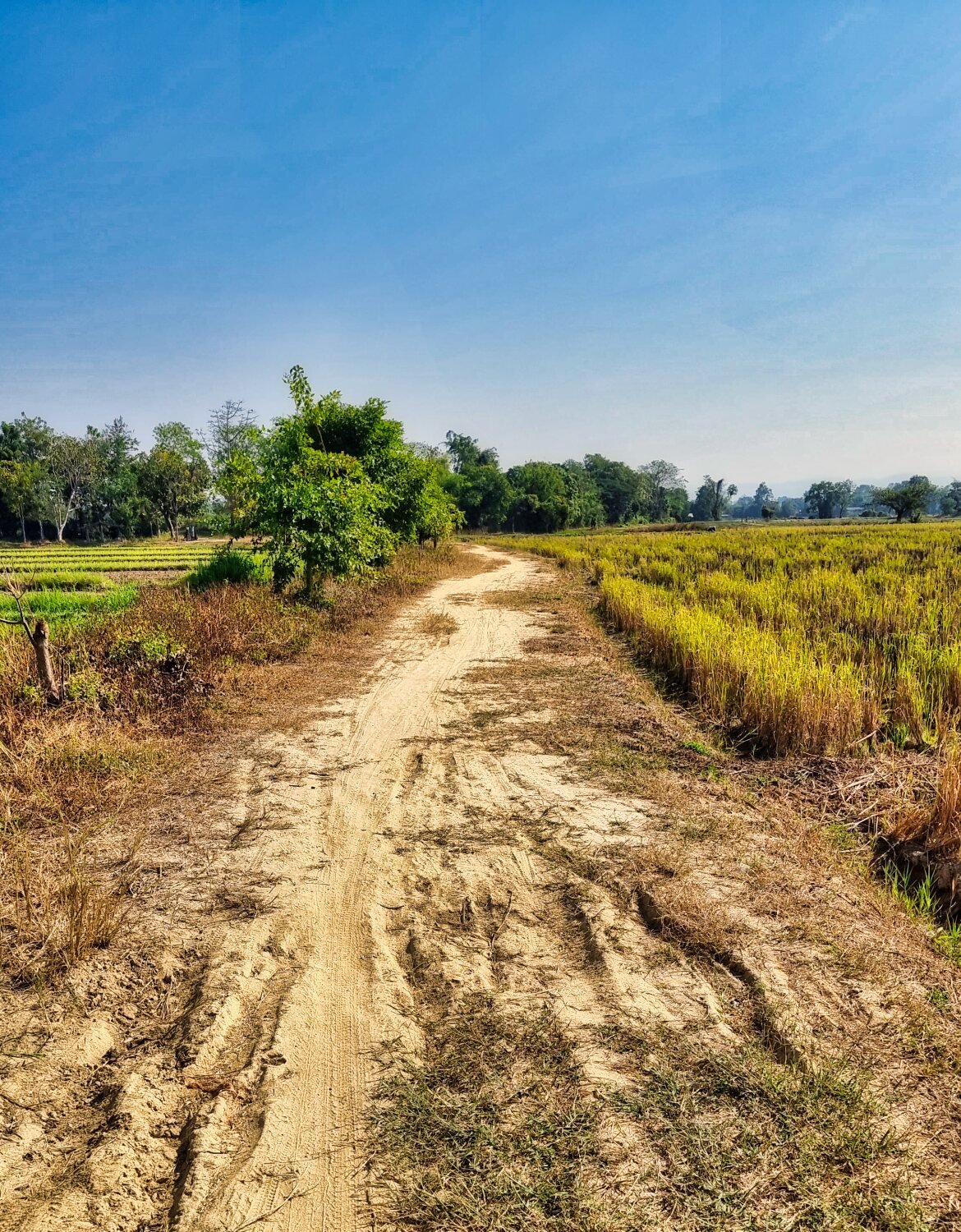
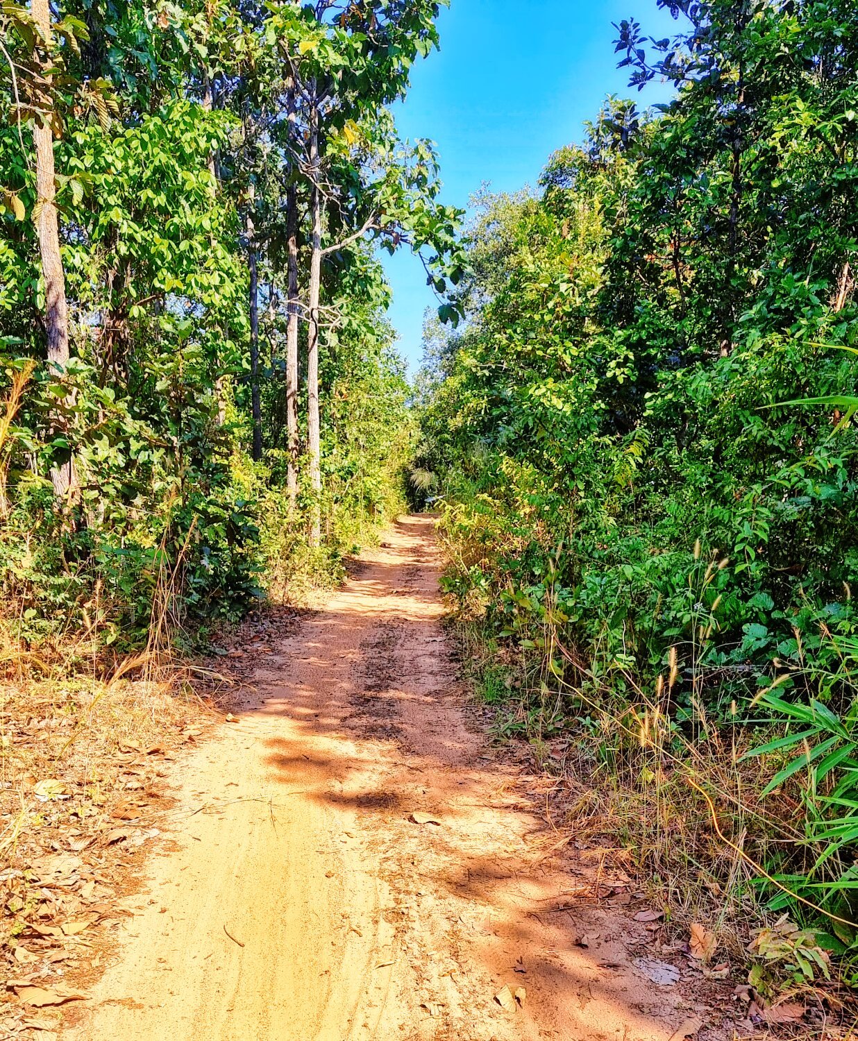
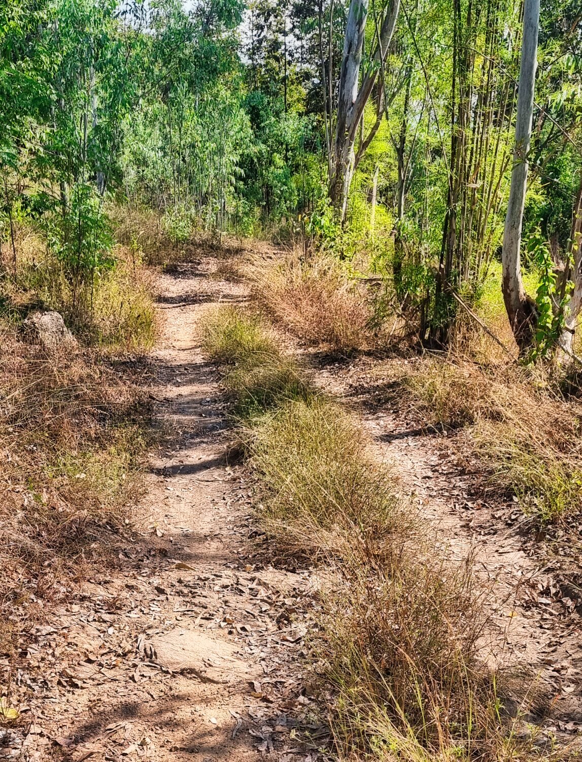
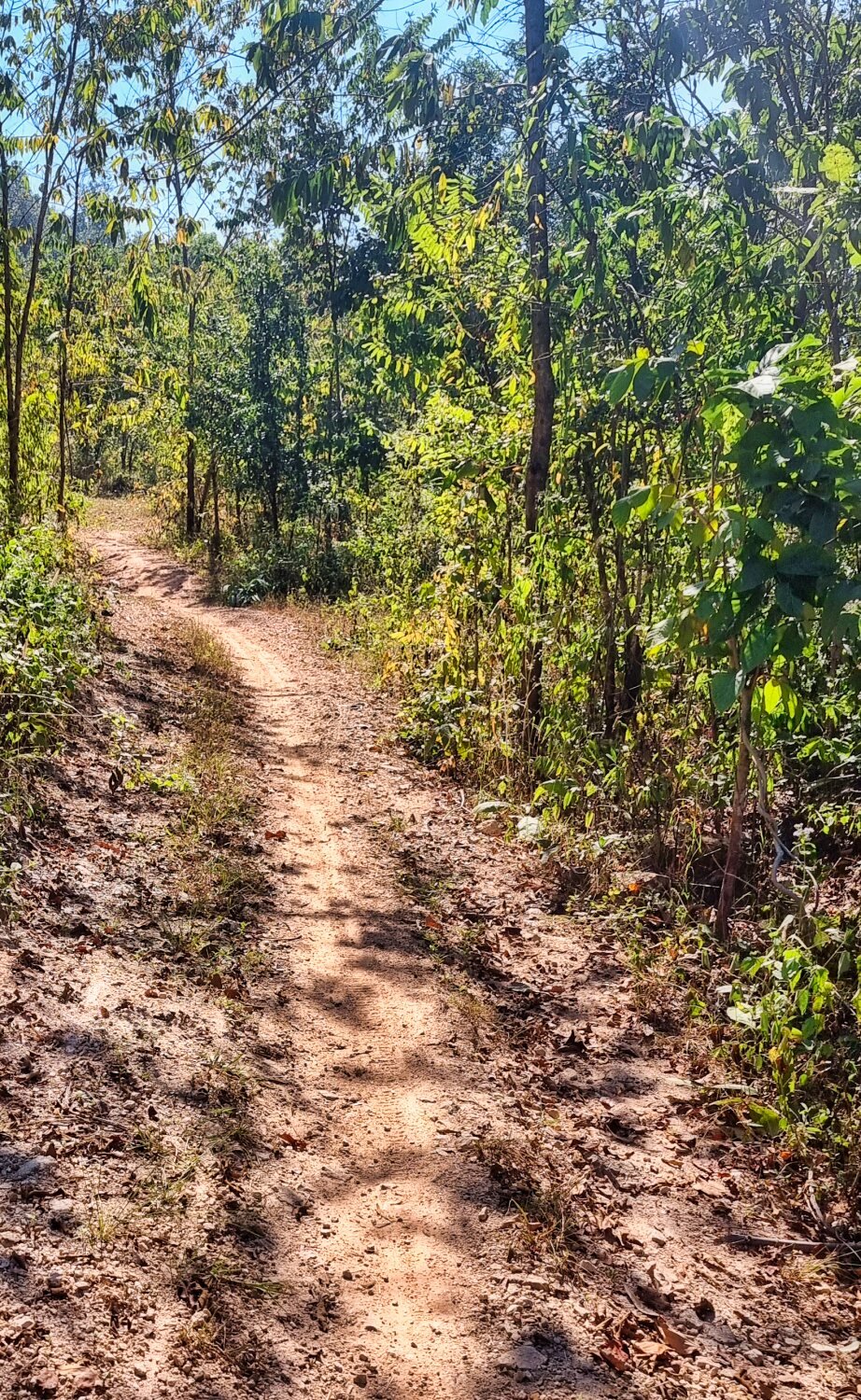
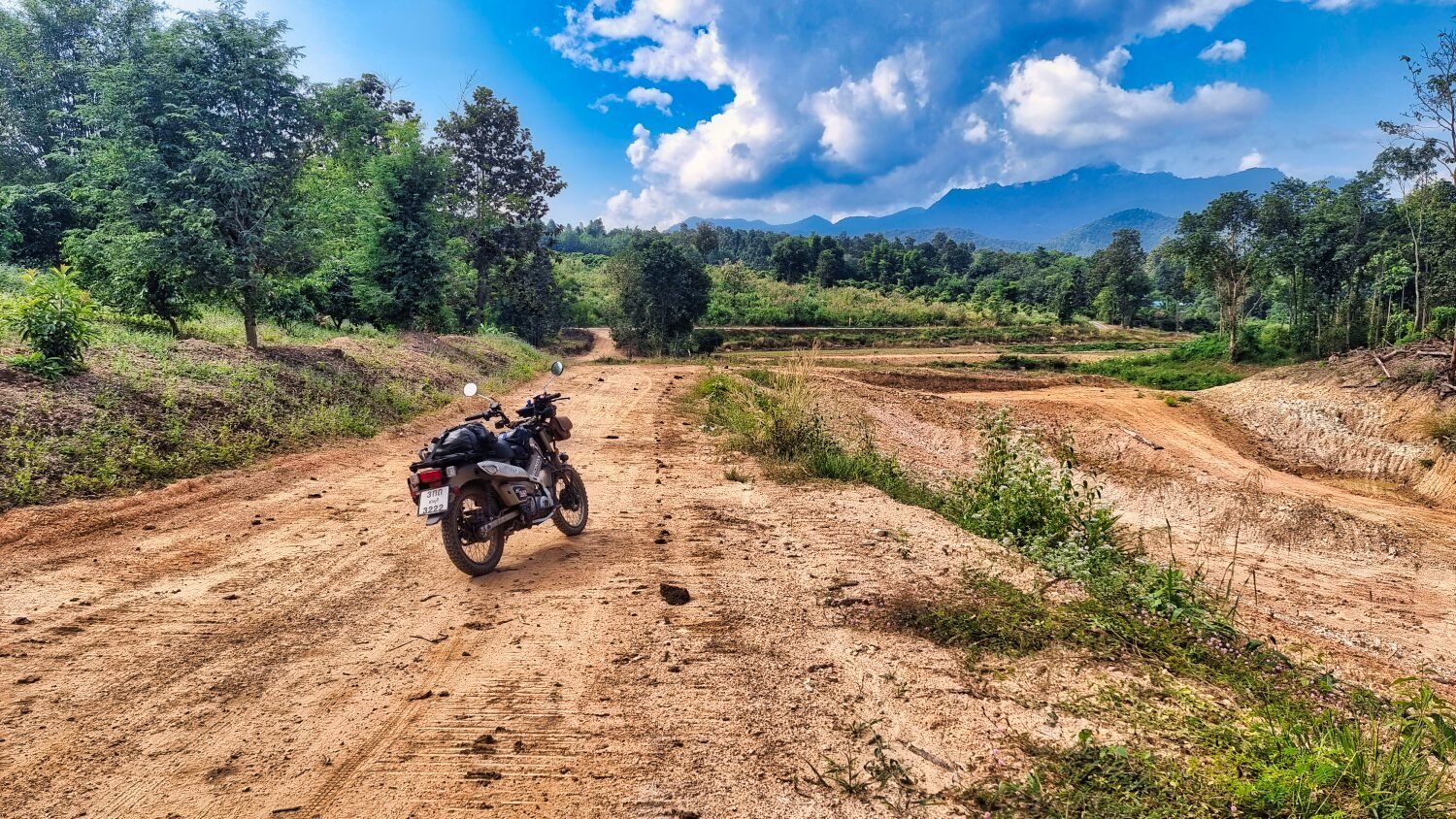
Today I went exploring more reservoirs continuing on from two days ago. Plenty of green laning, great views and friendly locals, a great day!
From Chiang Mai my first reservoir was Mae Tam Noi, here.
https://maps.app.goo.gl/LM9ft2jM3CgniaTe8
Then in order, Mae Tam Luang, here.
https://maps.app.goo.gl/b1uUMxjuuw3M5oEP7
Mae Phrai Reservoir, here.
https://maps.app.goo.gl/Y2dQ2M3hj5JX7DzH9
Un-named reservoir, here.
https://maps.app.goo.gl/KpppCKEMAF1kchau8
Another un-named reservoir, here.
https://maps.app.goo.gl/u89ASpTHFPZtUGgz5
Another un-named reservoir, here.
https://maps.app.goo.gl/4iHUziH3NV6qX5ZW8
Another un-named reservoir, here.
https://maps.app.goo.gl/saVuwfnthWMtTFta6
There are many more, so I will return.
https://www.relive.cc/view/vRO7eRnJxyq
-
2
-
 1
1
-
- Popular Post
- Popular Post
After yesterday long day I had an easy few hours exploring near Chiang Mai City today. Nothing special found though.
https://www.relive.cc/view/vYvE29DXpGO
-
3
-
1
-
1 hour ago, Randell said:
Tree lined lanes( some of my favorite shots) and up the hillside you cover it all. Wonderful to enjoy it with you. Happy New Year Chris.
Great fun Randell :) Happy New Year for you too.
-
- Popular Post
- Popular Post
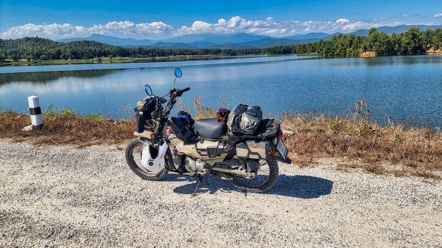
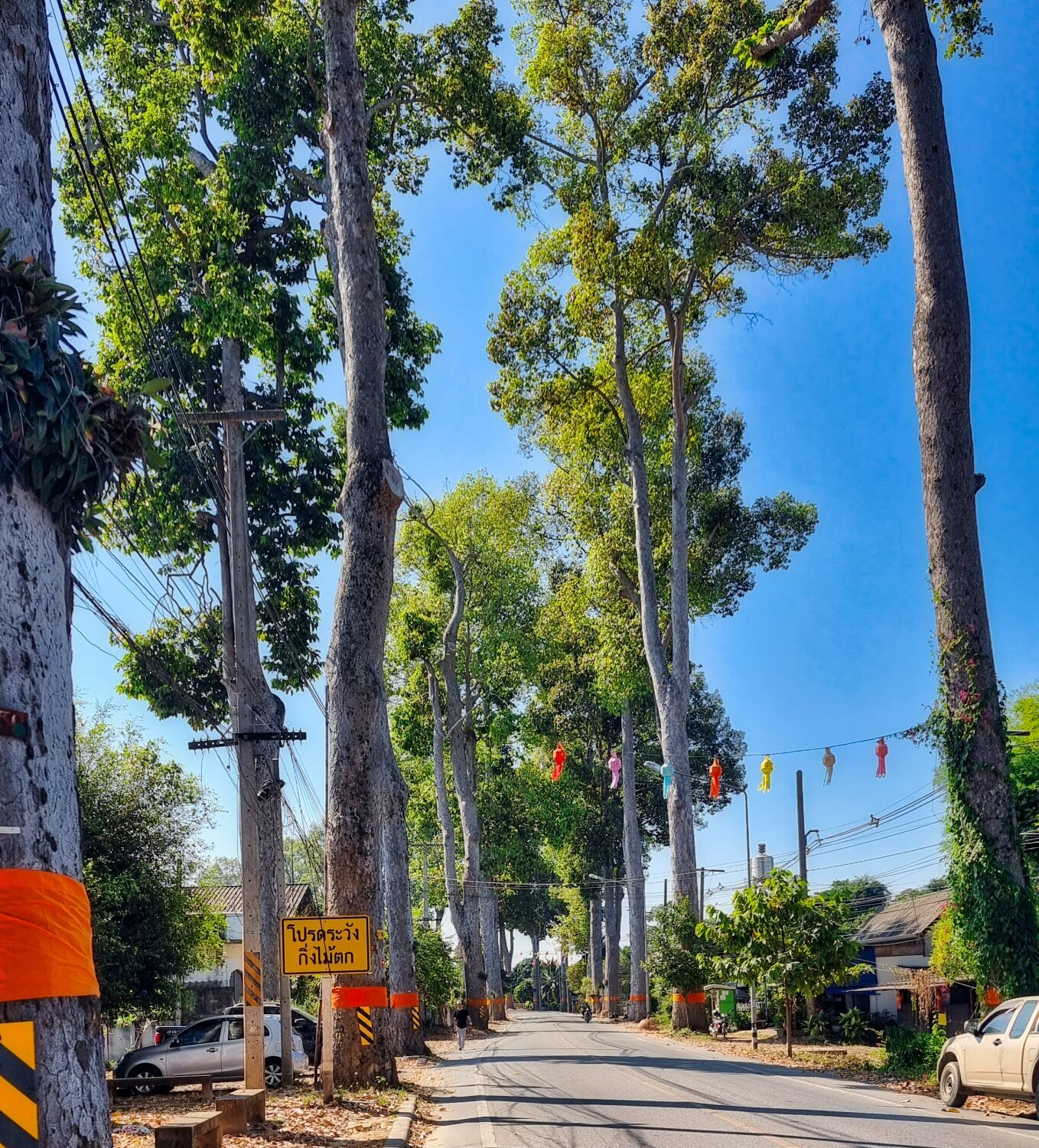
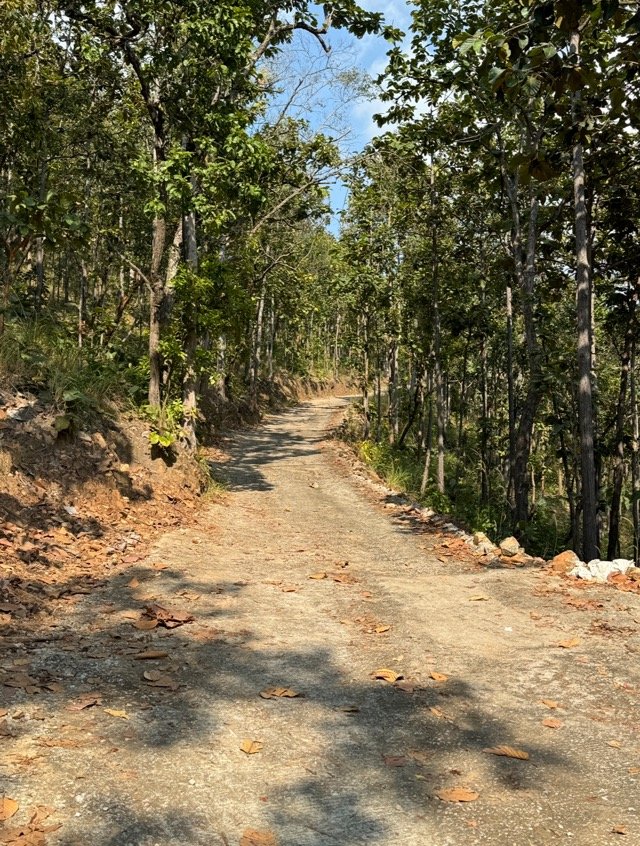
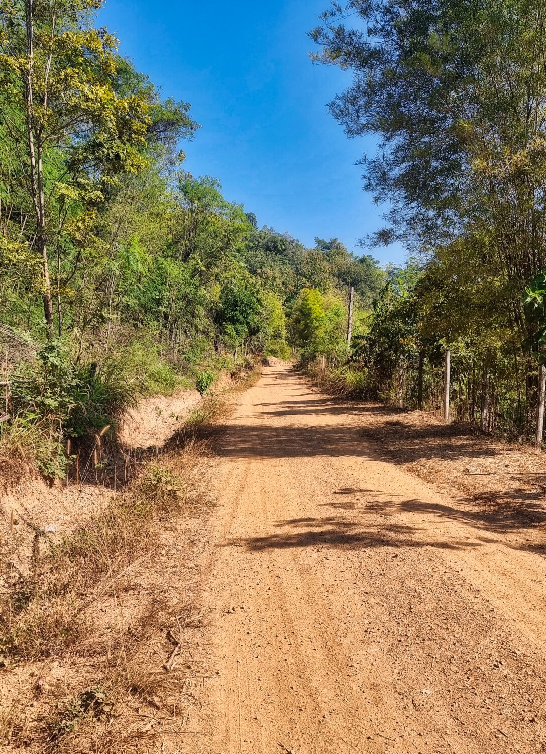
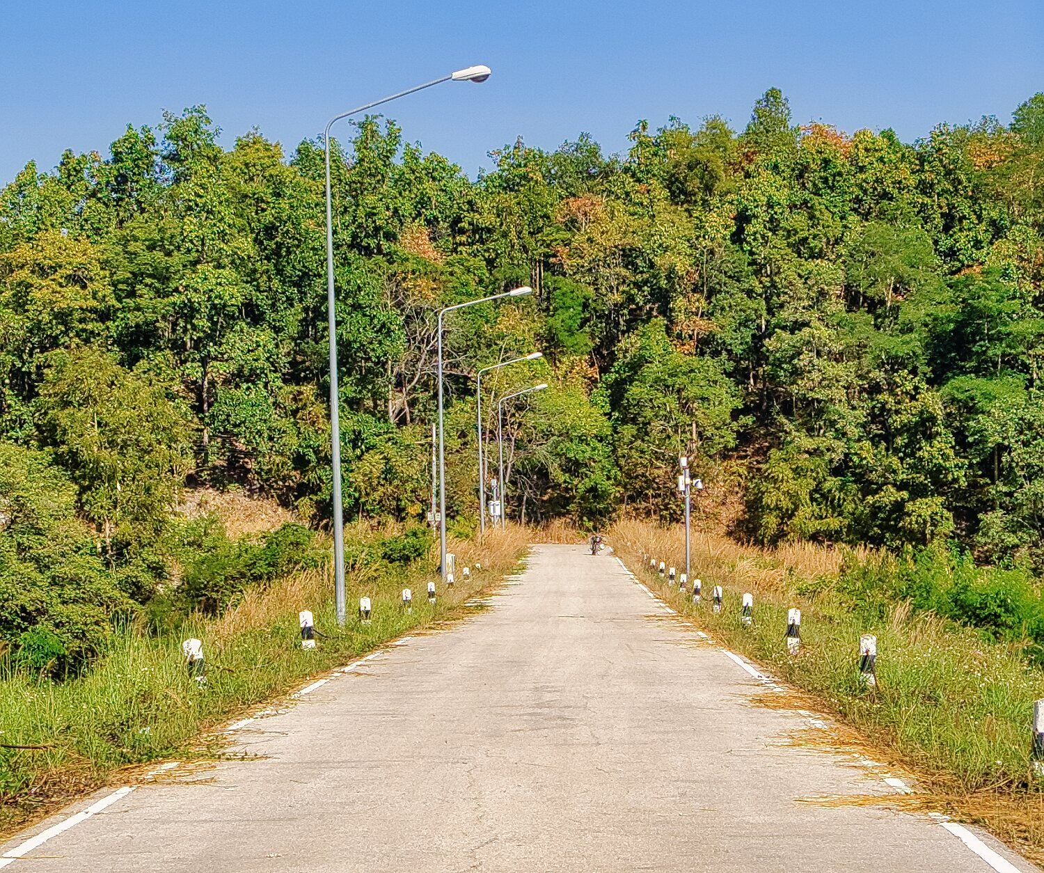
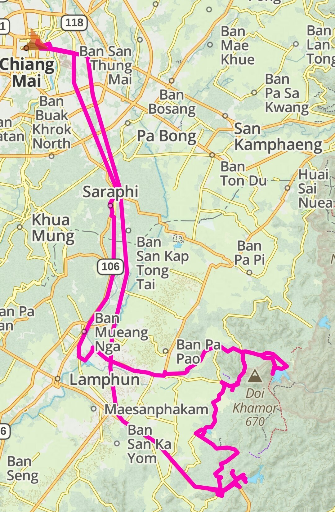
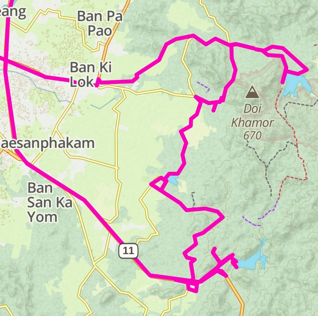
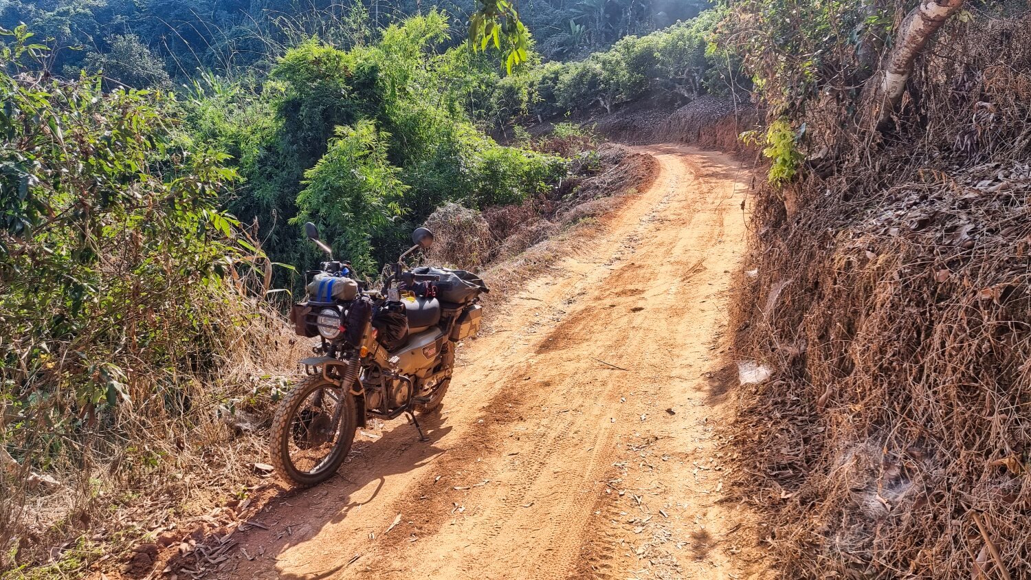
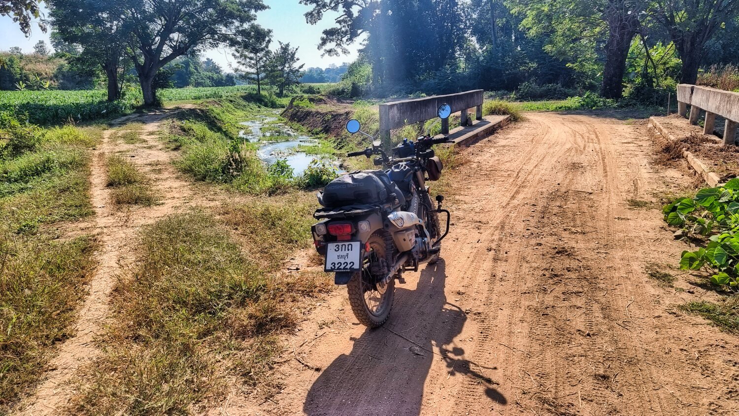
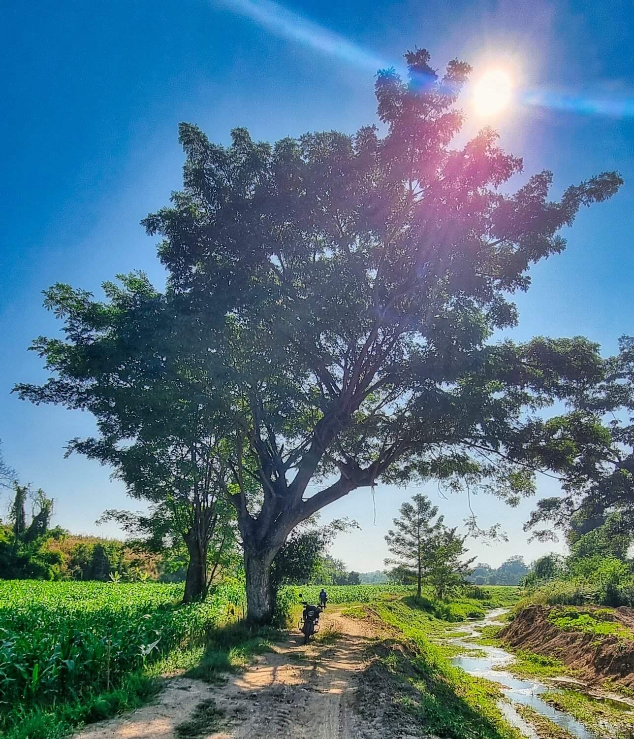
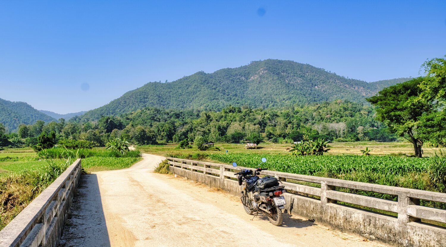
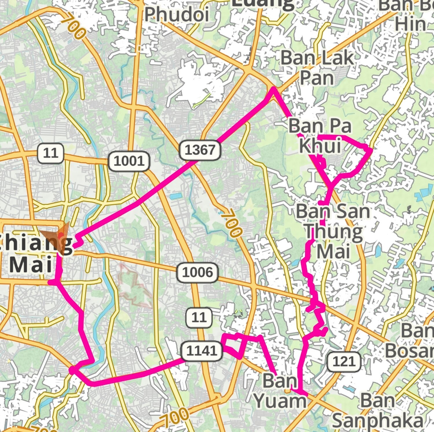
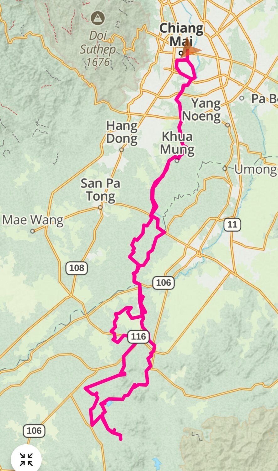
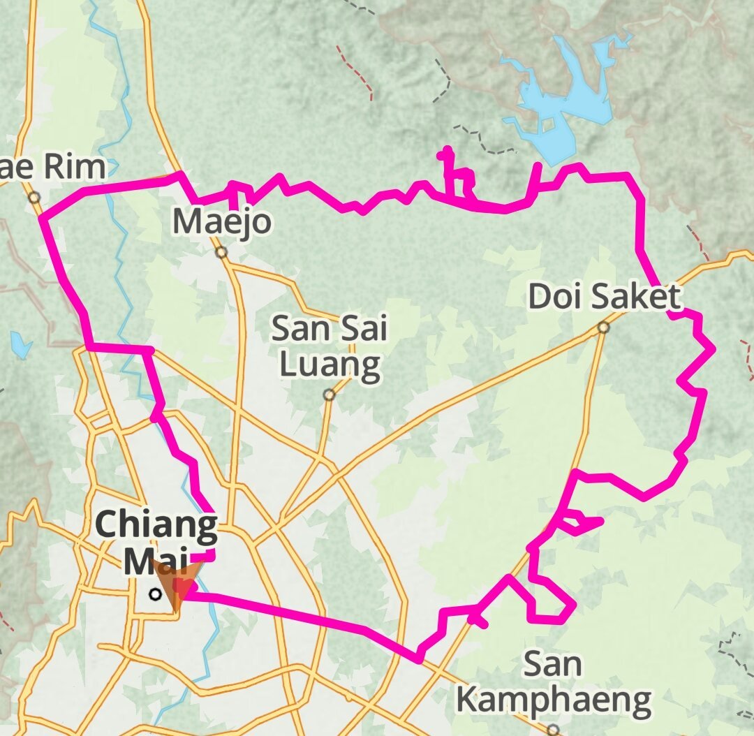
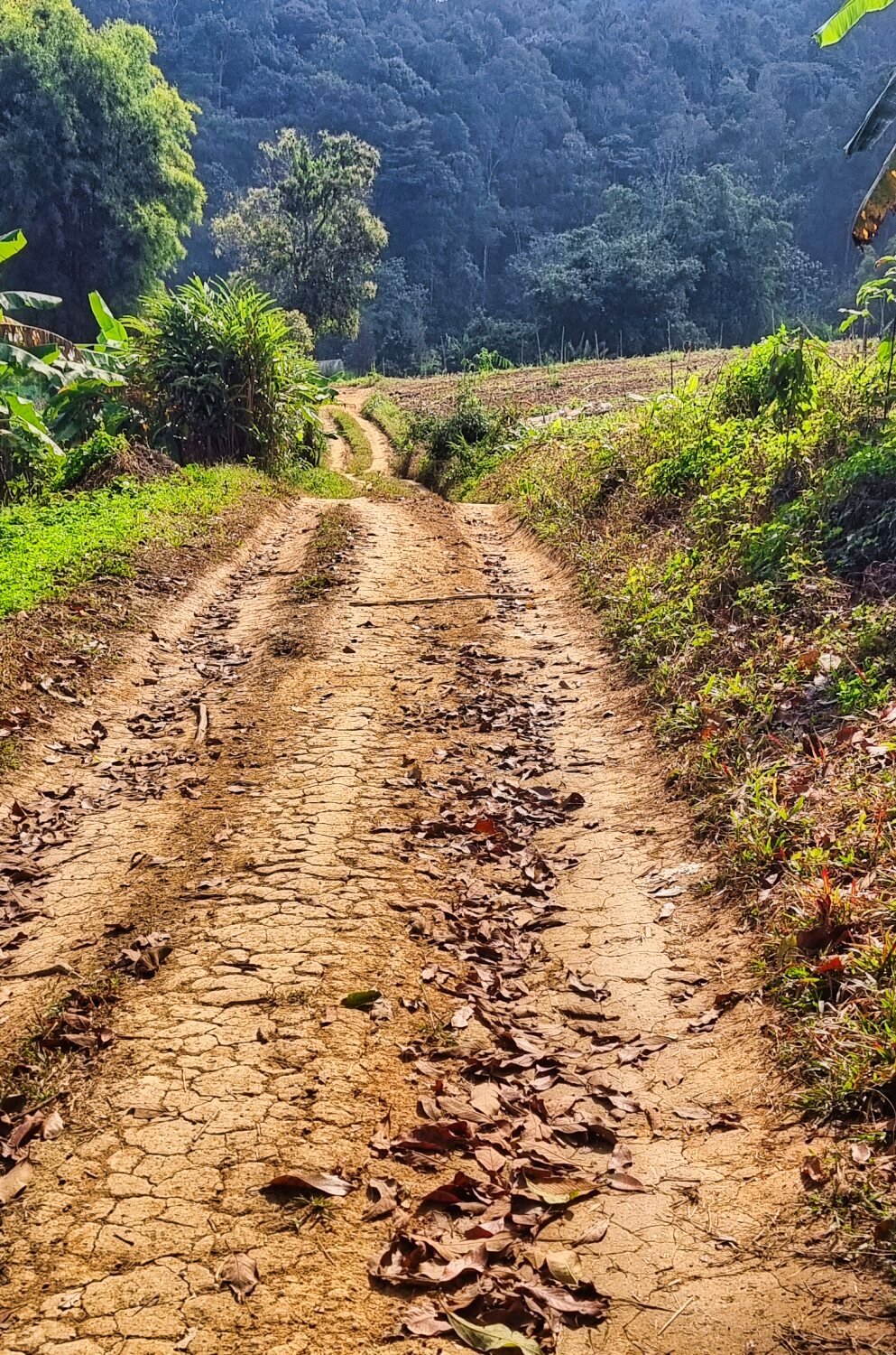
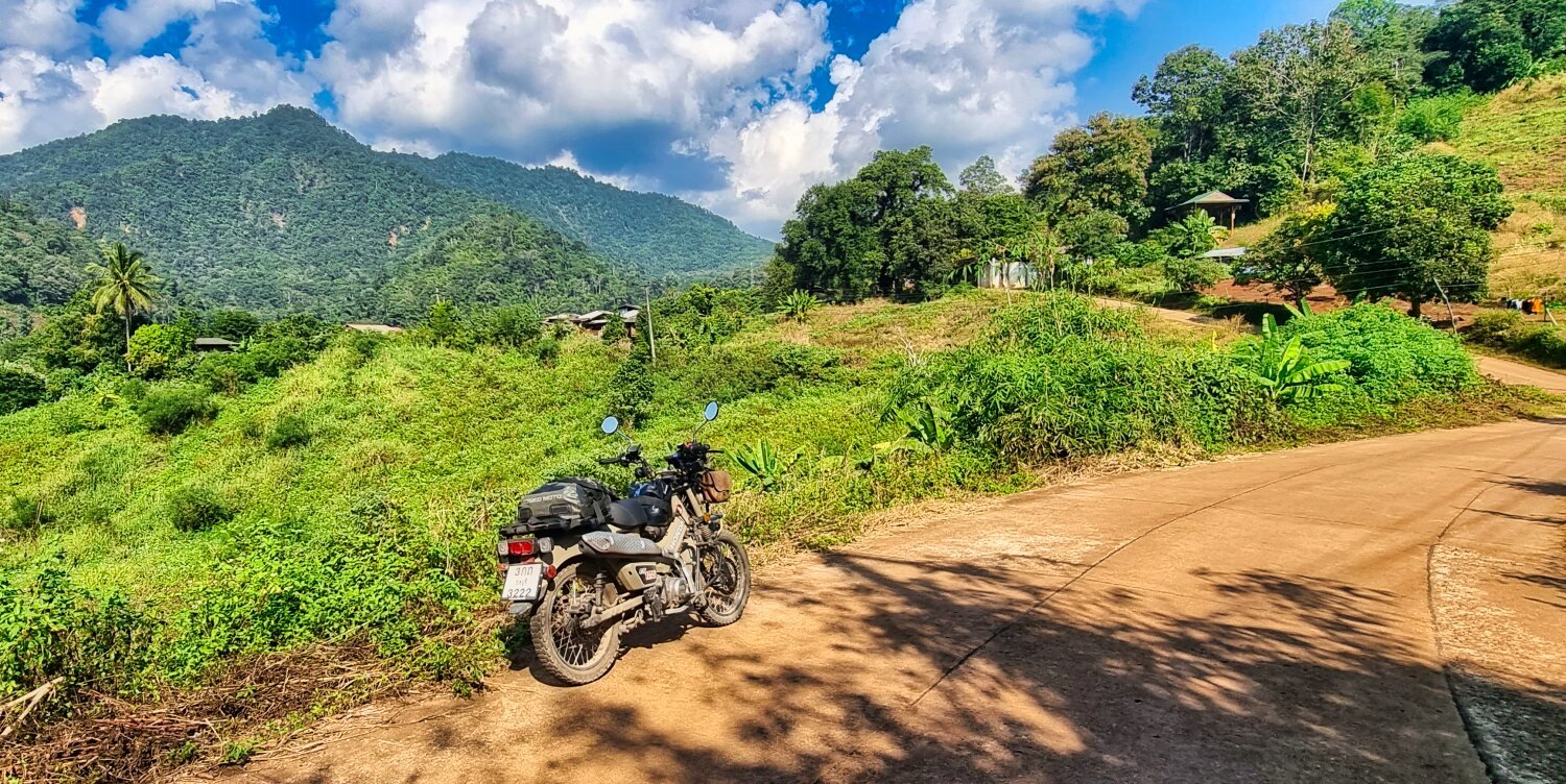
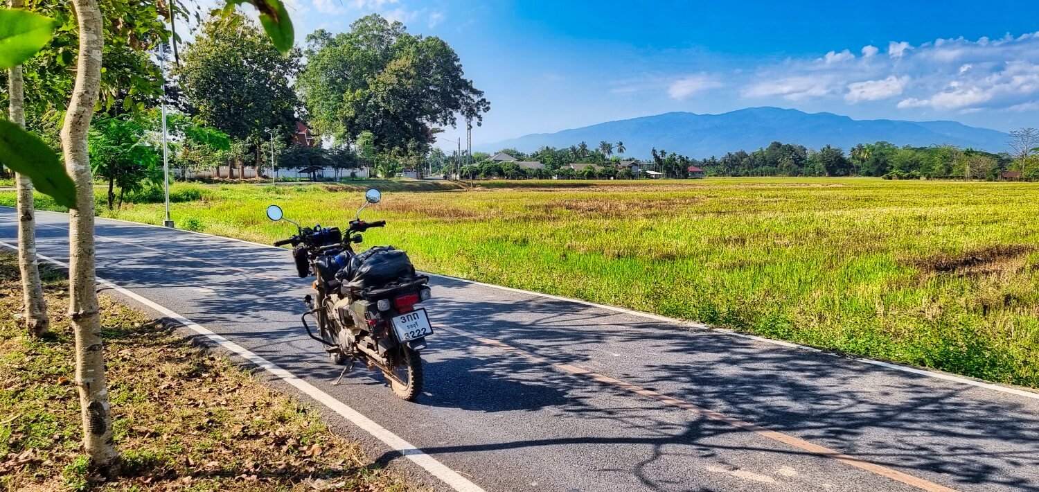
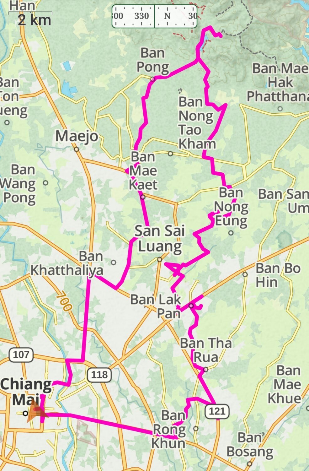
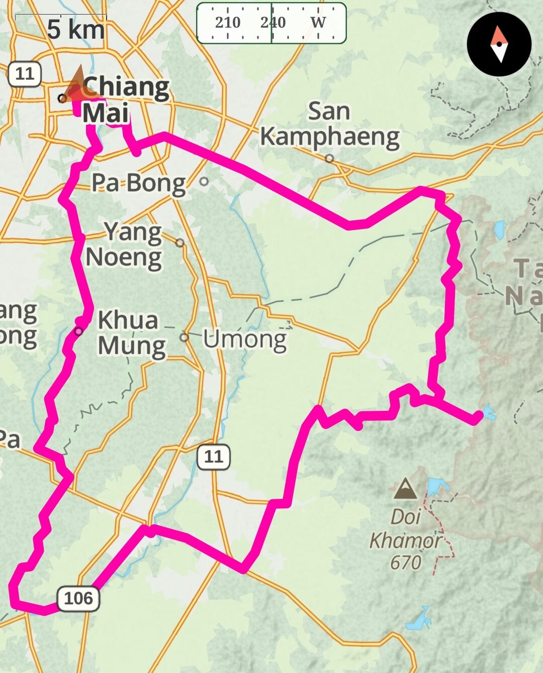
Yesterdays ride was long 10 hours, 265km ride. I rode north east out of Chiang Mai then turning south on R3005, then east on Huai Kaew Road, here.
https://maps.app.goo.gl/maWjc6LeLwG52mrh6
When I got to the hill tribe area, Ban Pa Miang it full of home stays and coffee shops the road got extremely steep in places, here.
https://maps.app.goo.gl/tbYUsKbbppCn7oDR9
In this area on a steep climb out the CT125 ran out of power and was about to stall, I thought I was in second gear and clicked down into neutral, luckily as this has happen before I was ready and kicked into first gear and stood up, this saved a bad tumbles backwards which hurts! I then had to paddle with my feet up the hill for about 30 meters until I could sit and keep going. At least I was not cold after that!
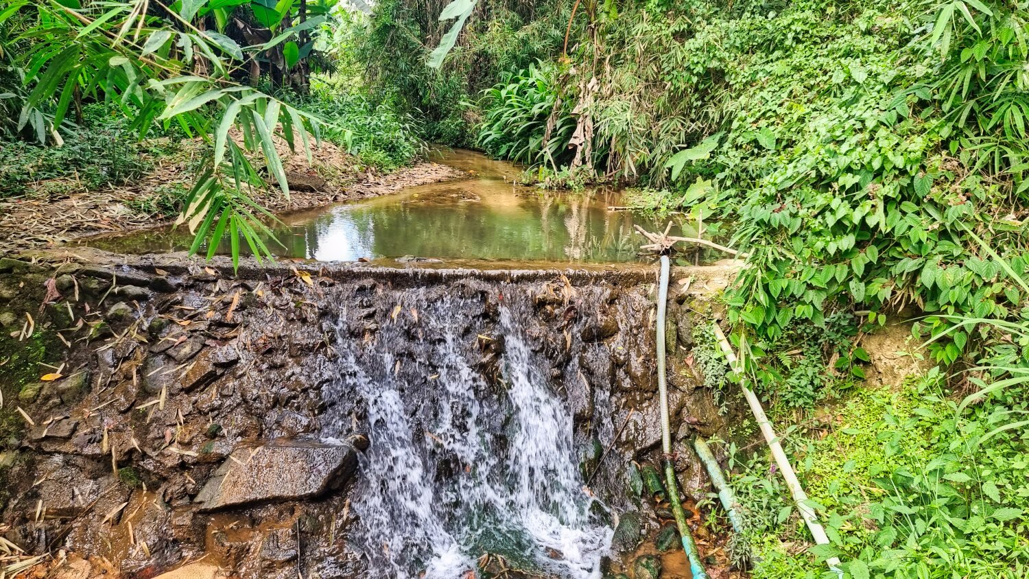
After leaving the mountains I was taking side roads to check out small tracks and see the sights. I found a weir with good views, here.
https://maps.app.goo.gl/78eFyenjJeQpRQr26
After a few dead ends, here.
https://maps.app.goo.gl/d2ZgwYUPkxxiKUSS7
https://maps.app.goo.gl/TK8gw51MwVWrhaCe7
I found some reservoirs, the first was unnamed, here.
https://maps.app.goo.gl/PJTruYu39Bd7YUsq9
Then Mae Kong Pin Reservoir, here.
https://maps.app.goo.gl/o4P99iDGwqaLscHE6
Next was Ban Mae Fuaeng Reservoir
https://maps.app.goo.gl/uztd25j7RMAJsXaJ7
There many more to find here but I was running late.
https://www.relive.cc/view/vZqN1NV4V36
-
2
-
1
-
- Popular Post
- Popular Post
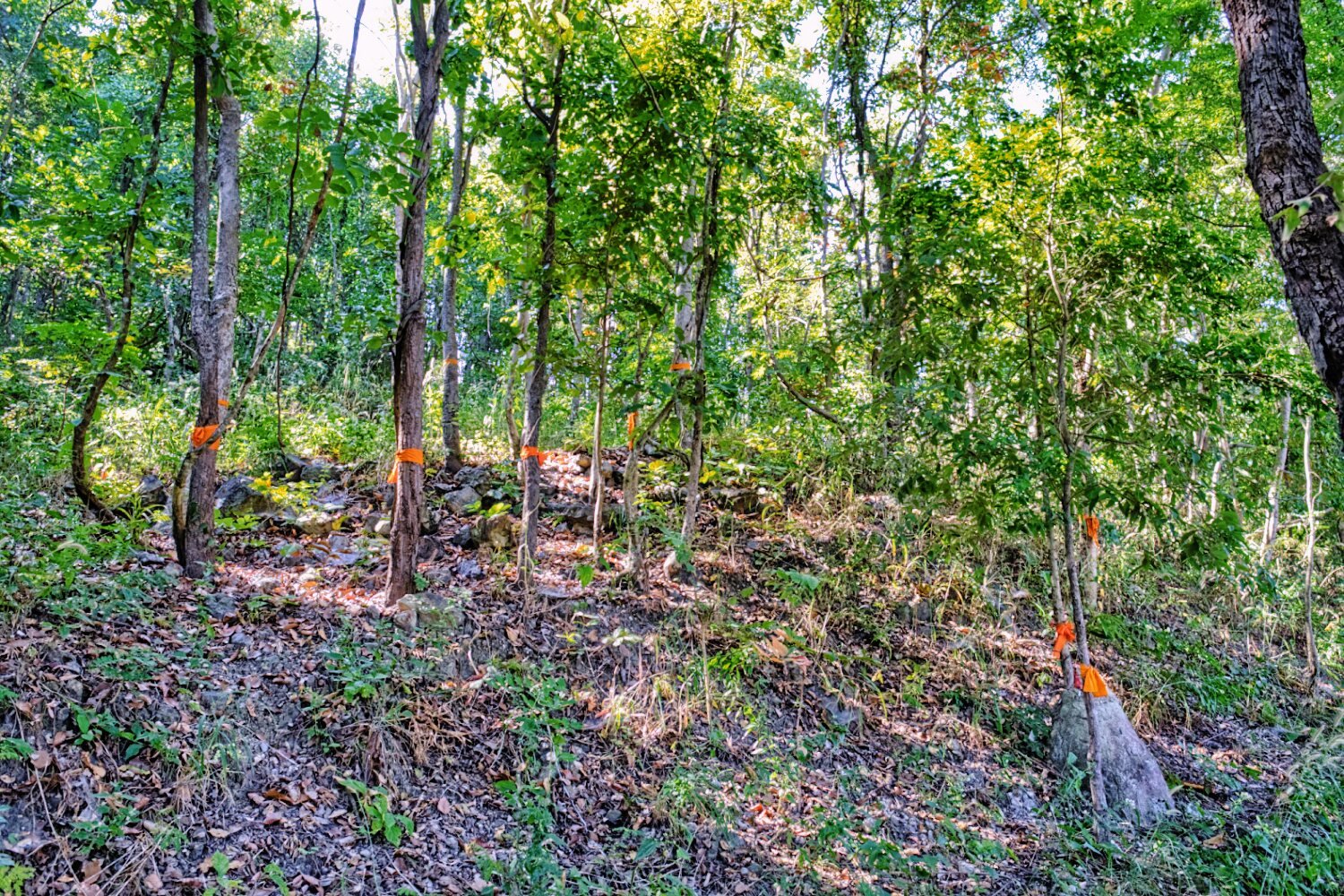
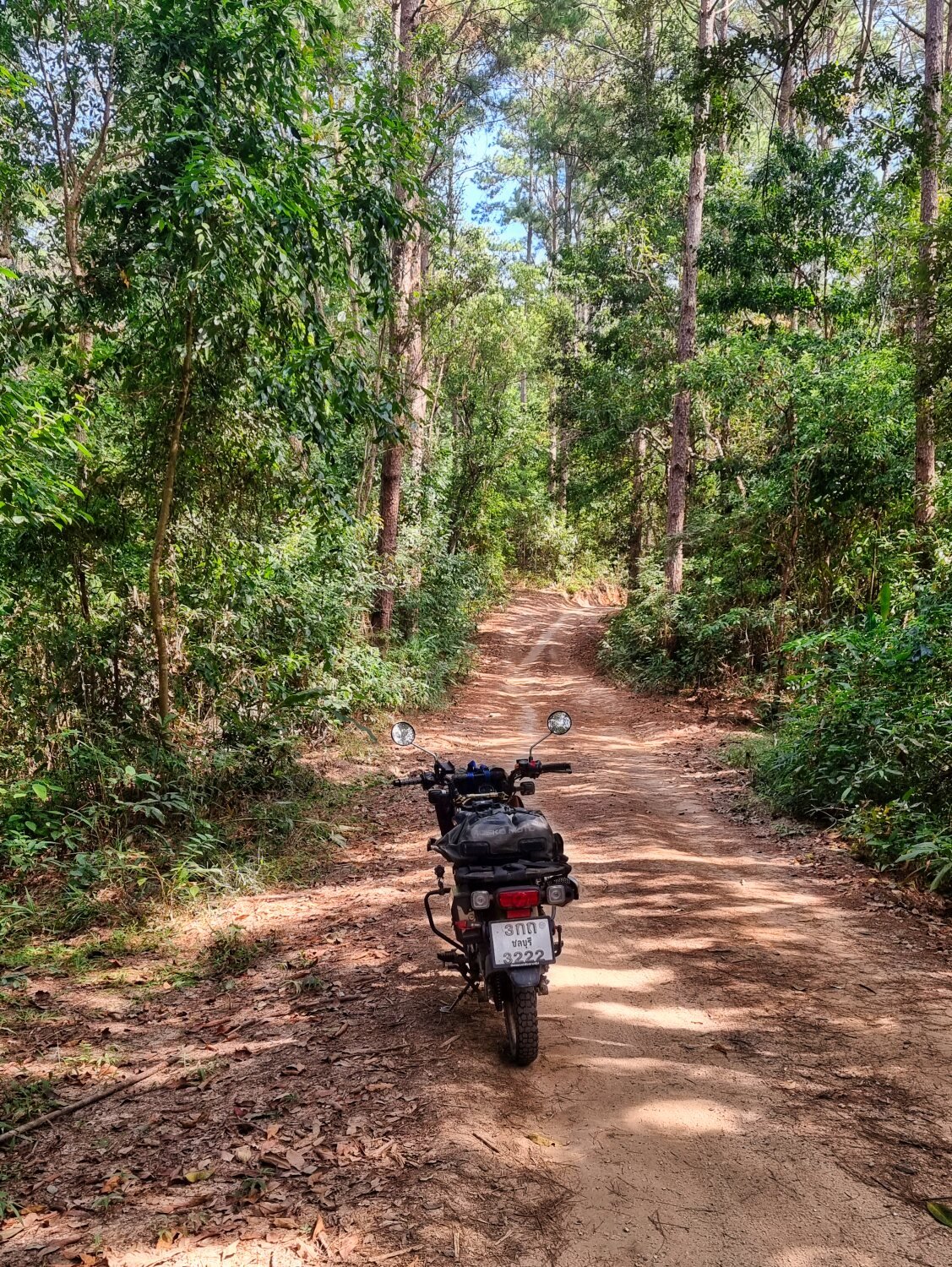
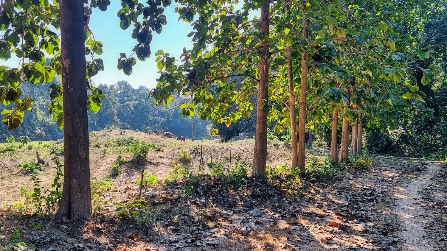
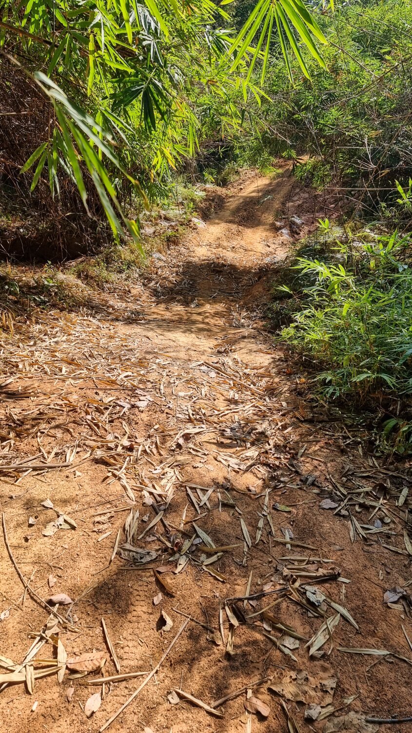
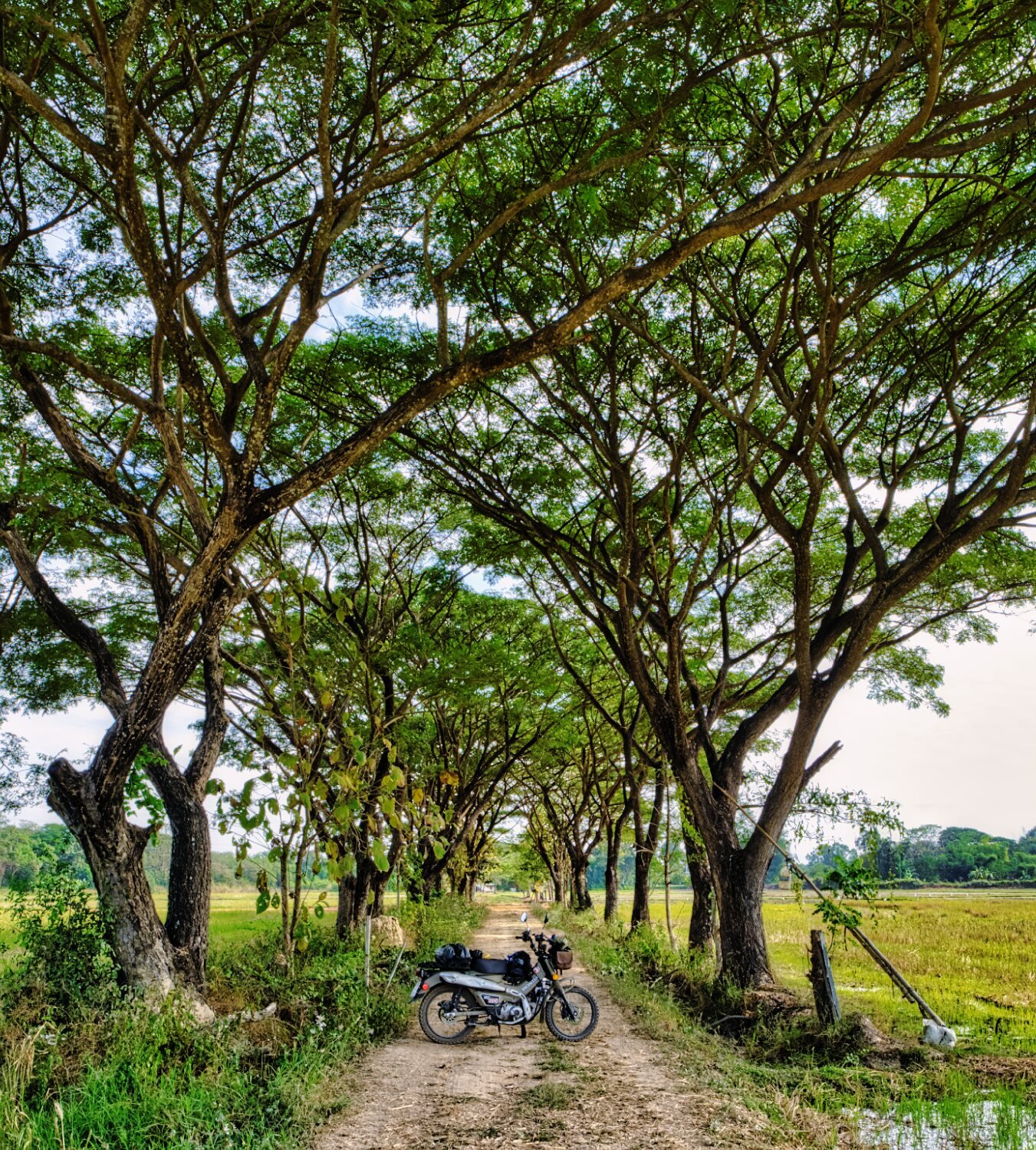
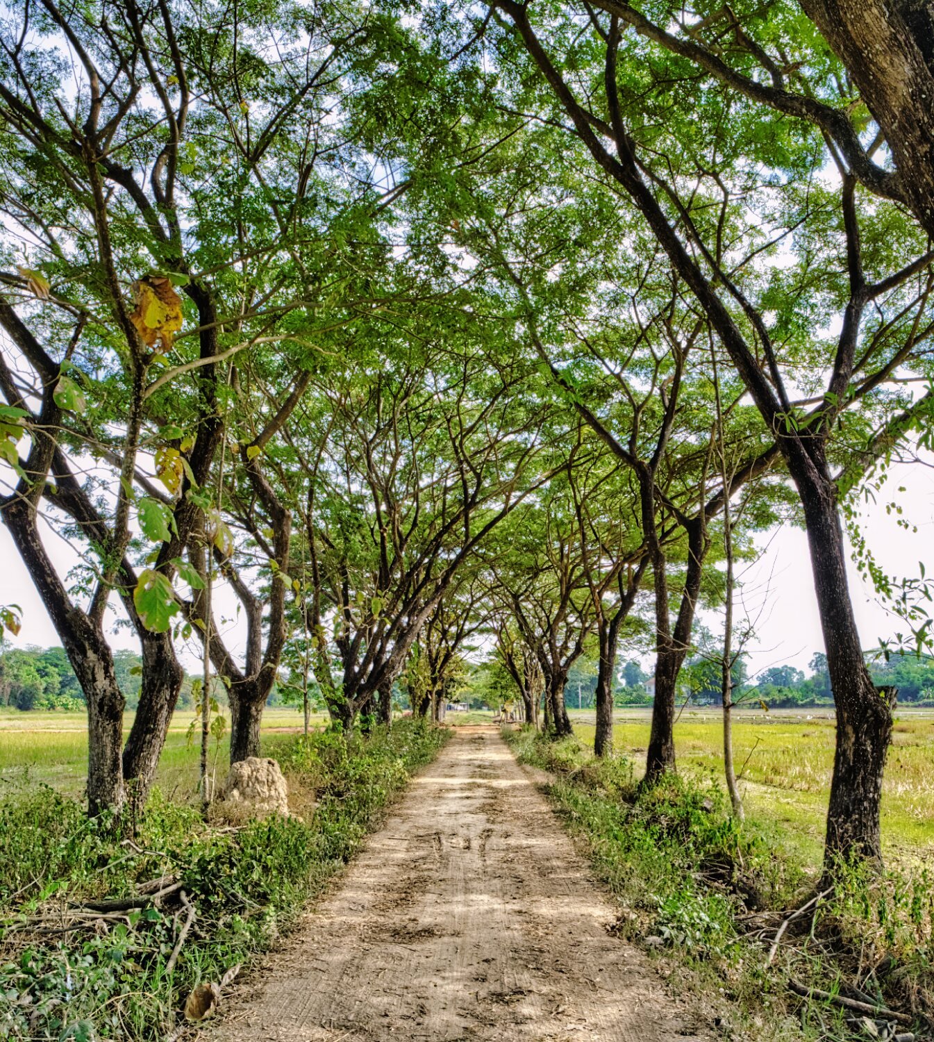
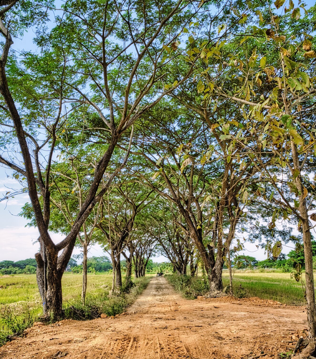
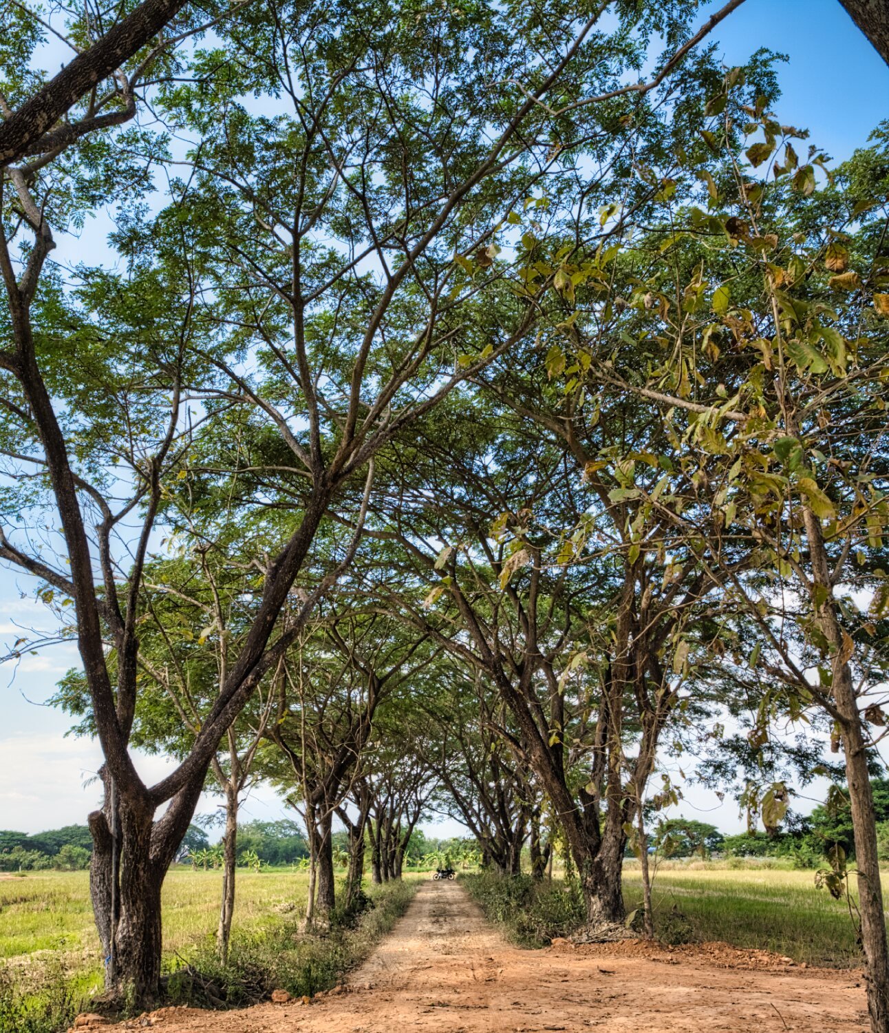
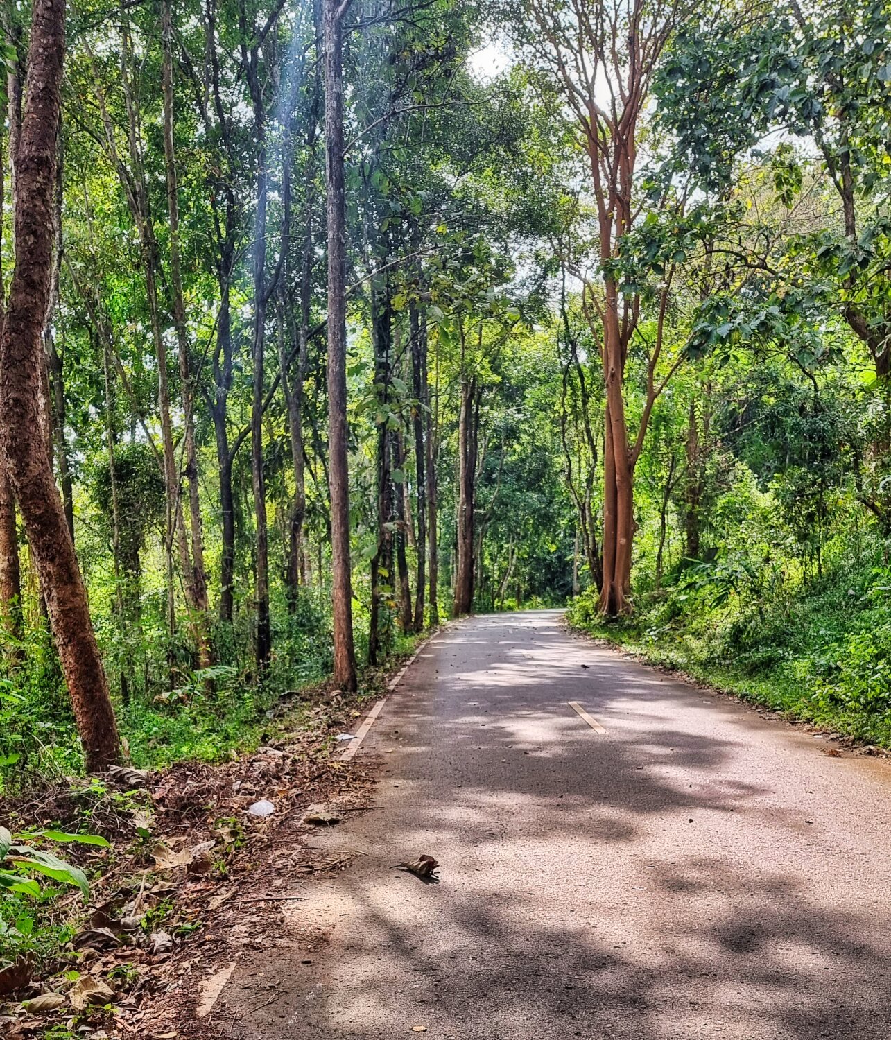
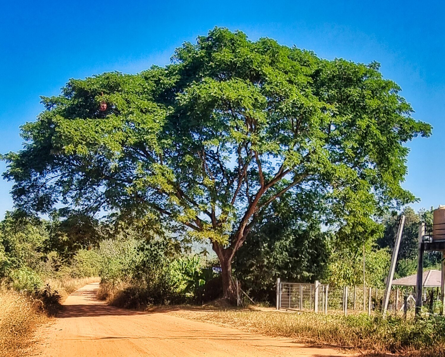
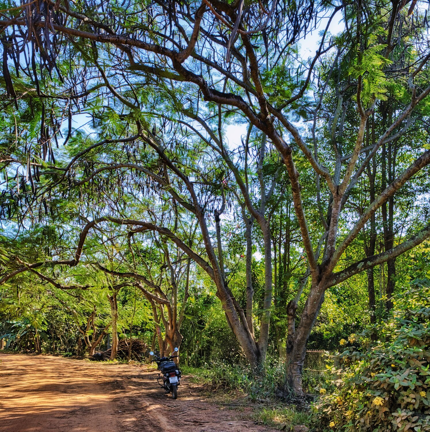
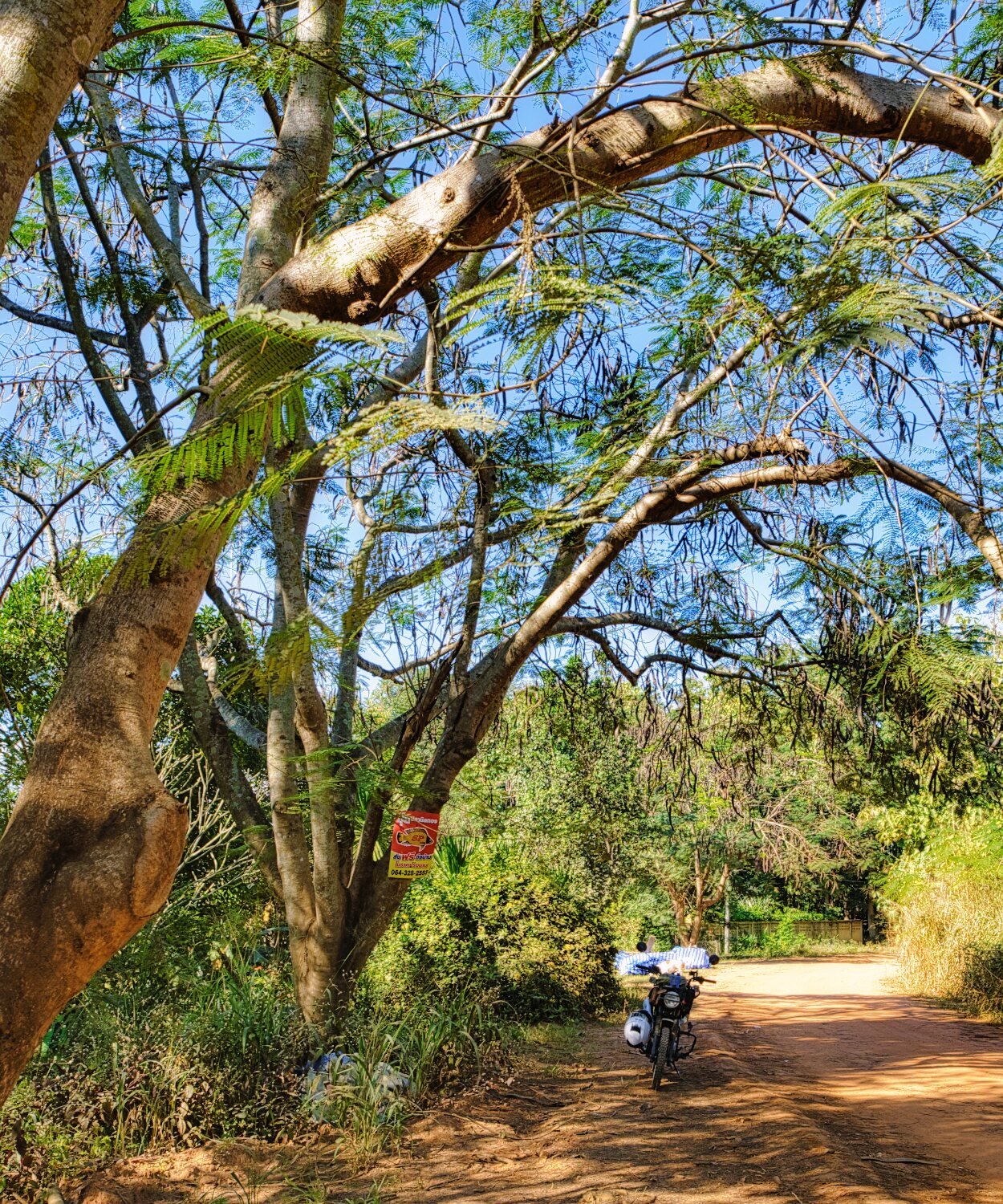
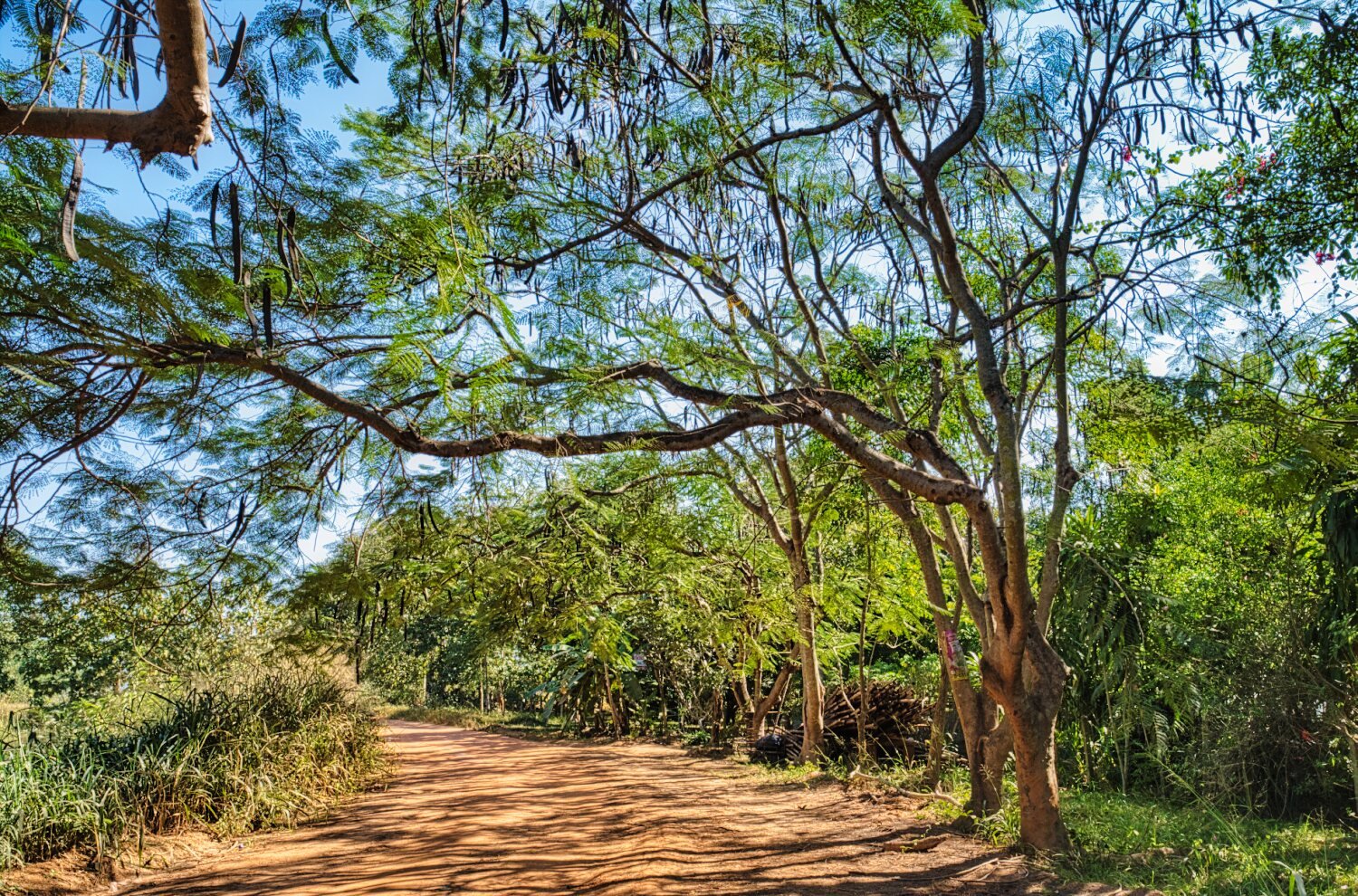
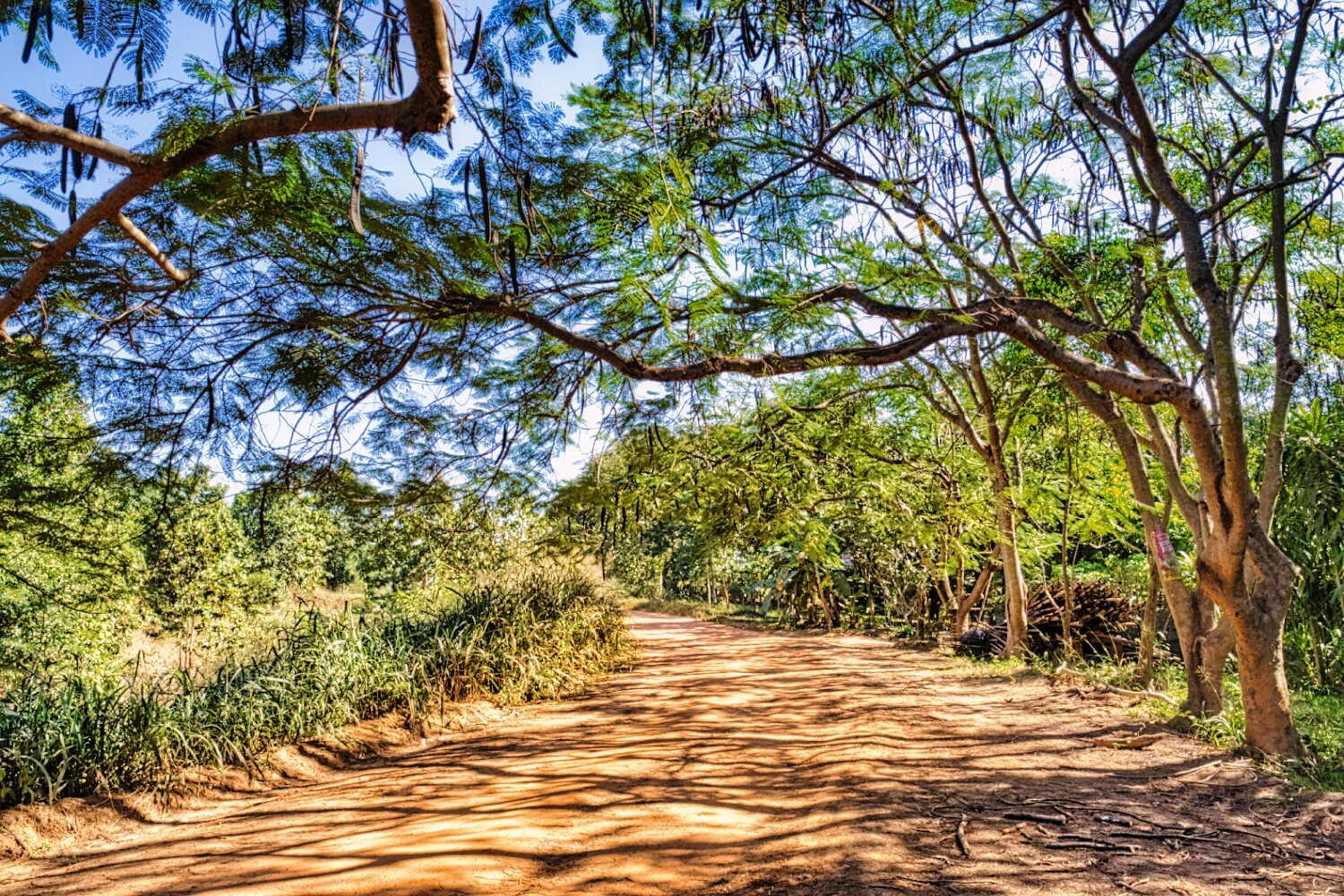
Today I just went riding locally for a couple hours, no special sites but I found some rain trees when off road, here.
https://maps.app.goo.gl/PqzrGbKK3rP5oXd19
https://www.relive.cc/view/vr63QZm3Gdv
-
2
-
1
-
- Popular Post
- Popular Post
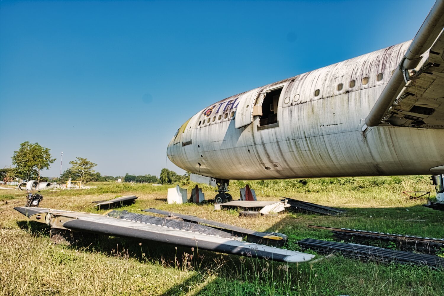
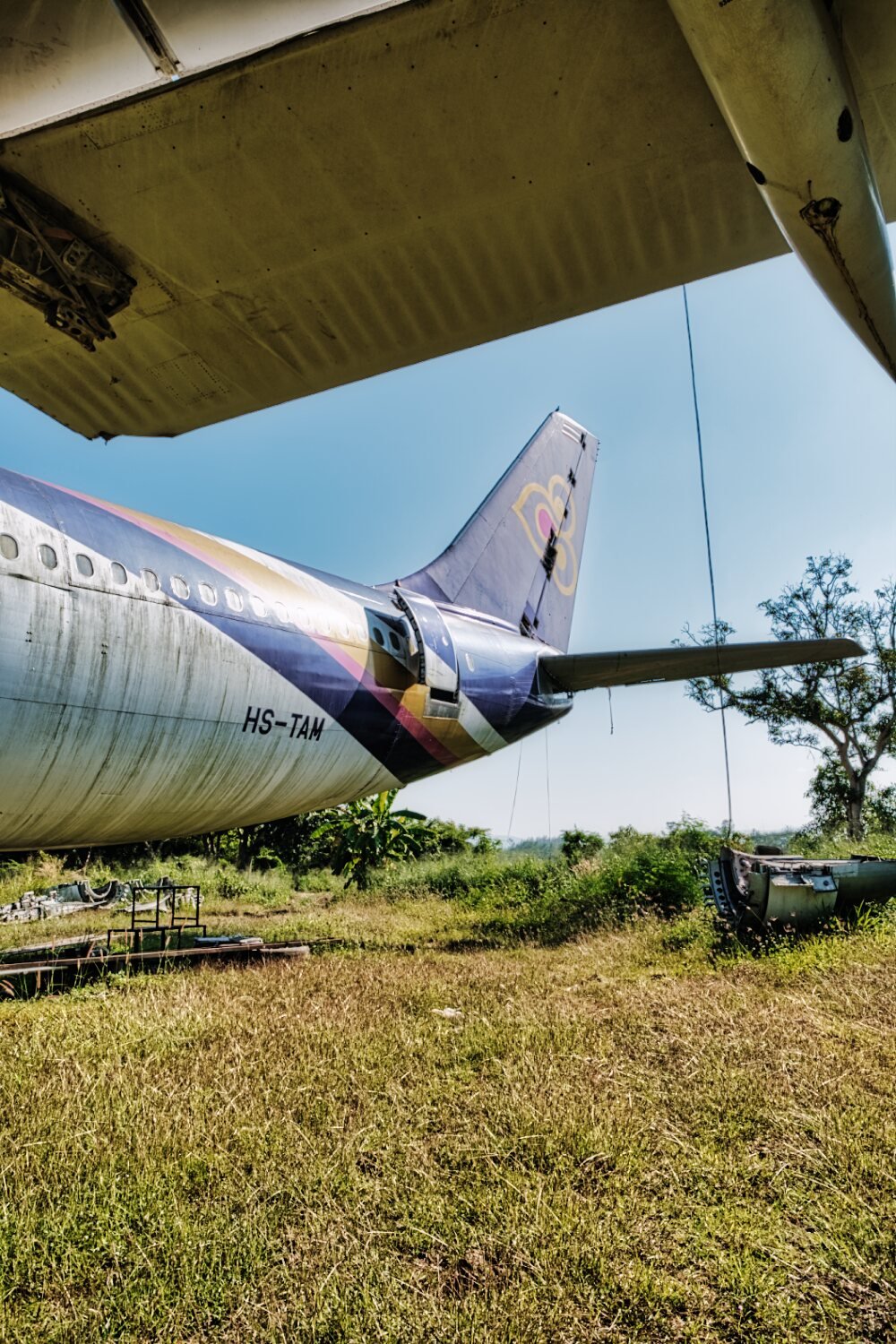
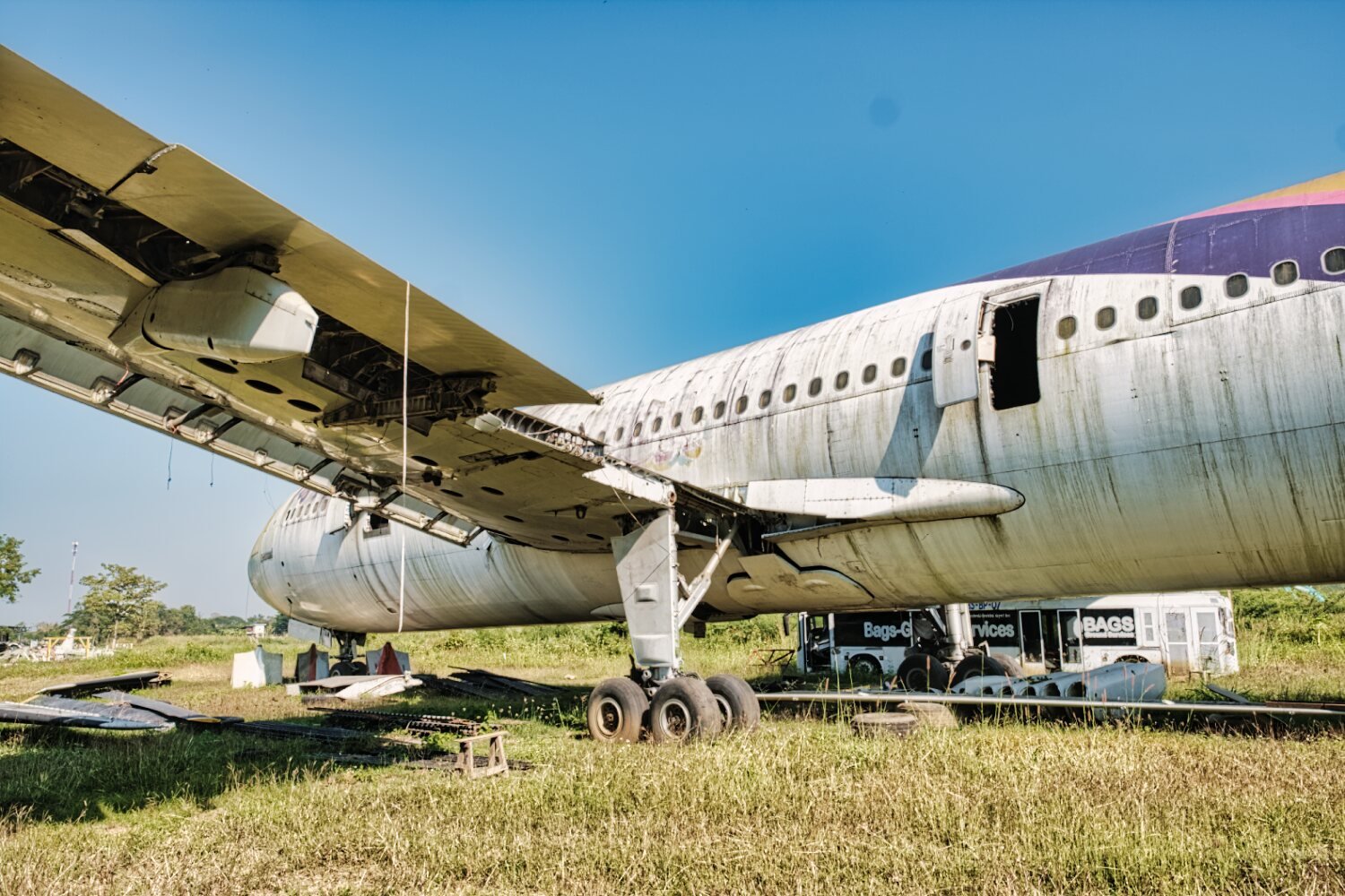
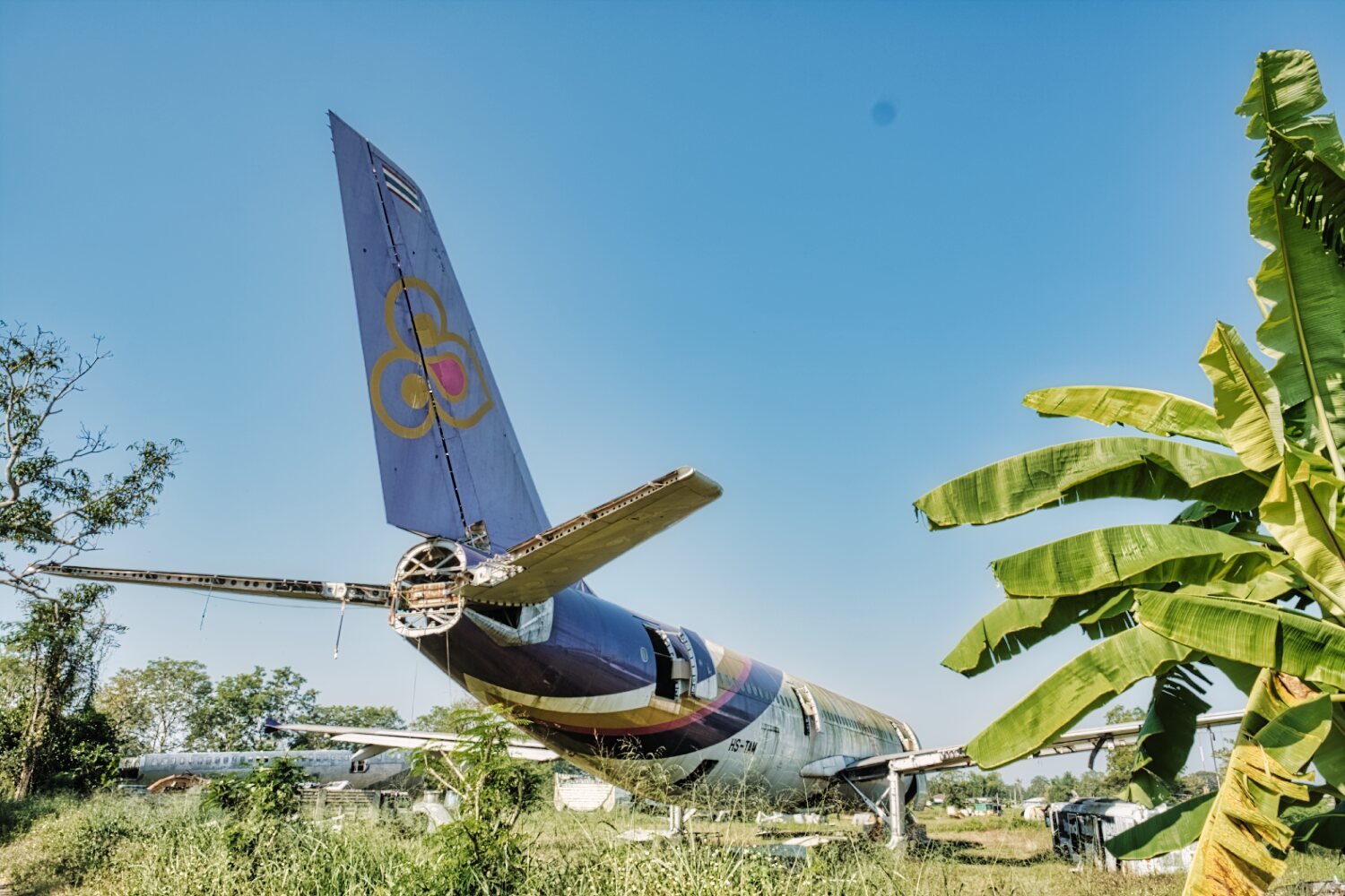
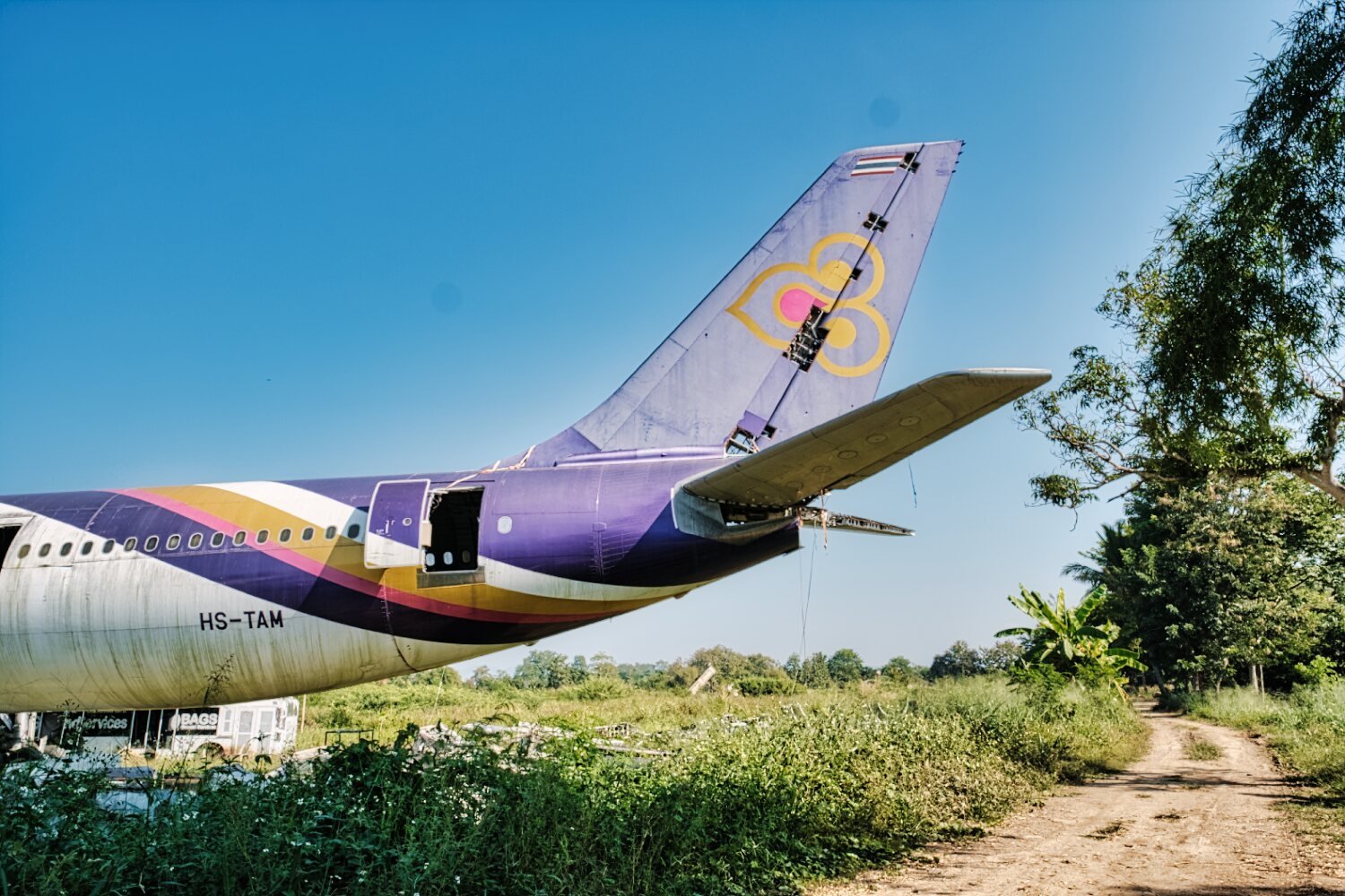
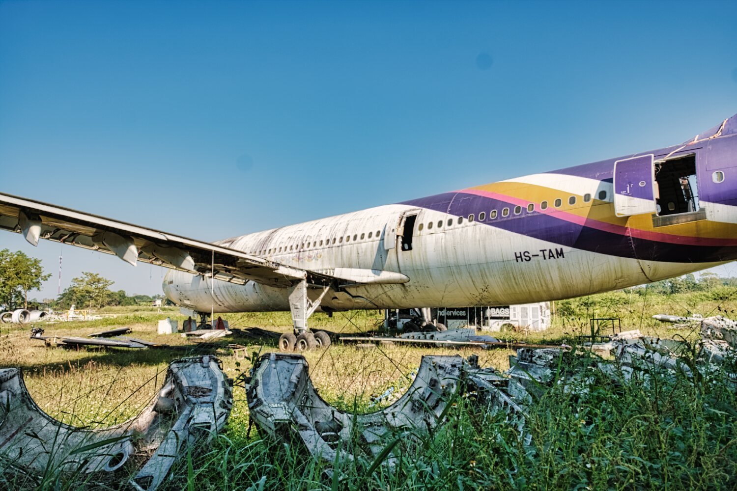
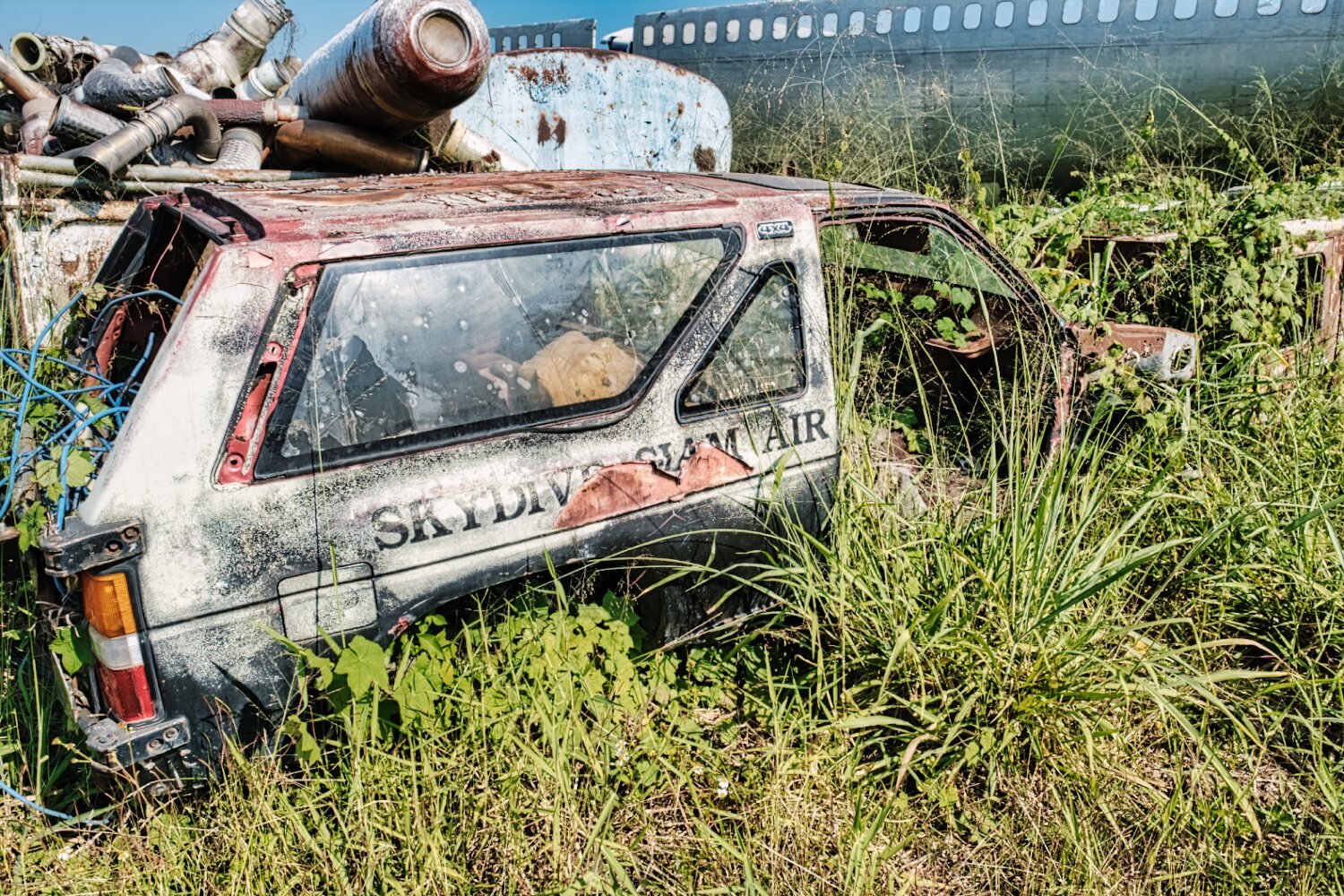
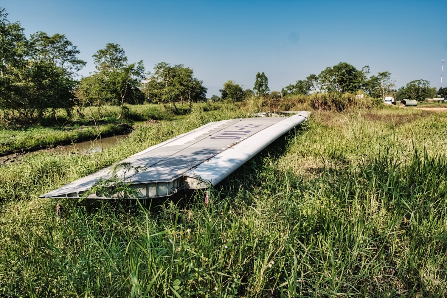
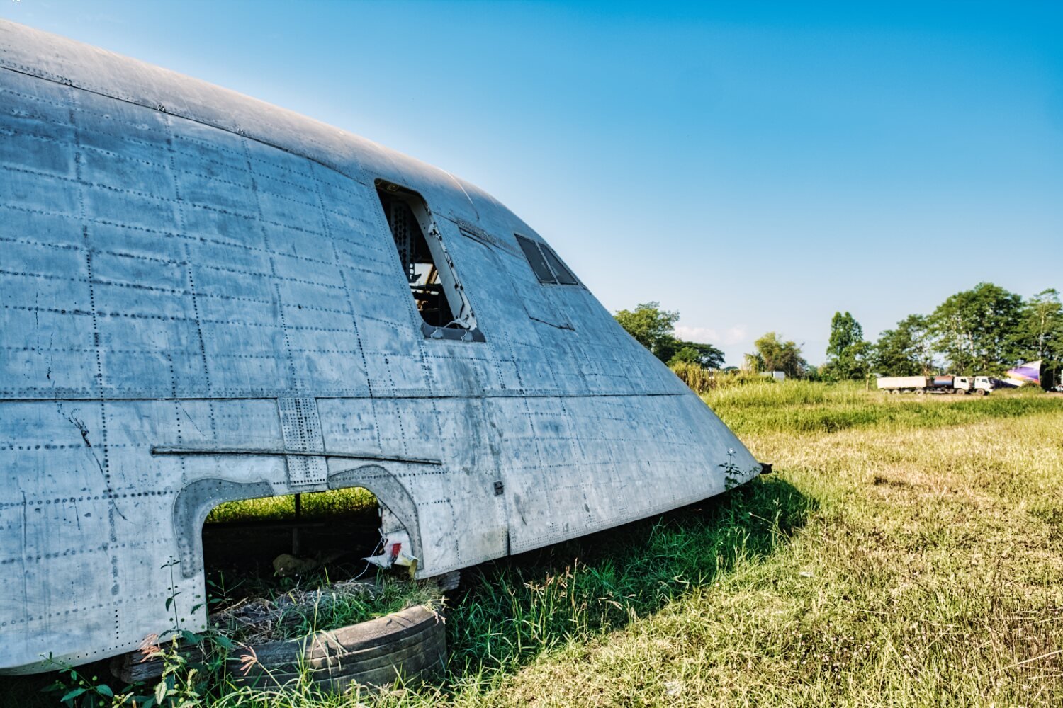
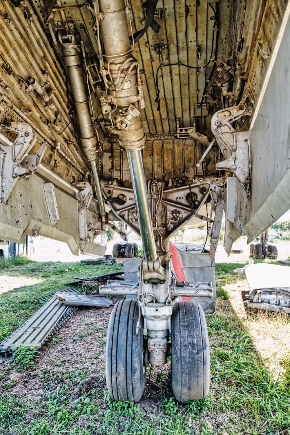
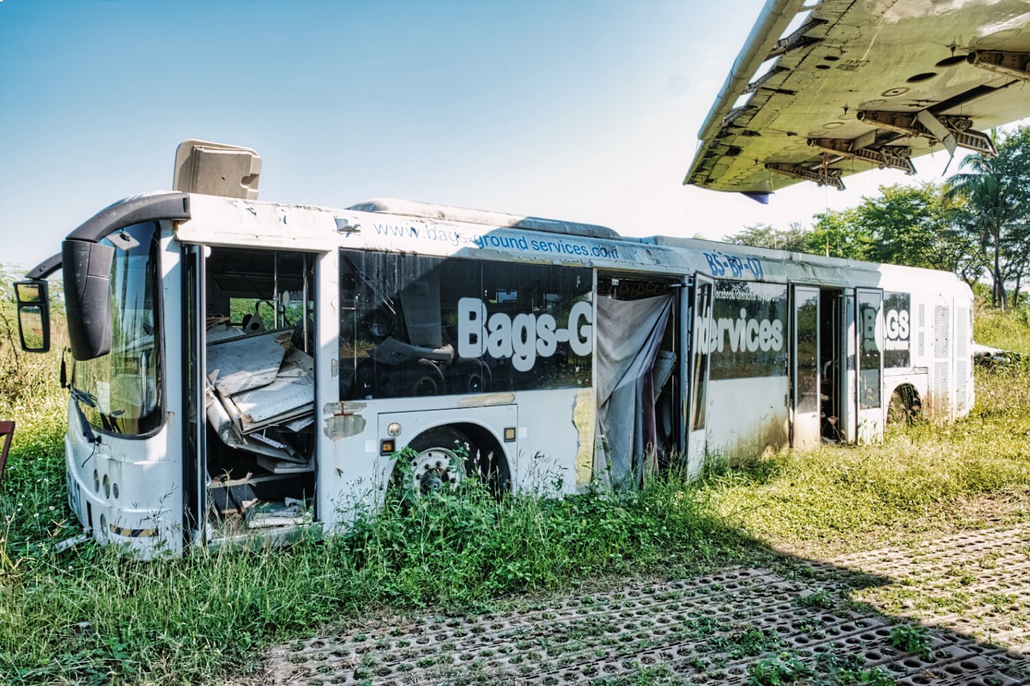
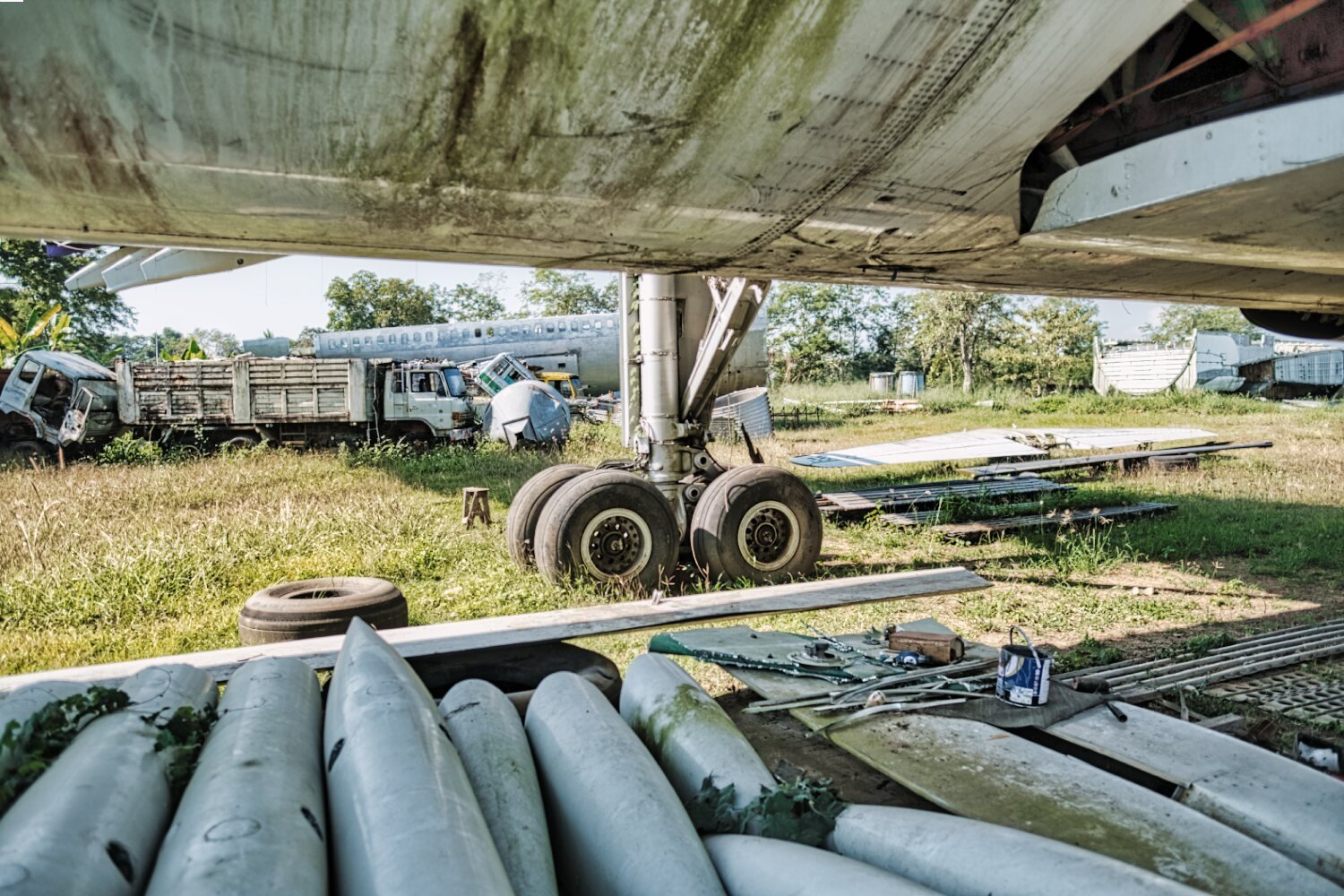
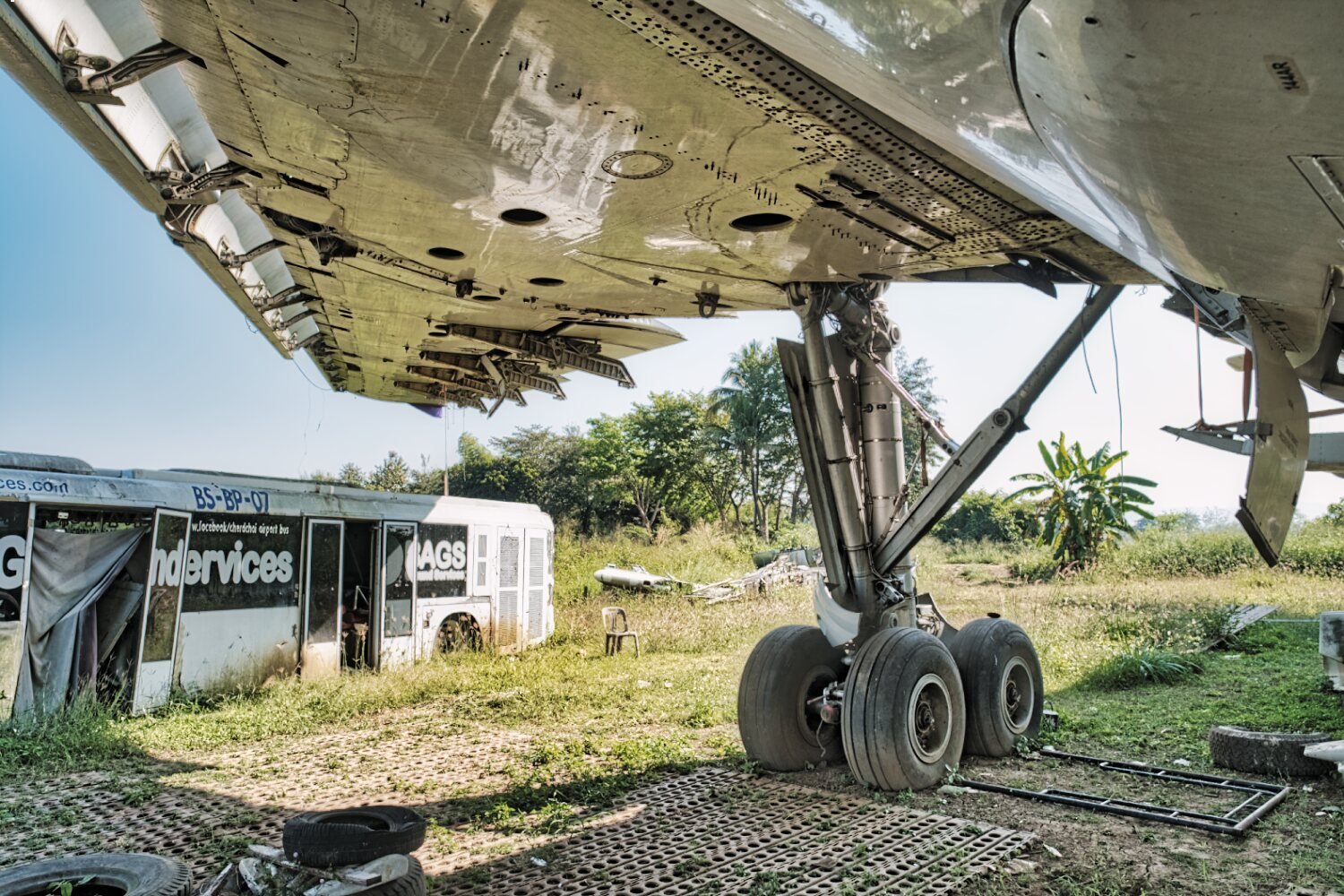
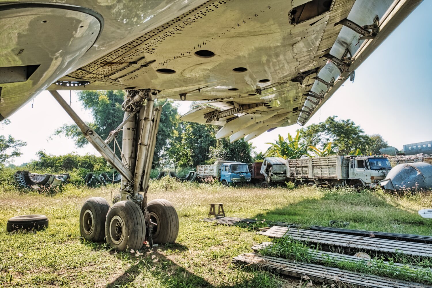
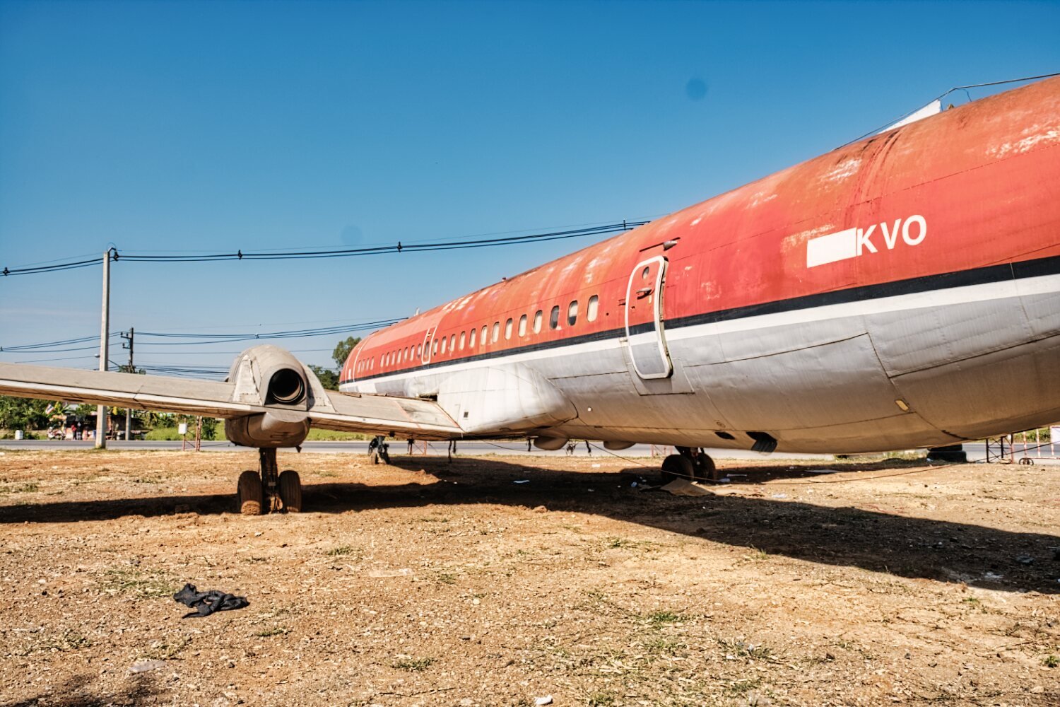
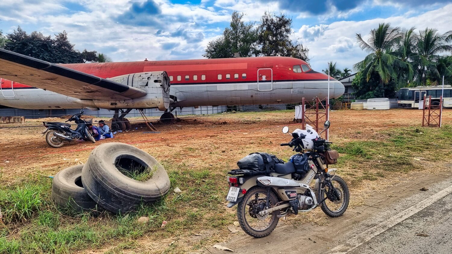
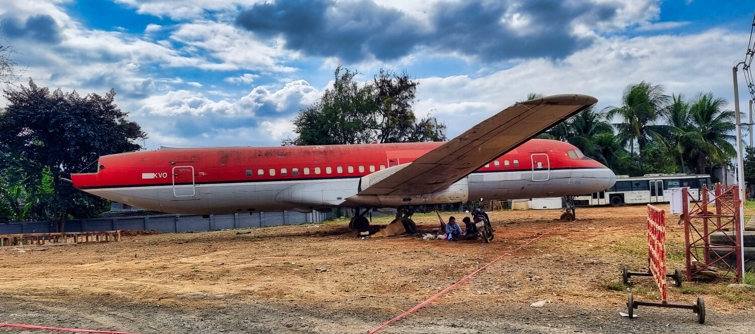
Today I took a relaxing ride to re-visit the abandoned airplanes here.
https://maps.app.goo.gl/DVvv2wE1DubSPrmq5
There are many plane parts around the fields along with dumped trucks etc too.
You can ride around the whole place but there some feisty dogs if you go where people are living. One of them got a rock launched at it from me and the owner just stood there ignoring the whole thing!
https://www.relive.cc/view/vevW37eA1yv
-
4
-
1
-
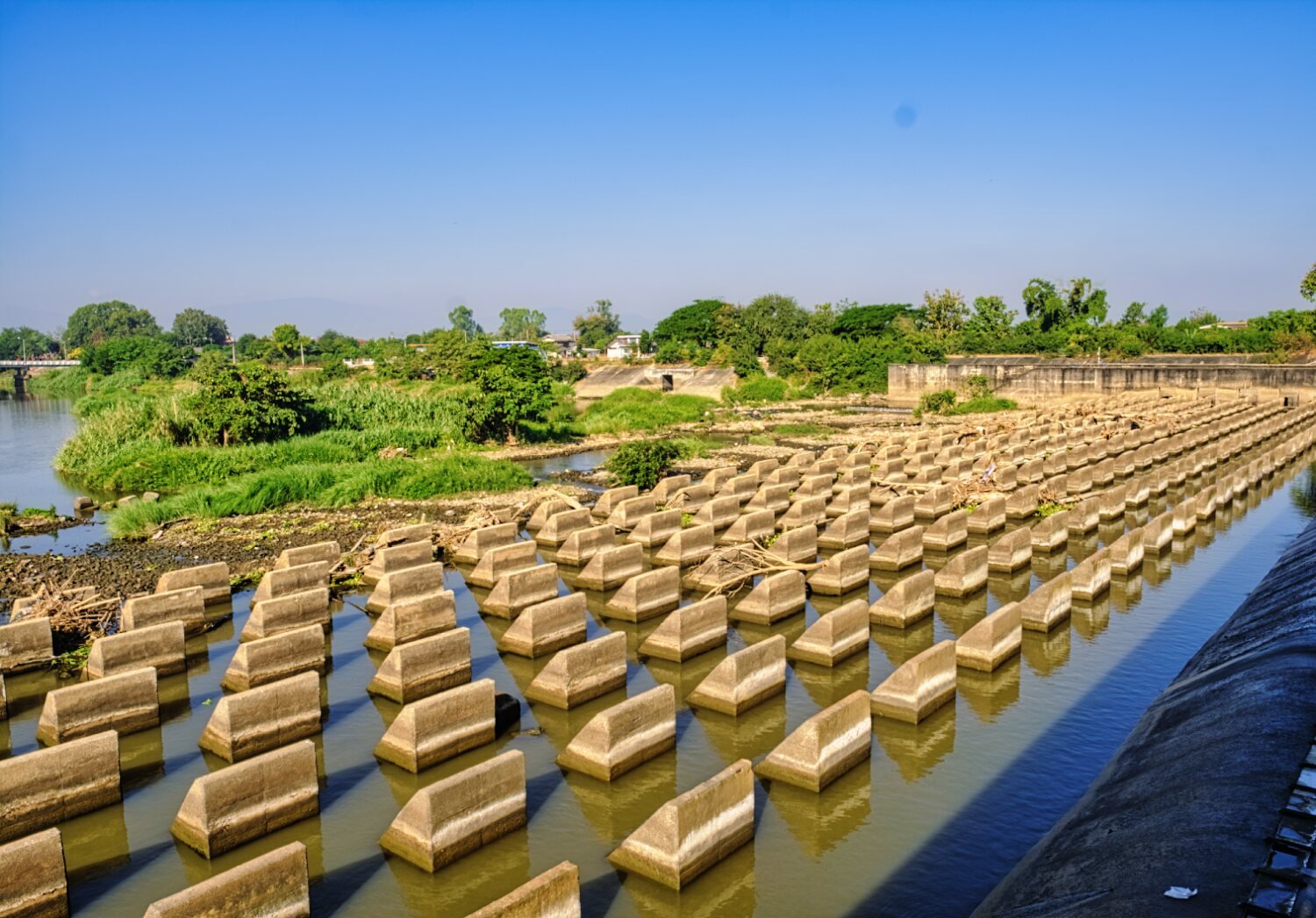
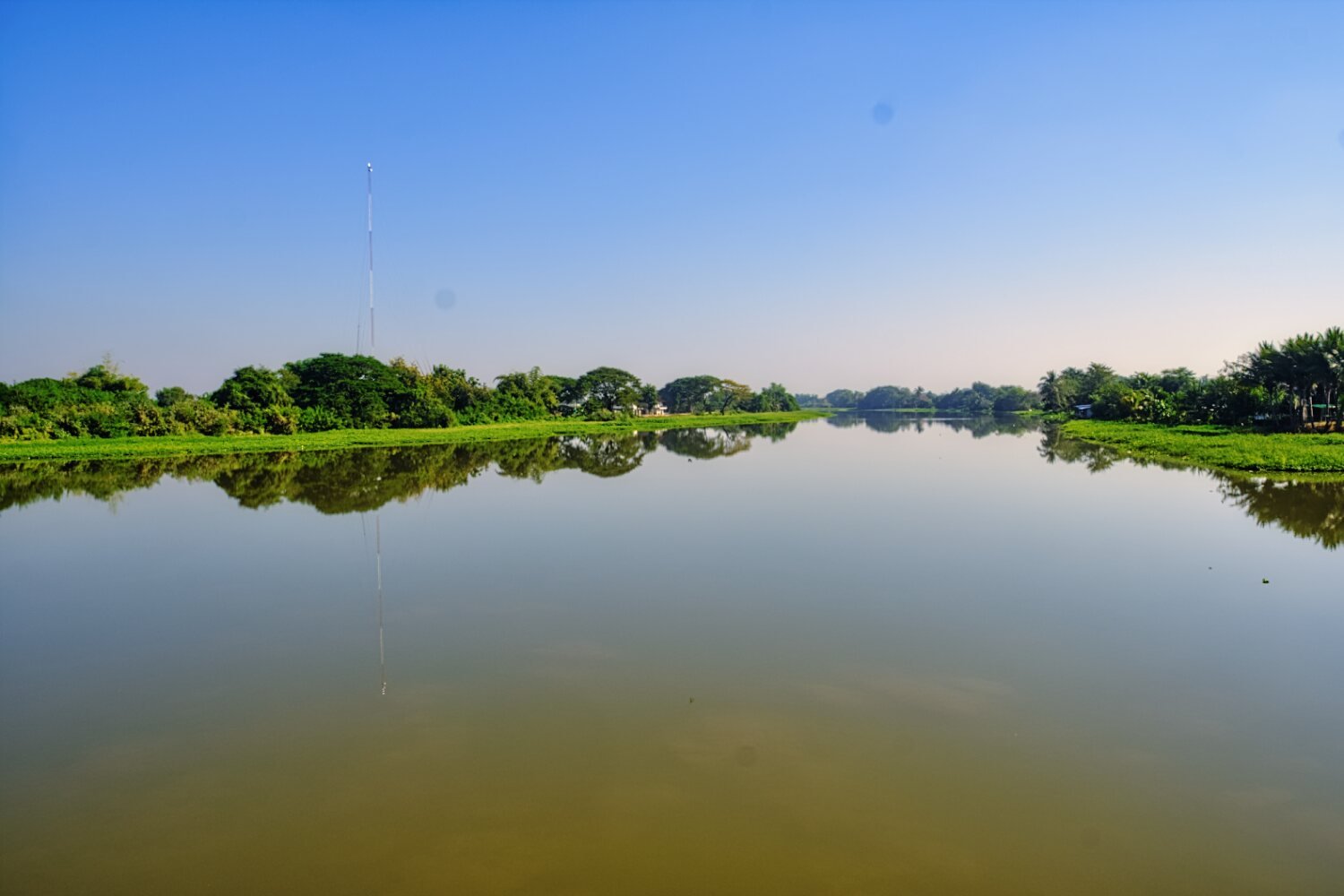
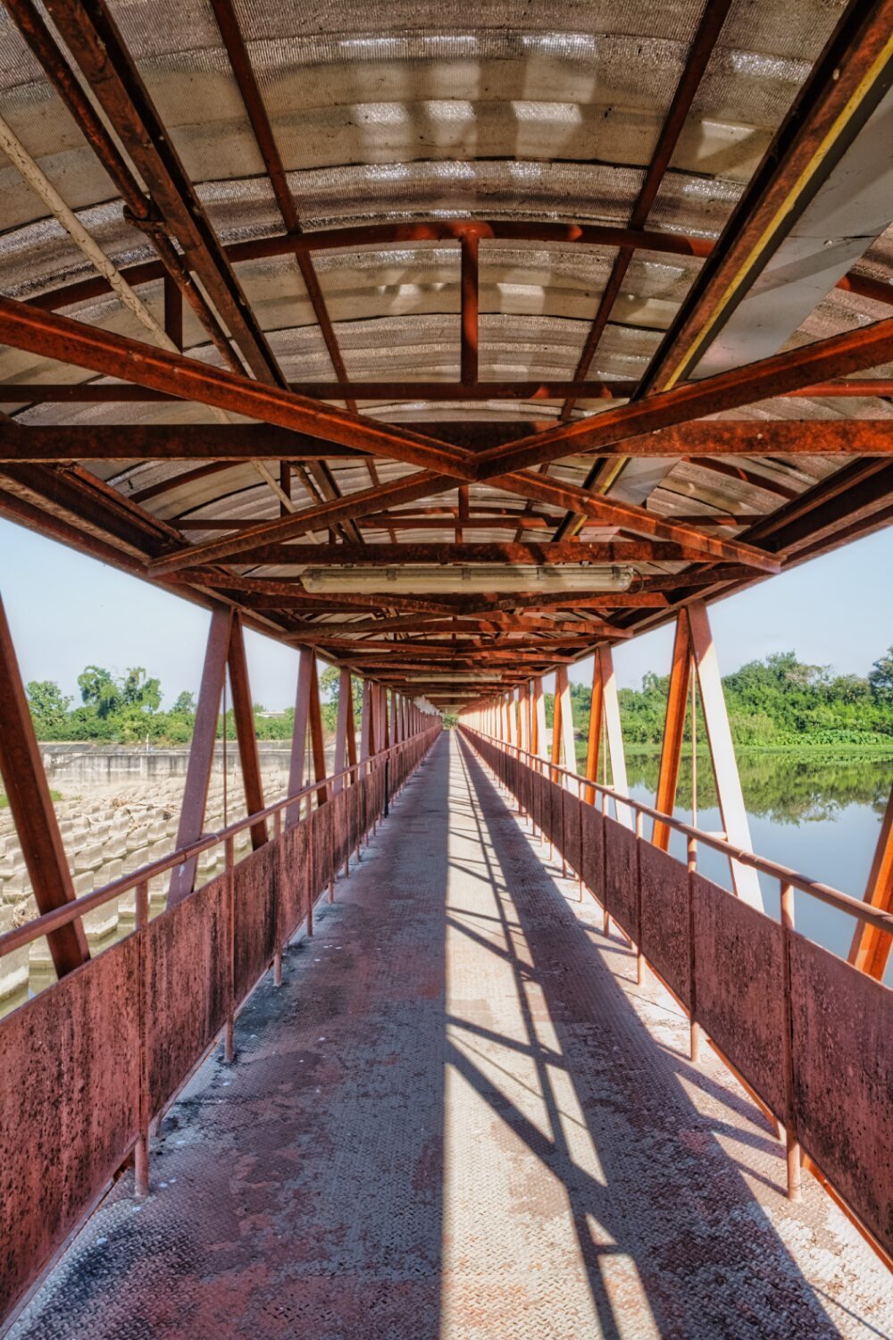
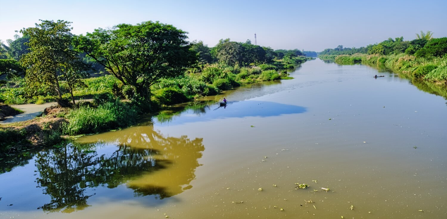
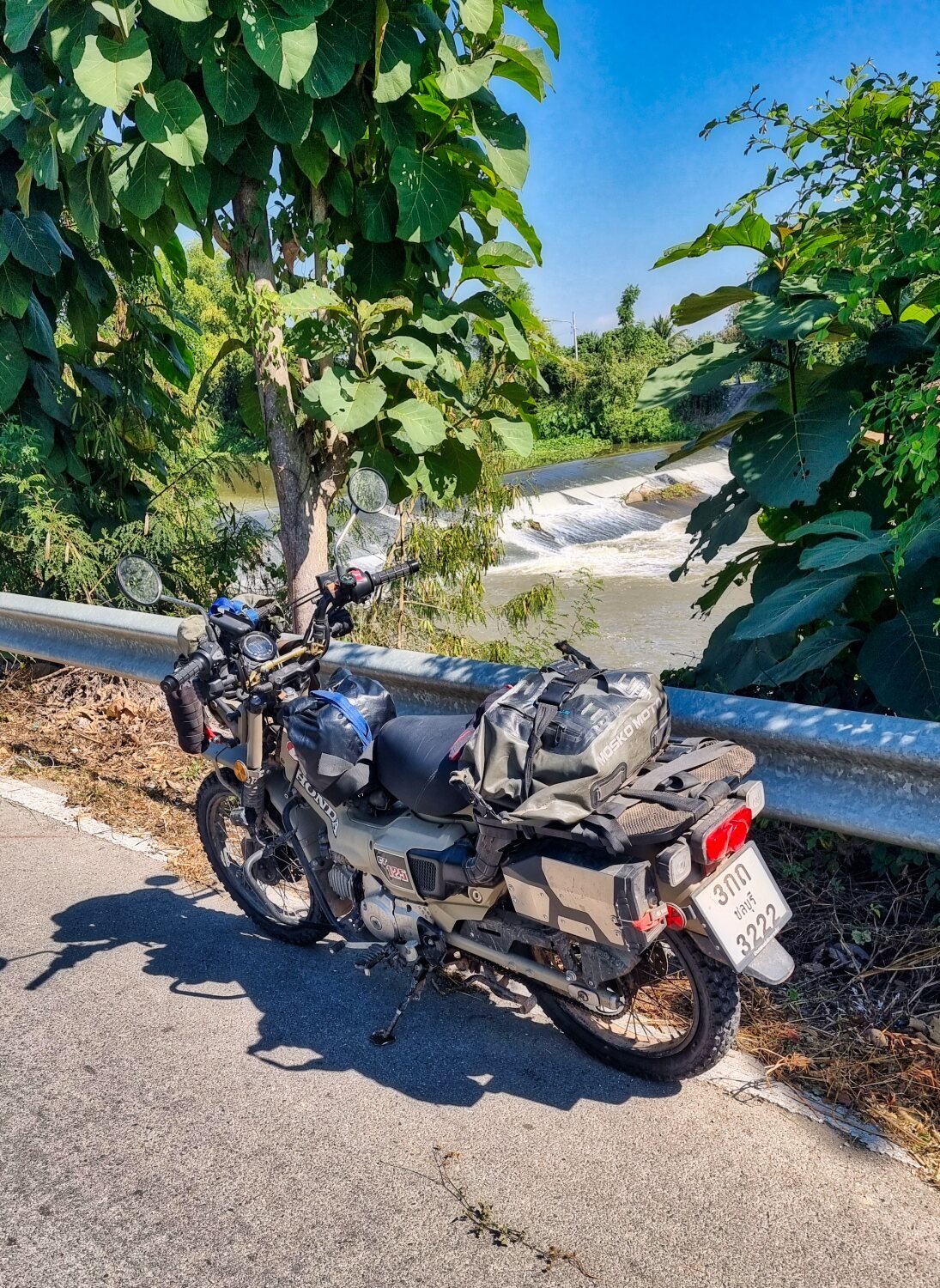
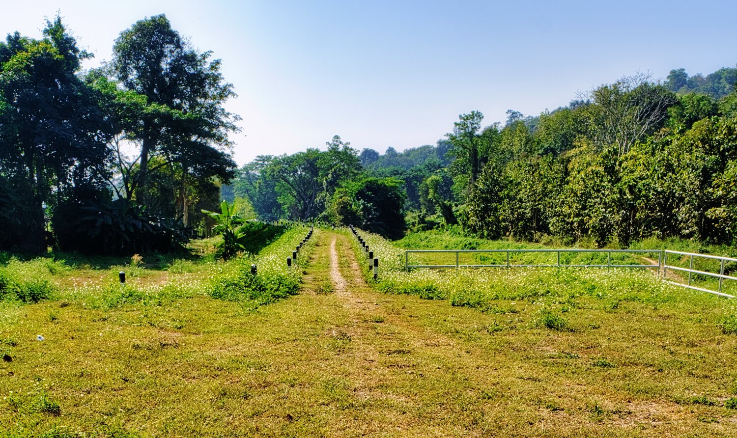
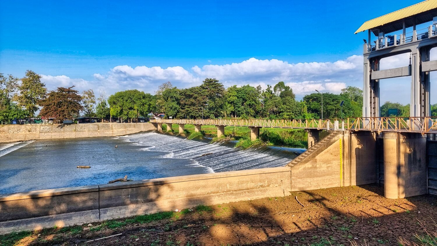
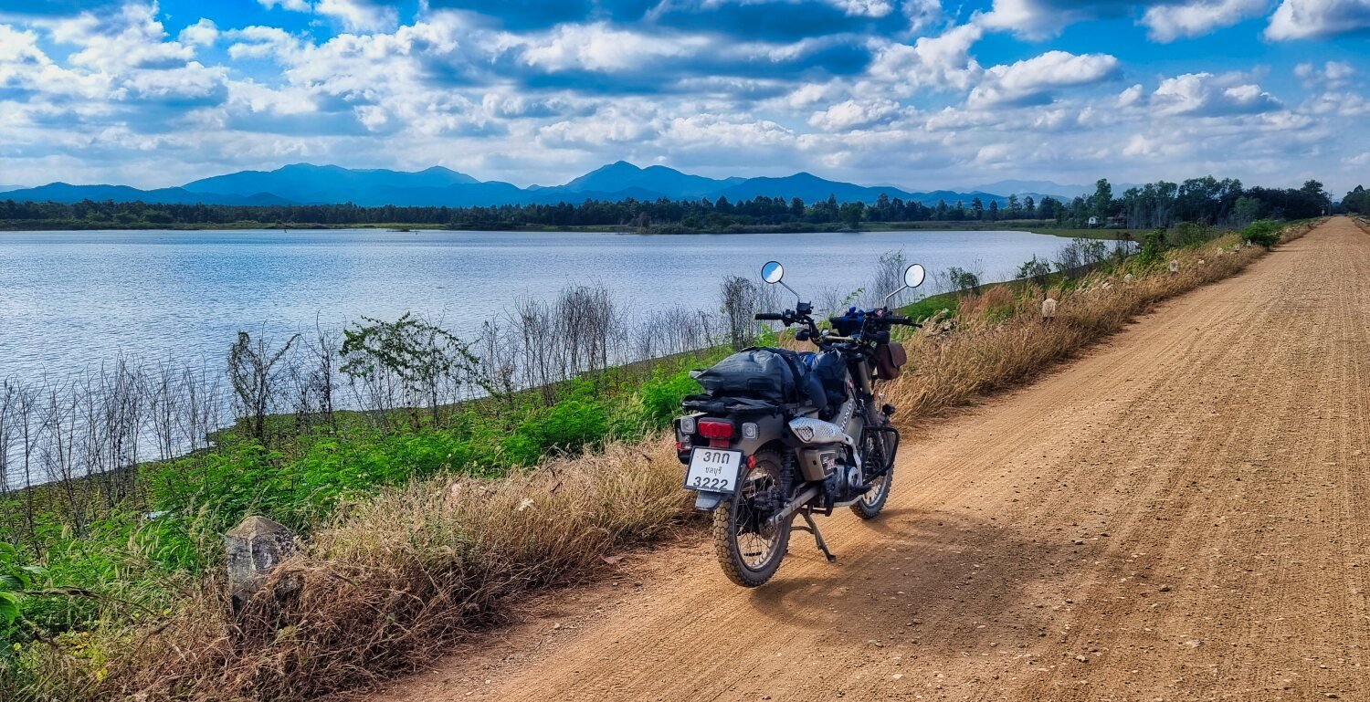
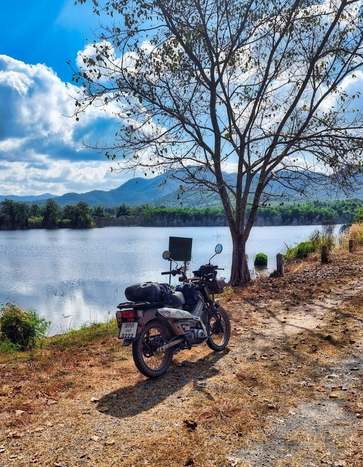
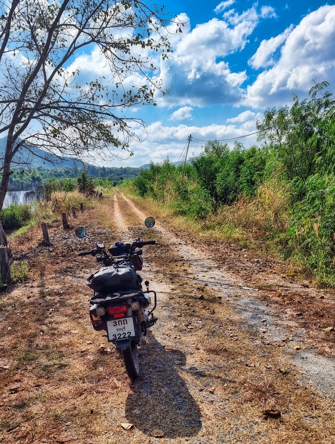
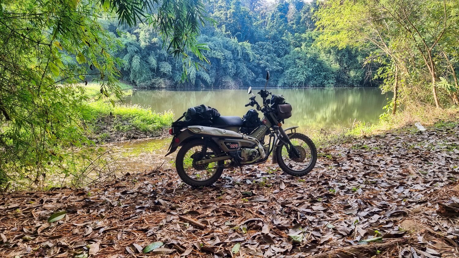
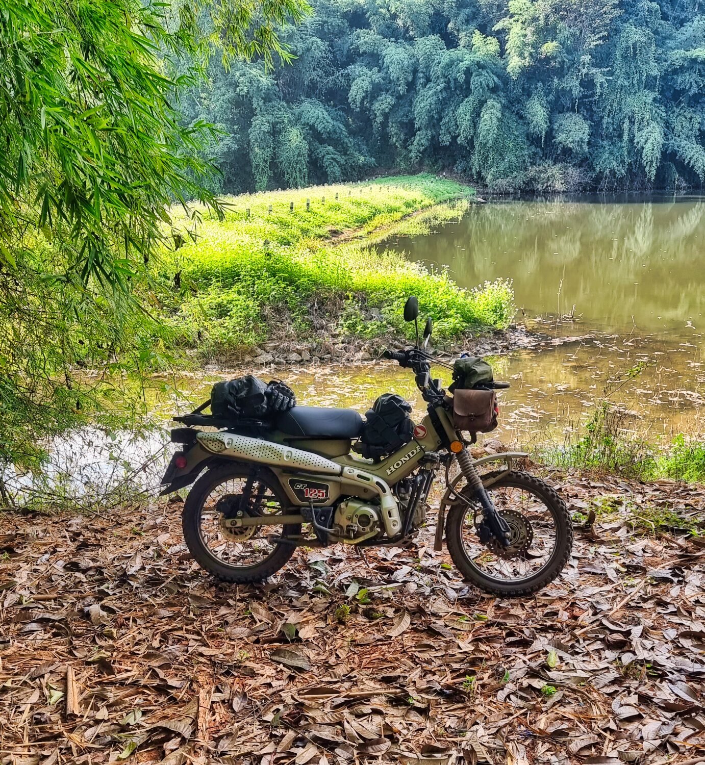
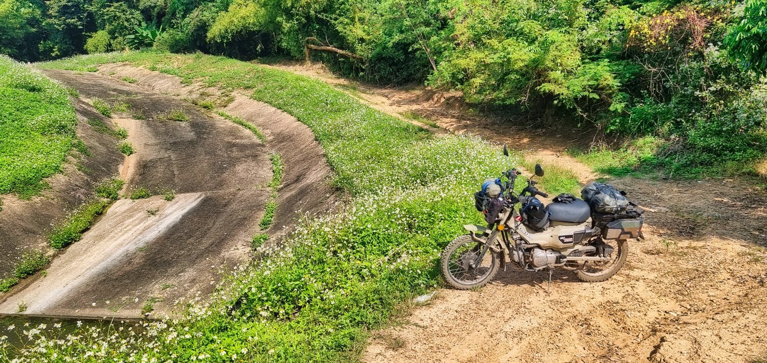
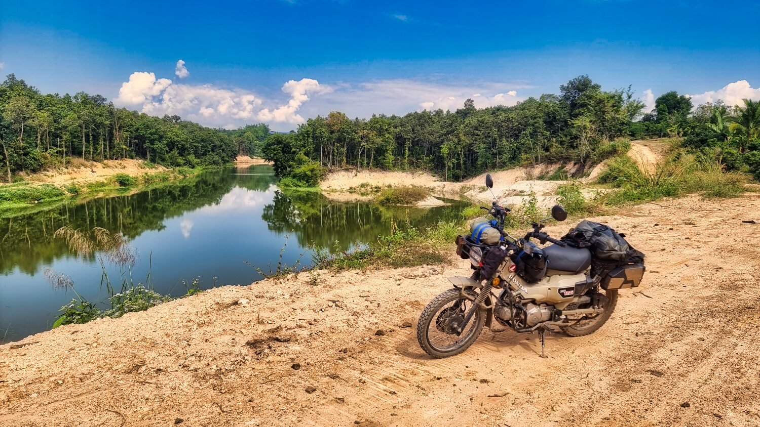
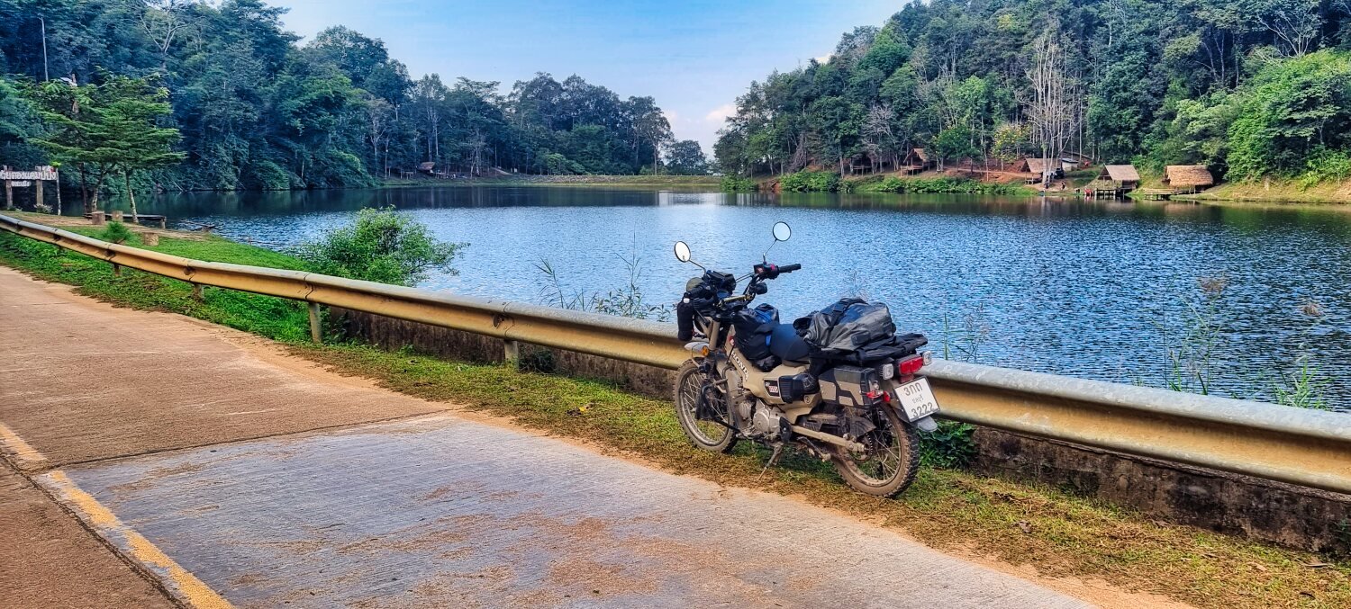
Today I went to find some new reservoirs south of Chiang Mai. I followed the Ping River south as on previous rides, stopping for a quick snap of the Steel Irrigation Bridge, here.
https://maps.app.goo.gl/mnBF8e4dK4hhJJz47
I then carried on riding south taking photos from small bridges until I arrived at Mae Sang Reservoir, here. Nothing special to see really because there was no forest surrounding it.
https://maps.app.goo.gl/PxosVkjgg3Davfj37
The next reservoir nearby was similar. Mae Ao Noi Reservoir, here.
https://maps.app.goo.gl/gHnLG8htrnWnnHgdA
Starting my ride back I briefly stopped at Wat Mongkol Weluwan, here.
https://maps.app.goo.gl/XL8D7dH8wNPefz5TA
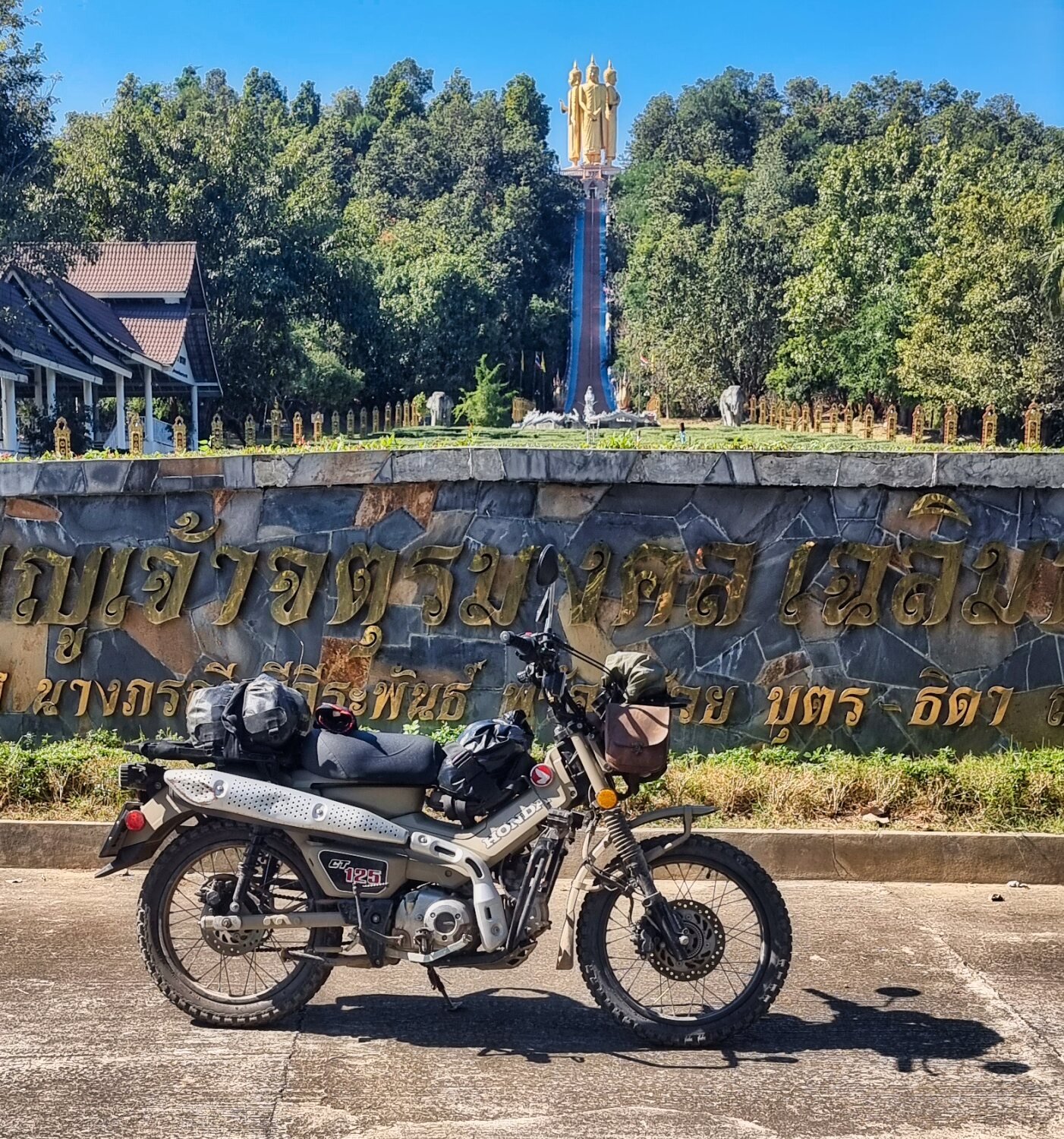
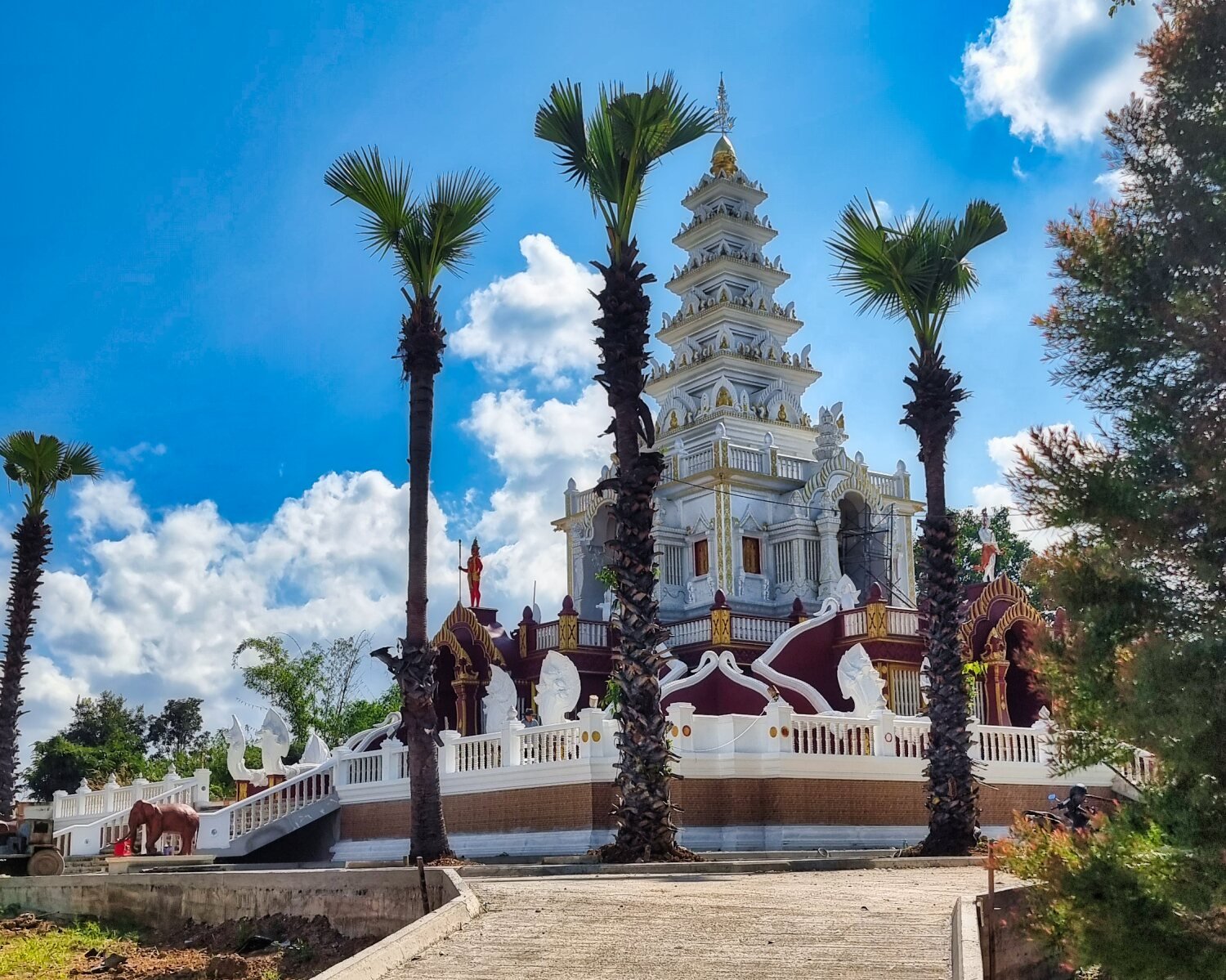
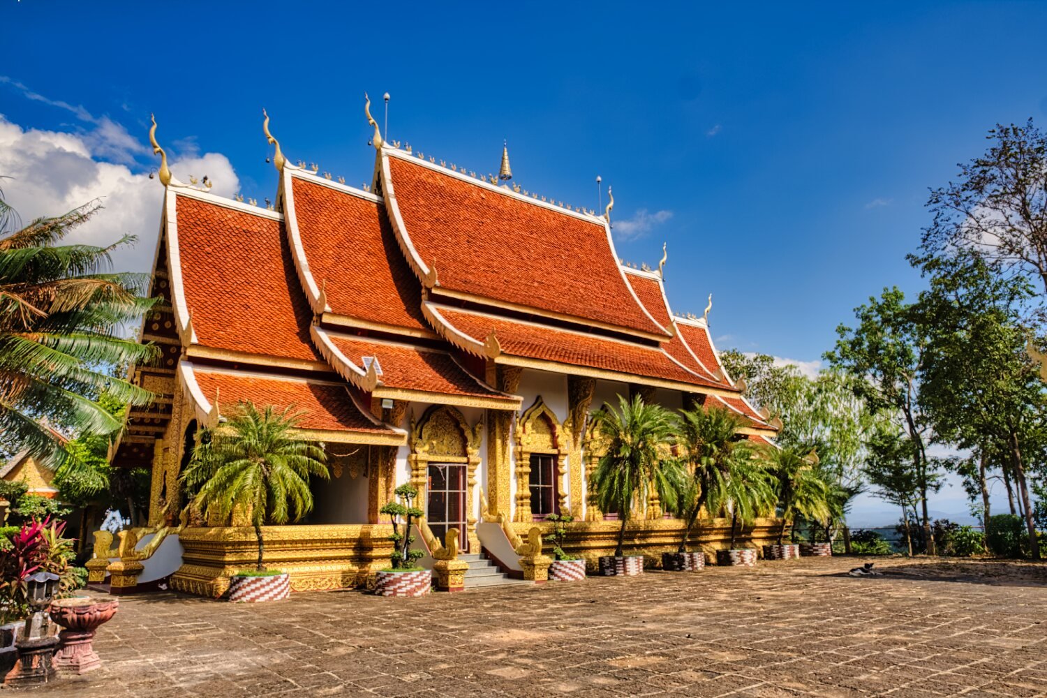
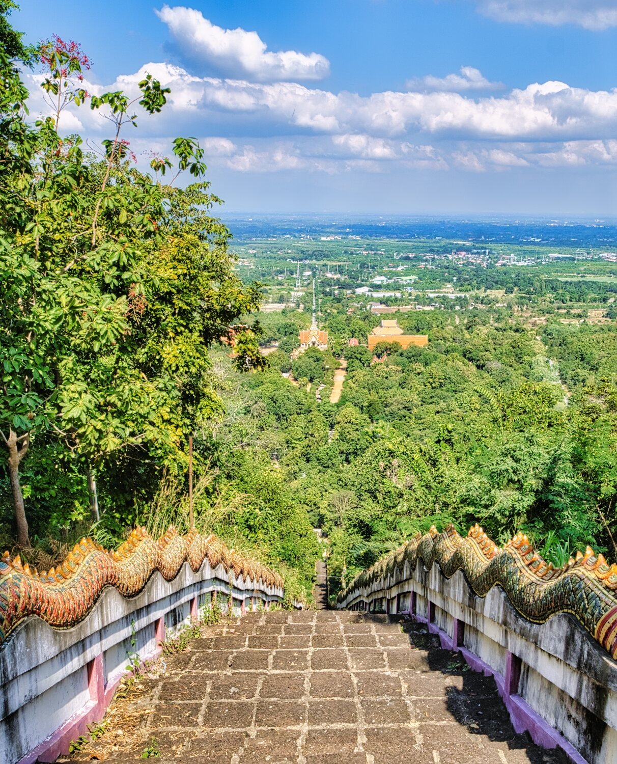
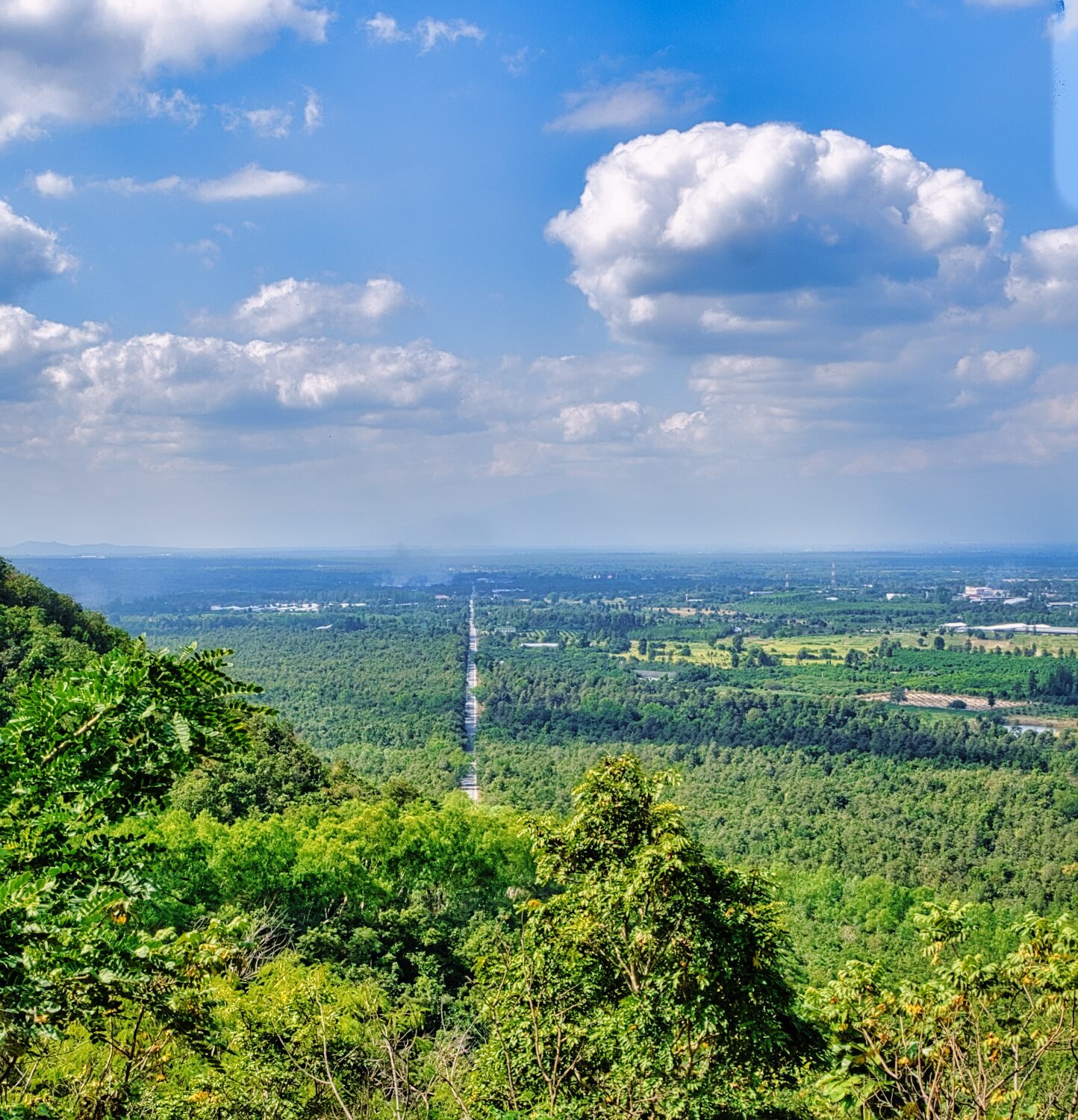
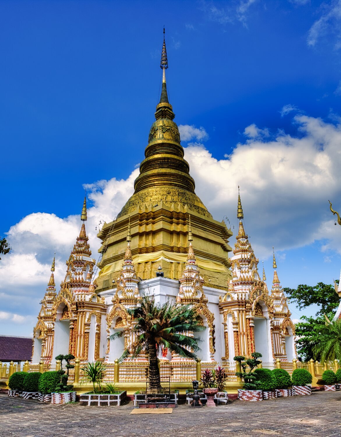
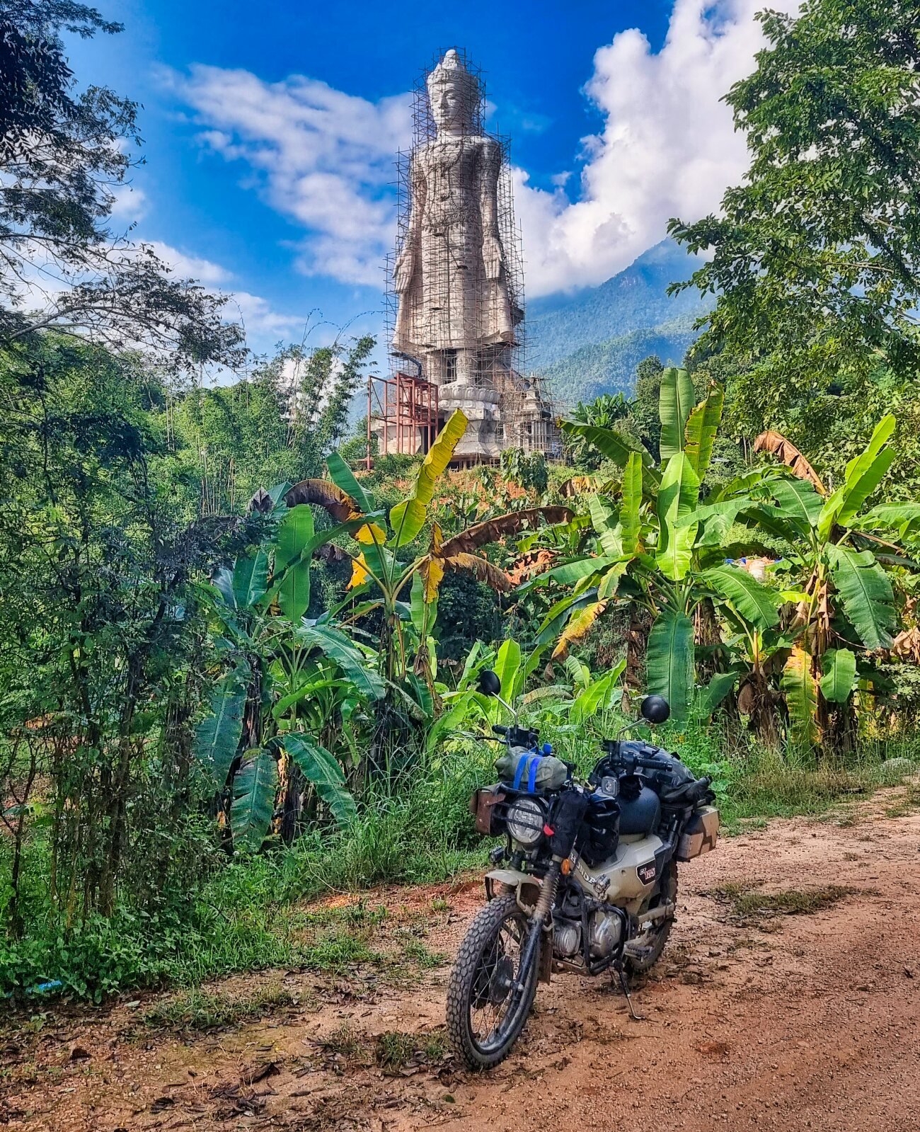
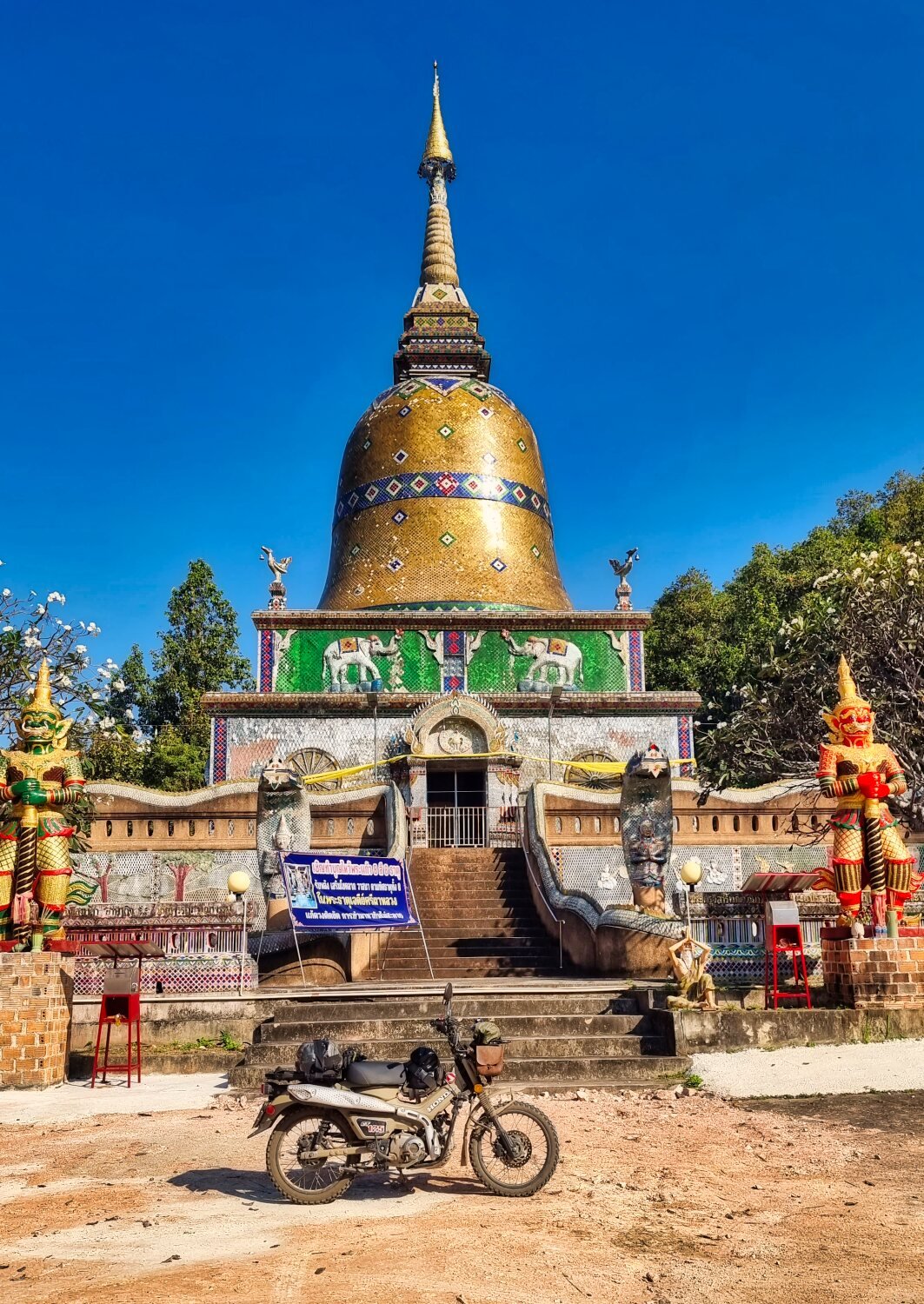
Soon after on a very straight road I spotted a Temple on a hill and rode up to take a look, this is worth a stop for the views. Phra Borommathat Chedi 4 Kruba, here.
https://maps.app.goo.gl/HzV4PtSQQa7CU9SP6
From here I rode river side roads back to the city when possible.
https://www.relive.cc/view/vrqo5d7ZeKO
-
1
-
-
- Popular Post
- Popular Post
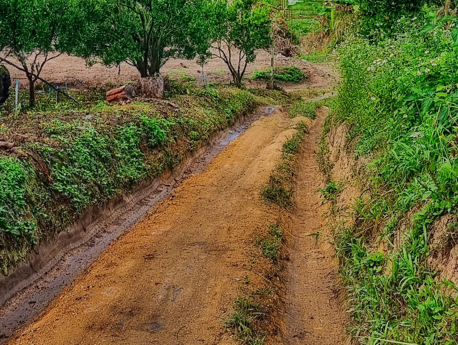
Today I went exploring east of Chiang Mai again looking for reservoirs and green lanes. Unfortunately just a little green laning, but a fun ride.
My first stop was Huai Hong Khrai Reservoir, here.
https://maps.app.goo.gl/fCzBsi6Fz2JTafaW9
Nearby was Huai Hong Khrai Reservoir 7, here.
https://maps.app.goo.gl/KieeugPfvDANmteU6
The next reservoir was also called Huai Hong Khrai, looking at Gaia maps I missed a lot of tracks in the area, so I may go back exploring.
https://maps.app.goo.gl/UGqYK5peB1ME7YAB8
The next reservoir is unnamed, here.
https://maps.app.goo.gl/pvms1hwTwEBuQa3HA
Not far was Sa Ha Kron Reservoir, here.
https://maps.app.goo.gl/5guaPzZL7JUox6jh7
Huai Bok Reservoir was next, here.
https://maps.app.goo.gl/CGRBn9Vvq94a2ctL9
The final reservoir was Huai Tat, here.
https://maps.app.goo.gl/x4PFiyKTZikXpBFn9
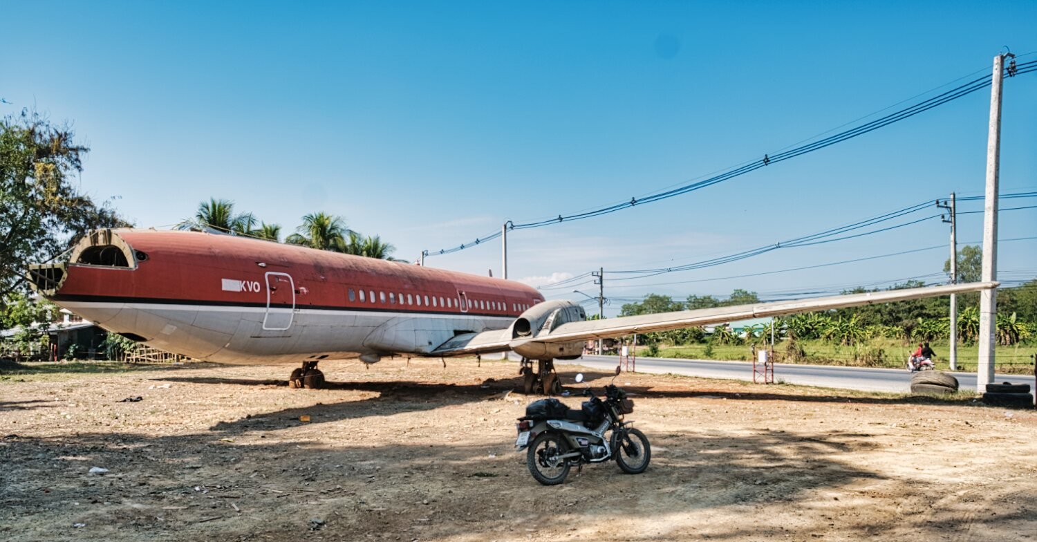
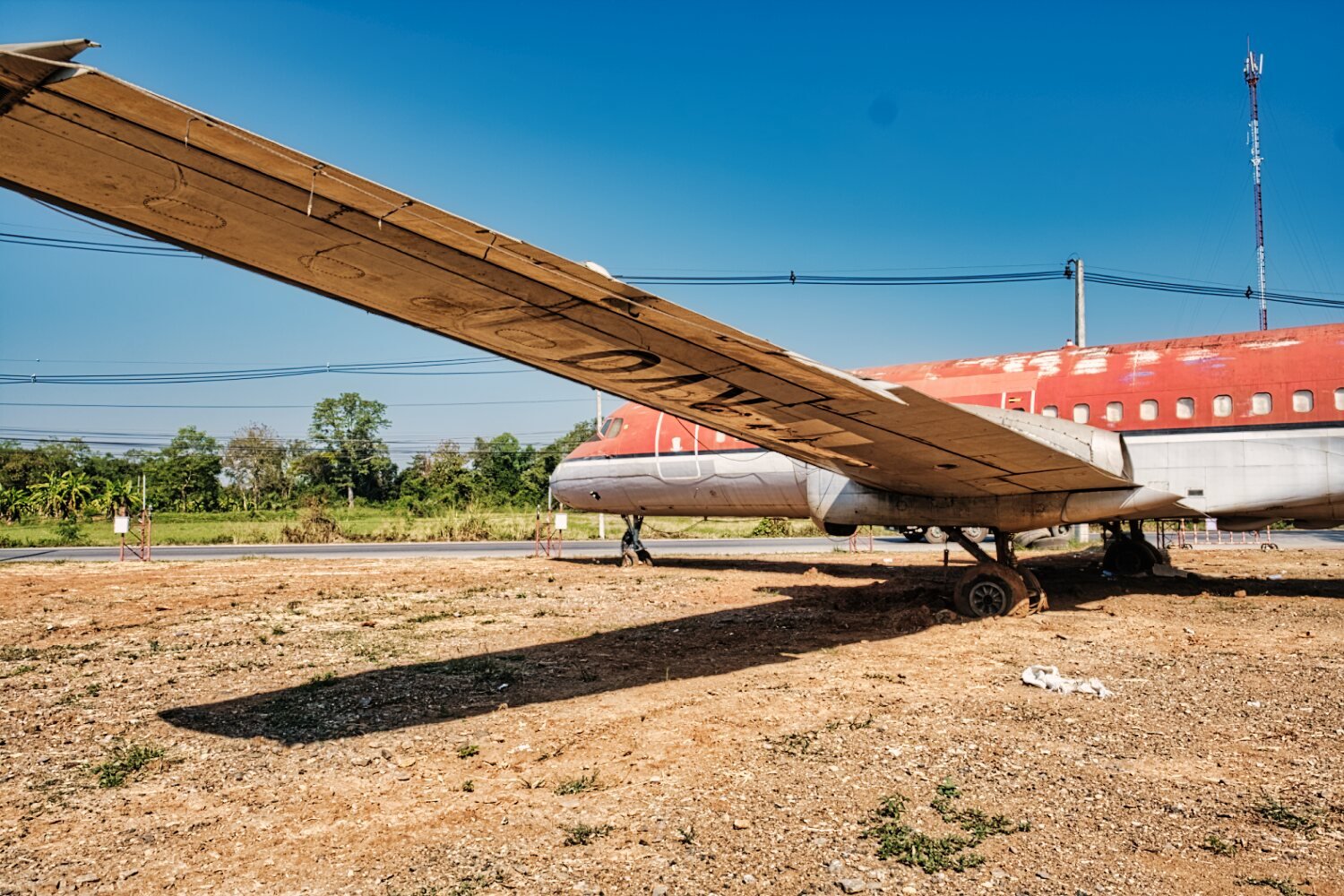
From here I rode back to Chiang Mai just stopping to Photograph a plane in a strange place.
https://maps.app.goo.gl/yG5PF2xo5rxWN3BA9
https://www.relive.cc/view/v7O9GwGY4Lq
-
3
-
 1
1
-
- Popular Post
- Popular Post
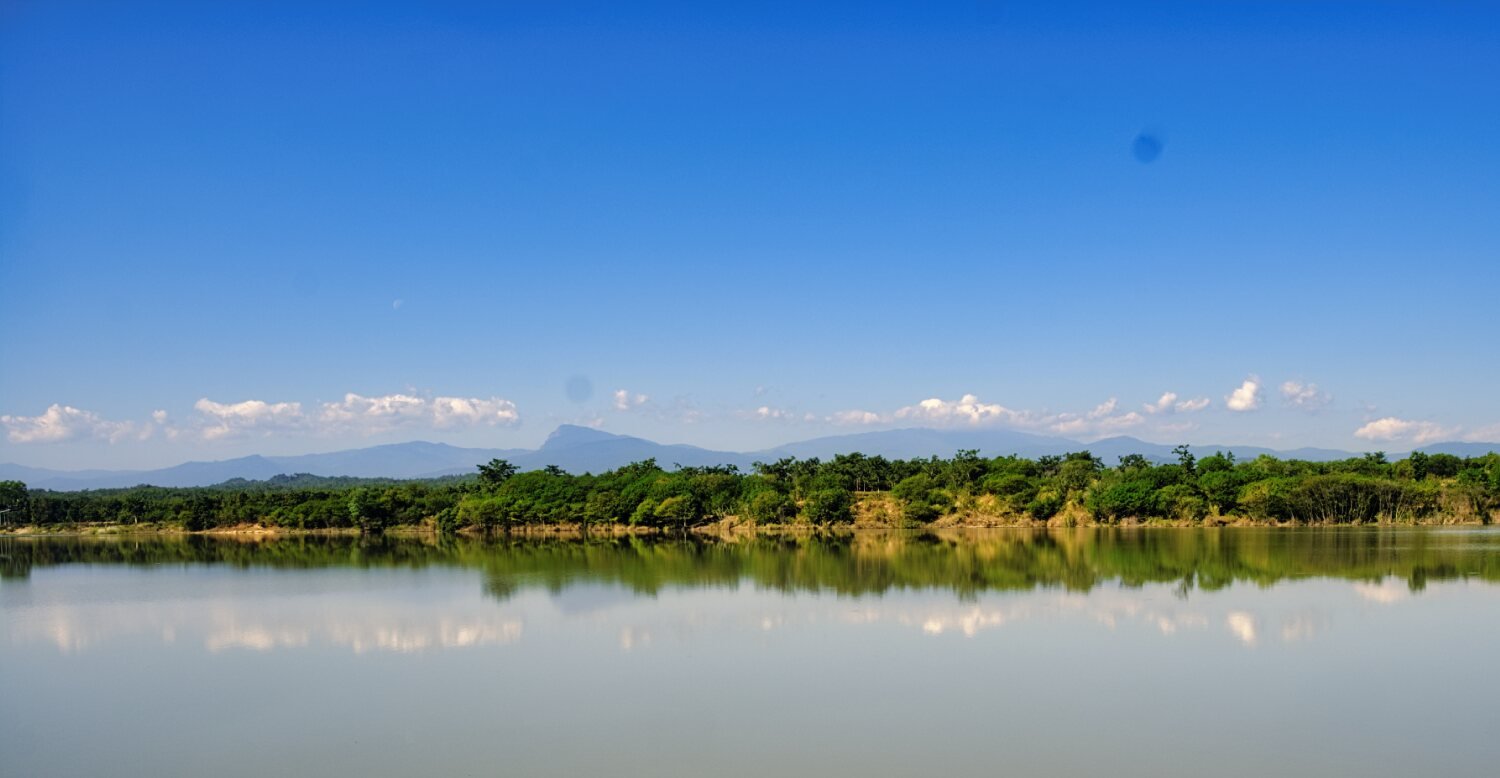
Today I had a morning ride and I rode east of Chiang Mai City to Mae Pha Haen Reservoir.
https://maps.app.goo.gl/NVq52scTXAt12oZ4A
From there onto Huai Lan Reservoir.
https://maps.app.goo.gl/jtWGEMhyTSCJNeKu8
From here I continued to Huai Ton Reservoir and looped around both.
https://maps.app.goo.gl/BWs6KLcpiHr2L5Db8
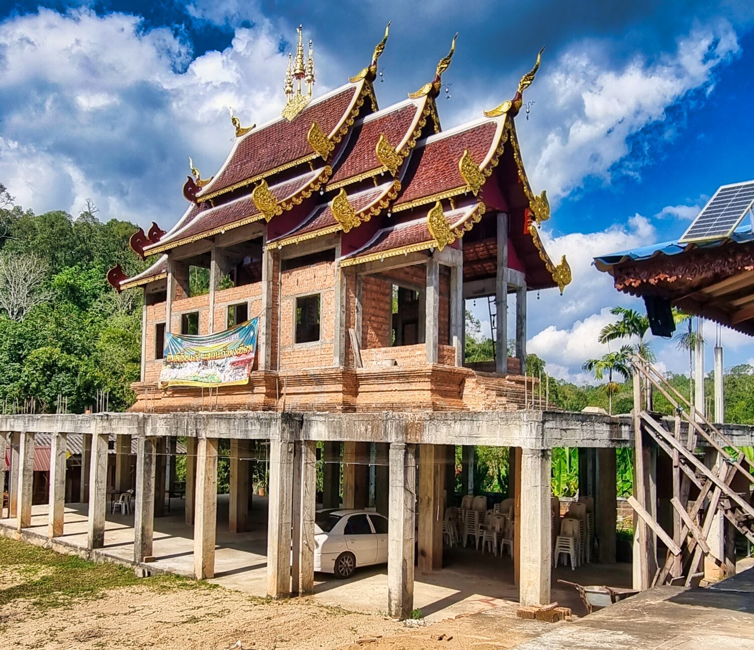
Next I went looking for Wat Phrathat Doi Hang Bat.
I rode through the temple grounds and up the hill to Luang Phor Thanjai Temple. Which should have had great views, but today were not so good. The route in was mainly off road tracks.
https://maps.app.goo.gl/nm4JYXMaKXH3sz8S6
I then rode back to the city, another fun ride.
https://www.relive.cc/view/vXOdX3KJNkO
-
4
-
- Popular Post
- Popular Post
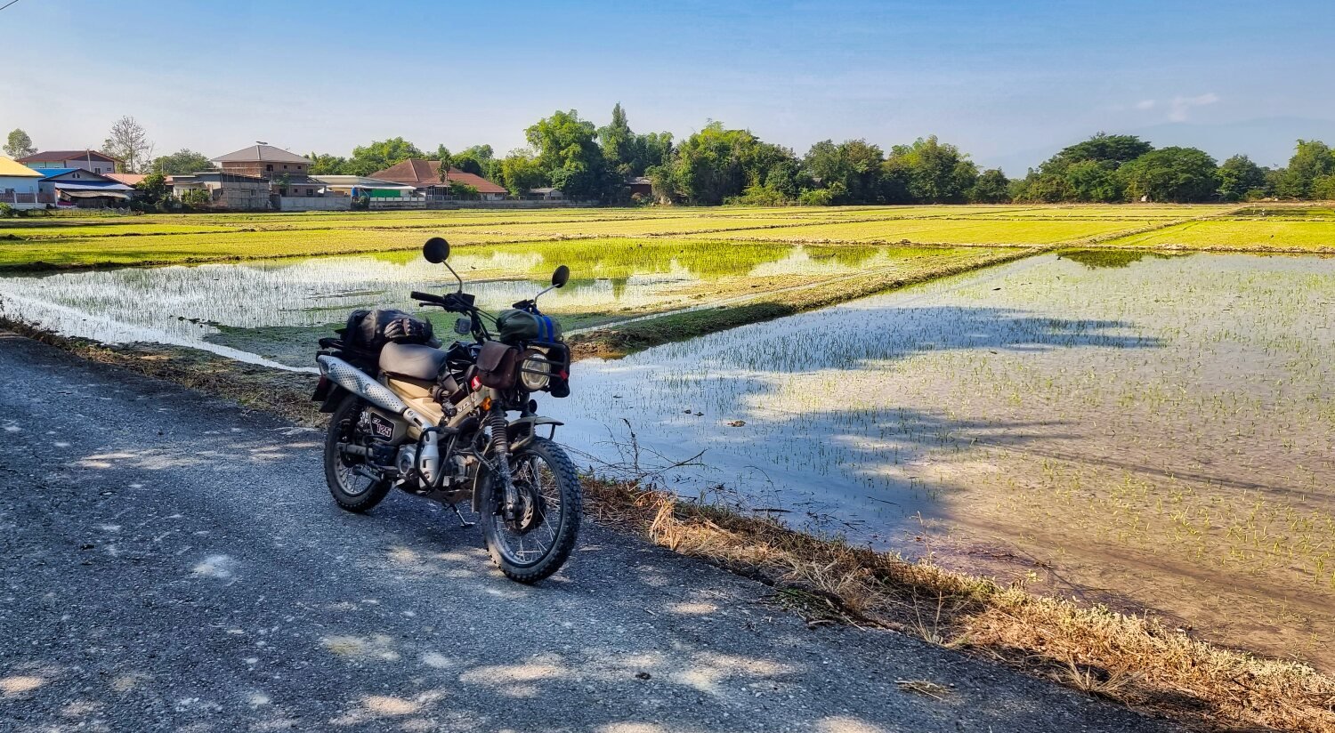
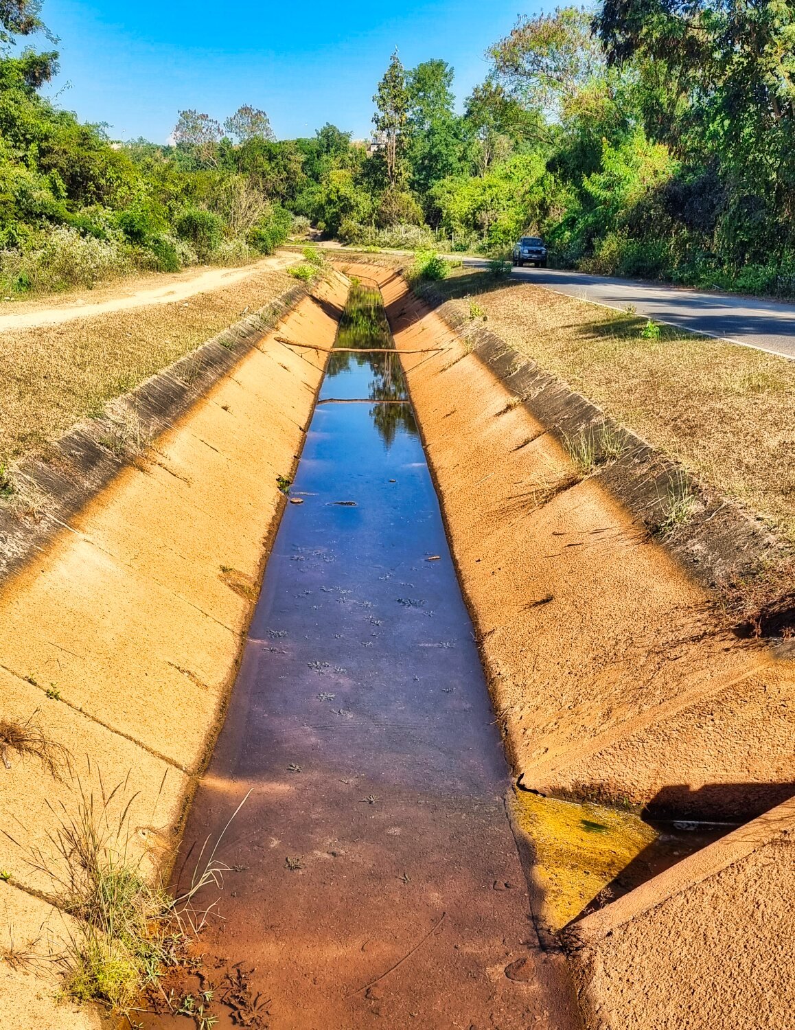
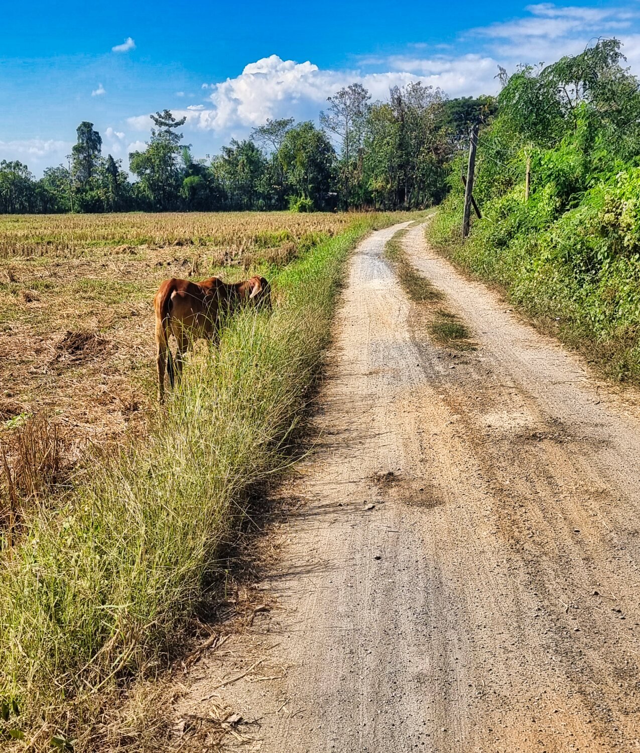
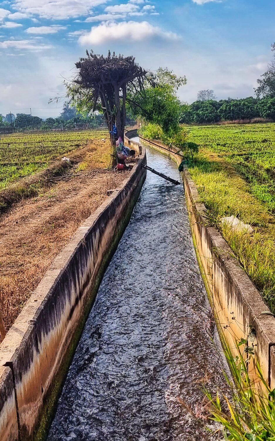
Today I rode a loop in the countryside to the north east of Chiang Mai. The ride to Mae Jo, was nothing special at all, but after lots of green laning and small roads alongside irrigation channels on my way to visit Huai Kiang Reservoir.
https://maps.app.goo.gl/6HD2nc698iMVmXcv7
Followed by nearby Huai Sak Reservoir.
https://maps.app.goo.gl/hUqA4j82CZVWiZgZ7
From there I continued on green lanes and small roads until coming back into the city.
https://www.relive.cc/view/vdvmJBjk2xO
-
3
-
- Popular Post
- Popular Post
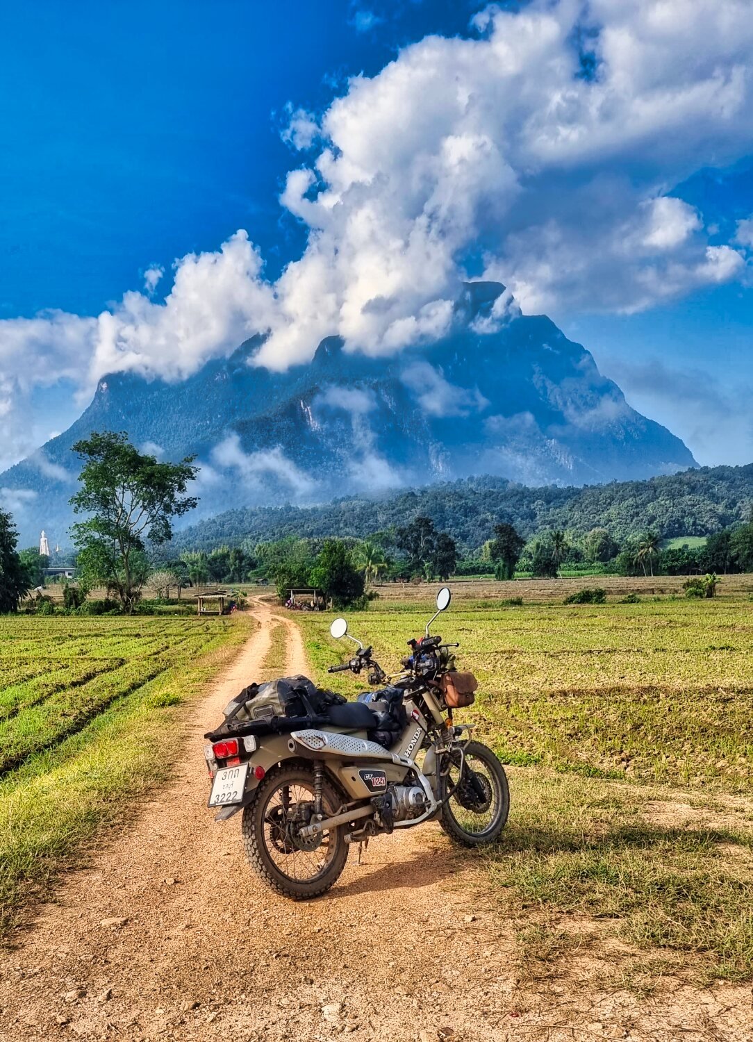
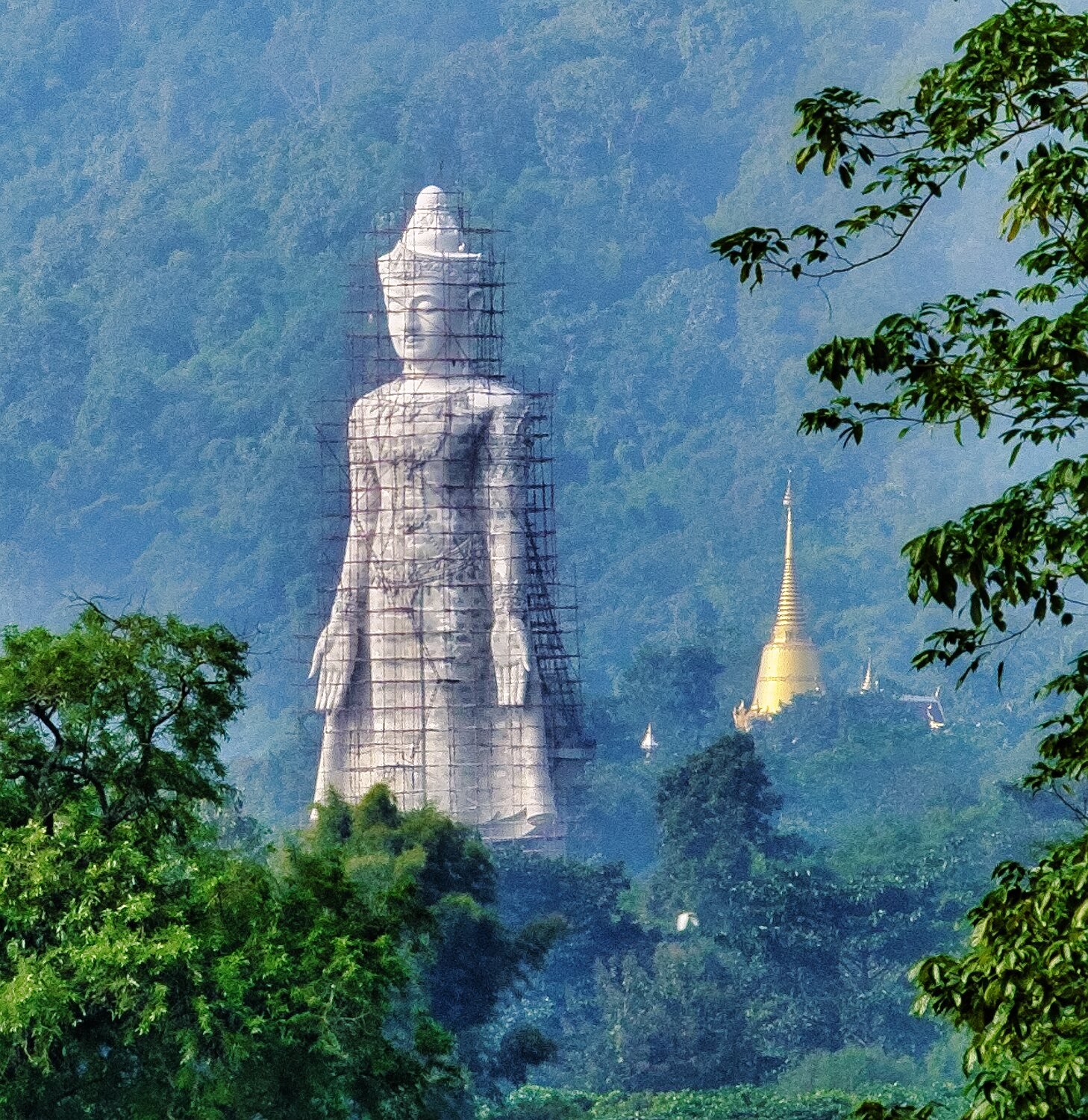
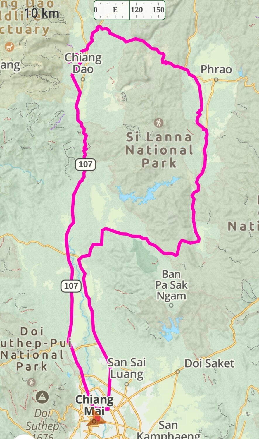
A great ride today, first stop from Chiang Mai was Ban Thung Lakhon.
https://maps.app.goo.gl/R15n4k5qAqmQ7YBn7
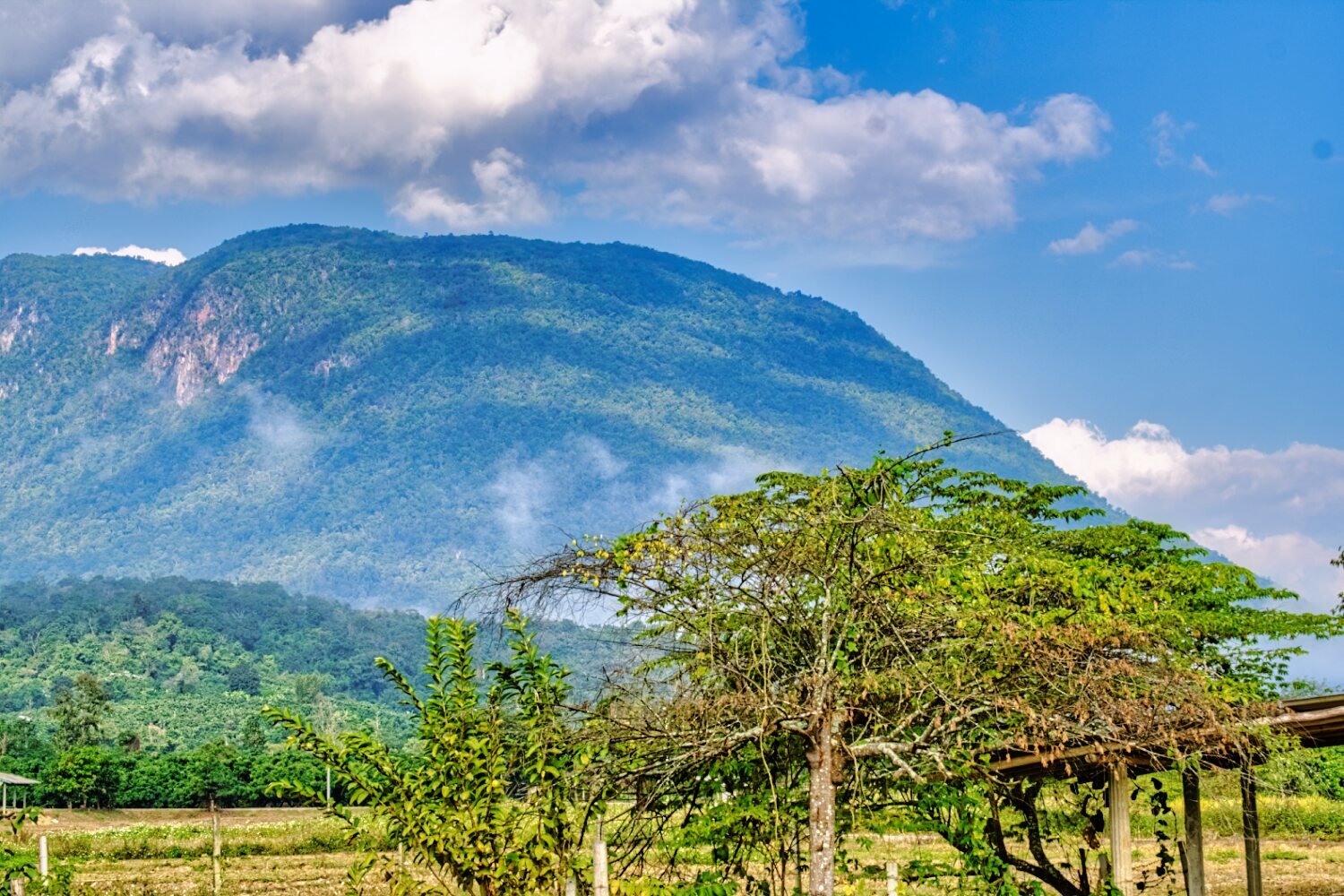
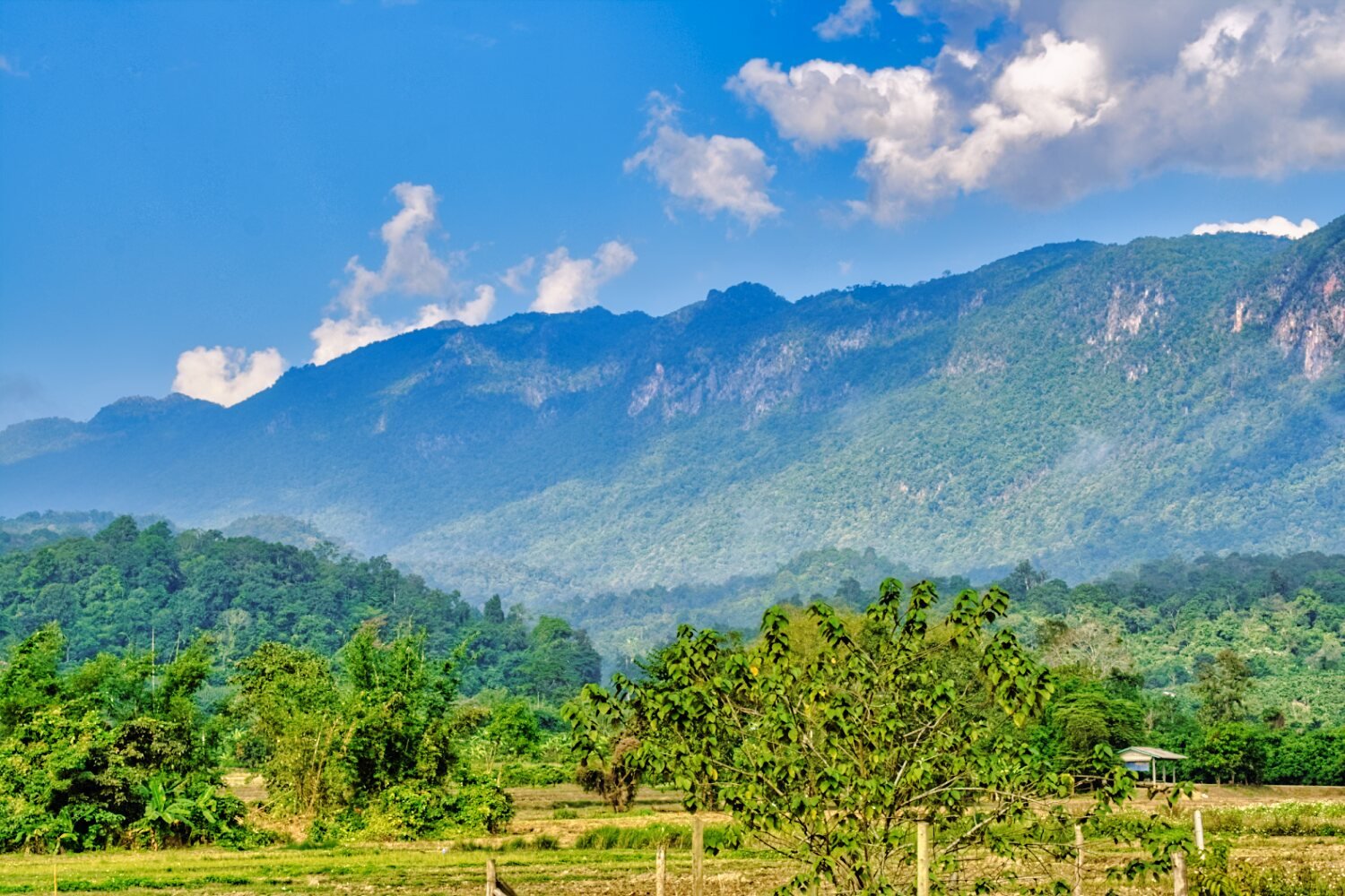
This small village has great views of Chiang Dao.
Just outside the village is Phra Maha Chakkraphat.
https://maps.app.goo.gl/f6Qk3jsJdJrpTPDu9
Nearby is Huai Mae Lu Reservoir, here.
https://maps.app.goo.gl/KCU4PPv5gt2cK6tV9
From here I rode north and then east towards Phrao on R1150.
Before Phrao I turned south through back roads to Wat Huai Bong.
https://maps.app.goo.gl/8vPG3PYfDep1JpB16
Near was Ban Huai Bong Reservoir.
https://maps.app.goo.gl/DavJFoaH6Emum7ga8
Then a straight ride back to Chiang Mai, 223 km
https://www.relive.cc/view/vRO7eGDeAyq
-
4
-
1
-
14 hours ago, novacova said:
Is this the road that ties in from the south at Ban Pa Lan to Ban Pang Makluai to the north?
Yes, spot on :)
-
1
-
-
- Popular Post
- Popular Post
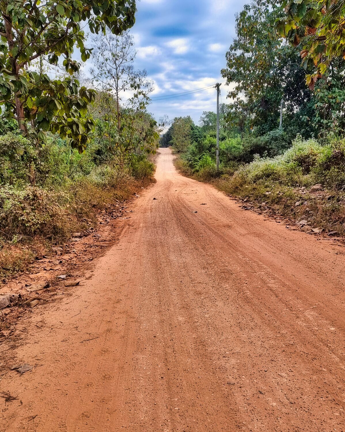
Today I went to ride a route I heard about a while ago, a back road that connects with R1095 that goes to Pai. Unfortunately I forgot to start Gaia maps until where I tried some off road riding, here.
https://maps.app.goo.gl/PXu9VM6pGY2cfWy39
Then the route is on the map.
There were some great sights along the way up to R109 where I looped back to Chiang Mai.
-
2
-
1
-
- Popular Post
- Popular Post
Just a morning ride today north of Chiang Mai again taking small roads when possible. My first stop was at Mae Jo Golf resort which I rode through.
https://maps.app.goo.gl/oiCY9yxZTvXDWymJA
I then continued on to Huai Cho Reservoir.
https://maps.app.goo.gl/oh3f8ZtMGiHmXPfd6
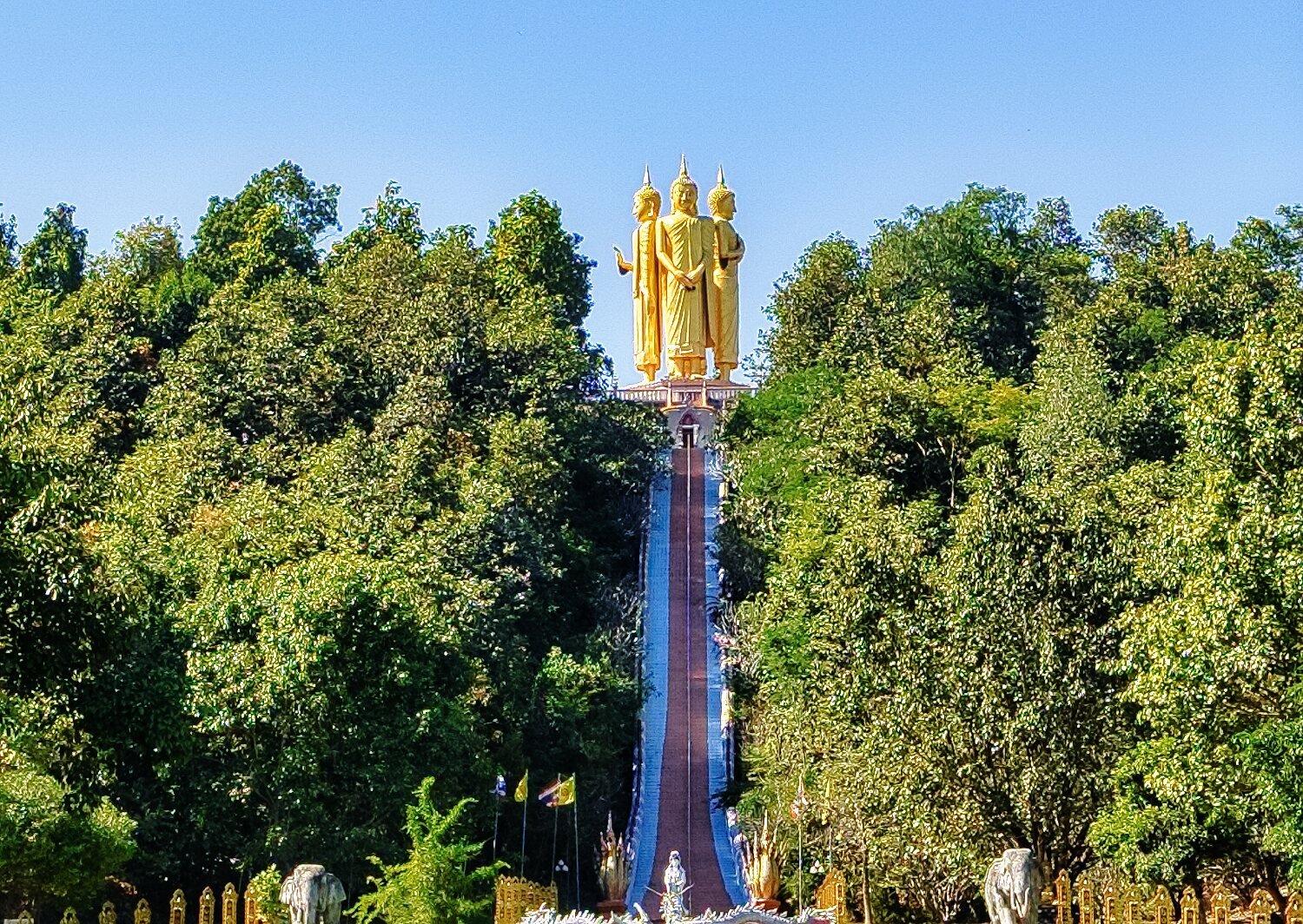
Then up to Wat Doi Thaen Phra Pha Luang.
https://maps.app.goo.gl/GNttw9SmhJztKdM46
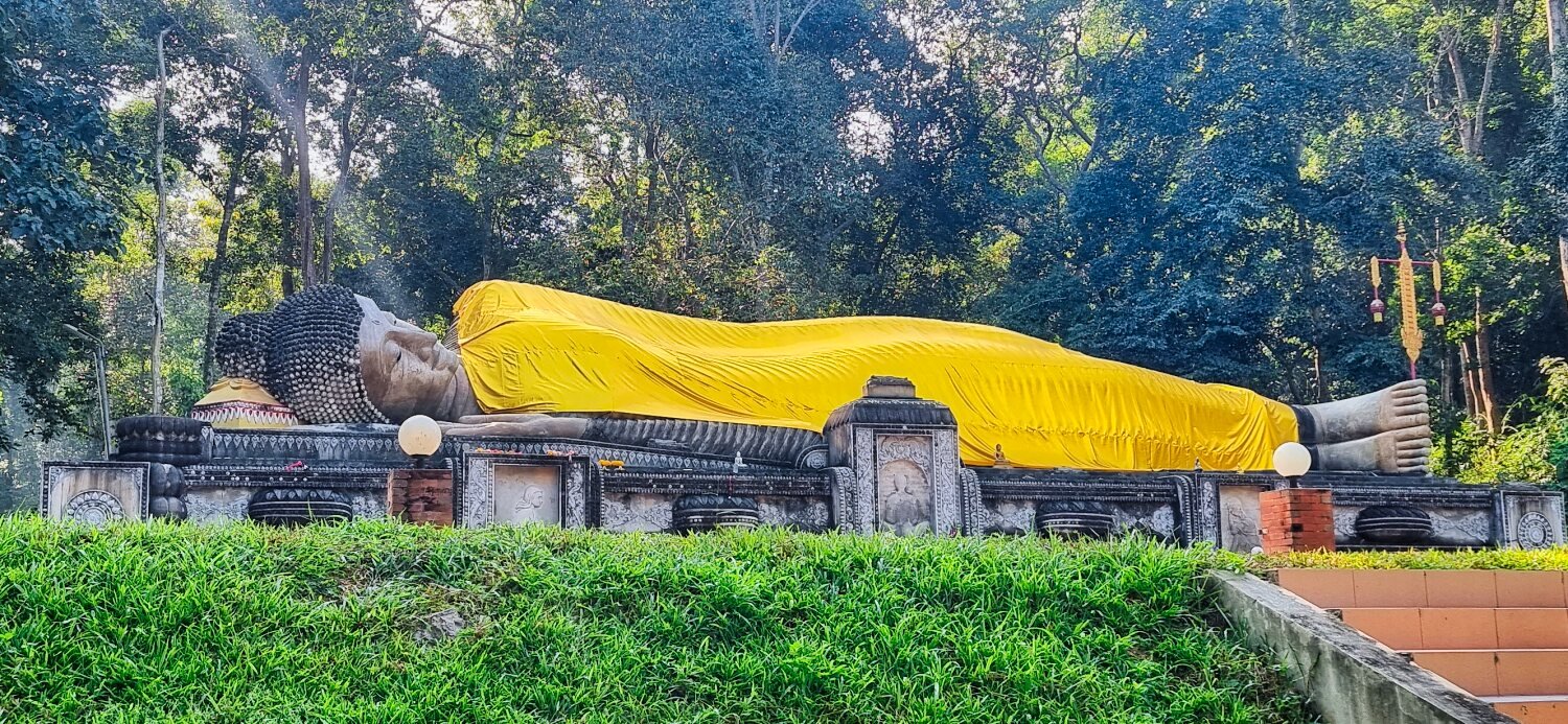
Back down the hill is a Reclining Buddha.
https://maps.app.goo.gl/YCMDCSU49yyhKn3aA
From there a convoluted route back into Chiang Mai for Sunday roast.
-
3
-
1
-
8 hours ago, rhodie said:
Wow, nice ride!
Thanks, yes it was :)
-
1
-
-
- Popular Post
- Popular Post
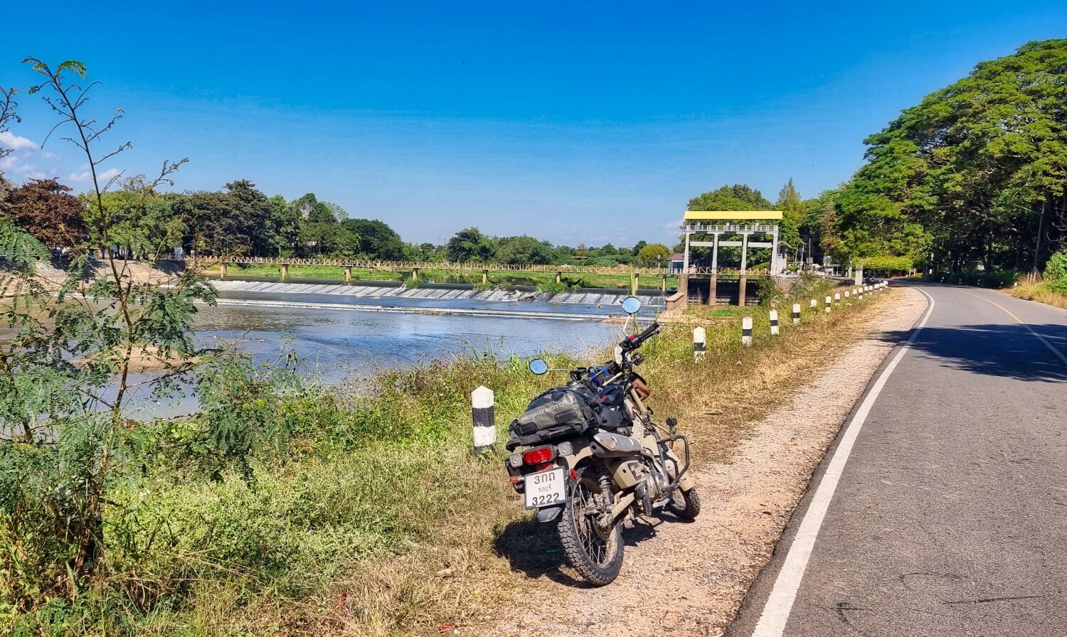
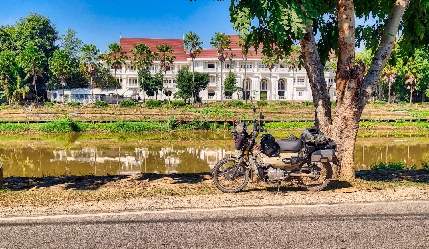
Today I decided to ride south following the Ping River to here.
https://maps.app.goo.gl/WjV76kyiNV1zKkYM8
The steel bridge is here.
https://maps.app.goo.gl/YQD5XYSa9VPByzkA7
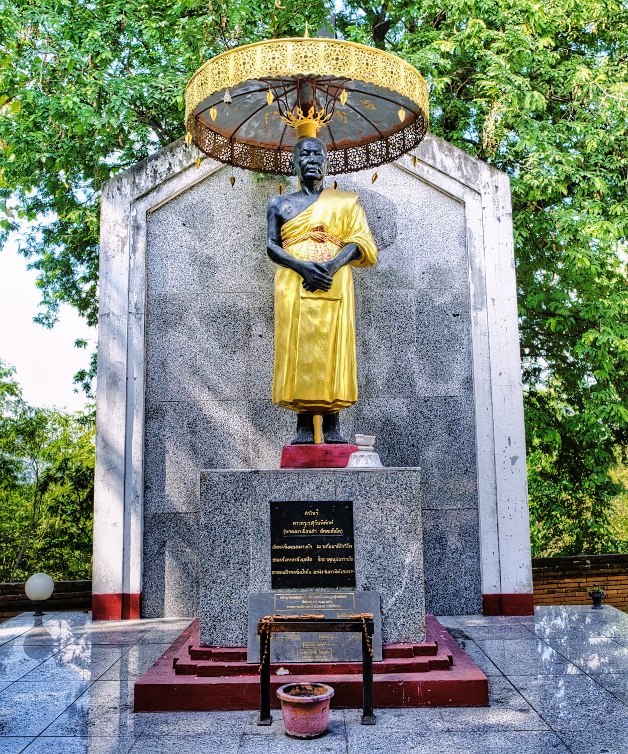
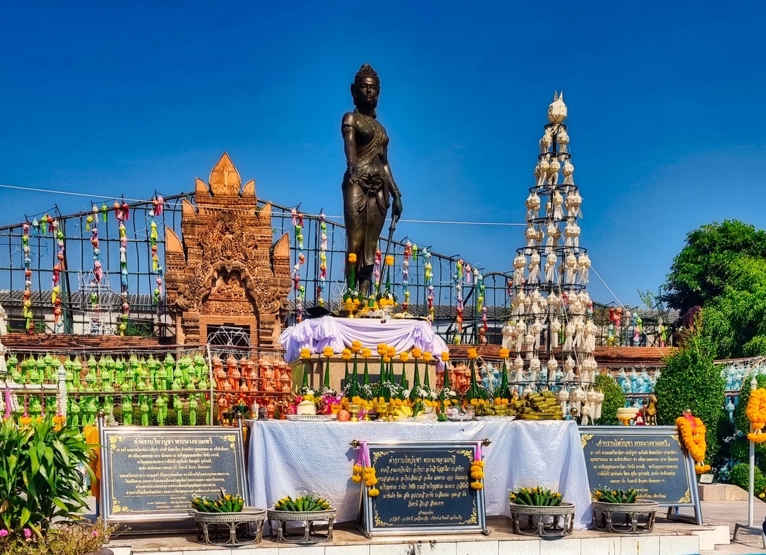
Briefly stopping at Phra Nang Chamathewi Monument as I passed.
https://maps.app.goo.gl/UeH2PKgztMo5FEAL7
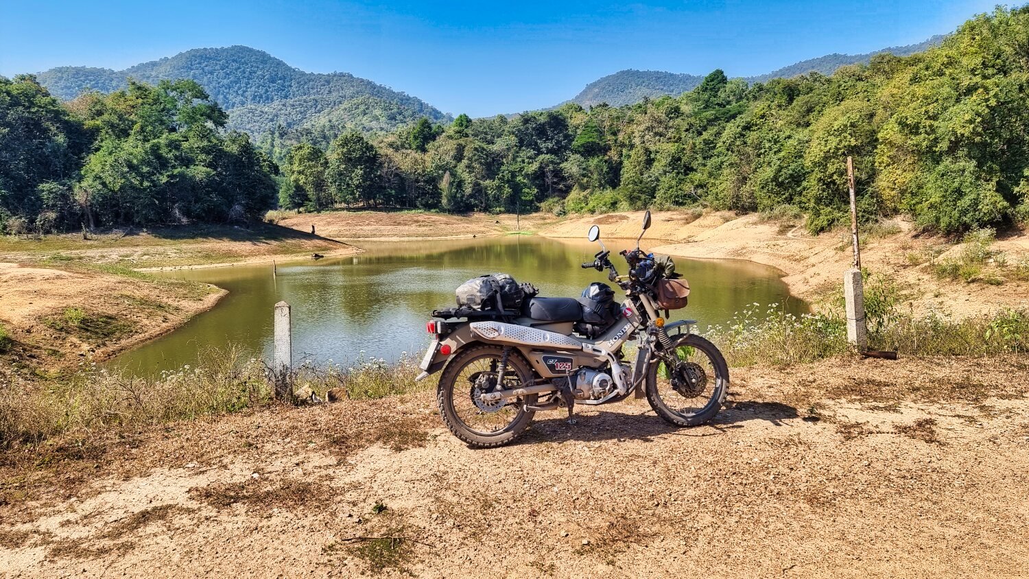
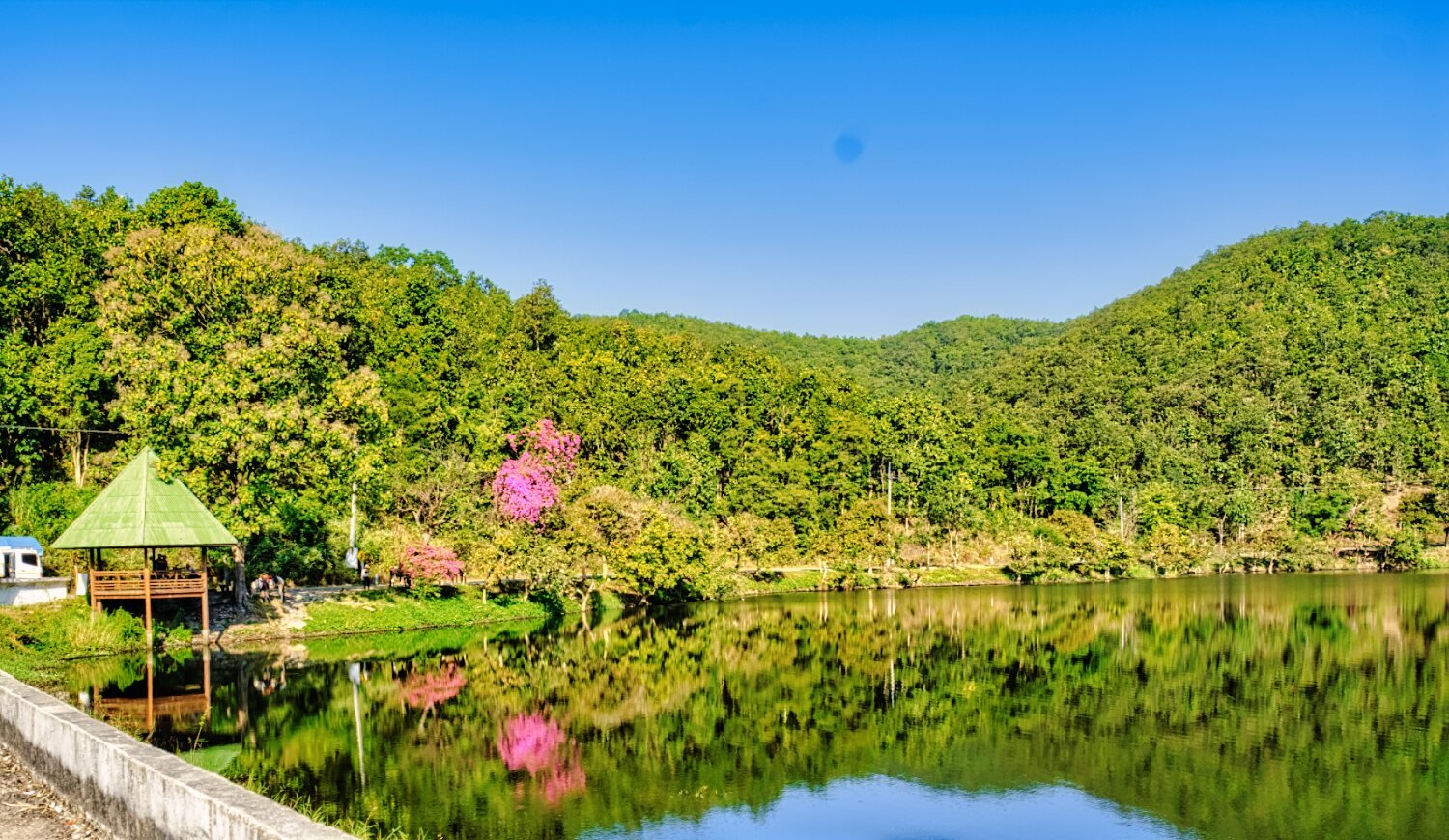
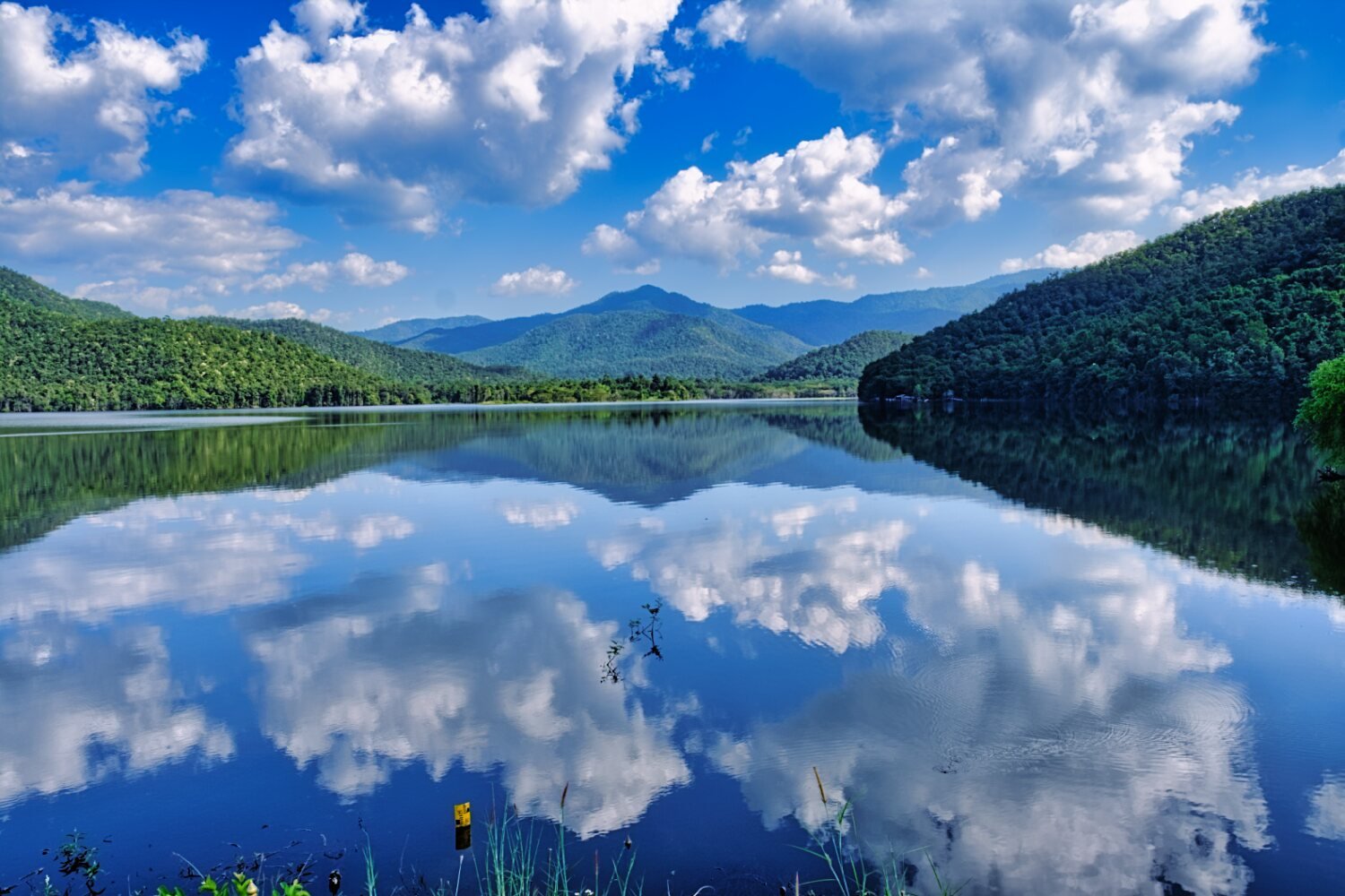
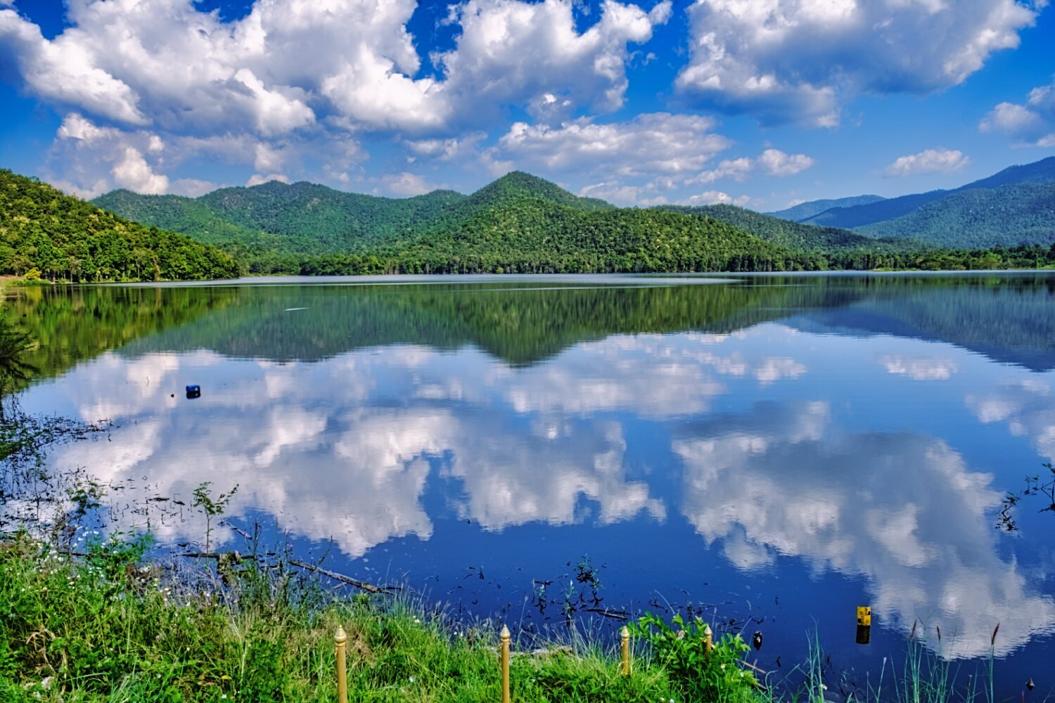
I then continued to the Mae Thi Reservoir,
https://maps.app.goo.gl/7irS3g6rNJX2ktpx9
Which was a nice find and from here rode back to Chiang Mai.
-
3
-
1


.jpg.20384d07f5f0bcc2c0f8323d2421cab9.jpg)

.jpg.ab5d2e444f1a78b57467f6ec91f797b0.jpg)

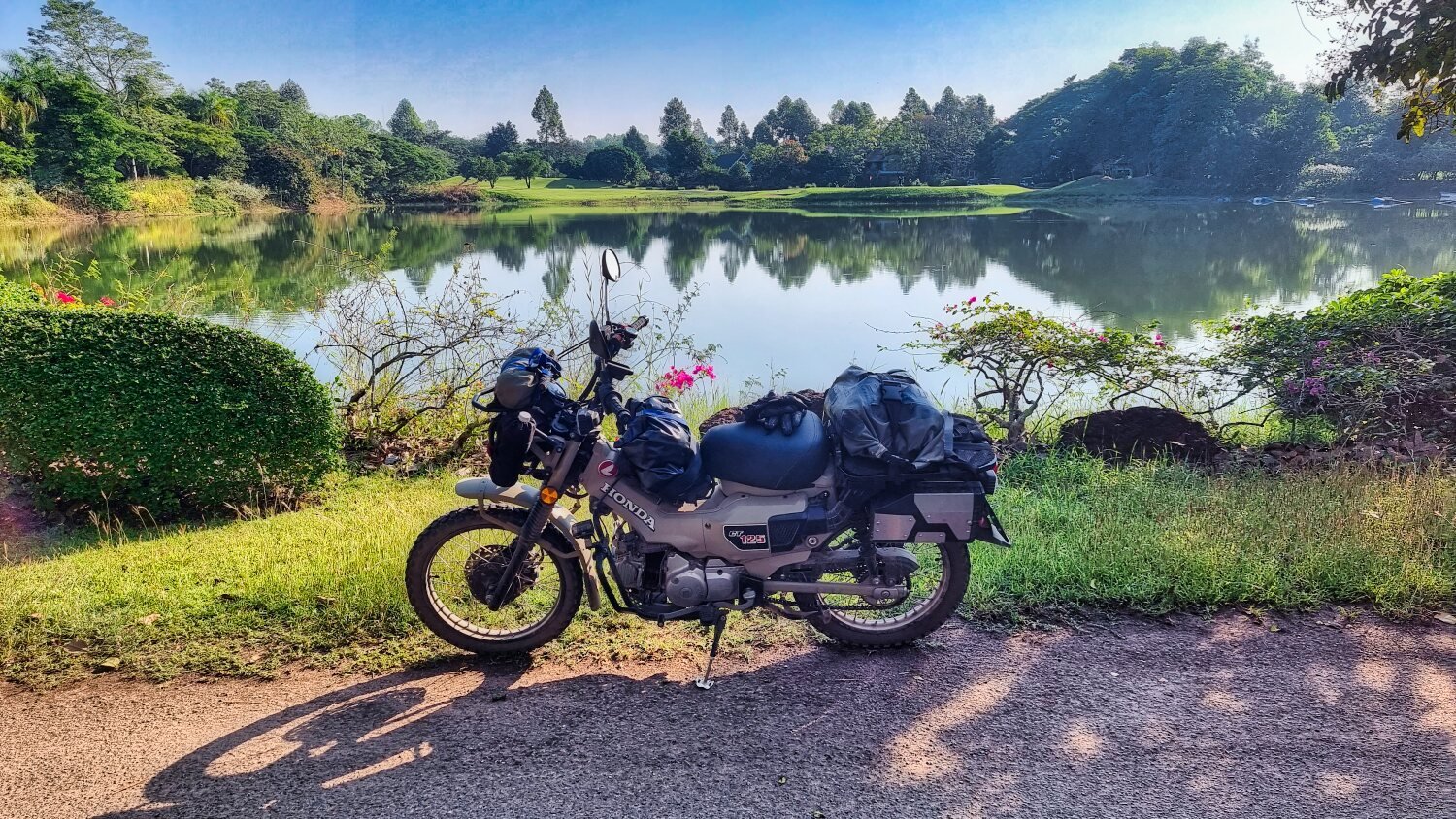


CT125 Winter tour
in Motorcycles in Thailand
Posted
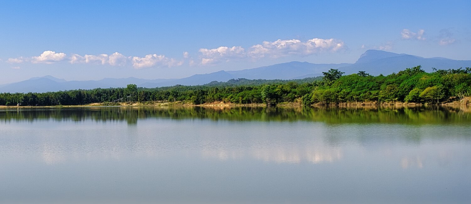
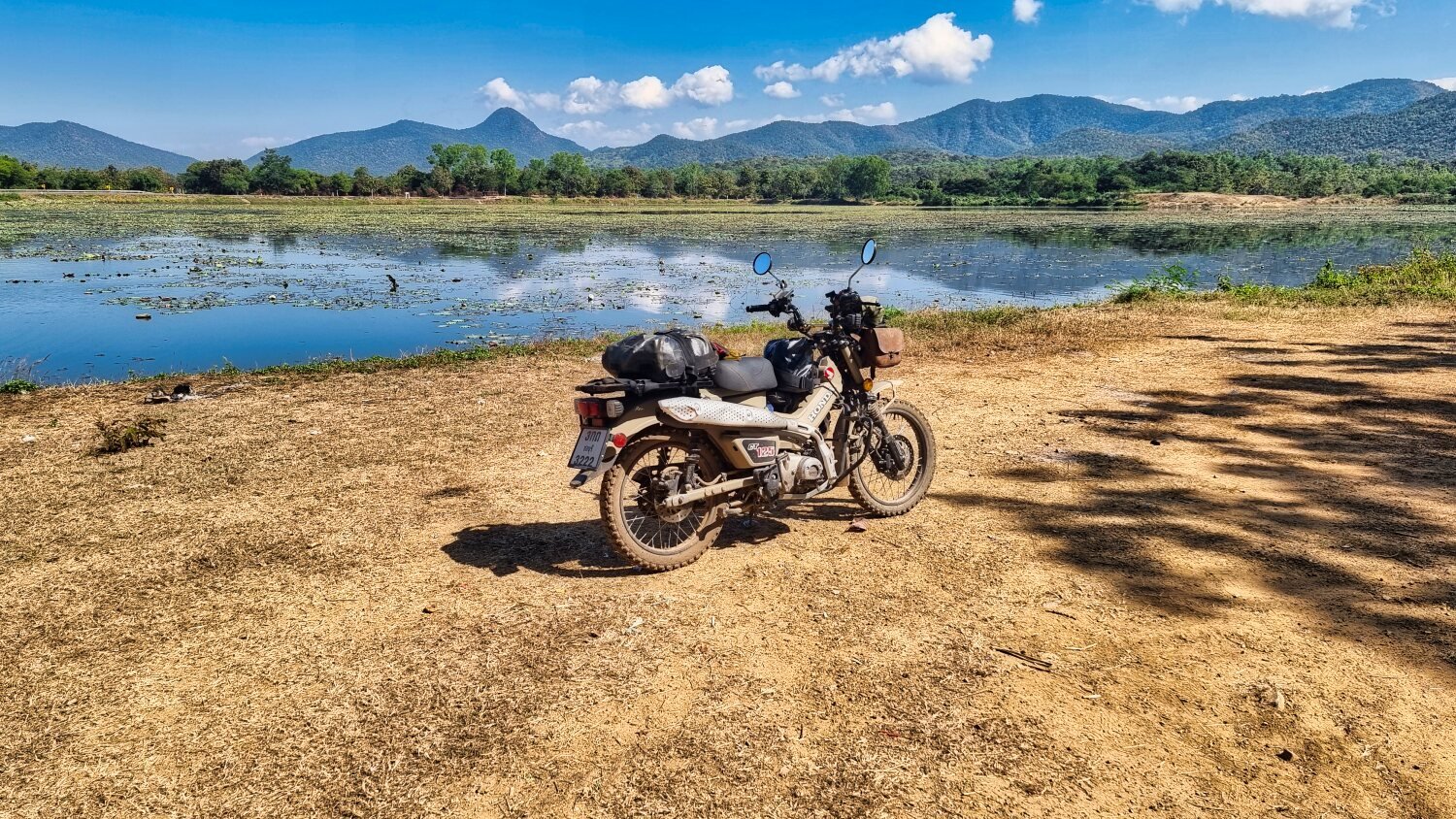
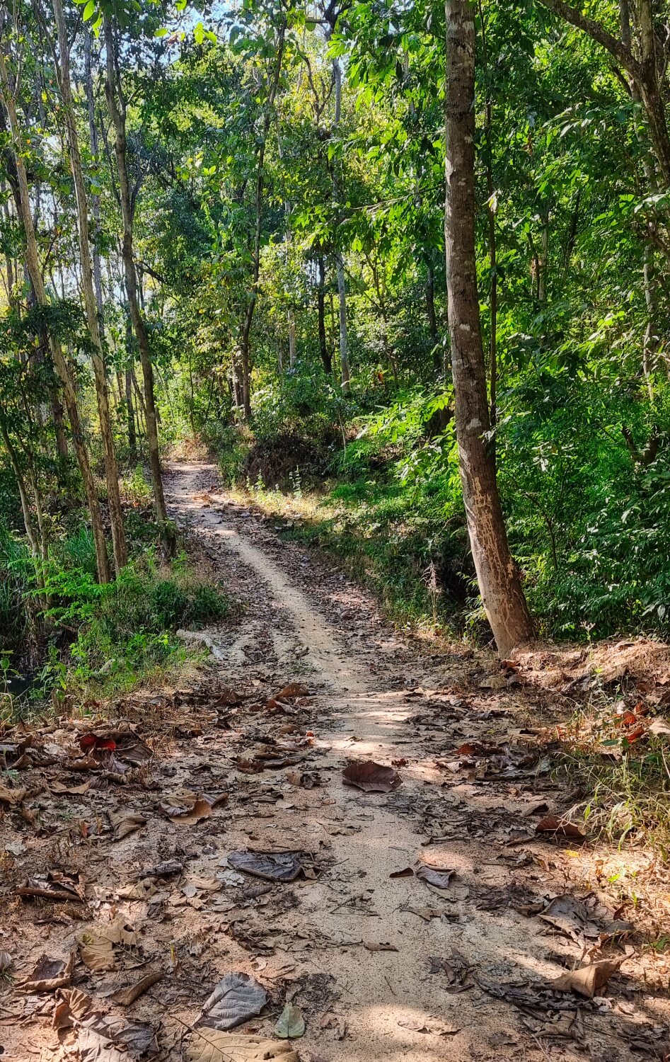
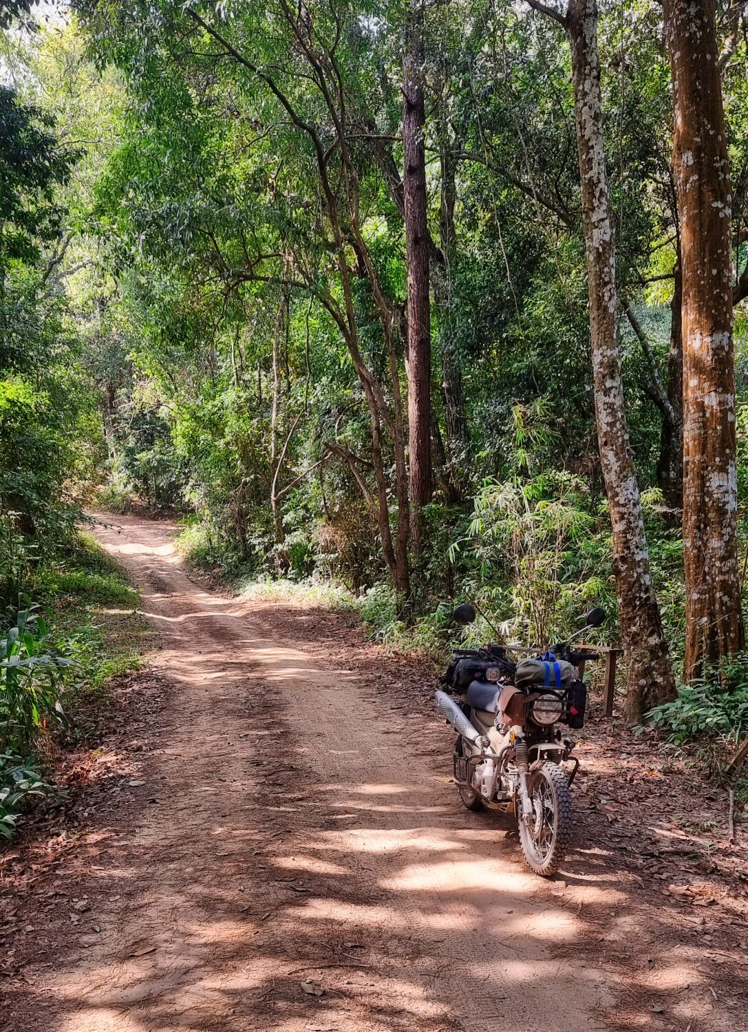
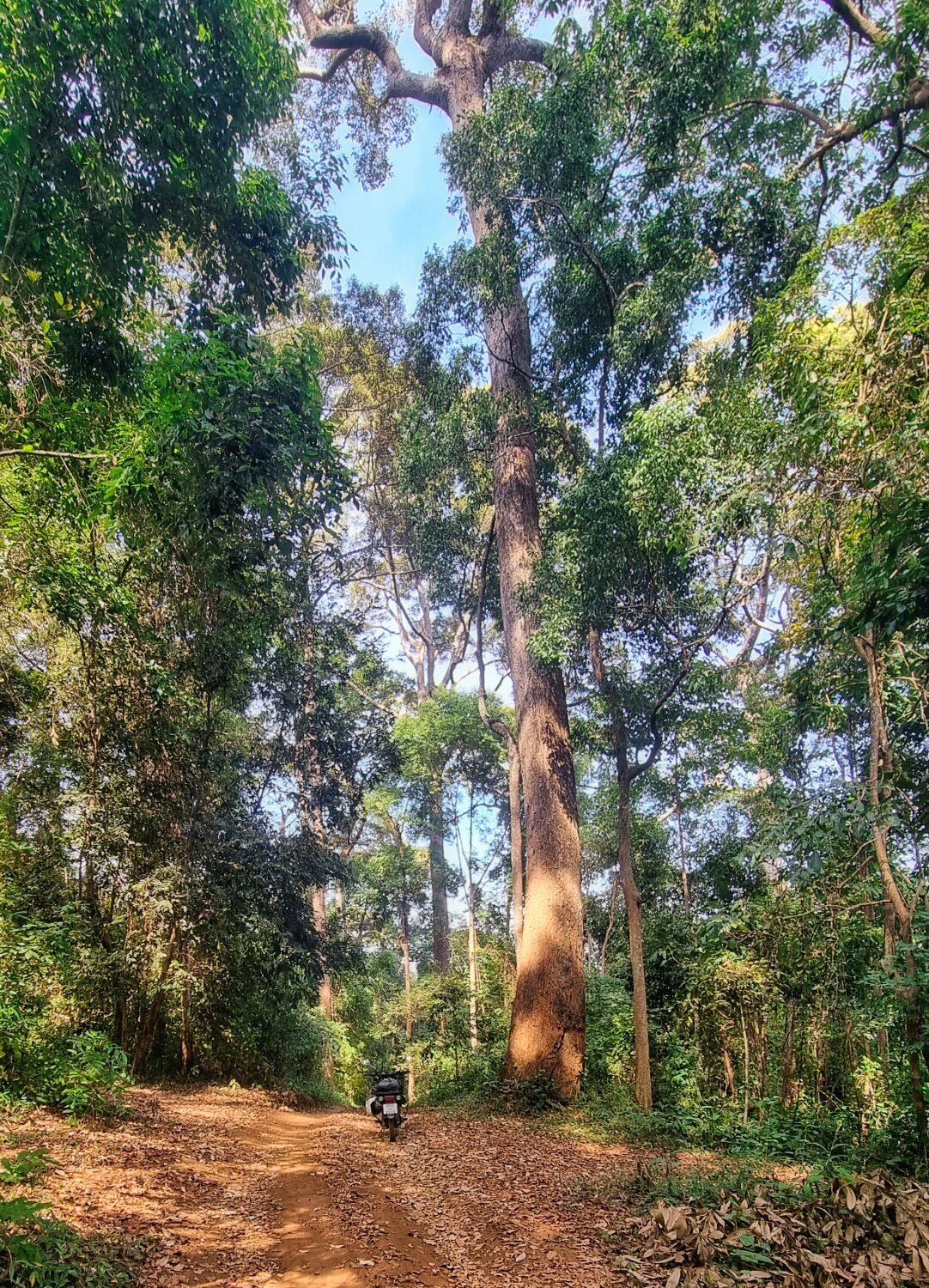
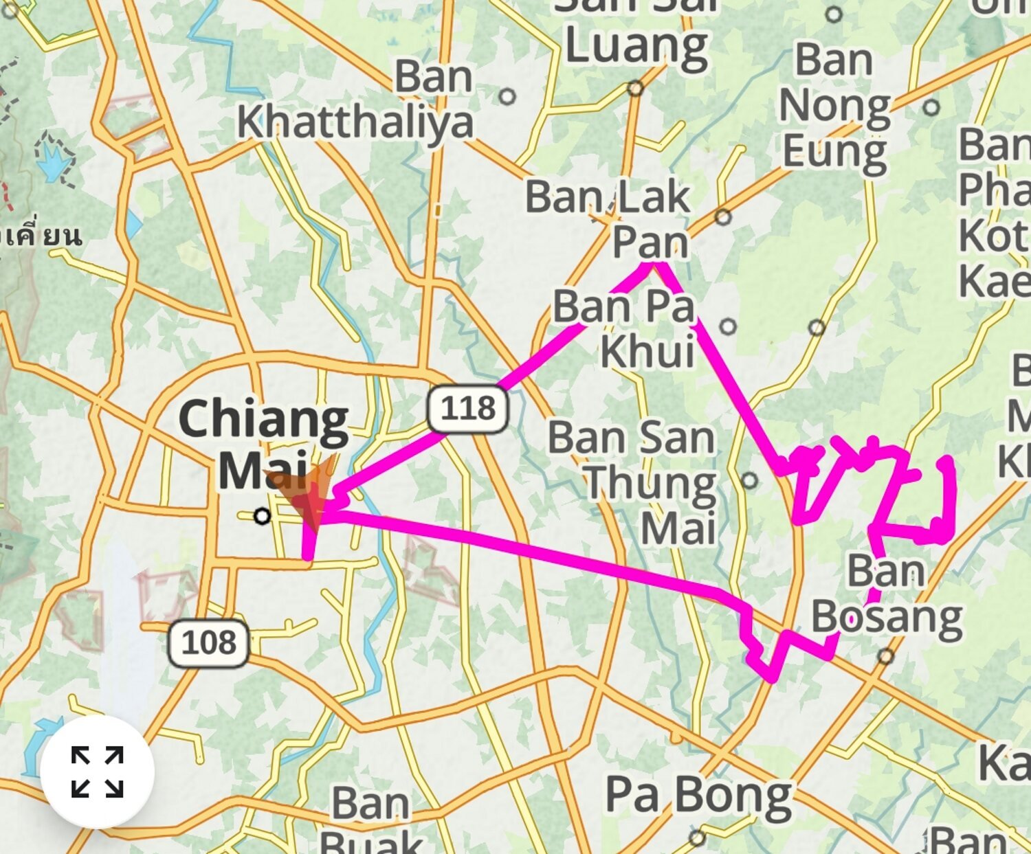
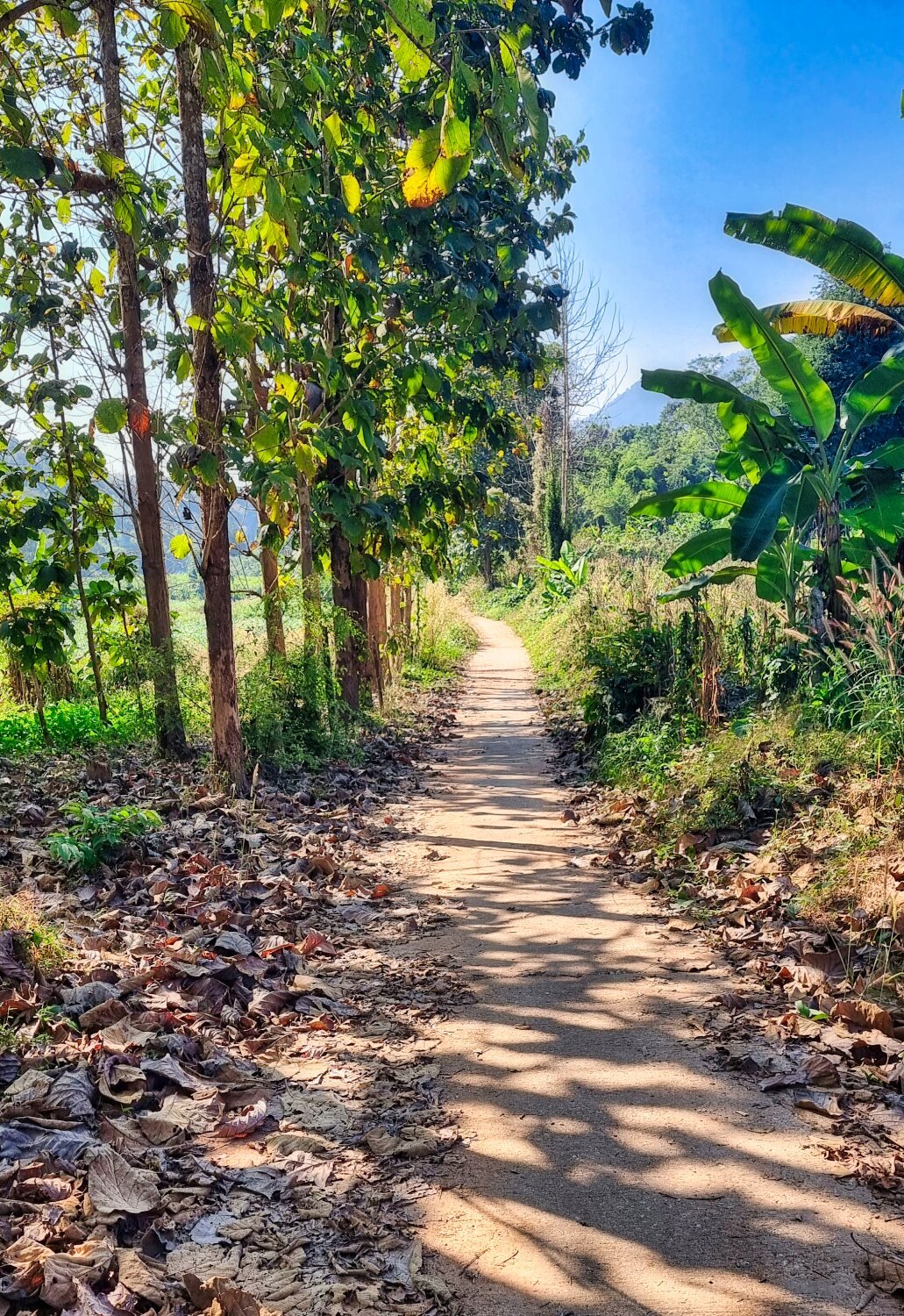
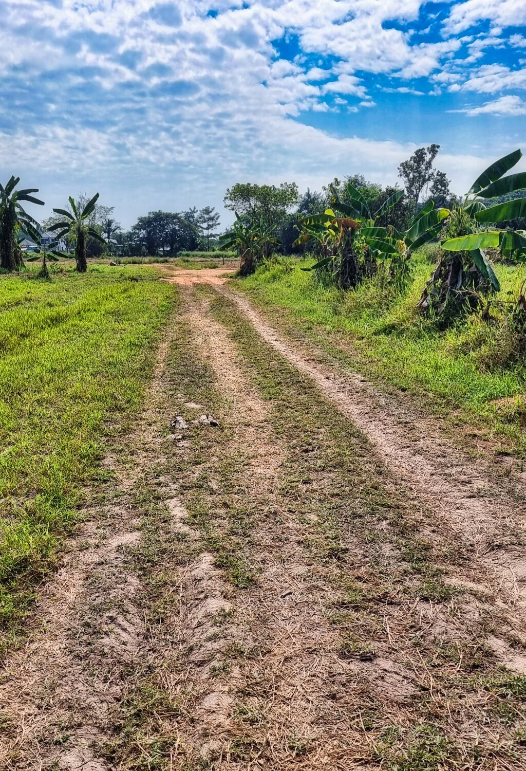
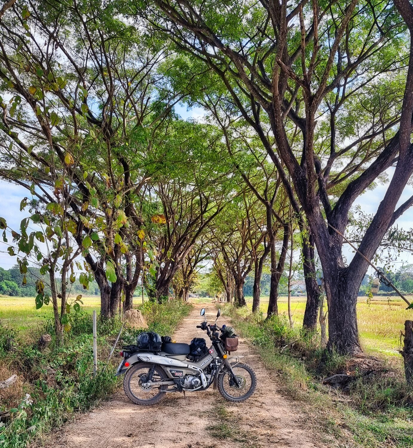
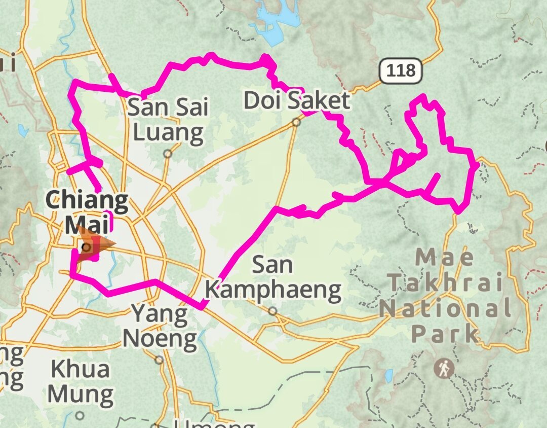
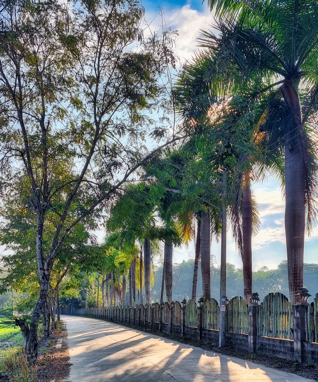
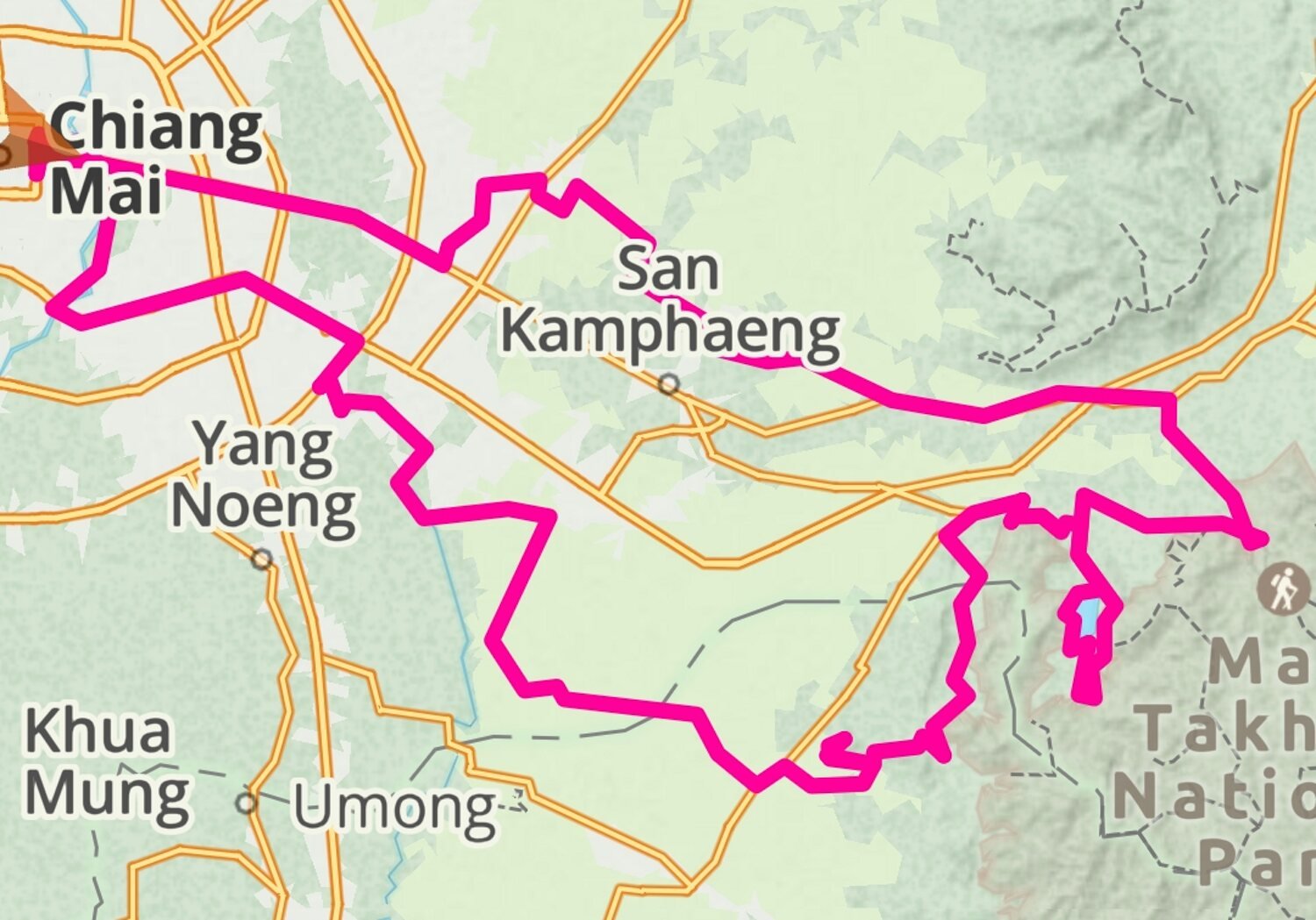
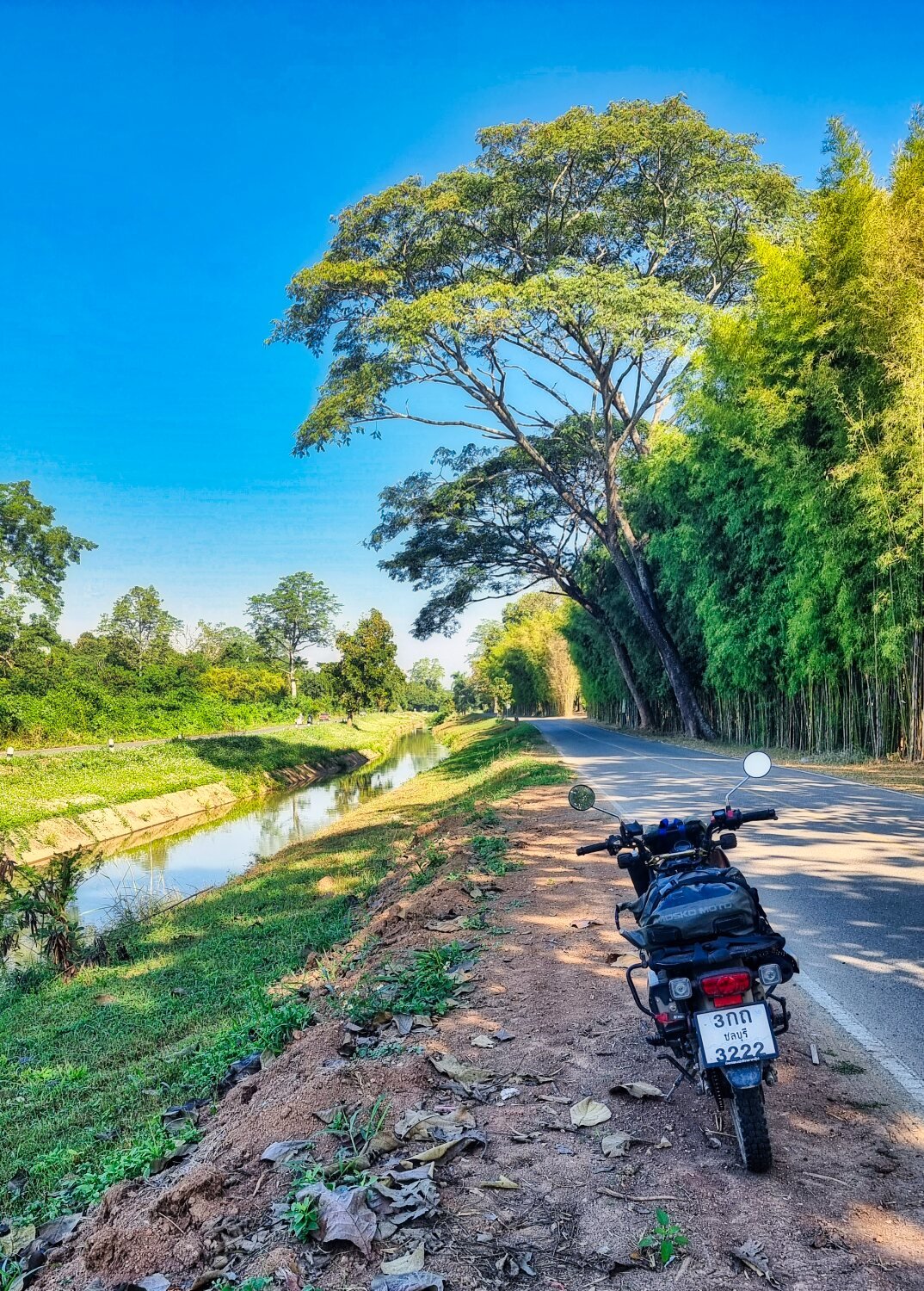
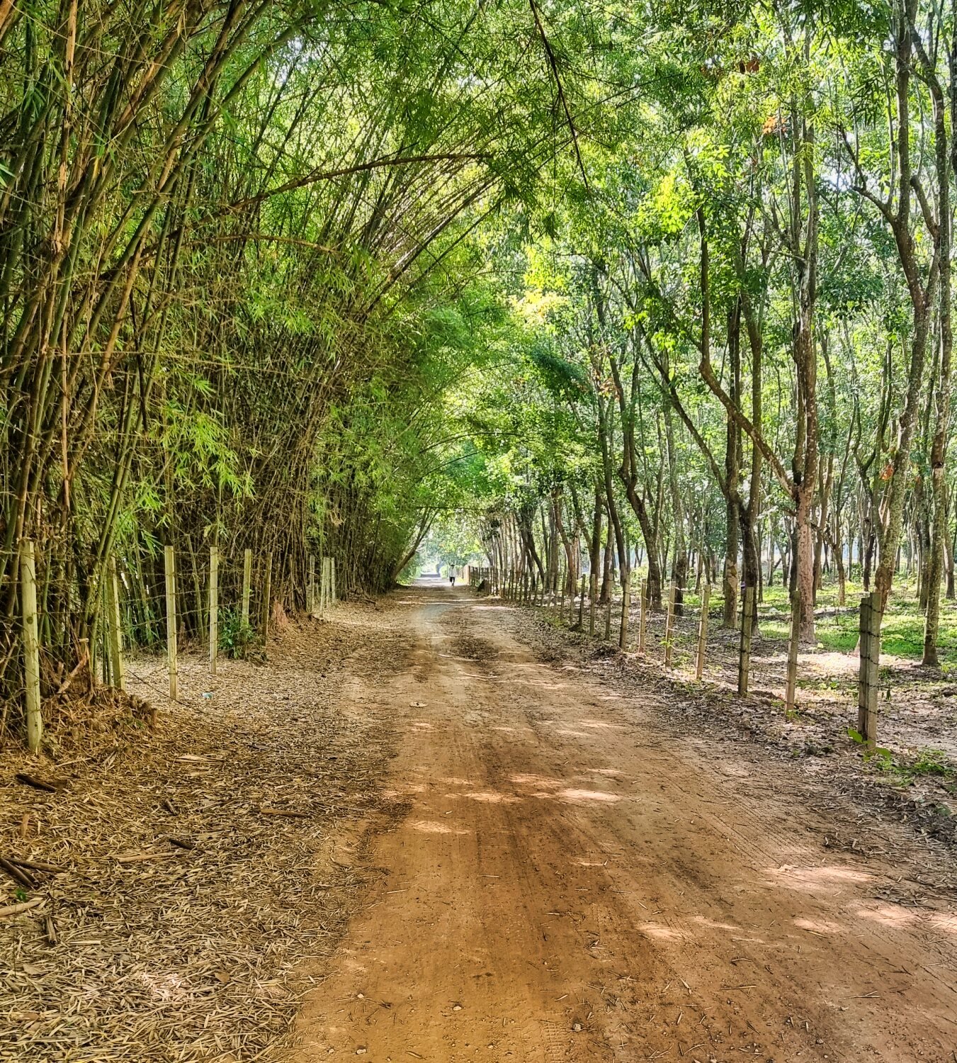
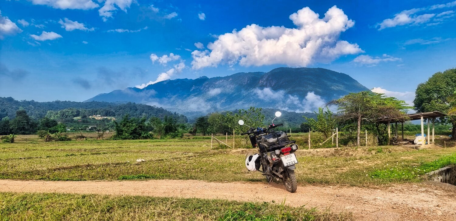
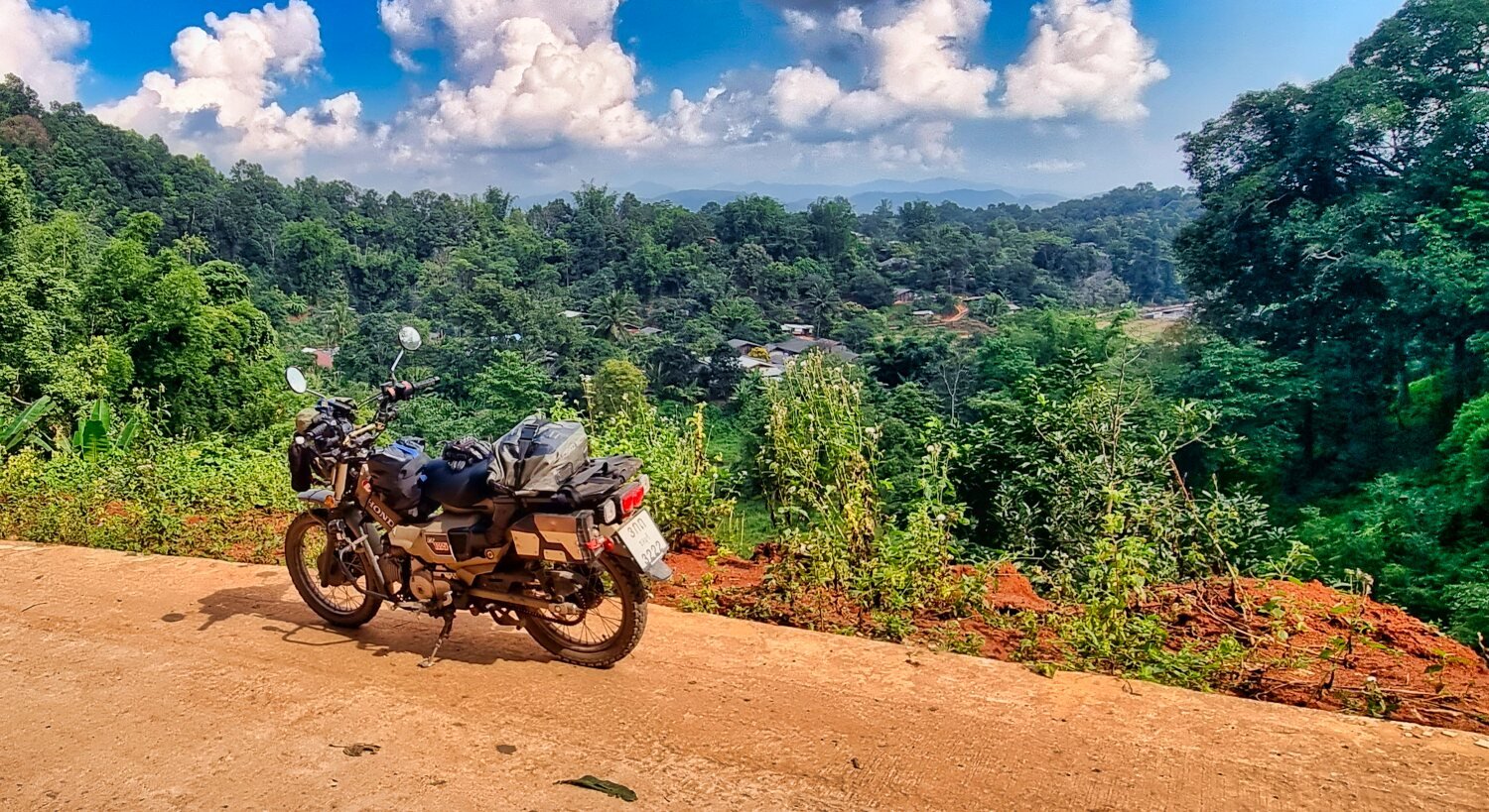
Today I headed east out of Chiang Mai again searching reservoirs, as soon as I turned off of R118, the countryside was great to ride through.
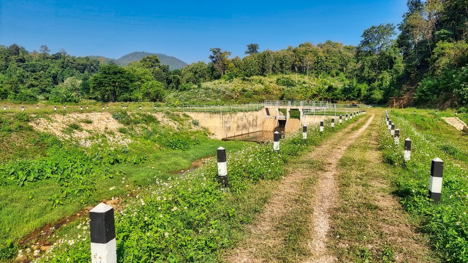
My first stop was Huai Bok Reservoir, here.
https://maps.app.goo.gl/bLjUXuGyGWiFKUiPA
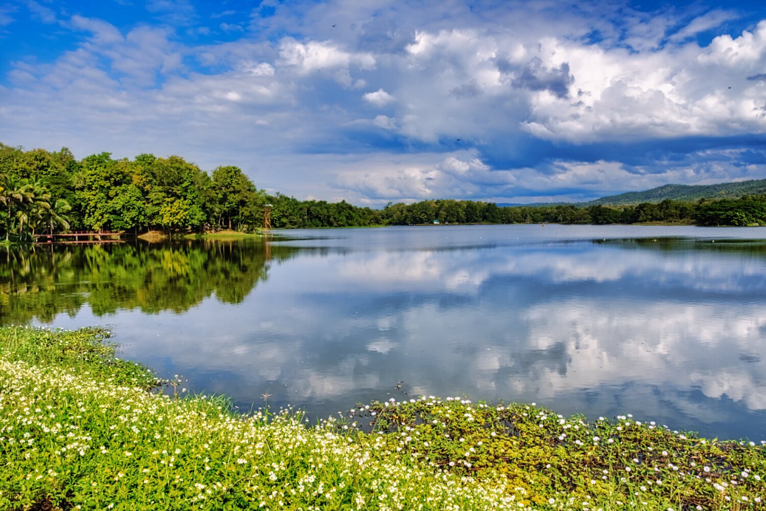
Next was Mae On Reservoir, here.
https://maps.app.goo.gl/egoLjjgxtGyCP8D2A
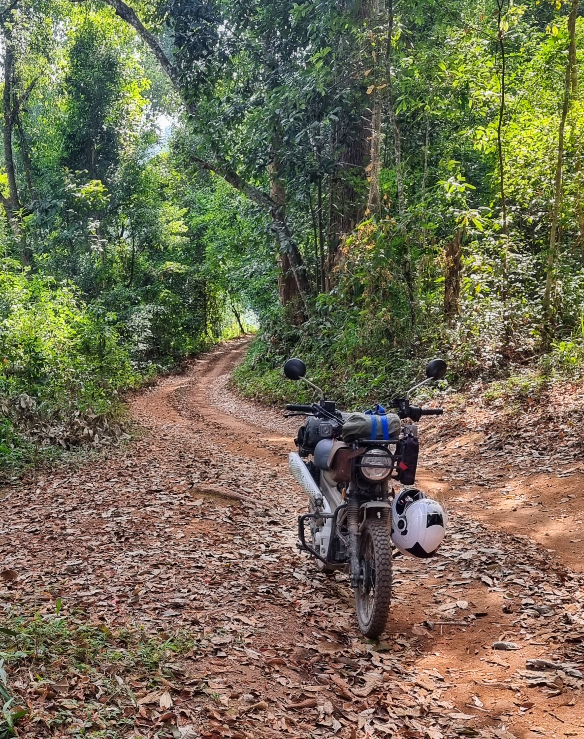
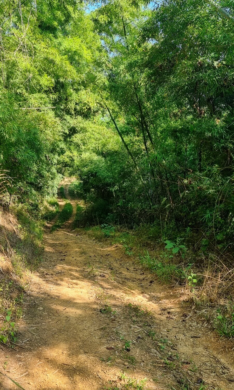
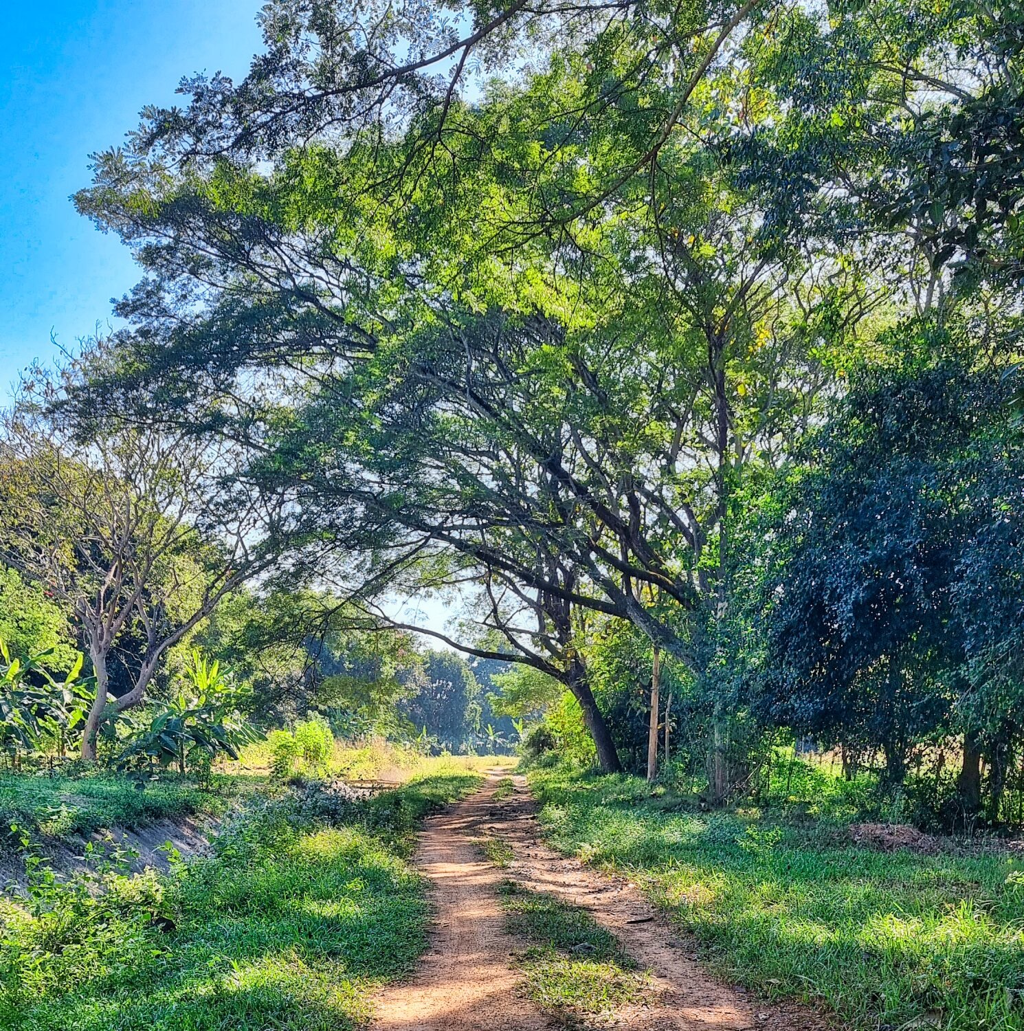
I tried to ride around the reservoir and nearly managed it, but failed.
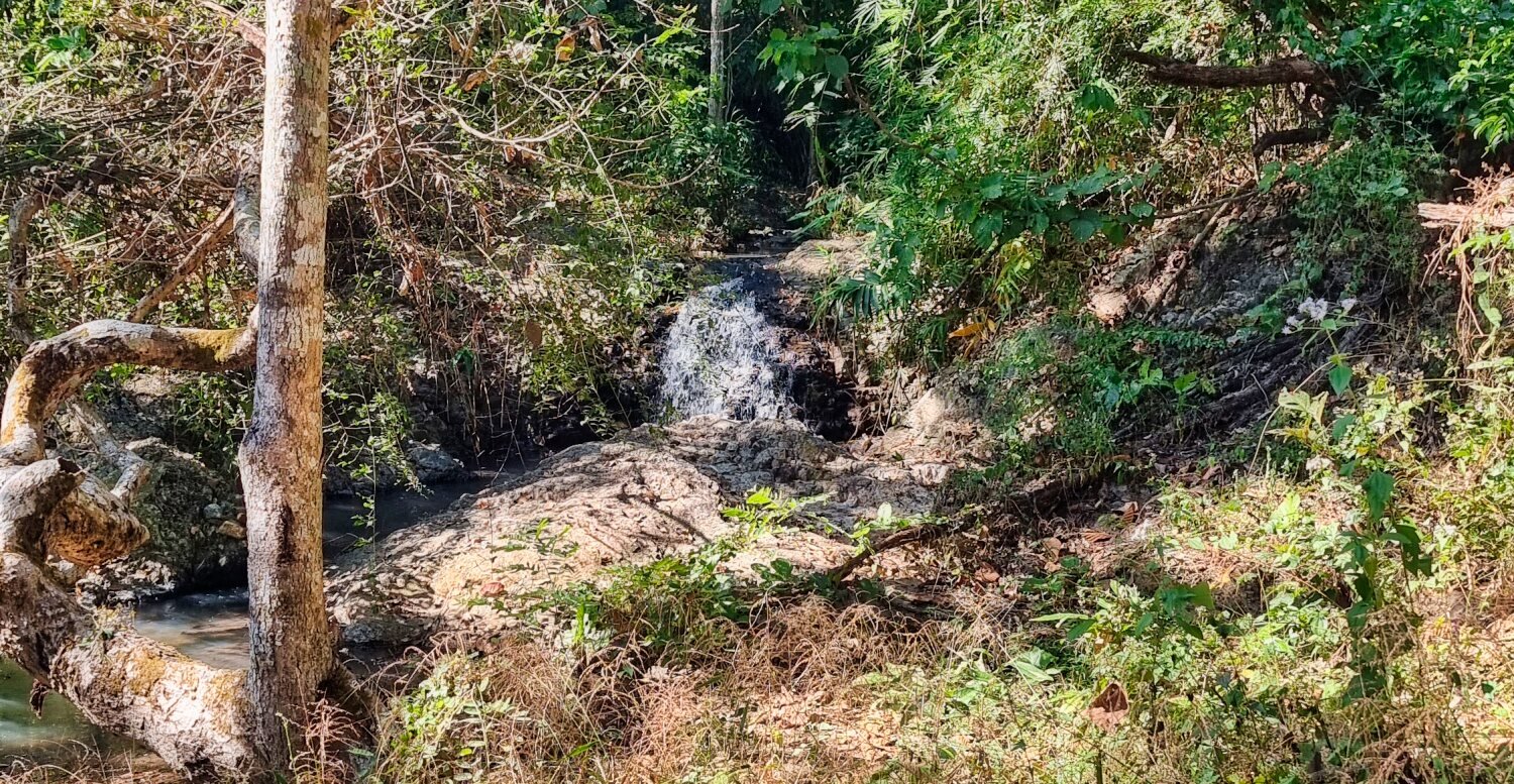
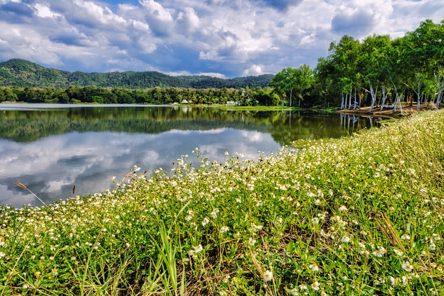
I rode as far as I could into the jungle and the track finished alongside a small rocky stream, here.
https://maps.app.goo.gl/1tjx5YGDiGfq3yMb6
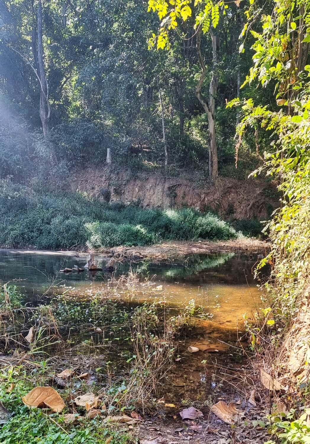
Trying to loop the opposite was round I found another small reservoir, Mae Na Koen Reservoir, here.
I then rode until there was no more track, here. About 200 meters short of a full loop.
https://maps.app.goo.gl/S95HgEB3UaKt7Zaa7
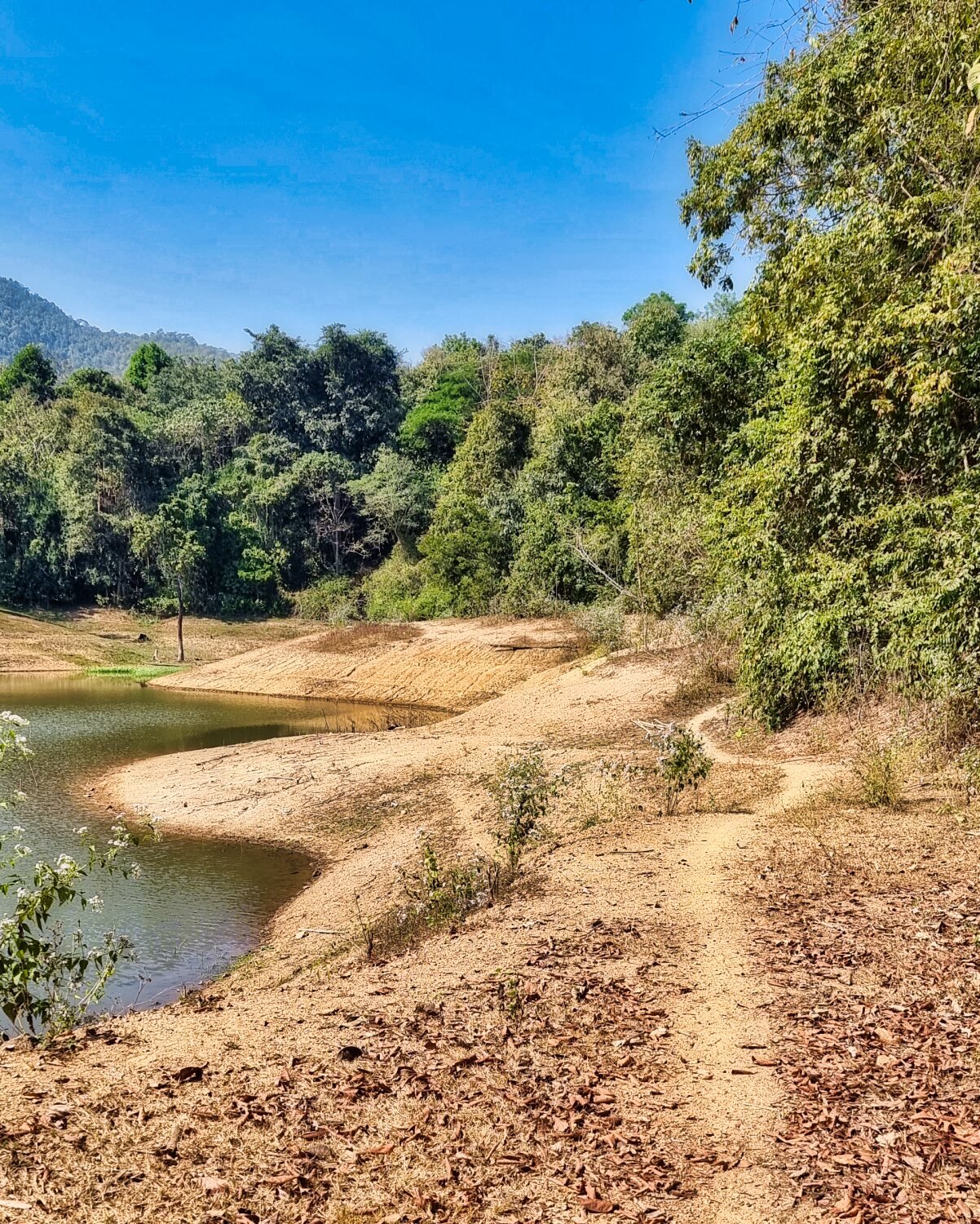
The next find was Mae Phrik Reservoir, here. This was nearly dry and surrounded by dense jungle.
https://maps.app.goo.gl/gc6xojySirAjvYRi8
Then I rode back the city, another good days exploring.
https://www.relive.cc/view/vXvLydjGB7O