

chrissables
-
Posts
3,175 -
Joined
-
Last visited
-
Days Won
8
Content Type
Events
Forums
Downloads
Quizzes
Gallery
Blogs
Posts posted by chrissables
-
-
- Popular Post
- Popular Post
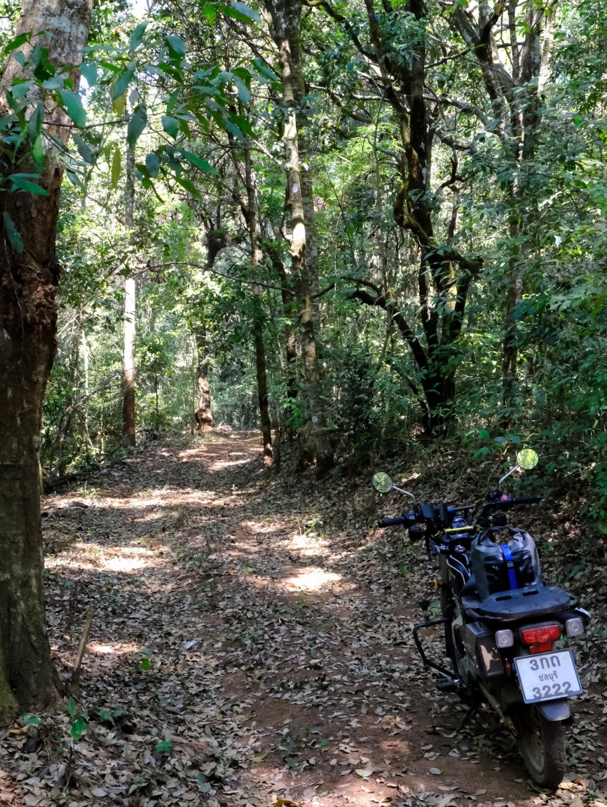
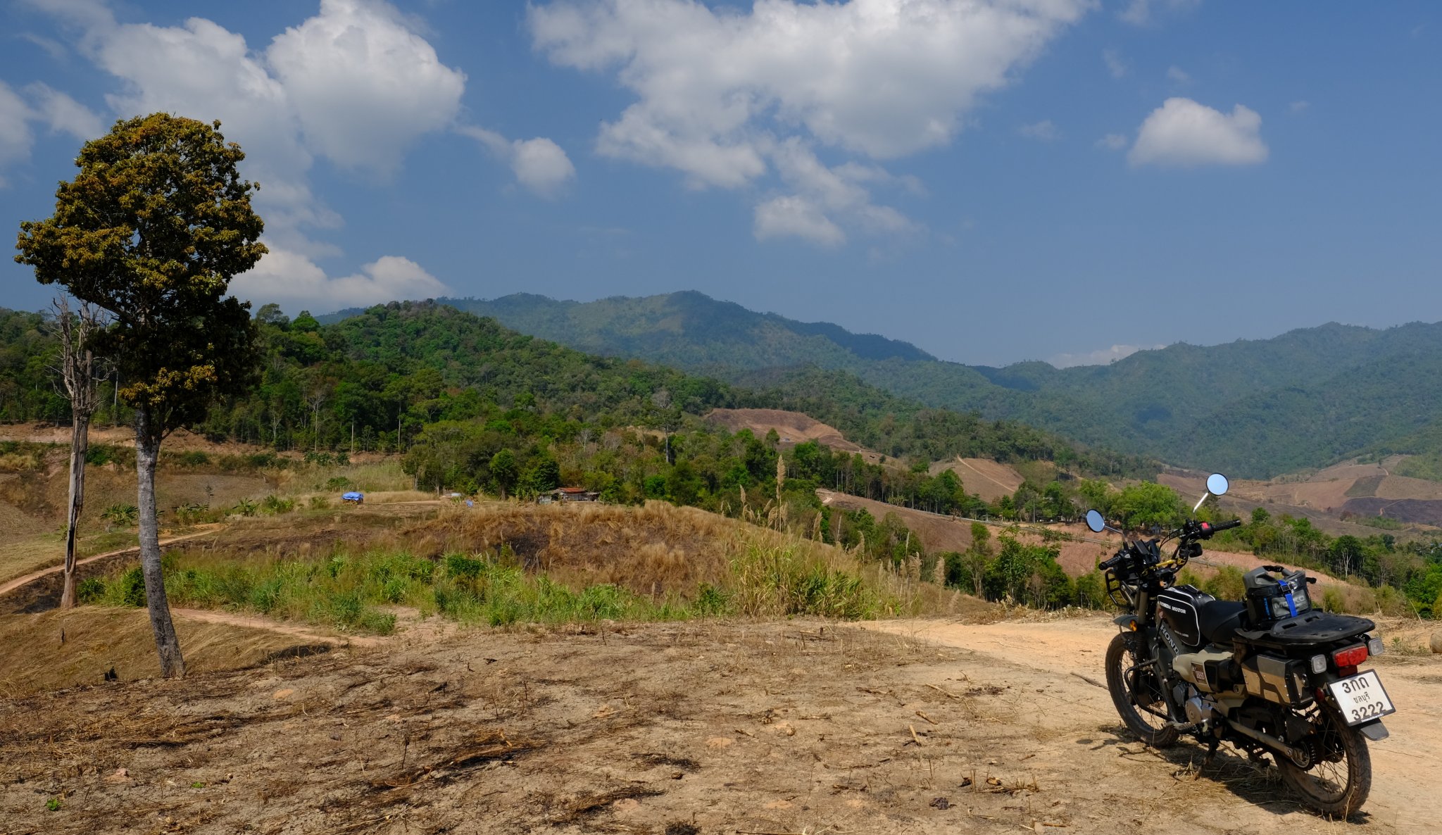
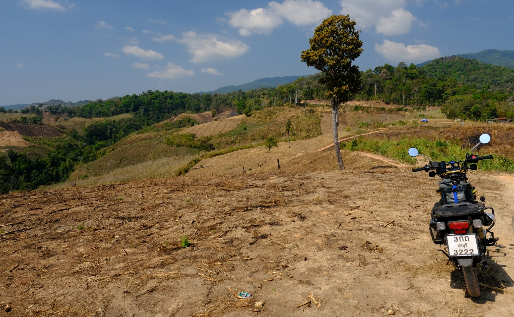
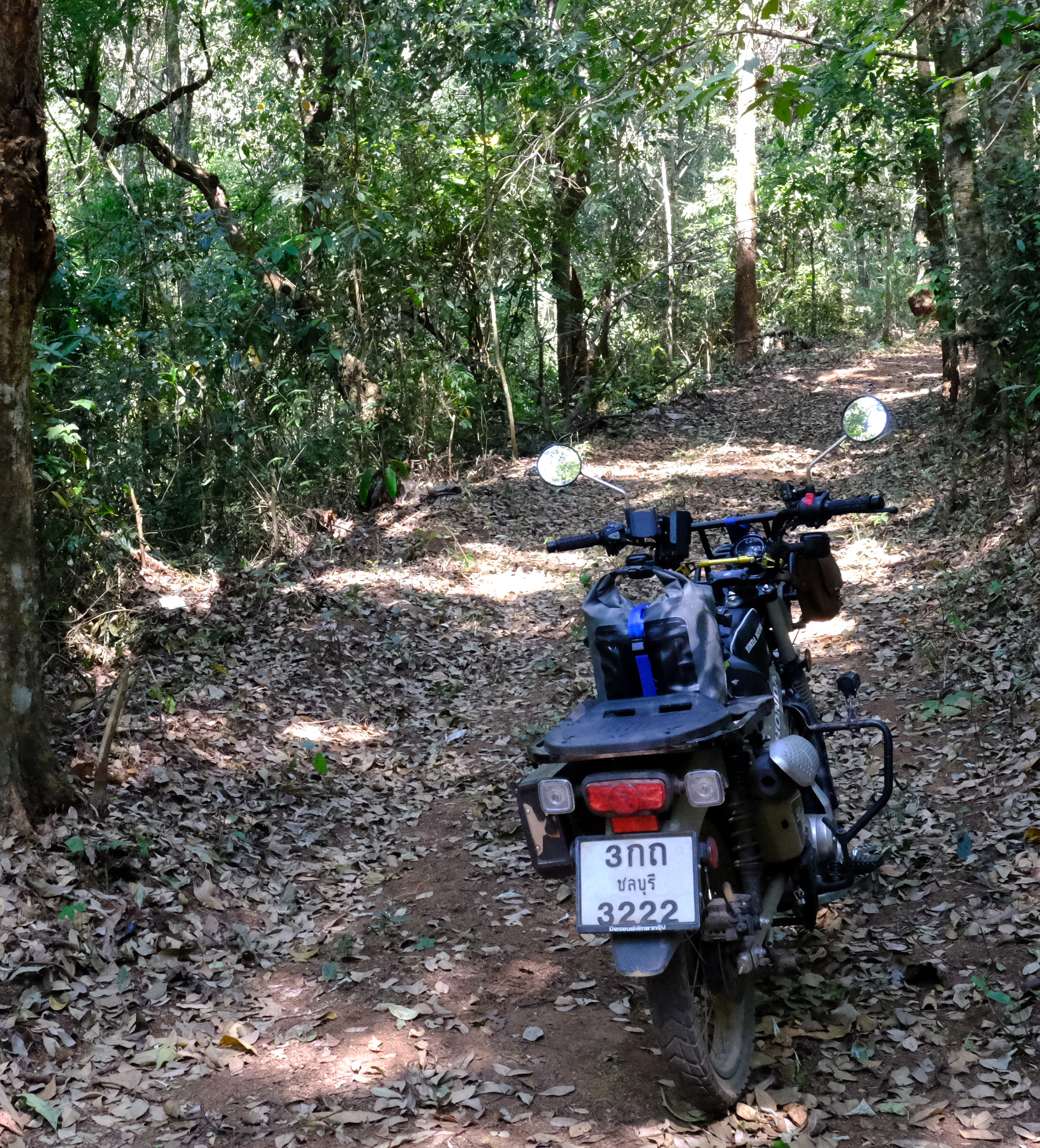
Day 39. 17 March.
Kanchanaburi to Pattaya 280km
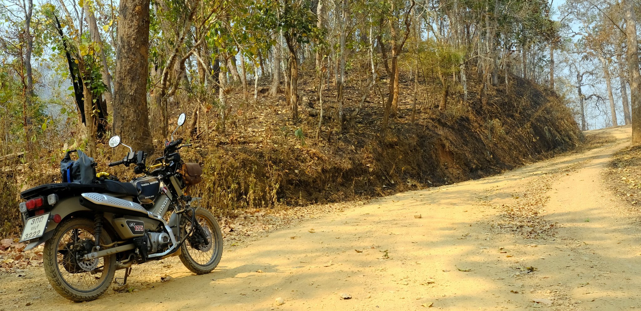
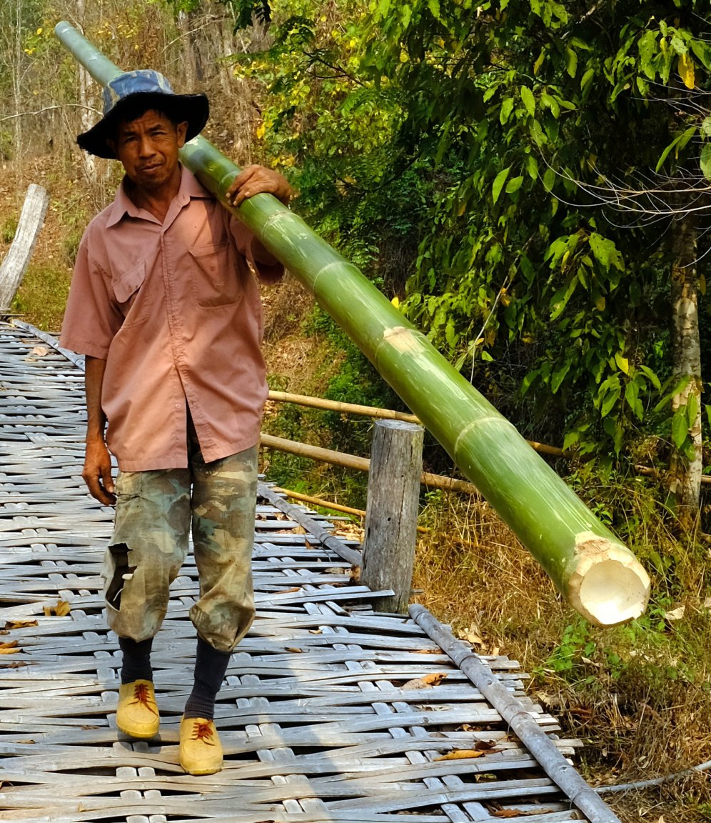
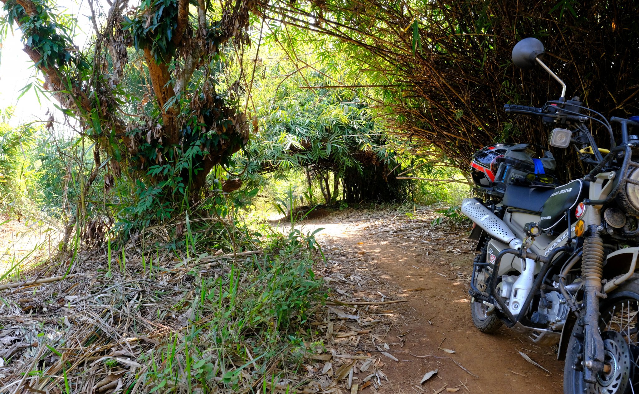
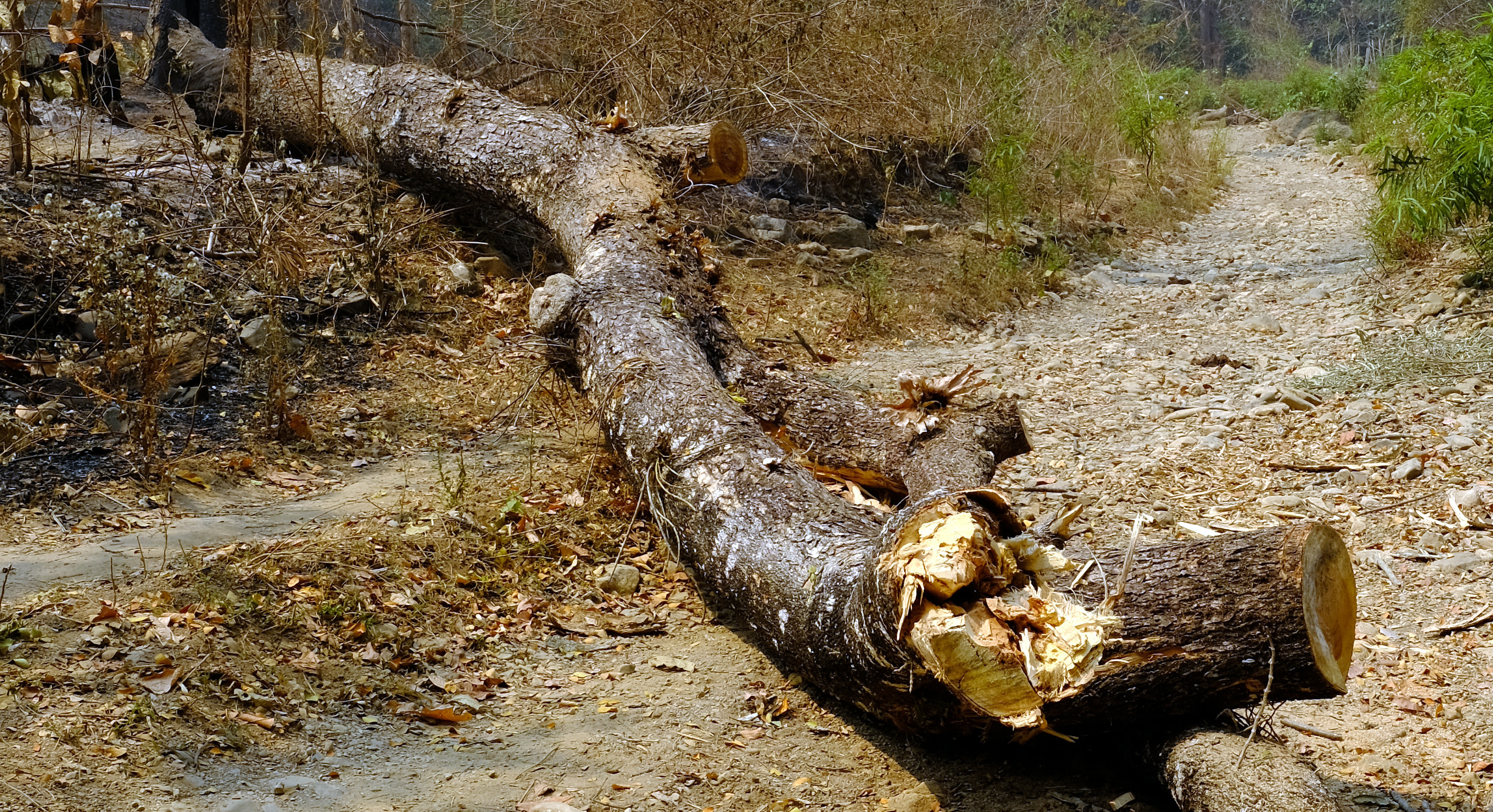
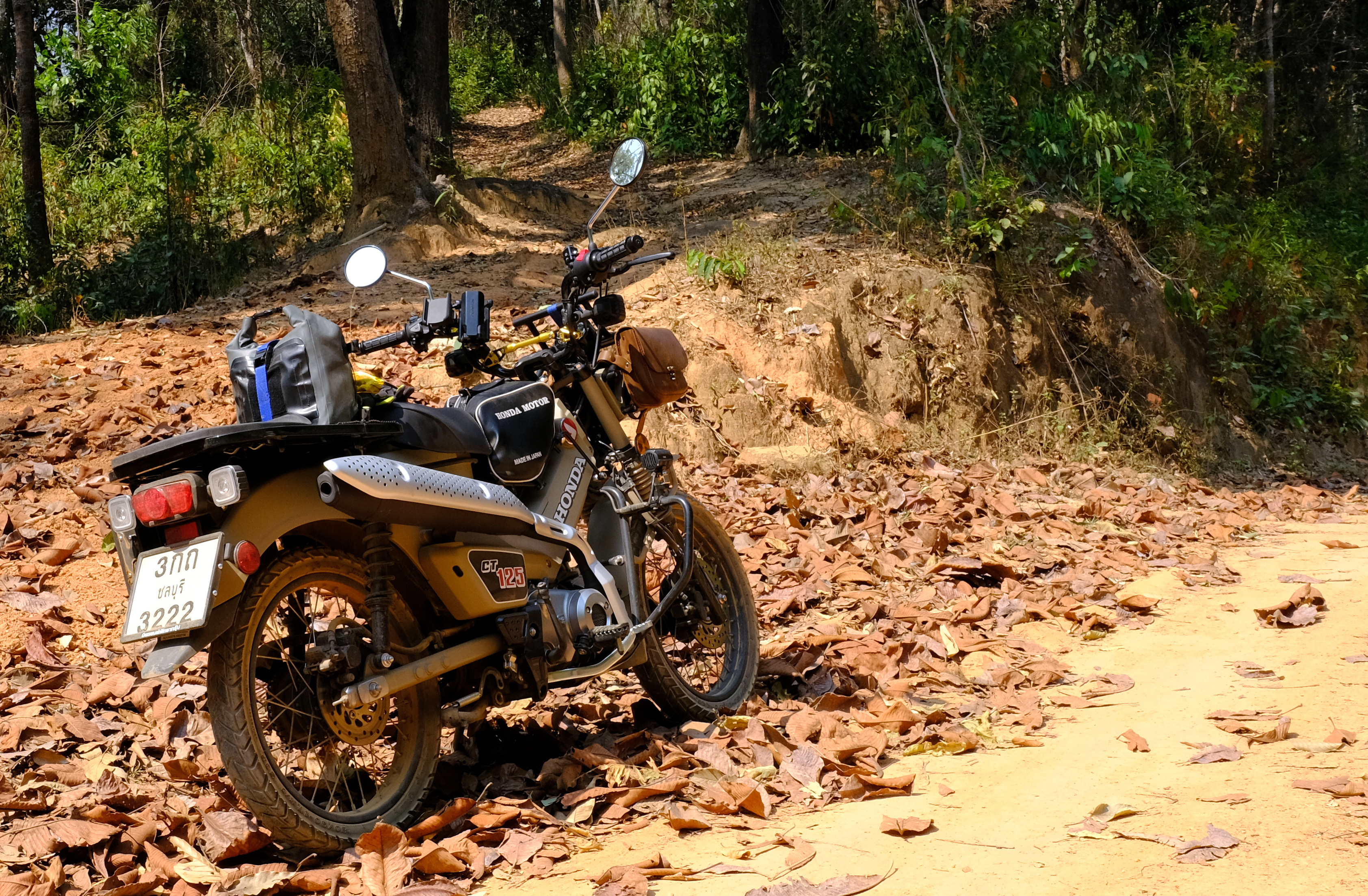
I woke to a flat tyre today, a thorn from yesterdays ride in the bamboo forest.
This resulted in a few km of walking around trying to find a shop to fix it.
With the help of the resort owner I found a hand pump which allowed me to ride back to the shop.
https://www.relive.cc/view/vevWp5gWYGO
What a great trip! I found some great places to visit, I rode more off road than I have on my off road bike and enjoyed it more too.
With a lower gear and off road tyres it would really be fun I just need to find small roads to ride on my way to the mountains as 80 KPH is a tad tedious on the major roads.
My total ride distance 7953 km
One accident.
One puncture.
Two repairs to the tool box bracket.
Not too bad considering some of the riding I was doing!

-
 3
3
-
 3
3
-
- Popular Post
- Popular Post
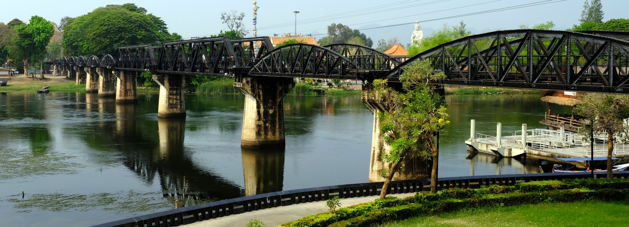
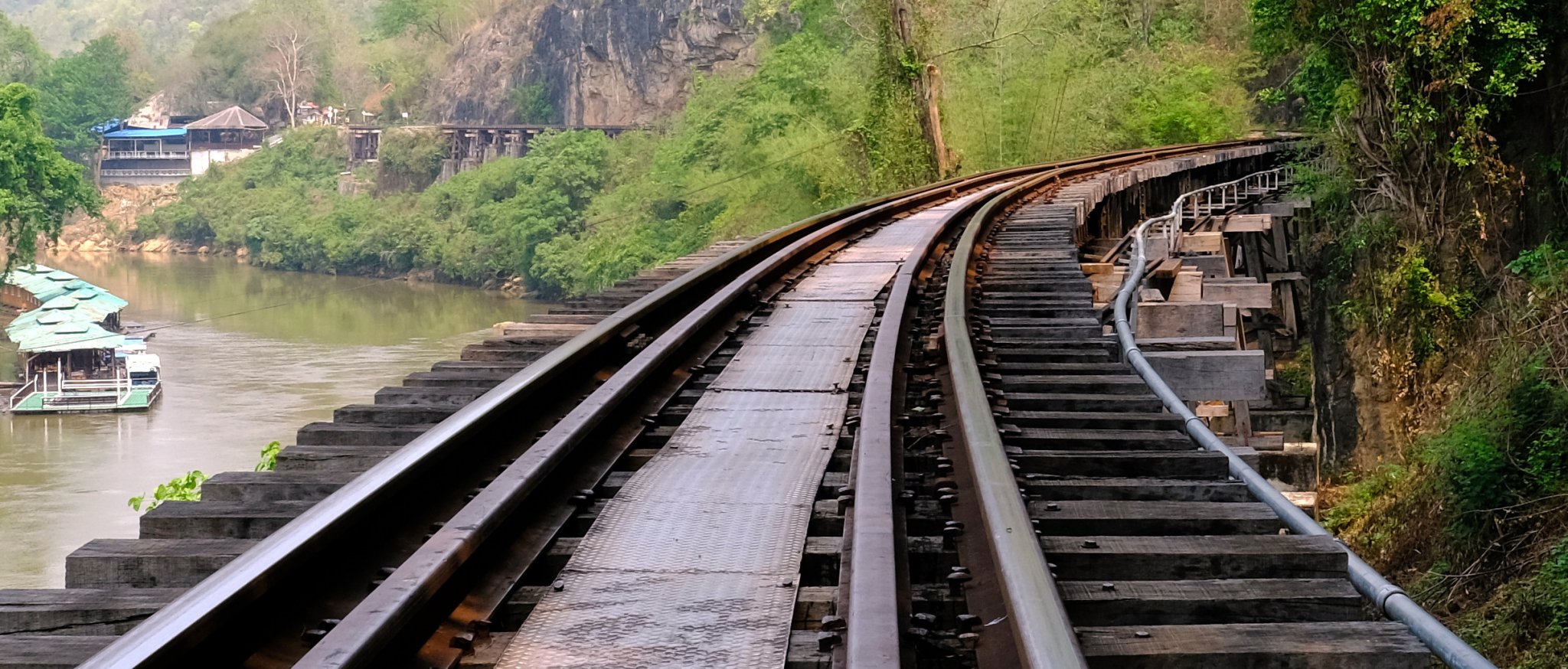
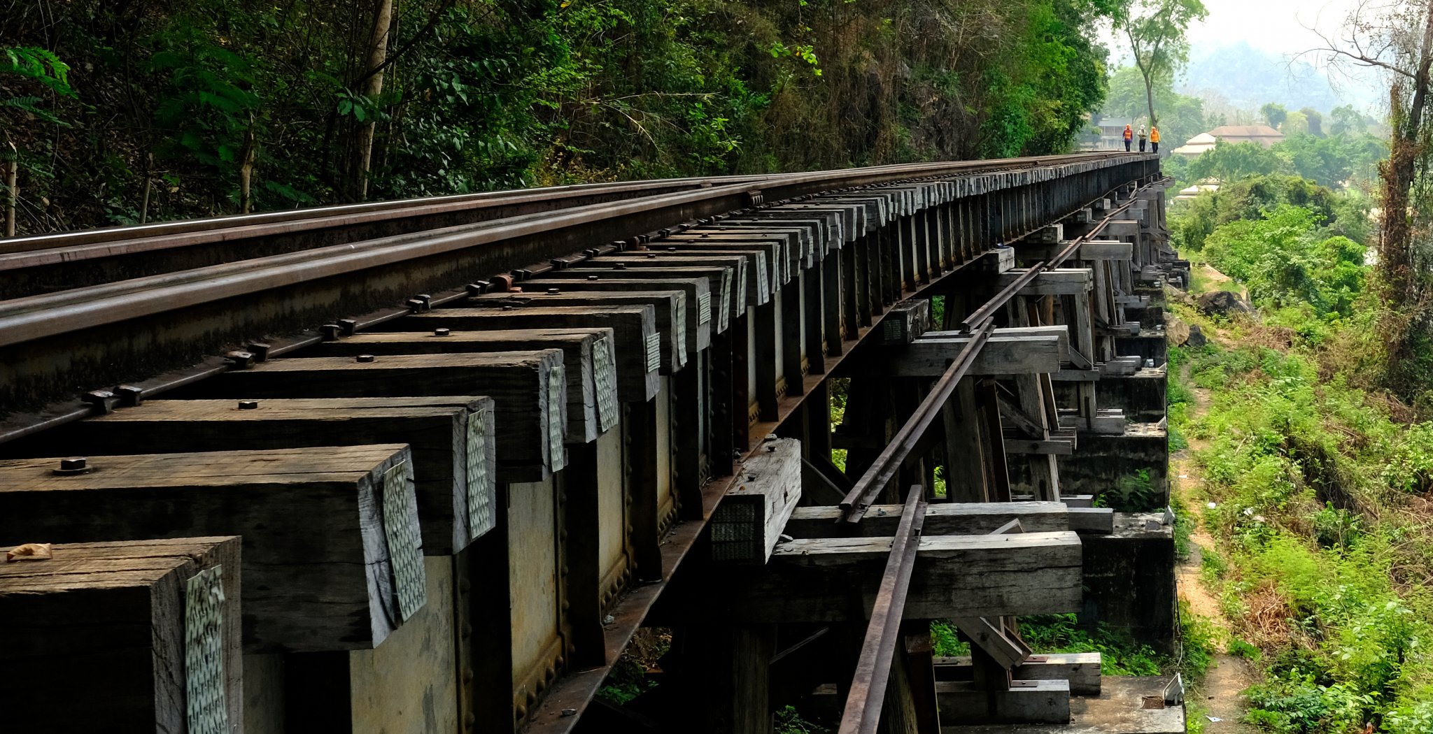
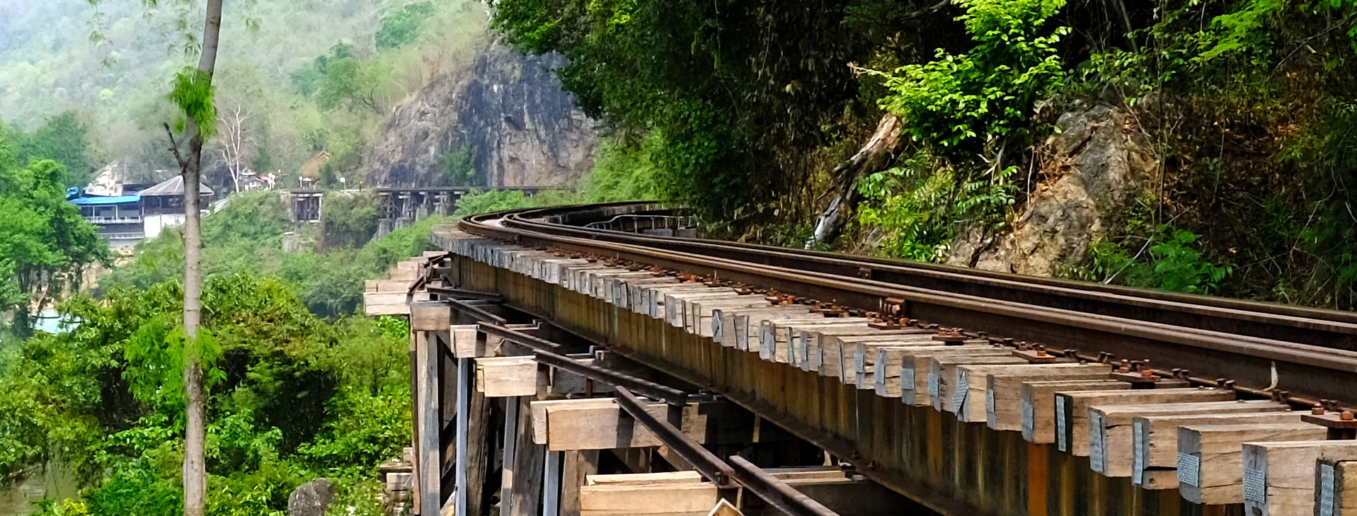
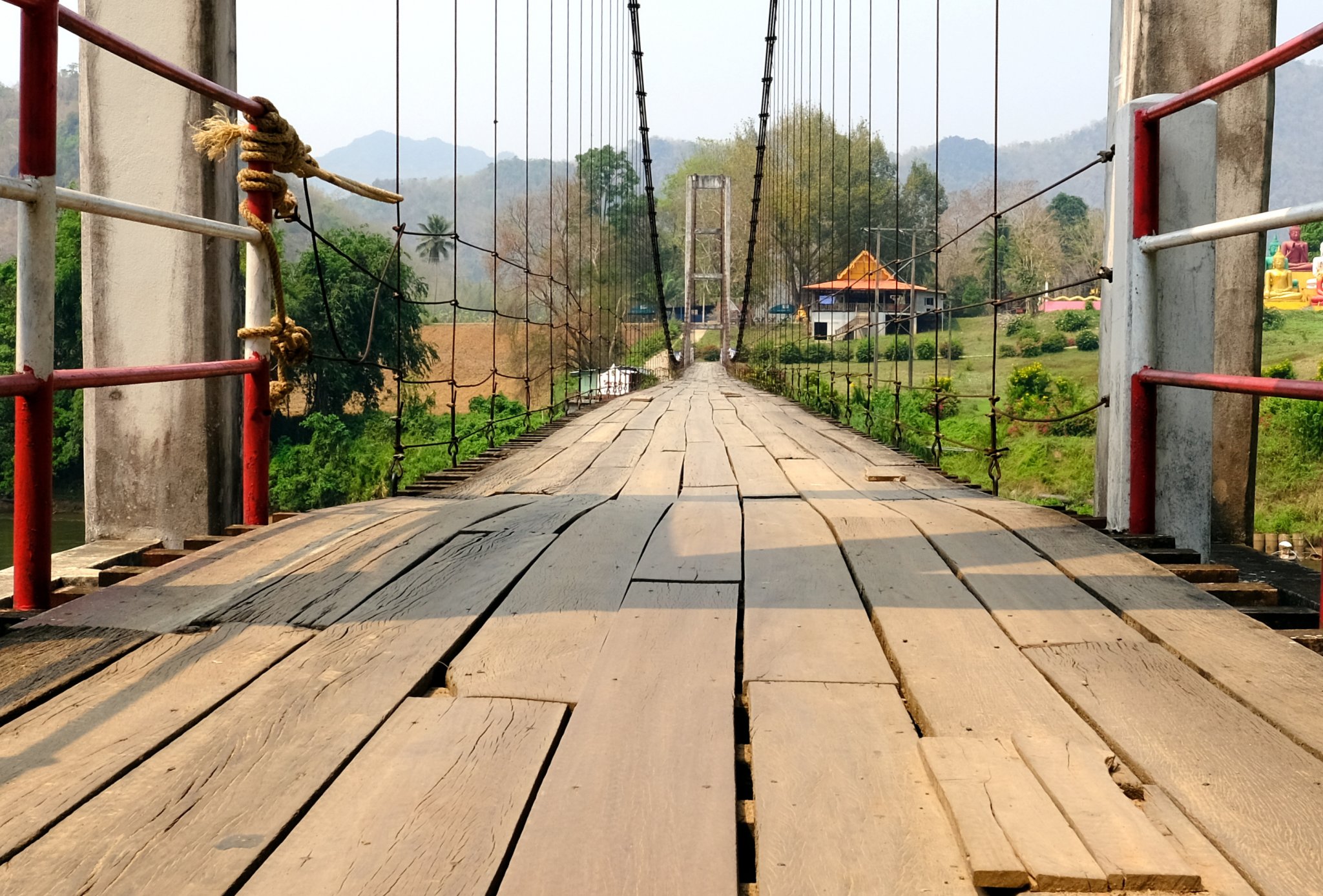
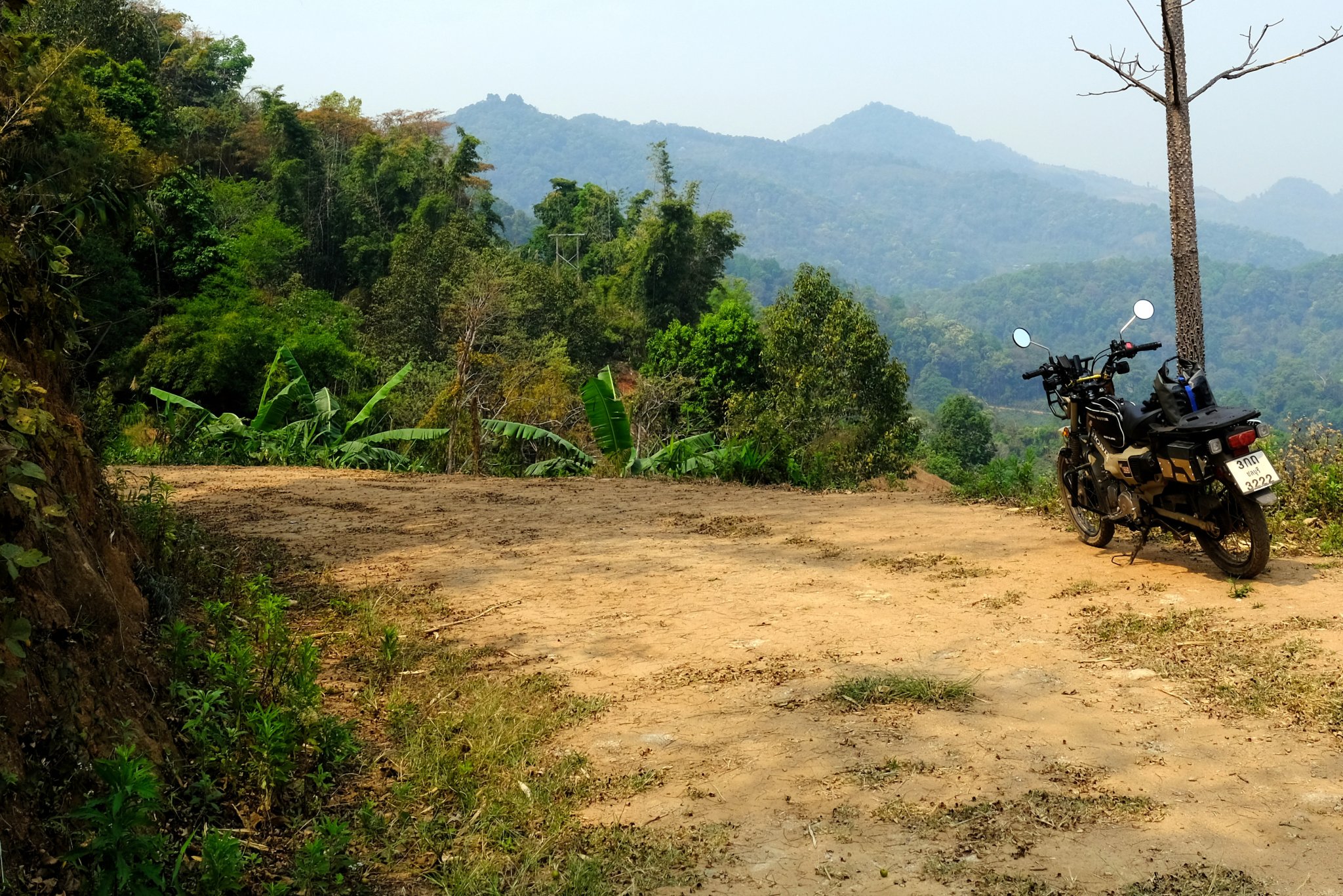
Day 38. 16 March.
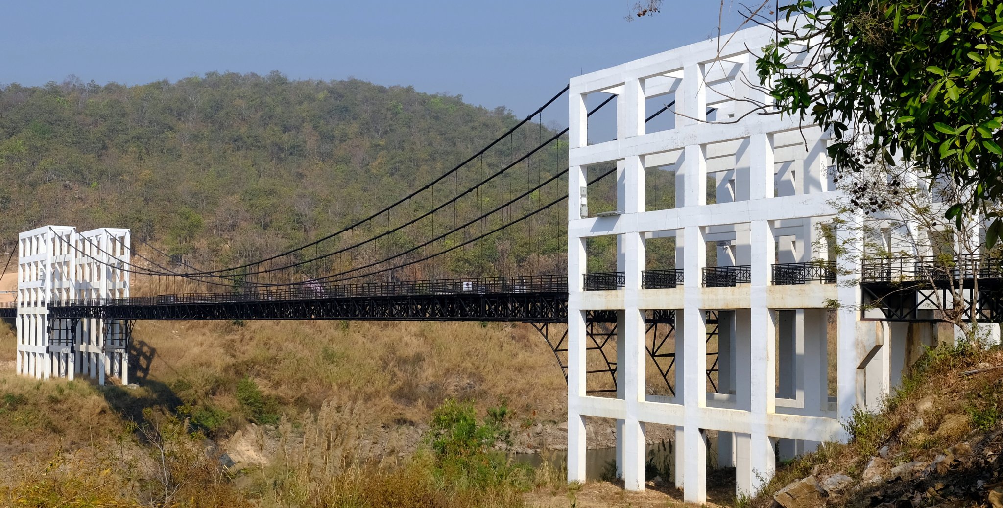
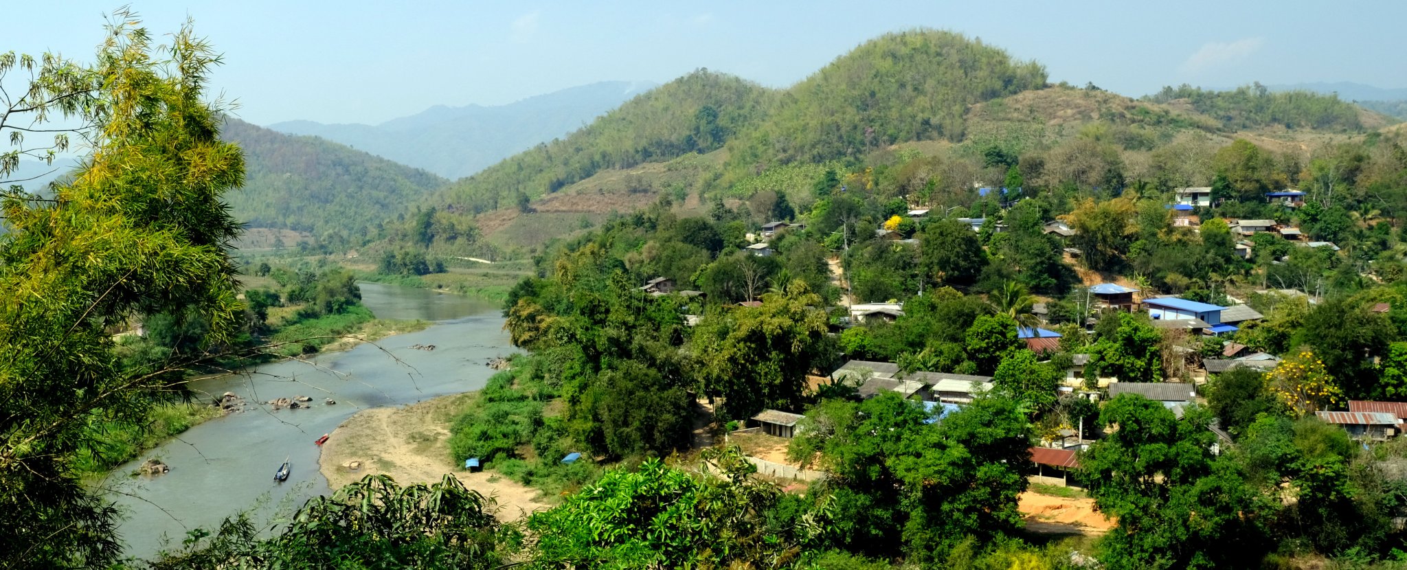
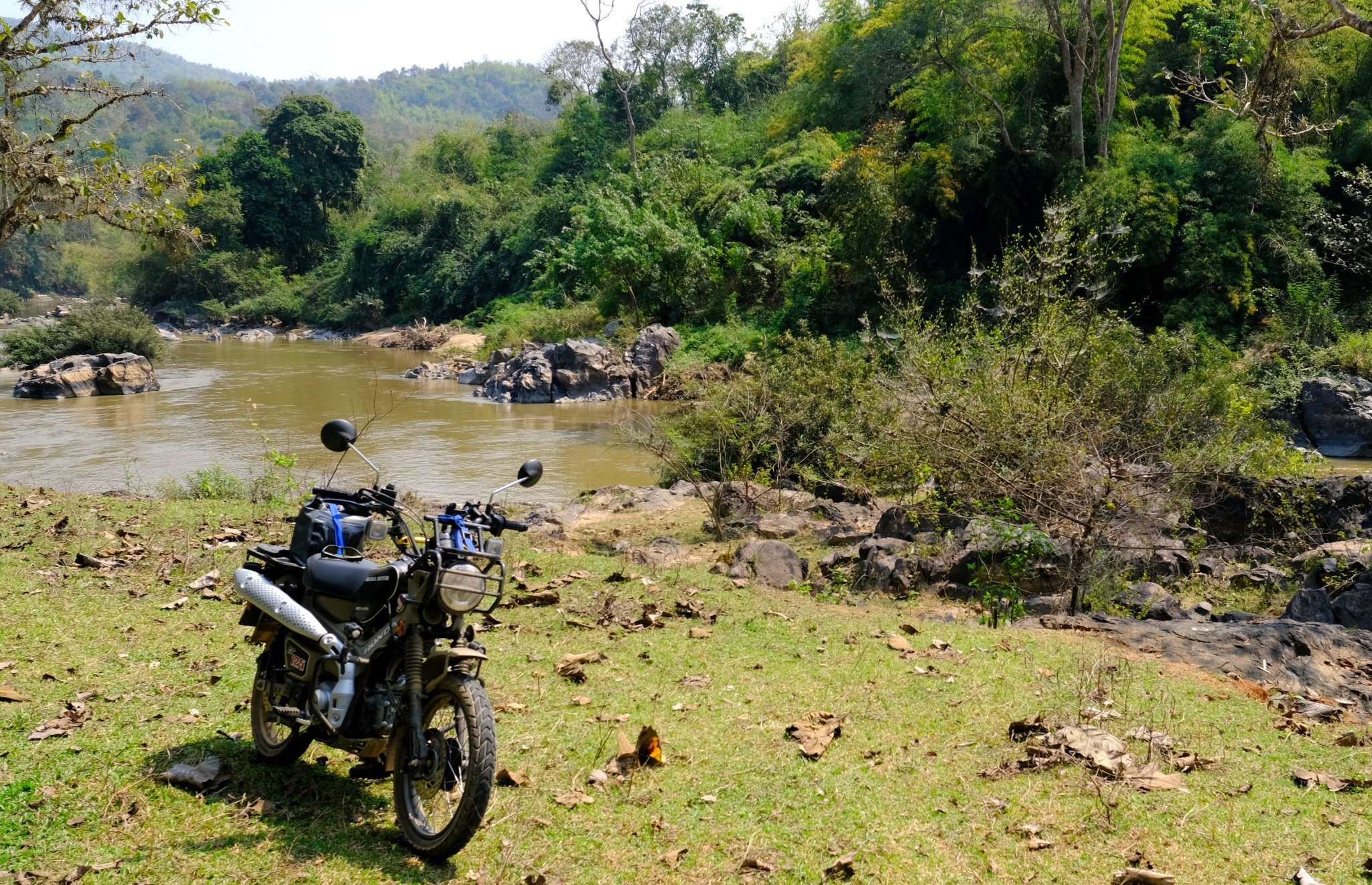
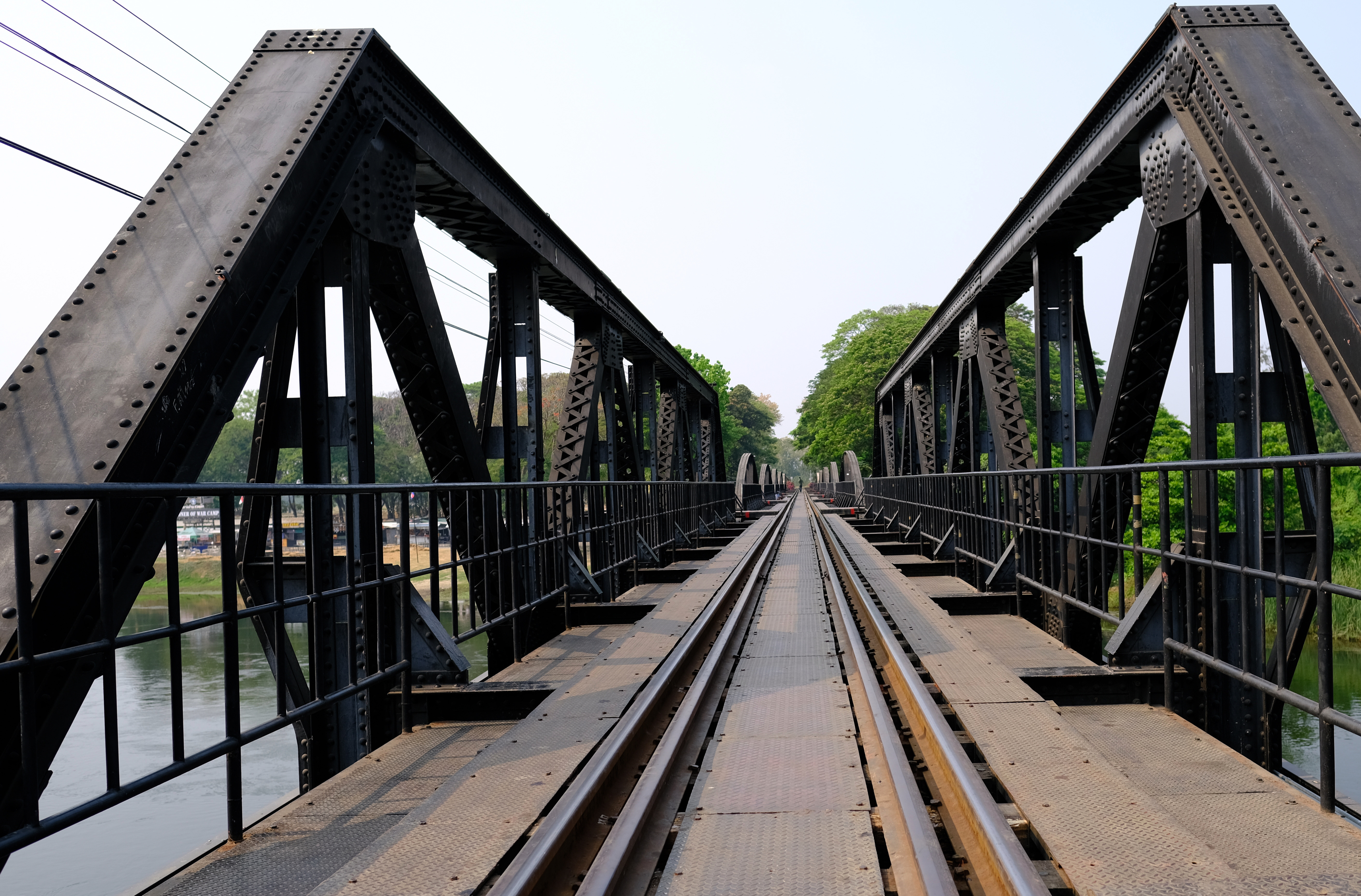
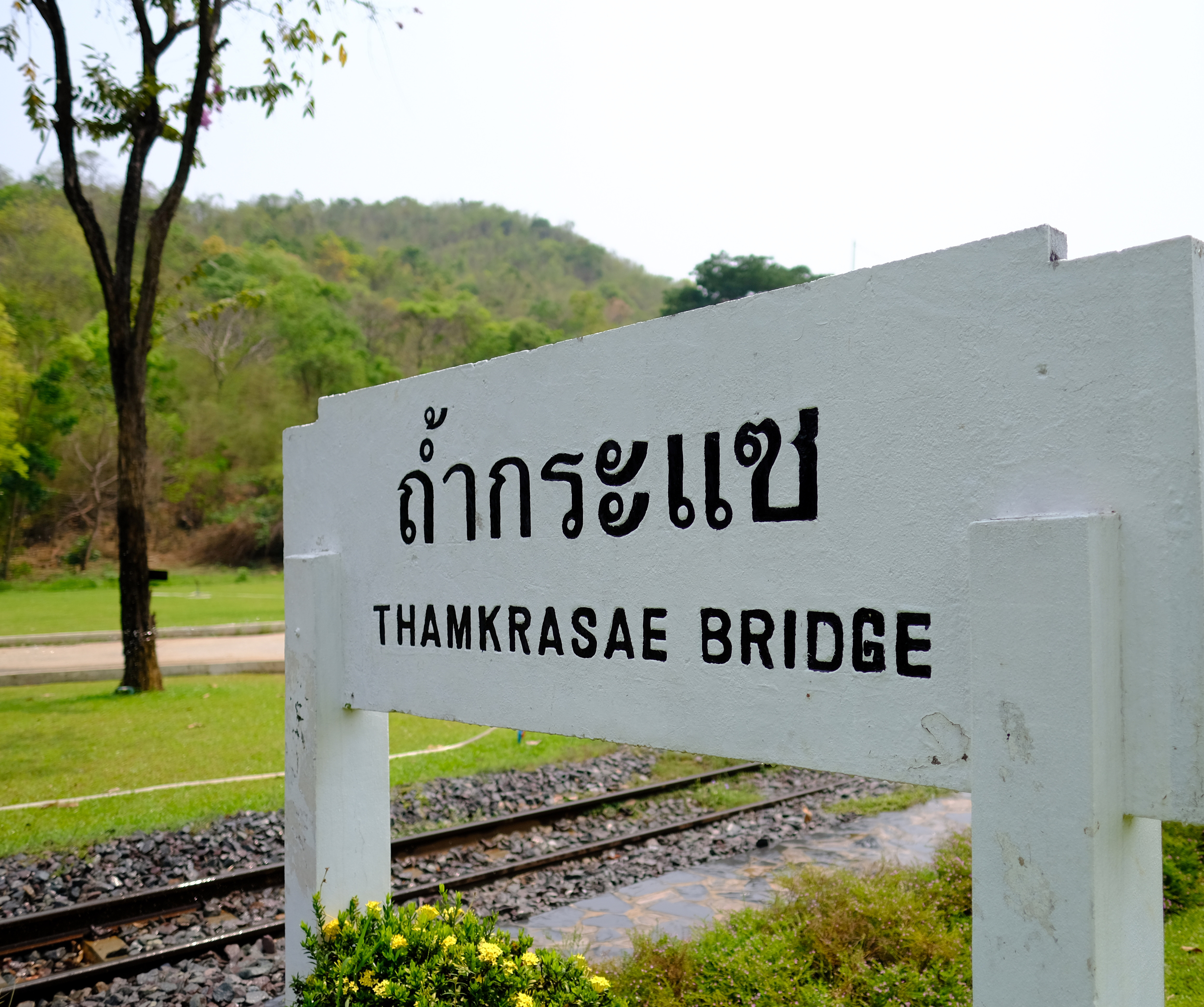
Kanchanaburi – Bridge over the River Kwai (khwaae) – Tham Krasae Bridge – Burmese border. 176 km
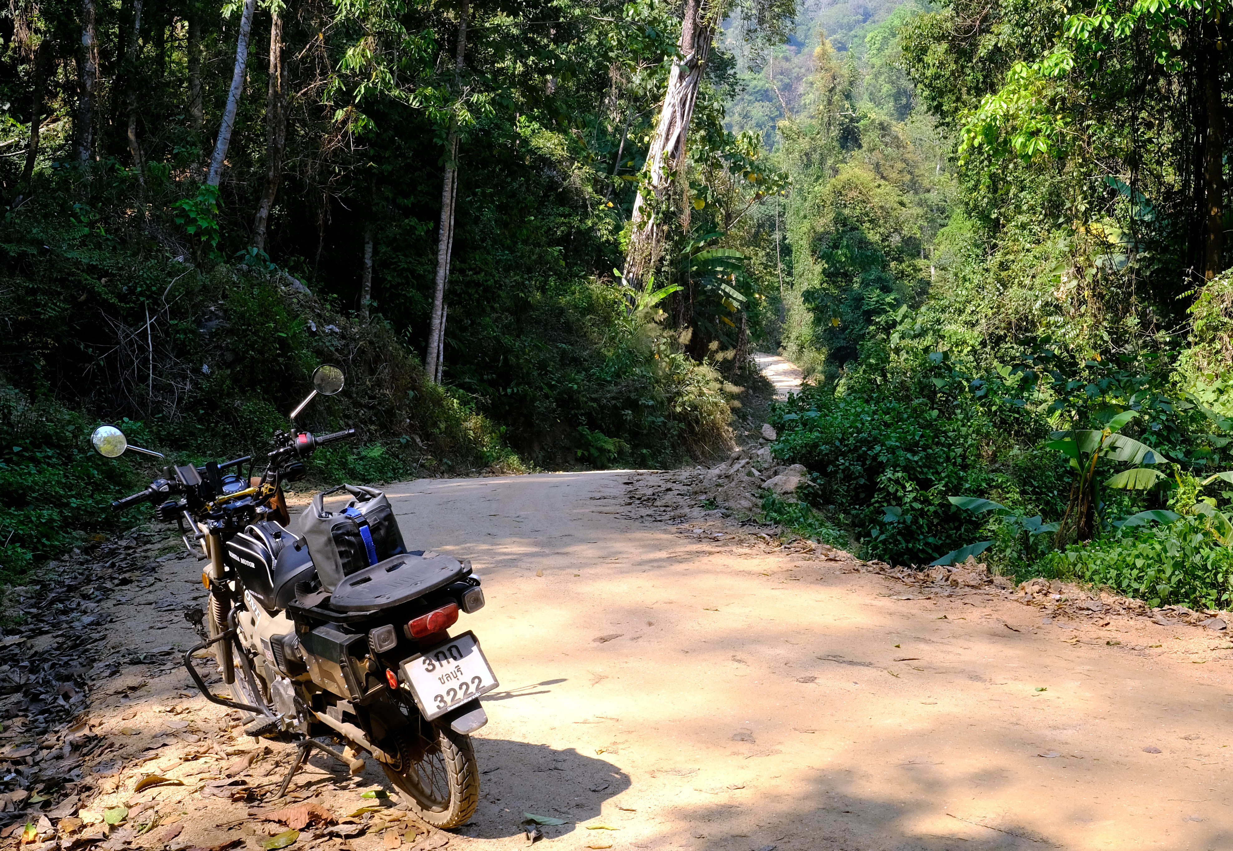
A touristy day today, followed by a ride up to the Burmese border.
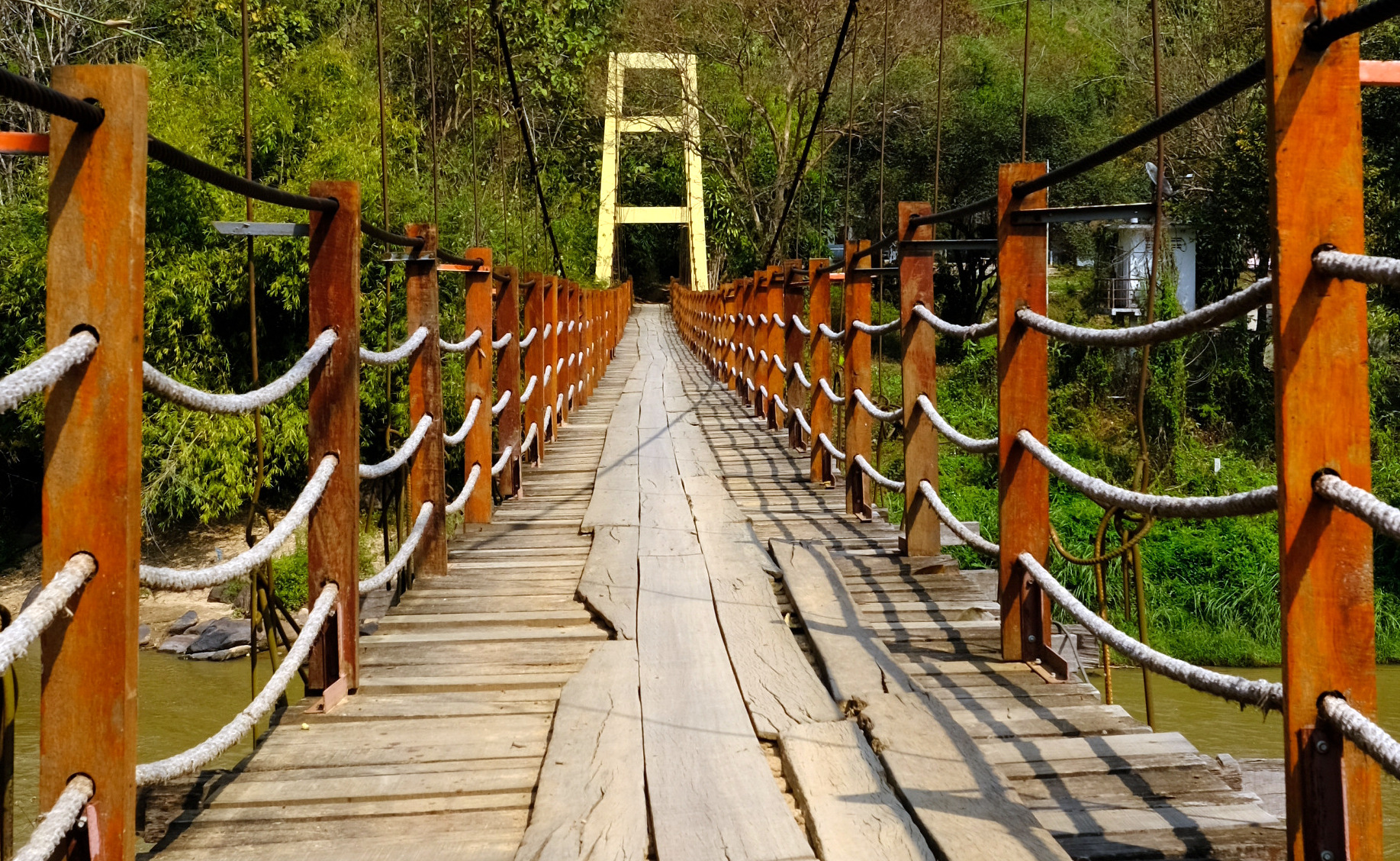
After a quick walk on the River Kwai Bridge I headed up to the Tham Krasae Bridge just off R4032.
After a pleasant walk across the bridge and back I headed up small roads as far could towards the Burmese border and only stopped at an army checkpoint.
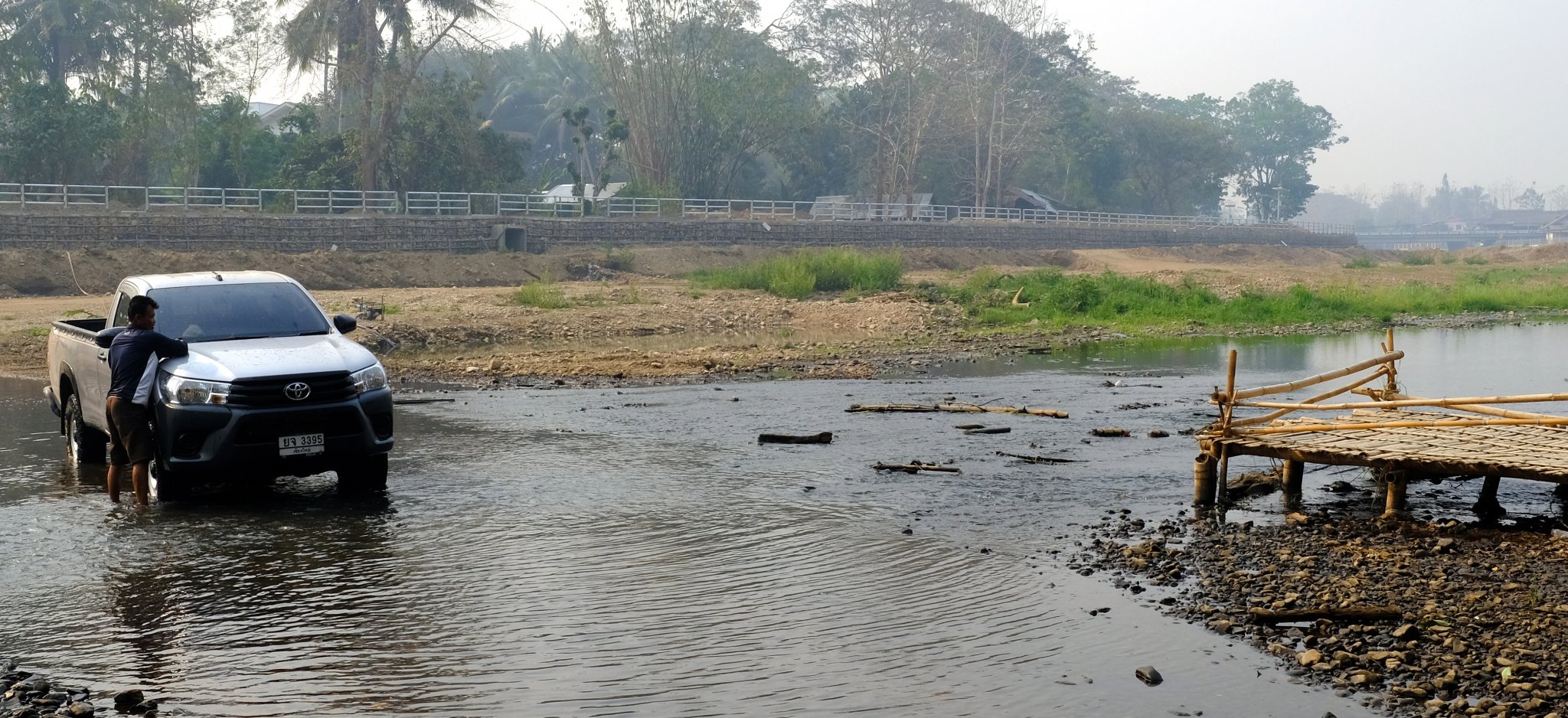
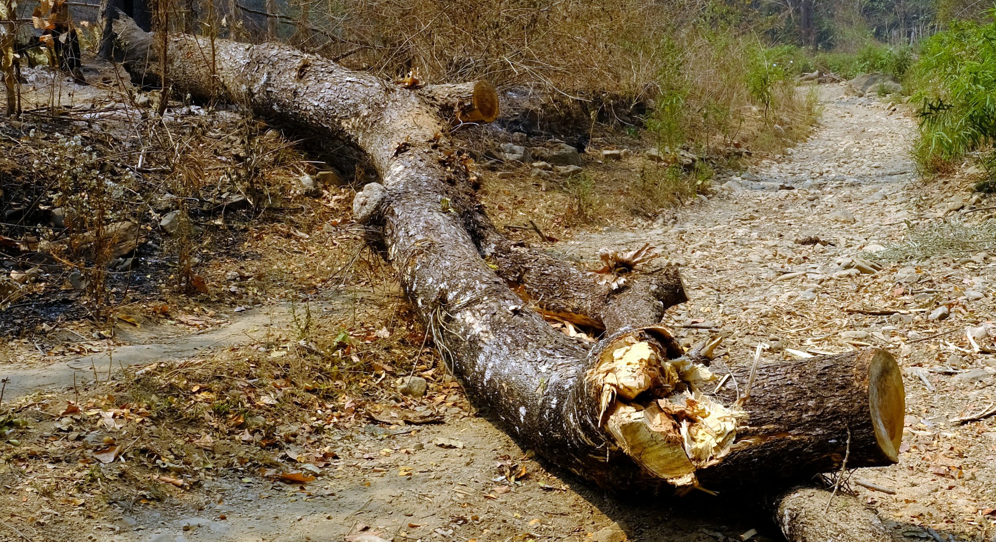
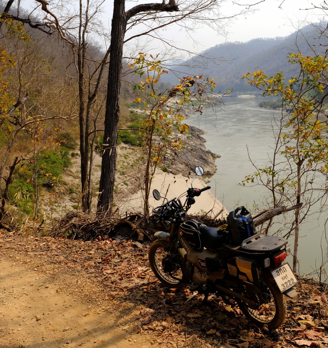
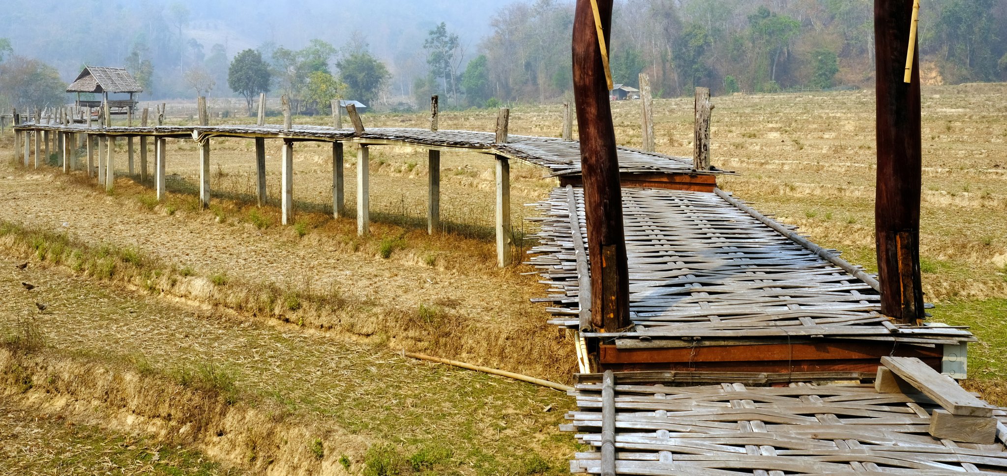
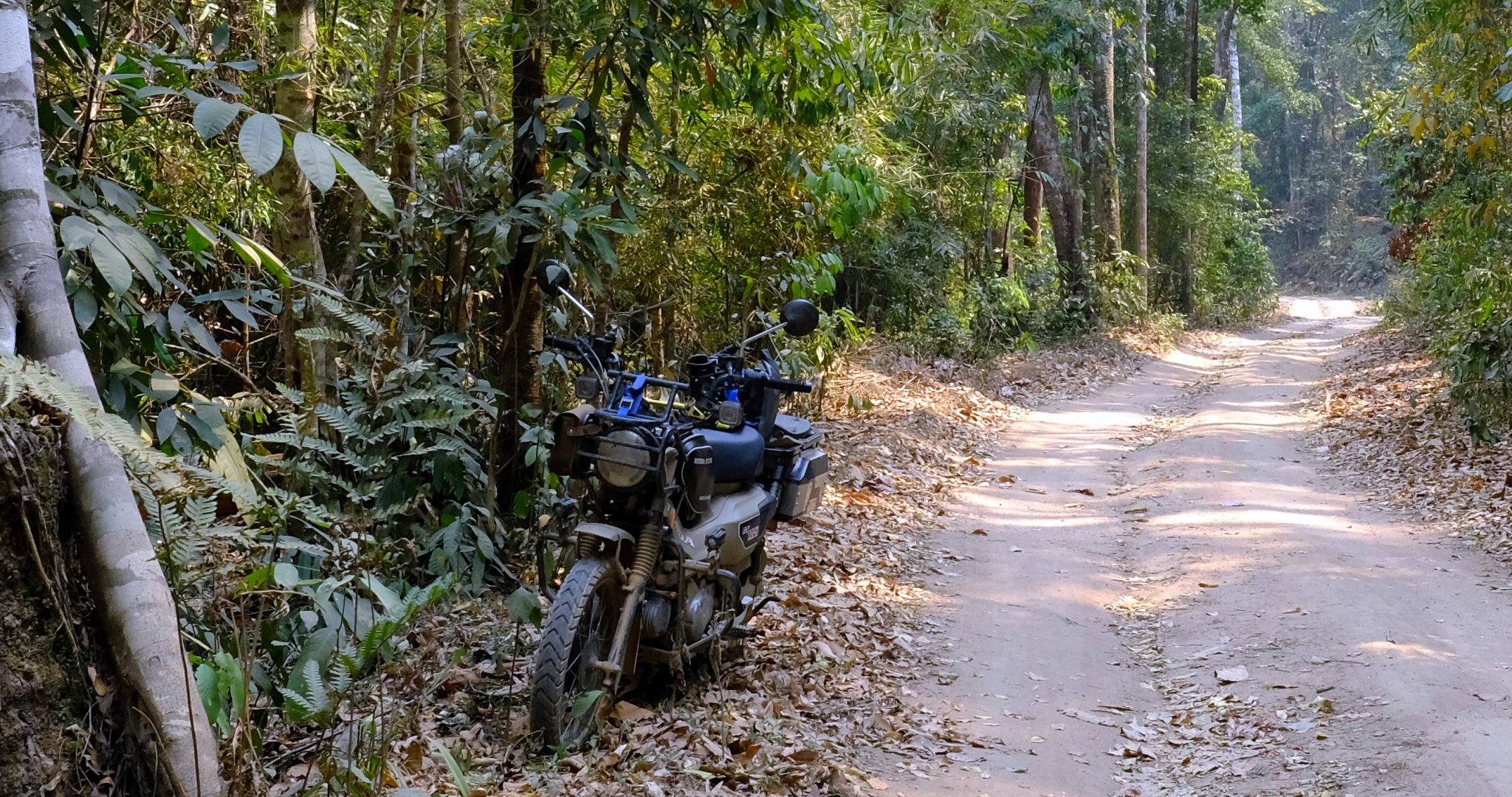
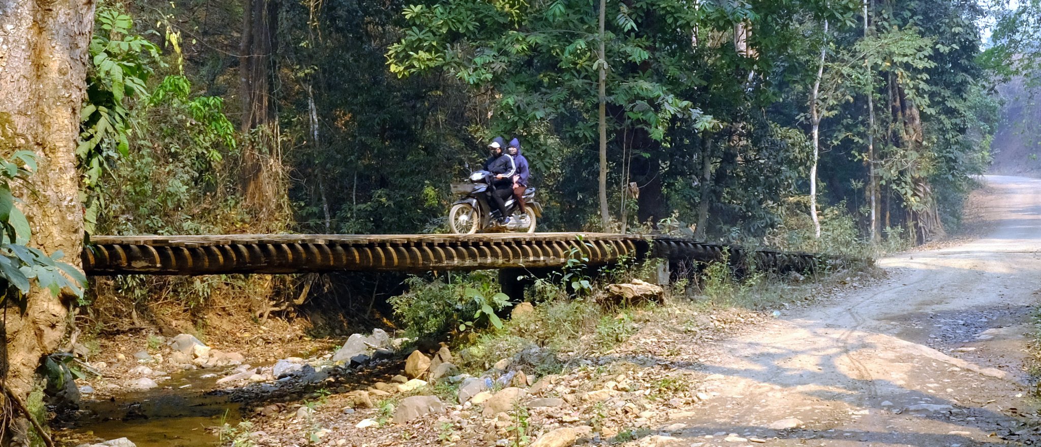
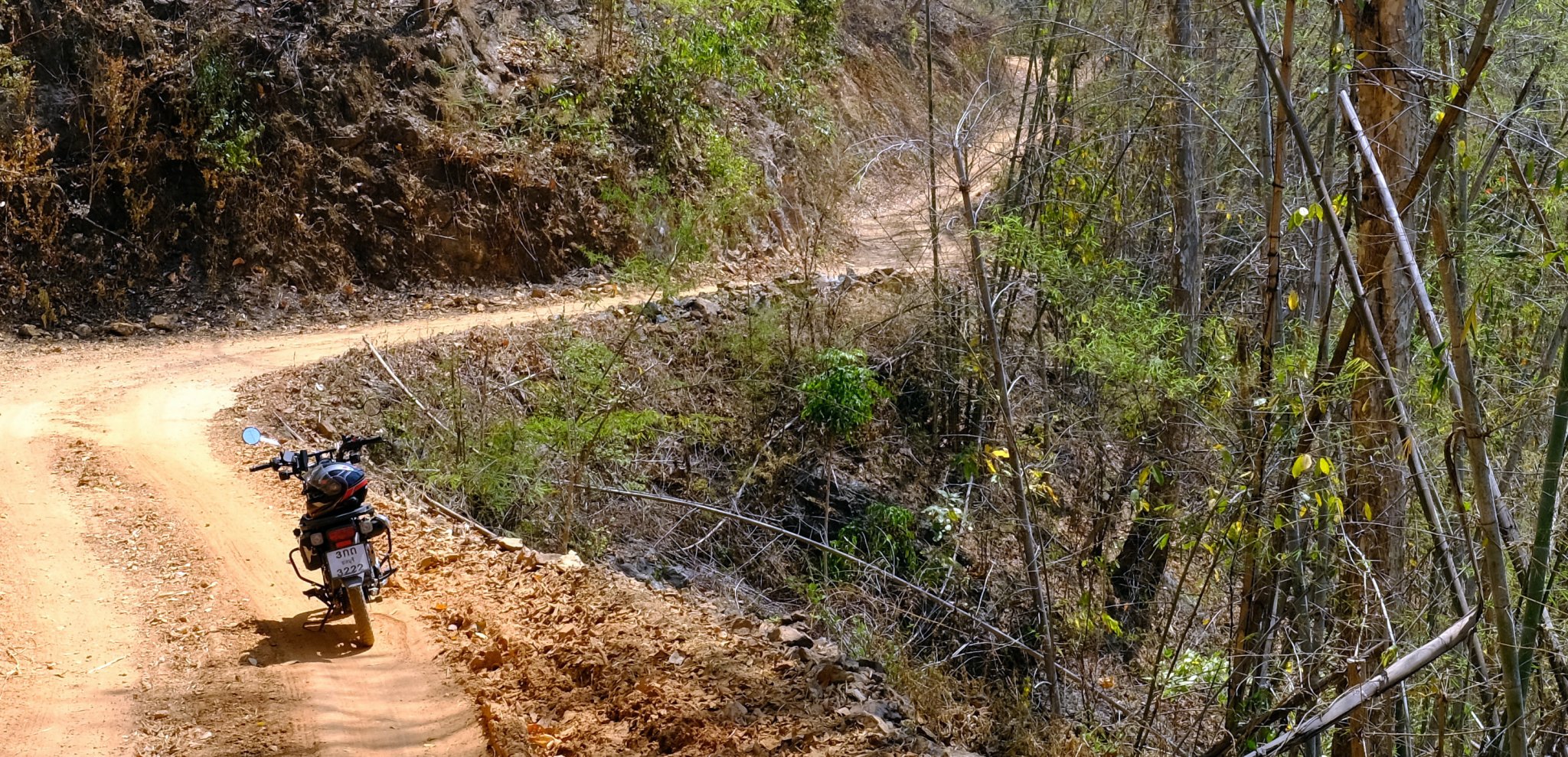
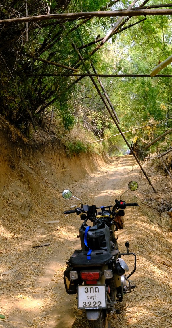
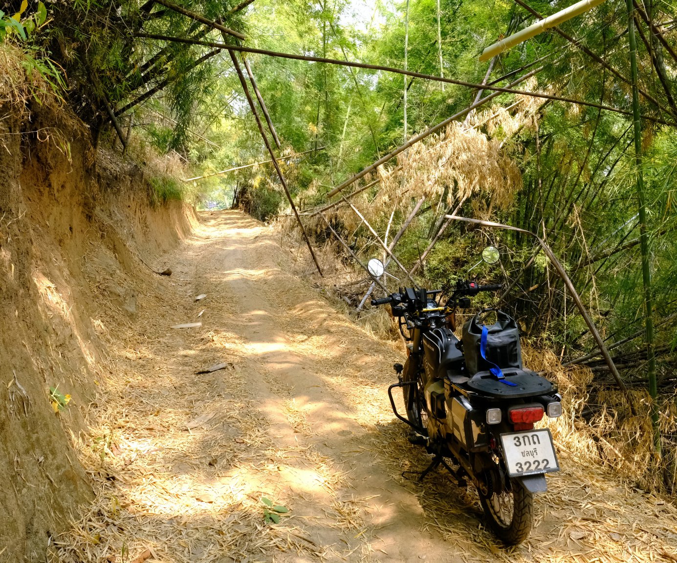
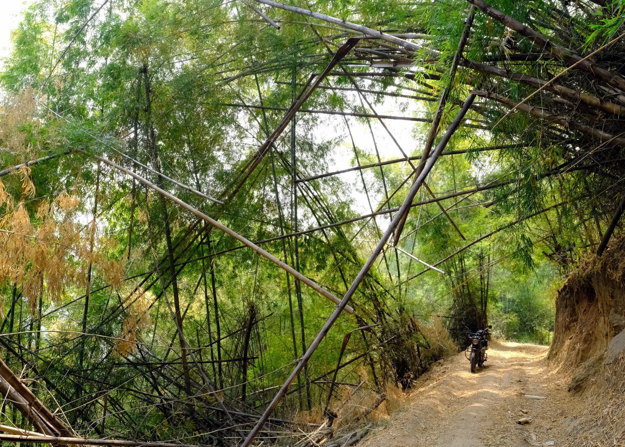
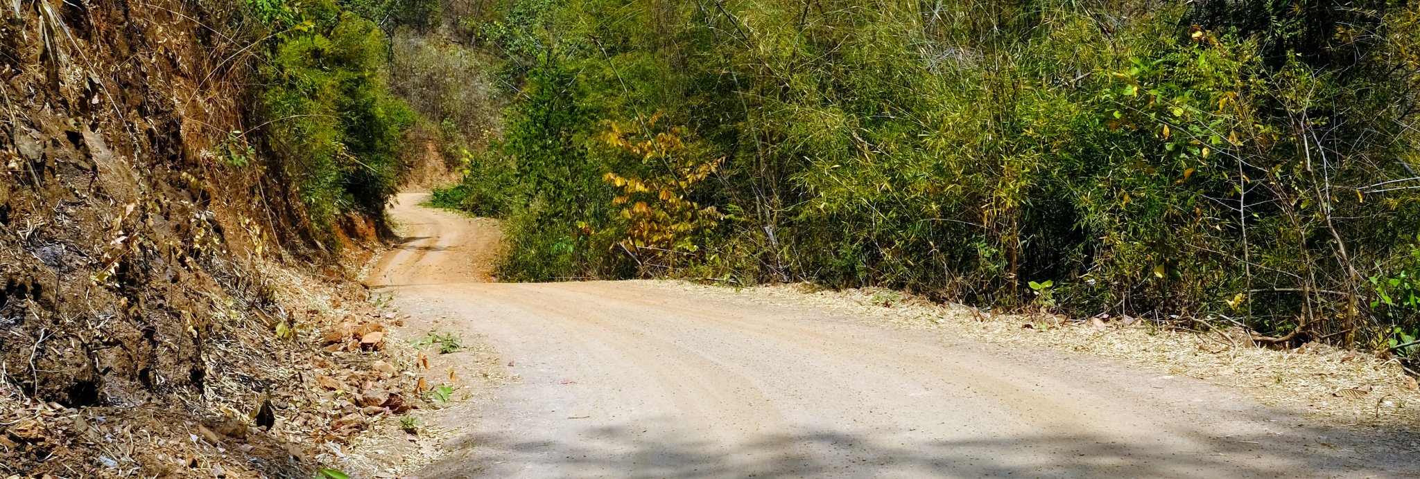
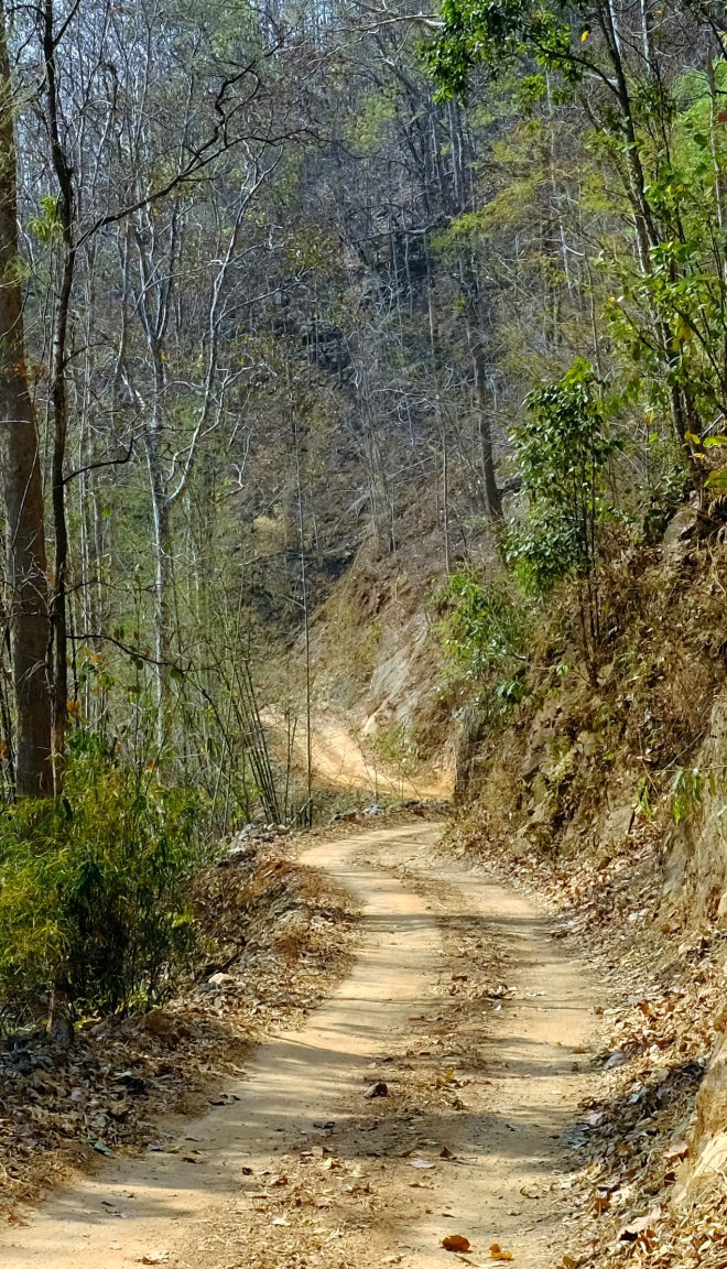
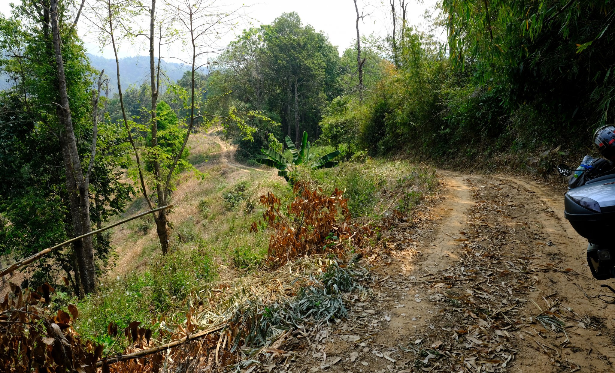
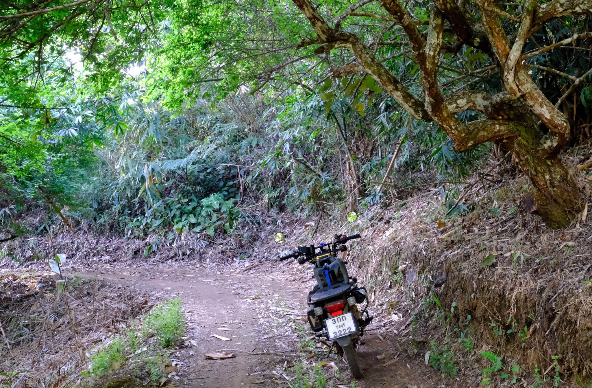
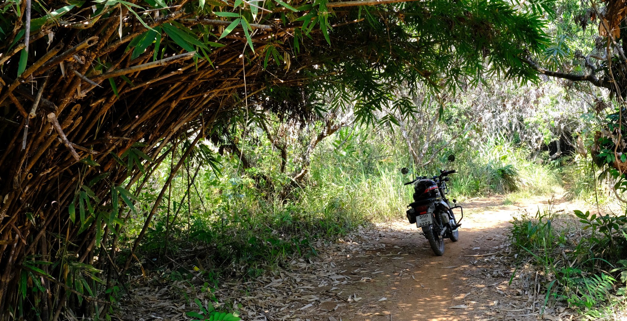
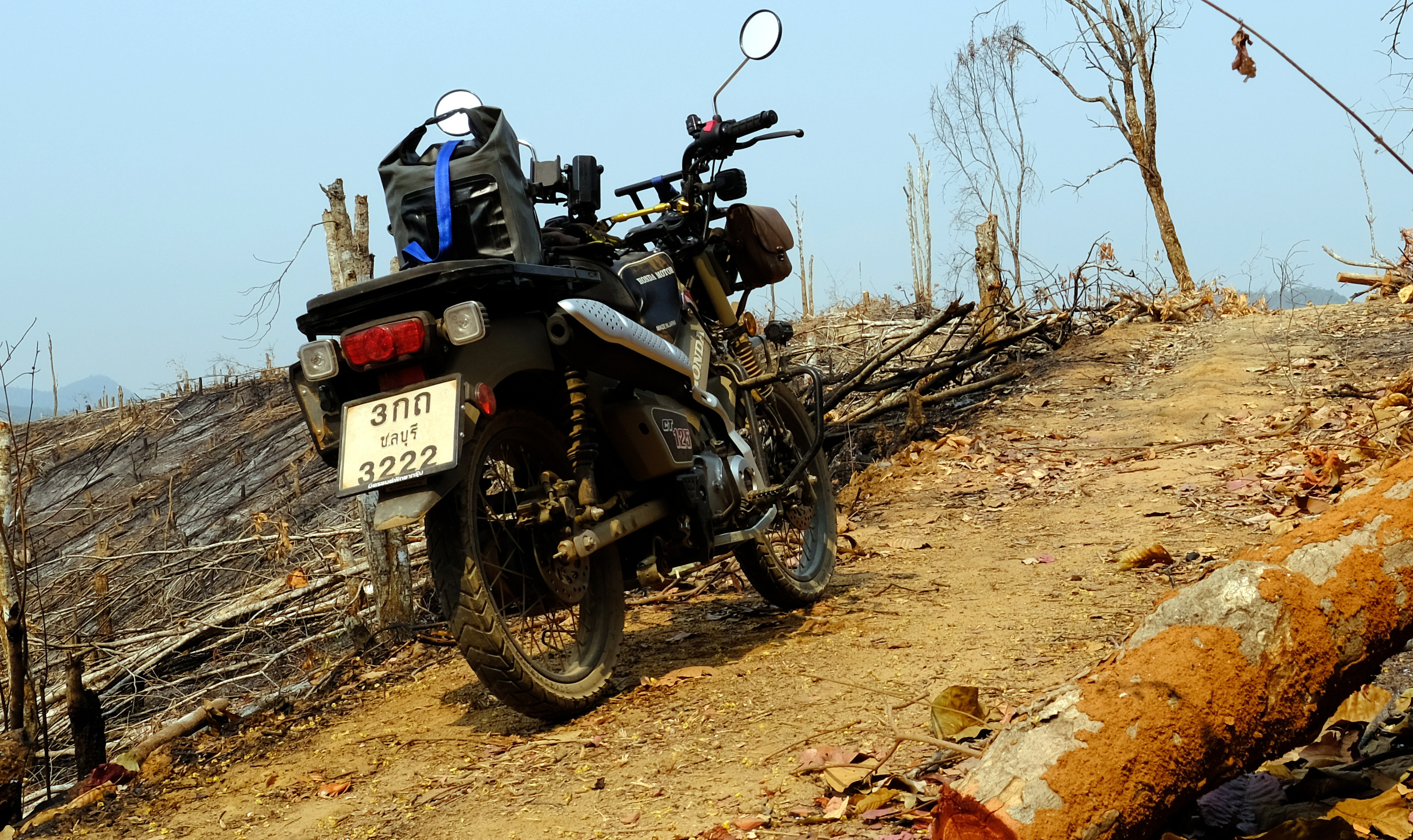
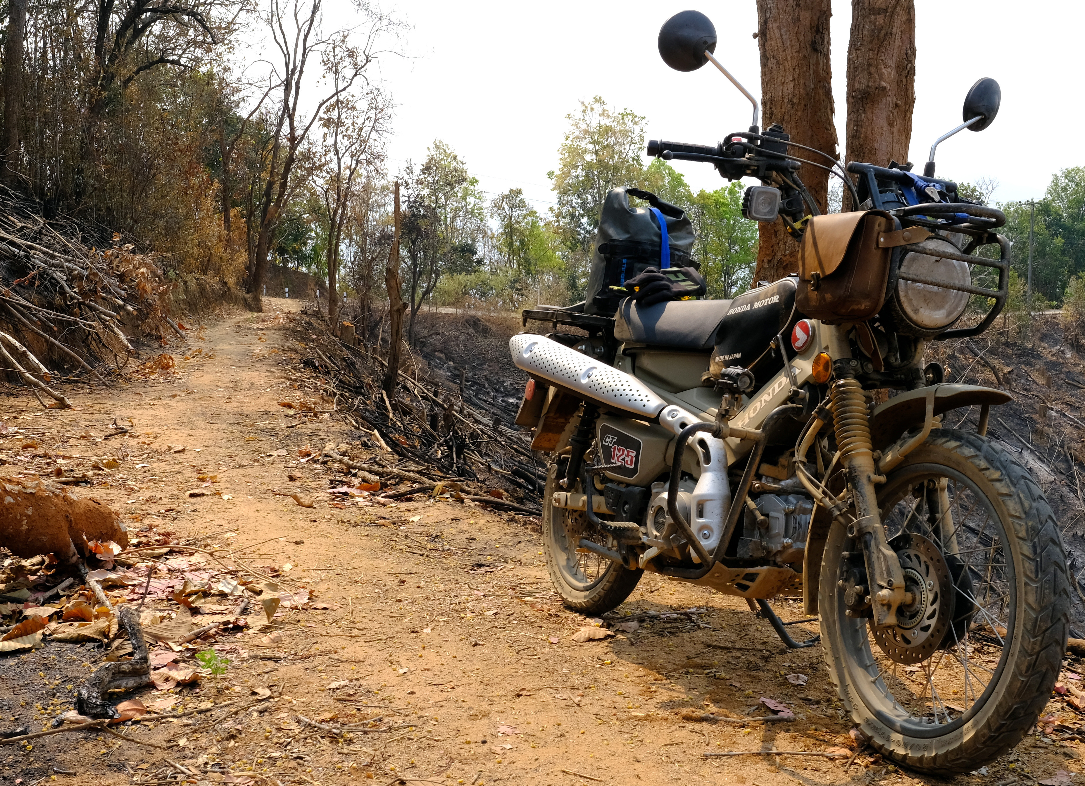
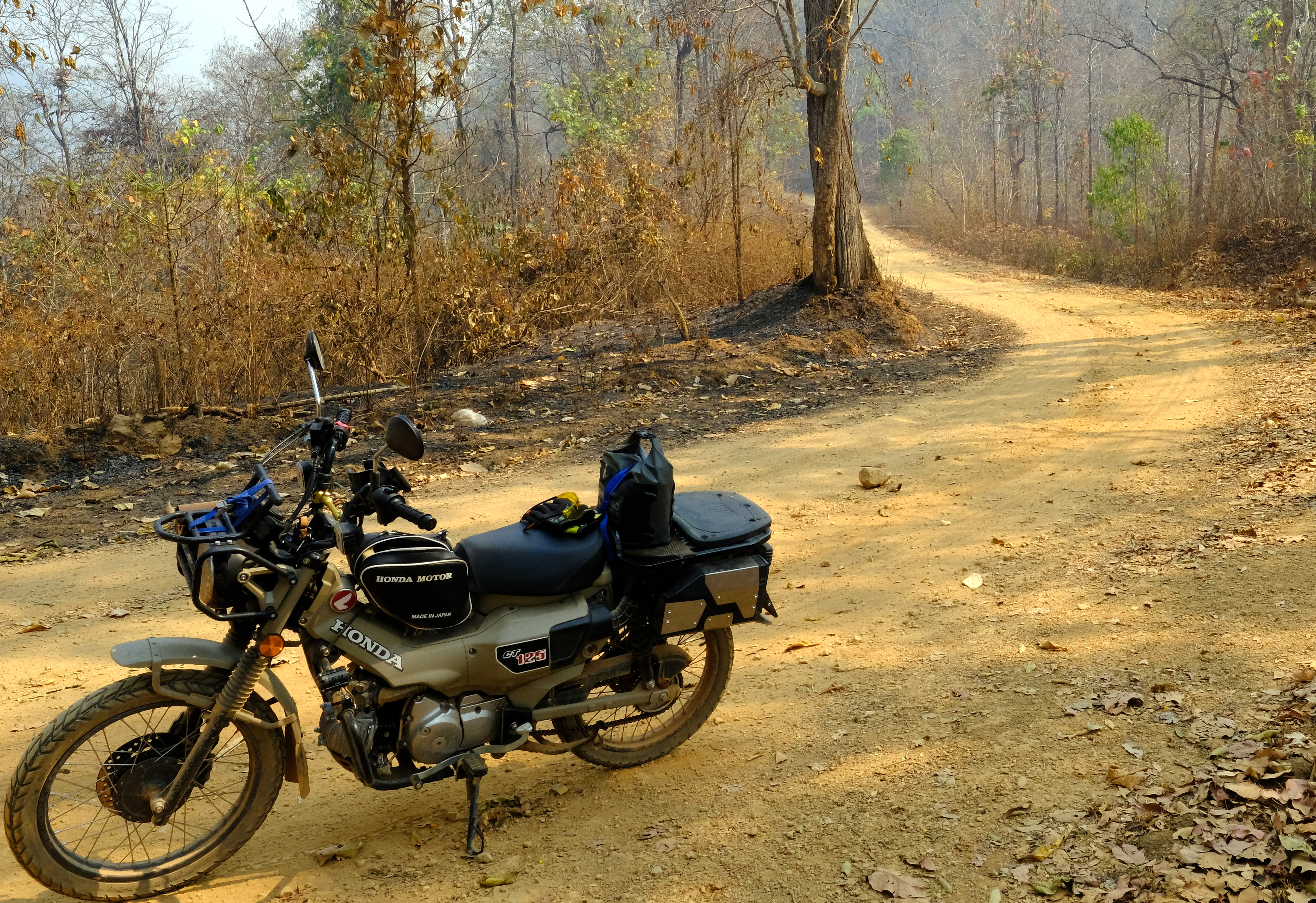
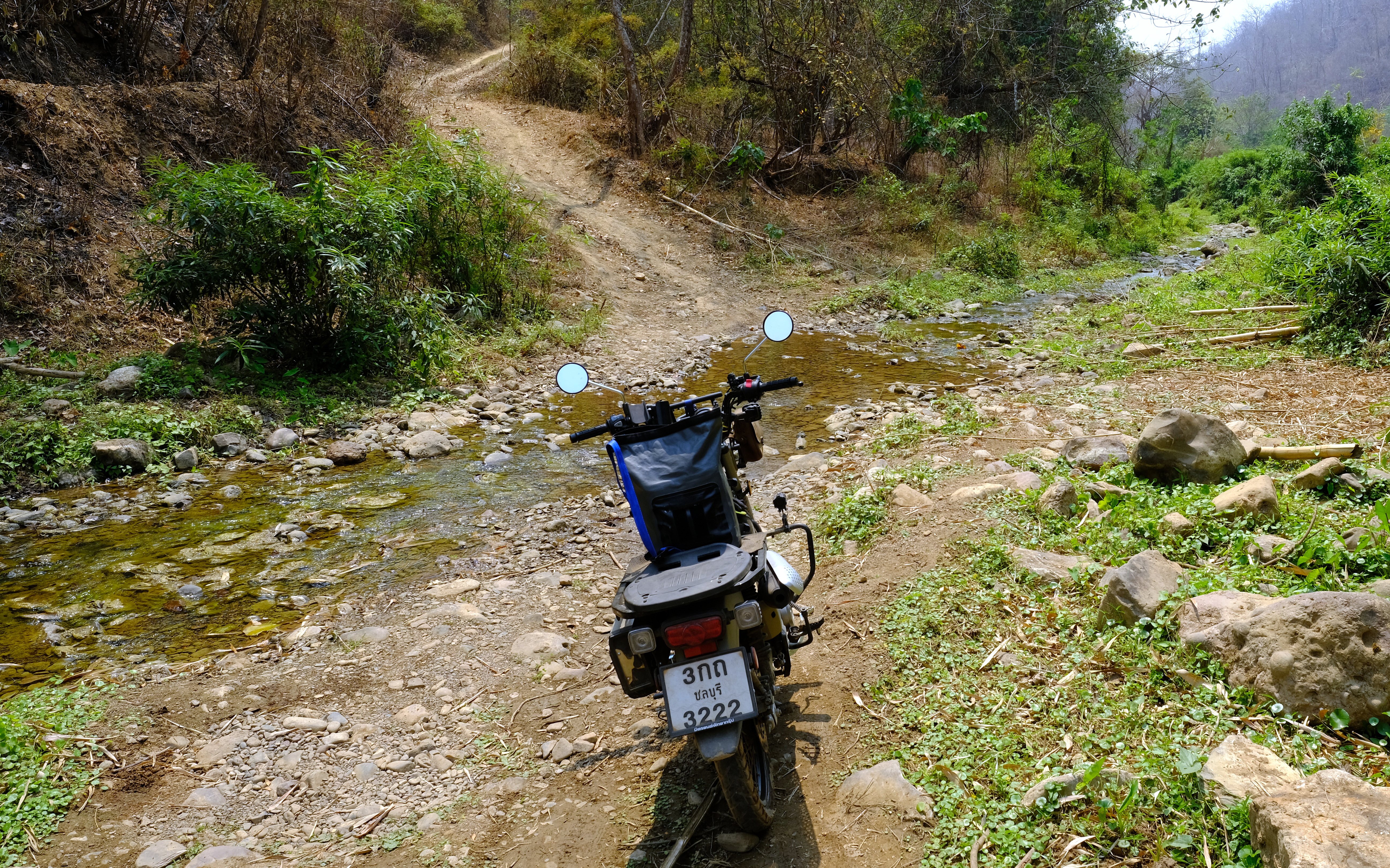
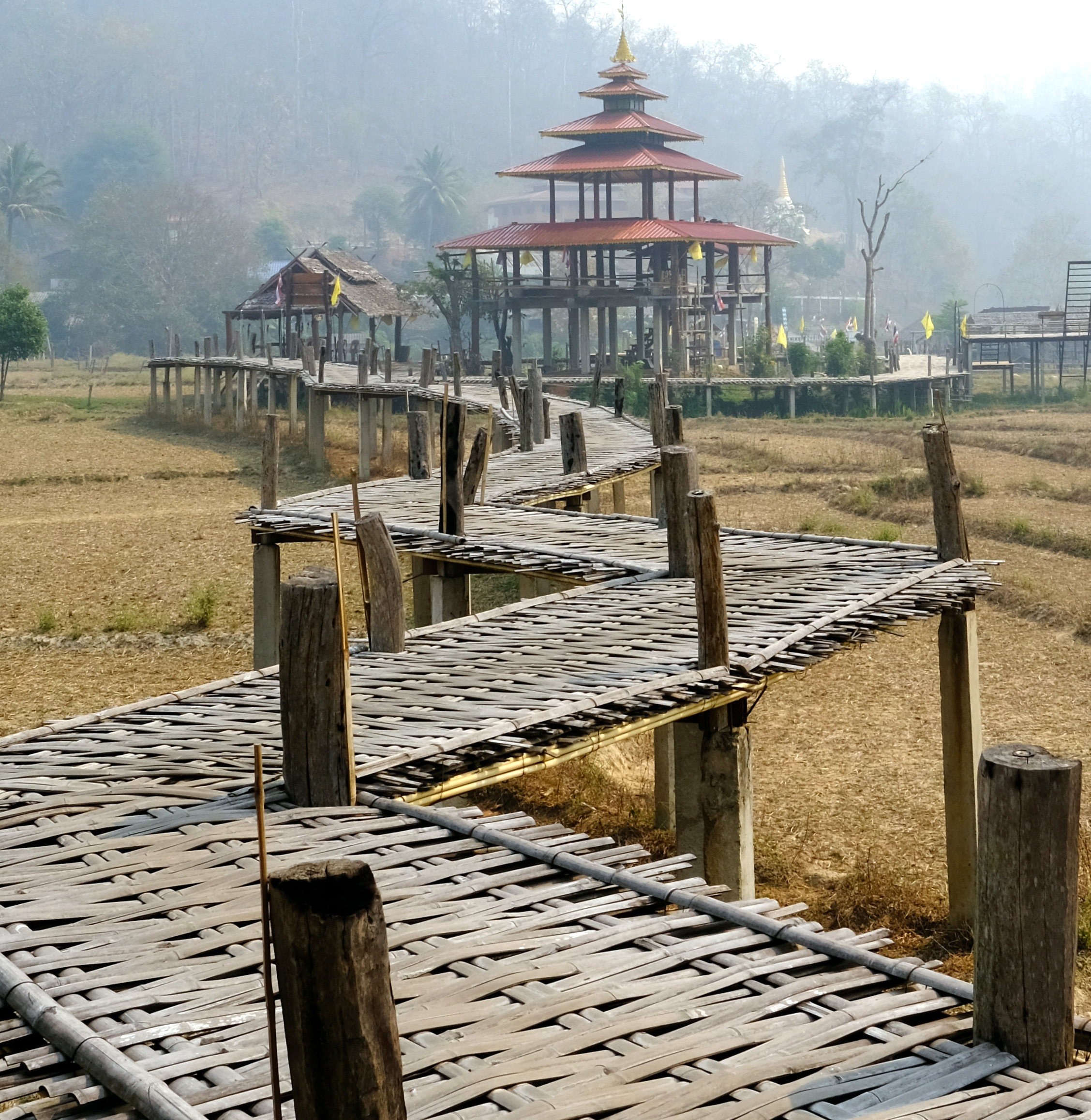
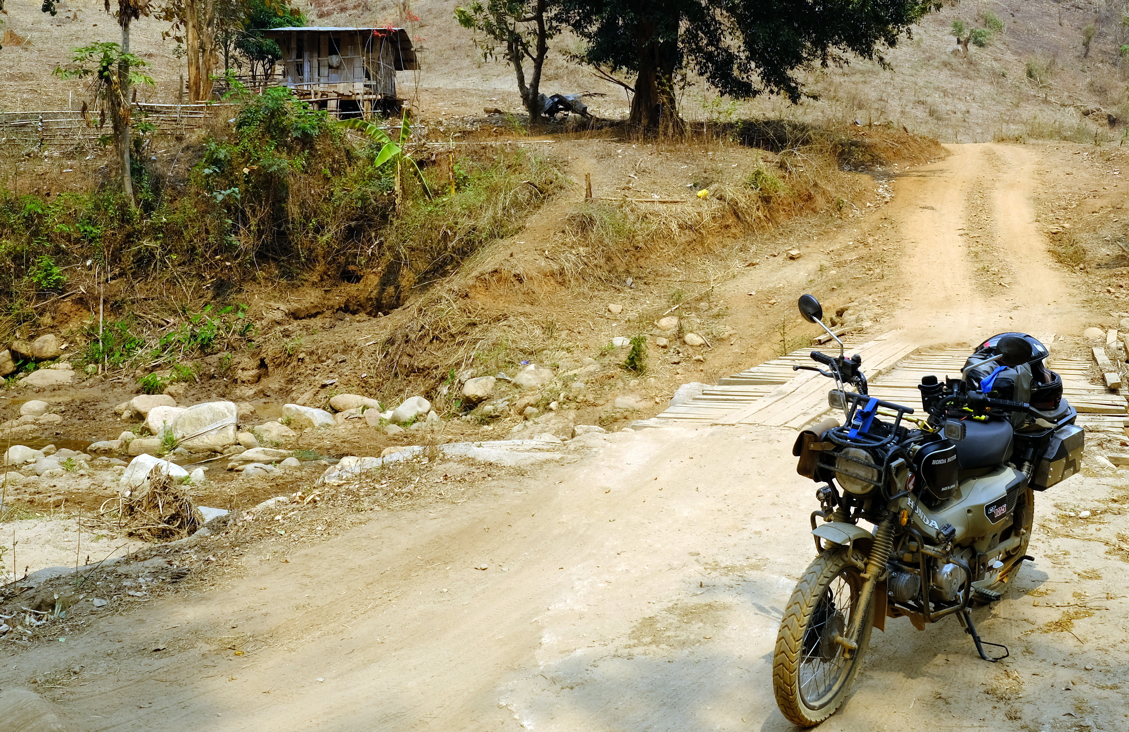
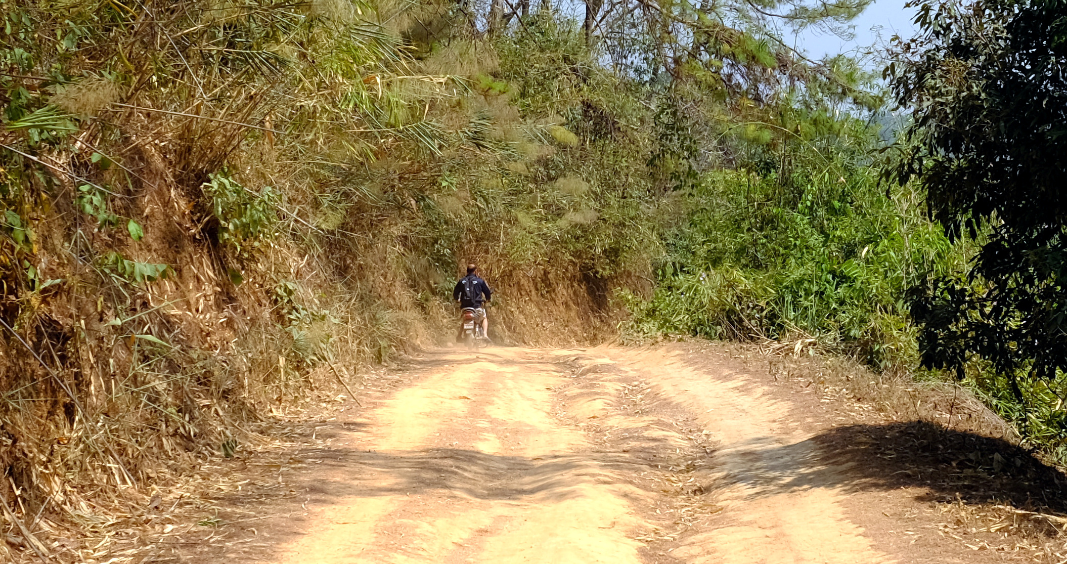
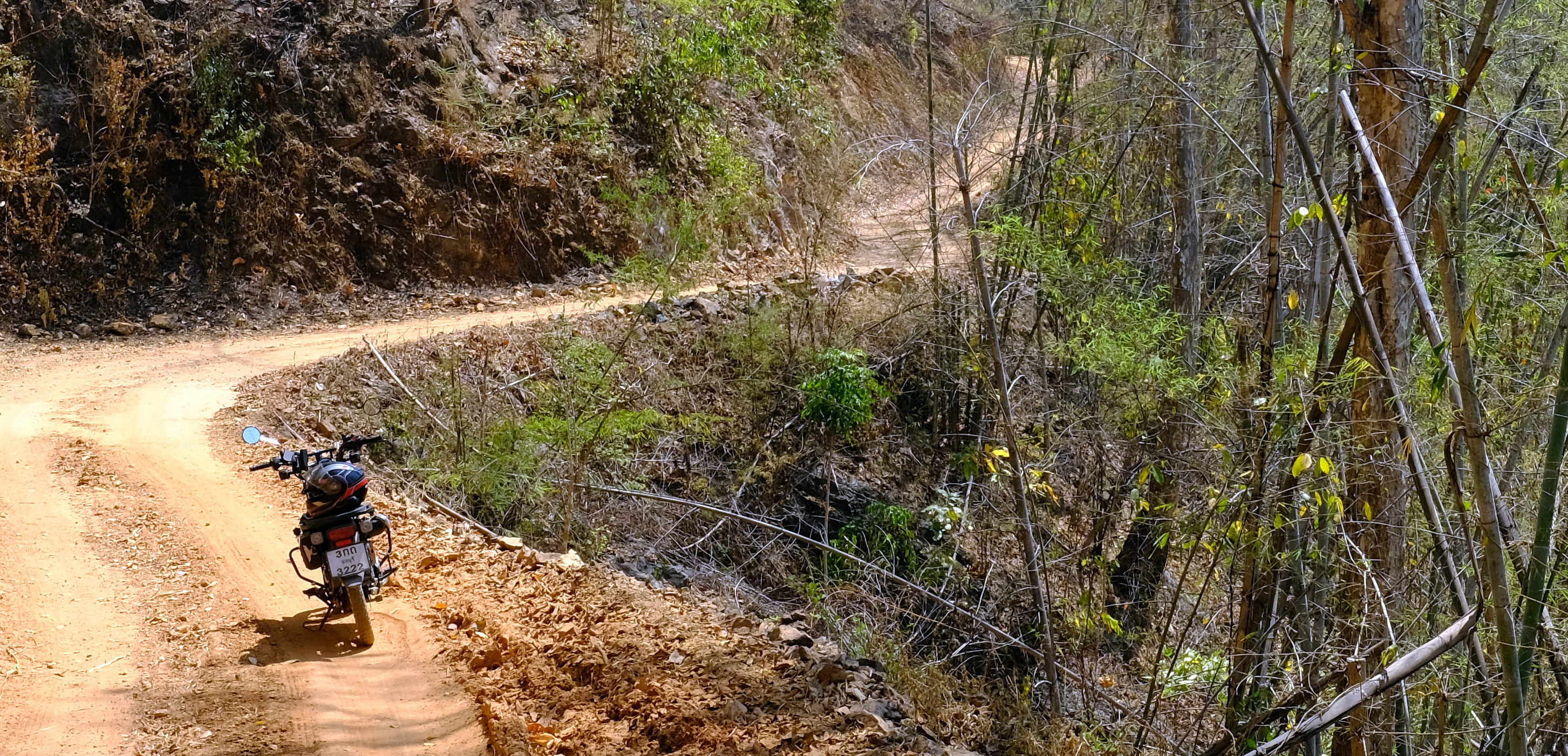
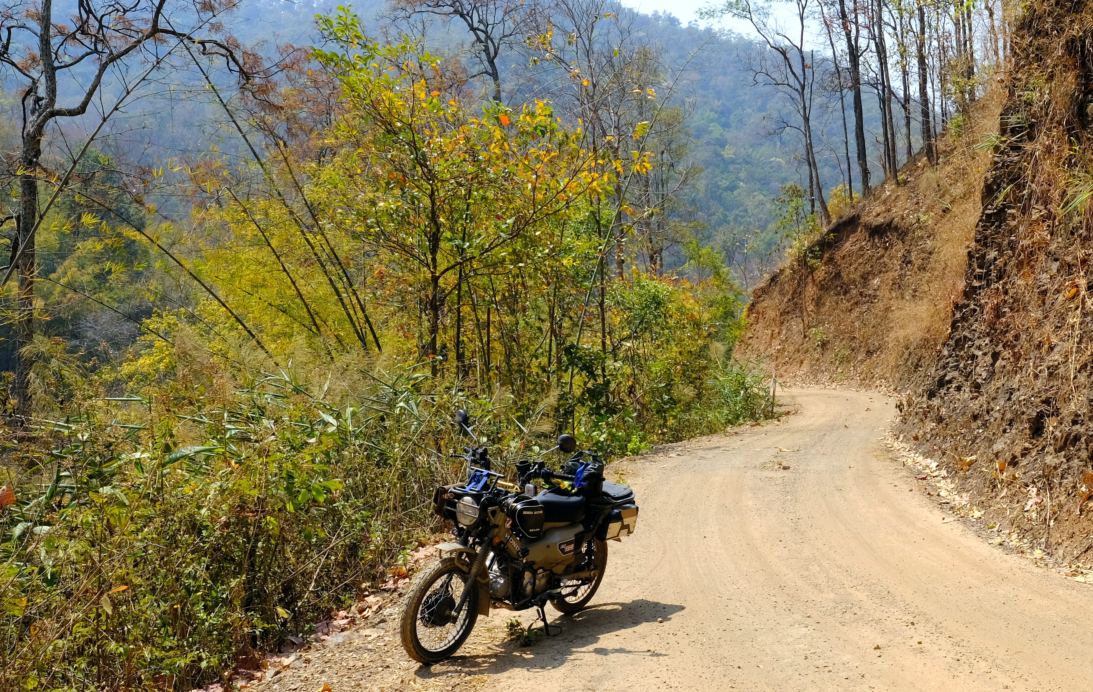
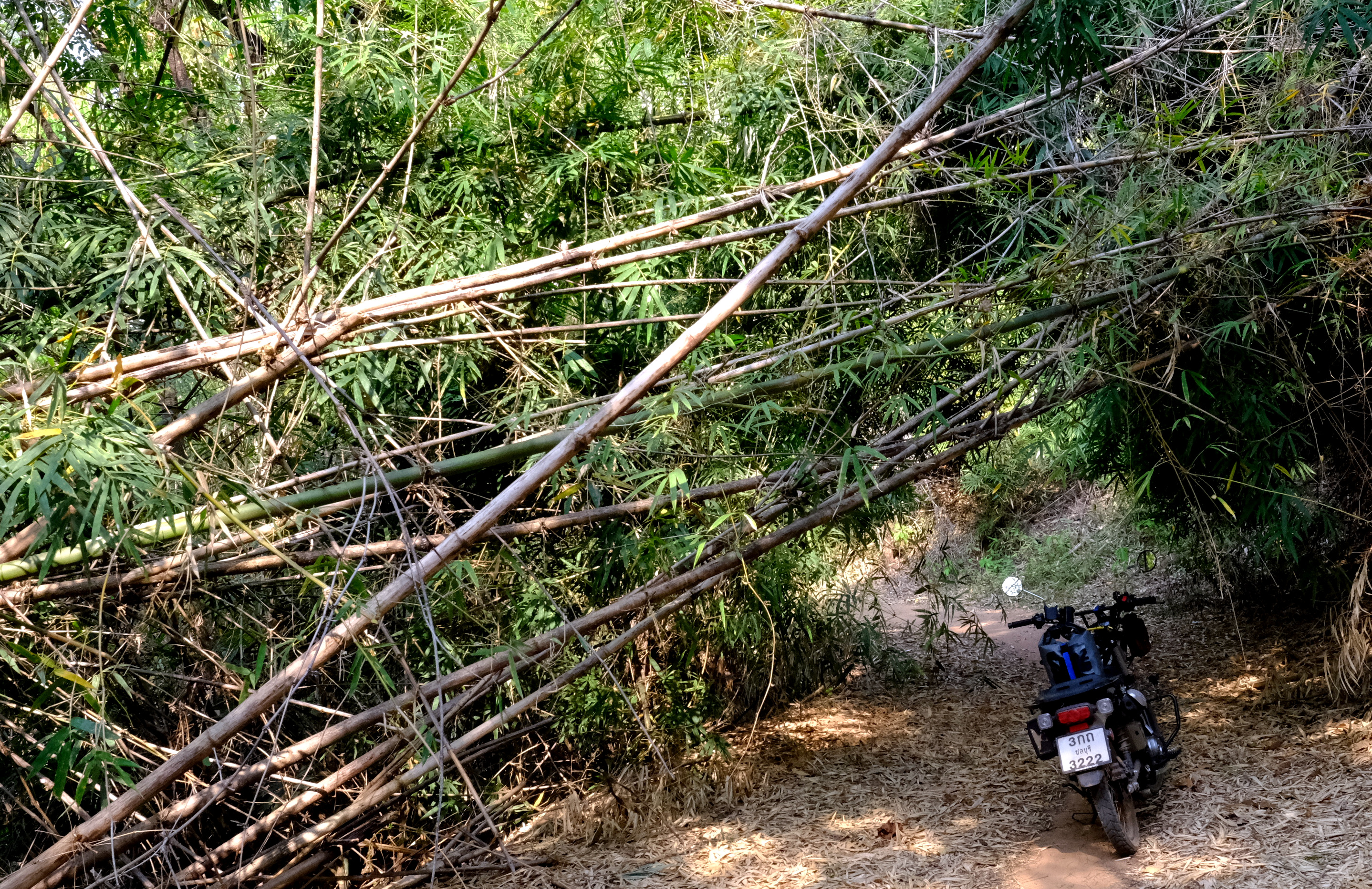
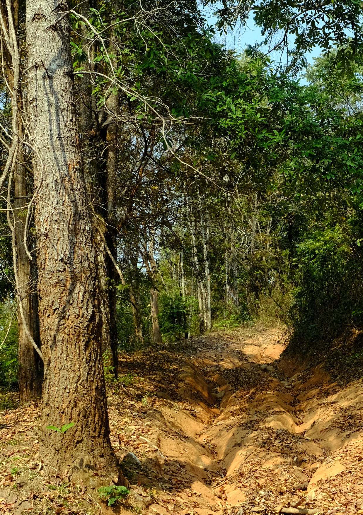
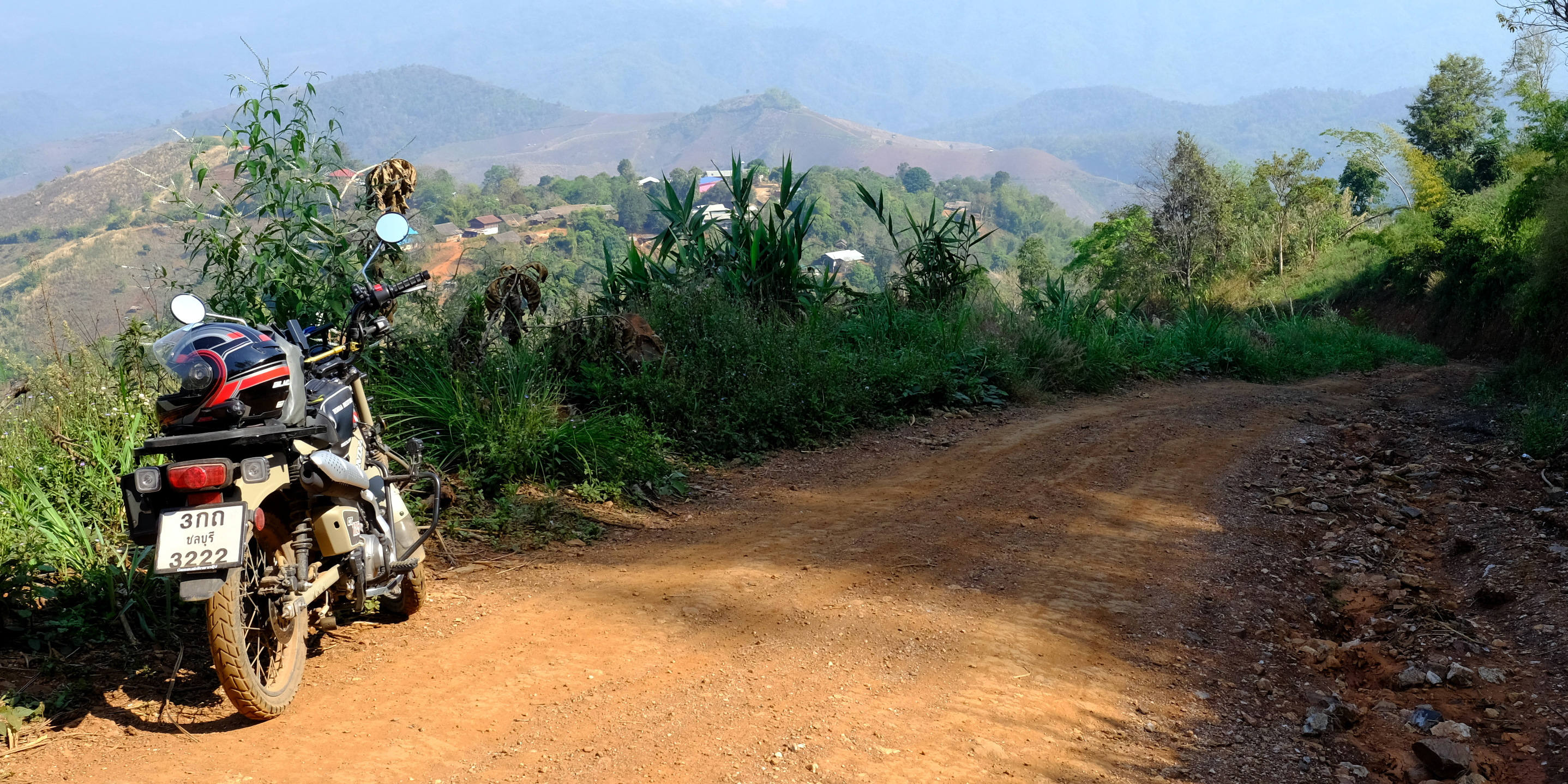
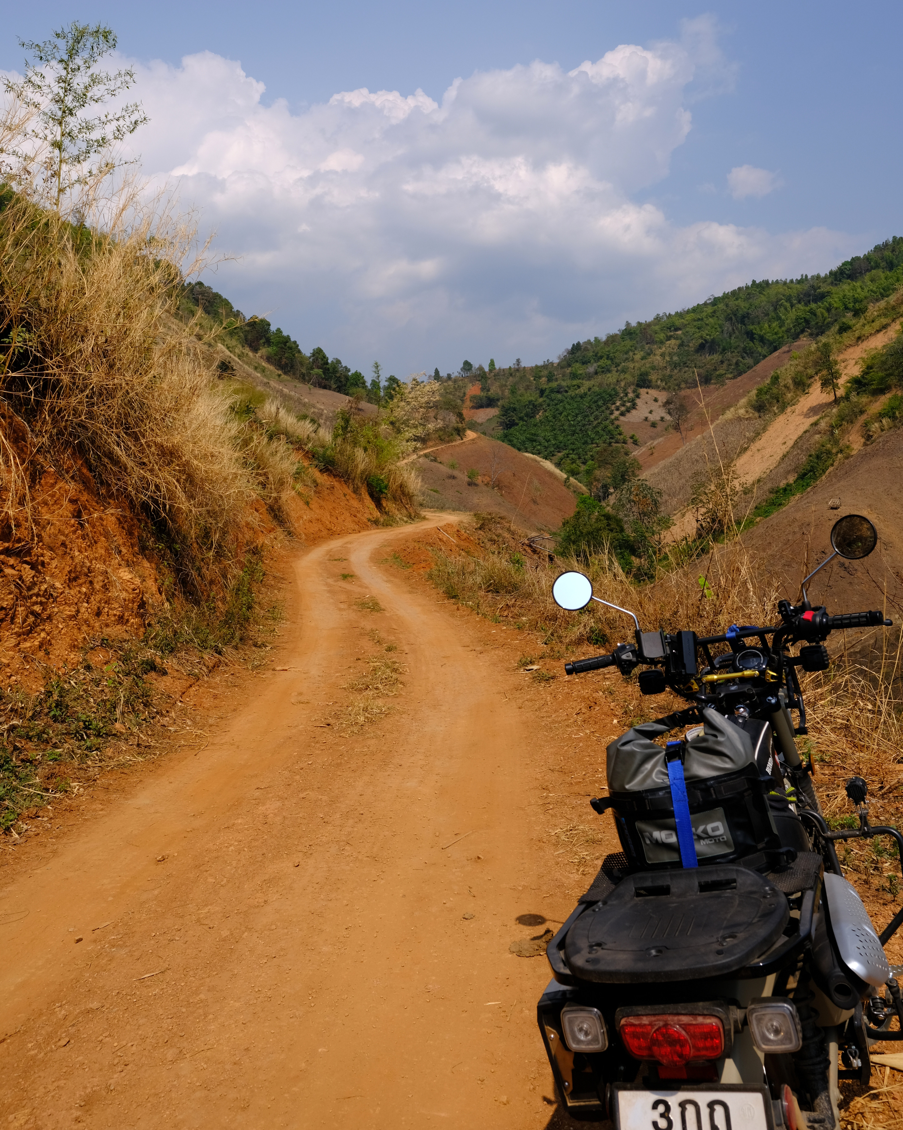
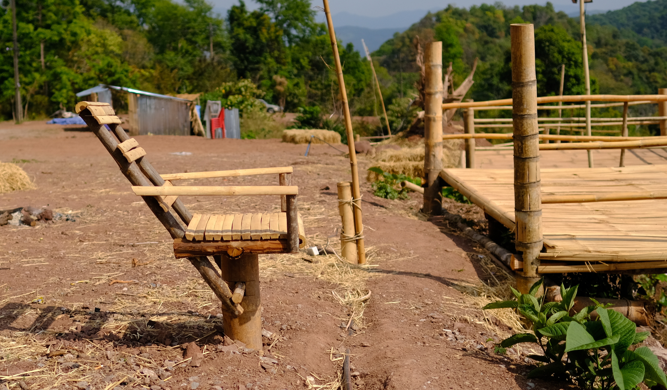
On my way back I took an off road track that eventually became a bamboo forest, with tracks through, but also vey thorny undergrowth that I kept getting snared in, eventually I gave up and returned to Kanchanaburi.
https://goo.gl/maps/Lpkizo3UMNtu5TVM8
https://www.relive.cc/view/vmqX2JLkVoO


-
4
-
- Popular Post
- Popular Post
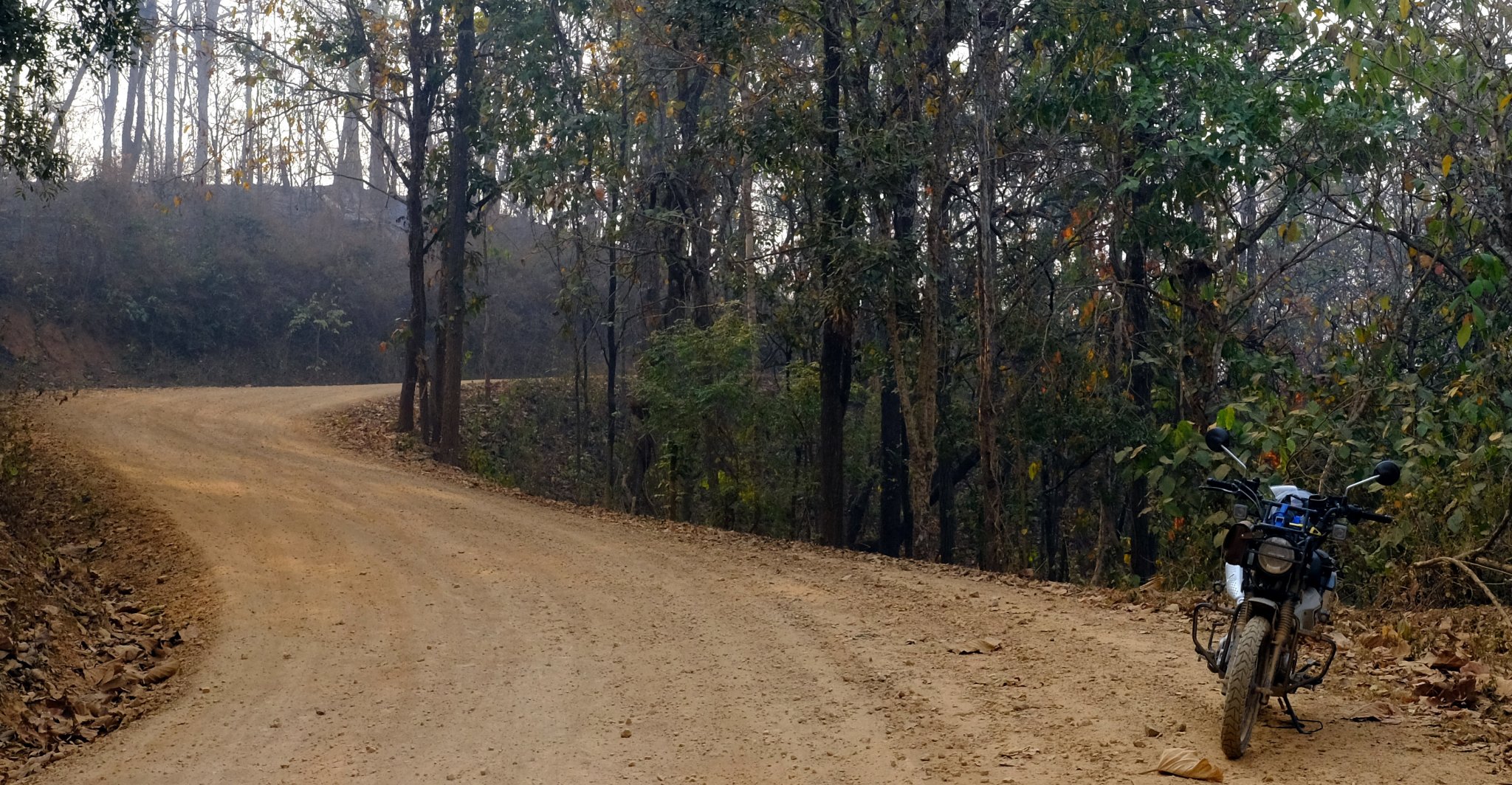
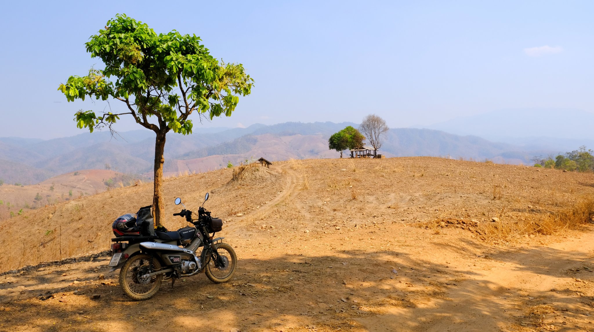
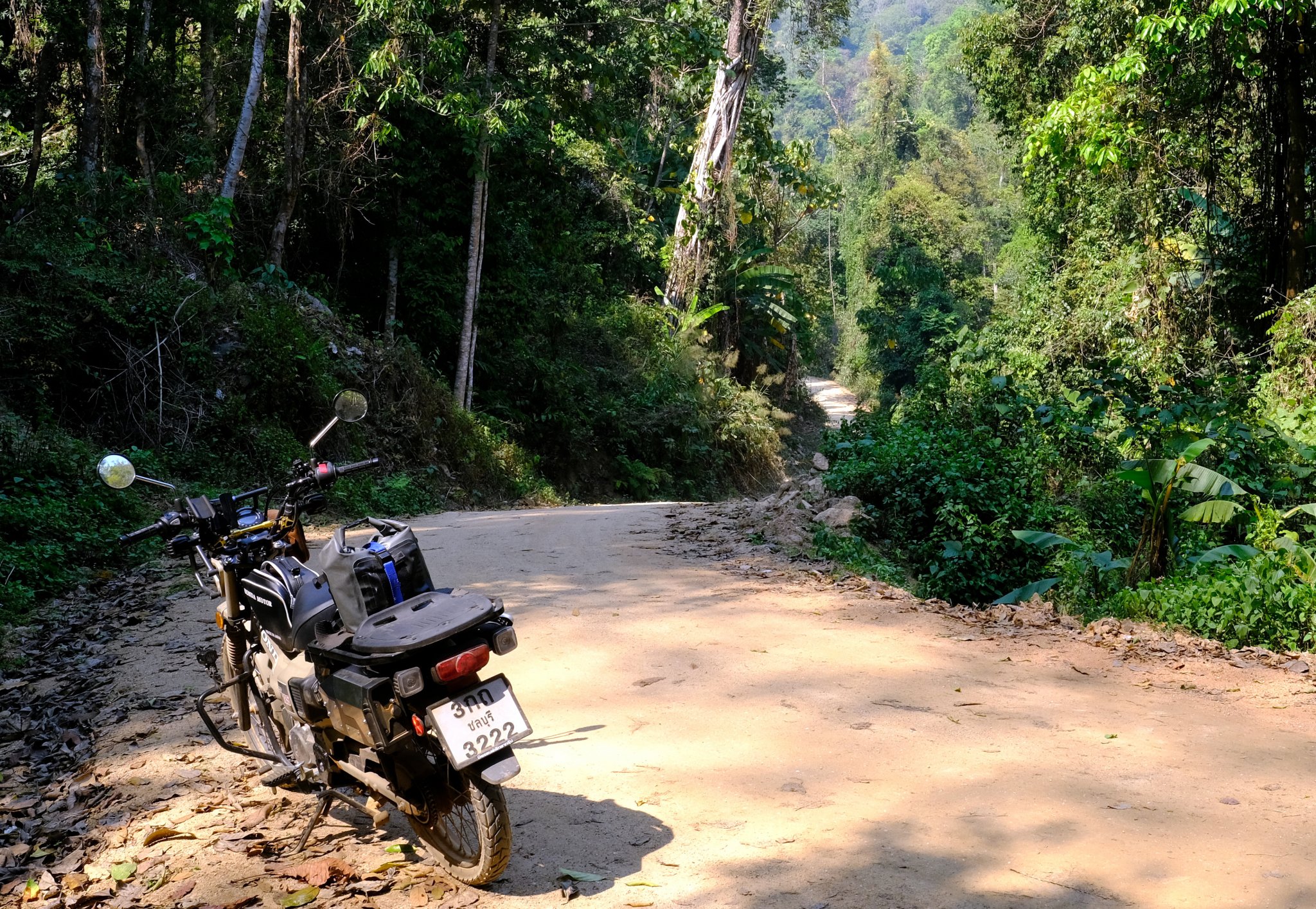
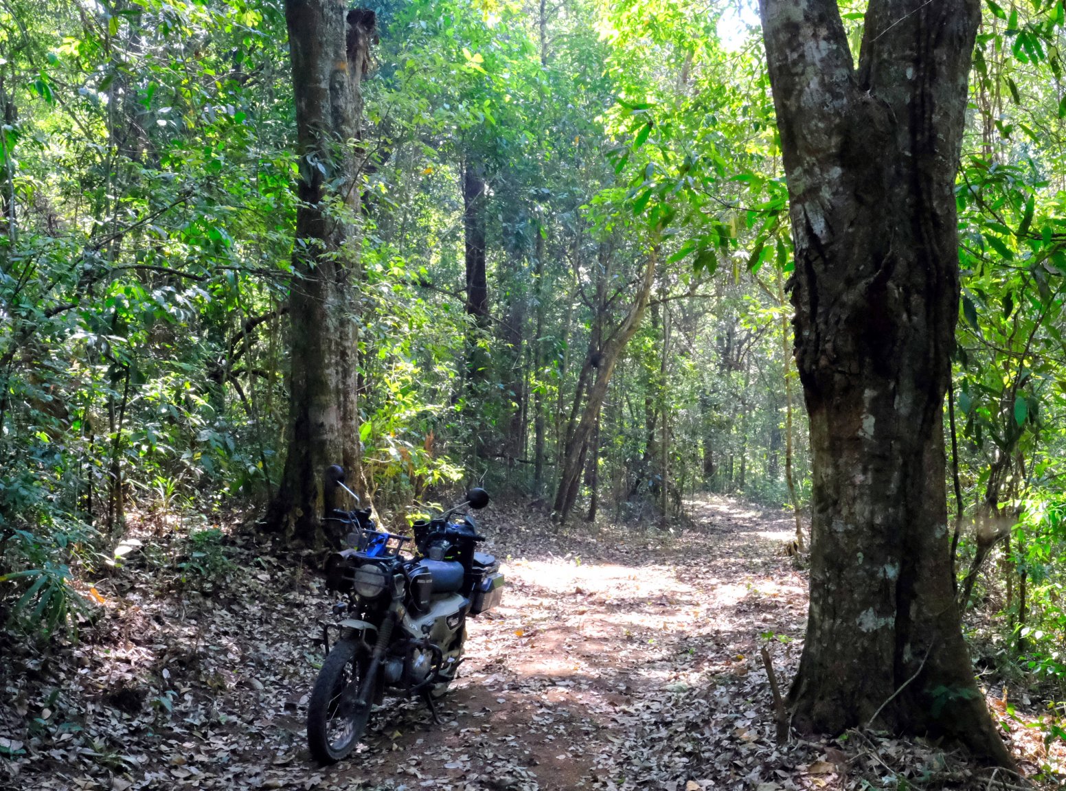
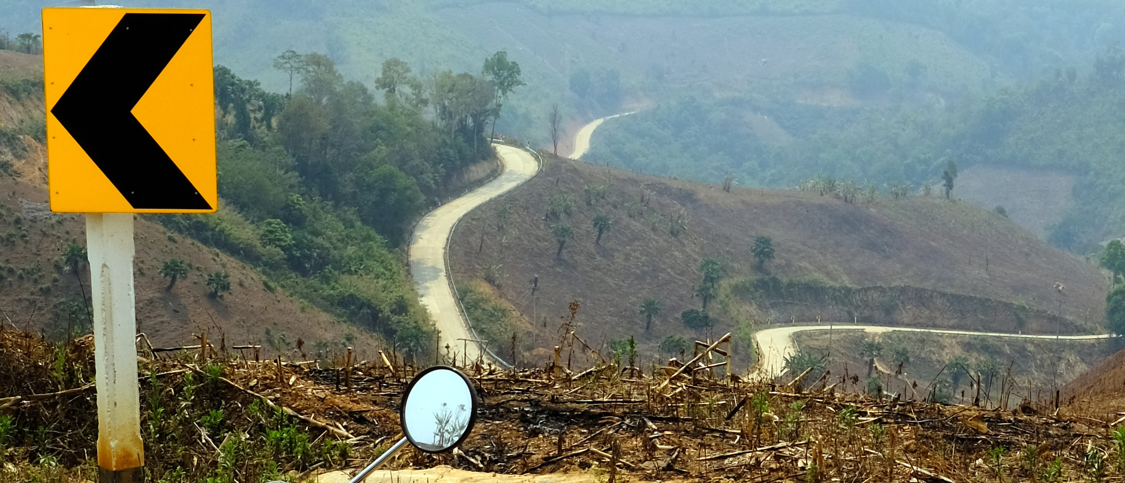
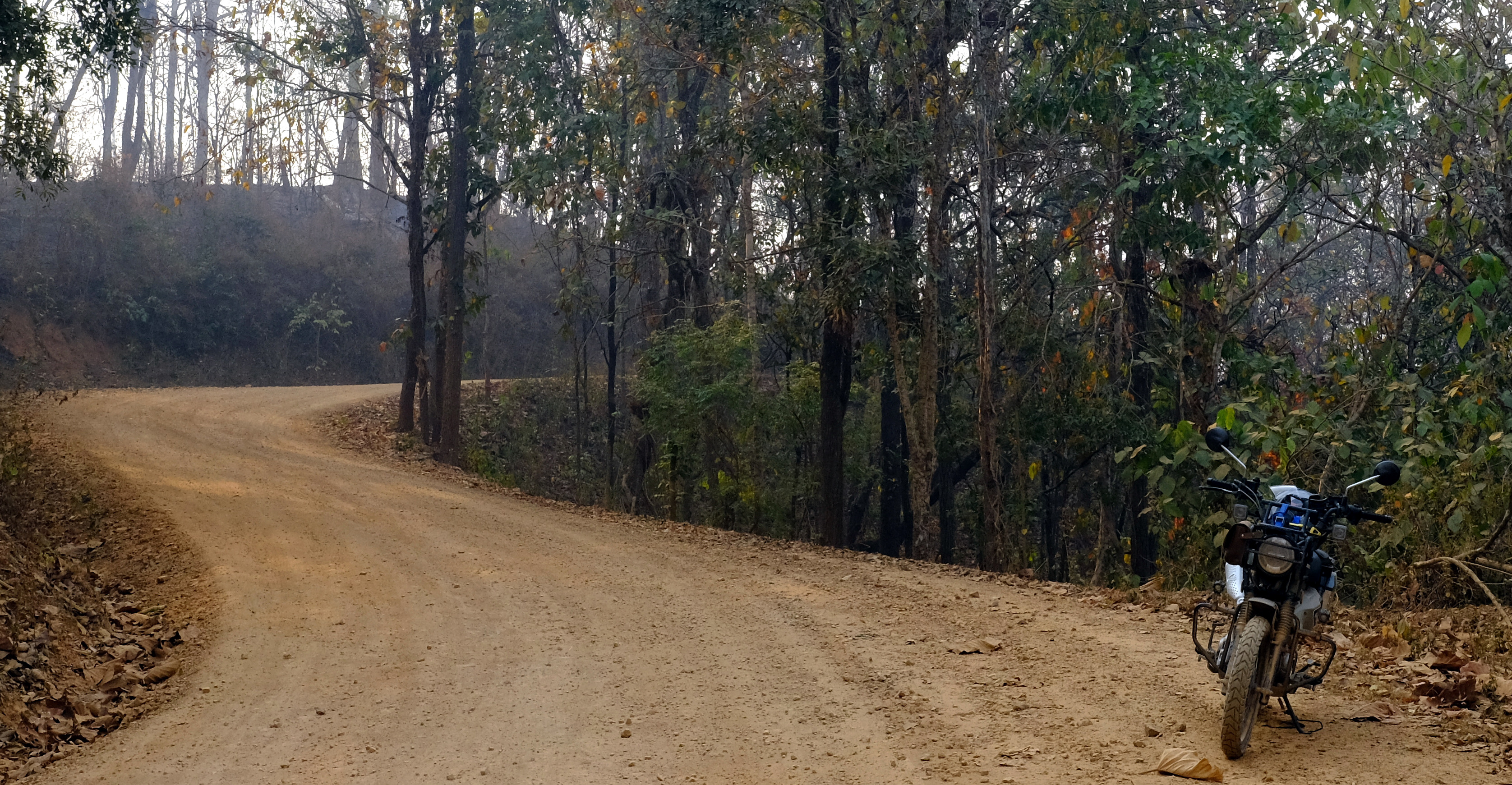
Day 37. 15 March
Kanchanaburi to Hellfire Pass Suspension Bridge 193 km.
It was way too hot on a slow bike!
The easiest way to it is to enter from R323 at Hellfire Pass. Ride down to the bridge cross and back from there. There were a few nice tracks at the start of the way back.
Basically head for Wat Dong Phong then head south east.
https://goo.gl/maps/MwEKewdB96Zmm4a98
The seat has now become uncomfortable, I think chaffing from the off road riding.
https://goo.gl/maps/r1ho8NVpFSZ6CJxR7
https://www.relive.cc/view/vdvmD4VJLxq
-
4
-
- Popular Post
- Popular Post
Day 36. 14 March
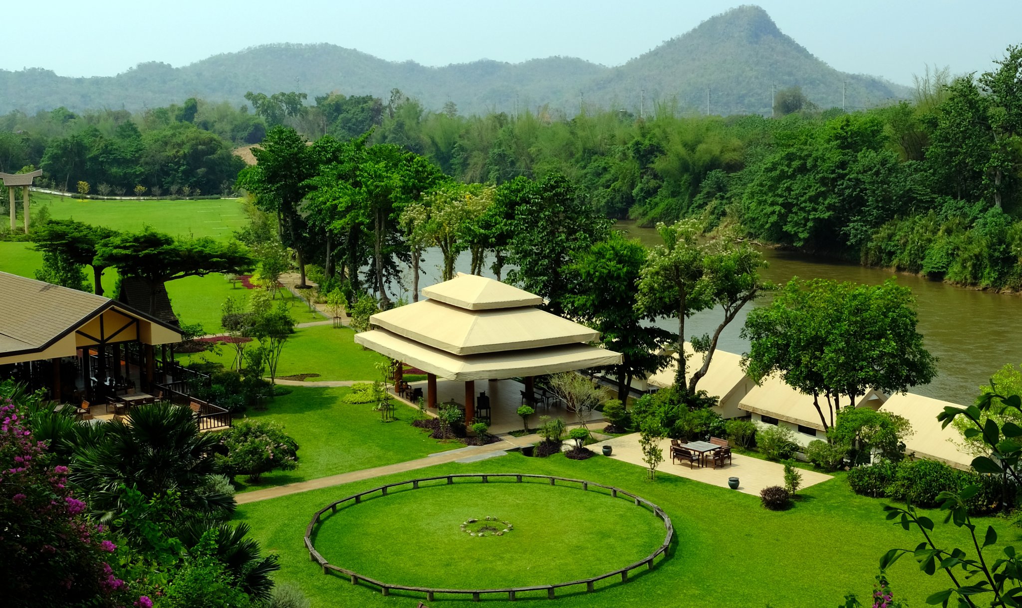
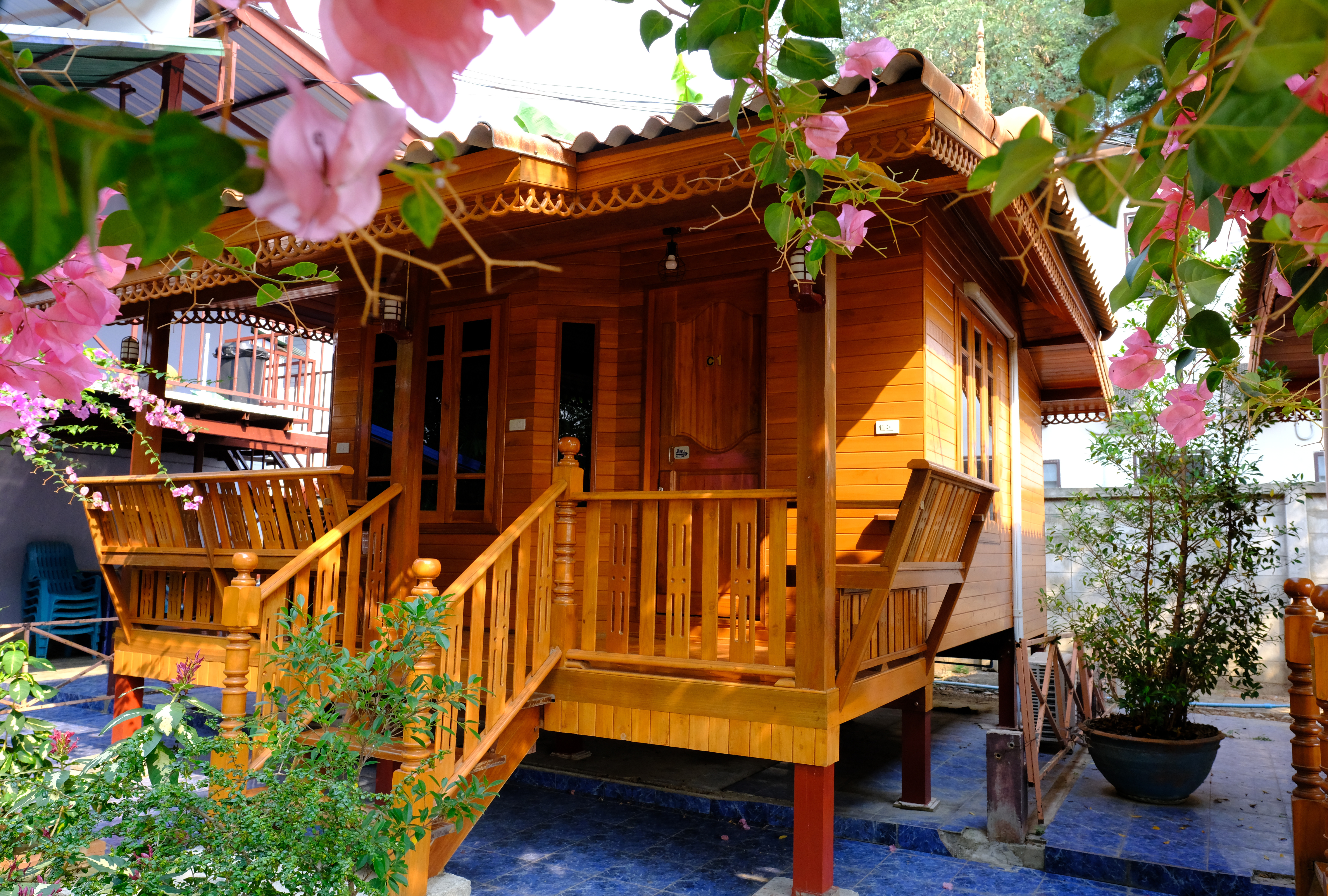
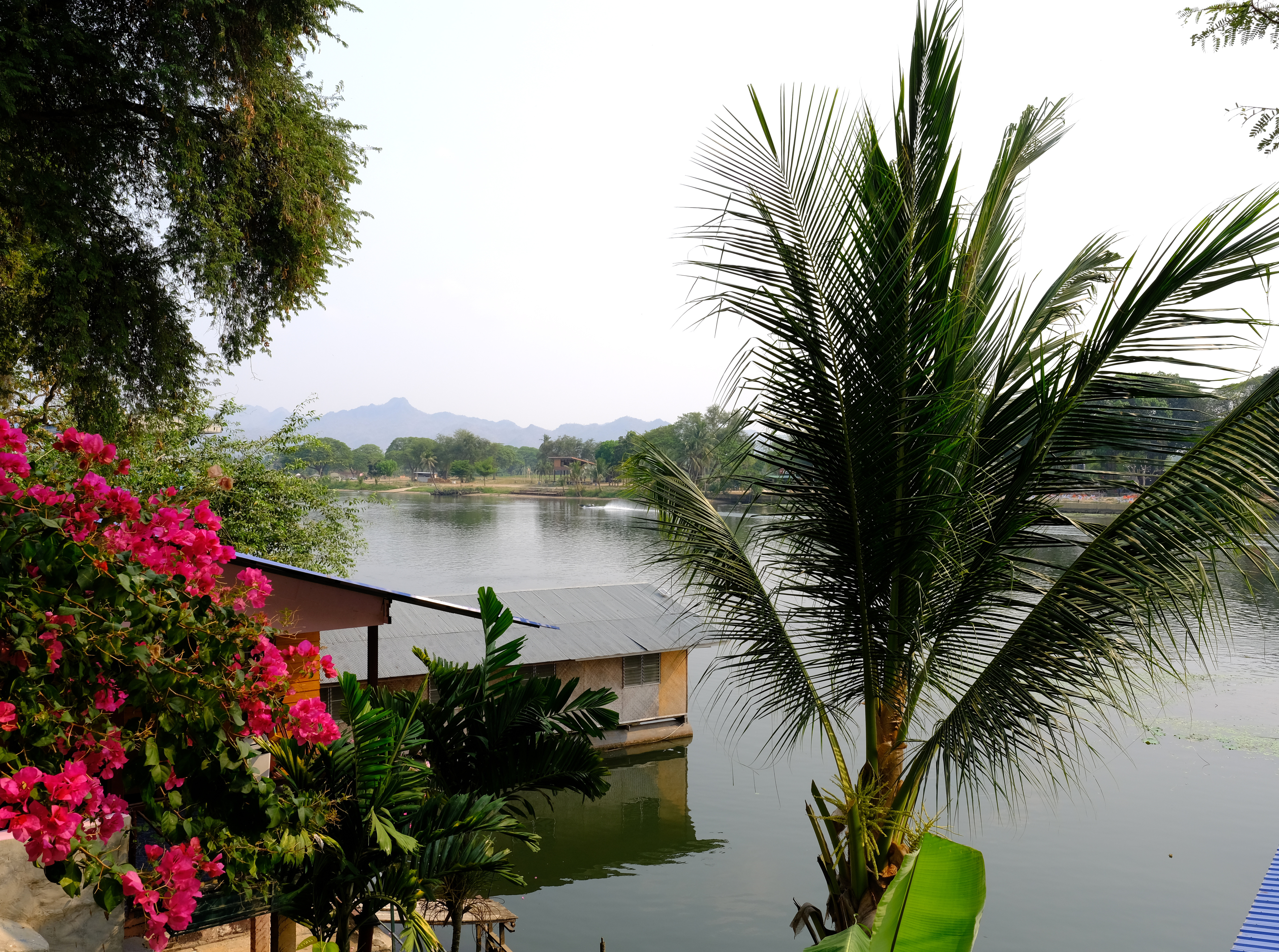
Tak to Kanchanaburi 432 km
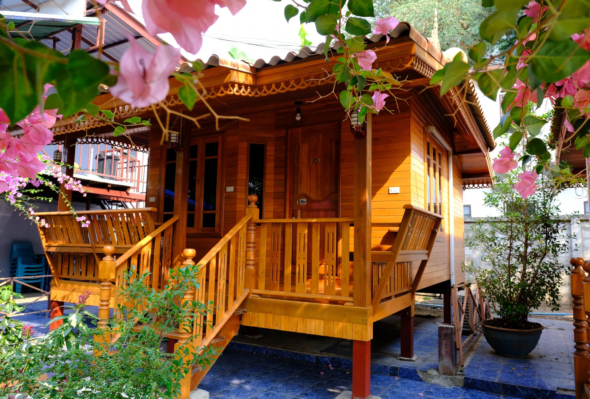
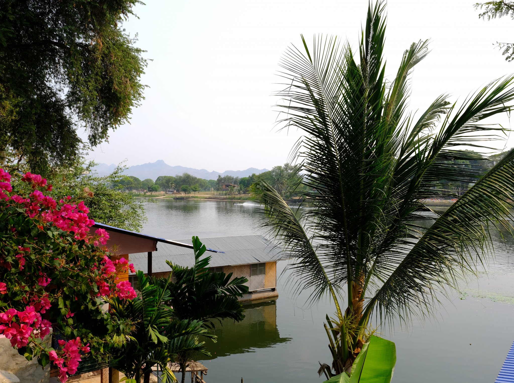
A hot boring ride, but I found a nice place to stay on the river, more than I would usually pay, but for a few days great!
R1 – R333 – R3056 – R3086
https://www.relive.cc/view/vJOKgz25rwO
-
4
-
- Popular Post
- Popular Post
Day 35. 13 March.
Mae Sariang to Tak. 317km
A nice road to ride again, R108 to Mae Ramat then over the mountain to Tak on R1175.
https://www.relive.cc/view/vr637gV9D86
-
3
-
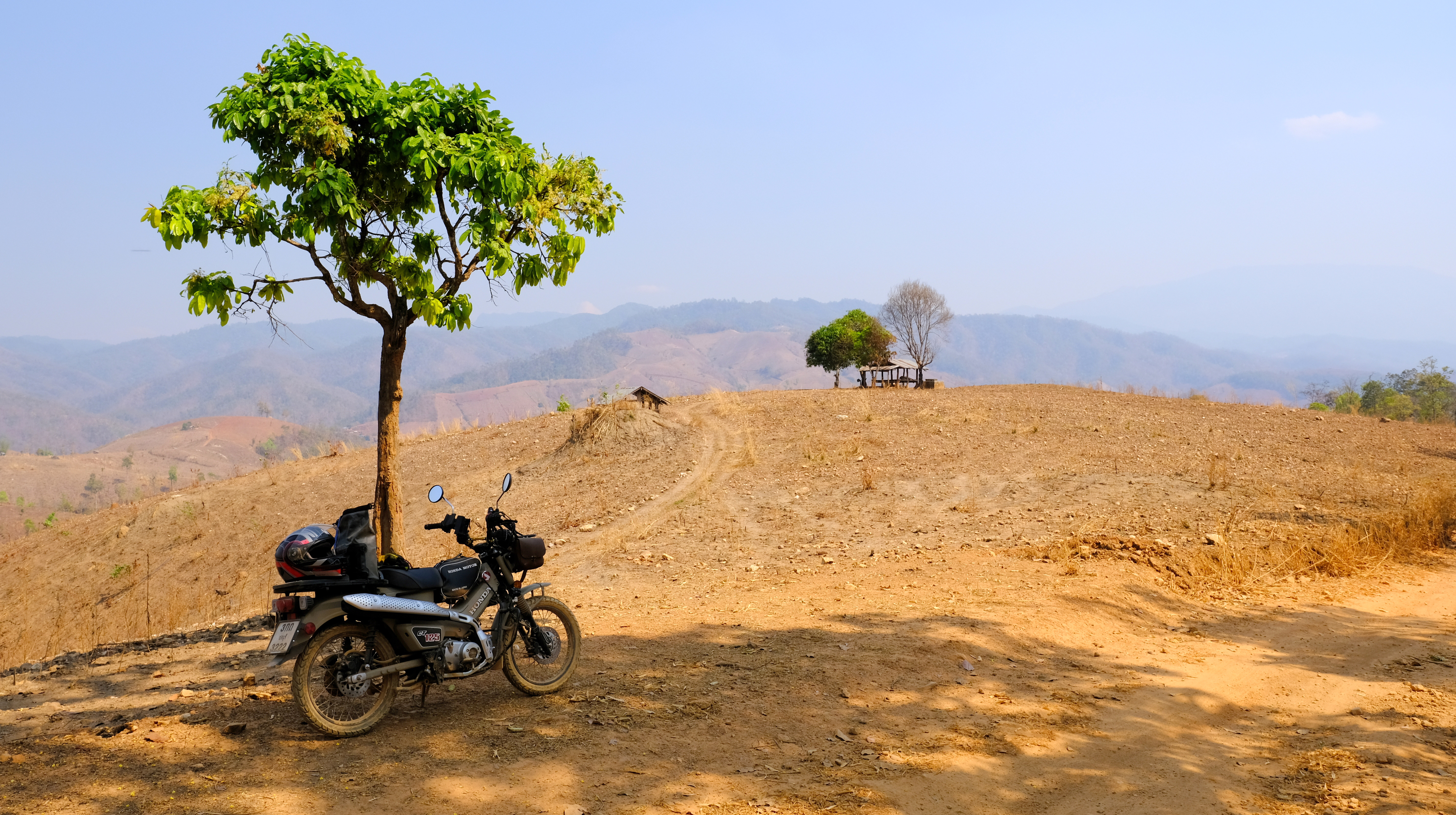
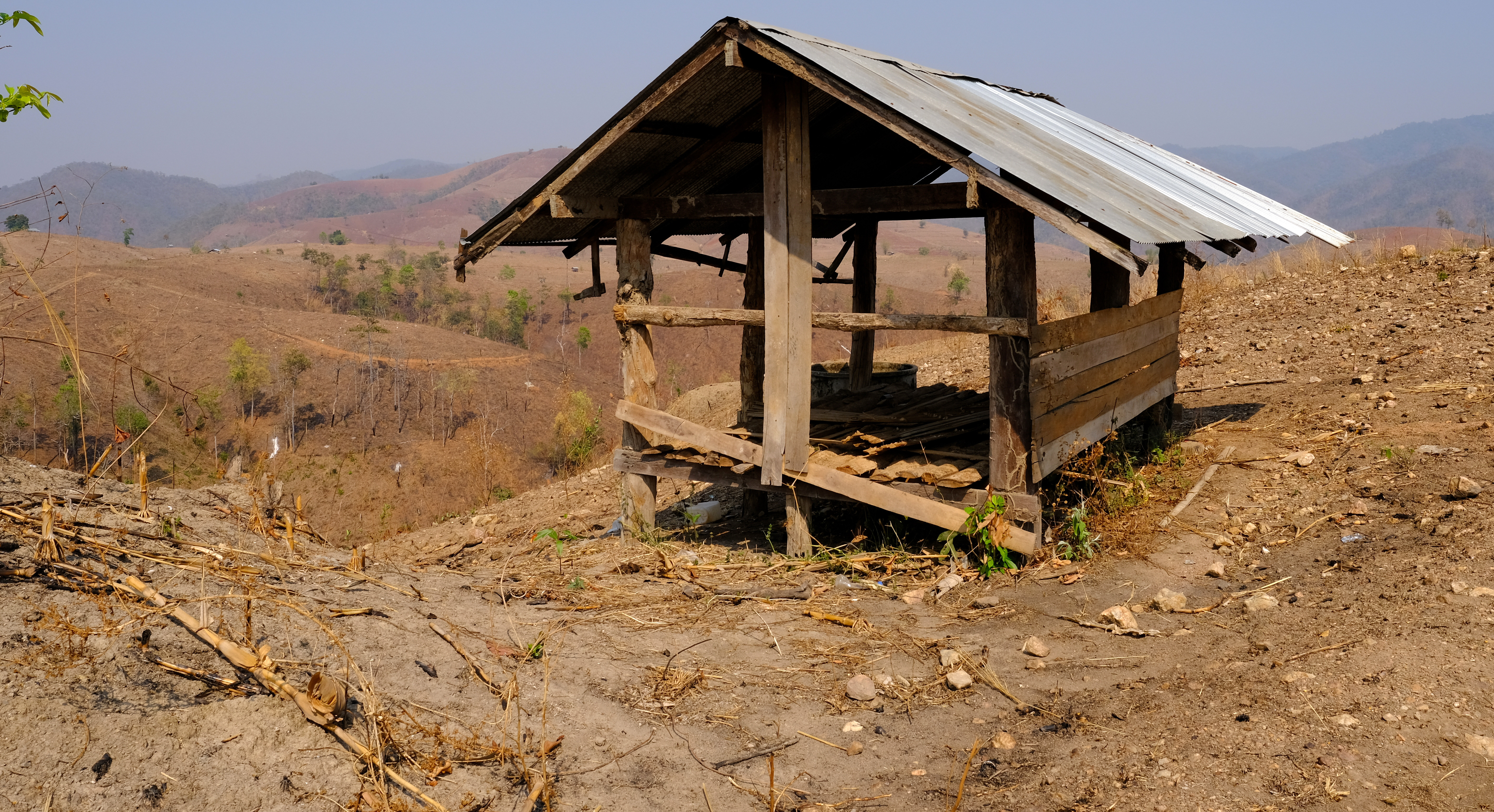
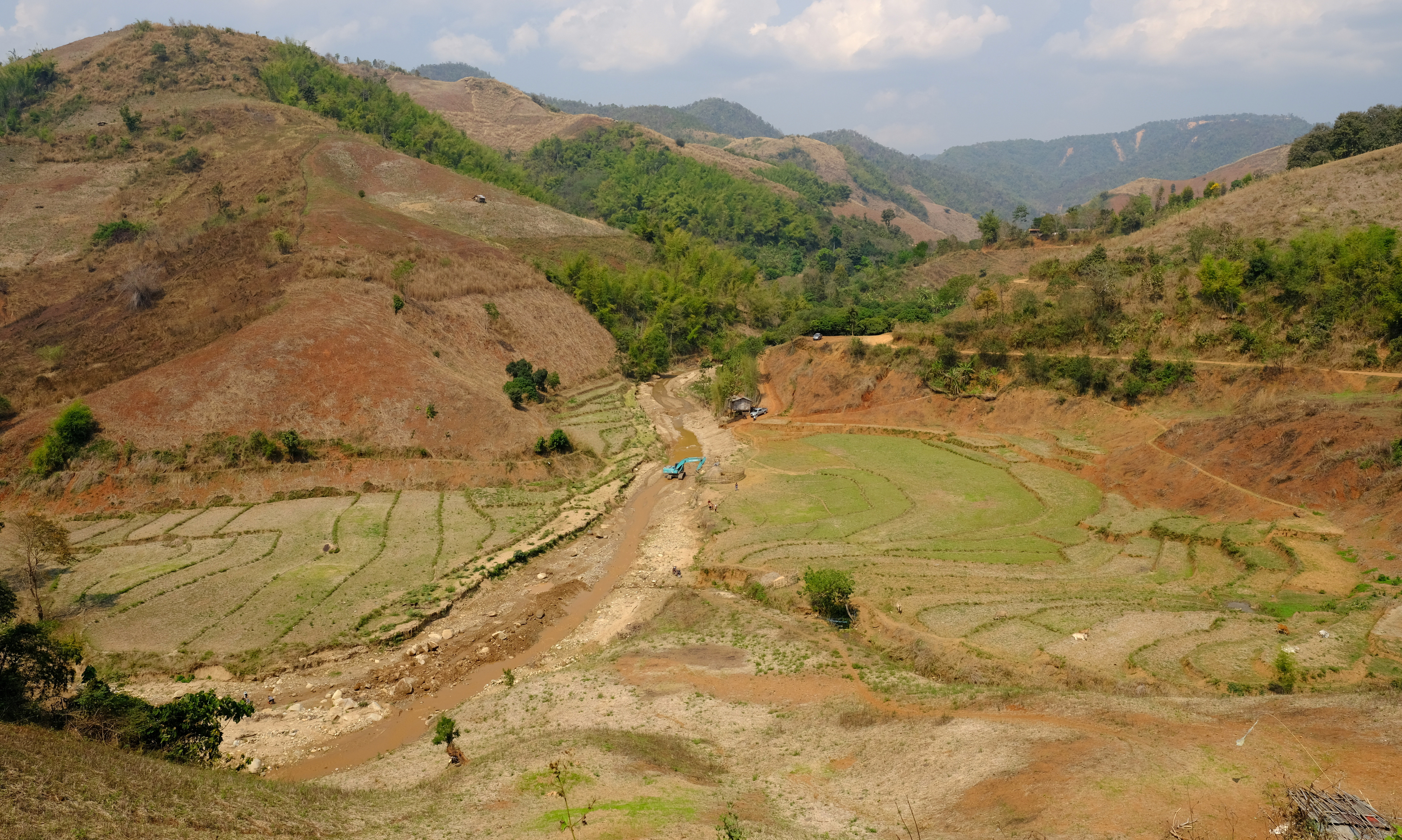
Day 34. 12 March
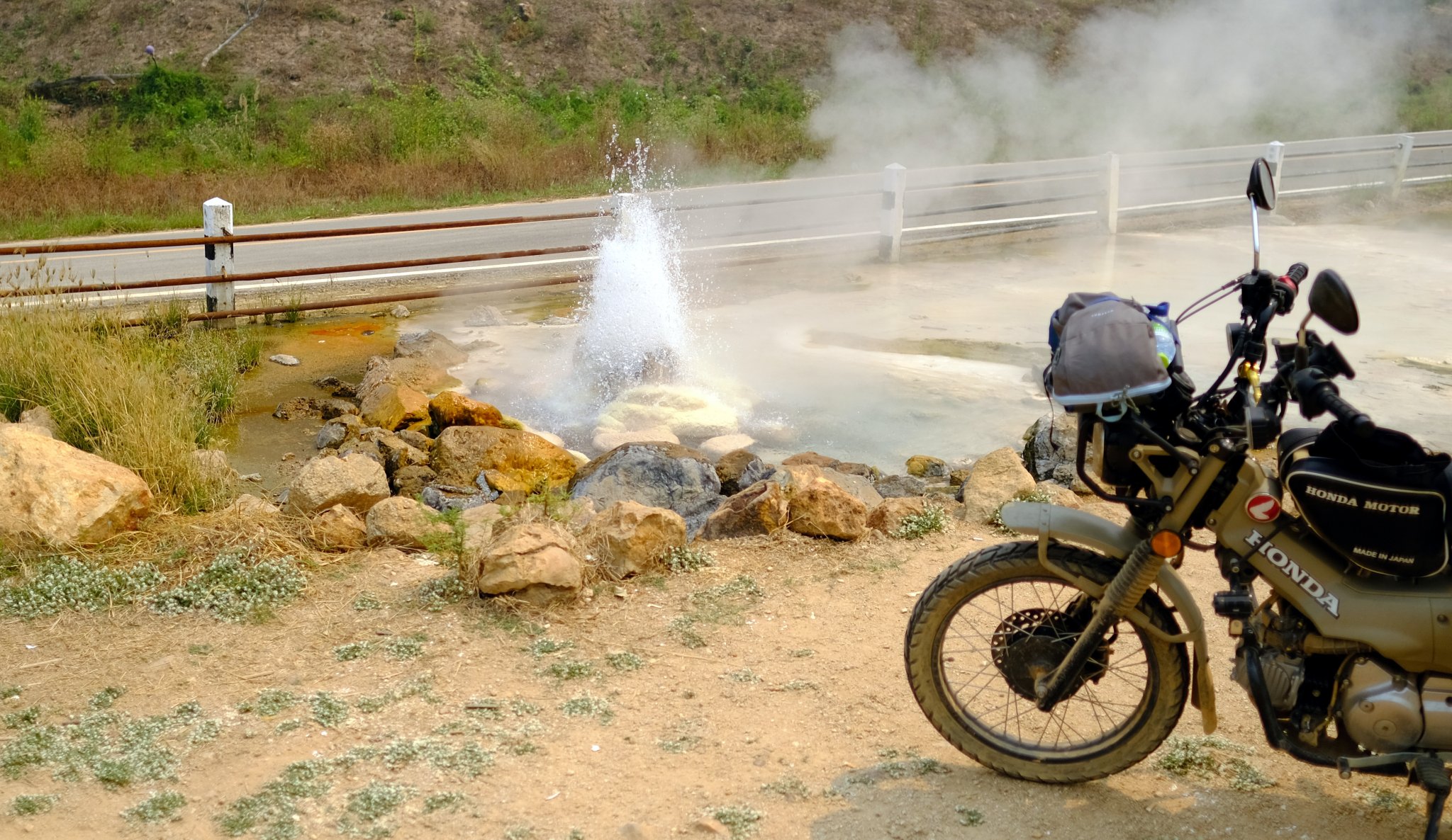
Mae Sariang – Mae Umong Hot Springs Loop. 154 km
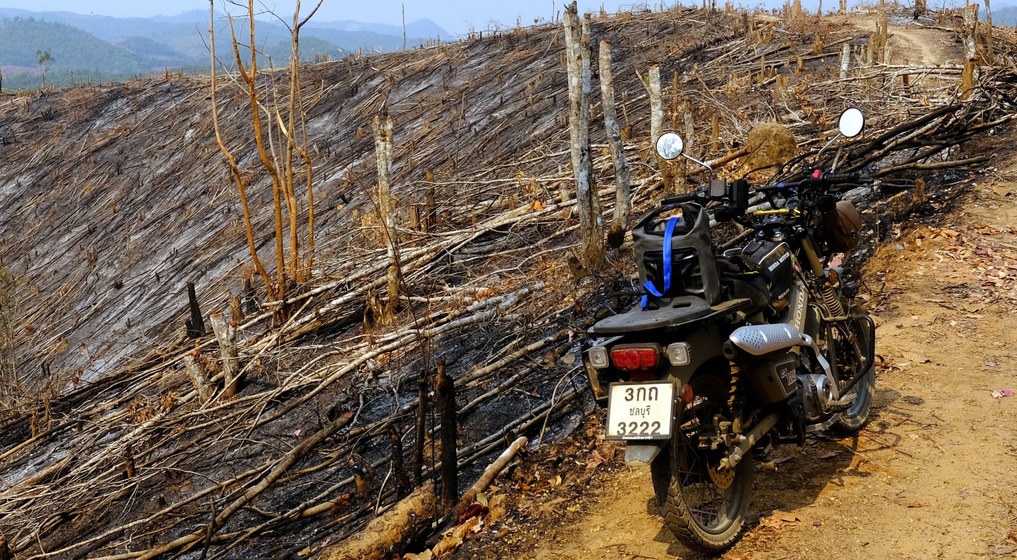
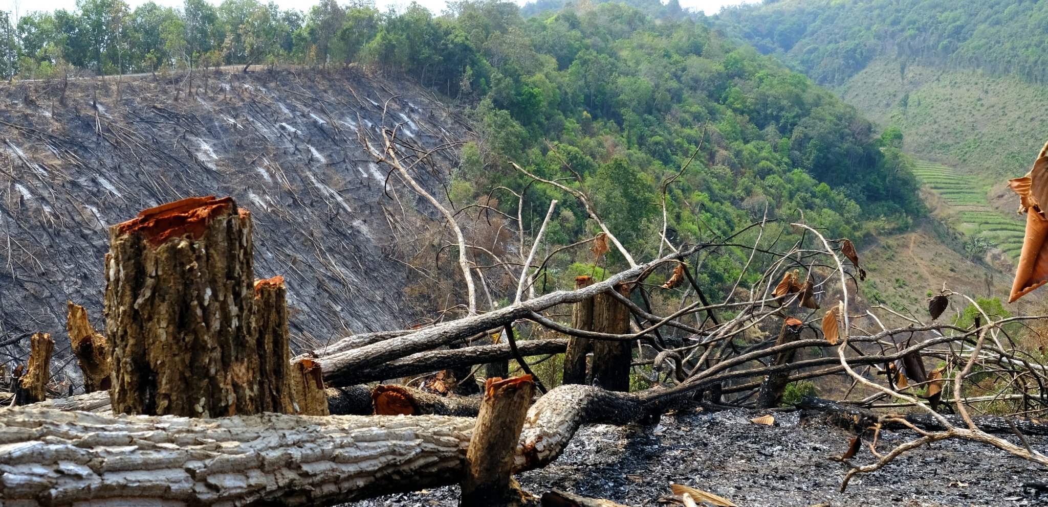
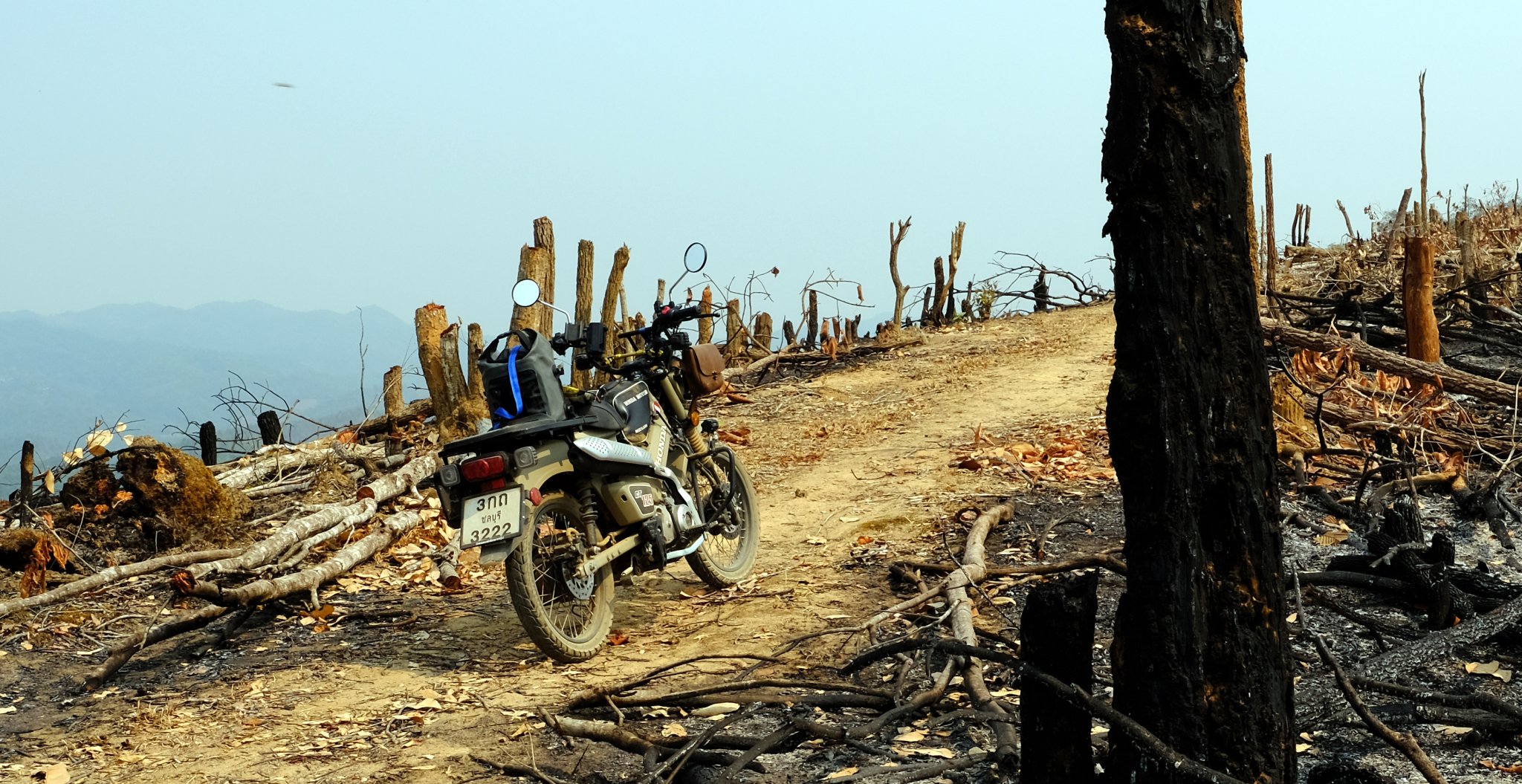
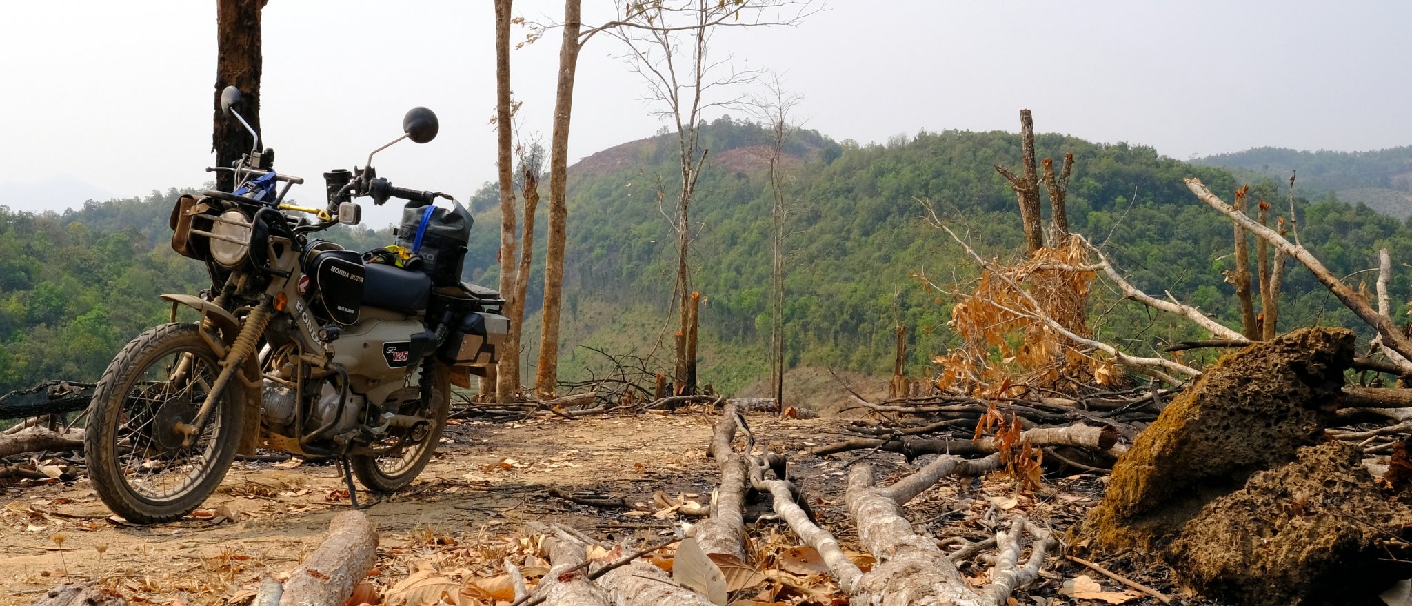
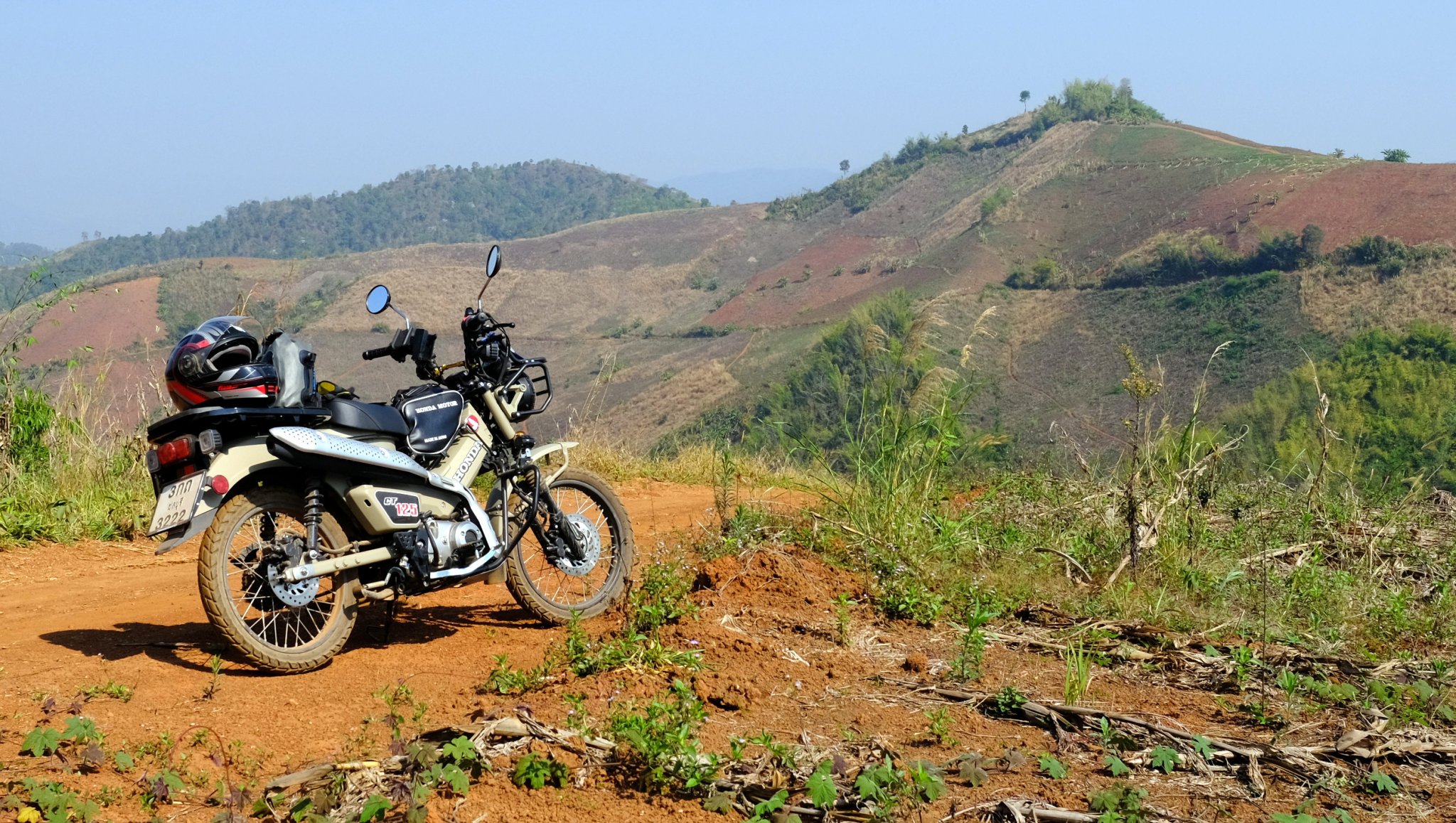
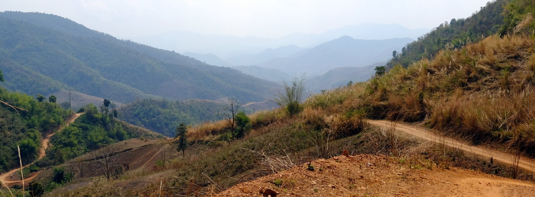
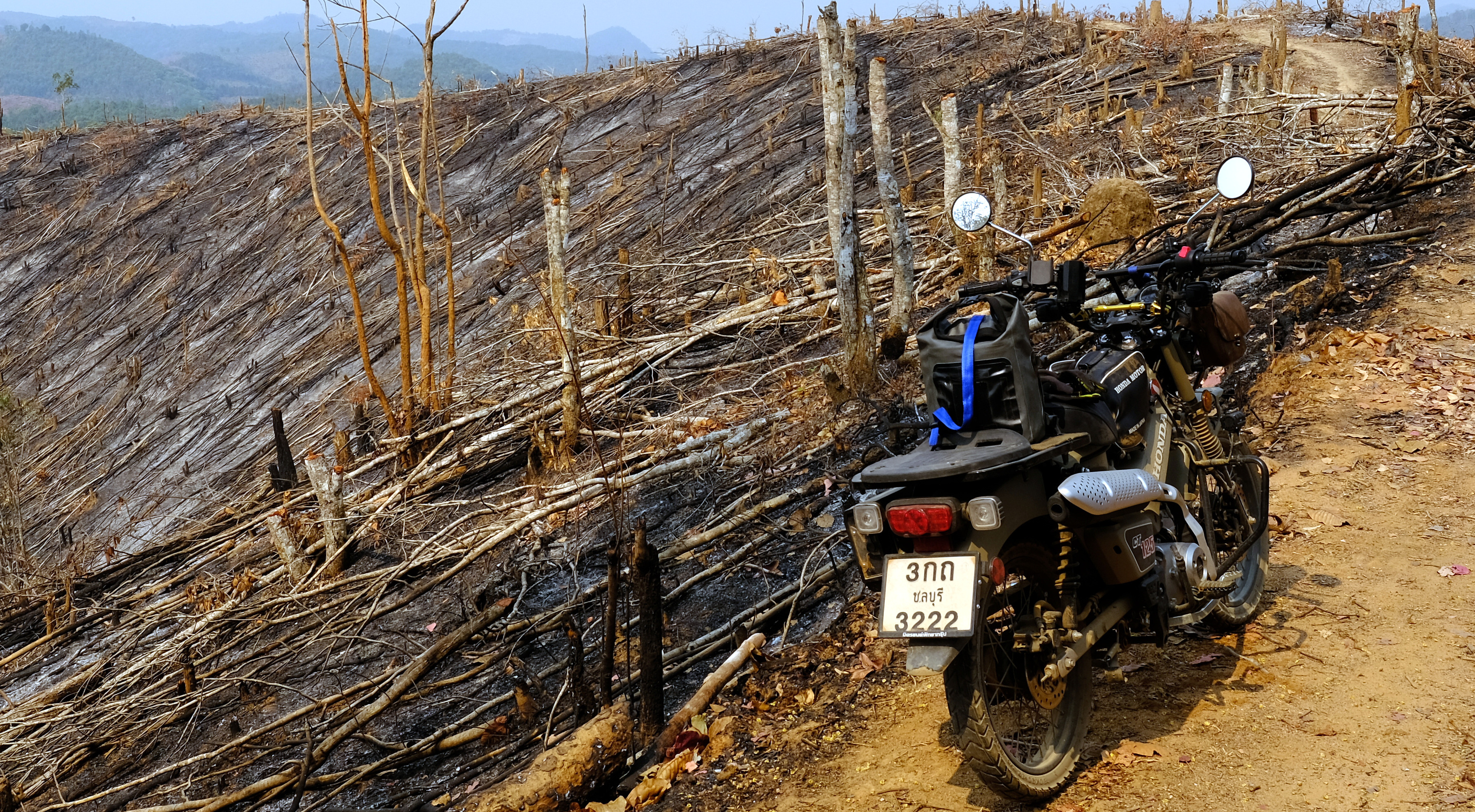
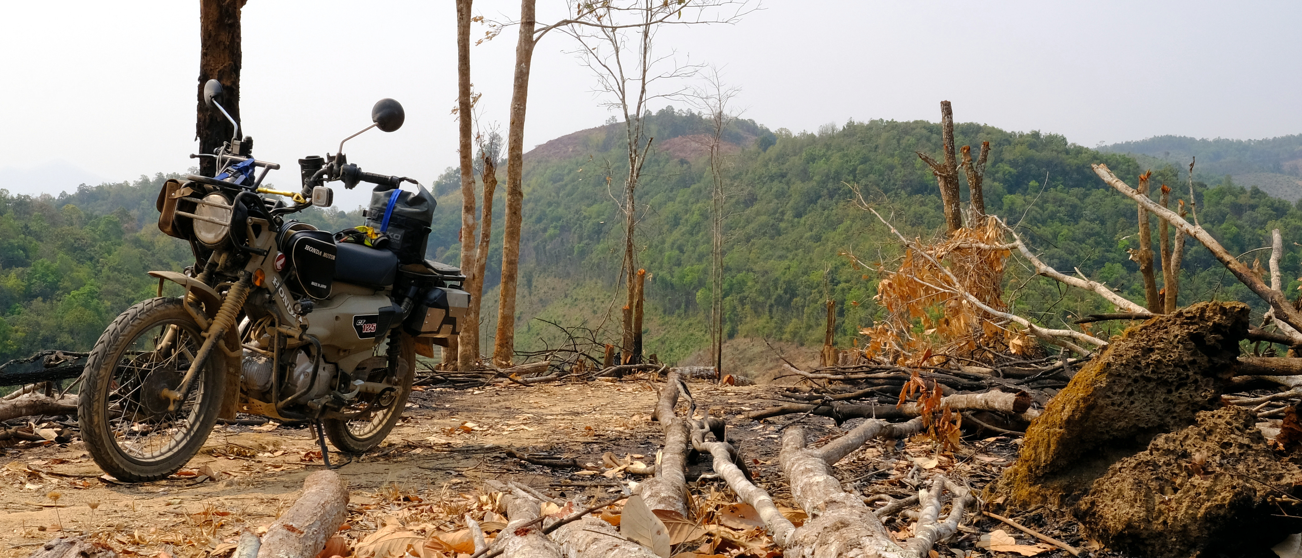
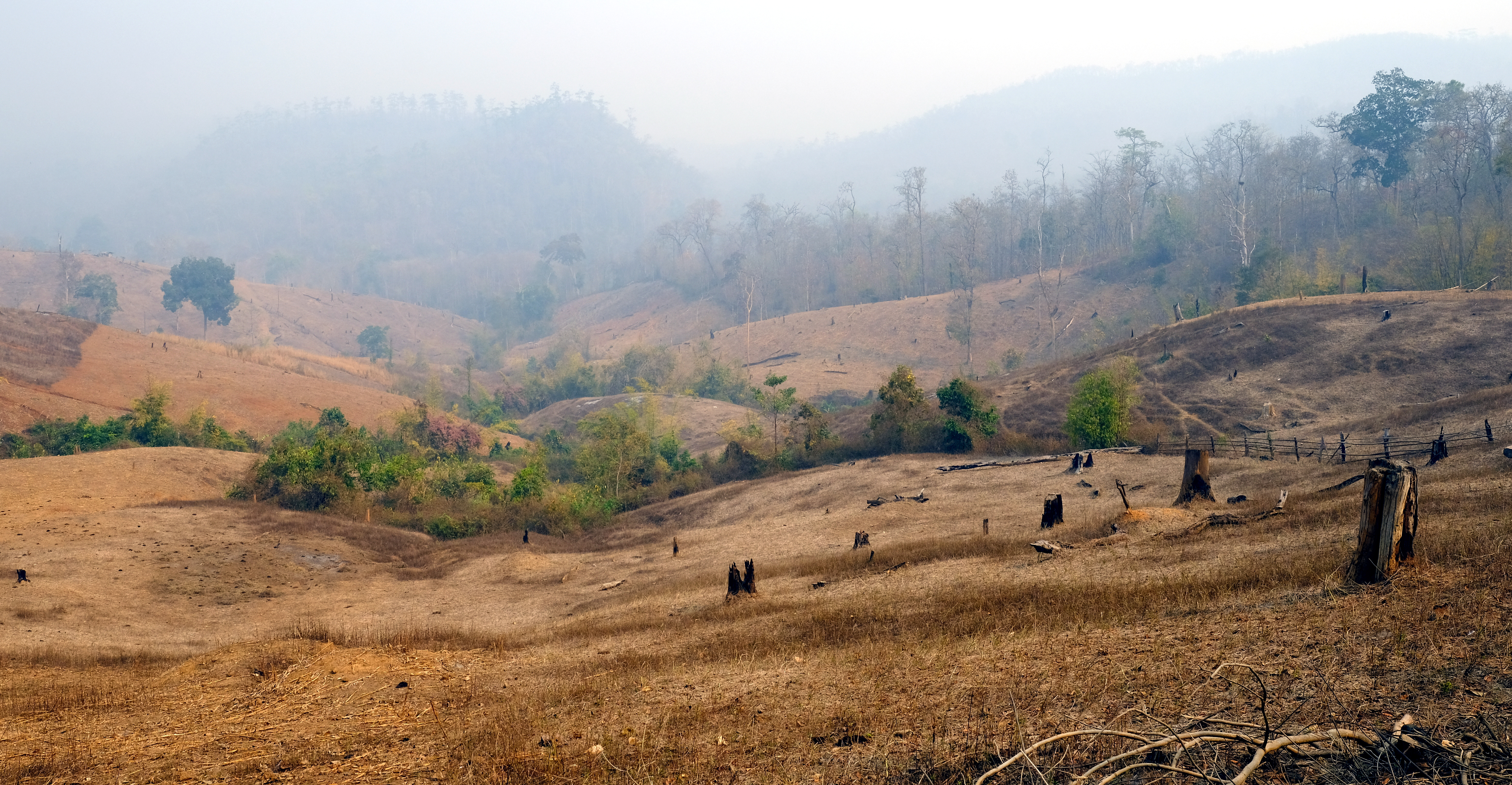
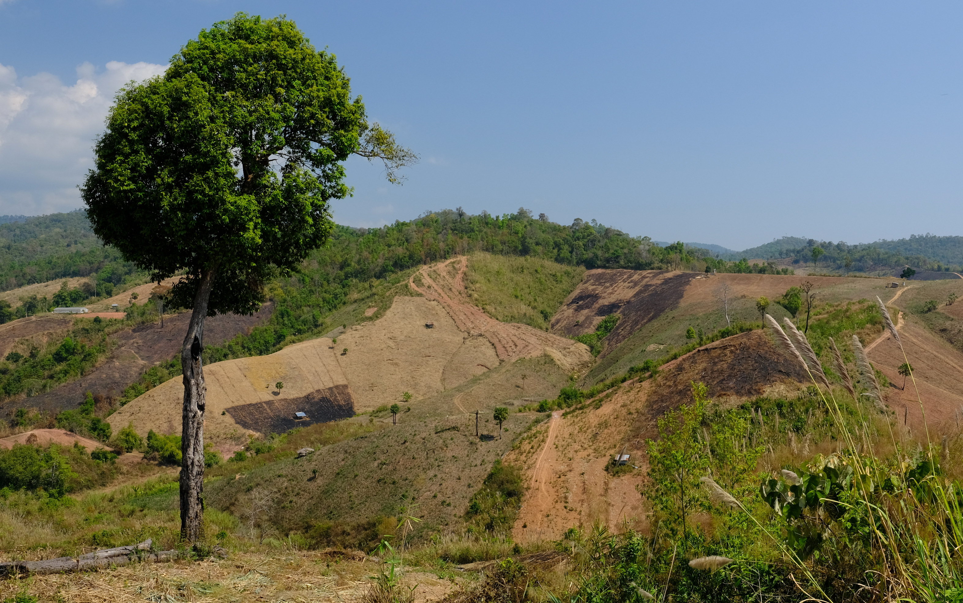
Some great riding today again, but the views were terrible due to the burning. I maxed out at 4,000 ft, it would be nice to see the views when green and clear.
There was also some clearance and burning that could not be legal, a terrible state in places.
Mae Sariang east on R108 and R2010 to the springs from there a clockwise loop on roads R3010 – R1270 – R108.
https://www.relive.cc/view/vE6JgNRn7gq


-
2
-
 1
1
-
-
- Popular Post
- Popular Post
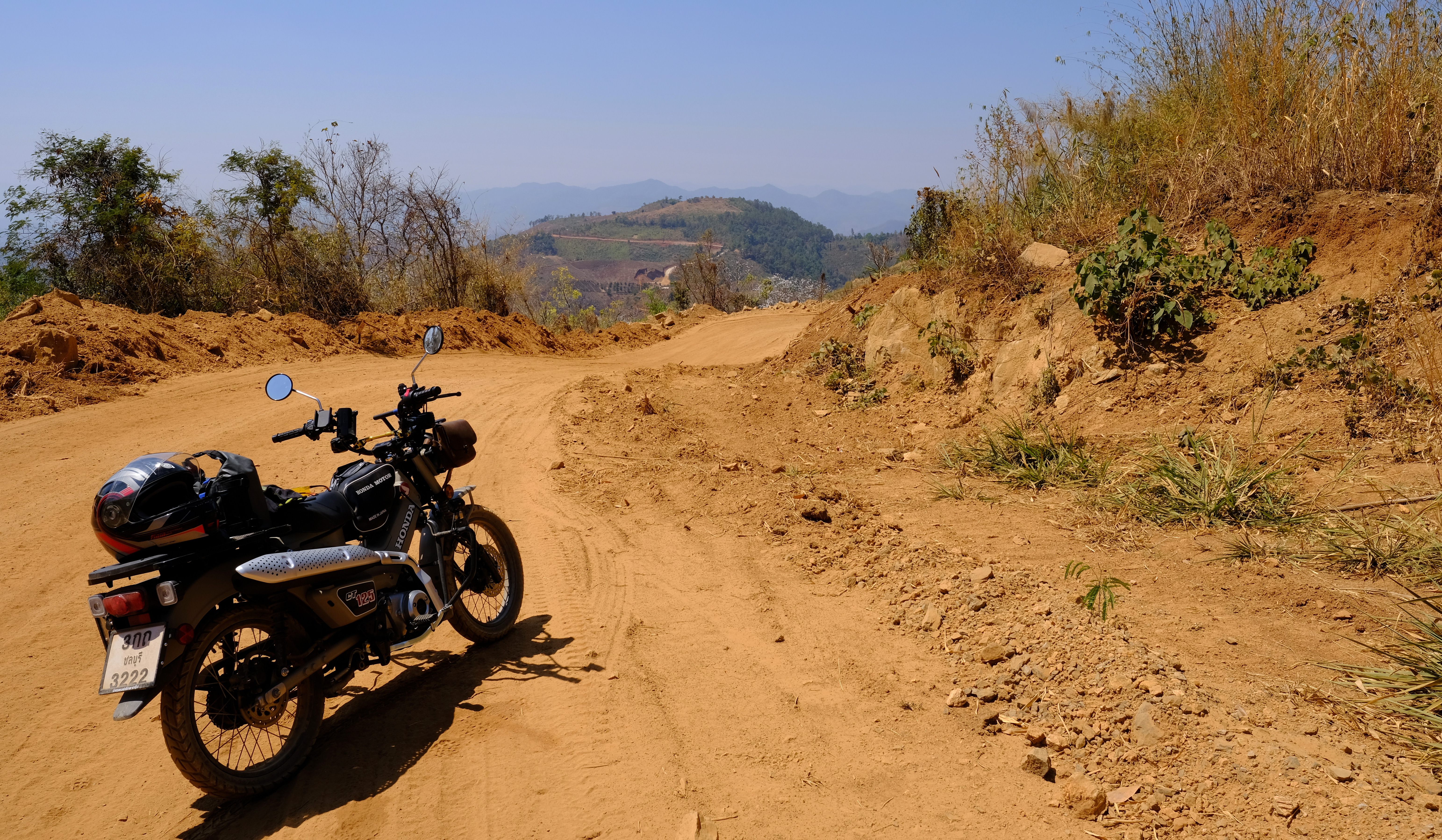
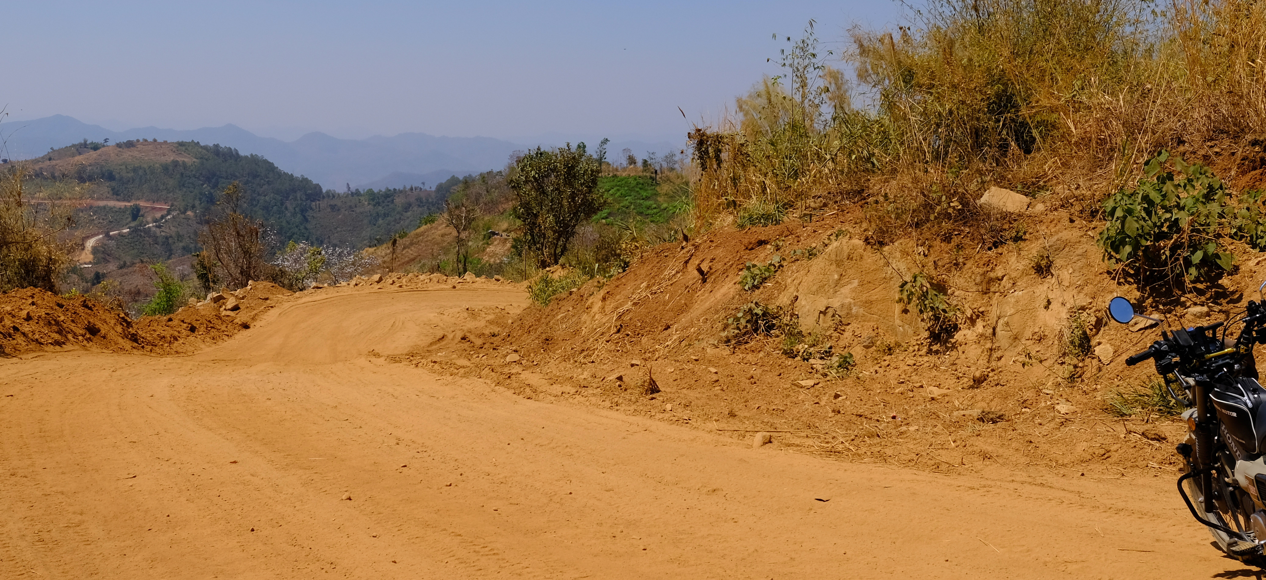
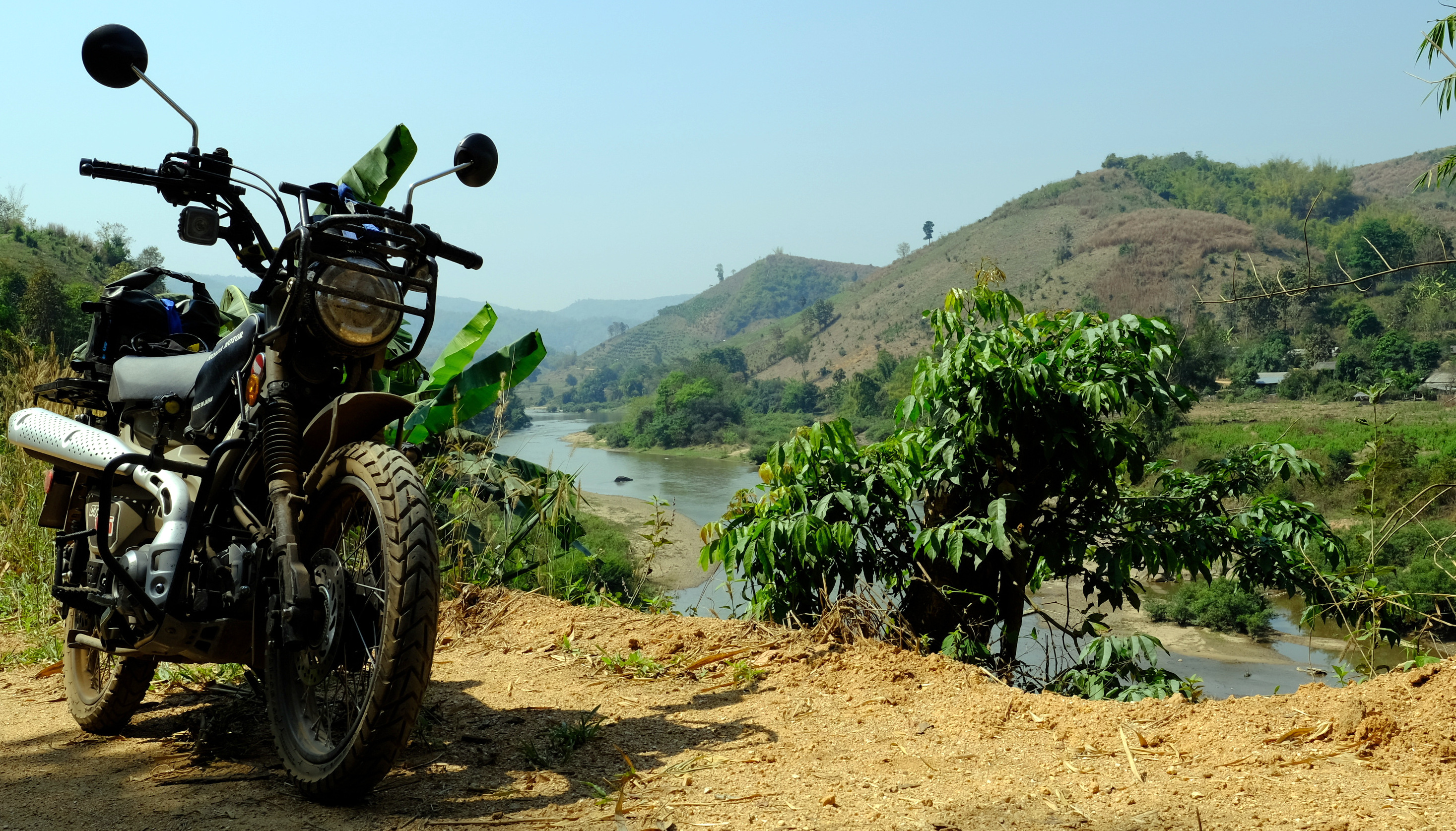
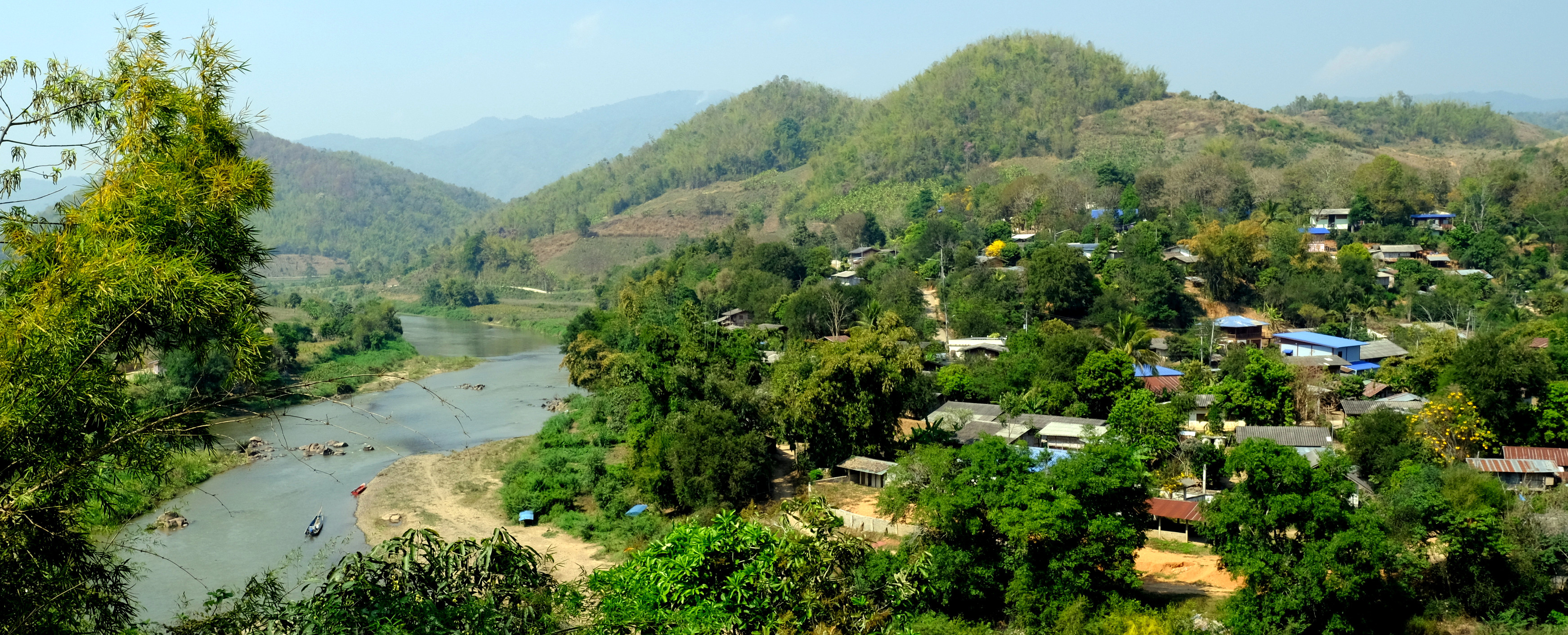
Day 33. 11 March.
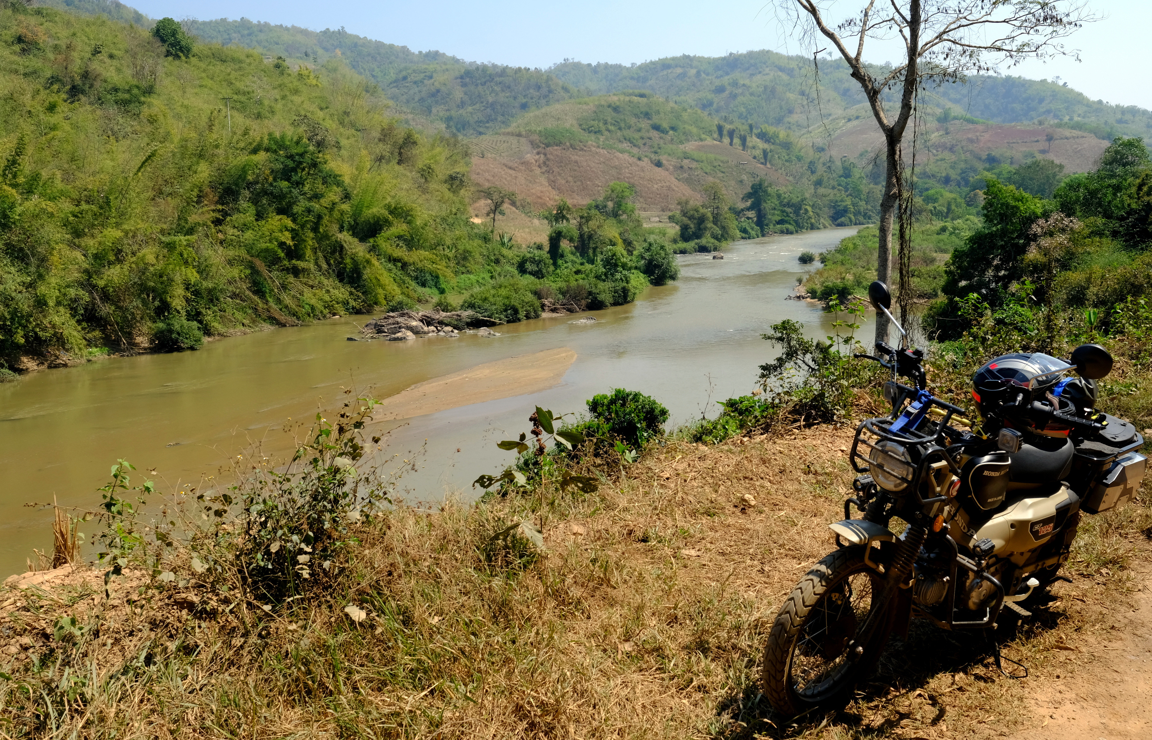
Mae Sariang – Salaween NP – Sam Laep Loop 111 km
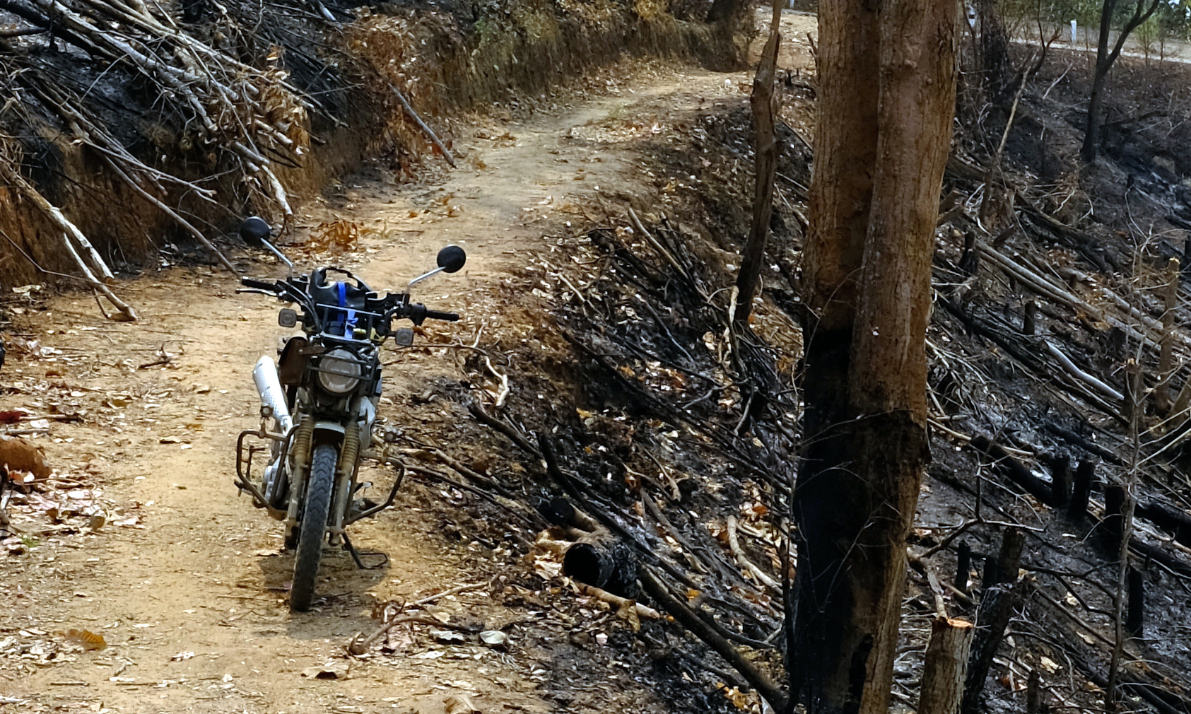
I had read about this route a few years ago and it sounded more difficult a ride than my skills, but I decided I could always turn back if need be.
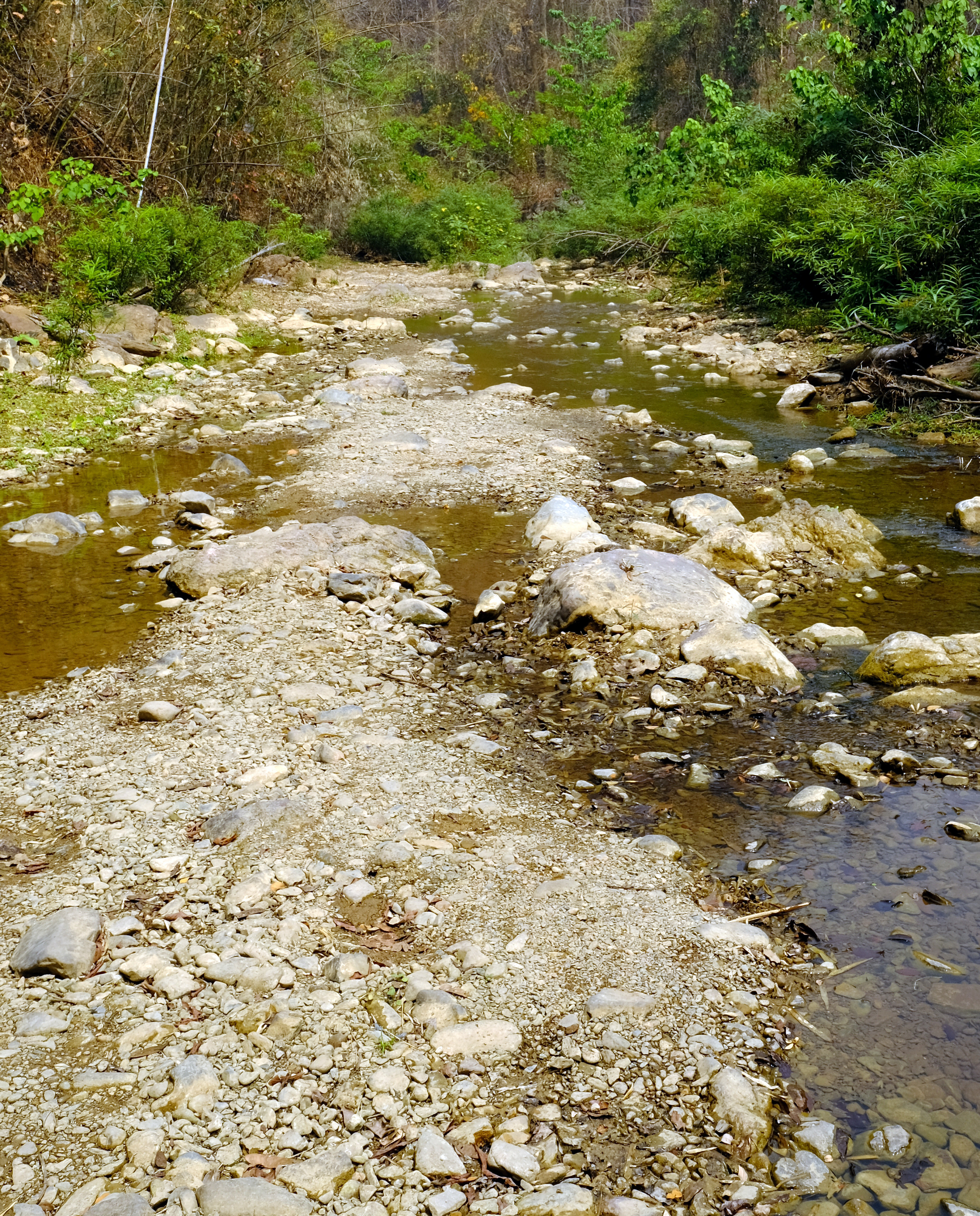
This is how it went, good road – ok road – bad road – off road – cross streams and small rivers – ride along rivers – off road – off bike – back on bike – sulk at coming off the bike – off road - ok road – good road.
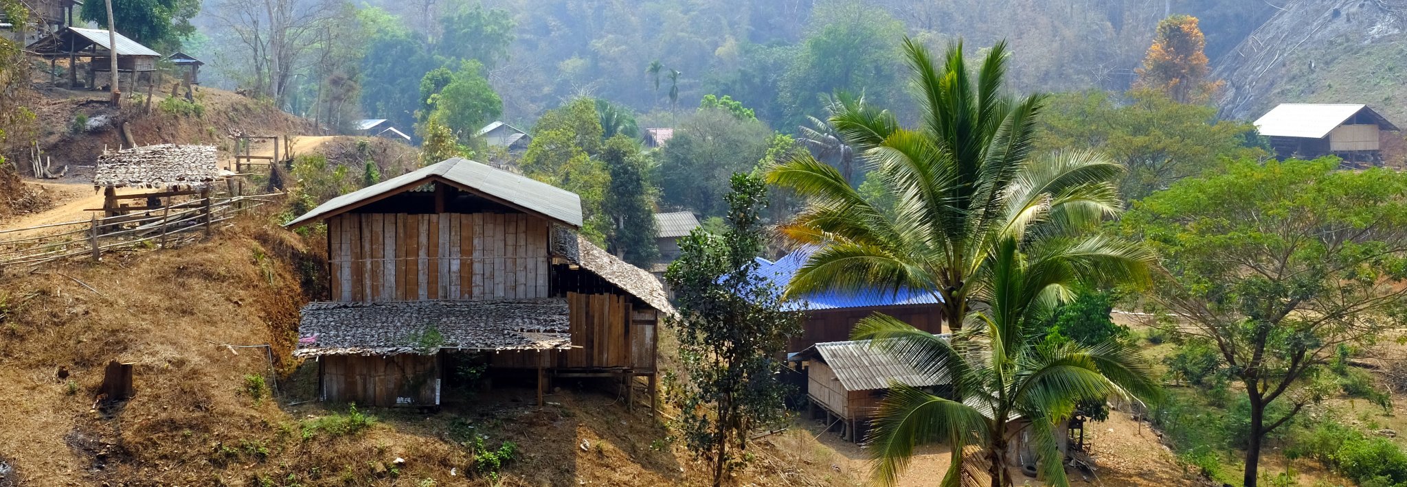
Route West from Mae Sariang on R4005 to the Salaween National Park, from here it’s a newly made tarmac road almost to the top of the mountain. From this point it slowly gets worse until you are alone in the jungle with the occasional village to ride through. Small stream crossings at this time of year were okay, but would be interesting in the rainy season. Eventually you arrive at Ban Tha Ta Fang on the Salaween river, with Burma on the opposite bank.
It is then a ride south following the river until you get to Ban Mae Sam Laep. It was on this stretch riding up a steep rutted track in first gear that I came off after hitting a rock and demonstrating how not to wheelie a motorbike. The only spill on my trip and not on the most difficult track. I was a bit <deleted> at that, but no damage to the bike and a small cut on my shin was it.
The rest of the ride got easier as I got nearer Ban Mae Sam Laep and from there good road all the way back to Mae Sariang.
https://www.relive.cc/view/vevYXpexByq


-
5
-
- Popular Post
- Popular Post
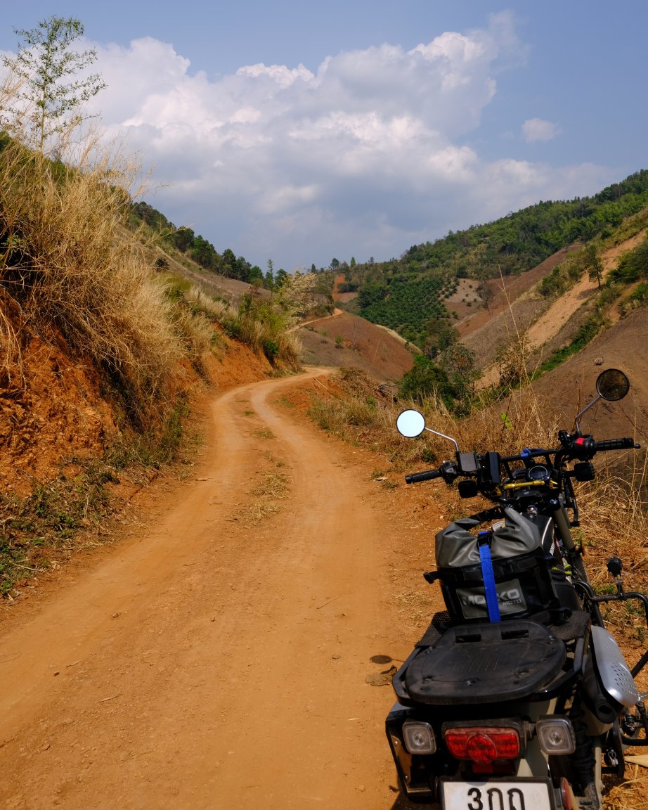
Day 32. 10 March.
Pai – Ban Pang Ung – Mae Sariang
My plan initially was to ride to Mae Hong Son, but I decided to try a new route south to Mae Sariang at last minute. I looked on Google maps and chose their second option route. This was a mistake as there was a lot more off road than I was expecting. But worth it for the views.
From Pai R1095 – R4006 – R1265 – R5050 south until hitting R1263 at Ban Pang Ung, then west to Khun Yuam and south to Mae Sariang on R108
https://www.relive.cc/view/vXOdKpp424v

-
3
-
- Popular Post
- Popular Post
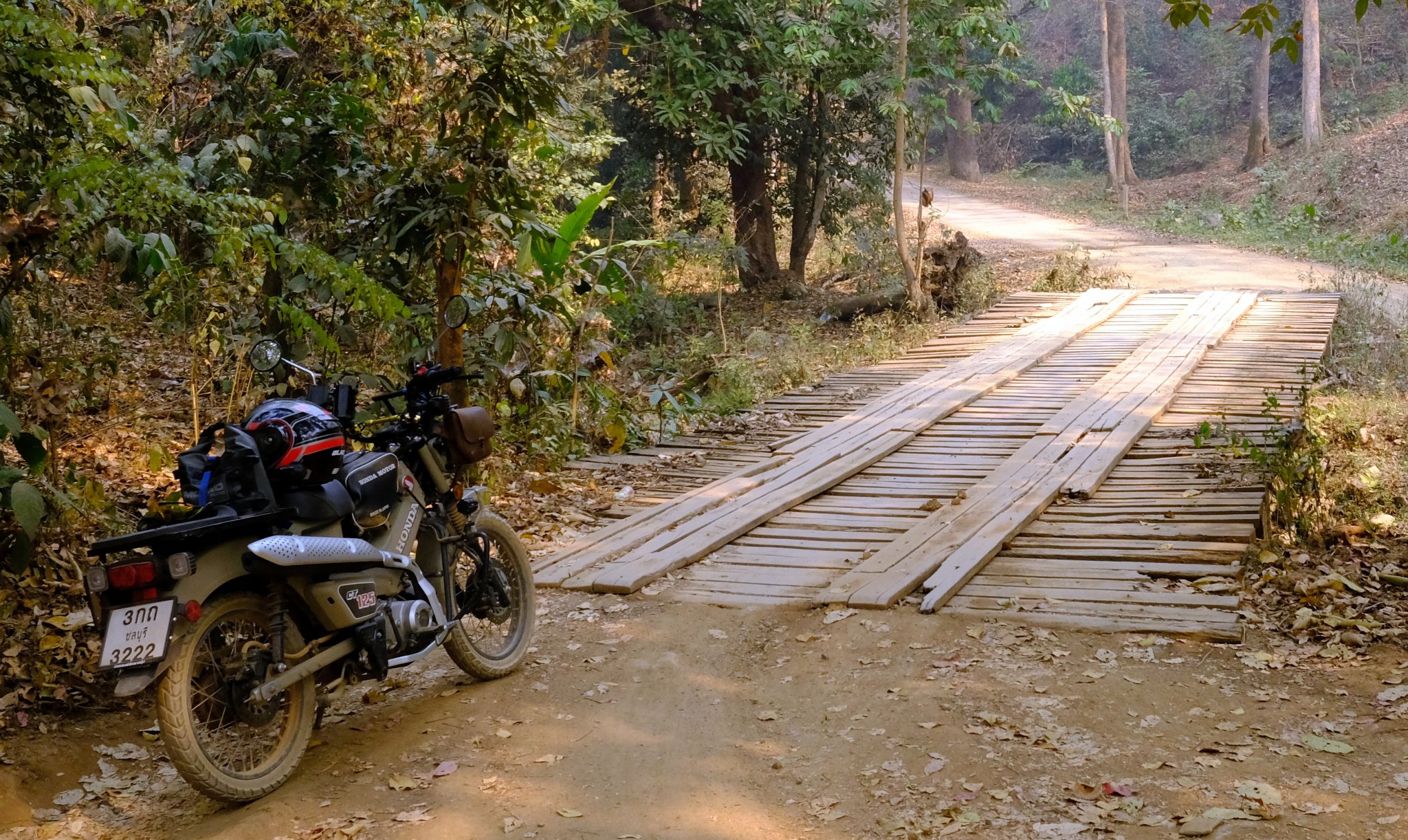
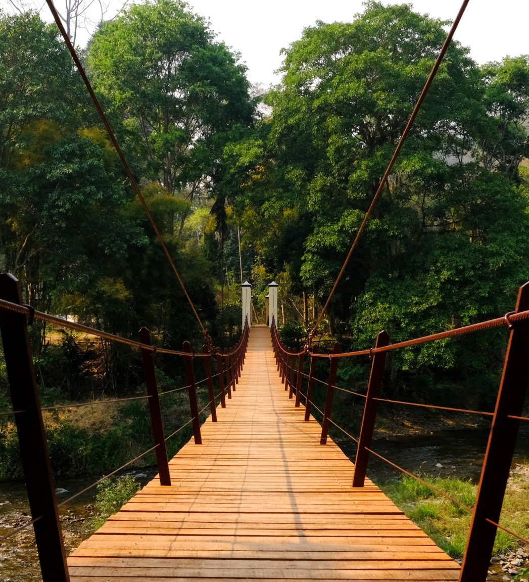
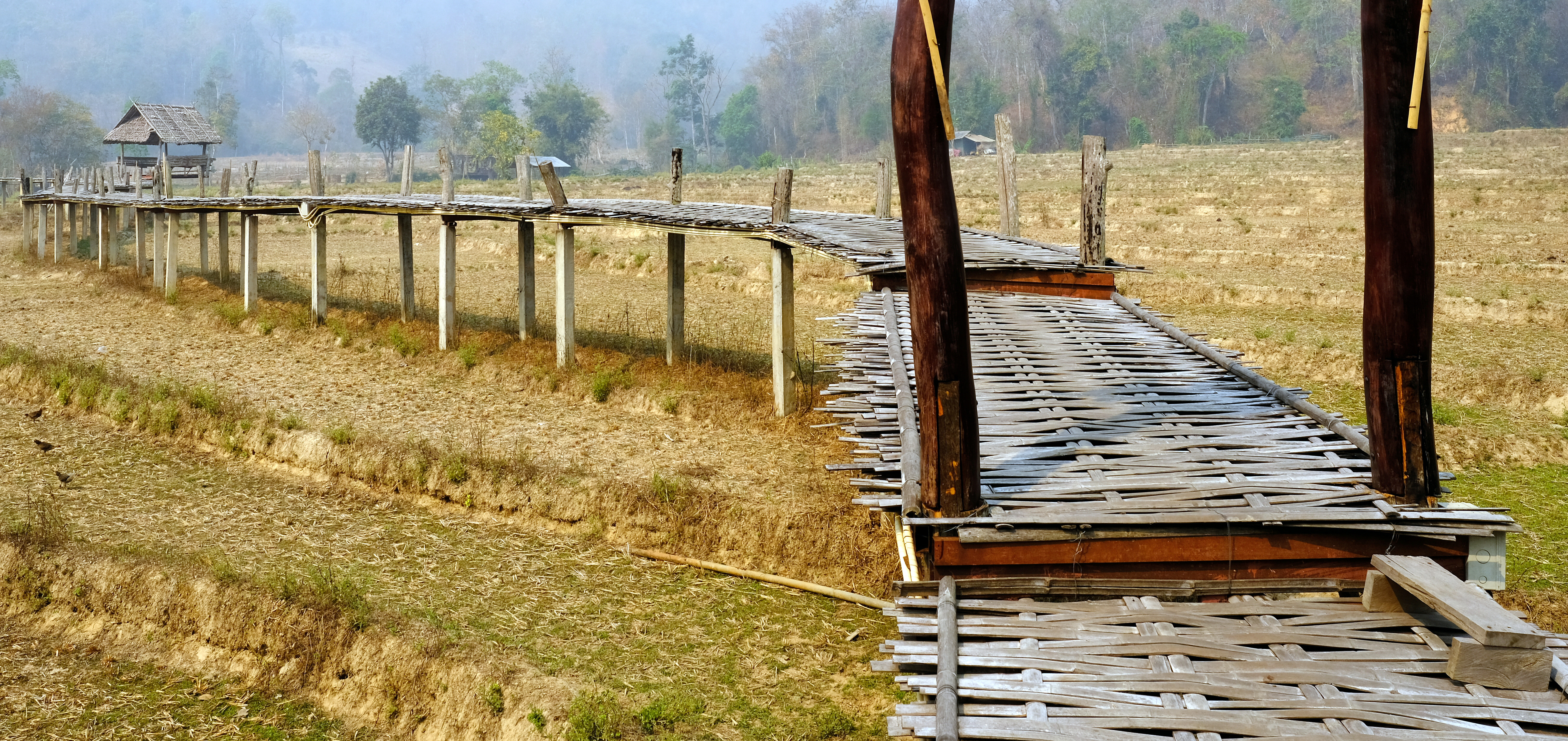
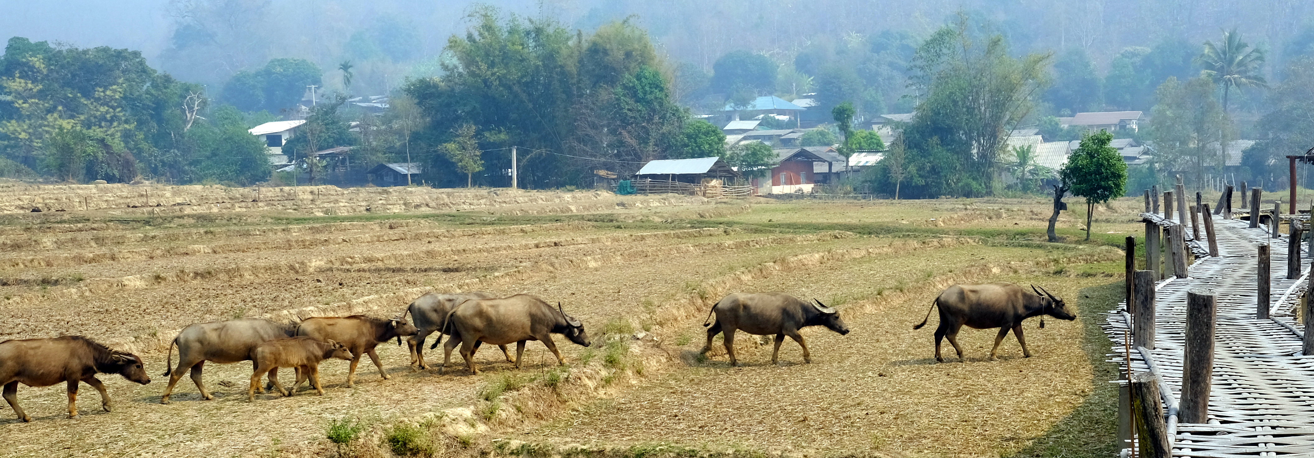
Day 31. 09 March
Pai to https://goo.gl/maps/jea9YRN9fjMQkJQS7
A nice ride. 58 km
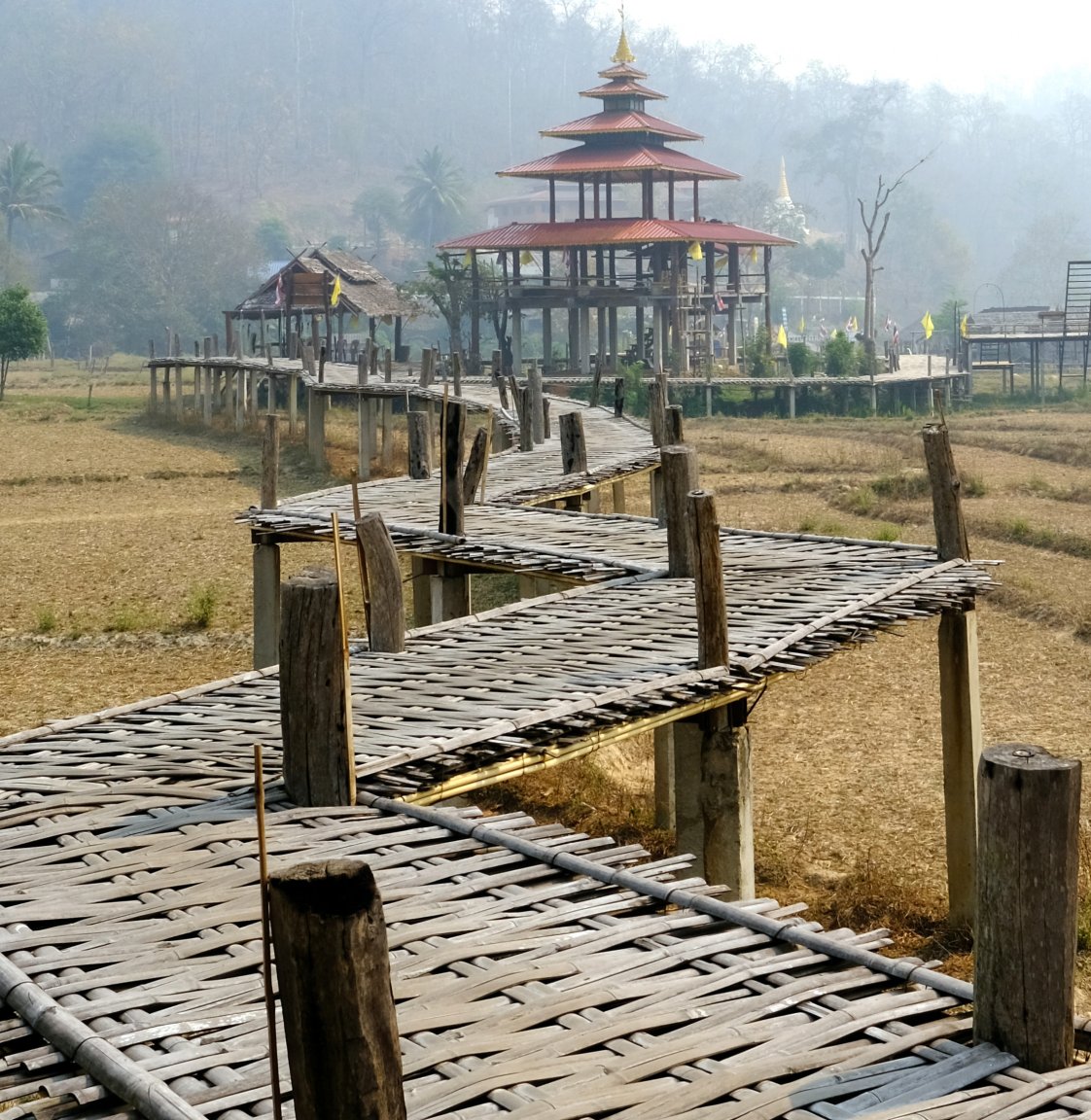
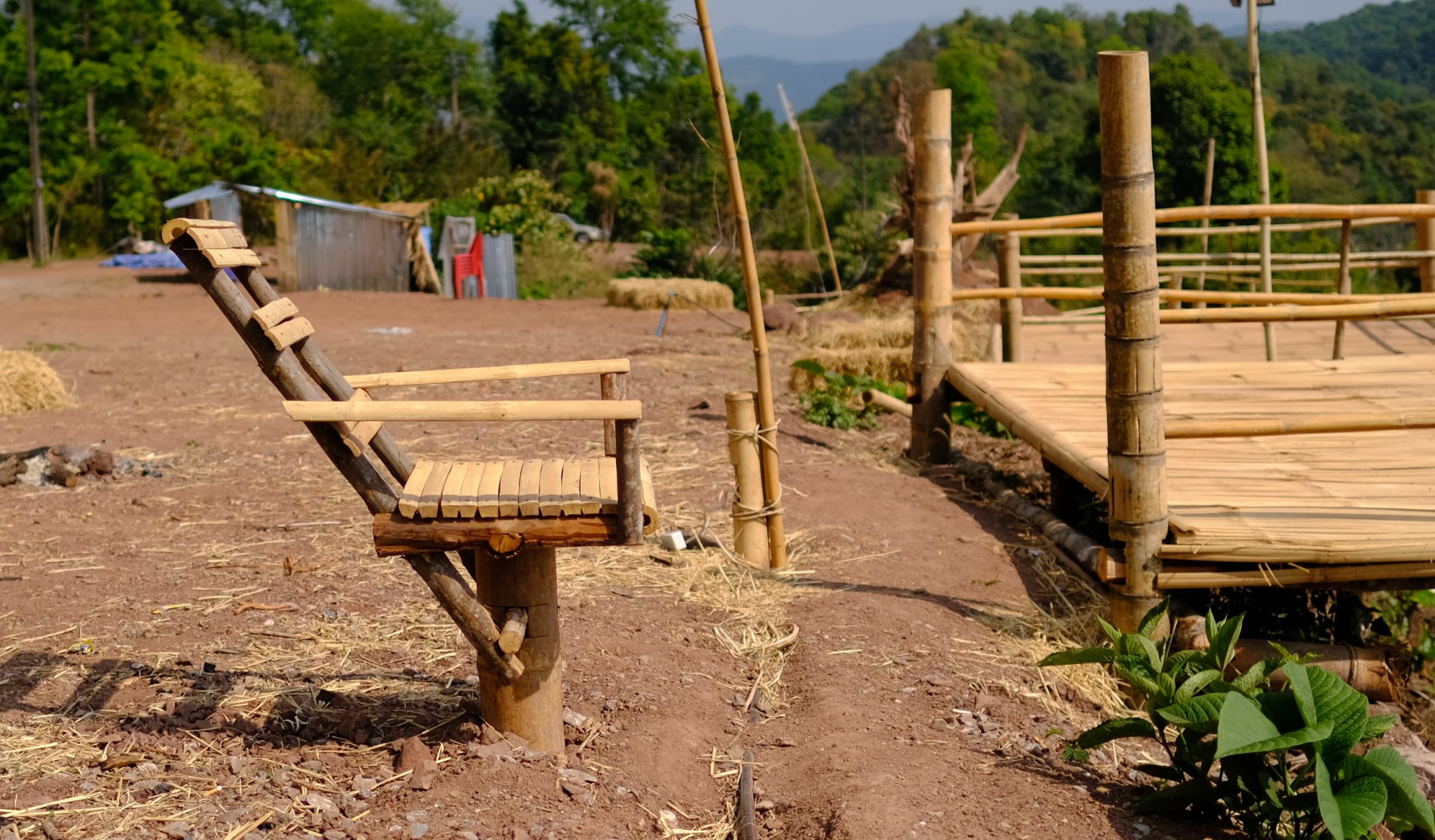
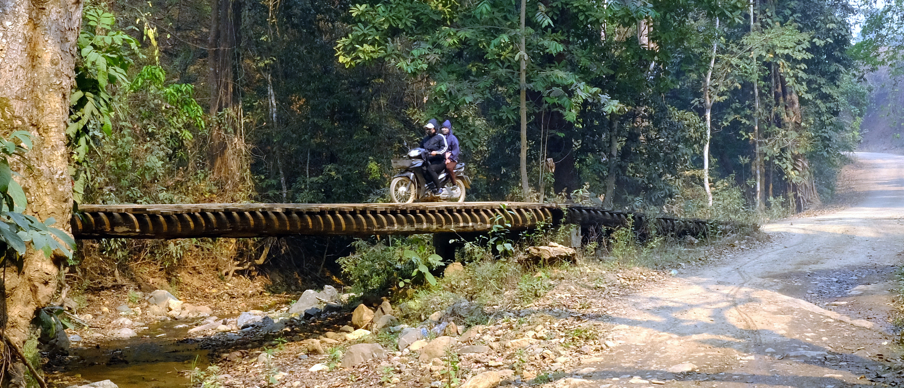
I stopped at the Bamboo Bridge on the way. In the green season it would be really nice here.
https://goo.gl/maps/5Cwya6htUg2SKgQ69
The rest of the ride was similar to the off road to Wiang Haeng yesterday, maybe more scenic in the jungle, but the road conditions steep in places. I think there may be a way to continue on that route from the dead end I was at, I should check on satellite images.
https://www.relive.cc/view/vrqo8wdegyv


-
5
-
- Popular Post
- Popular Post
Day 30. 08 March
Pai-Wiang Haeng-Chiang Mai Loop 264 km
The back road today to Wiang Haeng, it was only difficult near the end where the bike was struggling to get up the tracks even in first gear.
I carried on to Doi Kham Faa with the intention of riding up to the top, but time was getting short and an hour up and down plus would have left me riding in the dark, which I avoid if possible.
From Pai ride north on R4034 – R6014 – R4014 up to the army checkpoint. Then it was a large loop back to Pai on R1322 – R107 + R1095.
https://www.relive.cc/view/vrqDQpLjWwv

-
5
-
- Popular Post
- Popular Post
Day 29. 07 March.
Chiang Mai back roads to Pai. 195km
Should be a nice route, but the air quality was atrocious, smoke everywhere.
My route R3029 – R3028 – R1269 to Samoeng, Then R1349 – R1256 – R4006-R1095 to Pai
https://www.relive.cc/view/veqz31nE27v

-
3
-
- Popular Post
- Popular Post
Day 28. 06. March
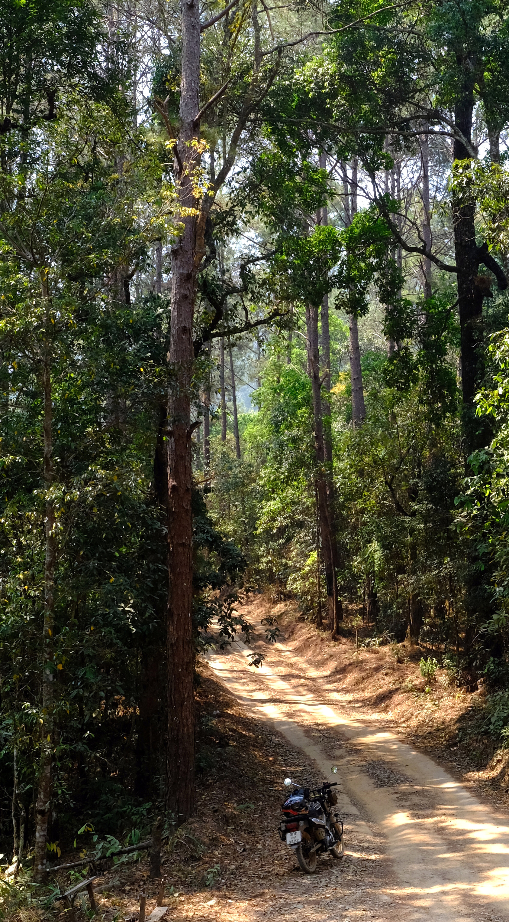
Chiang Mai – Doi Suthep up off road. 63km
I rode up Doi Suhep the opposite way this time starting the climb just beyond Huay Tueng Thao Reservoir.
It was so steep even in first gear it was struggling and a few times I had to paddle with my feet to keep going. I was surprised that I had managed to ride down it without incidents before.
Up near the top it is great in the forest there.
https://www.relive.cc/view/vPv4GVZ3r3q


-
5
-
- Popular Post
- Popular Post
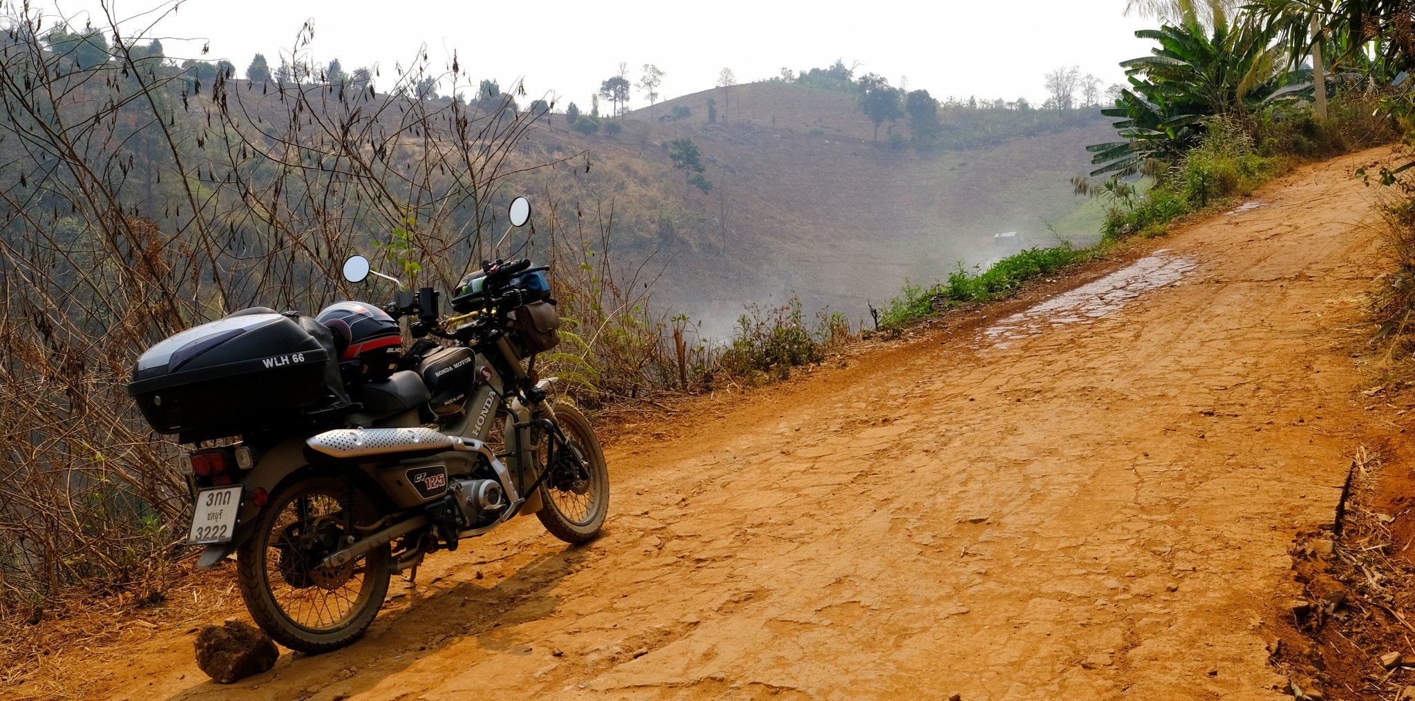
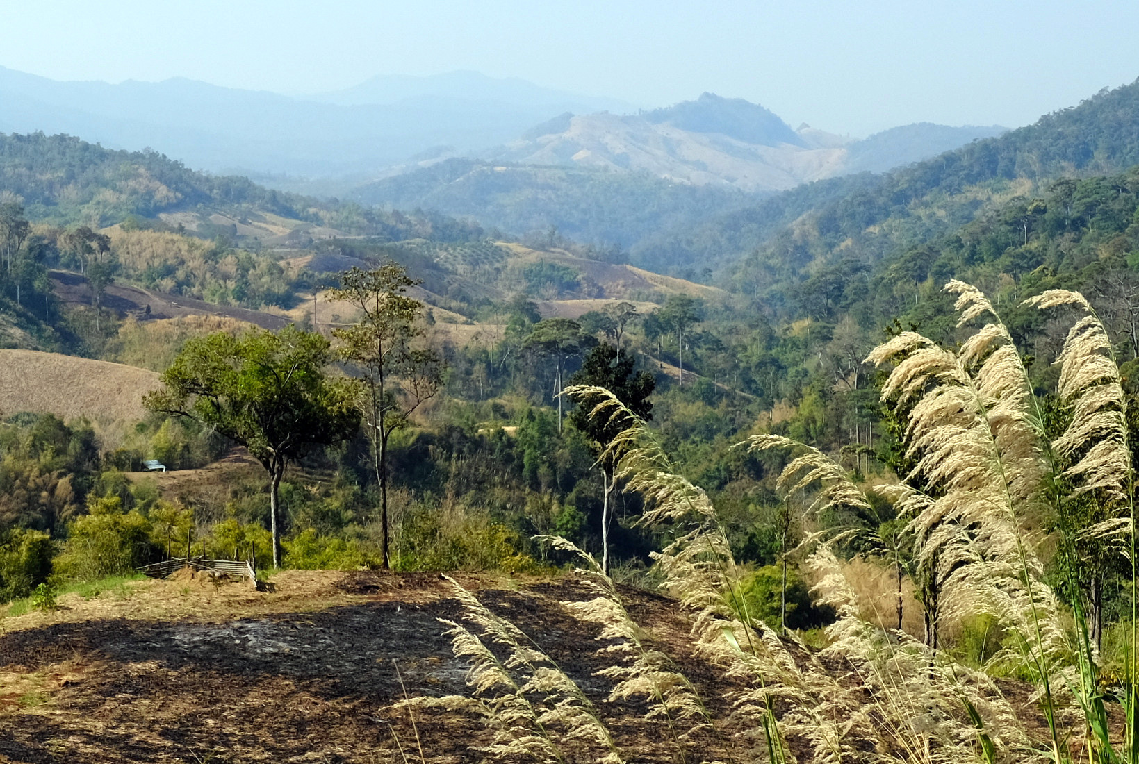
Day 27. 05. March
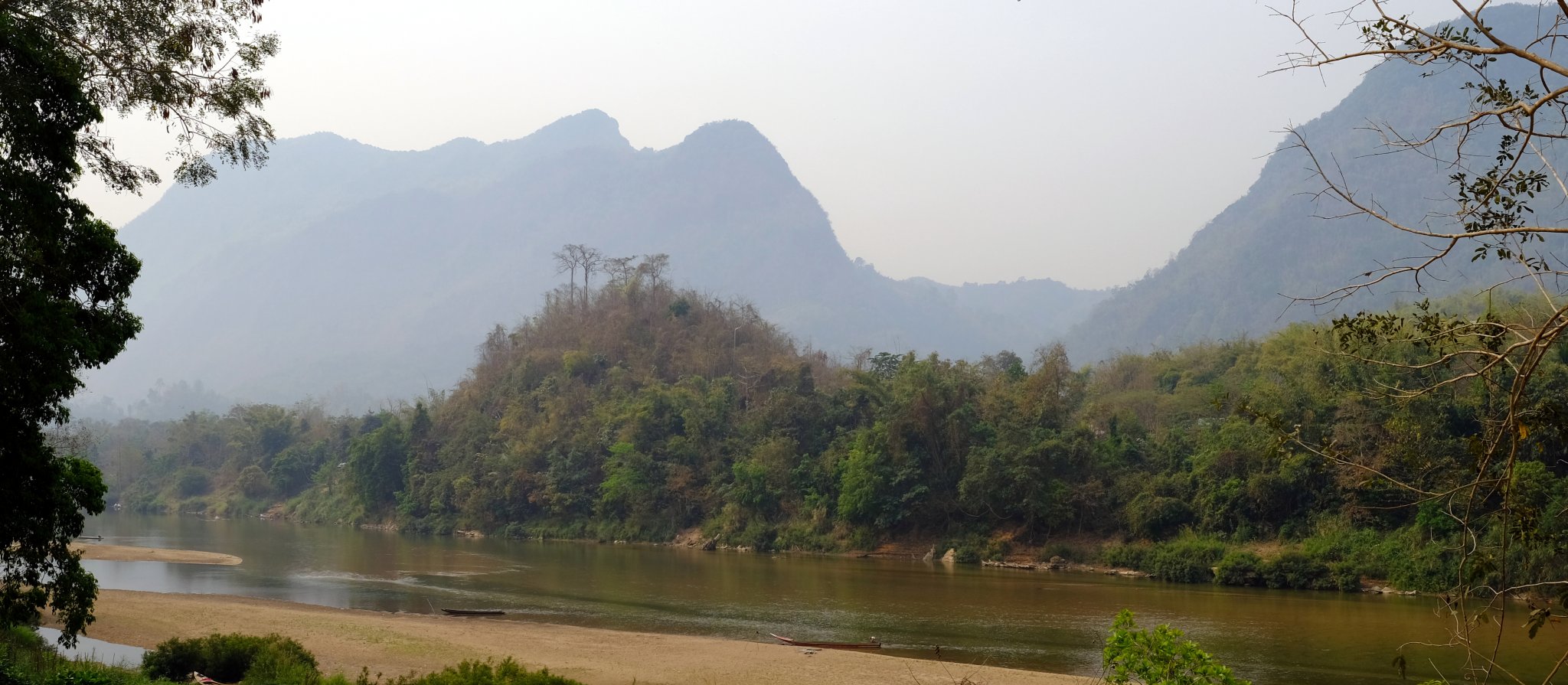
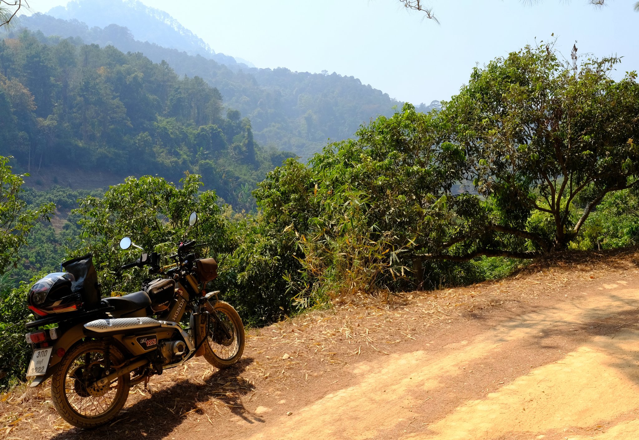
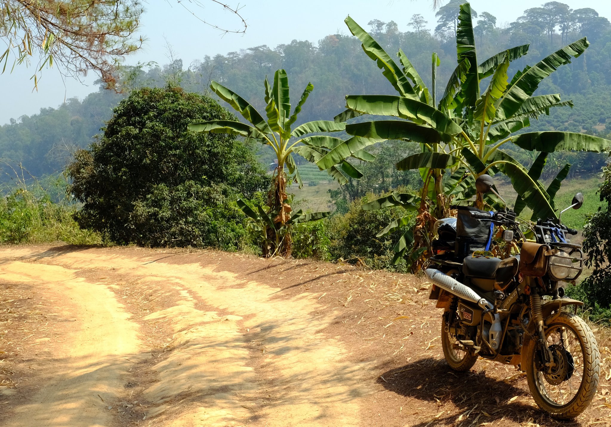
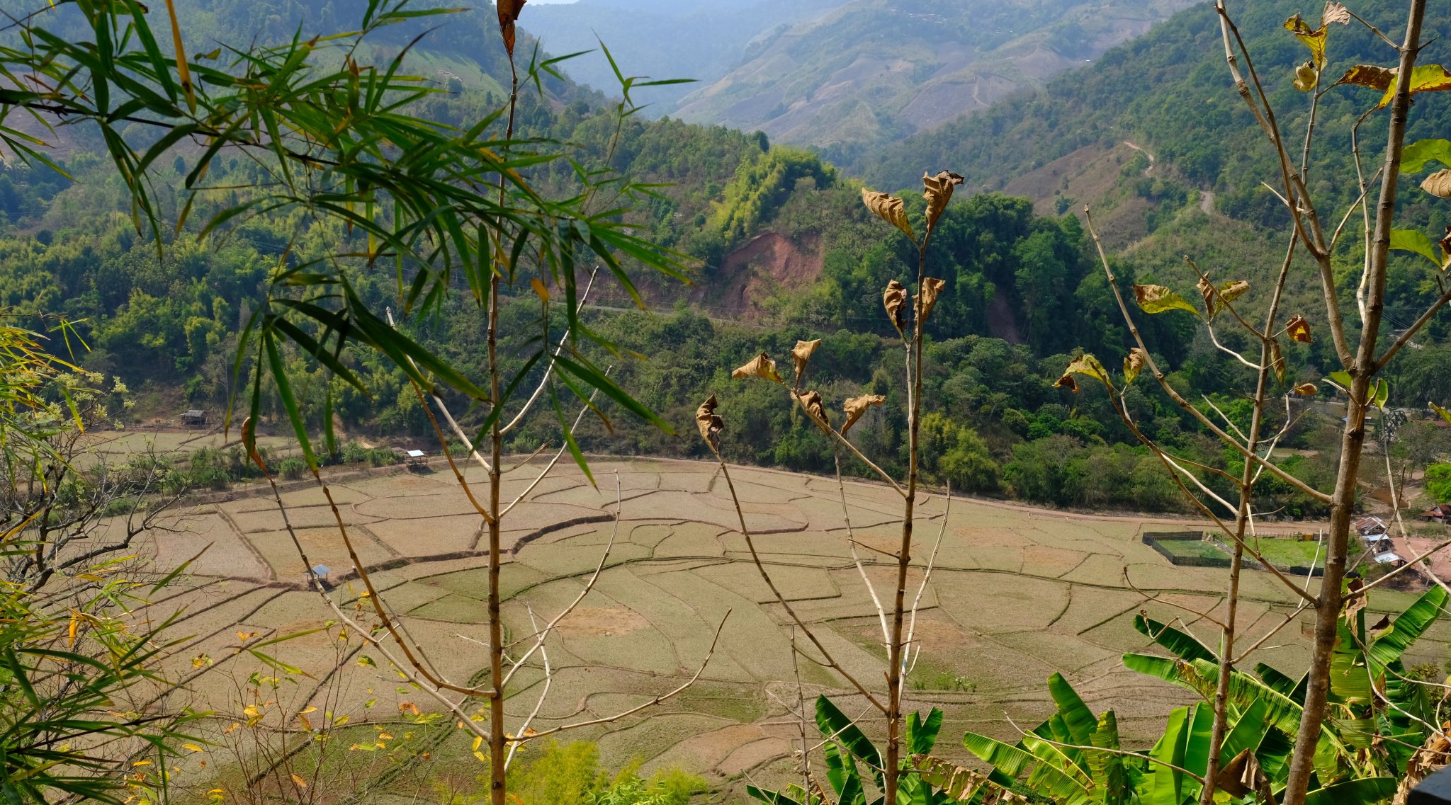
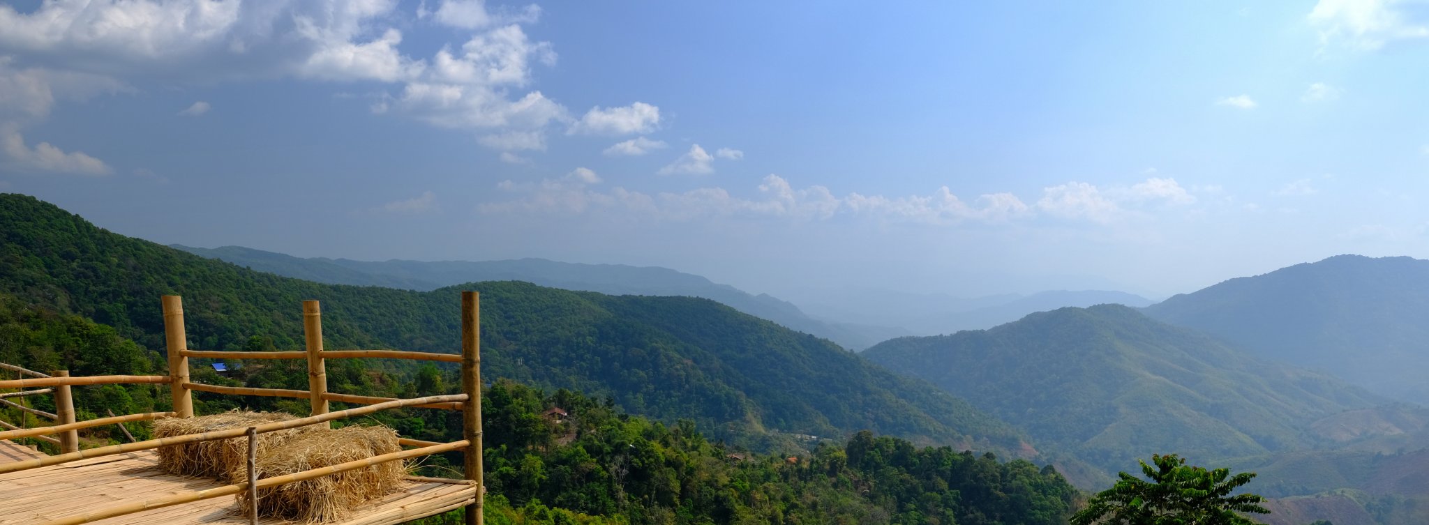
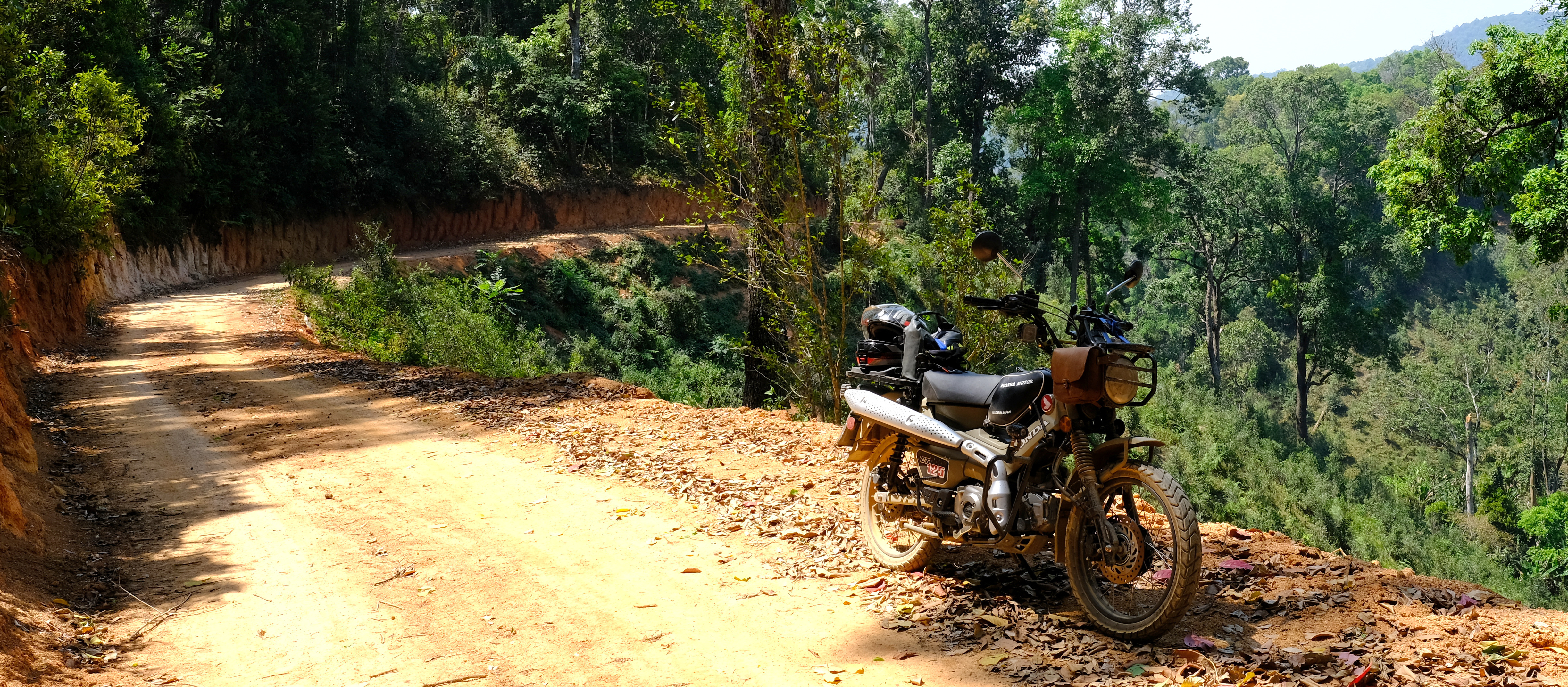
Chiang Mai – Mae Wang – Mae Chaem –Doi Inthanon Loop. 280 km. 10 hrs. Max height 5,459 ft.
Today’s plan was Mae Wang and looping back to Chiang, an easy ride. But after finding a newly laid concrete road I decided to follow it and see where I ended up.
Lost was the answer, on sandy rutted and some unpleasant tracks covered in Bull Dust making it difficult to see the ruts and potholes clearly. Combined with it being very hot with dust devils popping up at time it was a challenging ride.
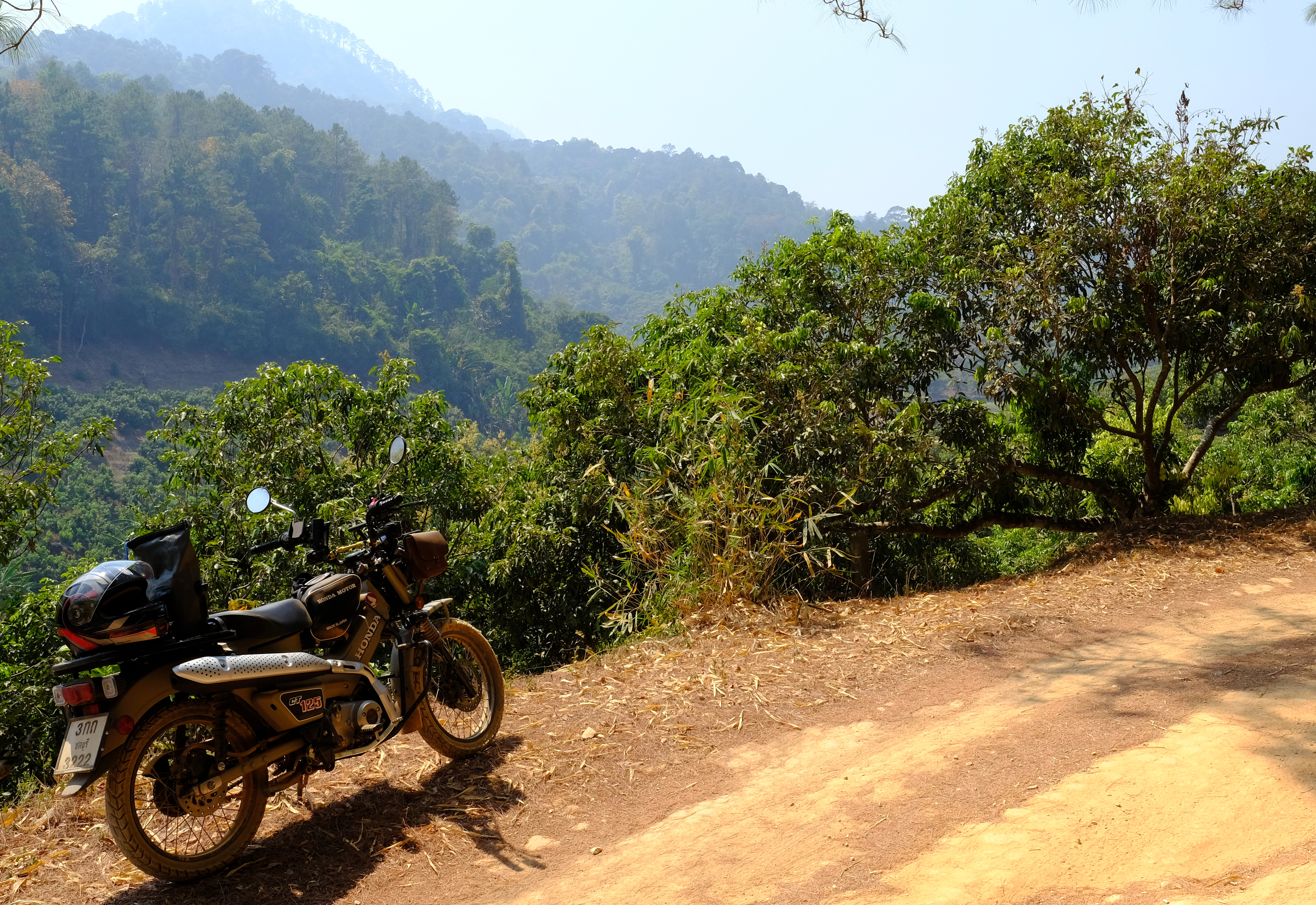
Although there was bad visibility the views were great in place.
Chiang Mai south R3035 / R108, then head west to Mae Wang on R1013 pass Mae Win and Ban Huai Tong R4053 at about this point is the new concrete road
https://goo.gl/maps/5ysxML65nt4tzKWFA
The concrete road eventually turned to sandy tracks then more concrete alternating until just rutted sand clay and sand.
I kept following this track for a few hours, eventually I found someone to ask where I was or the next town was, and was told another few hours to get there. But I think in total off road was 3 hours.
I eventually came to R1088 at Ban Mae Na Chon.
https://goo.gl/maps/5ysxML65nt4tzKWFA
From there it was easy riding back R1192 – R1009 – R108 to Chiang Mai.
https://www.relive.cc/view/vmqX23XyMoO


-
5
-
- Popular Post
- Popular Post
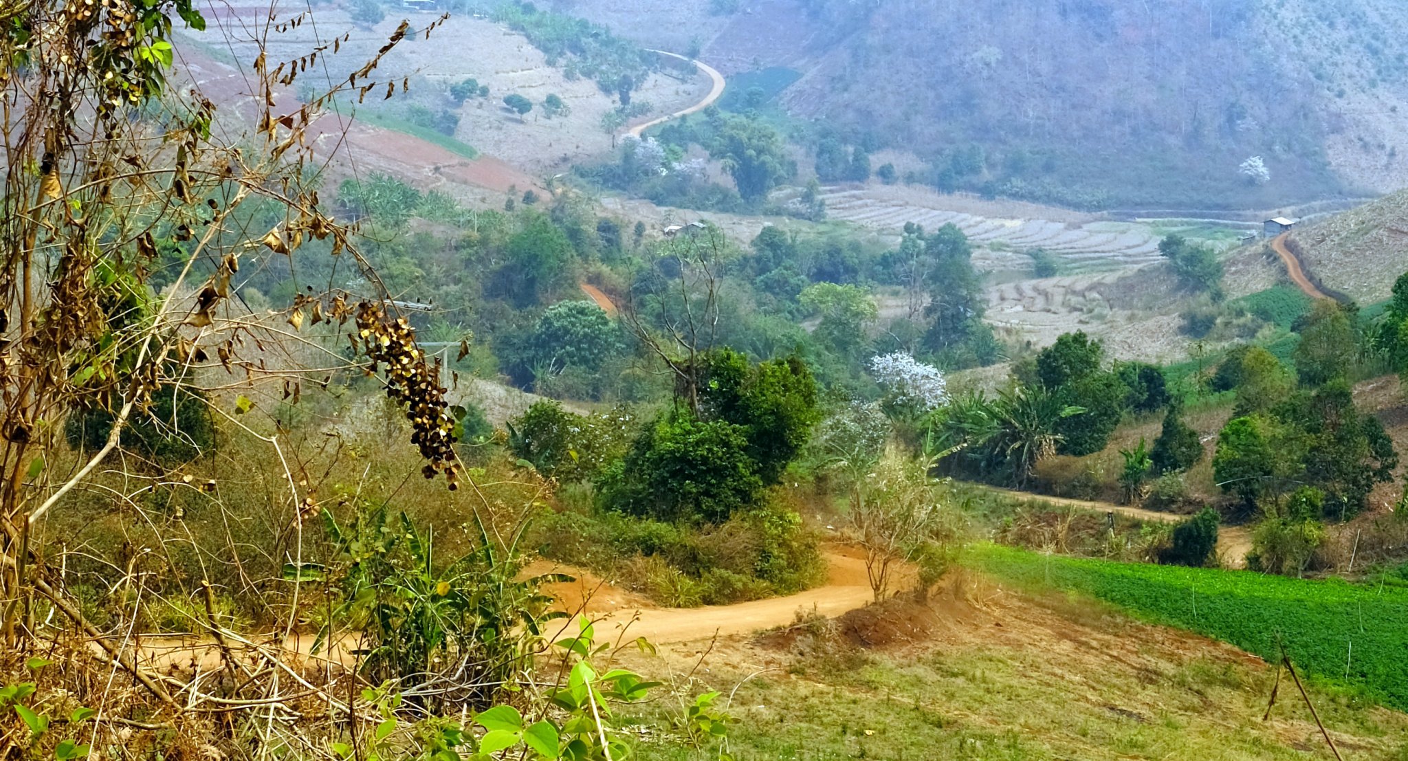
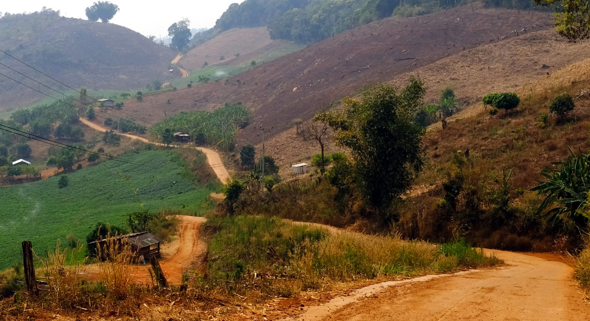
Day 26. 04.03.21
Chiang Mai – Mae Kuang Dam – Mae Pang (failed mountain track route) 206km
I found the dam easily this time as I took the main road directly there.
Following the tracks towards the same temple as last time I turned off and headed for.
https://goo.gl/maps/KqJf1XWJPz5i31UQ9
When I came to my turn to go up into the mountains and was talking to a local who told me I could not. I think he did not understand the concept of riding for fun in the jungle and directed me to the main road route. But I did not know at the time. It was still a nice ride, but not the trip I was hoping for.
From the point I was told I could not turn at Huai Khrai I continued eastwards following the Sai River the Mae Chedi River until hitting R118 and back to Chiang Mai.
https://www.relive.cc/view/v1OwNGpZdXv


-
4
-
- Popular Post
- Popular Post
Day 25. 03. March.
Chiang Mai –R3052 mountain exploring loop (Doi Mon Ngo) 4,200 ft max. 171 km
Another interesting day, some off road riding. Lots of up and down mountains.
Chiang Mai north on R107 – R2009 – Unknown road spurred off west in a big loop back to R3052. Then a ride up to Doi Mon Ngo, back onto R3052 northwards before looping back to the R107 and back to Chiang Mai. Some great riding and views with some easy off road tracks.
Doi Mon Ngo was closed, so another trip needed!
https://goo.gl/maps/3EiiKGS5PQcaUnb66
https://www.relive.cc/view/vZqNnLQnKGq

-
4
-
- Popular Post
- Popular Post
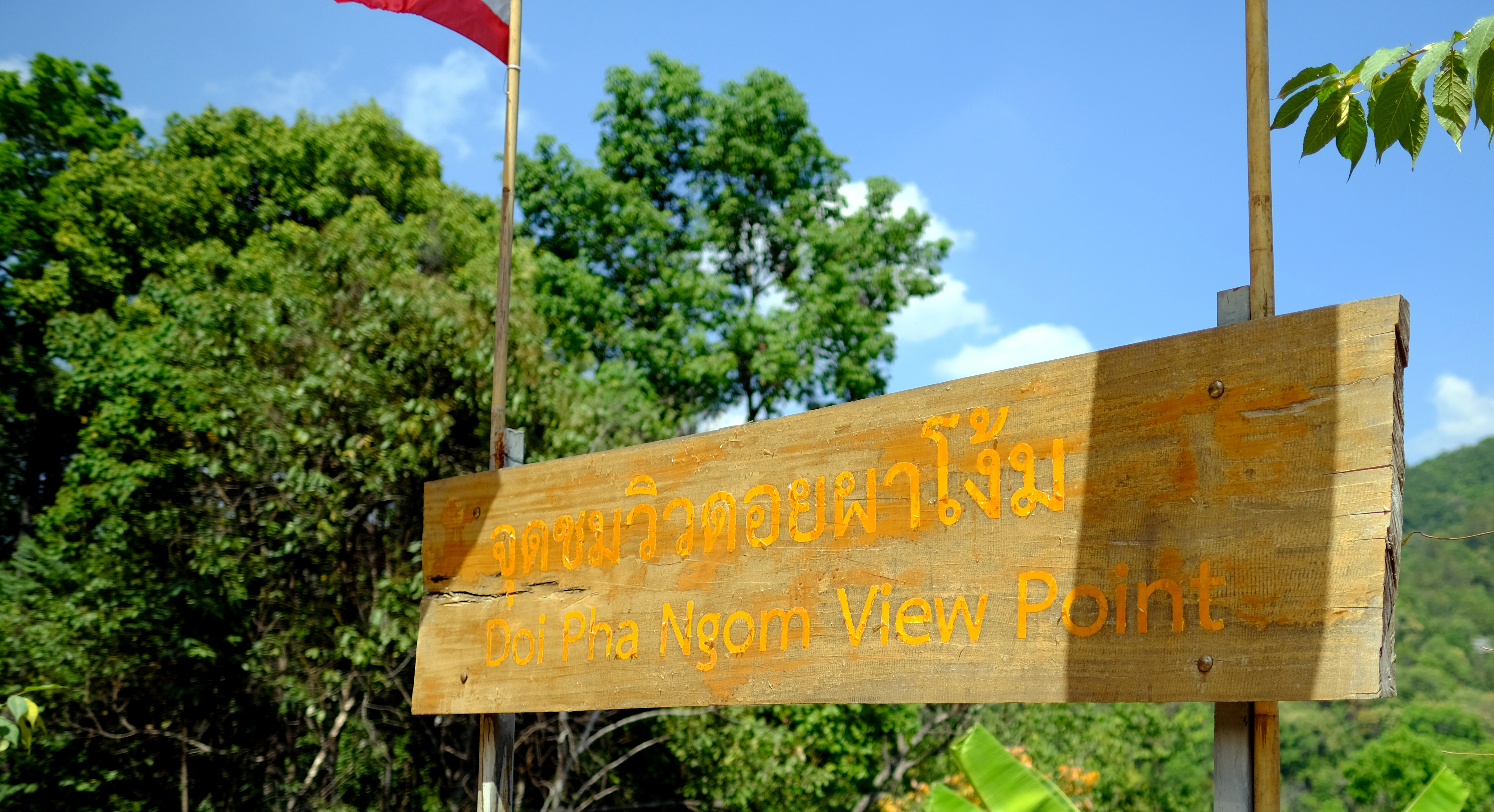
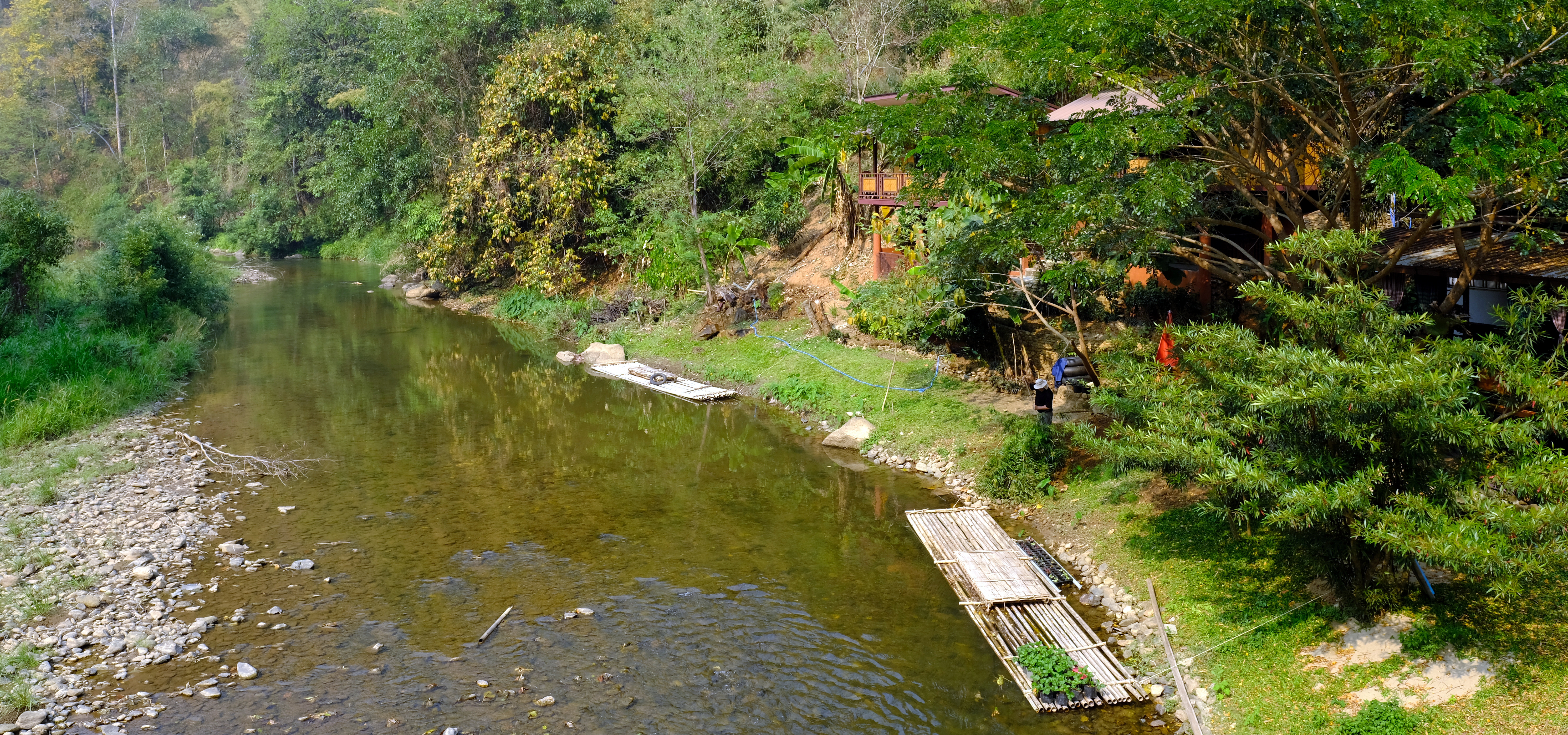
Day 24. 02. March.
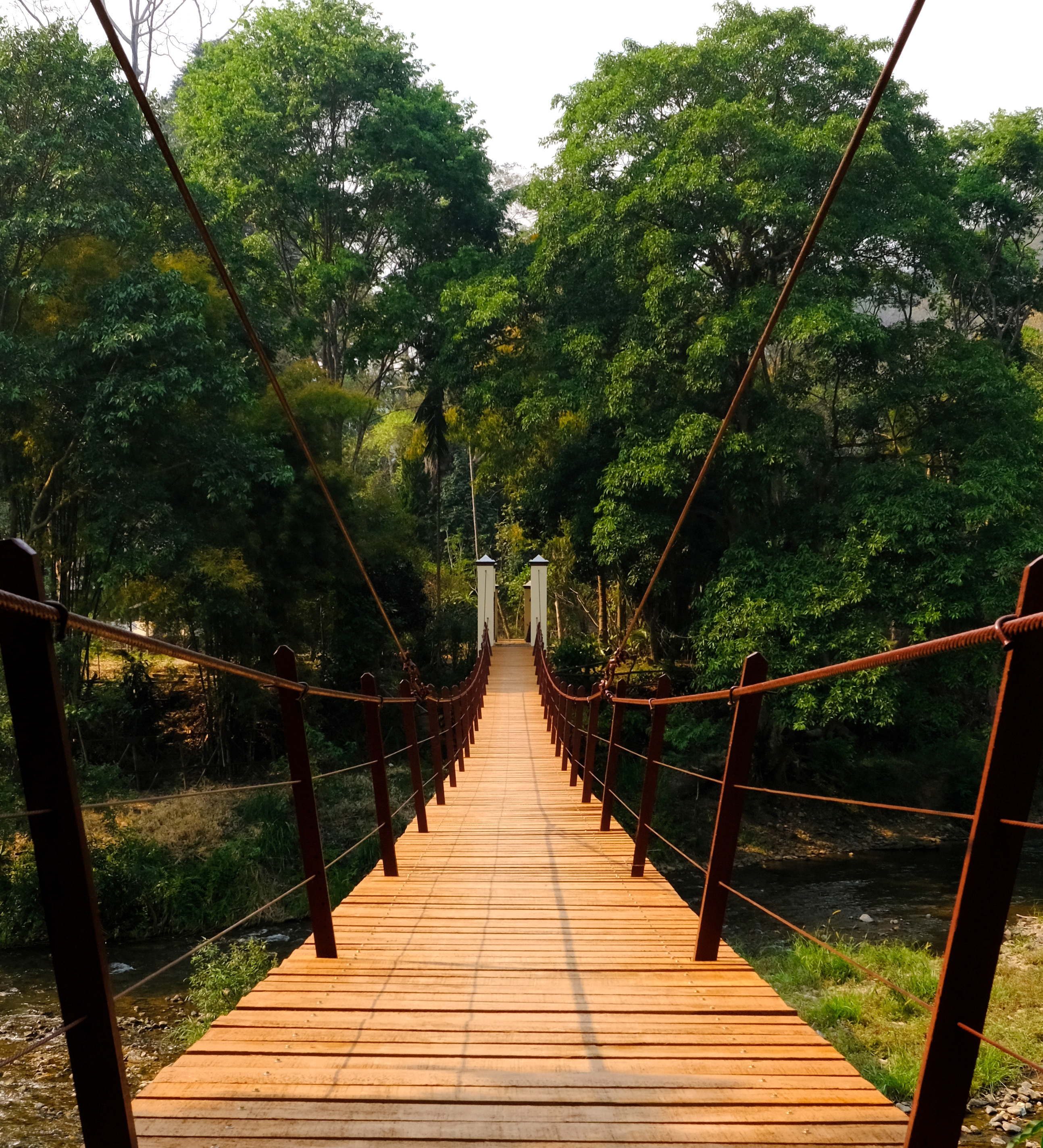
Chiang Mai – Mae Kuang Dam – Mae Pang Temple. 221 km
Trying to find the suspension bridge at Mae Kuang Dam was interesting as I wanted to take the scenic route there and Google was sending me all over the place, extremely frustrating to say the least!
Mae Pang Temple was at a dead end and nothing special at all, but the ride through the jungle was wonderful, really quiet, easy tracks and great views. Just what I was looking for.
From the bridge here
https://goo.gl/maps/7p9amycuiSTyzz2N6
Continue north on R4031 until hitting R1001, head east then north until you come to R4049 where you turn east, very soon you are off road. And follow to the dead end here.
https://goo.gl/maps/GadXmDq9m4ttVypp6
https://www.relive.cc/view/vDqg7KYxDVq


-
5
-
- Popular Post
- Popular Post
Day 23. 01. March.
Chiang Mai – Doi Suthep Loop. 4,220 ft. 62km
I rode the normal road up Doi Suthep, R1004 and continued on to Doi Pui Viewpoint.
From here I continued past Doi Pui Camping area and down some steep and stony in places tracks until coming out at the army checkpoint near Huay Tueng Thao Reservoir.
https://goo.gl/maps/pQkQG1DzA8oTFbY5A
https://goo.gl/maps/ujxV5z14Boi5N7UP7
https://goo.gl/maps/ywNU5oxrbr6eJrRbA
https://www.relive.cc/view/vMq57egEm8O

-
4
-
- Popular Post
- Popular Post
Day 22. 28 Feb.
Chiang Rai – Doi Chang – Chiang Mai. 316km
I took a convoluted route to Chiang Mai today, it made it a long ride, but a better ride than strait there.
Doi Chang - Mae Ai – Fang - Chiang Mai
Doi Chang R5047 – R3037 – R107
https://www.relive.cc/view/vKv27QBdW4O

-
4
-
- Popular Post
- Popular Post
Day 21. 26 Feb.
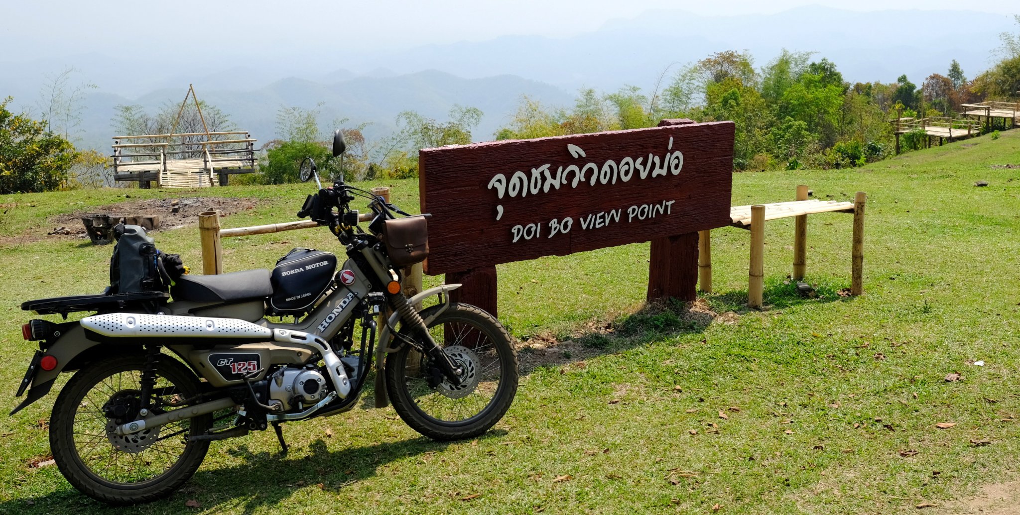
Chiang Rai – Doi Bo (Baw) 62 km. 3,800 ft max height.
R1207 north west out of Chiang Rai until the small roads and tracks lead up to the camping and parking area.
I carried on for another 400 meters until the track was to steep and difficult for me. Then I walked up to where I think the top is, the track continues into the distance for a long way.
As I was walking up, a Thai guy came riding up on his scooter with a chicken riding pillion! How the heck he got up there I don’t know, he must have had lower gearing too as it was very steep.
https://goo.gl/maps/VWvjcMmMcKCb7jyM8
https://www.relive.cc/view/vPOpY3e4VE6


-
4
-
- Popular Post
- Popular Post
Day 20. 26 Feb.
Chiang Rai – Doi Chang – Mae Suai – Loop 117 km
The road to Doi Chang takes you over a weir, but Google maps take you on a small steep off road loop coming out just after the weir, a more interesting route I think.
Doi Chang is too touristy for me but worth the ride to look around.
https://goo.gl/maps/cNQVAXJbX6XTzToV8
https://www.relive.cc/view/vrqDQgw7pwv

-
3
-
- Popular Post
- Popular Post
Day 18. 24 Feb. Stayed around town.
Day 19. 25 Feb.
Chiang Rai – R1208 Mae Kok, Mae Ai Loop. 168 km
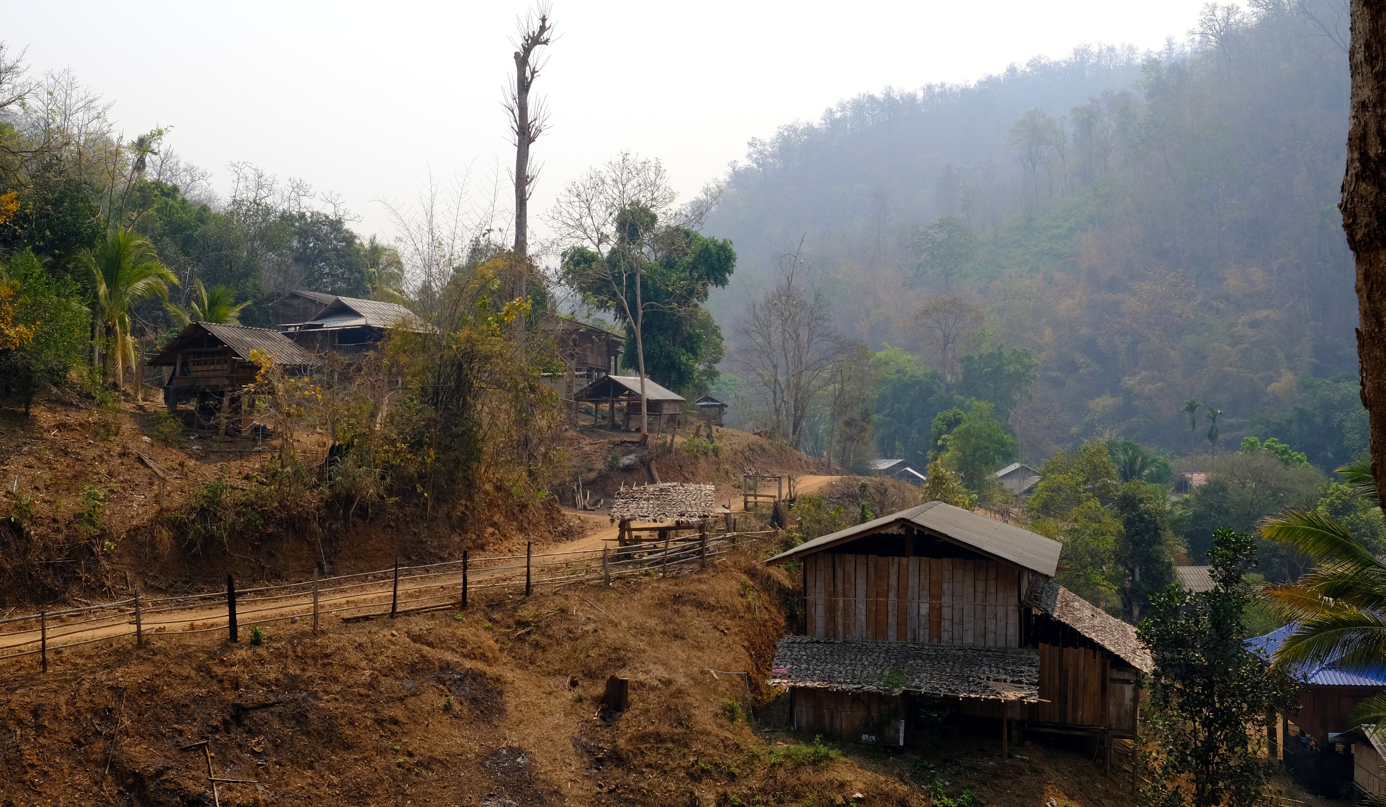
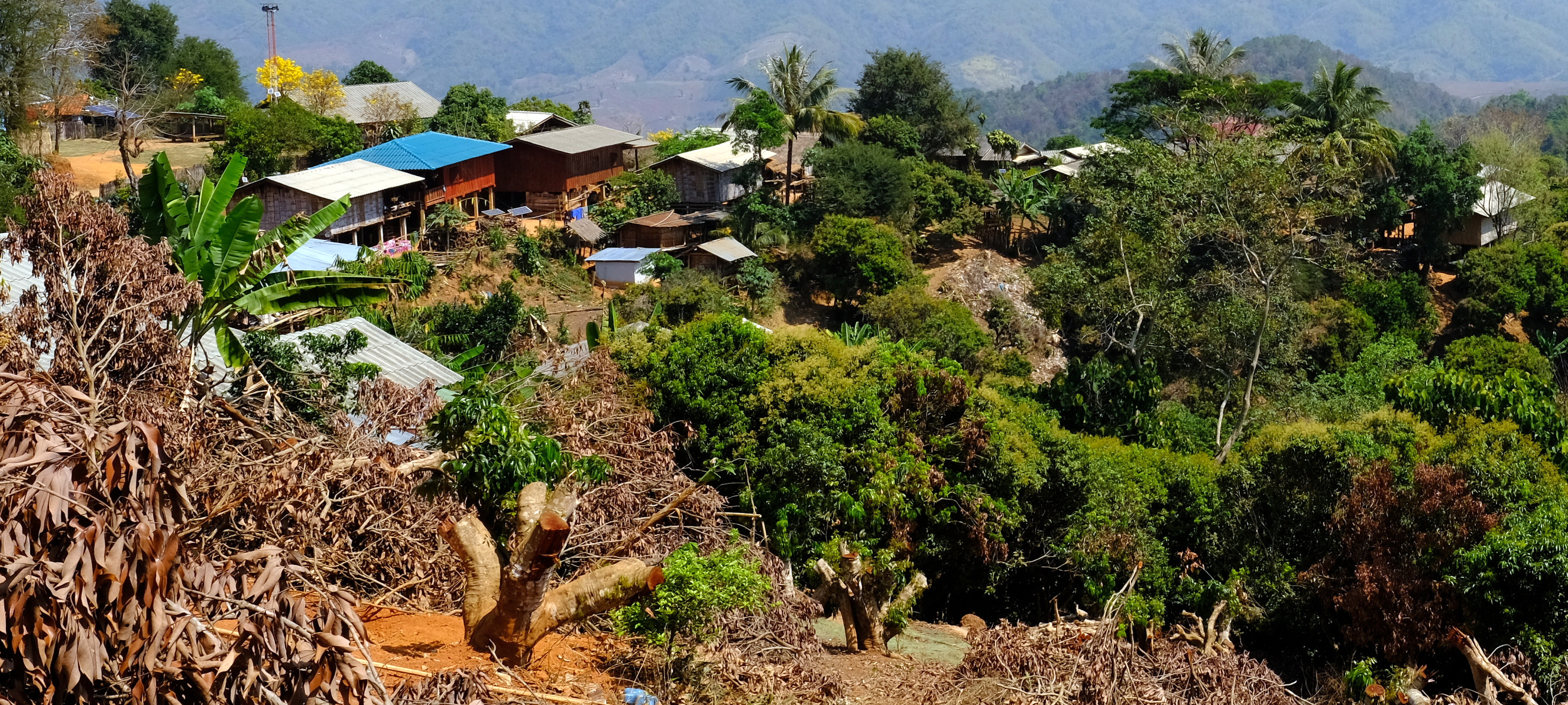
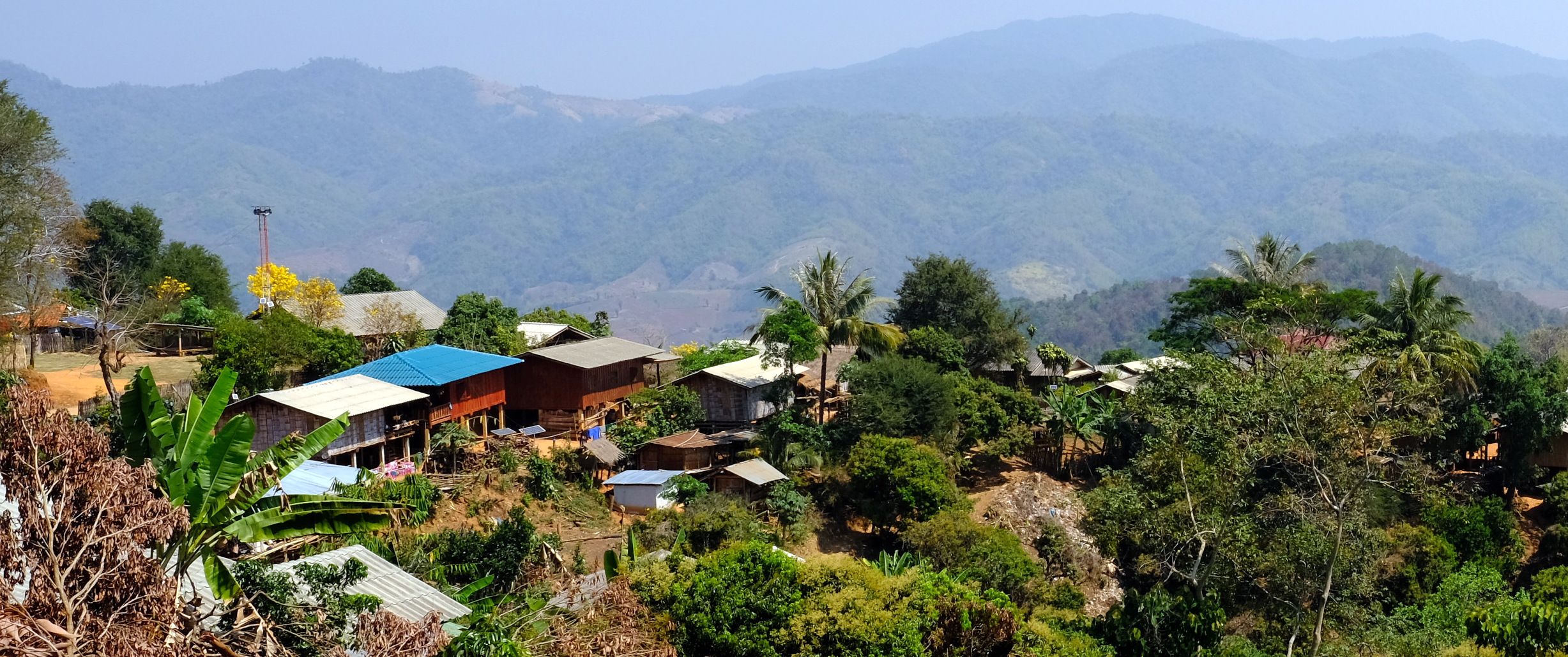
I rode south west from Chiang Rai on R1211 then north west on R1208. From this road I took a small track northwards which got a bit tricky in places and very steep. After a small river crossing there were some difficult (for me) steep, rutted tracks and no sign of and regular traffic at all. When I eventually found a farmers dog I was quite relived, very remote and no electric in the villages that I noticed.
https://www.relive.cc/view/vMq57jjnBQO


-
5
-
- Popular Post
- Popular Post
Day 16. 22 Feb.
Nan to Chiang Rai. 229 km
Very smoky day, no views at all, and I wanted to find a camera shop in the city, so a straight ride through. Nobody stocked the filter, and it needs to be ordered from Amazon. Then the UK cancelled my credit card, so that was that for the trip.
https://www.relive.cc/view/v8qV9BY8k36
Day 17. 23 Feb
Chiang Rai - suspension bridge – Mae Kok River – Mai Ai Loop. 110 km
A friend of mine suggested this route, basically following the Kok river from Chiang Rai. I rode both the north and south side of the river to the suspension bridge, then I stayed on the north side. I was stopped two times by the police or army who had fully armed road blocks, but I was waved through with no issue.
I then took a wrong turn and ended up heading away from the river on some steep tracks until I eventually hit R1089 here on rural road 4044
https://goo.gl/maps/xpRKB343jdqrooCk9
https://goo.gl/maps/5LohgVy5JiX5gqKx7
https://www.relive.cc/view/vevYXo2R7Jq


-
4
-
- Popular Post
- Popular Post
Day 15. 21 Feb.
Nan – Nong Daeng – Nam Pua – Nan loop 212 km
A ride to the end of road 1168 to Nong Daeng. Quiet and remote as it’s a dead end.
https://goo.gl/maps/GgTucNJUdJpbhfzYA
I played around a bit on farmers track before the ride back. Great fun and seemingly endless tracks to keep exploring.
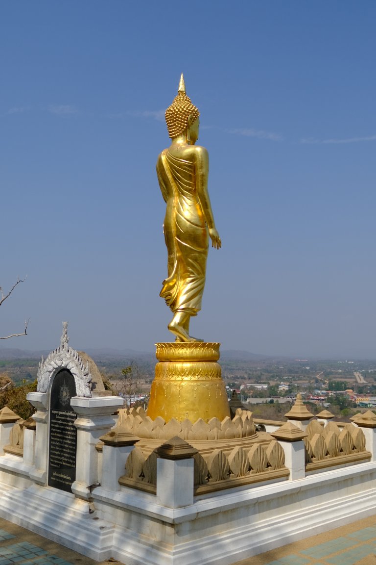
When back in Nan I took a ride up to the Buddha Statue on the hill overlooking the town.
I got back to my hotel, and my camera rolled off the bike seat where I placed it. $200 worth of filter smashed, but at least the lens and camera were ok.
https://www.relive.cc/view/vr637BAYr86


-
4
-
- Popular Post
- Popular Post
Day 14. 20 Feb.
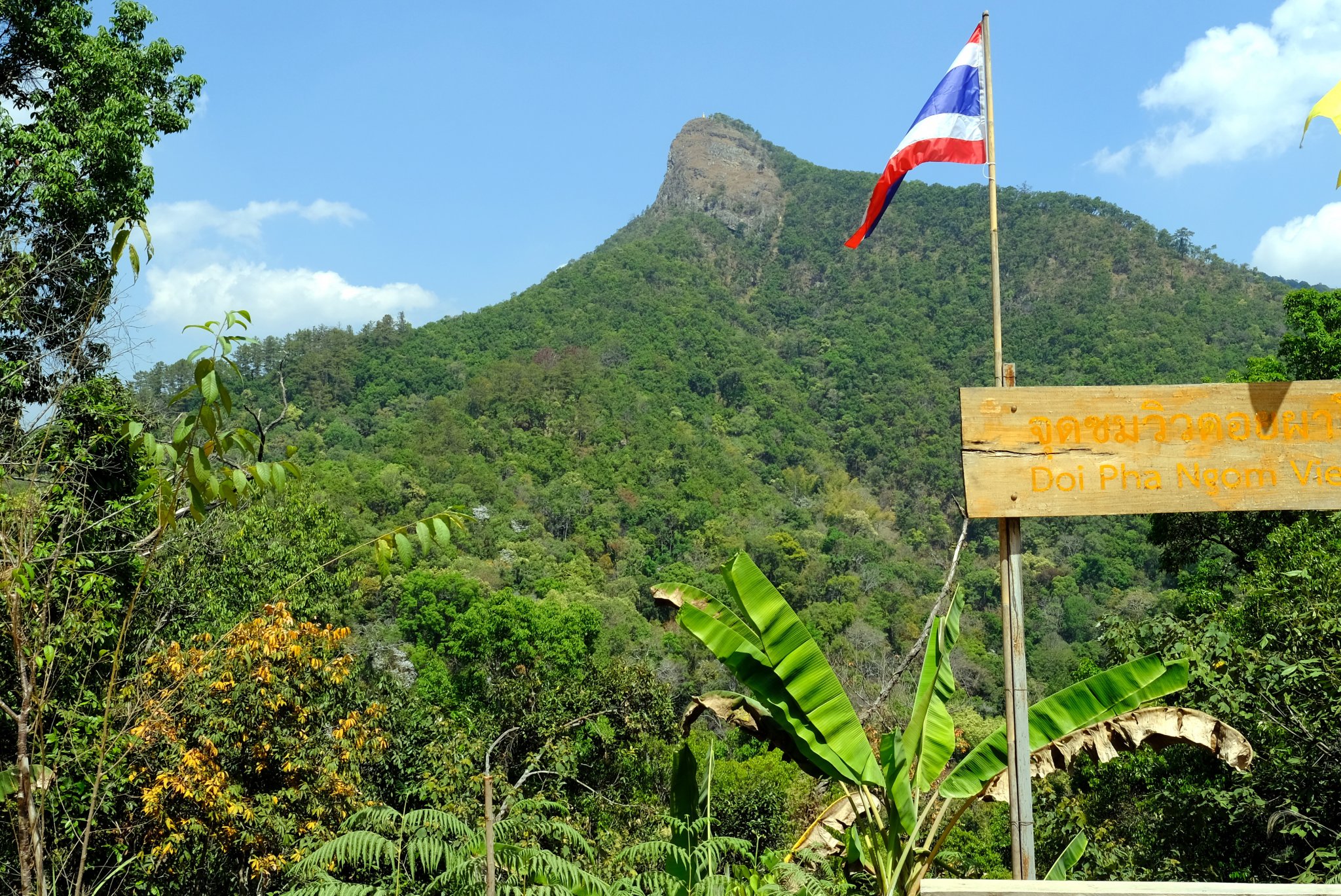
Nan, a small mountain view point near Laos, Pua, Nan. 268 km
Lots of windy roads on this ride. The viewpoint road was in terrible condition, but it lead to stunning views.
From Nan north on the 1169 and 1081 until the turning for Ban Khun Nam Nan School, then the bad road to the viewpoint.
My return route was back tracking to Bo Kluea, then R1256 through Doi Phu Kha National Park and back to Nan on R101.
https://goo.gl/maps/8y1m8xbBXvp5wYpq6
https://www.relive.cc/view/v8qkjkR1436
-
4


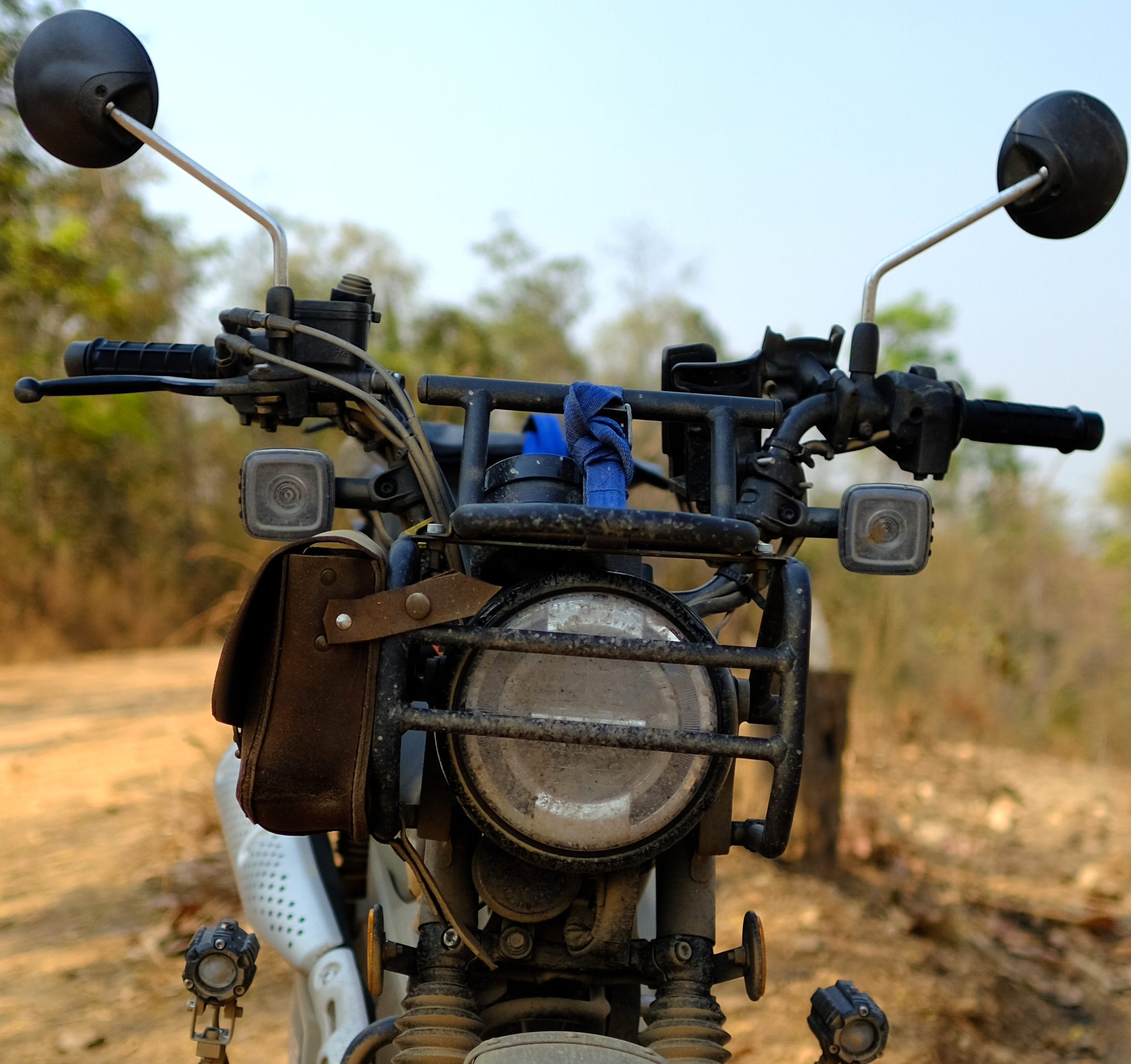


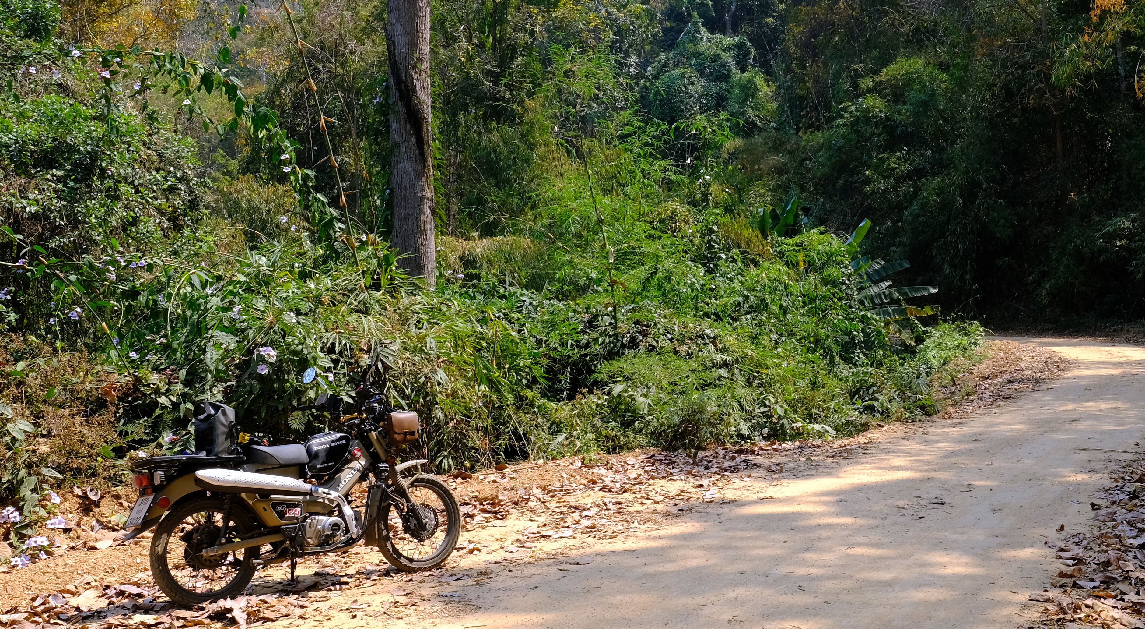


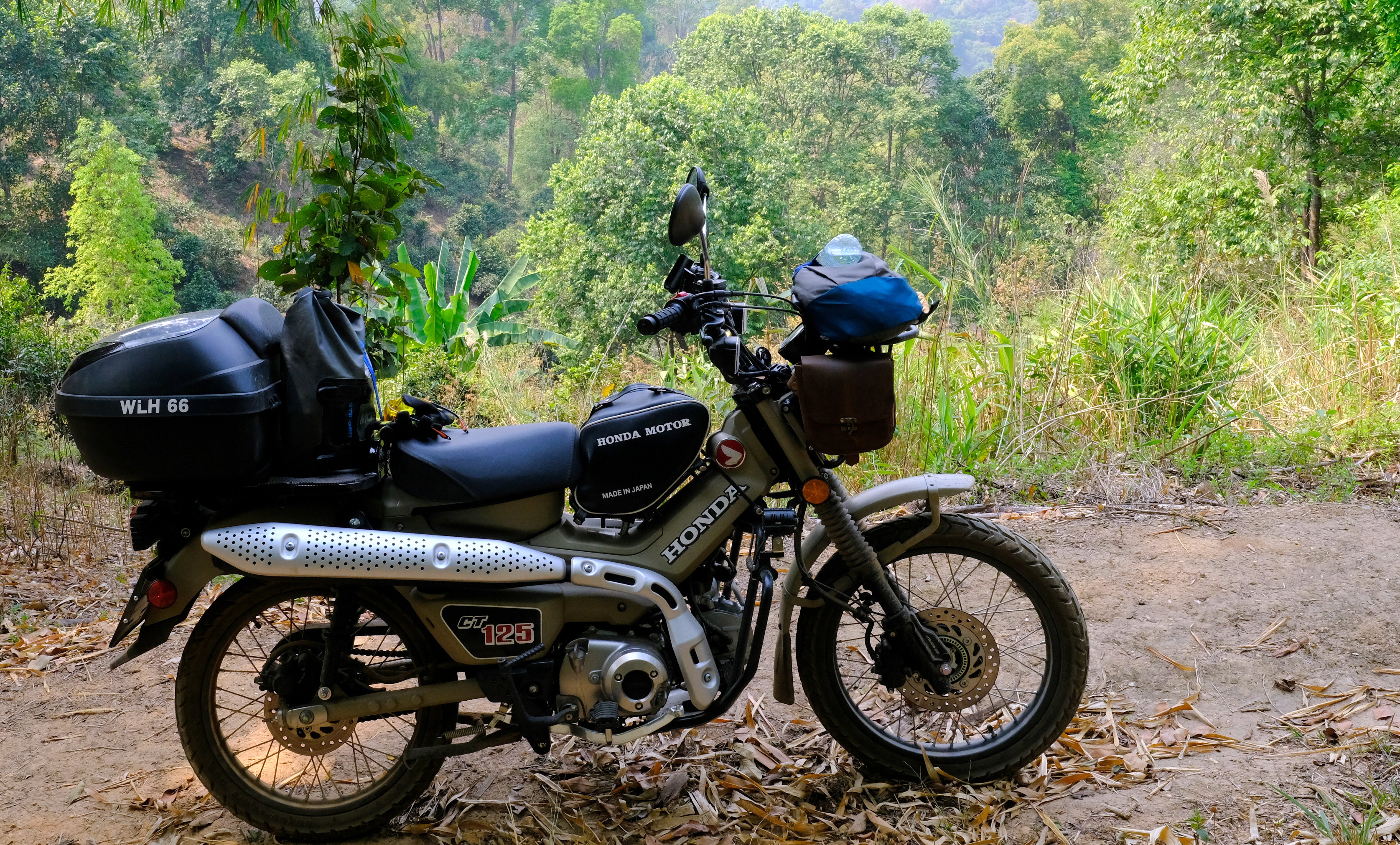
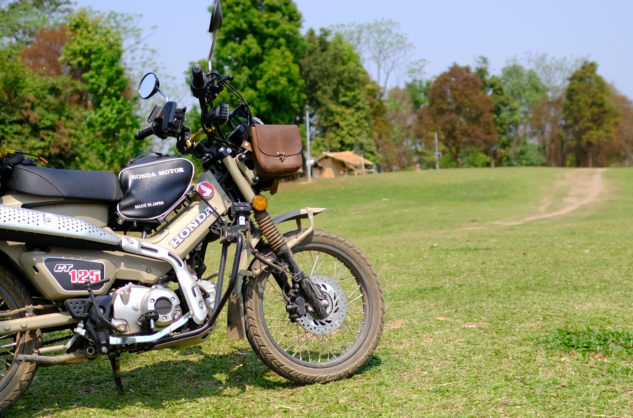


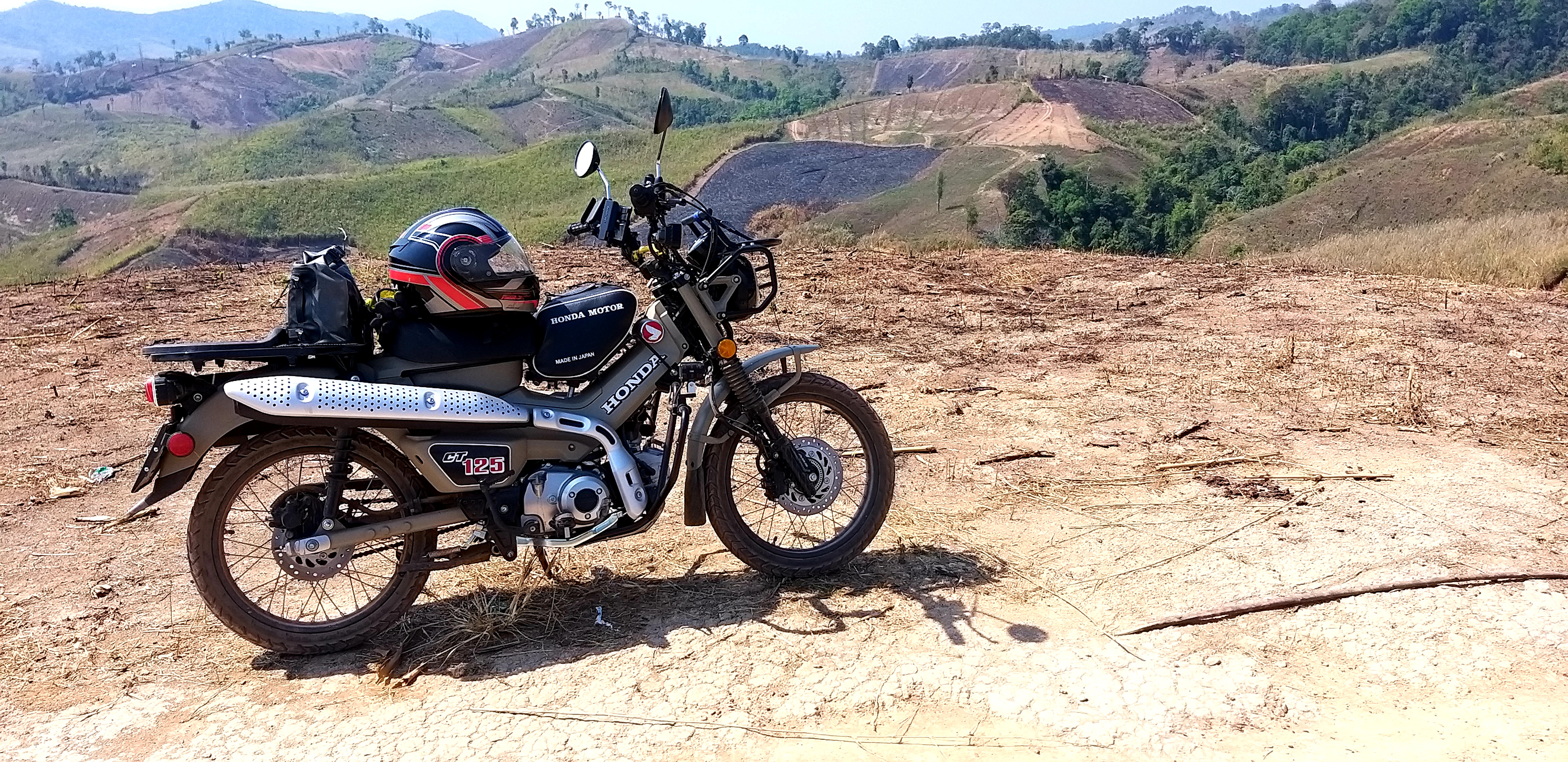
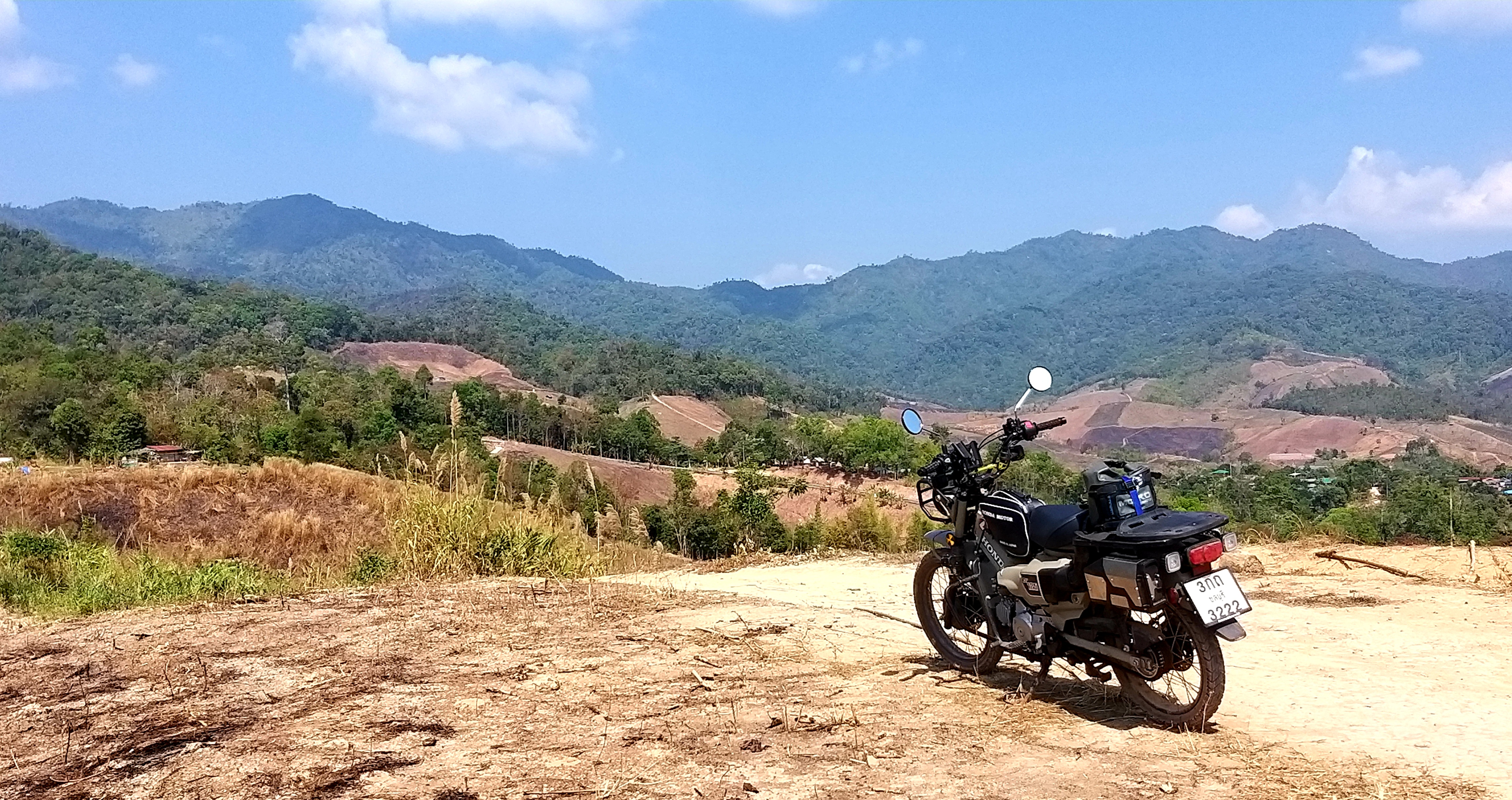


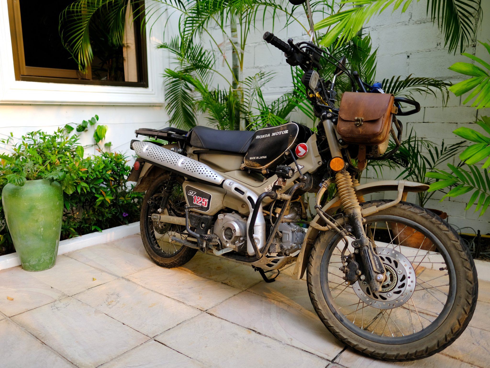
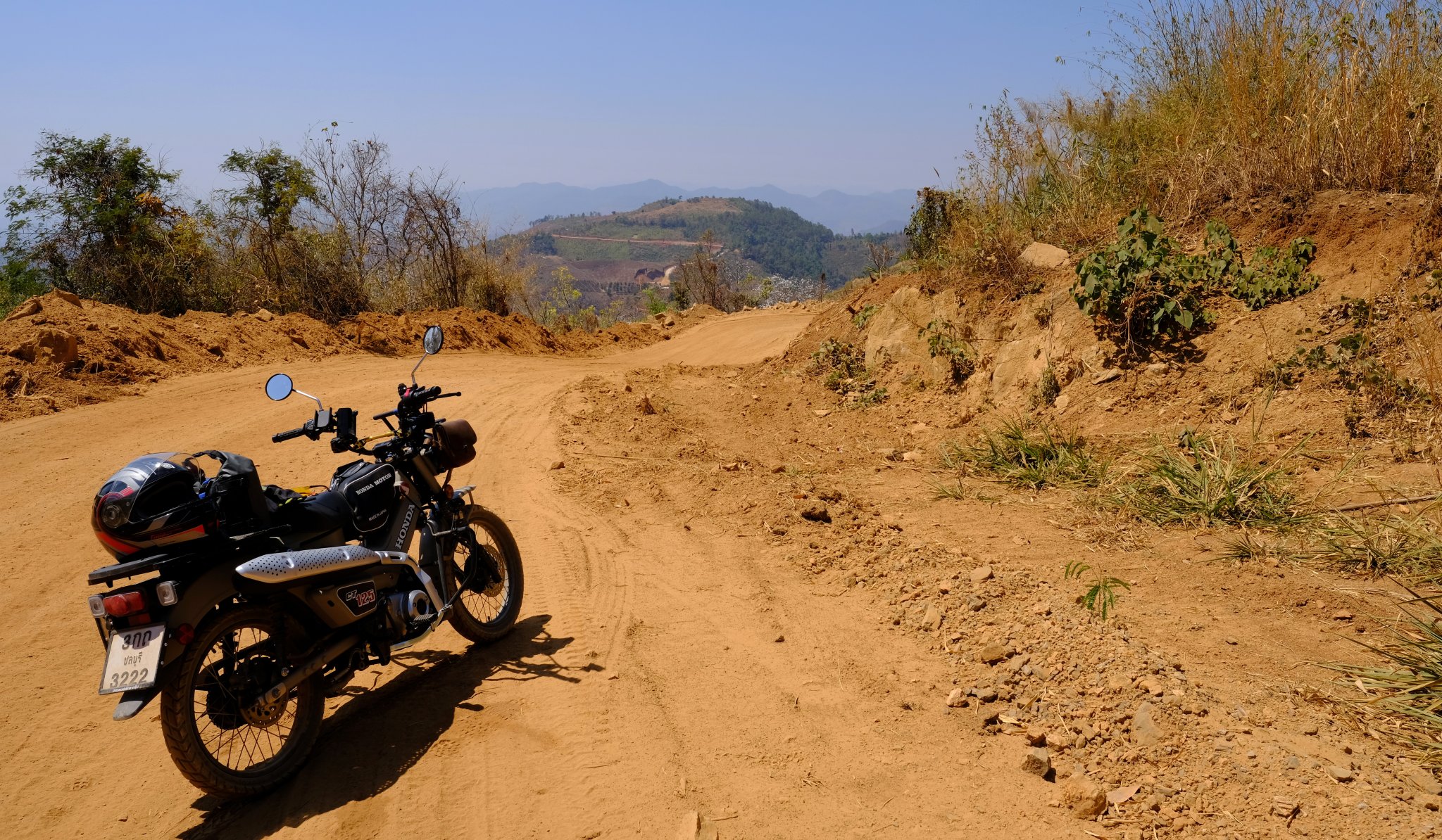
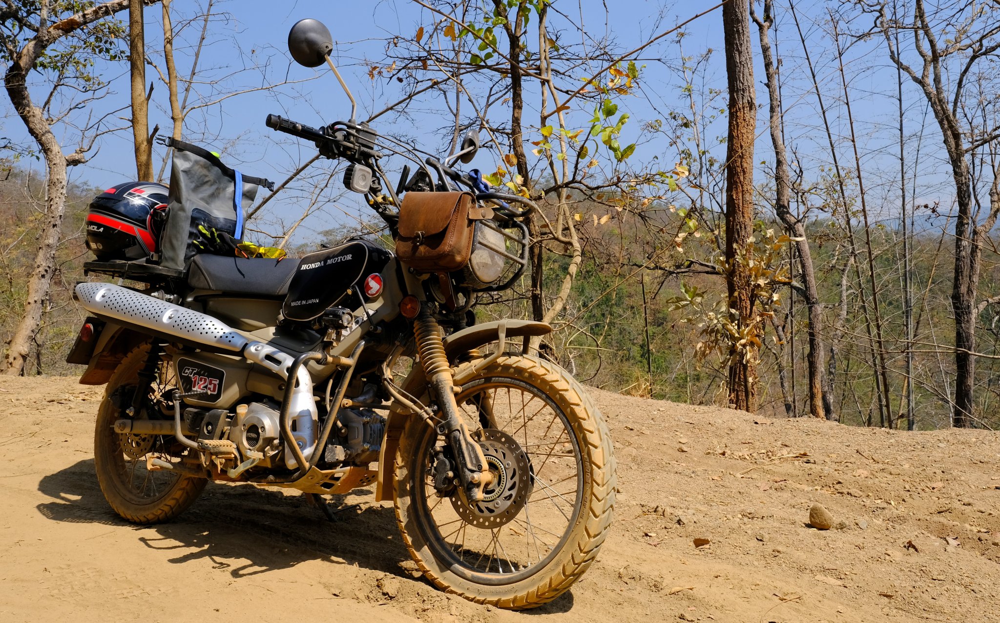
Honda CT125, a testing ride around Issan and the north of Thailand.
in Motorcycles in Thailand
Posted
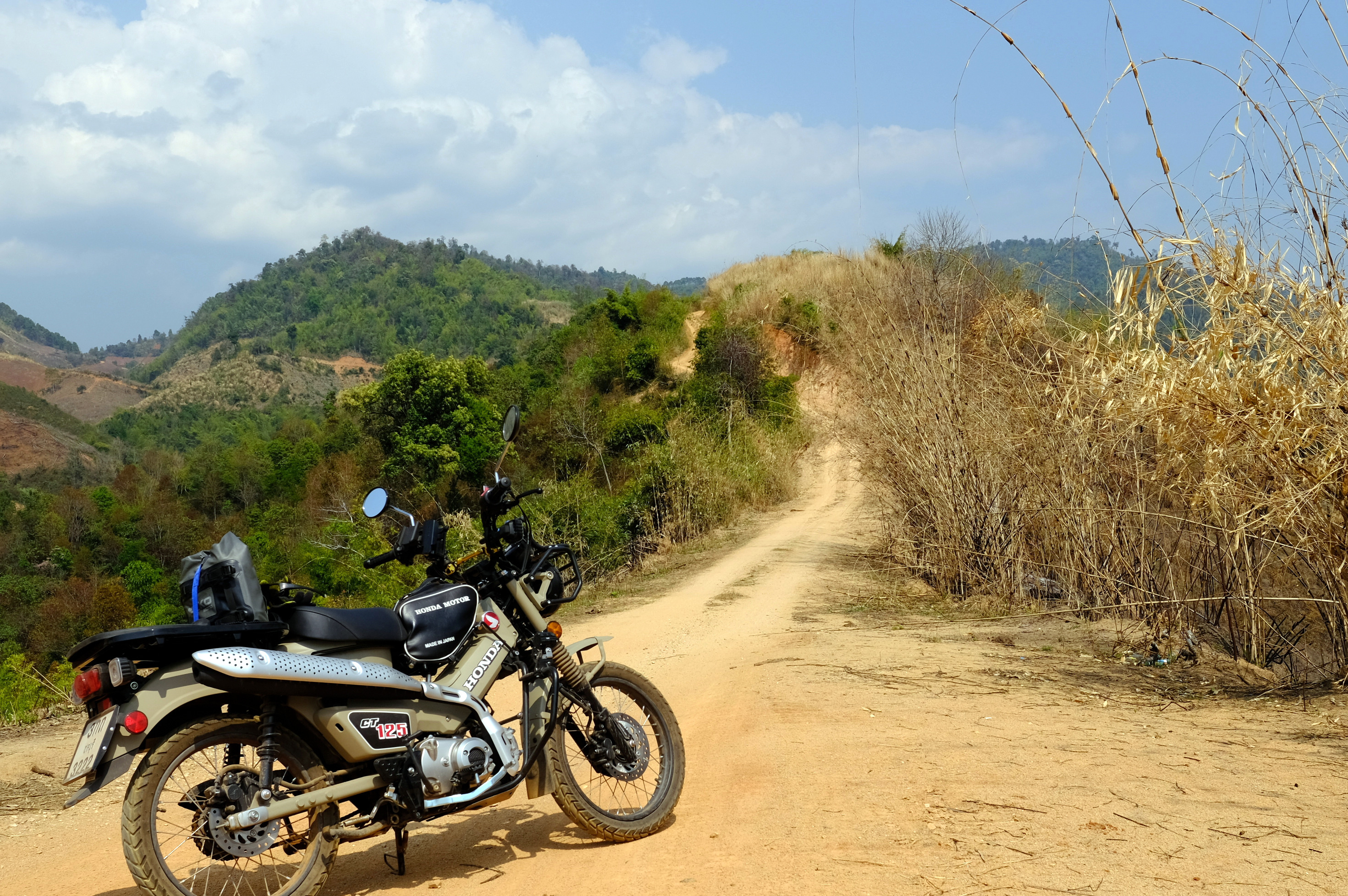
I would actually change to sprocket, for a lower gear if riding off road in the mountains.
But then it would take ages to get to the mountains!