

chrissables
-
Posts
3,175 -
Joined
-
Last visited
-
Days Won
8
Content Type
Events
Forums
Downloads
Quizzes
Gallery
Blogs
Everything posted by chrissables
-
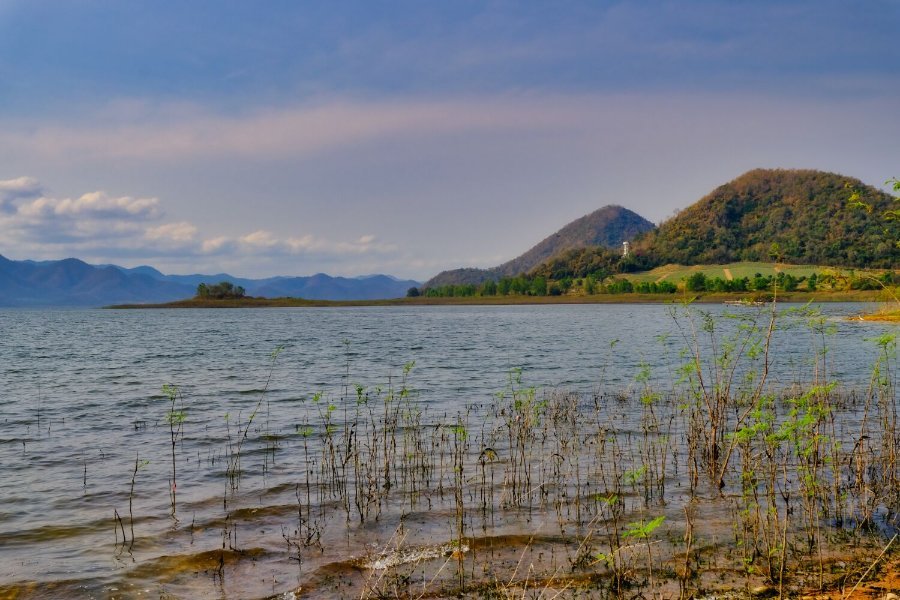
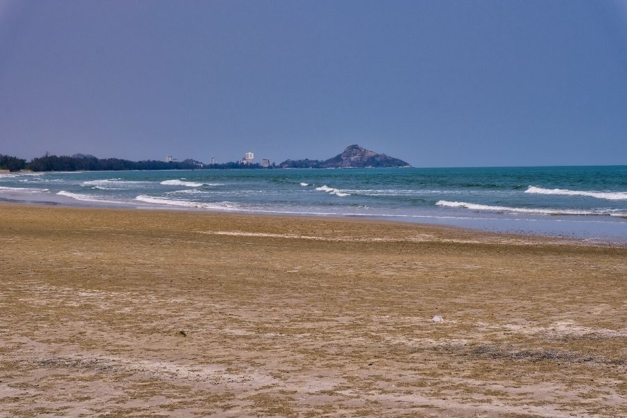
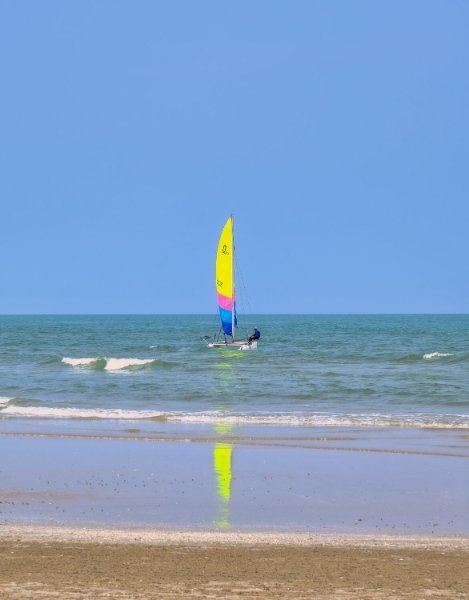
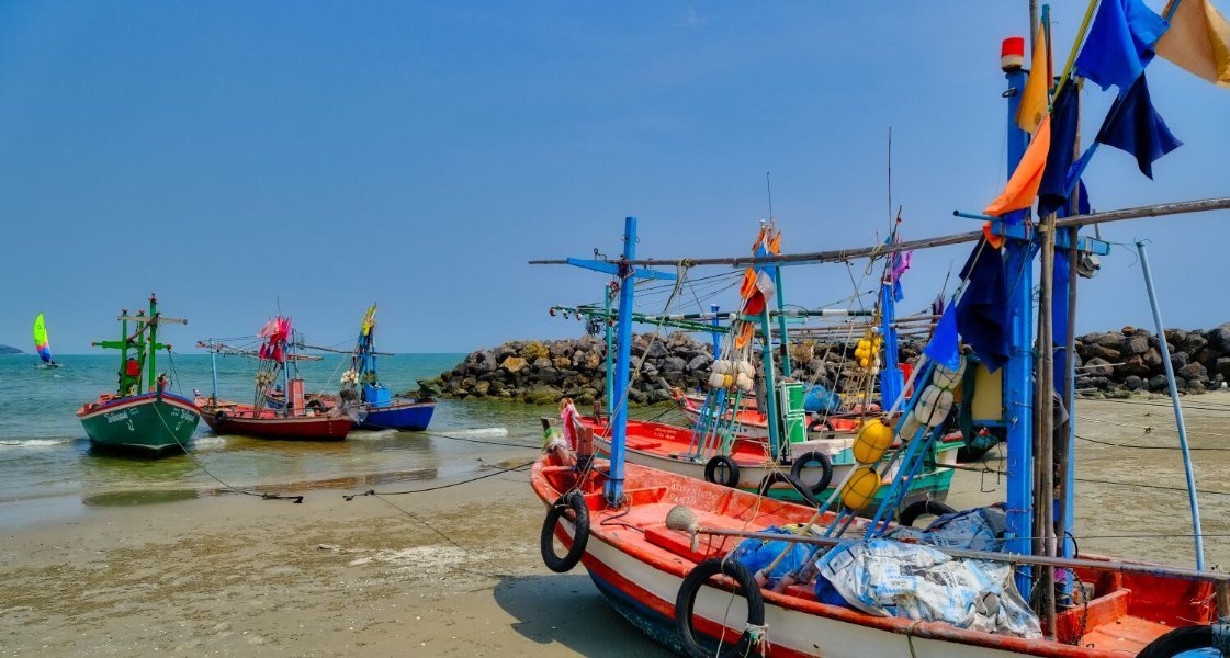
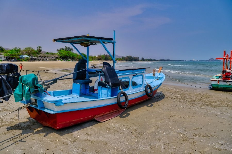
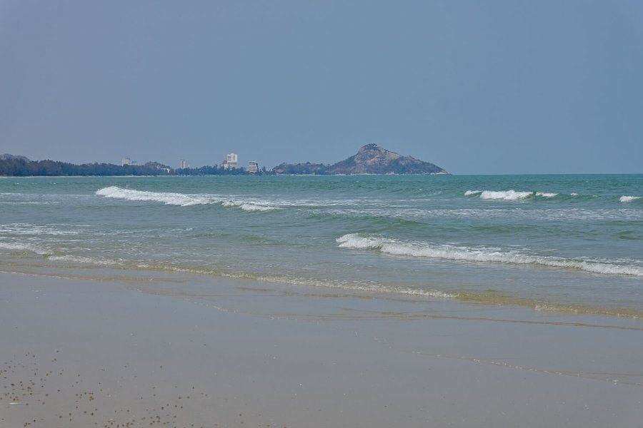
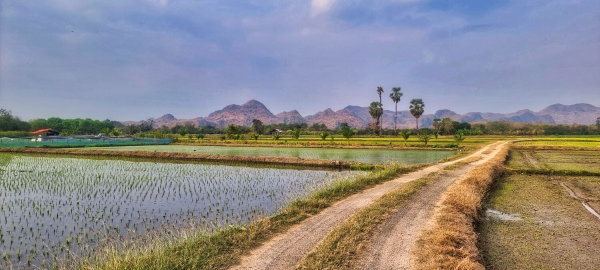
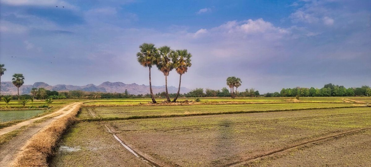
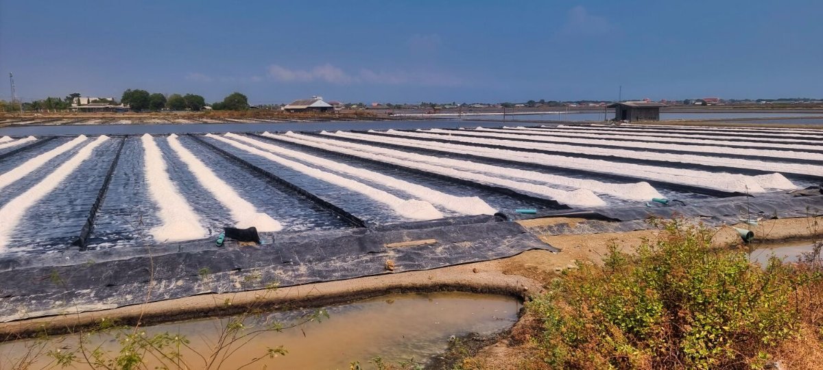
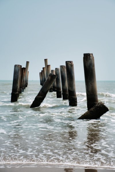
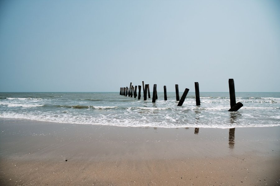
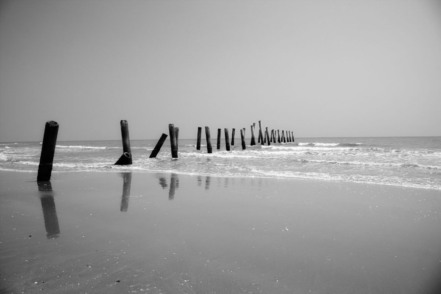
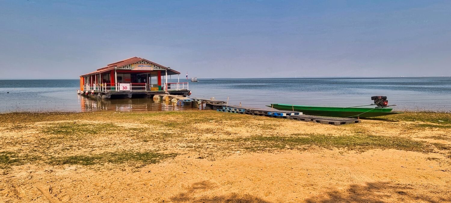
Today I went to explore Pranburi Reservoir, after a couple of stops my internet went down, So although I could see where I was on the map, no roads were showing and after getting nowhere quick I just followed roads west and south until I saw a sign for Pranburi. Eventually as I got near the coast my internet started working, and I rode to Khao Tao Beach, here. https://maps.app.goo.gl/YeD2ztxEeyv1B7gJA I then returned to Hua Hin.

-
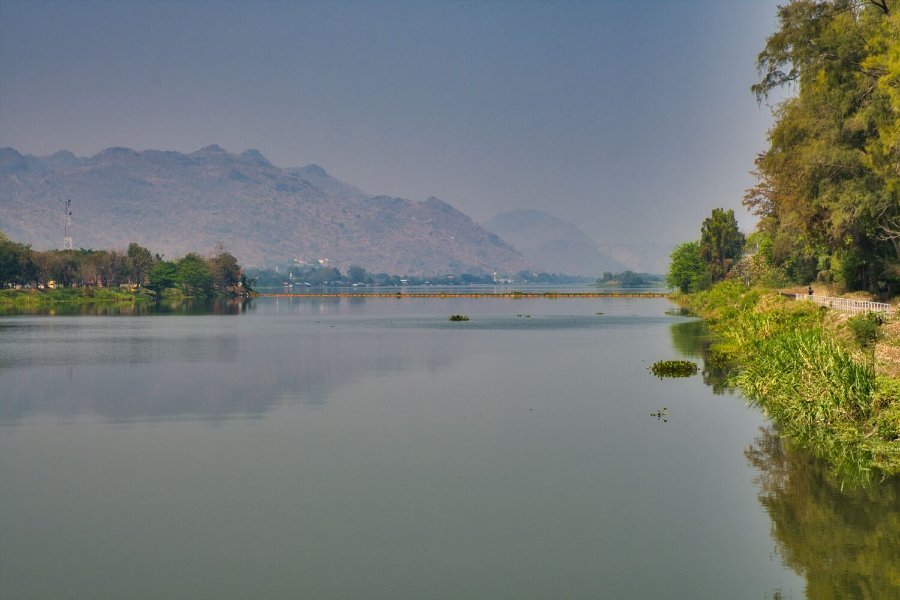
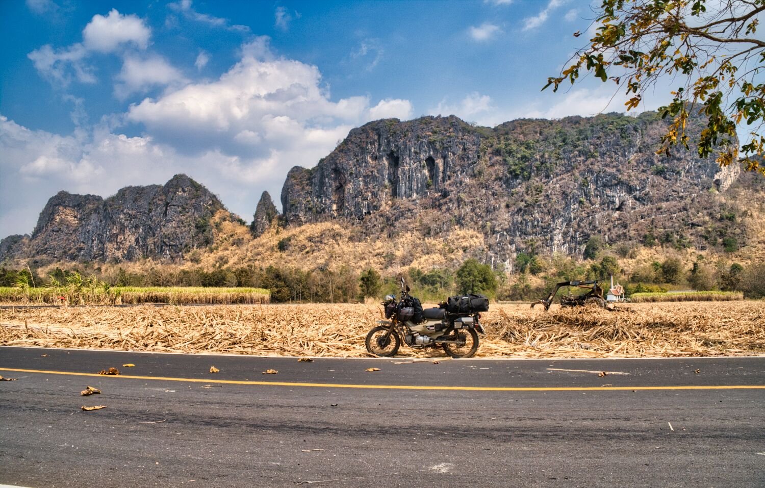
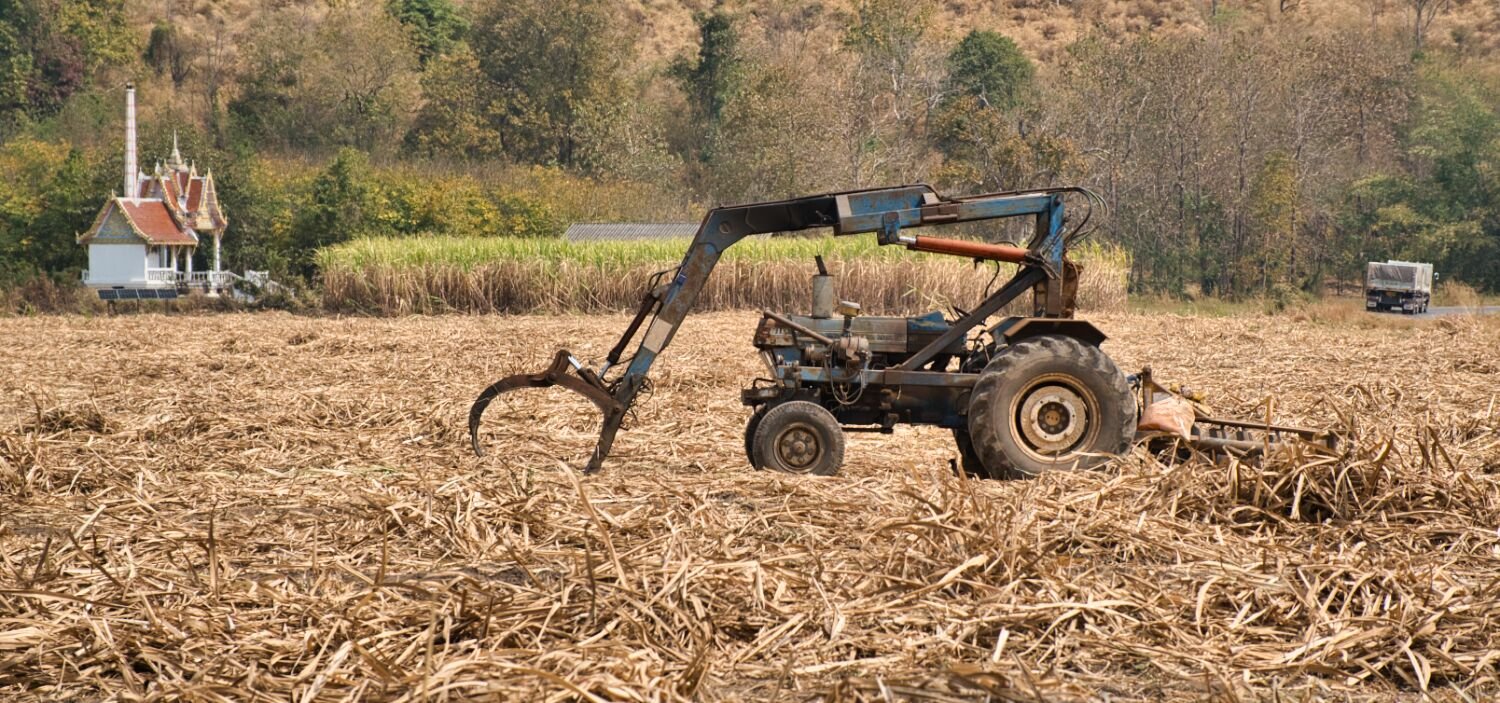
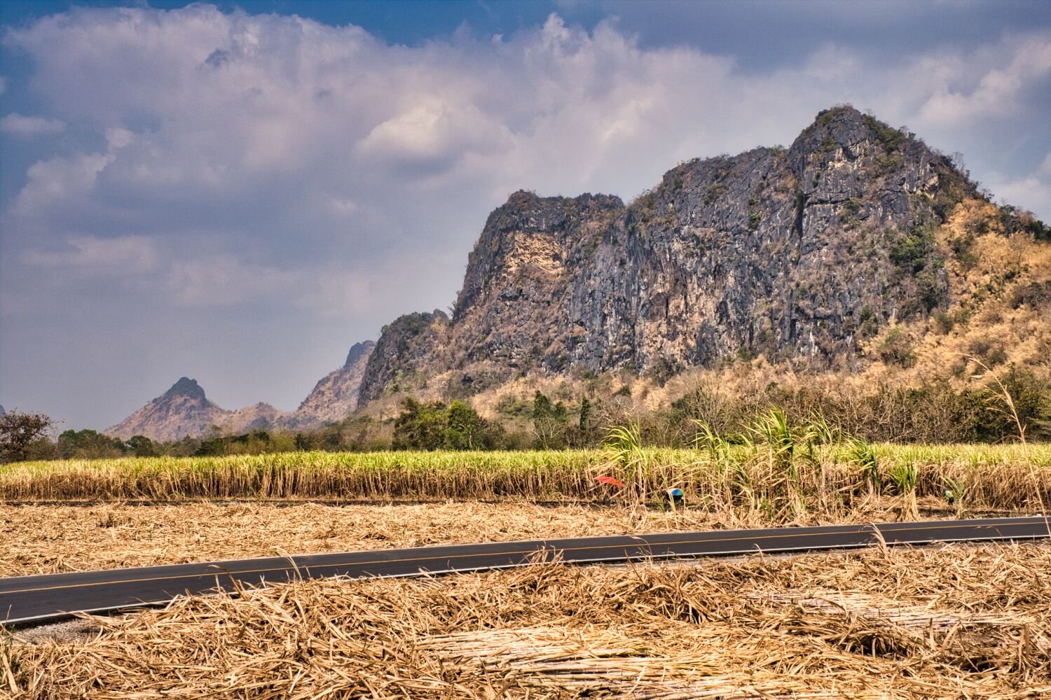
Today I rode to Hua Hin from Kanchanaburi, just outside of Kanchanaburi I saw some nice views, here. https://maps.app.goo.gl/3ngVixbt6U8GWxny7 My next stop was Tilt Pole Beach, here. https://maps.app.goo.gl/wxXTiCoheWY8hSpx5 From here a direct ride to Hua Hin. https://www.relive.cc/view/v8qVEDJVz36
-
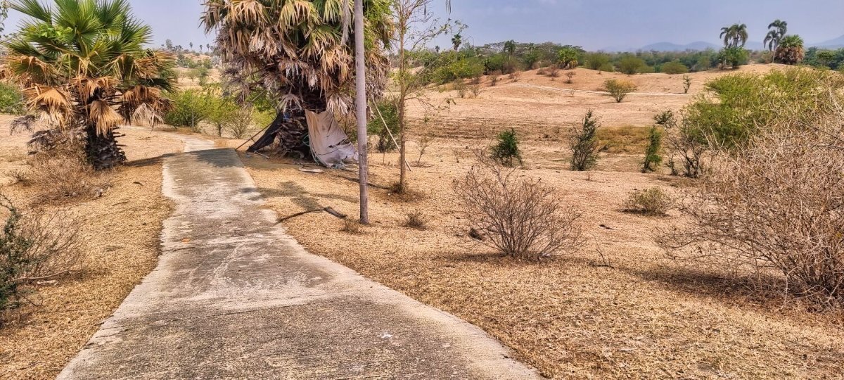
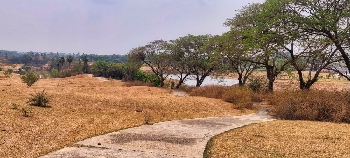
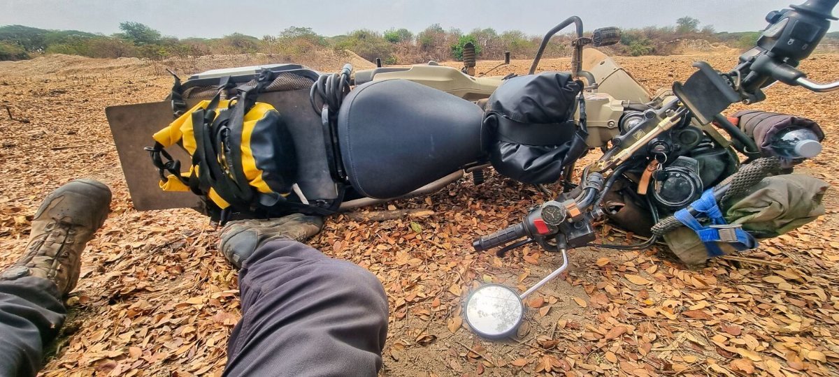
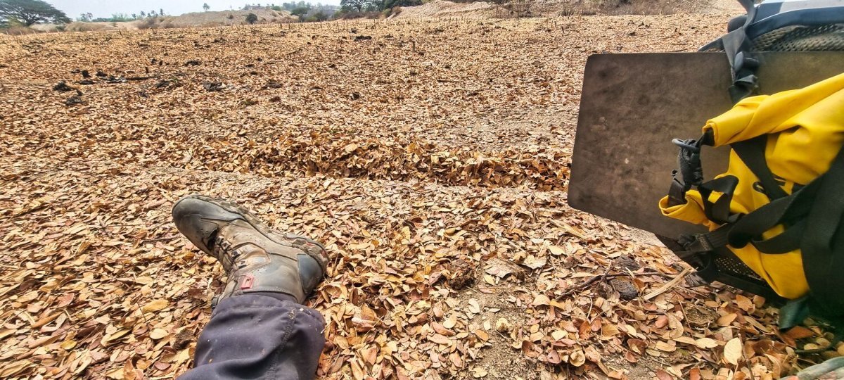
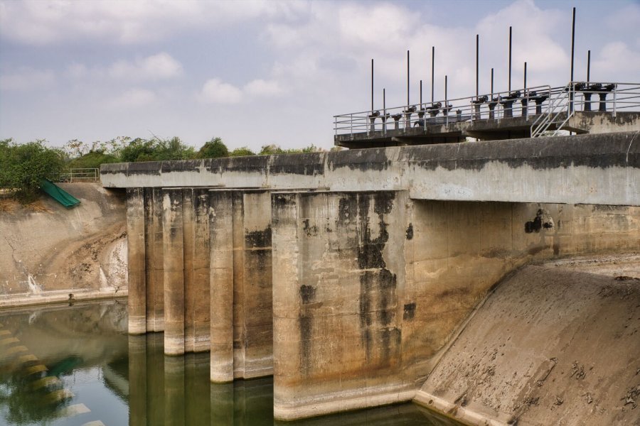
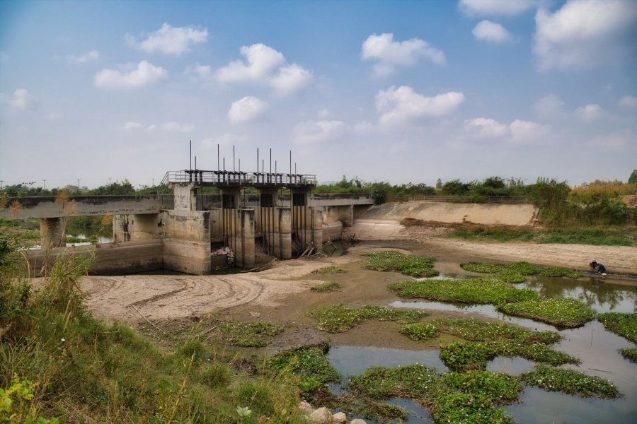
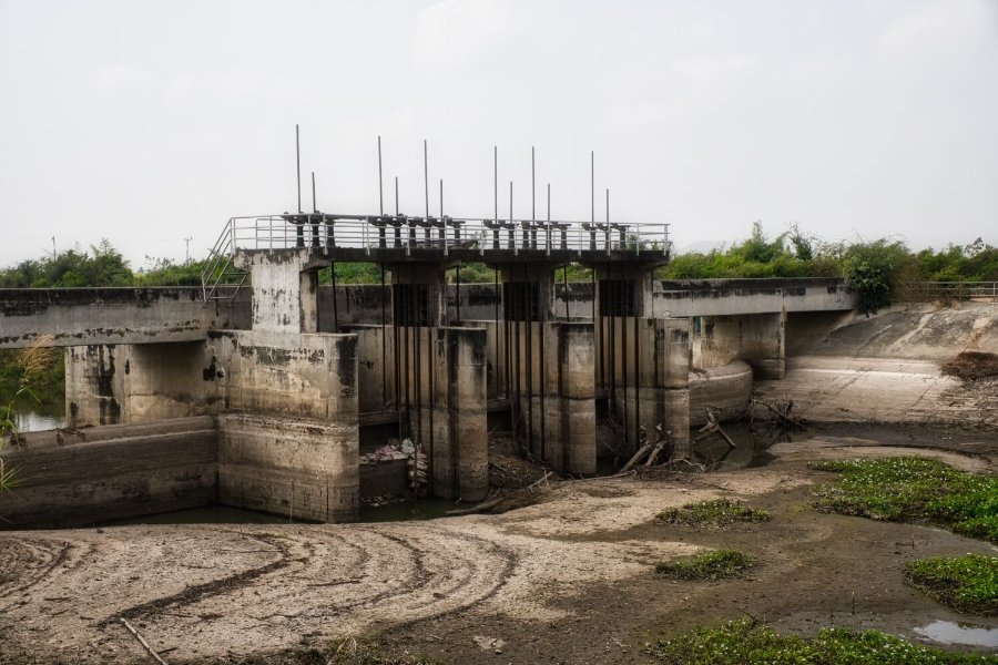
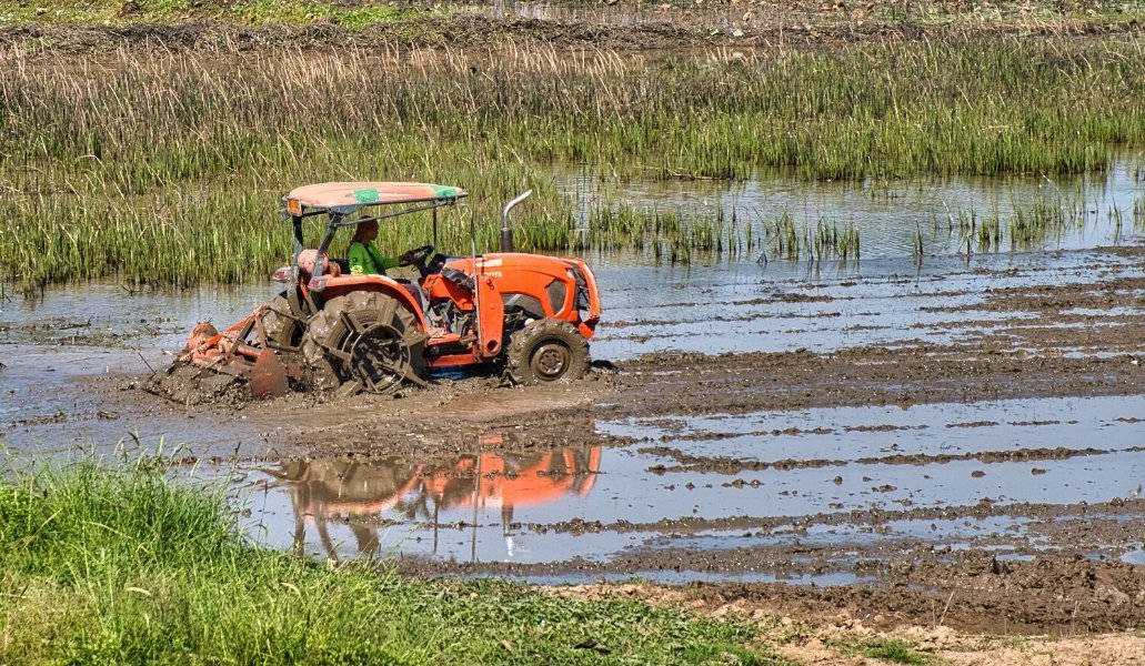
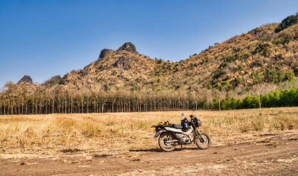
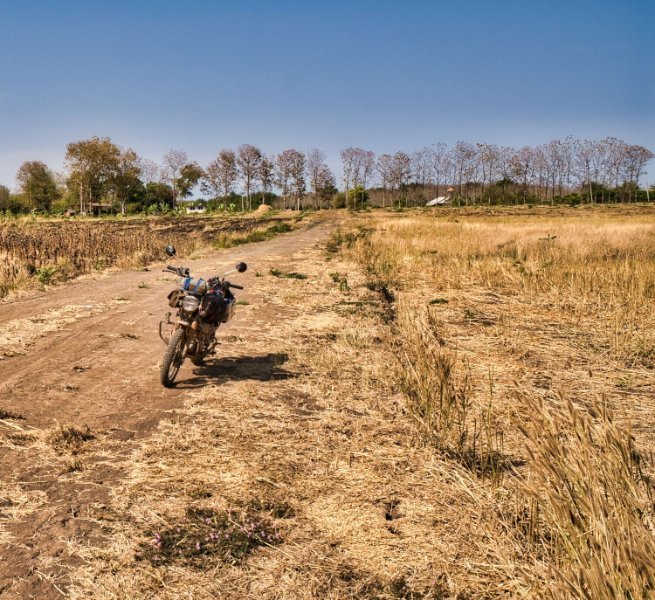
Today I headed north of Kanchanaburi, my first stop was at a weir, here. https://maps.app.goo.gl/NYSQt6m7YsrLgo65A Riding north on a small lane a found what turned out to be a golf course, here. https://maps.app.goo.gl/nXW35HXv9Jeid23K6 There were no golfers or greens and looks like it’s been abandoned. But there we plenty of concrete tracks to ride, so I did! Great fun, any locals just smiled and I had no issues until I was riding across a field and came off due to a rut hidden by leaves. I did manage to get a photo of my bike from an unusual angle! https://www.relive.cc/view/vDqgxjz1YGv
-
62k
-
62k
-
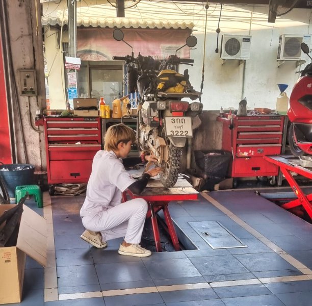
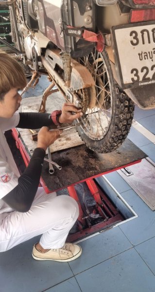
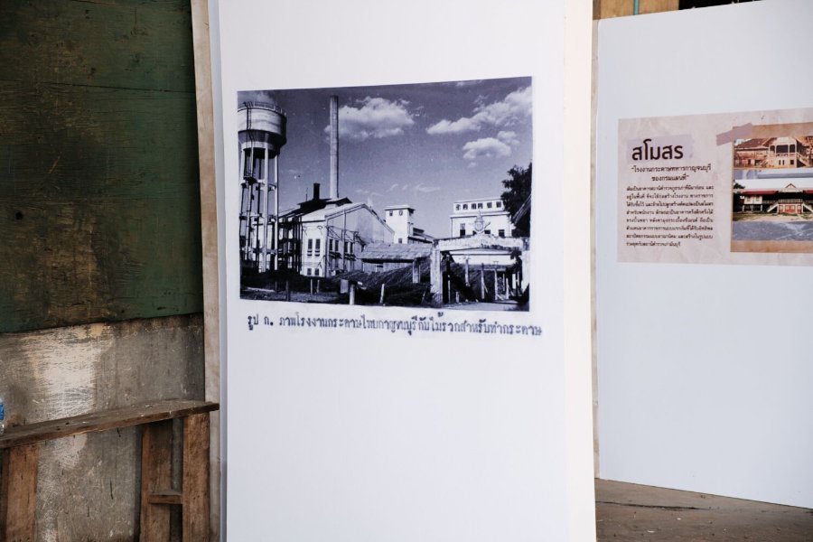
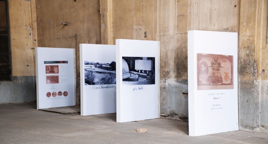
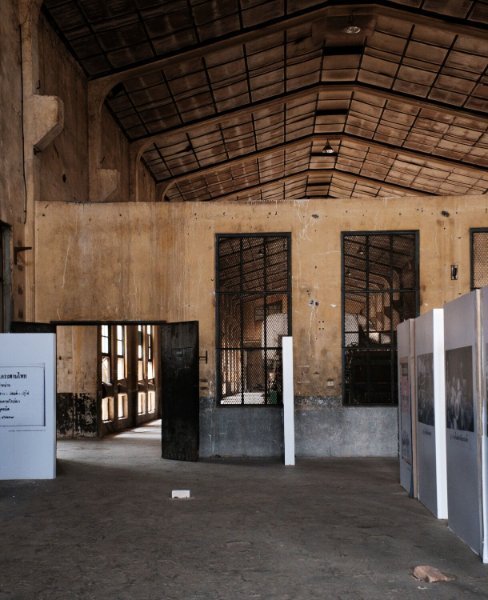
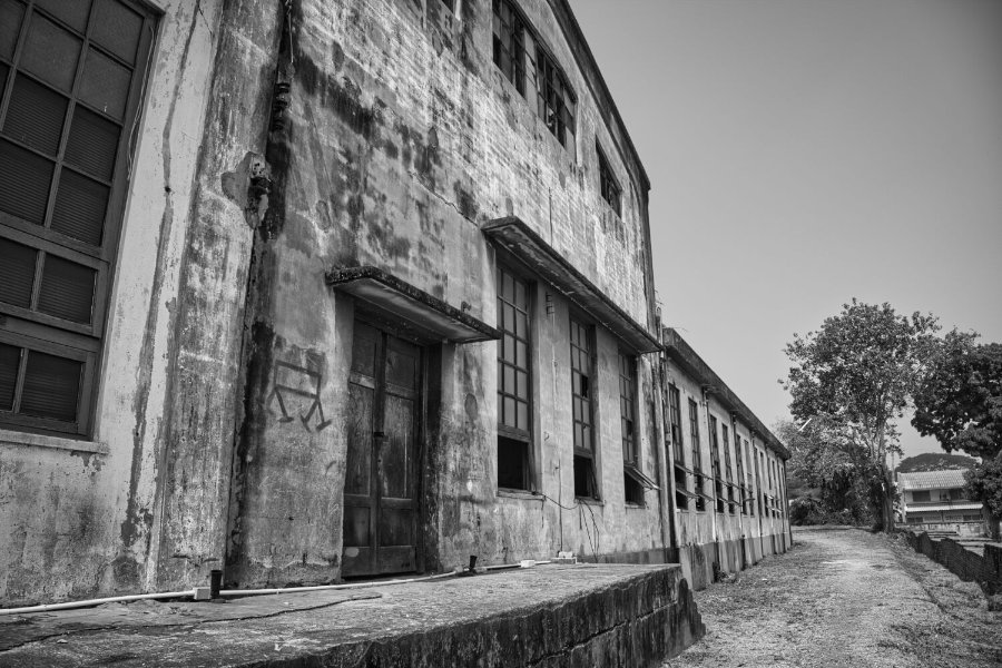
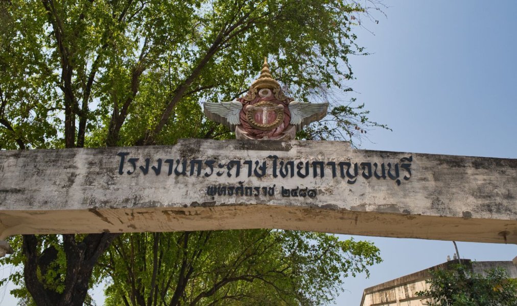
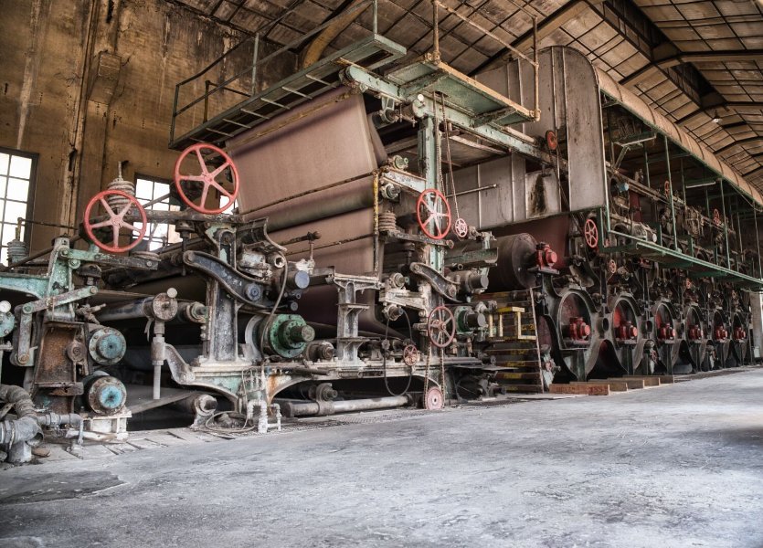
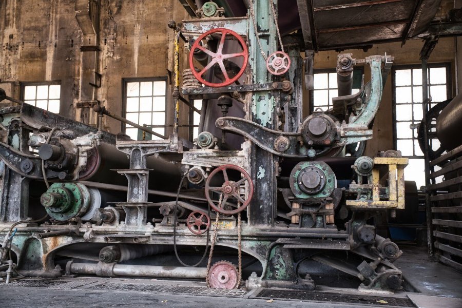
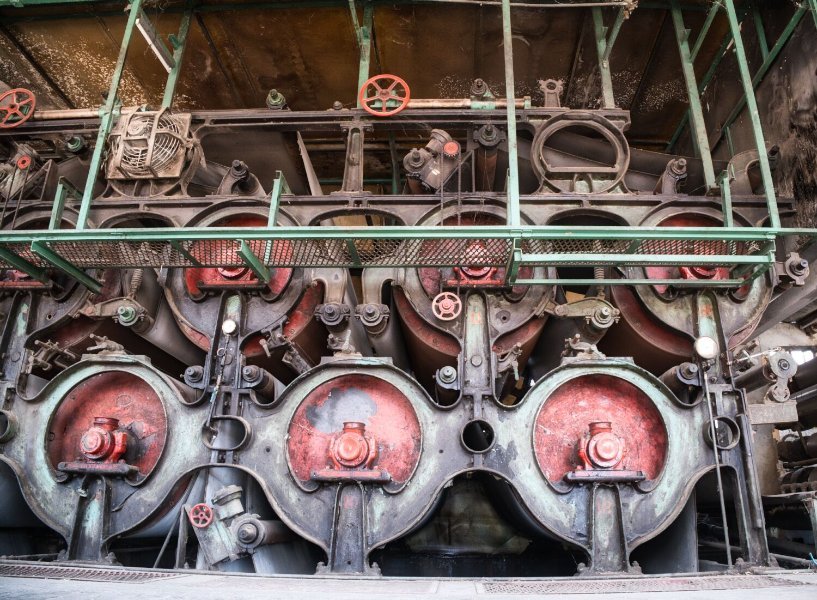
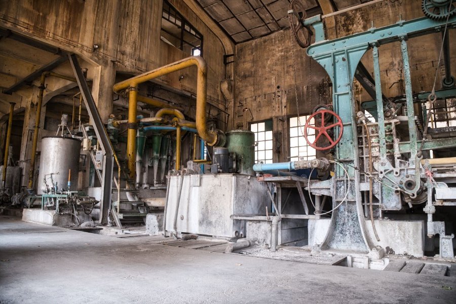
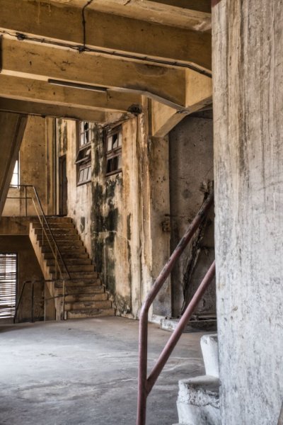
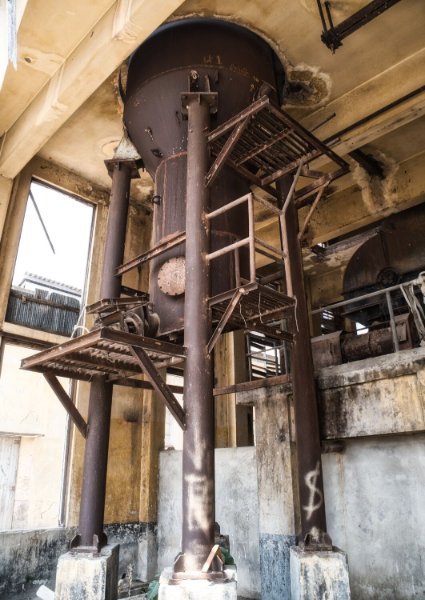
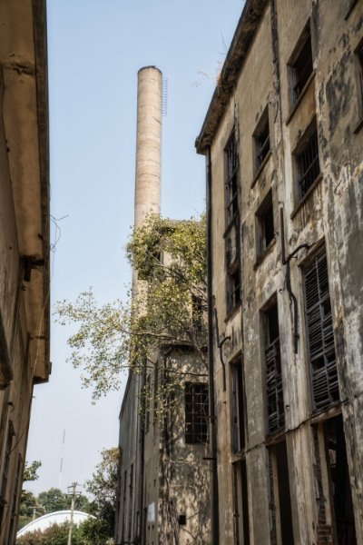
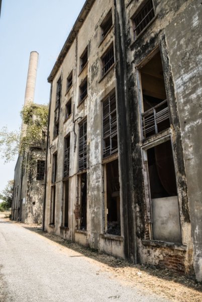
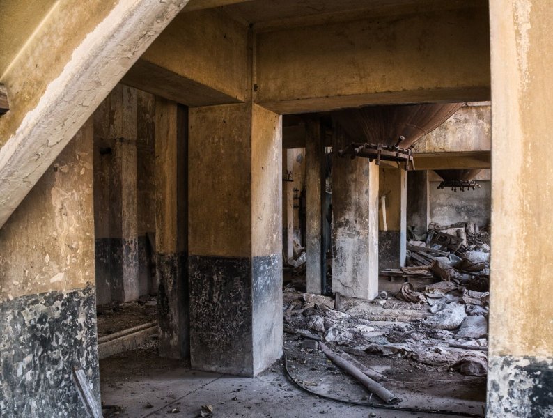
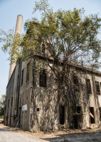
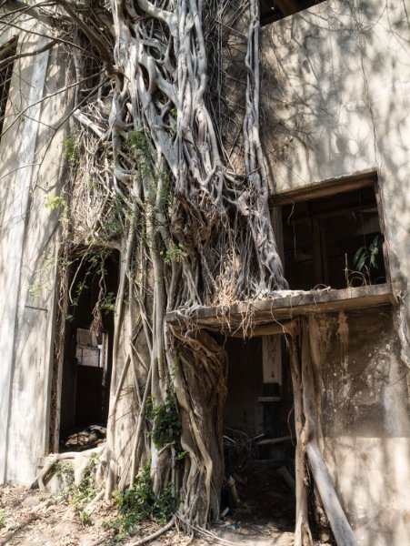
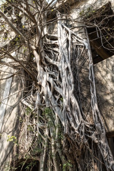
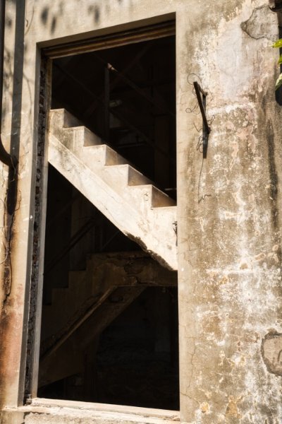
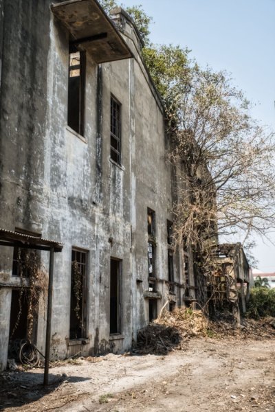
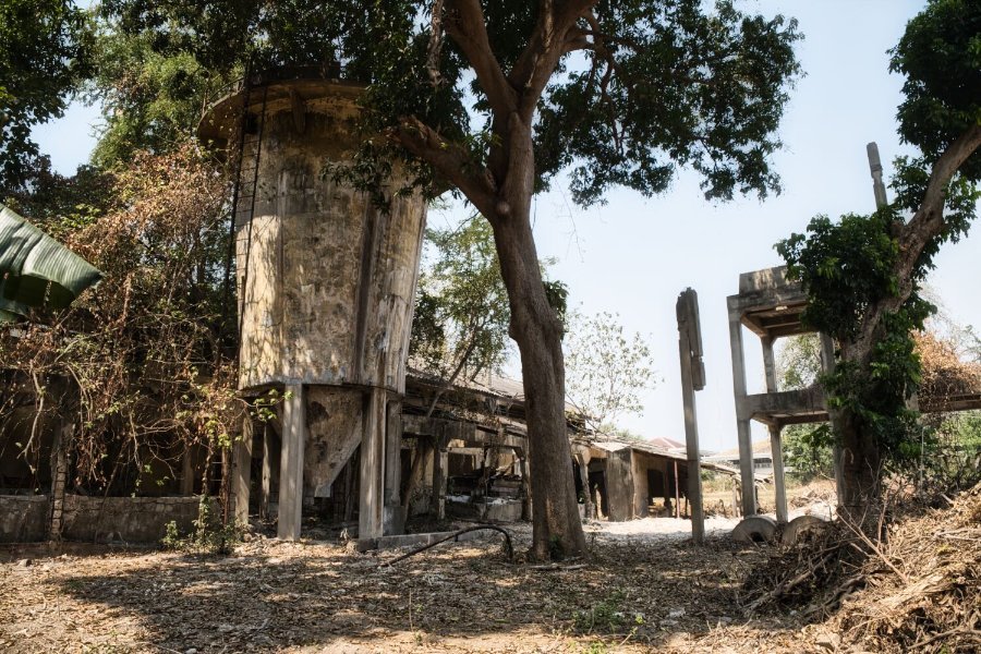
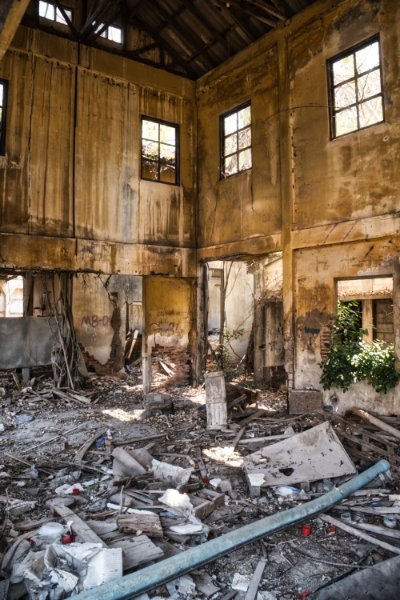
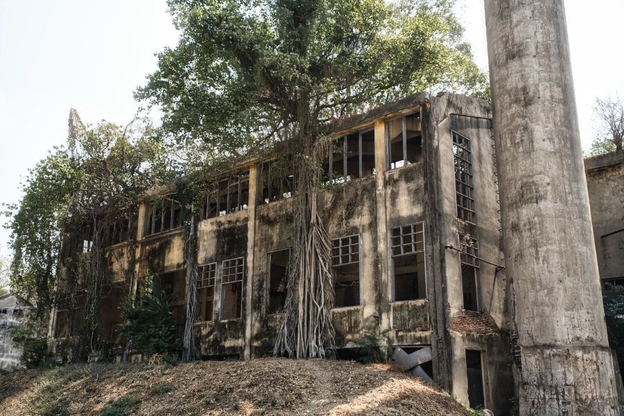
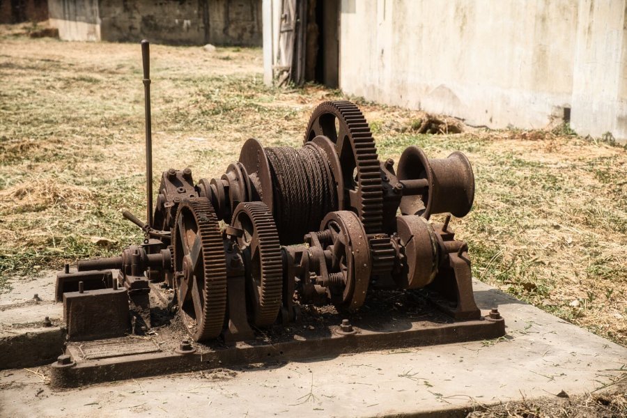
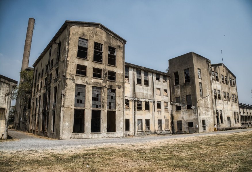
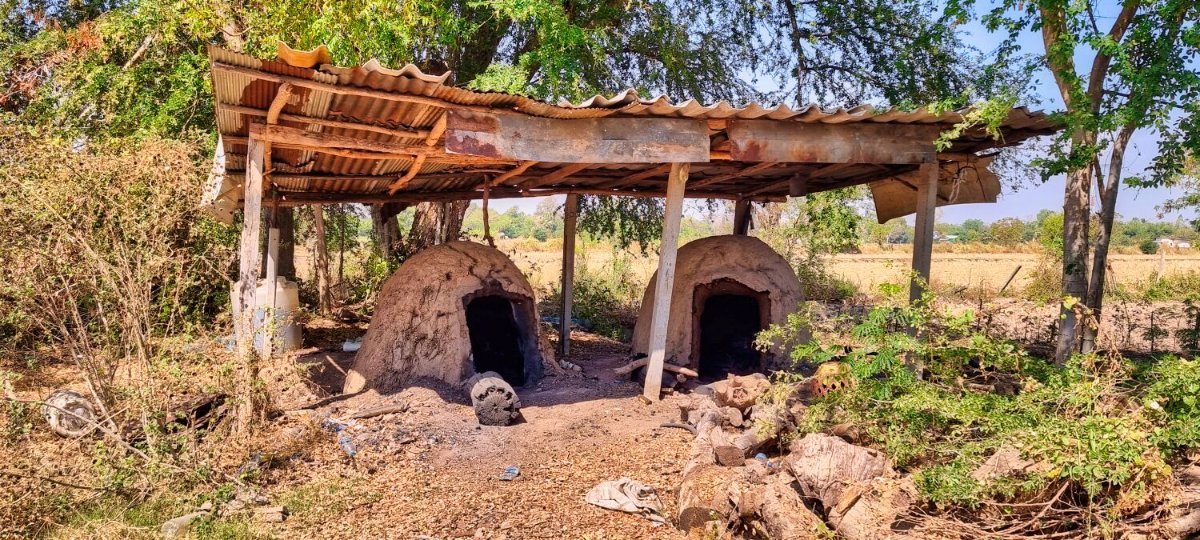
Today, day 100 of my tour involved just a little riding, but was a good day. First, I went to have a new set of tyres fitted. The next few hours sorting out some errands. By the time I had finished it was already late morning, so I changed my ride to go see the Thai Kanchanaburi Paper Mill, a derelict group of building and a museum you can’t enter, here. https://maps.app.goo.gl/bhxxFb9fUki7VwKr8 https://www.relive.cc/view/vYvr1kLDoLq
-
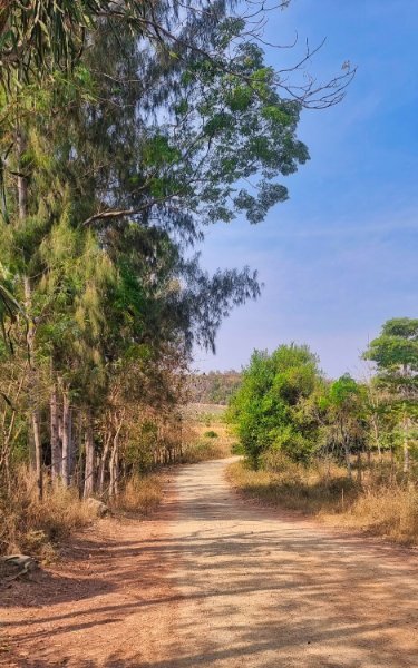
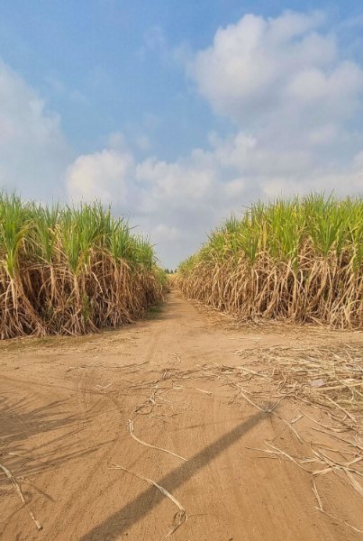
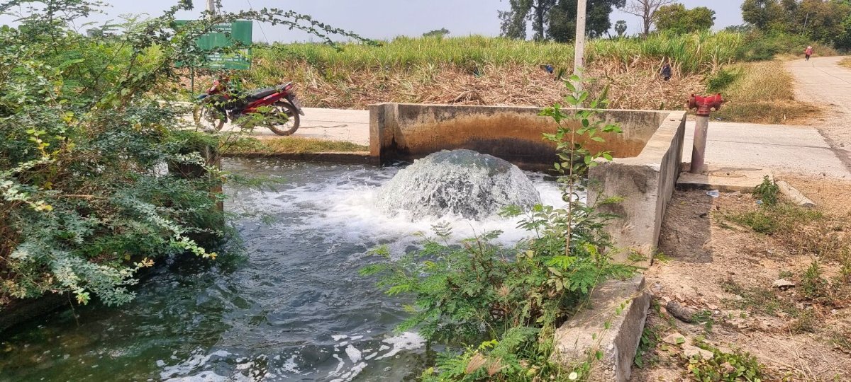
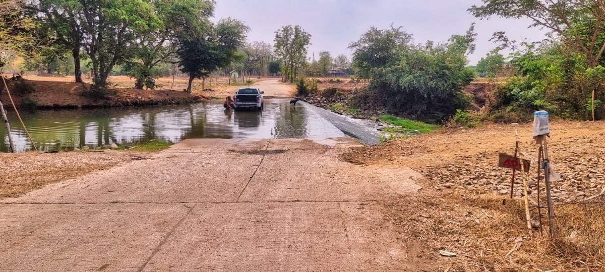
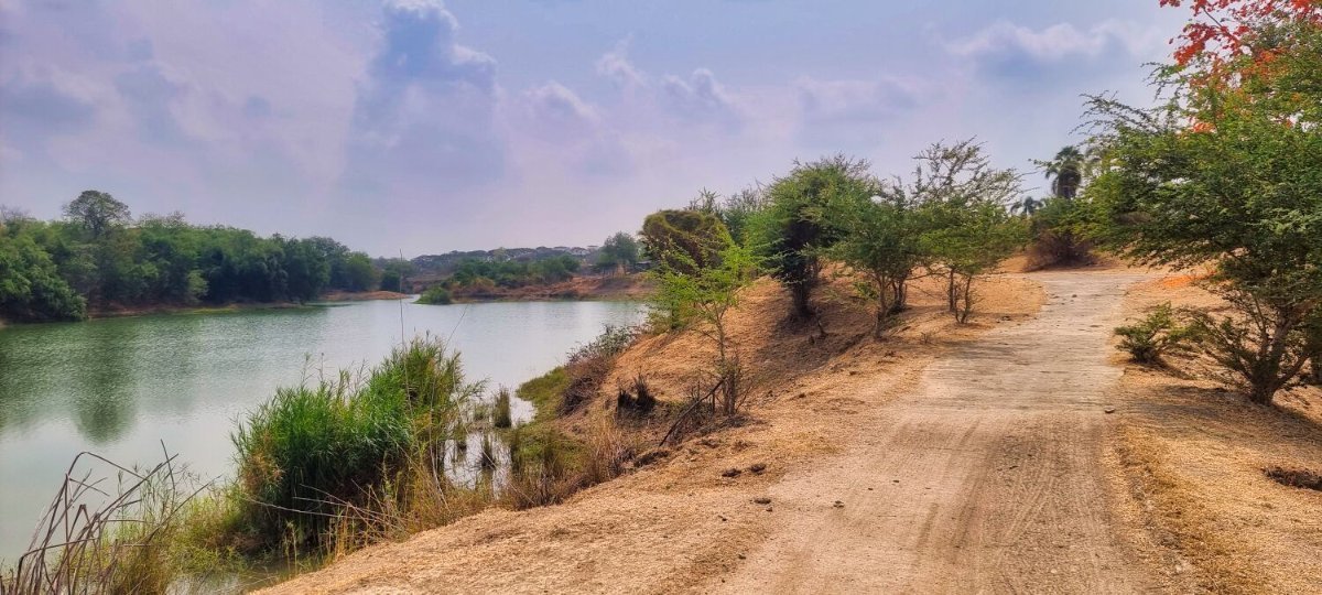
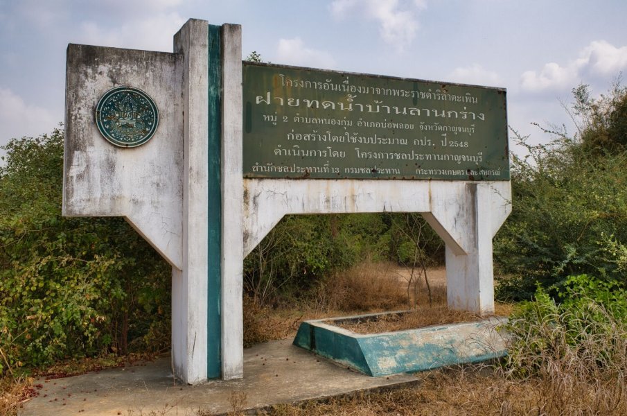
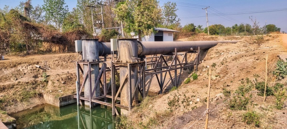
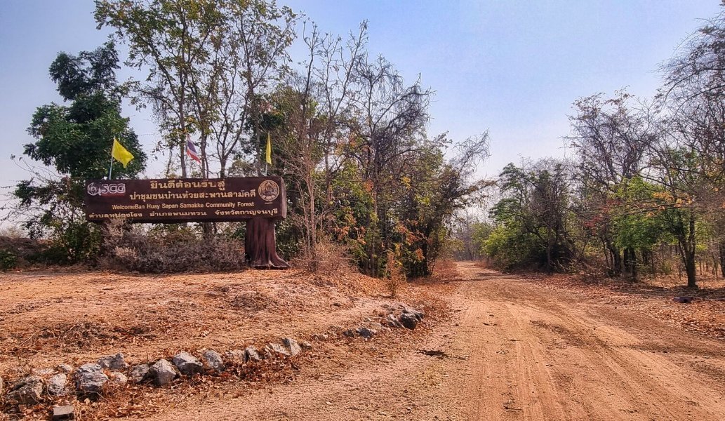
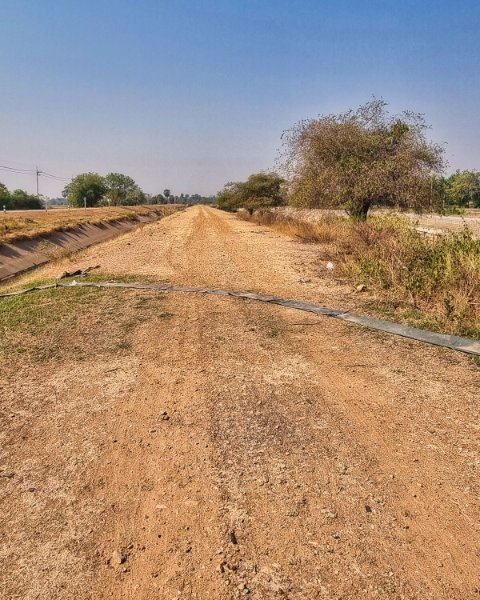
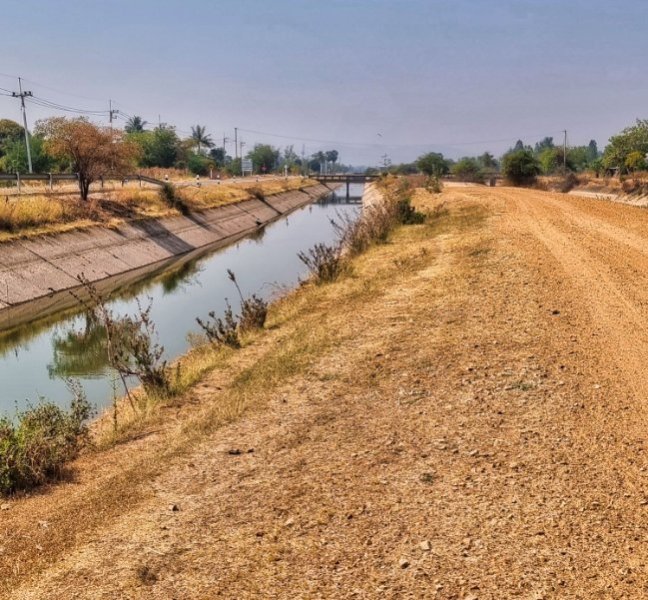
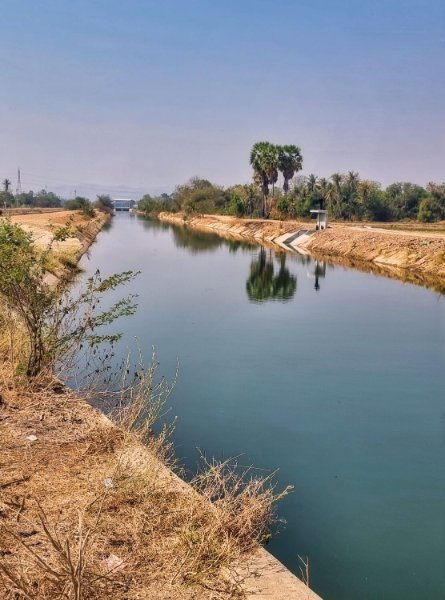
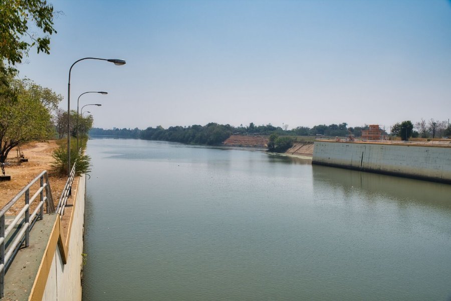
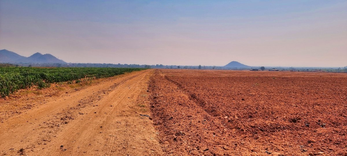
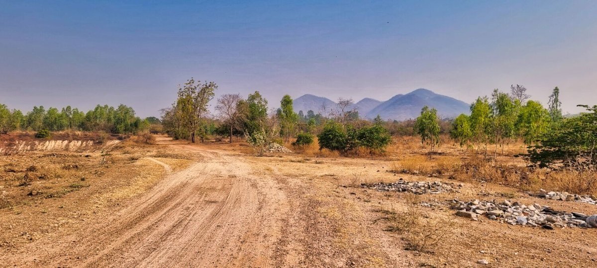
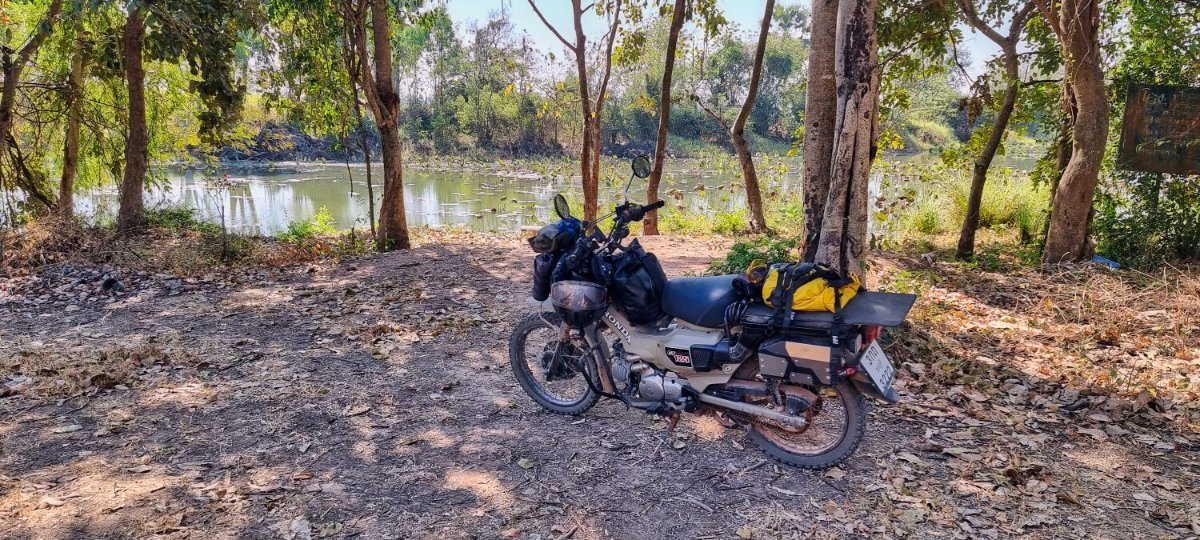
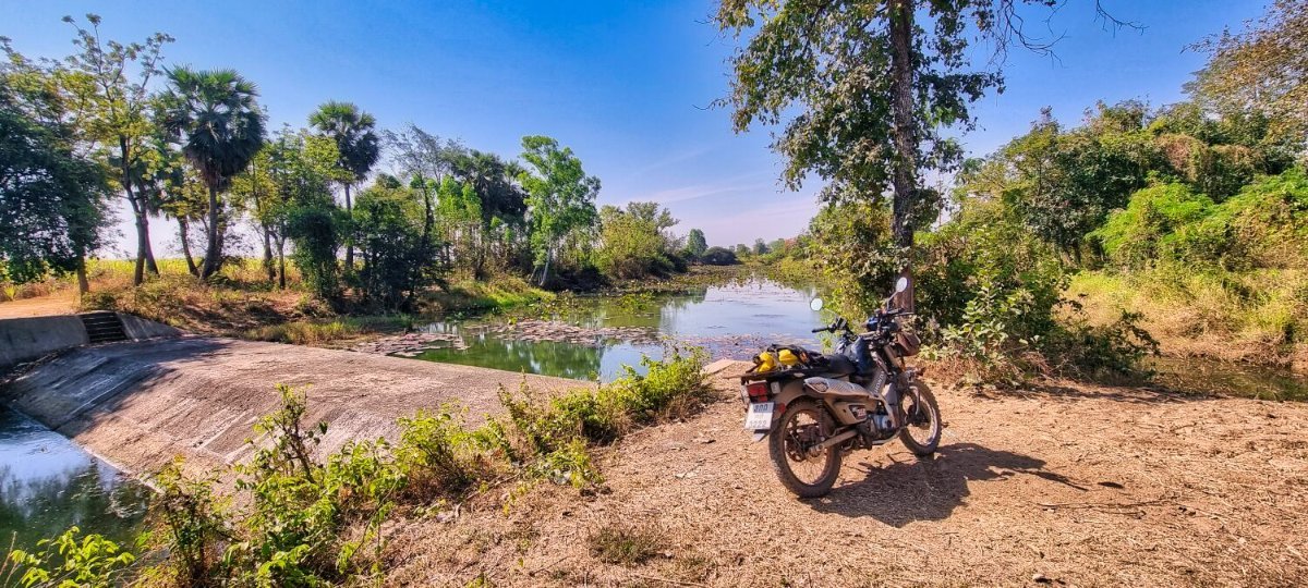
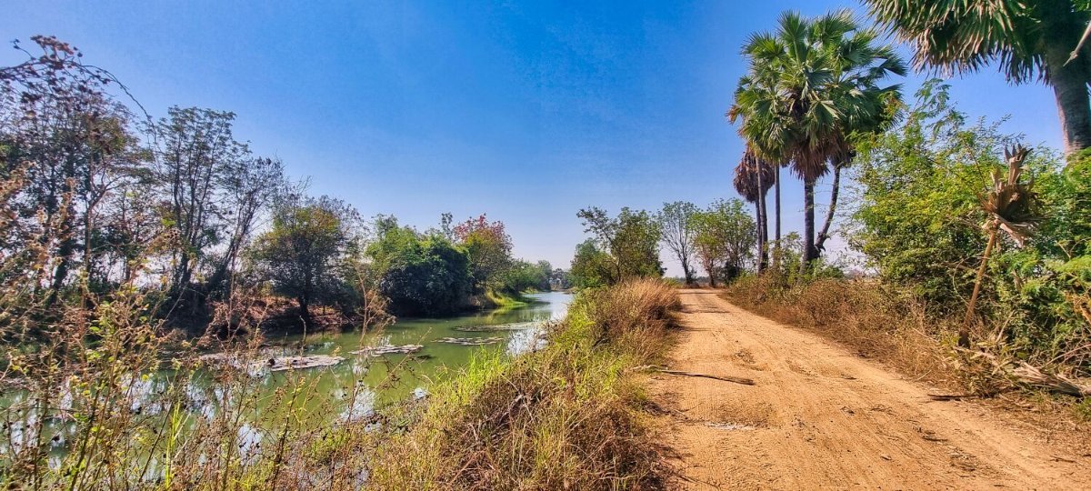
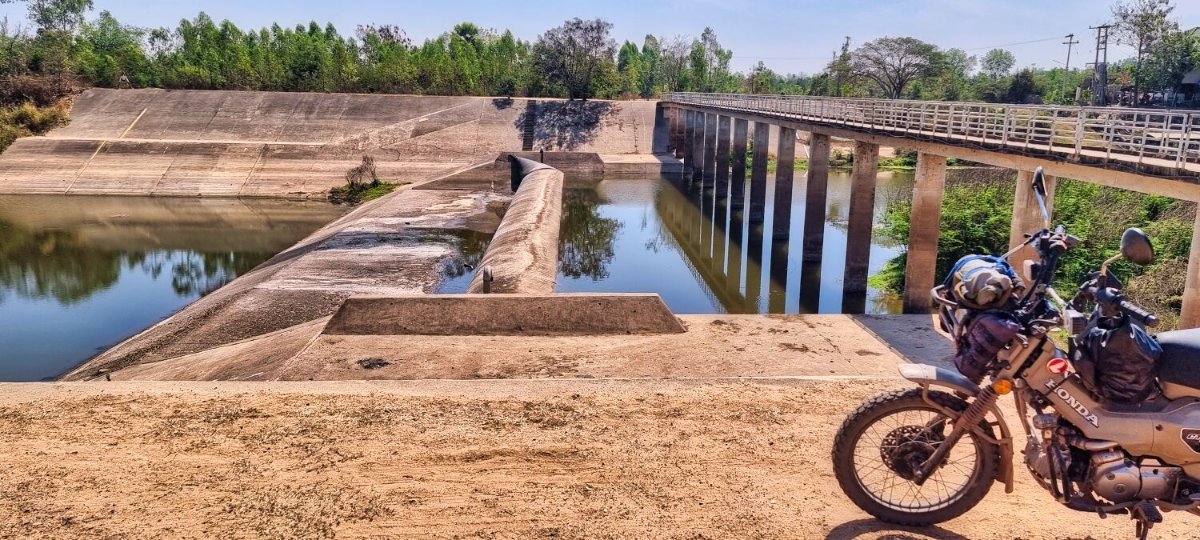
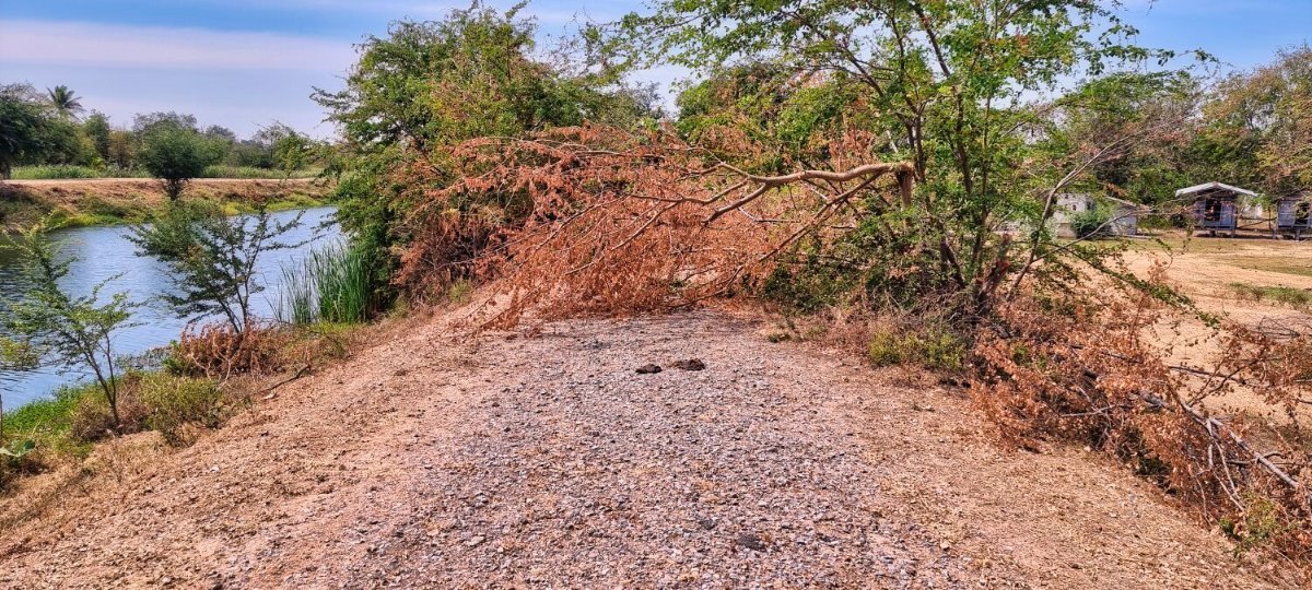
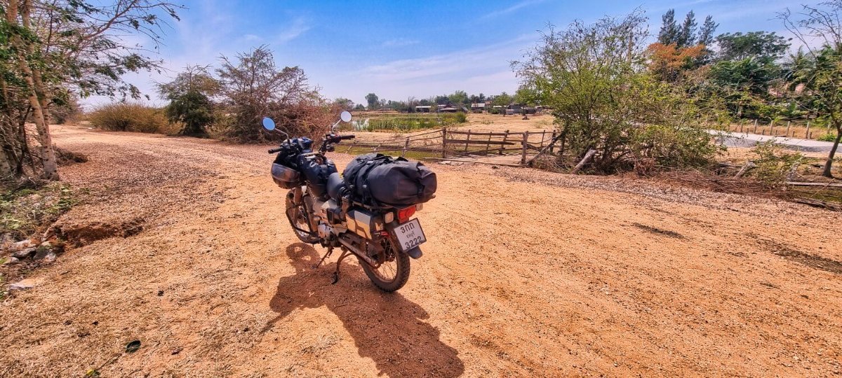
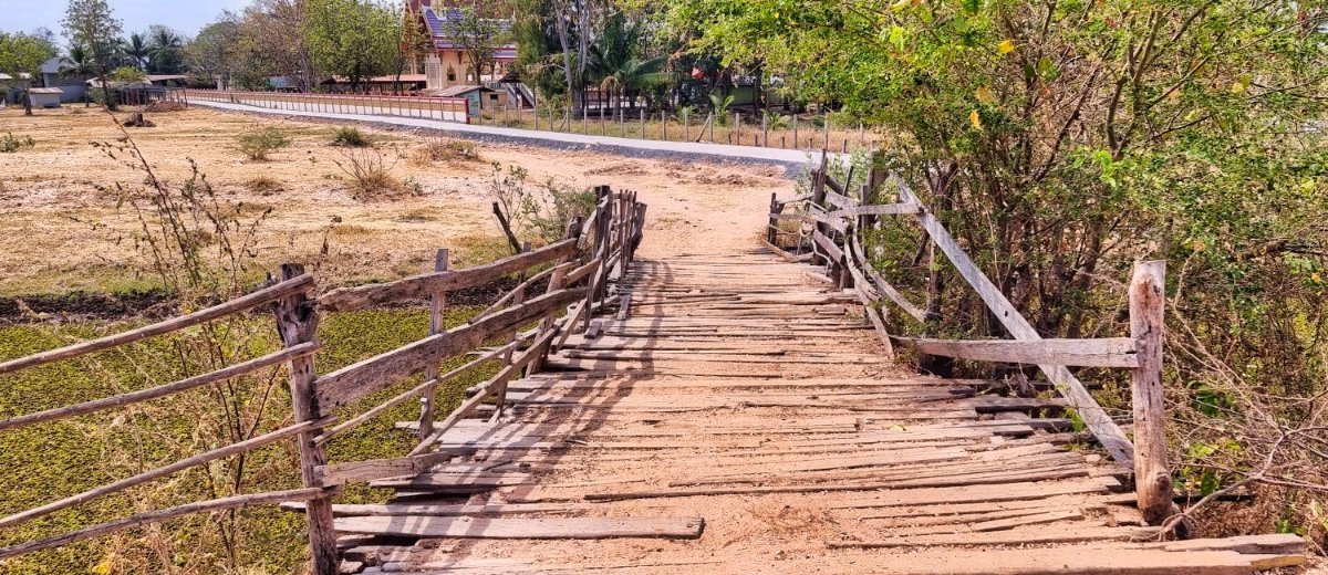
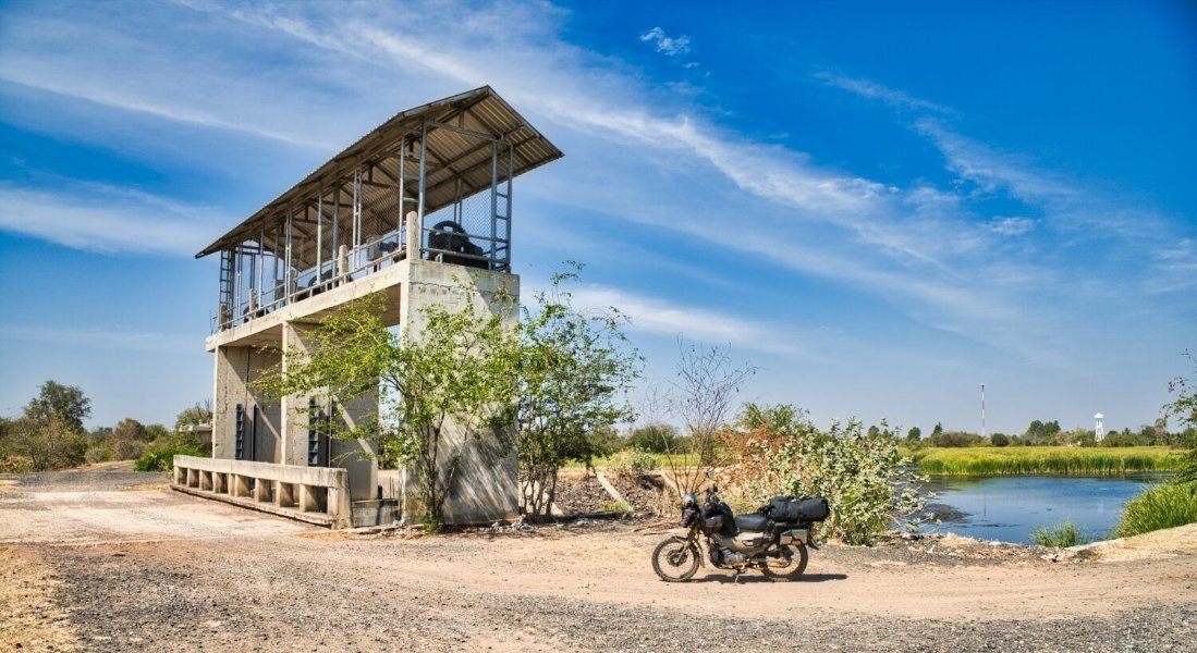
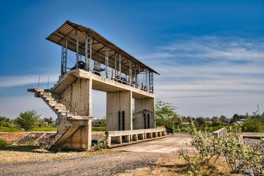
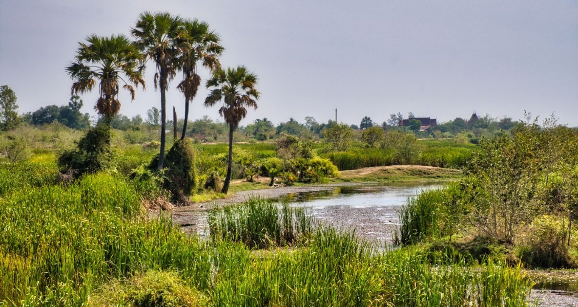
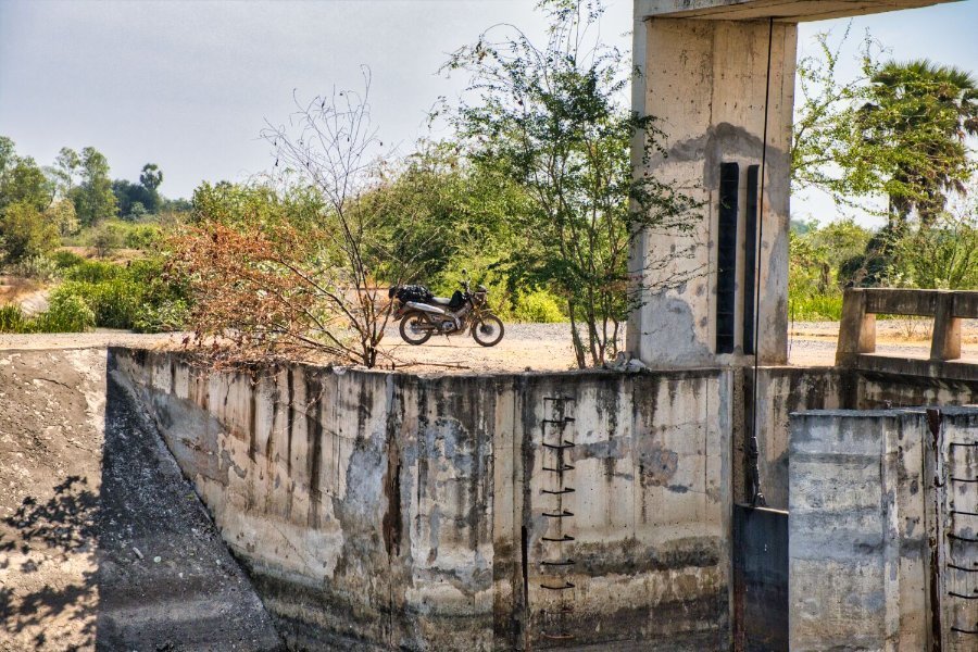
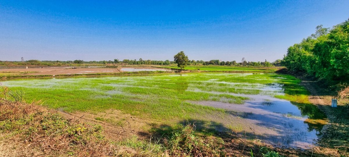
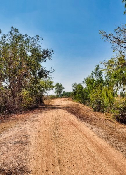
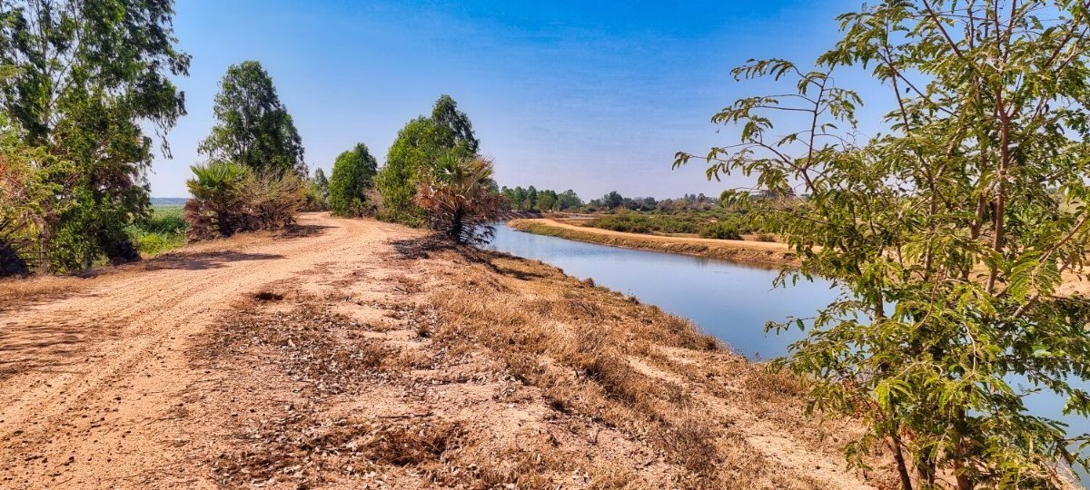
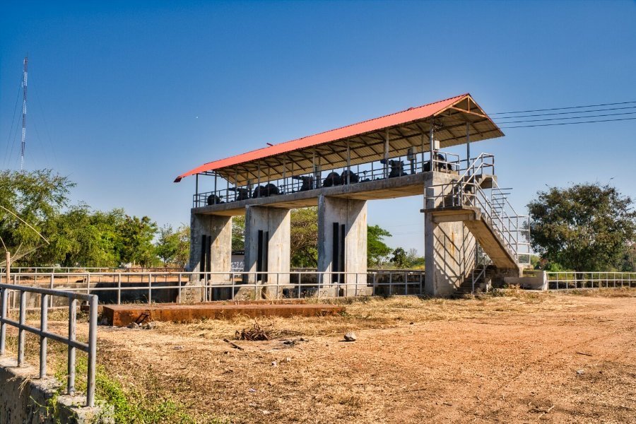
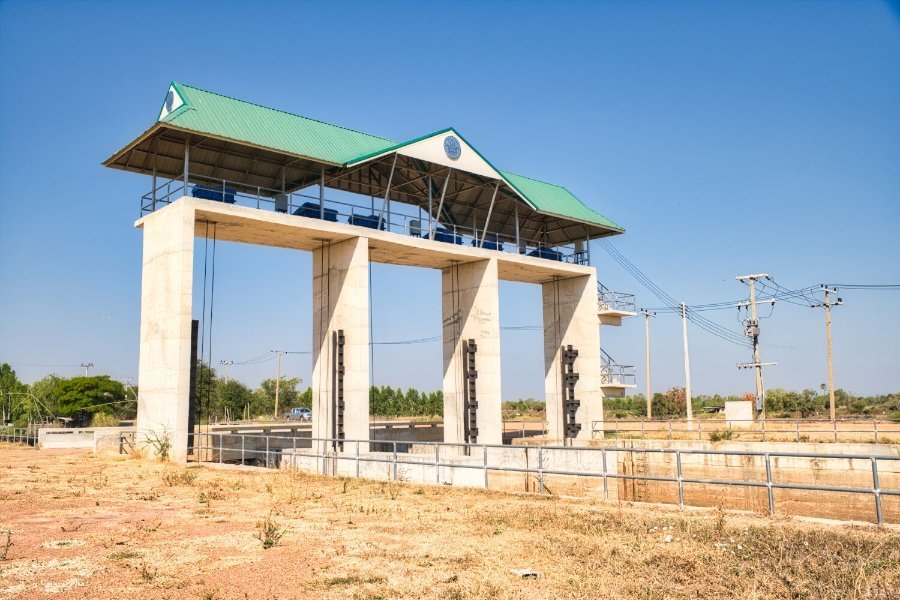
Today was more exploring Kanchanaburi, my first stop was the start of an irrigation channel, here. https://maps.app.goo.gl/2v4vTCR5tYo9sWwn6 It’s a flat compacted gravel track and easy to ride, here. https://maps.app.goo.gl/EsFQTPaXUXyosfnN7 From here I rode to the next track starting here. https://maps.app.goo.gl/xyD9D7uKxBYFuZVT8 This goes through Huay Sapan Samakke Community Forest. The track has a few areas of soft sand to keep you on your toes and finishes here. https://maps.app.goo.gl/eD66btiAr3vindXr6 The next track started here, heading down to Mae Klong Dam, here. https://maps.app.goo.gl/QL5GoovnCofydk59A https://maps.app.goo.gl/ni38QUXBgRuKpkoP9
-
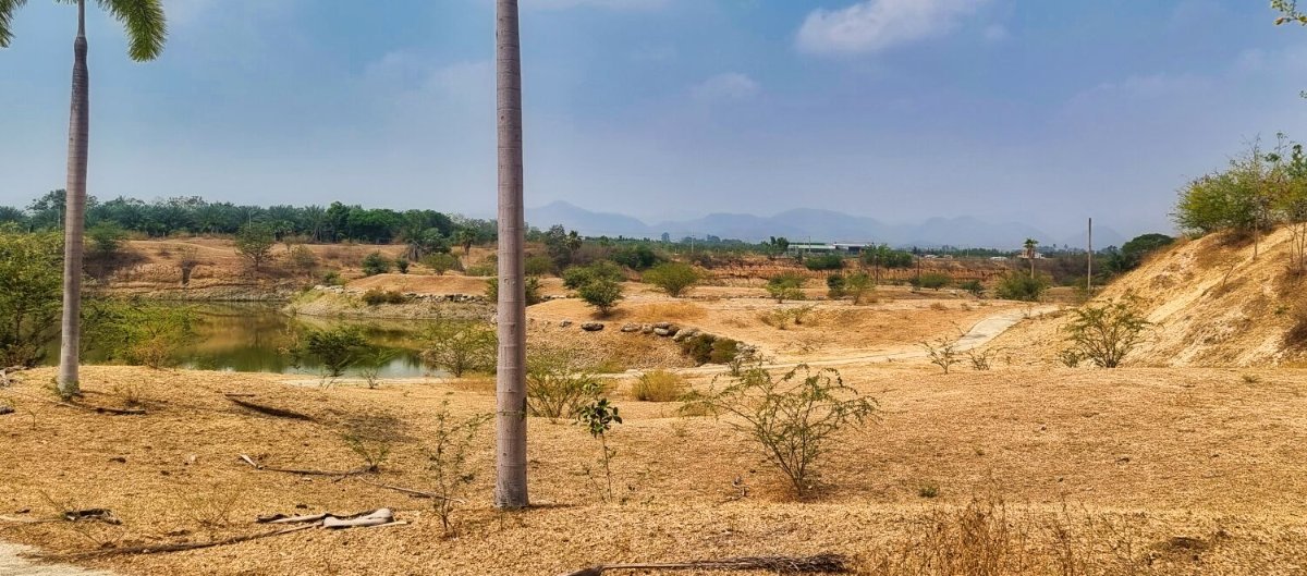
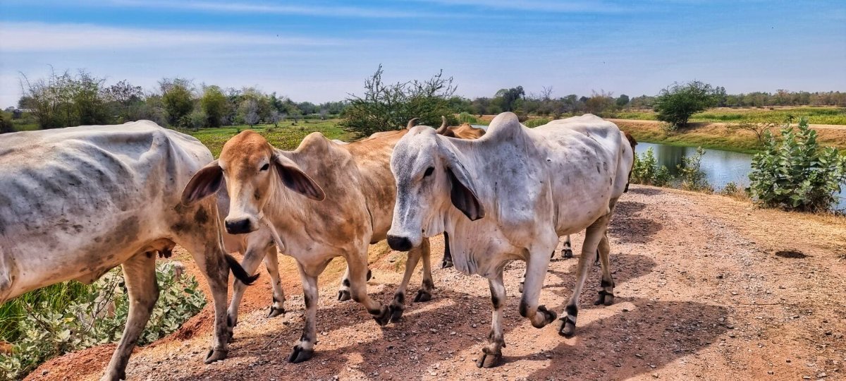
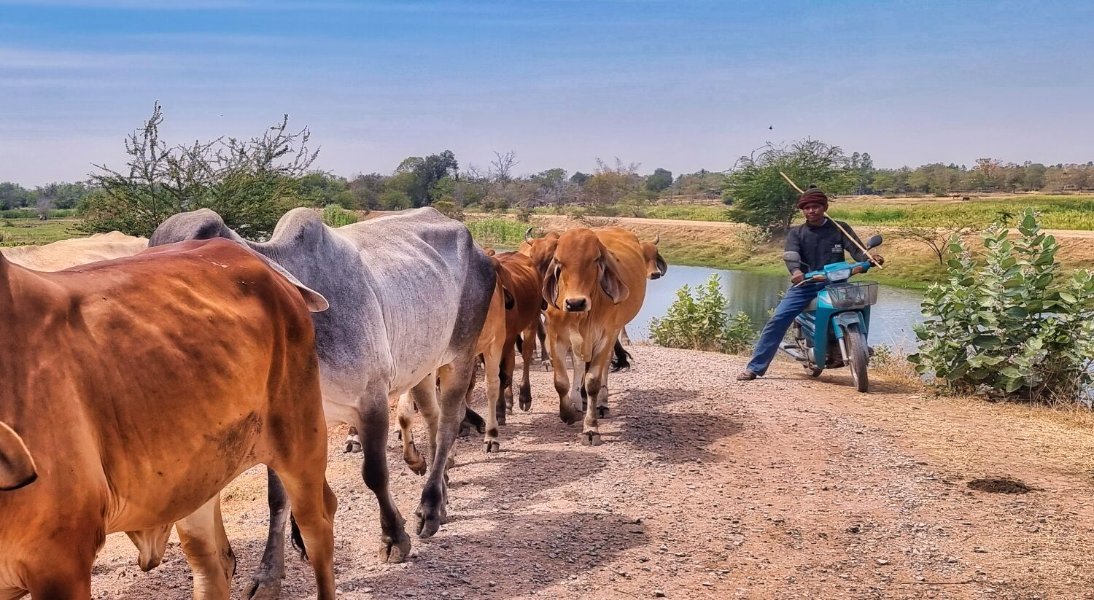
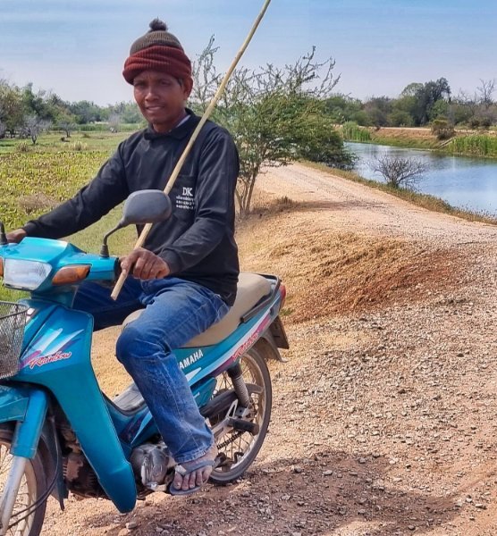
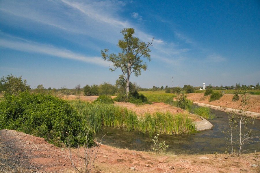
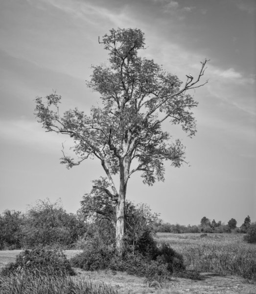
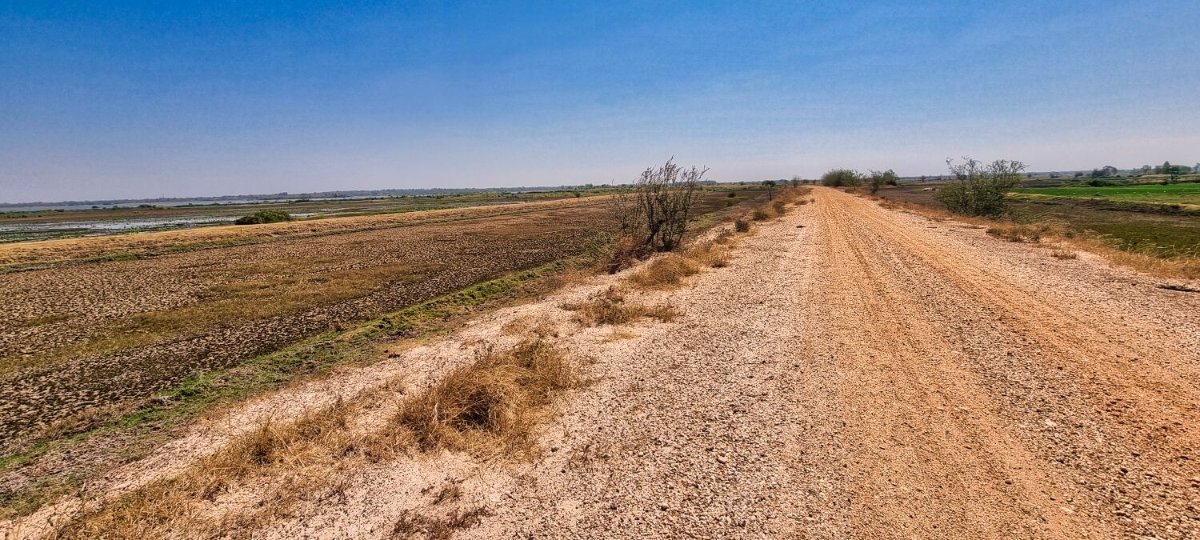
Today I went exploring to the same area as yesterday. I wanted to take a photo of the two big trees from the other direction, here. https://maps.app.goo.gl/zf62xzfwr5YfNPi69 On the way I found another big tree nearby, here. https://maps.app.goo.gl/P23CtBvvrUvbxpDA6 Riding on I passed a motorcross track, that looked unused in a long time, here. https://maps.app.goo.gl/DiEhGEEkYHUFn3Q6A I then headed to the north end of an irrigation channel, here. https://maps.app.goo.gl/XB7YAhqhex8HZduk9 I then rode on to a different irrigation channel, here. https://maps.app.goo.gl/nFK1YWBaHrSn4wHj6 I rode south and back to Kanchanaburi. But the track goes north, so I may explore tomorrow. https://www.relive.cc/view/vevYpRwndJq
-
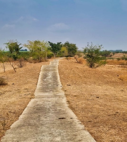
Today I went riding looking for tracks, by accident I found some I had already ridden, but also new tracks too. After leaving my hotel the tracks started here. https://maps.app.goo.gl/rBGtEXBMq3DnkgcQ8 I returned to the road back about 37km later, here. https://maps.app.goo.gl/K5DmHvncwF9ypM5R7 The Chinese cemetery is here. https://maps.app.goo.gl/qRstUshWVsccgBAD7 Here is the wooden shrine. https://maps.app.goo.gl/Uvy1z1XrxjtL2xwc6 The northern end of the irrigation channel is here. https://maps.app.goo.gl/rY3Snrm5MFGqzyAd9 https://www.relive.cc/view/vXOdp4PDQkO
-
https://en.wikipedia.org/wiki/Roi_Et_province#:~:text=The name of the province," was written "๑๐๑" (
-
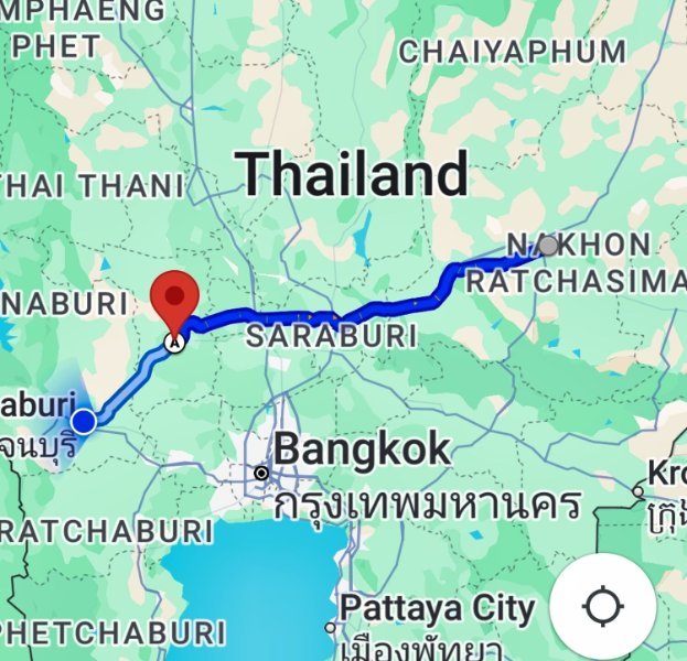
Today I had a straightforward ride from Korat to Kanchanaburi. The traffic was terrible and the roads way too rutted due to overloaded trucks and presumably roads not build to specification. The weather has got a lot hotter now I am further south which was pleasant, but I’m sure I will complain its too hot soon enough. https://www.relive.cc/view/vYvr1GrEWxq
-
No idea about lakes, i will look. But the meaning in Thai is 101
-
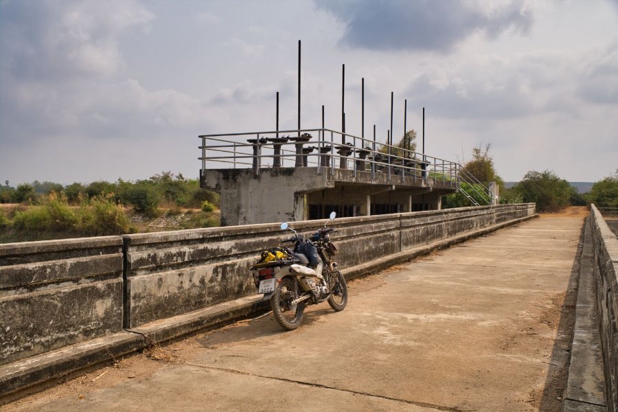
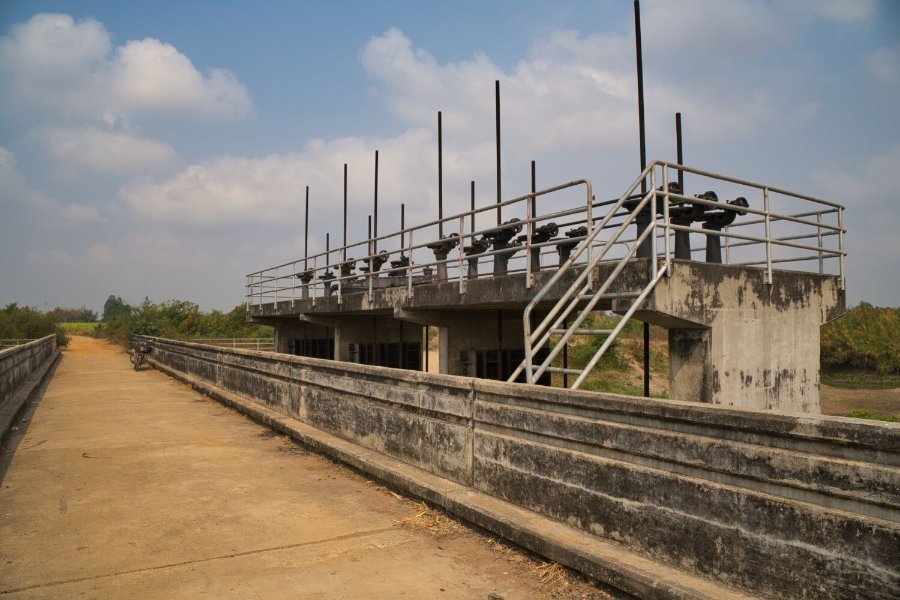
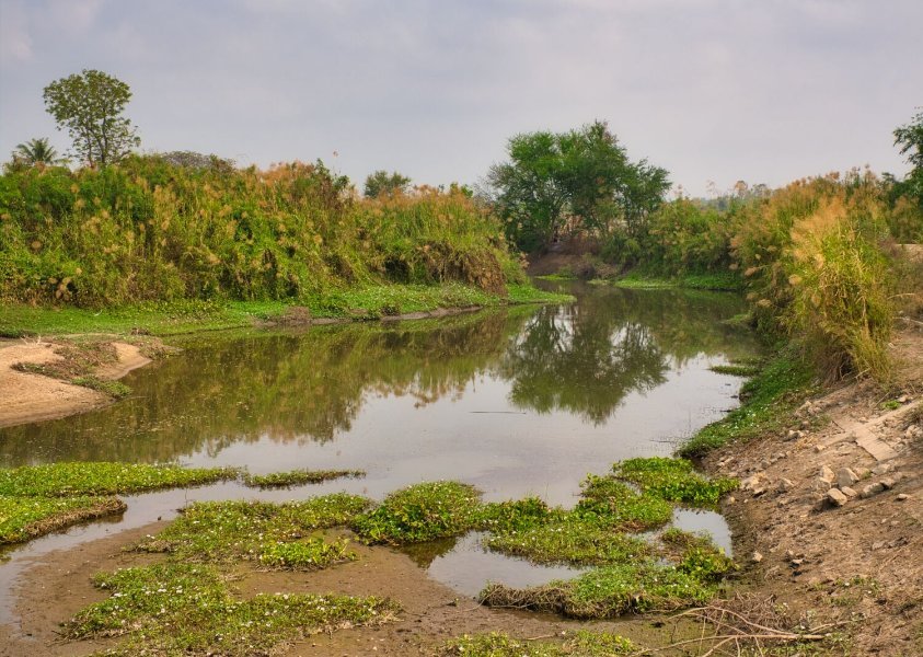
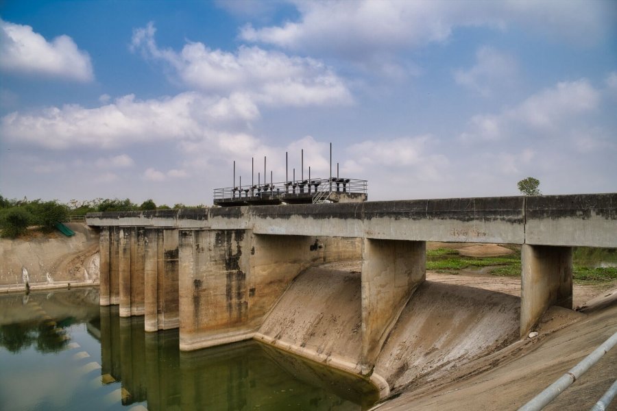
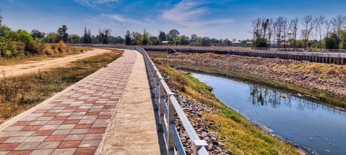
Today I went riding south of Korat looking for some tracks. Crossing R290 a new road, the track started here. https://maps.app.goo.gl/qiaGRchvUh8vZoVT9 The track came to the Chong Khe River, here. https://maps.app.goo.gl/q7PvNrHKZJGYPpL7A Later on my exploring found a weir, here. https://maps.app.goo.gl/tN1su7PjYRdHF2J26 Finding a way back I came across a riverside walkway, here. https://maps.app.goo.gl/zu7v1PPi5a1ZqSgQ8 https://www.relive.cc/view/v26Mo3DxeEv
-
Today I headed from Chaiyaphum to Korat, on the way I stopped to explore Lam Chiang Krai Reservoir, here. https://maps.app.goo.gl/tNzkLF5niGJHrDf76 There were plenty of tracks there, but not on the maps, worth exploring. https://www.relive.cc/view/vXOnk7KG4B6
-
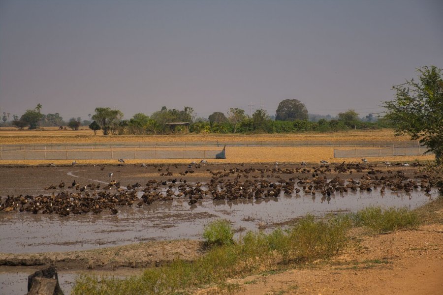
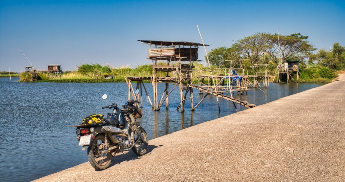
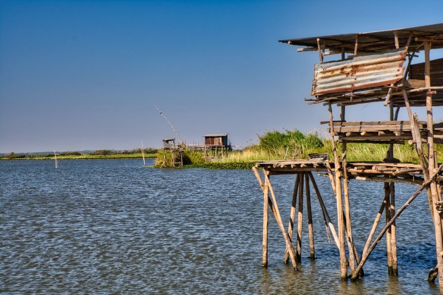
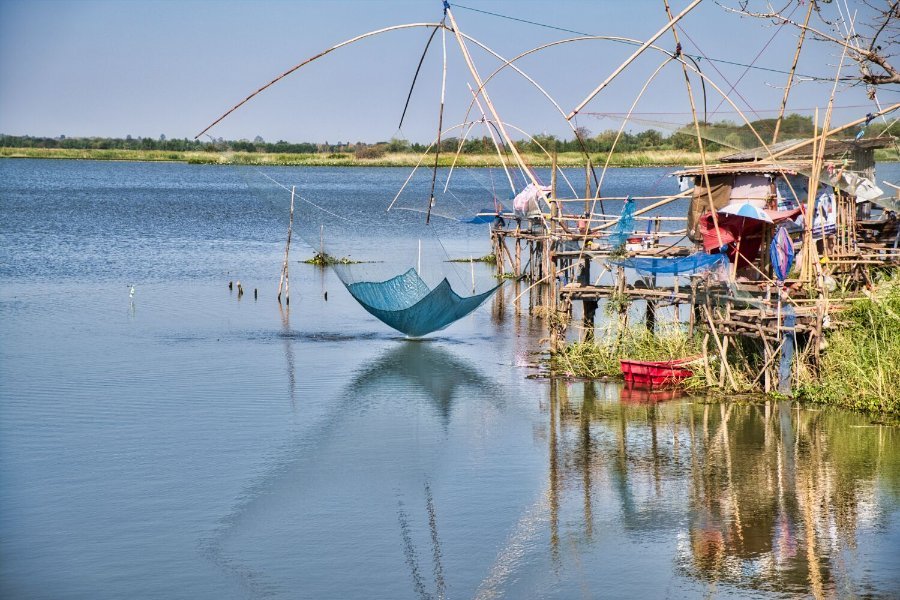
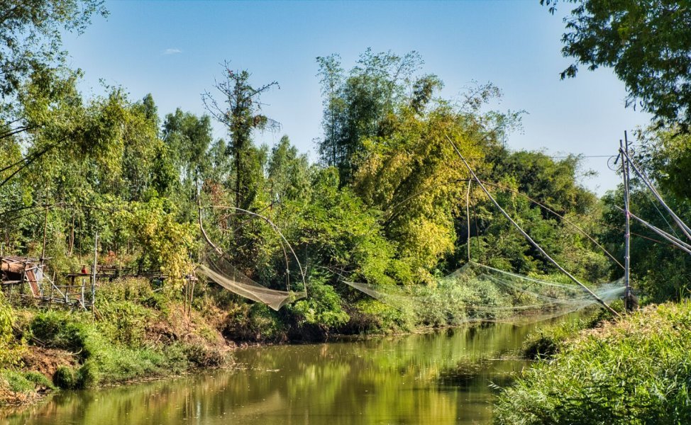
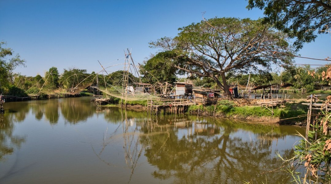
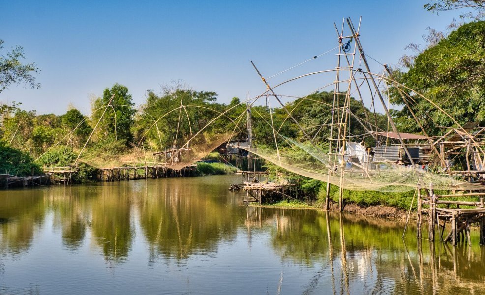
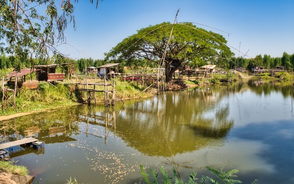
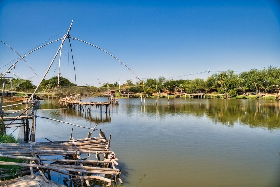
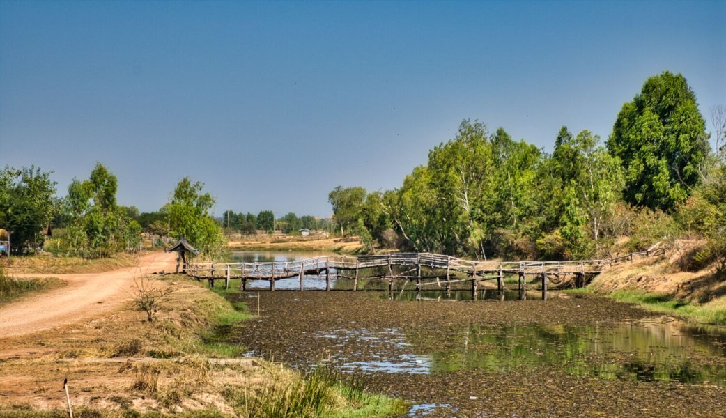
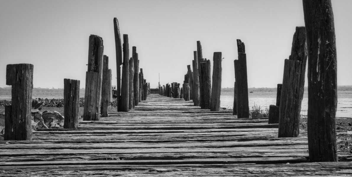
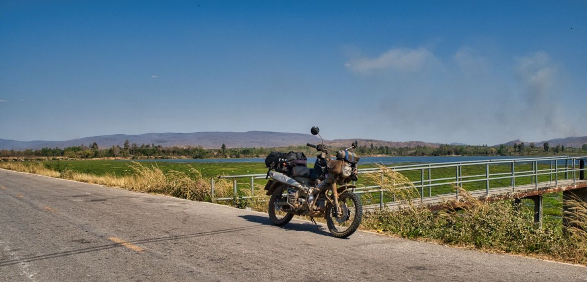
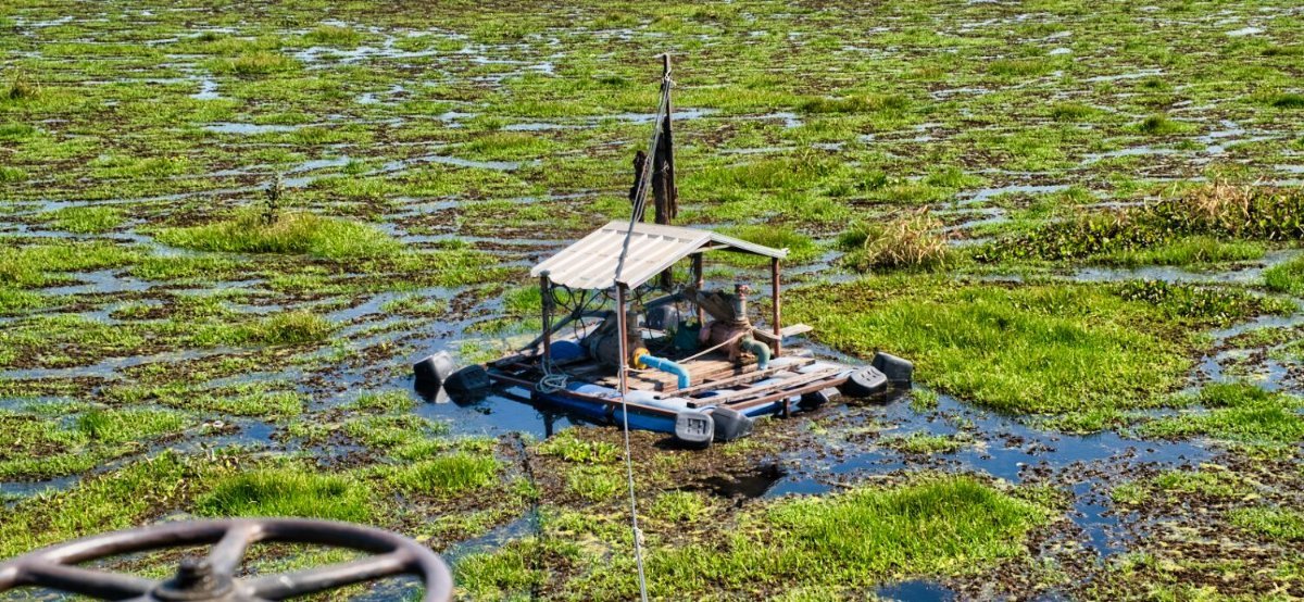
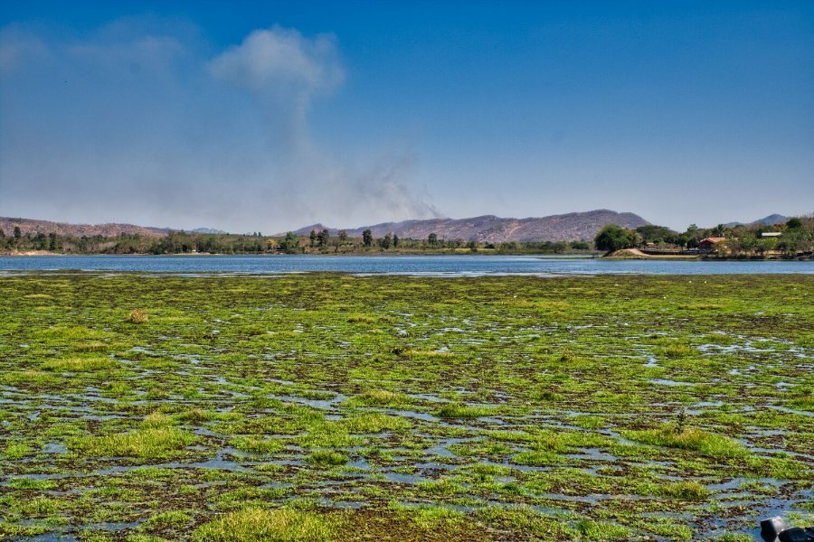
Today I rode south west of Chaiyaphum to La Han Luk Nok Reservoir. My first stop was at an area of fishing nets suspended over the reservoir. https://maps.app.goo.gl/5zrXrT59sPYopvfy7 Nearby I stopped a a weir, here. https://maps.app.goo.gl/KLFJJowqu2824XGF6 Again, nearby I came across another weir, here. https://maps.app.goo.gl/yazp7LXm5RABQrccA From here I rode a track past the weir and looped back and onto a fishing village, here. https://maps.app.goo.gl/ZdqJPfuQLUdqjoji7 I then completed a loop of the reservoir and rode back to Chaiyaphum. https://www.relive.cc/view/vXOdp4ZLekO
-
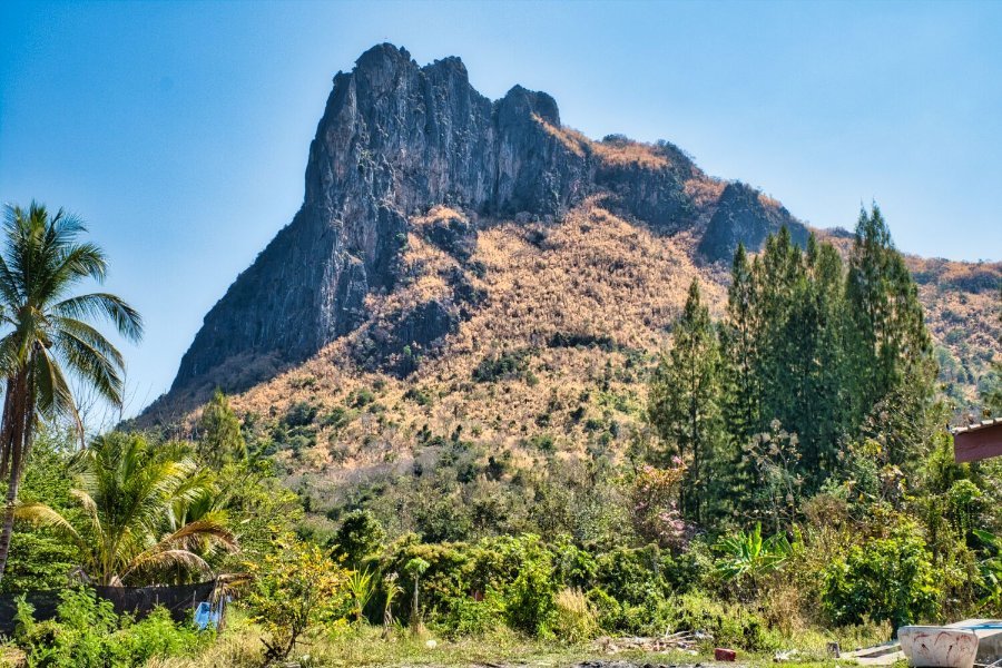
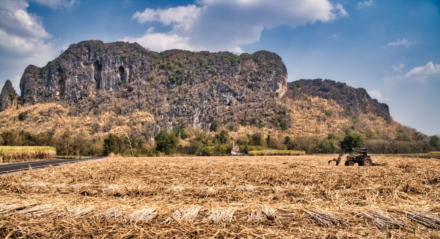
Today I rode from Loei to Chaiyaphum. My first stop was at Huai Yang Reservoir, here. https://maps.app.goo.gl/RnWqg4gHyUndwgty7 After looping around the reservoir I continued south and stopped at the northern entrance to Phu Pha Man National Park to photograph the mountain there. https://maps.app.goo.gl/DW9LNX38NwBGTXjY6 From here I continued to Chaiyaphum https://www.relive.cc/view/veqzQxkRGB6
-
Yes 🙂
-
Today I stayed local to Loei City and explored the small mountains I stopped at yesterday. Most of the photos were taken near here, near to Wat Tham Erawan. https://maps.app.goo.gl/64AoF89eC7EaYR9X7 https://www.relive.cc/view/vJOK5y3pRwq
-
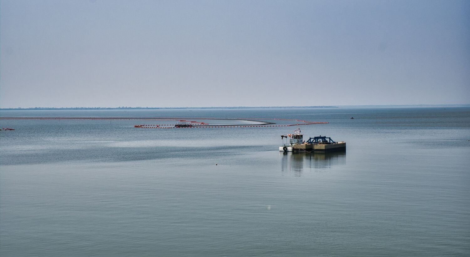
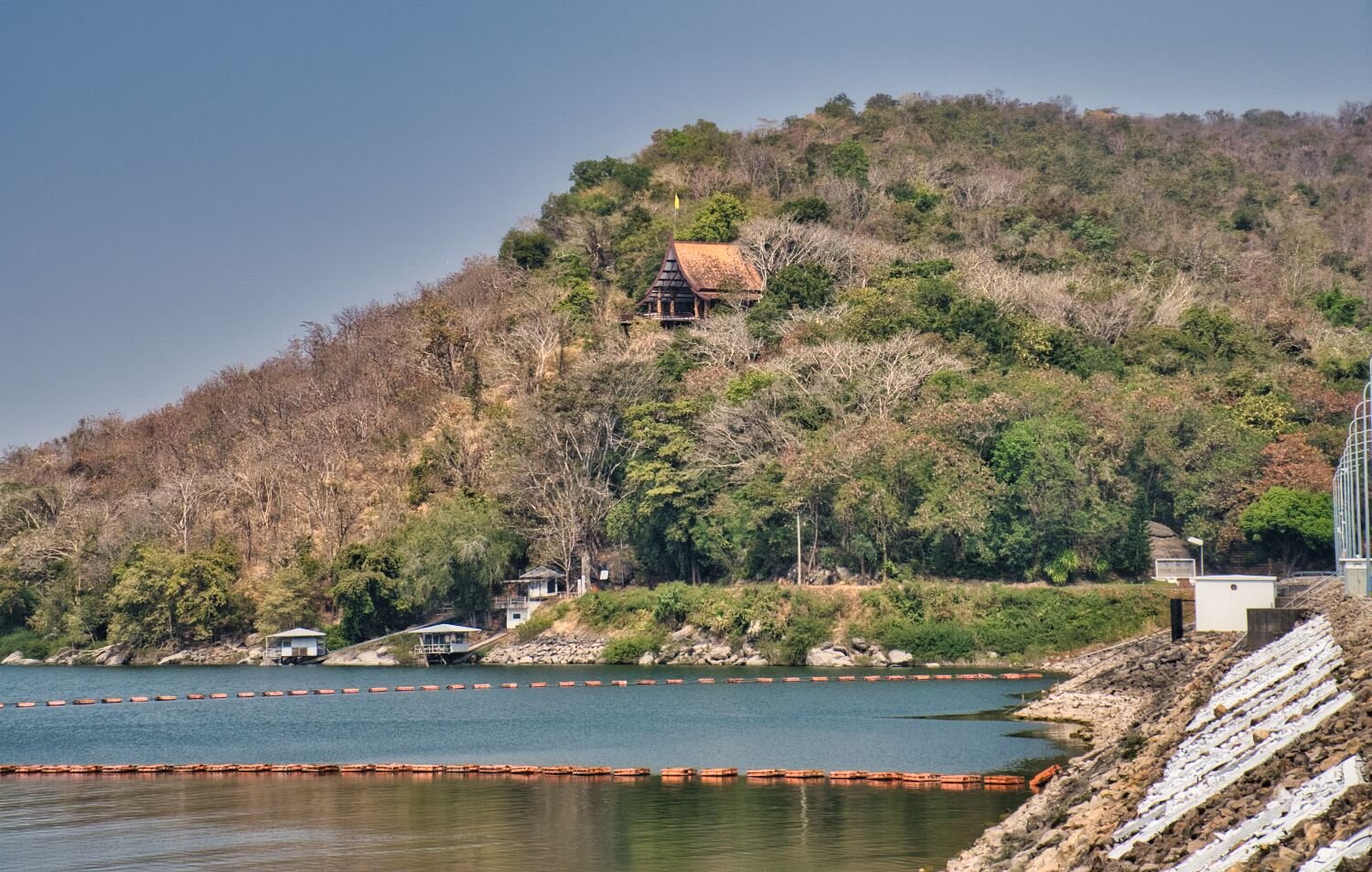
Today, day 90 of my tour I rode from Khon Kaen to Loei. My first stop was at the Ubolratana Reservoir, here. https://maps.app.goo.gl/b2B9a56DixwtsfMg6 My next stop was a mountain view, here. https://maps.app.goo.gl/psCCyzoYnCpKpVMw7 This is nearby Wat Tham Erawan, a cave with a Buddha image in it, here. https://maps.app.goo.gl/64AoF89eC7EaYR9X7 https://www.relive.cc/view/v1vjYzjwjYq
-
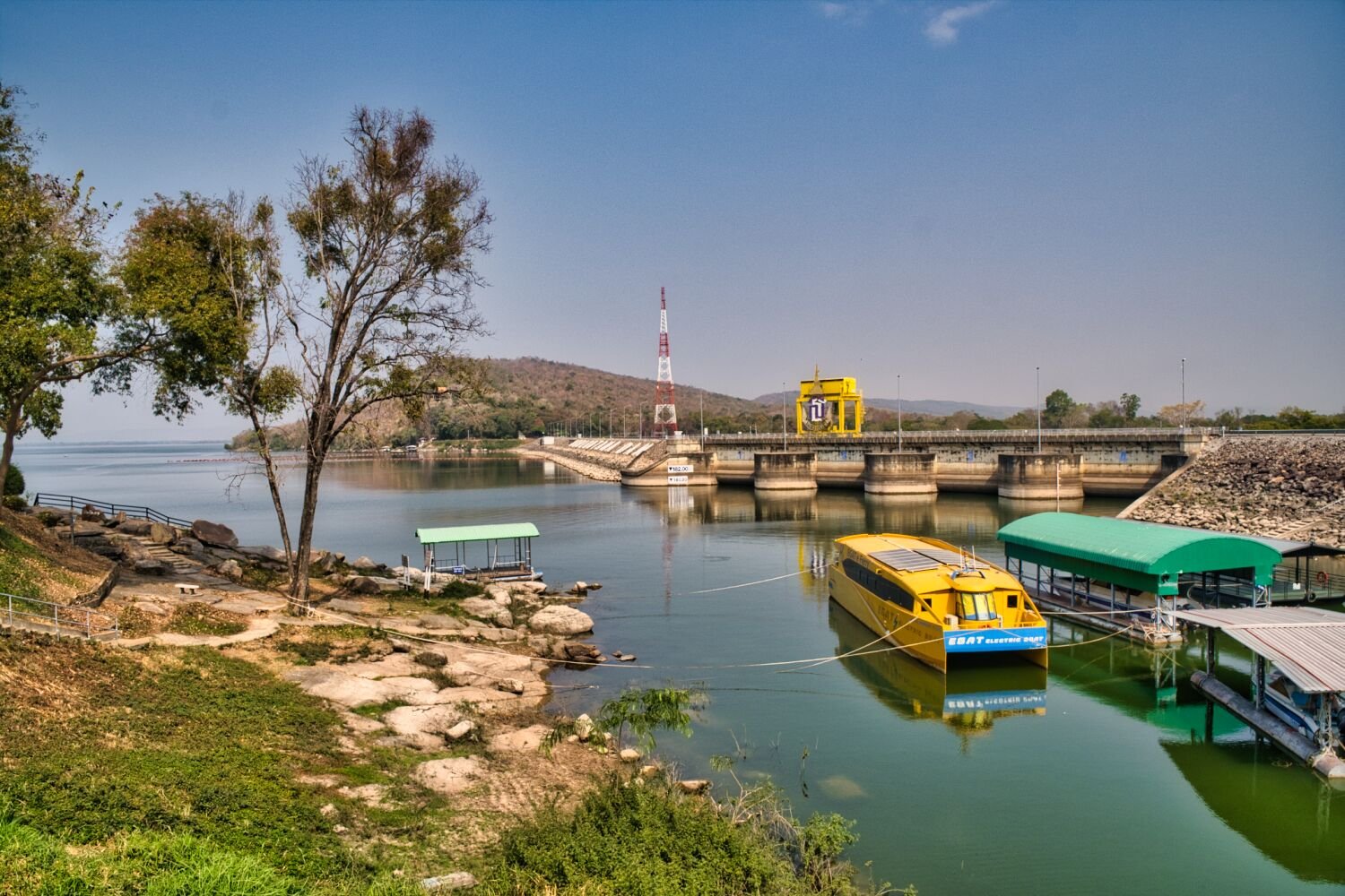
Today I rode from Udon Thani to Khon Kaen via Ubolratana Reservoir. My first stop was at the dam, here. https://maps.app.goo.gl/Ya2oTkeyPobEc8Pu6 I then rode to Non Than Beach nearby. https://maps.app.goo.gl/QFwjzf8enjAhXJwx6 Nearby was an un-name beach here. https://maps.app.goo.gl/Efxc9zKgdeJJBaTf8 I then rode on to Khon Kaen. https://www.relive.cc/view/vMq5gAQVE8O
-
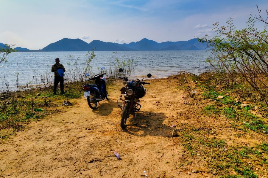
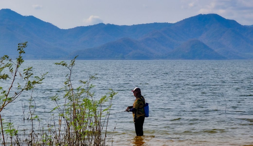
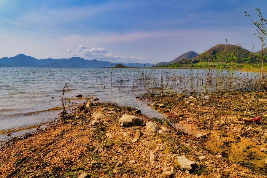
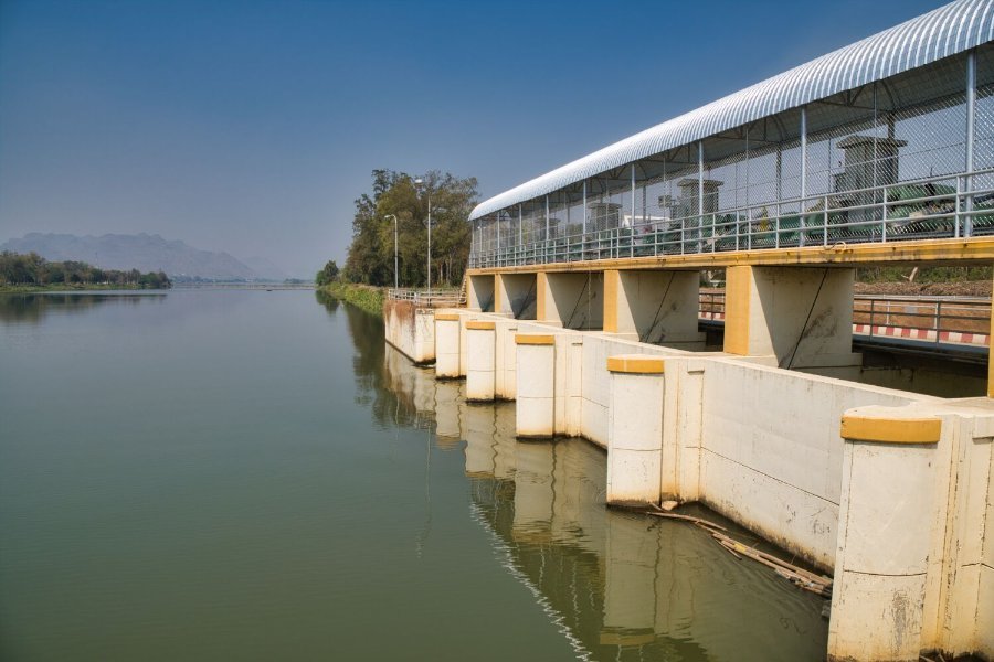
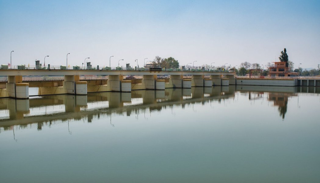
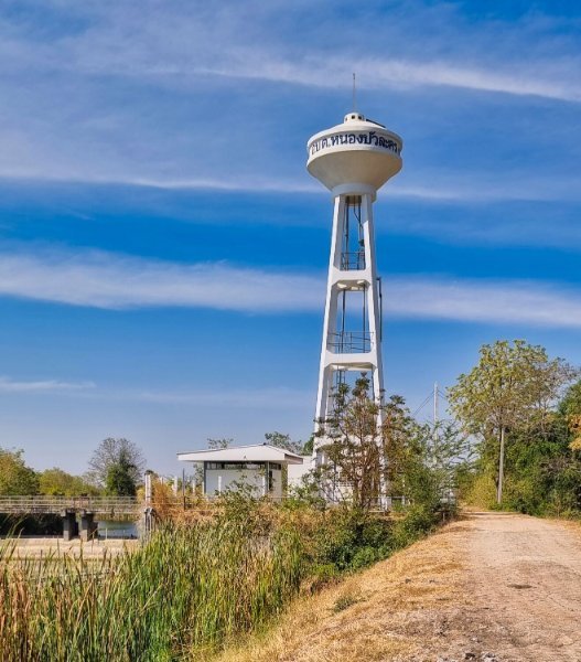
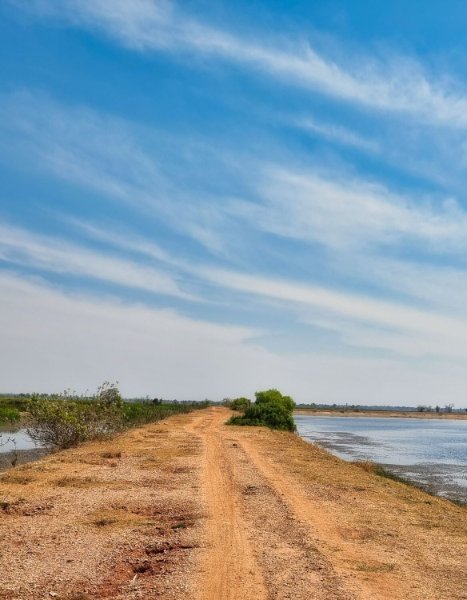
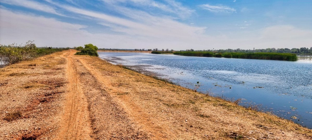
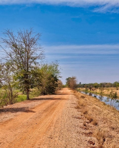
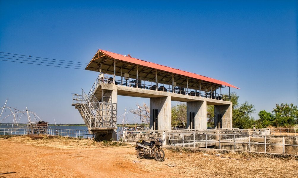
Today I rode out of Udon City to Huai Luang Reservoir to explore. Unfortunately, there were few roads that actually went close to the reservoir. The water level was also low which didn’t help. My first stop was here. https://maps.app.goo.gl/3ACvrhQfhWHassaZ7 On the map there are two additional places which show I was near the water, but in fact I was not. https://maps.app.goo.gl/i7esEsM3JwYon5qL8 https://maps.app.goo.gl/jSLD13bvPCjQdbve6 I carried on to the dam, but it was fenced off and I had to ride the road adjacent to it. https://maps.app.goo.gl/ueZT9zeWWTp6jsk77 There was a break where I could ride over the dam, here. https://maps.app.goo.gl/bfaYkr11hzPhs2LA6 From here I rode to the end of the dam where I could take a photo, here. https://maps.app.goo.gl/dMVT366yYpazWSL56 Then returned to Udon. https://www.relive.cc/view/vdvm1L3wExv
-
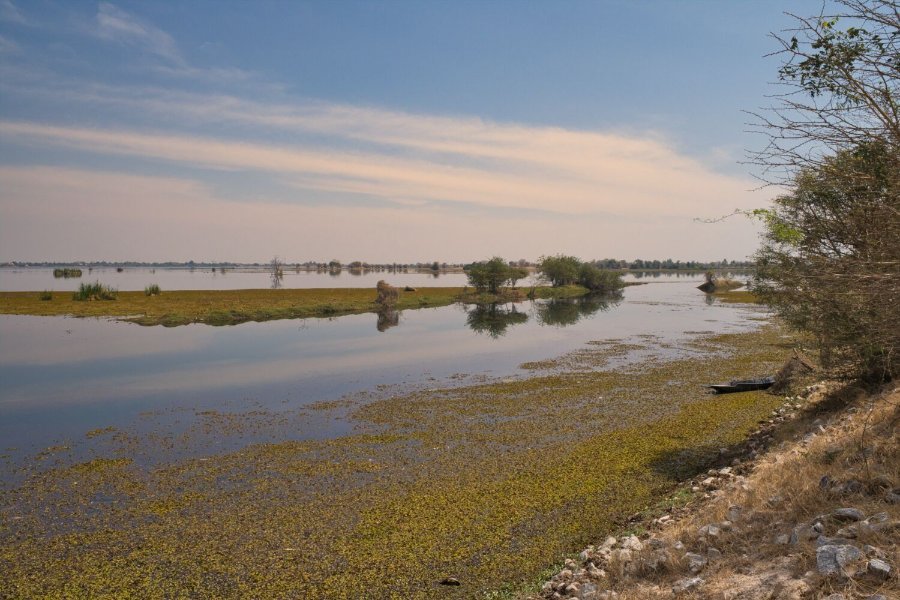
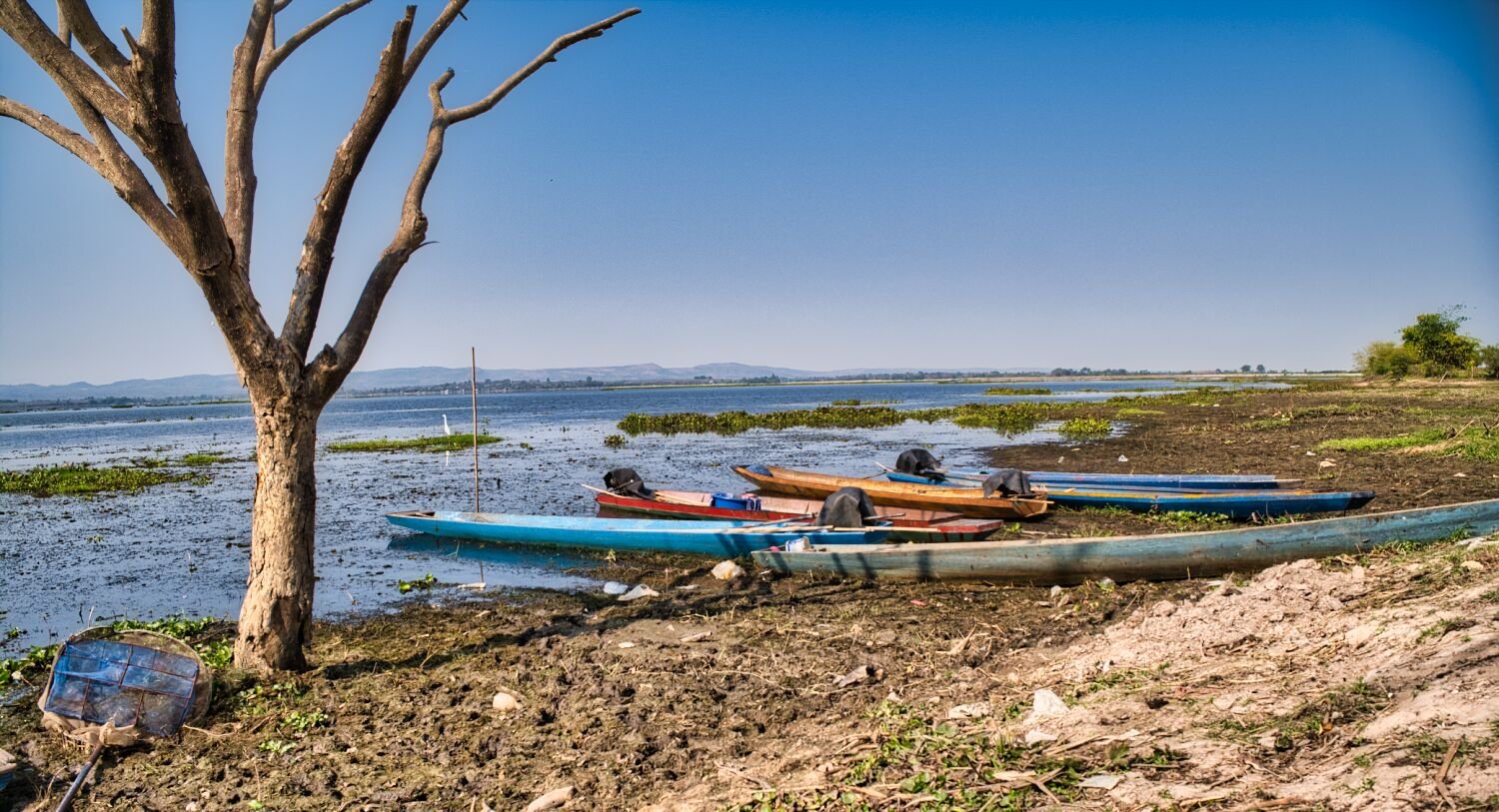
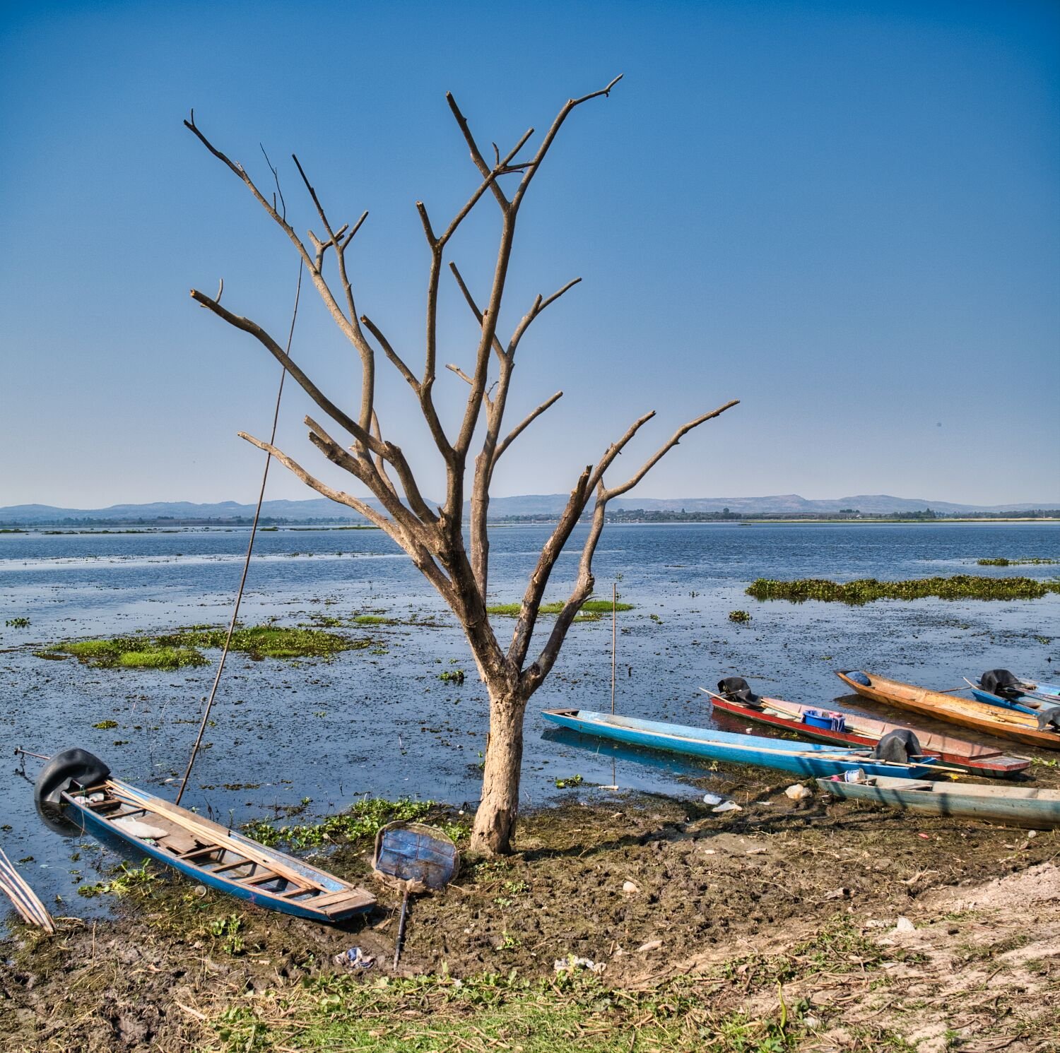
Correction, the east side.
-
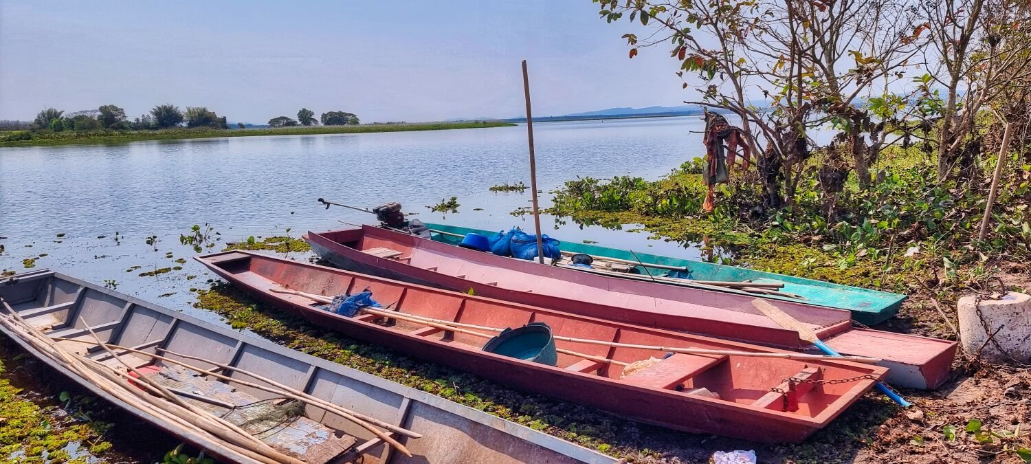
They were photographed from the west side of the lake, not at a marked viewpoint. If going there ride a loop around, different weather may change were is best.
-
Thanks 🙂
-
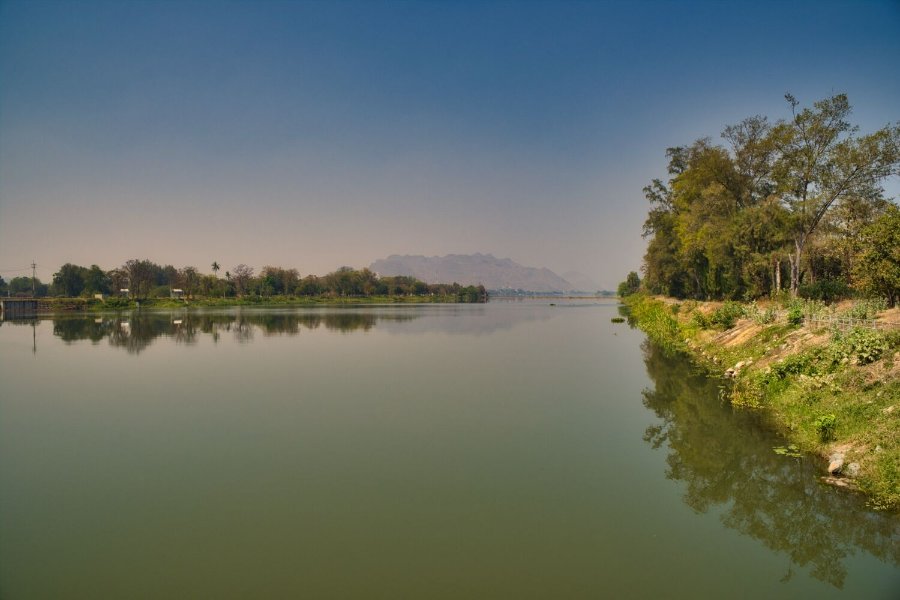
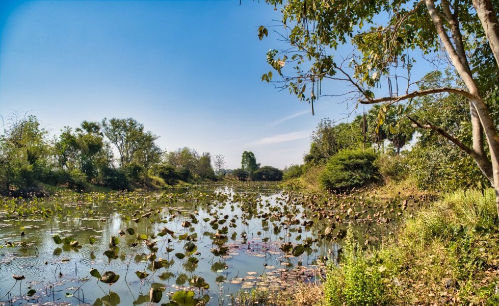
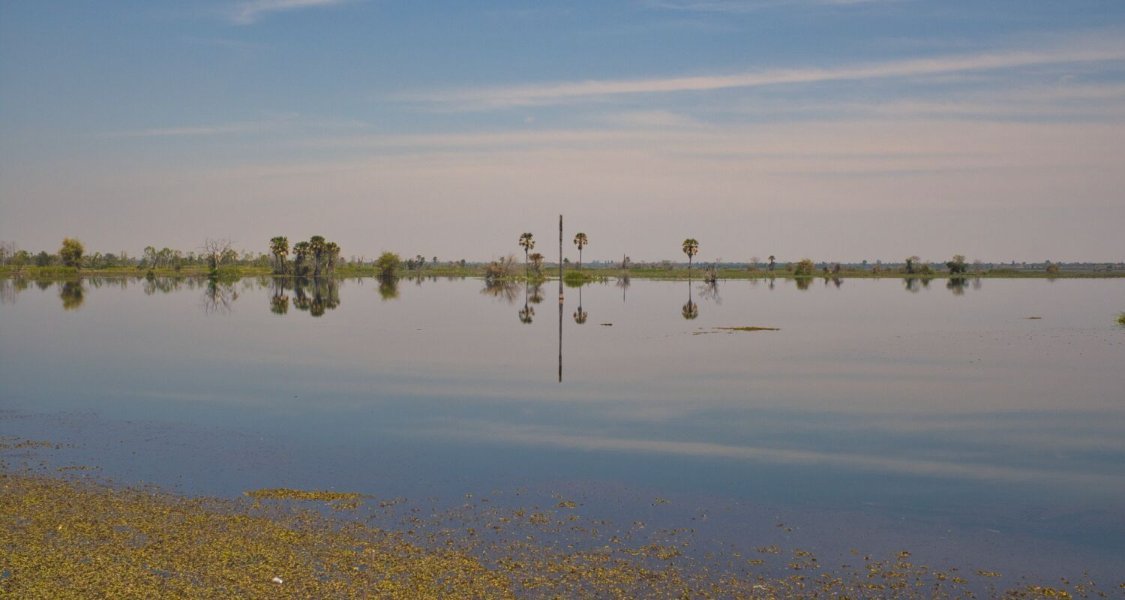
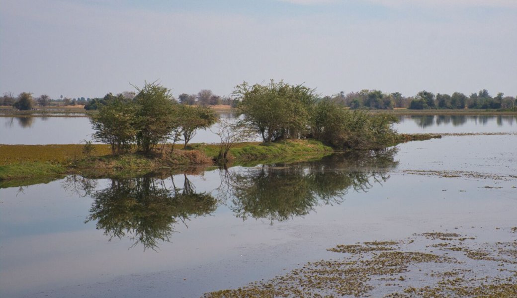
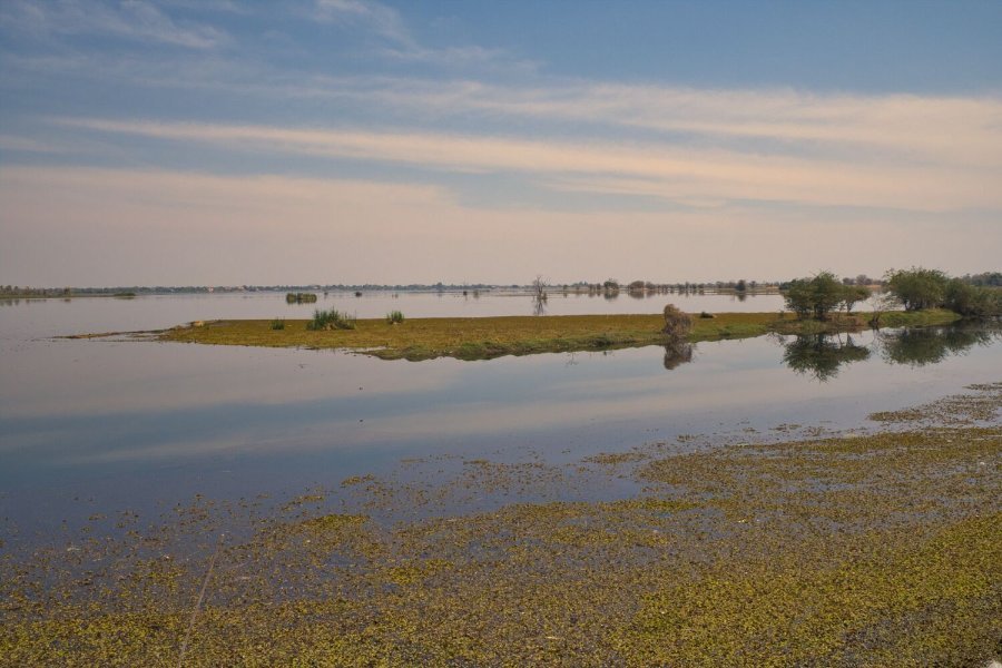
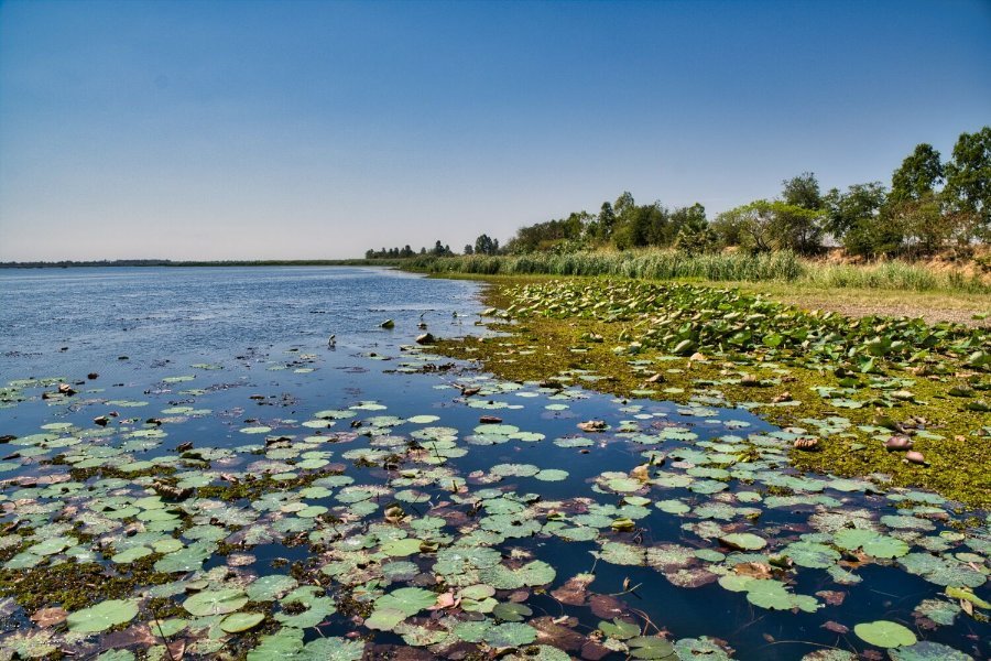
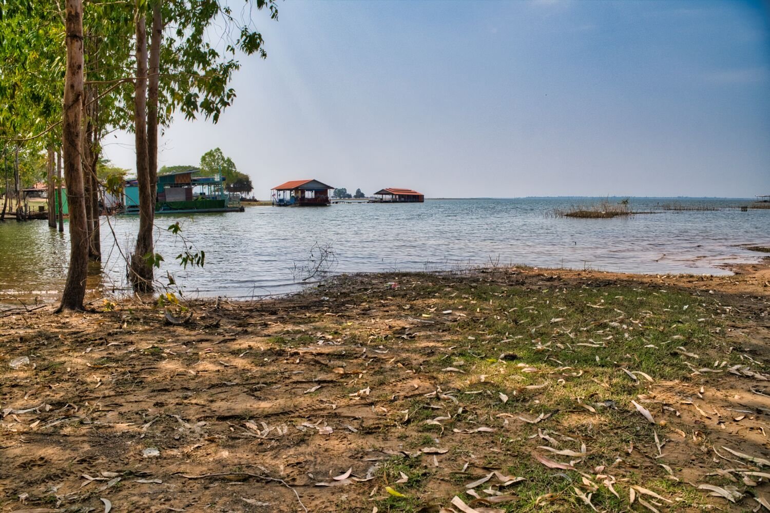
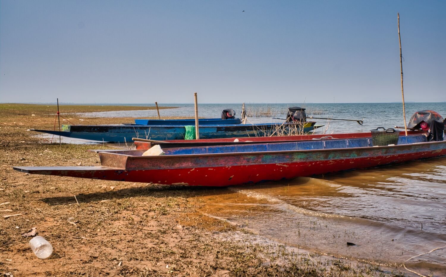
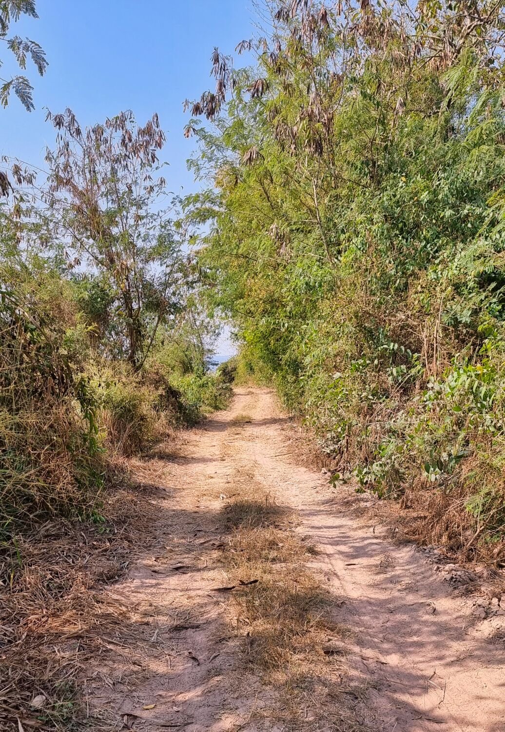
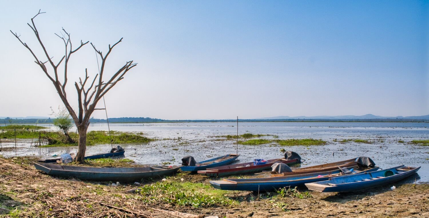
Today I rode south east from Udon Thani to Han Kumphawai Lake to explore. I arrived at the lake at Red Lotus Viewpoint, here. https://maps.app.goo.gl/kUyFp9zafA8FJz9K7 But very few lotus flowers to be seen. I then started a clockwise loop of the lake until I got to an irrigation channel and rode as far up as possible, then returned. https://maps.app.goo.gl/t3i4YoLYUGJTr3Cj7 https://maps.app.goo.gl/BQjSXdVDGTRRewNU9 I stopped just short of a full loop at a track here. https://maps.app.goo.gl/5UhaBY4euiF3Mva97 I followed this until it turned to rode and returned to Udon. https://www.relive.cc/view/v4OGeZBr35q
.jpg.2a7b986b06fbe9b1ef0c8b1ab54fbc92.jpg)


.jpg.b56a6b7b21af34712cf455d4d9eb89f7.jpg)

.jpg.ec2aeb1c895ea54b44f53a370f55ea14.jpg)
.jpg.538137ea5251e9d696f6b8c71d896a18.jpg)
.jpg.556ea7f80a3ea1464d1812c7c95ba391.jpg)
.jpg.d90aa2ab30493bfffa9830a20f47eb05.jpg)
.jpg.628bc7c28cd5e57c47ba1afcac55aef3.jpg)
.jpg.3a448b851b2c924f7d683adb55987acd.jpg)
.jpg.68371365f406b74b8c7aa40ea1ecb0ec.jpg)
.jpg.97f66e182406dc955afb990aee35717d.jpg)
.jpg.50ca5f9268f3b26db965bcdba8b64abc.jpg)
.jpg.e570e839cbeb46a13c67ff9f53cc5367.jpg)

.jpg.06b402aab409990e4bf4c9ae8cf07eb9.jpg)

.jpg.db0e539d4a06353b7007236aad273f43.jpg)
.jpg.2f3e86b117428035e8e182883d8e6c3f.jpg)

.jpg.2b998034f4379e7d9ea1ea1db2908d40.jpg)
.jpg.74b92bea5cad834babc53b4f0f2f0f9b.jpg)

.jpg.b985809ef2bef2e2171538369fc1839c.jpg)
.jpg.e13749f62d81f639bc7b0aa5ad558bf9.jpg)
.jpg.6e18d810a65fcf695b942d6144831266.jpg)
.jpg.d91740dc1fdd88c5337aea37530e4d95.jpg)


.jpg.297643523c62e2aac4c54e9100521128.jpg)


.jpg.aaecd70a48fa4a5462acad973fee15ef.jpg)


.jpg.dfda719d13710bf327d62608b5ec45a2.jpg)


.jpg.b2e75b72feadf60774d620c0f7060a89.jpg)
.jpg.134087324fd03b47fdb89d7e68dccb1e.jpg)


.jpg.dce91be087ba7e3a76f27468966c175d.jpg)


.jpg.392dcb028ce38d3089e5ae8c41fd6efd.jpg)

.jpg.a846b5e300dd9ff663ba6f415ce71ff4.jpg)
.jpg.f8657b8bd9171674c5b8215af1960227.jpg)


.jpg.ec037d2403d6adb1af75865881709f57.jpg)
.jpg.cac3940079eaee1be8e4ebd7f9d85708.jpg)


.jpg.729243aad99cf8e5720421fa6b9381ca.jpg)


.jpg.da1a915c1b660fc02780768218240d34.jpg)
.jpg.794d1858c1f77162043db739a0f85f64.jpg)


.jpg.ca2748a3f535ed00665006e3521c4160.jpg)


.jpg.e825b1eefb8ef5912feb55afa852684e.jpg)


.jpg.6174a4a4a86d92be3b308ec22f250027.jpg)


.jpg.1695b431295666987b912e05d95b9aeb.jpg)
.jpg.e68bd7aaa5e52fff473af3b7c0db85b6.jpg)


.jpg.c50a17813b8f03a4ec13e94fad8a6988.jpg)
.jpg.cd7703e297fbc2c1e62f572548cd68f8.jpg)
.jpg.78ab9666270ef41f7b7544d6d68f21ef.jpg)