chrissables
-
Posts
3,175 -
Joined
-
Last visited
-
Days Won
8
Content Type
Events
Forums
Downloads
Quizzes
Gallery
Blogs
Everything posted by chrissables
-
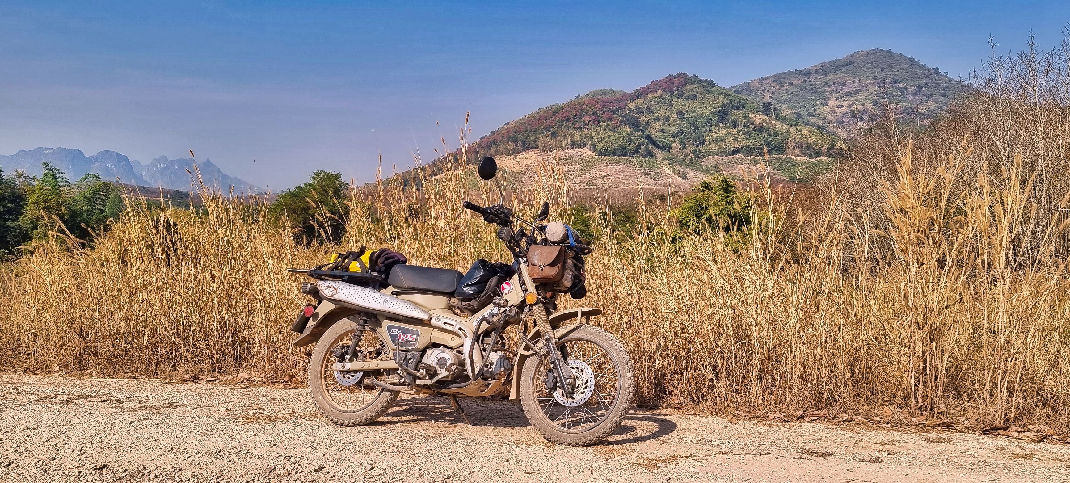
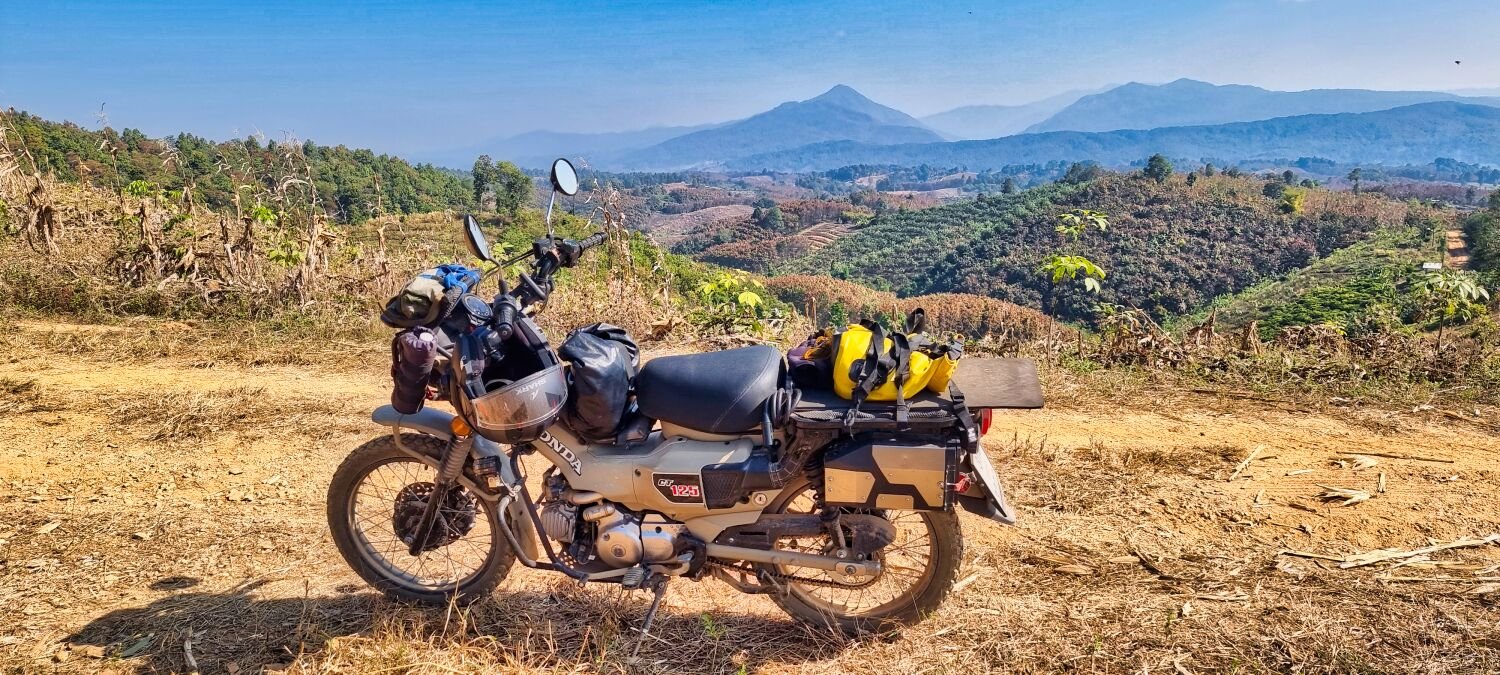
I use a camera as well as a phone camera.
-
Today I rode to Udon Thani from Sakon Nakon. No stops at all as I wanted to sort my camera out. The first shop said the sensor and lens was perfectly clean, even trying their own lens to check. But it still was not right. After contacting the shop I bought my kit from they sent me to the shop here in Udon who yesterday said they could not clean the sensor or sell a cleaning kit. But then found a technician who could. It seems ok now, tomorrow I will know for sure! https://www.relive.cc/view/vrqowmmRdKq

-
Sometimes it good to have a threesome 🙂
-
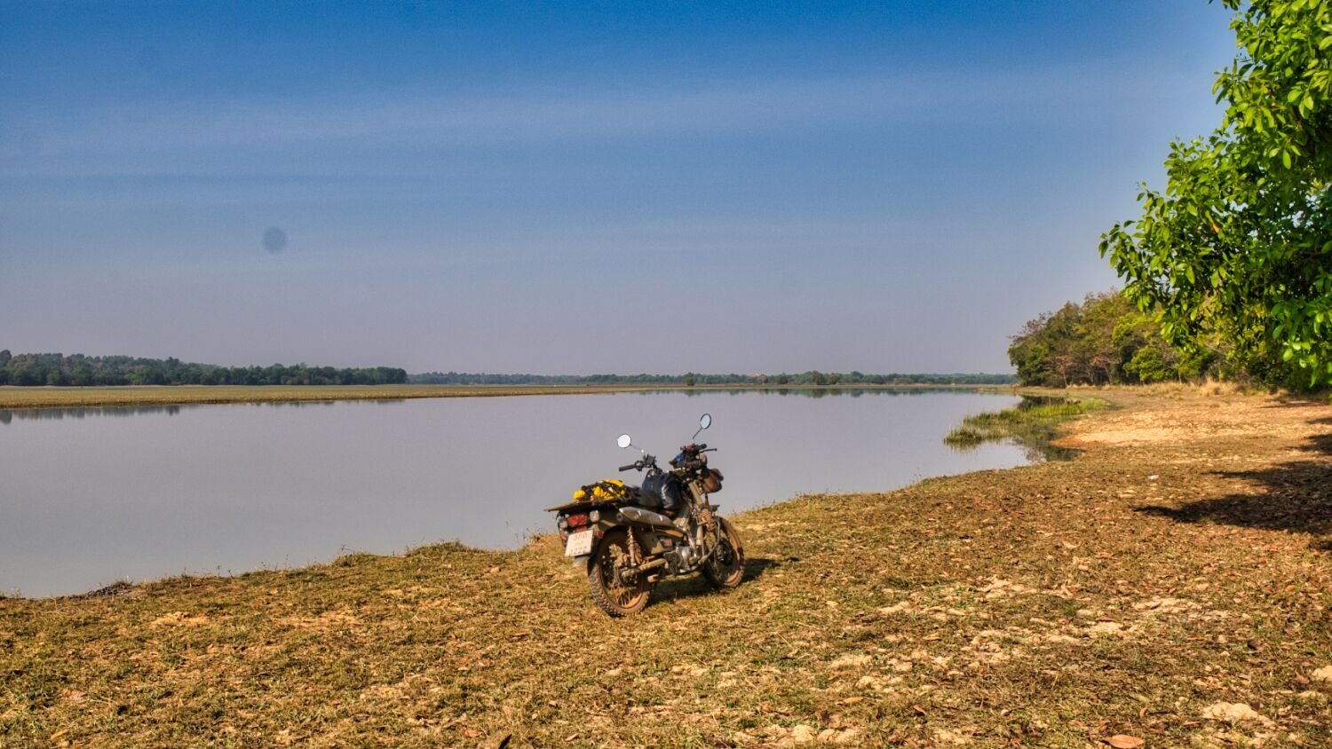
I left Nakhom Phanom today to ride to Sakon Nakon, I took one detour to ride around Song Hong Reservoir, here. https://maps.app.goo.gl/y2KowrDGbJKHAzxy9 From here I rode into Sakon Nakon to find a camera shop, the biggest chain camera shop in Thailand whose staff didn’t have any idea about cleaning the sensor or sell cleaning kits. They told be to send it to Bangkok and it will take a month! Contacting the same store in Udon Thani a much larger city I was given the same reply, crazy. On my way to find a hotel I found a Honda motorbike shop that was open and got the bike serviced, after they blasted all the dried clay off. The third hotel I tried had a room and strangely had two teddy bears for me to share the bed with tonight 555555555 https://www.relive.cc/view/vMv8poXN1Nv
-
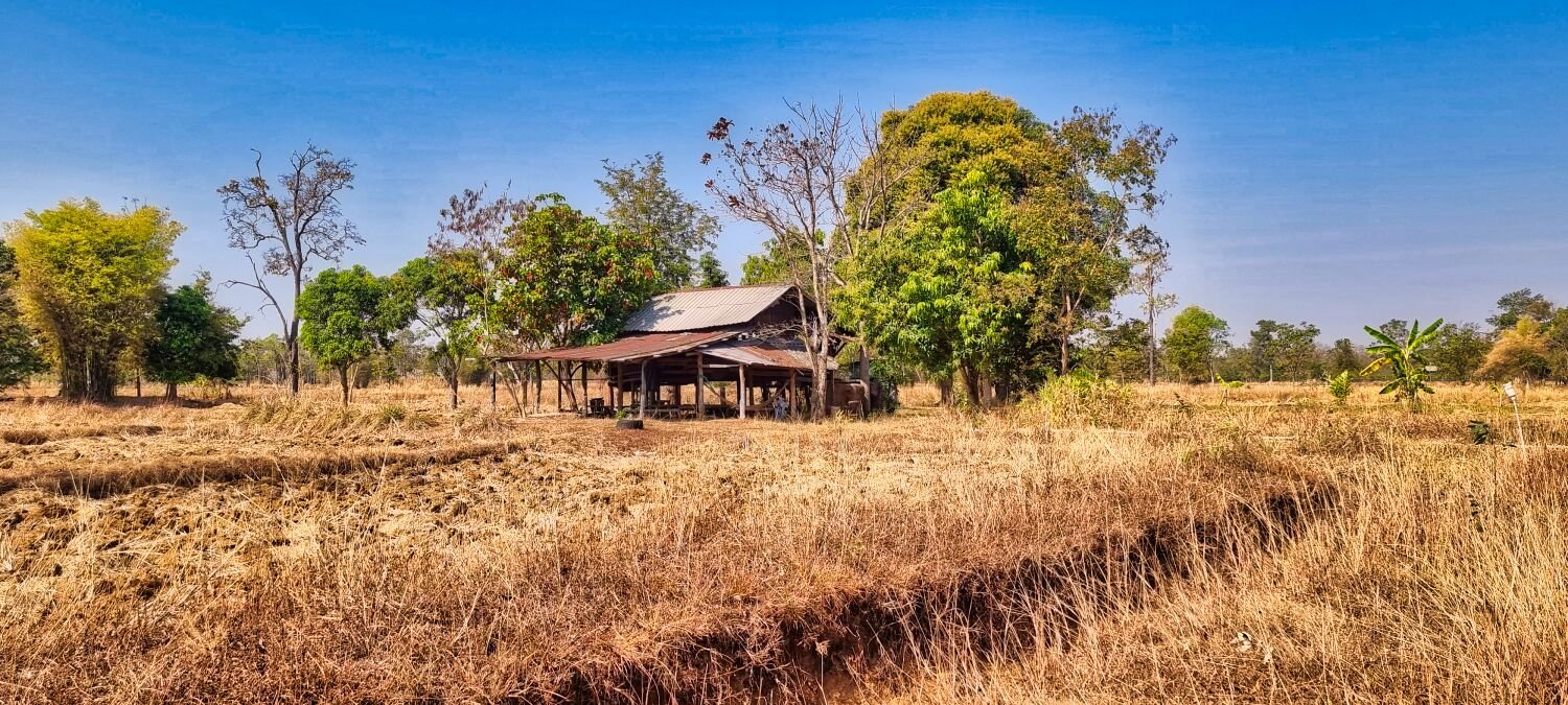
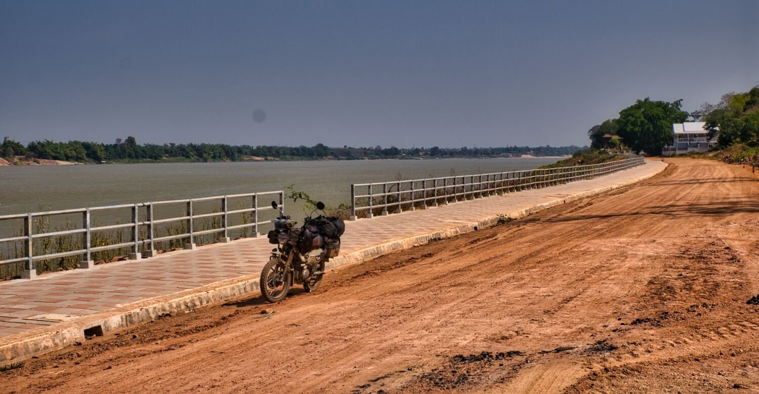
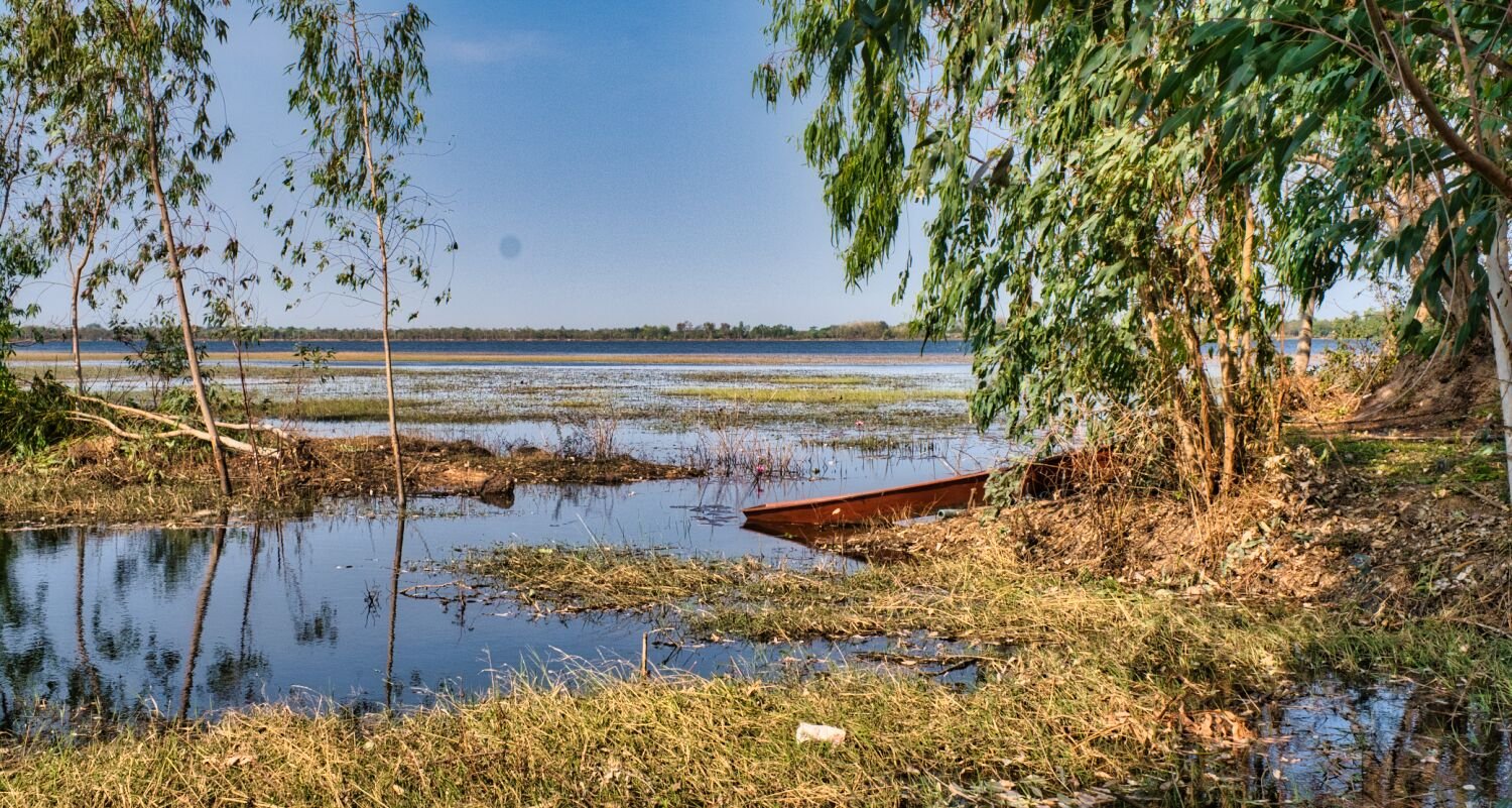
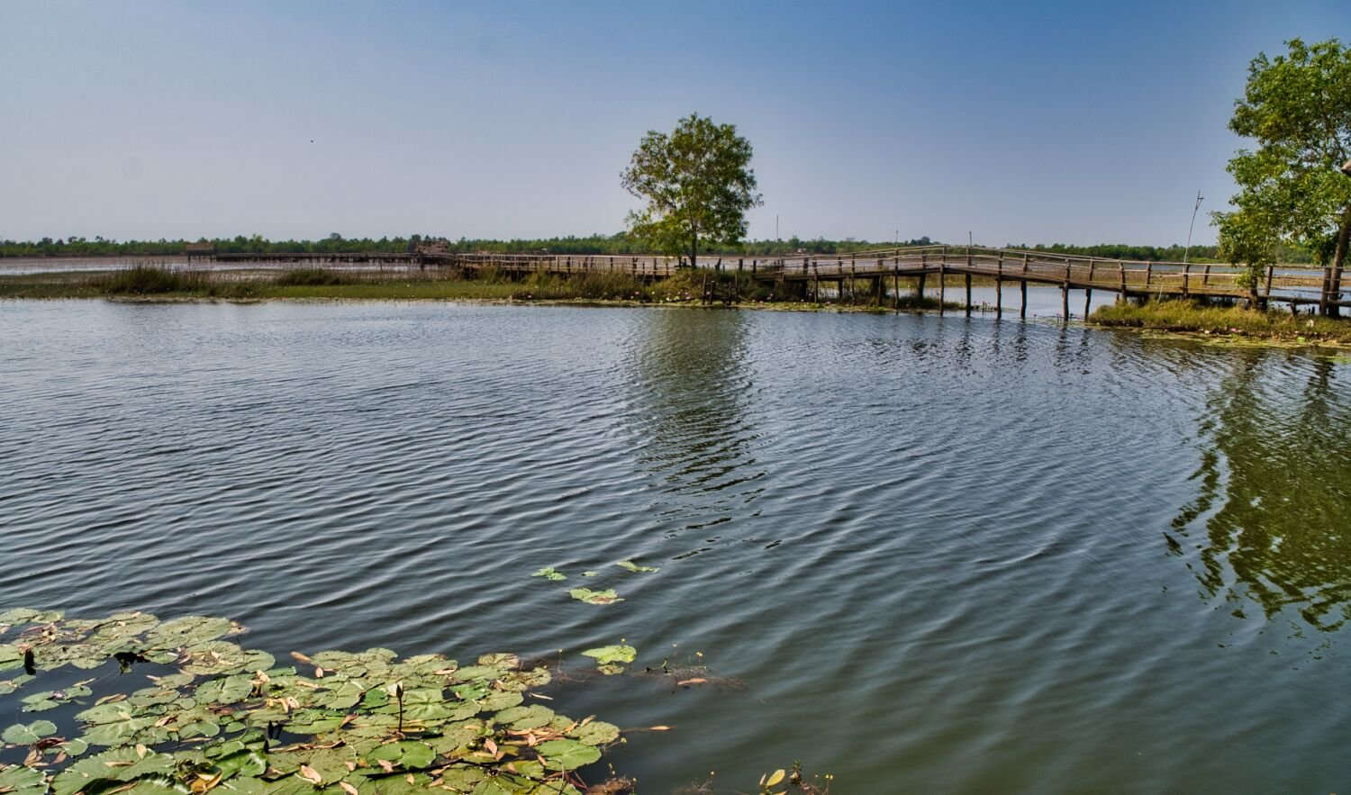
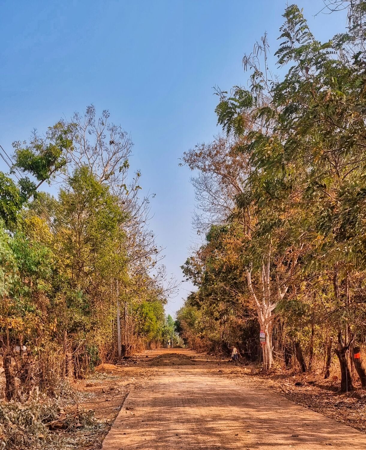
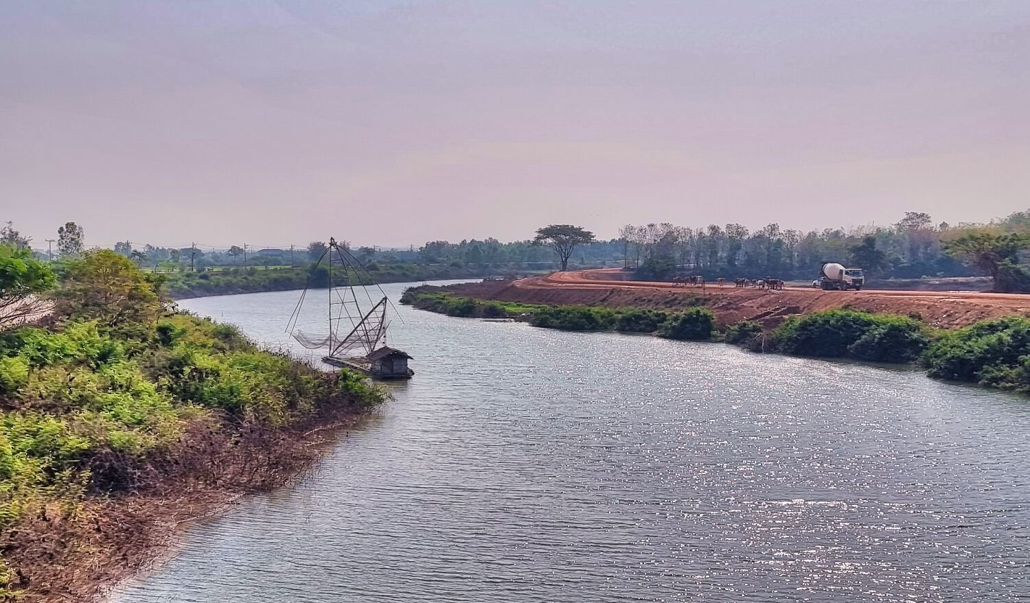
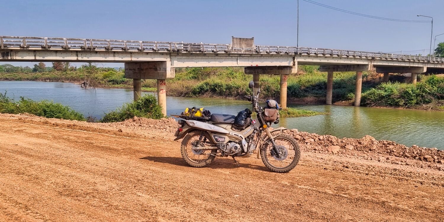
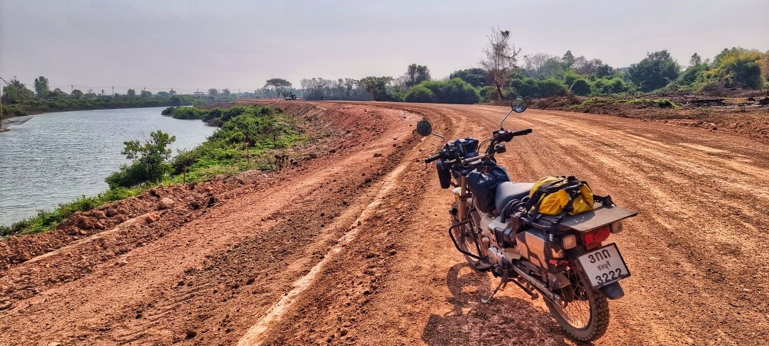
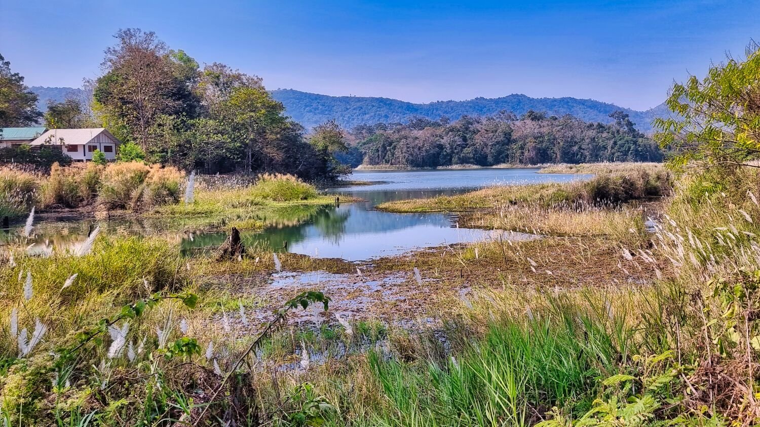
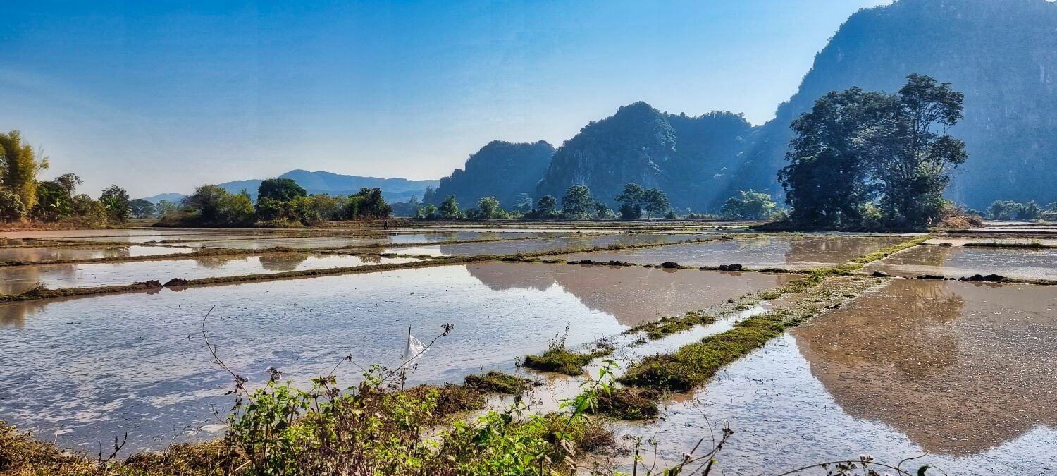
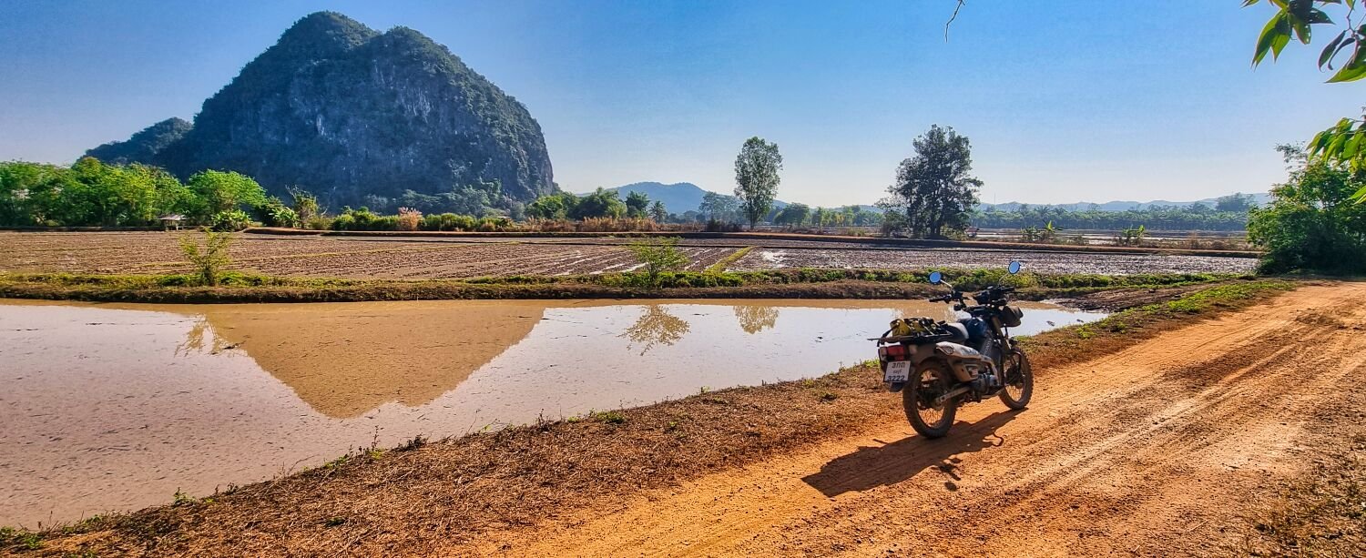
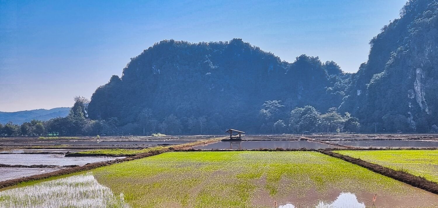
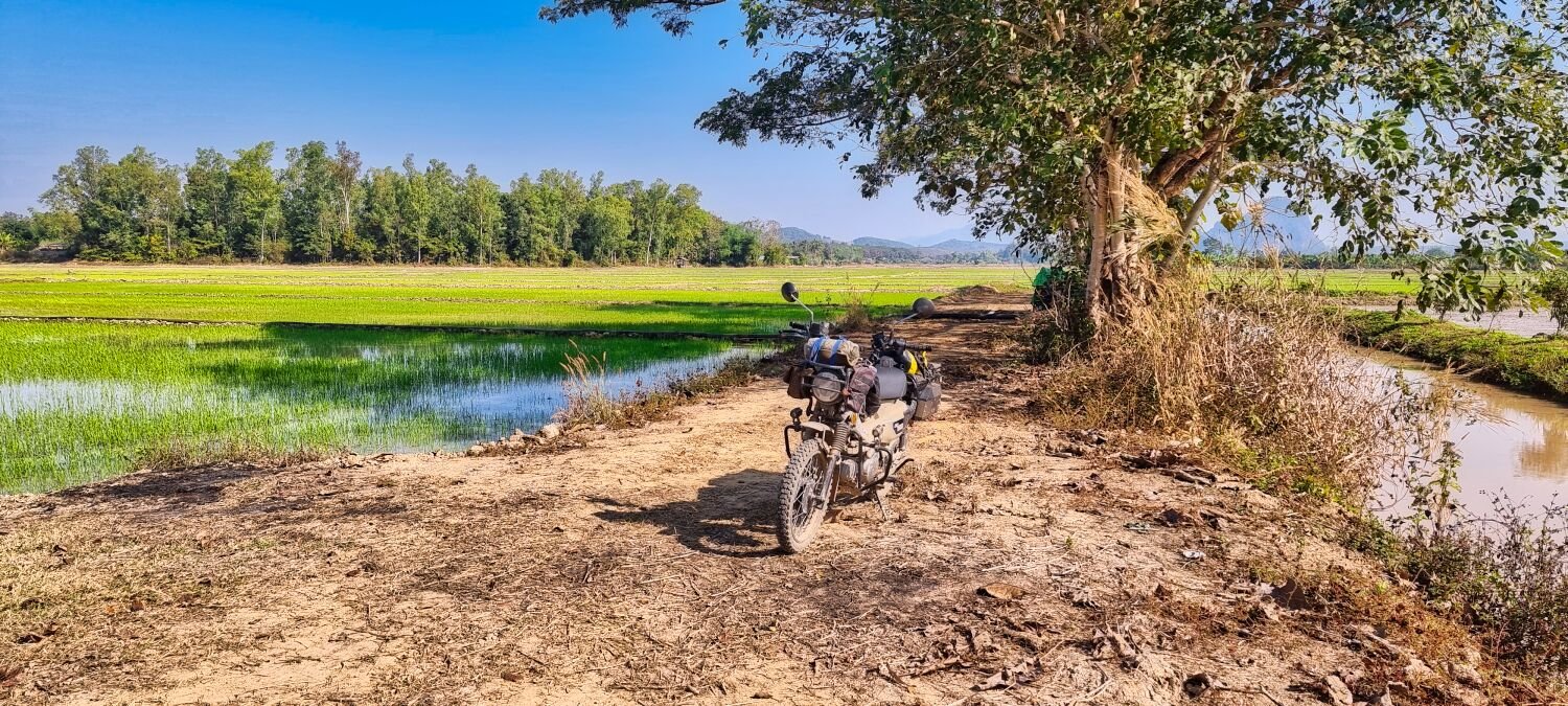
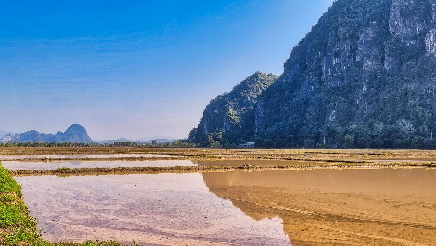
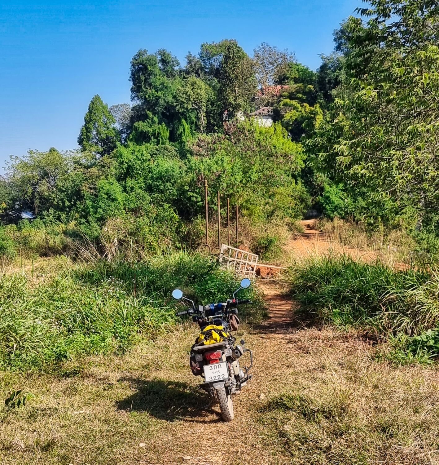
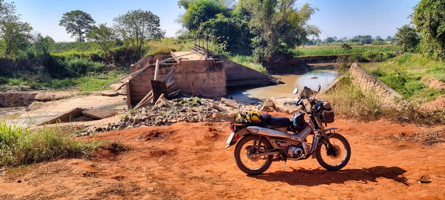
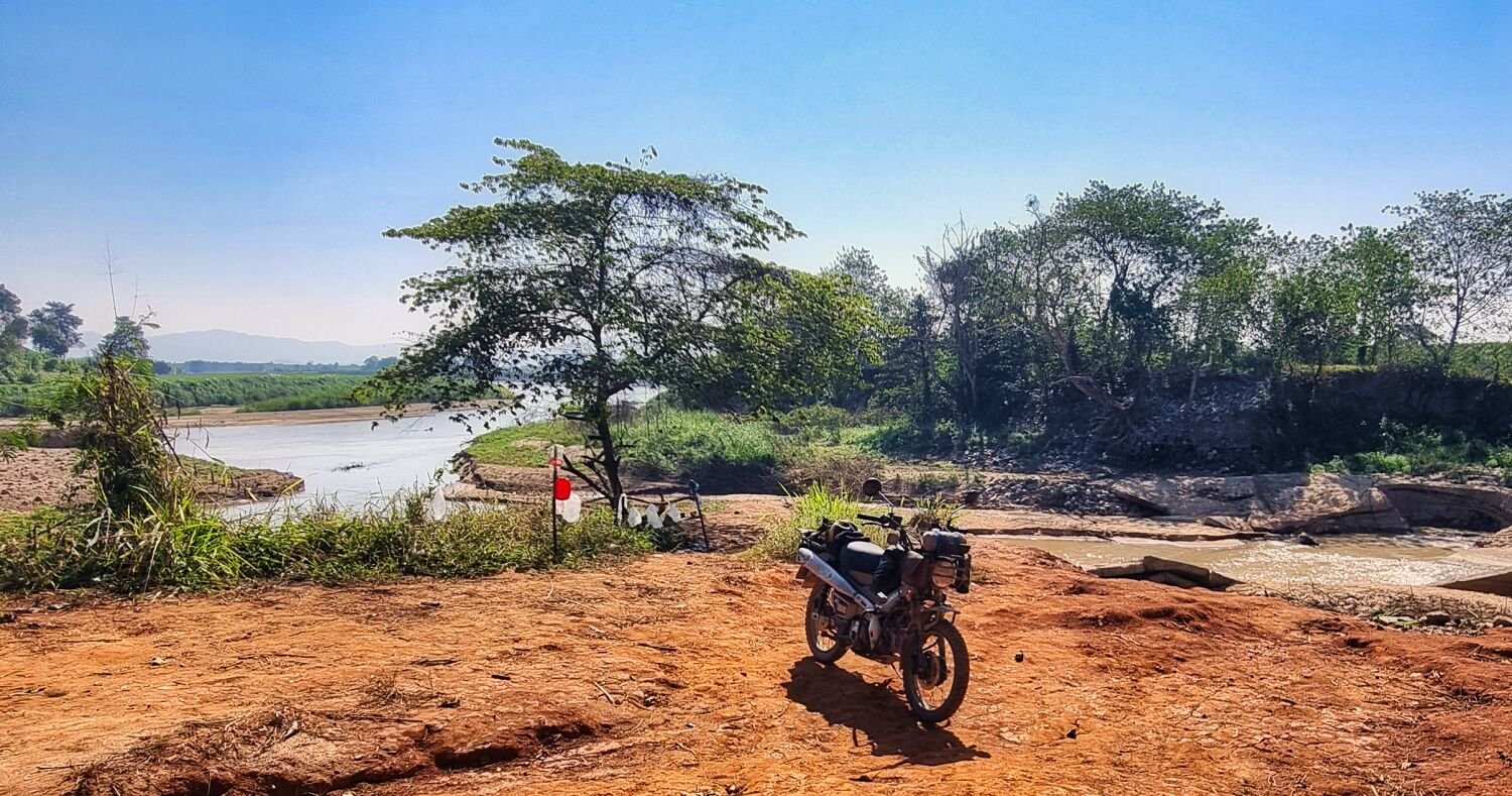
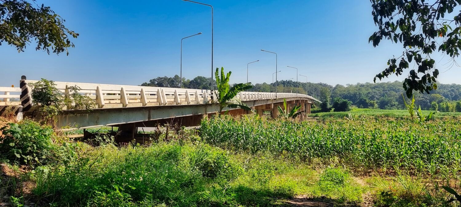
Today I went exploring west and south from Nakhom Phanom. My first stop was Nong Yat Reservoir, here. https://maps.app.goo.gl/N6TcJYoy4CMC3Gj59 From here until I got to the Mekong River was mostly off road, about 60km, and fun, besides all the waypoints I had to stop at. I came across a wooden bridge, here. https://maps.app.goo.gl/Ei81F376ABm1xjt56 Riding beside the Mekong my way was blocked by a half-demolished bridge, so I rode the remaining way on the main road. https://maps.app.goo.gl/4PHeaXYhgthaUndb6 https://www.relive.cc/view/vJOK5meAdwq
-
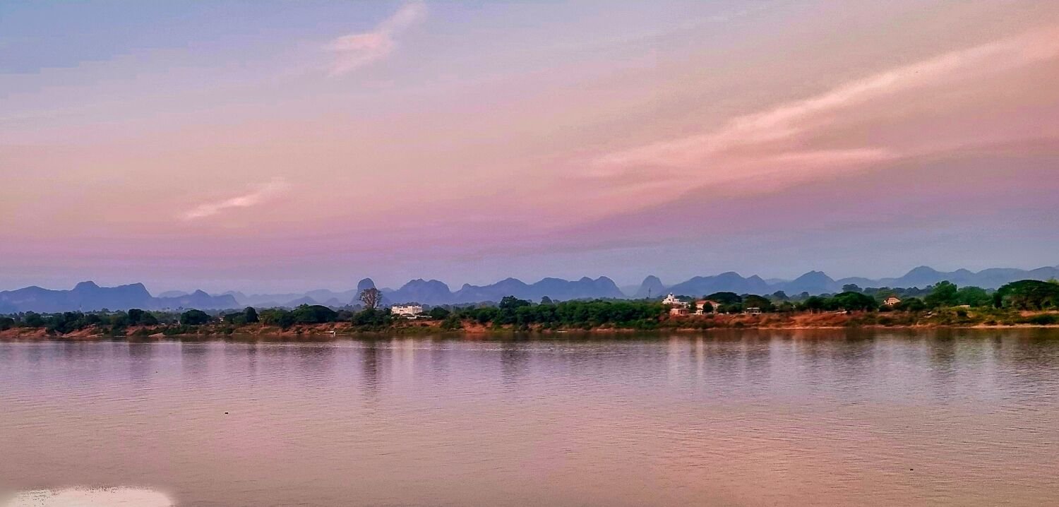
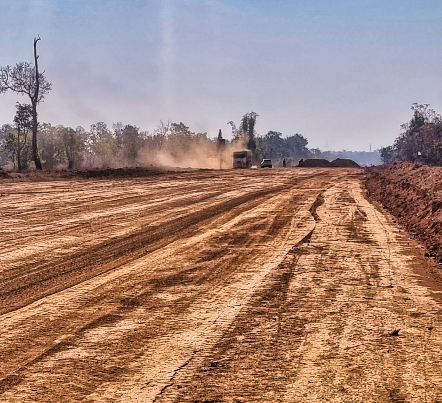
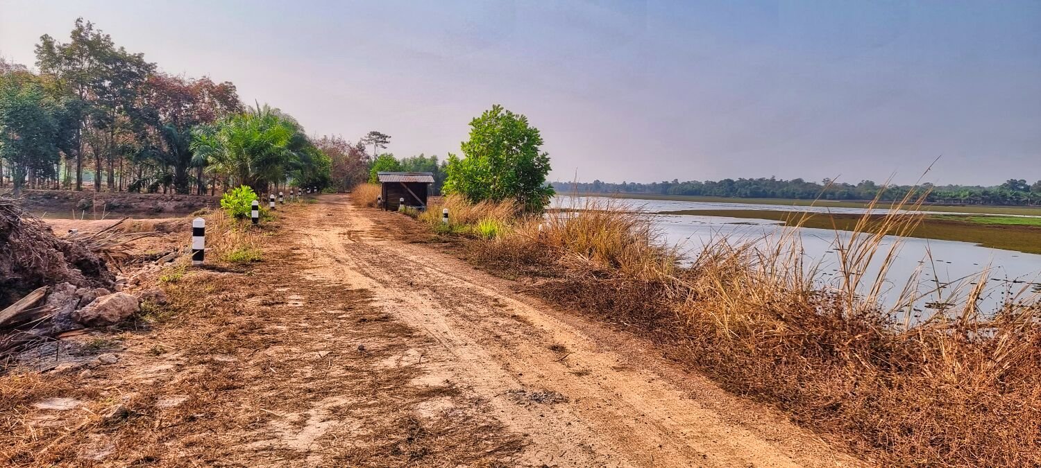
Today I went exploring north and west of Nakhom Phanom. My first stop was to photograph Friendship Bridge, here. https://maps.app.goo.gl/9mrYkHyybQ33q2MV8 From here I continued north to find a road under construction, I could see only on satellite view in Google maps and is not on Gaia maps too. The road starts here. https://maps.app.goo.gl/ZE7MTe5KCCbjPd5c8 And goes all the way to the airport, here. https://maps.app.goo.gl/HXq5JpnL7YLFUnjD9 The further I rode the less the construction had had progressed. I then rode tracks around most of the airport except the entrance road. I continued mostly off road to Huai Laeng Yai Reservoir, here. https://maps.app.goo.gl/3upopdEWMrqjMWLbA I then rode tracks for quite a while until finding the new road construction, I followed this and, on my way, back took a photo of the Lao mountains from here. https://maps.app.goo.gl/XNjPCdvuwBzabrdBA https://www.relive.cc/view/vr63gEz9dd6
-
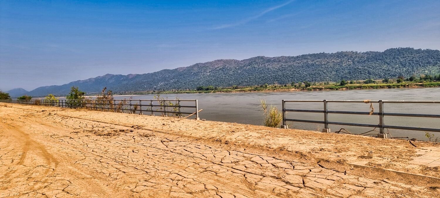
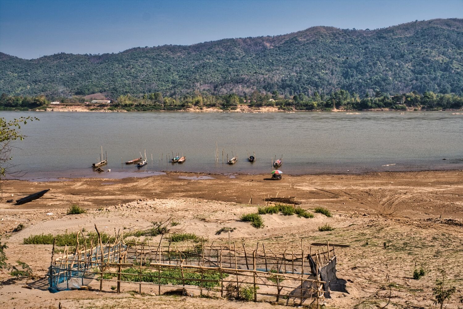
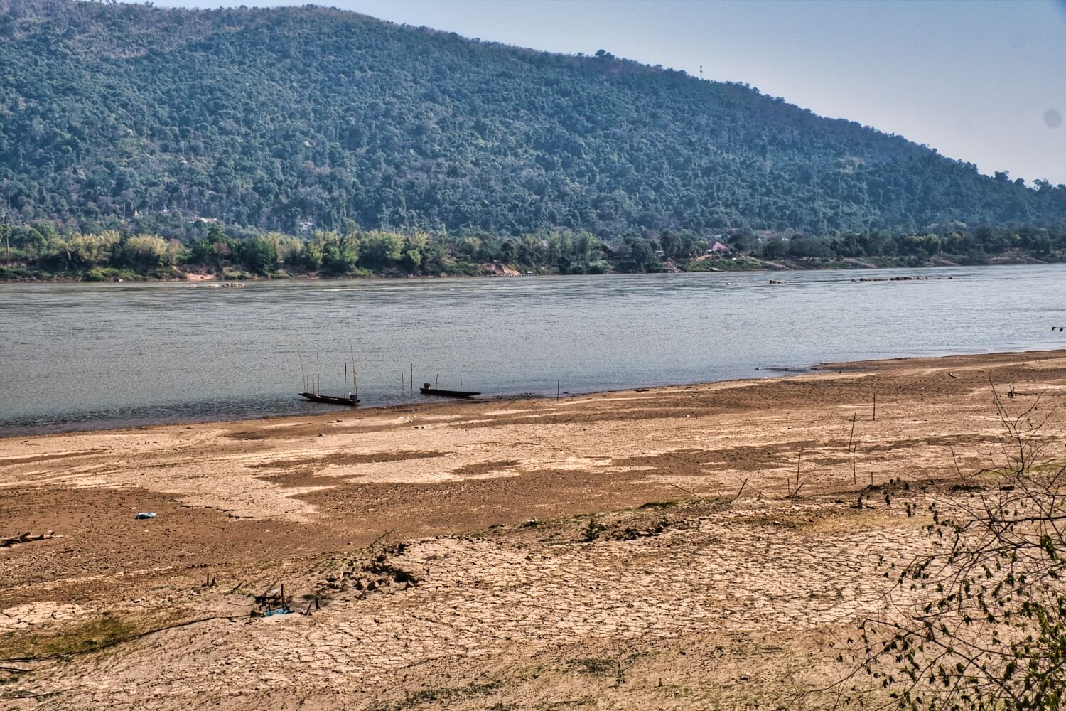
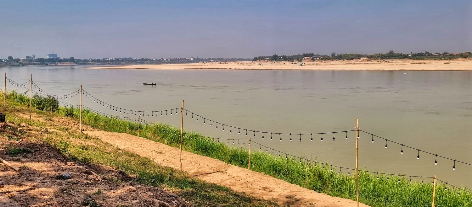
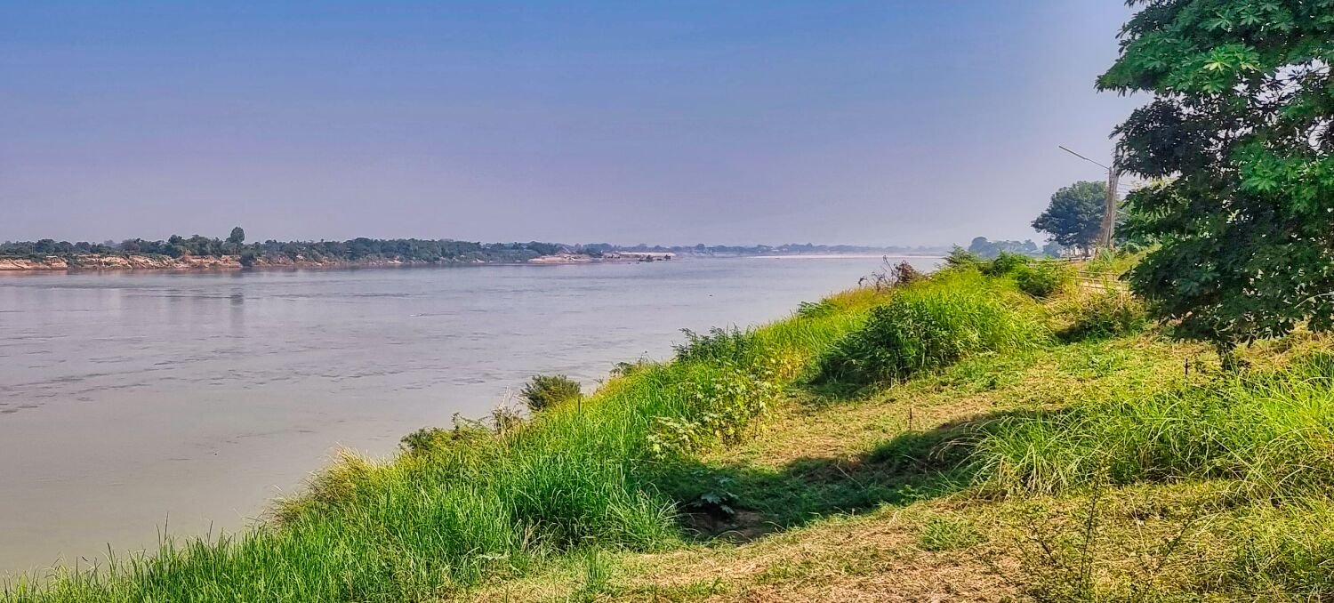
Today I left Bueng Kan to ride to Nakhom Phanom, my first stop was at the Mekong River, Sida Beach, Ban Nong Doen, here. https://maps.app.goo.gl/u69d6N5czDACs8cR7 Leaving here I followed the river as close as I could until a new, small bridge at Bung Khia, here https://maps.app.goo.gl/TE48YRDPhafpESeW9 I then followed to road then tracks until they ended, here. https://maps.app.goo.gl/PqJ8y3R2R8XvFuaS7 https://www.relive.cc/view/v7O92MJG5L6
-
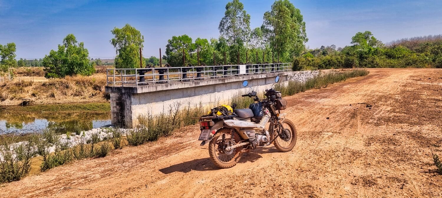
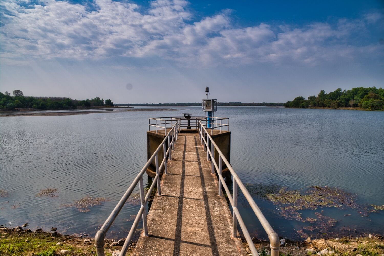
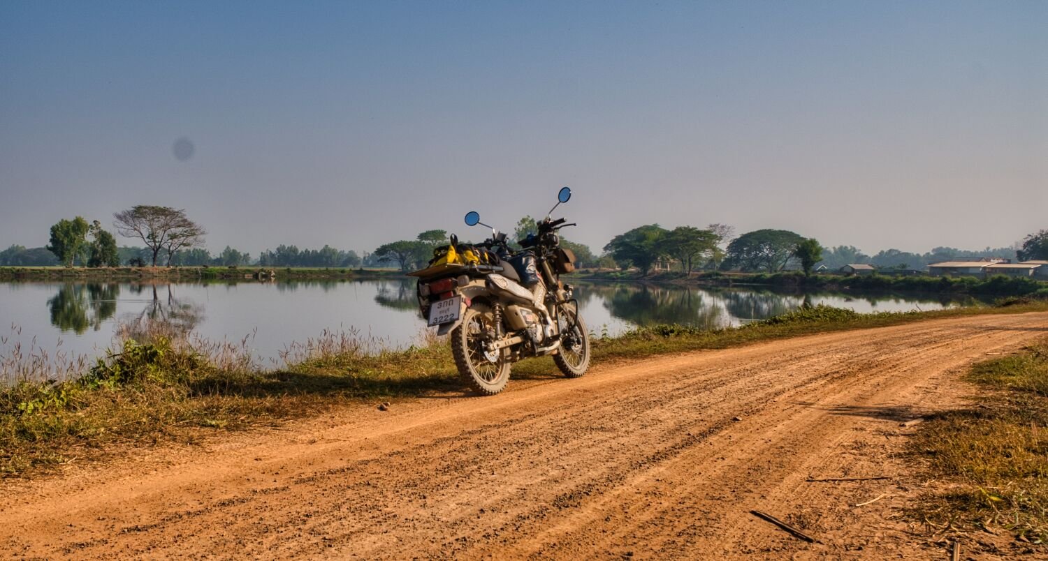
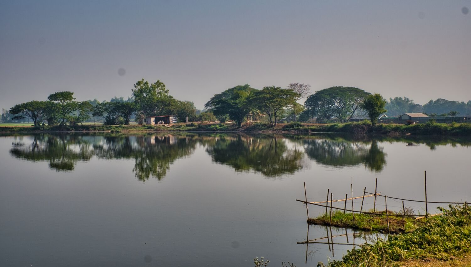
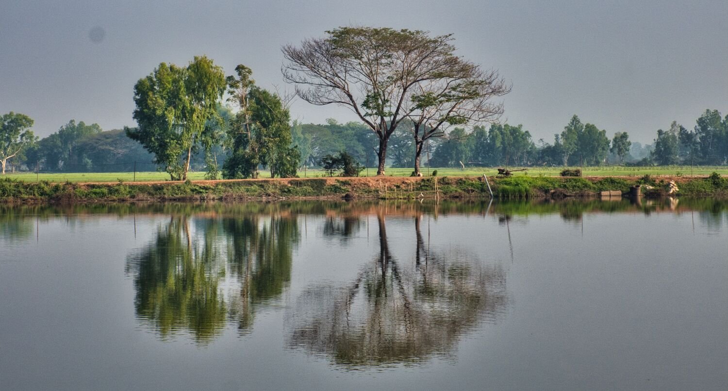
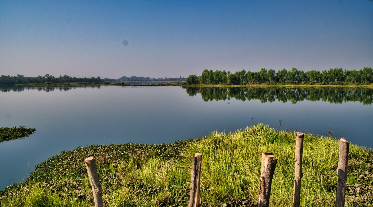
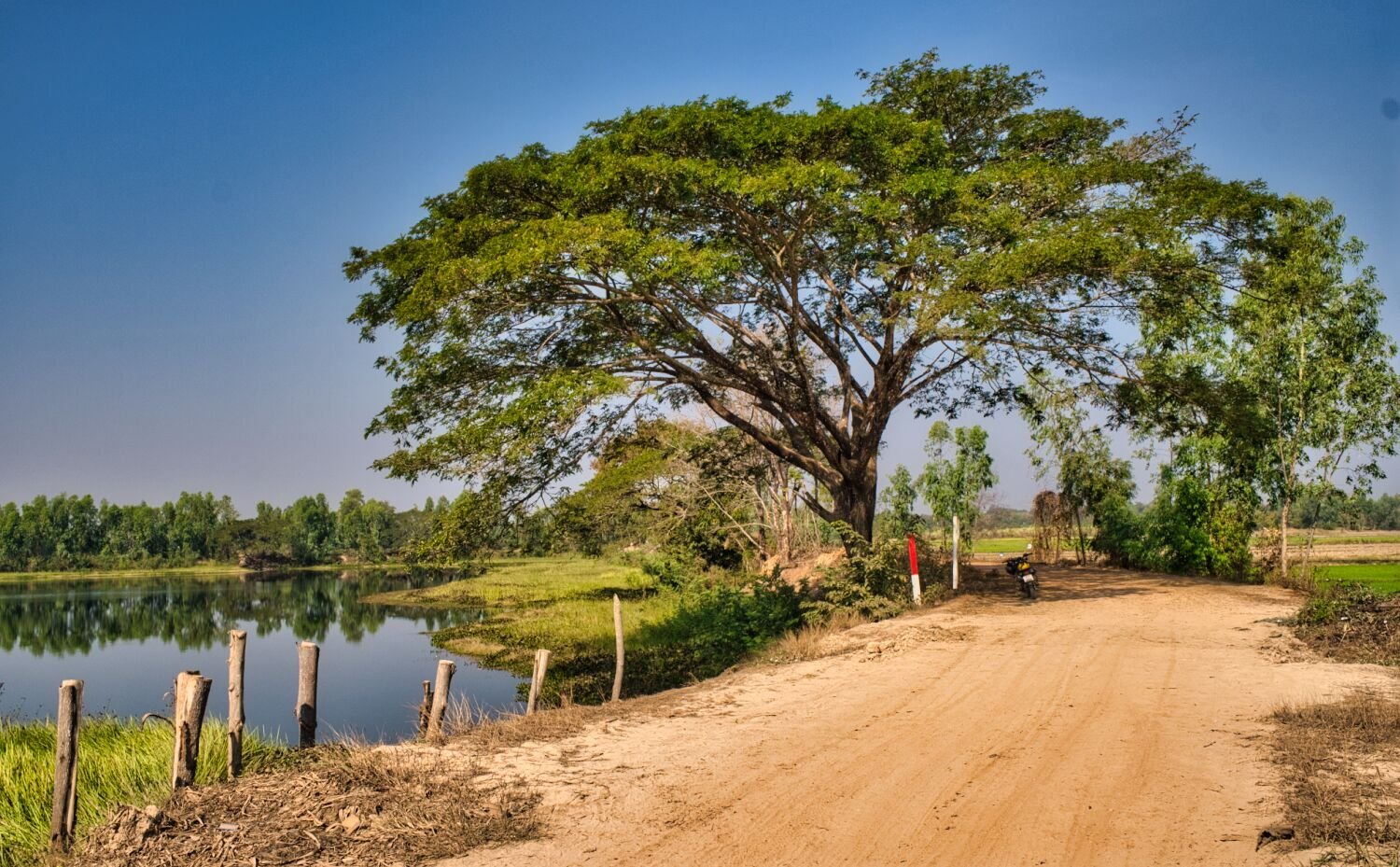
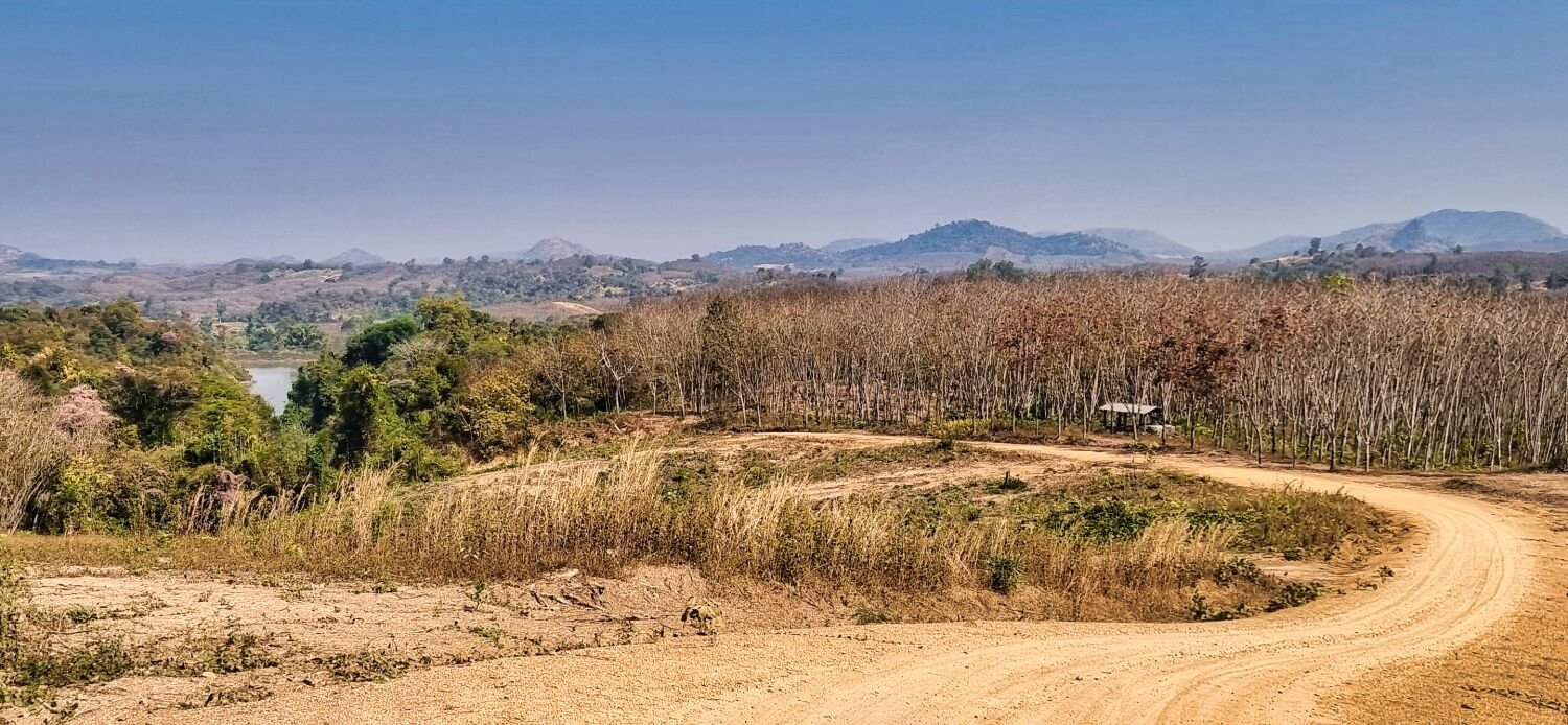
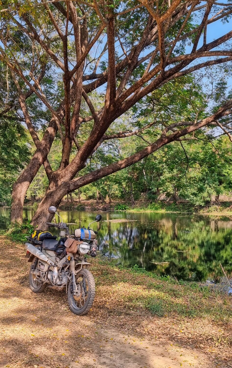
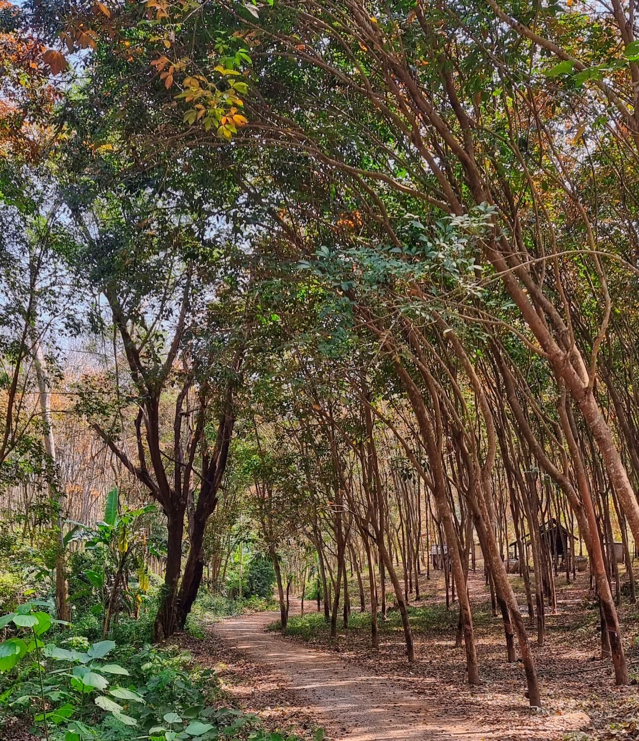
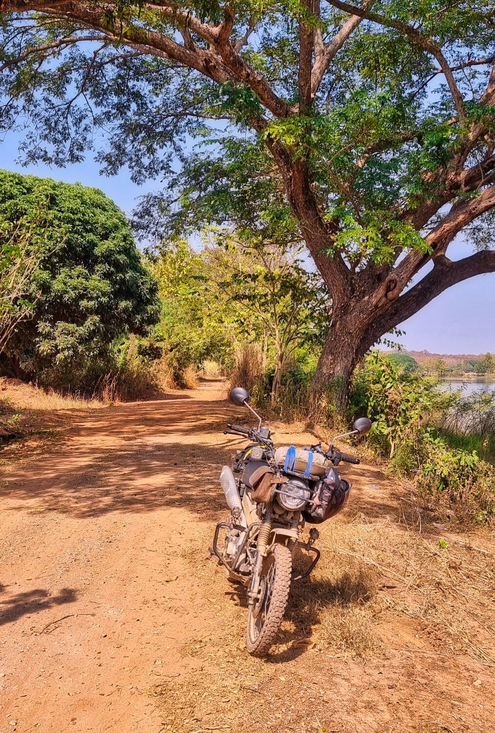
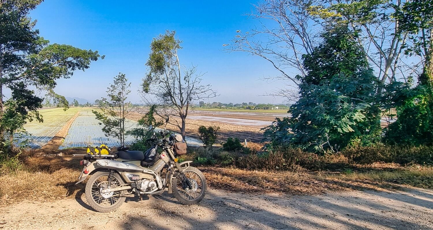
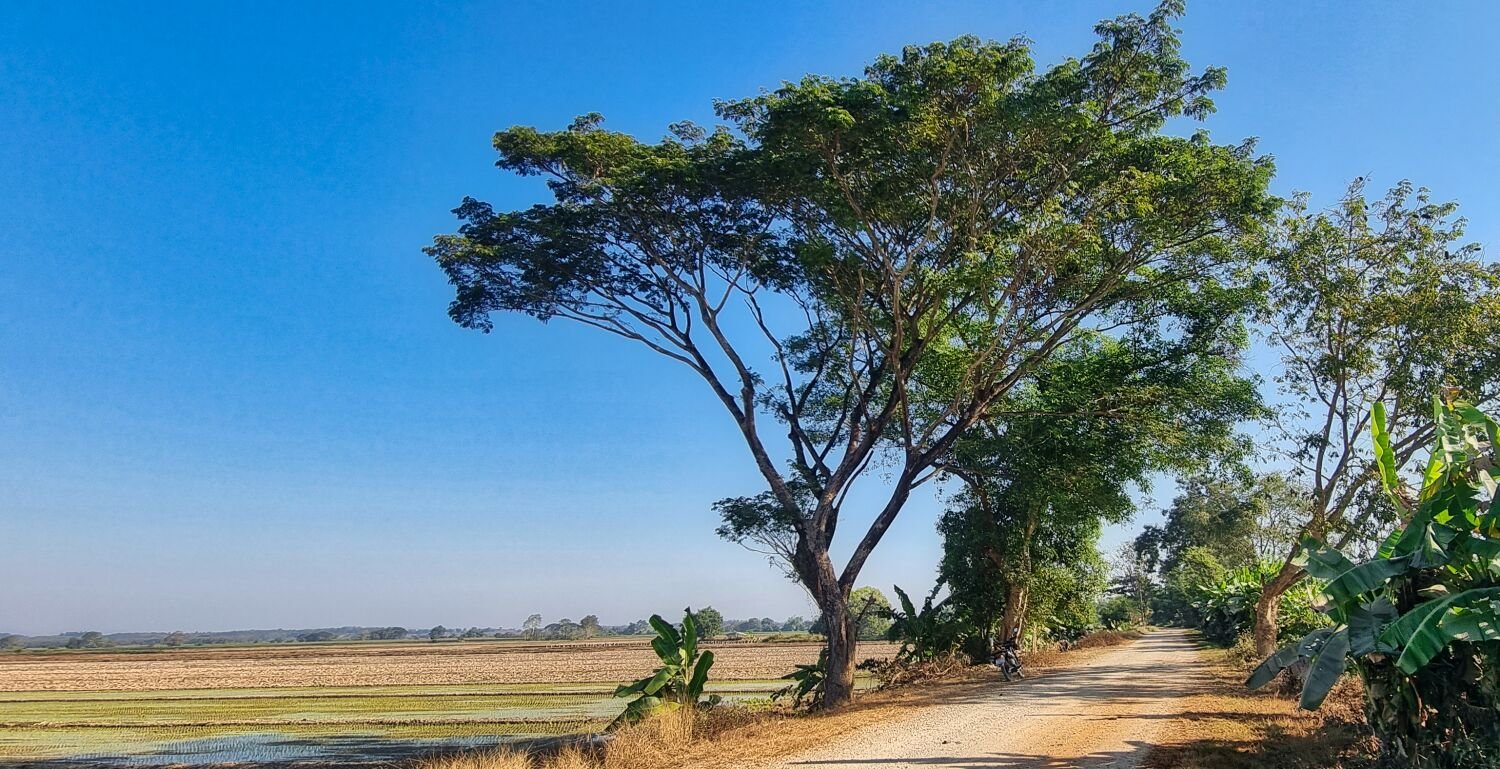
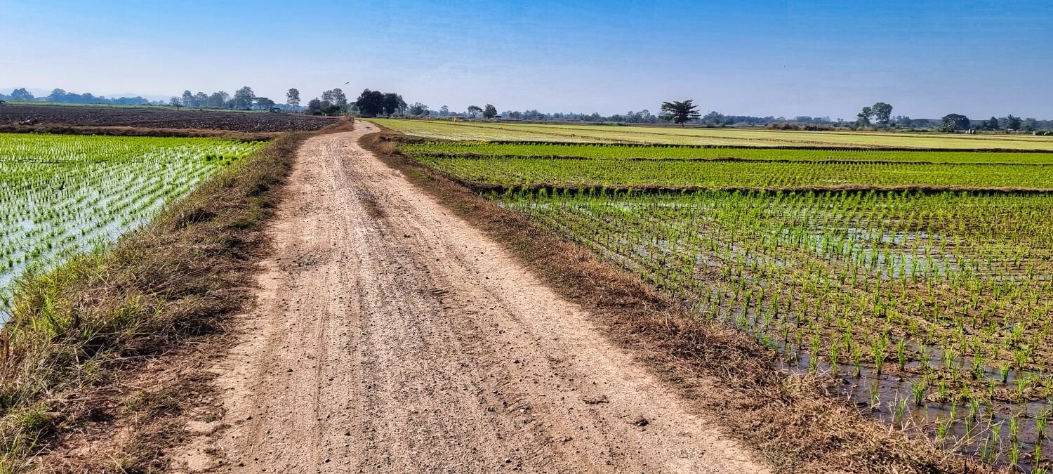
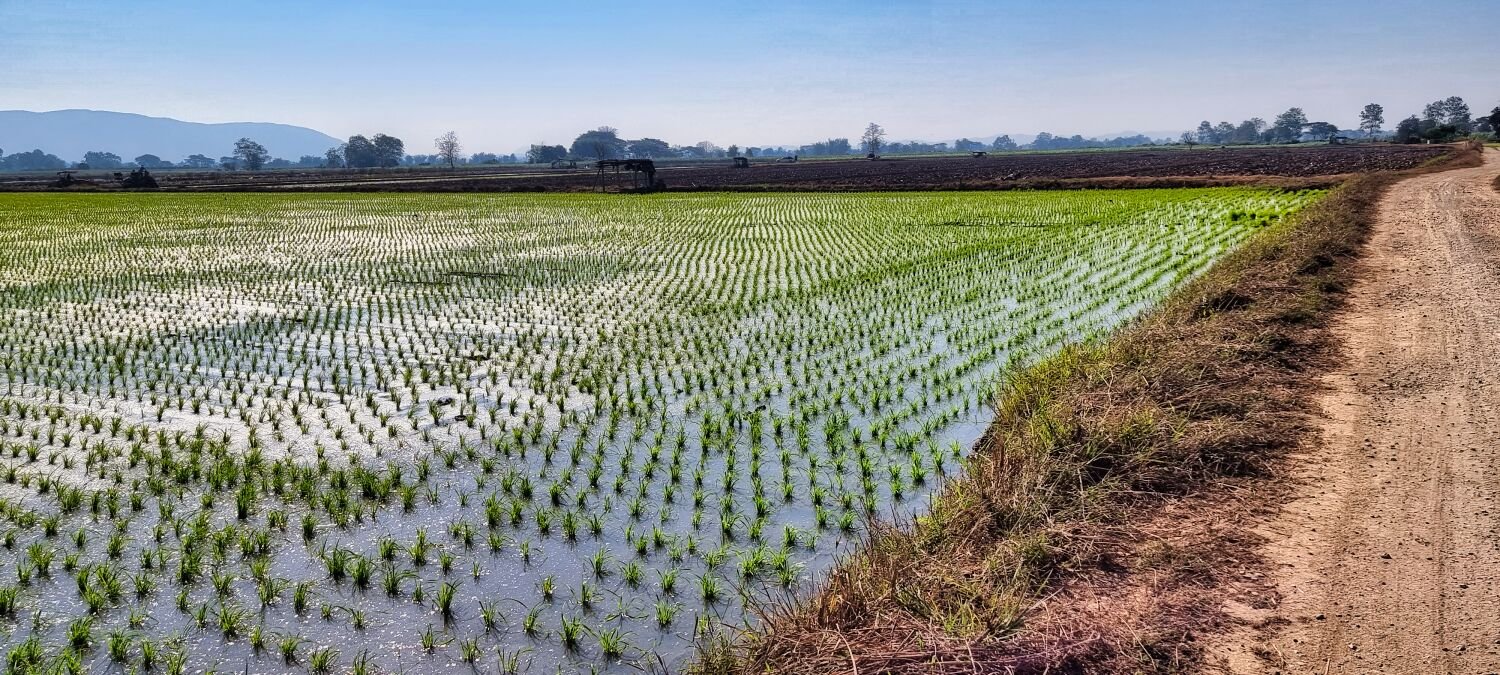
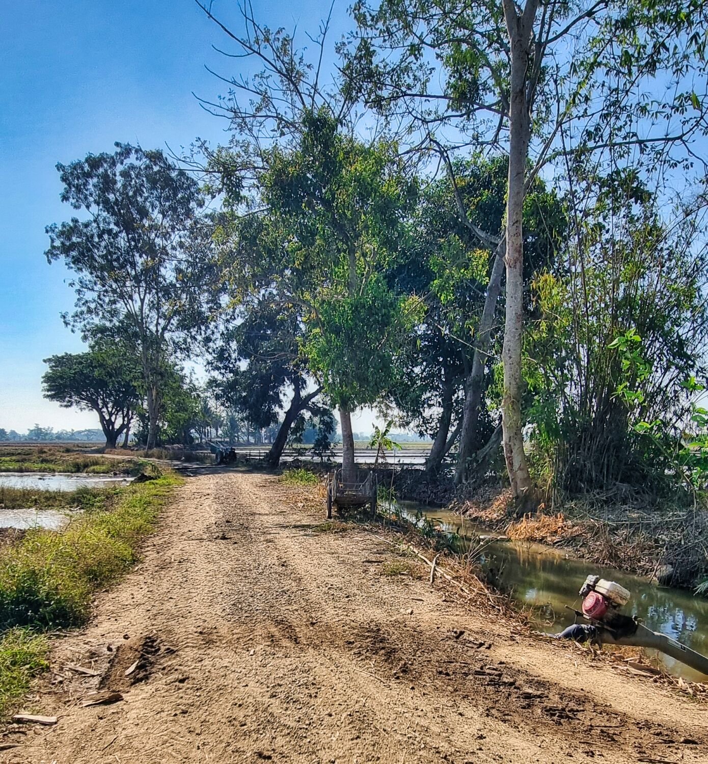
Today I rode south from Bueng Kan, my first stop was a reservoir I can’t read the name of, here. https://maps.app.goo.gl/B3qKP6QHEkXRBq8M9 I rode all around it, but it was all paved. I did find a irrigation channel heading east that went through rice fields, then the tracks carried on through rubber tree plantations to here. https://maps.app.goo.gl/BfzD9kdMpKgCv4w38 https://www.relive.cc/view/vZqNE2XReG6
-
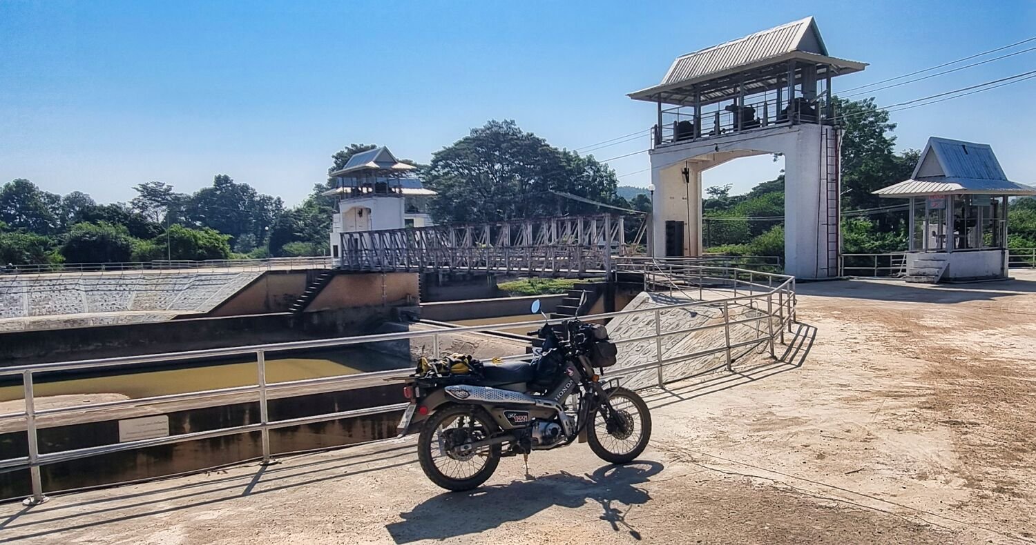
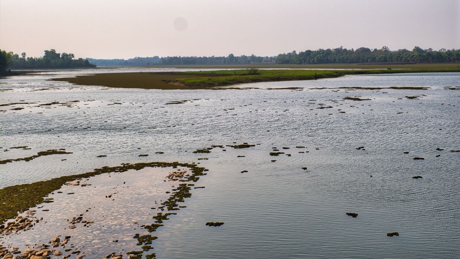
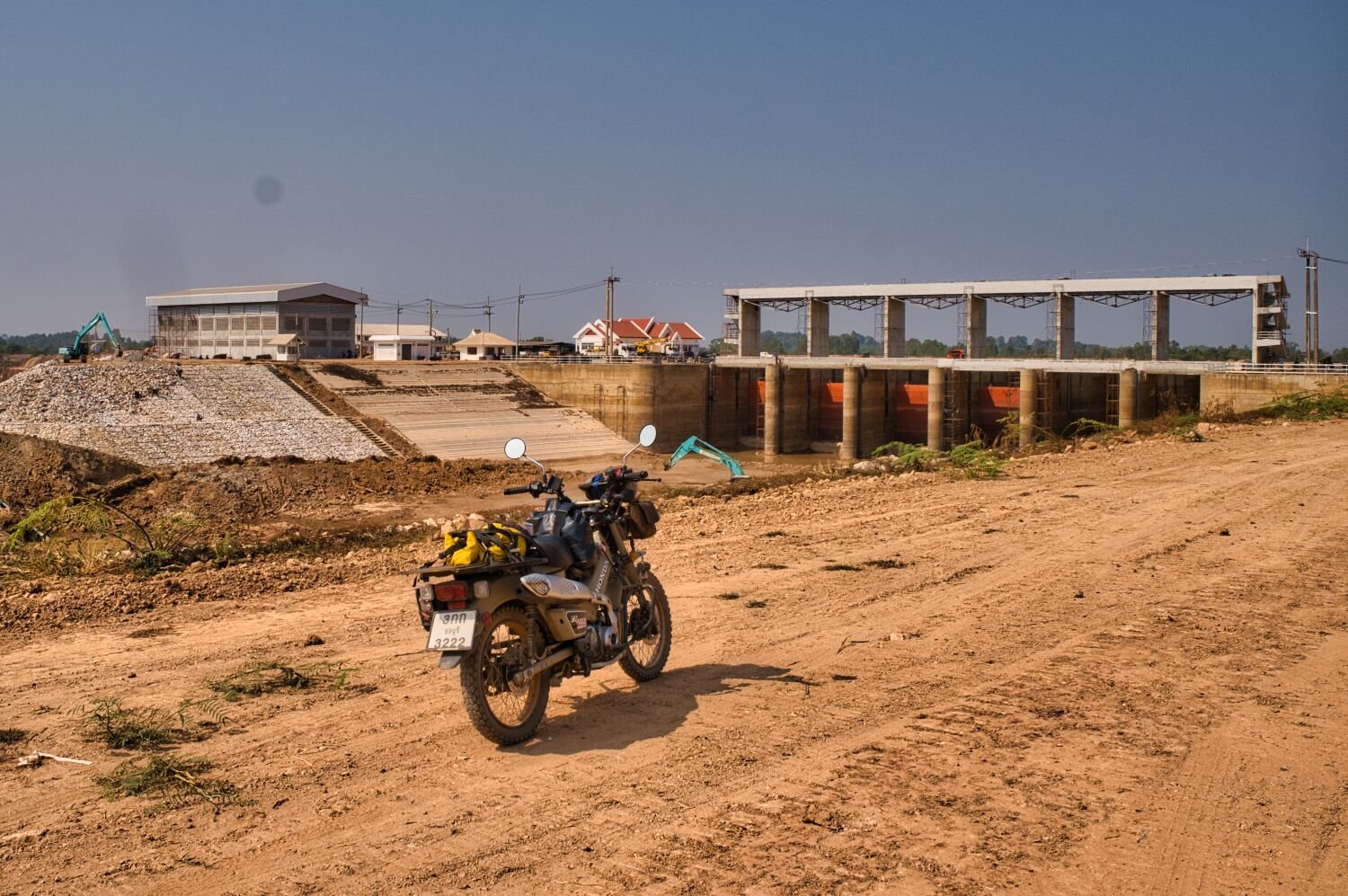
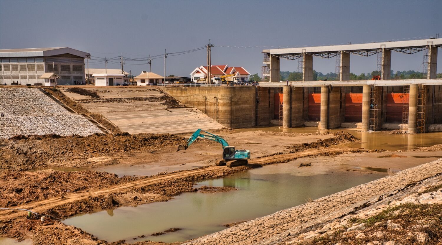
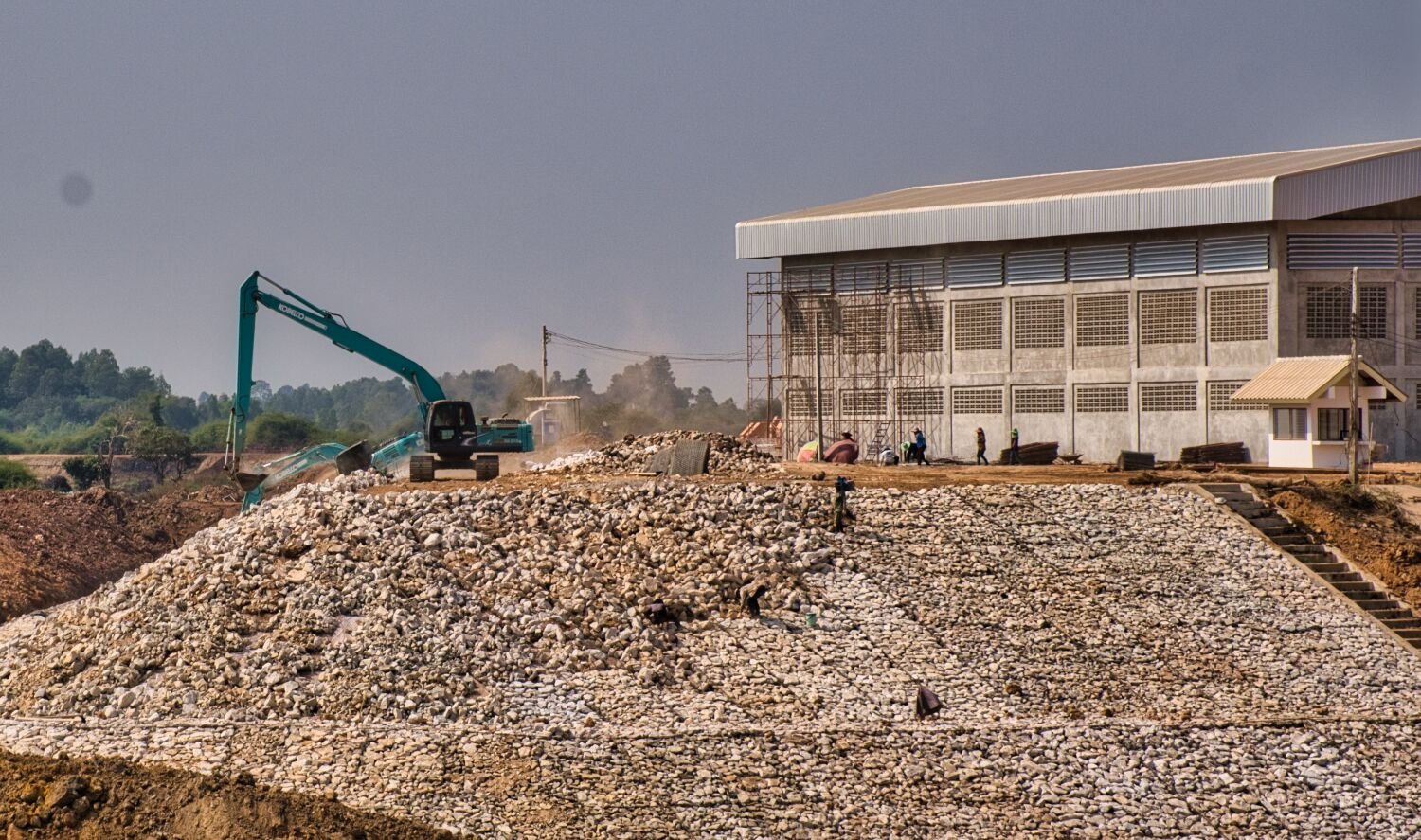
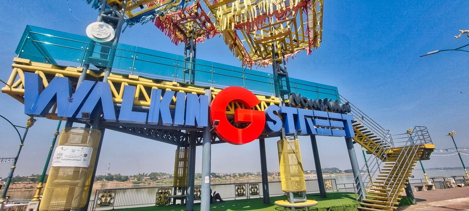
Today, day 80 of my trip I left Nong Khai and headed north east to Bueng Kan, following the Mekong River until I turned east to my first stop at Huai Plaeo Nuea Reservoir, here. https://maps.app.goo.gl/ENAJddxYh6odTiCK7 From here I road east and north east back up to the Mekong River to Dolphin Stone Viewpoint, here. Which also had views of the new bridge being built crossing to Laos. https://maps.app.goo.gl/GATpYgeCWYZmQ1JM8 The stones are here. https://maps.app.goo.gl/ndxwHwXhJLibCctK7 I then headed alongside the Mekong into Bueng Kan https://www.relive.cc/view/vXOnkmeeYB6
-
Today, my last day in Nong Khai I went exploring south of the city. My first stop was at Si Charoen Reservoir, here. https://maps.app.goo.gl/YHCGGUT9gYmRJbDf6 Unfortunately, all the tracks were concrete, but still worth a ride around. Next, I rode to the wooden bridge at Nong Bo Kong Reservoir, here. https://maps.app.goo.gl/6MqKiWgNxhpSEKP9A Next stop was Seng Reservoir, here. https://maps.app.goo.gl/4hoViEdSg1YcU9Hz9 There were tracks all around the reservoir to ride. And after riding them I rode on to another reservoir named the same, here. https://maps.app.goo.gl/4VY8BXuKRhRhUywc7 I then rode north, as much as possible on tracks until riding on to Nong Khai. https://www.relive.cc/view/v7O92okpPQ6
-
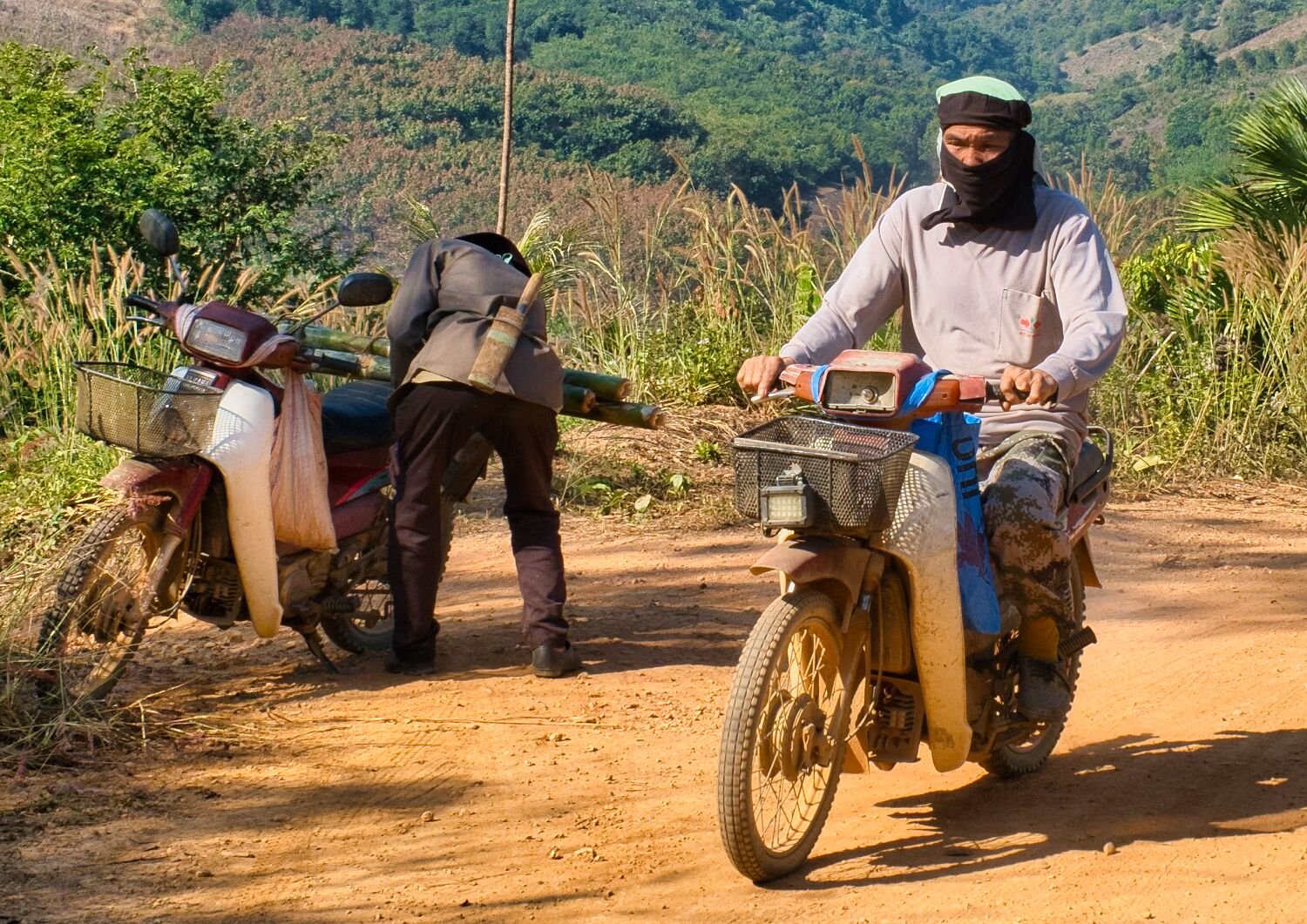
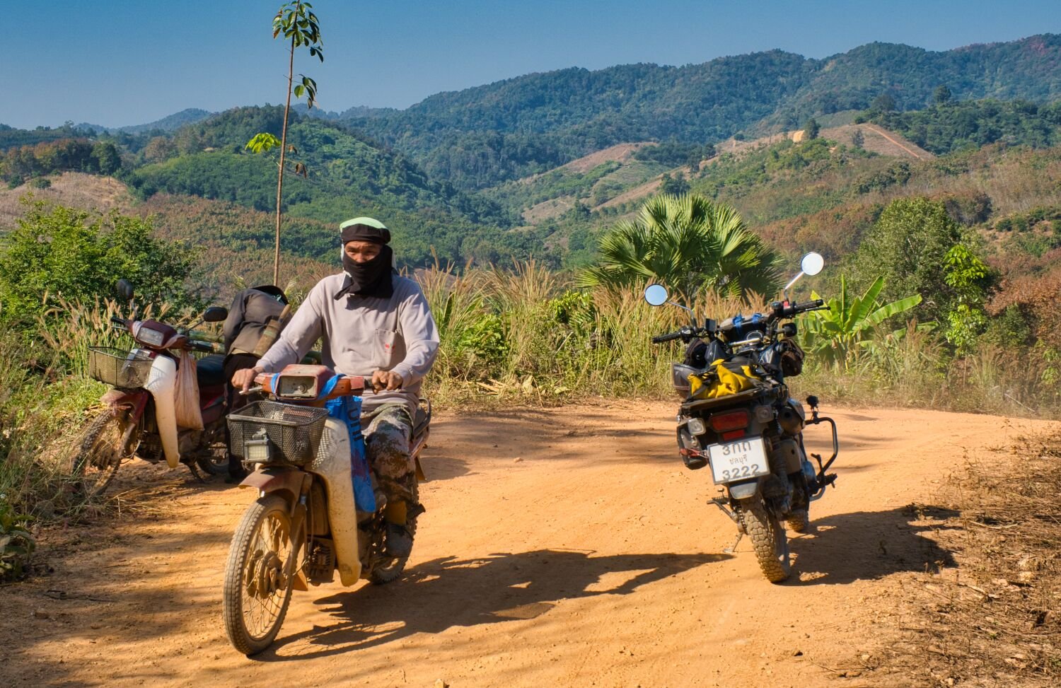
I saw one todays returning to town.
-
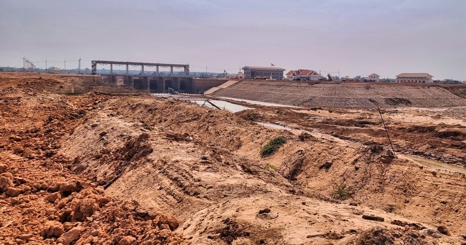
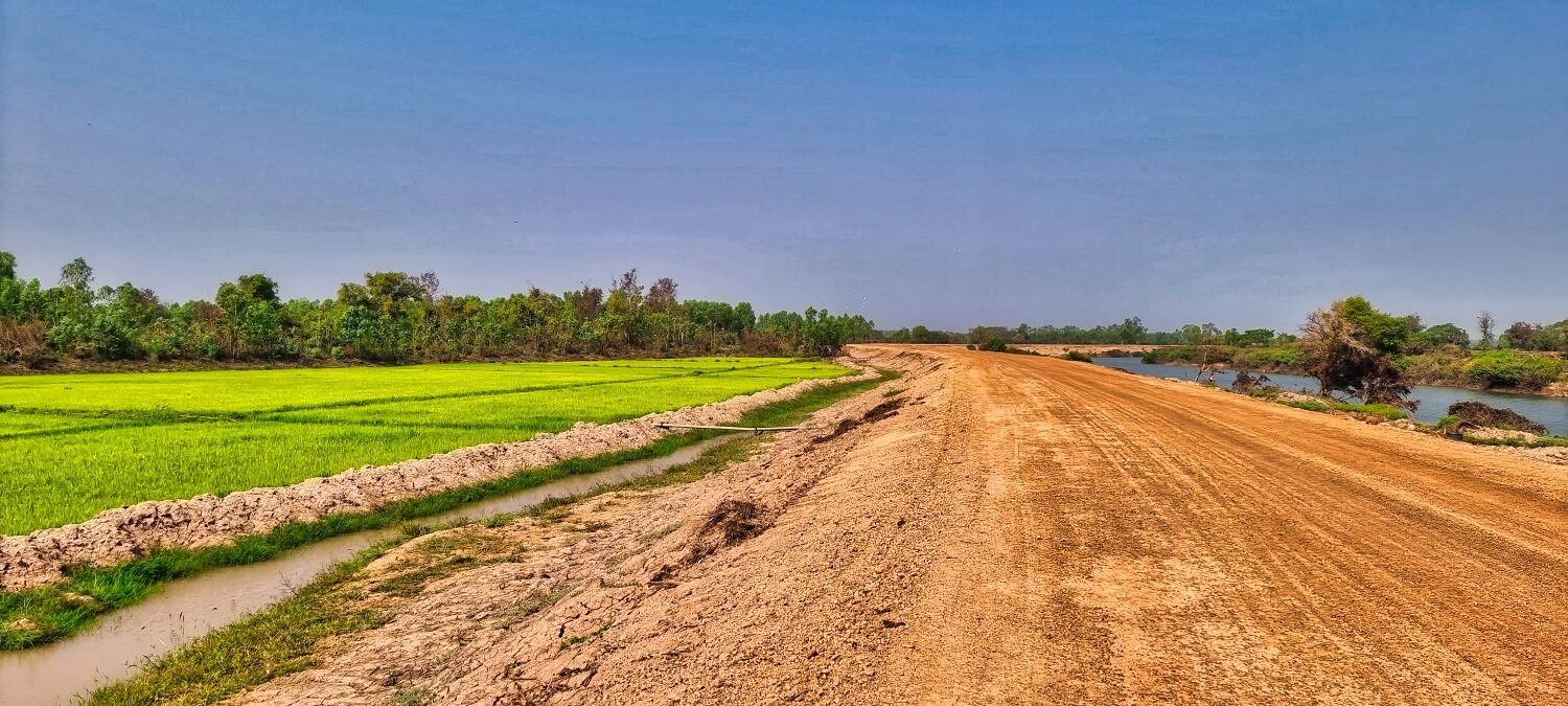
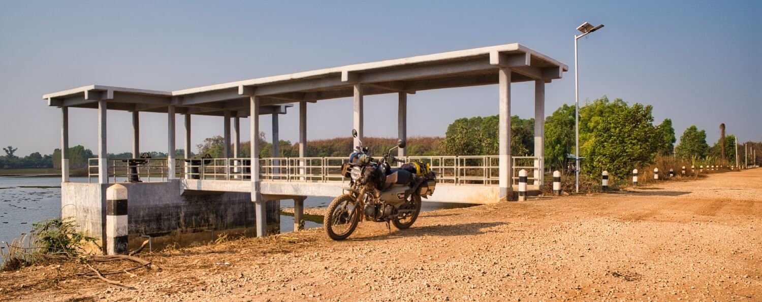
Today I decided to ride east from Nong Khai exploring. My first stop was Ban Na Tan Neua Reservoir, here. https://maps.app.goo.gl/orn4JgmfXGTEo8fi9 There did not seem to be any tracks around it so I carried on eventually riding a track between Kut Suay and Phan Reservoirs, here. https://maps.app.goo.gl/nLi2Bve4M1Uv9Cez6 I then rode to Bridge Romjai, here. https://maps.app.goo.gl/2oTfLBiiYQZJW9cx9 On the west side of the river there were new sand roads heading both north and south. I decided to ride south and see where it took me. Wat Pa Sakunasai was as far as the off road track took me. https://maps.app.goo.gl/hVwLiZgw8yUjz4Te9 I then looped around back to the bridge on road, then started heading north on the sand road to a weir being built, in this area. https://maps.app.goo.gl/YHgVEXNN1S7HryYM8 From here I carried on riding north off road to here. https://maps.app.goo.gl/tsXV7161ukBzcvU7A Then back to Nong Khai https://www.relive.cc/view/vE6JNWM3gx6
-
Roaring 555555 looking lost maybe 🙂
-
Today I decided to ride west of Nong Khai exploring. My first stop was at Nong Kwai Reservoir, here. https://maps.app.goo.gl/uJxzhmRU1S6JShjw6 After riding around it I continued on to Nong Ngam Reservoir, quite a large reservoir than luckily had tracks all the way around it. Here. https://maps.app.goo.gl/MyjkFKZ8PqceiU5E9 I then continued mostly on small roads and tracks to Bang Phuan Reservoir, here. https://maps.app.goo.gl/WRoJGsQouXDHAos16 I then rode to the river front at Nong Khai. https://www.relive.cc/view/vrqow9Lrwyq
-
Today I rode from Loei to Nong Khai, actually a nice ride through the mountains leaving Loei. I stopped to take some photos at Ta Bo (baw) here. https://maps.app.goo.gl/KHghRPjEKeUNprgo9 https://www.relive.cc/view/vYvr1XQoYLq
-
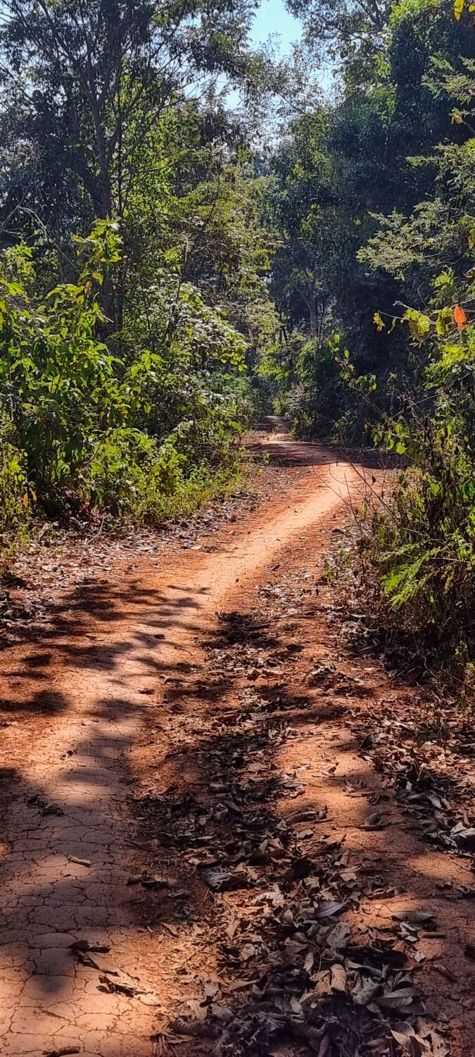
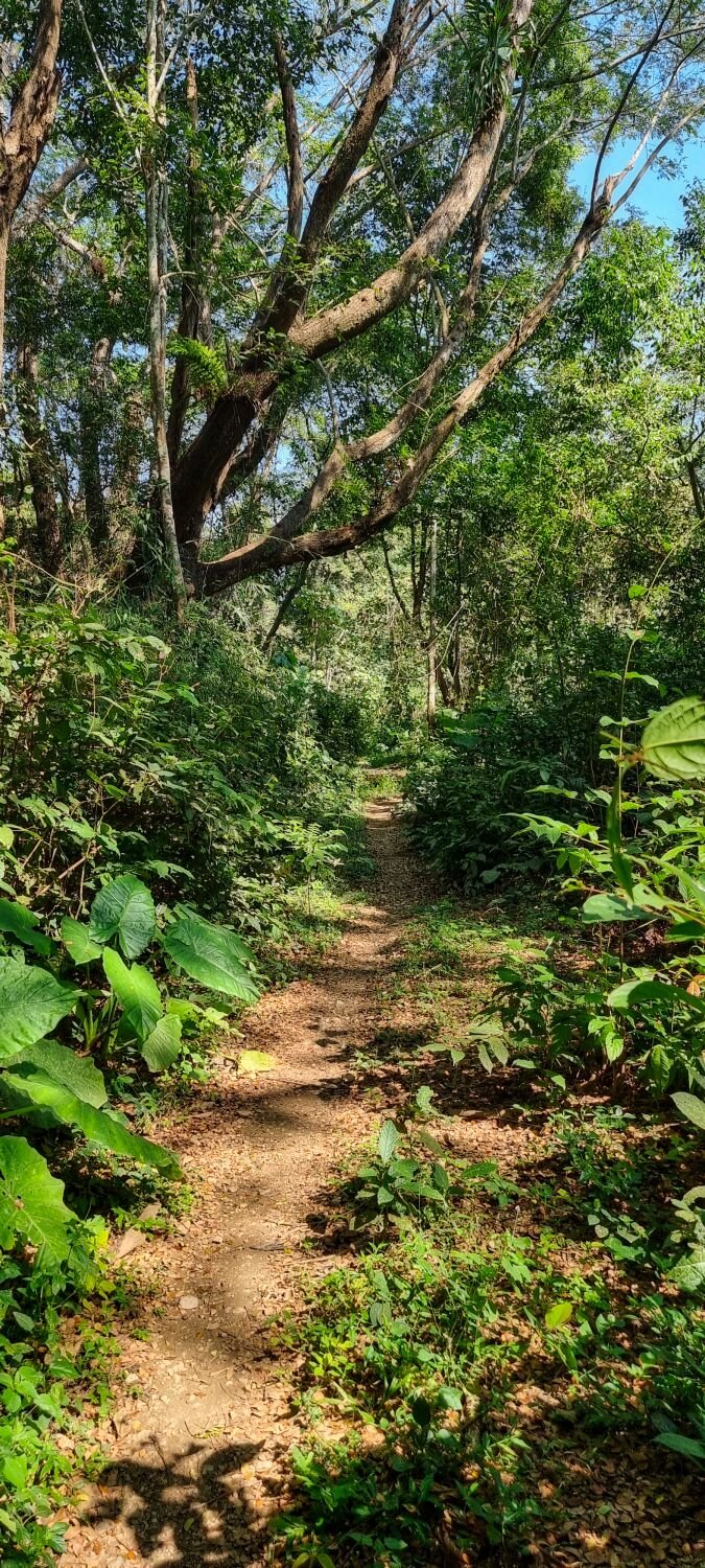
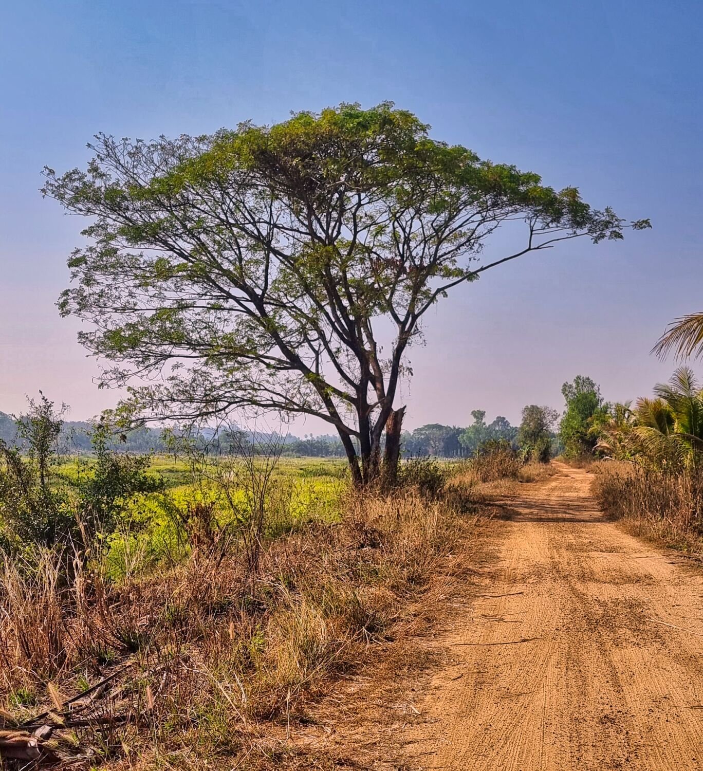
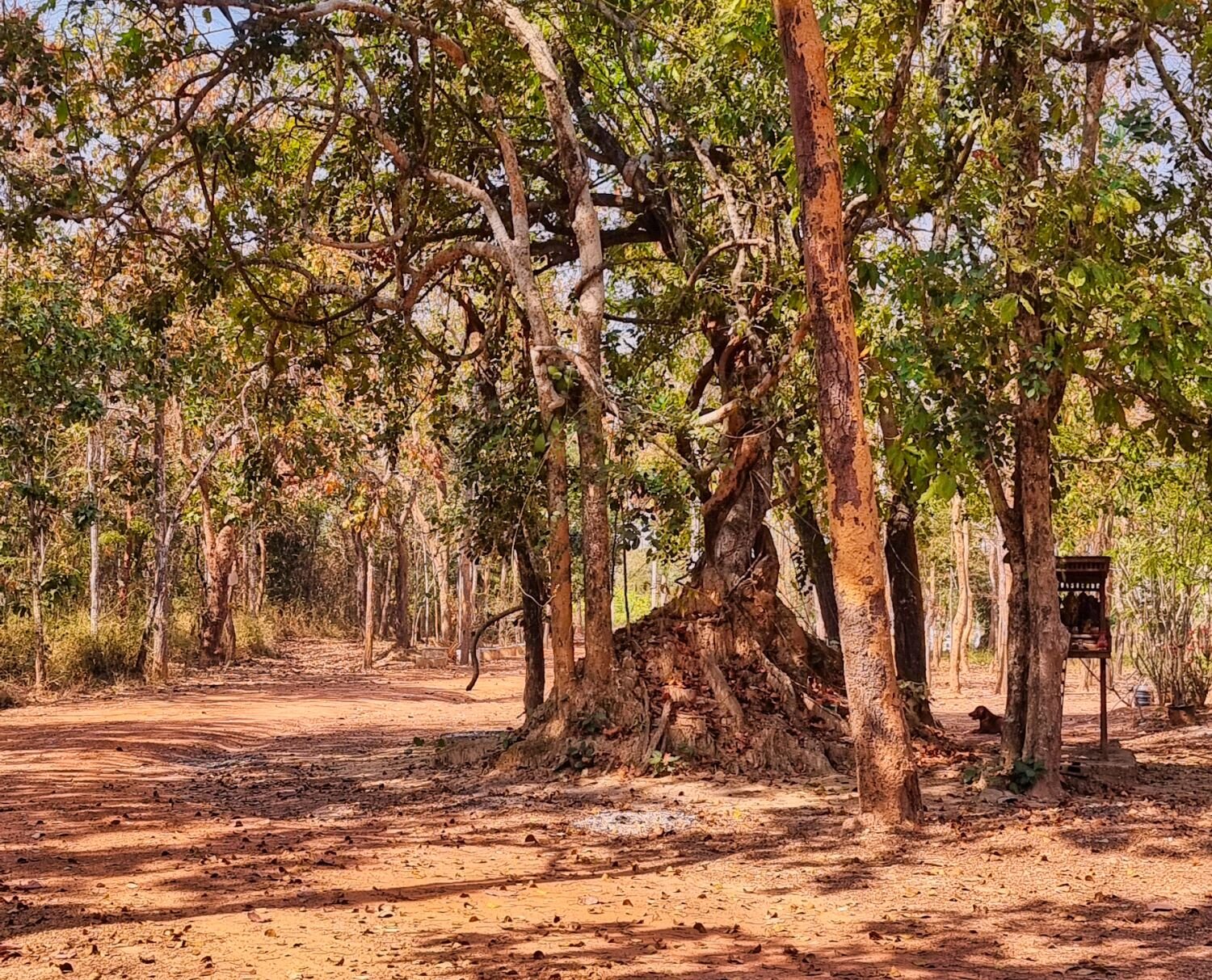
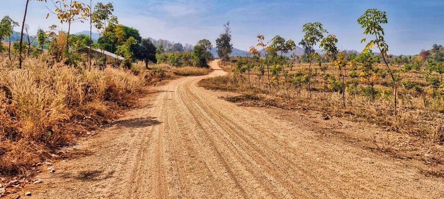
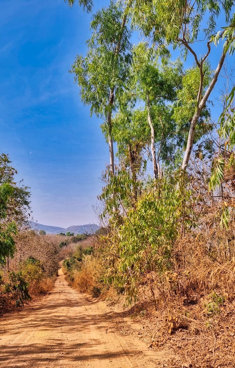
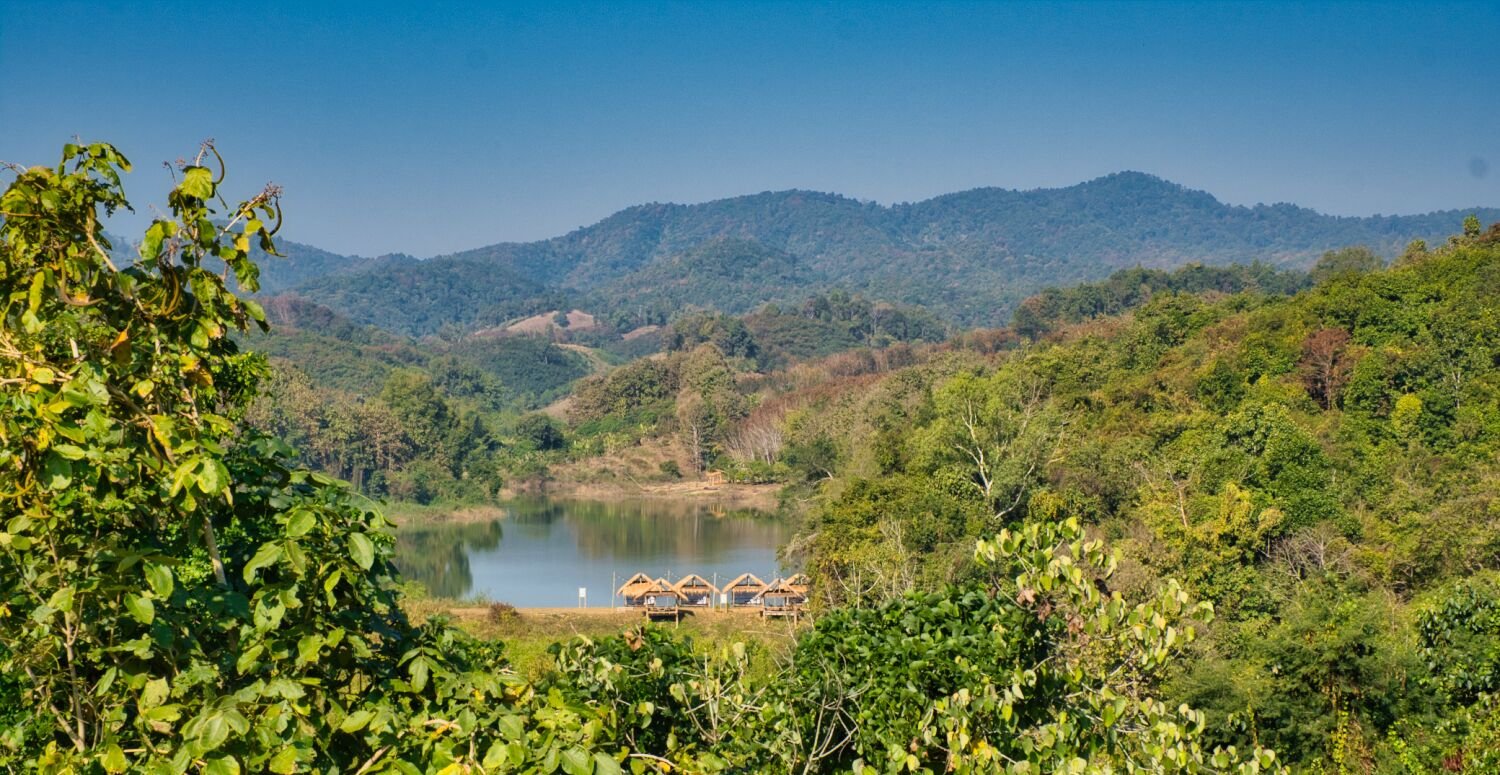
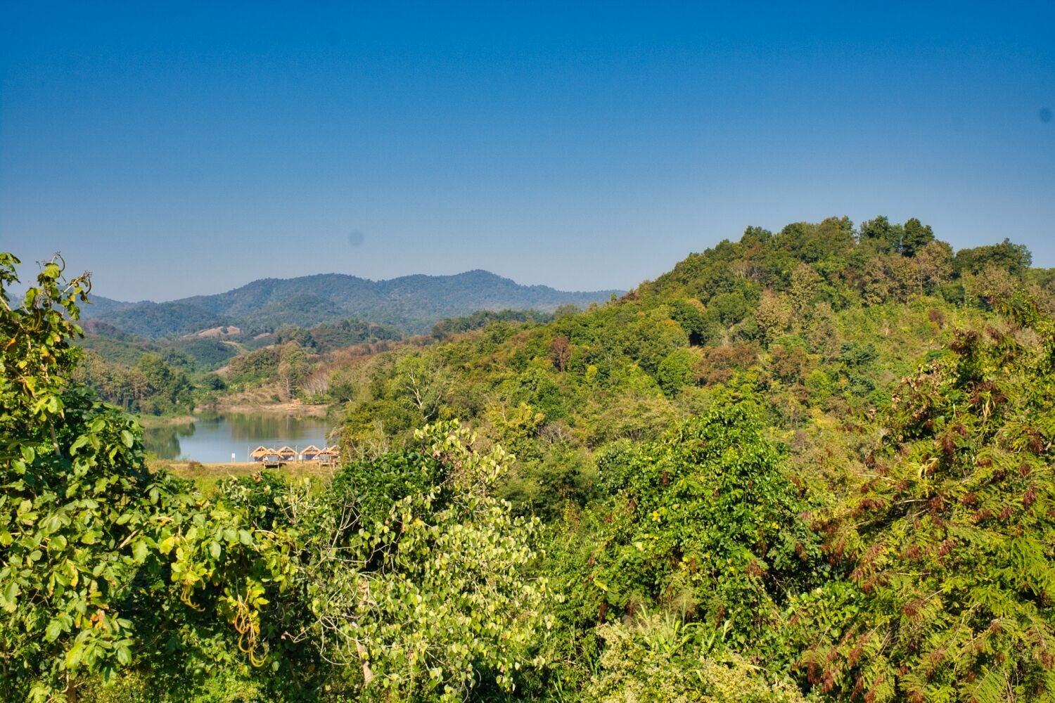
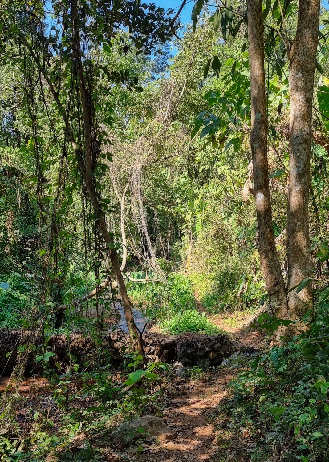
Today I returned to Huai Pla Duk Beautiful Water Forest Park again to explore further. https://maps.app.goo.gl/pkQAkwARpTSJpymu9 I took a different route there after being redirected by Google, in this case a good route that became track east of here. https://maps.app.goo.gl/DtFBQAwWhrFn8ezNA After taking phots at the logging area, here. https://maps.app.goo.gl/hFi2AgwAKfXvMnkp9 Riding north from here and taking the route west and returning to here, was mostly sand and gravel tracks. https://maps.app.goo.gl/7kgq4DVGhPfaCz5y9 https://www.relive.cc/view/v26MoRGrD3v
-
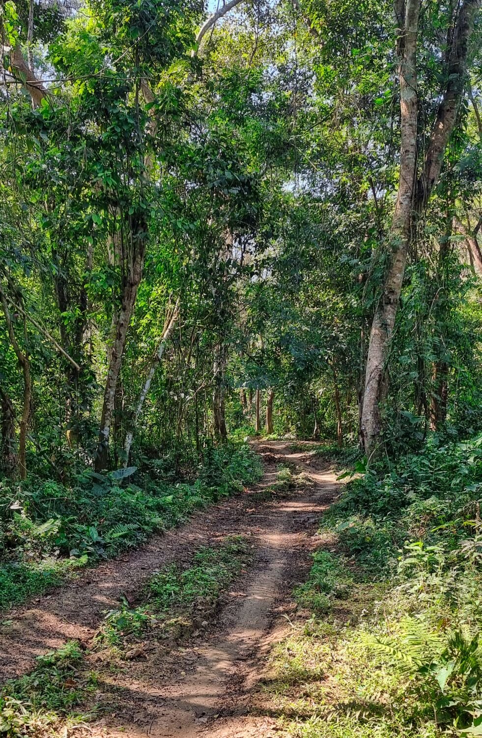
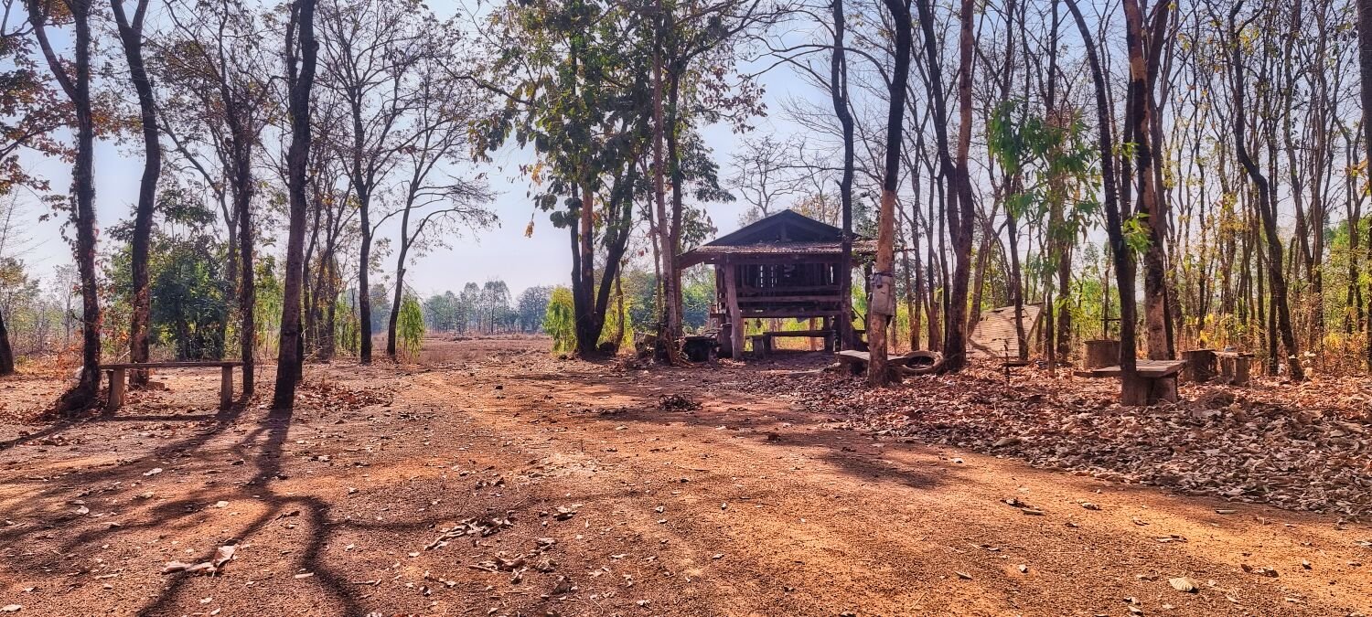
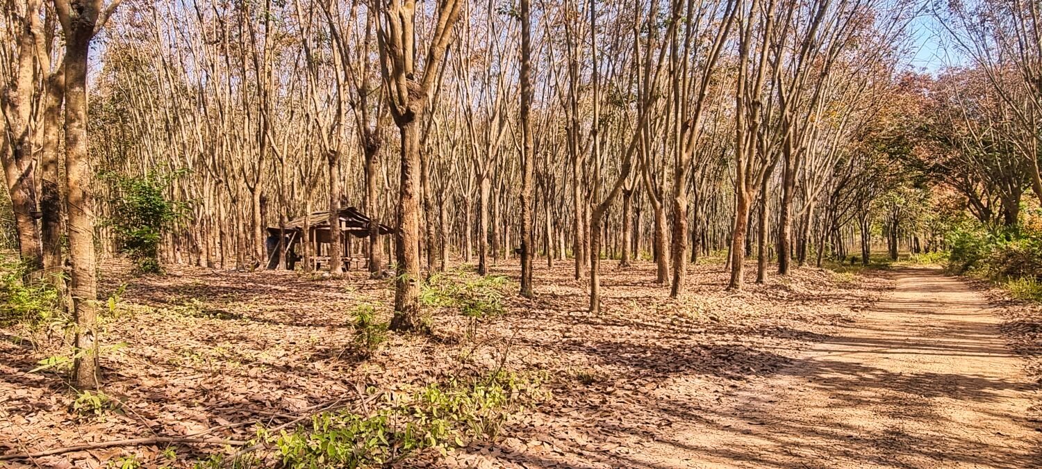
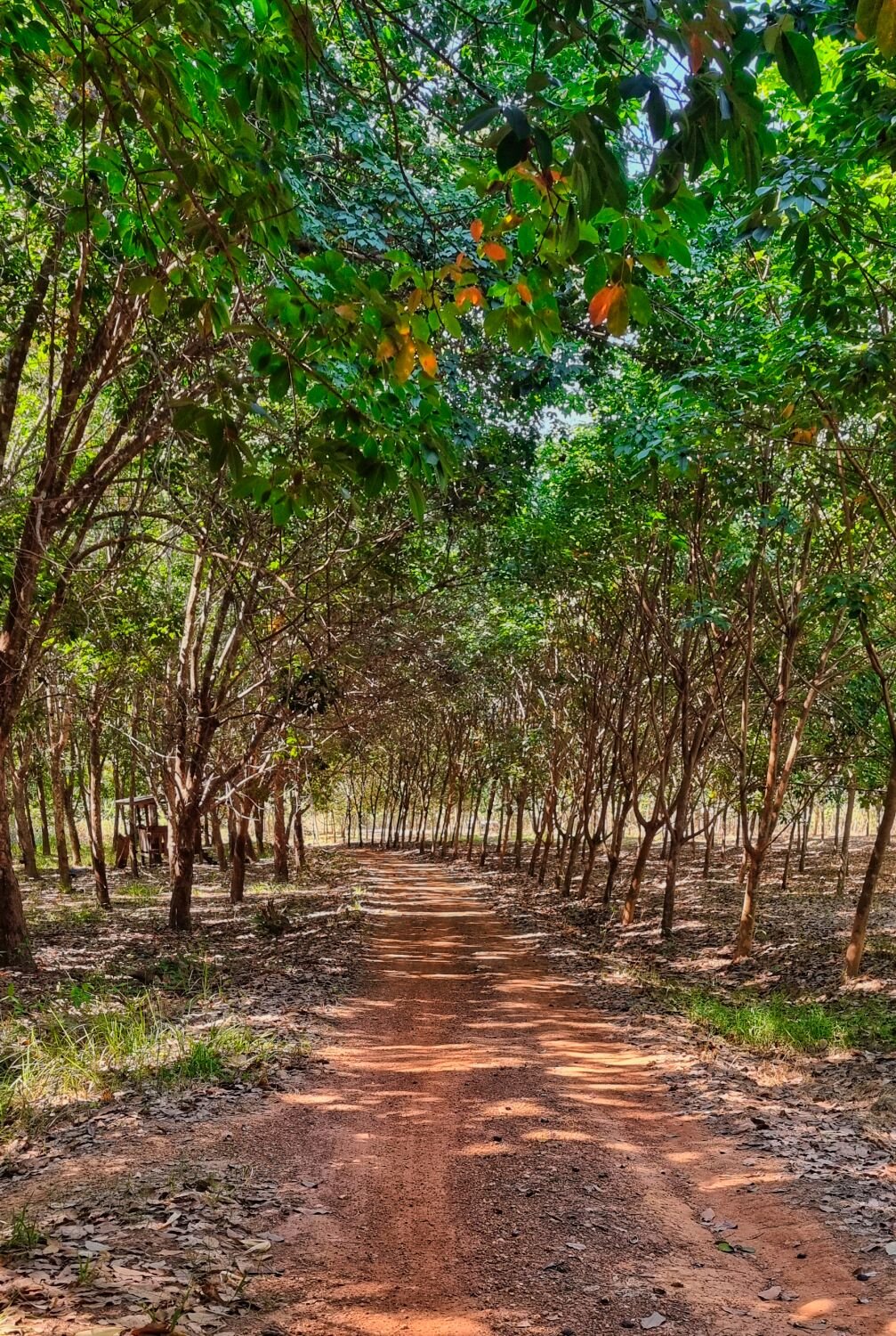
Today I rode to Huai Pla Duk Beautiful Water Forest Park, here. https://maps.app.goo.gl/pkQAkwARpTSJpymu9 There is a reservoir here of the same name and there is a lot of commercial logging in the area. Which means tracks to ride! Here are a few waypoints, there are more tracks than shown on the maps. https://maps.app.goo.gl/zcr<deleted>MUZXRzfhA9 https://maps.app.goo.gl/TvgxPwuTcVdi6mkz8 https://maps.app.goo.gl/jzTrsEL5ZkmZkeQp6 https://maps.app.goo.gl/R7FEx8pSiecrpRge8 From the last waypoint I returned to Loei. Another enjoyable ride today. https://www.relive.cc/view/vZqNEGmyR36
-
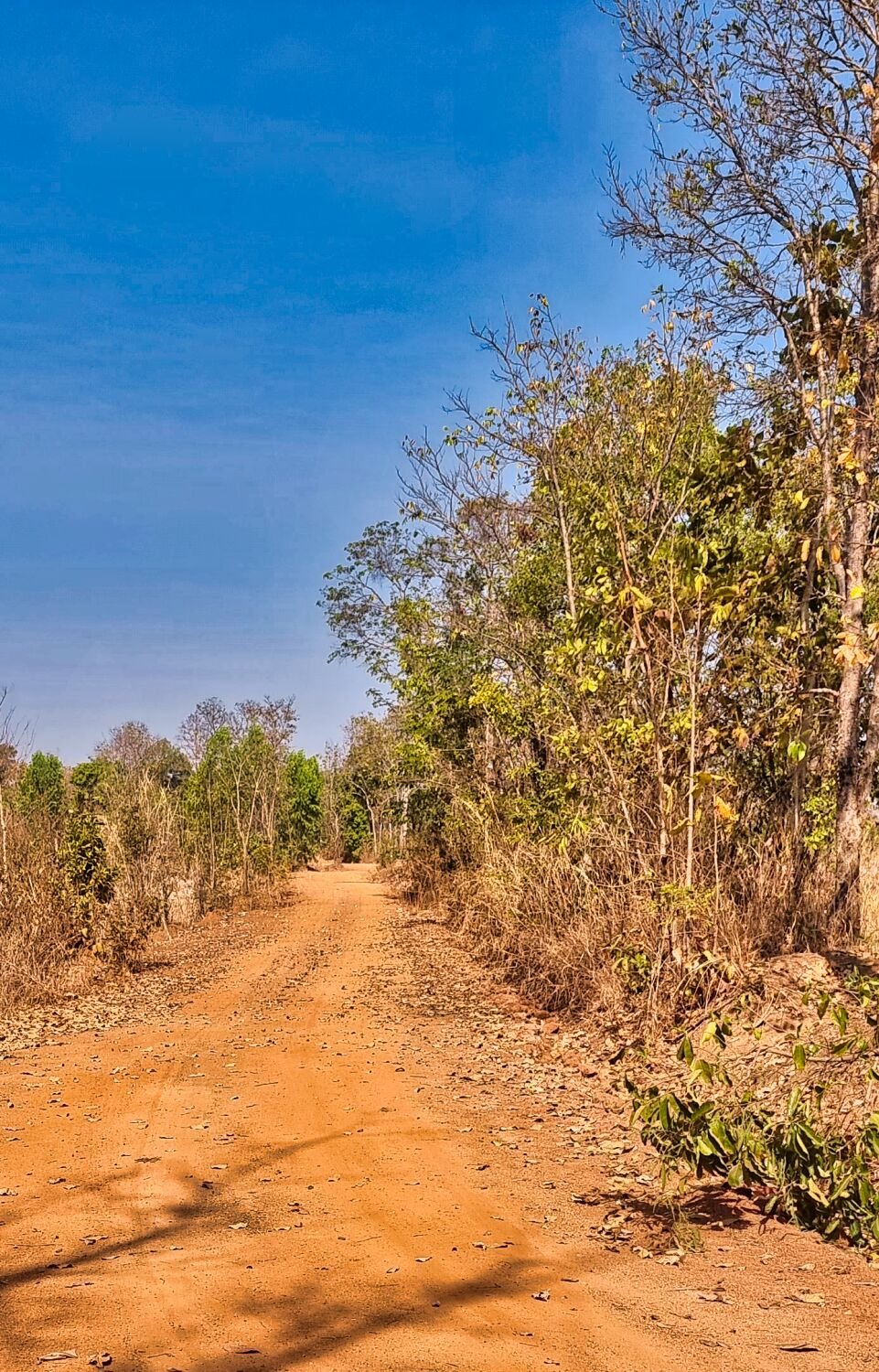
Today I half planned an easy day after yesterdays longer than usual ride. Leaving Loei City I found this small pond by accident, here. https://maps.app.goo.gl/6vDm5Xfuq7n9yMQL9 Following Google directions to Sang Thon Reservoir, here. https://maps.app.goo.gl/Npr4qYHQVL7qEzzf6 I was sent up the wrong track to a dead end, here. https://maps.app.goo.gl/Uqe7SNnPNa3zJRFa9 The correct track starts here. https://maps.app.goo.gl/29174J2Lzwim6zhN6 I carried on past the reservoir along a nice track to the end, here. https://maps.app.goo.gl/PCsU6hoD1UgBco4B9 My next destination was Nong Lom Reservoir, here. https://maps.app.goo.gl/STT8GzEZ2UmLNew19 The track there started here. https://maps.app.goo.gl/pZyZ4b6kChbTRYiJ7 There is about 10k of nice tracks to ride before paved road continues to the reservoir. I looped around the reservoir before returning to Loei. https://www.relive.cc/view/vRO79mx2Kyq
-
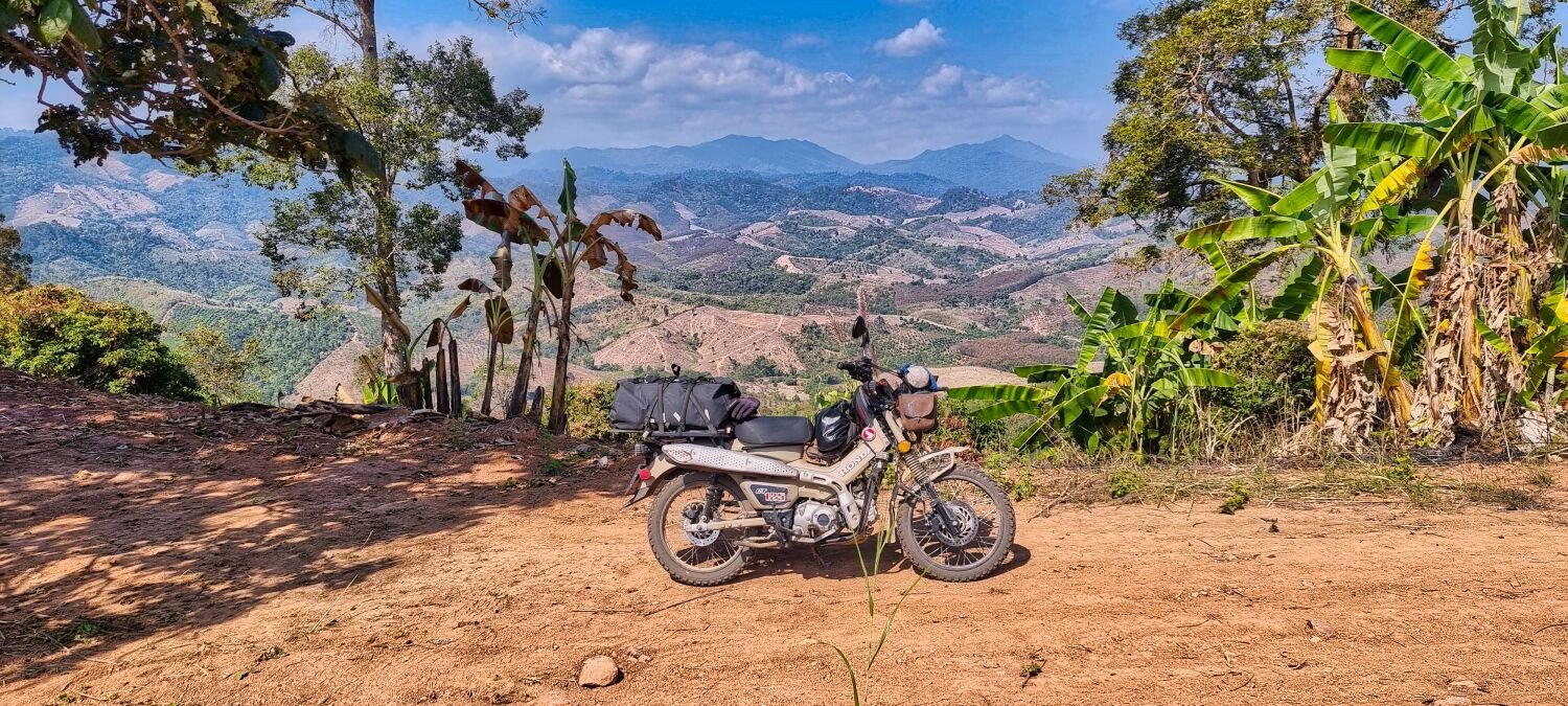
Today I rode 414km from Nan to Loie, lots of windy roads, so it took over 9 hours. No time to stop, so just a few photos. https://www.relive.cc/view/vMv8p9XxwNv
-
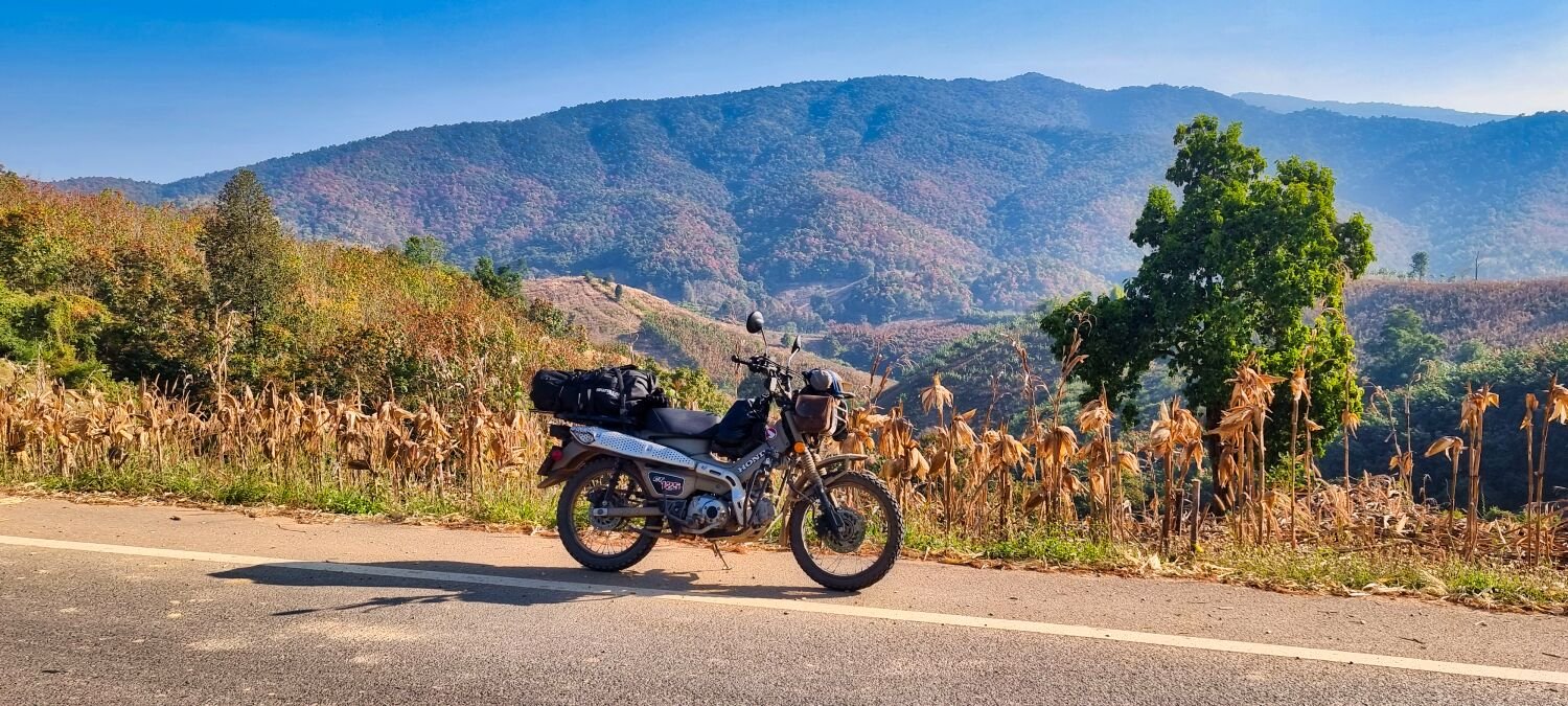
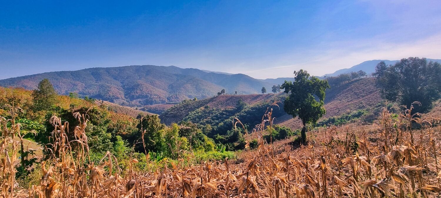
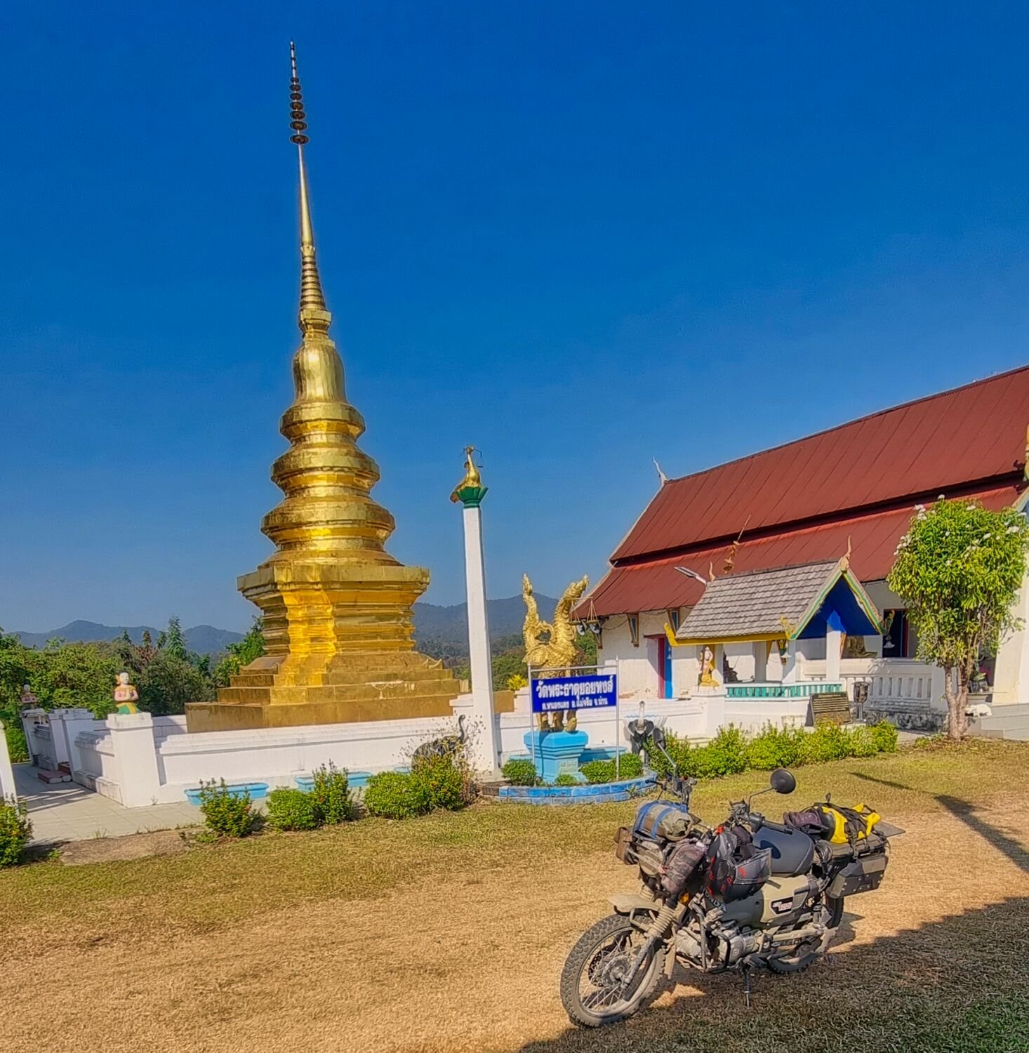
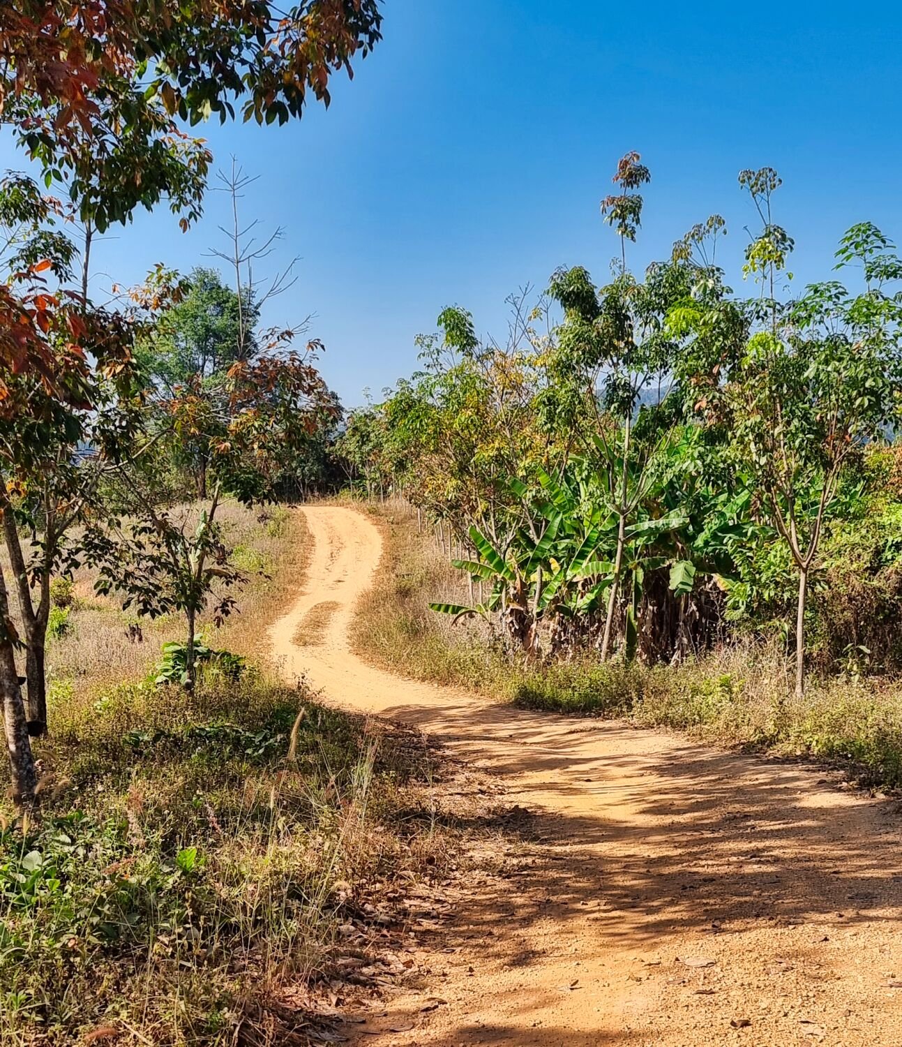
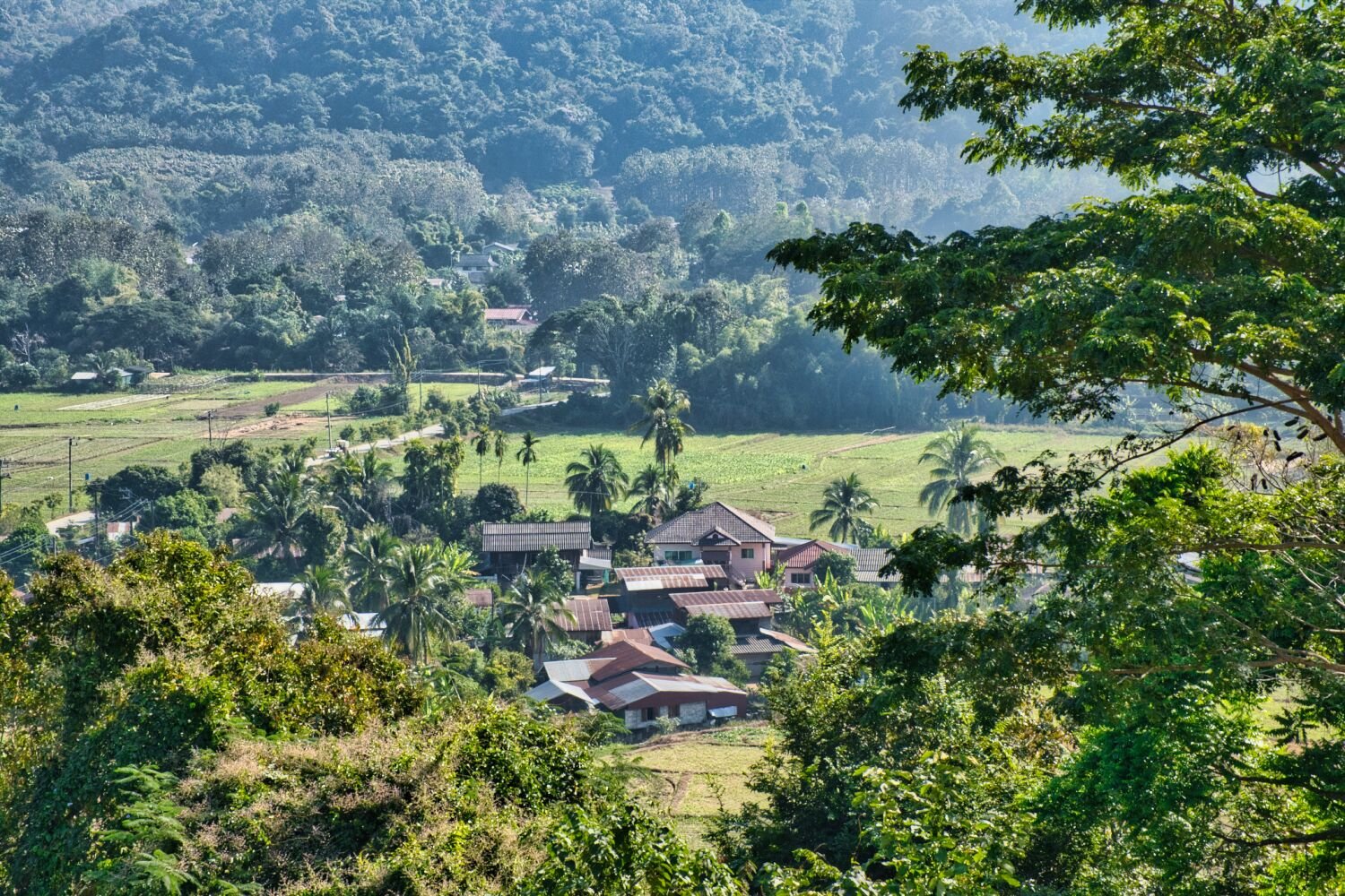
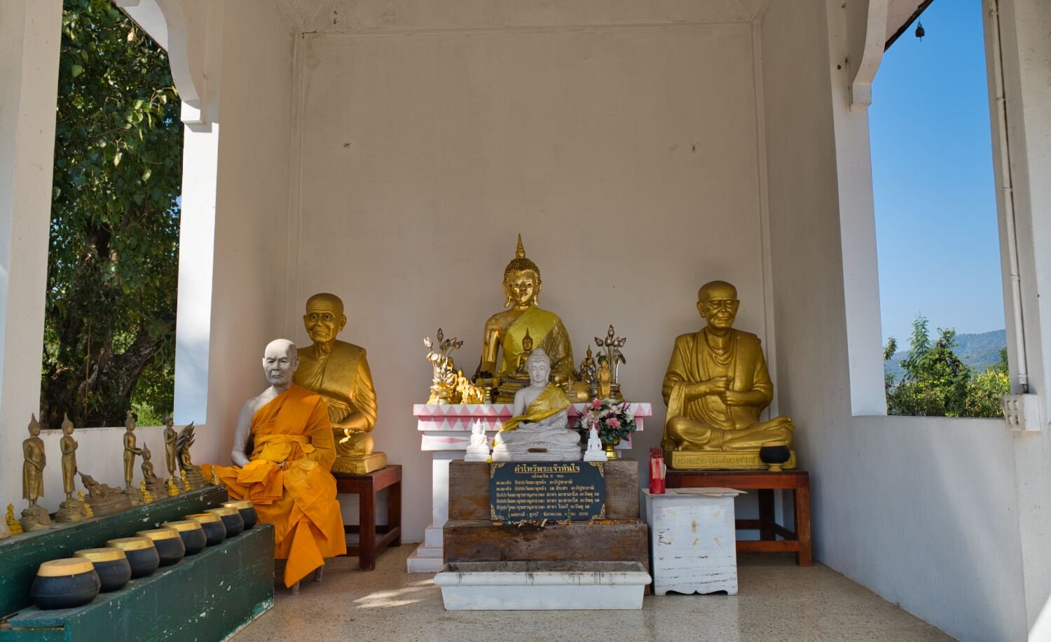
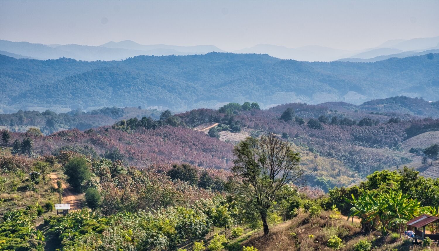
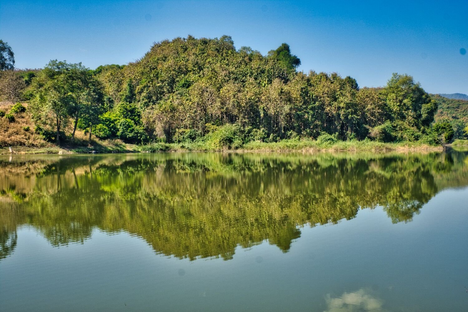
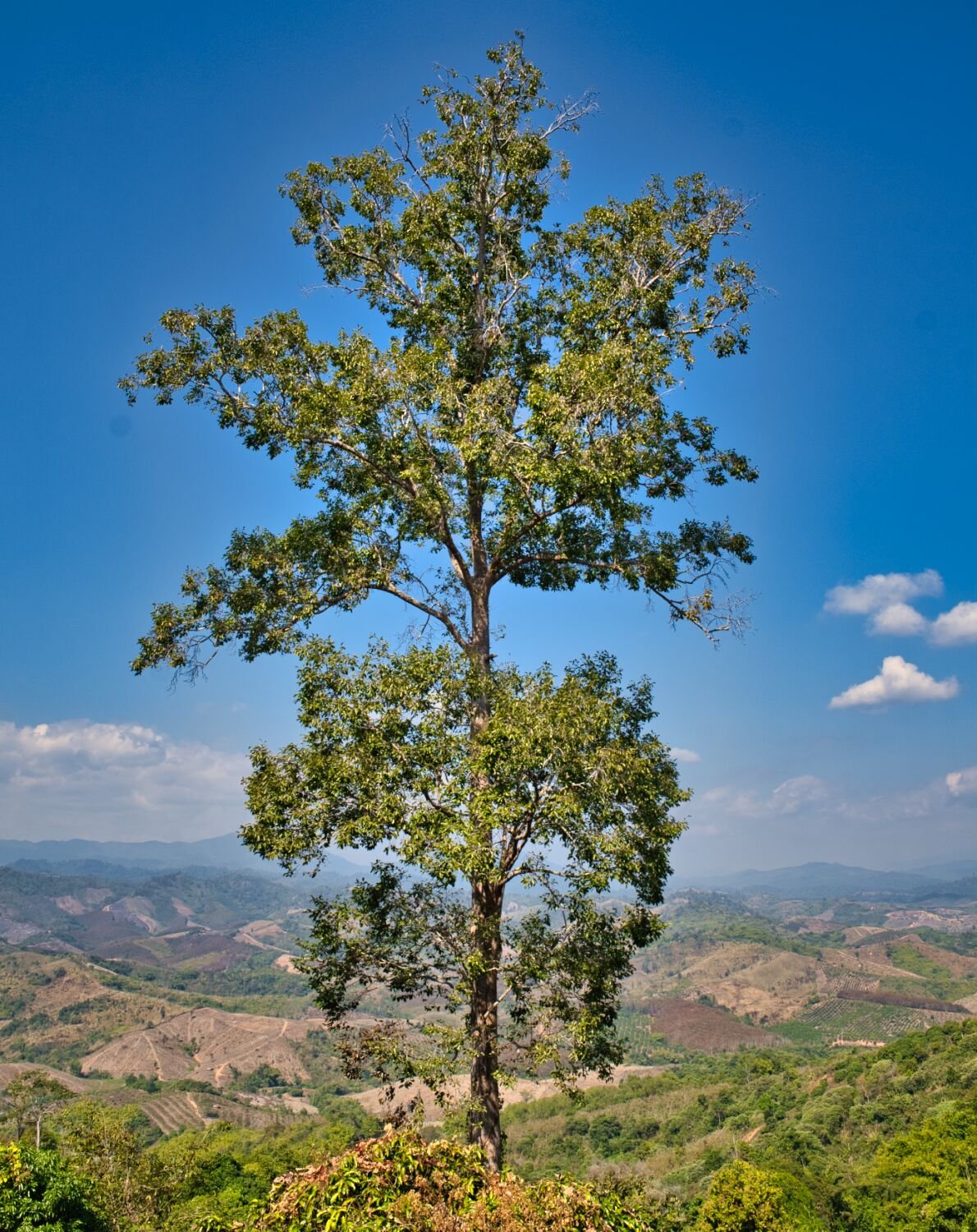
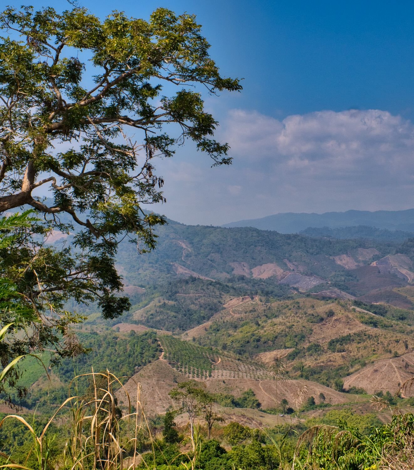
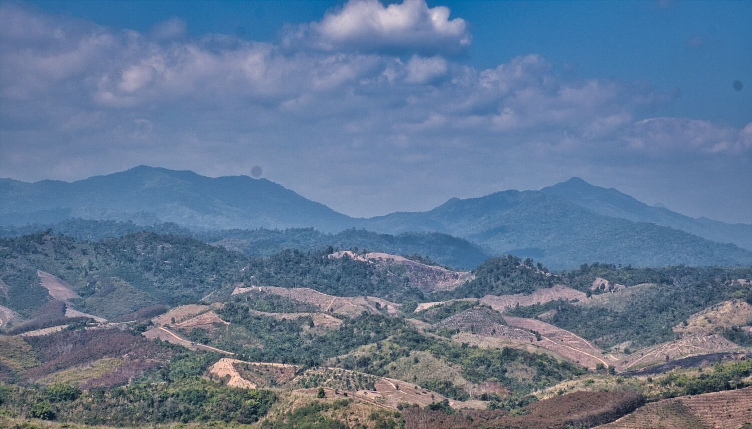
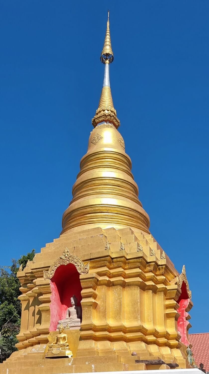
Today I went exploring east of Nan. My first stop was a small temple, Wat Phra That Yoi Hong, here. https://maps.app.goo.gl/gZWioFMdUCztnfVS7 I then headed to look at Reservoir Huai Phrom, here. https://maps.app.goo.gl/2jQGmT9xqJQC8mnw6 On the way the route I took was off road tracks that ended in dead ends or a farmer’s farm building. But there were great views to see before I back tracked. After the reservoir I rode a loop to another reservoir, Huai Haen Reservoir before heading back to Nan. https://maps.app.goo.gl/tZKupTfBgXoFCrz27 https://www.relive.cc/view/v36ARAVj2Zq
-
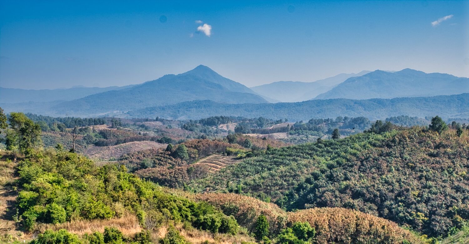
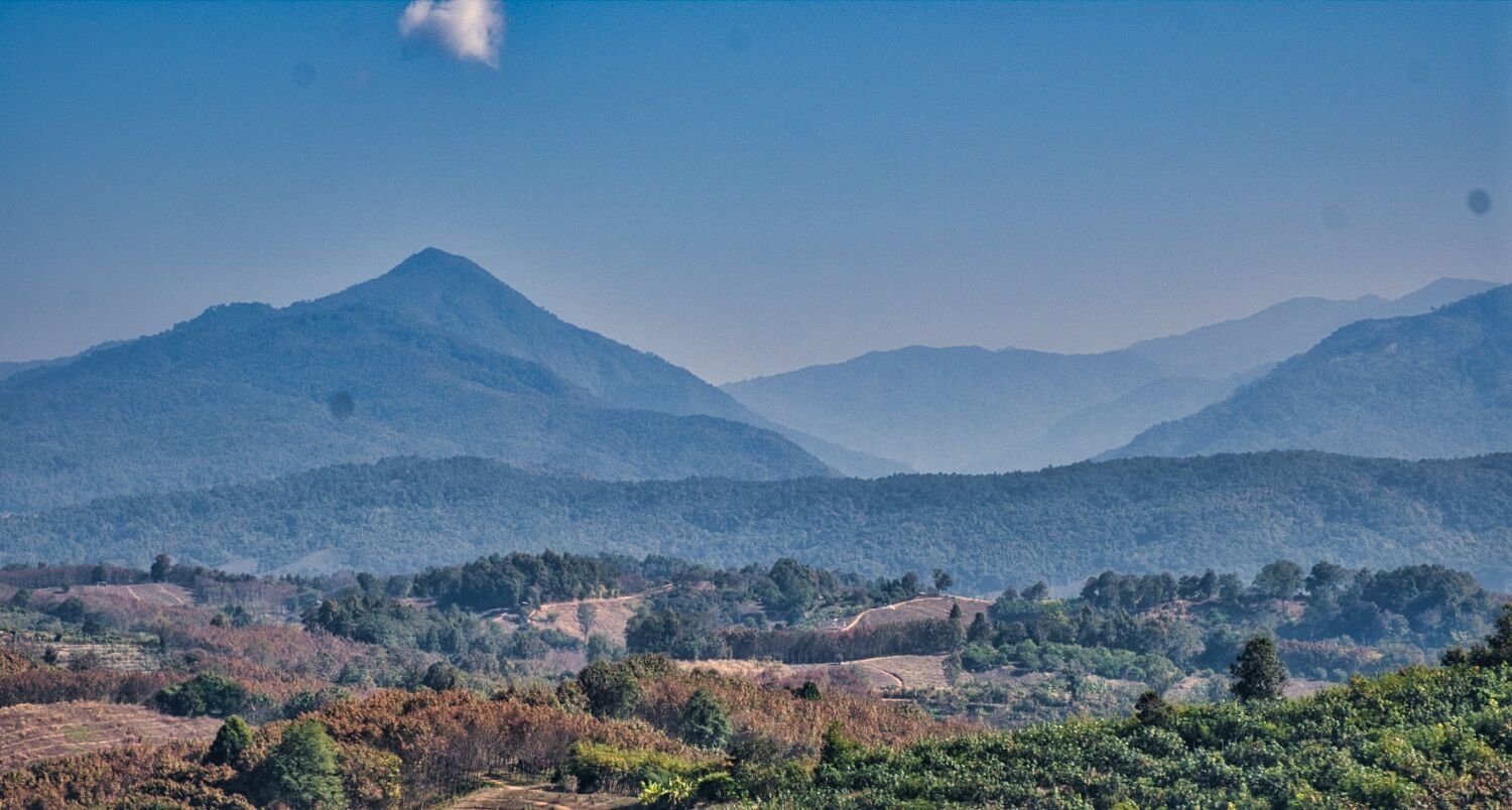
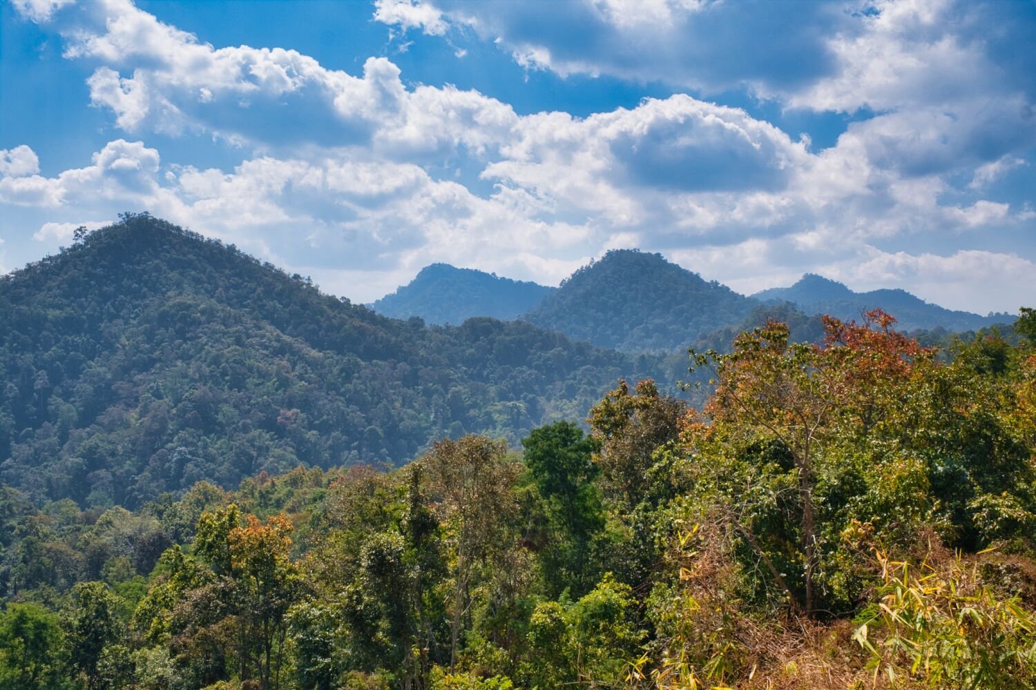
Today I left Chiang Rai to ride to Nan. No diversions for sightseeing but I stopped at these two viewpoints for photos. https://maps.app.goo.gl/M1TYoeTH4ahAZWrS7 https://maps.app.goo.gl/udwJimqBkqvPG9Sv9 https://www.relive.cc/view/vrqowBr2ZKq
-
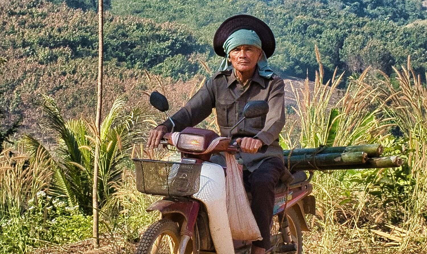
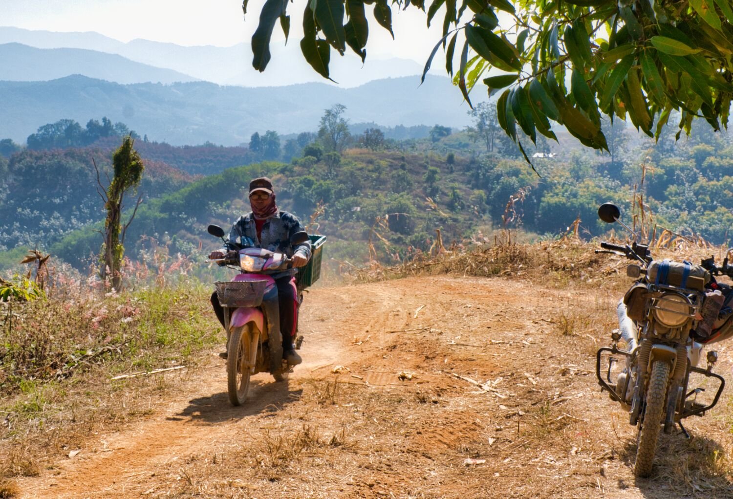
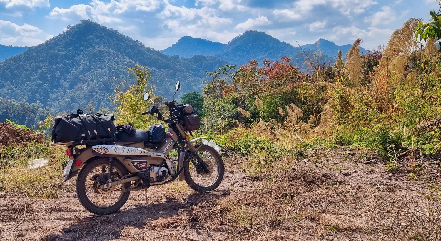
I left Chiang Rai to ride to Rai Sin Thon Lake today, but the route Google suggested ended in a dead end. https://maps.app.goo.gl/YGuAQKMkJbVMX6CP7 Luckily it was right beside Doi Pha Chang Mountain, here. https://maps.app.goo.gl/q6vcL65QLnkwX83U9 And I spent some time exploring new tracks on the side of the rice fields there. From here I headed to Huai Kang Reservoir, here. https://maps.app.goo.gl/CDXnh1JChHNZtKf17 From the dam I continued riding around the reservoir going as as I could go on the tracks. I has spotted a small motorcross track when I arrived so I went to check it out. Nobody was around so I rode my first race there and won! Mind you, I was the only rider! From here I took an indirect route back to Chiang Rai. https://www.relive.cc/view/vKv2gLDkwoO
-
Not when i was there 555555
-
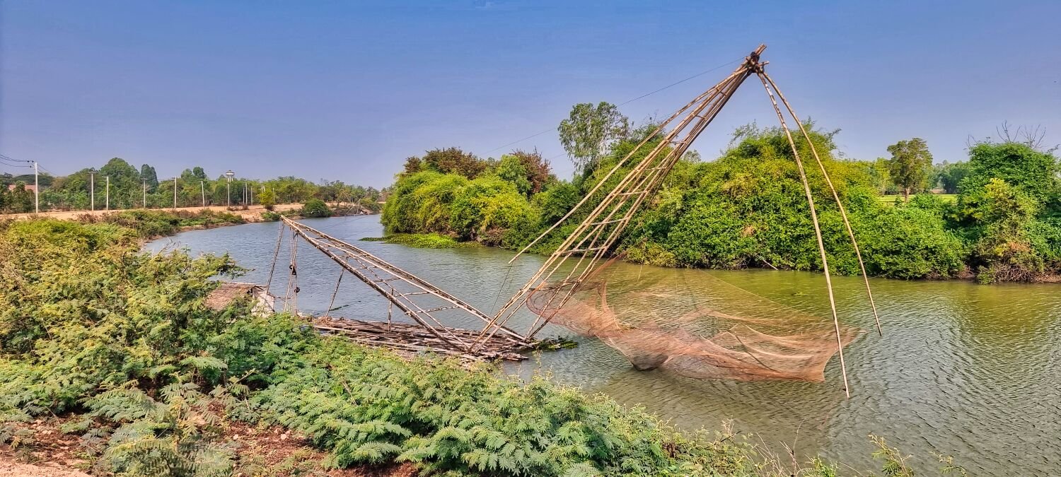
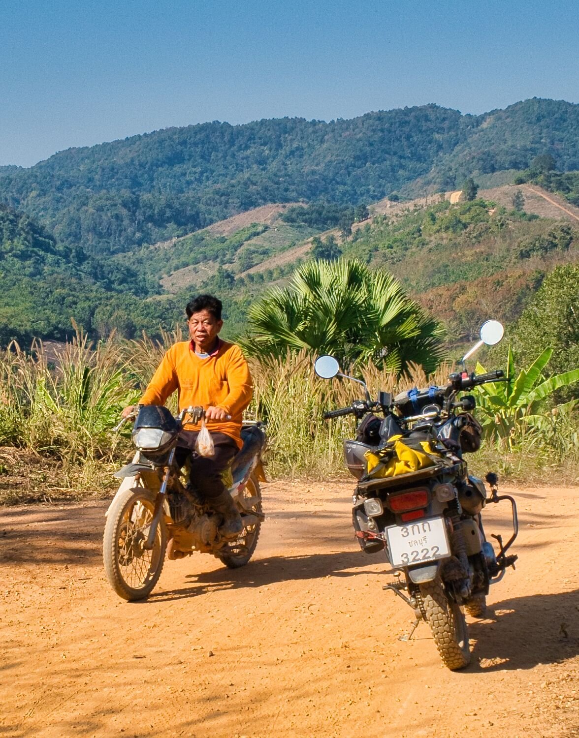
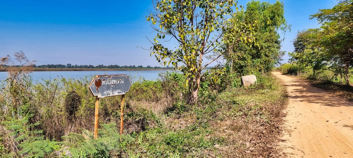
Today while exploring rice fields north east of Chiang Rai, I came to a weir I need to cross to continue my ride, but unfortunately half of it had been washed away presumably in the recent flooding. The weir was where Mae Ngam ran into The River Kok, here. https://maps.app.goo.gl/eTJ6cvFdRuHPUQXPA After back tracking and riding a large loop, I managed to find the opposite side of the weir behind Wat Phra That Ku Kaew Doi Ngam, here. Here I photographed a local net fishing. https://maps.app.goo.gl/G96FY8MPpzpaCiKi7 From here I rode over Chalermprakiat Bridge 2, here. https://maps.app.goo.gl/t1uJEQaWf4WuRkLr7 Then onto Nong Luang Reservoir, here. https://maps.app.goo.gl/Pp6Dpj3EUG6SNSEC7 After looping around the reservoir I returned to Chiang Rai https://www.relive.cc/view/vXOnk1mN856
-
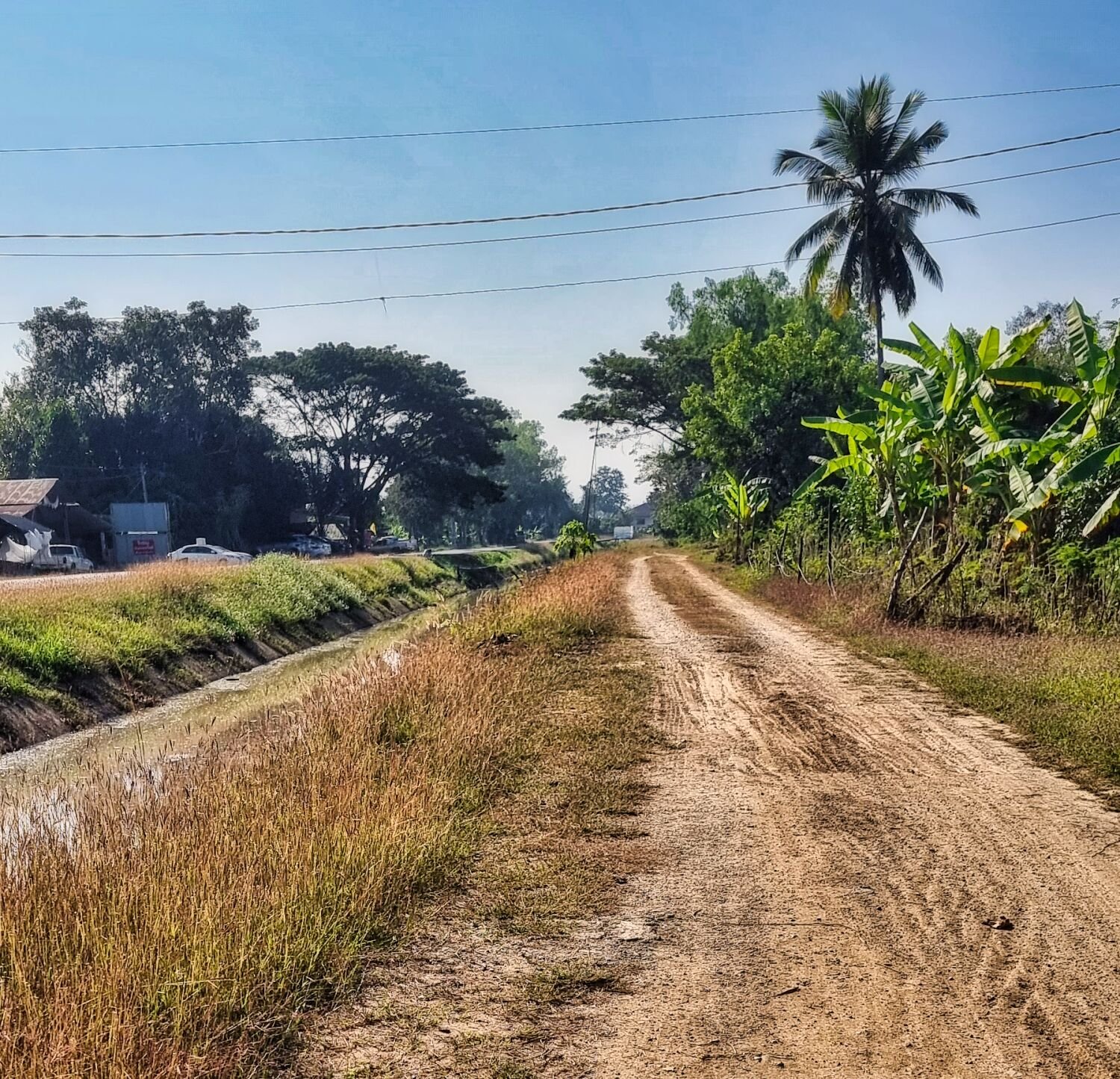
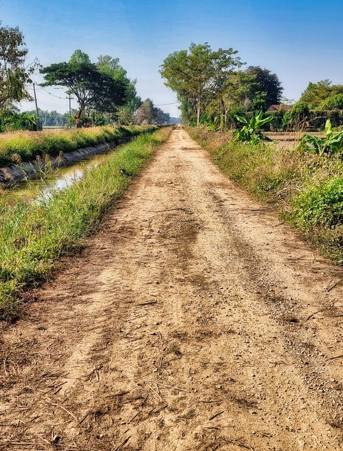
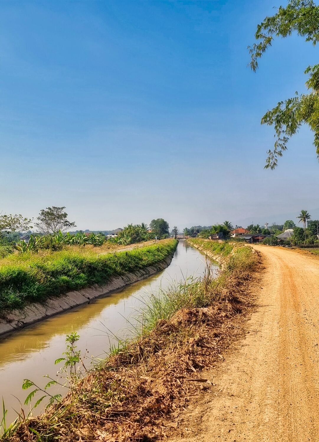
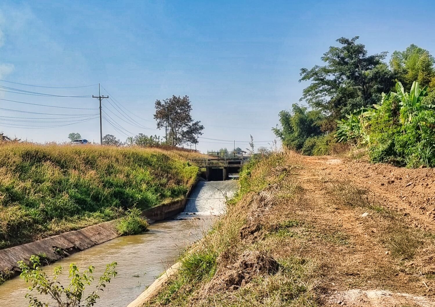
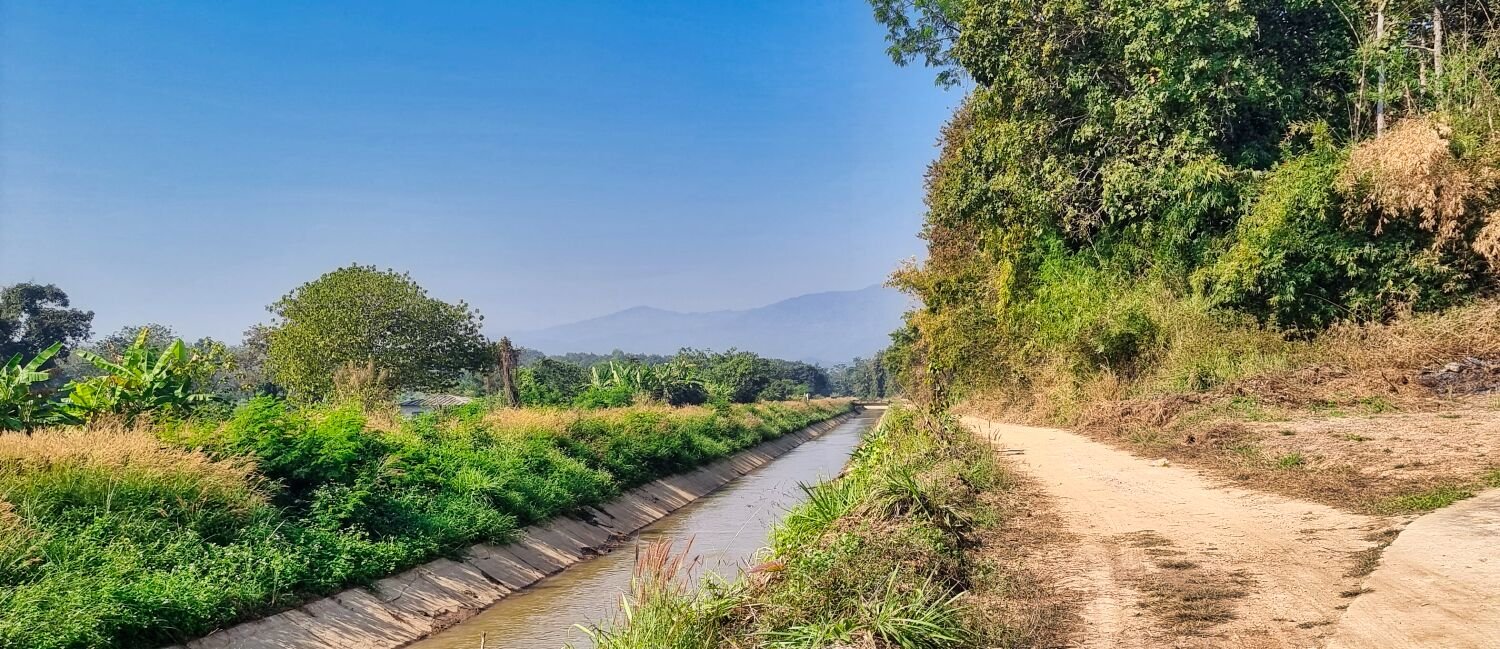
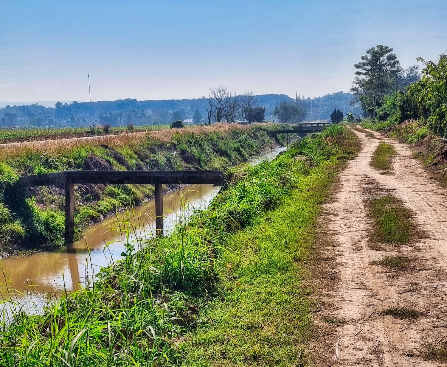
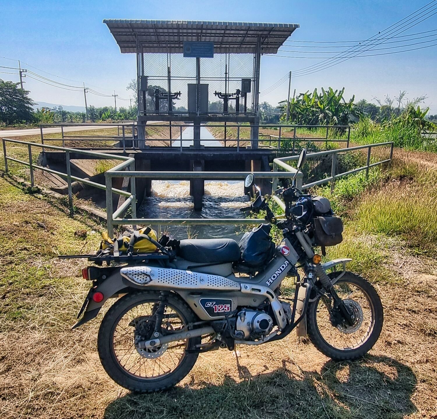
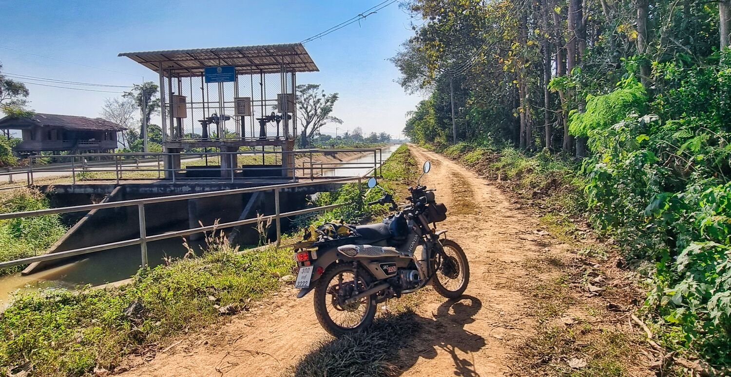
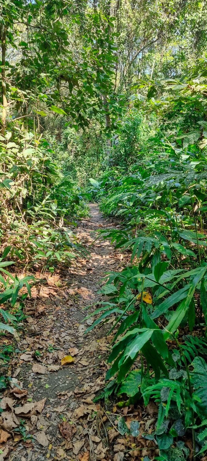
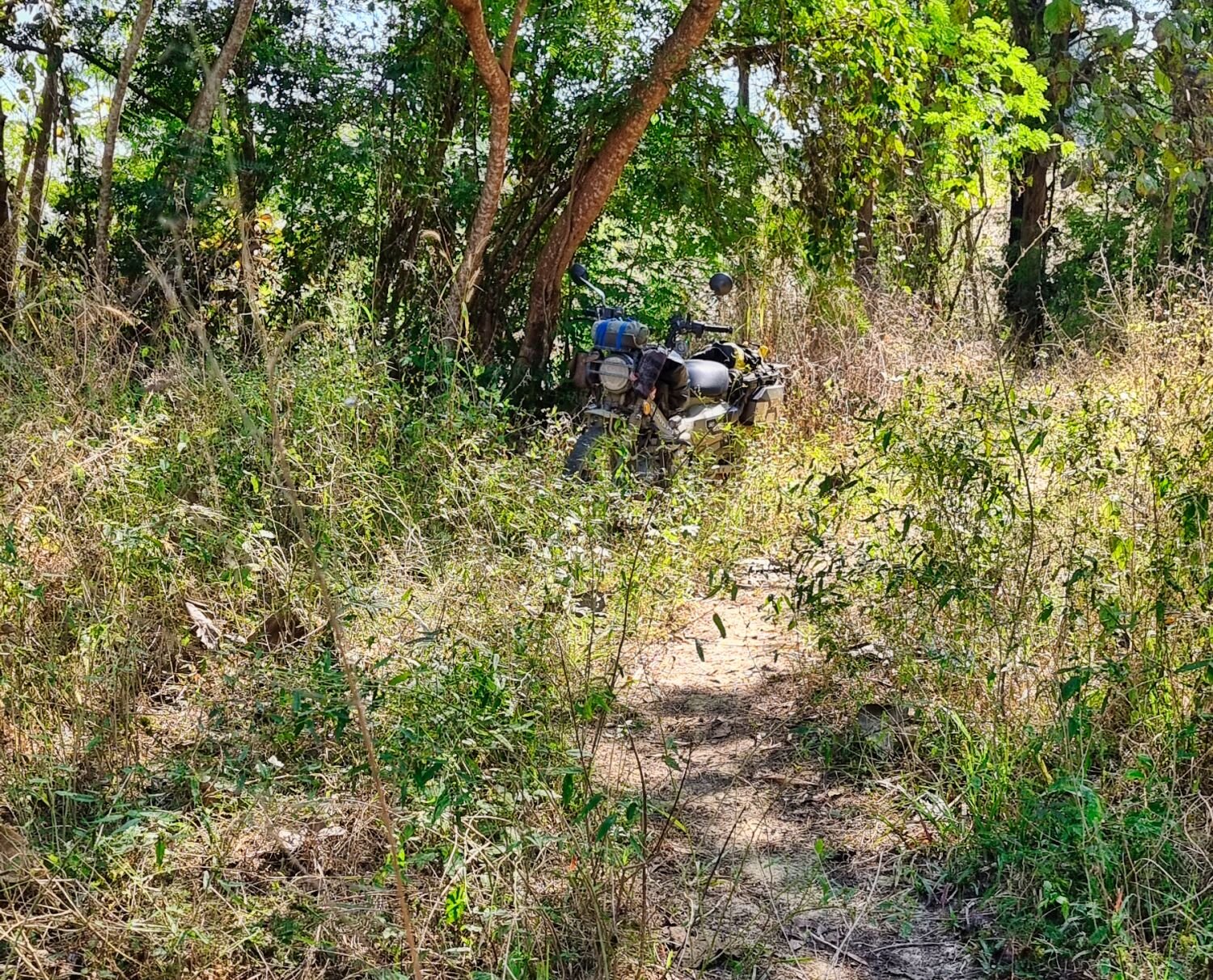
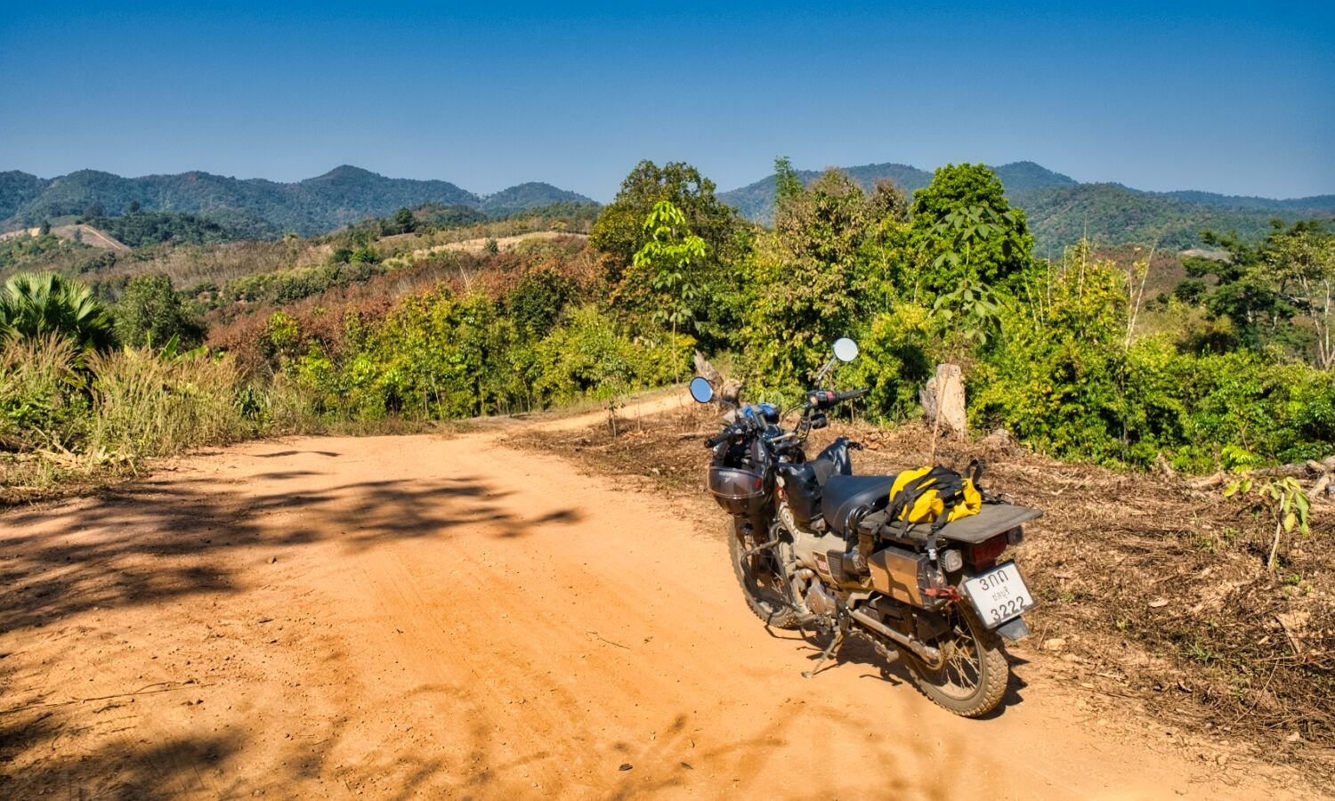
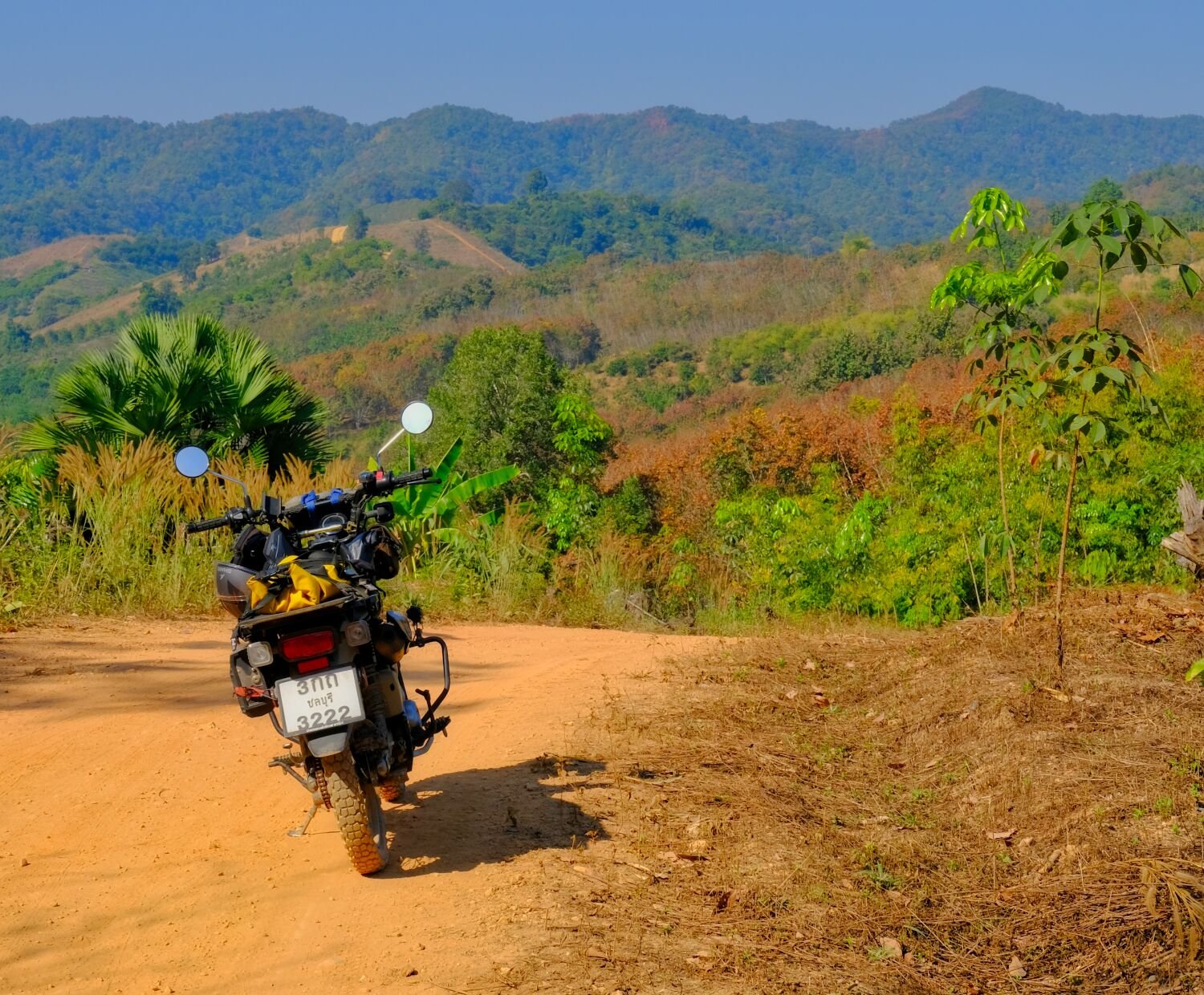
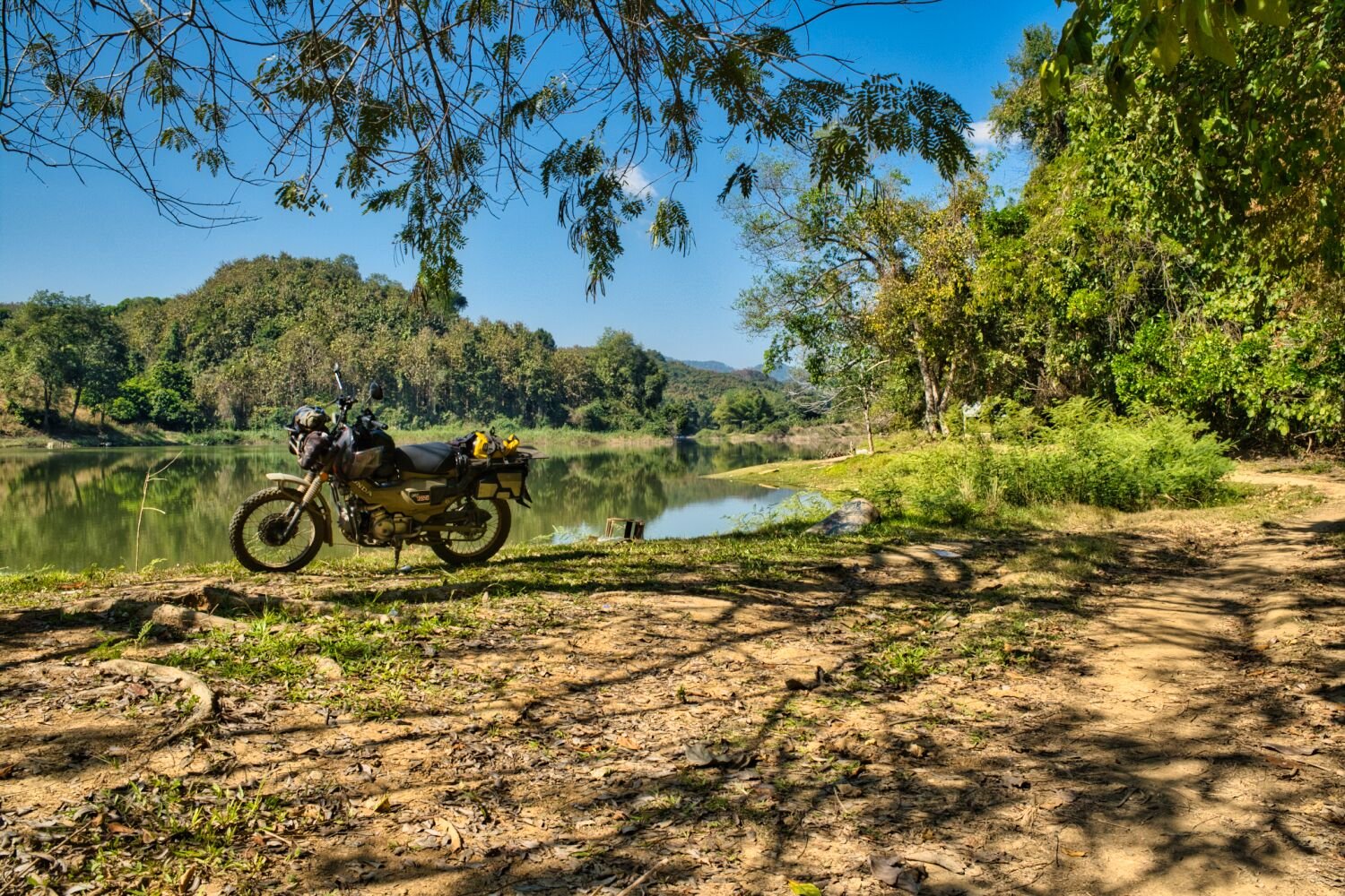
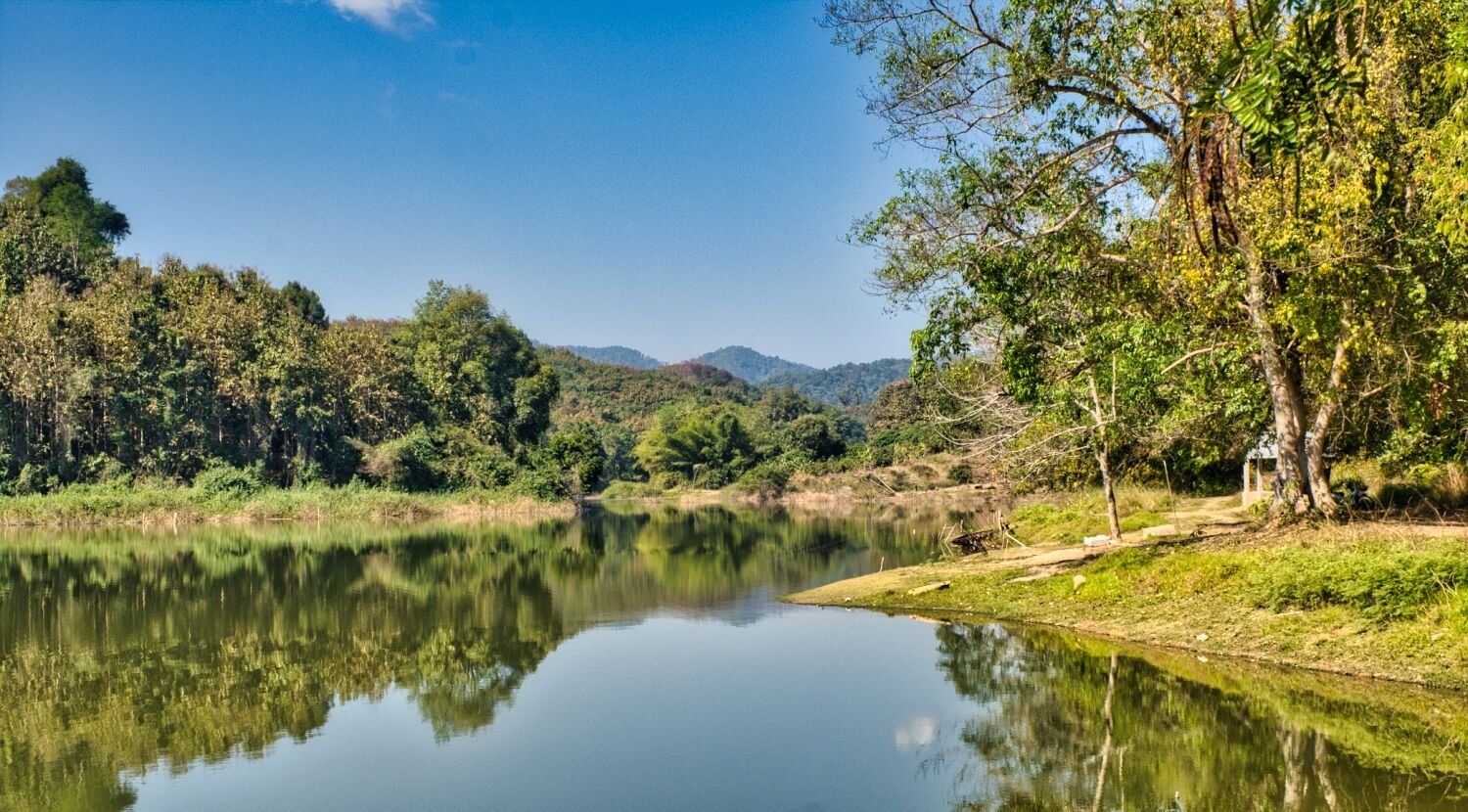
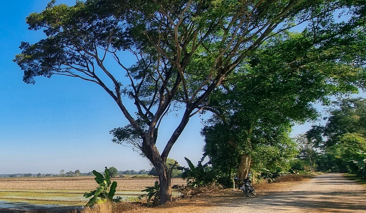
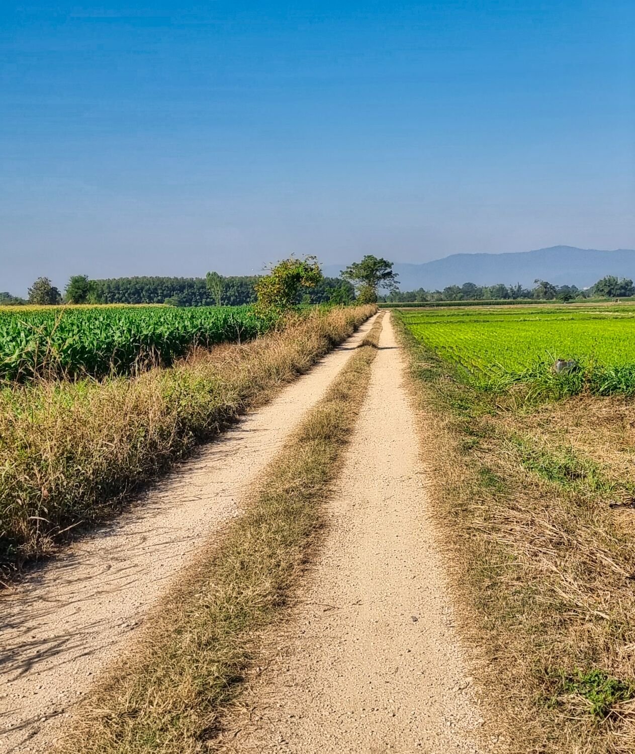
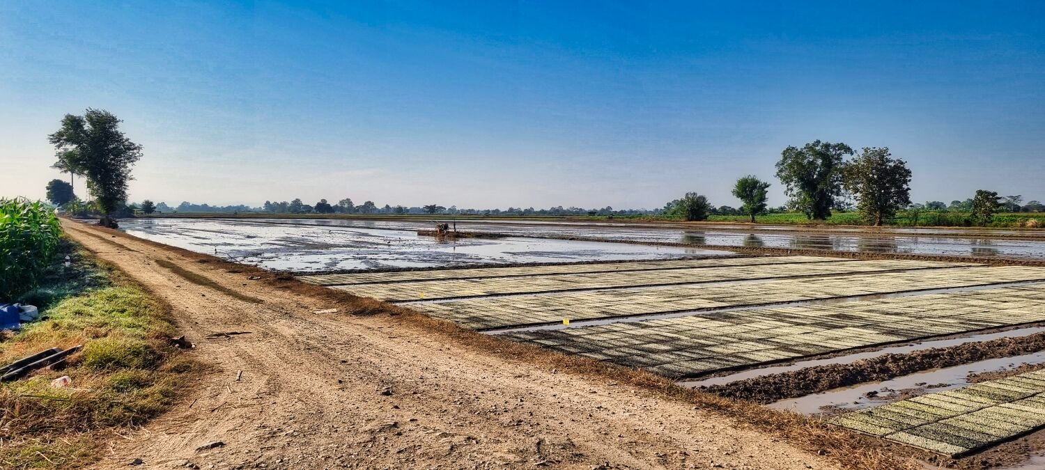
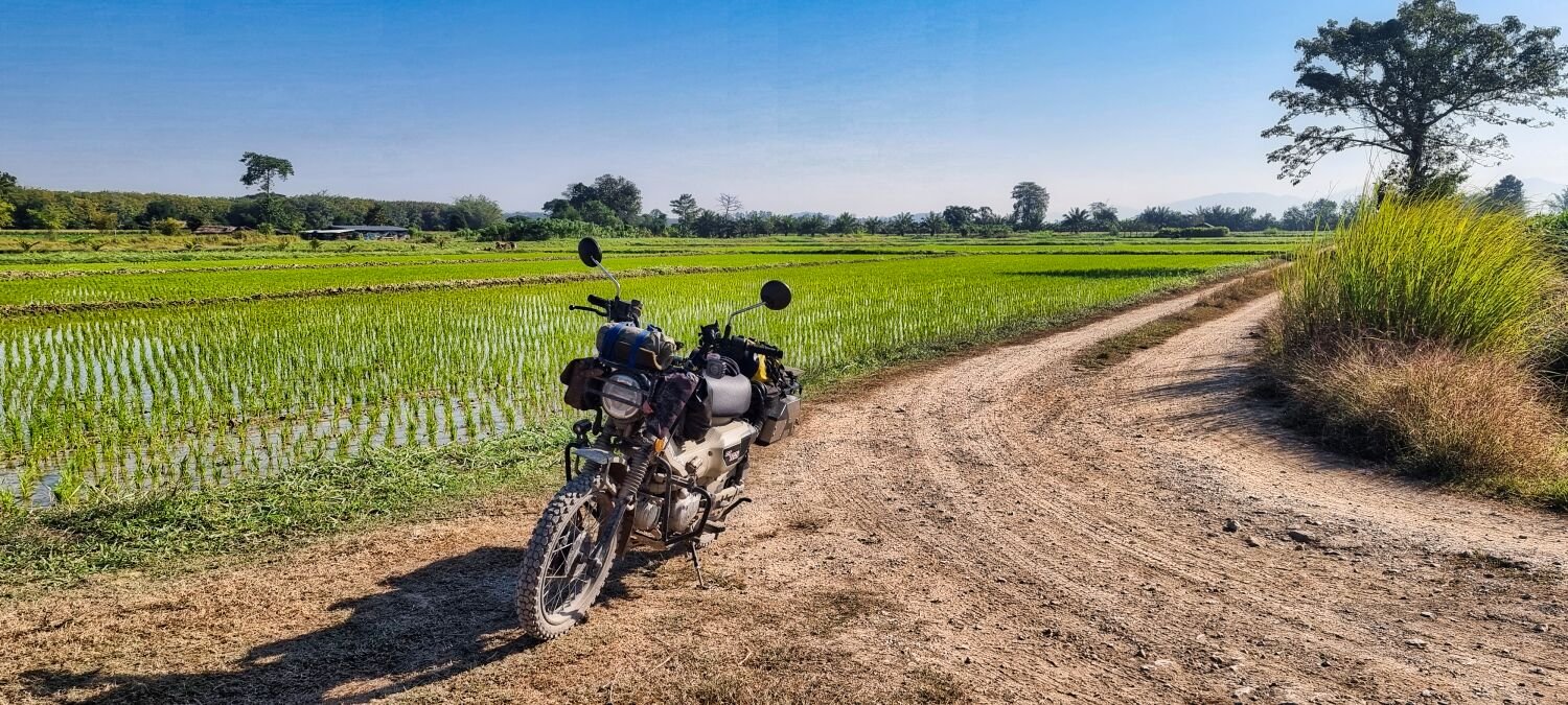
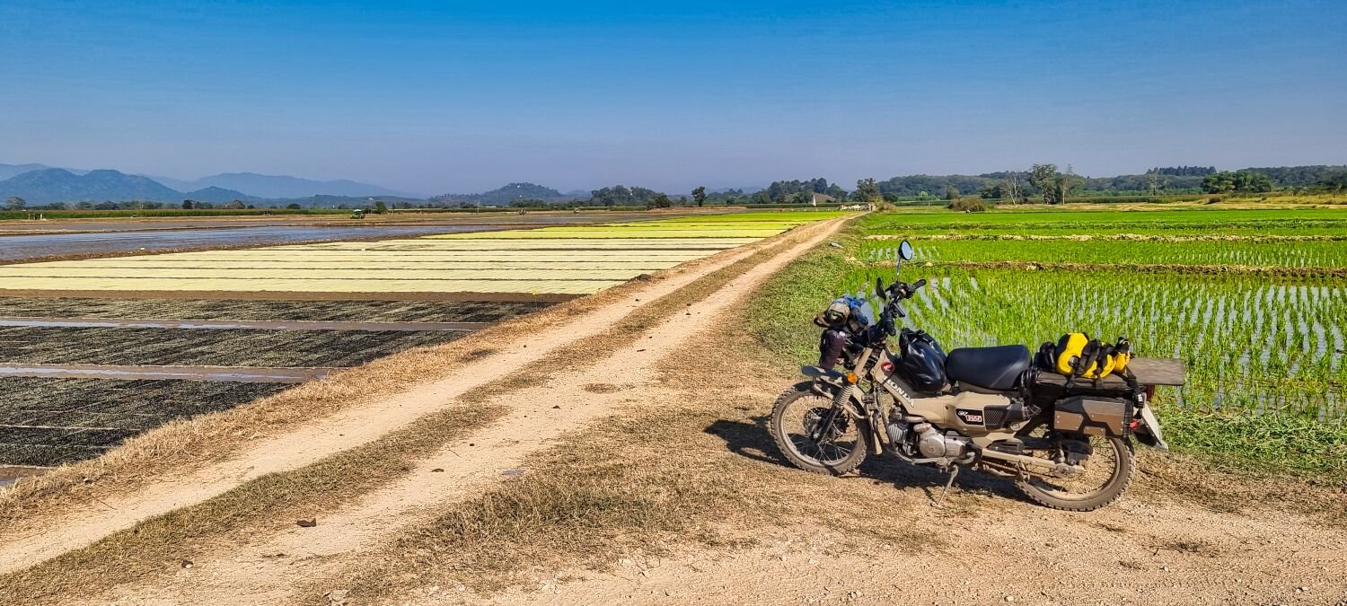
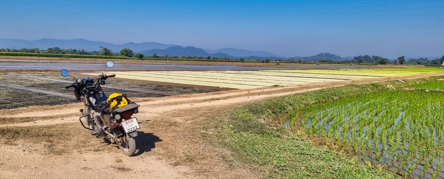
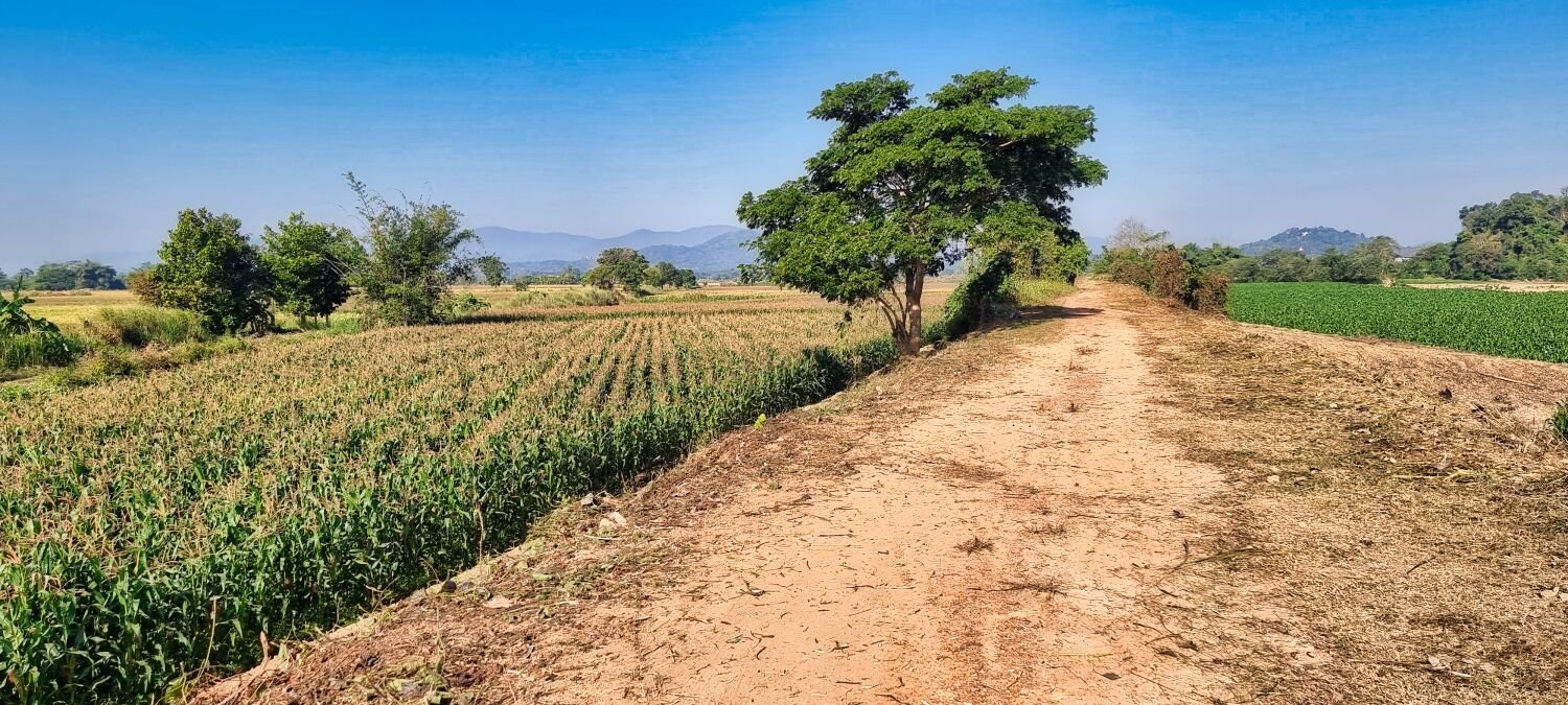
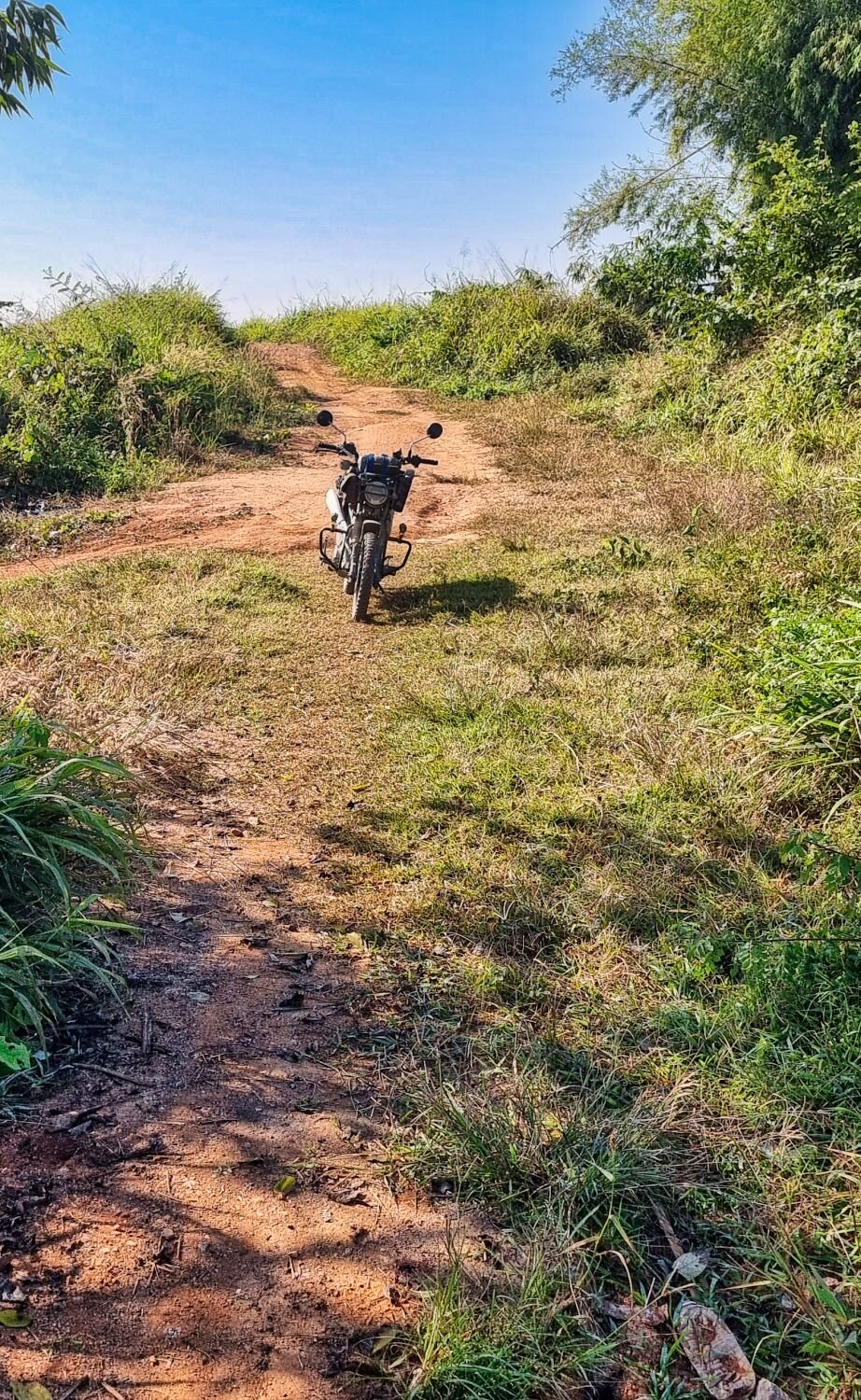
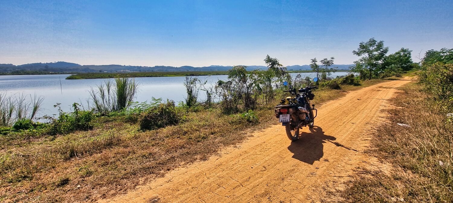
Today I rode south from Chiang Rai to visit Mae Lao Weir, thanks to Michael John for the heads up. I followed an irrigation channel there, starting here. https://maps.app.goo.gl/g8x1BAfz7Fxp6eEk7 I followed it all the way to Mae Lao Weir, here. https://maps.app.goo.gl/Vfjdf5NNEJ2SHEgP8 After crossing the weir, I followed the irrigation channel to here. https://maps.app.goo.gl/ZNbVCbiDSknmGQiY7 I then looped around and rode to Sai Khao Reservoir, here. https://maps.app.goo.gl/3nYgcDb6cGs41WfB7 I then went exploring tracks in the jungle and eventually after crossing two very small streams in a narrow stretch I turned around as soon as there was room and returned to Chiang Rai. A really cracking ride today. https://www.relive.cc/view/v26Mo1n7X3v

.jpg.67b8a7db03bd59fa236fc7e4d370c30b.jpg)


.jpg.6fee90be6e4830df1a230b06341d6d5f.jpg)


.jpg.8ee09f3dd79f18be215ffc522d7bb819.jpg)


.jpg.f203c42ee9f3414874302d35076f000e.jpg)
.jpg.0ae913b550b0d2126778aa6f99ef27e8.jpg)


.jpg.d423dbea6243ade88e68afd0902cb596.jpg)


.jpg.b54e535ba059ef19a9f15f3033fe74a1.jpg)

.jpg.9b01c7ce4825c60b351d87d00fa3c700.jpg)


.jpg.1d1a8ce5d2ec04c65208101e63fc4d7f.jpg)


.jpg.a7c3f4ebbf2cbd0d7c9608596c6eee71.jpg)


.jpg.1a7c97720ae17f4b38fd20ef09661153.jpg)
.jpg.f609687e7c504173983f002a9beabbee.jpg)


.jpg.0e7fefce754f48e1420273e748c81763.jpg)
.jpg.e51f9171e8aa53d7425d31579d1790d7.jpg)


.jpg.2e046d153d8291bc862dfab751741556.jpg)


.jpg.b0a856645a36b8e0d53e64eee6e348f9.jpg)
.jpg.f6d70d546673618dce90ac112b3e2057.jpg)


.jpg.07e0424b505c0fdfd89e762f949caee5.jpg)


.jpg.d773e0e2985125b64adcef9e4a07cf82.jpg)
.jpg.930a870e293fc745442908ced00e41cc.jpg)


.jpg.e0c37bf0cd501fb264ac94367d92ec46.jpg)
.jpg.d60ddba980105fc38485da68f9bcd778.jpg)

.jpg.231964fd308faa9bddcf7fa4dd5b8573.jpg)


.jpg.c76ff230080ec0925bde6d5cfdd34608.jpg)
.jpg.7e183832093e5b0617db58cc2fa4b157.jpg)
.jpg.e5accdb0025d5e81d3ca260b7374beb0.jpg)

.jpg.00fc8475bfb8b24c1748ca6066e52911.jpg)
.jpg.a15210225c882ee98adab26f861aed0a.jpg)
.jpg.07b6f2946595c3eb794c28d1e3149adf.jpg)
.jpg.5eac9bc8d2d90fc329d24dc7072c6cbb.jpg)


.jpg.376da924ec927e92d96f3a7752dc7f89.jpg)


.jpg.43b66b138b957b9d4d1ec505f1b86a01.jpg)
.jpg.68bbc65df72fcdfc7069c862fba29a40.jpg)
.jpg.7ca2c90d43759aa0c80871cdb6c00c2e.jpg)
.jpg.b36a90171293dced76c56e8c614a5db7.jpg)


.jpg.c4171bfe8c5877f2f980267077cb1444.jpg)
.jpg.df55daeb42435d1bf7eeb012e21583cc.jpg)
.jpg.0d3adf41ddc362dd19423e29334a2f62.jpg)