

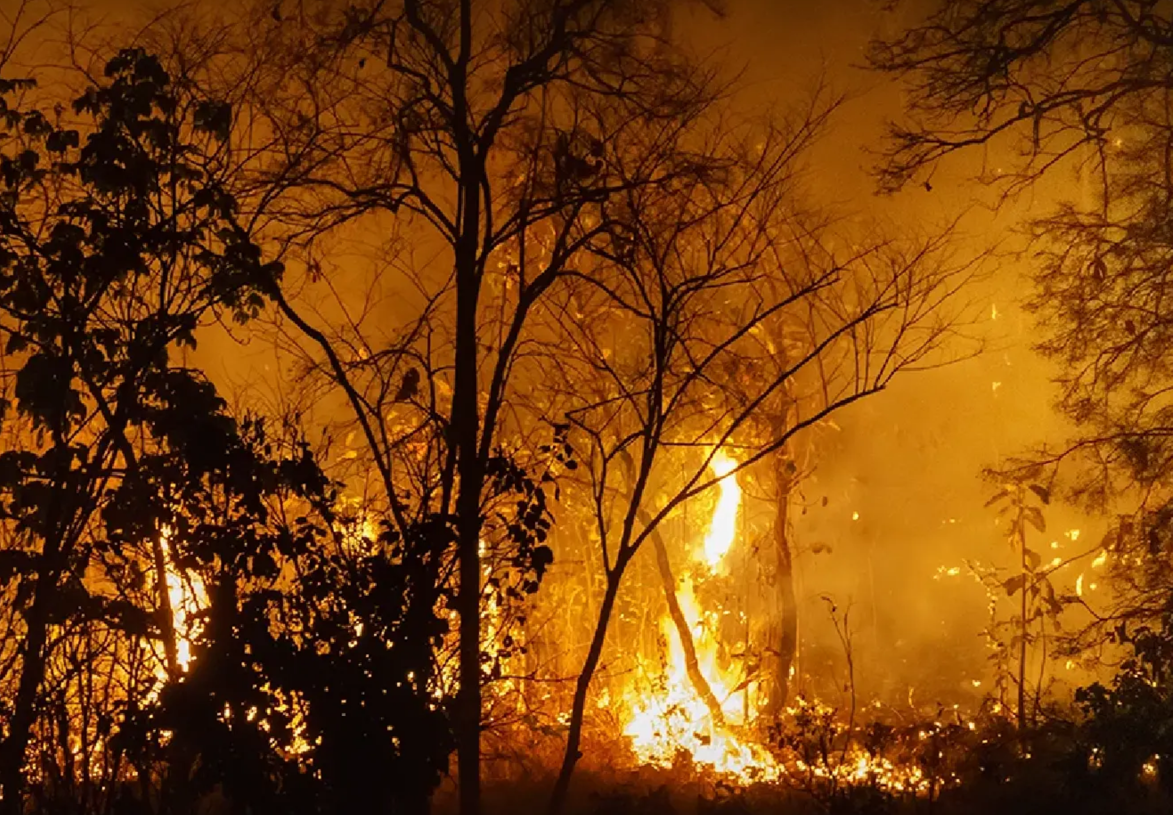

Thailand recorded 839 fire hotspots on February 21, 2026, according to satellite data from the Geo-Informatics and Space Technology Development Agency (GISTDA), with more than half detected in forest areas. The figures, gathered by the Suomi NPP satellite using the VIIRS system, underline continued concerns over haze and PM2.5 pollution. Regional hotspot levels in neighbouring countries remain significantly higher, raising the risk of cross-border haze depending on wind direction.
Get today's headlines by email ![]()
GISTDA reported that forest zones accounted for the largest share of Thailand’s hotspots. National forest reserves registered 253 hotspots, while conservation forests recorded 172. Together, these two categories totalled 425 hotspots, or over 50% of the national figure.
Other affected land-use areas included agricultural land reform zones with 171 hotspots and general agricultural areas with 154. Communities and other areas accounted for 83 hotspots, while roadside and highway areas recorded six. GISTDA-linked reporting described the concentration in forest areas as a major driver of the current haze and PM2.5 problem.
The wider regional situation remains severe. Cambodia recorded 2,315 hotspots, Myanmar 1,093, Laos 775, Vietnam 435 and Malaysia five on the same date. These levels could affect Thailand’s air quality depending on prevailing wind patterns.
The forest-fire situation has remained a recurring concern during the dry season, particularly in northern and north-eastern Thailand where forested areas are extensive. Authorities have linked hotspot concentrations to deteriorating air quality in affected provinces. Monitoring efforts continue as officials assess both domestic and cross-border sources of haze.
GISTDA urged close monitoring of hotspots, especially in forest areas in the North and Northeast. The agency said the public can track real-time hotspot data and wildfire-risk maps through its online disaster monitoring platform. Officials have not announced new measures but continue to provide updates based on satellite observations.
https://disaster.gistda.or.th/fire
The Nation reported that attention is expected to remain on daily hotspot counts and regional wind conditions in the coming days. Cross-border cooperation and domestic fire prevention efforts are likely to play a role if hotspot numbers remain elevated. Further satellite assessments will determine whether the trend eases or intensifies.

Picture courtesy of The Nation
Key Takeaways
• Thailand recorded 839 hotspots on February 21, 2026, with 425 located in national forest reserves and conservation forests.
• Cambodia and Myanmar reported 2,315 and 1,093 hotspots respectively, raising cross-border haze concerns.
• GISTDA is urging close monitoring and providing real-time hotspot and wildfire-risk data via its online platform.
Join the discussion? ![]()
Already a member? ![]()
 Adapted by ASEAN Now Nation 23 Feb 2026